Webcams in the region of Point Dume Mobile Home Park, California, USA
The List of Webcams near Point Dume Mobile Home Park, California, USA:

Topanga Beach, California, USA - 13.6 miles from Point Dume Mobile Home Park: Live Surf Camera - Live streaming Surf camera for Topanga Point.
Operator: SwellMagnet.com
Operator: SwellMagnet.com

Canoga Park, California, USA - 17.9 miles from Point Dume Mobile Home Park: Canoga Park High School - Webcam and current weather data - camera location: Canoga Park High School.
Operator: WeatherBug
Operator: WeatherBug


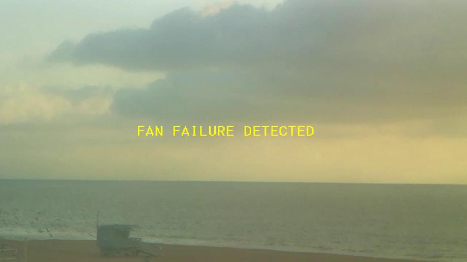
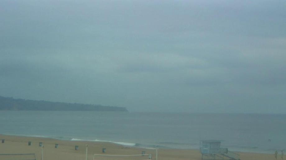
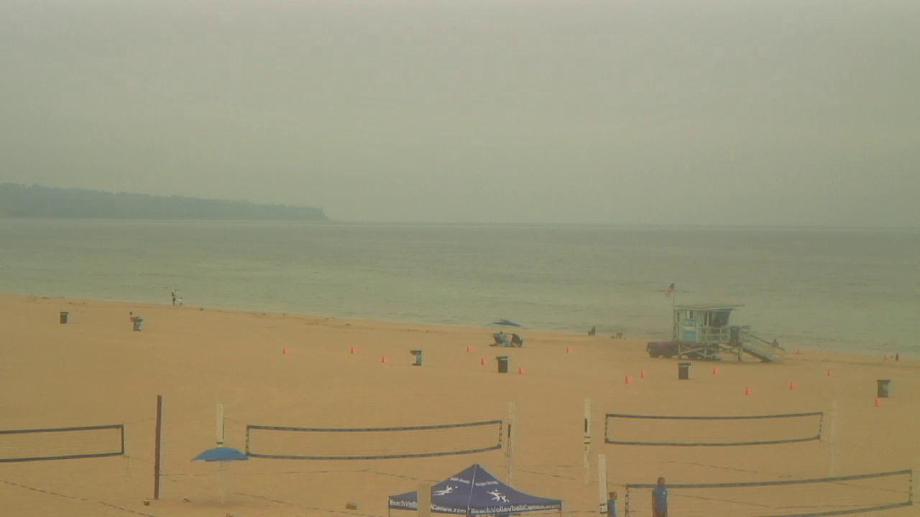
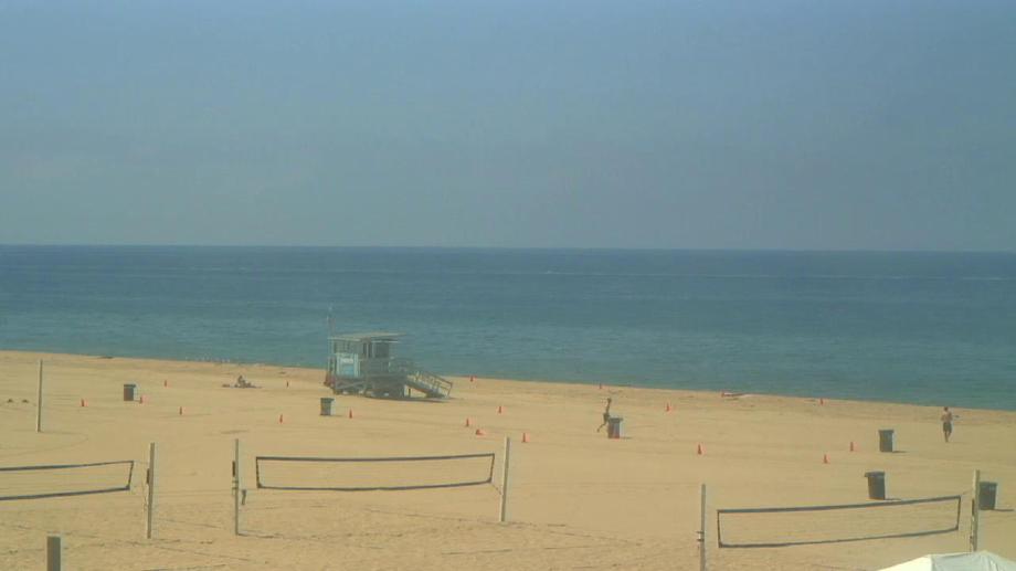
Santa Monica, California, USA - 18.6 miles from Point Dume Mobile Home Park: Santa Monica Beach - This live streaming surf camera covers the best surf spot in Santa Monica, CA.
Operator: SwellMagnet.com
Operator: SwellMagnet.com

Oxnard, California, USA - 24.3 miles from Point Dume Mobile Home Park: Oxnard School District - A webcam in Oxnard, California - camera location: Oxnard School District.
Operator: WeatherBug
Operator: WeatherBug


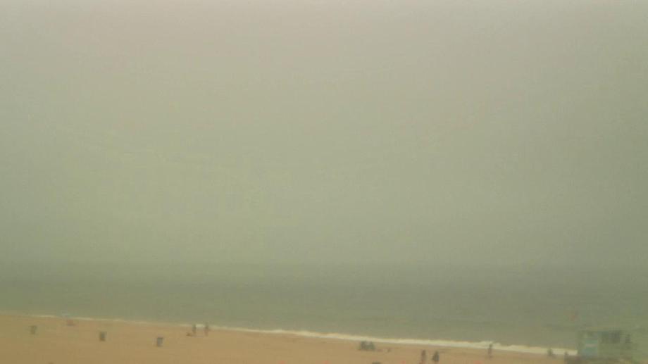
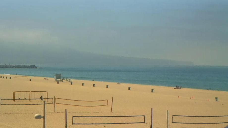
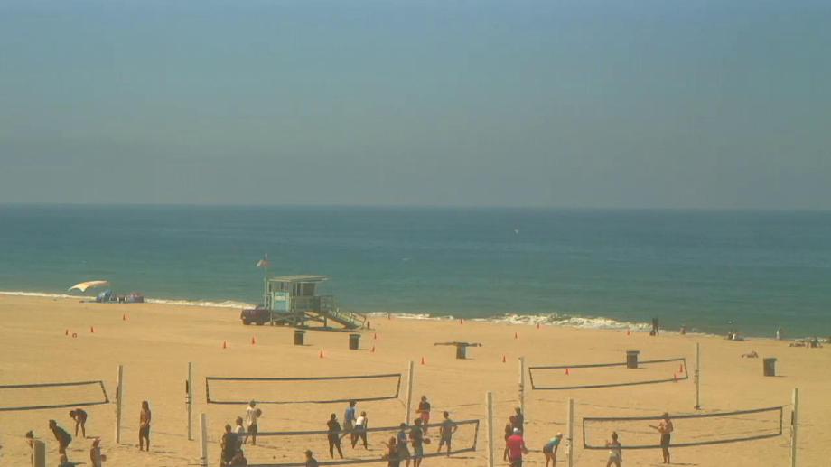
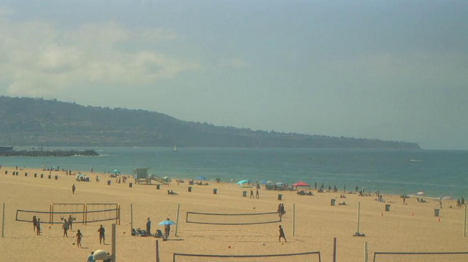
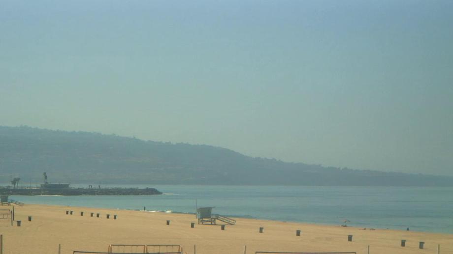
Manhattan Beach, California, USA - 24.8 miles from Point Dume Mobile Home Park: El Porto Beach - The El Porto Beach Live Surf Camera gives you an up close view of the South Bay Gem.
Operator: SwellMagnet.com
Operator: SwellMagnet.com

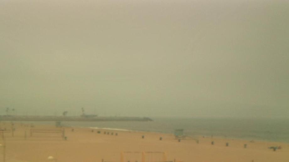
Manhattan Beach, California, USA - 24.8 miles from Point Dume Mobile Home Park: Manhattan Beach Pier - The Manhattan Beach Pier Live Surf Camera has the World's best view of this historical location.
Operator: SwellMagnet.com
Operator: SwellMagnet.com

Hermosa Beach, California, USA - 26.1 miles from Point Dume Mobile Home Park: Hermosa Beach Pier - A view of the Hermosa Beach Pier, taken from Hennessey's Tavern, also as streaming video.
Operator: hermosawave.net
Operator: hermosawave.net

Hermosa Beach, California, USA - 26.1 miles from Point Dume Mobile Home Park: Live Surf Camera - The Hermosa Beach Live Surf Camera has the world's best view of the historical Pier and surf.
Operator: SwellMagnet.com
Operator: SwellMagnet.com

Hermosa Beach, California, USA - 26.1 miles from Point Dume Mobile Home Park: Hermosa Beach Pier - Hermosa Beach Pier, strand and Surf Cam.
Operator: HDOnTap
Operator: HDOnTap


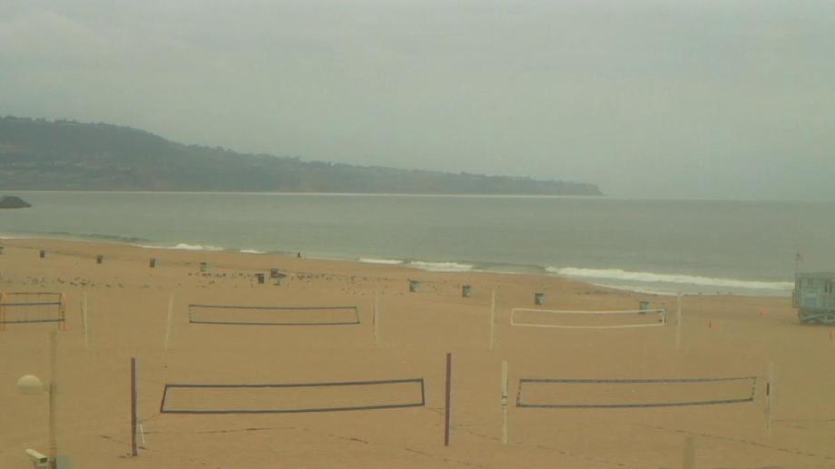

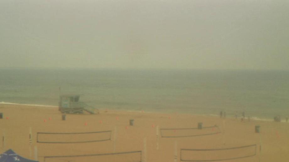

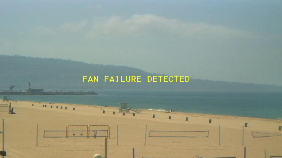


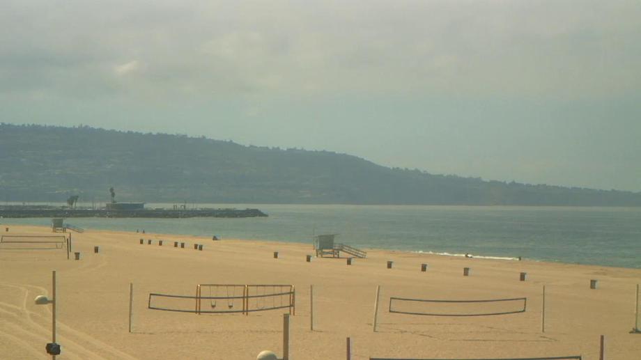

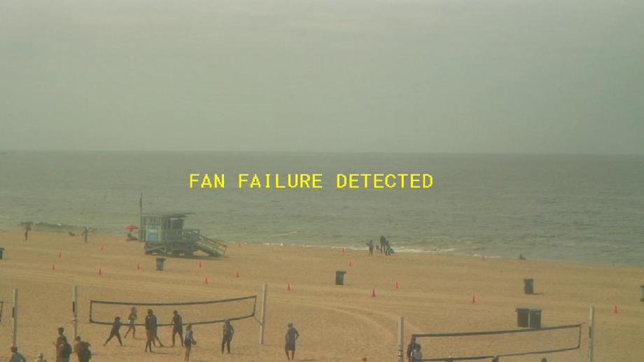

Torrance Beach, California, USA - 28.1 miles from Point Dume Mobile Home Park: Live Surf Camera - The Torrance Beach Live Surf Camera has a beautiful view of the South Bay, CA.
Operator: SwellMagnet.com
Operator: SwellMagnet.com
Some other places in this country: Koreatown - Malibu West - Paradise Cove Mobile Home Park - Seminole Springs Trailer Park - Centerville (historical) - Middle Waters (historical) - Mount Vernon (historical) - Sierra Subdivision - Unionville (historical) - Verdi-Sierra Pines