Webcams in the region of Penoyar, California, USA
The List of Webcams near Penoyar, California, USA:

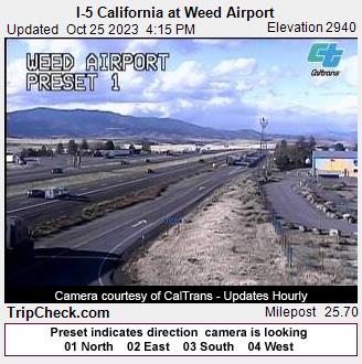
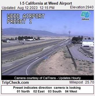
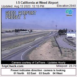
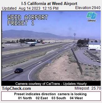
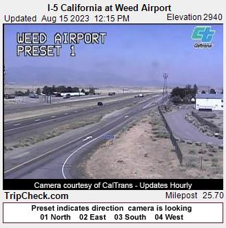
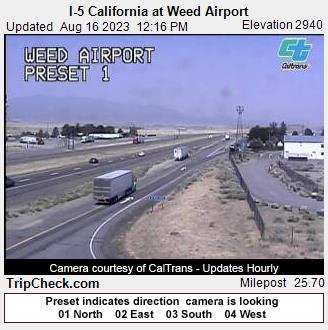
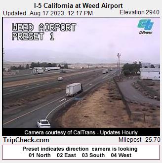
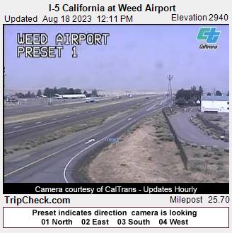
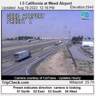
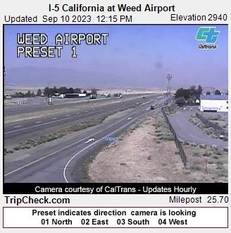
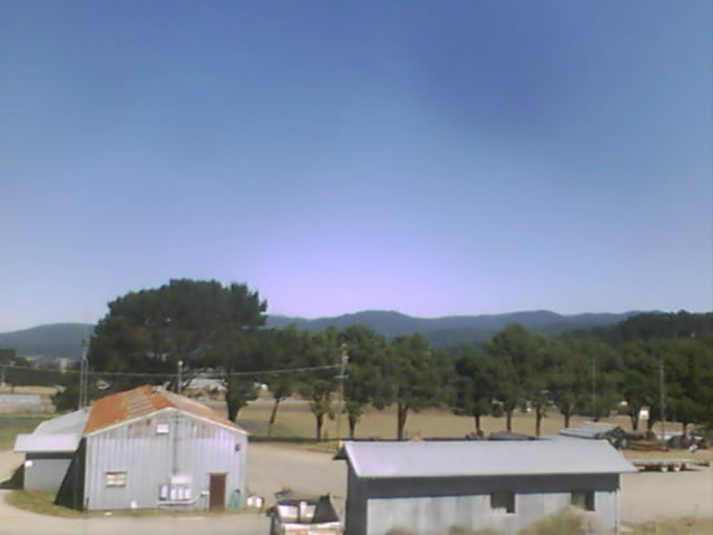
Weed, California, USA - 23.8 miles from Penoyar: I-5 California at Weed Airport - A view of the current traffic situation on the I-5.
Operator: Oregon Department of Transportation
Operator: Oregon Department of Transportation


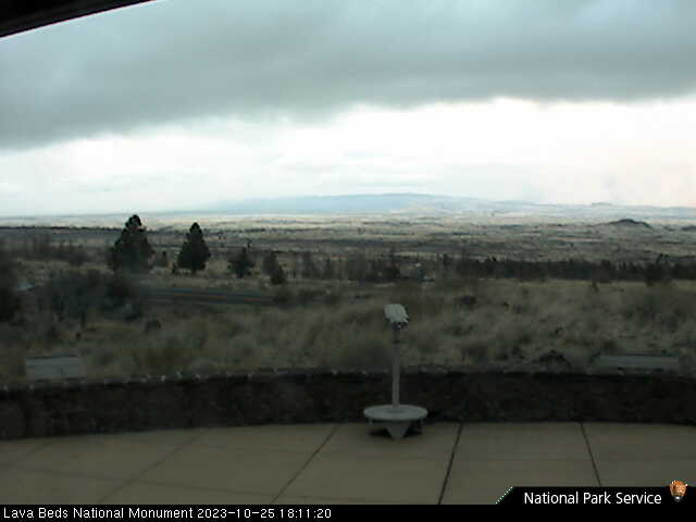
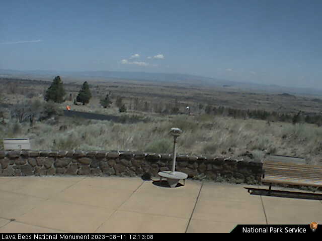
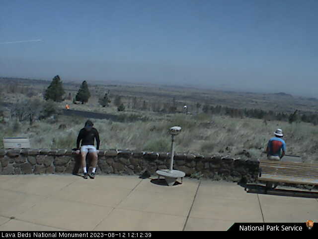
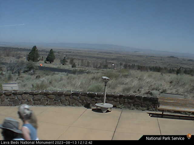
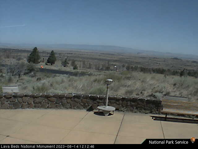
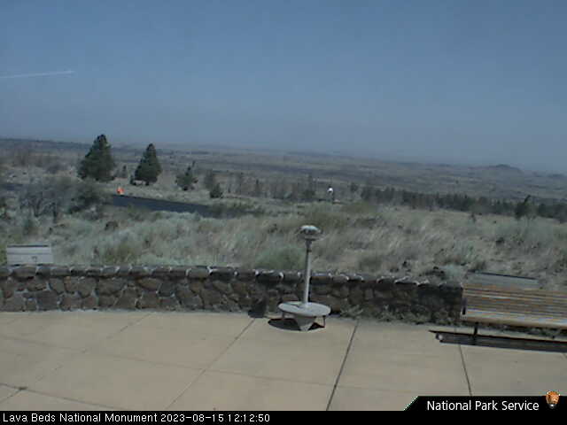
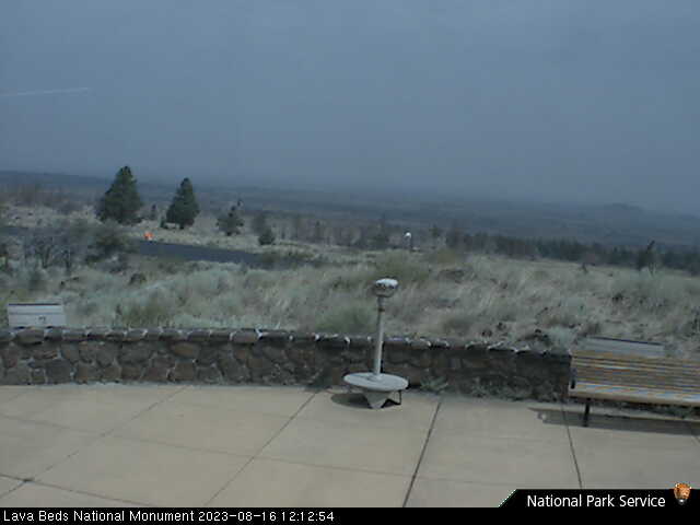
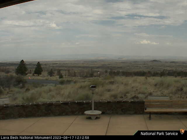
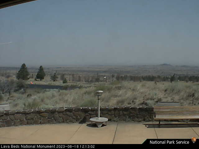
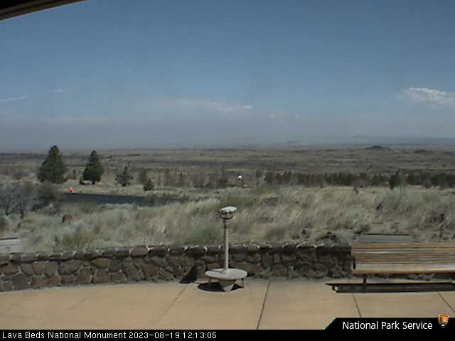
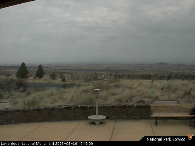
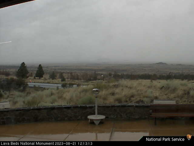
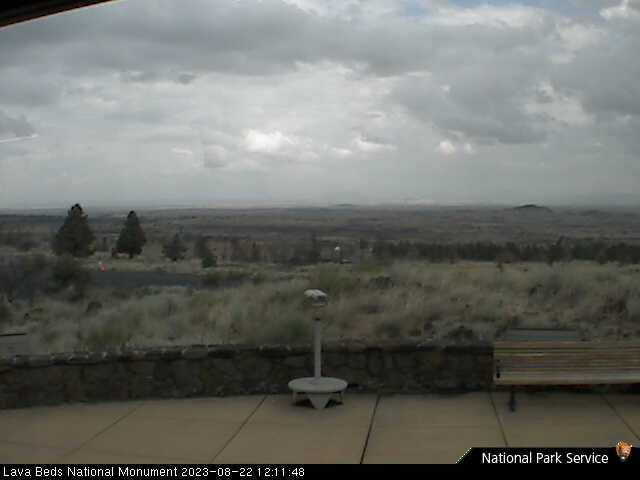
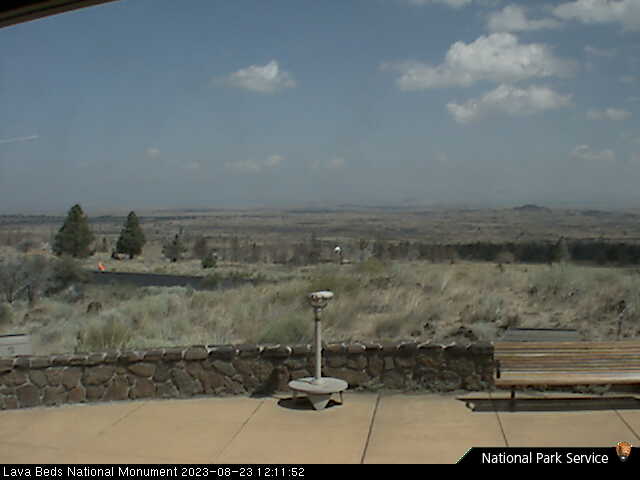
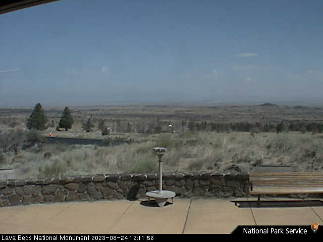
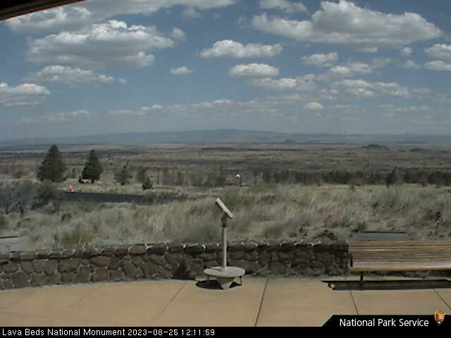
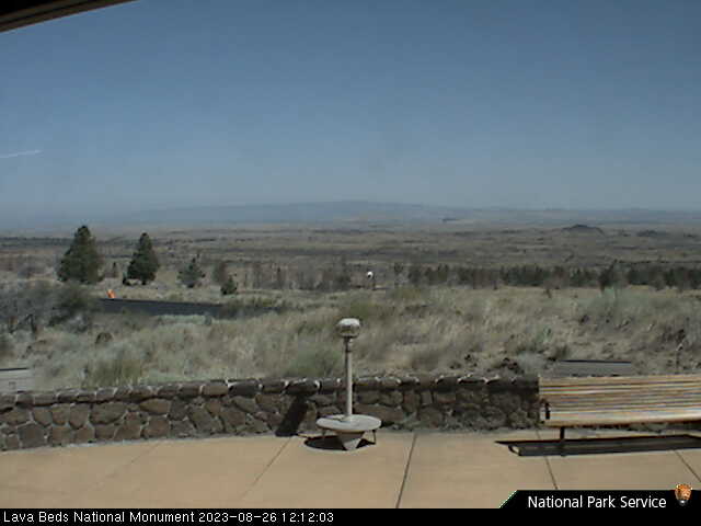
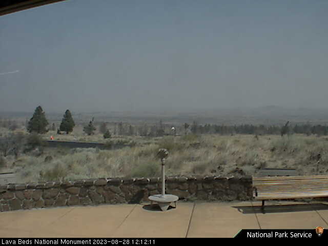
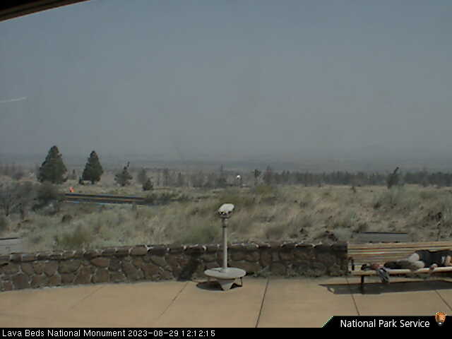
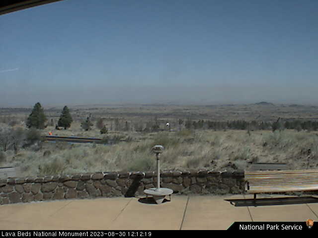
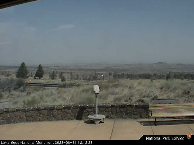
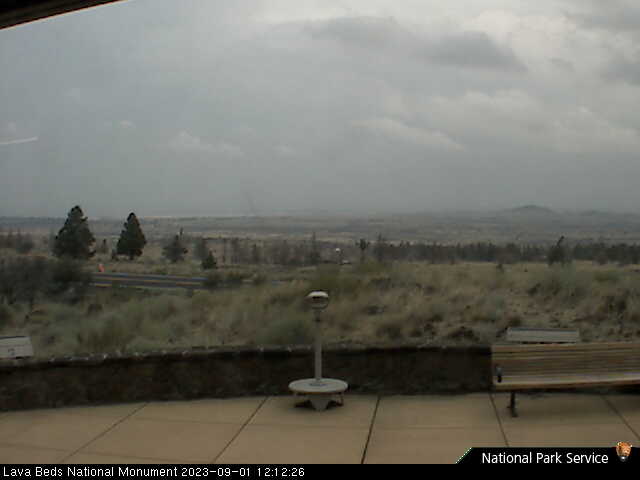
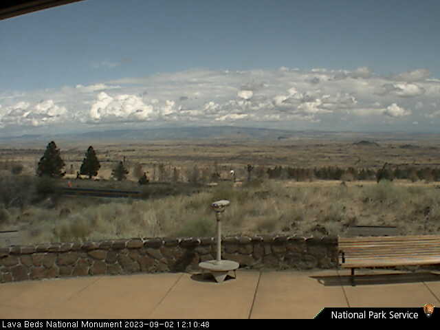
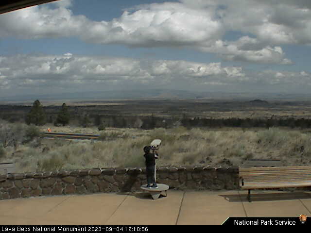
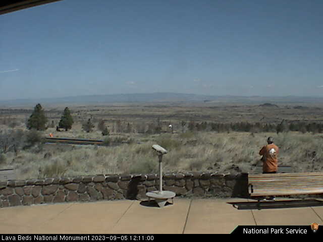
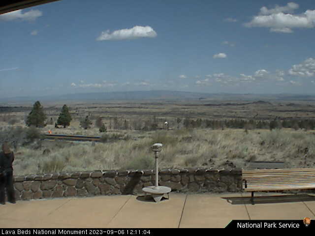
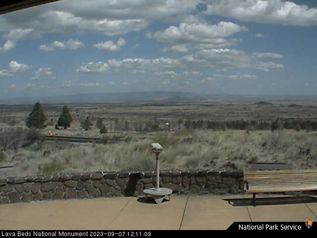
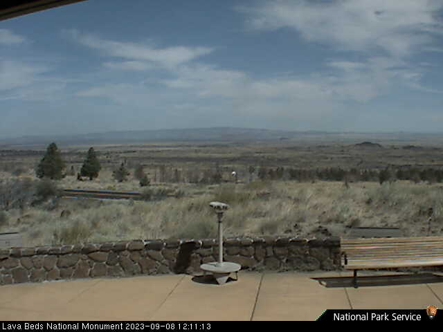
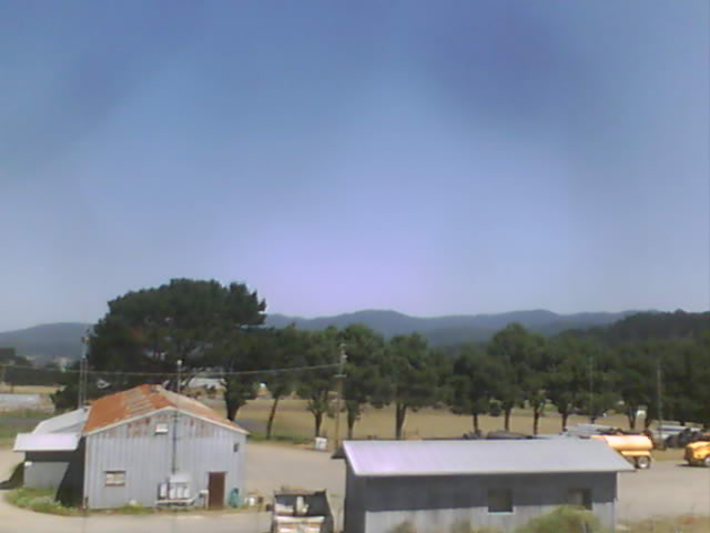
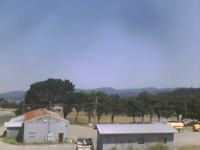
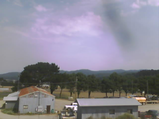
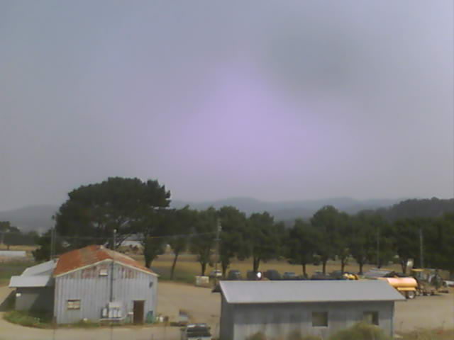
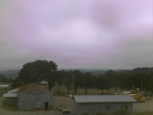
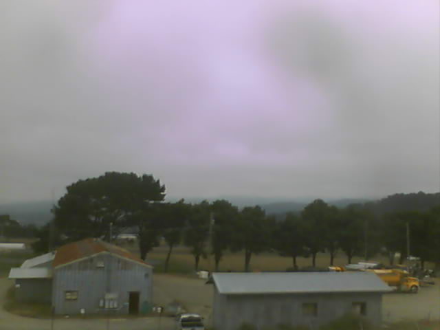
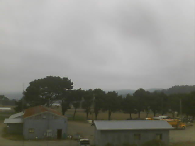
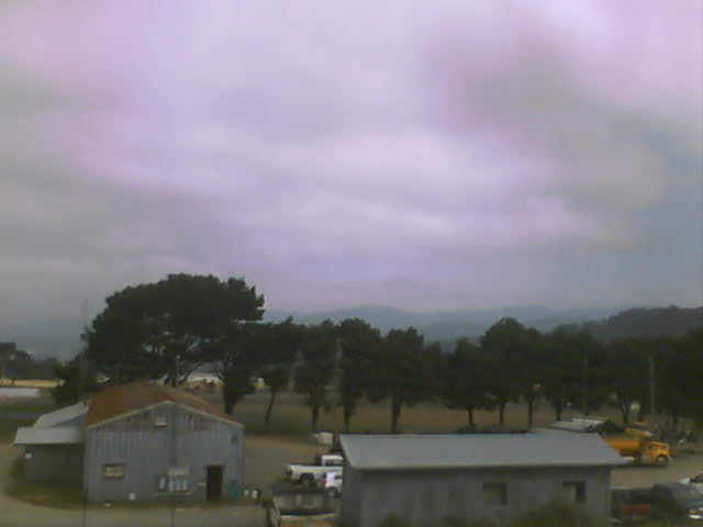
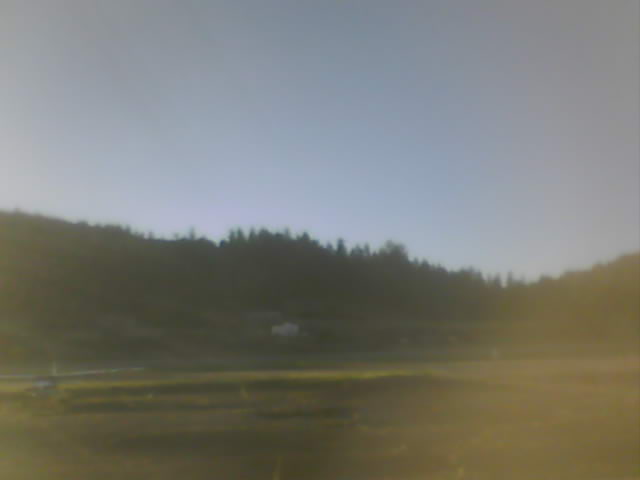
Lava Beds National Monument, California, USA - 28.5 miles from Penoyar: Lava Beds Visitor Center - A view in northern direction from the Lava Beds National Monument Visitor Center.
Operator: U.S. National Park Service
Operator: U.S. National Park Service


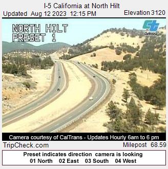
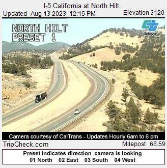
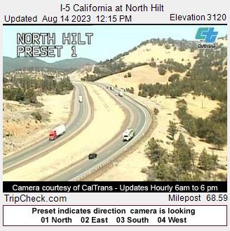
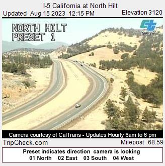
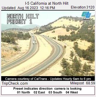
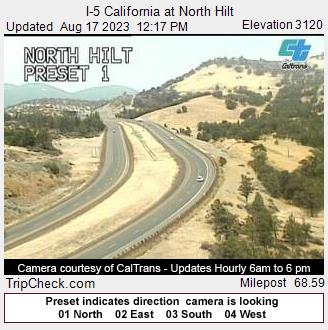
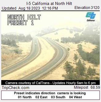
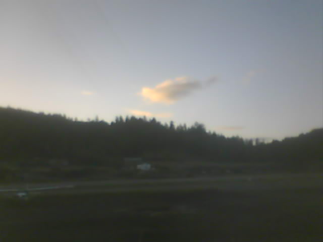
Hilt, California, USA - 36.7 miles from Penoyar: I-5 California at North Hilt - A view of the current traffic situation on the I-5.
Operator: Oregon Department of Transportation
Operator: Oregon Department of Transportation


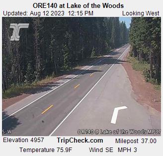
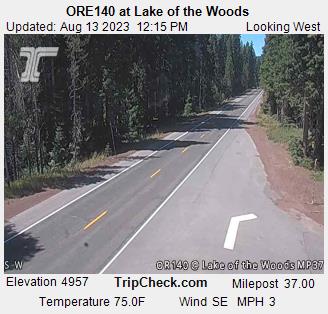
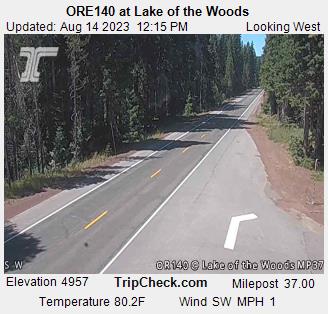
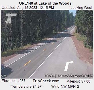
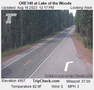
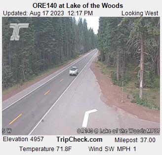
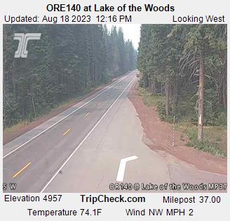
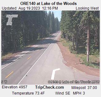
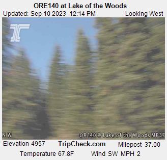
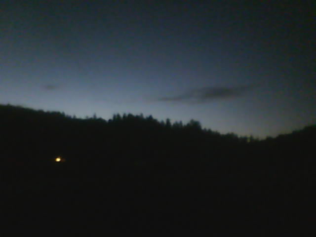
Lake of the Woods, Oregon, USA - 49.7 miles from Penoyar: ORE140 at Lake of the Woods - A view of the current traffic situation on the ORE140.
Operator: Oregon Department of Transportation
Operator: Oregon Department of Transportation


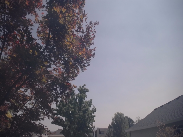
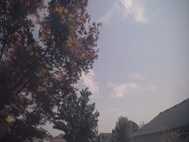
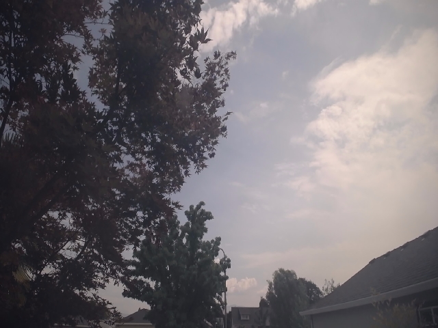
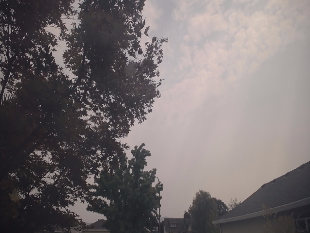
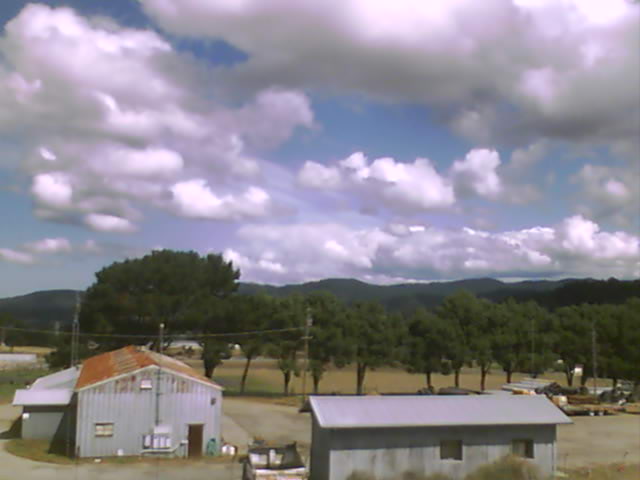
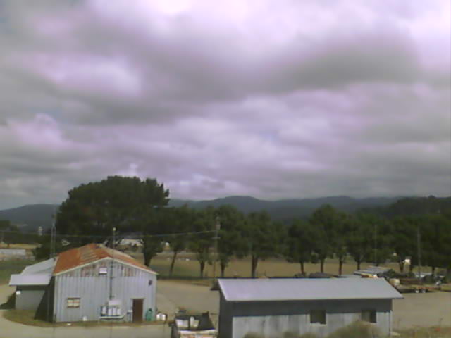
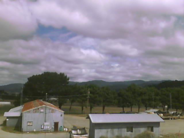
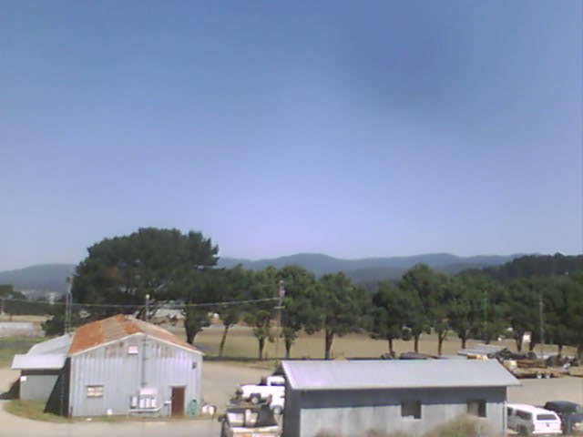
Medford, Oregon, USA - 61.8 miles from Penoyar: Medford Weathercam - A live view from Medford, Oregon, with current weather data.
Operator: Ryan's Weather Website - Medford, Oregon
Operator: Ryan's Weather Website - Medford, Oregon


Lassen Volcanic National Park, California, USA - 86.6 miles from Penoyar: Kohm Yah-mah-nee Visitor Center - A view from the Kohm Yah-mah-nee Visitor Center in the Lassen Volcanic National Park towards Mt. Diller (left) und Pilot Pinnacle (right).
Operator: U.S. National Park Service
Operator: U.S. National Park Service


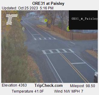
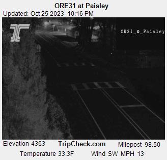
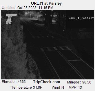
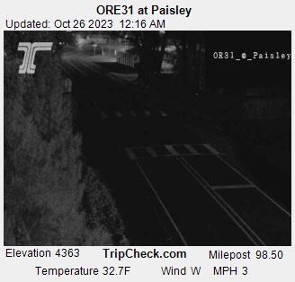
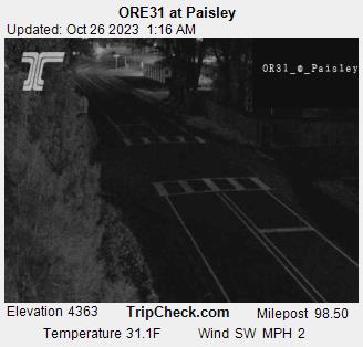
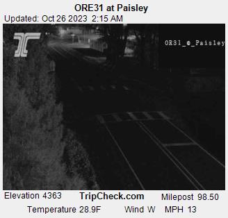
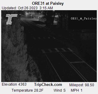
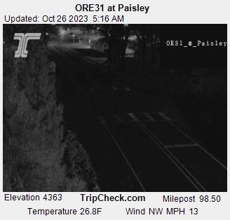
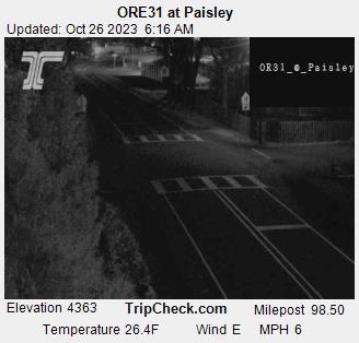
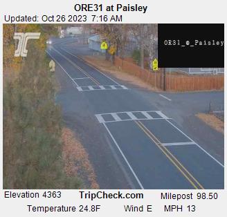
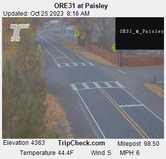
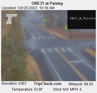
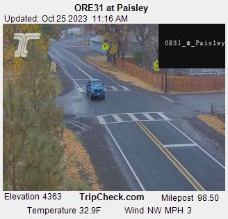
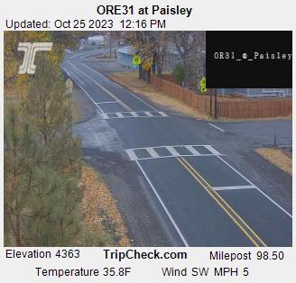
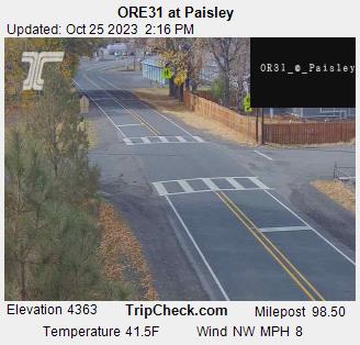
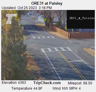
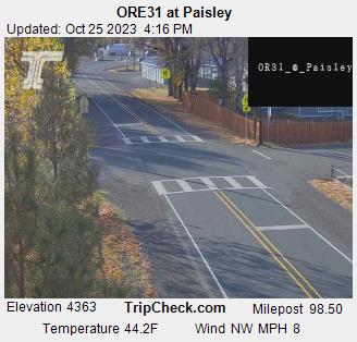
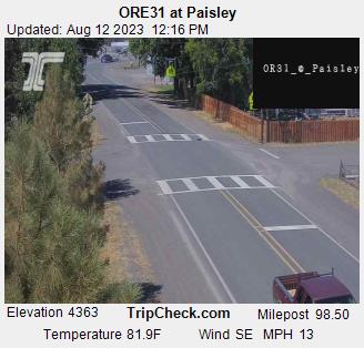
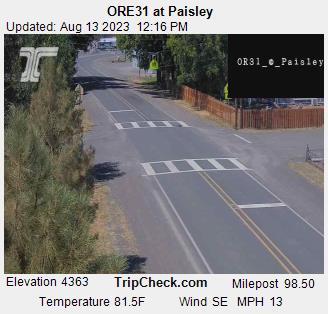
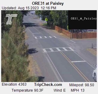
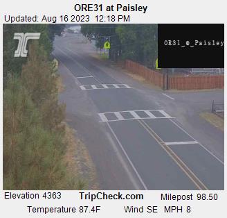
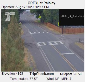
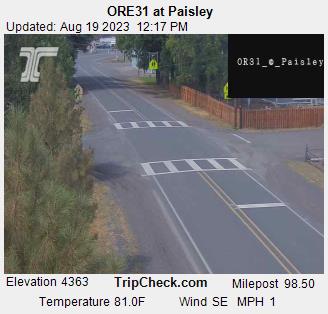
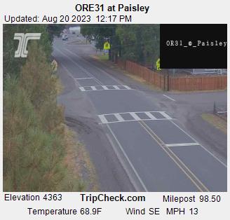
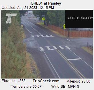
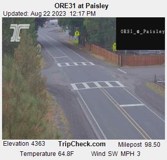
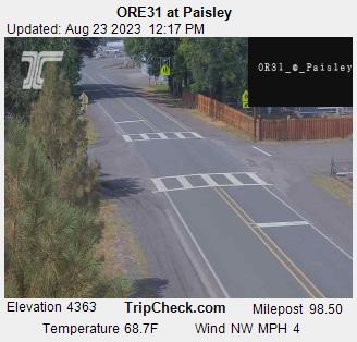
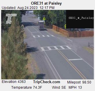
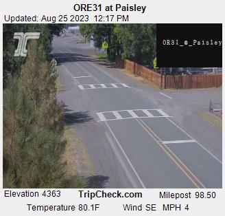
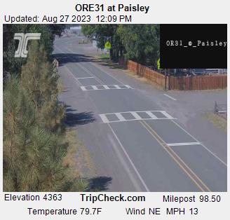
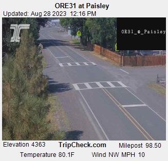
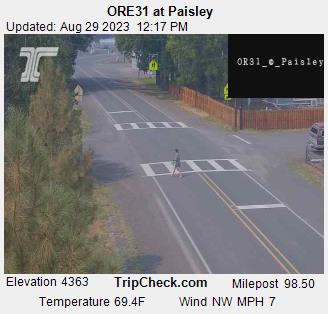
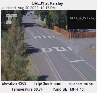
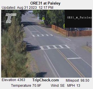
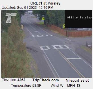
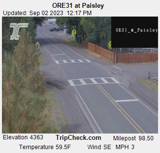
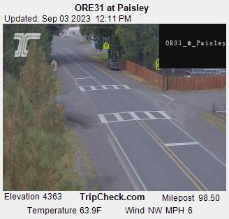
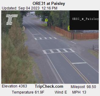
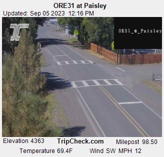
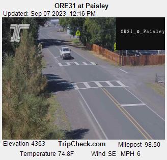
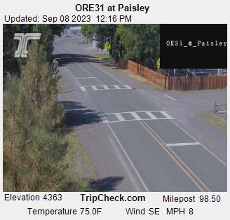
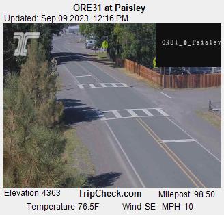
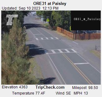
Paisley, Oregon, USA - 105.2 miles from Penoyar: ORE31 at Paisley - A view of the current traffic situation on the ORE31.
Operator: Oregon Department of Transportation
Operator: Oregon Department of Transportation


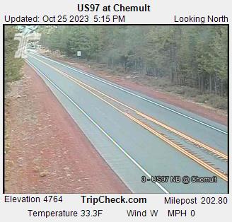
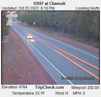
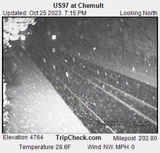
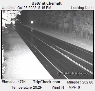
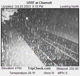
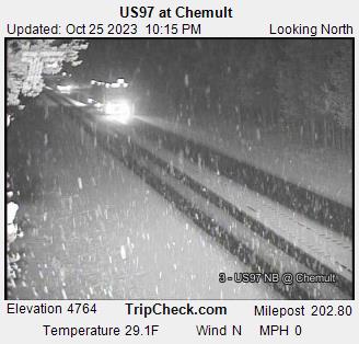
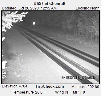
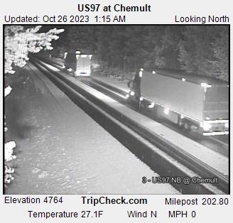
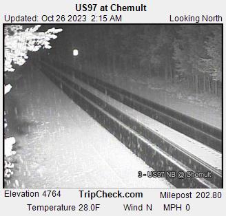
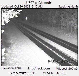
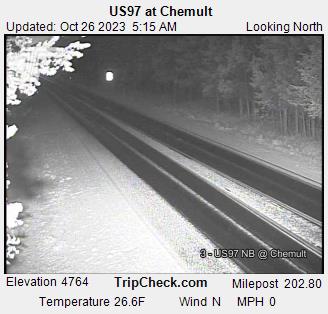
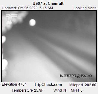
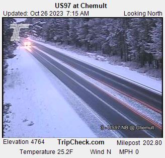
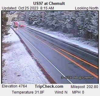
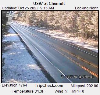
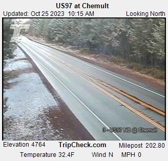
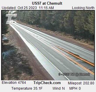
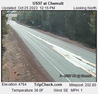
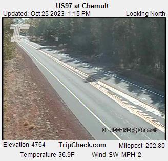
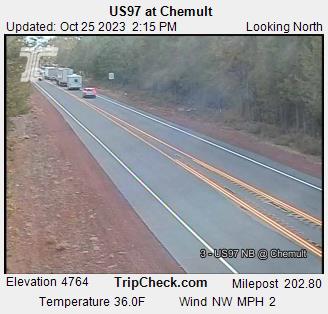
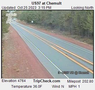
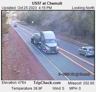
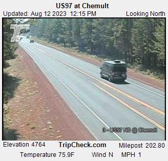
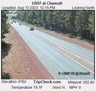
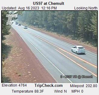
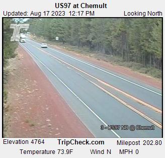
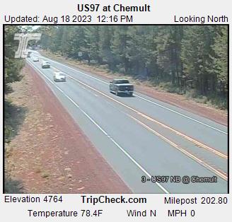
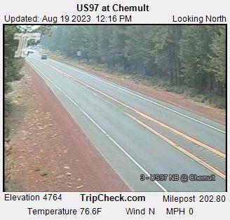
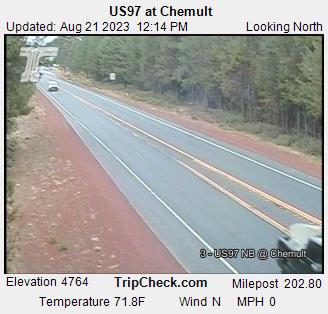
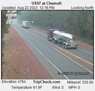
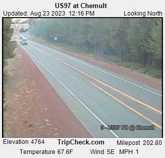
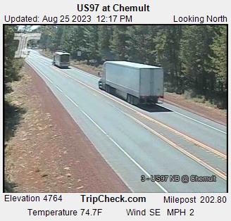
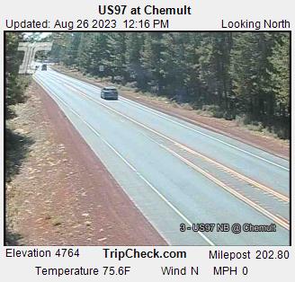
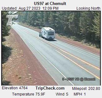
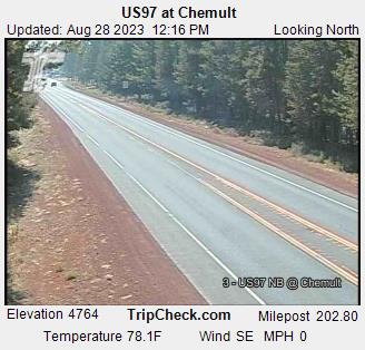
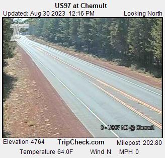
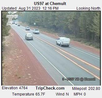
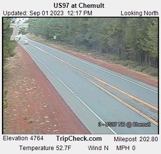
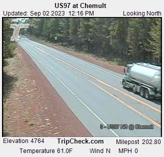
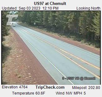
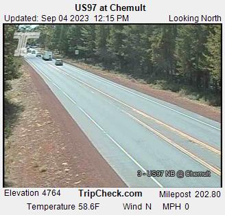
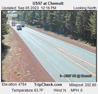
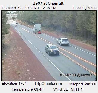
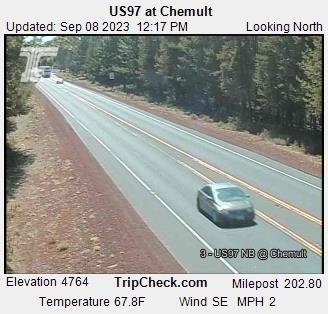
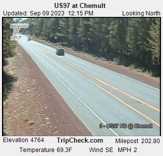
Chemult, Oregon, USA - 108 miles from Penoyar: US97 at Chemult - A view of the current traffic situation on the US97.
Operator: Oregon Department of Transportation
Operator: Oregon Department of Transportation


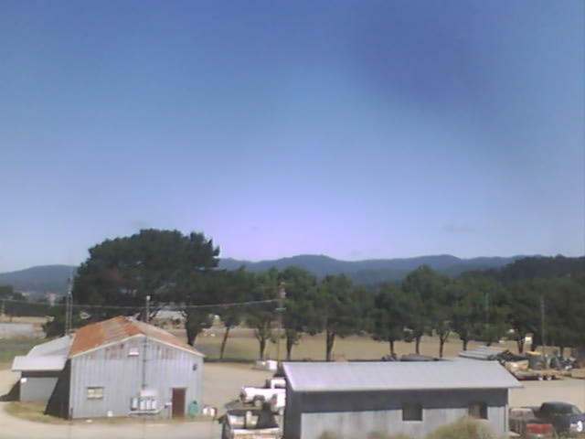
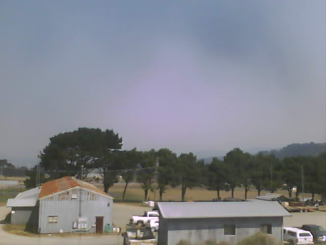
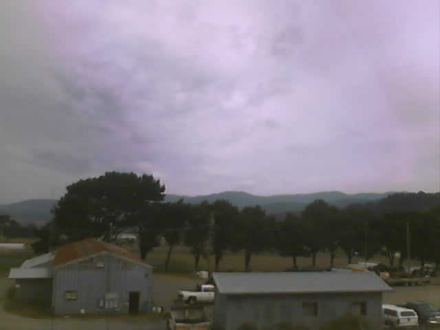
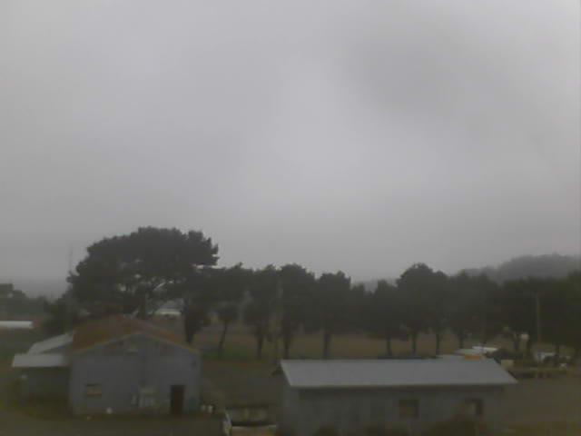
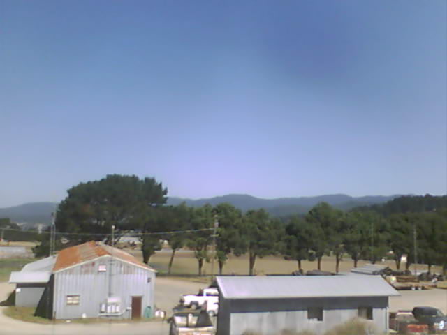
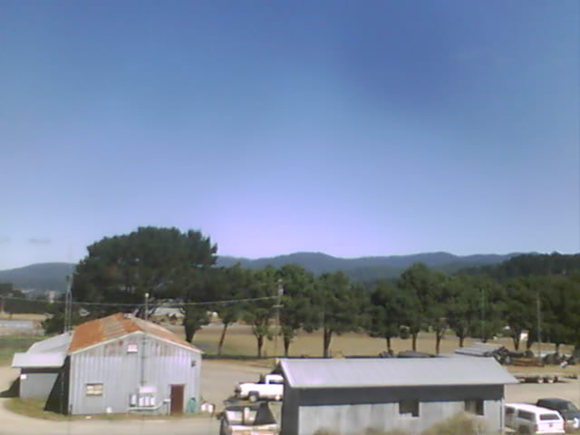
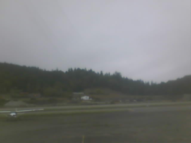
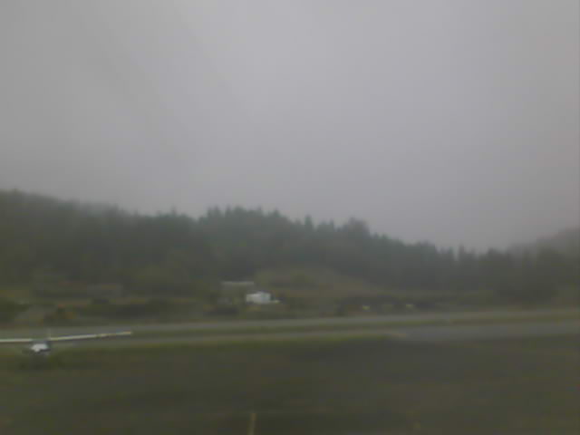
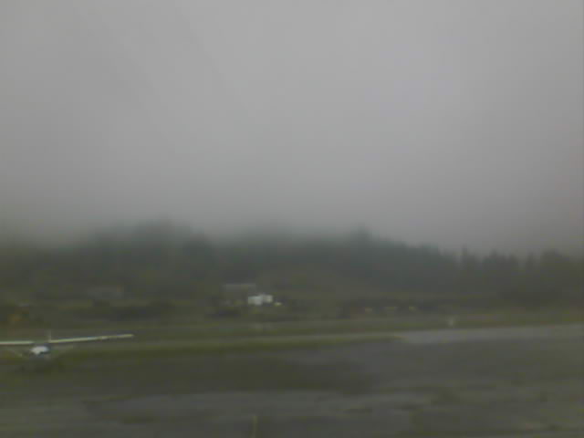
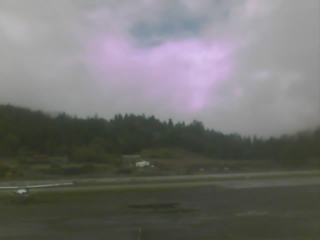
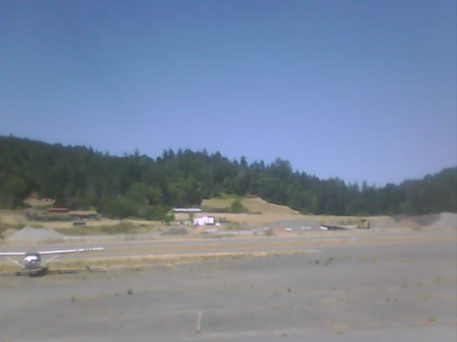
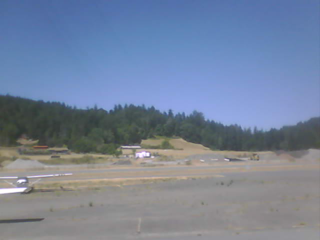
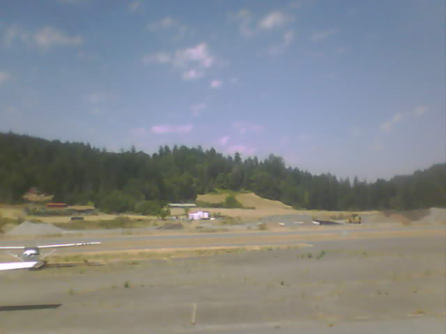
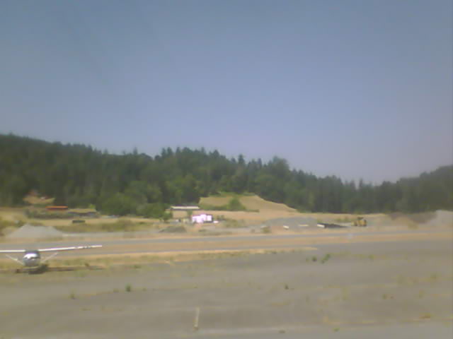
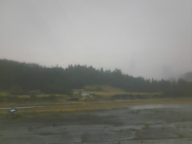
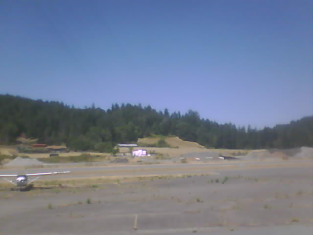
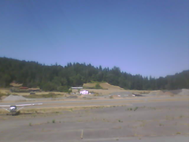
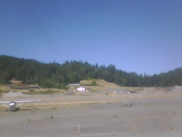
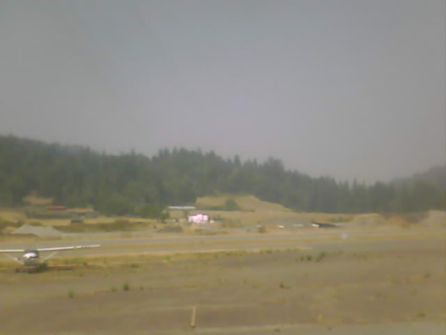
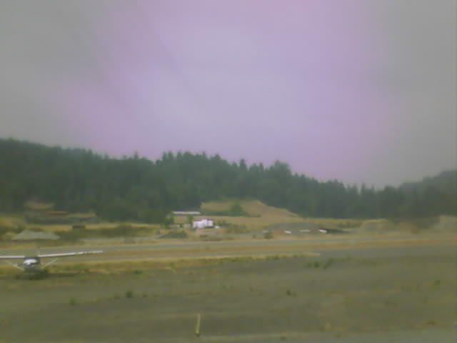
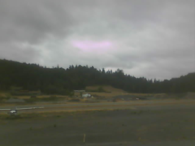
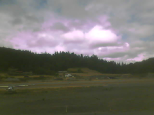
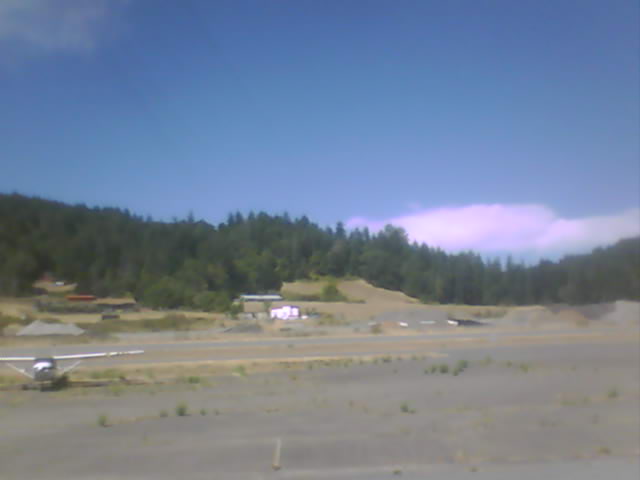
Fortuna, California, USA - 131.7 miles from Penoyar: Rohnerville Airport - Different views of the Rohnerville Airport, Fortuna, CA.
Operator: North Coast Aviation
Operator: North Coast Aviation


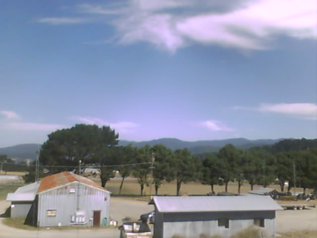
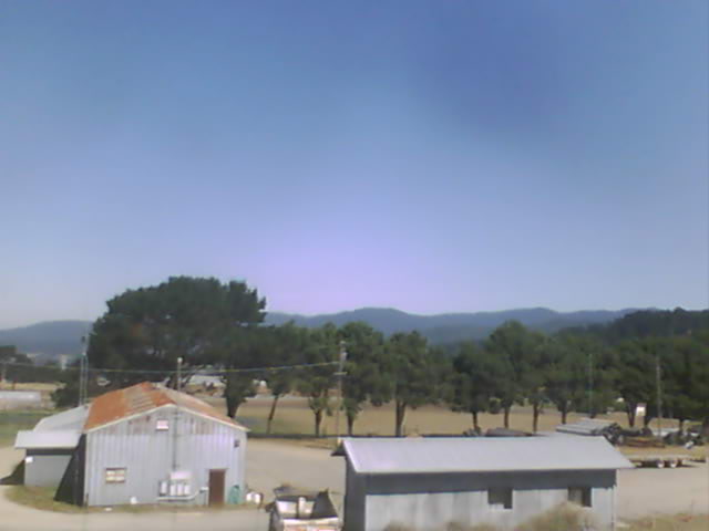

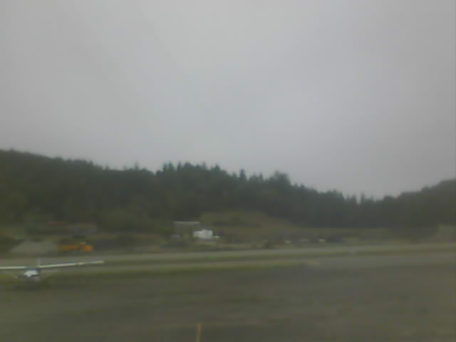
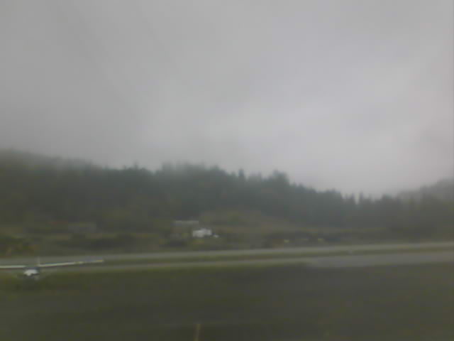
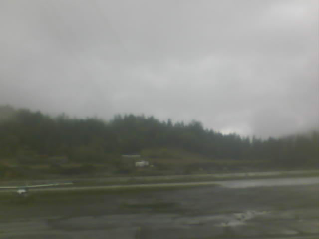
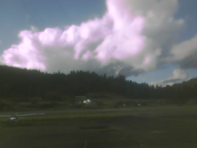
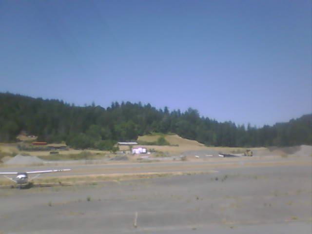
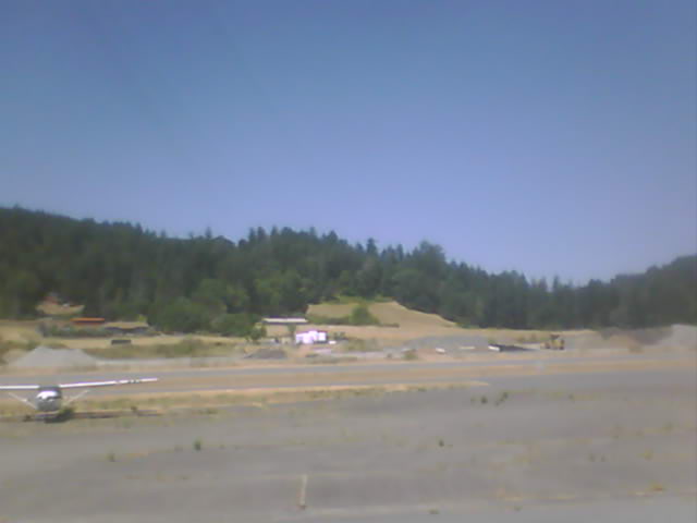
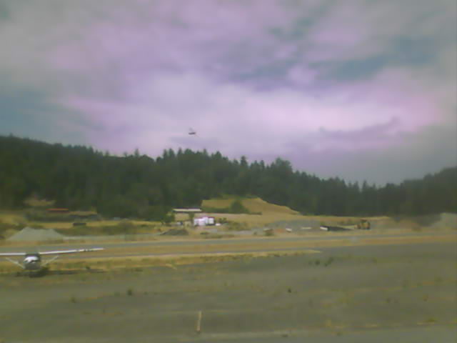
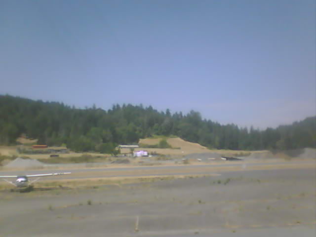
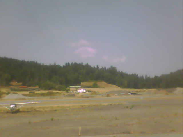
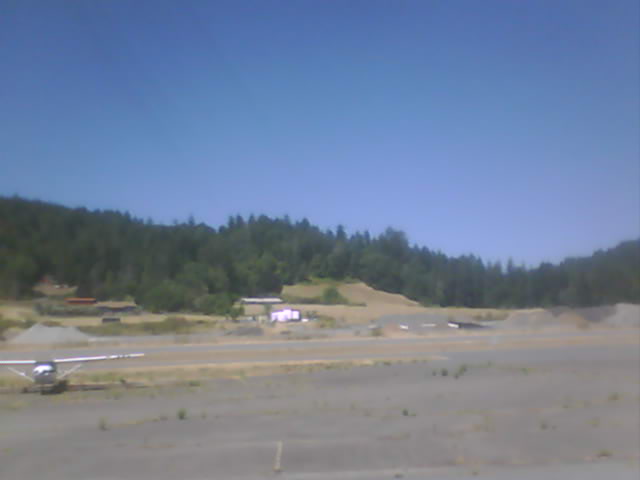
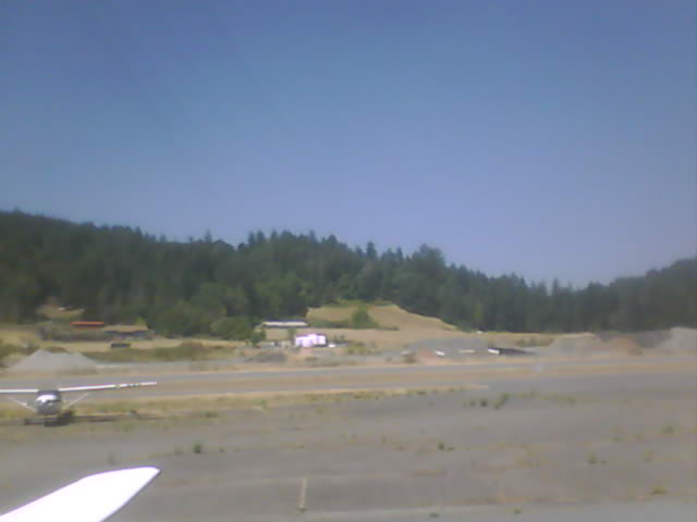
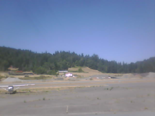
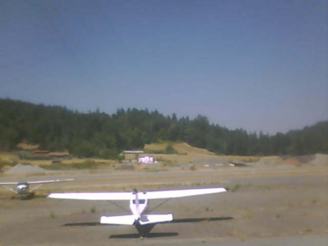
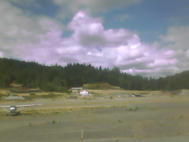
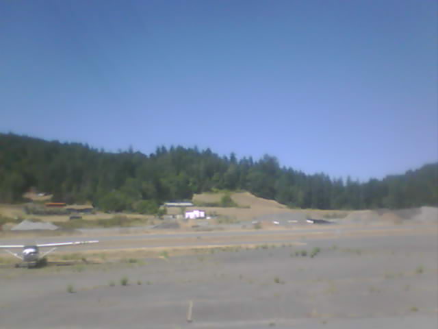
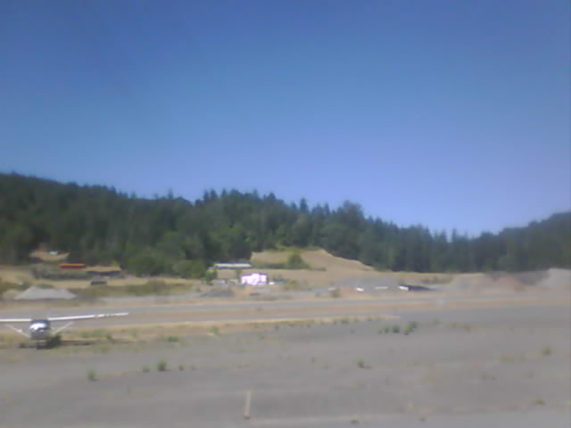
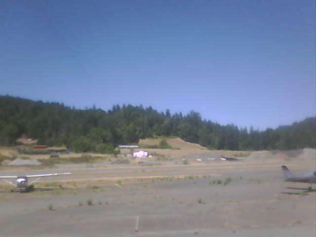
Garberville, California, USA - 141 miles from Penoyar: Garberville Airport - Several views of Garberville Airport.
Operator: North Coast Aviation
Operator: North Coast Aviation


Some other places in this country: Peligreen Place - Pellow Place - Peltier - Penney - Pepperwood - Pepperwood Grove - Perkins - Perks Corner - Pescadero - Peterson Mill