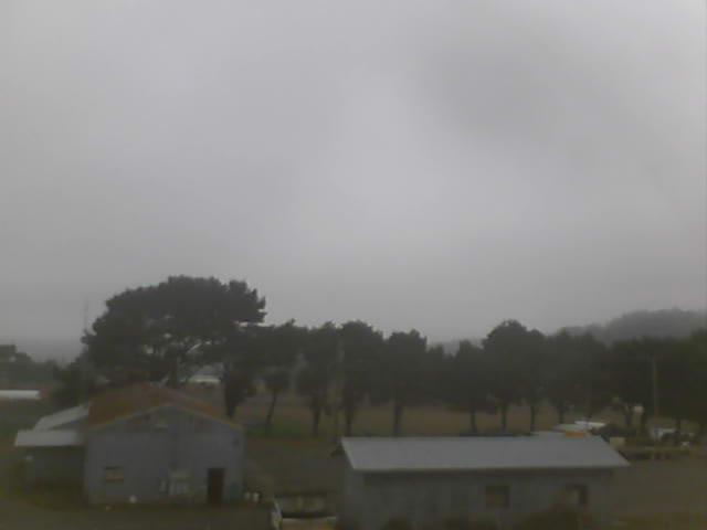
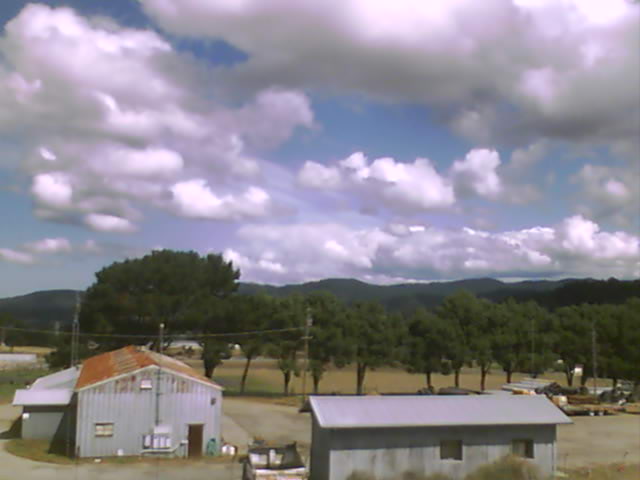
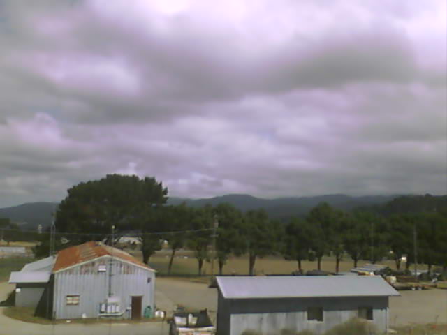
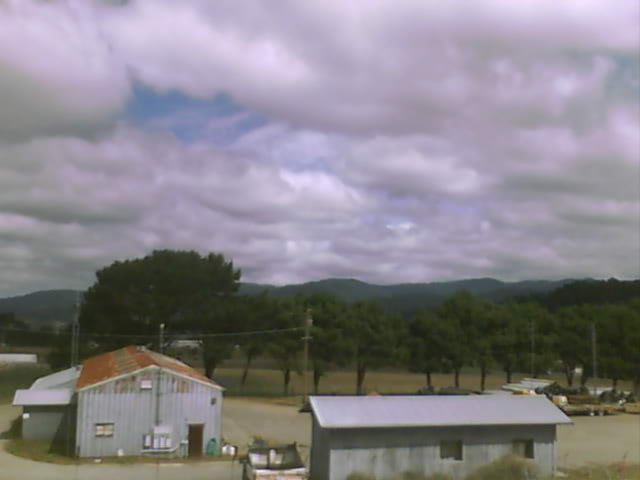
Webcams in the region of Paynes Creek, California, USA
The List of Webcams near Paynes Creek, California, USA:

Lassen Volcanic National Park, California, USA - 28 miles from Paynes Creek: Kohm Yah-mah-nee Visitor Center - A view from the Kohm Yah-mah-nee Visitor Center in the Lassen Volcanic National Park towards Mt. Diller (left) und Pilot Pinnacle (right).
Operator: U.S. National Park Service
Operator: U.S. National Park Service


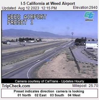
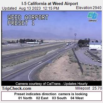
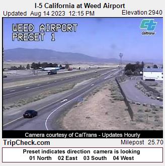
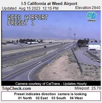
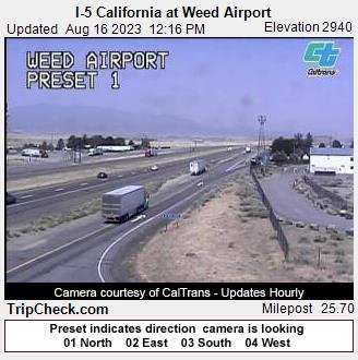
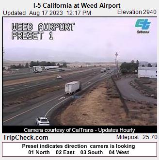
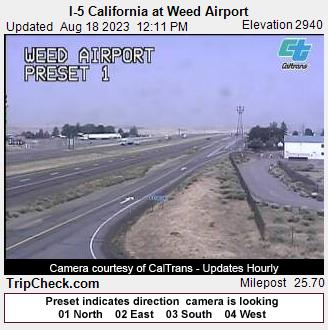
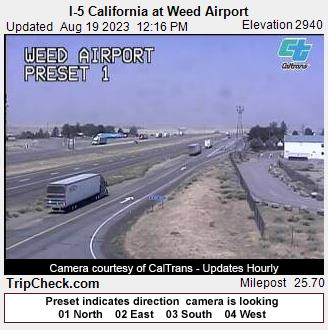
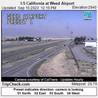
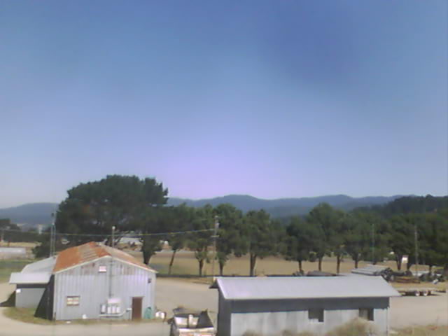
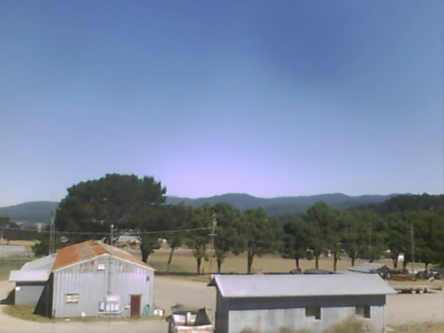
Weed, California, USA - 79 miles from Paynes Creek: I-5 California at Weed Airport - A view of the current traffic situation on the I-5.
Operator: Oregon Department of Transportation
Operator: Oregon Department of Transportation


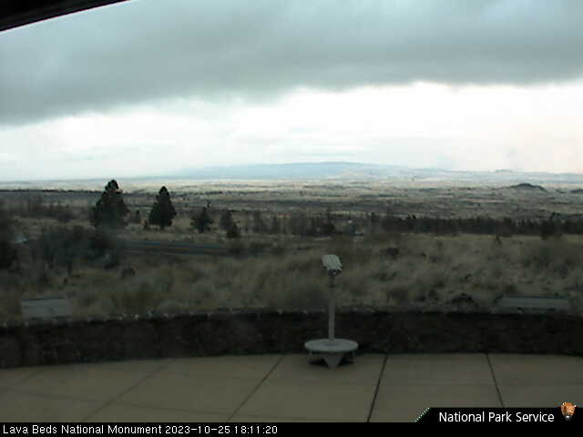
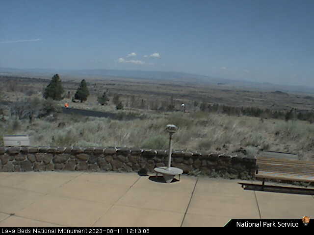
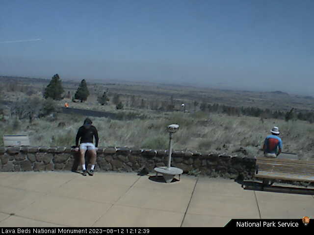
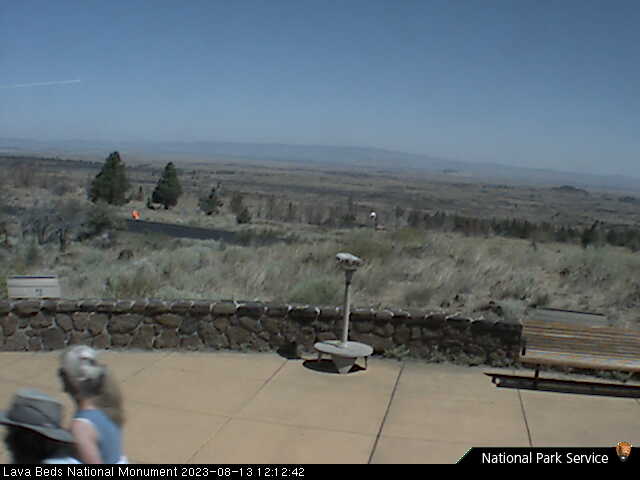
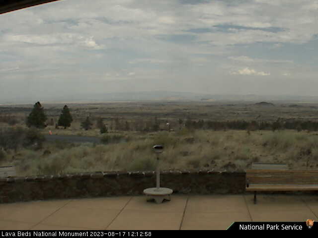
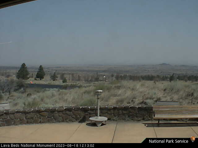
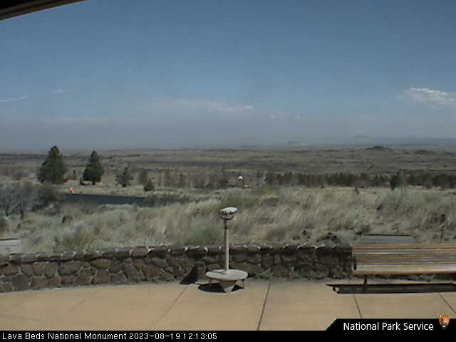
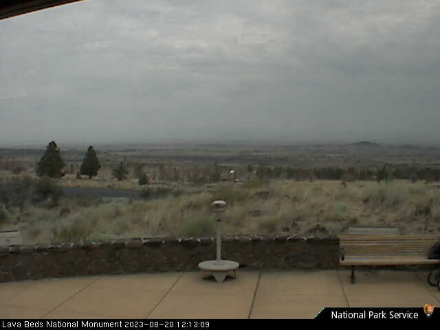
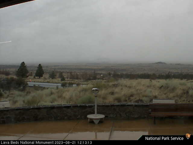
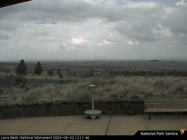
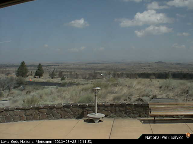
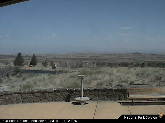
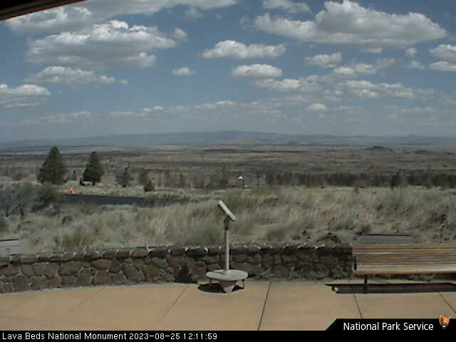
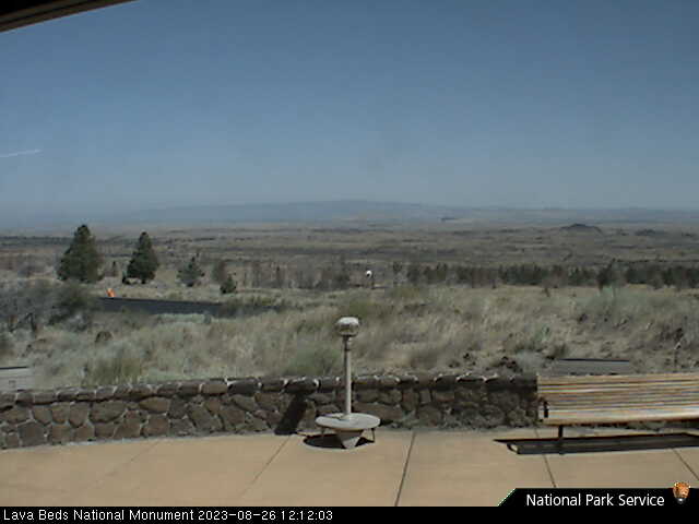
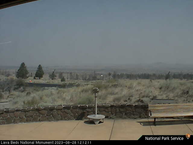
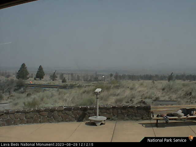
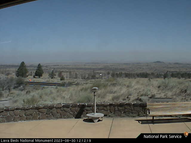
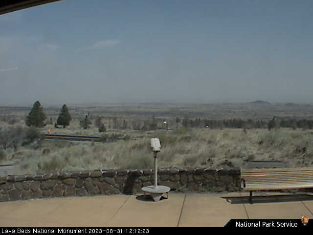
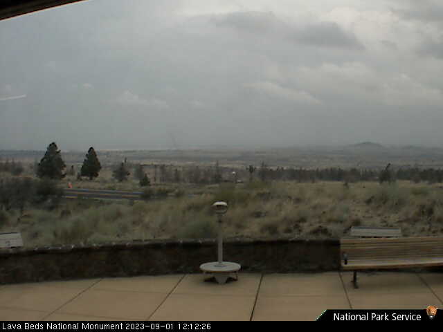
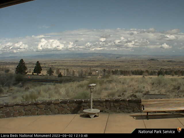
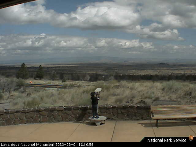
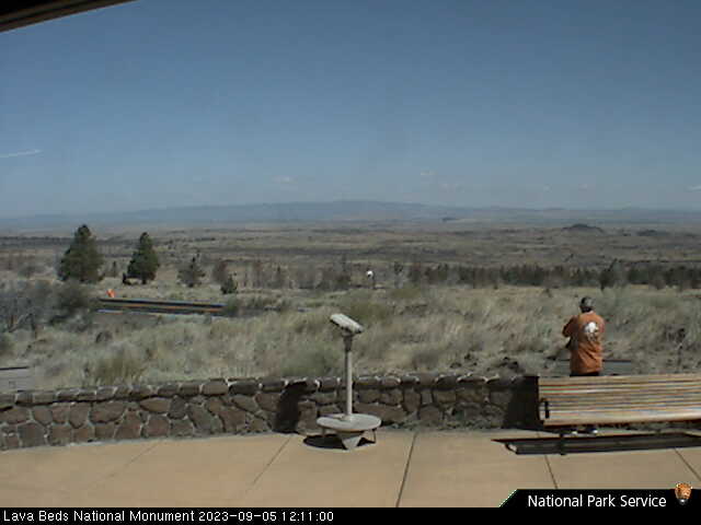
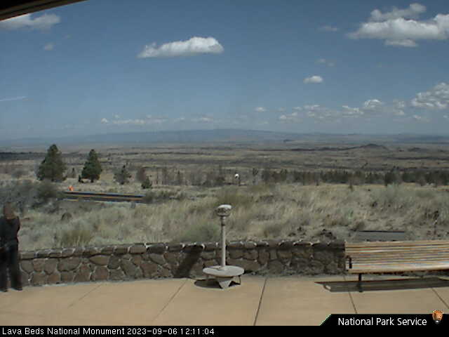
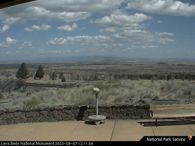
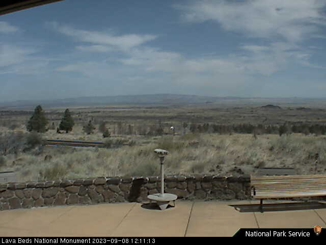
Lava Beds National Monument, California, USA - 99.1 miles from Paynes Creek: Lava Beds Visitor Center - A view in northern direction from the Lava Beds National Monument Visitor Center.
Operator: U.S. National Park Service
Operator: U.S. National Park Service


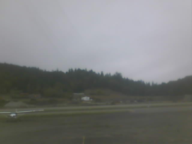
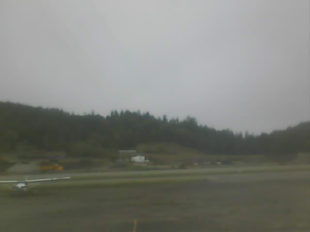
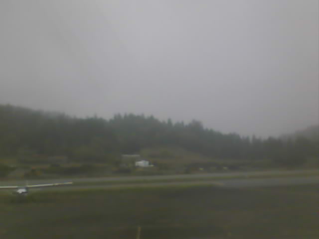
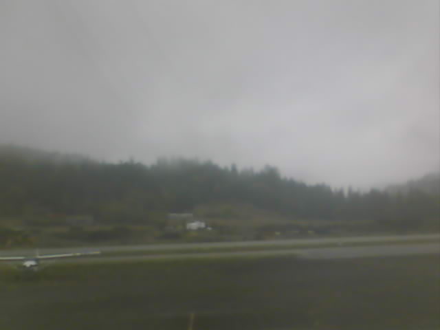
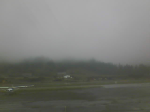
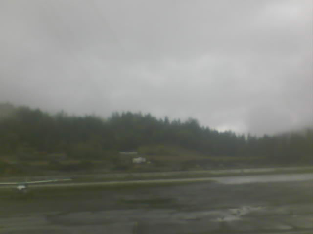
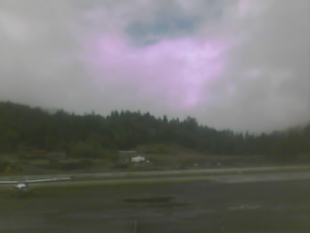
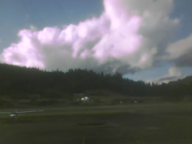
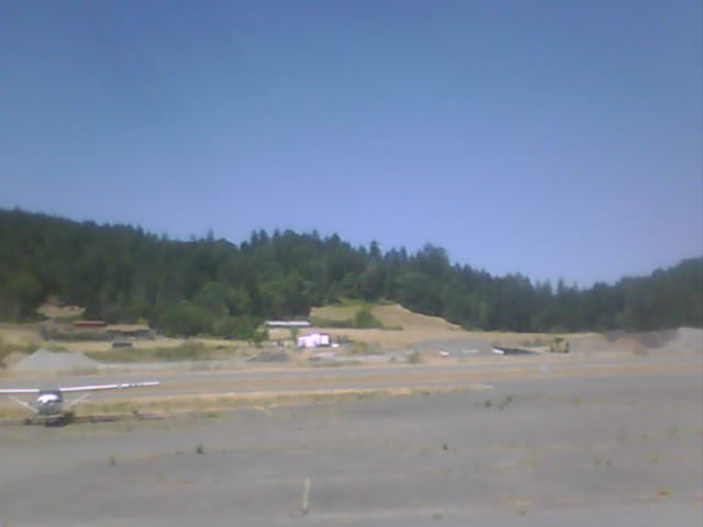
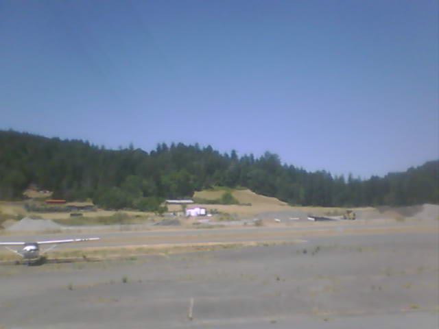
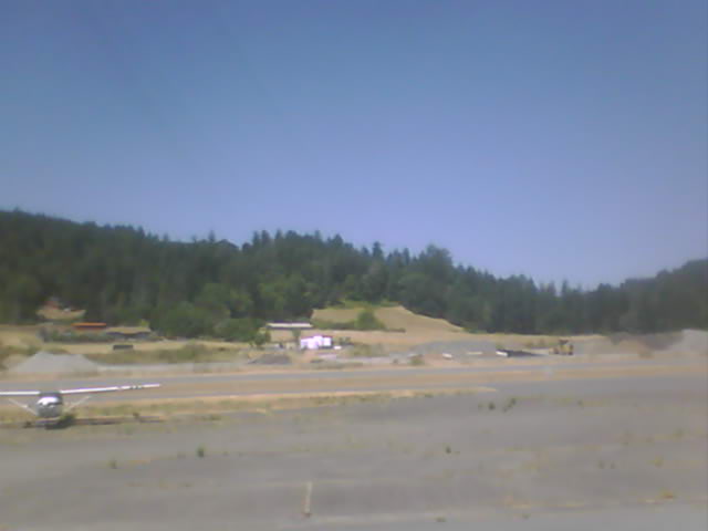
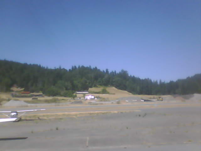
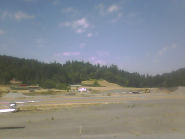
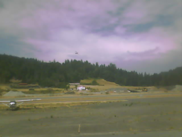
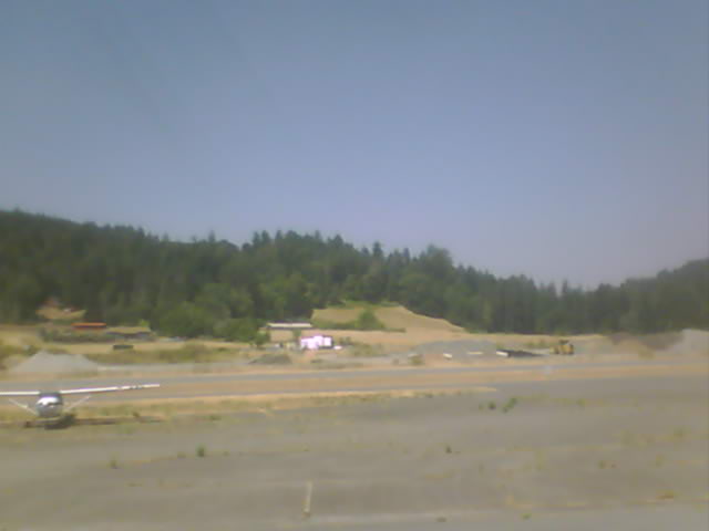
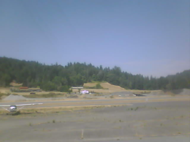
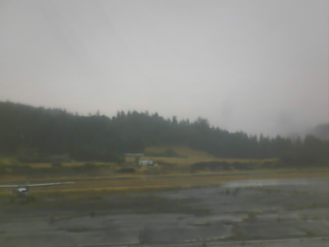
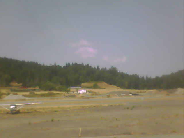
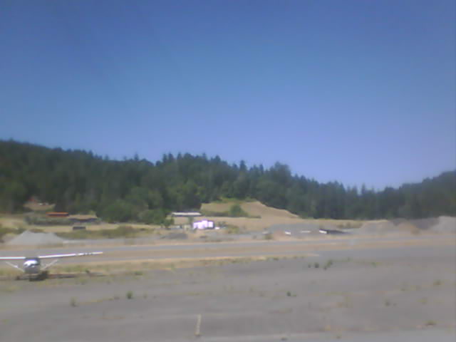
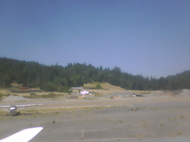
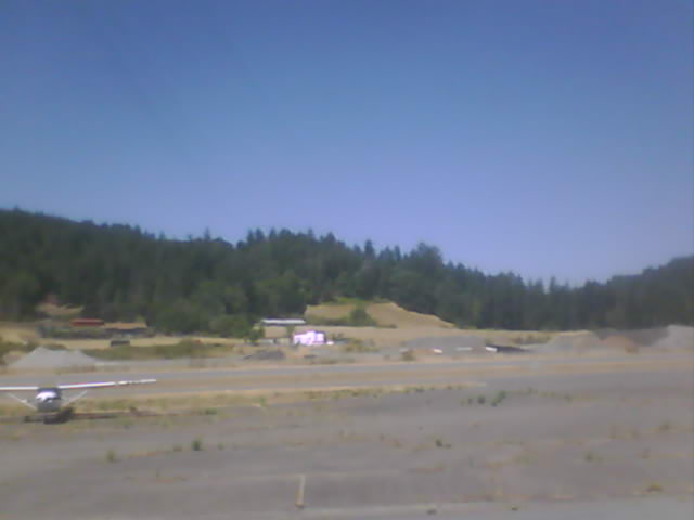
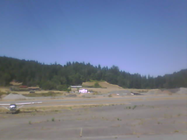
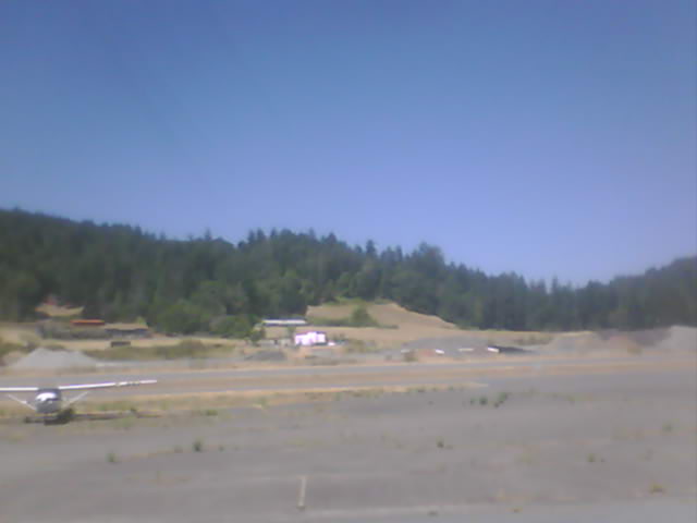
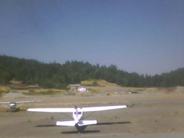
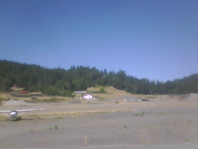
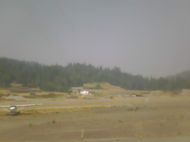
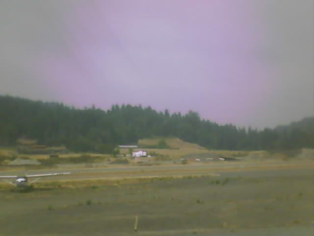
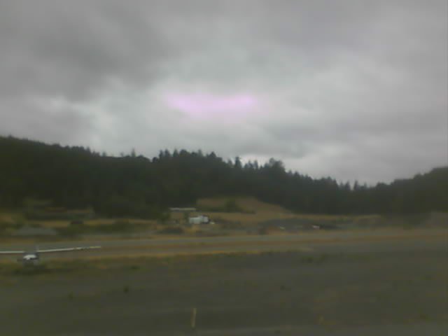
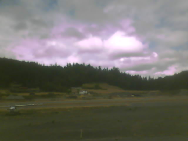
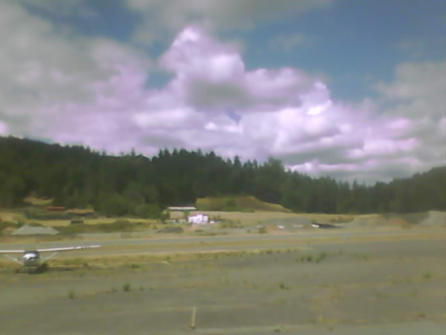
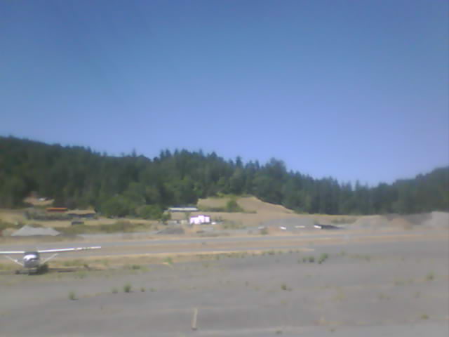
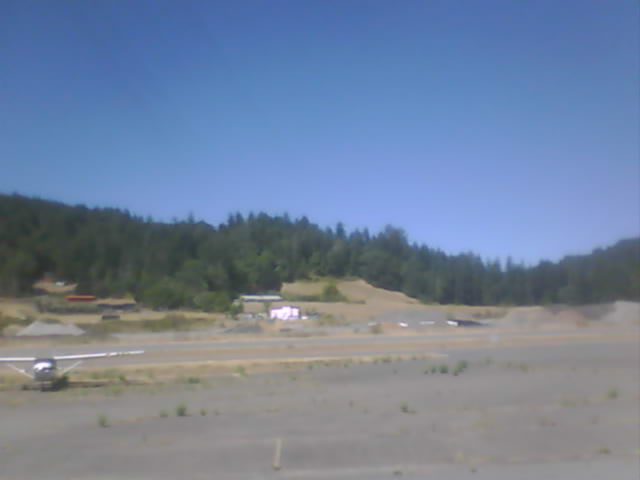
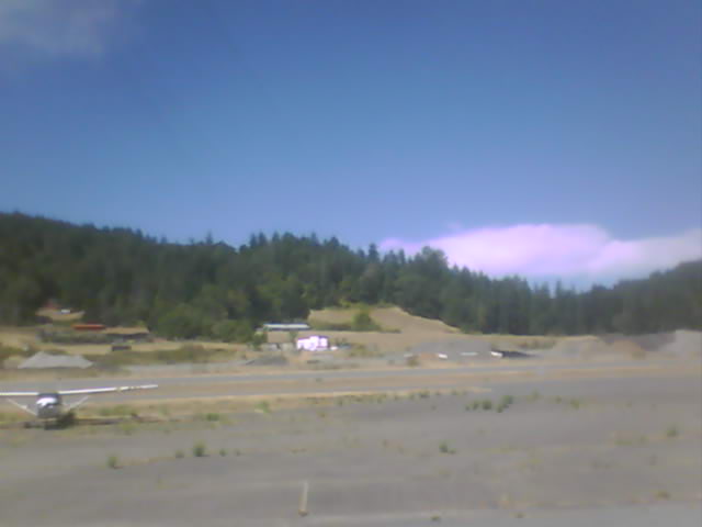
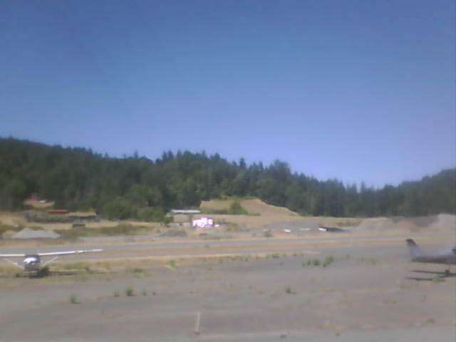
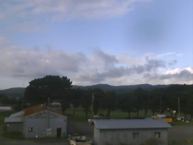
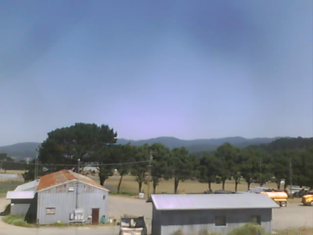
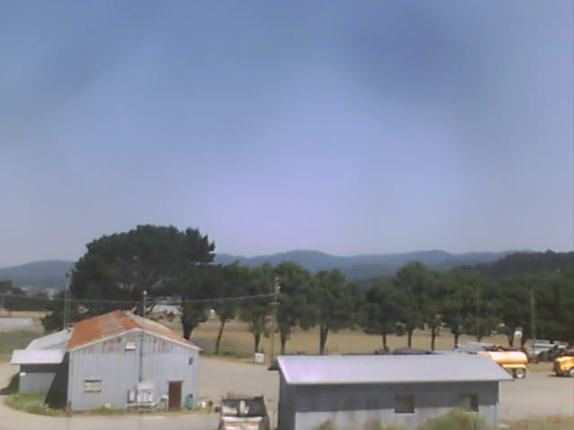
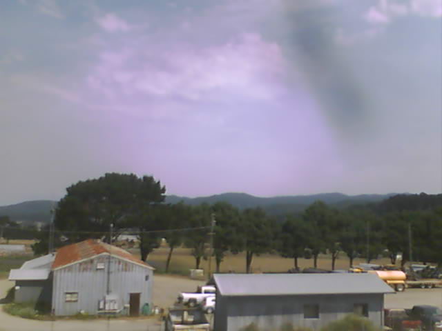
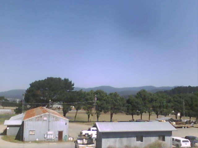
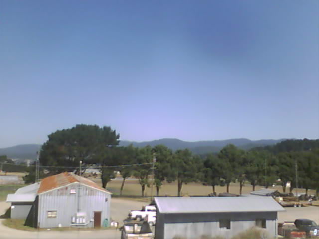
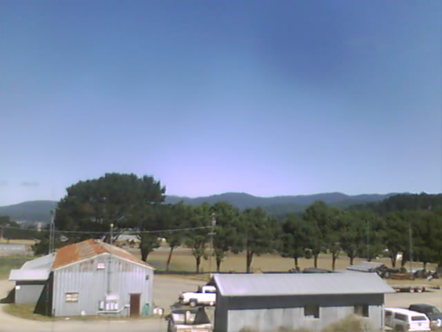
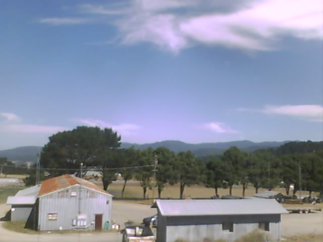
Garberville, California, USA - 100.4 miles from Paynes Creek: Garberville Airport - Several views of Garberville Airport.
Operator: North Coast Aviation
Operator: North Coast Aviation


Norden, California, USA - 108.6 miles from Paynes Creek: Sugar Bowl Ski Resort - Several views of the Sugar Bowl Ski Resort near Norden, California.
Operator: Sugar Bowl Ski Resort
Operator: Sugar Bowl Ski Resort

Boreal Mountain Resort, California, USA - 108.6 miles from Paynes Creek: Current Snow Conditions - View of the current snow conditions at the Boreal Mountain Resort.
Operator: Boreal Mountain Resort
Operator: Boreal Mountain Resort

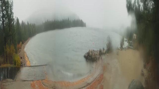
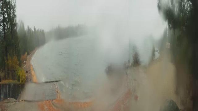
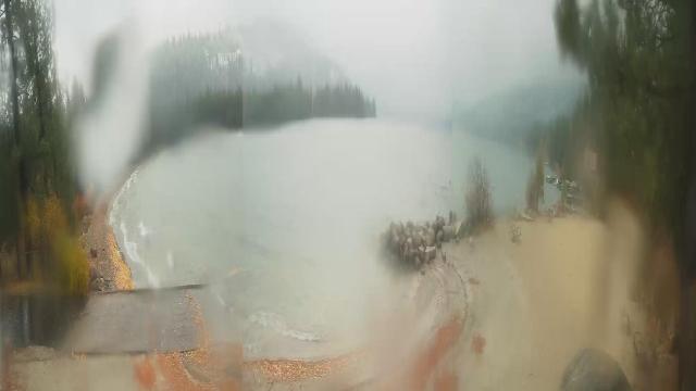
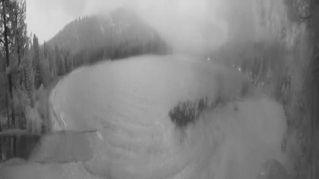
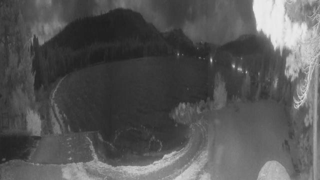
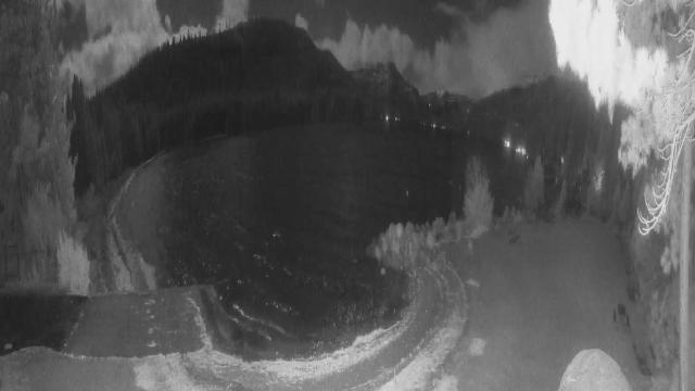
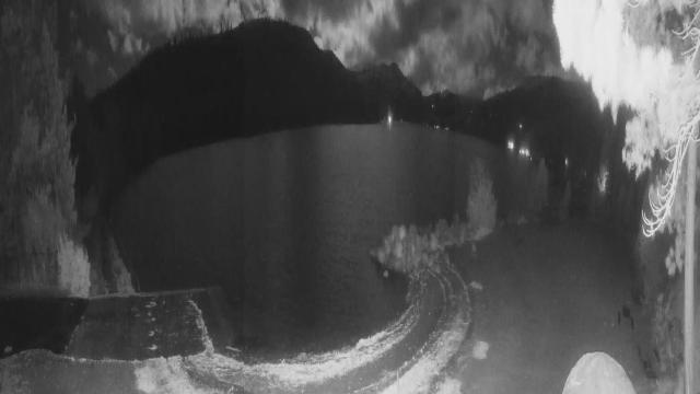
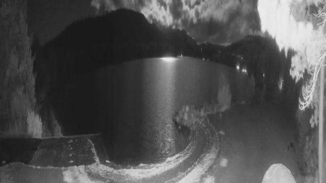
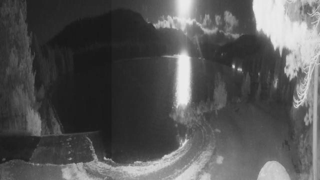
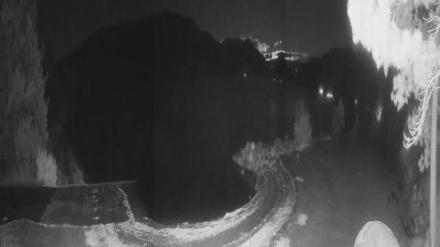
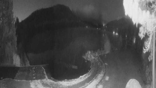
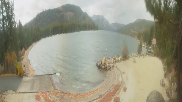
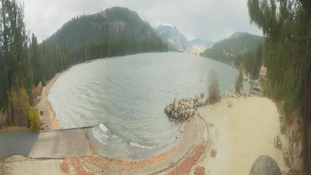
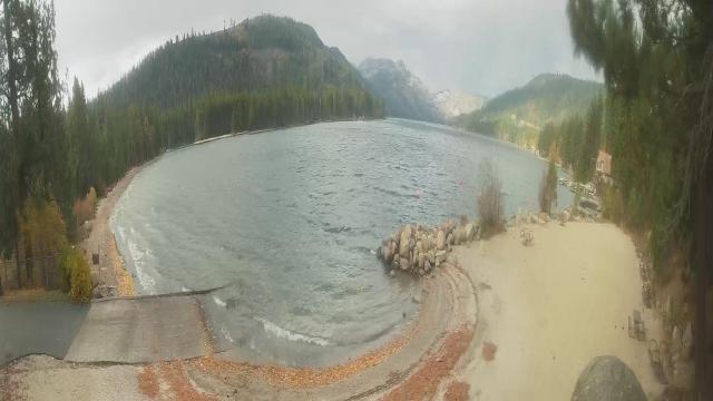
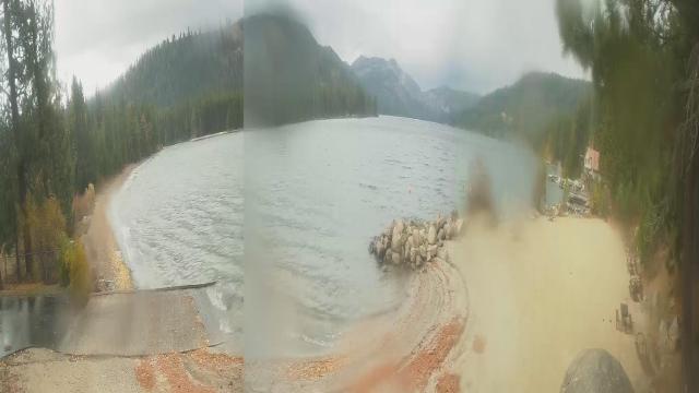
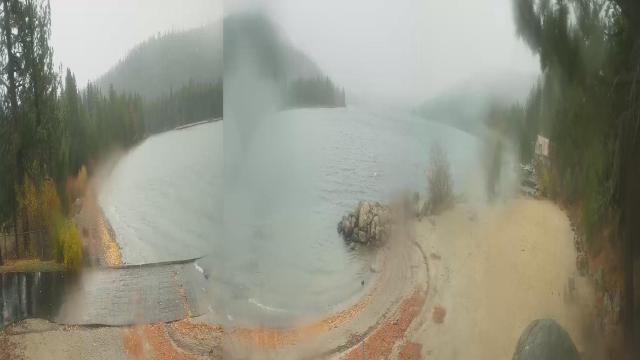
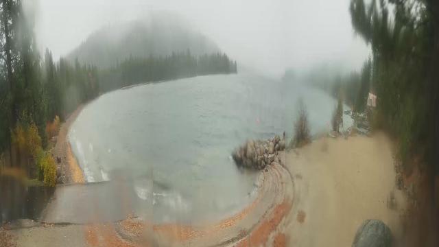
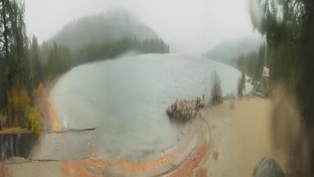
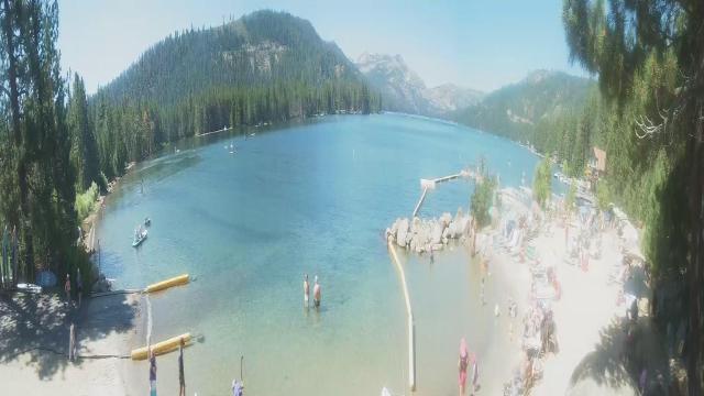
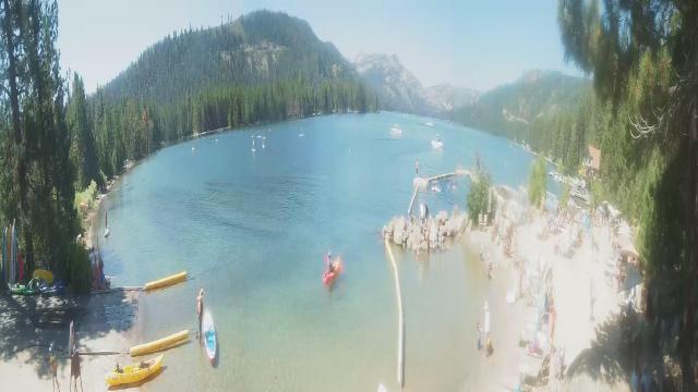
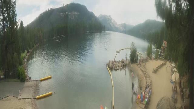
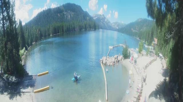
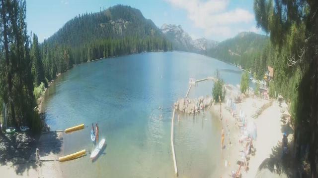
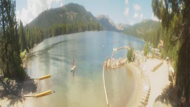
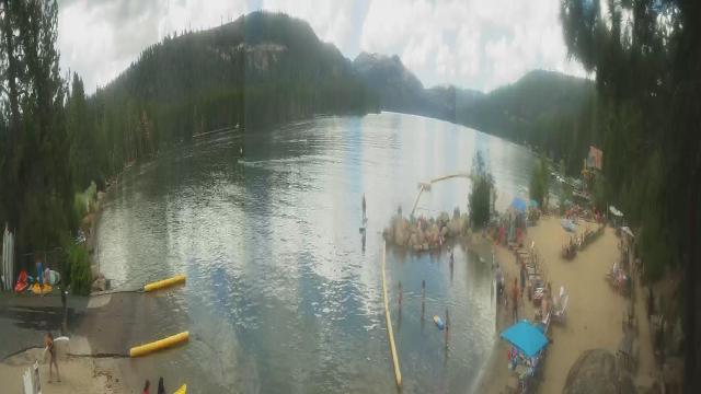
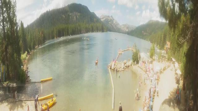
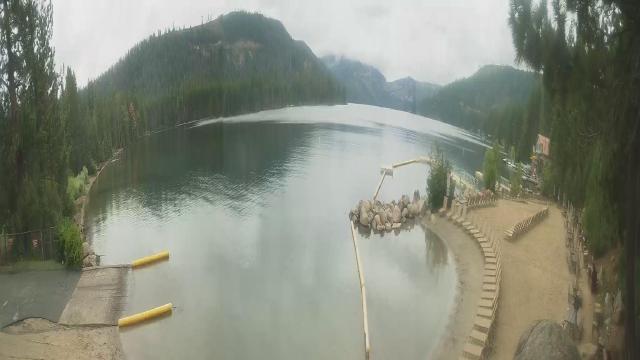
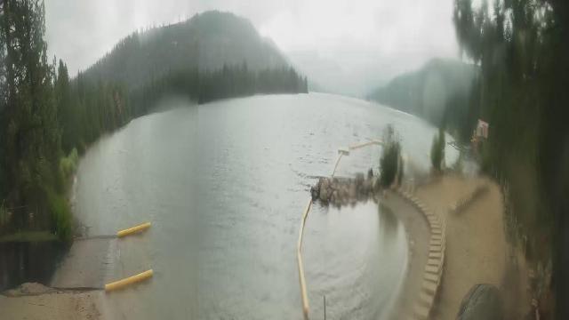
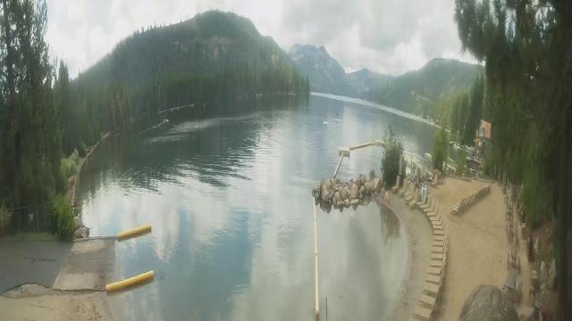
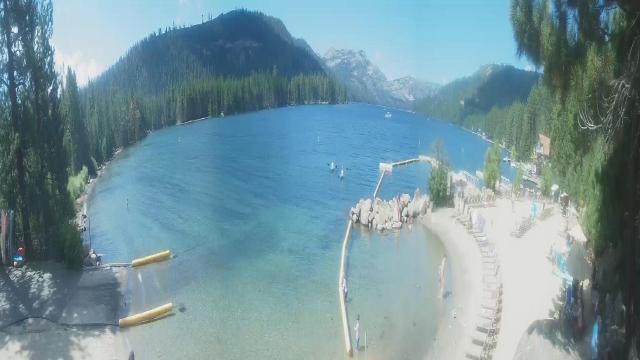
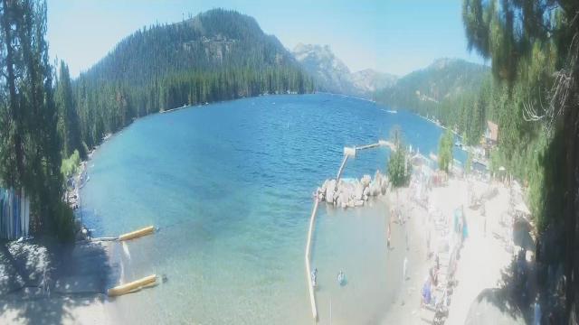
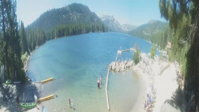
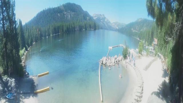
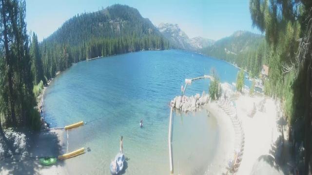
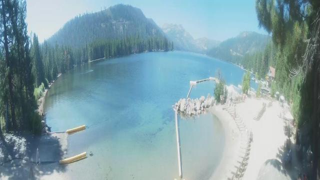
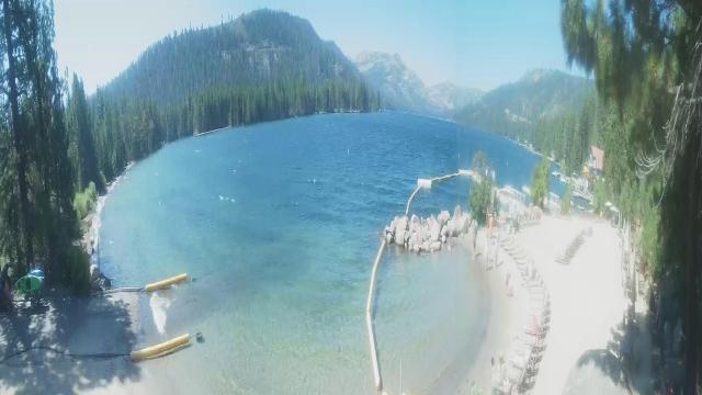
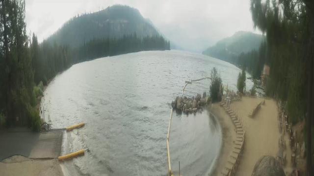
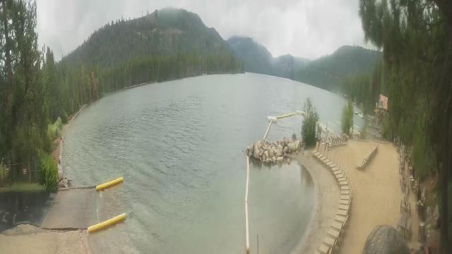
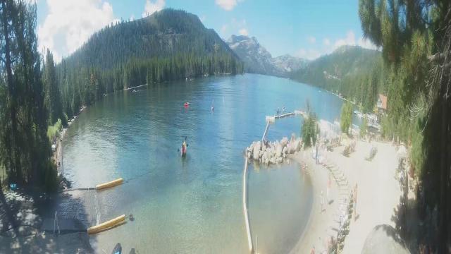
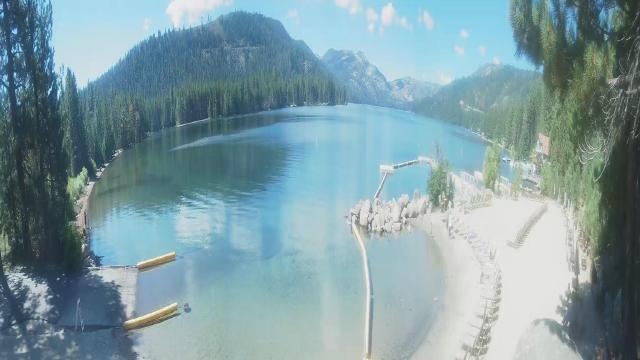
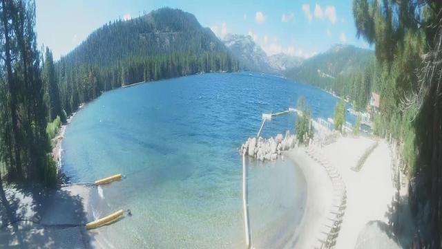
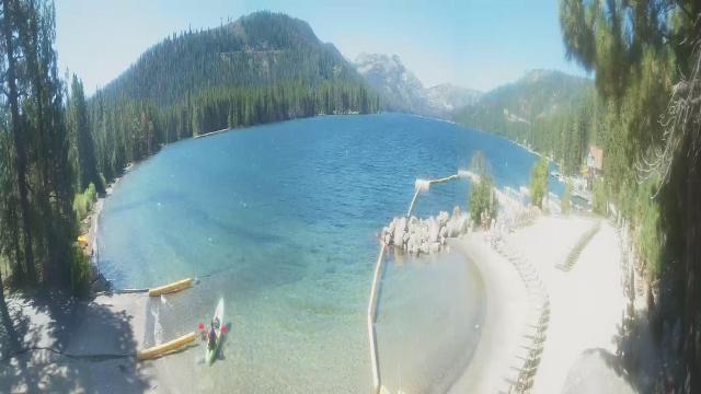
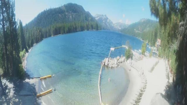
Truckee, California, USA - 115.3 miles from Paynes Creek: Lake View - Donner Lake in Truckee, California.
Operator: HDOnTap
Operator: HDOnTap


Fortuna, California, USA - 119.3 miles from Paynes Creek: Rohnerville Airport - Different views of the Rohnerville Airport, Fortuna, CA.
Operator: North Coast Aviation
Operator: North Coast Aviation


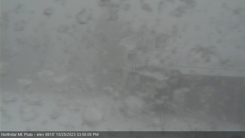
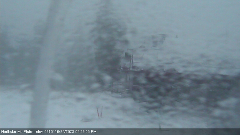
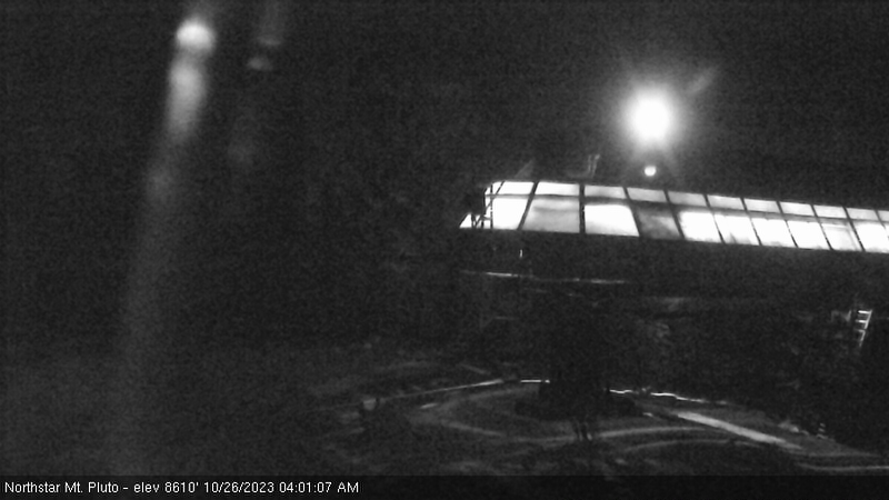
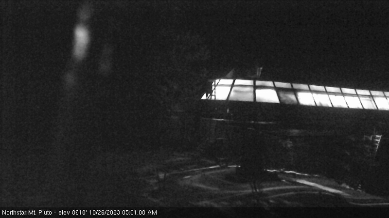
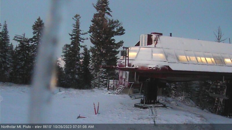
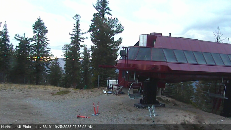
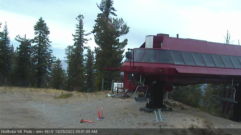
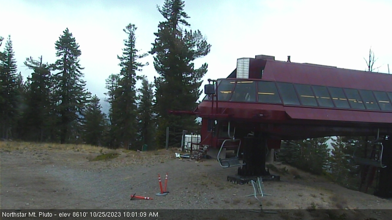
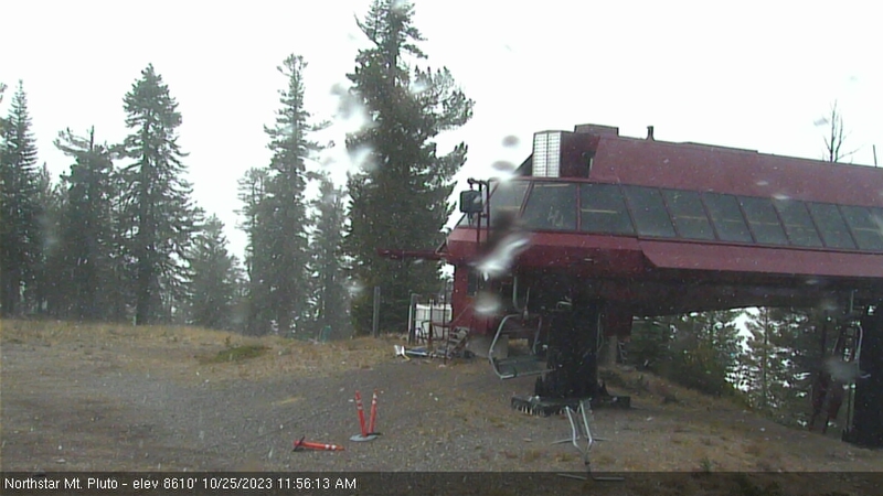
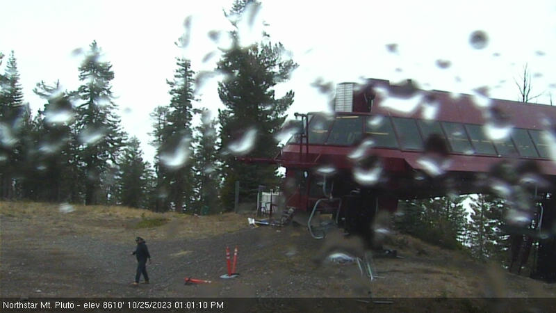
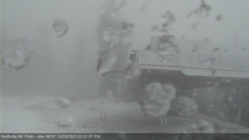
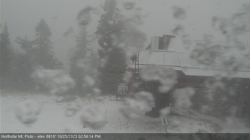
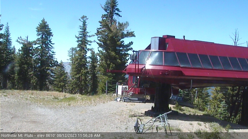
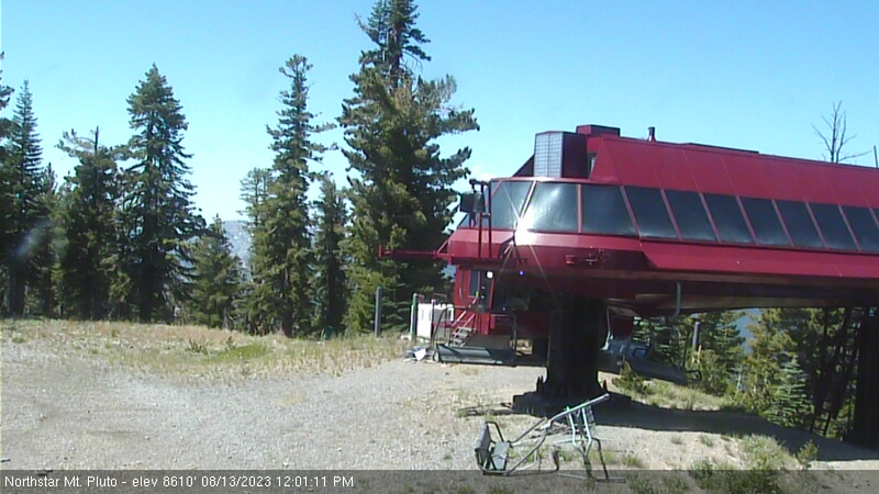
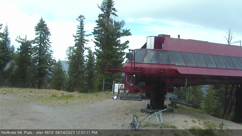
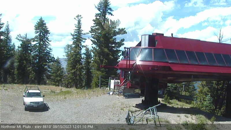
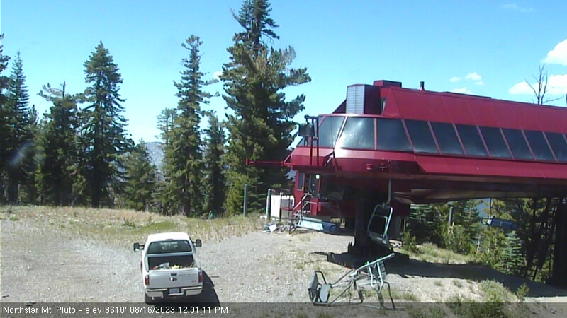
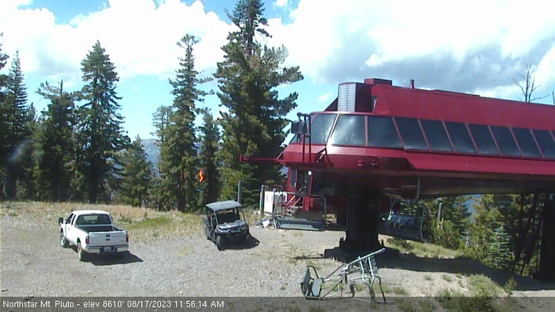
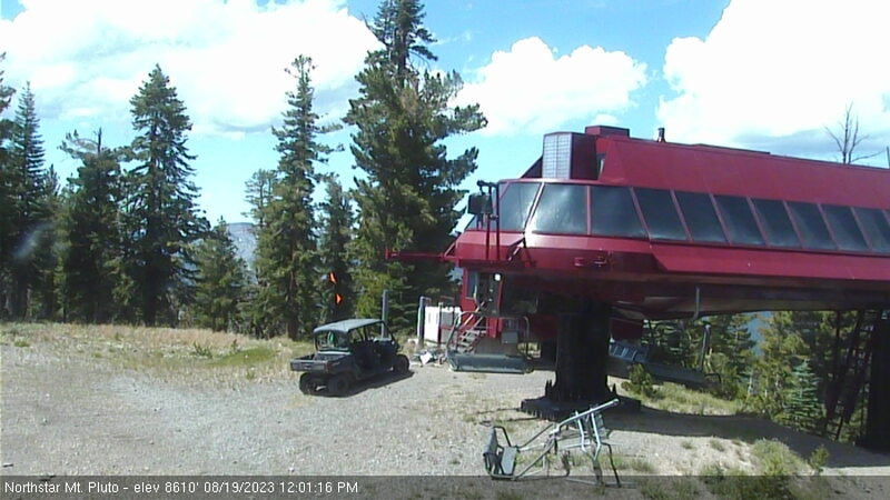
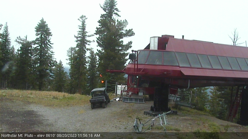
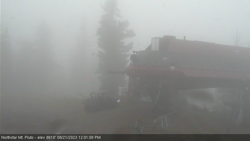
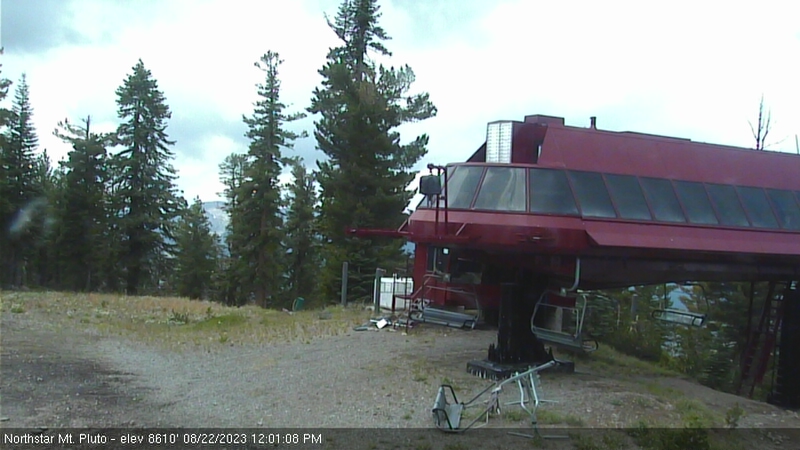
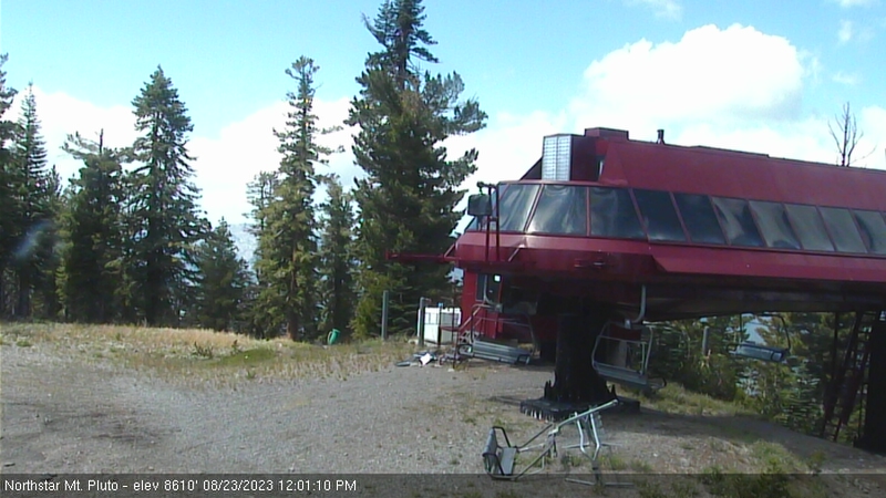
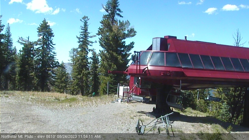
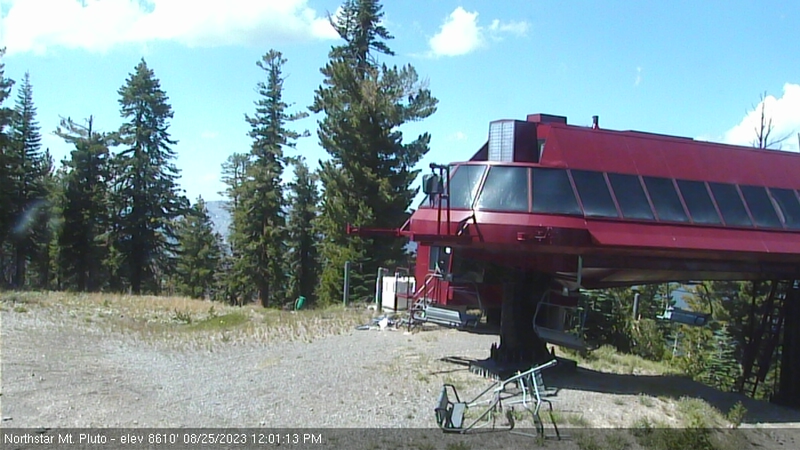
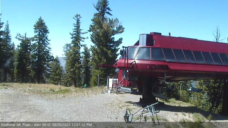
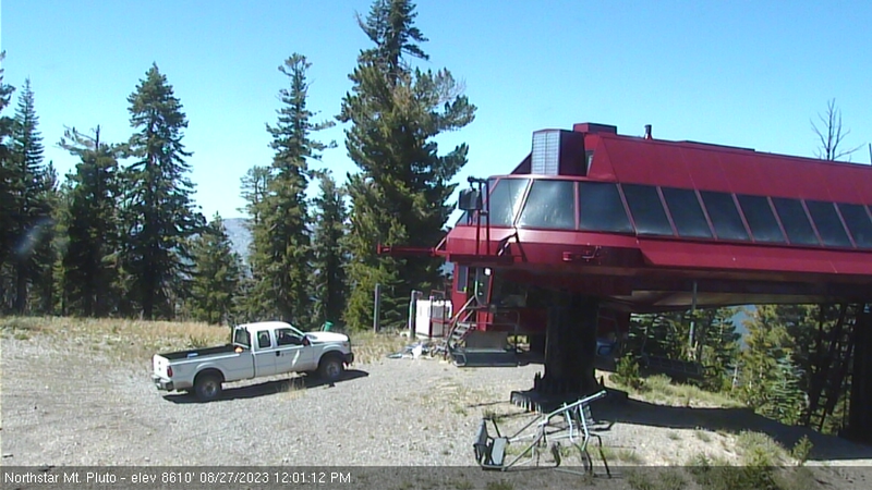
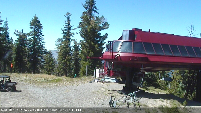
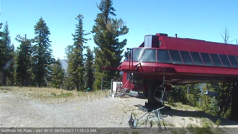
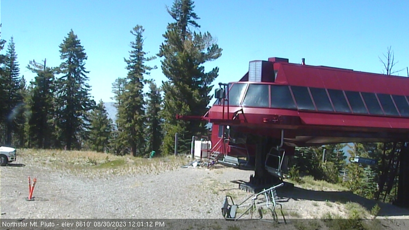
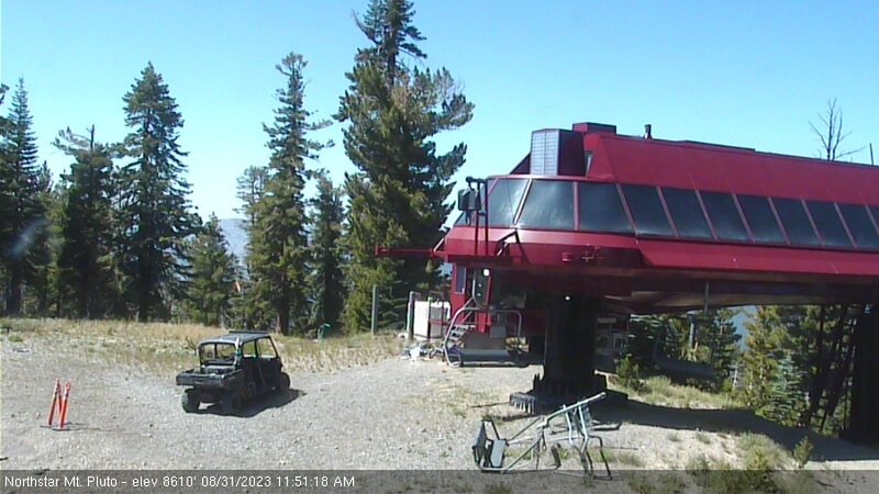
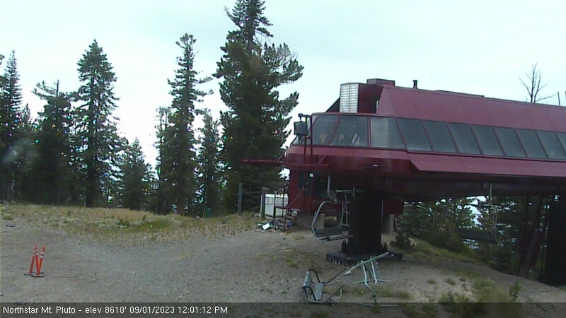
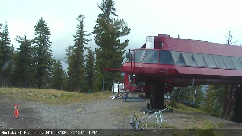
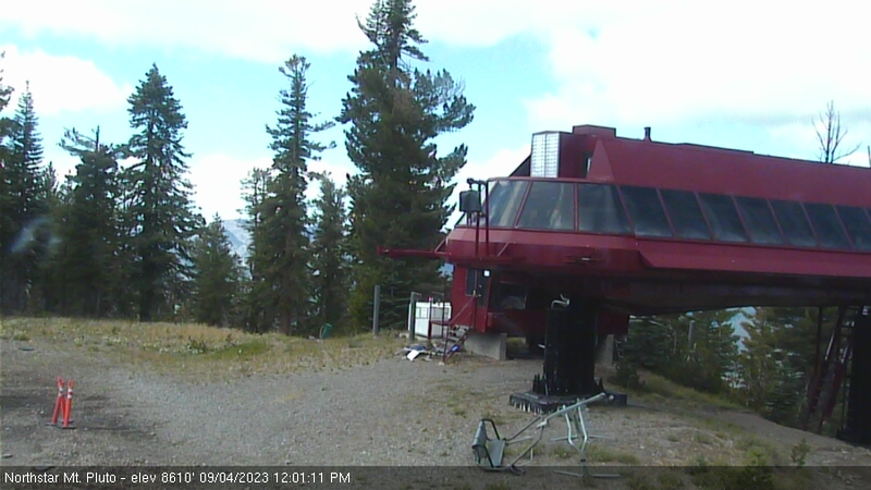
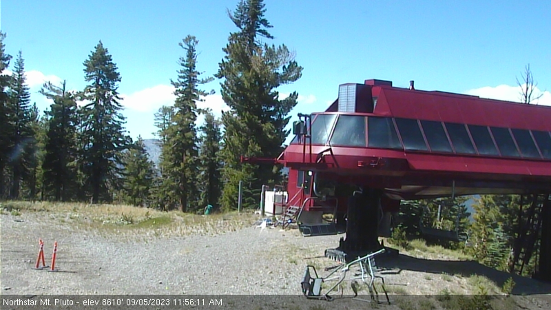
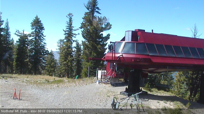
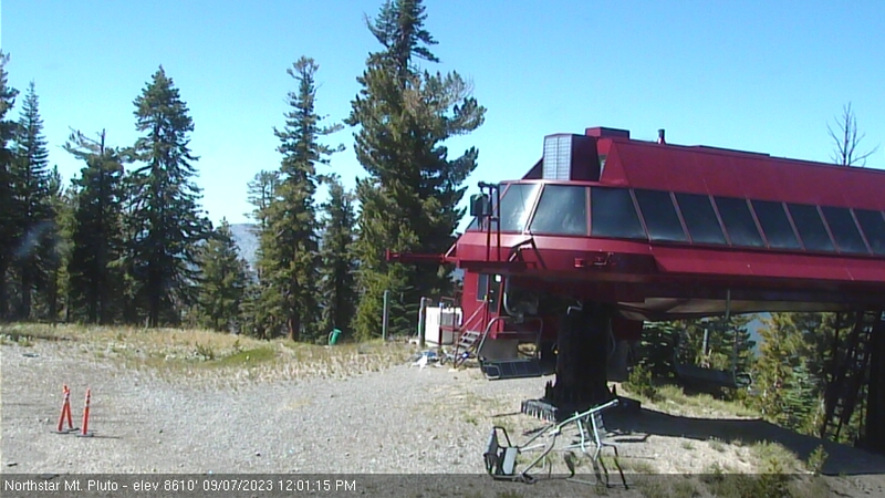
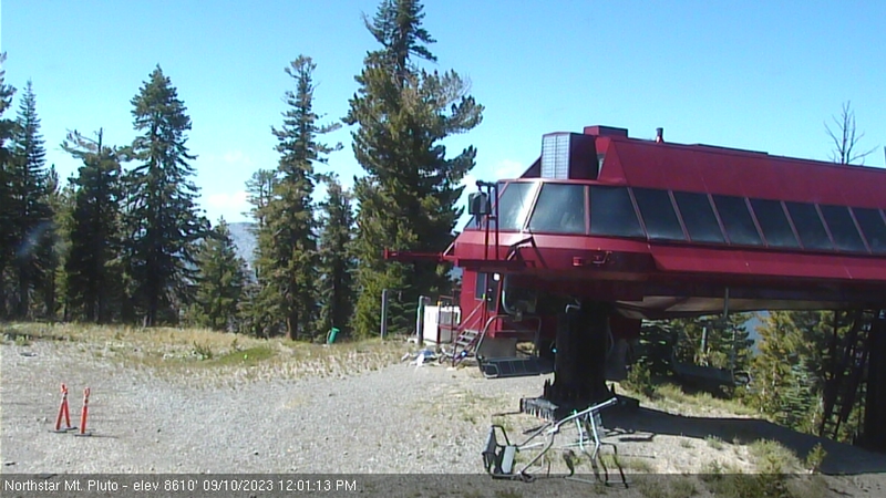
Northstar California Resort, USA - 120.2 miles from Paynes Creek: Current Snow Conditions - Several webcams offer a view of the current snow situation at the Northstar California Resort.
Operator: Northstar California Resort
Operator: Northstar California Resort


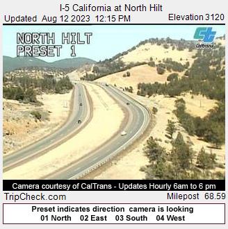
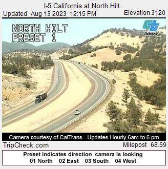
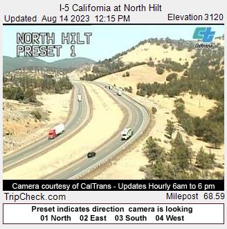
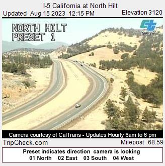
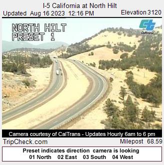
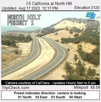
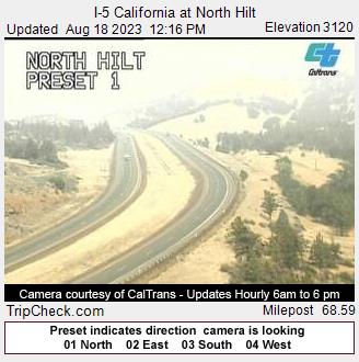
Hilt, California, USA - 120.4 miles from Paynes Creek: I-5 California at North Hilt - A view of the current traffic situation on the I-5.
Operator: Oregon Department of Transportation
Operator: Oregon Department of Transportation


Some other places in this country: Palo Cedro - Palomar Park - Paskenta - Patricks Point - Pebble Beach - Penngrove - Pennington - Penryn - Phillipsville - Pilibos Ranch