Webcams in the region of Palo Verde, California, USA
The List of Webcams near Palo Verde, California, USA:

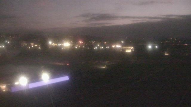
Borrego Springs, California, USA - 95.6 miles from Palo Verde: Borrego Springs High School - A webcam in Borrego Springs, California - camera location: Borrego Springs High School.
Operator: WeatherBug
Operator: WeatherBug


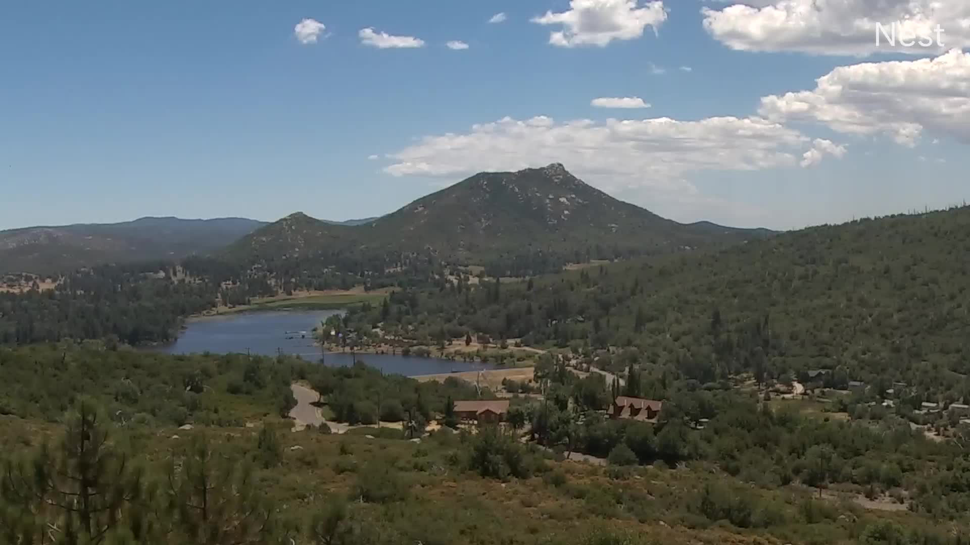
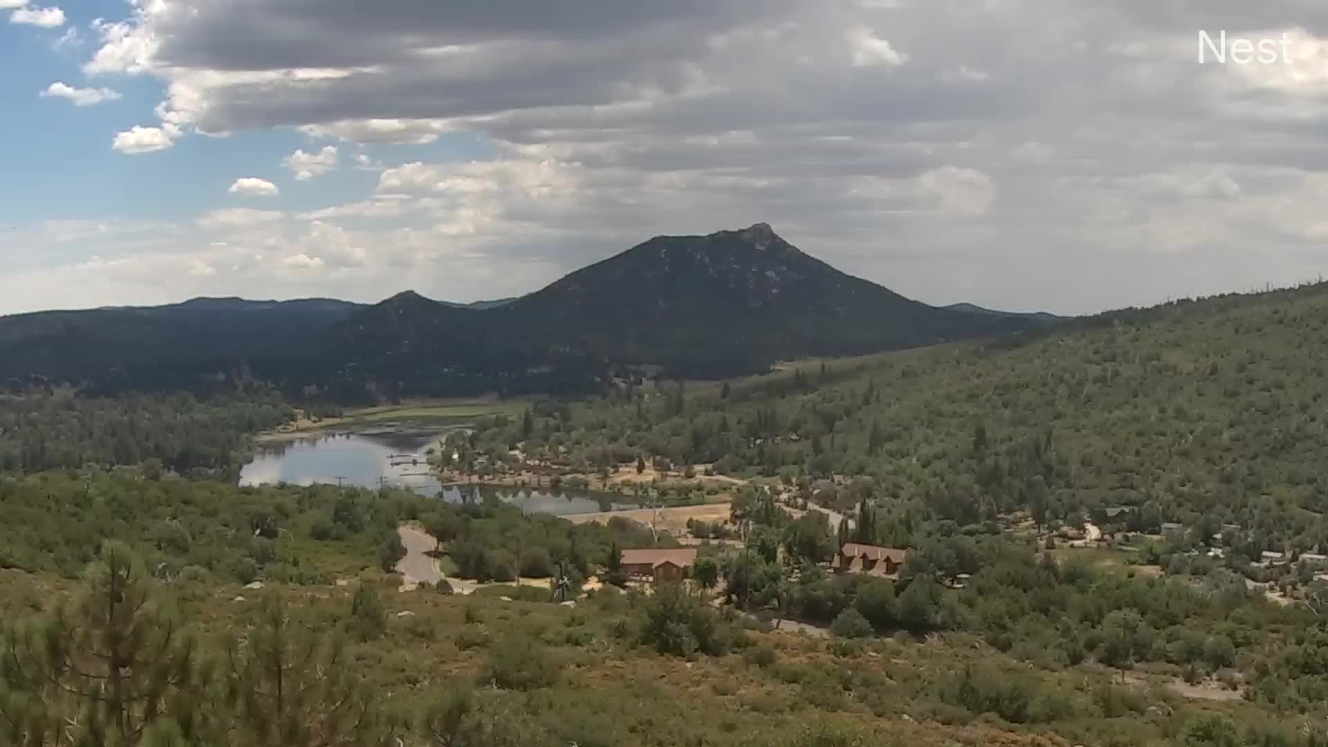
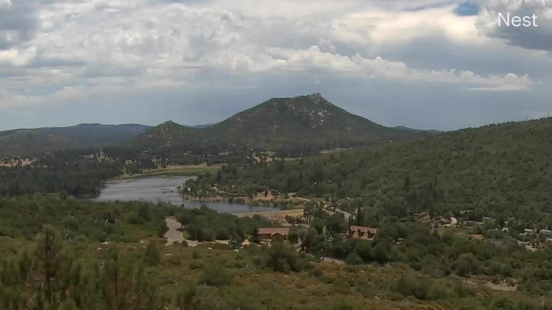
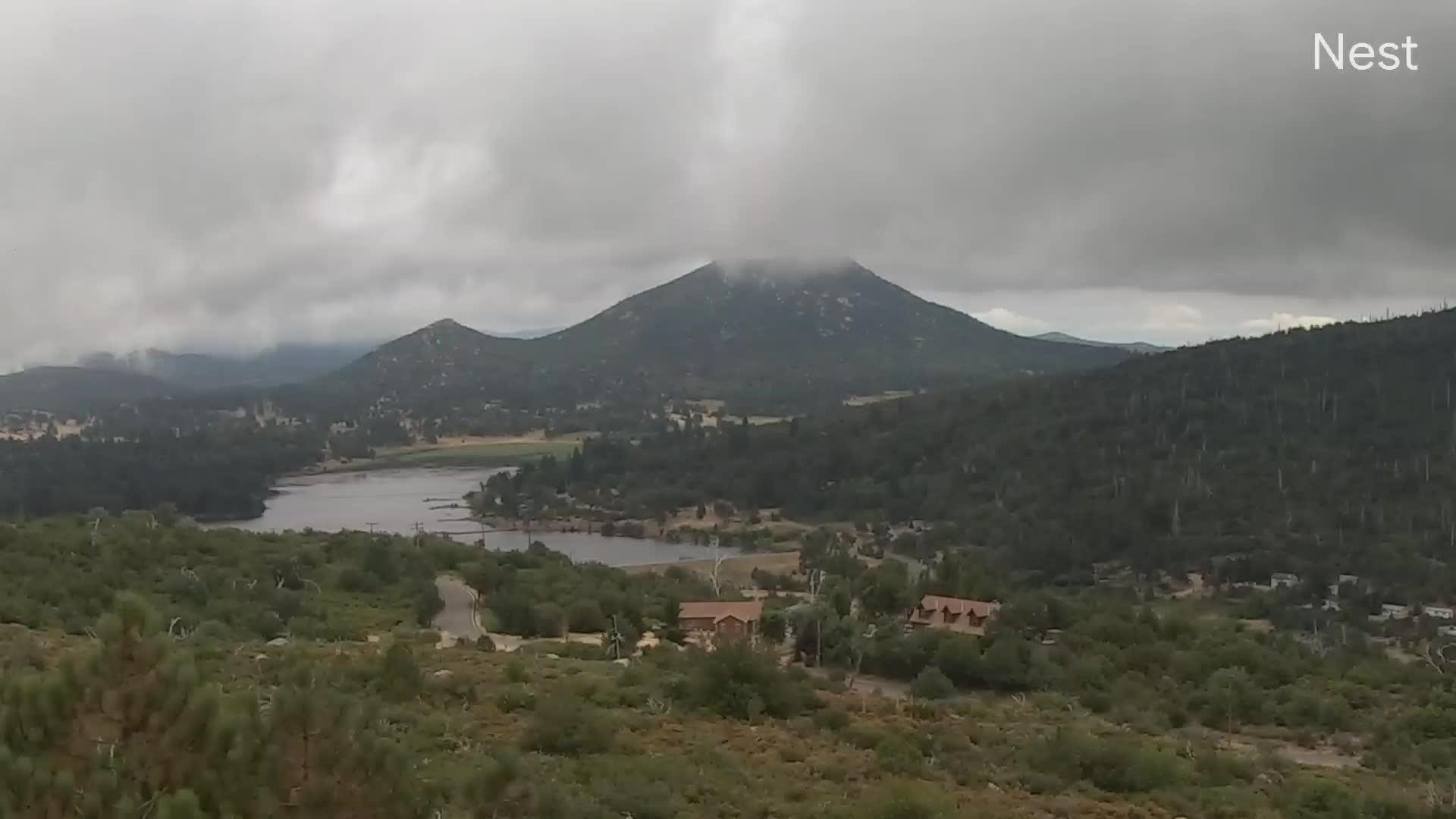
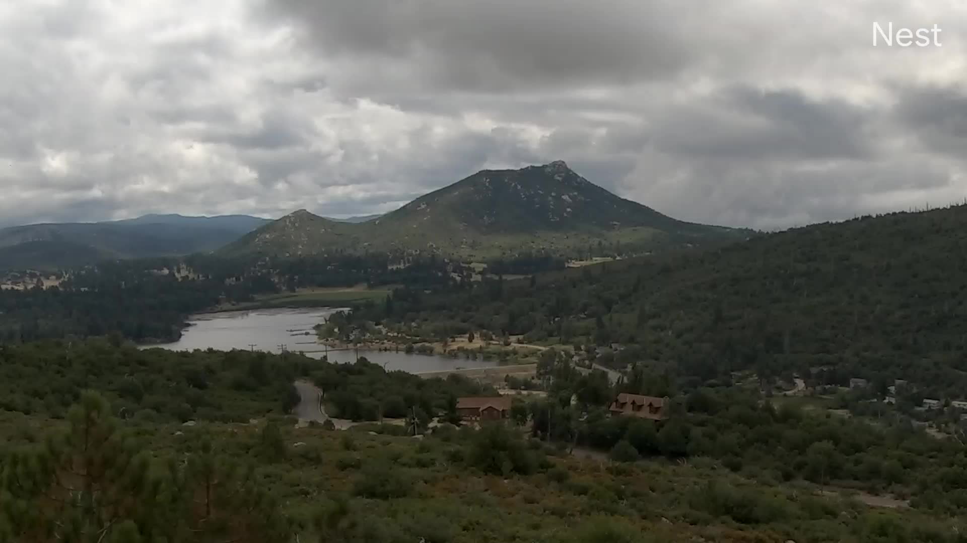
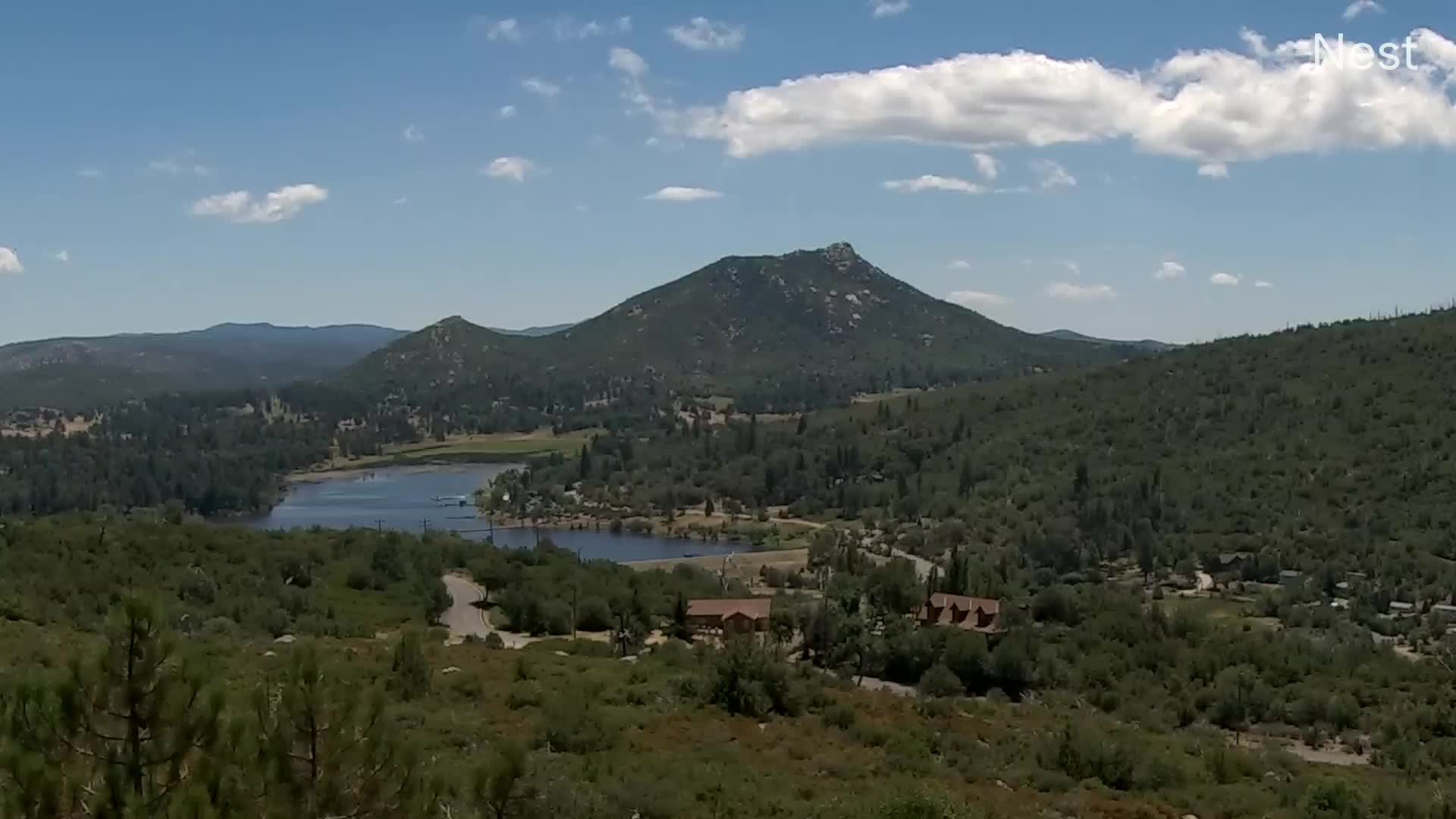
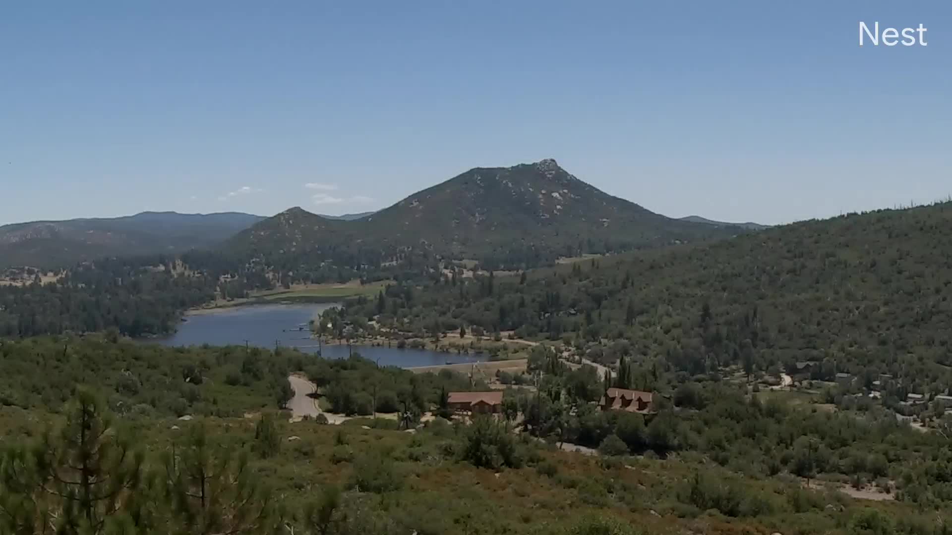
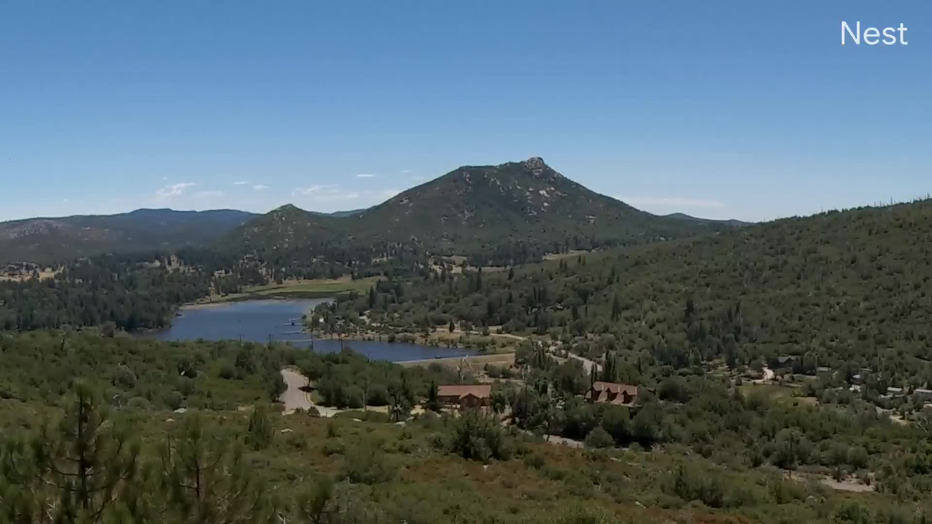
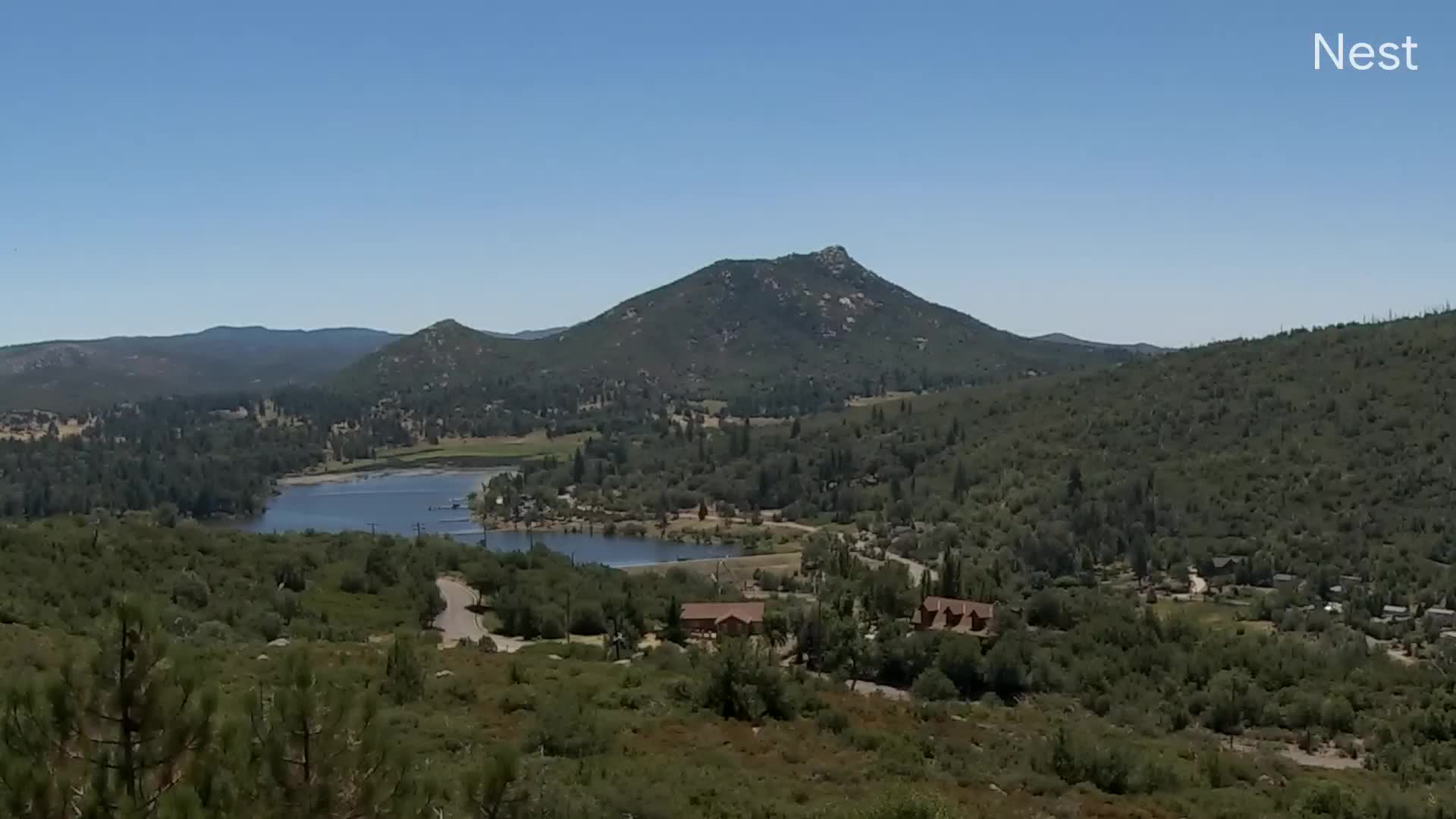
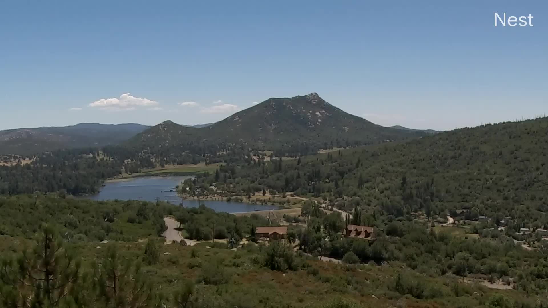
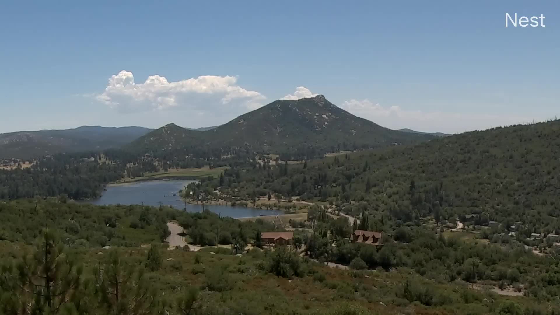
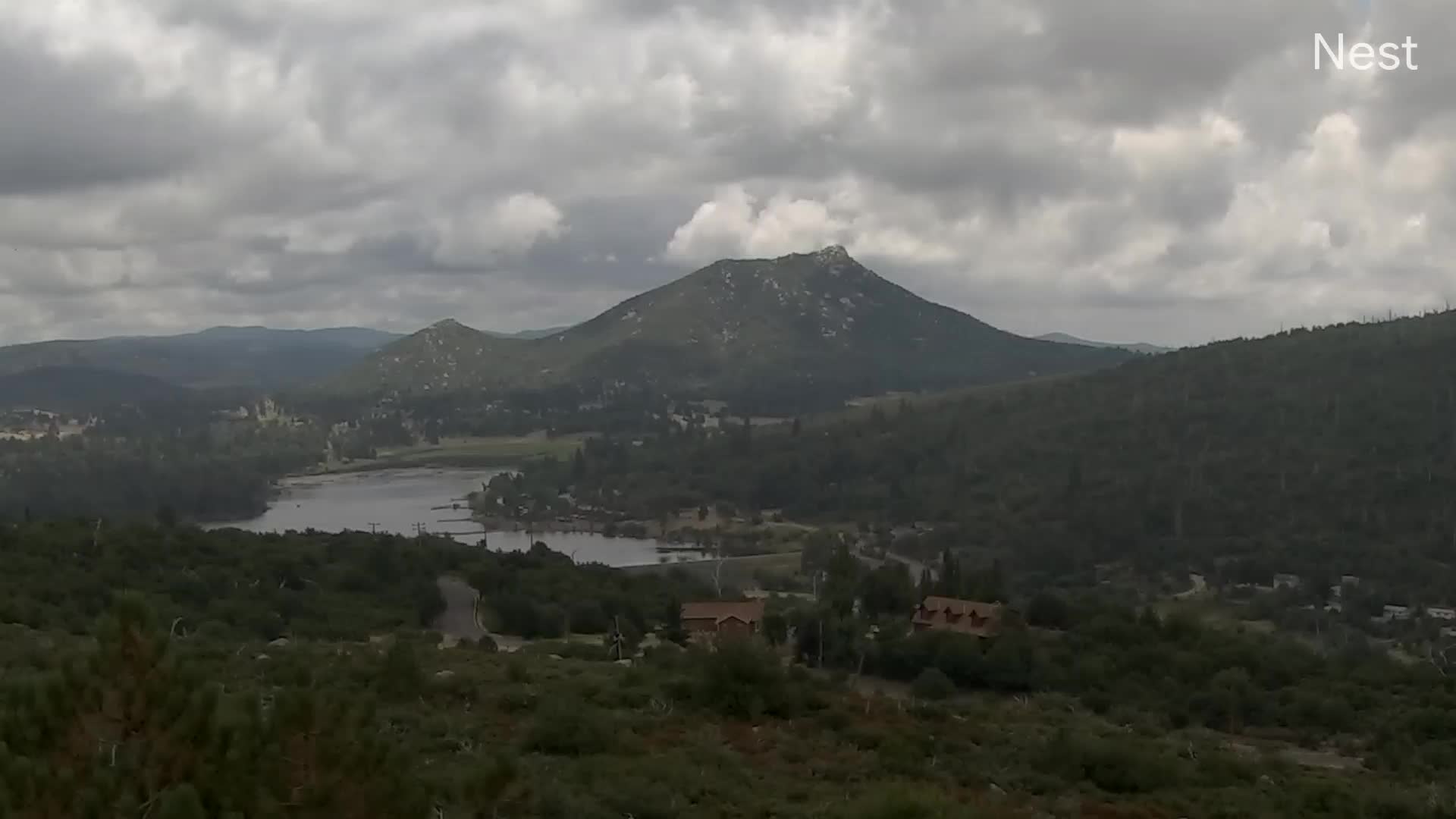
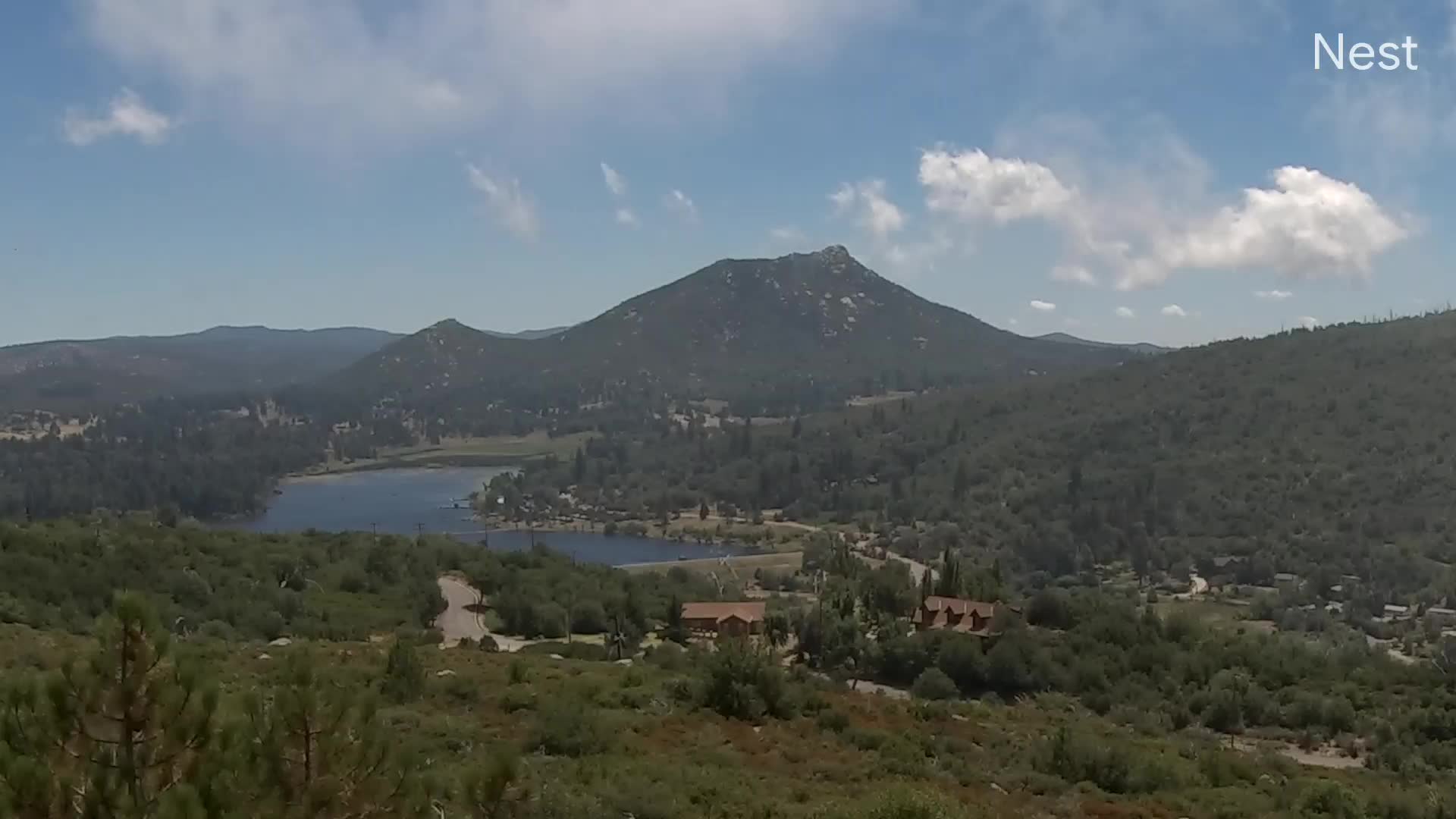
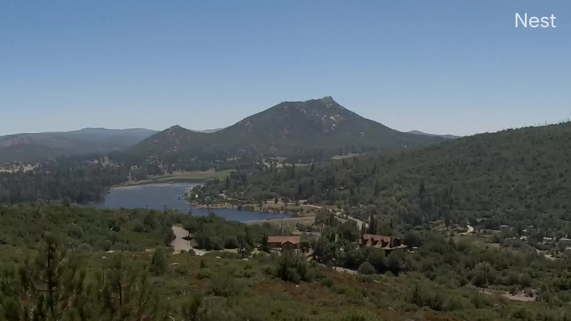
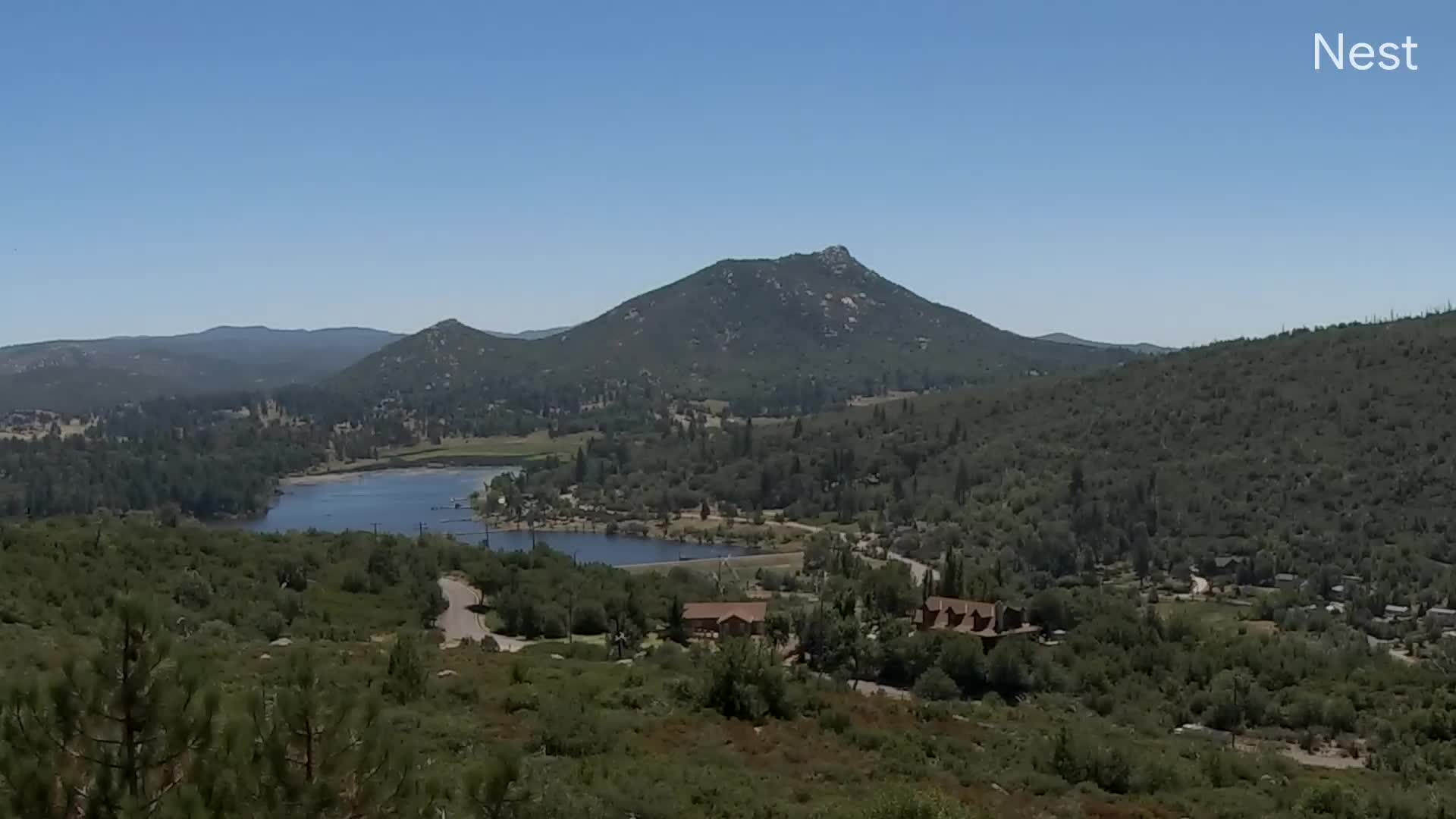
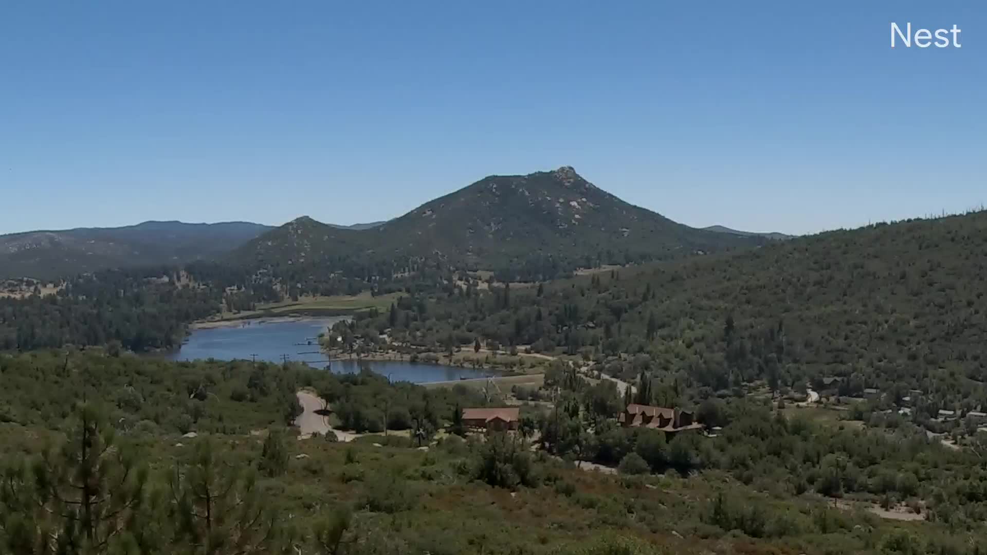
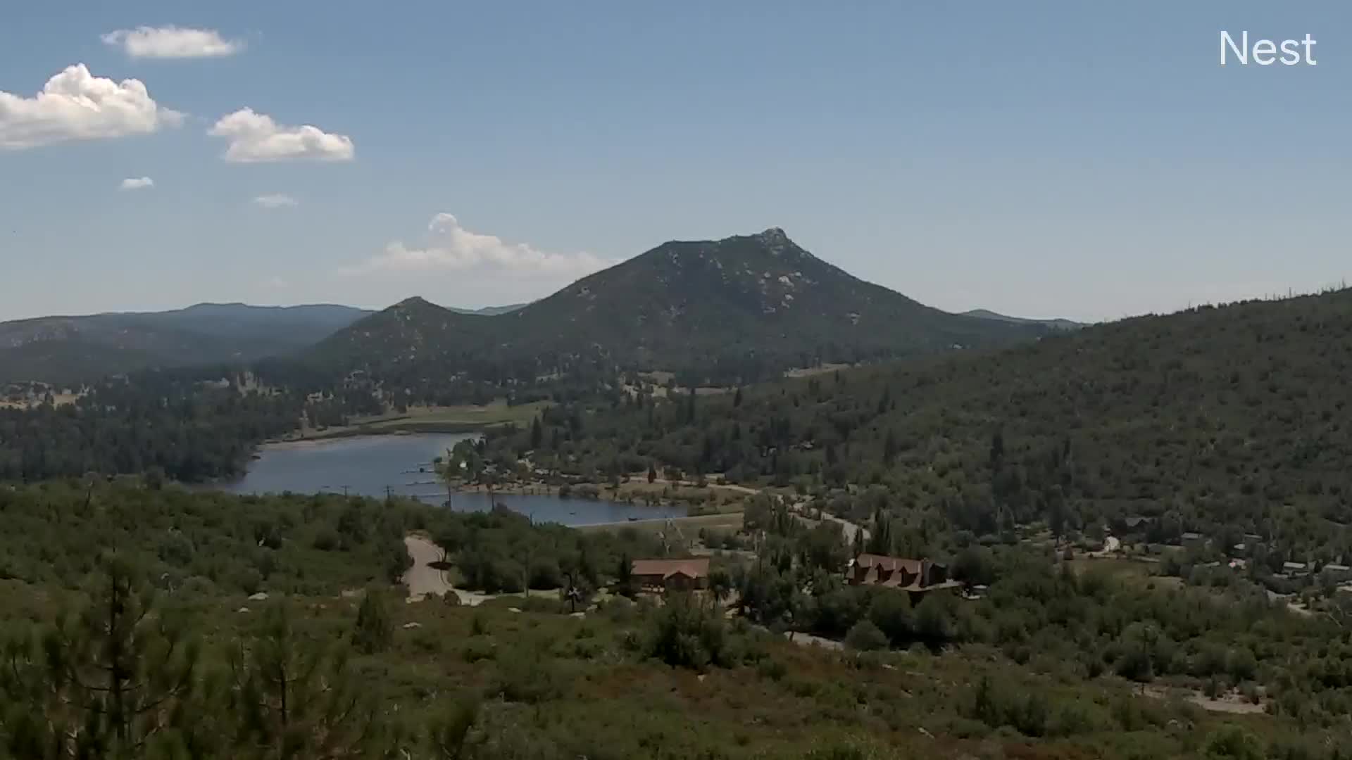
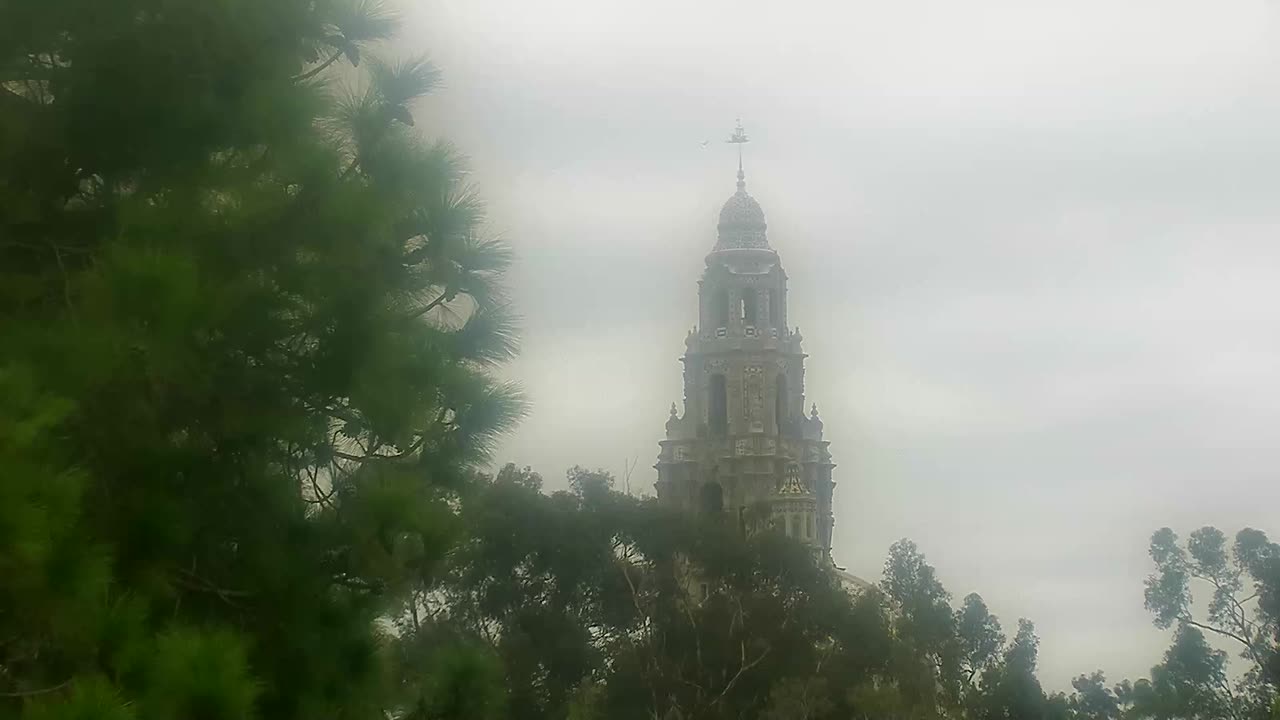
Julian, California, USA - 110.8 miles from Palo Verde: Julian Web Cam at Lake Cuyamaca - Julian Web Cam from North Peak, the highest point in Julian.
Operator: Julian Cabins
Operator: Julian Cabins


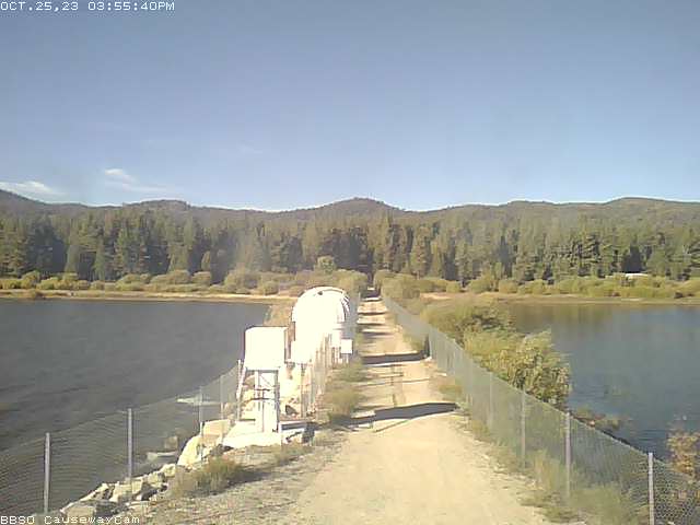
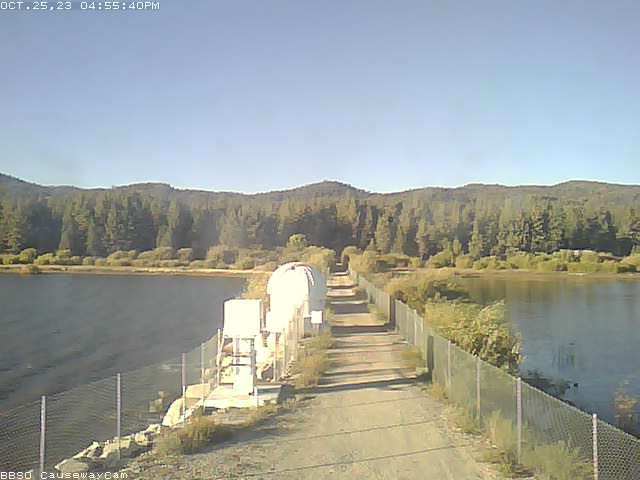
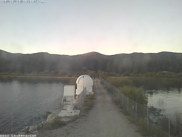
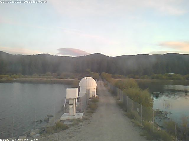
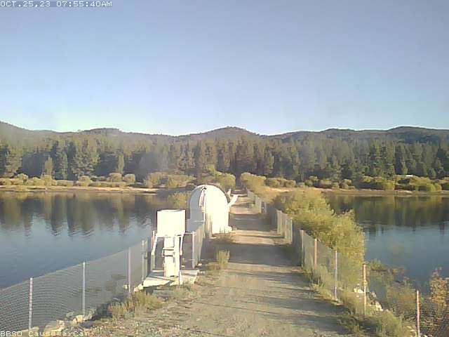
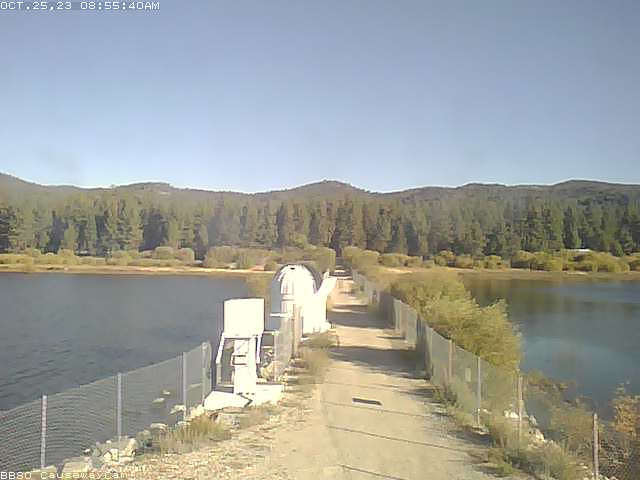
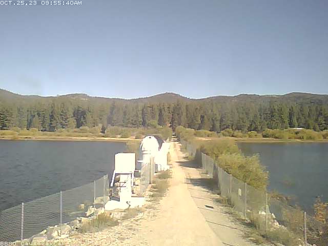
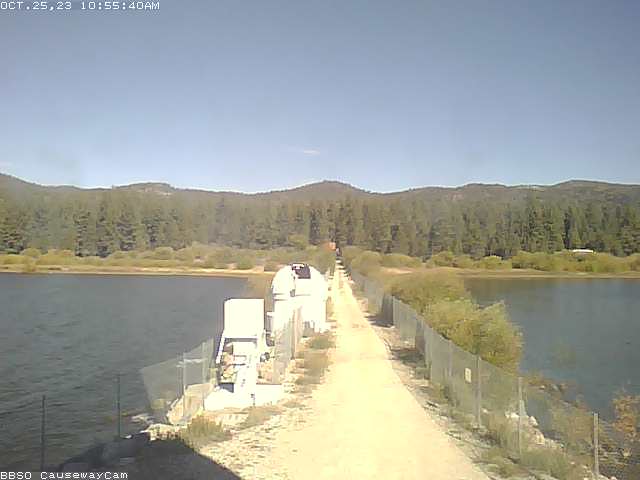
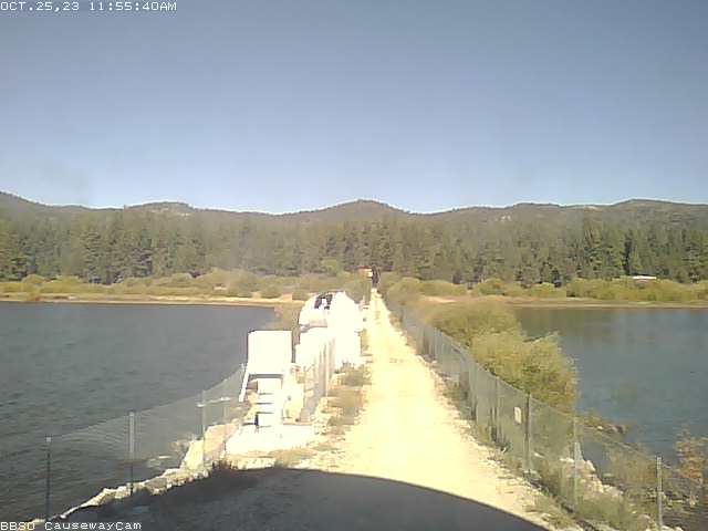
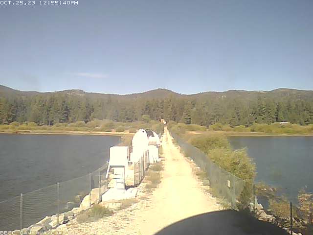
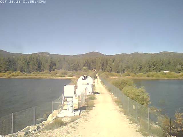
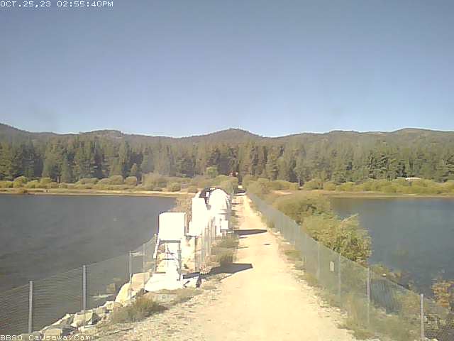
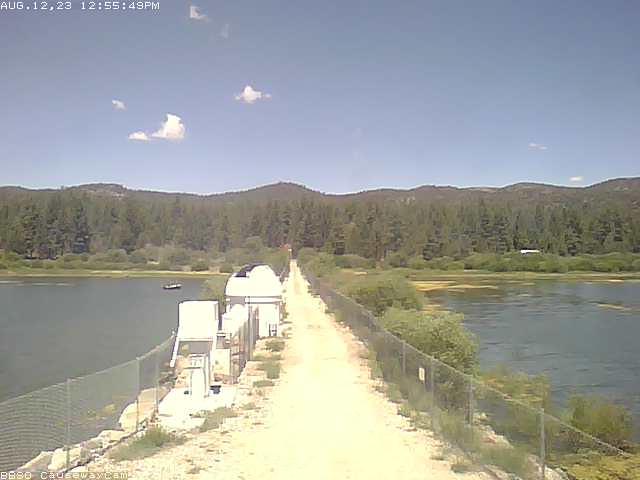
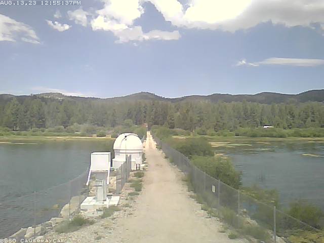
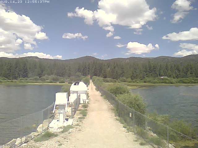
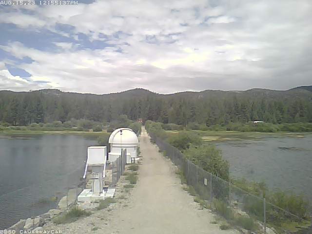
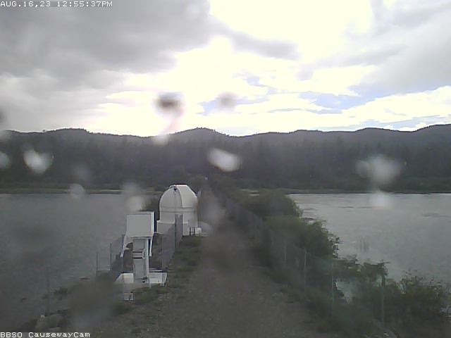
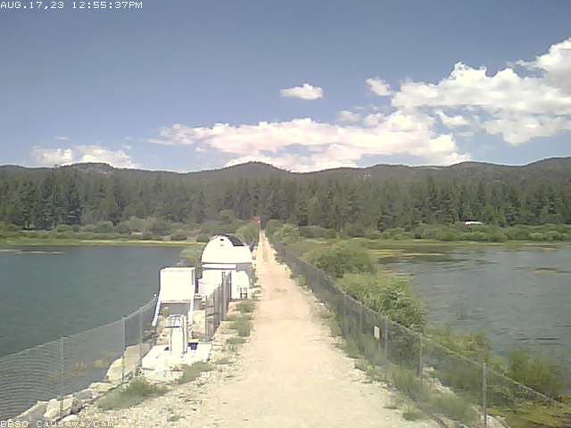
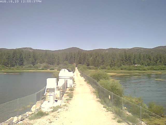
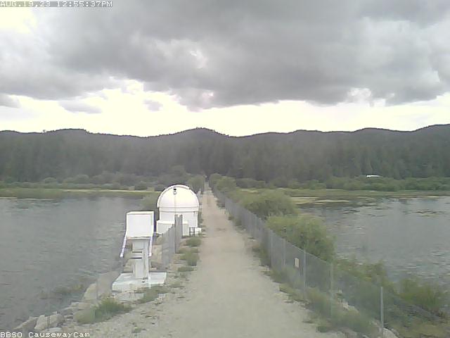
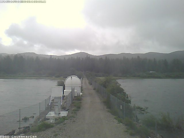
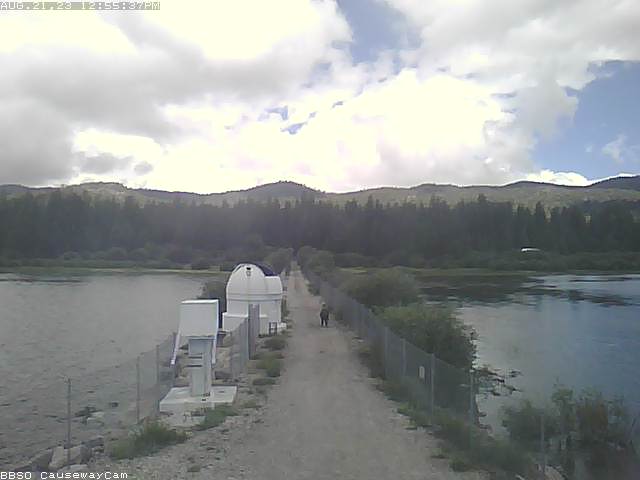
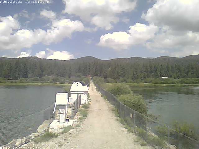
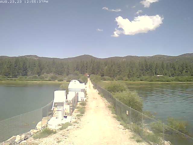
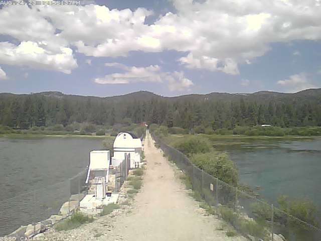
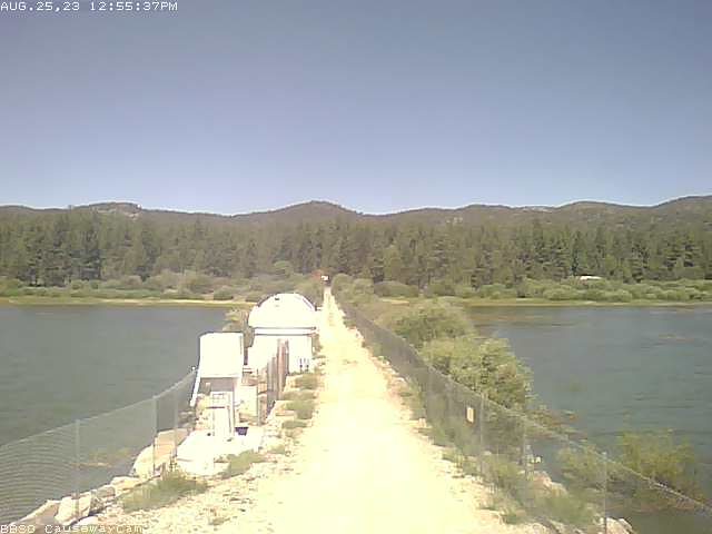
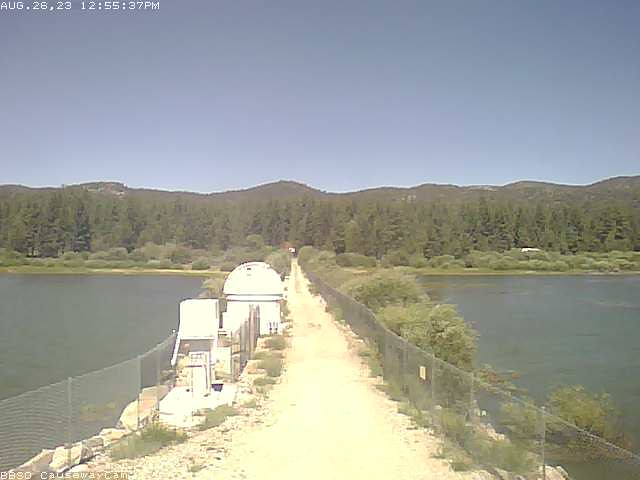
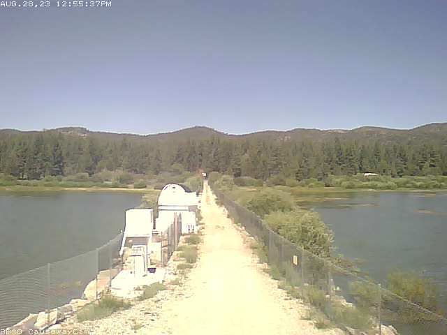
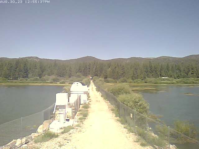
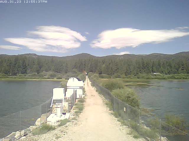
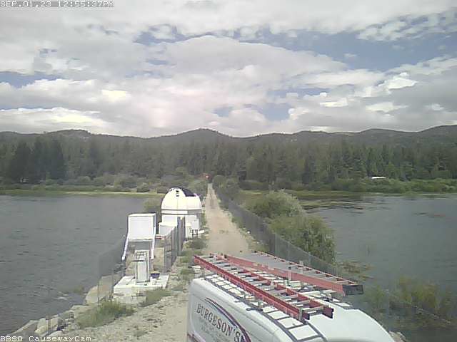
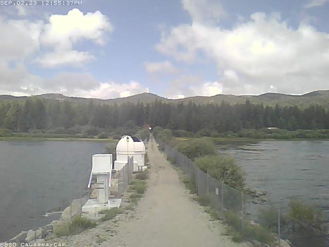
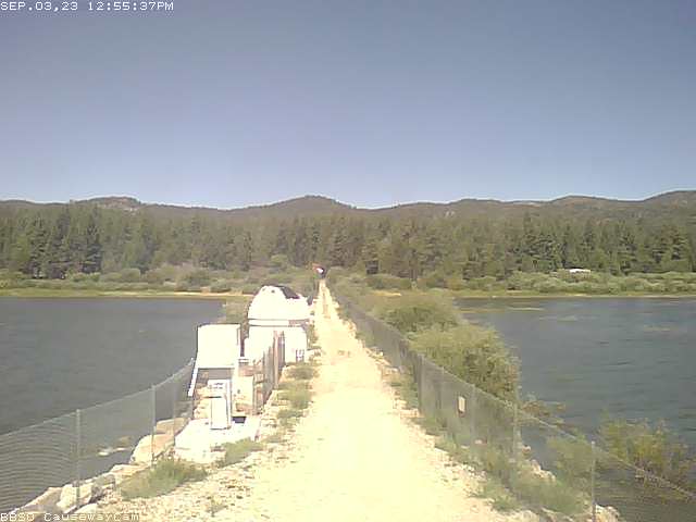
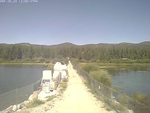
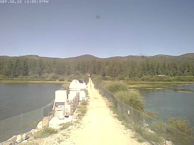
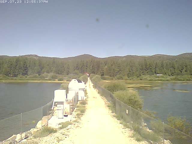
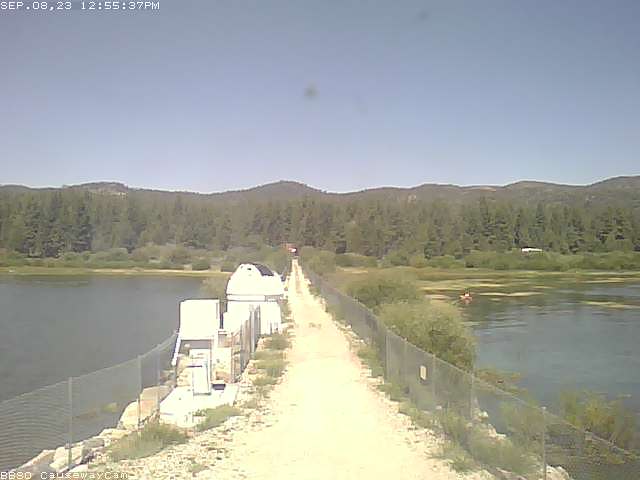
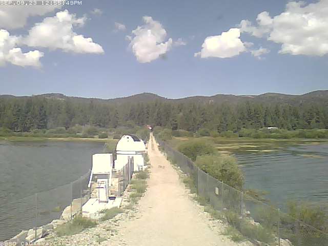
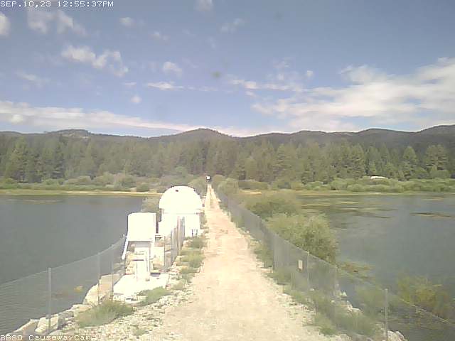
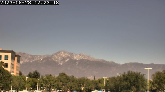
Big Bear Lake, California, USA - 137 miles from Palo Verde: Big Bear Solar Observatory - A nice view from the control room of the BBSO in Big Bear Lake.
Operator: Big Bear Solar Observatory
Operator: Big Bear Solar Observatory


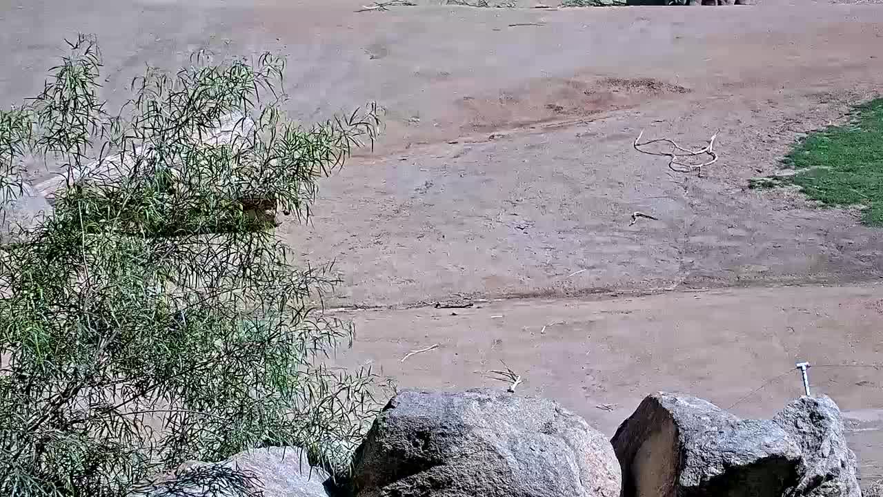
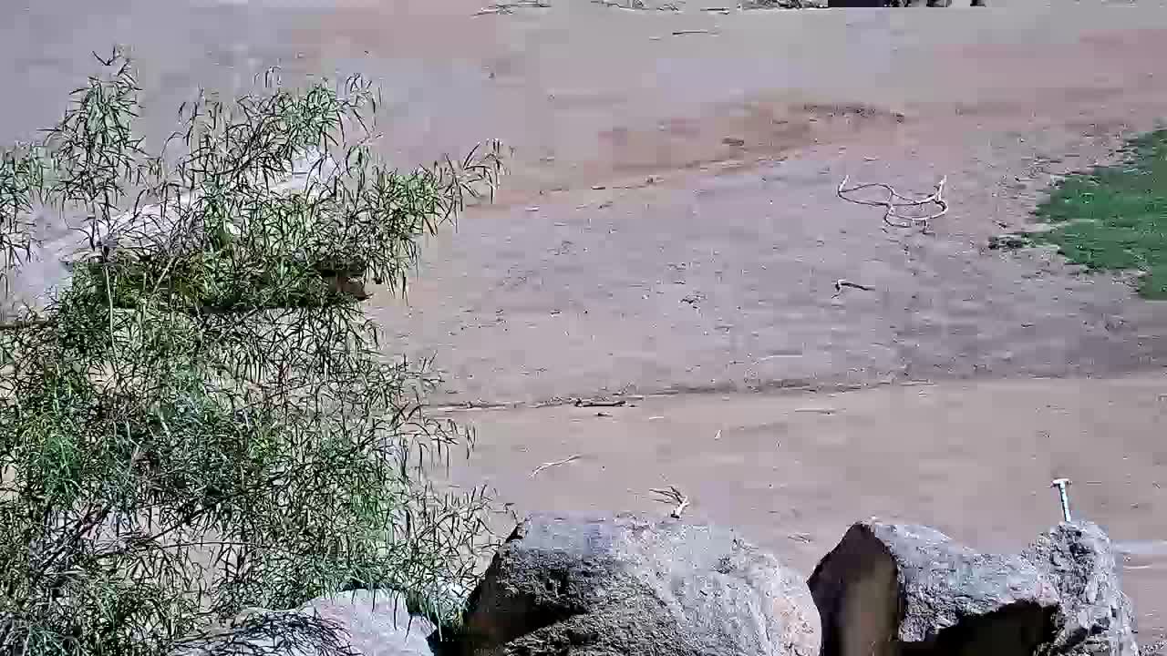
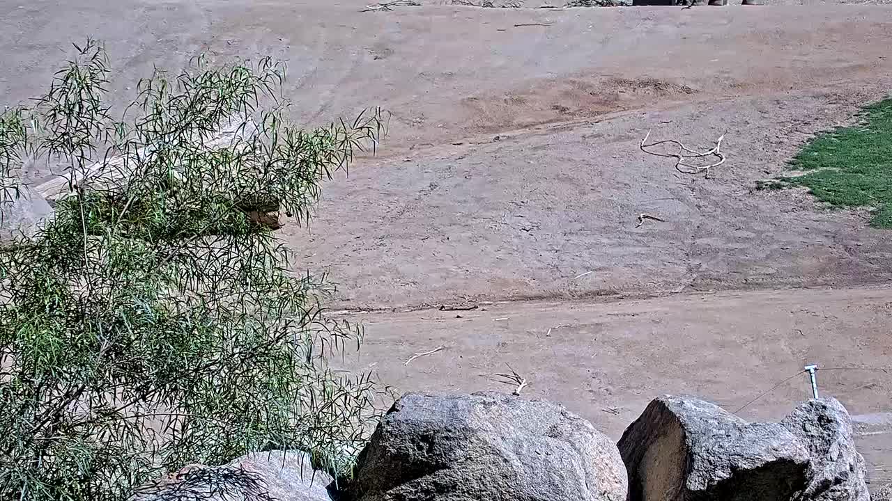
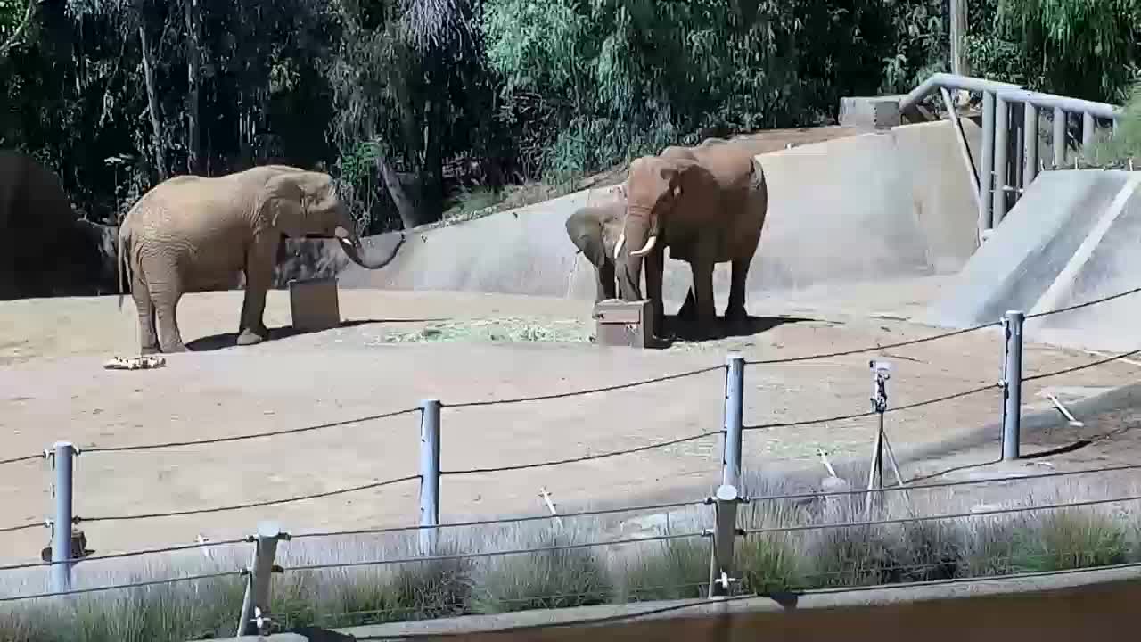
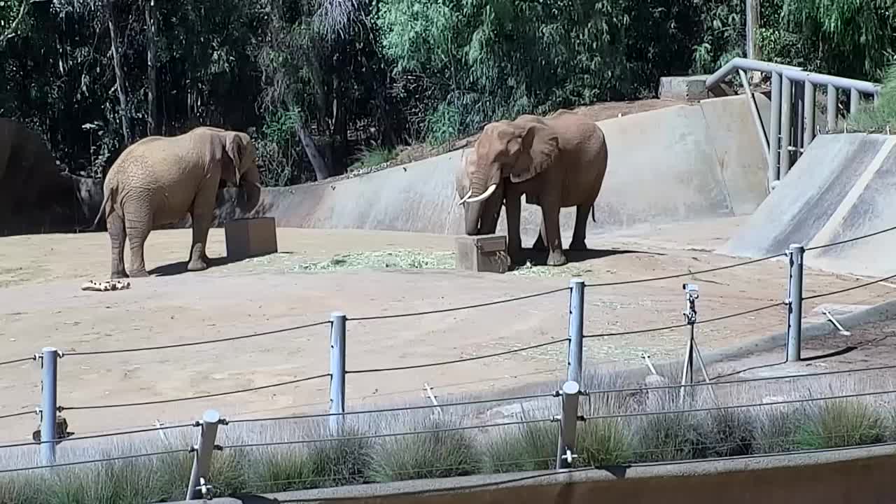
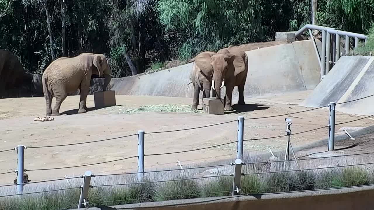
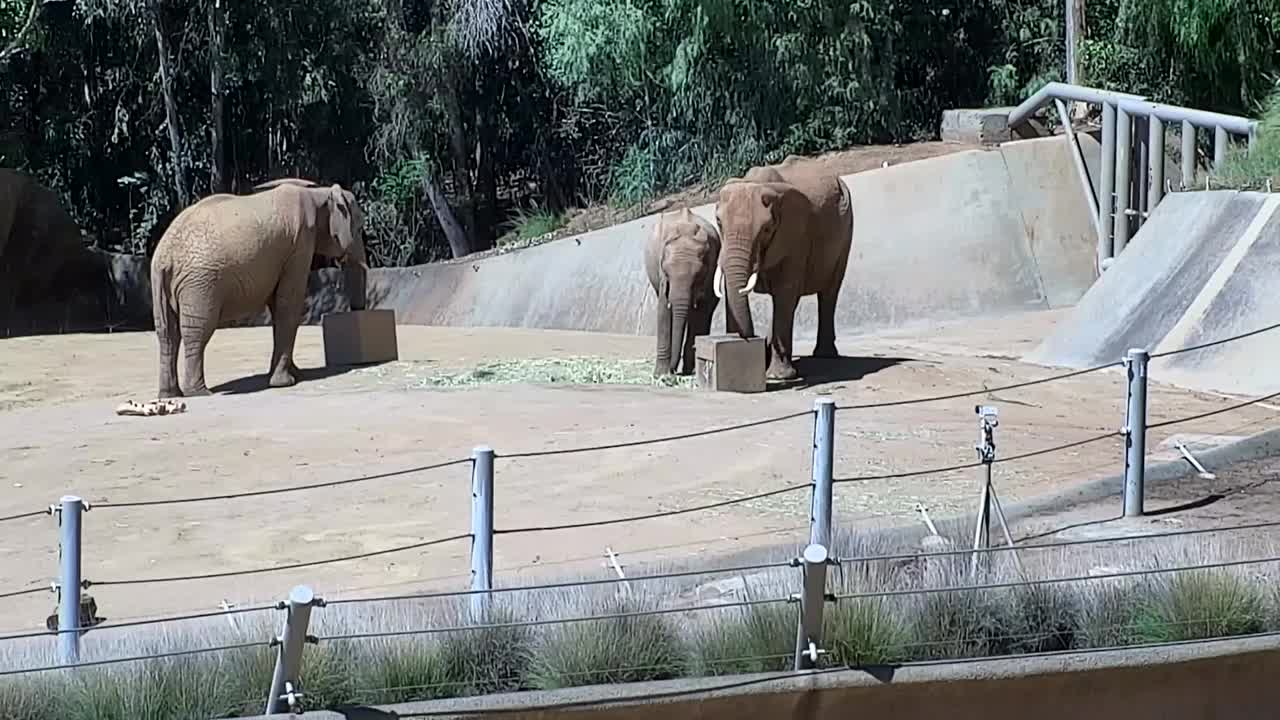
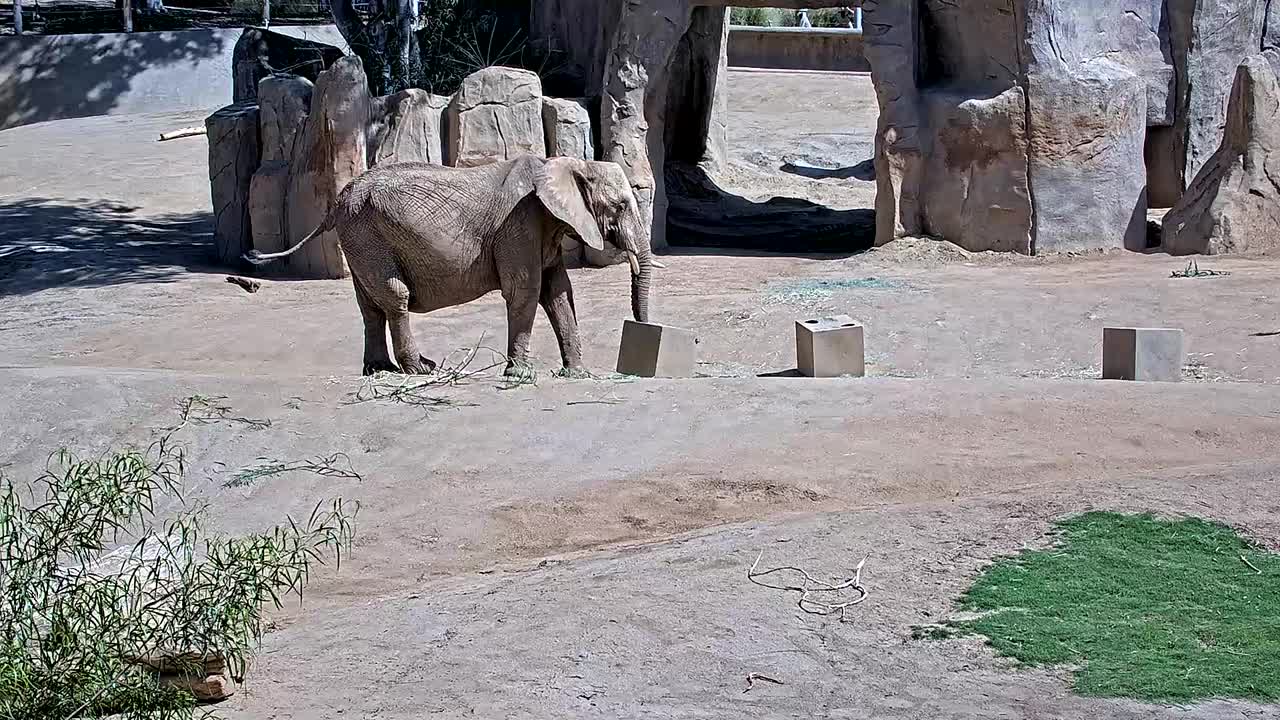
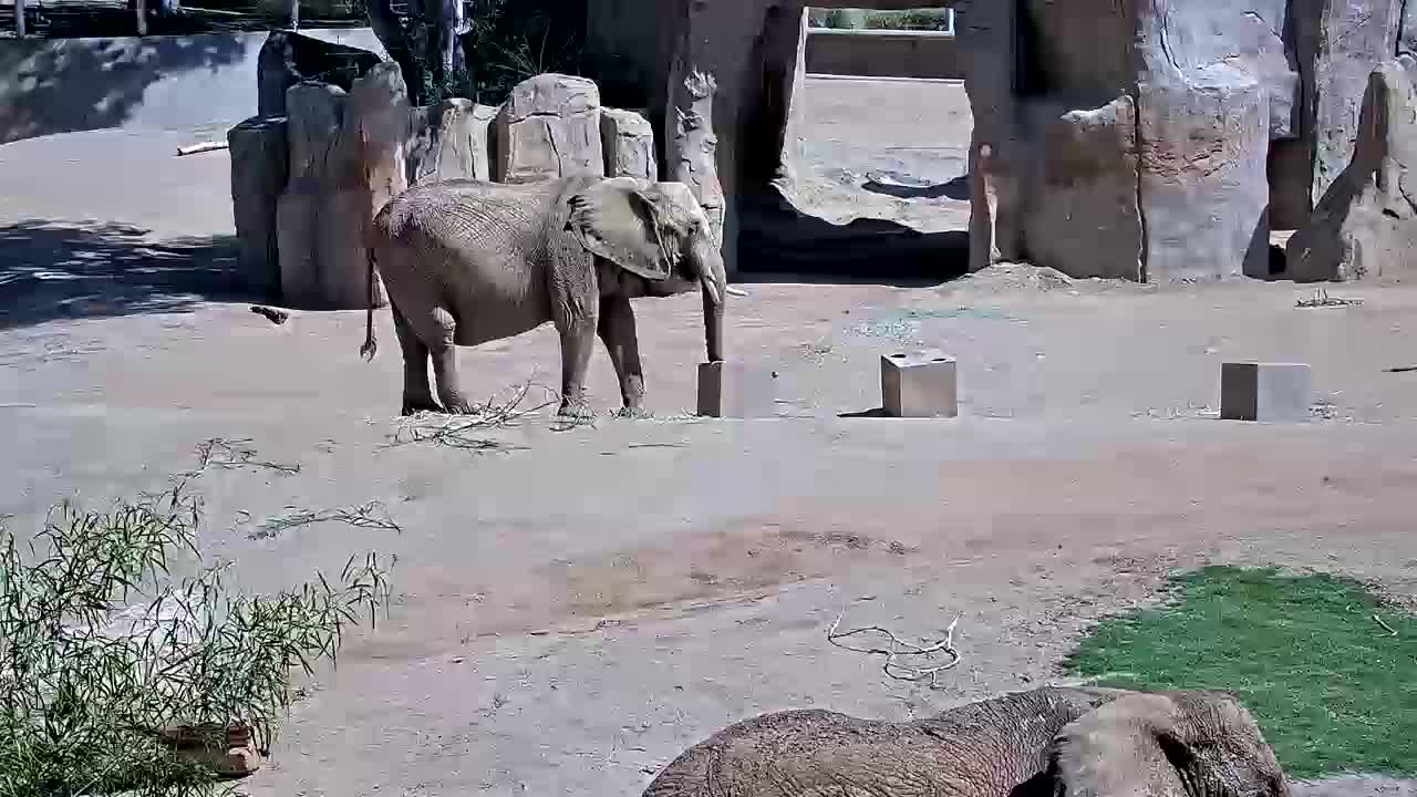
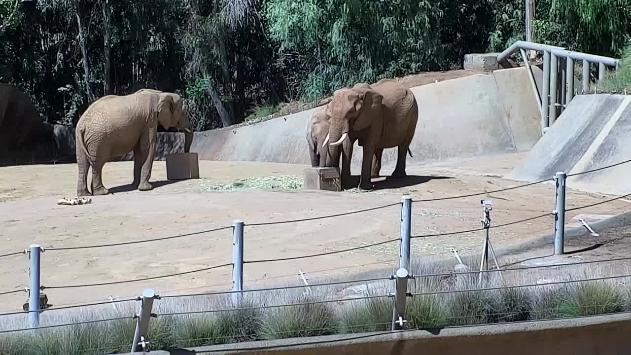
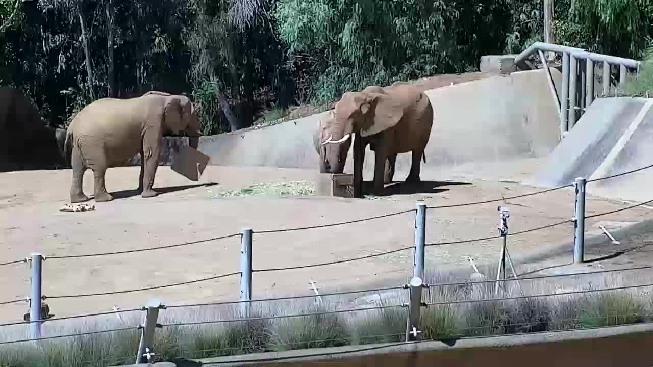
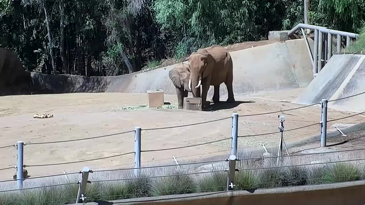
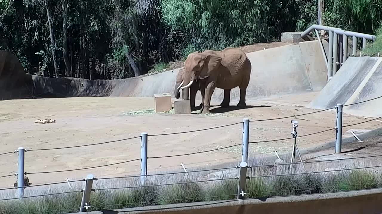
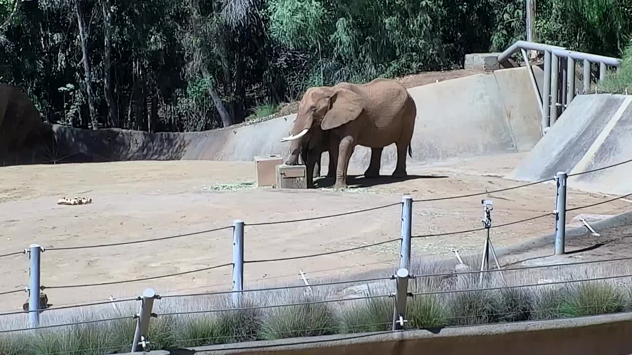
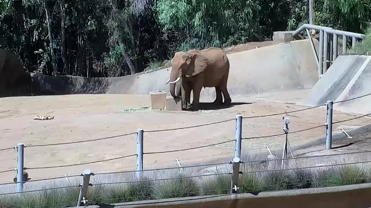
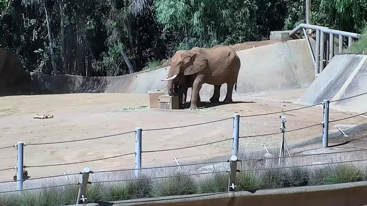
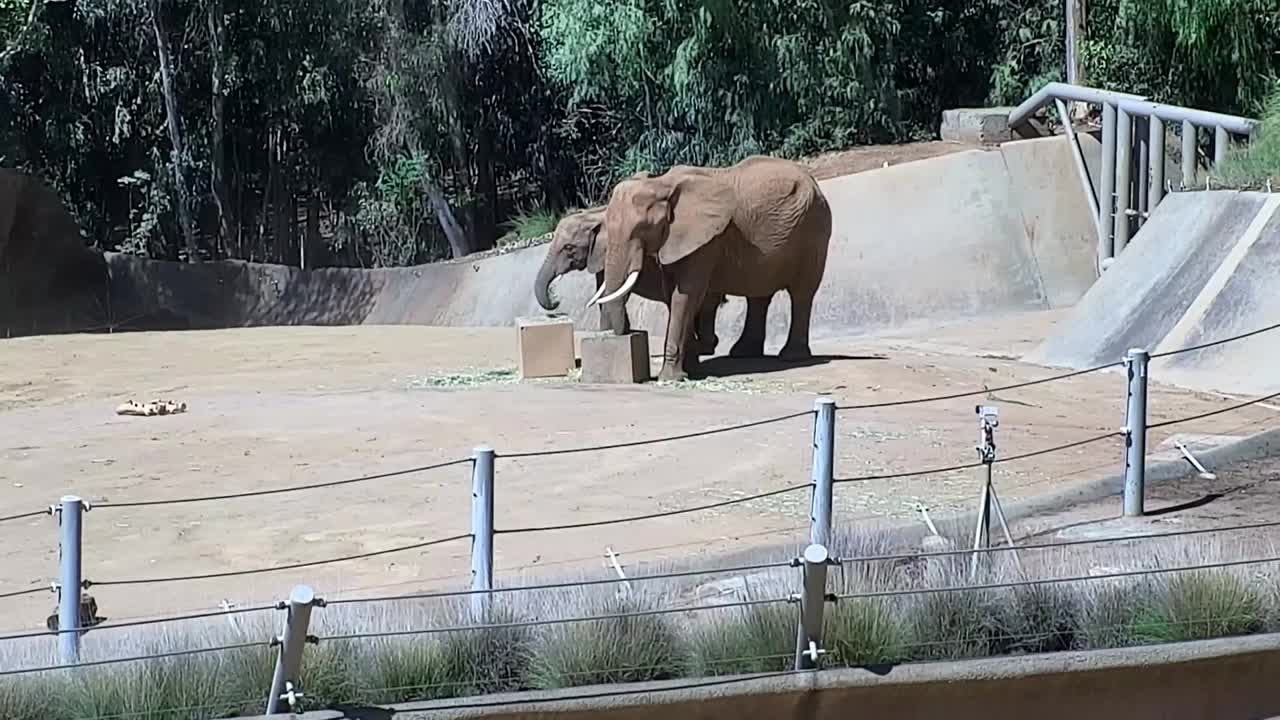
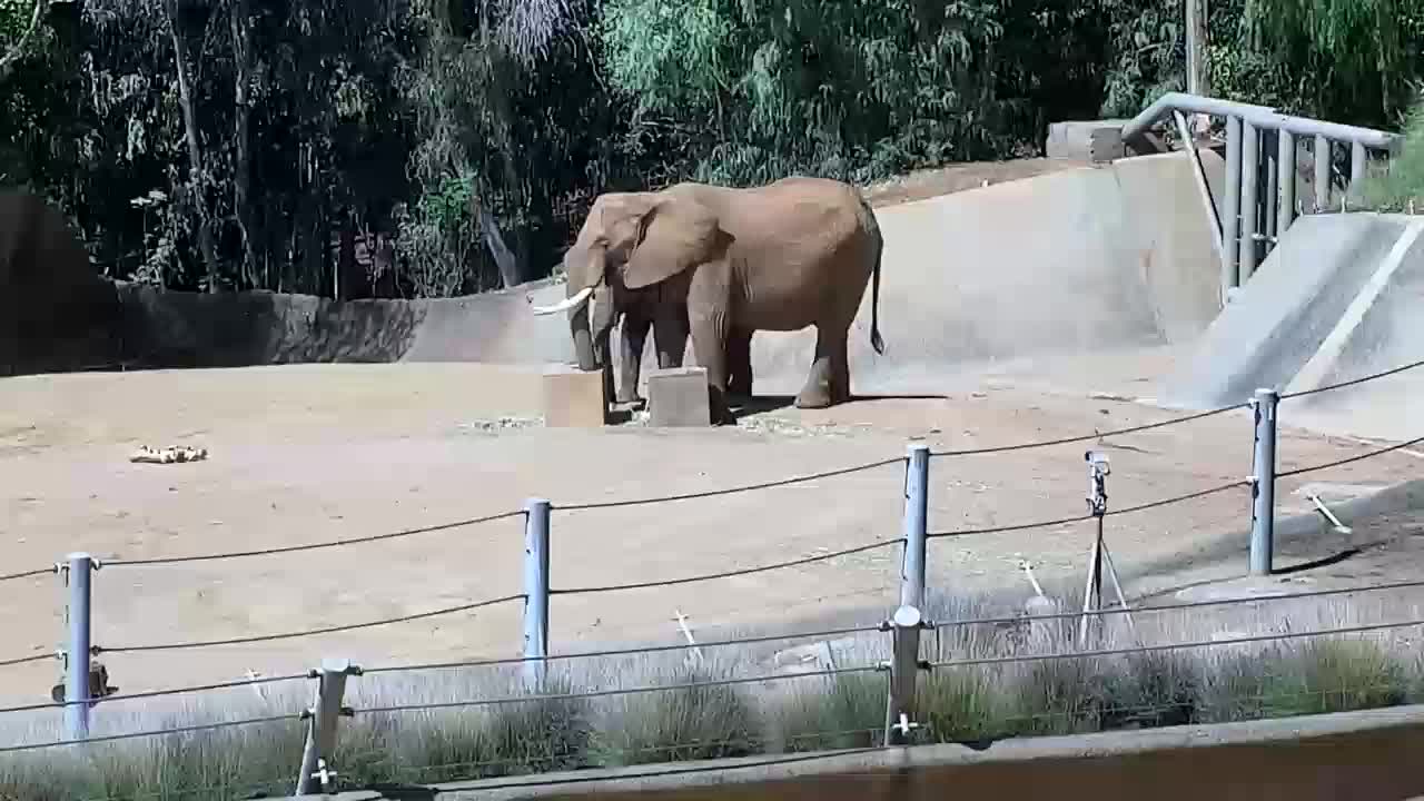
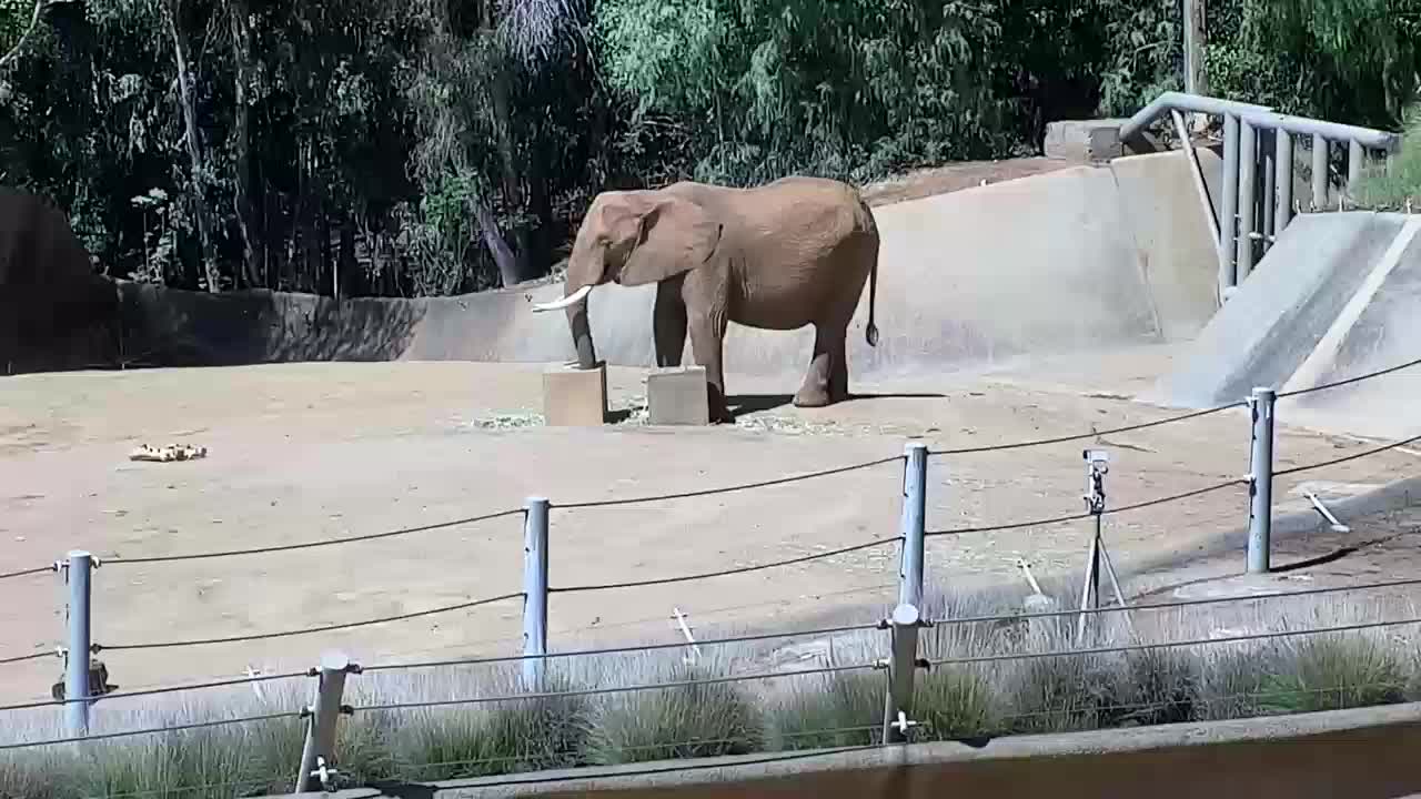
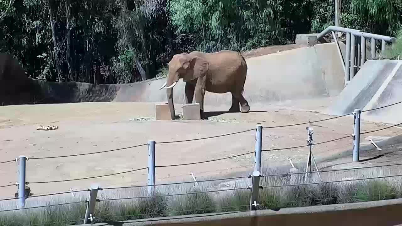
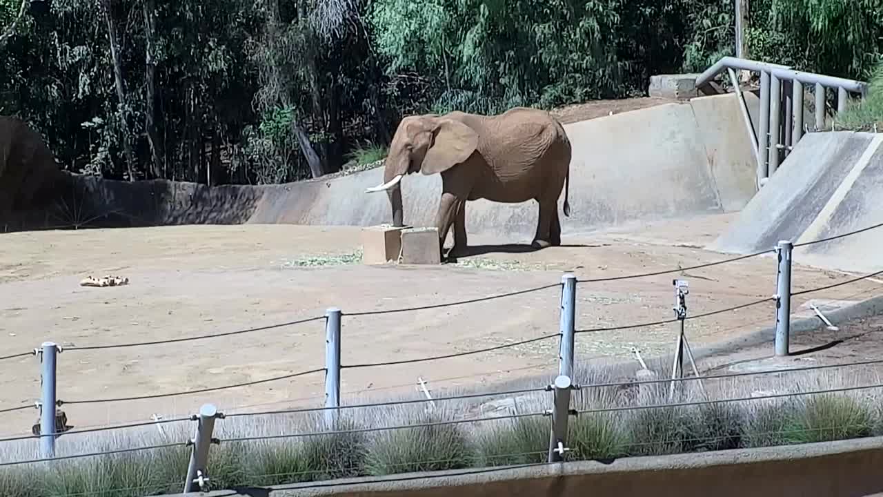
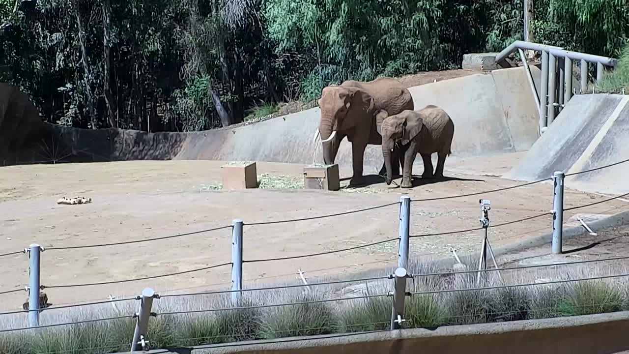
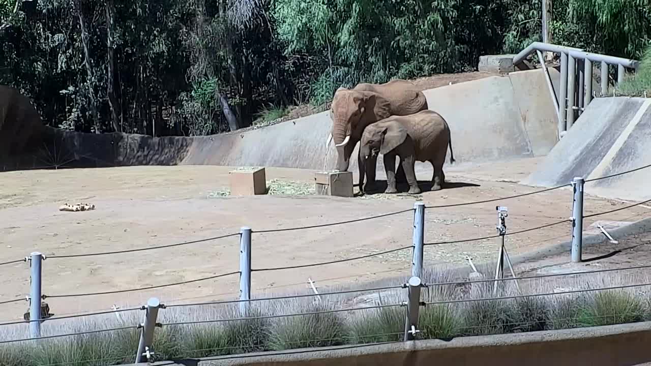
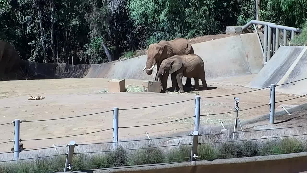
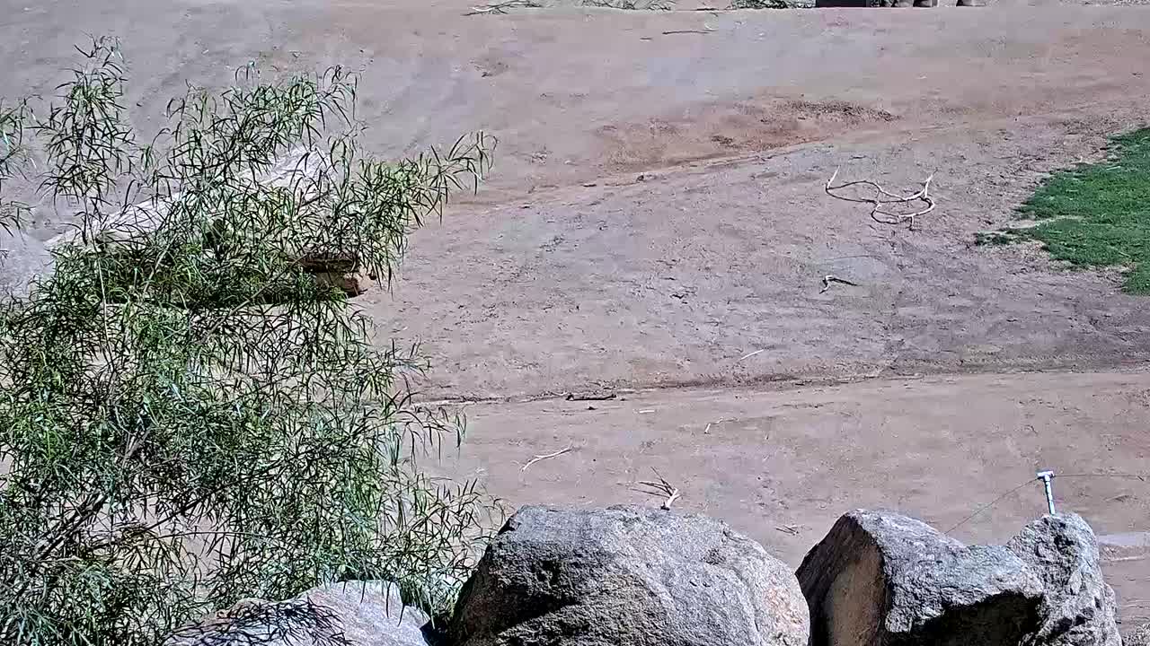
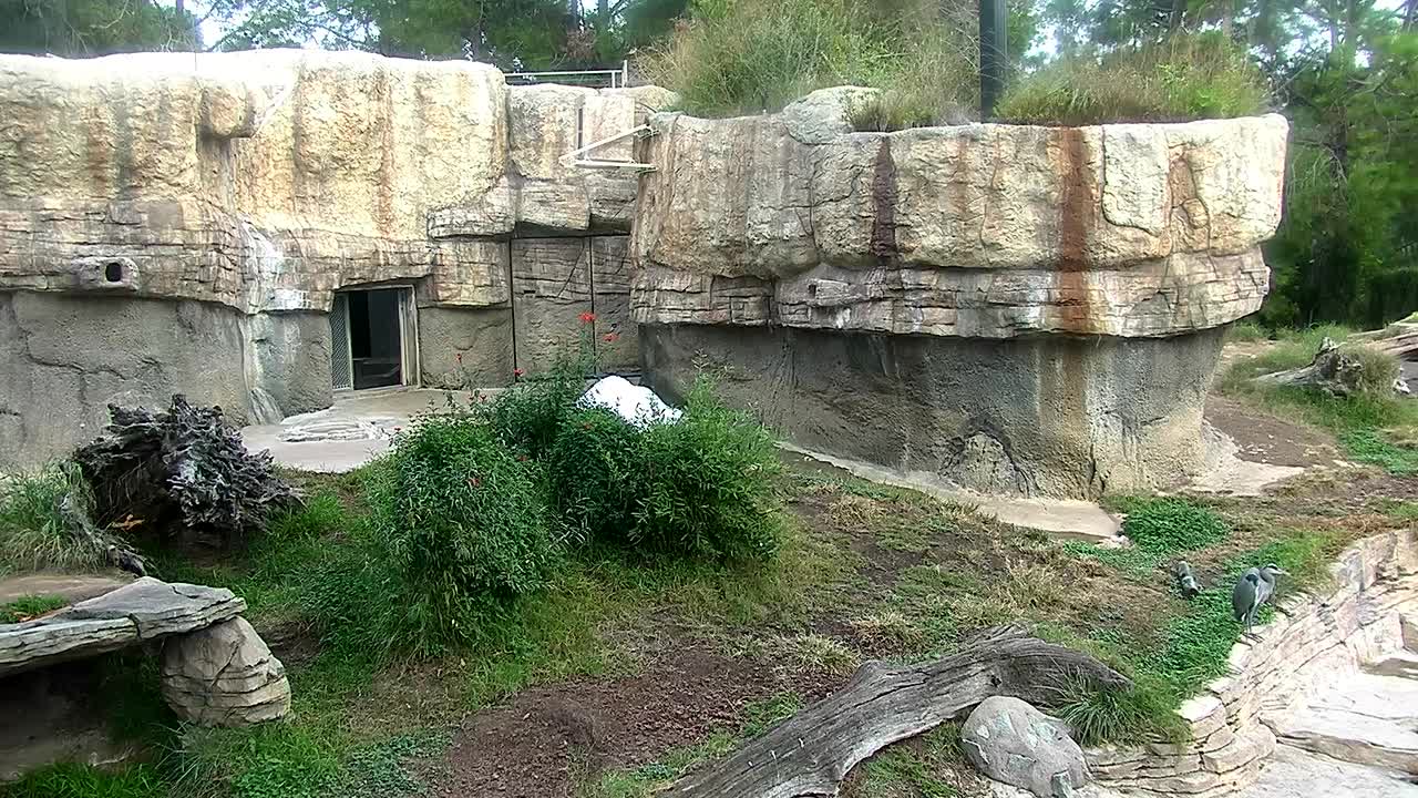
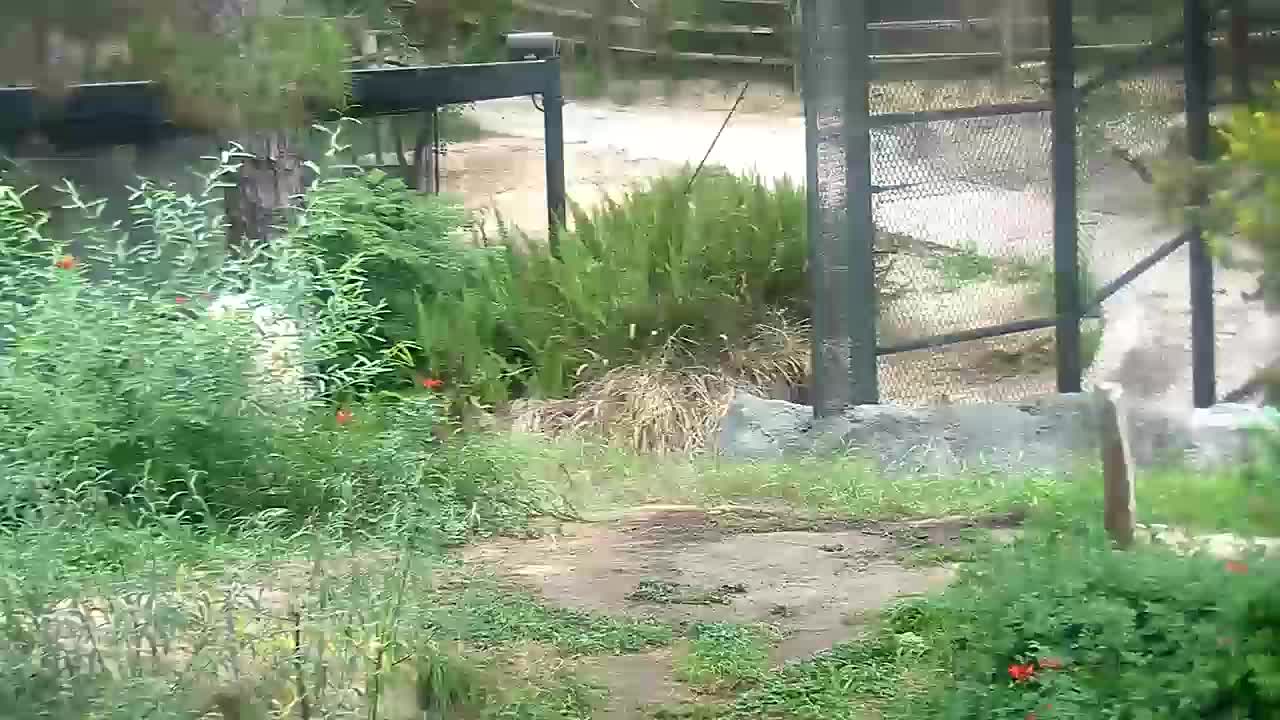
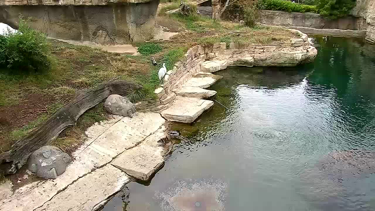
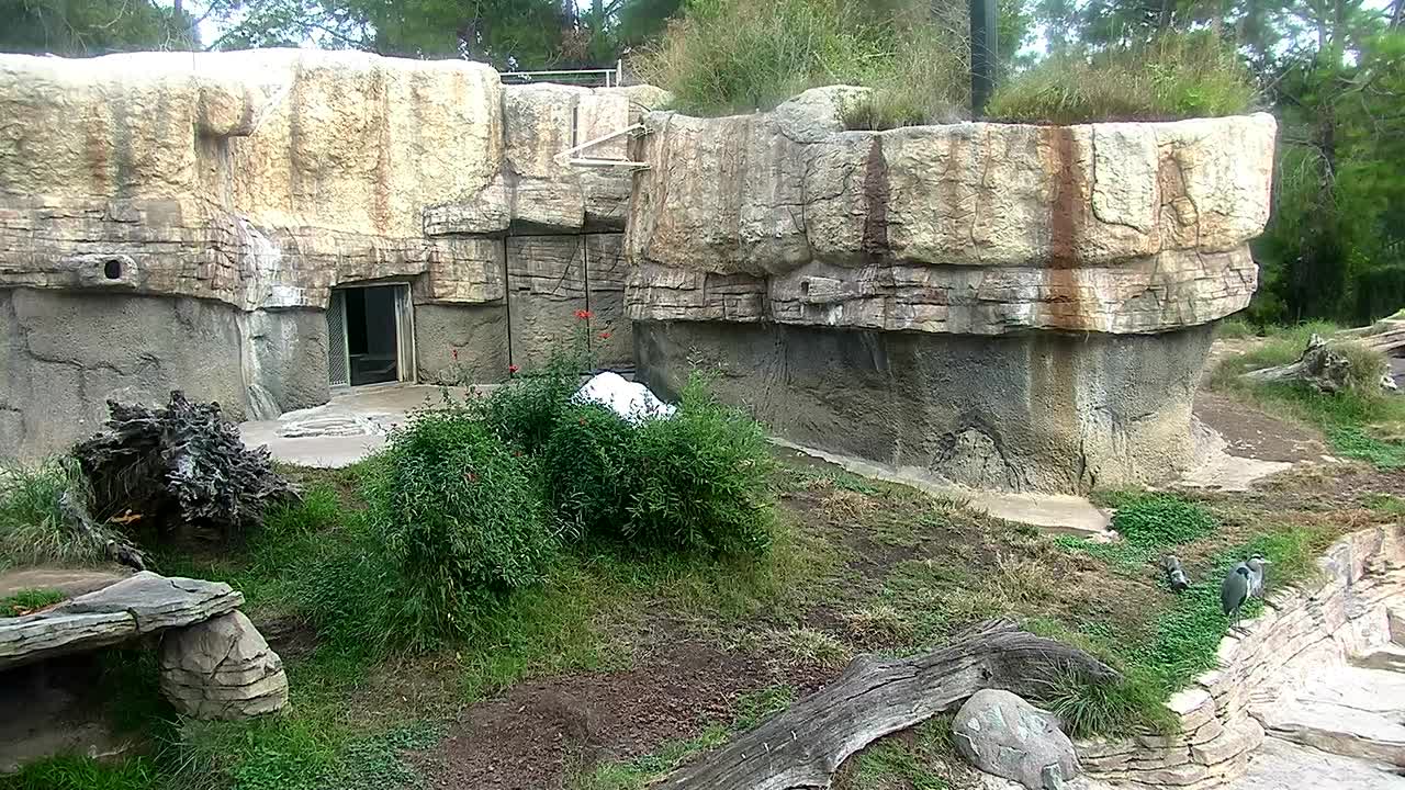
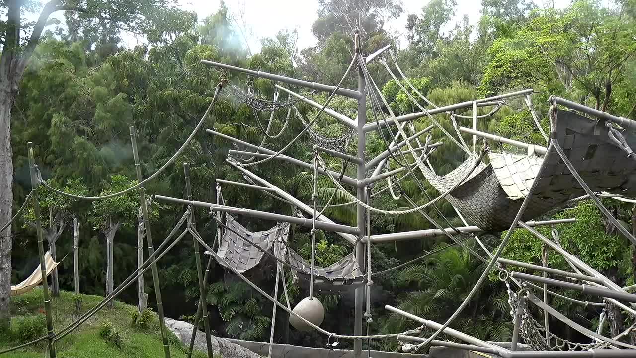
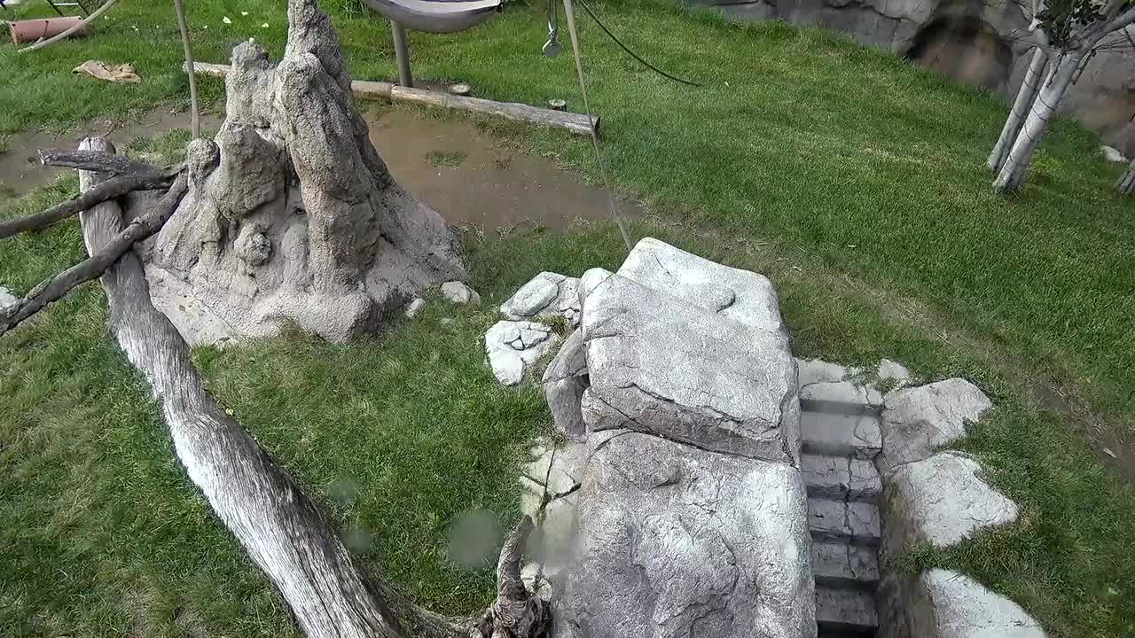
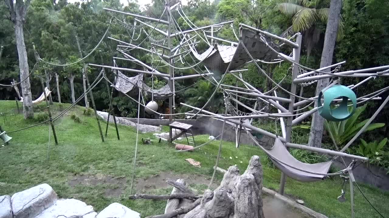
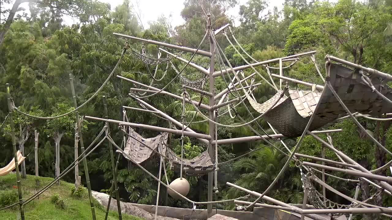
Escondido, California, USA - 137.7 miles from Palo Verde: San Diego Wild Animal Park: Elephants - Live video from the Elephant exhibit at the San Diego Wild Animal Park.
Operator: Camzone
Operator: Camzone


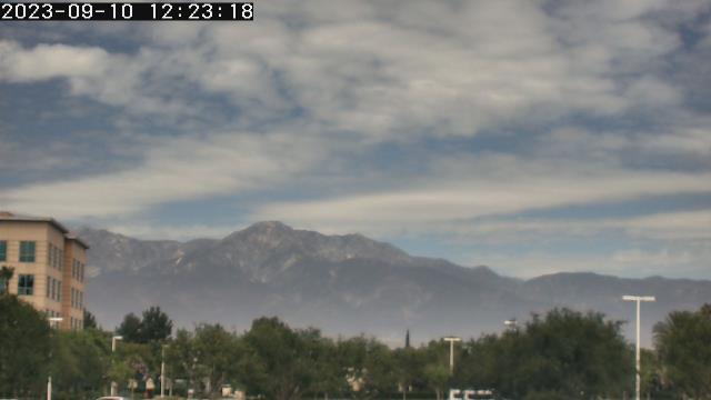
San Bernardino, California, USA - 139.1 miles from Palo Verde: Caritas Communications - A webcam in San Bernardino, California - camera location: Caritas Communications.
Operator: WeatherBug
Operator: WeatherBug


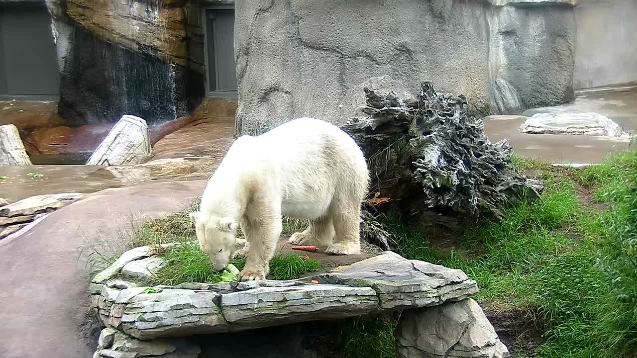
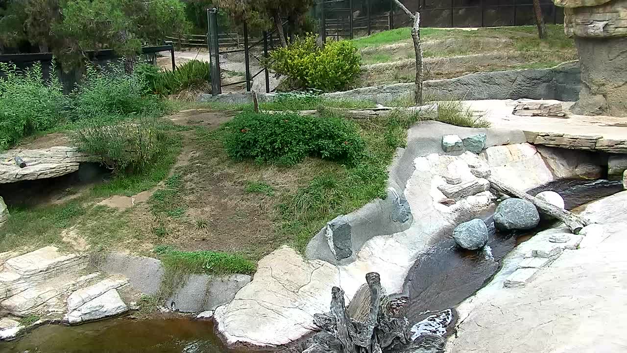
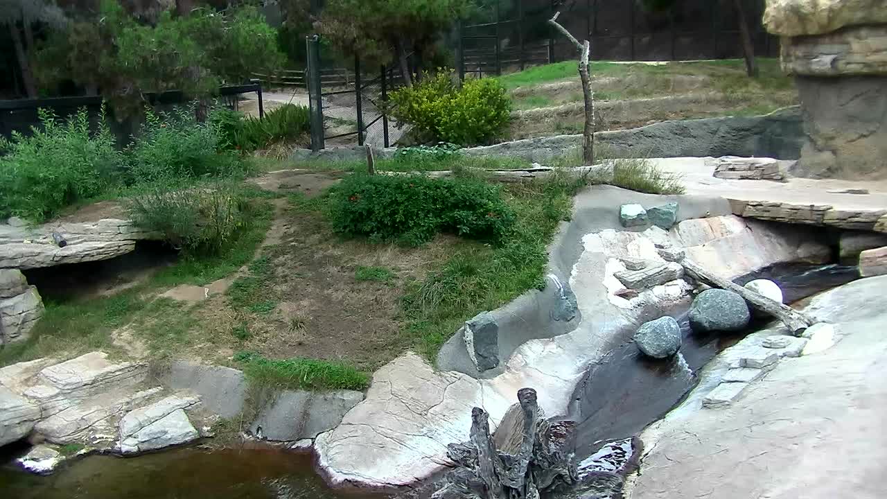
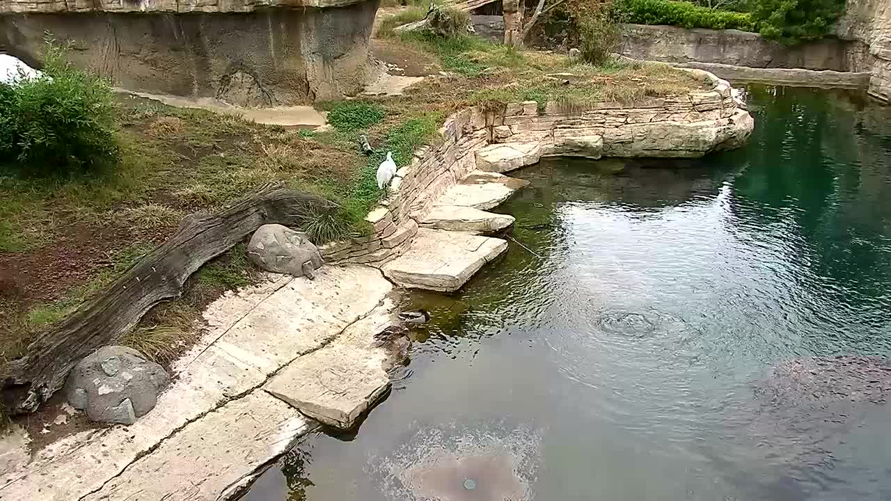
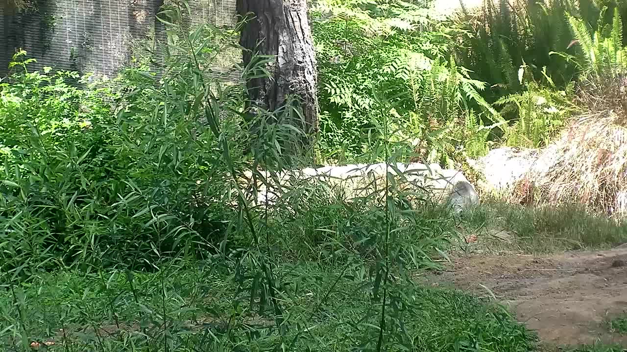
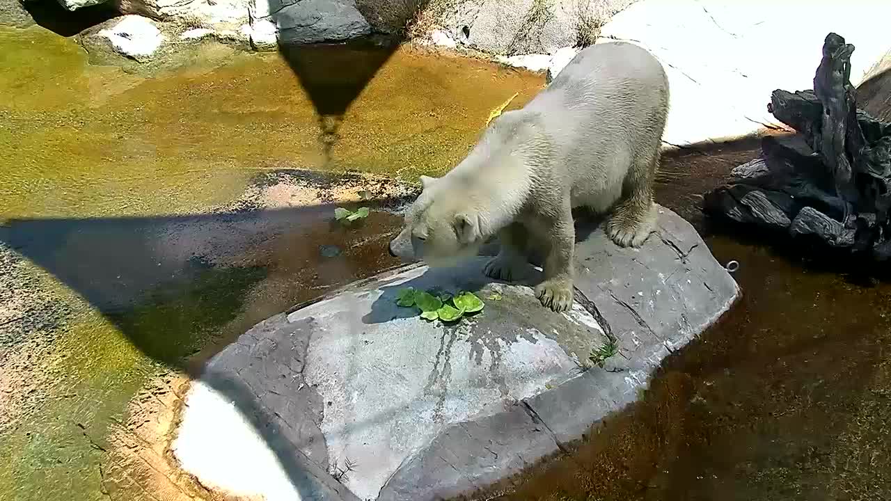
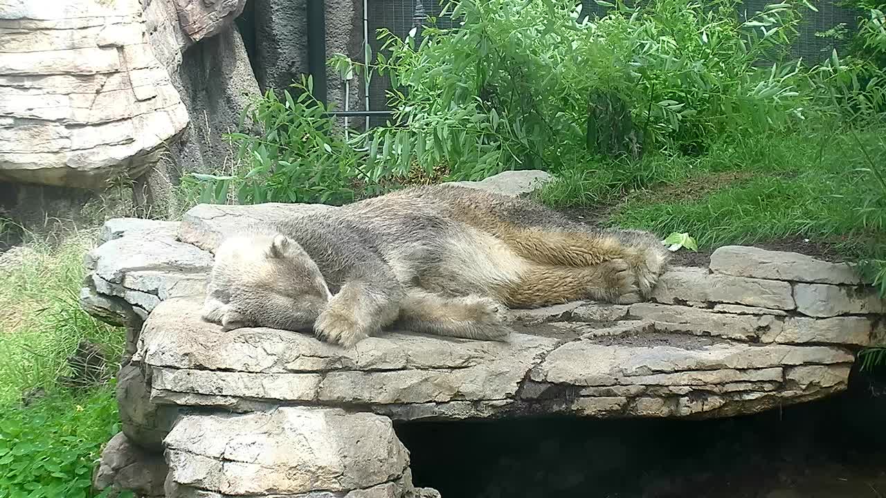
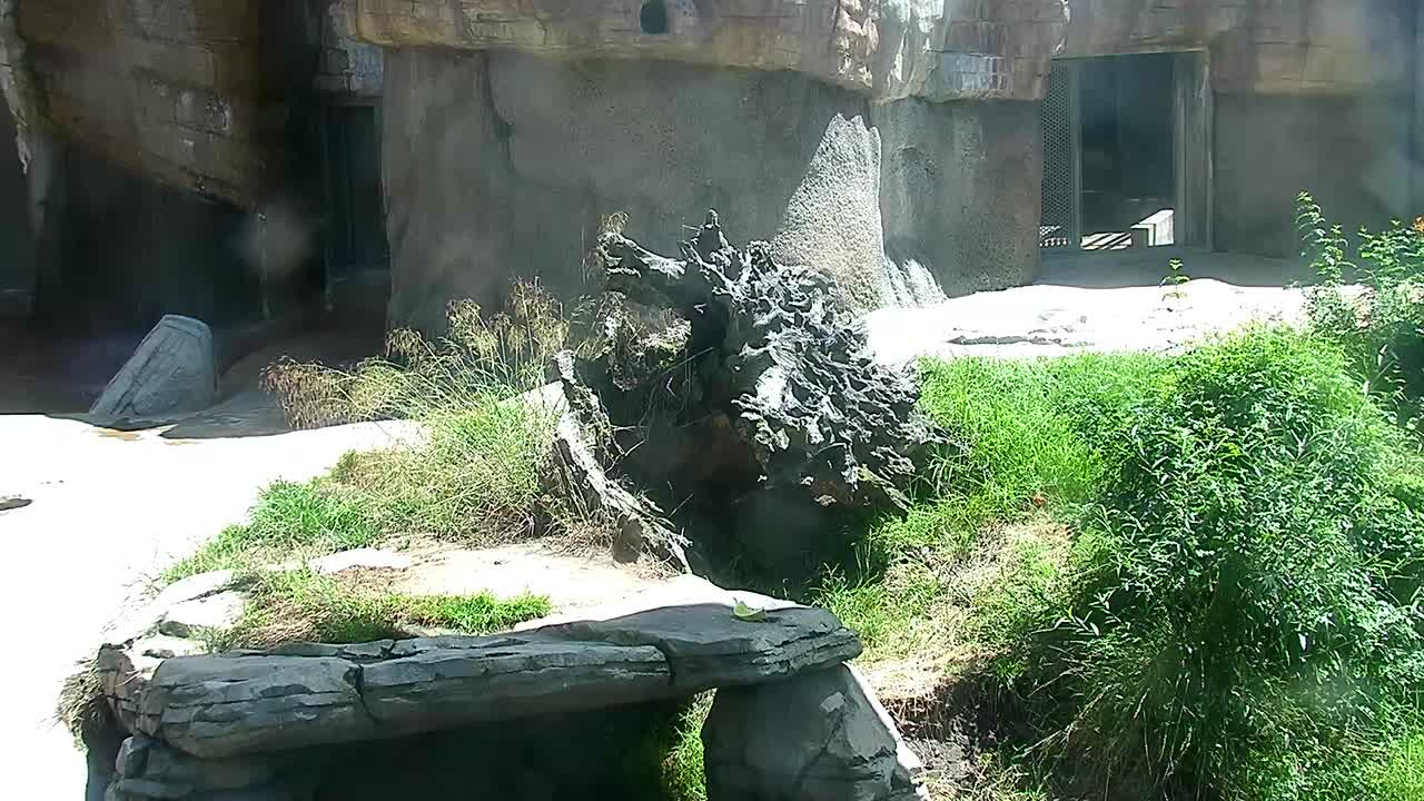
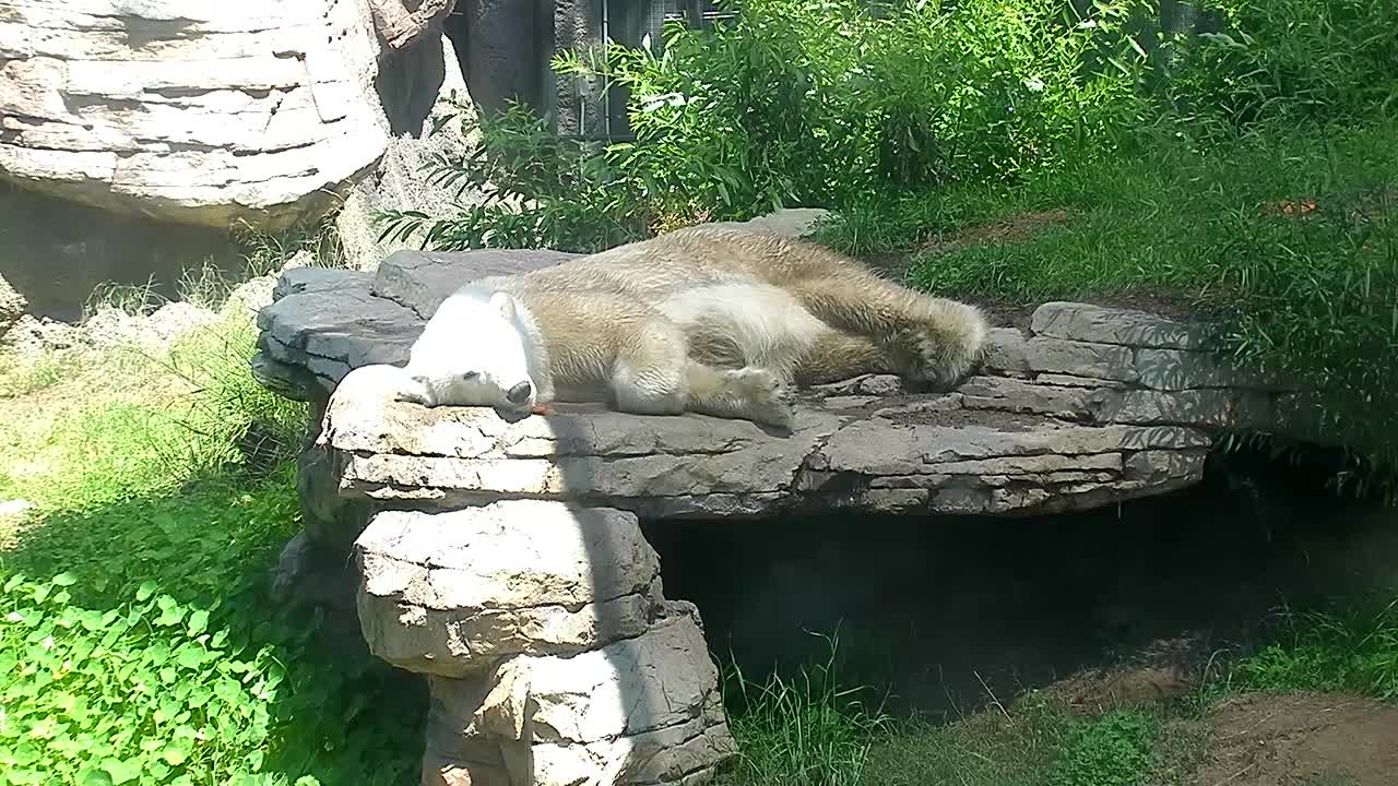
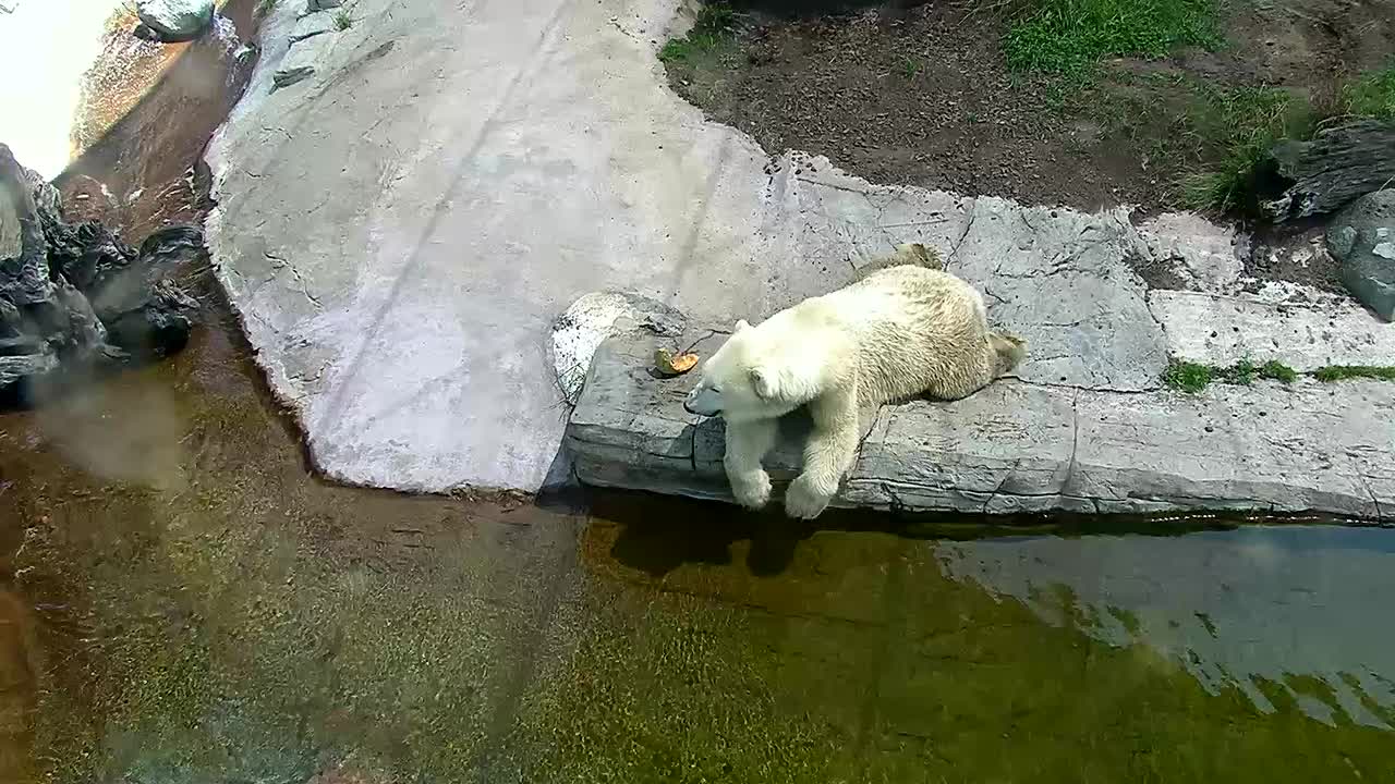
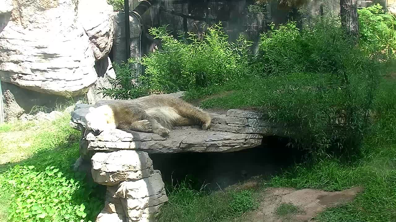
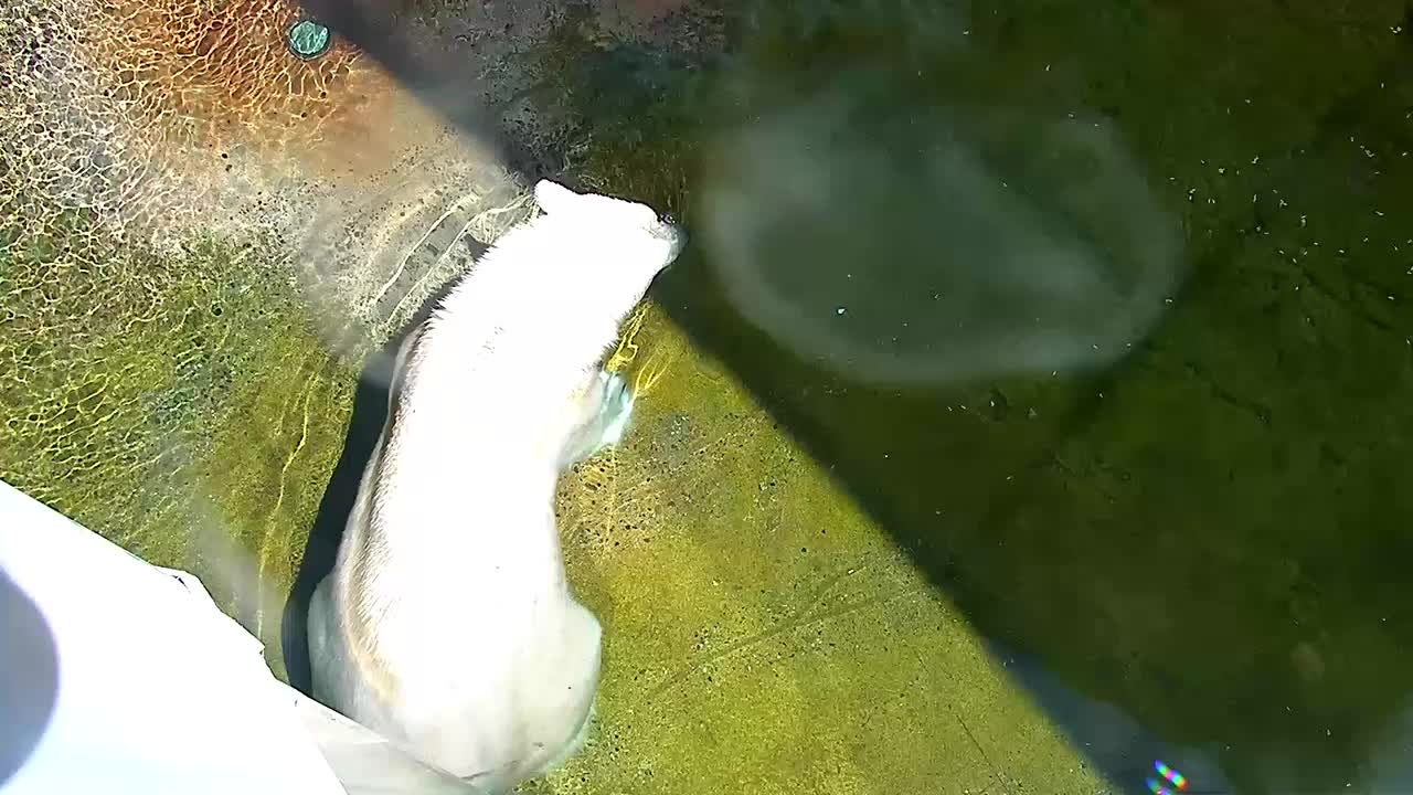
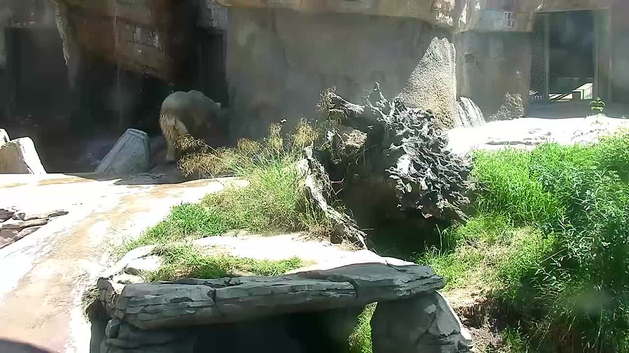
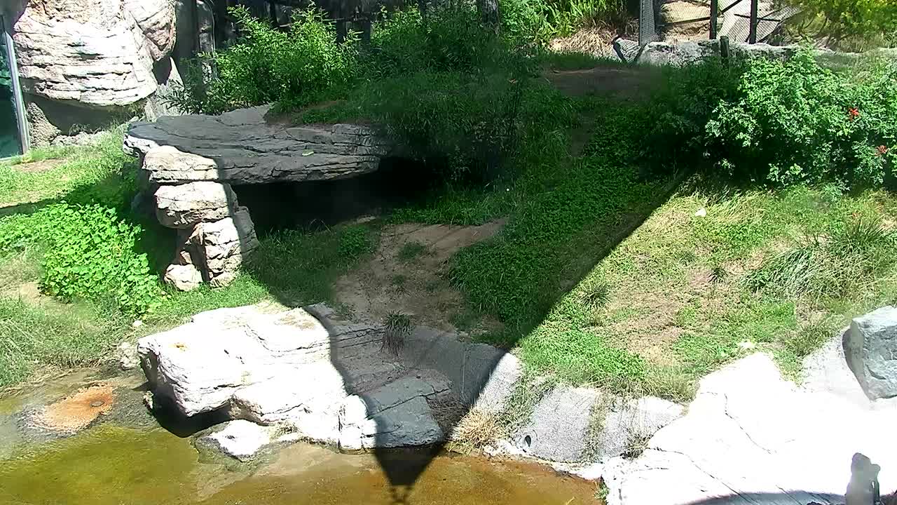
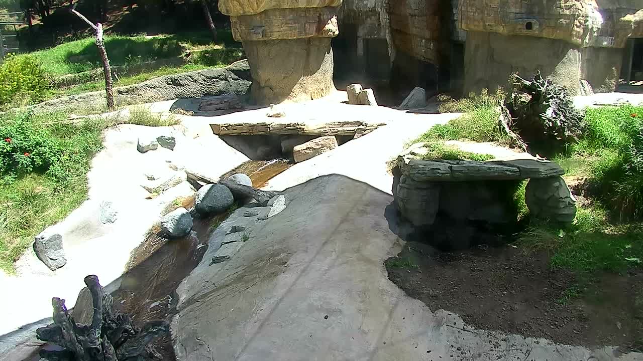
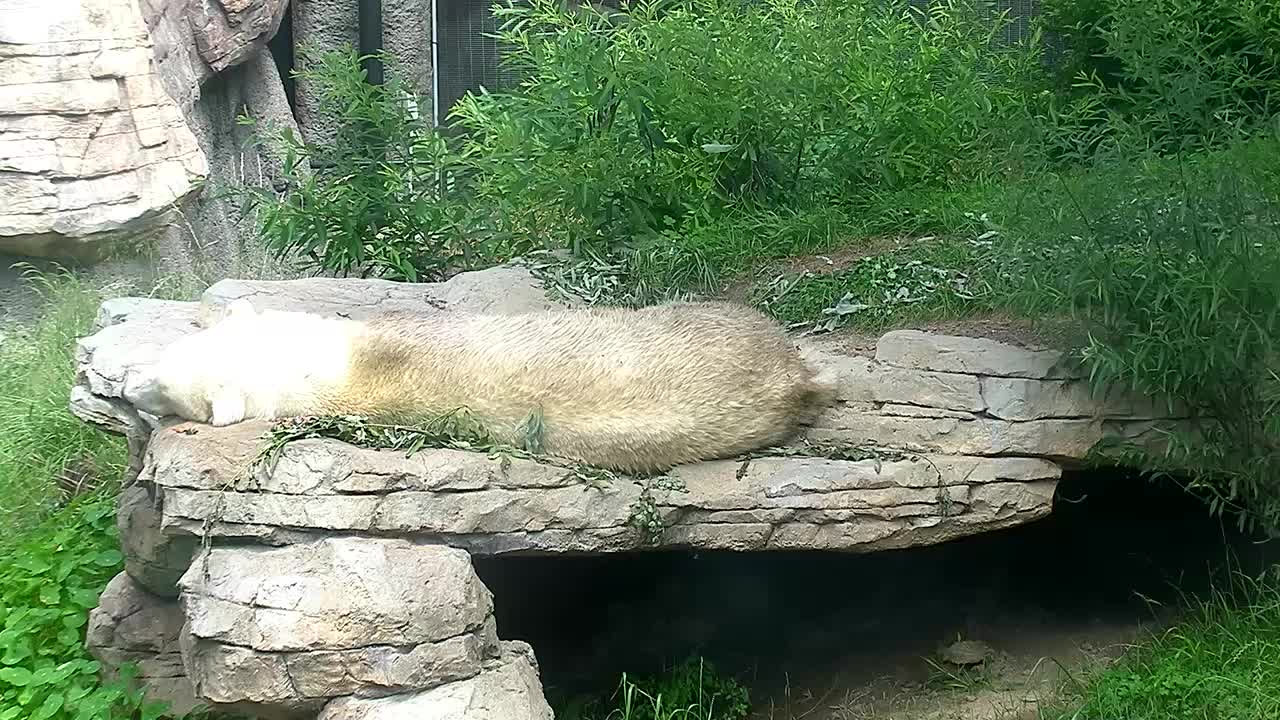
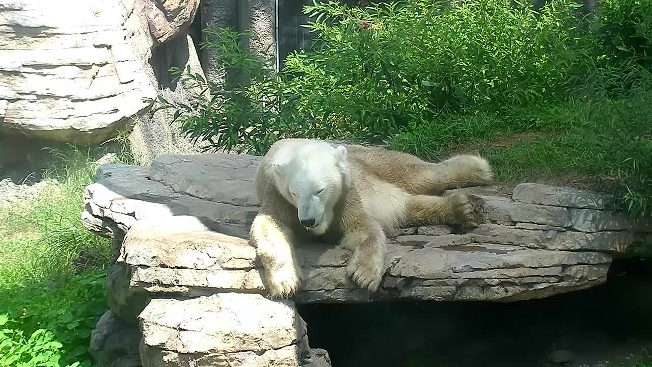
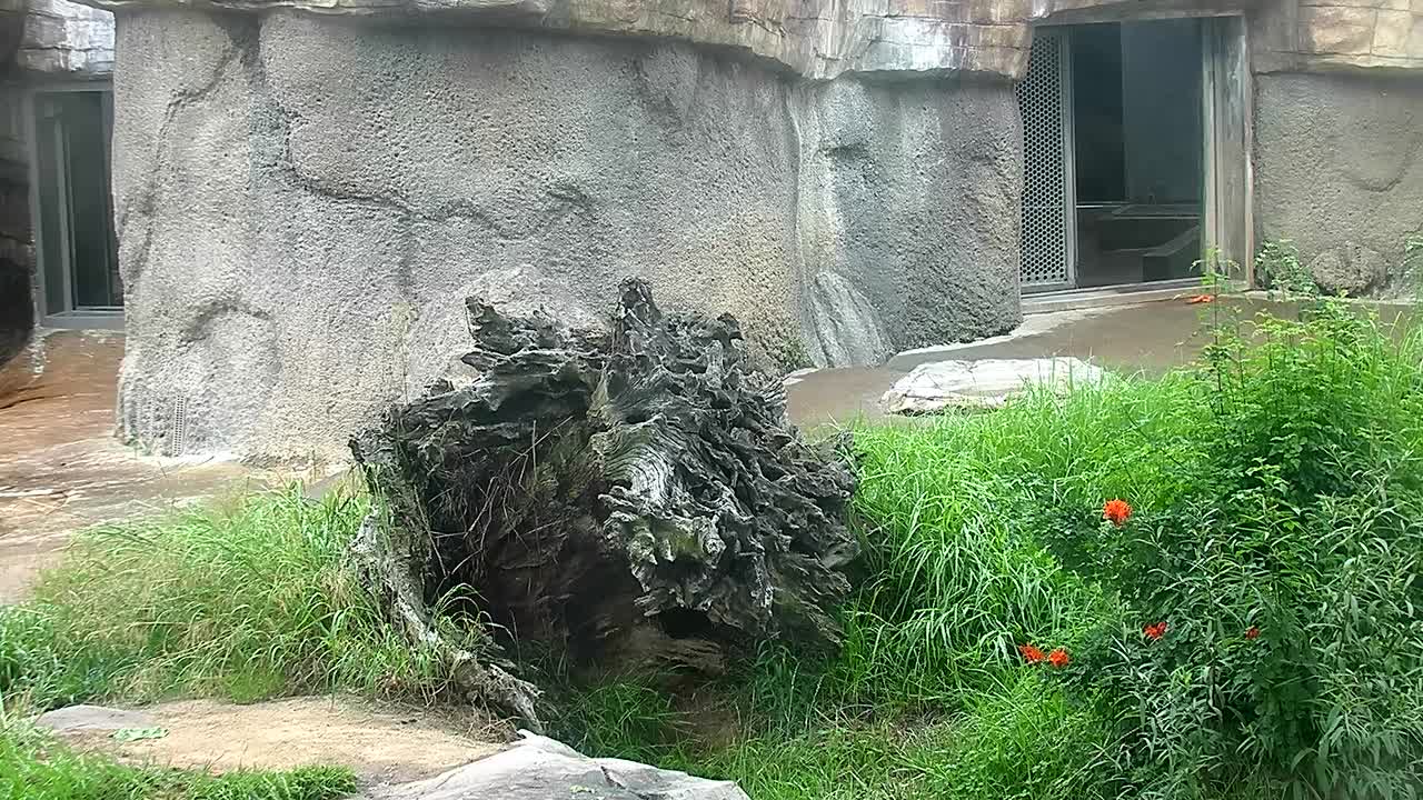
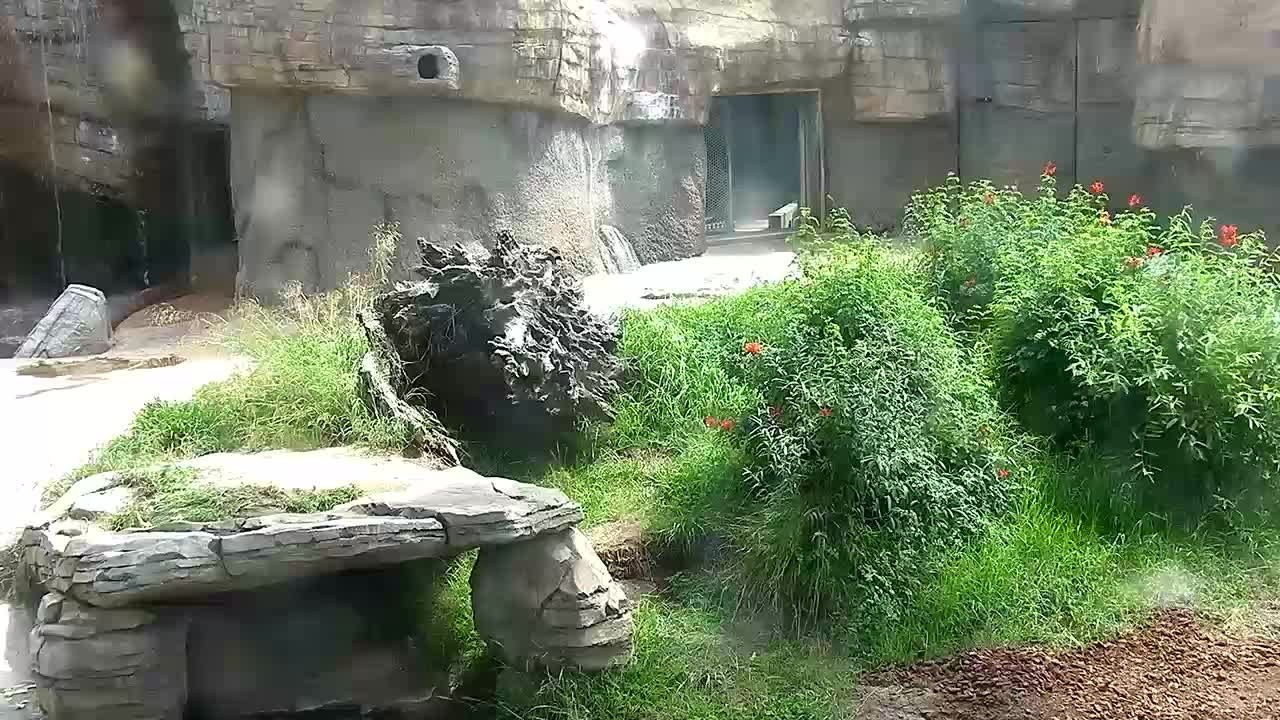
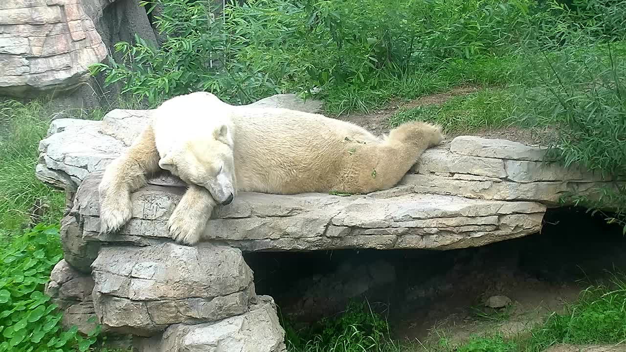
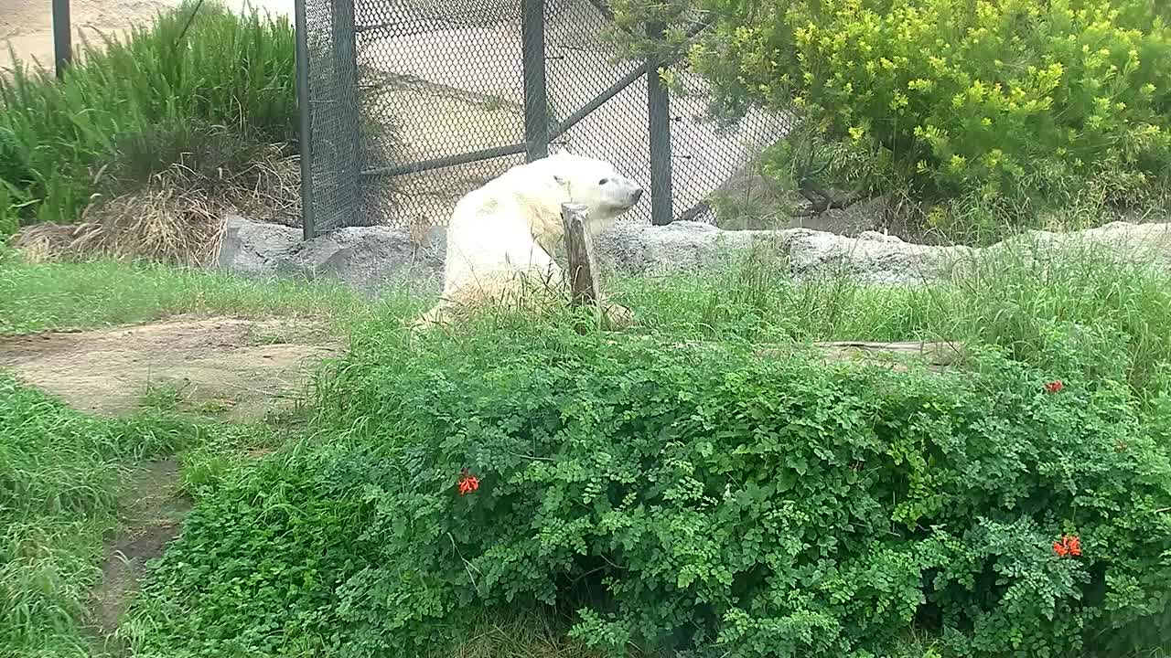
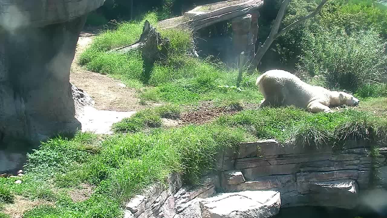
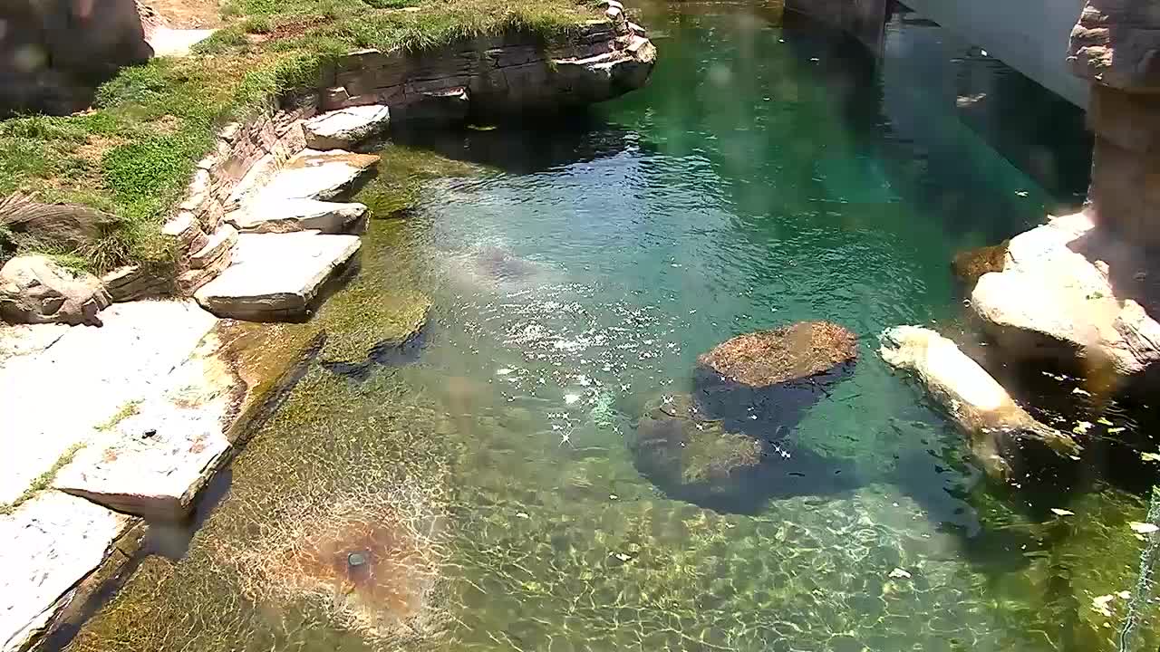
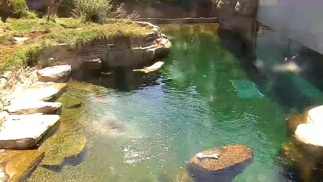
San Diego, California, USA - 149.2 miles from Palo Verde: San Diego Zoo Polar Bear Plunge Exhibit - Live video from the San Diego Zoo Polar Bear exhibit.
Operator: Camzone
Operator: Camzone


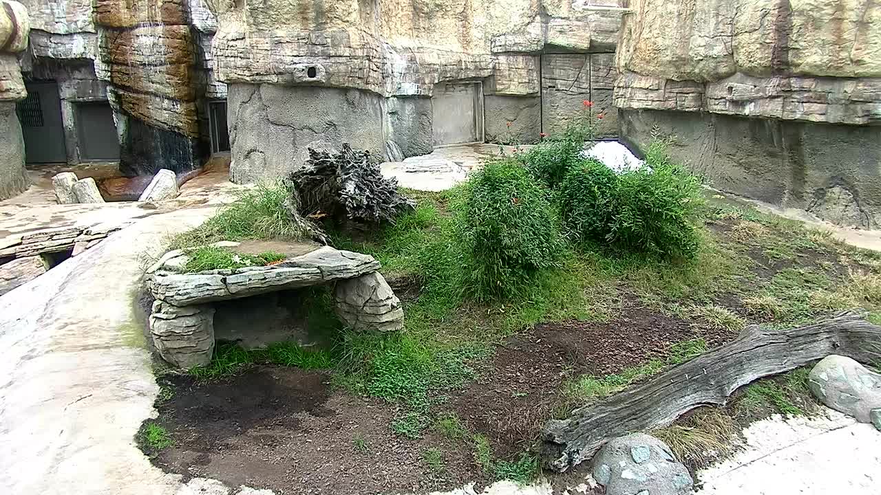

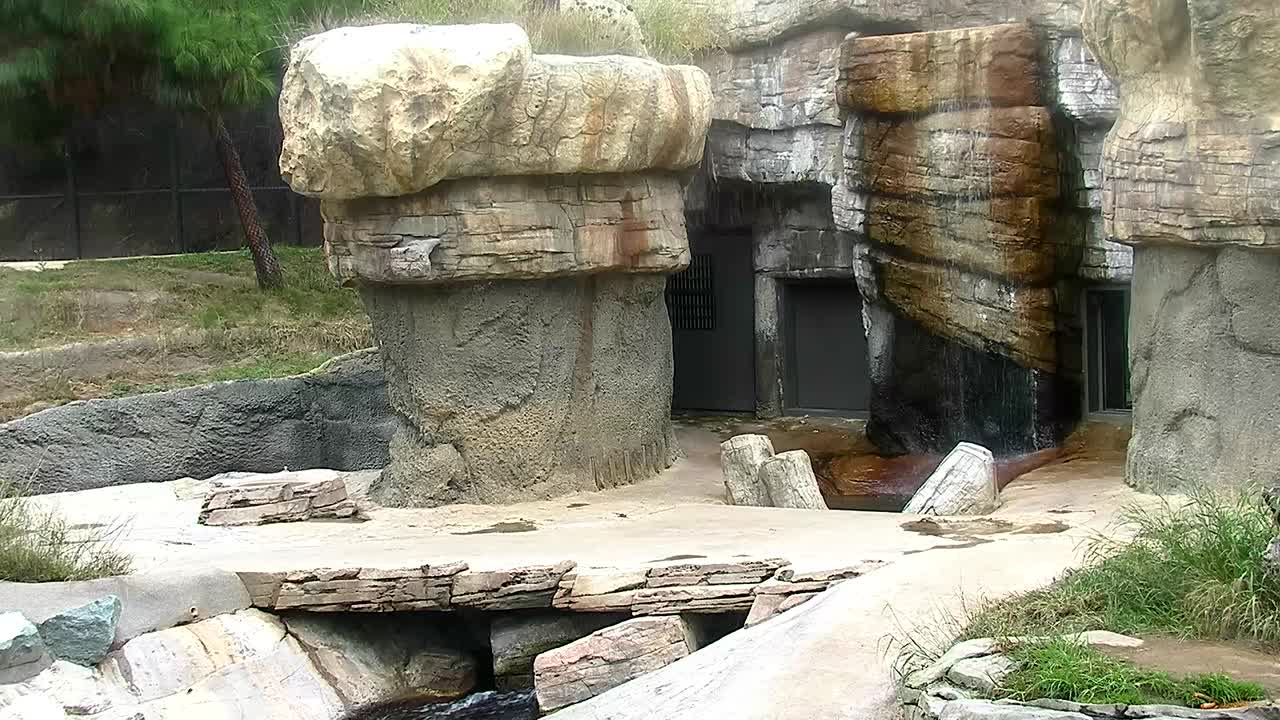
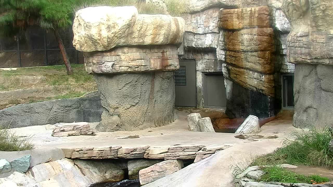

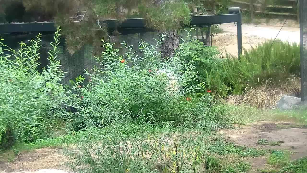
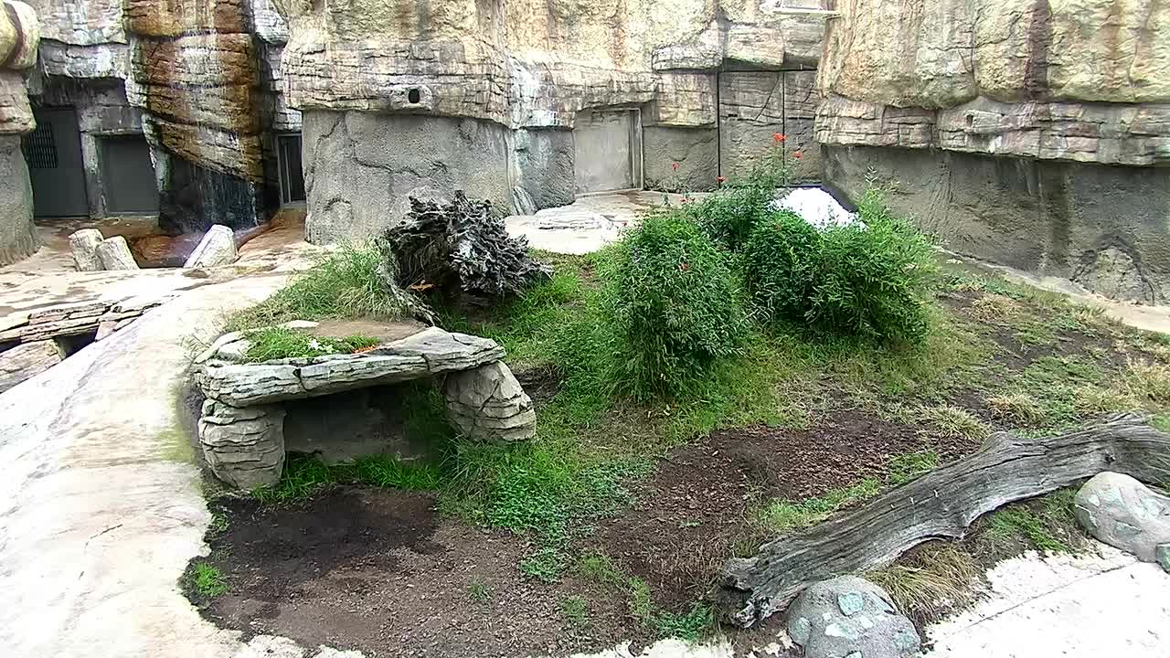
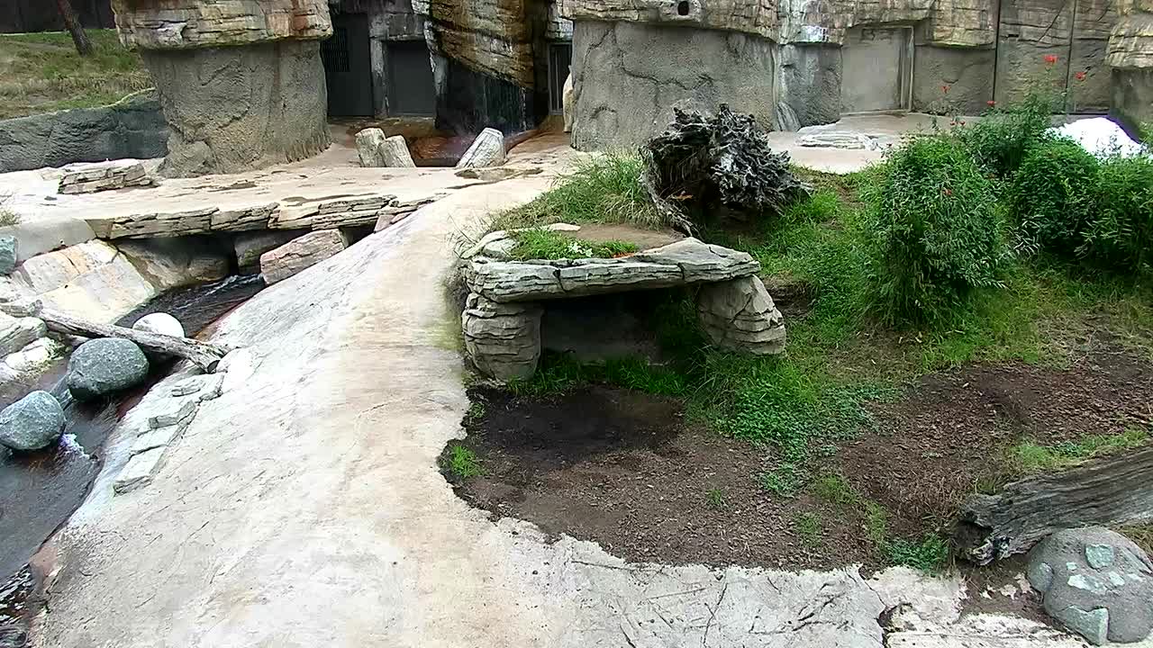

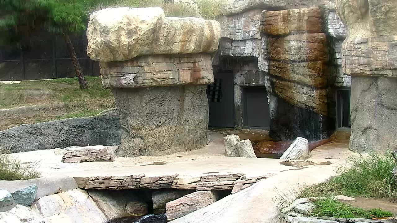
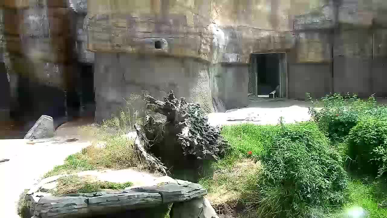
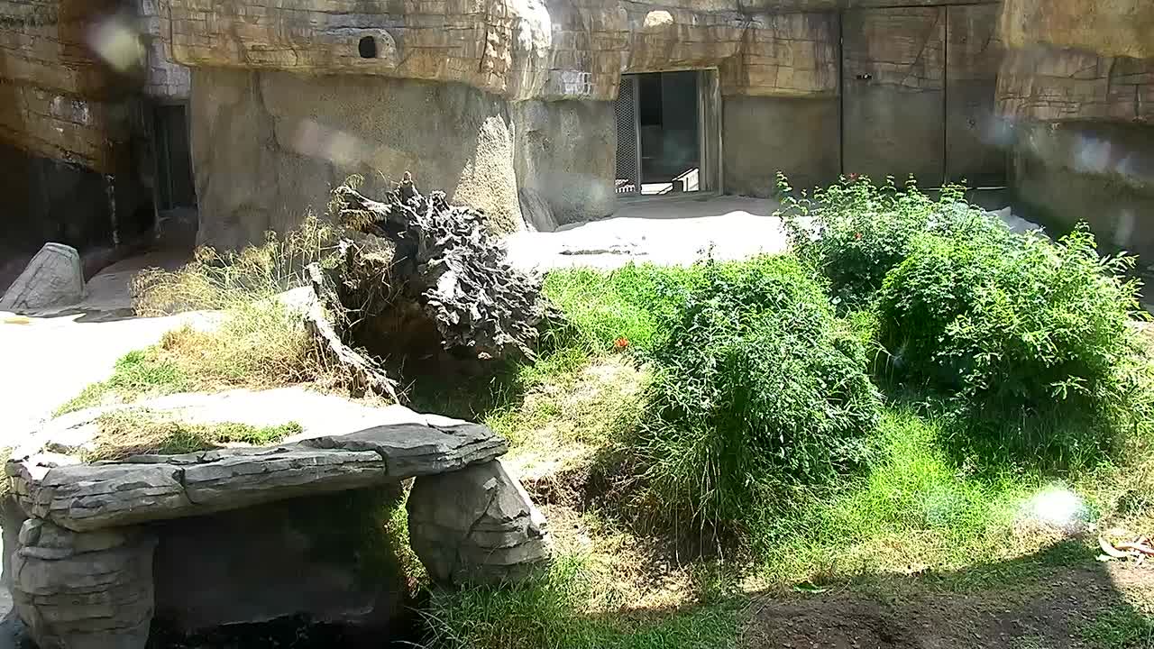

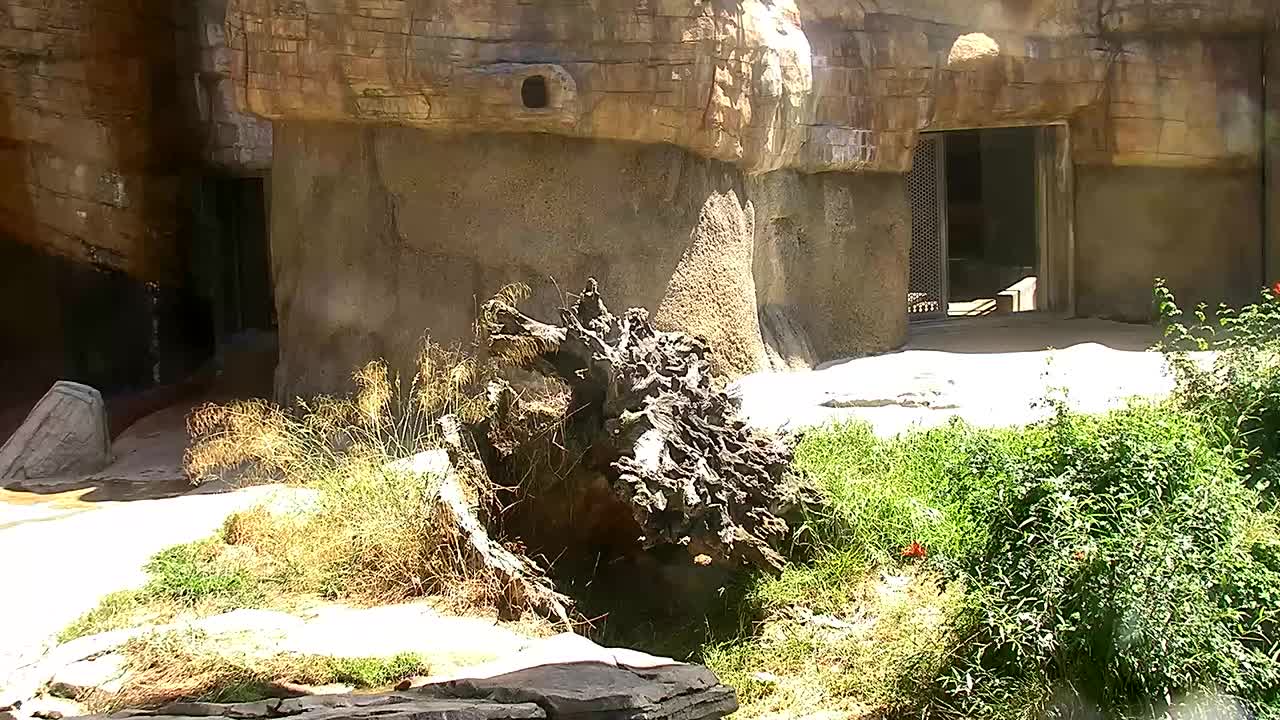
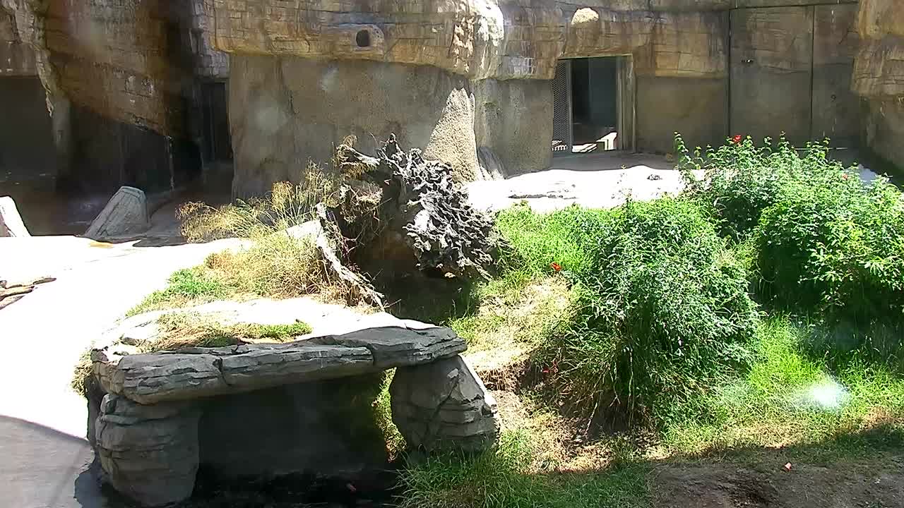
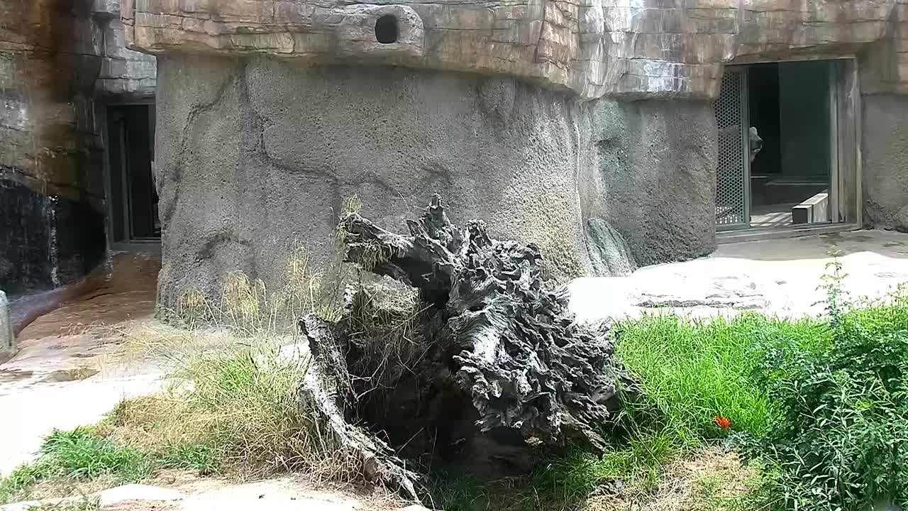
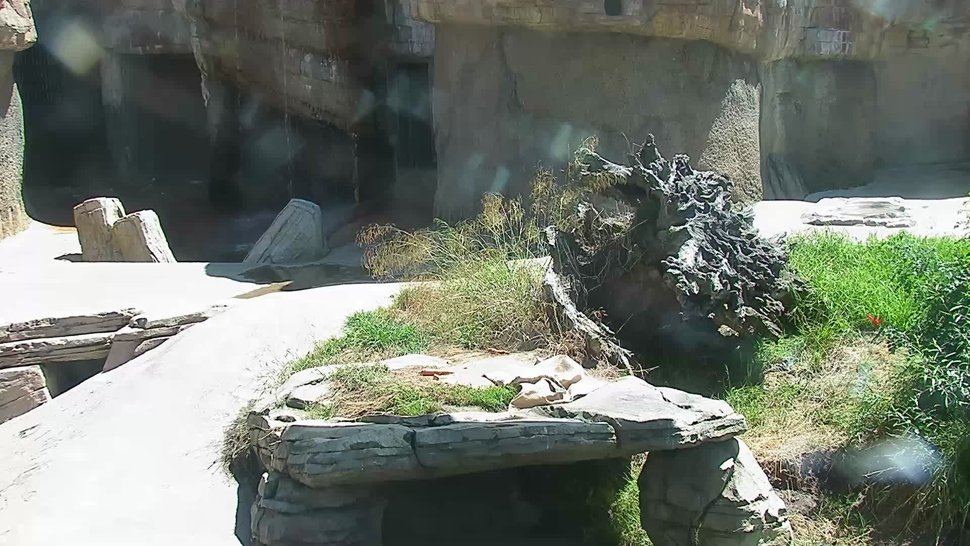

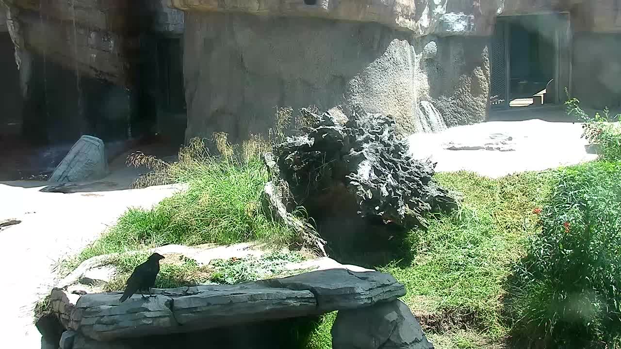
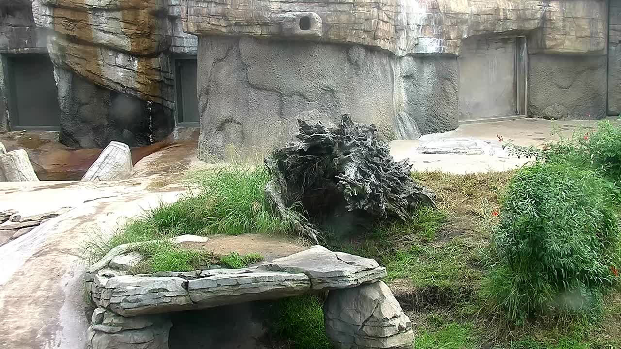

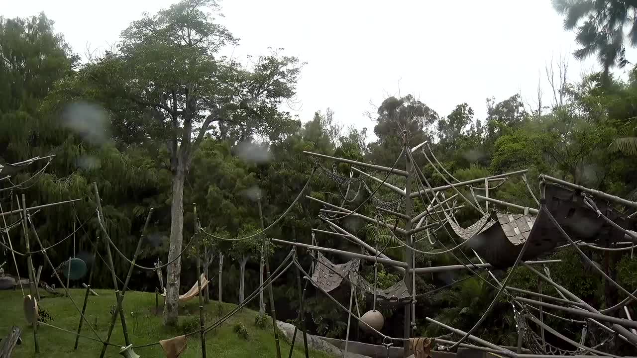
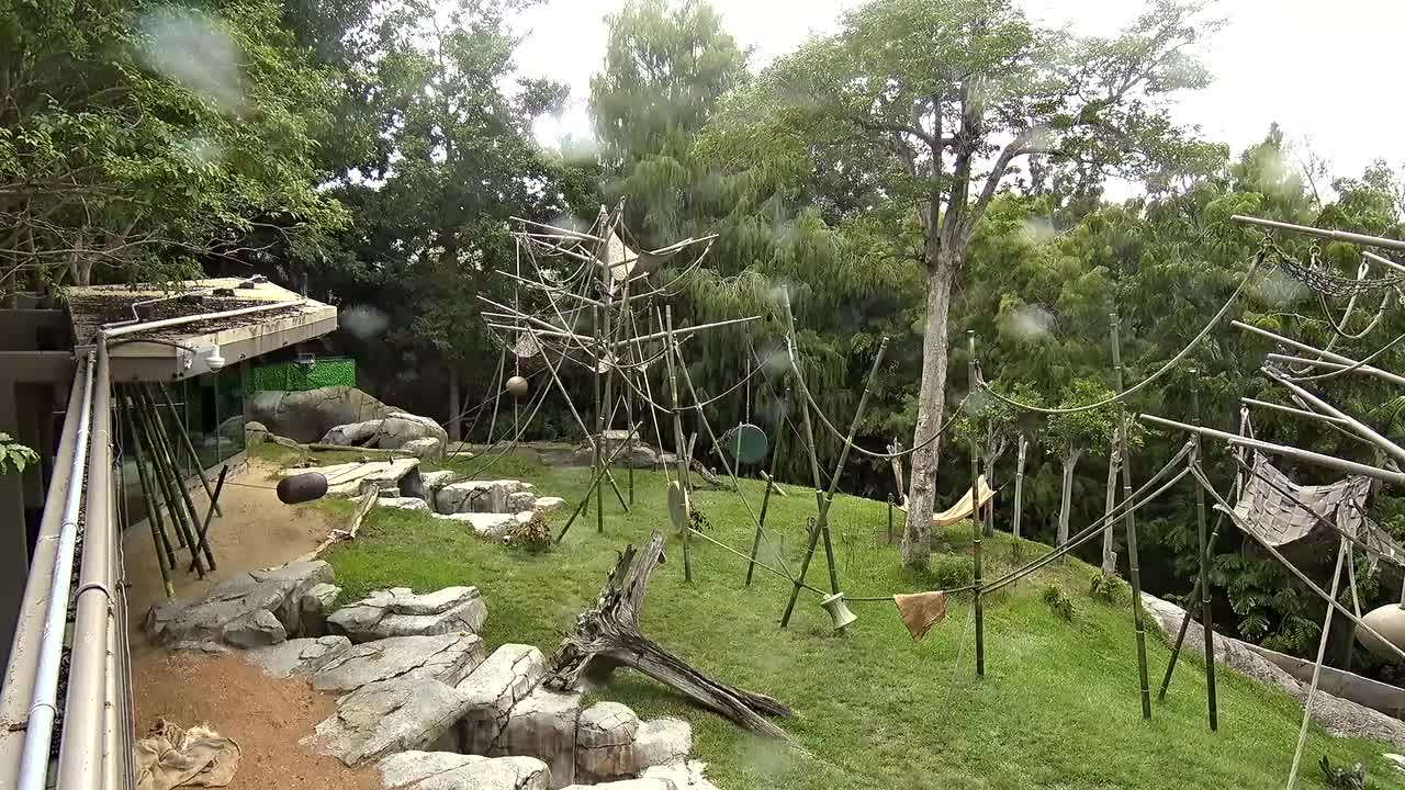
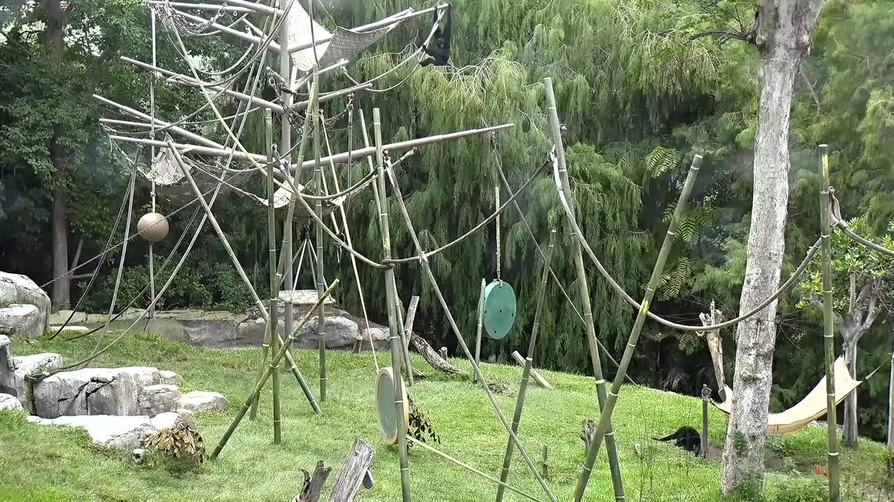
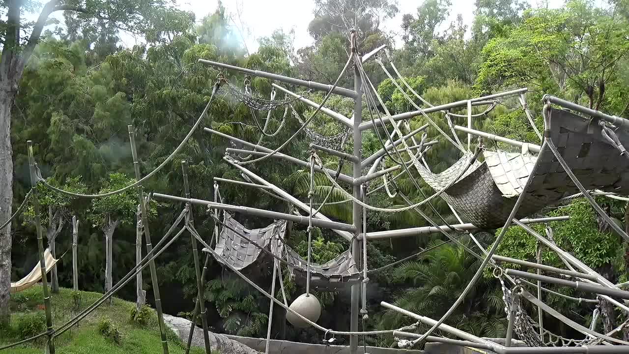
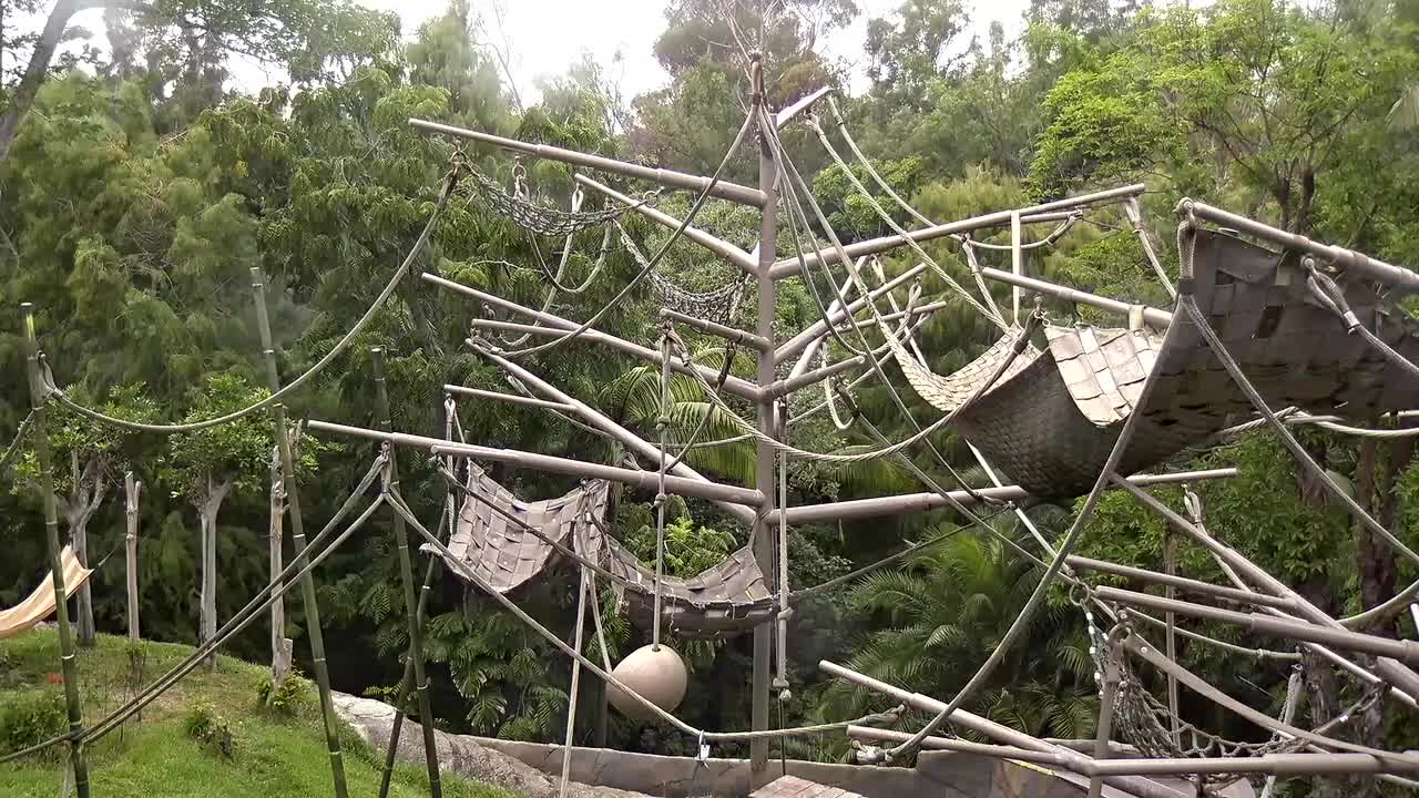
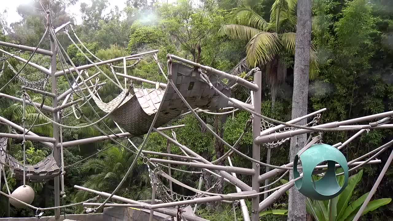
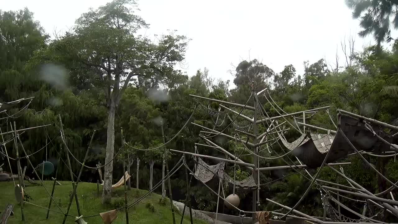
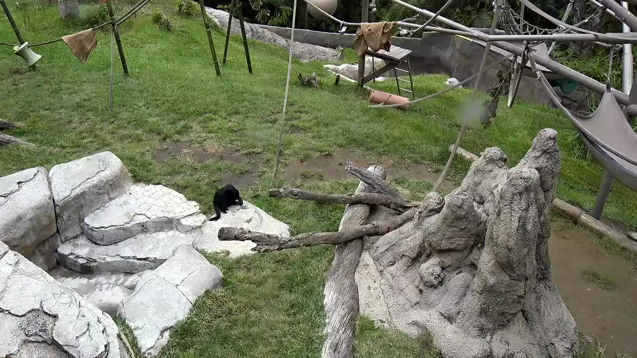
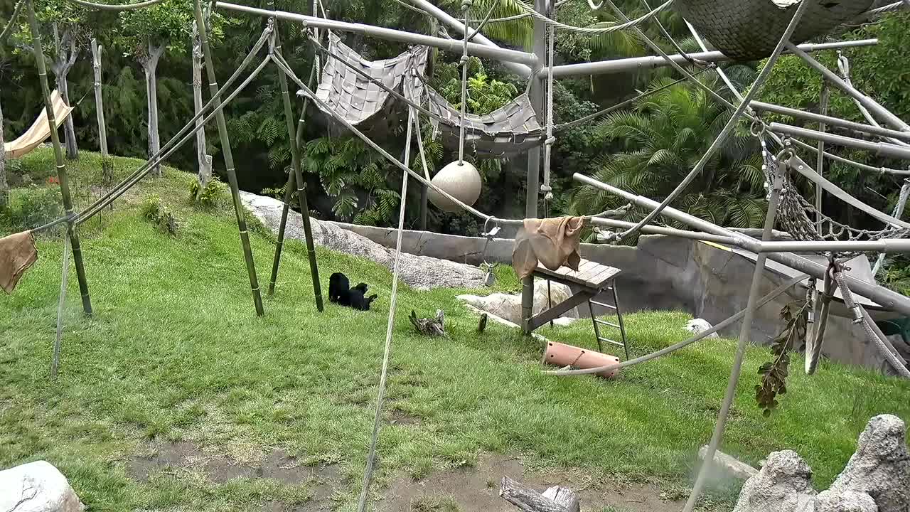
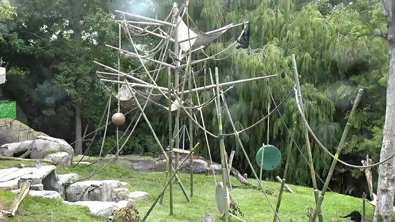
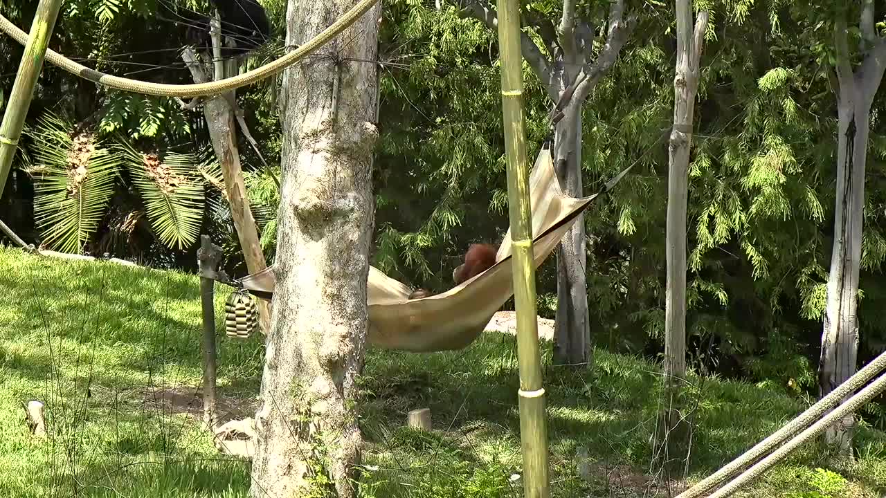
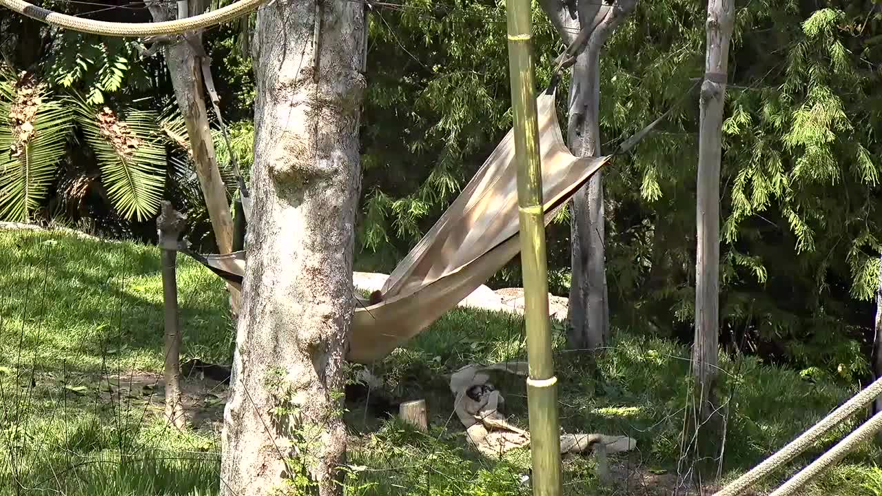
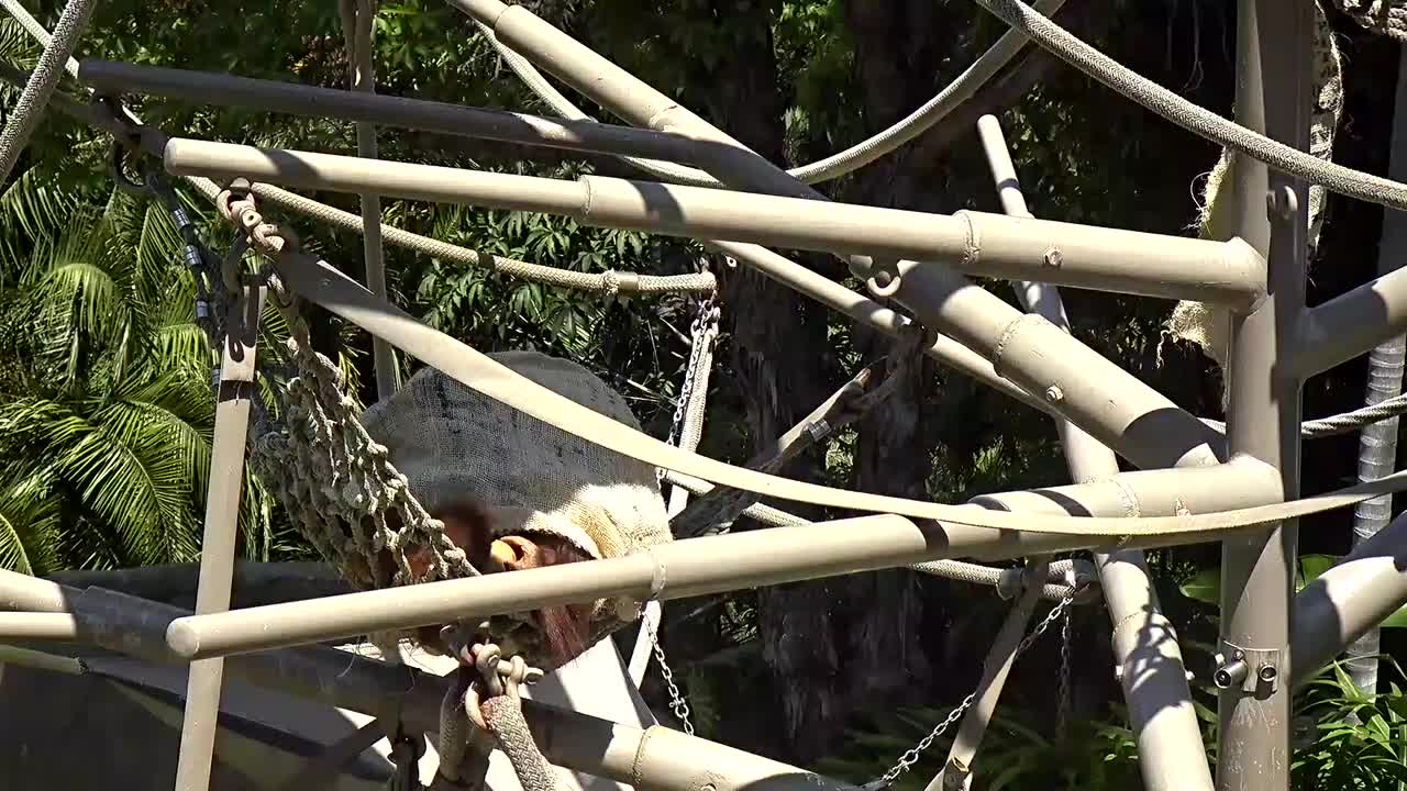
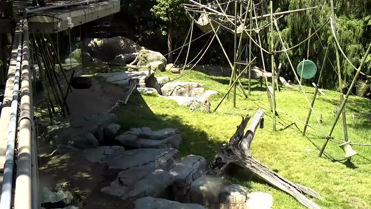
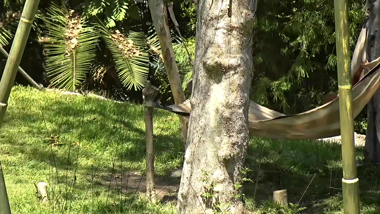
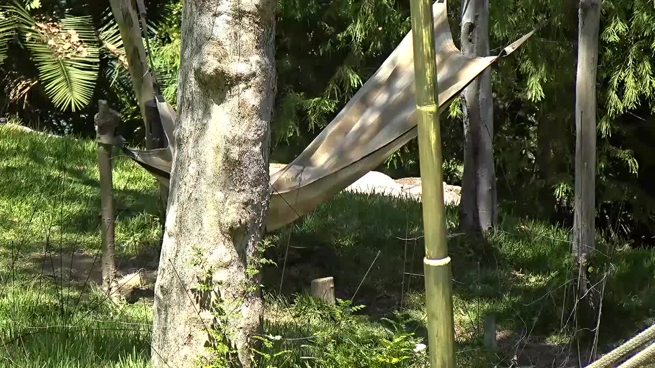
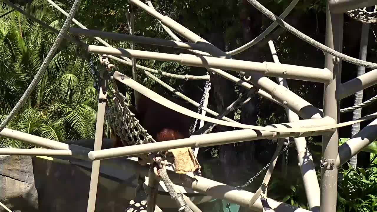
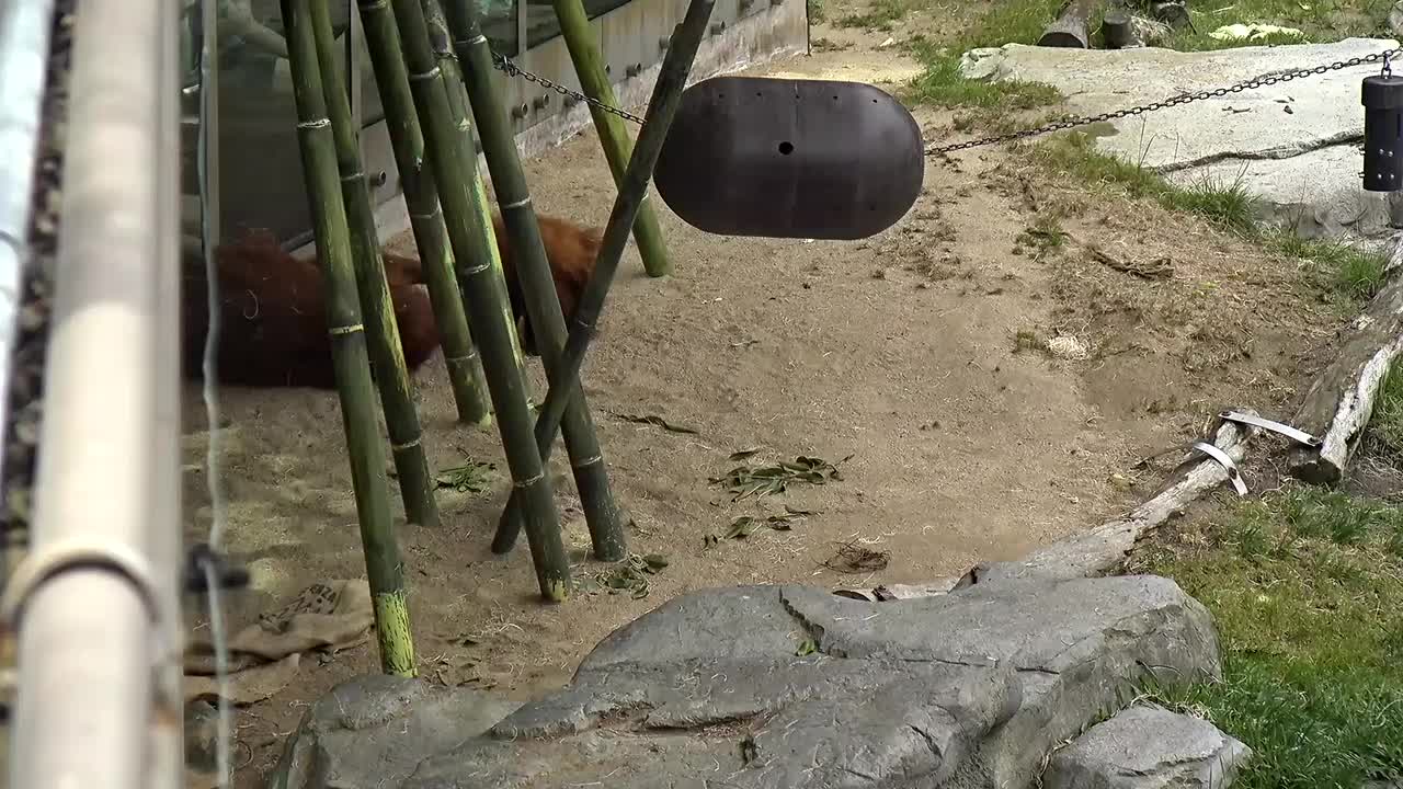
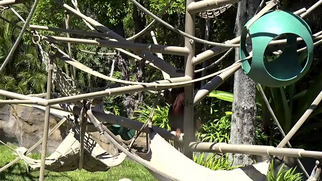
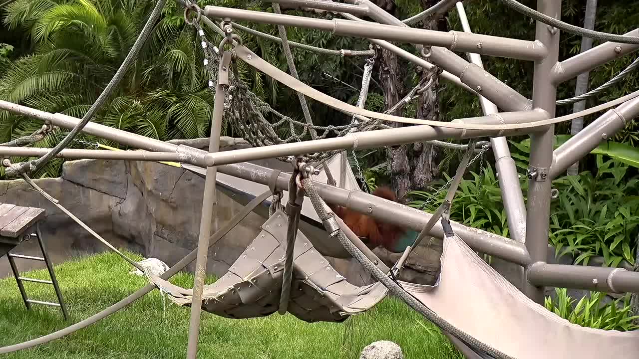
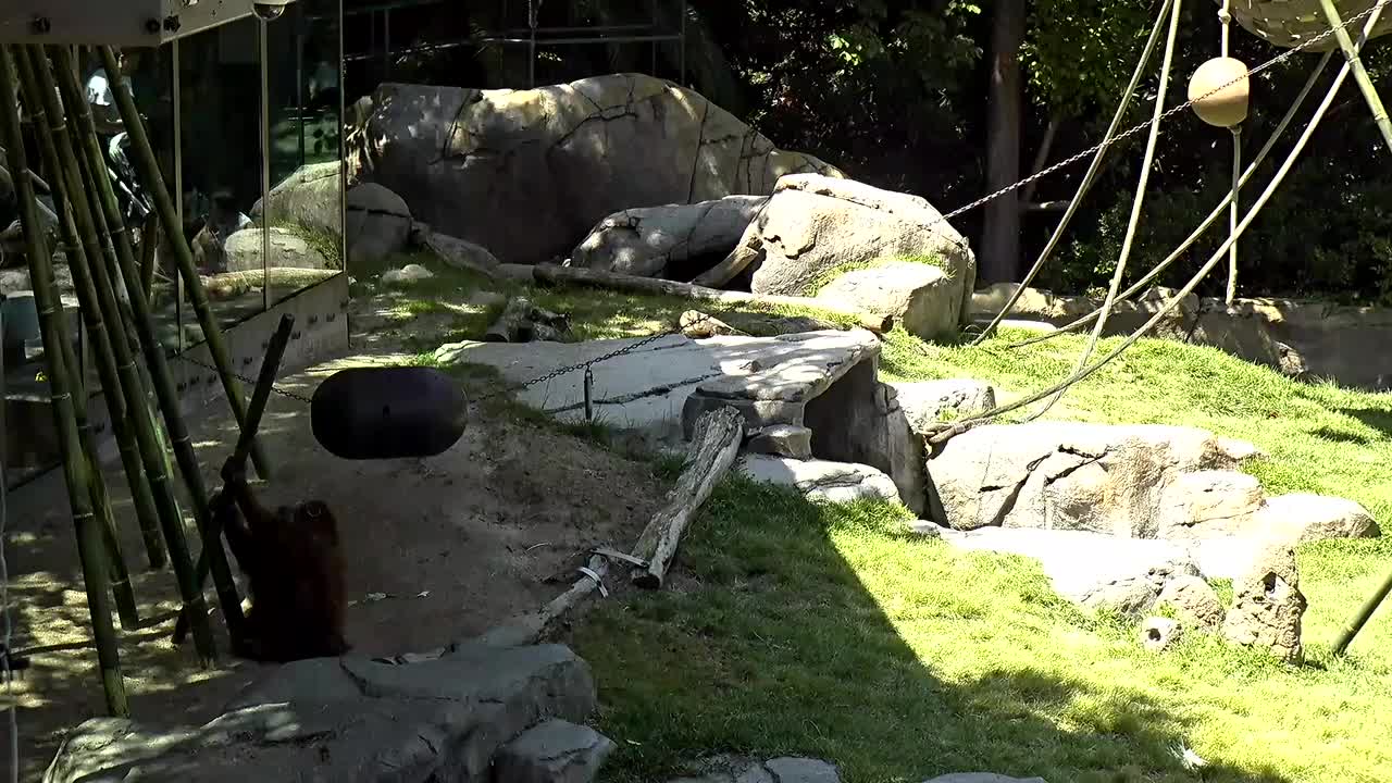
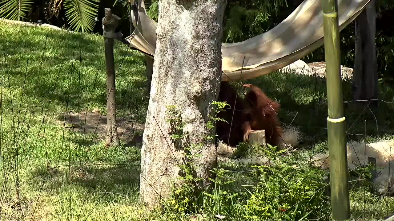
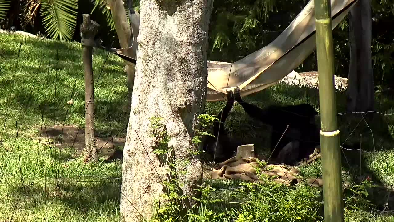
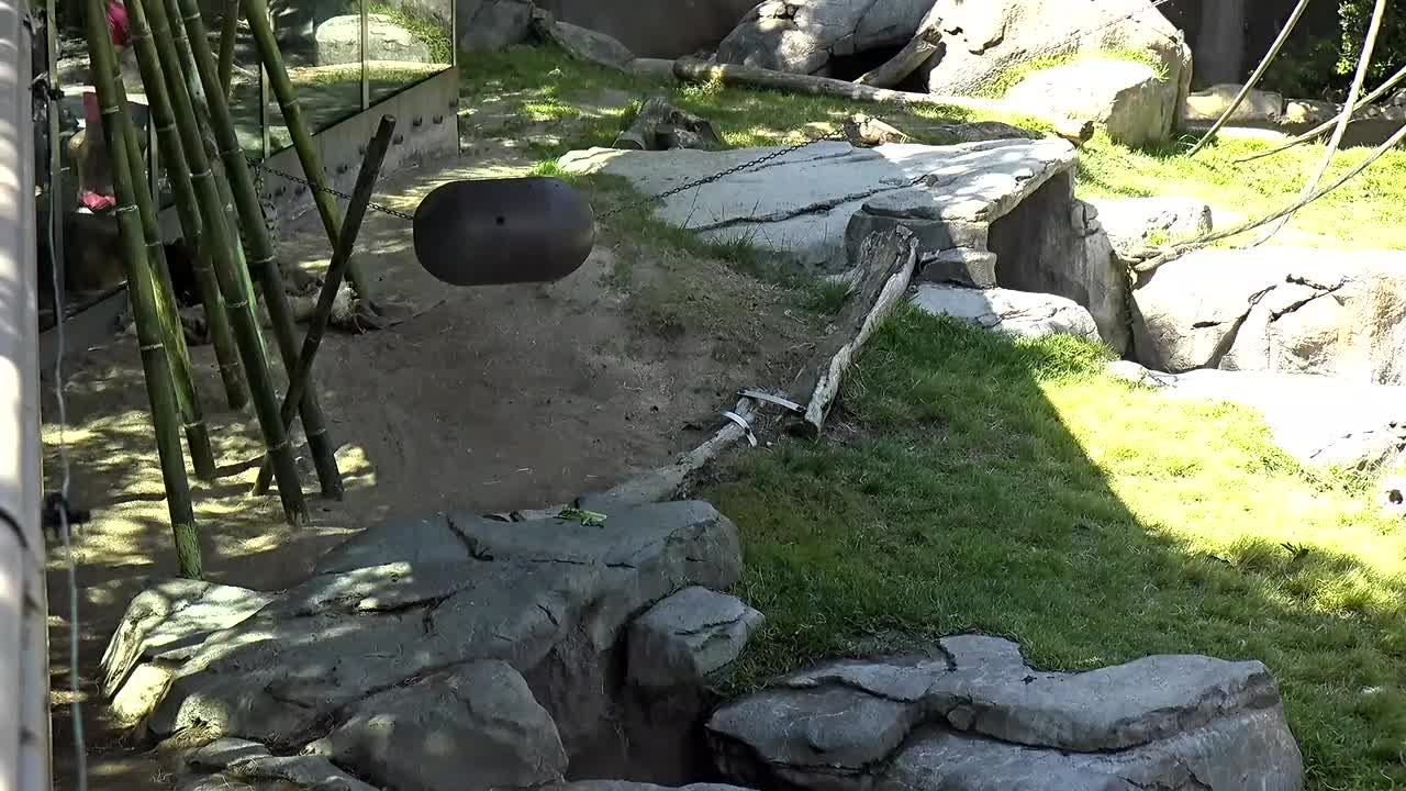
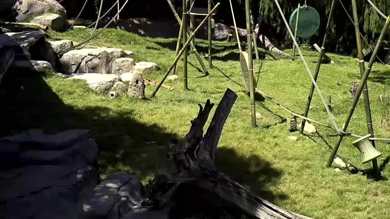
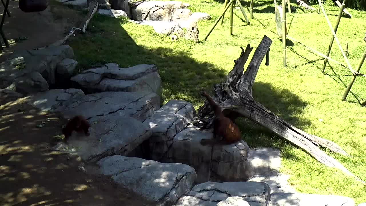
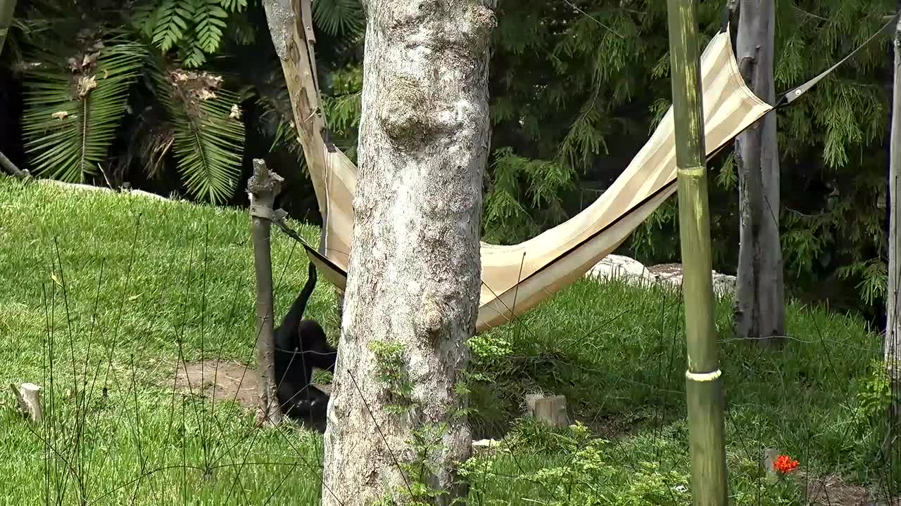
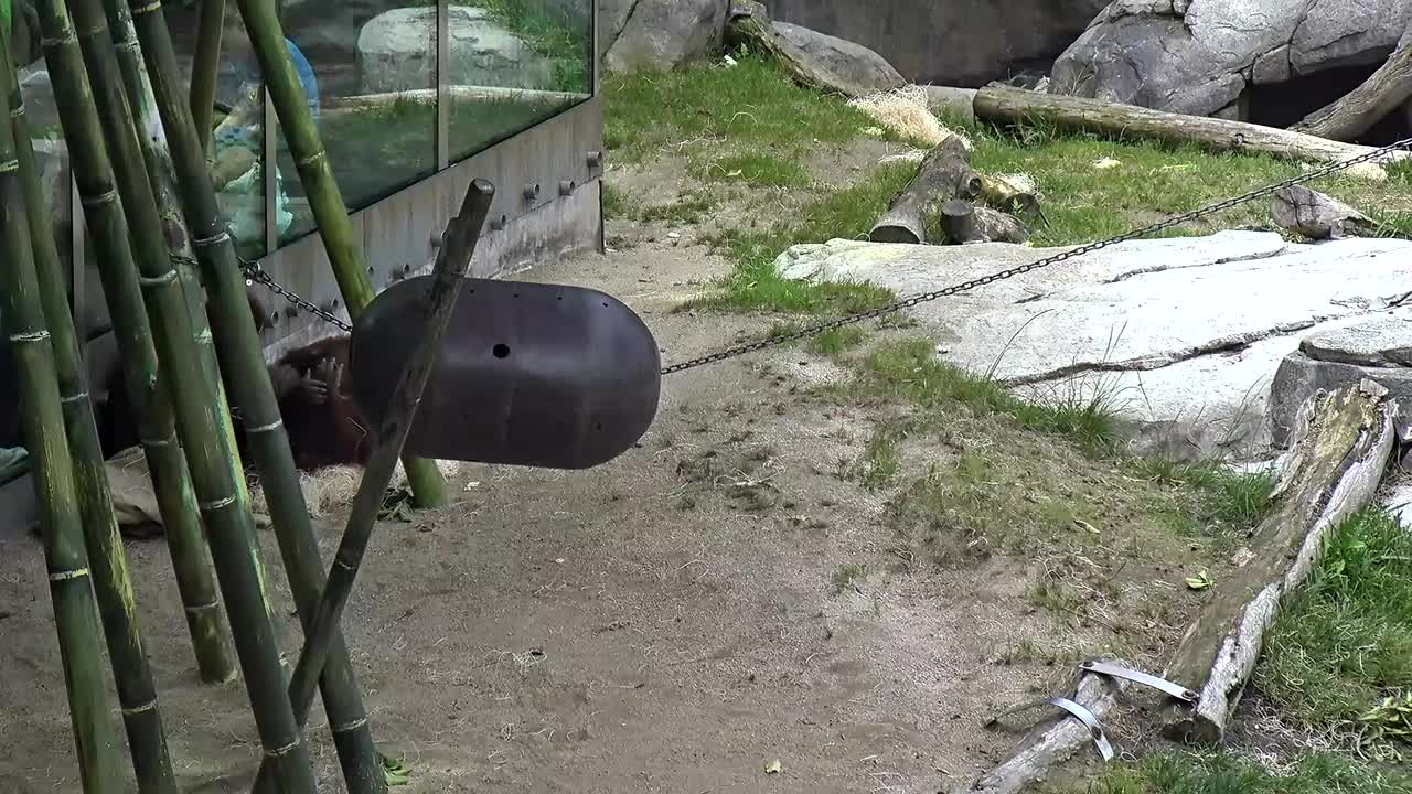
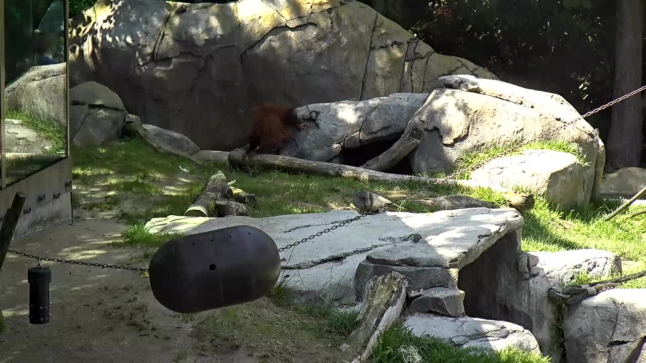
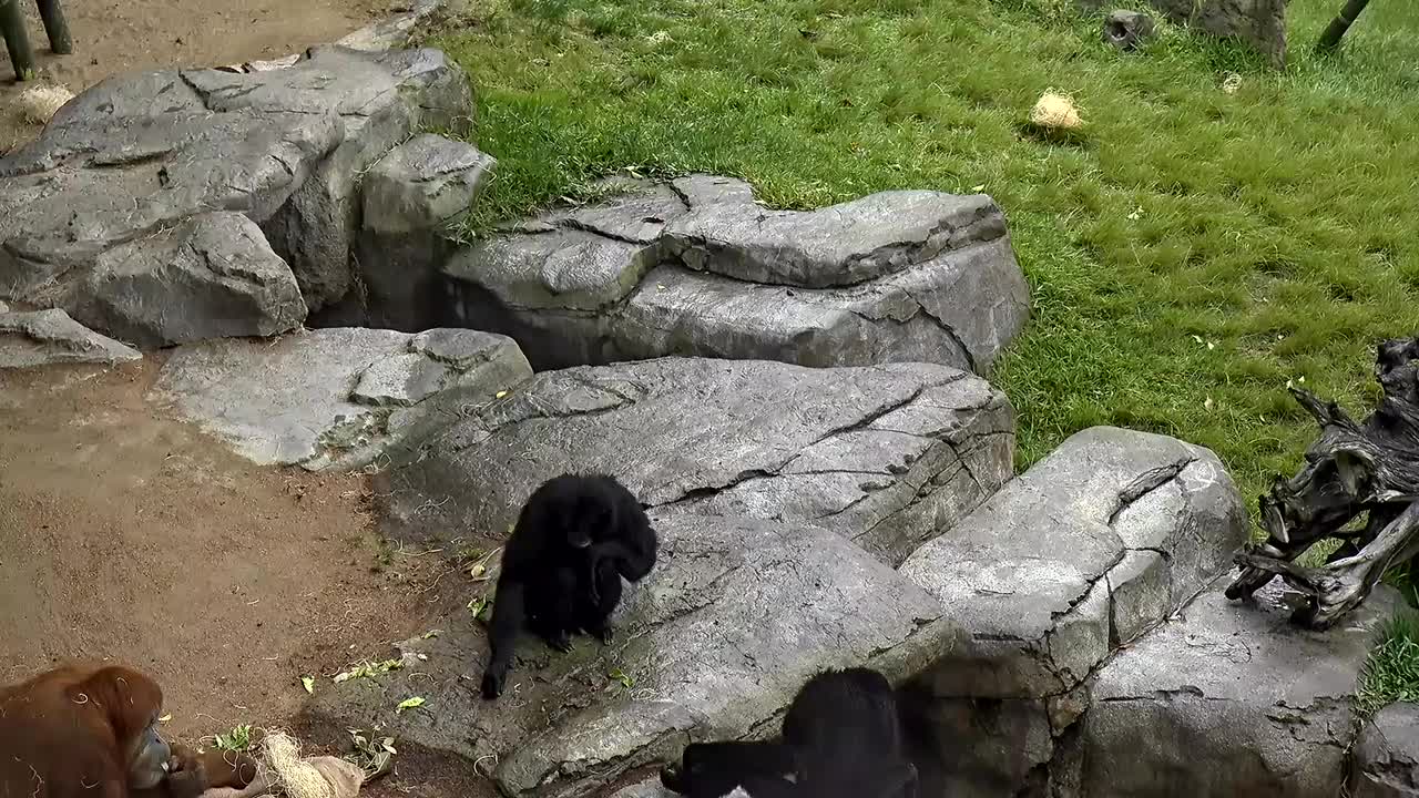
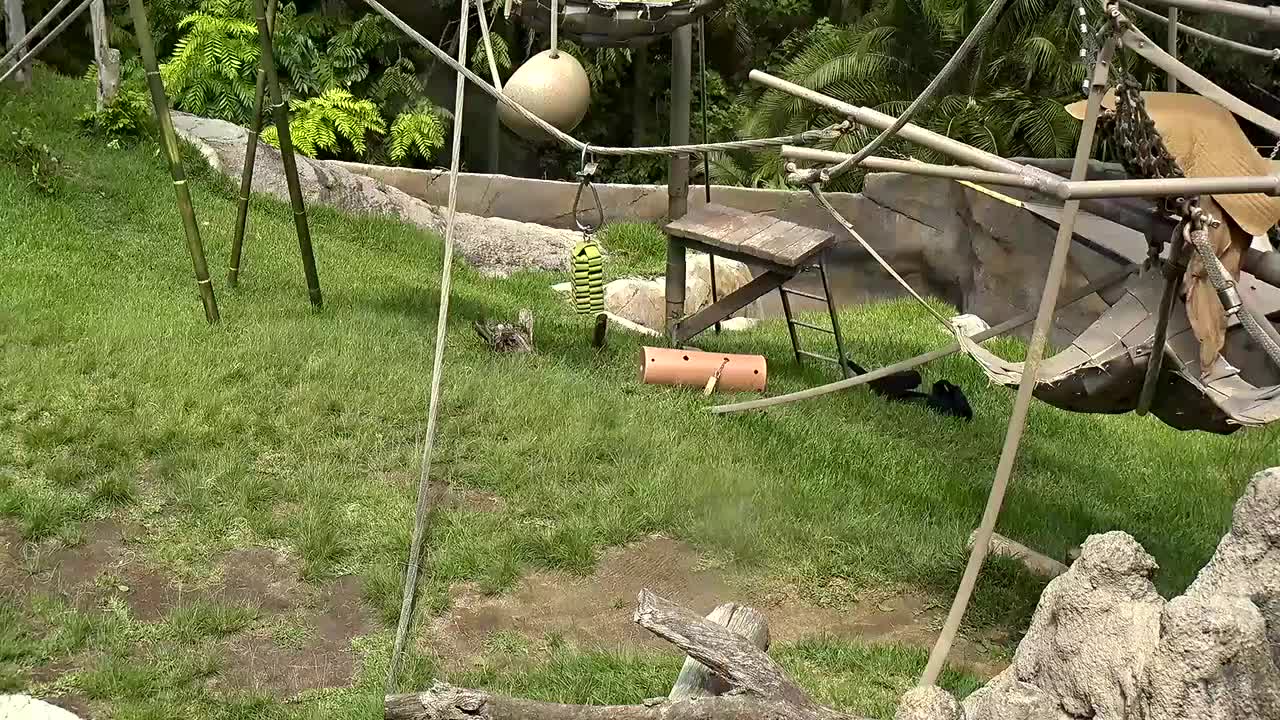
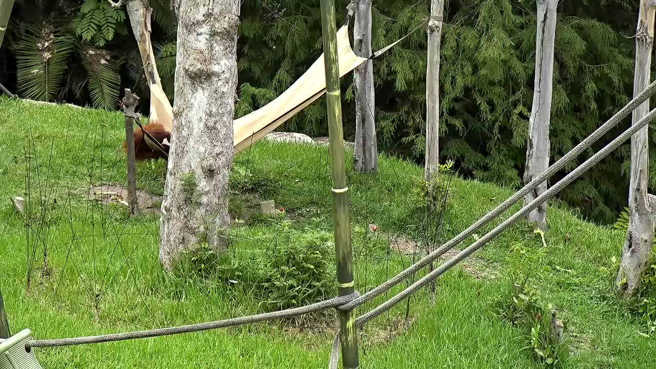
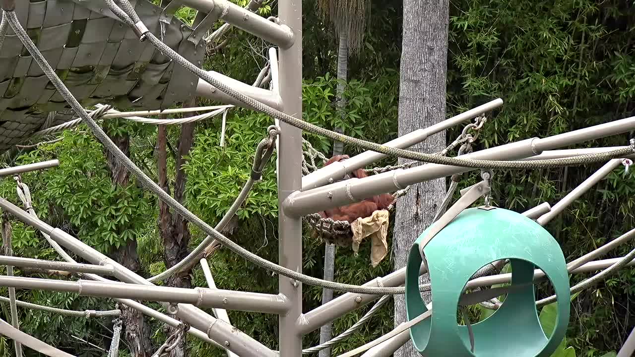
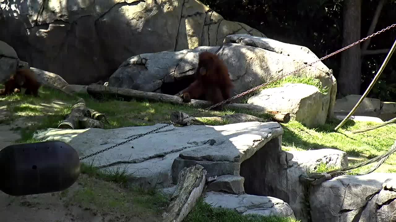
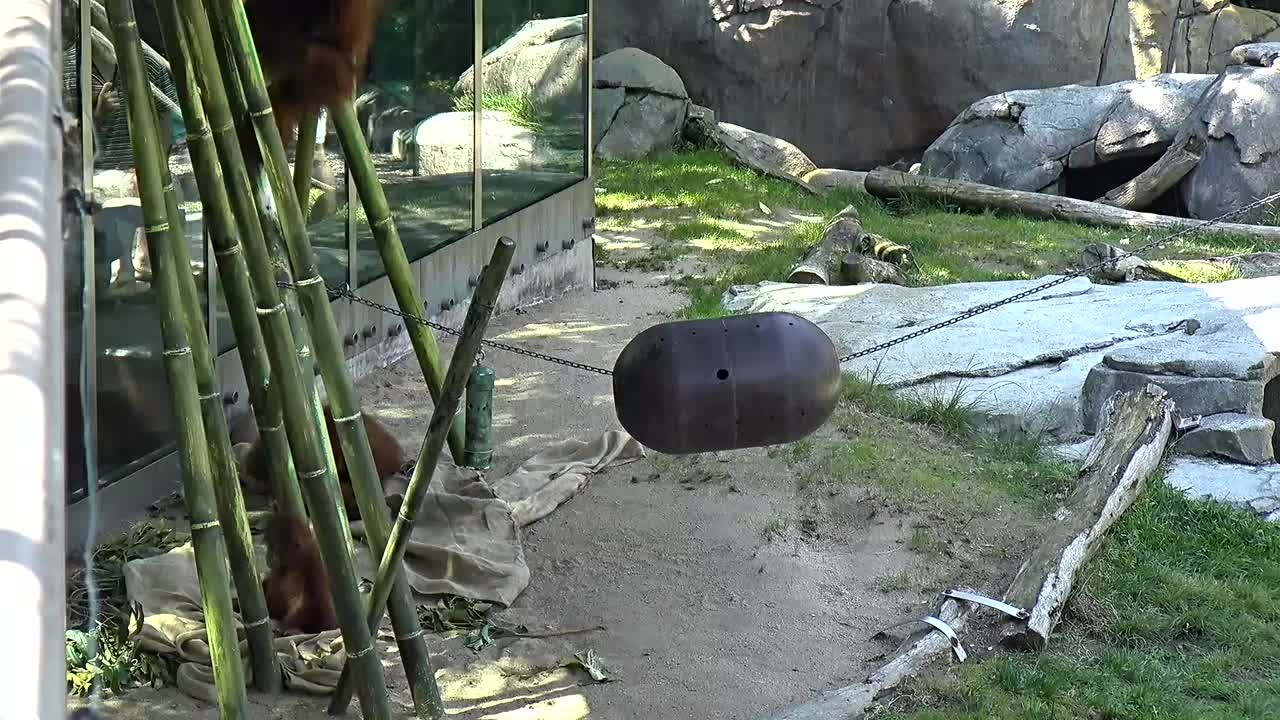
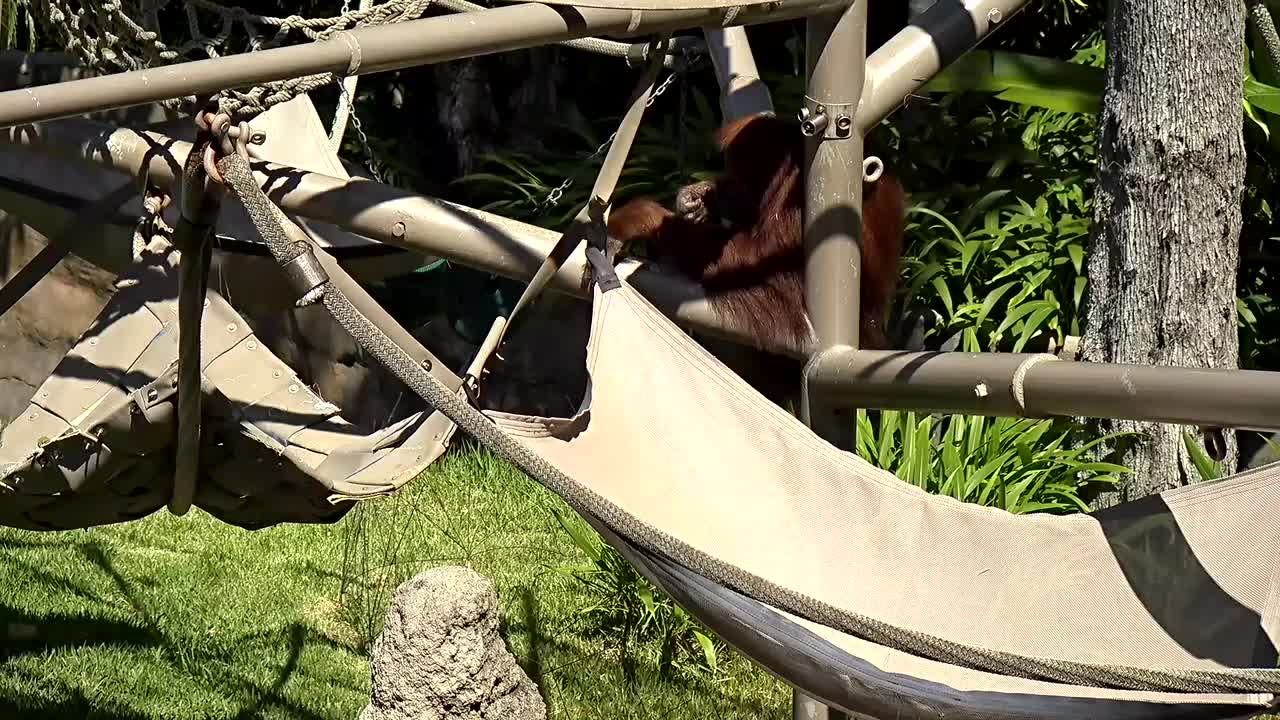
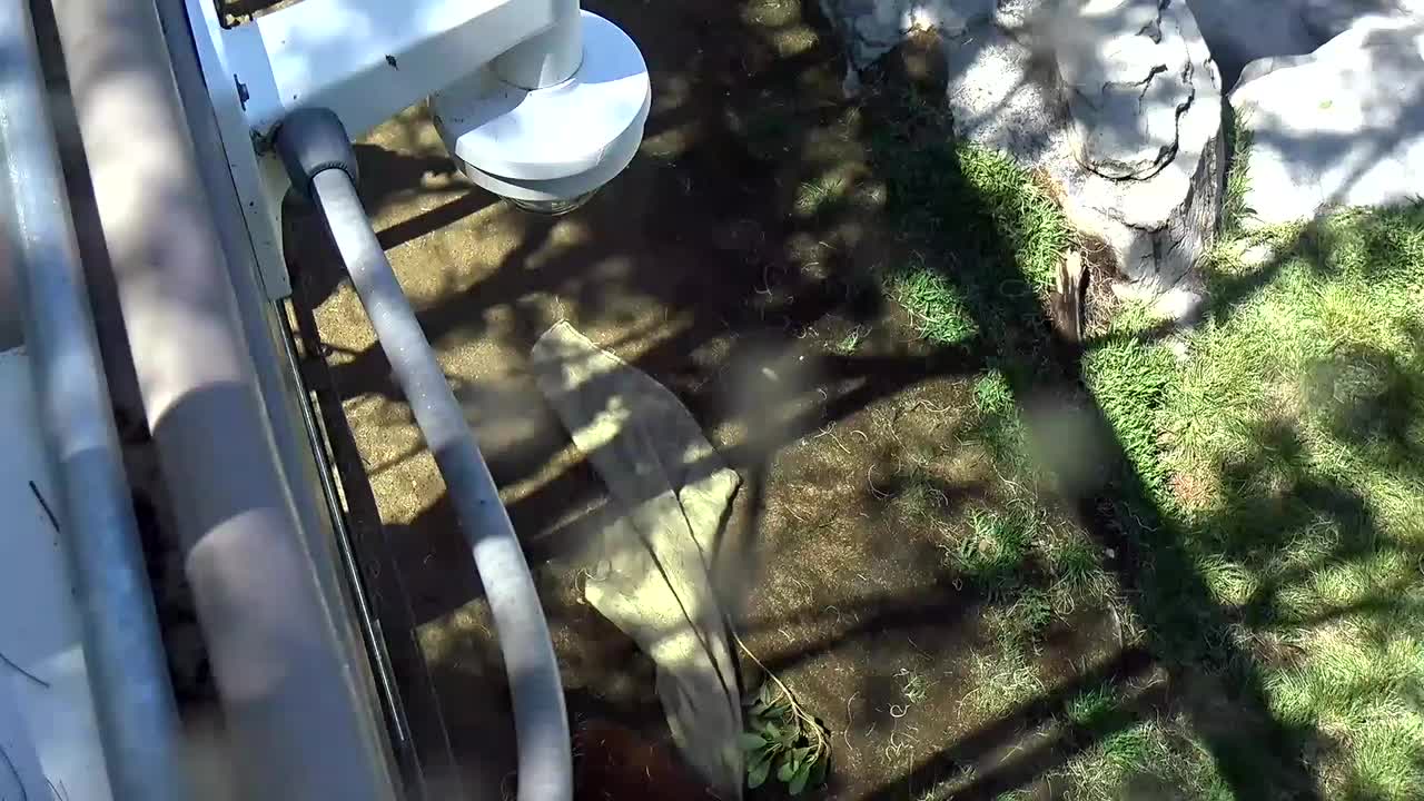
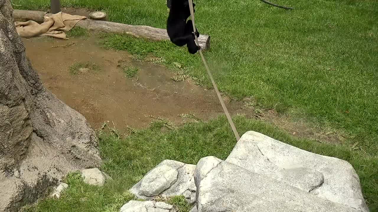
San Diego, California, USA - 149.2 miles from Palo Verde: San Diego Zoo Ape Exhibit Cam - Live video from the Ape exhibit at the San Diego Zoo.
Operator: Camzone
Operator: Camzone


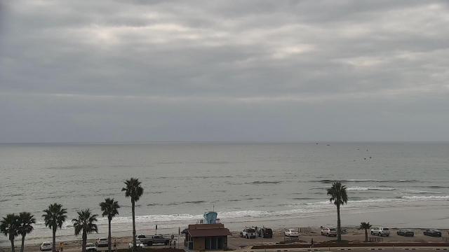
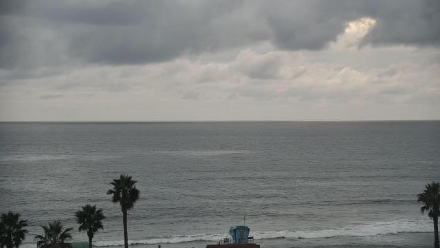
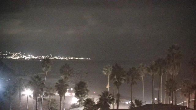
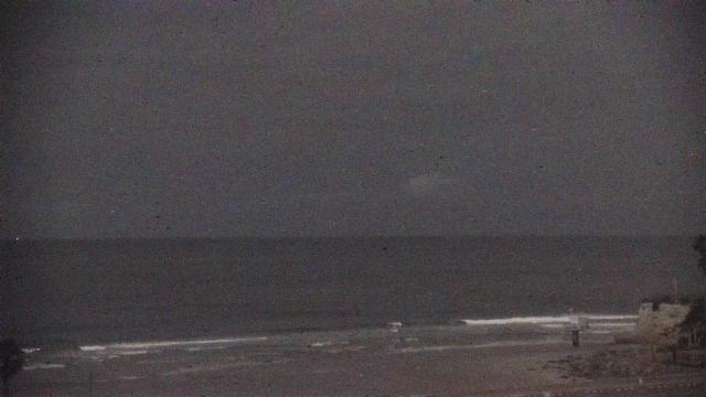
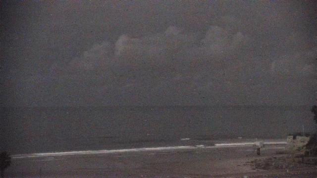
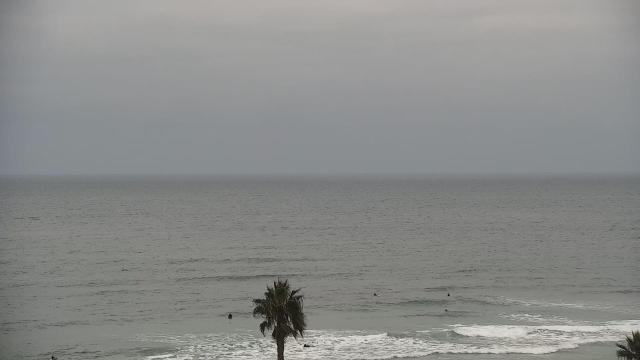
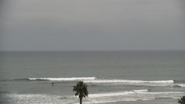
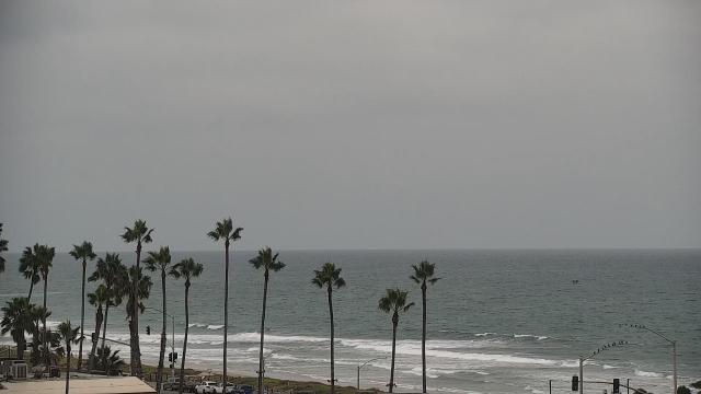
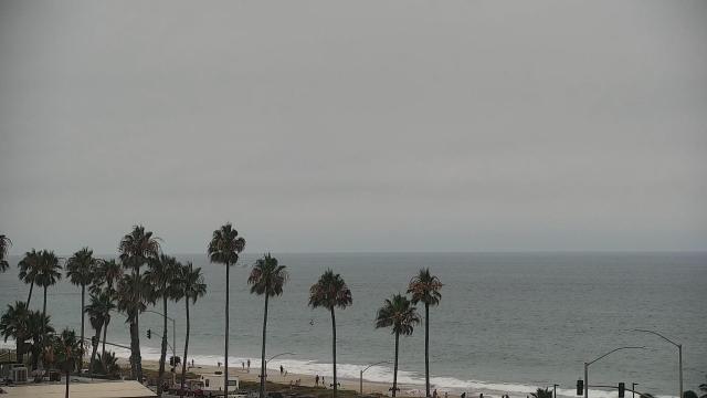
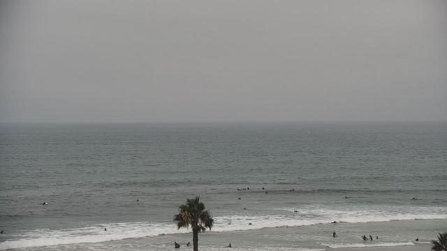
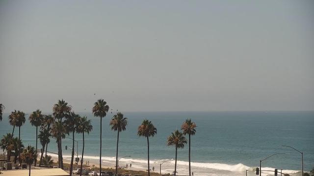
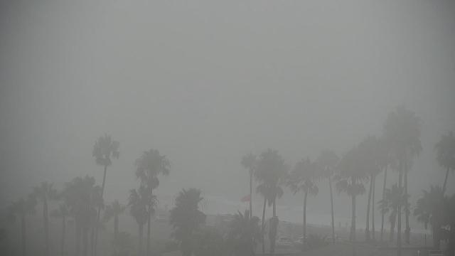
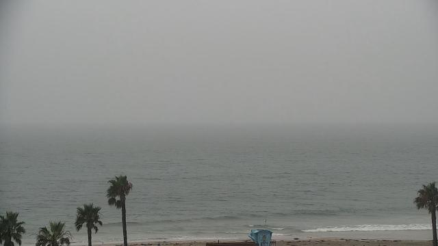
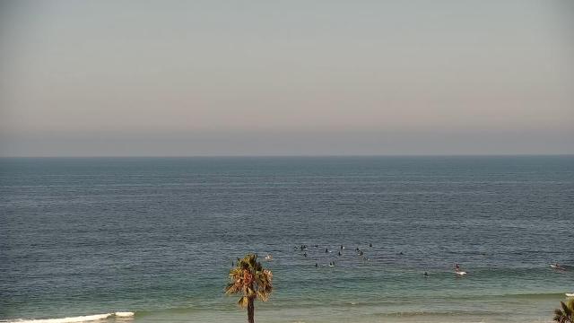
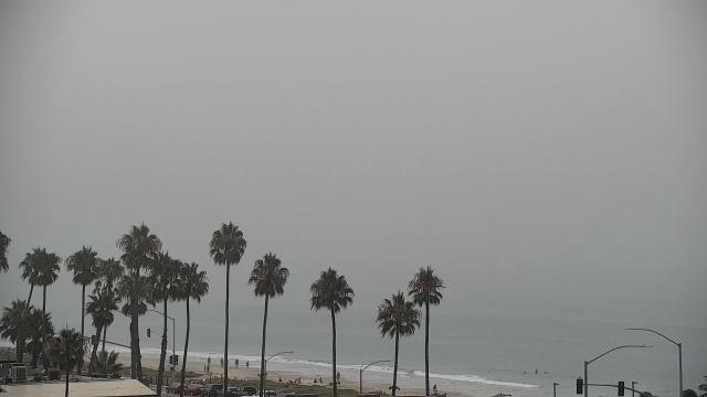
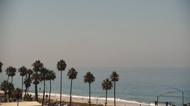
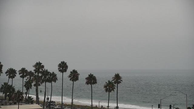
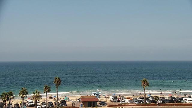
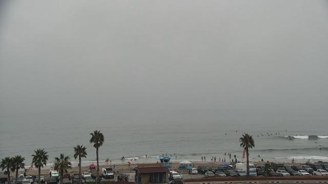
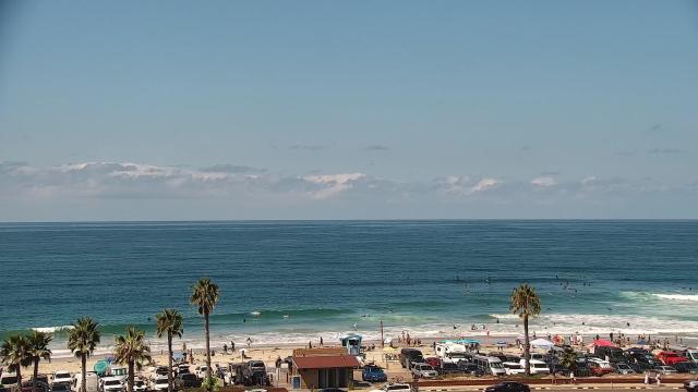
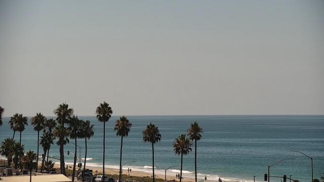
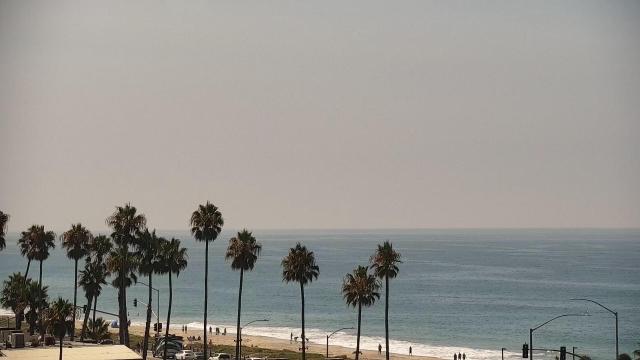
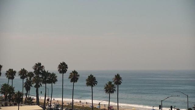
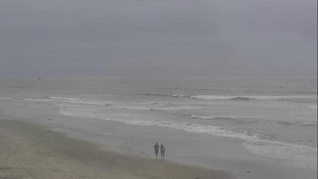
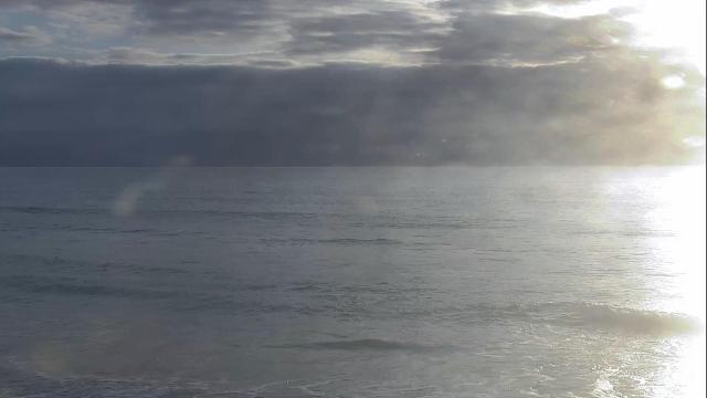
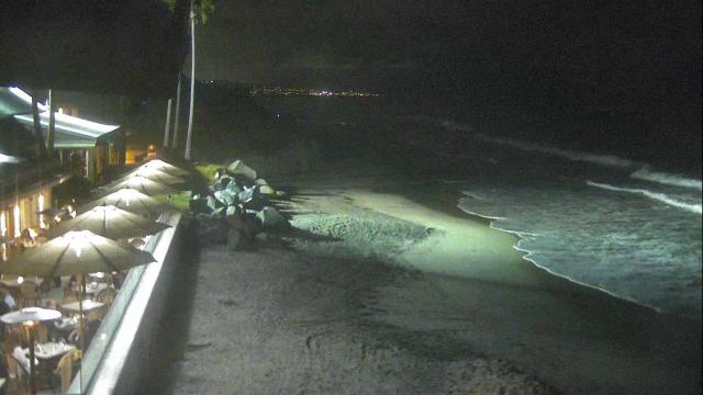
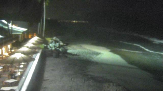
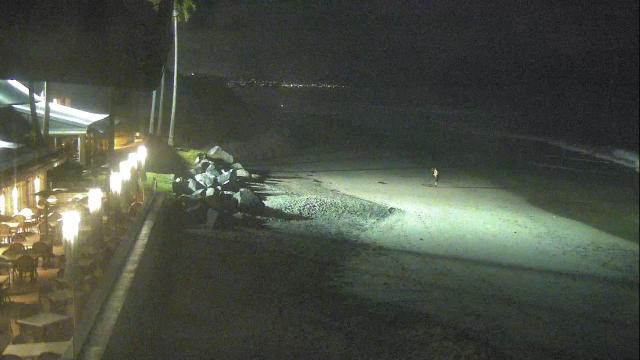
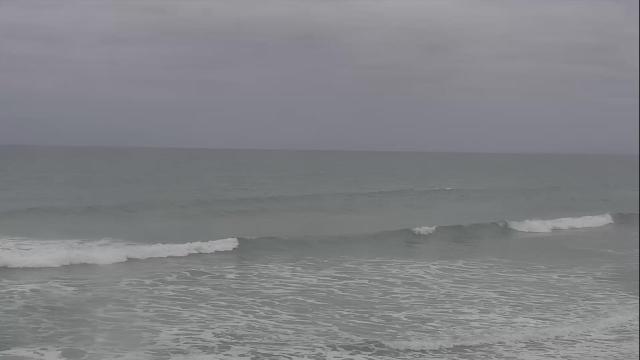
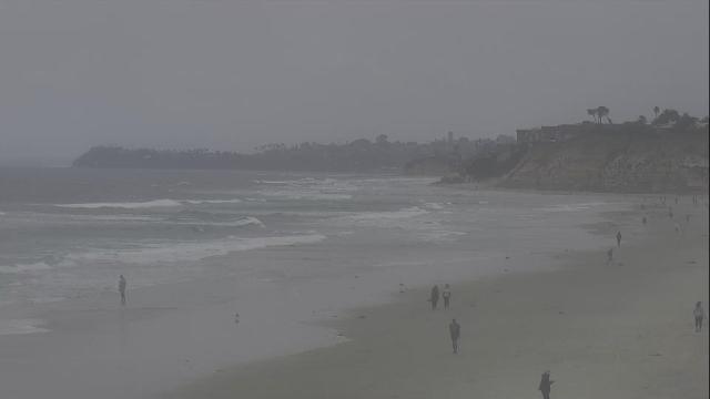
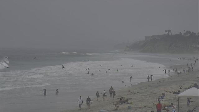
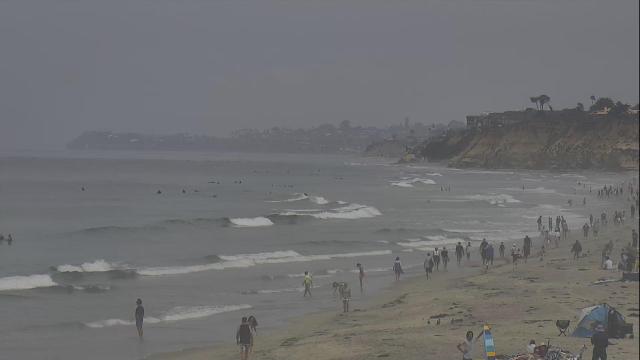
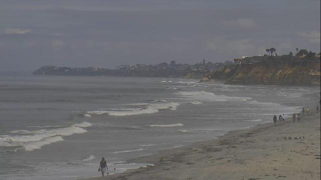
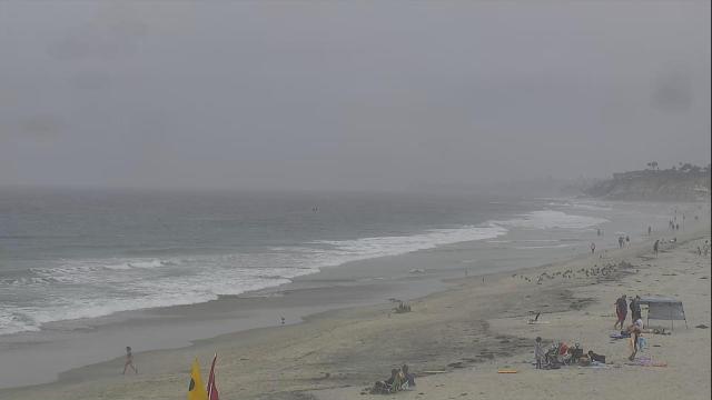
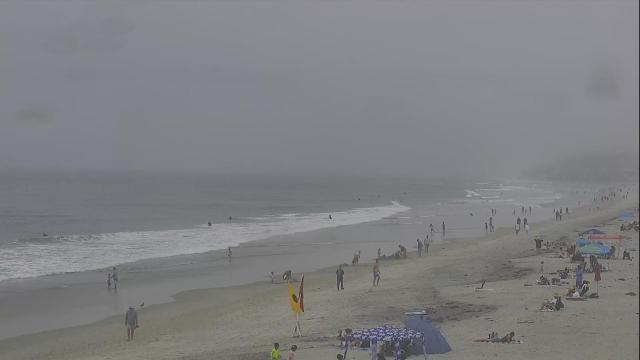
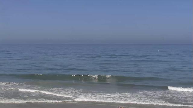
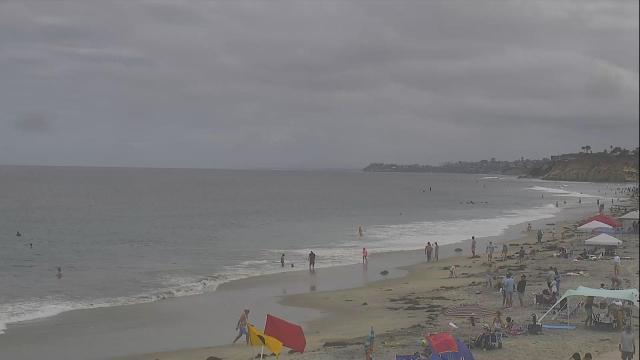
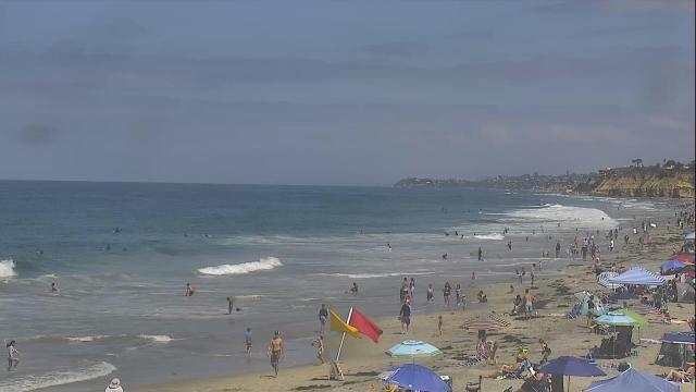
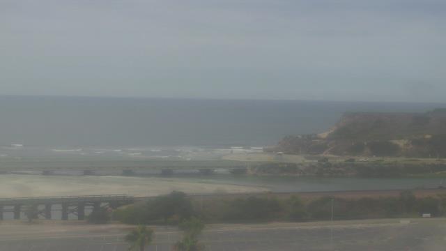
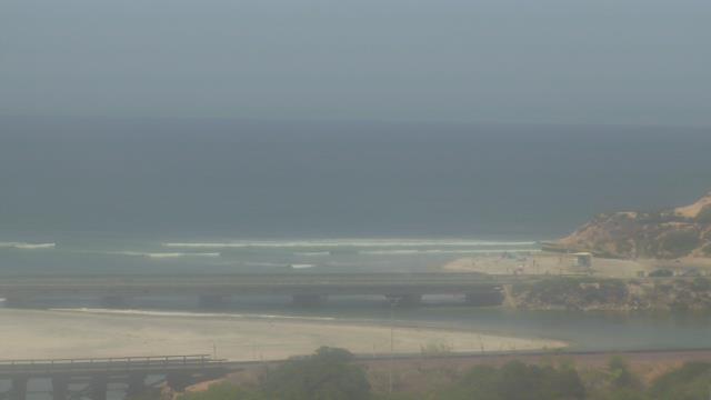
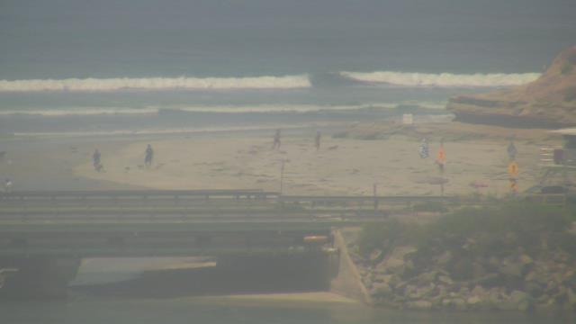
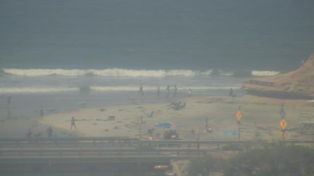
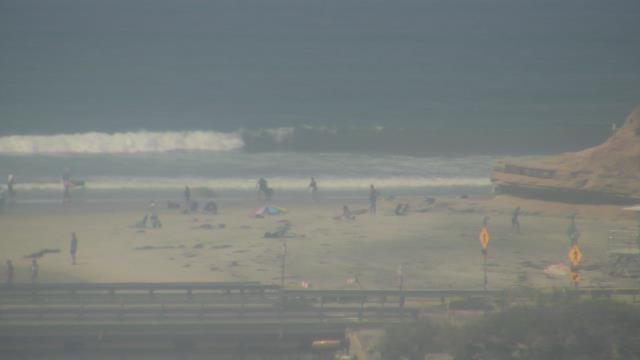
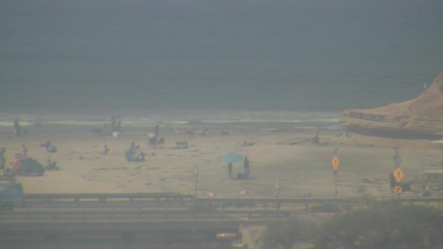
Cardiff-by-the-Sea, California, USA - 150 miles from Palo Verde: Cardiff Reef Surf Cam - View of Cardiff-by-the-Sea, California.
Operator: HDOnTap.com
Operator: HDOnTap.com
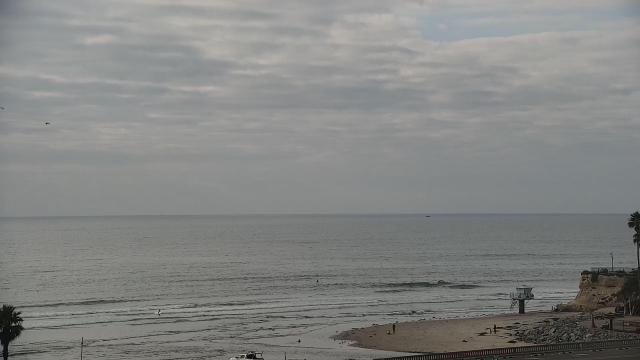
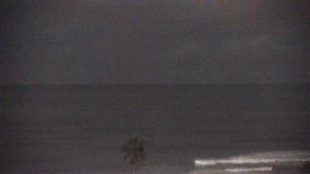
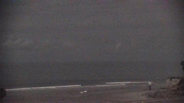


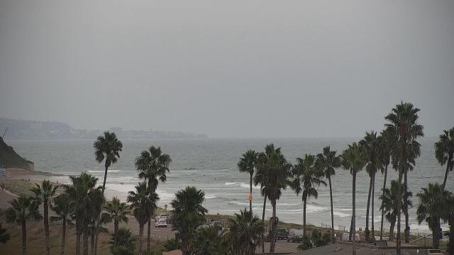
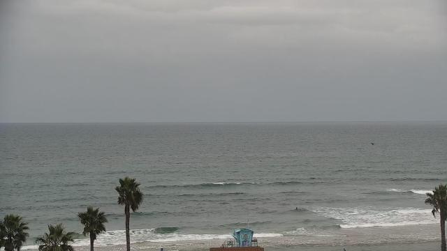
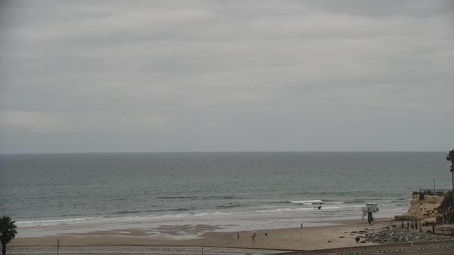
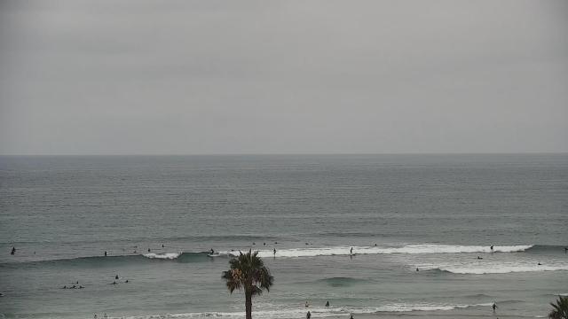
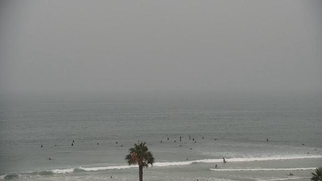
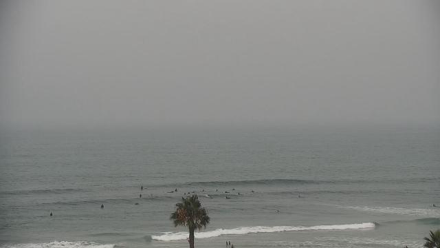
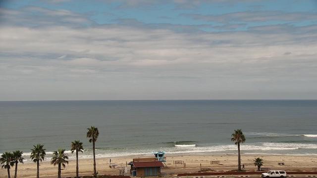

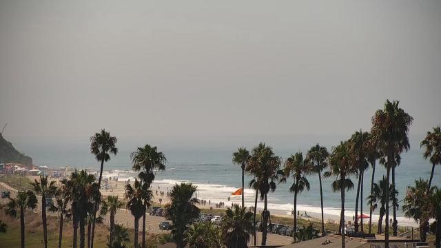
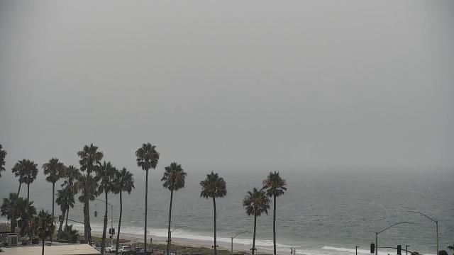
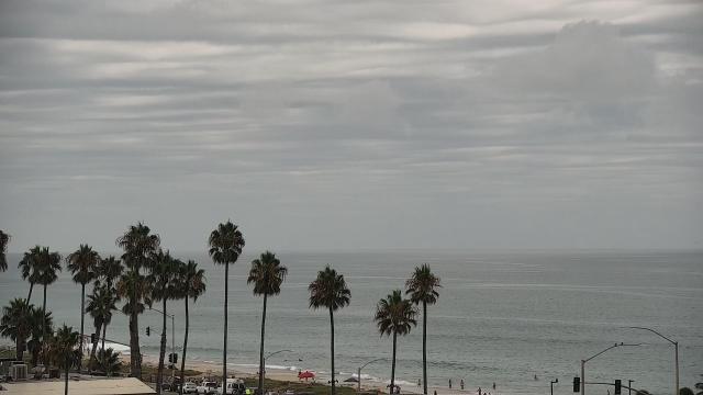
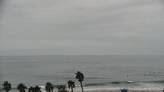
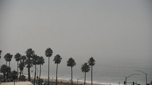
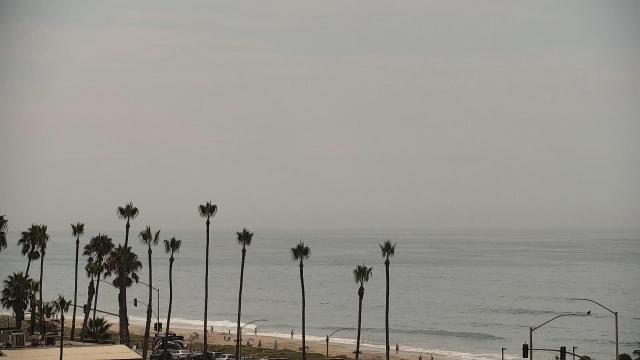

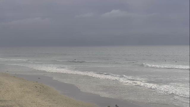
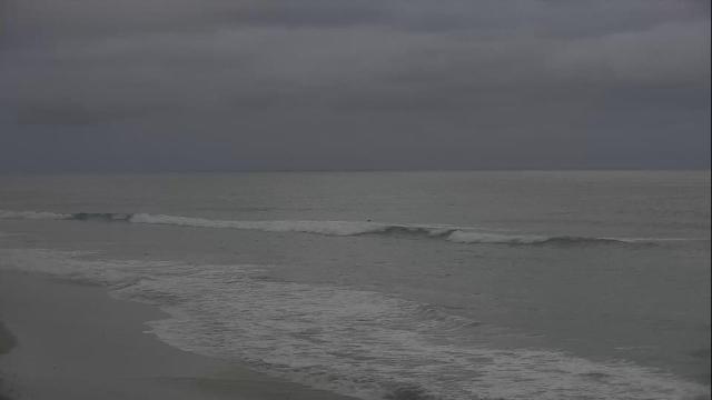
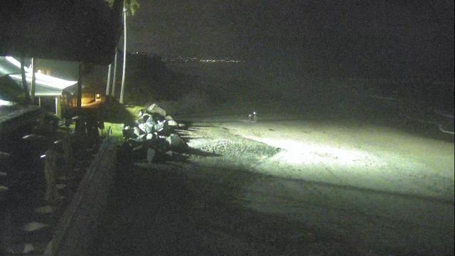
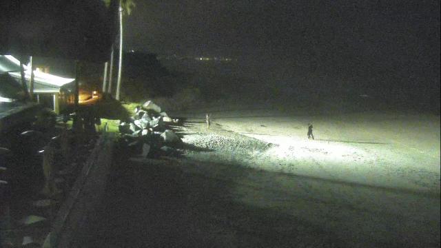
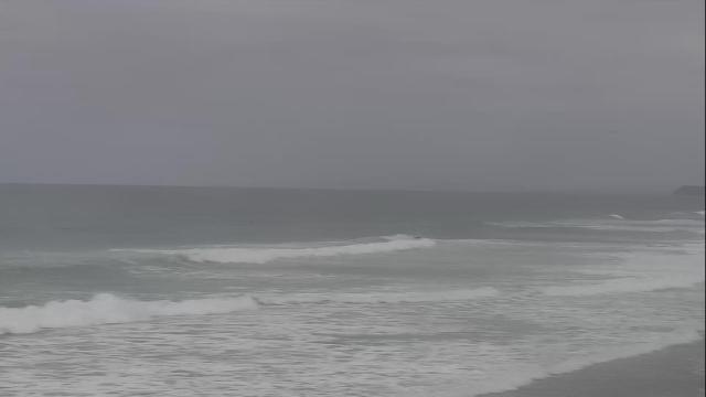
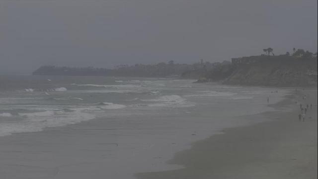
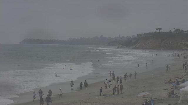
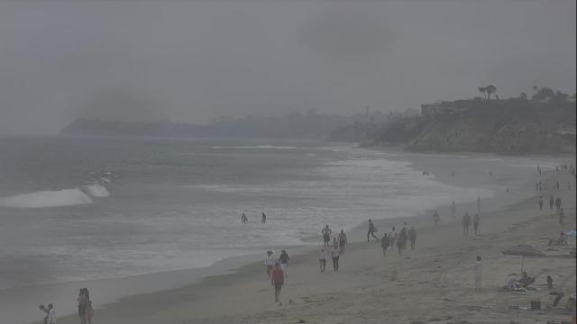
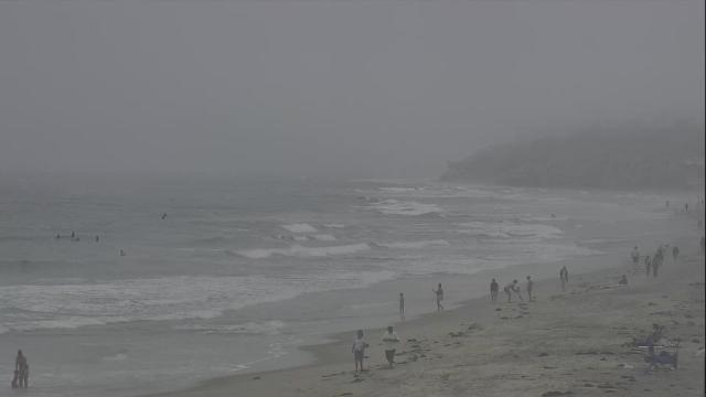
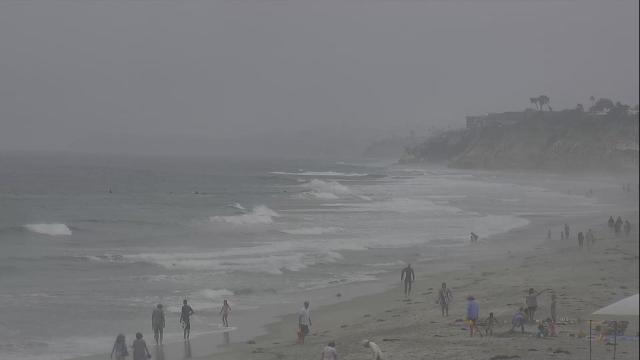
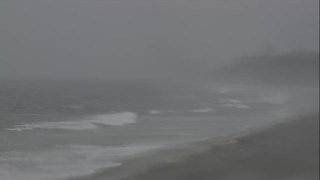
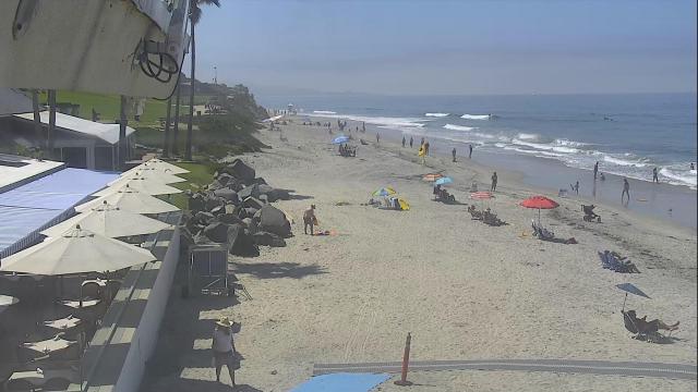
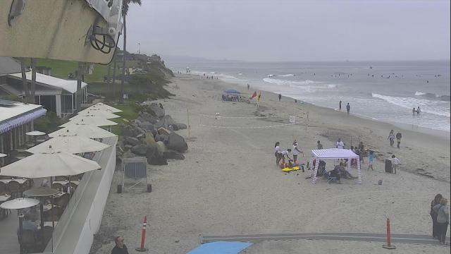
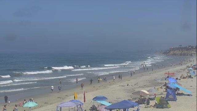
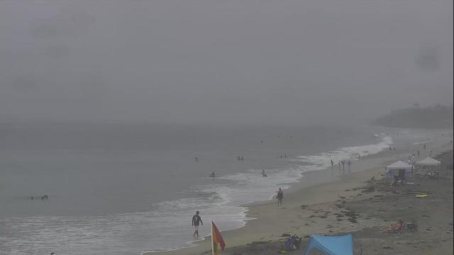
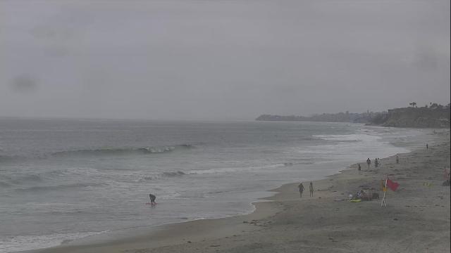
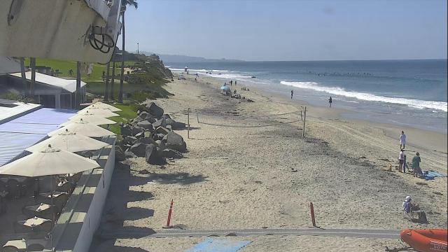
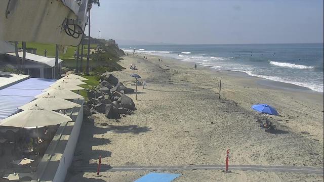
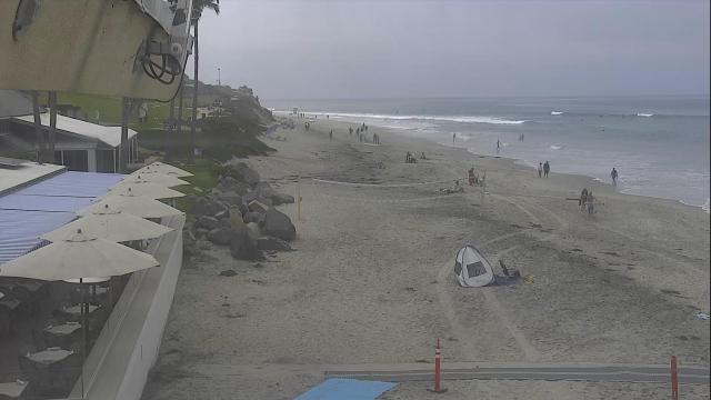
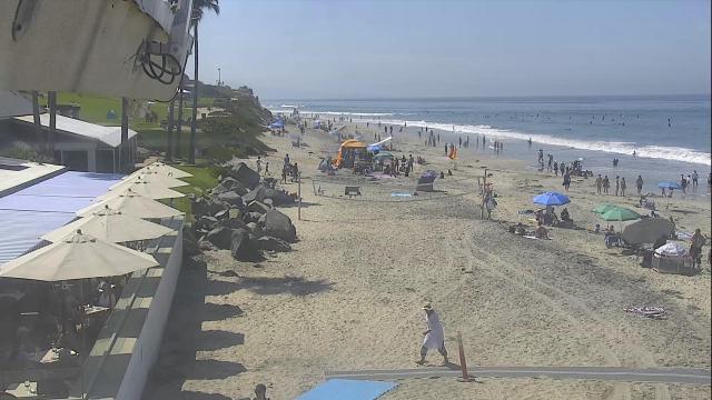
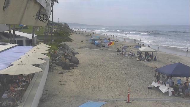
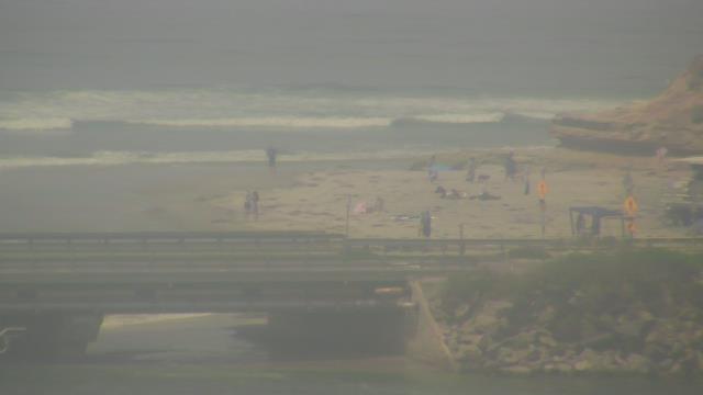
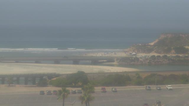
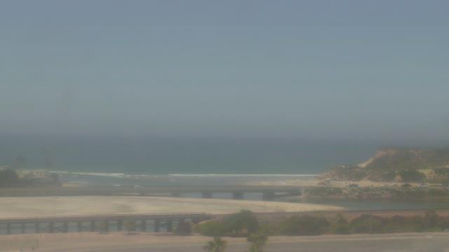
Del Mar, California, USA - 150.1 miles from Palo Verde: SurfCam Dog Beach
Operator: HDOnTap.com
Operator: HDOnTap.com

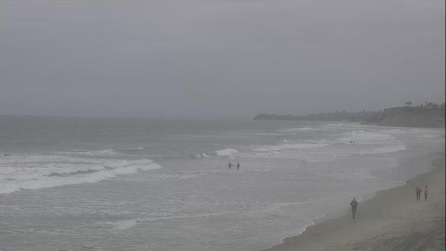
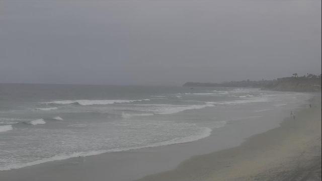

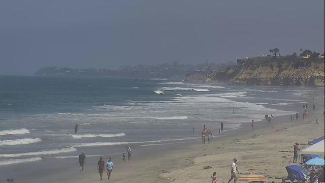


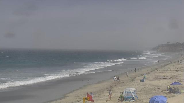


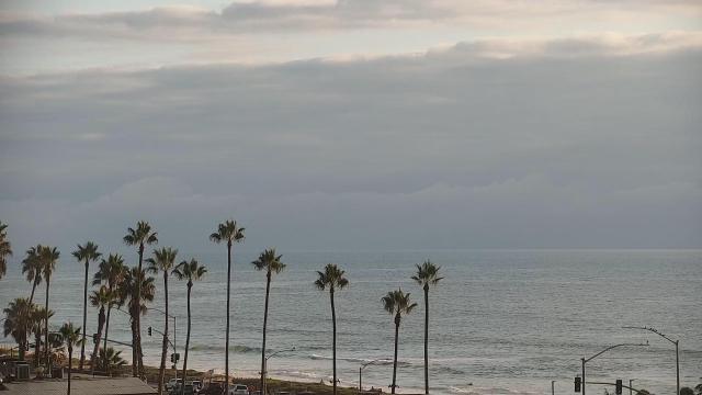
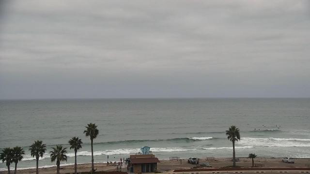
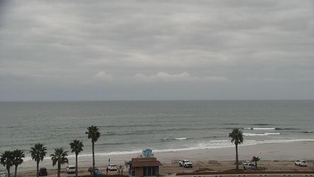
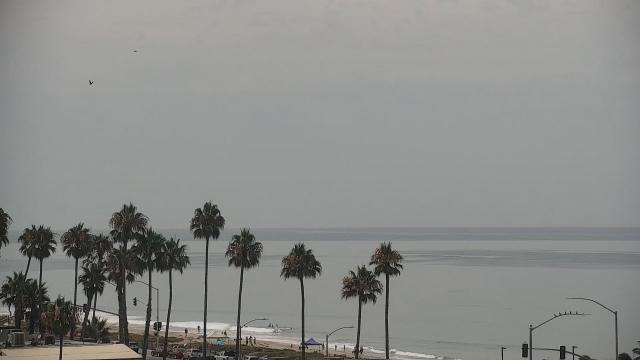
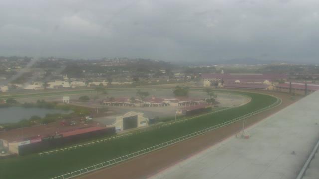
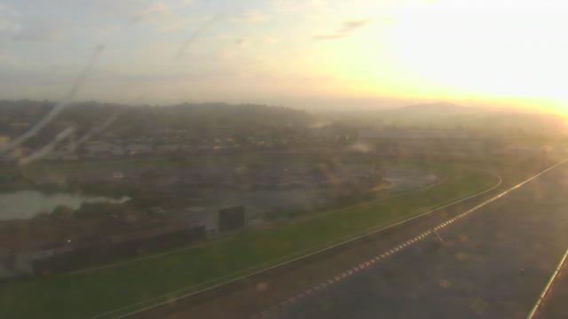
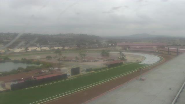
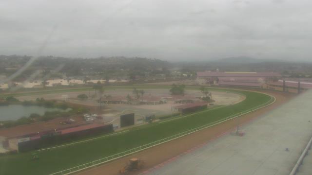
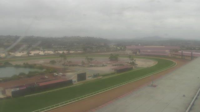
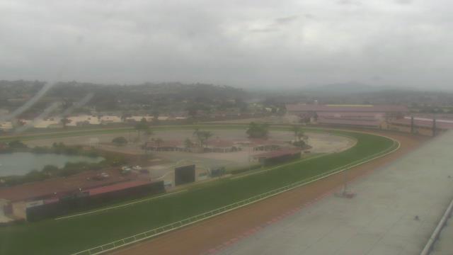
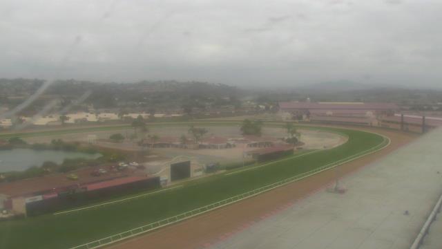
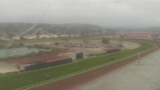
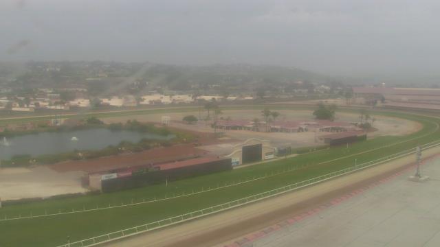
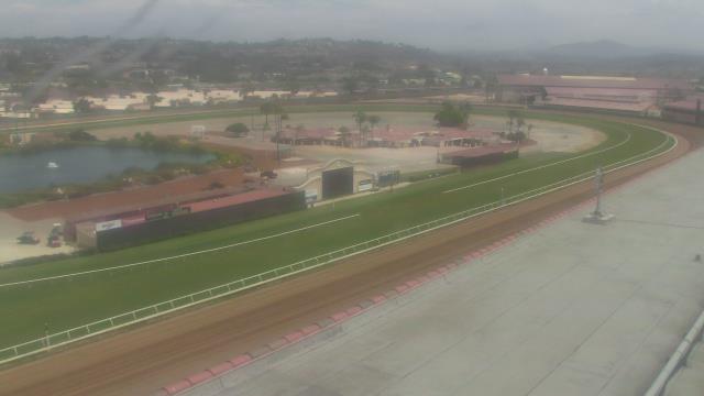
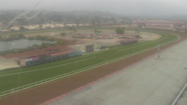
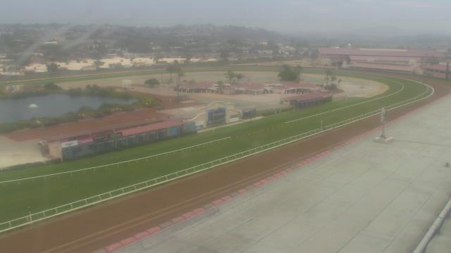
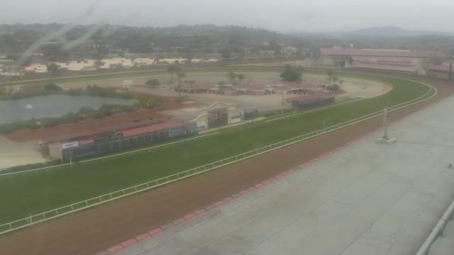
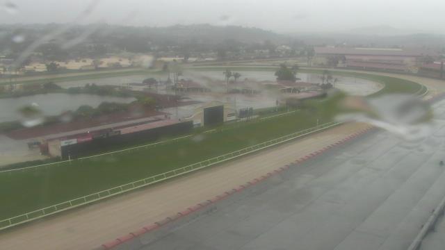
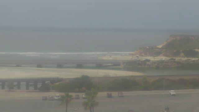
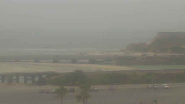
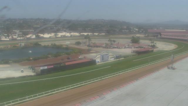
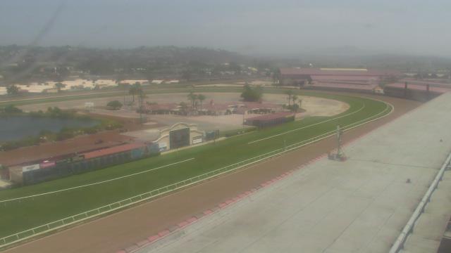
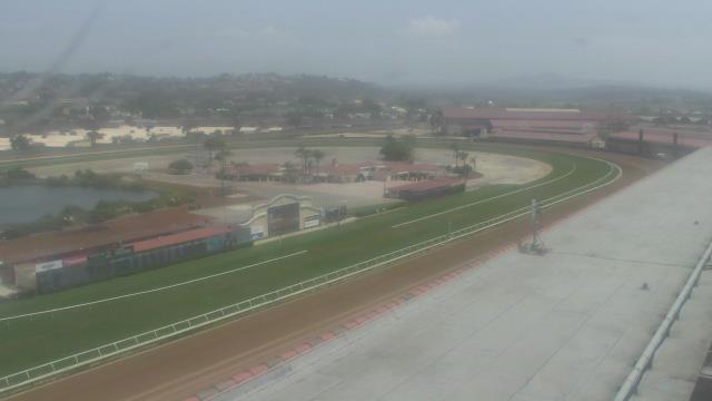
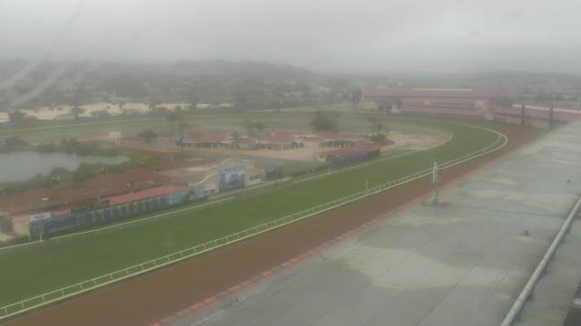
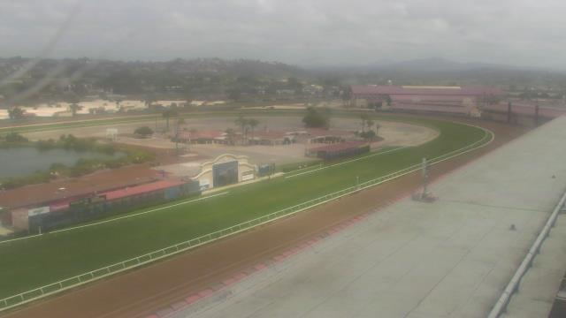
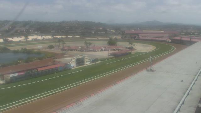
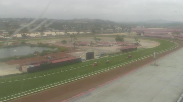
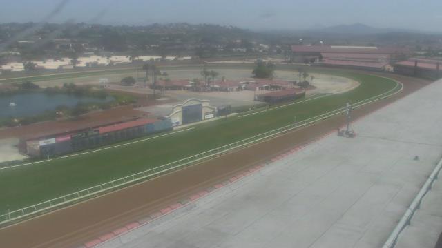
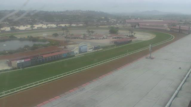
Del Mar, California, USA - 150.1 miles from Palo Verde: Del Mar Fairgrounds - A webcam in Del Mar, California - camera location: Del Mar Fairgrounds.
Operator: WeatherBug
Operator: WeatherBug


Some other places in this country: Panama - Patch - Perry - Pine Cove - Pioneer Point - Pioneertown - Playa del Rey - Pond - Potrero - Pozo