Webcams in the region of Mount Vernon (historical), California, USA
The List of Webcams near Mount Vernon (historical), California, USA:

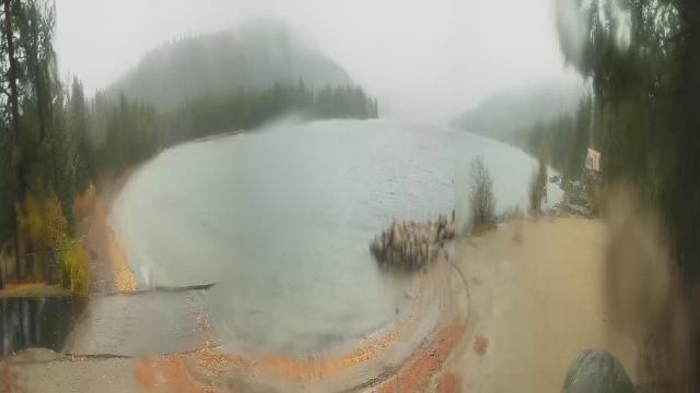
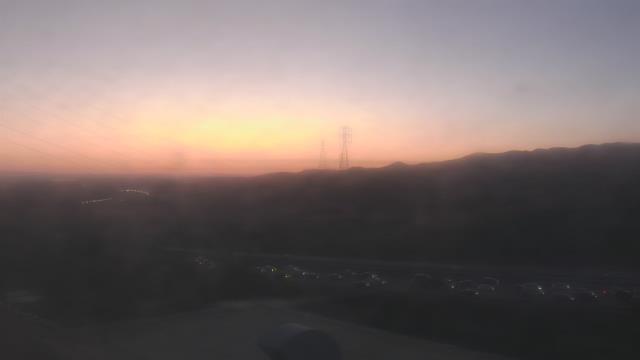
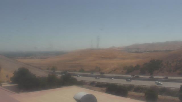
Norden, California, USA - 28.6 miles from Mount Vernon (historical): Sugar Bowl Ski Resort - Several views of the Sugar Bowl Ski Resort near Norden, California.
Operator: Sugar Bowl Ski Resort
Operator: Sugar Bowl Ski Resort

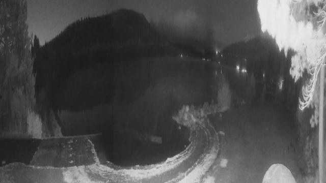
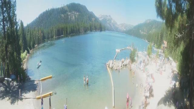
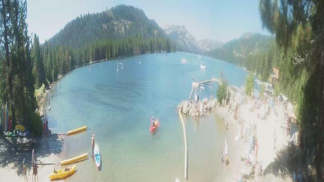
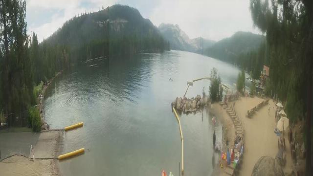
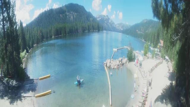
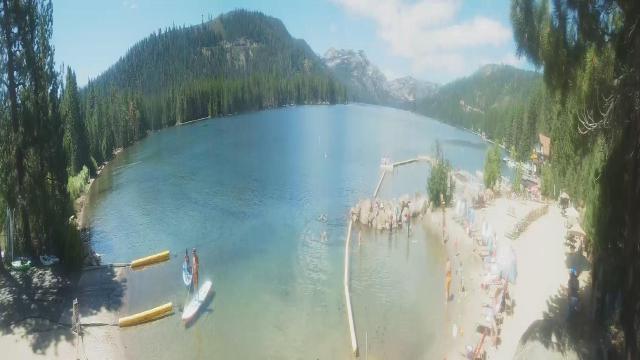
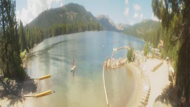
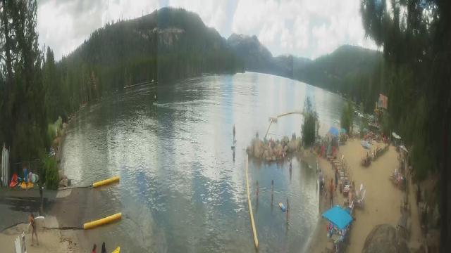
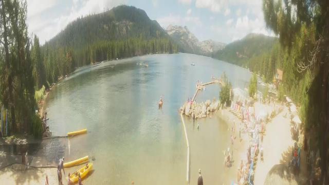
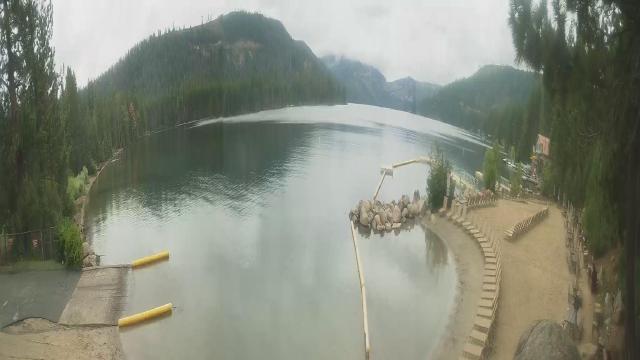
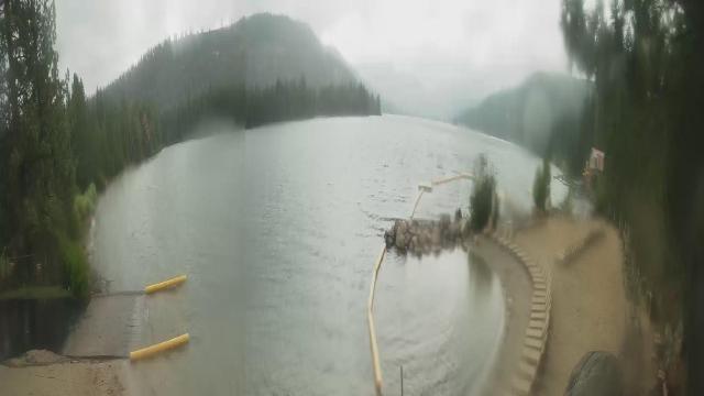
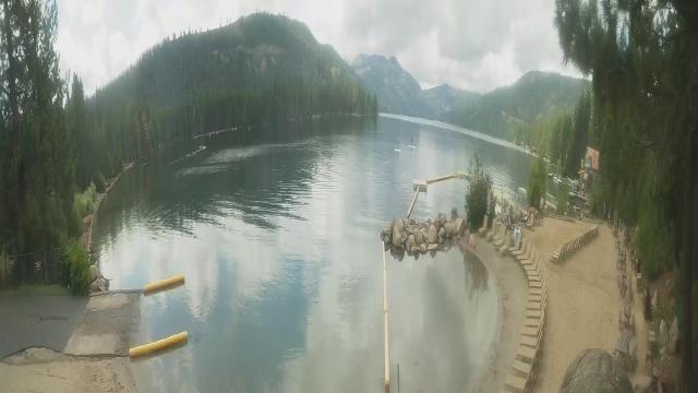
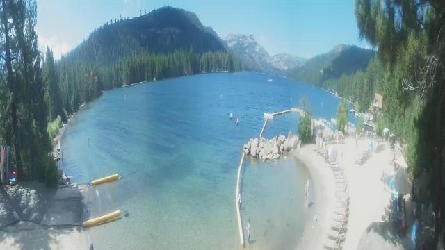
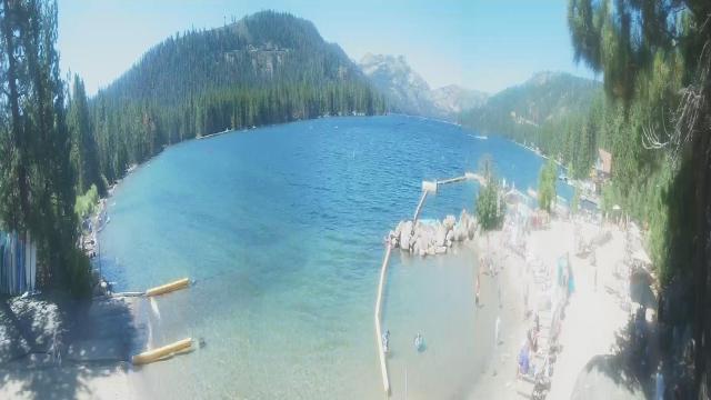
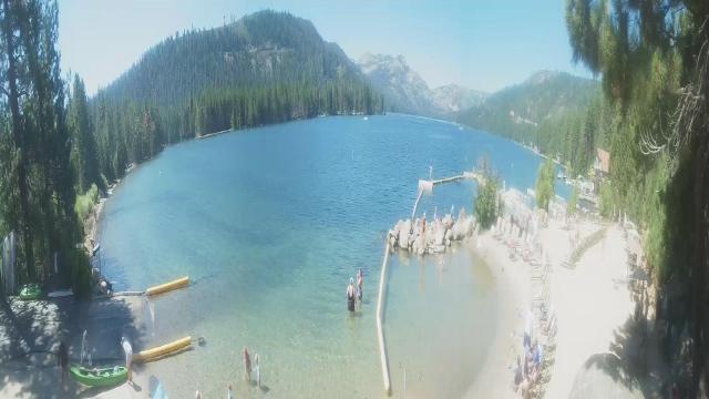
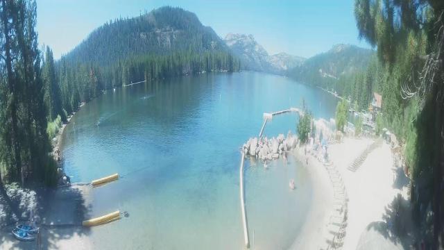
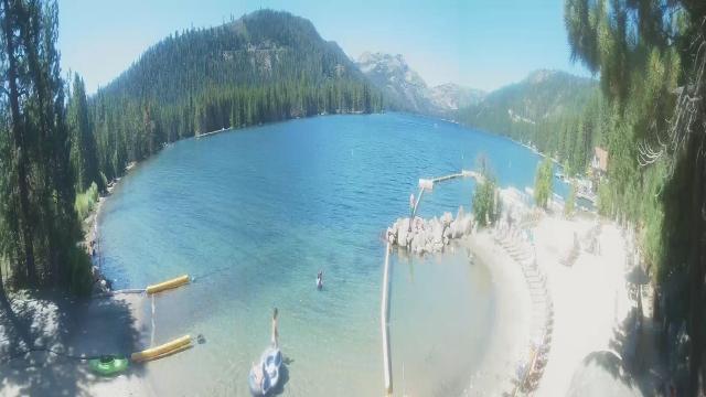
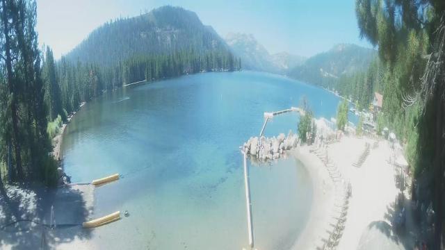
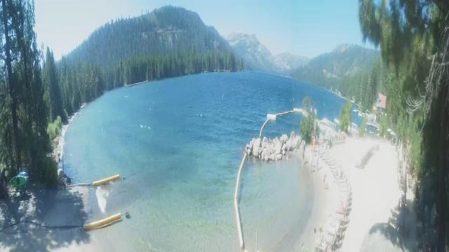
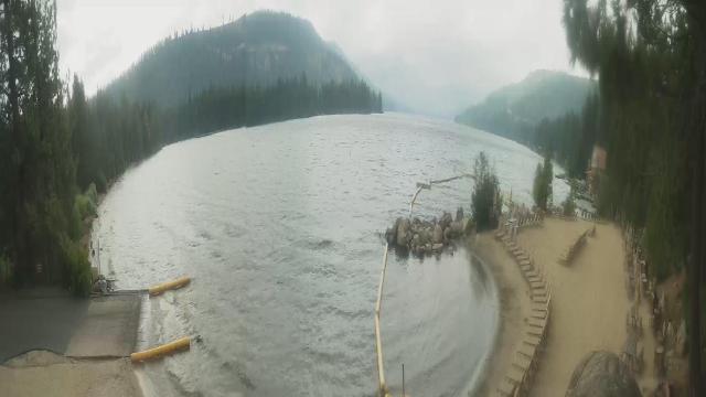
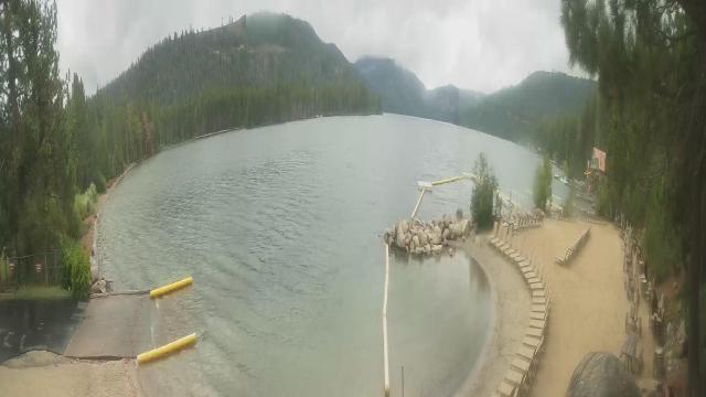
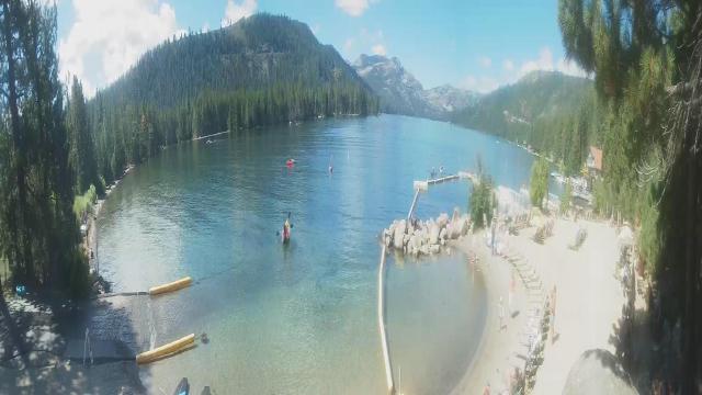
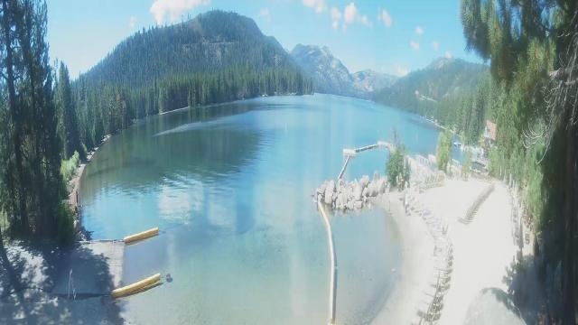
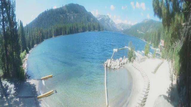
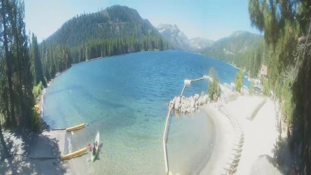
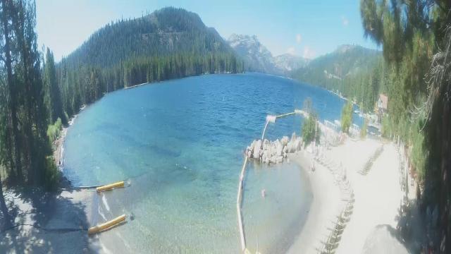
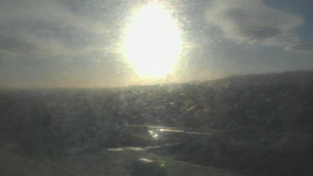
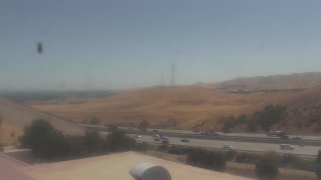
Boreal Mountain Resort, California, USA - 28.6 miles from Mount Vernon (historical): Current Snow Conditions - View of the current snow conditions at the Boreal Mountain Resort.
Operator: Boreal Mountain Resort
Operator: Boreal Mountain Resort

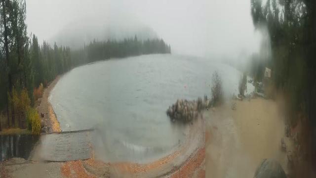
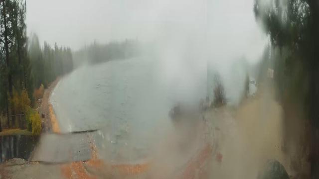
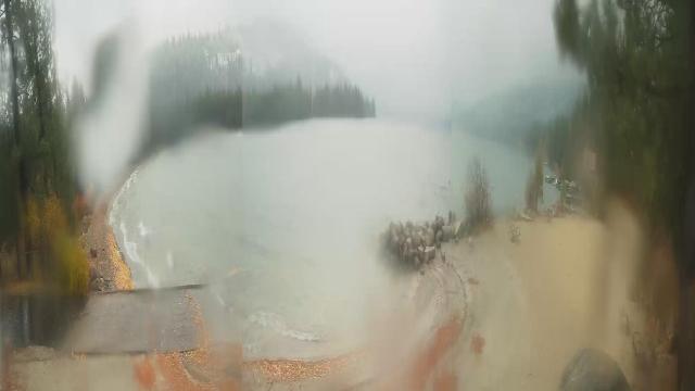
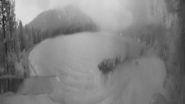
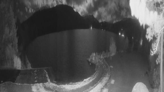
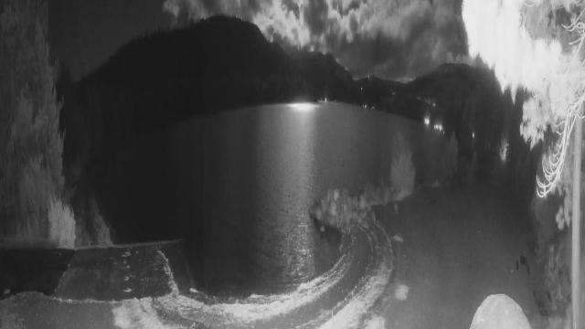
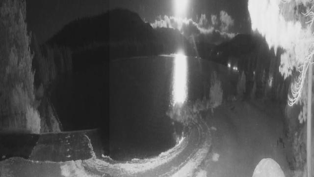
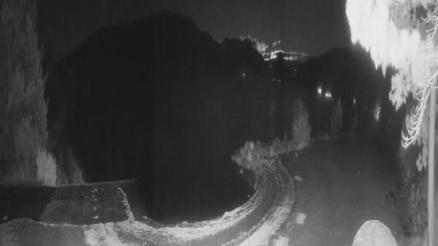
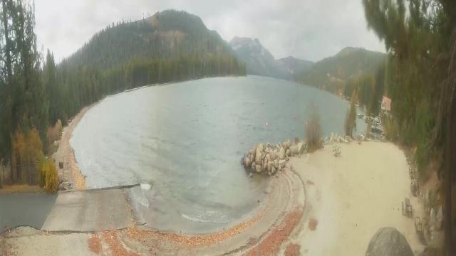
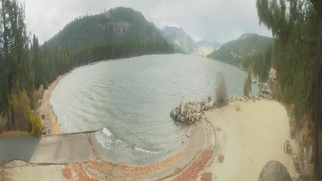
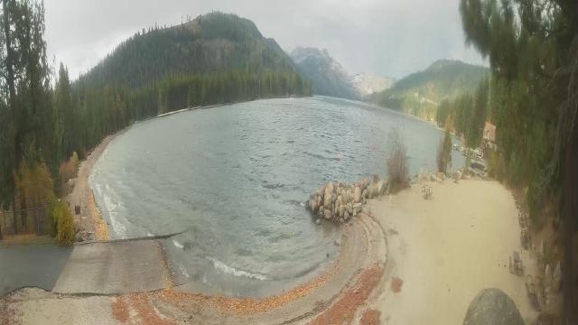
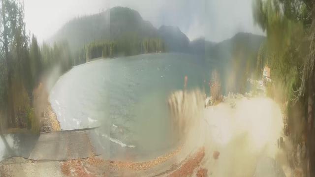
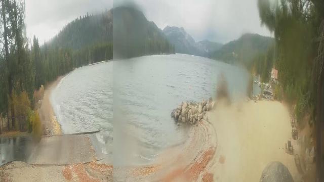
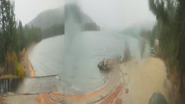
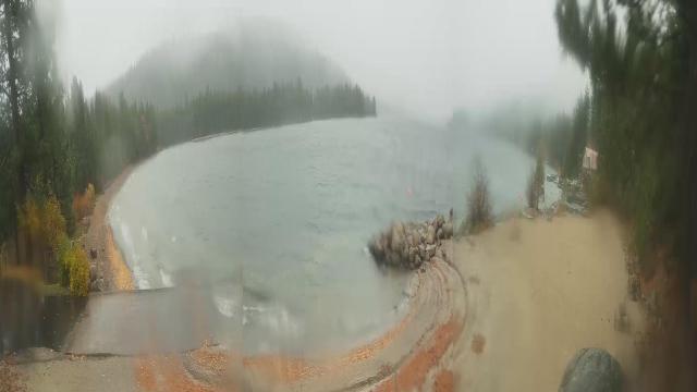
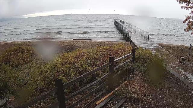
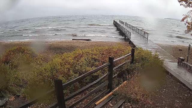
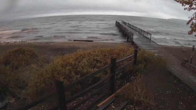
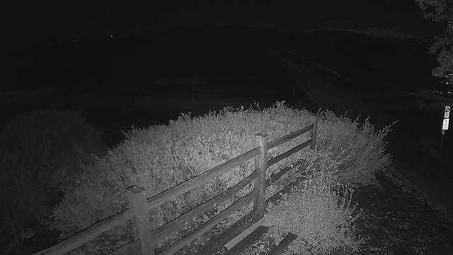
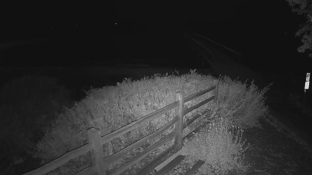
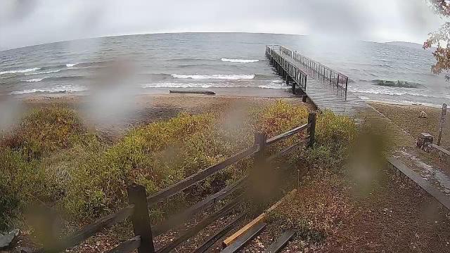
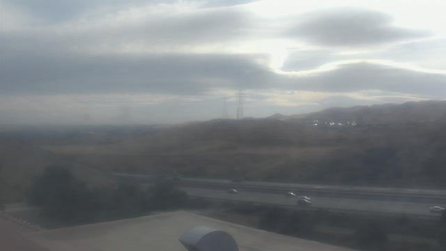
Truckee, California, USA - 36.5 miles from Mount Vernon (historical): Lake View - Donner Lake in Truckee, California.
Operator: HDOnTap
Operator: HDOnTap


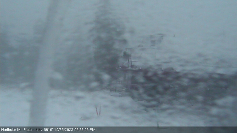
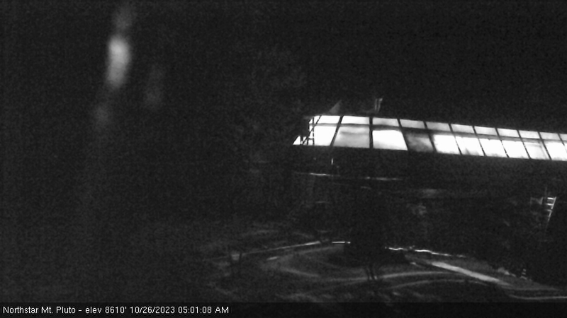
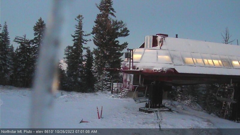
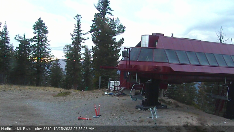
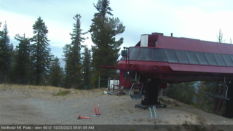
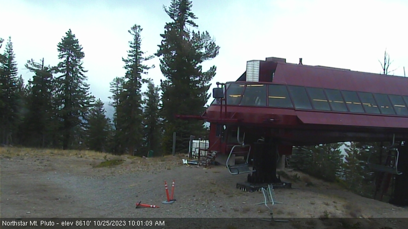
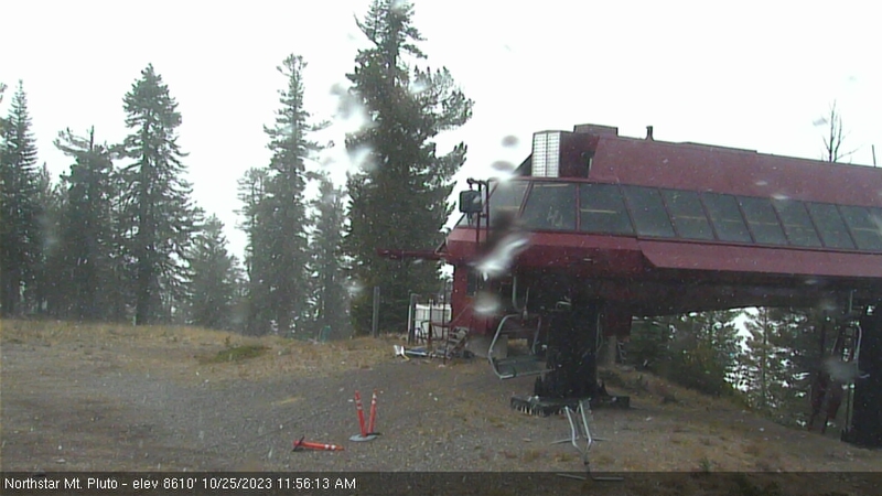
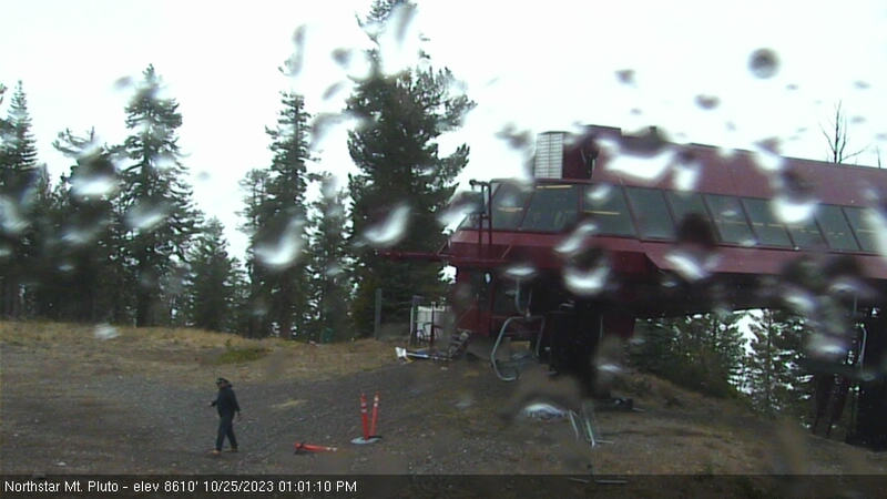
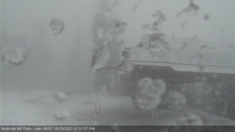
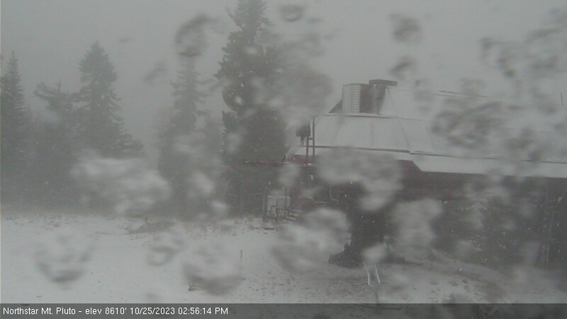
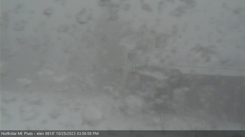
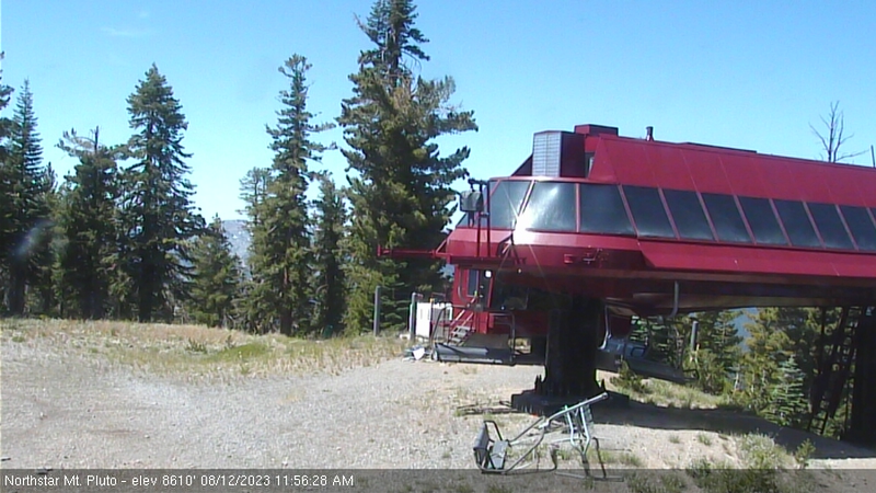
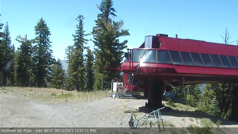
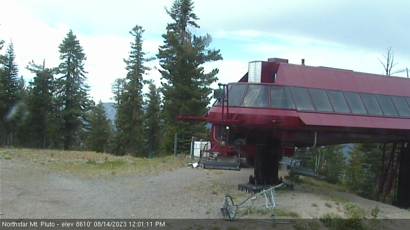
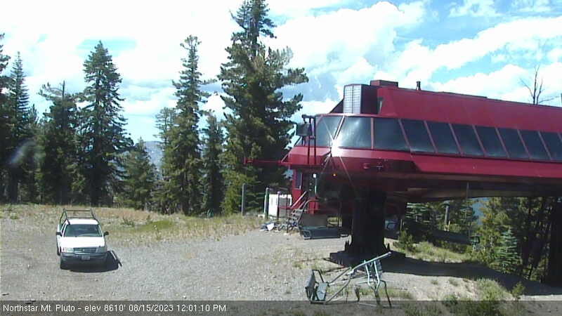
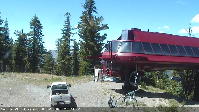
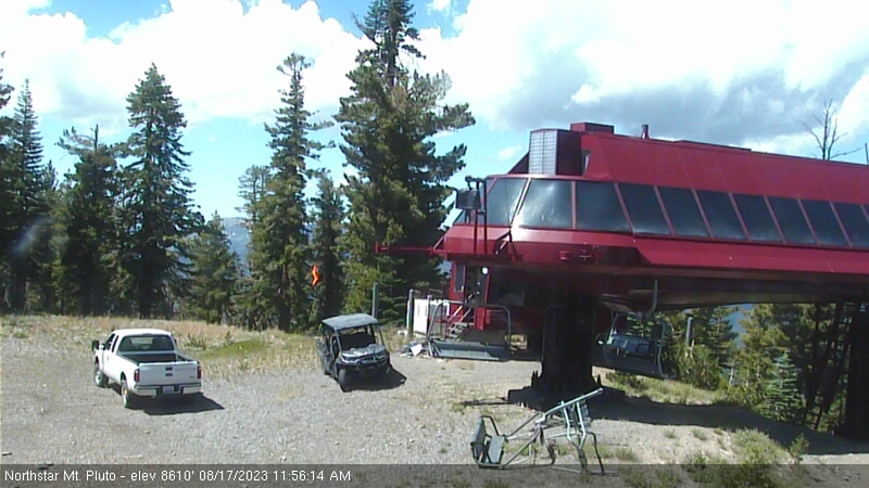
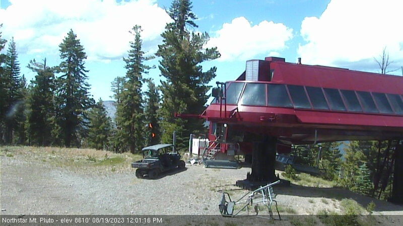
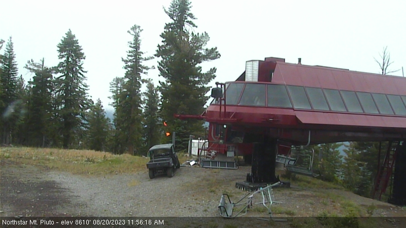
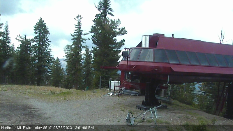
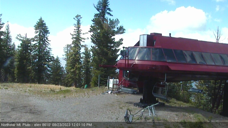
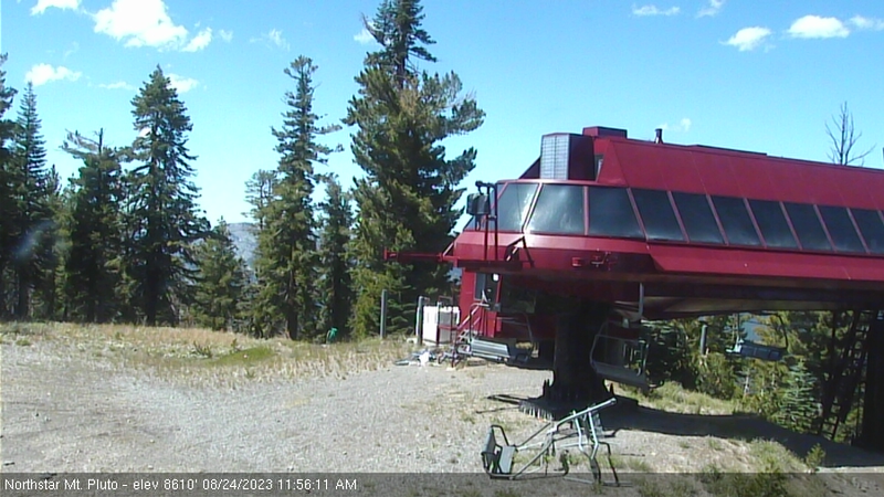
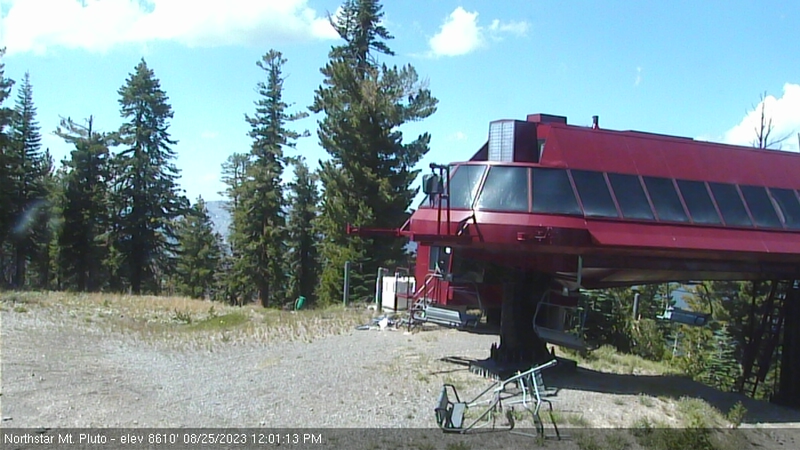
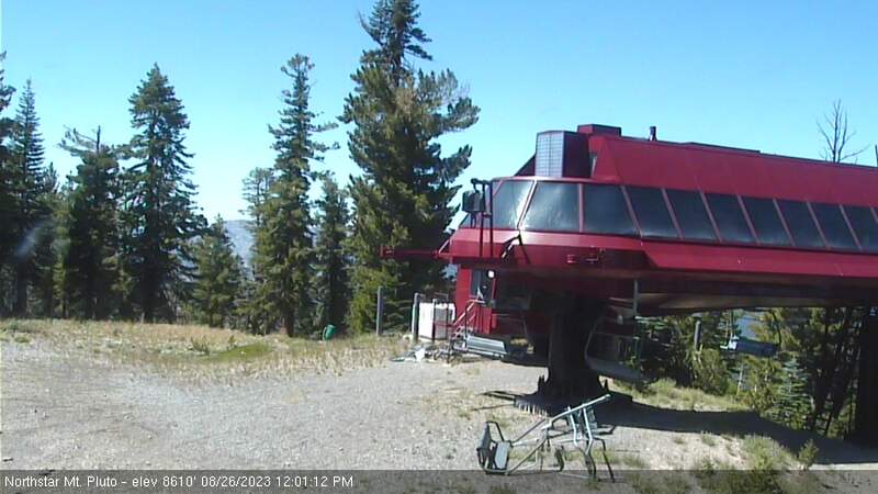
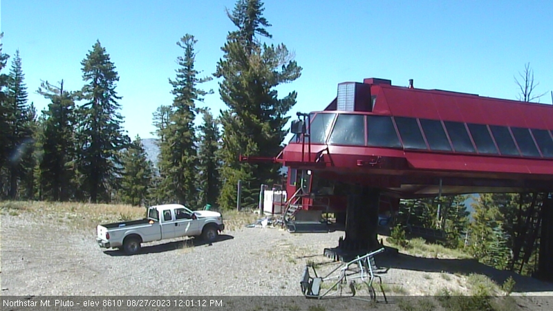
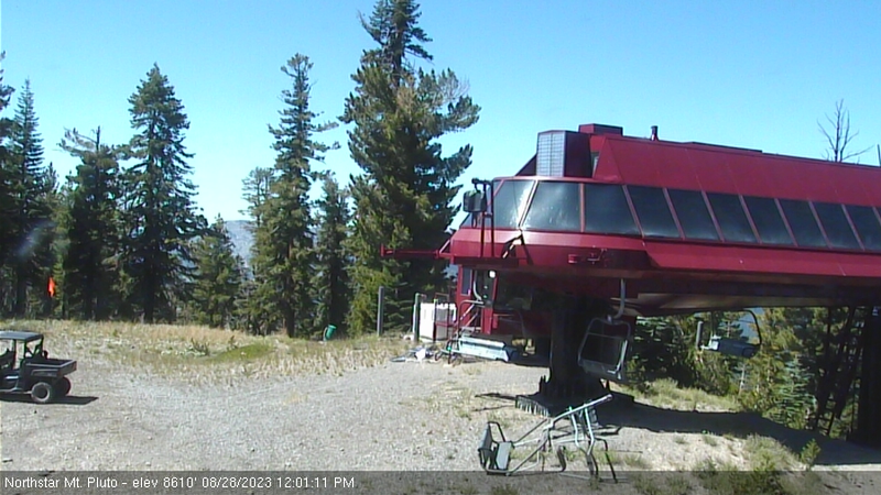
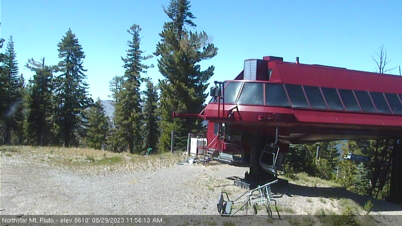
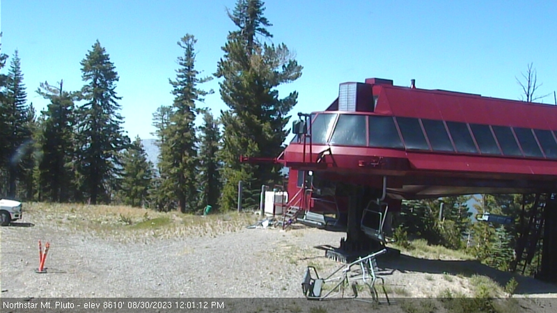
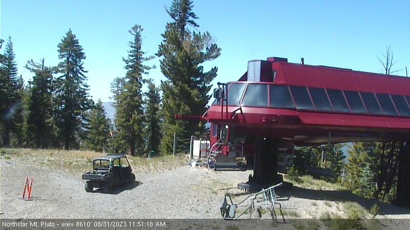
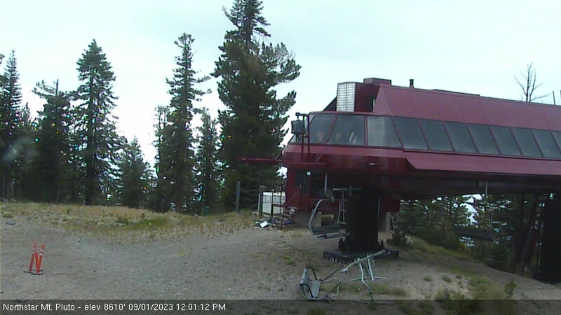
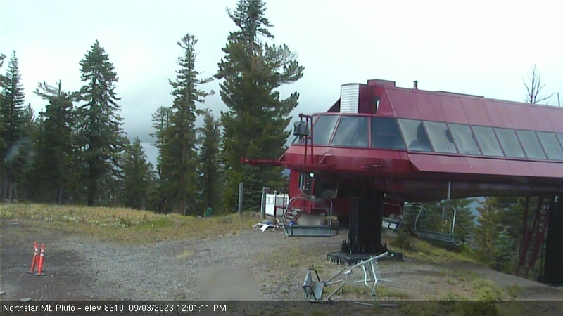
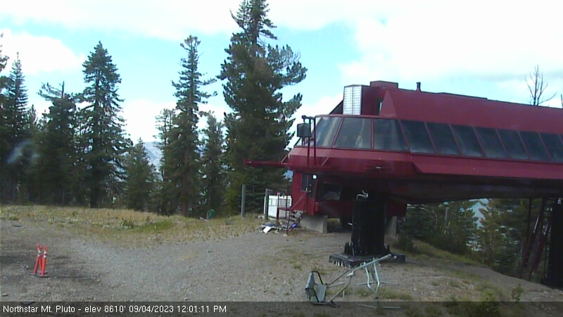
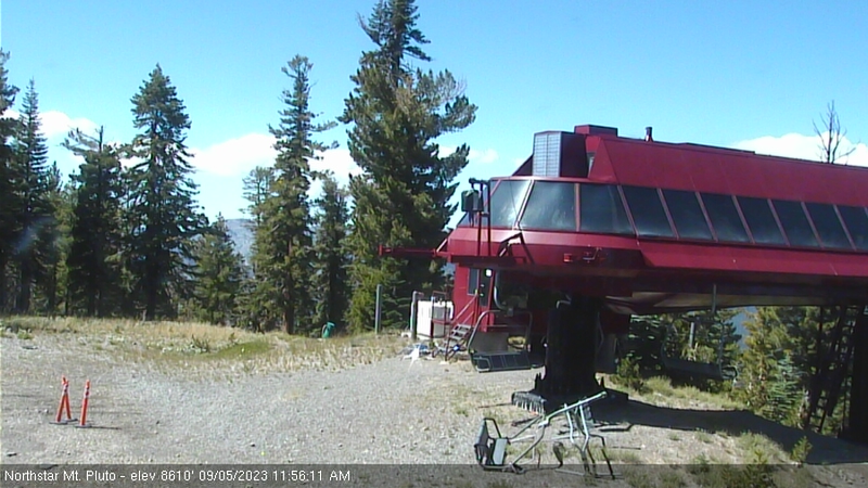
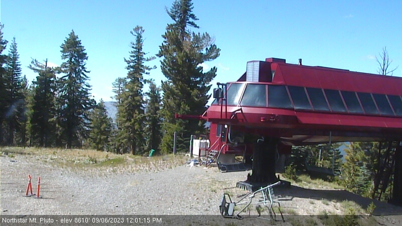
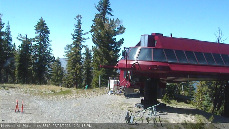
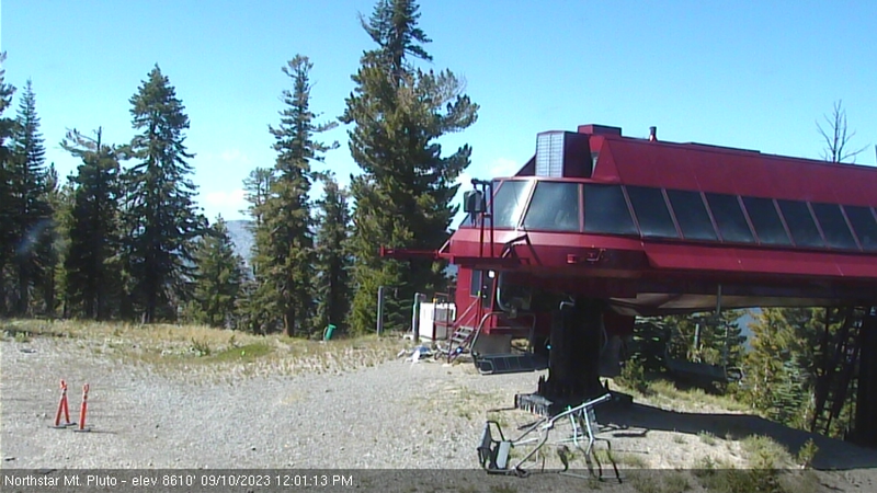
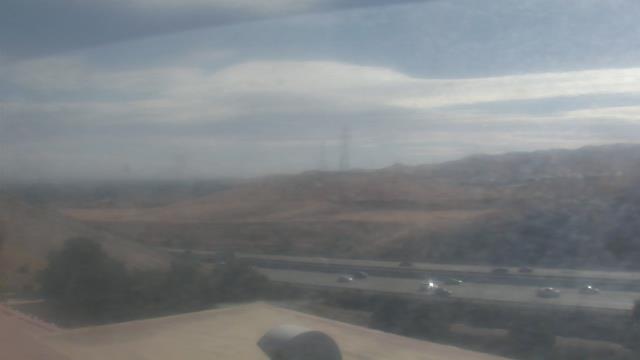
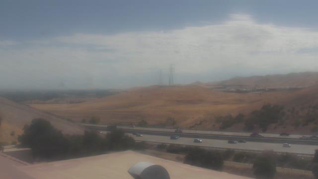
Northstar California Resort, USA - 41.1 miles from Mount Vernon (historical): Current Snow Conditions - Several webcams offer a view of the current snow situation at the Northstar California Resort.
Operator: Northstar California Resort
Operator: Northstar California Resort


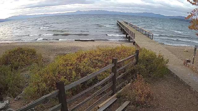
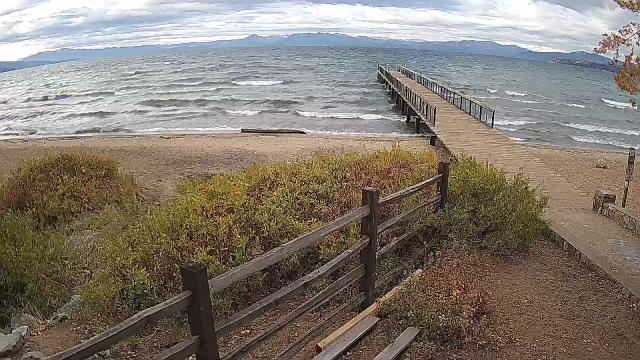
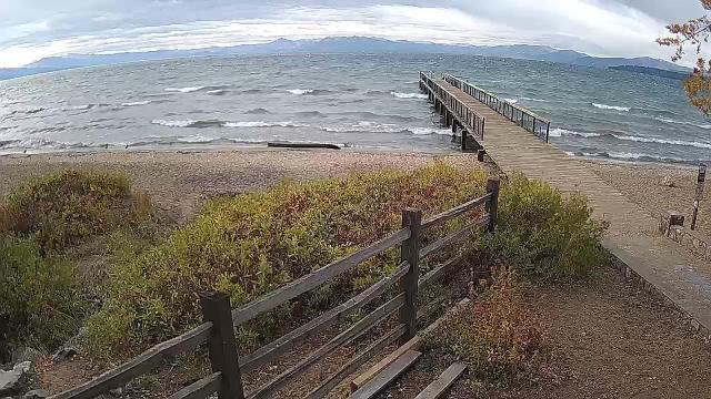
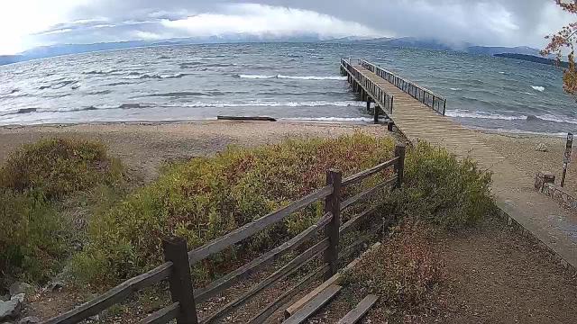
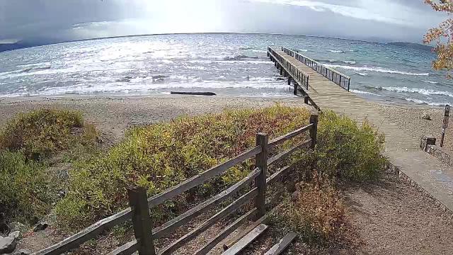
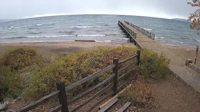
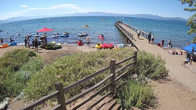
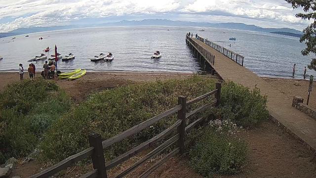
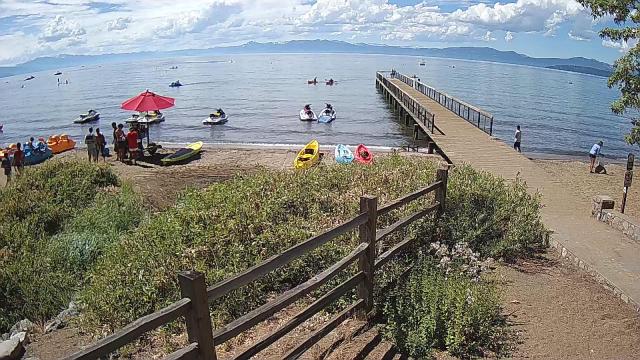
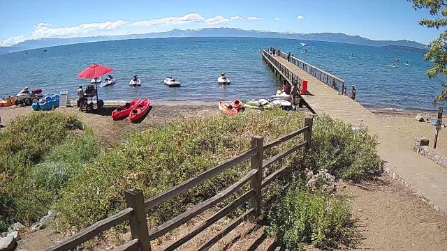
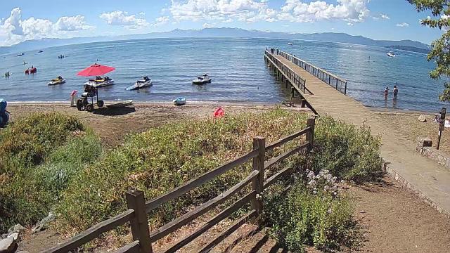
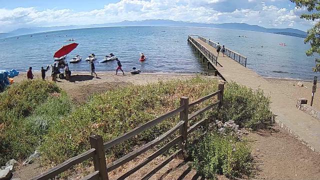
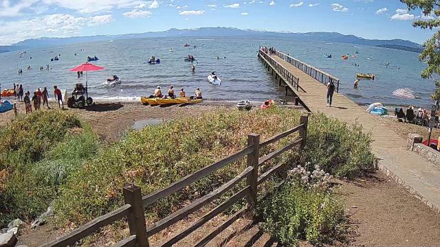
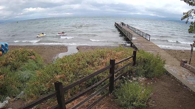
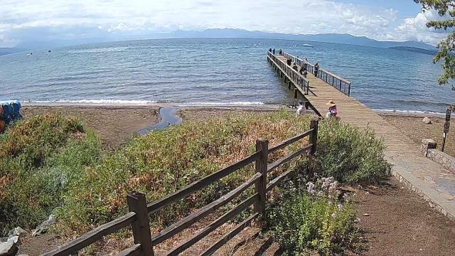
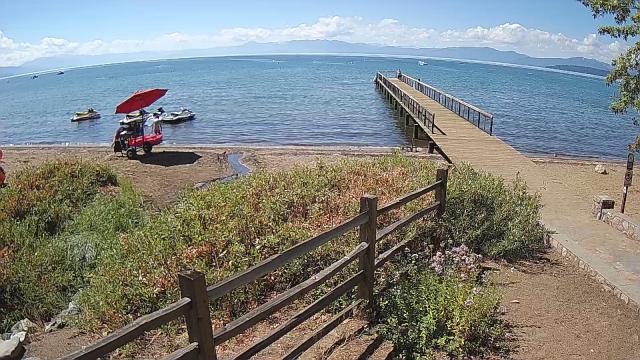
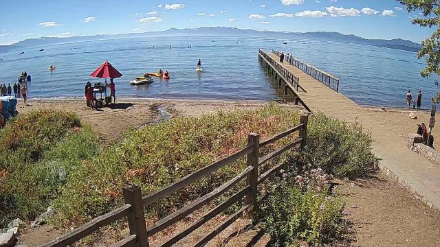
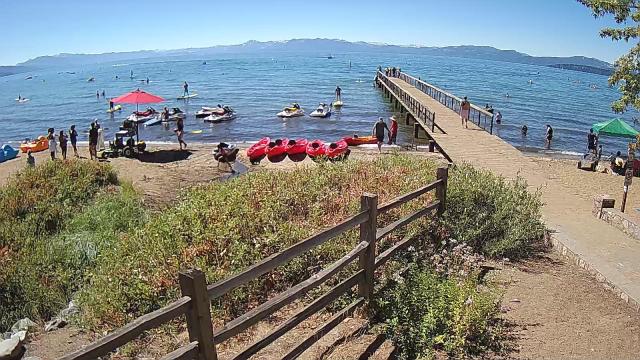
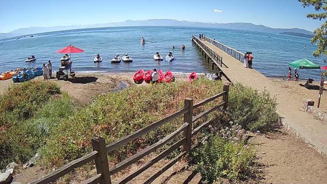
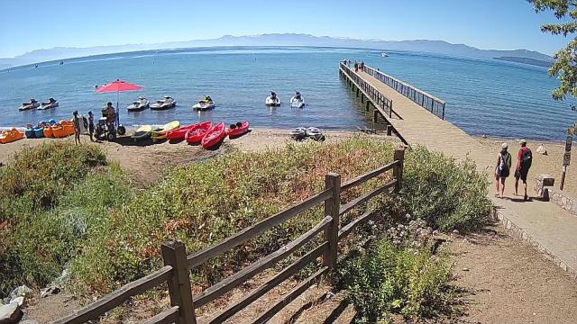
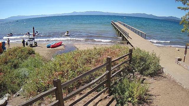
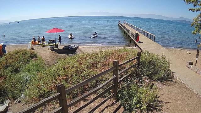
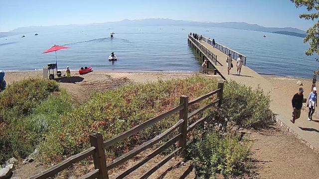
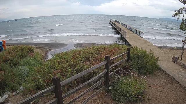
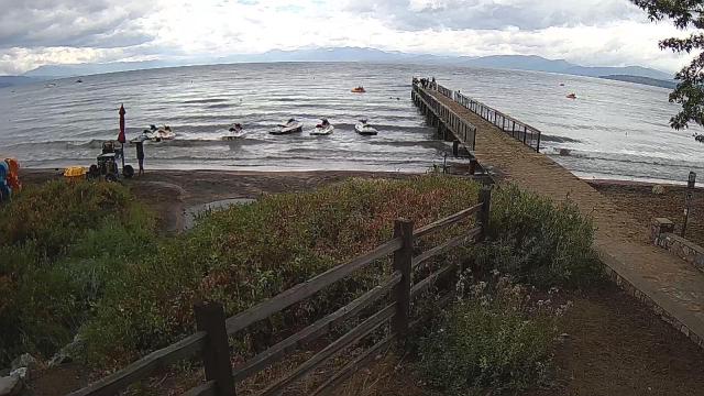
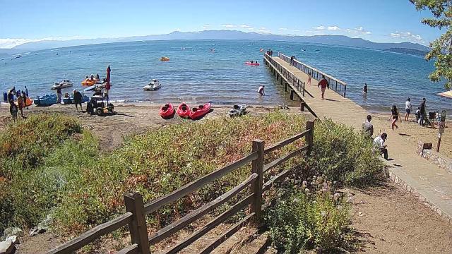
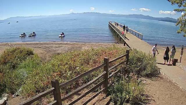
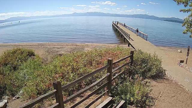
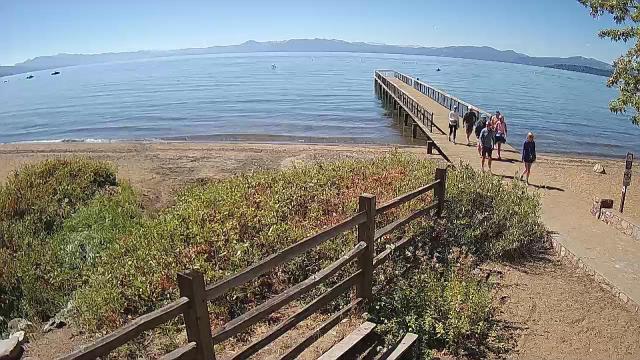
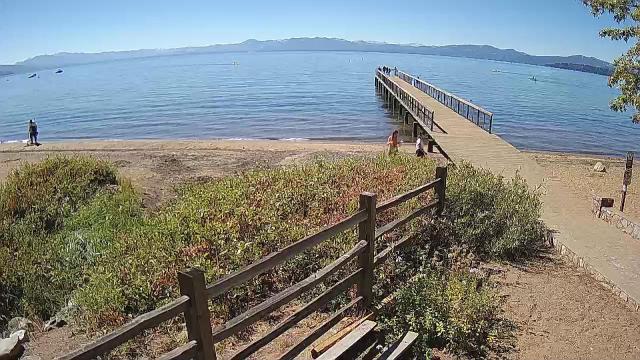
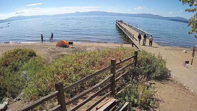
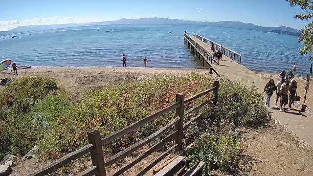
Kings Beach, California, USA - 46.8 miles from Mount Vernon (historical): Beachview - Sunny Kings Beach, Lake Tahoe
Operator: HDOnTap
Operator: HDOnTap


Virginia City, Nevada, USA - 64.1 miles from Mount Vernon (historical): View of the C Street
Operator: Skyline Webcams
Operator: Skyline Webcams


Lassen Volcanic National Park, California, USA - 75.1 miles from Mount Vernon (historical): Kohm Yah-mah-nee Visitor Center - A view from the Kohm Yah-mah-nee Visitor Center in the Lassen Volcanic National Park towards Mt. Diller (left) und Pilot Pinnacle (right).
Operator: U.S. National Park Service
Operator: U.S. National Park Service


Pinecrest, California, USA - 102.8 miles from Mount Vernon (historical): Dodge Ridge Ski Resort - Base Cam - Controllable webcam at the Dodge Ridge Ski Resort showing the current snow conditions.
Operator: Dodge Ridge Ski Resort
Operator: Dodge Ridge Ski Resort

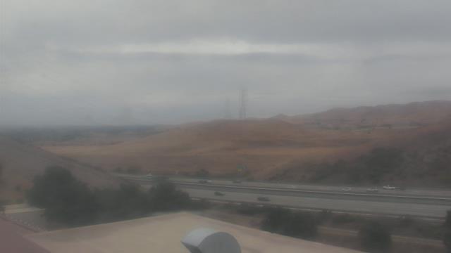
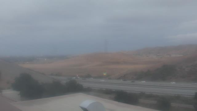
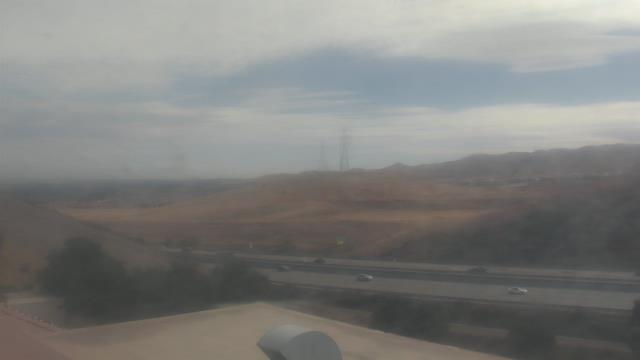
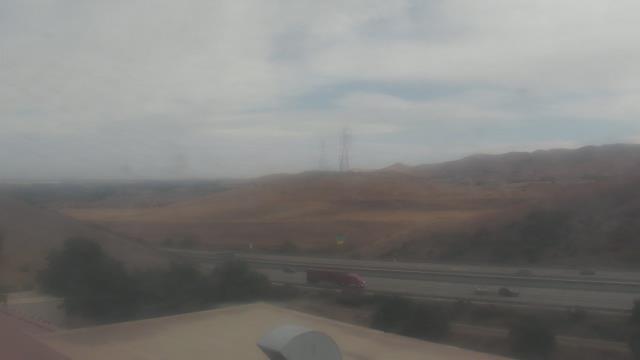
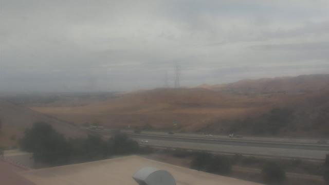
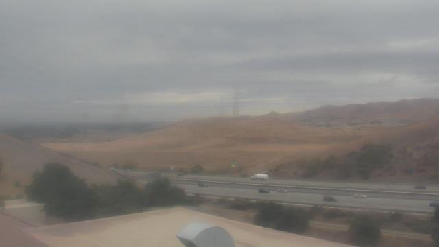
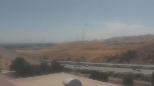
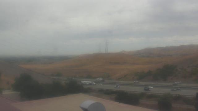
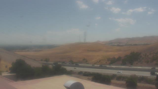
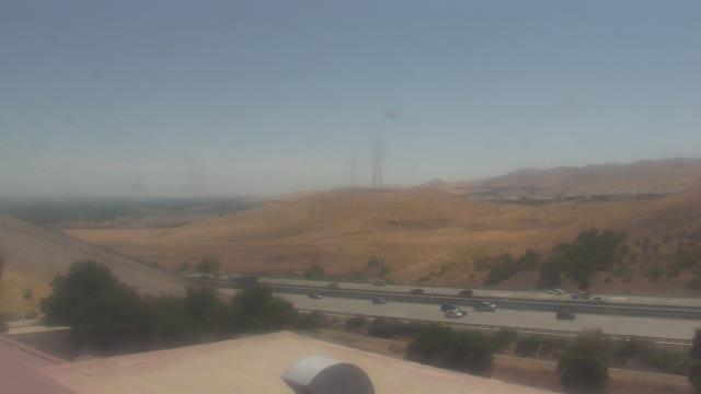
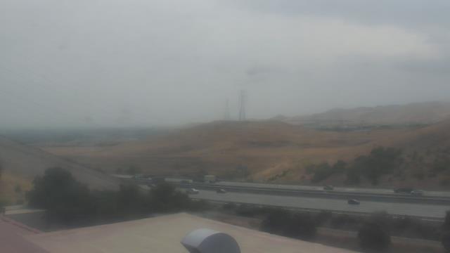
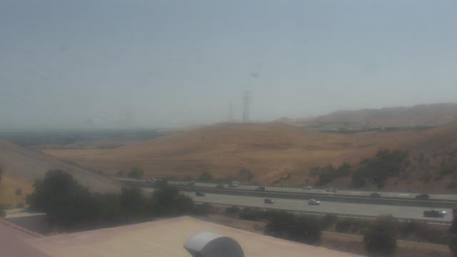
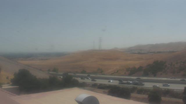
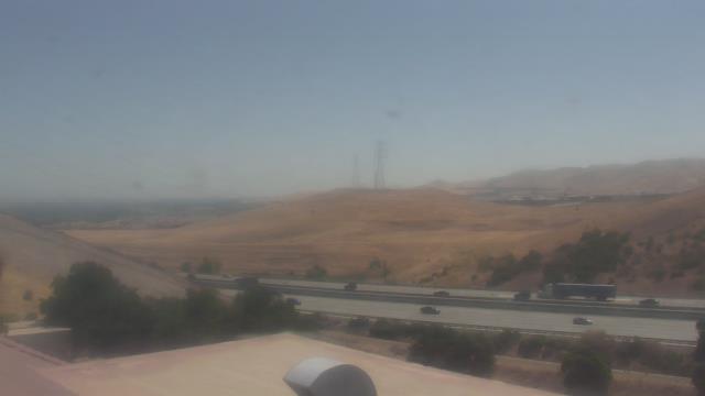
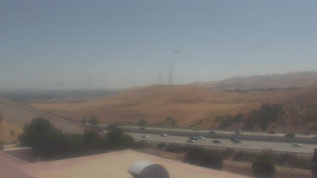
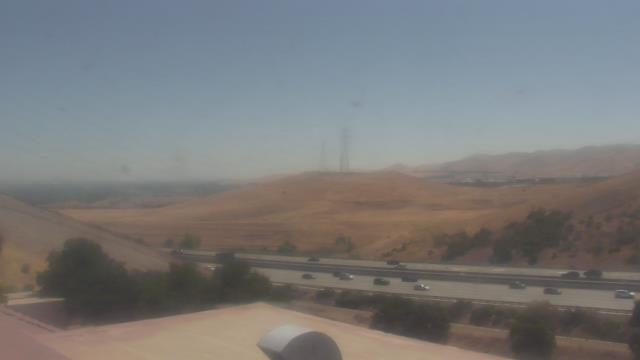
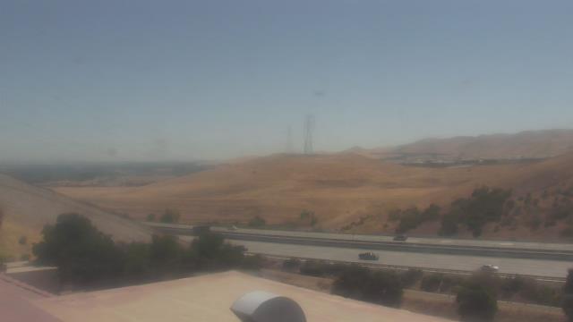
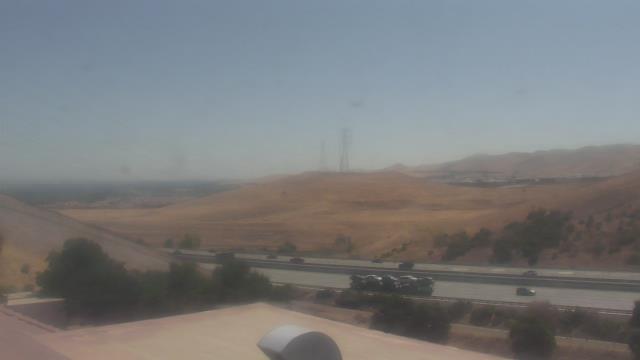
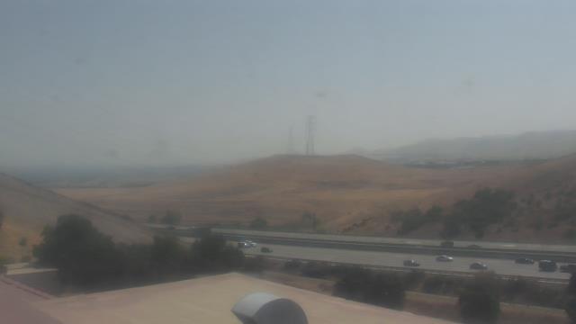
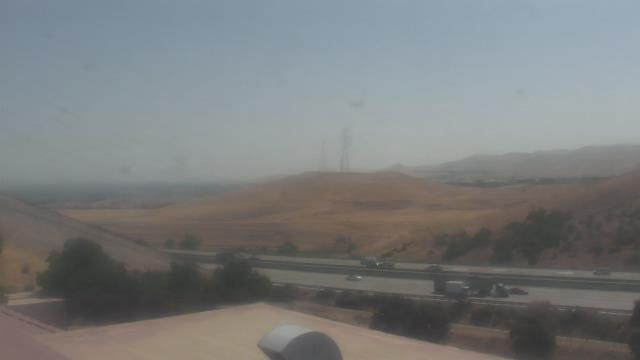
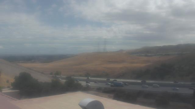
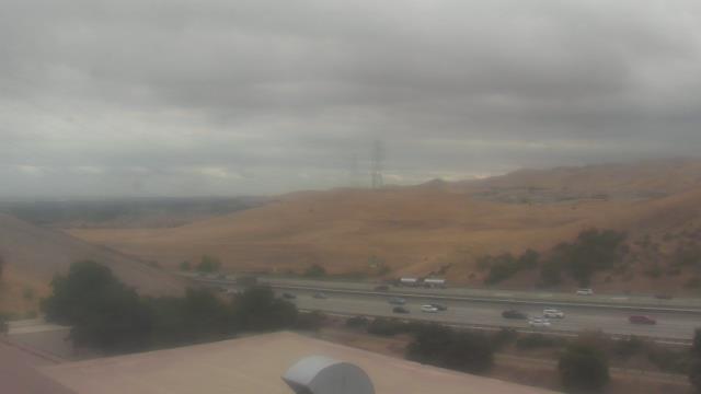
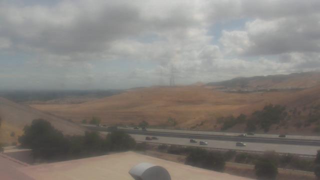
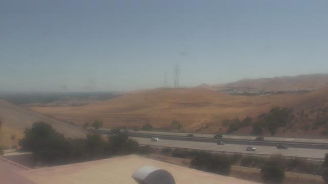
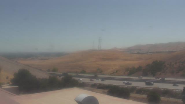
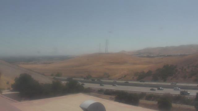
Concord, California, USA - 125.6 miles from Mount Vernon (historical): Calvary Temple Christian School - A webcam in Concord, California - camera location: Calvary Temple Christian School.
Operator: WeatherBug
Operator: WeatherBug


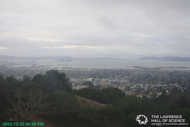
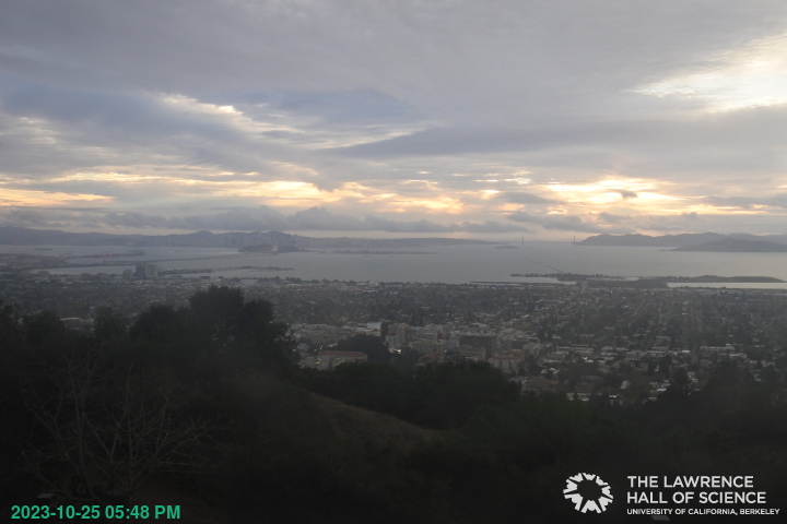
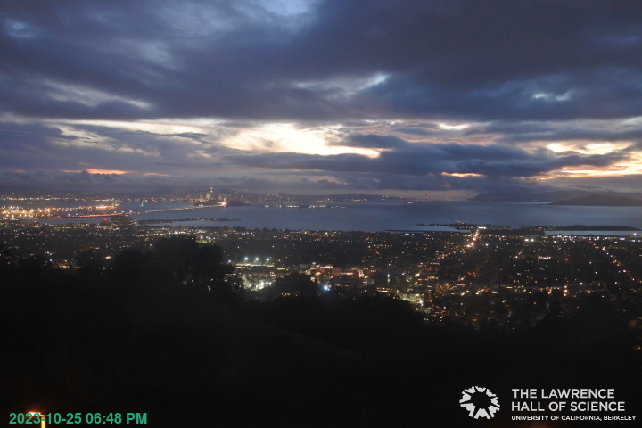
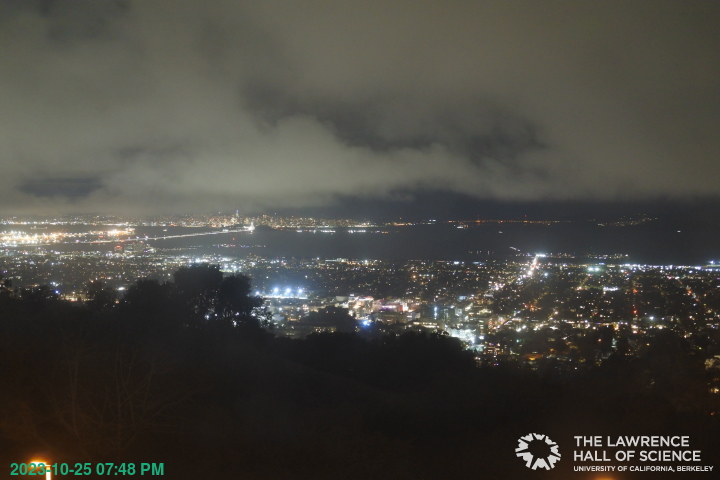
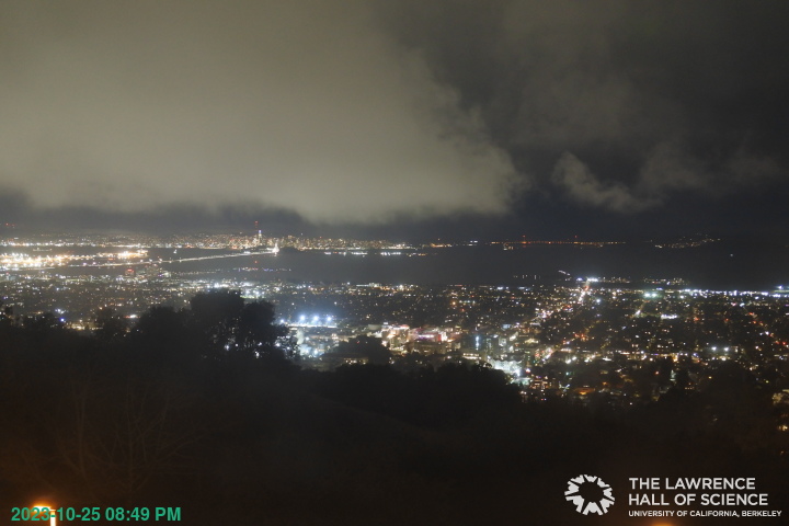
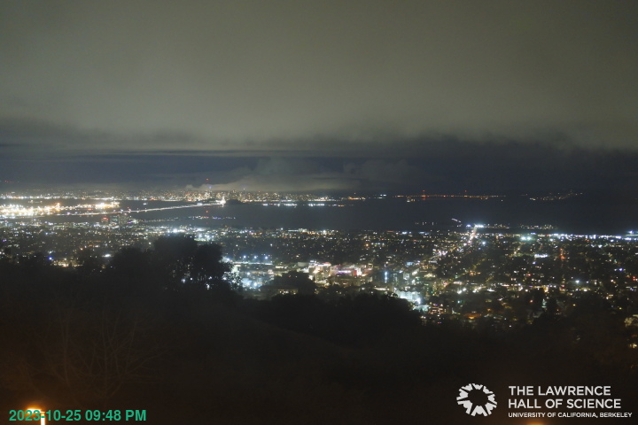
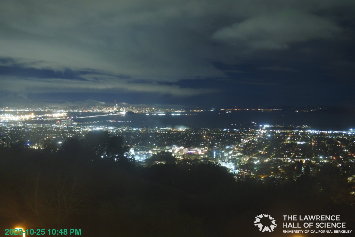
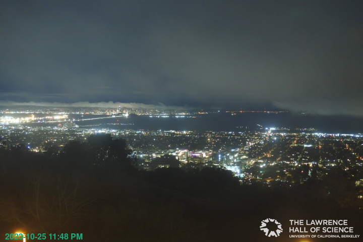
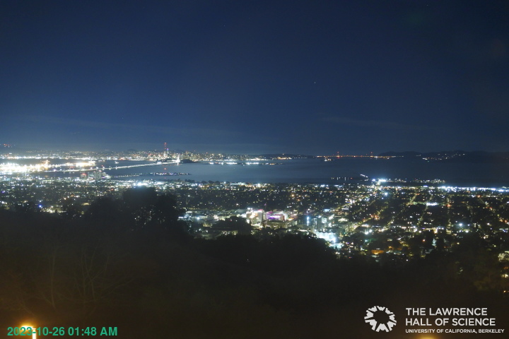
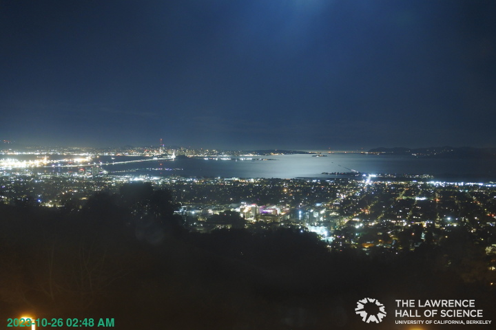
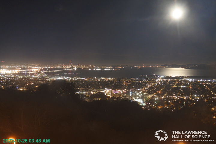
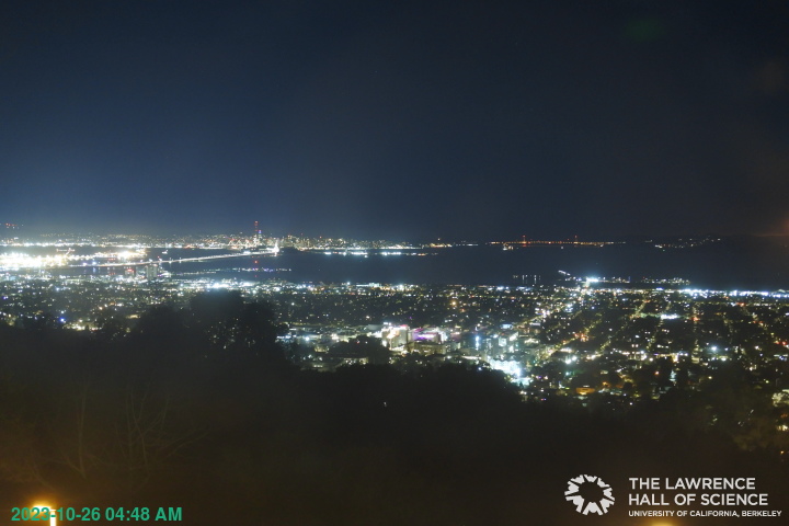
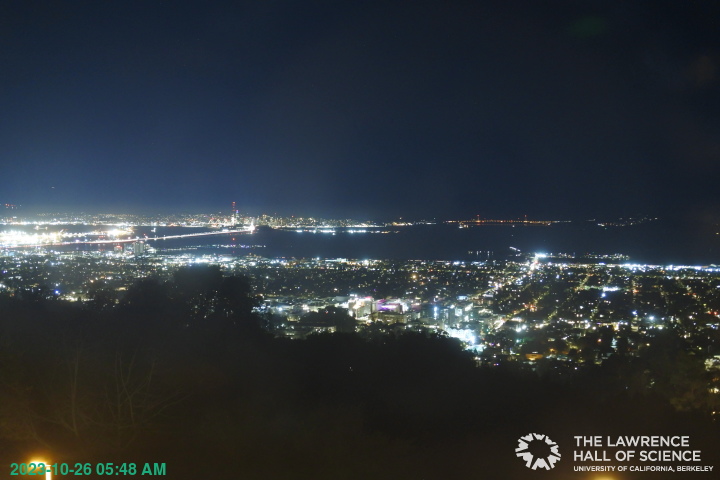
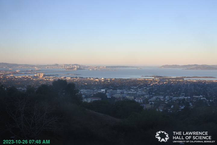
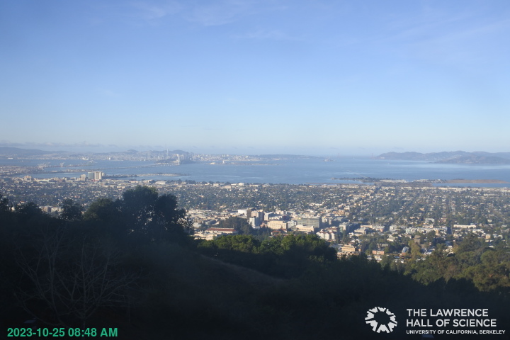
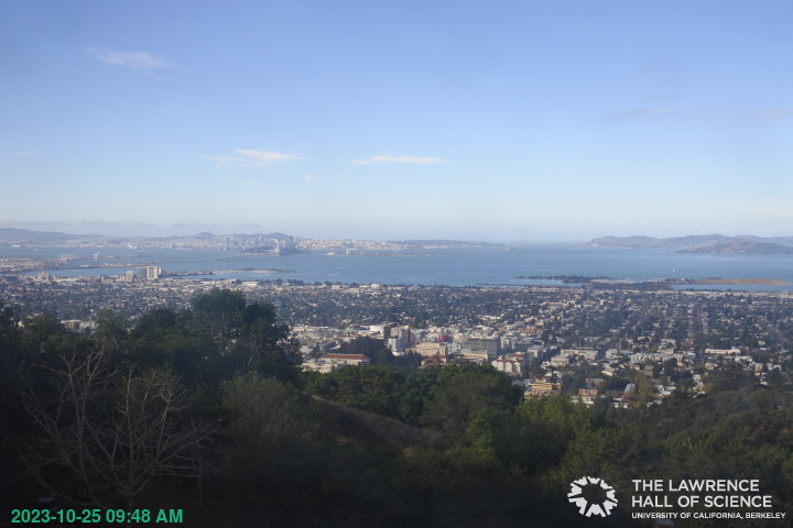
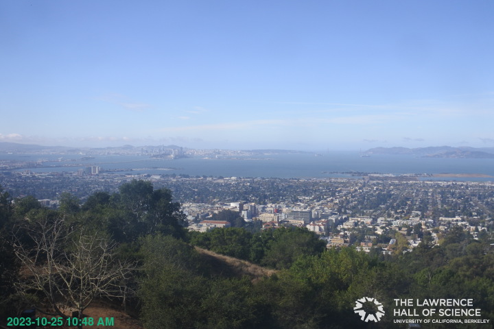
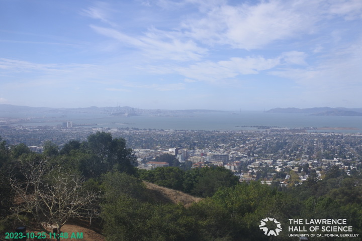
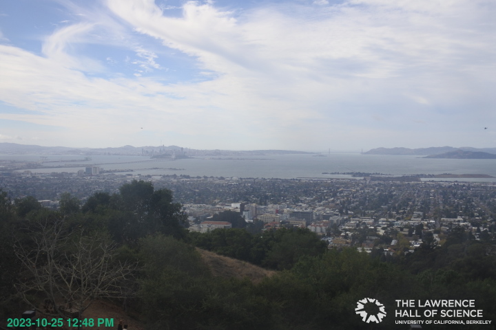
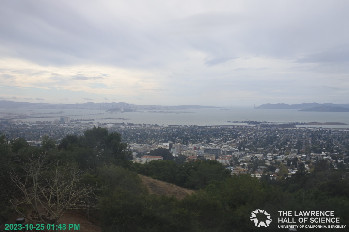
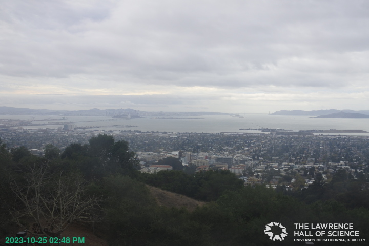
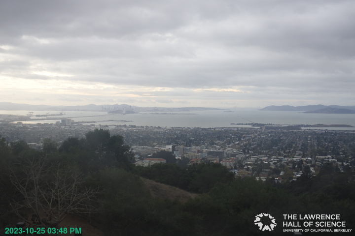
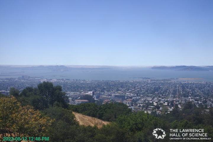
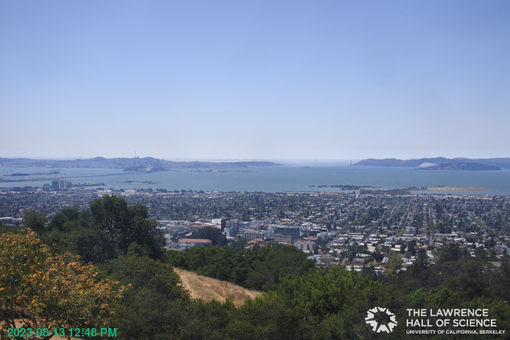
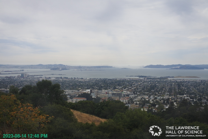
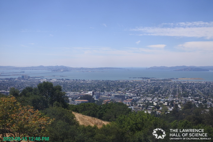
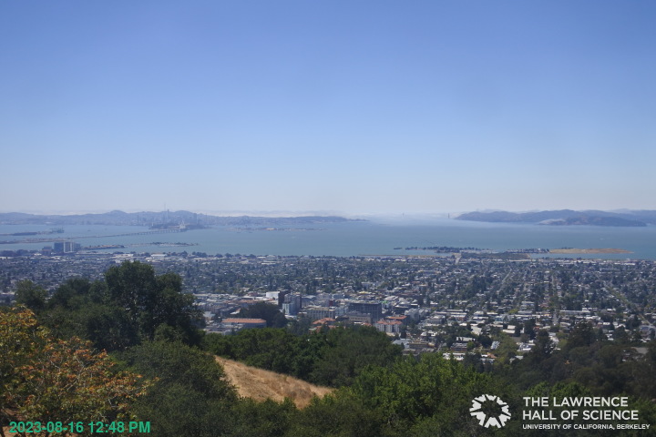
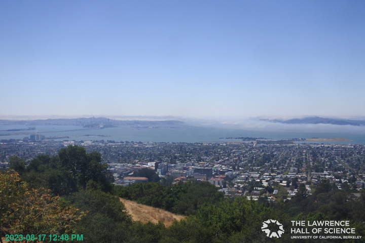
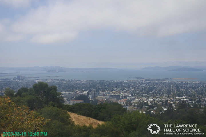
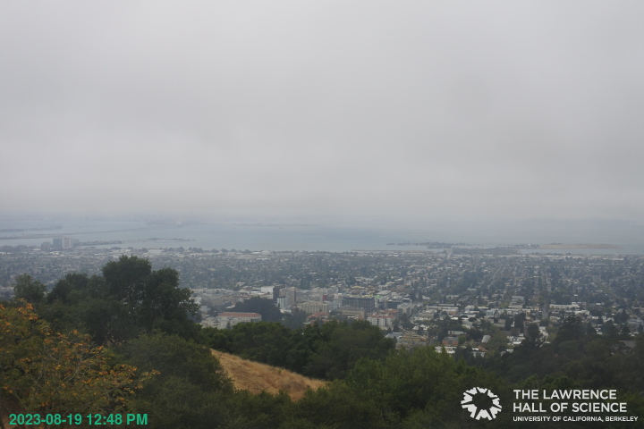
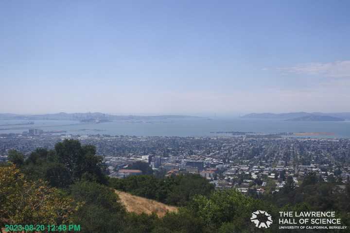
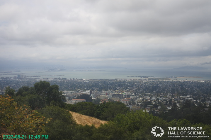
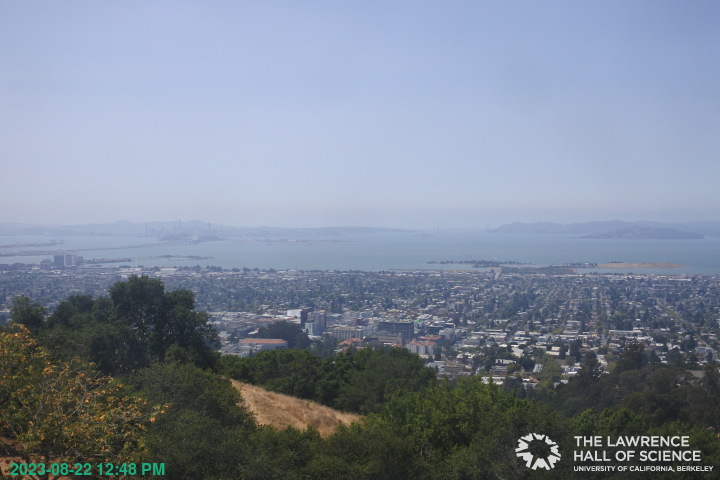
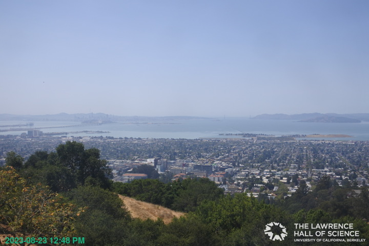
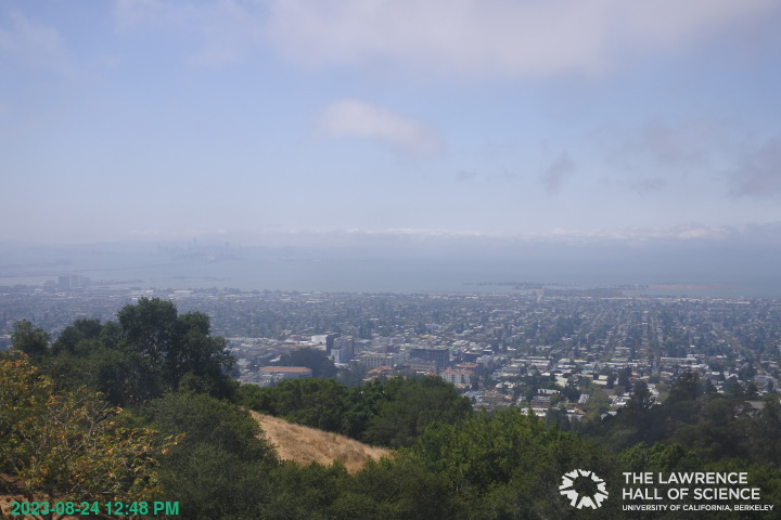
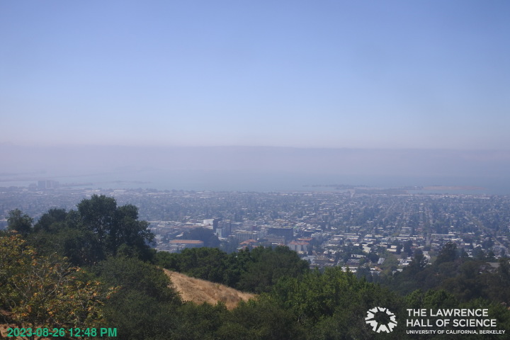
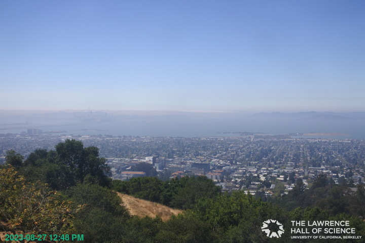
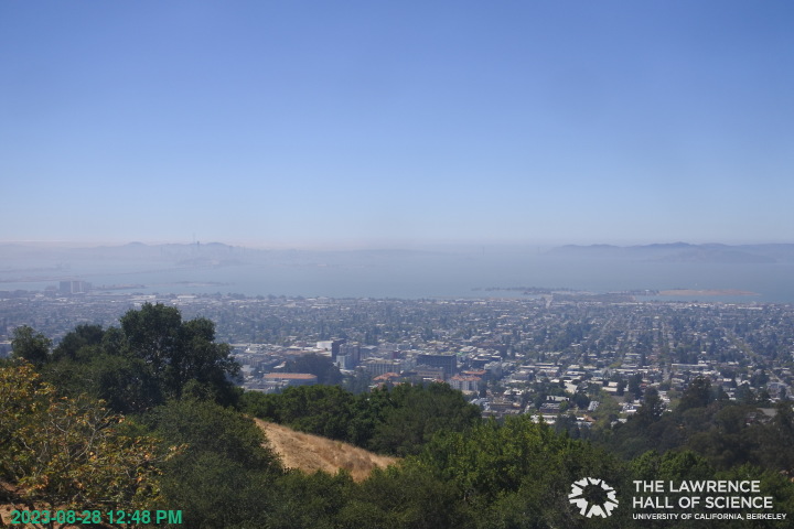
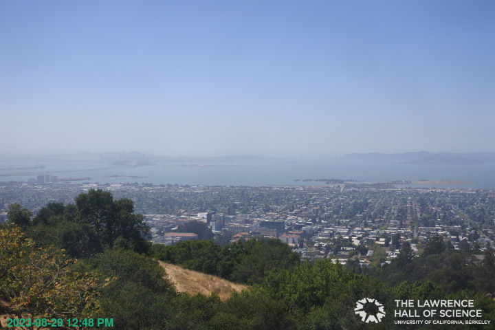
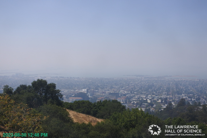
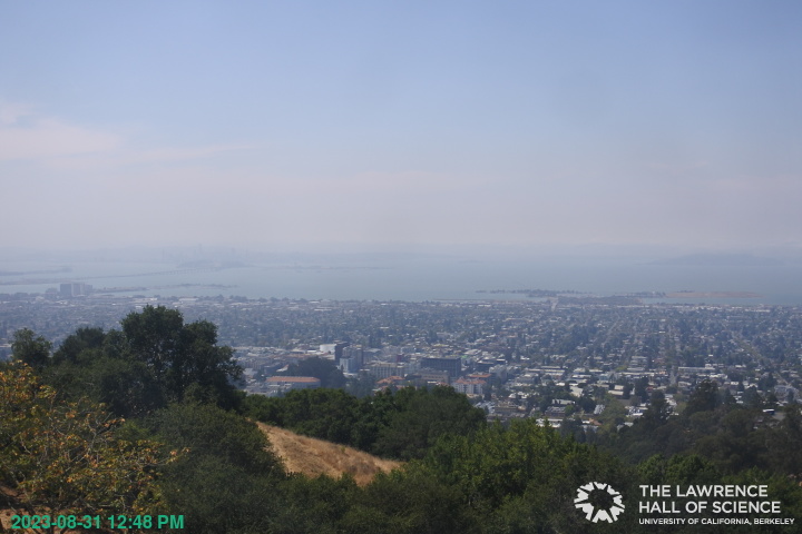
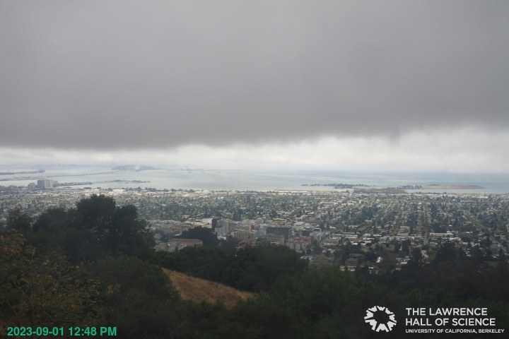
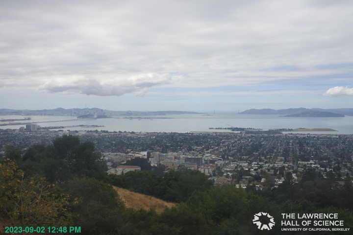
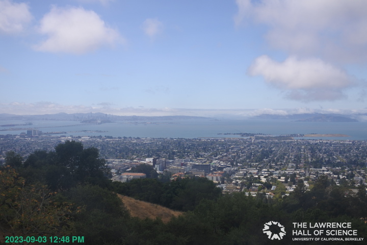
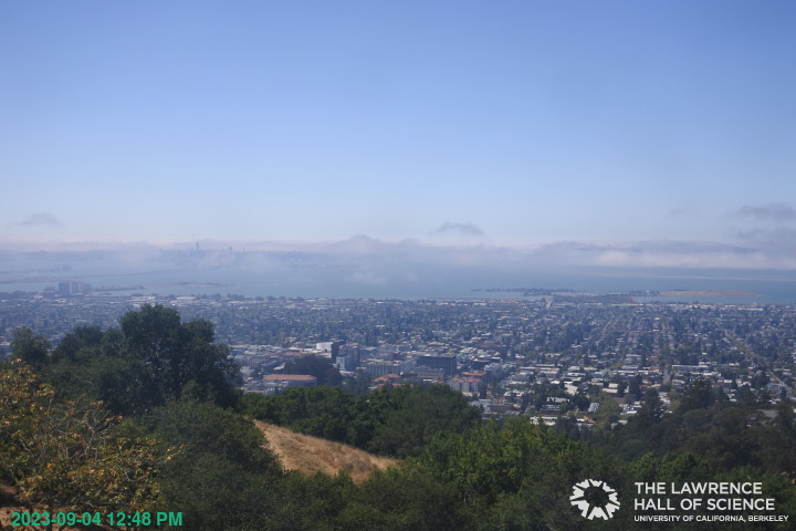
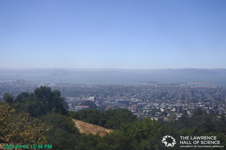
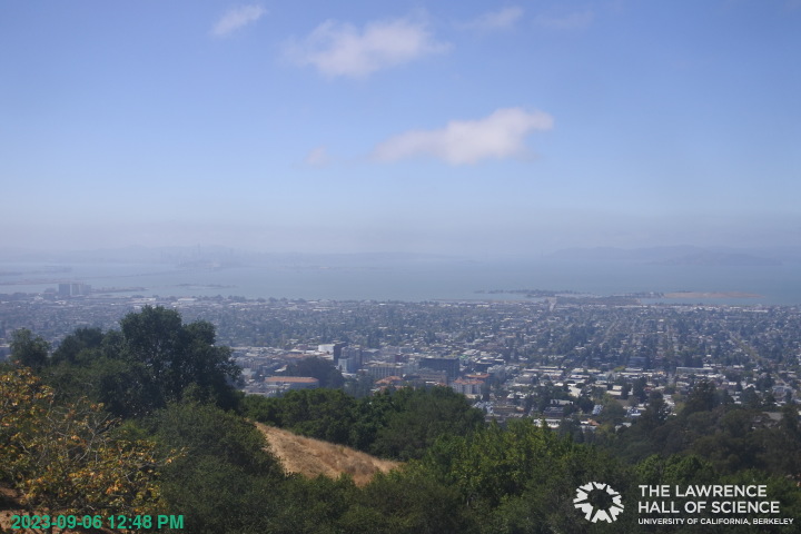
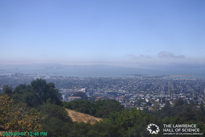
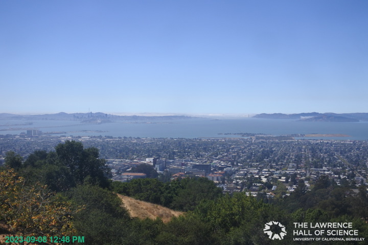
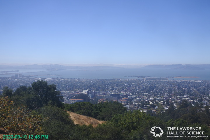
Berkeley, California, USA - 138.9 miles from Mount Vernon (historical): View over Berkeley - A great panorama view of Berkeley and the San Francisco Bay Area from the Lawrence Hall of Science, UC Berkeley.
Operator: UC Berkeley
Operator: UC Berkeley


Some other places in this country: Point Dume Mobile Home Park - Seminole Springs Trailer Park - Centerville (historical) - Middle Waters (historical) - Sierra Subdivision - Unionville (historical) - Verdi-Sierra Pines - Antelope (historical) - Jonata Park - Camanche Village