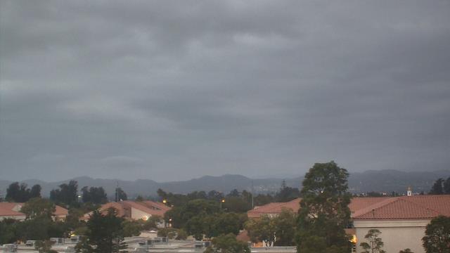
Webcams in the region of Jonata Park, California, USA
The List of Webcams near Jonata Park, California, USA:

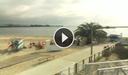
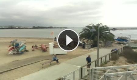
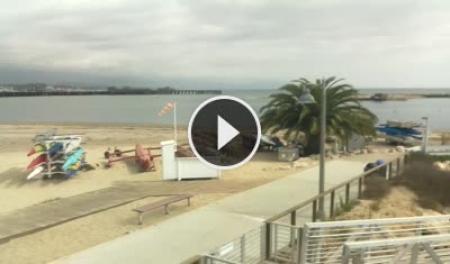
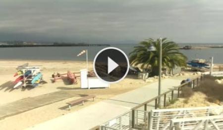
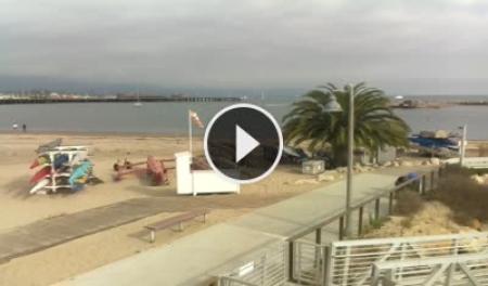
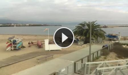
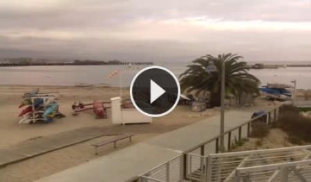
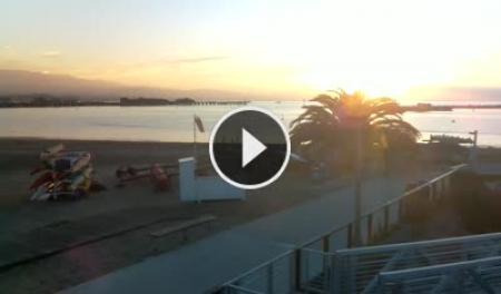
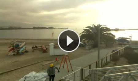
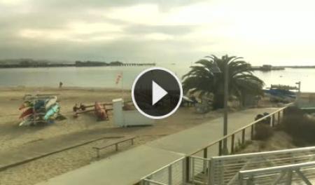
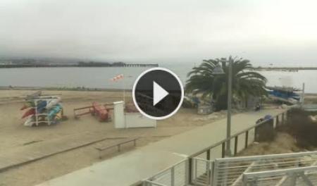
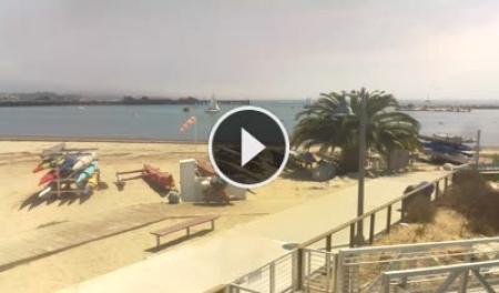
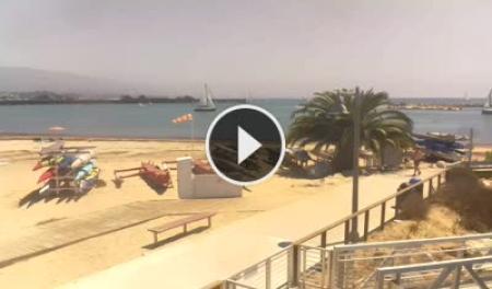
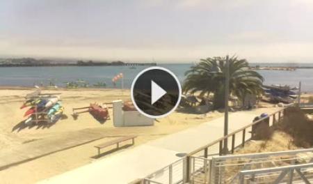
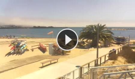
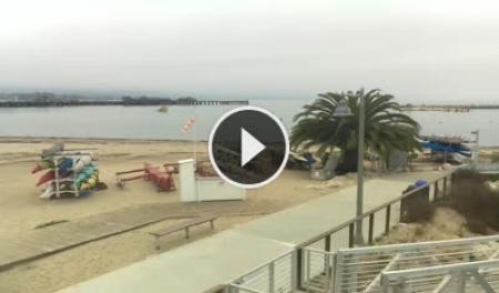
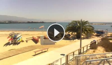
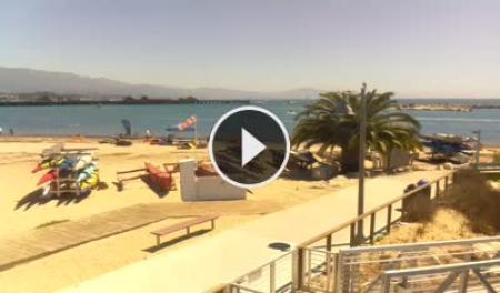
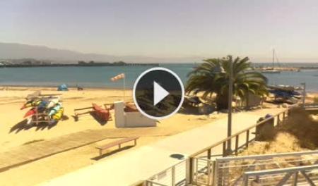
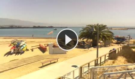
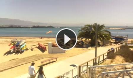
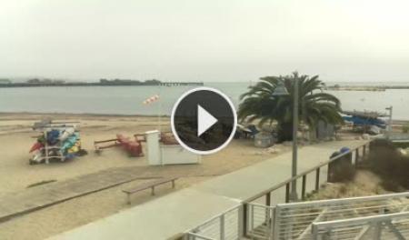
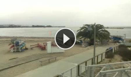
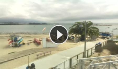
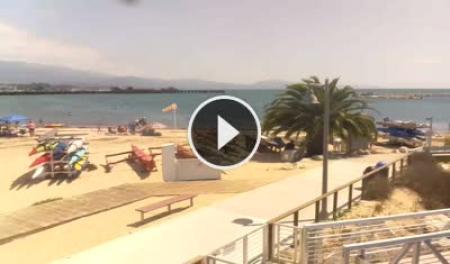
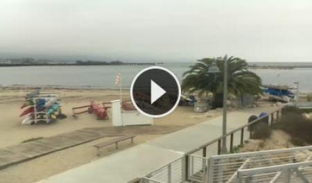
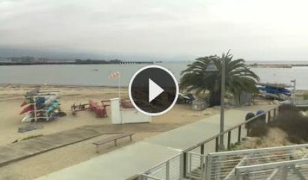
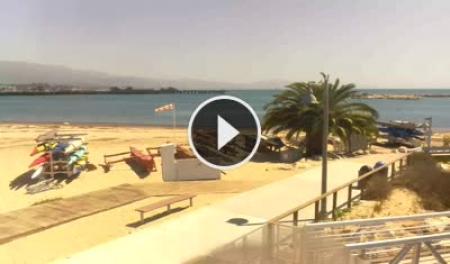
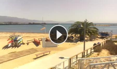
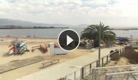
Santa Barbara, California, USA - 31.9 miles from Jonata Park: Santa Barbara Stearns Wharf - View of Santa Barbara's Stearns Wharf, beach and harbor entrance from SEA Landing.
Operator: Skyline Webcams
Operator: Skyline Webcams


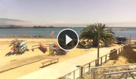
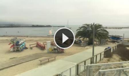
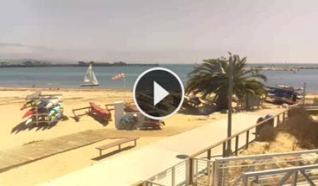
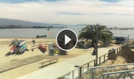
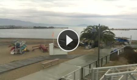
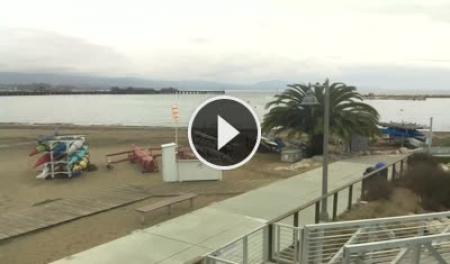
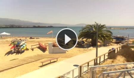
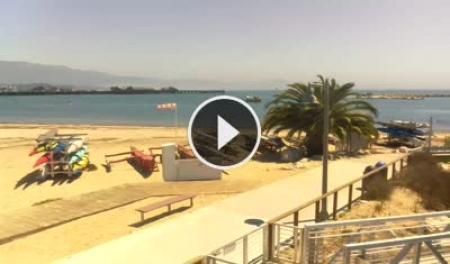


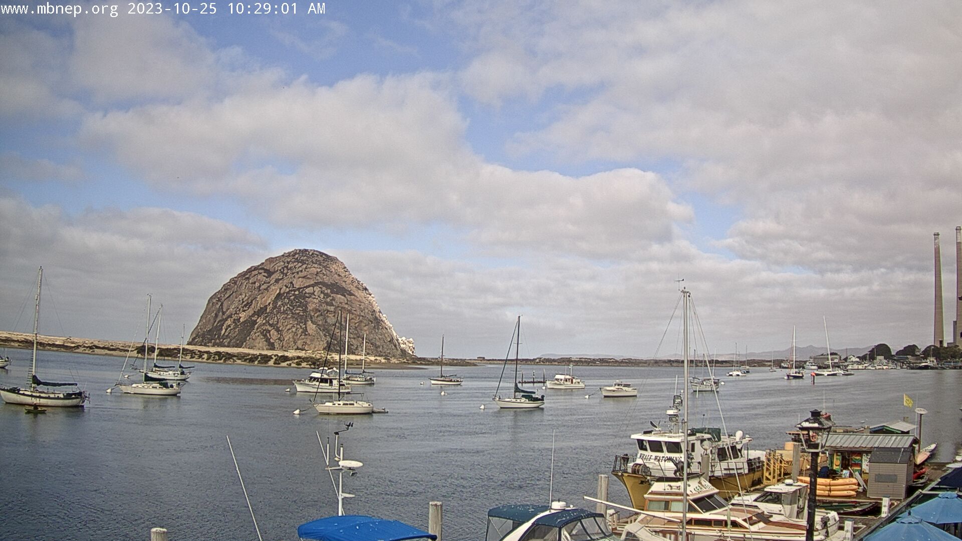
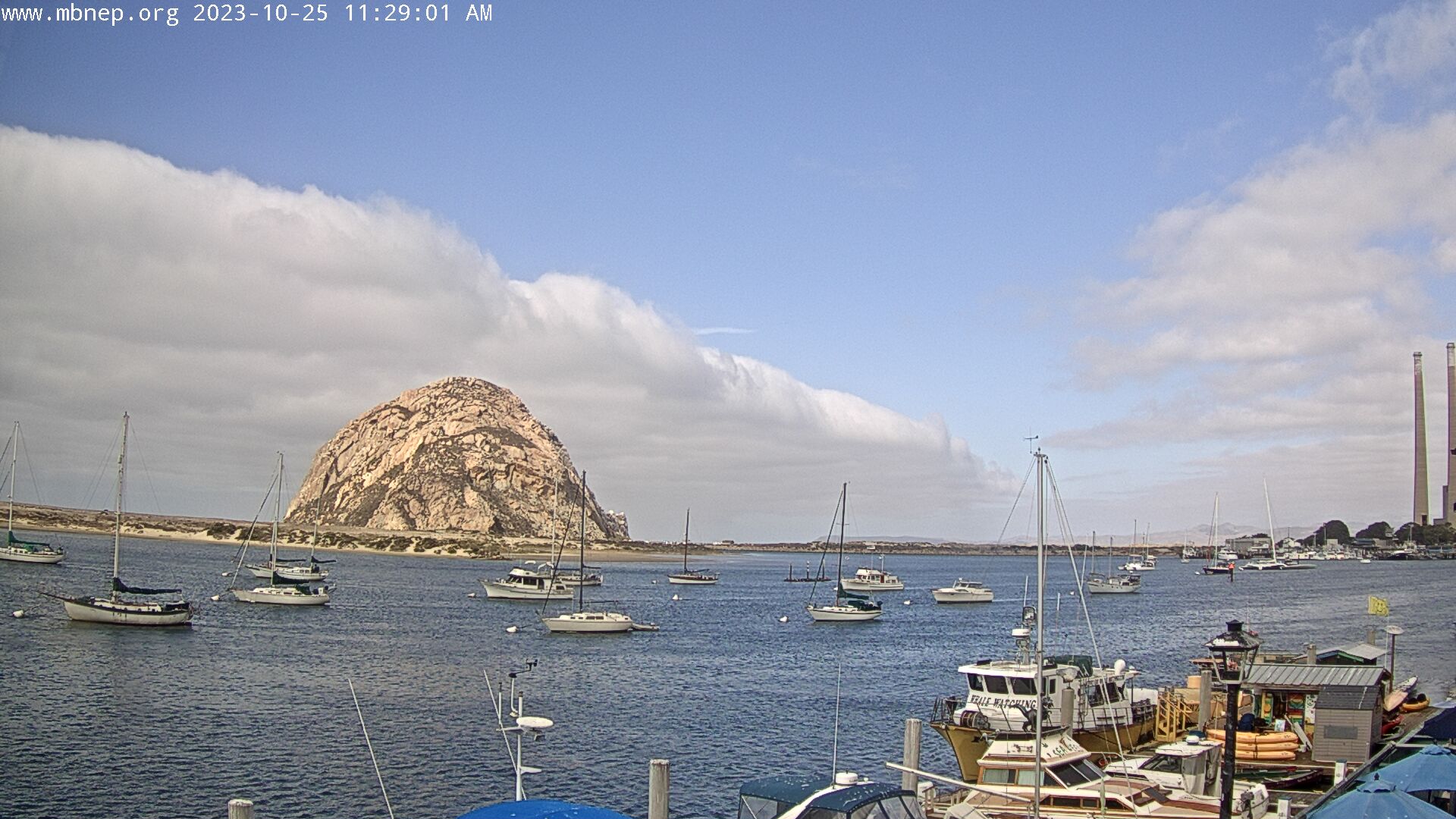
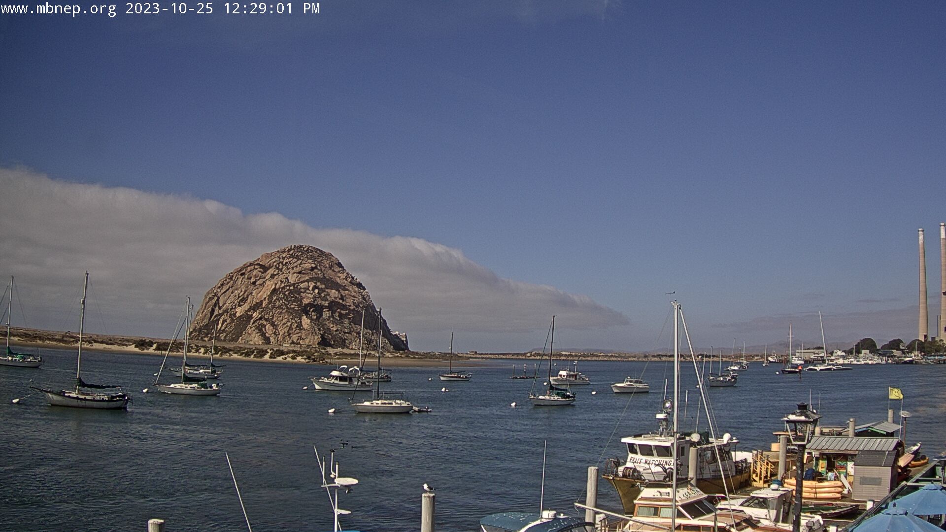
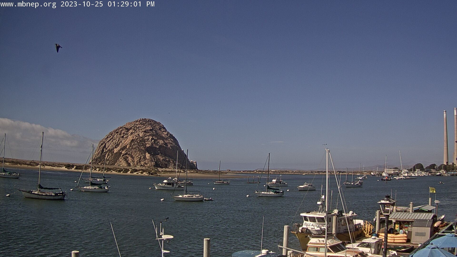
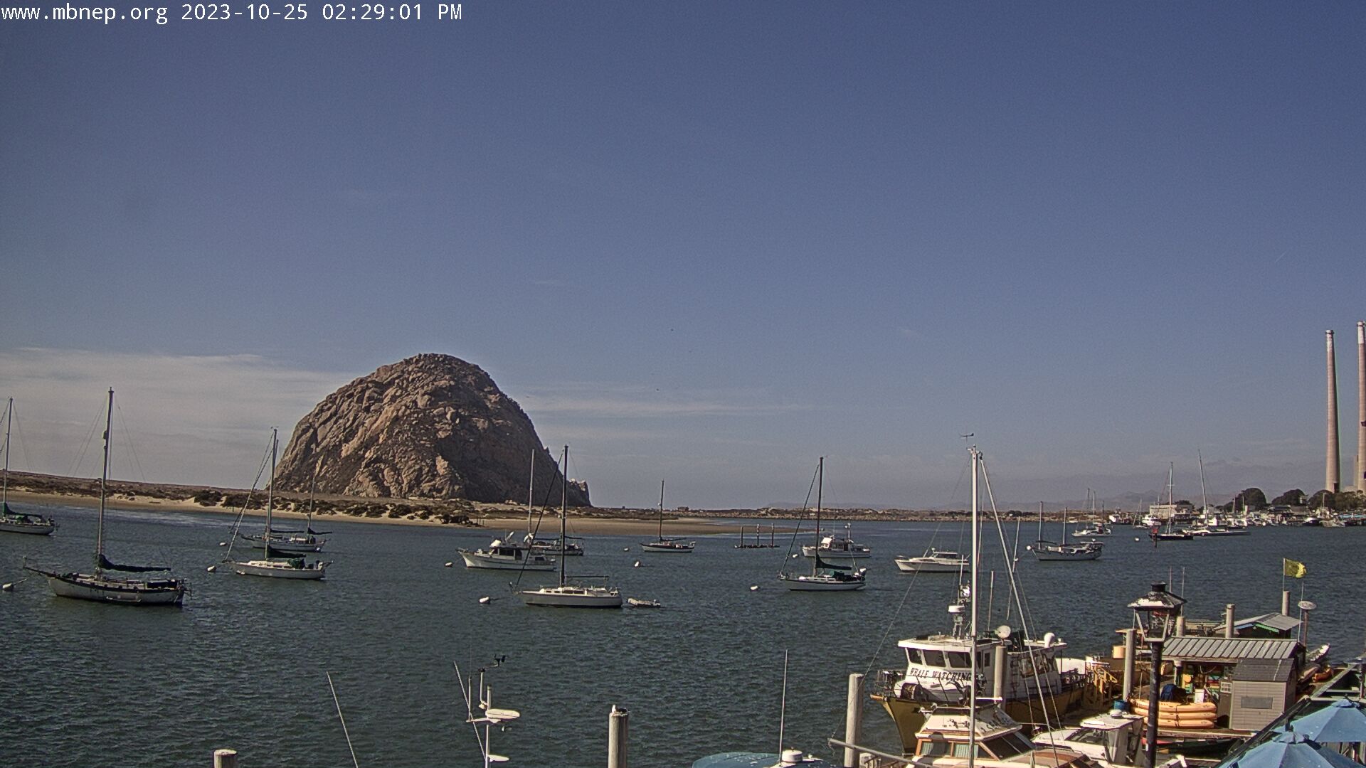
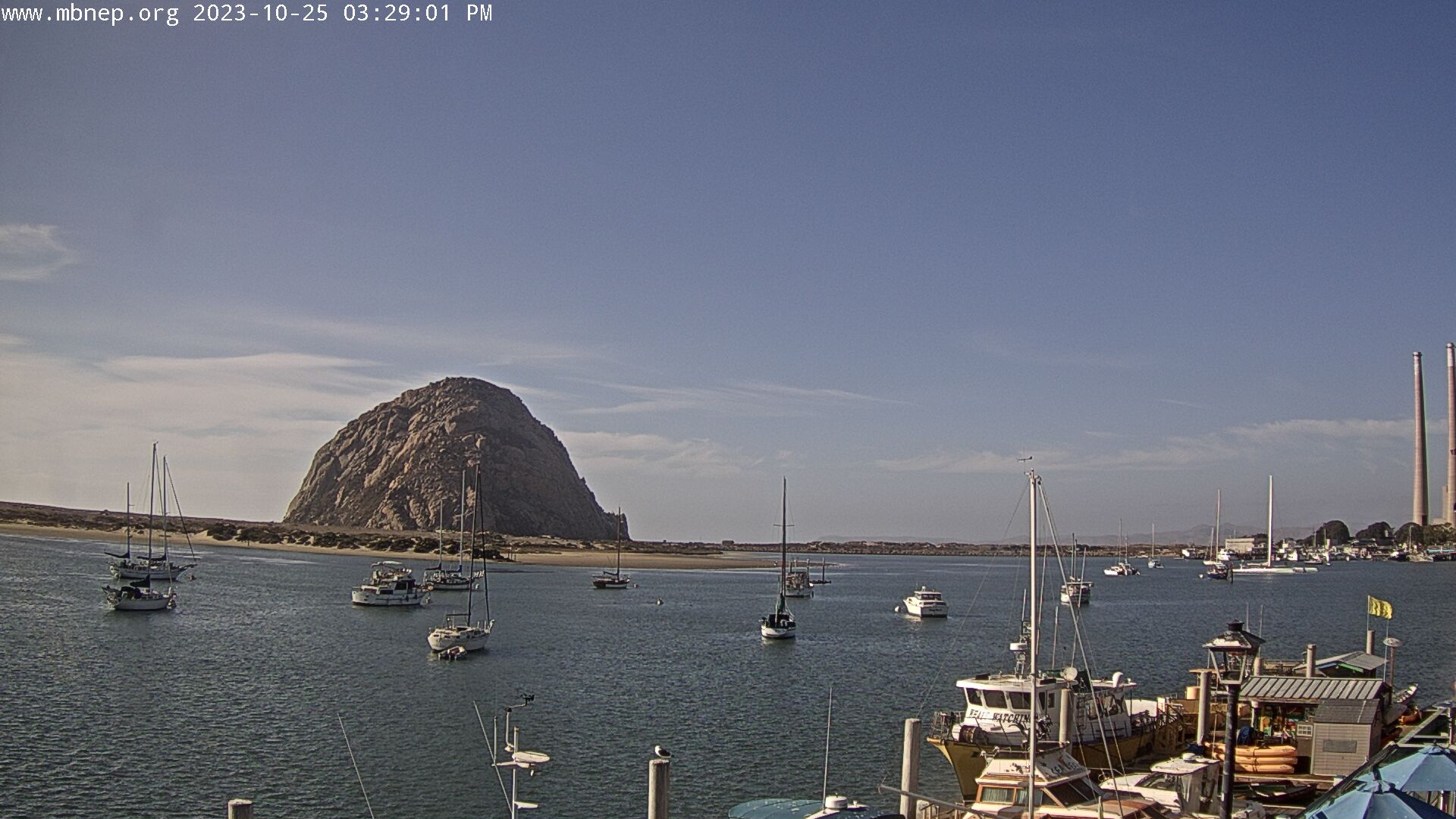
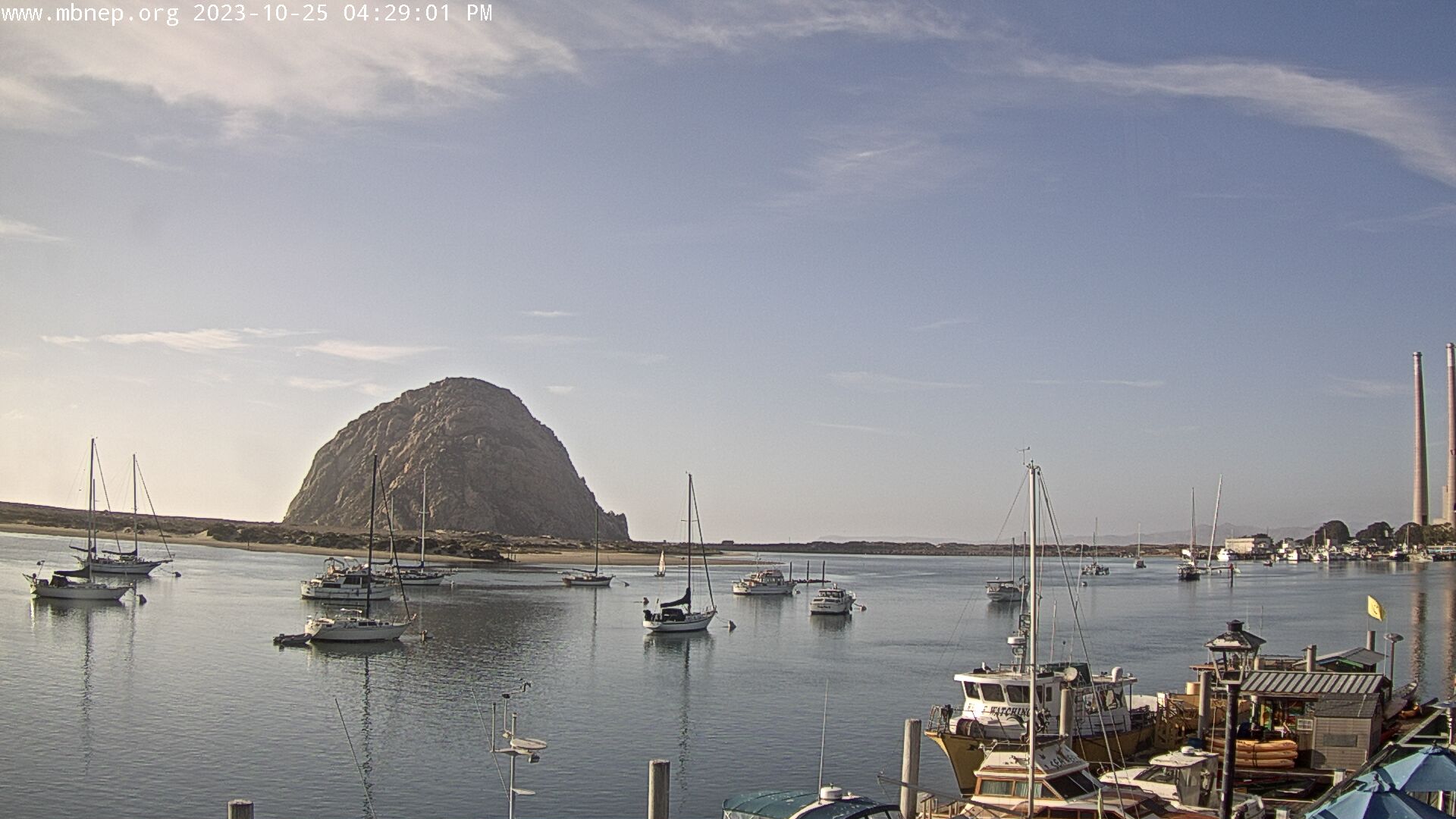
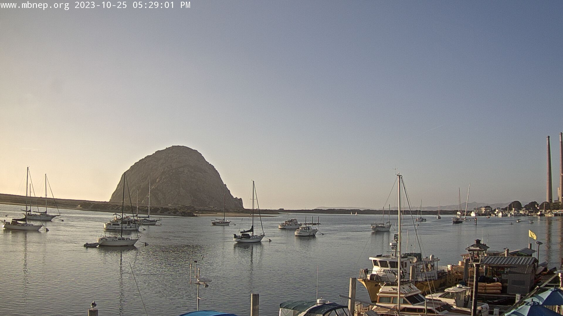
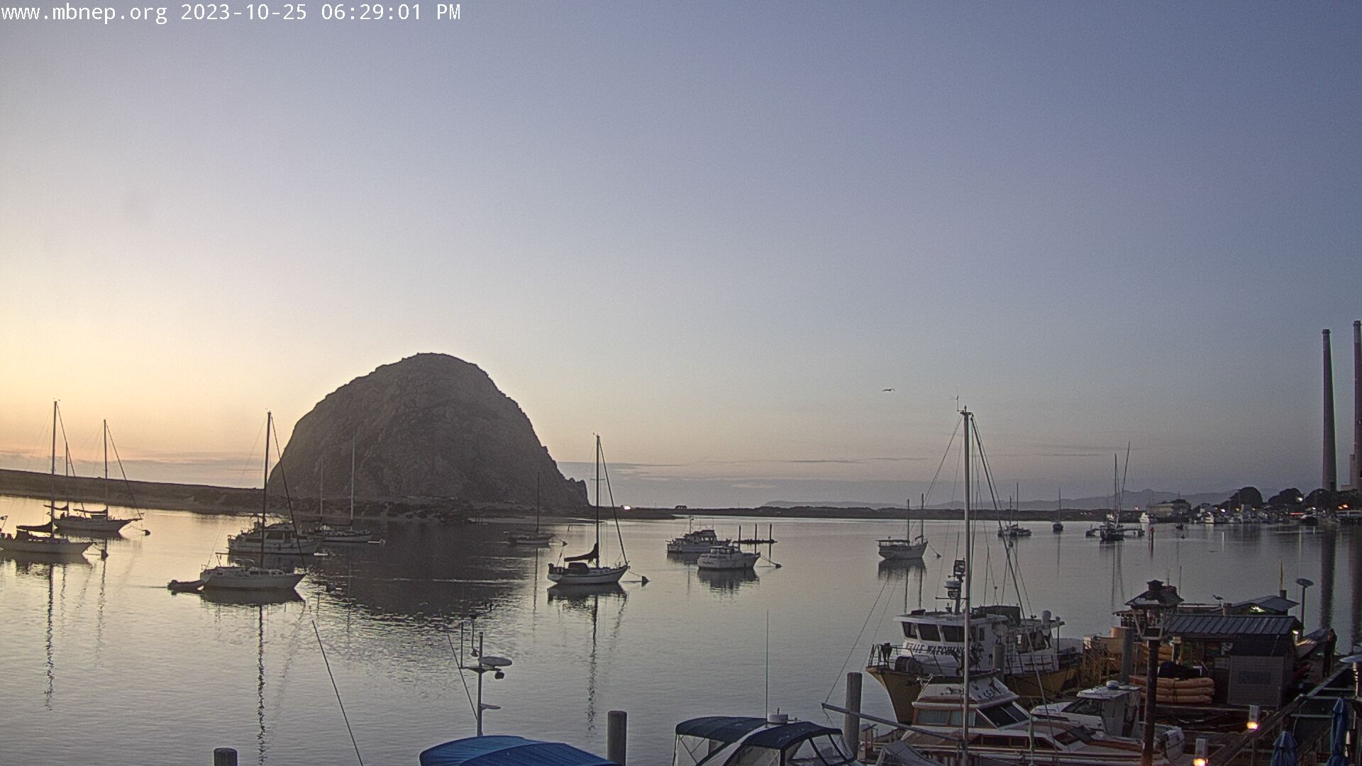
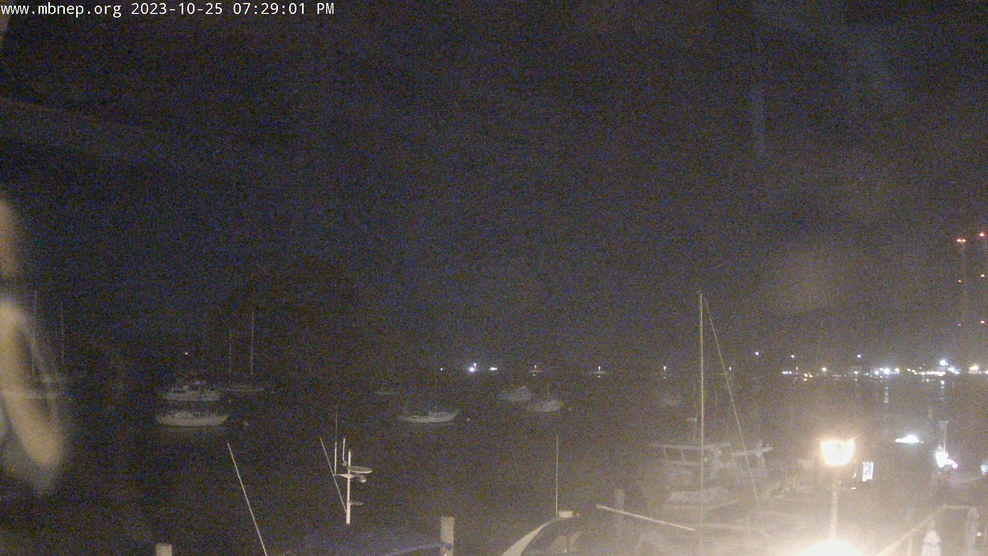
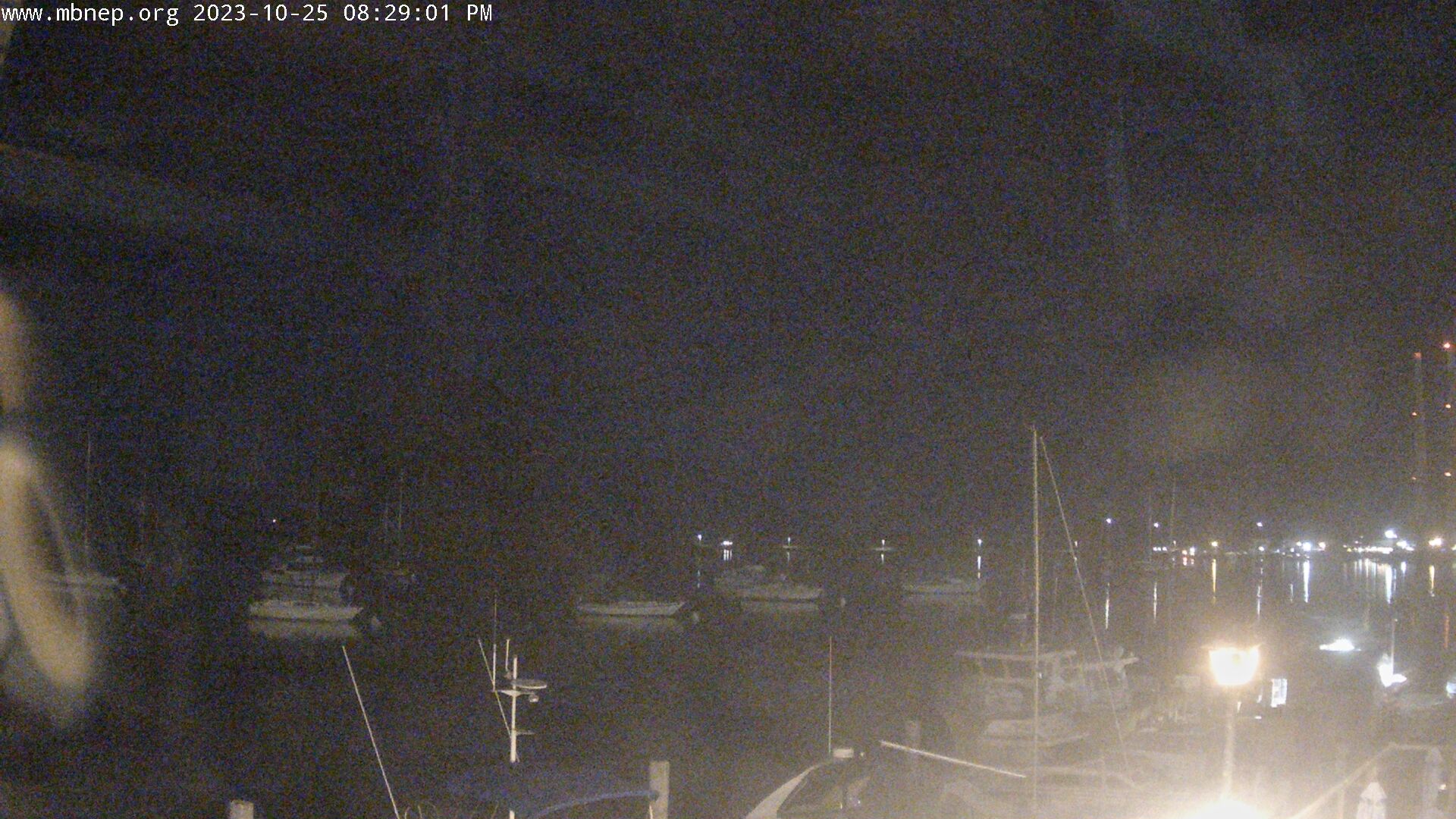
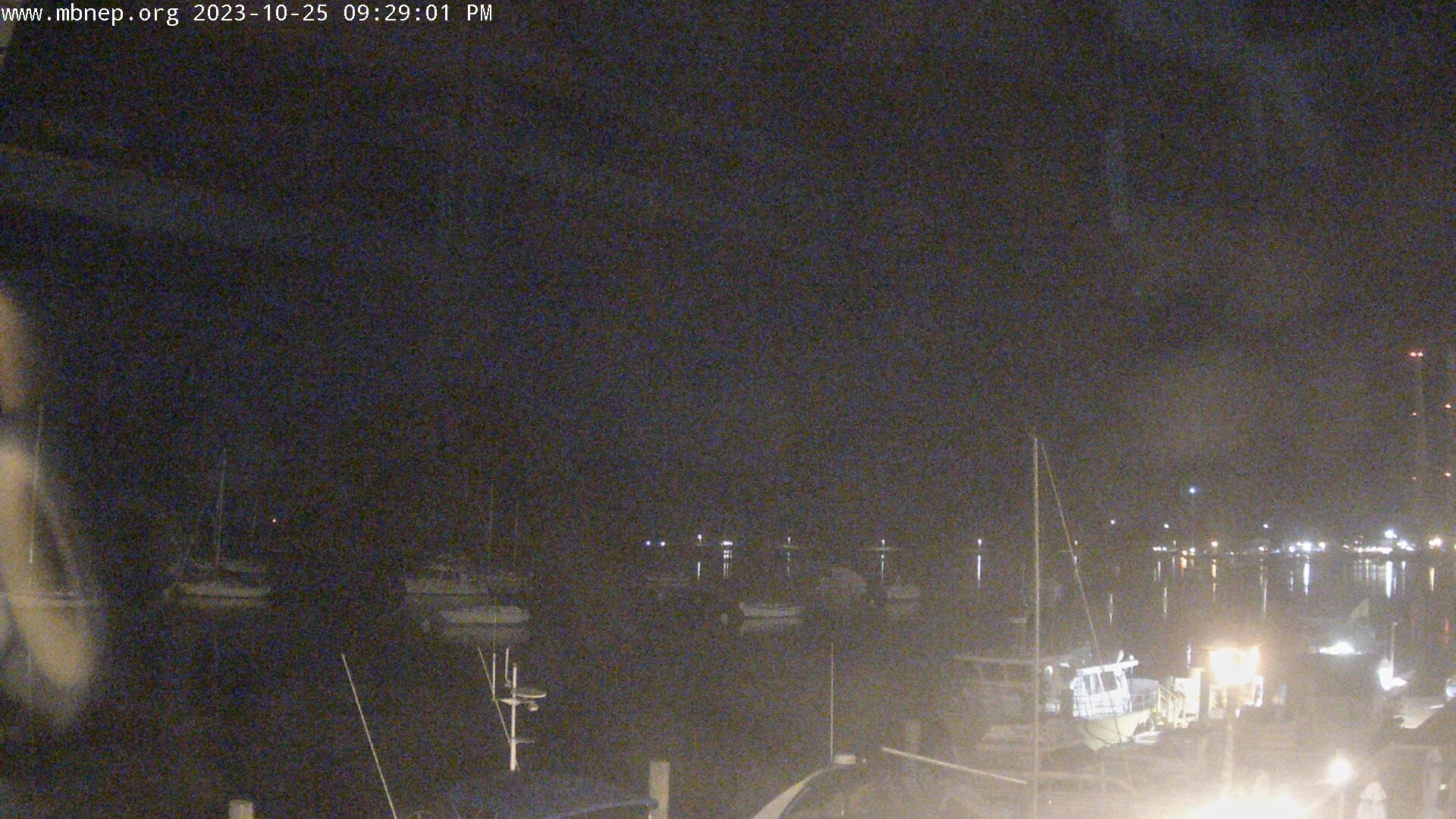
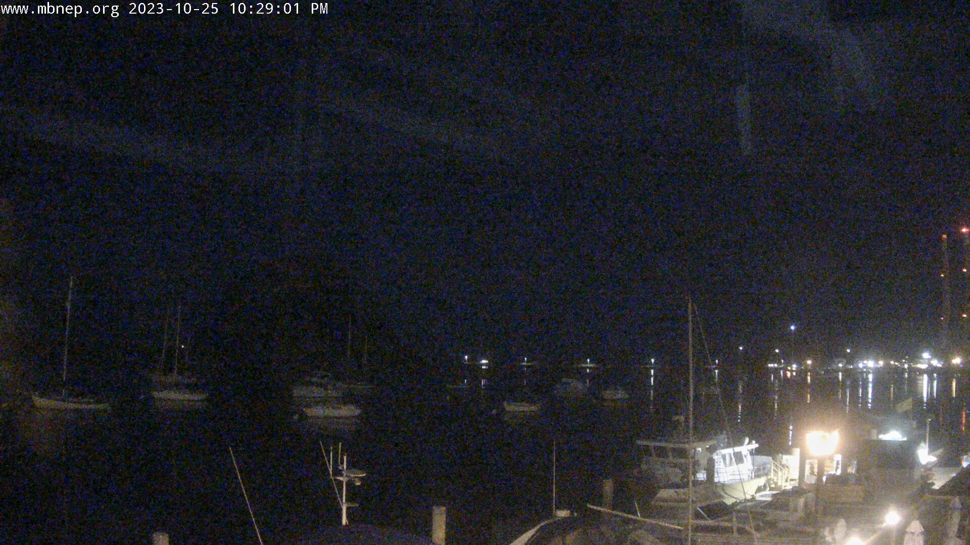
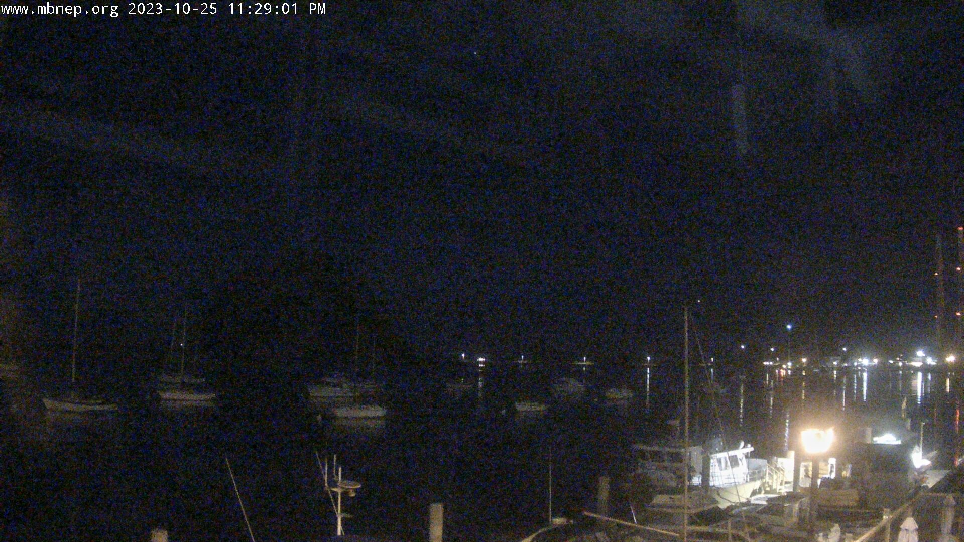
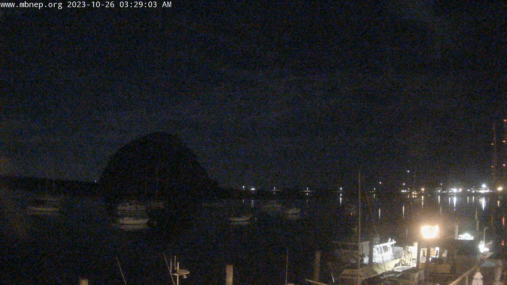
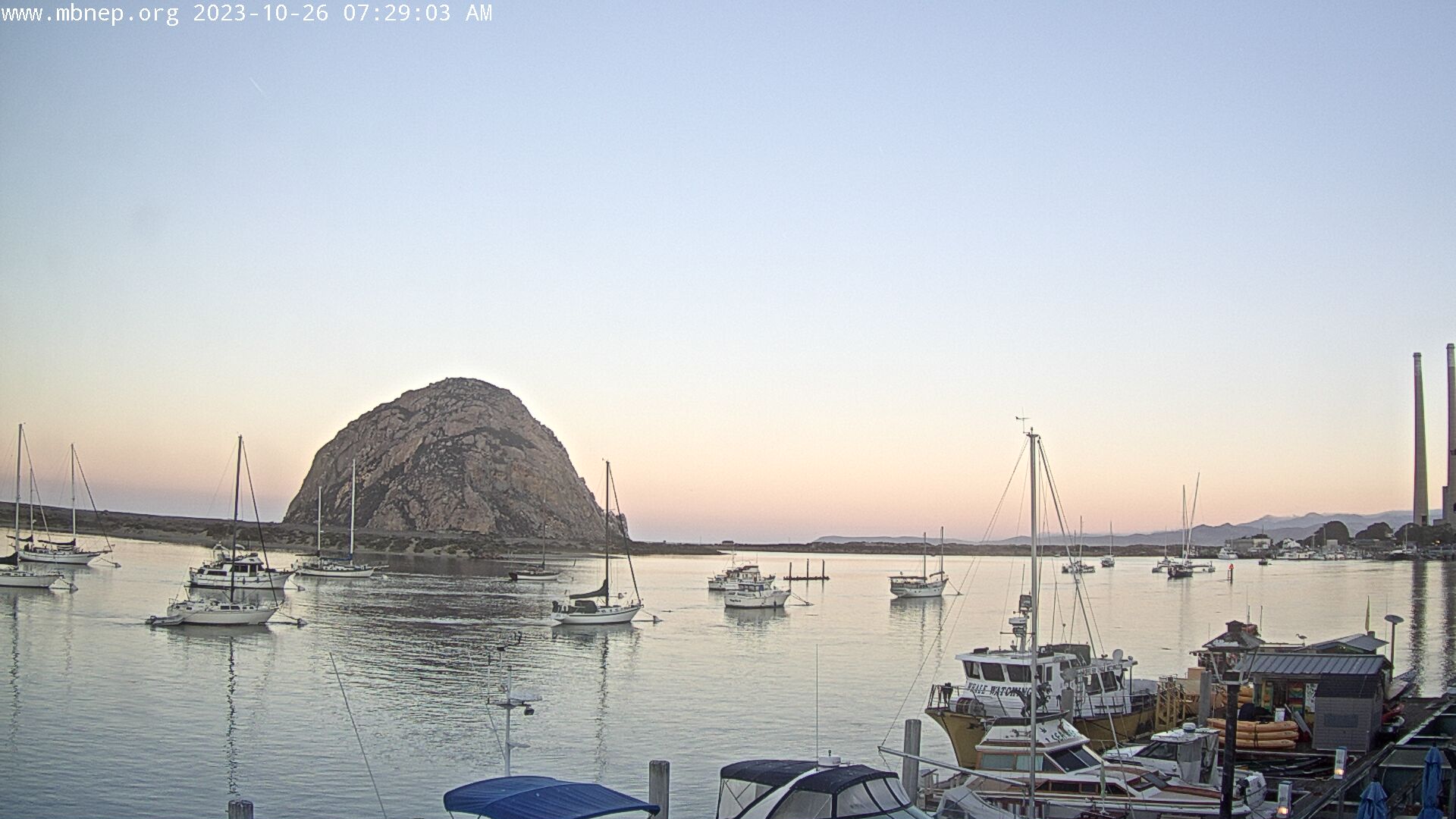
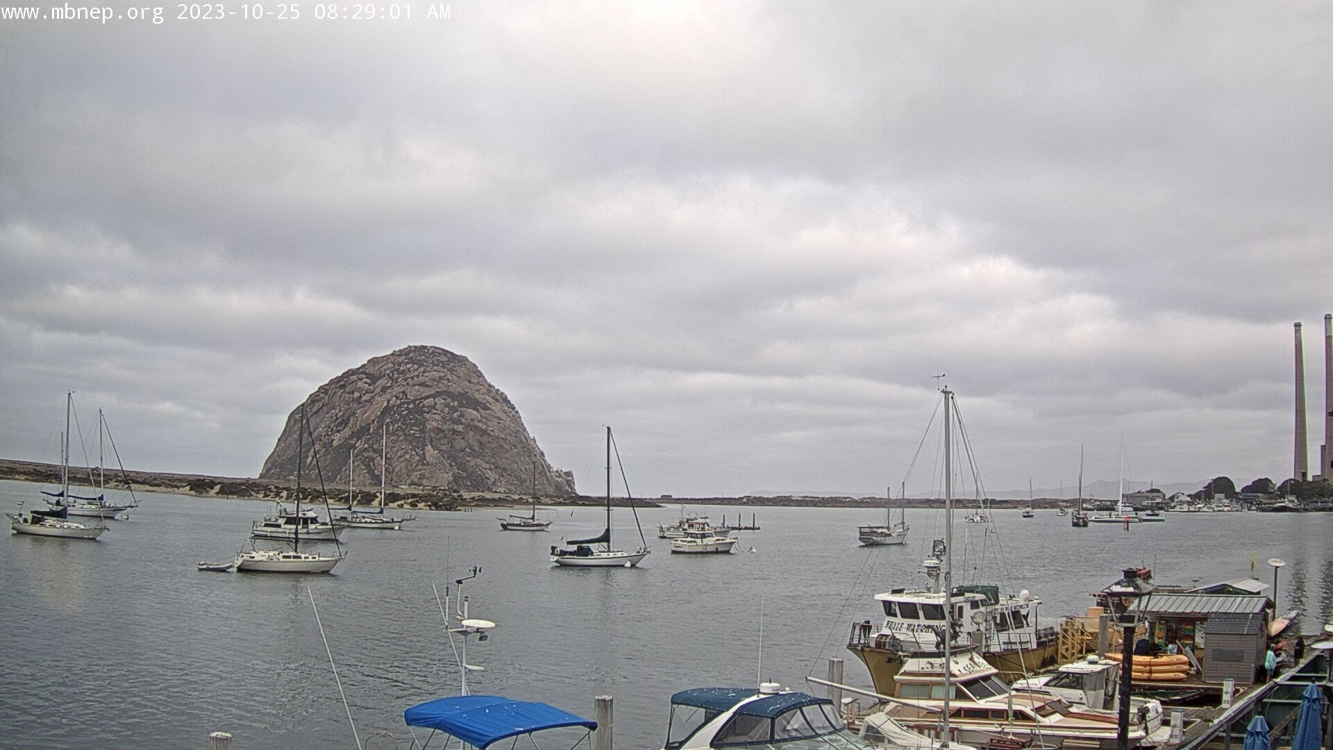
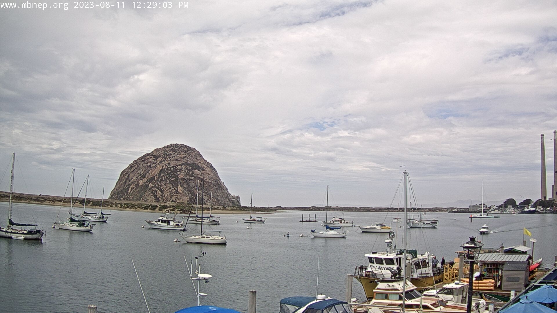
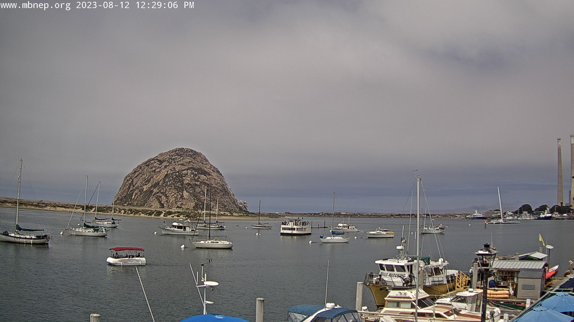
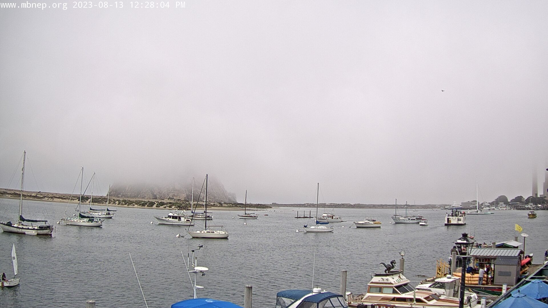
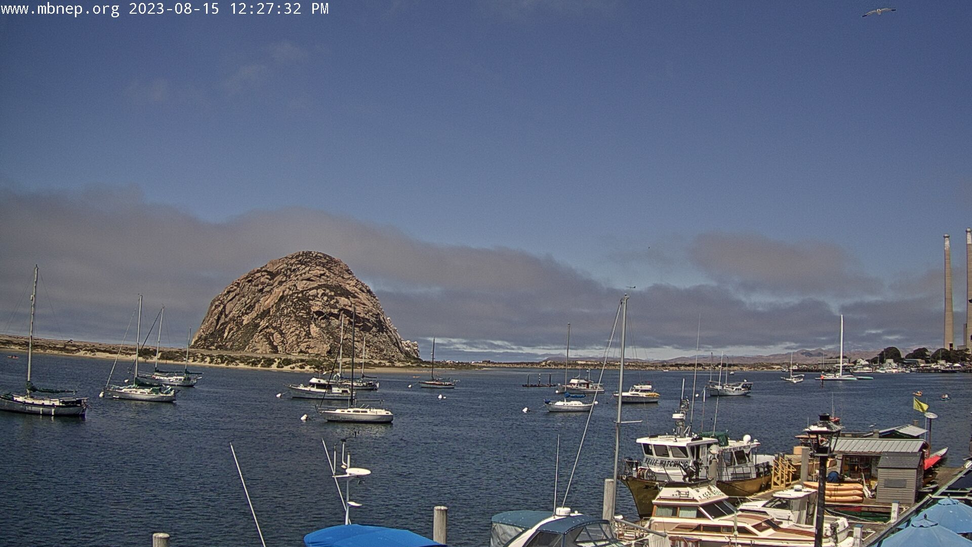
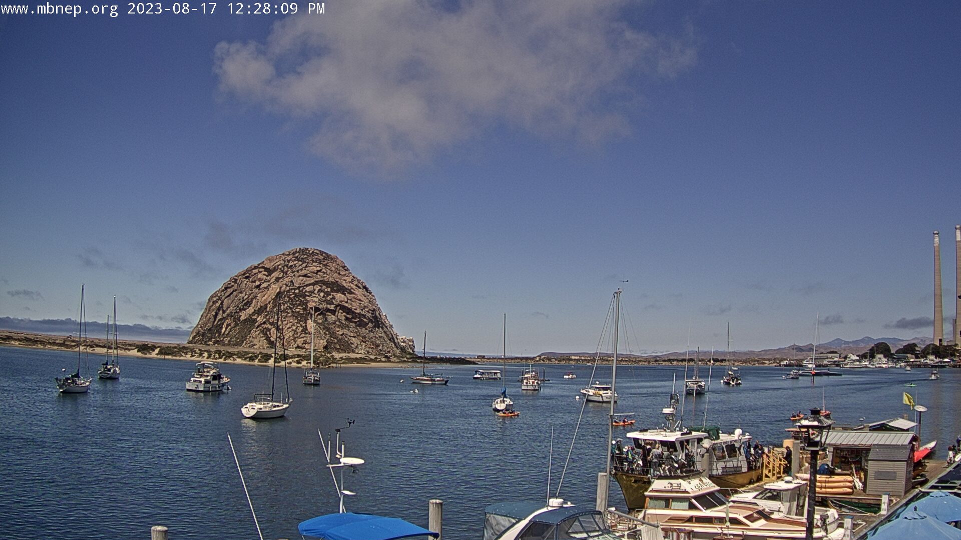
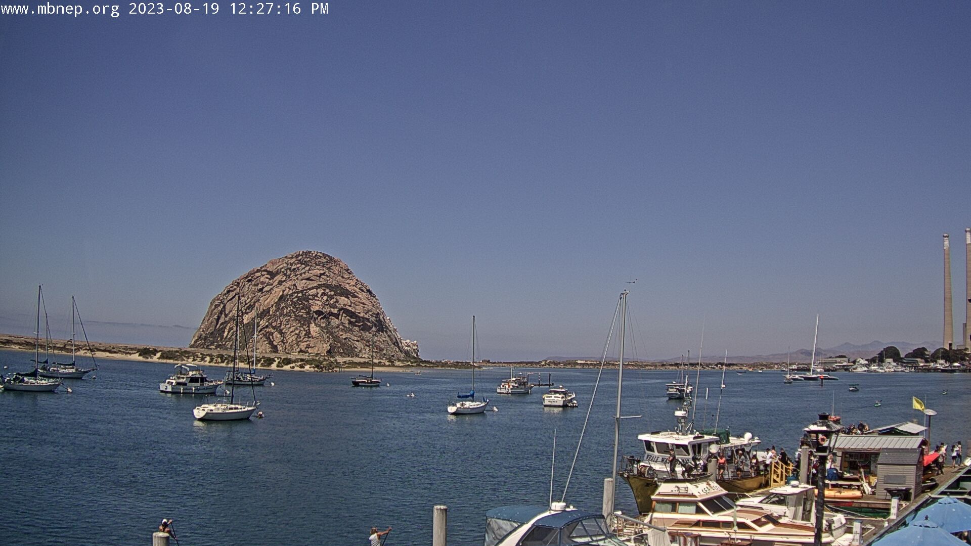
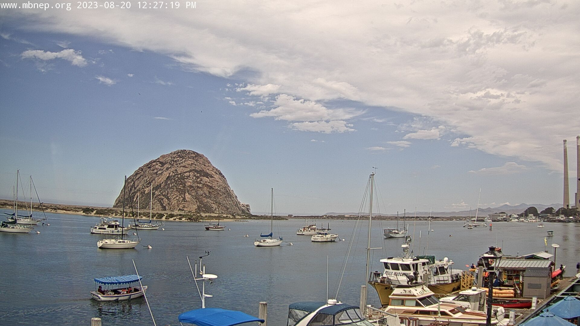
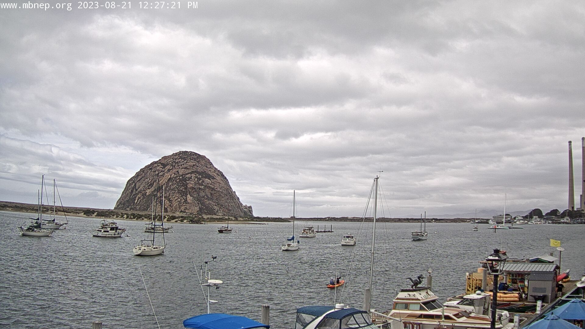
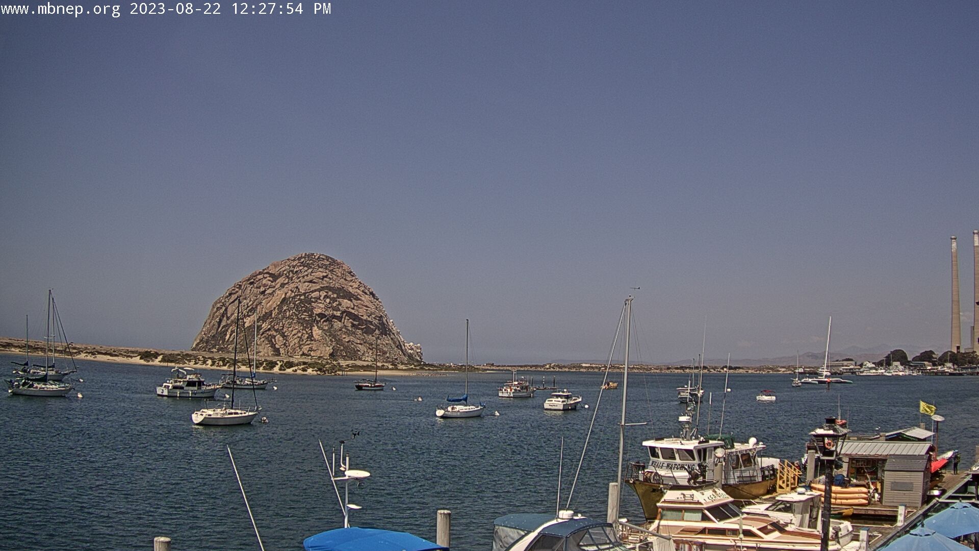
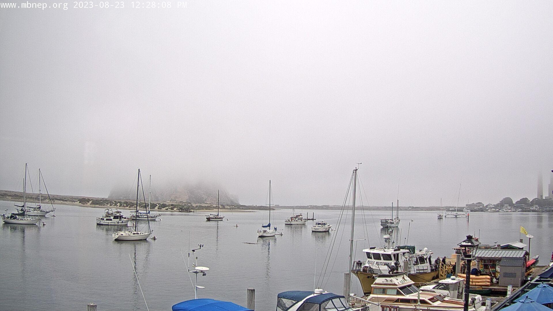
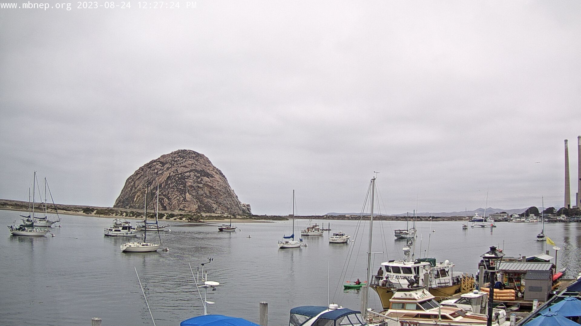
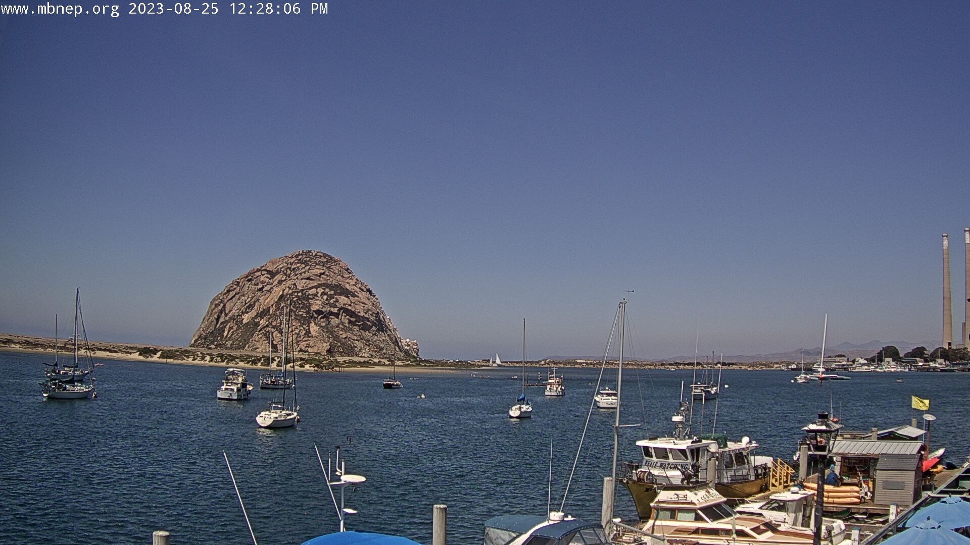
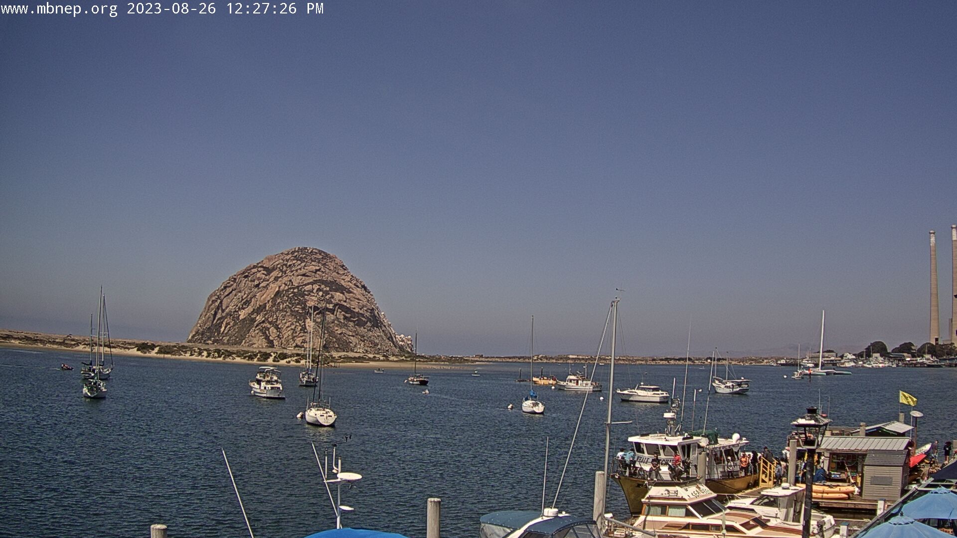
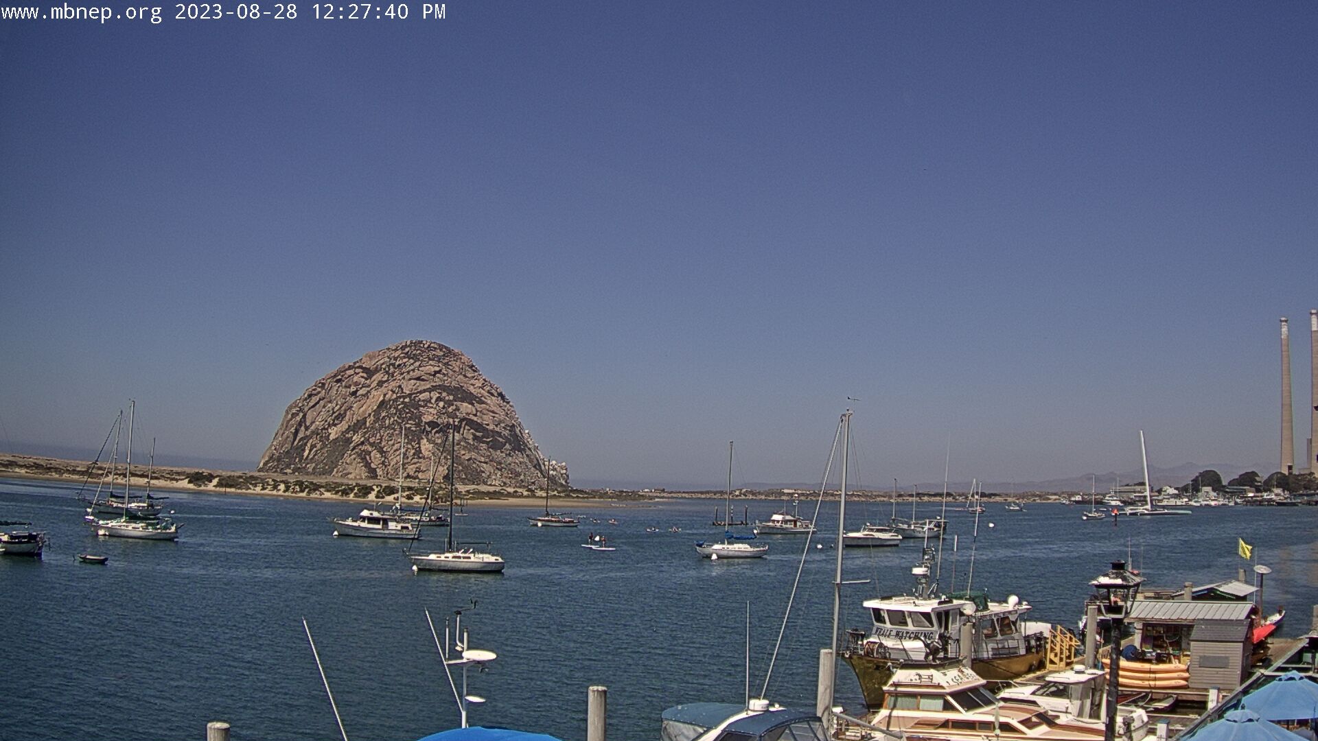
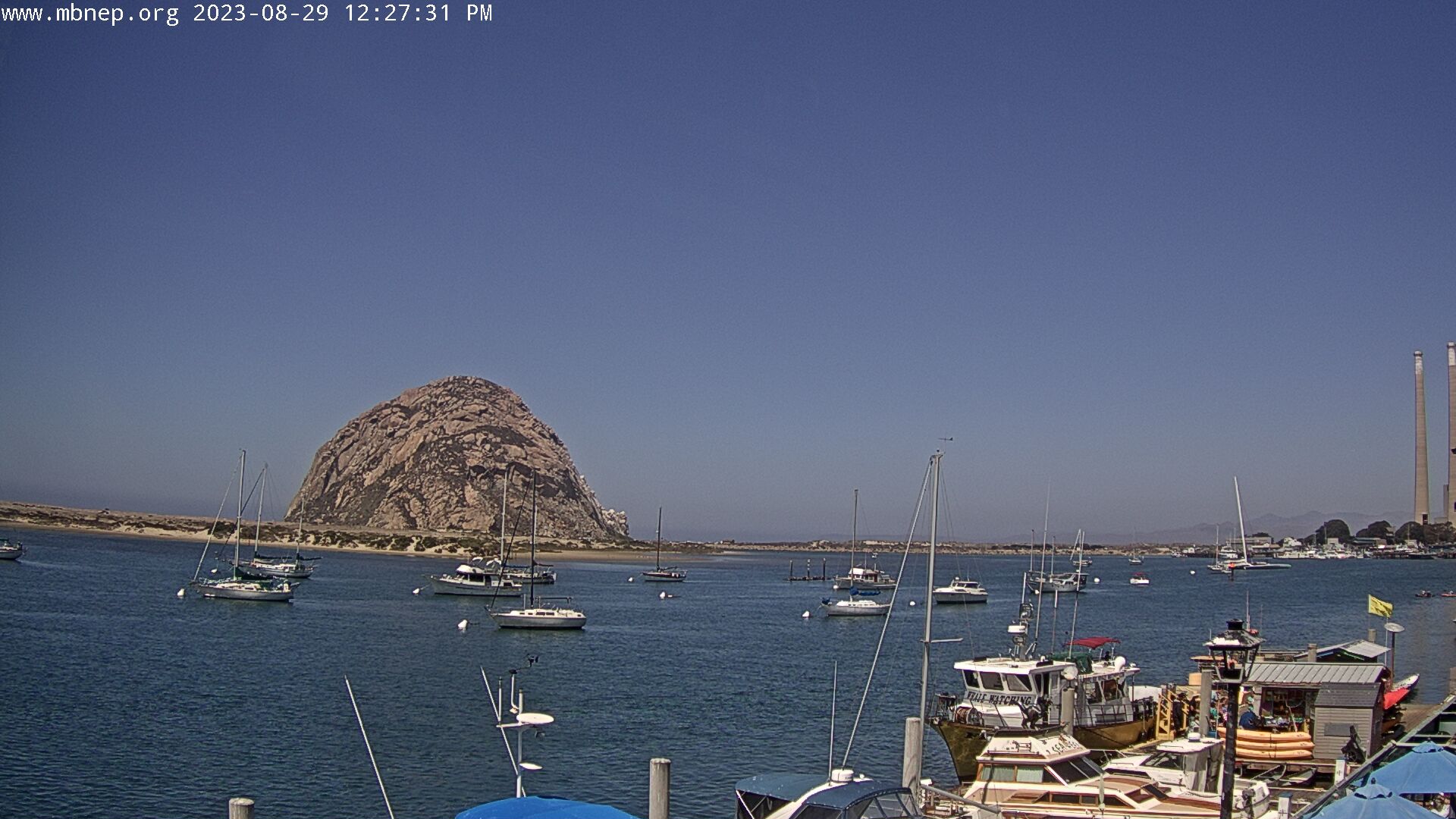
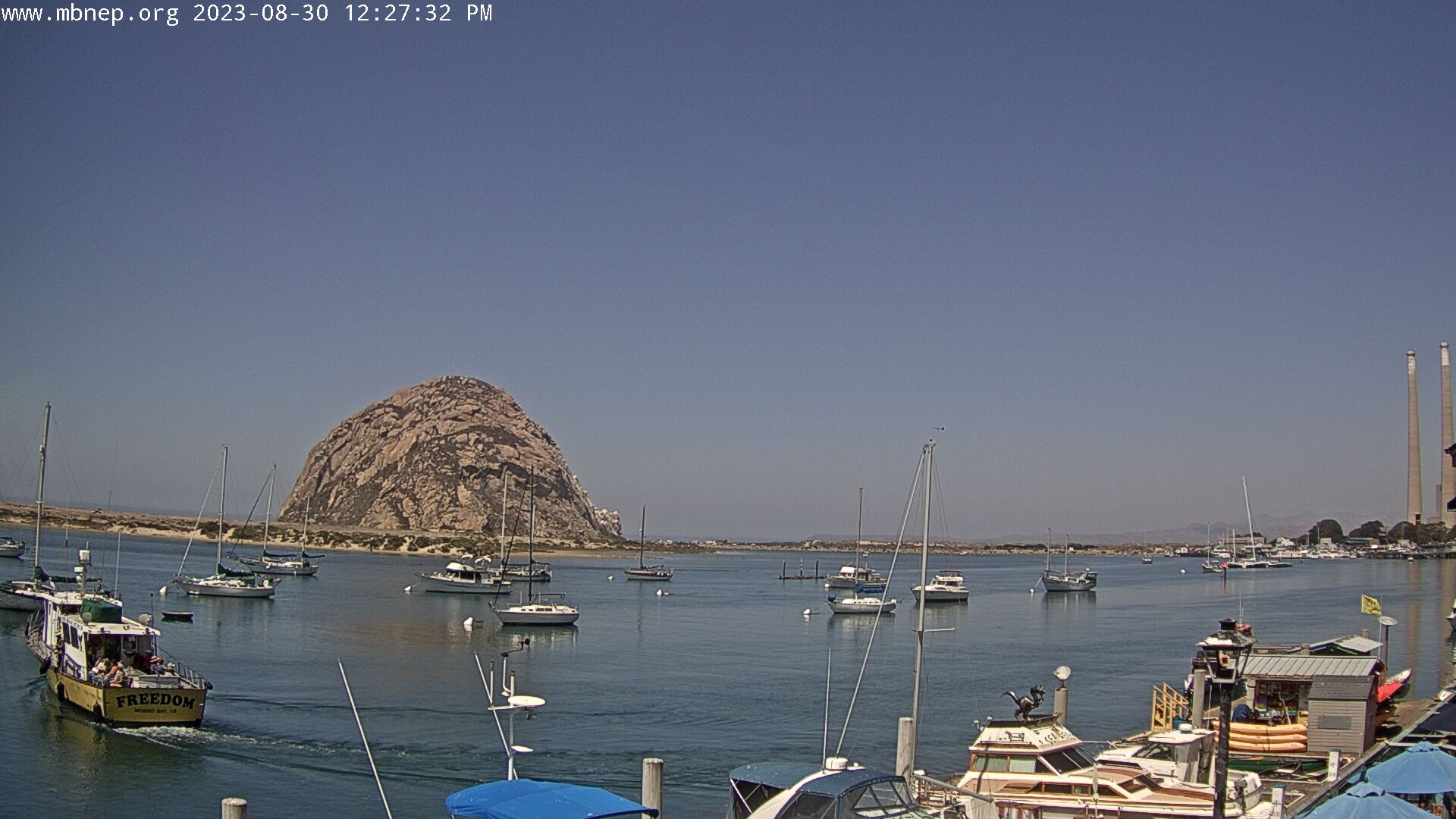
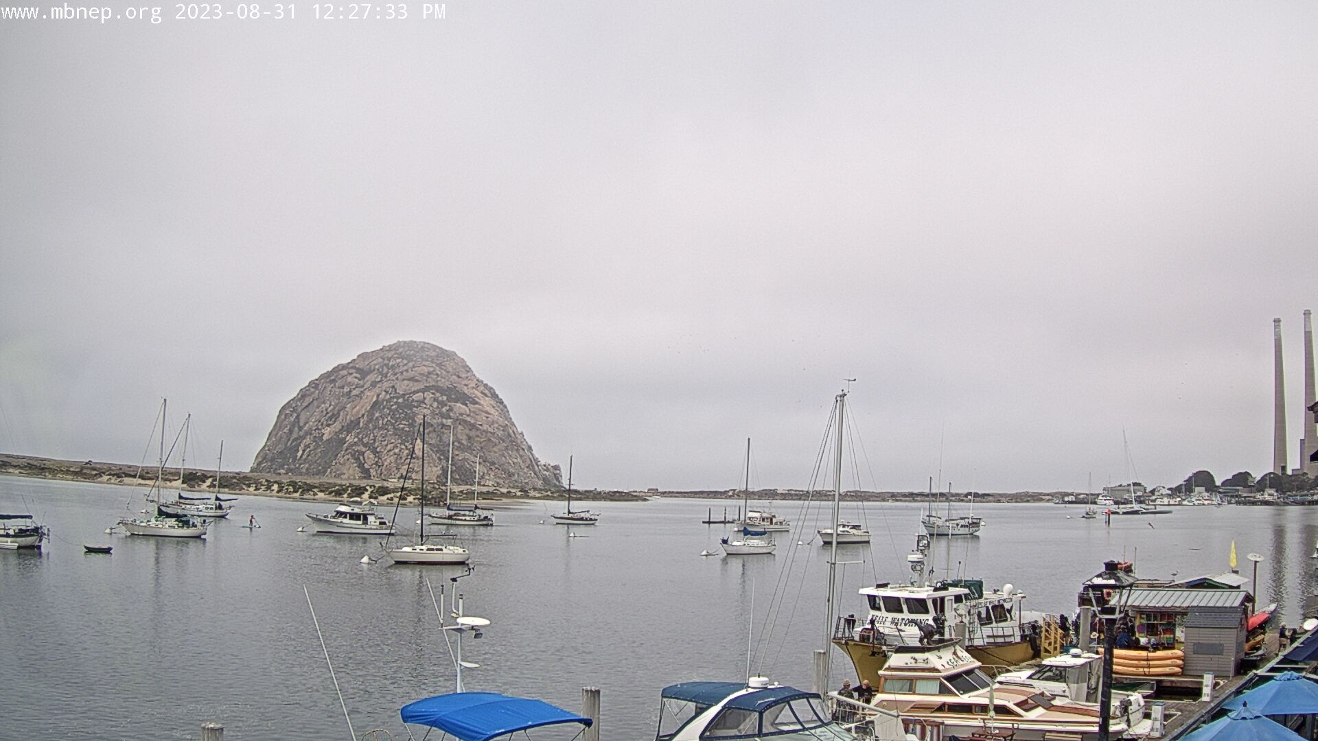
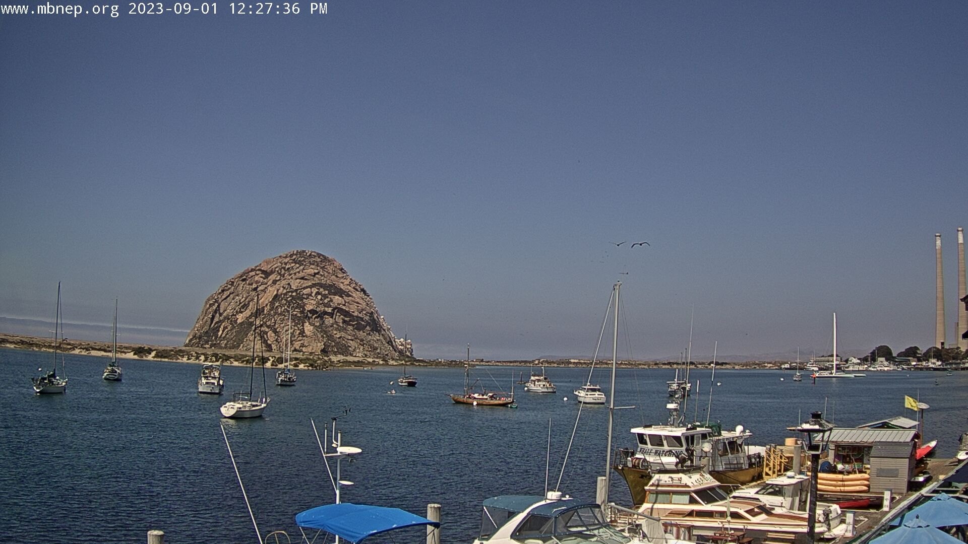
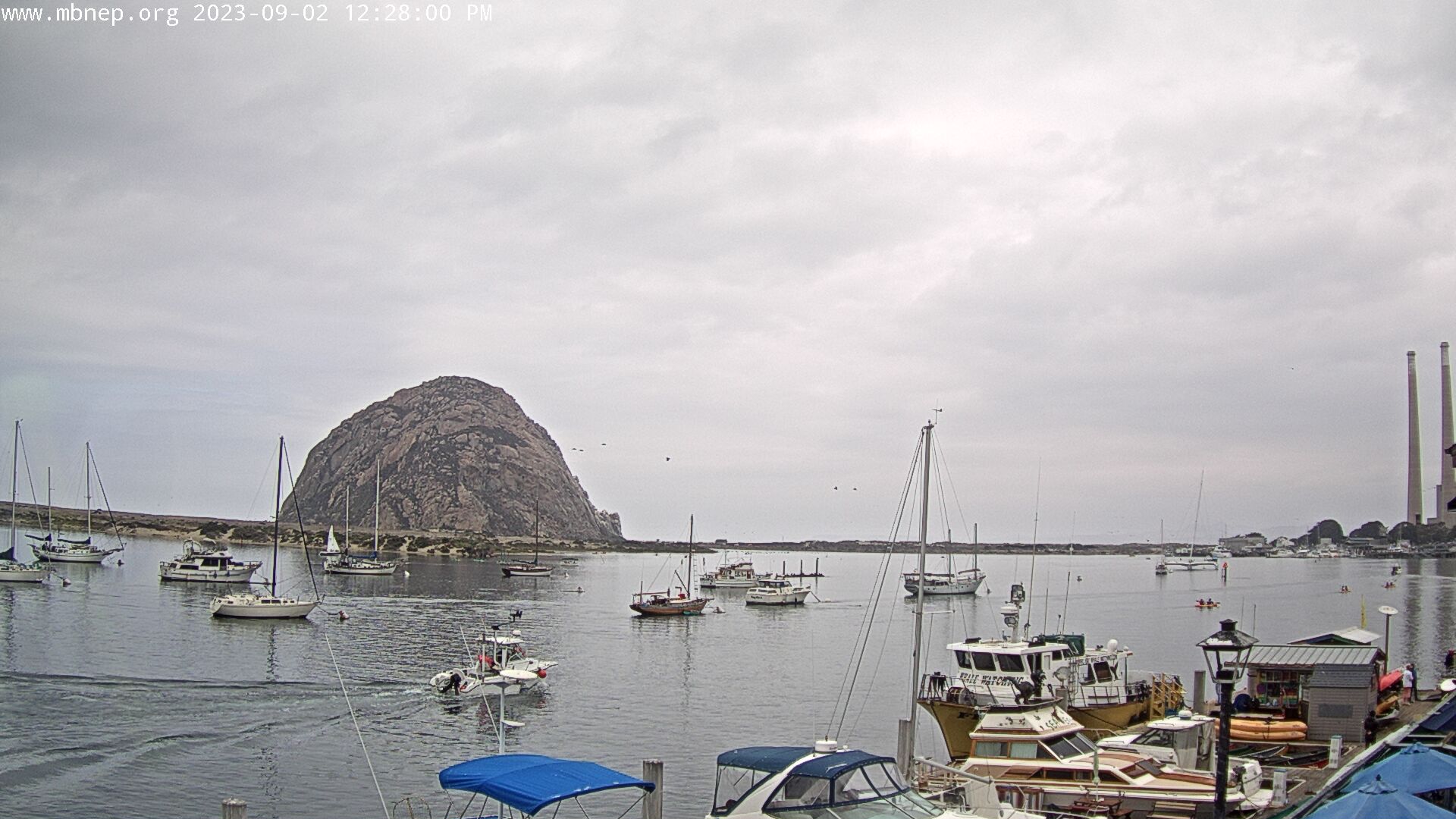
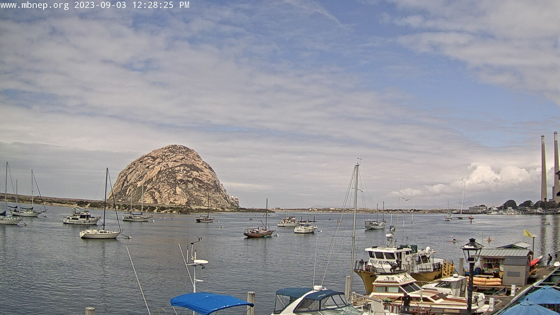
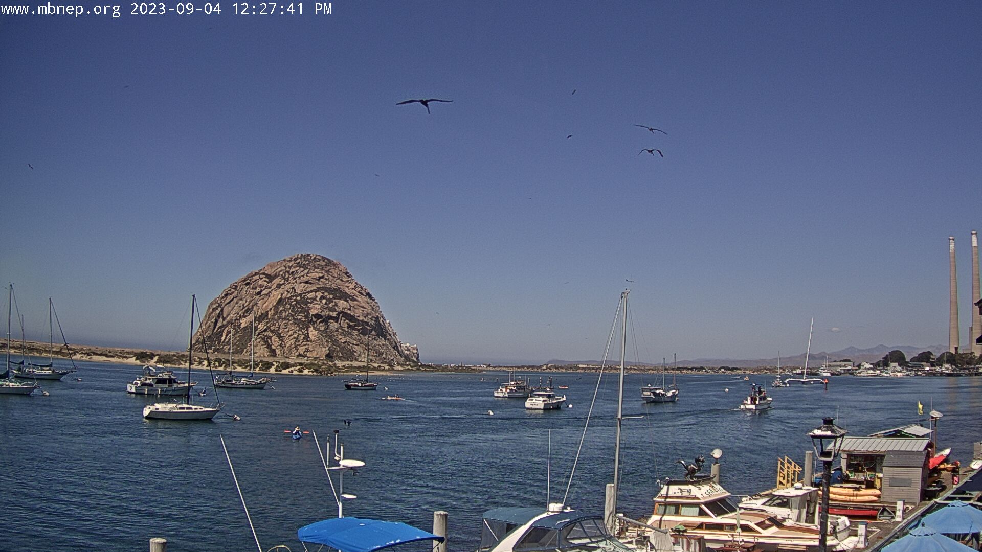
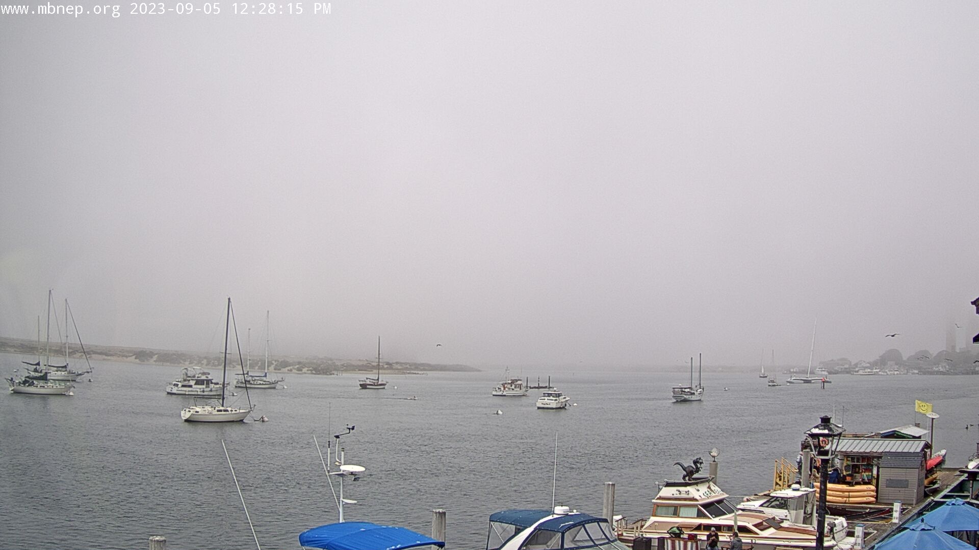
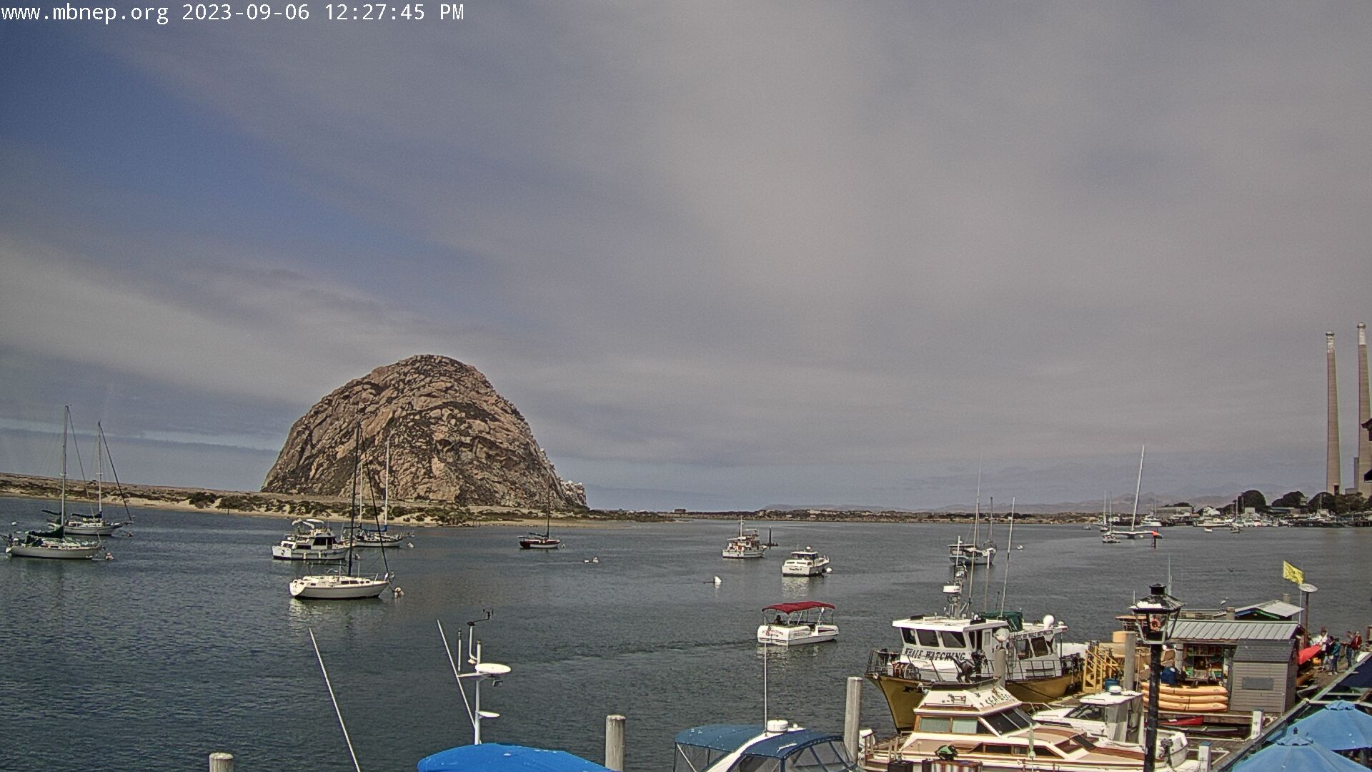
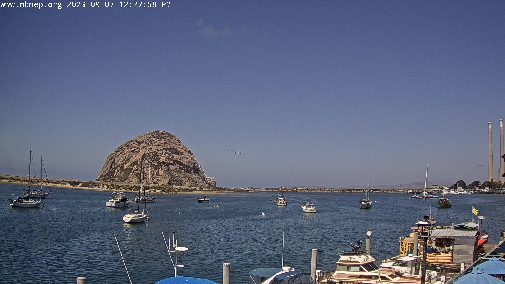
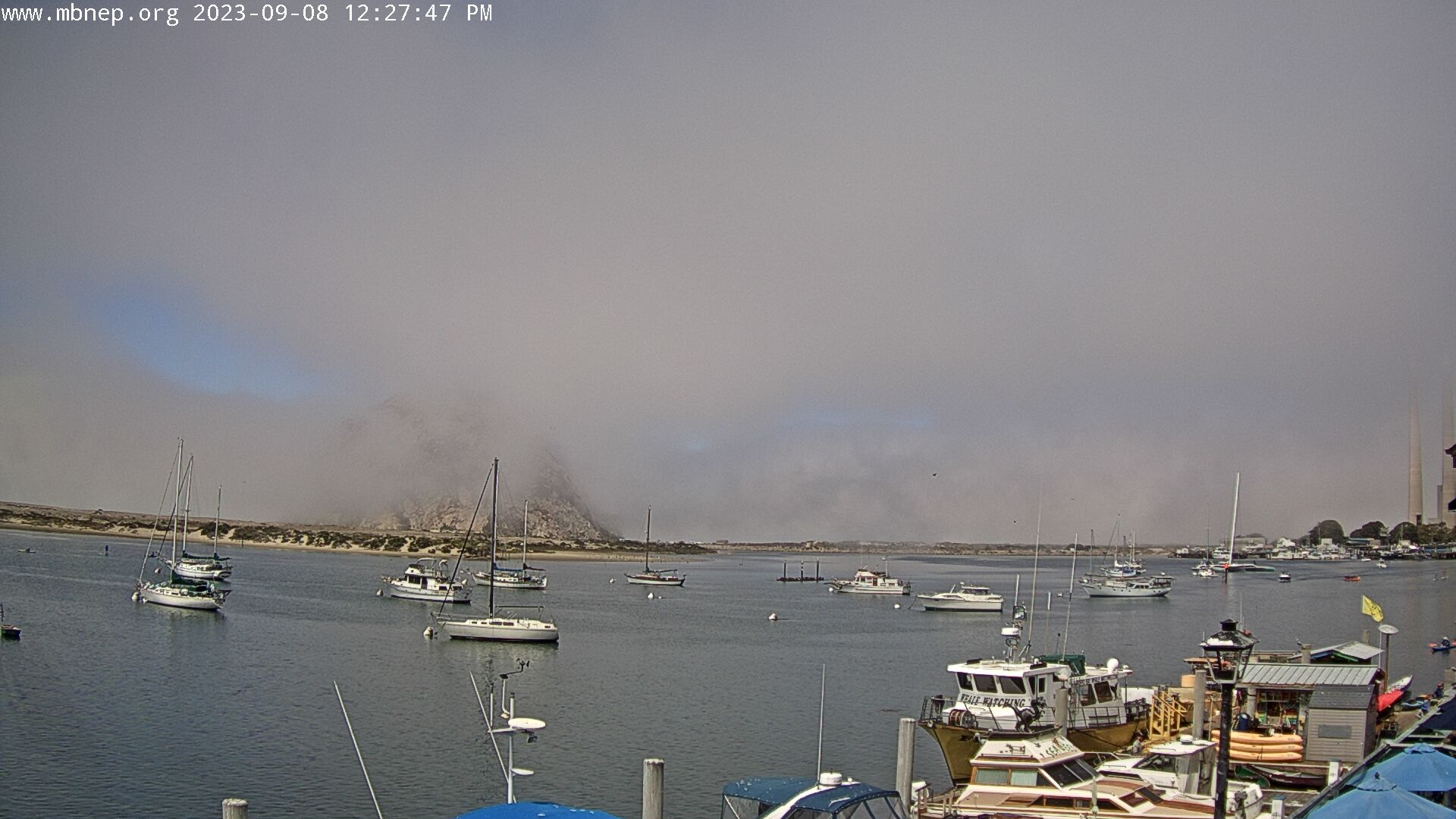
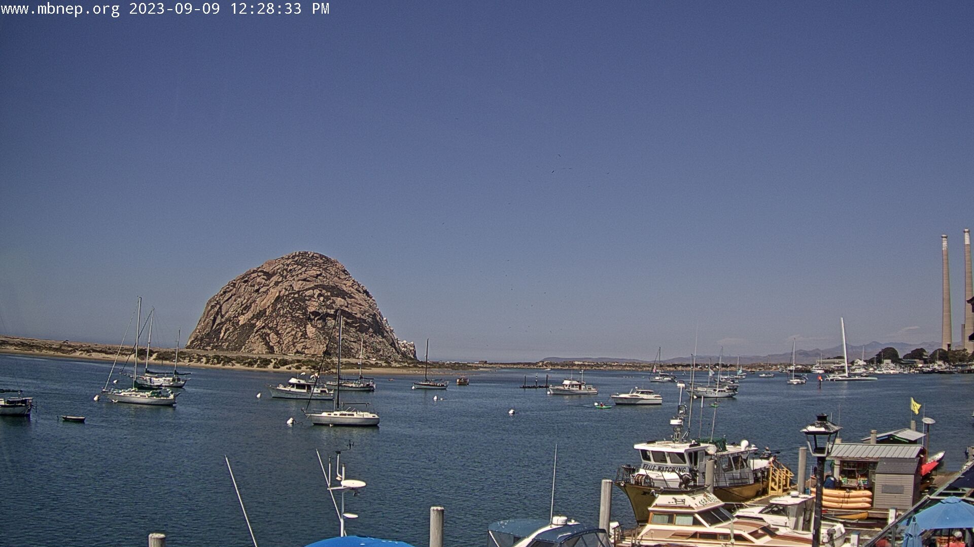
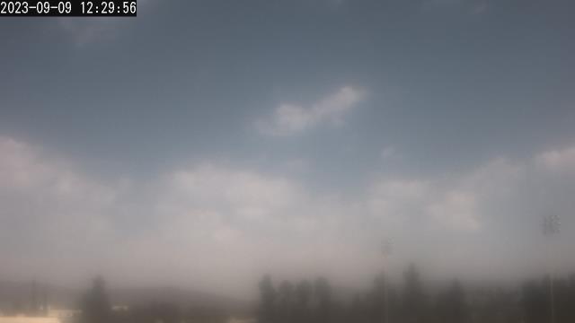
Morro Bay , California, USA - 62.1 miles from Jonata Park: Morro Bay Rock - A gorgeous view of Morro Bay Rock and the Morro Bay Harbor.
Operator: Morro Bay National Estuary Program
Operator: Morro Bay National Estuary Program


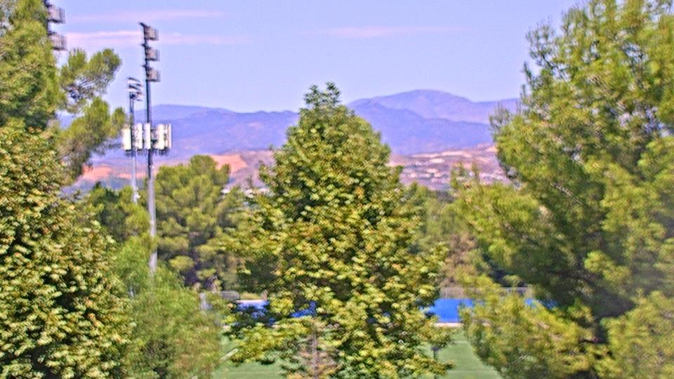
Oxnard, California, USA - 65.4 miles from Jonata Park: Oxnard School District - A webcam in Oxnard, California - camera location: Oxnard School District.
Operator: WeatherBug
Operator: WeatherBug


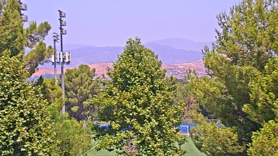
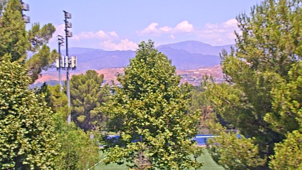
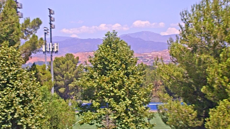
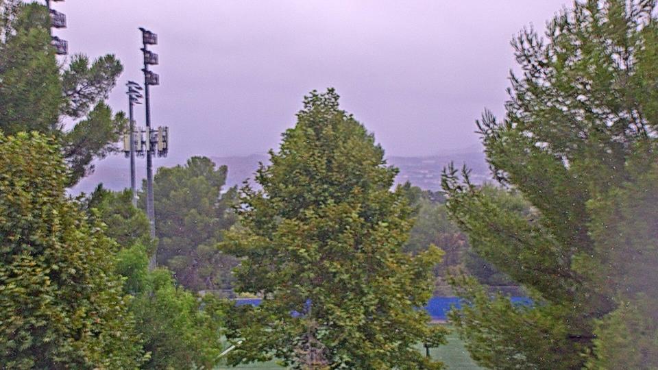
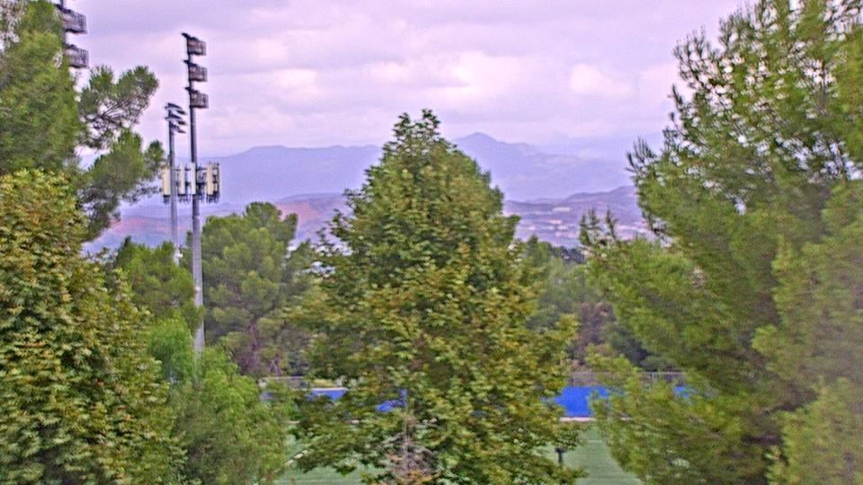
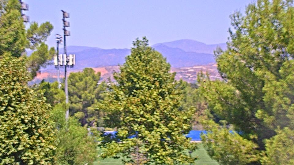
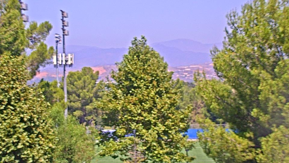
Valencia, California, USA - 94 miles from Jonata Park: College of the Canyons - Webcam and current weather data - camera location: College of the Canyons.
Operator: WeatherBug
Operator: WeatherBug


Saugus, California, USA - 95 miles from Jonata Park: Valencia-Santa Clarita View - A view of Valencia/Six Flags Magic Mountain/Steveson Ranch areas within Santa Clarita from Saugus, CA.
Operator: Santa Clarita Cam
Operator: Santa Clarita Cam

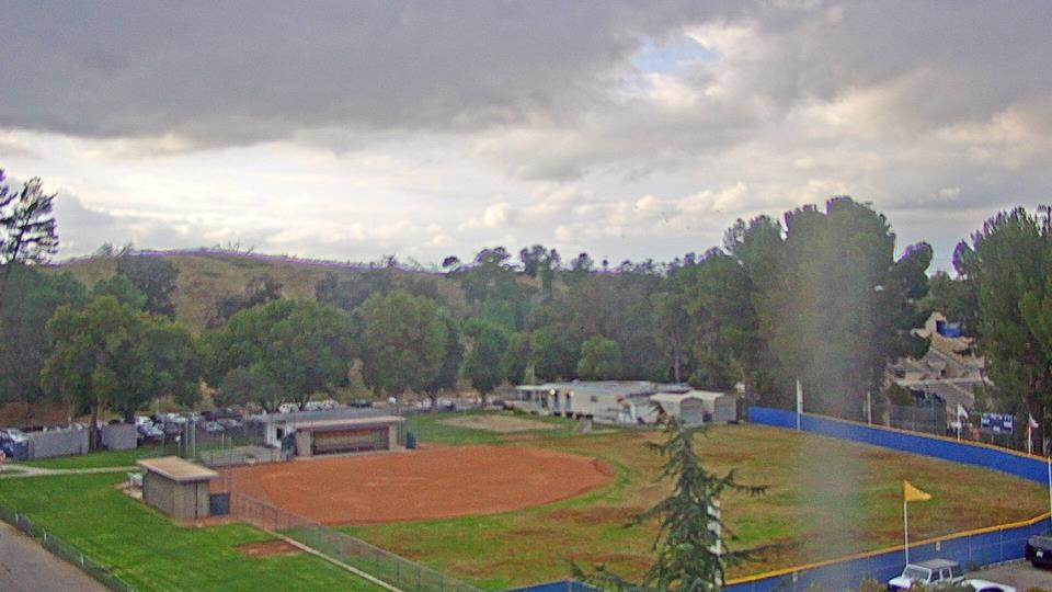
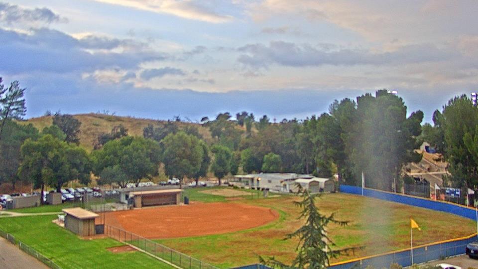
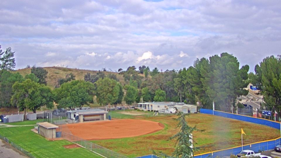
Canoga Park, California, USA - 95.6 miles from Jonata Park: Canoga Park High School - Webcam and current weather data - camera location: Canoga Park High School.
Operator: WeatherBug
Operator: WeatherBug


Topanga Beach, California, USA - 100.8 miles from Jonata Park: Live Surf Camera - Live streaming Surf camera for Topanga Point.
Operator: SwellMagnet.com
Operator: SwellMagnet.com

Santa Monica, California, USA - 106.4 miles from Jonata Park: Santa Monica Beach - This live streaming surf camera covers the best surf spot in Santa Monica, CA.
Operator: SwellMagnet.com
Operator: SwellMagnet.com

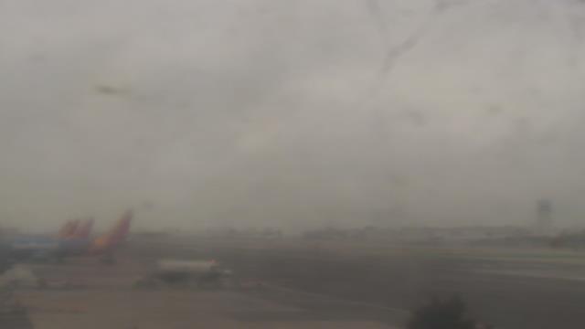
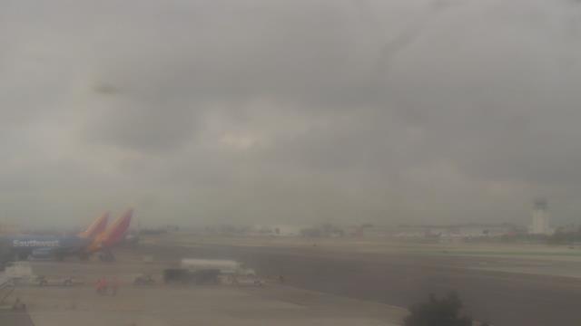
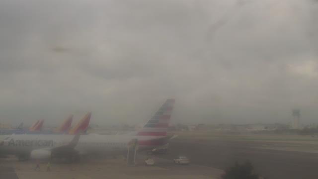
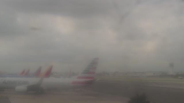
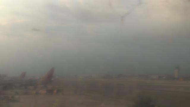
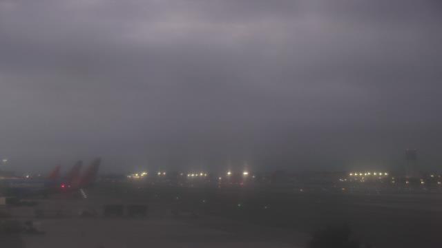
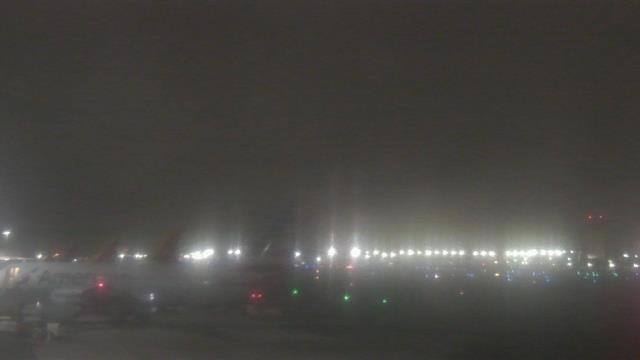
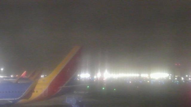
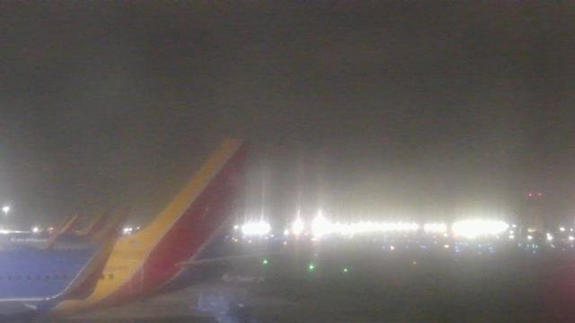
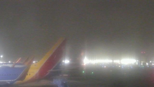
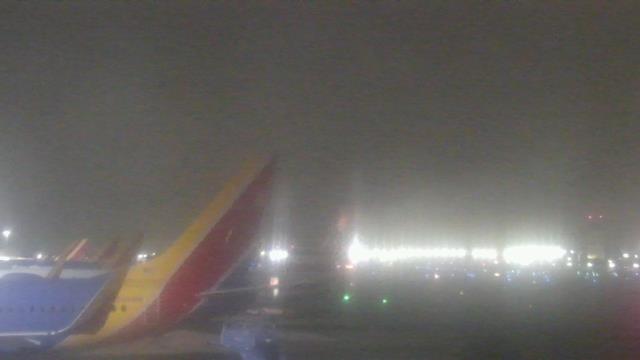
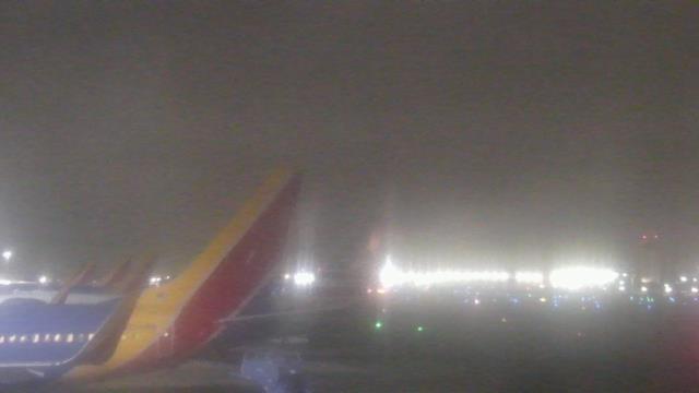
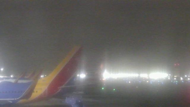
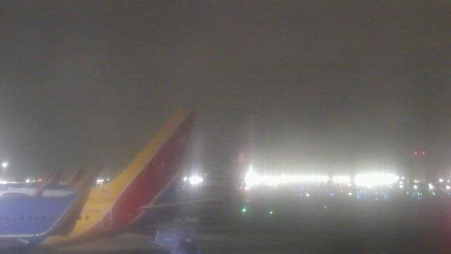
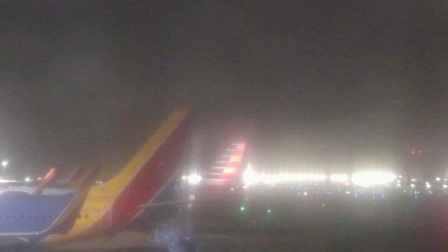
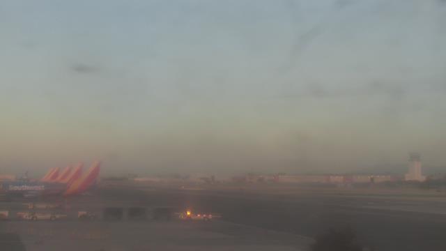
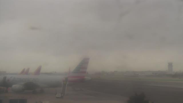
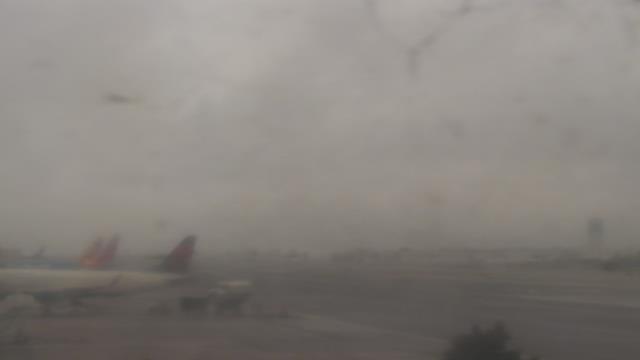
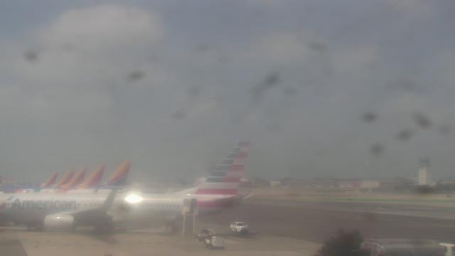
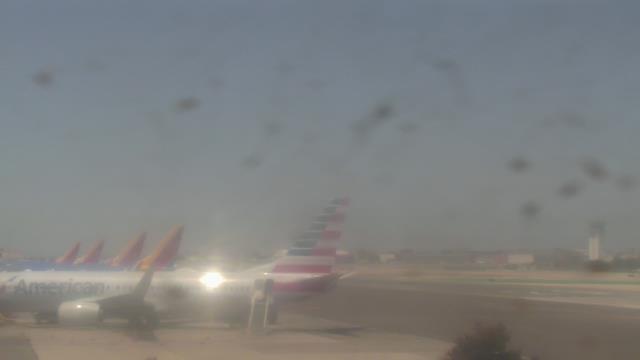
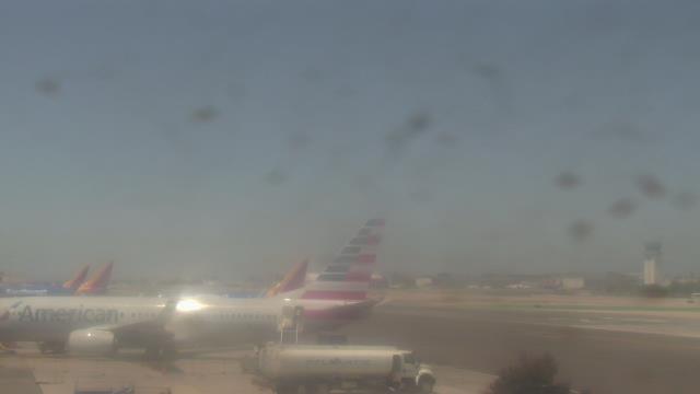
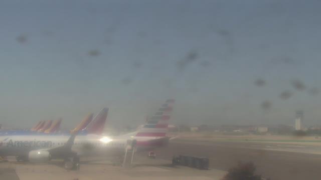
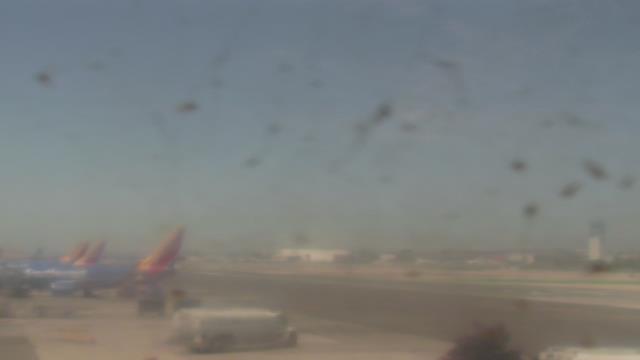
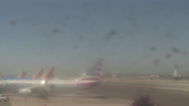
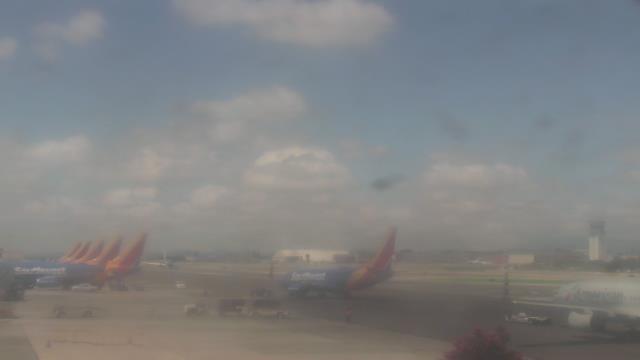
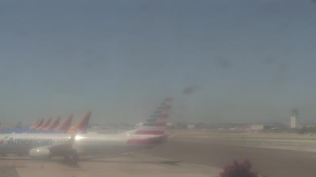
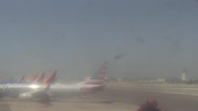
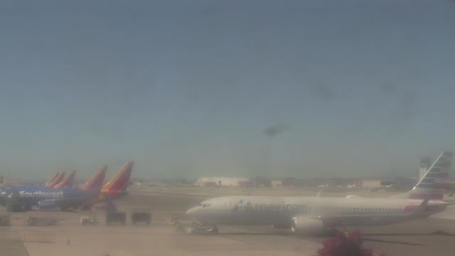
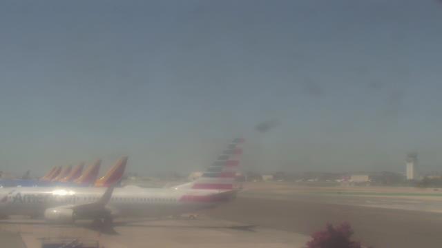
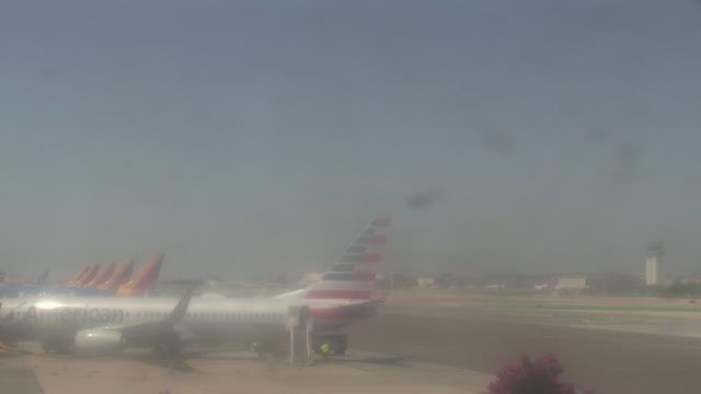
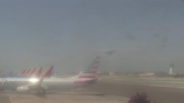
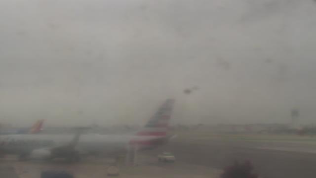
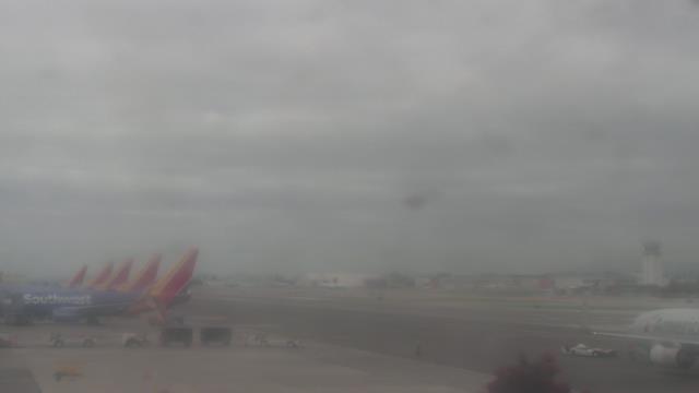
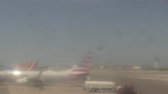
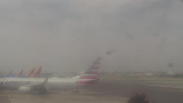
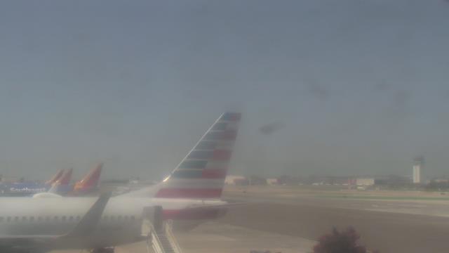
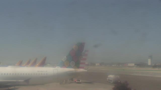
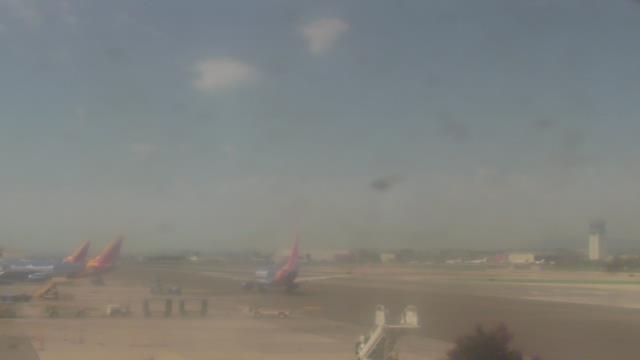
Burbank, California, USA - 111.7 miles from Jonata Park: Bob Hope Airport (BUR) - A view of the apron.
Operator: WeatherBug
Operator: WeatherBug


Manhattan Beach, California, USA - 114.3 miles from Jonata Park: El Porto Beach - The El Porto Beach Live Surf Camera gives you an up close view of the South Bay Gem.
Operator: SwellMagnet.com
Operator: SwellMagnet.com
Some other places in this country: Sierra Subdivision - Unionville (historical) - Verdi-Sierra Pines - Antelope (historical) - Camanche Village - Chinatown (historical) - Dew Drop (historical) - Lower Rancheria (historical) - May (historical) - Milligan District (historical)