Webcams in the region of Cinnabar Springs (historical), California, USA
The List of Webcams near Cinnabar Springs (historical), California, USA:

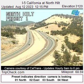
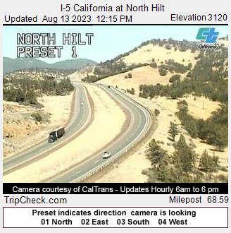
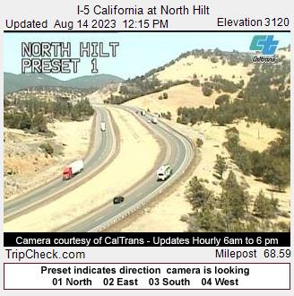
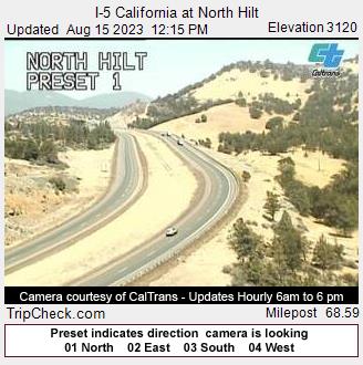
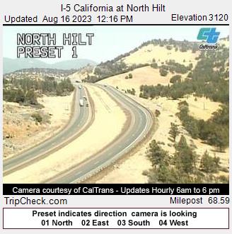
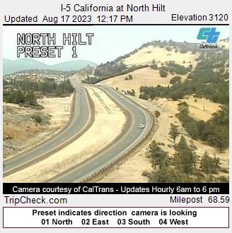
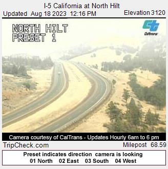
Hilt, California, USA - 13.1 miles from Cinnabar Springs (historical): I-5 California at North Hilt - A view of the current traffic situation on the I-5.
Operator: Oregon Department of Transportation
Operator: Oregon Department of Transportation


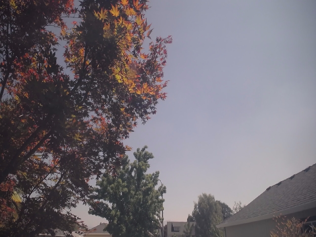
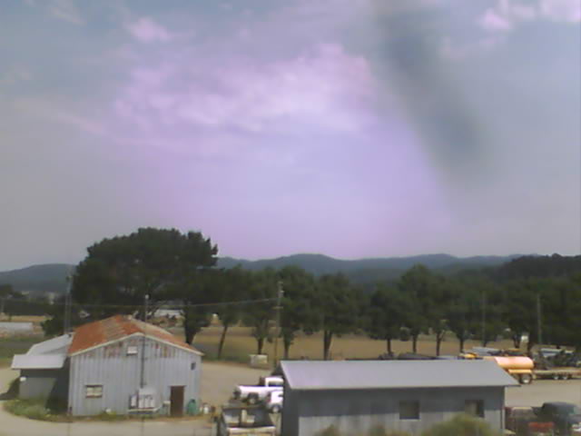
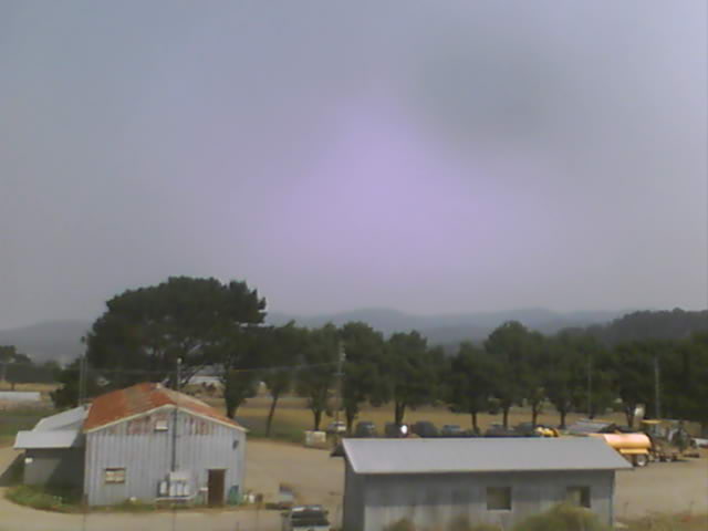
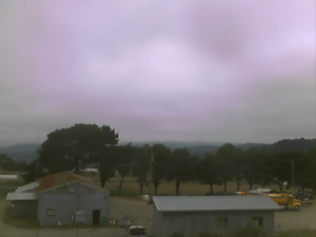
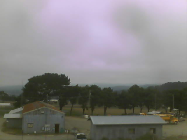
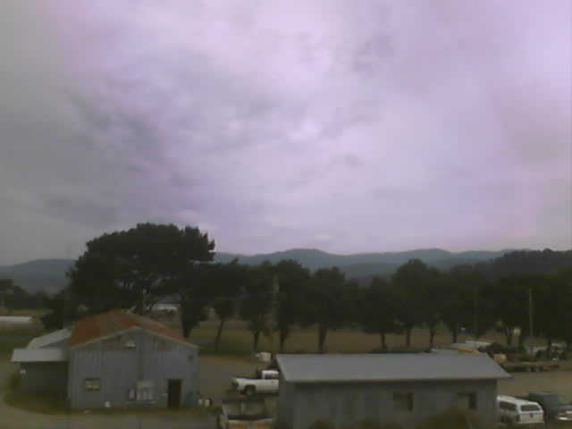
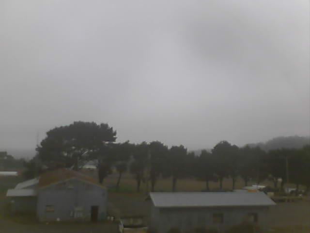
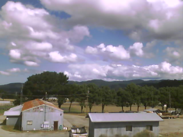
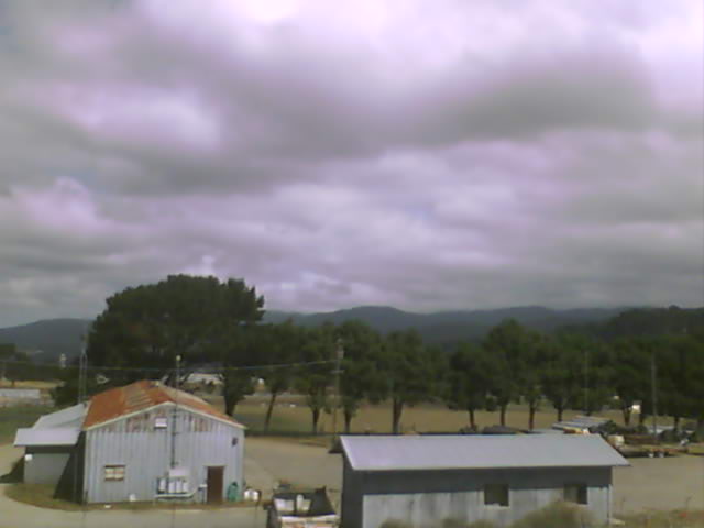
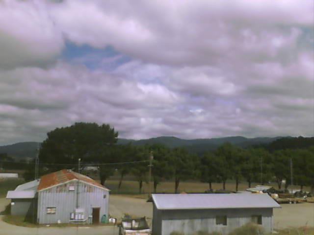
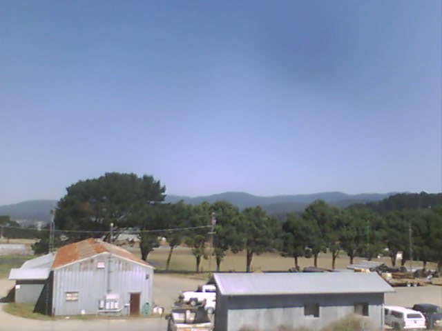
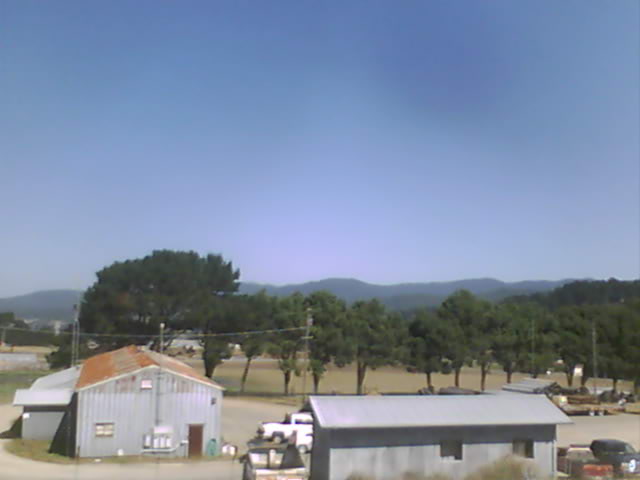
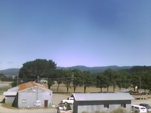
Medford, Oregon, USA - 25 miles from Cinnabar Springs (historical): Medford Weathercam - A live view from Medford, Oregon, with current weather data.
Operator: Ryan's Weather Website - Medford, Oregon
Operator: Ryan's Weather Website - Medford, Oregon


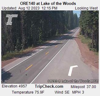
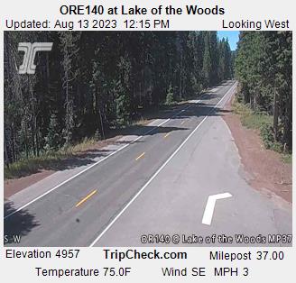
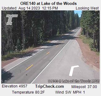
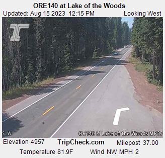
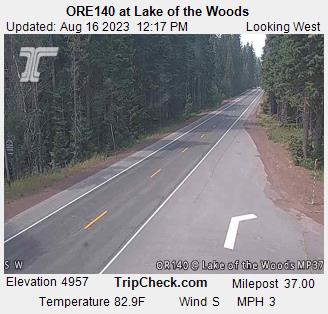
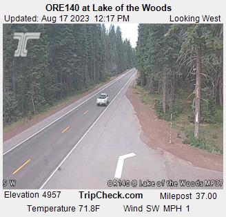
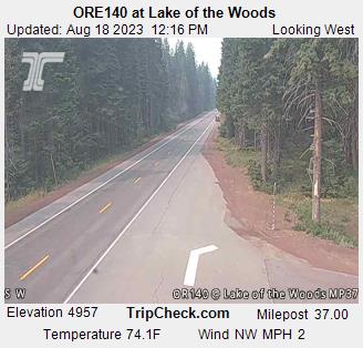
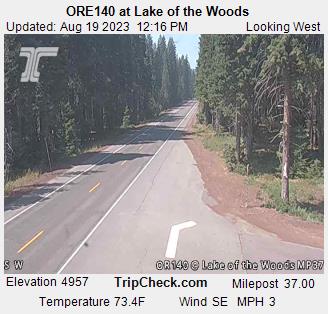
Lake of the Woods, Oregon, USA - 44.4 miles from Cinnabar Springs (historical): ORE140 at Lake of the Woods - A view of the current traffic situation on the ORE140.
Operator: Oregon Department of Transportation
Operator: Oregon Department of Transportation


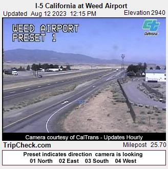
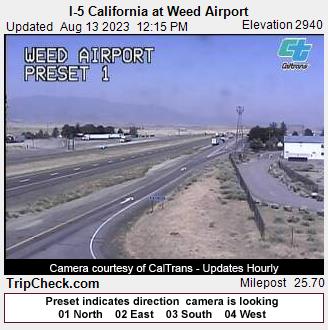
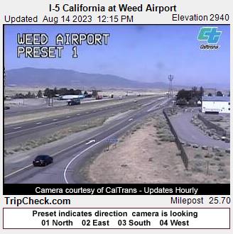
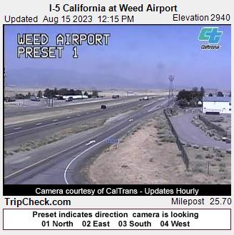
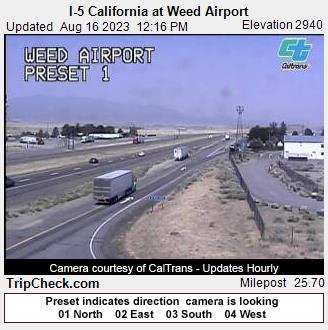
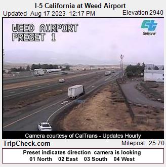
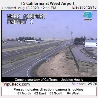
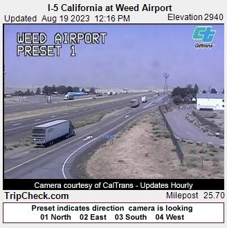
Weed, California, USA - 45.2 miles from Cinnabar Springs (historical): I-5 California at Weed Airport - A view of the current traffic situation on the I-5.
Operator: Oregon Department of Transportation
Operator: Oregon Department of Transportation


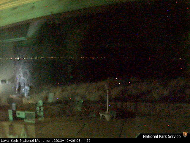
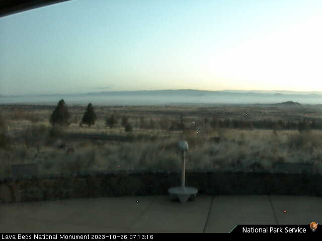
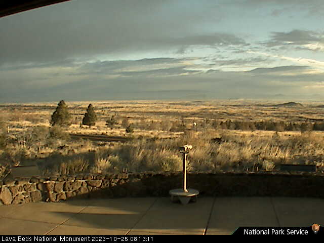
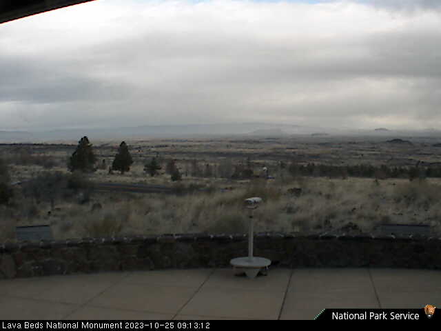
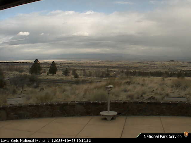
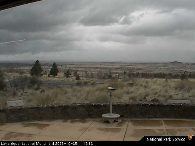
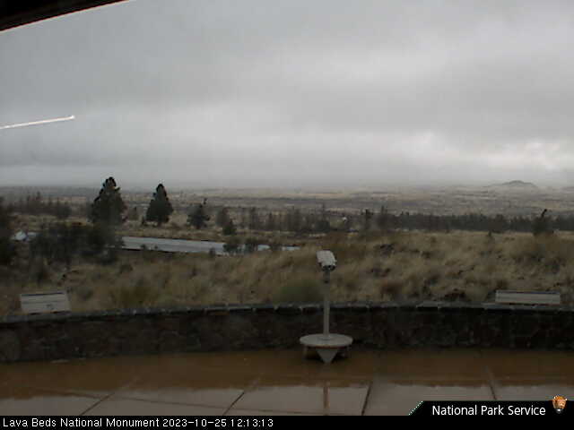
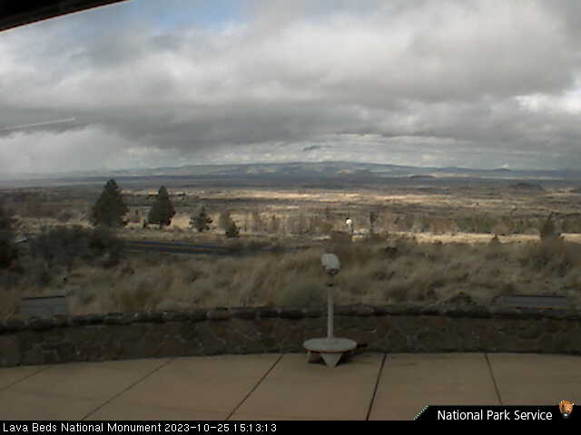
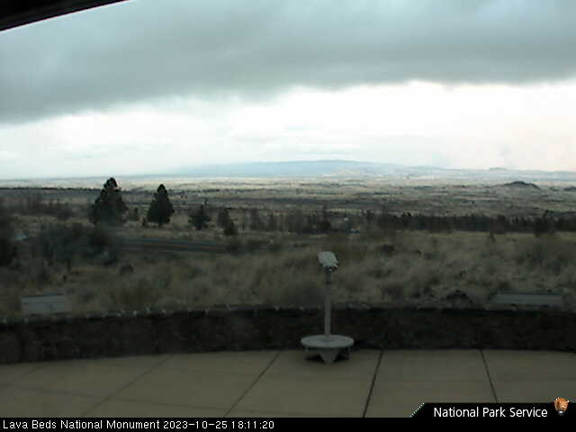
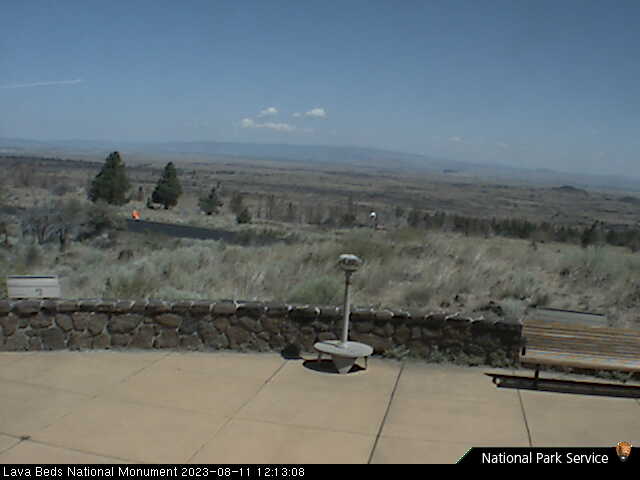
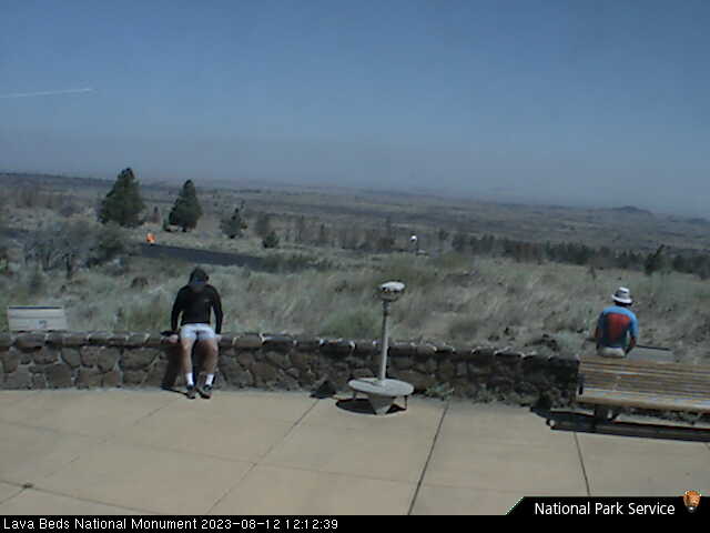
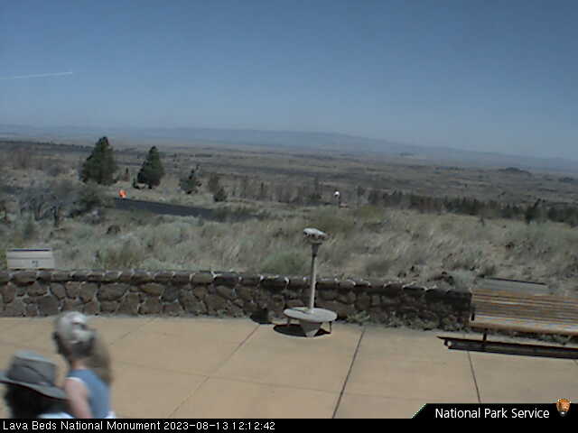
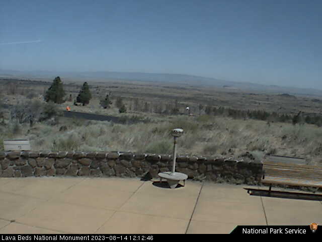
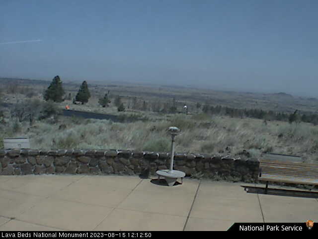
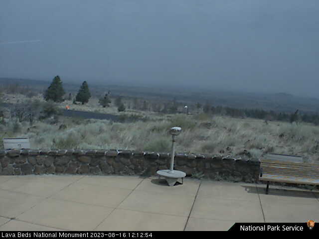
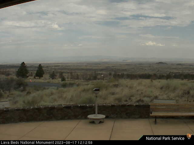
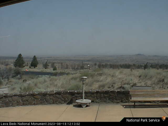
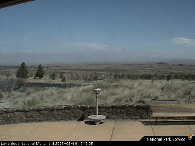
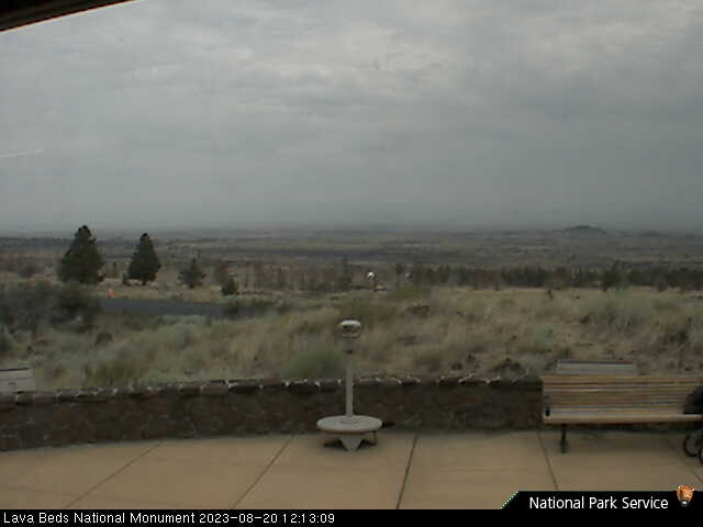
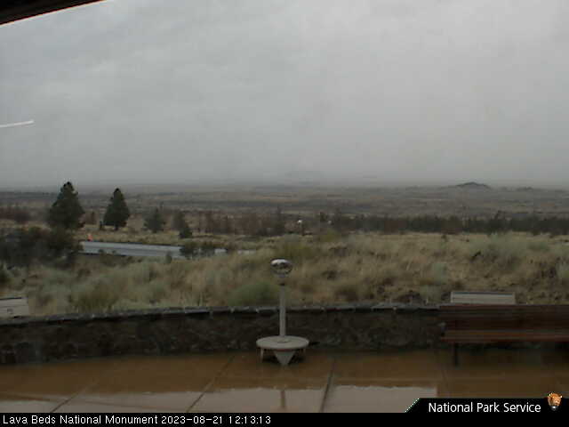
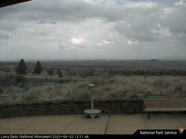
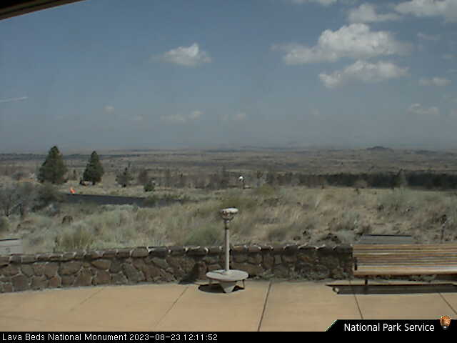
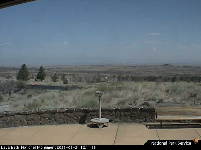
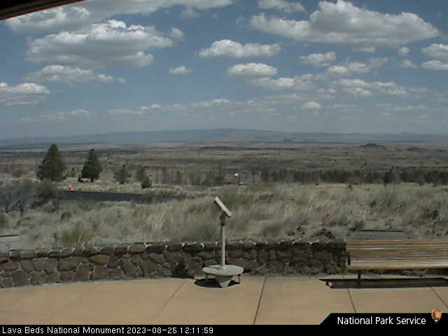
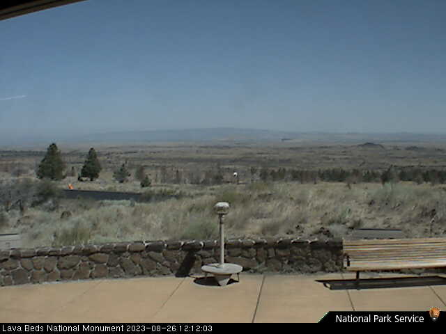
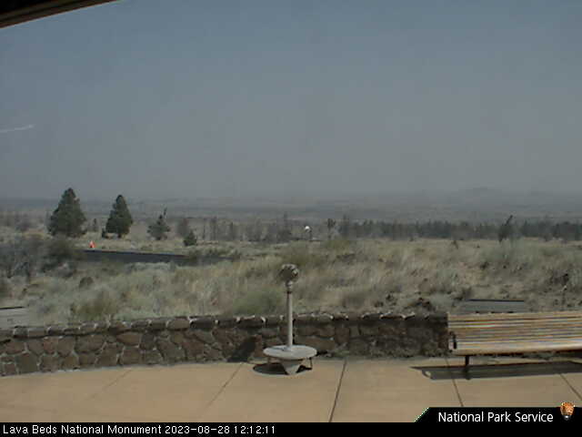
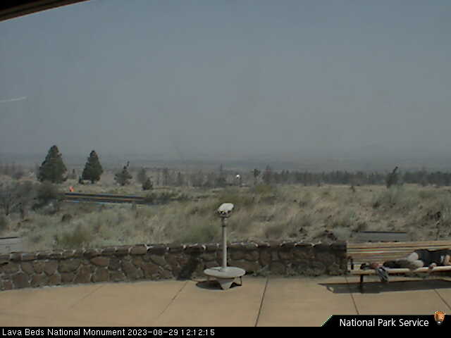
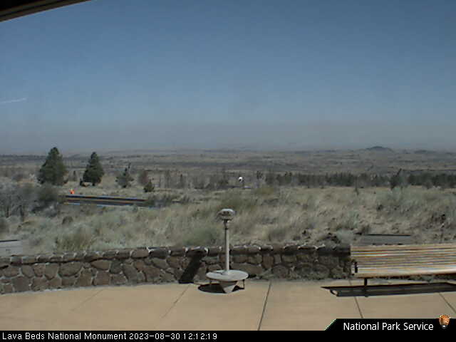
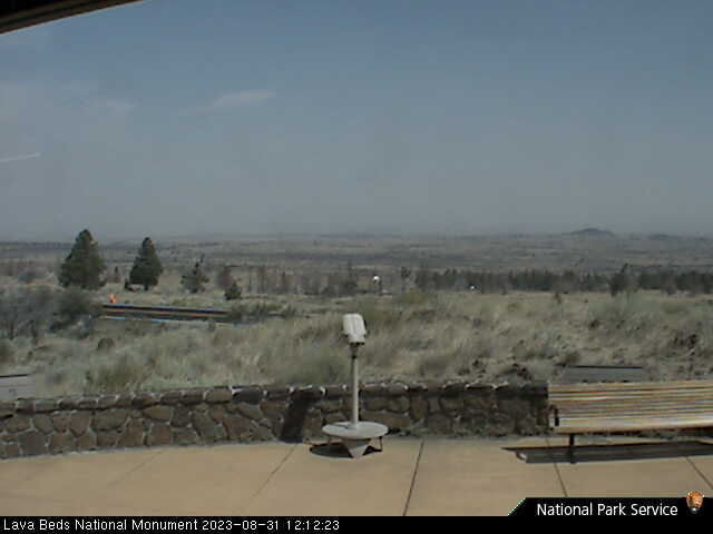
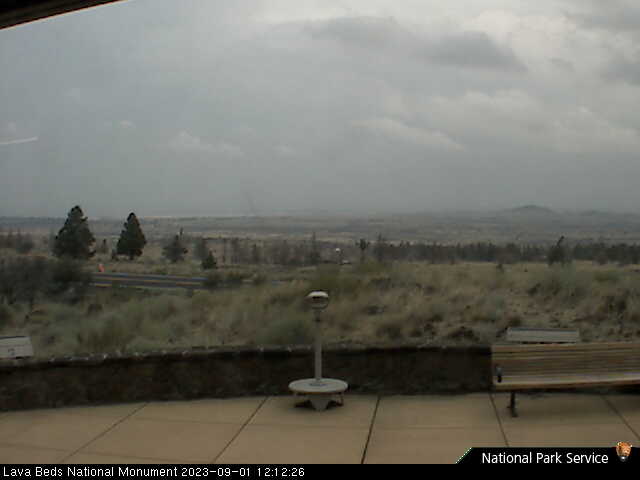
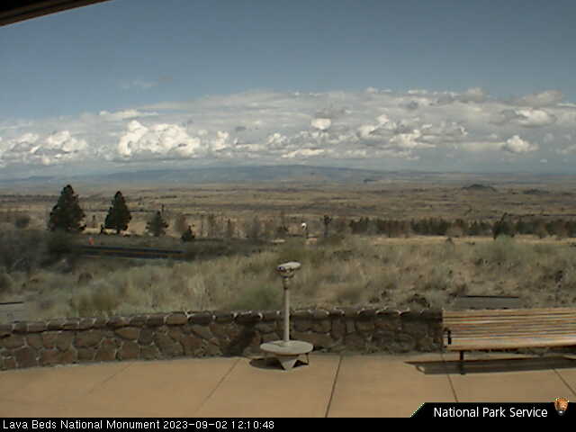
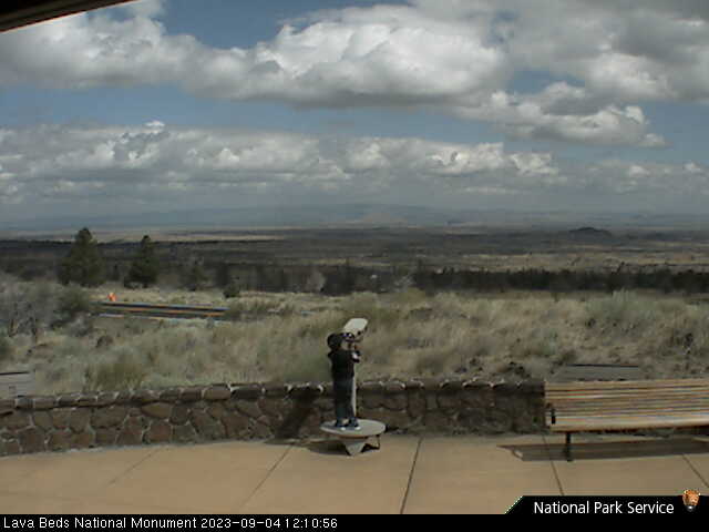
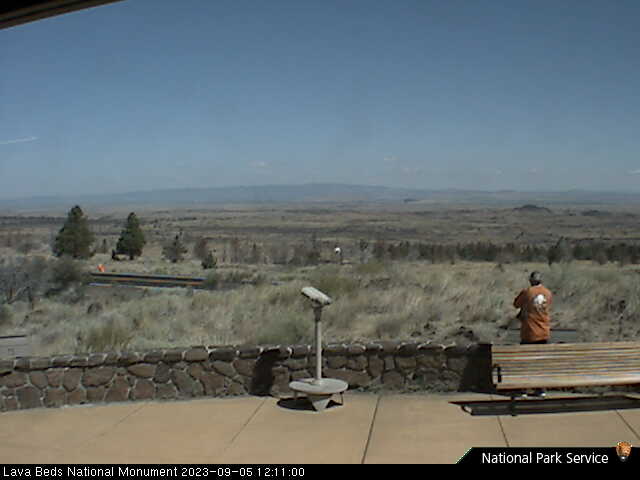
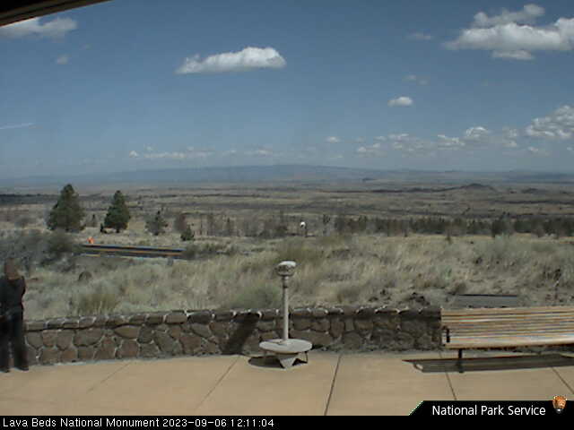
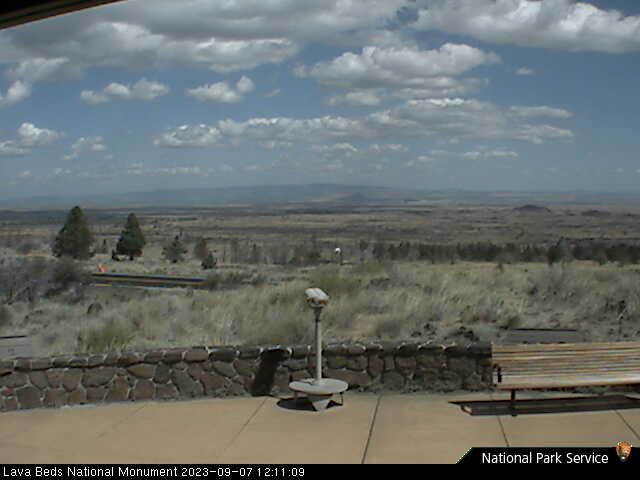
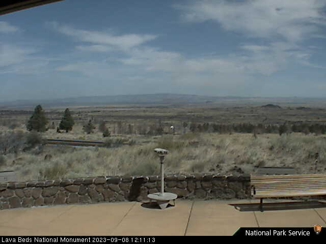
Lava Beds National Monument, California, USA - 71.5 miles from Cinnabar Springs (historical): Lava Beds Visitor Center - A view in northern direction from the Lava Beds National Monument Visitor Center.
Operator: U.S. National Park Service
Operator: U.S. National Park Service


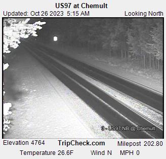
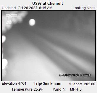
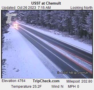
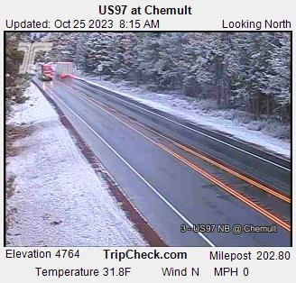
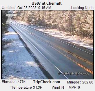
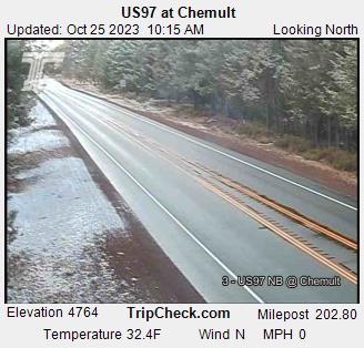
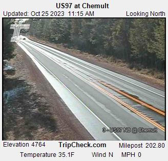
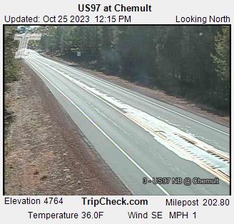
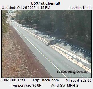
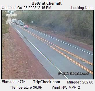
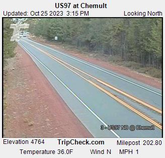
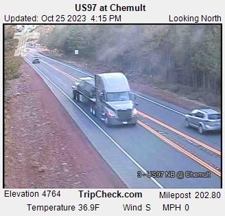
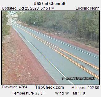
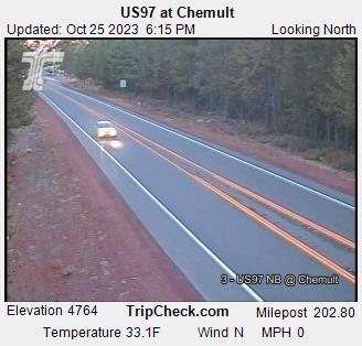
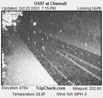
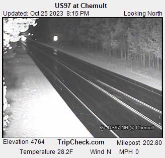
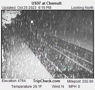
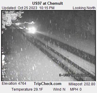
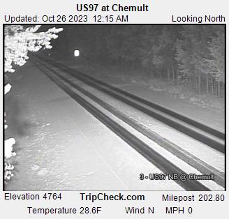
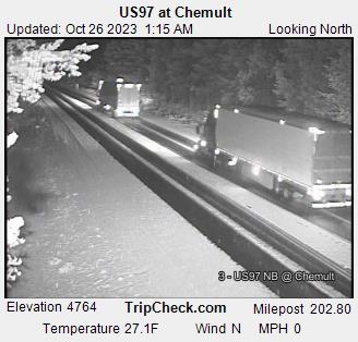
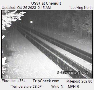
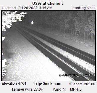
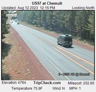
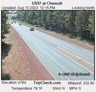
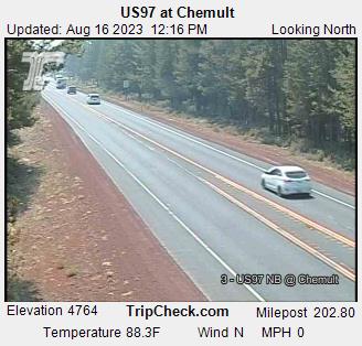
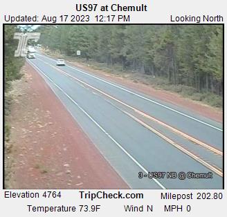
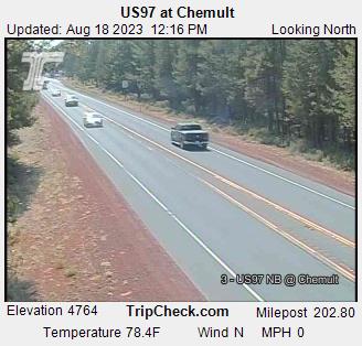
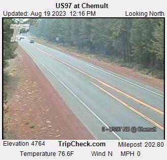
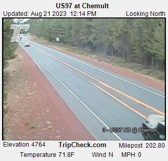
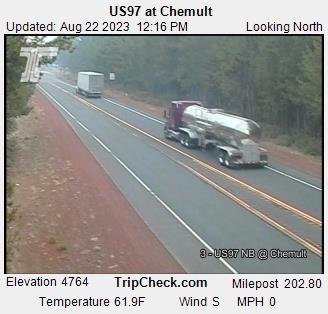
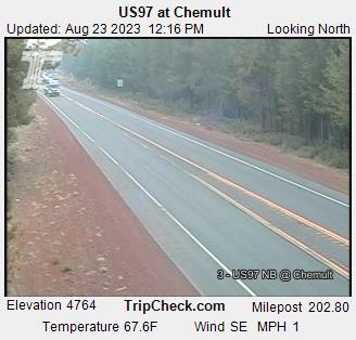
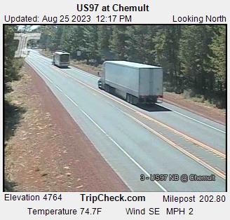
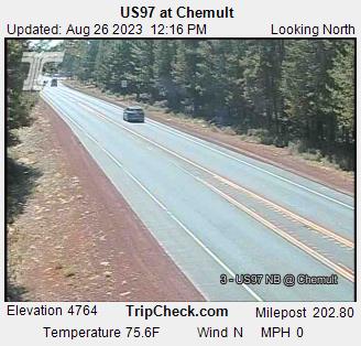
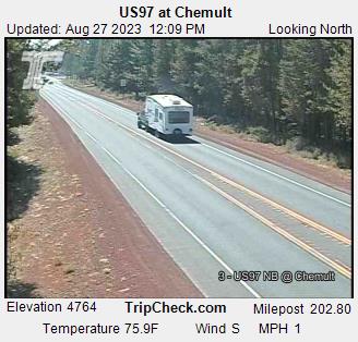
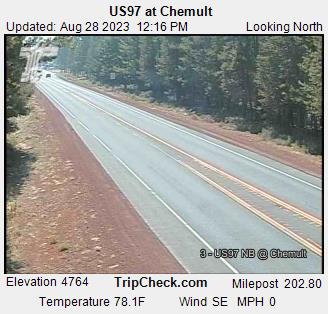
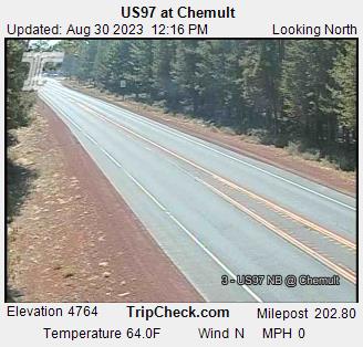
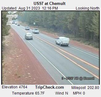
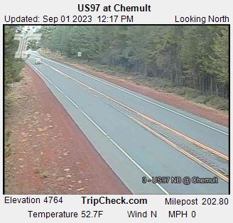
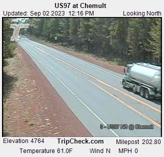
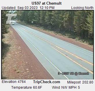
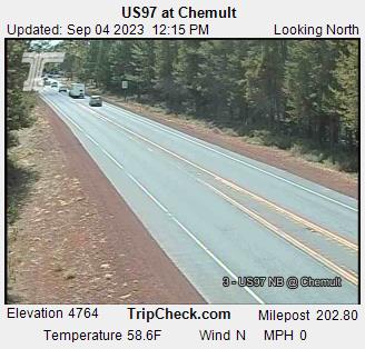
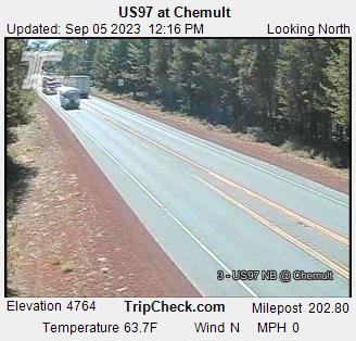
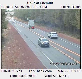
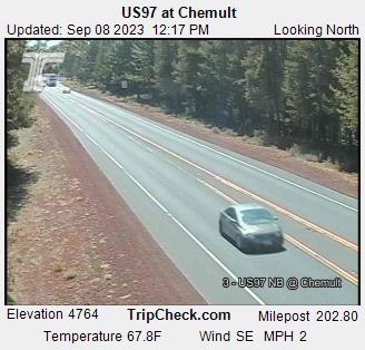
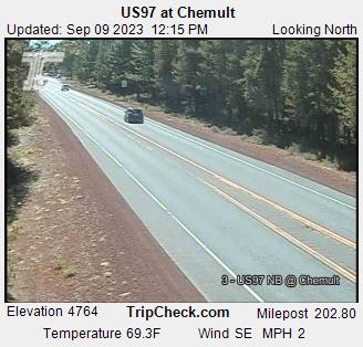
Chemult, Oregon, USA - 102.8 miles from Cinnabar Springs (historical): US97 at Chemult - A view of the current traffic situation on the US97.
Operator: Oregon Department of Transportation
Operator: Oregon Department of Transportation


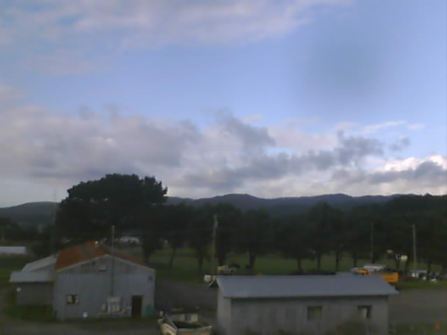
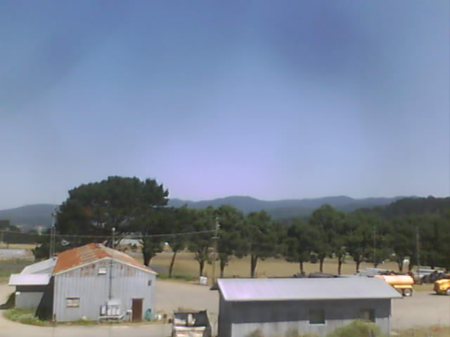
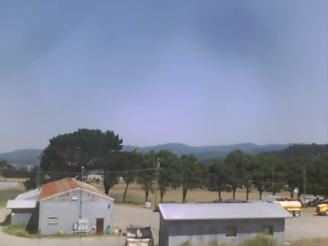
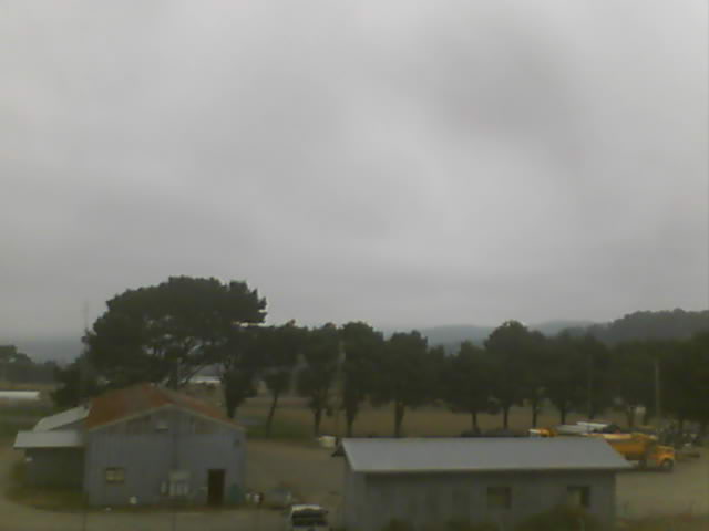
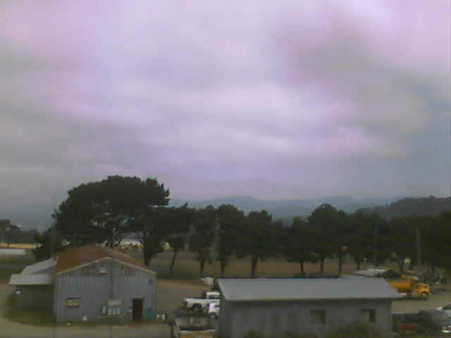
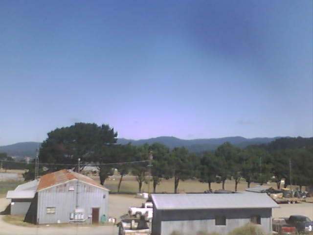
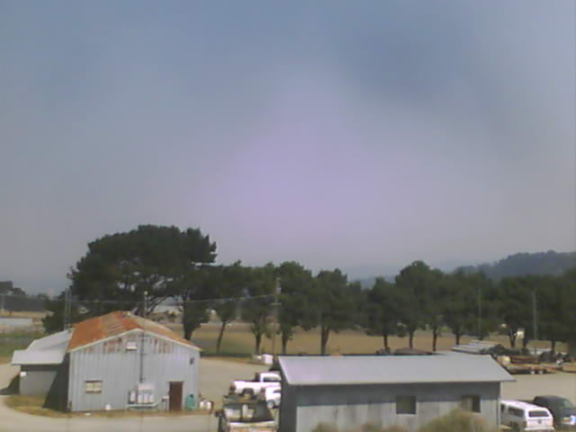
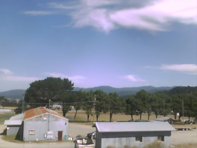
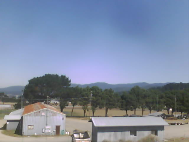
Fortuna, California, USA - 115.6 miles from Cinnabar Springs (historical): Rohnerville Airport - Different views of the Rohnerville Airport, Fortuna, CA.
Operator: North Coast Aviation
Operator: North Coast Aviation


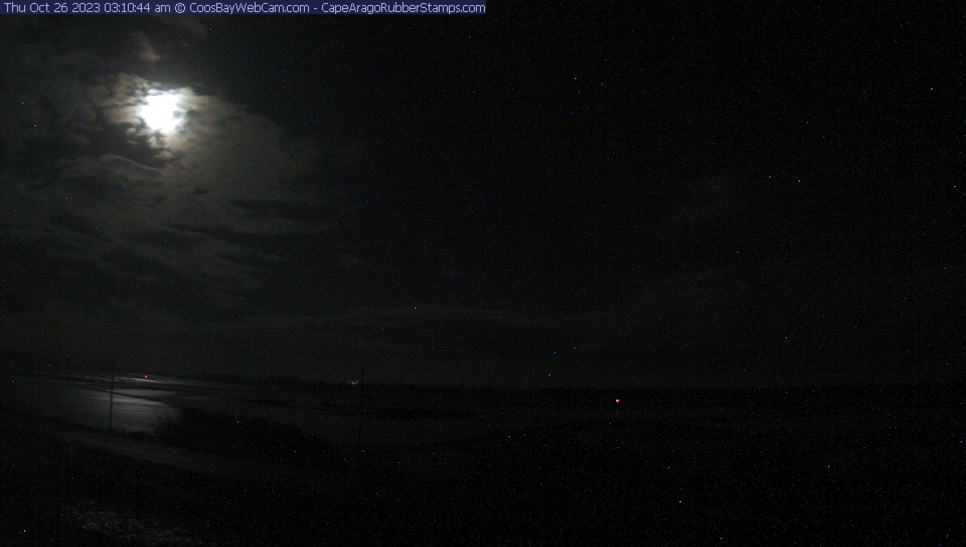
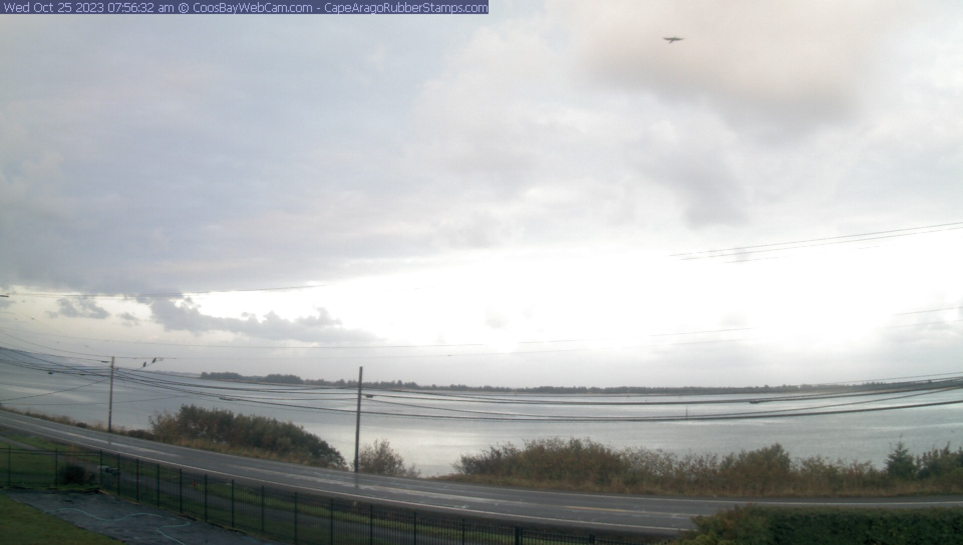
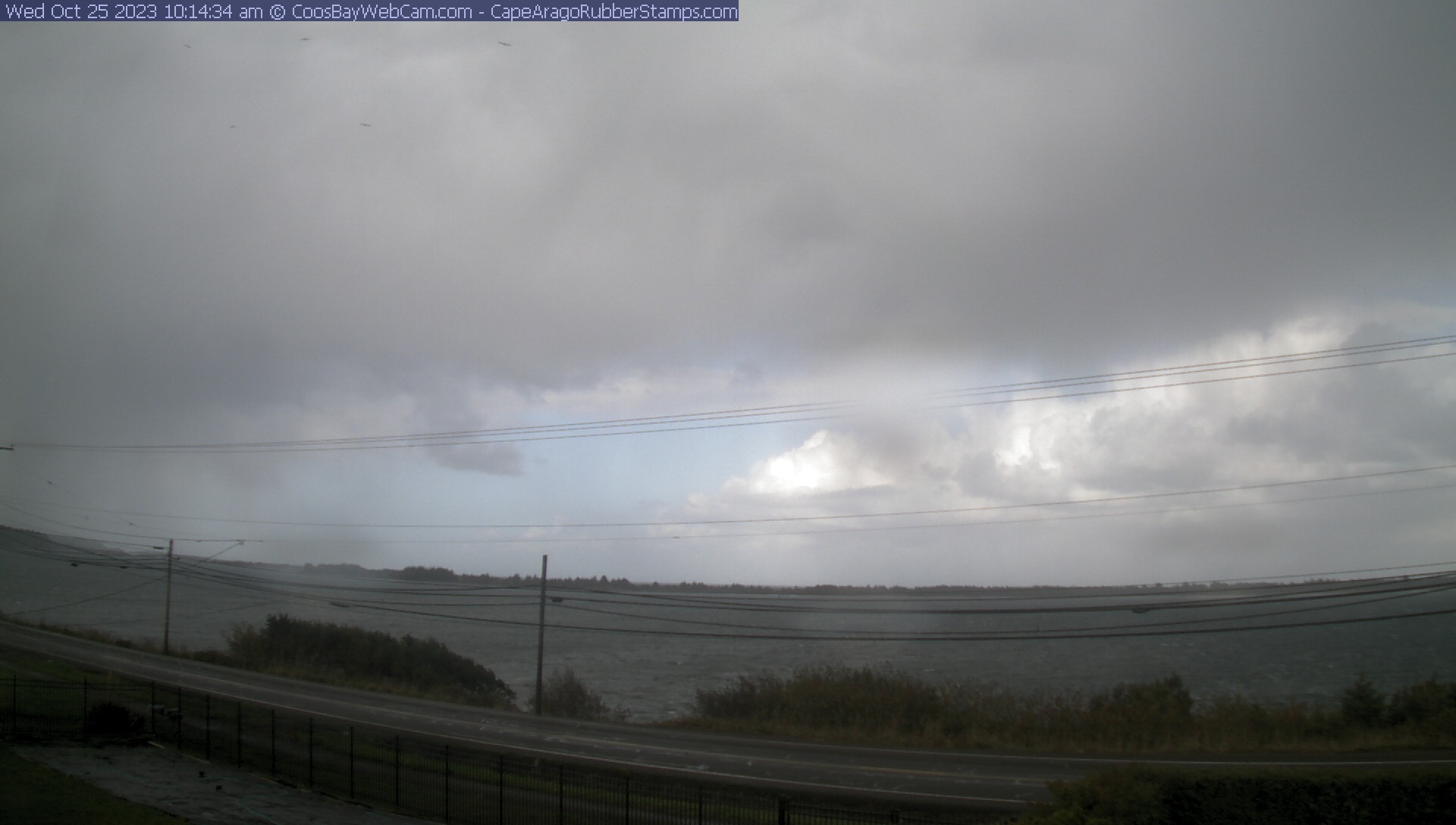
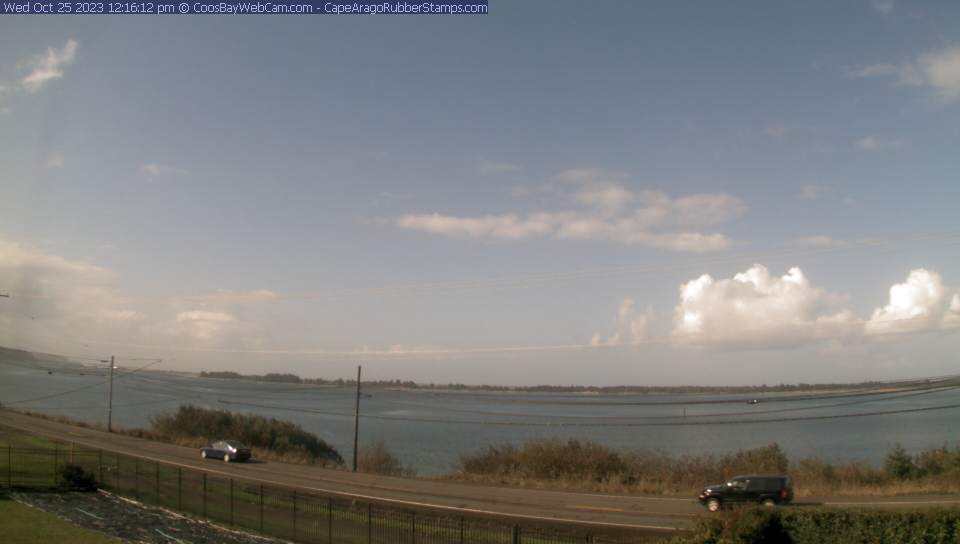
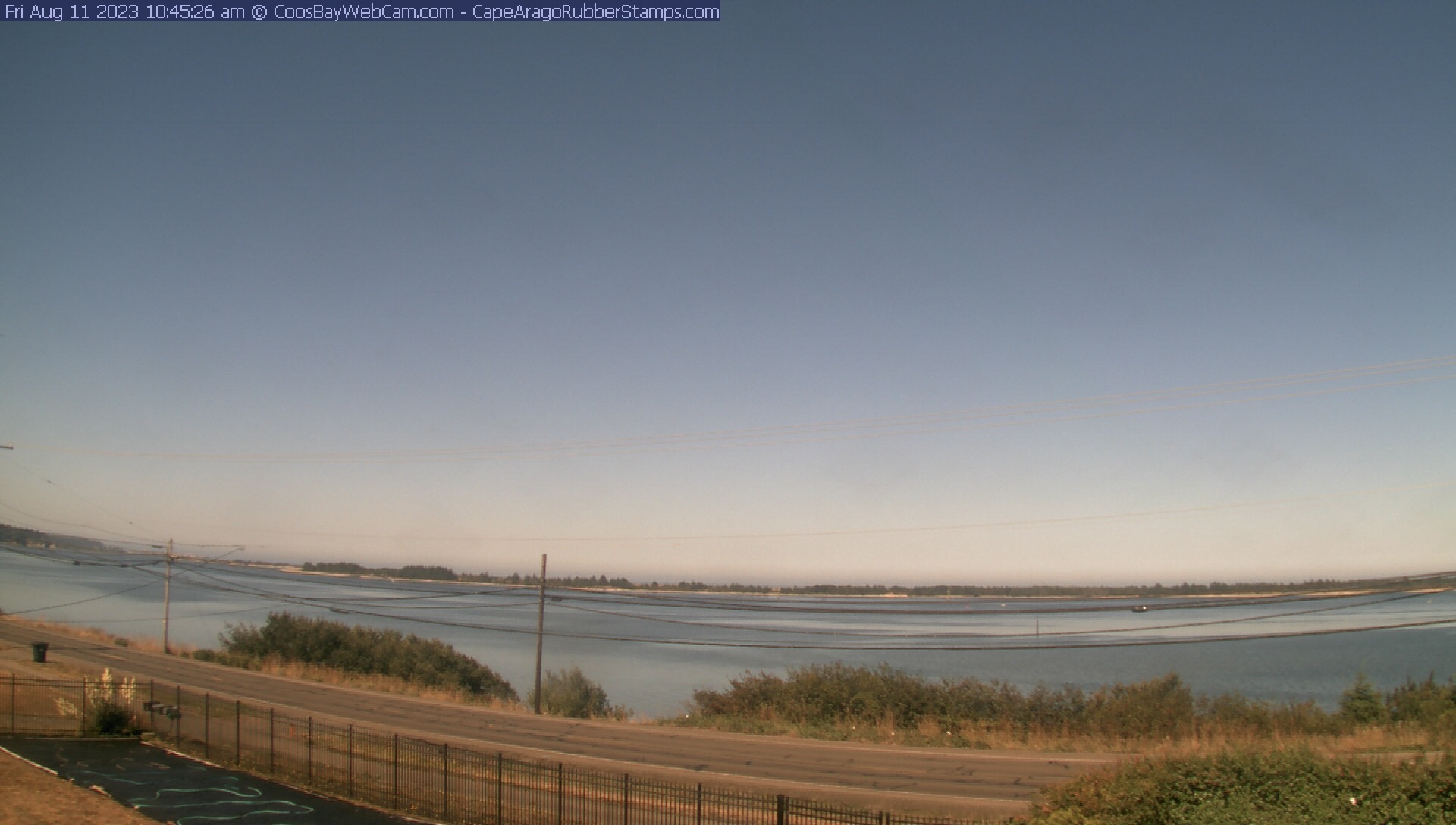
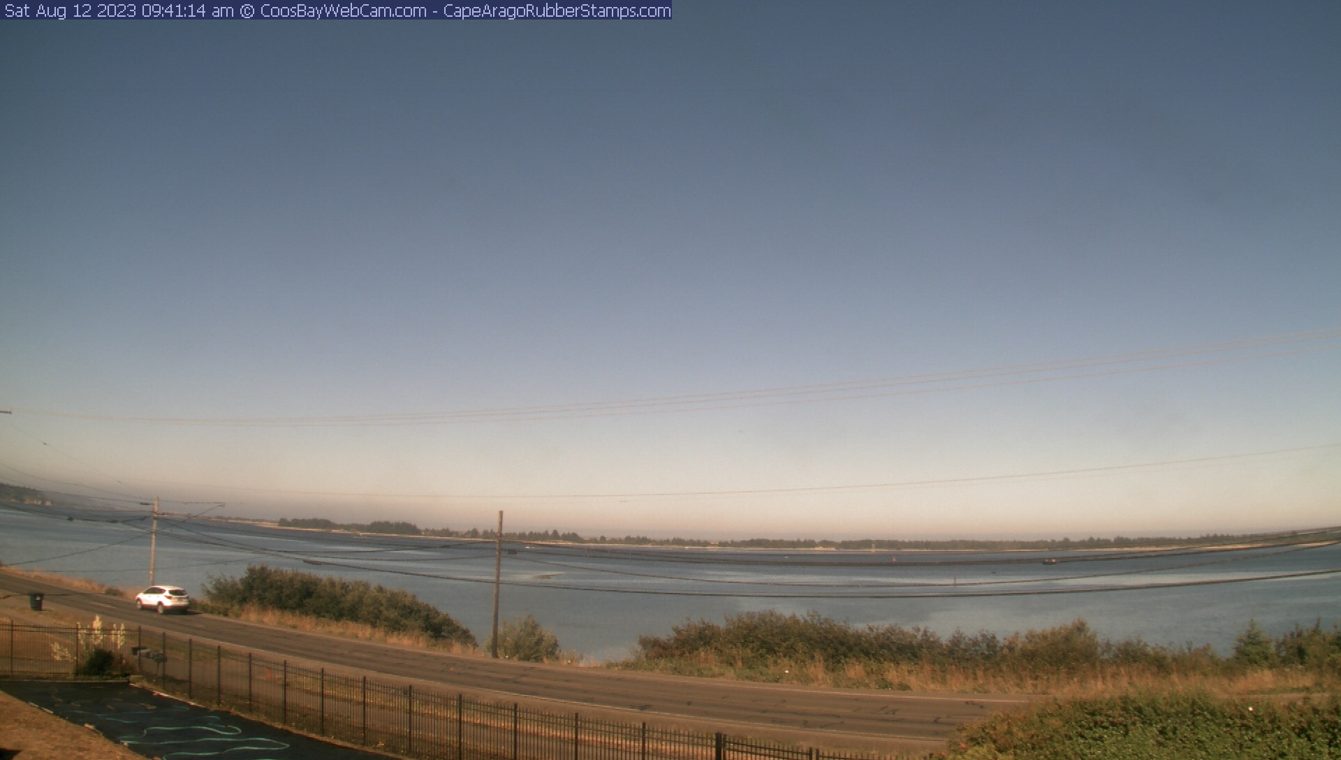
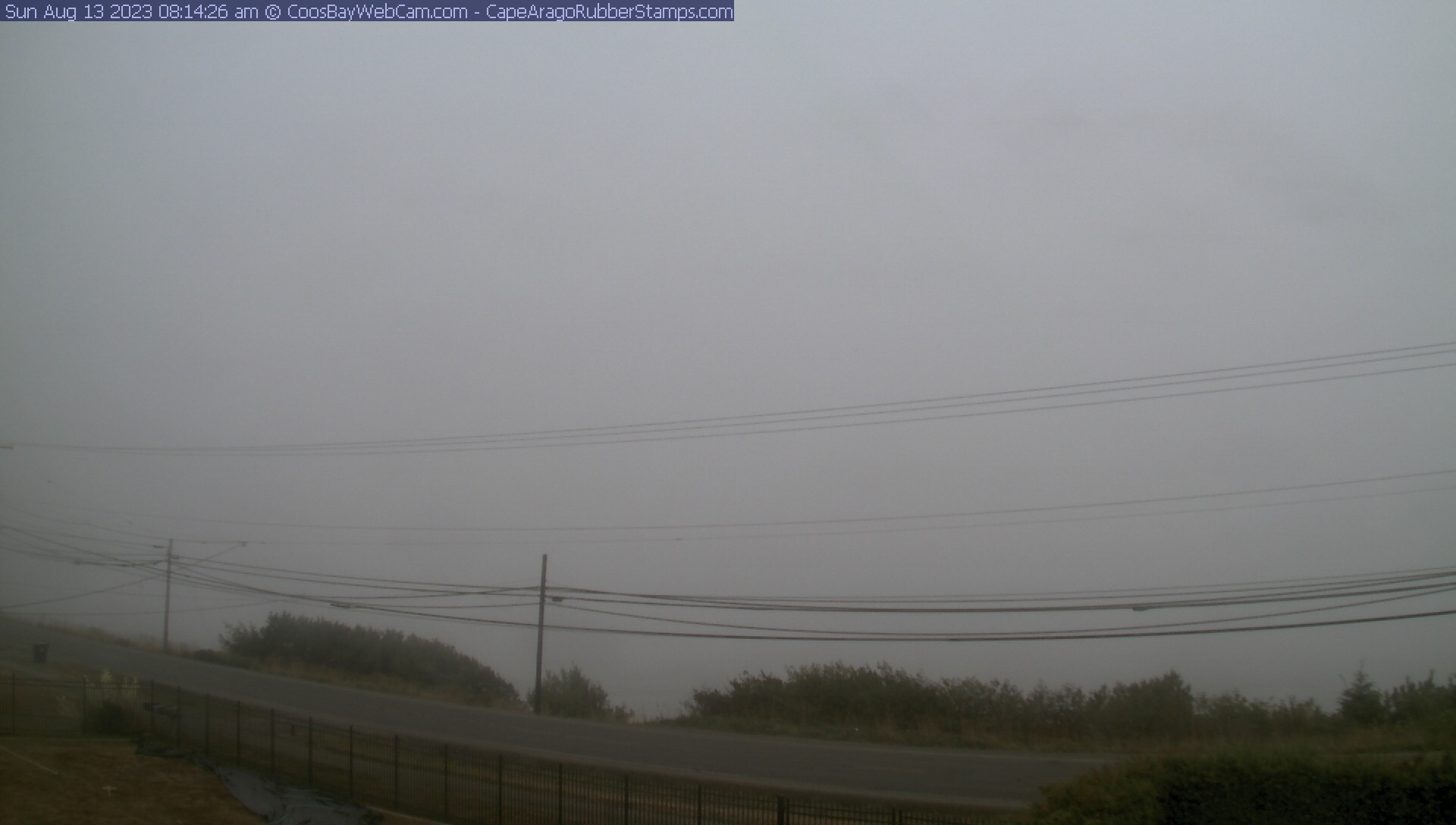
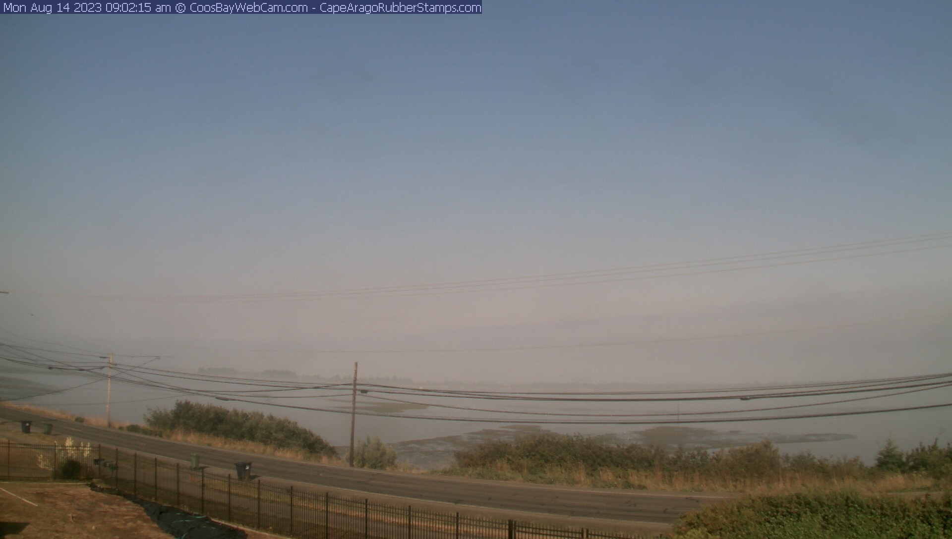
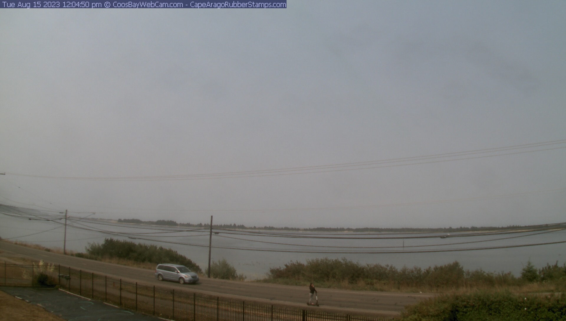
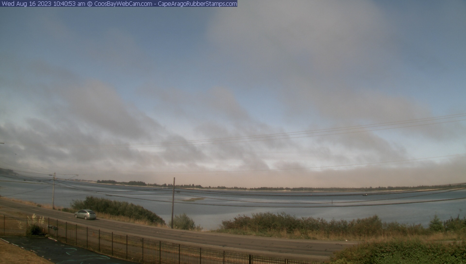
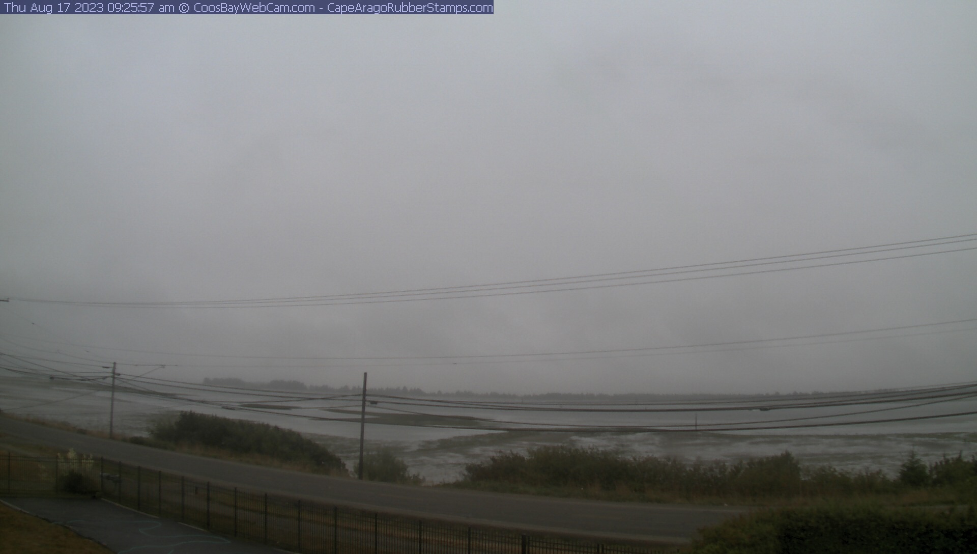
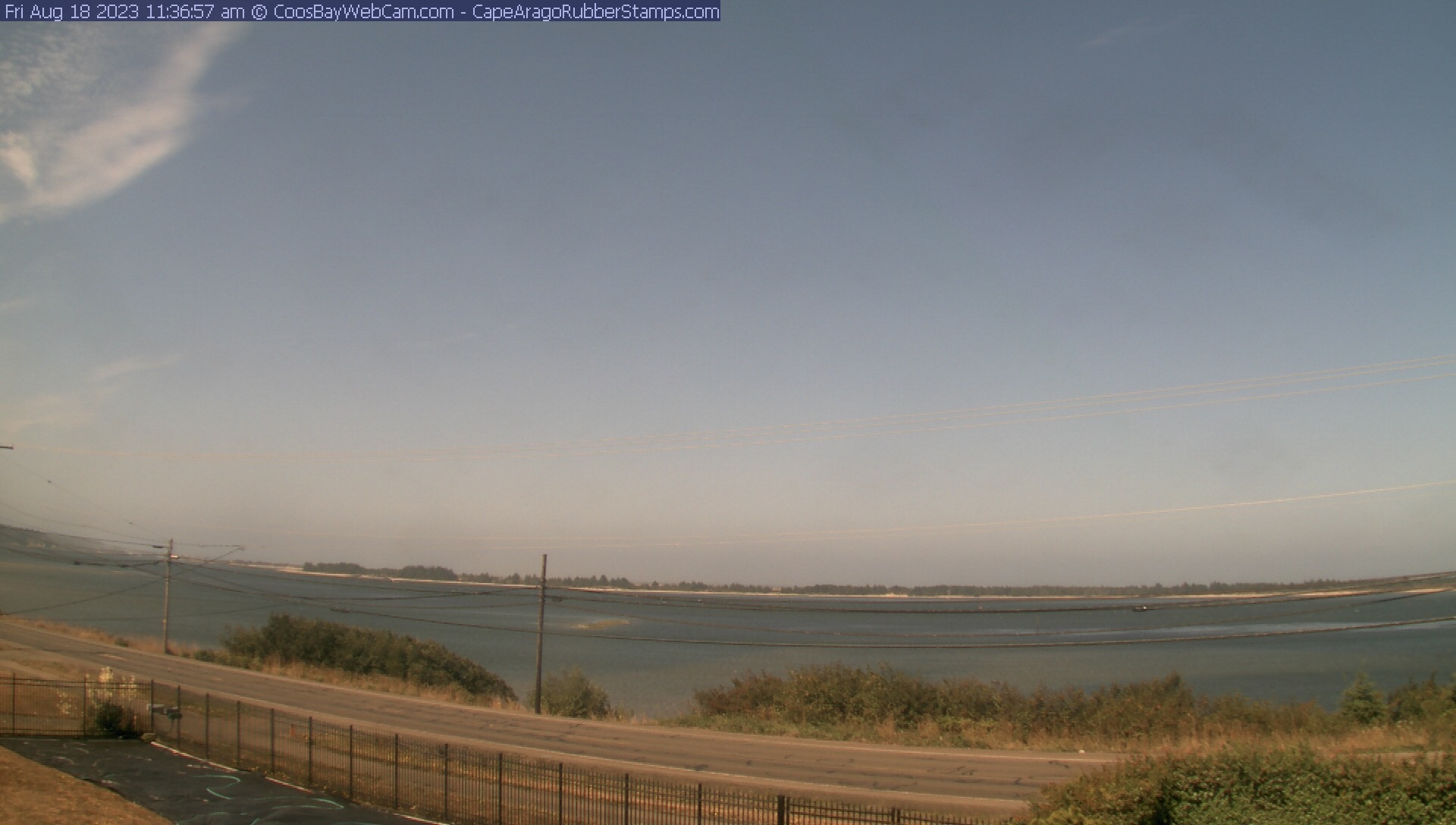
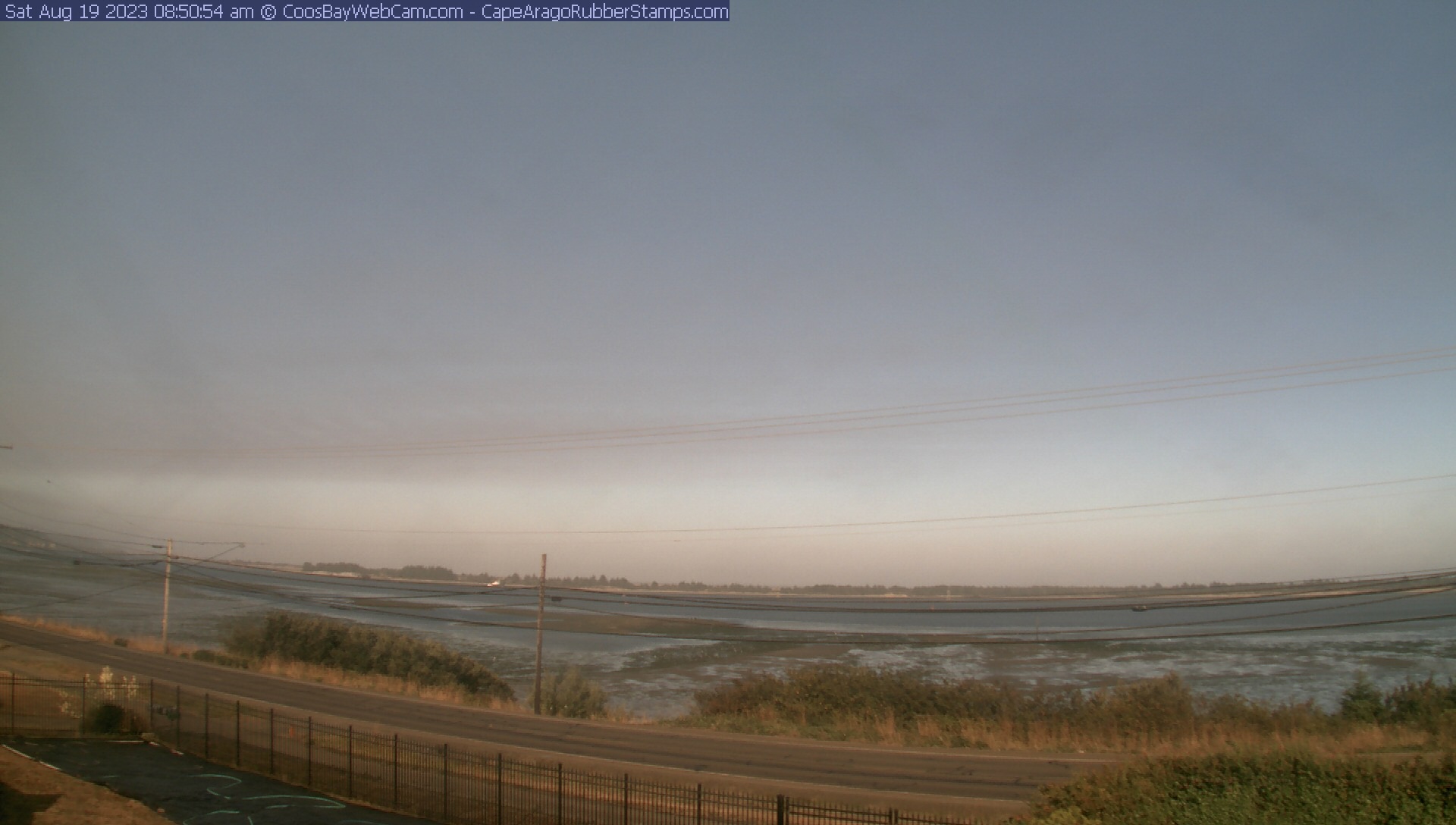
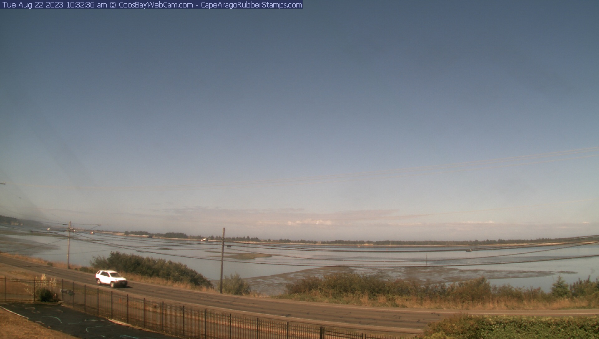
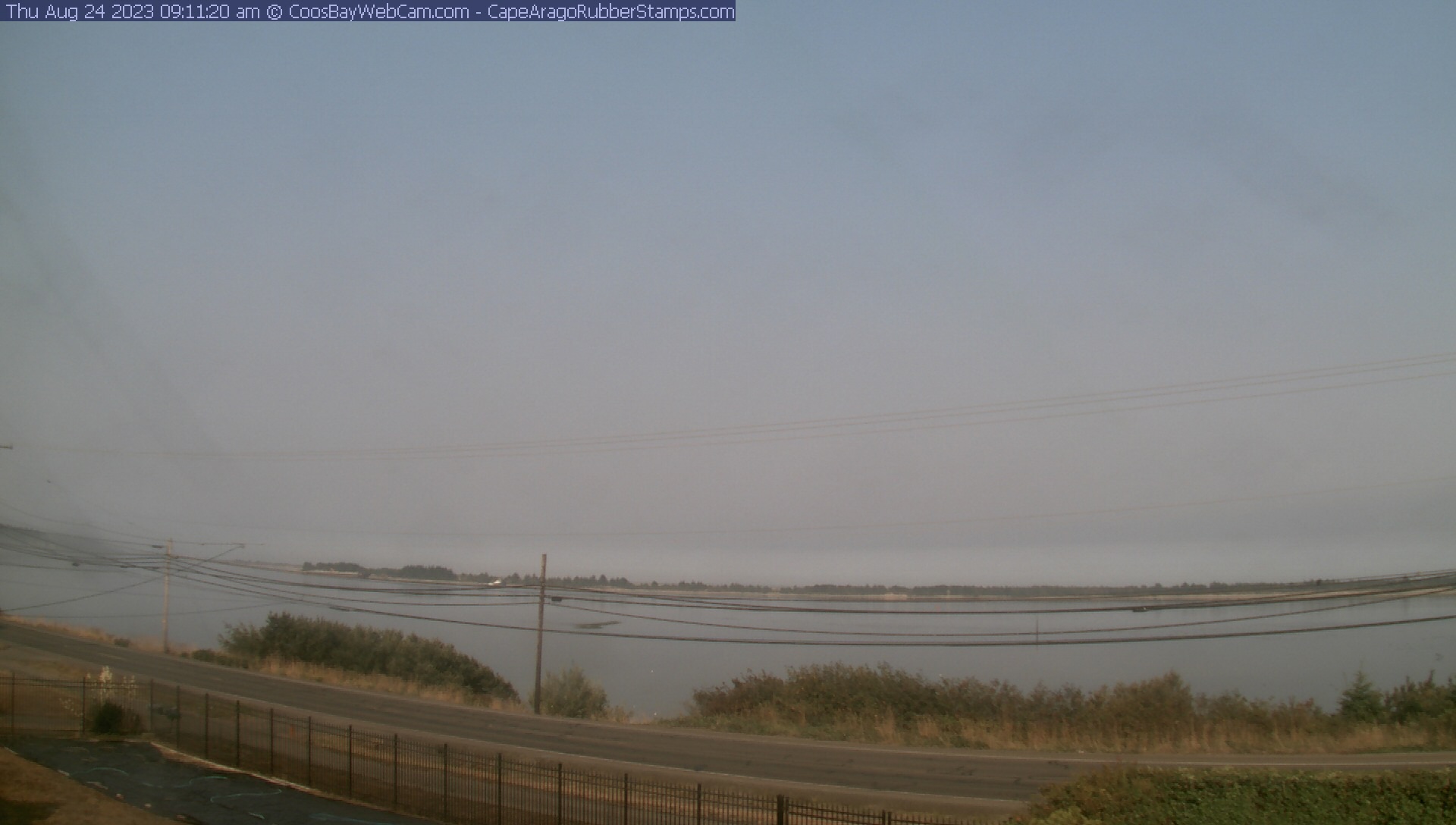
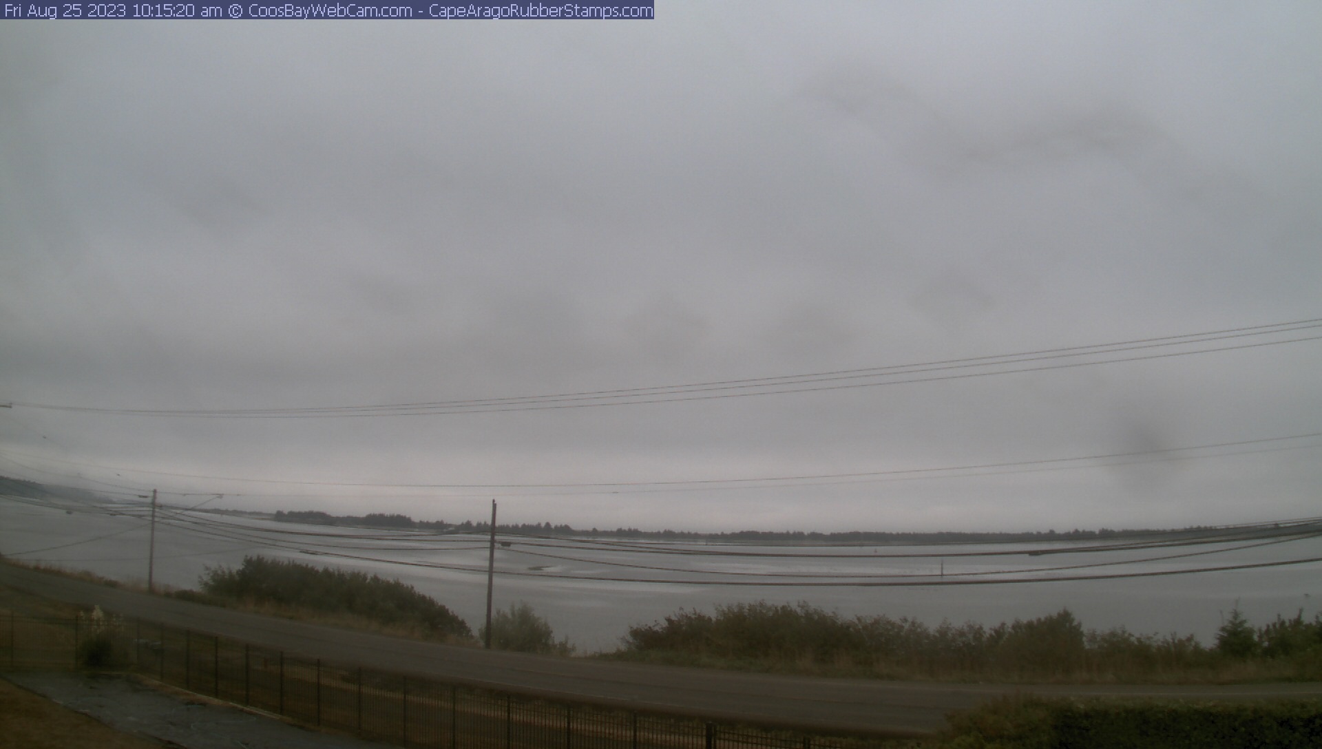
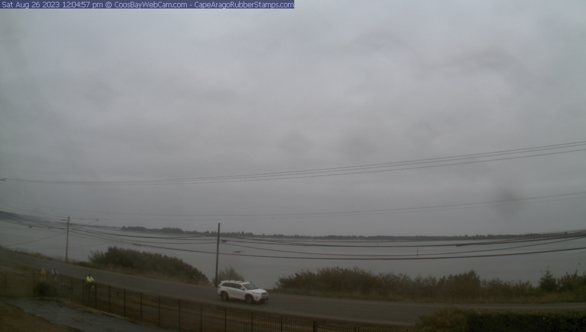
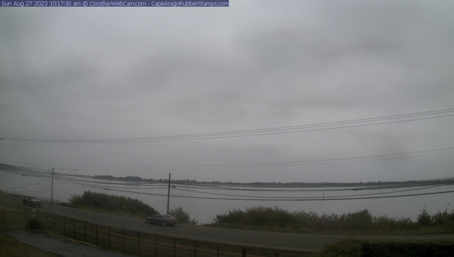
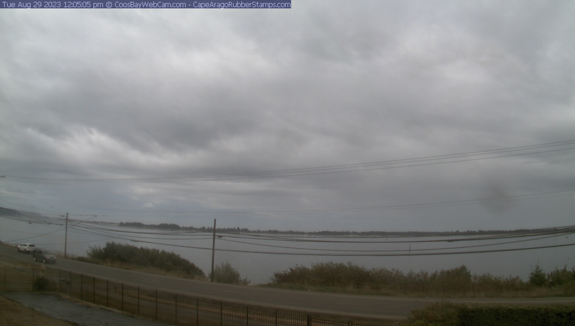
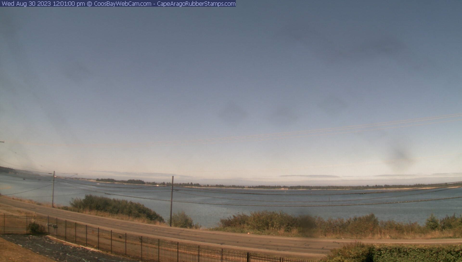
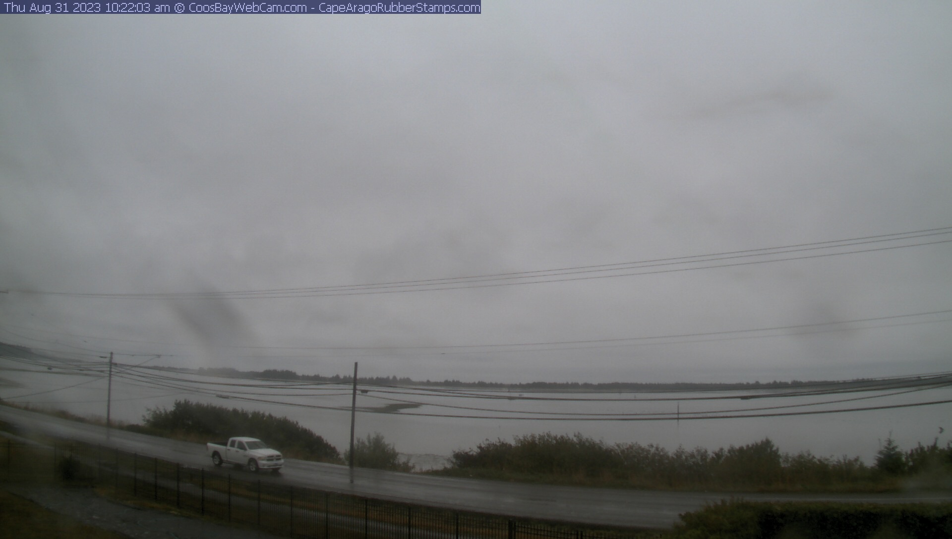
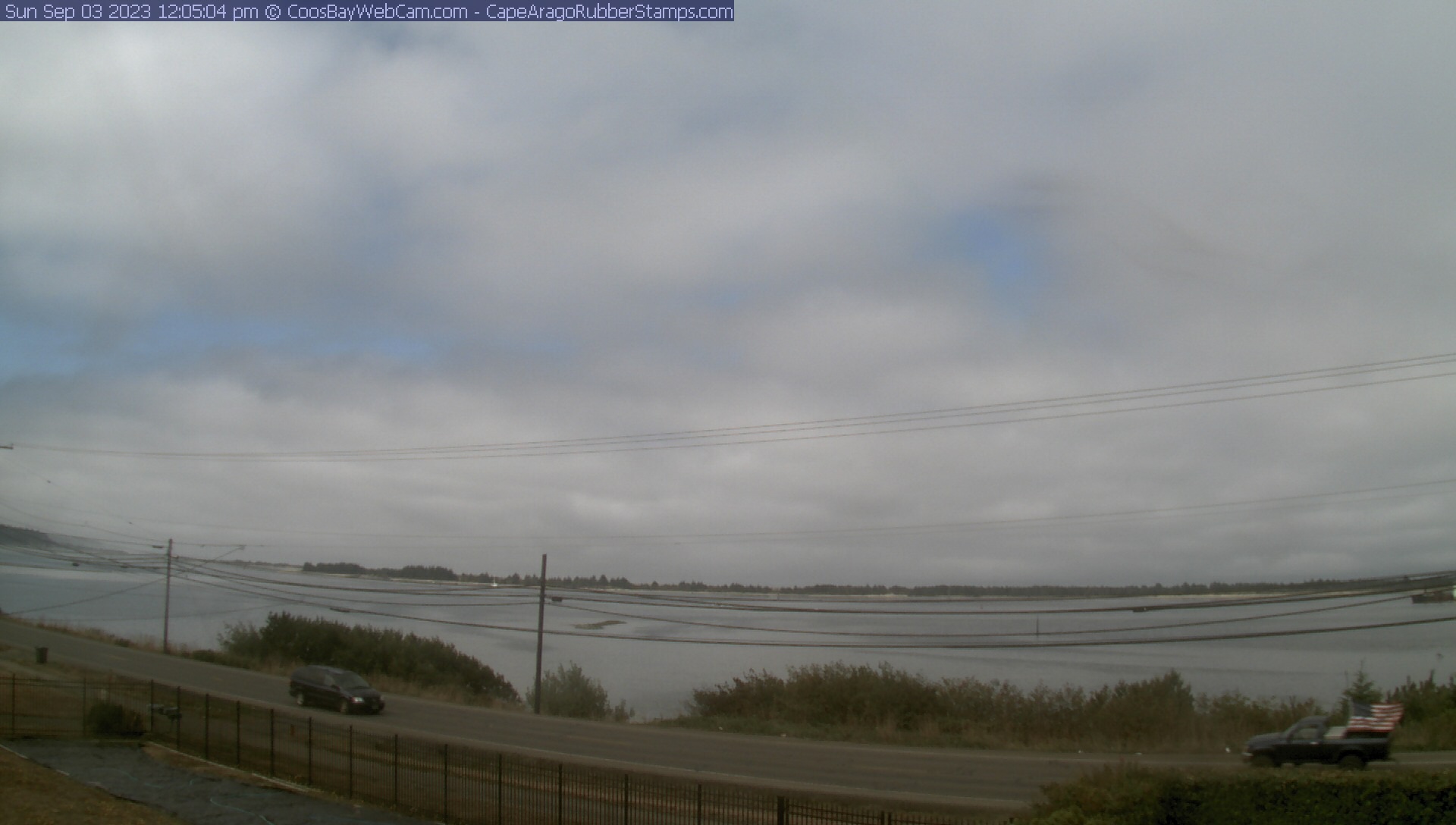
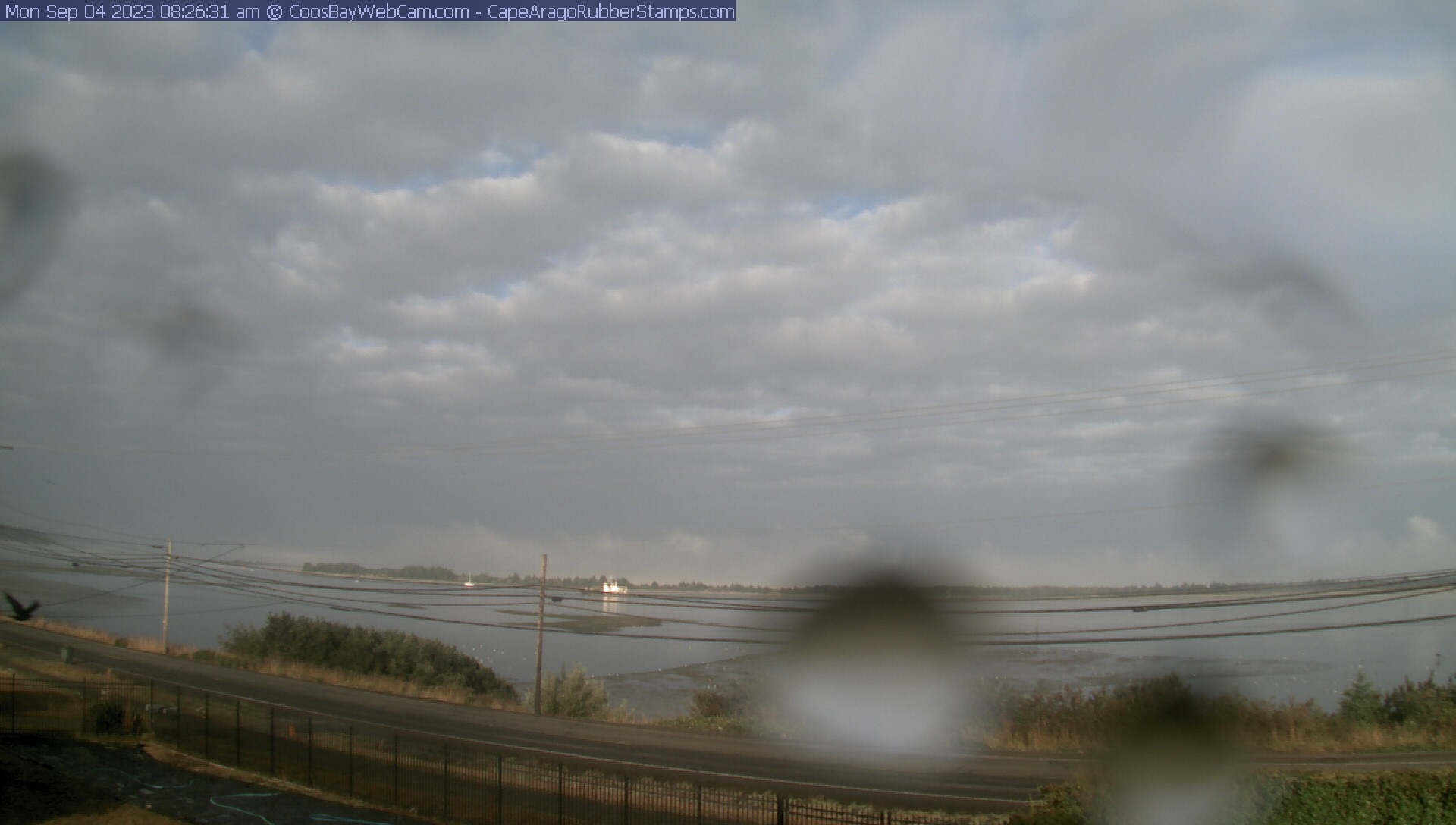
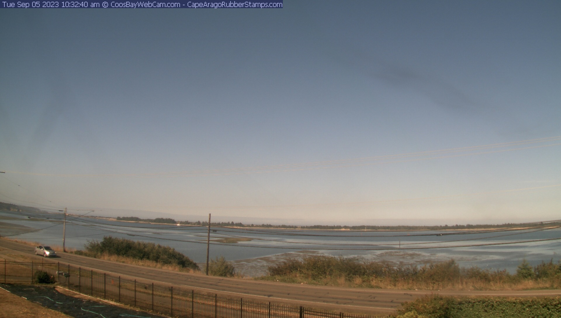
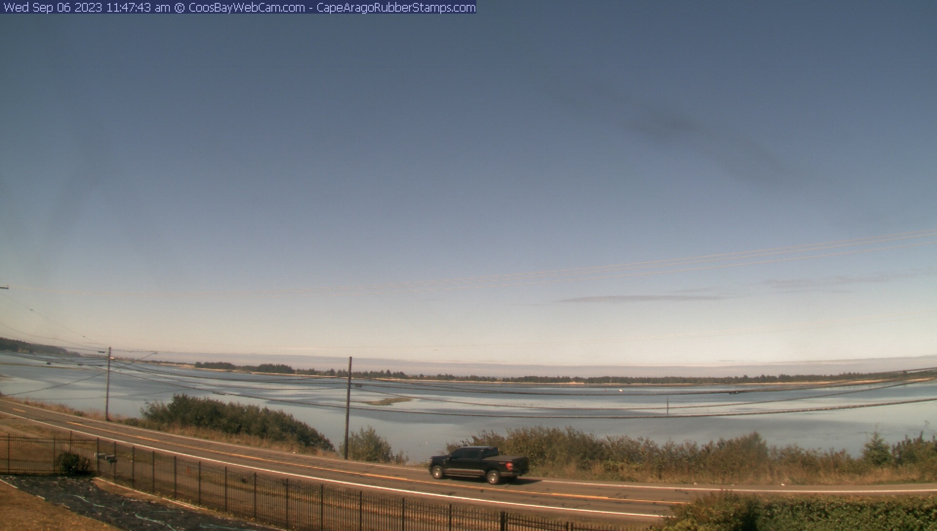
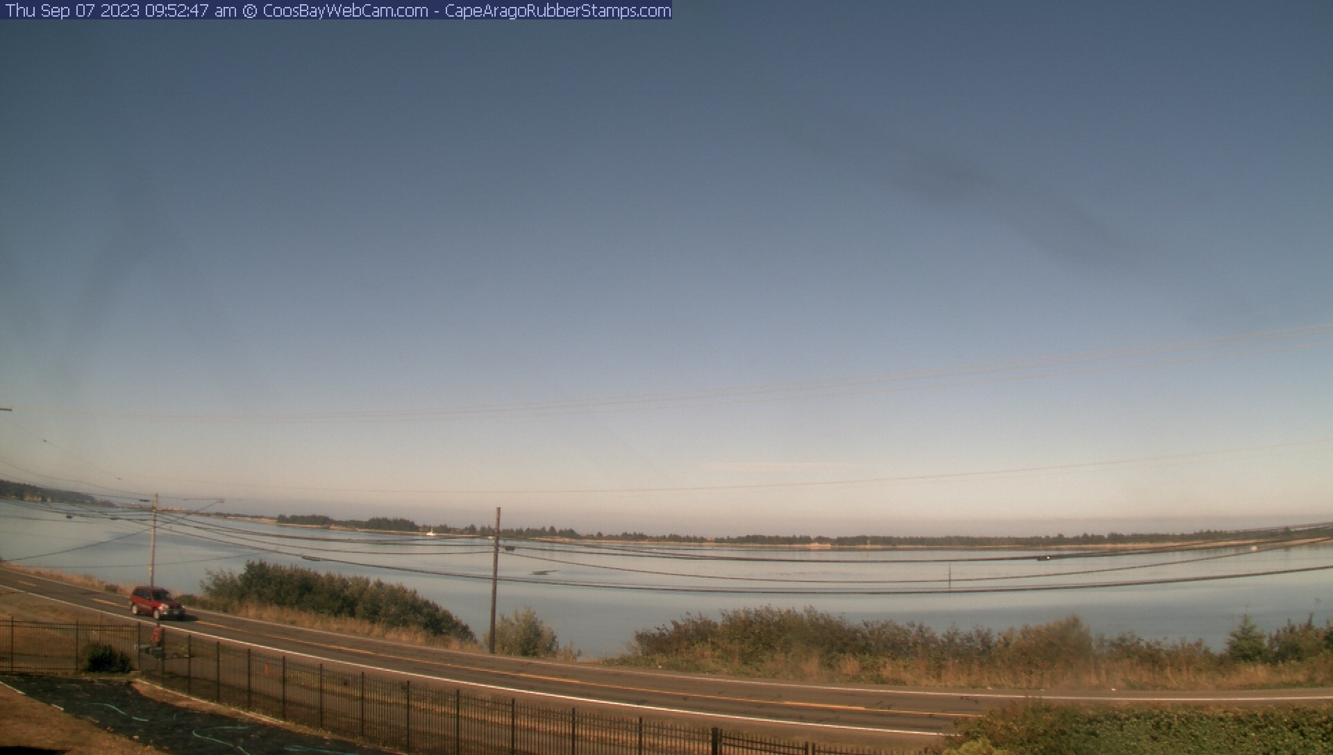
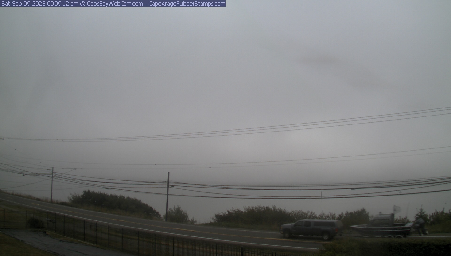
Coos Bay, Oregon, USA - 118.5 miles from Cinnabar Springs (historical): View of the Coos Bay - A nice panorama view over the Coos Bay.
Operator: CoosBayWebcam.com
Operator: CoosBayWebcam.com


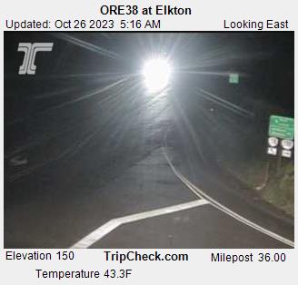
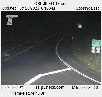
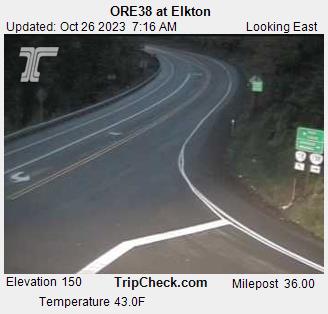
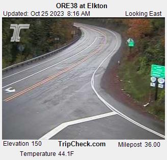
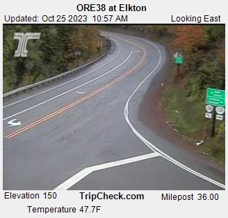
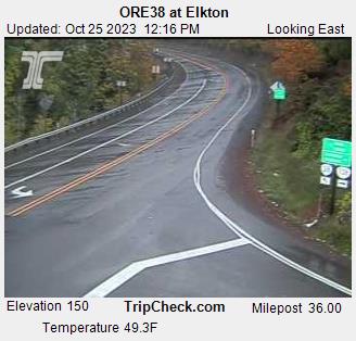
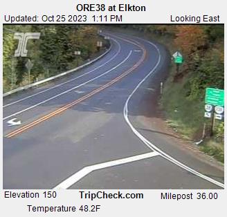
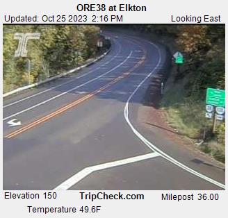
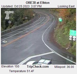
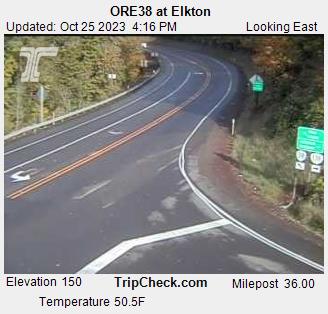
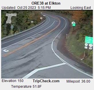
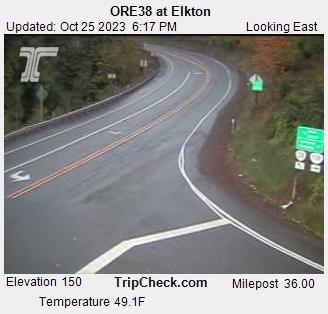
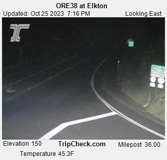
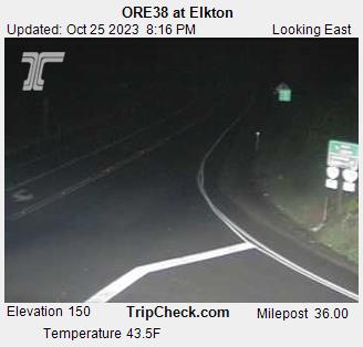
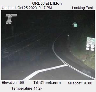
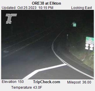
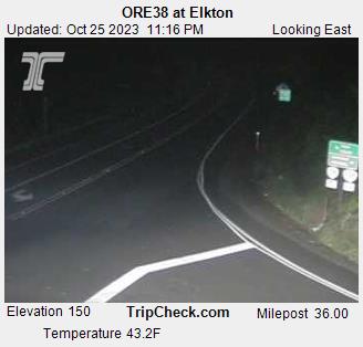
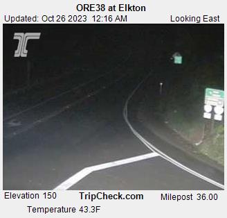
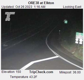
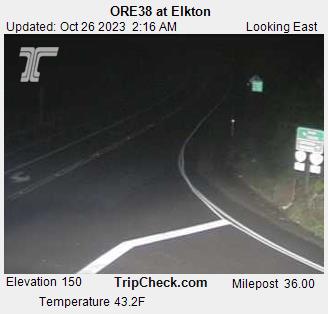
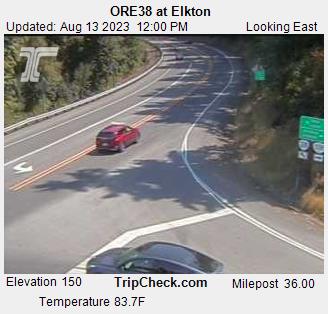
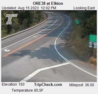
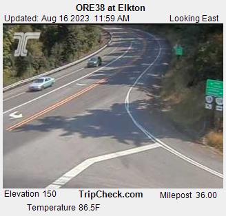
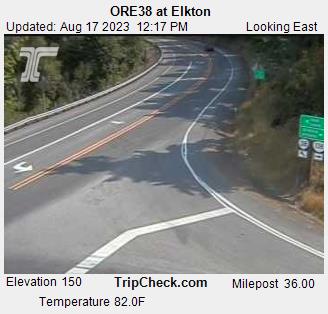
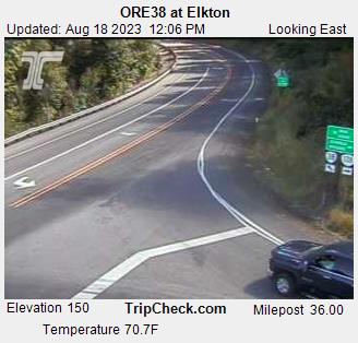
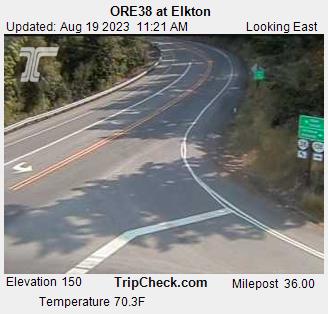
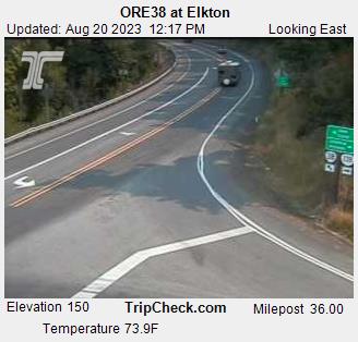
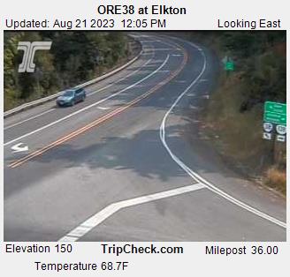
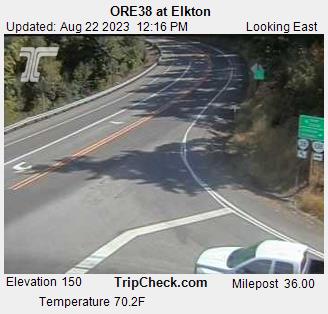
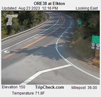
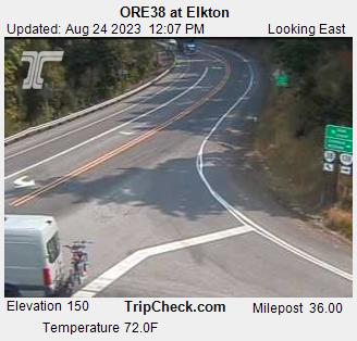
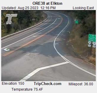
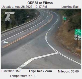
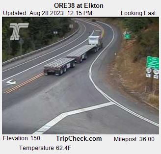
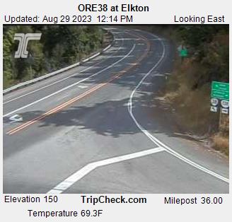
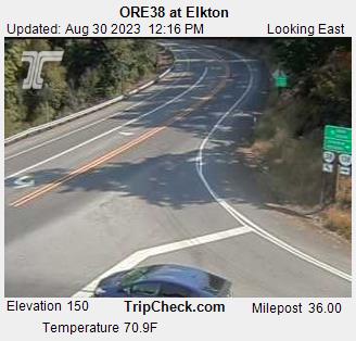
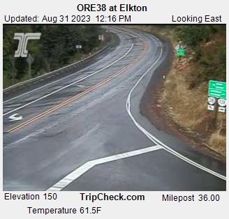
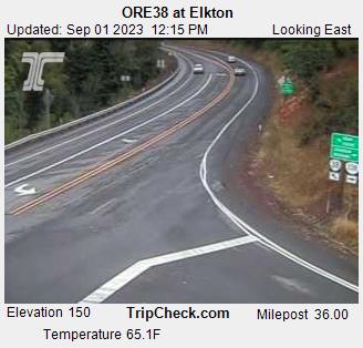
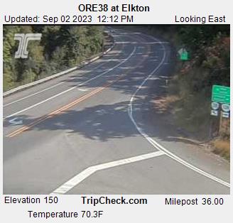
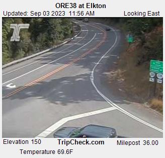
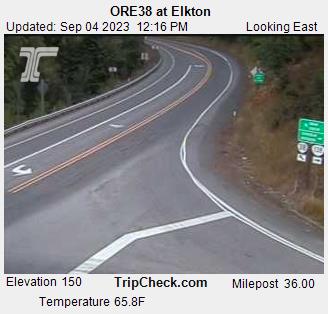
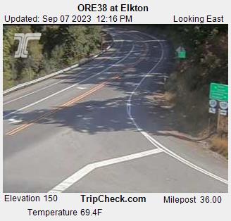
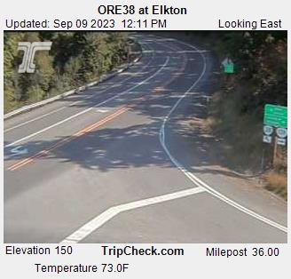
Elkton, Oregon, USA - 120.8 miles from Cinnabar Springs (historical): ORE38 at Elkton - A view of the current traffic situation on the ORE38.
Operator: Oregon Department of Transportation
Operator: Oregon Department of Transportation


Lassen Volcanic National Park, California, USA - 125.5 miles from Cinnabar Springs (historical): Kohm Yah-mah-nee Visitor Center - A view from the Kohm Yah-mah-nee Visitor Center in the Lassen Volcanic National Park towards Mt. Diller (left) und Pilot Pinnacle (right).
Operator: U.S. National Park Service
Operator: U.S. National Park Service


Some other places in this country: French Hill - Lawyers Bar (historical) - Rockland - Cantara (historical) - Esperanza (historical) - Eyese Bar (historical) - Graham (historical) - Jims Camp - Klamath River - Metcalf (historical)