Webcams in the region of Bunker Hill, California, USA
The List of Webcams near Bunker Hill, California, USA:

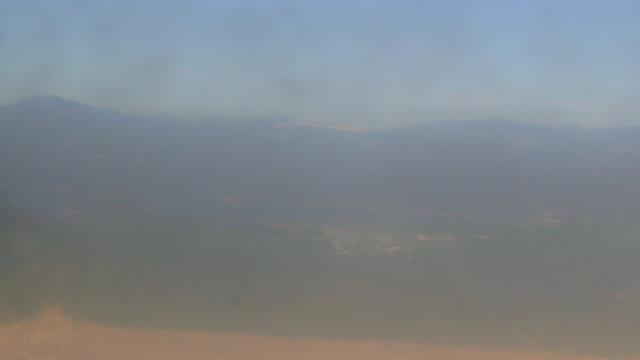
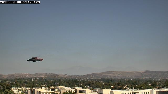
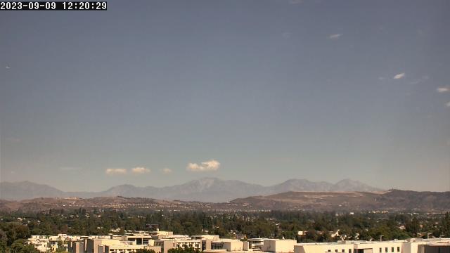
San Bernardino, California, USA - 24.8 miles from Bunker Hill: Caritas Communications - A webcam in San Bernardino, California - camera location: Caritas Communications.
Operator: WeatherBug
Operator: WeatherBug


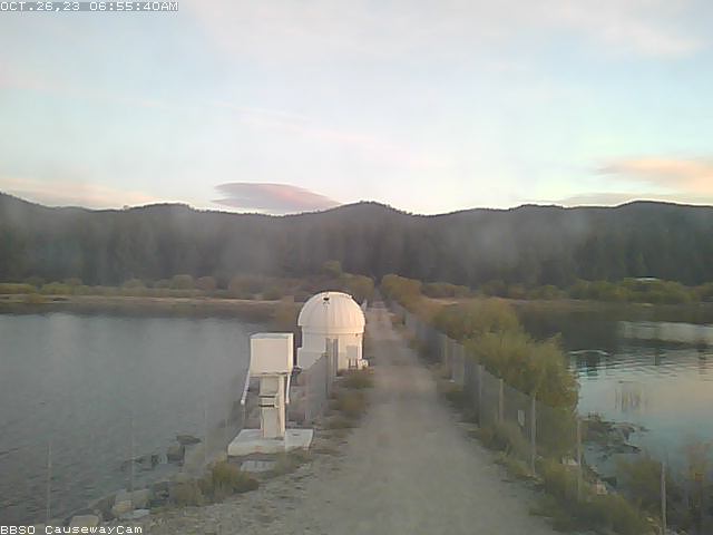
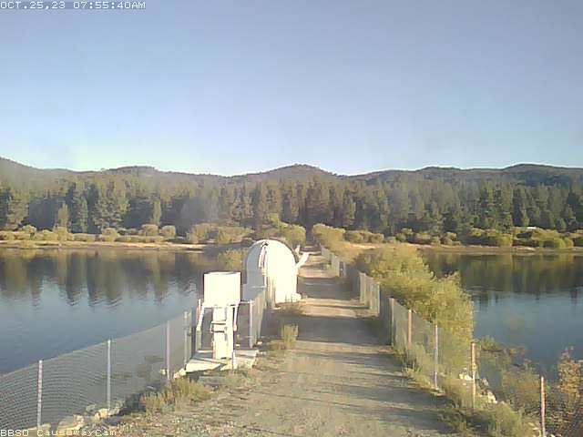
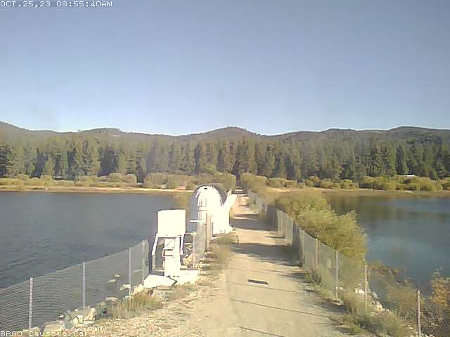
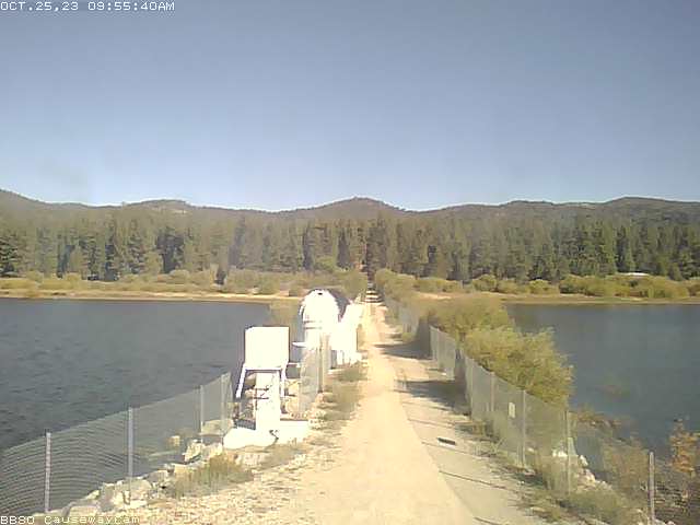
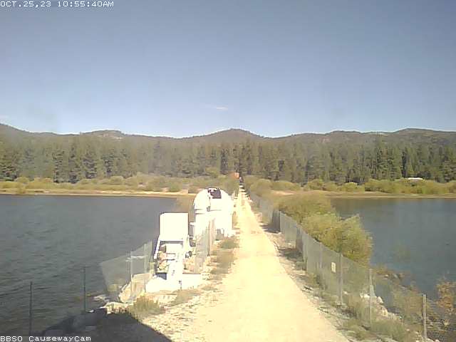
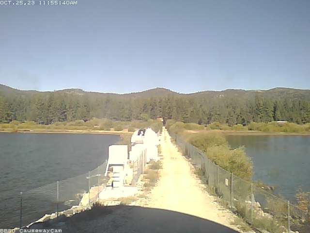
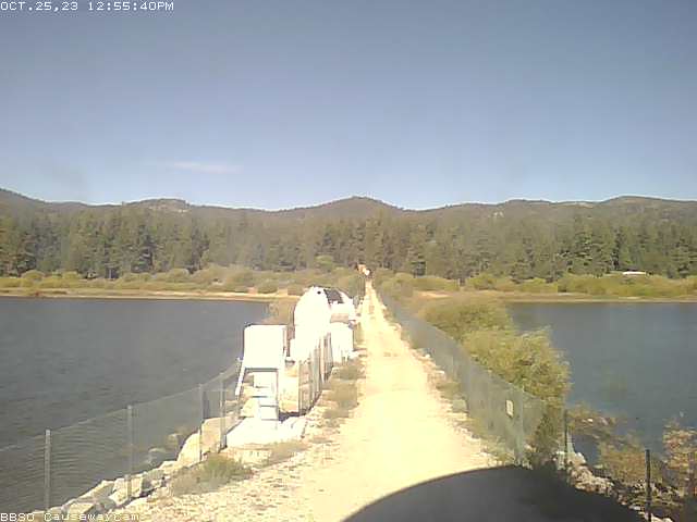
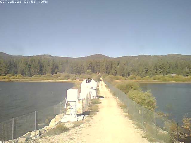
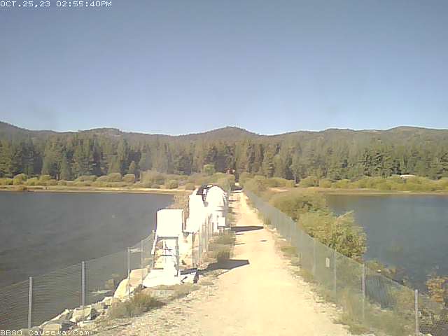
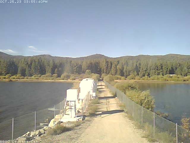
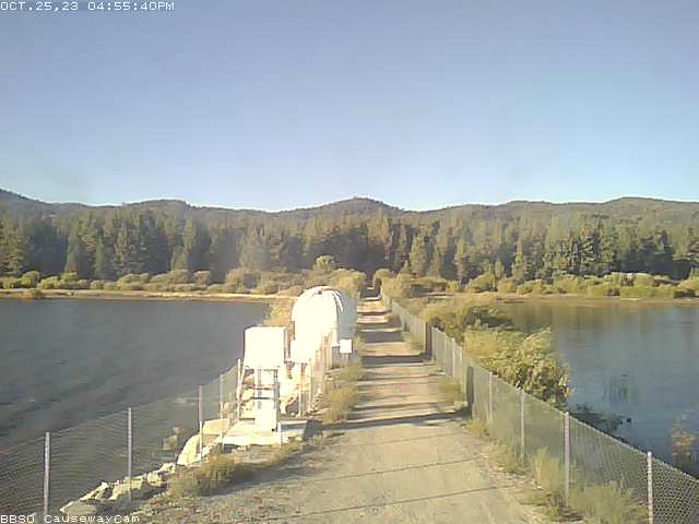
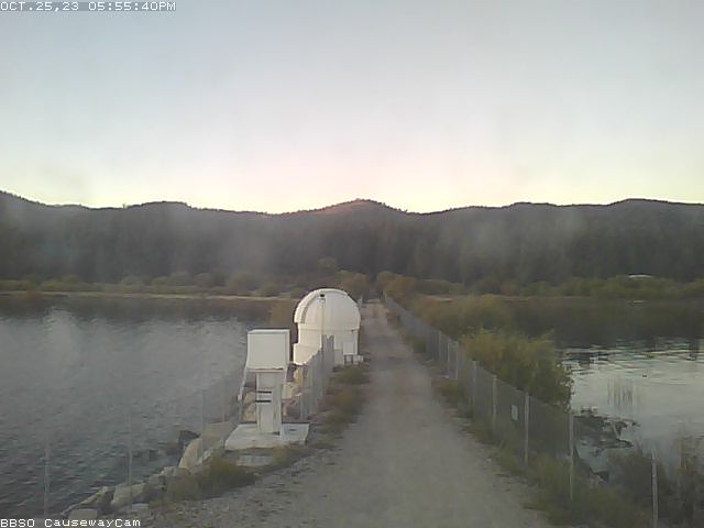
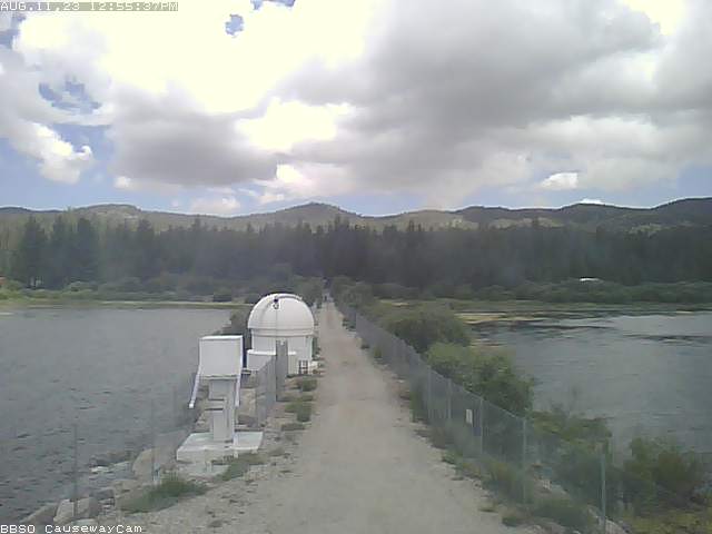
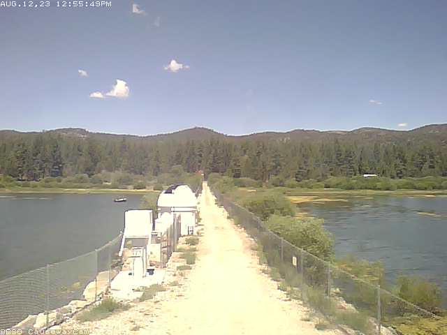
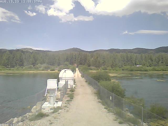
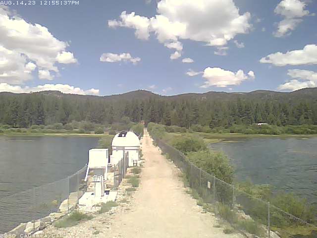
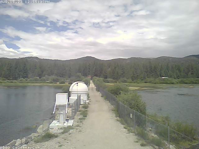
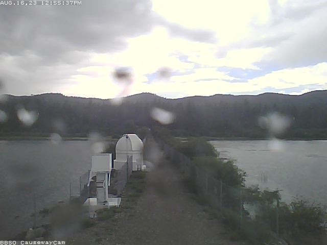
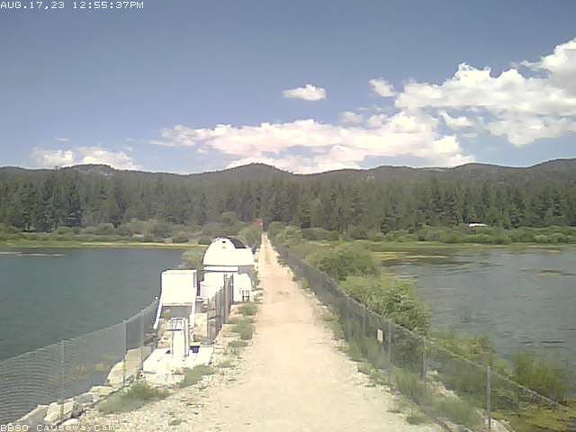
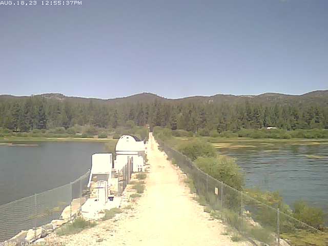
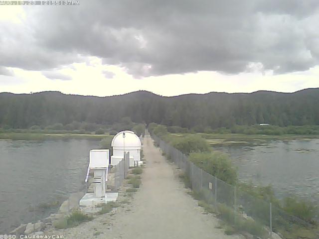
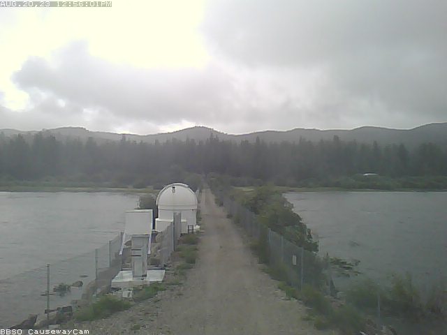
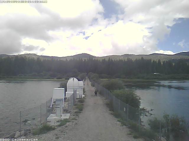
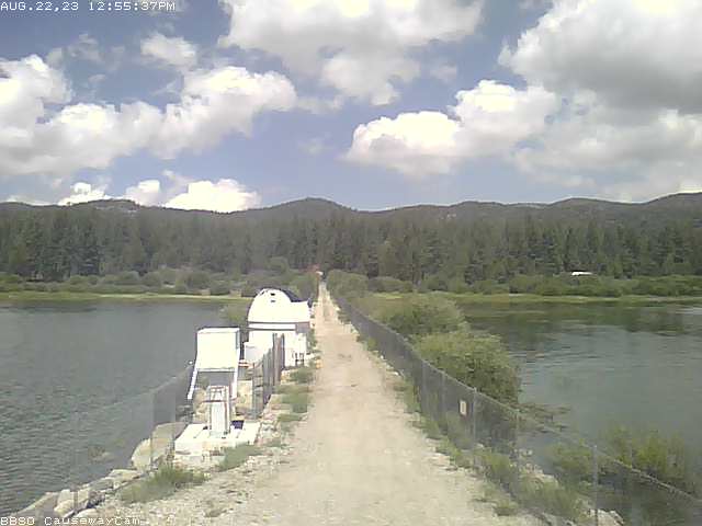
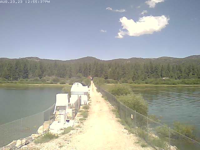
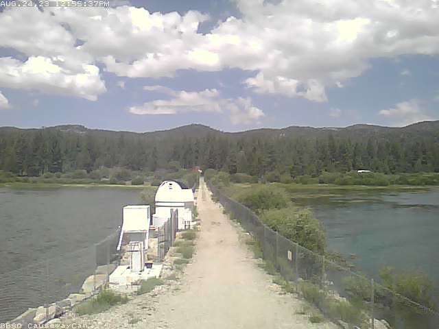
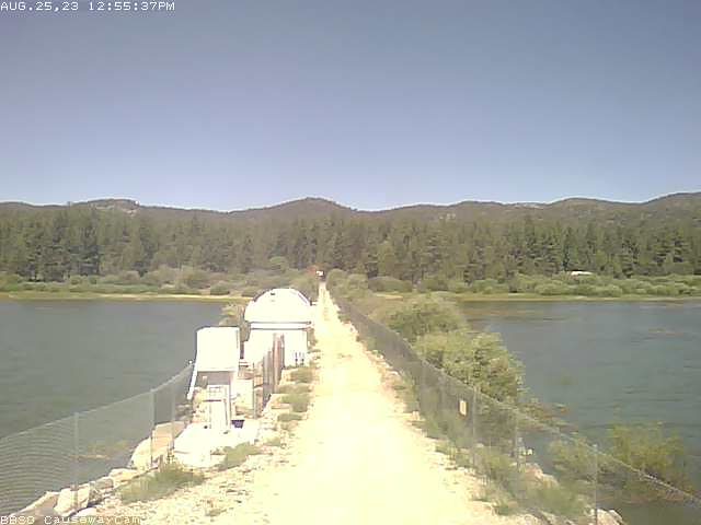
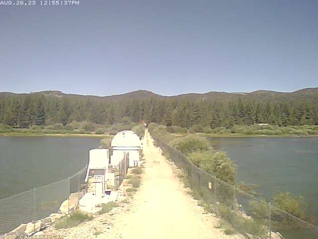
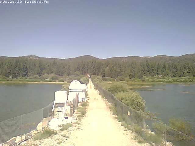
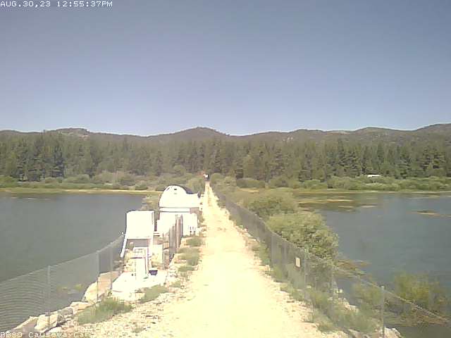
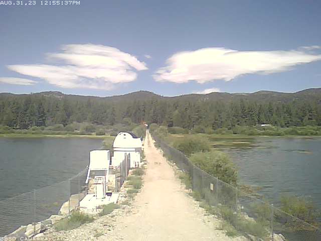
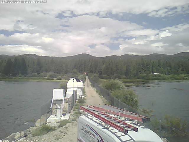
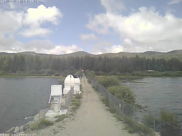
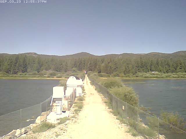
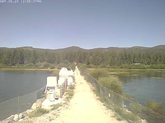
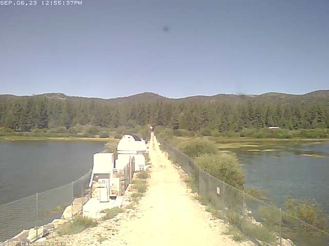
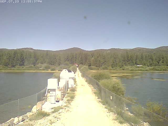
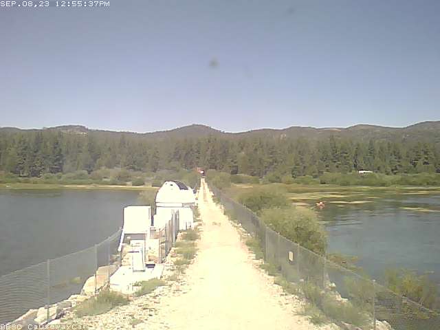
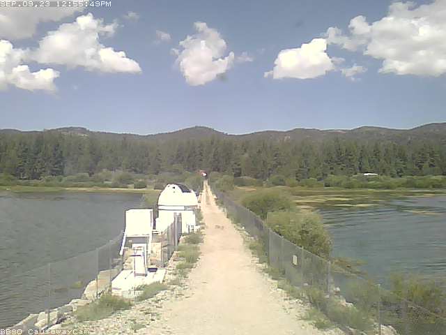
Big Bear Lake, California, USA - 25.1 miles from Bunker Hill: Big Bear Solar Observatory - A nice view from the control room of the BBSO in Big Bear Lake.
Operator: Big Bear Solar Observatory
Operator: Big Bear Solar Observatory


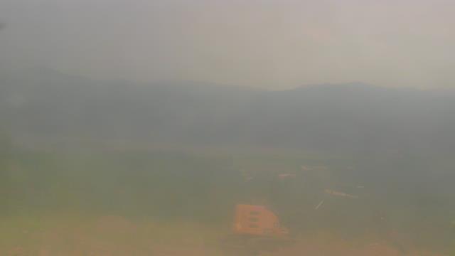
Big Bear Lake, California, USA - 25.1 miles from Bunker Hill: Snow Summit - A webcam in Big Bear Lake, California - camera location: Snow Summit.
Operator: WeatherBug
Operator: WeatherBug


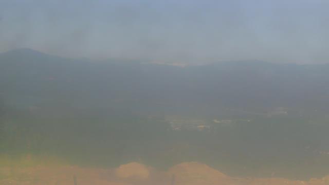

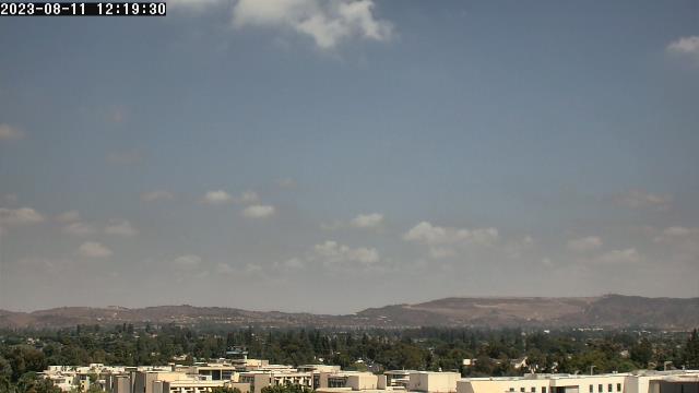
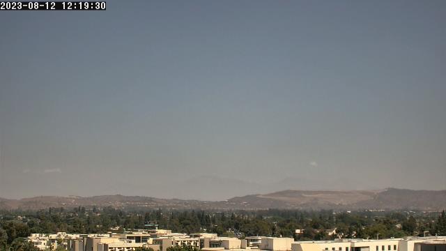
Fullerton, California, USA - 38.4 miles from Bunker Hill: California State University - A webcam in Fullerton, California - camera location: California State University.
Operator: WeatherBug
Operator: WeatherBug

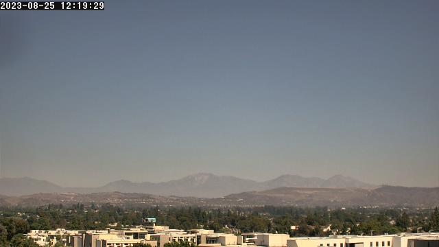
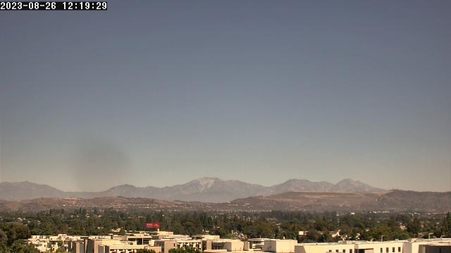
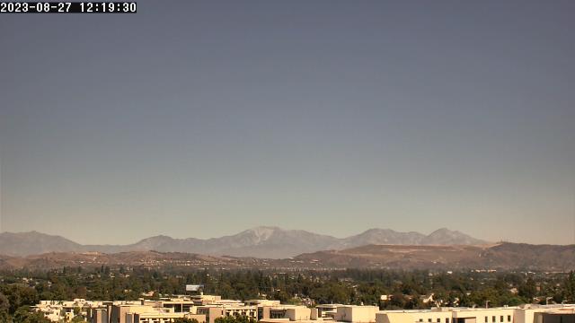
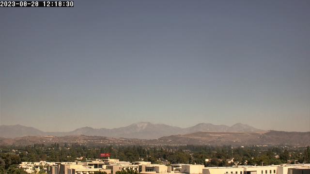
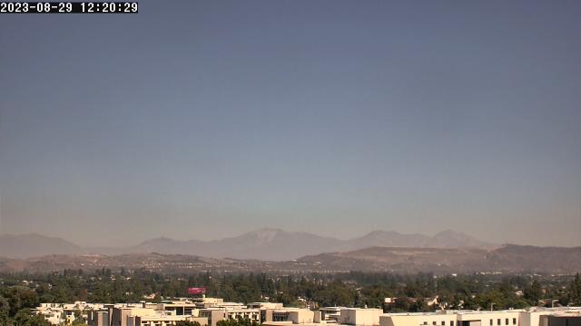
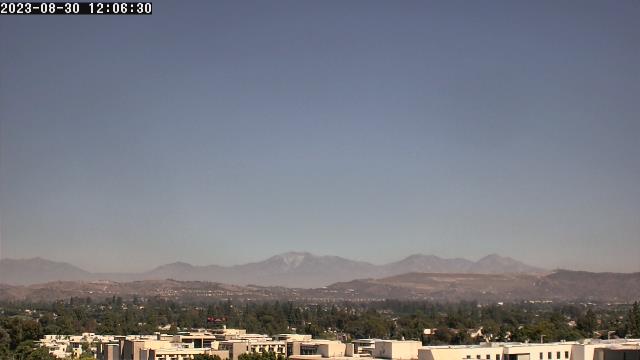
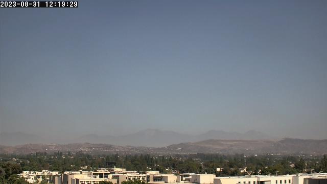
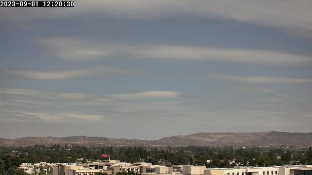


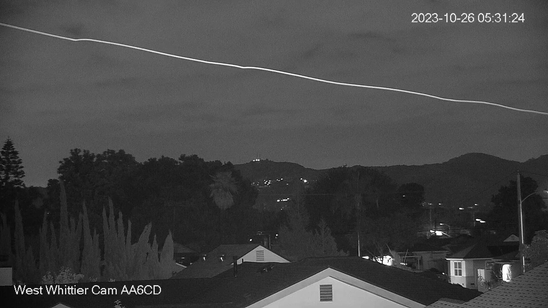
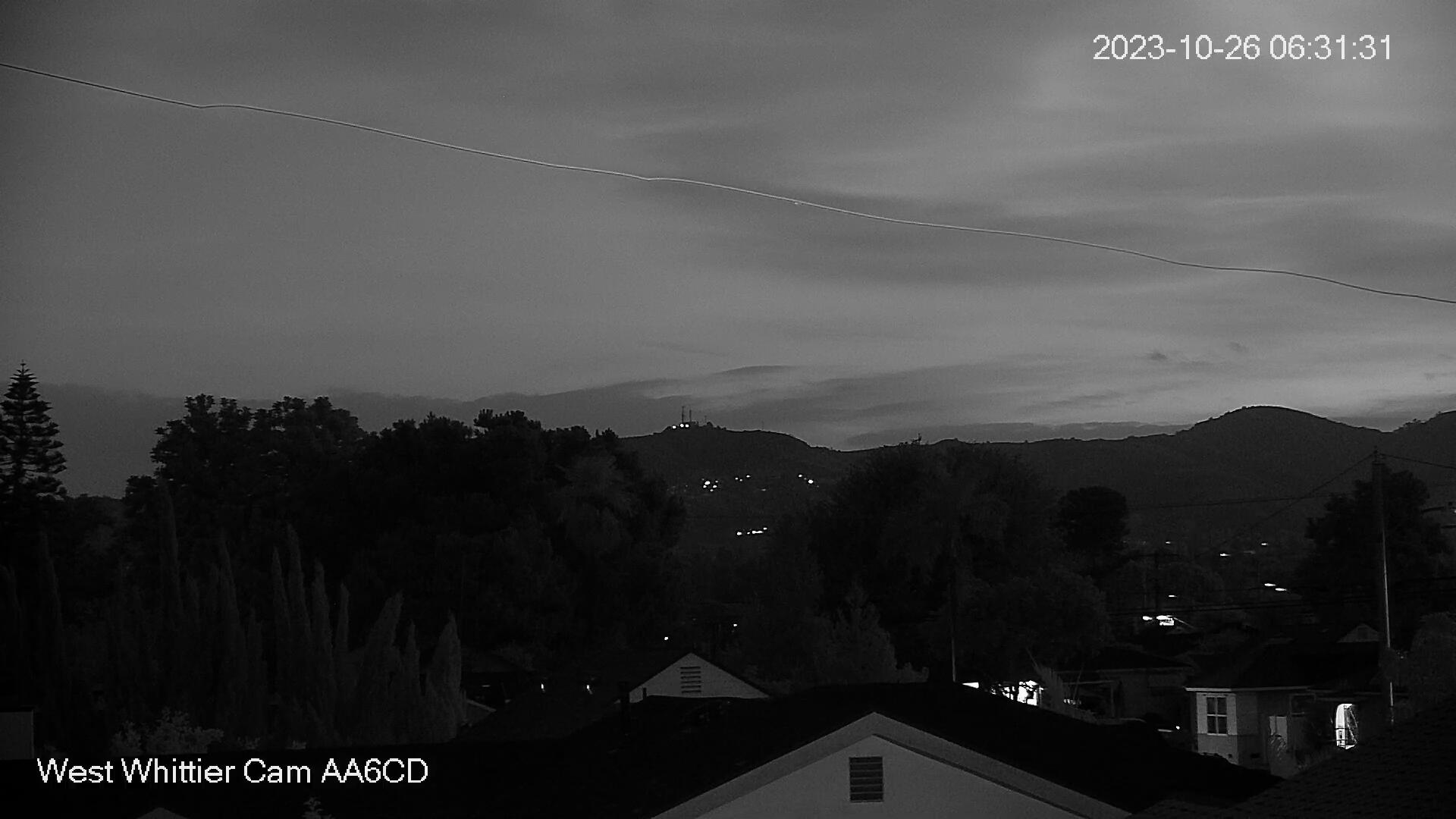
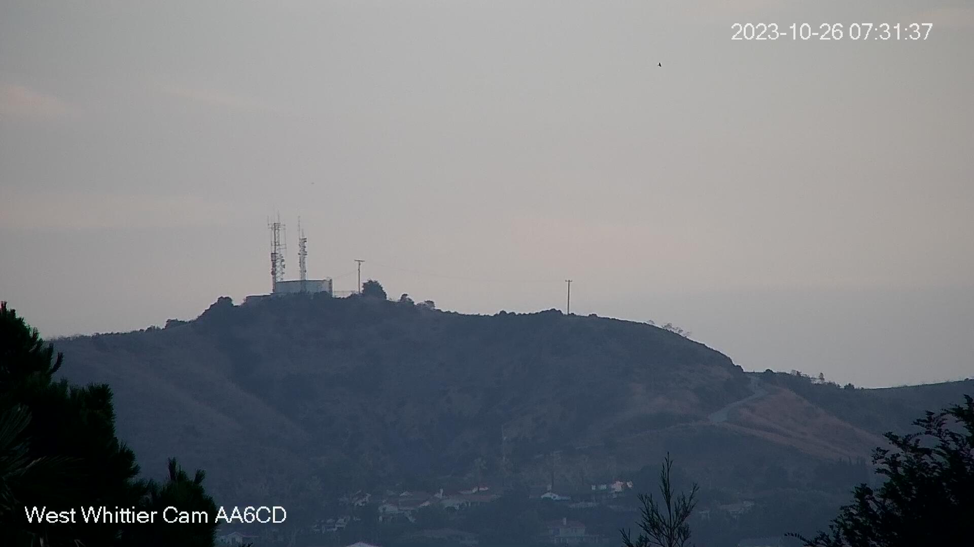
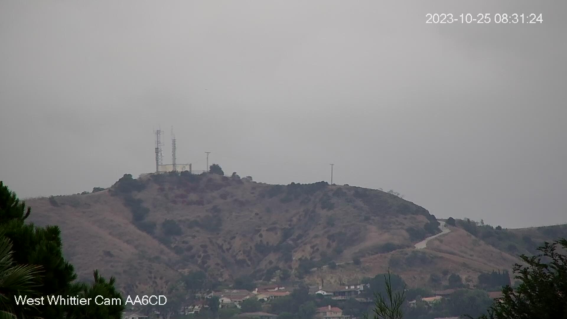
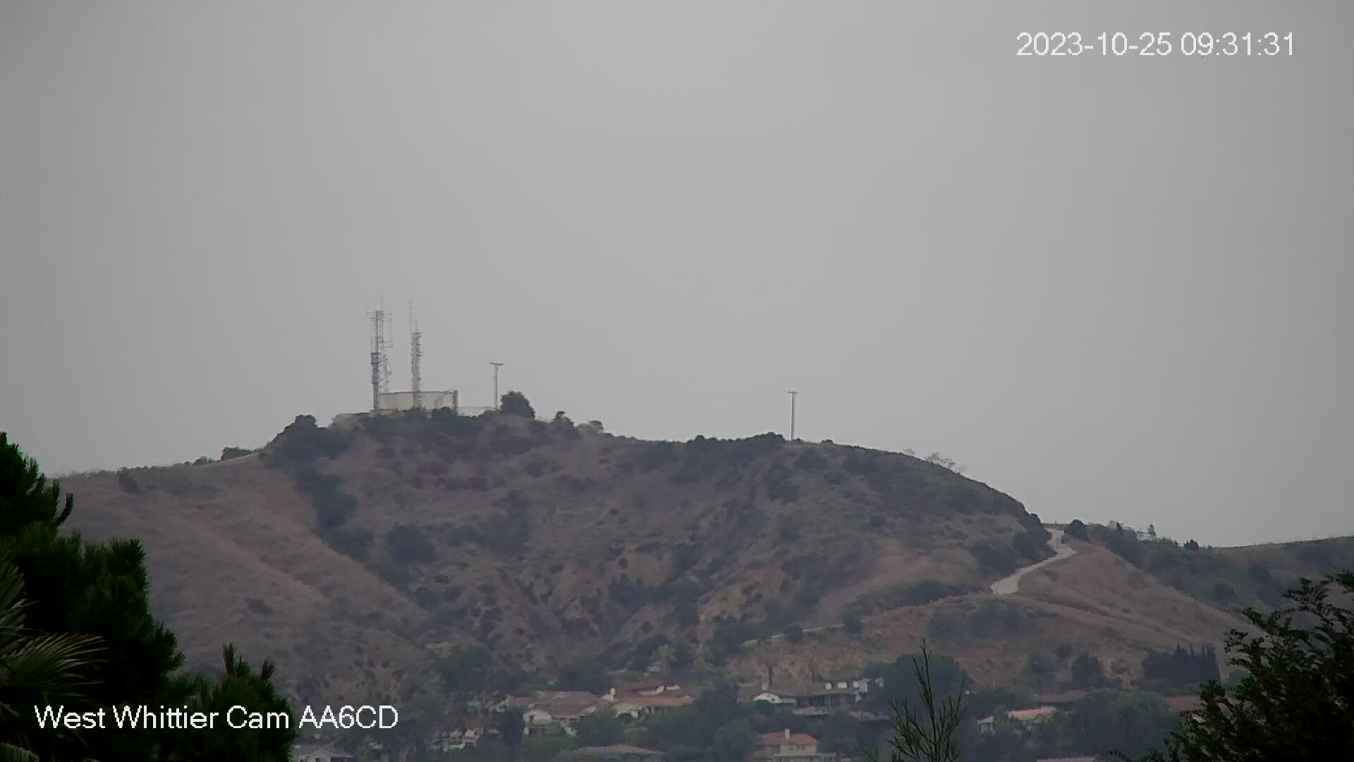
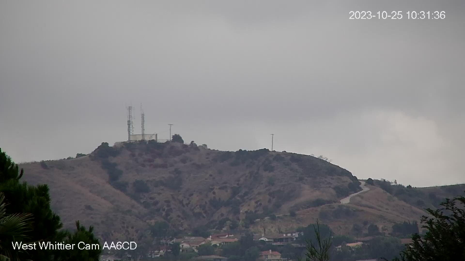
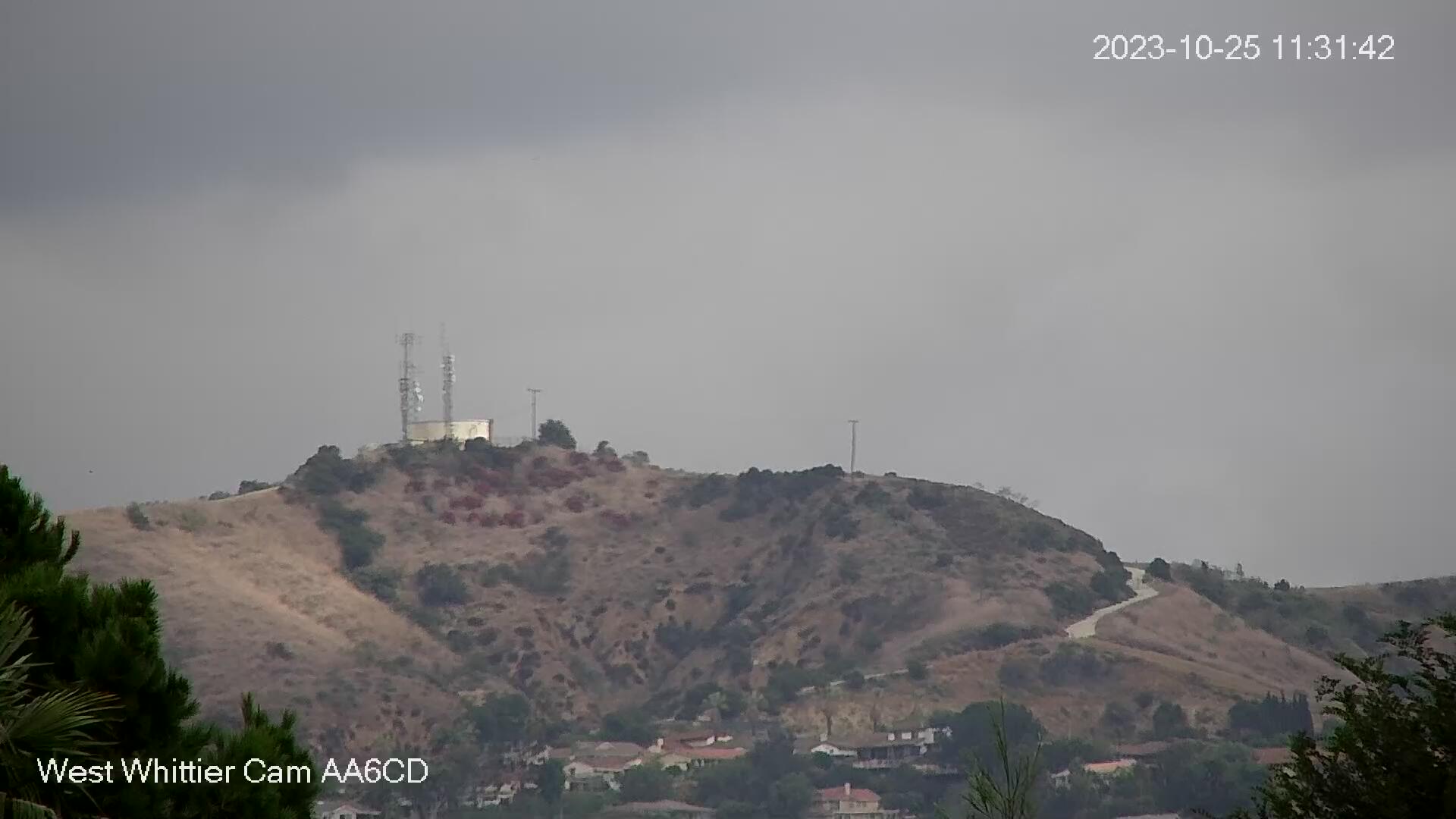
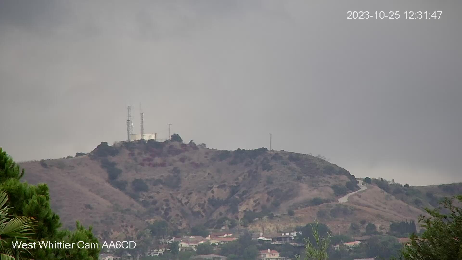
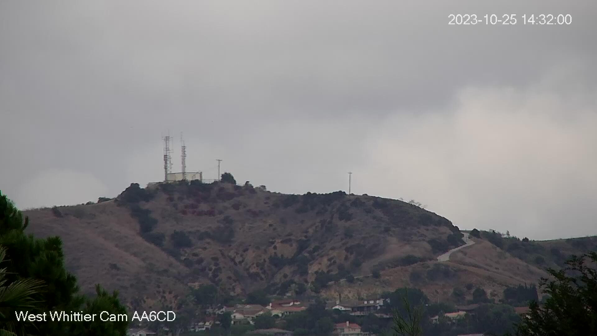
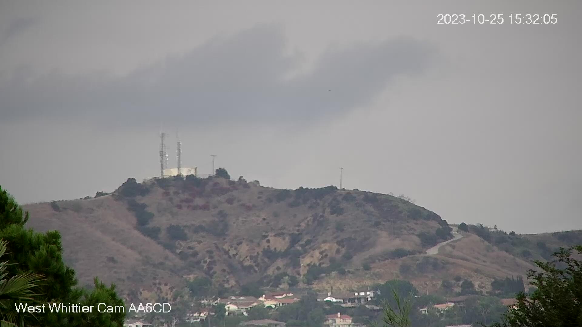
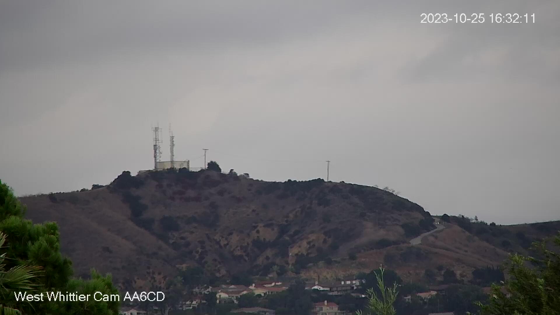
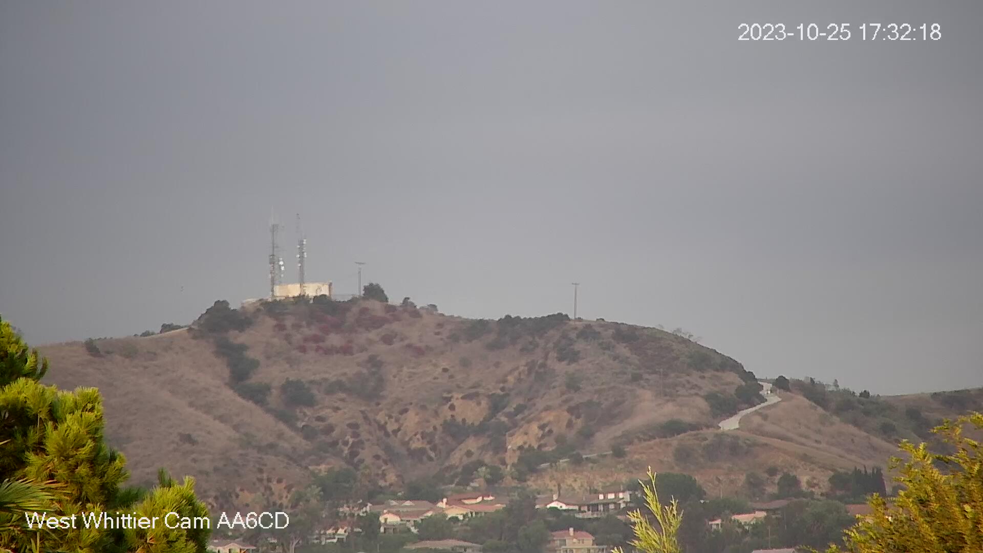
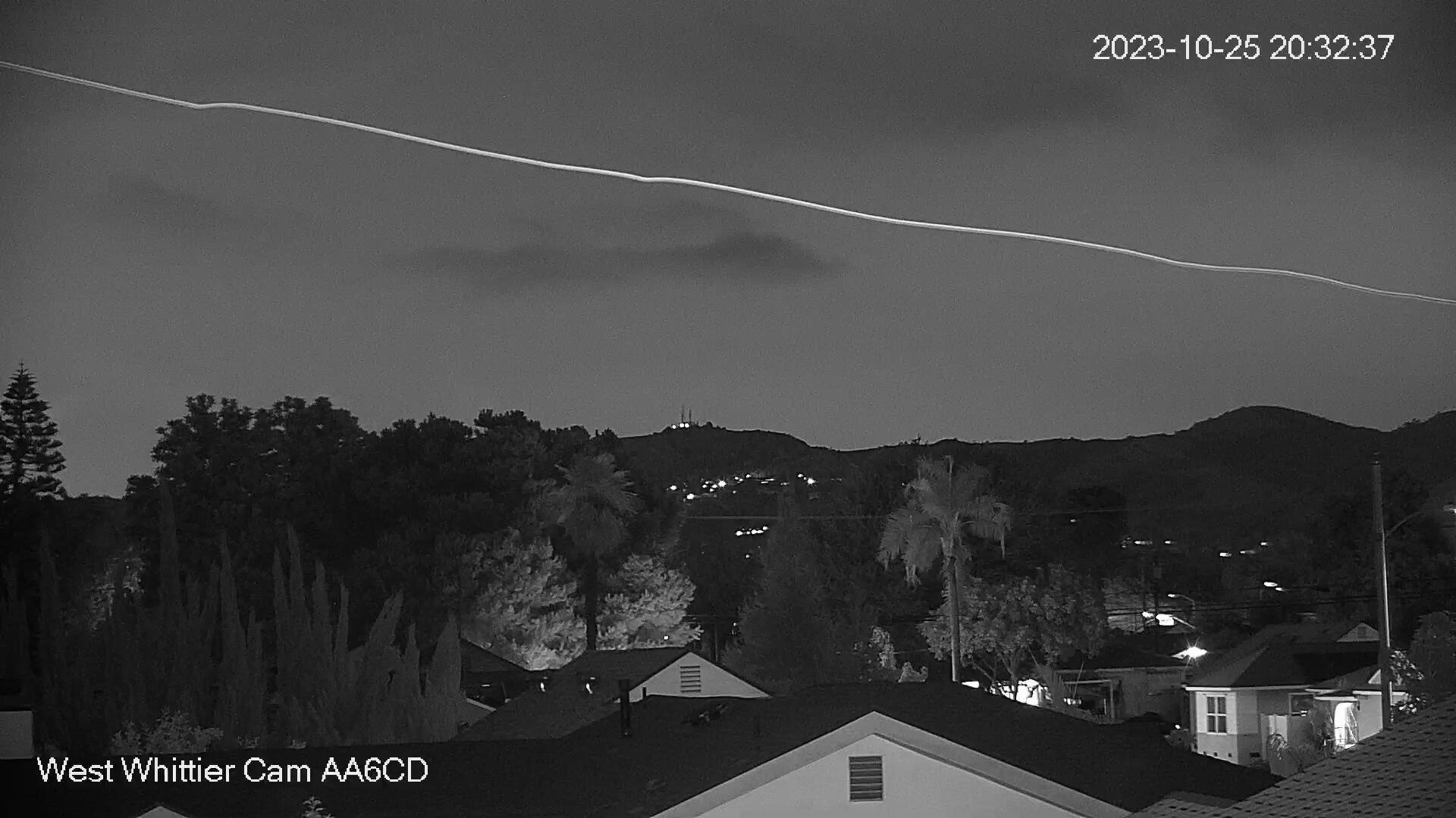
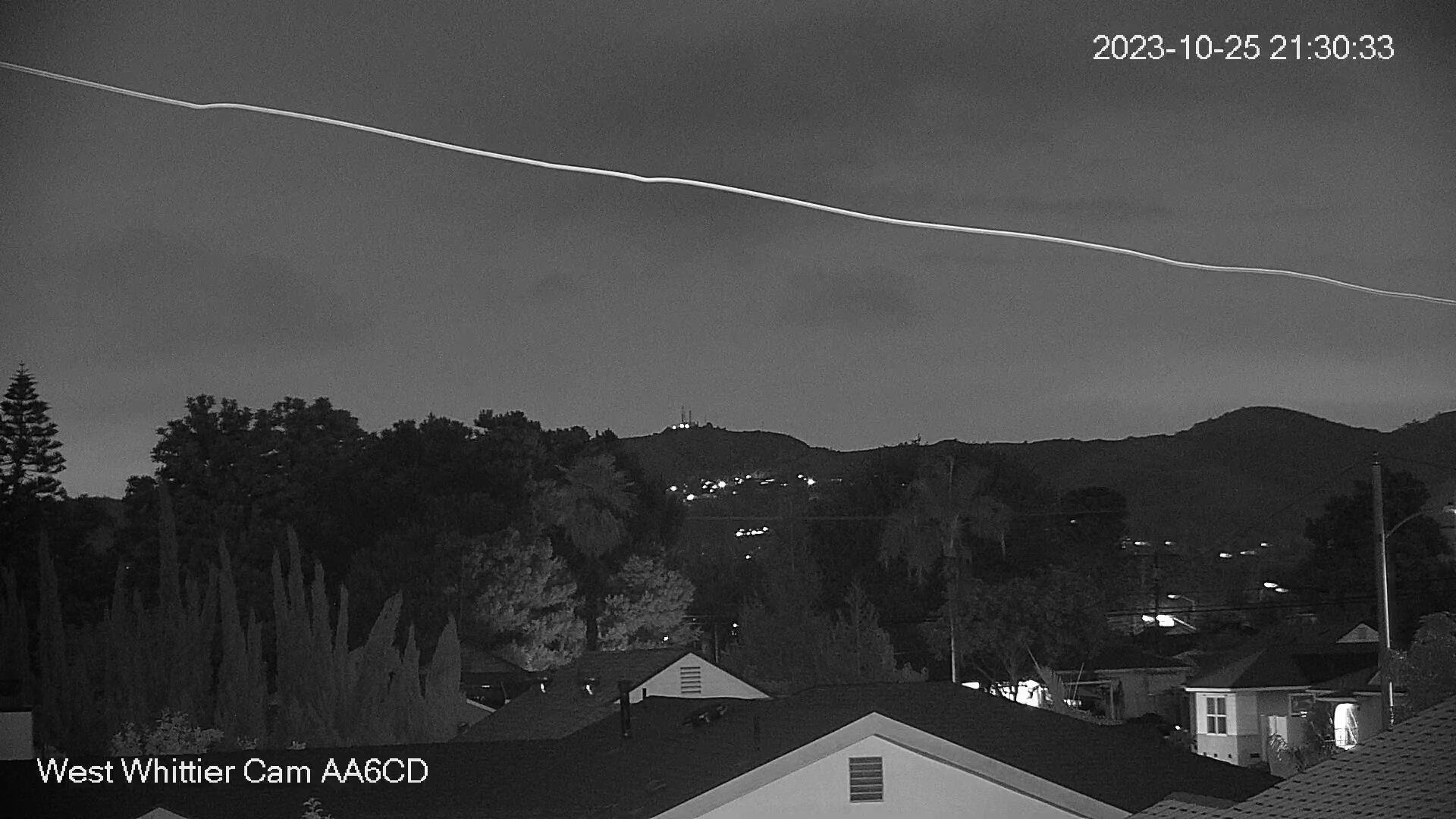
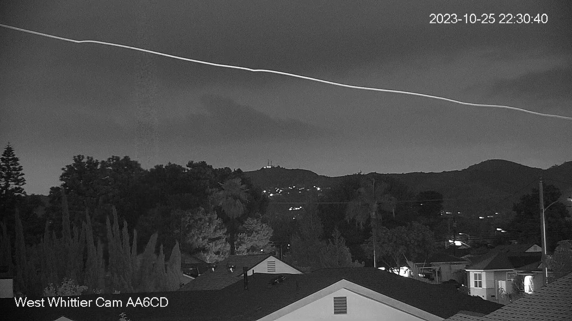
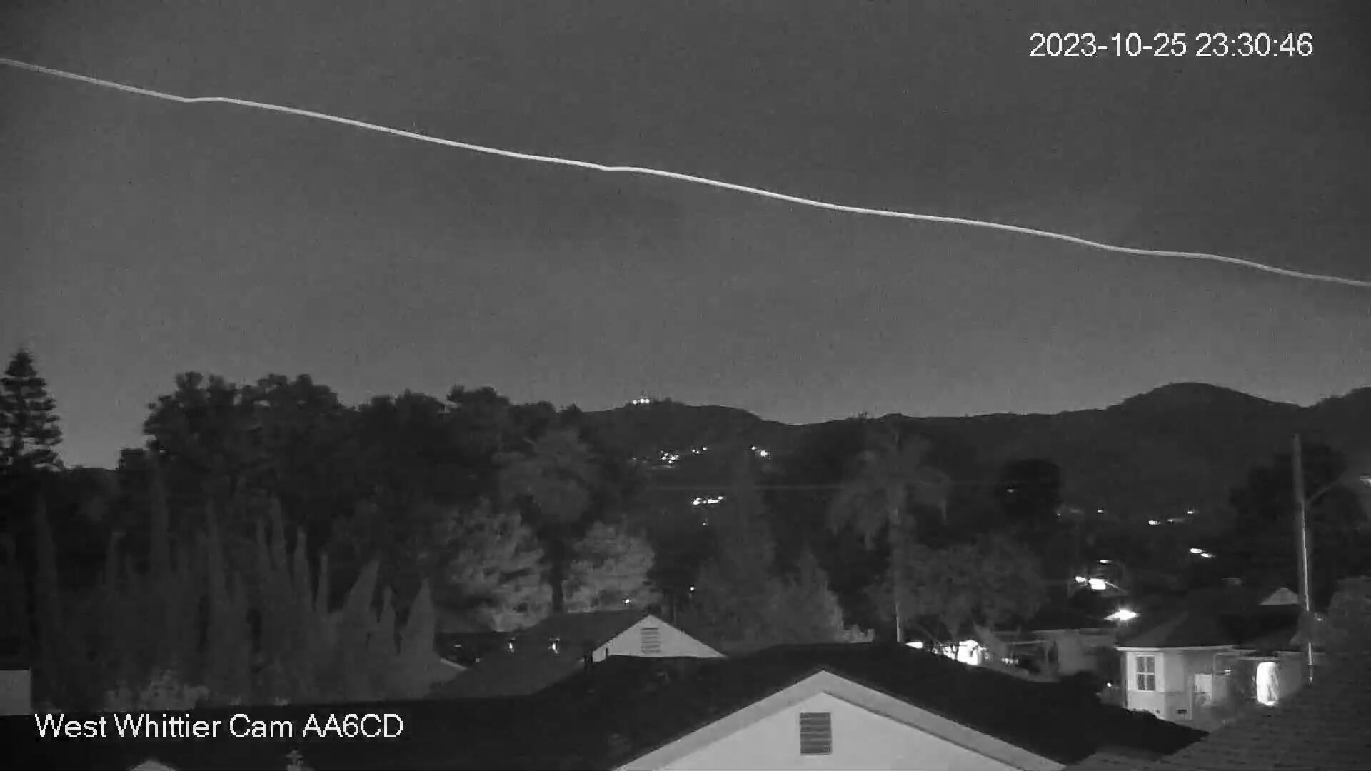
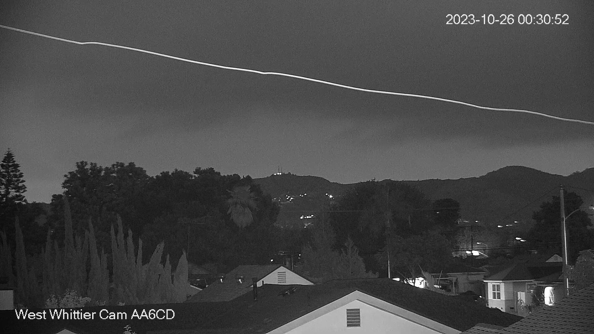
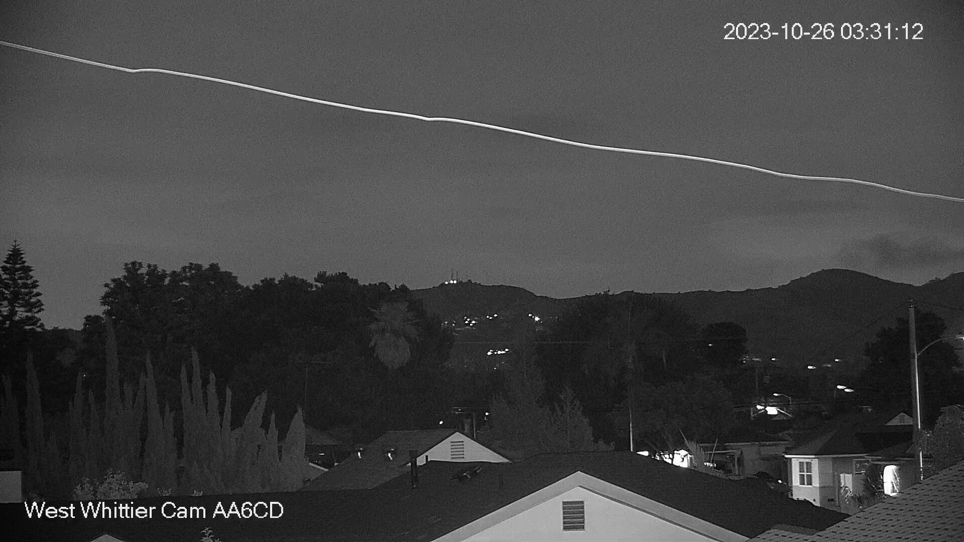
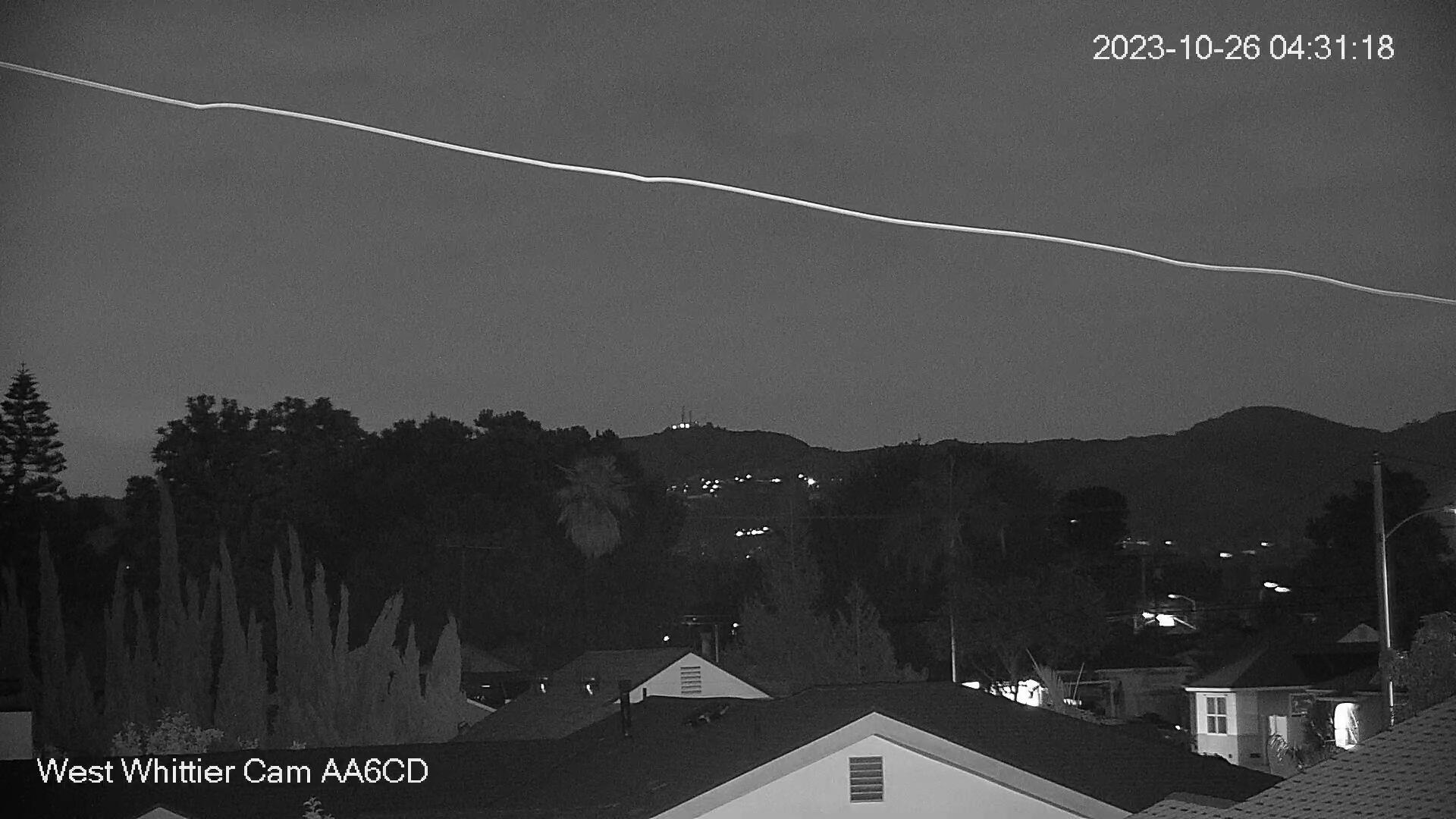
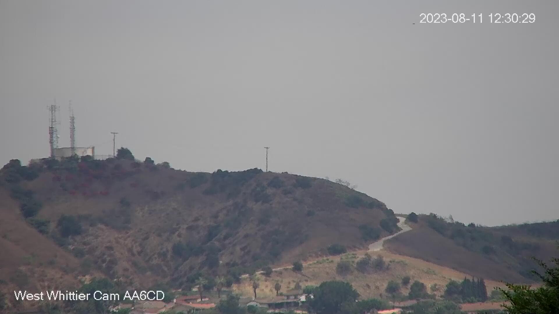
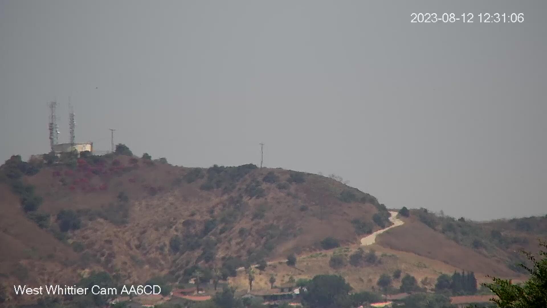
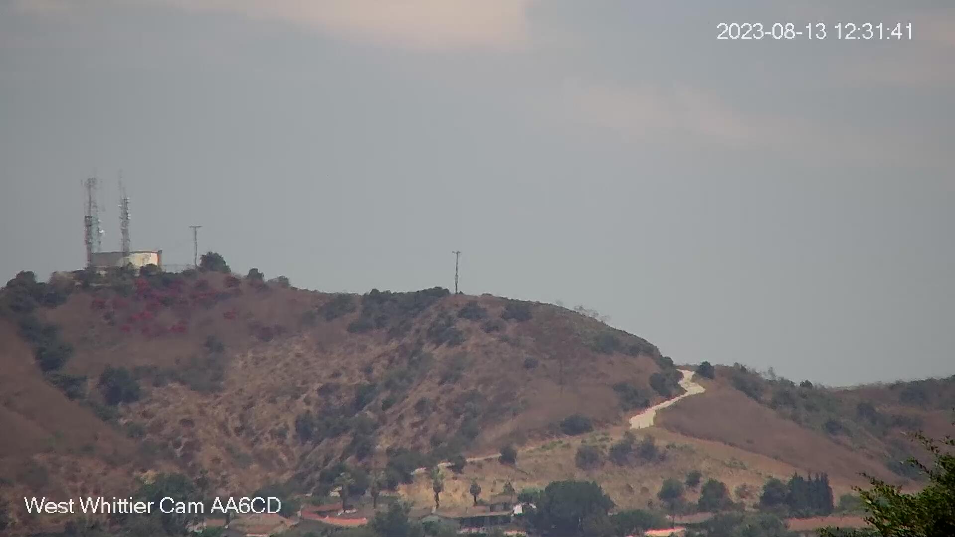
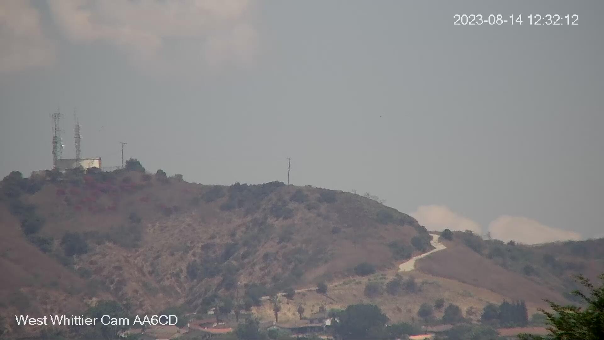
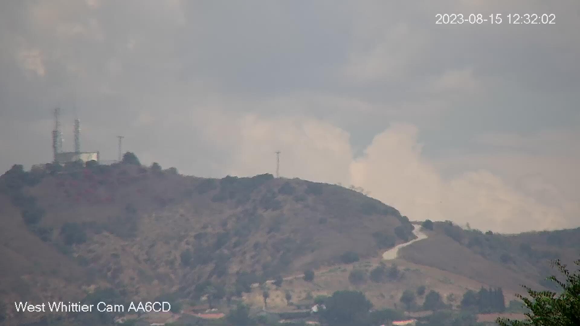
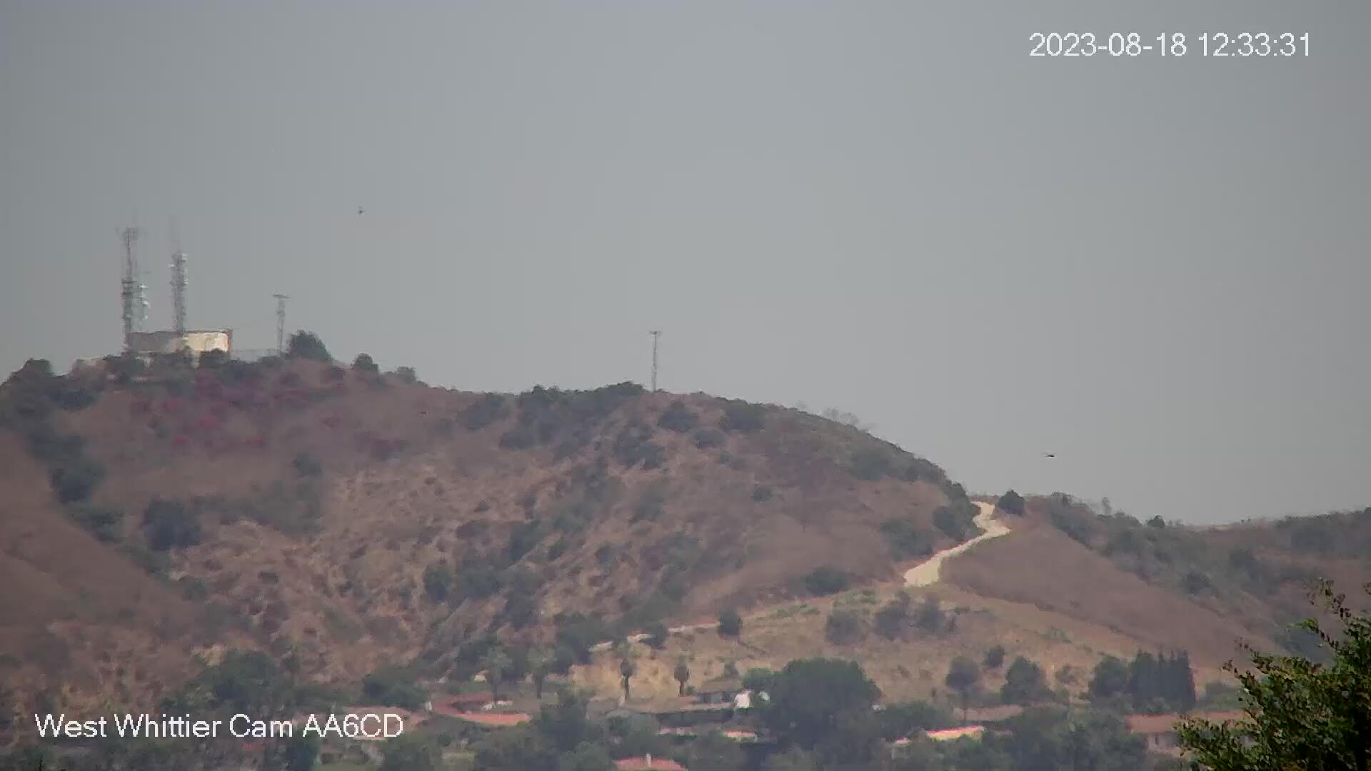
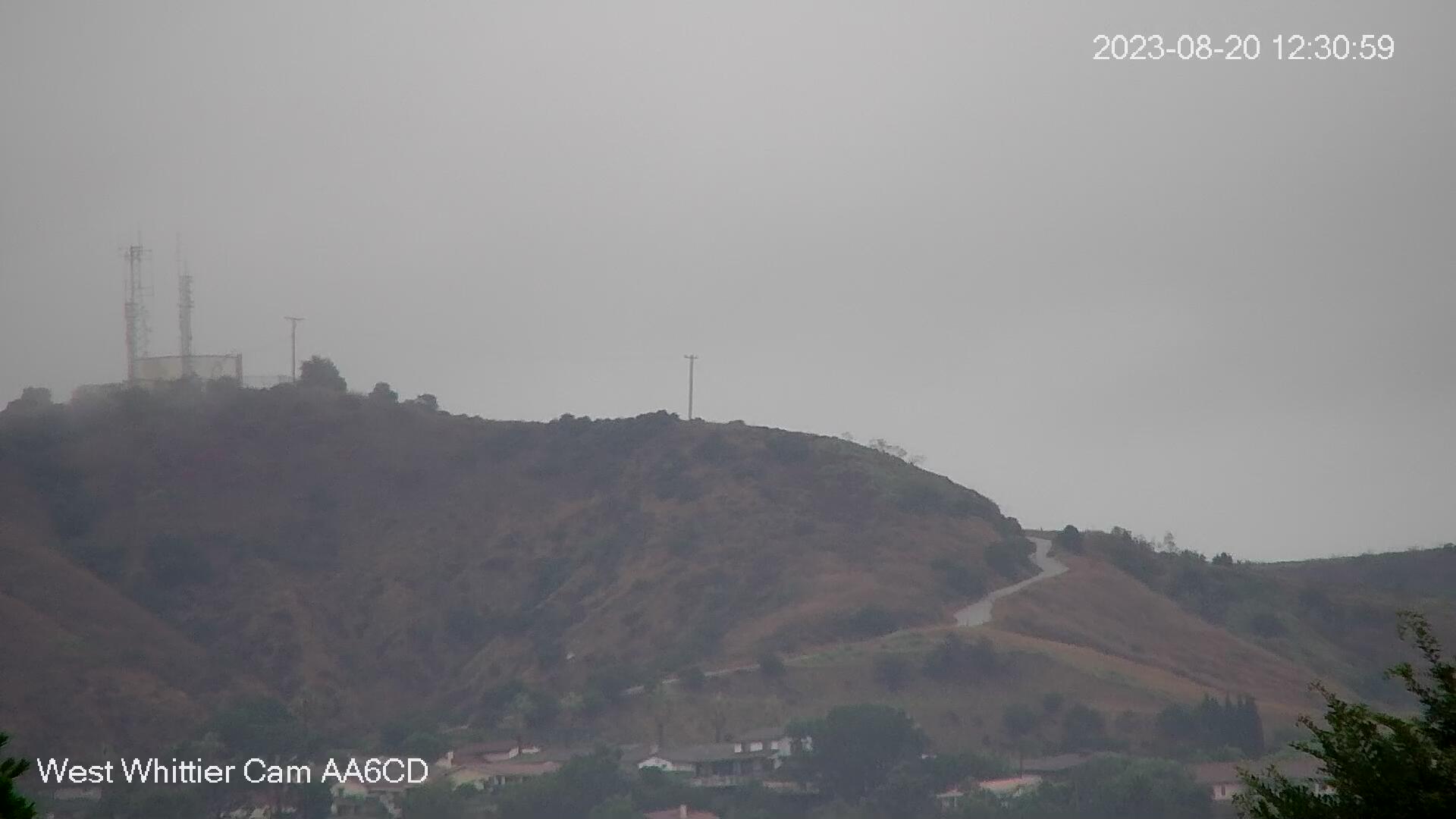
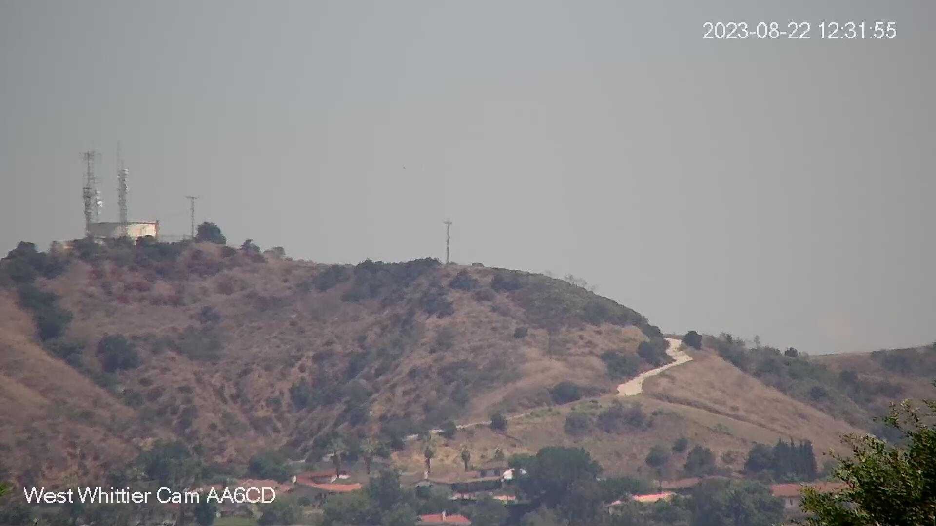
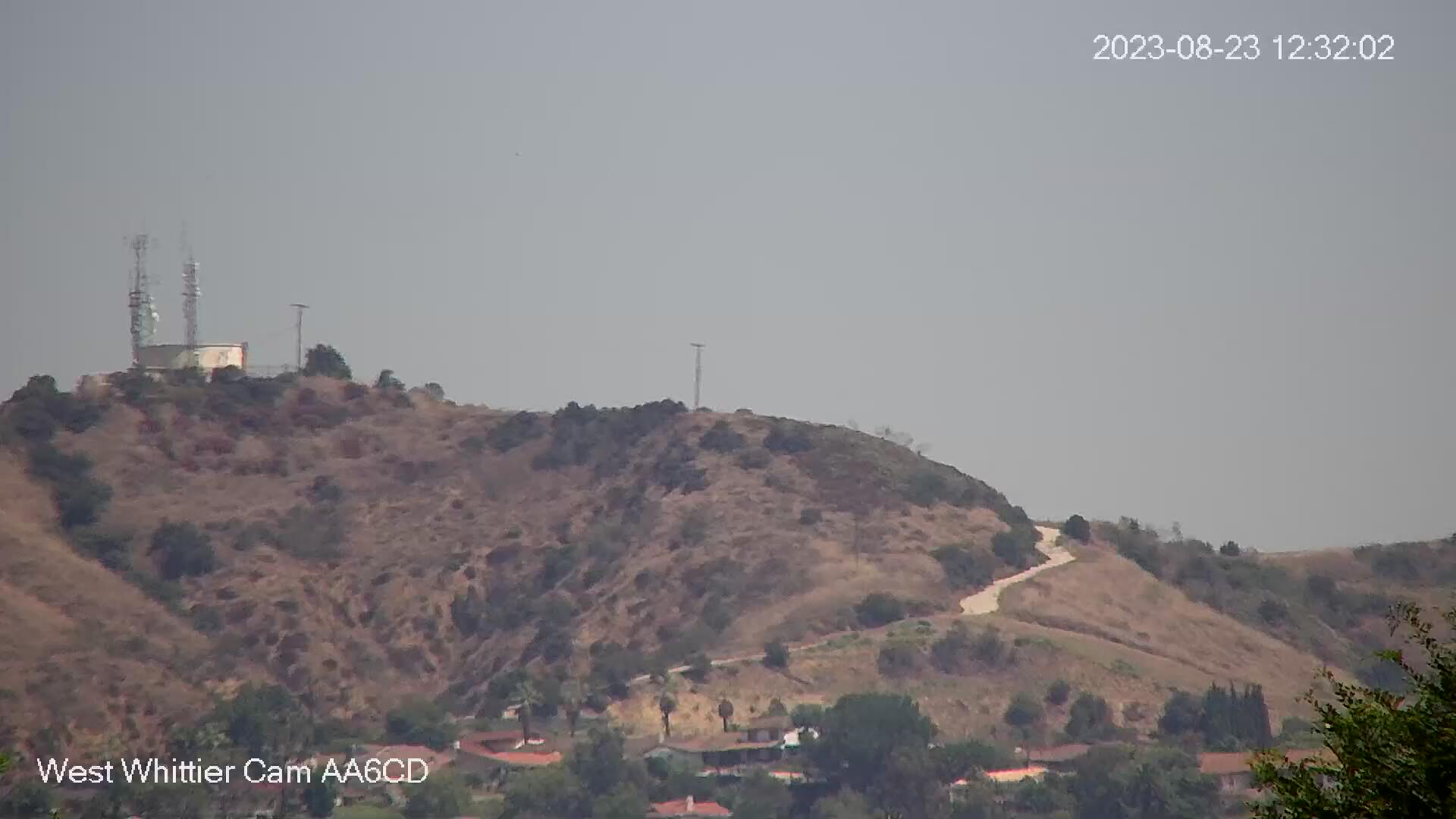
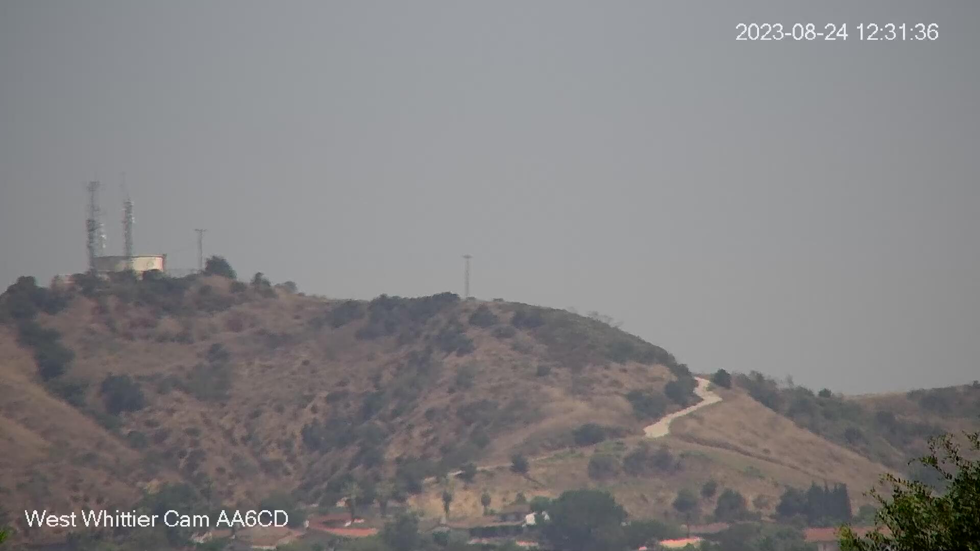
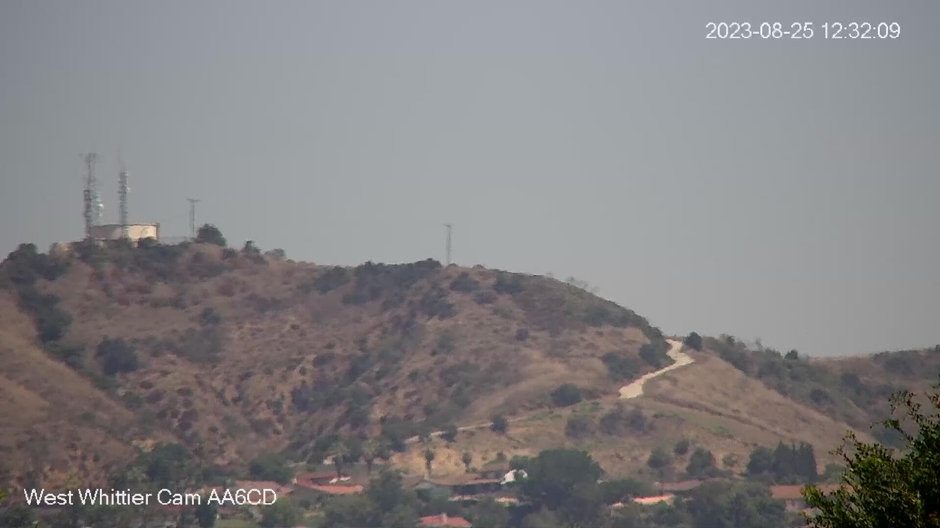
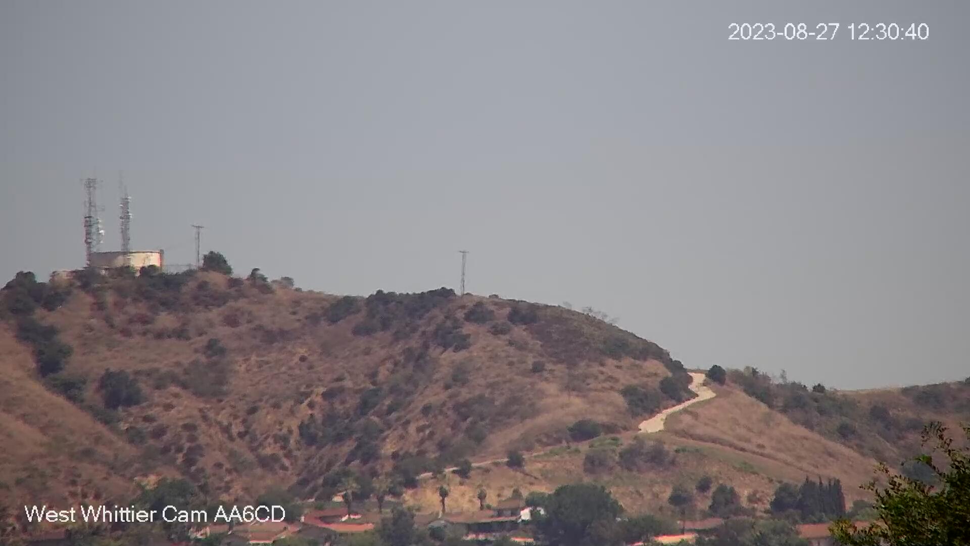
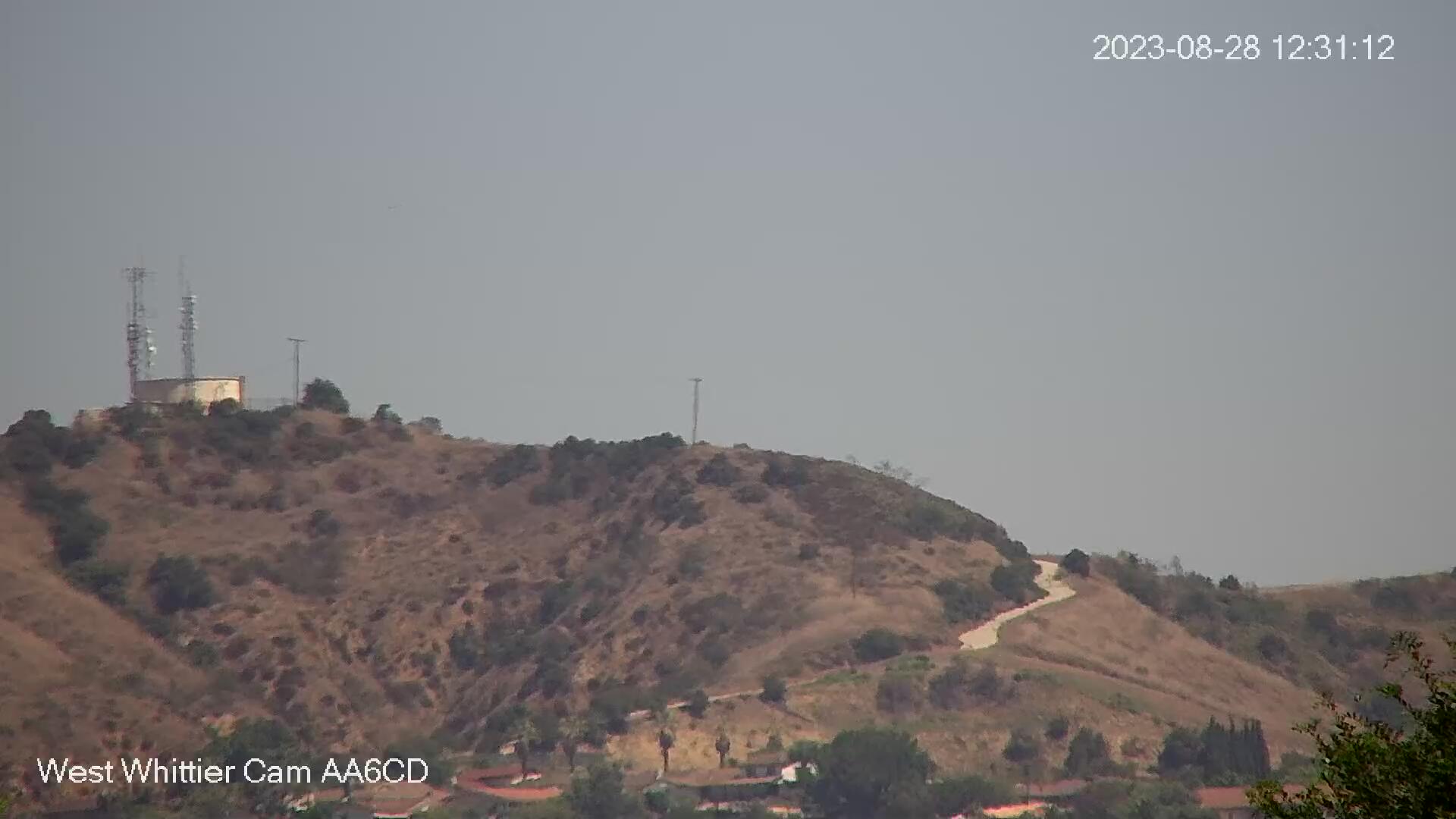
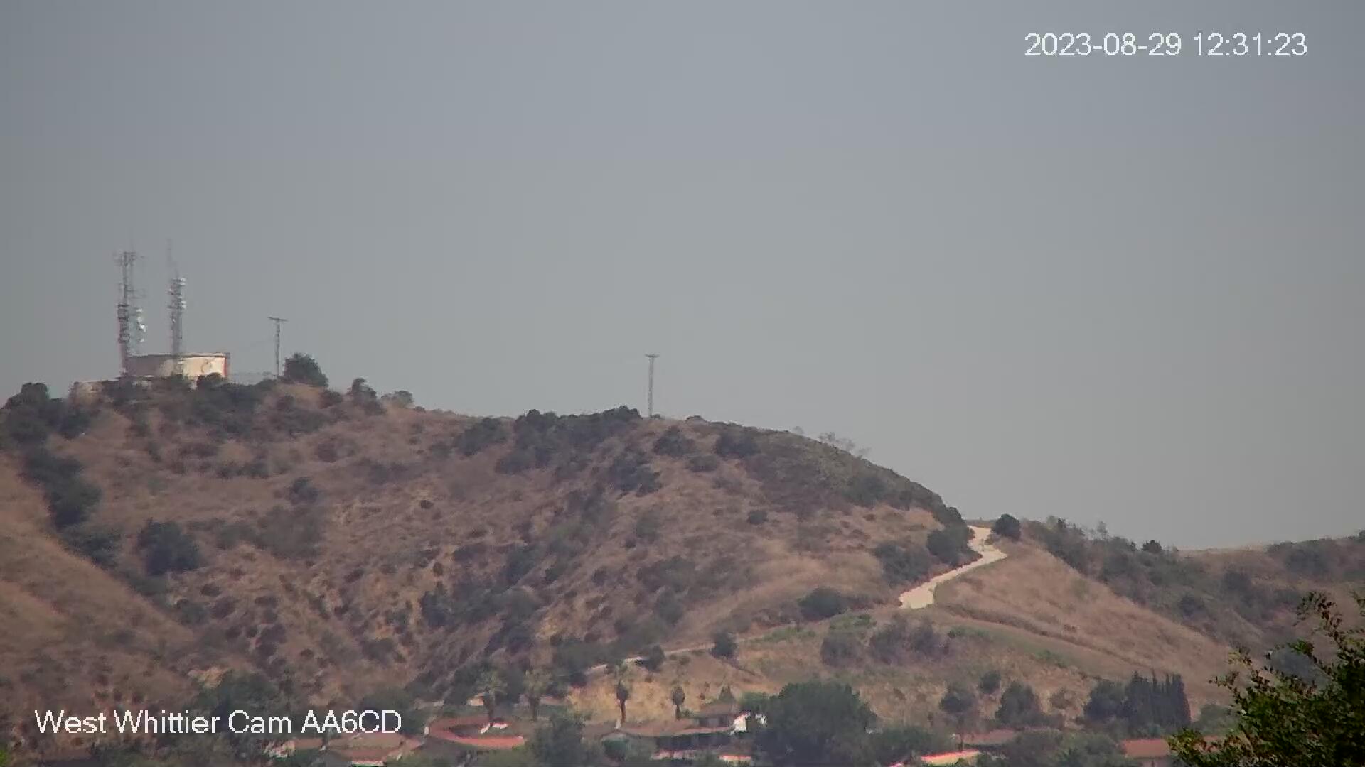
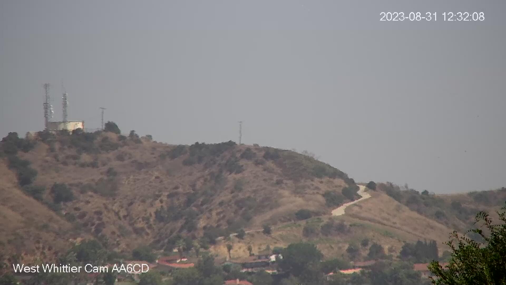
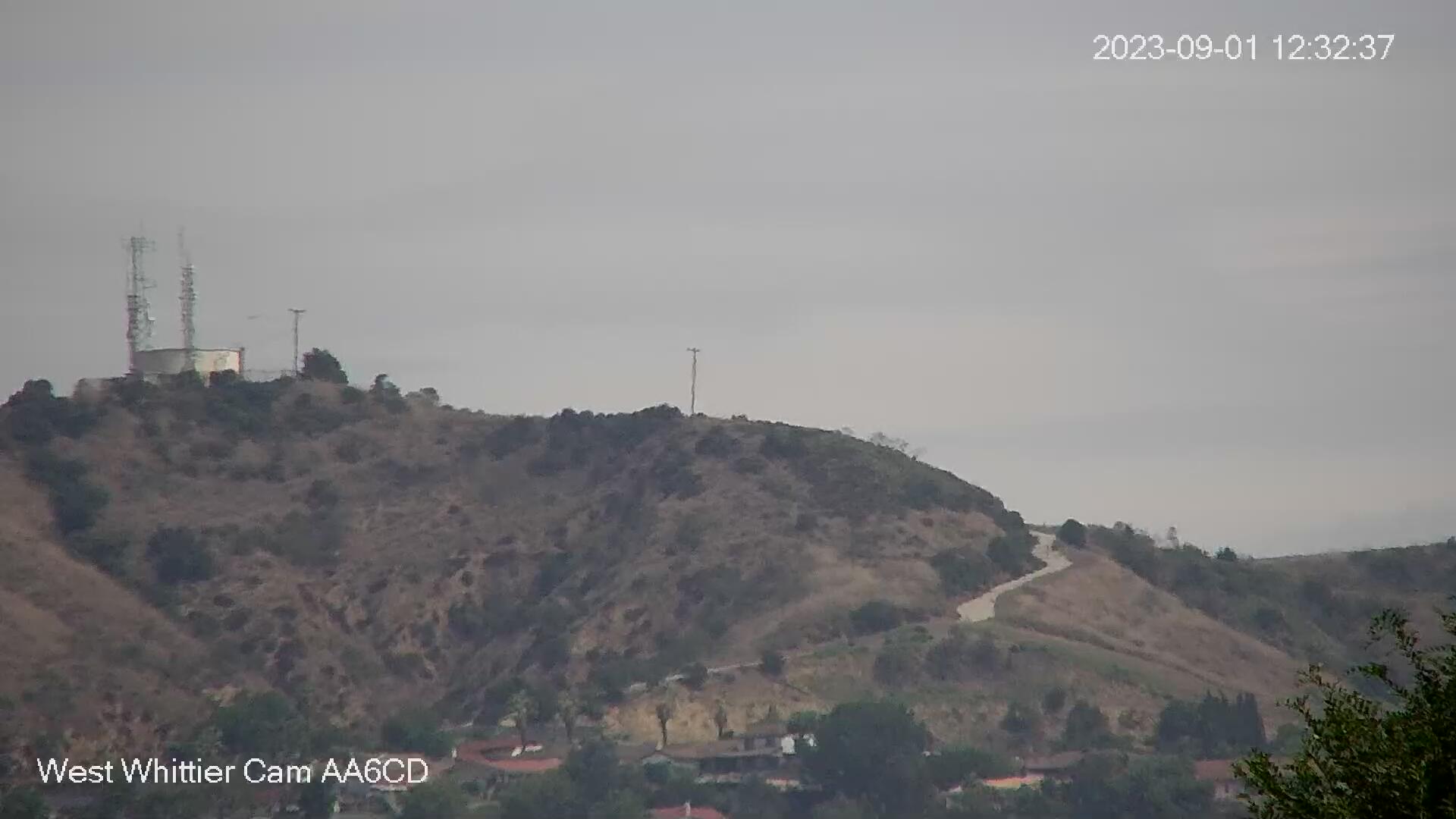
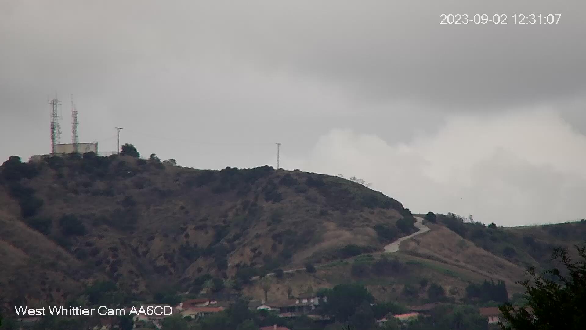
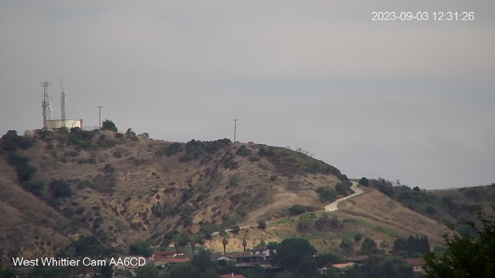
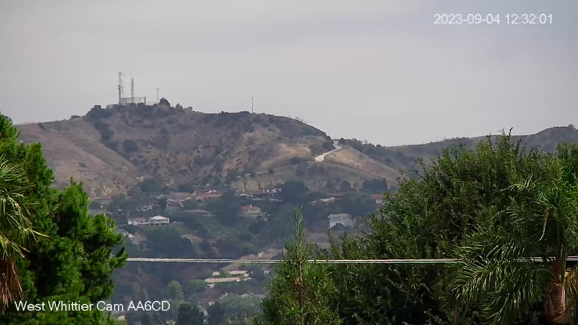
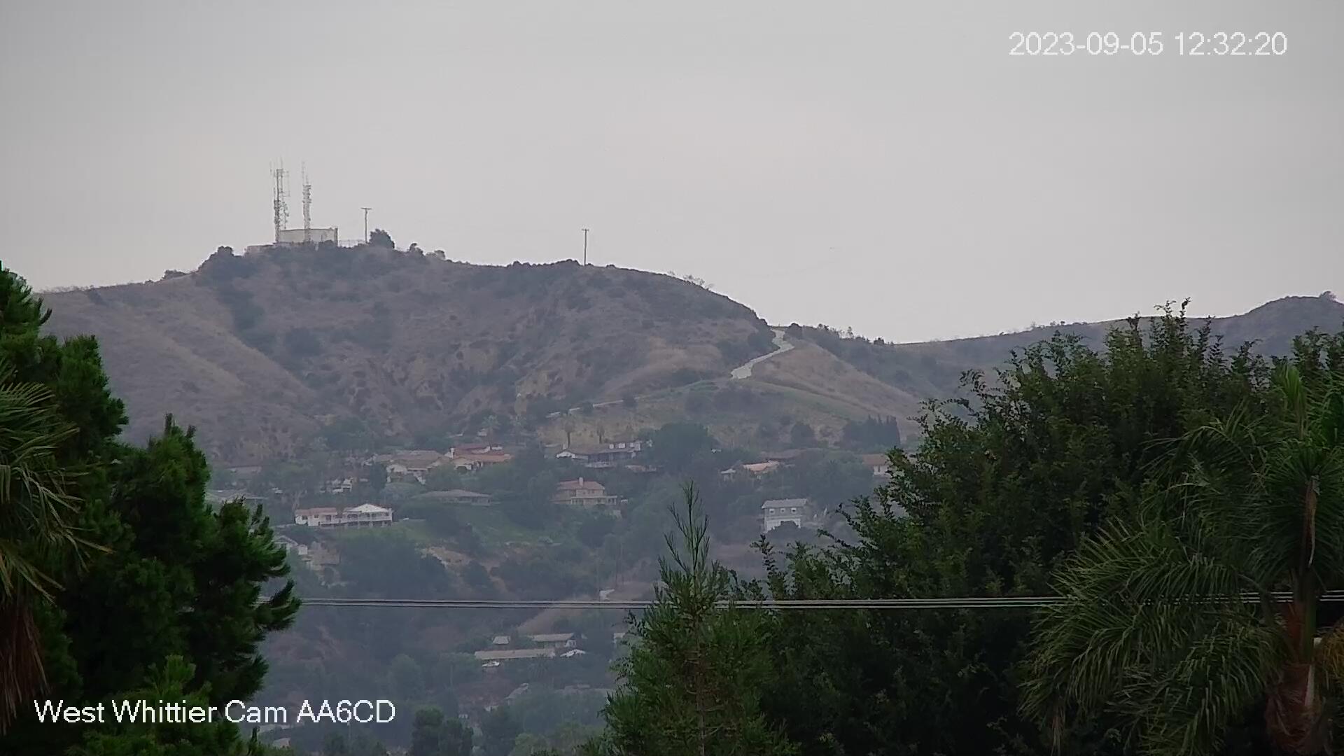
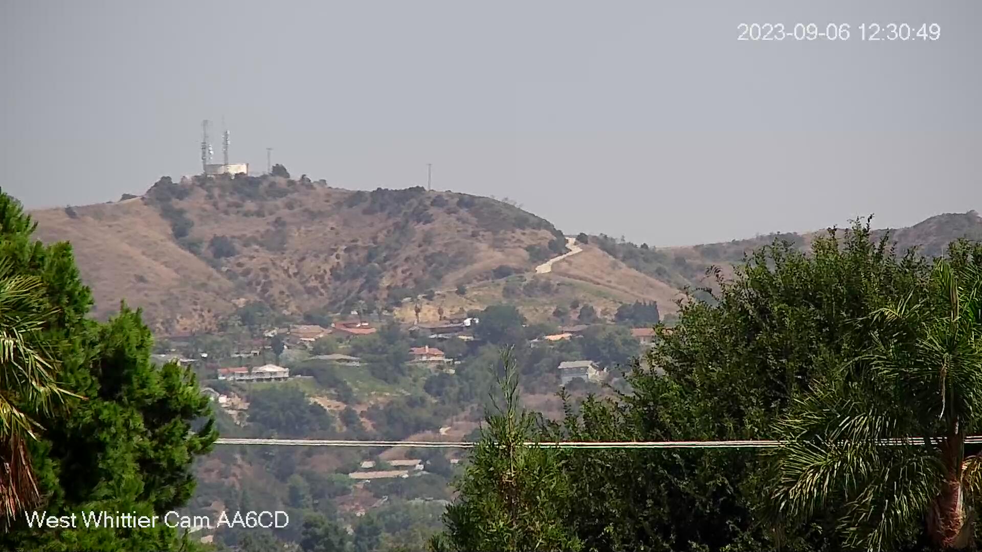
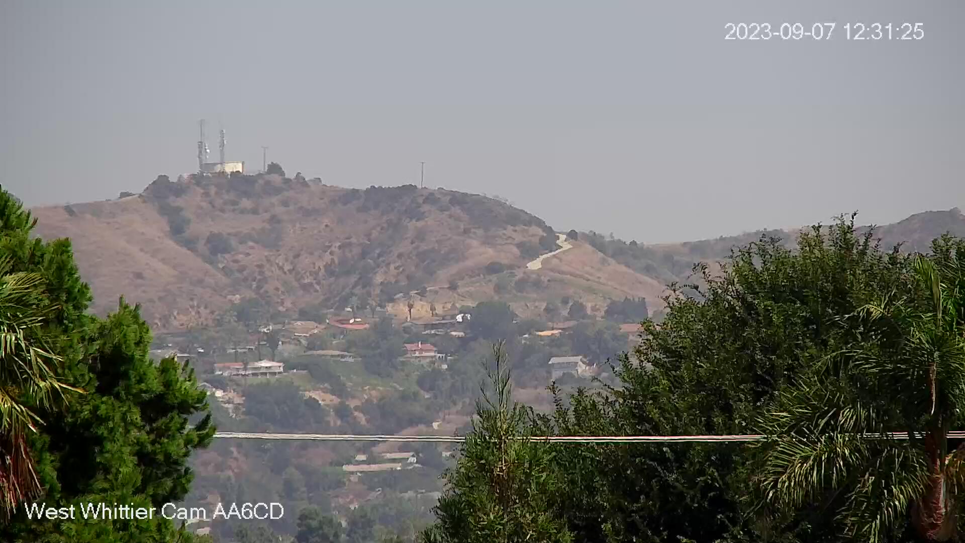
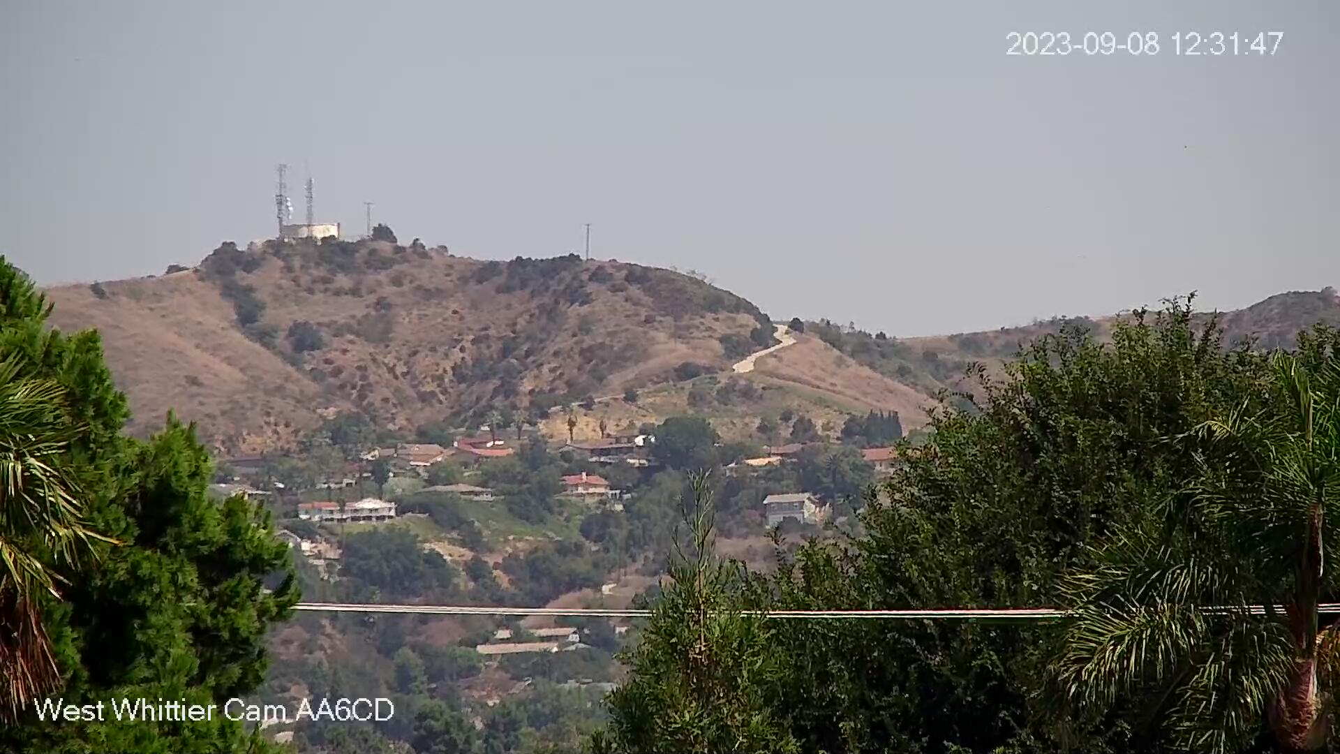
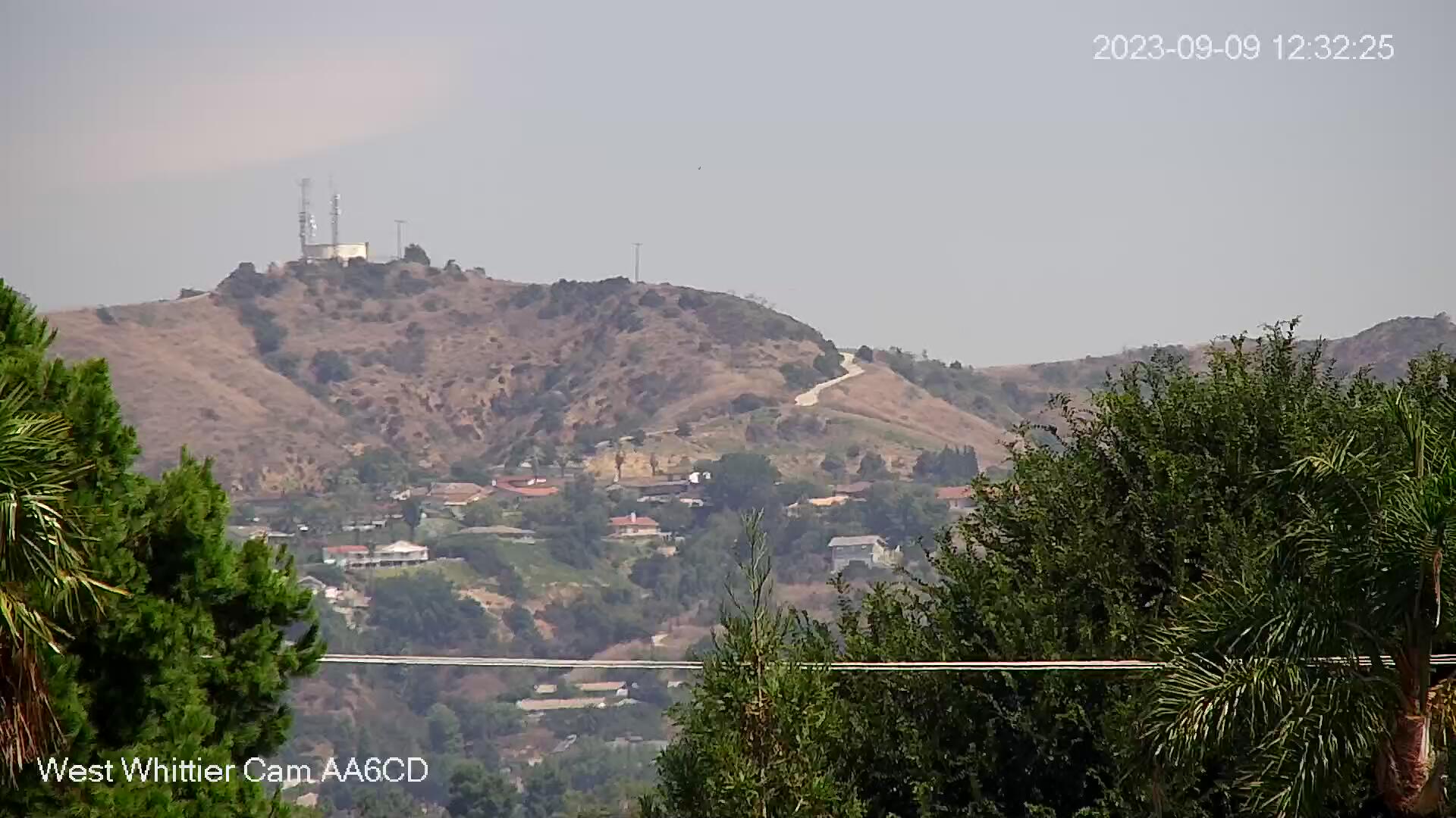
West Whittier, California, USA - 44.3 miles from Bunker Hill: West Whittier Cam - View from west Whittier looking north with a great view of the foothills. In the winter the snow capped mountains can be seen.
Operator: WhittierCam
Operator: WhittierCam


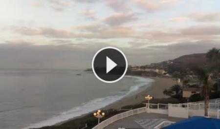
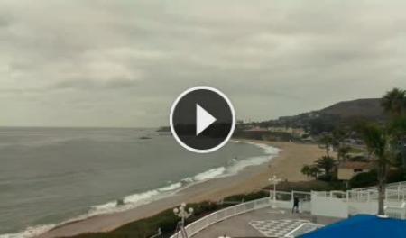
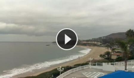
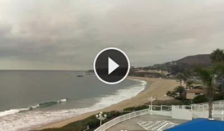
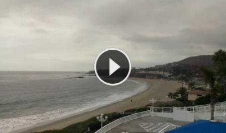
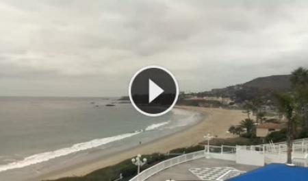
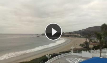
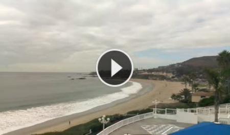
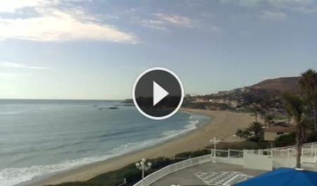
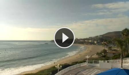
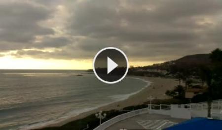
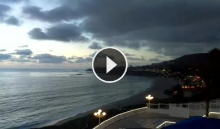
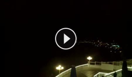
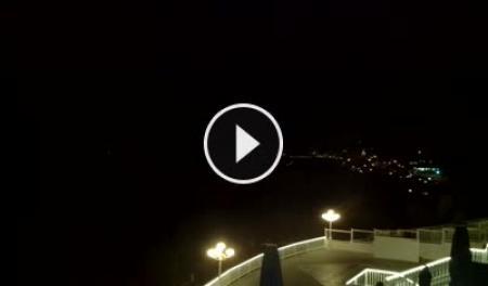
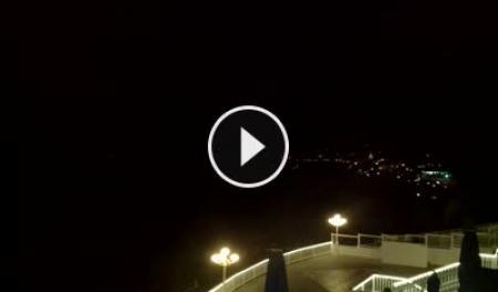
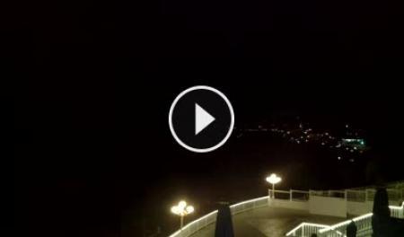
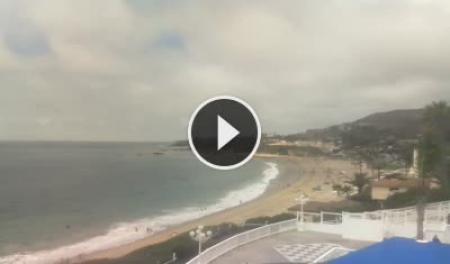
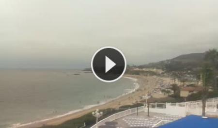
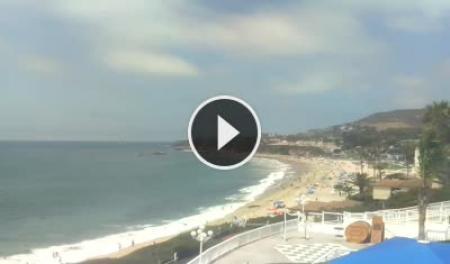
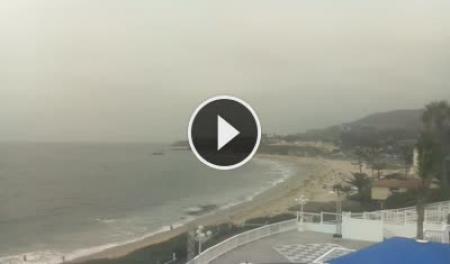
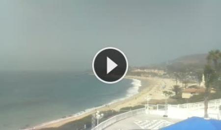
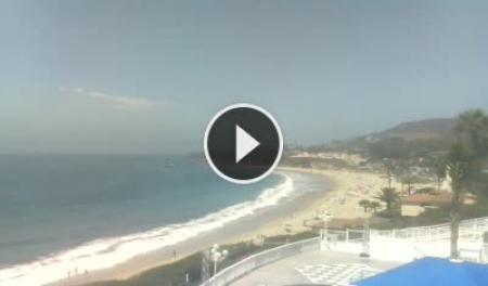
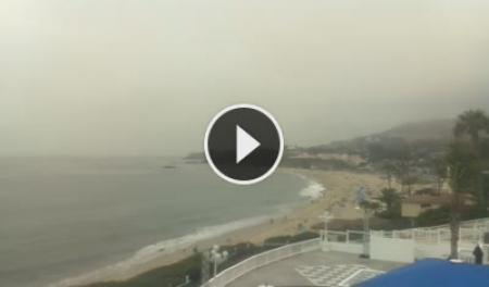
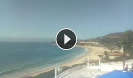
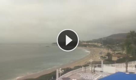
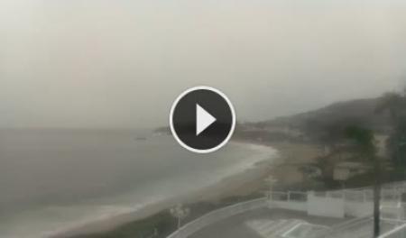
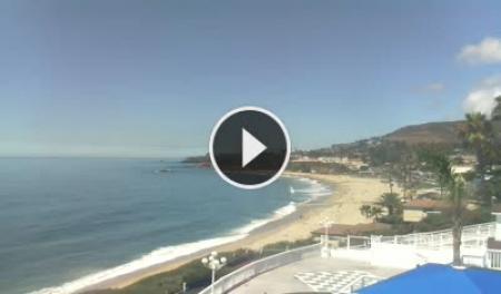
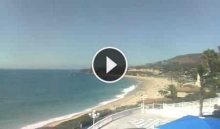
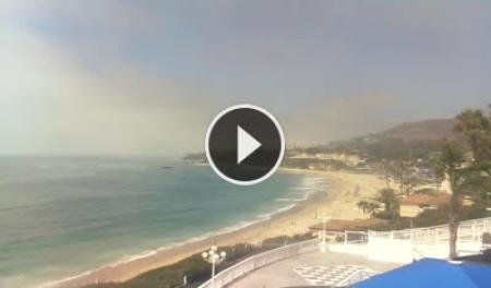
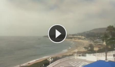
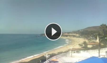
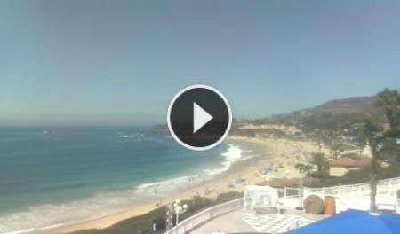
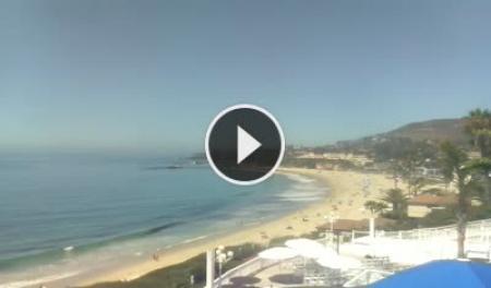
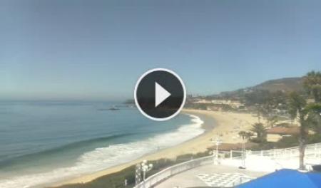
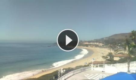
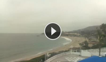
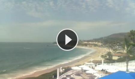
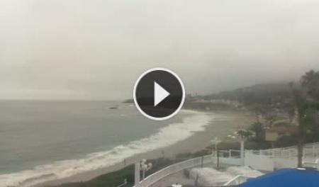
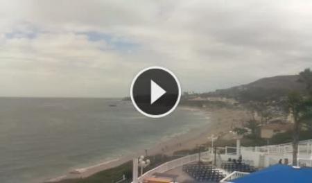
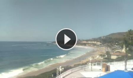
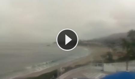
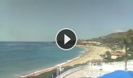
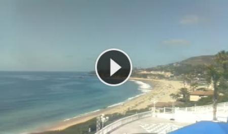
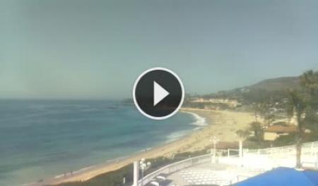
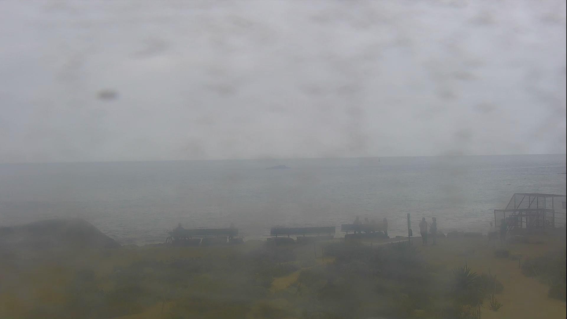
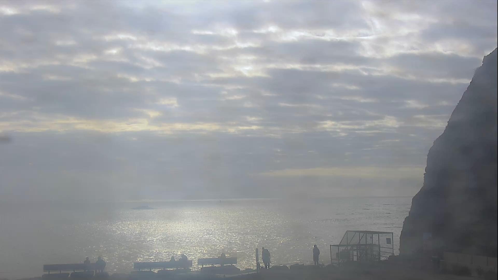
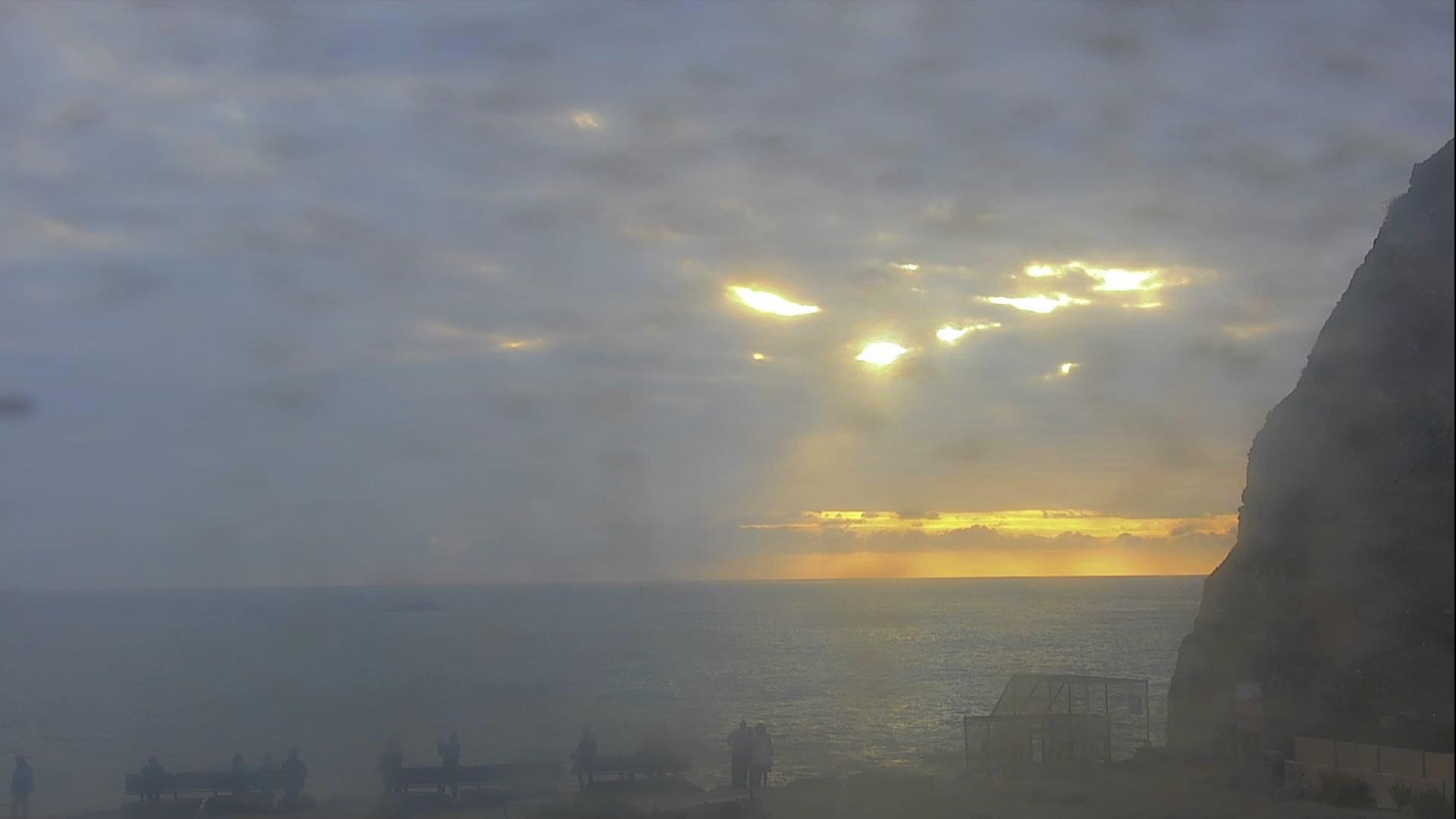
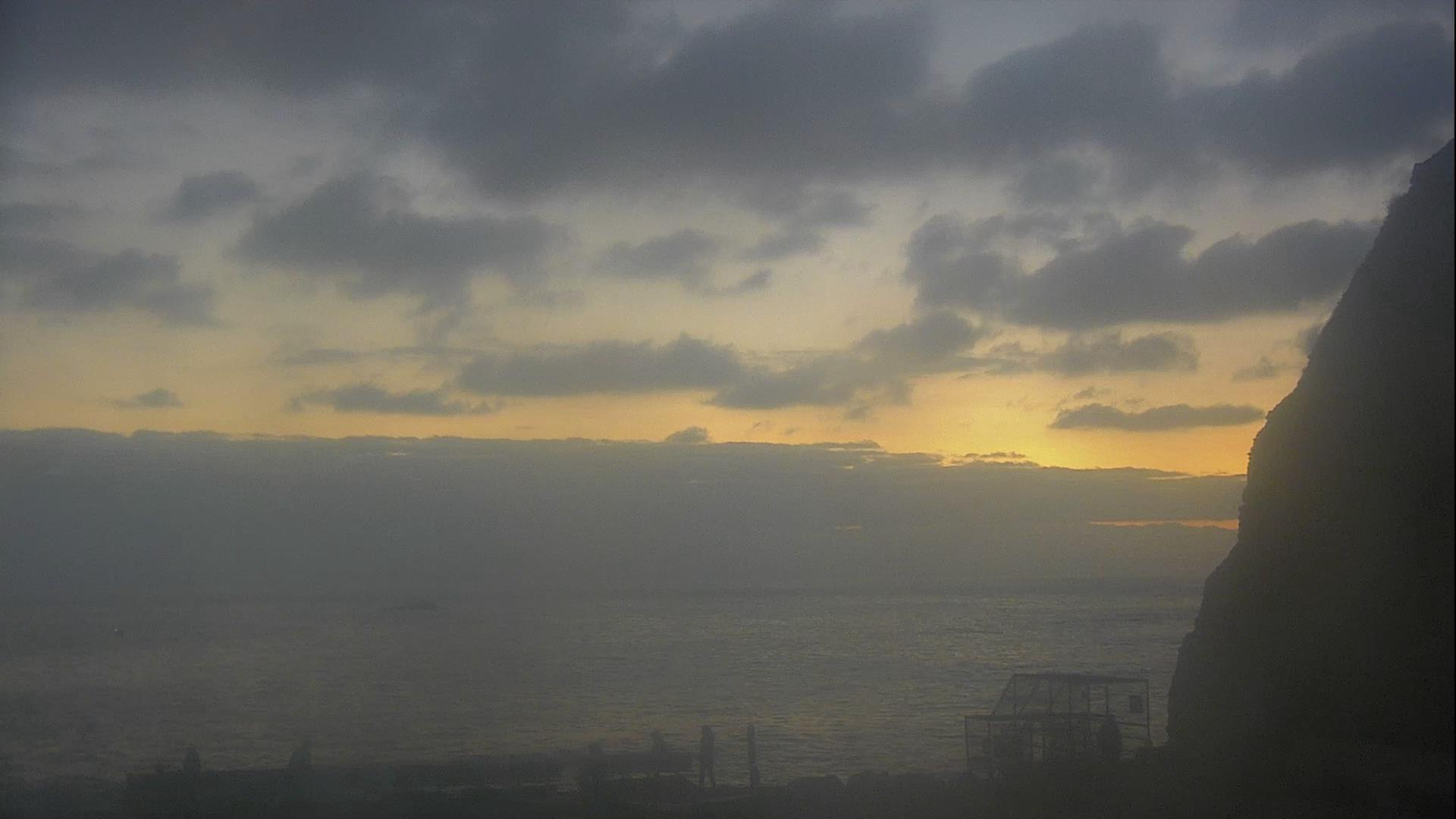
Laguna Beach, California, USA - 46.3 miles from Bunker Hill: HD Stream Laguna Beach - View of the Californian coast from The Cliff Restaurant.
Operator: Skyline Webcams
Operator: Skyline Webcams


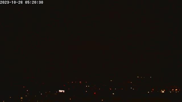
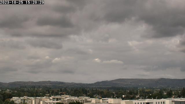
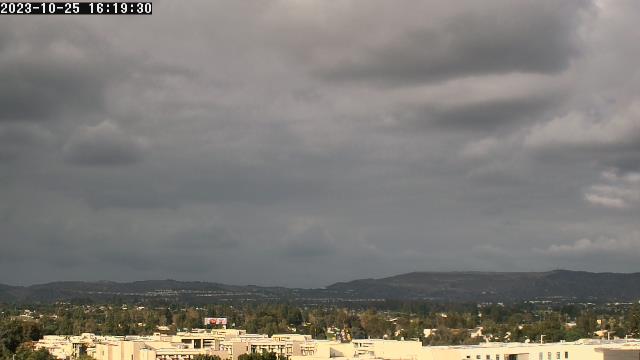
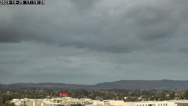
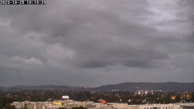
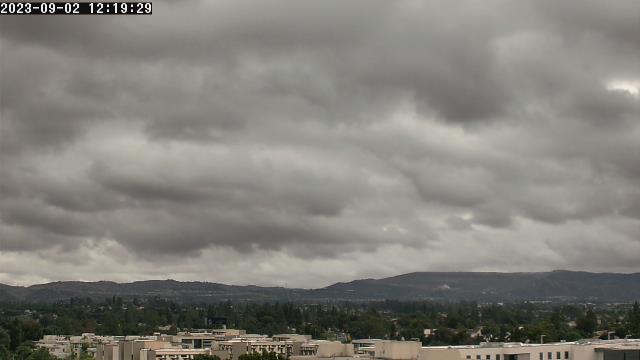
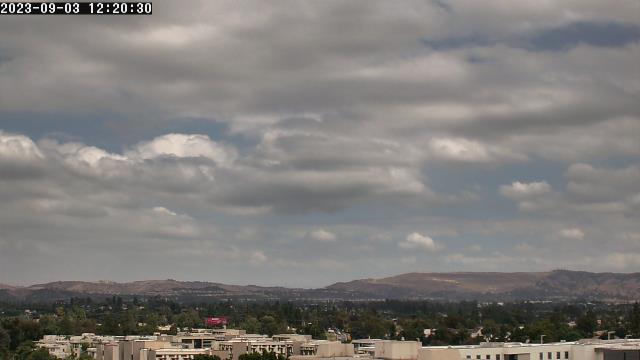
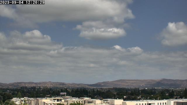
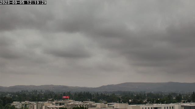
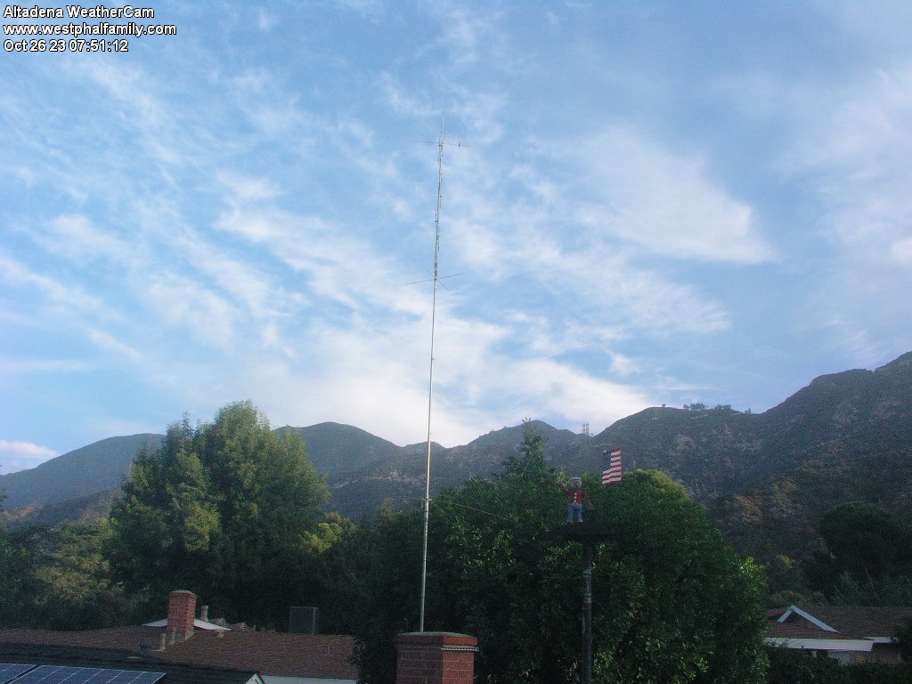
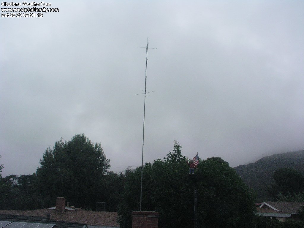
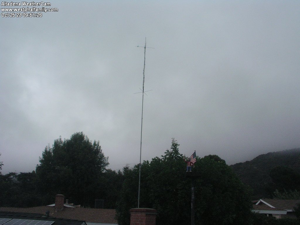
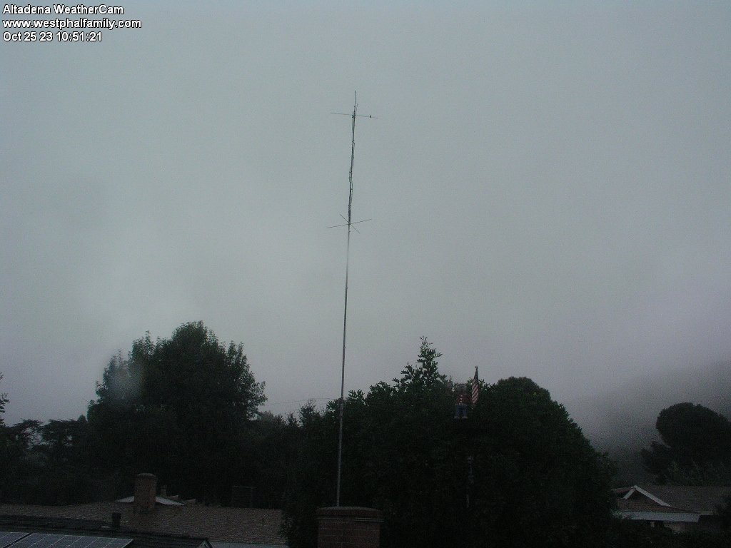
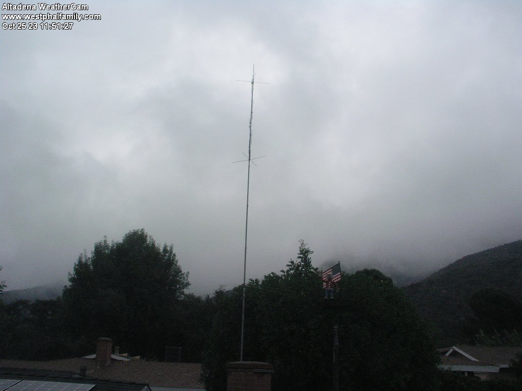
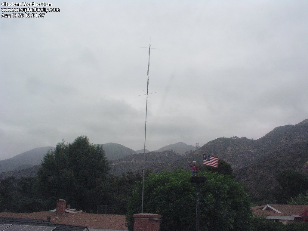
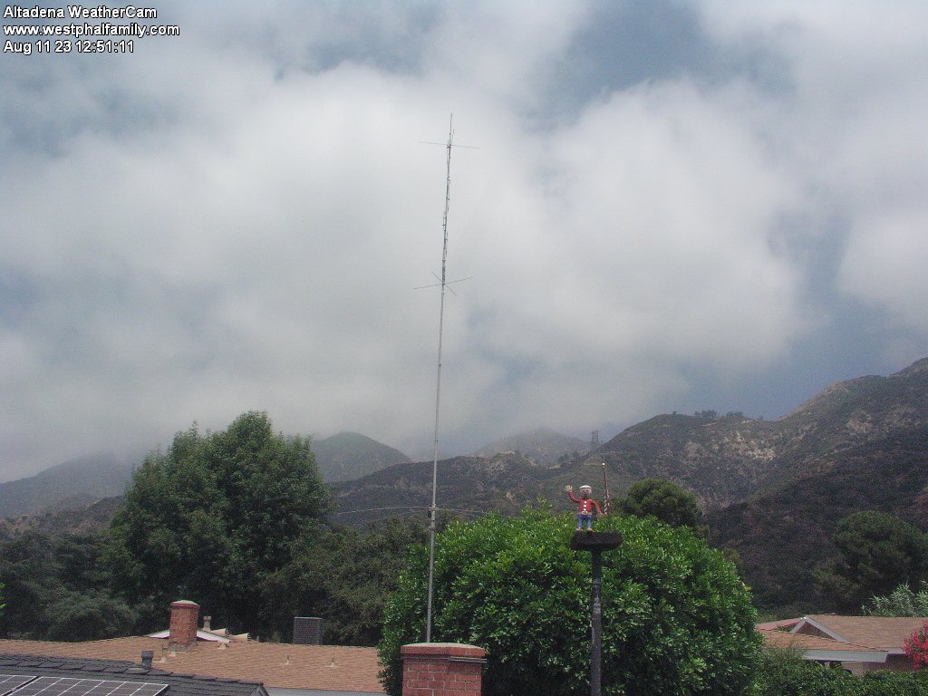
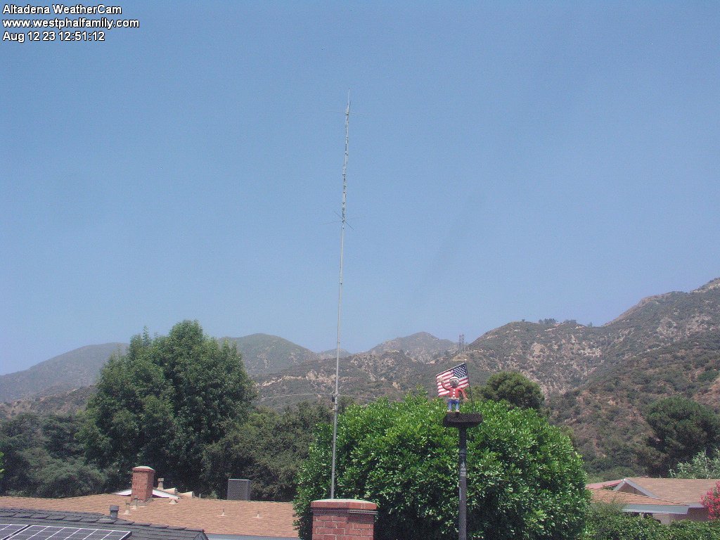
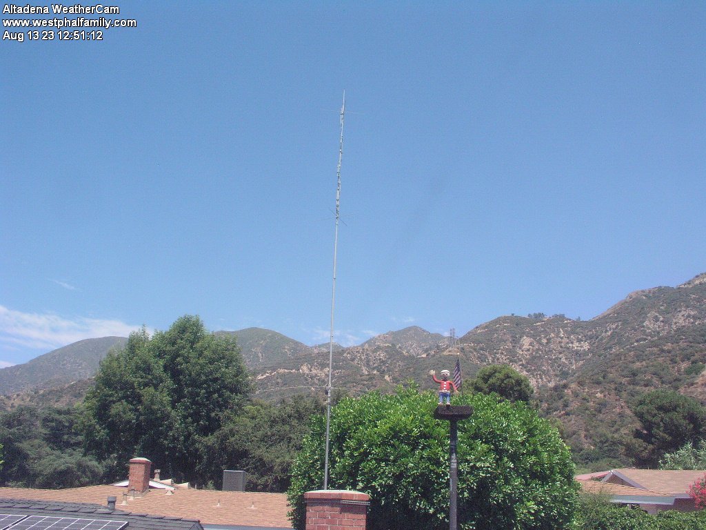
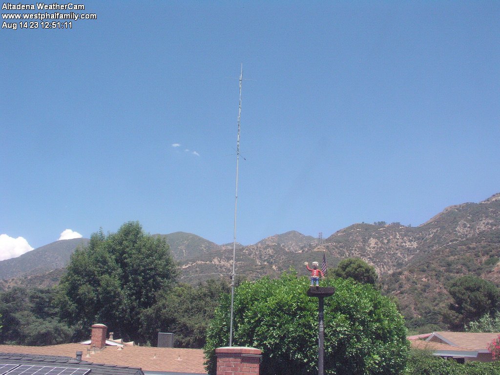
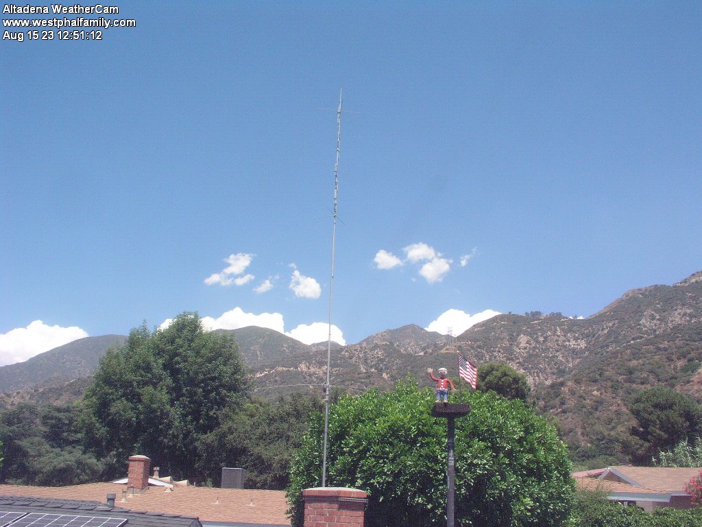
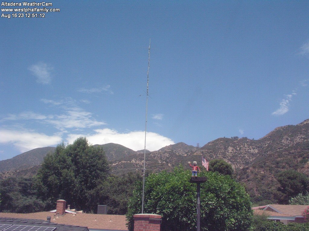
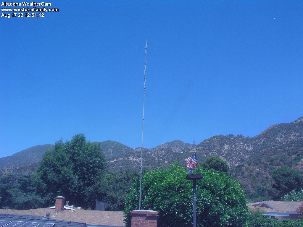
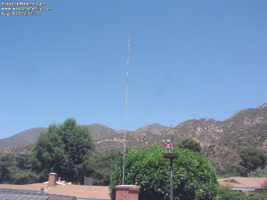
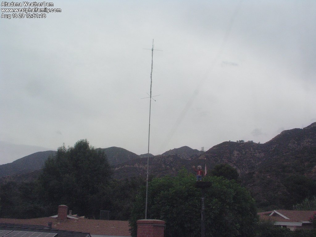
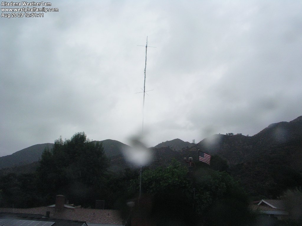
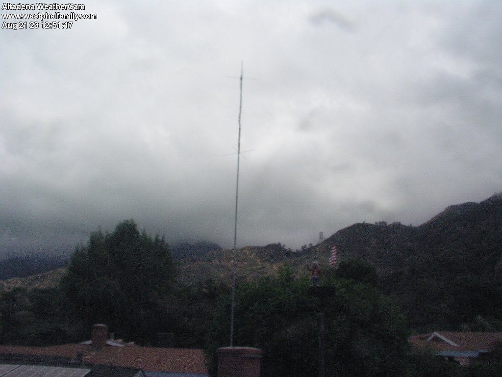
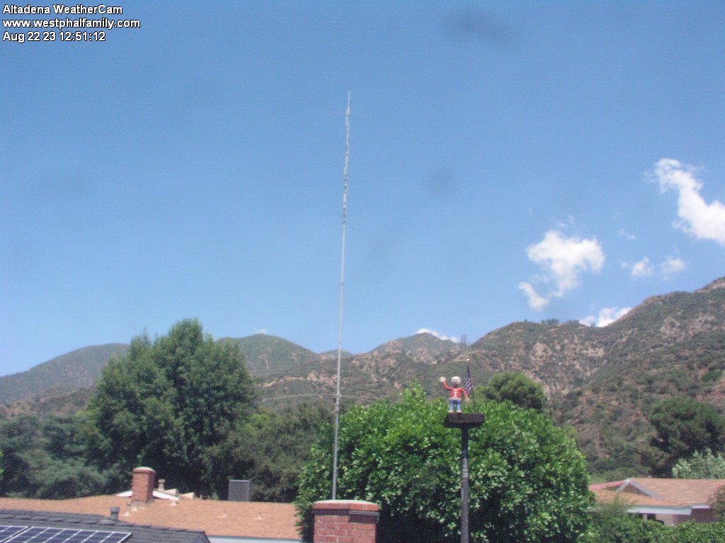
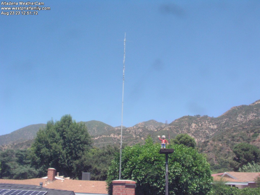
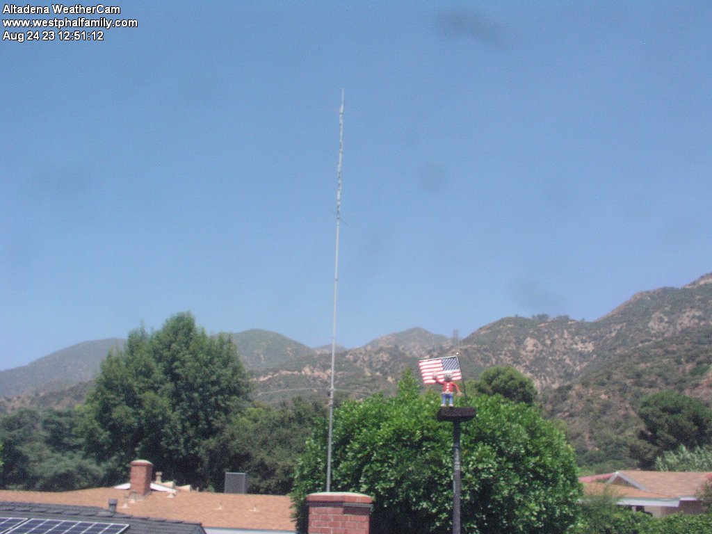
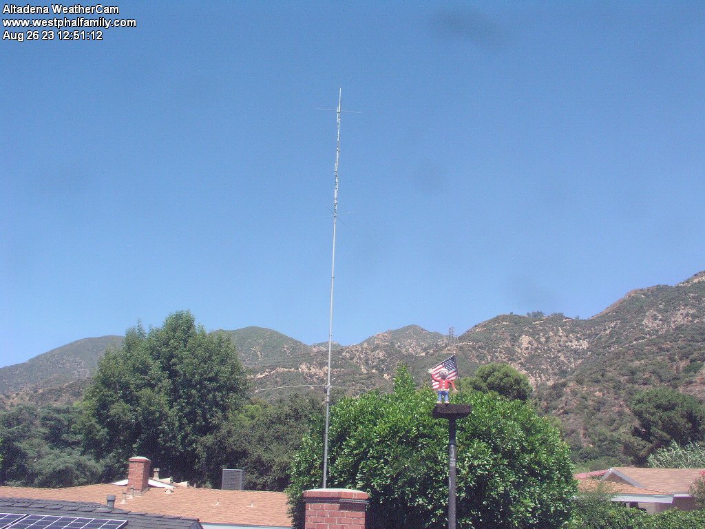
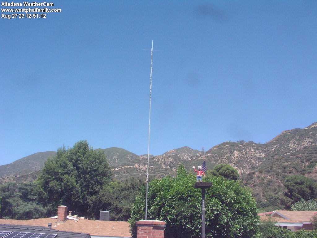
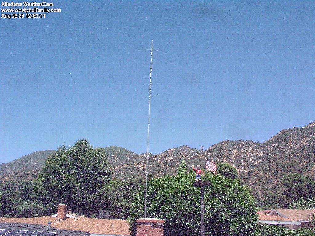
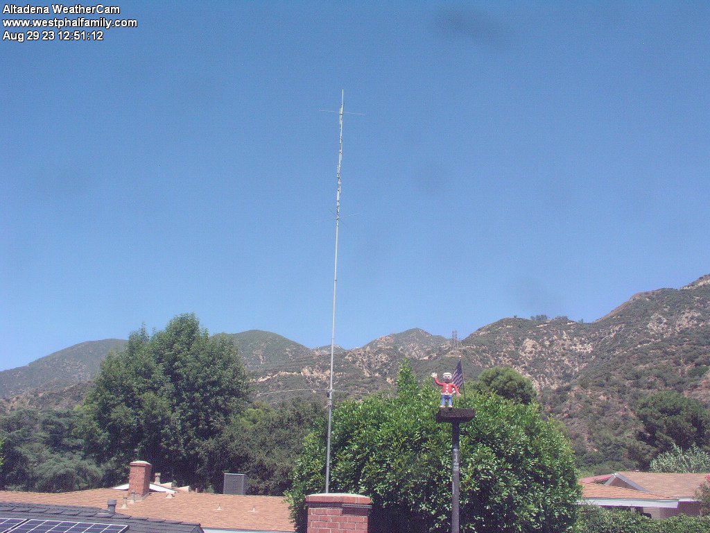
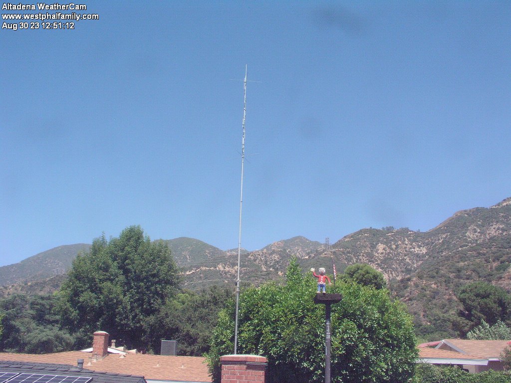
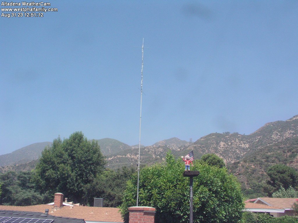
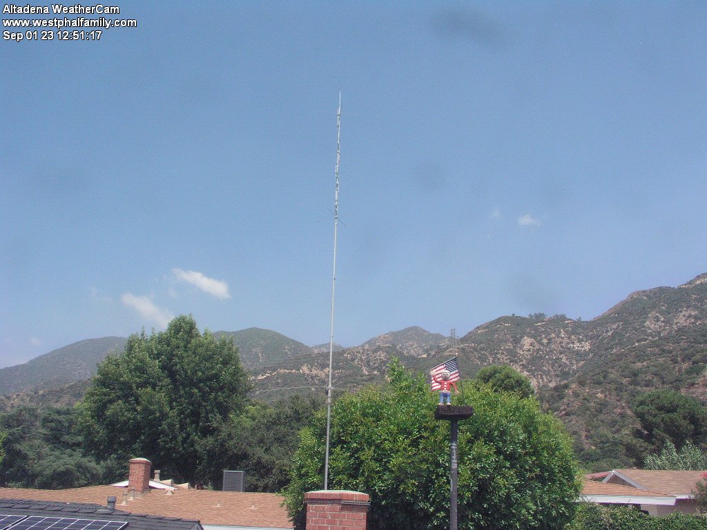
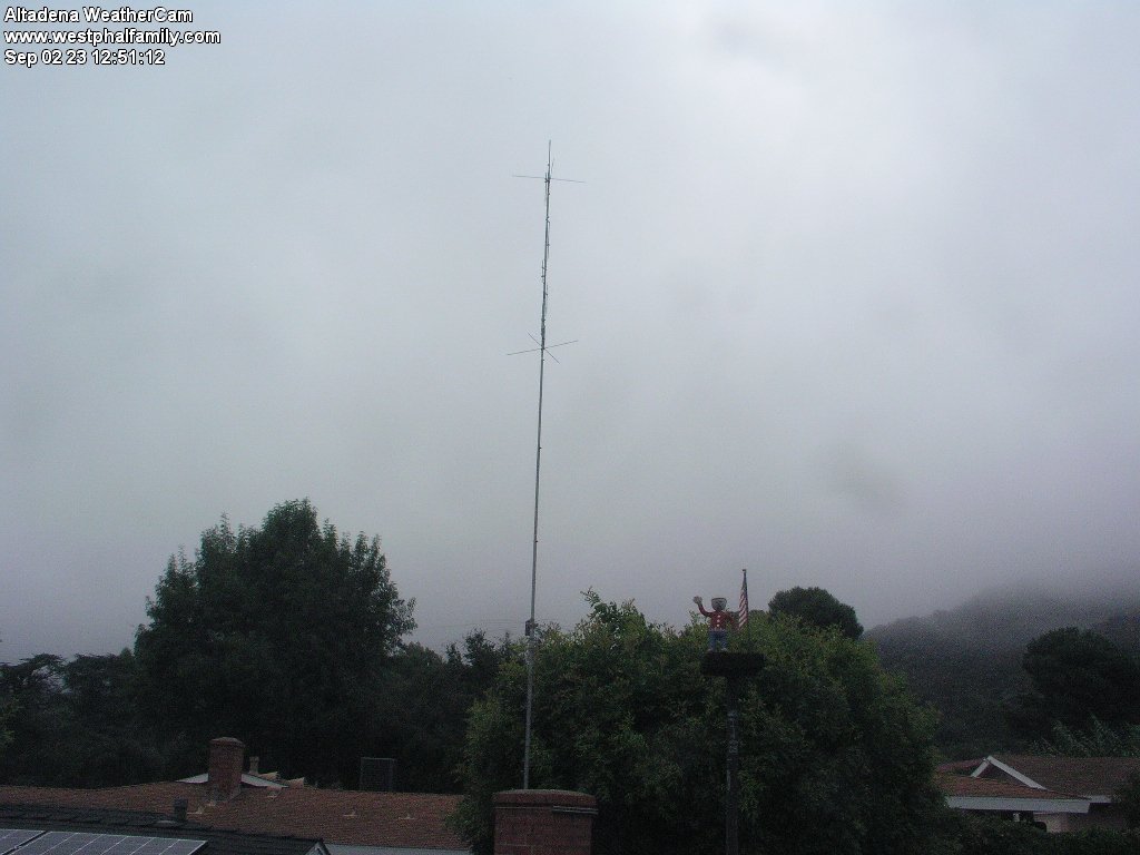
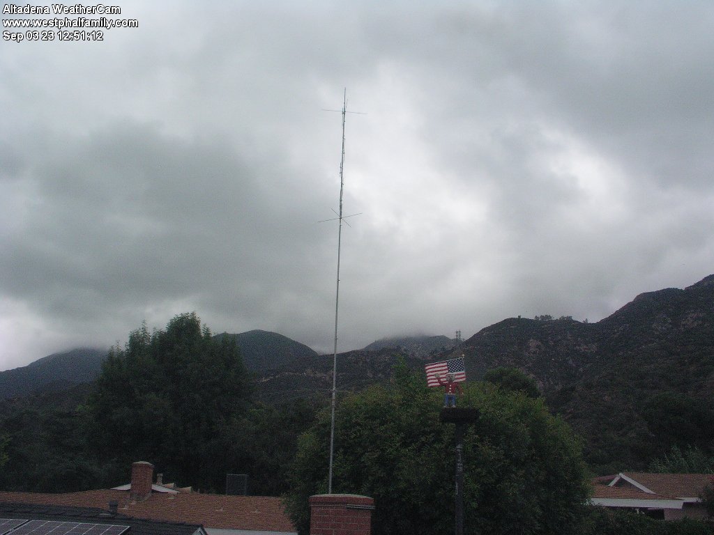
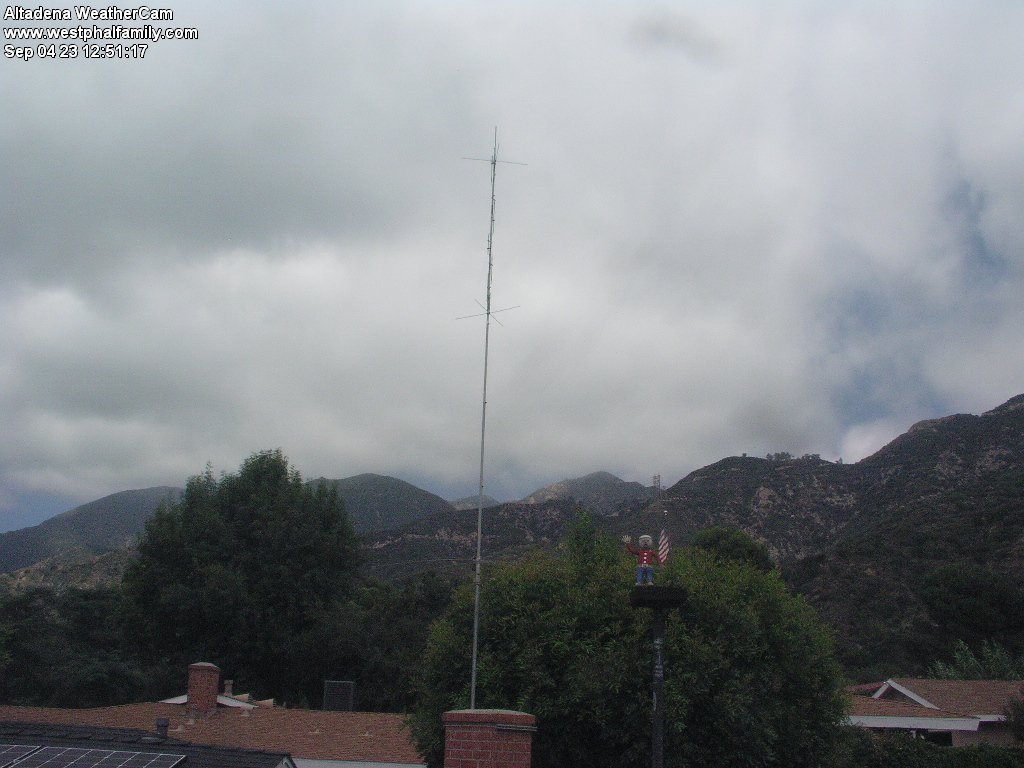
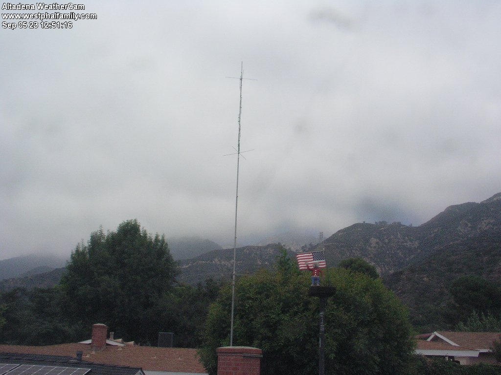
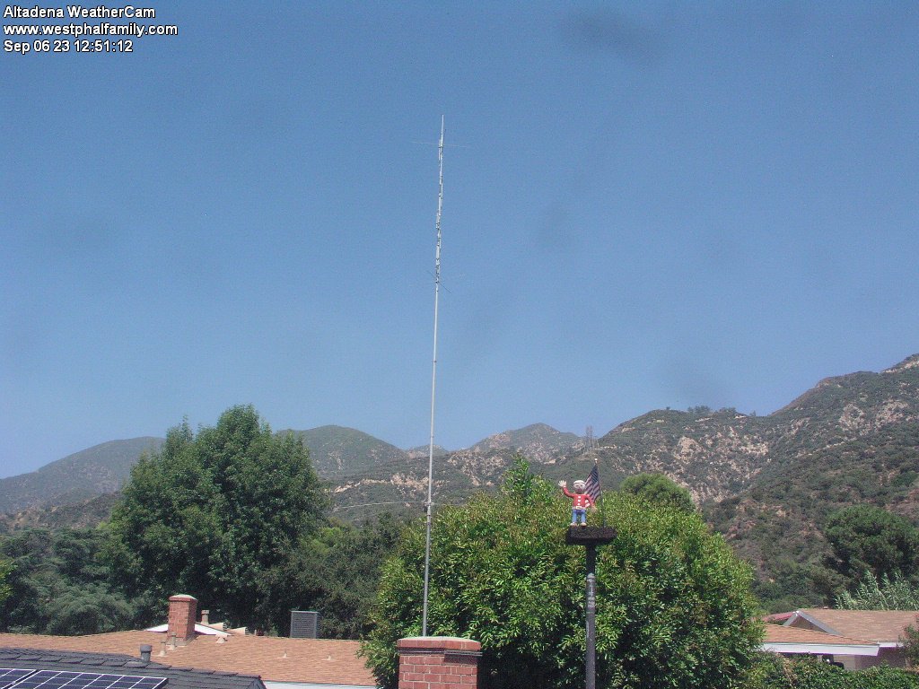
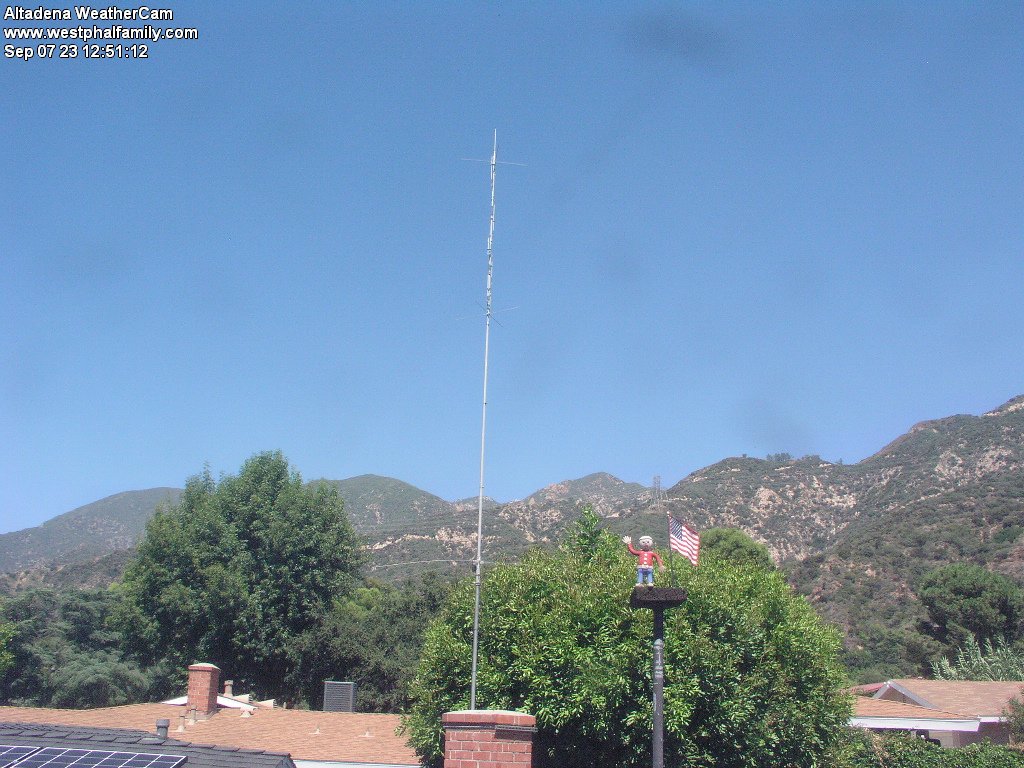
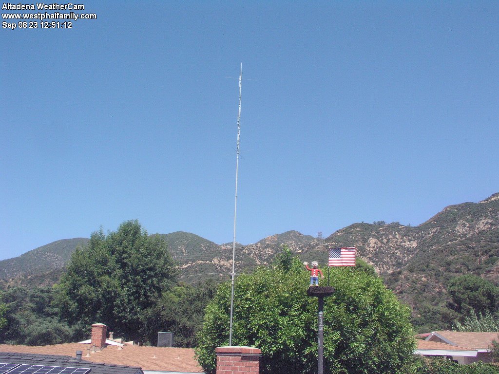
Altadena, California, USA - 47.8 miles from Bunker Hill: Altadena WeatherCam - A view of the sky above Altadena with current weather data.
Operator: Bill Westphal's Personal Home Page
Operator: Bill Westphal's Personal Home Page


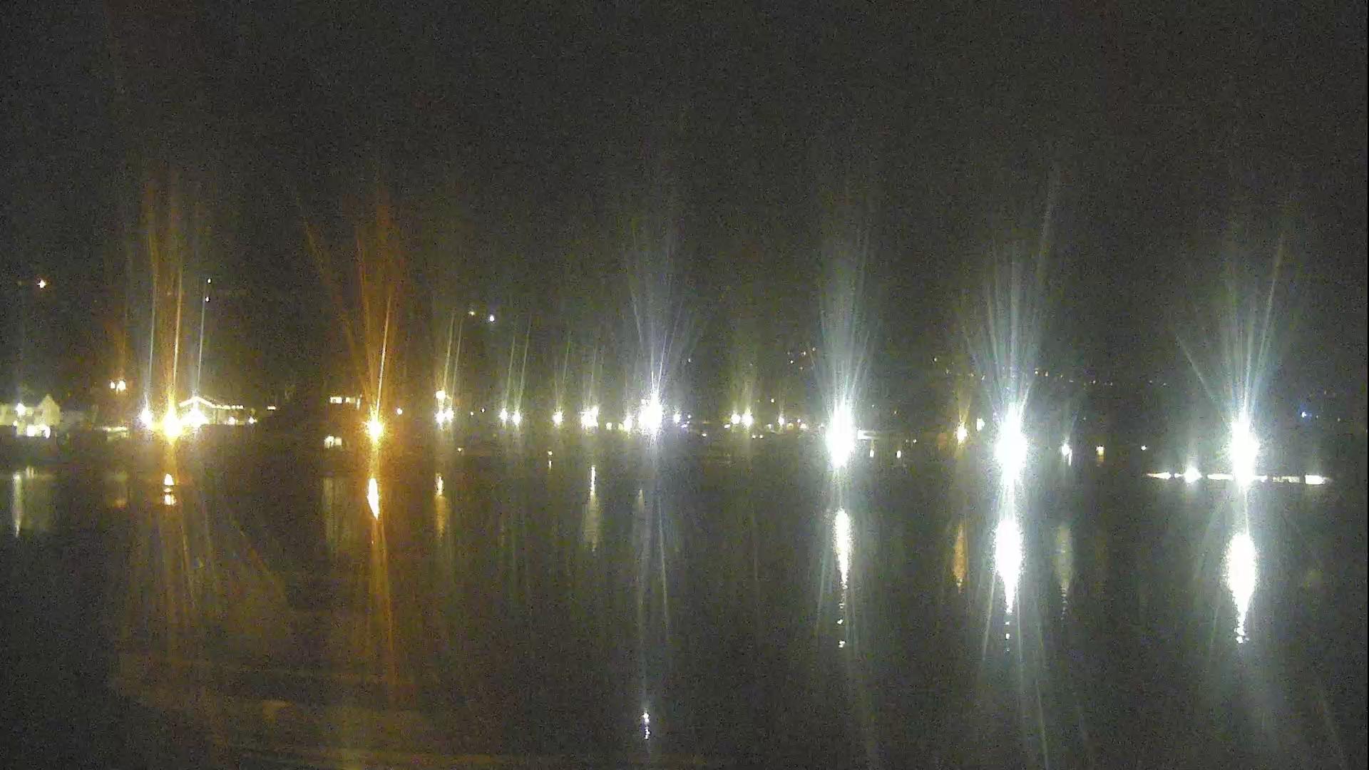
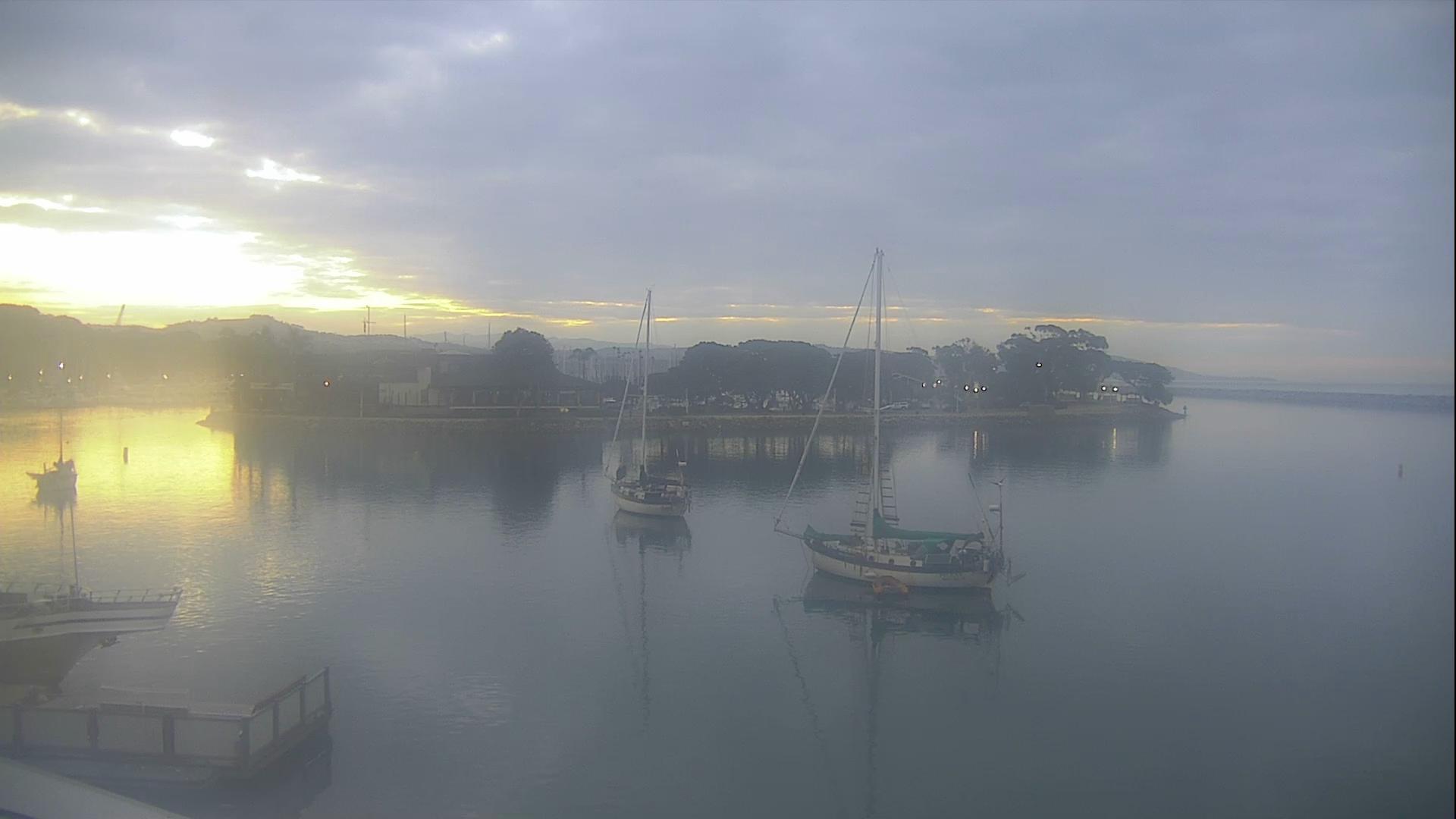
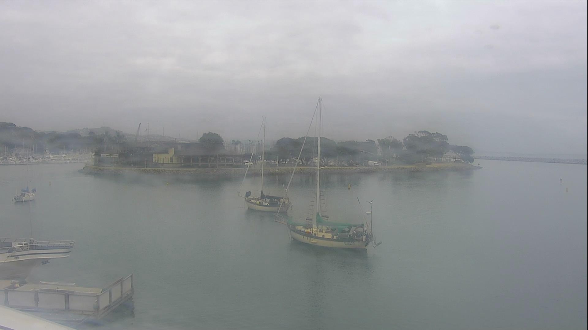
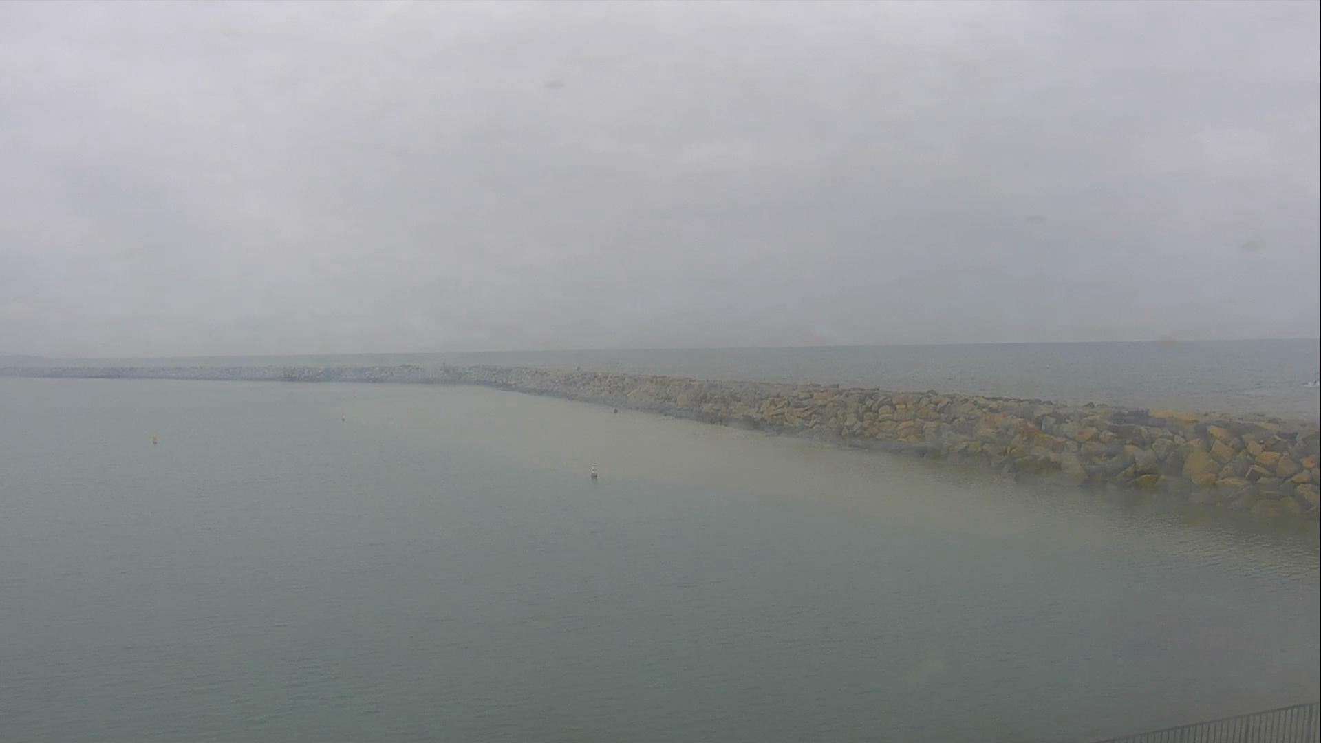
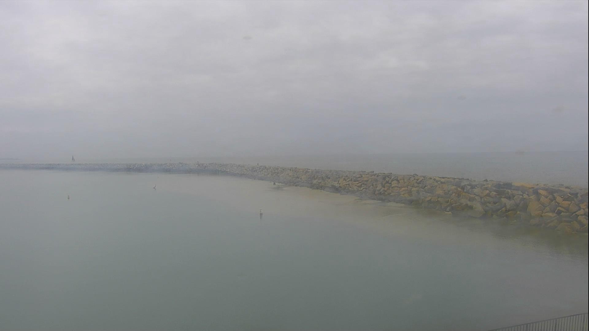
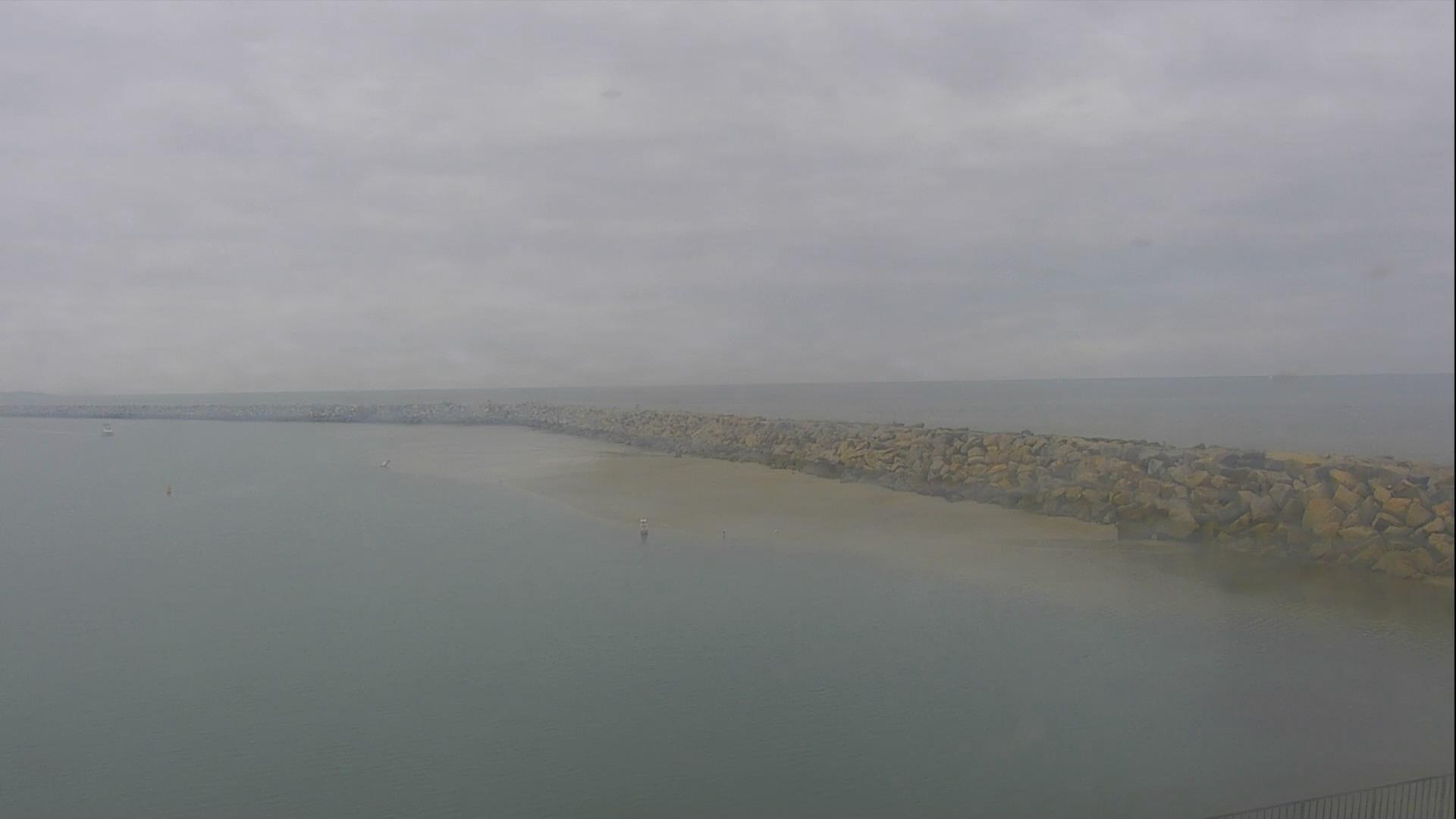
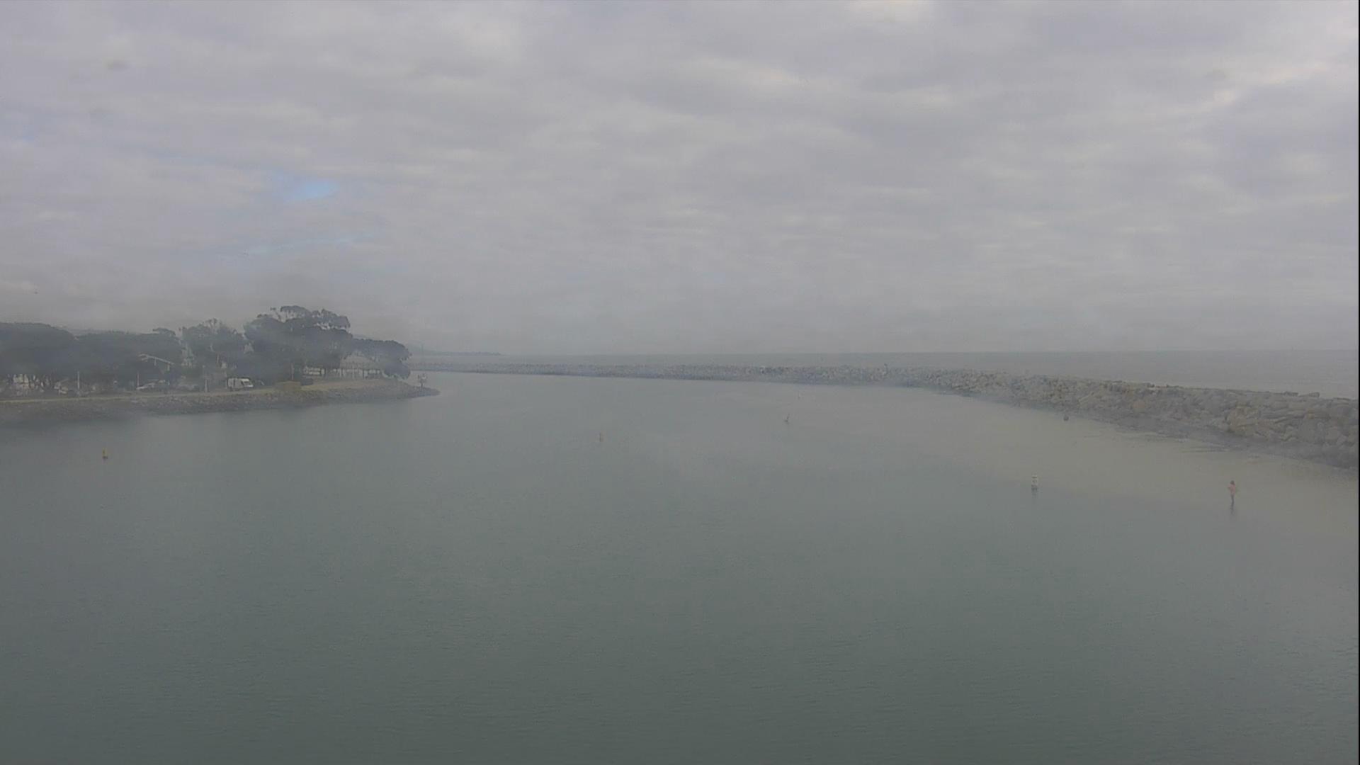
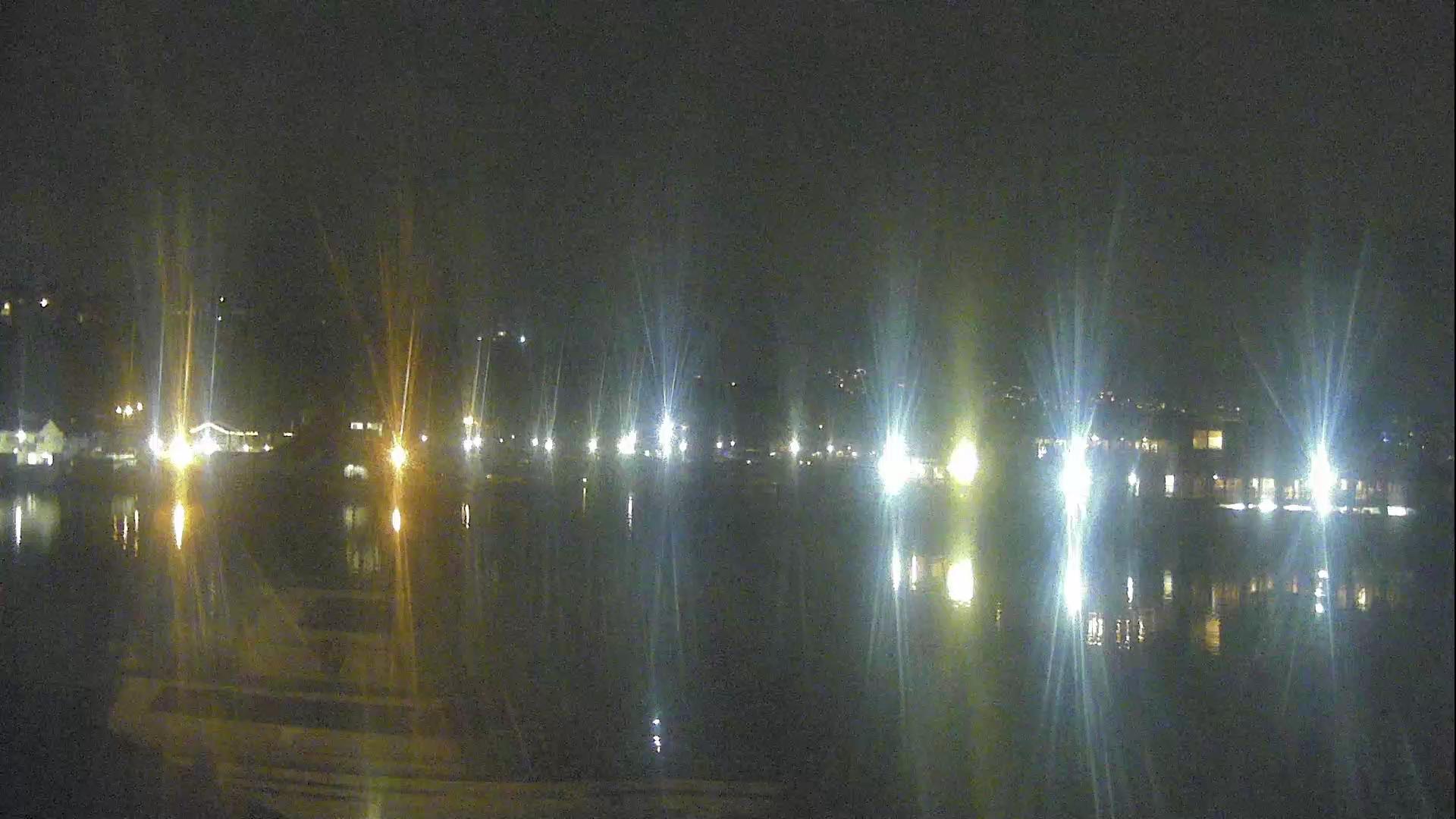
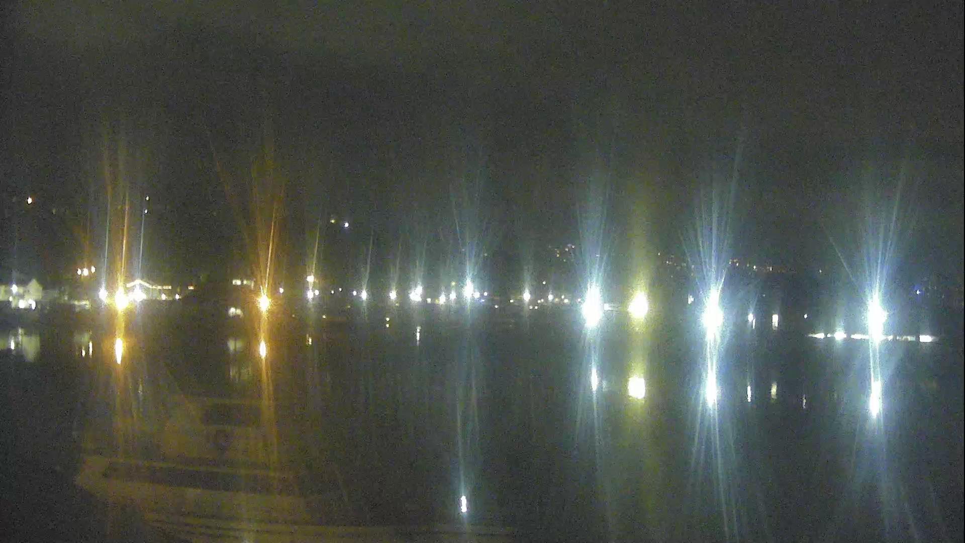
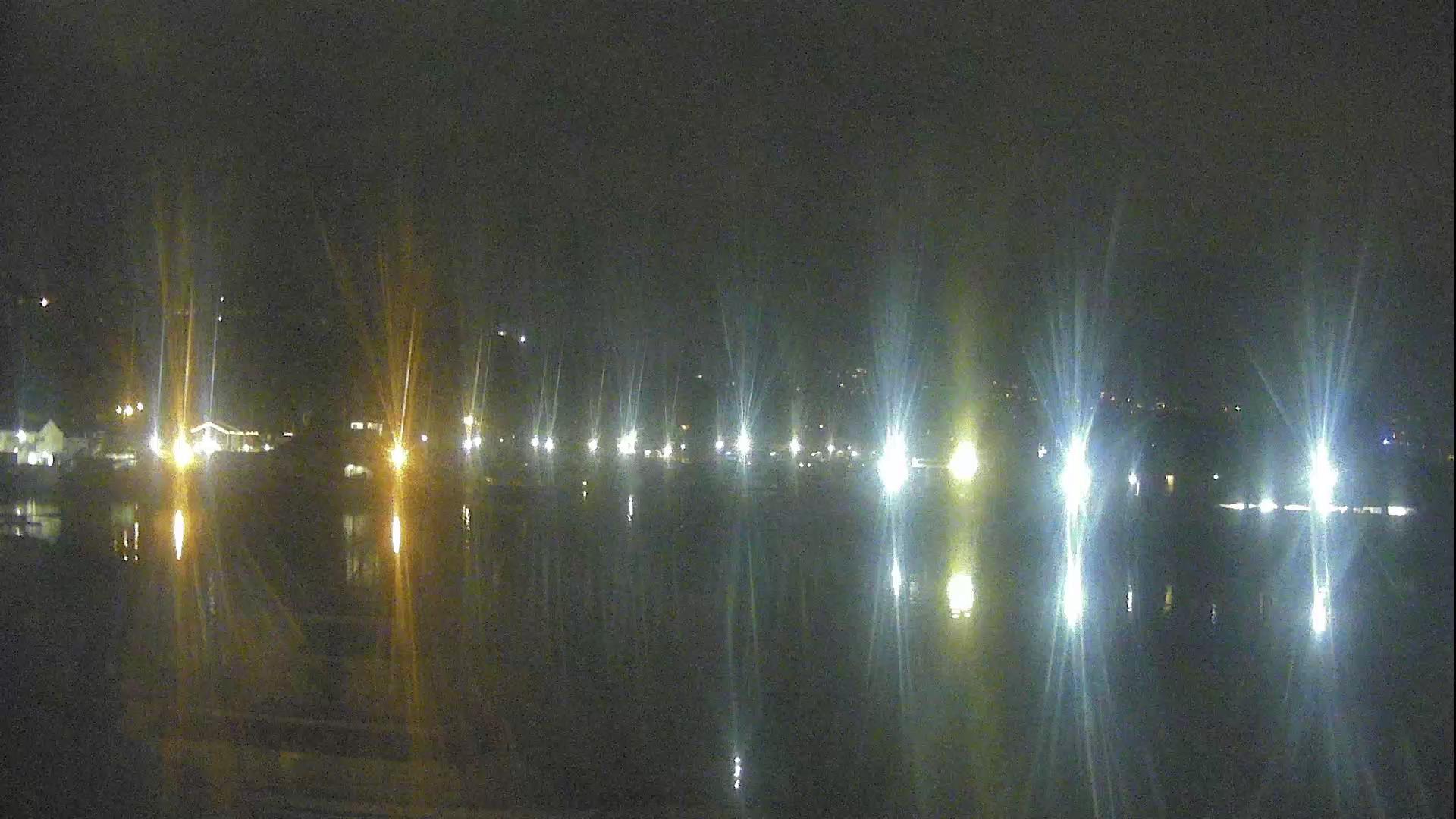
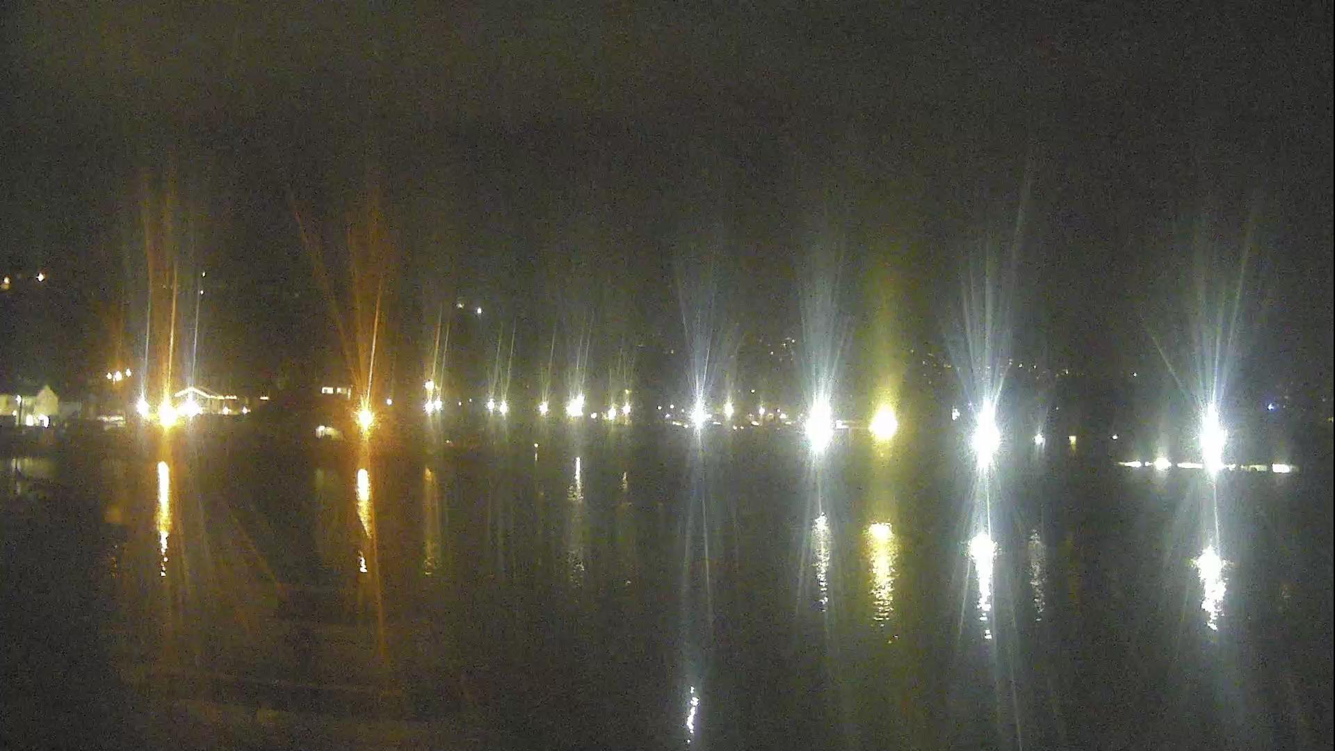
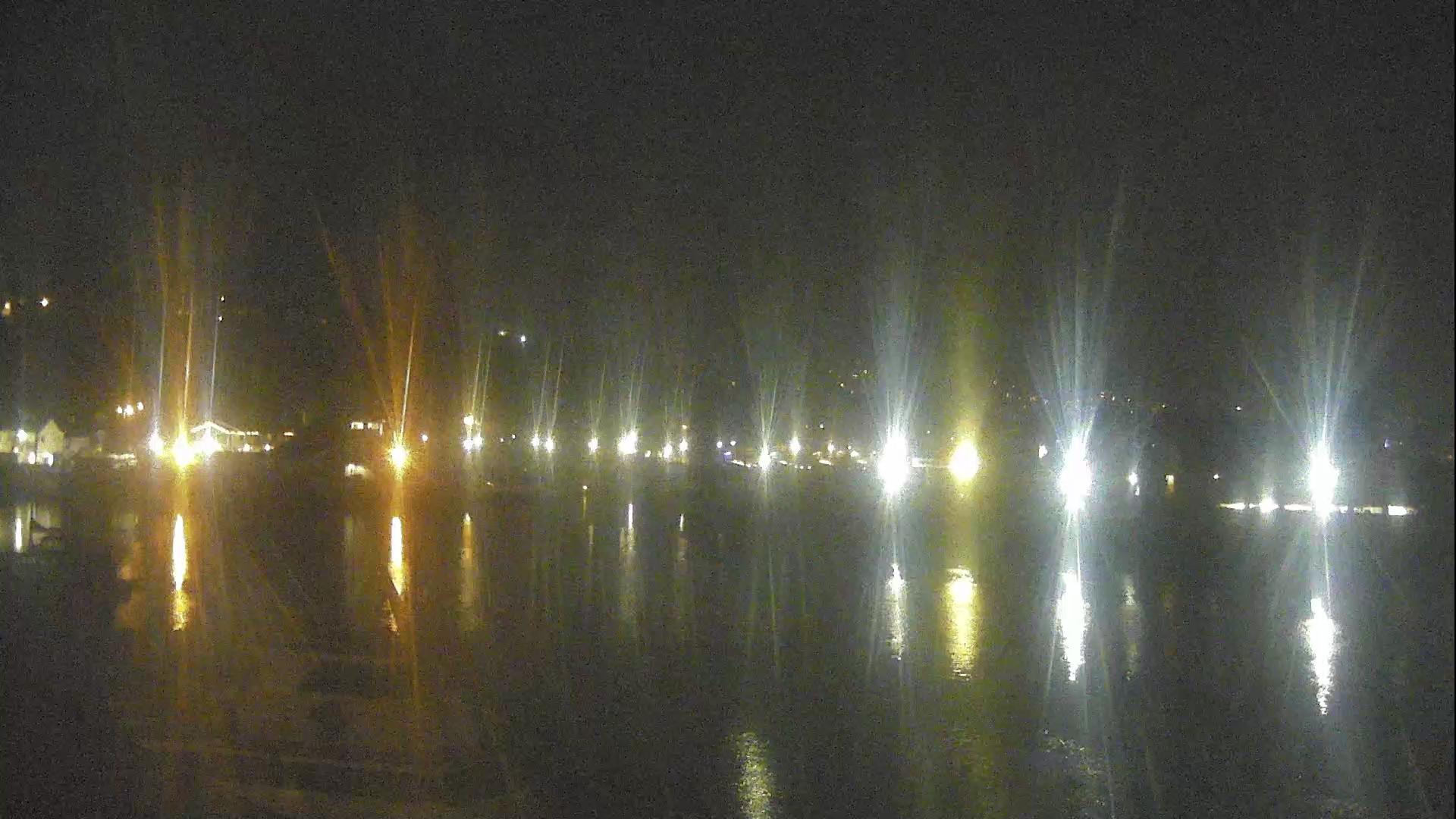
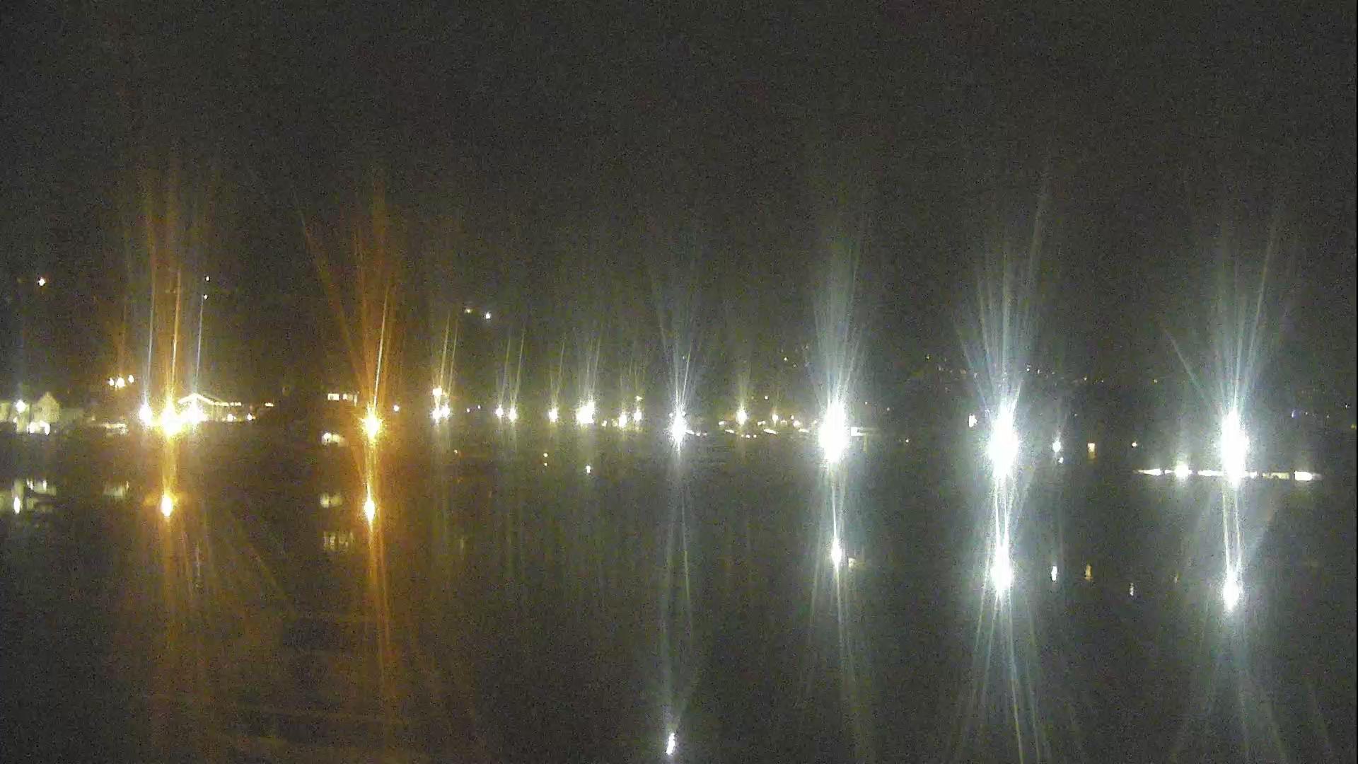
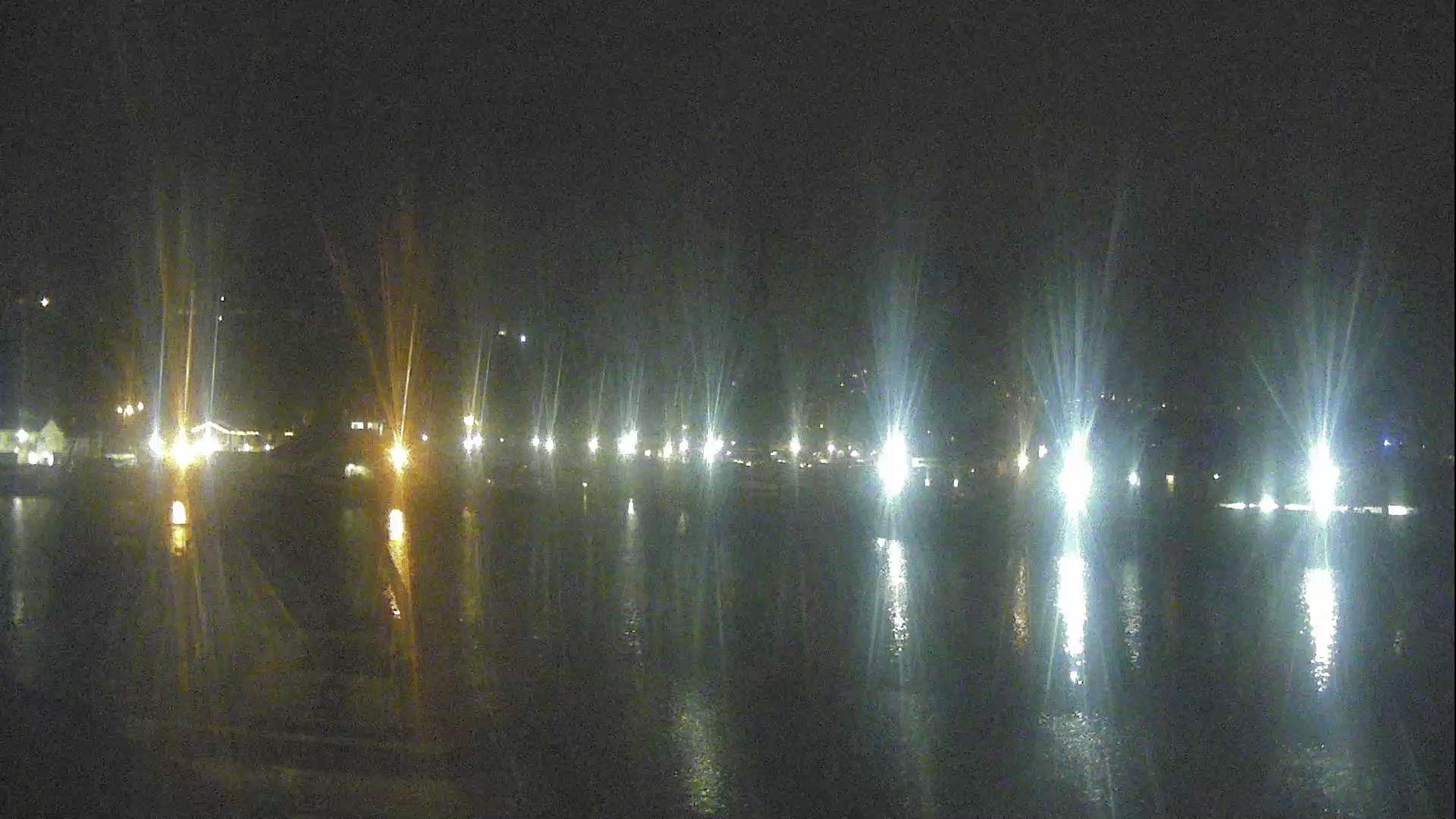
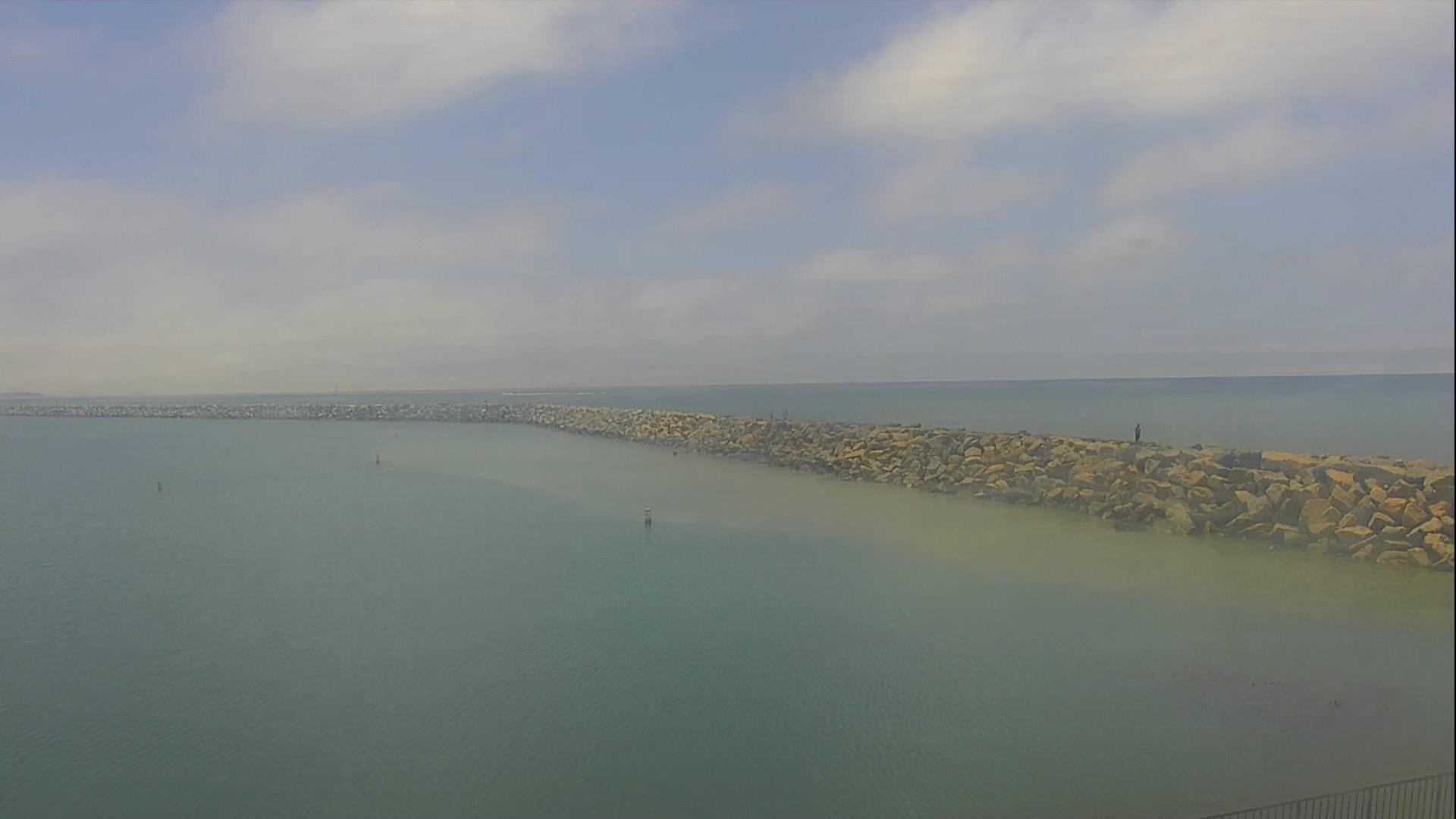
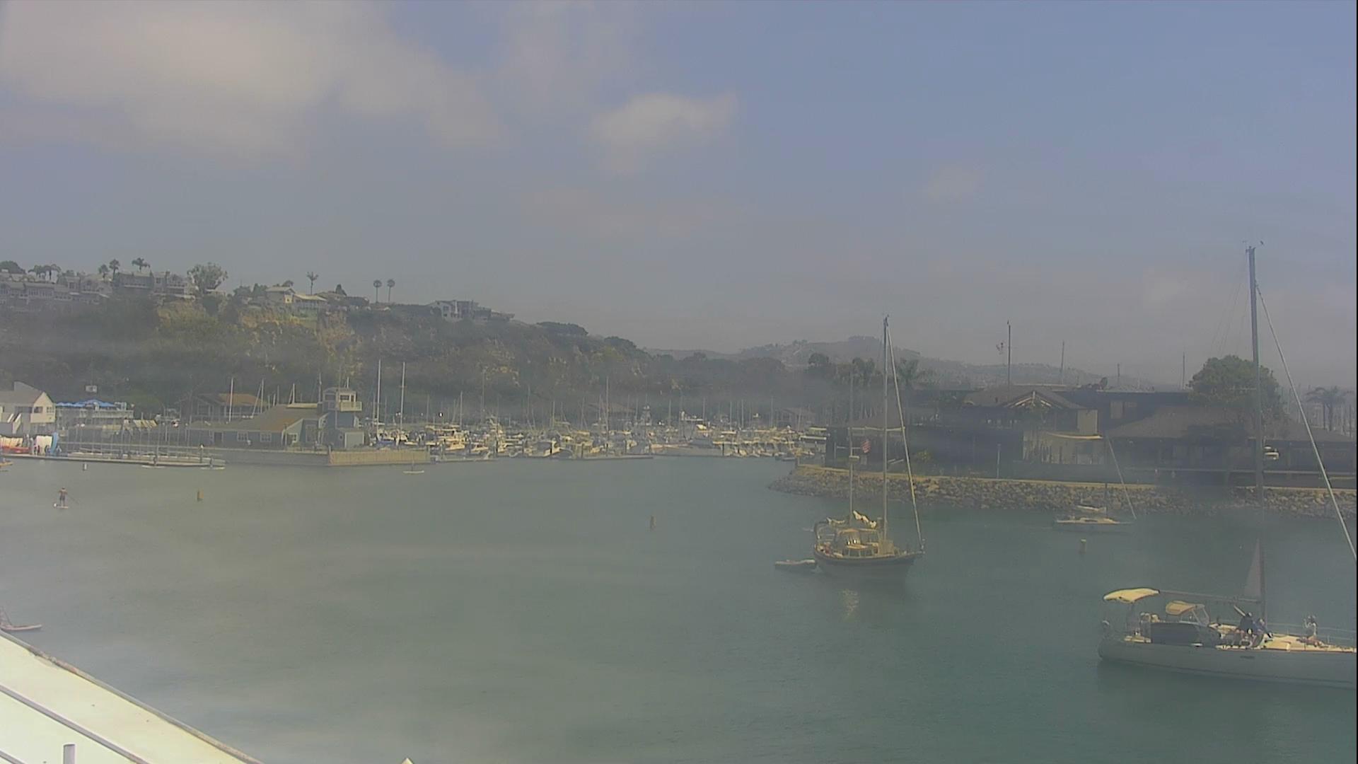
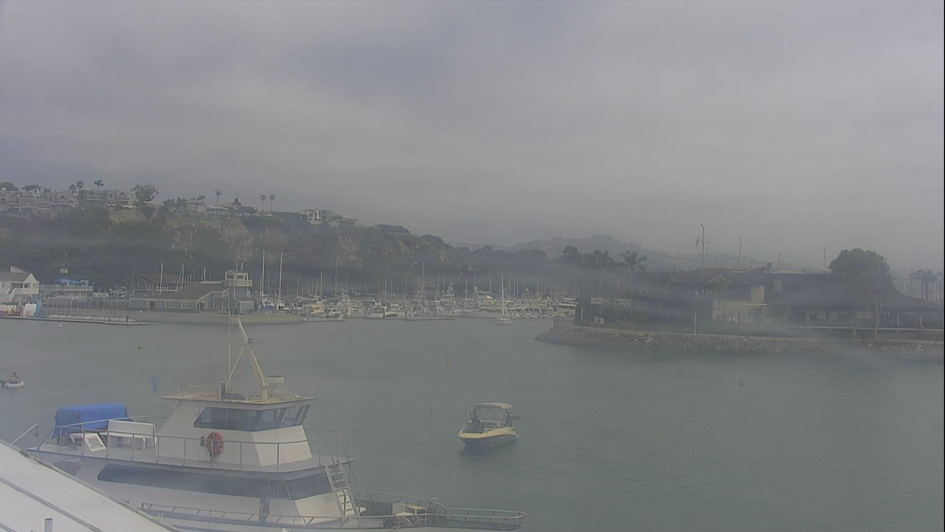
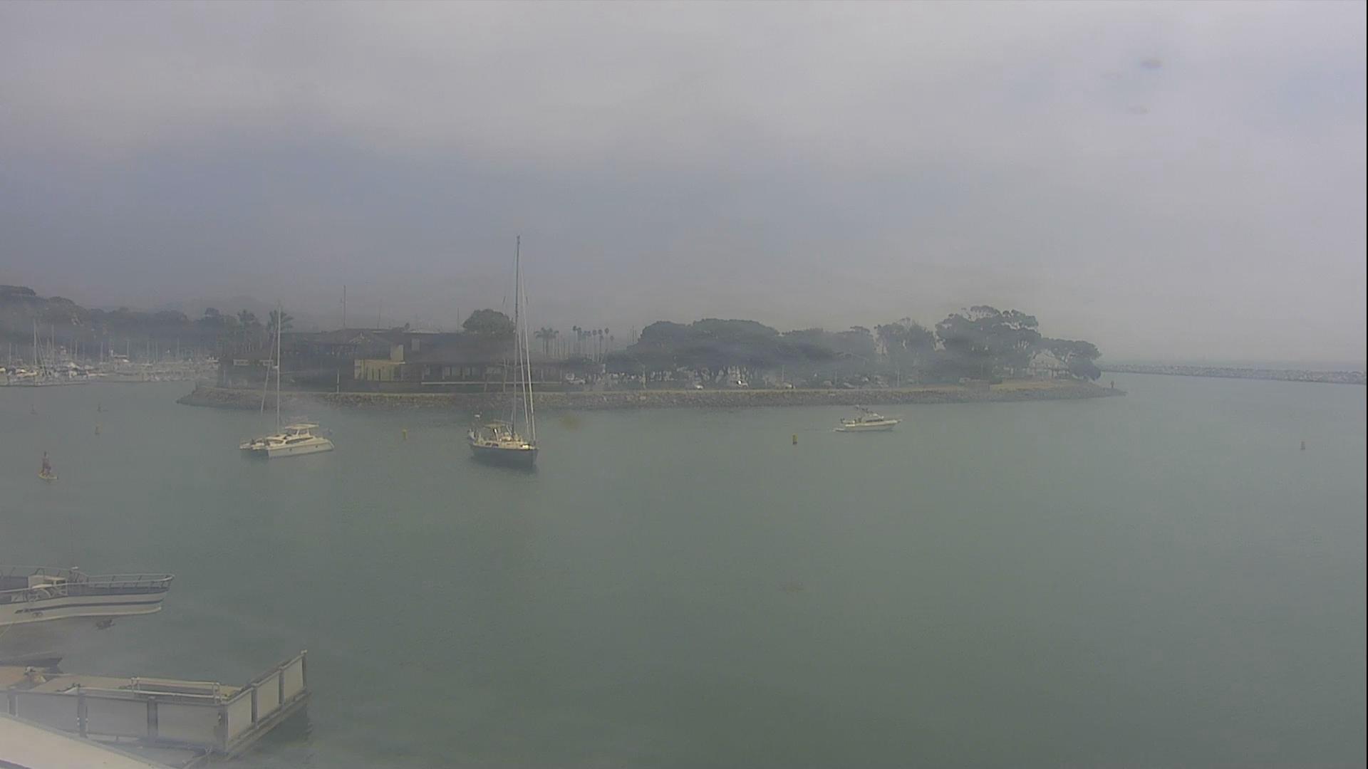
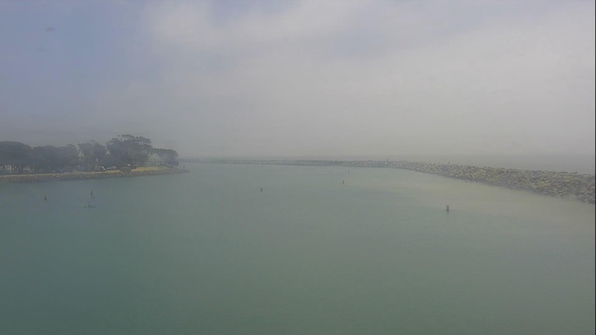
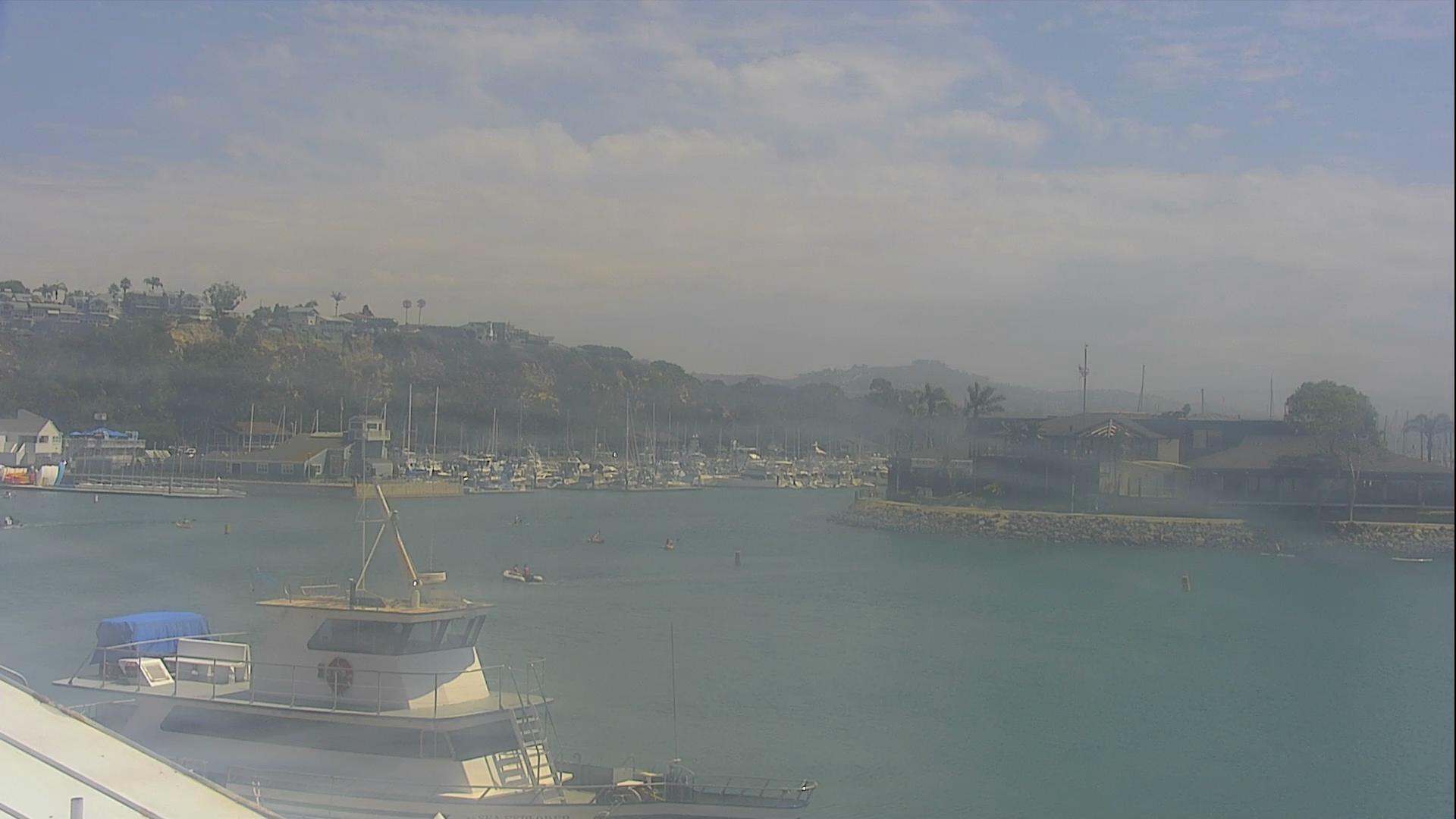
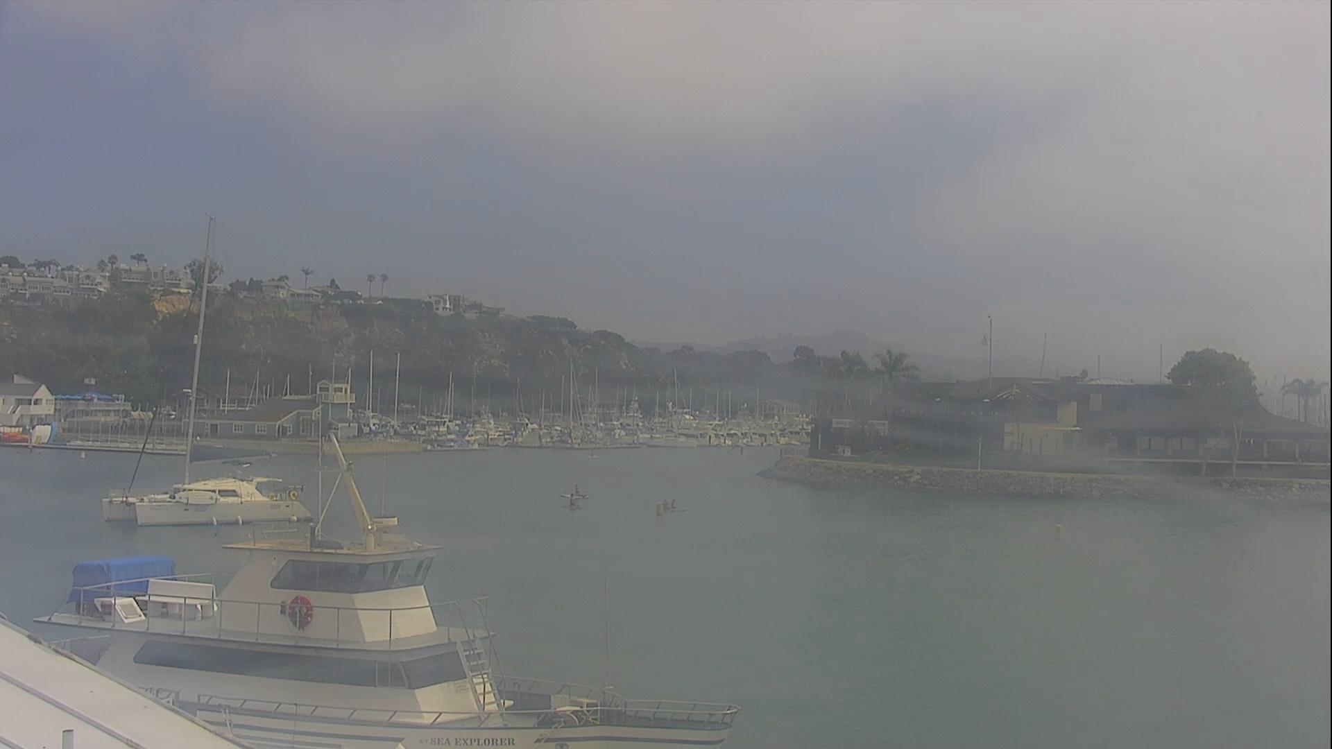
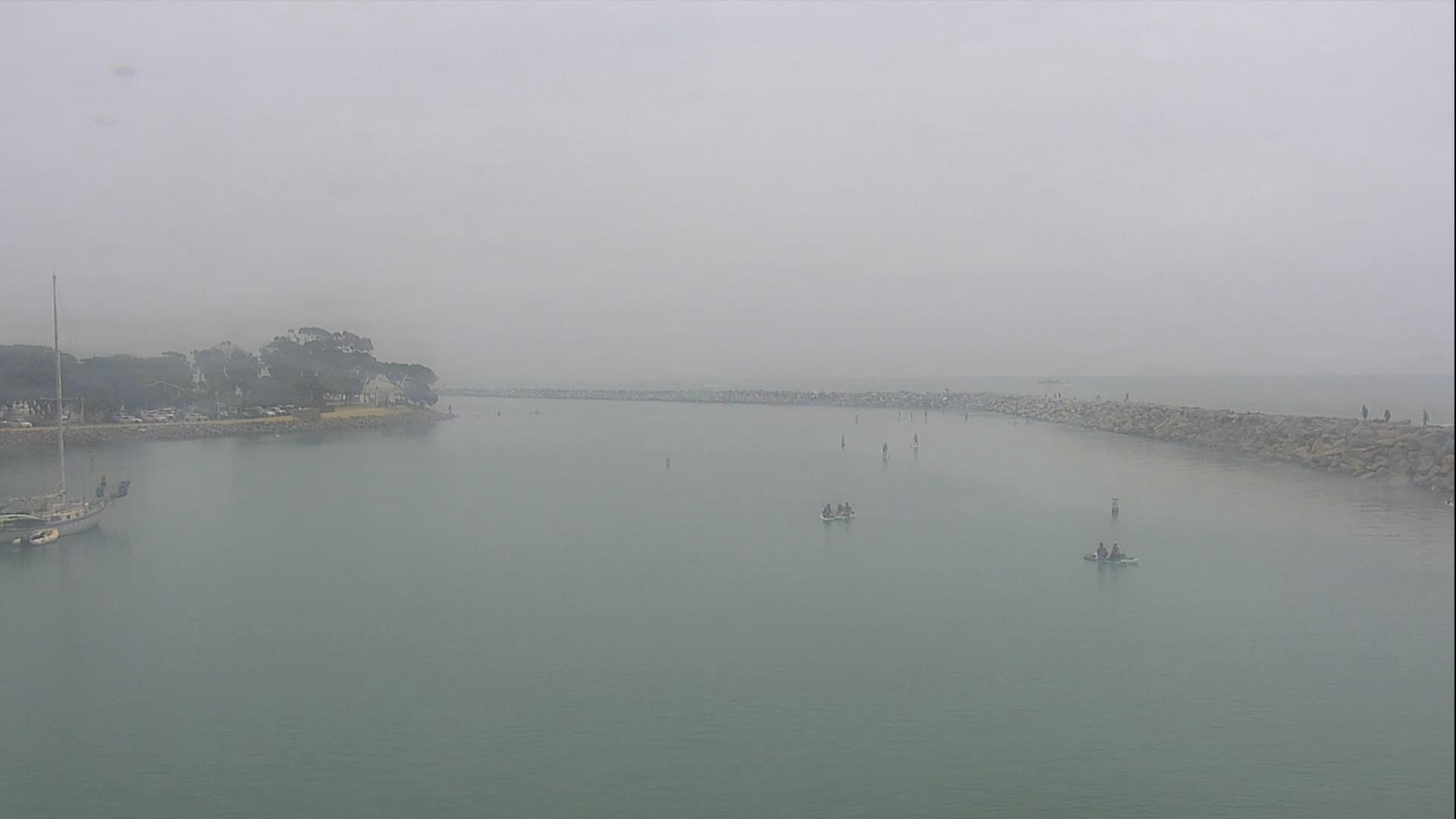
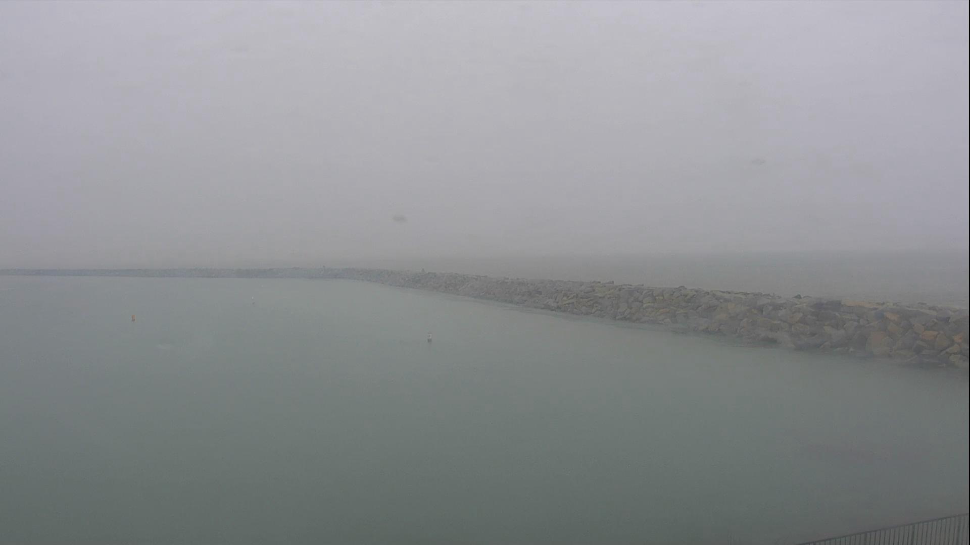
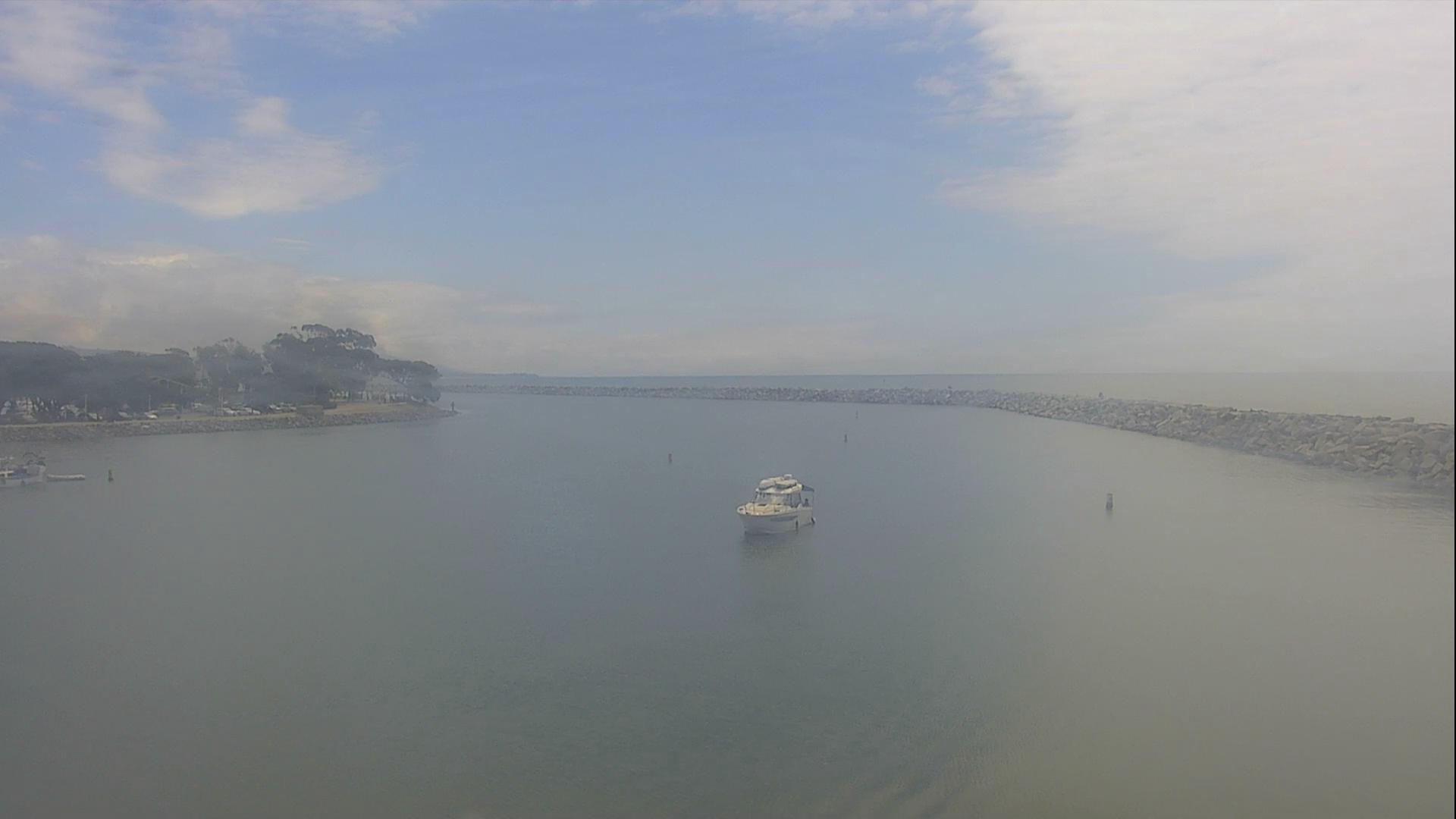
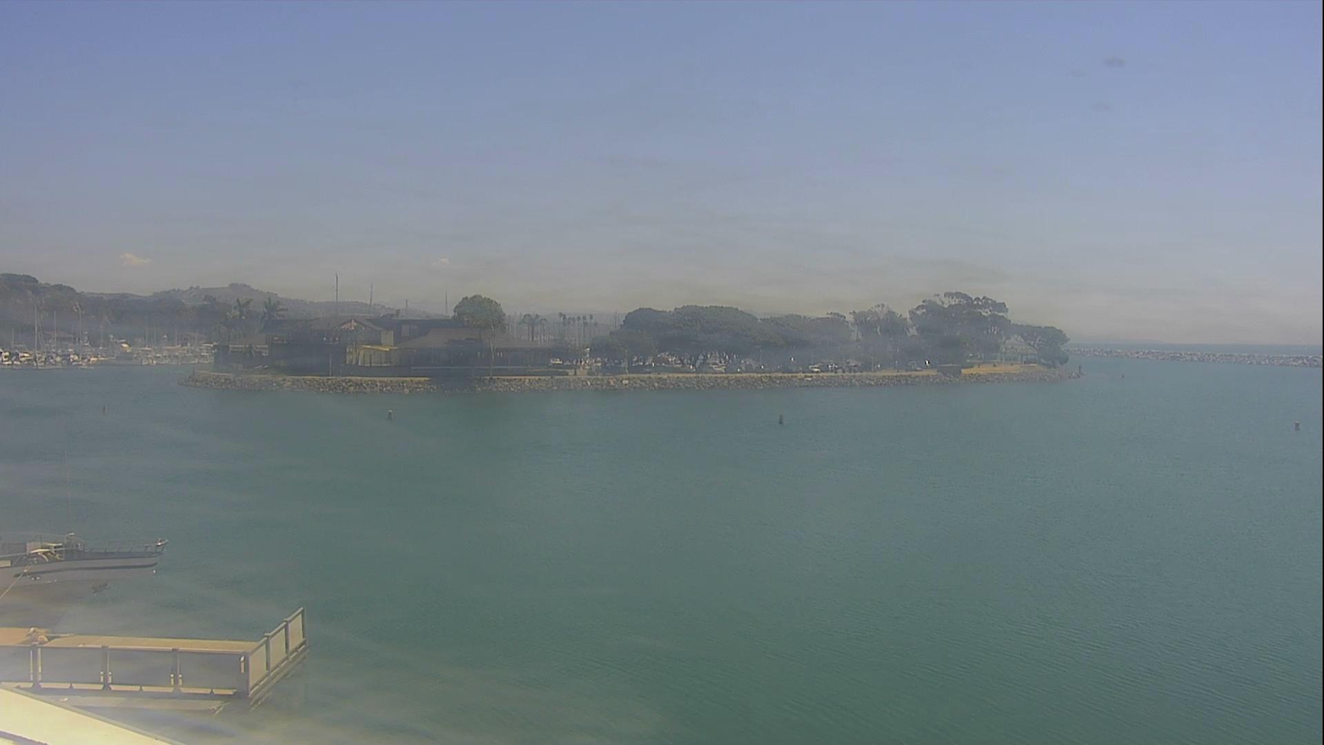
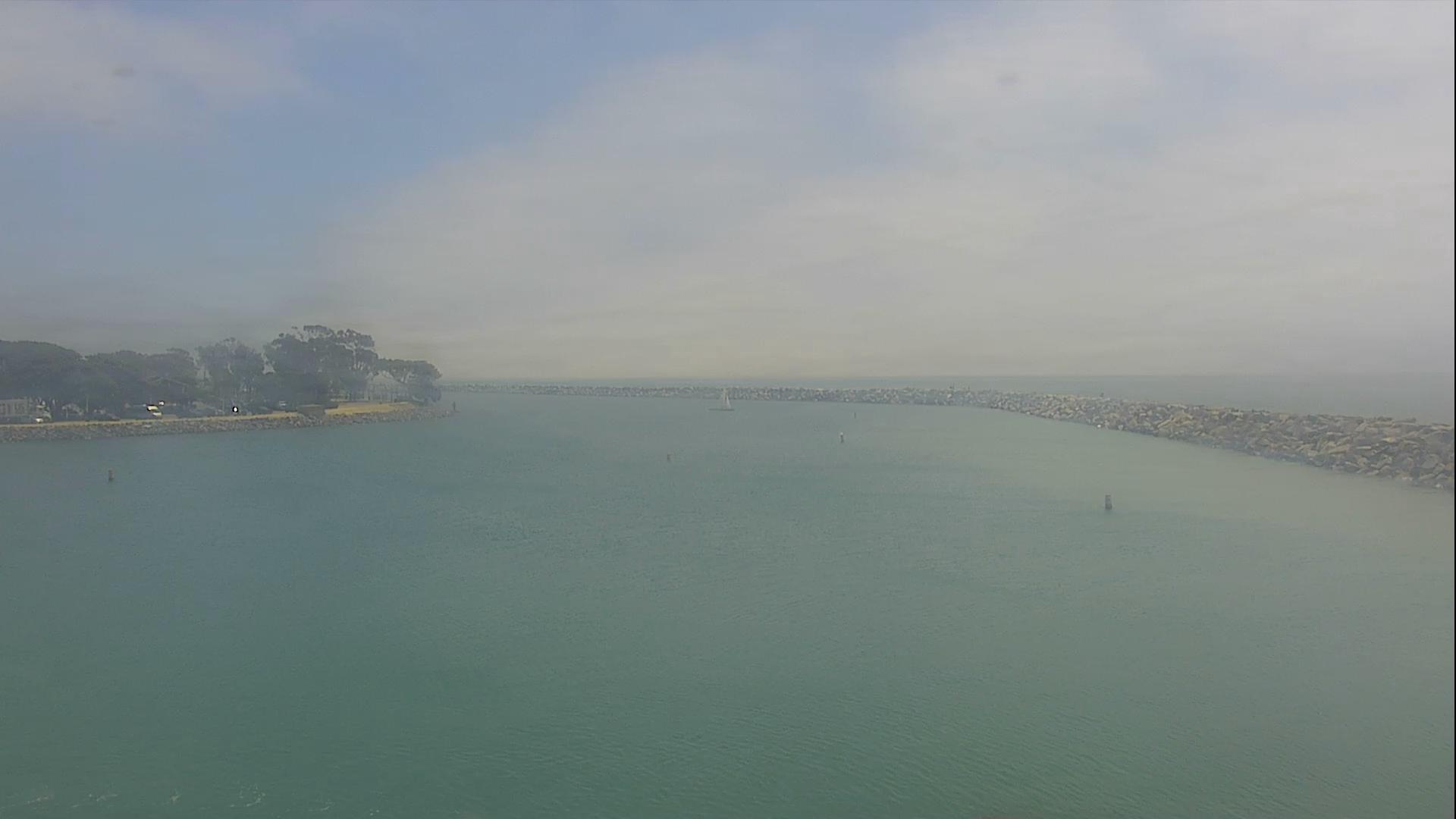
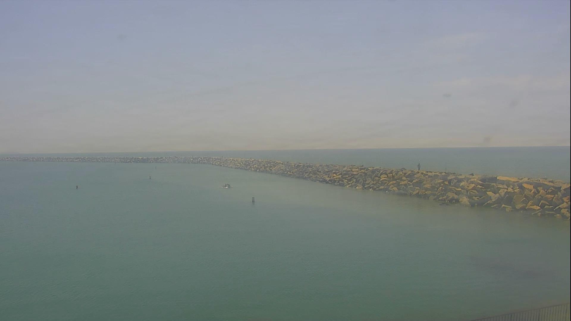
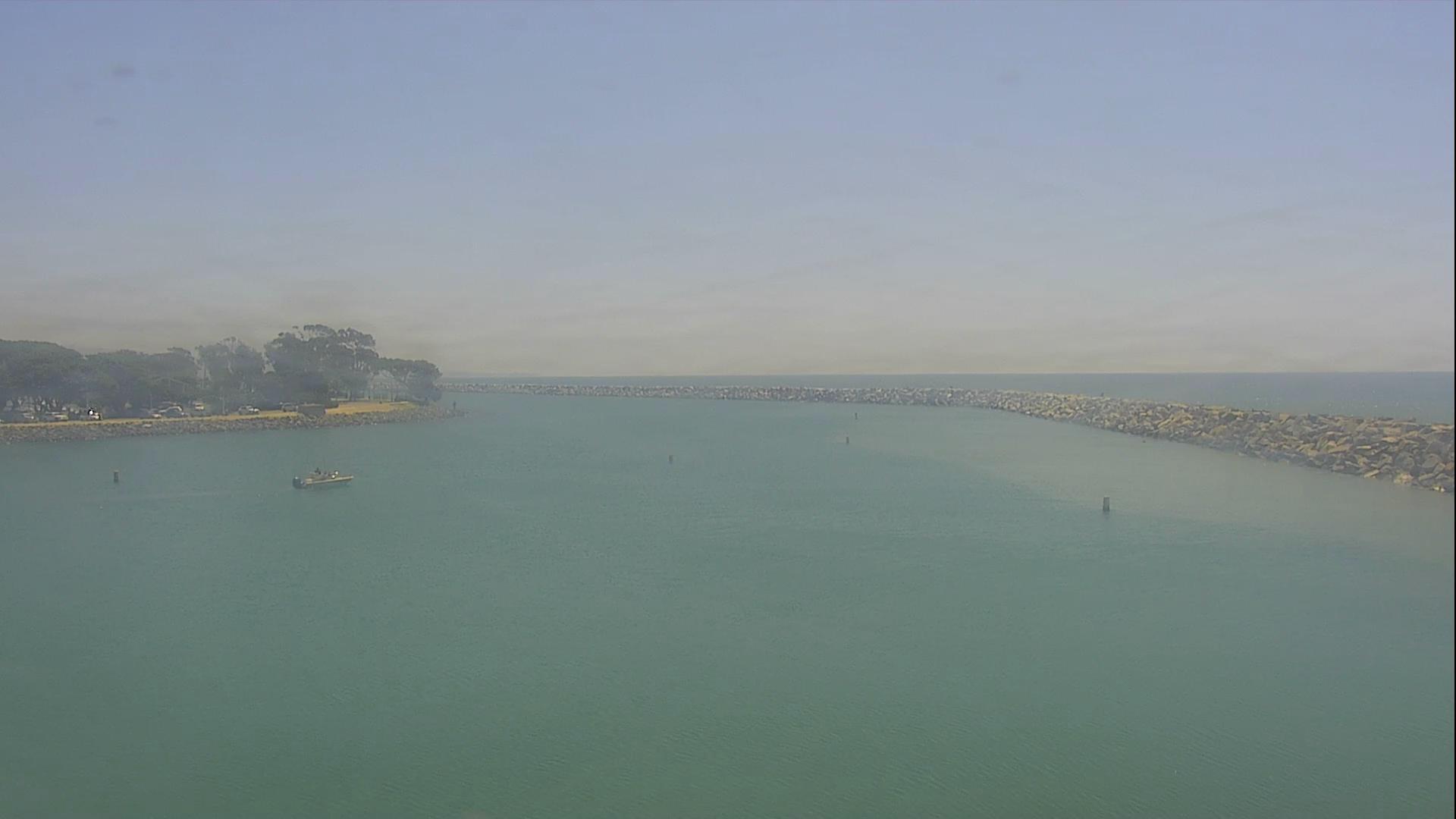
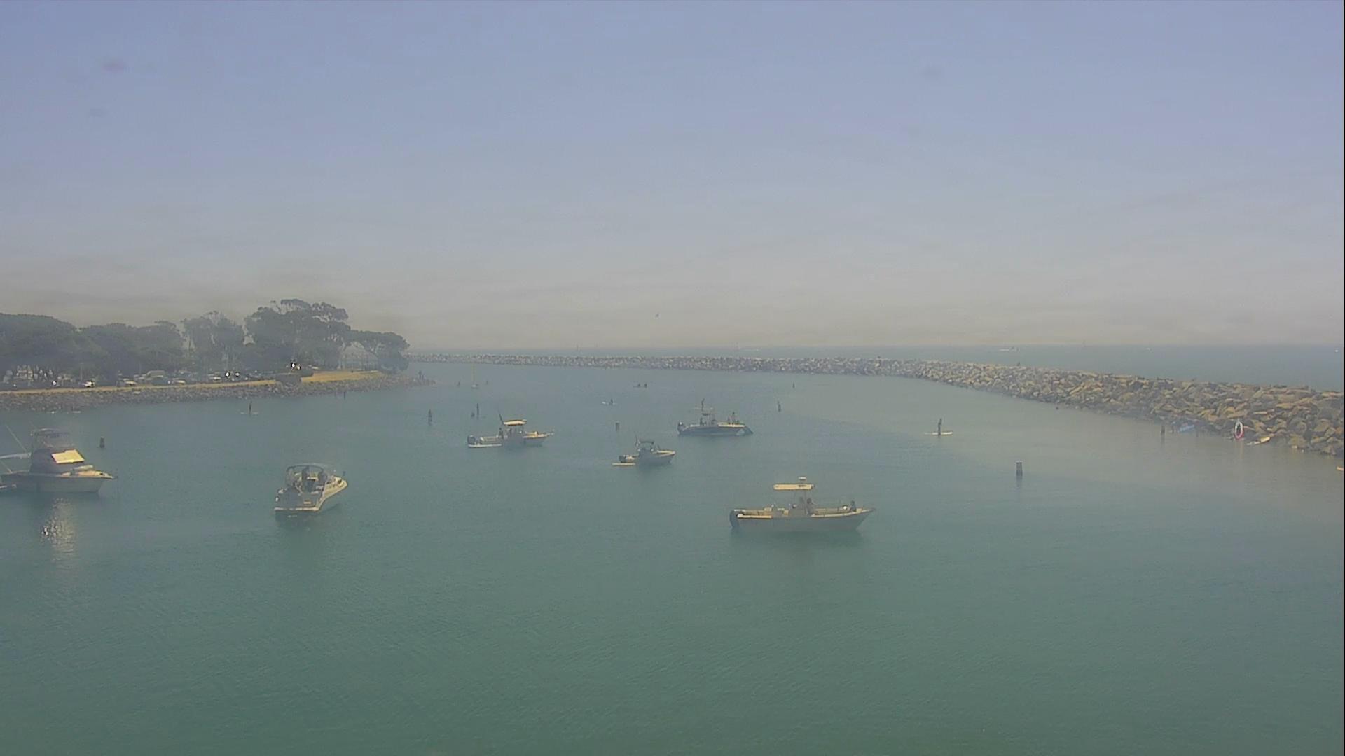
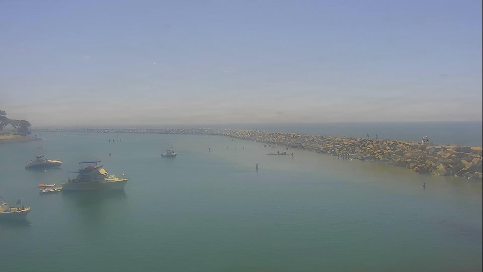
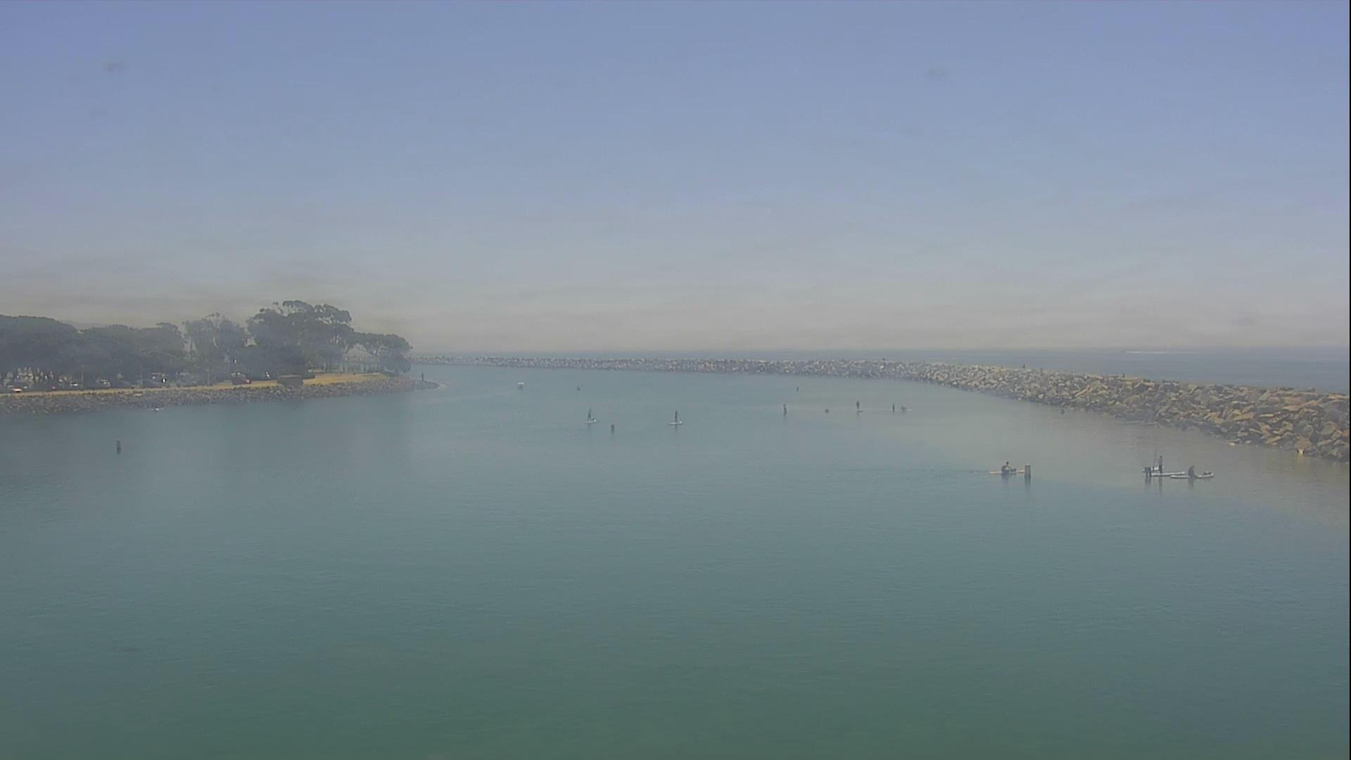
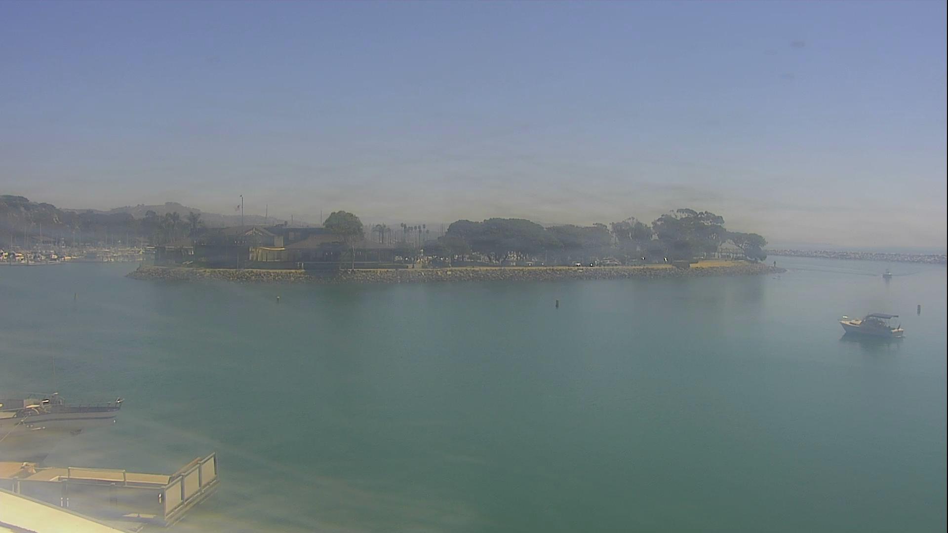
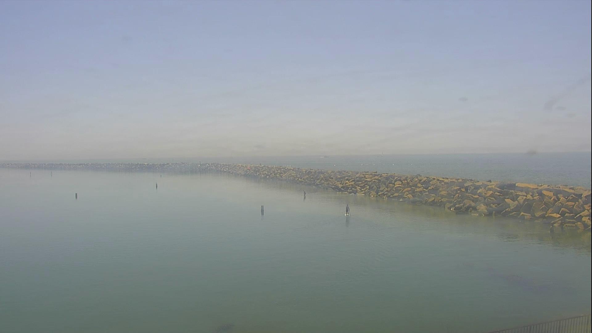
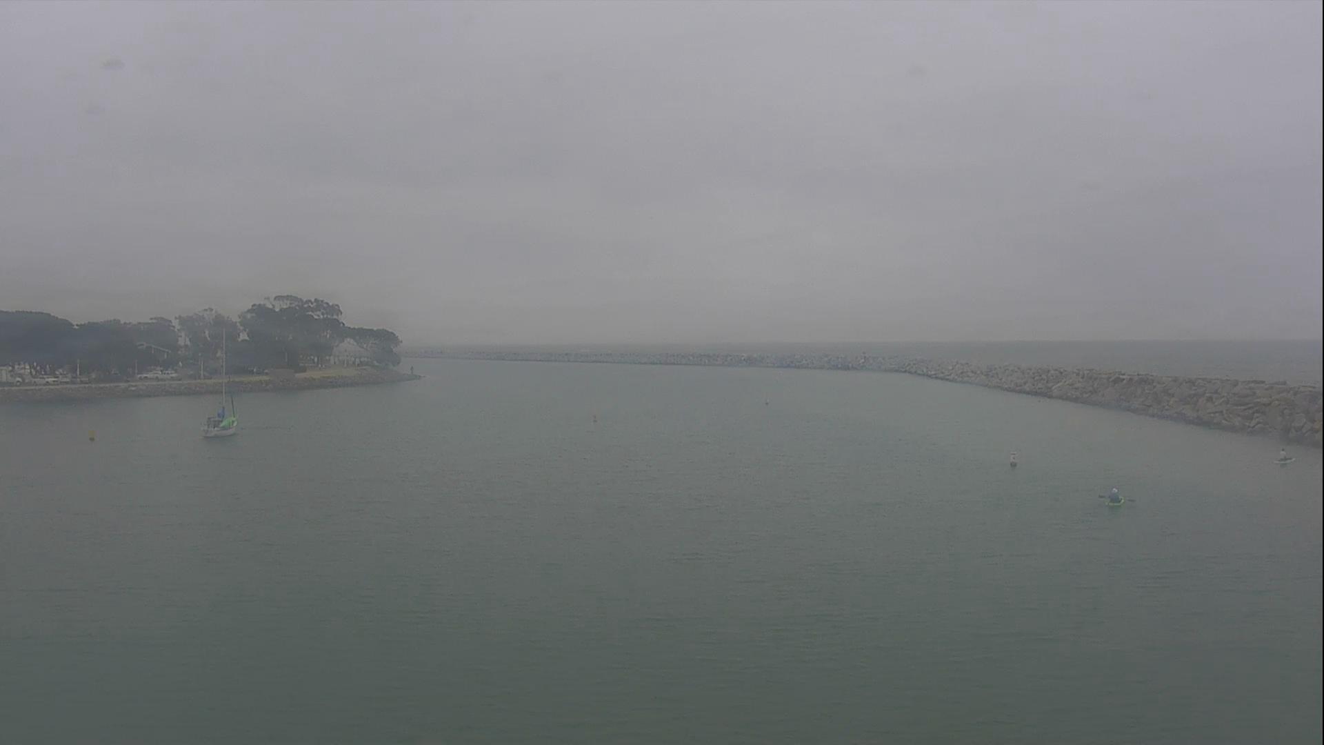
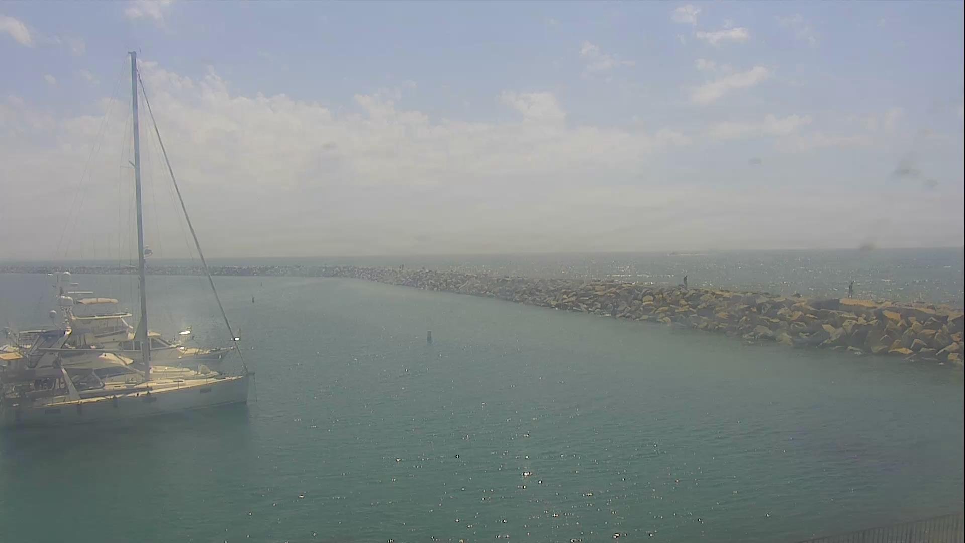
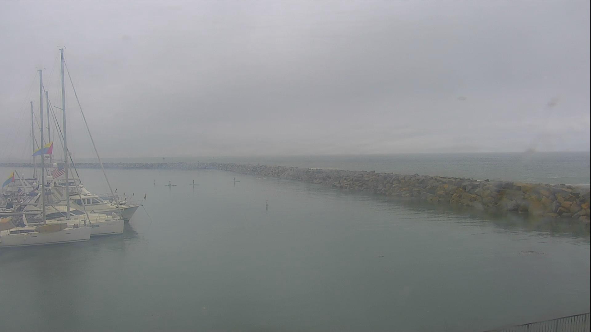
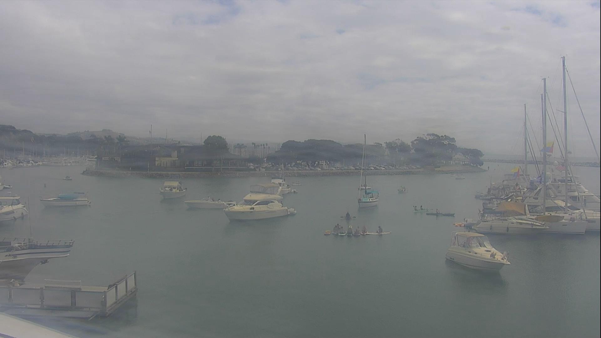
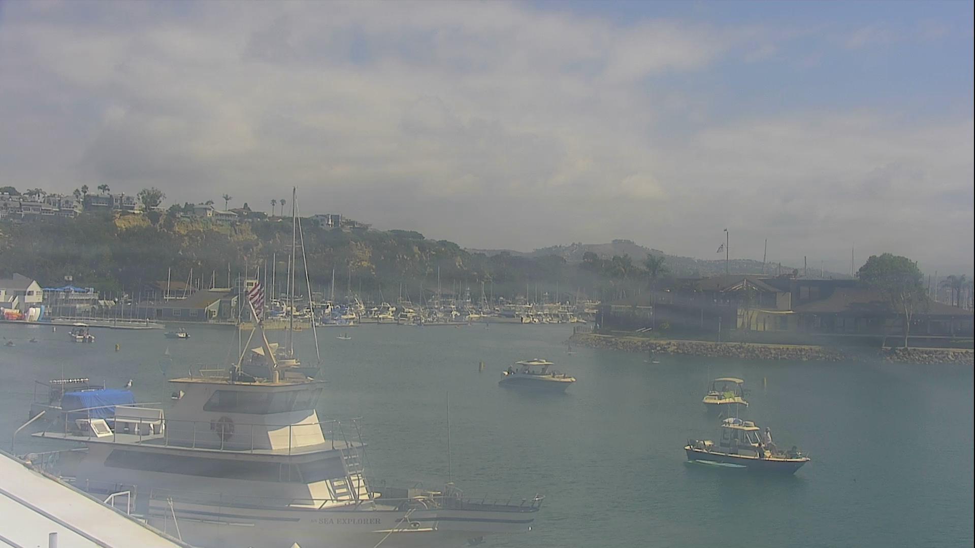
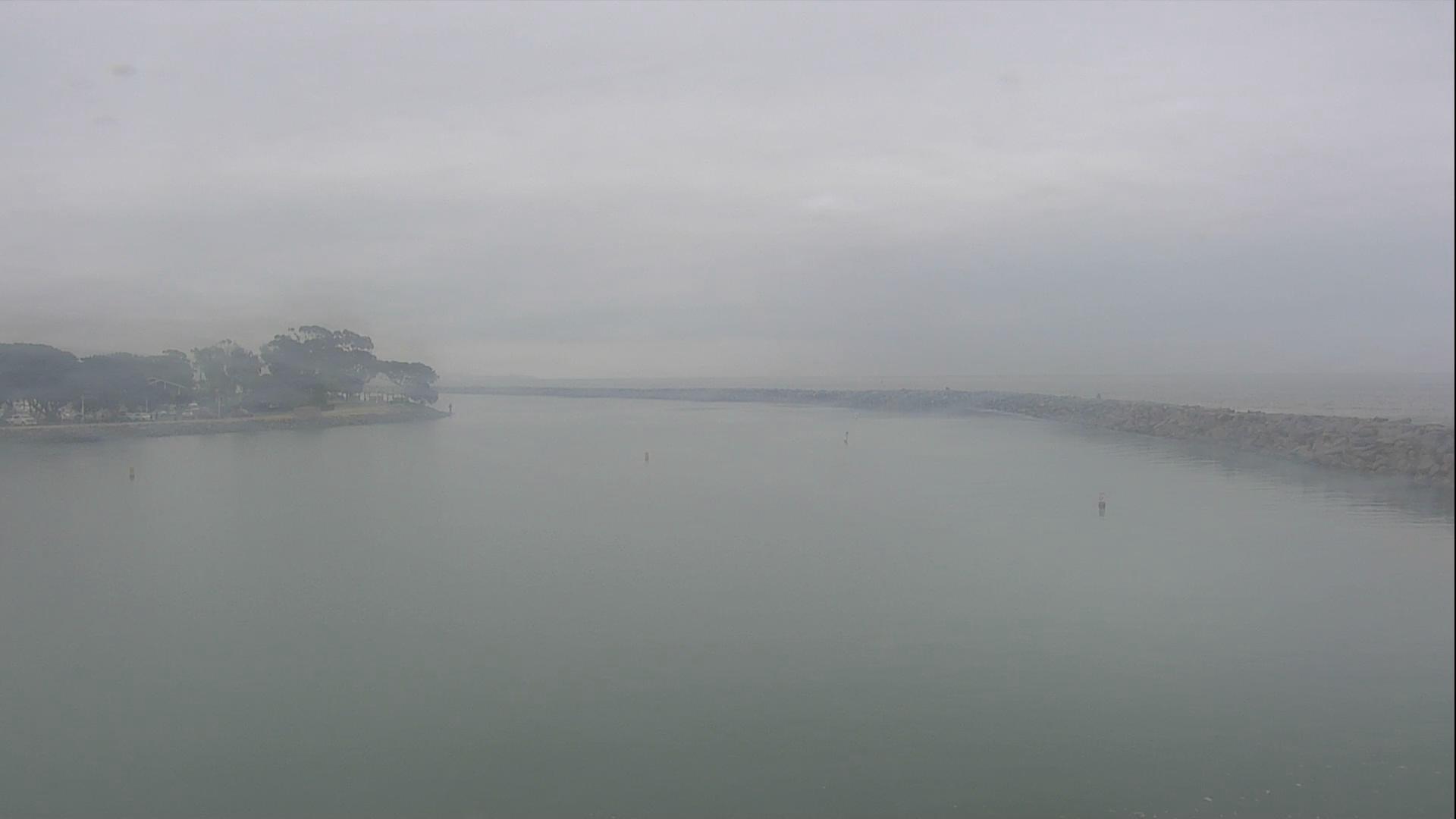
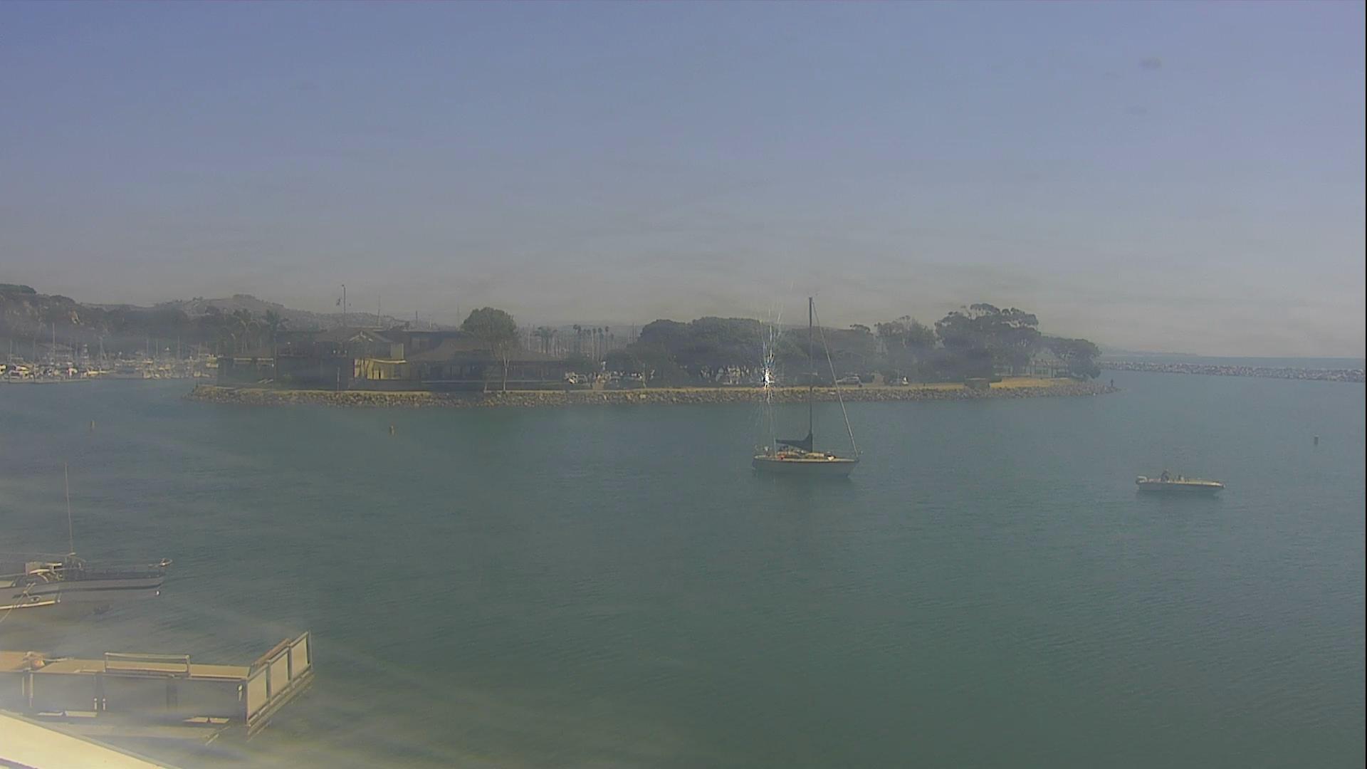
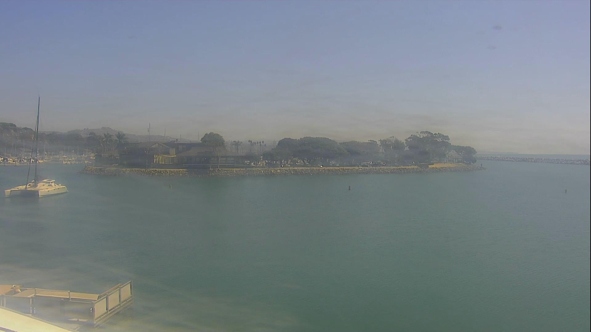
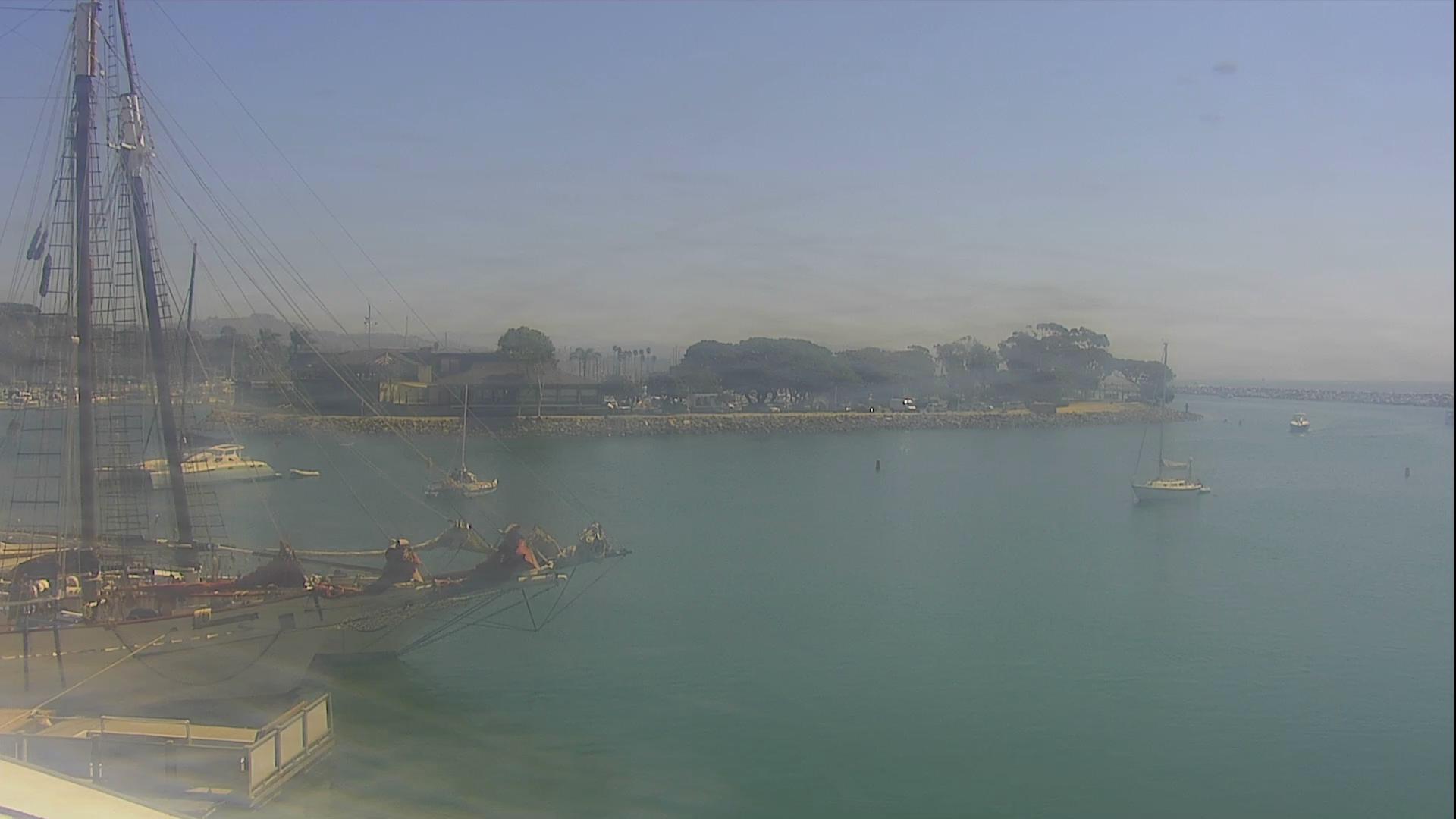
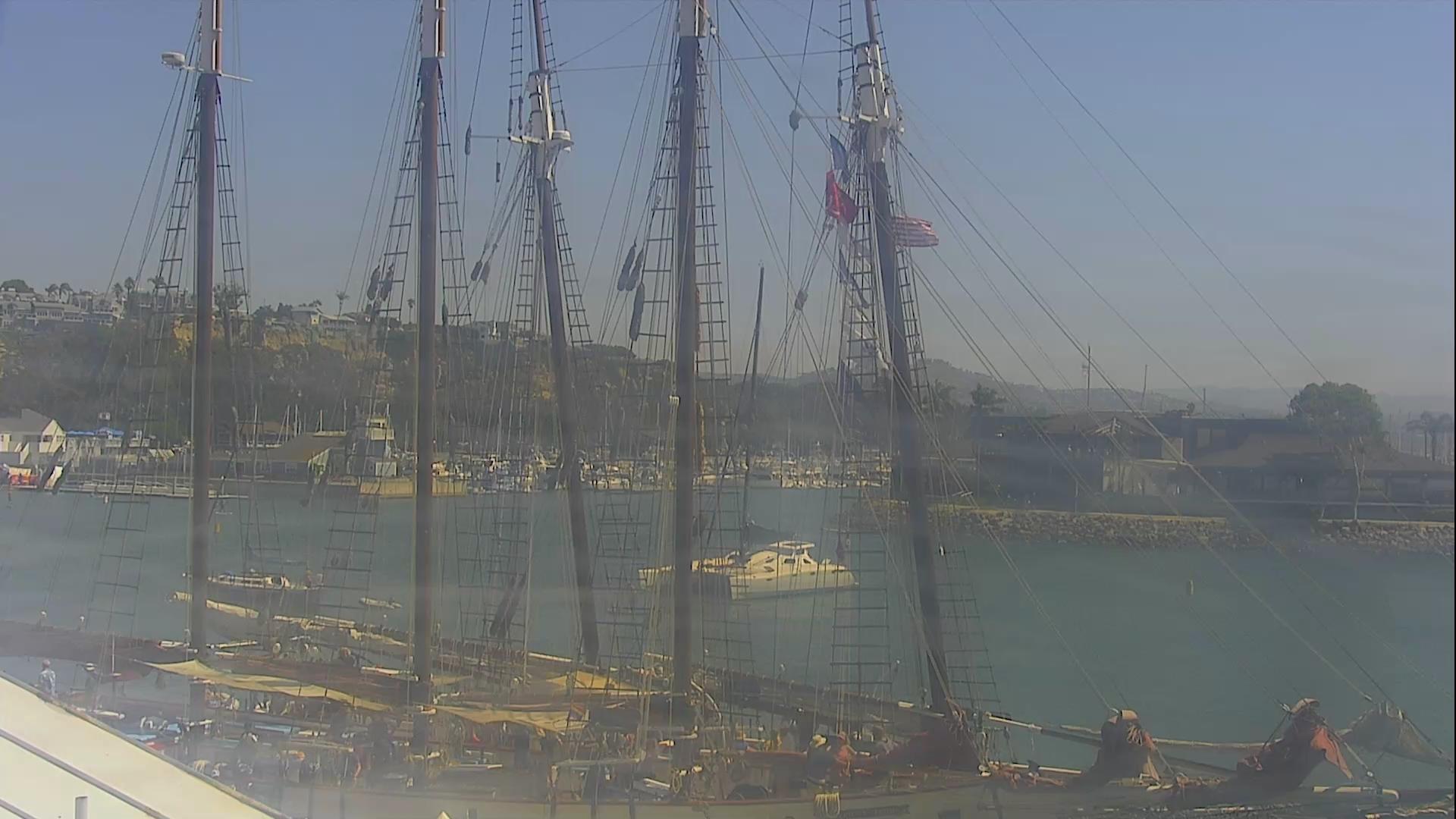
Dana Point, California, USA - 48.1 miles from Bunker Hill: Oceanview - Dana Point Harbor Marina and ocean view.
Operator: HDOnTap
Operator: HDOnTap

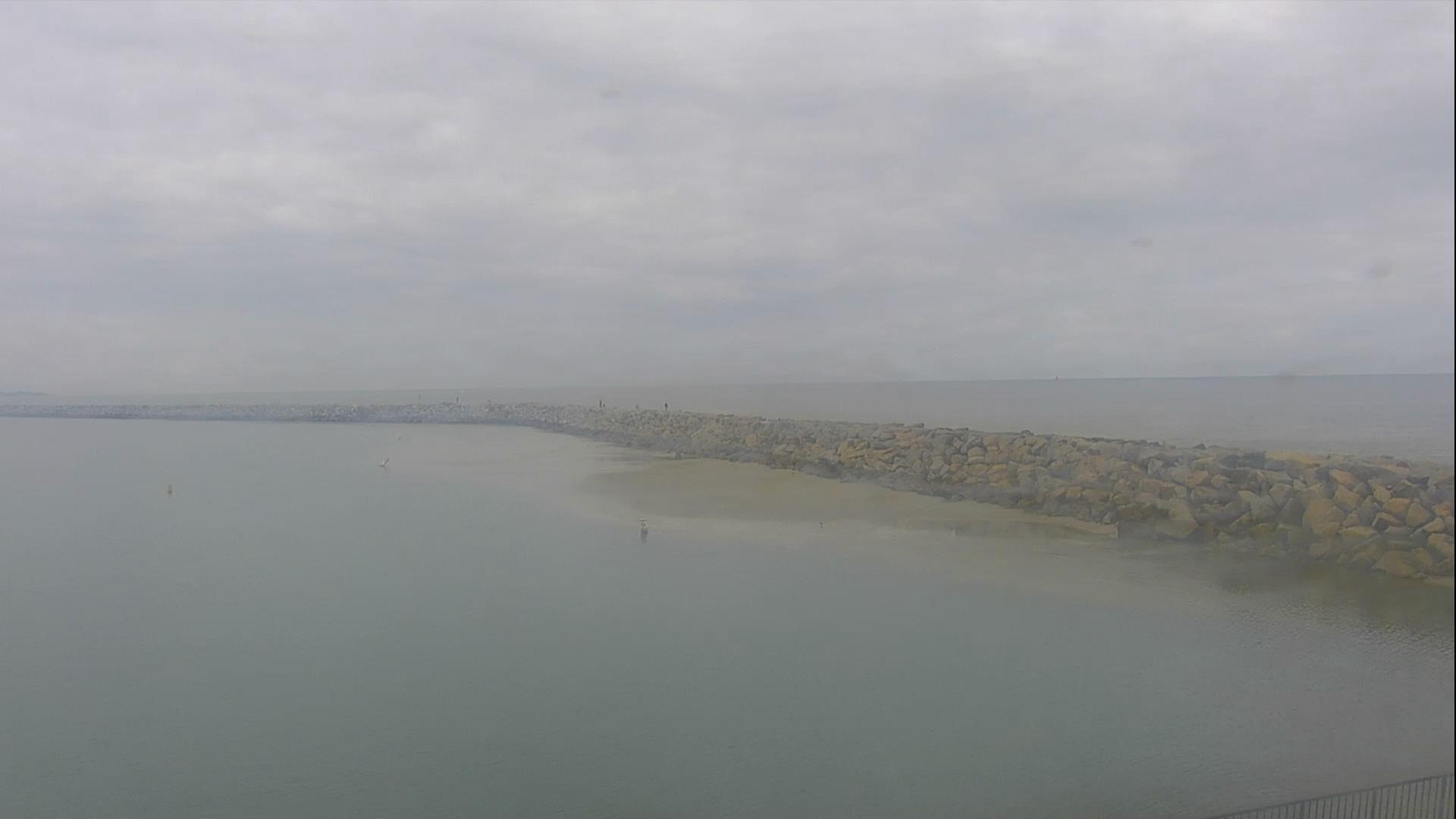


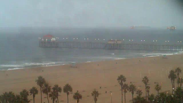
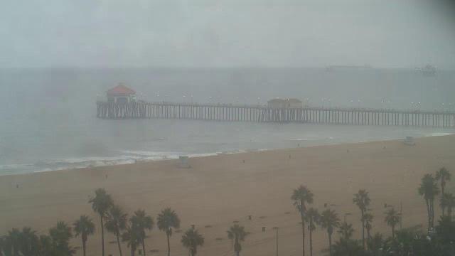
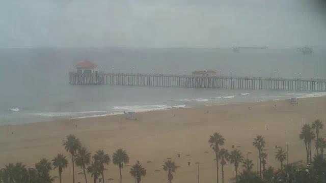
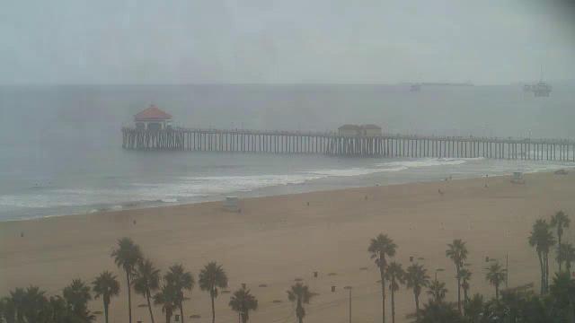
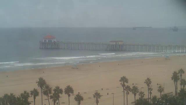
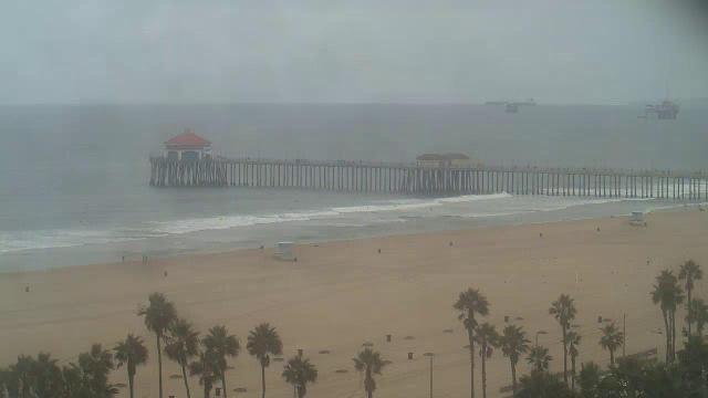
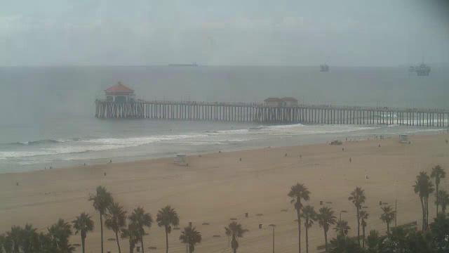
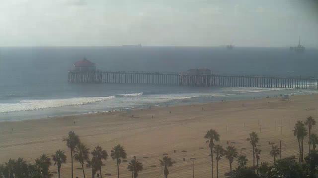
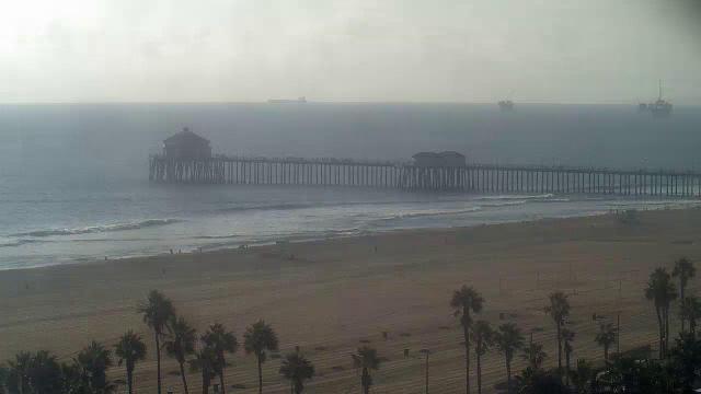
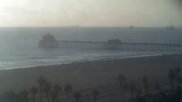
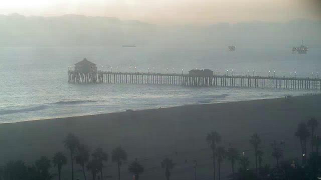
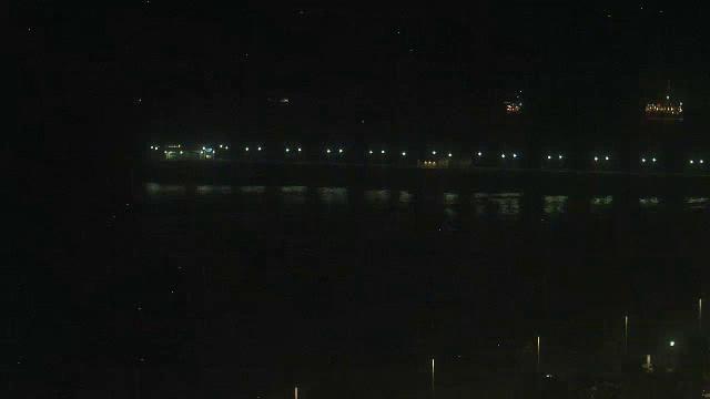
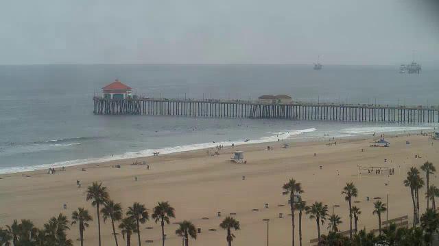
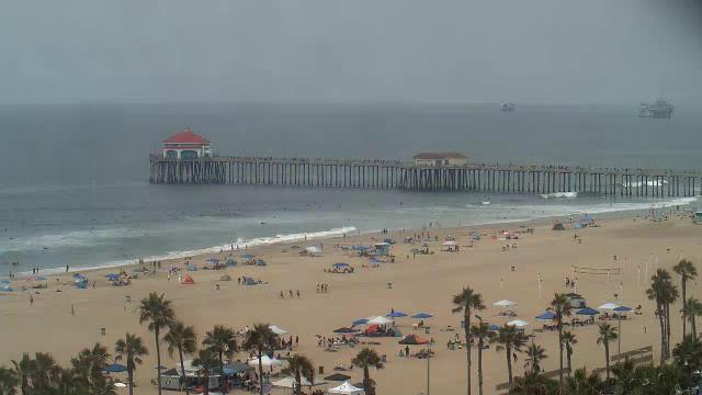
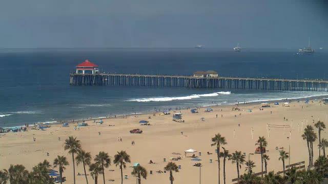
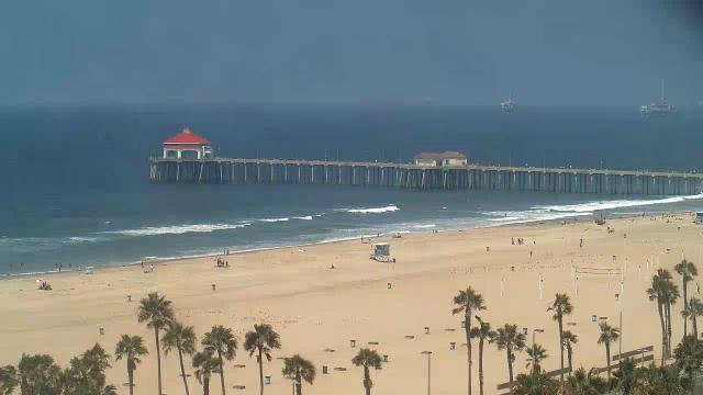
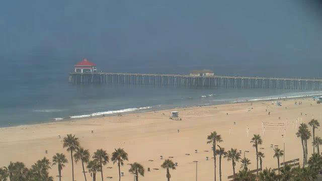
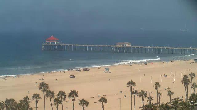
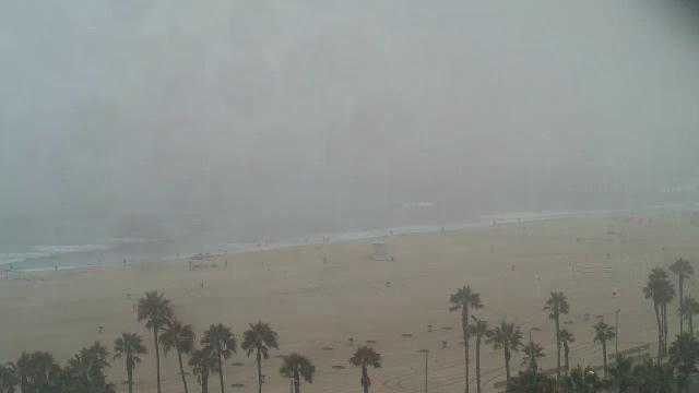
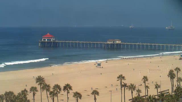
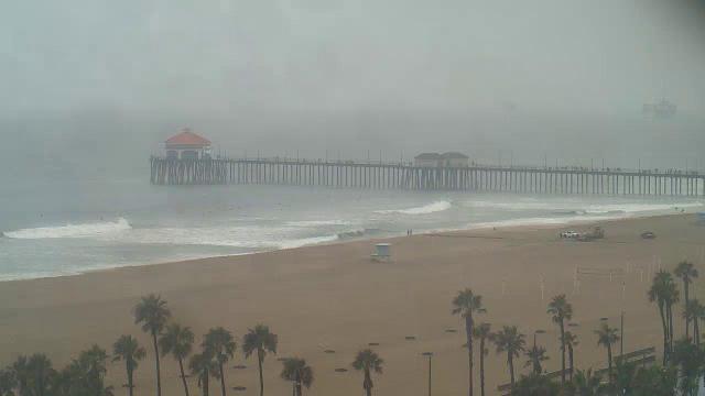
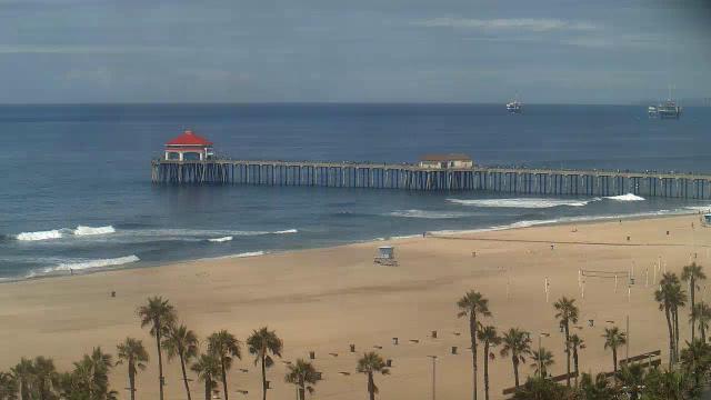
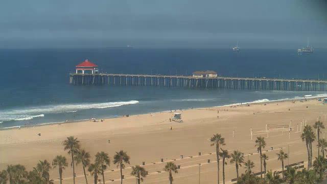
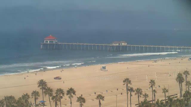
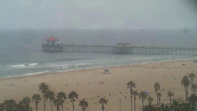
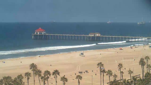
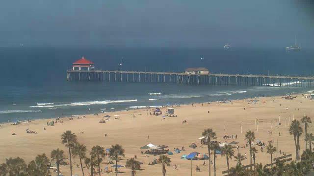
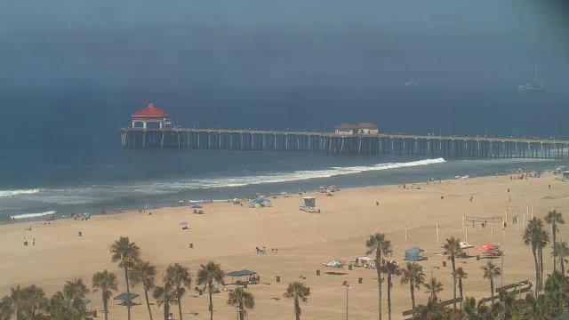
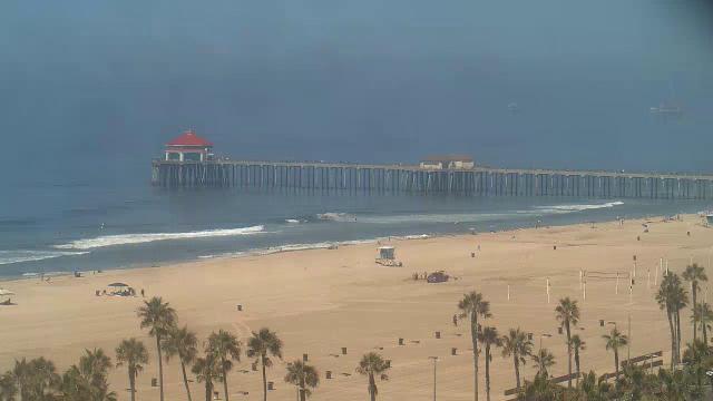
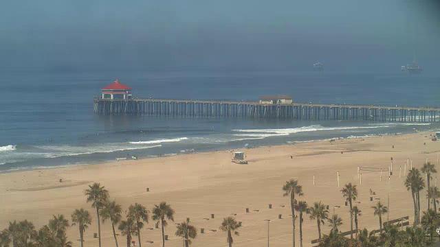
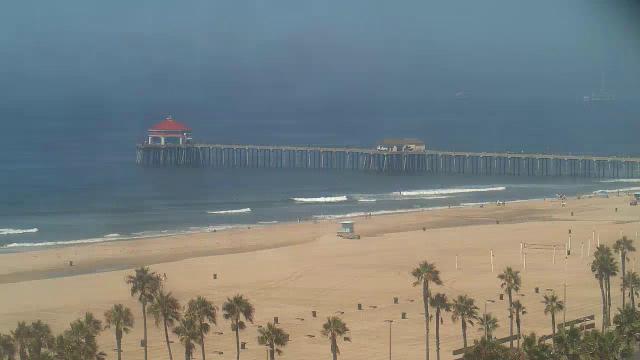
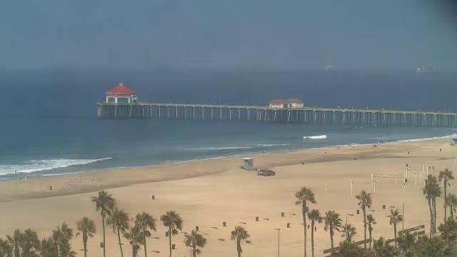
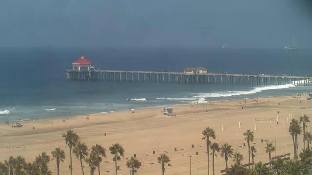
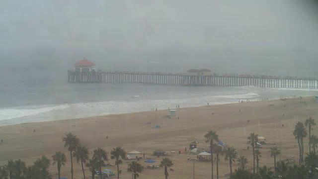
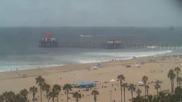
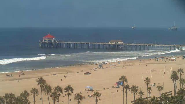
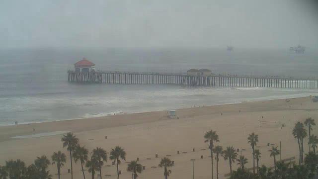
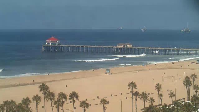
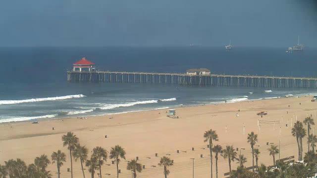
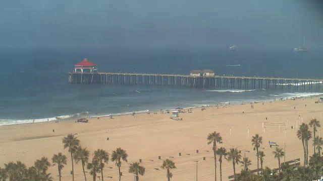
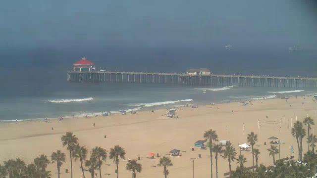
Huntington Beach, California, USA - 49.8 miles from Bunker Hill: Huntington Beach Pier
Operator: HDOnTap
Operator: HDOnTap


Los Angeles, California, USA - 53.8 miles from Bunker Hill: LAX Webcam - A current view of the Los Angeles Airport.
Operator: The Law Offices of Countryman & McDaniel
Operator: The Law Offices of Countryman & McDaniel
Some other places in this country: Red Point (historical) - Secret Canyon (historical) - Soda Springs - Stalder - Dells (historical) - Grapeland (historical) - Mound City (historical) - North Cucamonga - North Ontario - San Sevaine (historical)