Webcams in the region of Azusa, California, USA
The List of Webcams near Azusa, California, USA:

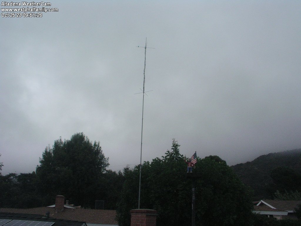
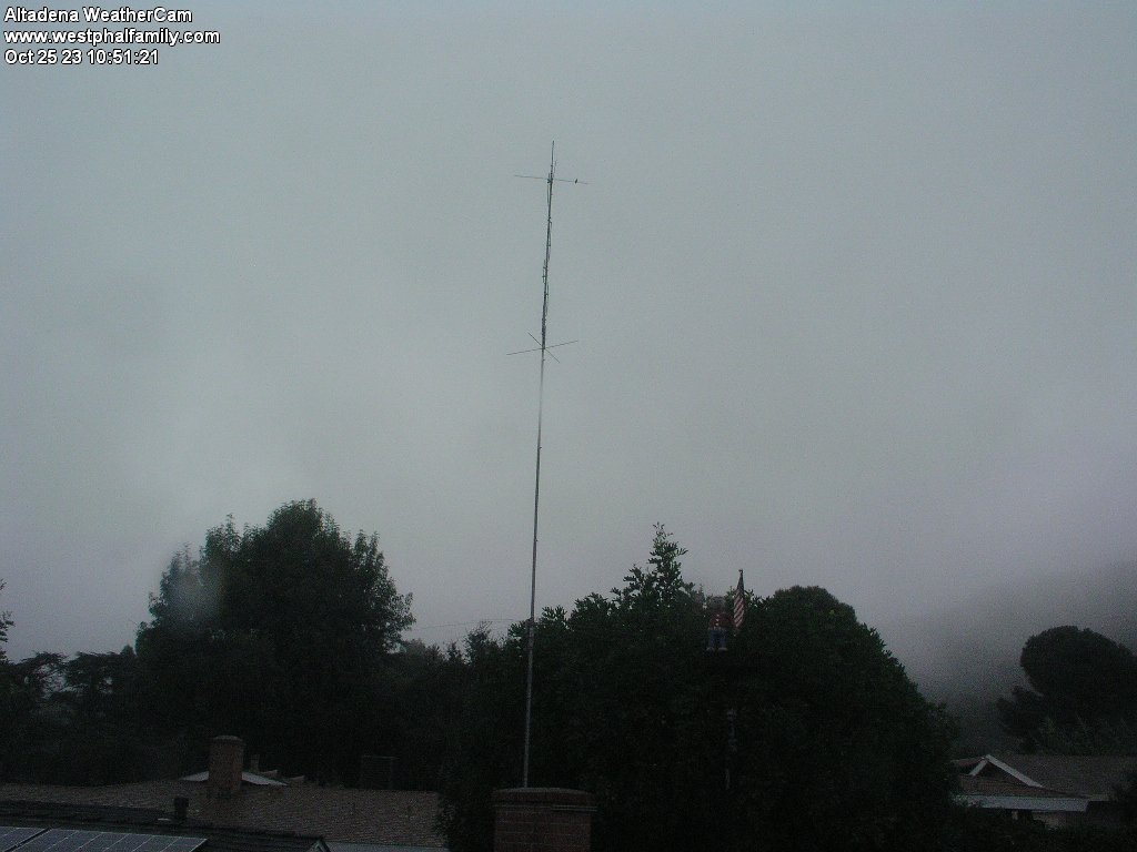
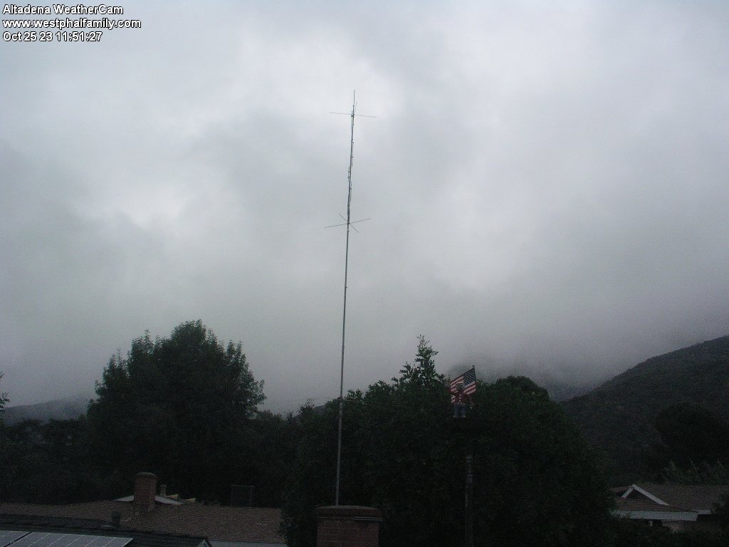
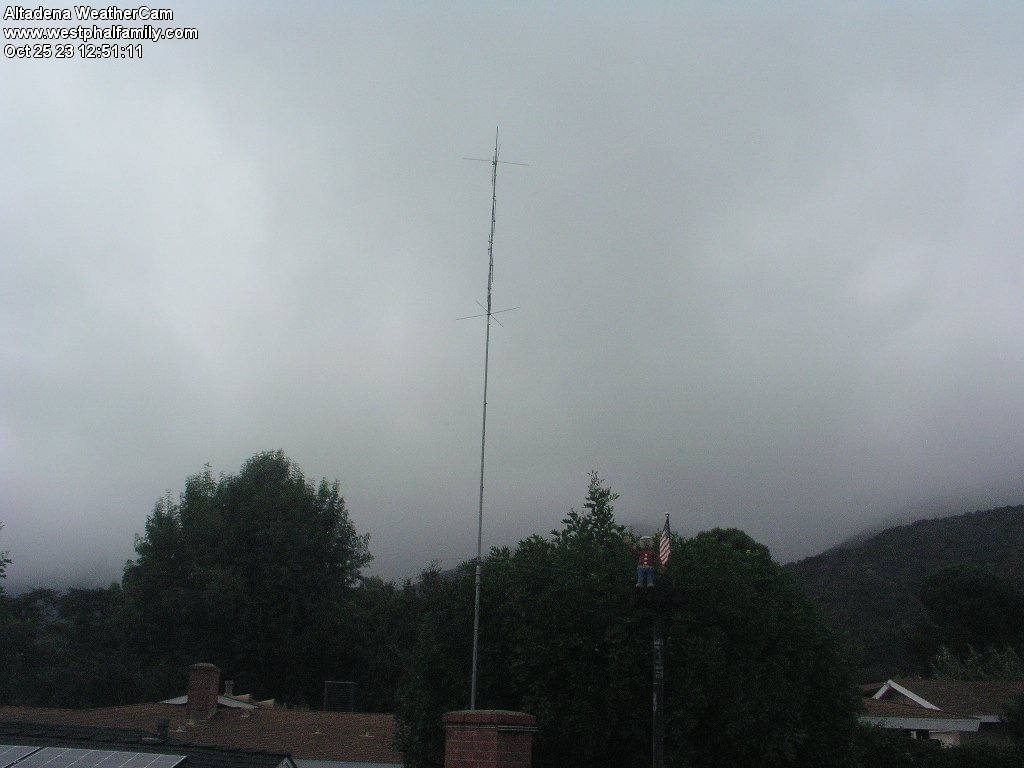
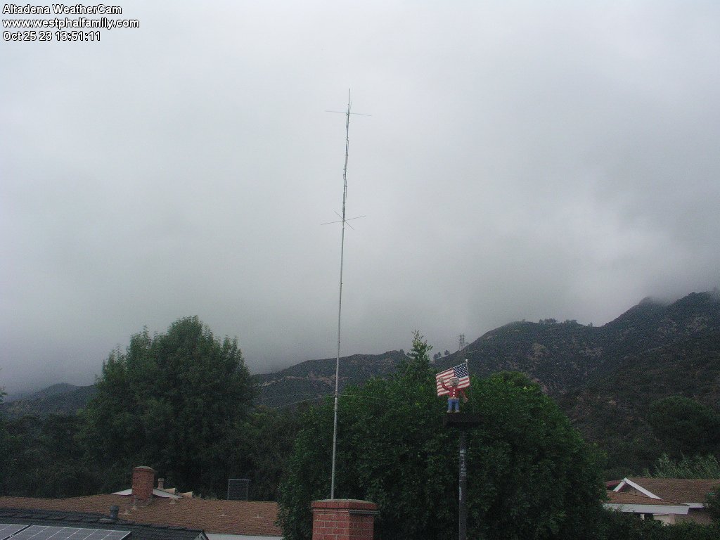
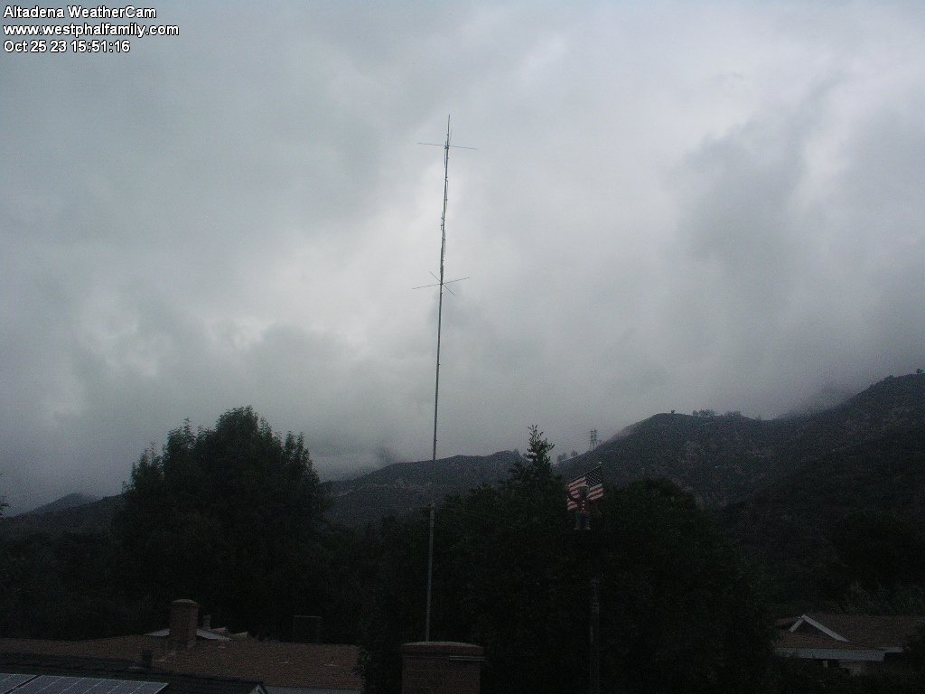
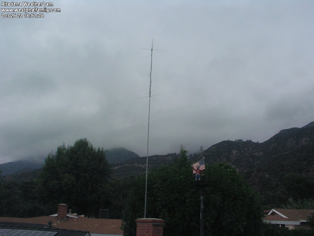
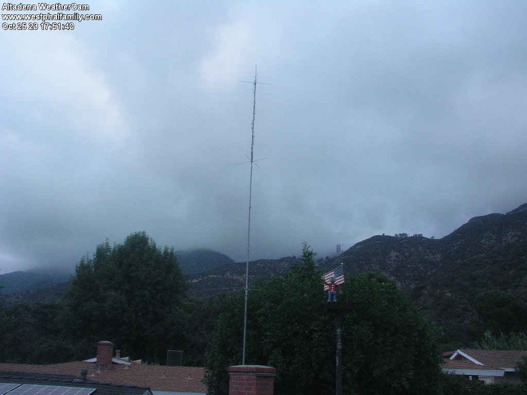
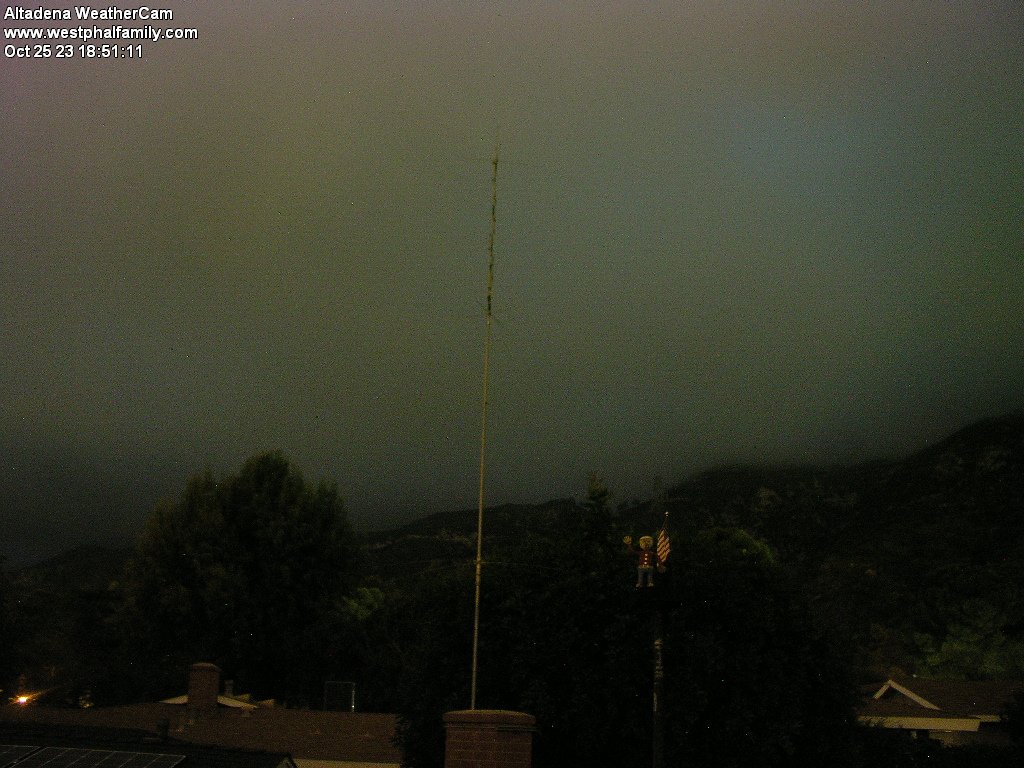
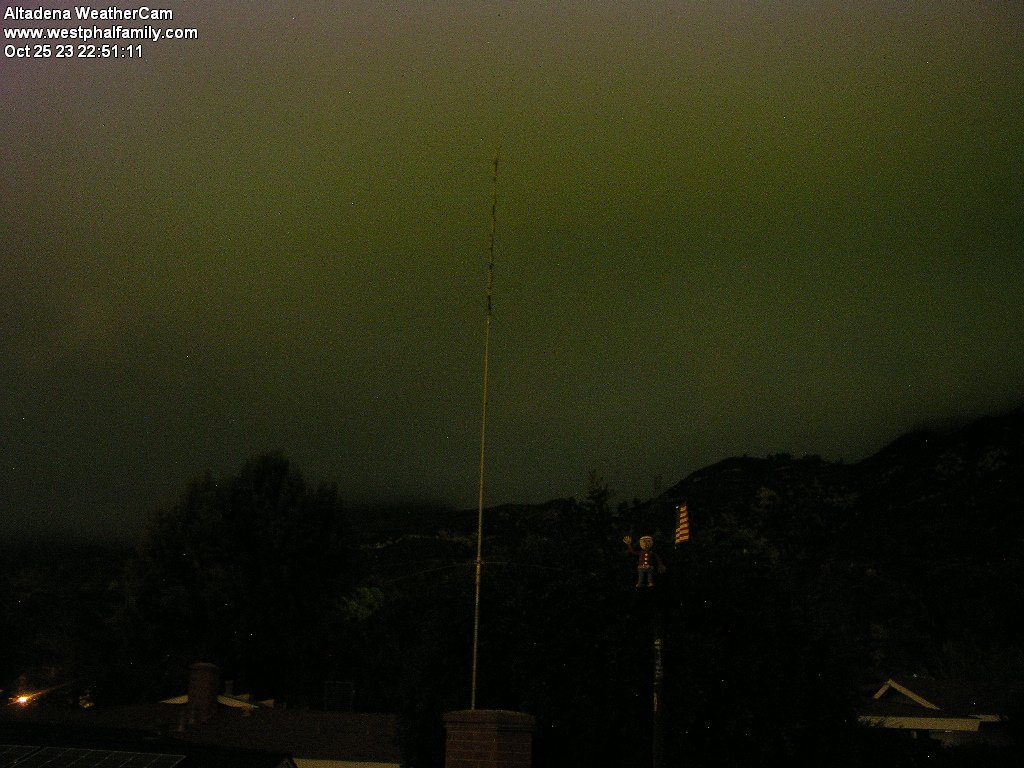
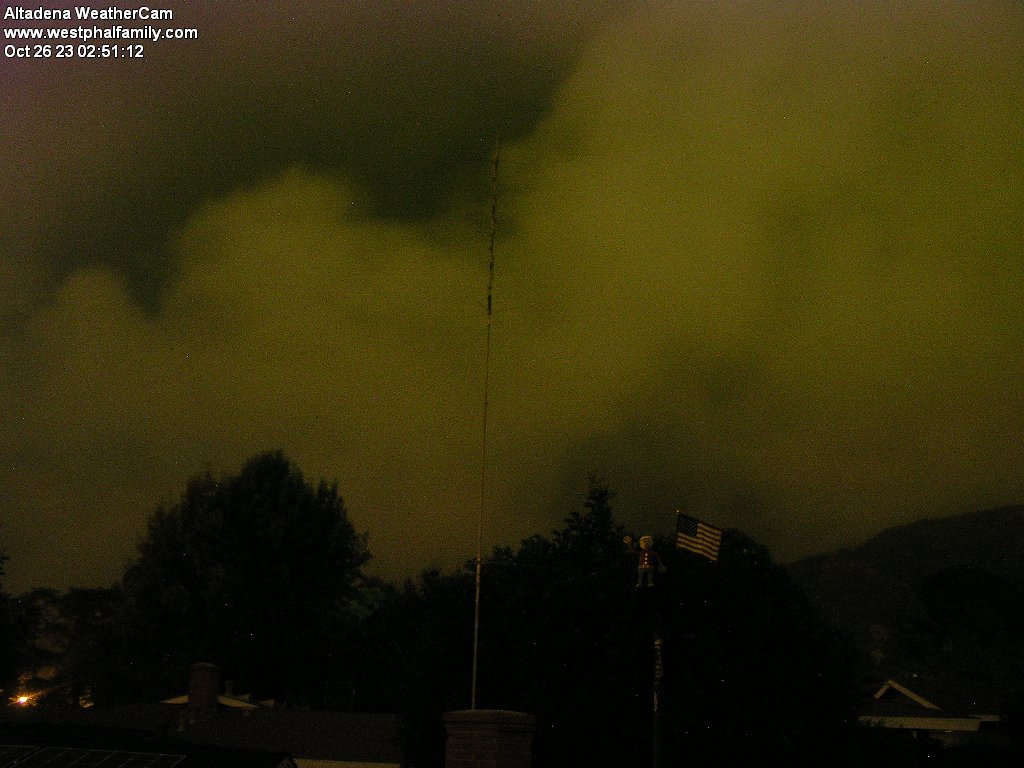
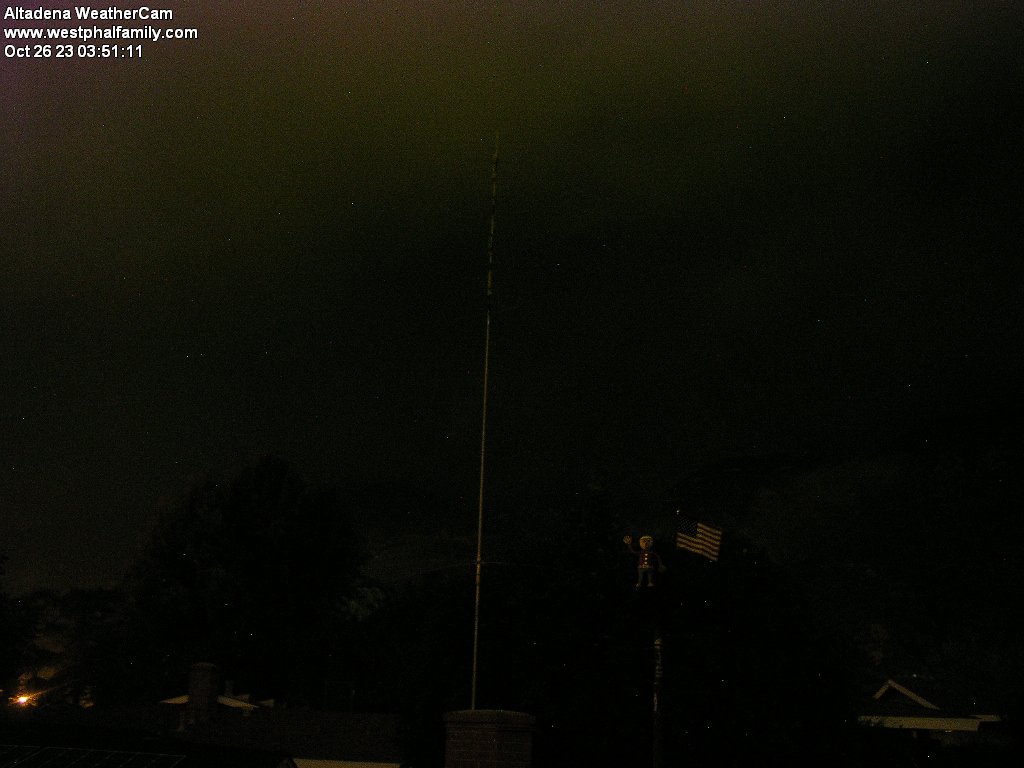
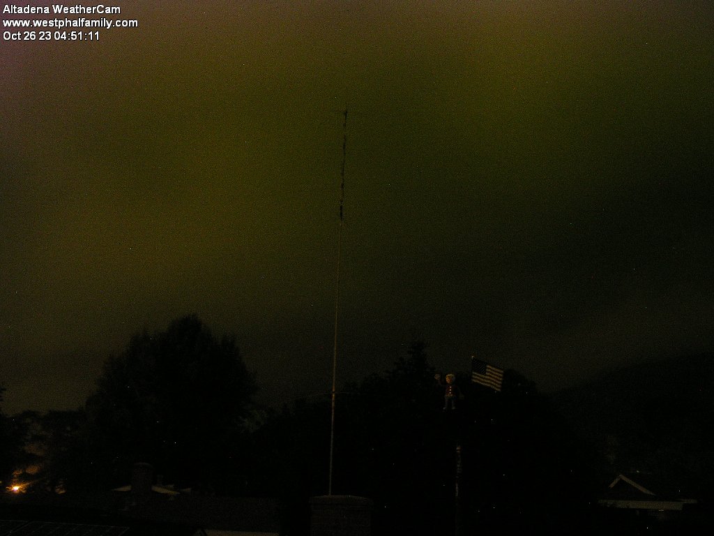
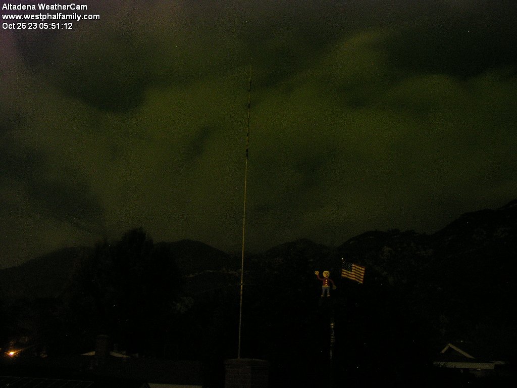
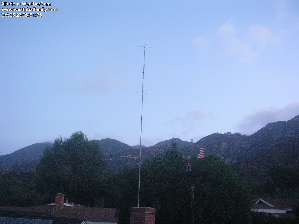
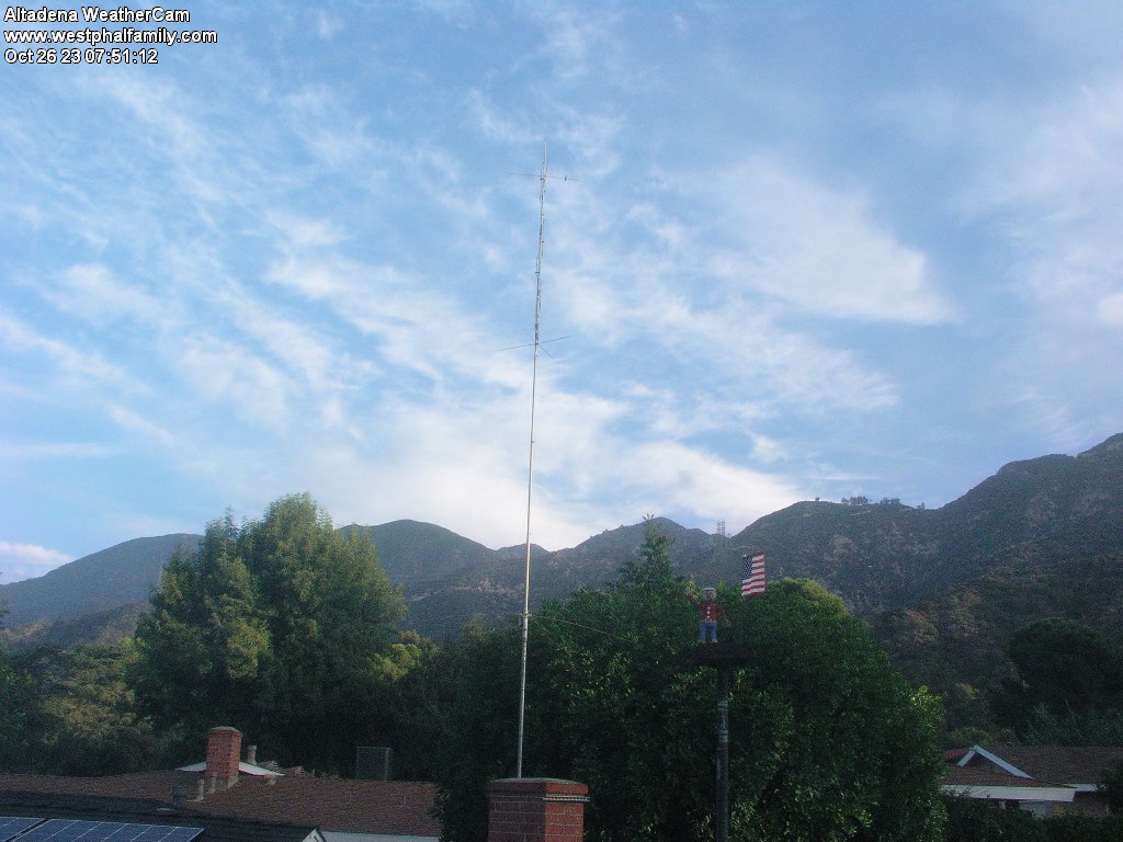
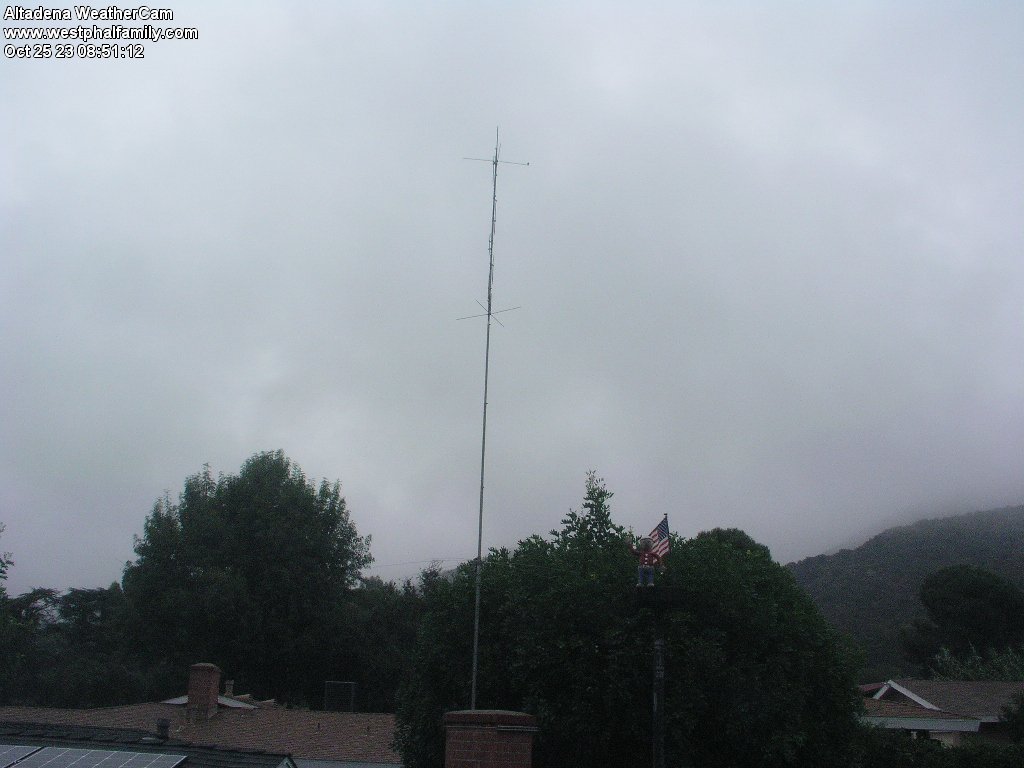
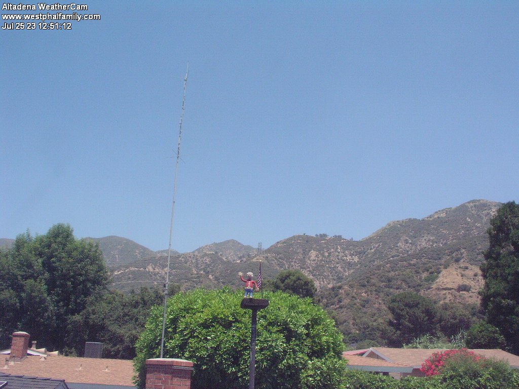
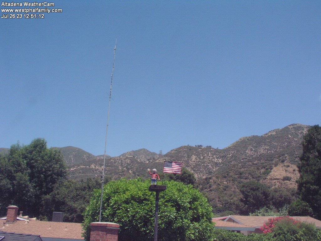
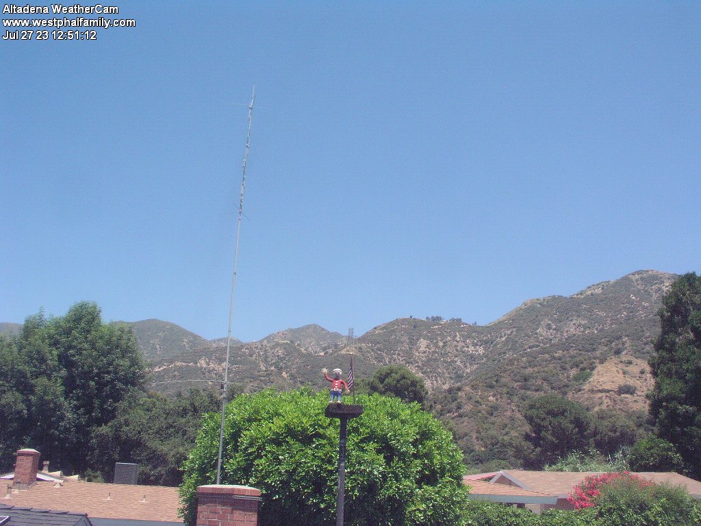
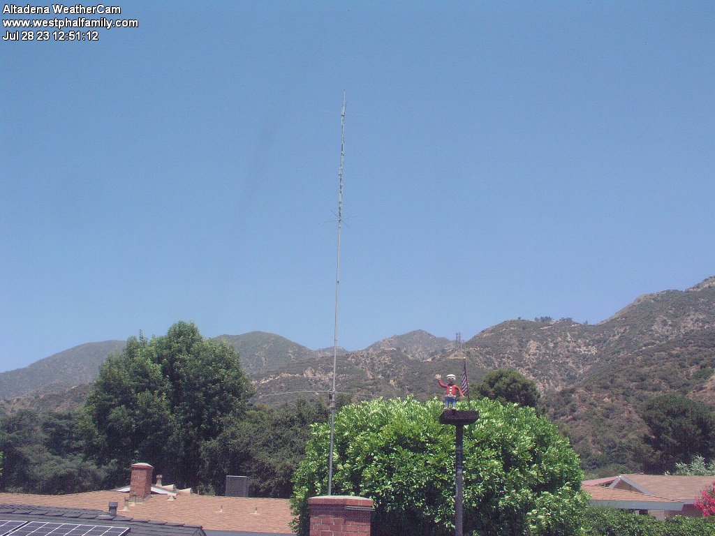
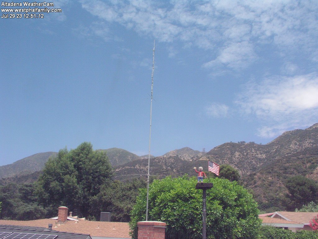
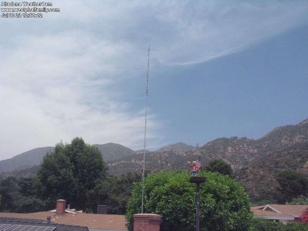
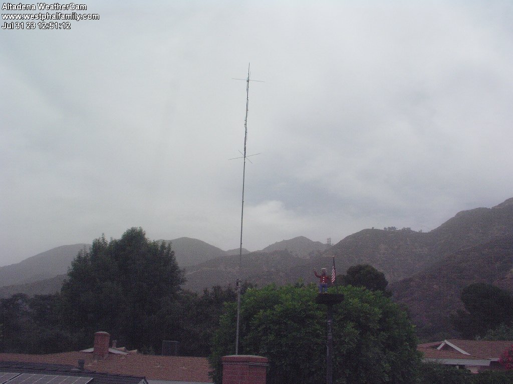
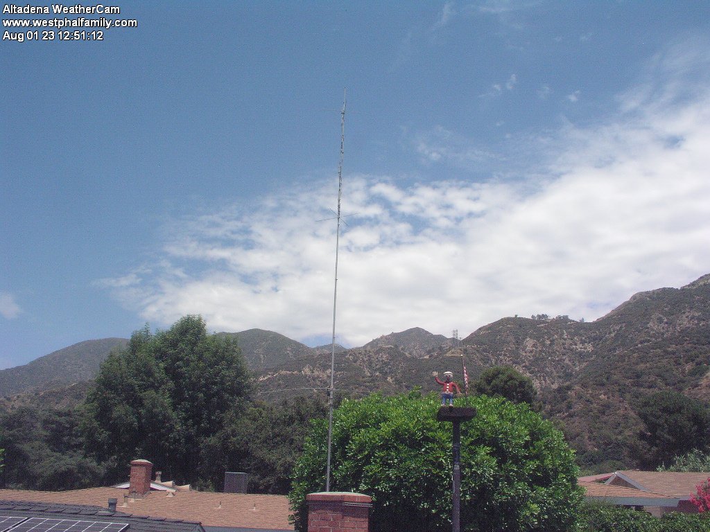
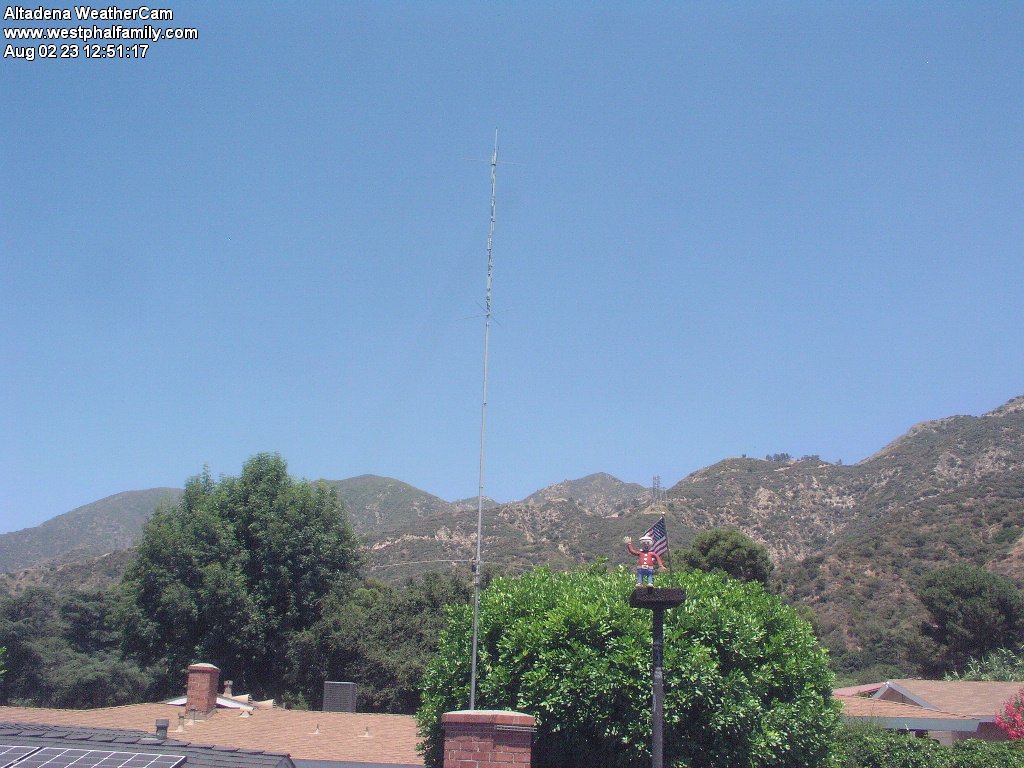
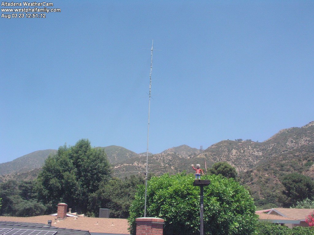
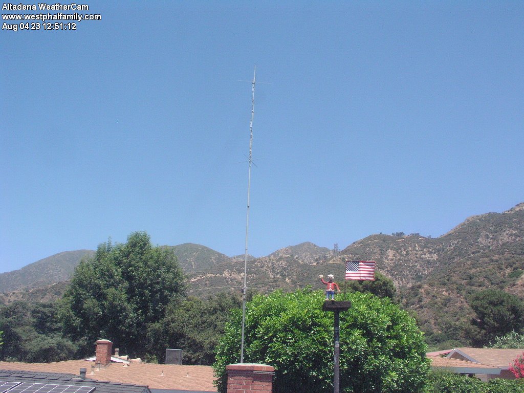
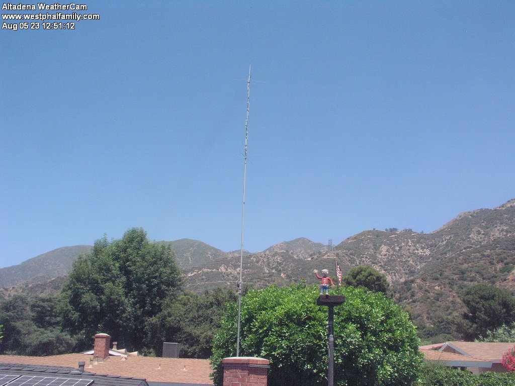
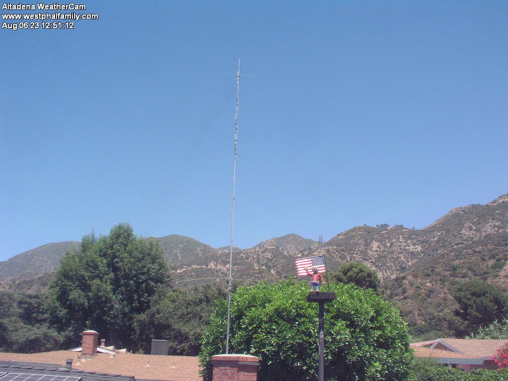
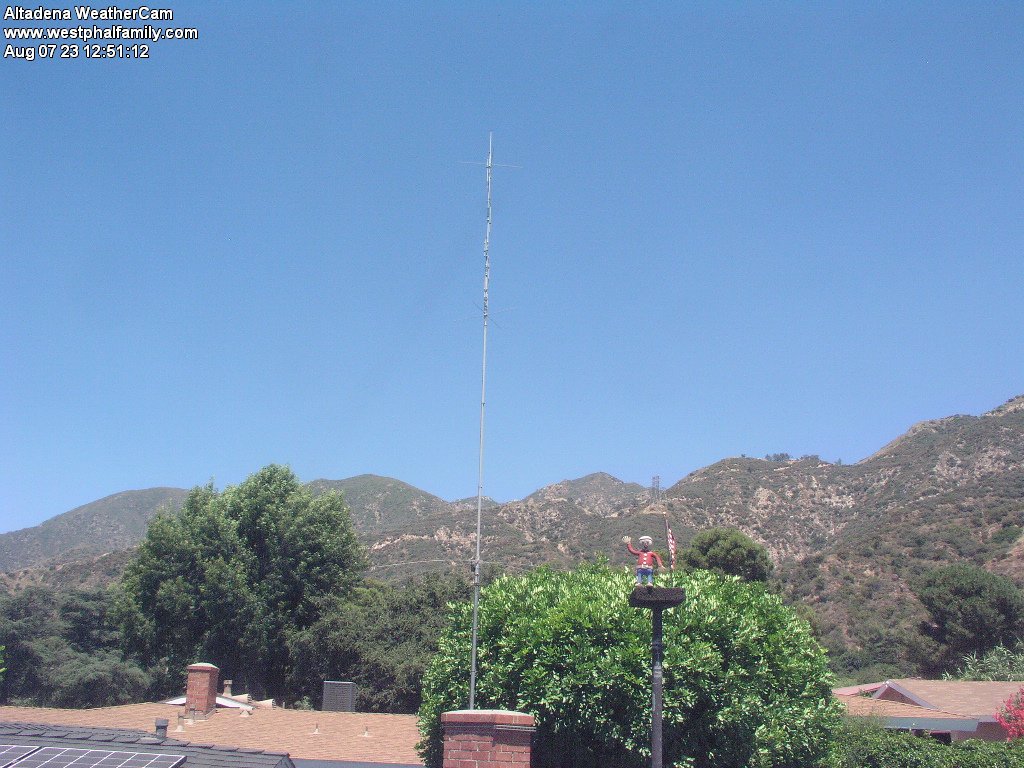
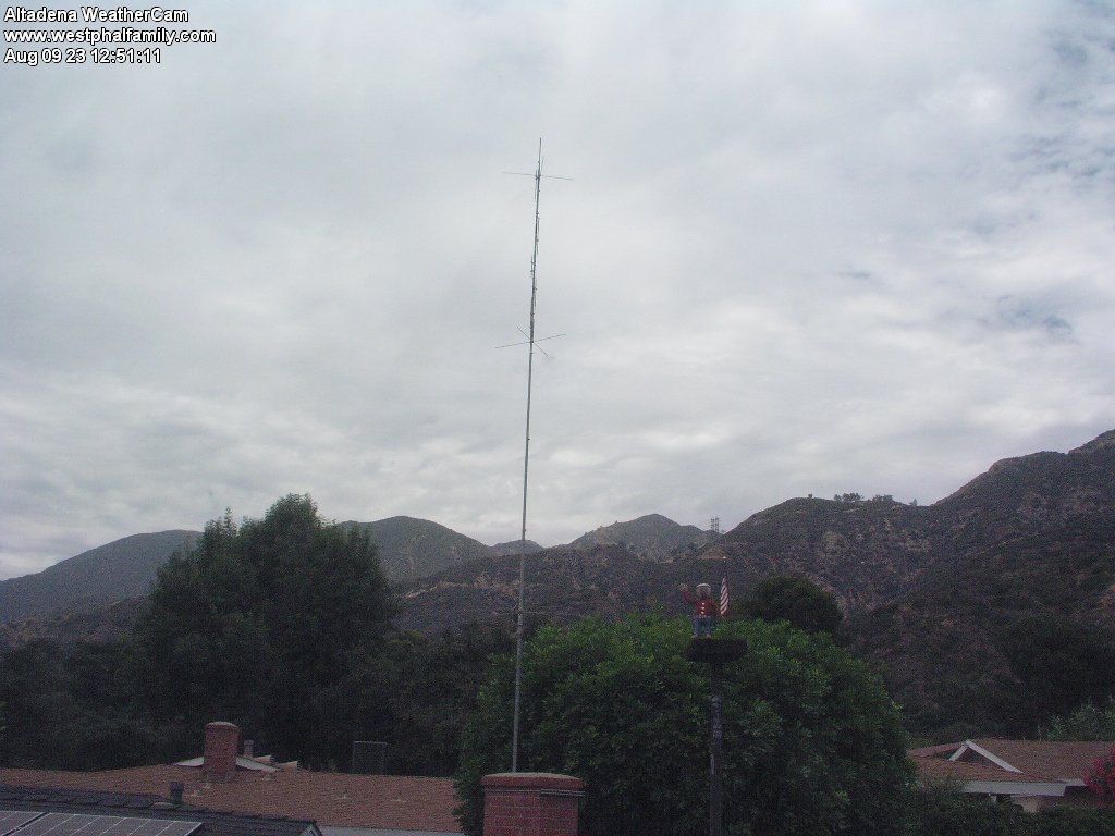
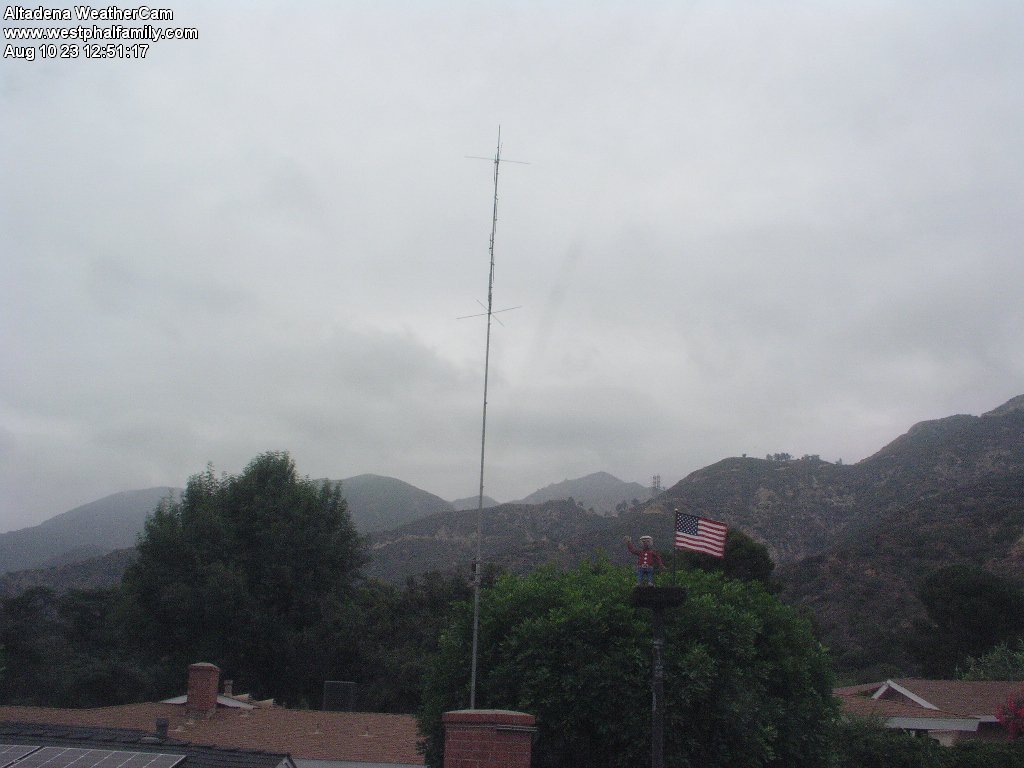
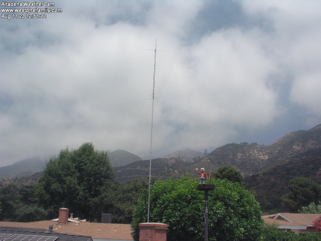
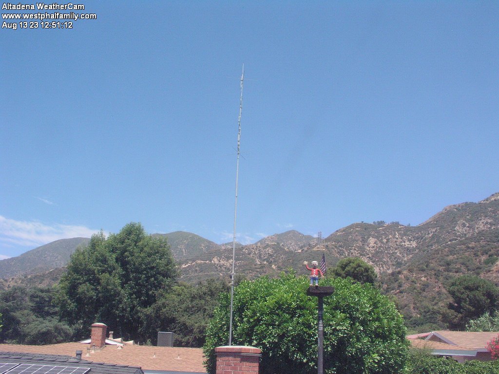
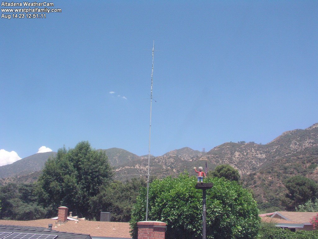
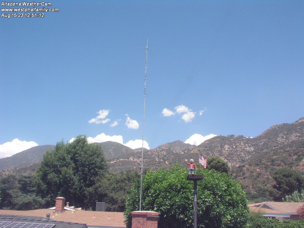
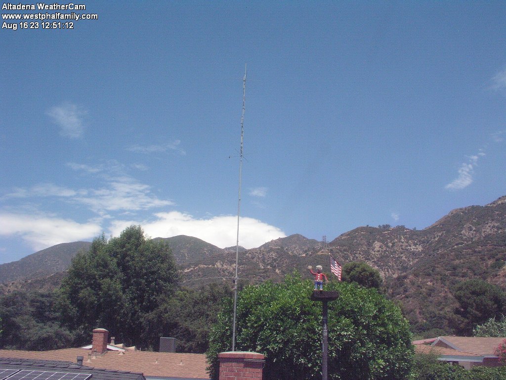
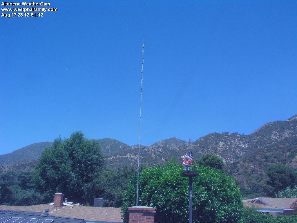
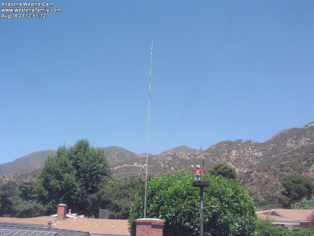
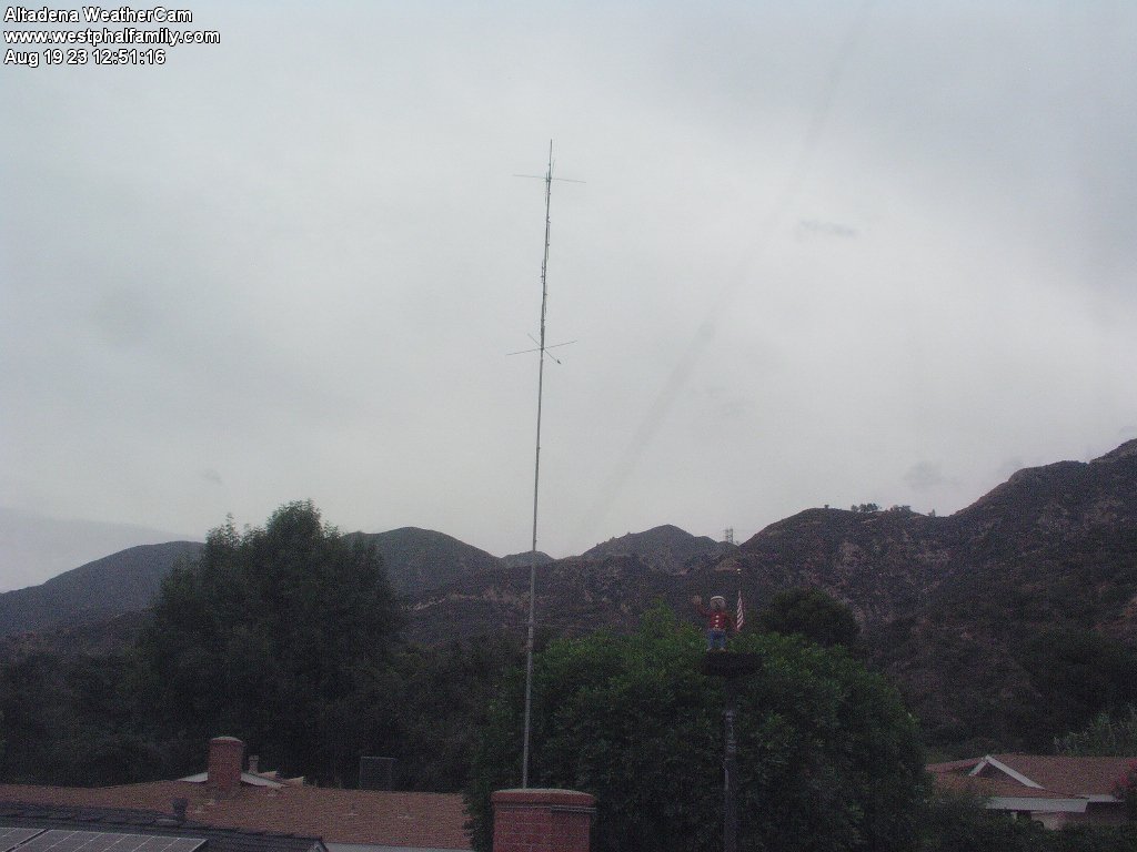
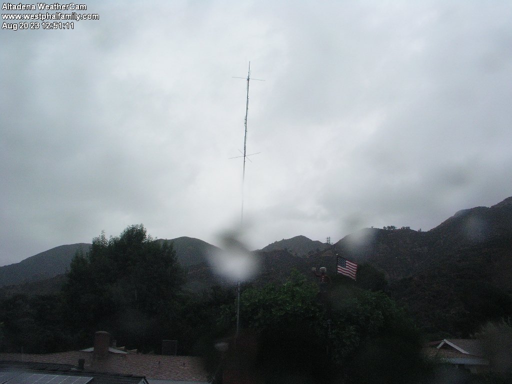
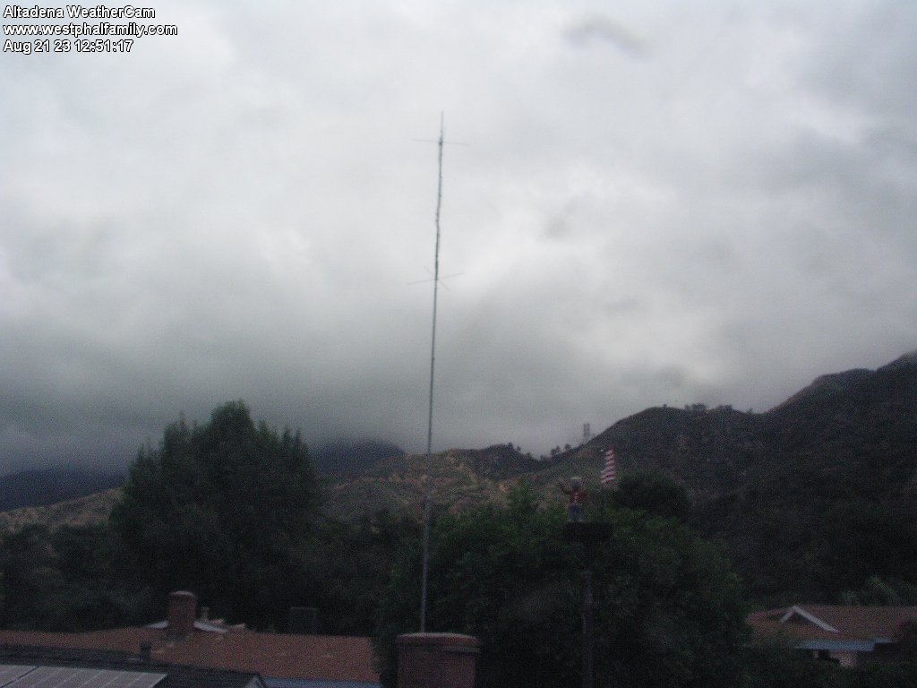
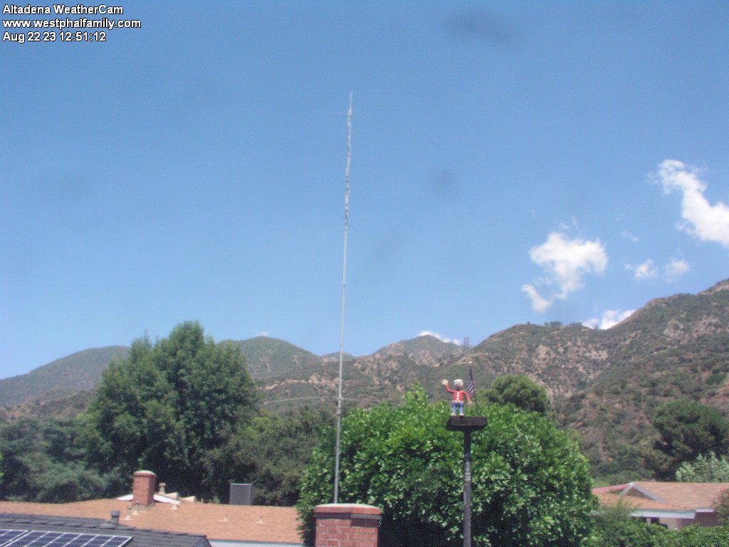
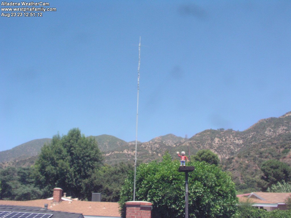
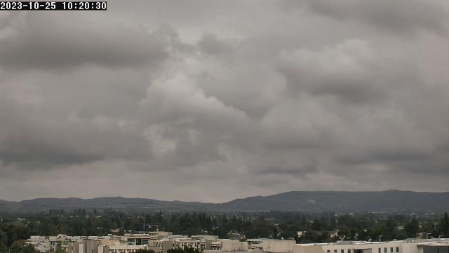
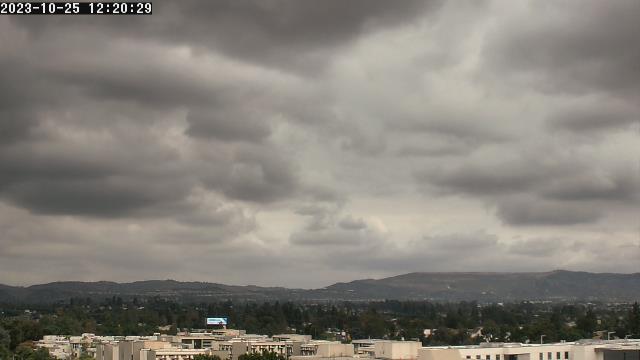
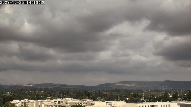
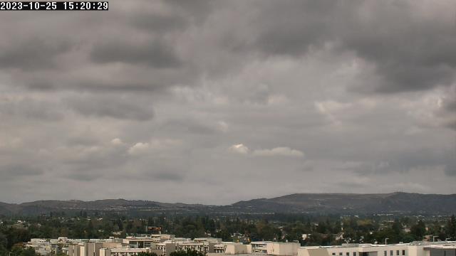
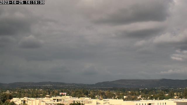
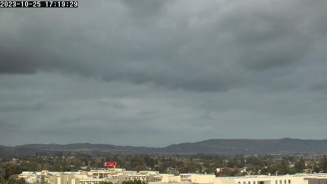
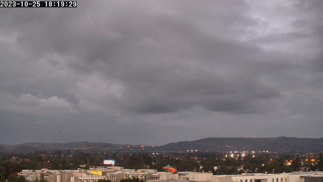
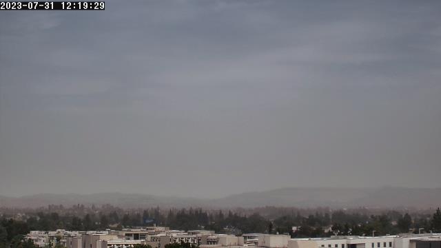
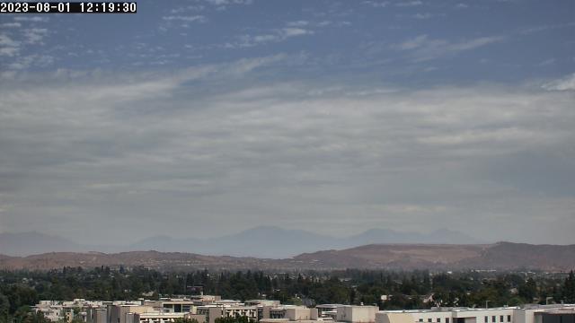
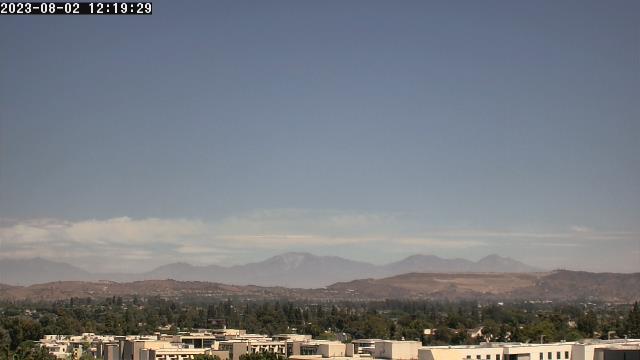
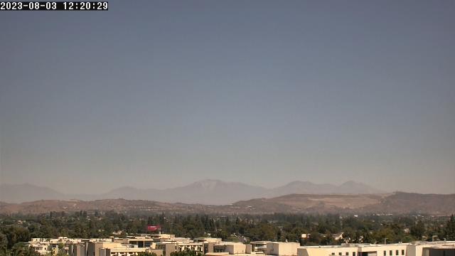
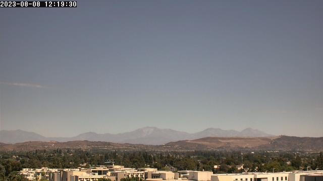
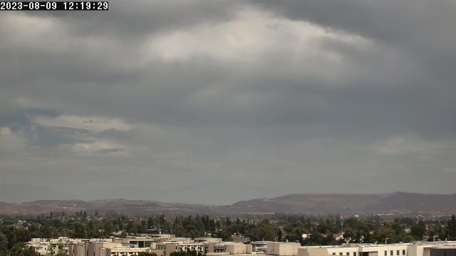
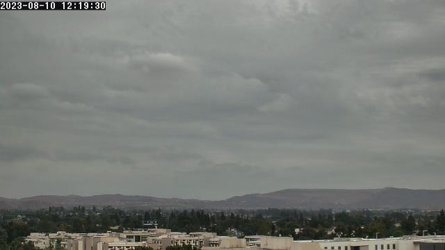
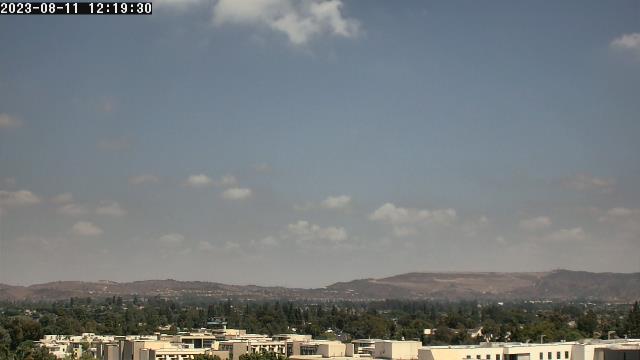
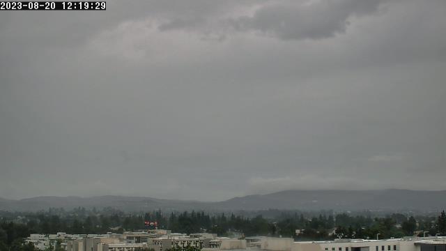
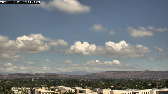
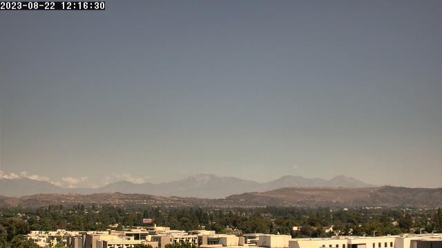
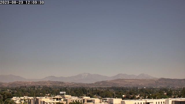
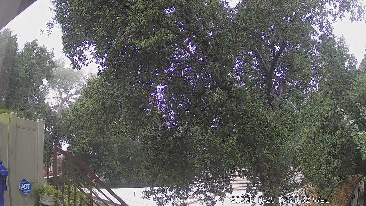
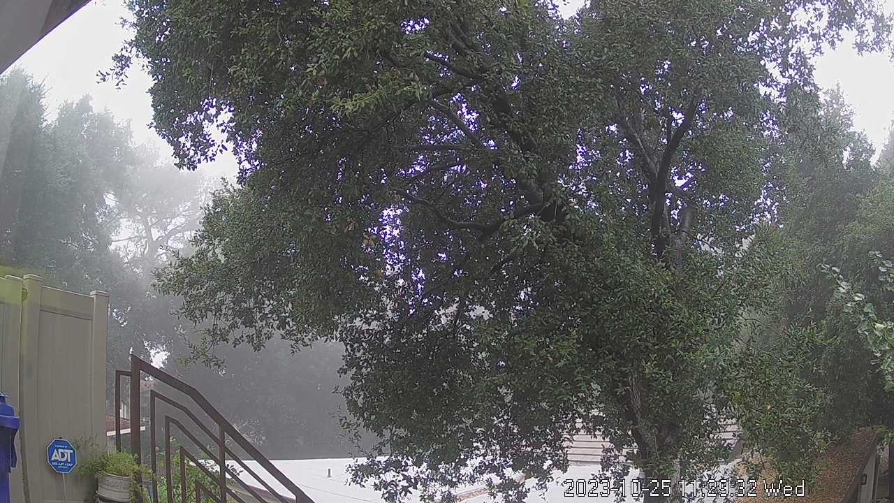
Altadena, California, USA - 13.4 miles from Azusa: Altadena WeatherCam - A view of the sky above Altadena with current weather data.
Operator: Bill Westphal's Personal Home Page
Operator: Bill Westphal's Personal Home Page


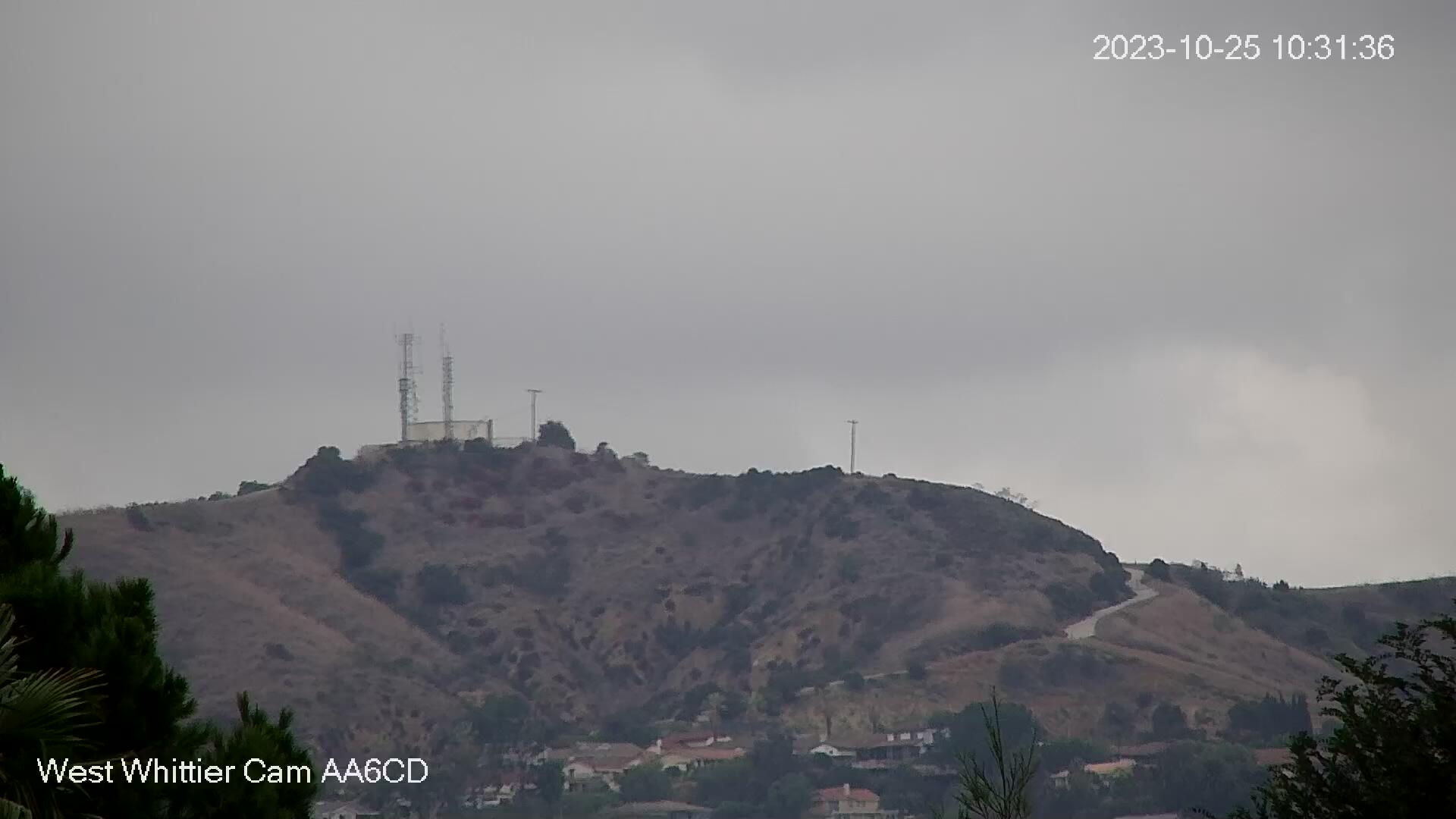
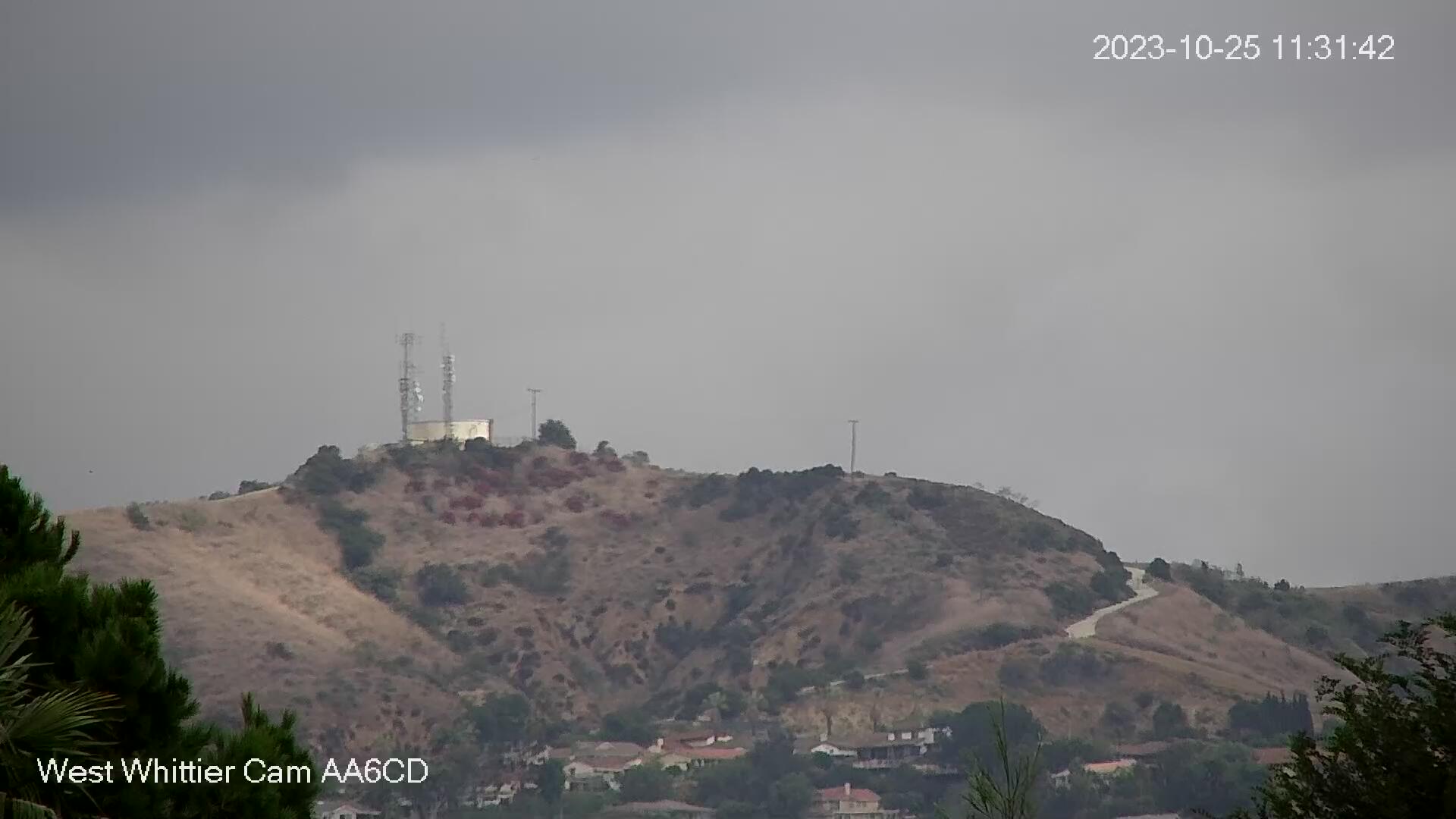
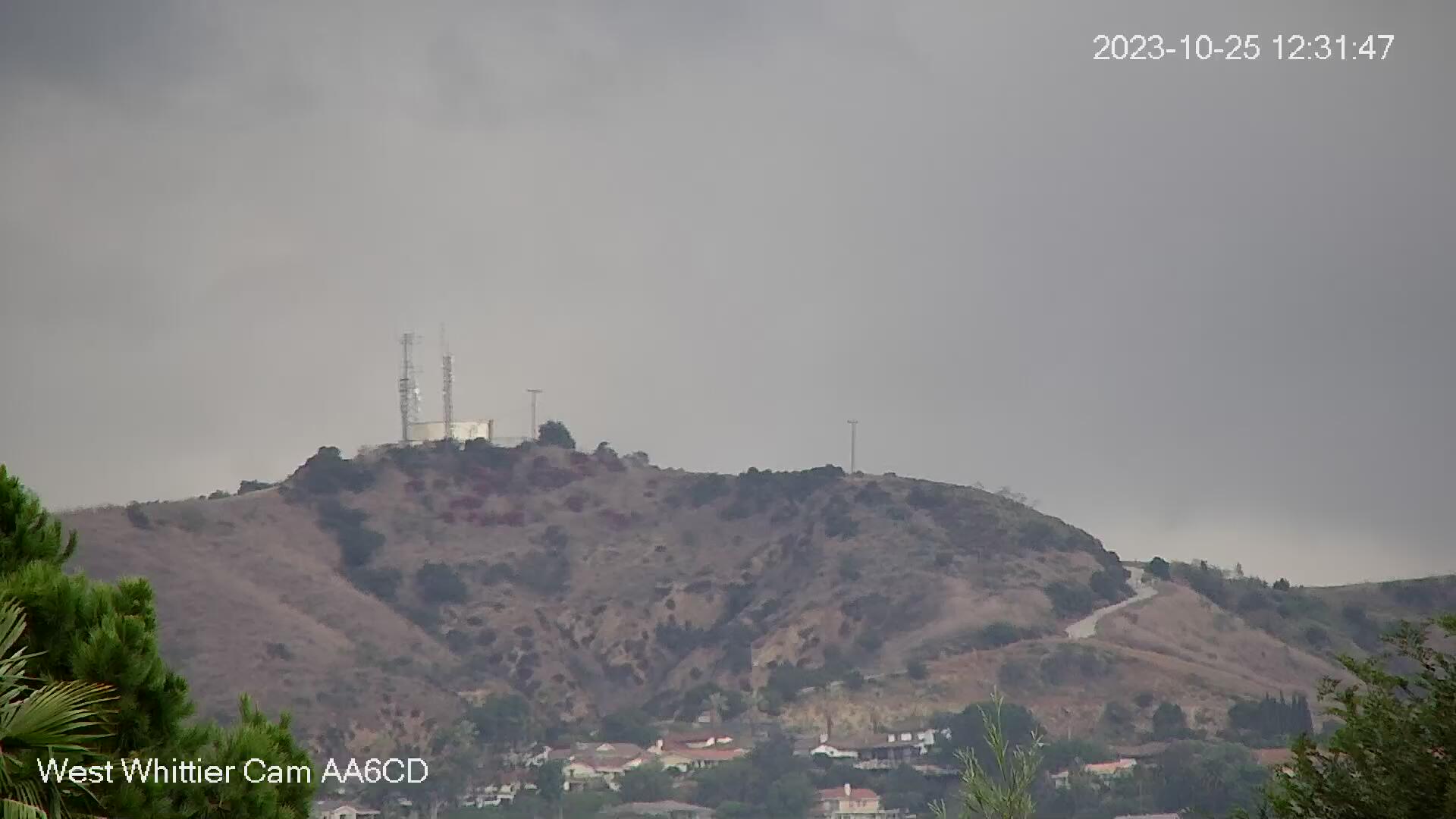
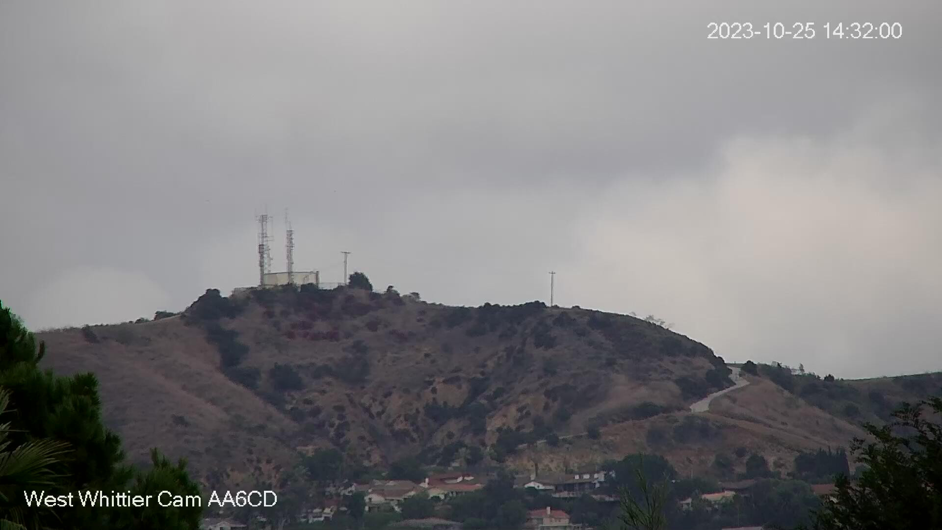
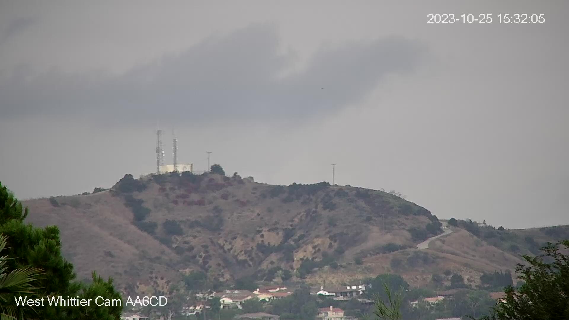
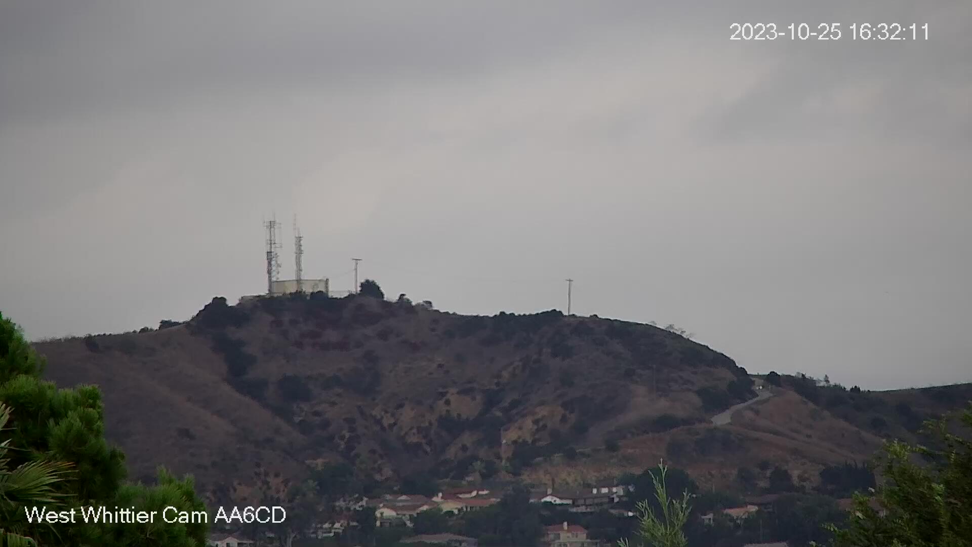
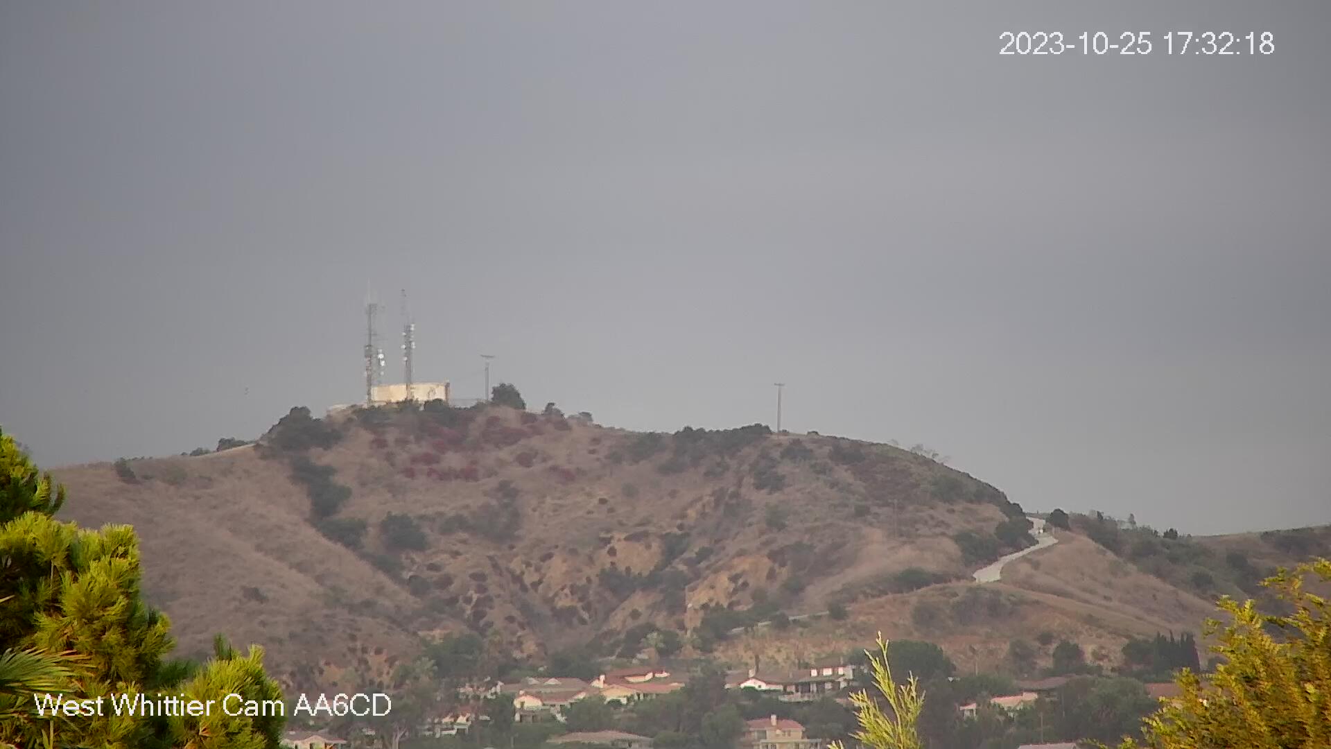
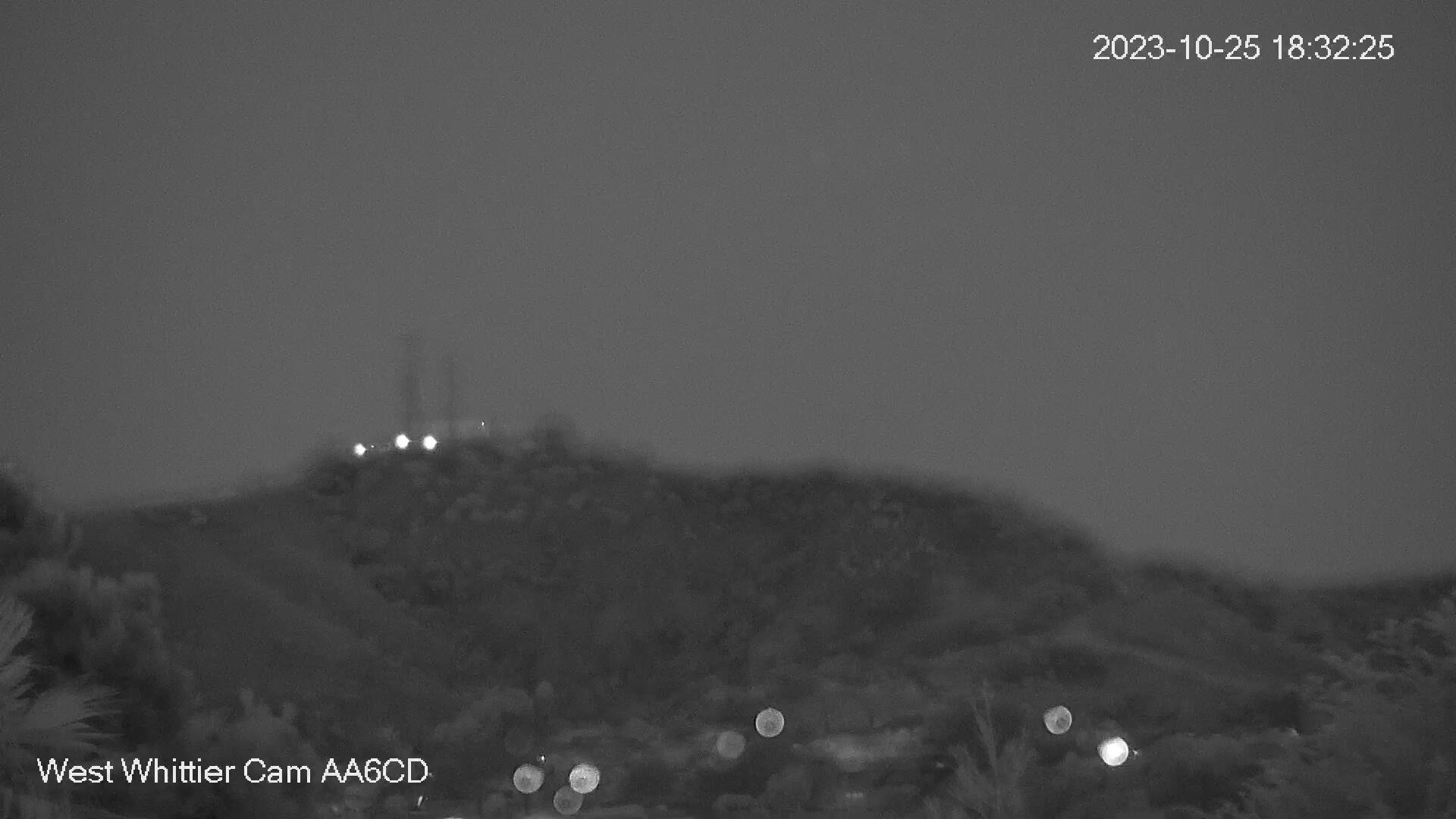
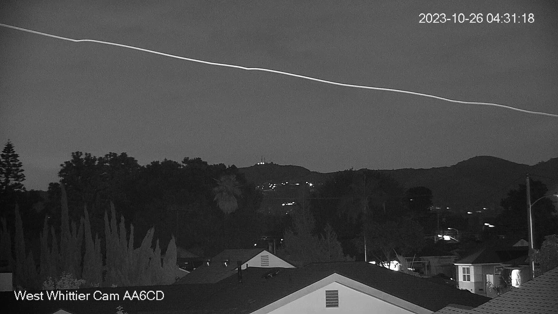
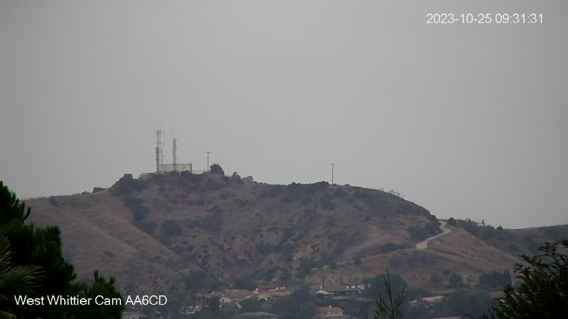
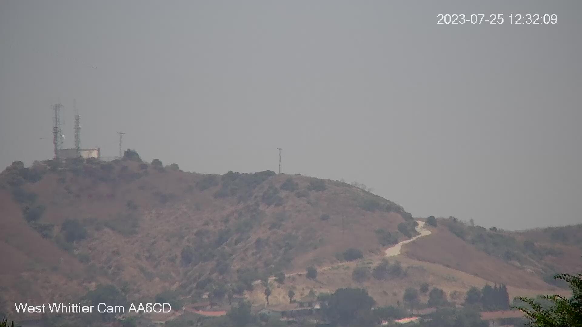
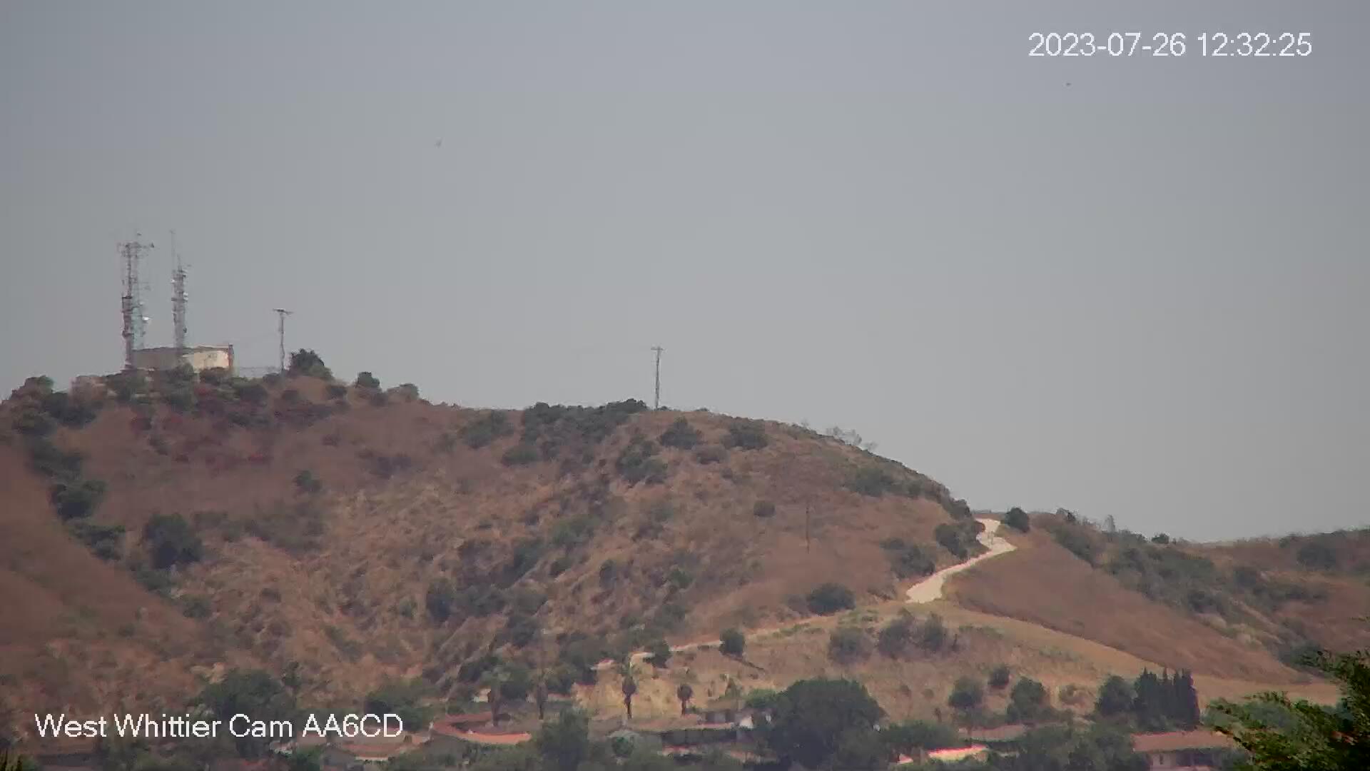
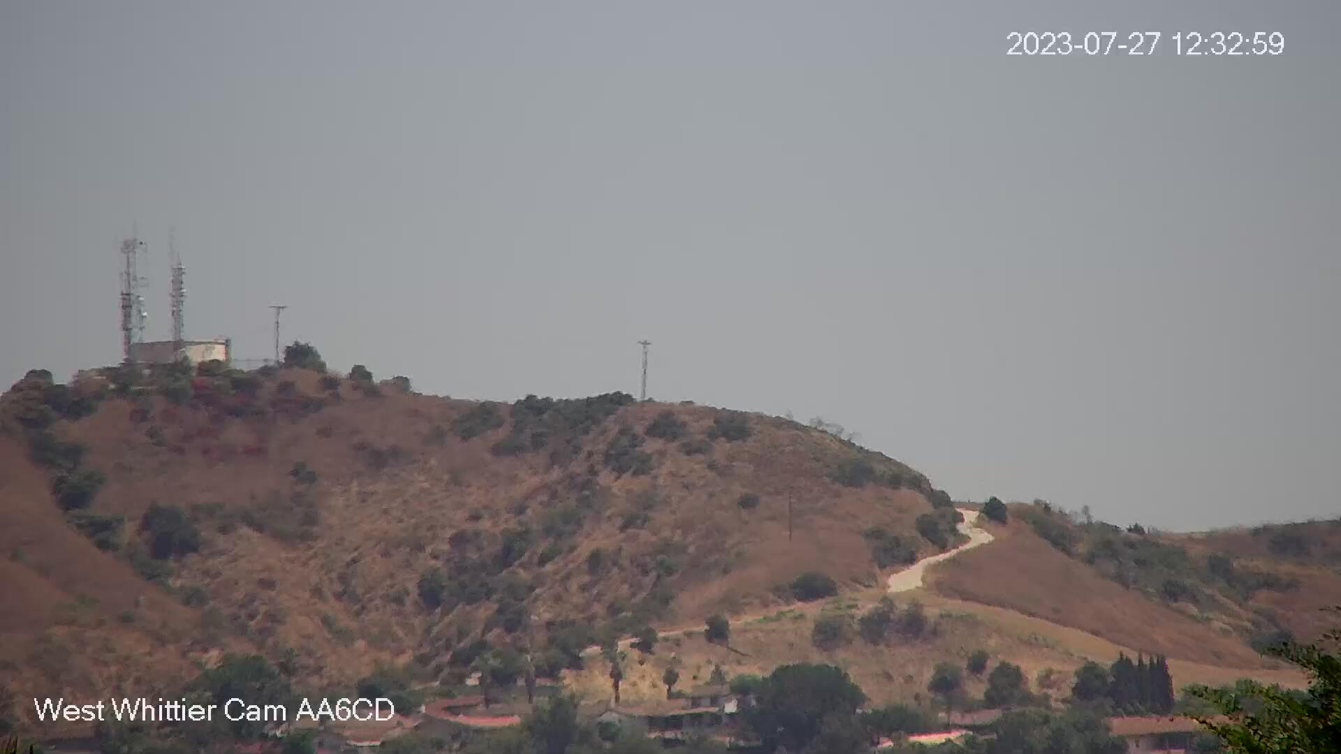
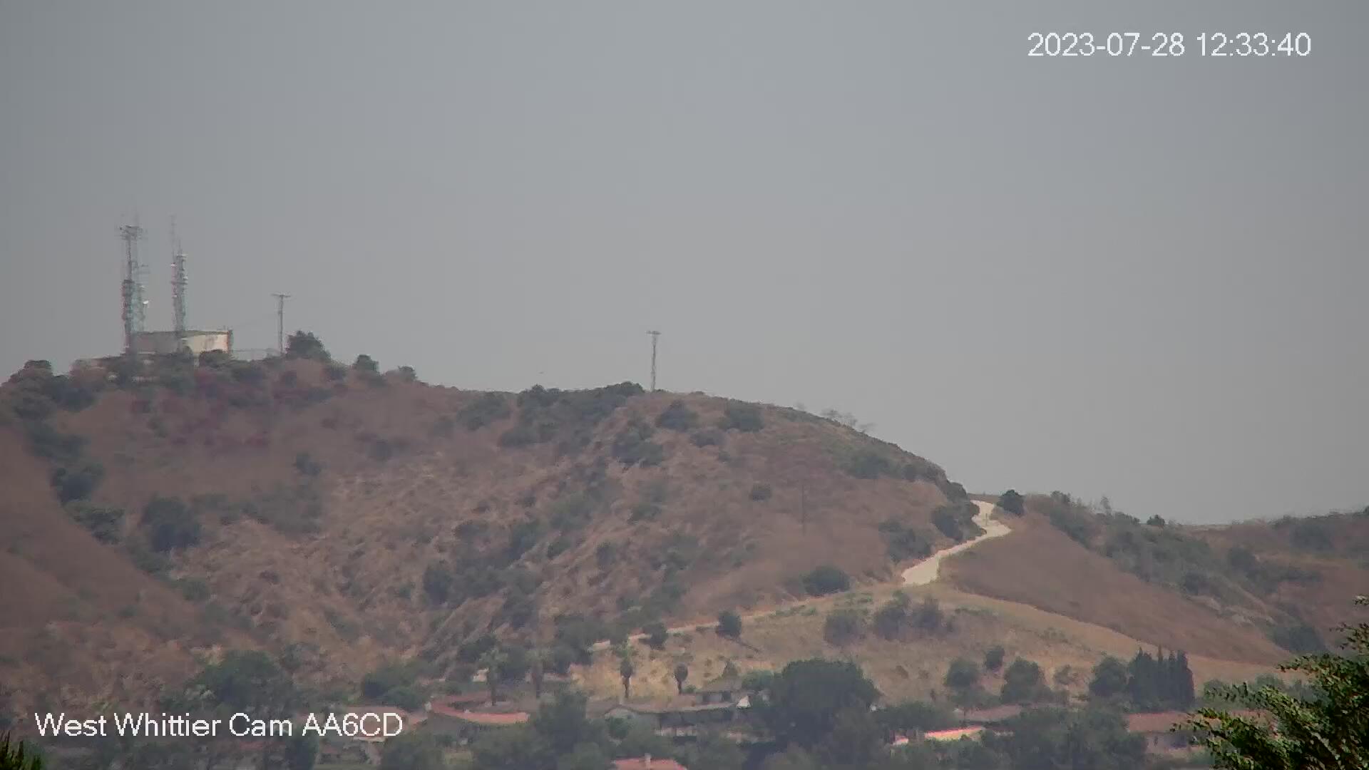
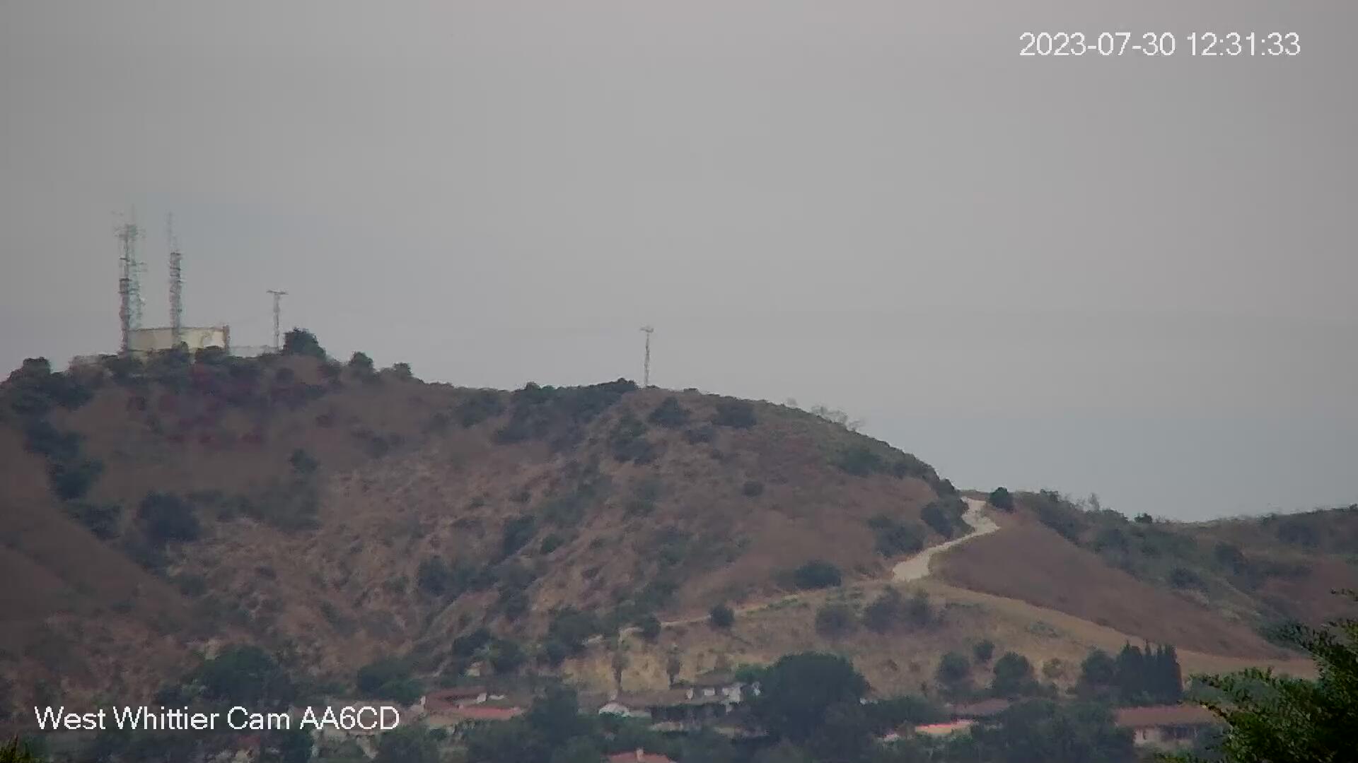
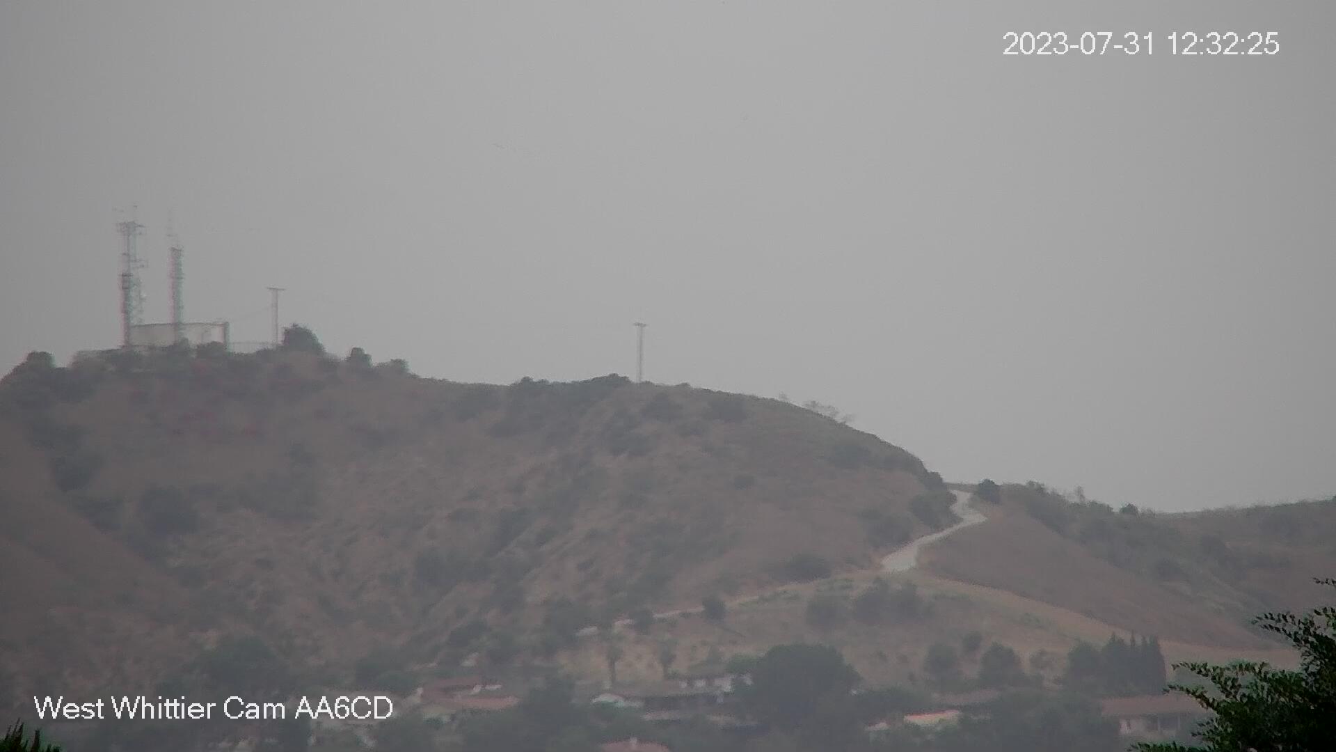
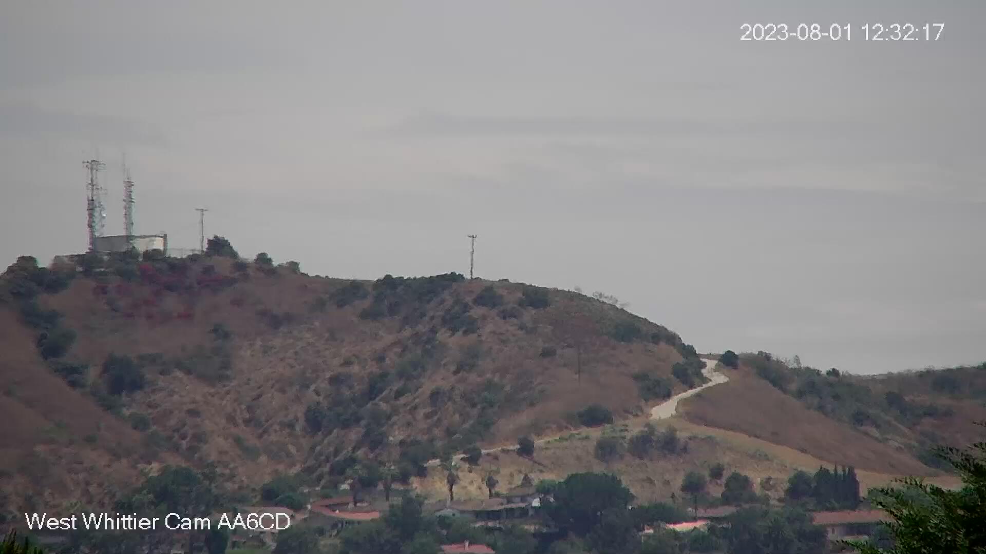
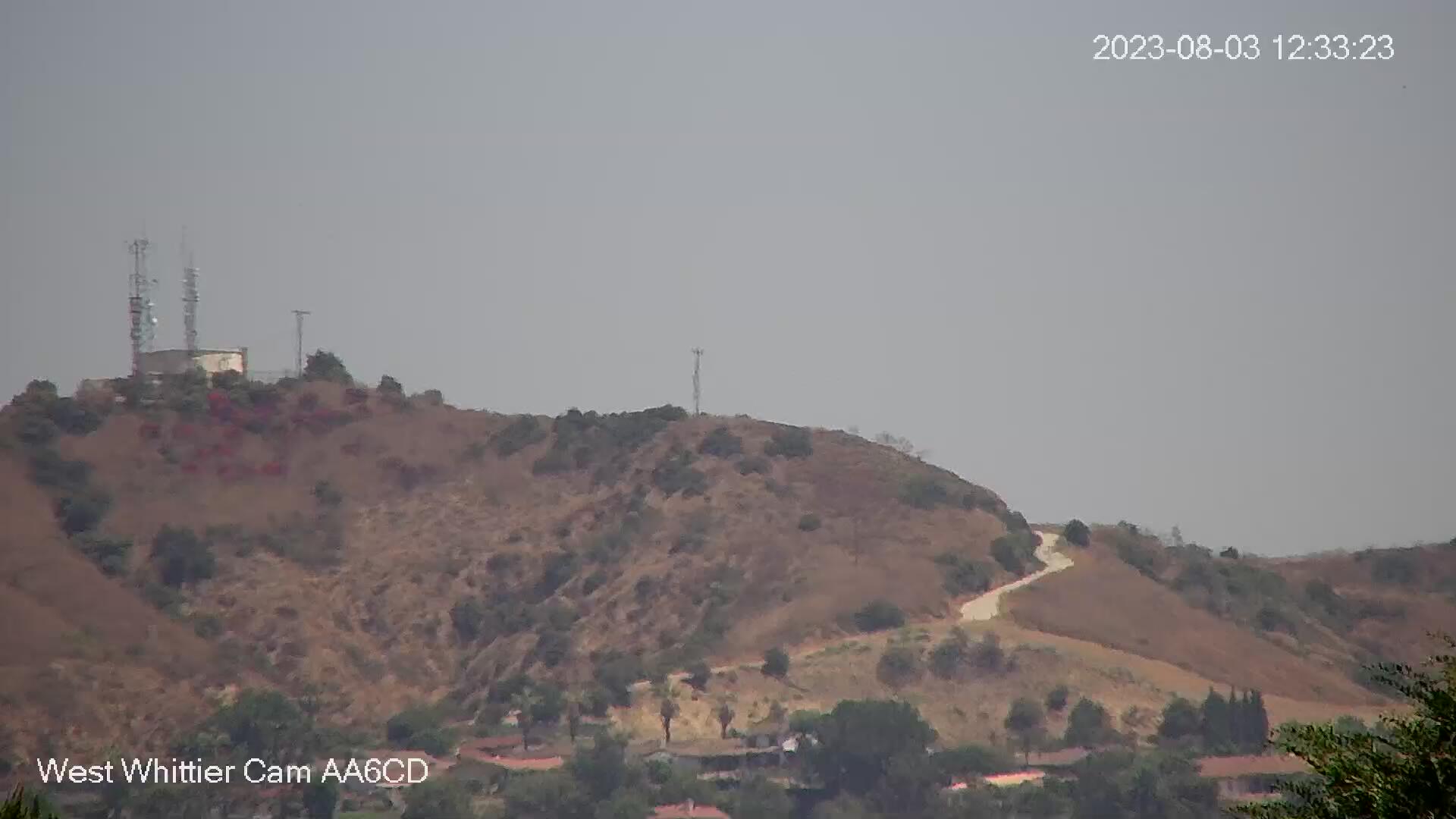
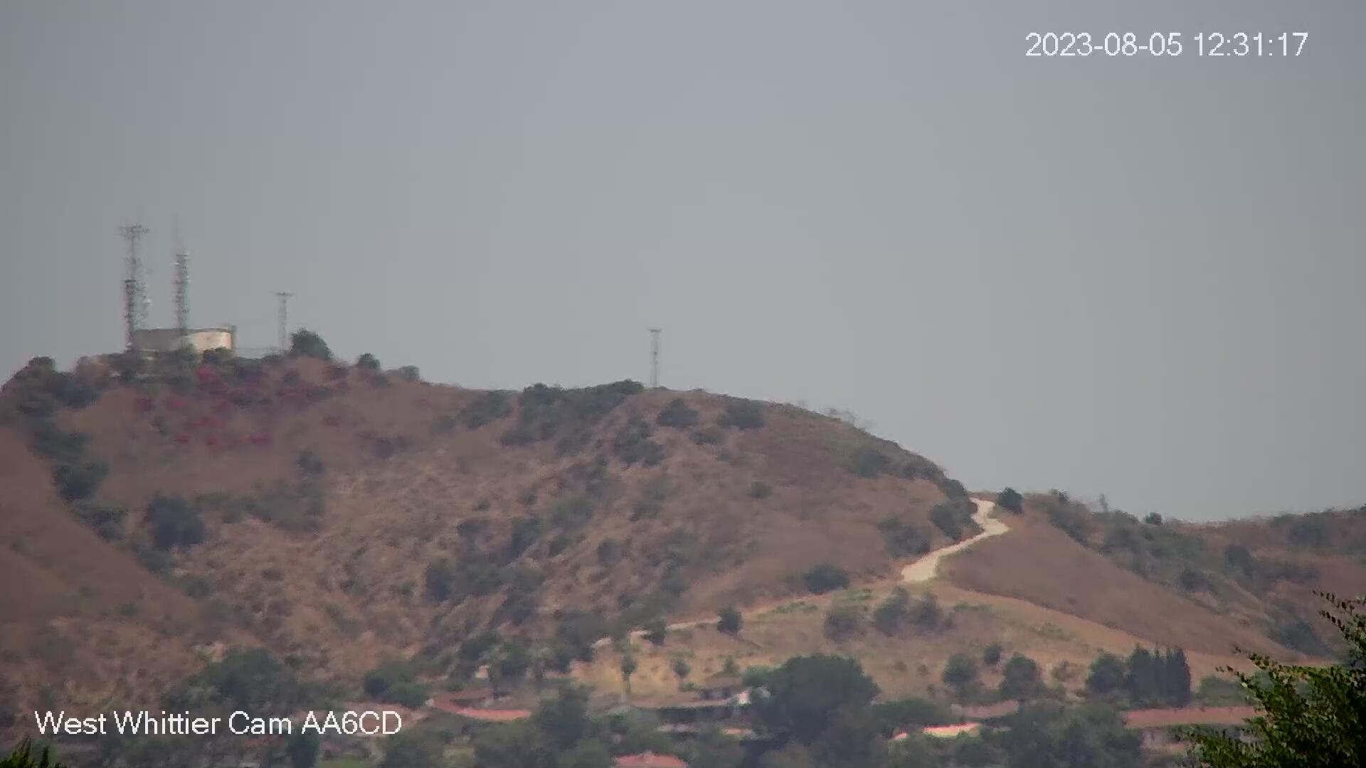
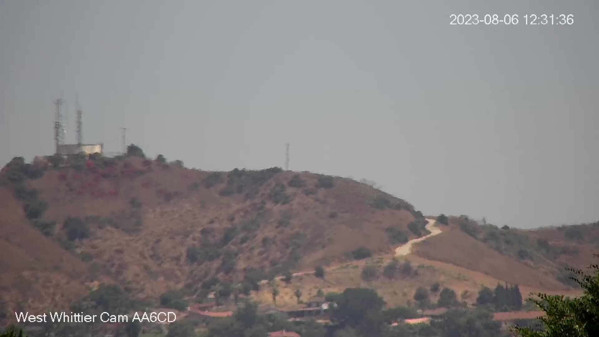
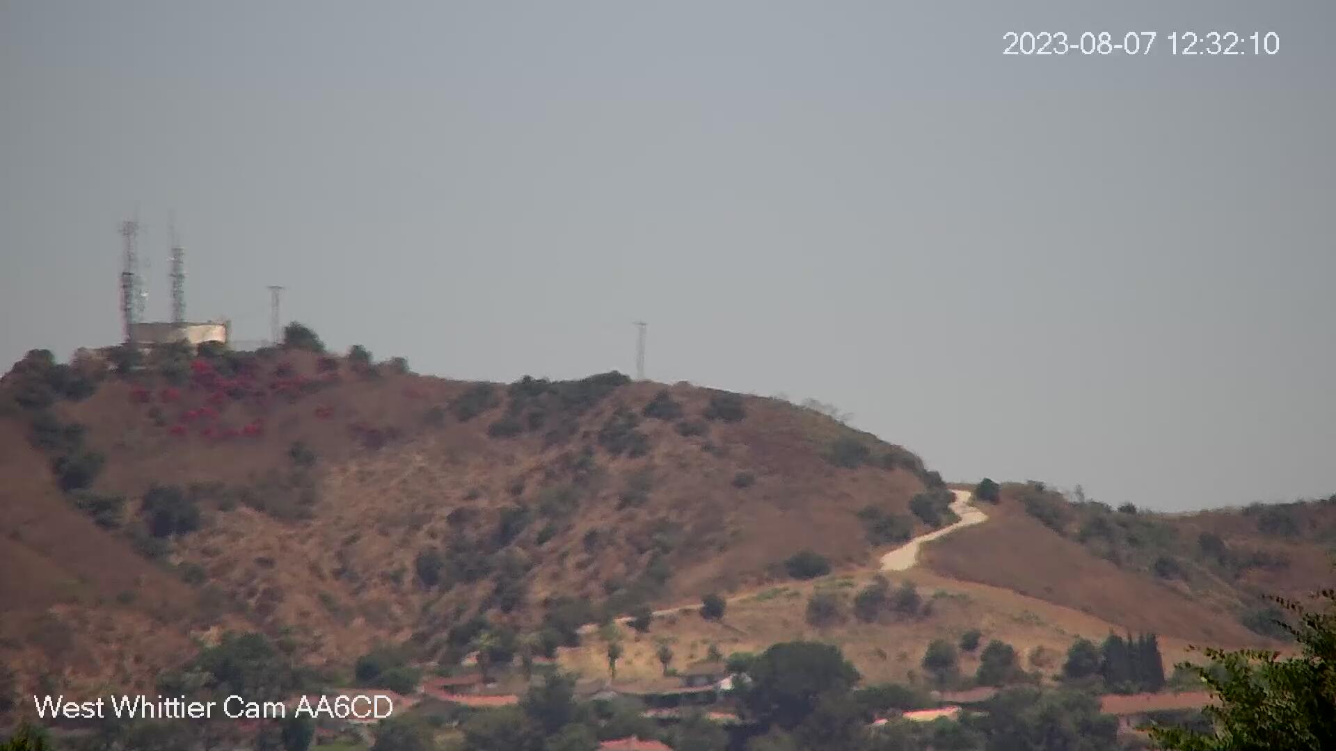
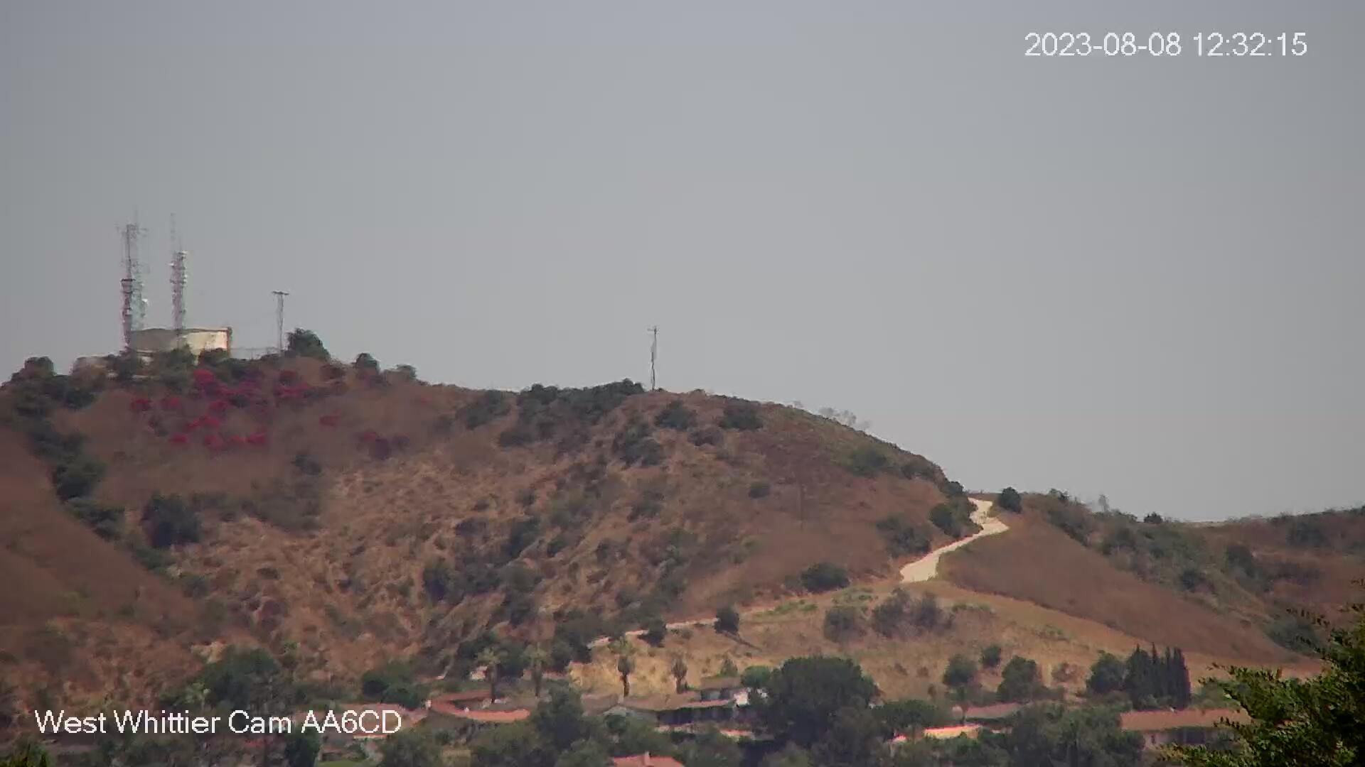
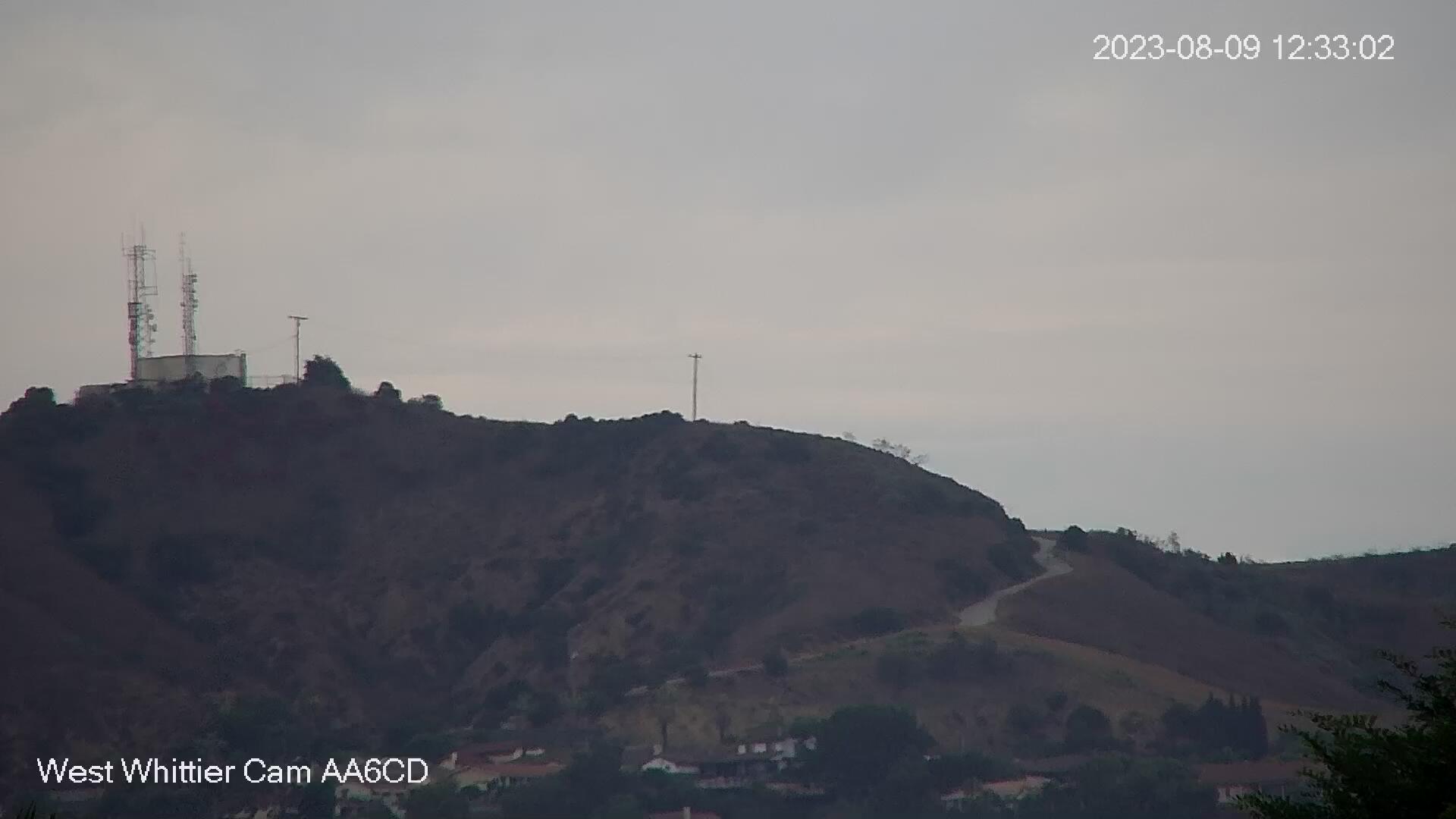
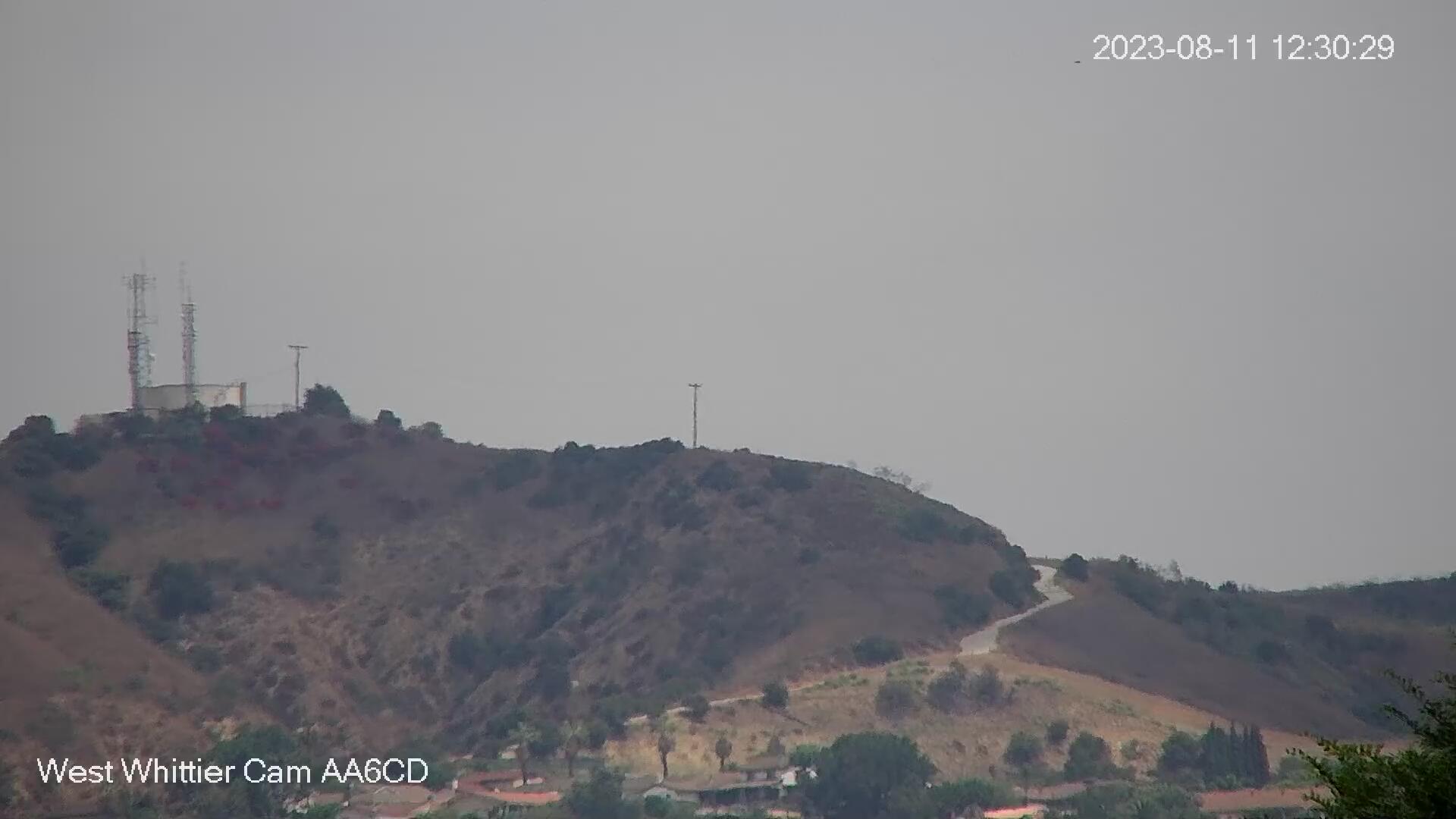
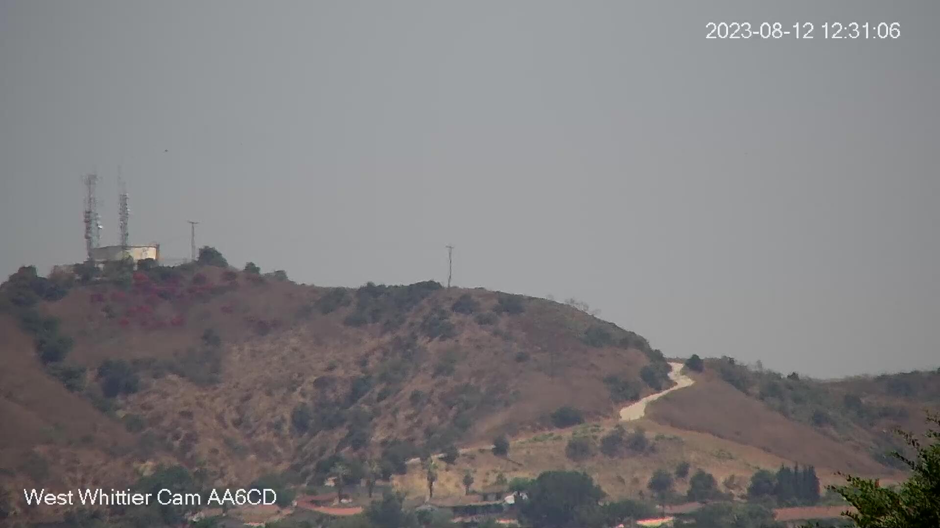
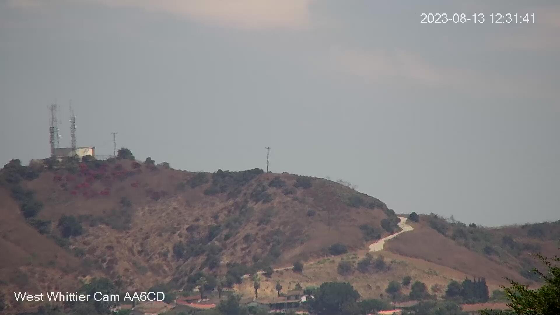
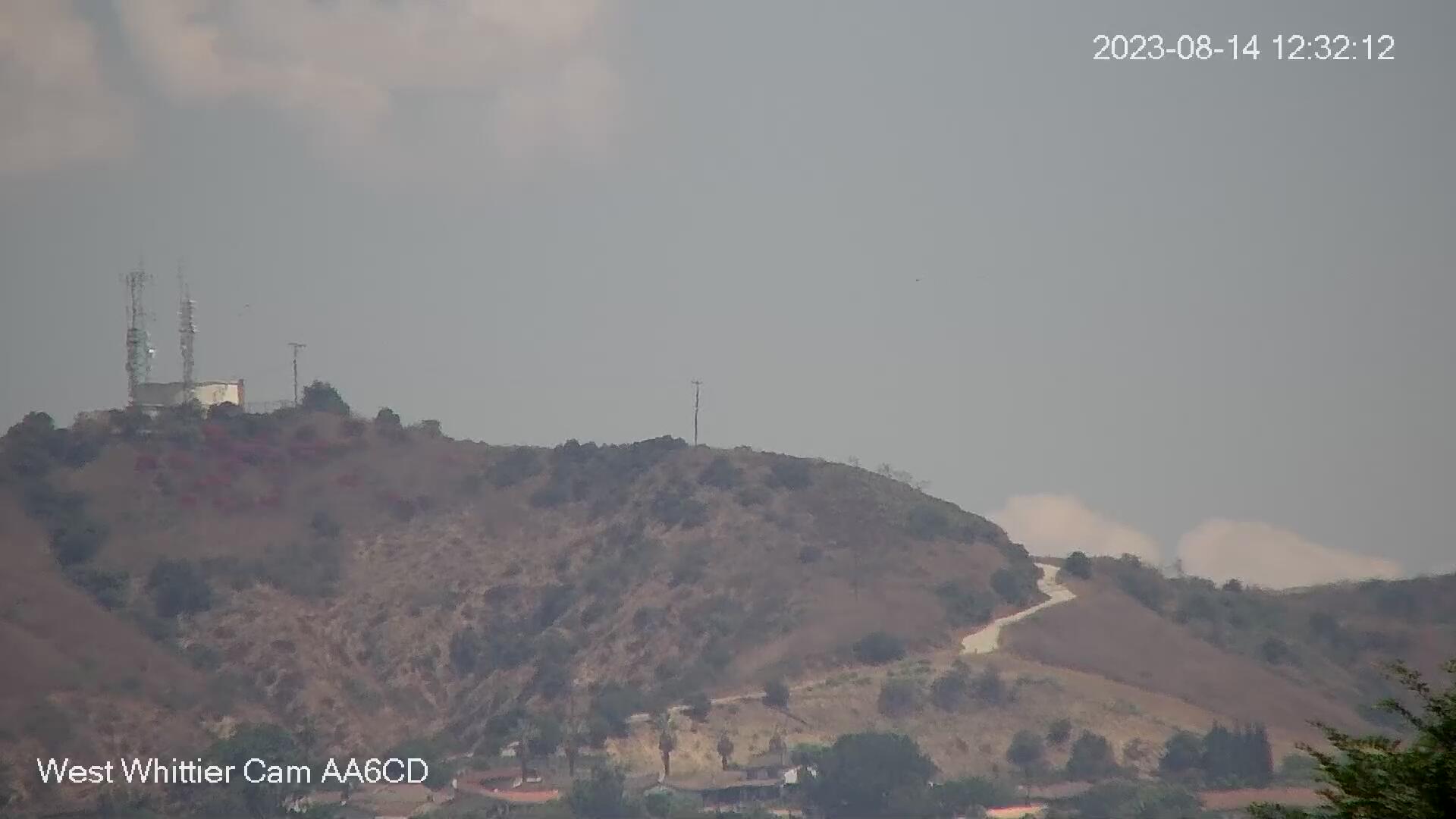
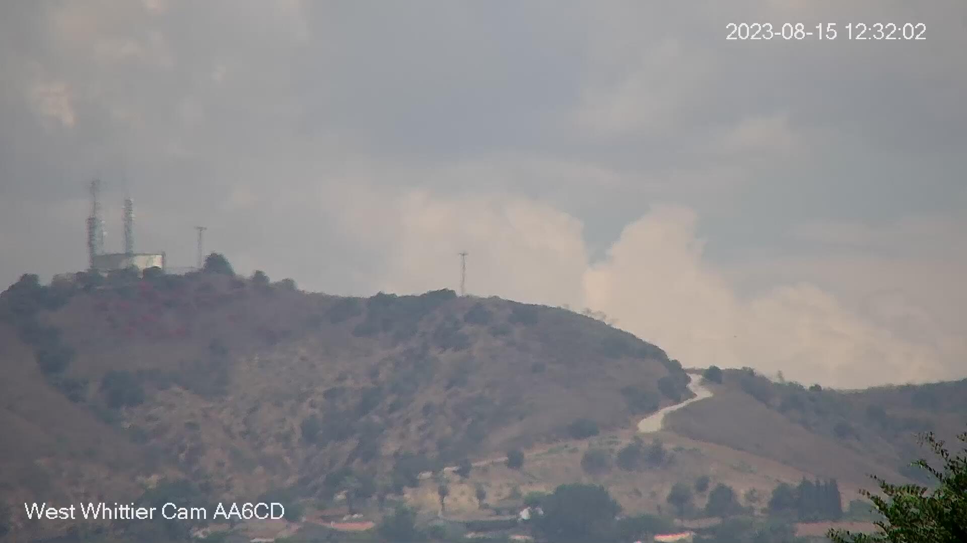
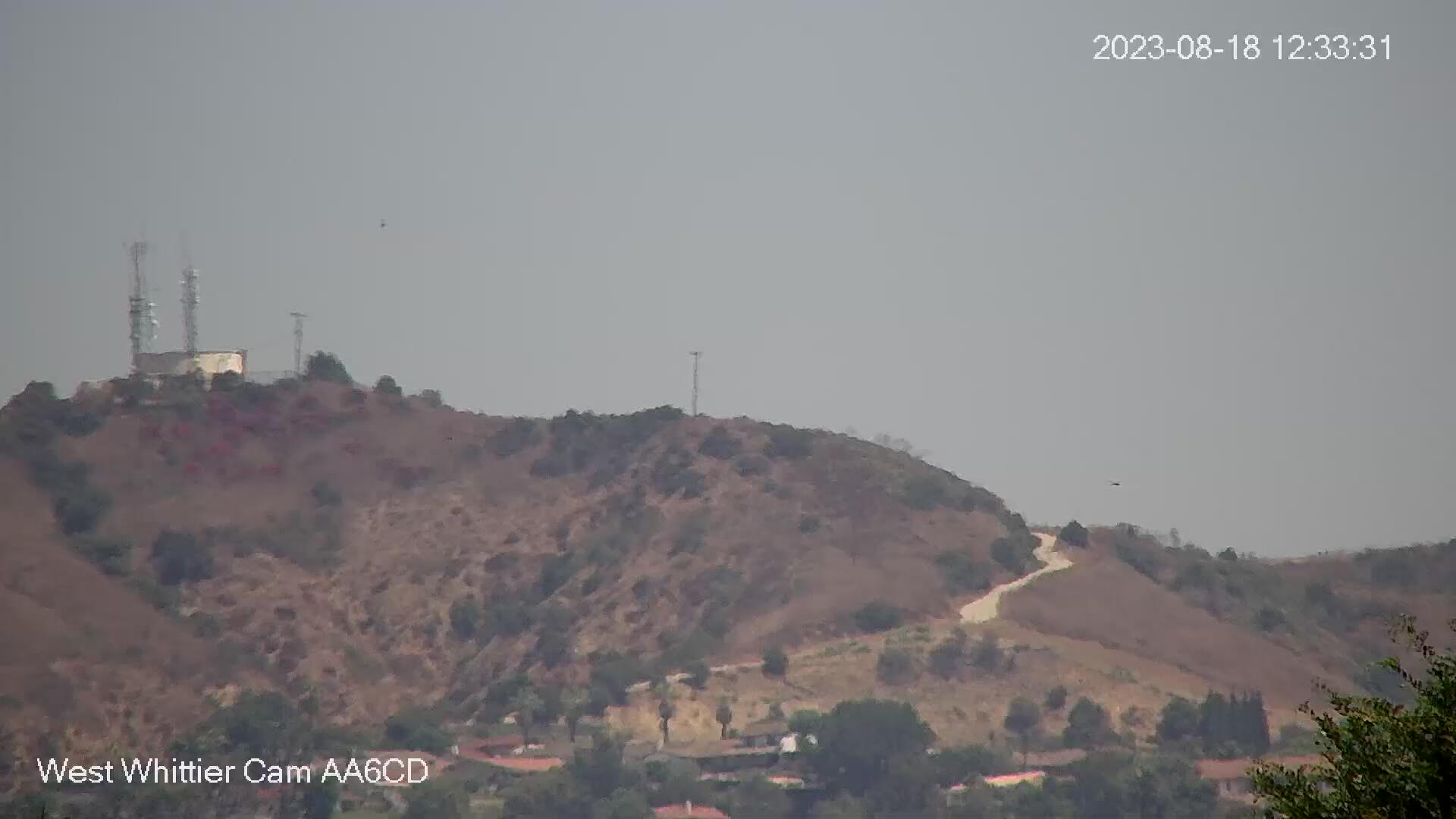
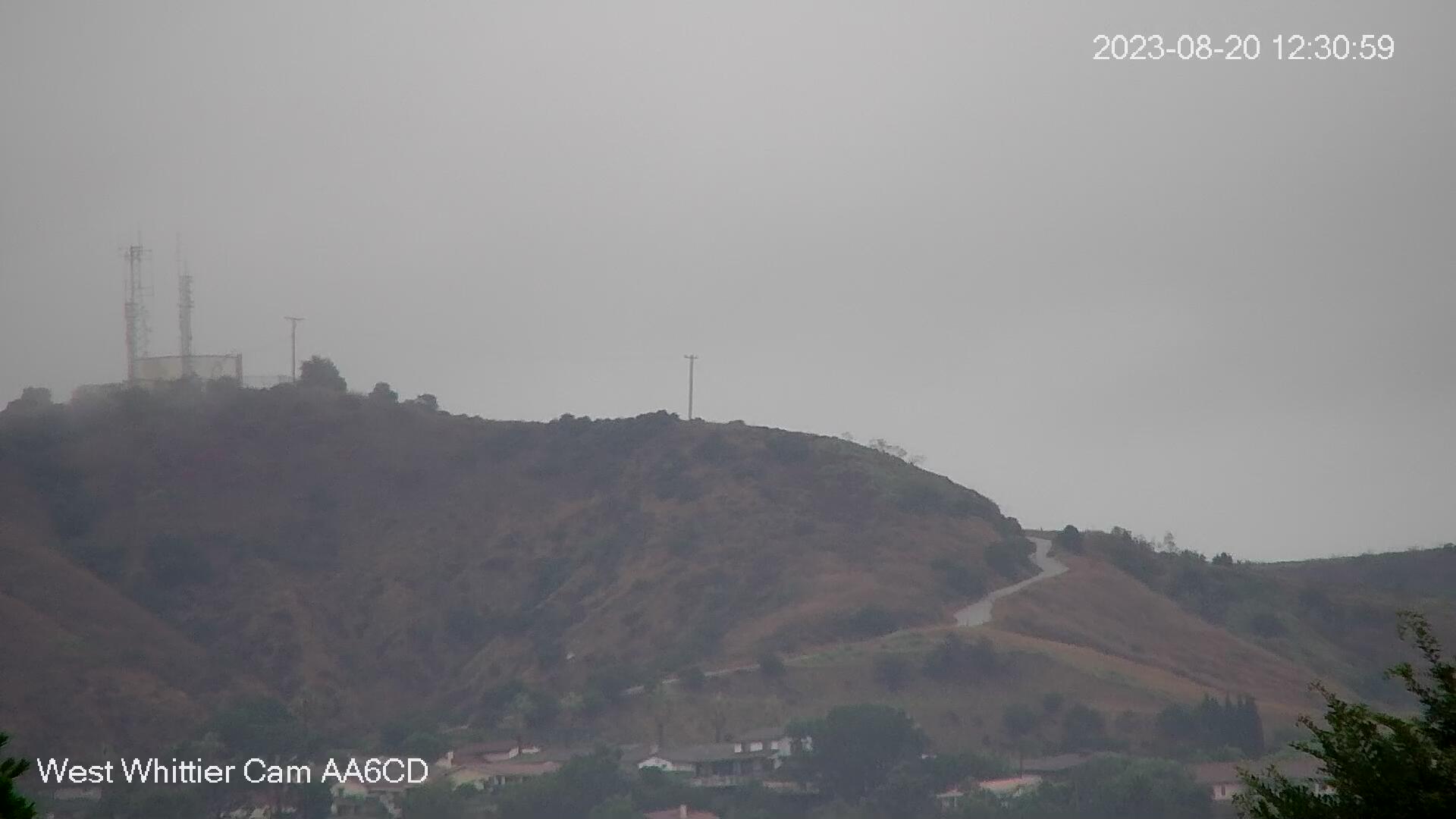
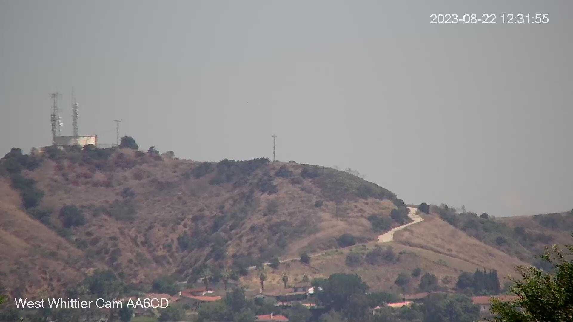
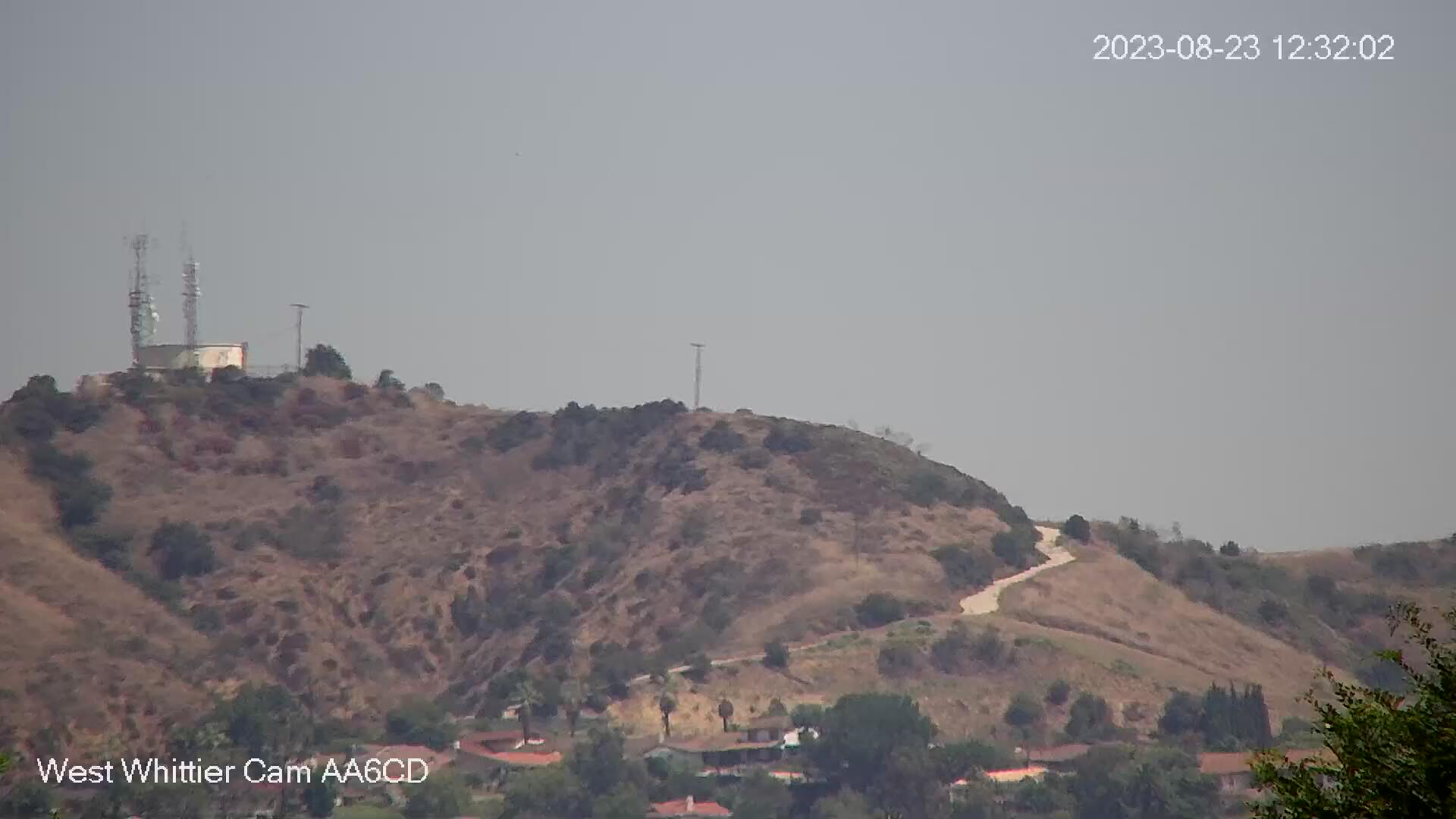
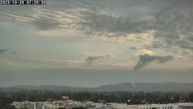
West Whittier, California, USA - 14.3 miles from Azusa: West Whittier Cam - View from west Whittier looking north with a great view of the foothills. In the winter the snow capped mountains can be seen.
Operator: WhittierCam
Operator: WhittierCam


Fullerton, California, USA - 18.2 miles from Azusa: California State University - A webcam in Fullerton, California - camera location: California State University.
Operator: WeatherBug
Operator: WeatherBug


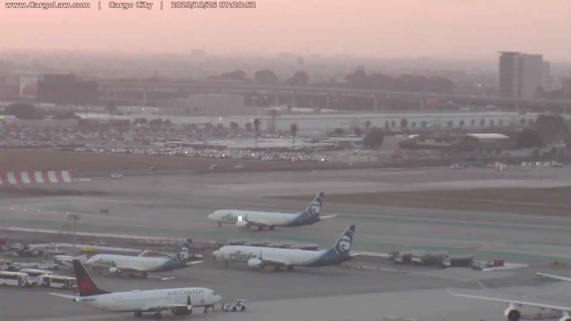
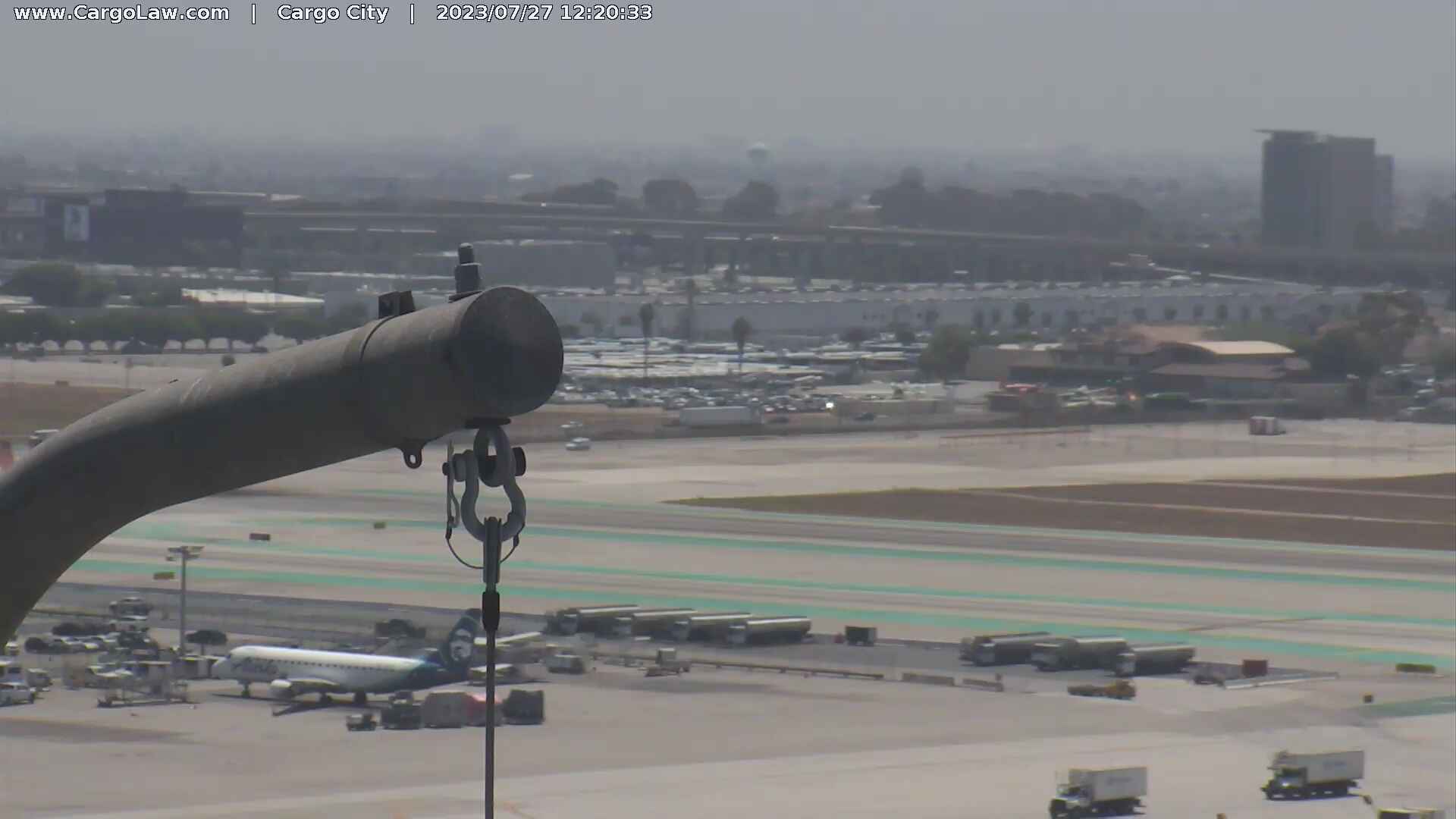
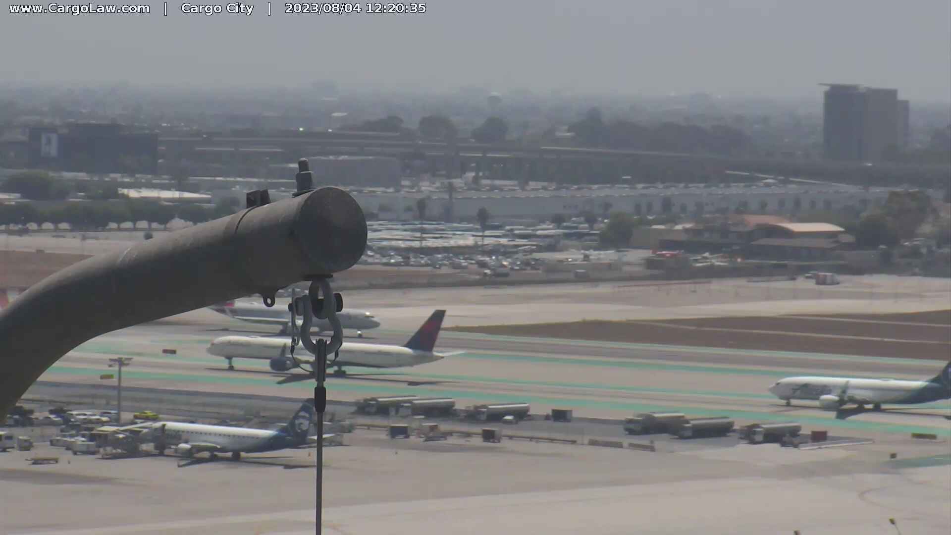
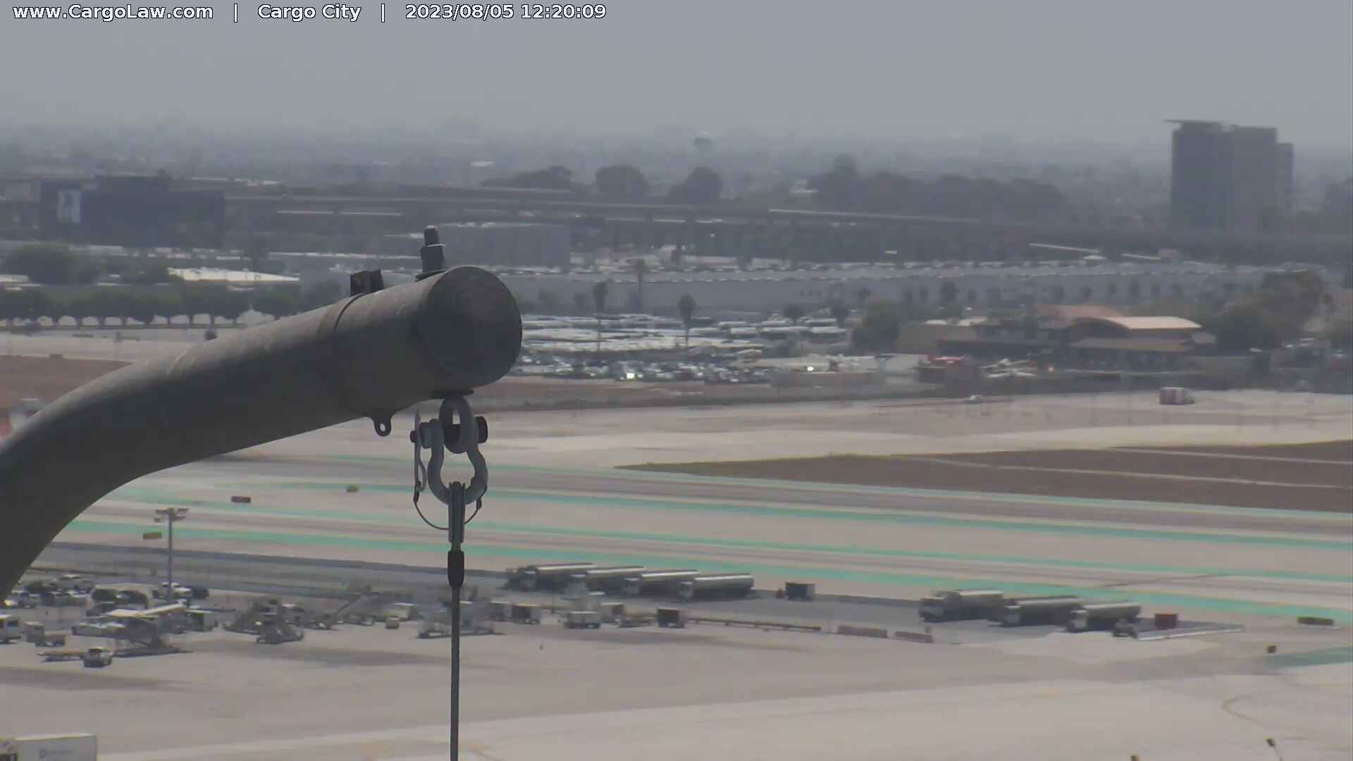
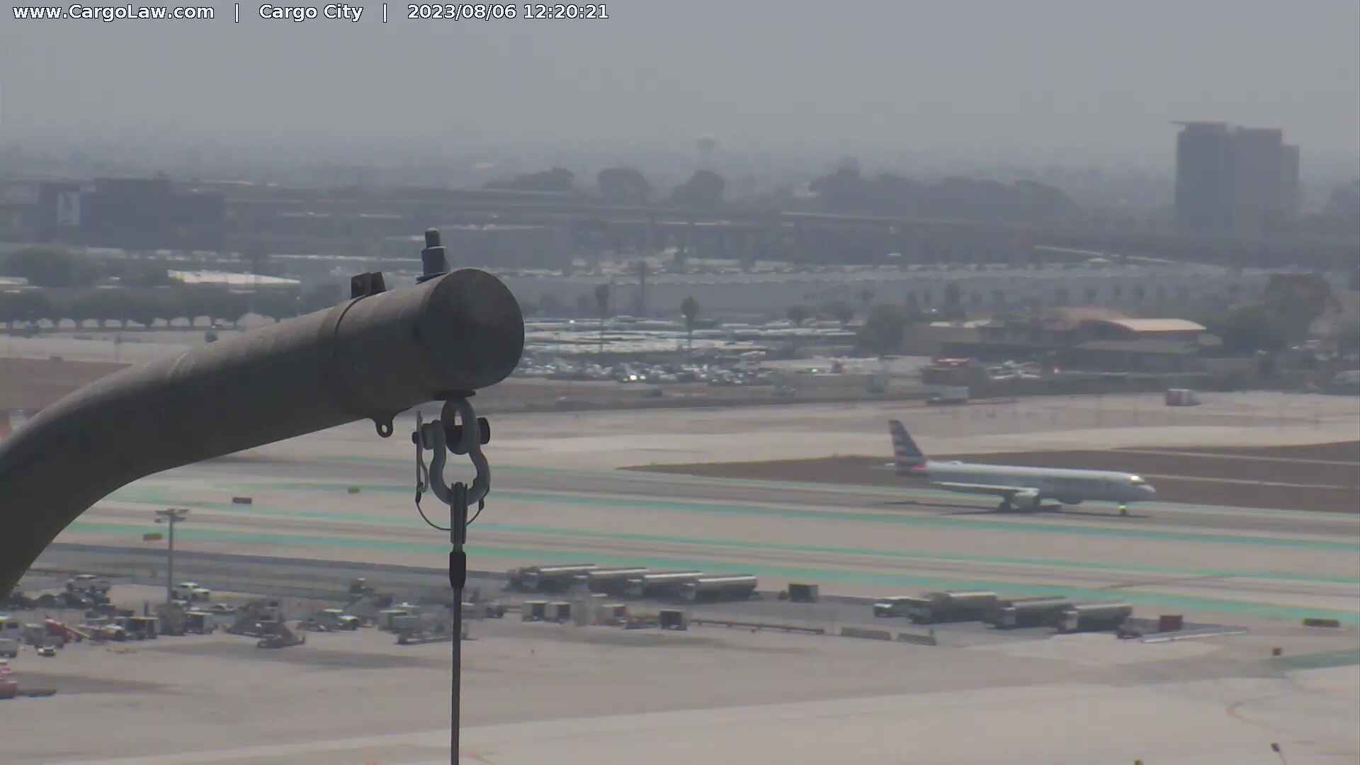
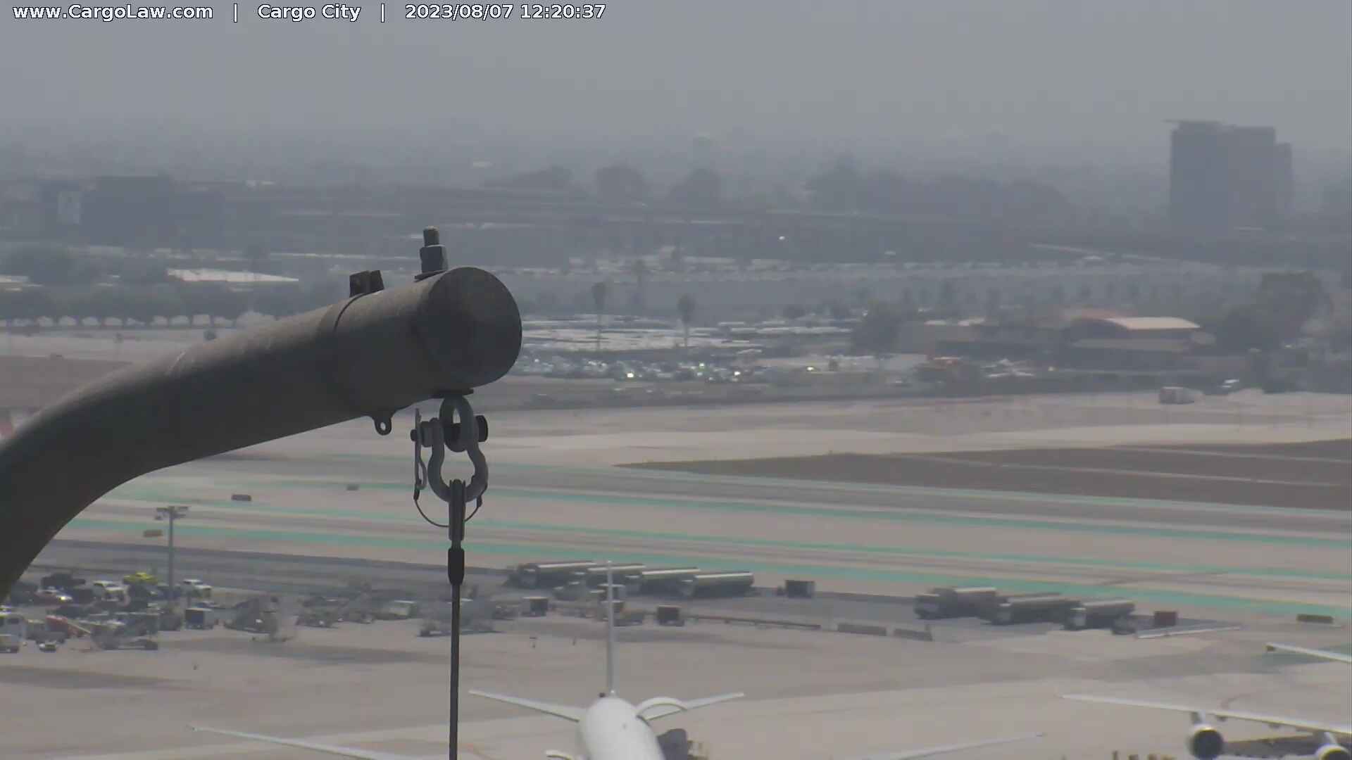
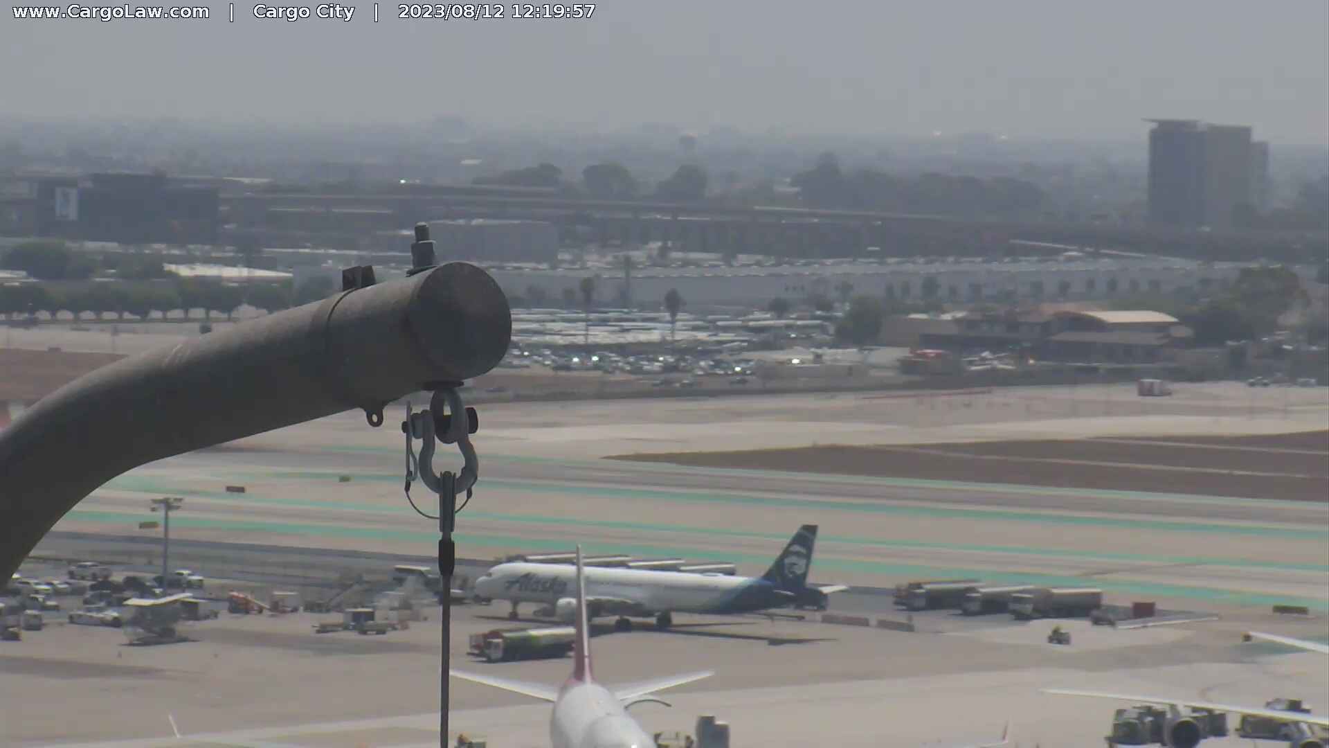
Los Angeles, California, USA - 20 miles from Azusa: LAX Webcam - A current view of the Los Angeles Airport.
Operator: The Law Offices of Countryman & McDaniel
Operator: The Law Offices of Countryman & McDaniel

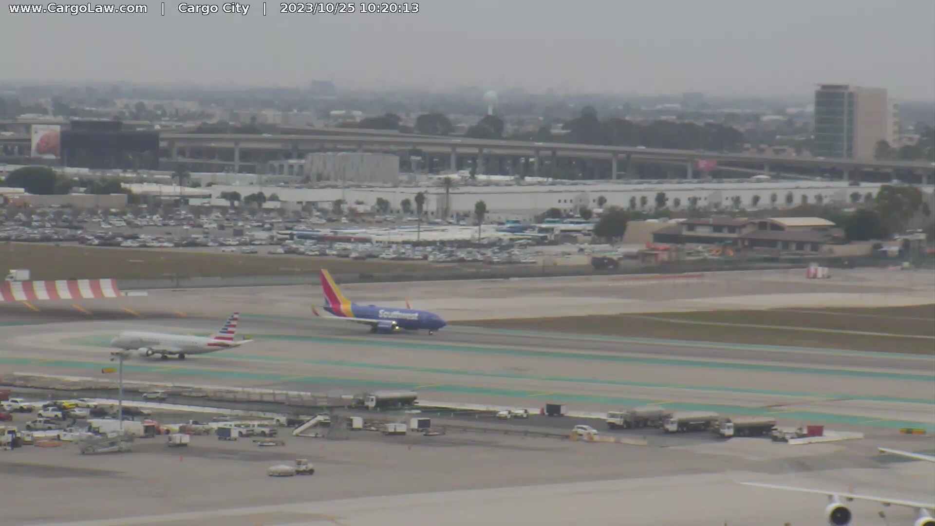
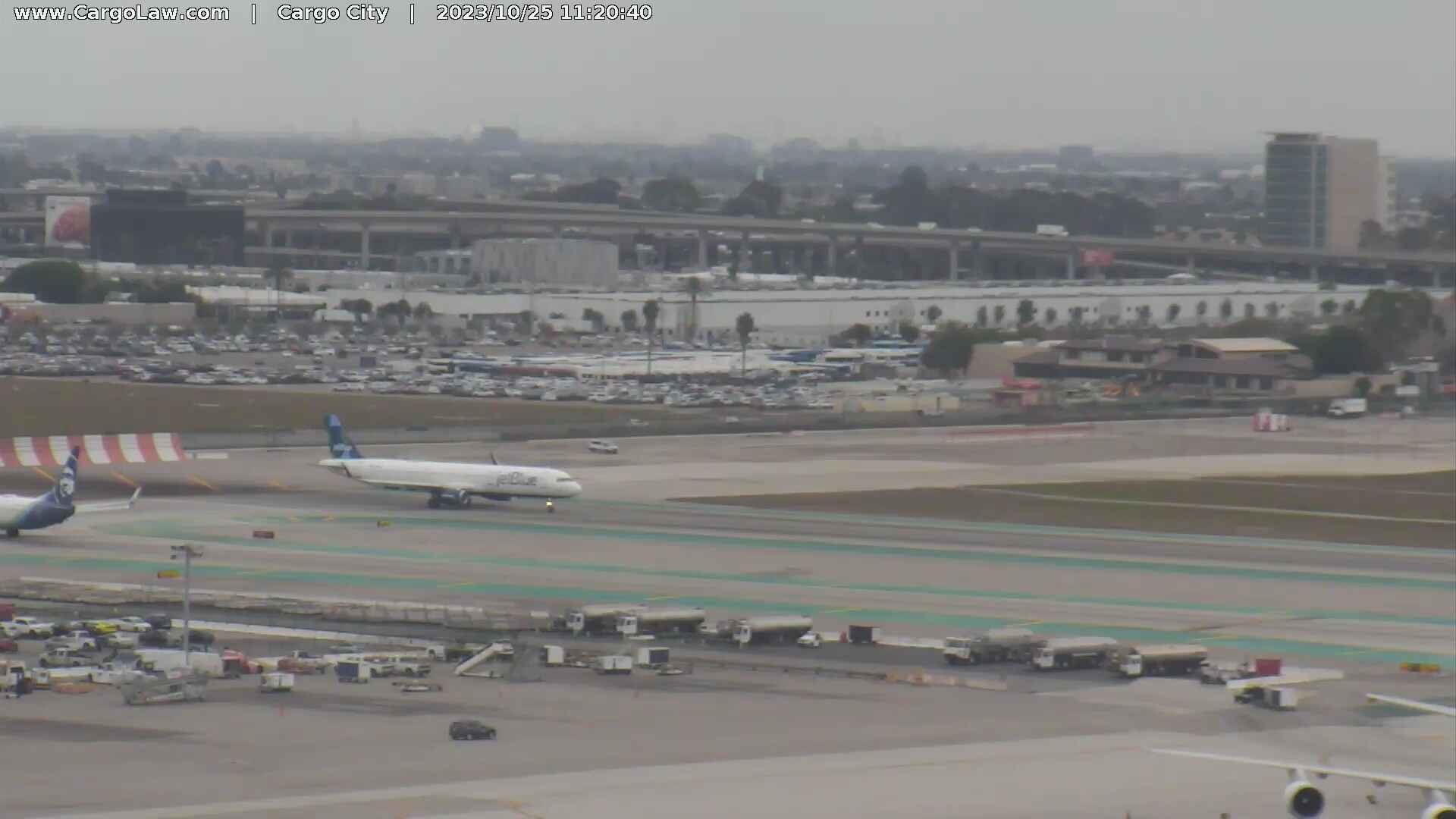
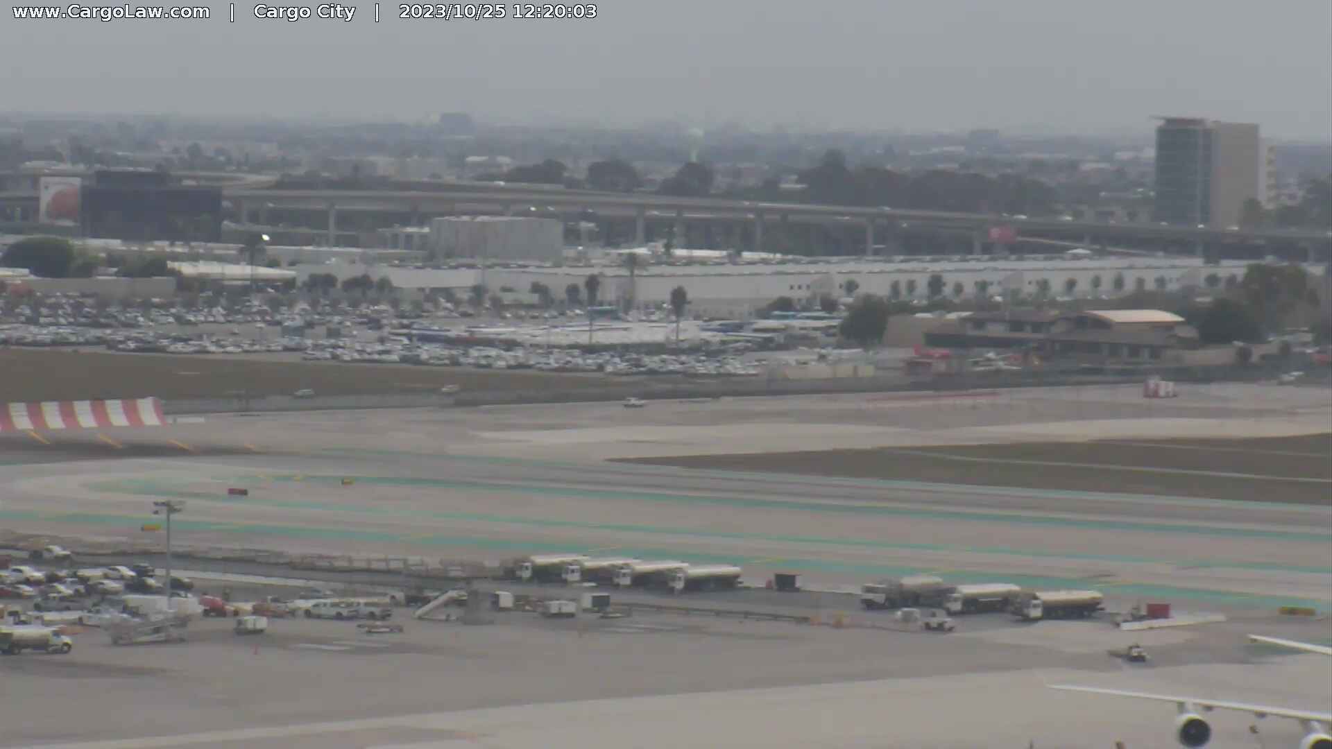
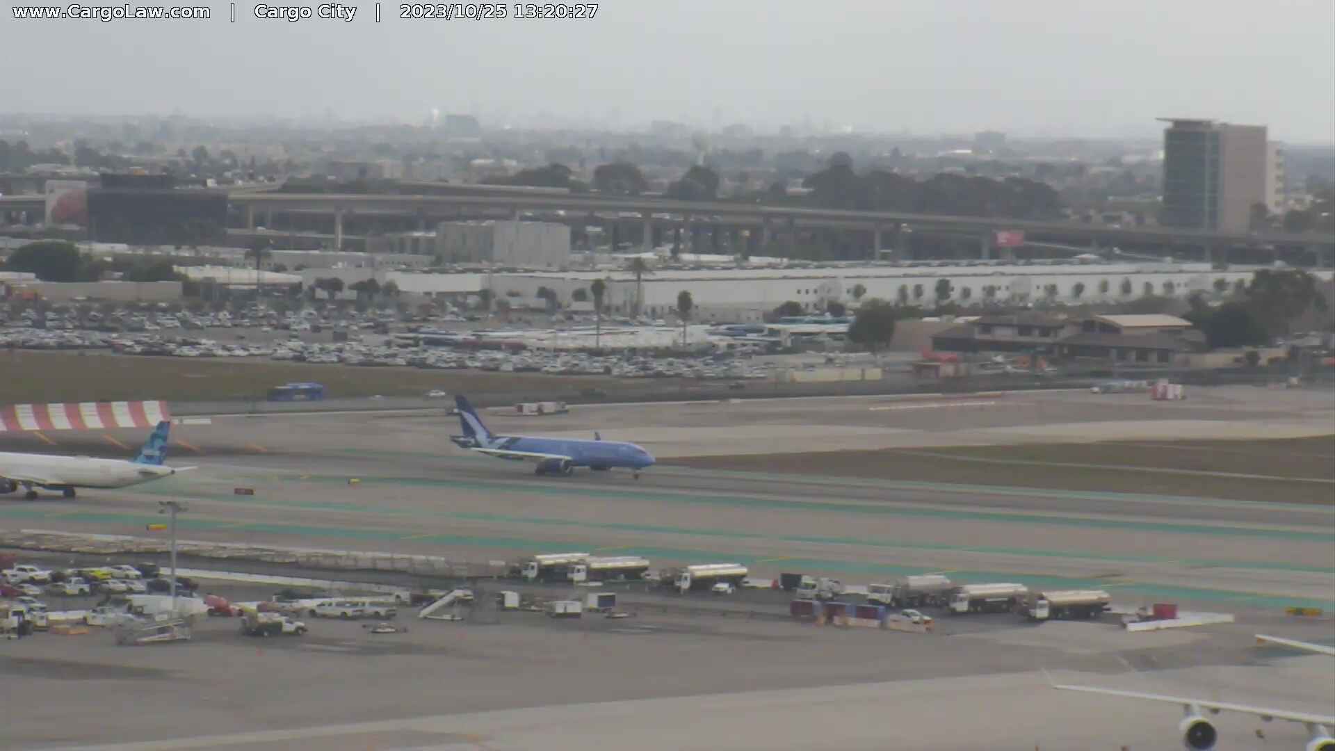
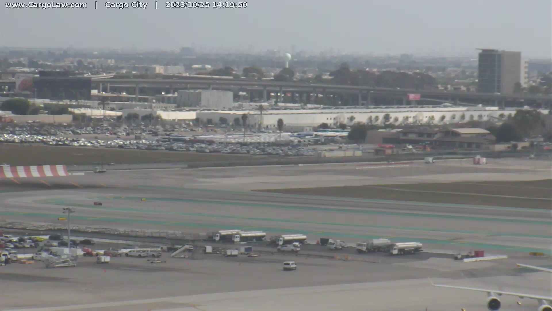
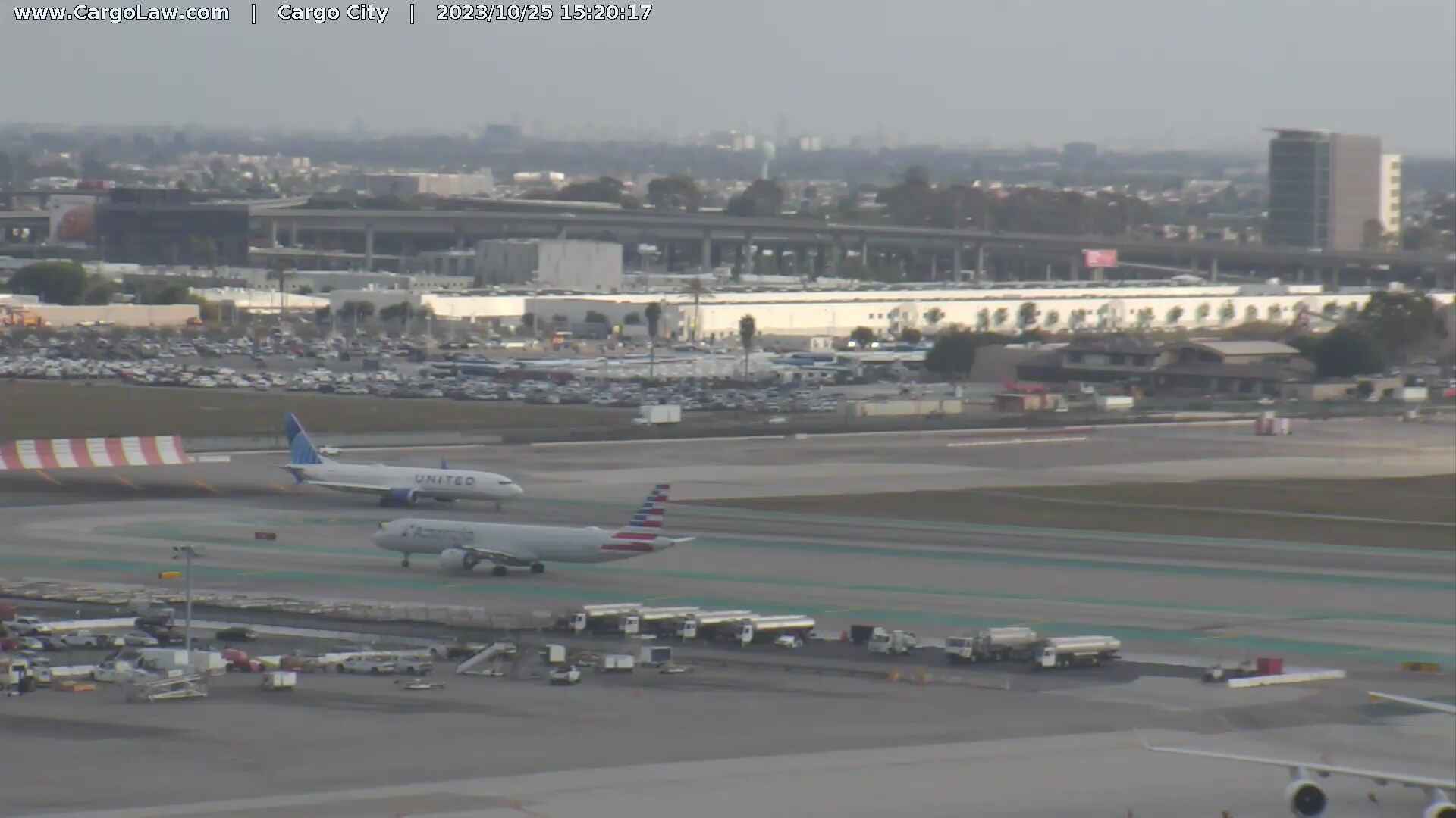
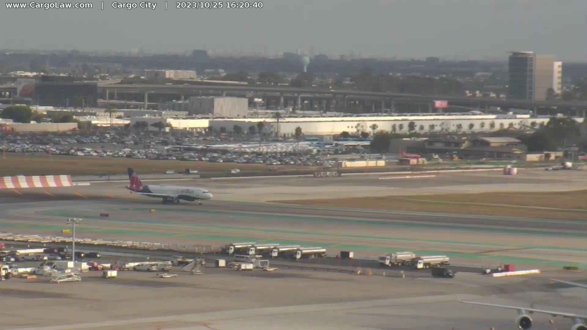
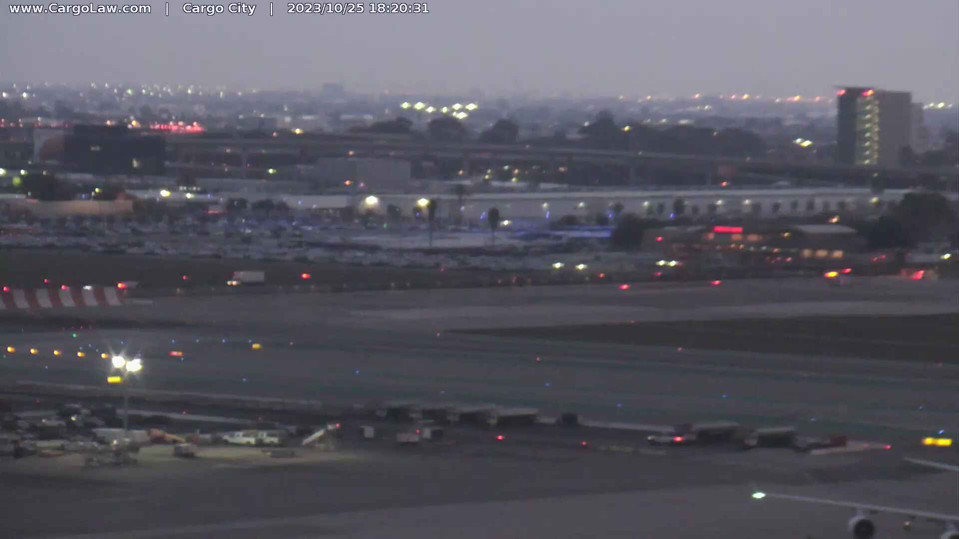
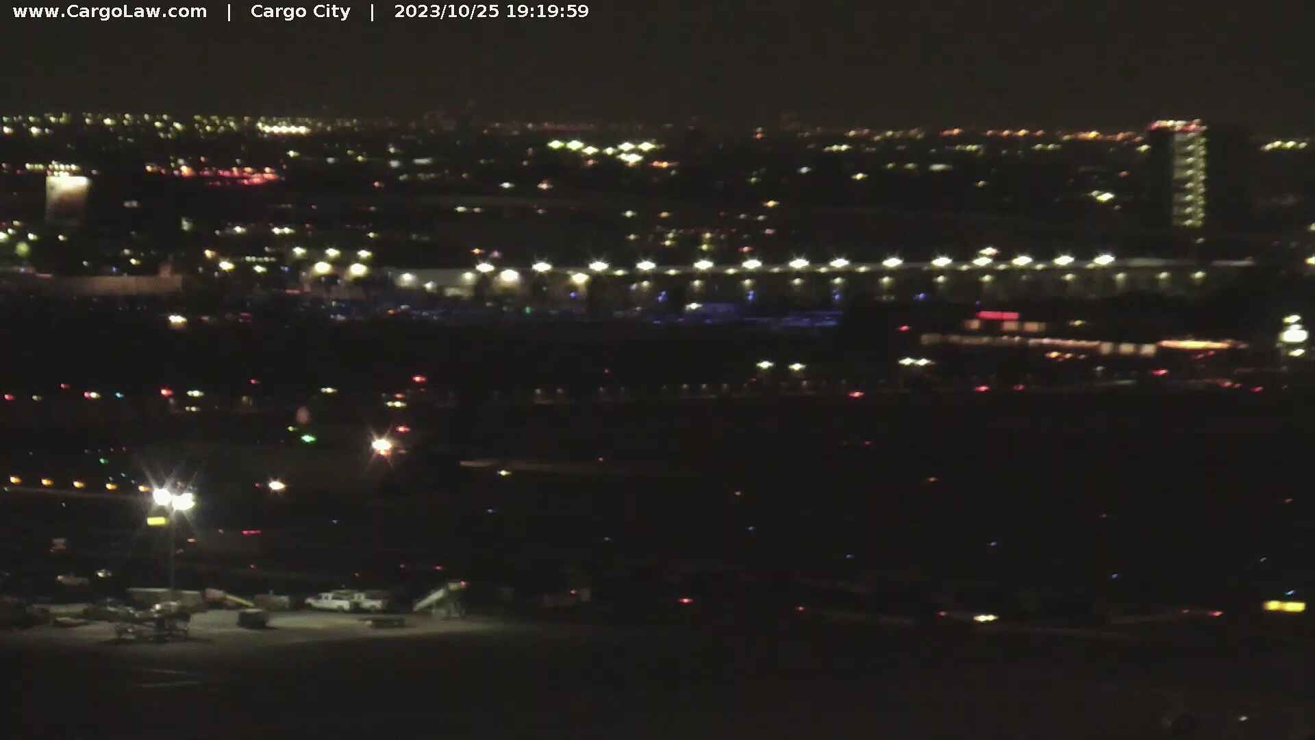
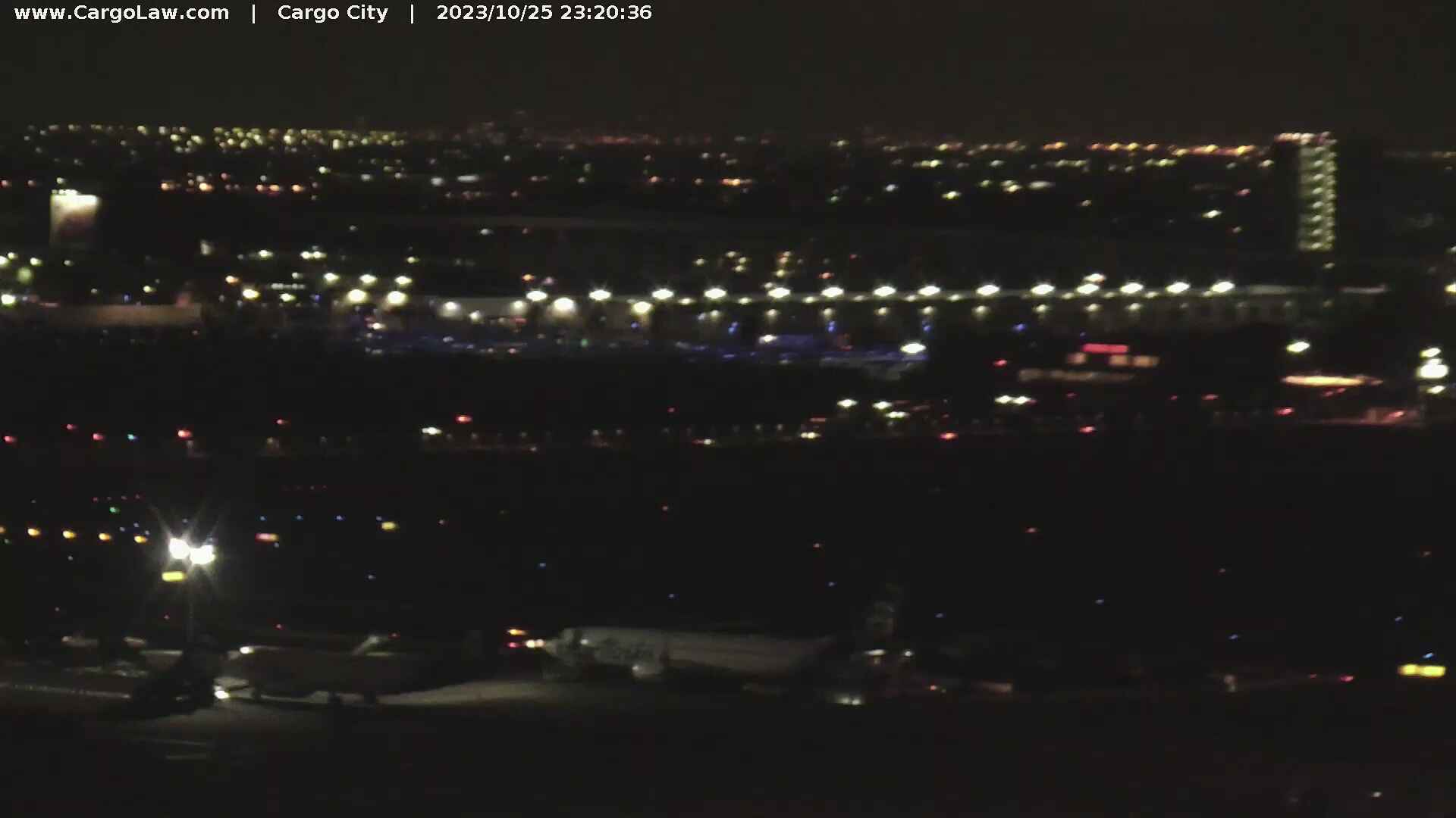
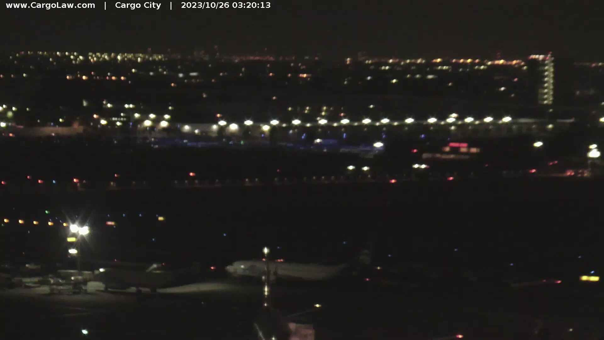
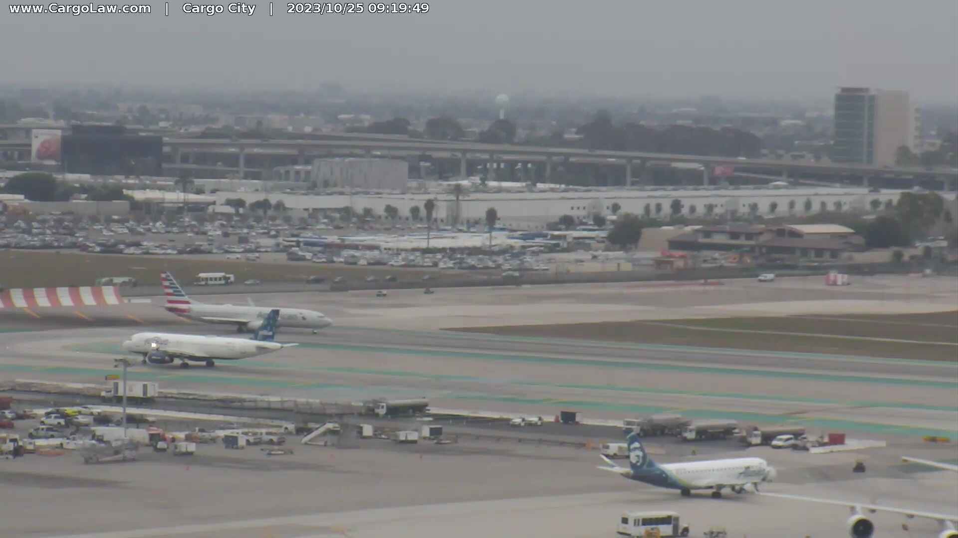
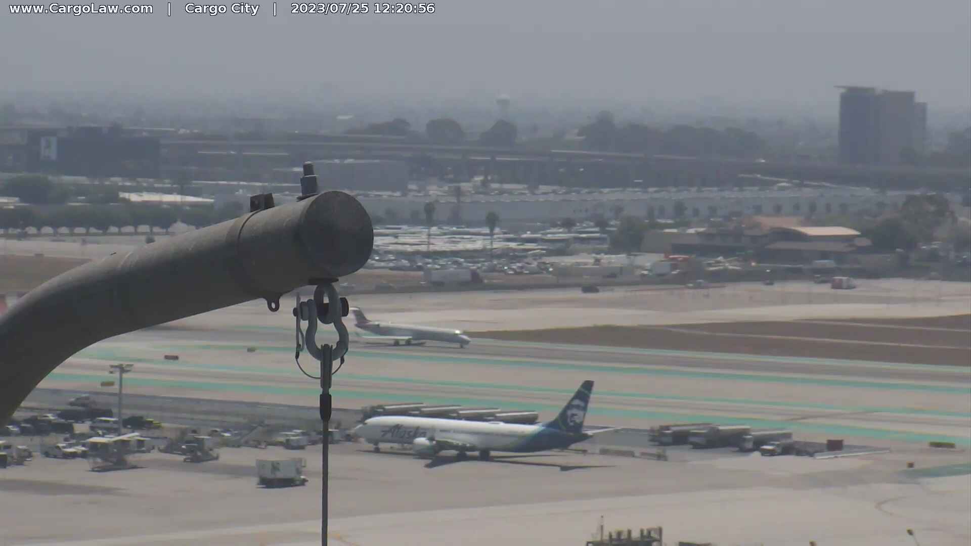
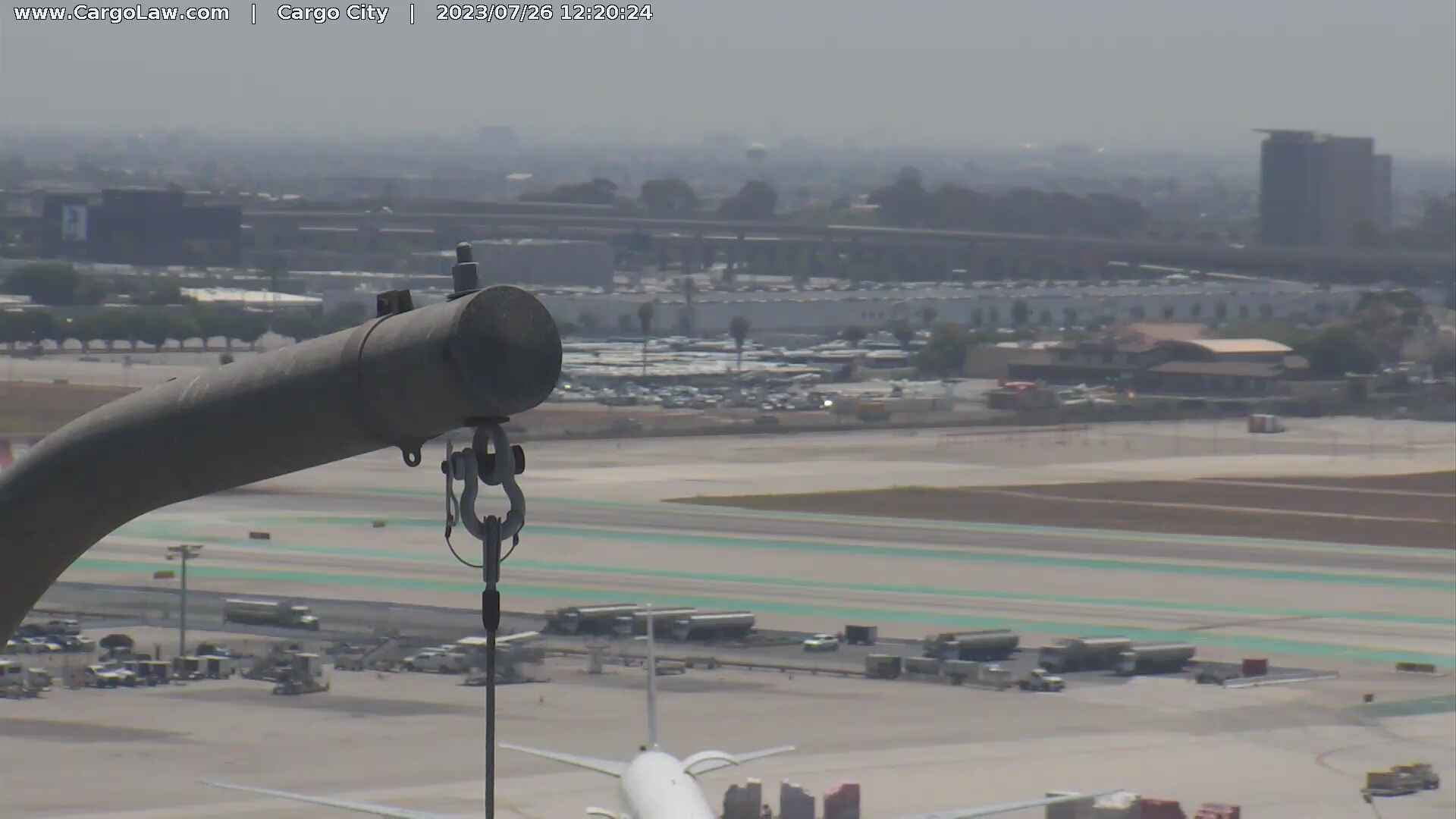
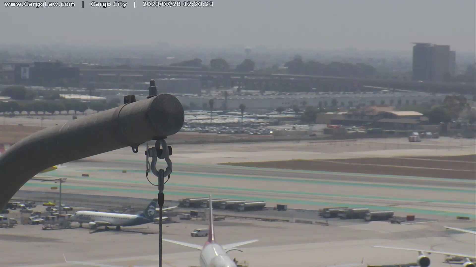
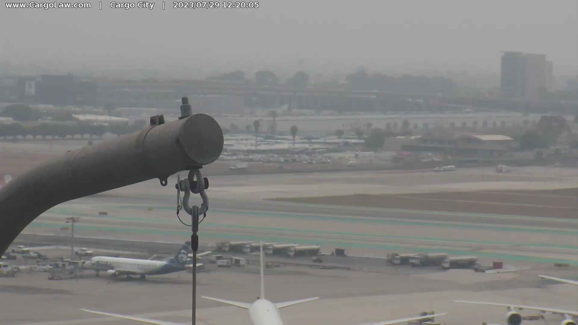
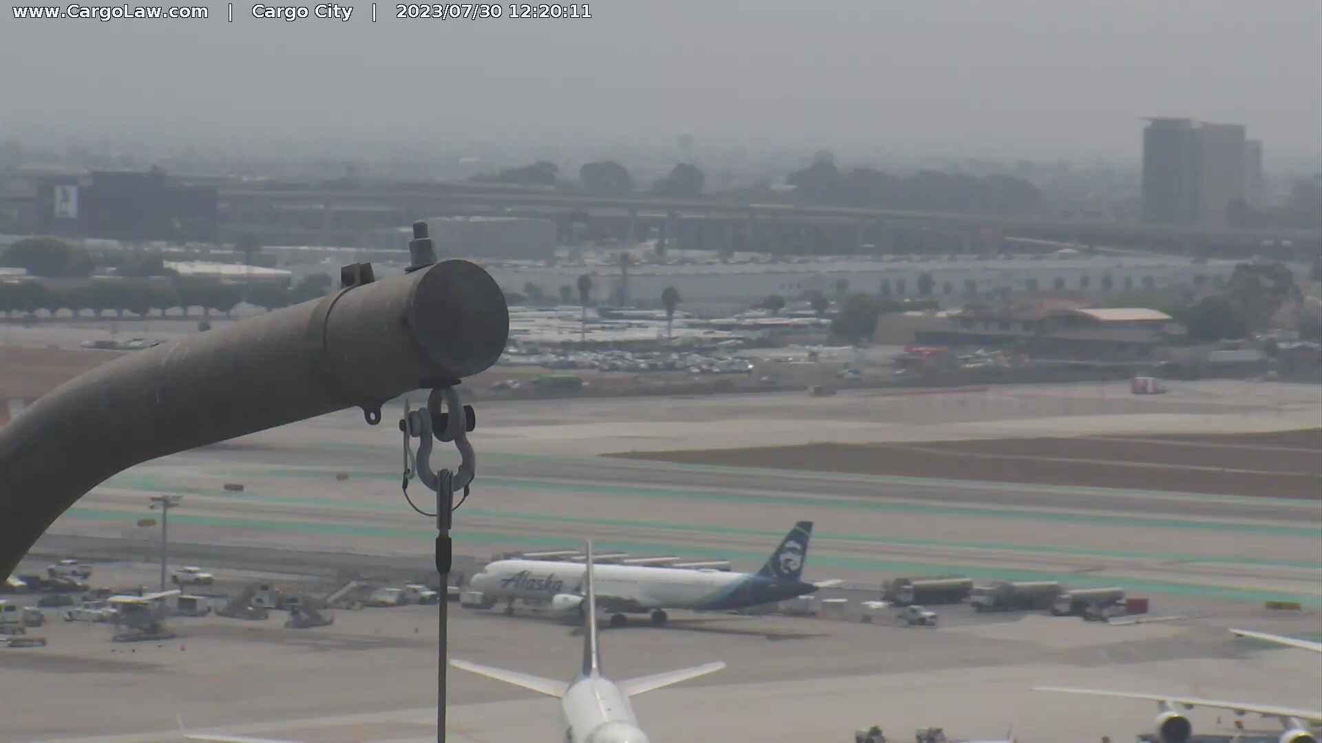
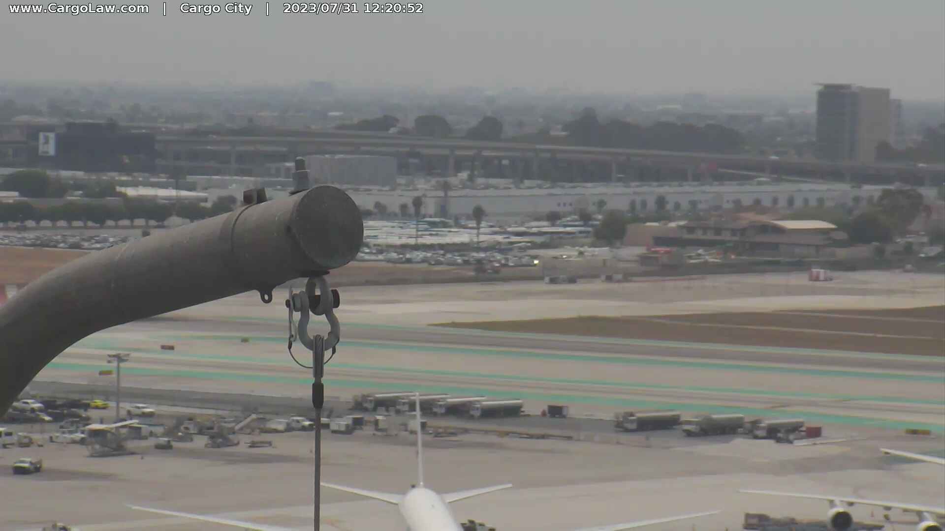
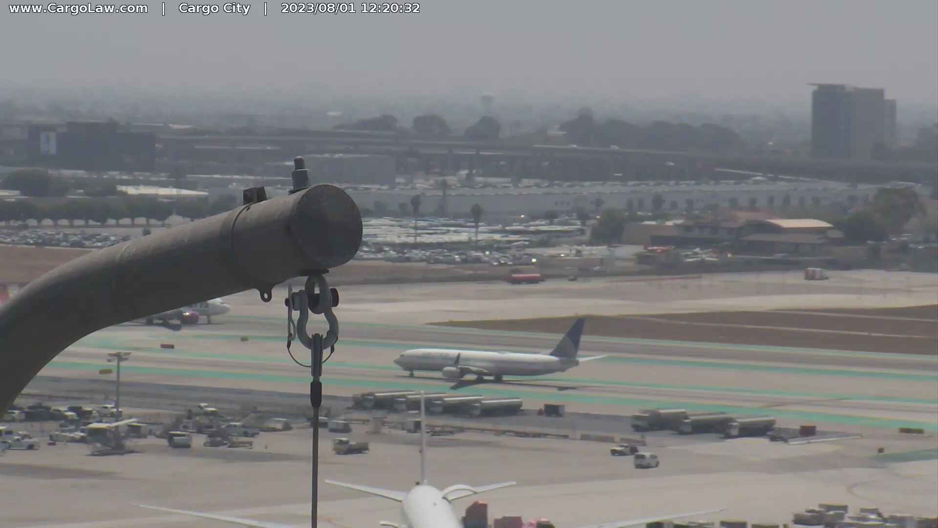
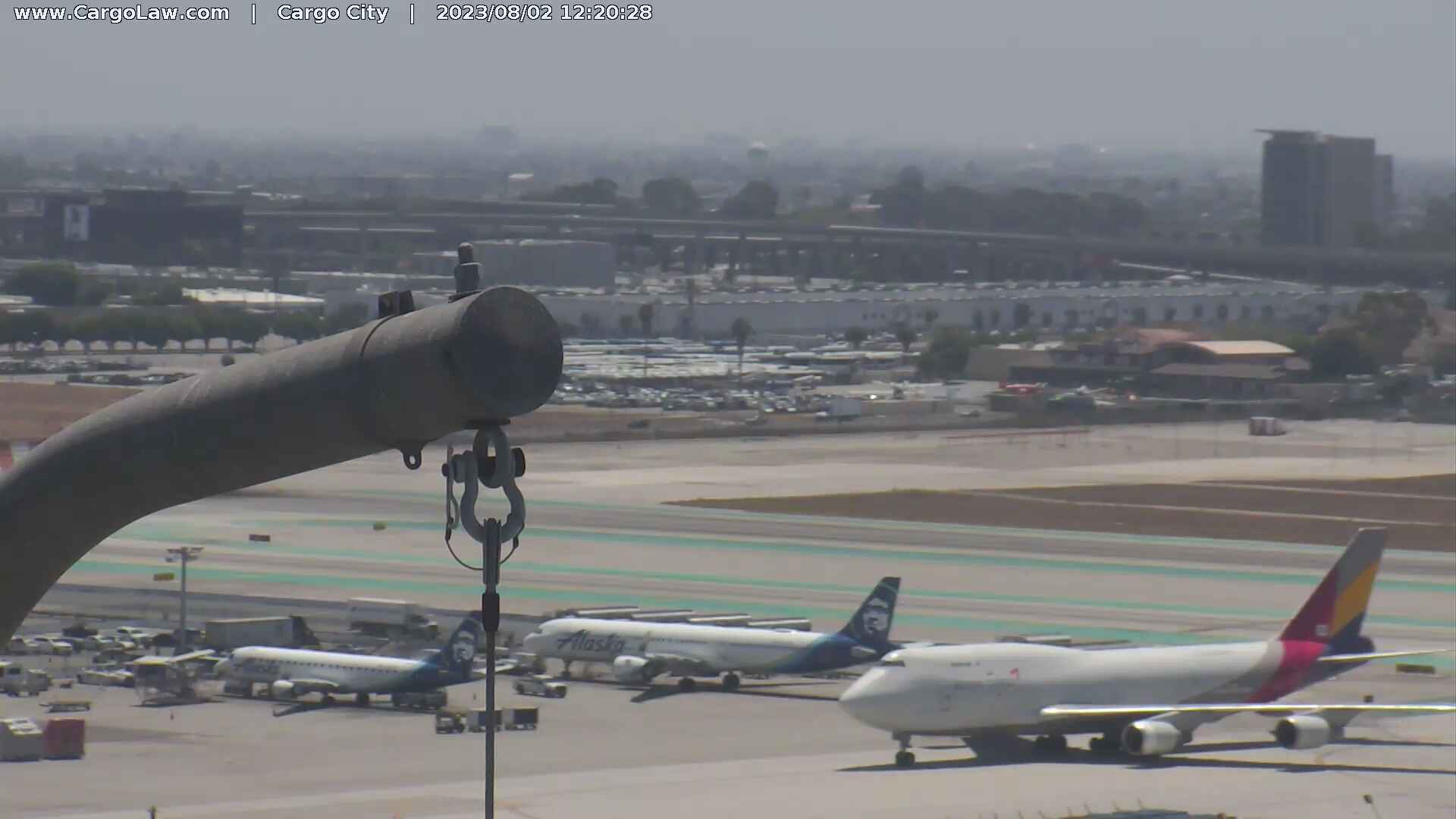
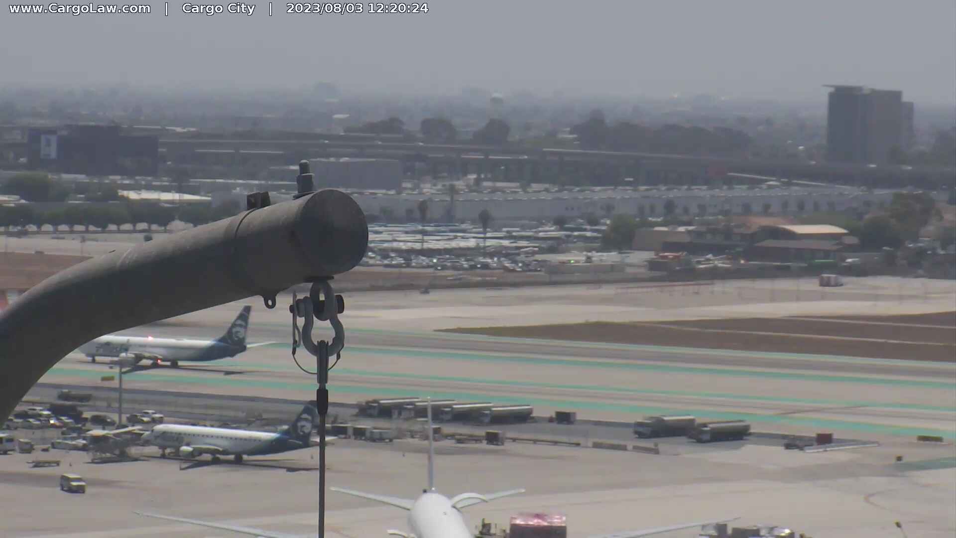
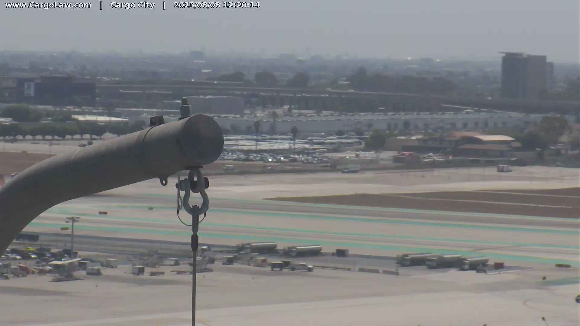
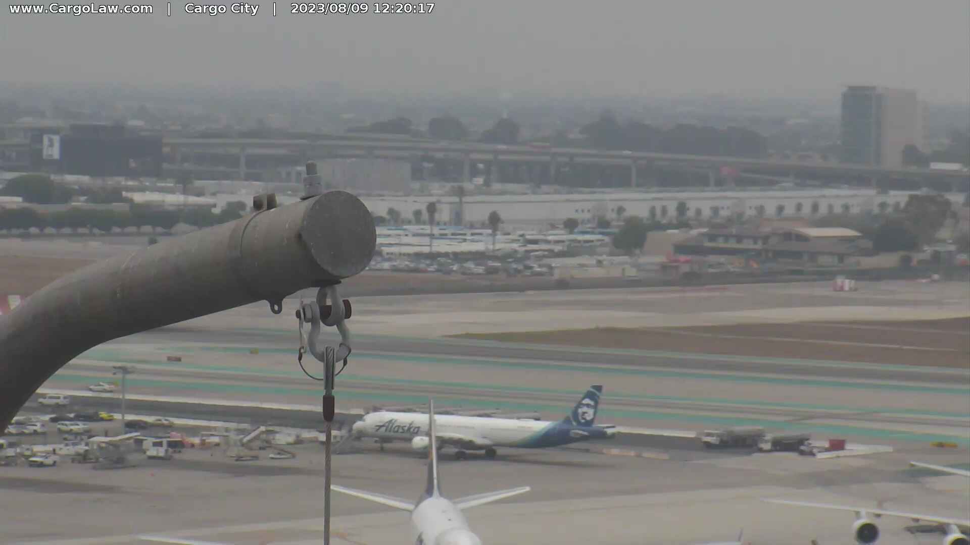
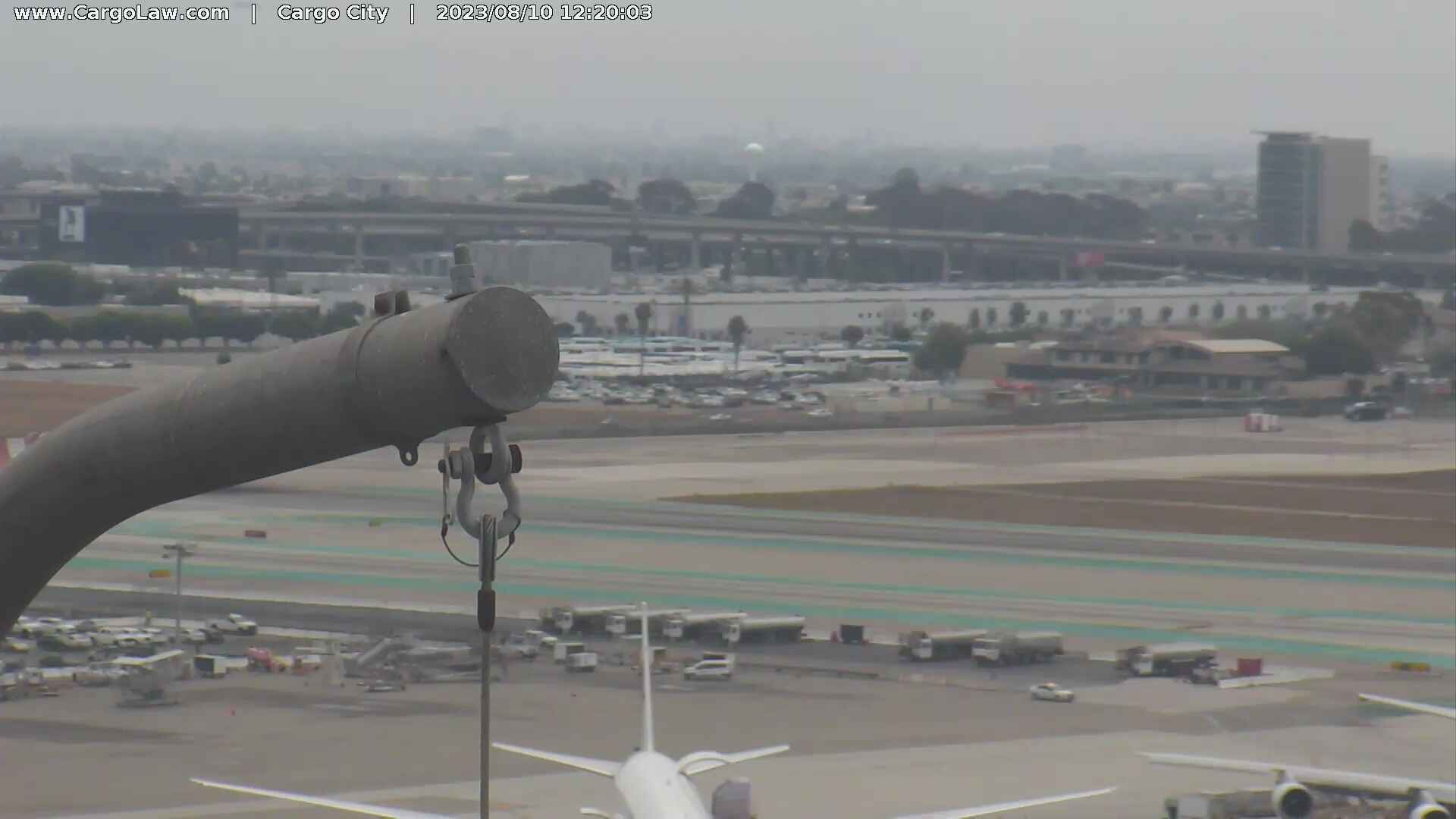
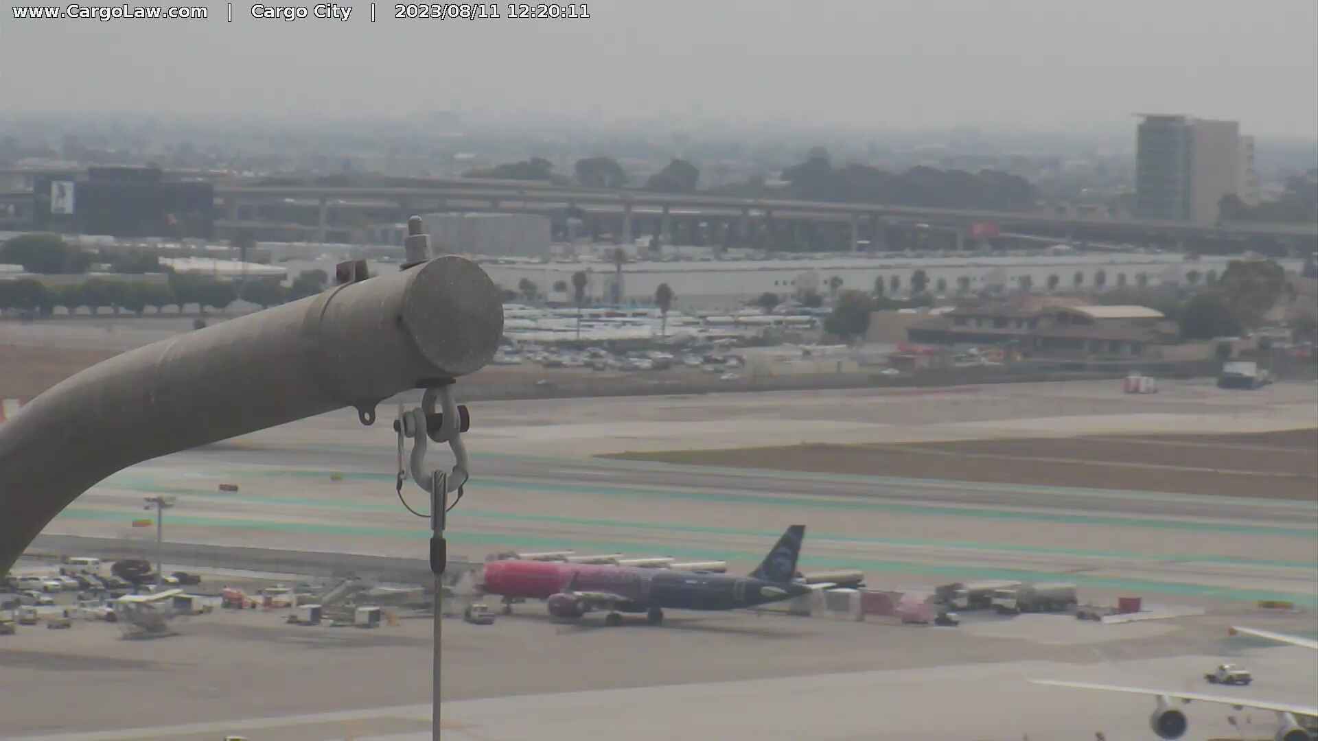
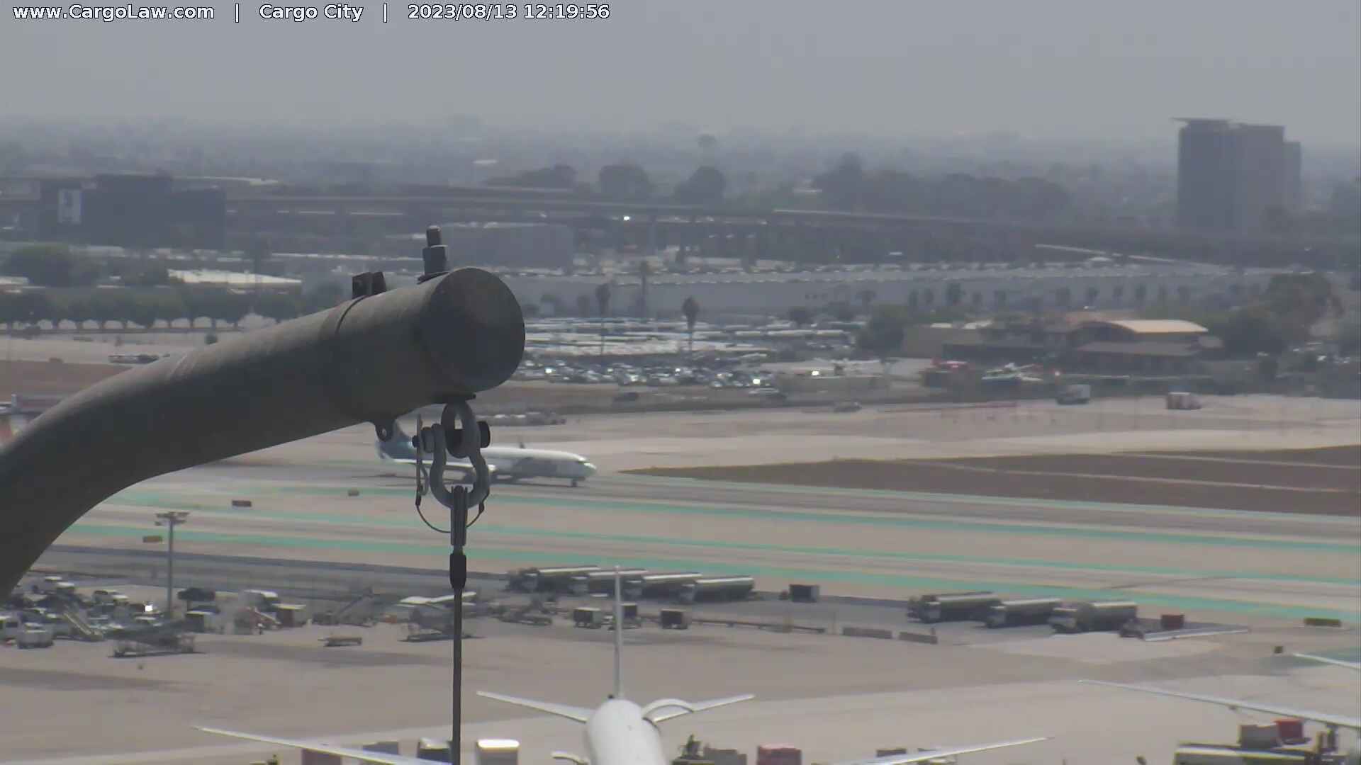
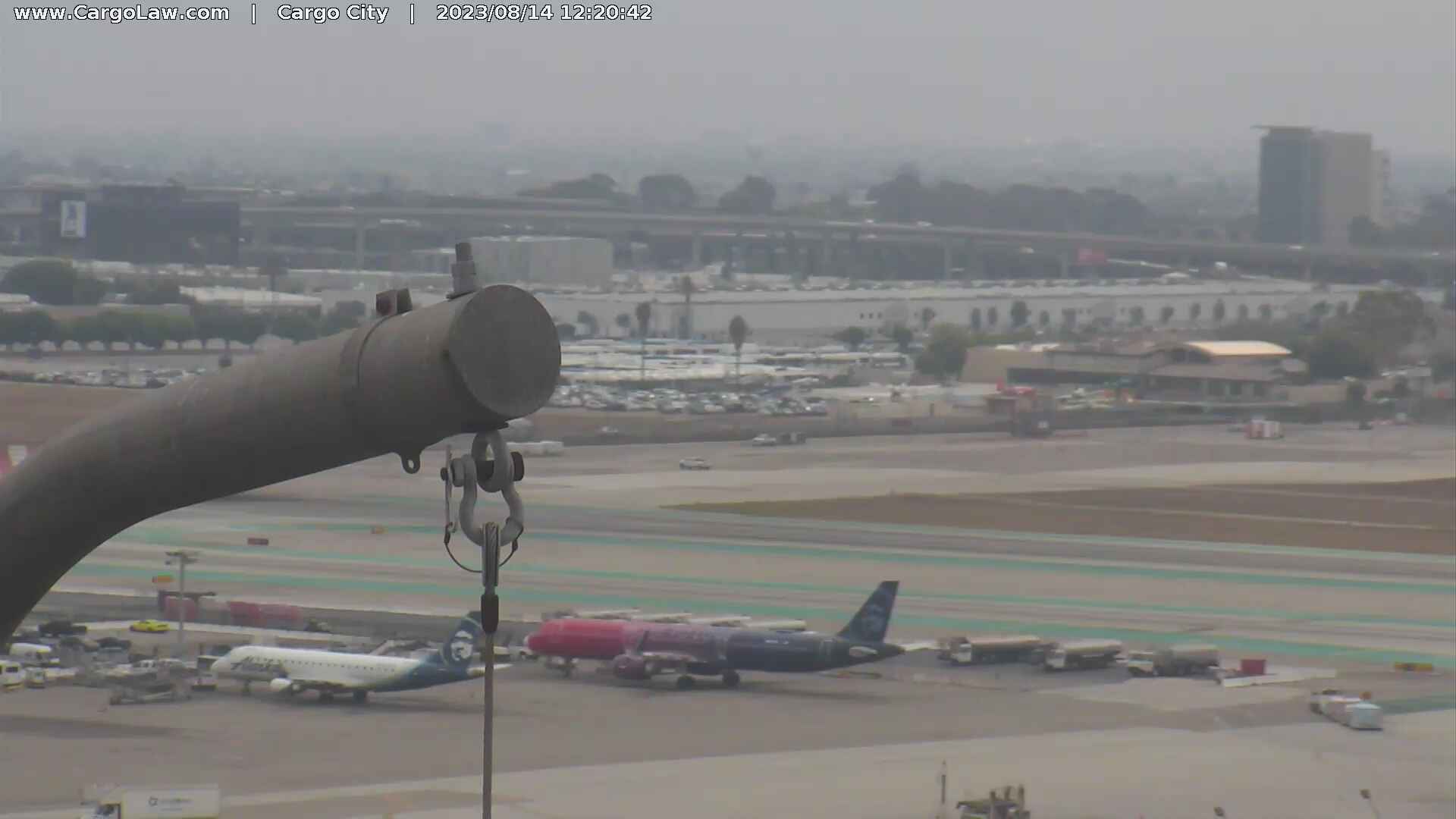
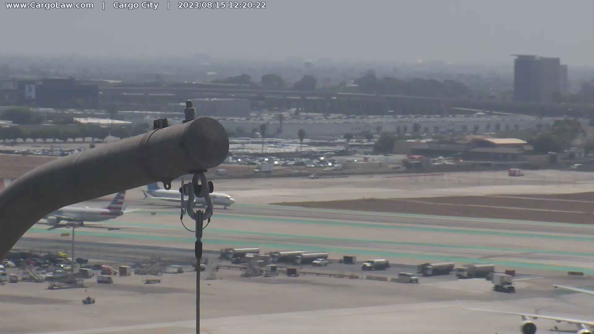
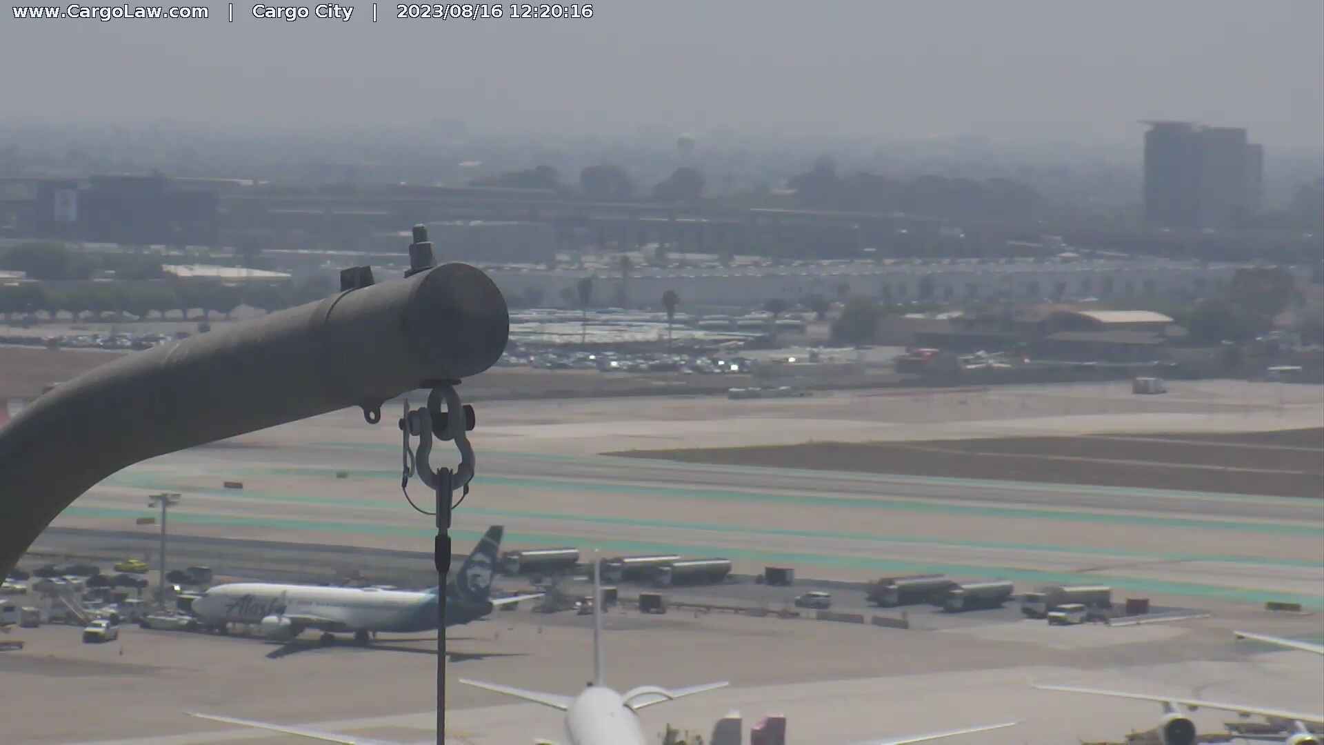
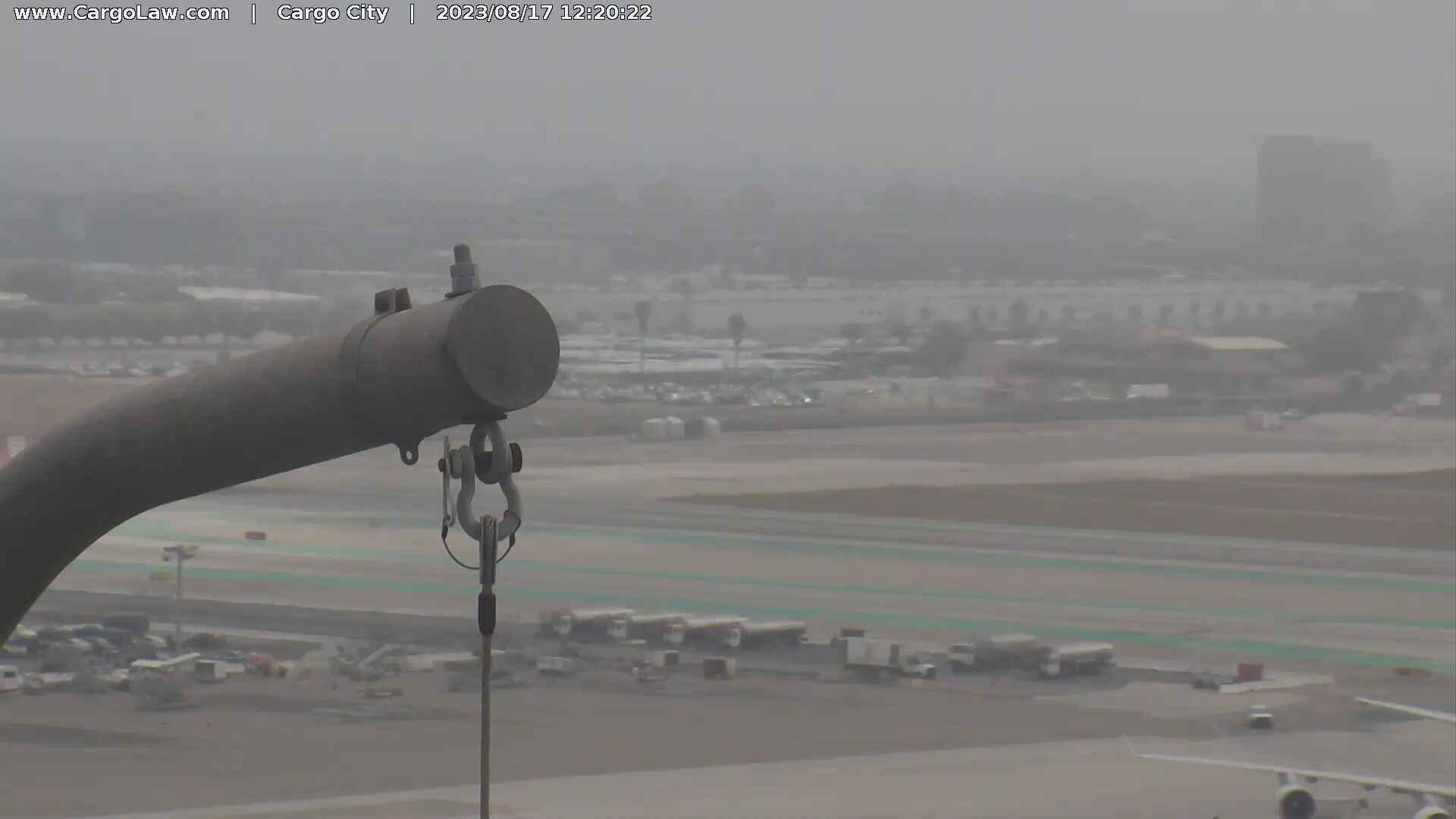
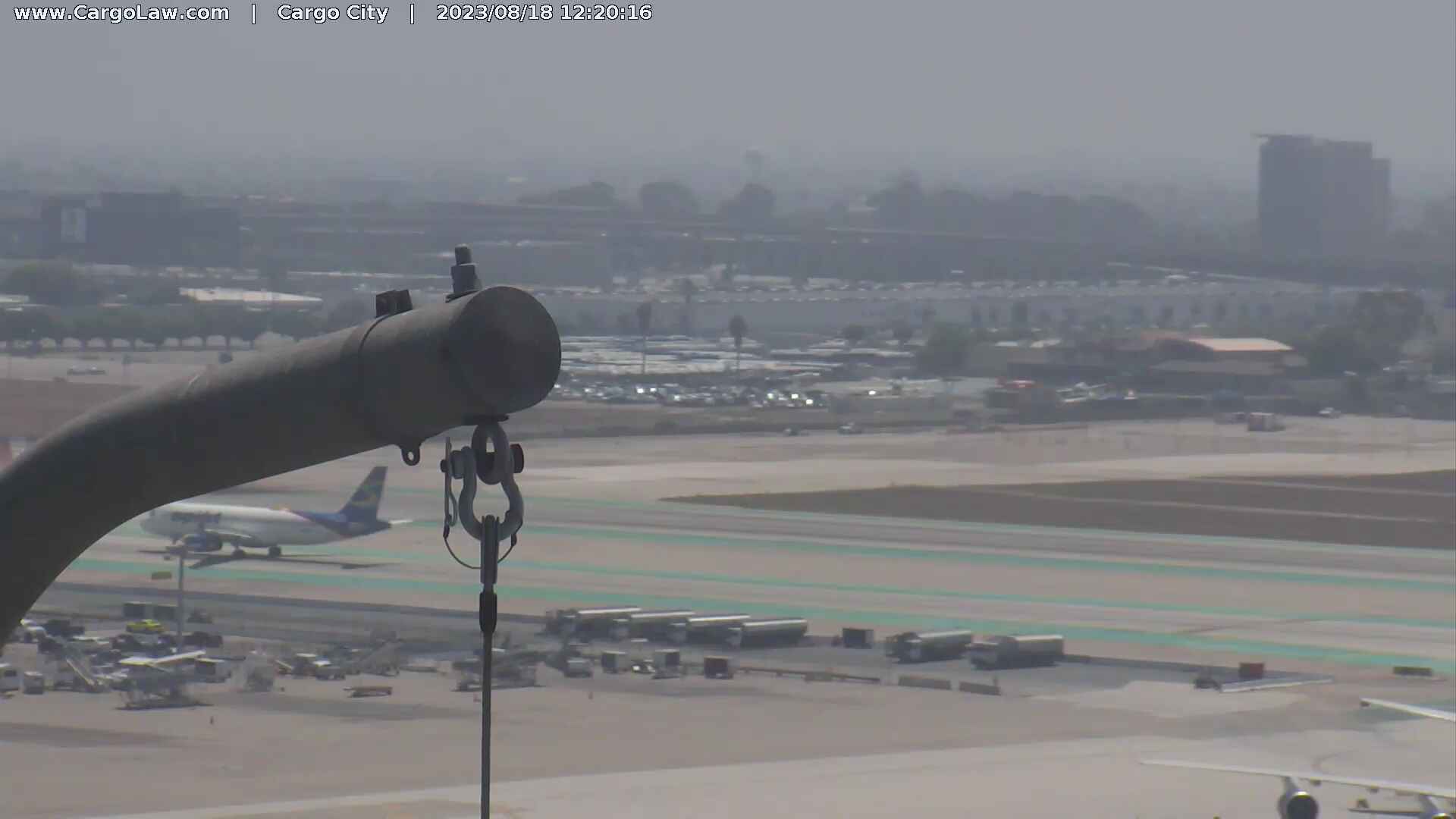
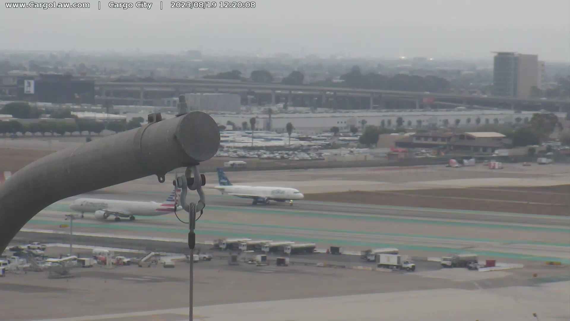
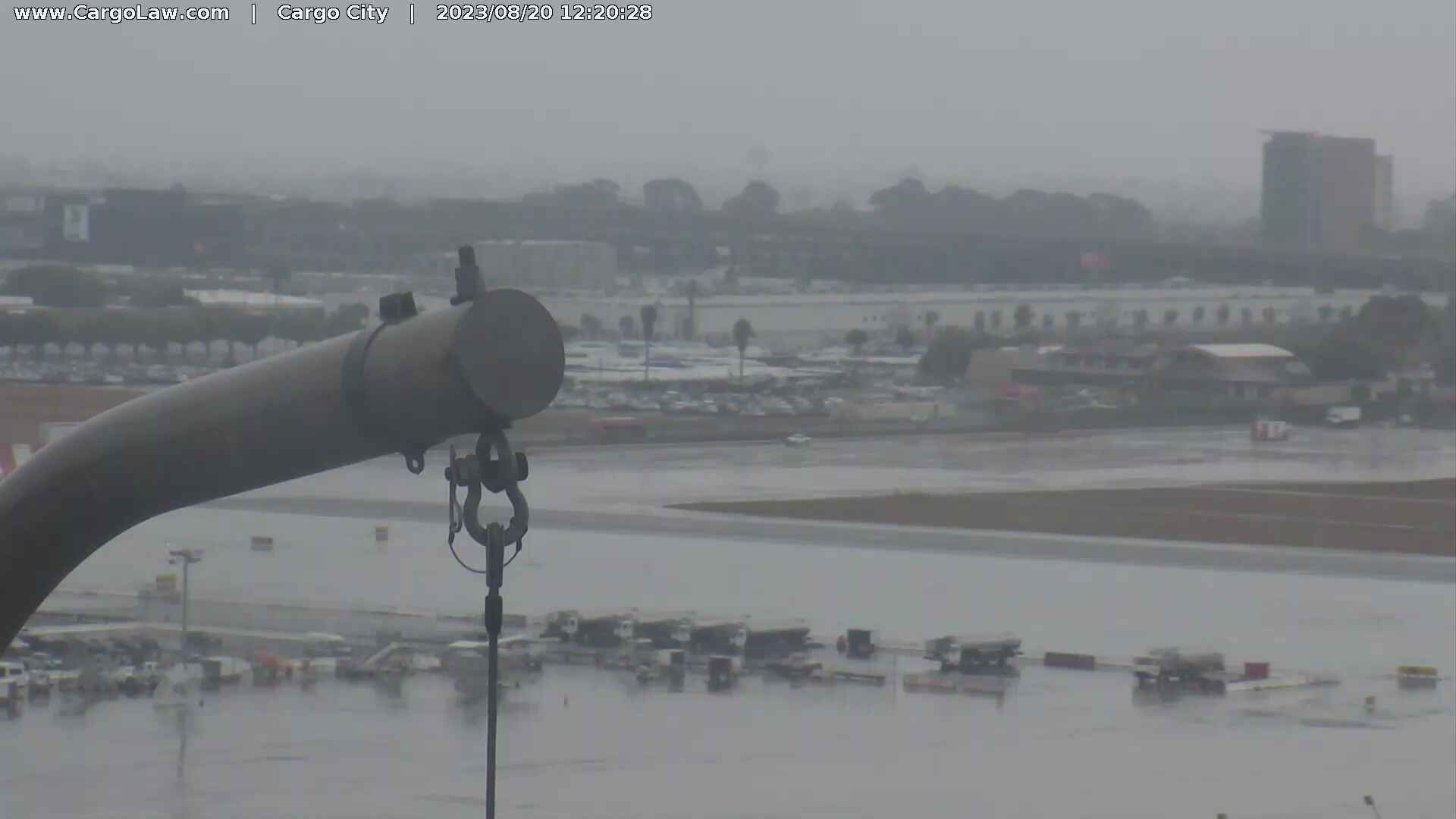
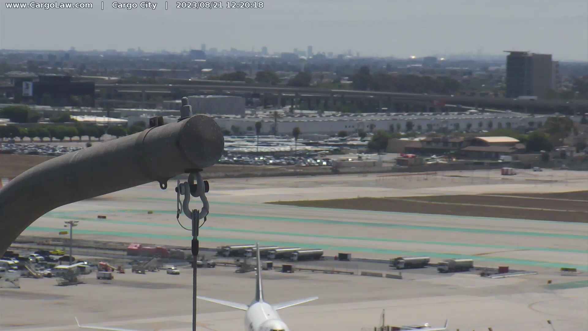
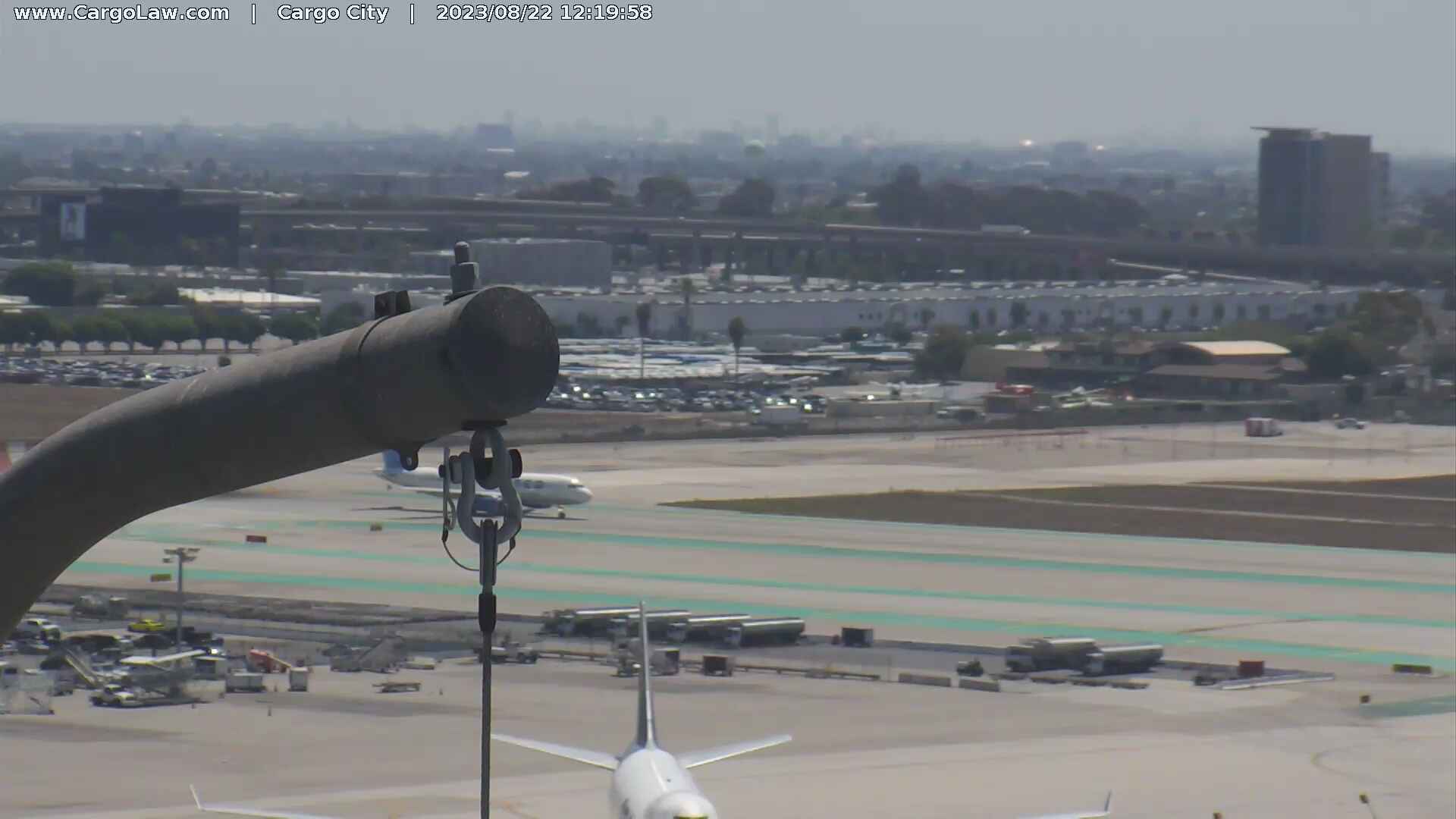
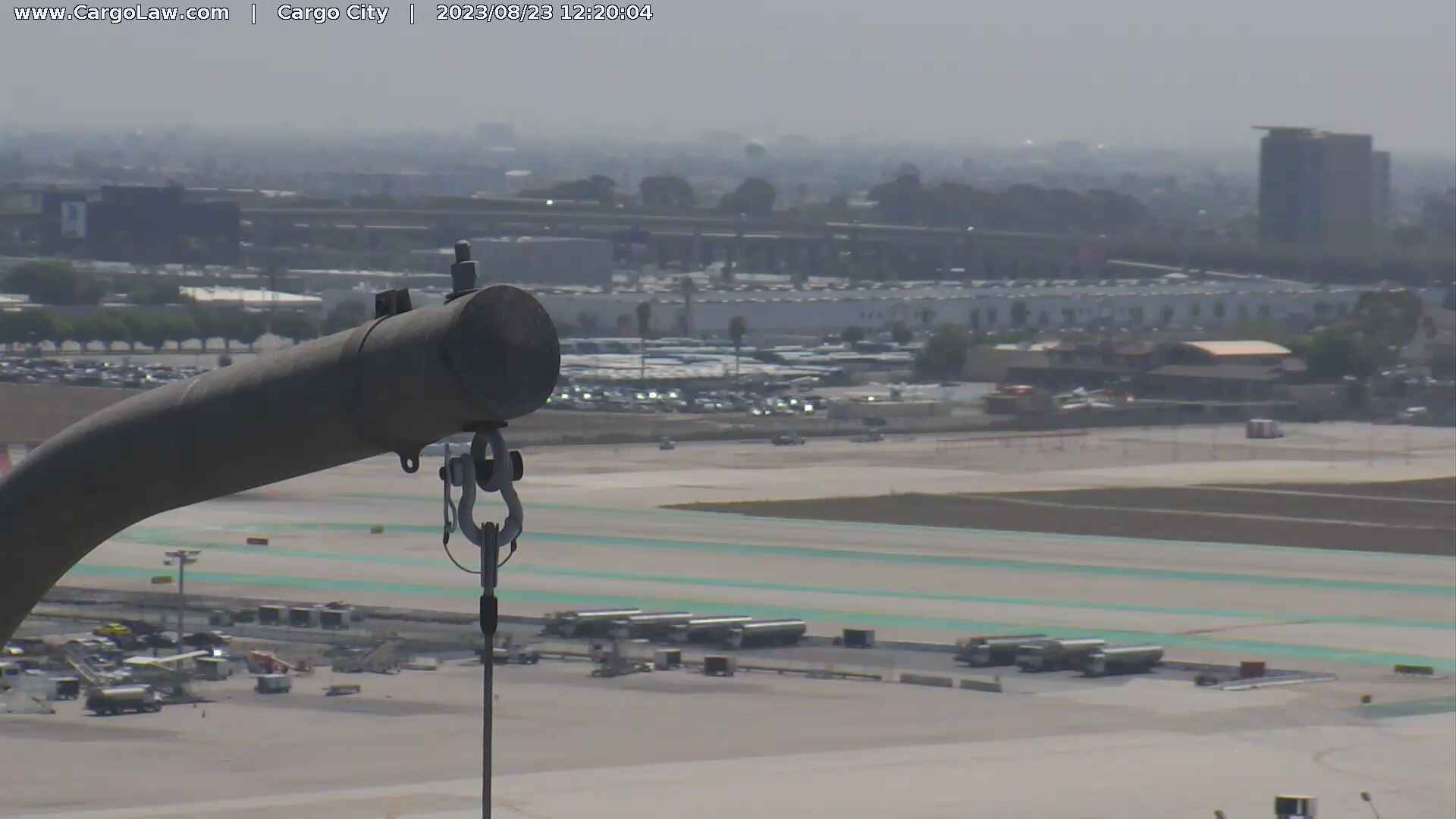
Los Angeles, California, USA - 20 miles from Azusa: HD-Stream LAX International Airport - A view over the apron of the Los Angeles International Airport.
Operator: Countryman & McDaniel Law Offices
Operator: Countryman & McDaniel Law Offices


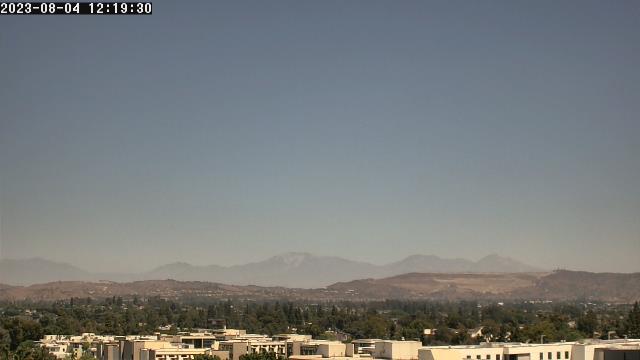
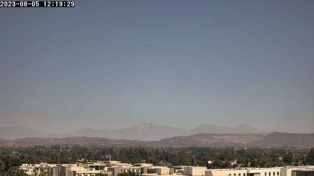
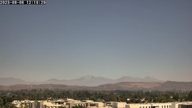
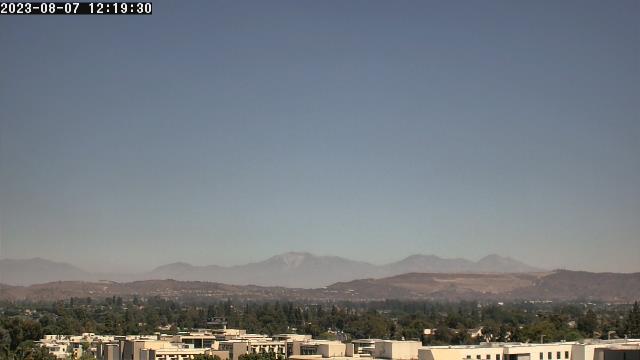
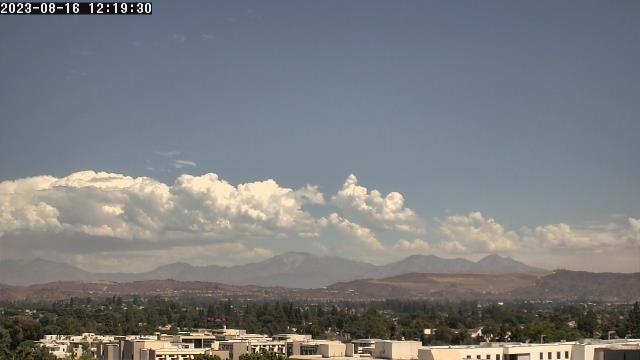
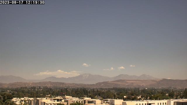
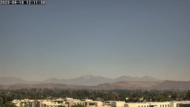
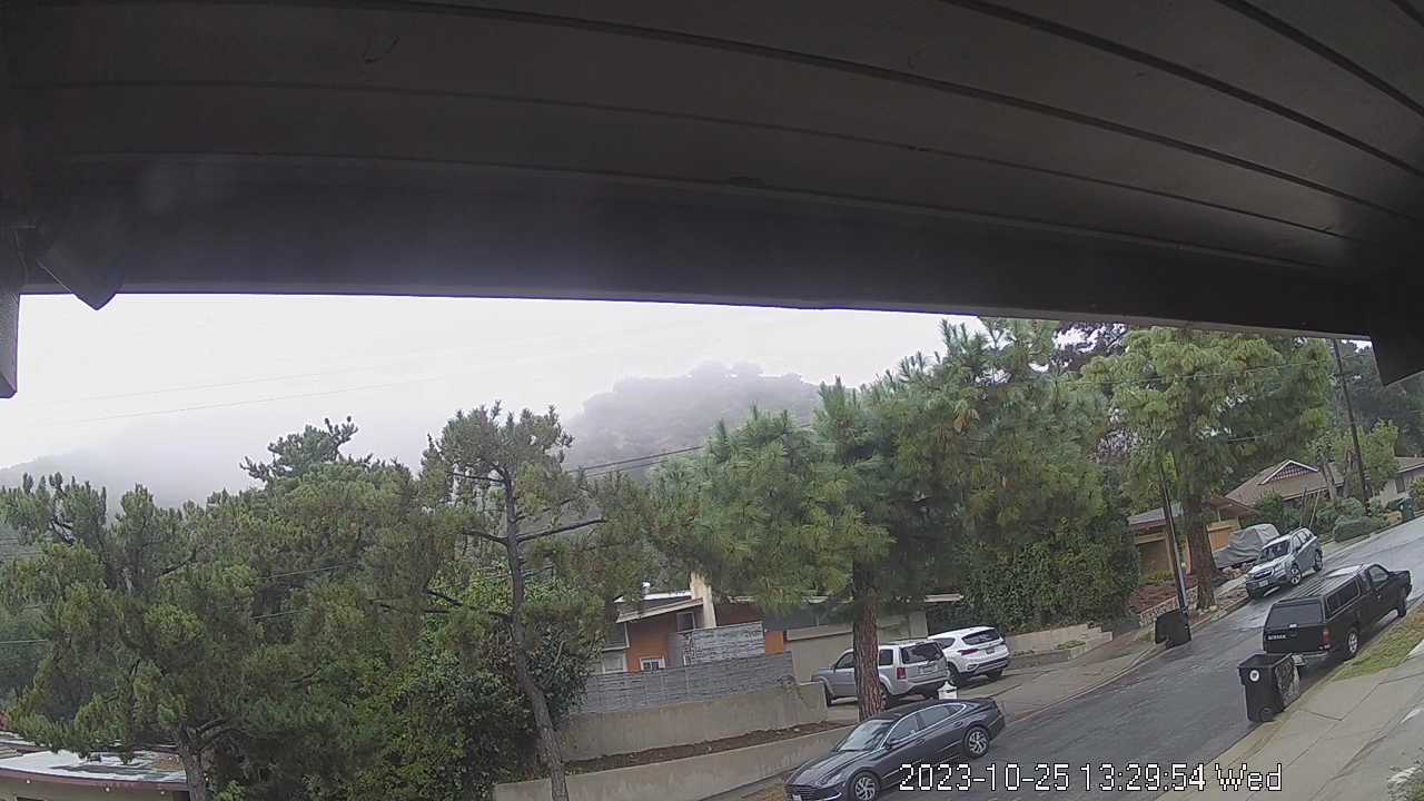
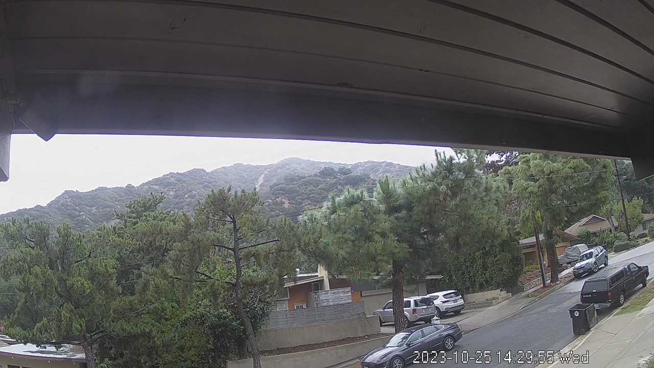
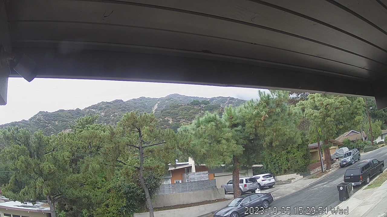
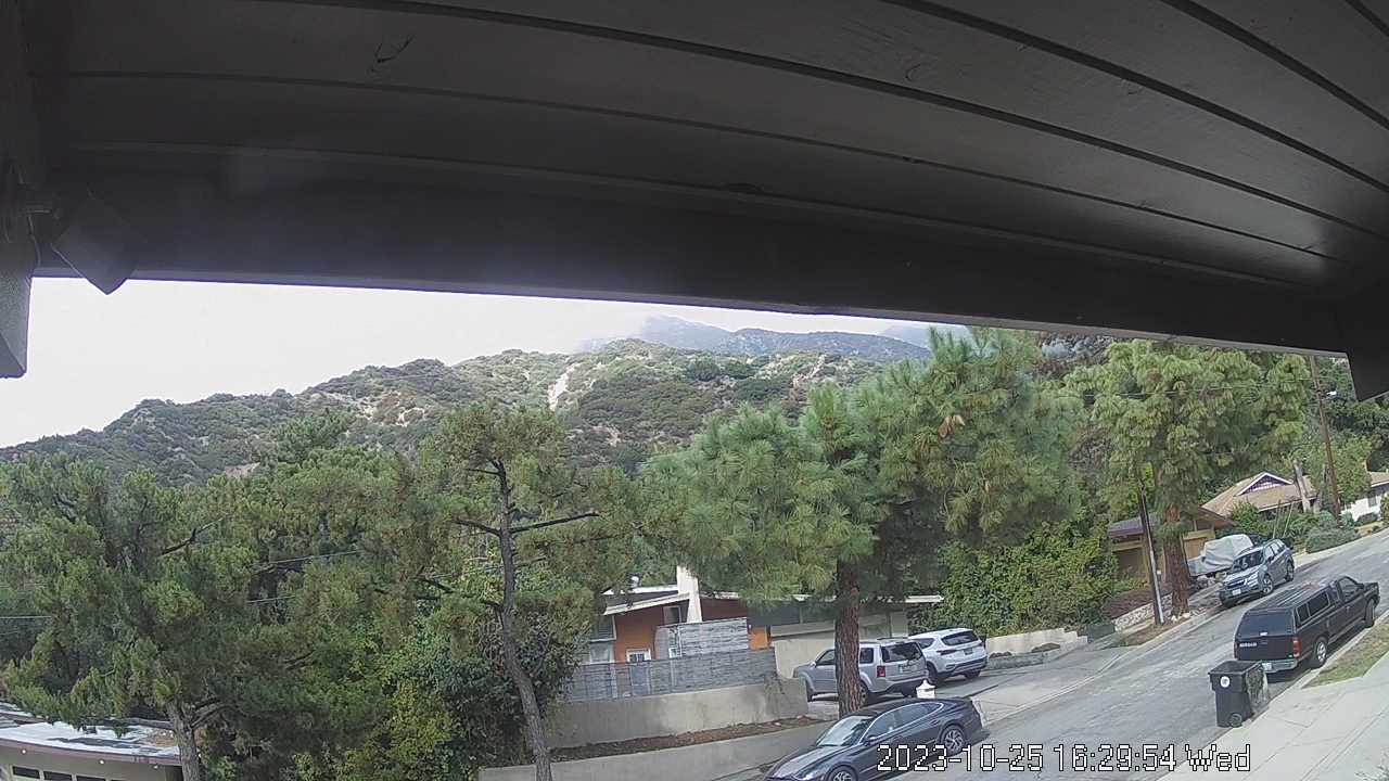
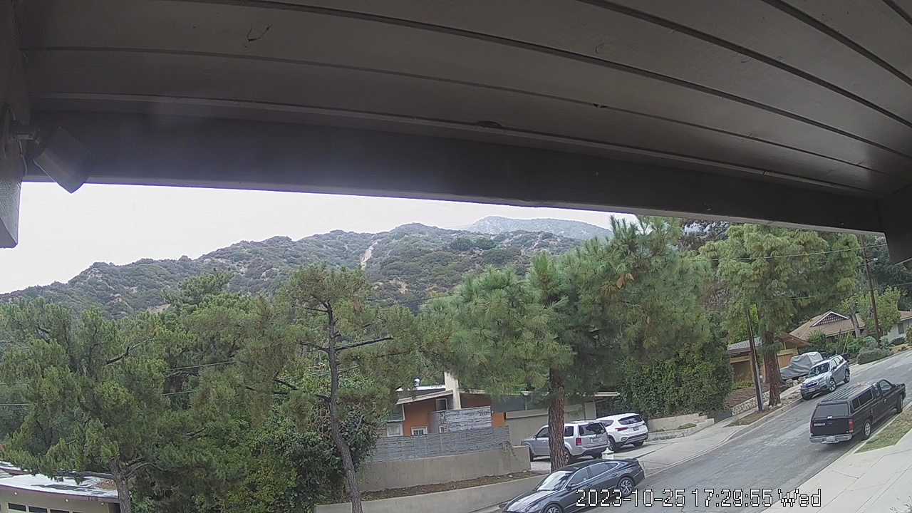
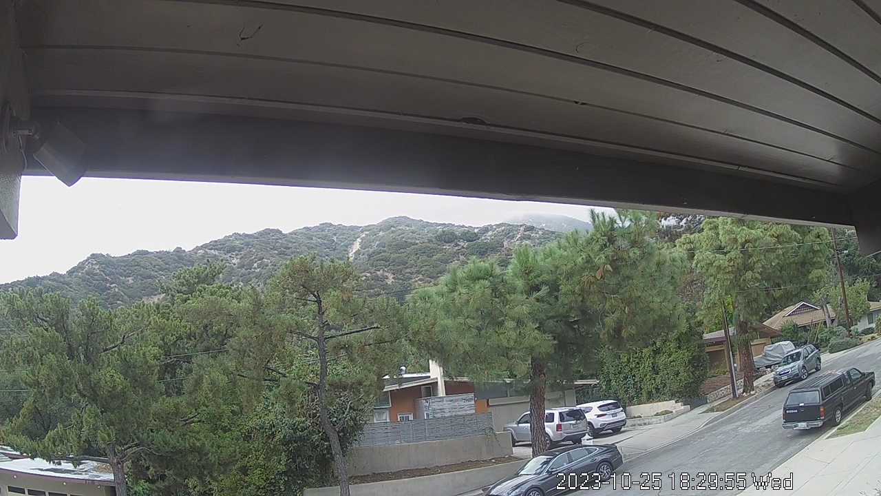
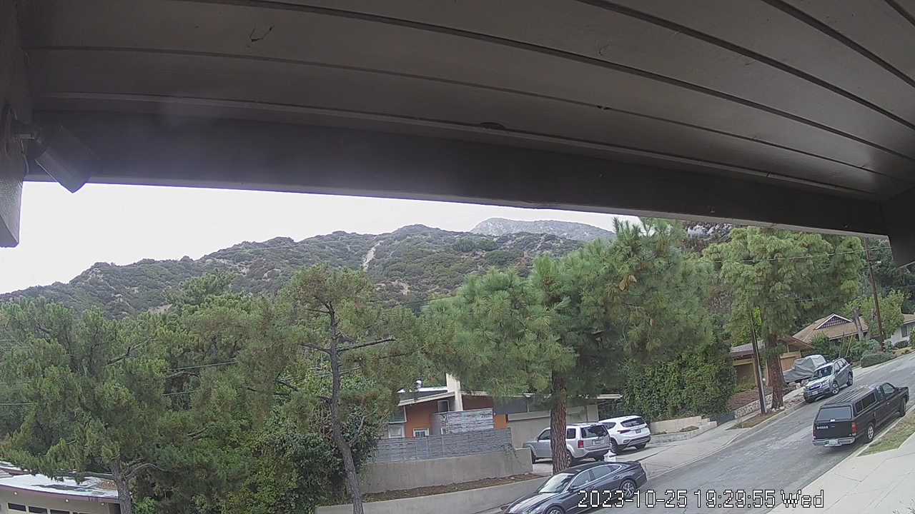
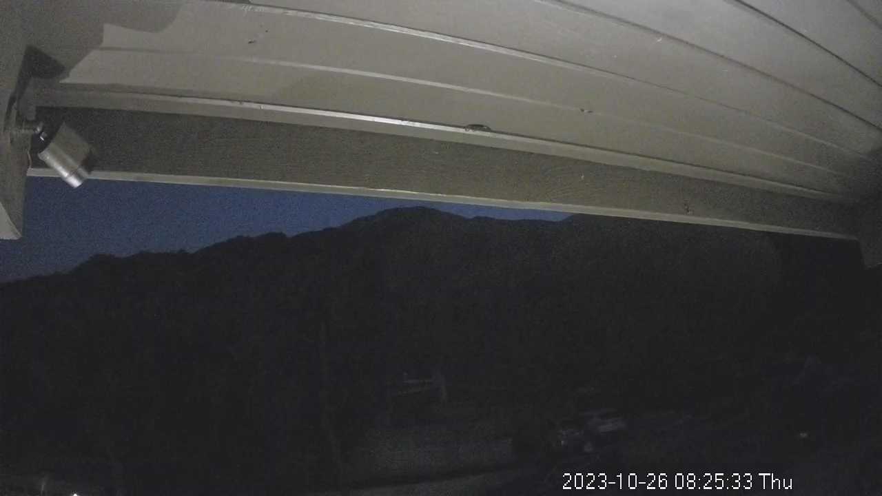
La Crescenta, California, USA - 20 miles from Azusa: San Gabriel Mountains - Looking North towards the San Gabriel Mountains from the operator's backyard.
Operator: chuckvideo.com
Operator: chuckvideo.com


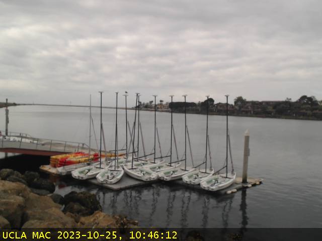
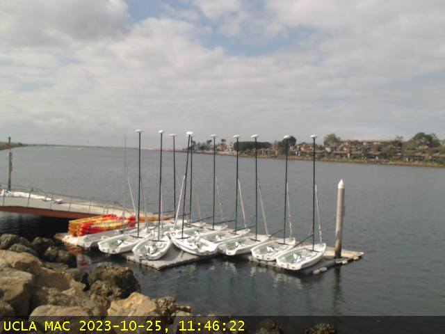
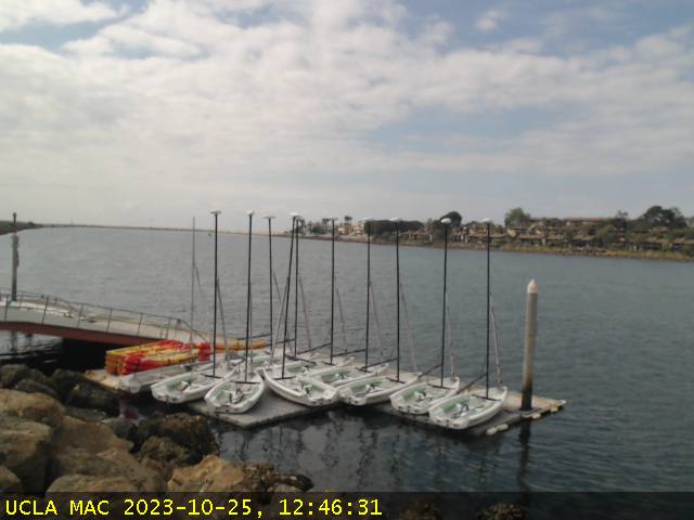
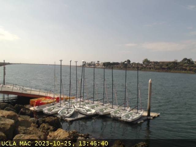
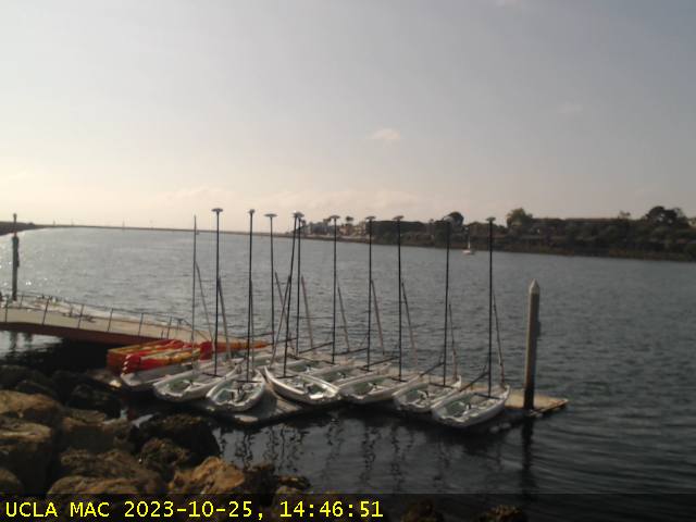
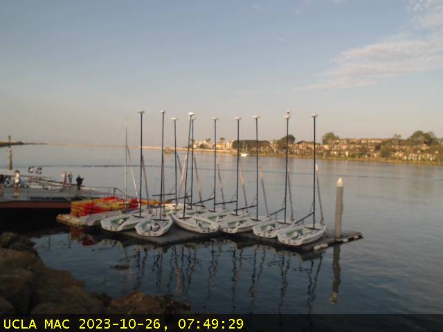
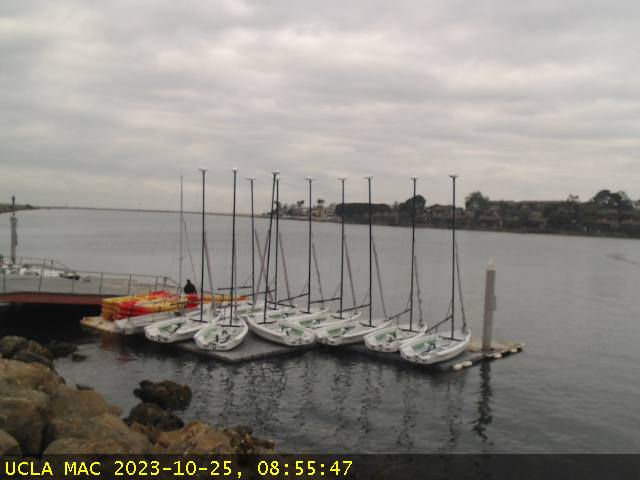
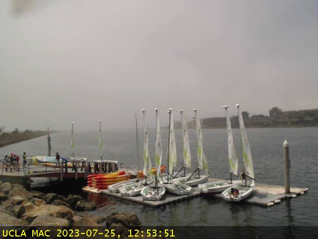
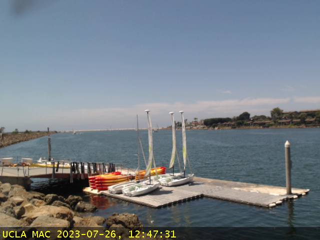
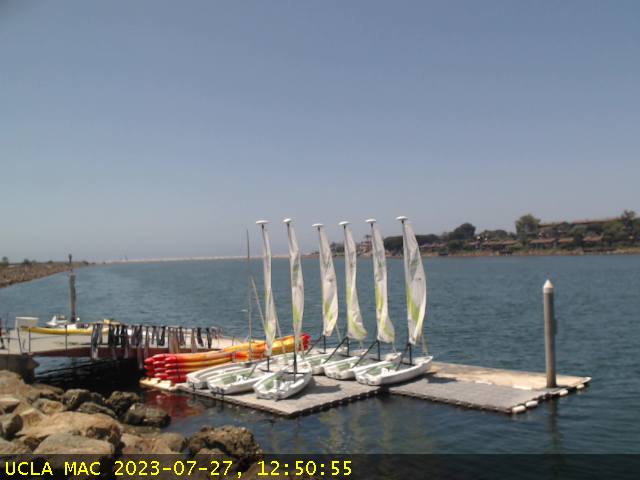
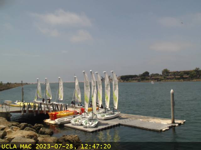
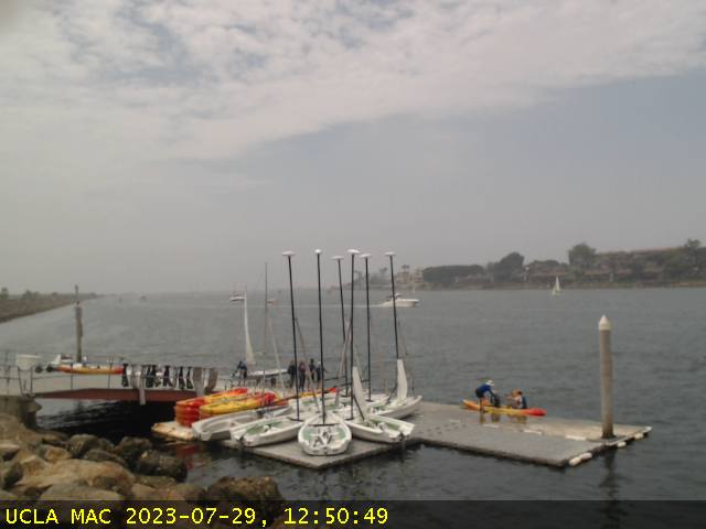
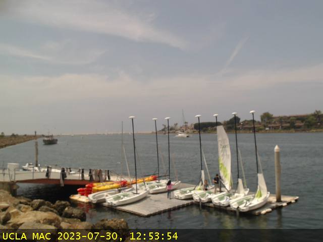
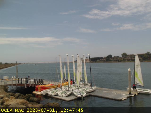
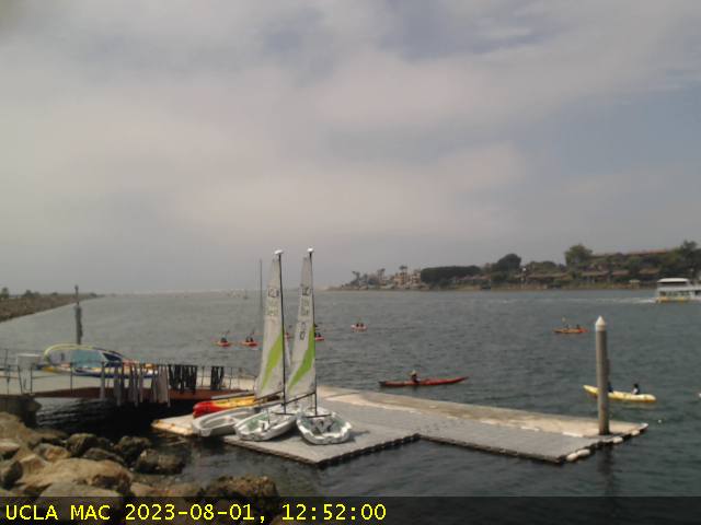
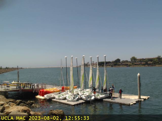
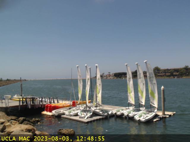
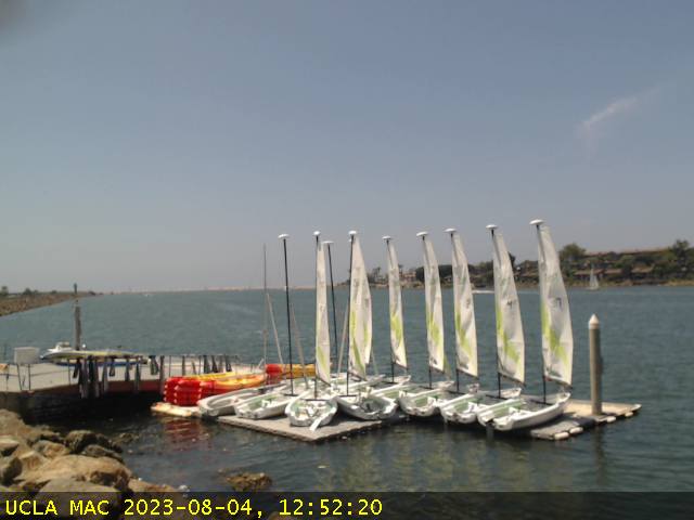
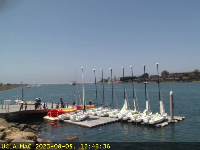
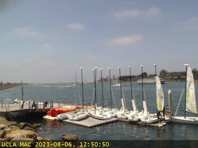
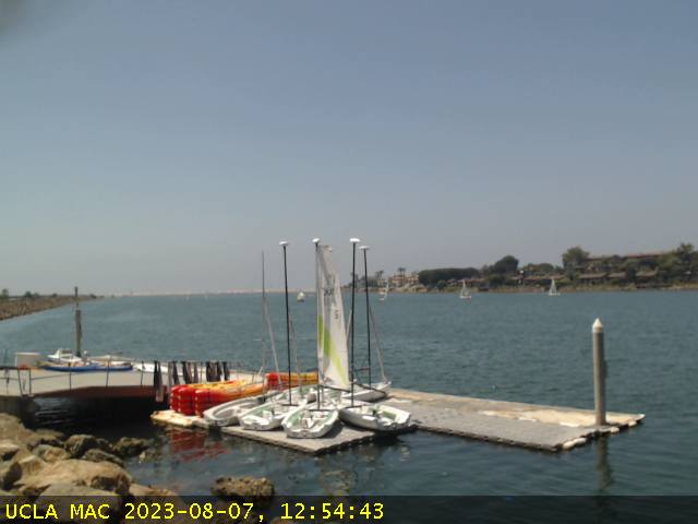
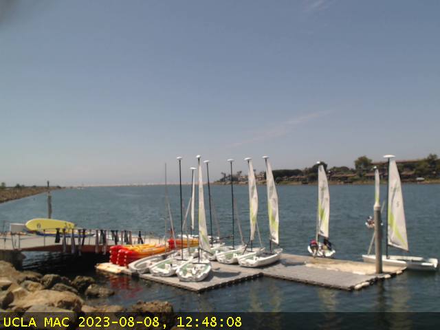
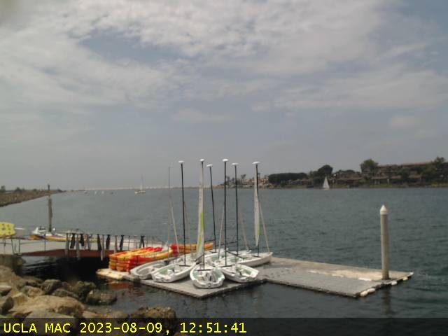
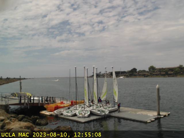
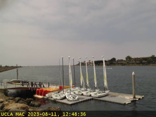
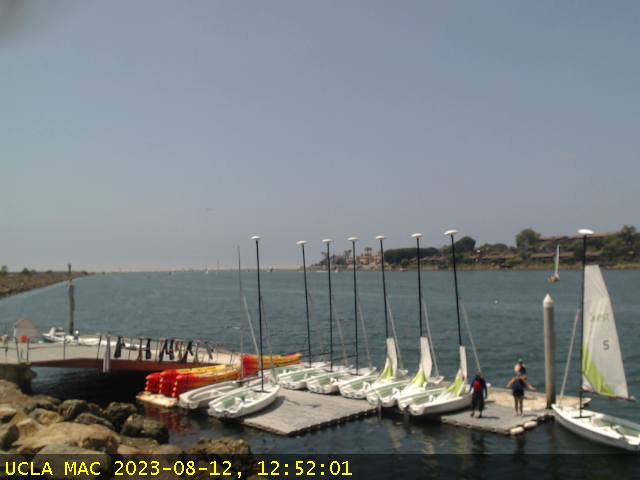
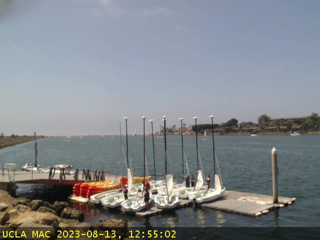
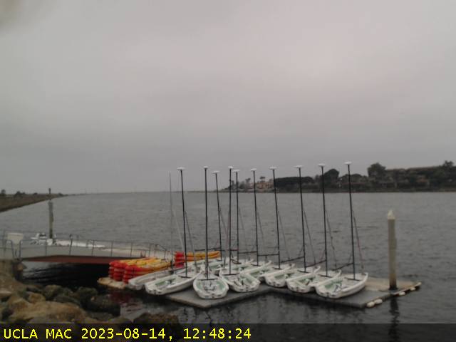
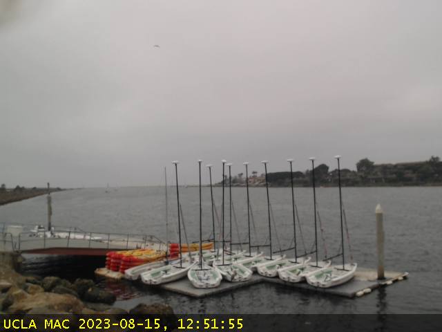
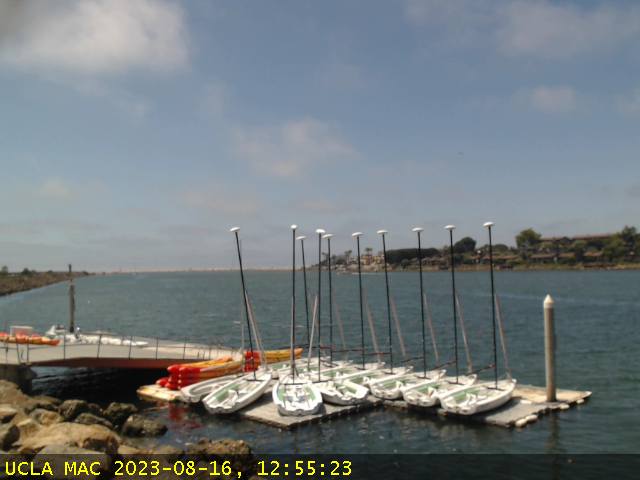
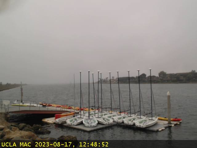
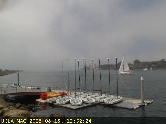
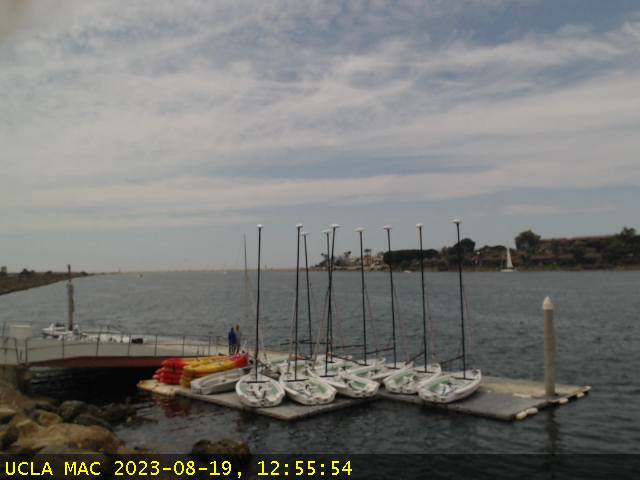
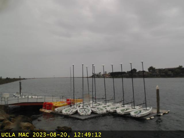
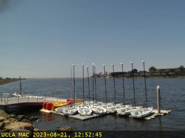
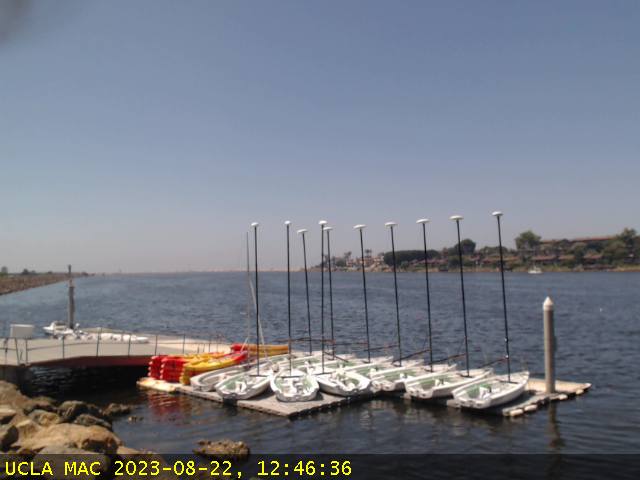
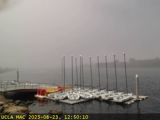
Marina del Rey, California, USA - 32.9 miles from Azusa: Marina Aquatic Center - A view of the doch area and the port entrance channel in Marina del Rey from the Marina Aquatic Center.
Operator: Marina Aquatic Center
Operator: Marina Aquatic Center


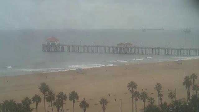
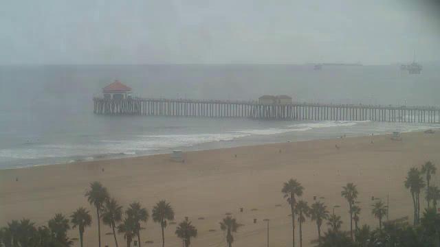
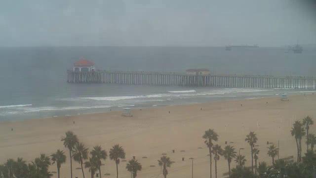
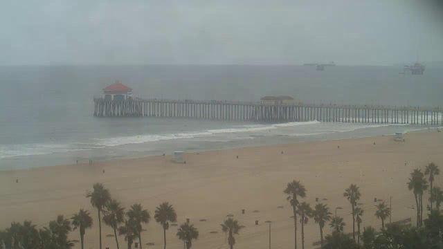
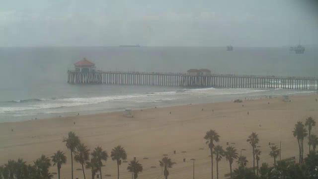
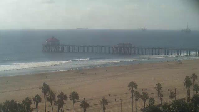
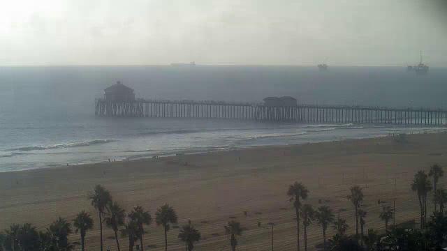
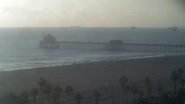
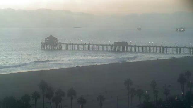
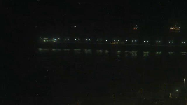
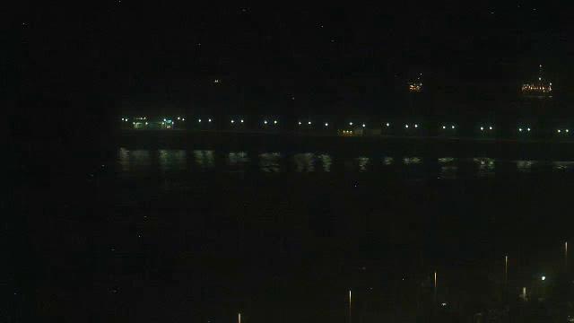
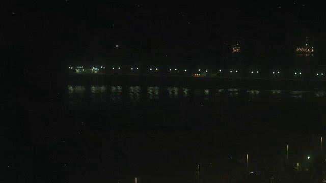
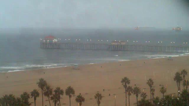
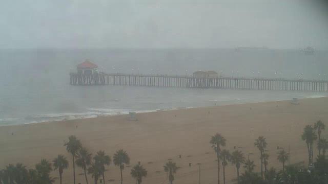
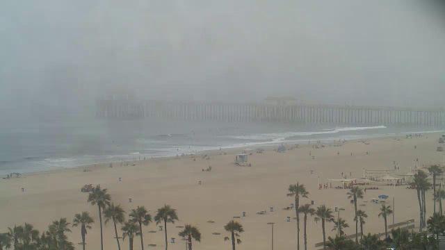
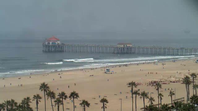
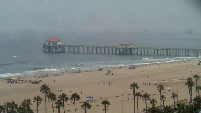
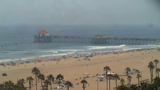
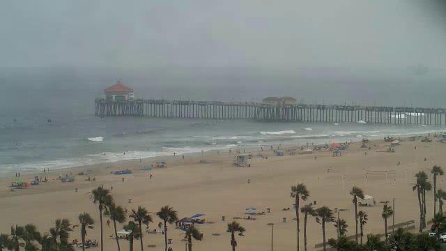
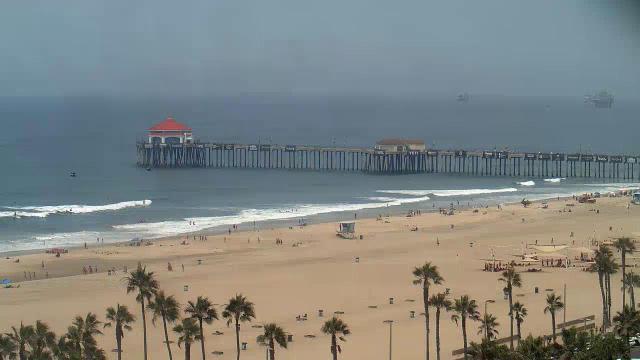
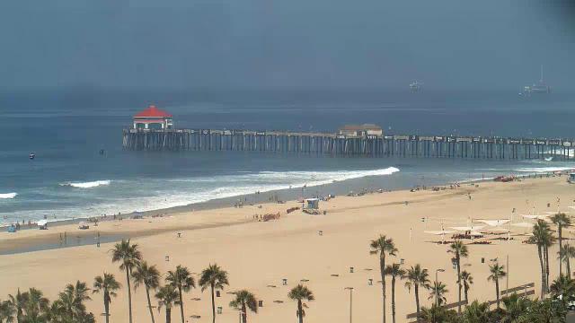
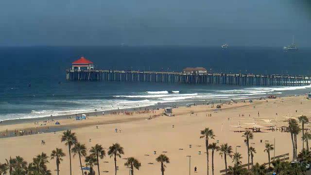
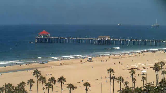
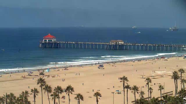
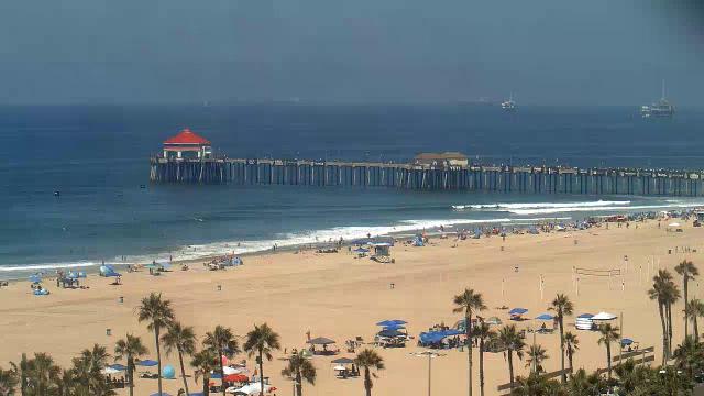
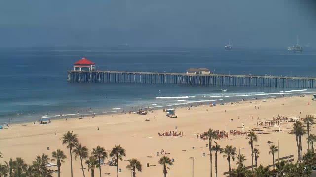
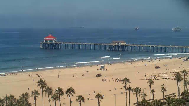
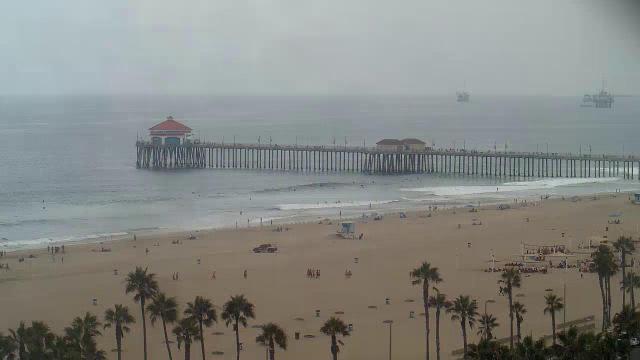
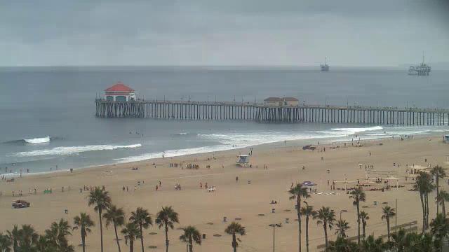
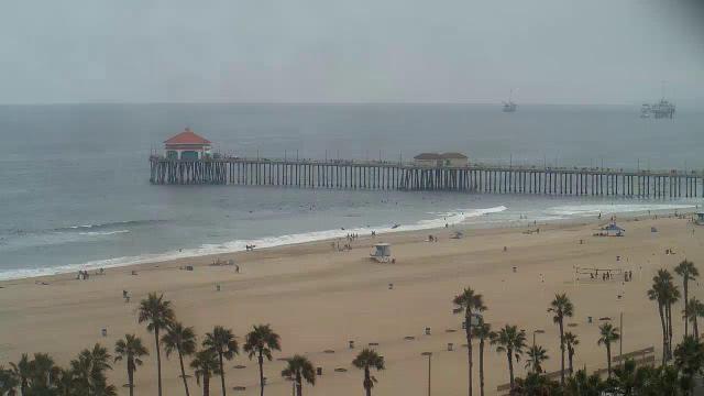
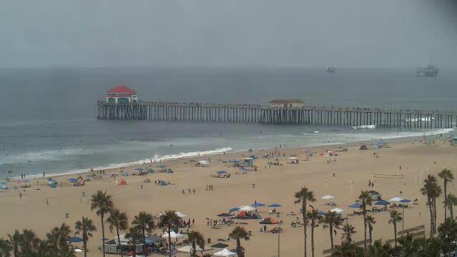
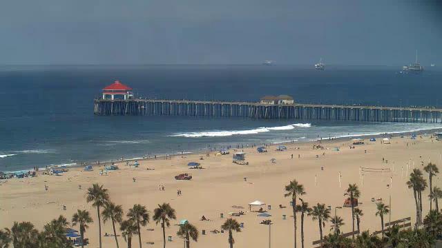
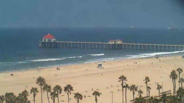
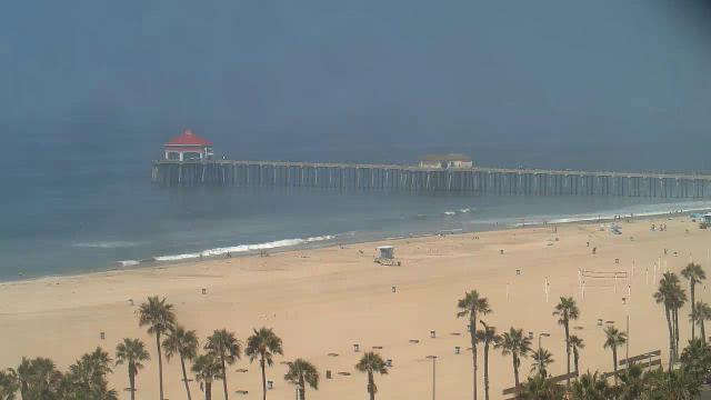
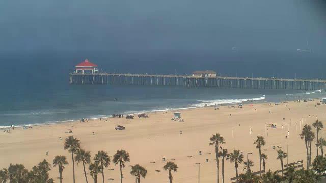
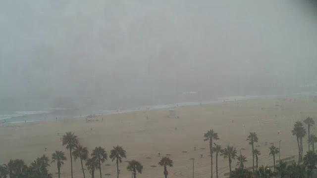
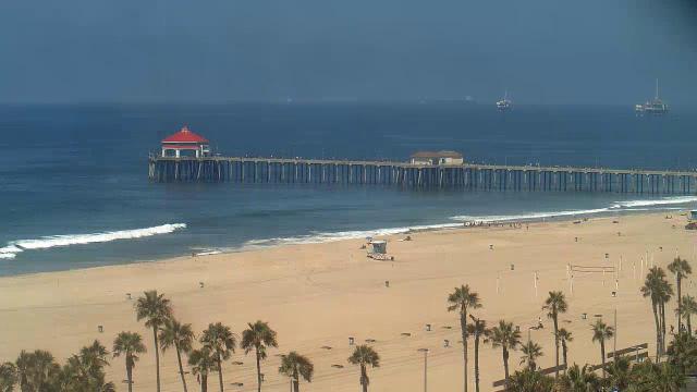
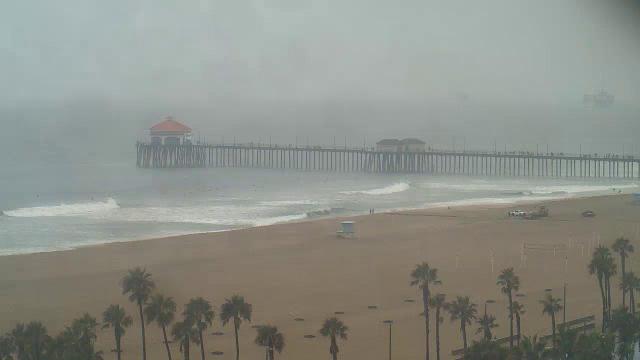
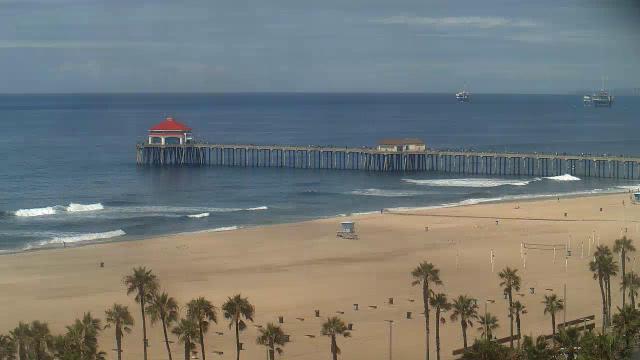
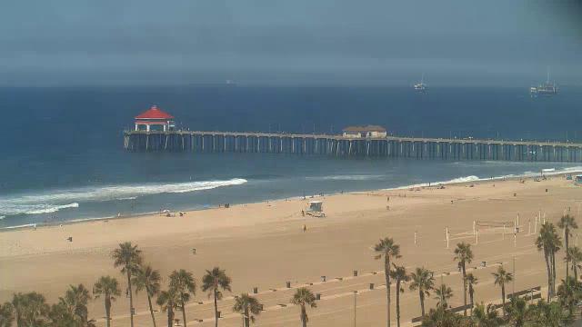
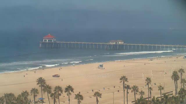
Huntington Beach, California, USA - 33 miles from Azusa: Huntington Beach Pier
Operator: HDOnTap
Operator: HDOnTap


Hermosa Beach, California, USA - 33.5 miles from Azusa: Hermosa Beach Pier - A view of the Hermosa Beach Pier, taken from Hennessey's Tavern, also as streaming video.
Operator: hermosawave.net
Operator: hermosawave.net

Hermosa Beach, California, USA - 33.5 miles from Azusa: Live Surf Camera - The Hermosa Beach Live Surf Camera has the world's best view of the historical Pier and surf.
Operator: SwellMagnet.com
Operator: SwellMagnet.com
Some other places in this country: Anaheim - Arcadia - Armona - Arvin - Bakersfield - Baldwin Park - Barstow - Bellflower - Beverly Hills - Big Bear Lake