Webcams in the region of Avocado Heights, California, USA
The List of Webcams near Avocado Heights, California, USA:

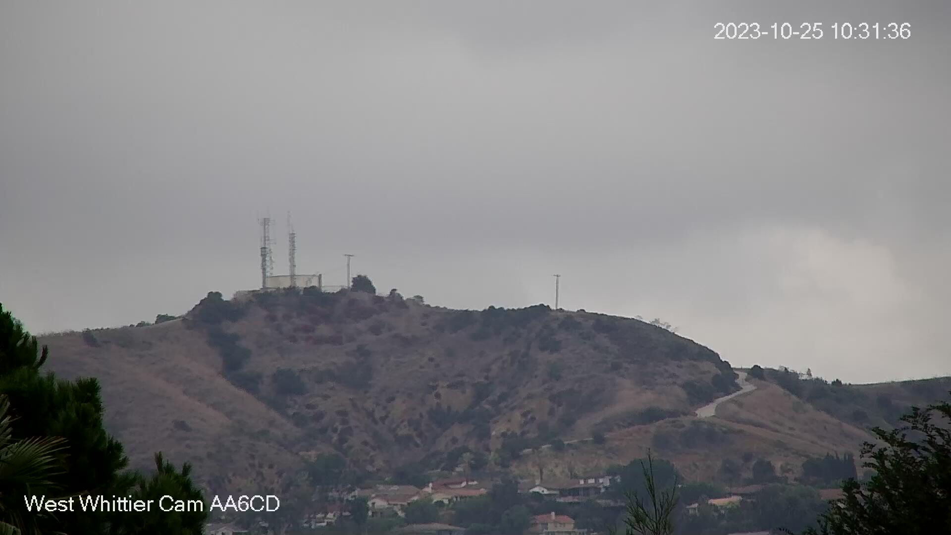
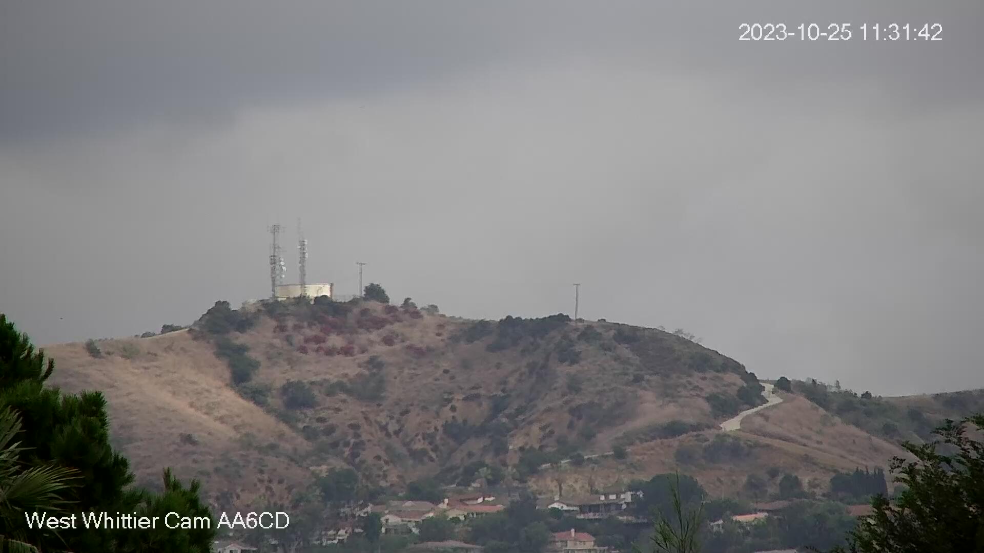
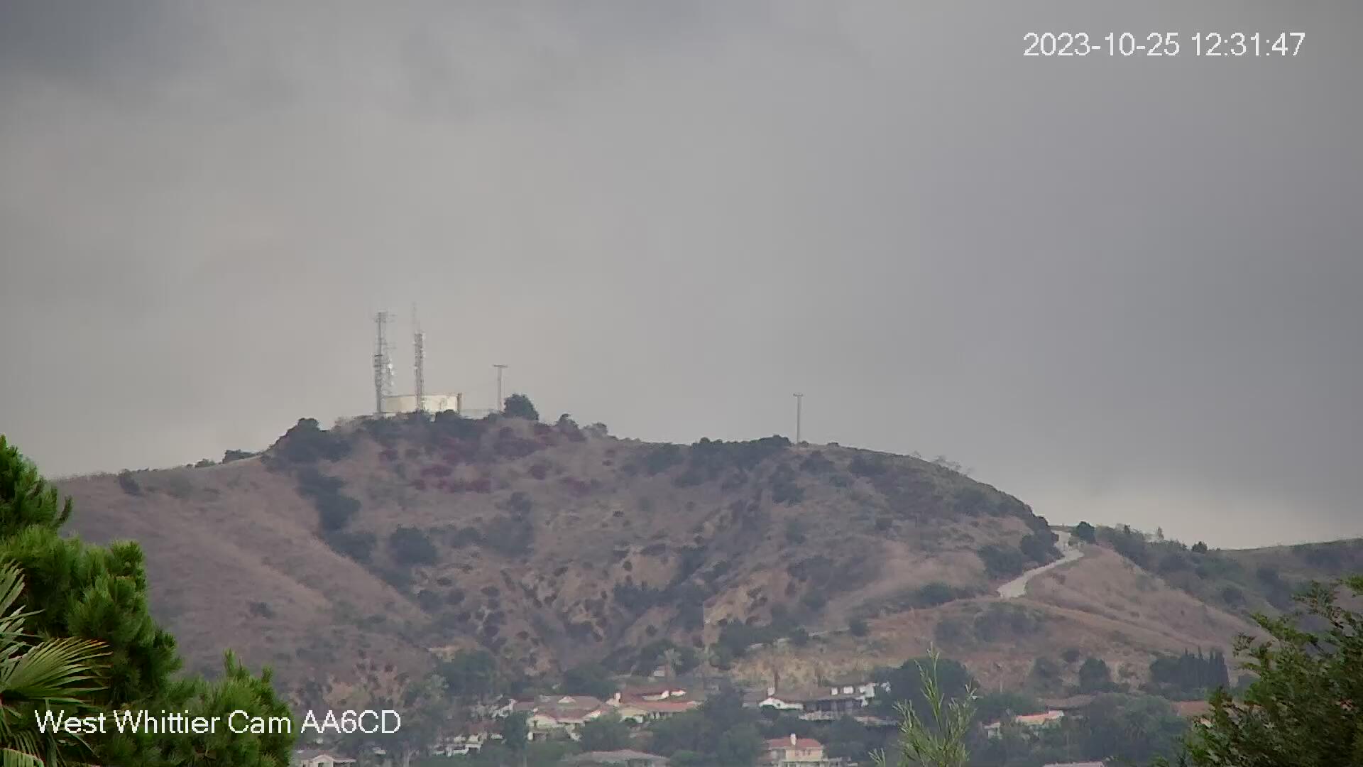
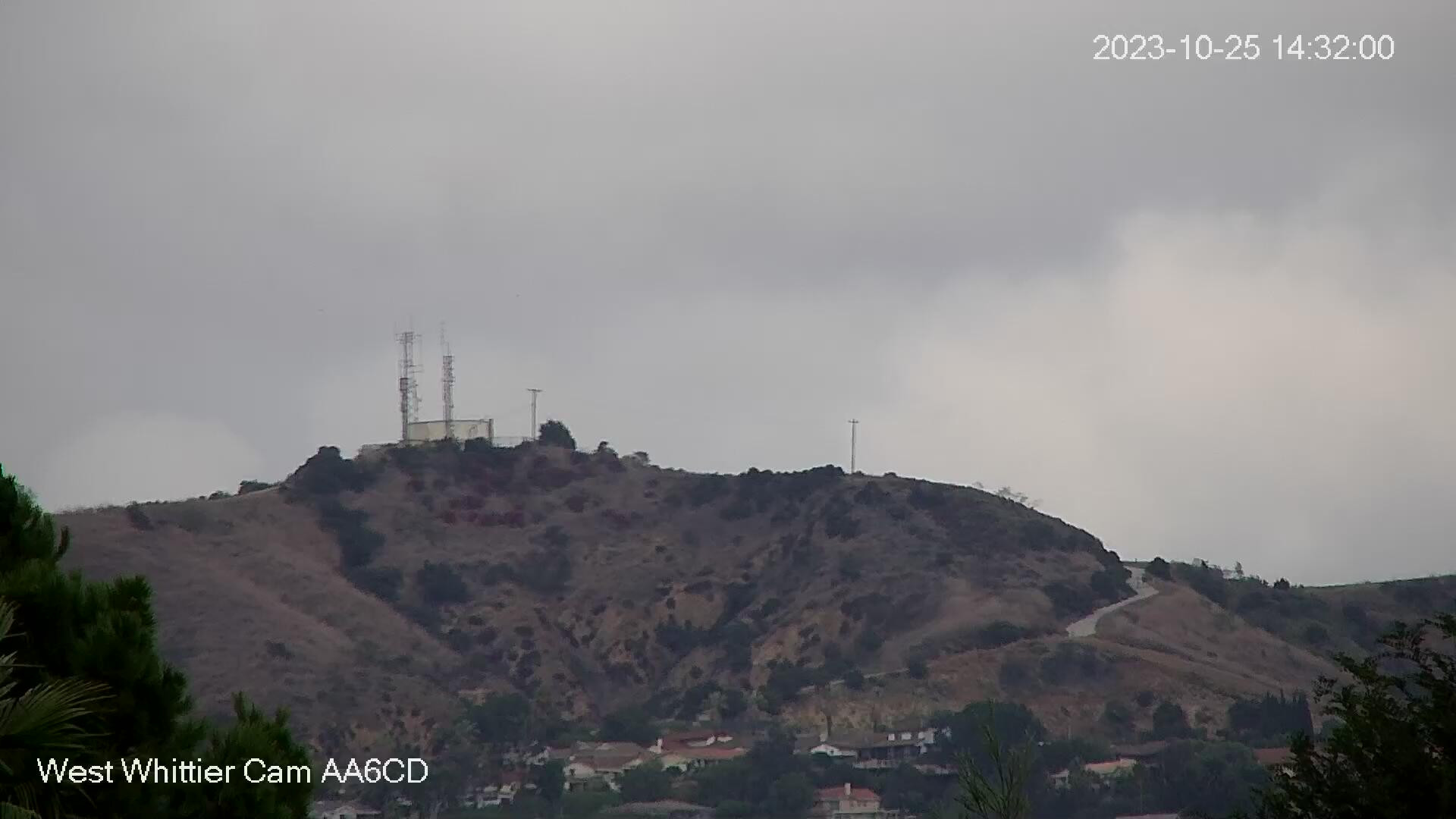
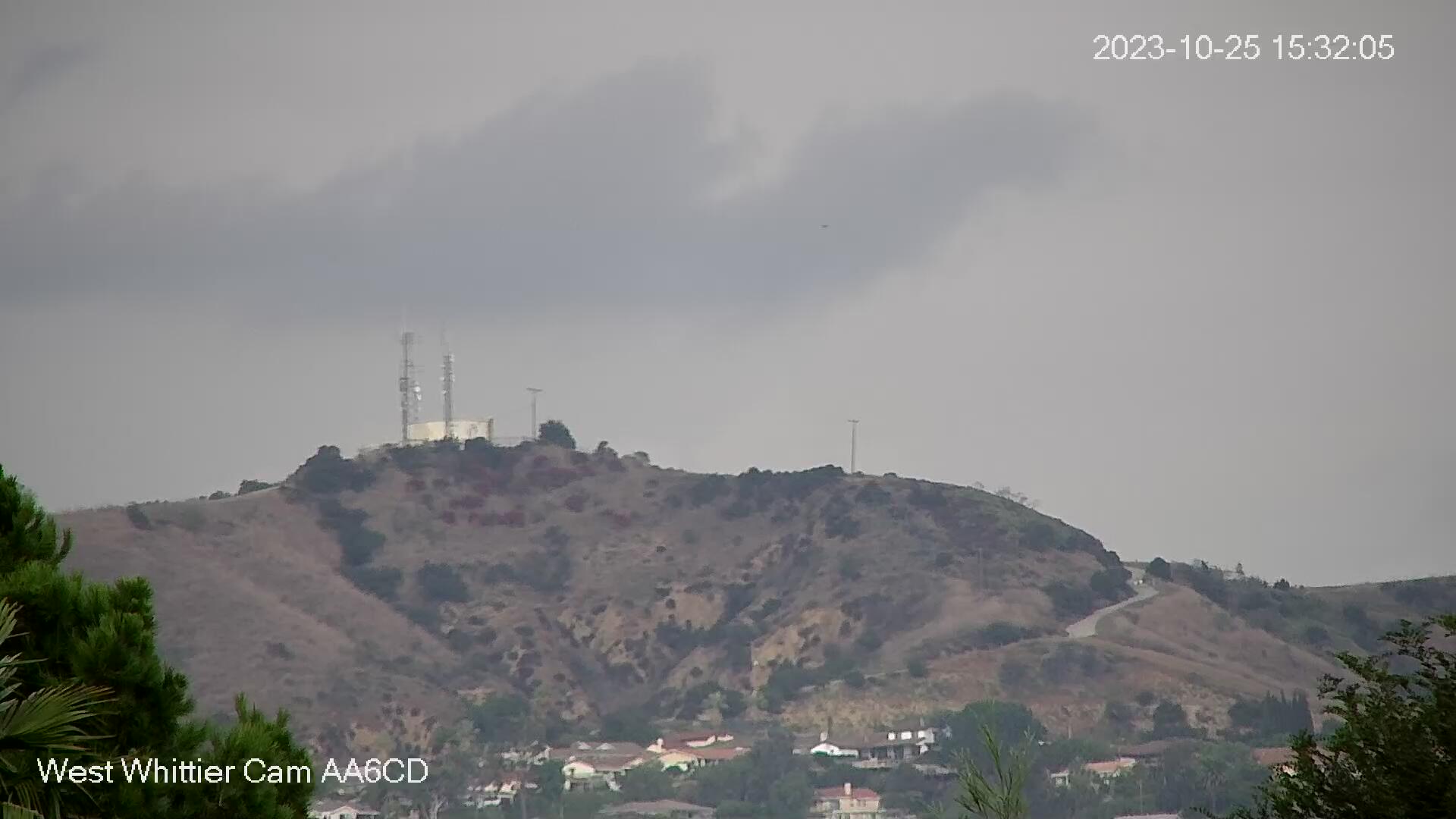
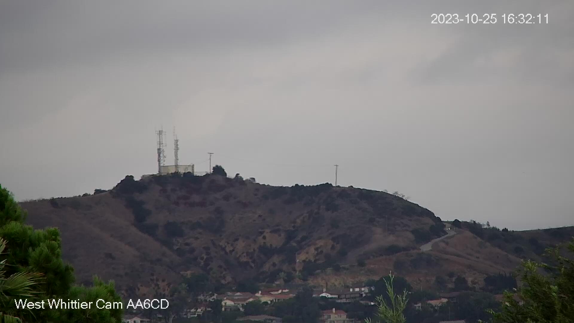
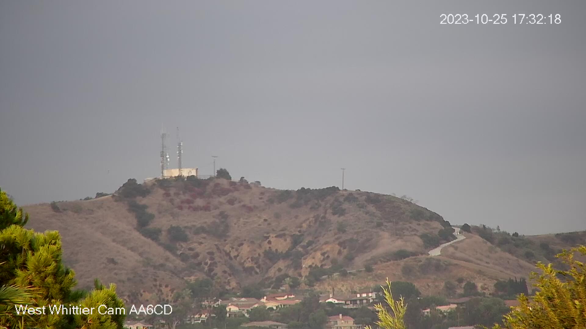
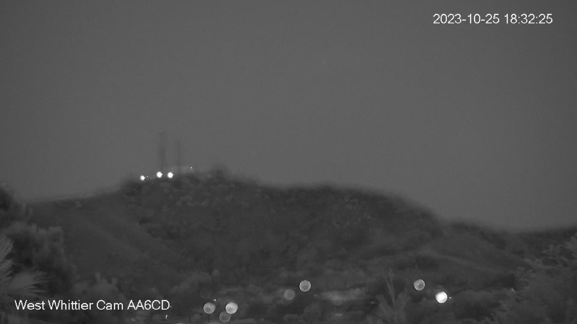
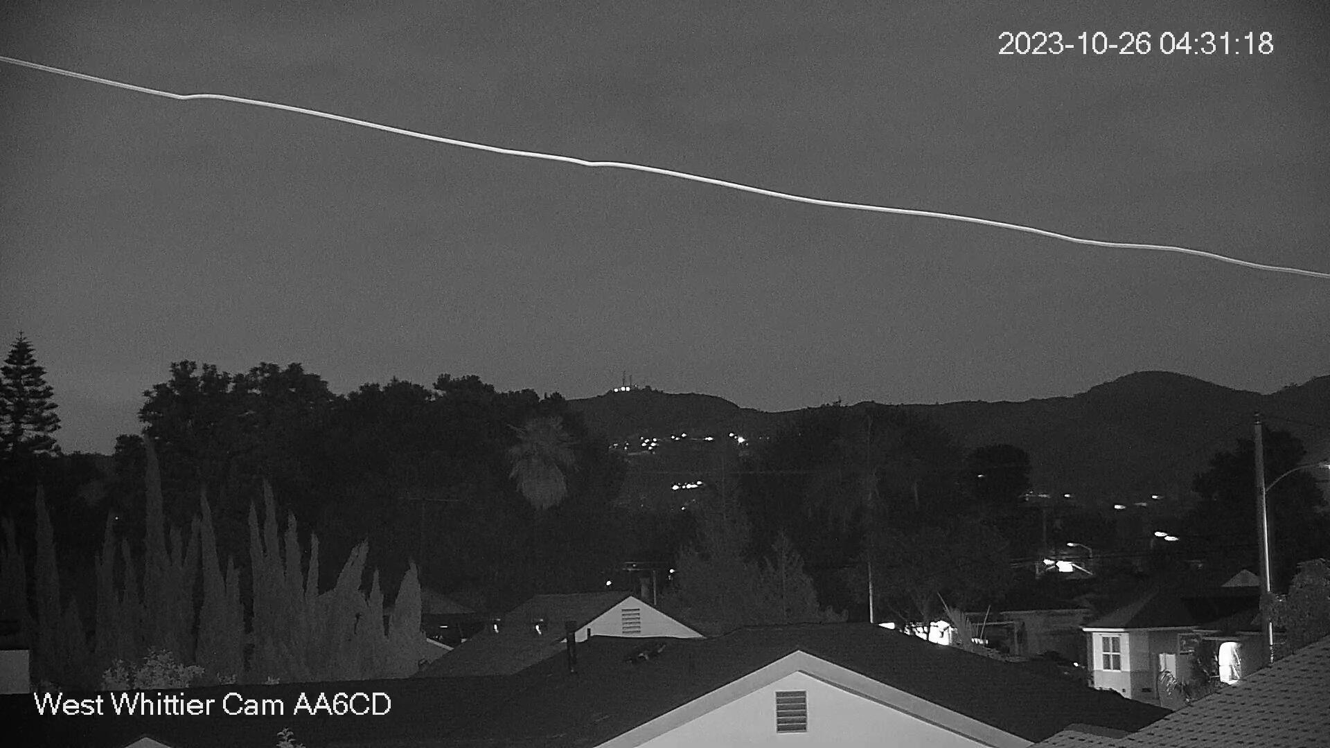
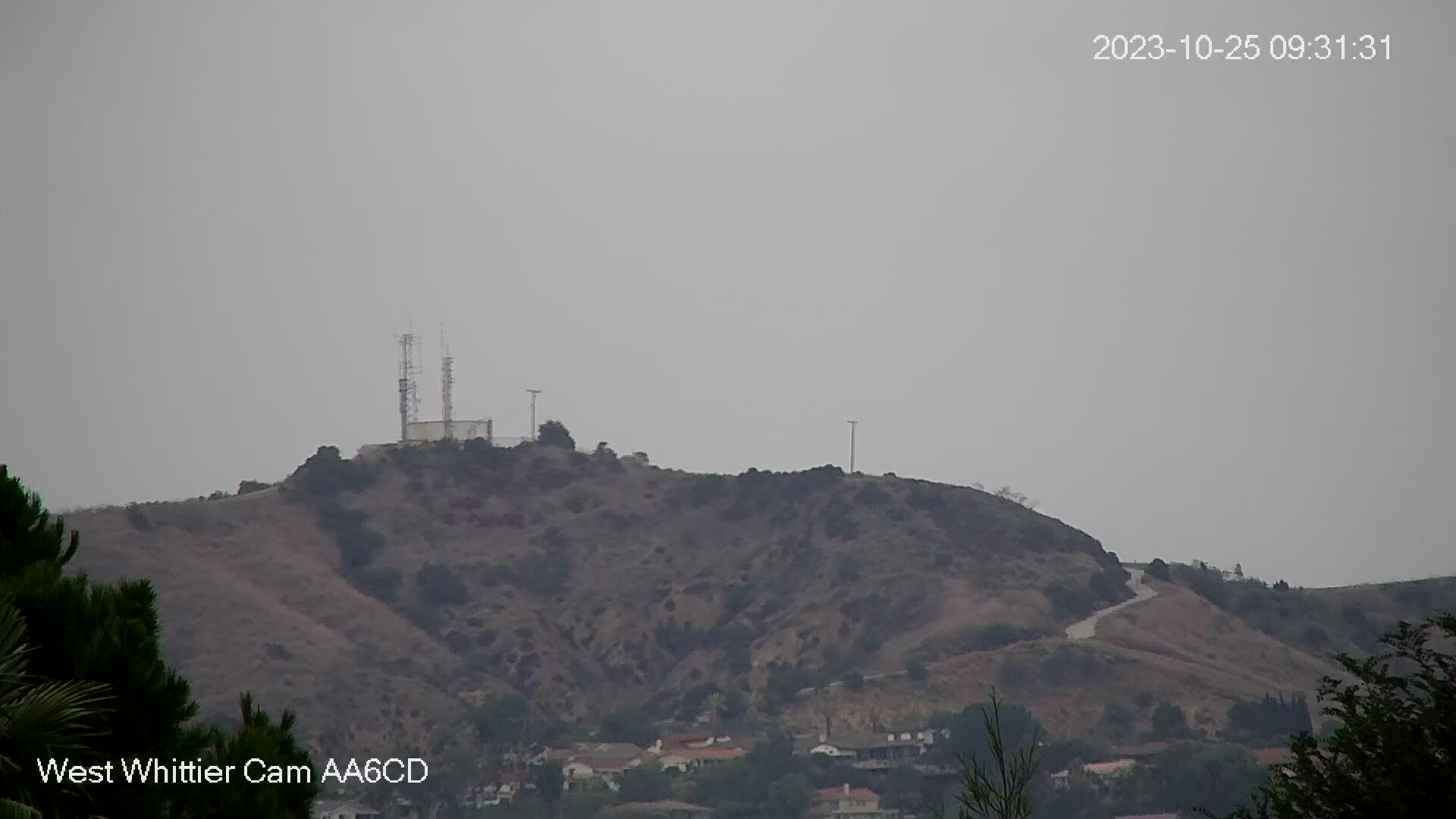
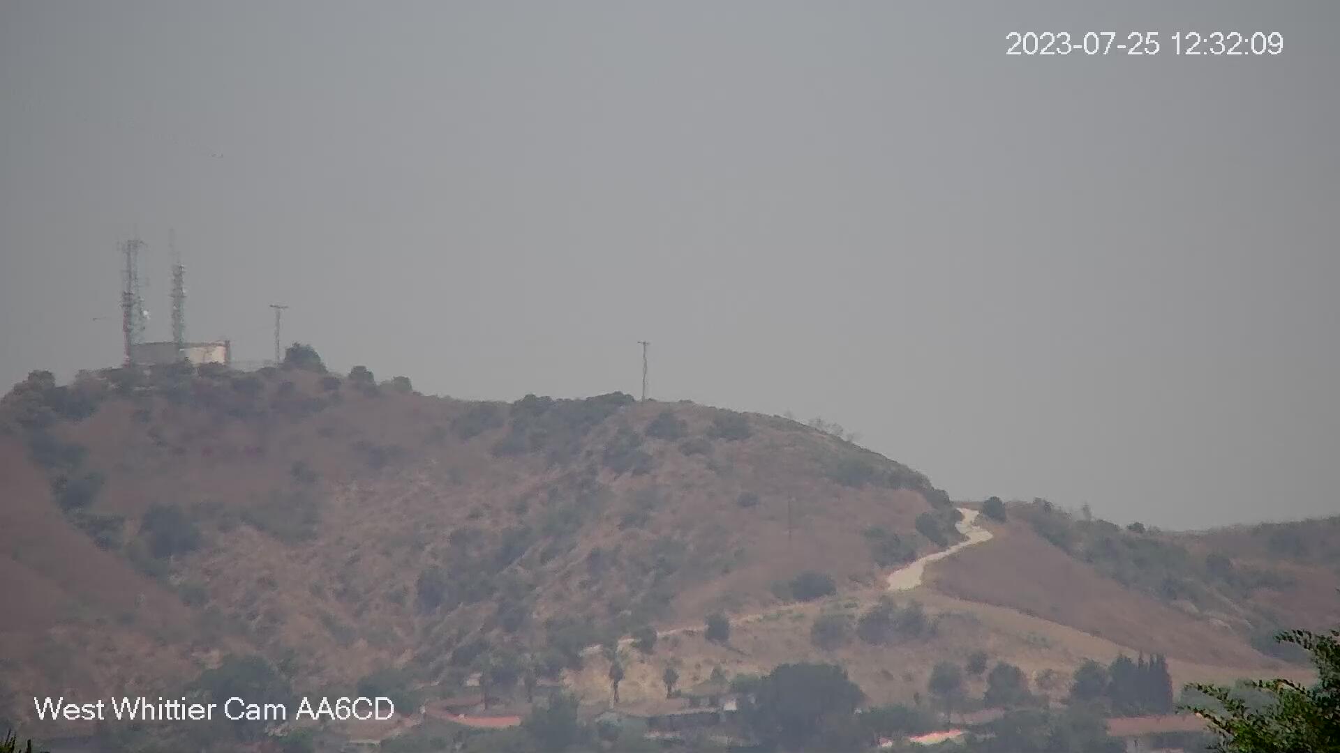
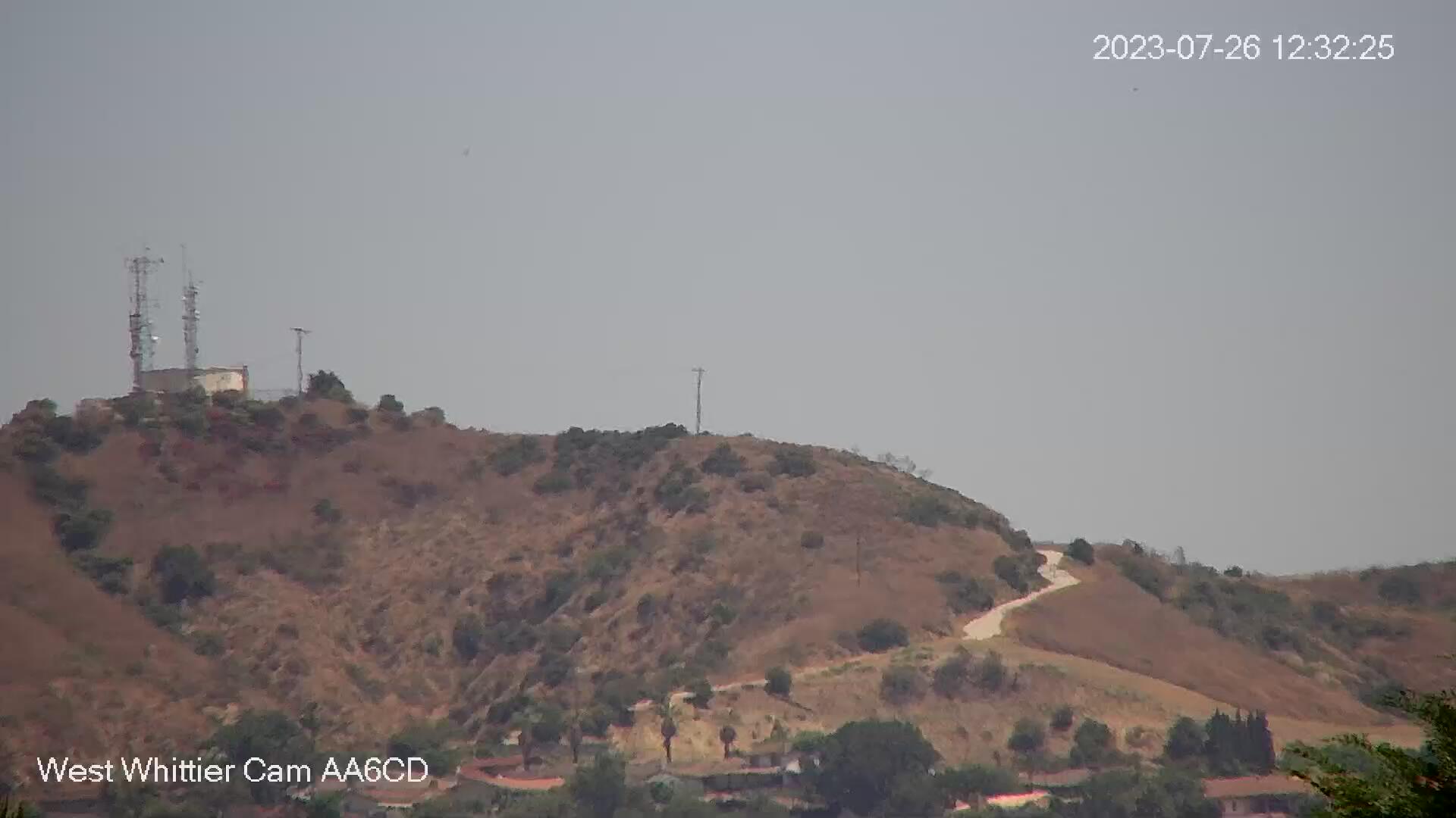
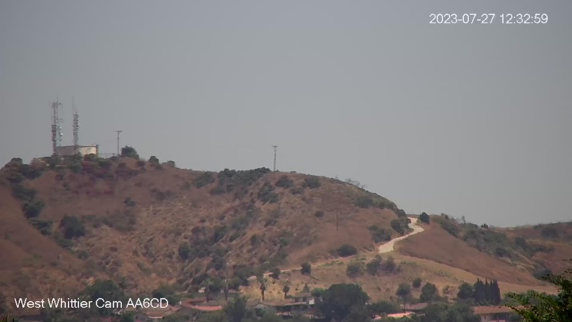
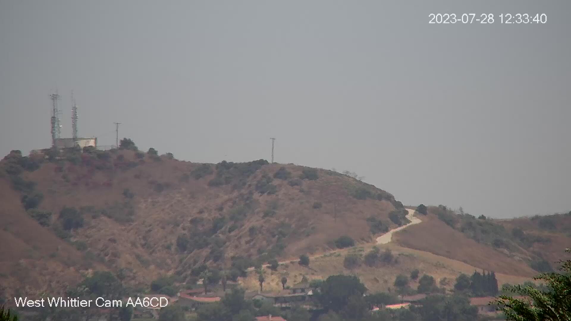
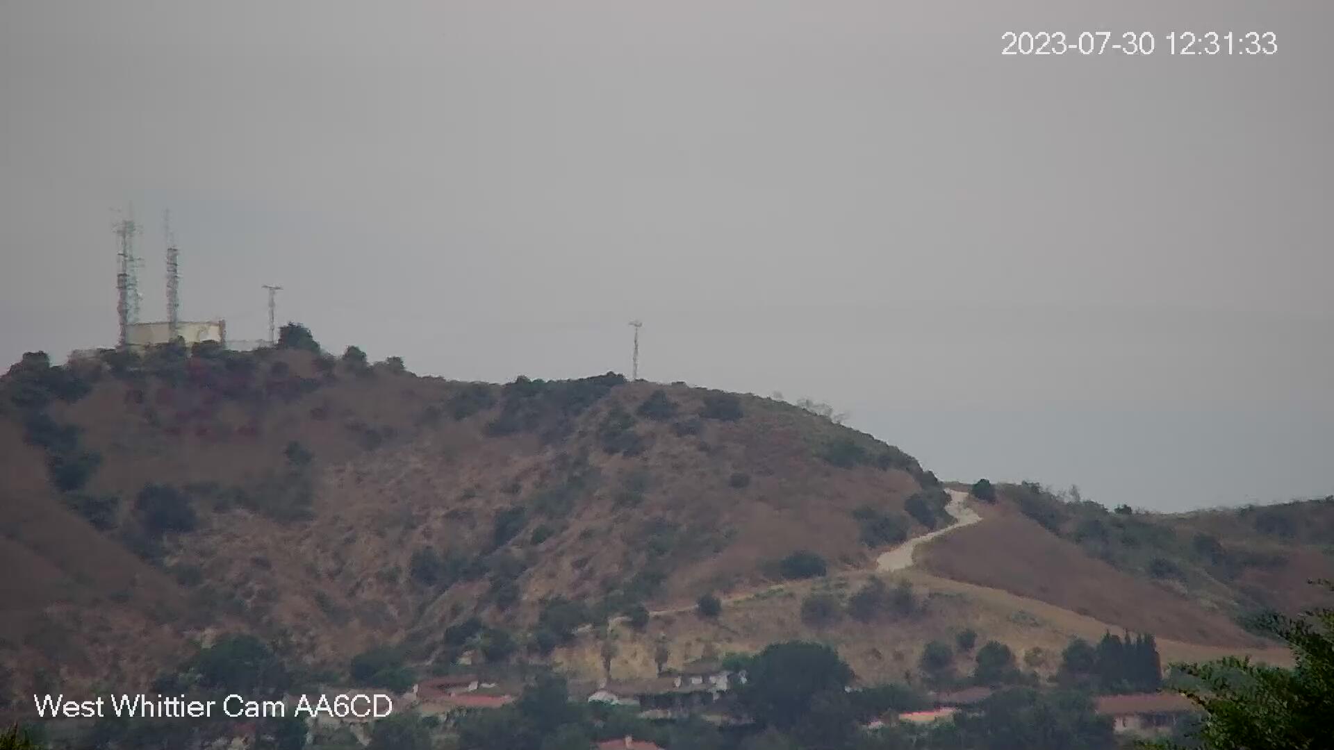
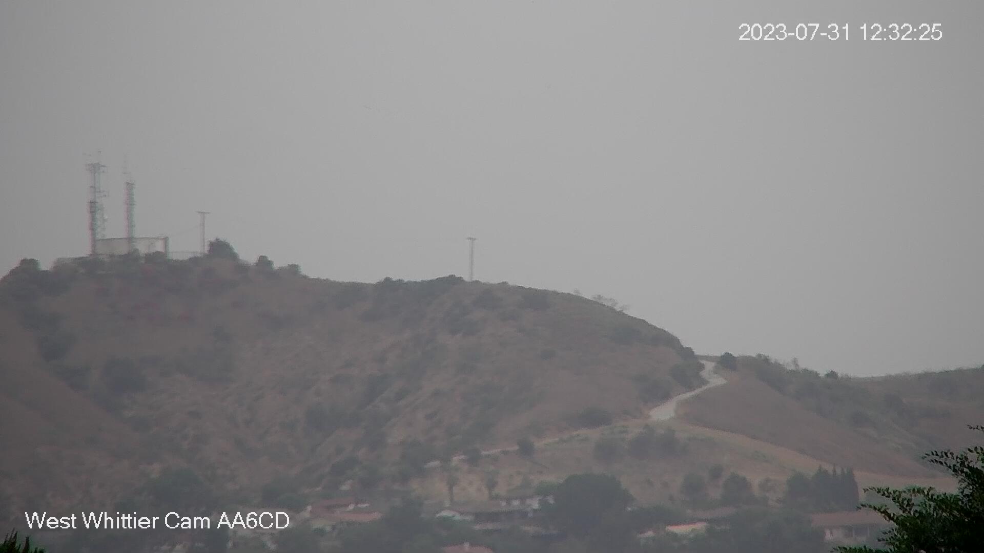
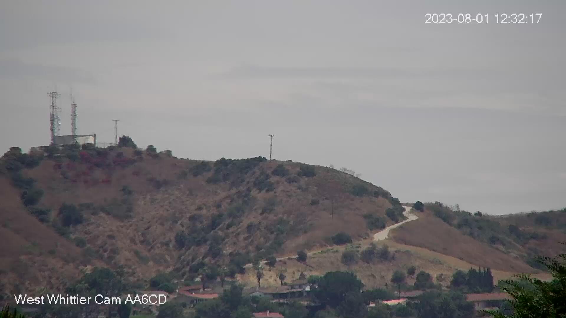
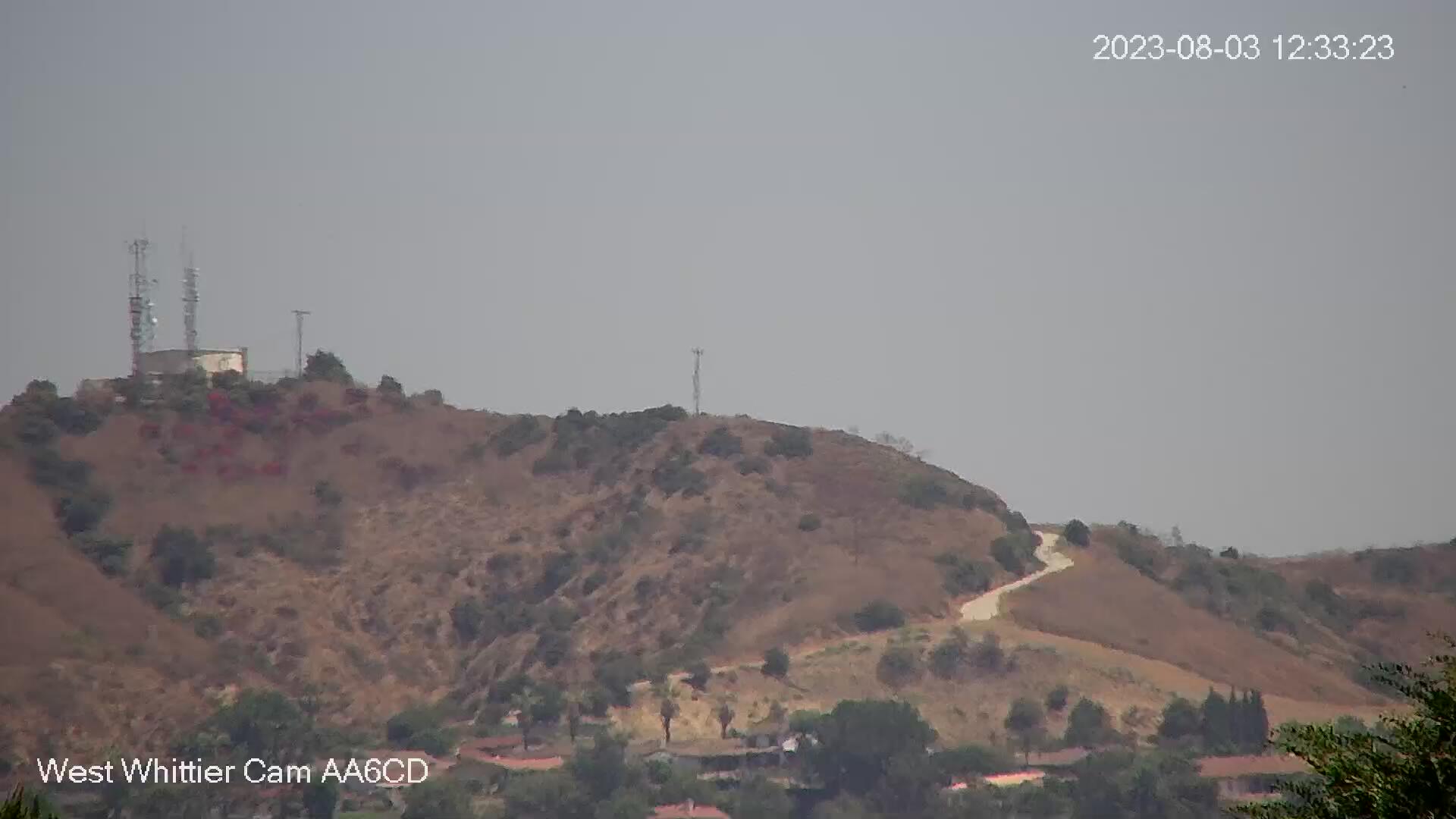
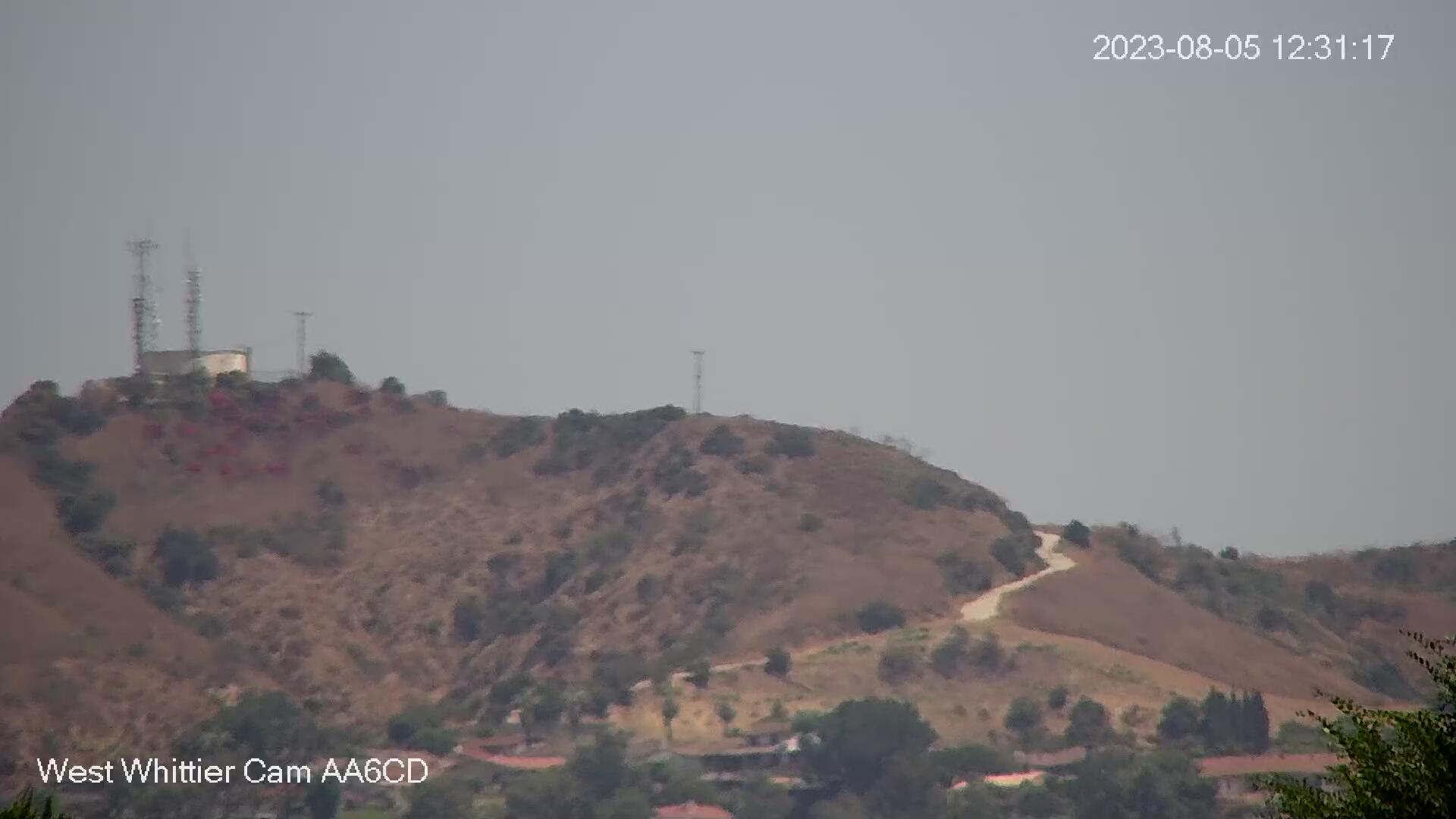
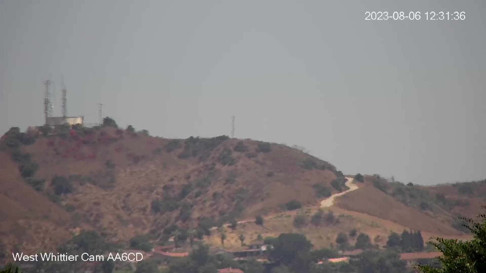
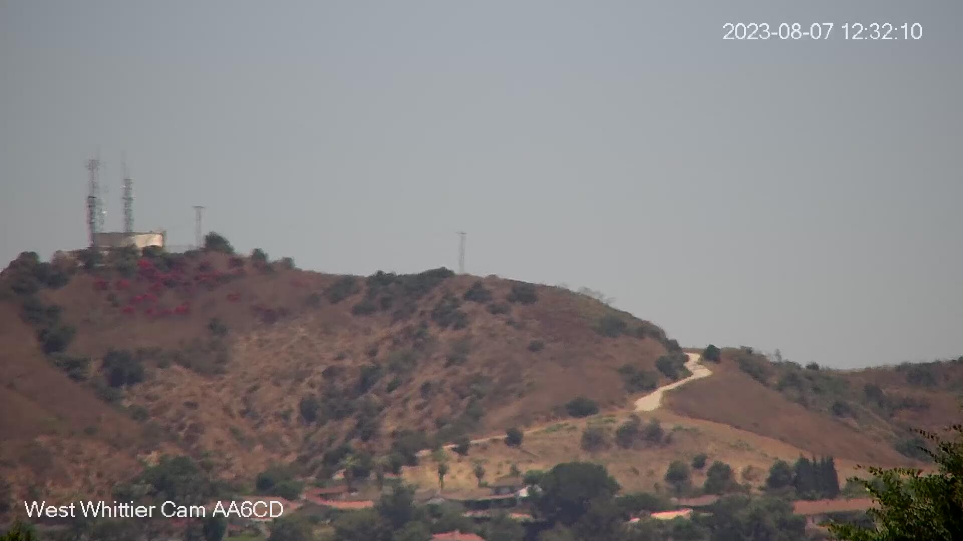
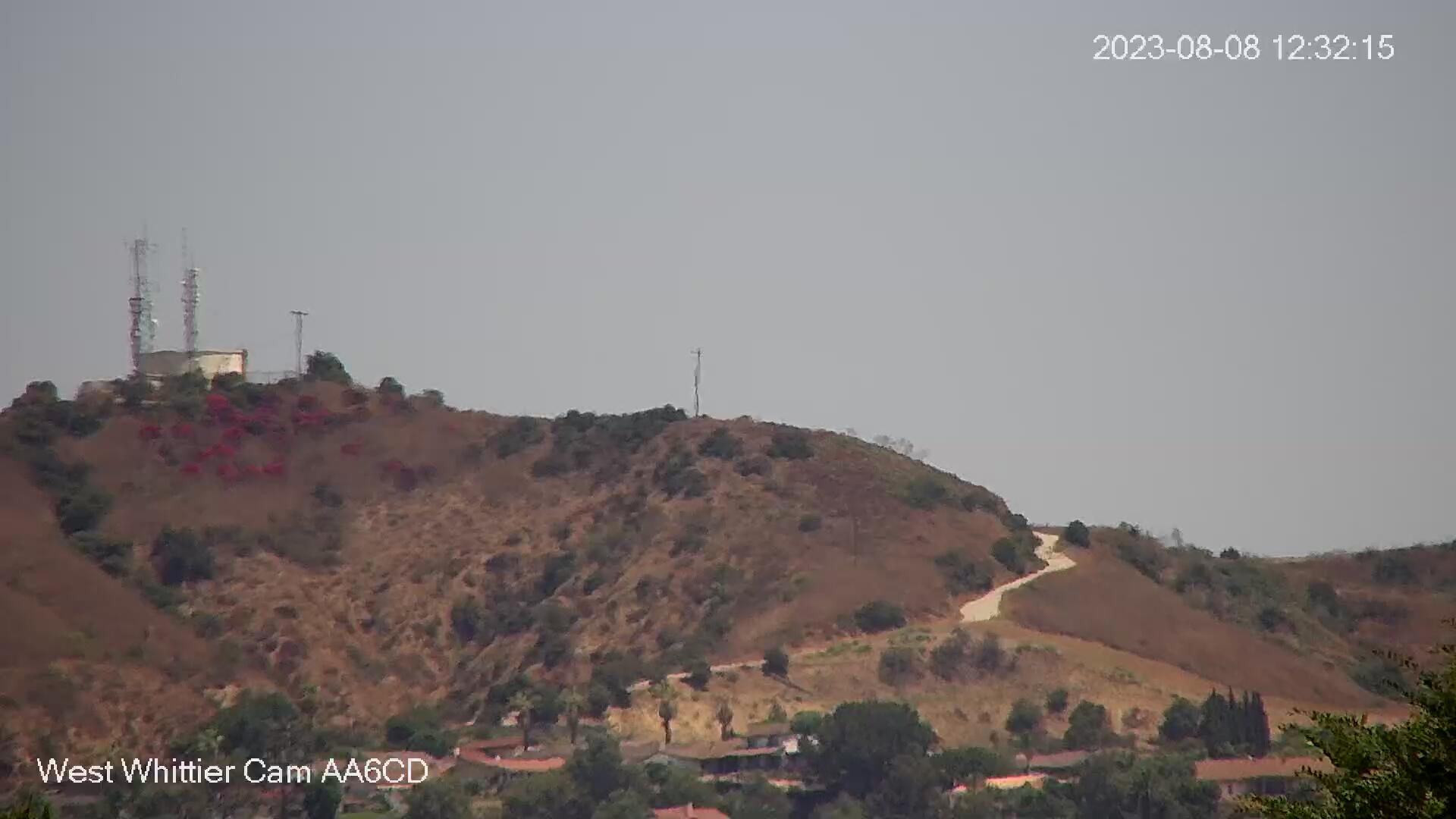
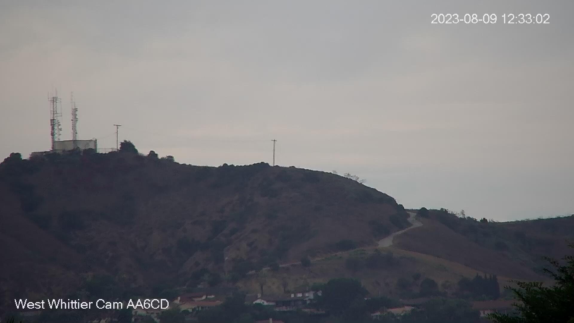
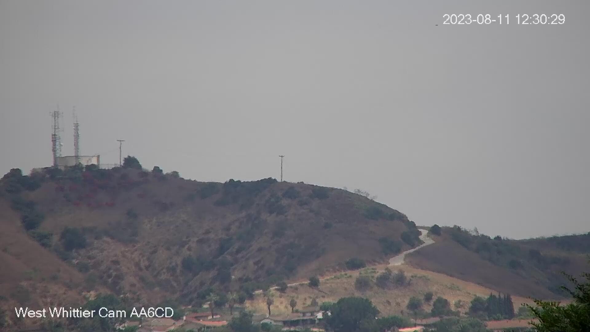
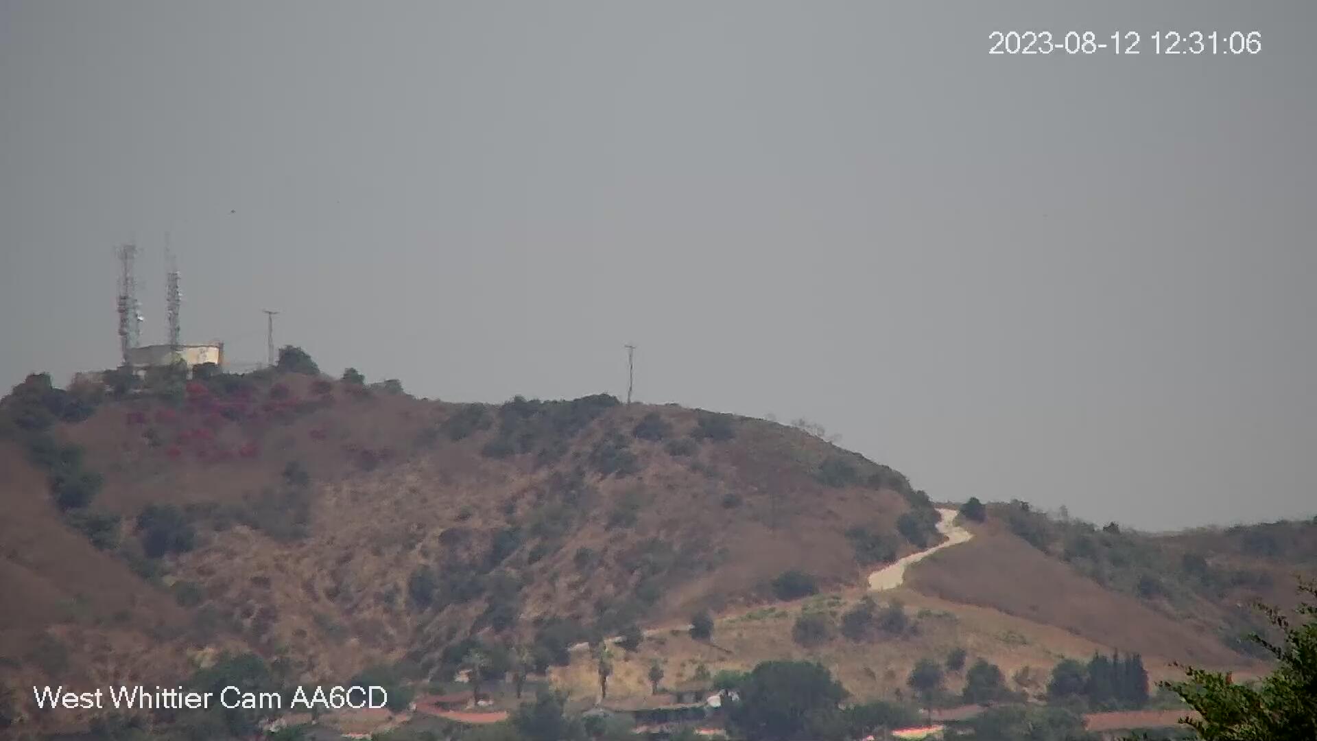
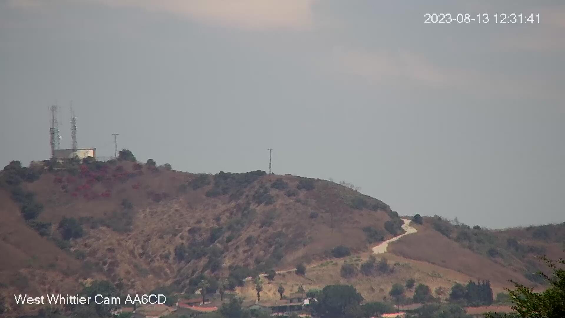
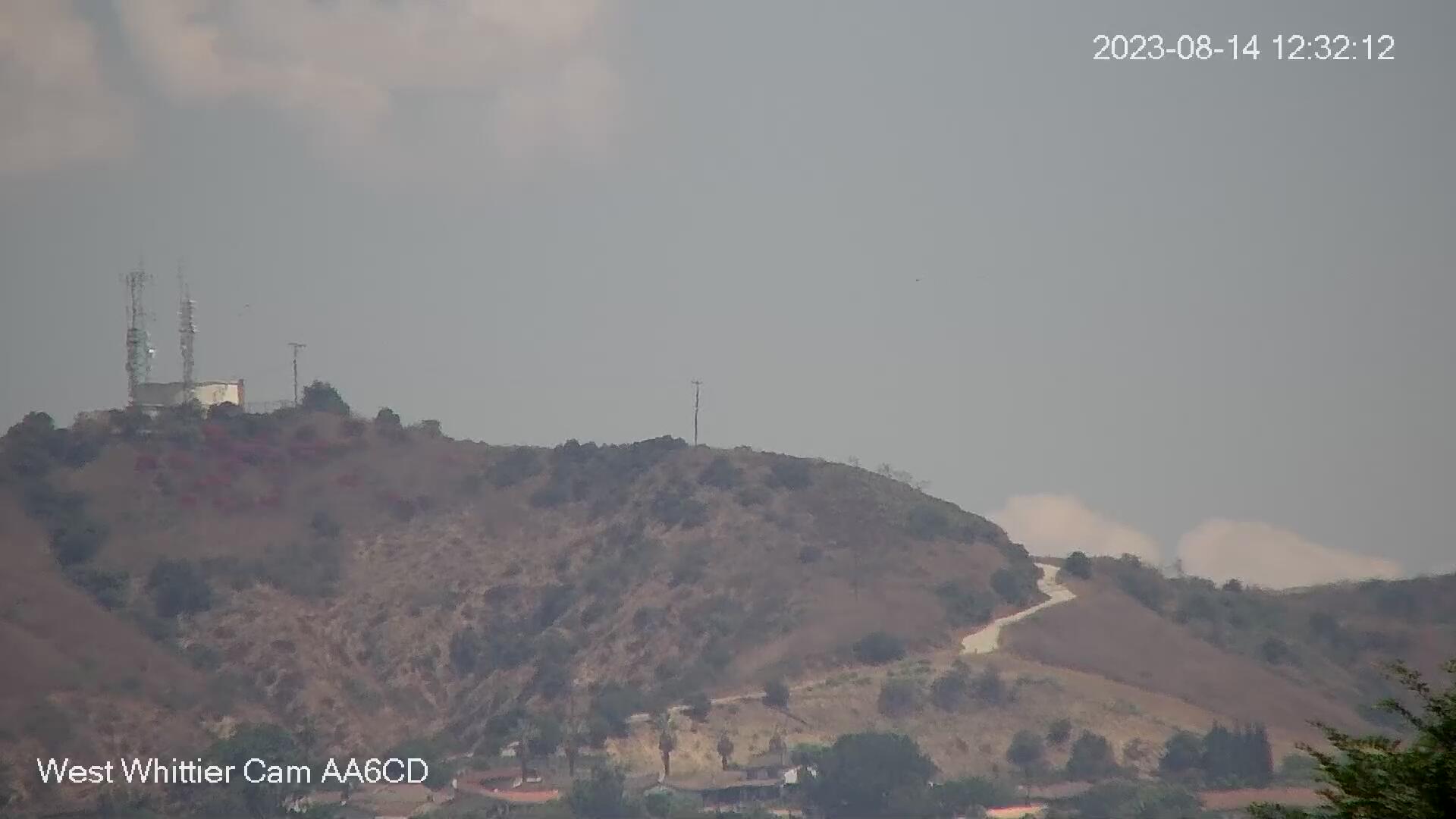
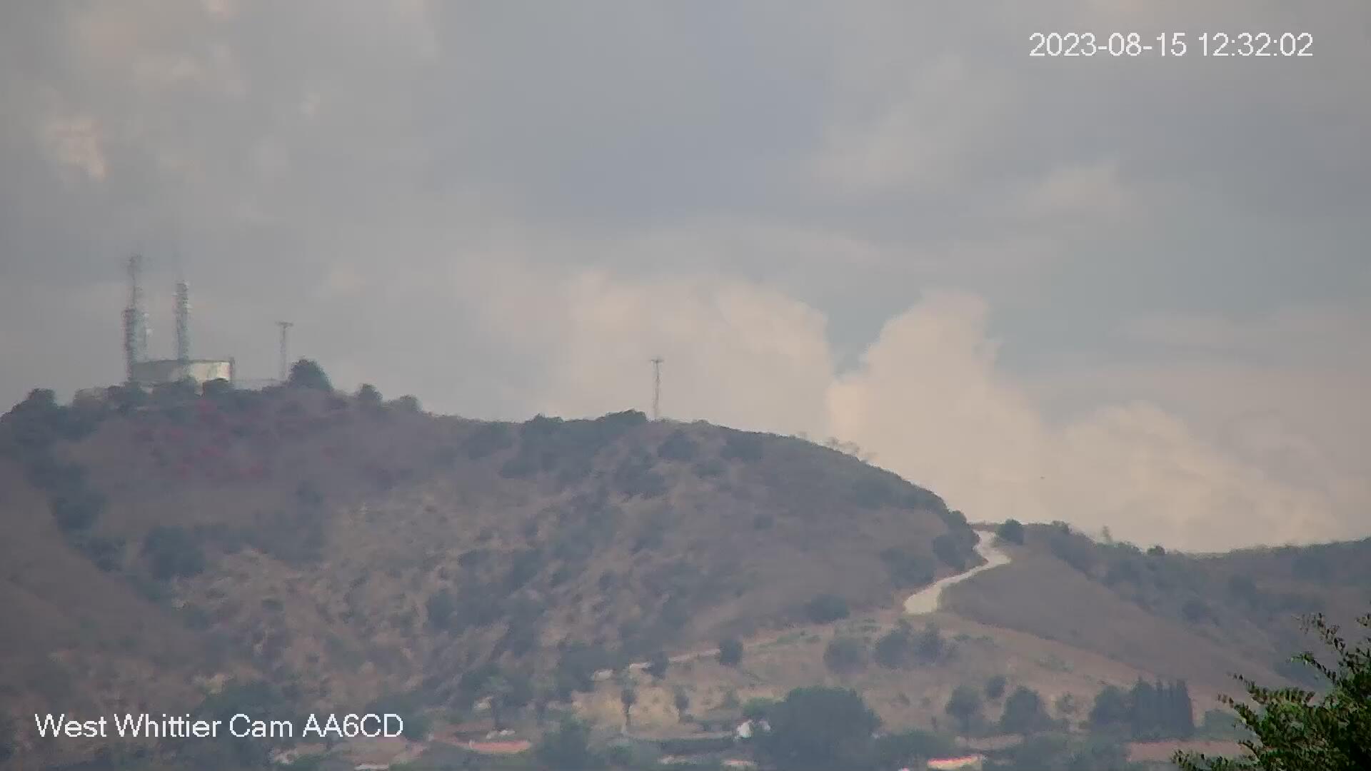
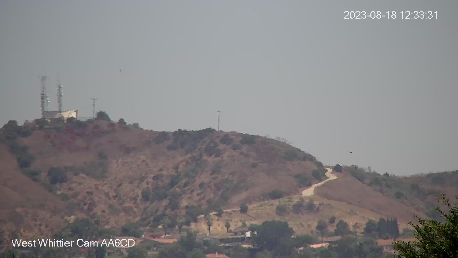
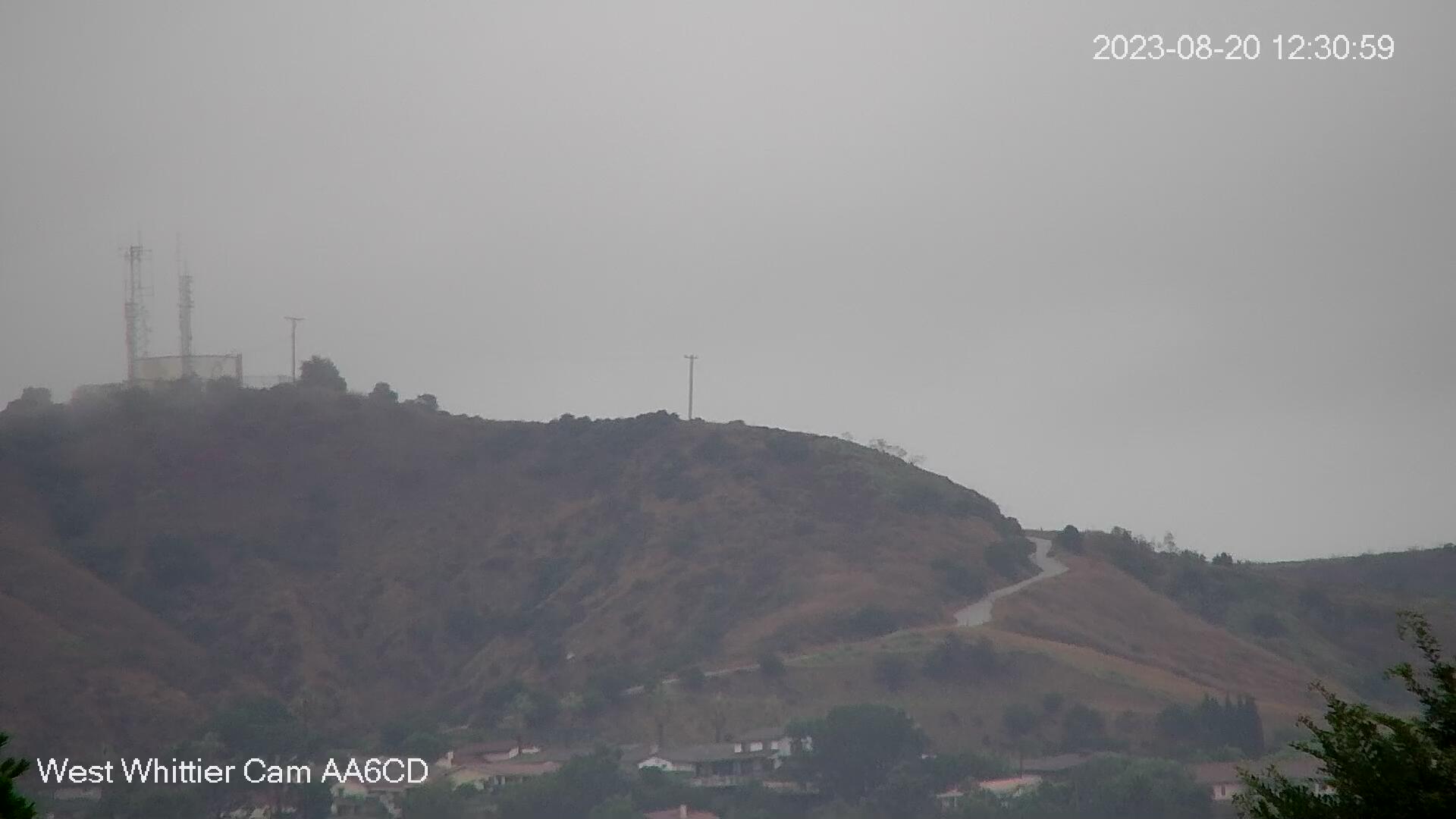
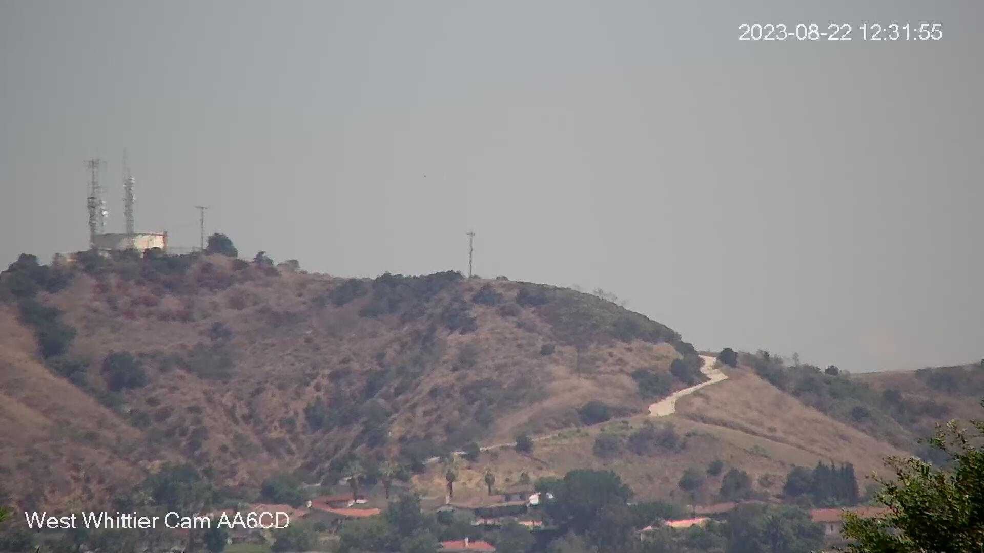
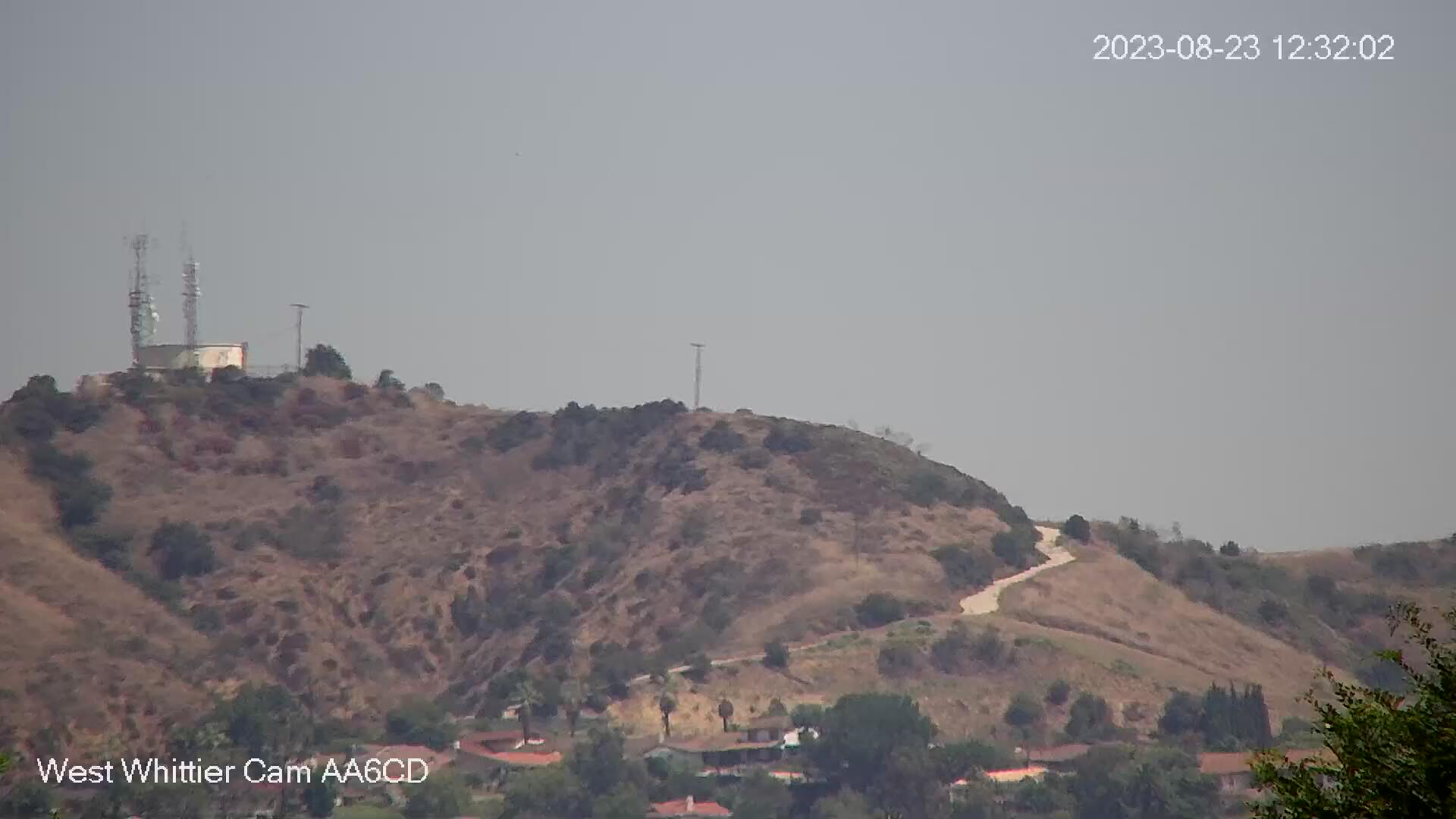
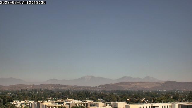
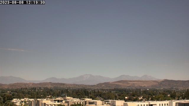
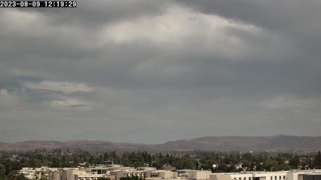
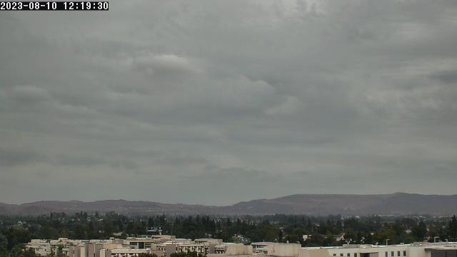
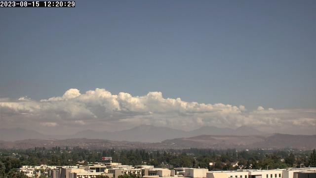
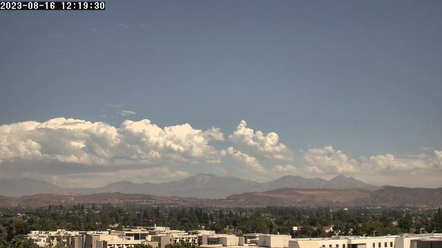
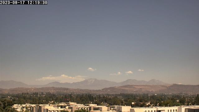
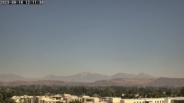
West Whittier, California, USA - 6.1 miles from Avocado Heights: West Whittier Cam - View from west Whittier looking north with a great view of the foothills. In the winter the snow capped mountains can be seen.
Operator: WhittierCam
Operator: WhittierCam


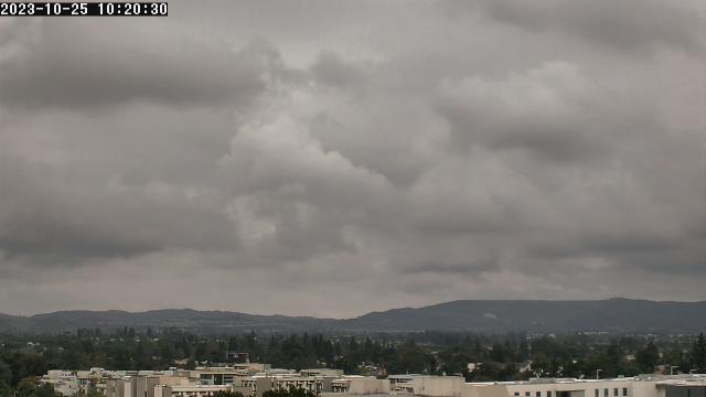
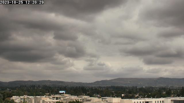
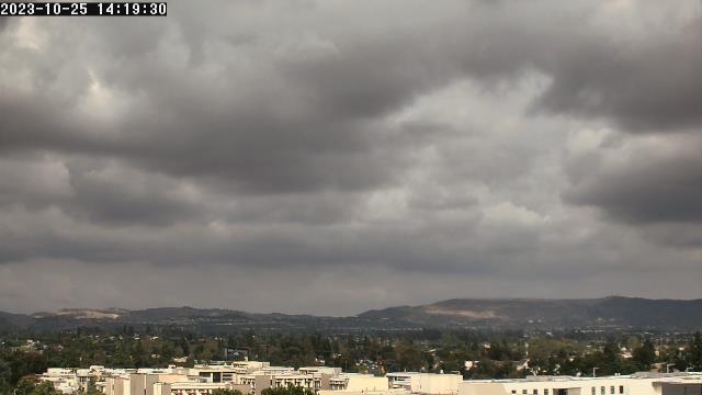
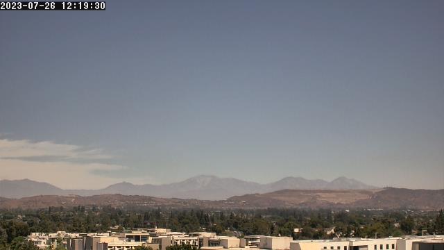
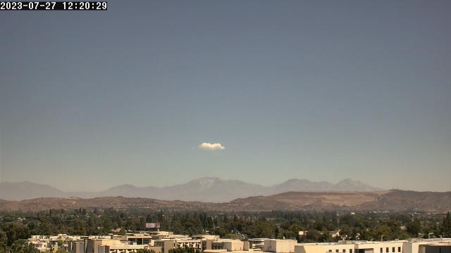
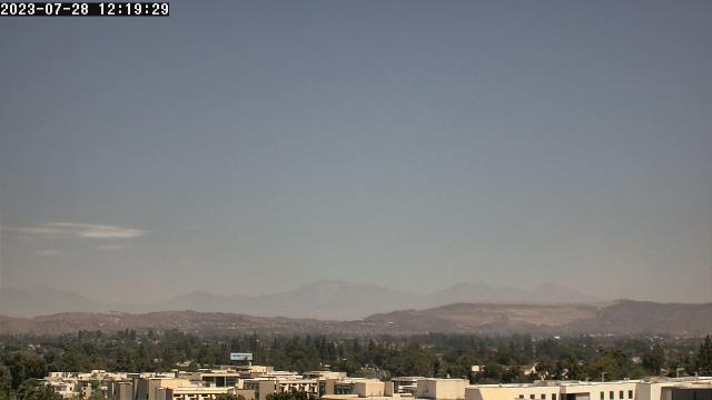
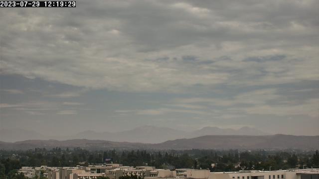
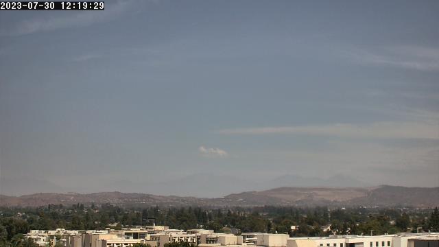
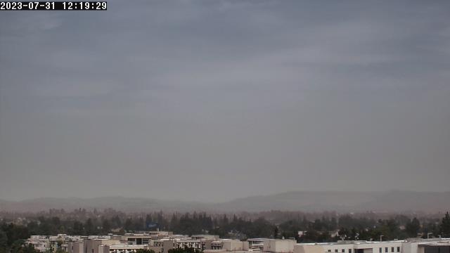
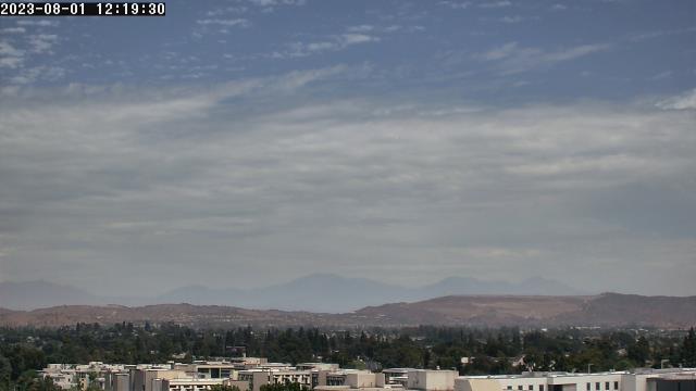
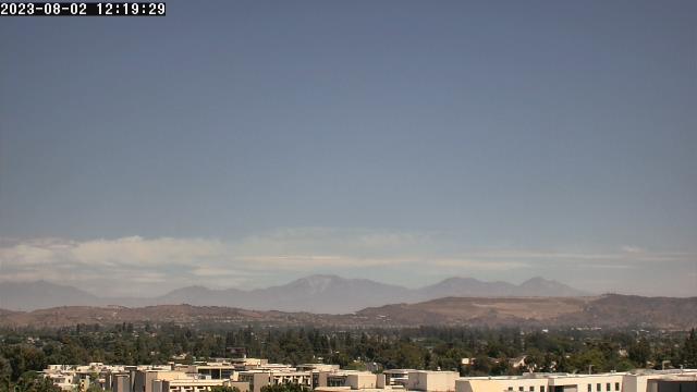
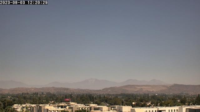
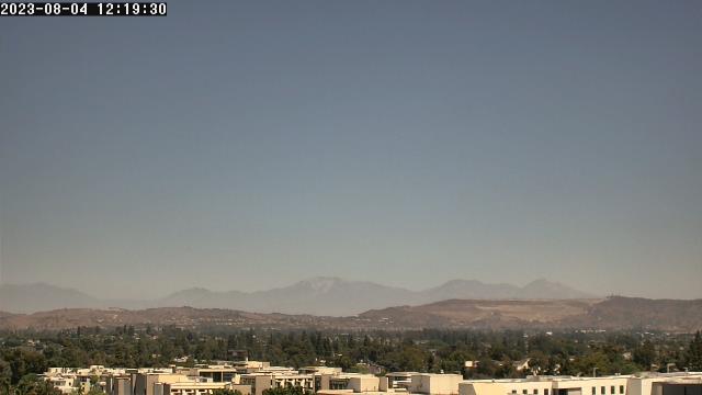
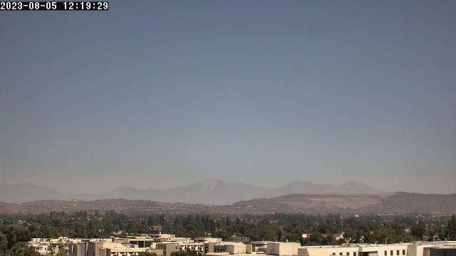
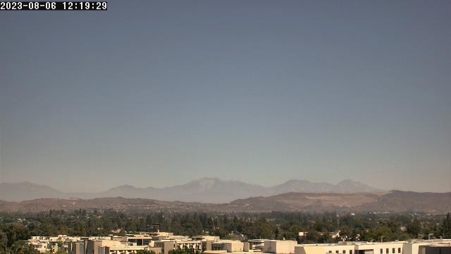
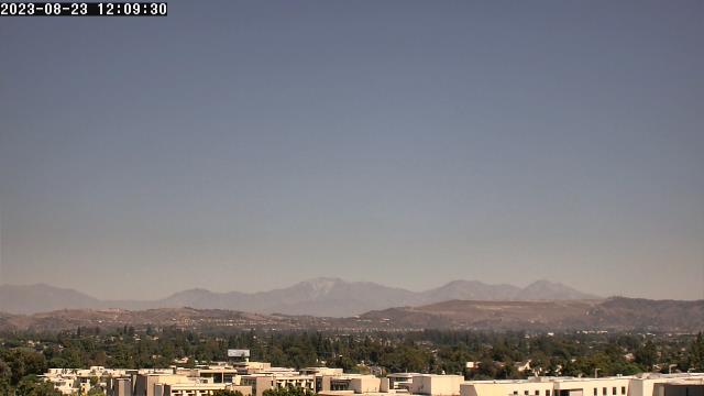
Fullerton, California, USA - 12.1 miles from Avocado Heights: California State University - A webcam in Fullerton, California - camera location: California State University.
Operator: WeatherBug
Operator: WeatherBug


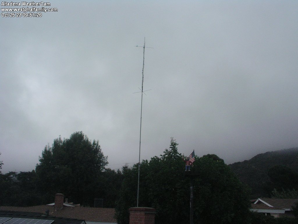
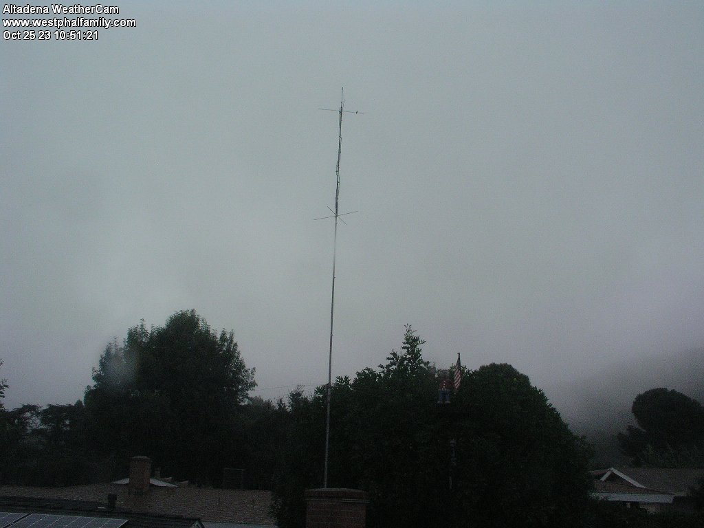
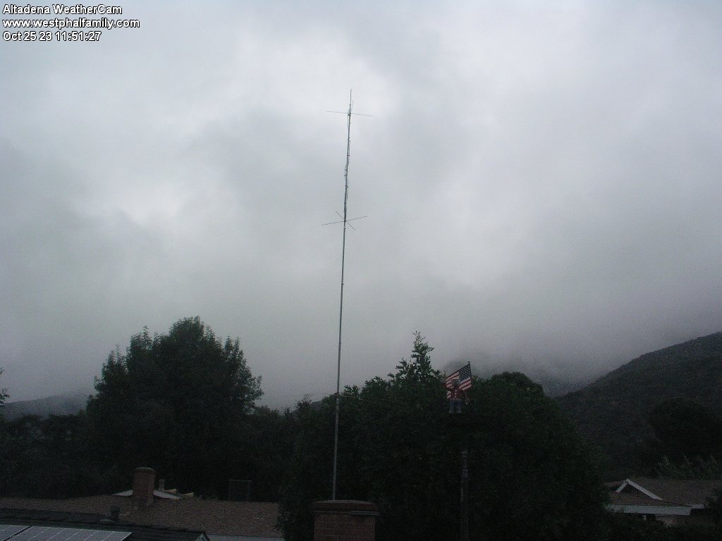
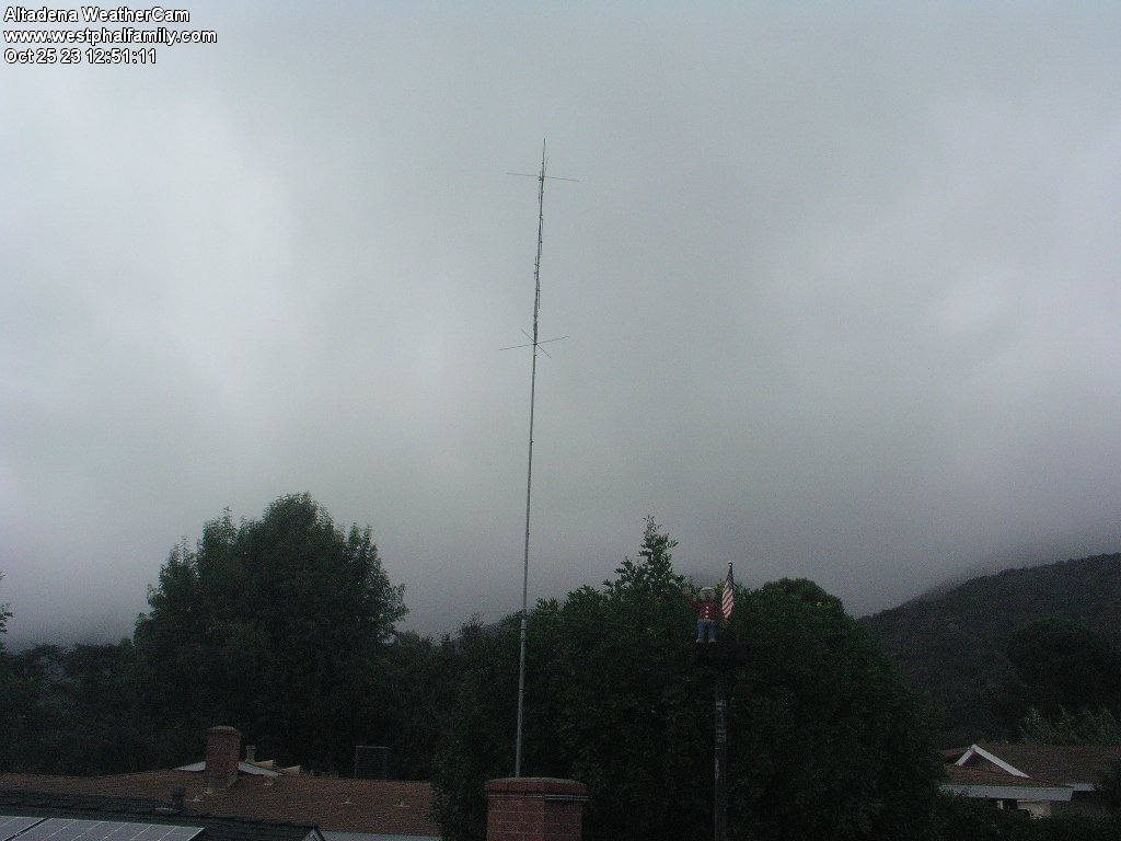
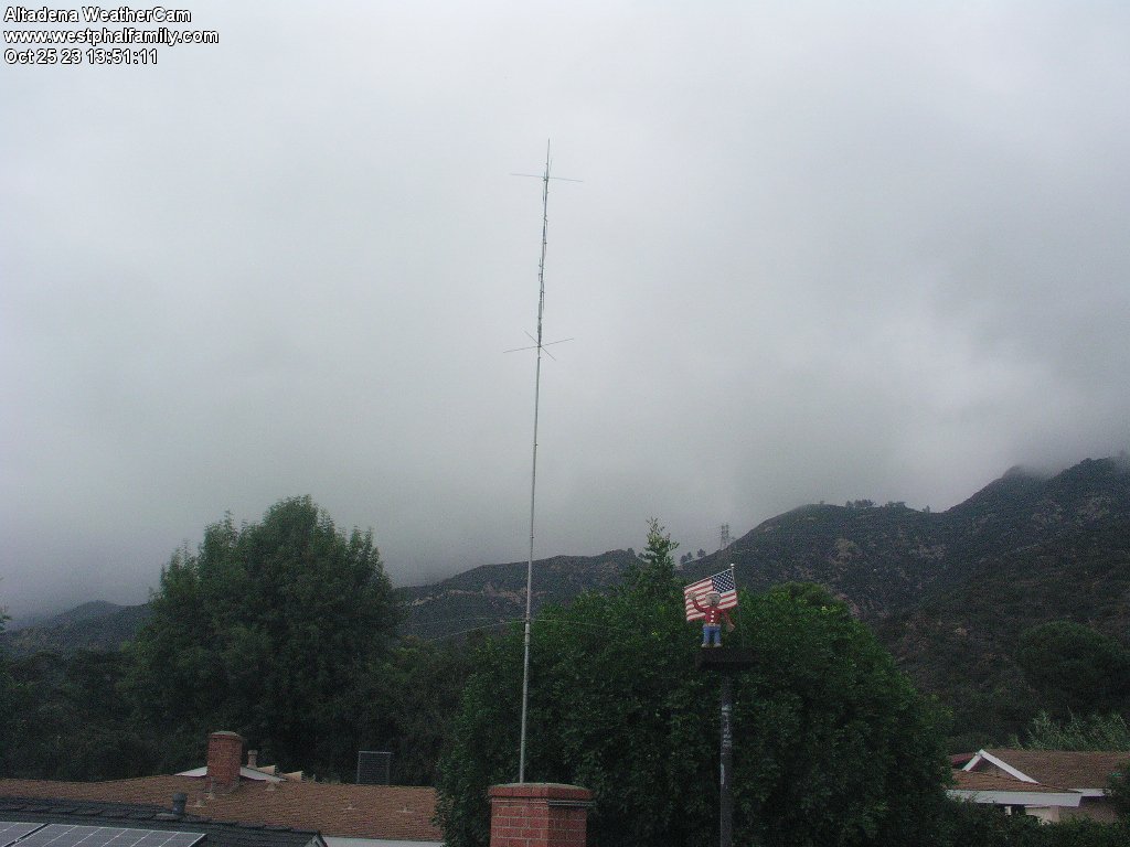
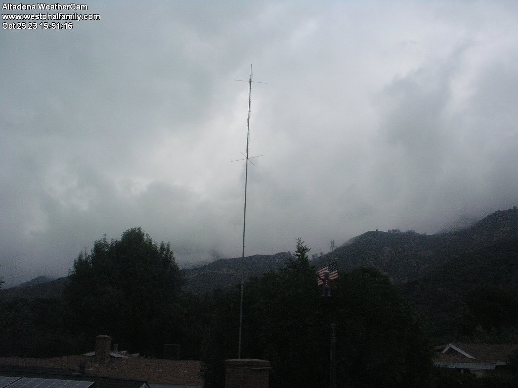
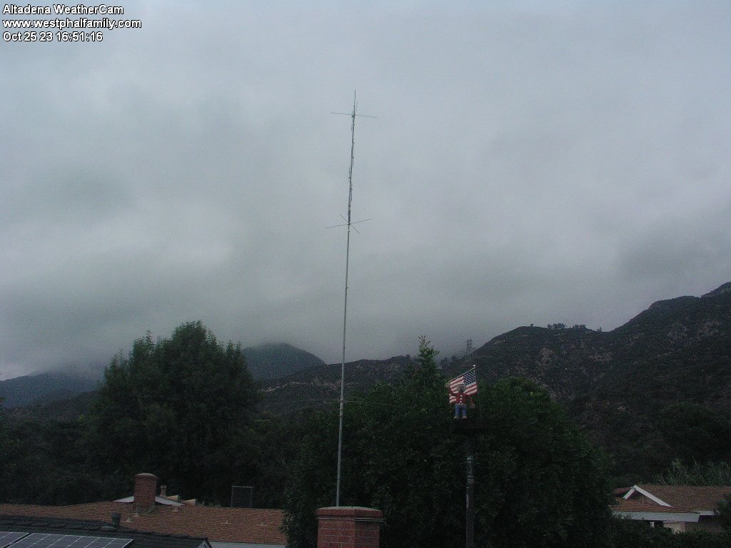
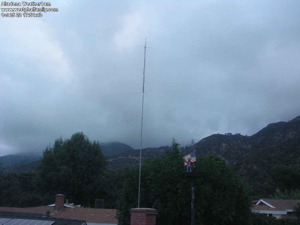
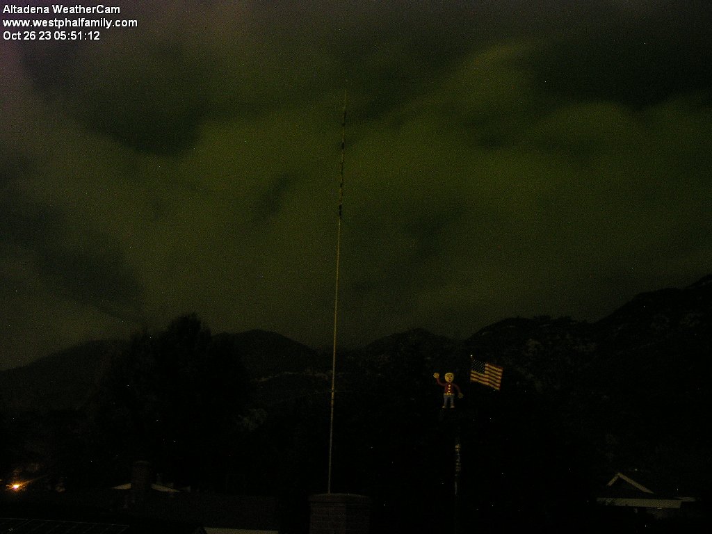
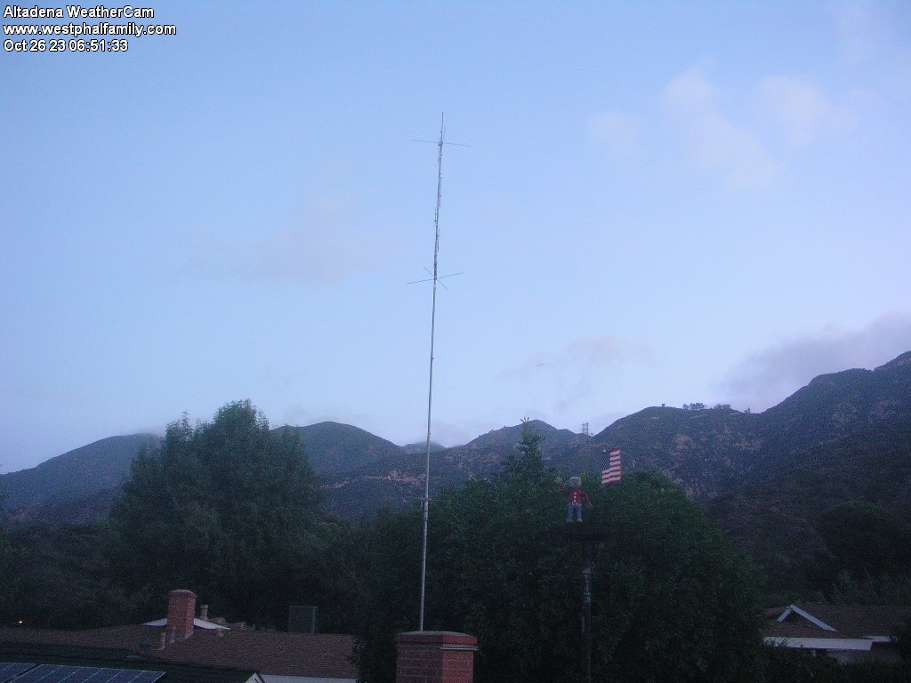
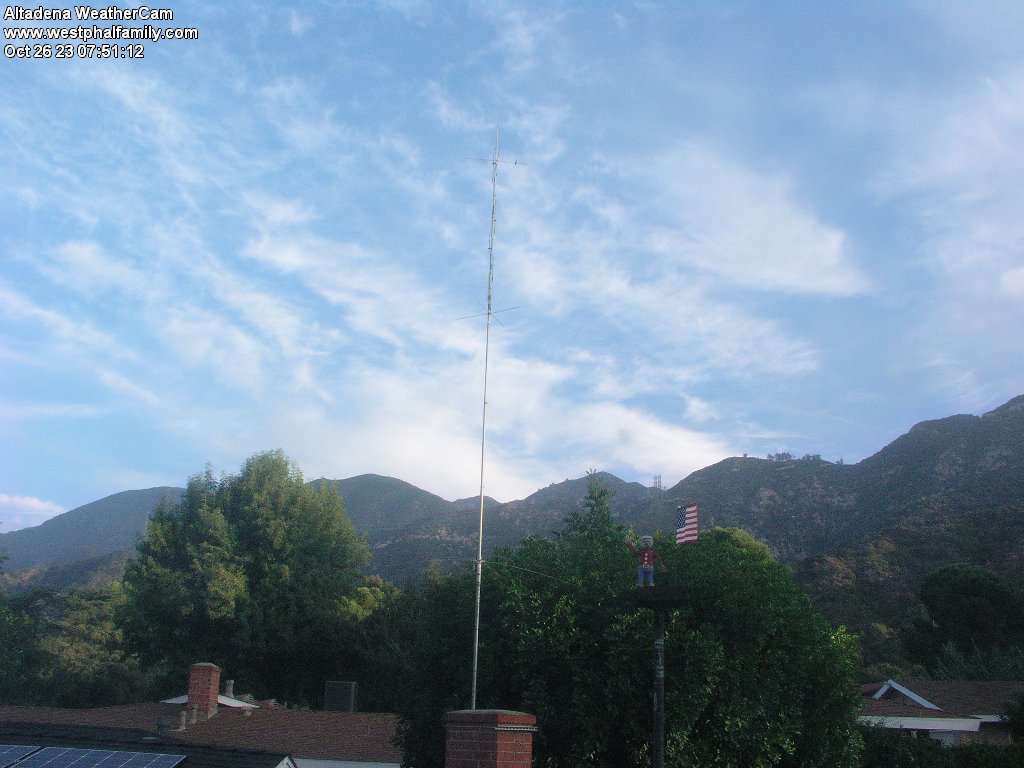
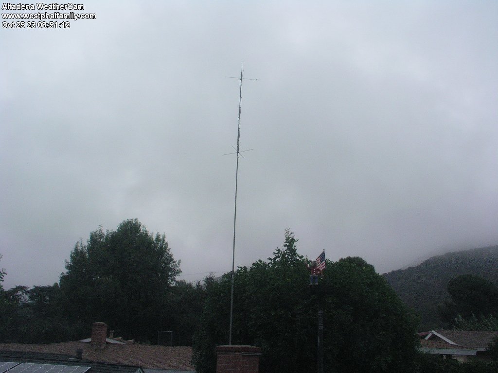
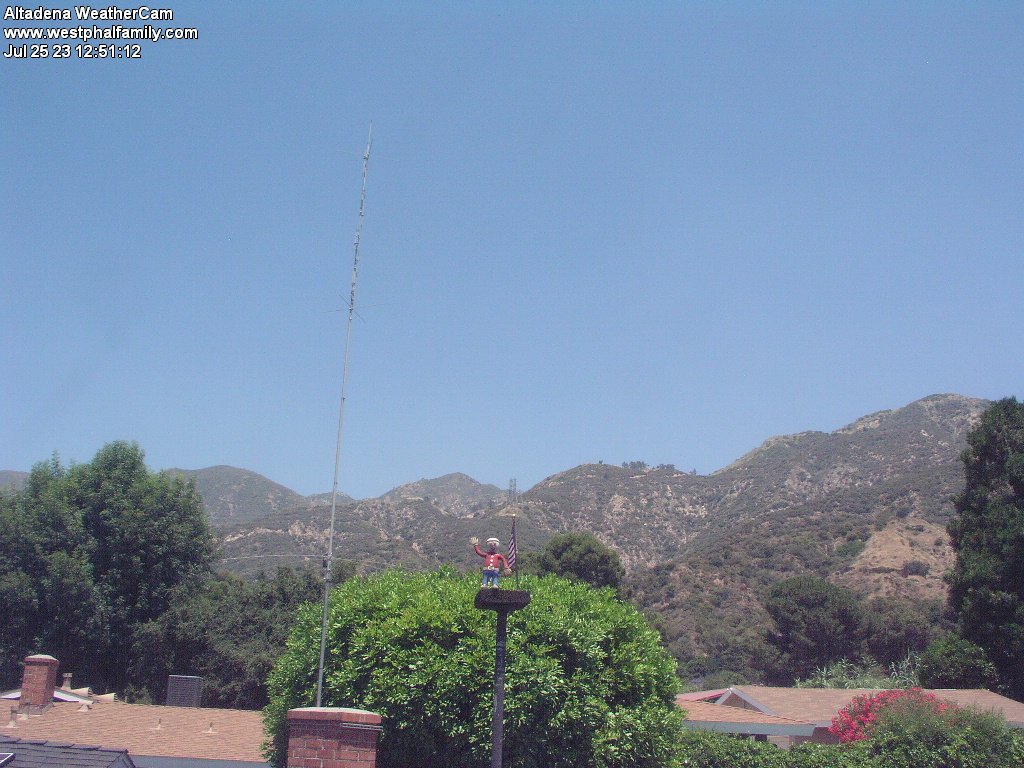
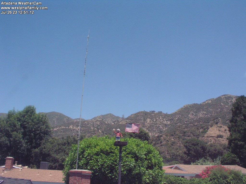
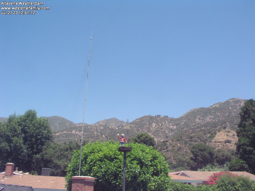
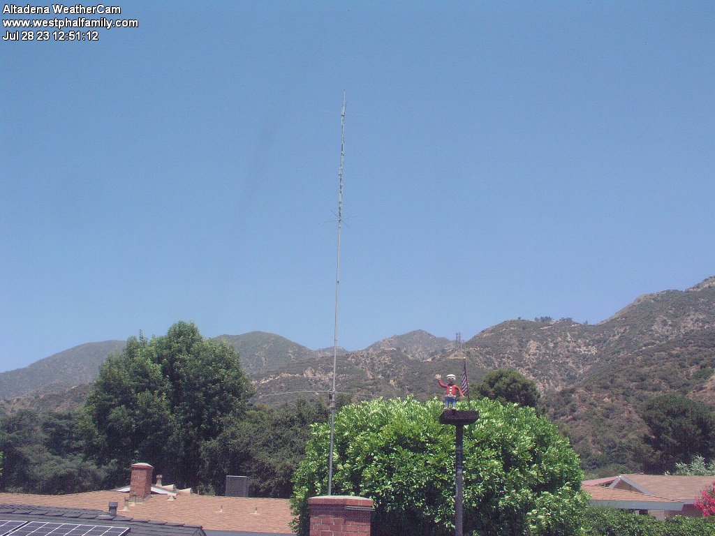
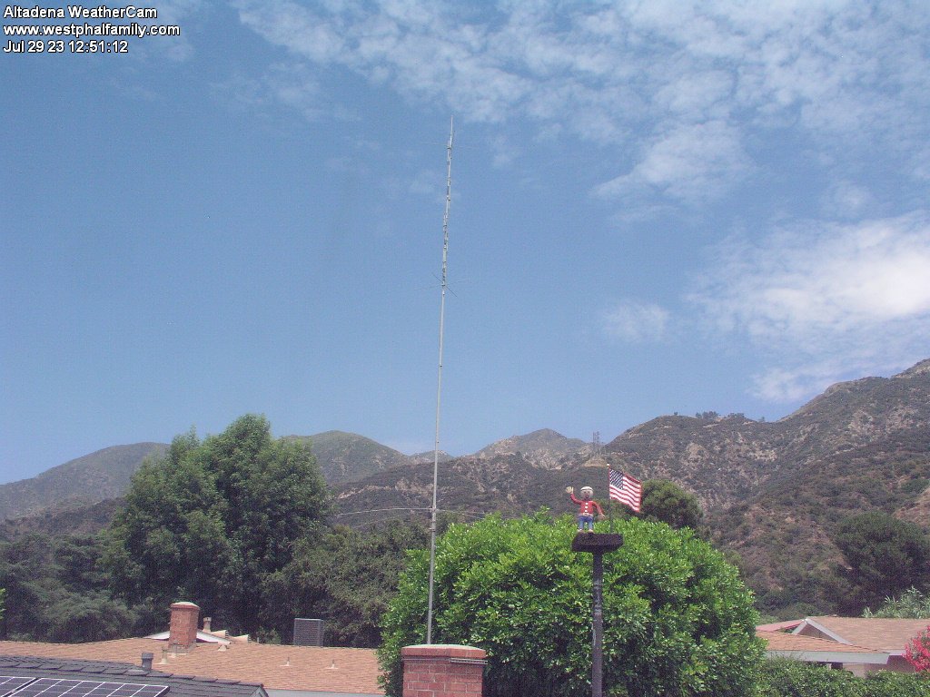
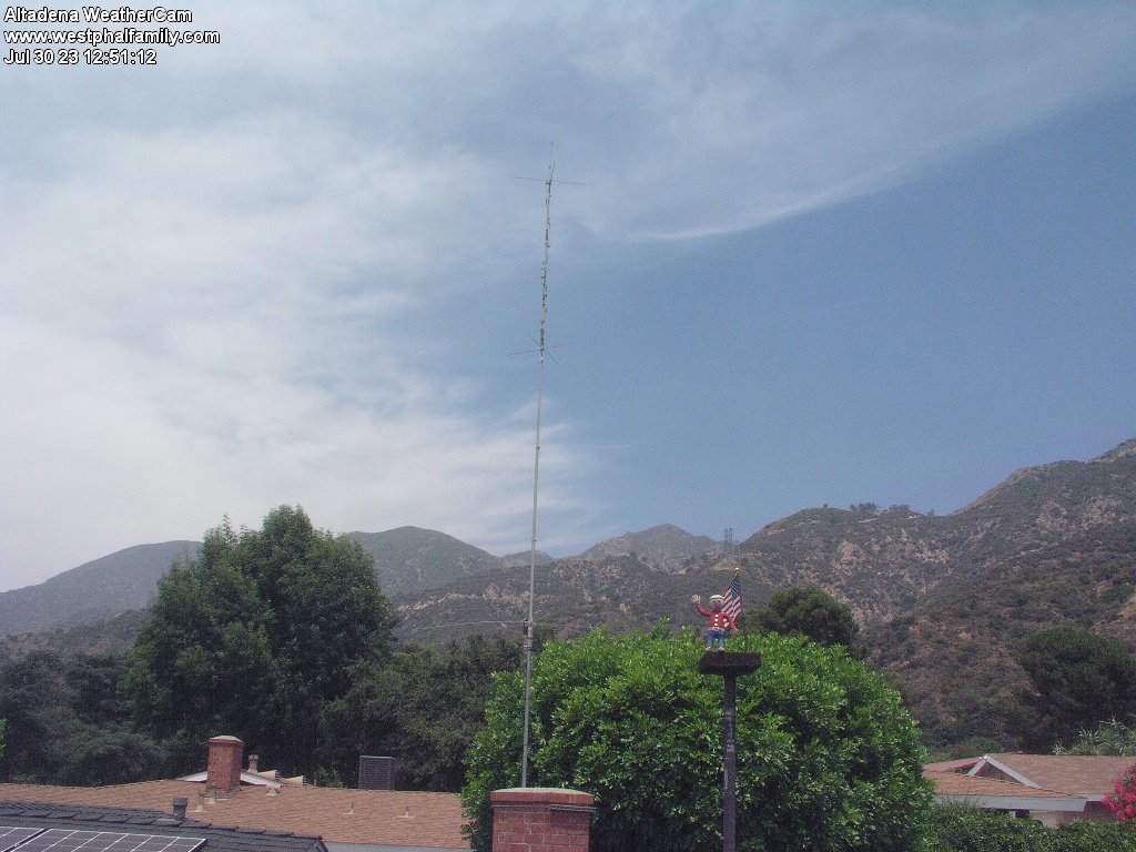
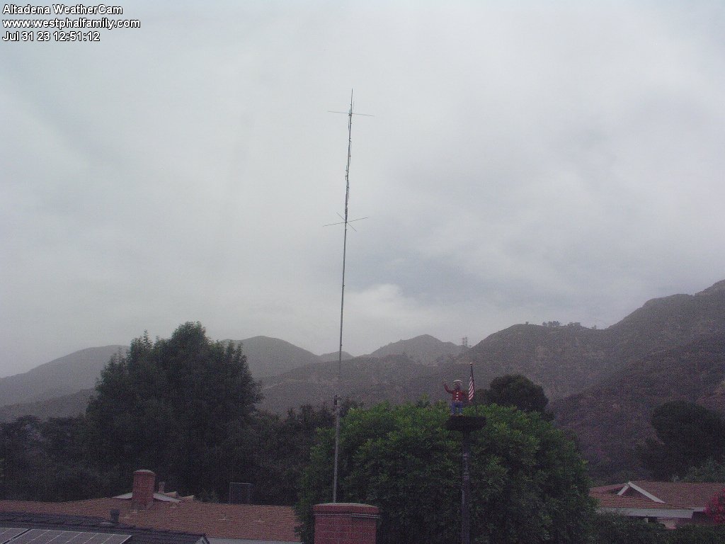
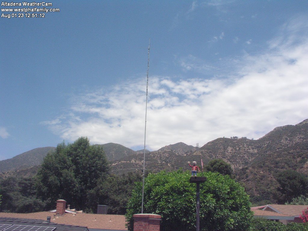
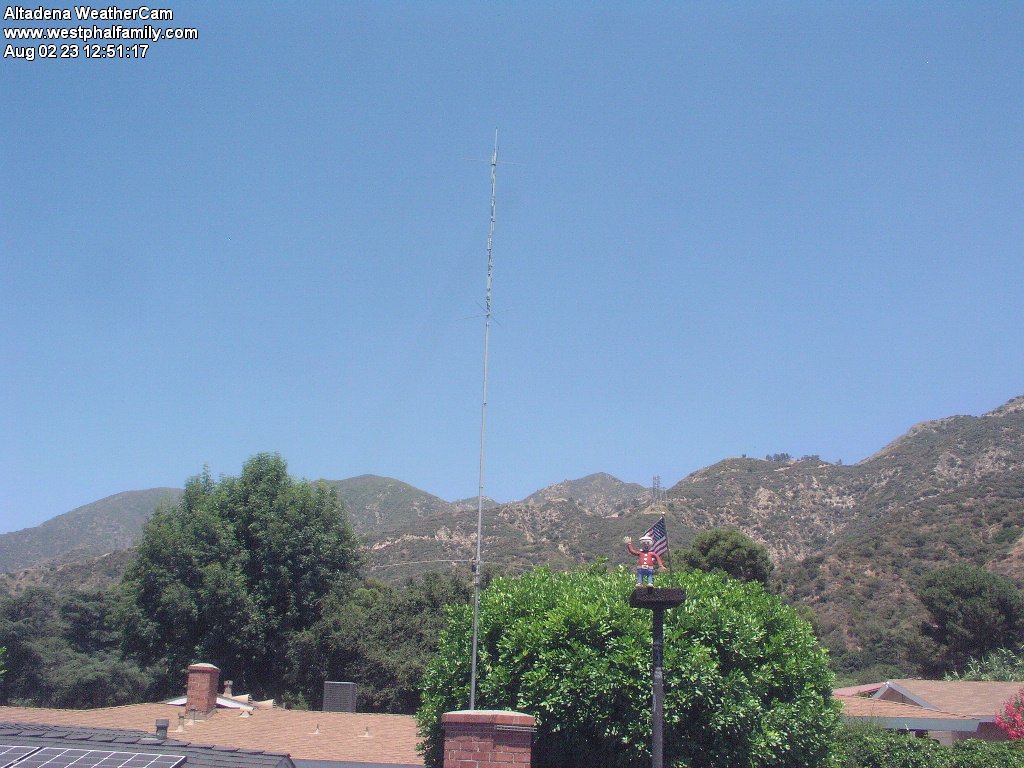
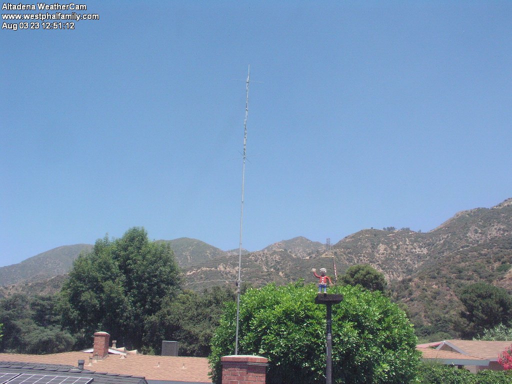
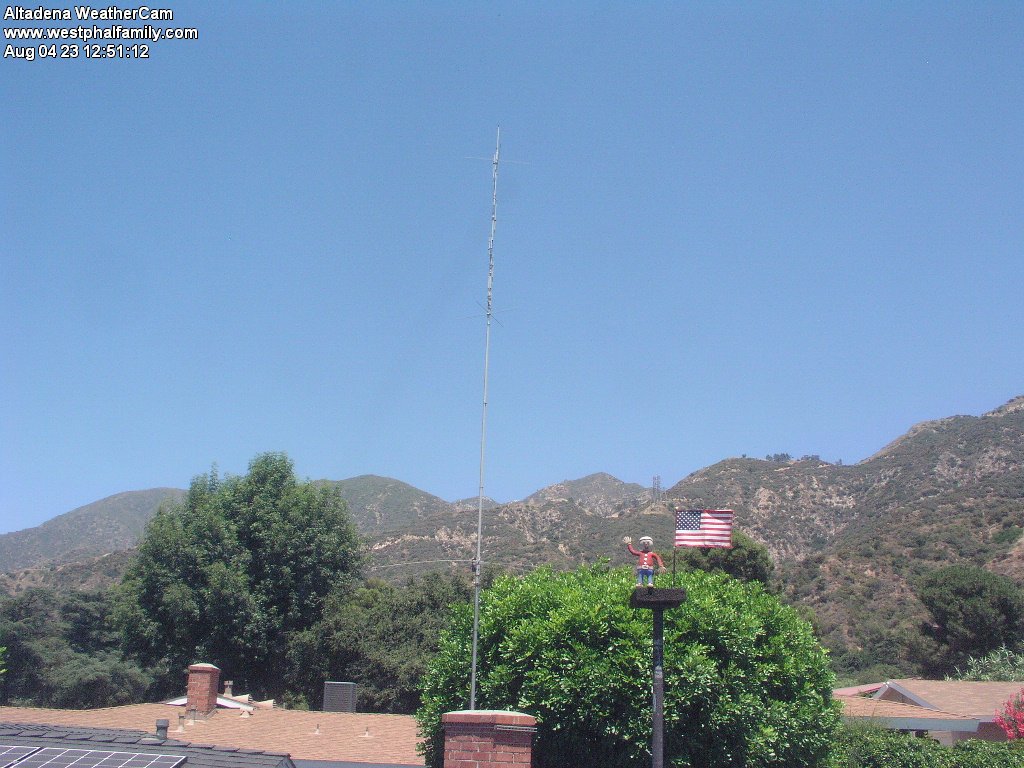
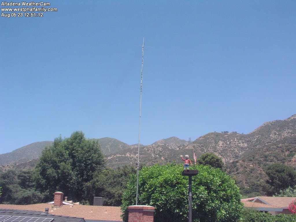
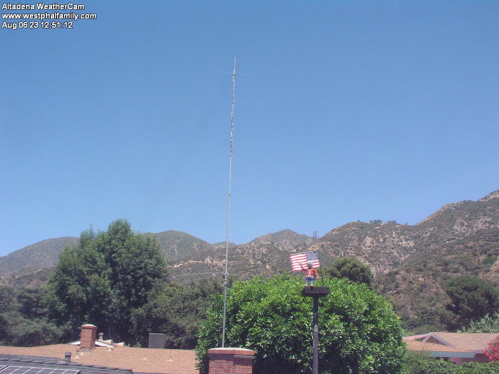
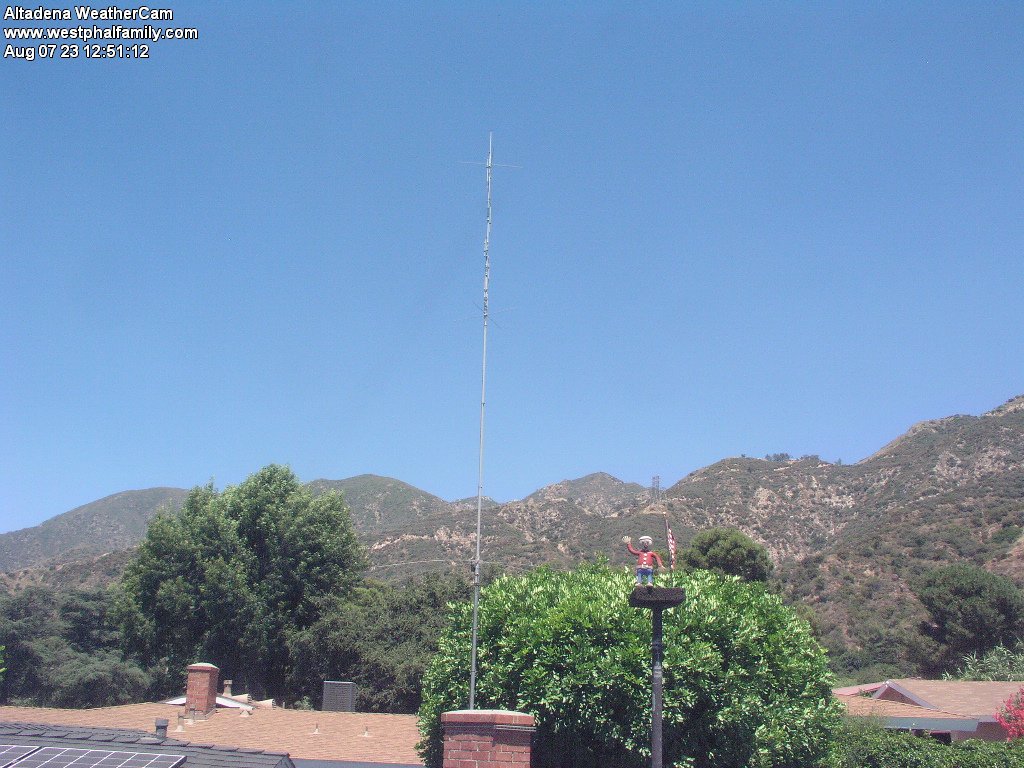
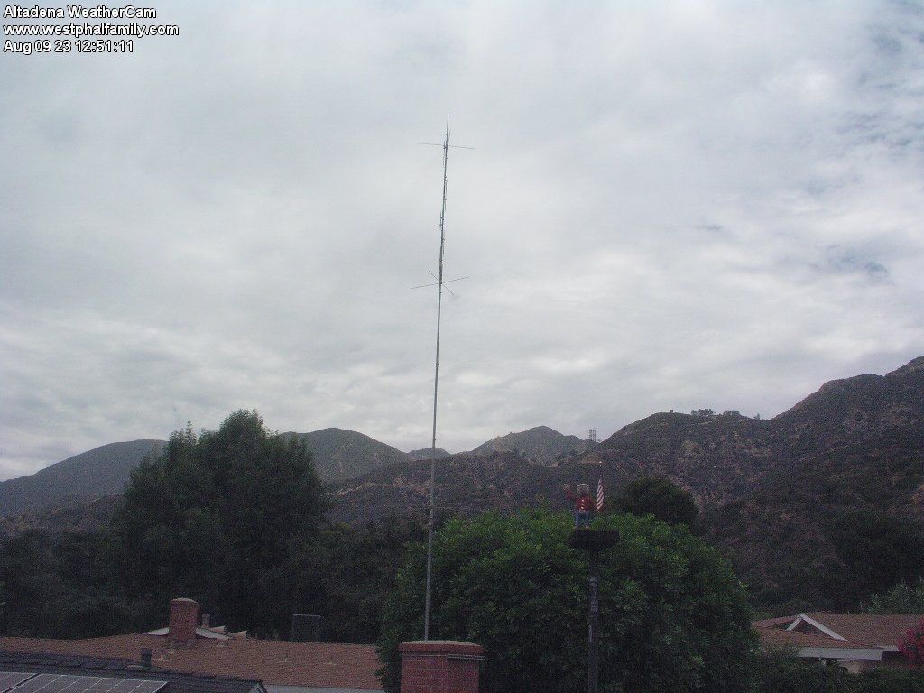
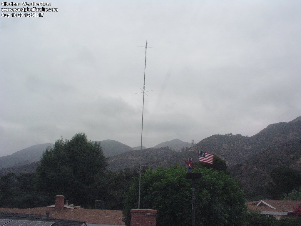
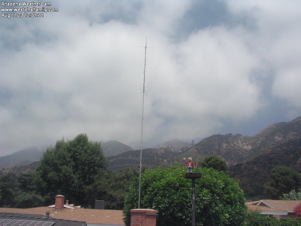
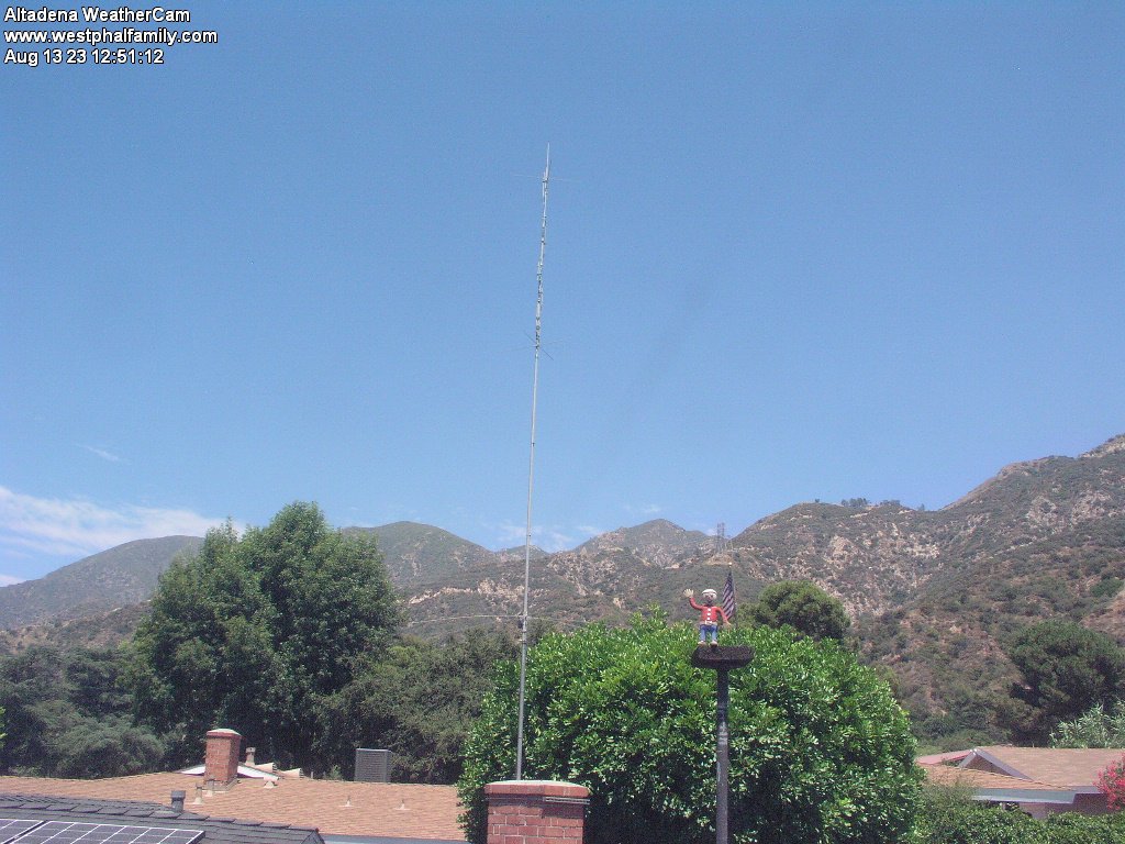
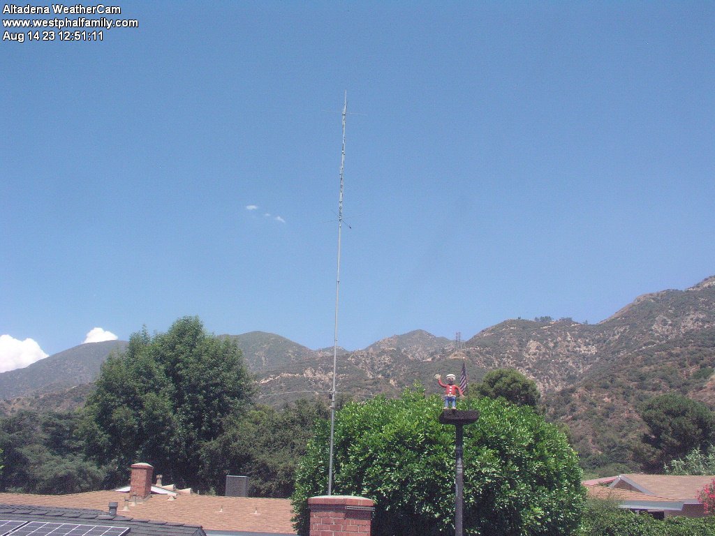
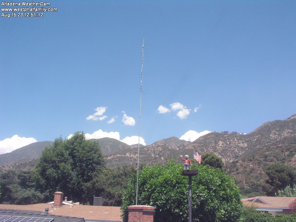
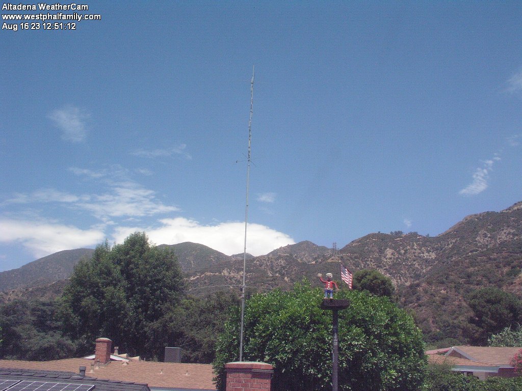
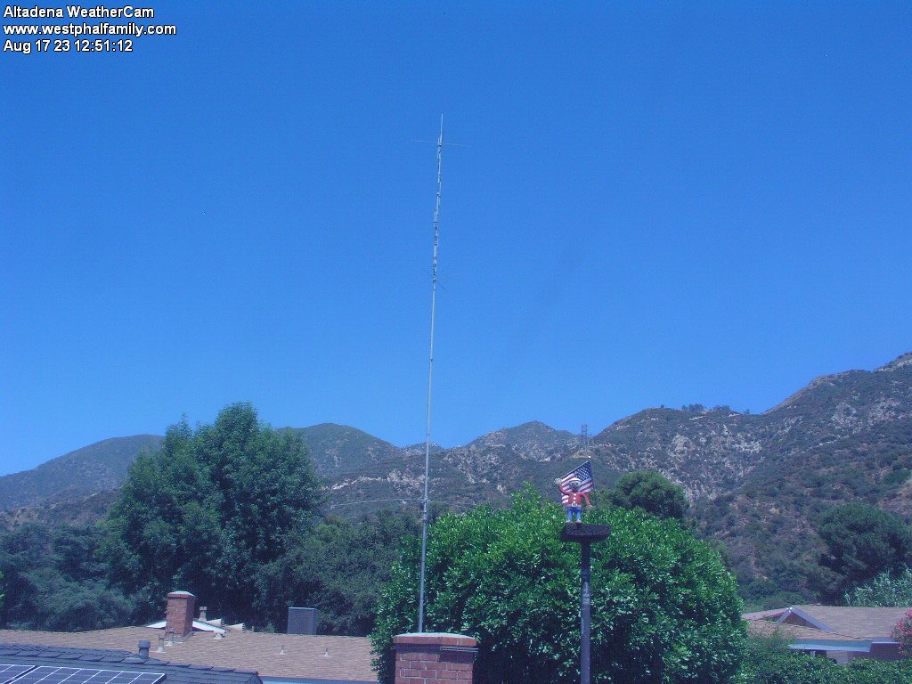
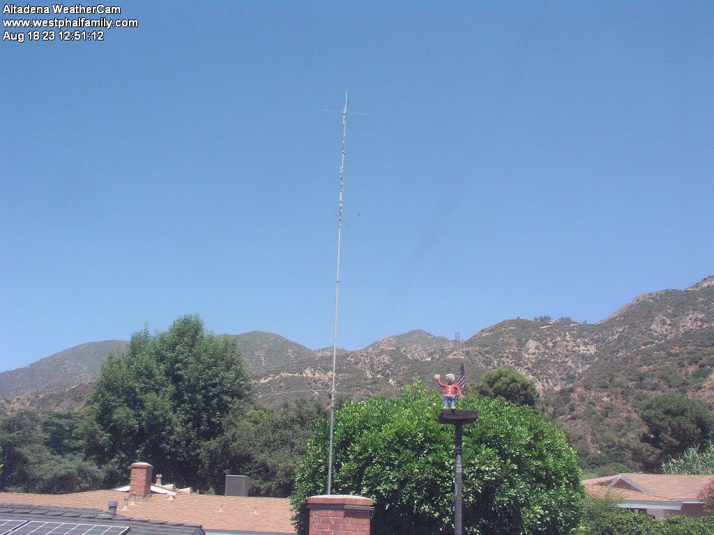
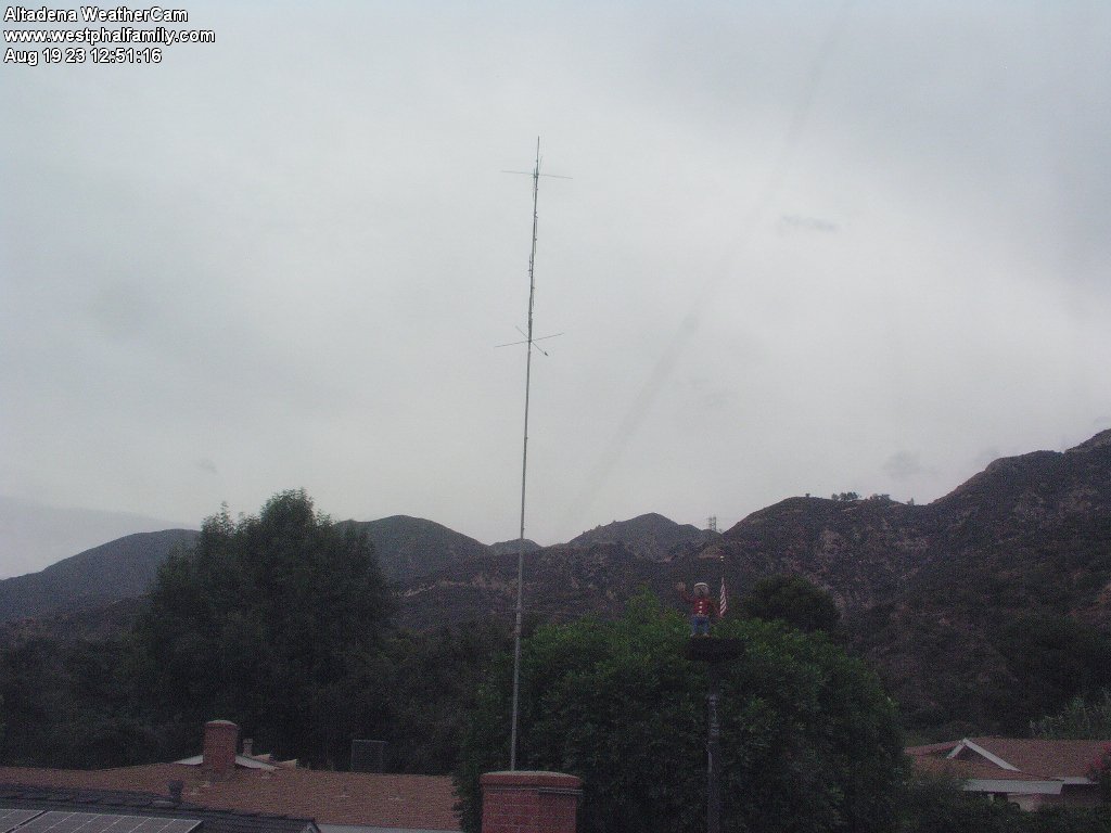
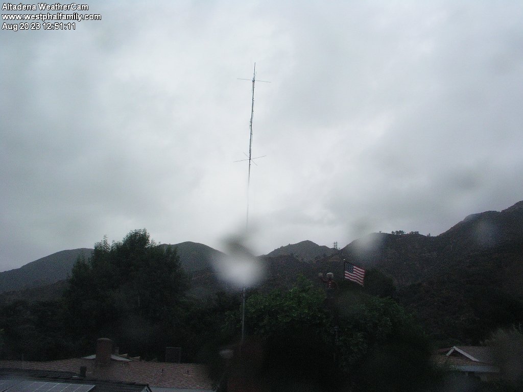
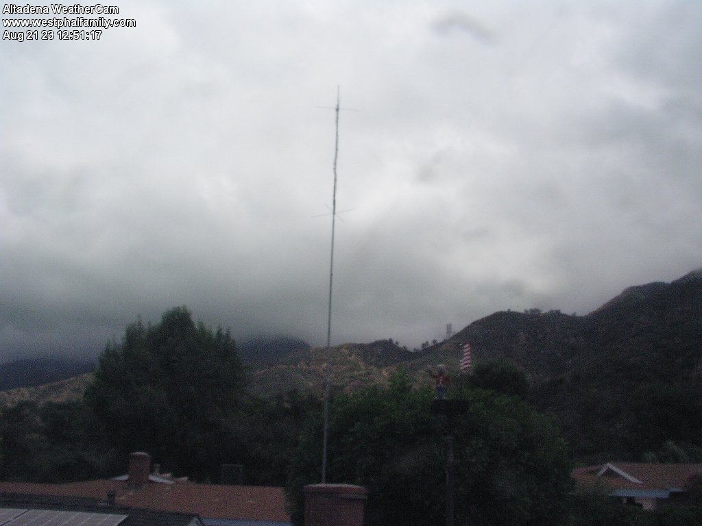
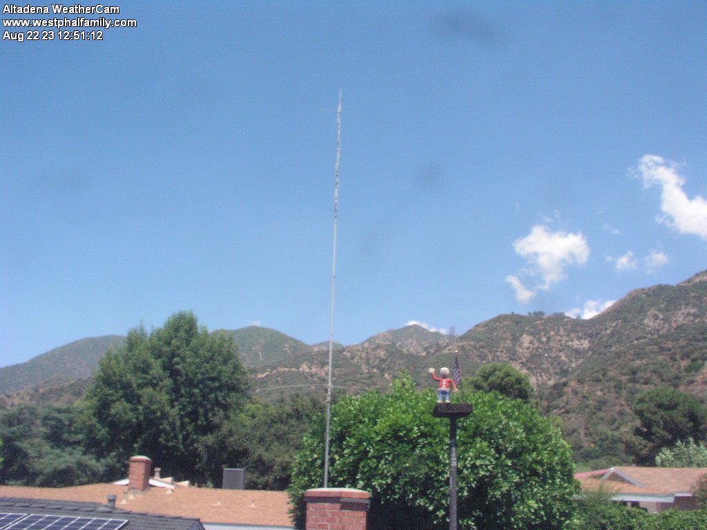
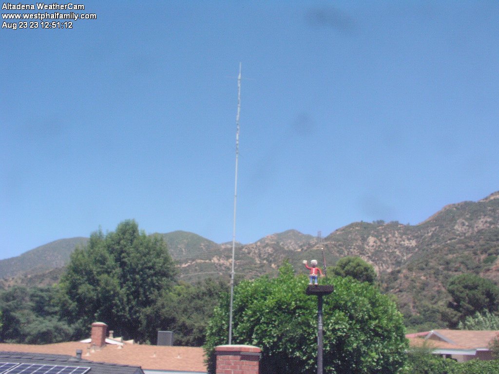
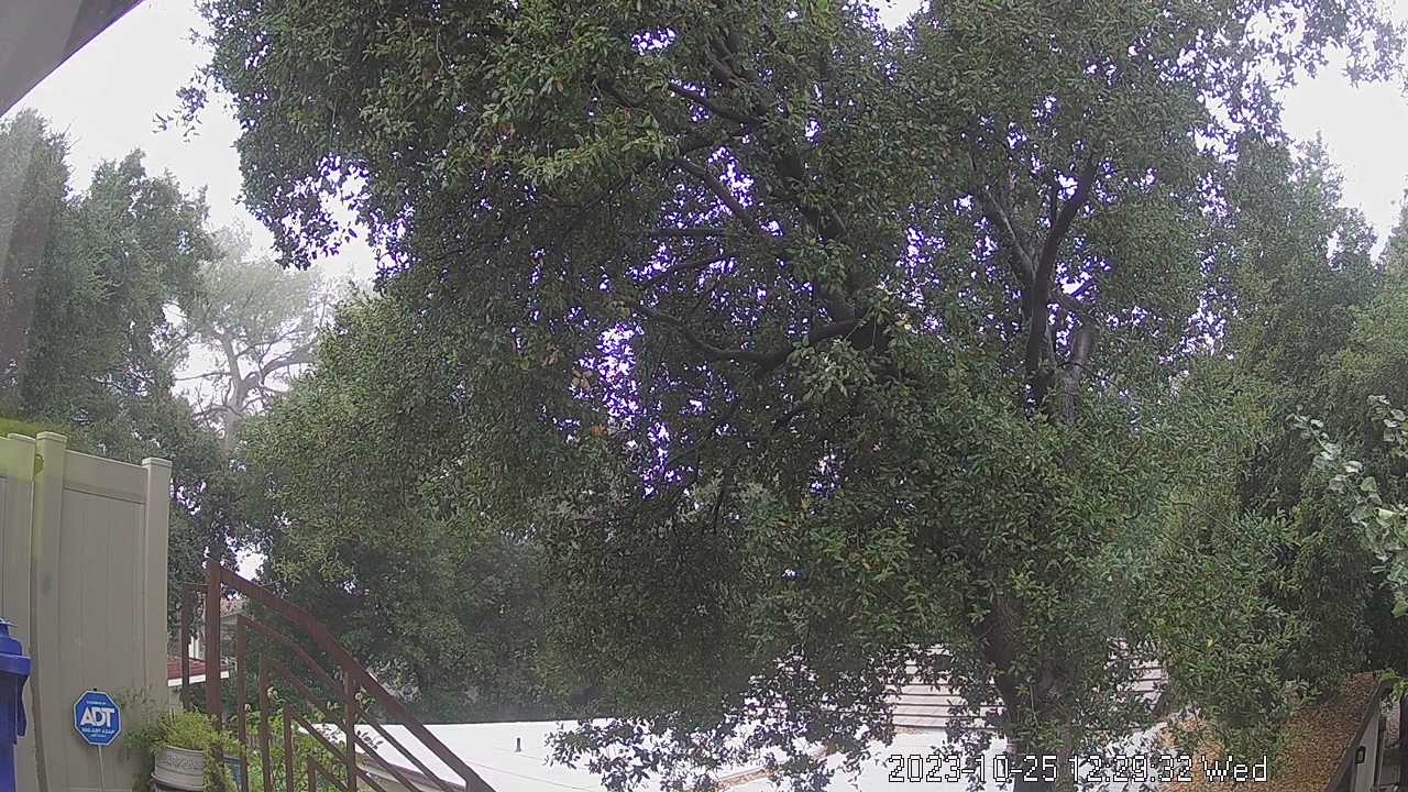
Altadena, California, USA - 13.3 miles from Avocado Heights: Altadena WeatherCam - A view of the sky above Altadena with current weather data.
Operator: Bill Westphal's Personal Home Page
Operator: Bill Westphal's Personal Home Page


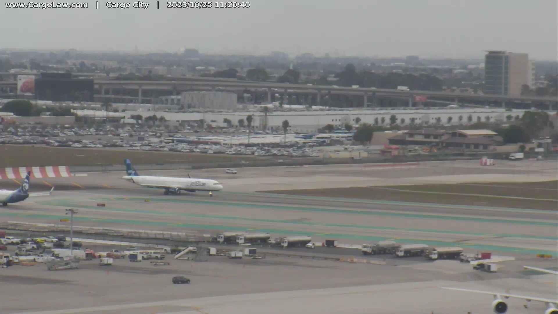
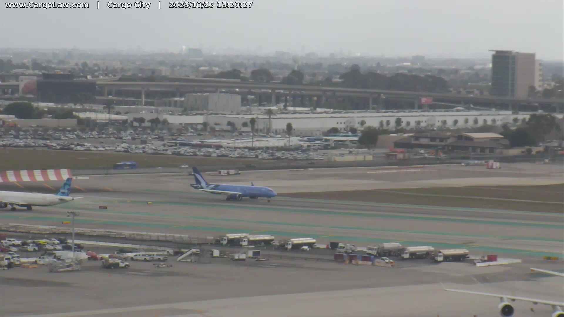
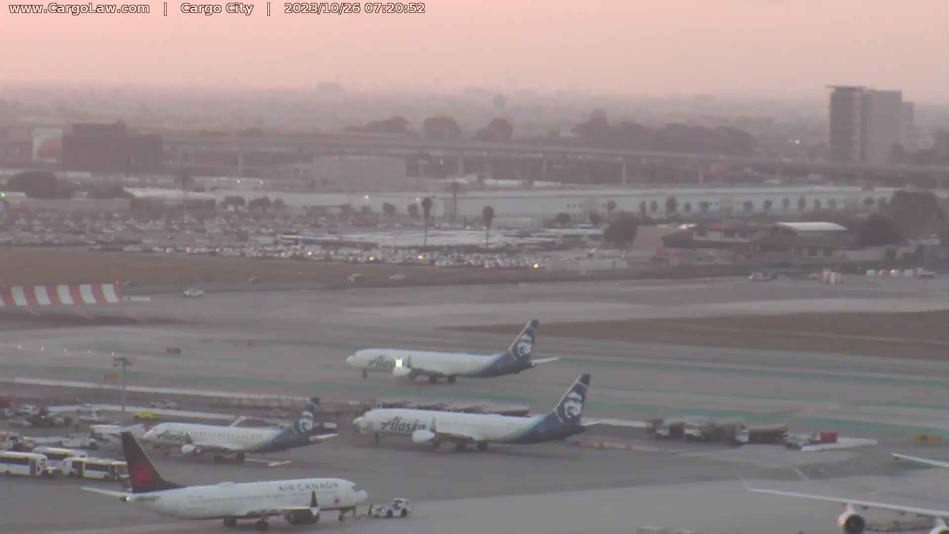
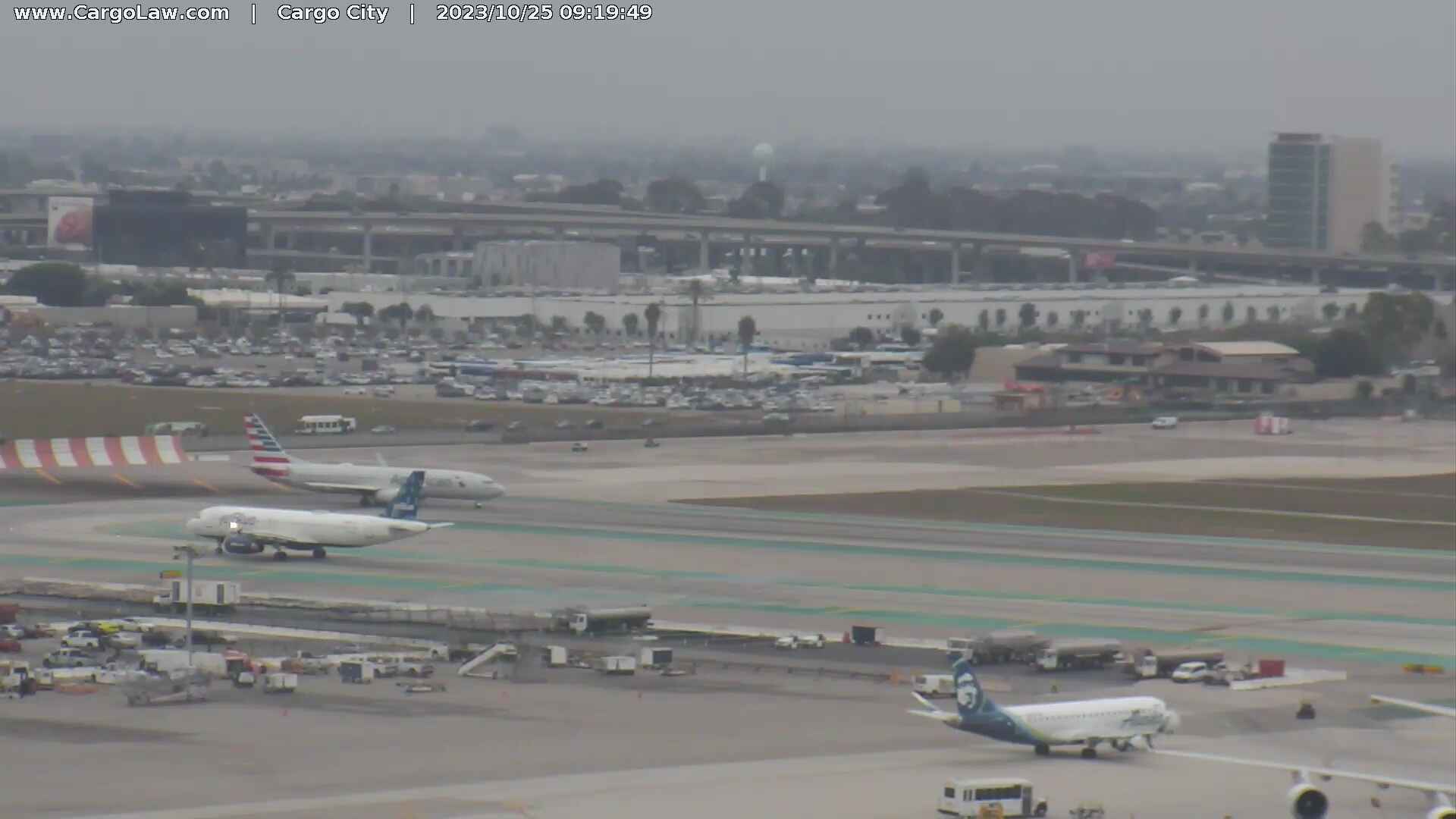
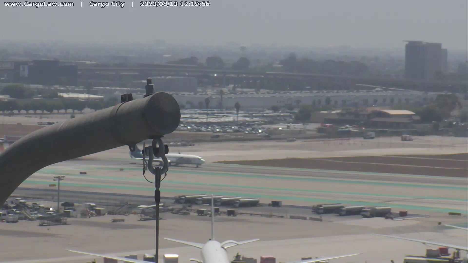
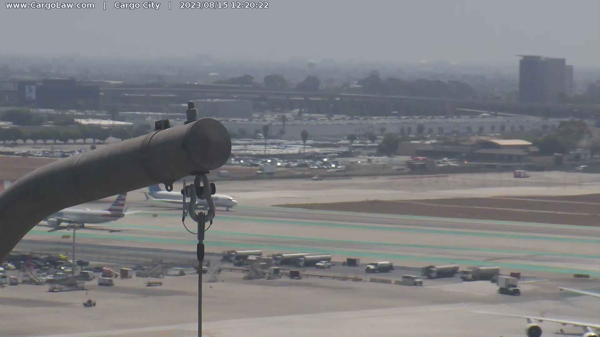
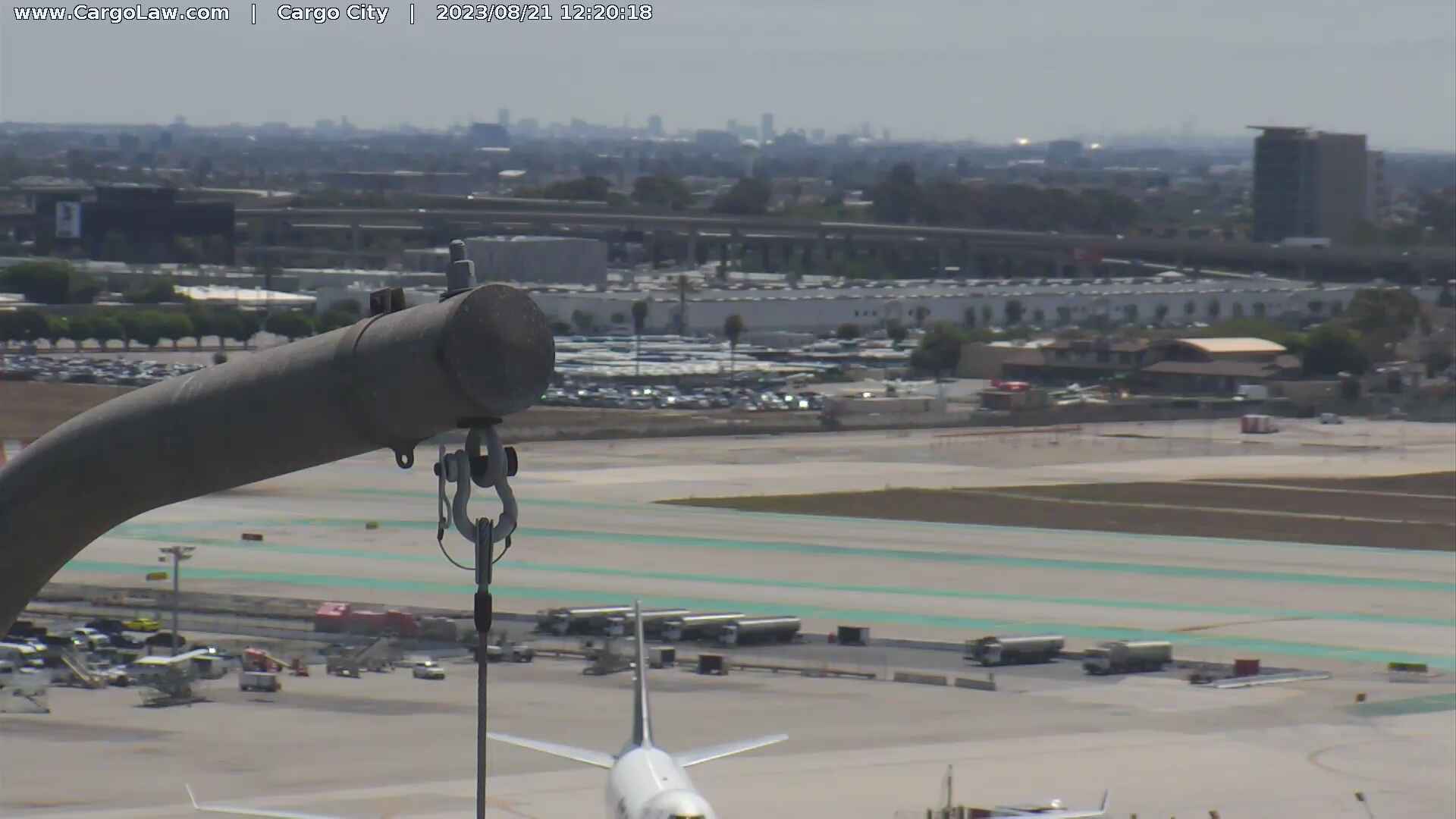
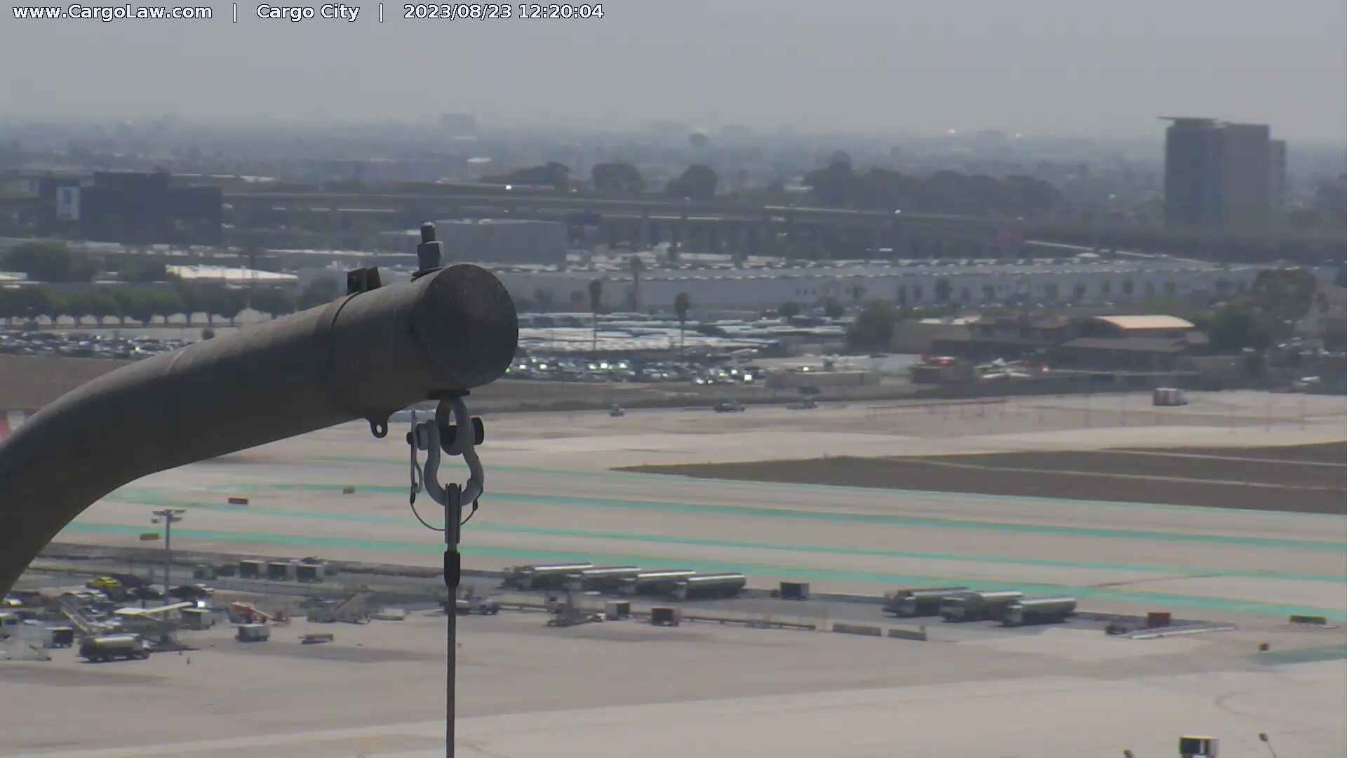
Los Angeles, California, USA - 14.5 miles from Avocado Heights: LAX Webcam - A current view of the Los Angeles Airport.
Operator: The Law Offices of Countryman & McDaniel
Operator: The Law Offices of Countryman & McDaniel

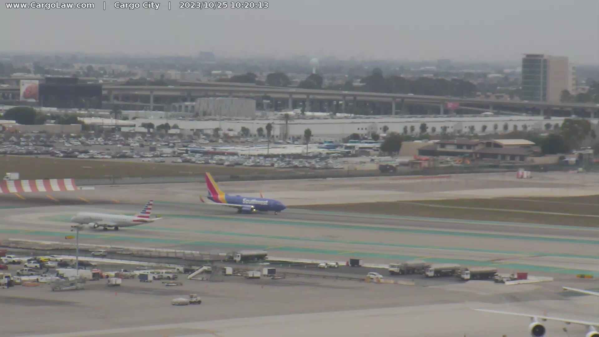
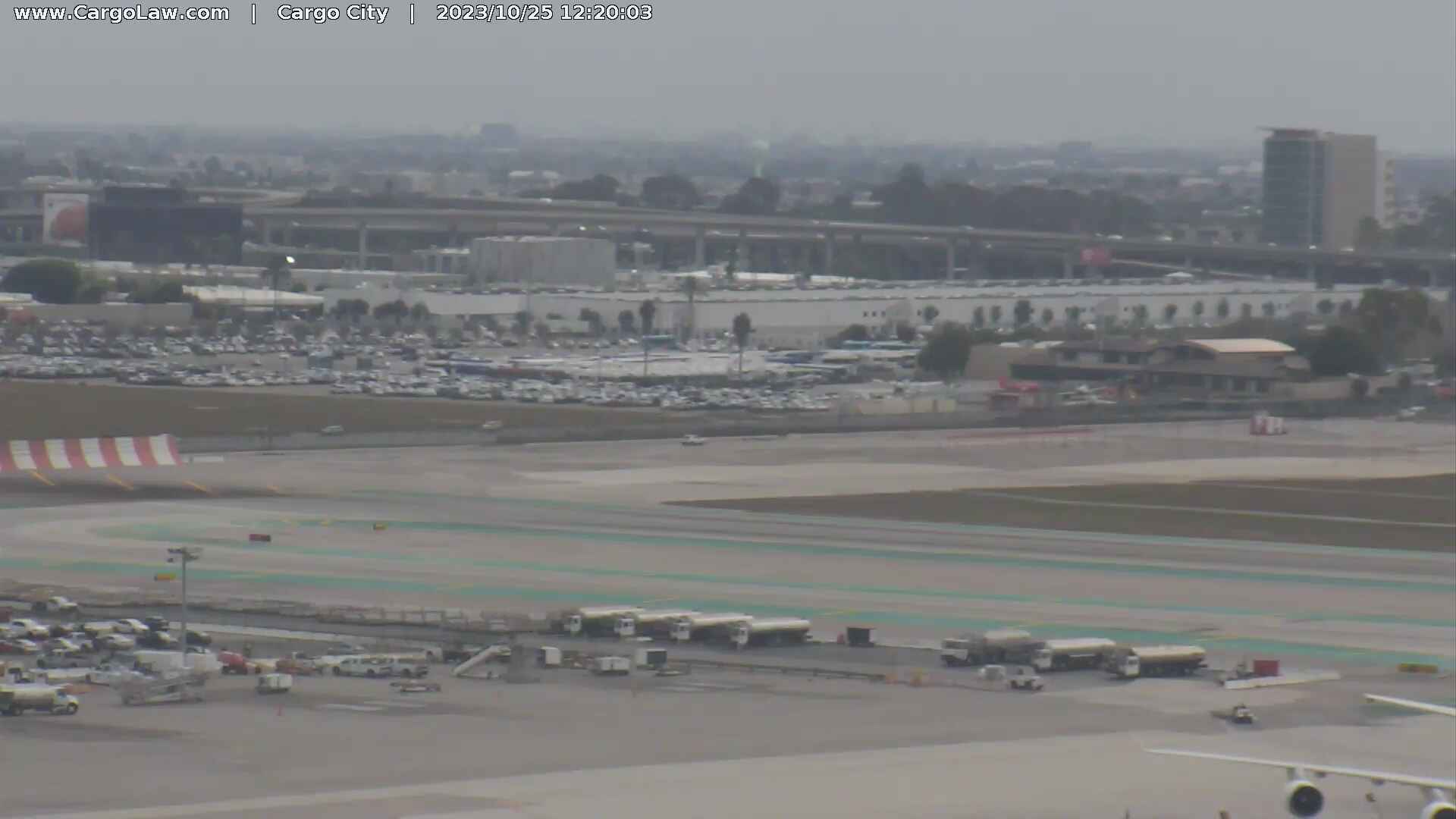
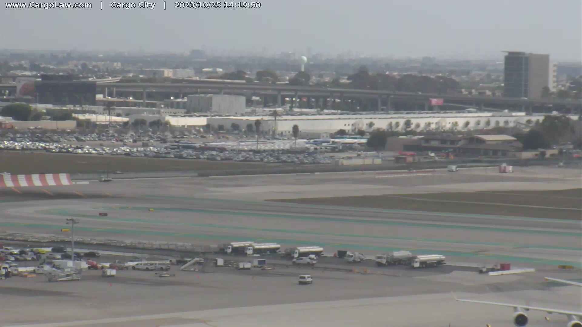
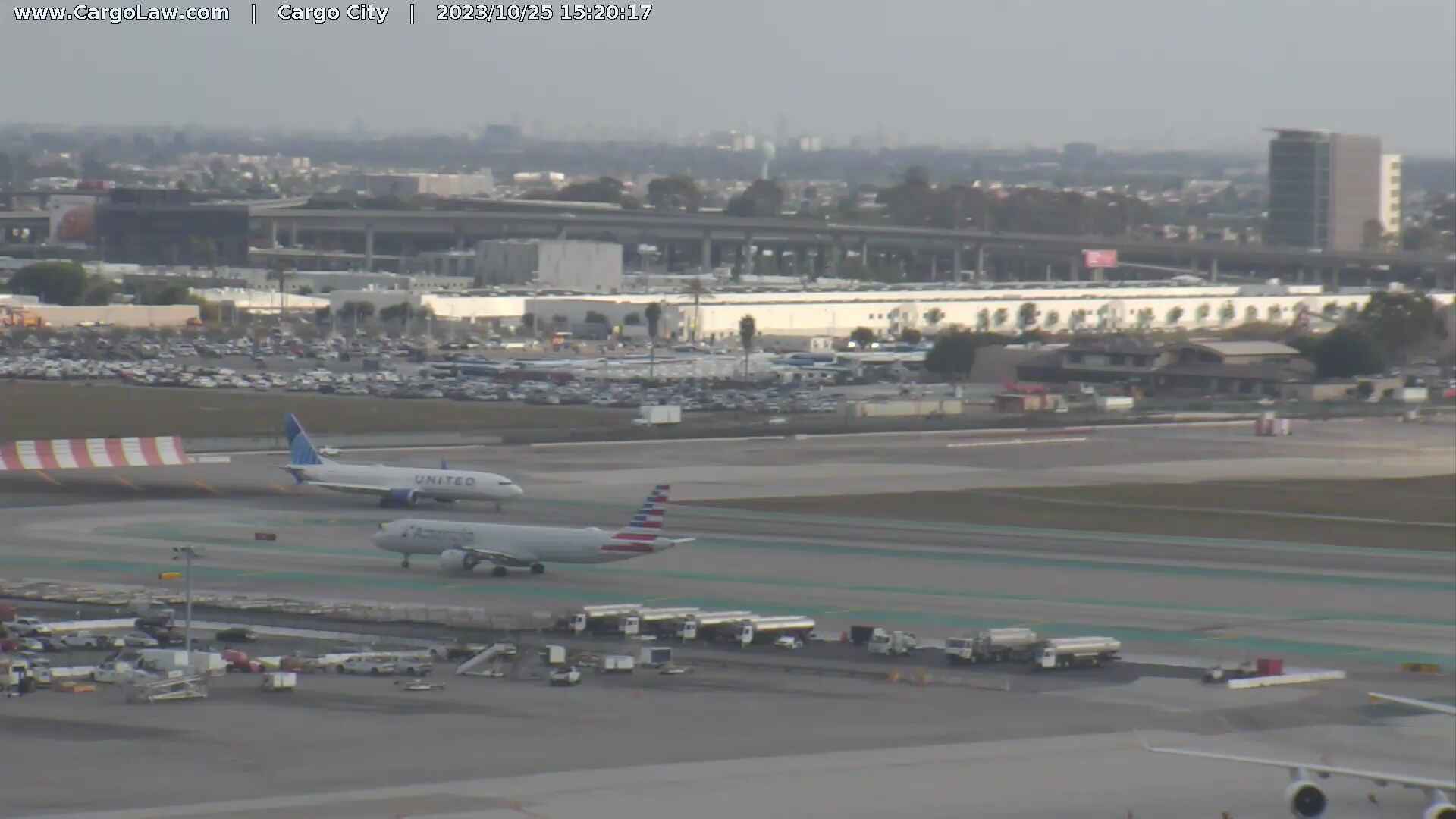
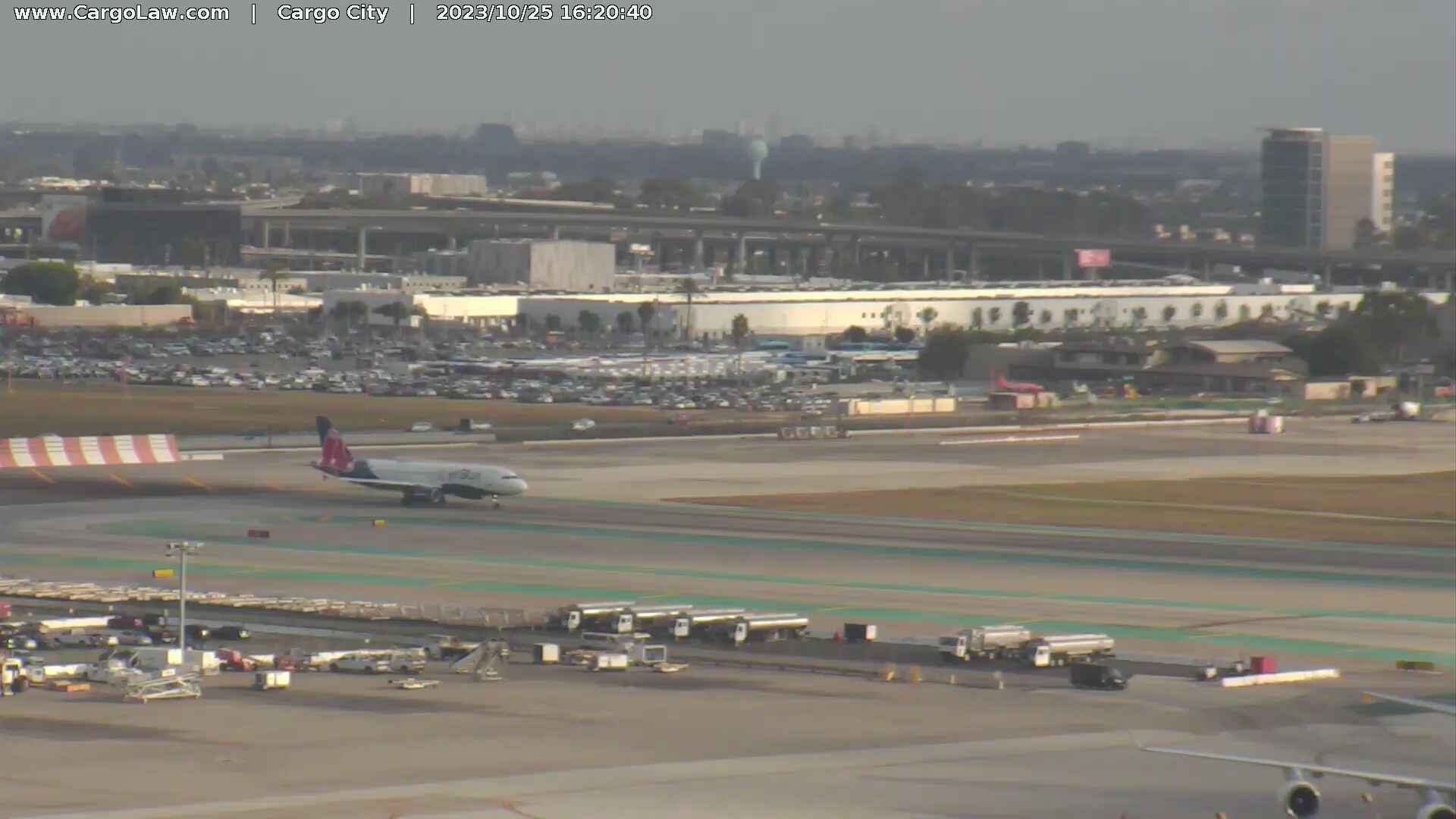
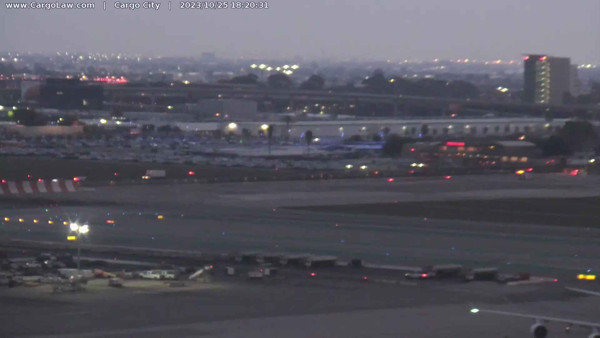
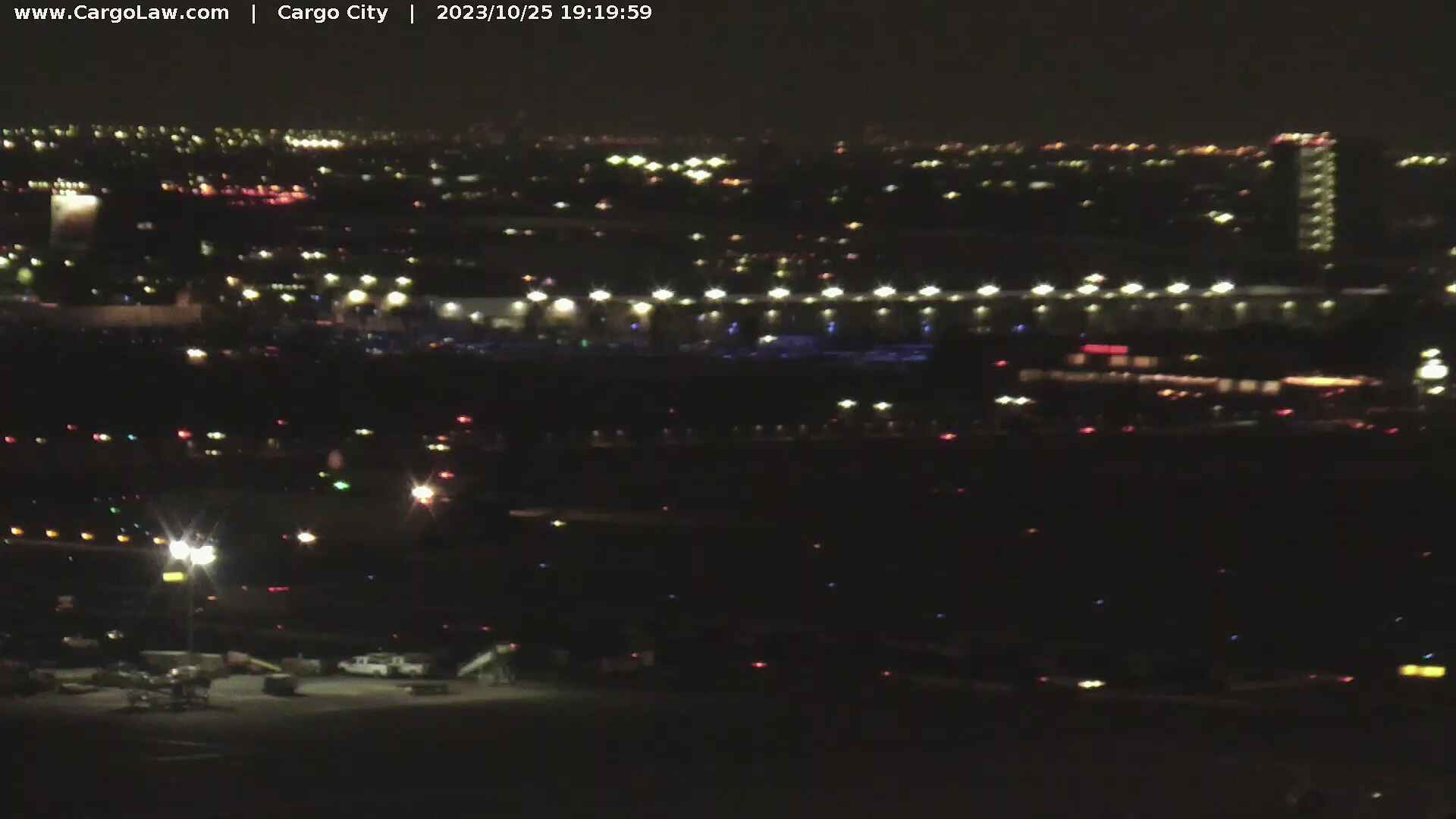
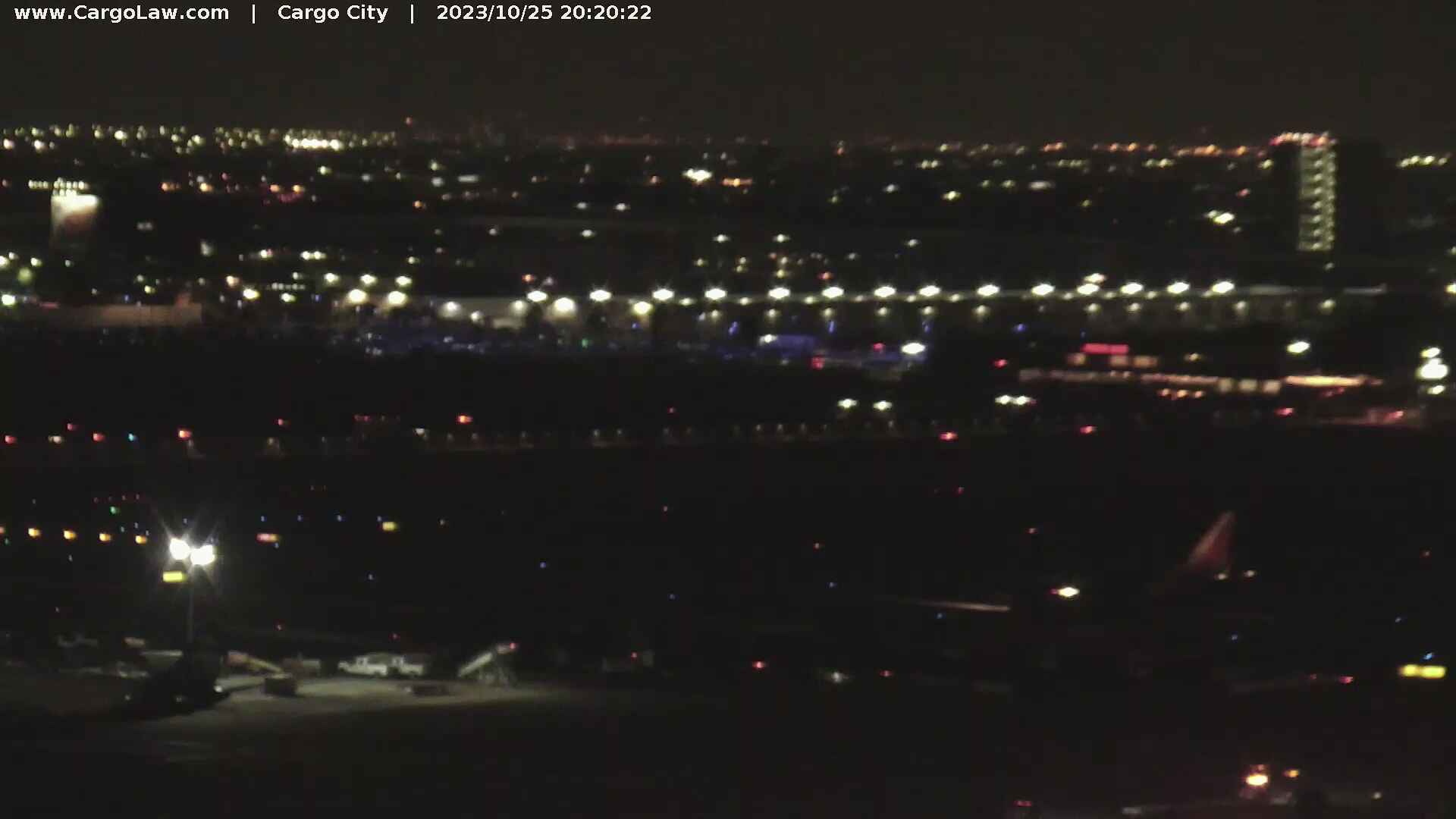
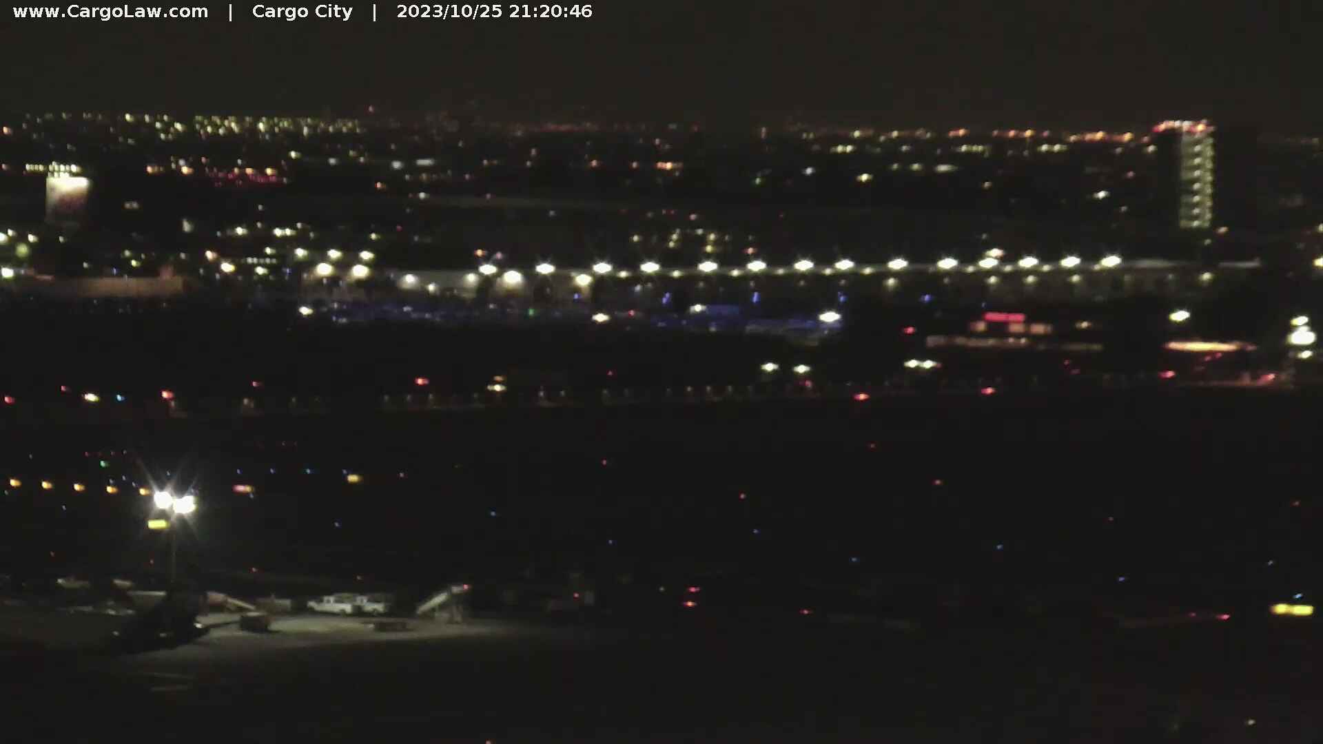
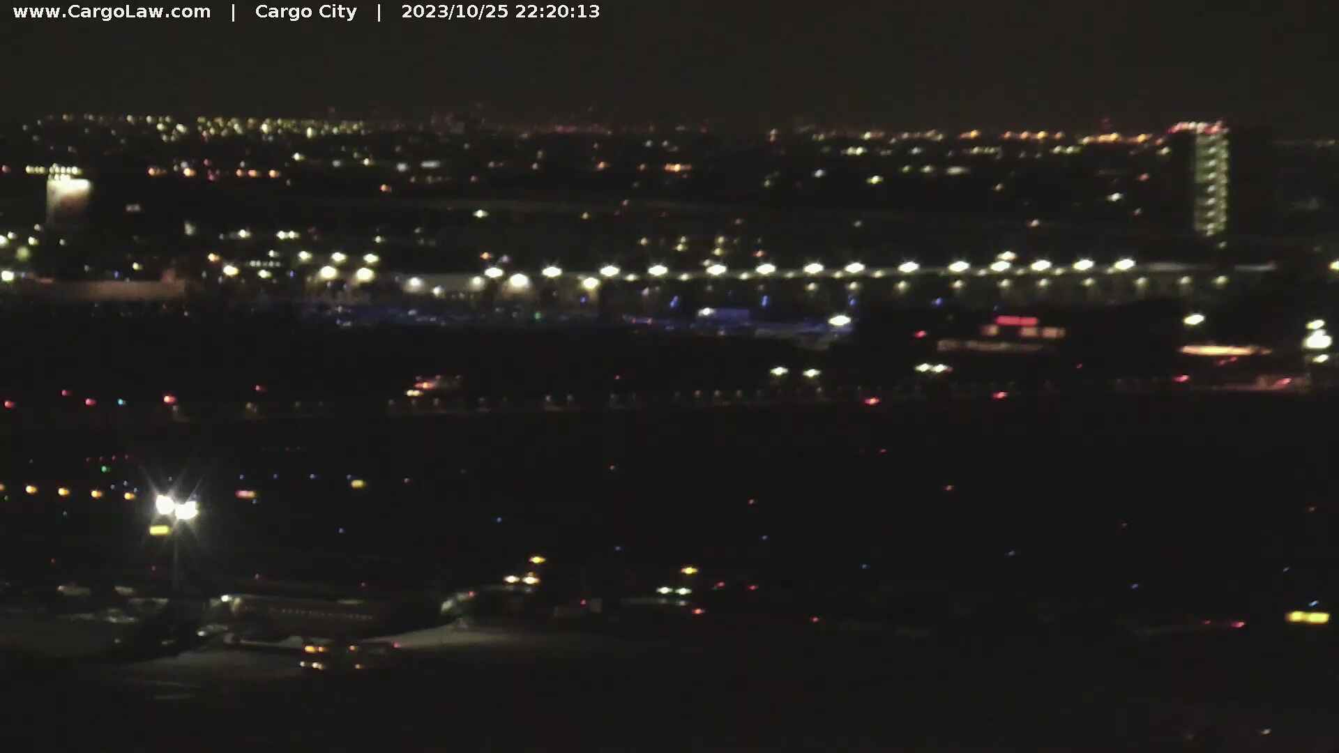
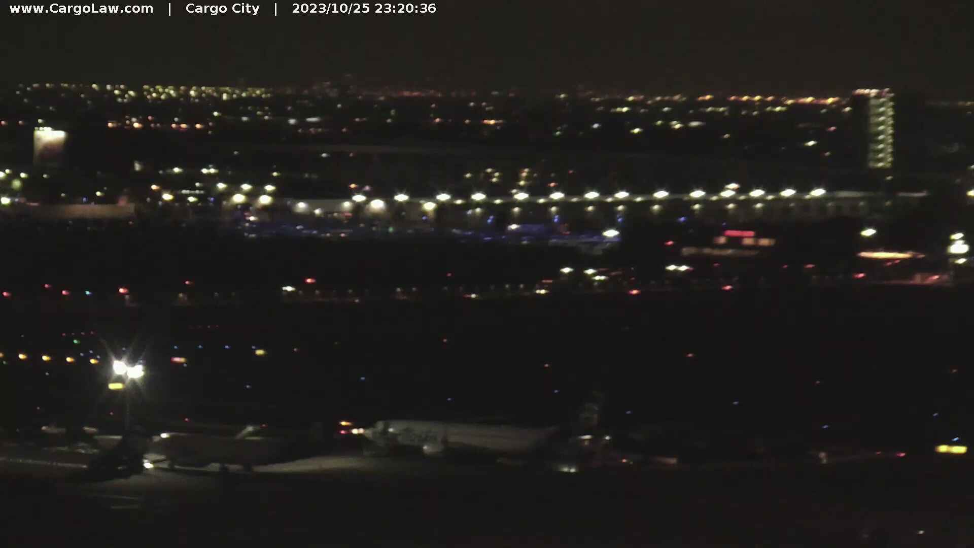
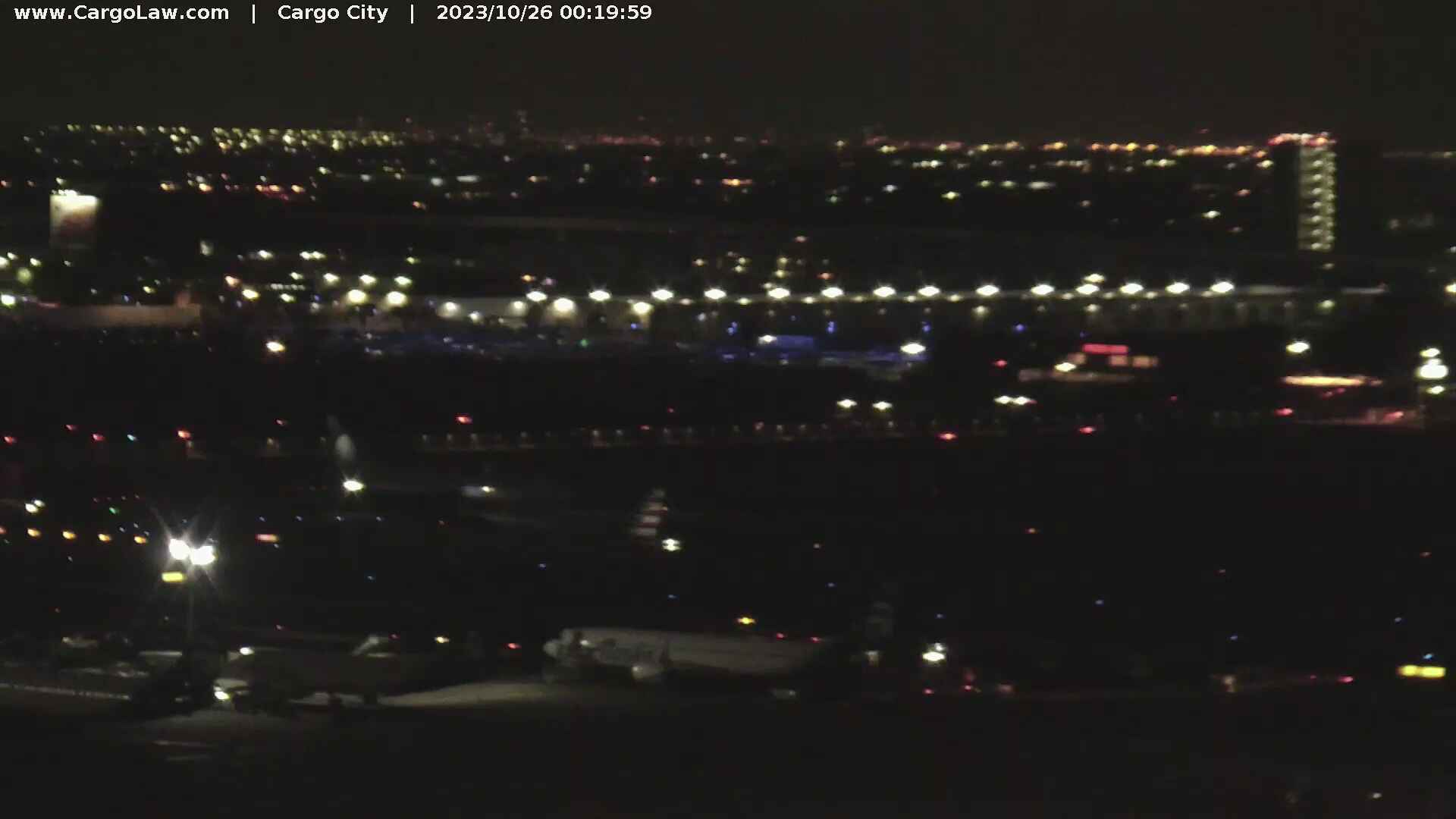
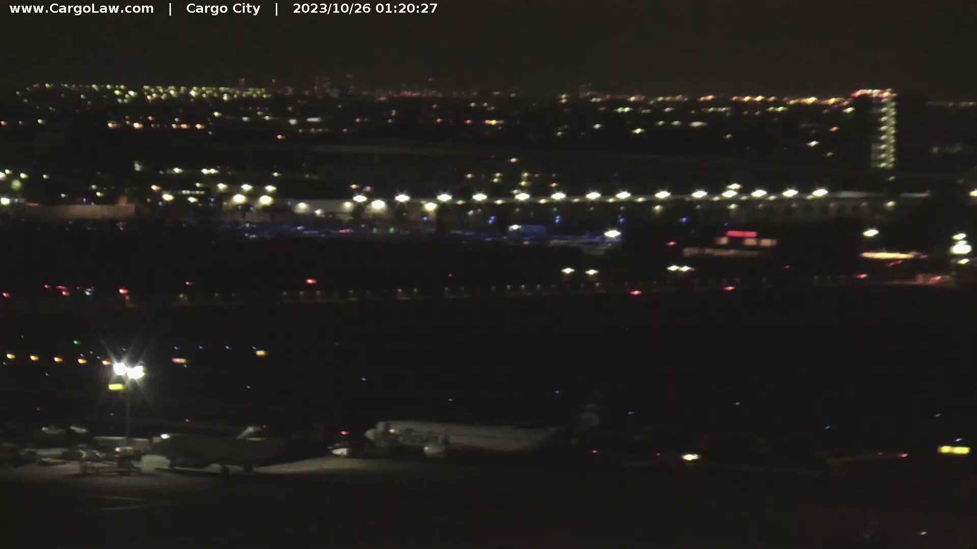
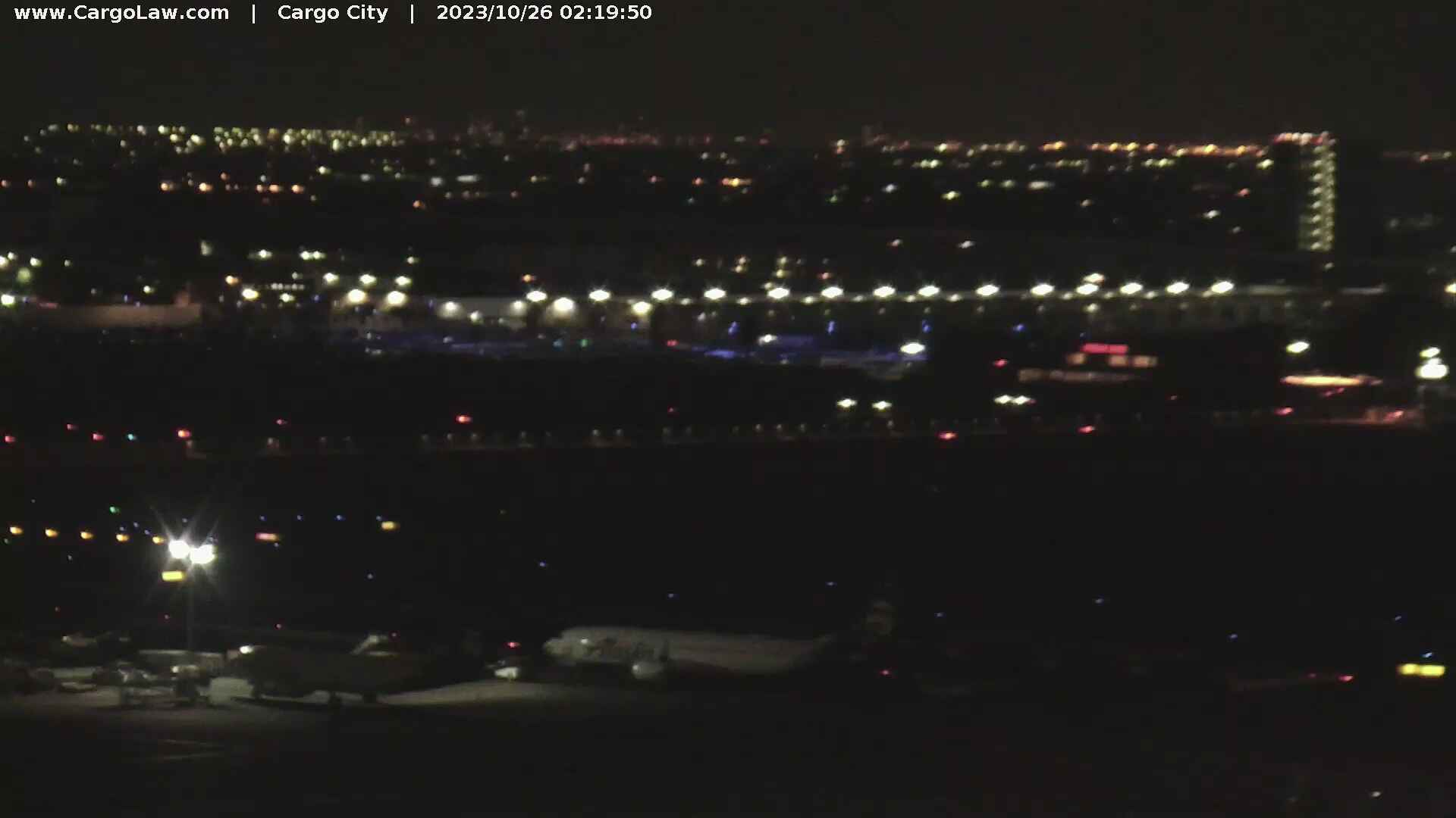
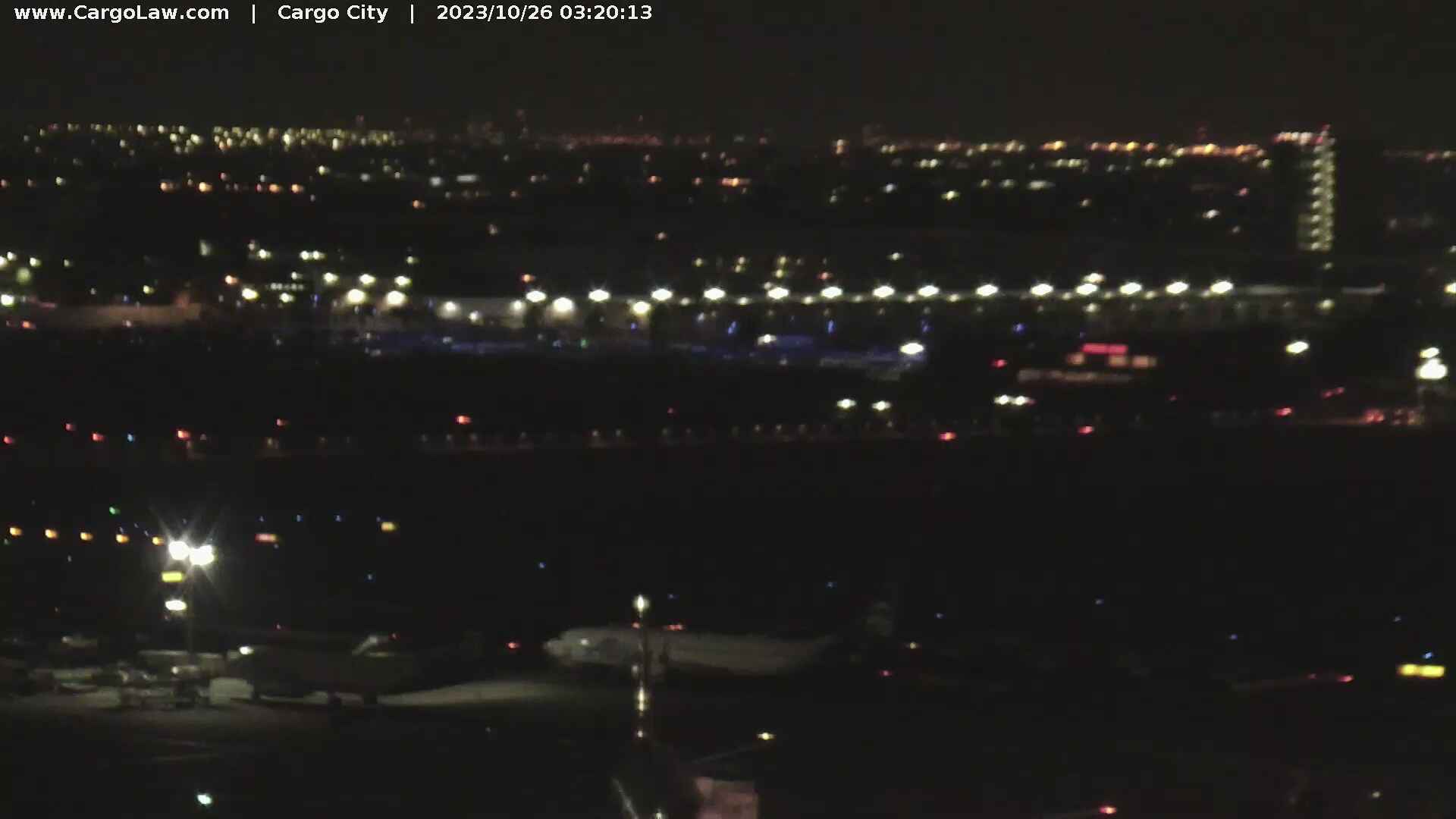
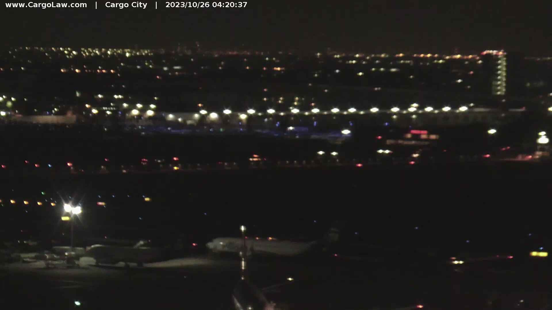
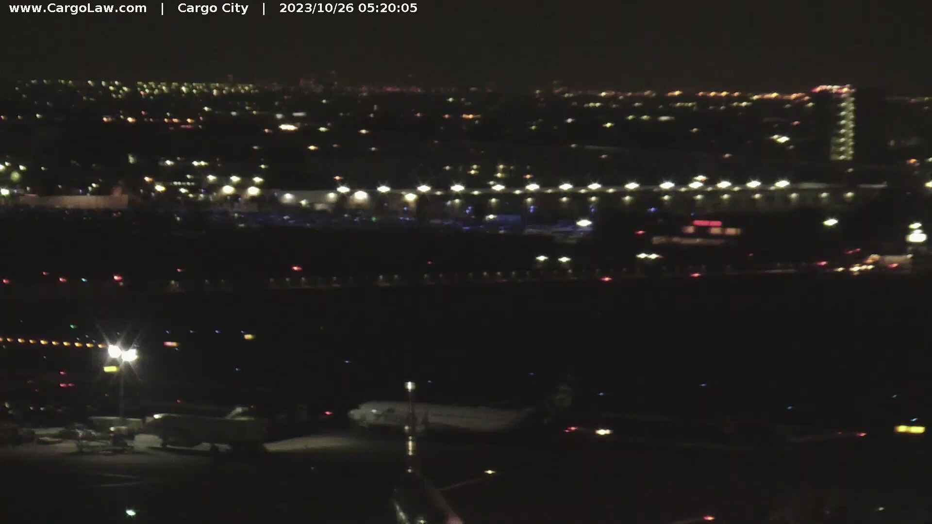
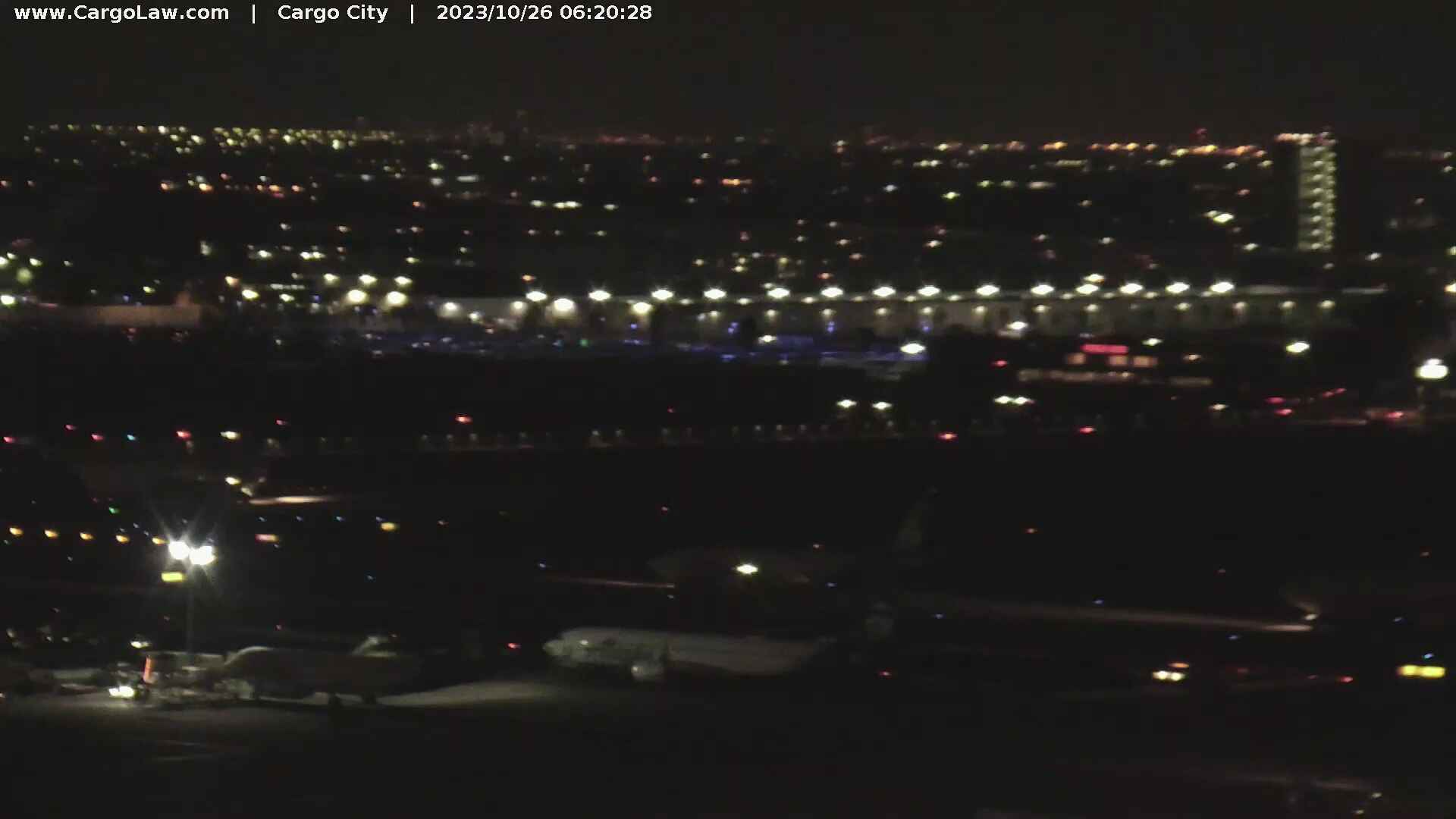
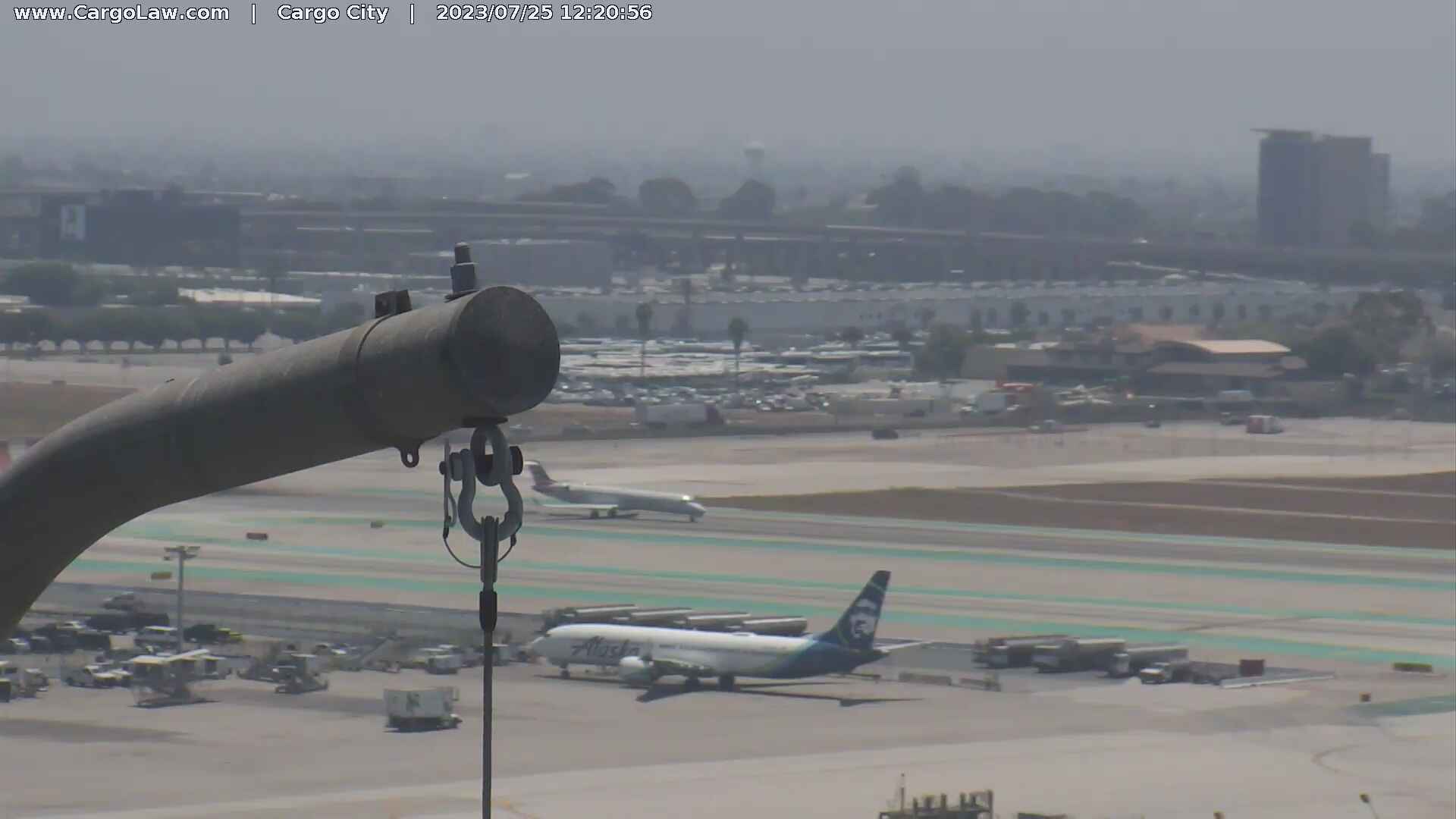
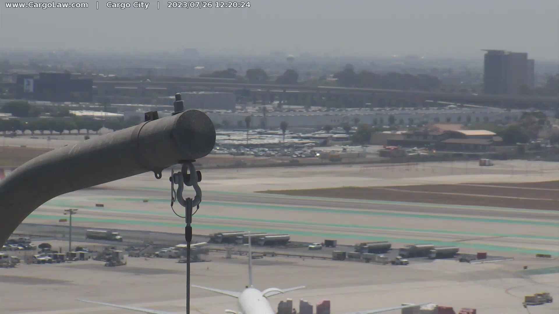
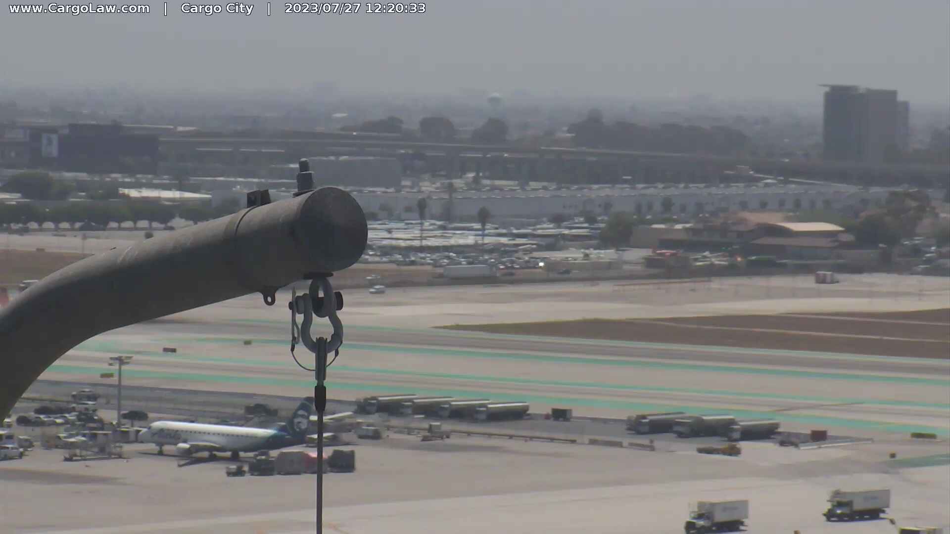
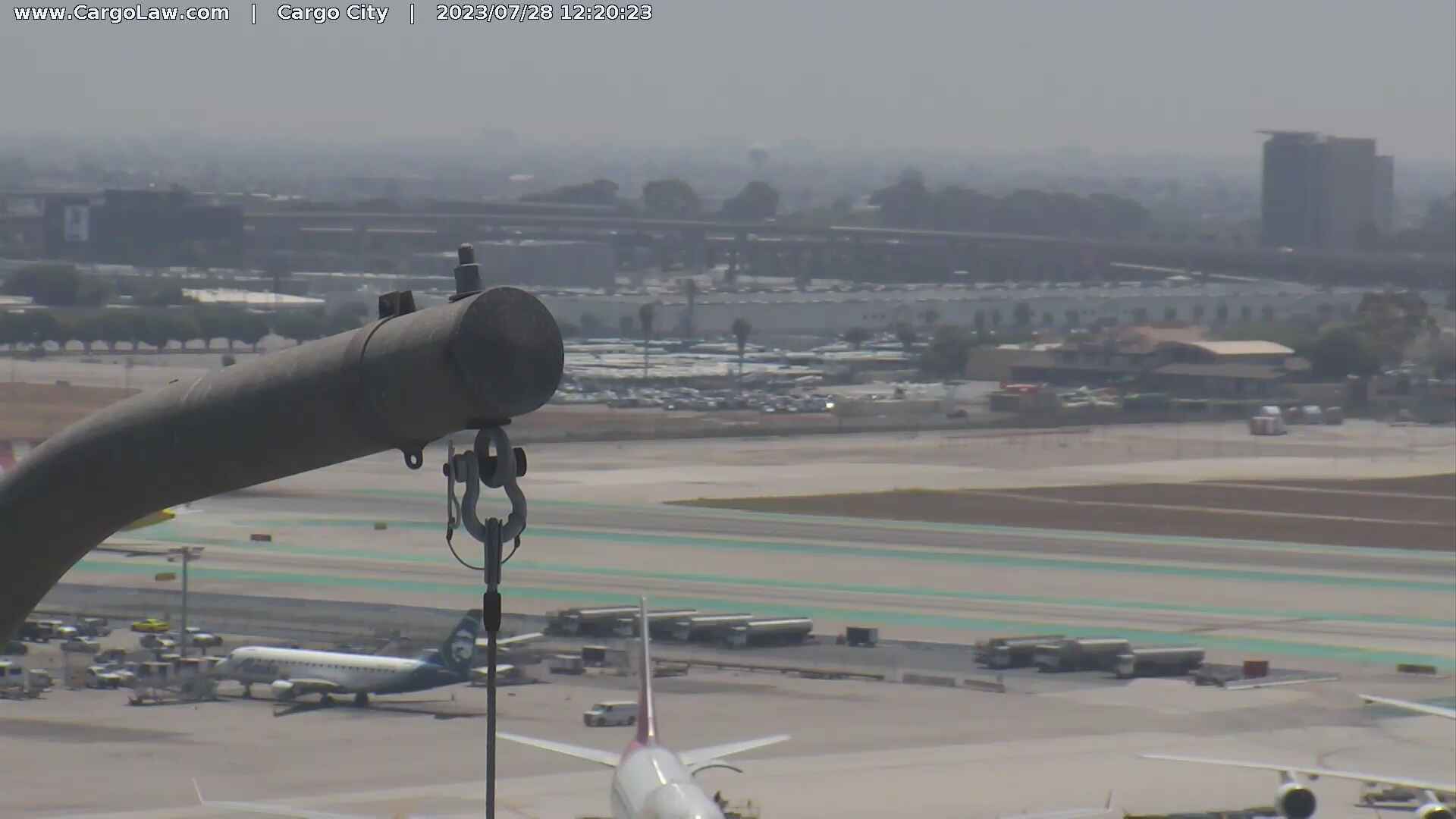
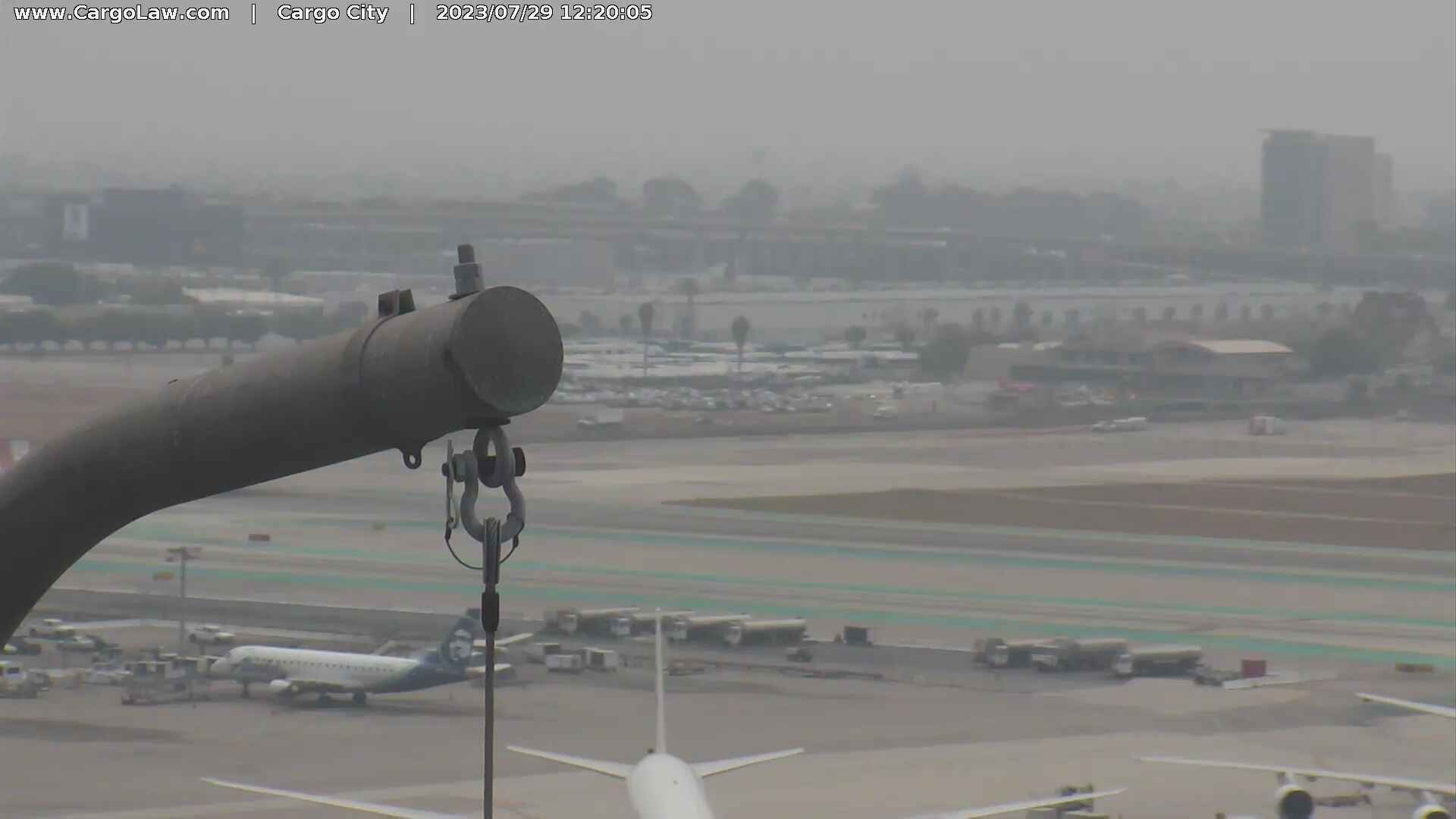
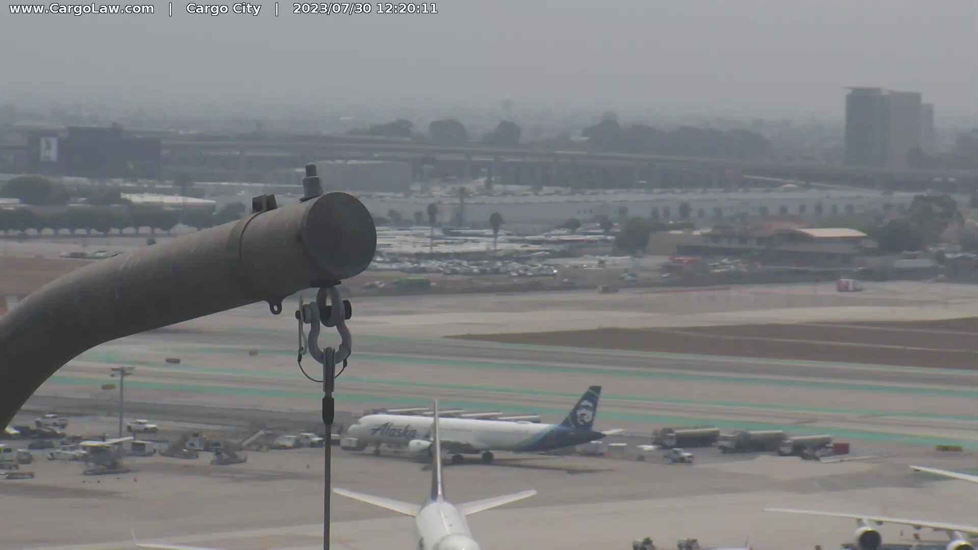
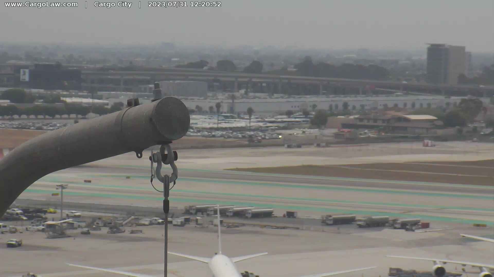
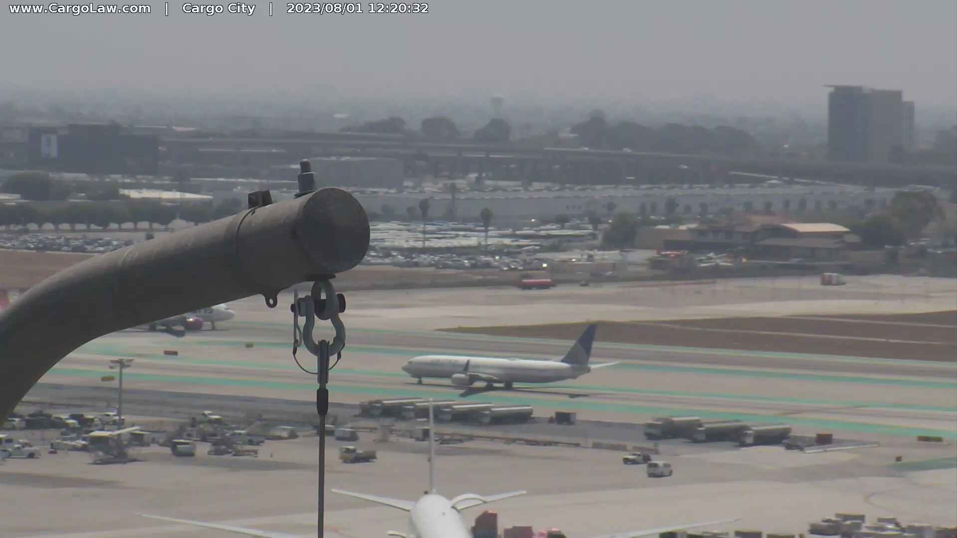
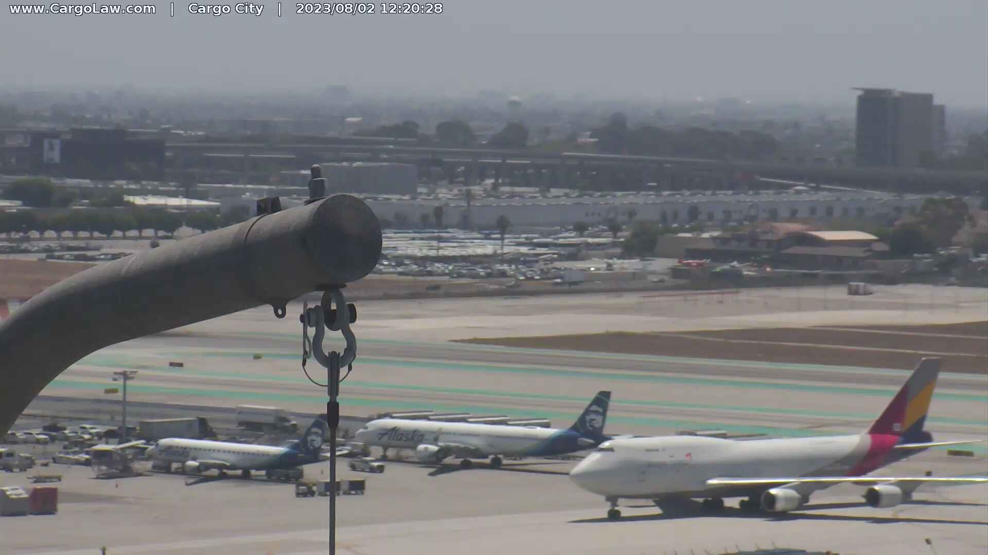
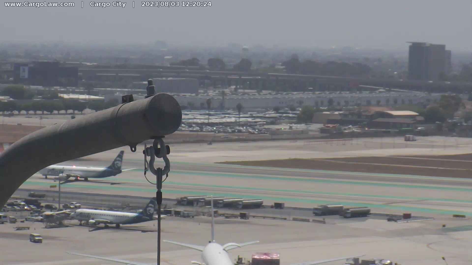
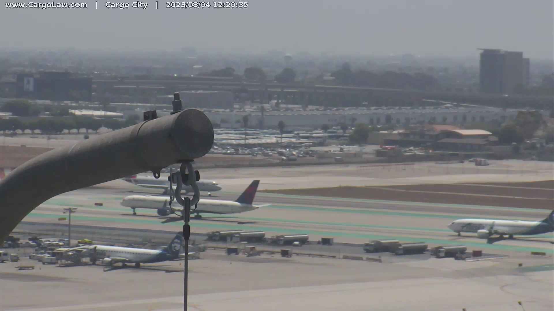
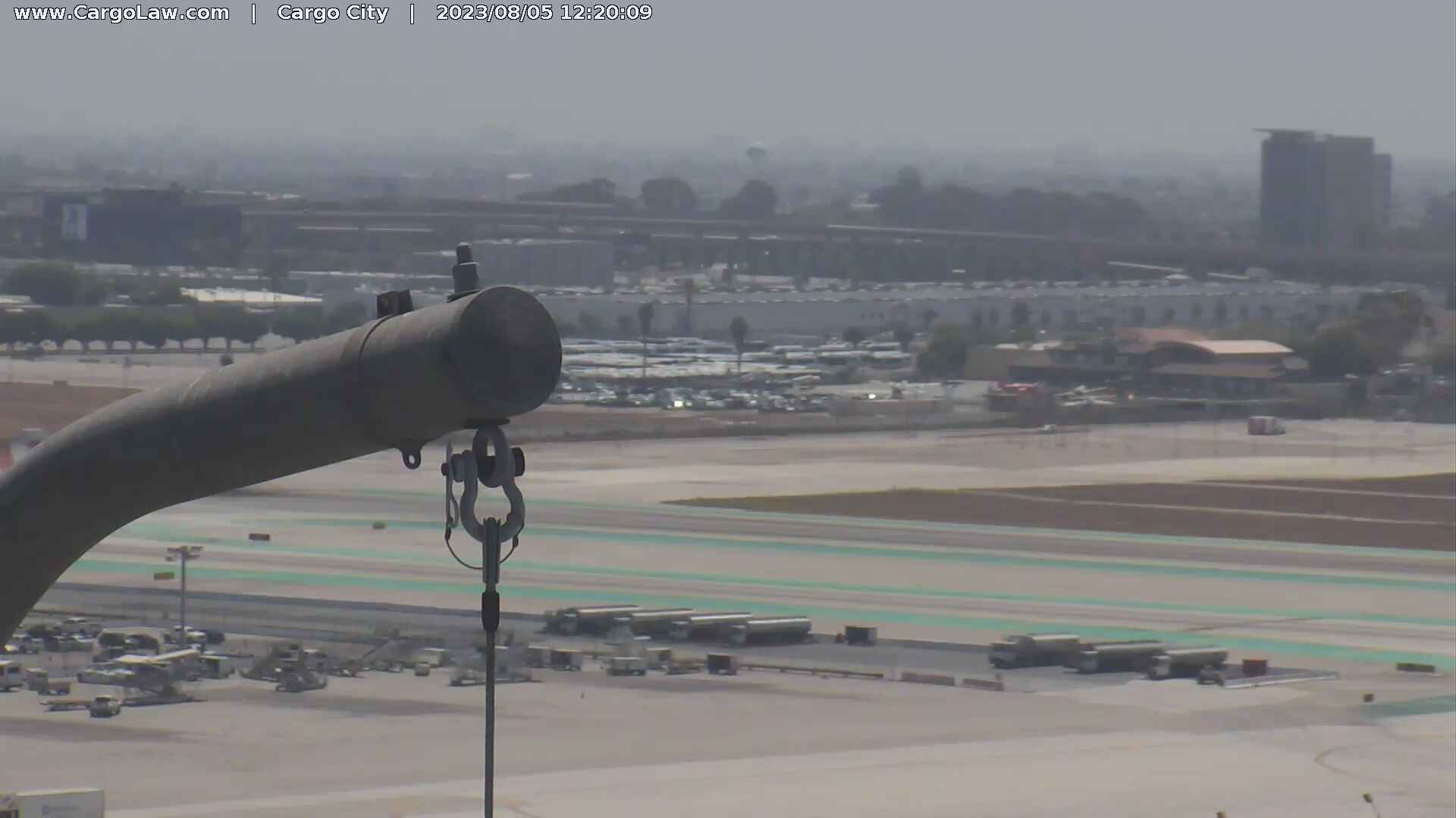
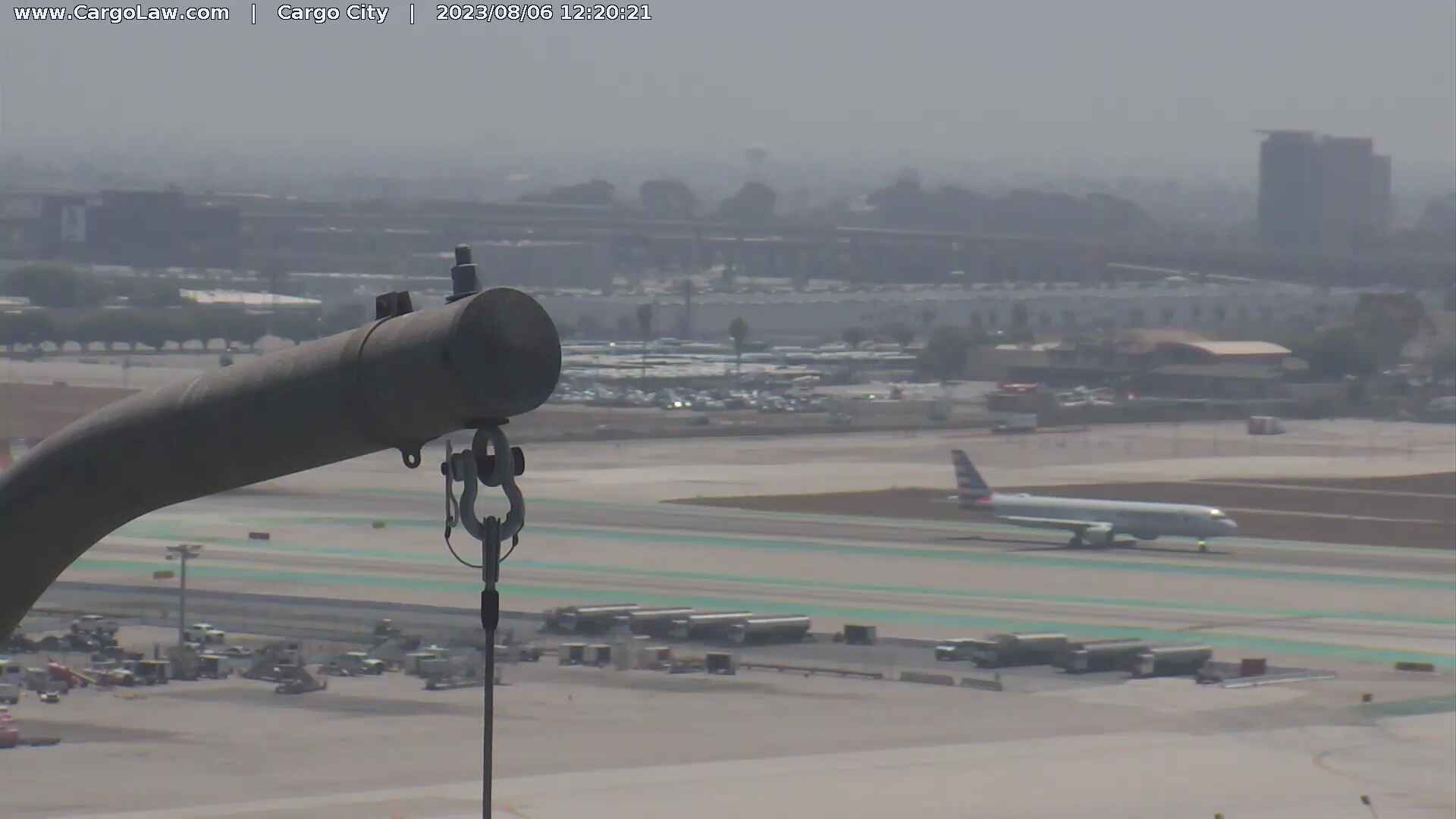
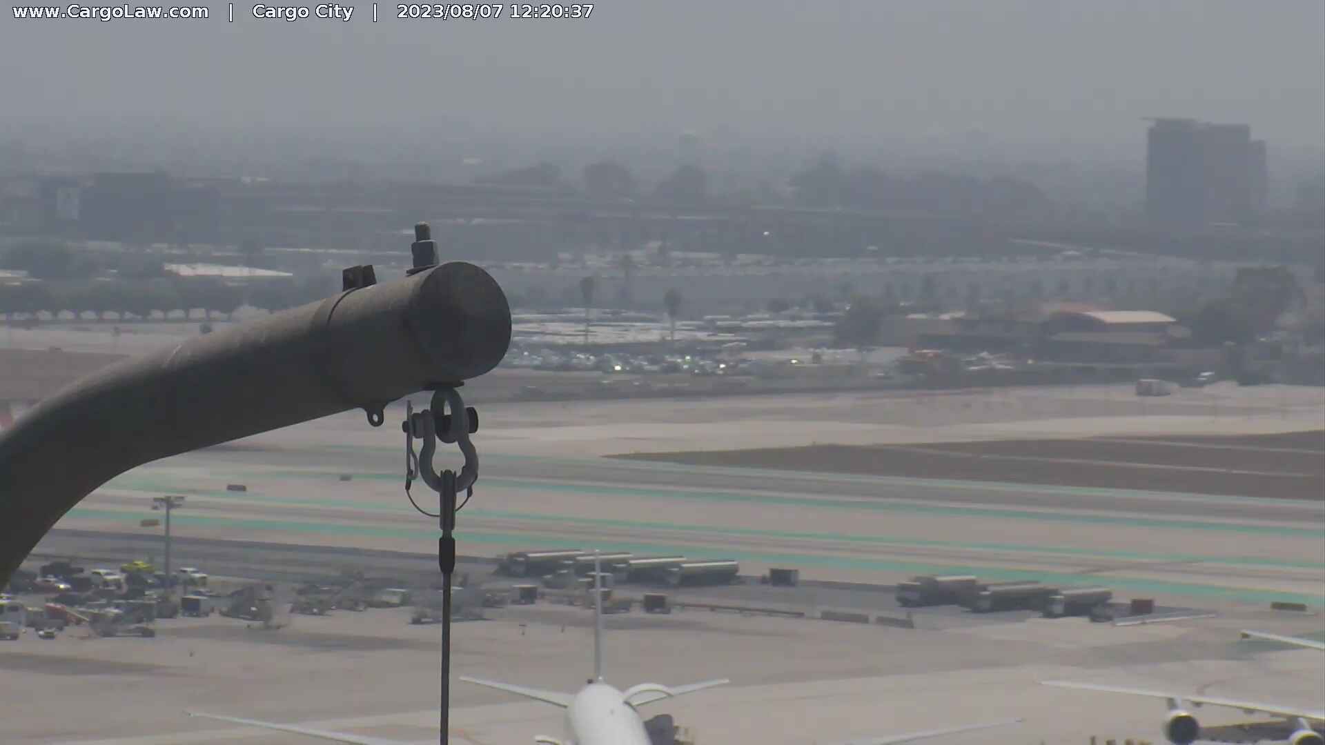
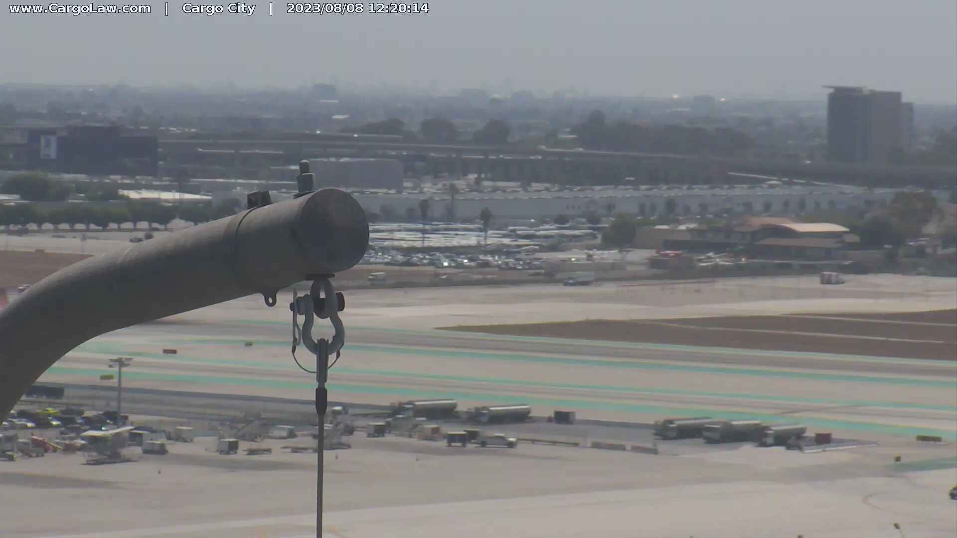
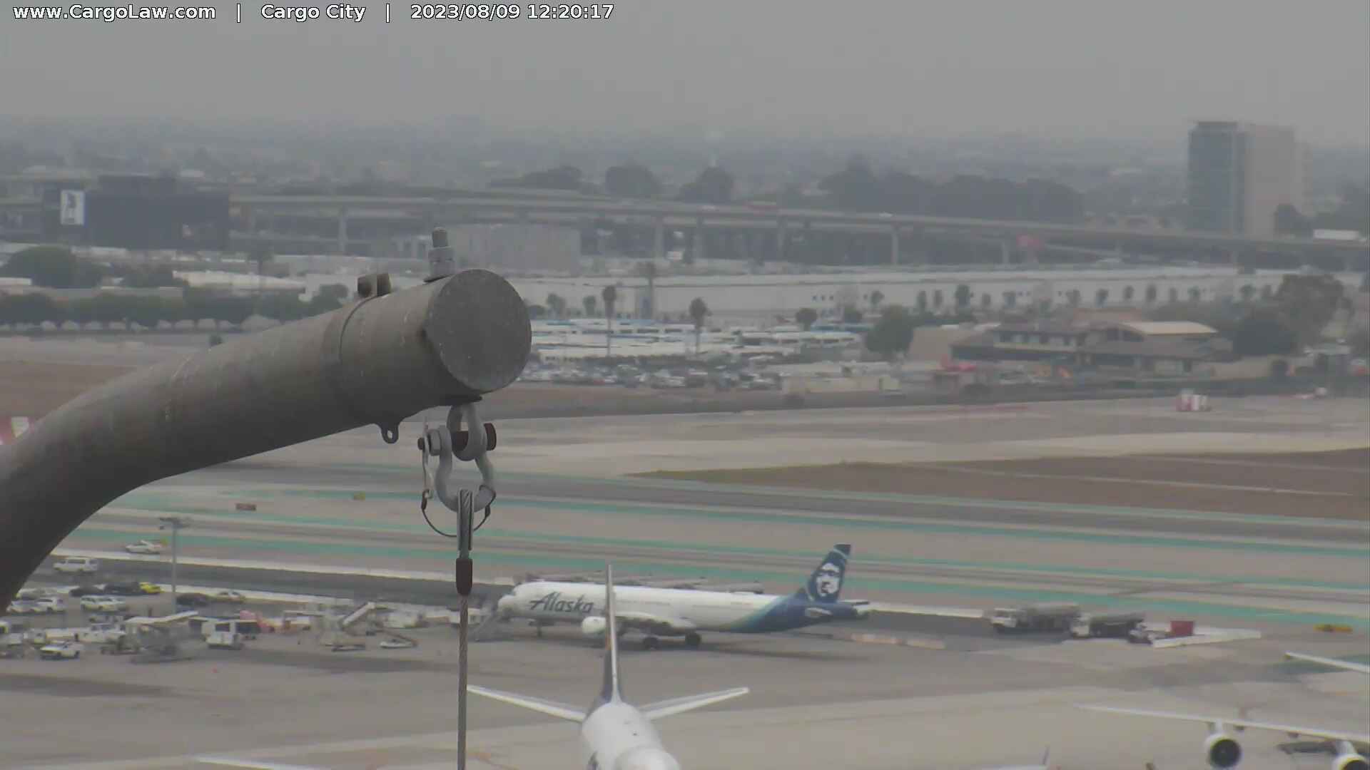
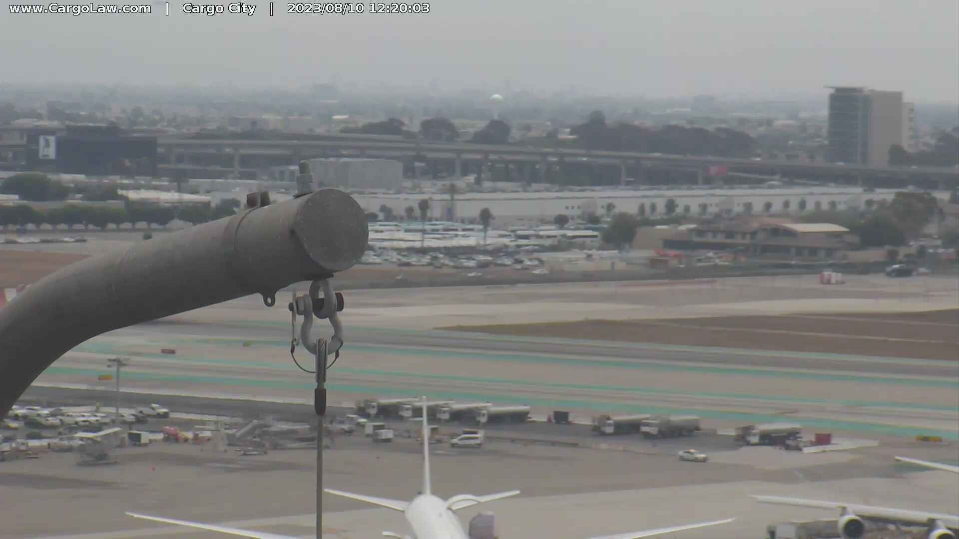
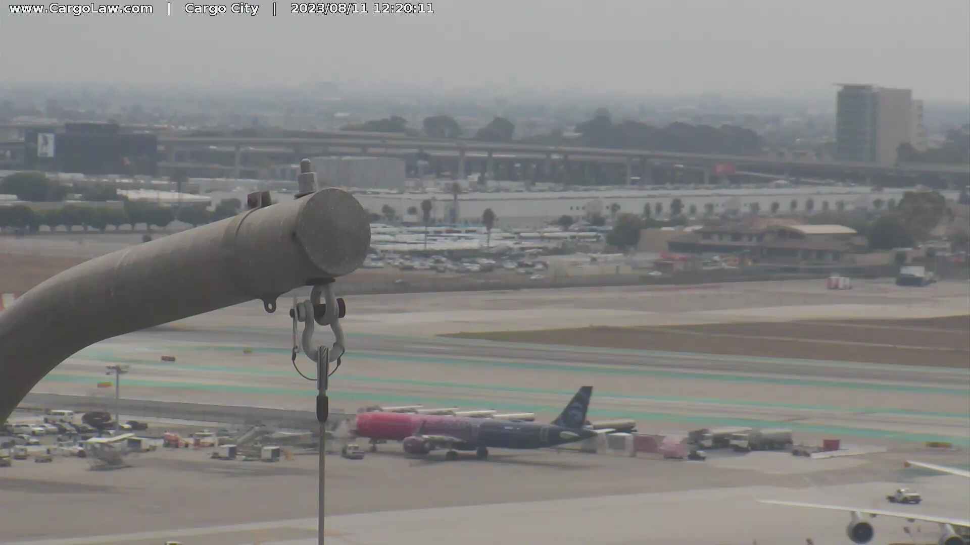
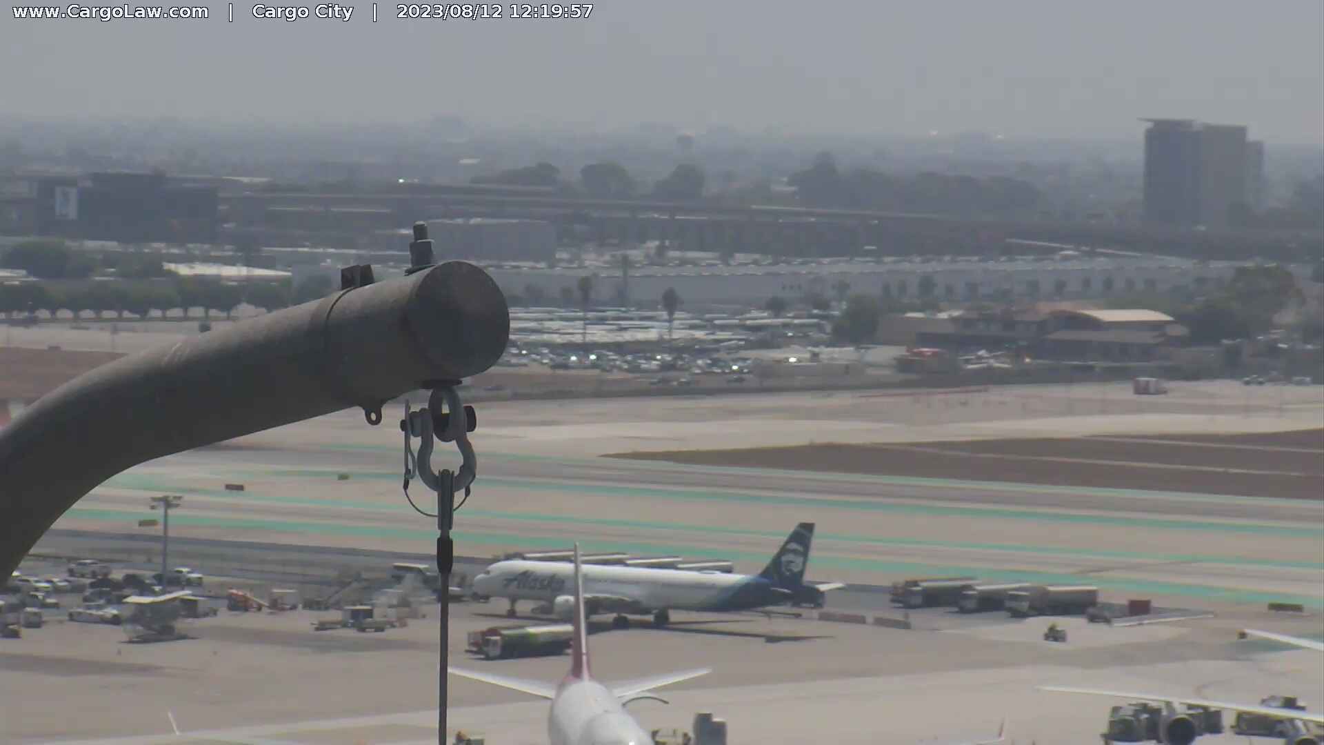
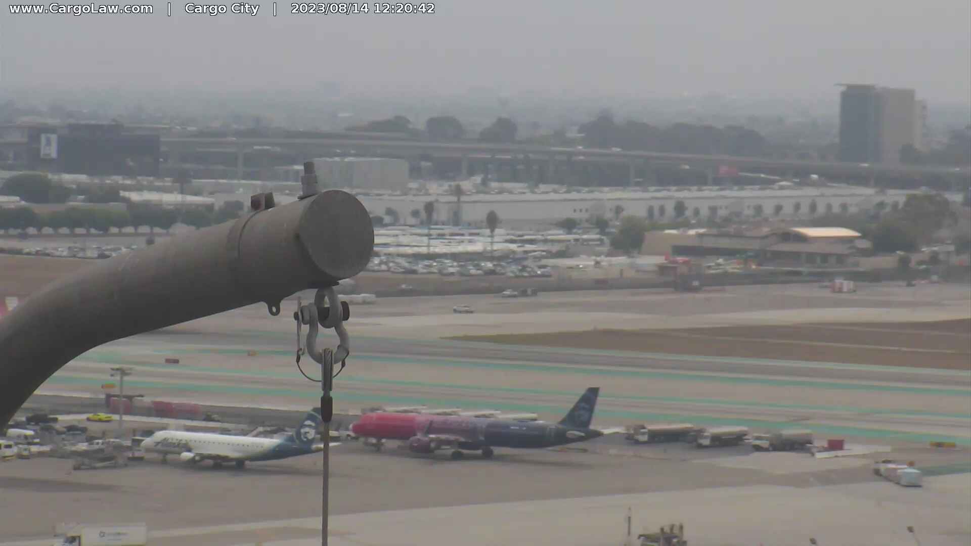
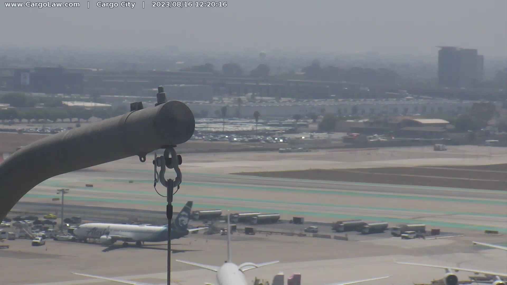
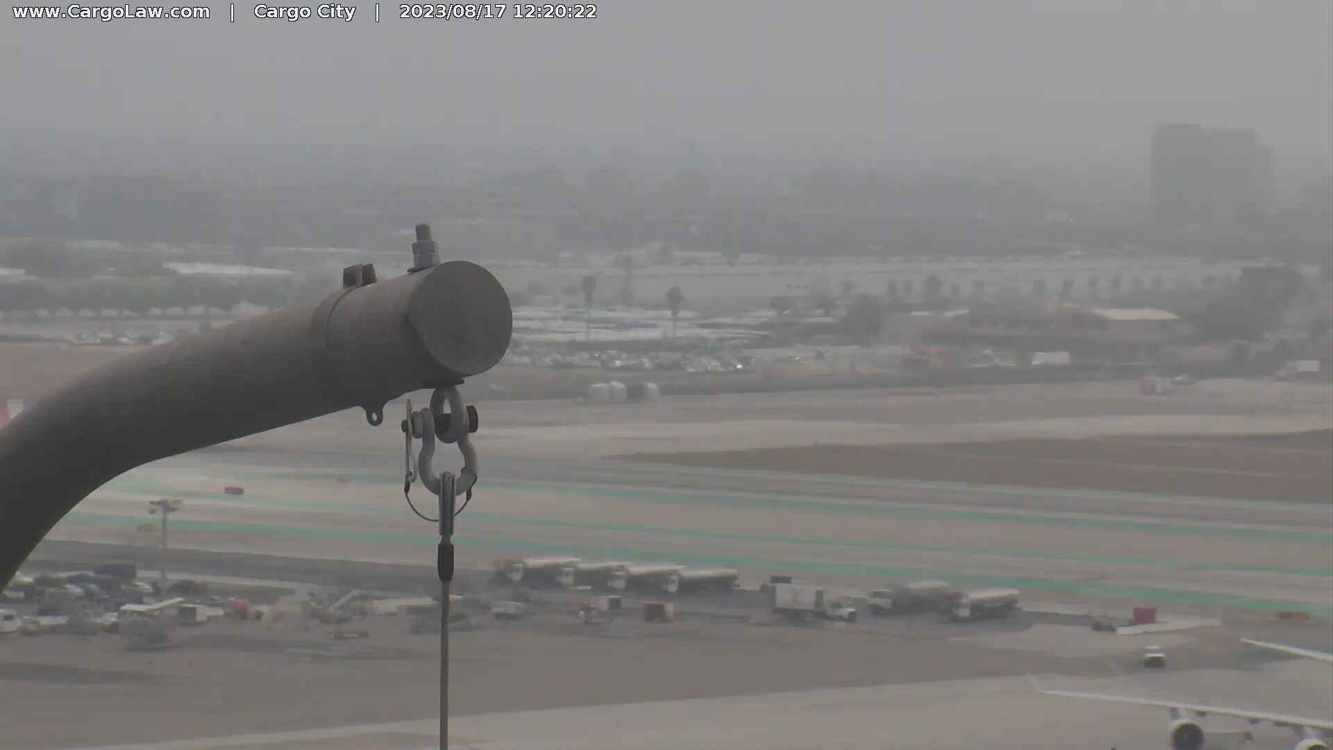
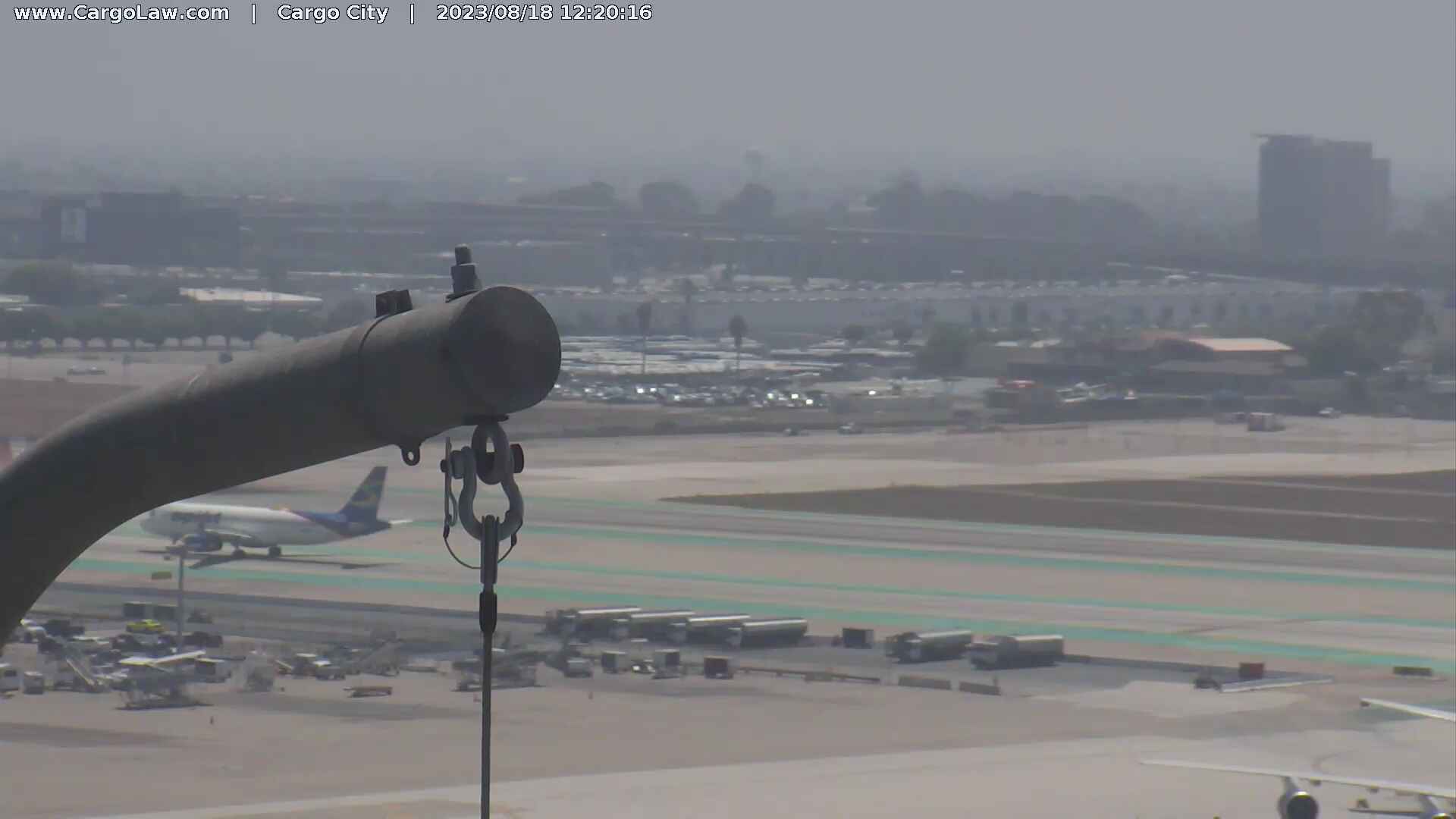
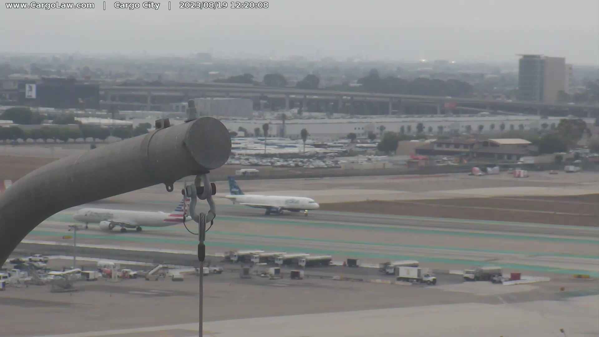
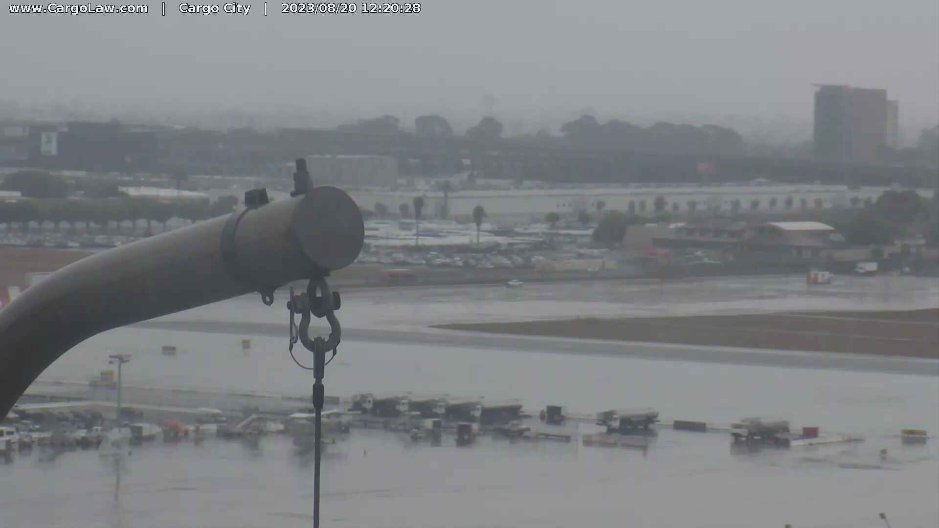
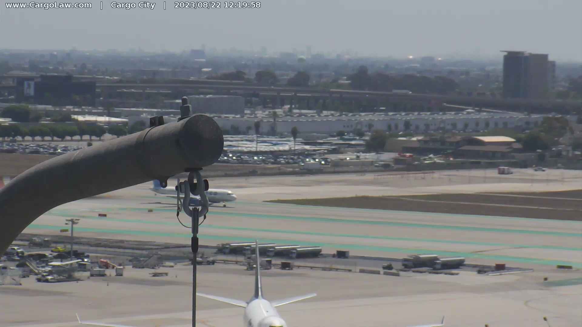
Los Angeles, California, USA - 14.5 miles from Avocado Heights: HD-Stream LAX International Airport - A view over the apron of the Los Angeles International Airport.
Operator: Countryman & McDaniel Law Offices
Operator: Countryman & McDaniel Law Offices


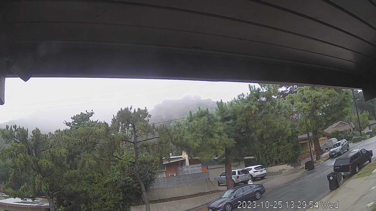
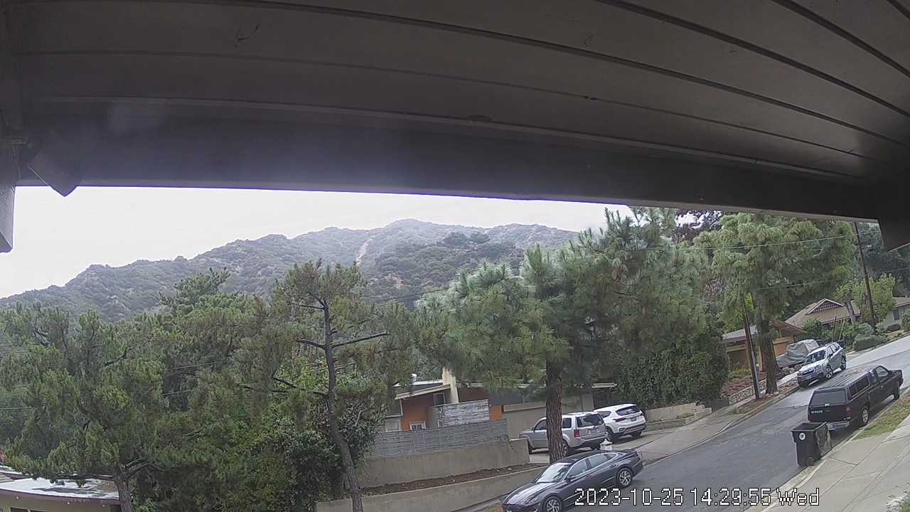
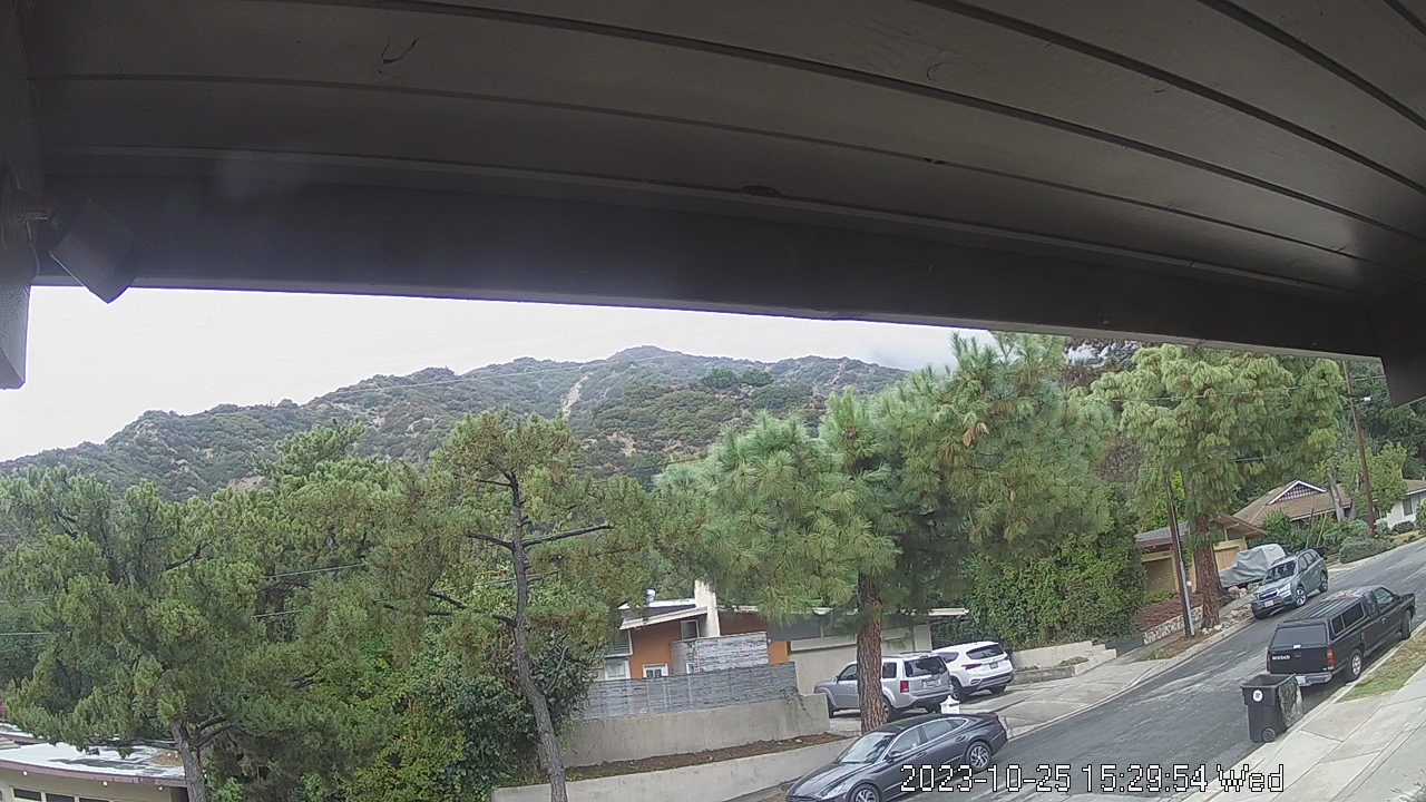
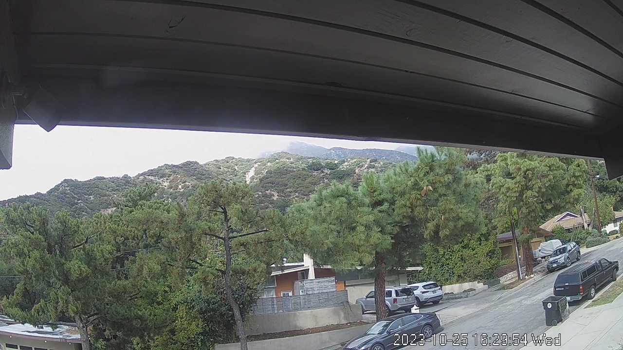
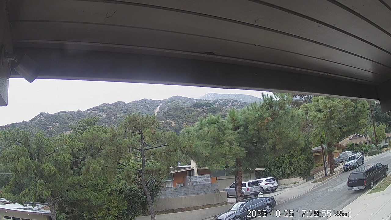
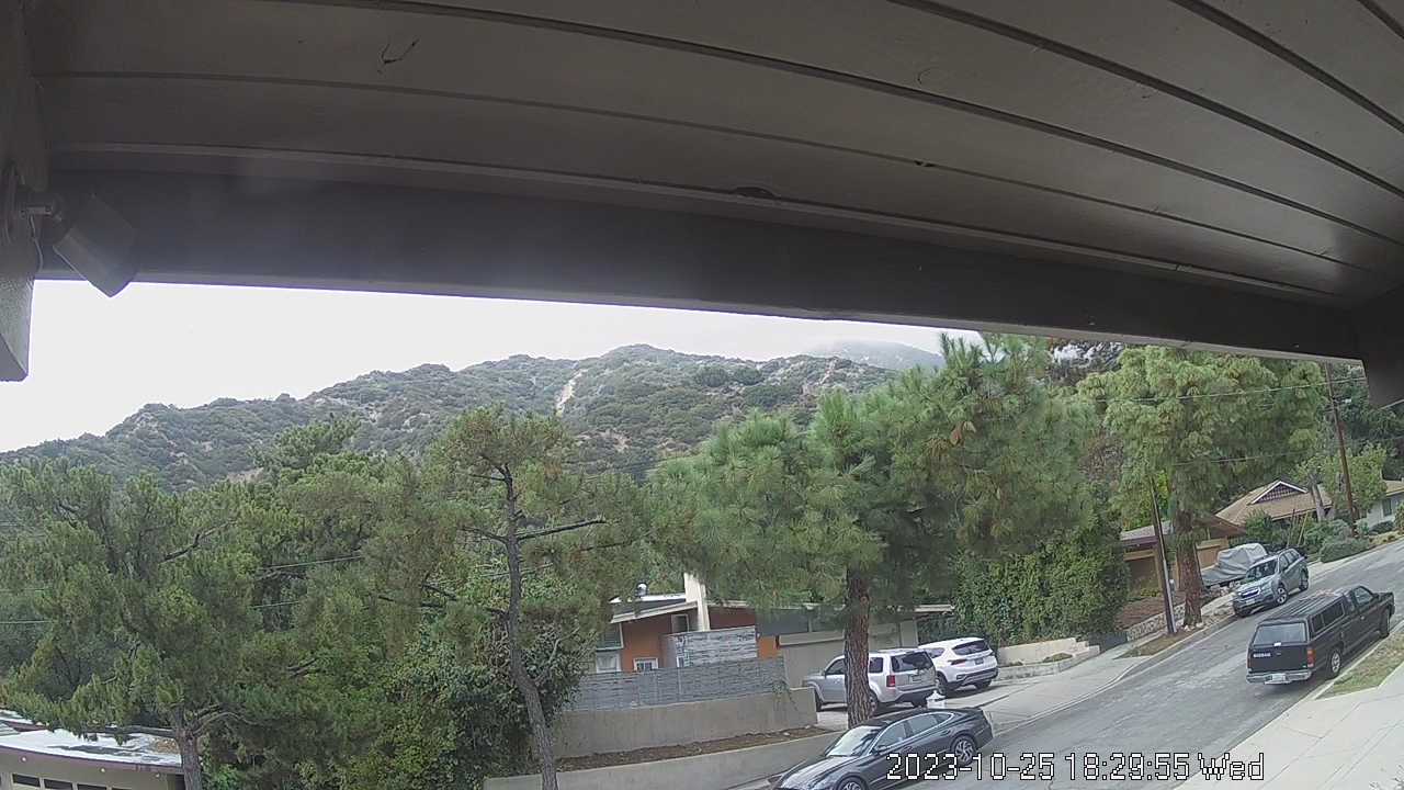
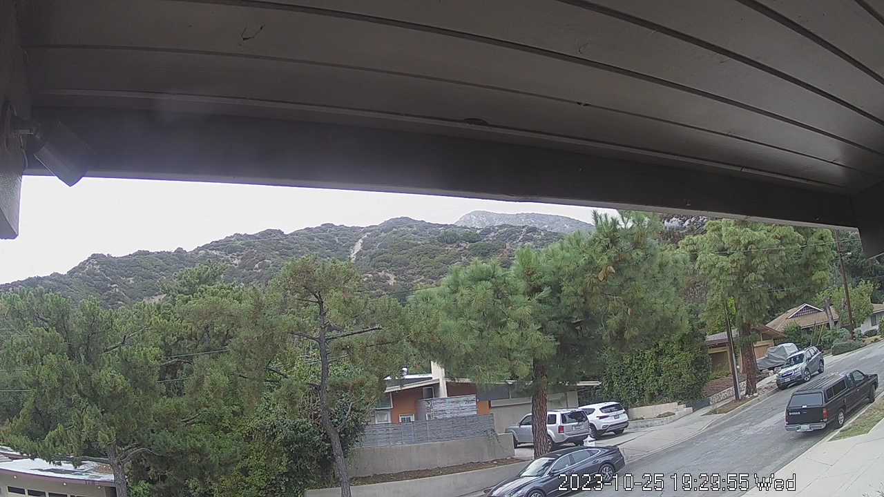
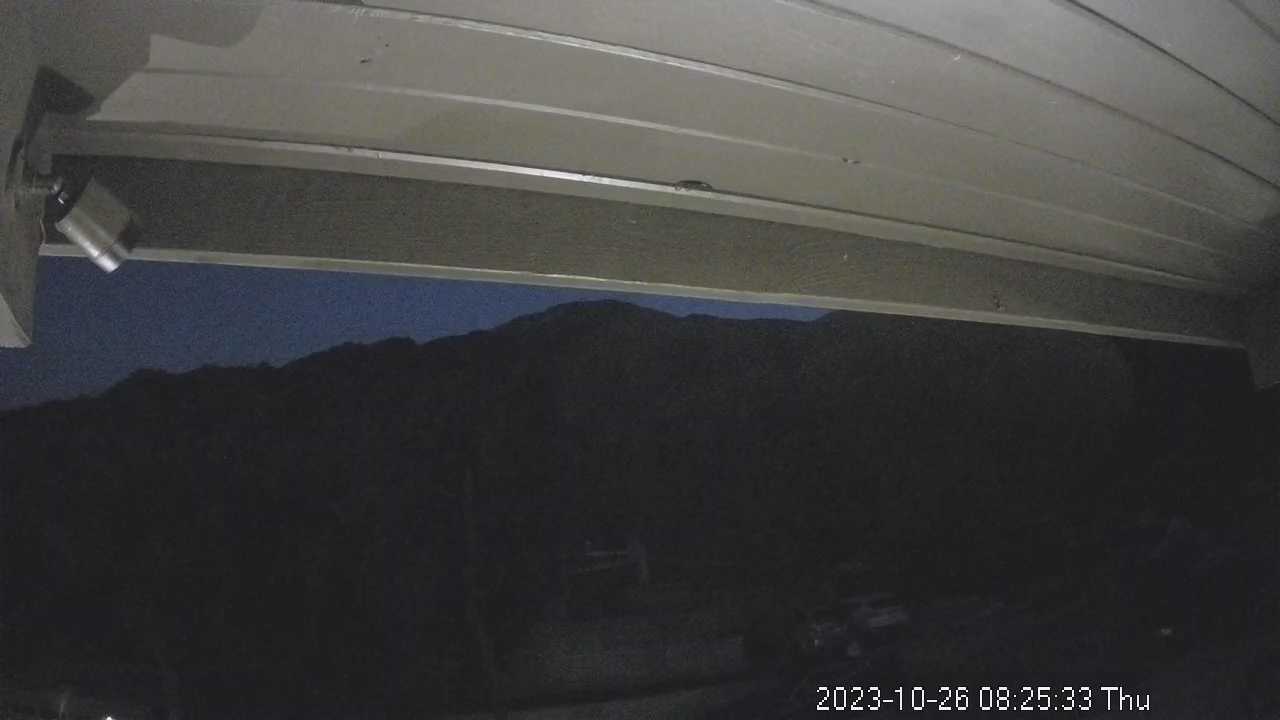
La Crescenta, California, USA - 19.3 miles from Avocado Heights: San Gabriel Mountains - Looking North towards the San Gabriel Mountains from the operator's backyard.
Operator: chuckvideo.com
Operator: chuckvideo.com


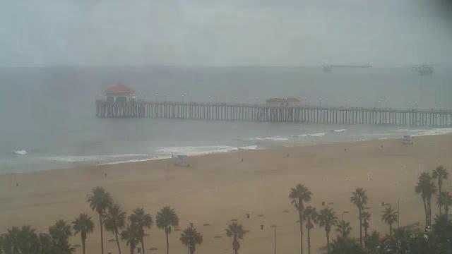
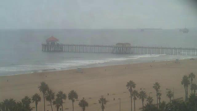
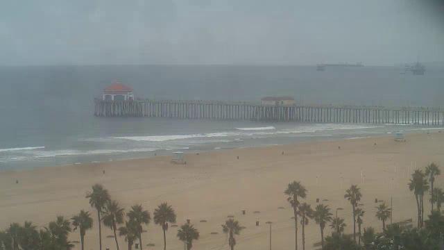
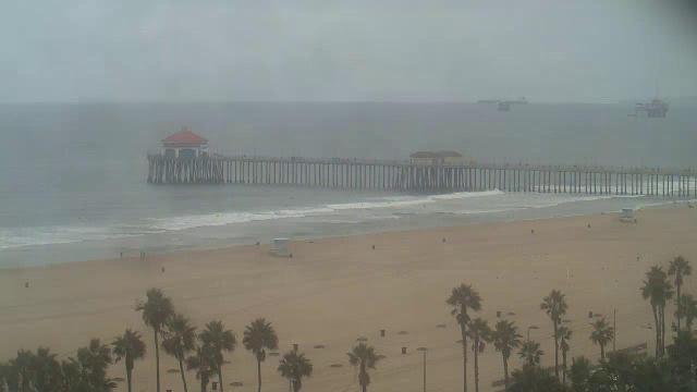
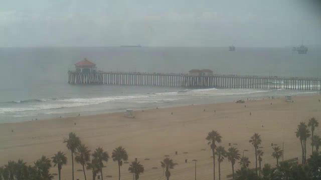
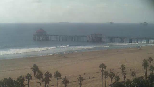
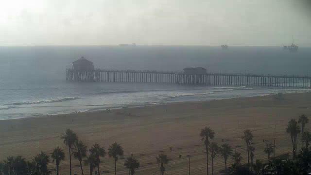
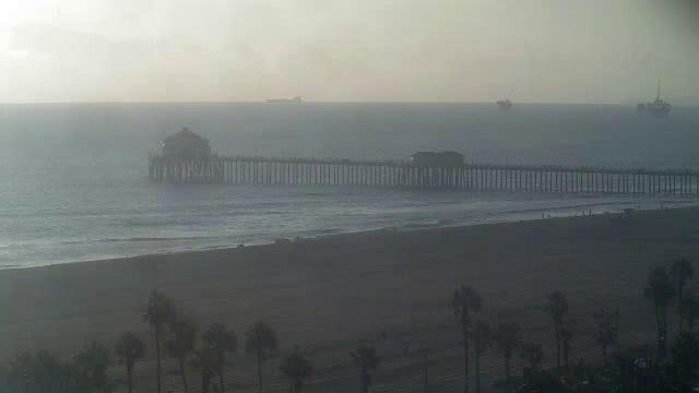
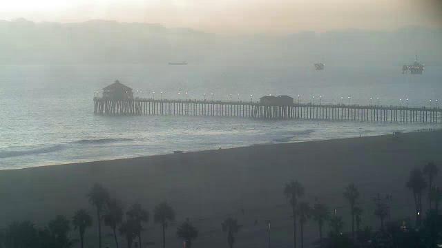
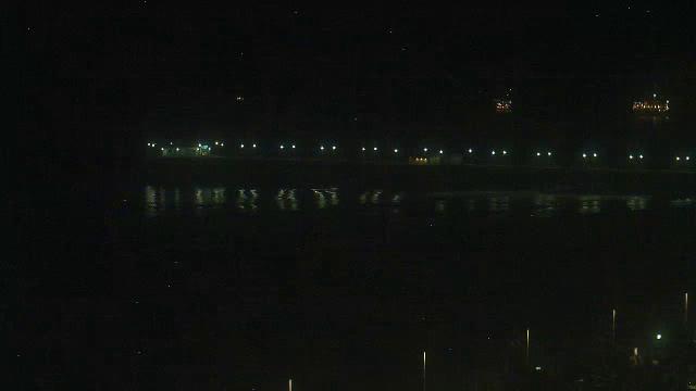
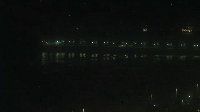
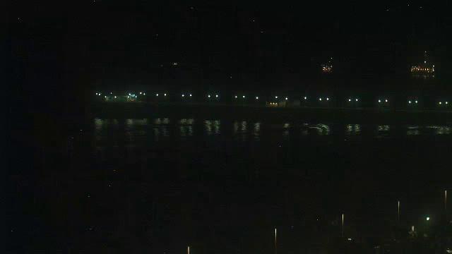
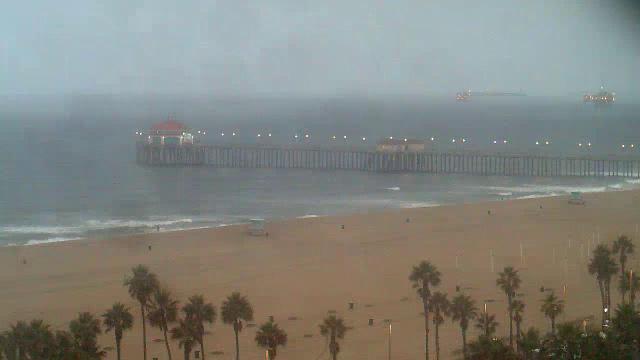
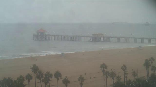
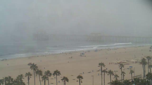
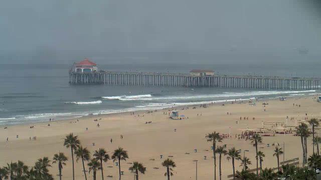
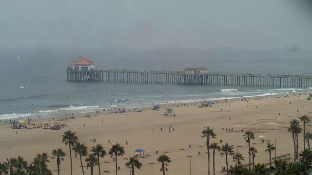
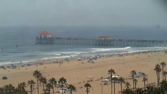
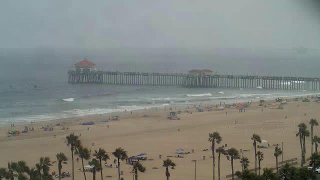
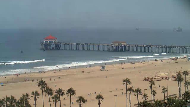
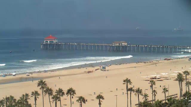
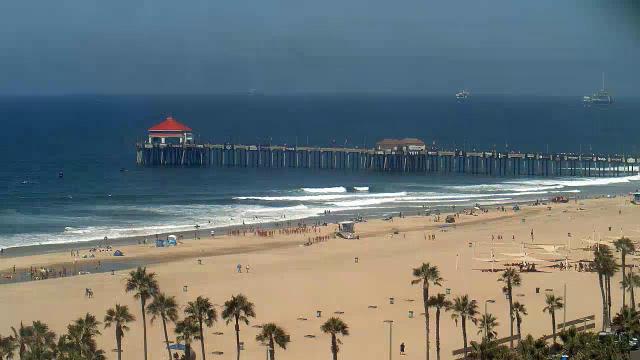
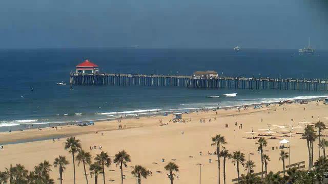
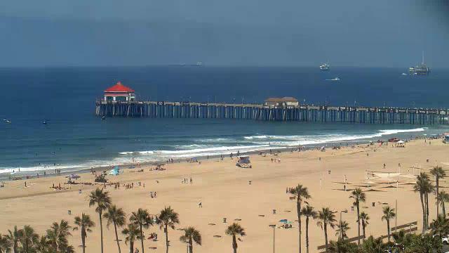
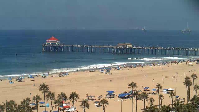
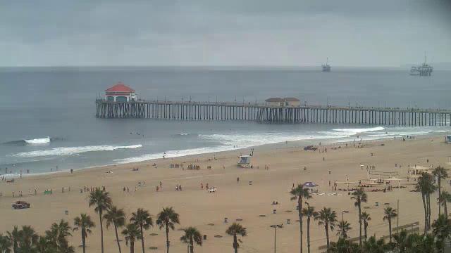
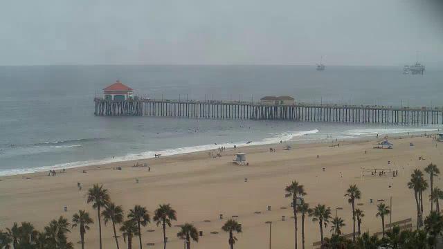
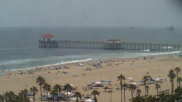
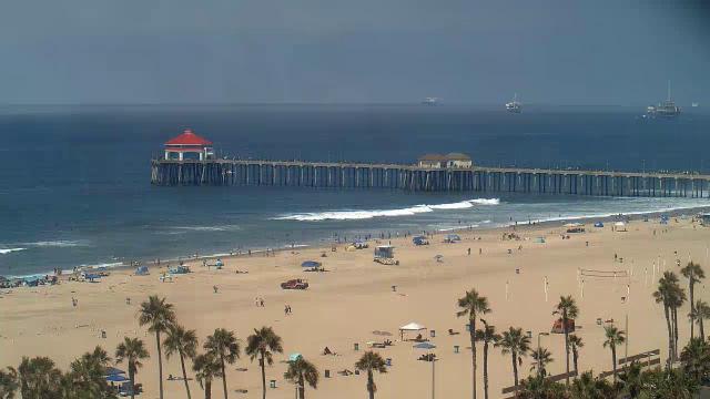
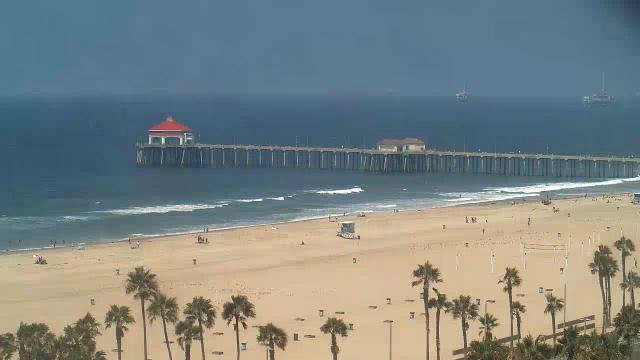
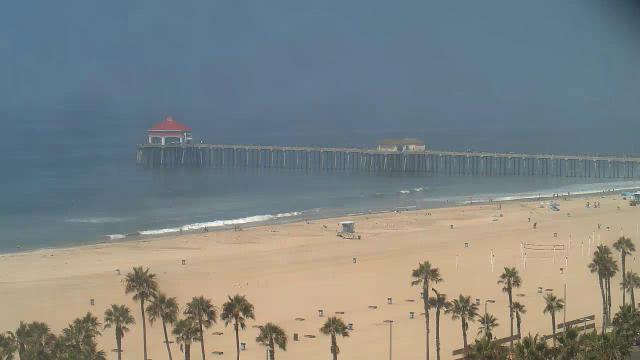
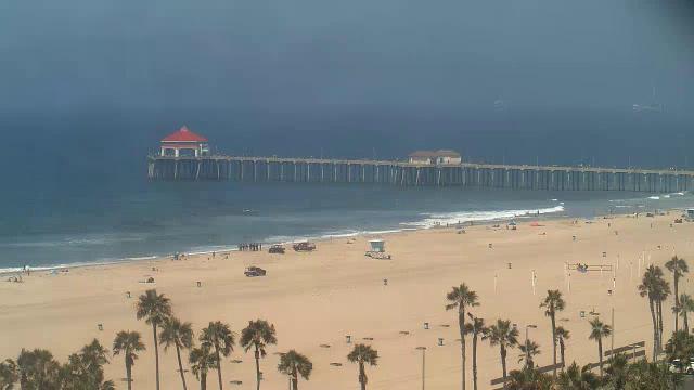
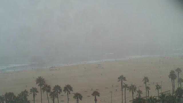
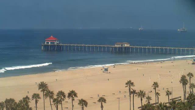
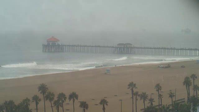
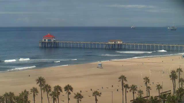
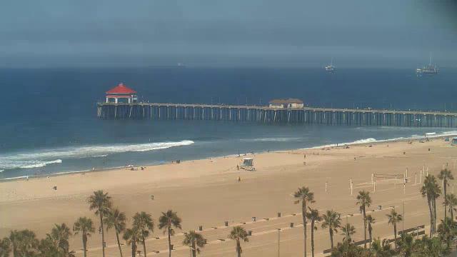
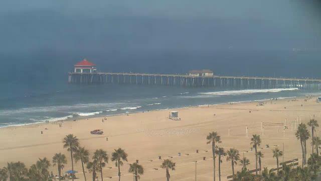
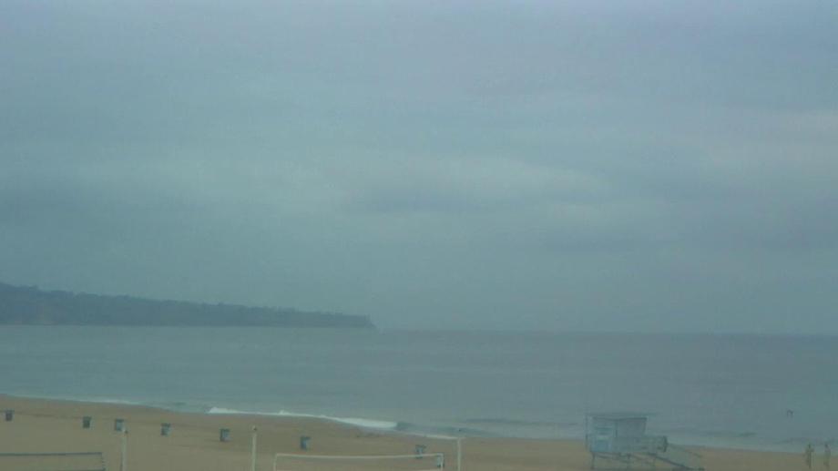
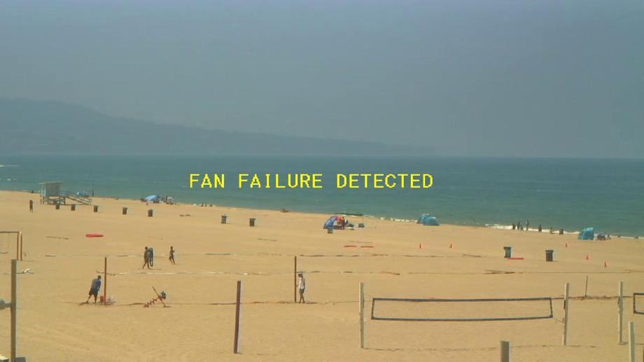
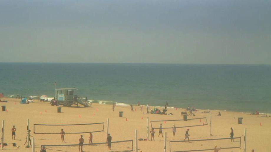
Huntington Beach, California, USA - 25.7 miles from Avocado Heights: Huntington Beach Pier
Operator: HDOnTap
Operator: HDOnTap


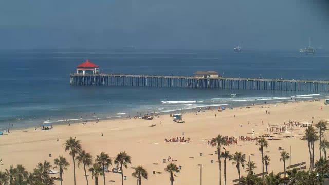


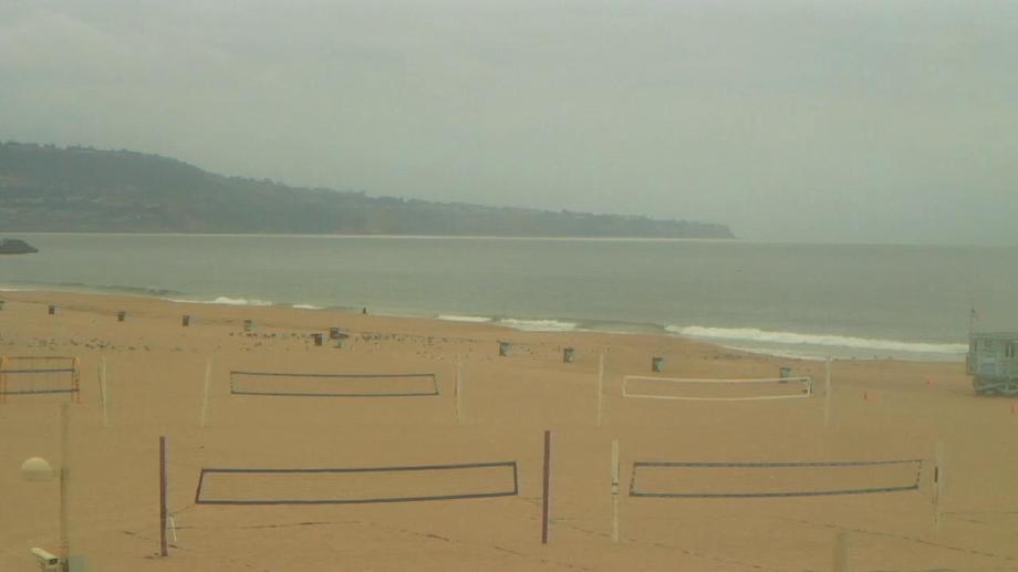
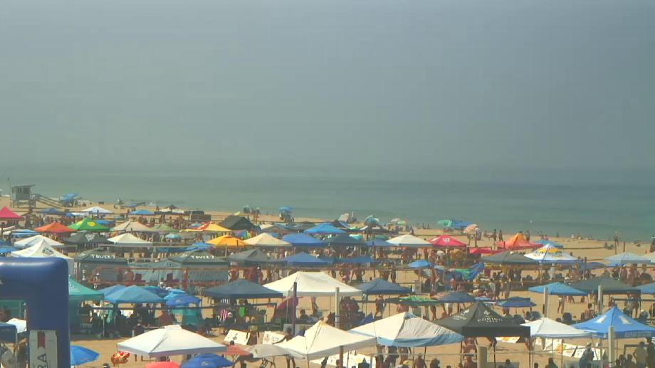
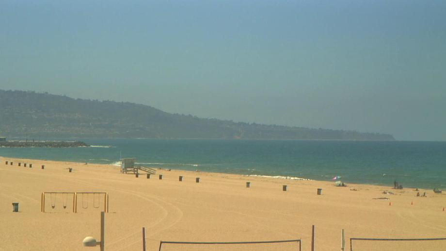
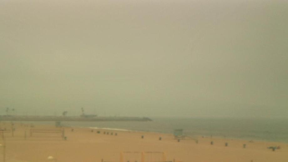
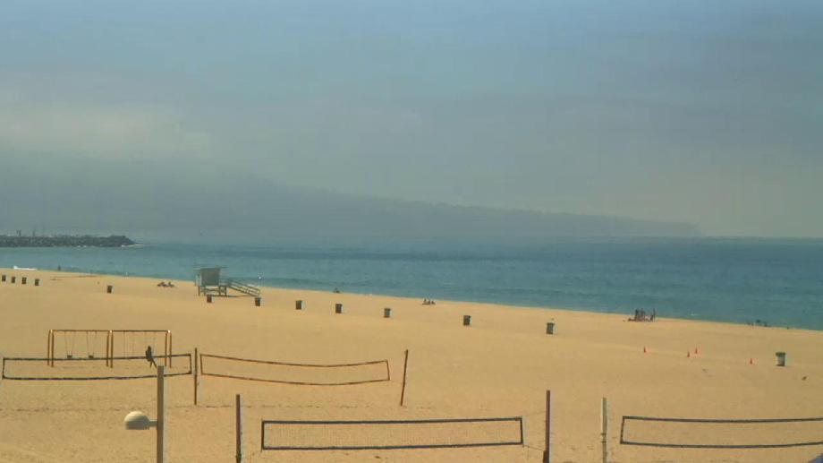
Hermosa Beach, California, USA - 26 miles from Avocado Heights: Hermosa Beach Pier - A view of the Hermosa Beach Pier, taken from Hennessey's Tavern, also as streaming video.
Operator: hermosawave.net
Operator: hermosawave.net

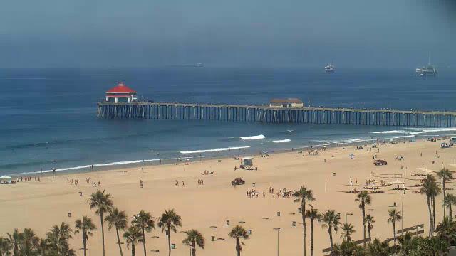
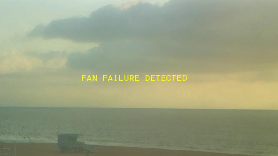
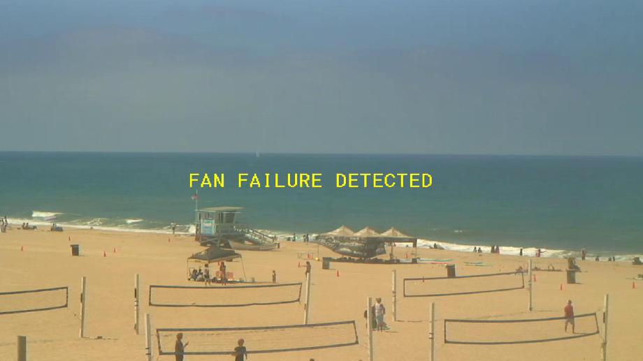
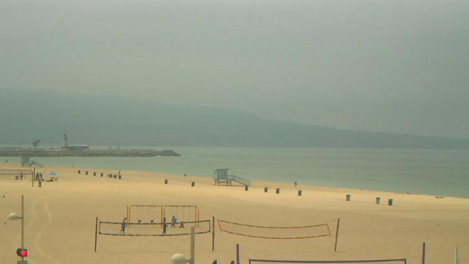
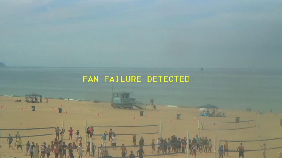
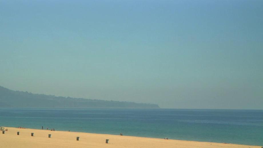
Hermosa Beach, California, USA - 26 miles from Avocado Heights: Live Surf Camera - The Hermosa Beach Live Surf Camera has the world's best view of the historical Pier and surf.
Operator: SwellMagnet.com
Operator: SwellMagnet.com

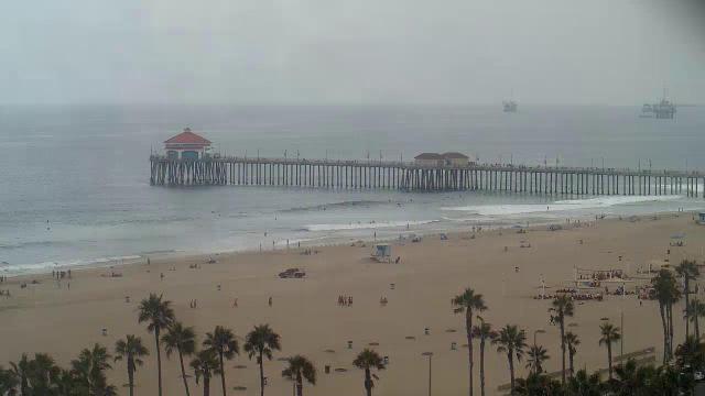
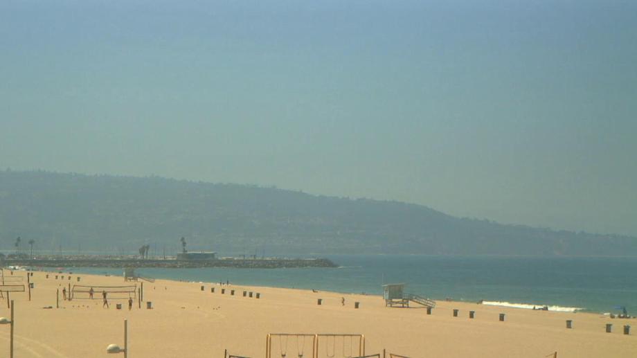
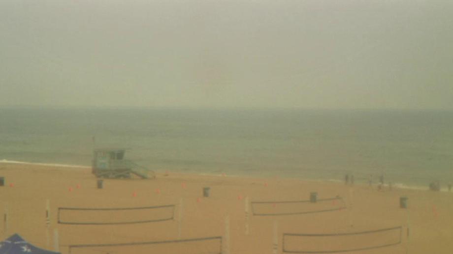
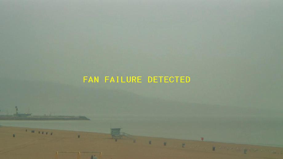
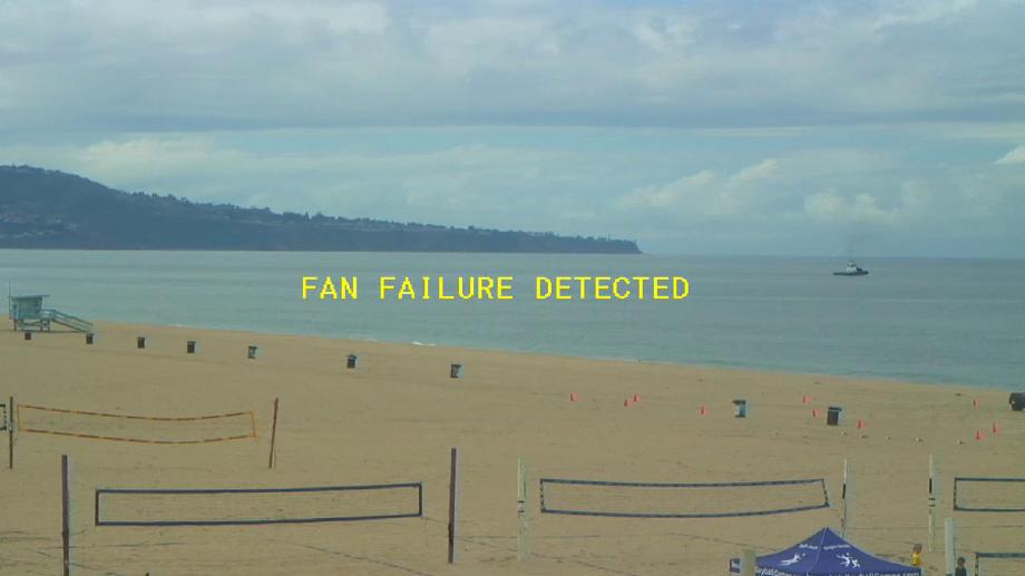
Hermosa Beach, California, USA - 26 miles from Avocado Heights: Hermosa Beach Pier - Hermosa Beach Pier, strand and Surf Cam.
Operator: HDOnTap
Operator: HDOnTap


Some other places in this country: Ridgewood Park - Valley Oaks Mobile Home Park - Wagon Wheel Mobile Home Park - Wanhala - Woodside Village - El Rancho Mobile Home Park - Lake View Terrace - Verona - Ohmer (historical) - Point Reyes (historical)