Webcams in the region of Auburn Lake Trails, California, USA
The List of Webcams near Auburn Lake Trails, California, USA:

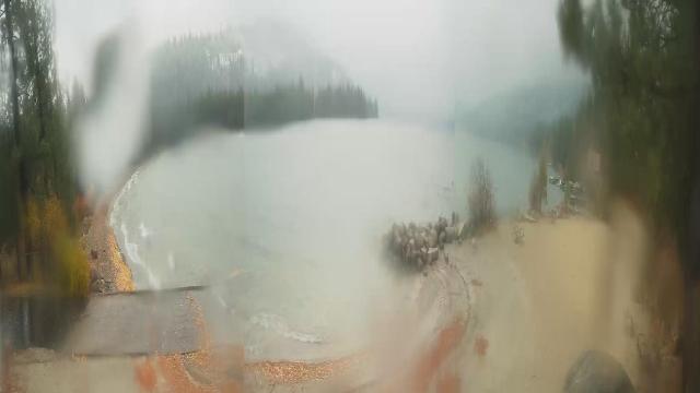
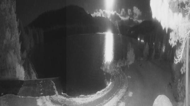
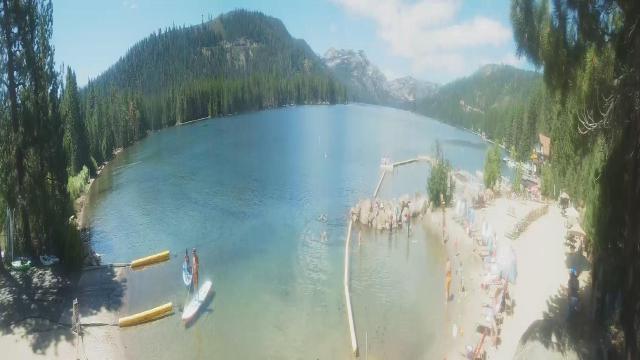
Norden, California, USA - 42.4 miles from Auburn Lake Trails: Sugar Bowl Ski Resort - Several views of the Sugar Bowl Ski Resort near Norden, California.
Operator: Sugar Bowl Ski Resort
Operator: Sugar Bowl Ski Resort

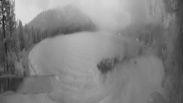
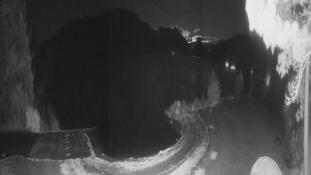
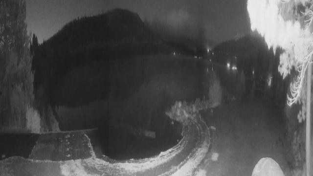
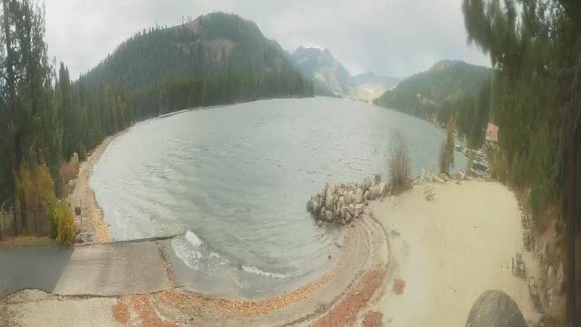
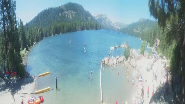
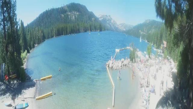
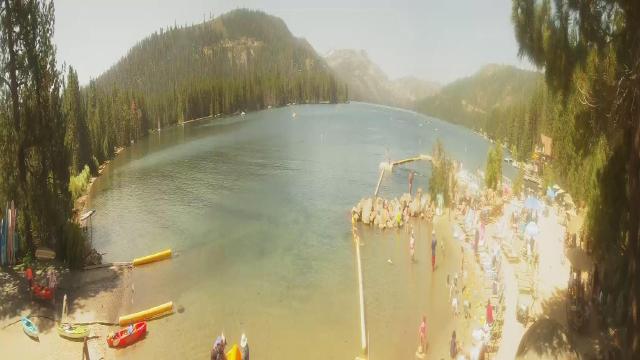
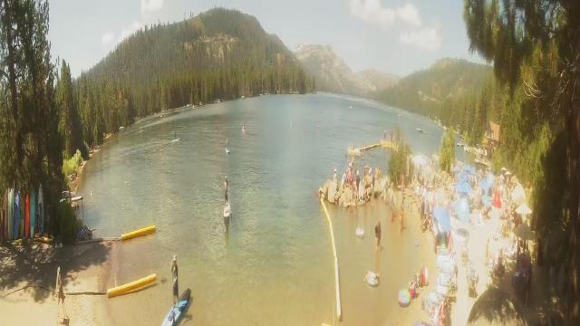
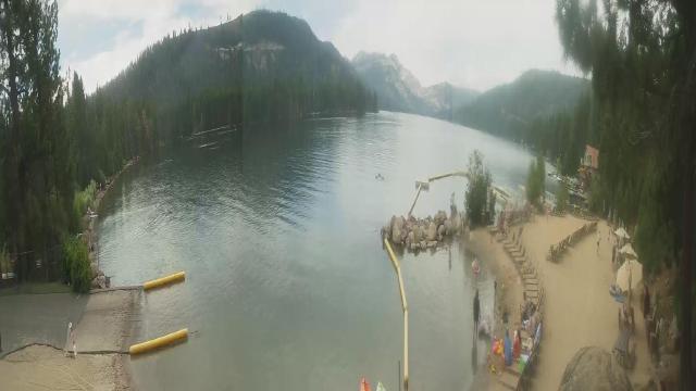
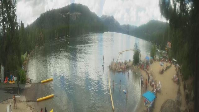
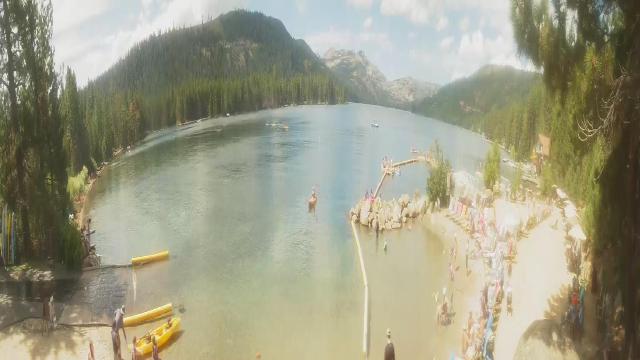
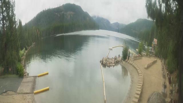
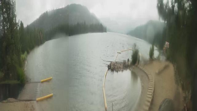
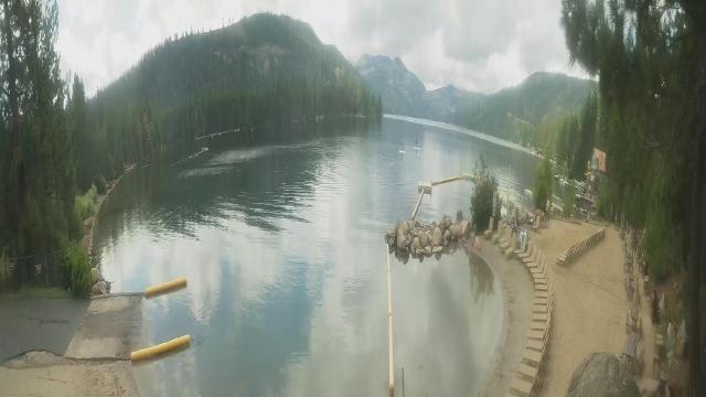
Boreal Mountain Resort, California, USA - 42.4 miles from Auburn Lake Trails: Current Snow Conditions - View of the current snow conditions at the Boreal Mountain Resort.
Operator: Boreal Mountain Resort
Operator: Boreal Mountain Resort

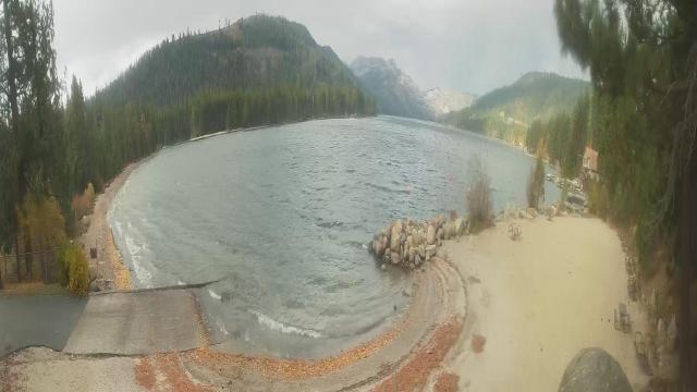
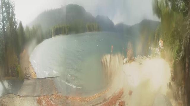
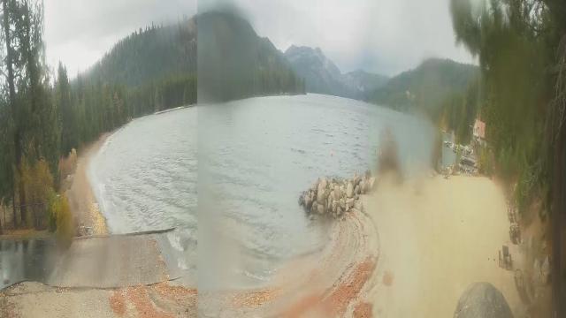
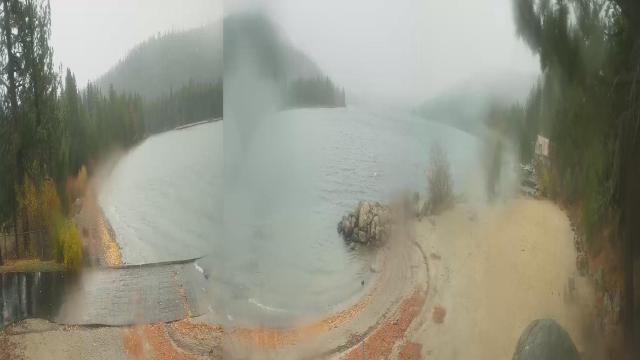
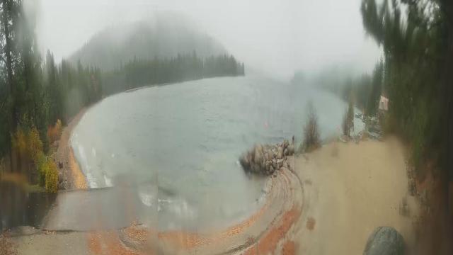
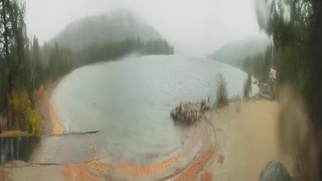
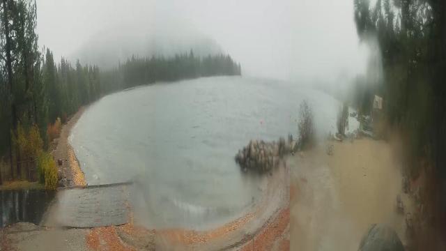
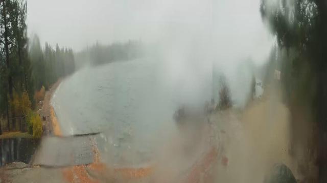
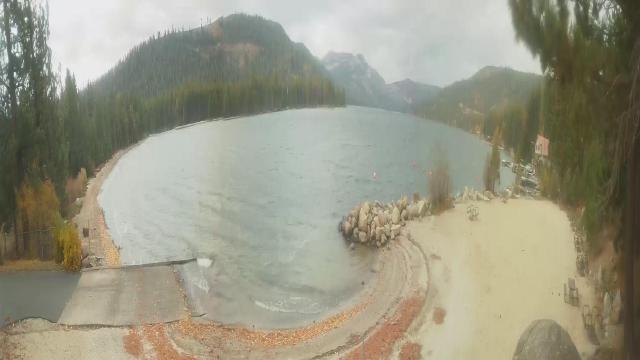
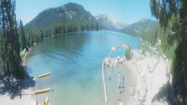
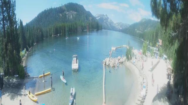
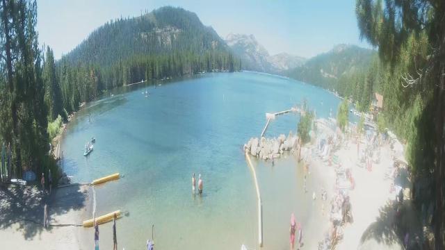
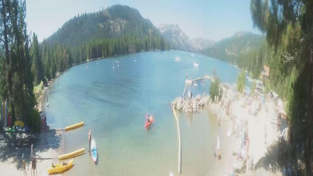
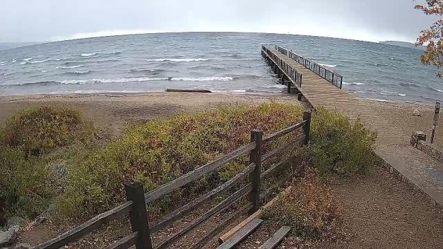
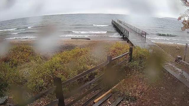
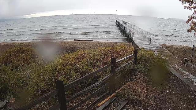
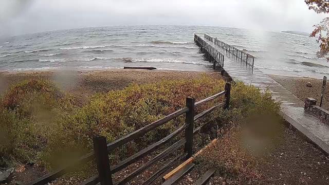
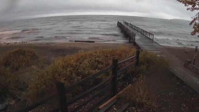
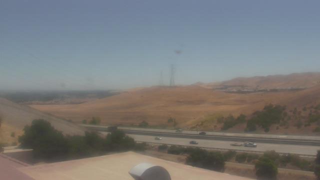
Truckee, California, USA - 50.2 miles from Auburn Lake Trails: Lake View - Donner Lake in Truckee, California.
Operator: HDOnTap
Operator: HDOnTap


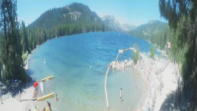
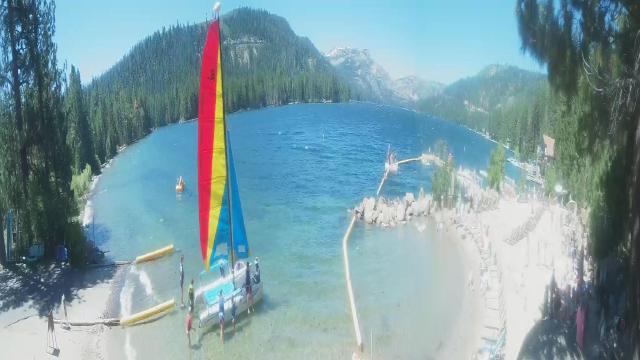
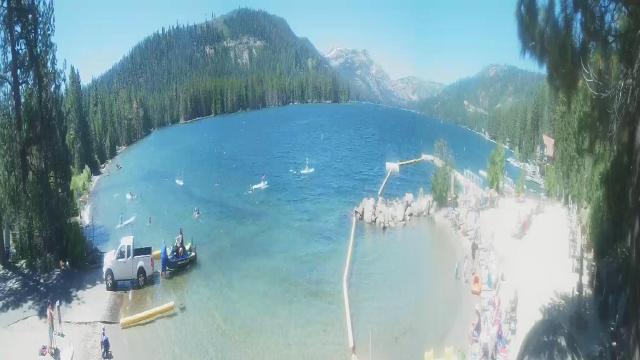

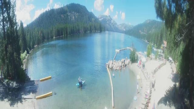


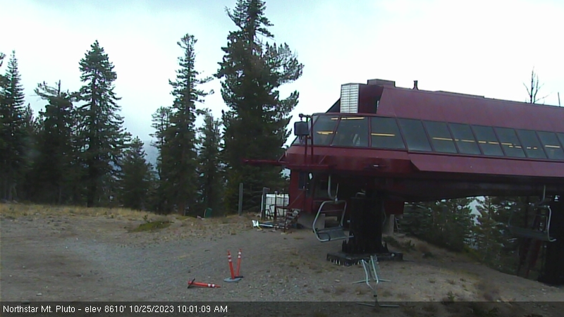
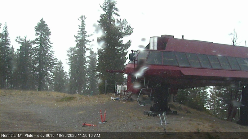
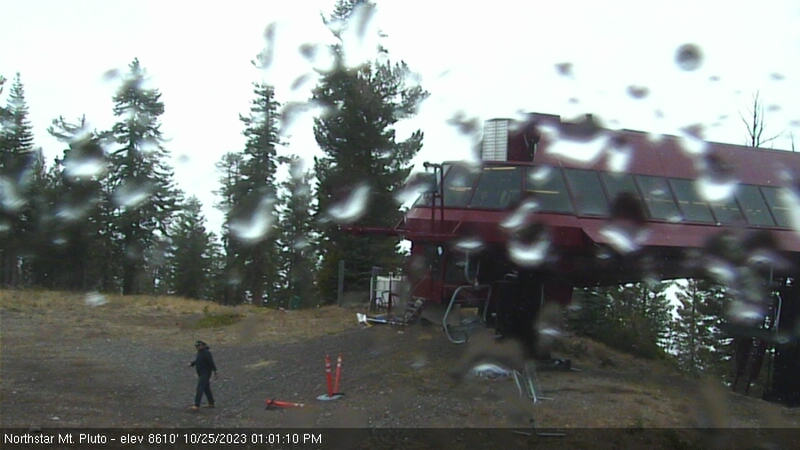
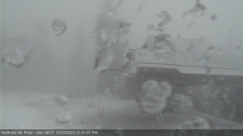
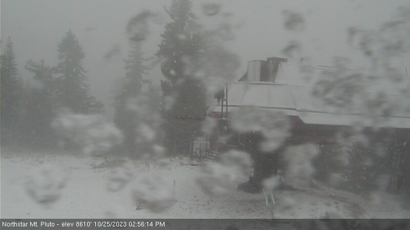
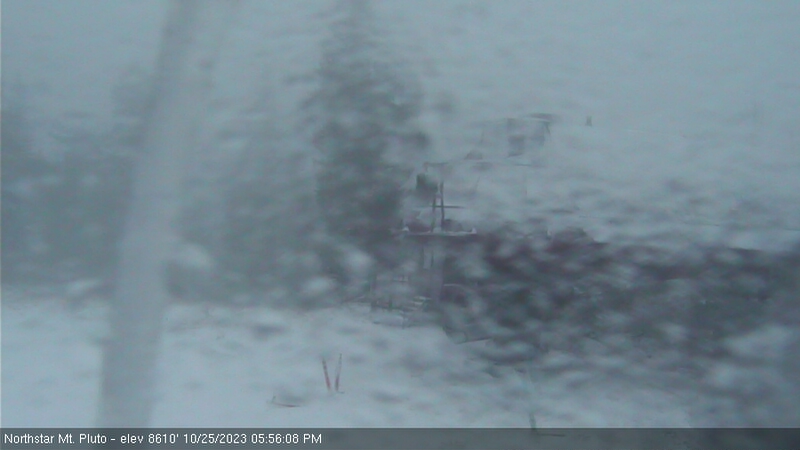
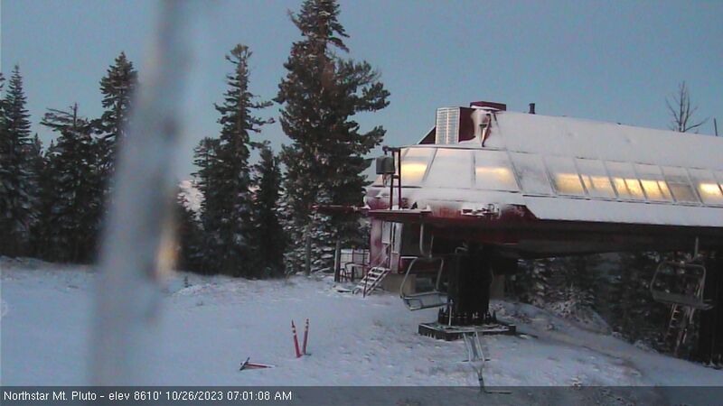
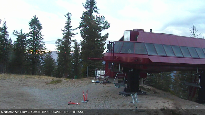
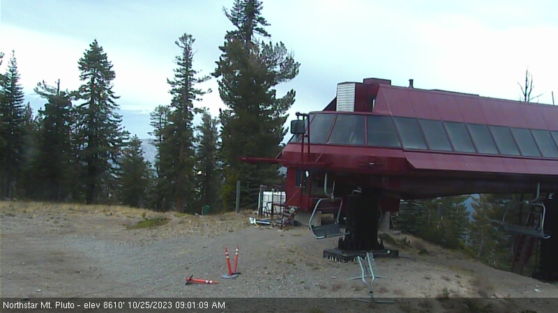
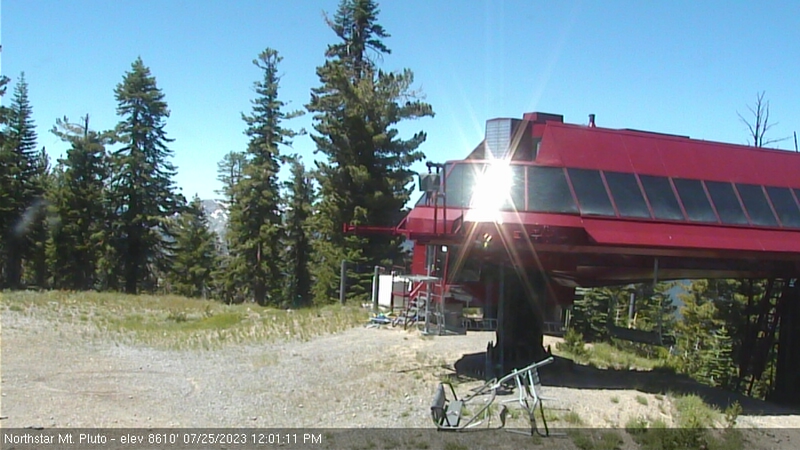
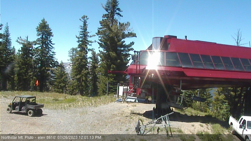
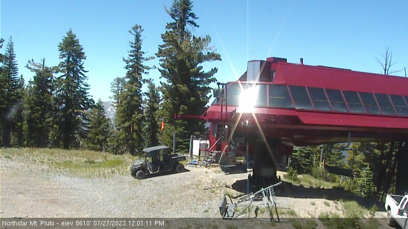
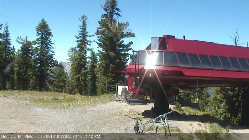
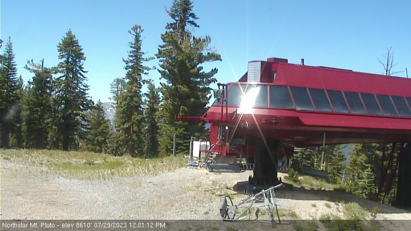
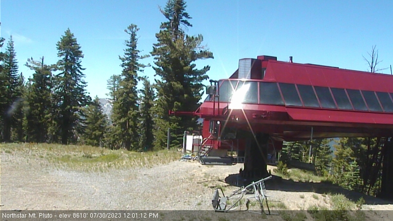
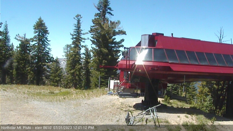
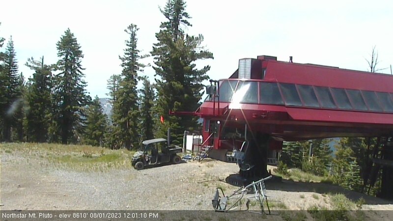
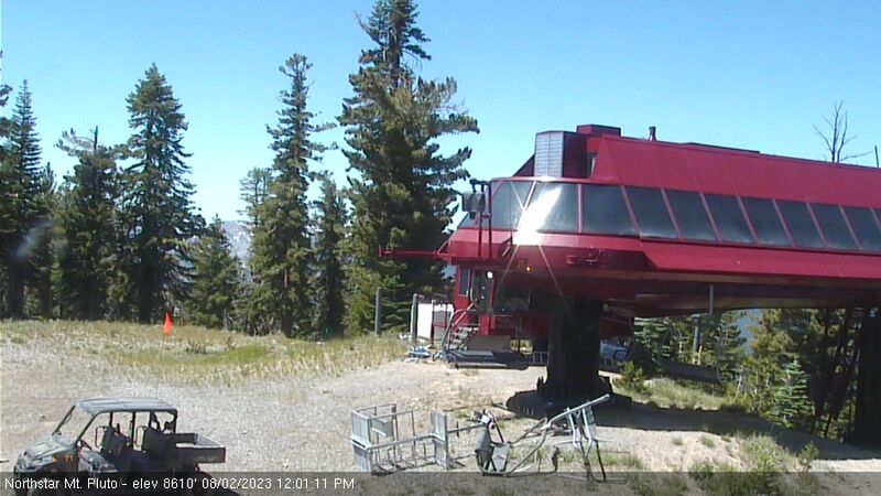
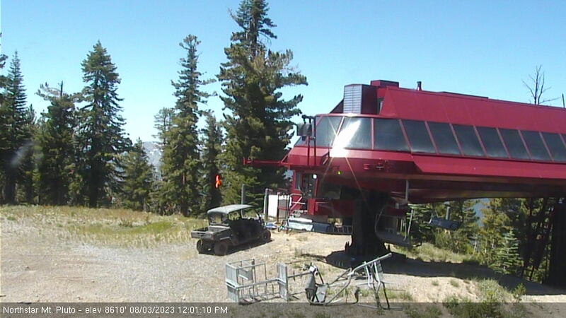
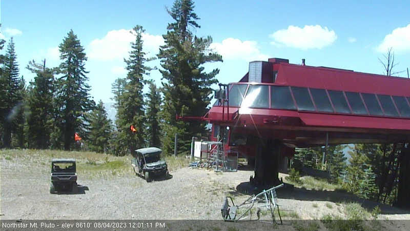
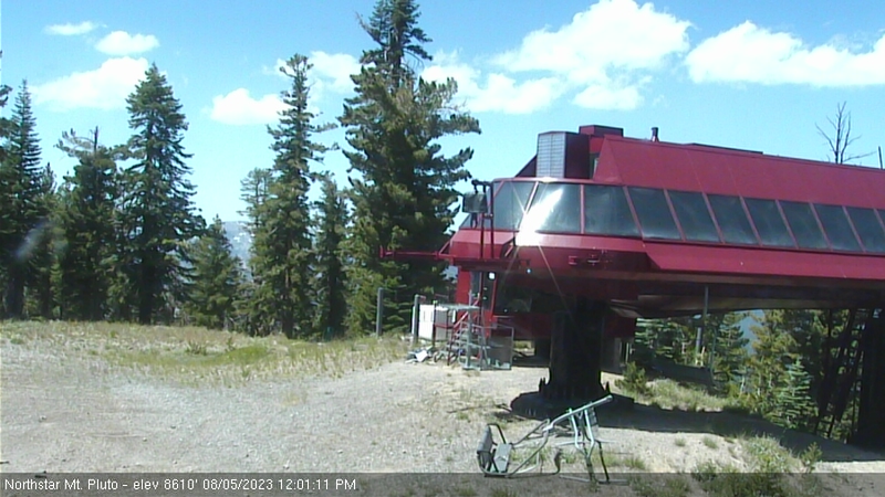
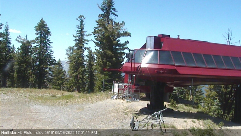
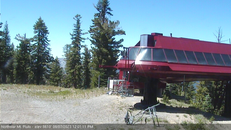
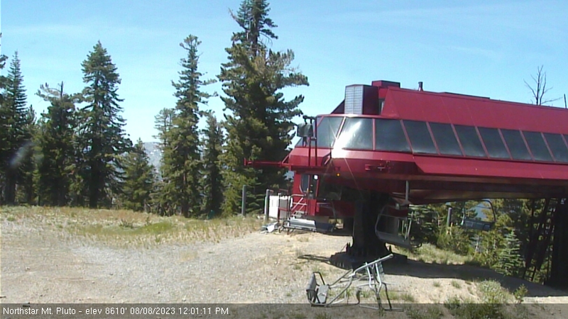
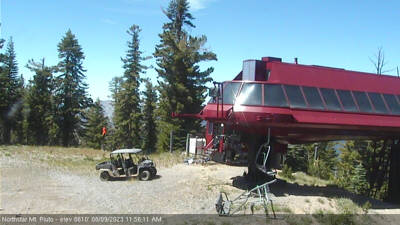
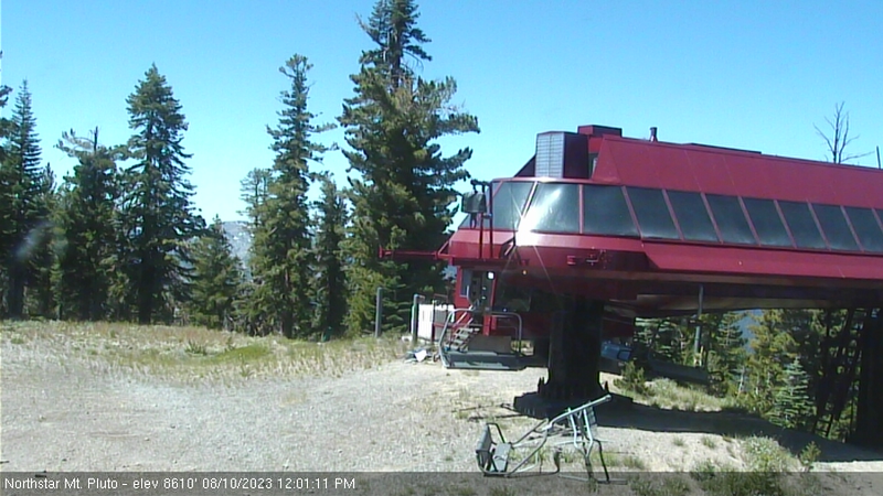
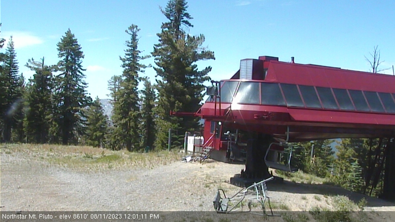
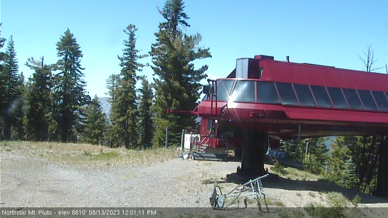
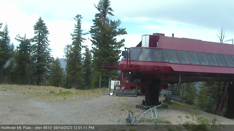
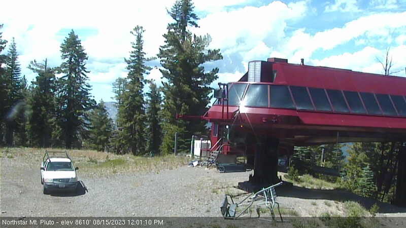
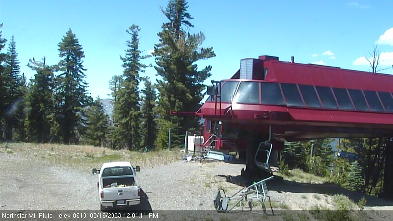
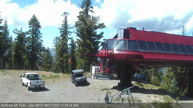
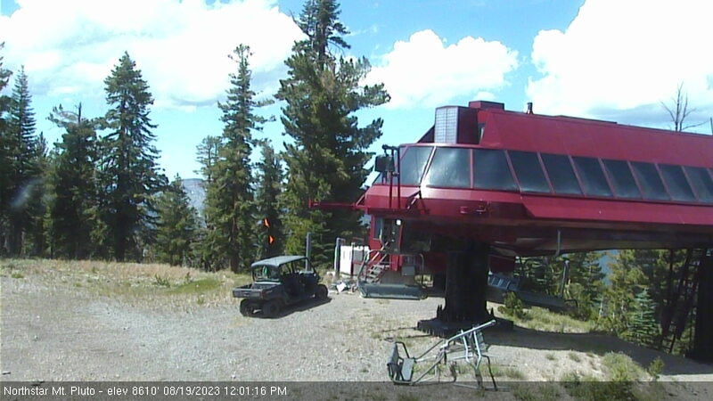
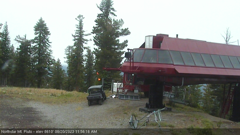
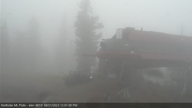
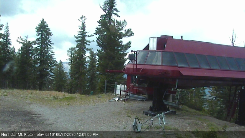
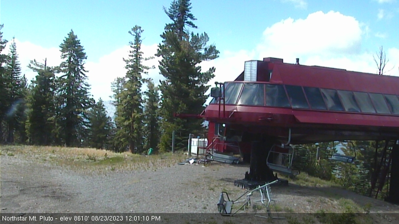
Northstar California Resort, USA - 51.1 miles from Auburn Lake Trails: Current Snow Conditions - Several webcams offer a view of the current snow situation at the Northstar California Resort.
Operator: Northstar California Resort
Operator: Northstar California Resort


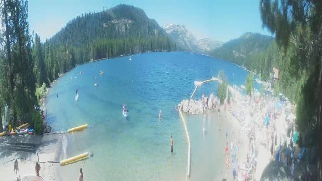
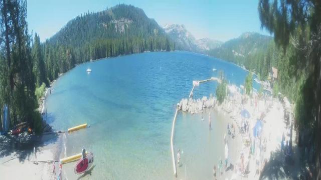
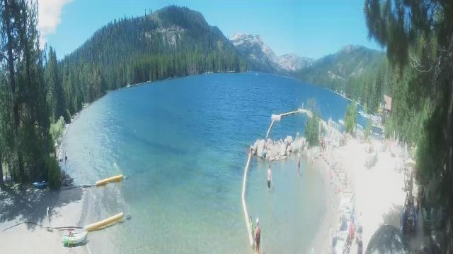
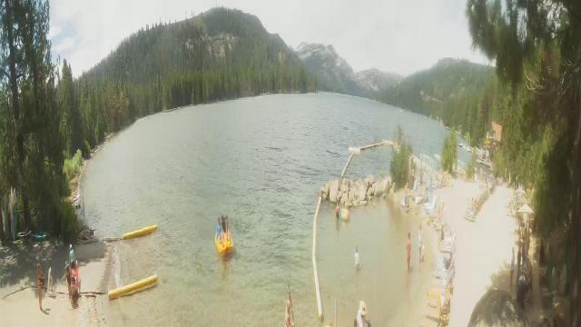
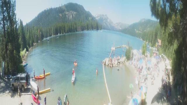
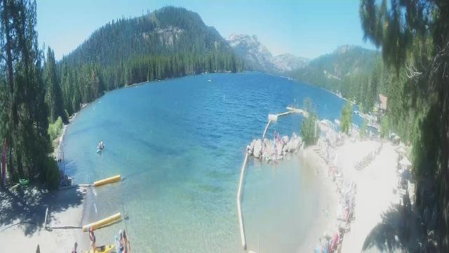
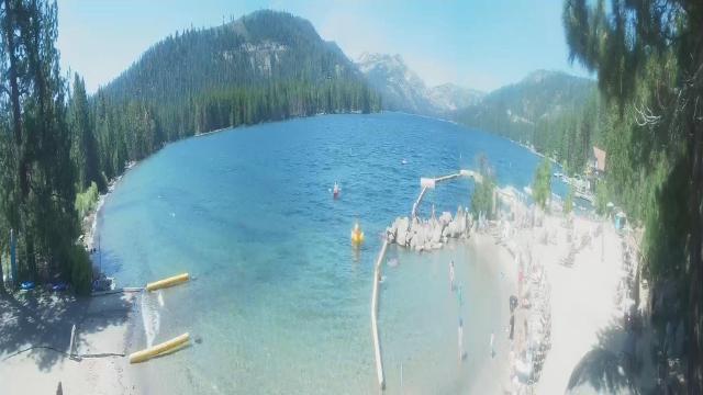
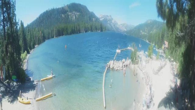
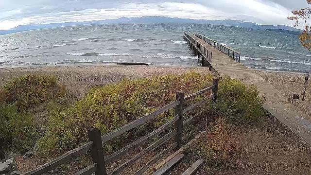
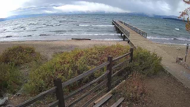
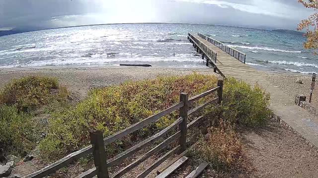
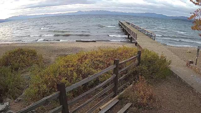
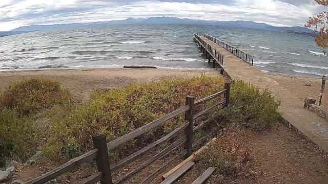
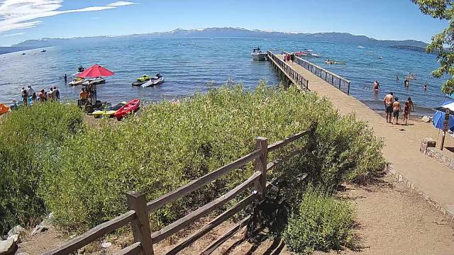
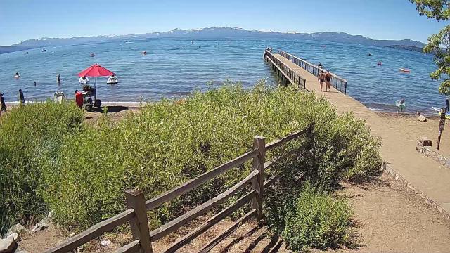
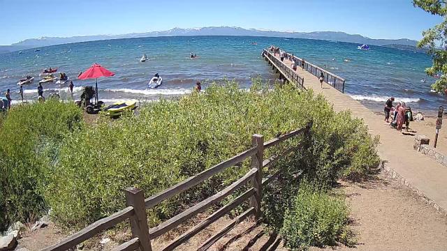
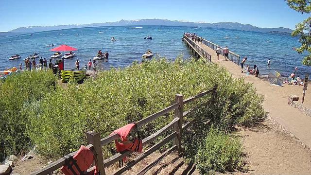
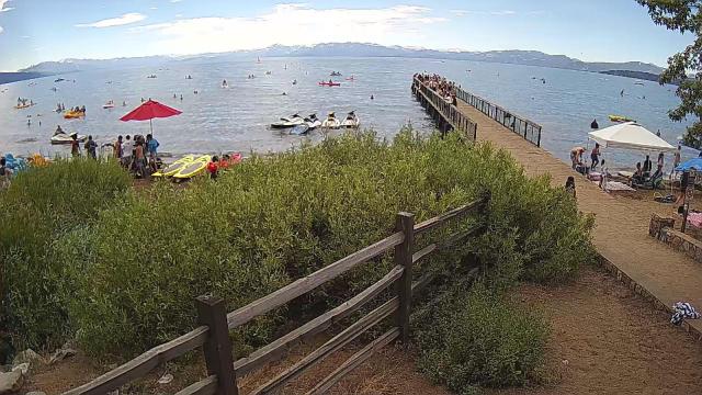
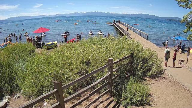
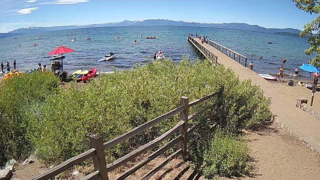
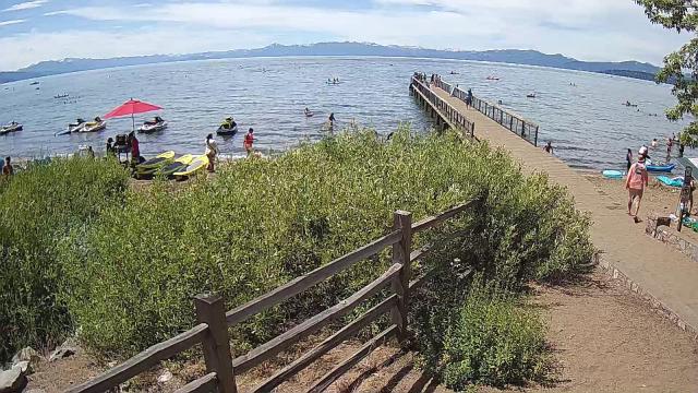
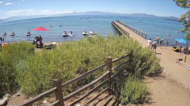
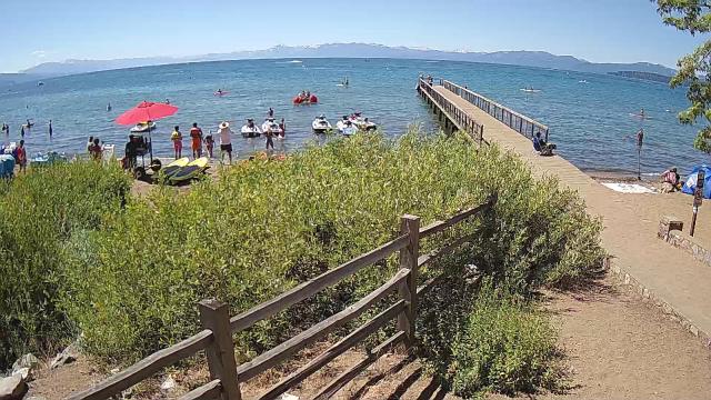
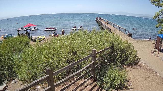
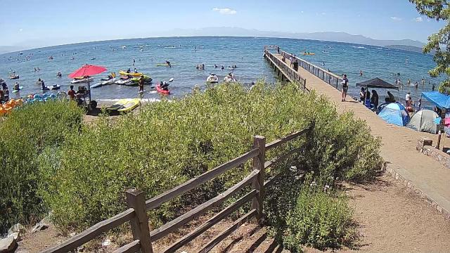
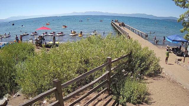
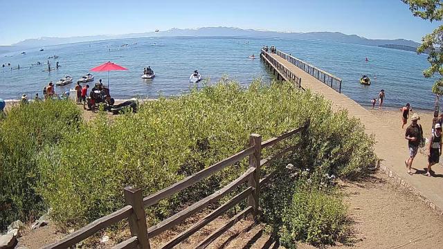
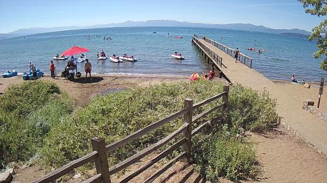
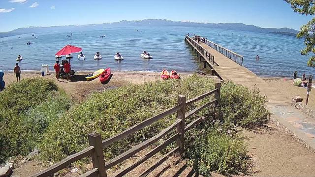
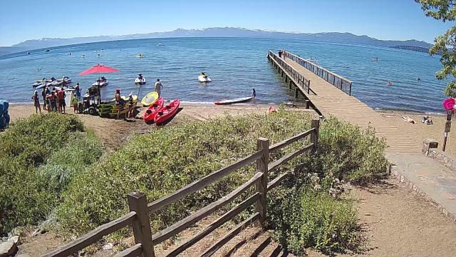
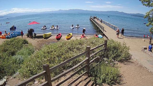
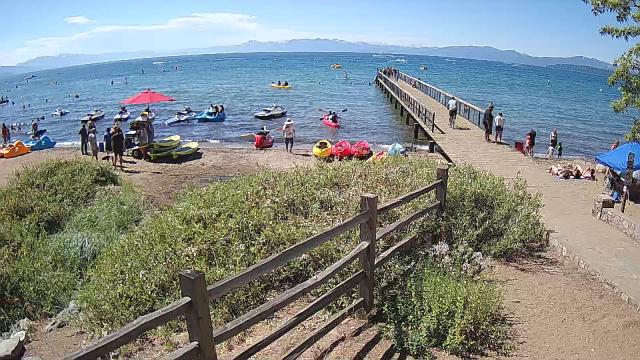
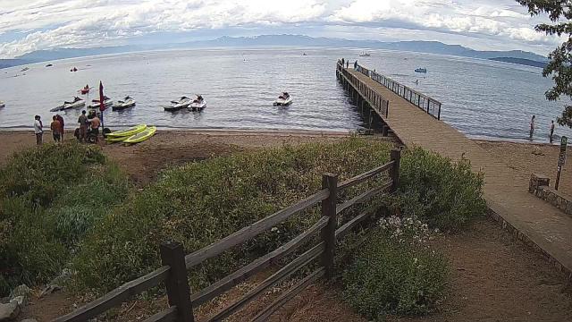
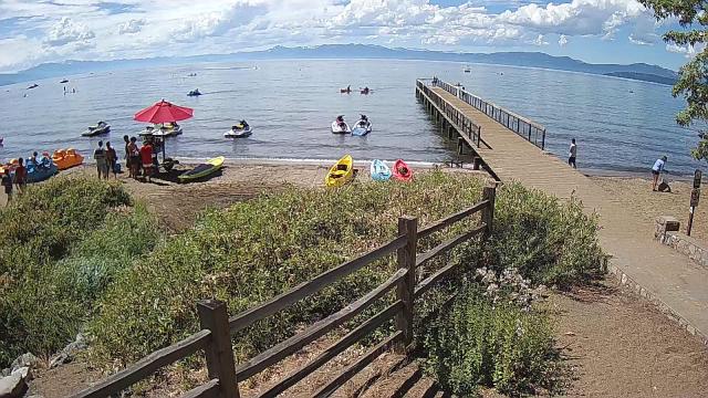
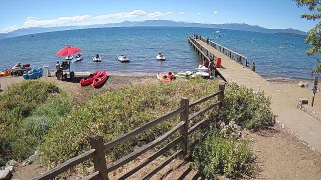
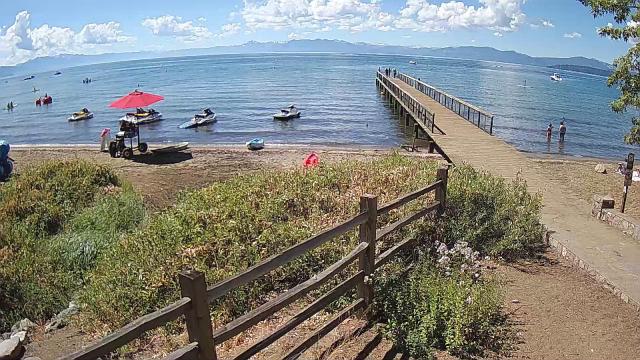
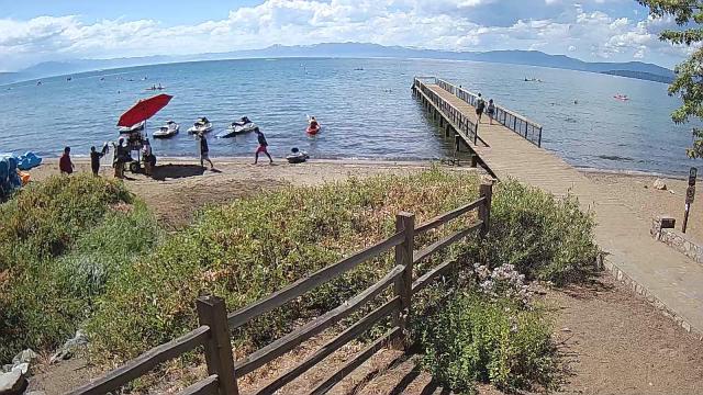
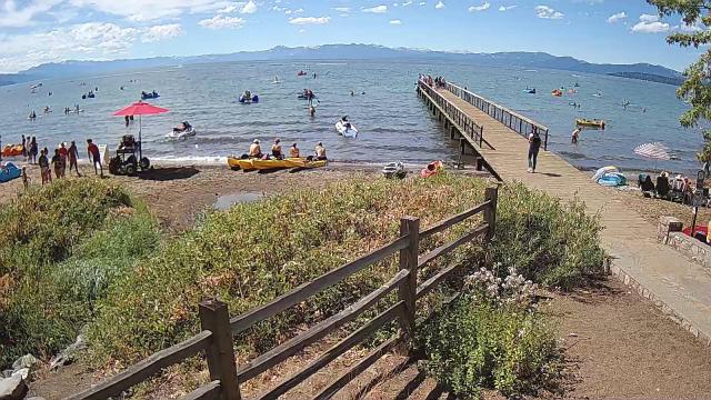
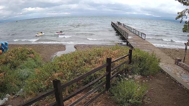
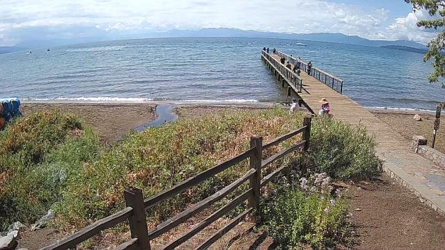
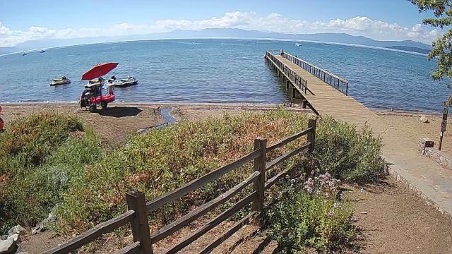
Kings Beach, California, USA - 54.5 miles from Auburn Lake Trails: Beachview - Sunny Kings Beach, Lake Tahoe
Operator: HDOnTap
Operator: HDOnTap


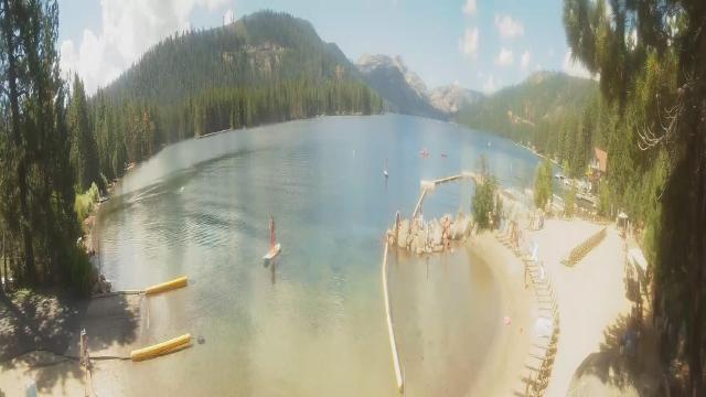
Pinecrest, California, USA - 72.2 miles from Auburn Lake Trails: Dodge Ridge Ski Resort - Base Cam - Controllable webcam at the Dodge Ridge Ski Resort showing the current snow conditions.
Operator: Dodge Ridge Ski Resort
Operator: Dodge Ridge Ski Resort

Virginia City, Nevada, USA - 75 miles from Auburn Lake Trails: View of the C Street
Operator: Skyline Webcams
Operator: Skyline Webcams


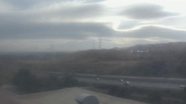
Concord, California, USA - 87.1 miles from Auburn Lake Trails: Calvary Temple Christian School - A webcam in Concord, California - camera location: Calvary Temple Christian School.
Operator: WeatherBug
Operator: WeatherBug


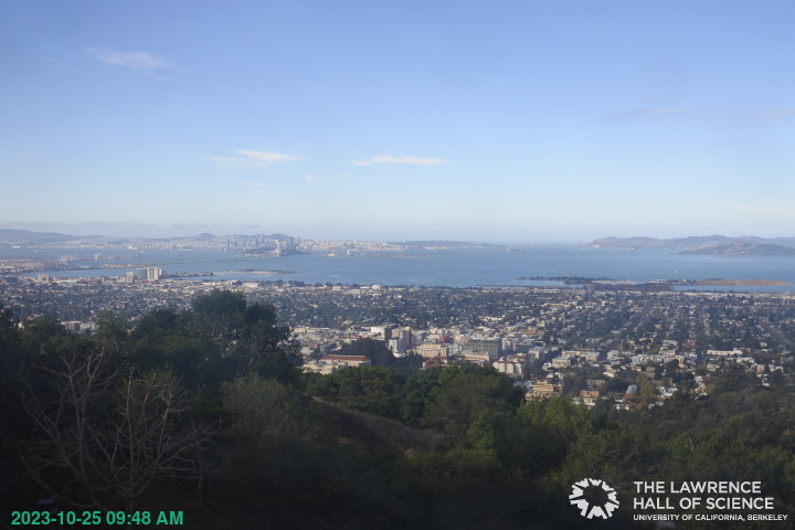
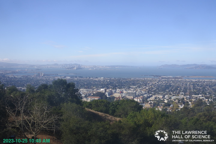
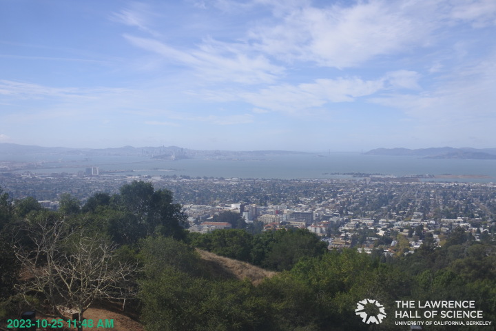
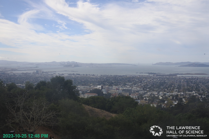
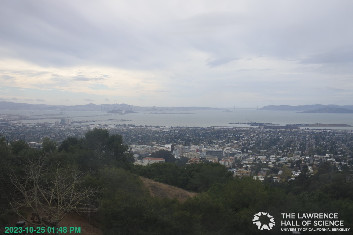
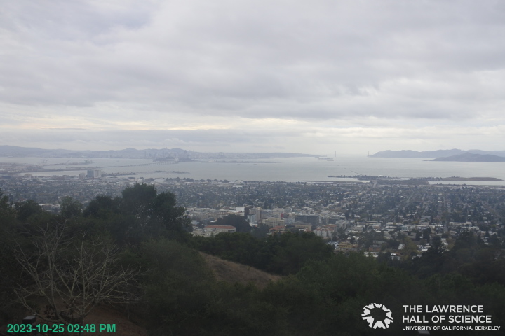
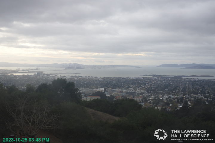
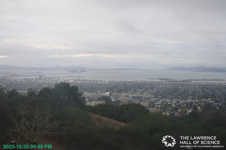
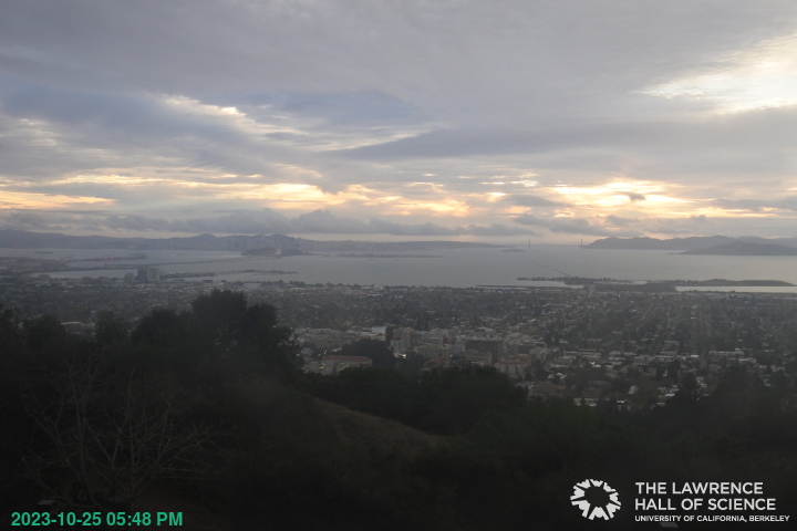
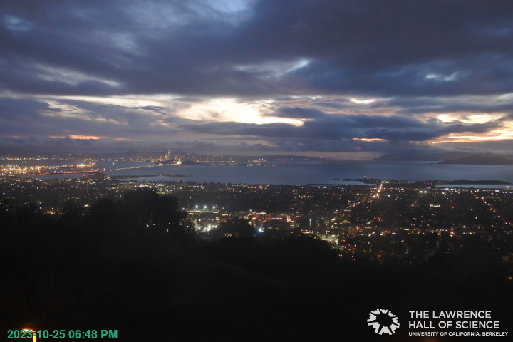
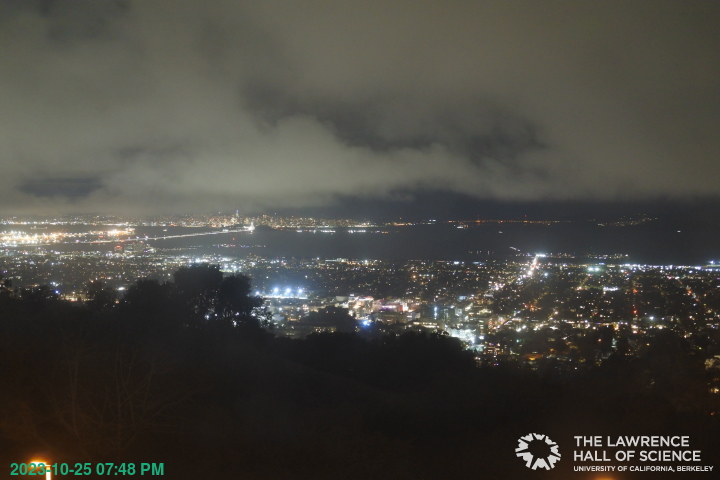
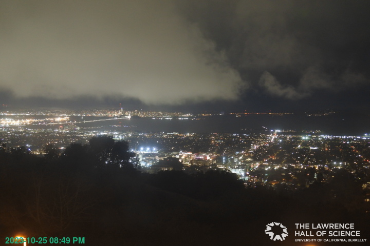
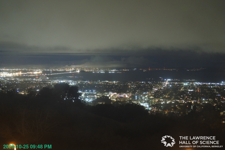
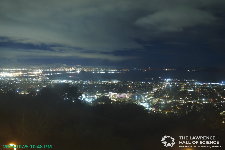
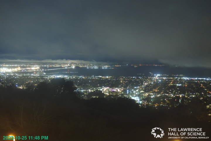
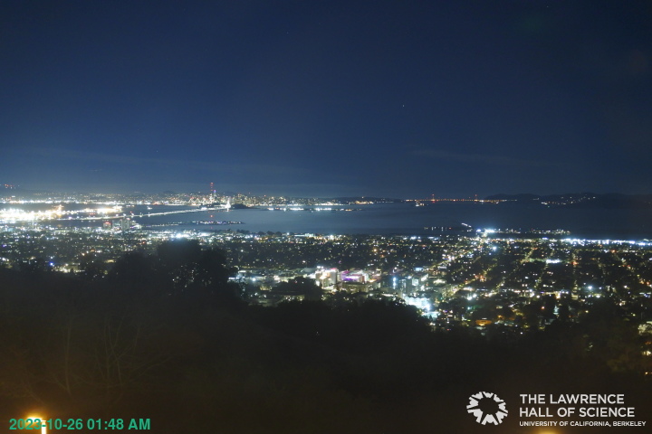
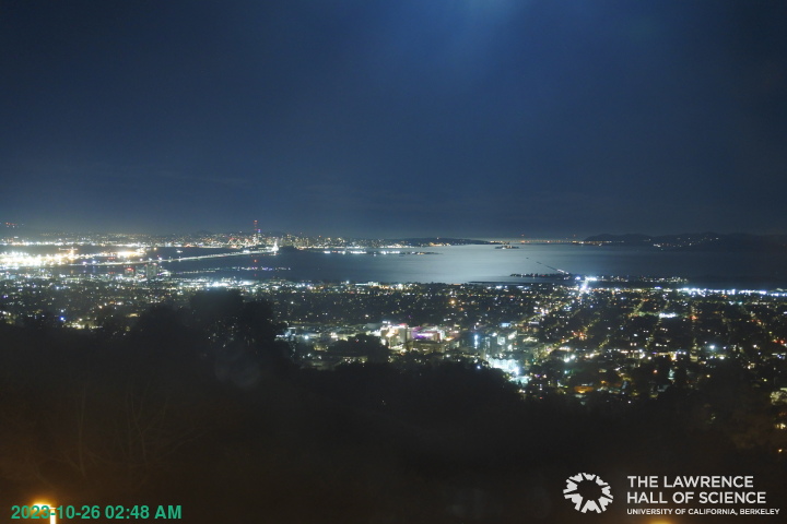
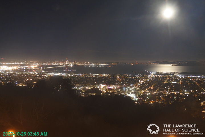
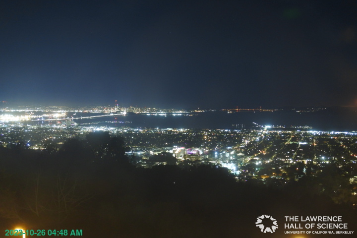
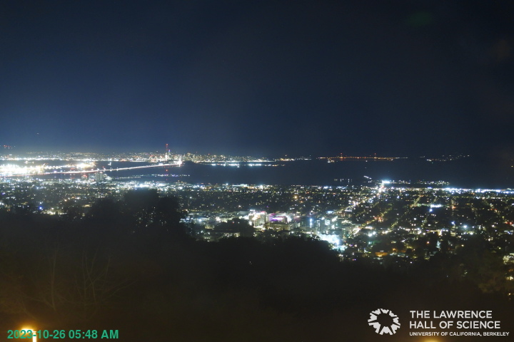
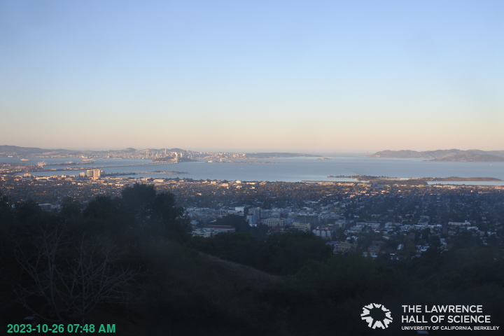
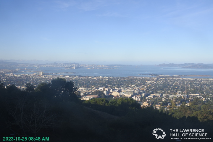
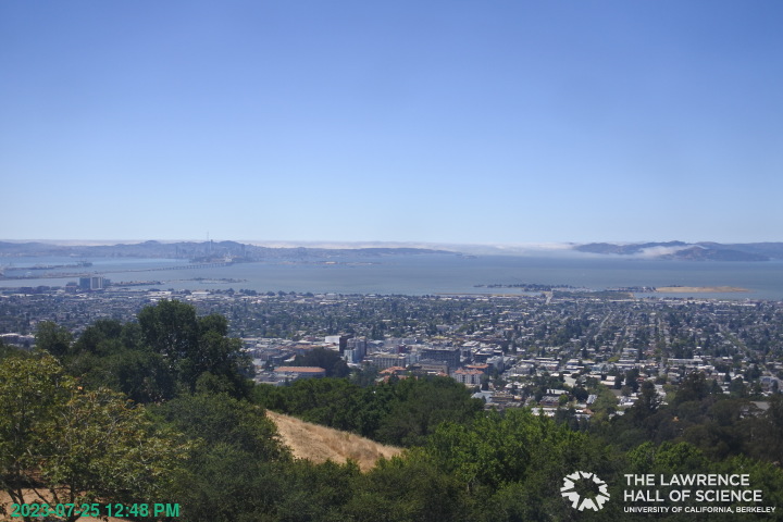
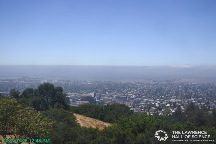
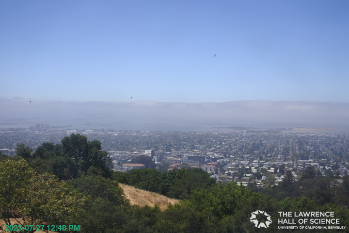
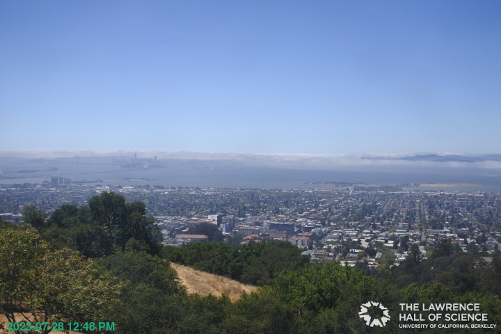
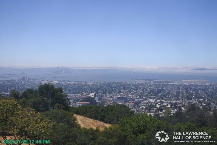
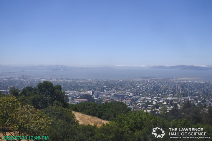
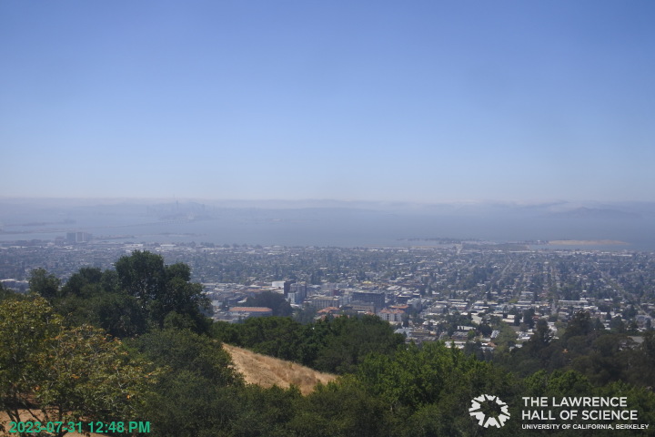
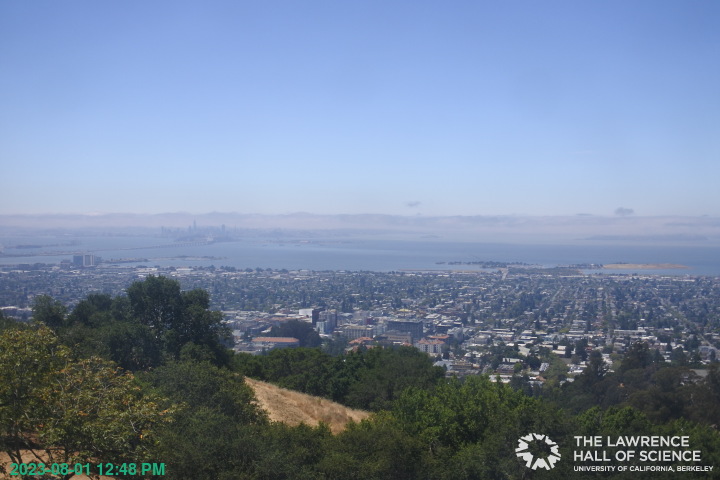
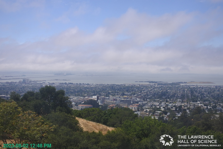
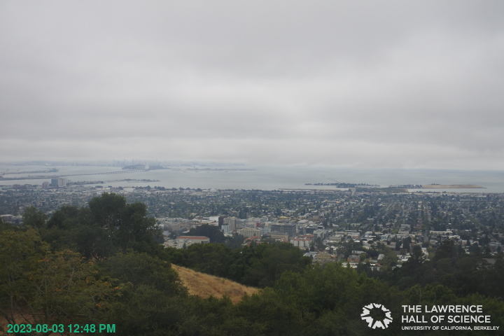
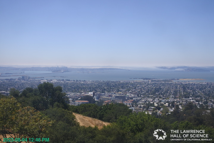
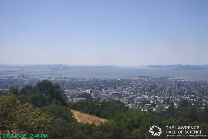
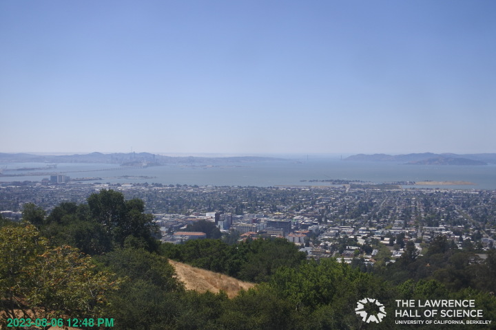
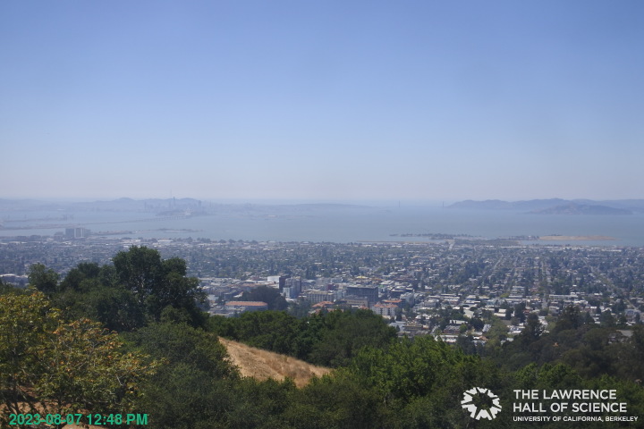
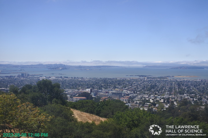
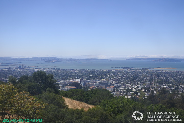
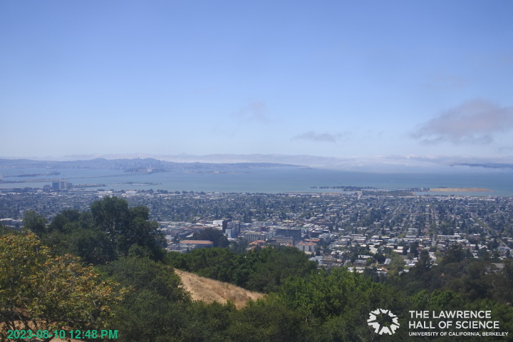
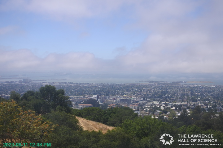
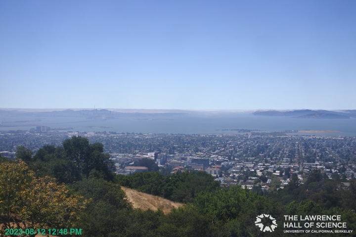
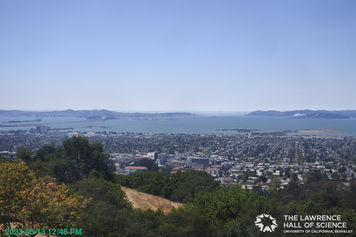
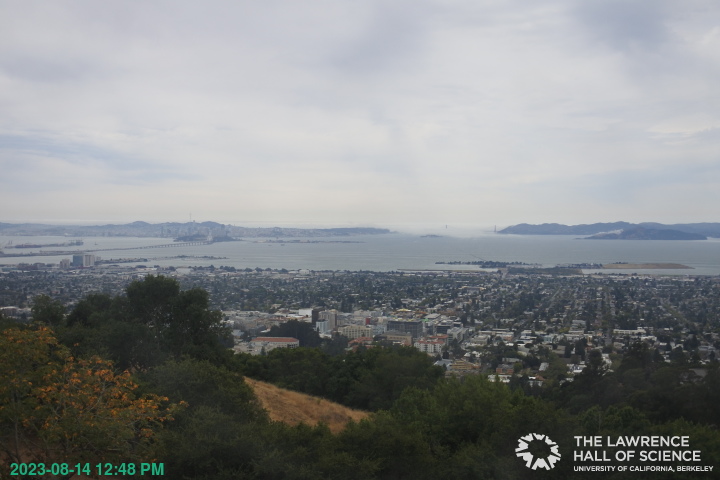
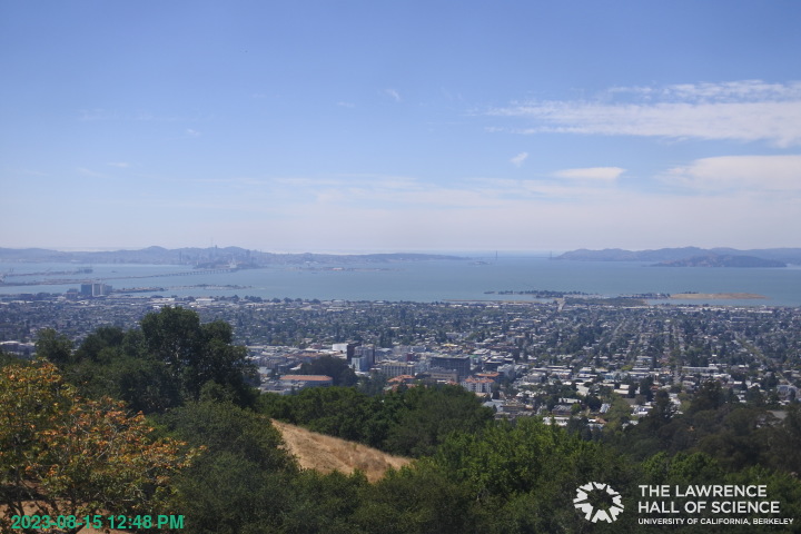
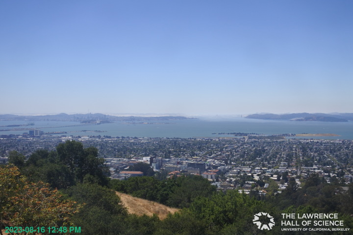
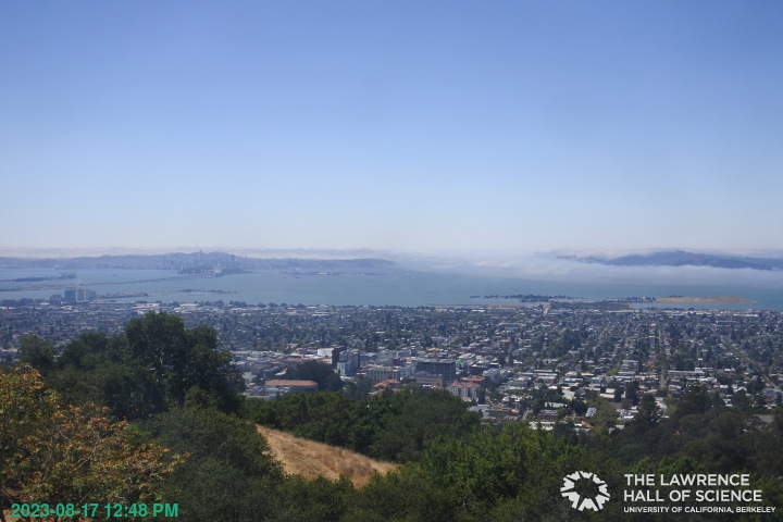
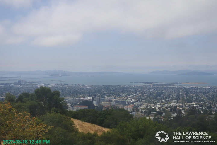
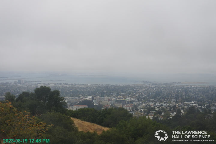
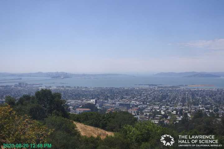
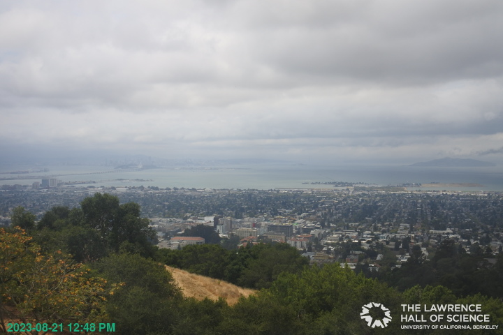
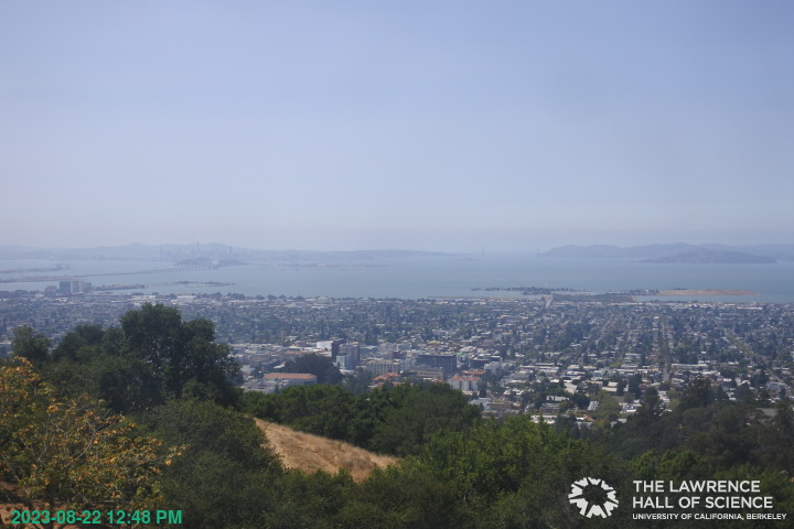
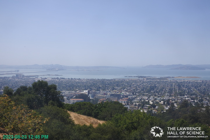
Berkeley, California, USA - 101.5 miles from Auburn Lake Trails: View over Berkeley - A great panorama view of Berkeley and the San Francisco Bay Area from the Lawrence Hall of Science, UC Berkeley.
Operator: UC Berkeley
Operator: UC Berkeley


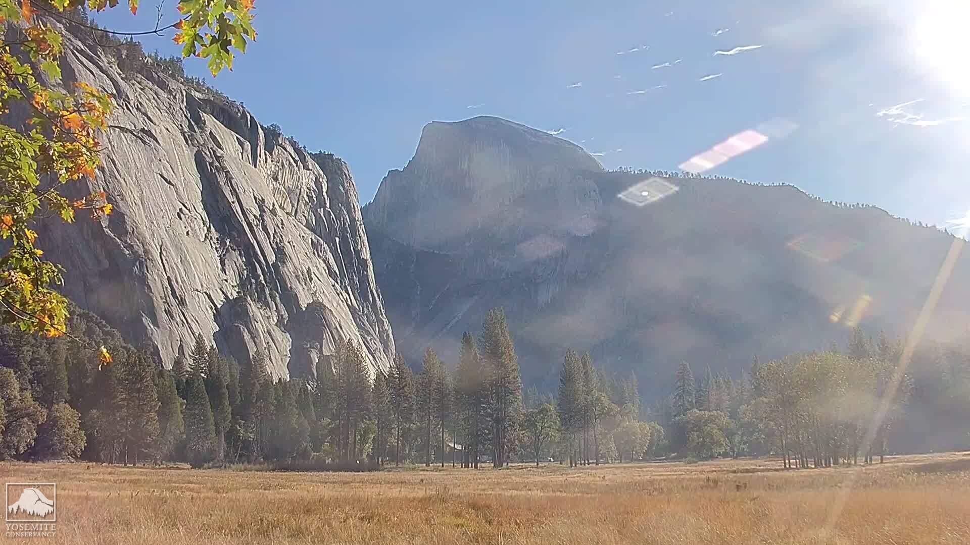
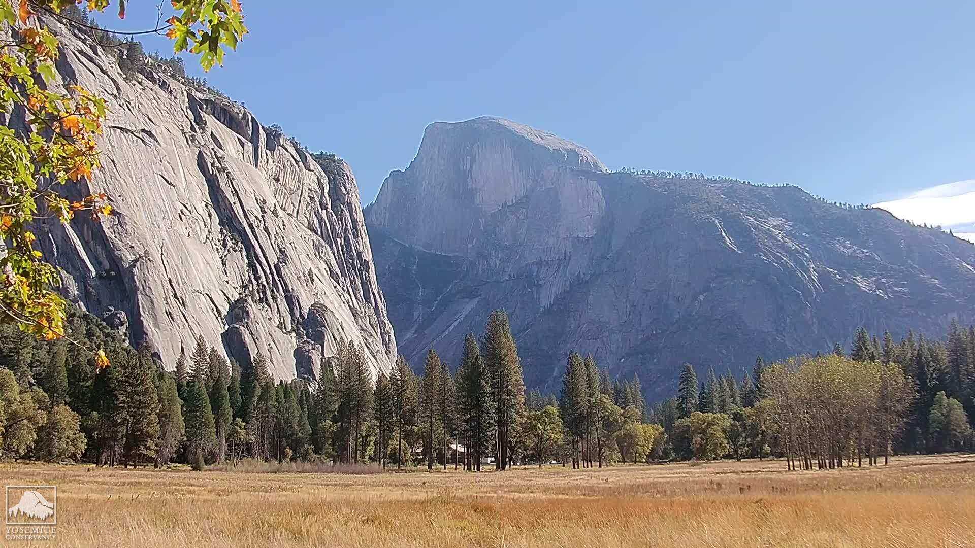
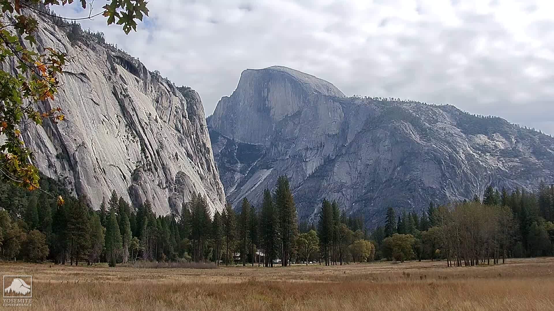
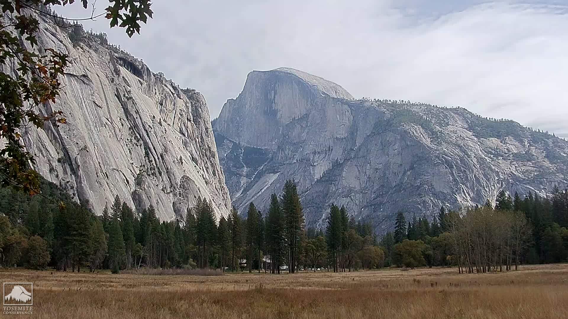
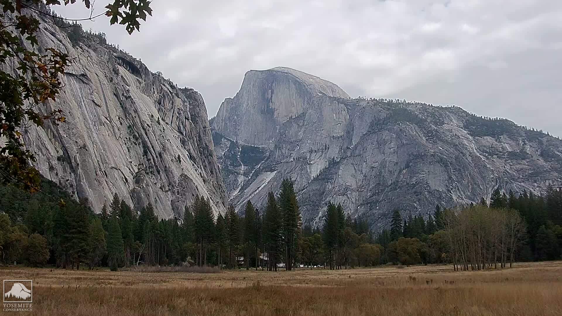
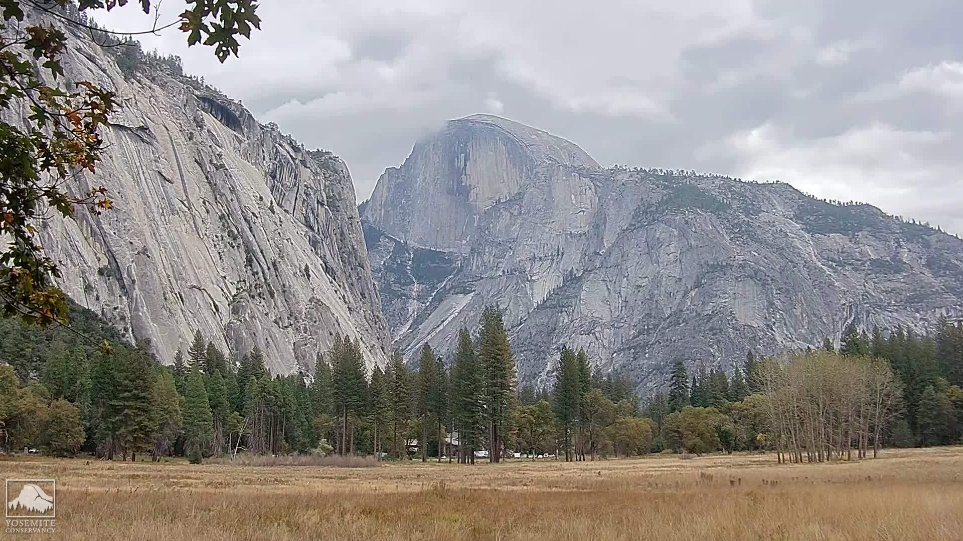
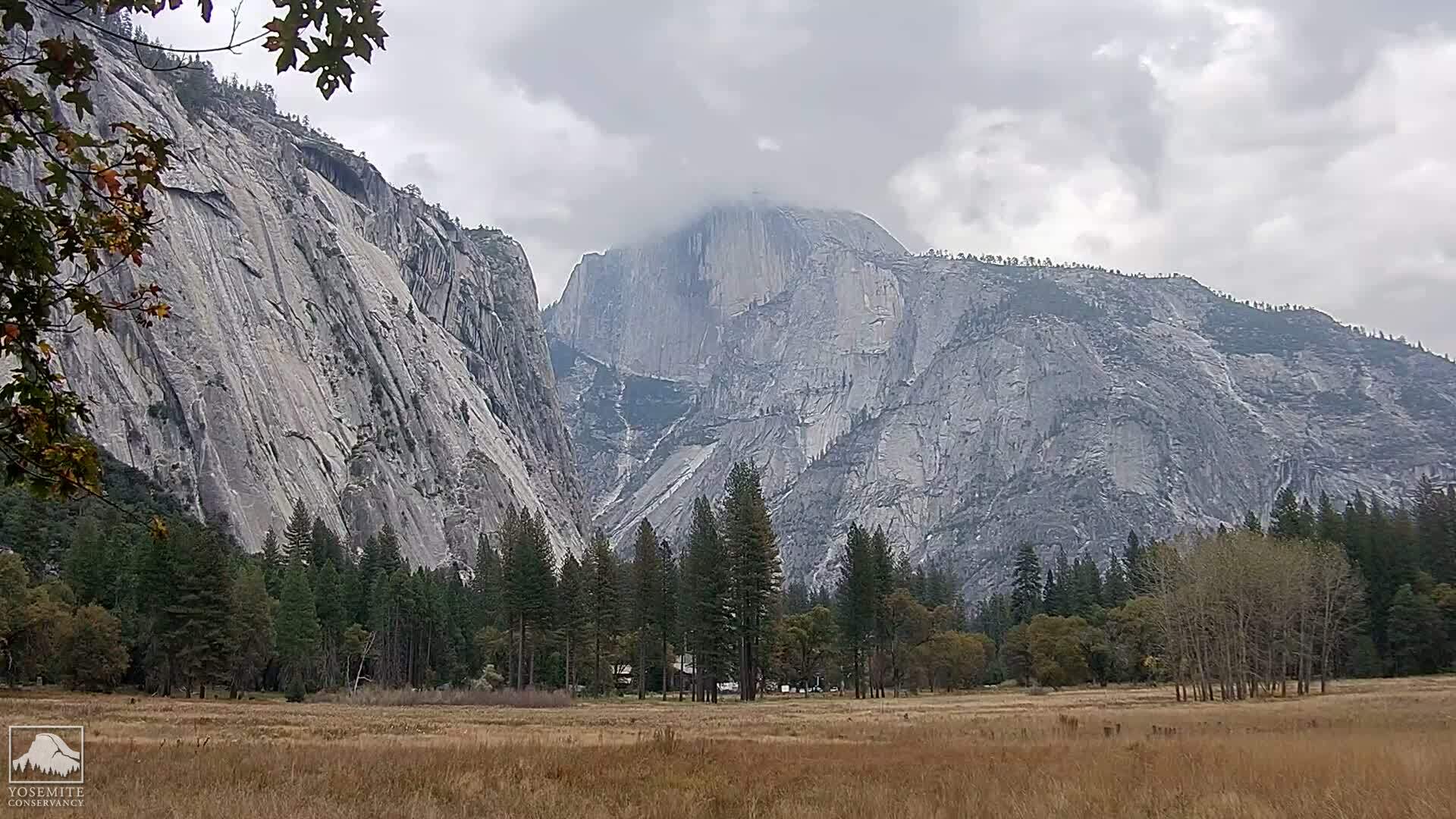
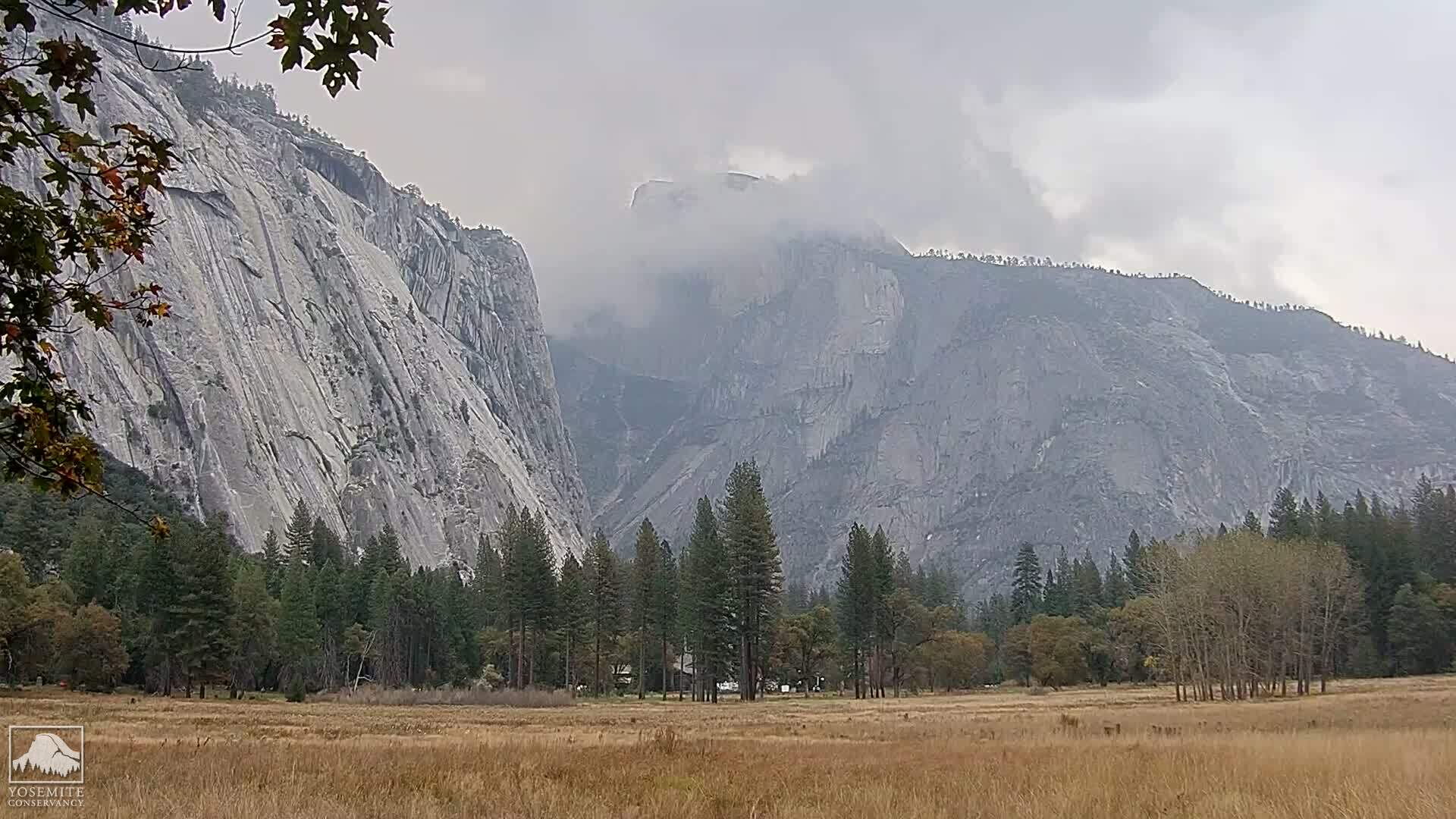
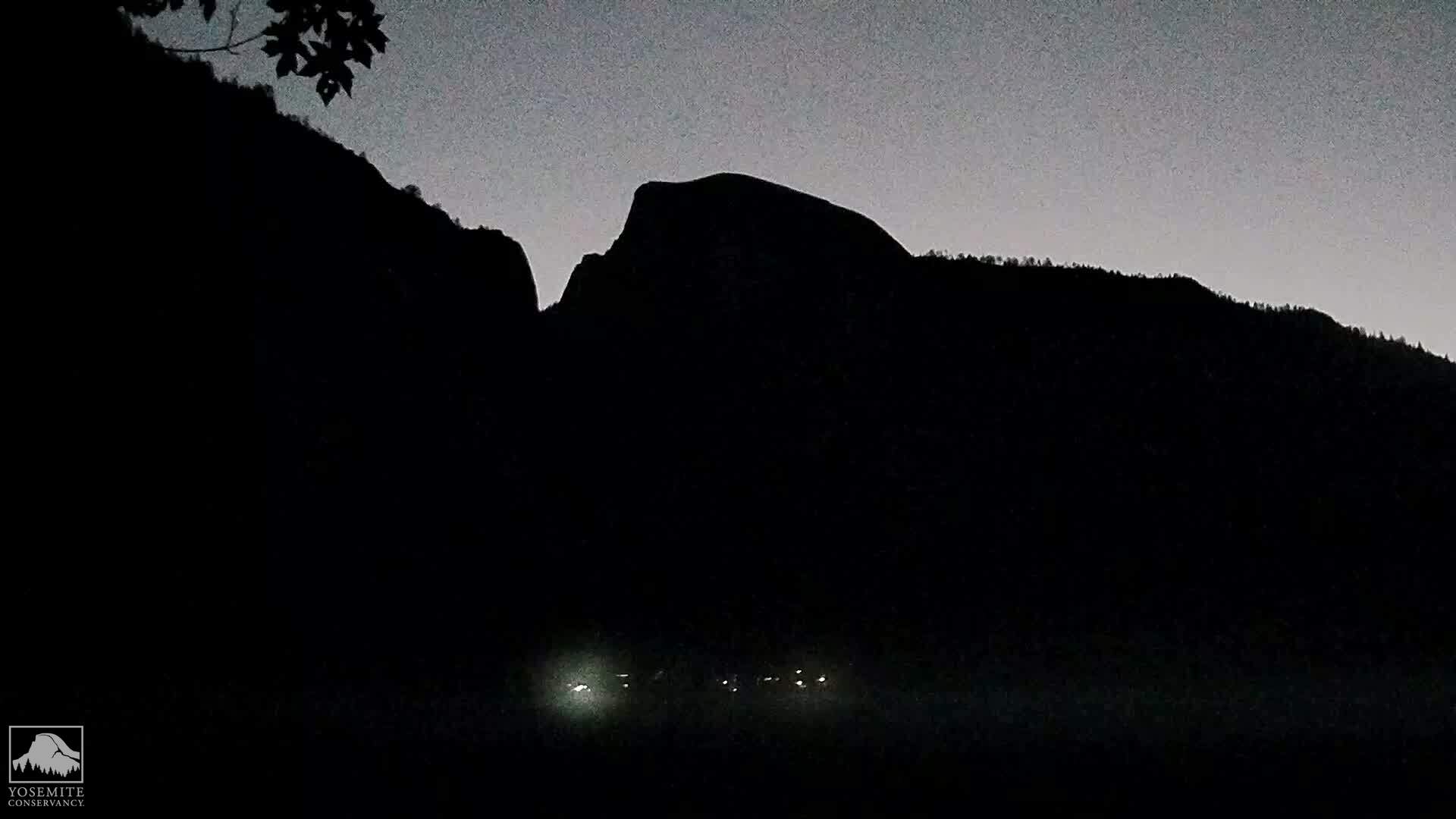
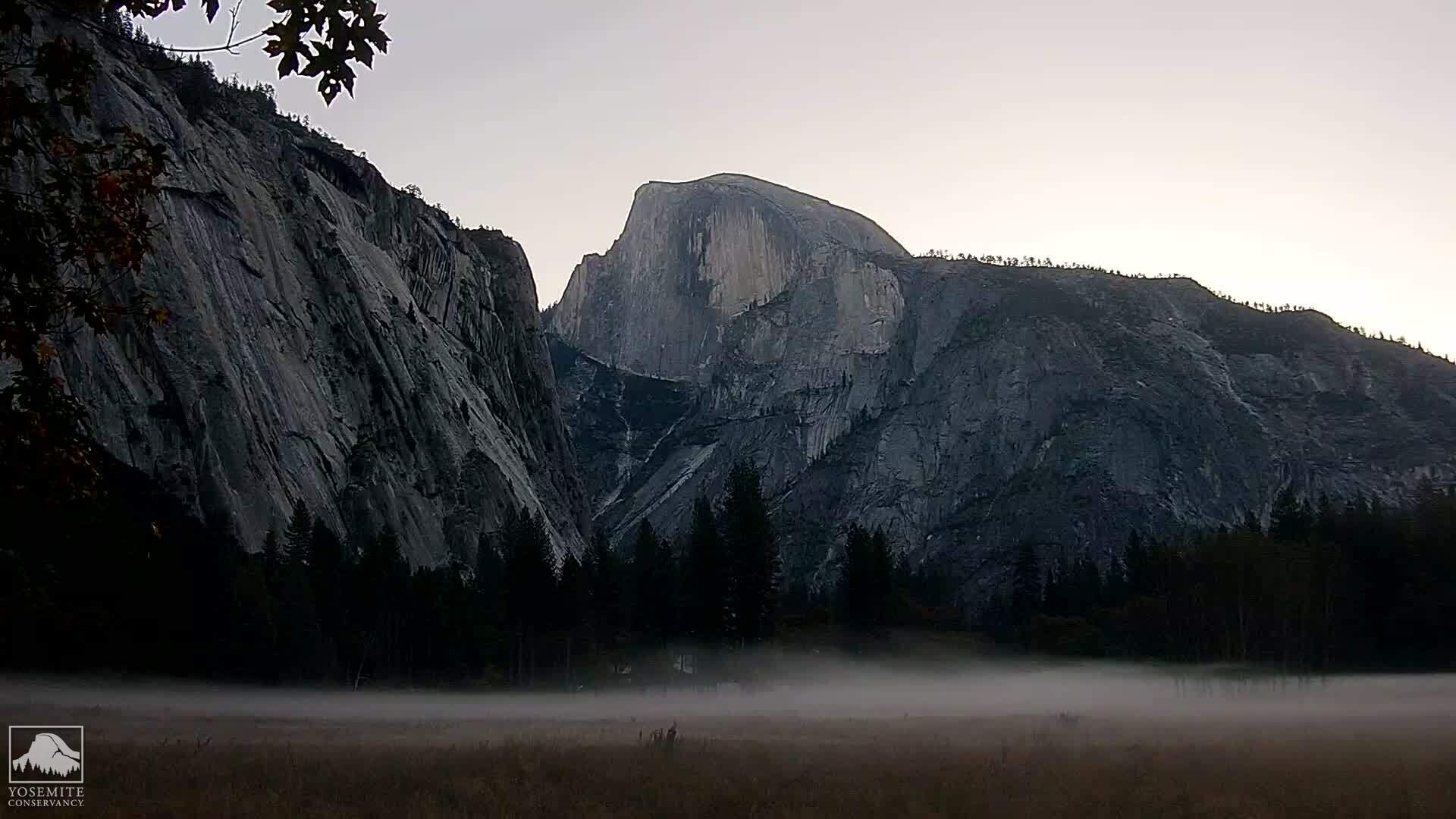
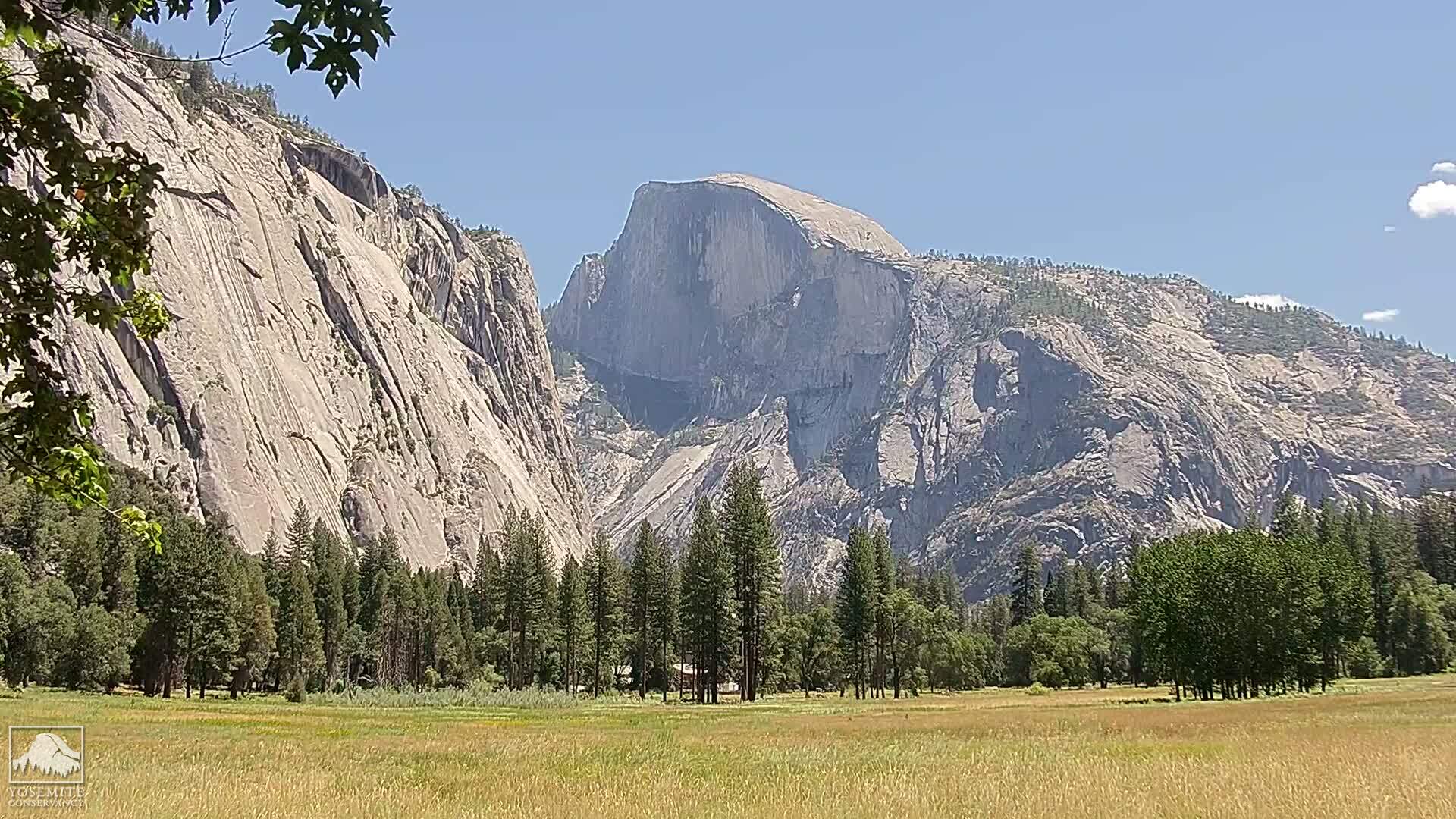
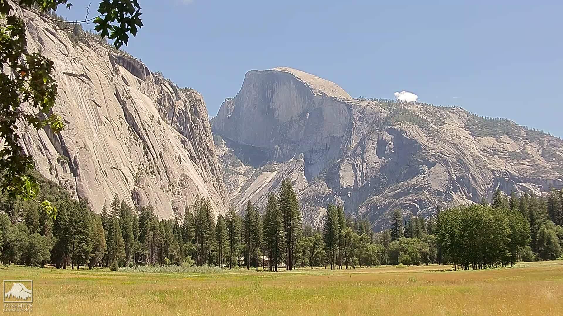
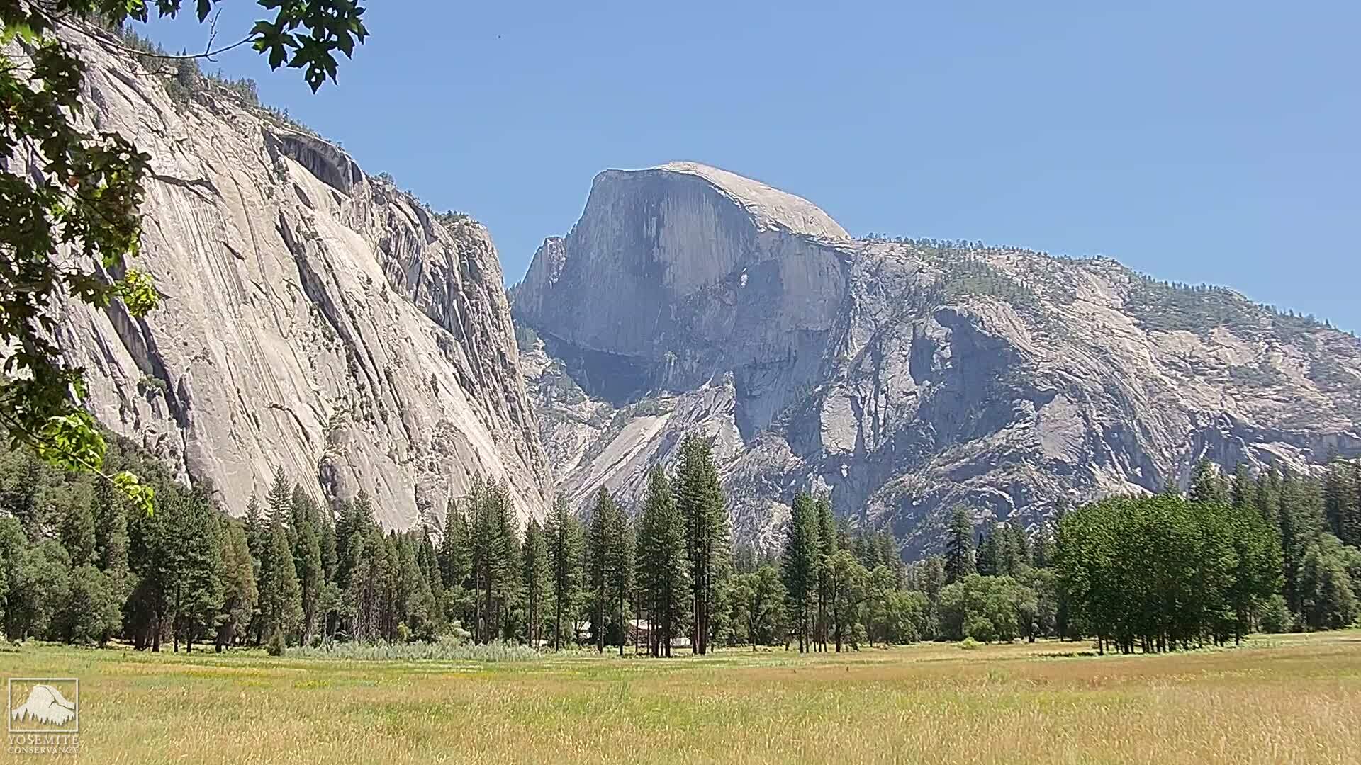
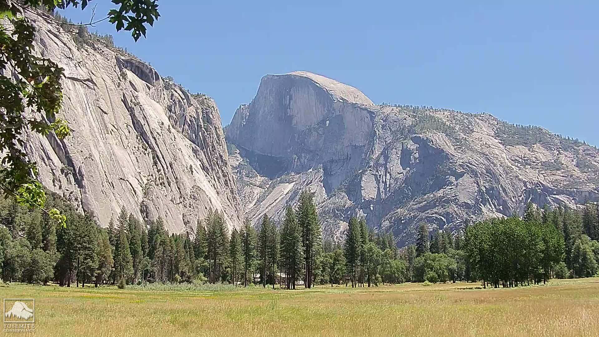
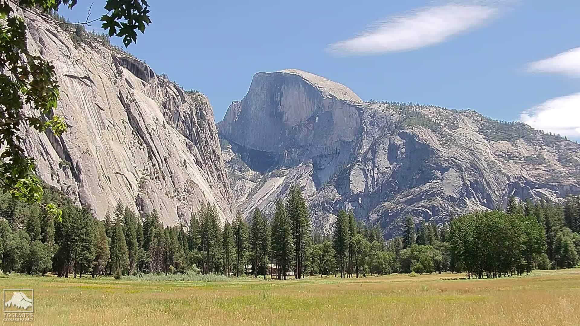
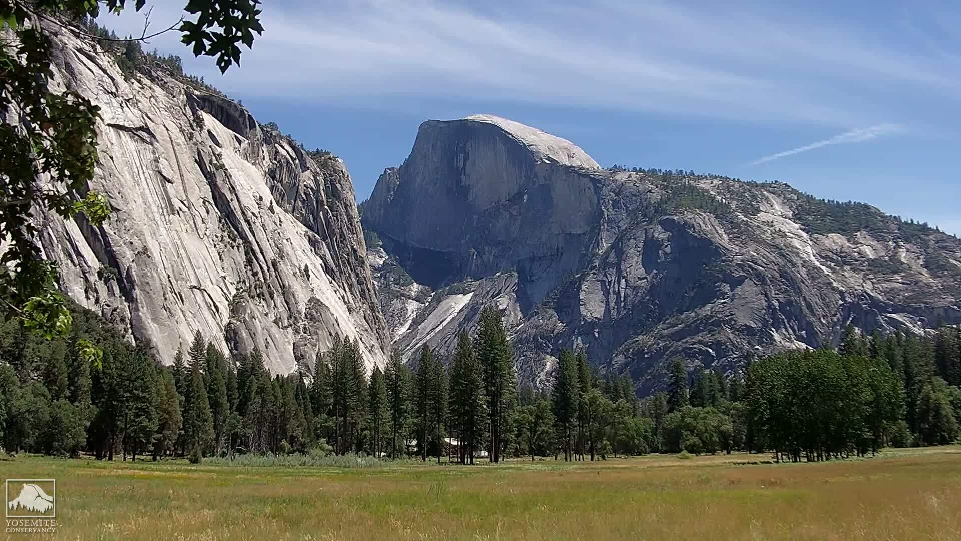
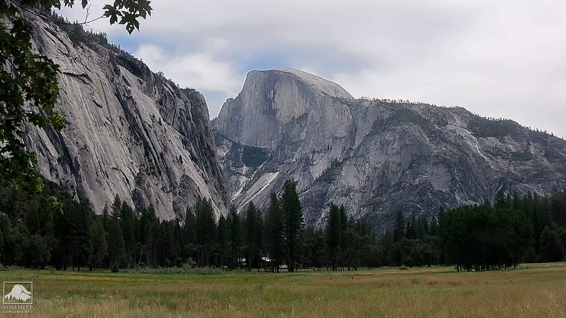
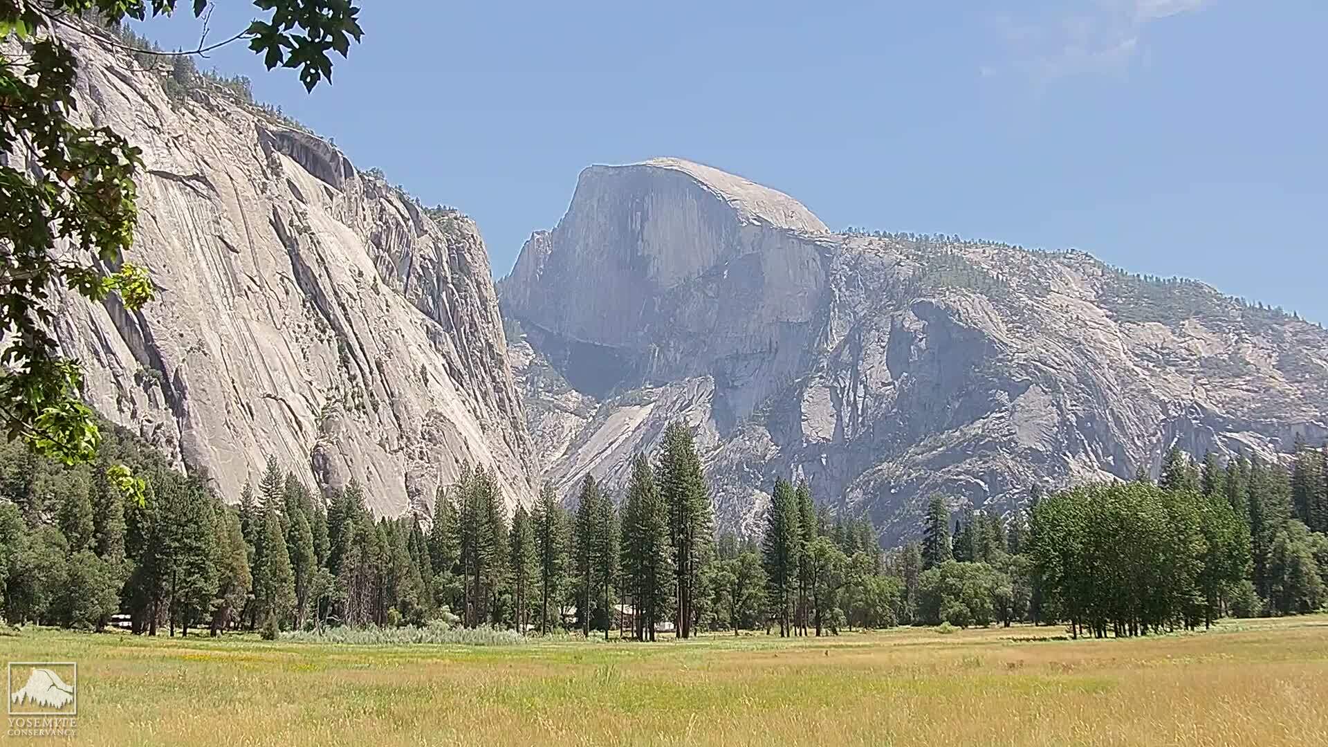
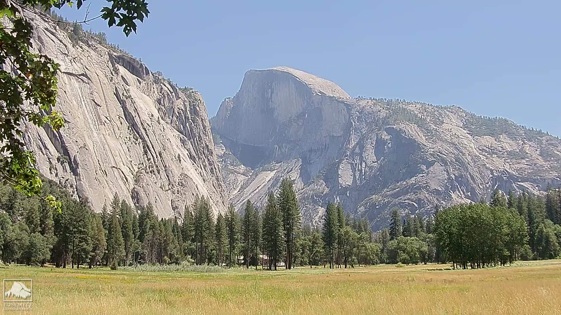
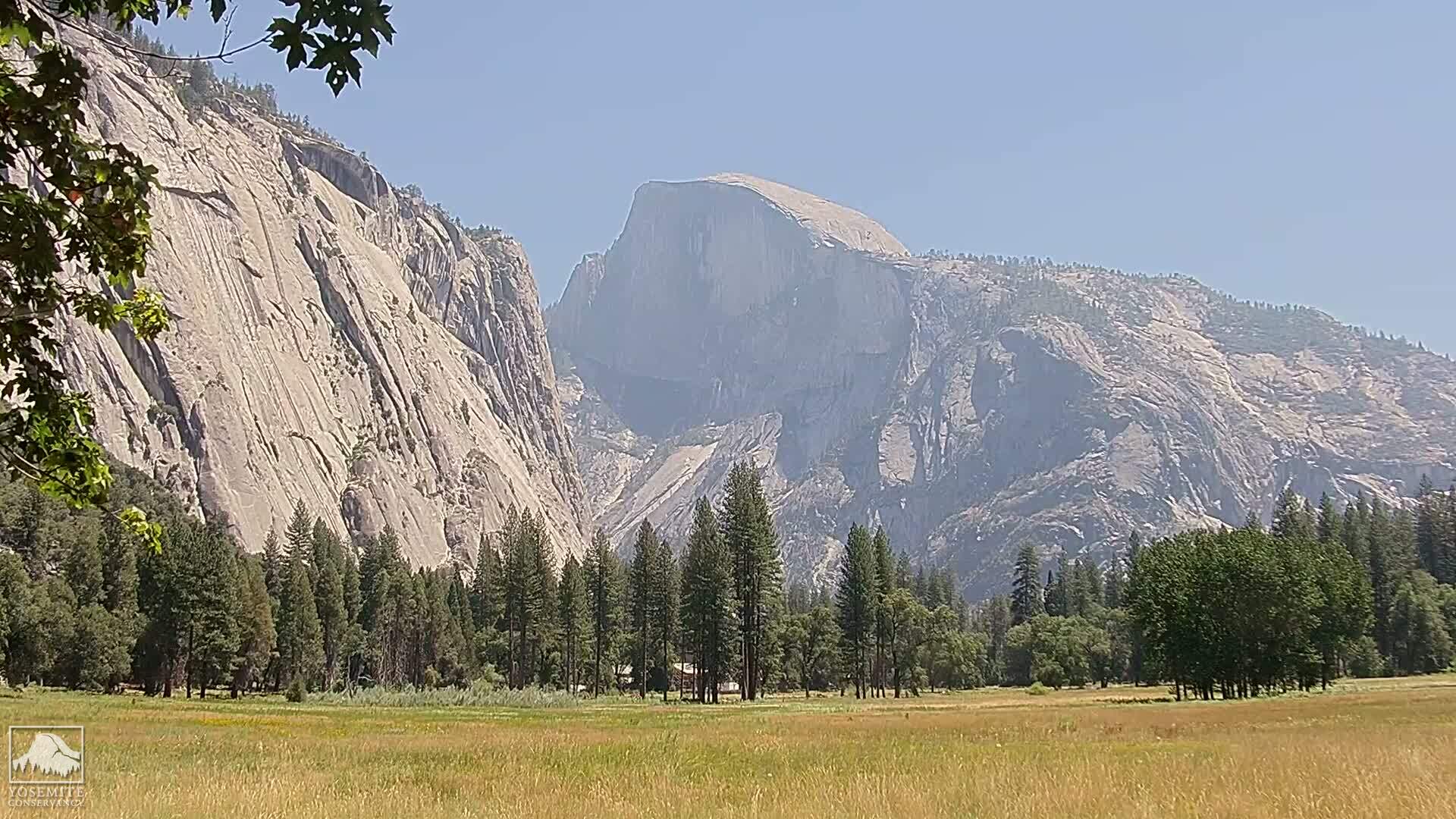
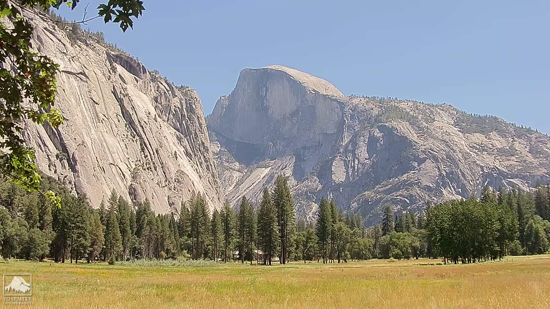
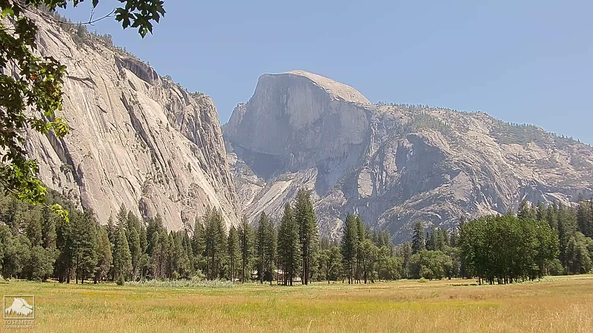
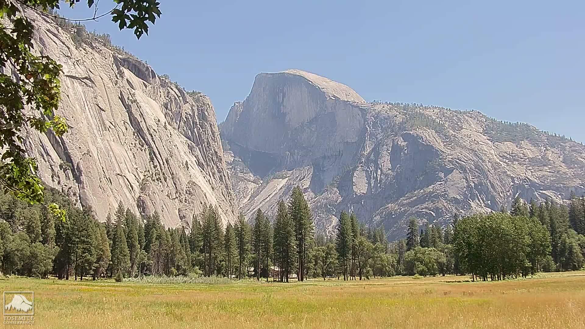
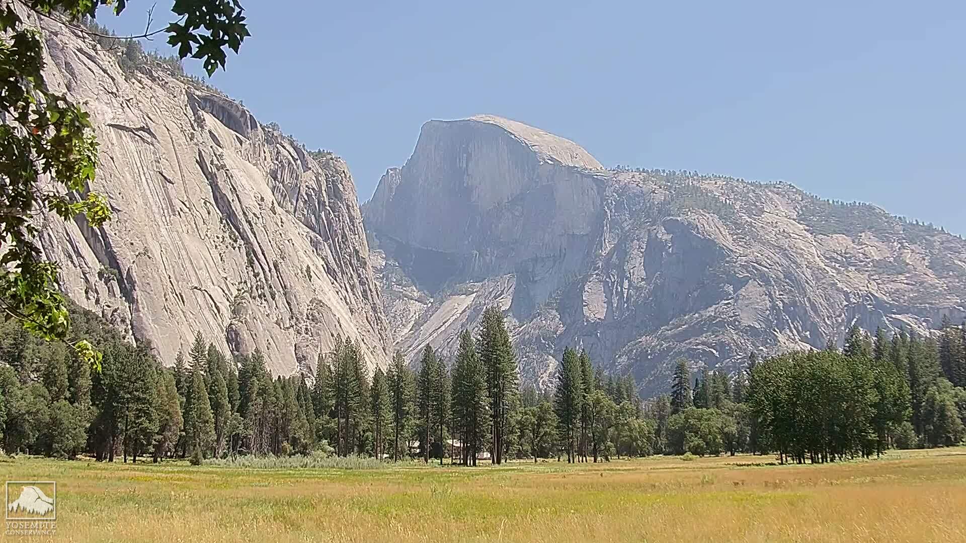
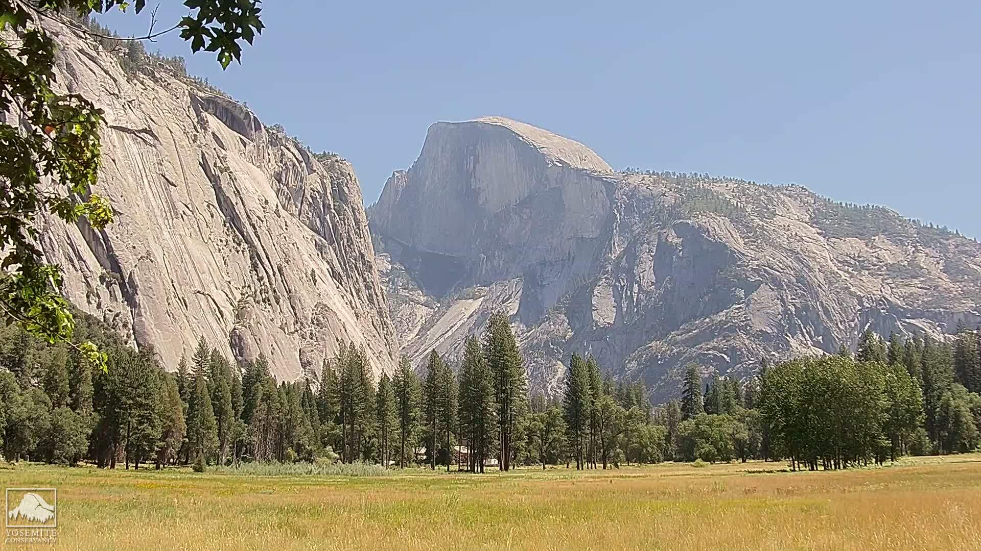
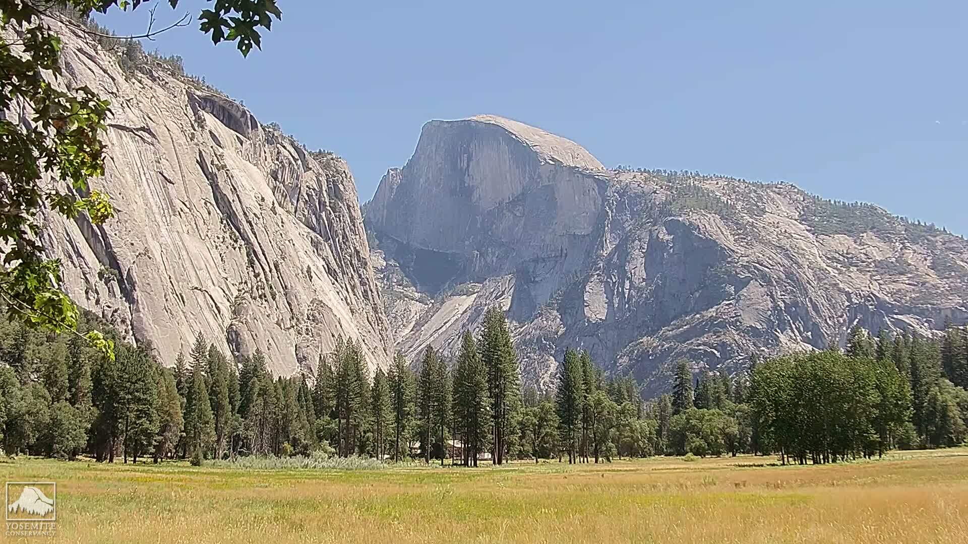
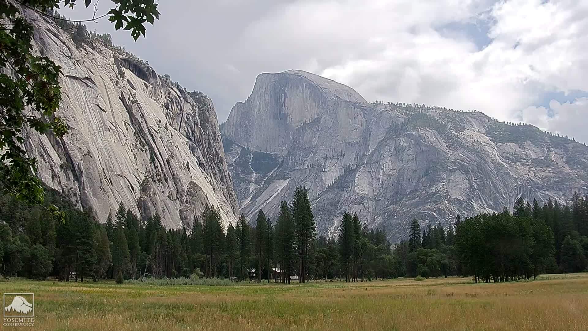
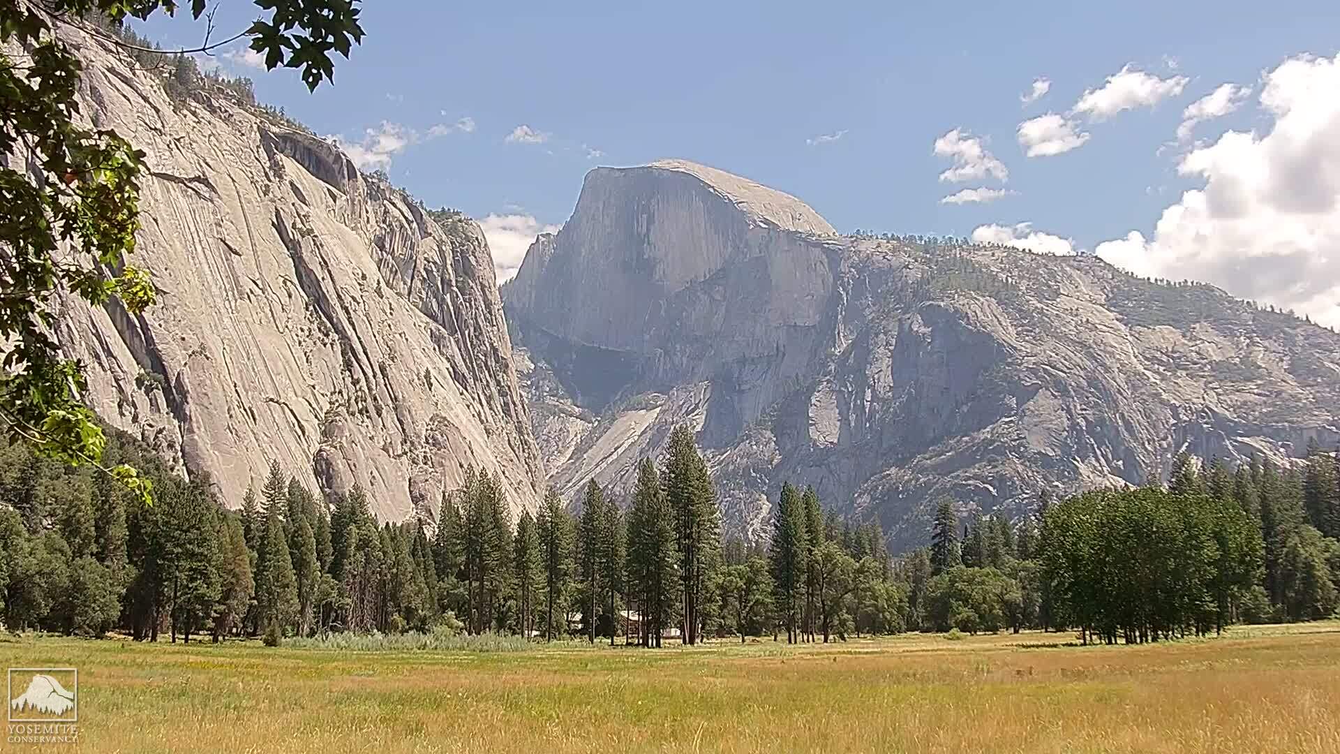
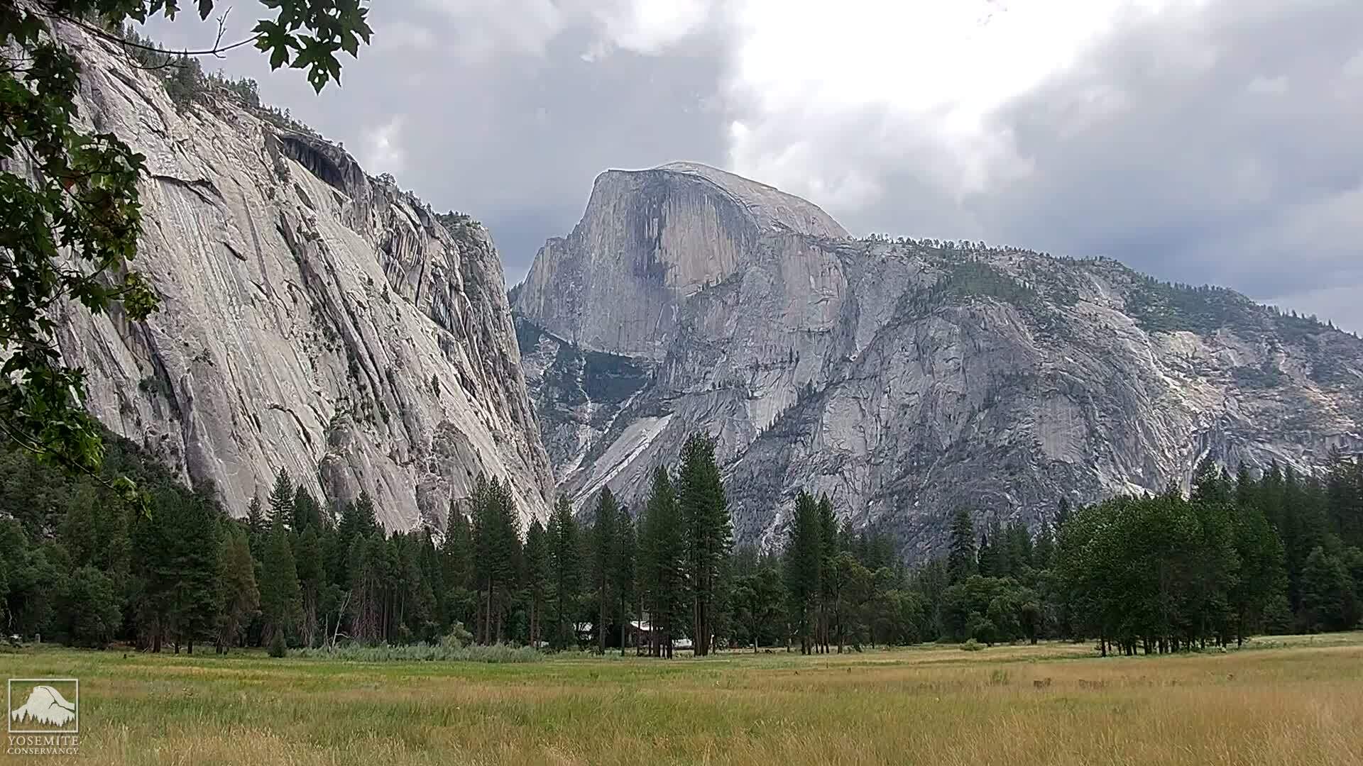
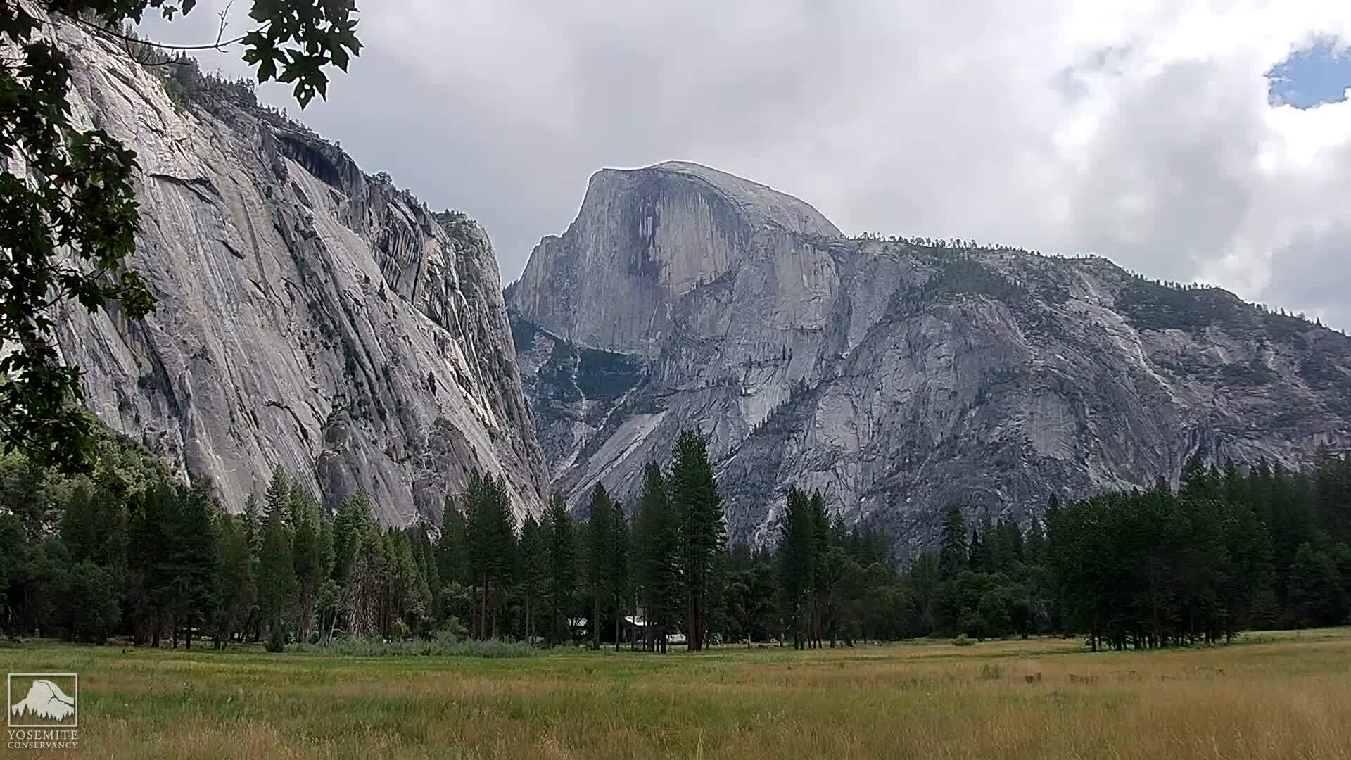
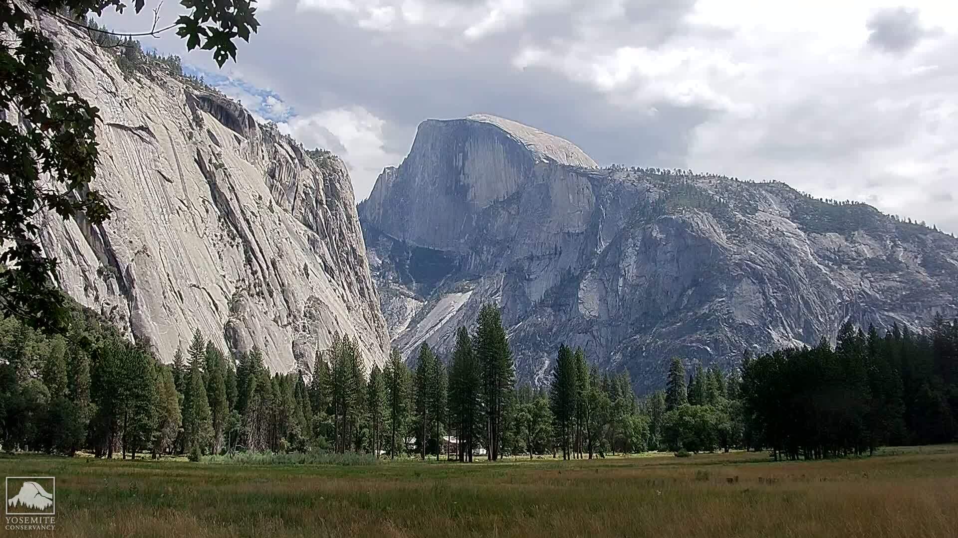
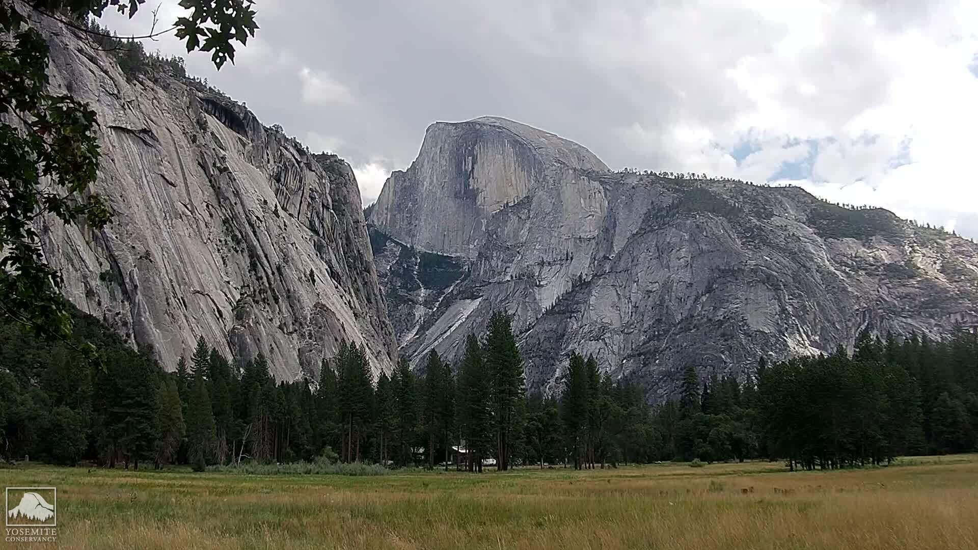
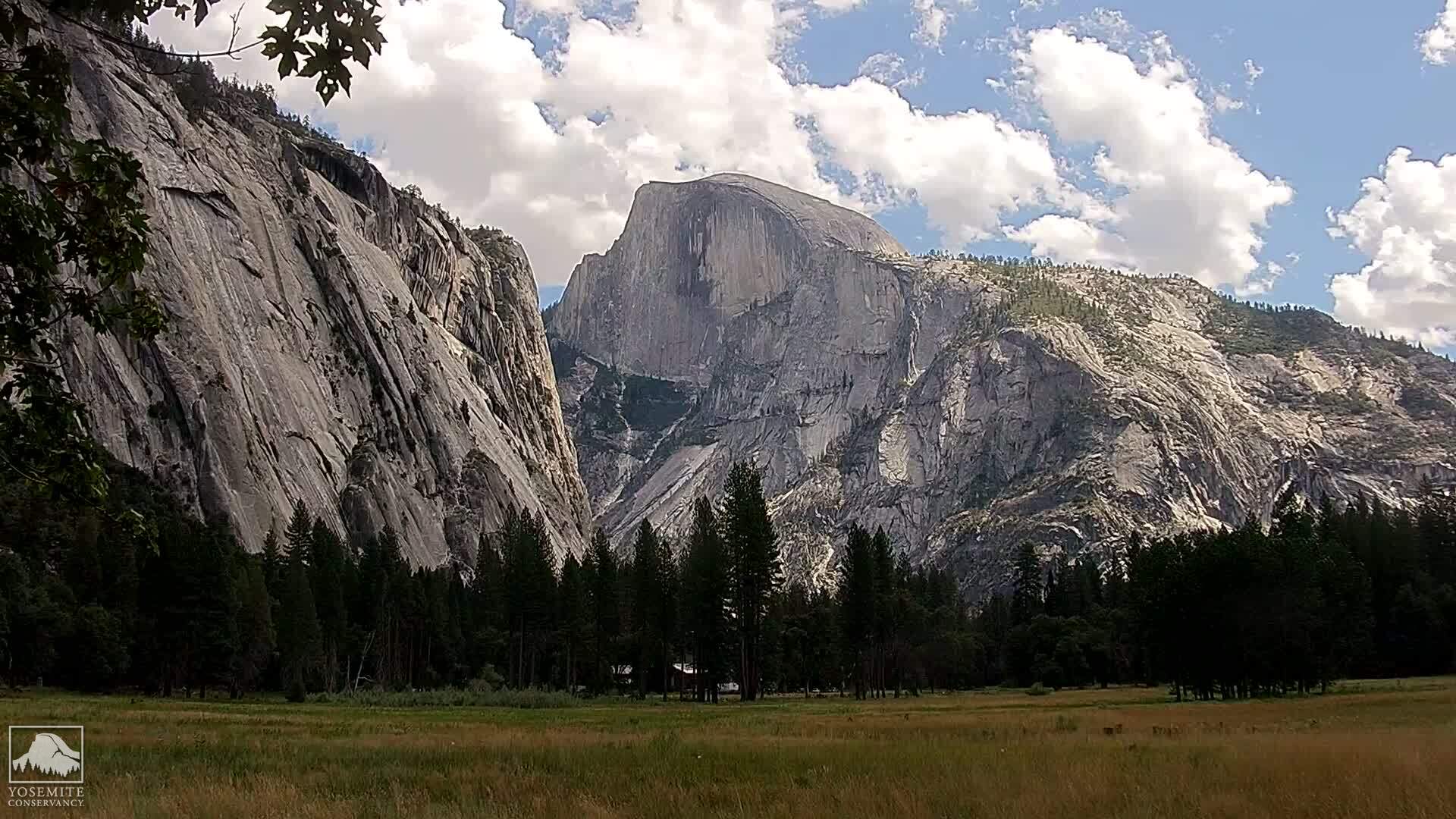
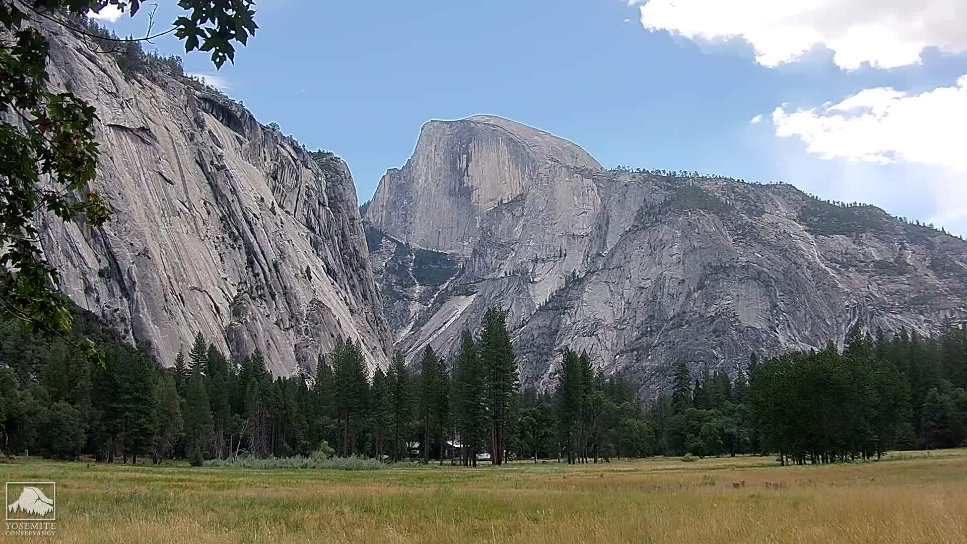
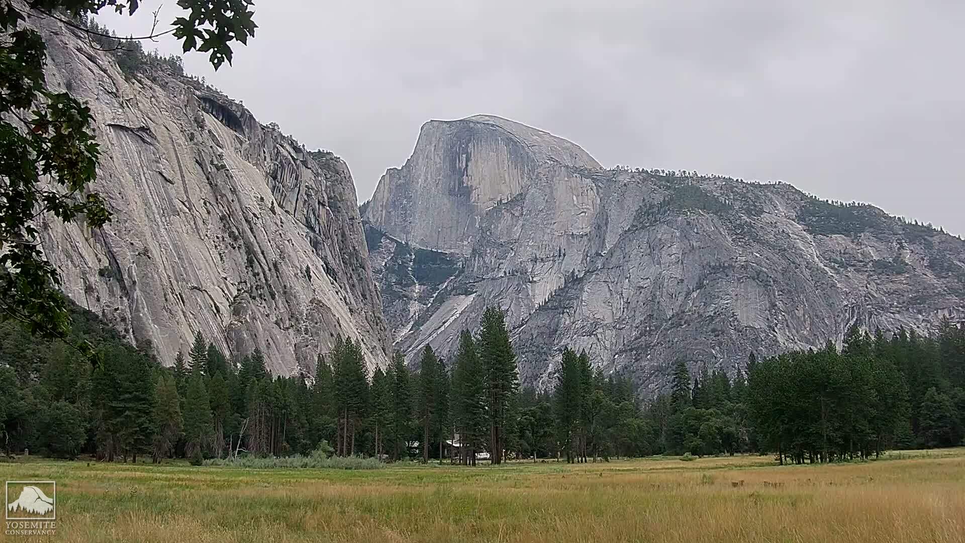
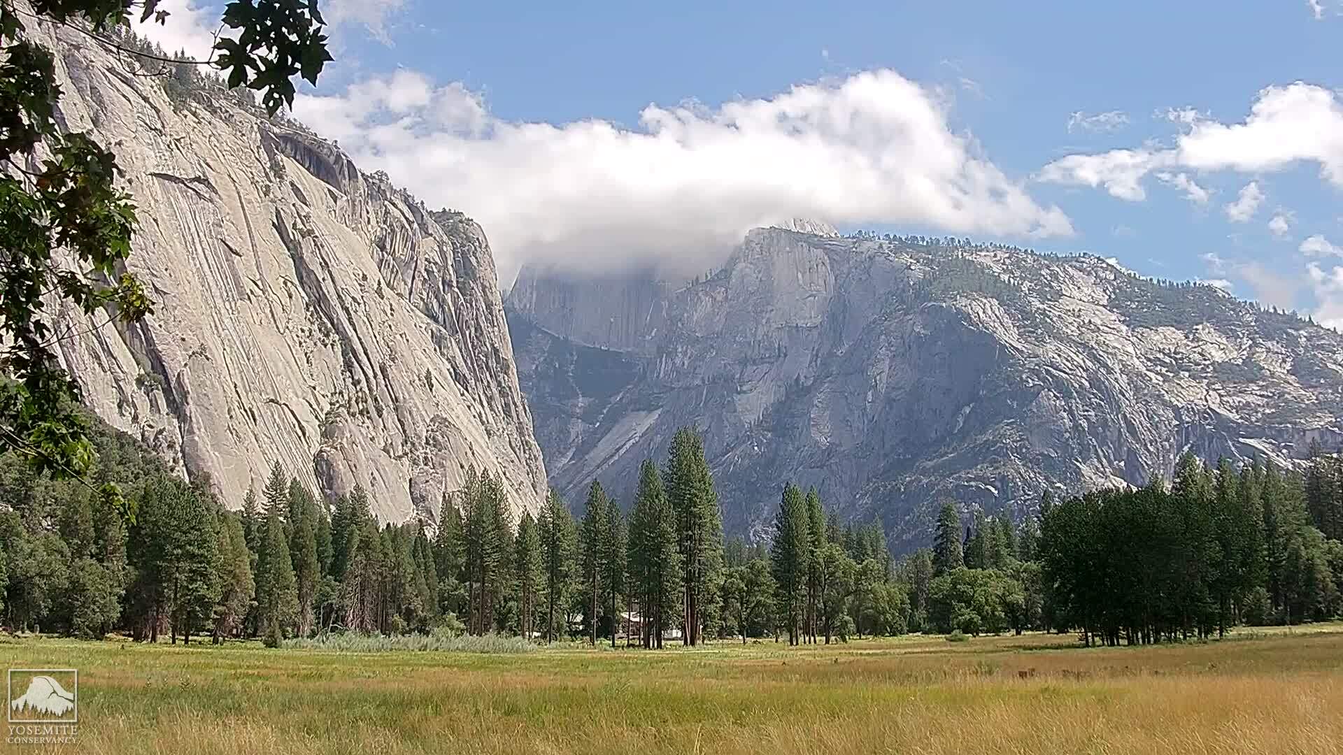
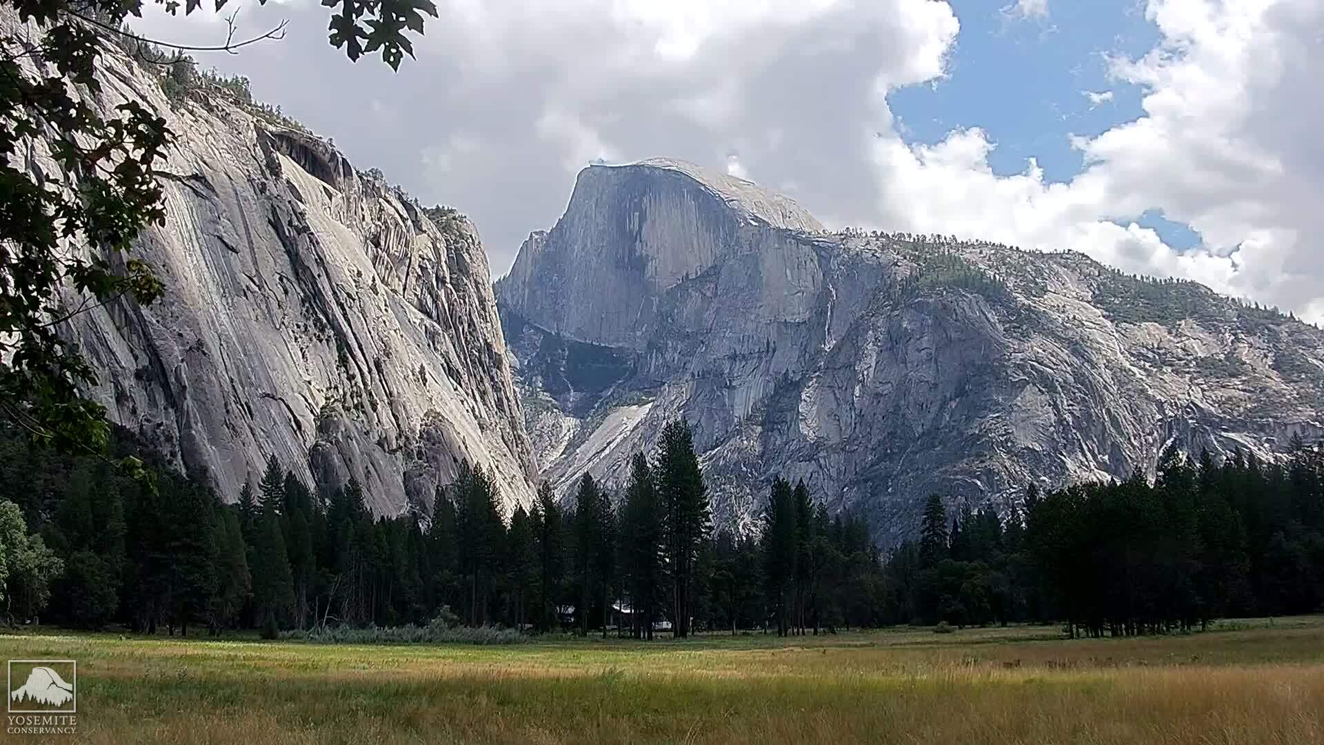
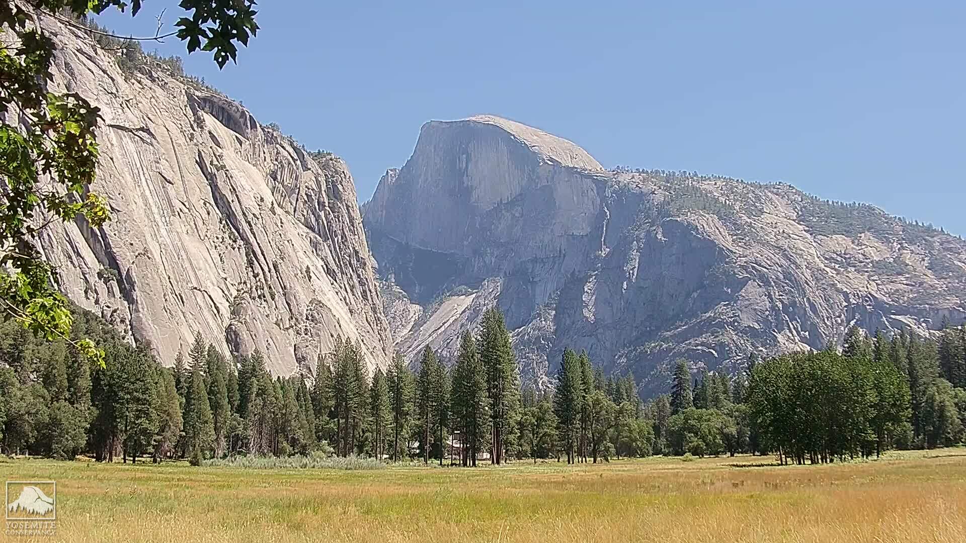
Yosemite National Park, California, USA - 109.2 miles from Auburn Lake Trails: Live Web Cam Views of Yosemite Valley - Several views.
Operator: The Yosemite Association
Operator: The Yosemite Association


Some other places in this country: Rancho Vista - Centerville (historical) - Marklee Village - Country Mobile Estates - Glenridge Park - Rubicon Properties - Spring Creek - Tahoe Keys - Cedar Grove - Gold Trail Park