Webcams in the region of Ash Creek Station (historical), California, USA
The List of Webcams near Ash Creek Station (historical), California, USA:

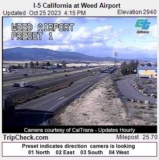
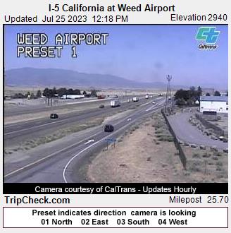
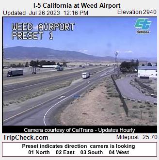
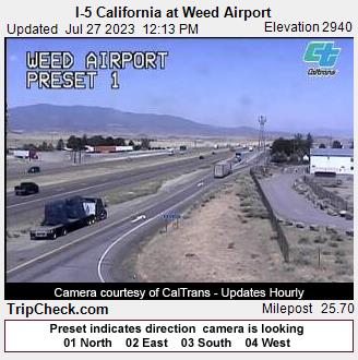
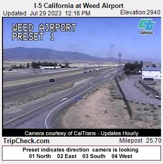
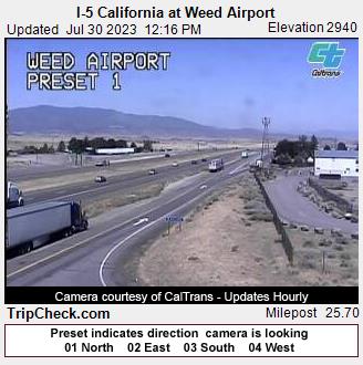
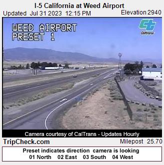
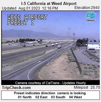
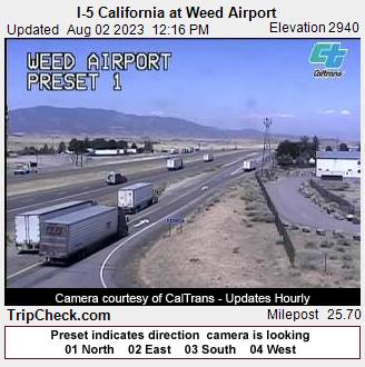
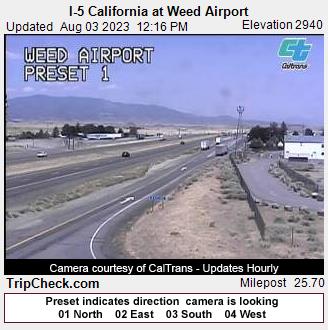
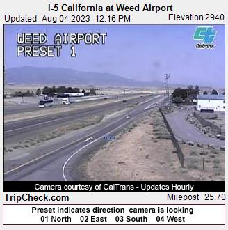
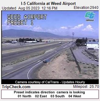
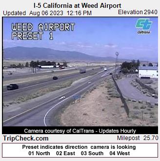
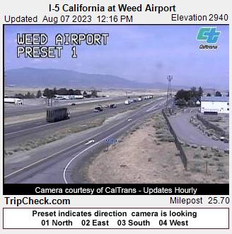
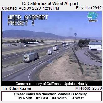
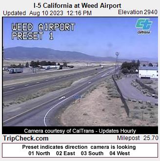
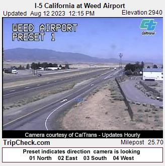
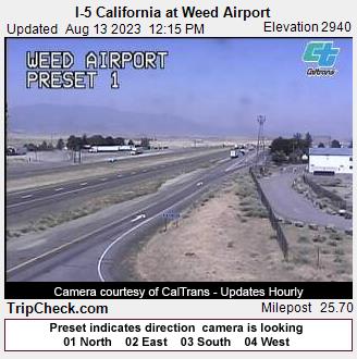
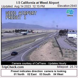
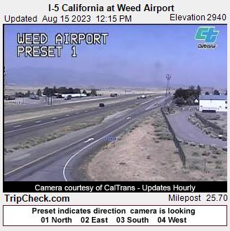
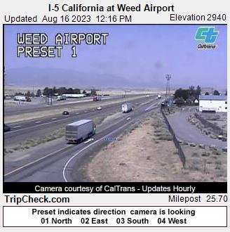
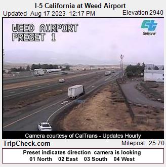
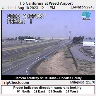
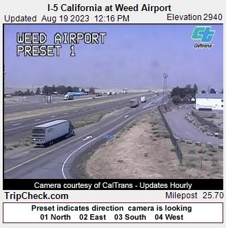
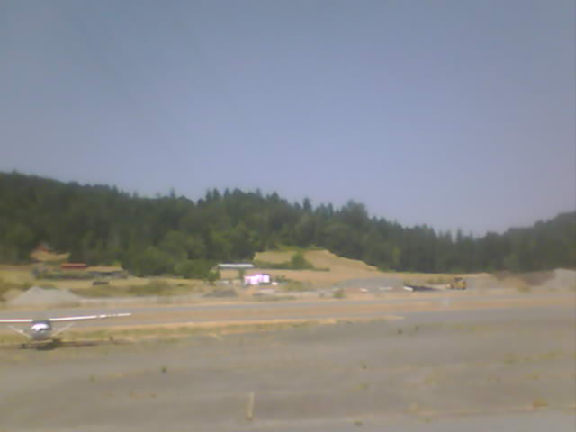
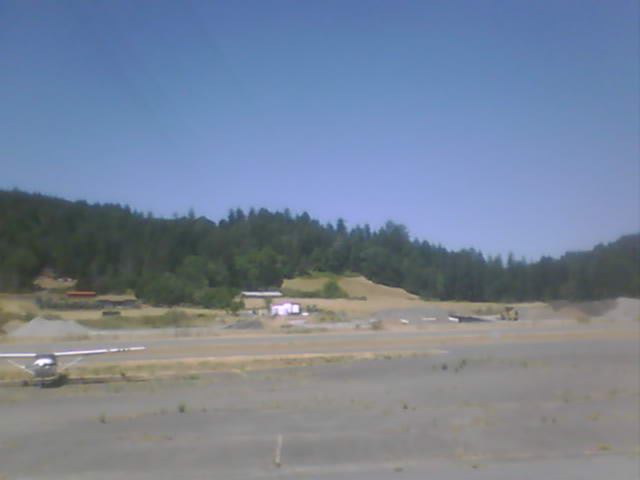
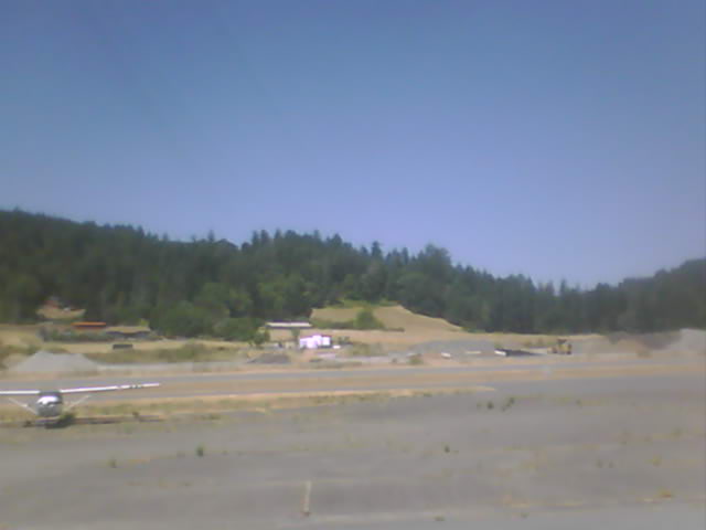
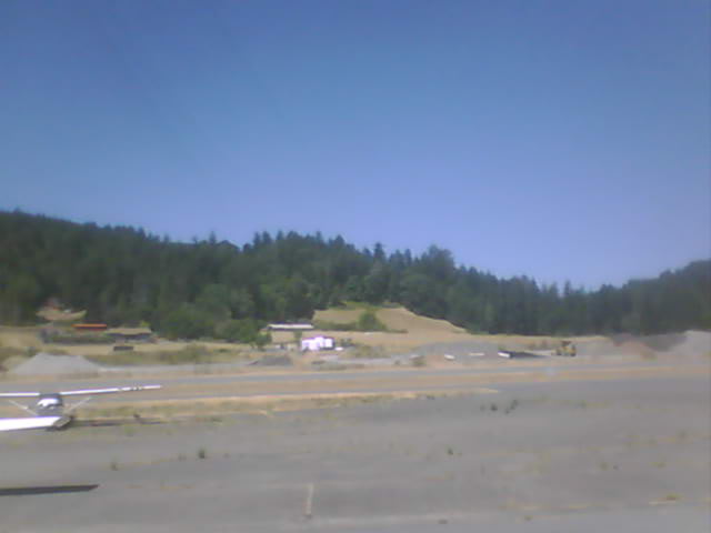
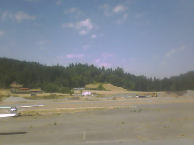
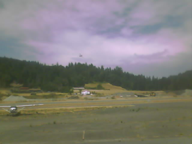
Weed, California, USA - 25.2 miles from Ash Creek Station (historical): I-5 California at Weed Airport - A view of the current traffic situation on the I-5.
Operator: Oregon Department of Transportation
Operator: Oregon Department of Transportation


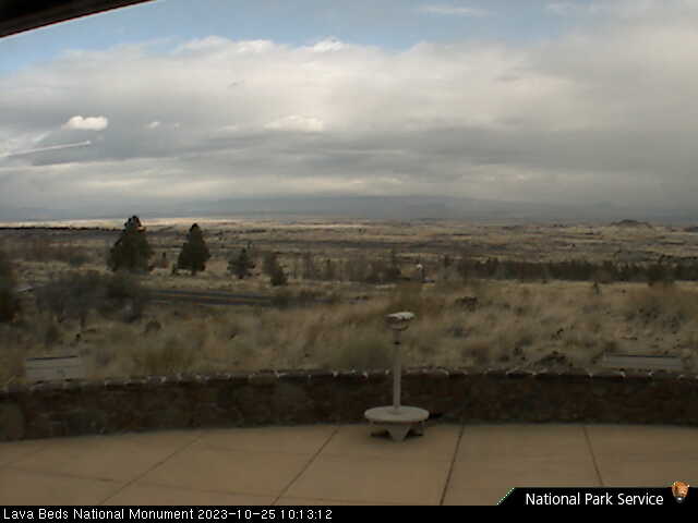
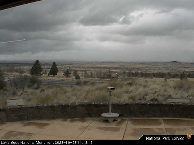
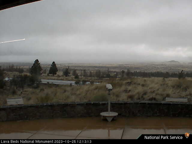
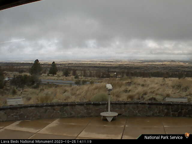
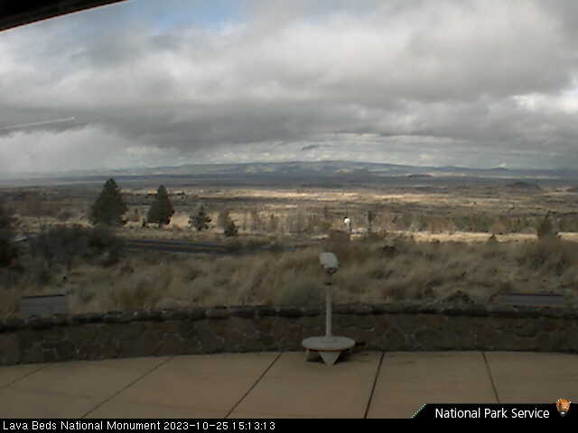
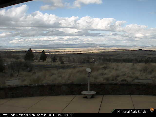
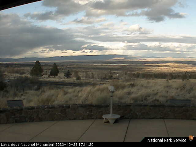
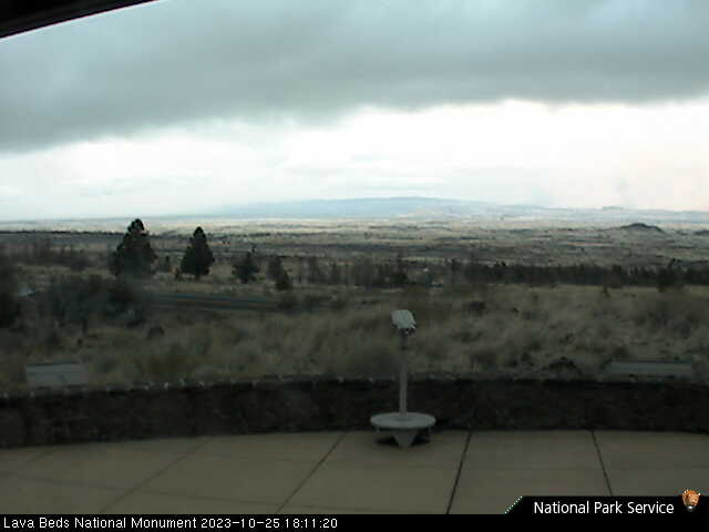
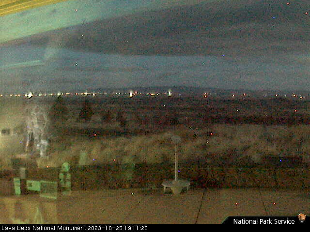
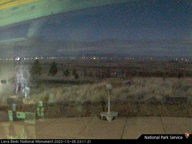
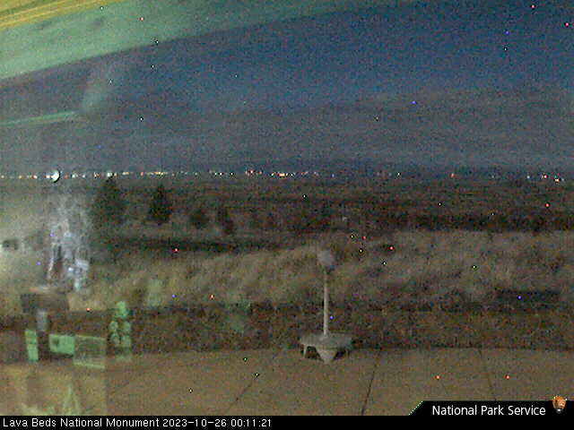
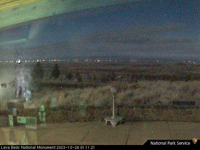
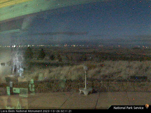
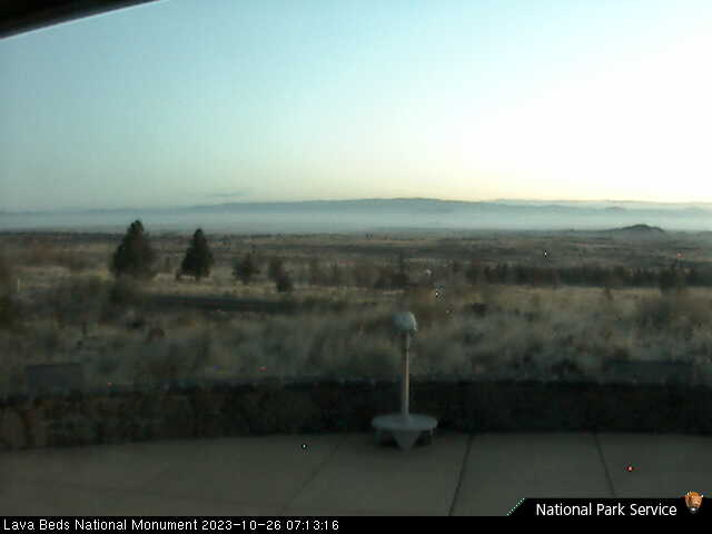
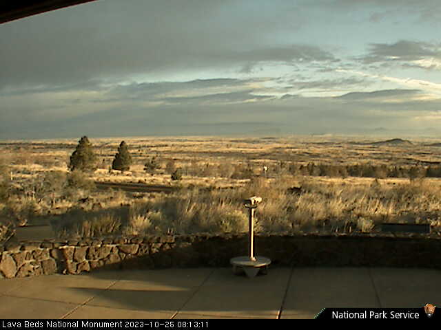
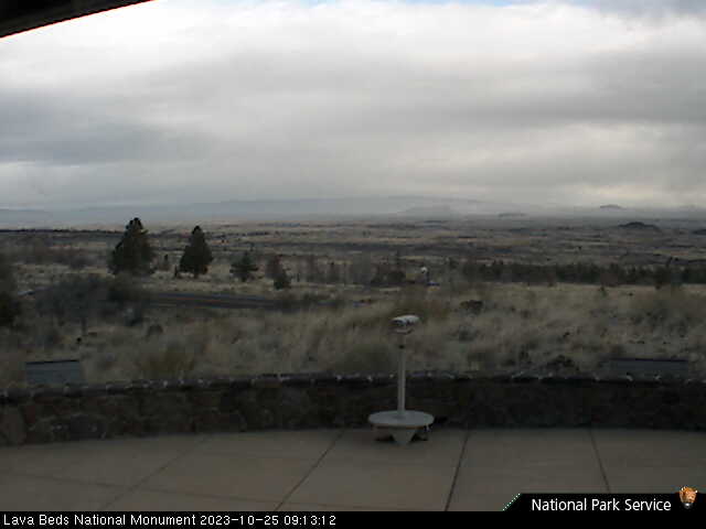
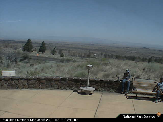
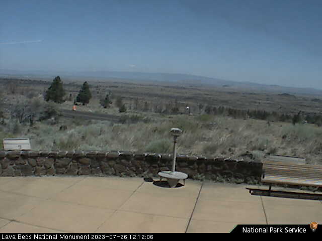
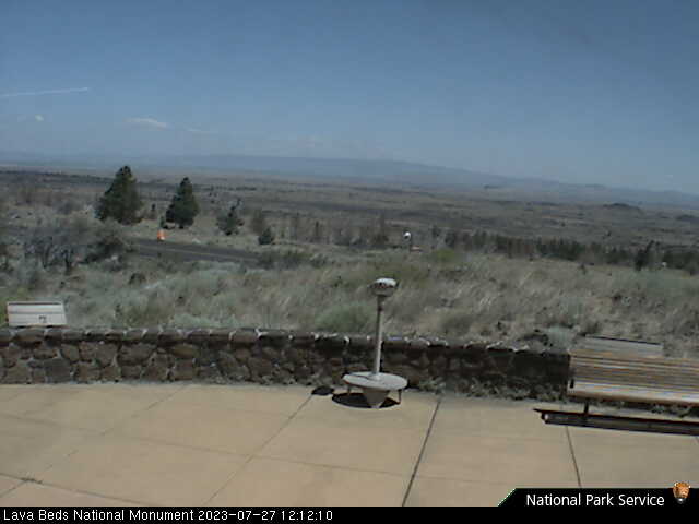
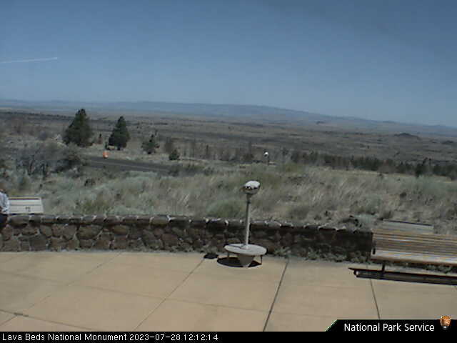
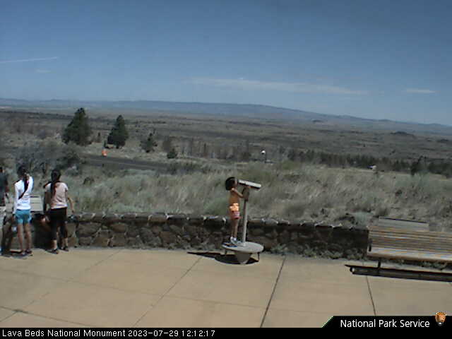
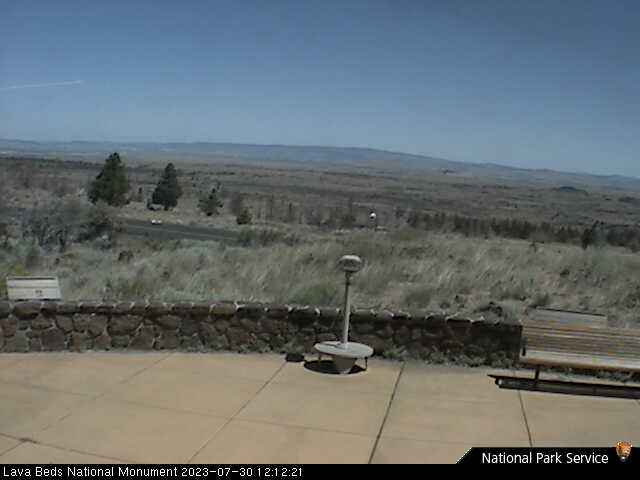
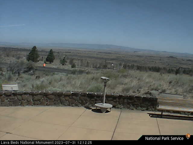
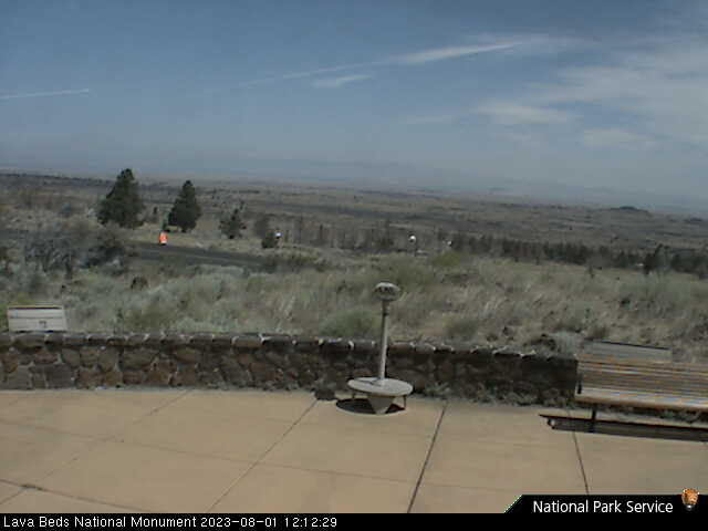
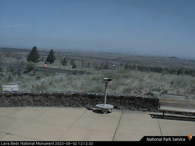
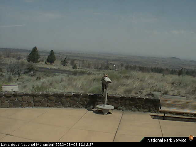
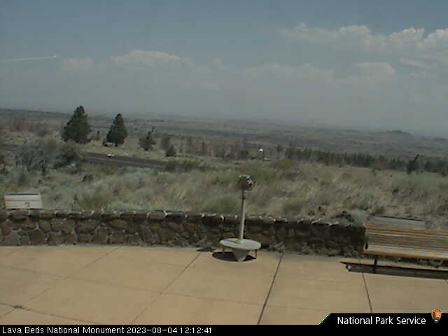
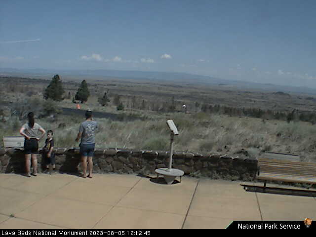
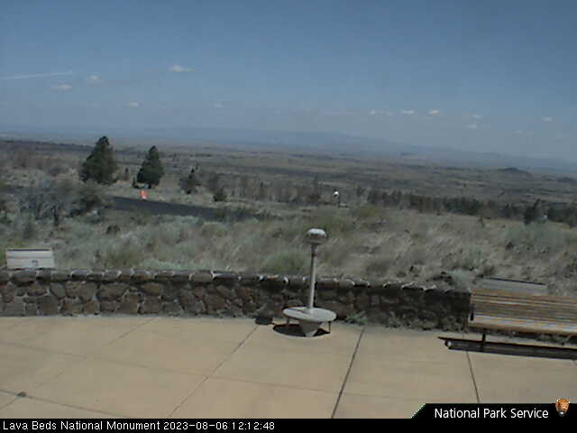
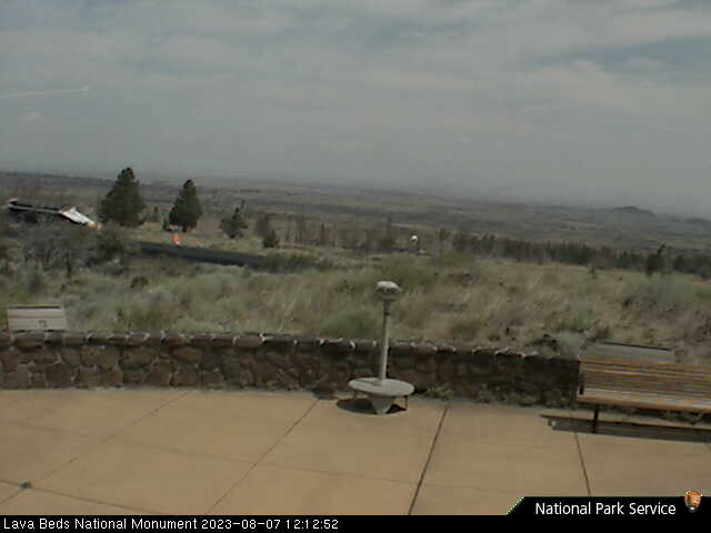
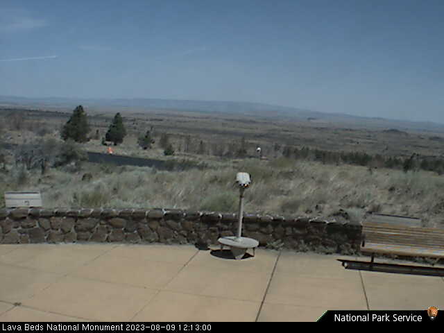
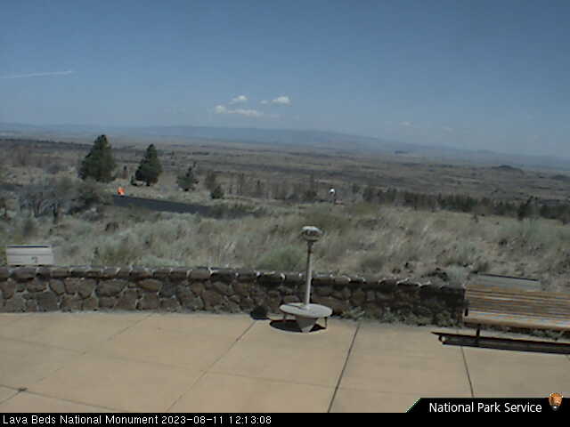
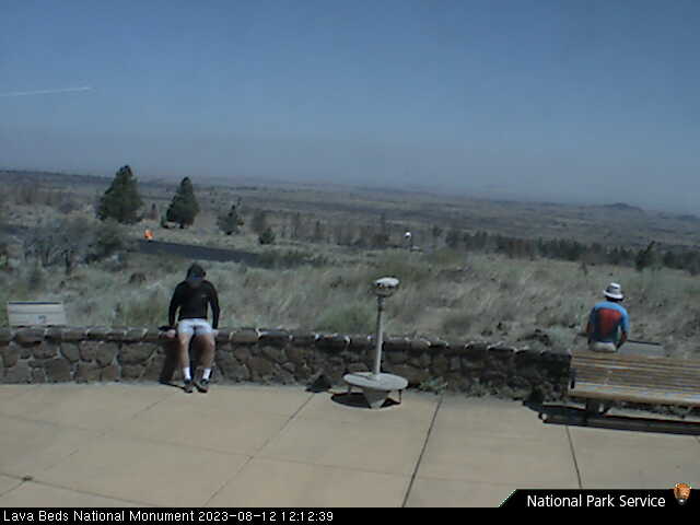
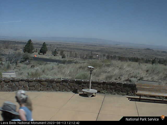
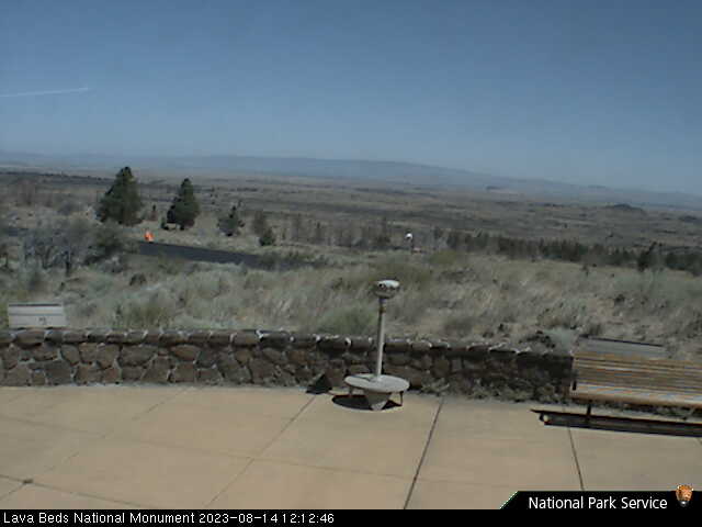
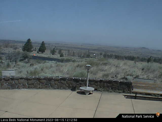
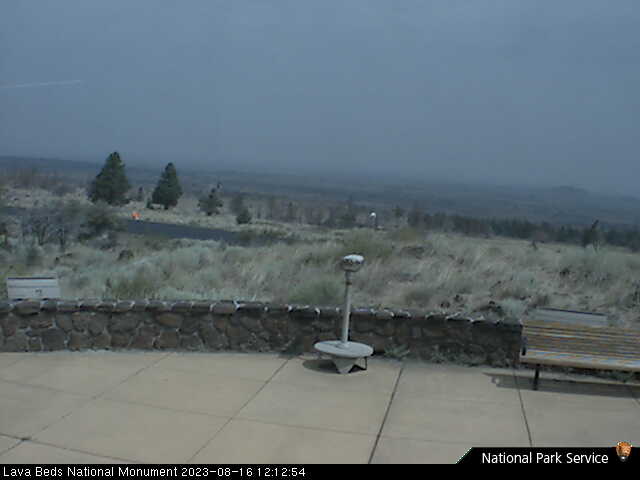
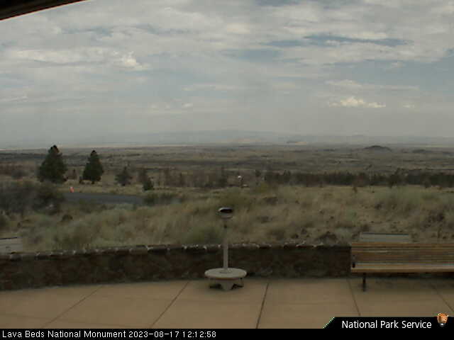
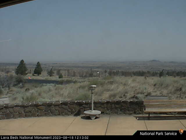
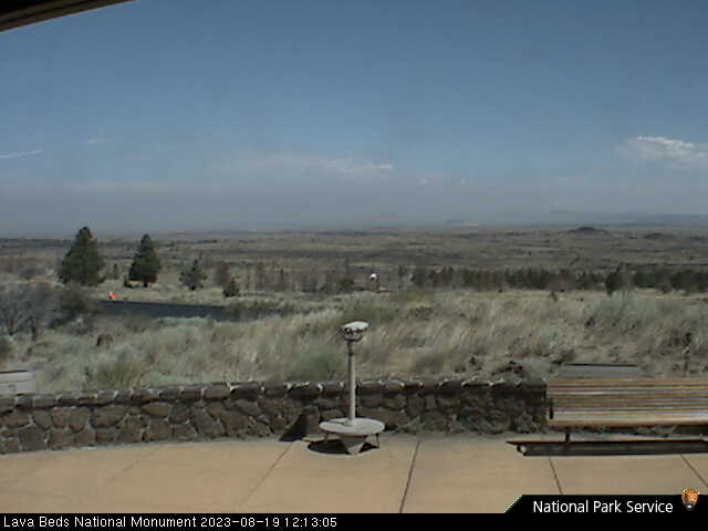
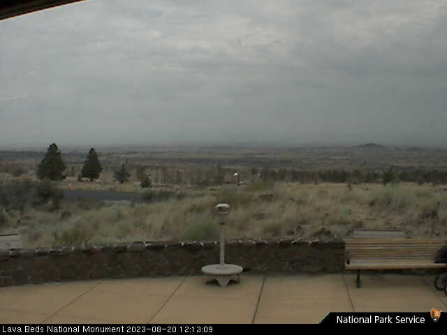
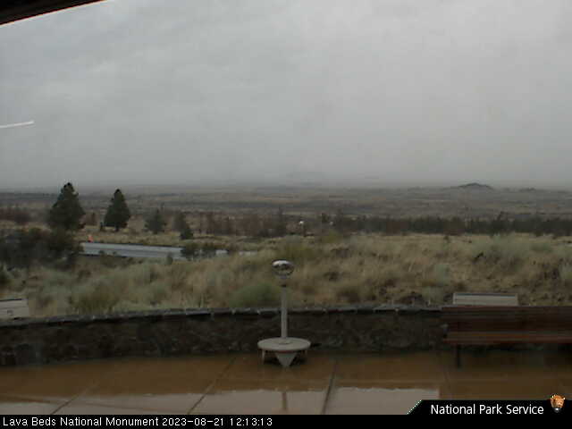
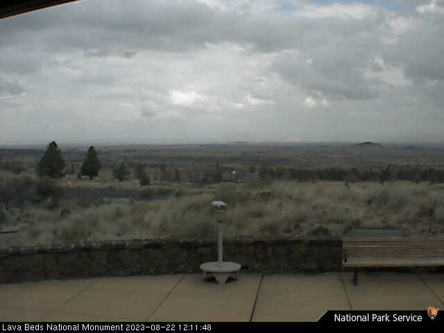
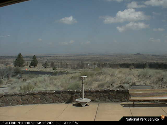
Lava Beds National Monument, California, USA - 39.2 miles from Ash Creek Station (historical): Lava Beds Visitor Center - A view in northern direction from the Lava Beds National Monument Visitor Center.
Operator: U.S. National Park Service
Operator: U.S. National Park Service


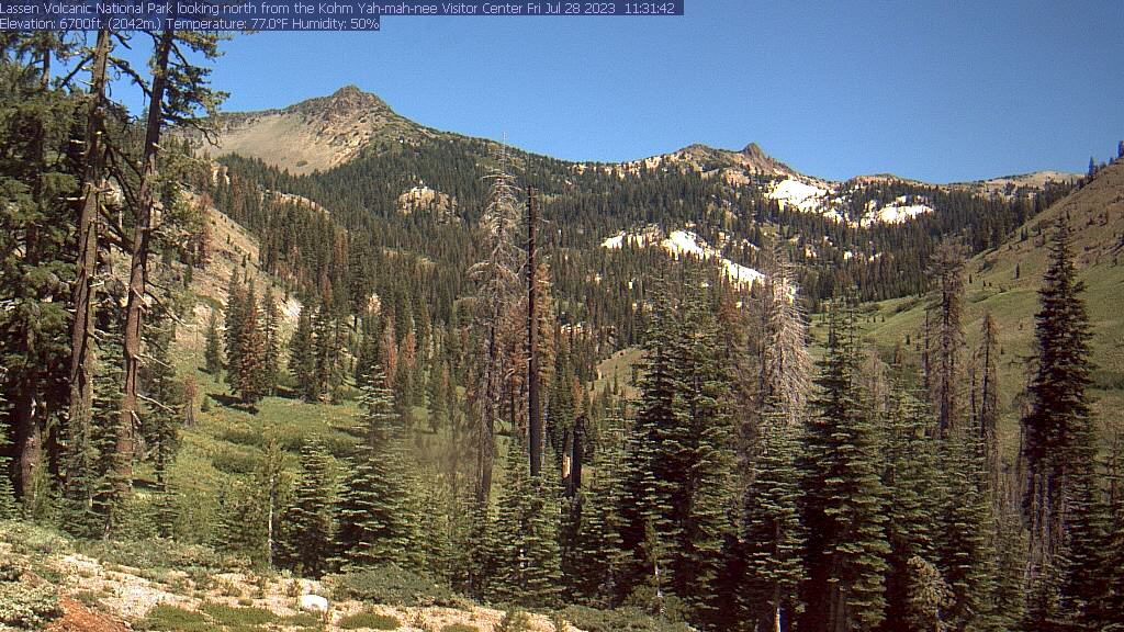
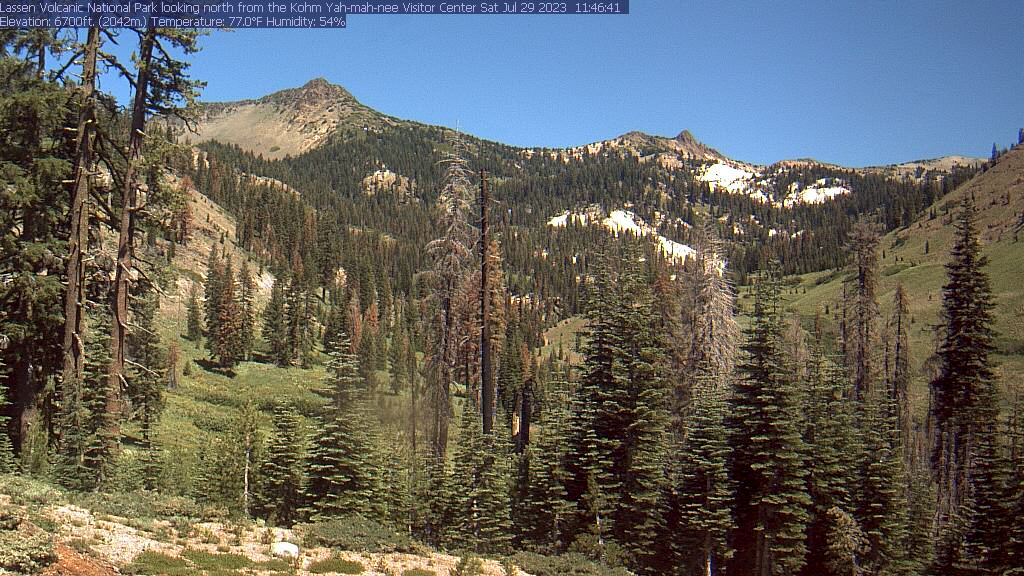
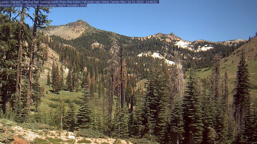
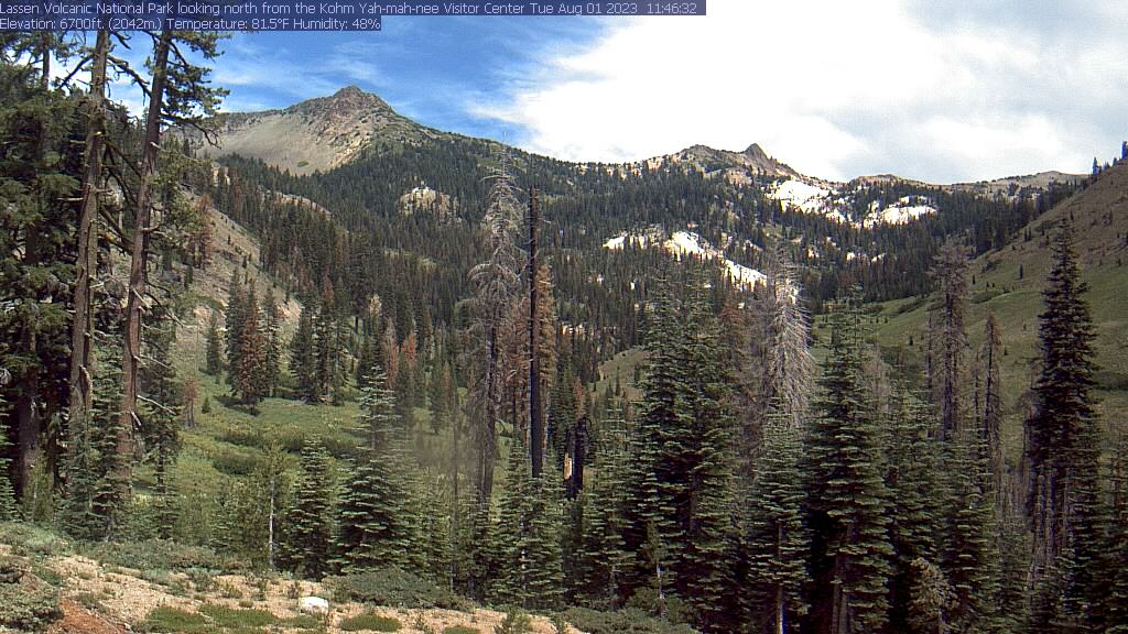
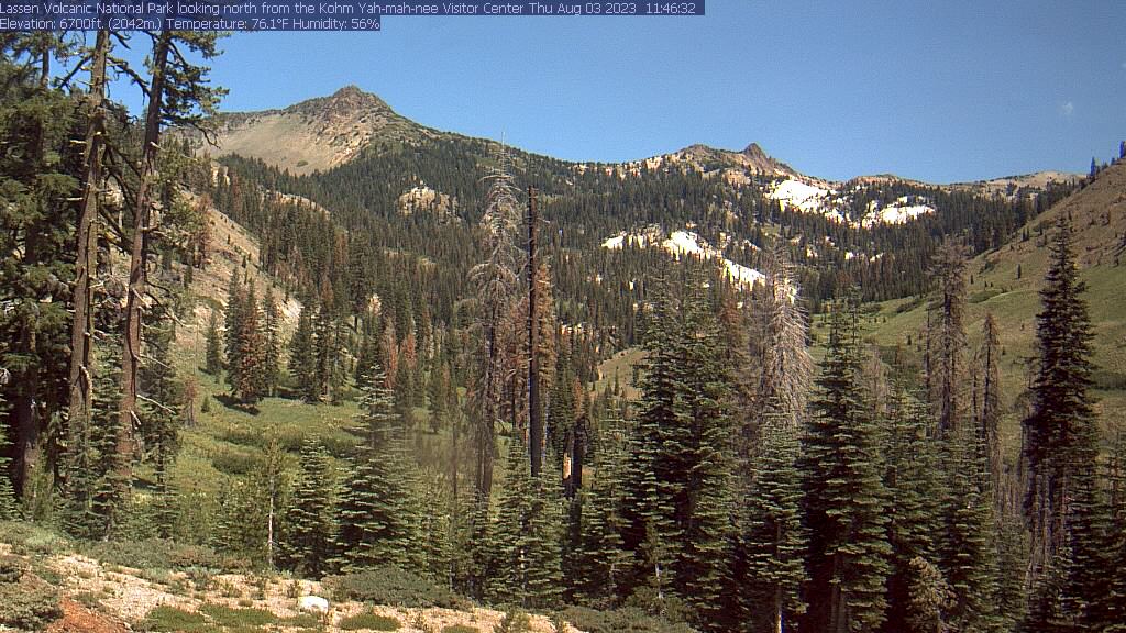
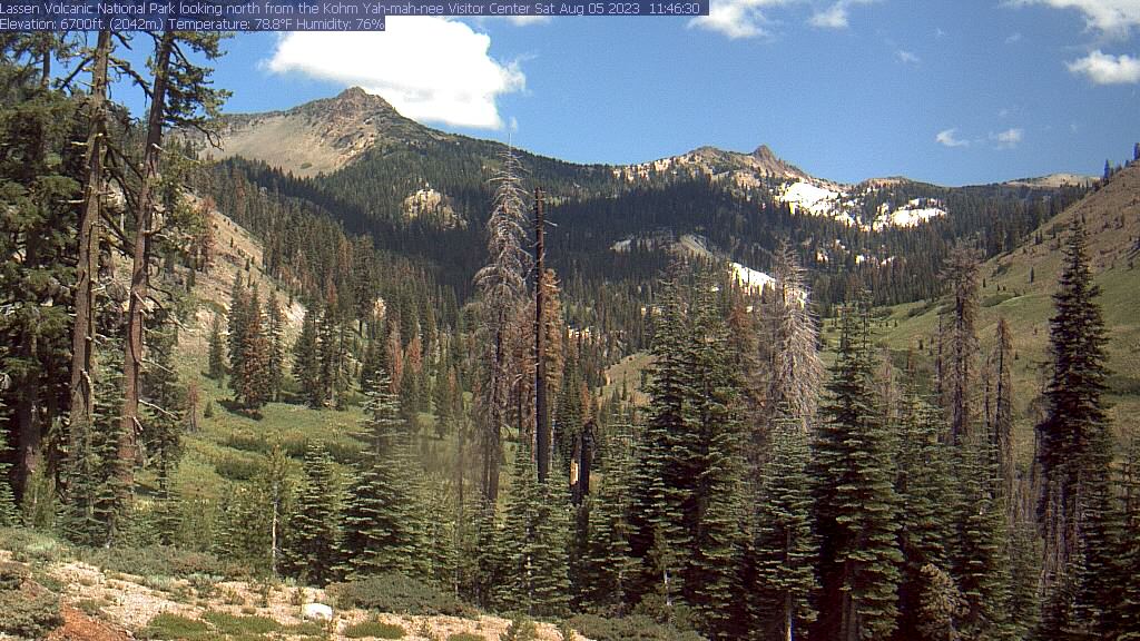
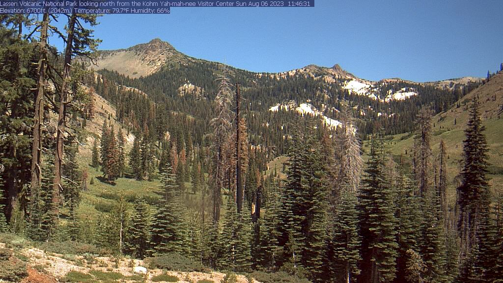
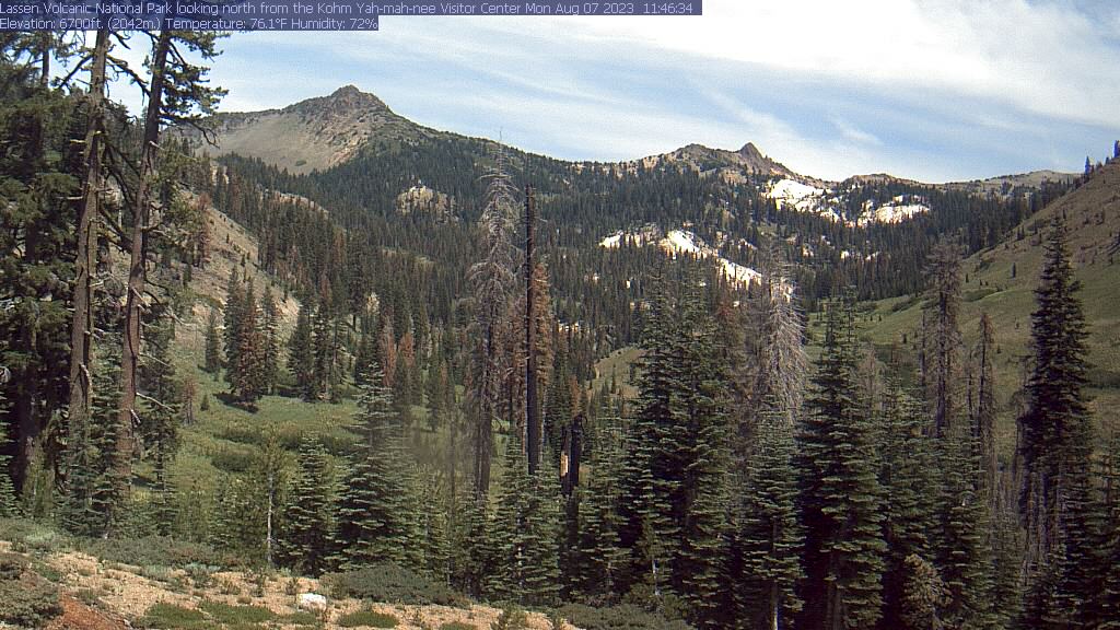
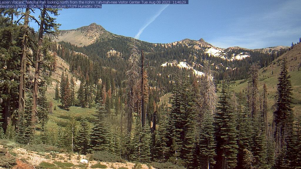
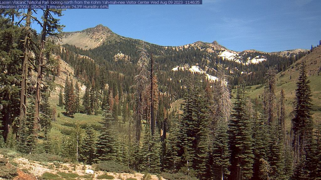
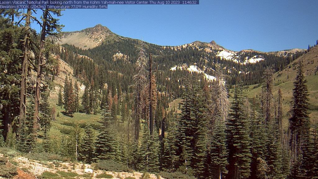
Lassen Volcanic National Park, California, USA - 59 miles from Ash Creek Station (historical): Kohm Yah-mah-nee Visitor Center - A view from the Kohm Yah-mah-nee Visitor Center in the Lassen Volcanic National Park towards Mt. Diller (left) und Pilot Pinnacle (right).
Operator: U.S. National Park Service
Operator: U.S. National Park Service


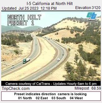
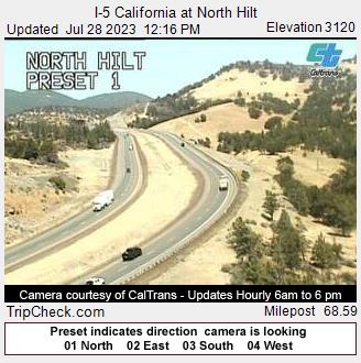
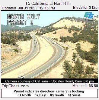
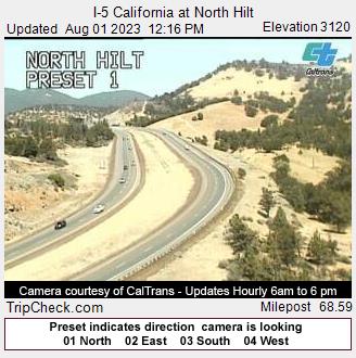
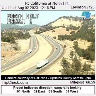
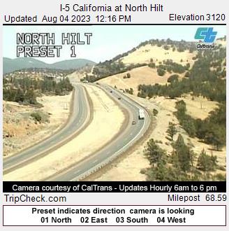
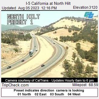
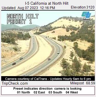
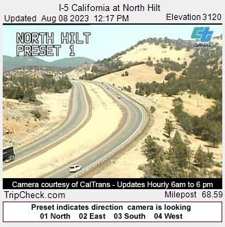
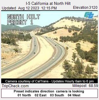
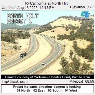
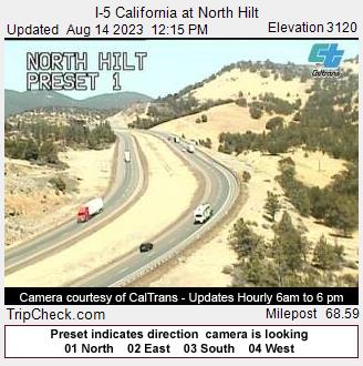
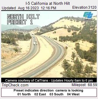
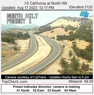
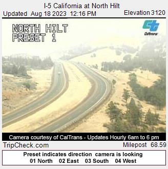
Hilt, California, USA - 61.2 miles from Ash Creek Station (historical): I-5 California at North Hilt - A view of the current traffic situation on the I-5.
Operator: Oregon Department of Transportation
Operator: Oregon Department of Transportation


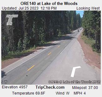
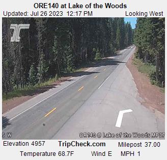
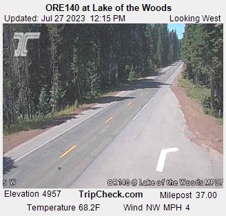
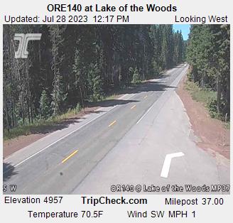
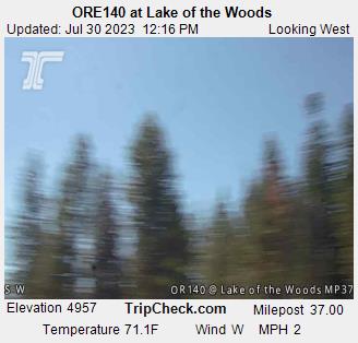
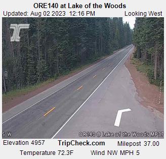
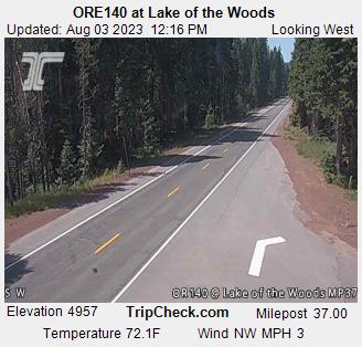
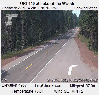
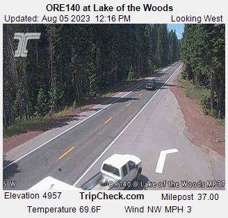
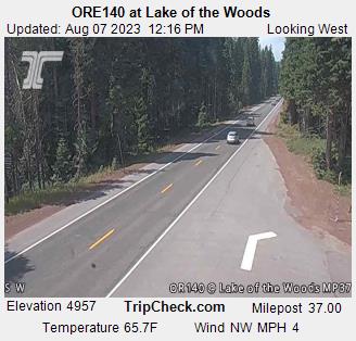
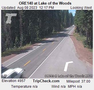
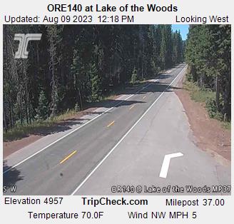
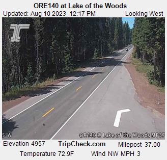
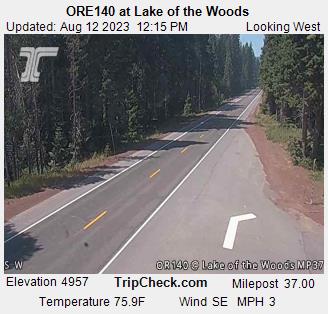
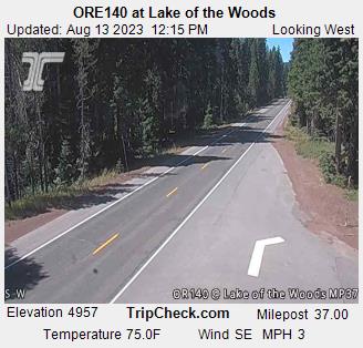
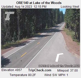
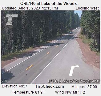
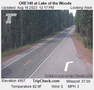
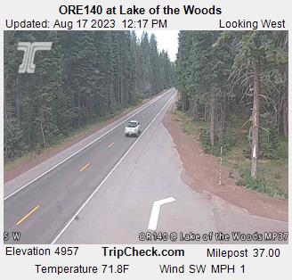
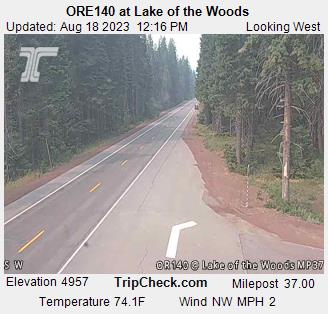
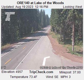
Lake of the Woods, Oregon, USA - 77.9 miles from Ash Creek Station (historical): ORE140 at Lake of the Woods - A view of the current traffic situation on the ORE140.
Operator: Oregon Department of Transportation
Operator: Oregon Department of Transportation


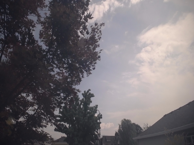
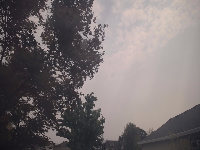
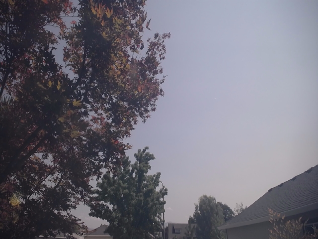
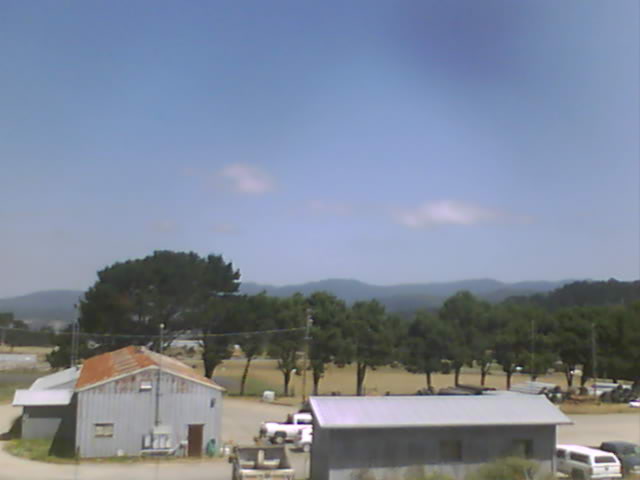
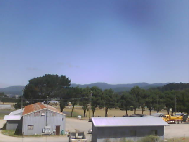
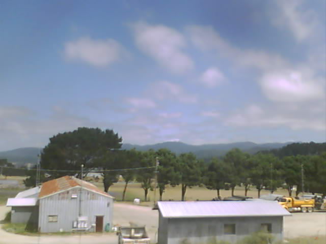
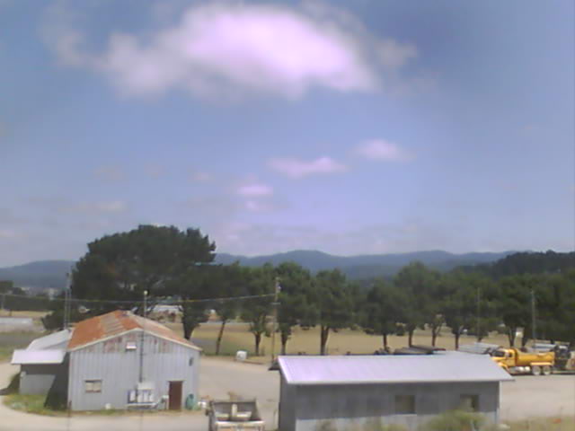
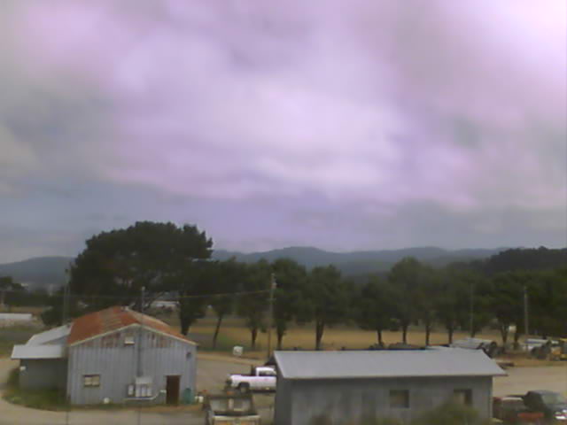
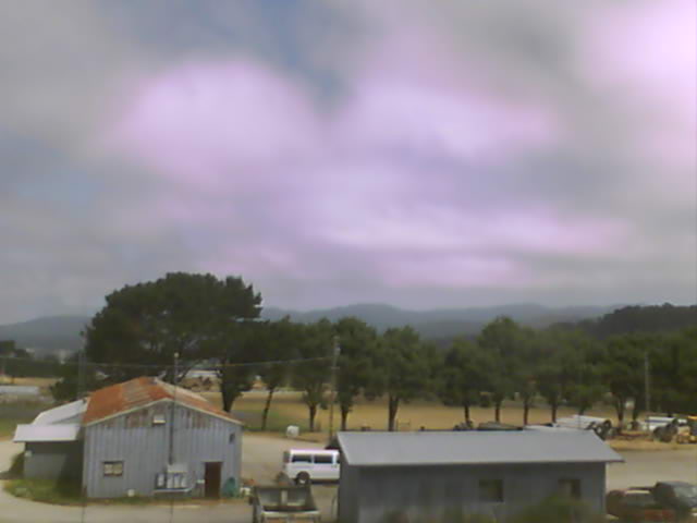
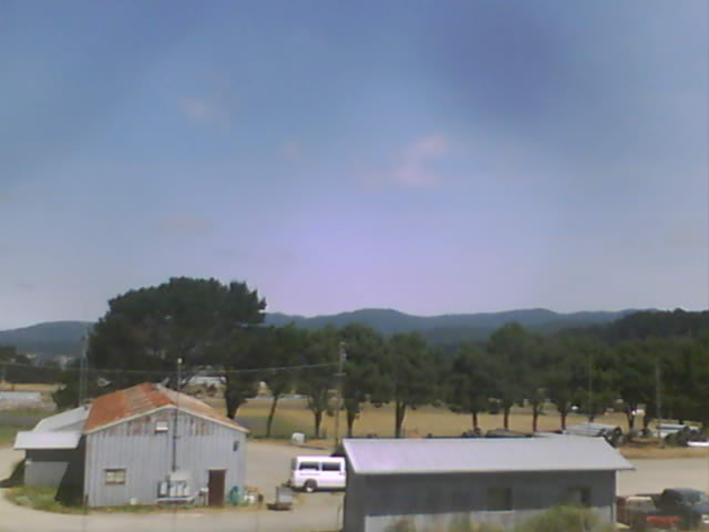
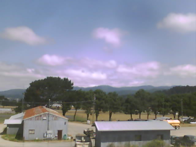
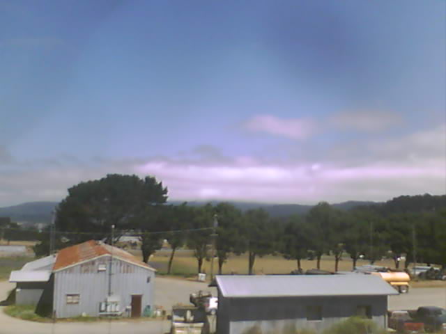
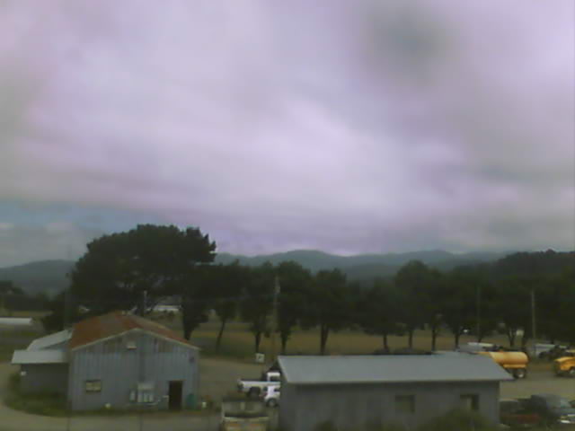
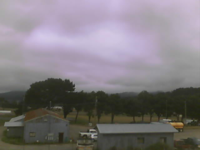
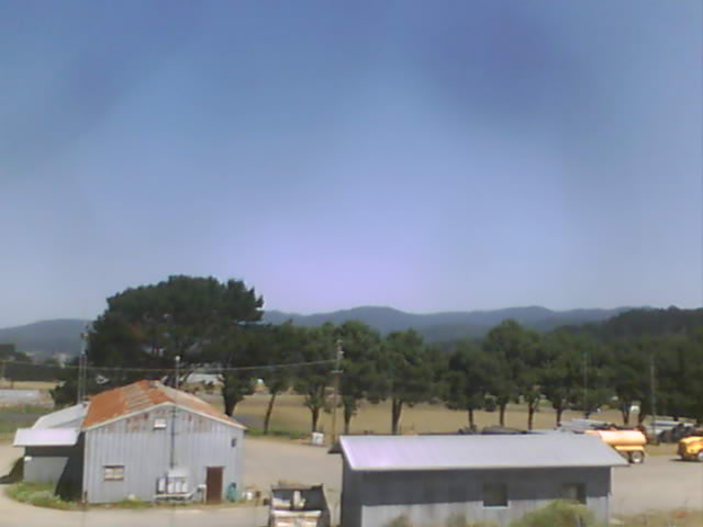
Medford, Oregon, USA - 87.4 miles from Ash Creek Station (historical): Medford Weathercam - A live view from Medford, Oregon, with current weather data.
Operator: Ryan's Weather Website - Medford, Oregon
Operator: Ryan's Weather Website - Medford, Oregon


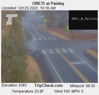
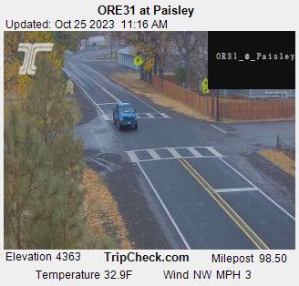
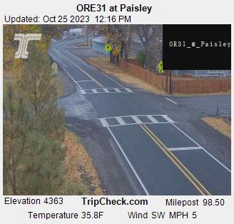
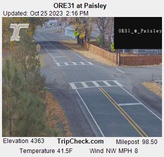
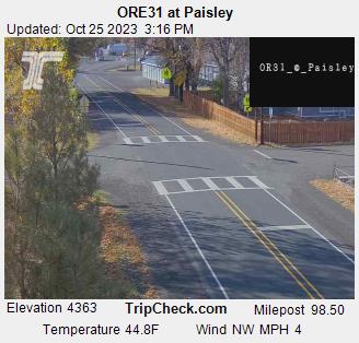
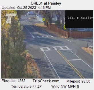
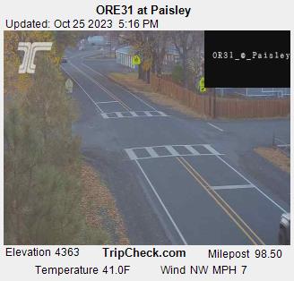
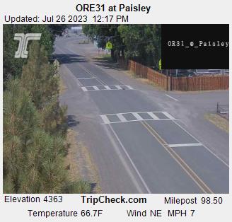
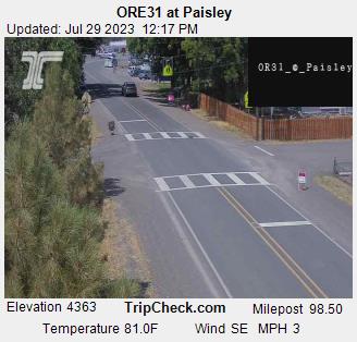
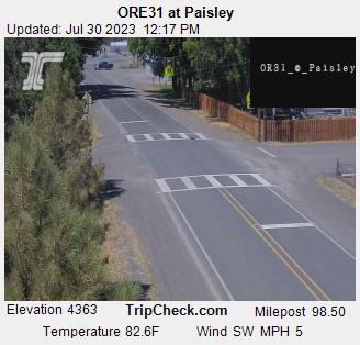
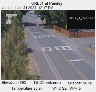
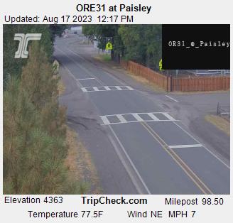
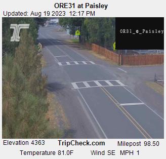
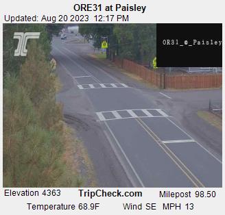
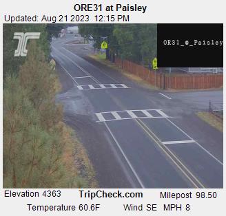
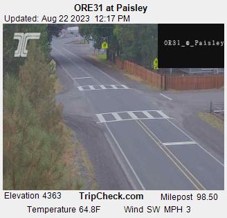
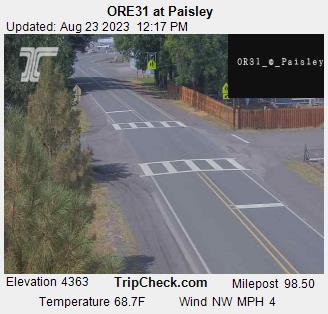
Paisley, Oregon, USA - 121.9 miles from Ash Creek Station (historical): ORE31 at Paisley - A view of the current traffic situation on the ORE31.
Operator: Oregon Department of Transportation
Operator: Oregon Department of Transportation


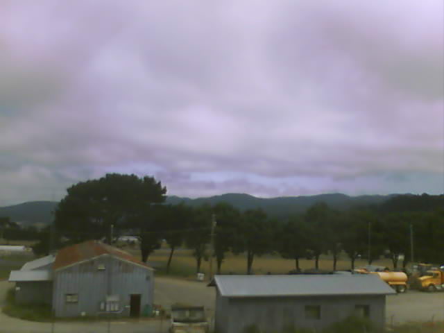
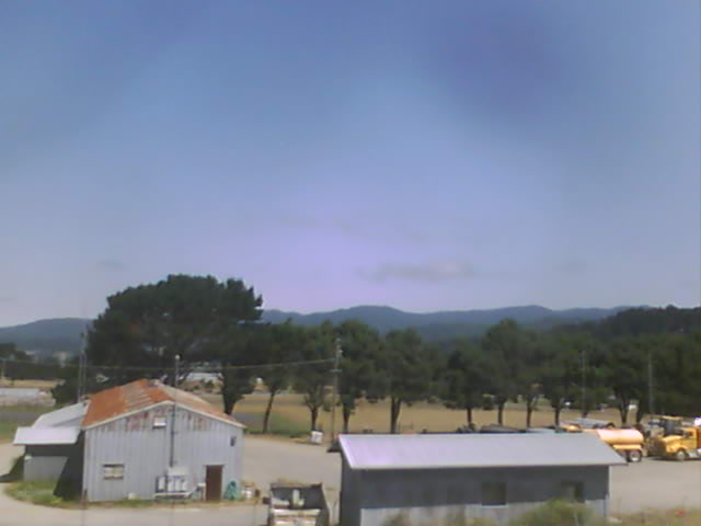
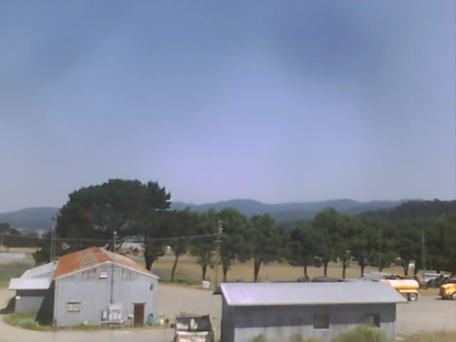
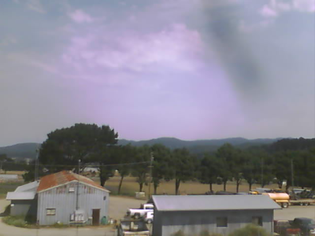
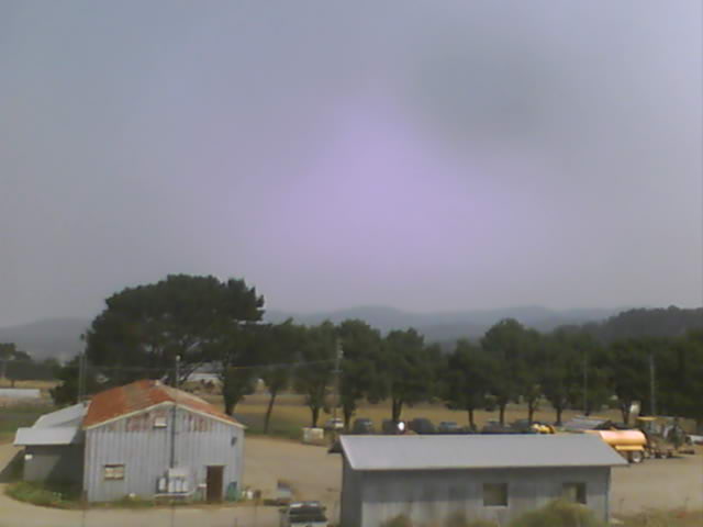
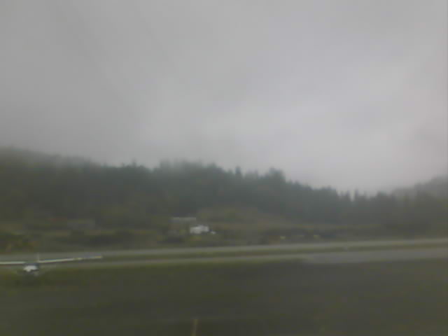
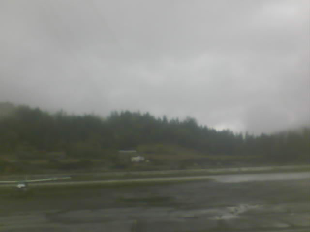
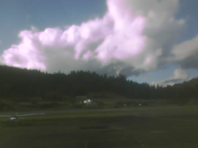
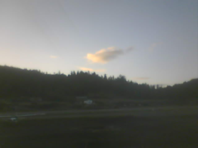
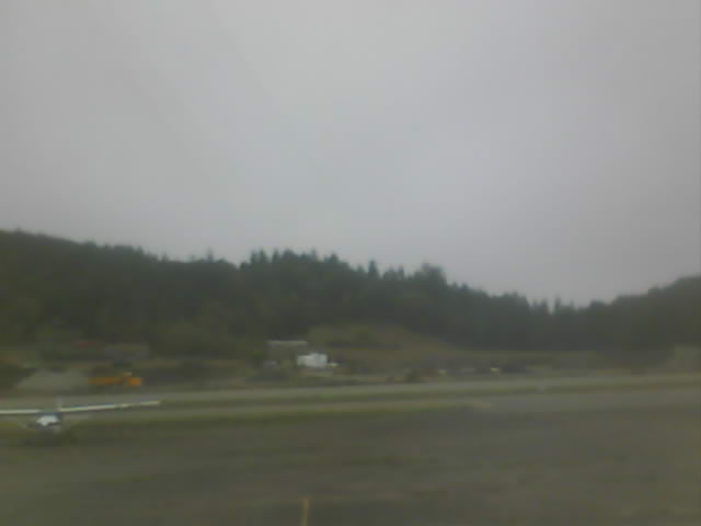
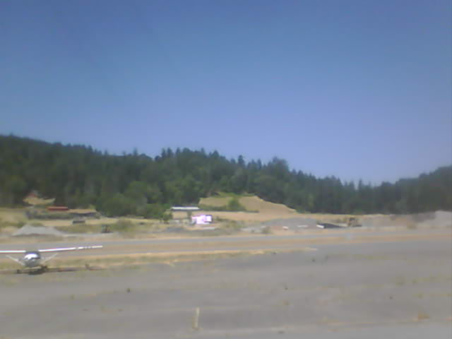
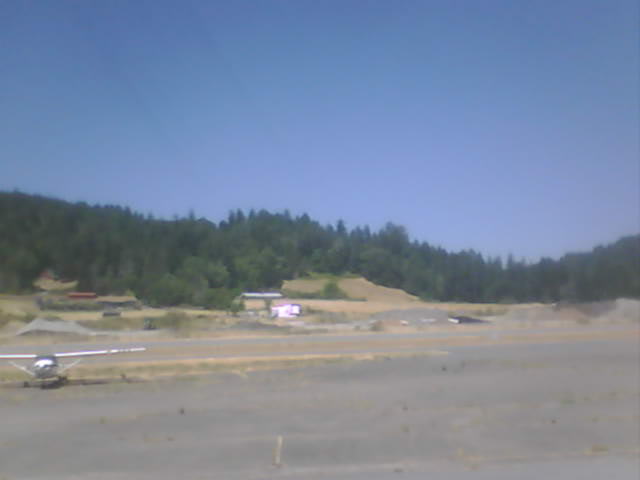
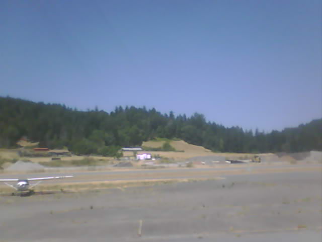
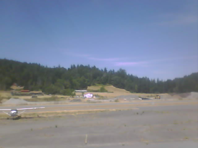
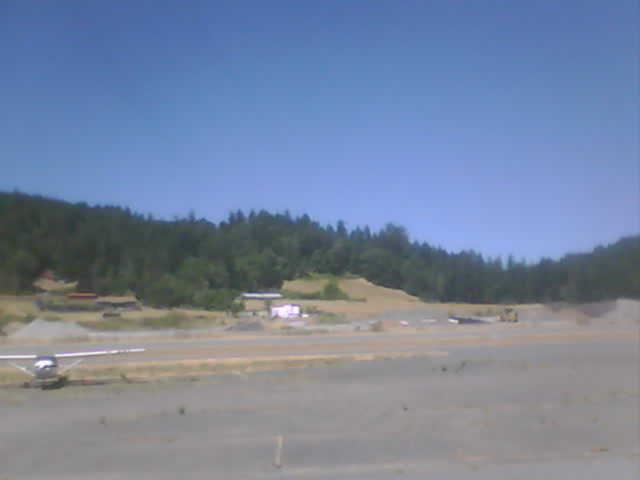
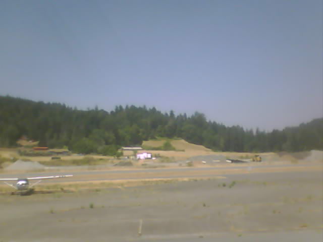
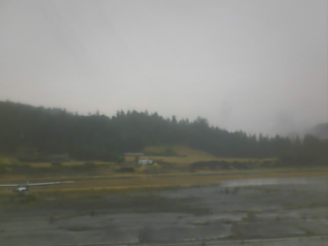
Fortuna, California, USA - 124.4 miles from Ash Creek Station (historical): Rohnerville Airport - Different views of the Rohnerville Airport, Fortuna, CA.
Operator: North Coast Aviation
Operator: North Coast Aviation


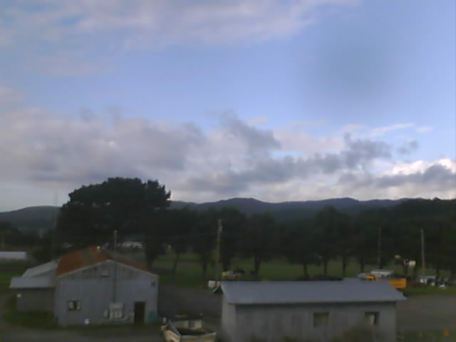


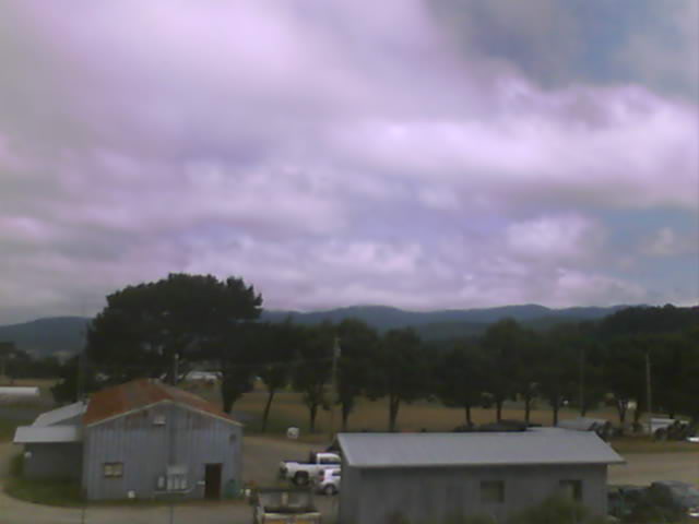

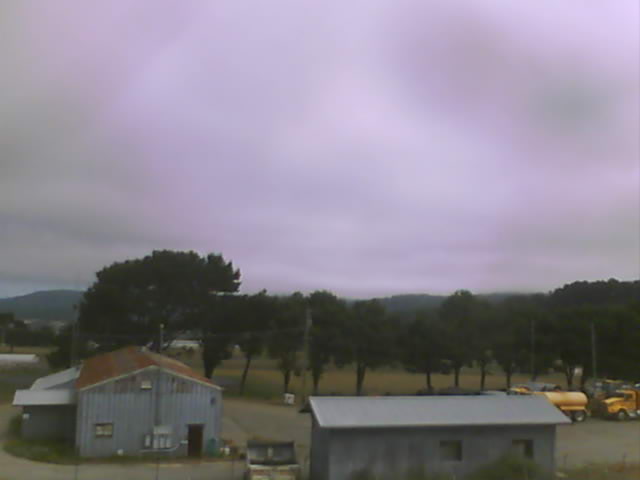
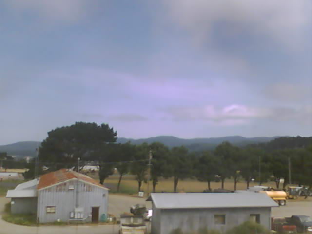


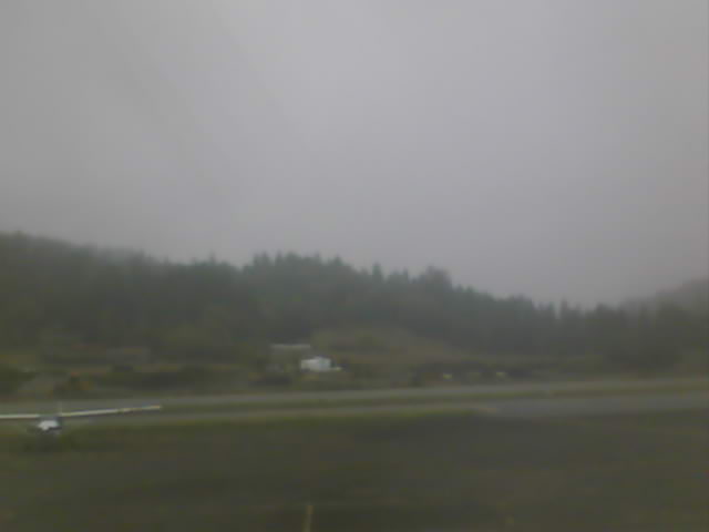
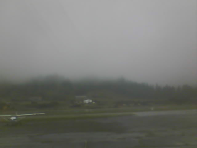
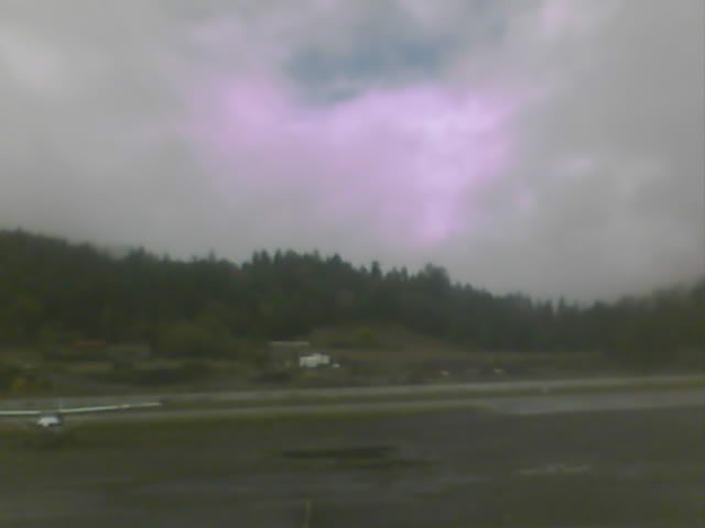
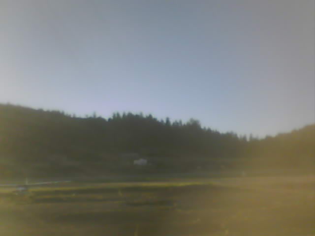
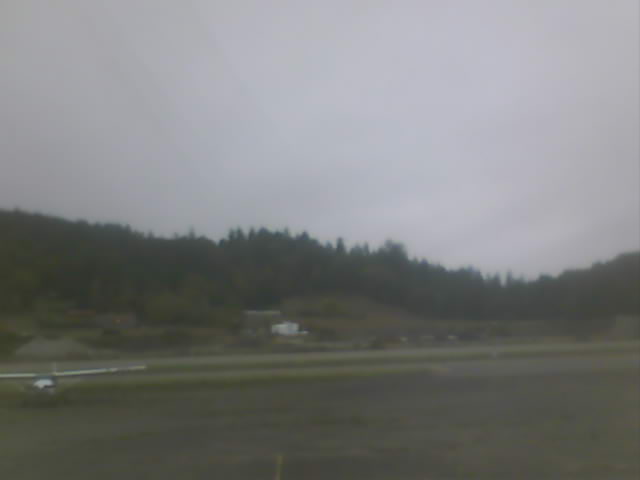
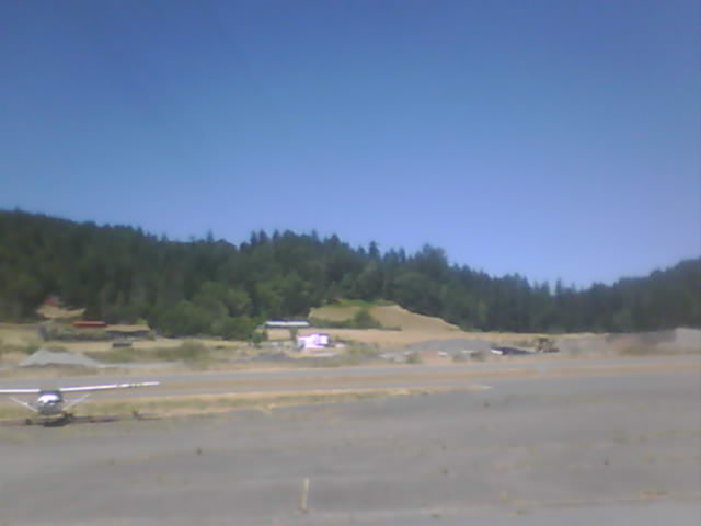
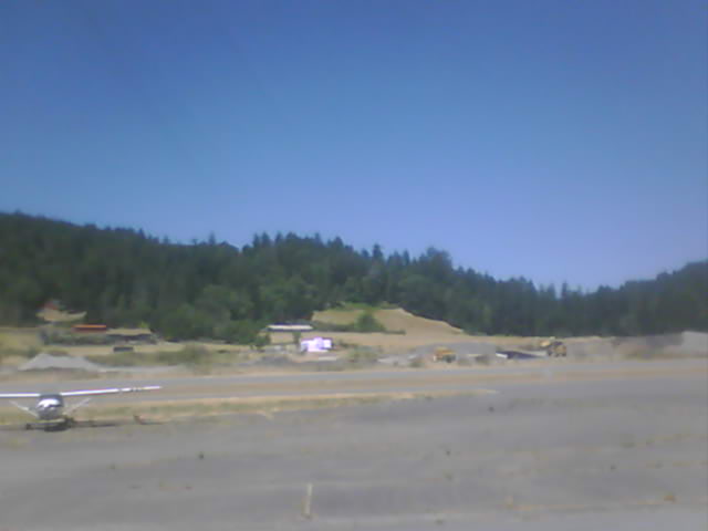
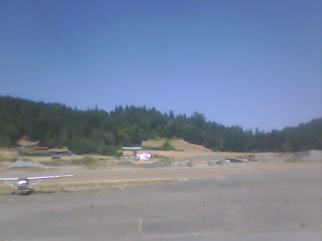
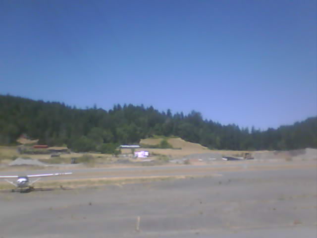
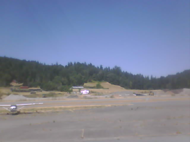
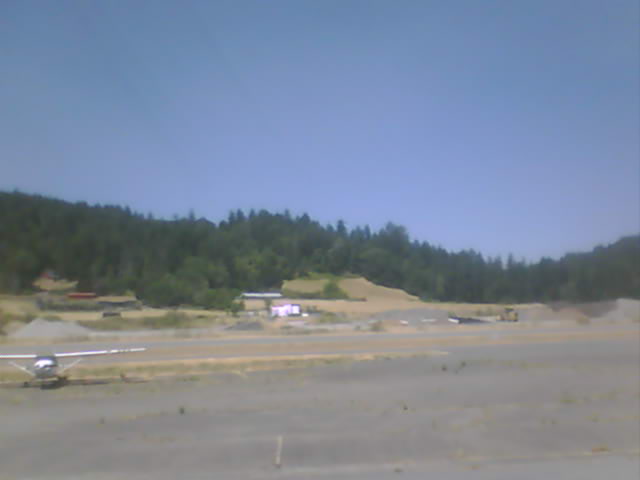
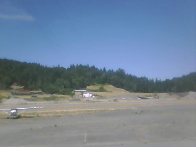
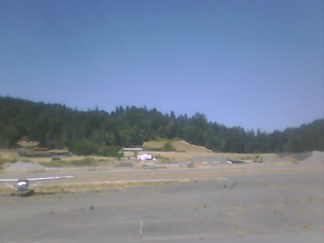
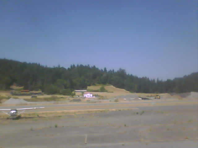
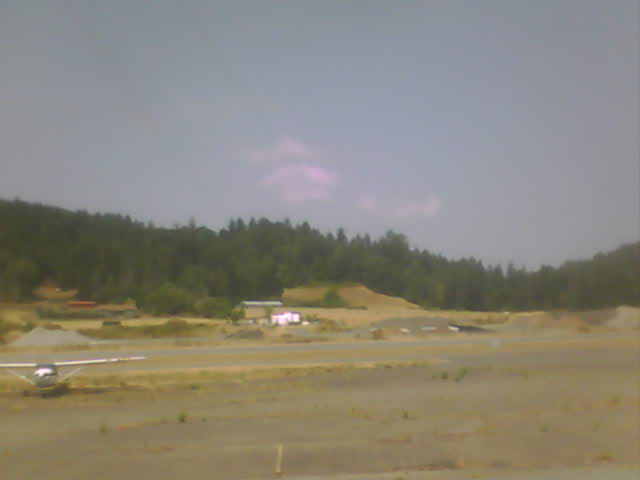
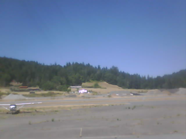
Garberville, California, USA - 126.1 miles from Ash Creek Station (historical): Garberville Airport - Several views of Garberville Airport.
Operator: North Coast Aviation
Operator: North Coast Aviation


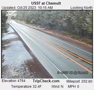
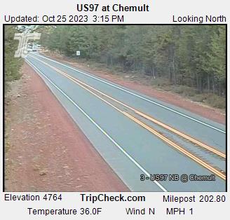
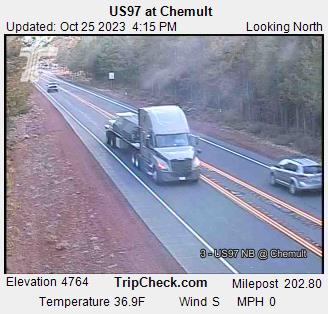
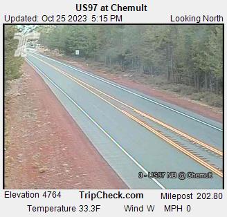
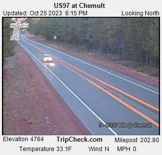
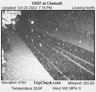
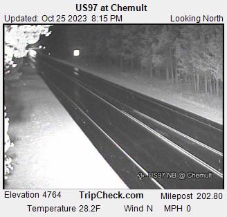
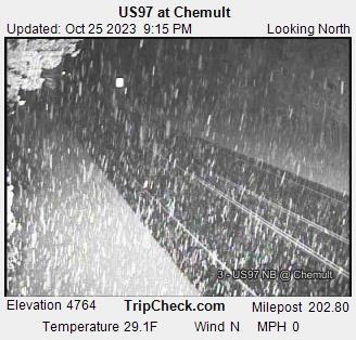
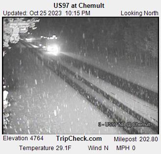
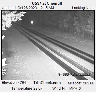
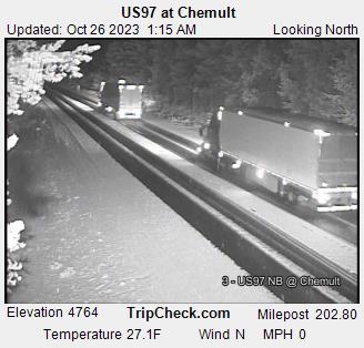
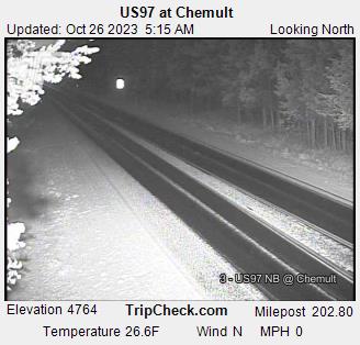
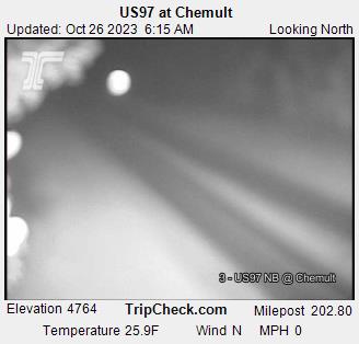
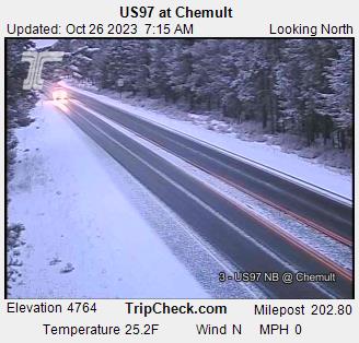
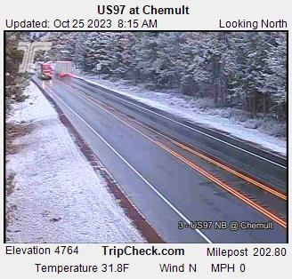
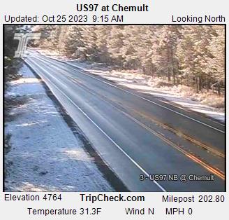
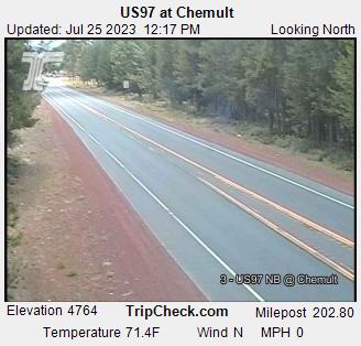
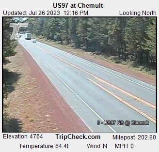
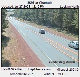
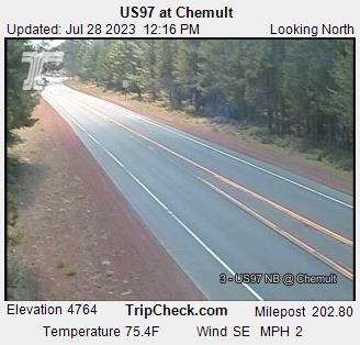
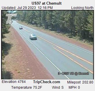
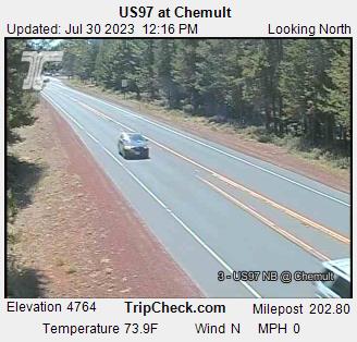
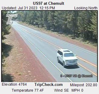
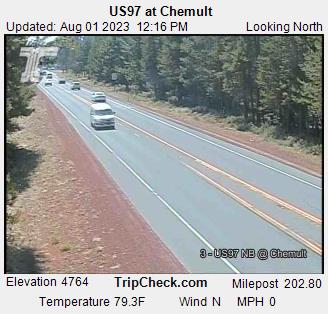
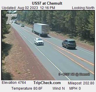
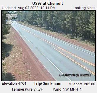
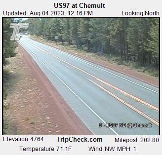
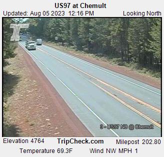
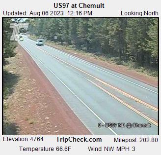
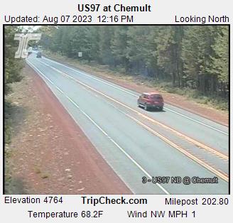
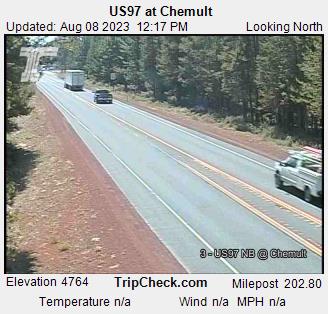
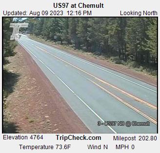
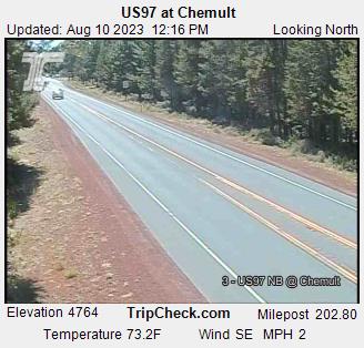
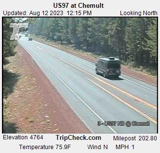
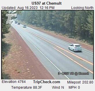
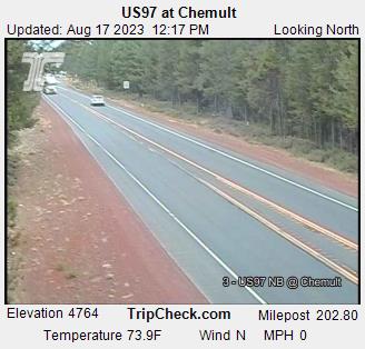
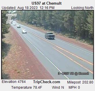
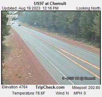
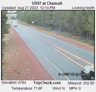
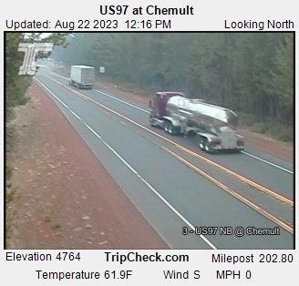
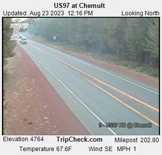
Chemult, Oregon, USA - 134.8 miles from Ash Creek Station (historical): US97 at Chemult - A view of the current traffic situation on the US97.
Operator: Oregon Department of Transportation
Operator: Oregon Department of Transportation


Some other places in this country: Hoskin - Little Italy - Eileen - Swiss Bar - Camanche (historical) - Abbott - Adams - Adela - Adobe Corner - Advance