Webcams in the region of Alta Sierra Ranches, California, USA
The List of Webcams near Alta Sierra Ranches, California, USA:

Norden, California, USA - 38.7 miles from Alta Sierra Ranches: Sugar Bowl Ski Resort - Several views of the Sugar Bowl Ski Resort near Norden, California.
Operator: Sugar Bowl Ski Resort
Operator: Sugar Bowl Ski Resort

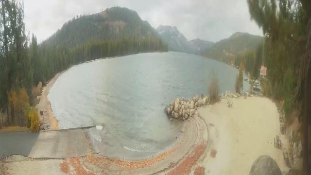
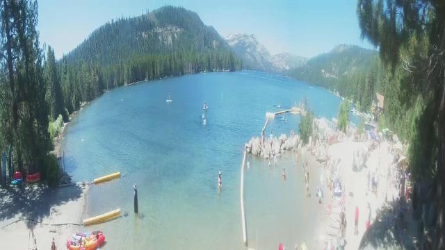
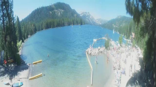
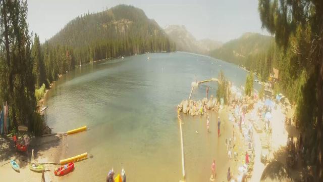
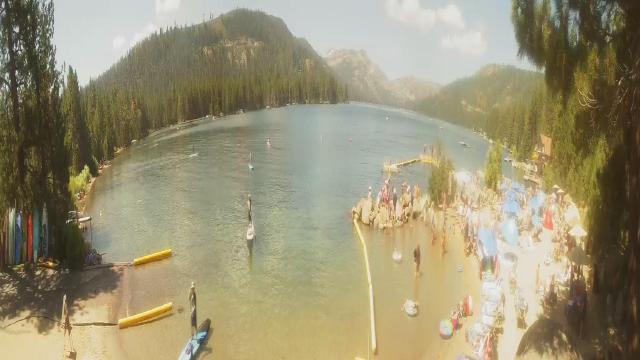
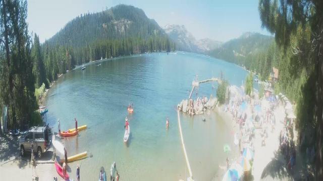
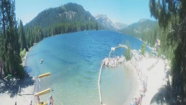
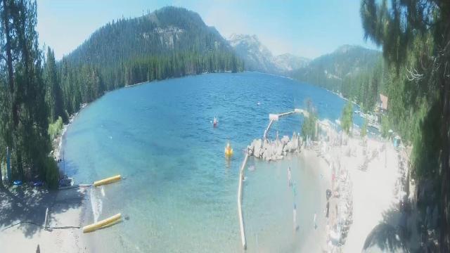
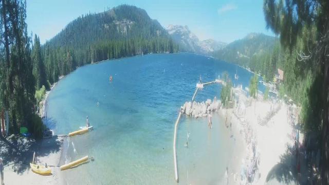
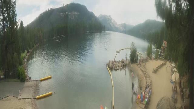
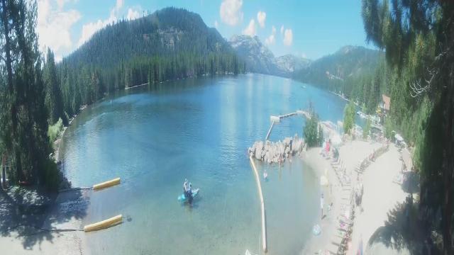
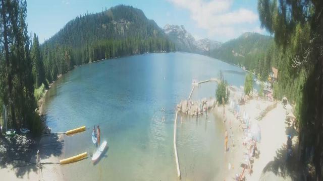
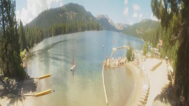
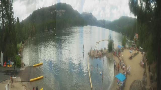
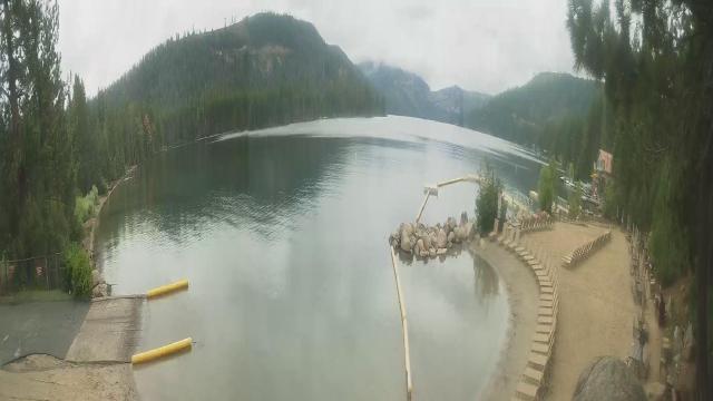
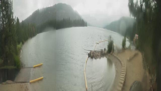
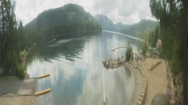
Boreal Mountain Resort, California, USA - 38.7 miles from Alta Sierra Ranches: Current Snow Conditions - View of the current snow conditions at the Boreal Mountain Resort.
Operator: Boreal Mountain Resort
Operator: Boreal Mountain Resort

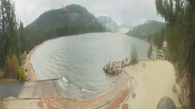
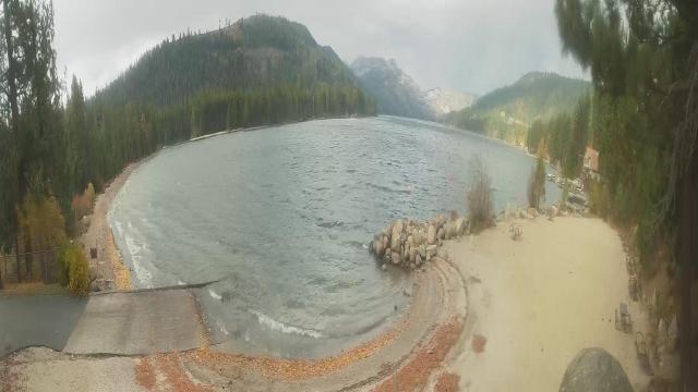
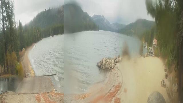
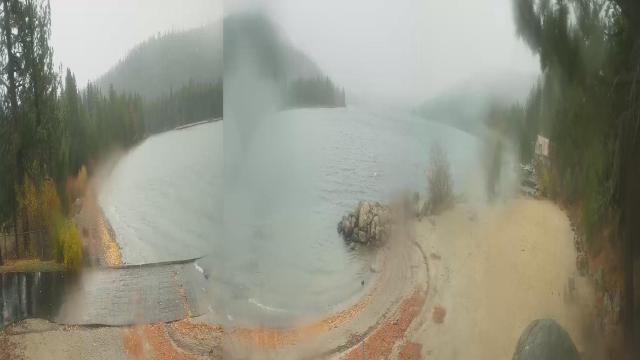
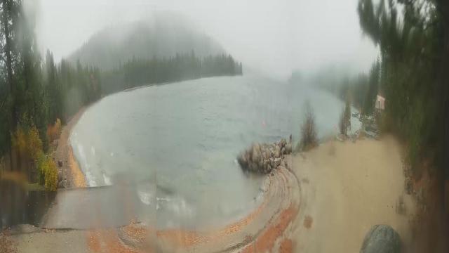
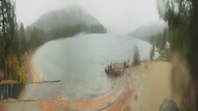
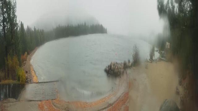
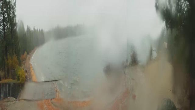
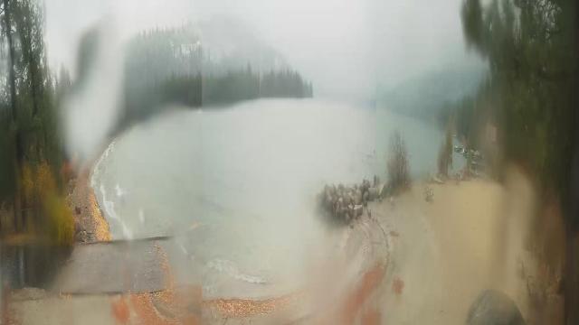
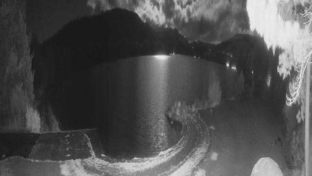
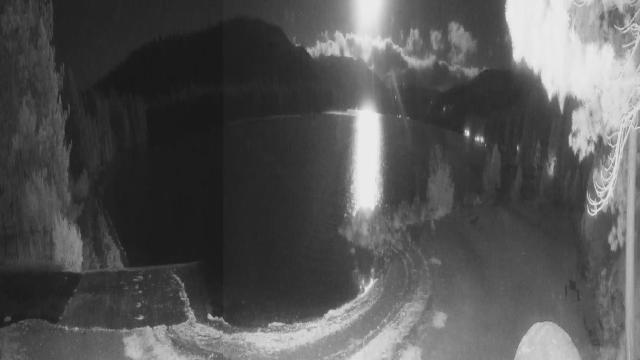
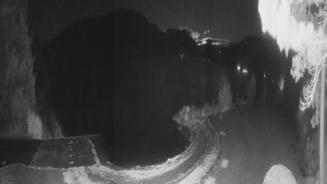
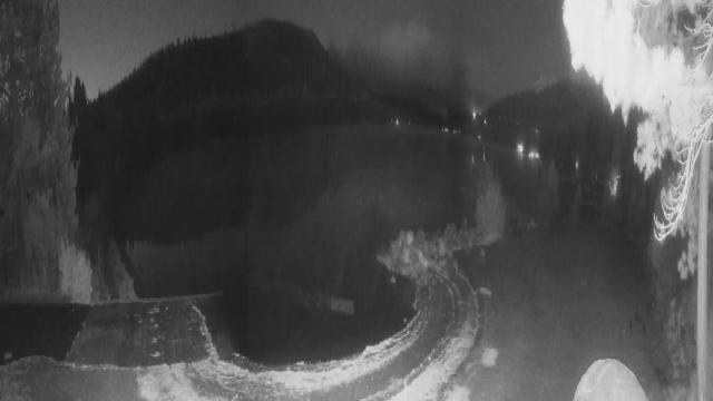
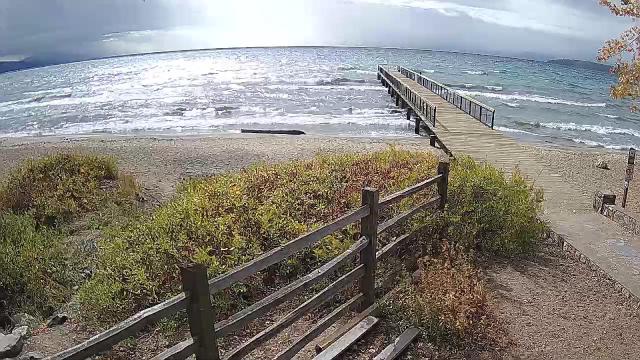
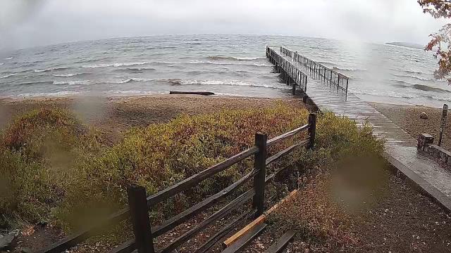
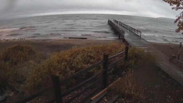
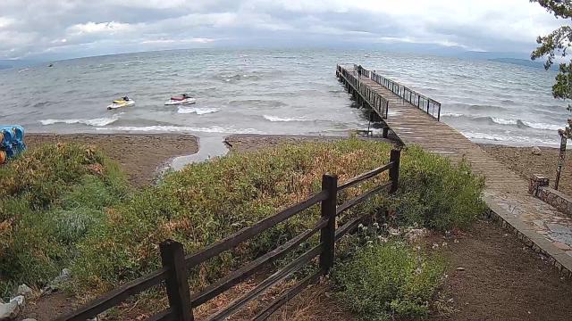
Truckee, California, USA - 47.6 miles from Alta Sierra Ranches: Lake View - Donner Lake in Truckee, California.
Operator: HDOnTap
Operator: HDOnTap


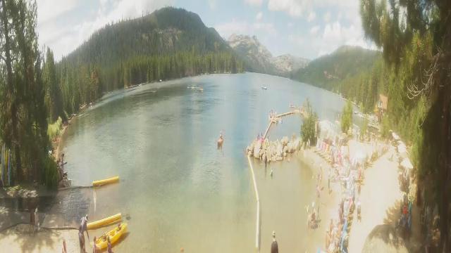


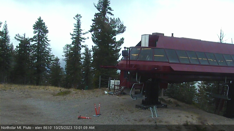
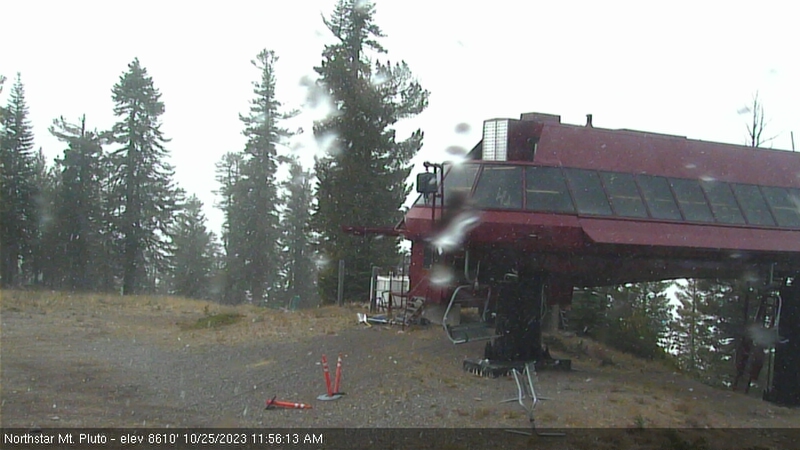
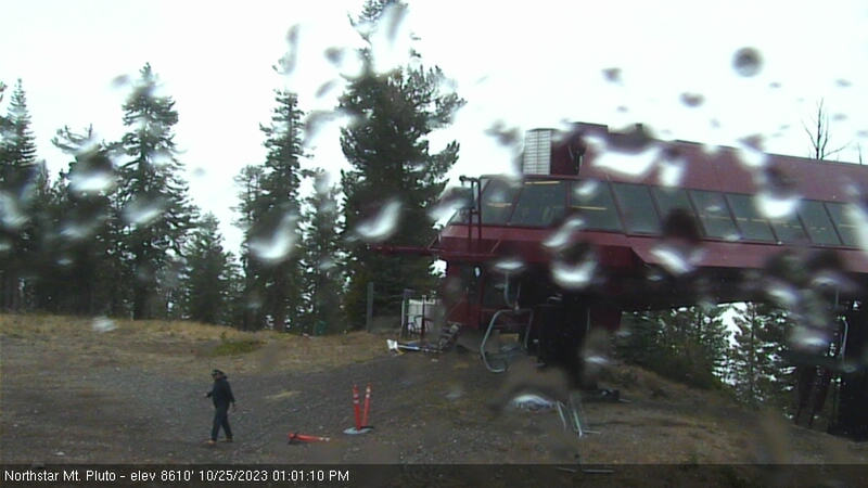
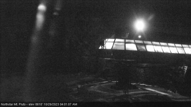
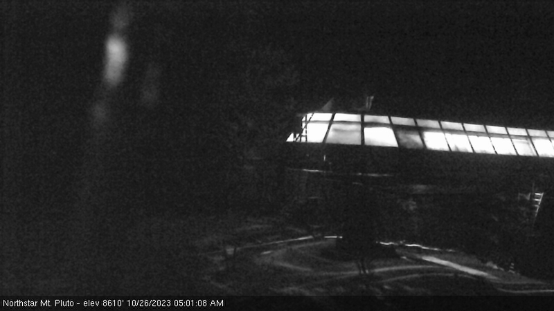
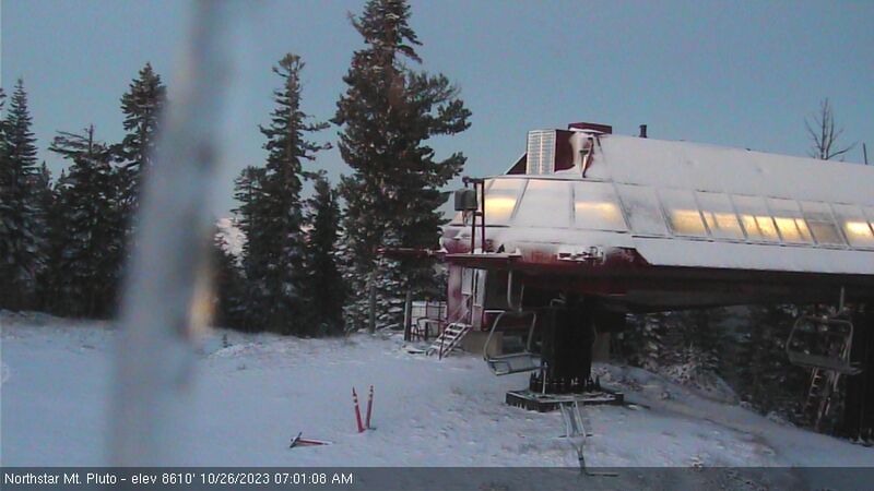
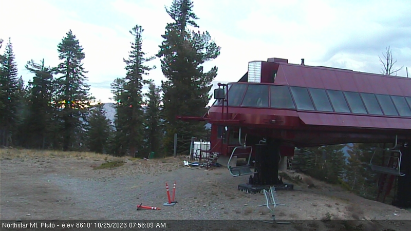
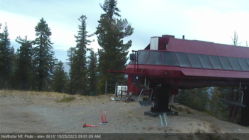
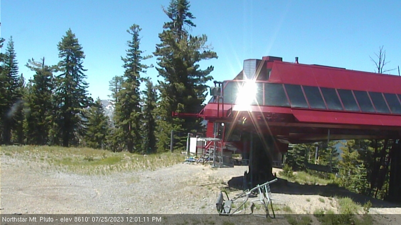
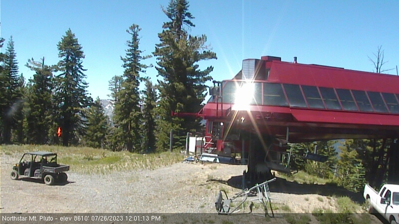
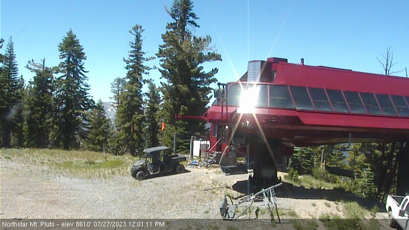
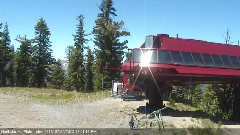
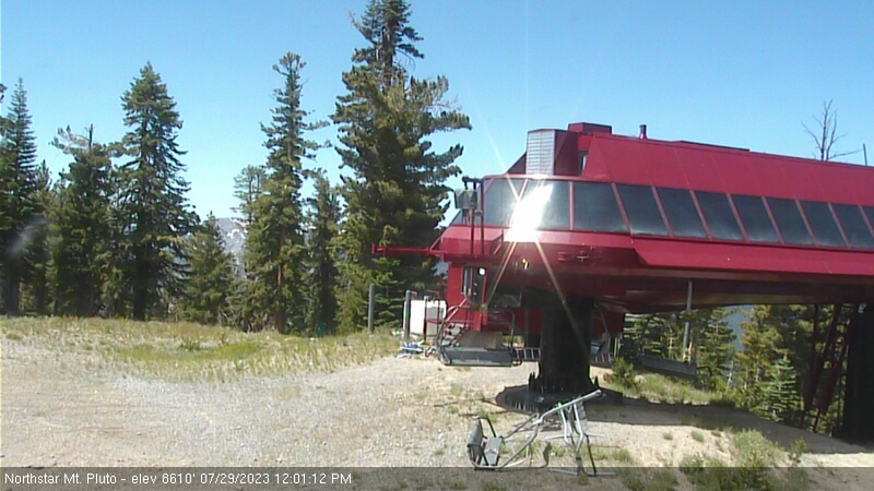
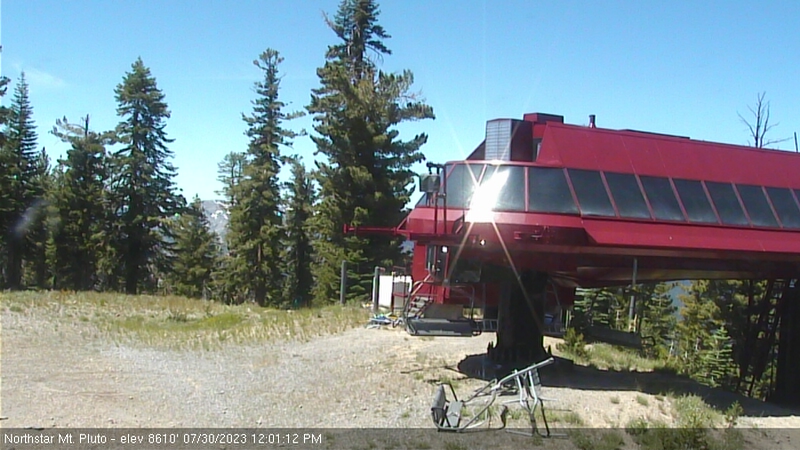
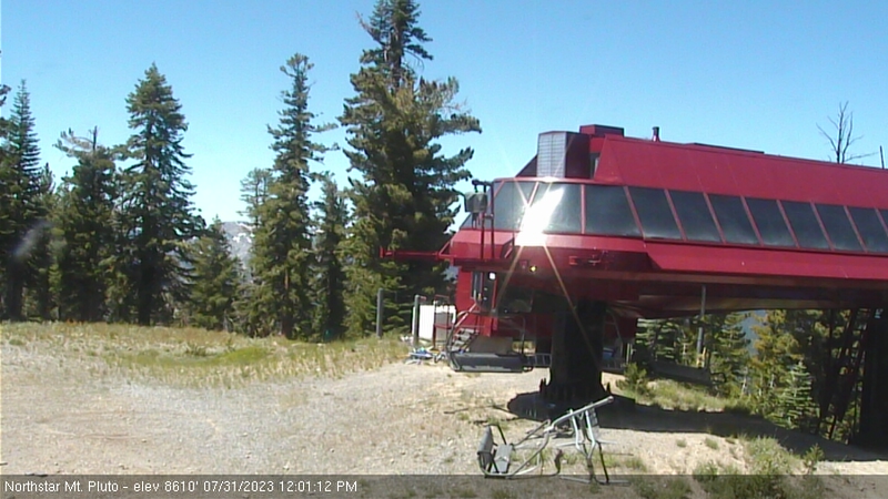
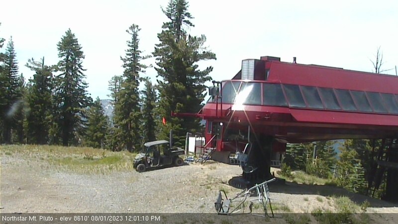
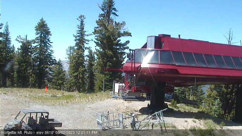
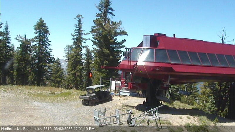
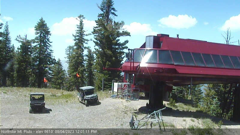
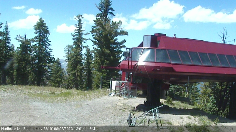
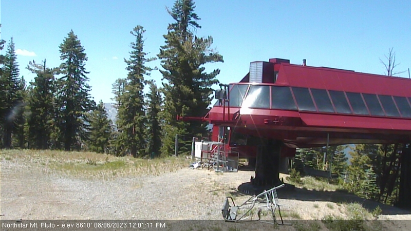
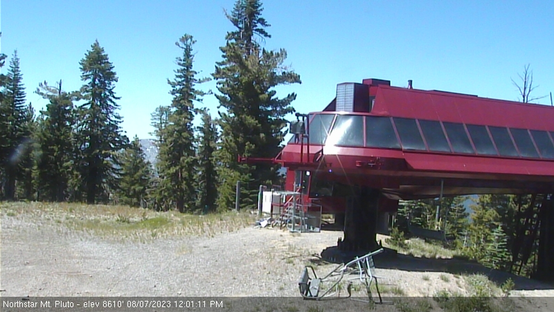
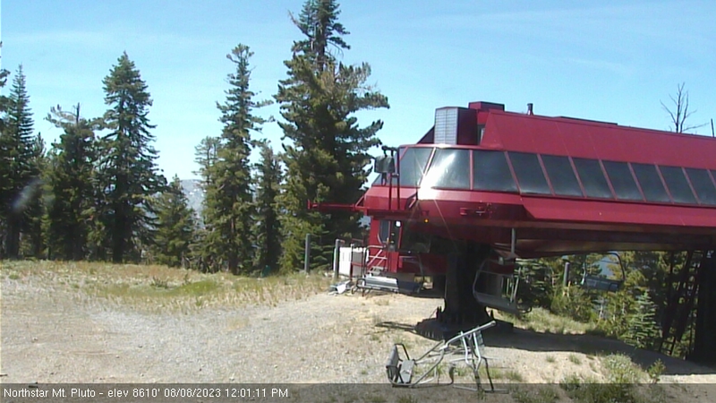
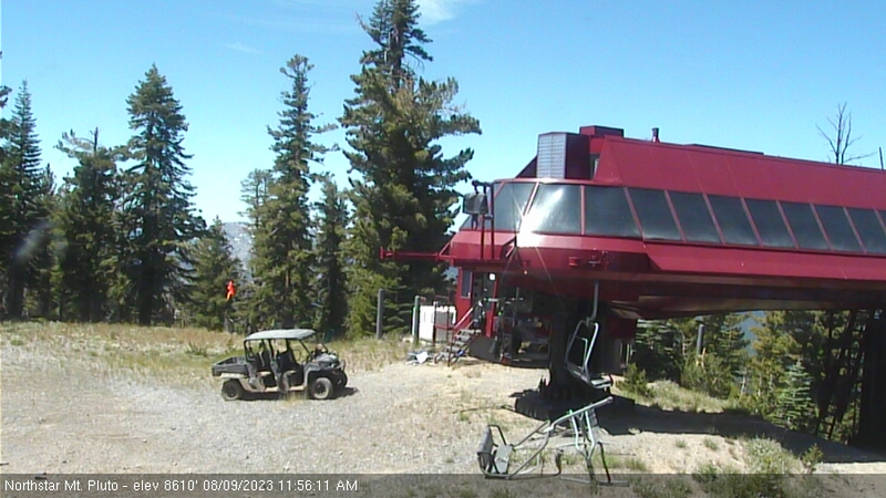
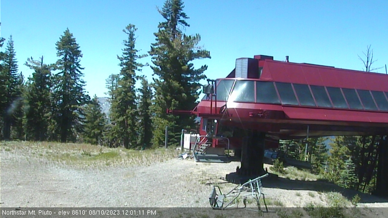
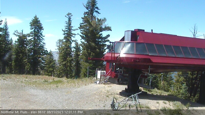
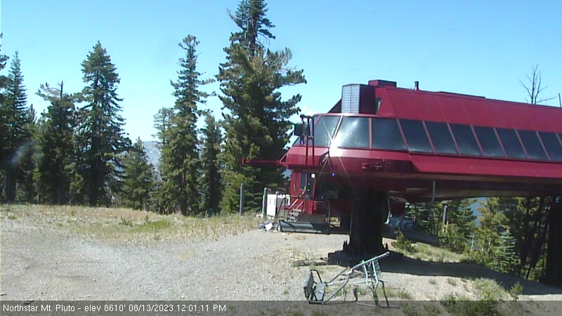
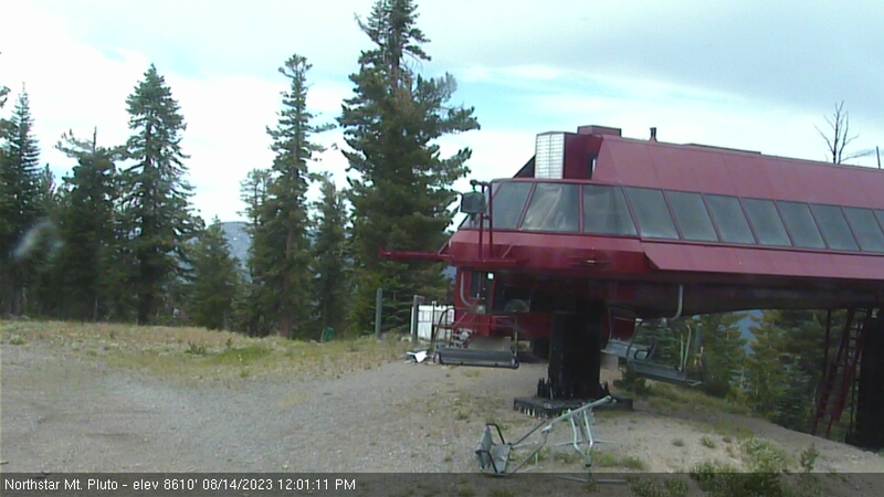
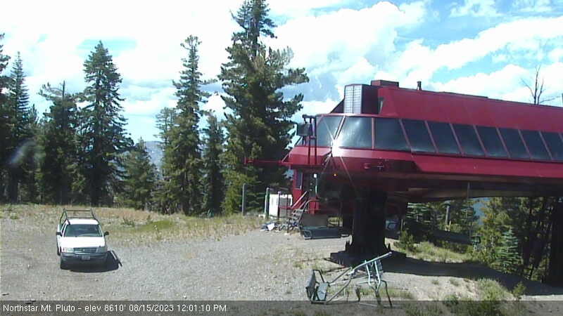
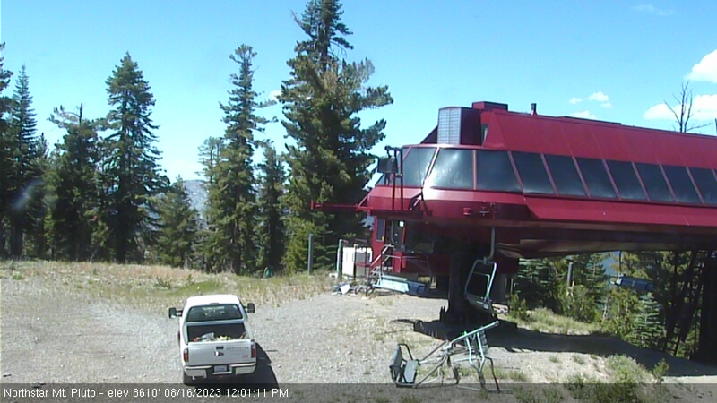
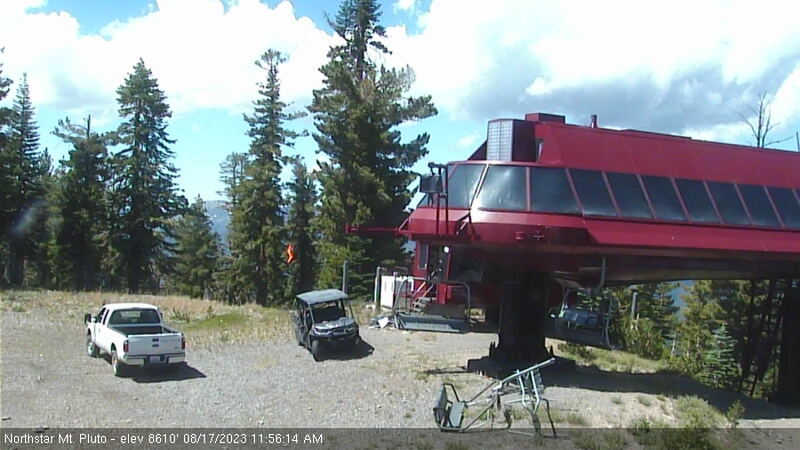
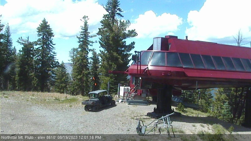
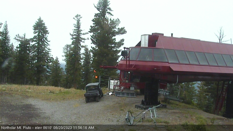
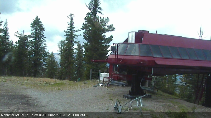
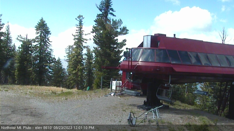
Northstar California Resort, USA - 49.9 miles from Alta Sierra Ranches: Current Snow Conditions - Several webcams offer a view of the current snow situation at the Northstar California Resort.
Operator: Northstar California Resort
Operator: Northstar California Resort


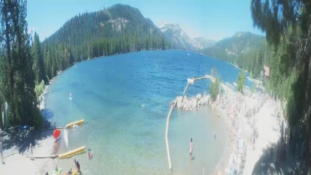
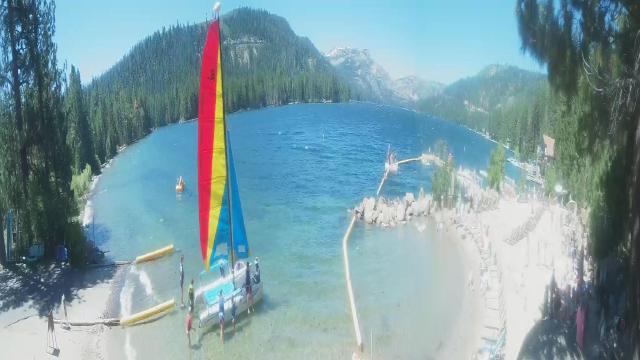
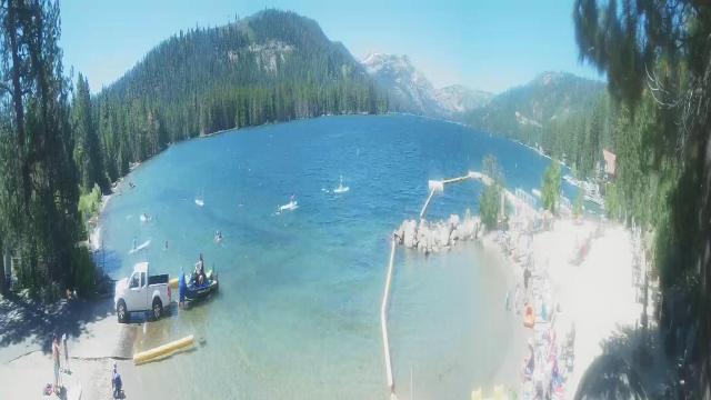
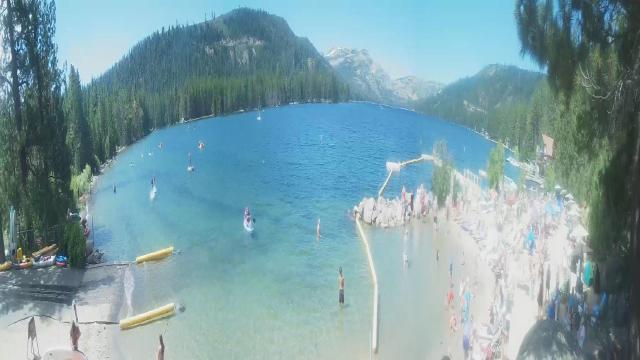
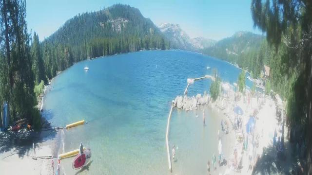
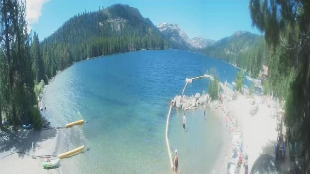
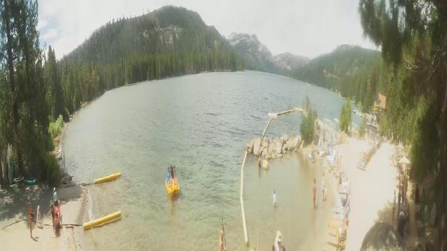
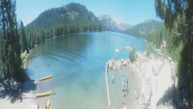
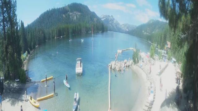
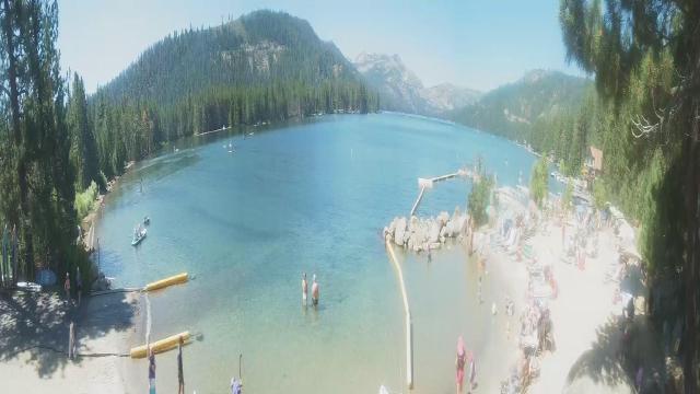
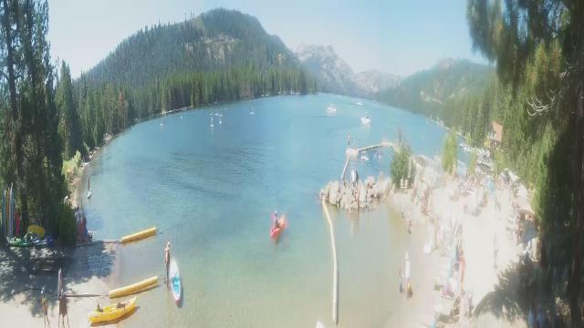
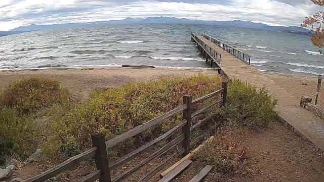
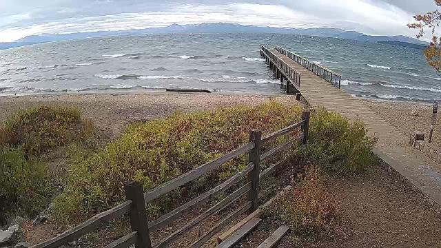
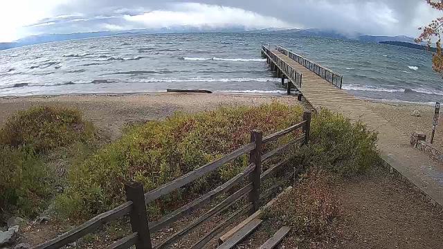
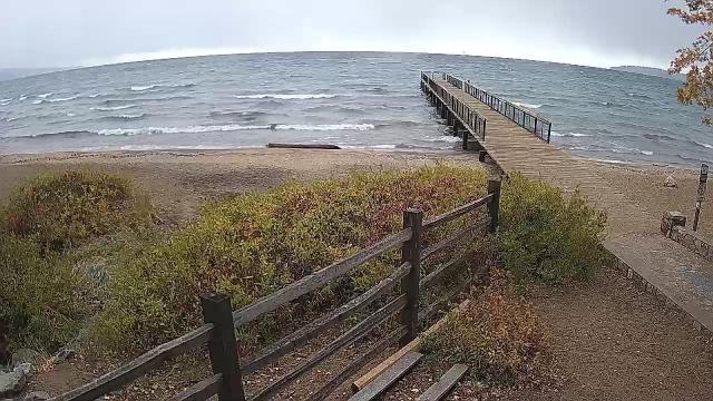
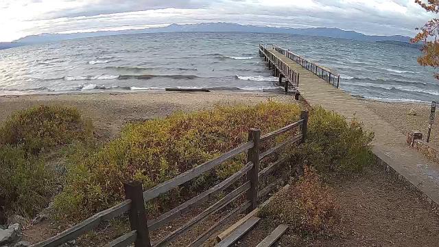
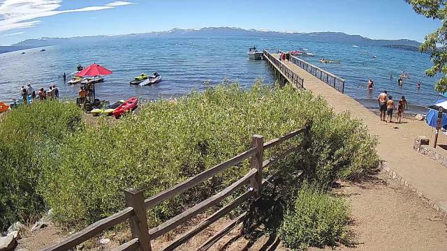
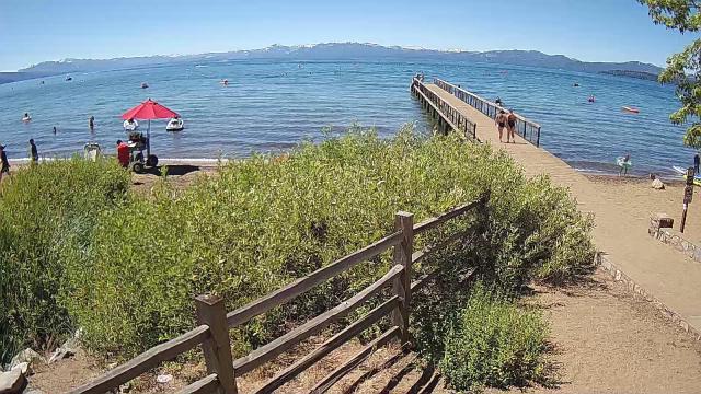
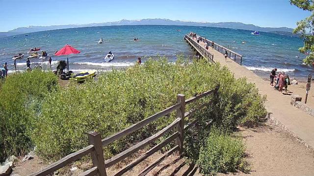
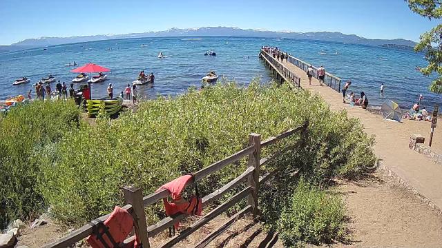
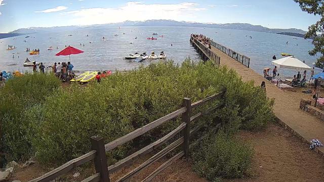
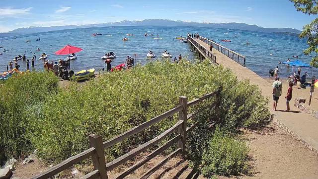
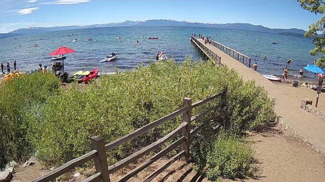
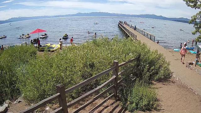
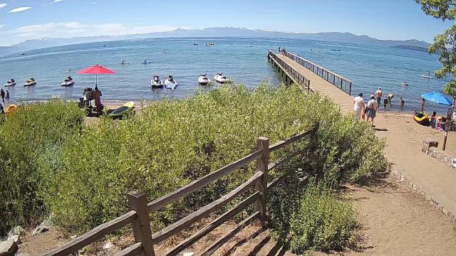
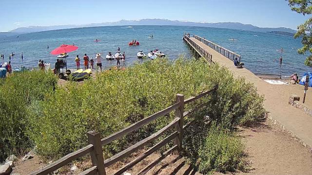
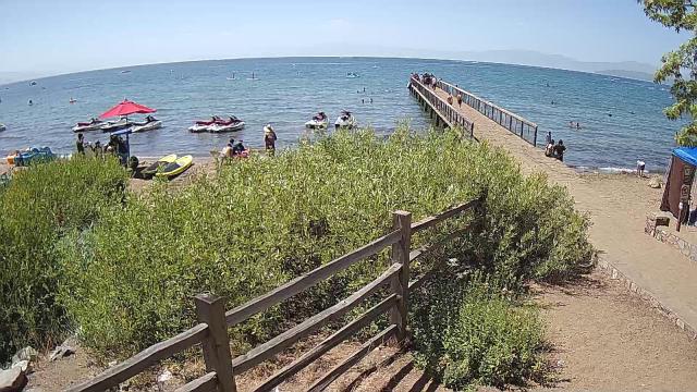
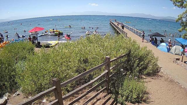
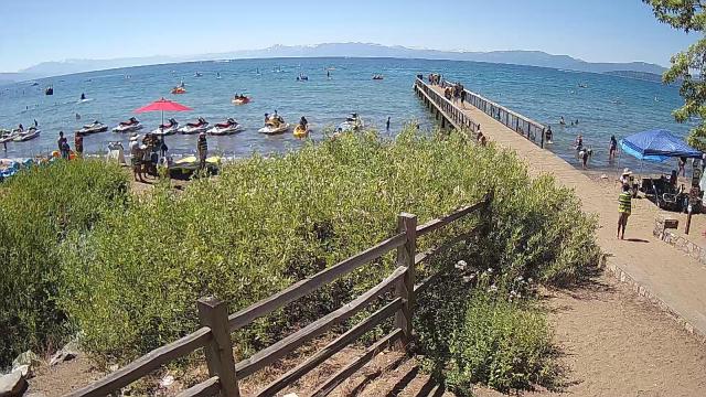
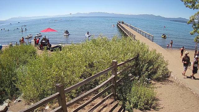
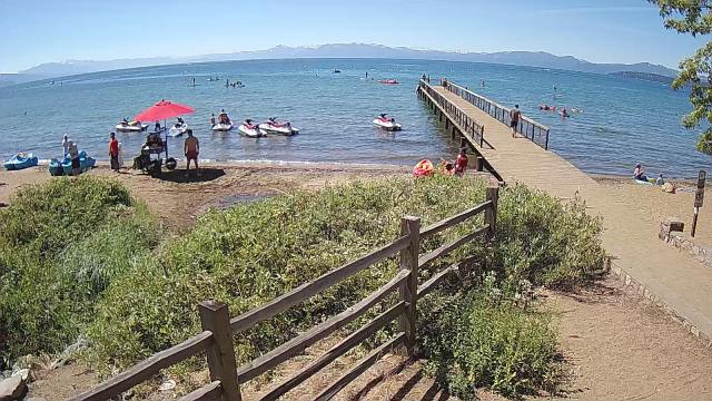
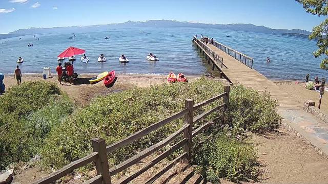
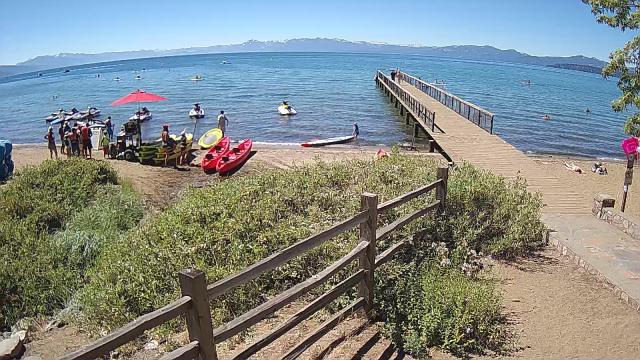
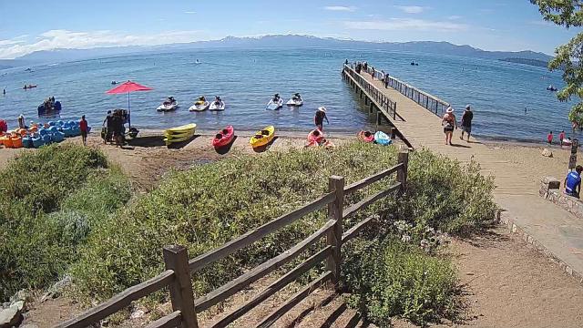
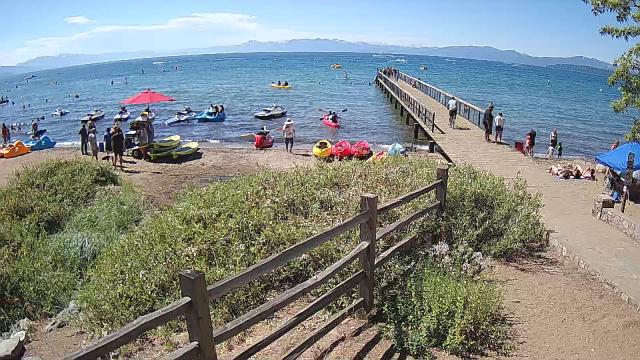
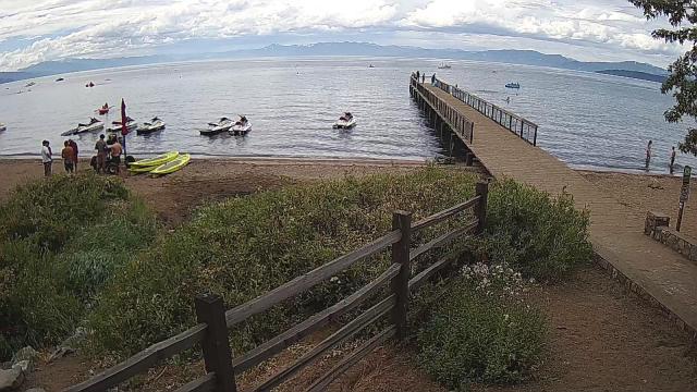
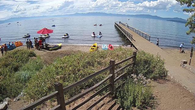
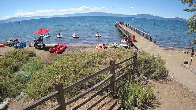
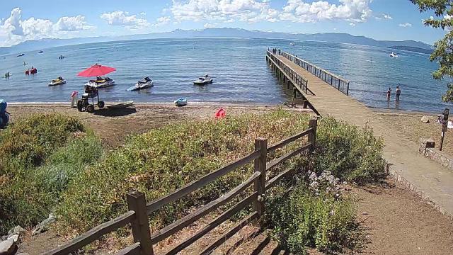
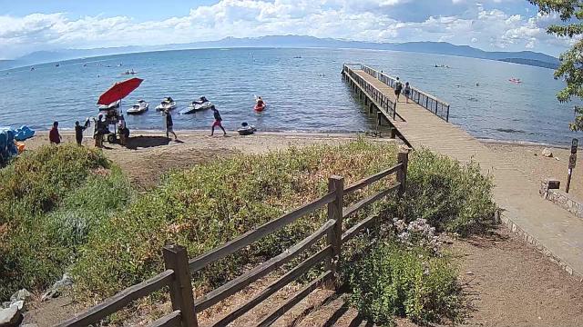
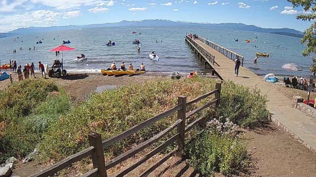
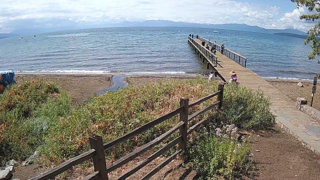
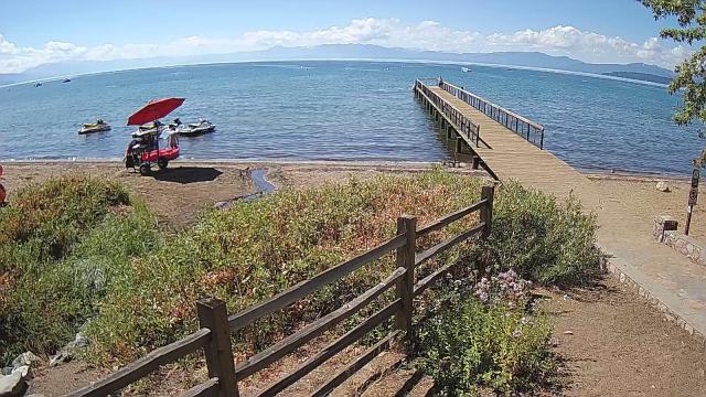
Kings Beach, California, USA - 54.3 miles from Alta Sierra Ranches: Beachview - Sunny Kings Beach, Lake Tahoe
Operator: HDOnTap
Operator: HDOnTap


Virginia City, Nevada, USA - 74.9 miles from Alta Sierra Ranches: View of the C Street
Operator: Skyline Webcams
Operator: Skyline Webcams


Pinecrest, California, USA - 84.4 miles from Alta Sierra Ranches: Dodge Ridge Ski Resort - Base Cam - Controllable webcam at the Dodge Ridge Ski Resort showing the current snow conditions.
Operator: Dodge Ridge Ski Resort
Operator: Dodge Ridge Ski Resort

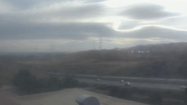
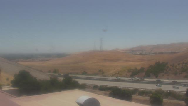
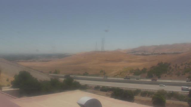
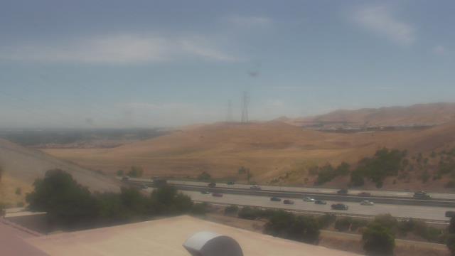
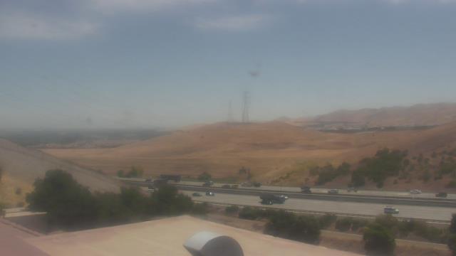
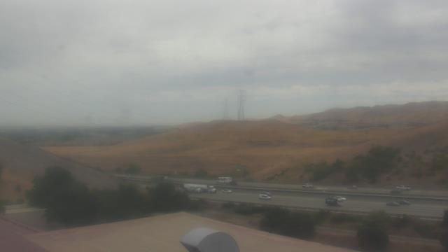
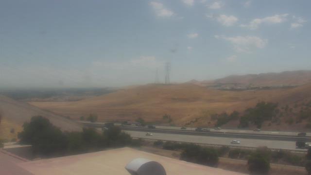
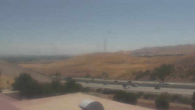
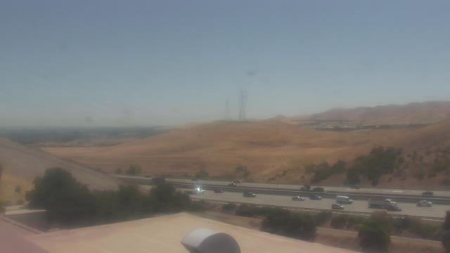
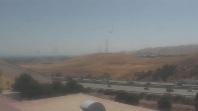
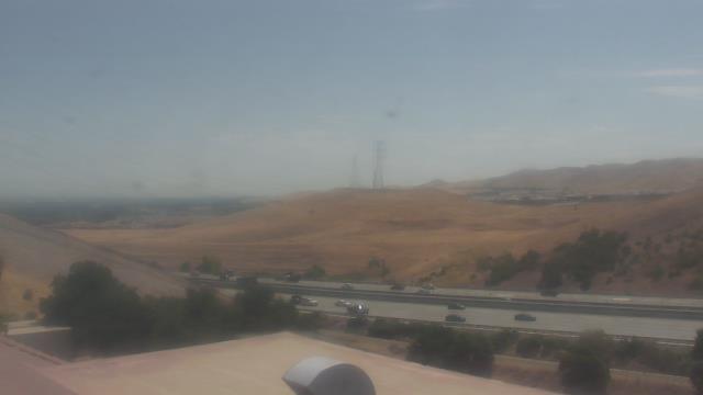
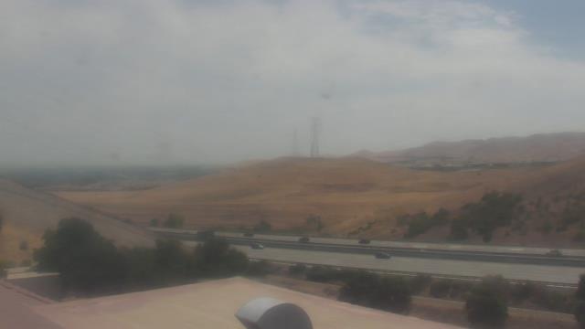
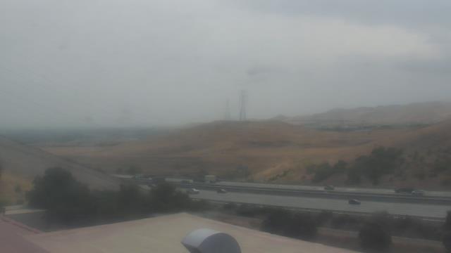
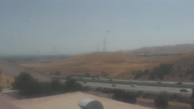
Concord, California, USA - 95 miles from Alta Sierra Ranches: Calvary Temple Christian School - A webcam in Concord, California - camera location: Calvary Temple Christian School.
Operator: WeatherBug
Operator: WeatherBug


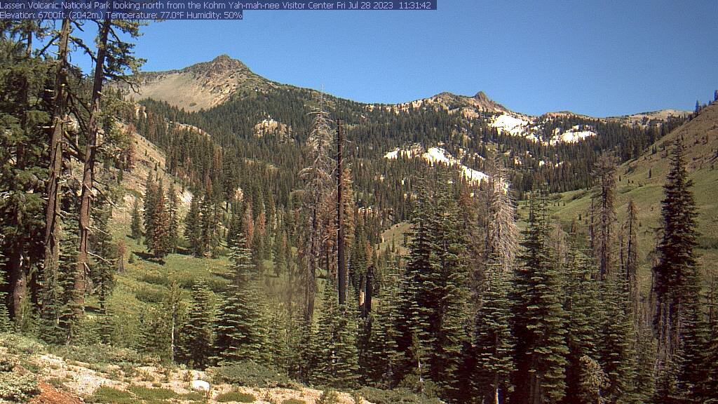
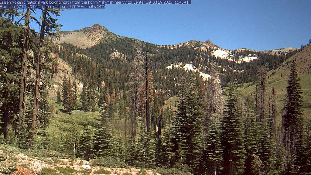
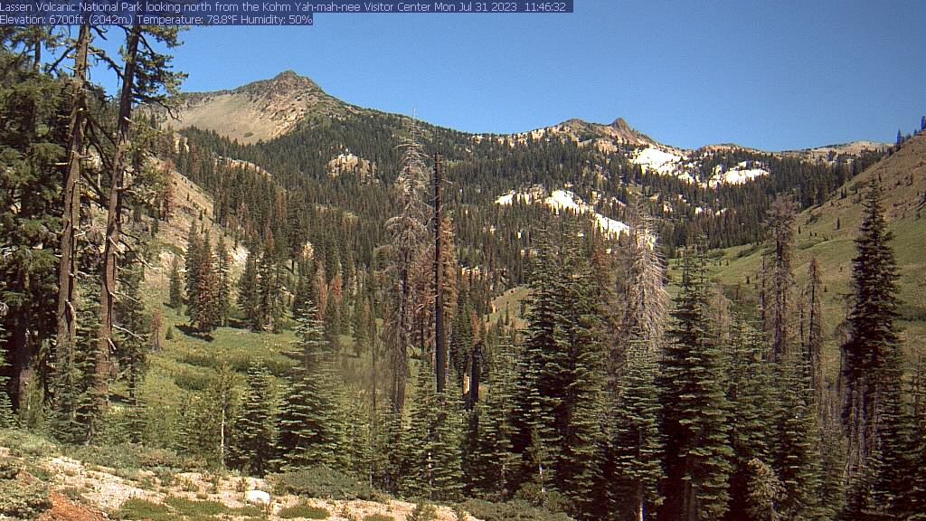
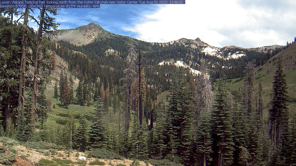
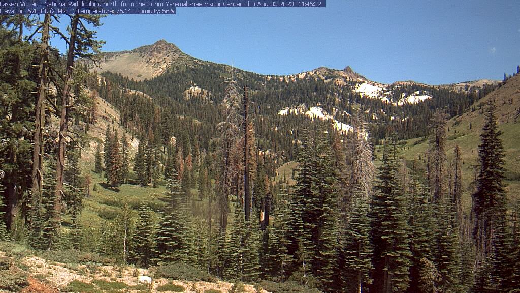
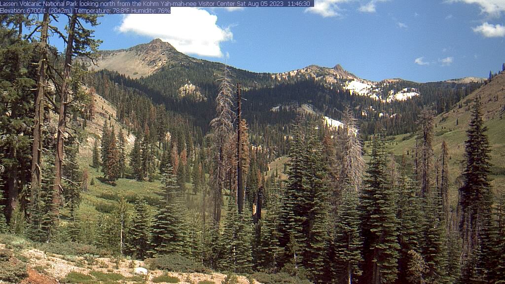
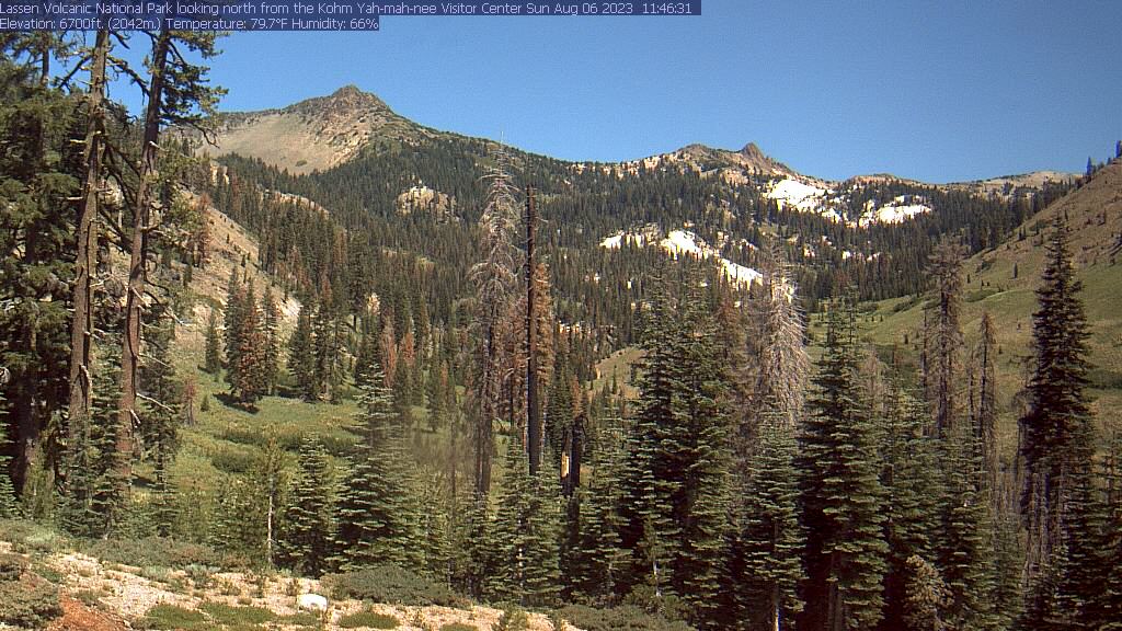
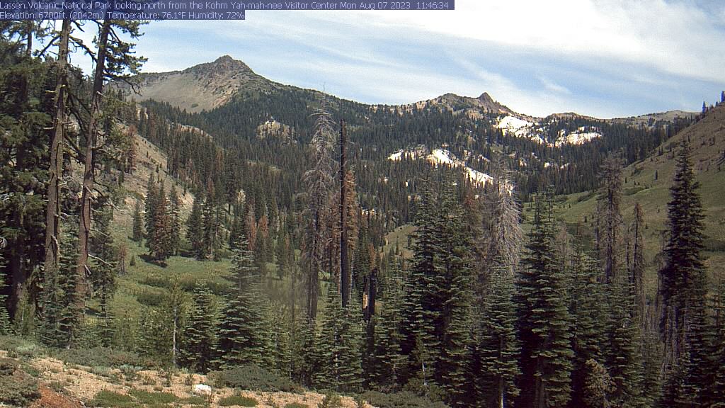
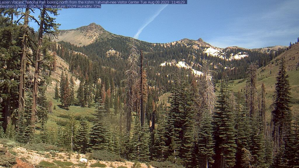
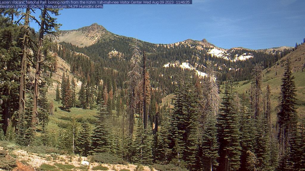
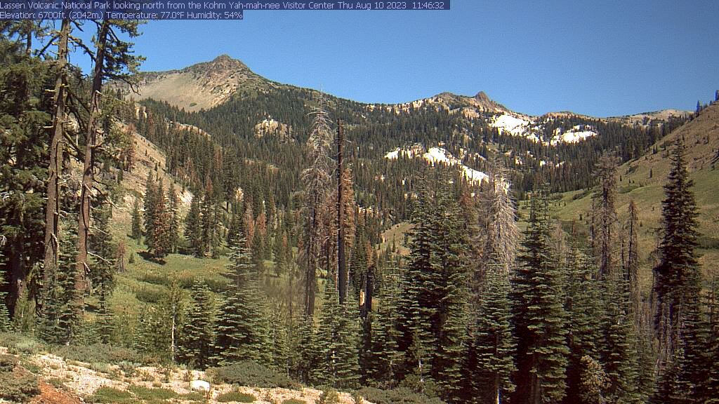
Lassen Volcanic National Park, California, USA - 99.4 miles from Alta Sierra Ranches: Kohm Yah-mah-nee Visitor Center - A view from the Kohm Yah-mah-nee Visitor Center in the Lassen Volcanic National Park towards Mt. Diller (left) und Pilot Pinnacle (right).
Operator: U.S. National Park Service
Operator: U.S. National Park Service


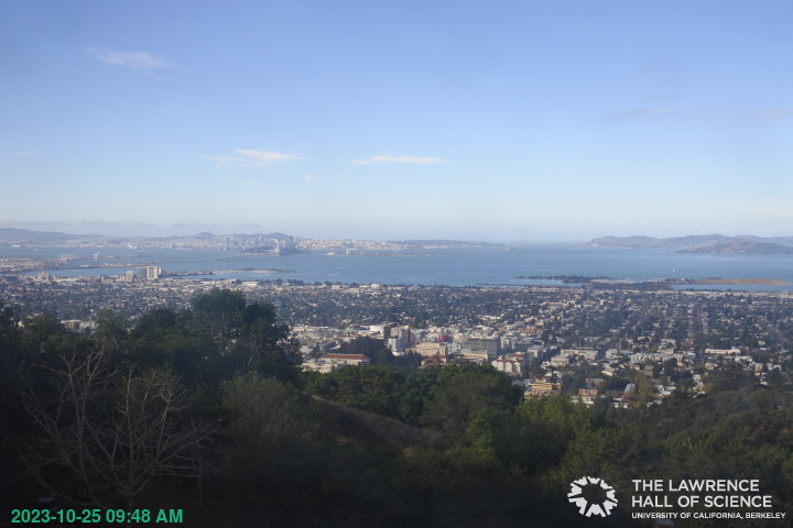
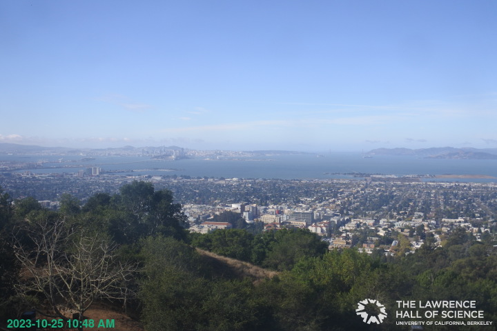
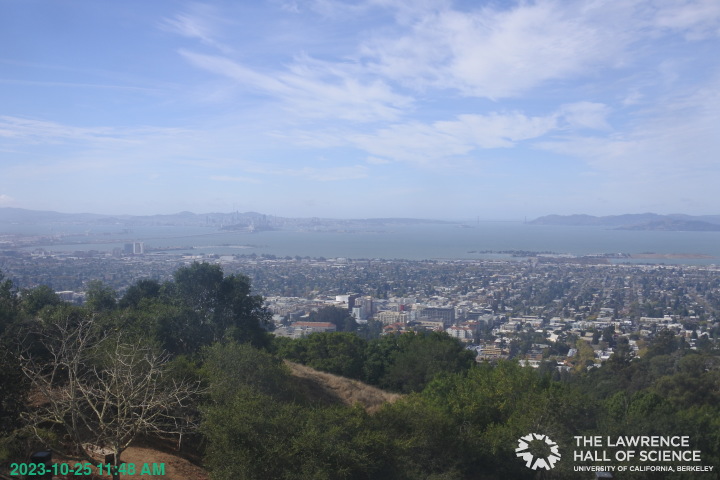
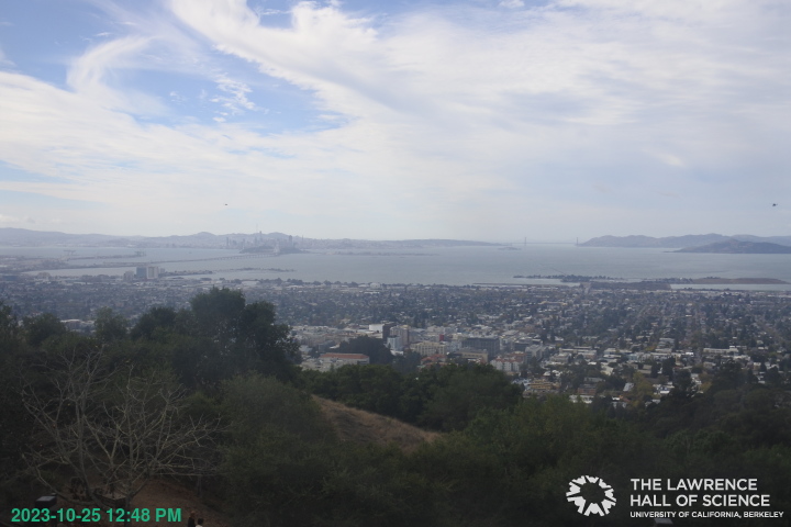
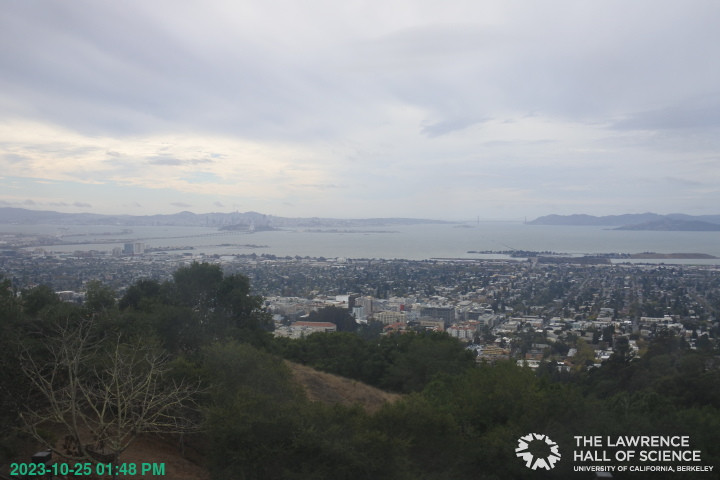
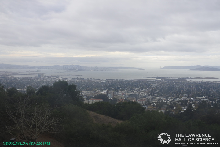
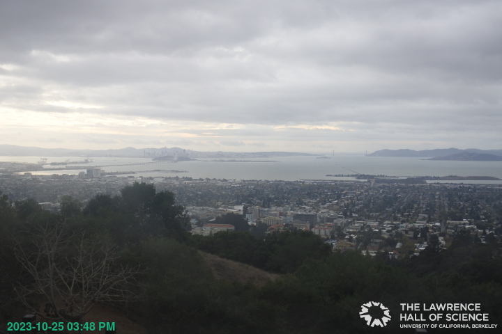
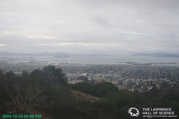
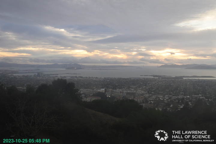
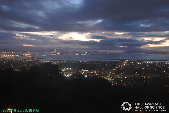
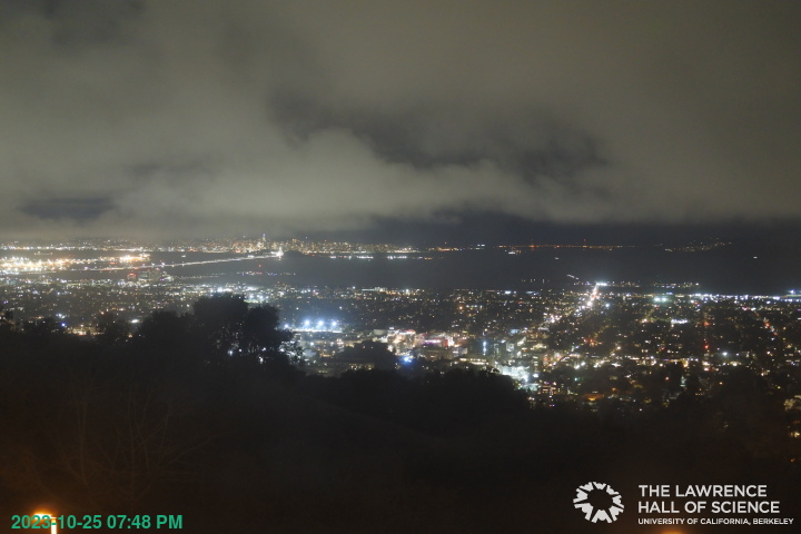
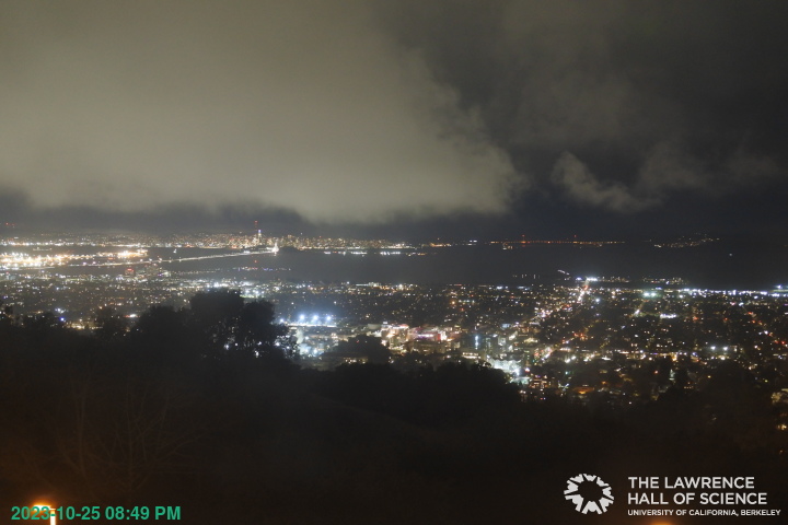
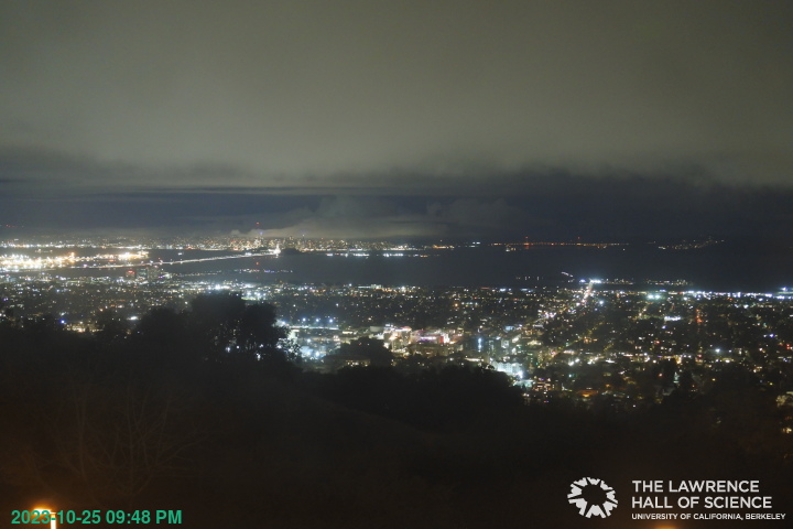
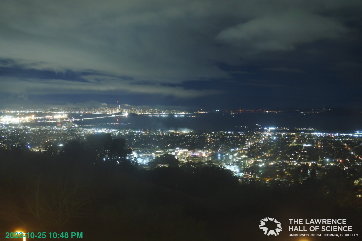
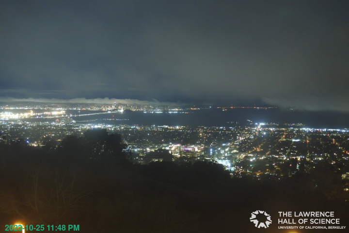
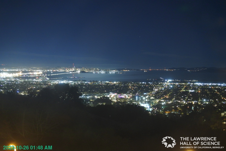
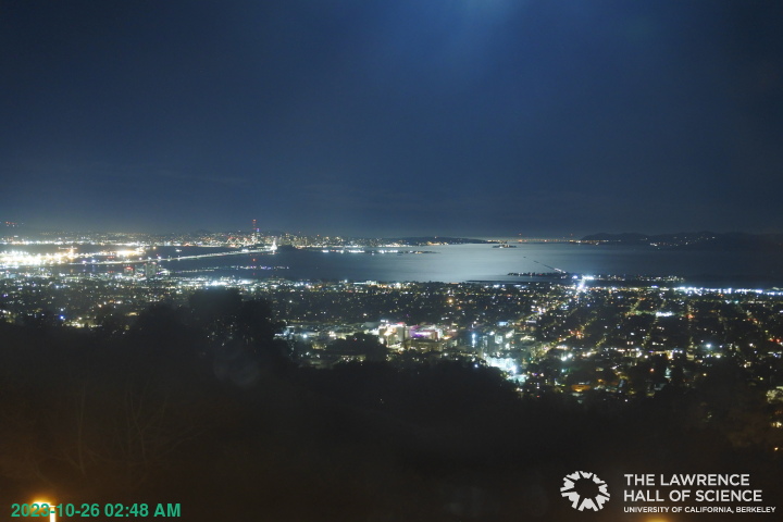
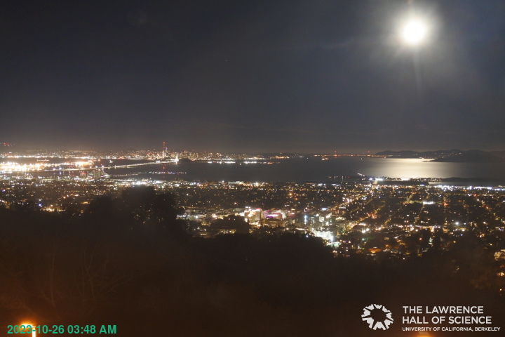
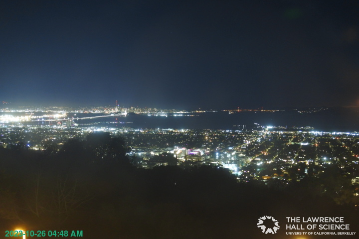
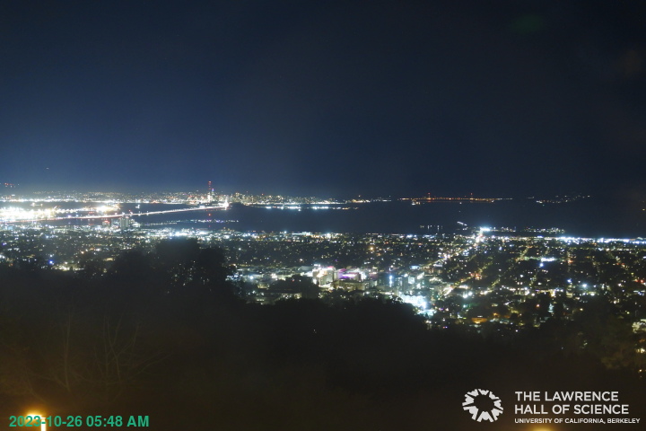
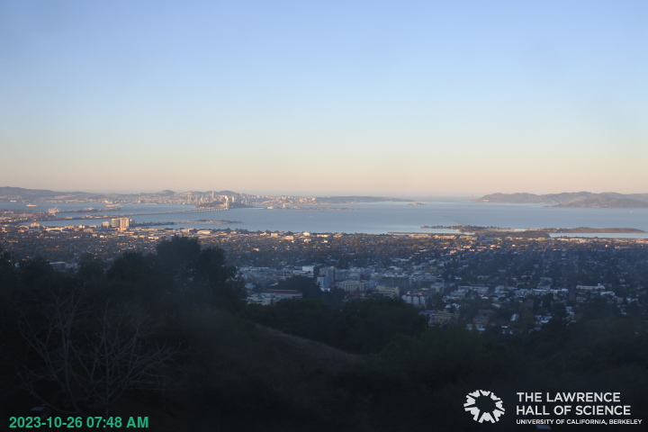
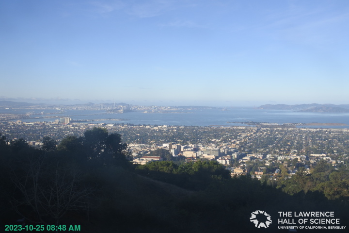
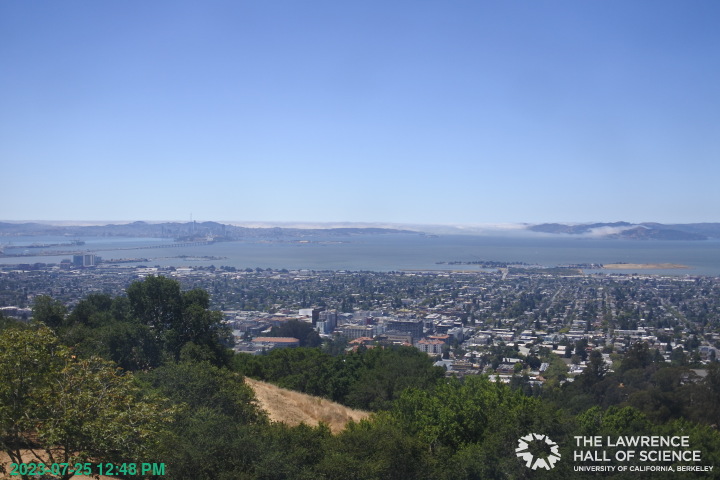
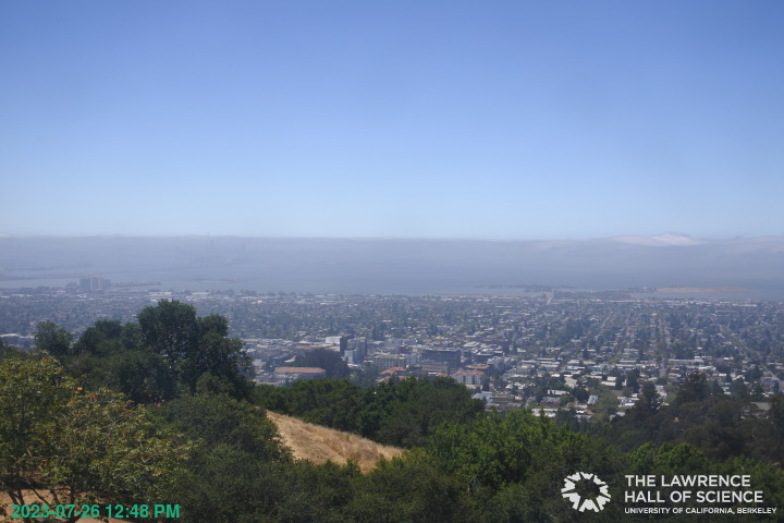
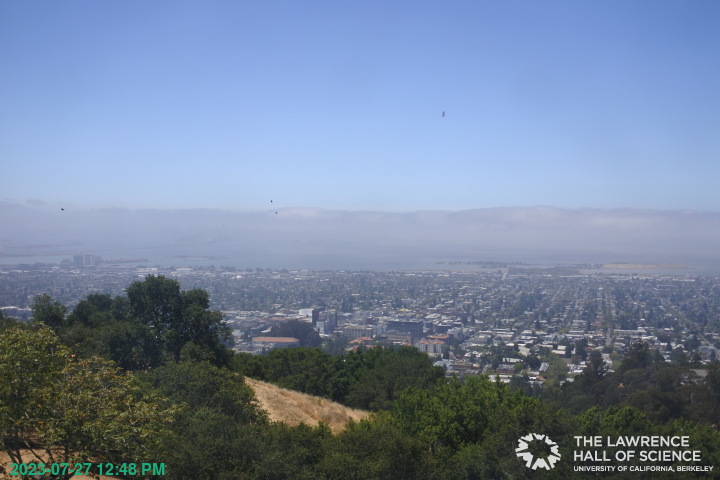
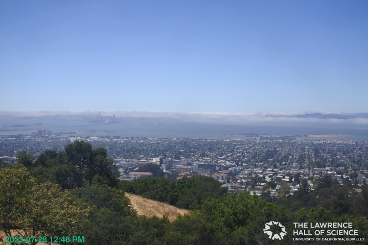
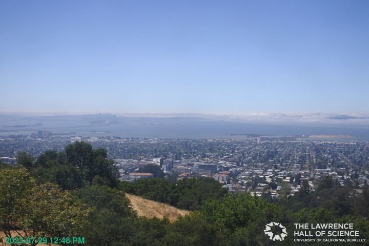
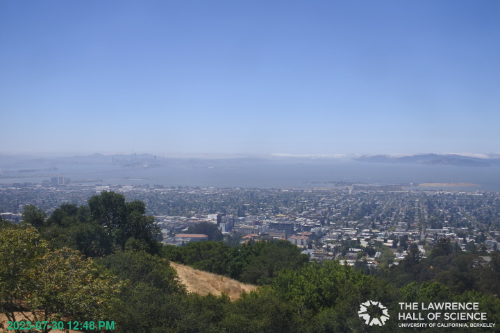
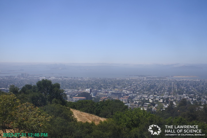
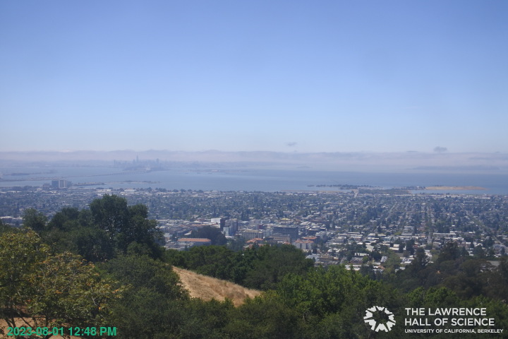
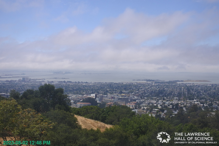
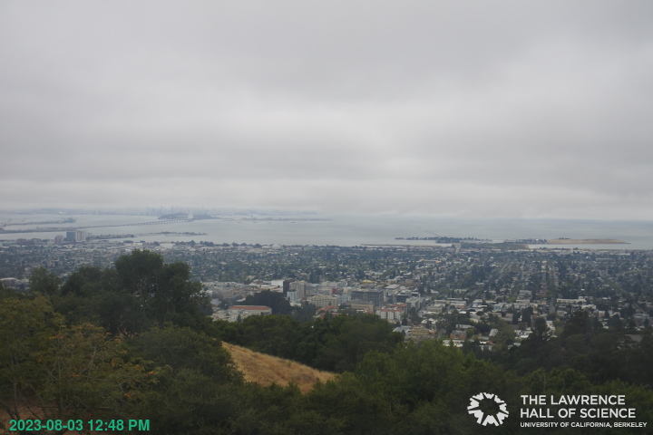
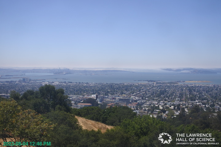
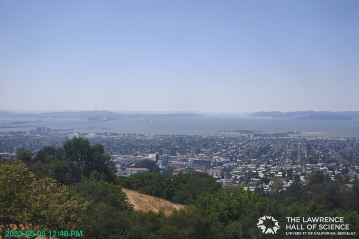
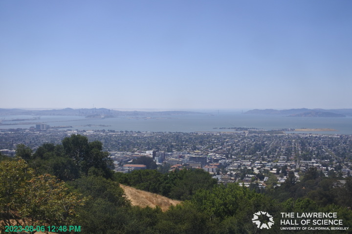
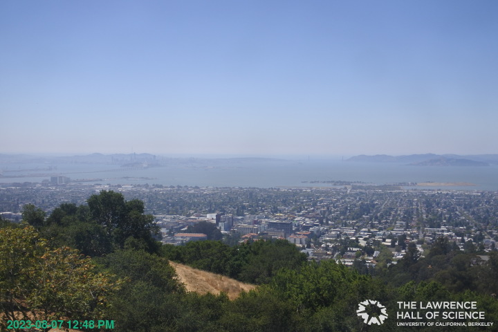
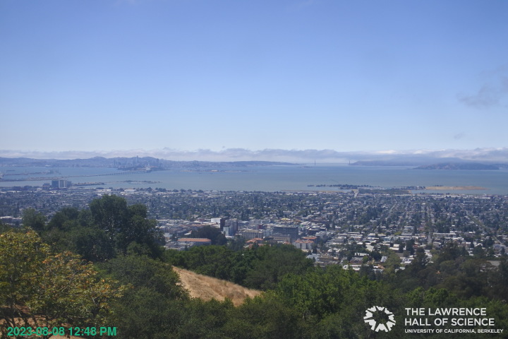
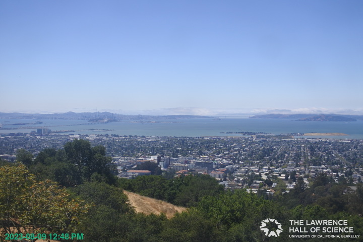
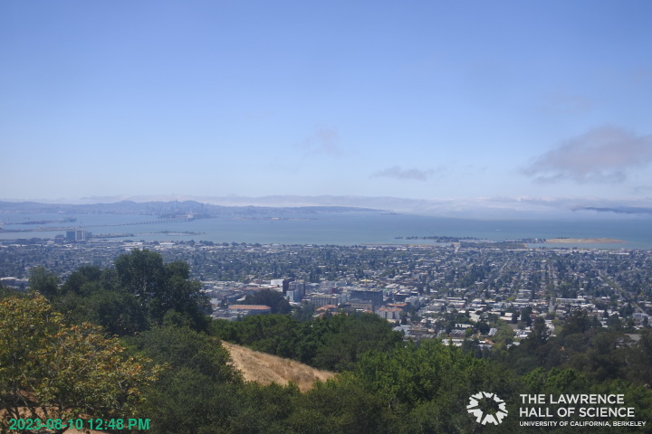
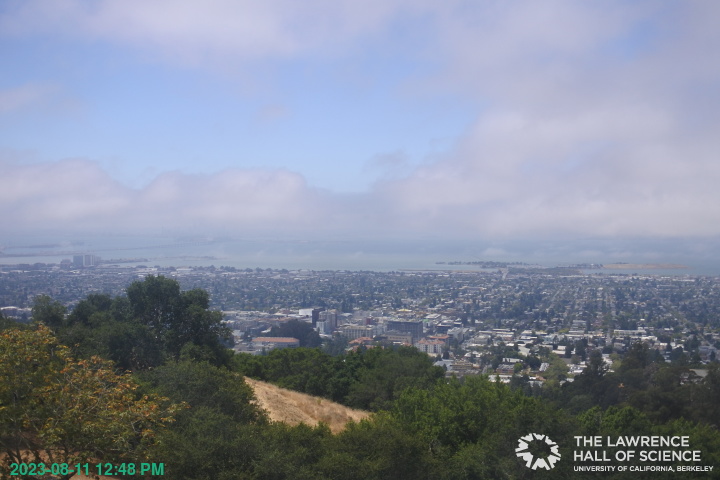
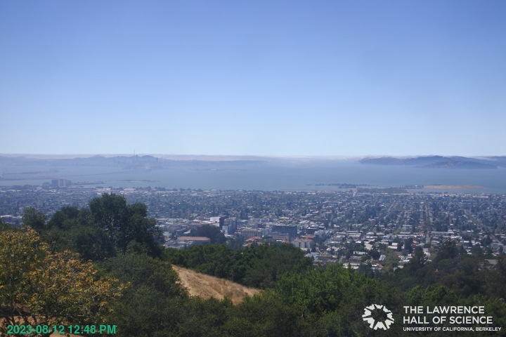
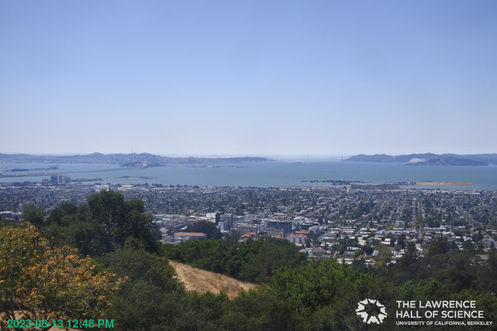
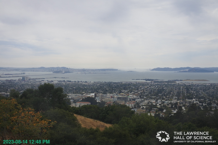
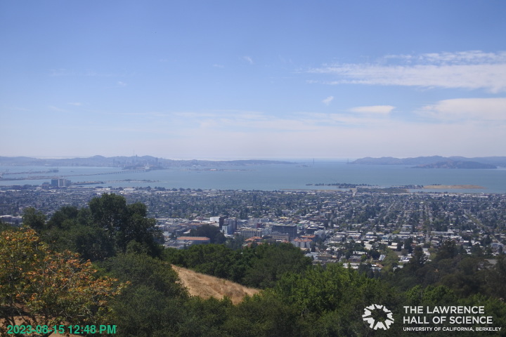
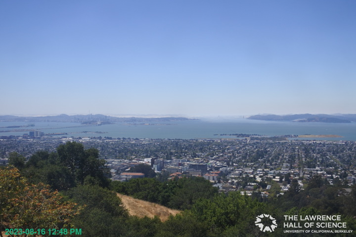
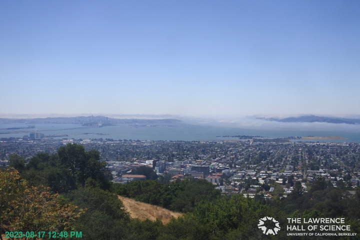
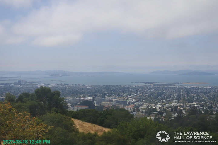
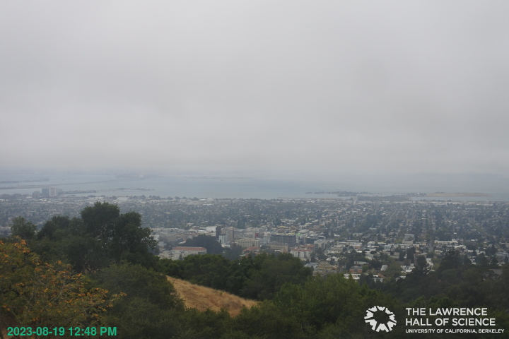
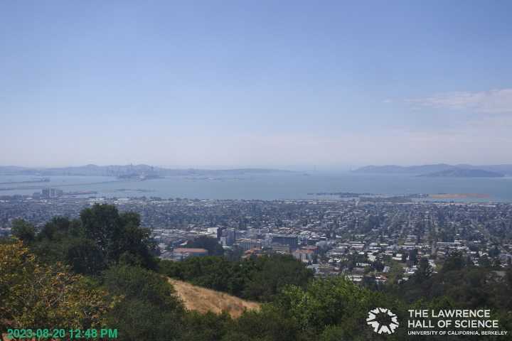
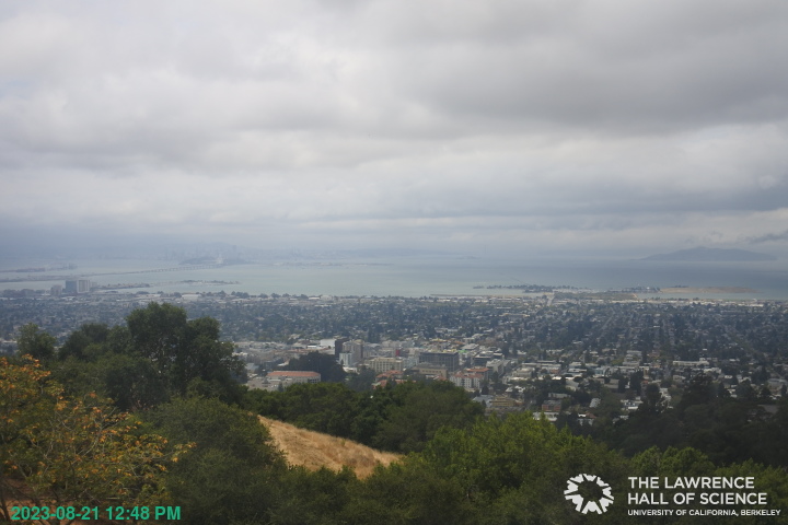
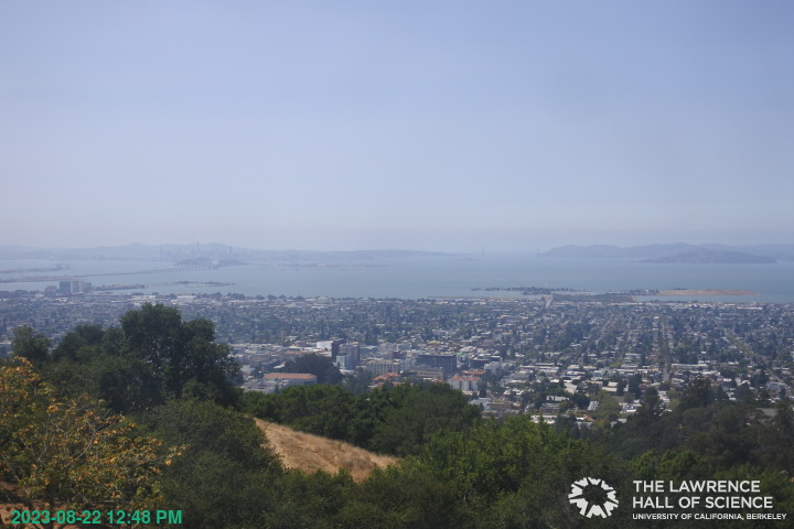
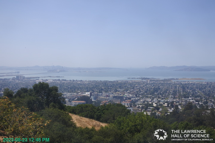
Berkeley, California, USA - 108.7 miles from Alta Sierra Ranches: View over Berkeley - A great panorama view of Berkeley and the San Francisco Bay Area from the Lawrence Hall of Science, UC Berkeley.
Operator: UC Berkeley
Operator: UC Berkeley


Some other places in this country: Summers (historical) - Alpha (historical) - Alta Sierra - Alta Sierra Estates - Alta Vista Park - Armstrong - Banner Crest - Bear Valley (historical) - Bella Vista Park - Birch Meadow Acres