Webcams in the region of Acebedo, California, USA
The List of Webcams near Acebedo, California, USA:

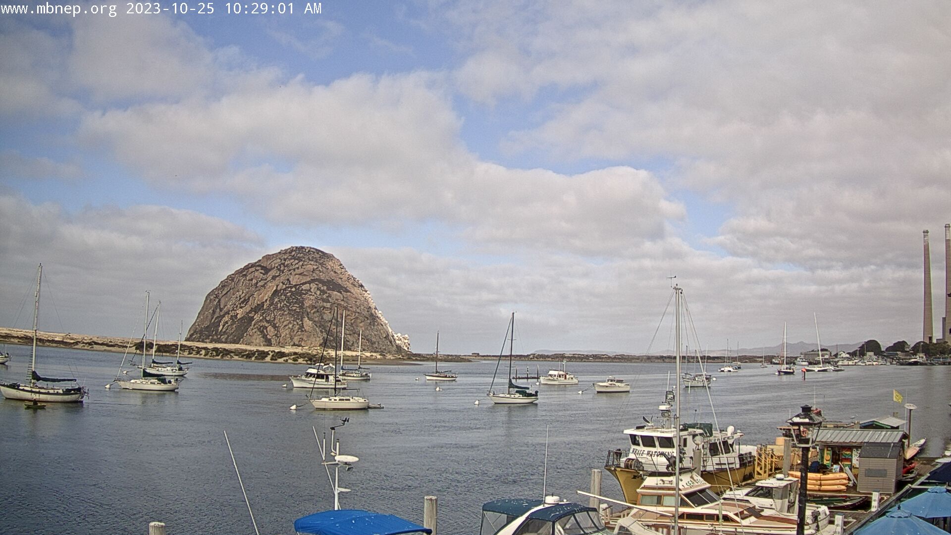
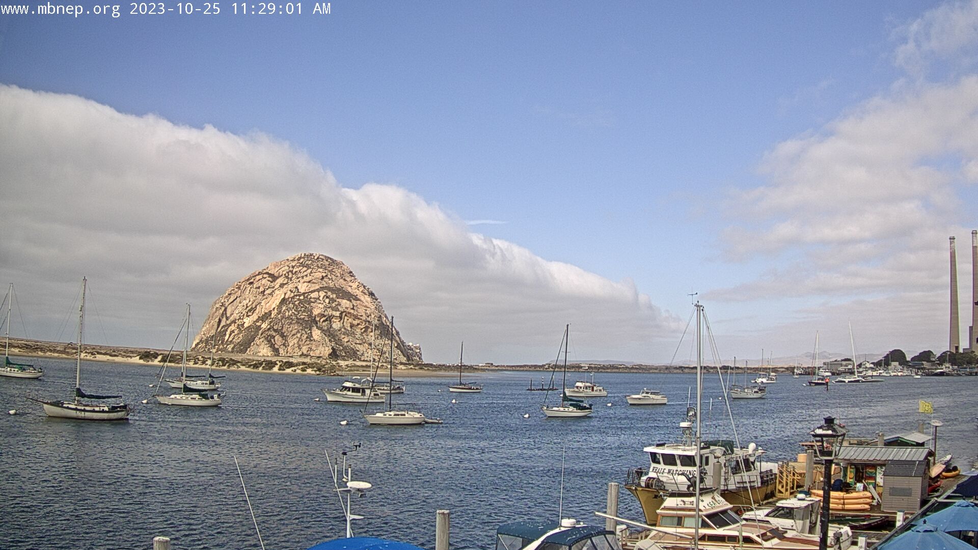
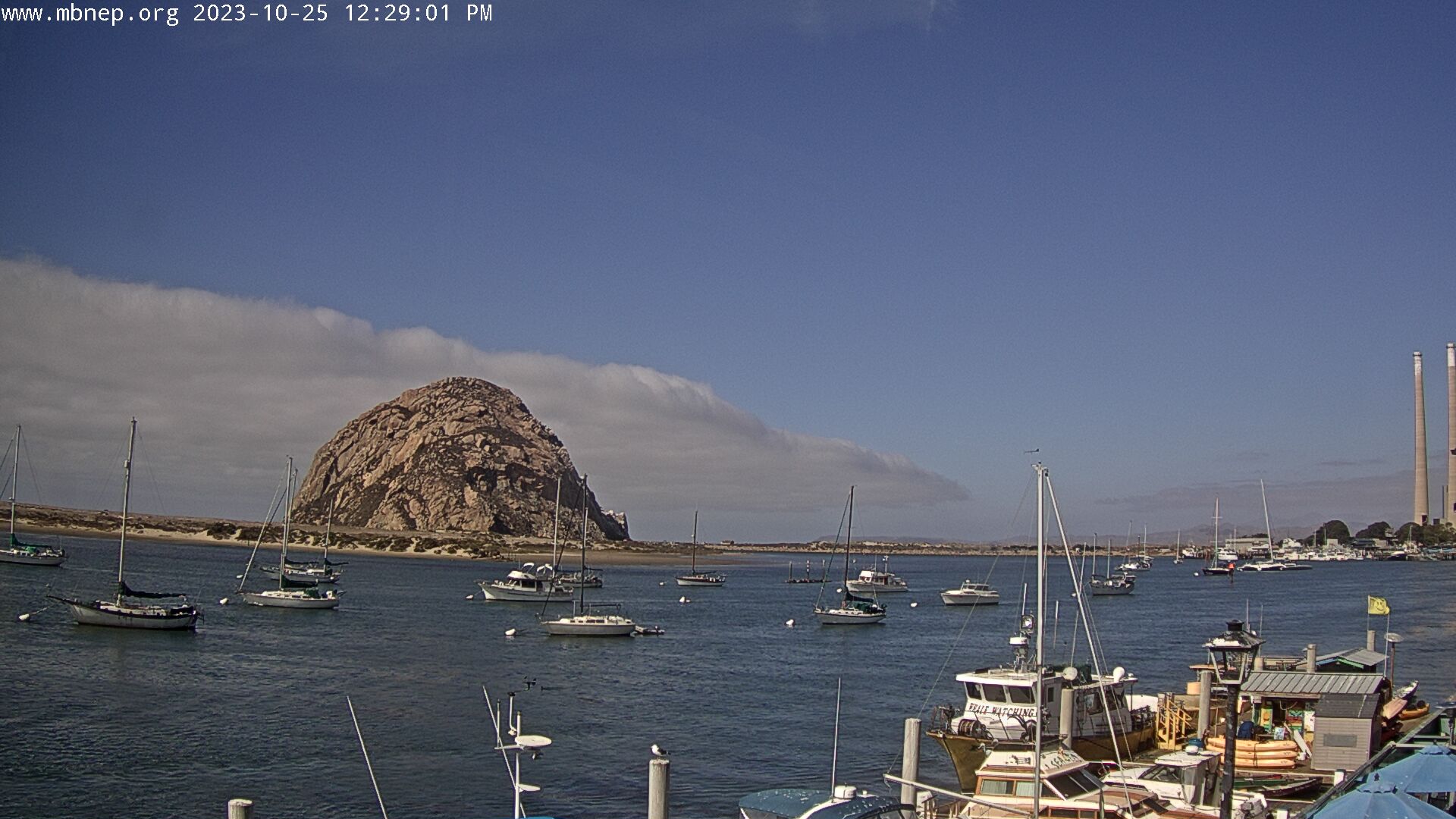
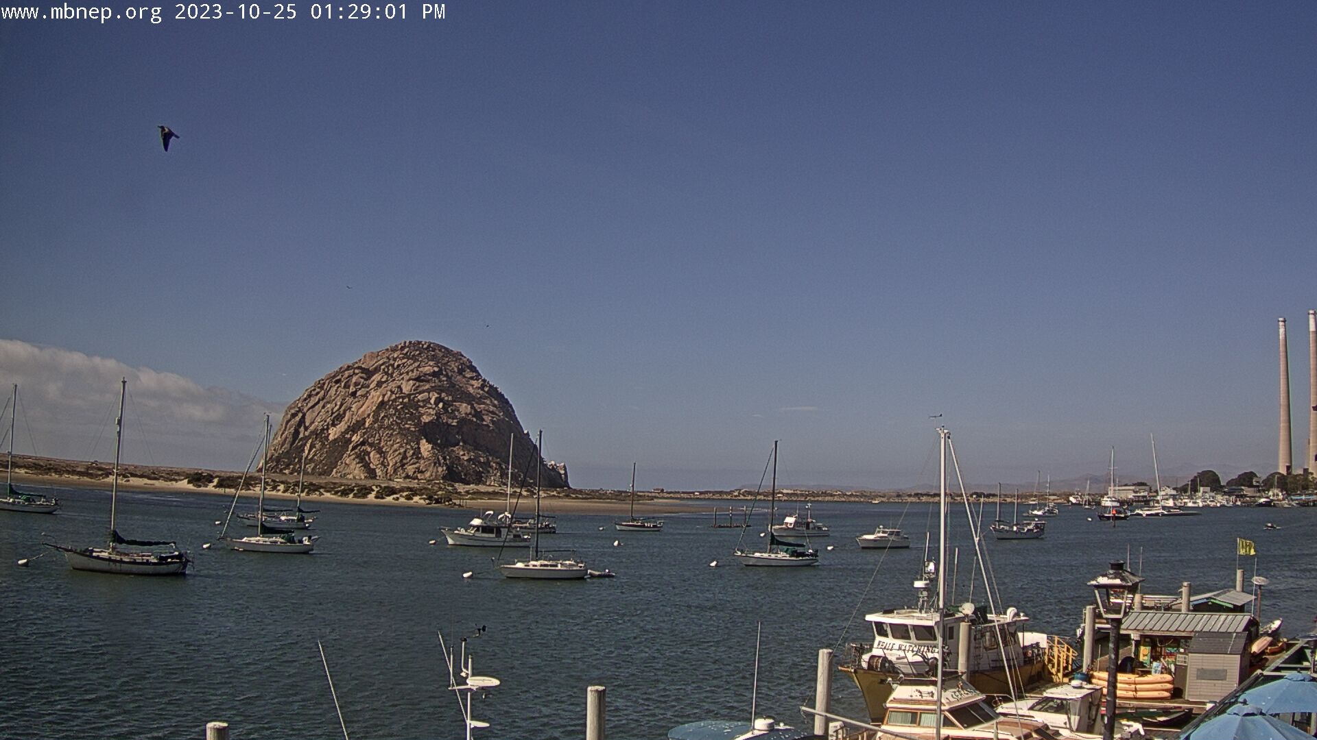
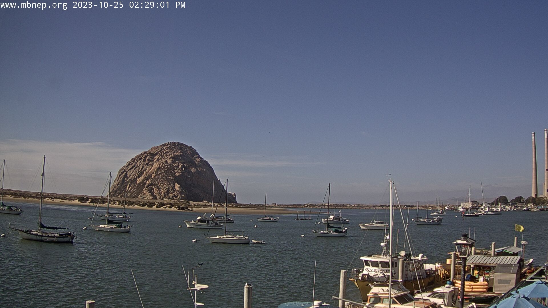
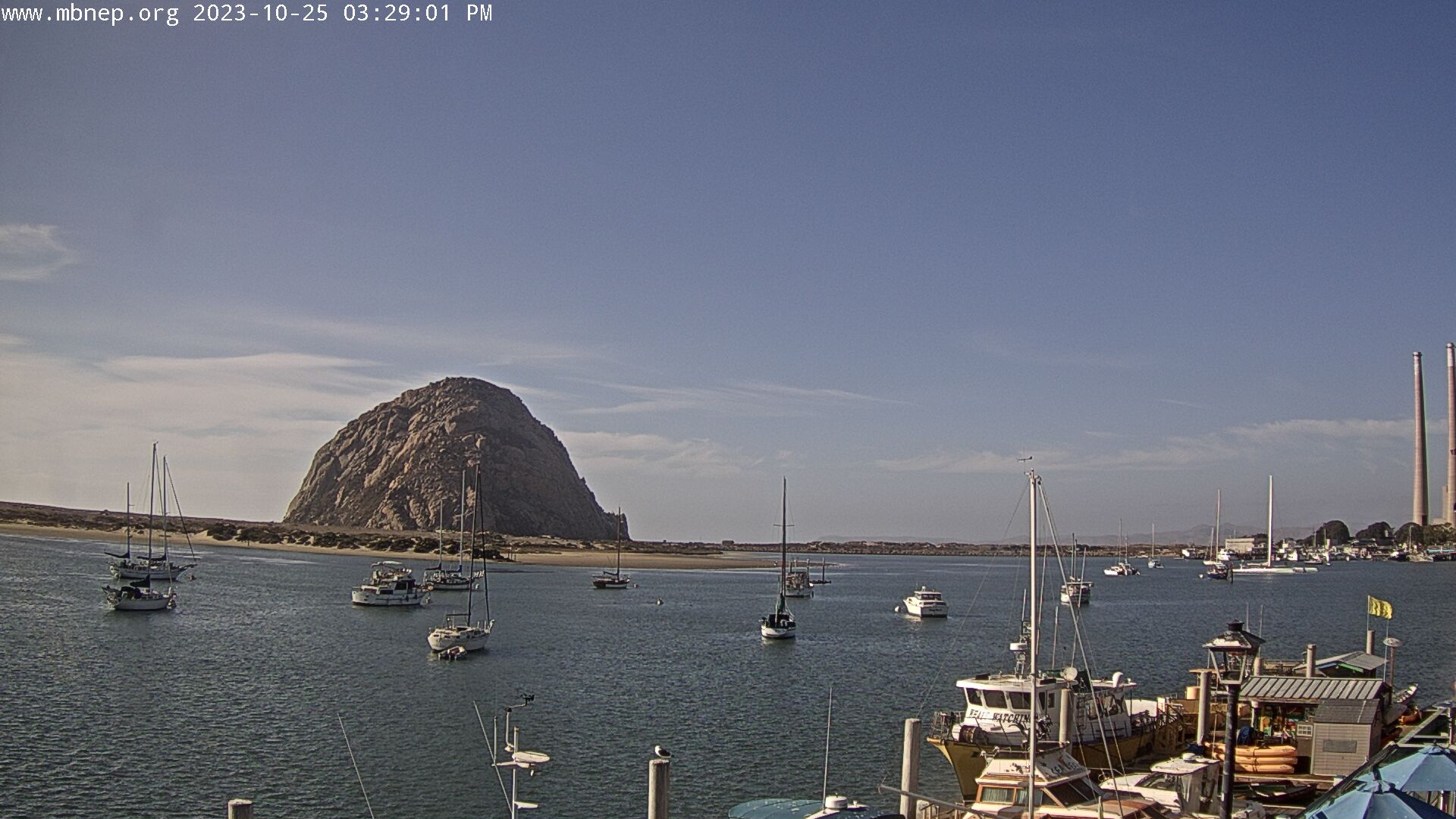
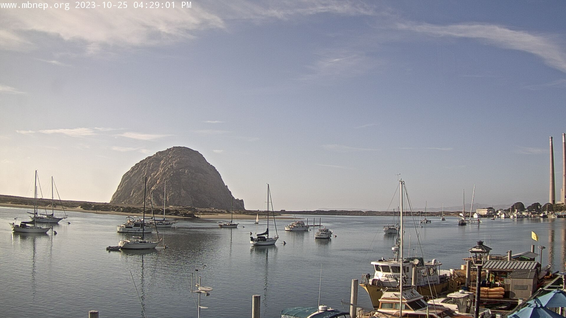
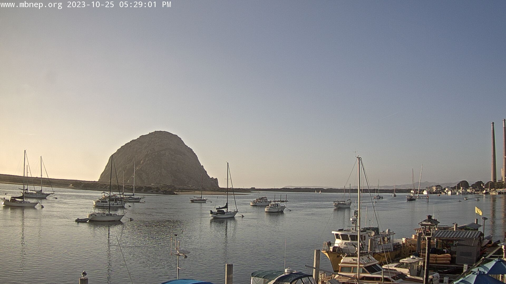
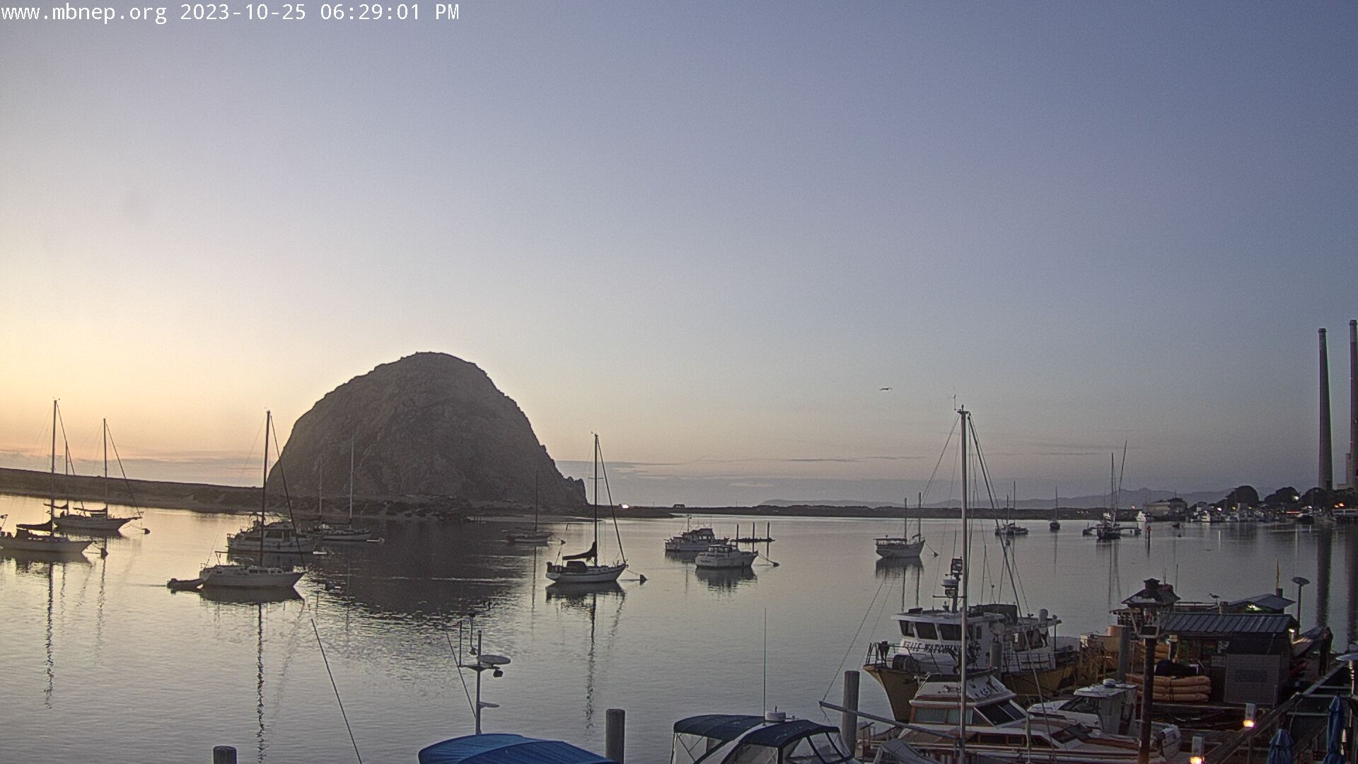
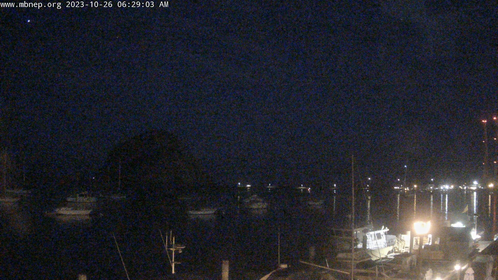
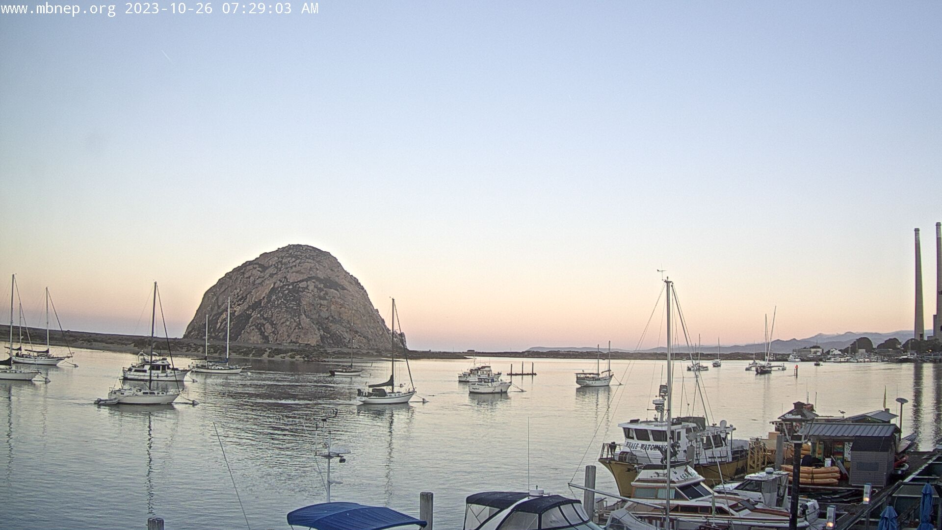
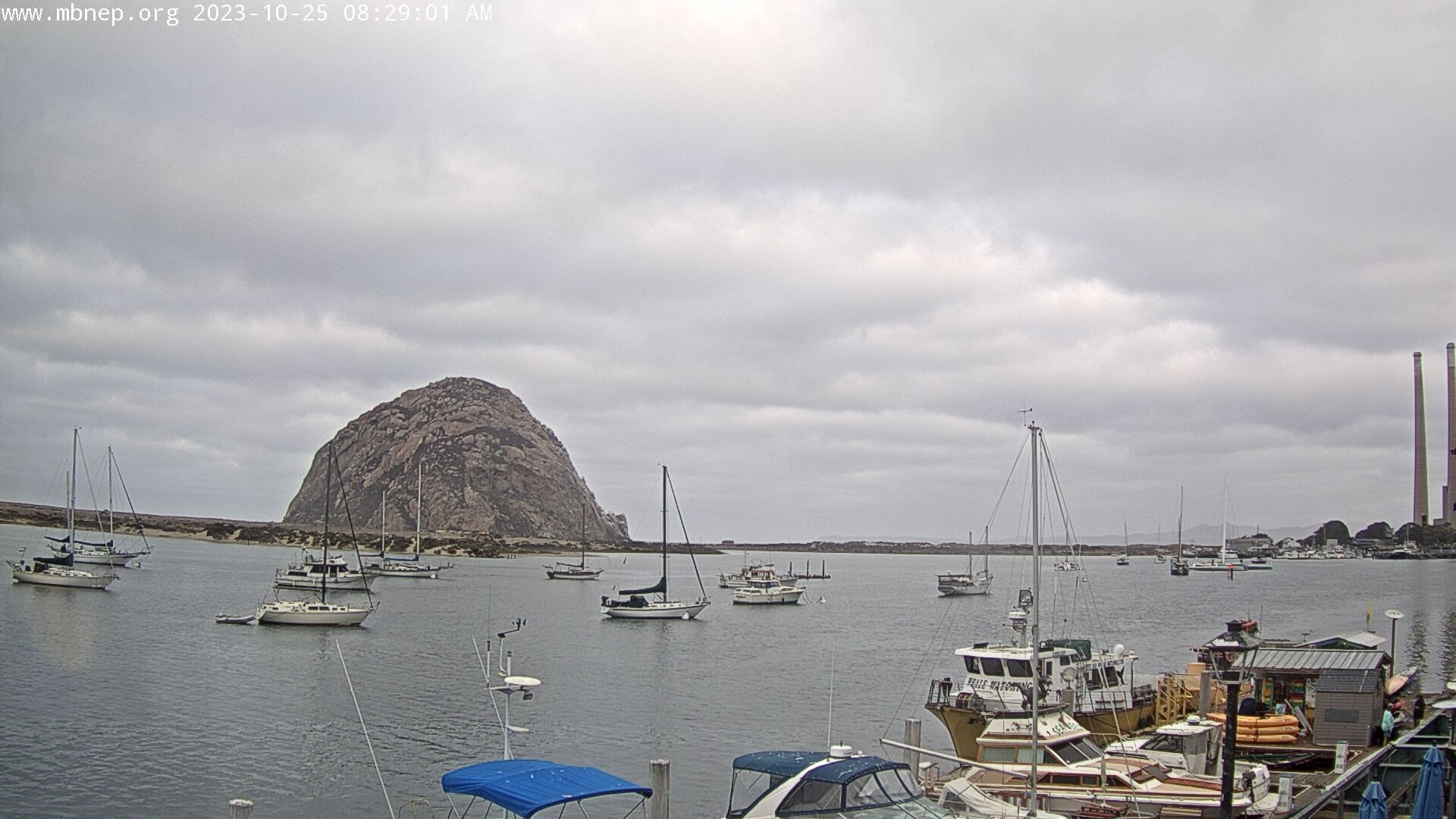
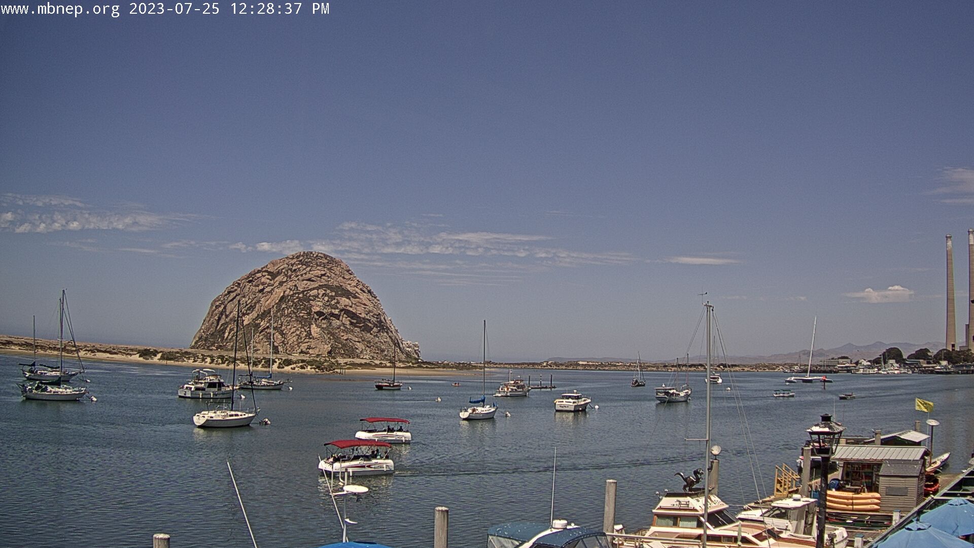
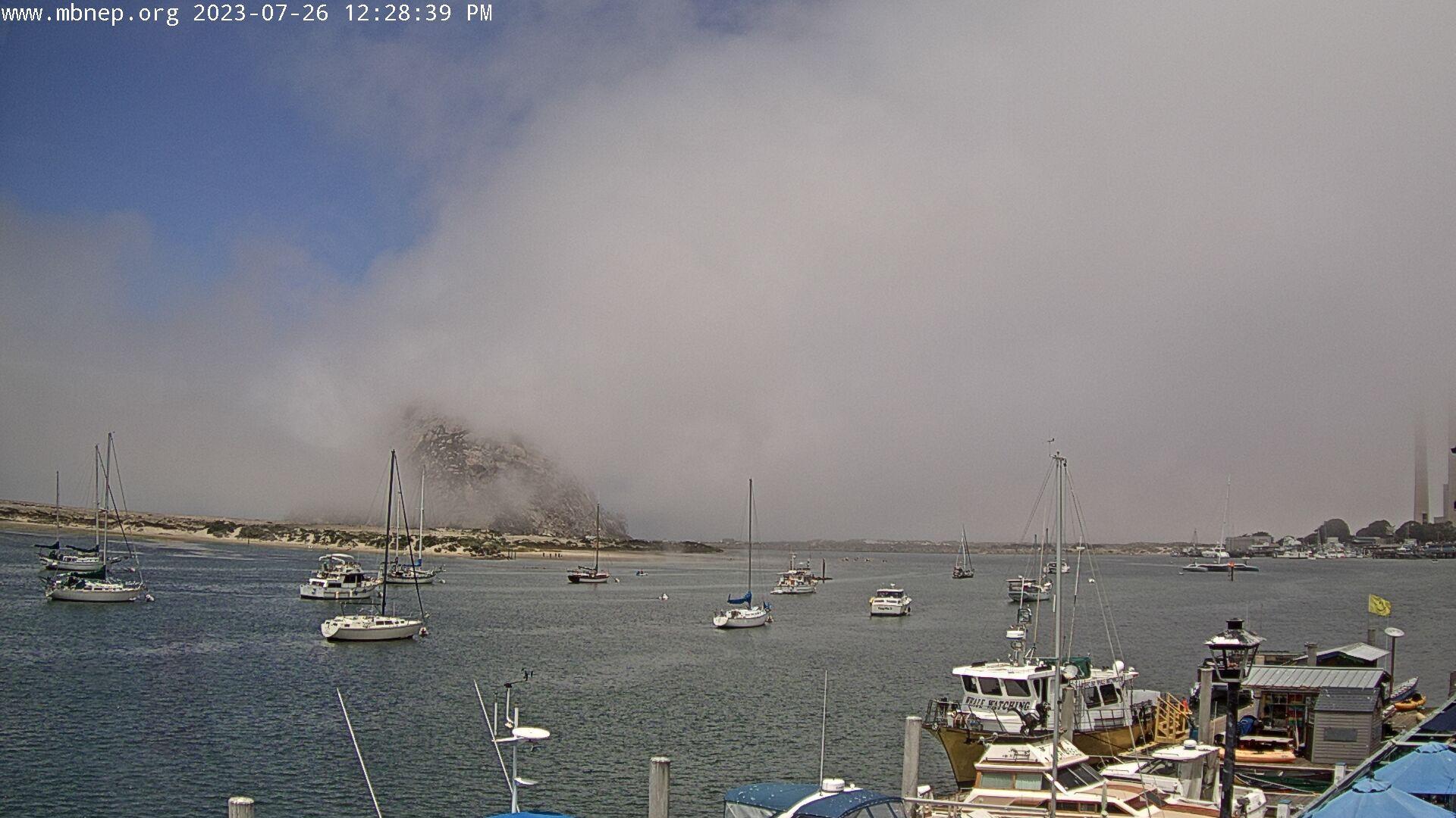
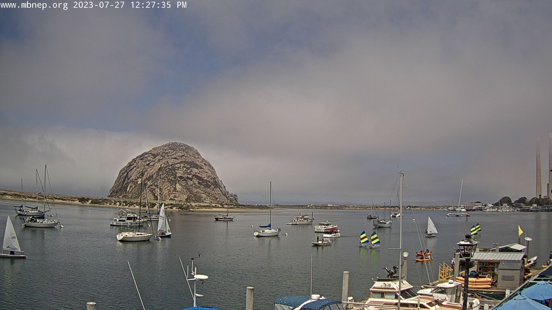
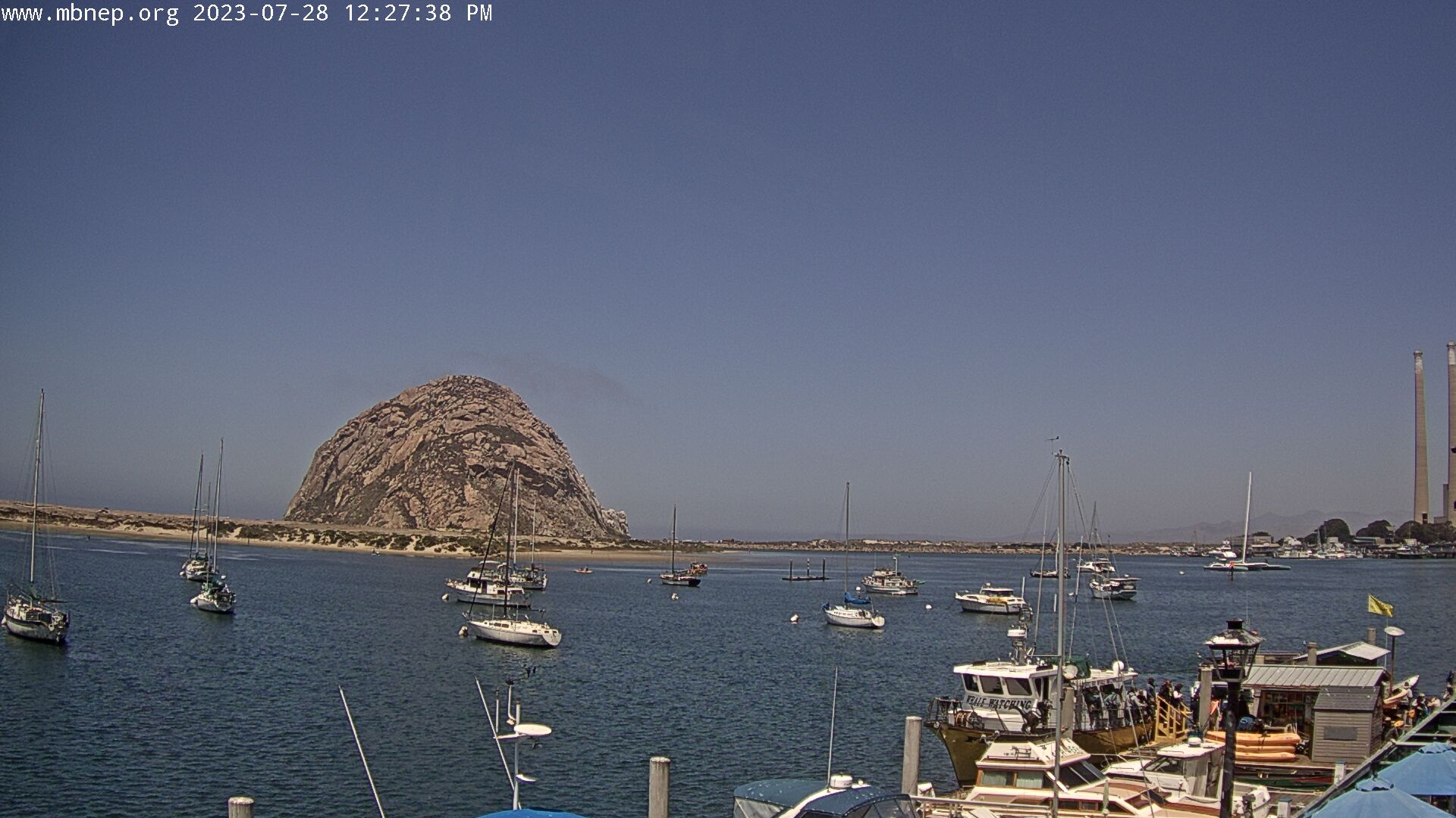
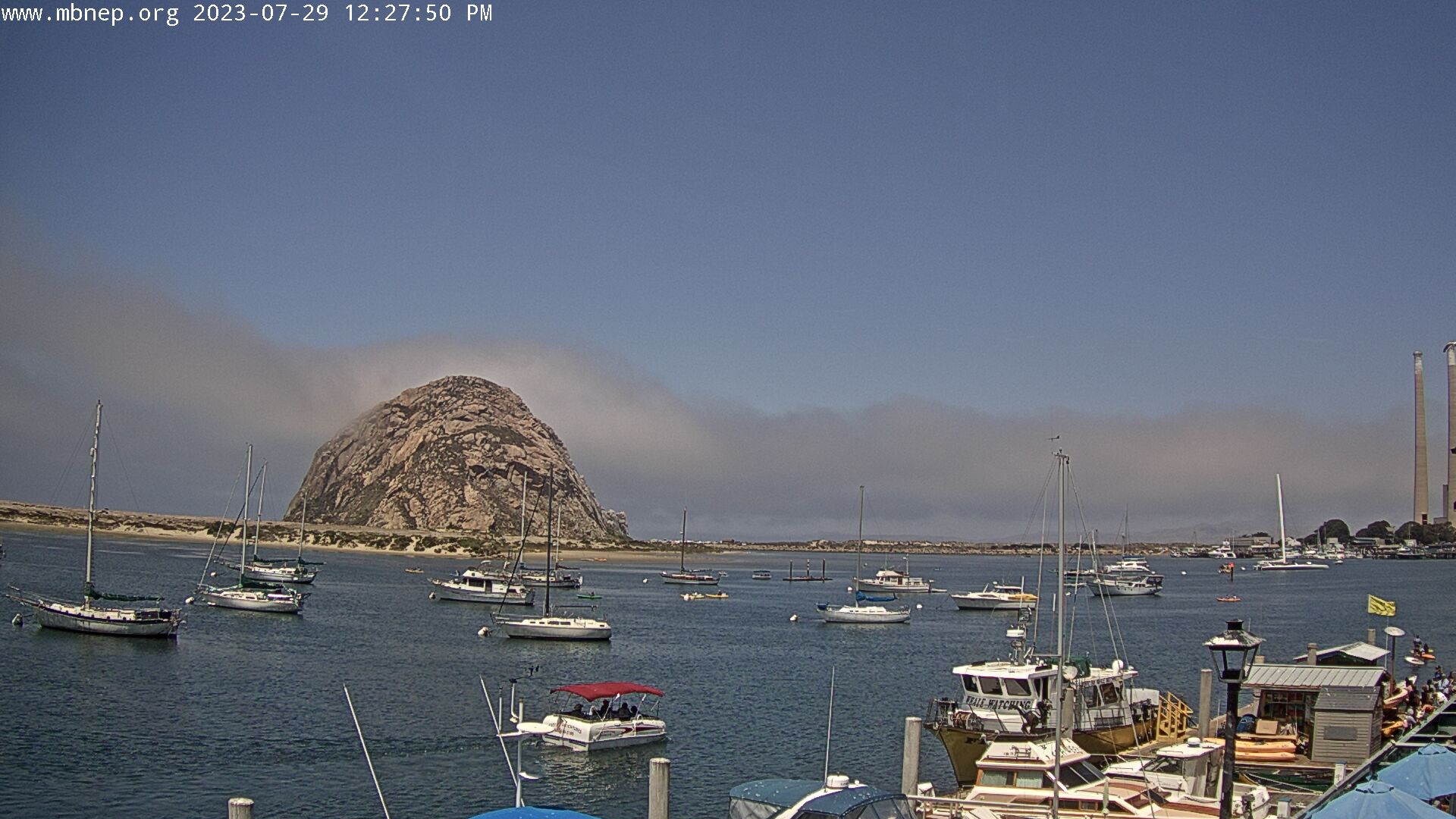
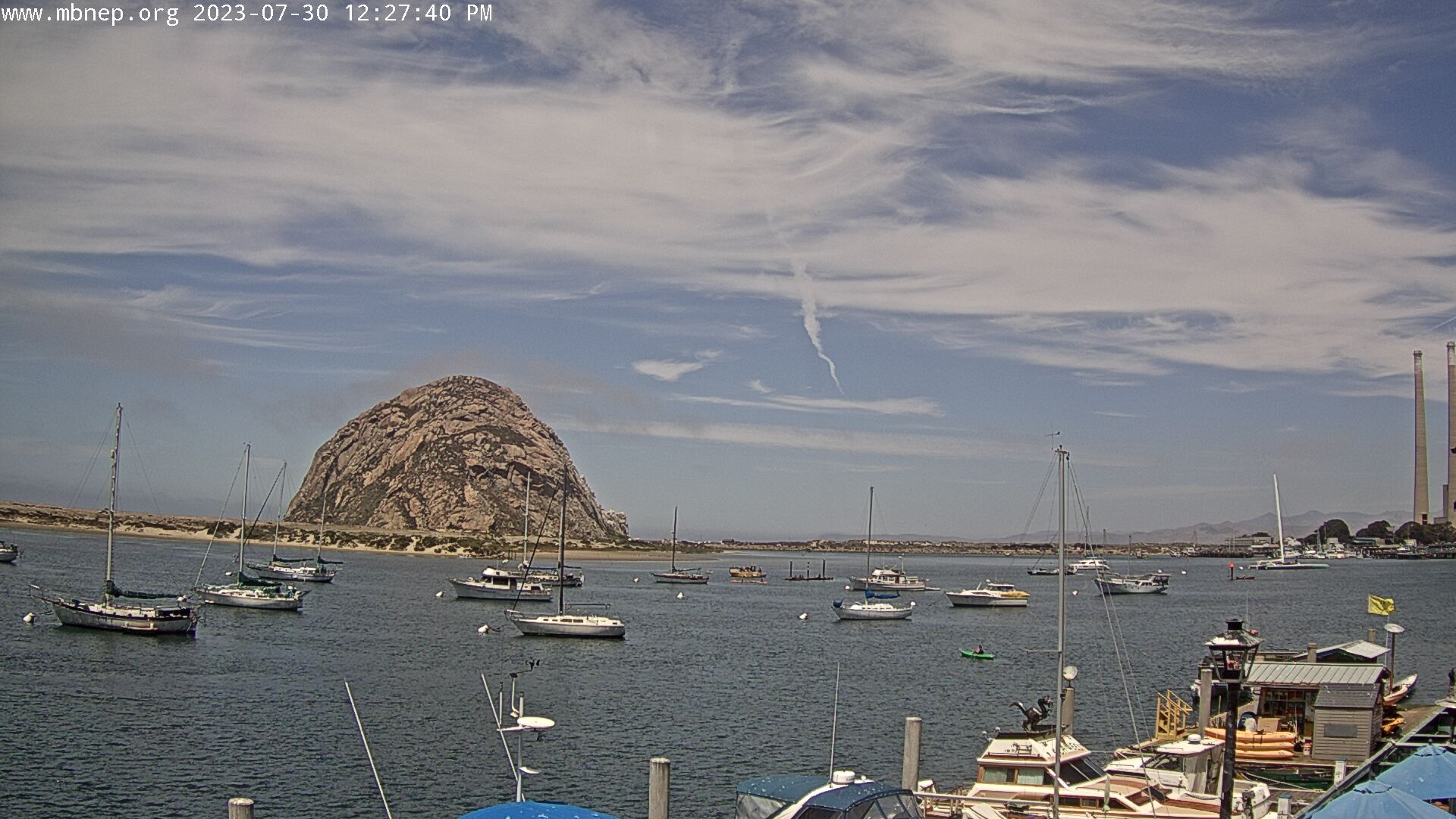
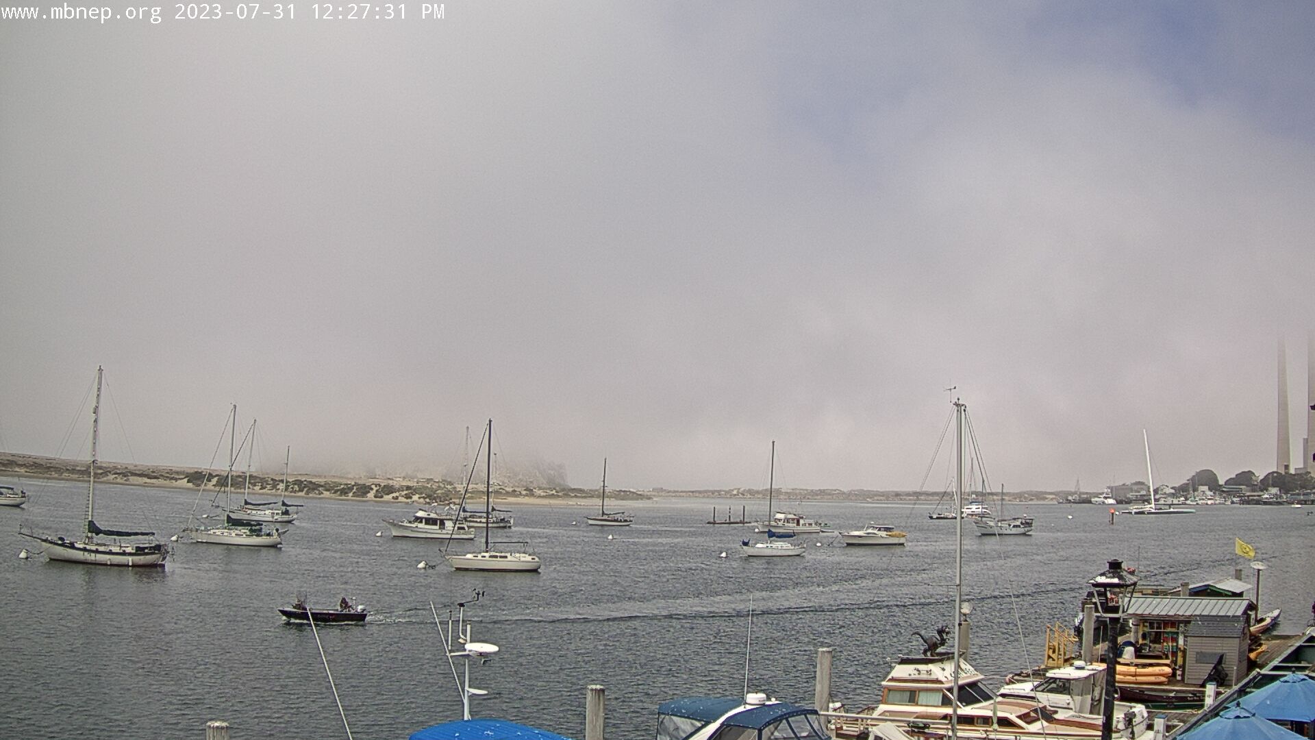
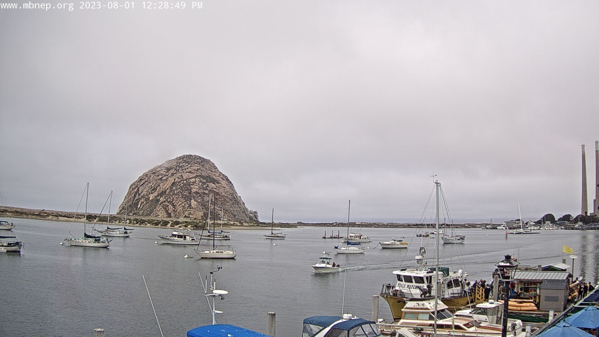
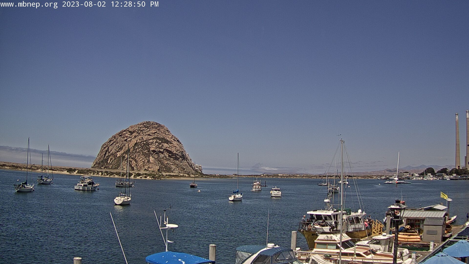
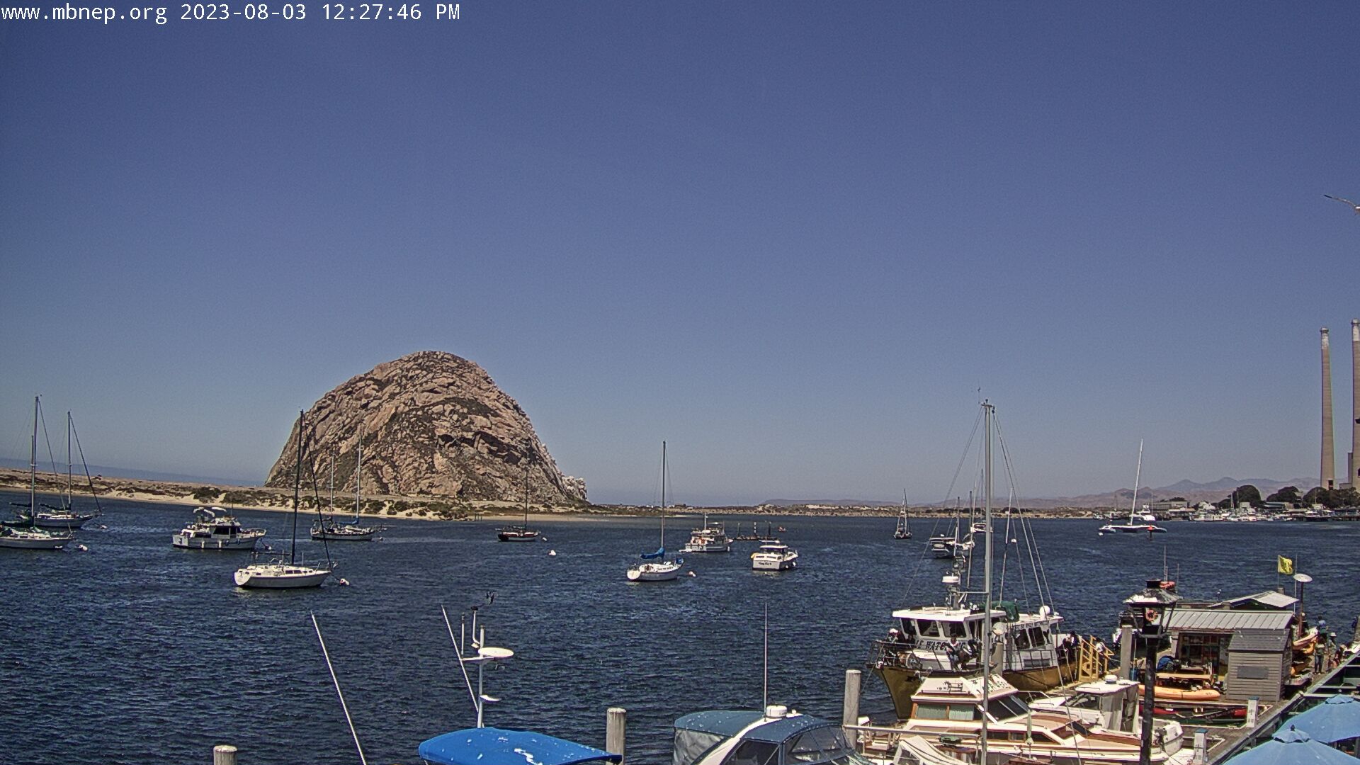
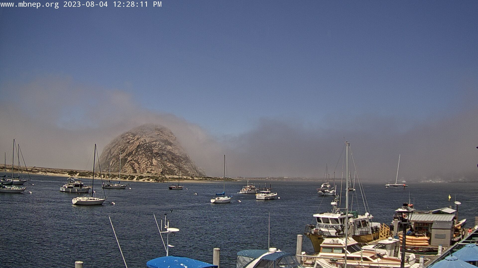
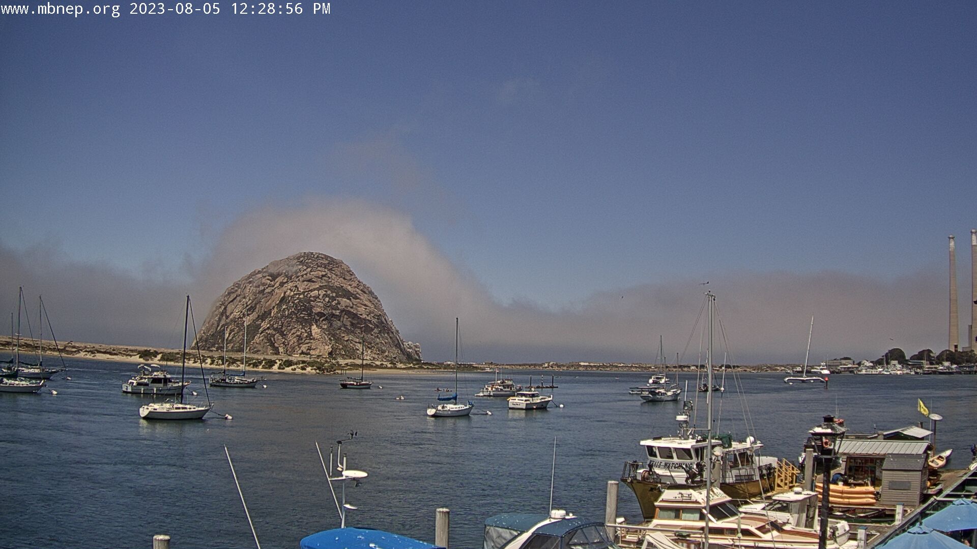
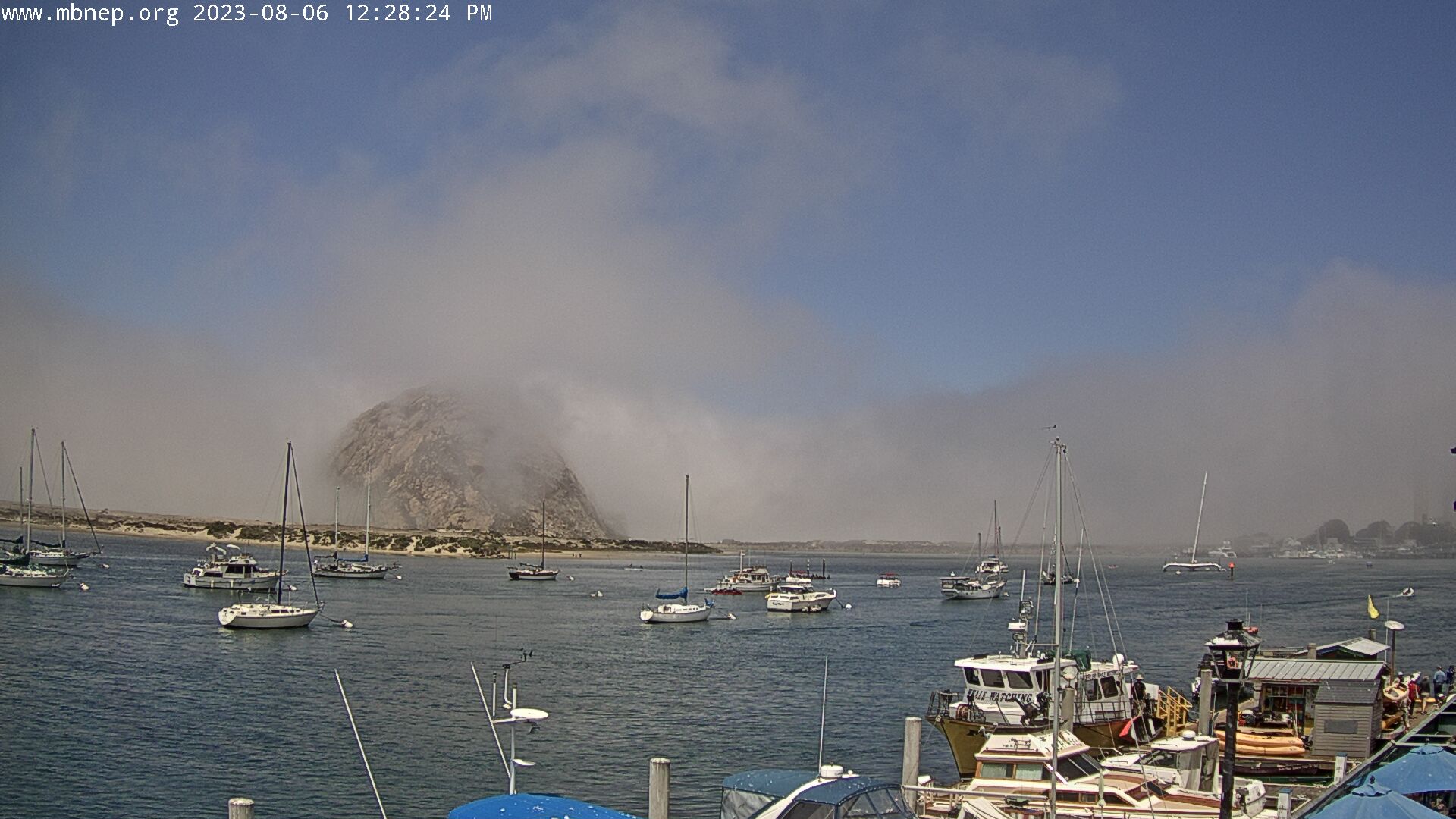
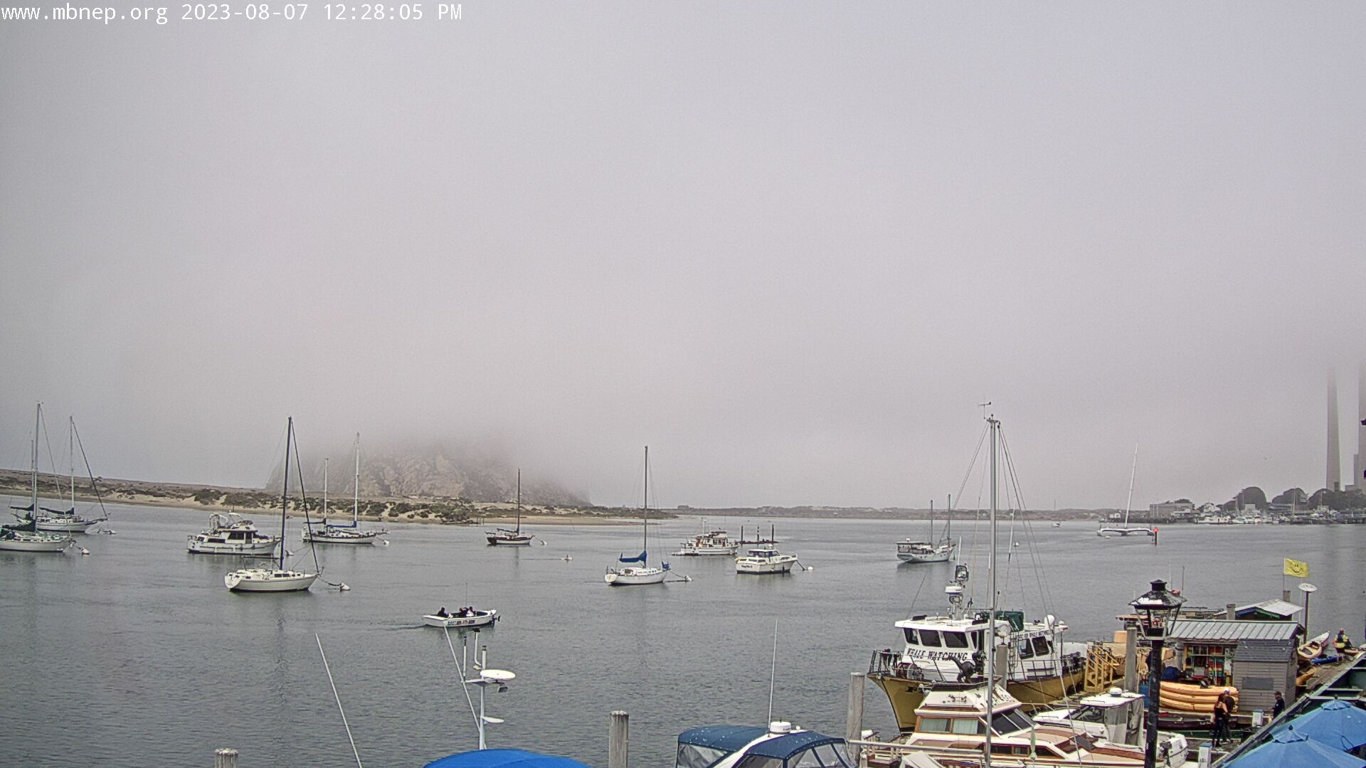
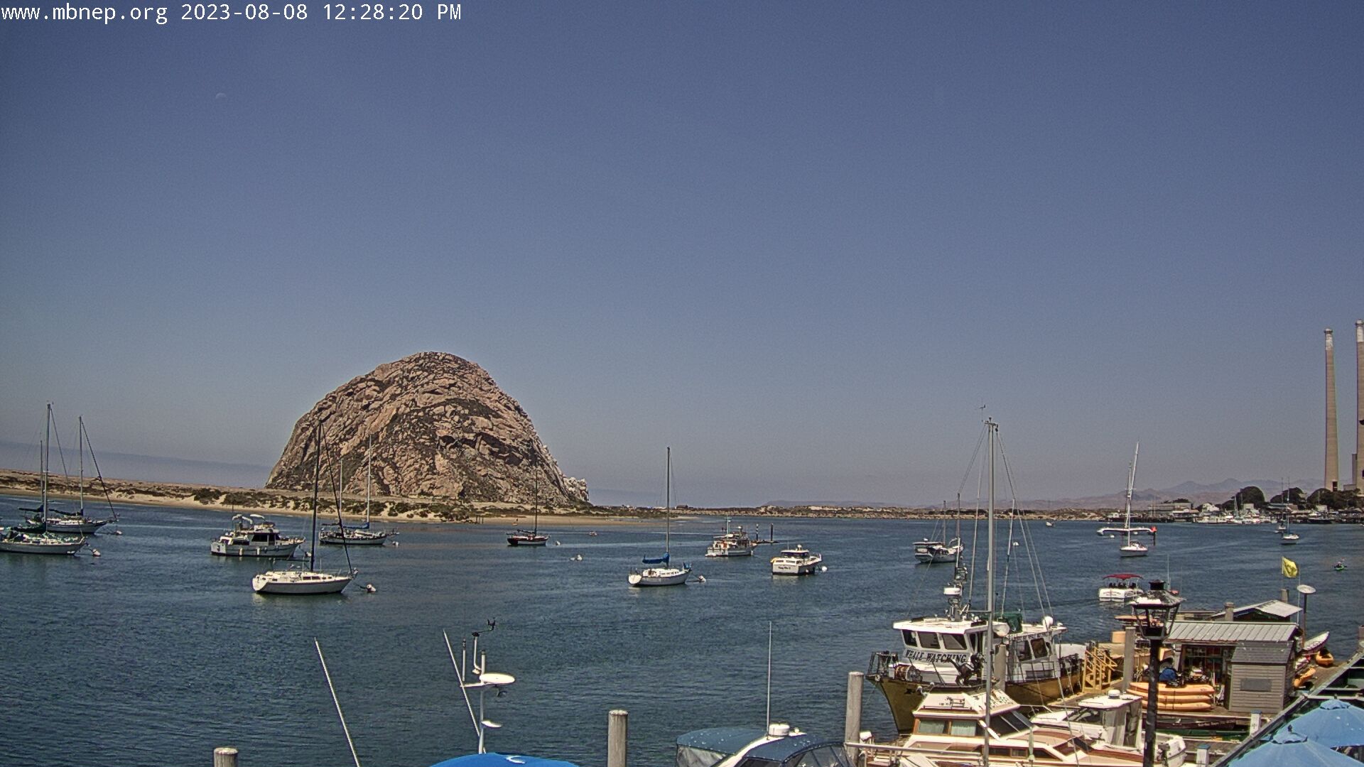
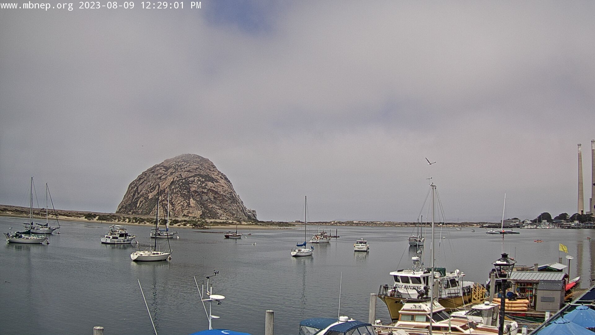
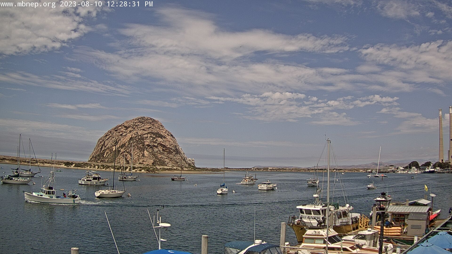
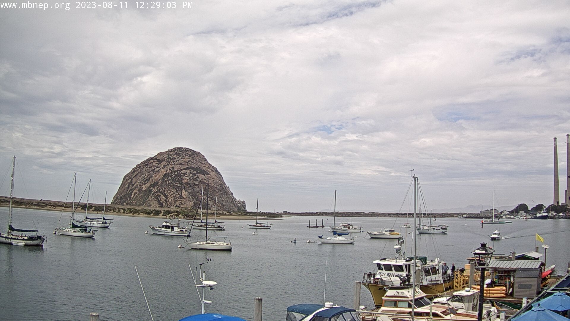
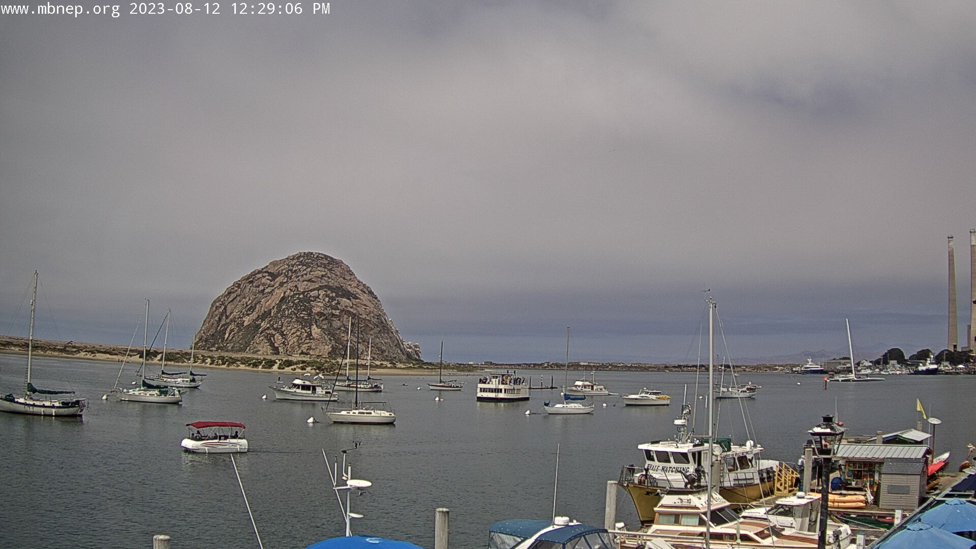
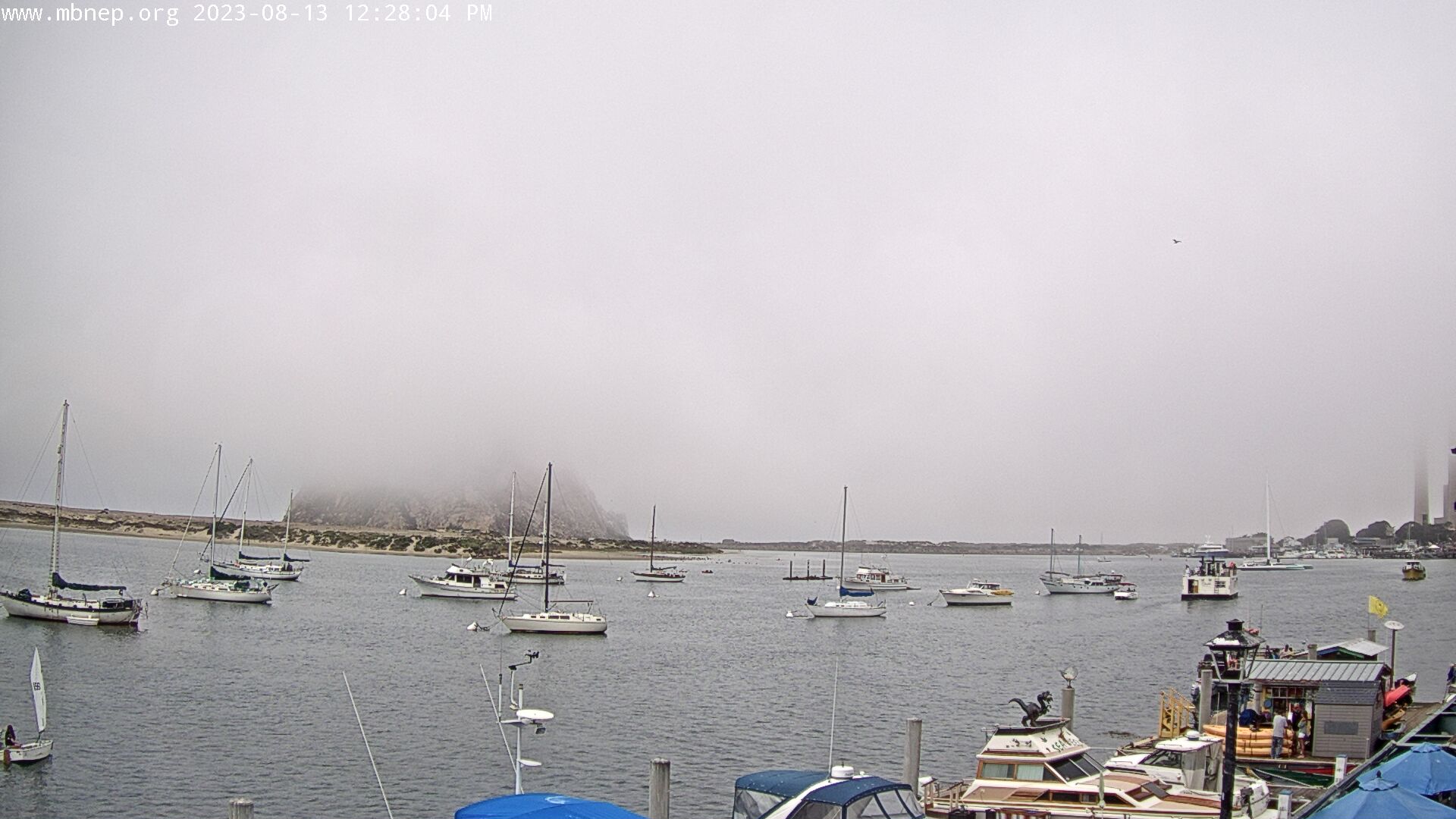
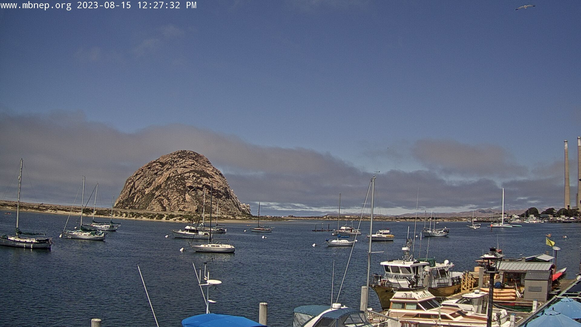
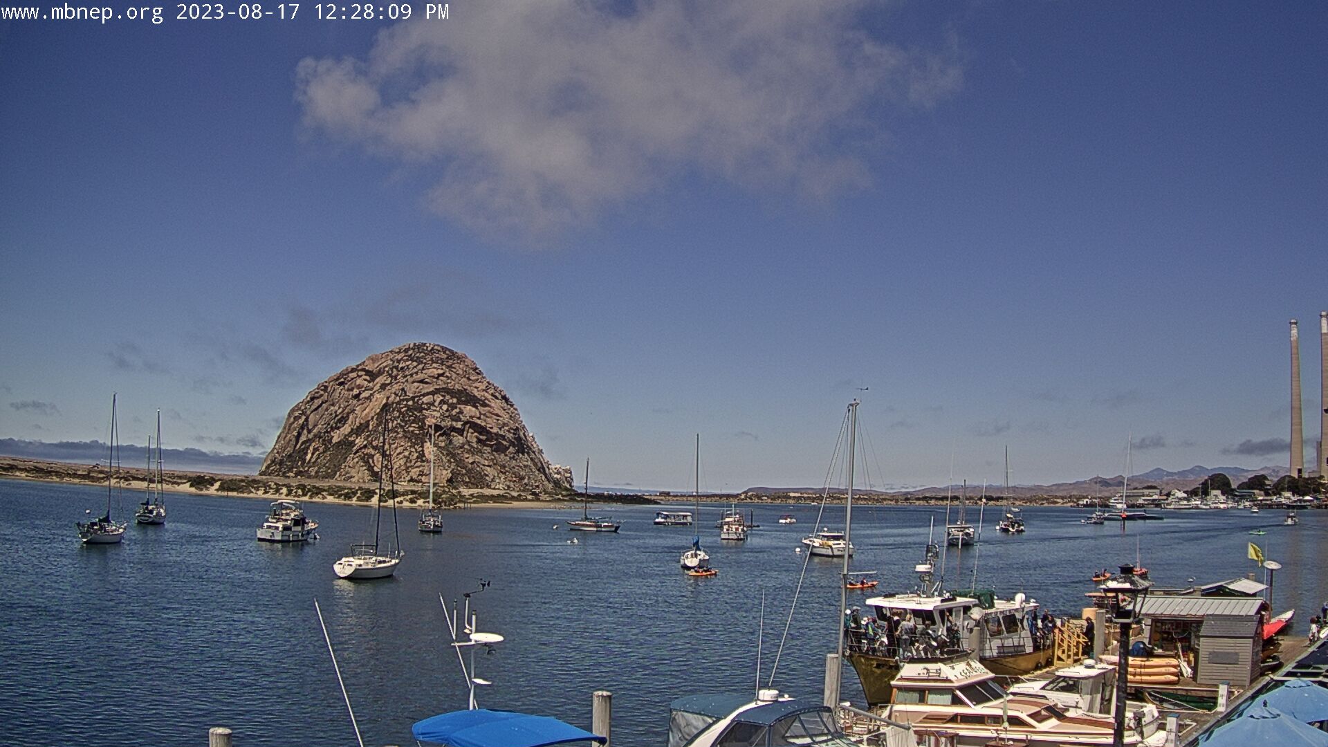
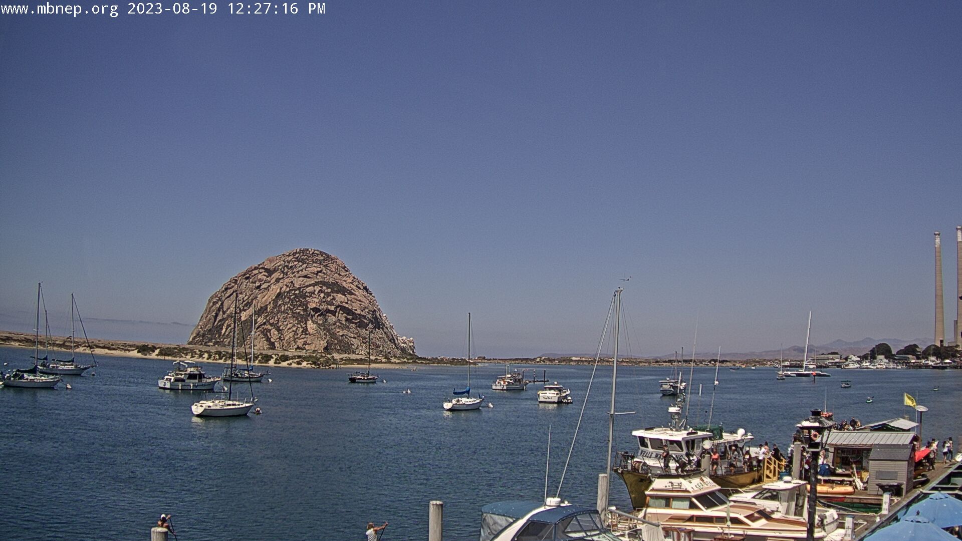
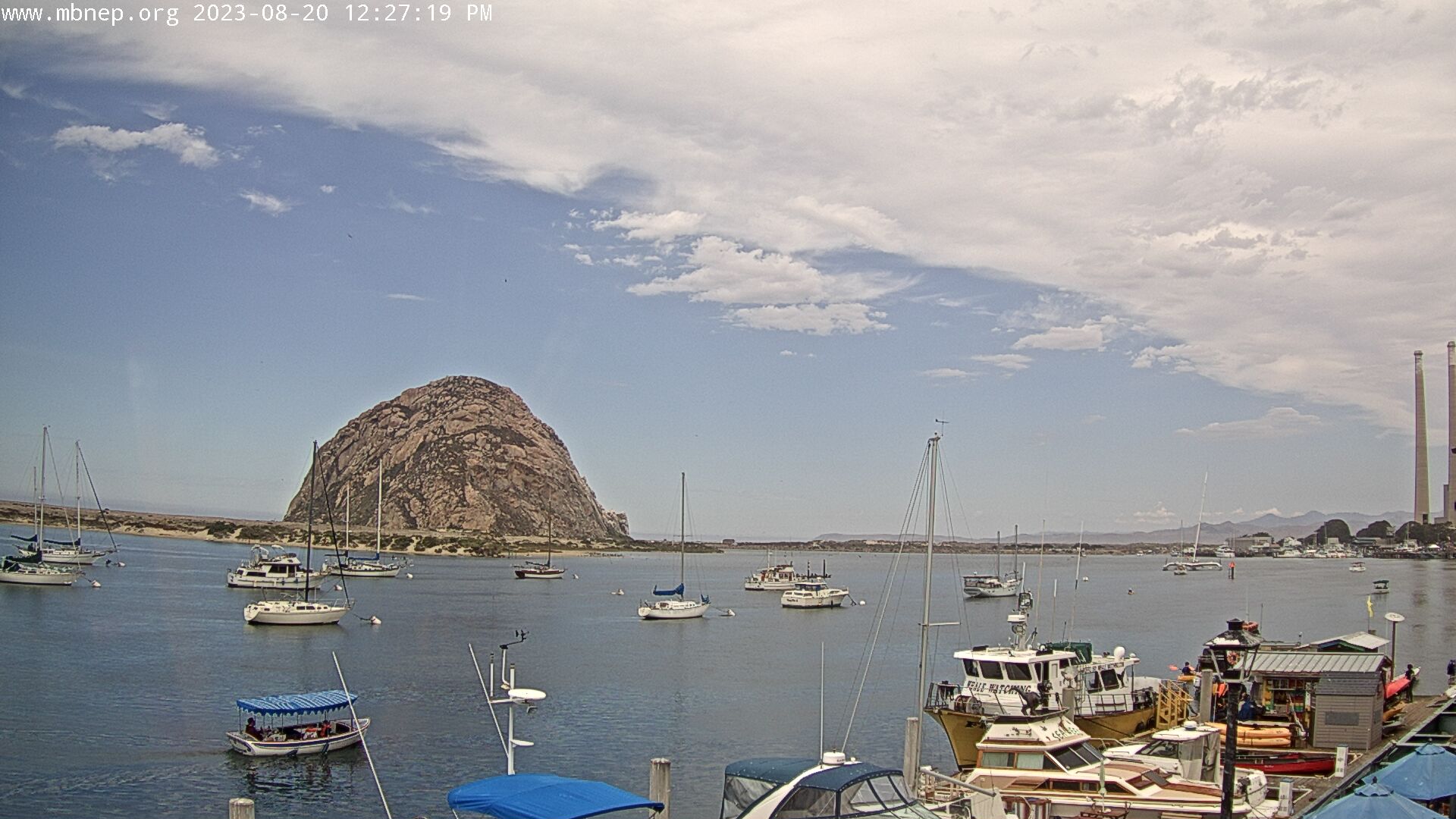
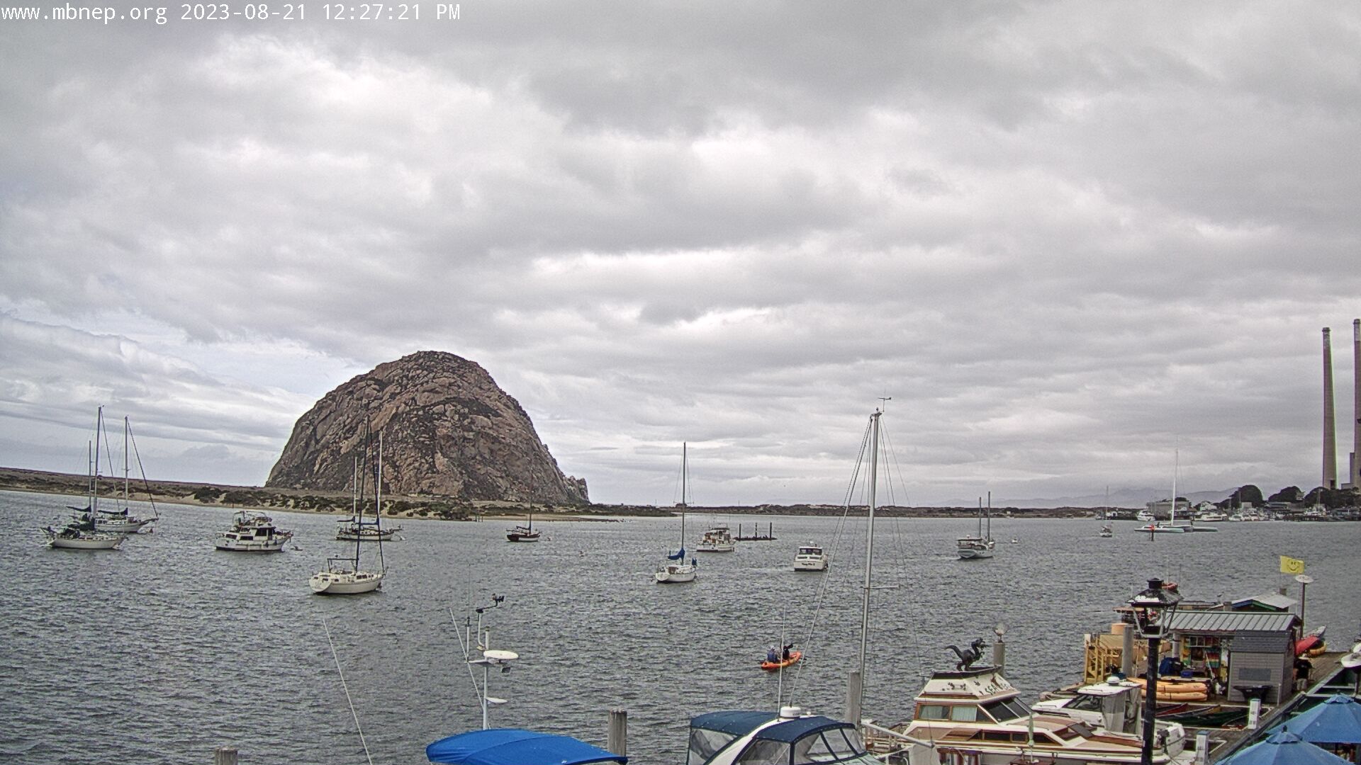
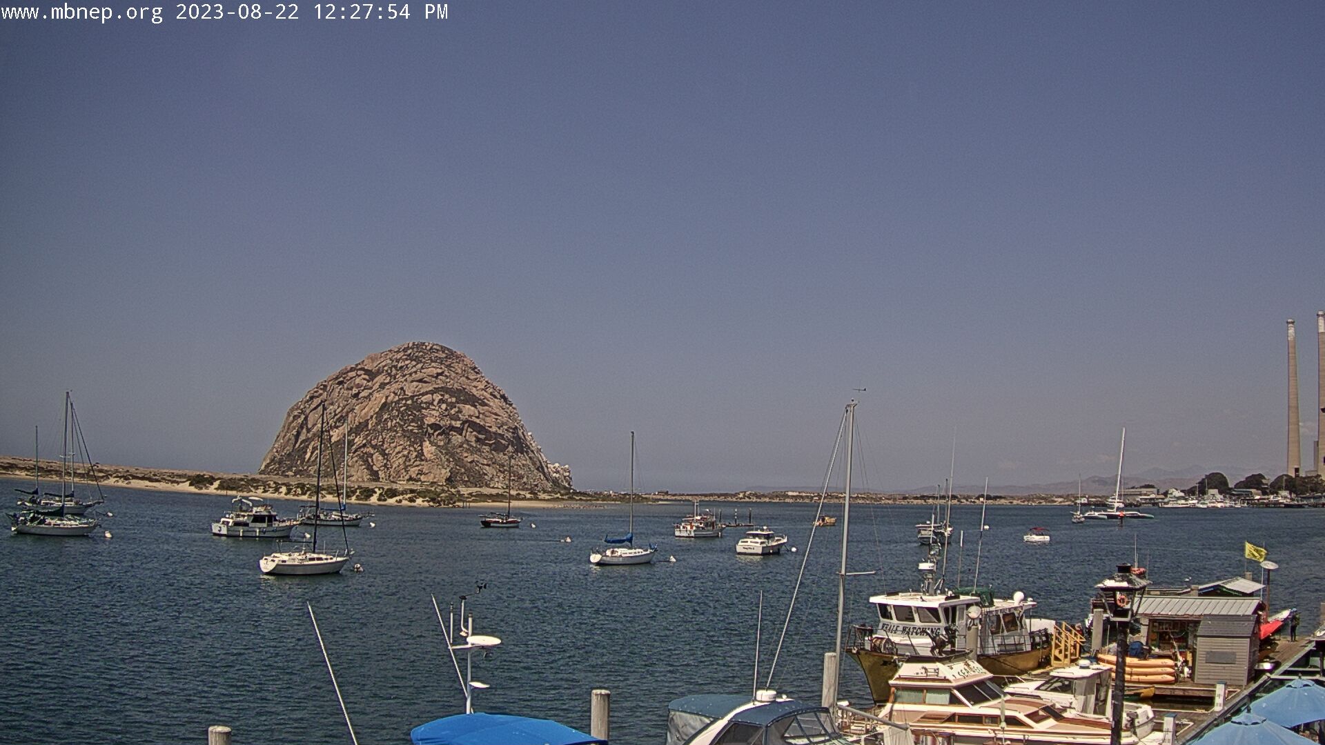
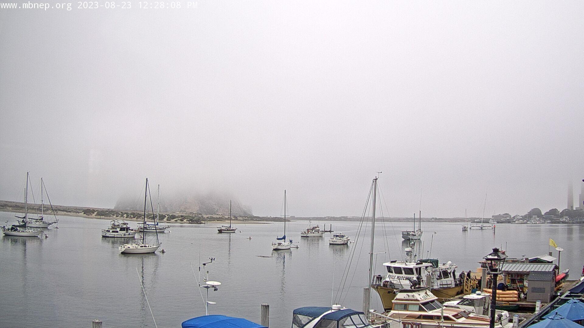
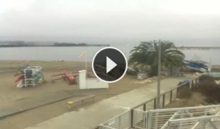
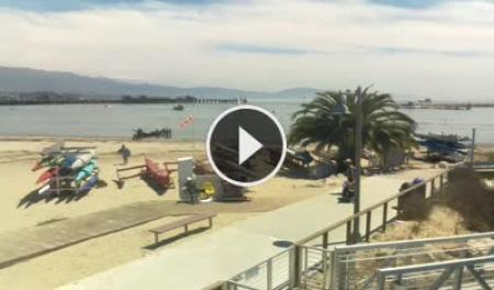
Morro Bay , California, USA - 48.6 miles from Acebedo: Morro Bay Rock - A gorgeous view of Morro Bay Rock and the Morro Bay Harbor.
Operator: Morro Bay National Estuary Program
Operator: Morro Bay National Estuary Program


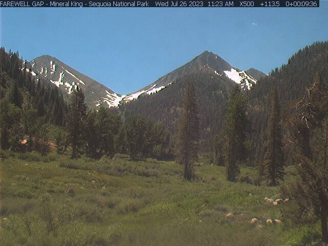
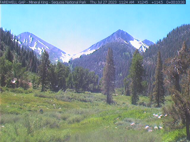
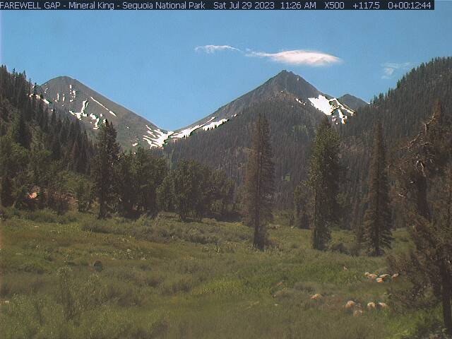
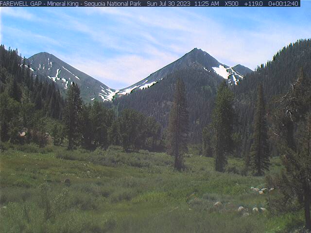
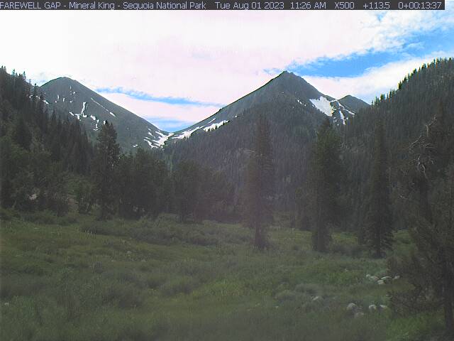
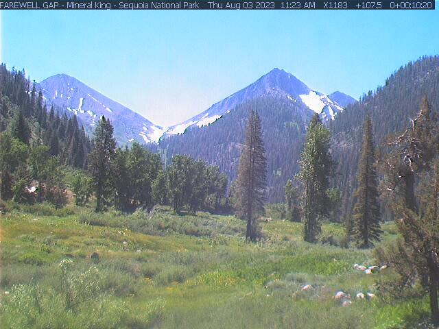
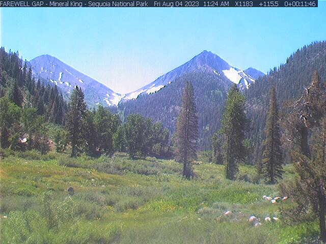
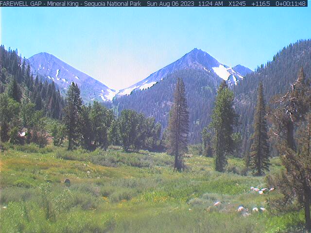
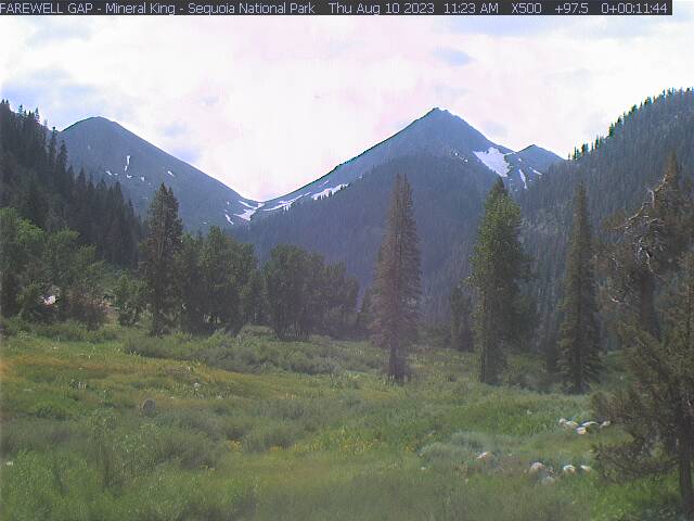
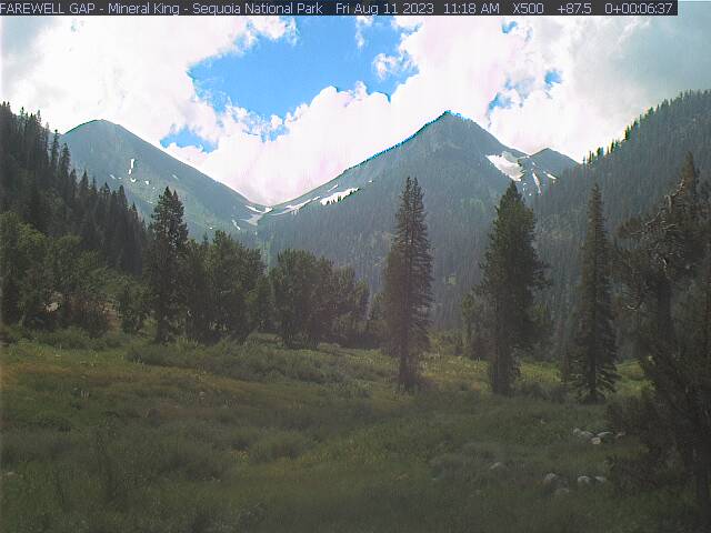
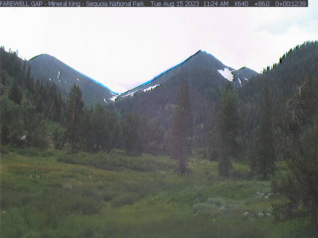
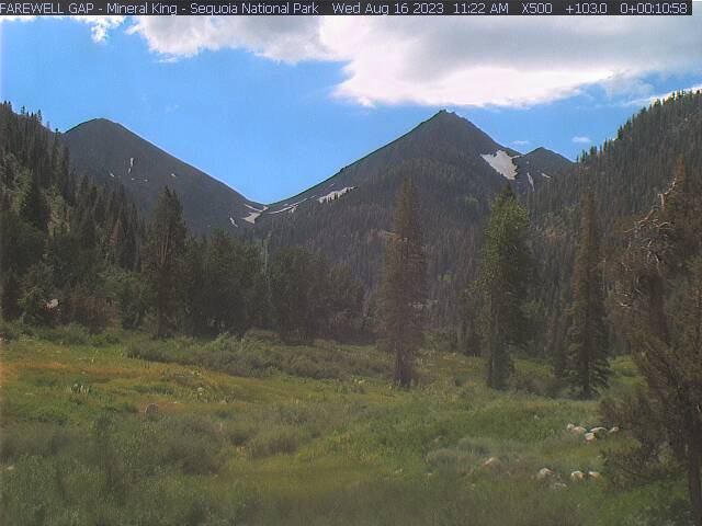
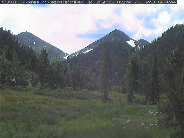
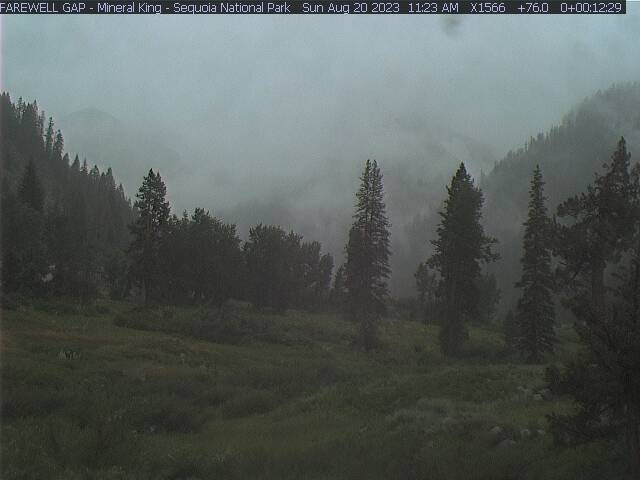
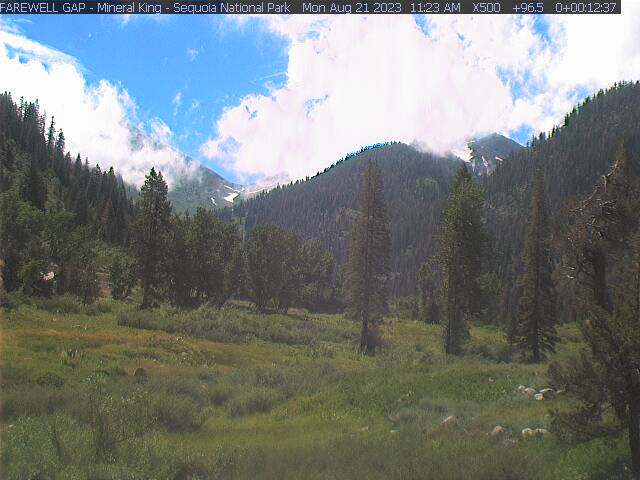
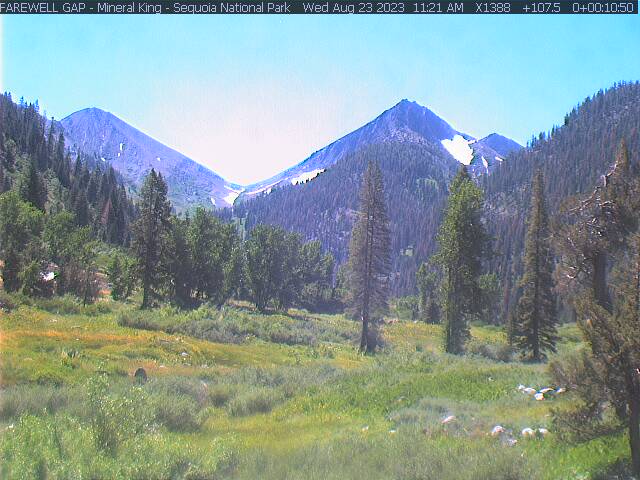
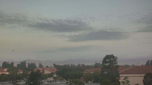
Mineral King, California, USA - 99.3 miles from Acebedo: Mineral King - Farewell Gap - Mineral King Valley, Sequoia National Park, CA. USA. View looking south toward Farewell Gap.
Operator: Mineral King Webcam
Operator: Mineral King Webcam


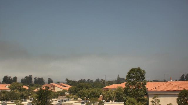
Santa Barbara, California, USA - 101.6 miles from Acebedo: Santa Barbara Stearns Wharf - View of Santa Barbara's Stearns Wharf, beach and harbor entrance from SEA Landing.
Operator: Skyline Webcams
Operator: Skyline Webcams


Pebble Beach, California, USA - 109.7 miles from Acebedo: Pebble Beach Resorts - A view over the golf course of the Pebble Beach Resorts.
Operator: Pebble Beach Resorts
Operator: Pebble Beach Resorts

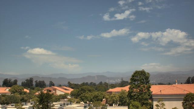
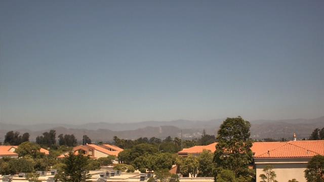
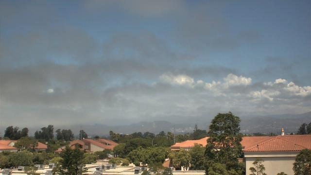
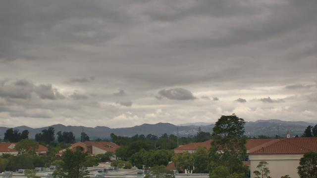
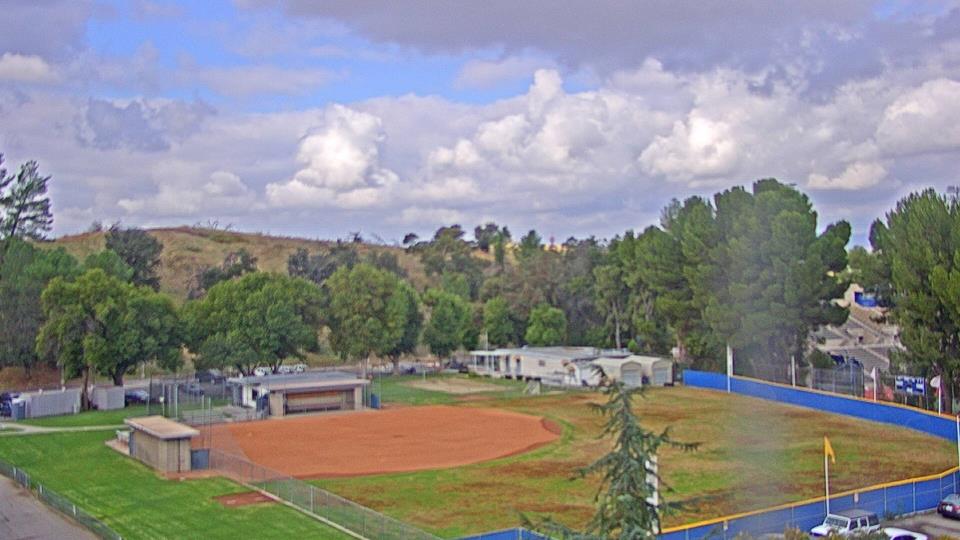
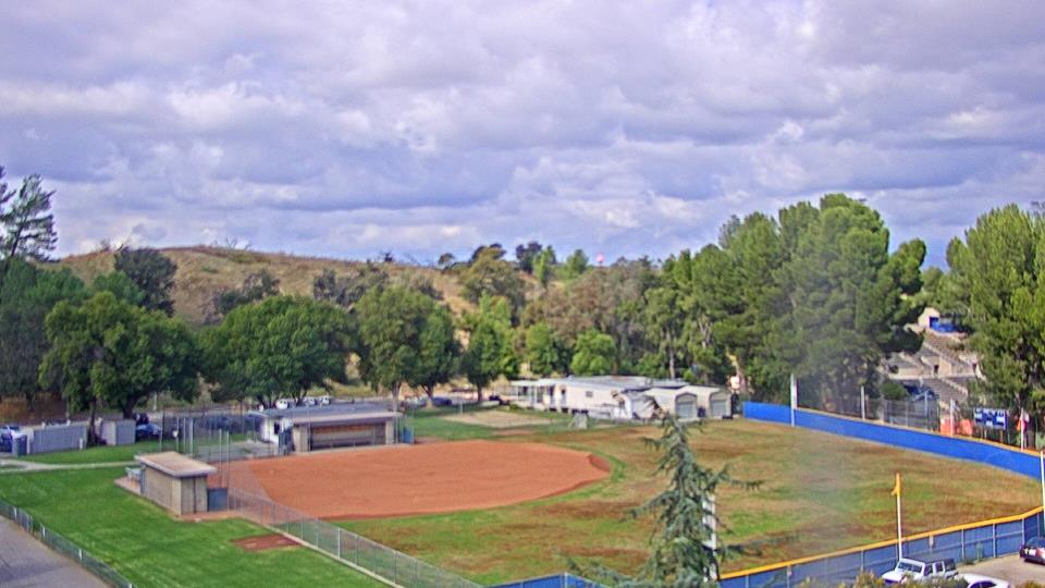
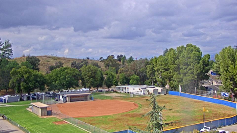
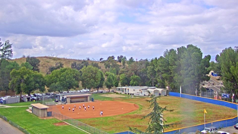
Oxnard, California, USA - 126.9 miles from Acebedo: Oxnard School District - A webcam in Oxnard, California - camera location: Oxnard School District.
Operator: WeatherBug
Operator: WeatherBug


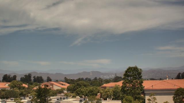
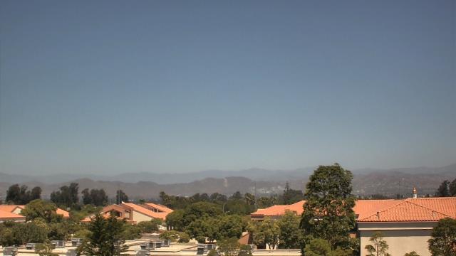


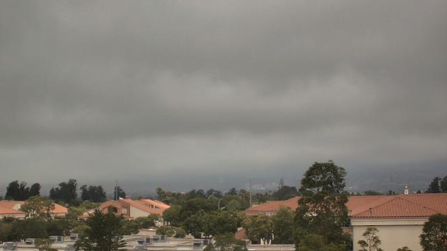

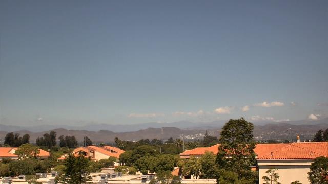

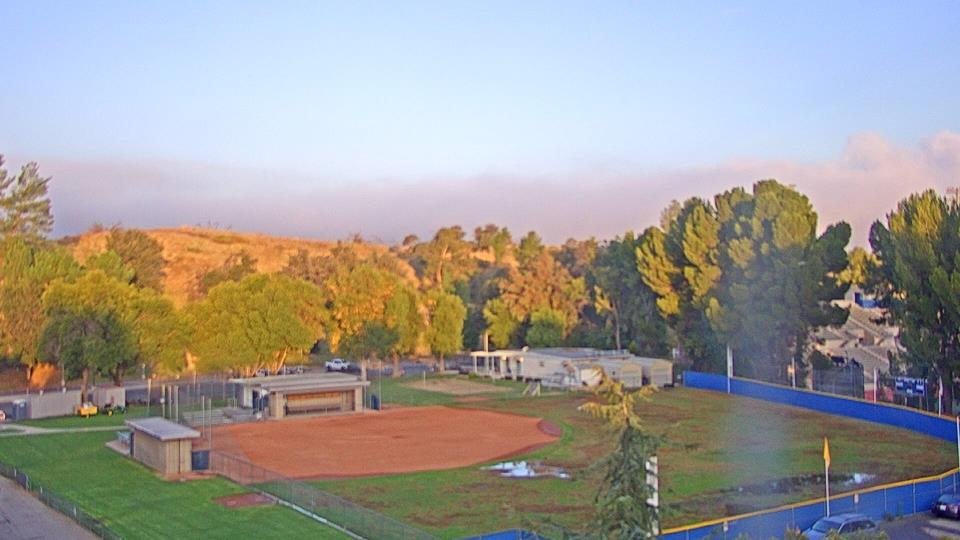
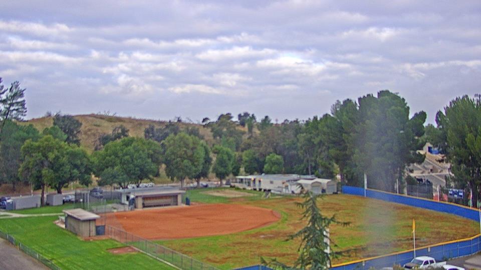
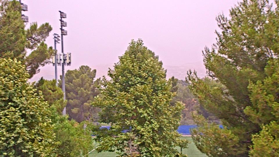
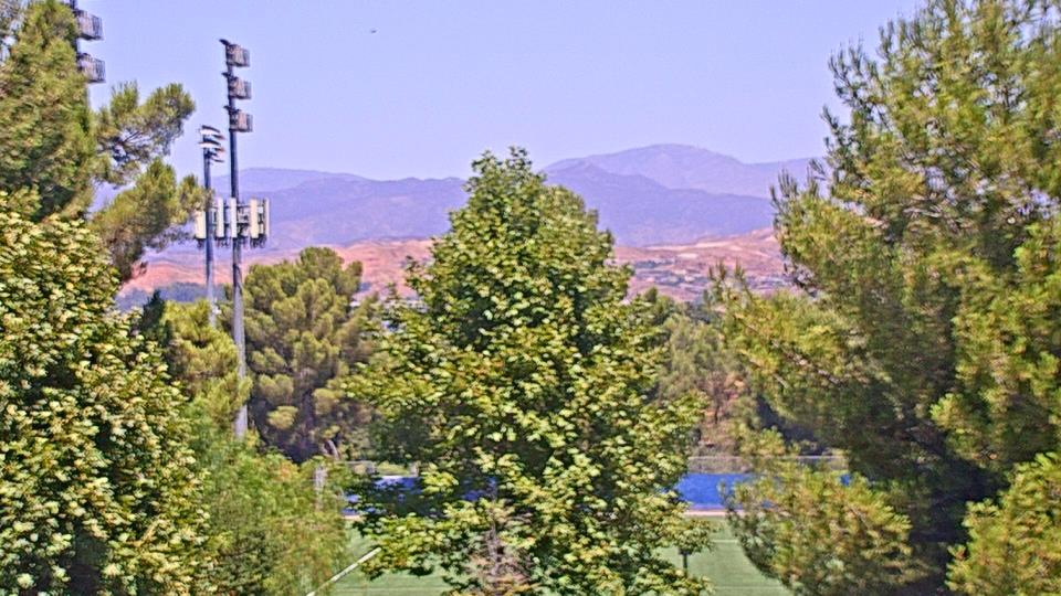
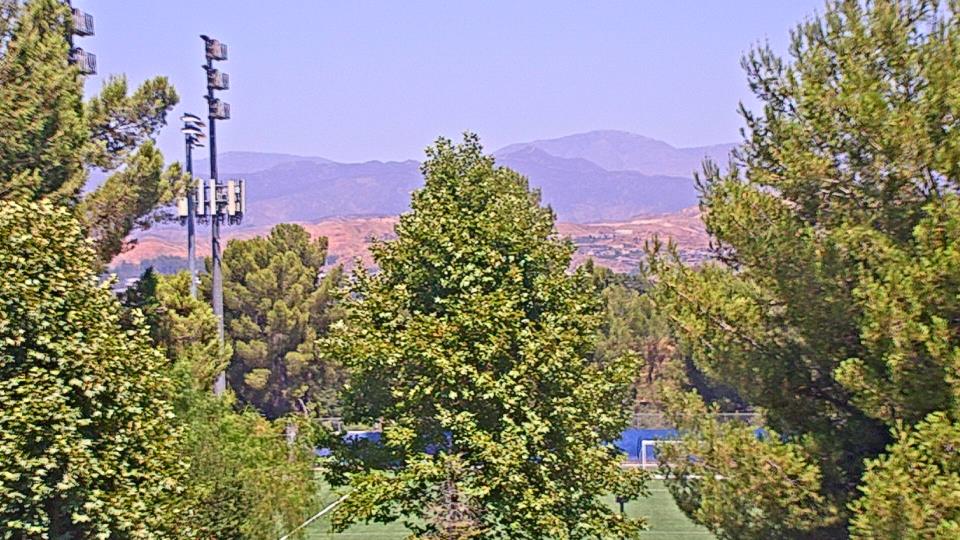
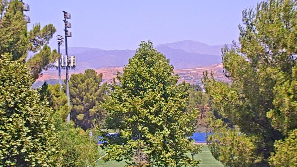
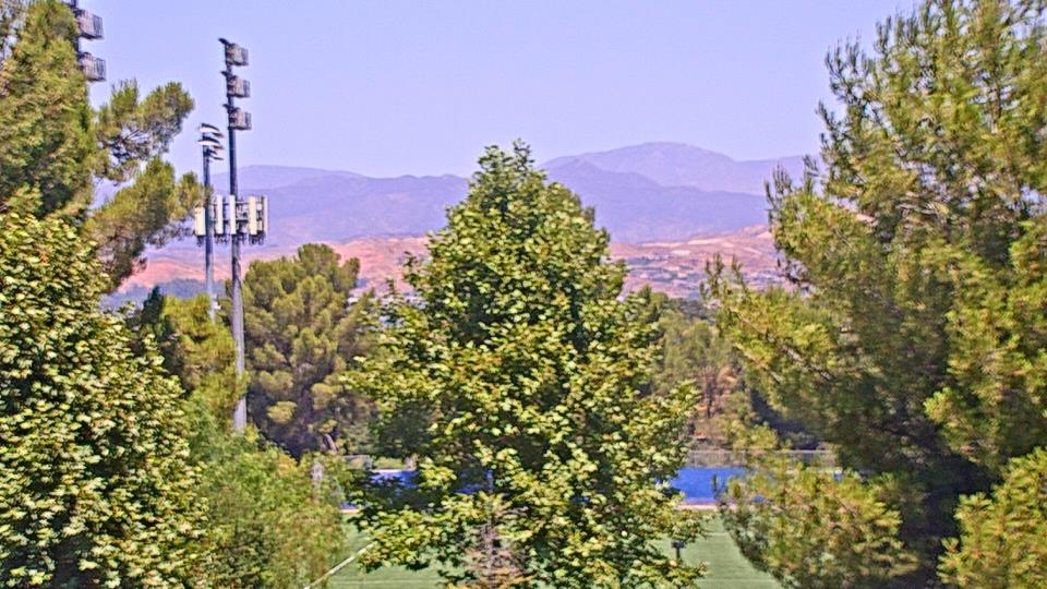
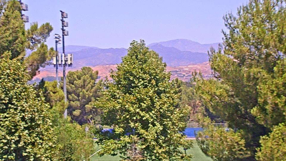
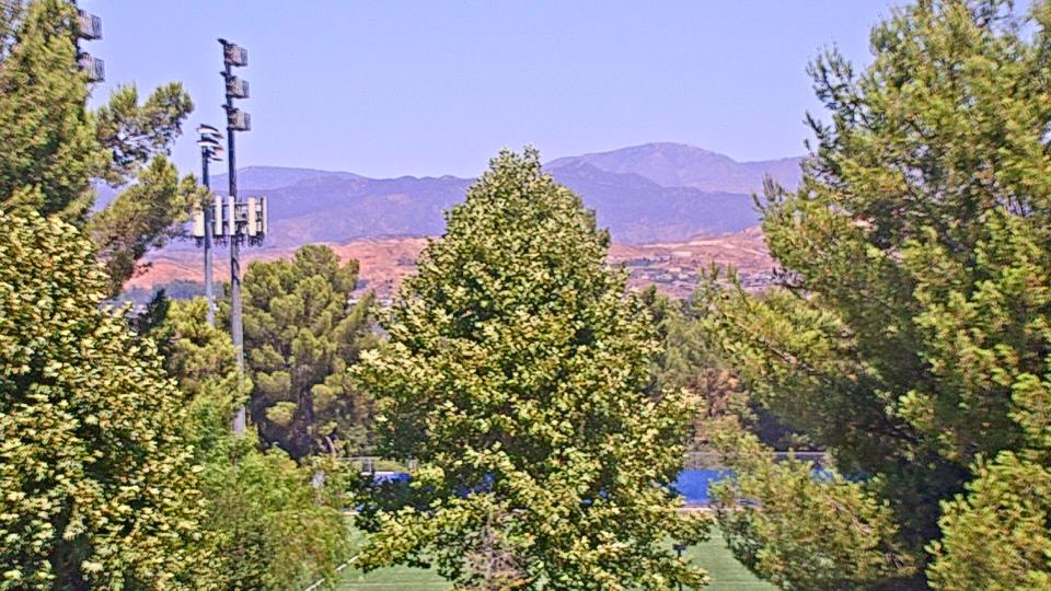
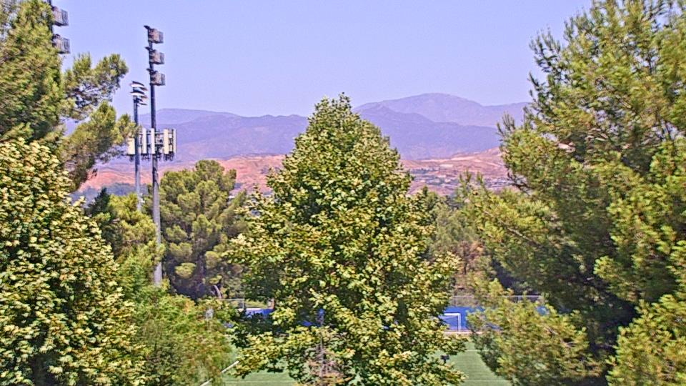
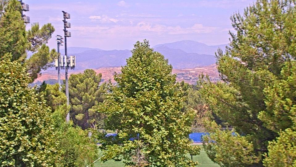
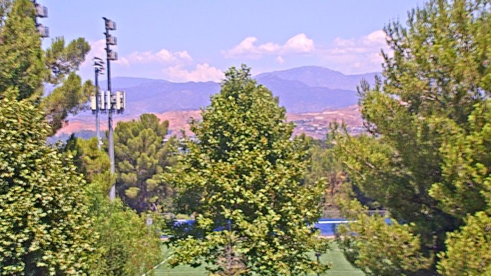
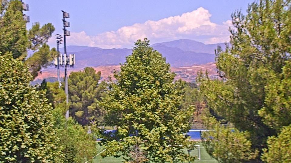
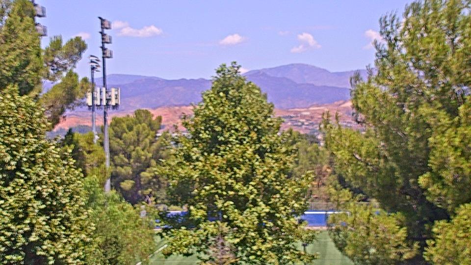
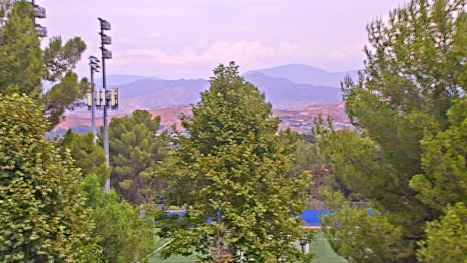
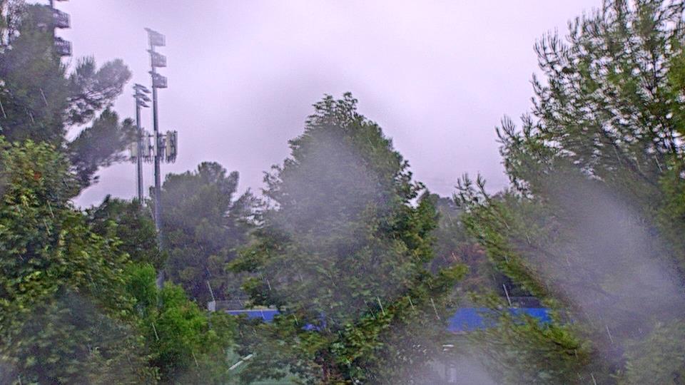
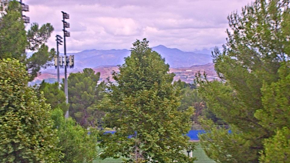
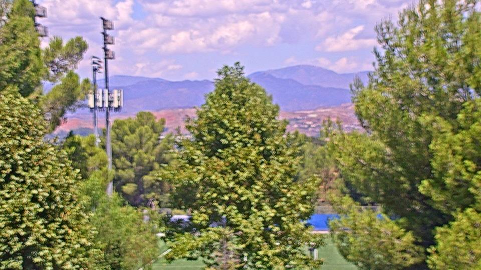
Saugus, California, USA - 135.7 miles from Acebedo: Valencia-Santa Clarita View - A view of Valencia/Six Flags Magic Mountain/Steveson Ranch areas within Santa Clarita from Saugus, CA.
Operator: Santa Clarita Cam
Operator: Santa Clarita Cam

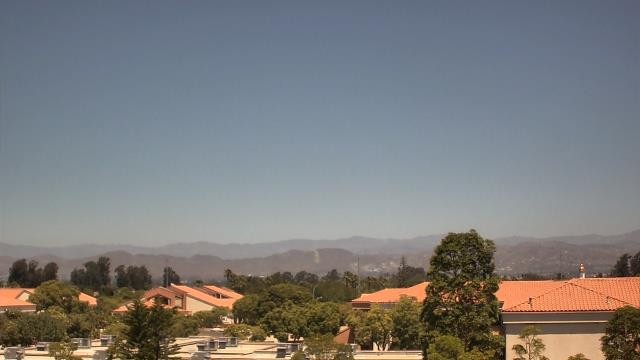
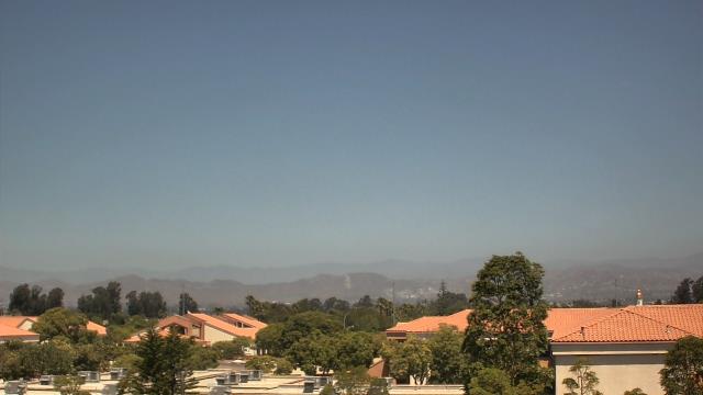
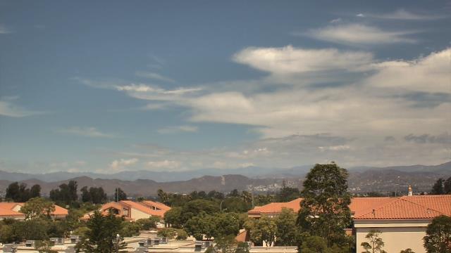
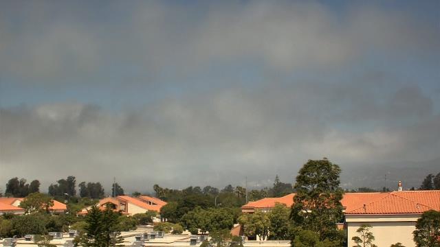
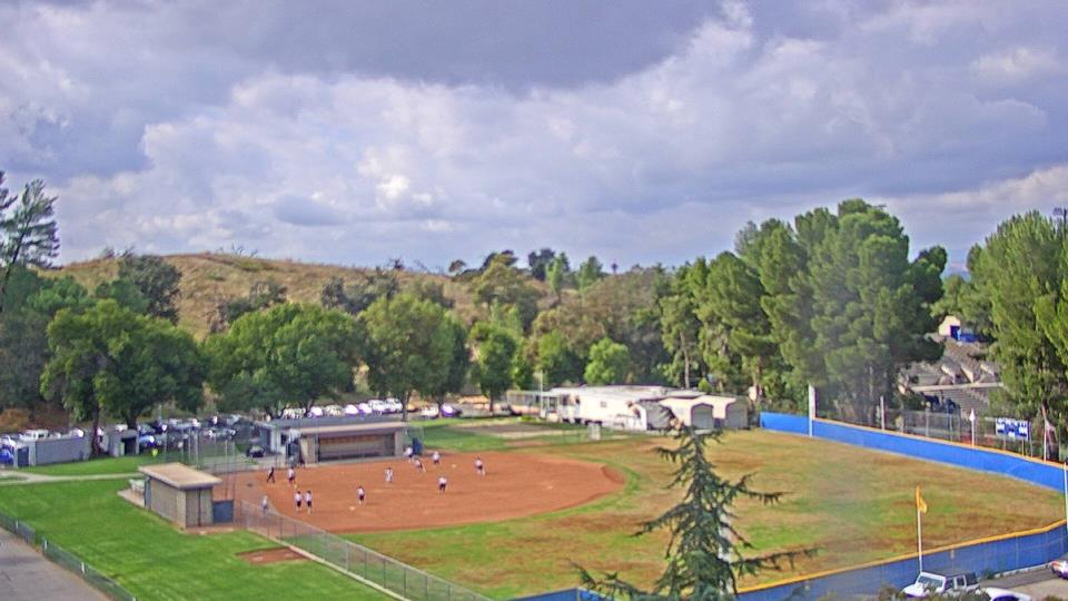
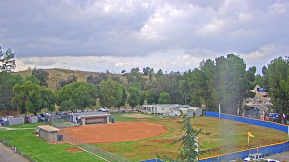
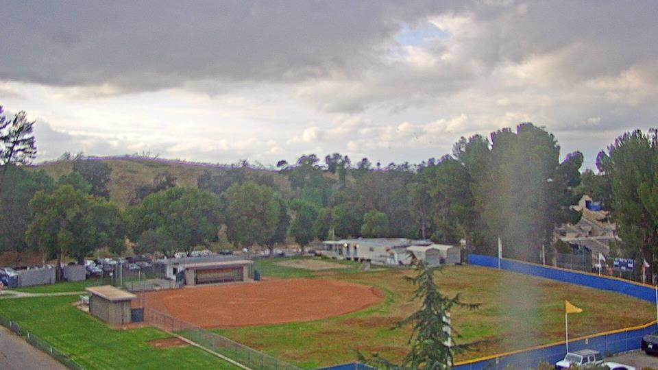
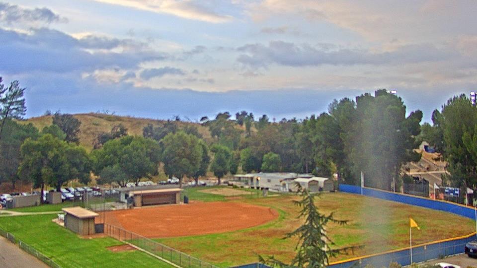
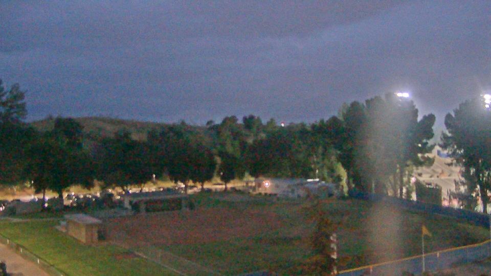
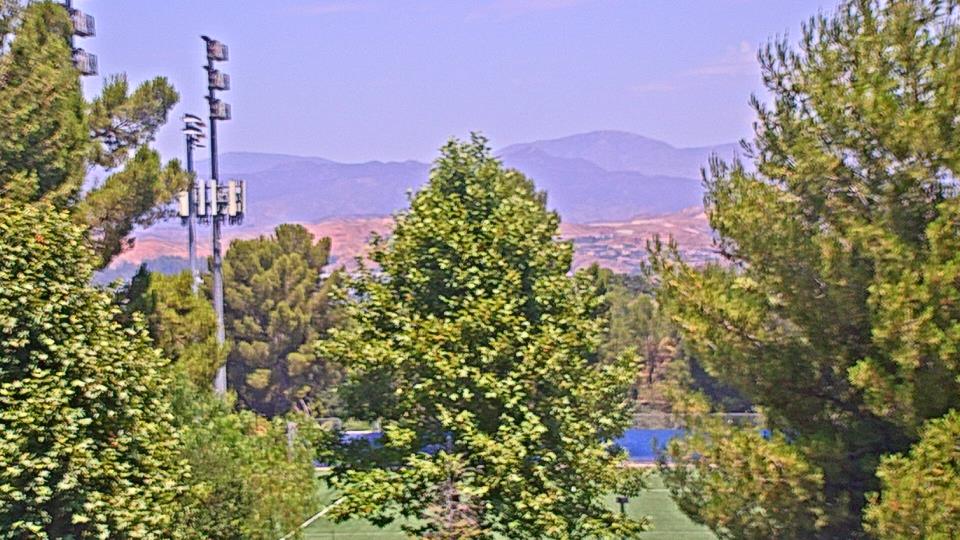
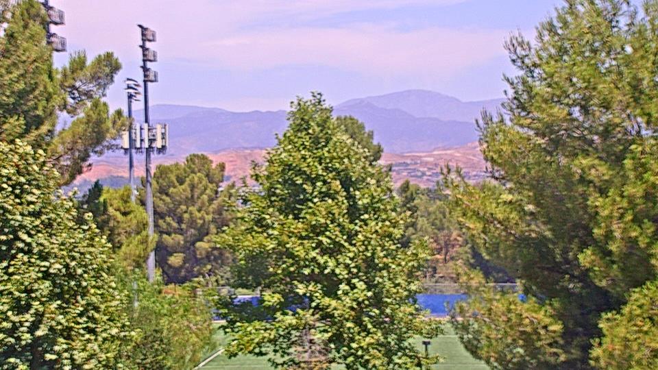
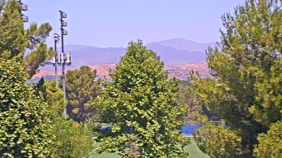
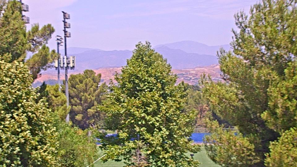
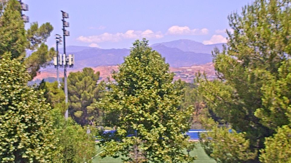
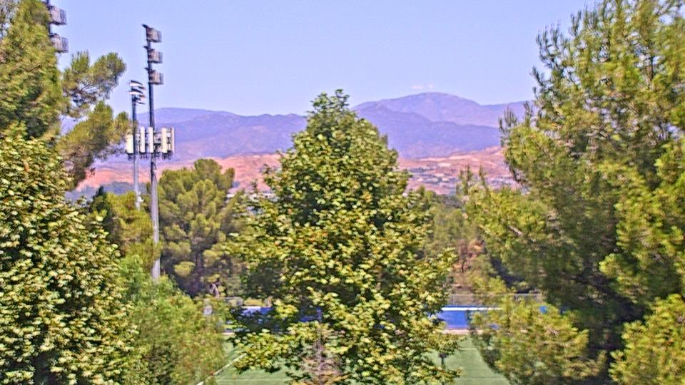
Valencia, California, USA - 136 miles from Acebedo: College of the Canyons - Webcam and current weather data - camera location: College of the Canyons.
Operator: WeatherBug
Operator: WeatherBug


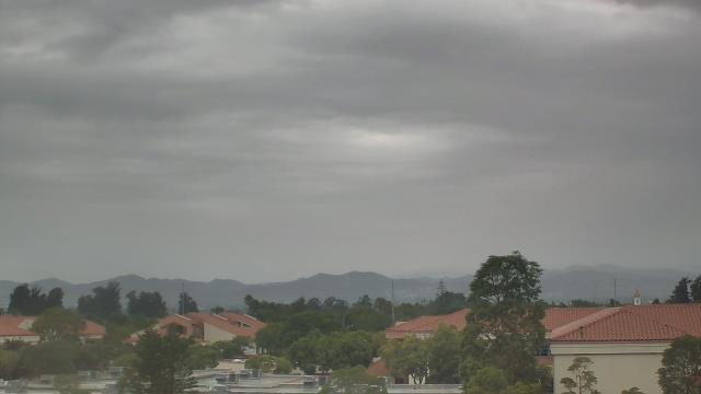
Yosemite National Park, California, USA - 136.4 miles from Acebedo: Live Web Cam Views of Yosemite Valley - Several views.
Operator: The Yosemite Association
Operator: The Yosemite Association
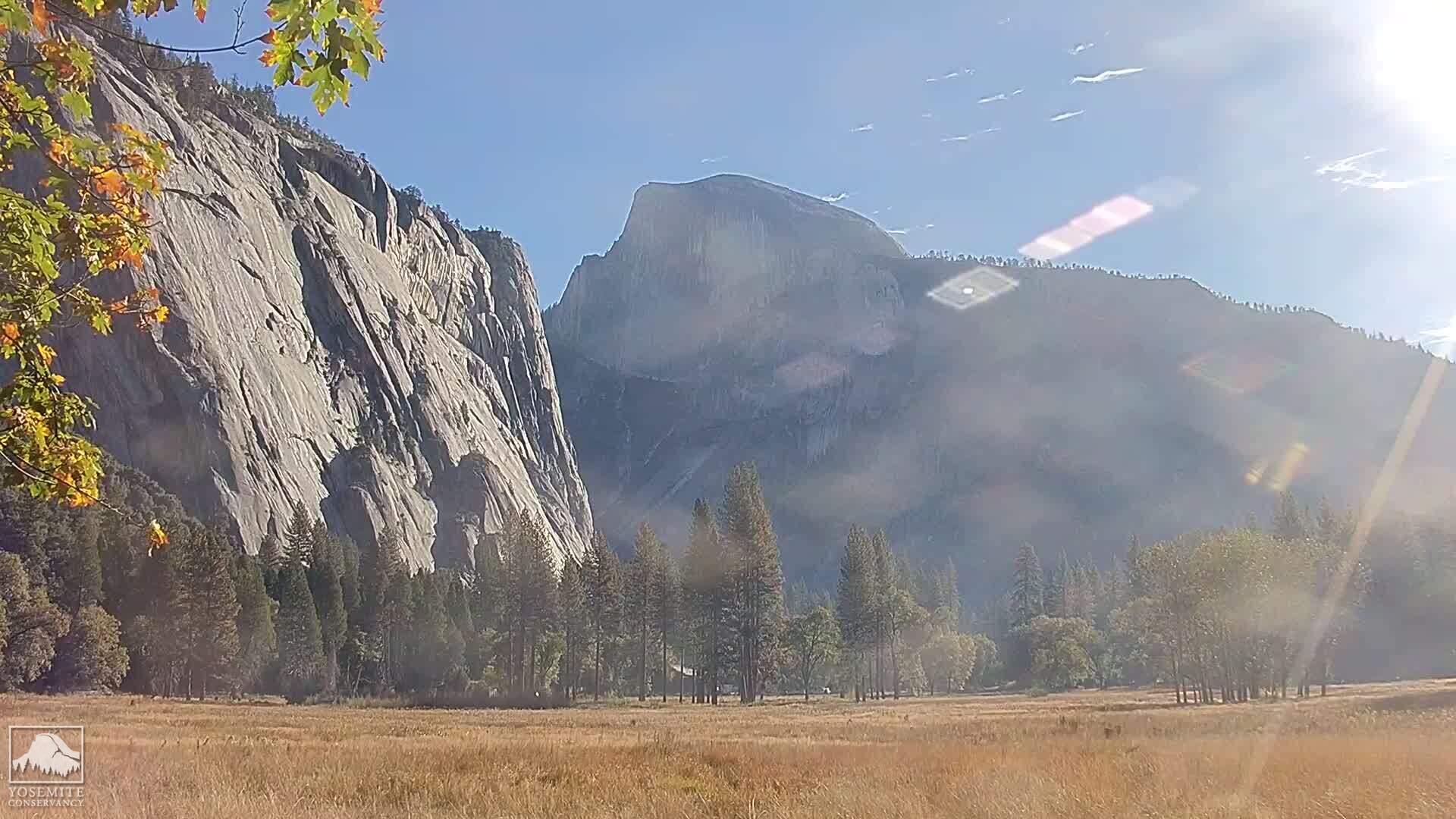
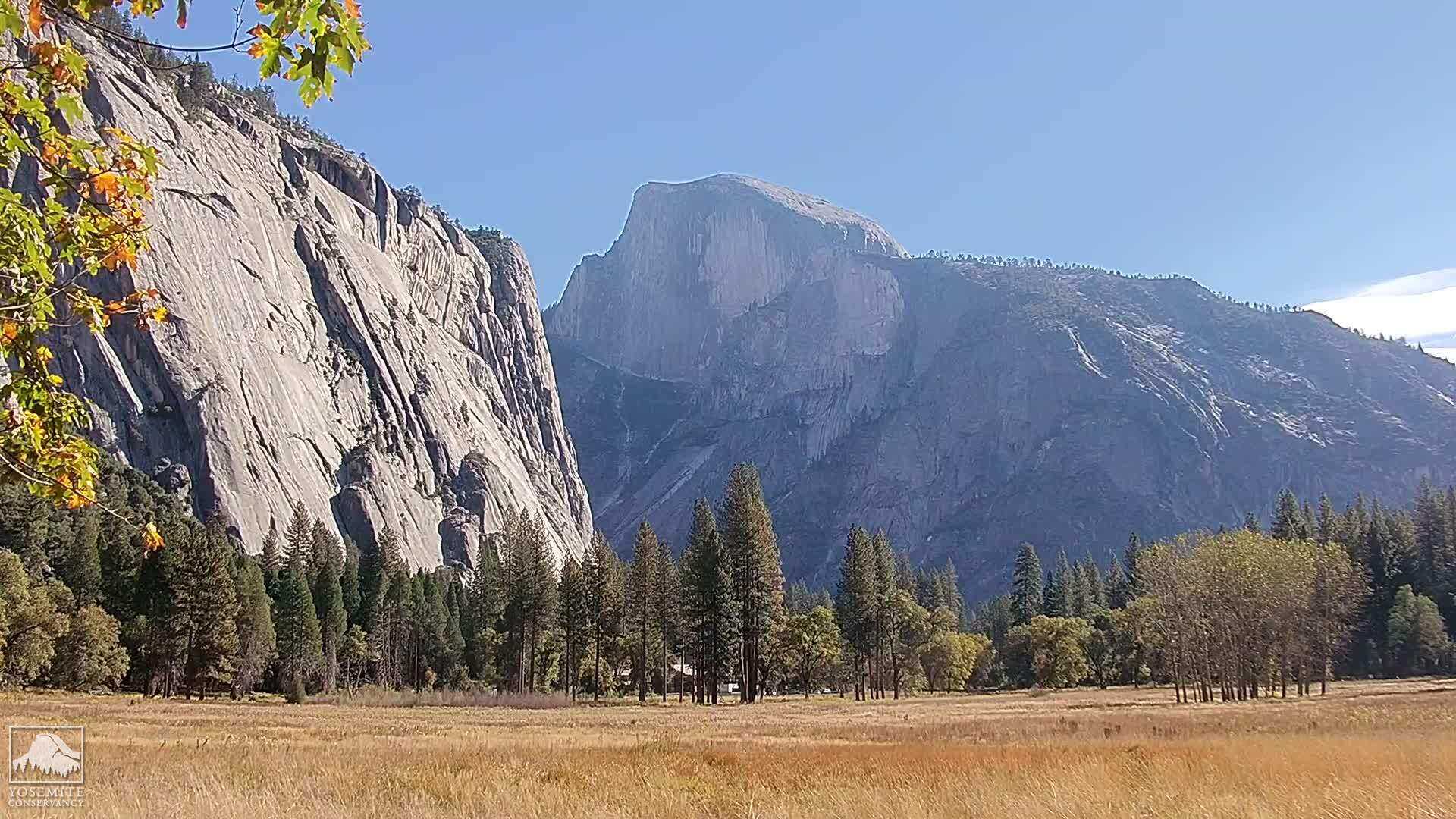
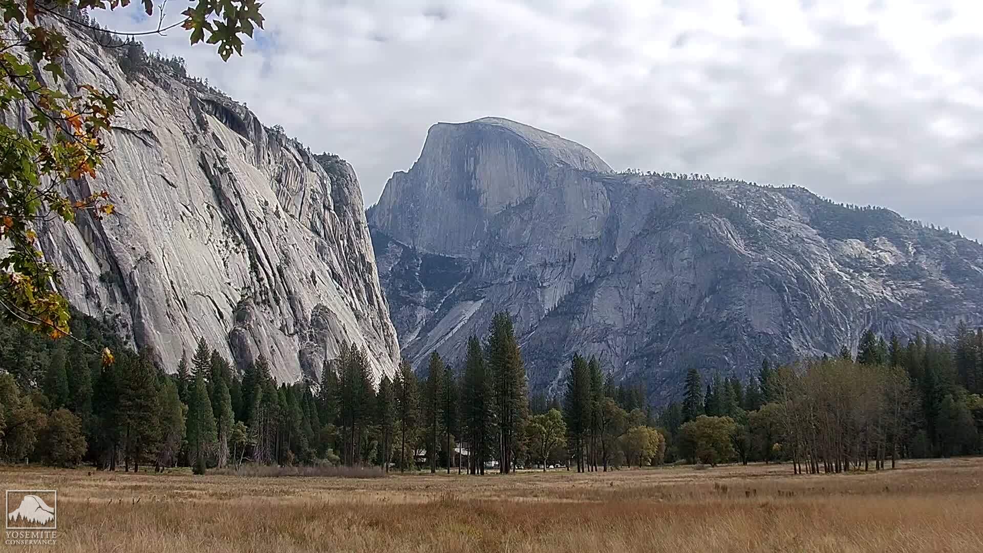
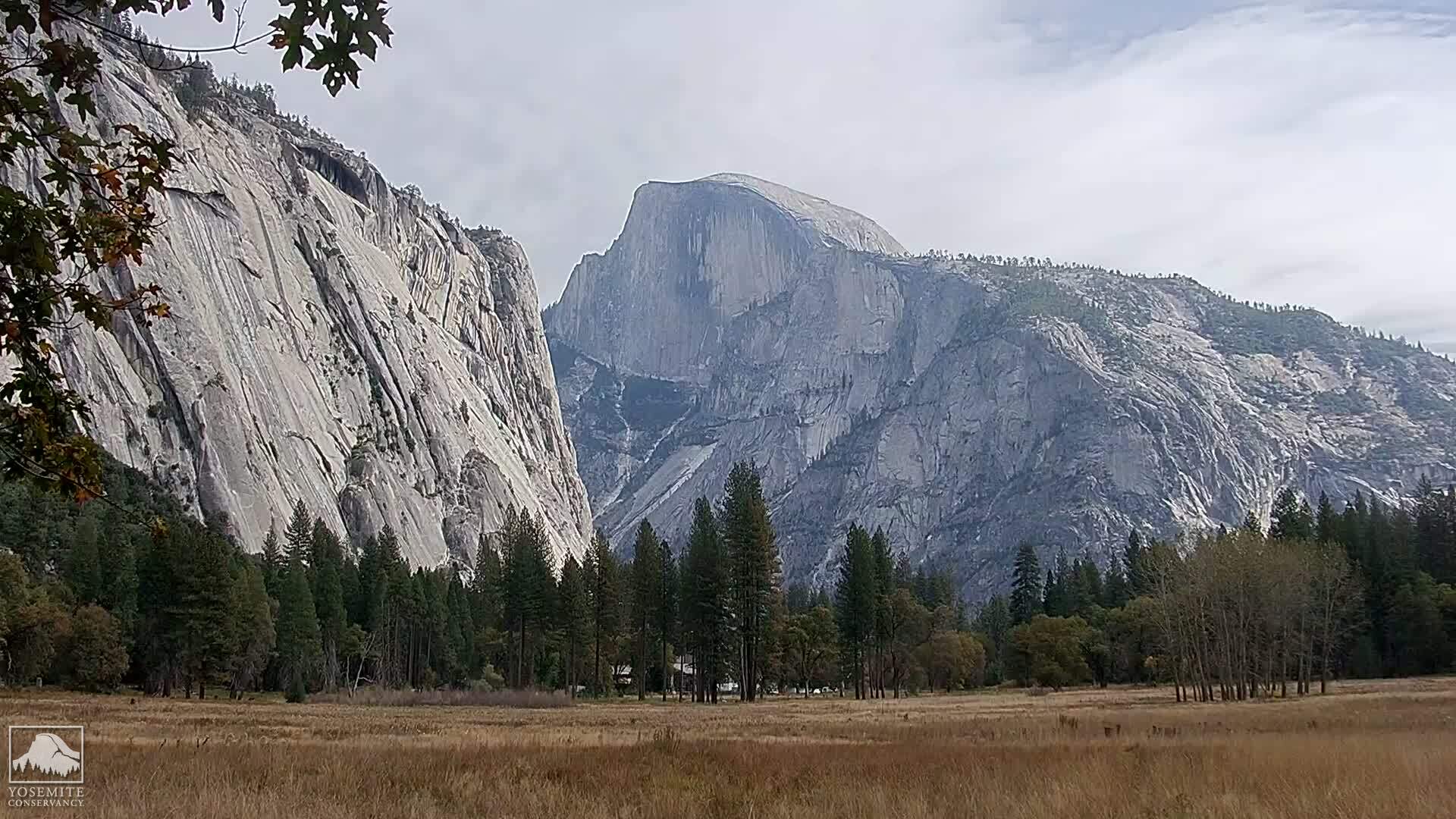
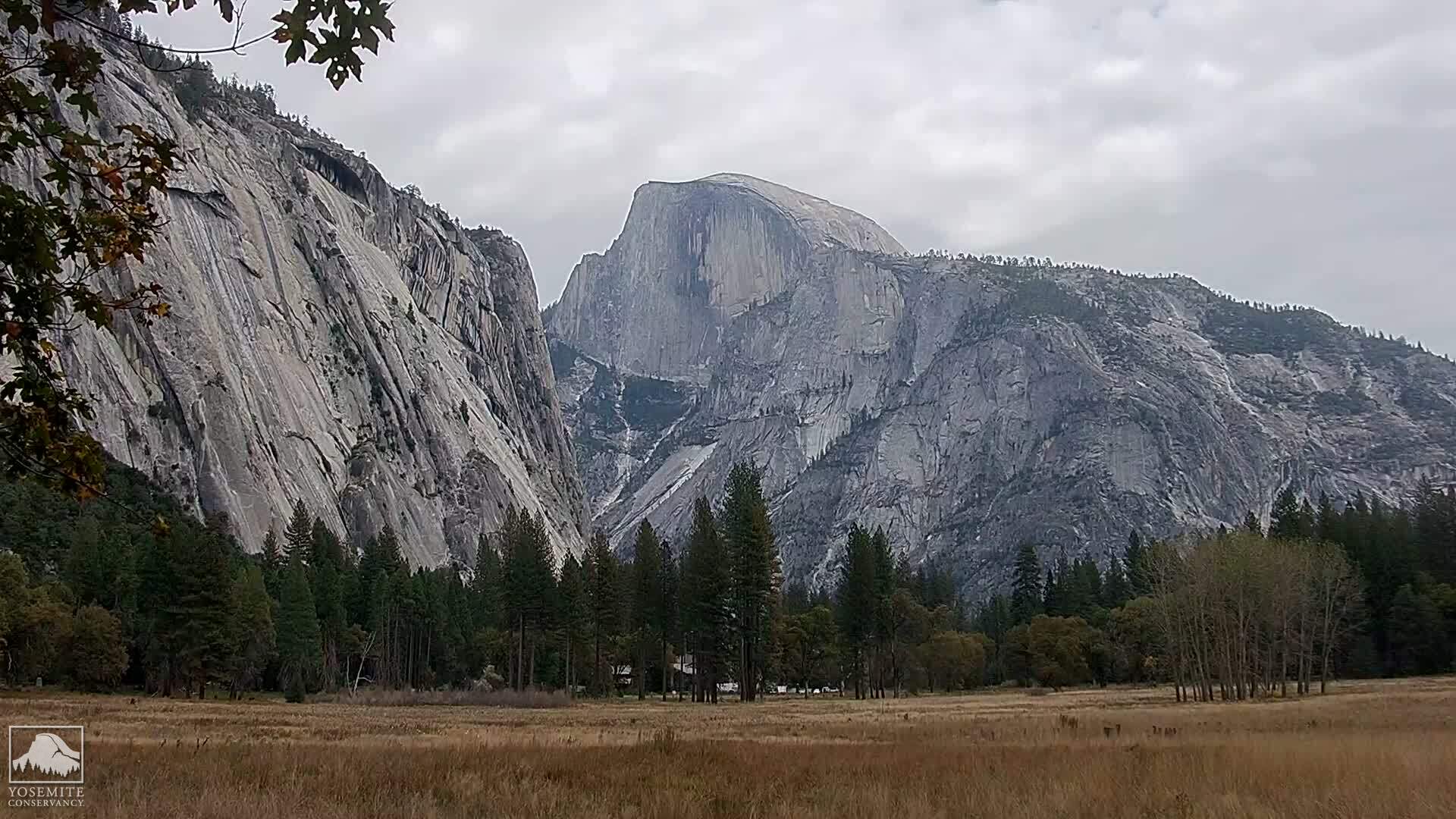
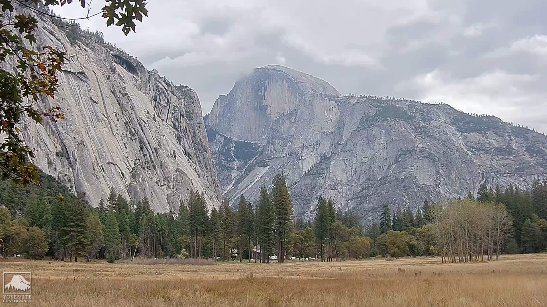

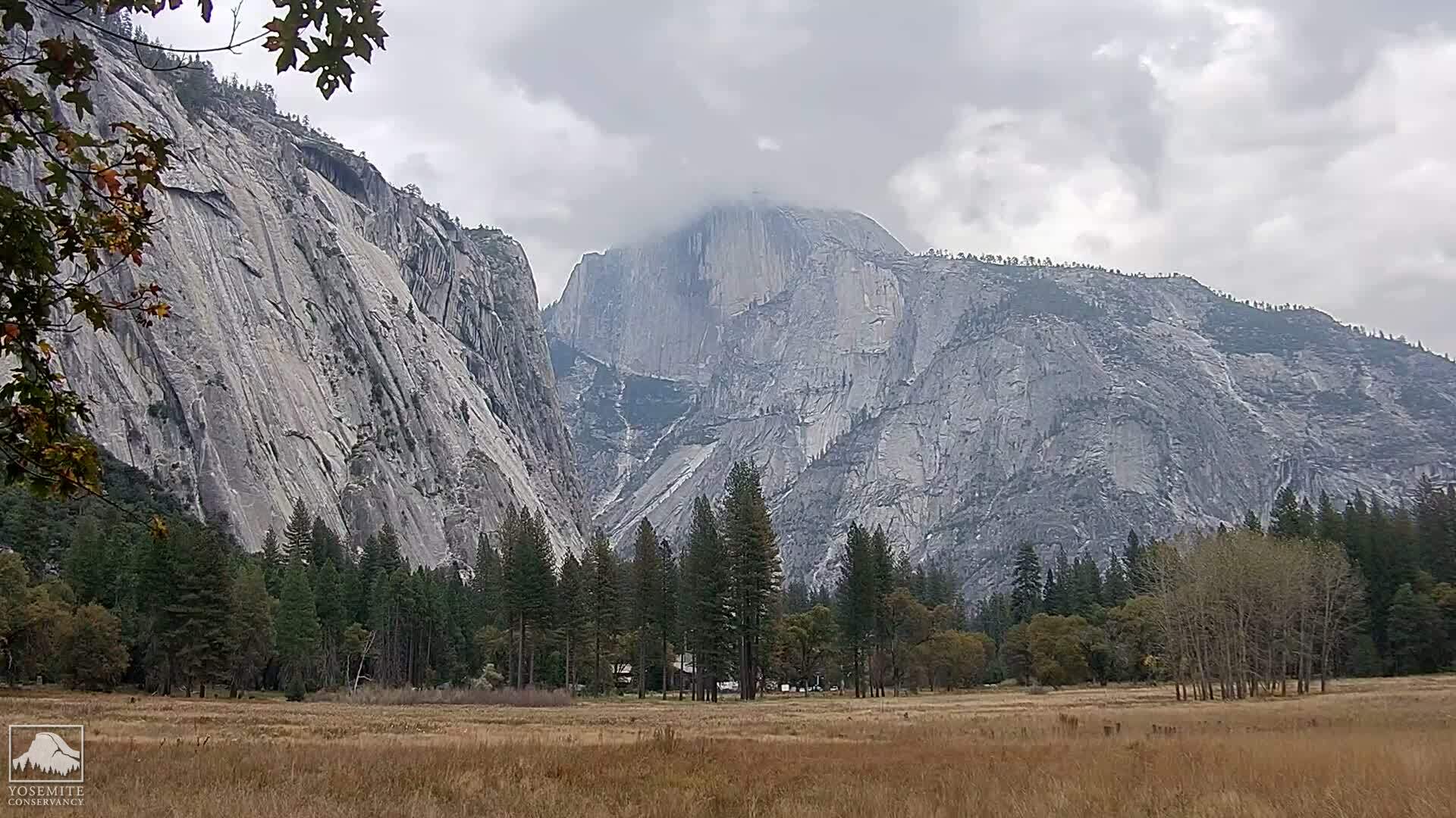
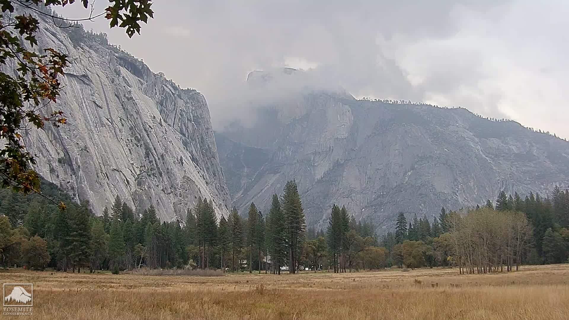


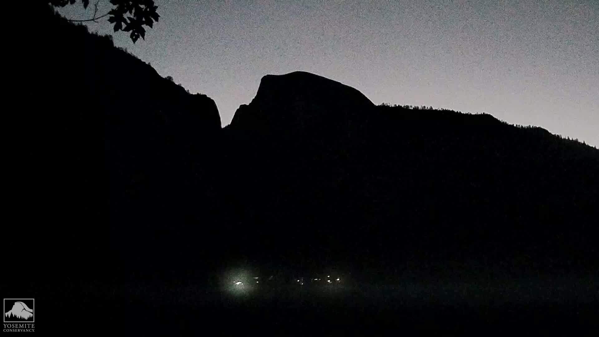
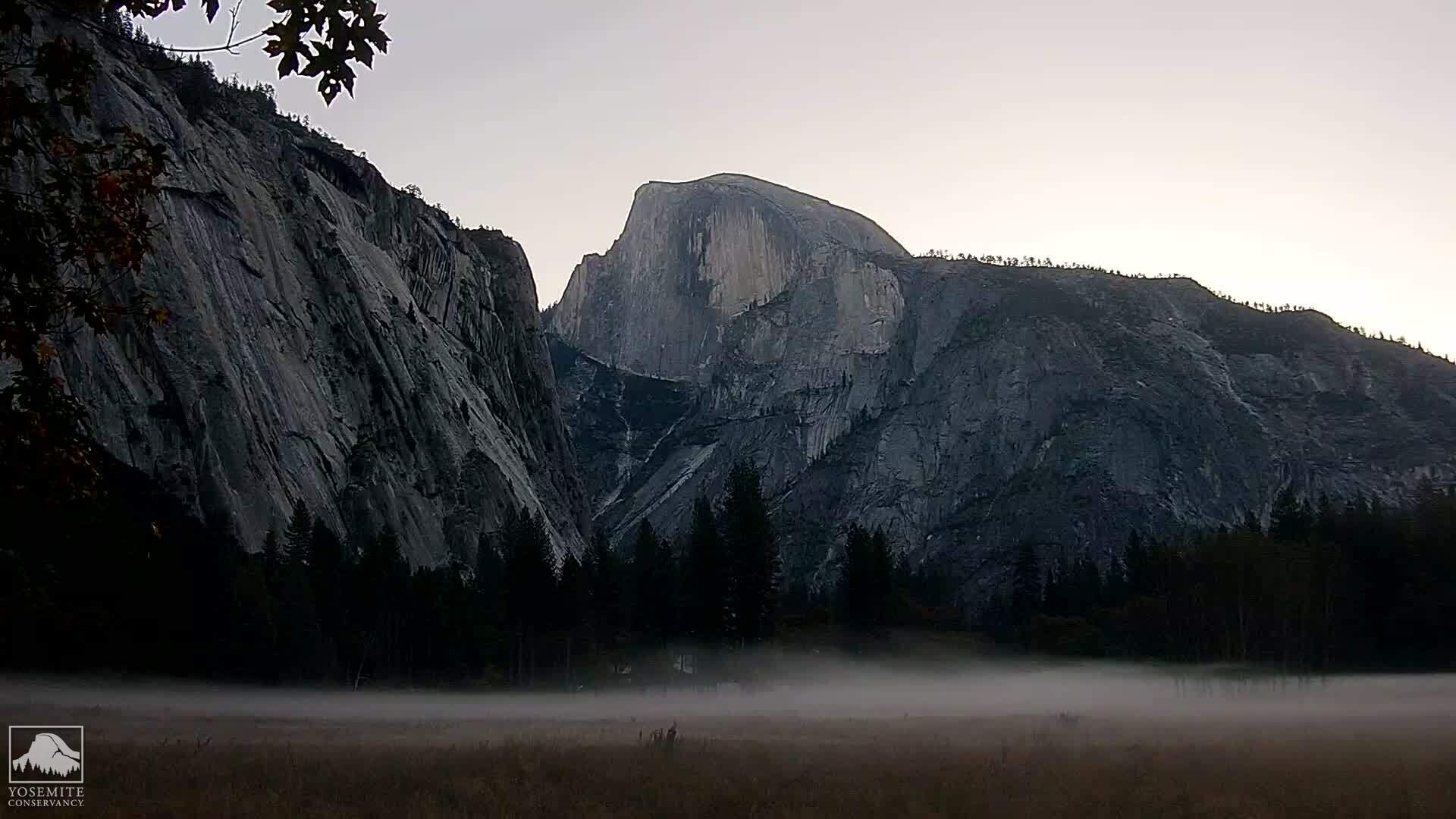

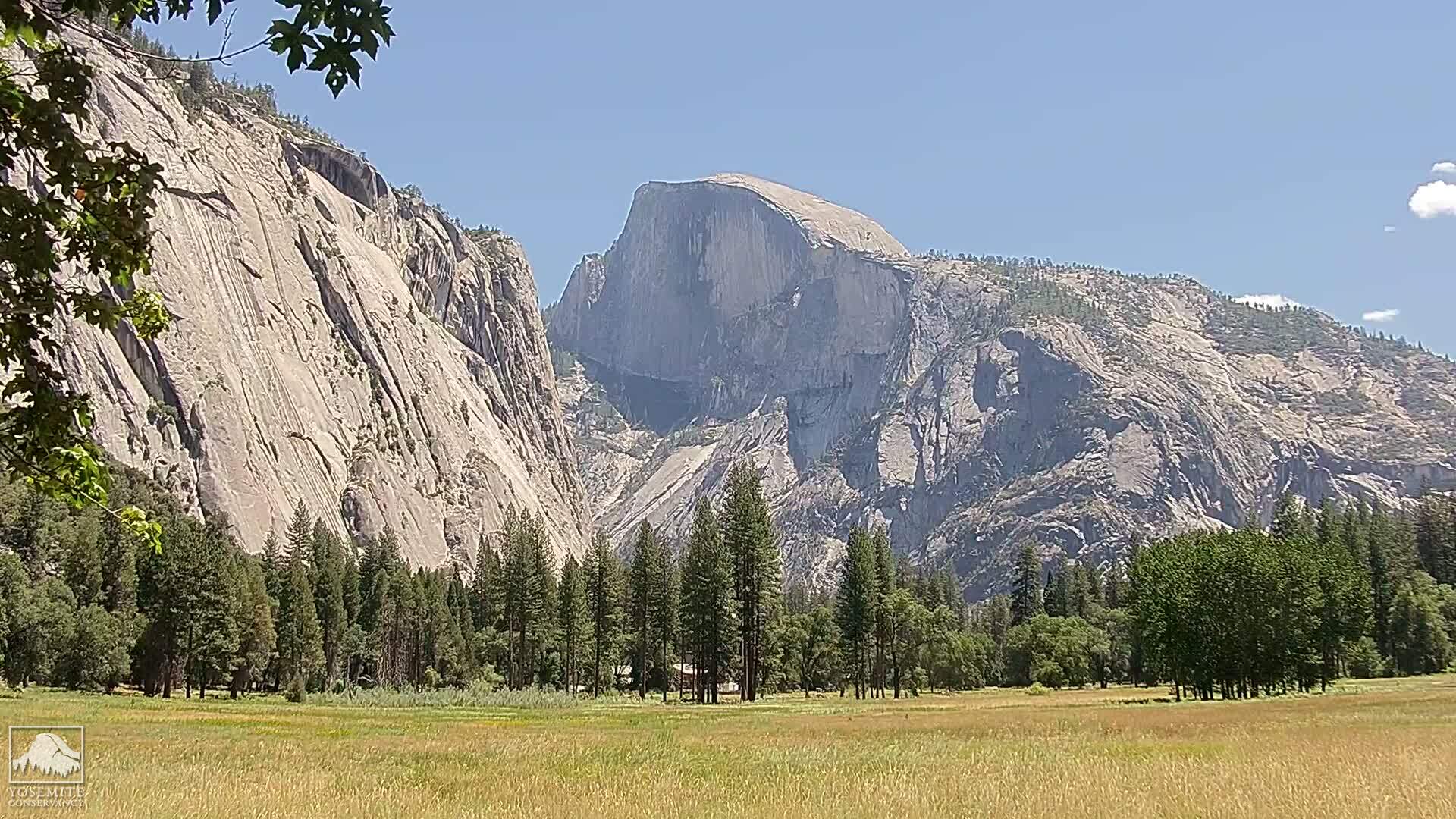
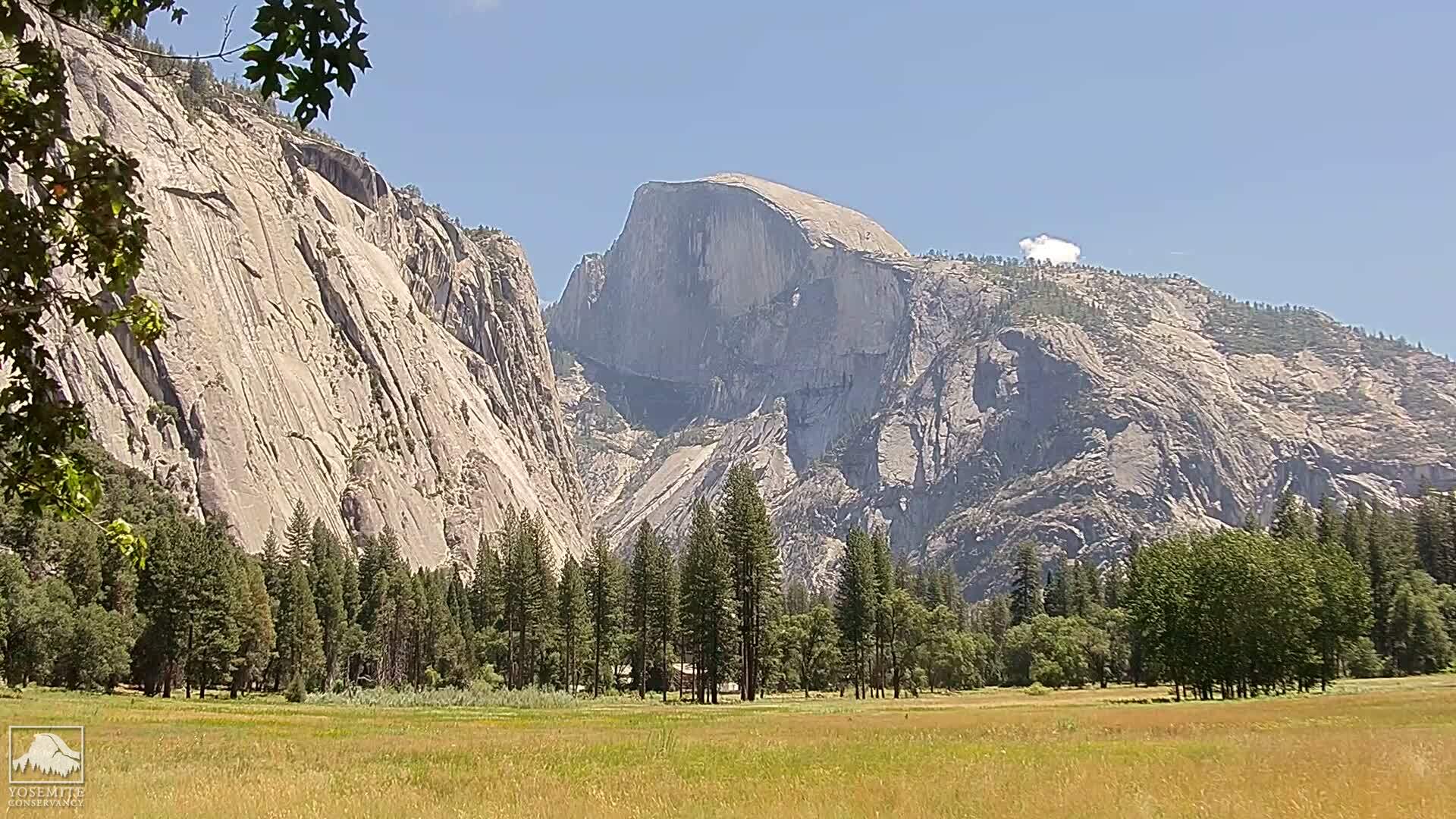
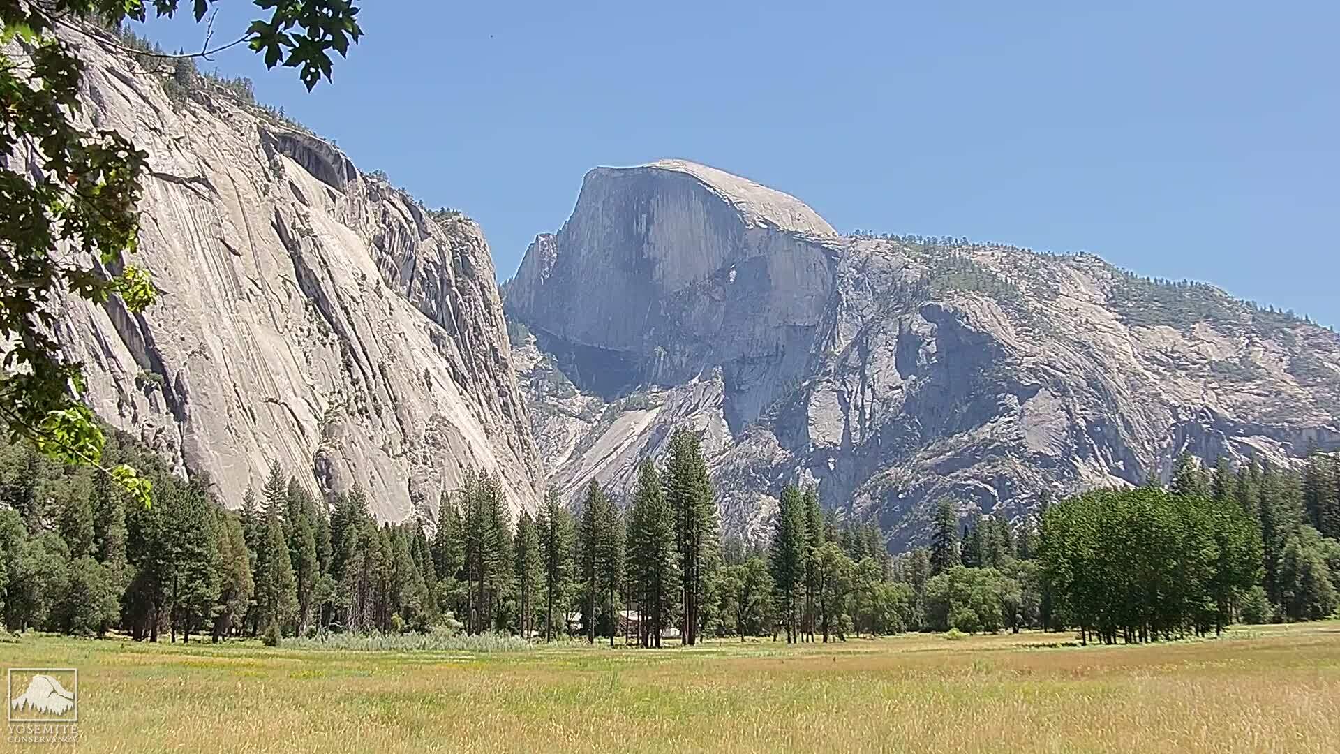
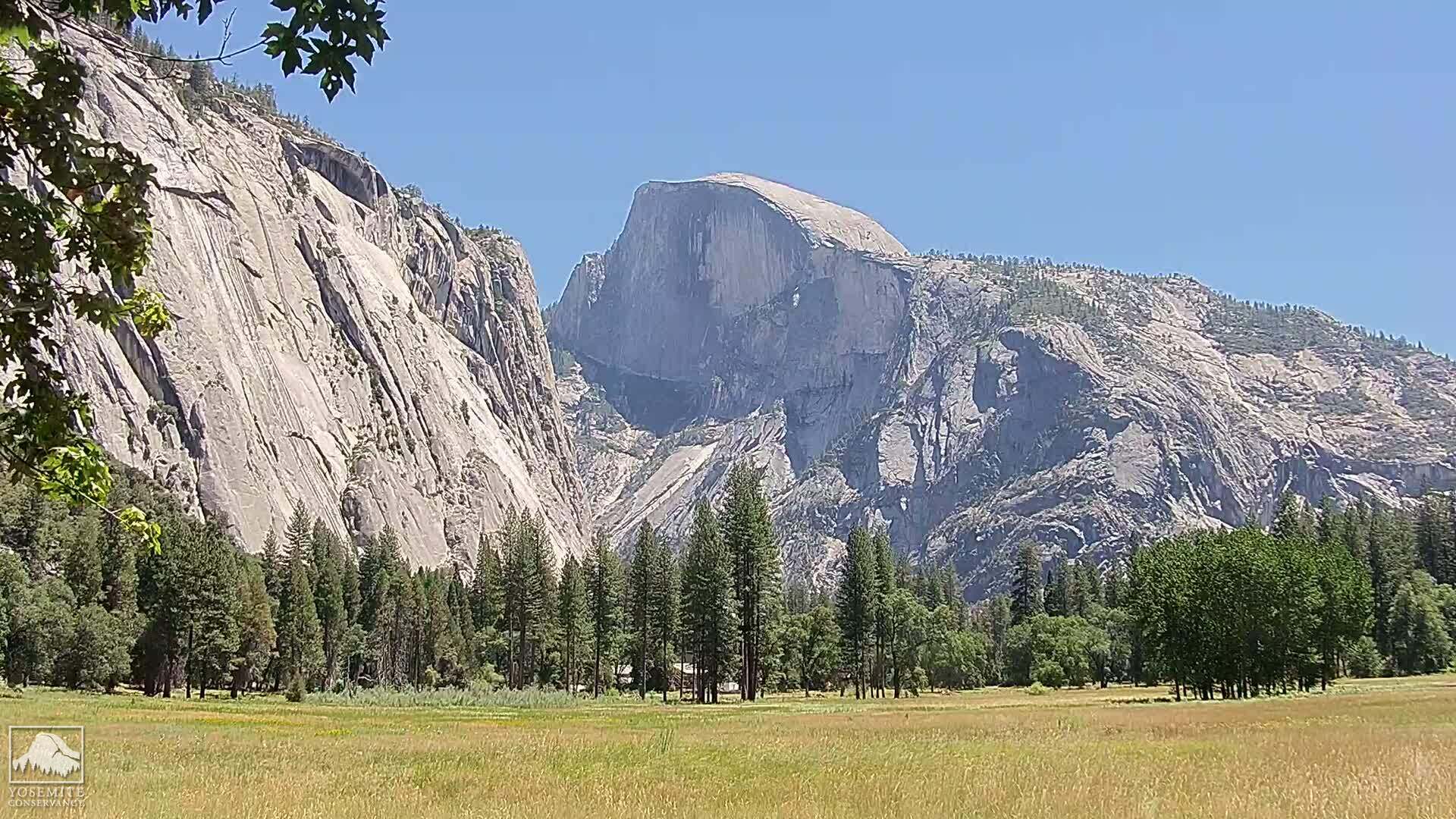
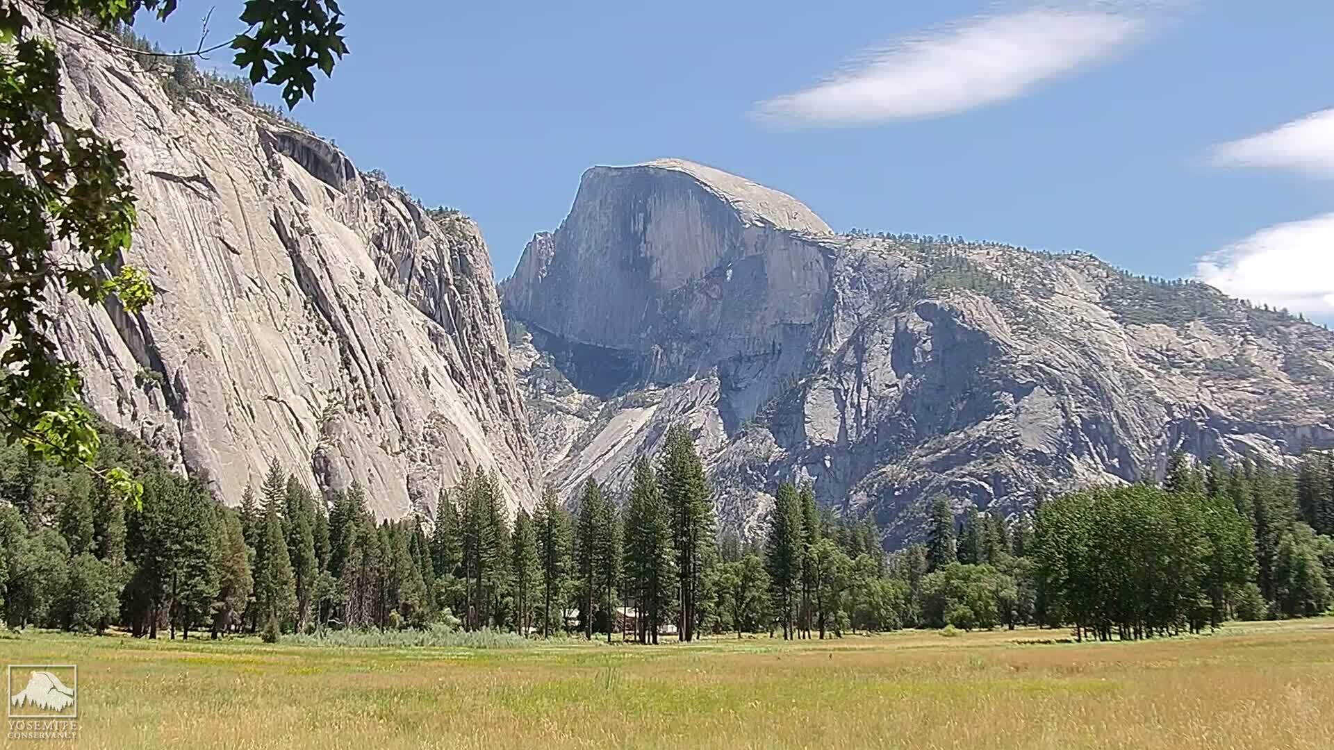

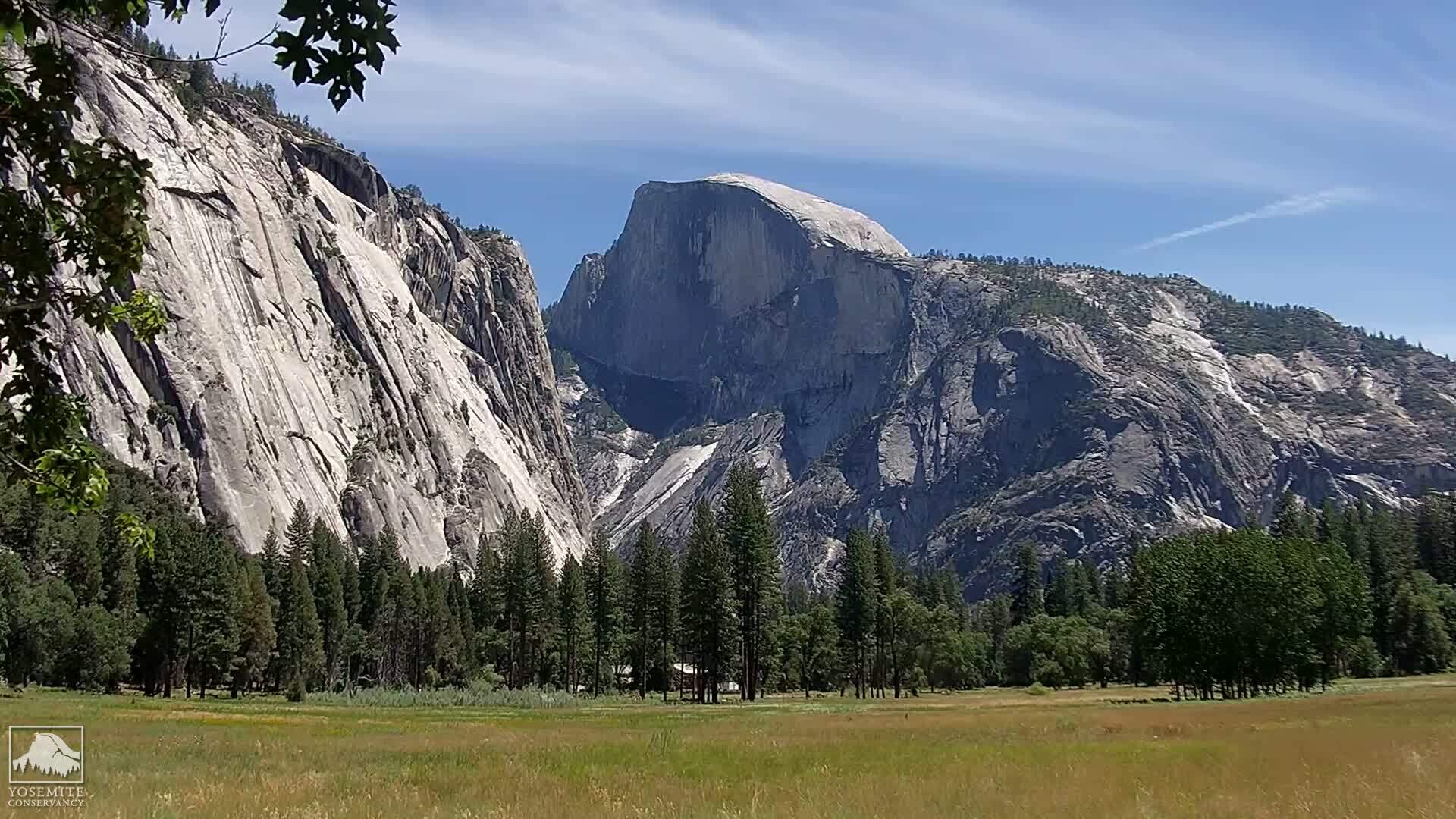
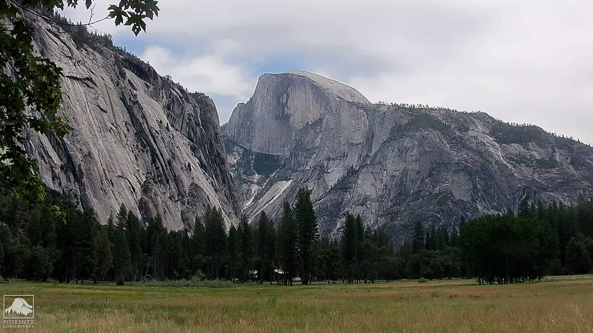
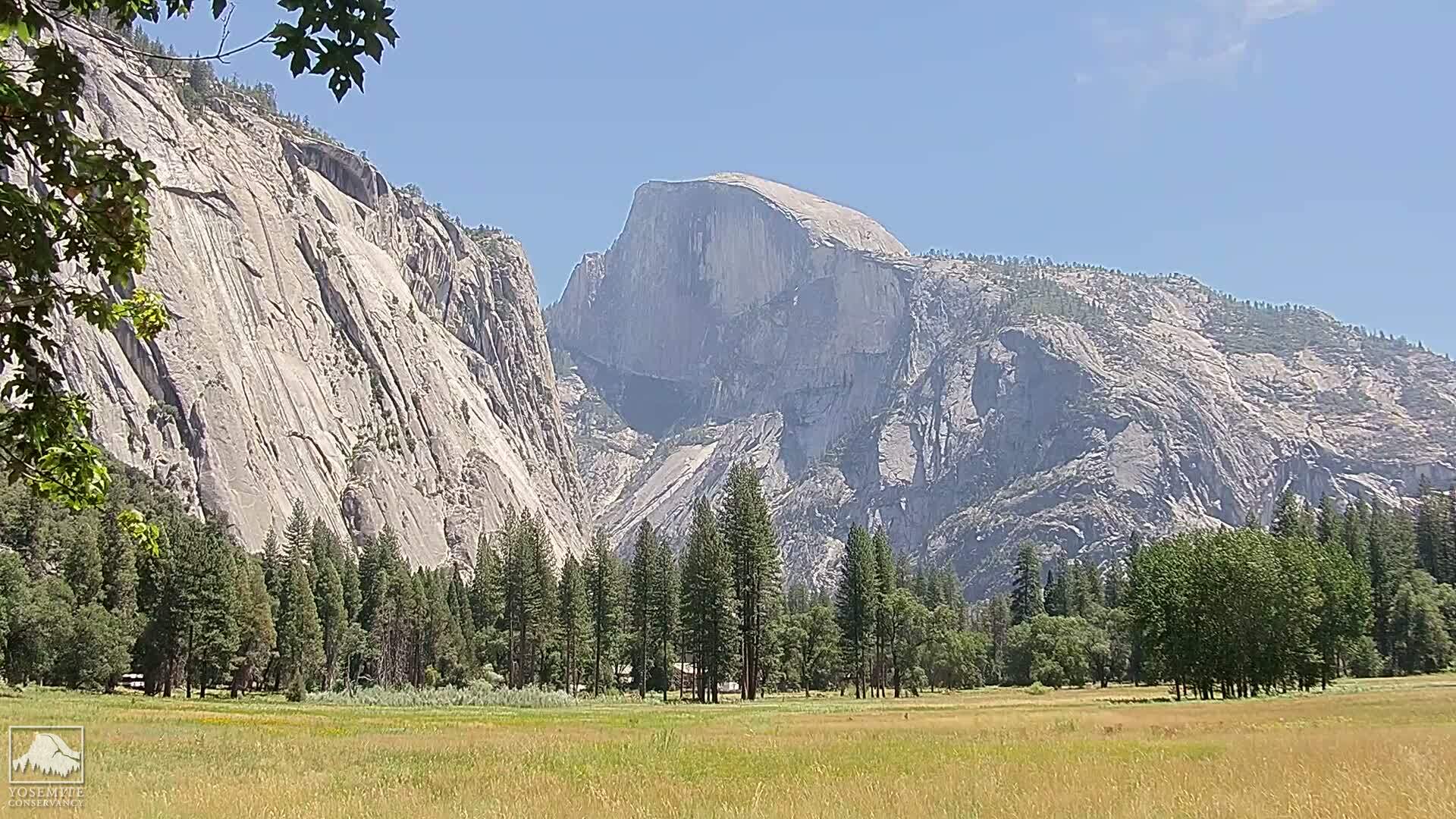
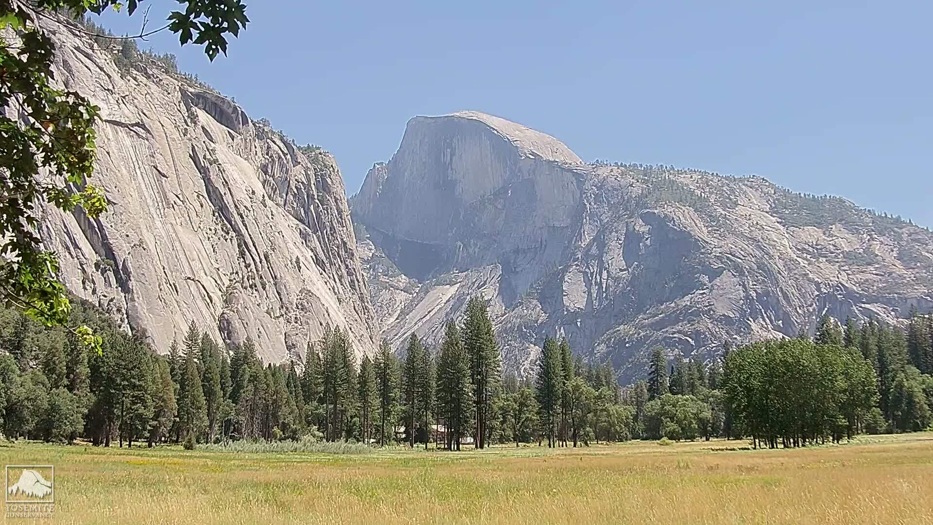
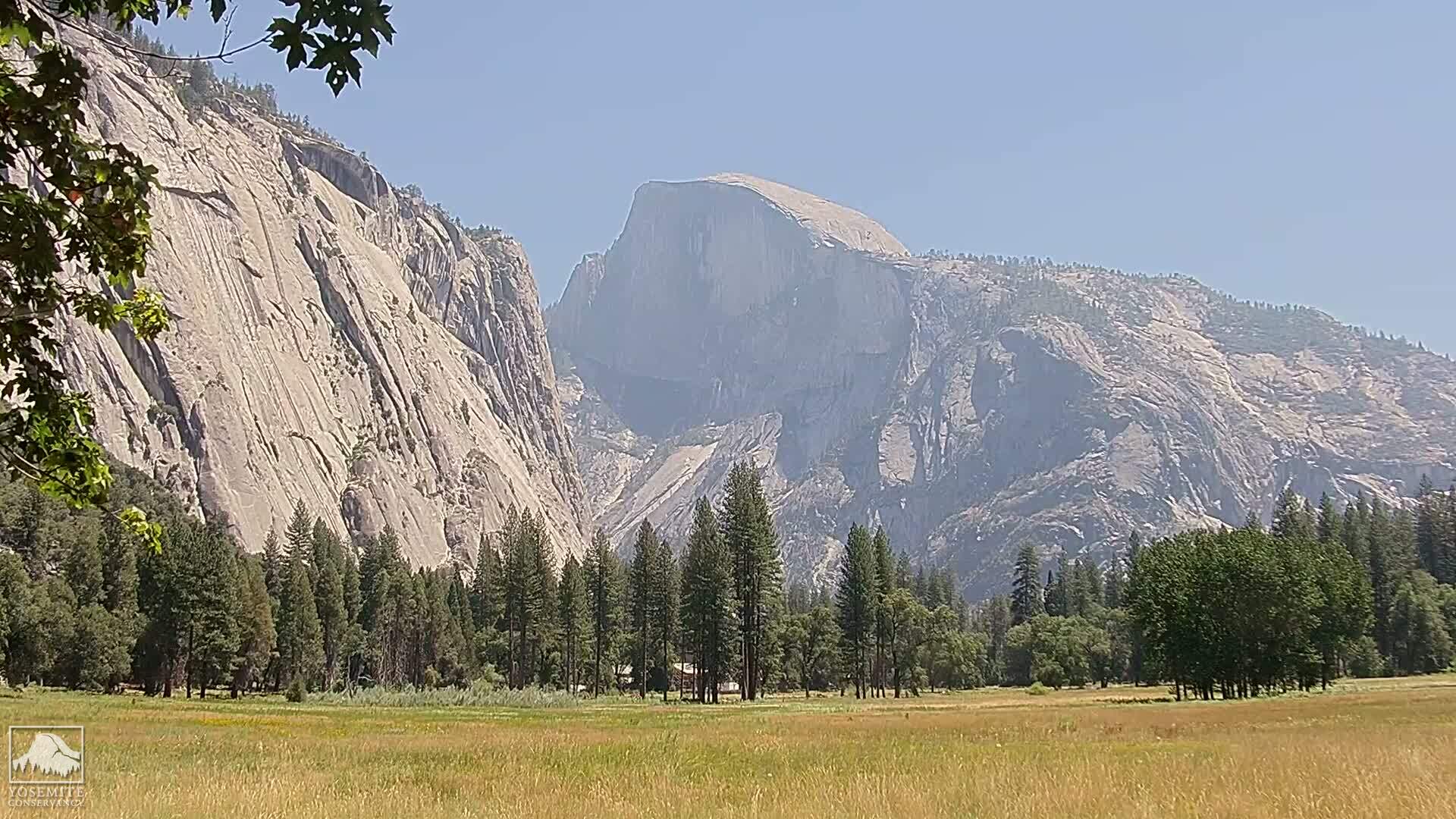
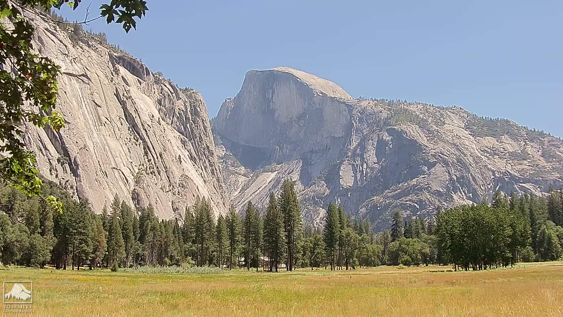
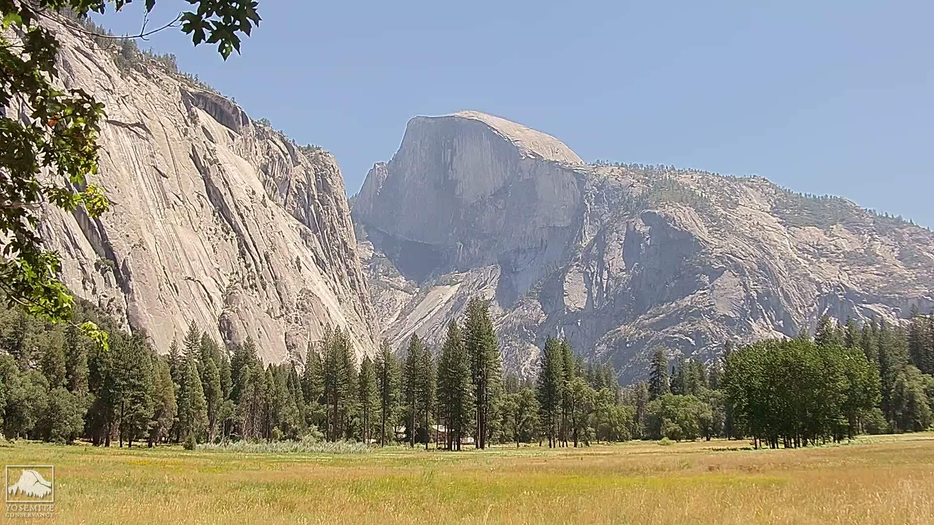
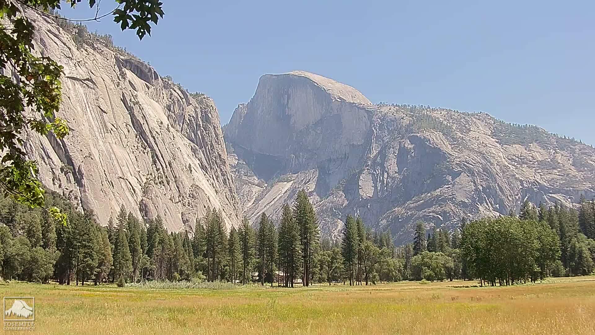
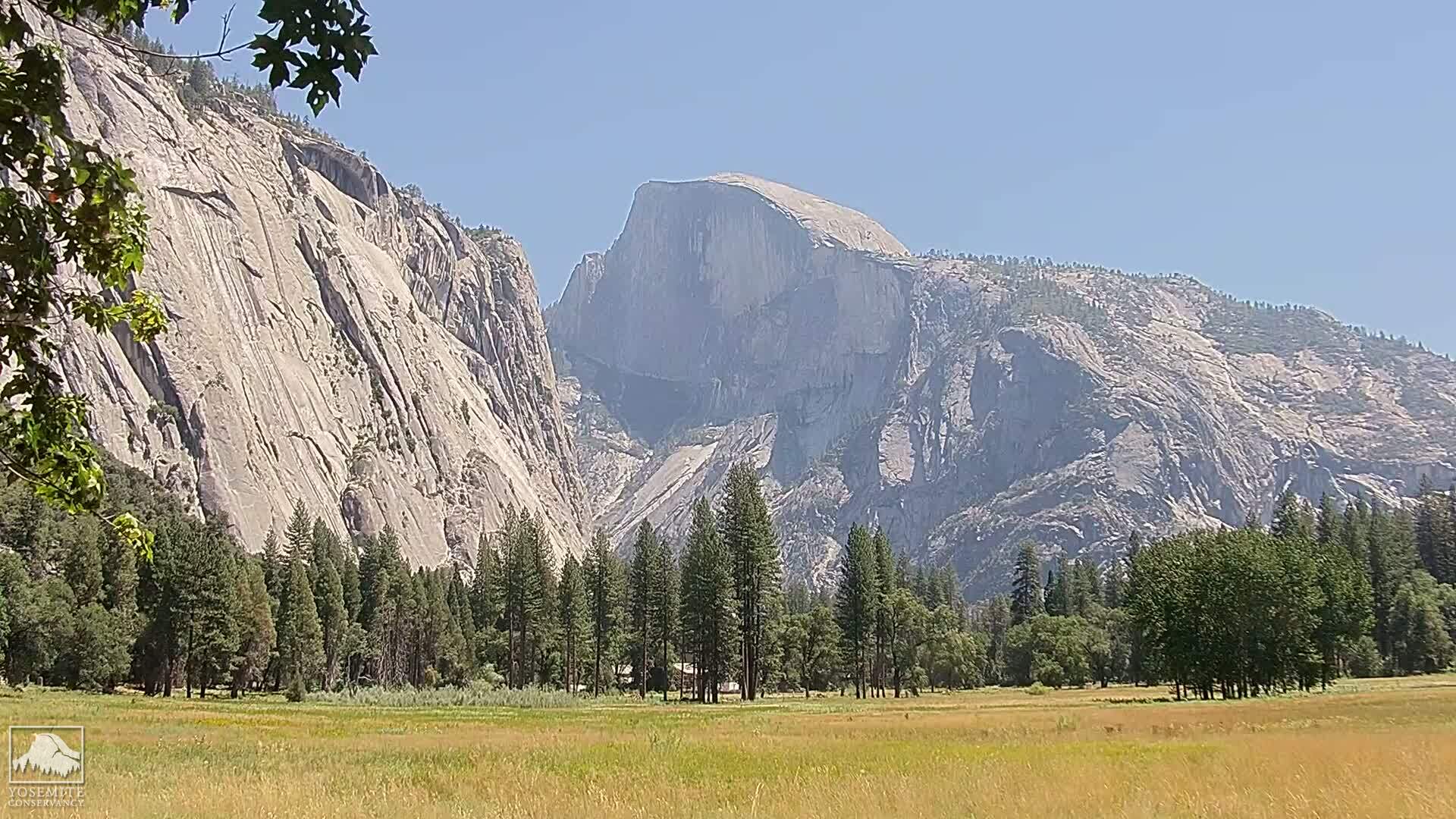
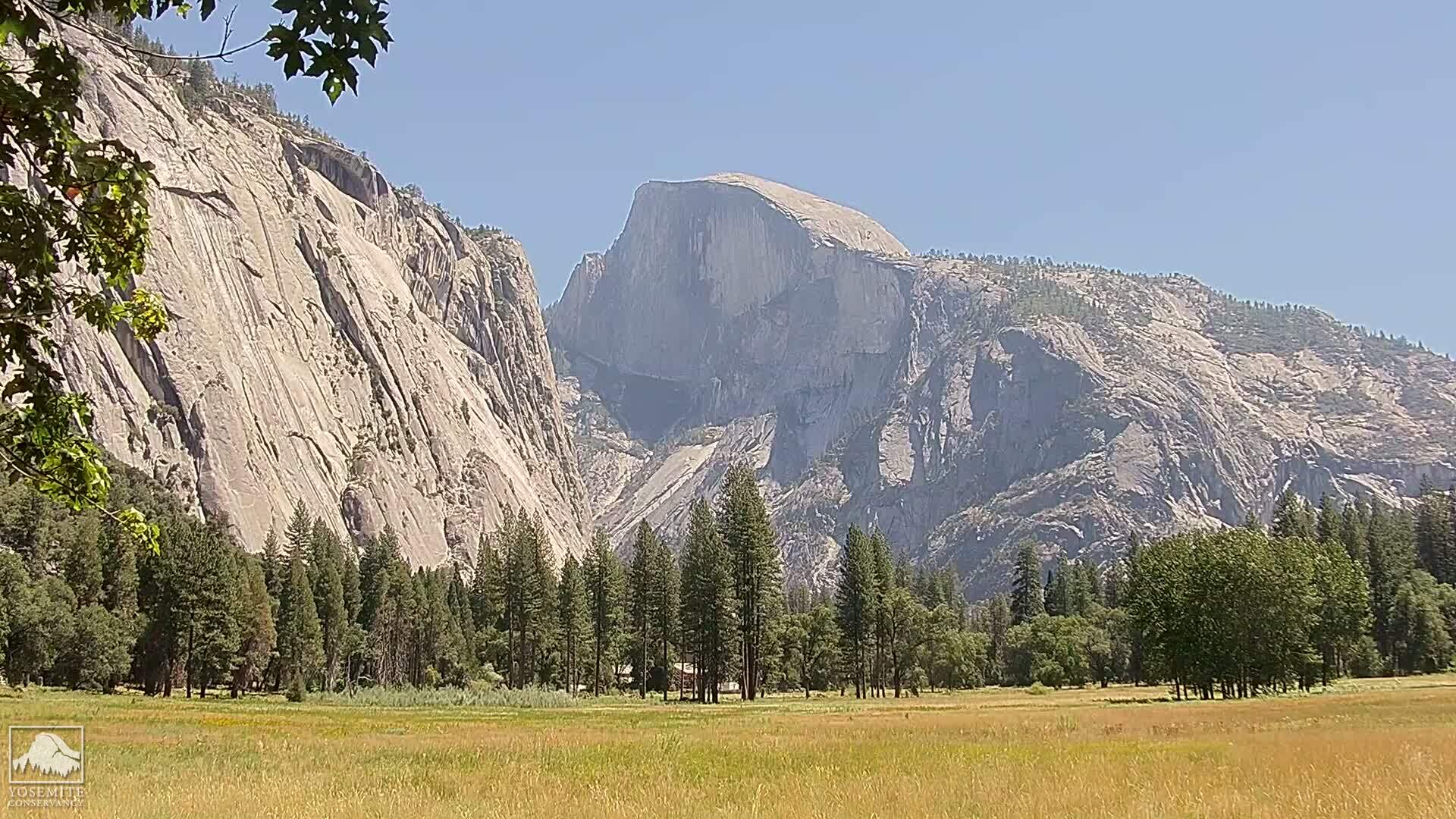
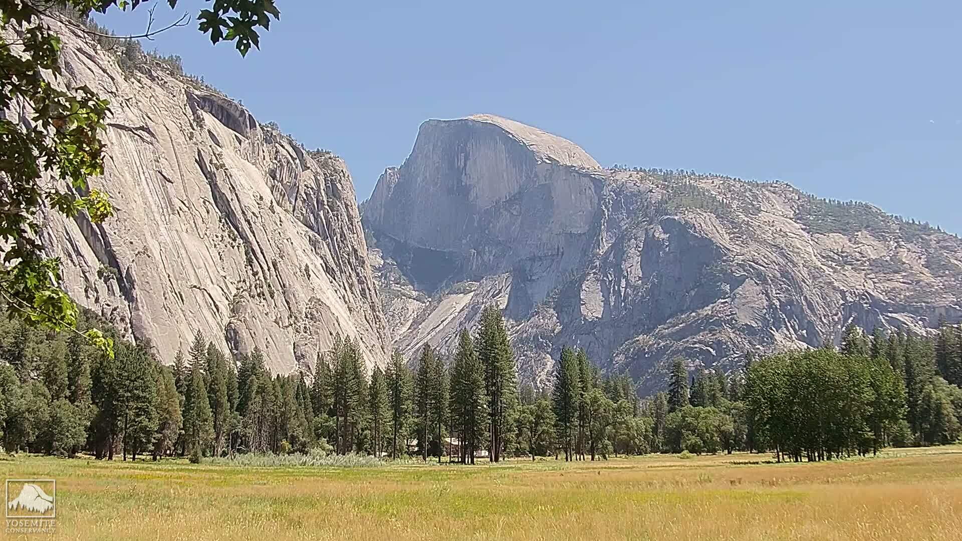
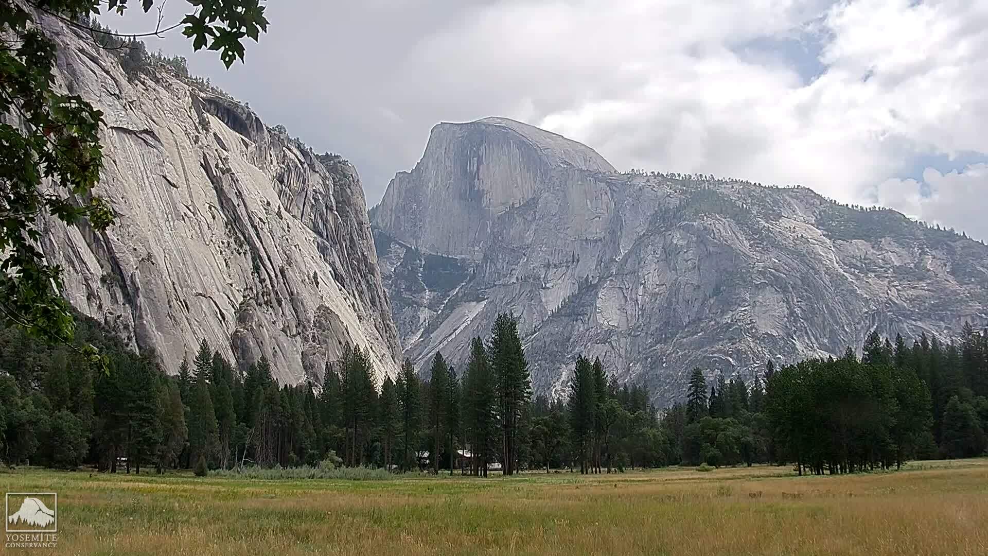
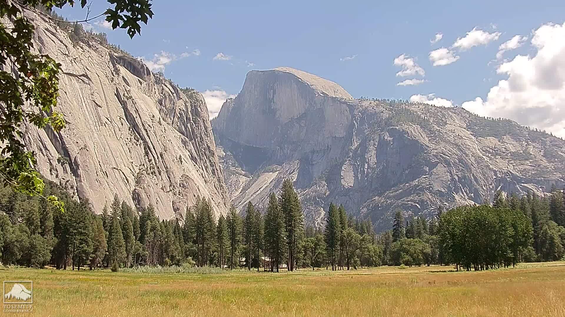
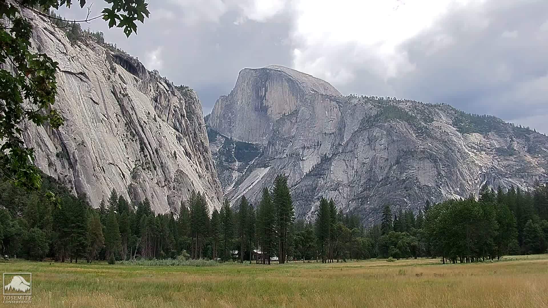
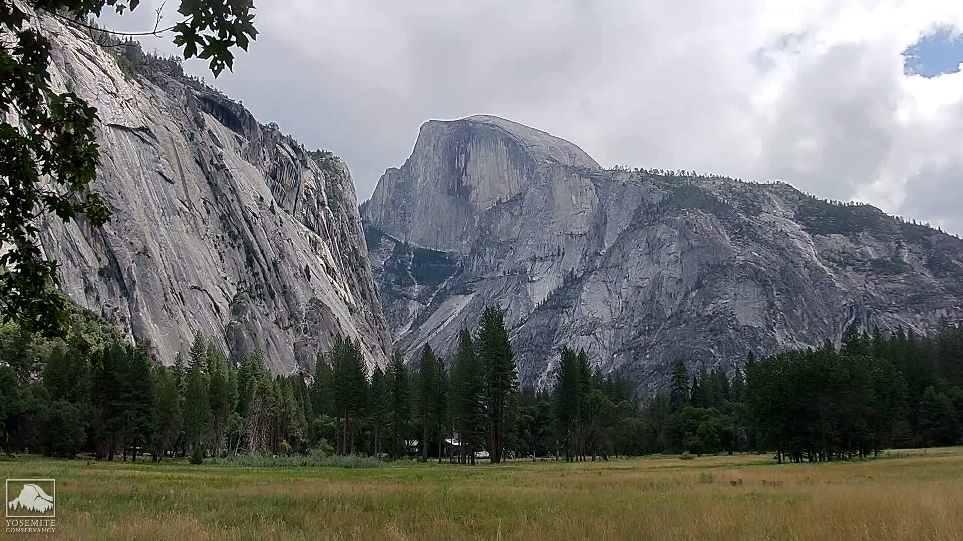
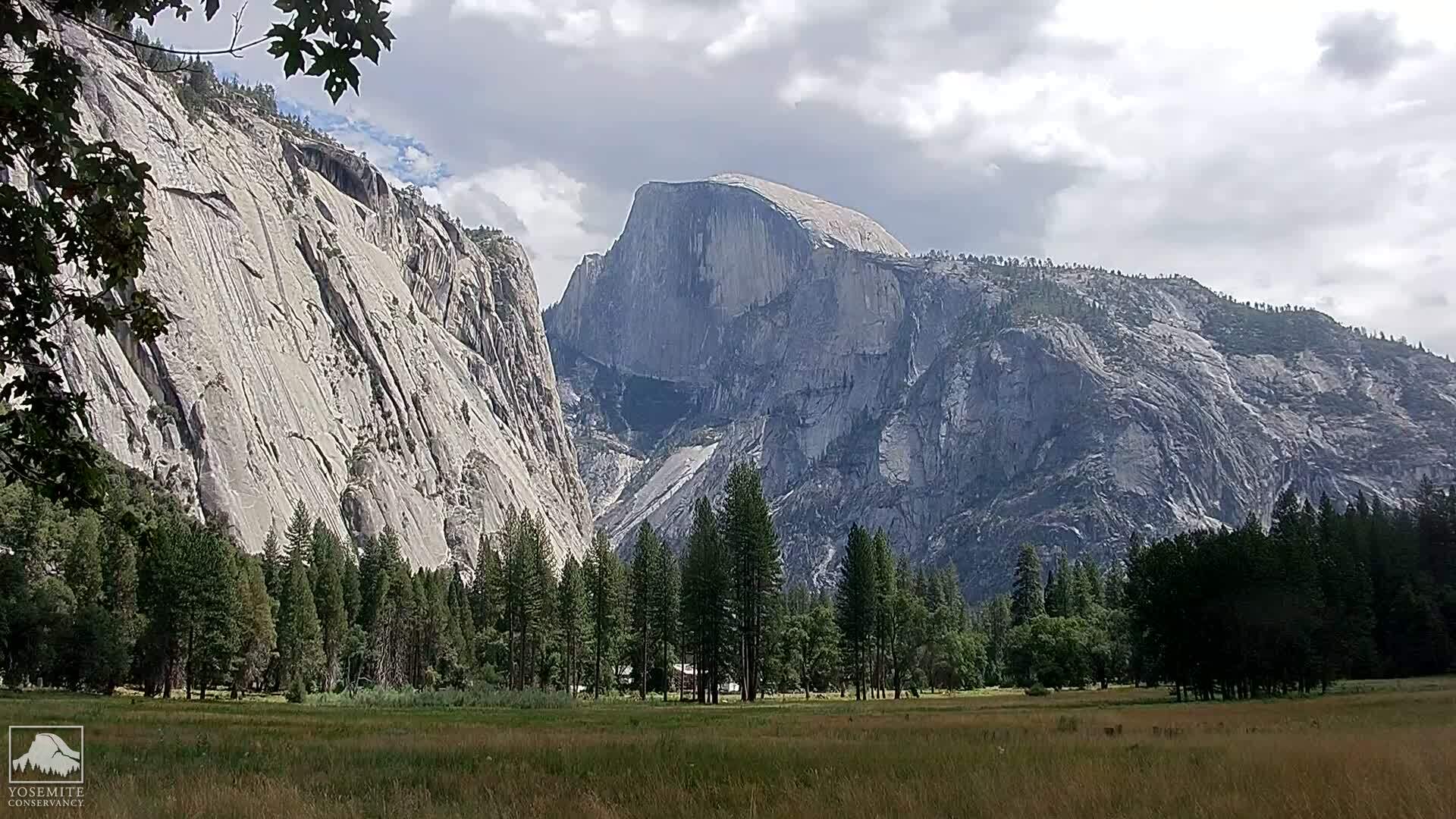
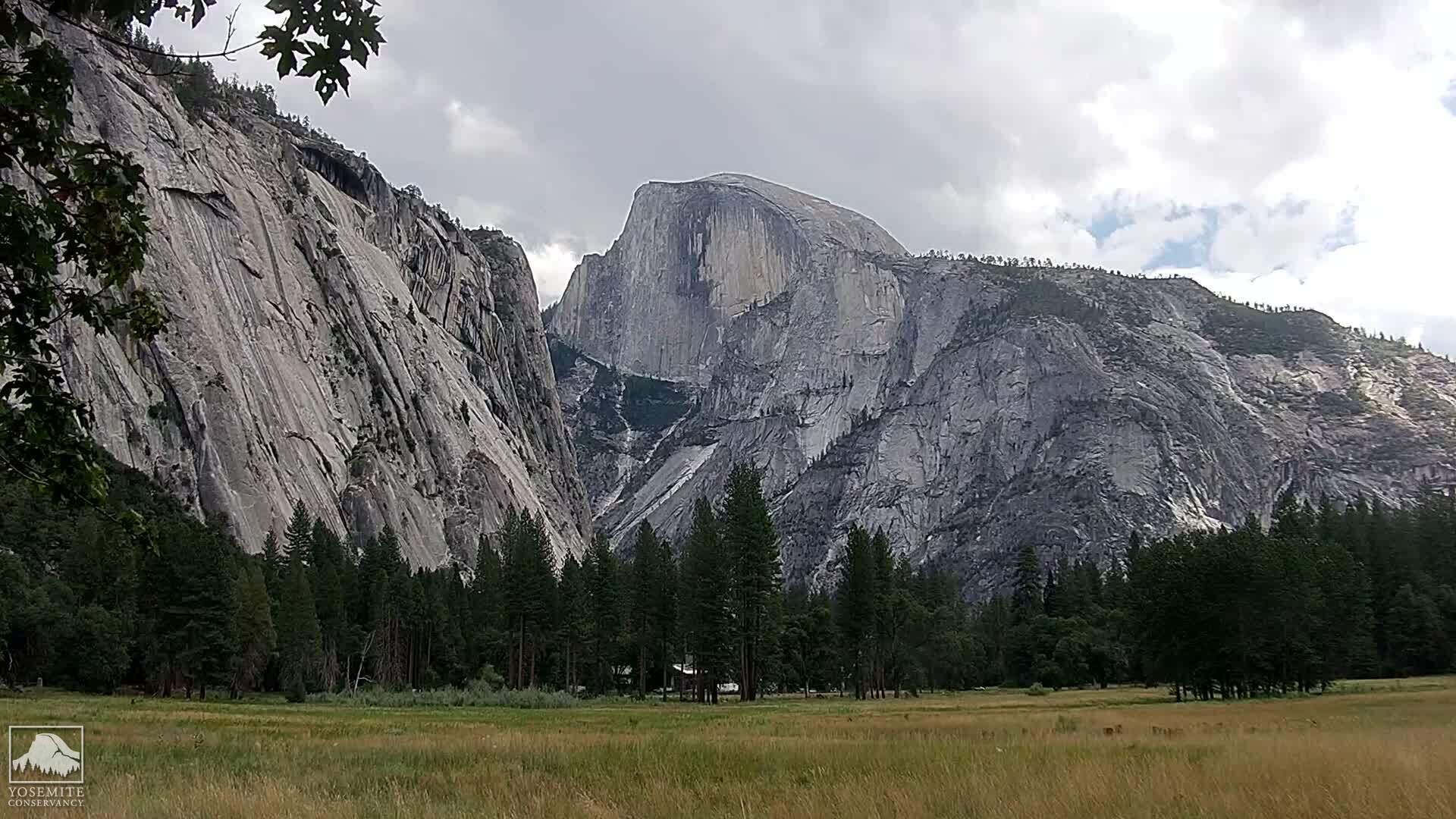
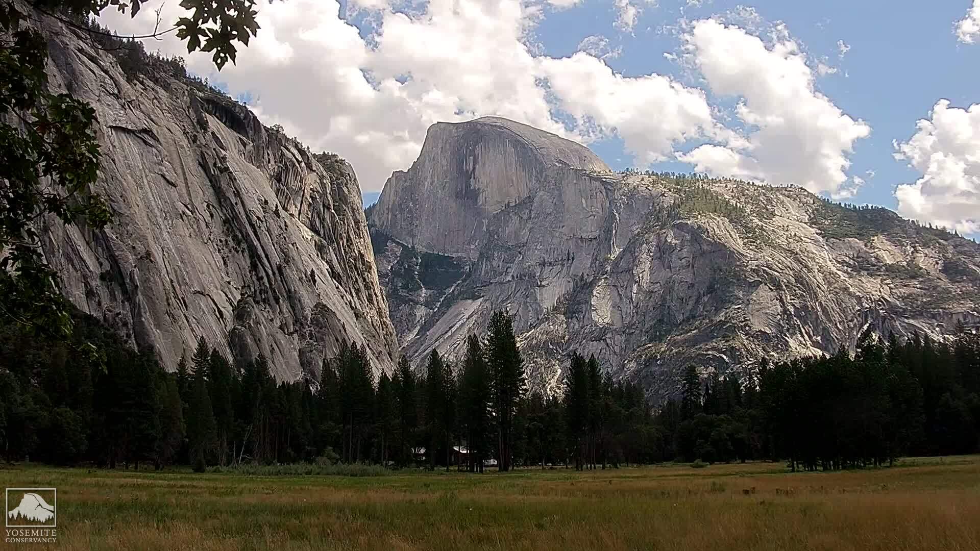

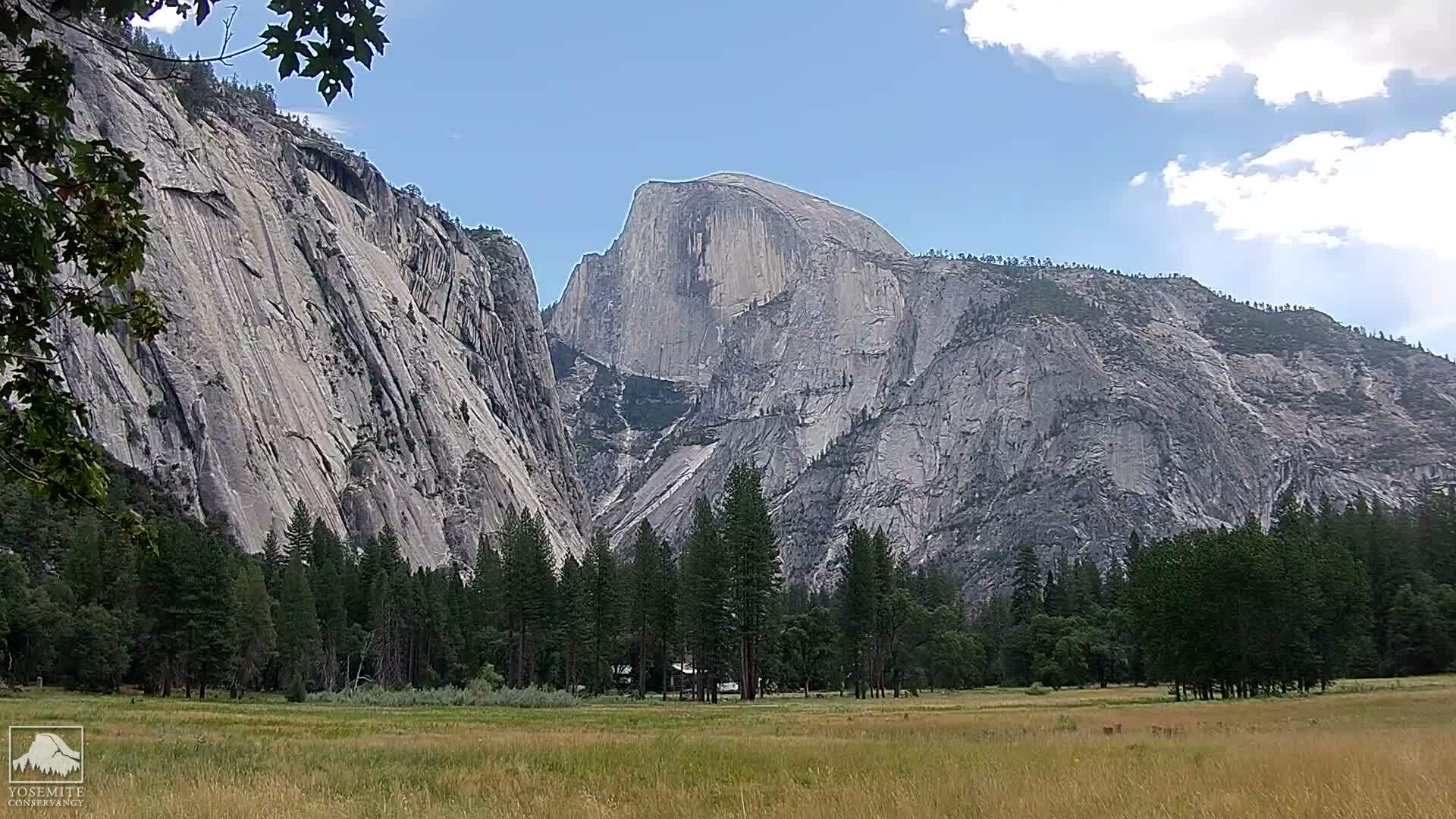
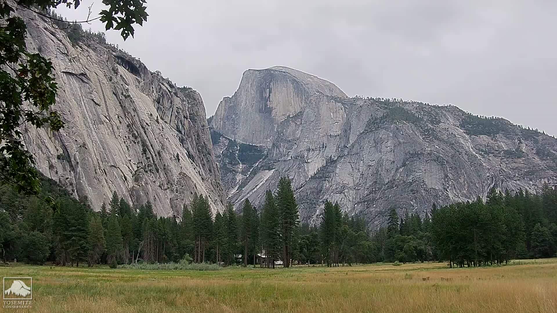
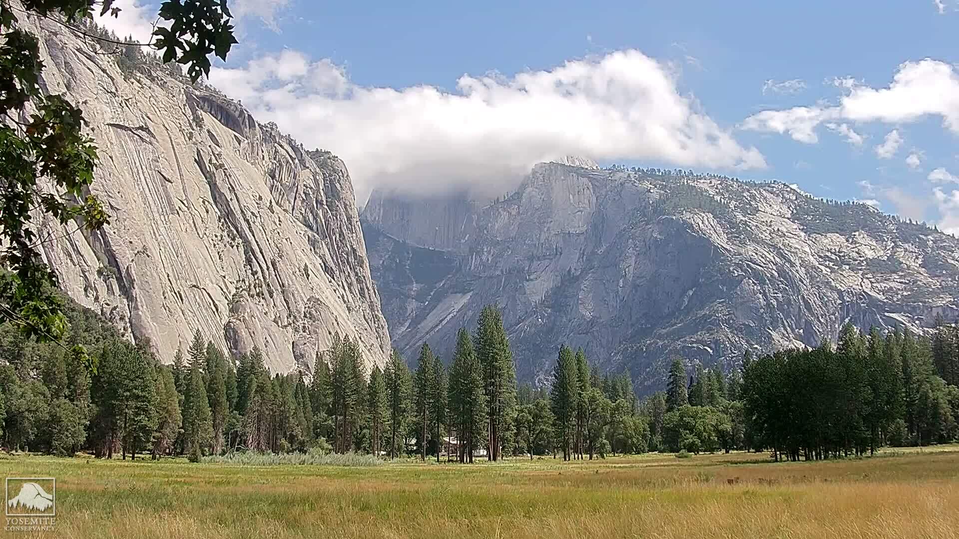
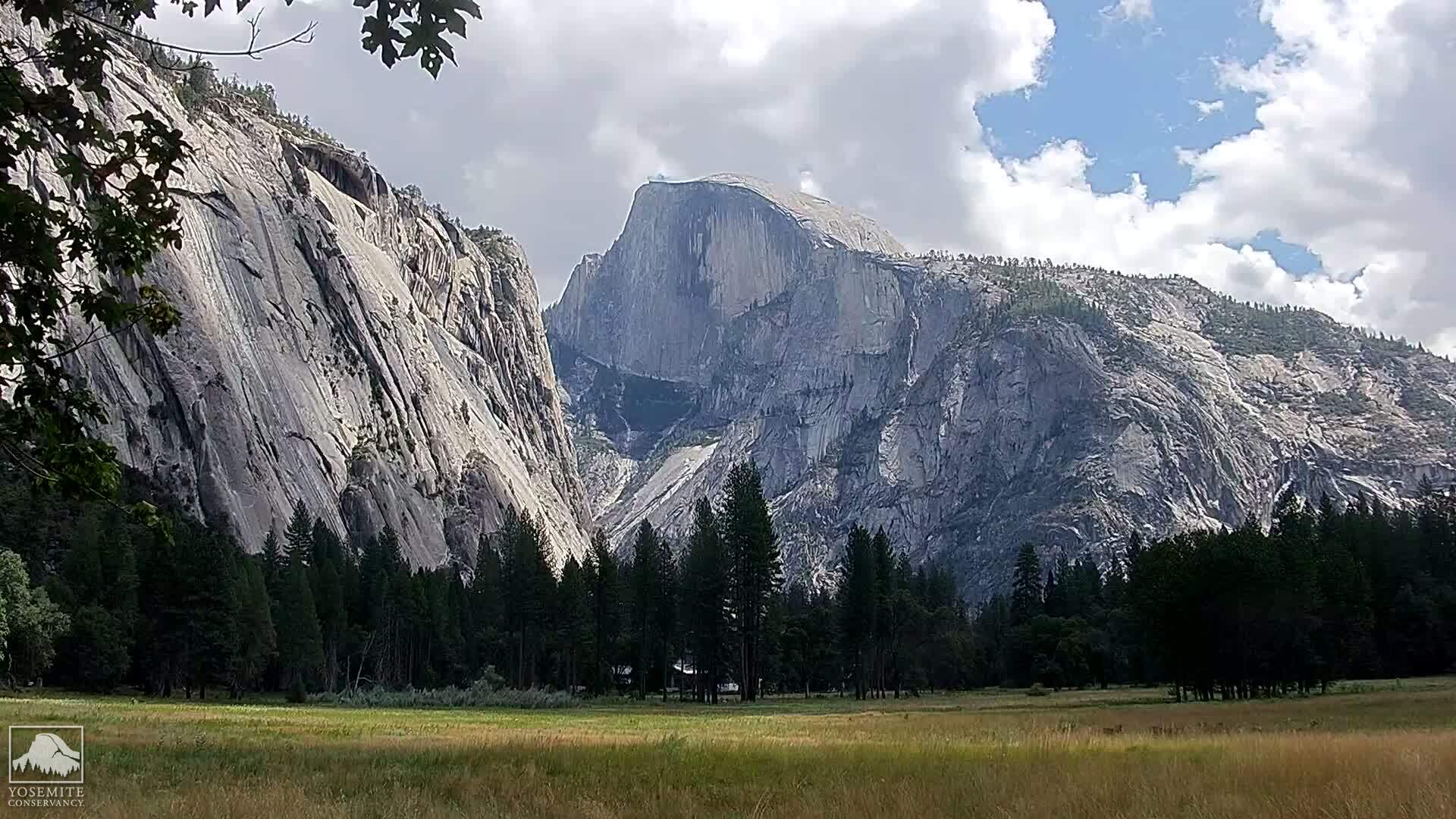
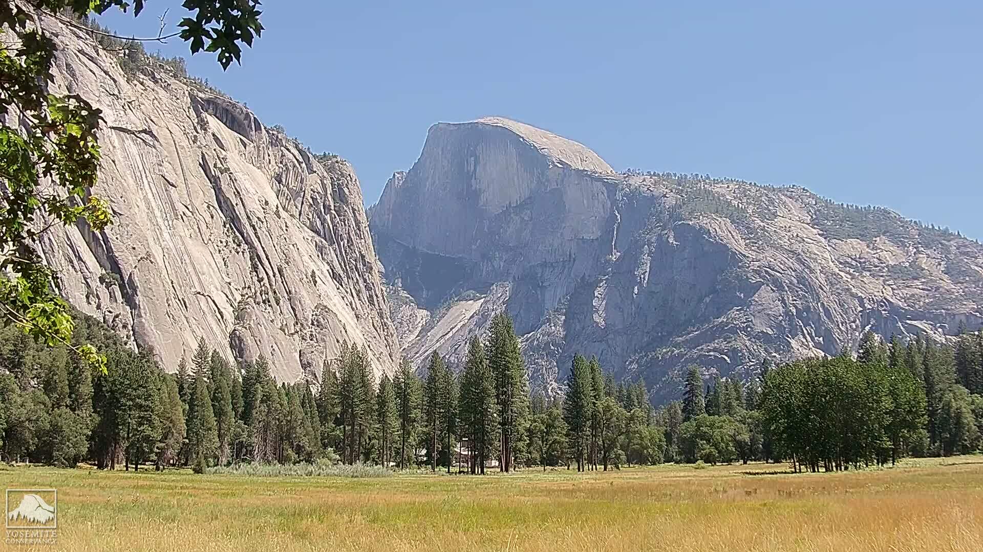

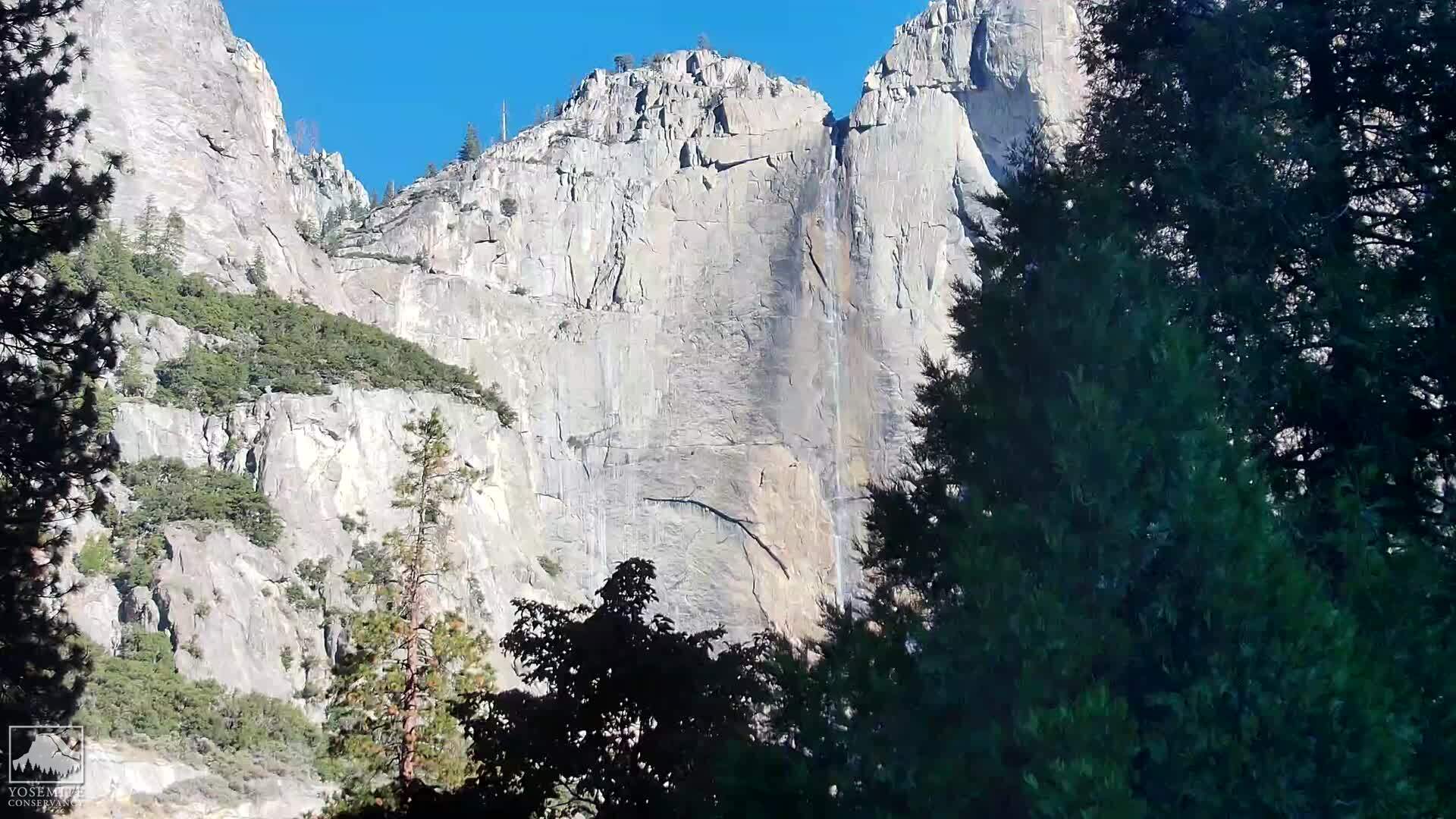
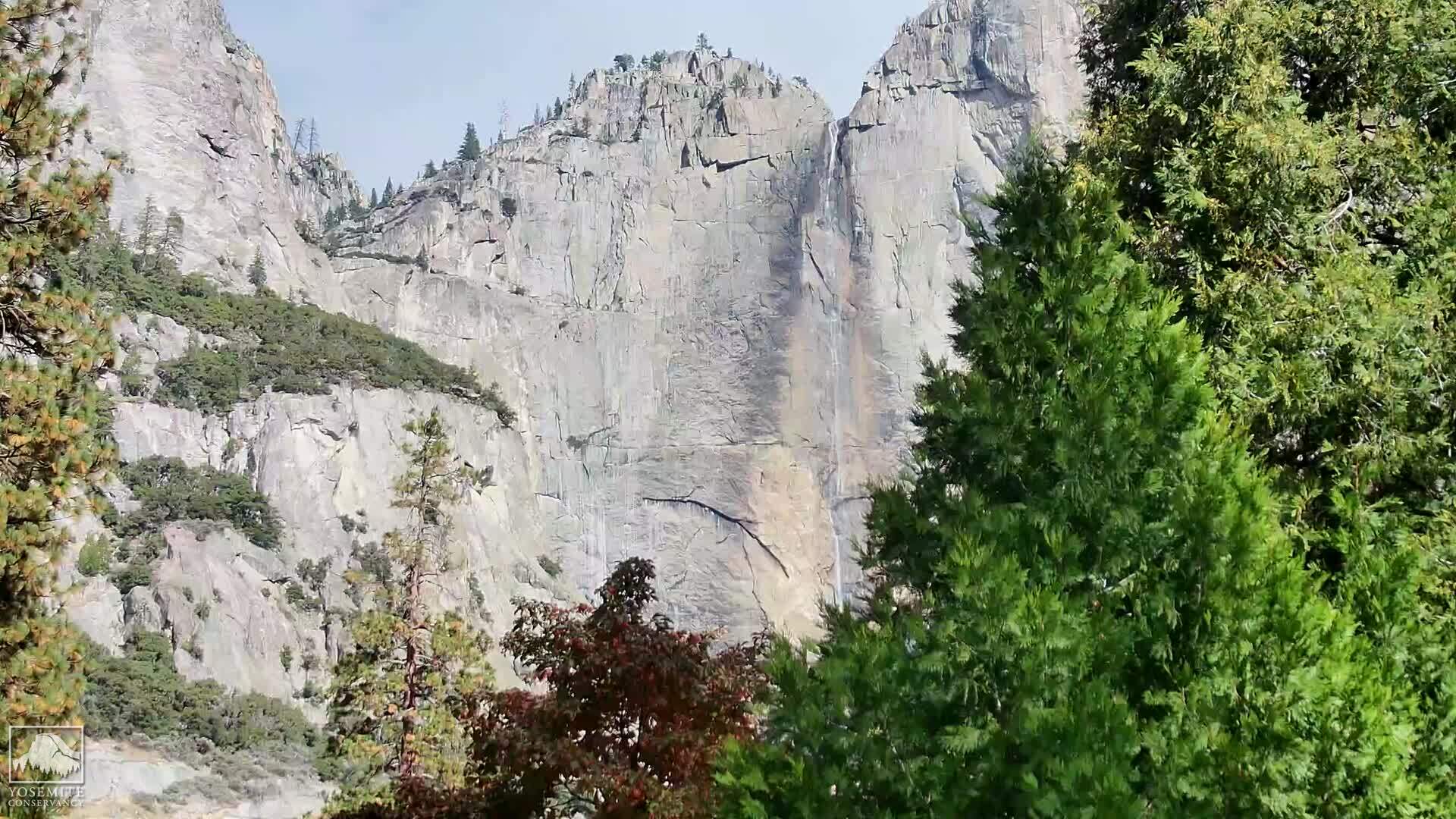
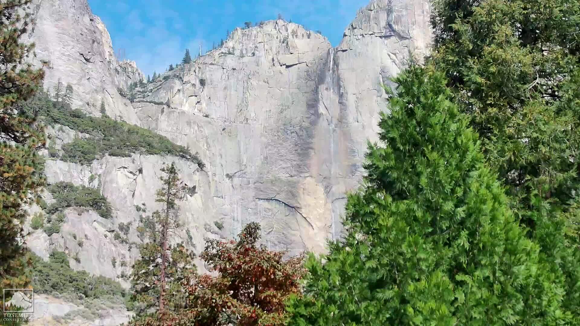
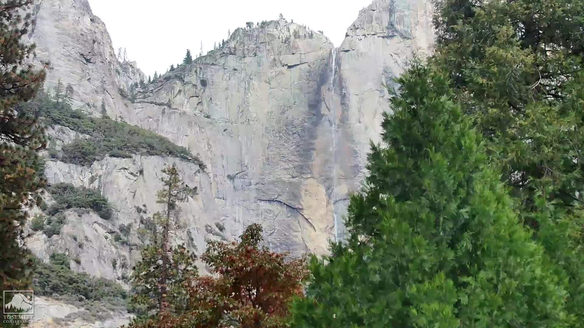
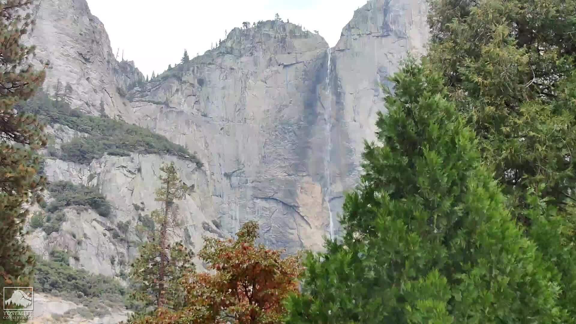
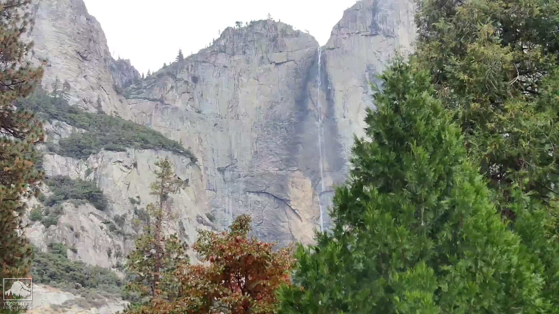
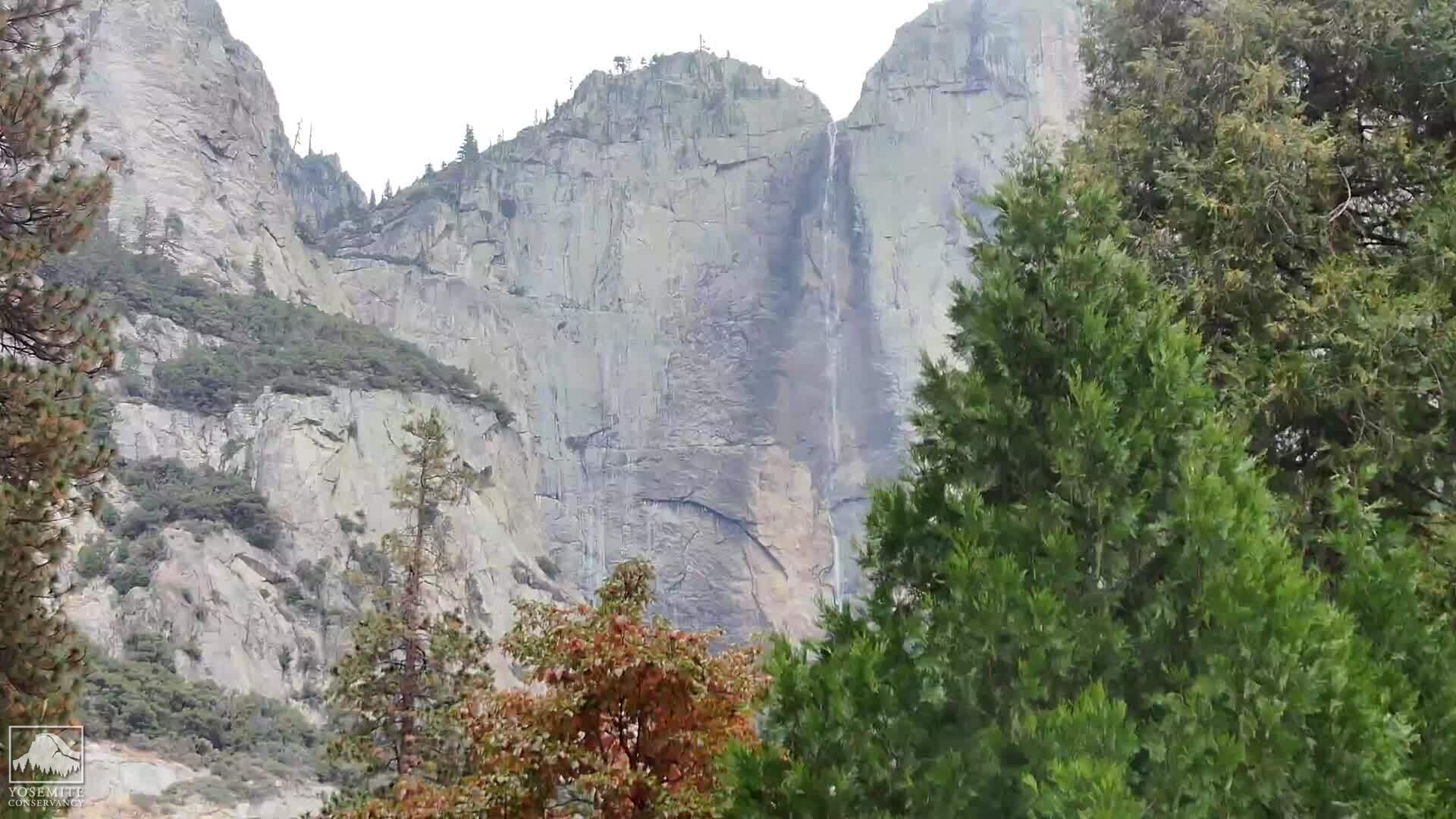
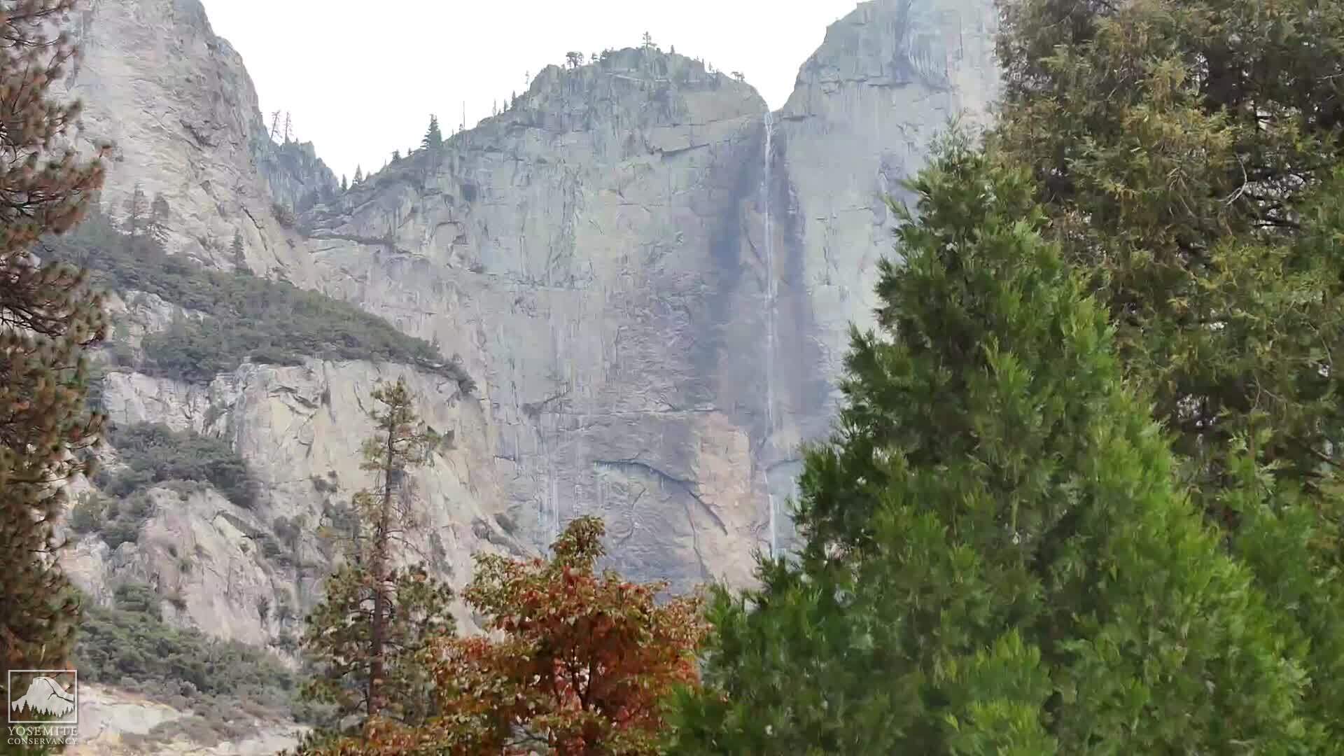
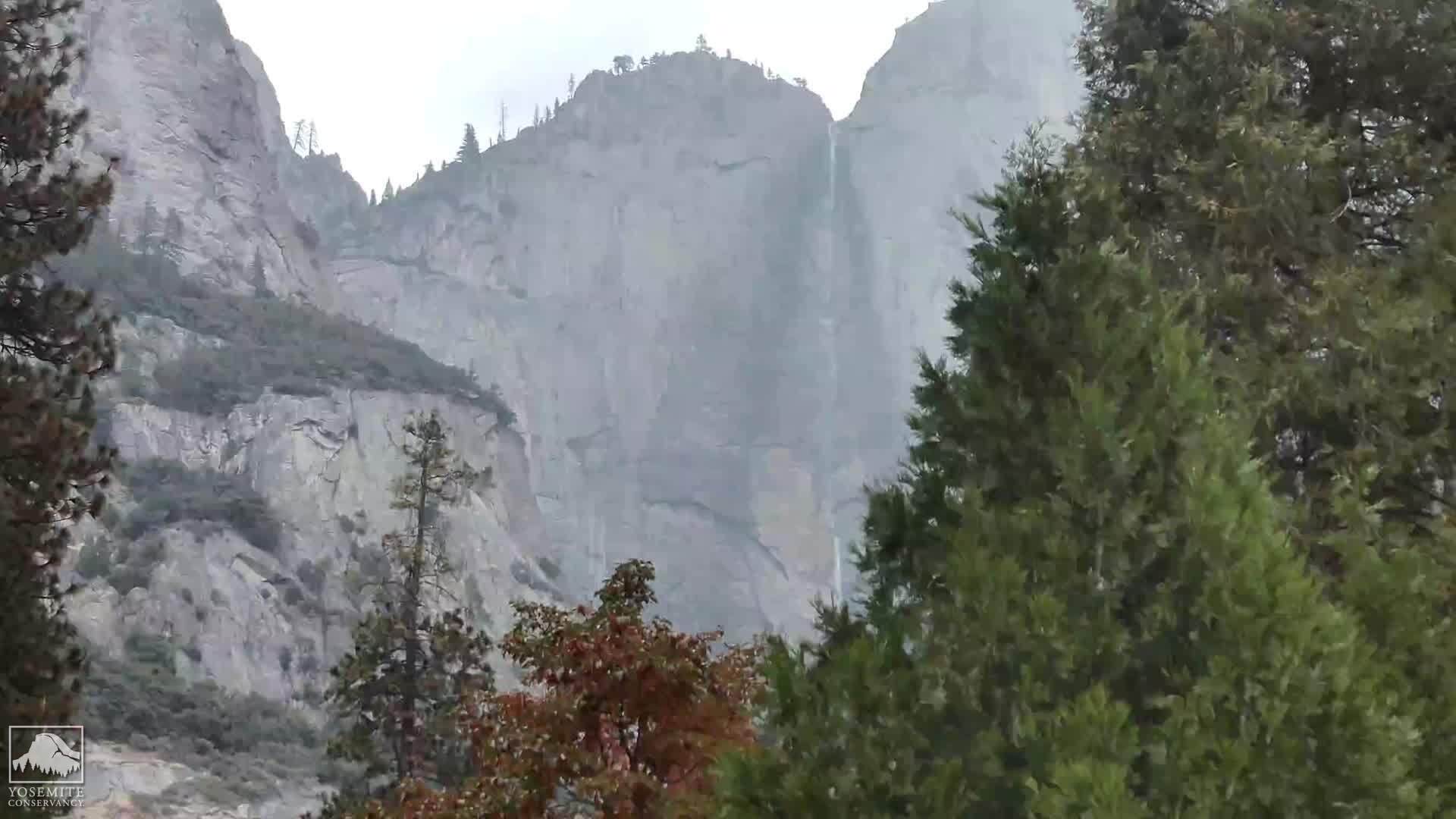
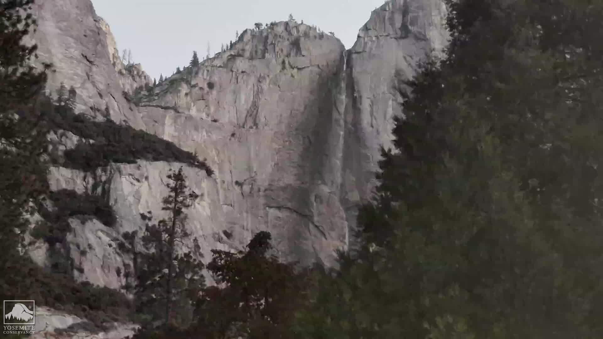
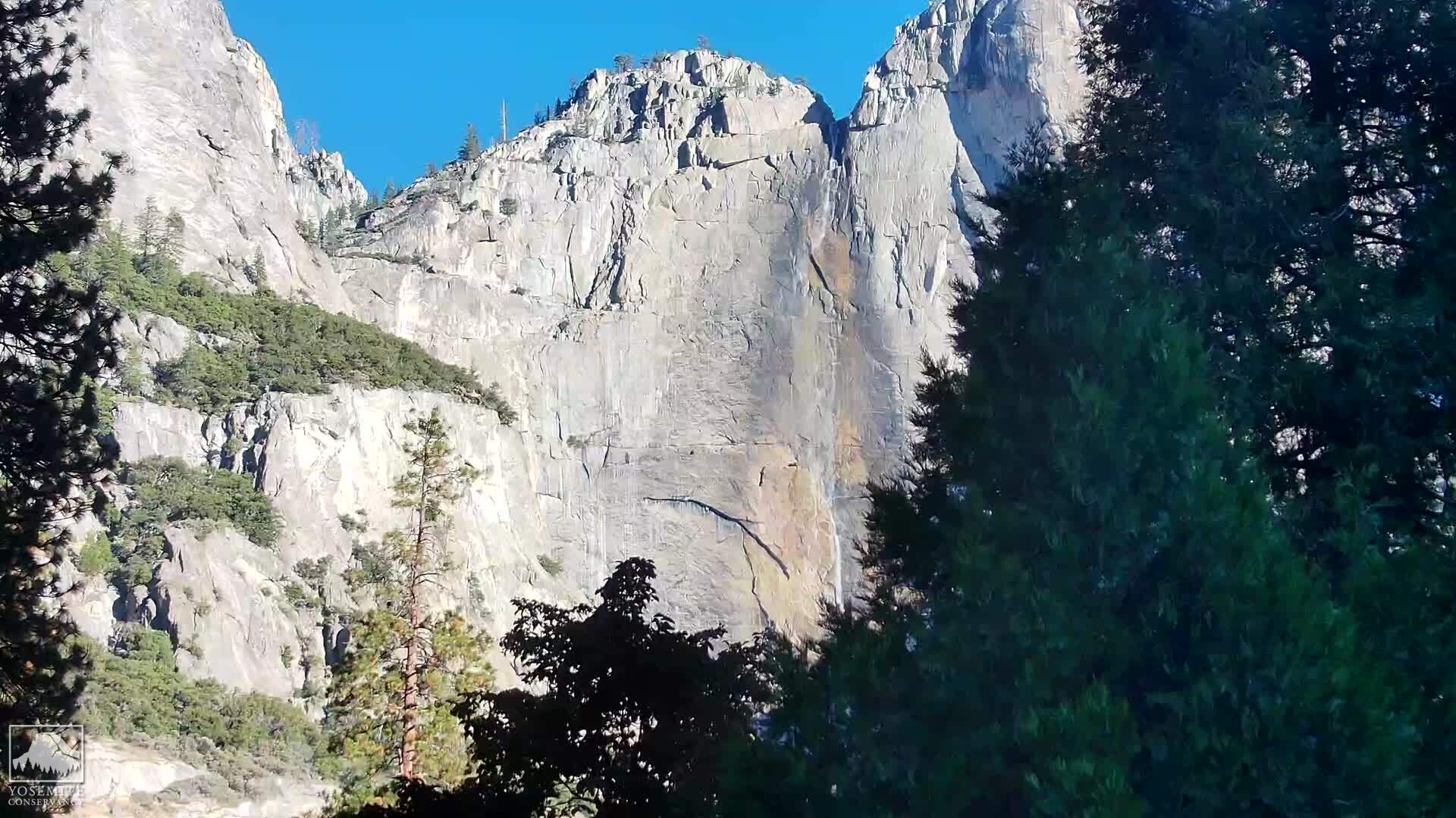
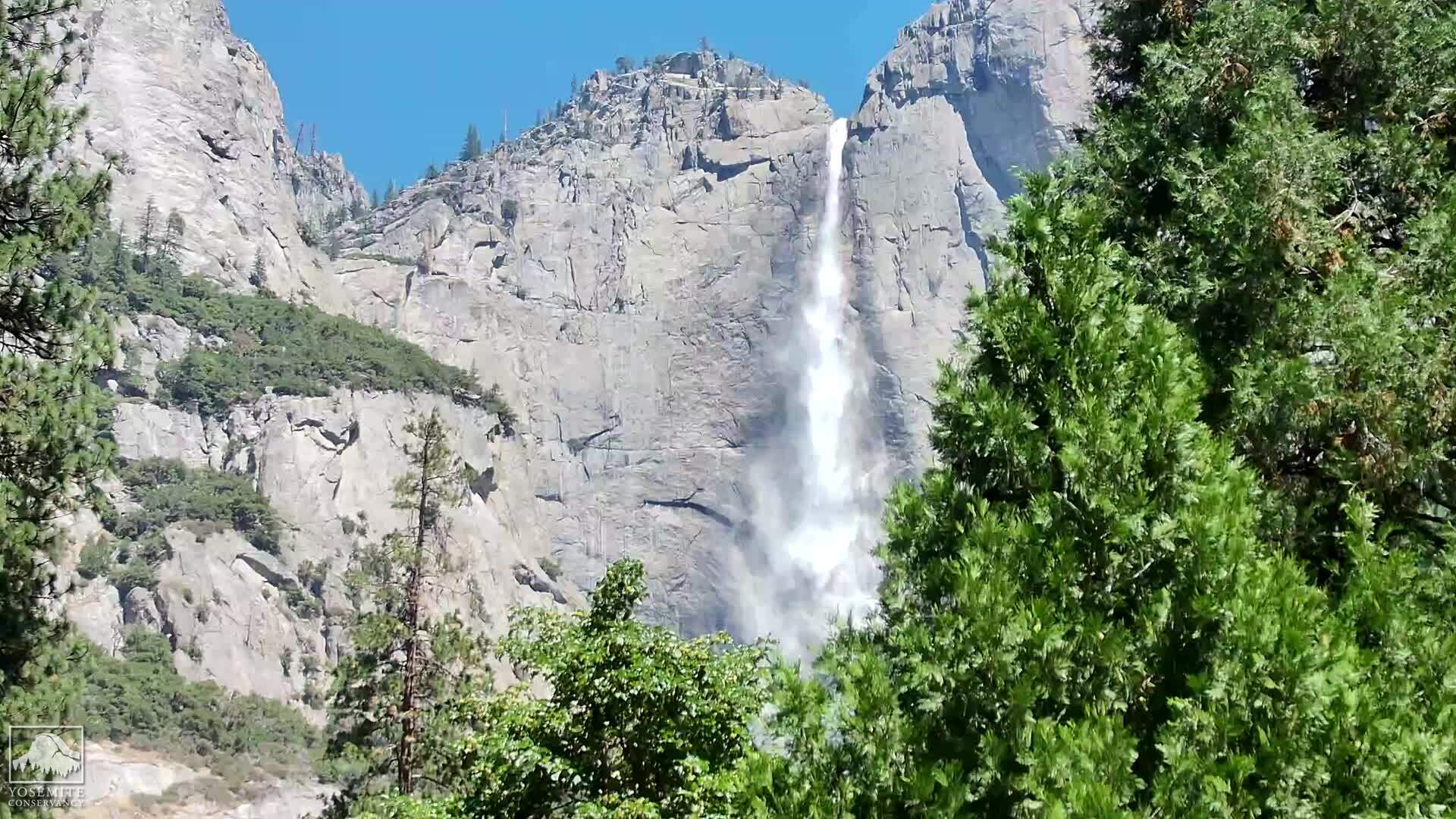
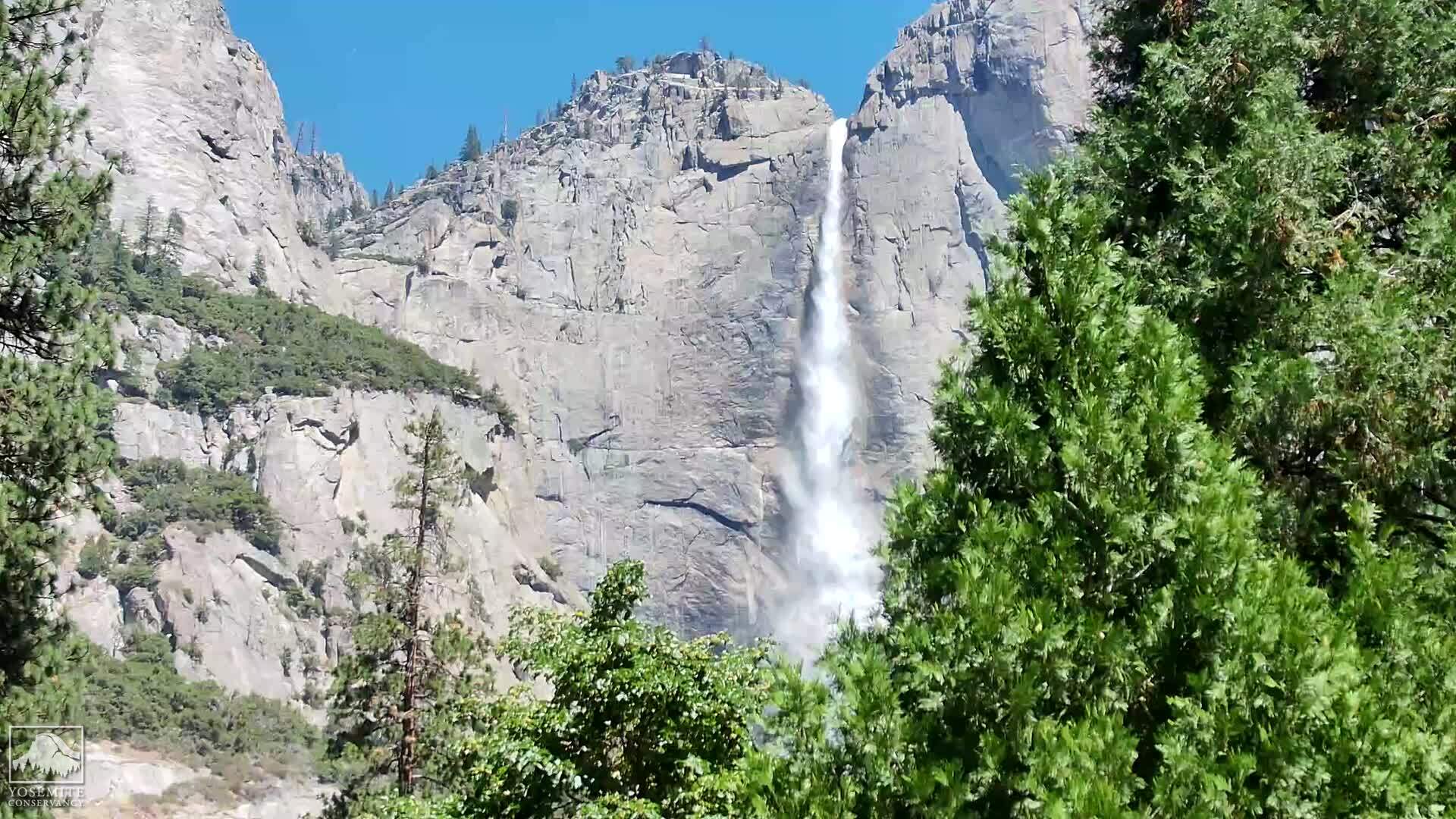
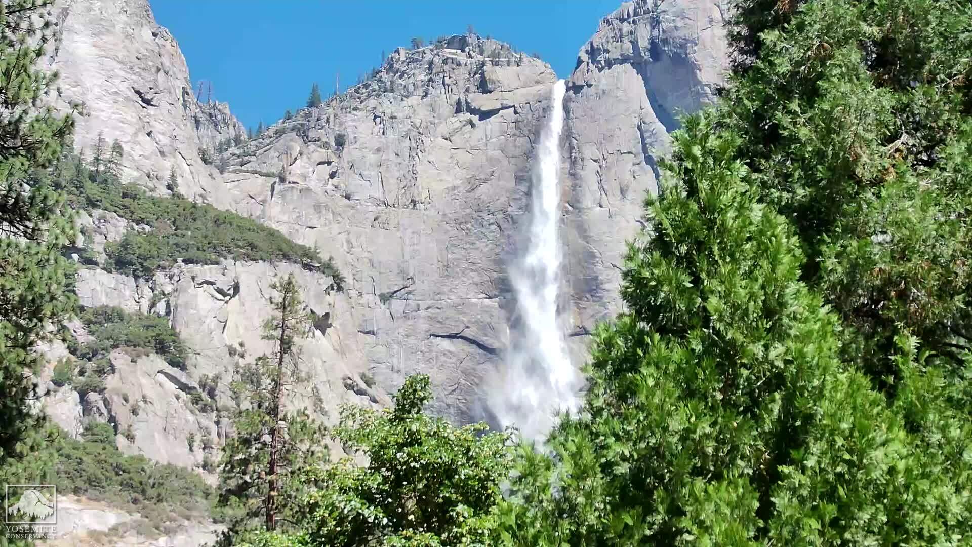
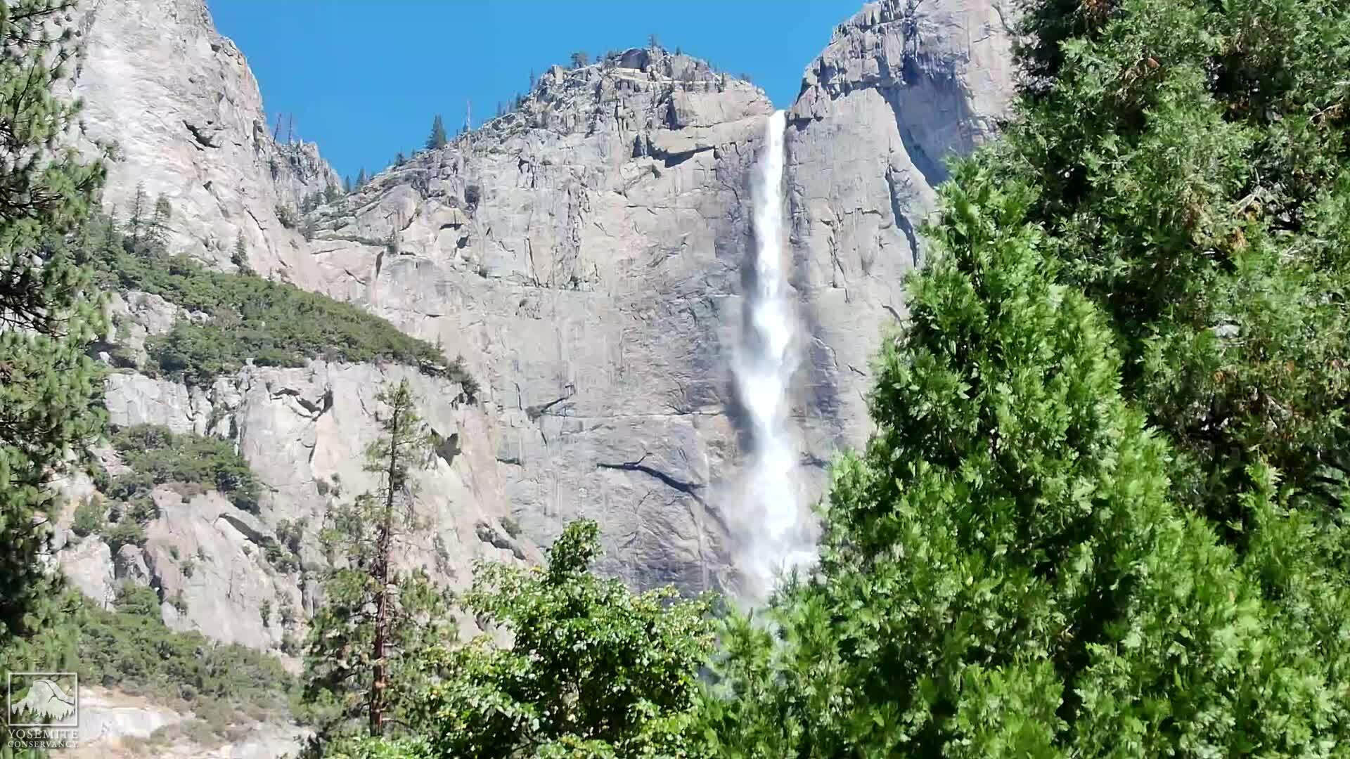
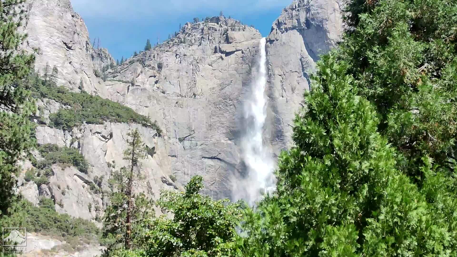
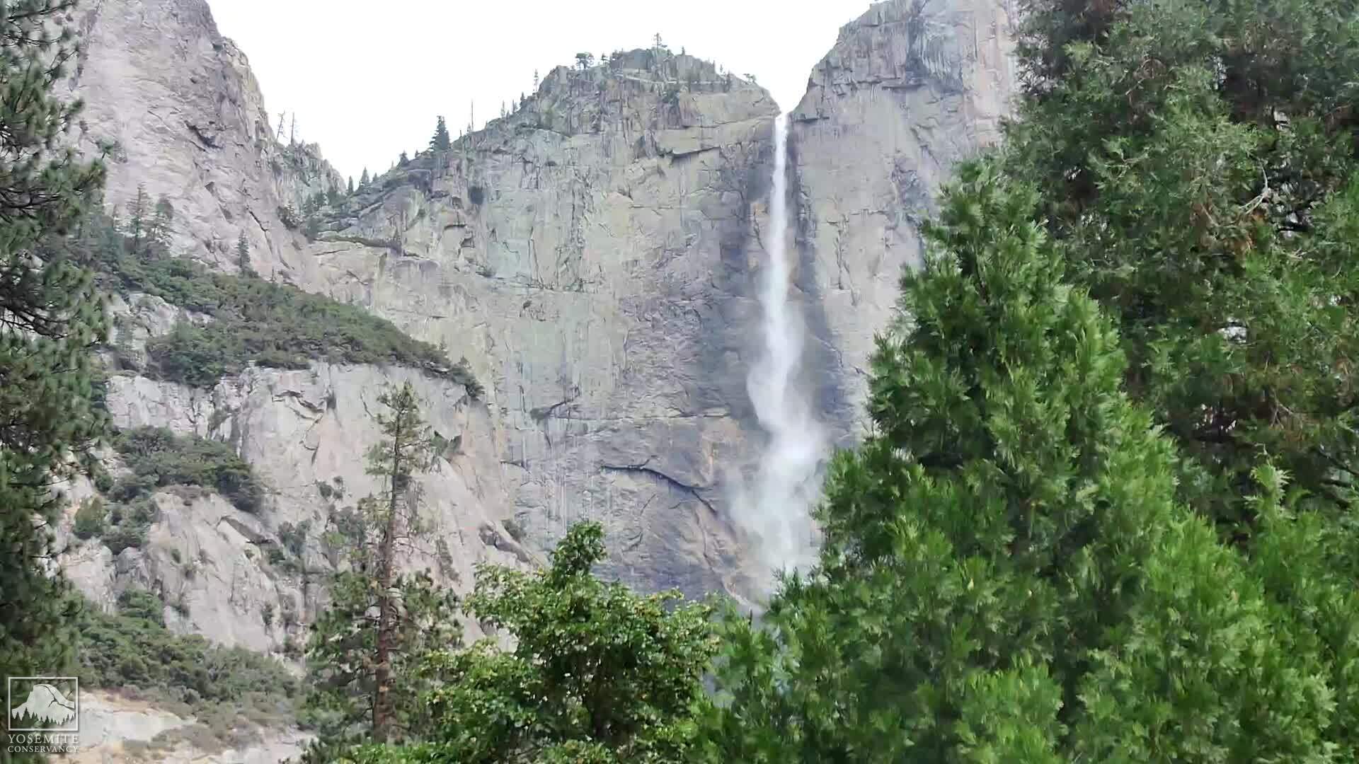
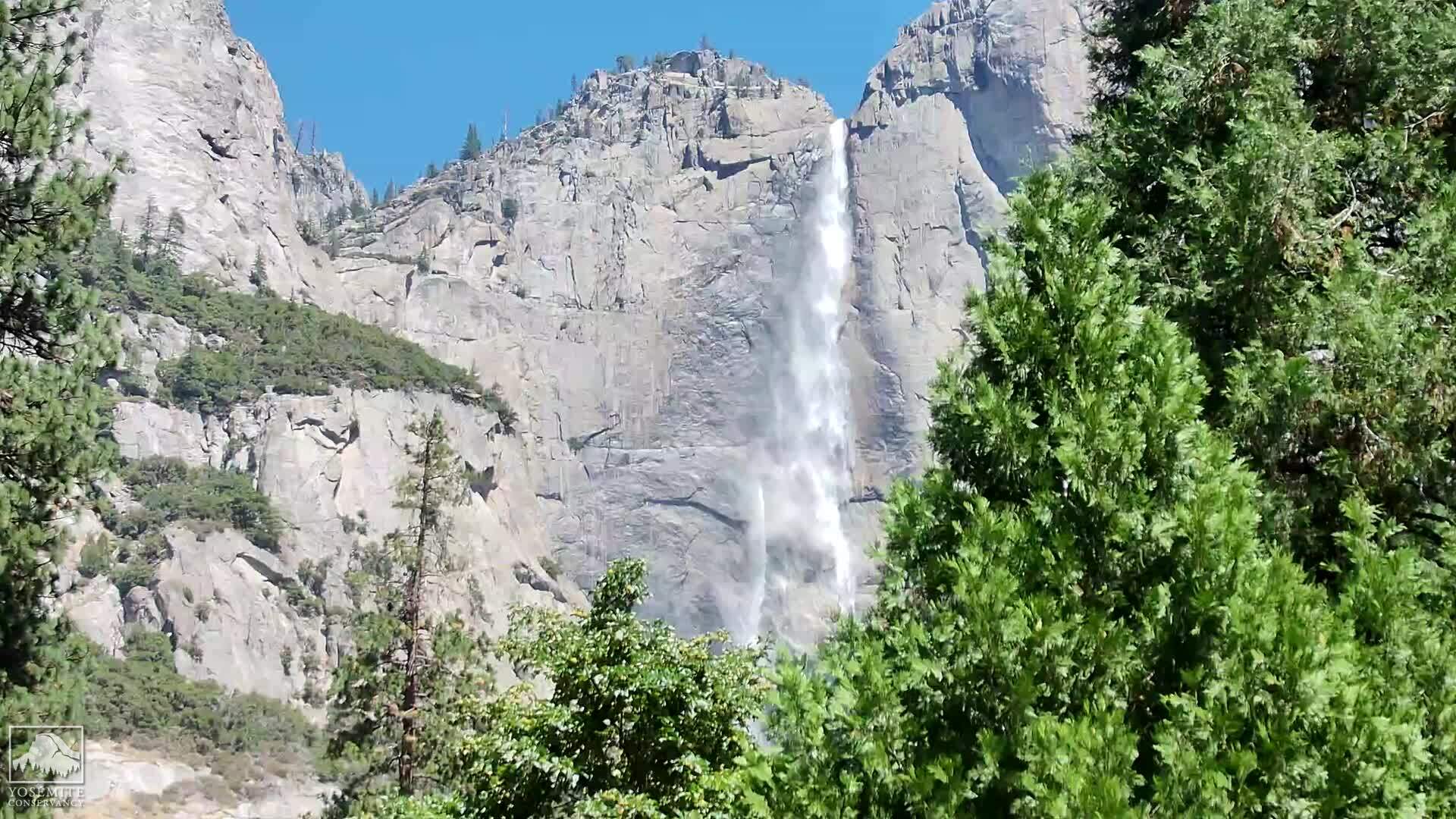
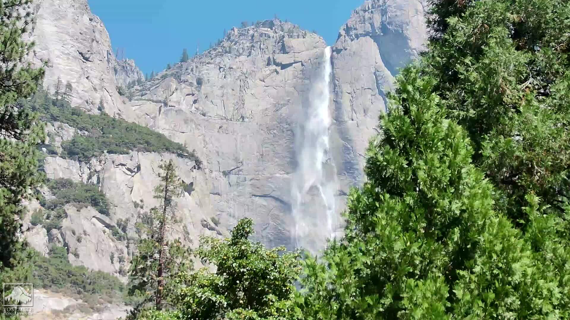
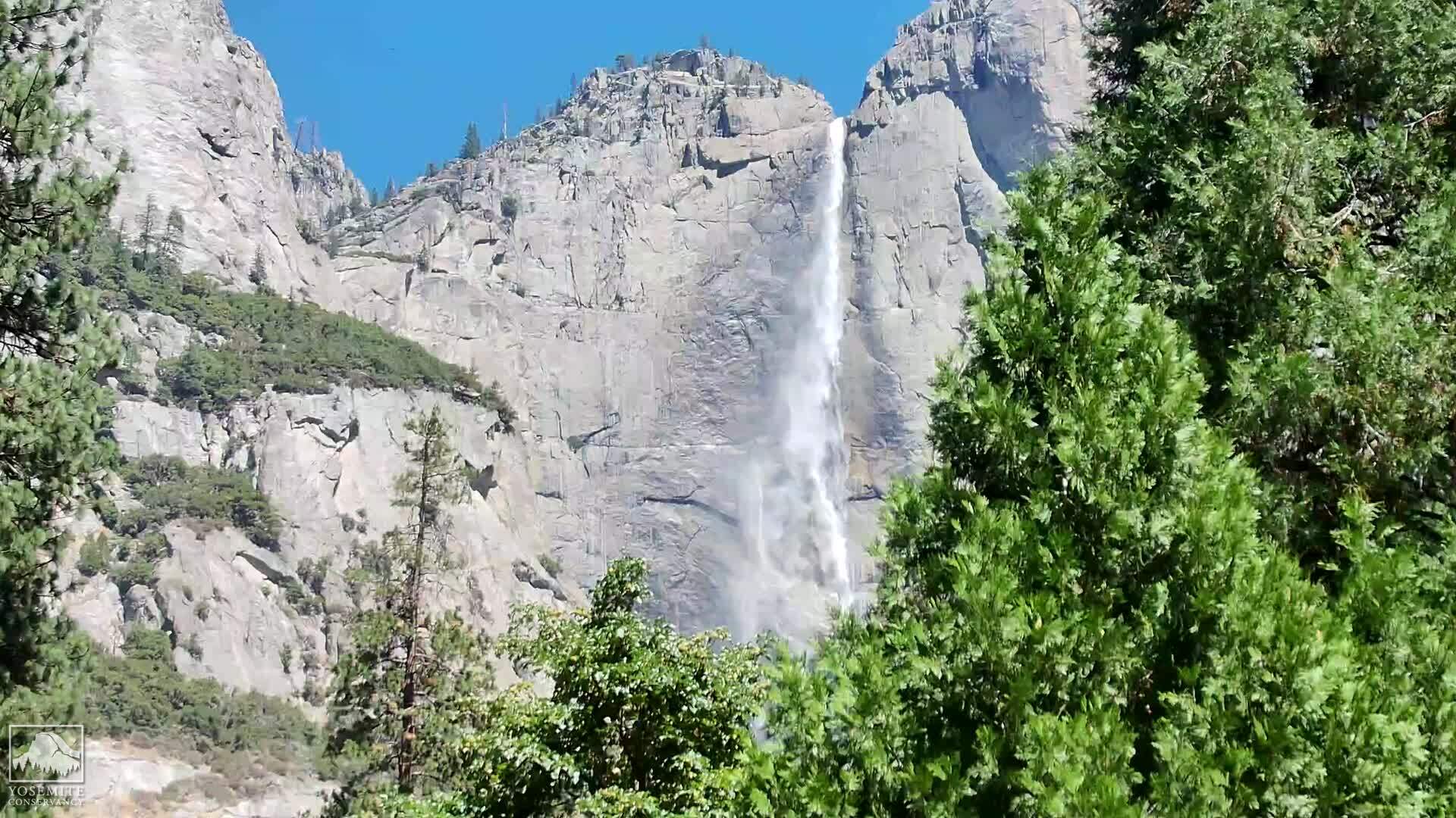
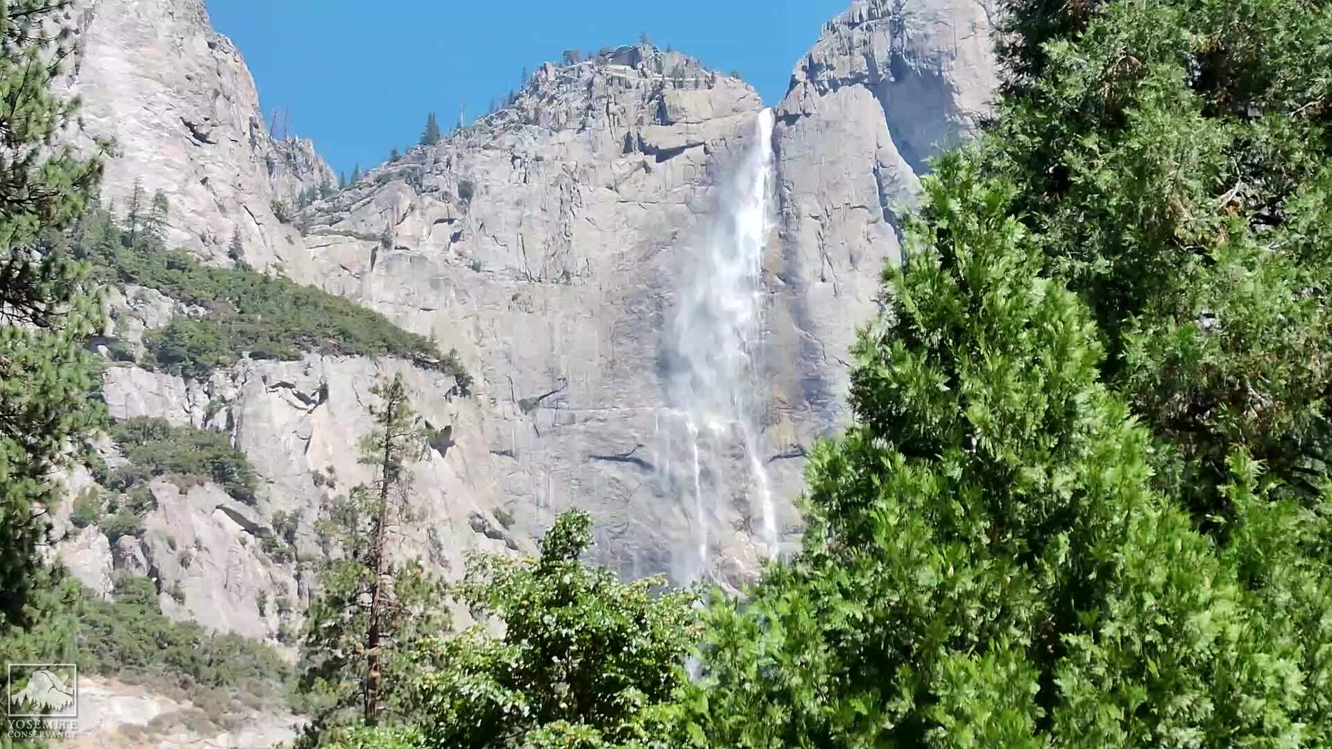
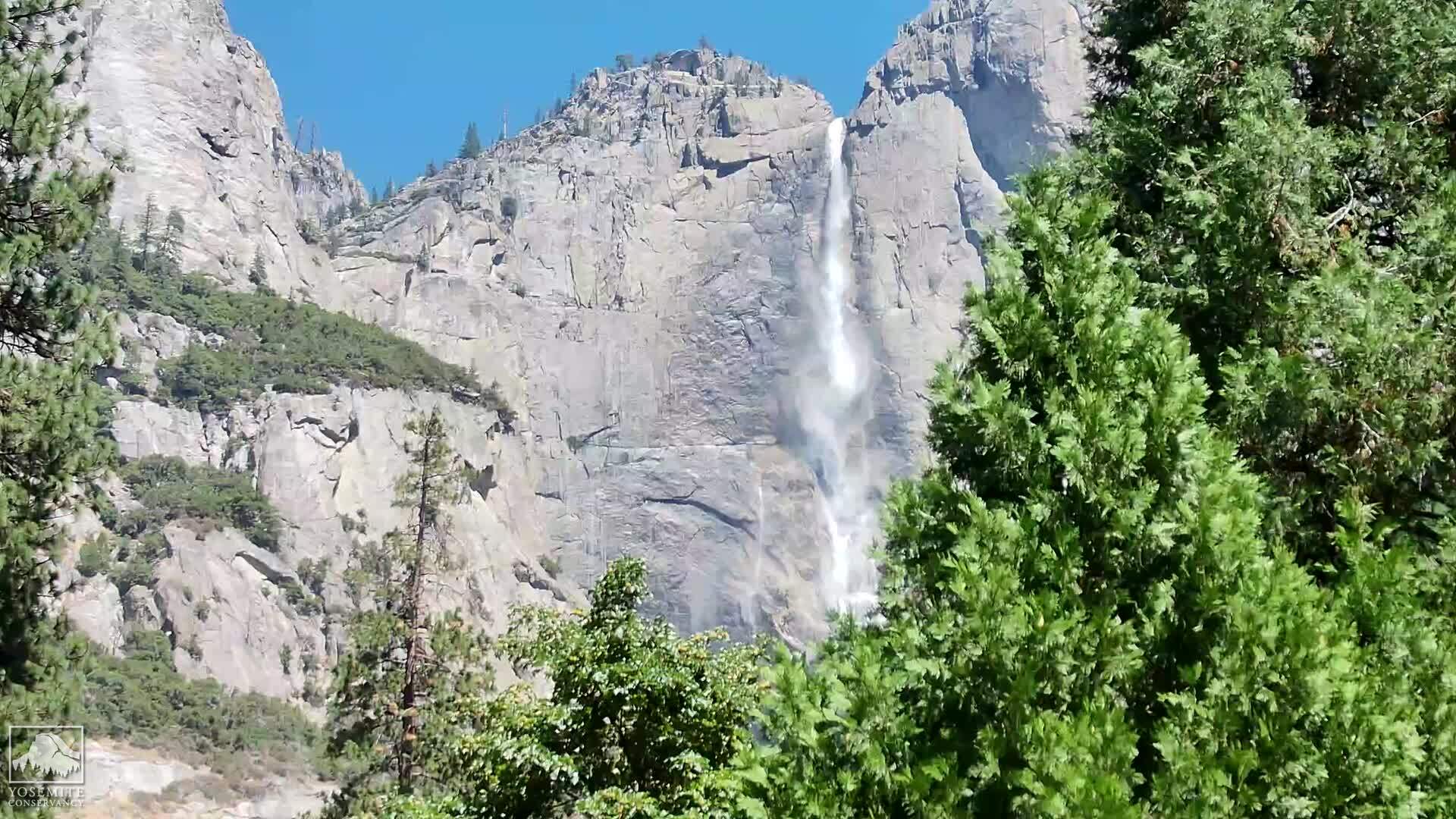
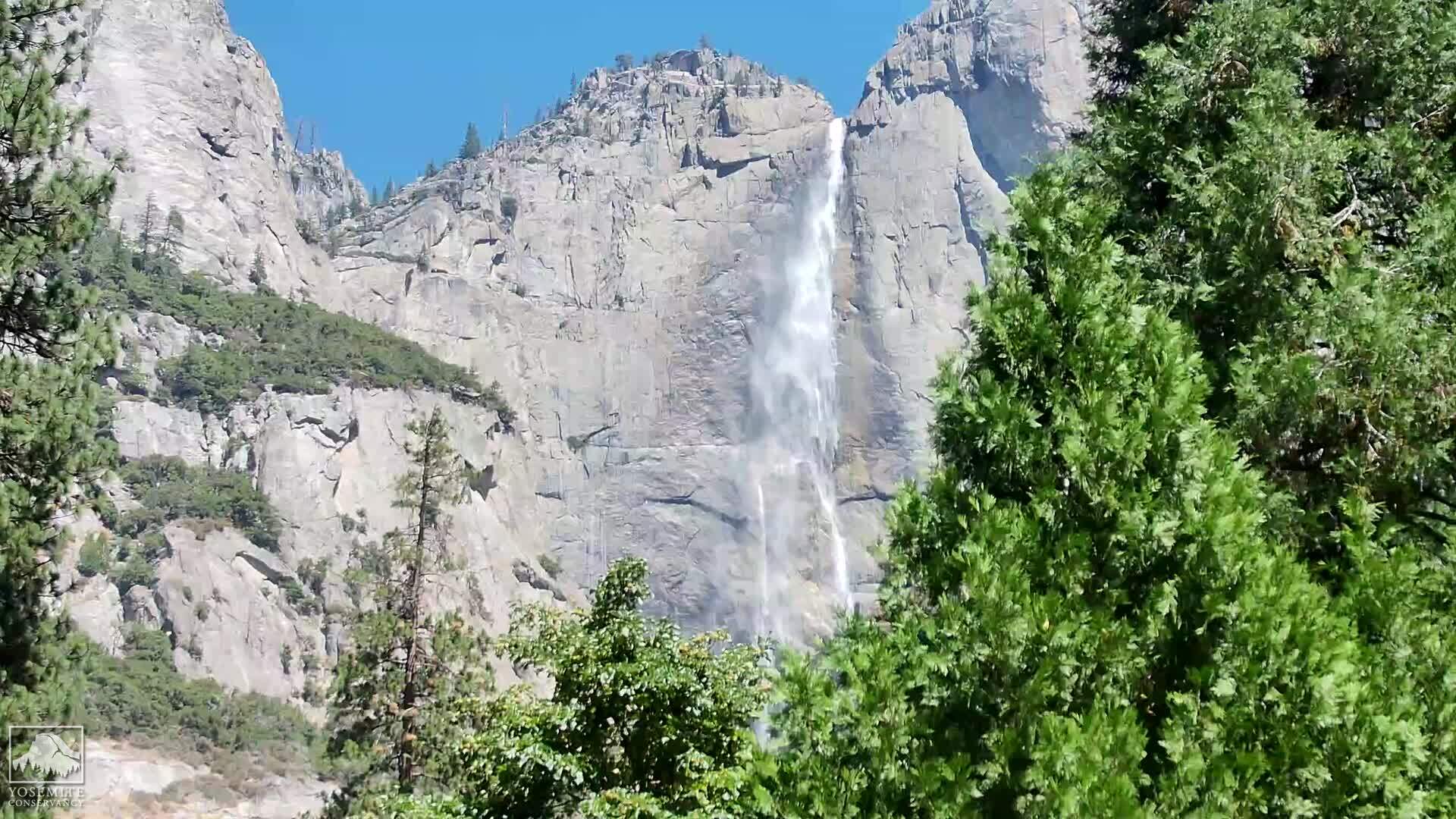
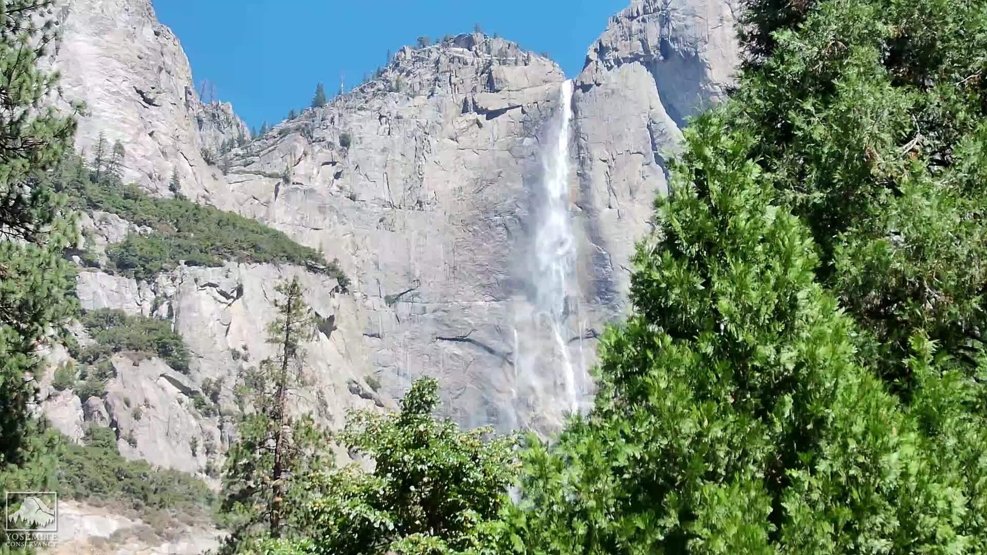
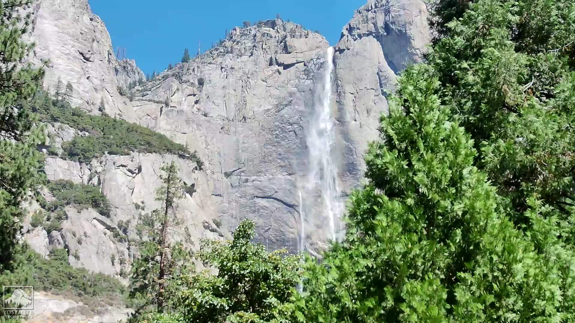
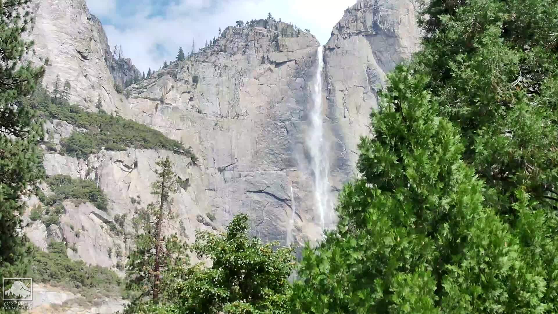
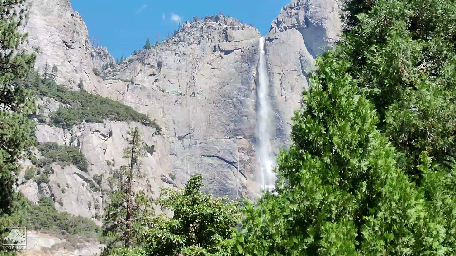
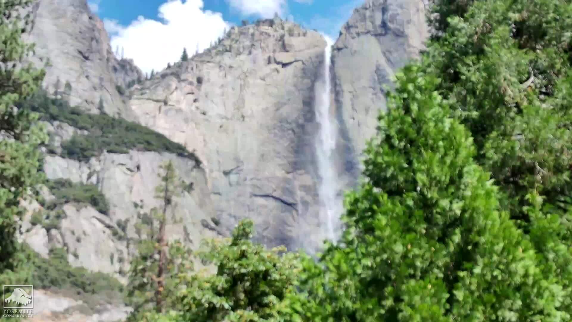
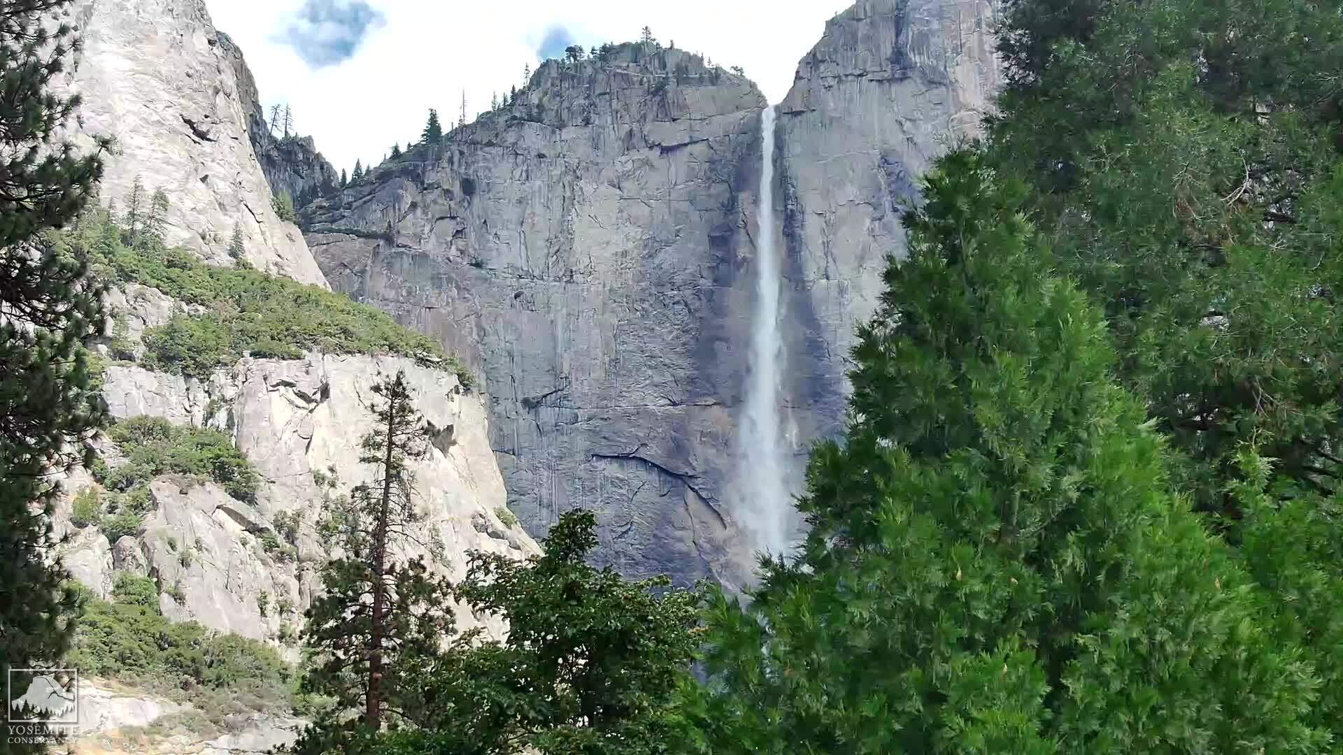
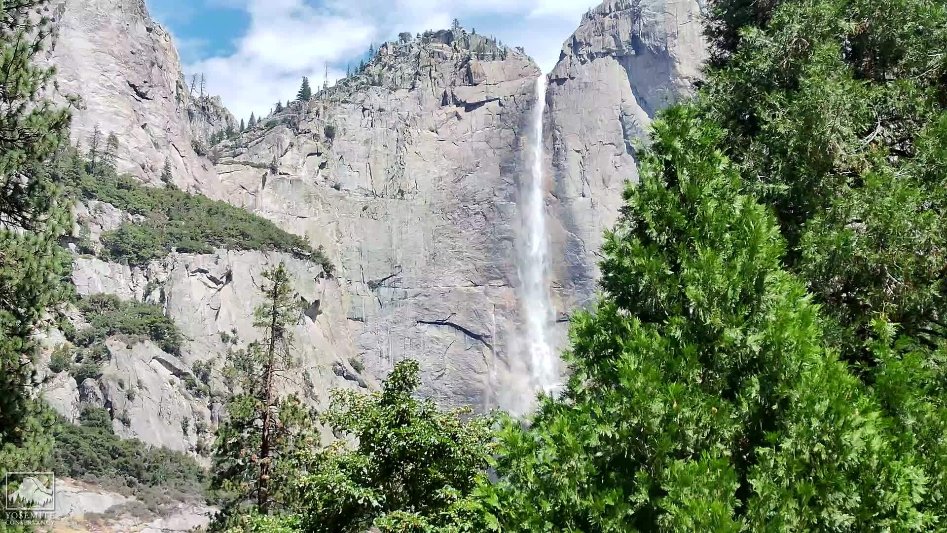
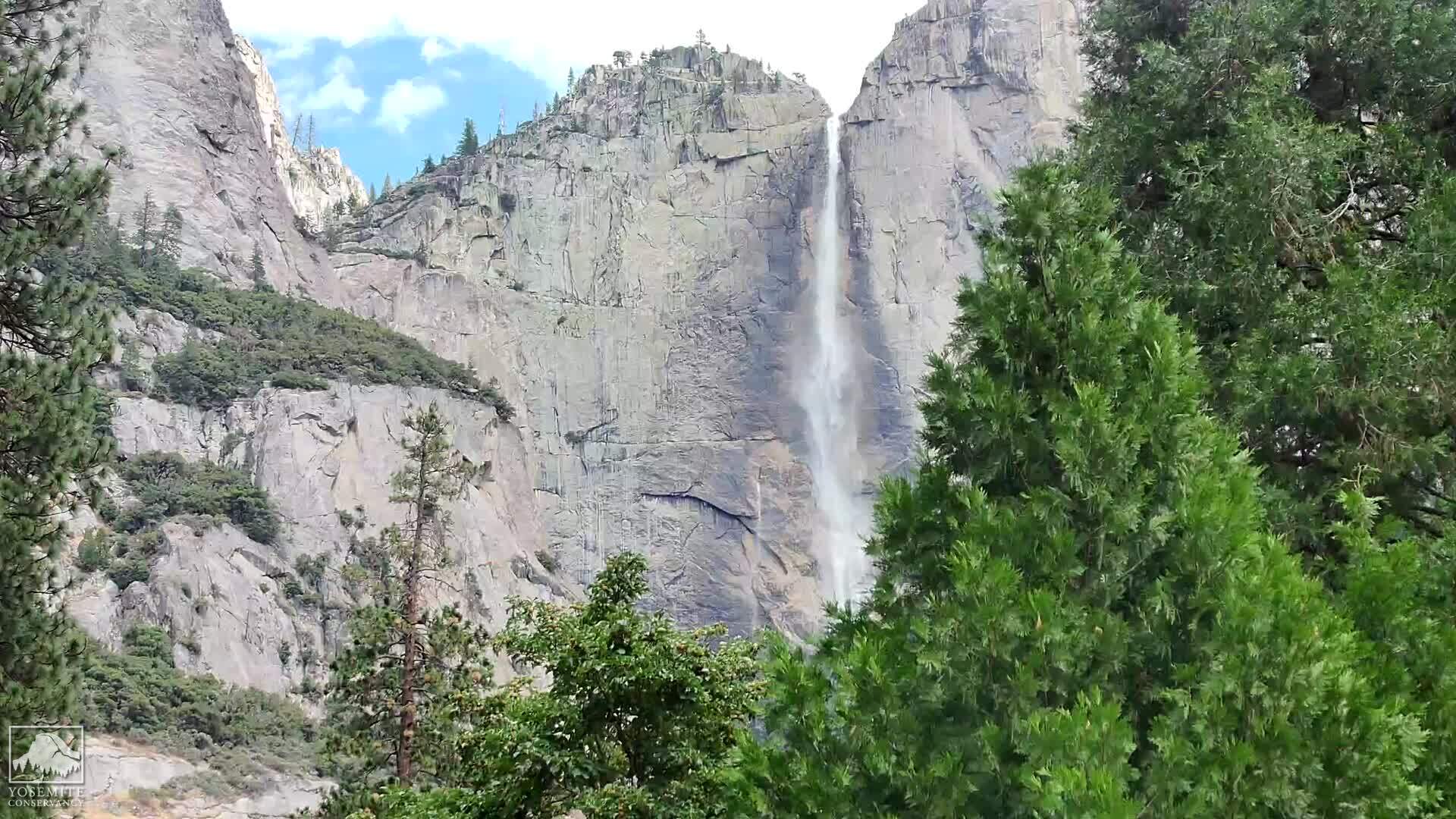
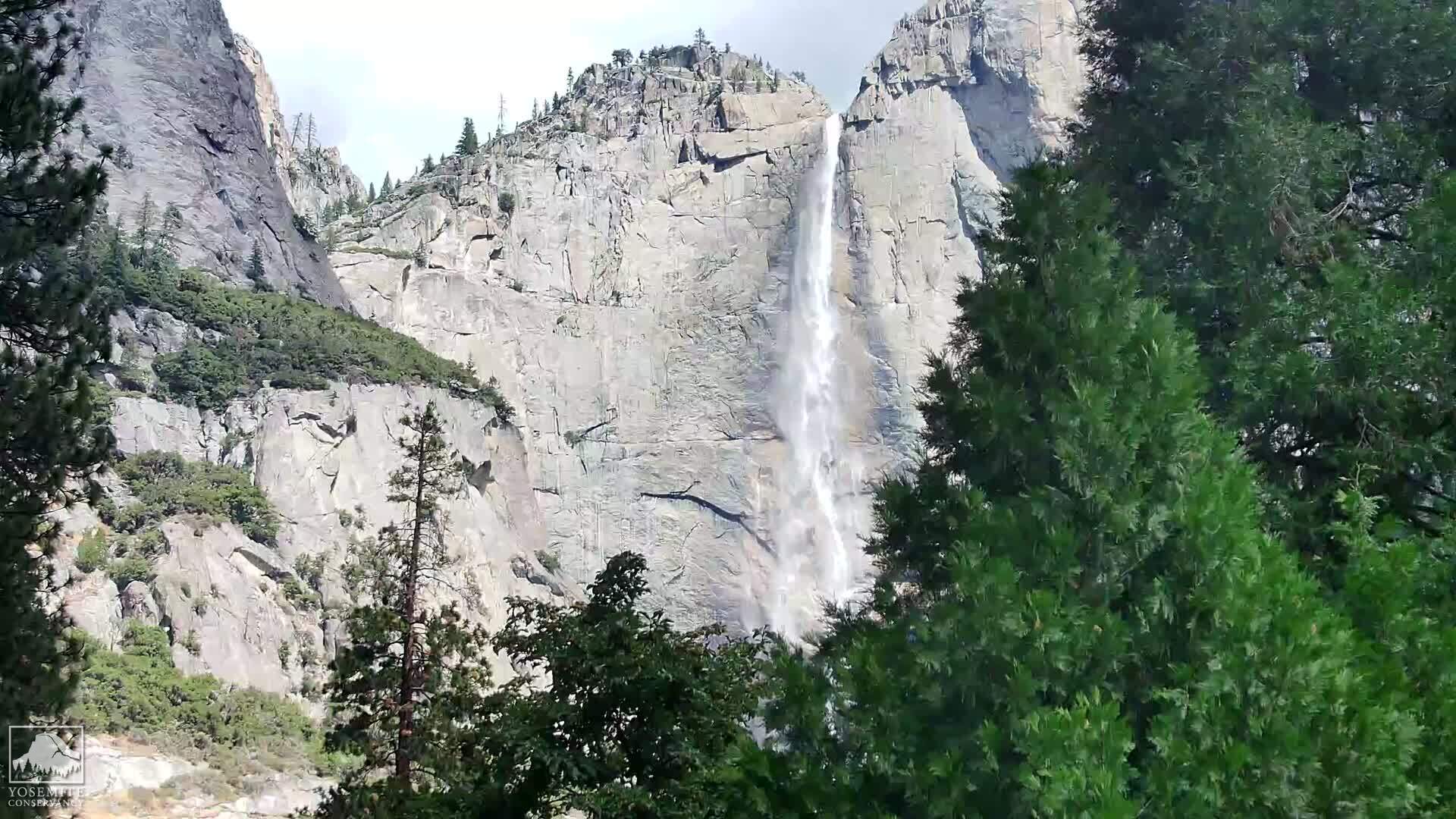
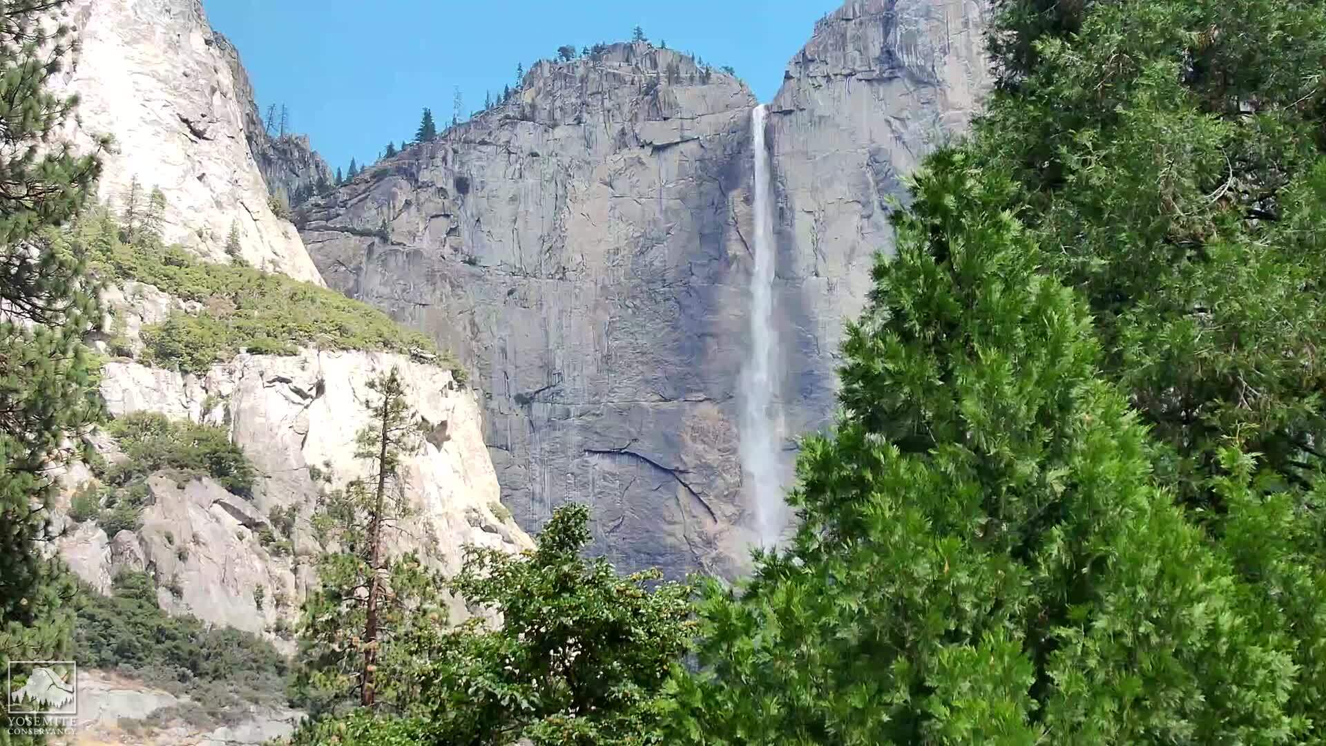
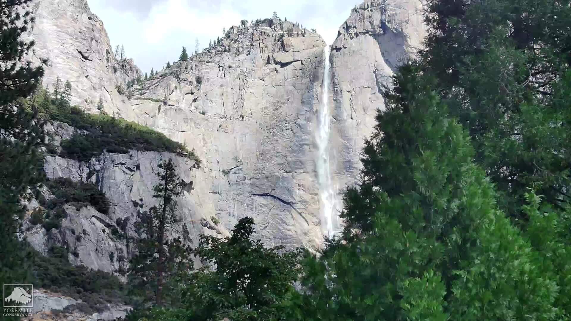
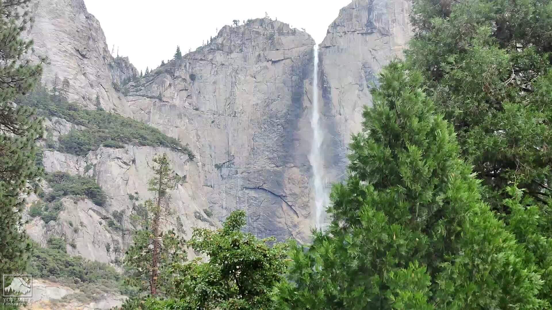
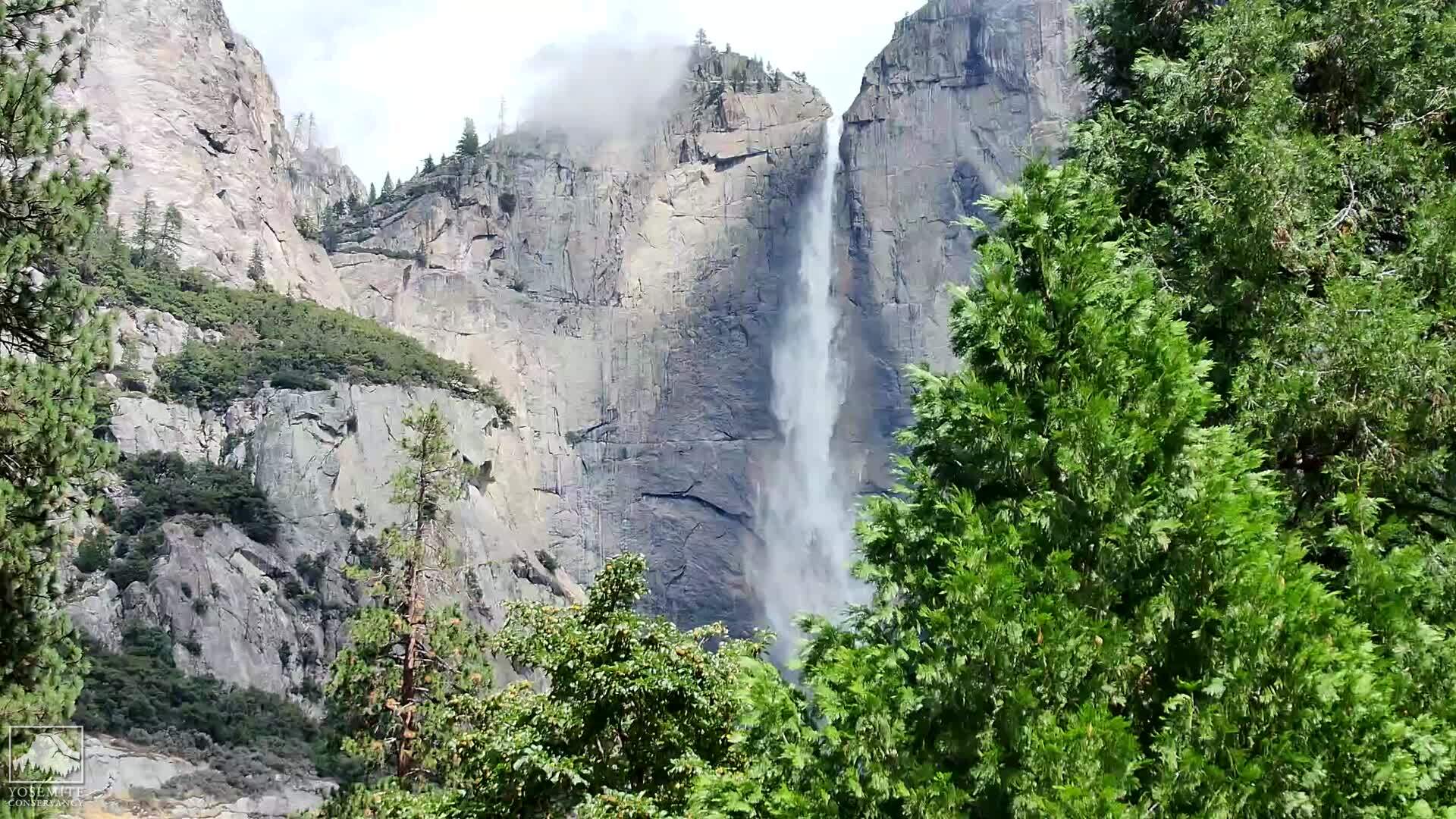
Yosemite Village, California, USA - 136.7 miles from Acebedo: Yosemite Falls
Operator: Yosemite Conservancy
Operator: Yosemite Conservancy


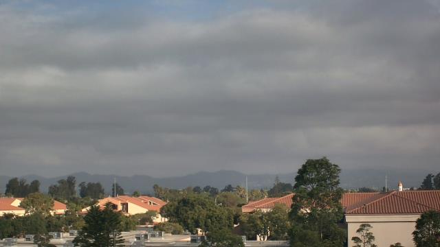
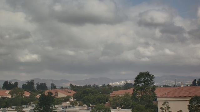
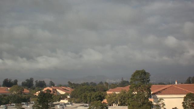
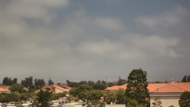
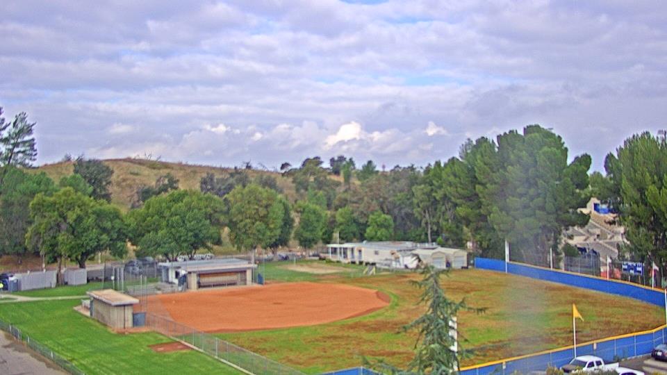
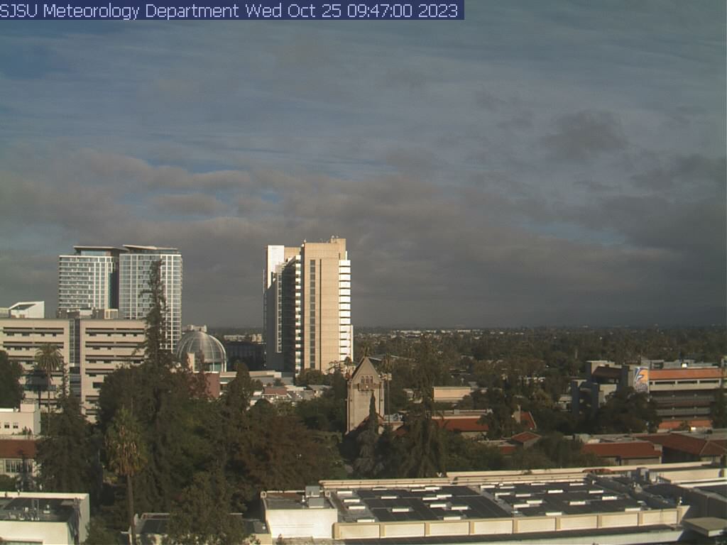
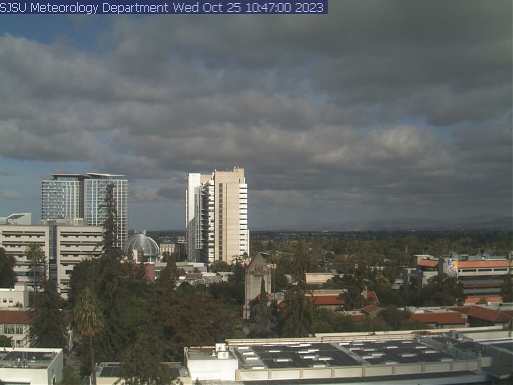
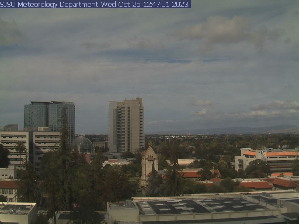
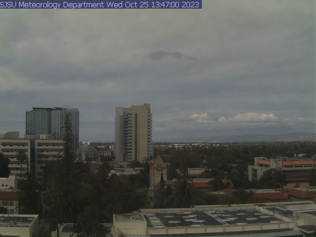
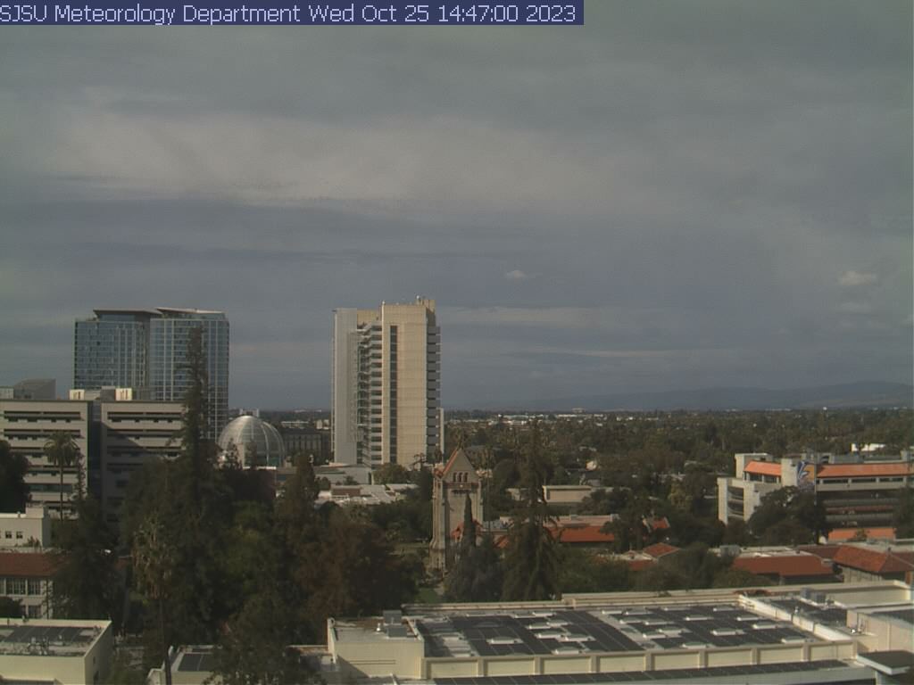
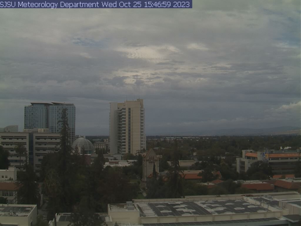
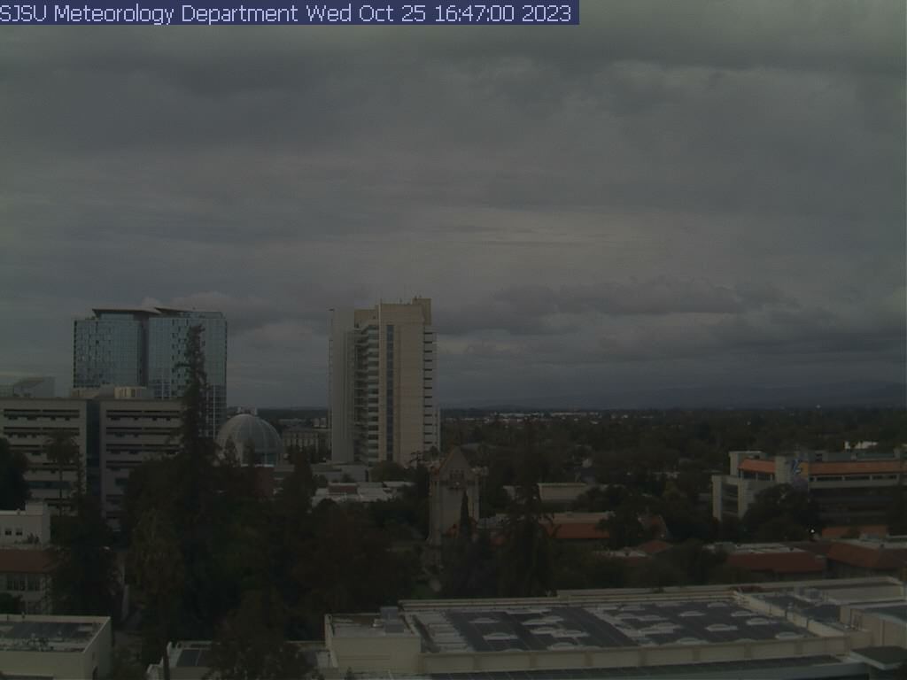
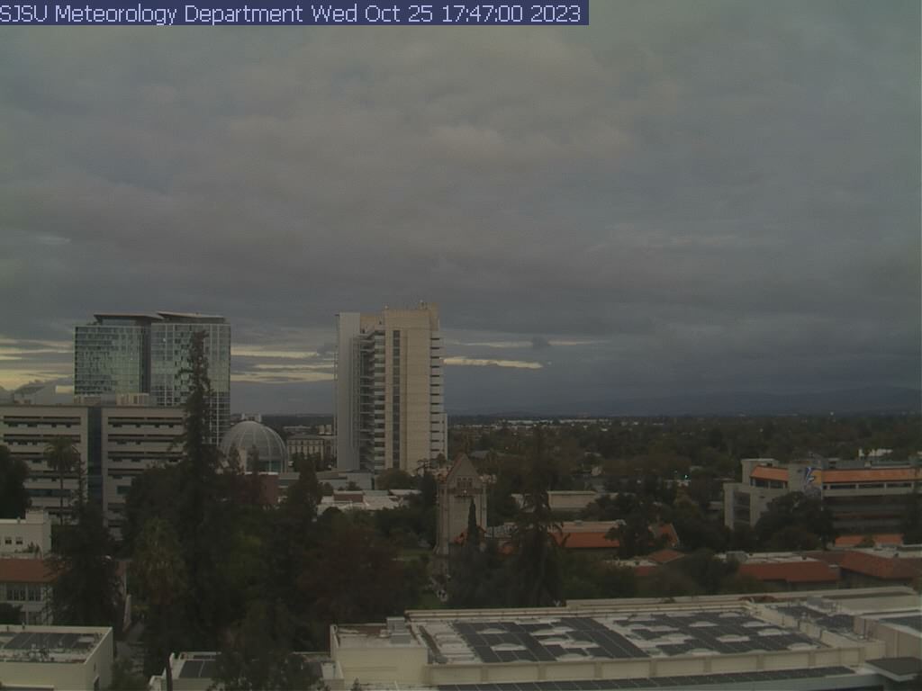
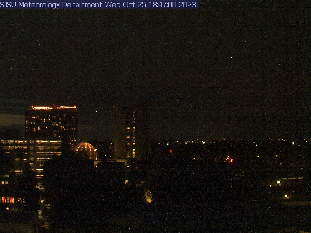
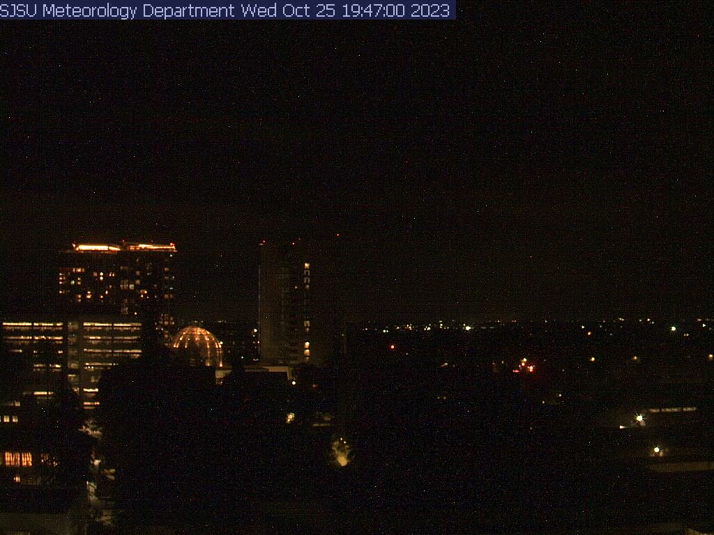
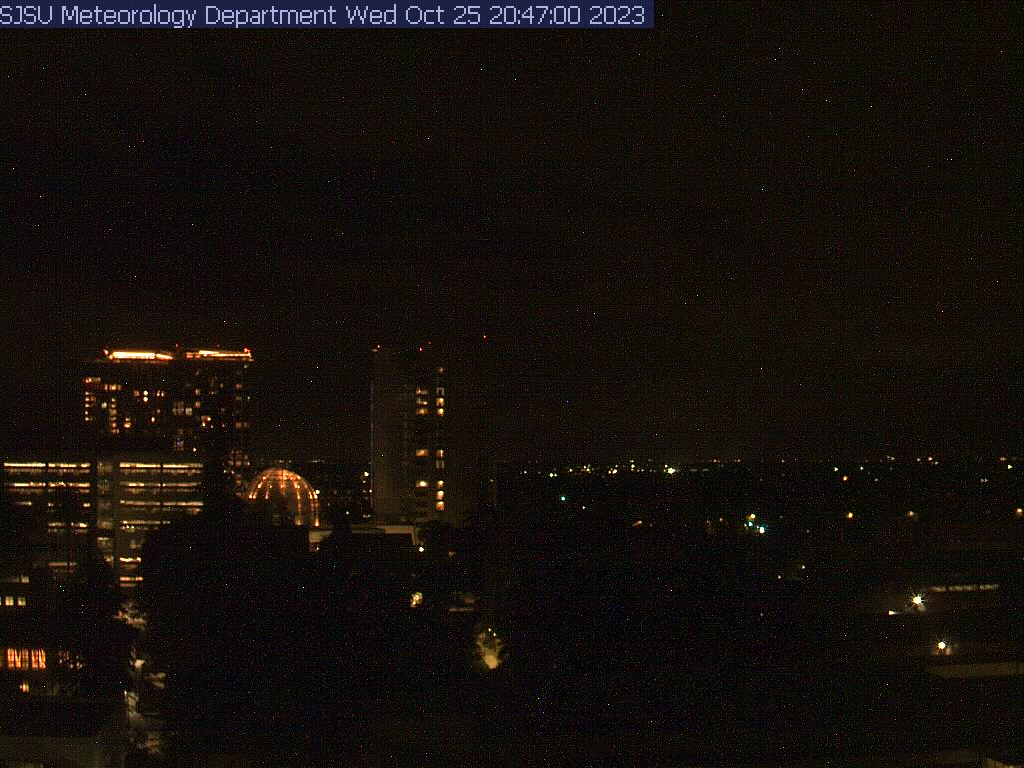
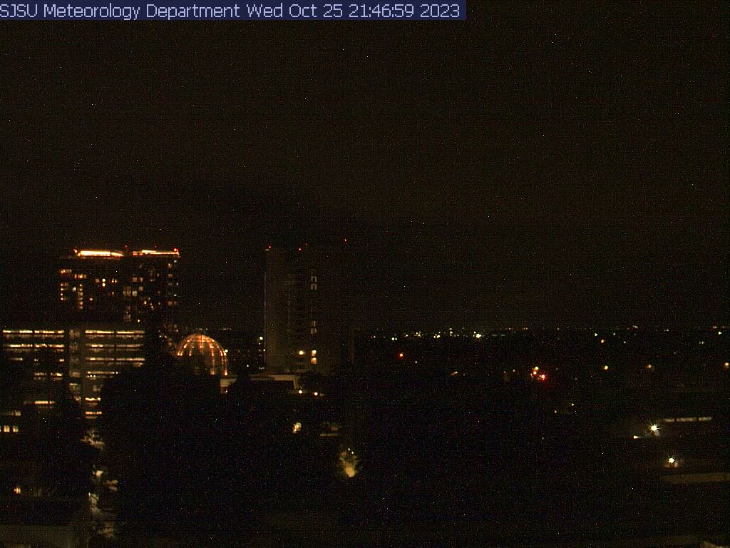
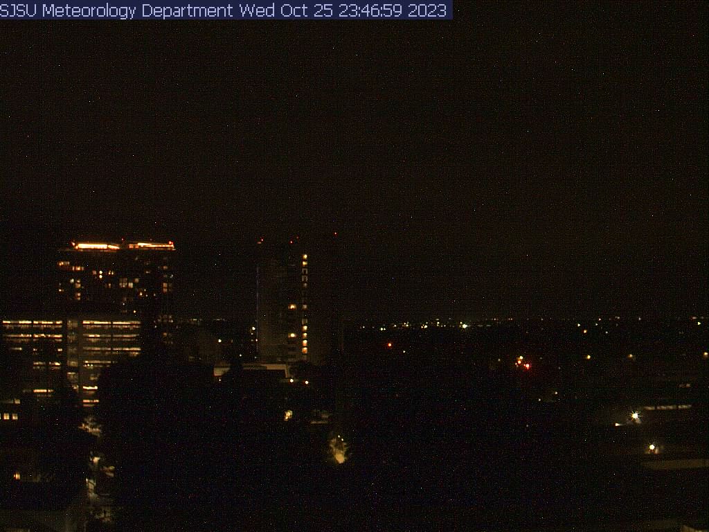
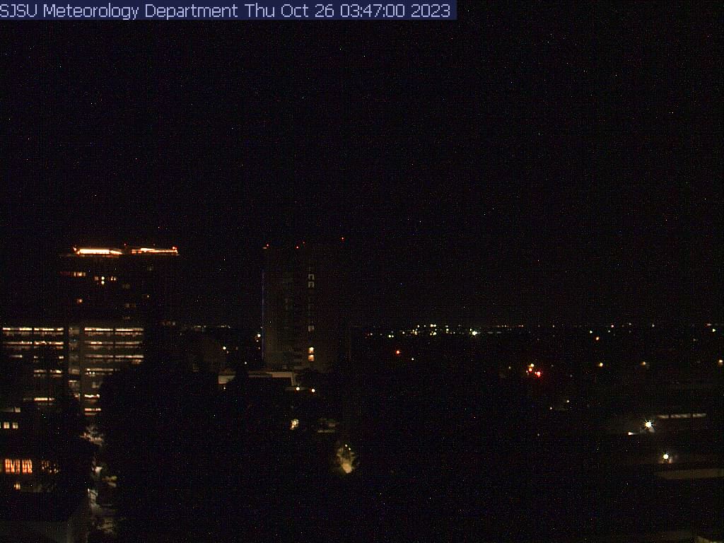
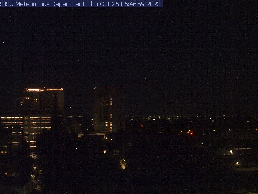
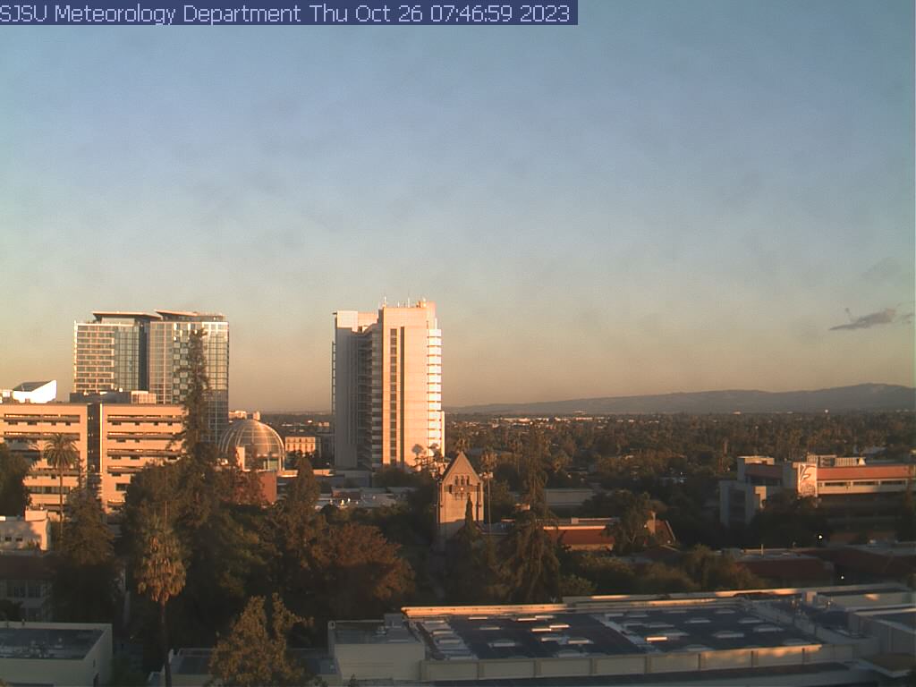
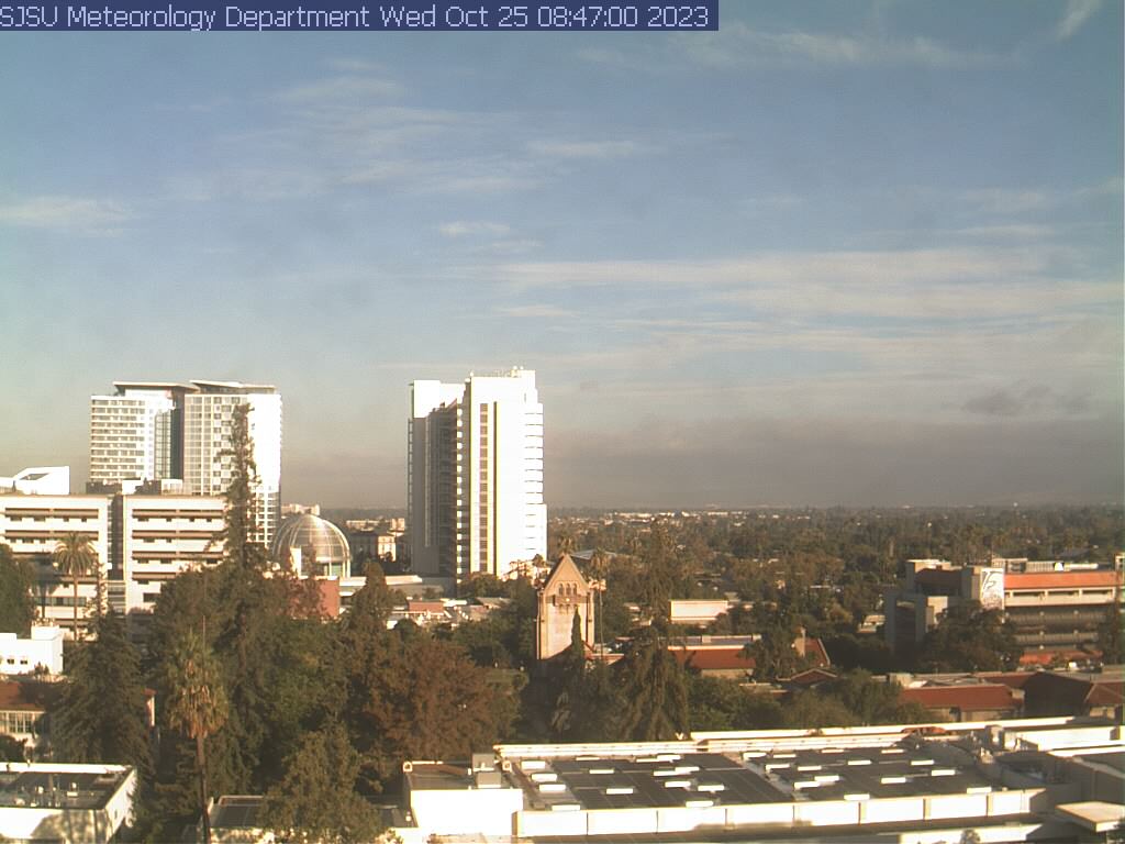
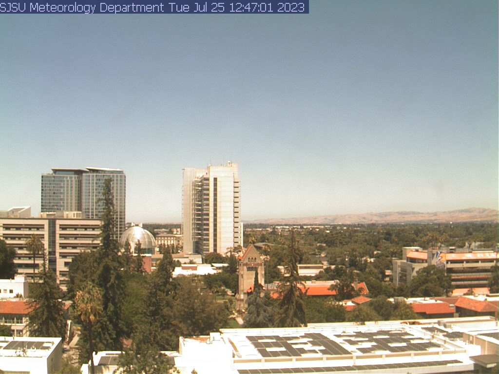
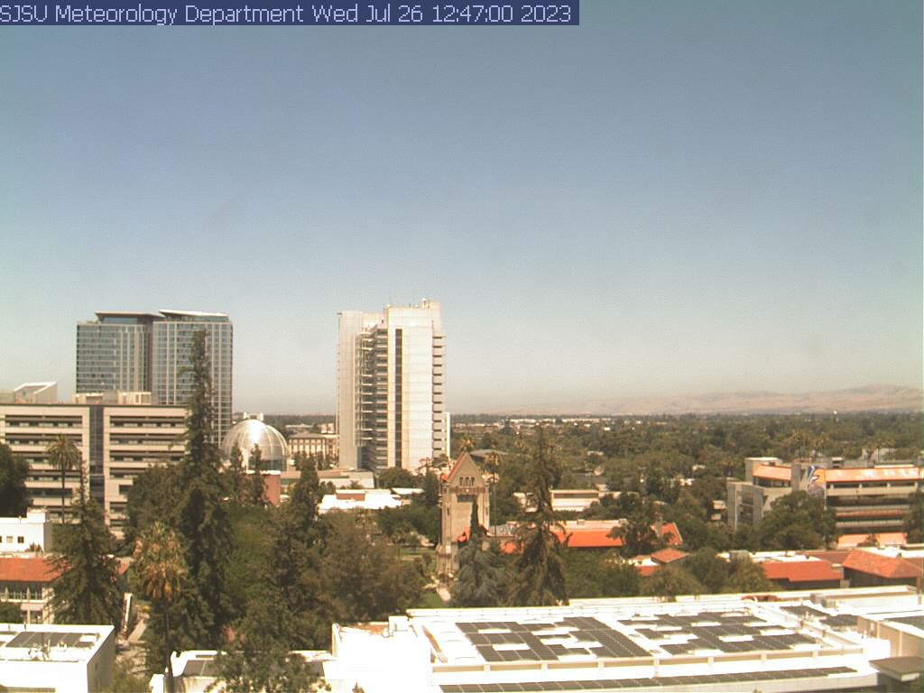
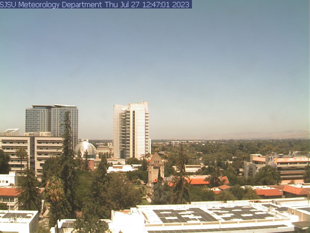
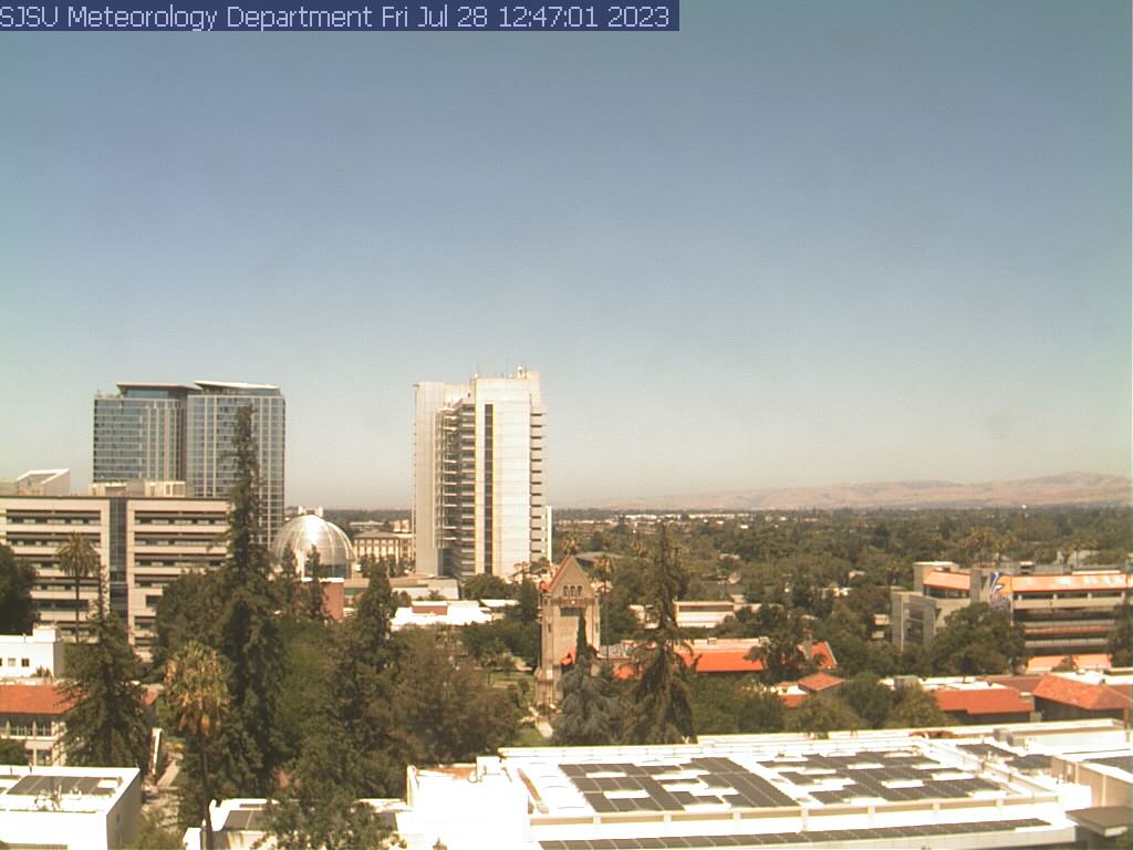
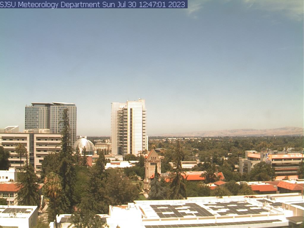
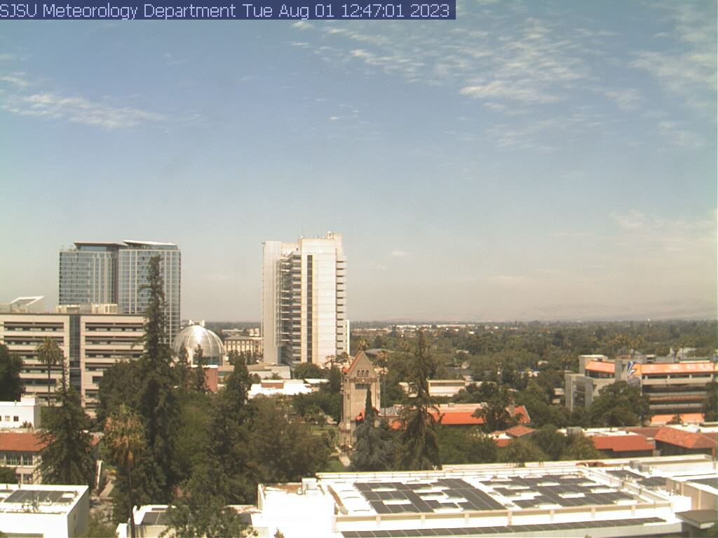
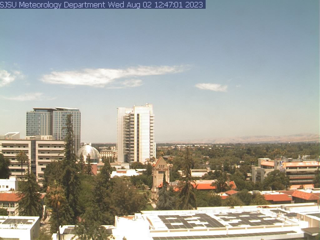
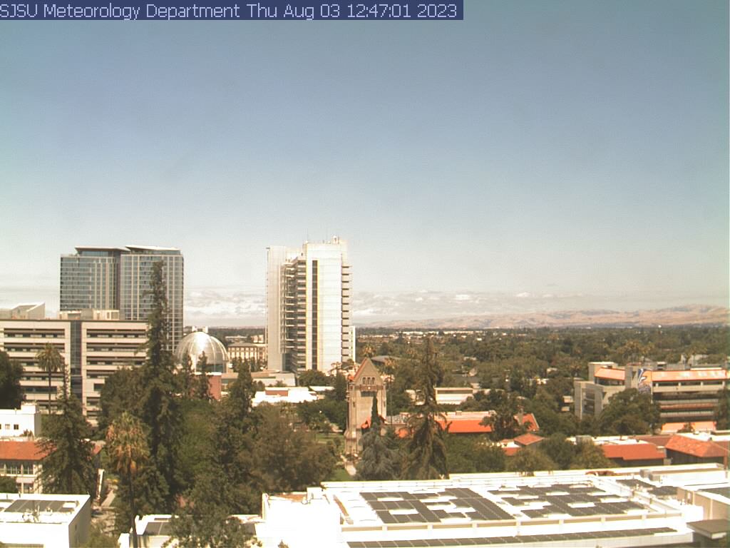
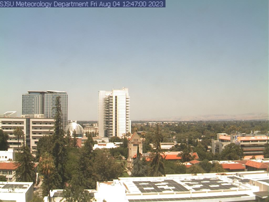
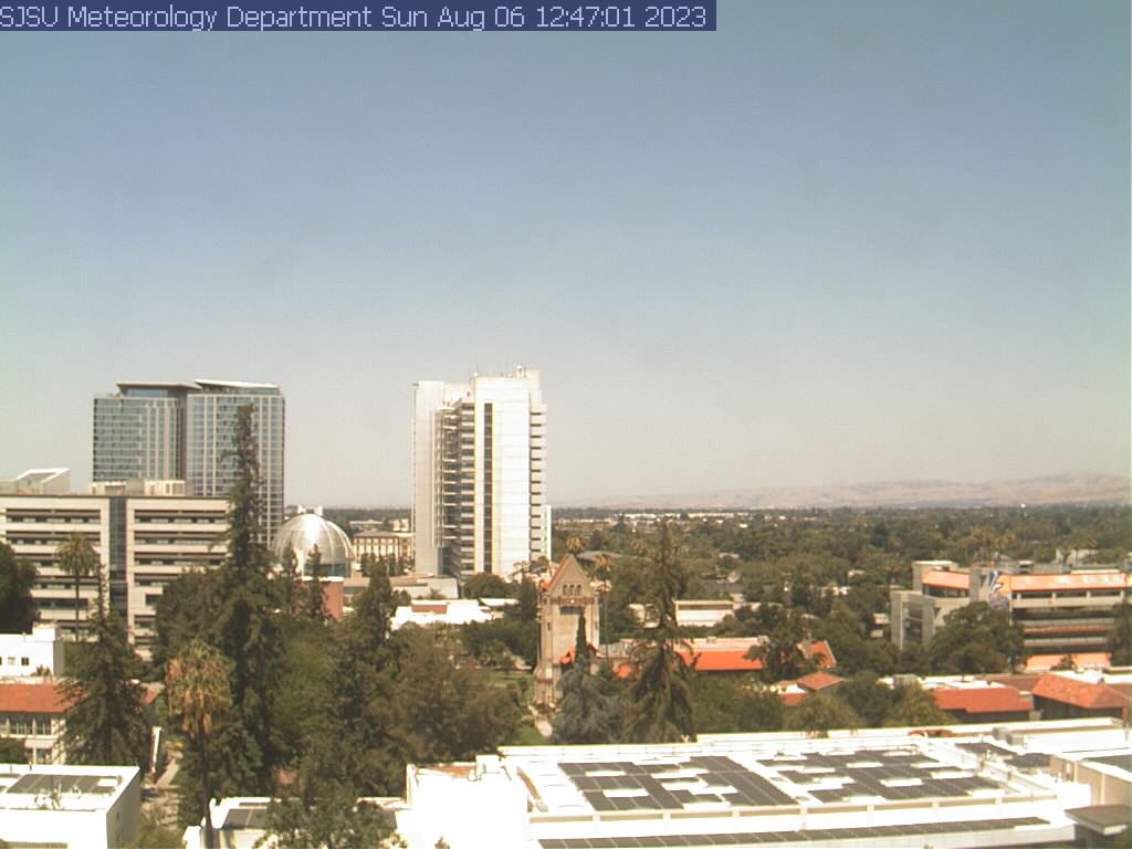
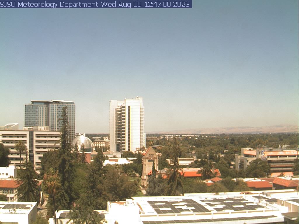
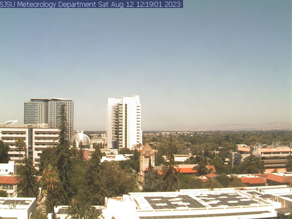
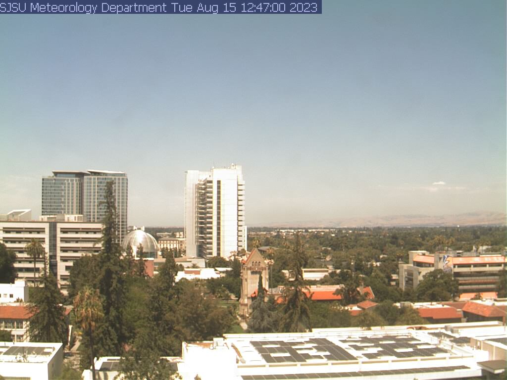
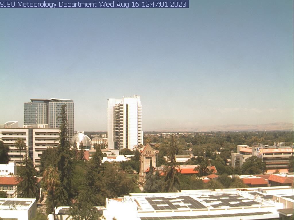
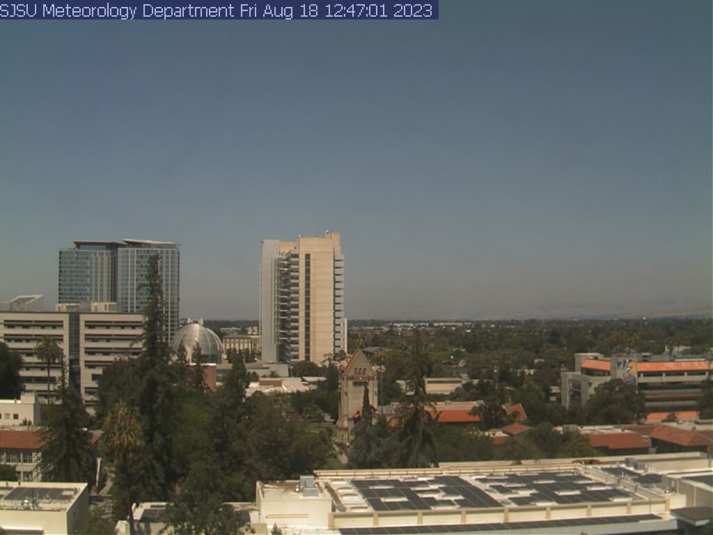
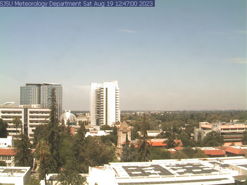
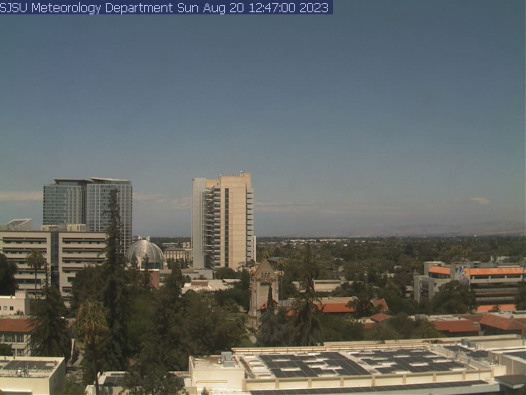
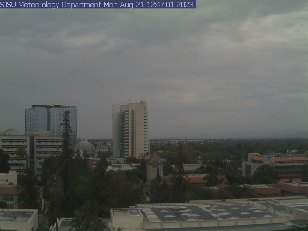
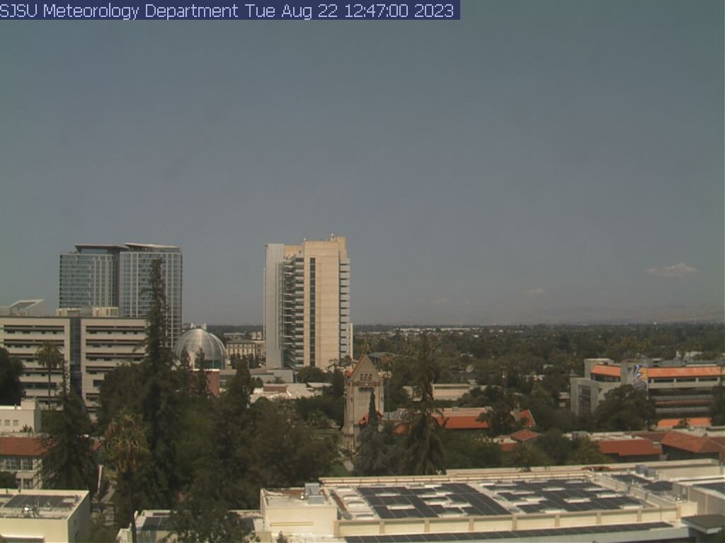
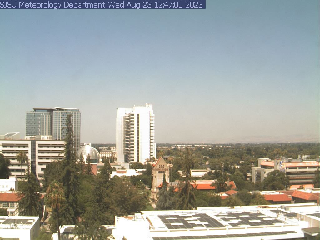
San Jose, California, USA - 138.6 miles from Acebedo: View of the Skyline - A view of the skyline of San Jose, California, from the SJSU Meteorology Department.
Operator: San Jose State University, Department of Meteorology
Operator: San Jose State University, Department of Meteorology


Some other places in this country: Empire (historical) - Hooper (historical) - Floyd - Gilta (historical) - North Belridge - Packwood (historical) - Summers (historical) - Alpha (historical) - Alta Sierra - Alta Sierra Estates