Webcams in the region of Upper Widgee, Australia
The List of Webcams near Upper Widgee, Australia:

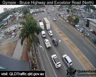
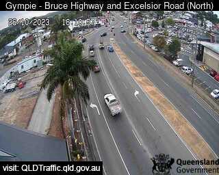
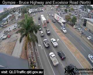
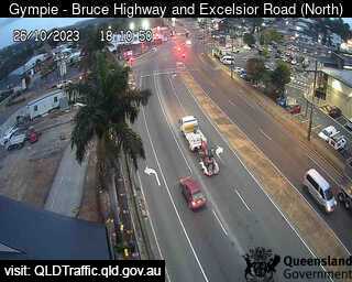
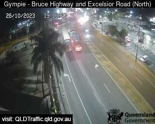
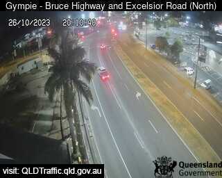
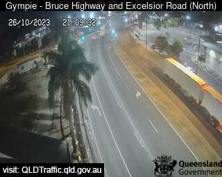
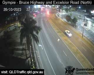
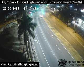
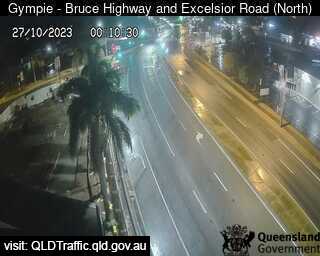
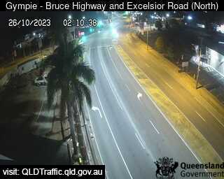
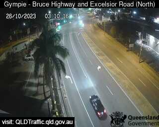
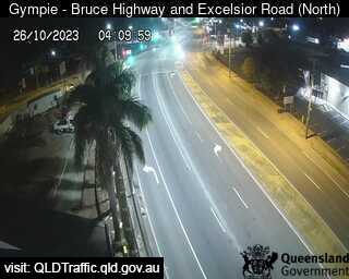
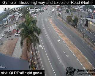
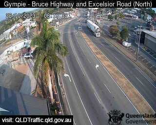
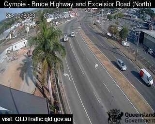
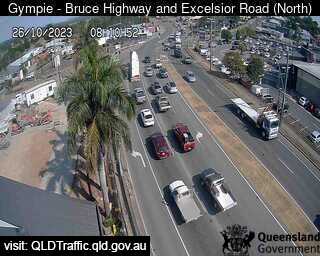
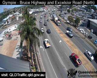
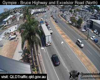
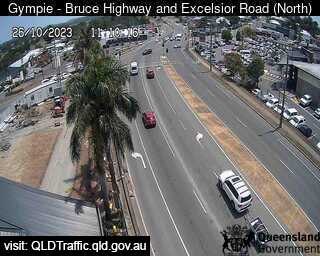
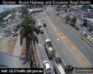
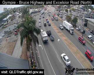
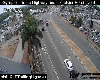
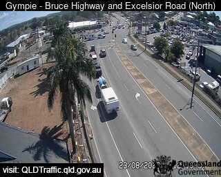
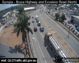
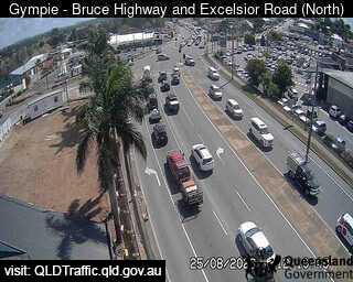
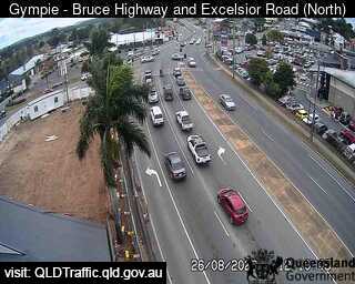
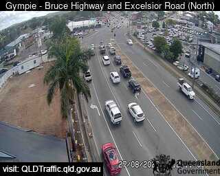
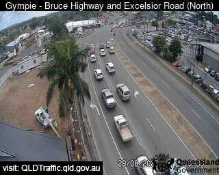
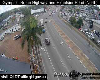
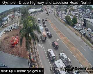
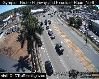
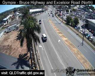
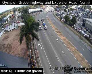
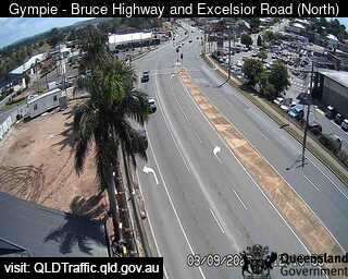
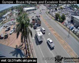
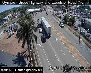
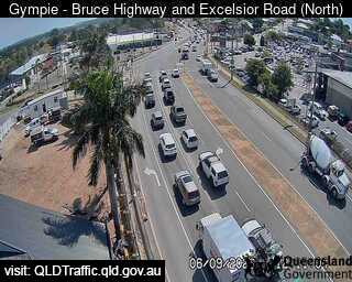
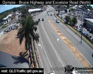
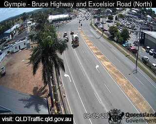
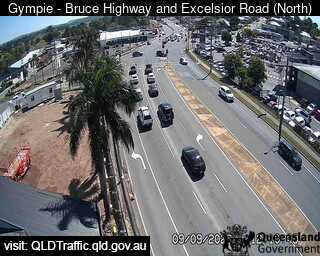
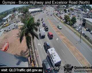
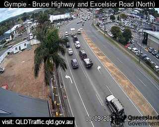
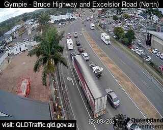
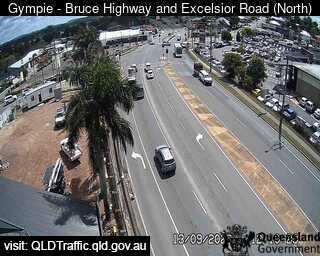
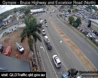
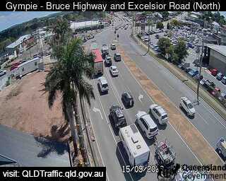
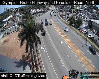
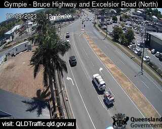
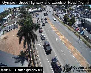
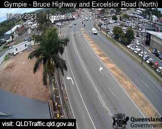
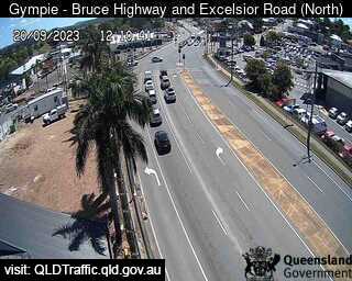
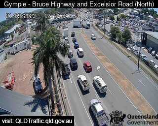
Gympie, Australia - 14.4 miles from Upper Widgee: Bruce Highway, Excelsior Road Intersection (looking North) - A view of the current traffic conditions.
Operator: Queensland Government - Department of Transport and Main Roads
Operator: Queensland Government - Department of Transport and Main Roads


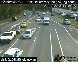
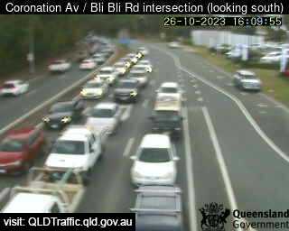
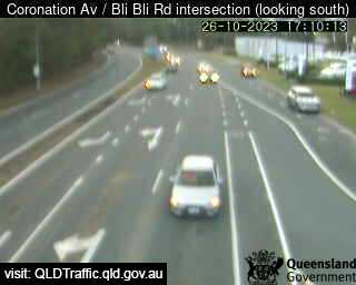
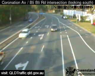
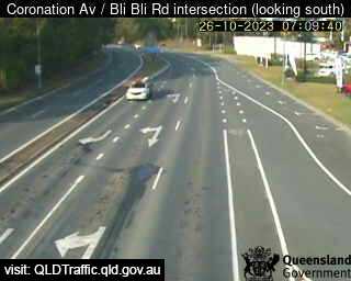
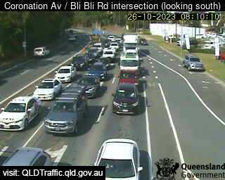
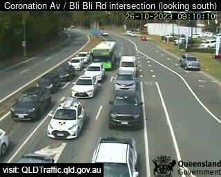
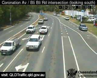
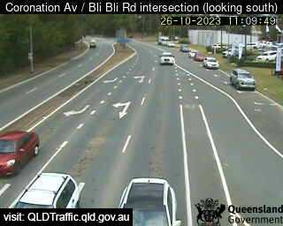
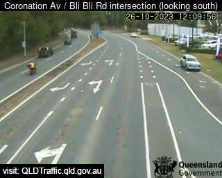
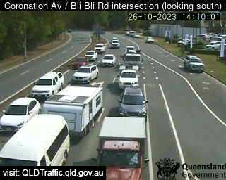
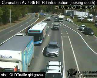
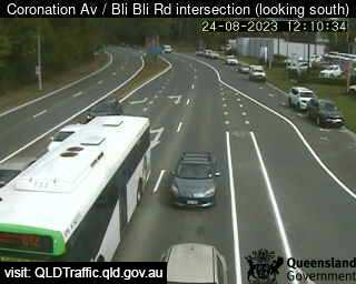
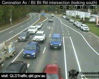
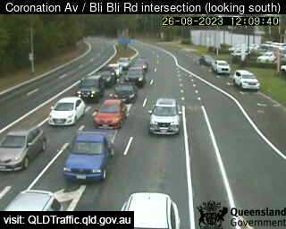
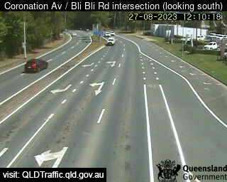
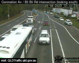
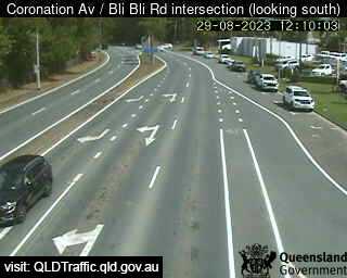
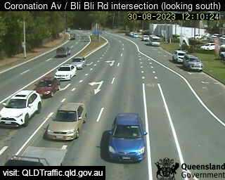
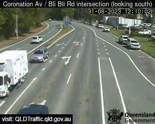
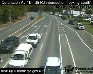
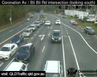
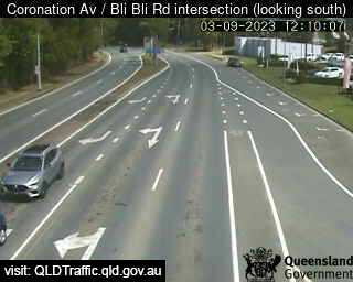
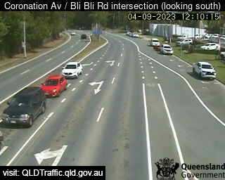
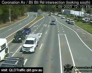
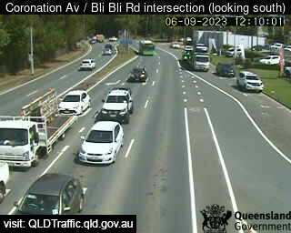
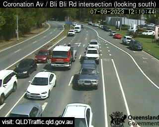
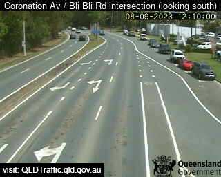
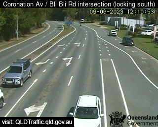
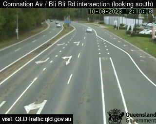
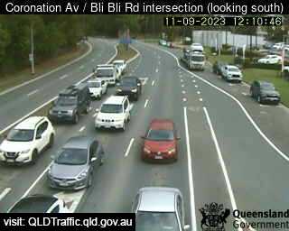
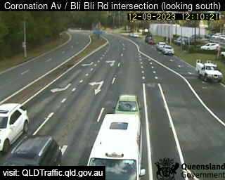
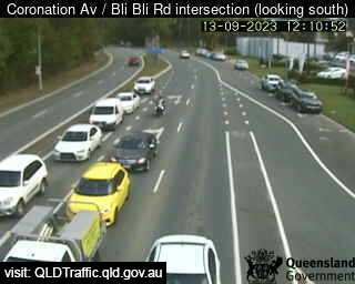
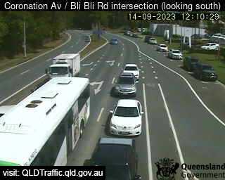
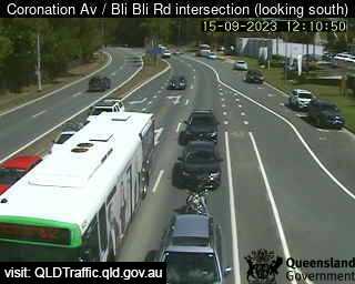
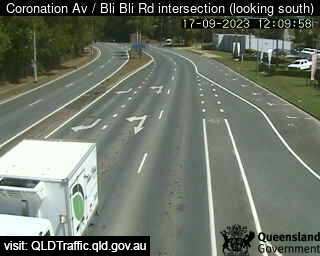
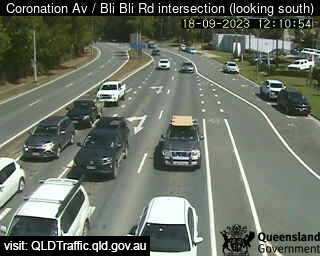
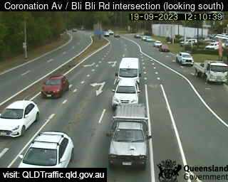
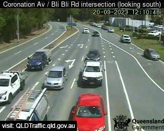
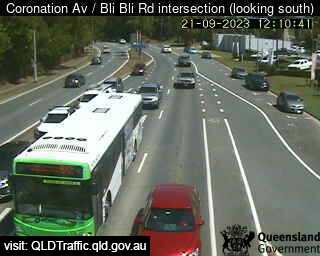
Nambour, Australia - 43.9 miles from Upper Widgee: Coronation Avenue / Bli Bli Road intersection (South) - A view of the current traffic conditions.
Operator: Queensland Government - Department of Transport and Main Roads
Operator: Queensland Government - Department of Transport and Main Roads


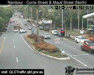
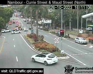
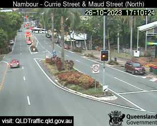
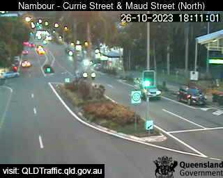
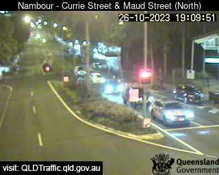
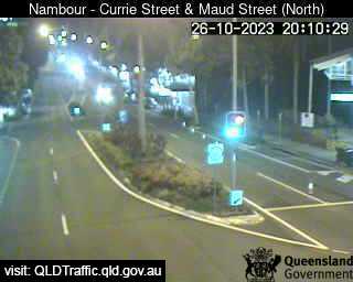
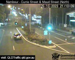
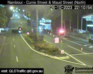
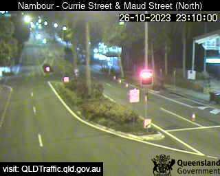
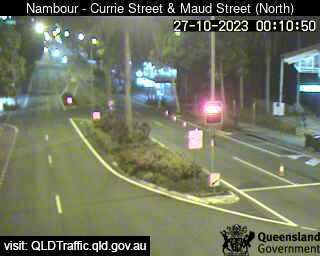
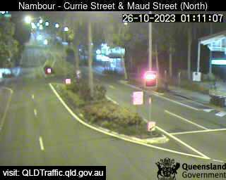
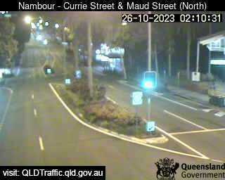
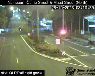
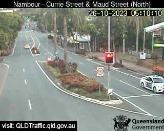
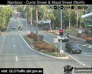
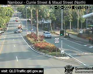
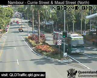
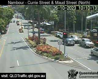
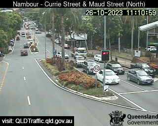
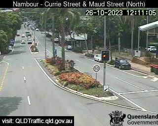
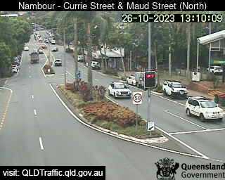
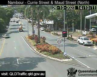
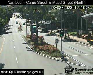
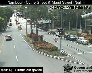
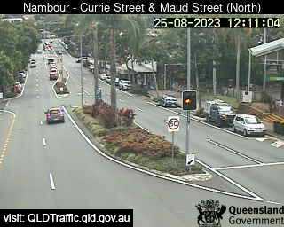
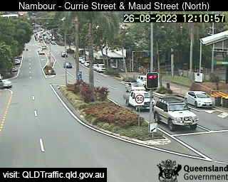
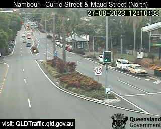
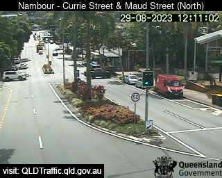
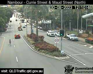
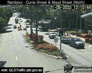
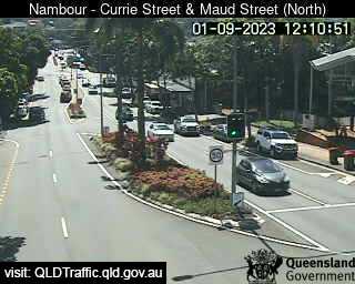
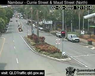
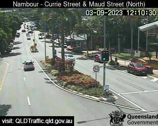
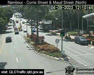
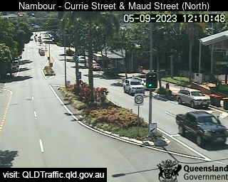
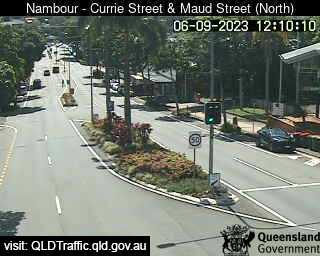
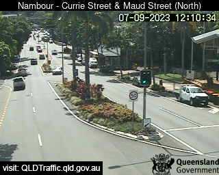
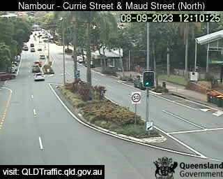
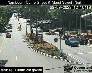
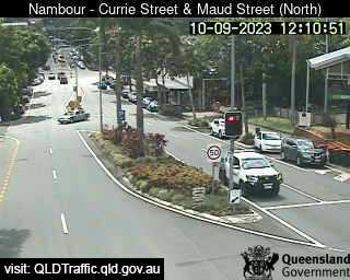
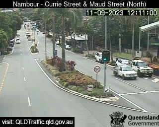
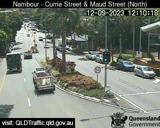
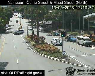
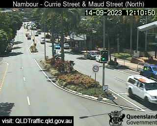
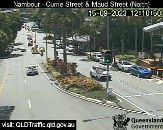
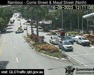
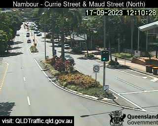
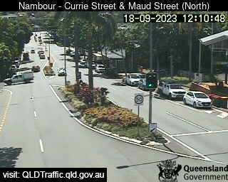
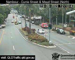
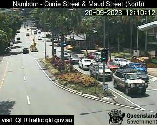
Nambour, Australia - 43.9 miles from Upper Widgee: Currie Street and Maud Street (looking north) - A view of the current traffic conditions.
Operator: Queensland Government - Department of Transport and Main Roads
Operator: Queensland Government - Department of Transport and Main Roads


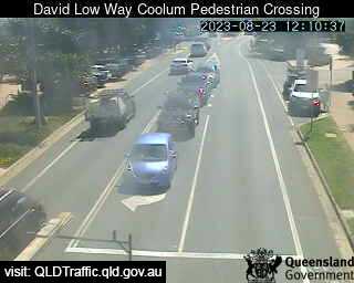
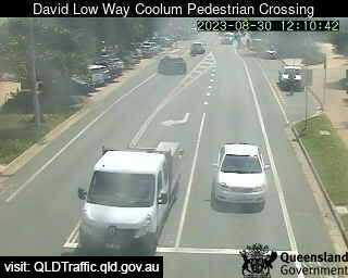
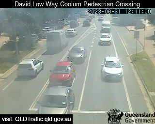
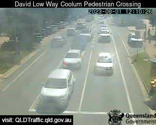
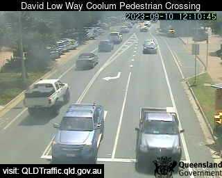
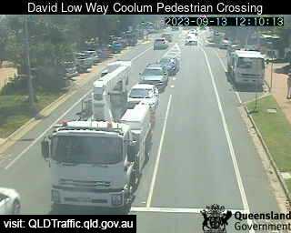
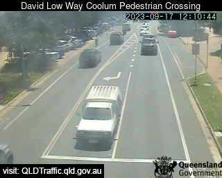
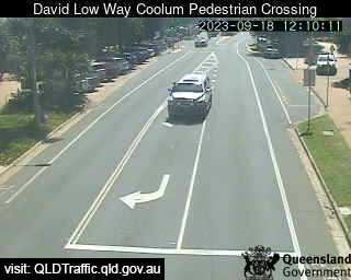
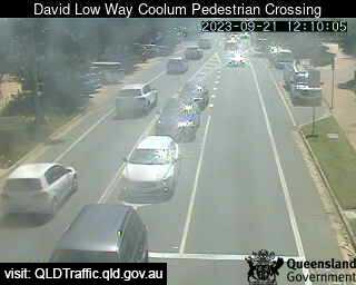
Coolum Beach, Australia - 46.5 miles from Upper Widgee: David Low Way Coolum Pedestrian Crossing (South) - A view of the current traffic conditions.
Operator: Queensland Government - Department of Transport and Main Roads
Operator: Queensland Government - Department of Transport and Main Roads


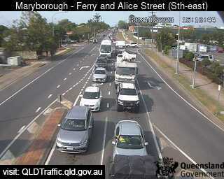
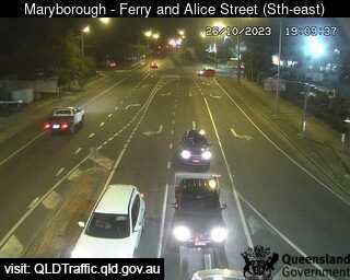
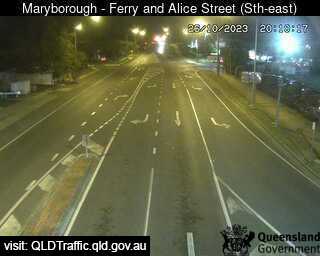
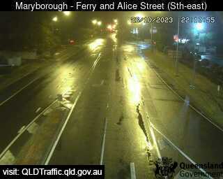
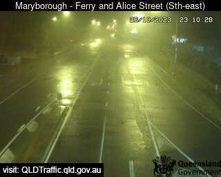
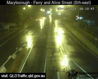
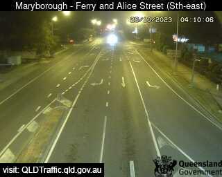
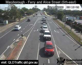
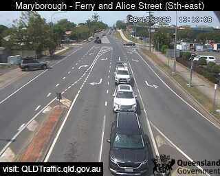
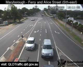
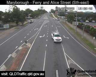
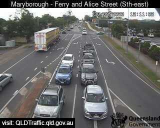
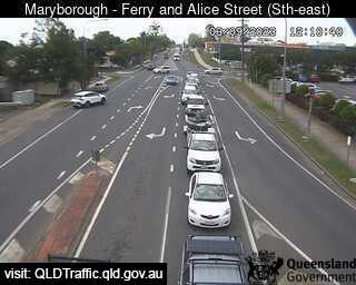
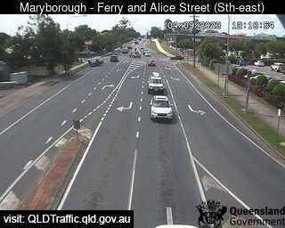
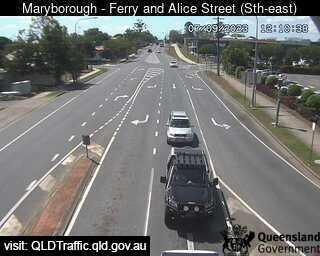
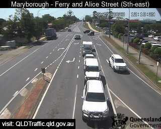
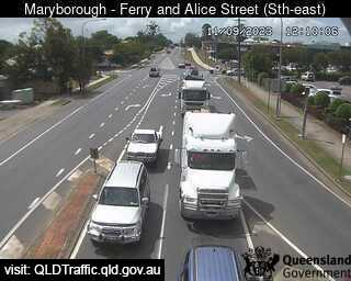
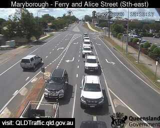
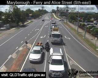
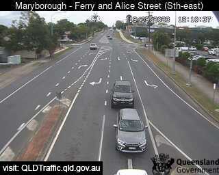
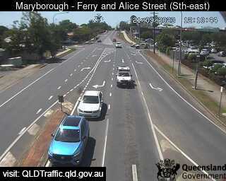
Maryborough, Australia - 48.8 miles from Upper Widgee: Ferry Street and Alice Street (looking East) - A view of the current traffic conditions.
Operator: Queensland Government - Department of Transport and Main Roads
Operator: Queensland Government - Department of Transport and Main Roads
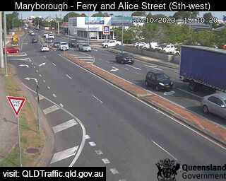
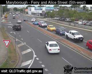
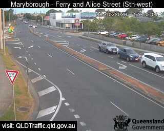
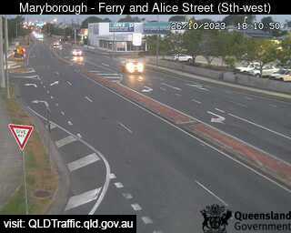
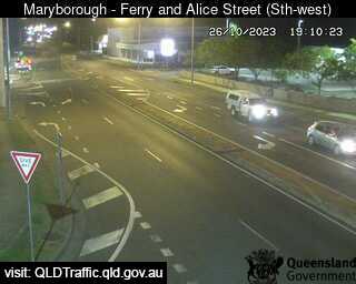
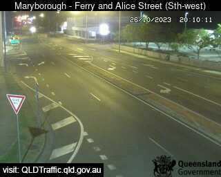
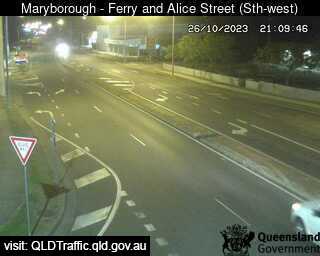

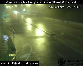
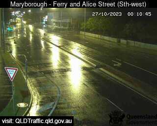
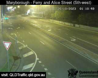
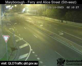
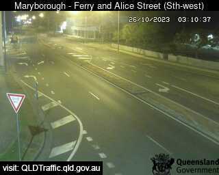
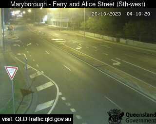
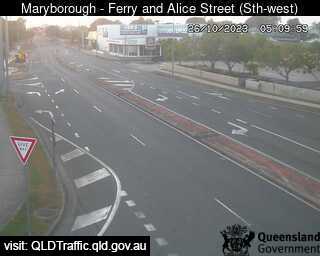
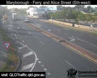
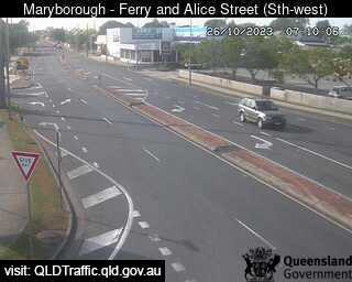
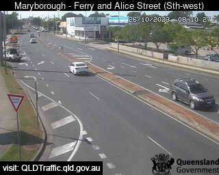
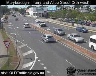
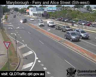
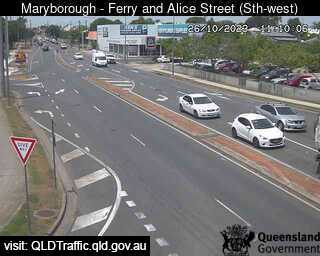
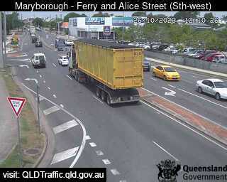
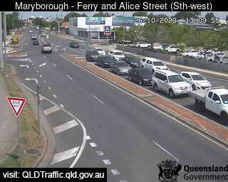
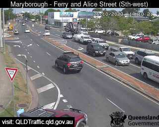
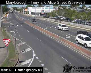
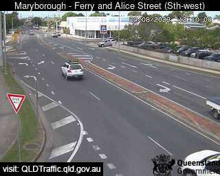
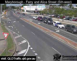
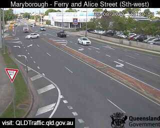
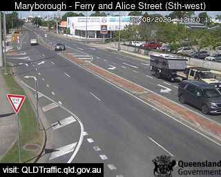
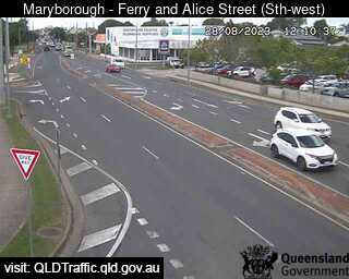
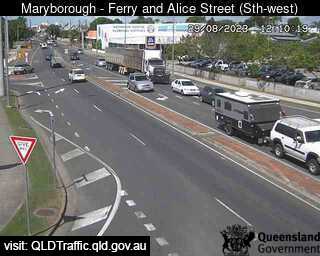
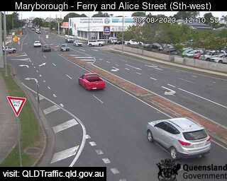
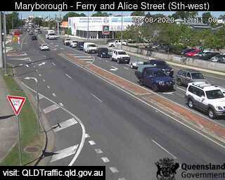
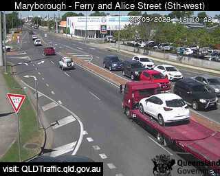
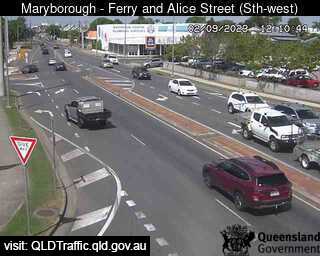
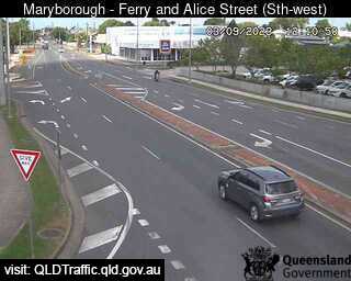
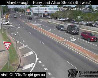
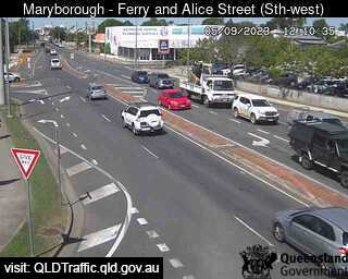
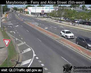
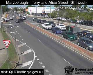
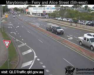
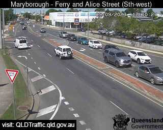
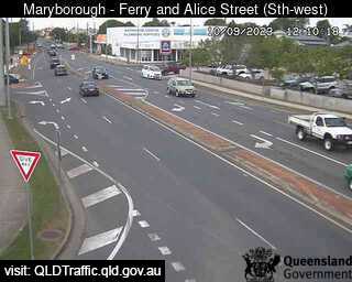
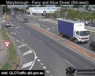
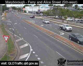
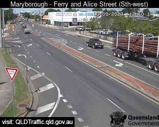
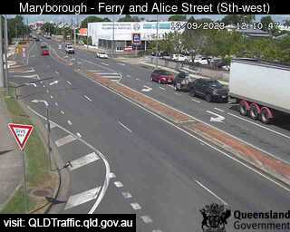

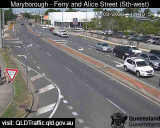
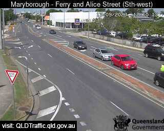
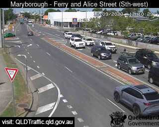
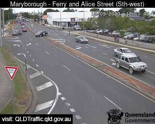
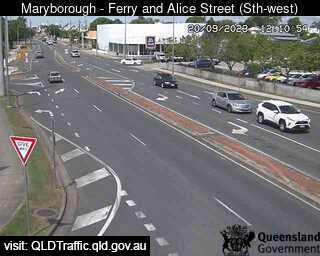
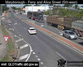

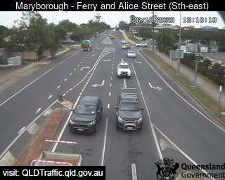
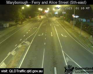
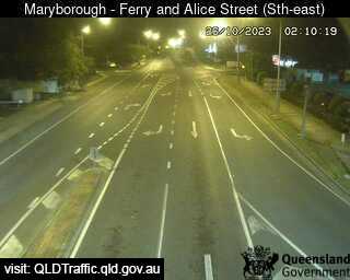
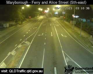
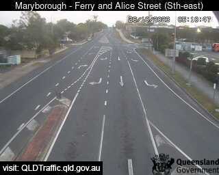
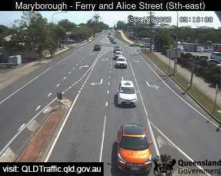
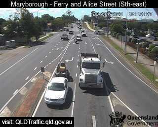
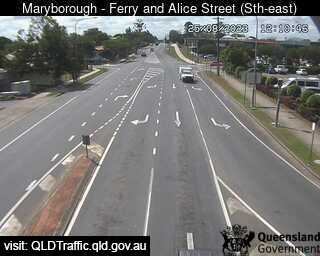
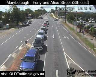
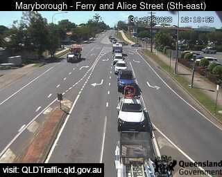
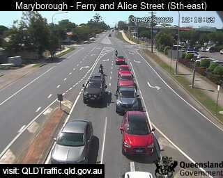
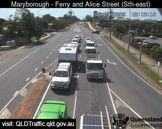
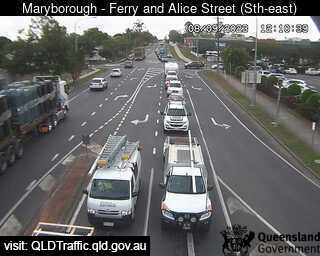
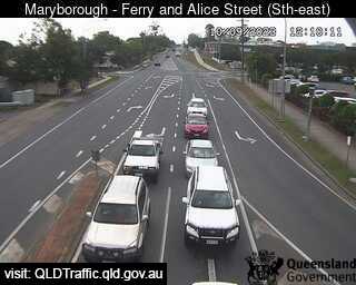
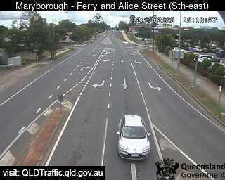
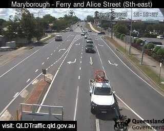
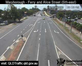
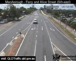
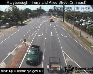
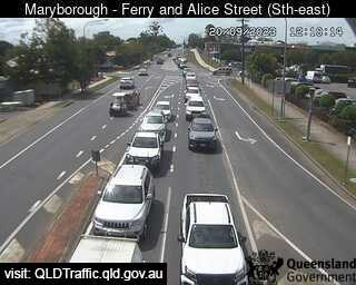
Maryborough, Australia - 48.8 miles from Upper Widgee: Ferry Street and Alice Street (looking South West) - A view of the current traffic conditions.
Operator: Queensland Government - Department of Transport and Main Roads
Operator: Queensland Government - Department of Transport and Main Roads


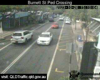
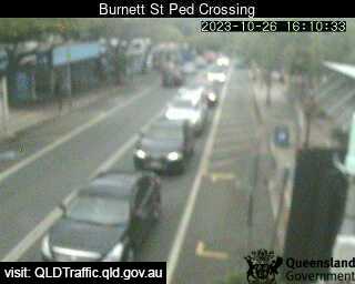
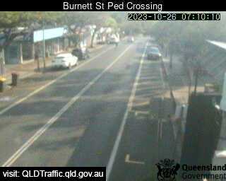
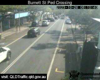
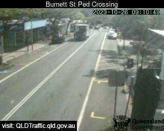
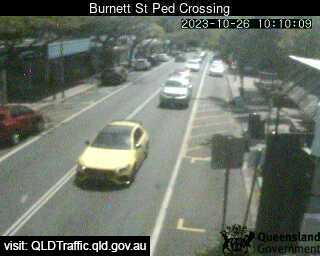
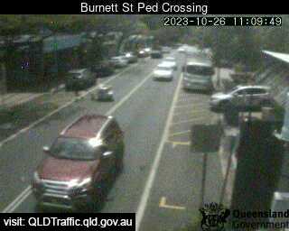
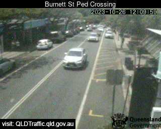
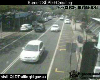
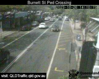
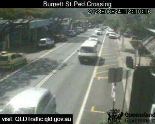
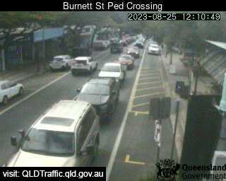
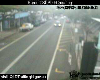
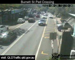
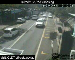
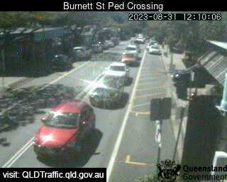
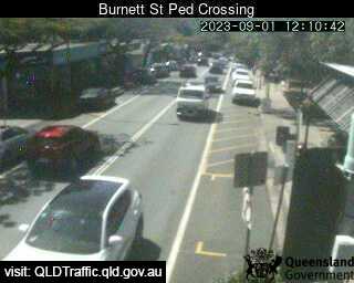
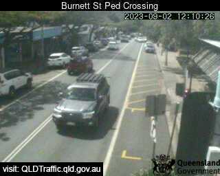
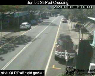
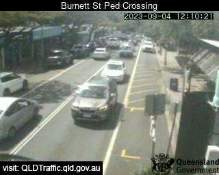
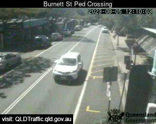
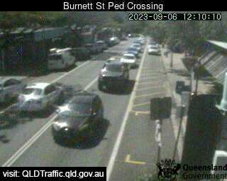
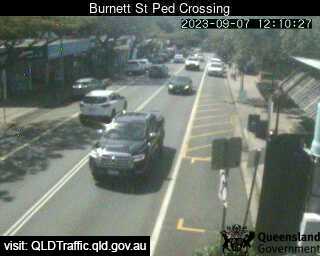
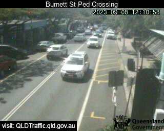
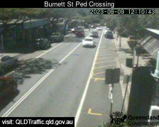
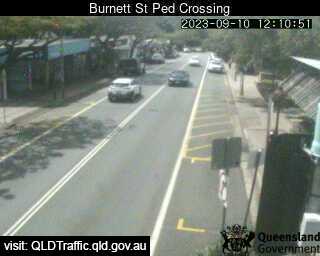
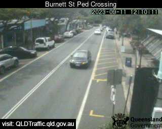
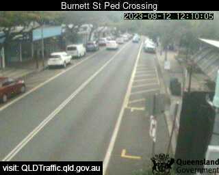
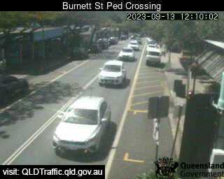
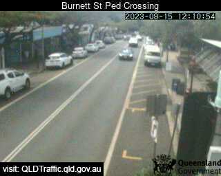
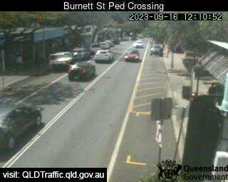
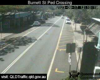
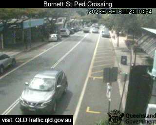
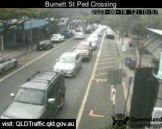
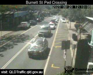
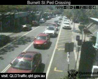
Buderim, Australia - 50.9 miles from Upper Widgee: Burnett Street Pedestrian Crossing (West) - A view of the current traffic conditions.
Operator: Queensland Government - Department of Transport and Main Roads
Operator: Queensland Government - Department of Transport and Main Roads


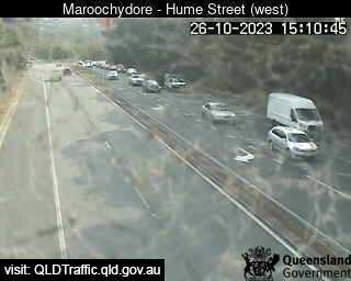
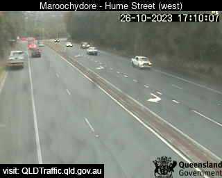
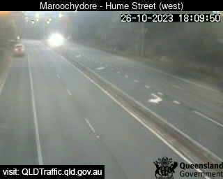
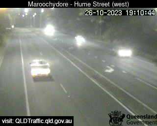
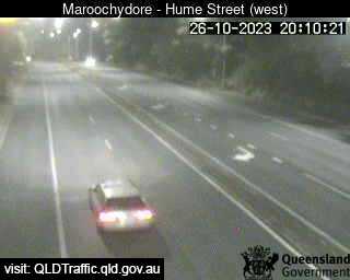
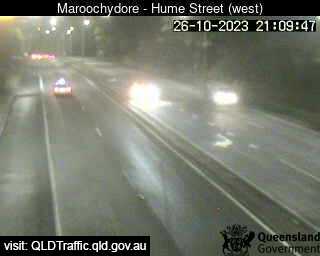
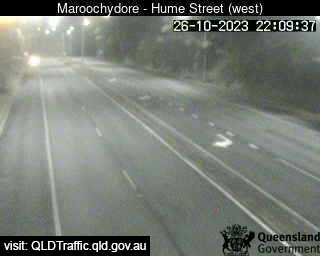
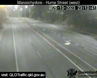
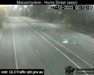
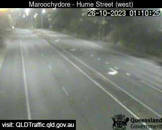
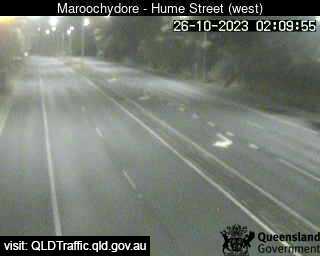
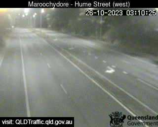
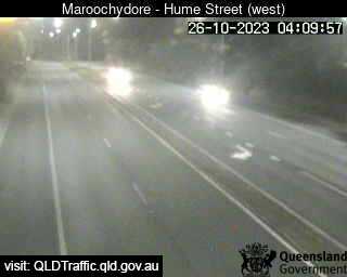
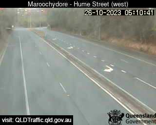
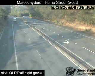
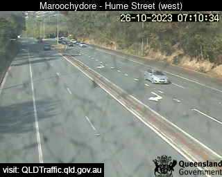
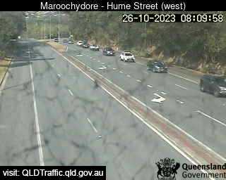
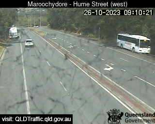
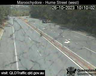
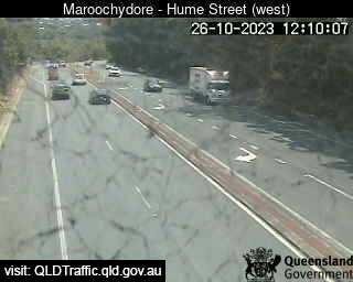
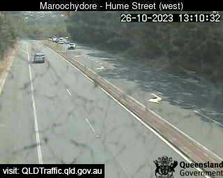
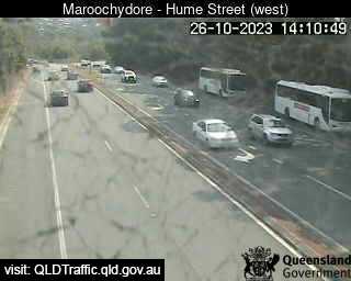
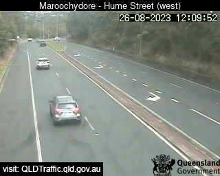
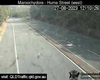
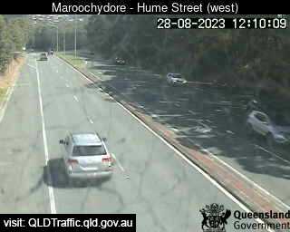
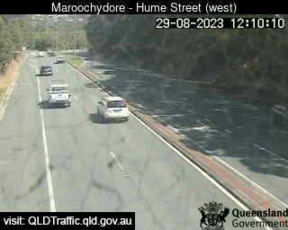
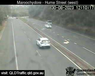
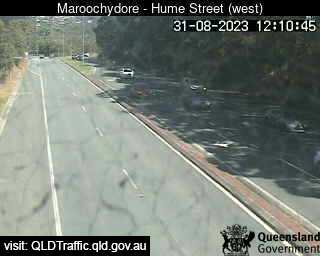
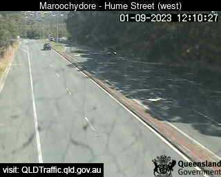
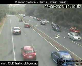
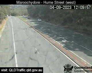
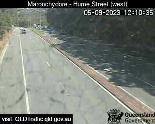
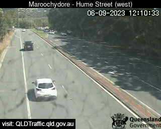
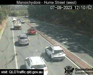
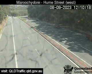
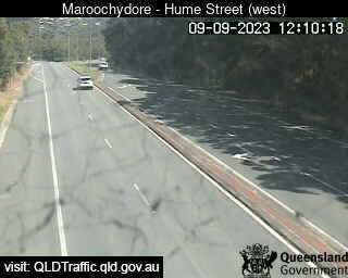
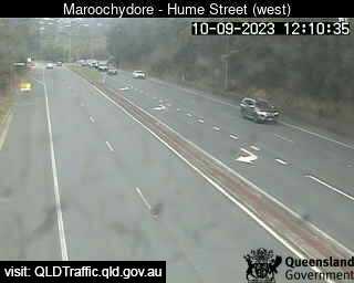
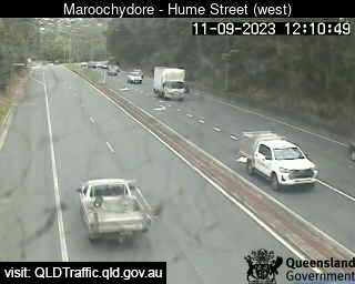
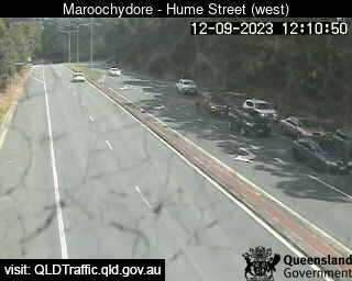
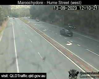
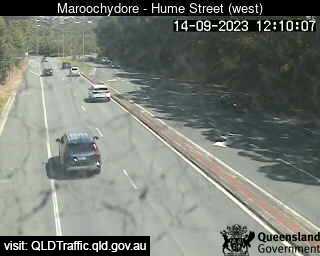
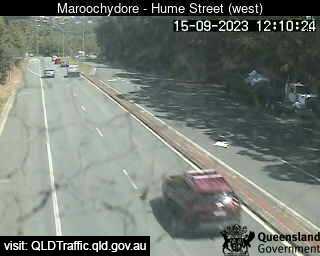
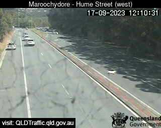
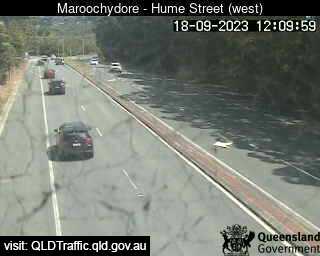
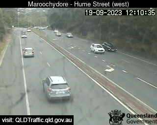
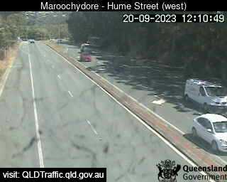
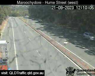
Maroochydore, Australia - 51.2 miles from Upper Widgee: Maroochydore Road, Hume Street intersection (looking West) - A view of the current traffic conditions.
Operator: Queensland Government - Department of Transport and Main Roads
Operator: Queensland Government - Department of Transport and Main Roads


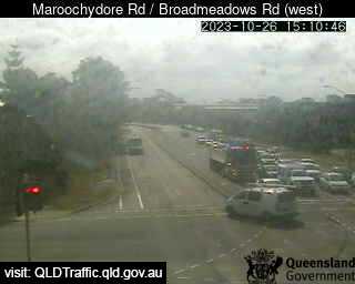
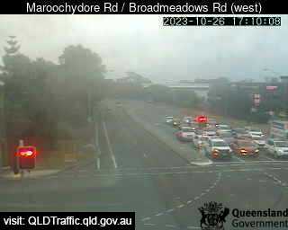
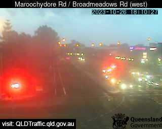
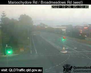
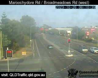
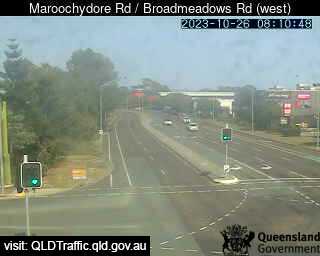
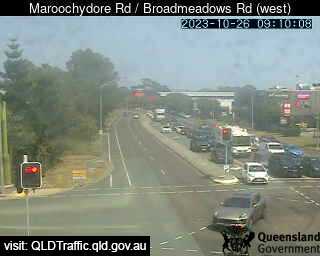
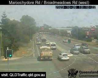
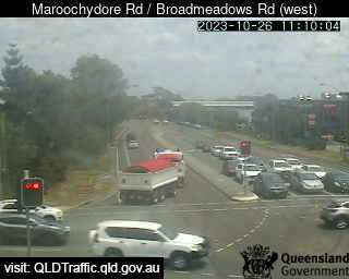
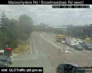
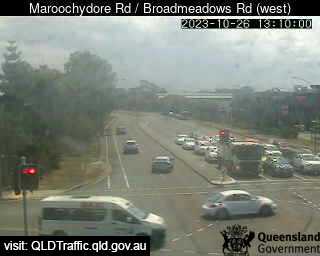
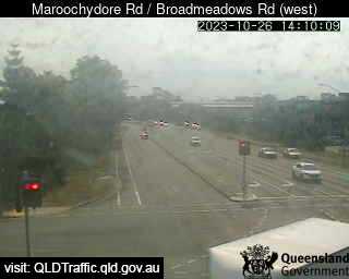
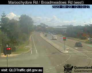
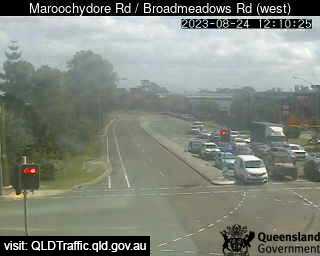
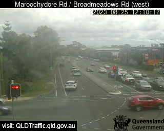
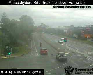
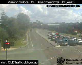
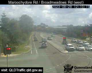
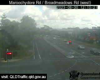
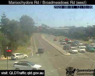
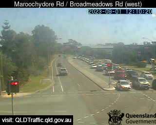
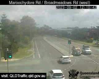
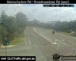
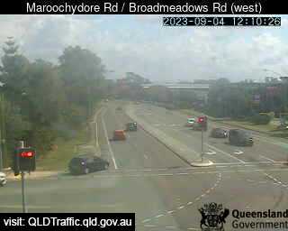
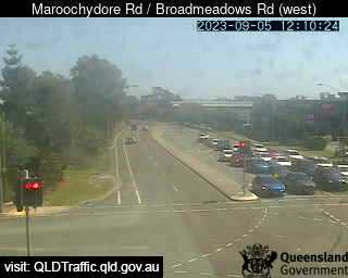
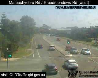
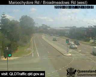
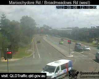
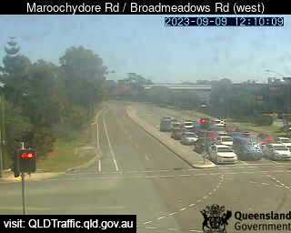
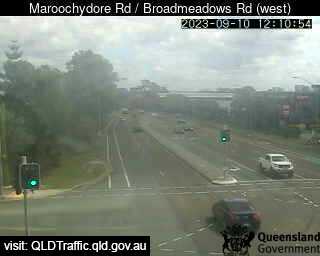
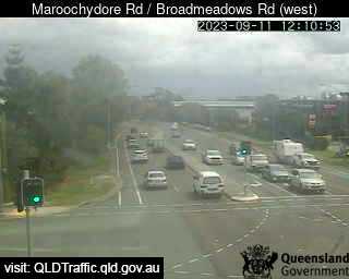
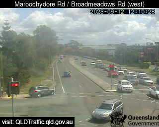
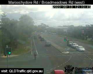
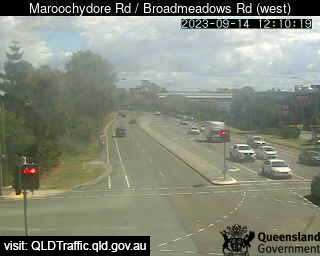
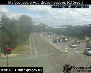
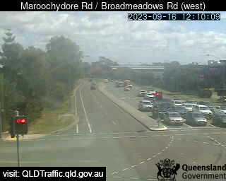
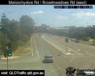
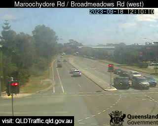
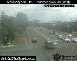
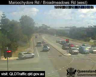
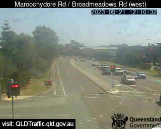
Maroochydore, Australia - 51.2 miles from Upper Widgee: Maroochydore Road / Broadmeadows Road (West) - A view of the current traffic conditions.
Operator: Queensland Government - Department of Transport and Main Roads
Operator: Queensland Government - Department of Transport and Main Roads


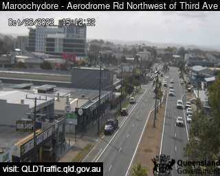
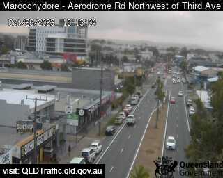
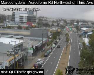
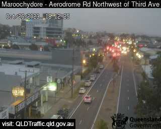
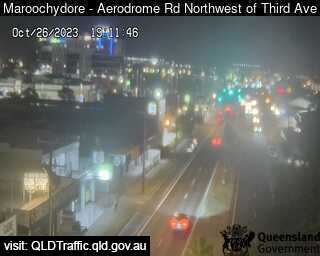
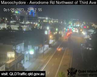
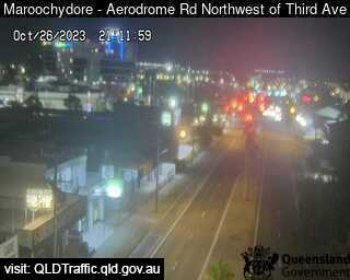
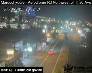
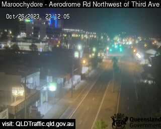
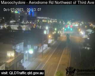
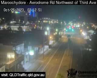
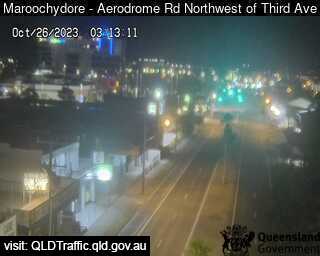
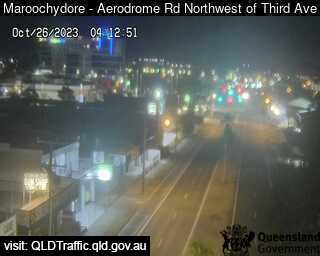
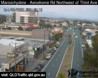
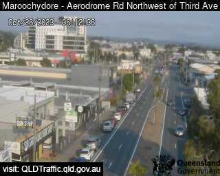
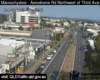
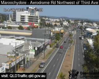
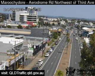
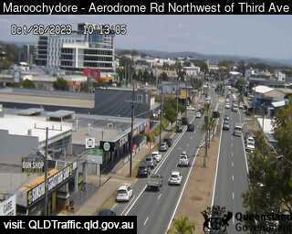
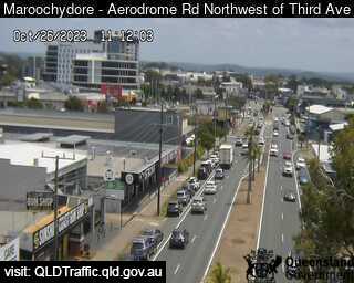
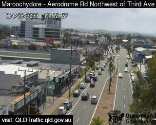
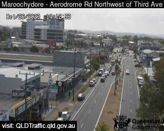
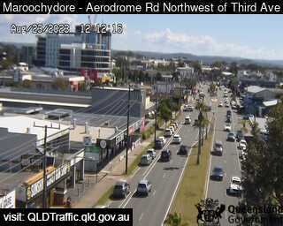
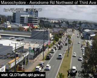
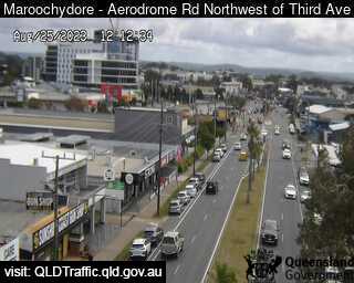
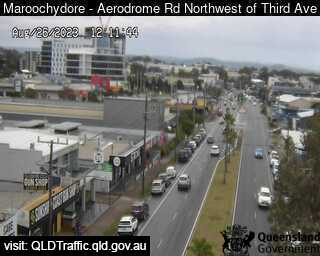
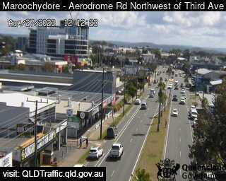
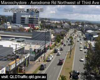
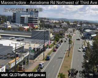
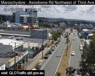
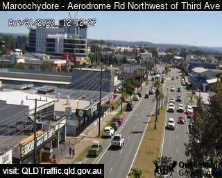
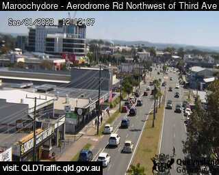
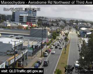
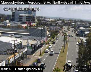
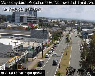
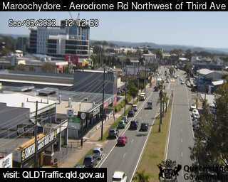
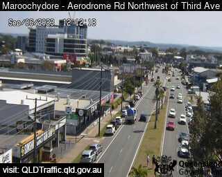
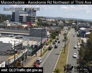
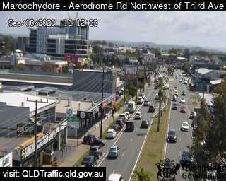
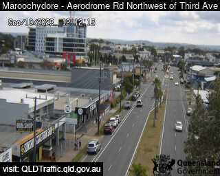
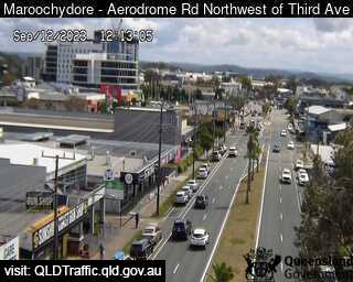
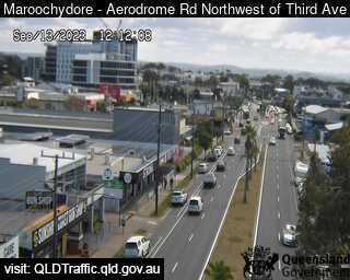
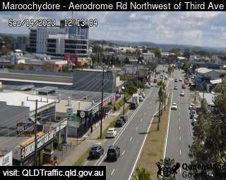
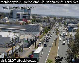
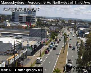
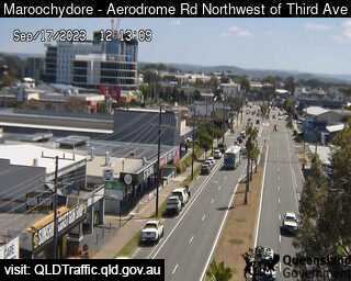
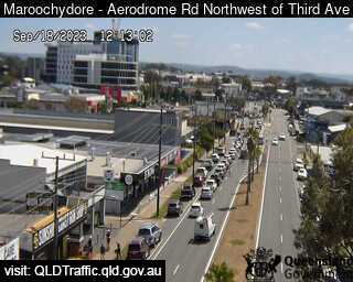
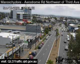
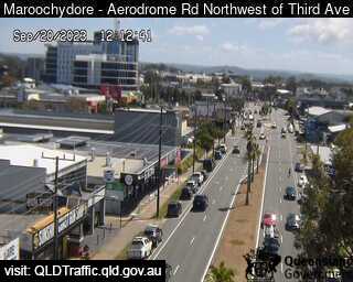
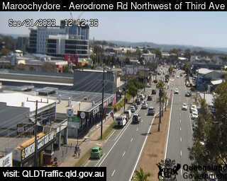
Maroochydore, Australia - 51.2 miles from Upper Widgee: Aerodrome Road, adjacant to Caltex Service Station (looking north) - A view of the current traffic conditions.
Operator: Queensland Government - Department of Transport and Main Roads
Operator: Queensland Government - Department of Transport and Main Roads


Some other places in this country: Upper Tallebudgera - Upper Tent Hill - Upper Turon - Upsalls Creek - Upwey - Uraidla - Uralgurra - Urangan - Urania - Urayarra