Webcams in the region of Upper Nambucca, Australia
The List of Webcams near Upper Nambucca, Australia:

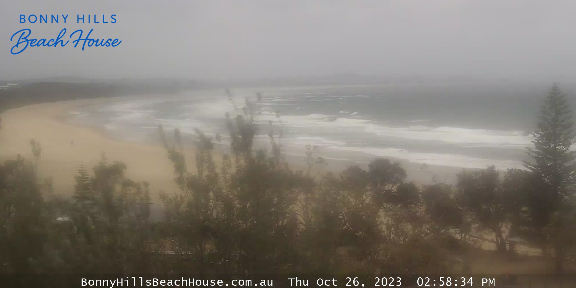
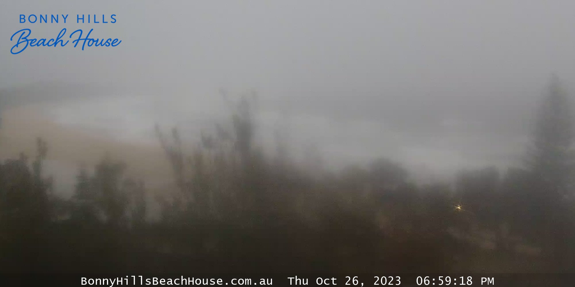
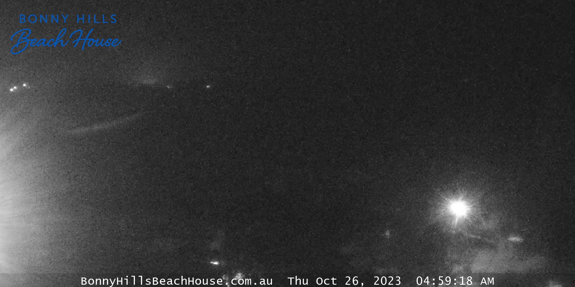
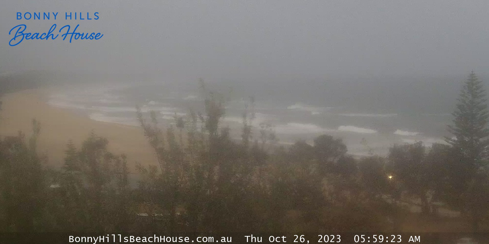
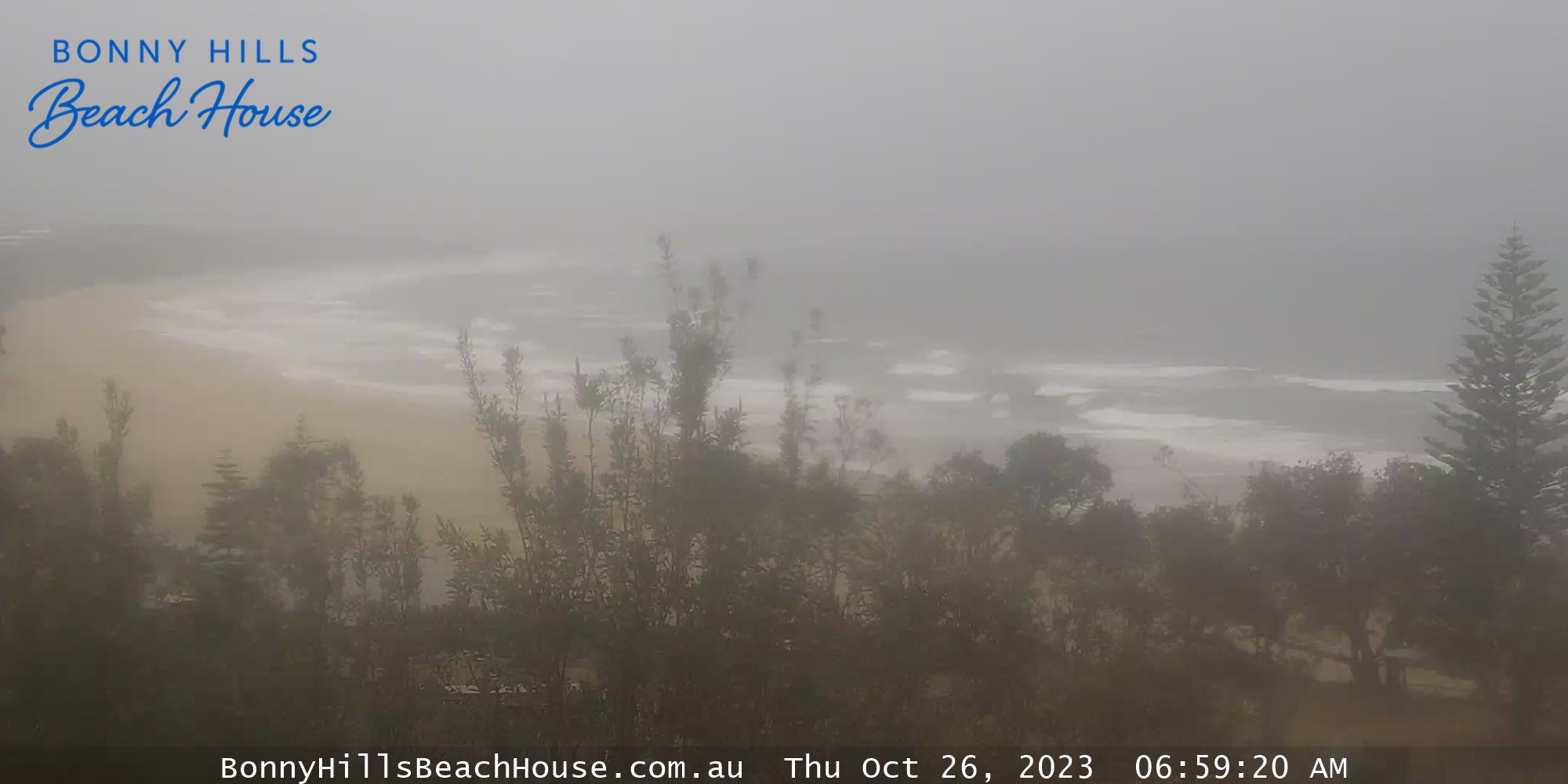
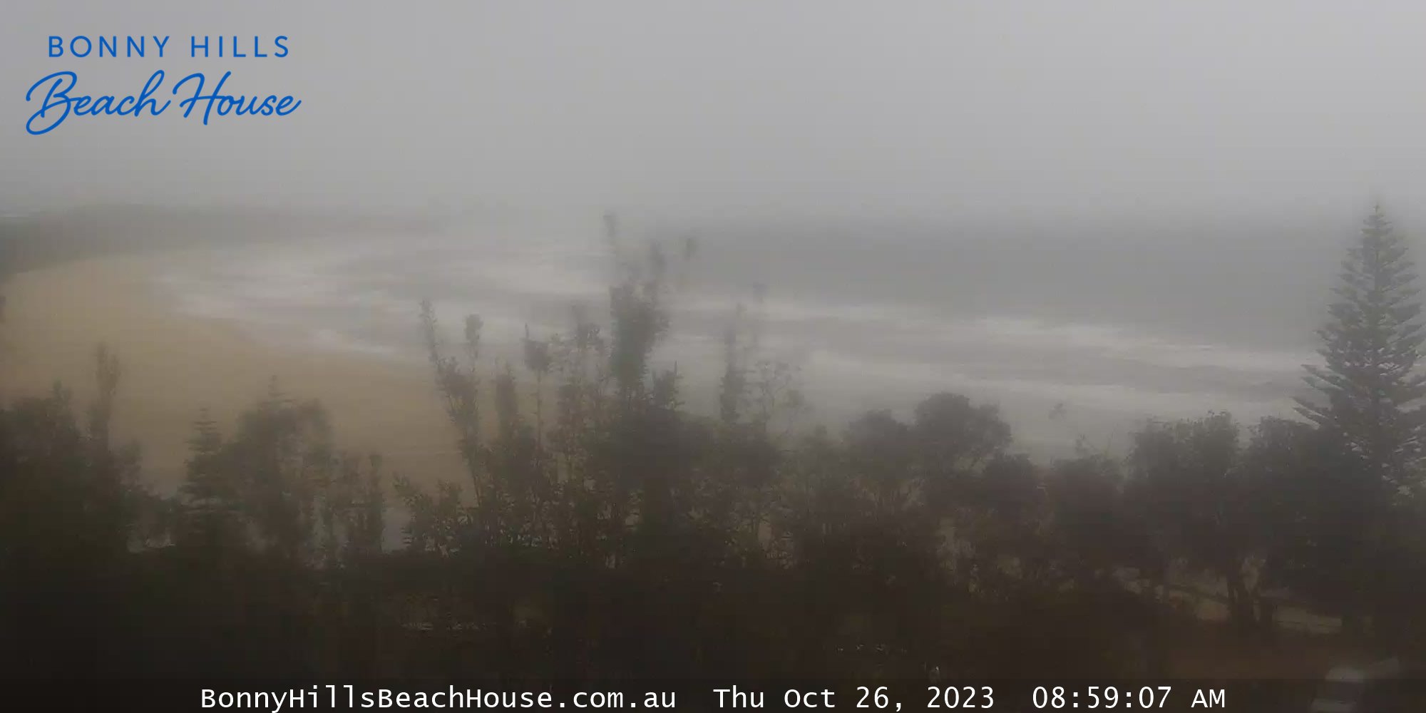
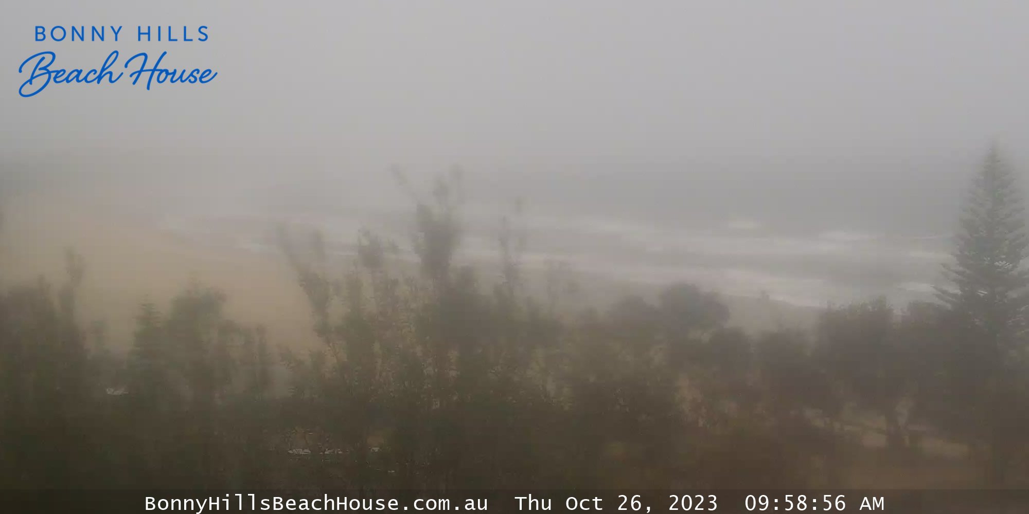
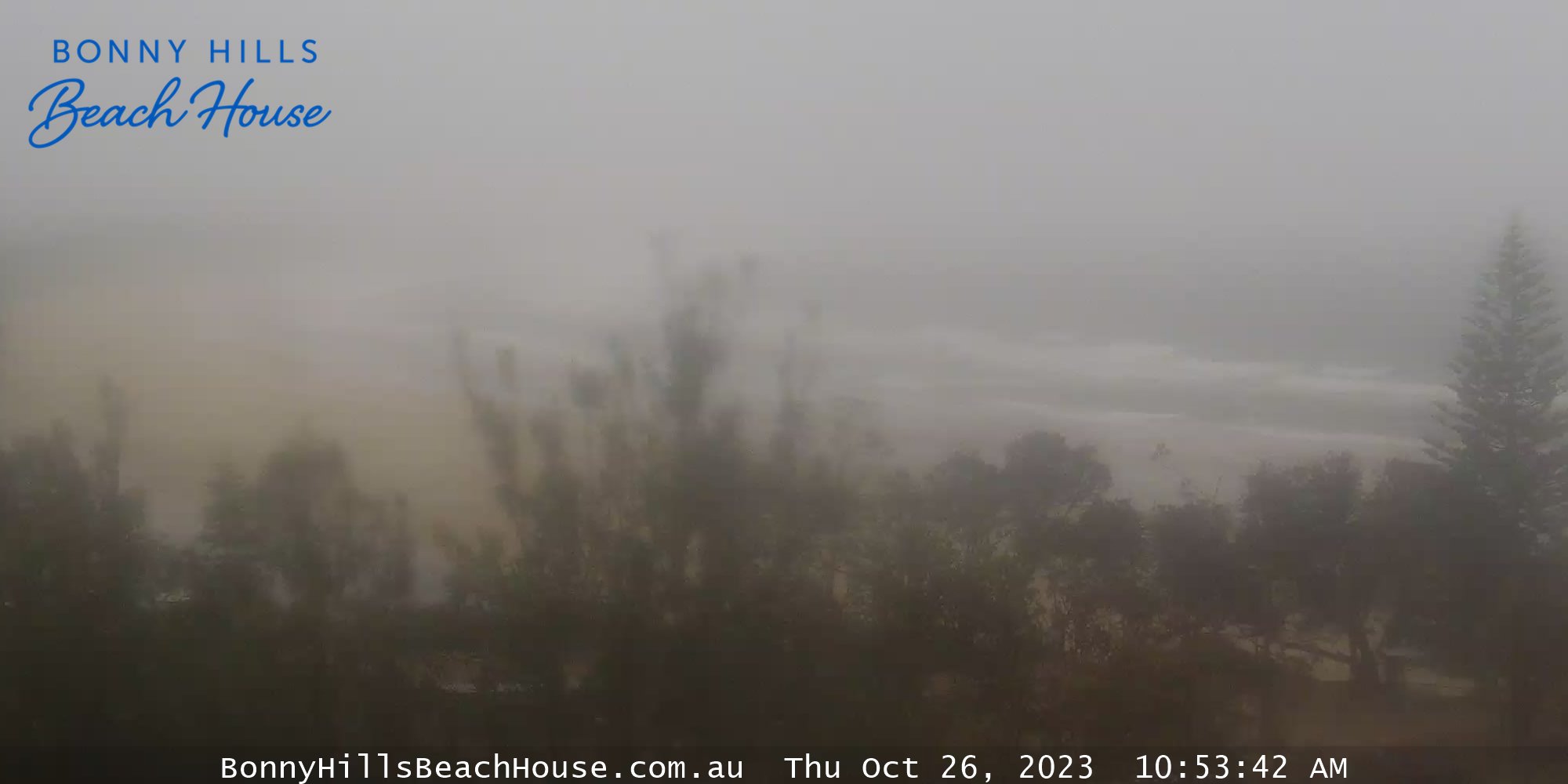
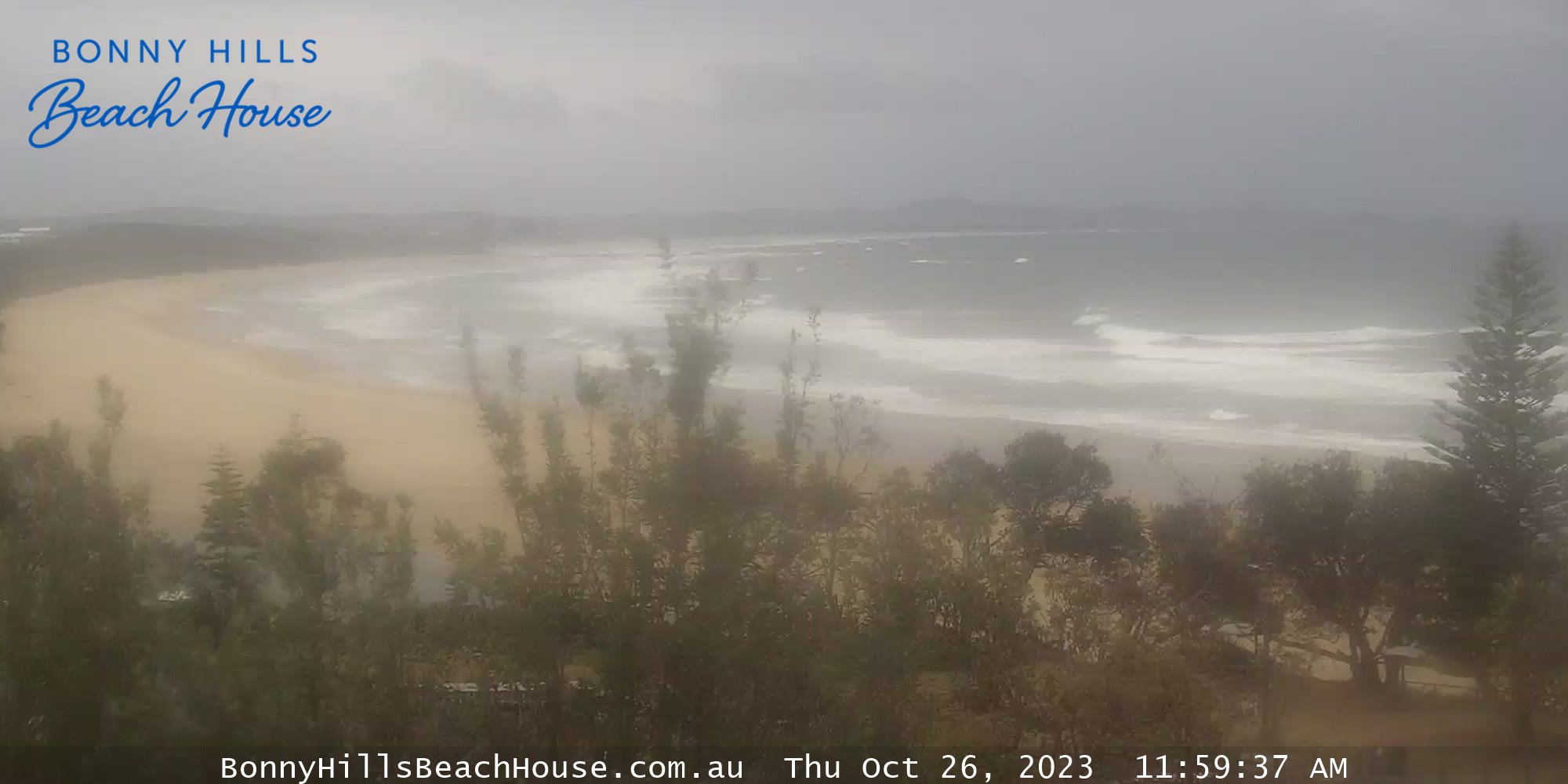
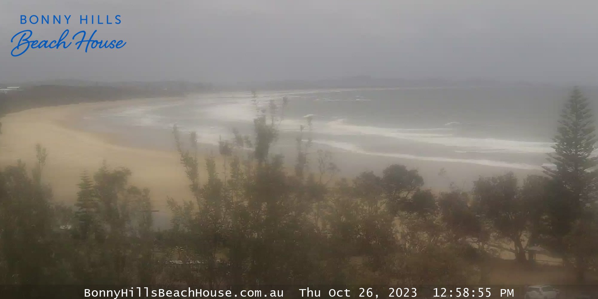
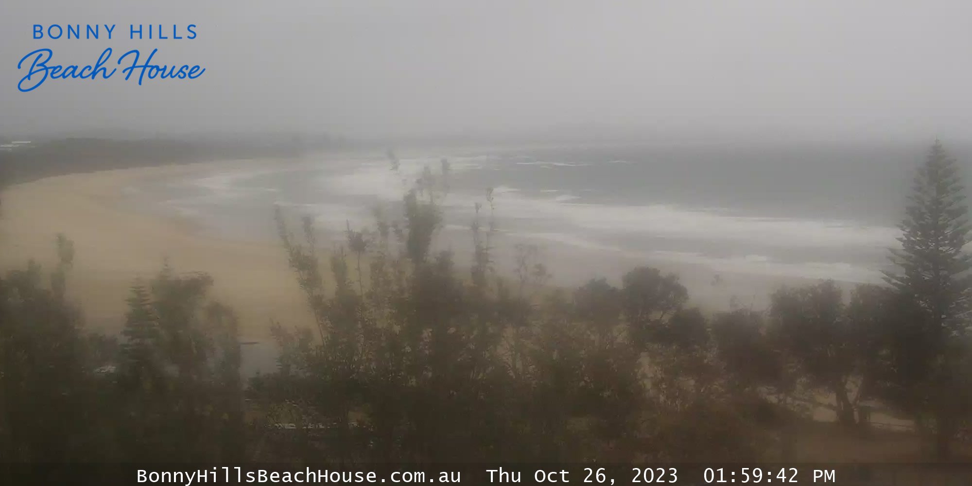
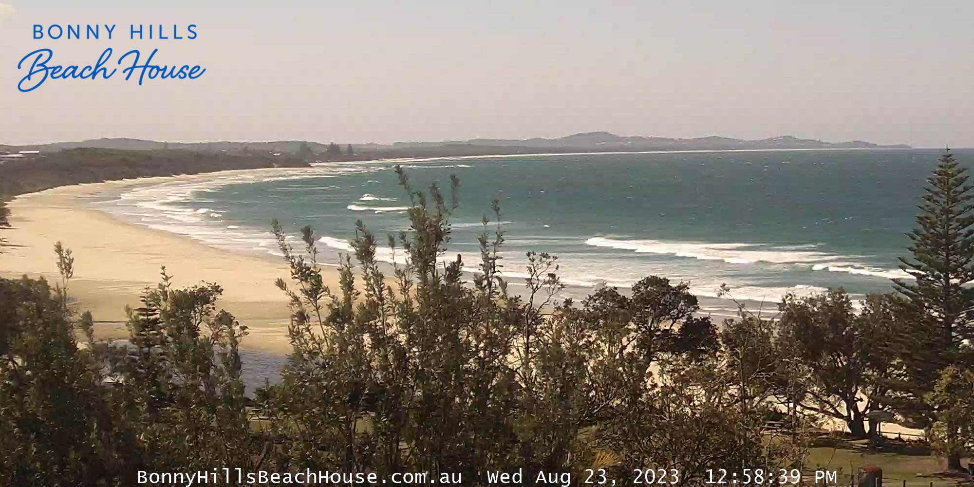
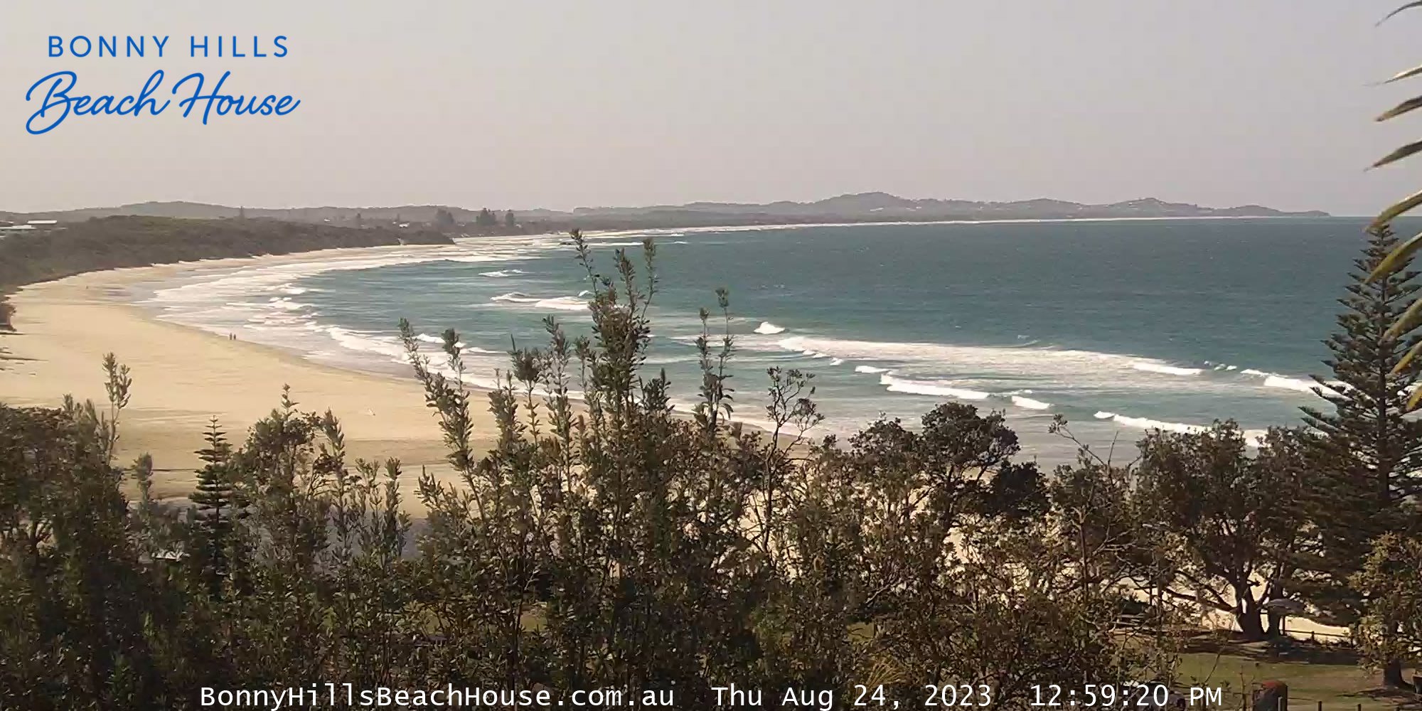
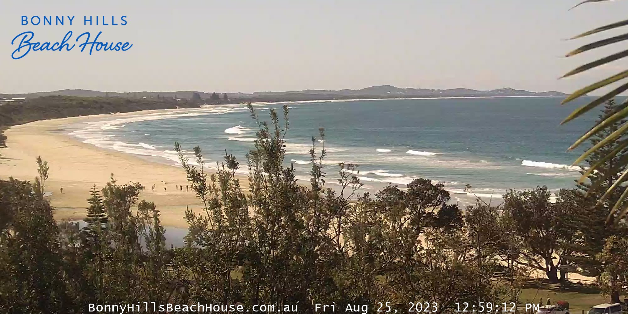
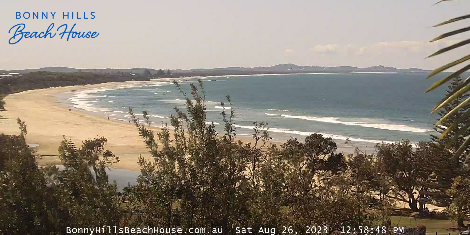
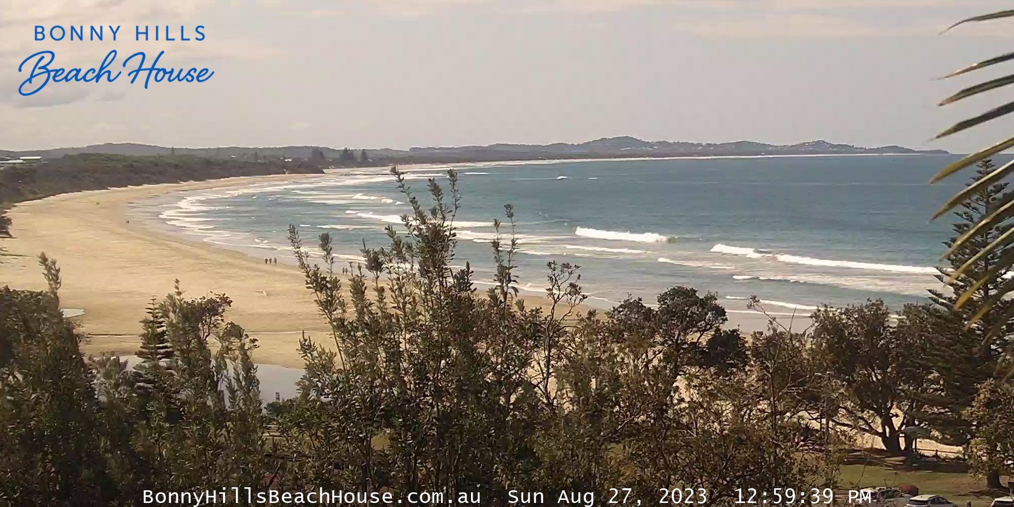
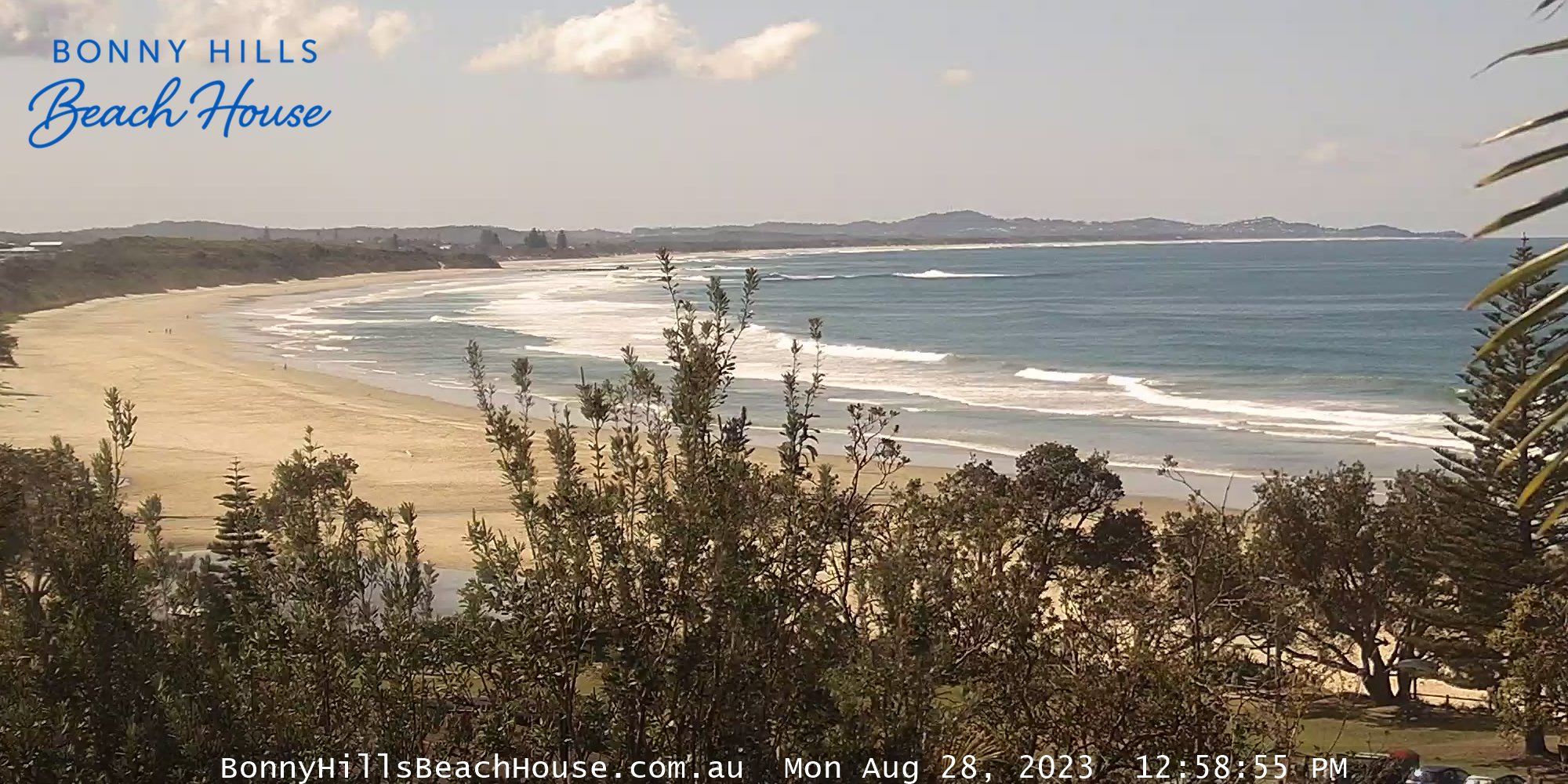
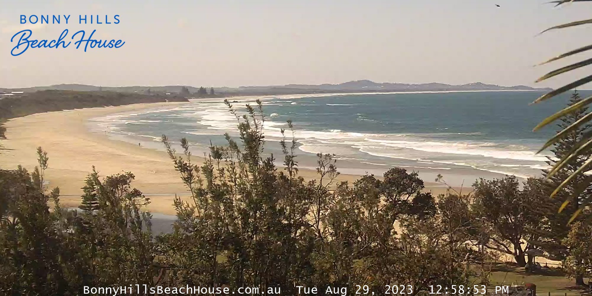
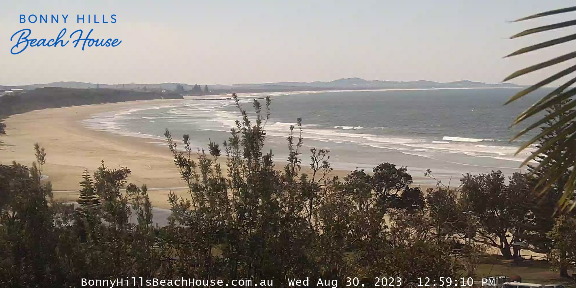
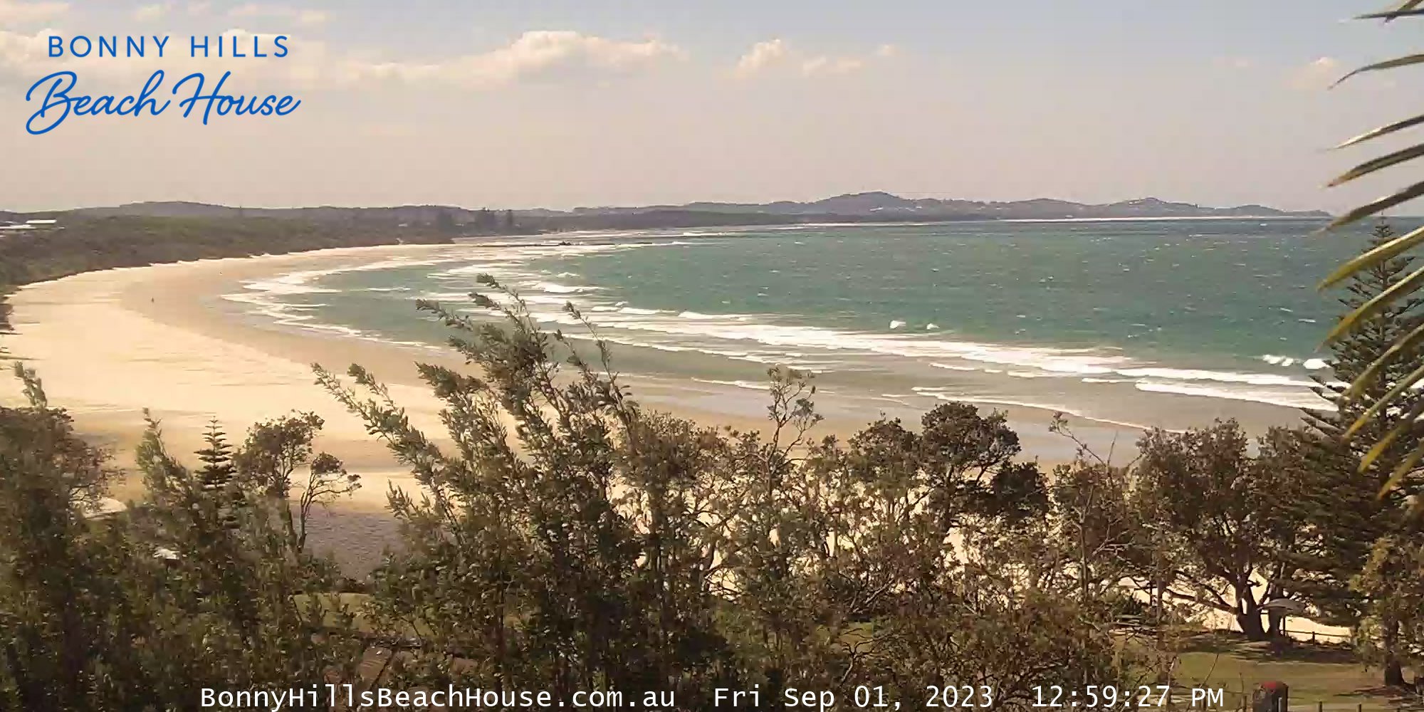
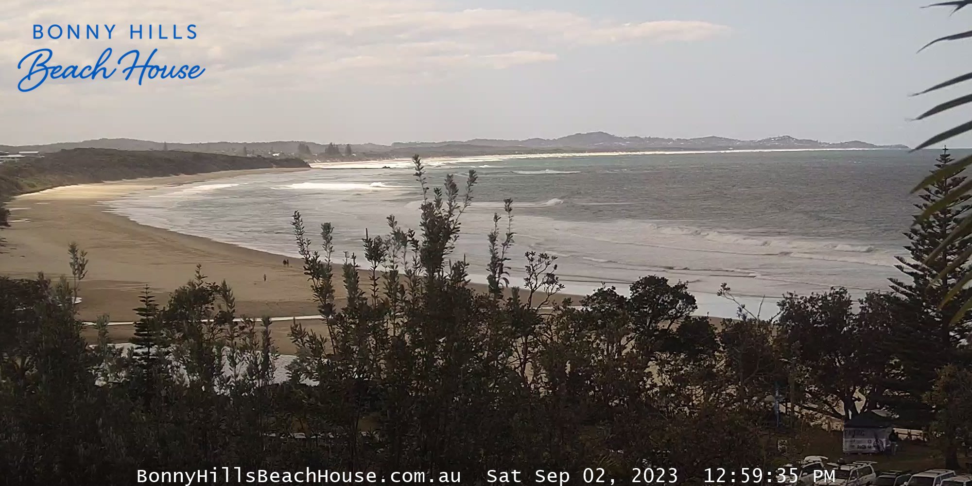
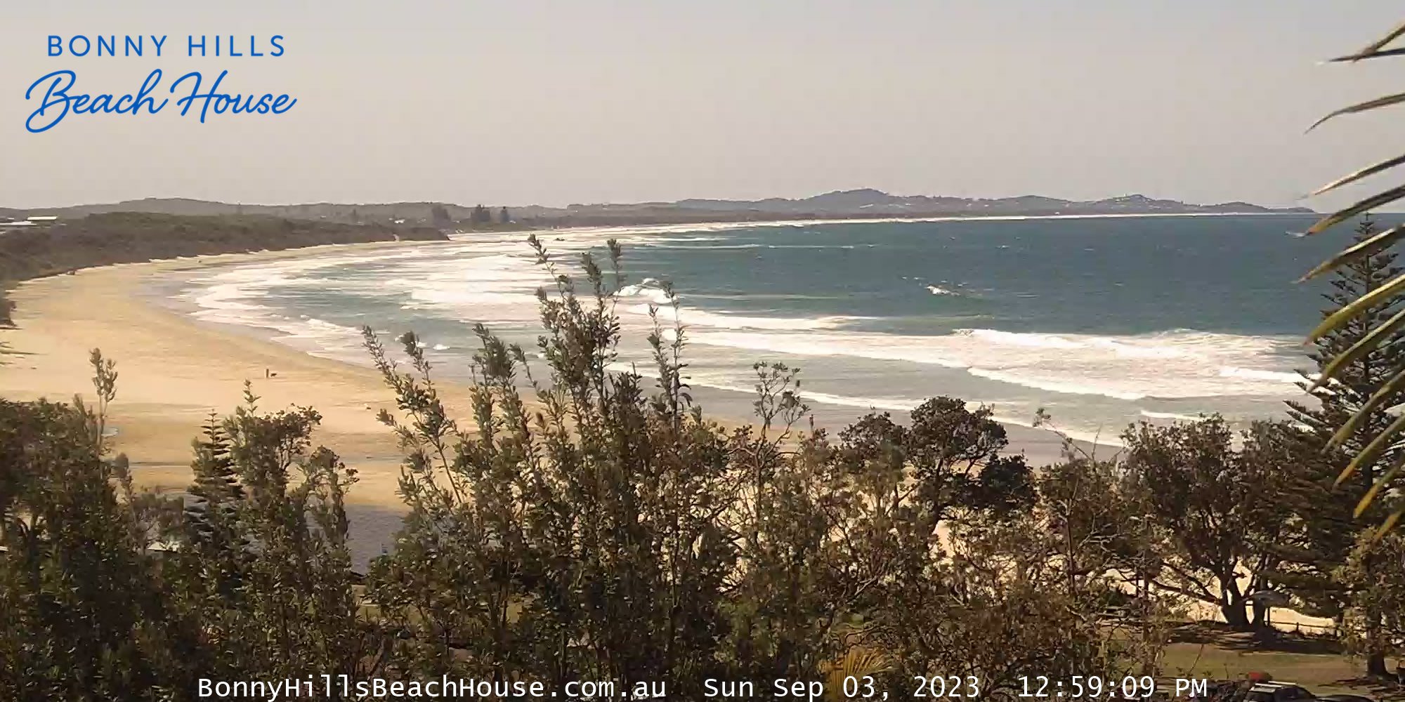
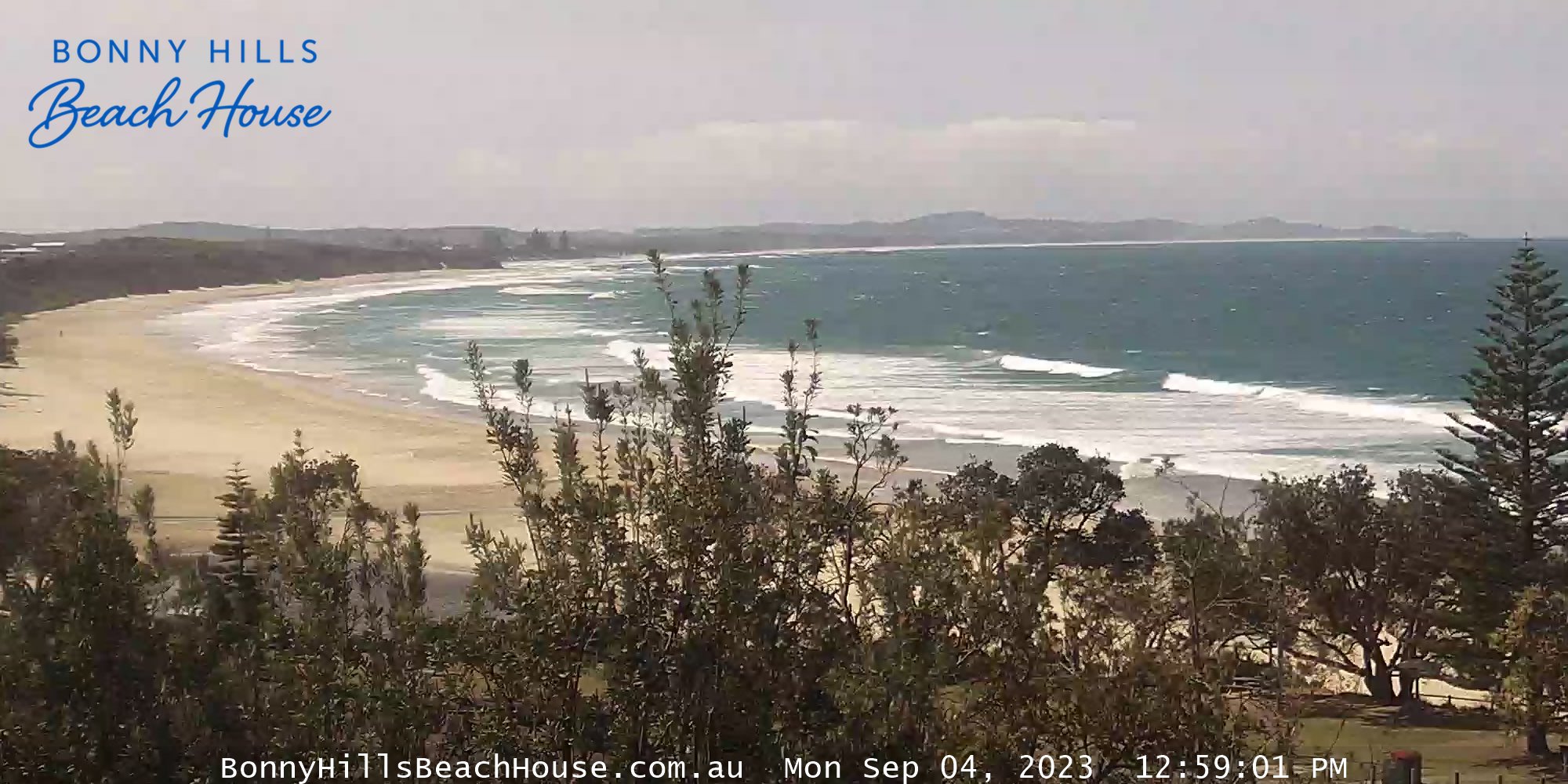
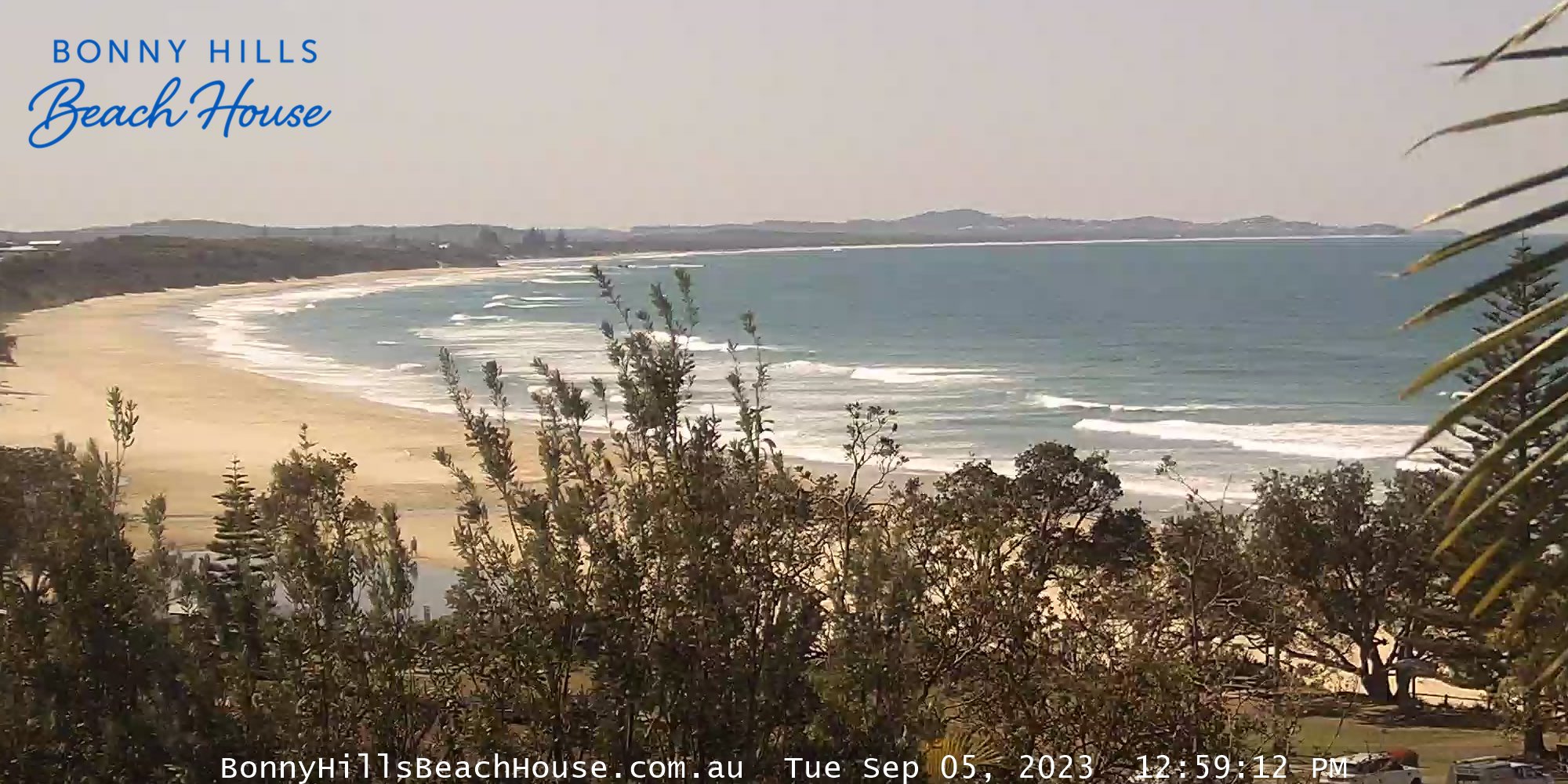
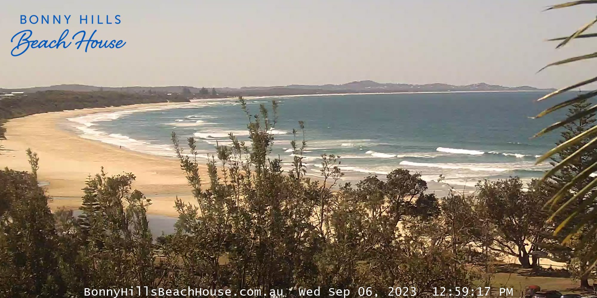
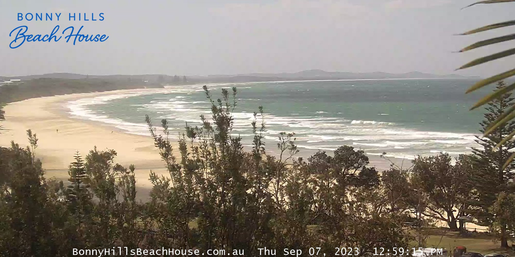
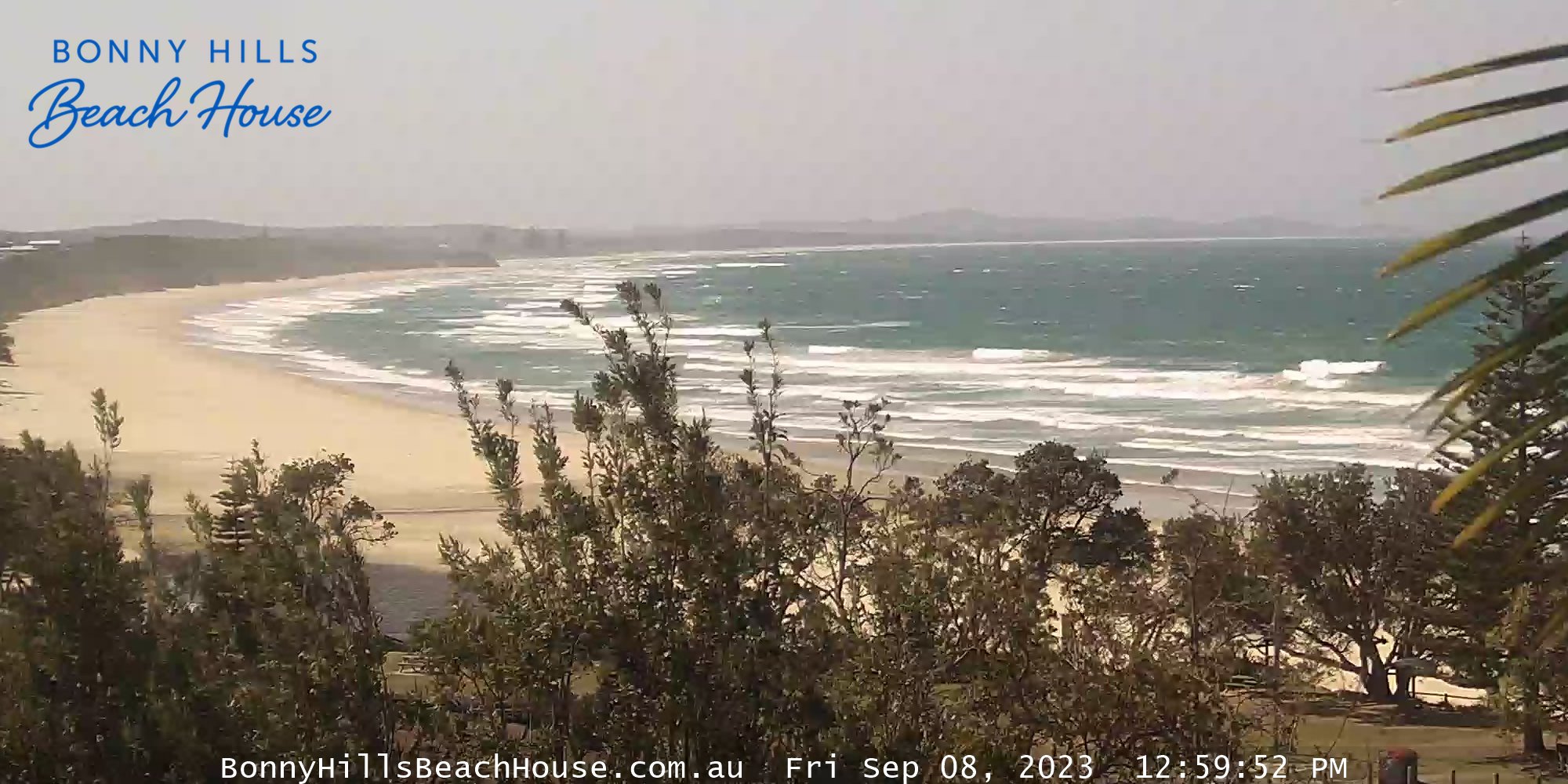
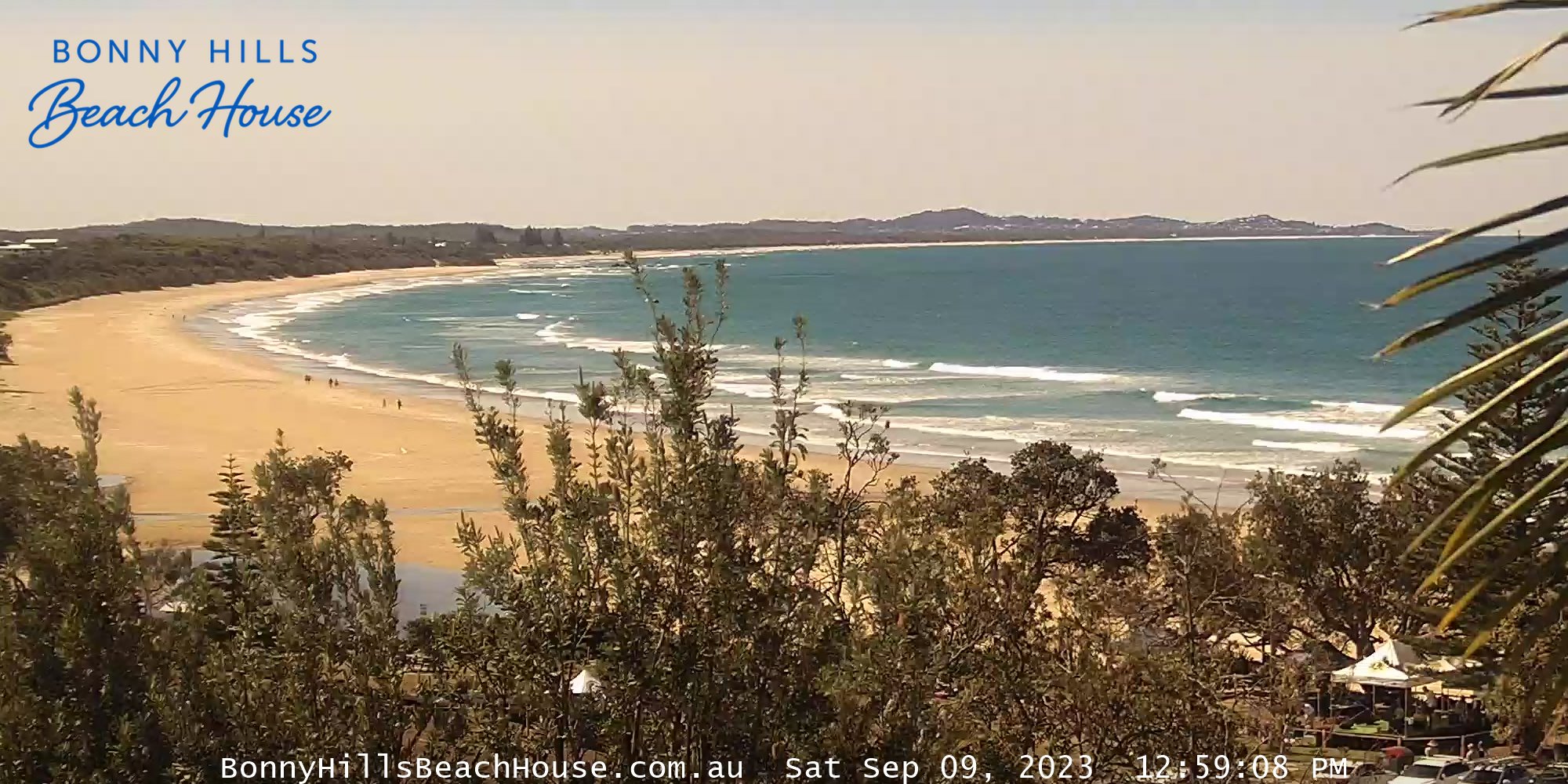
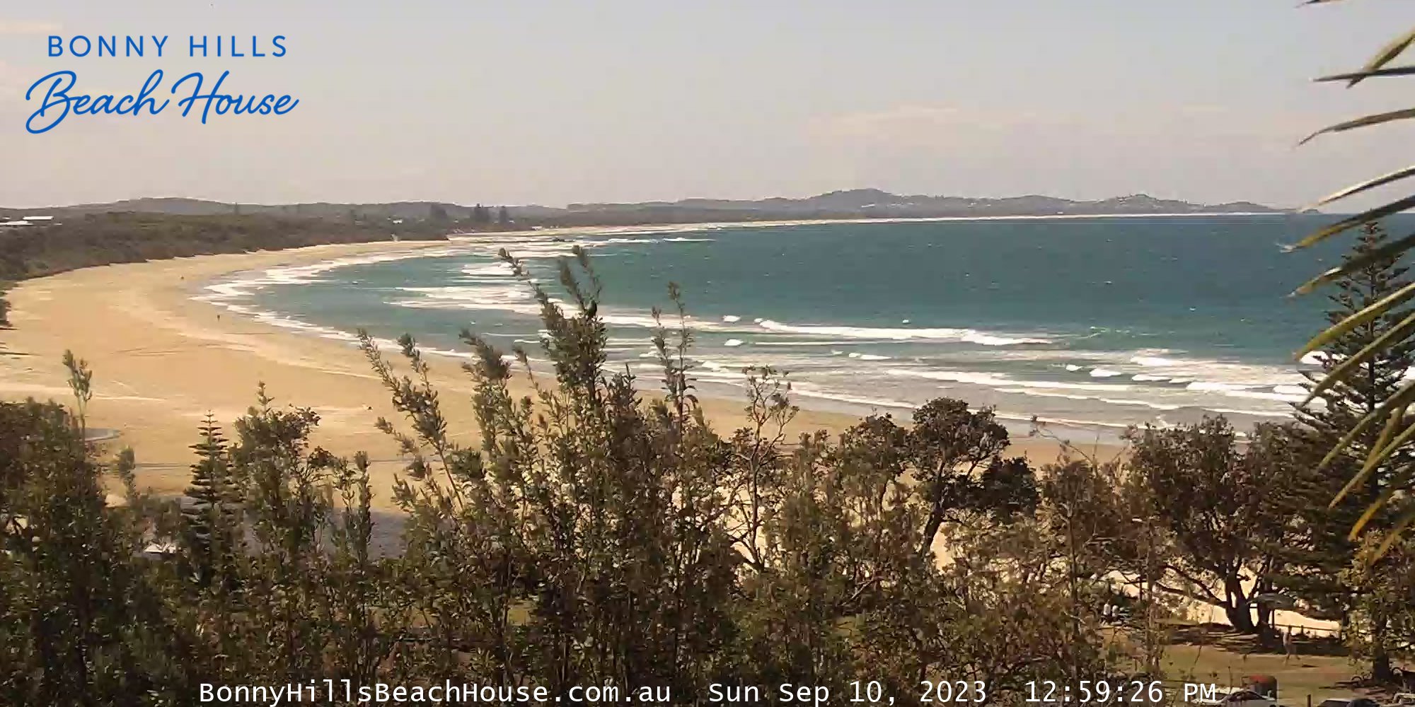
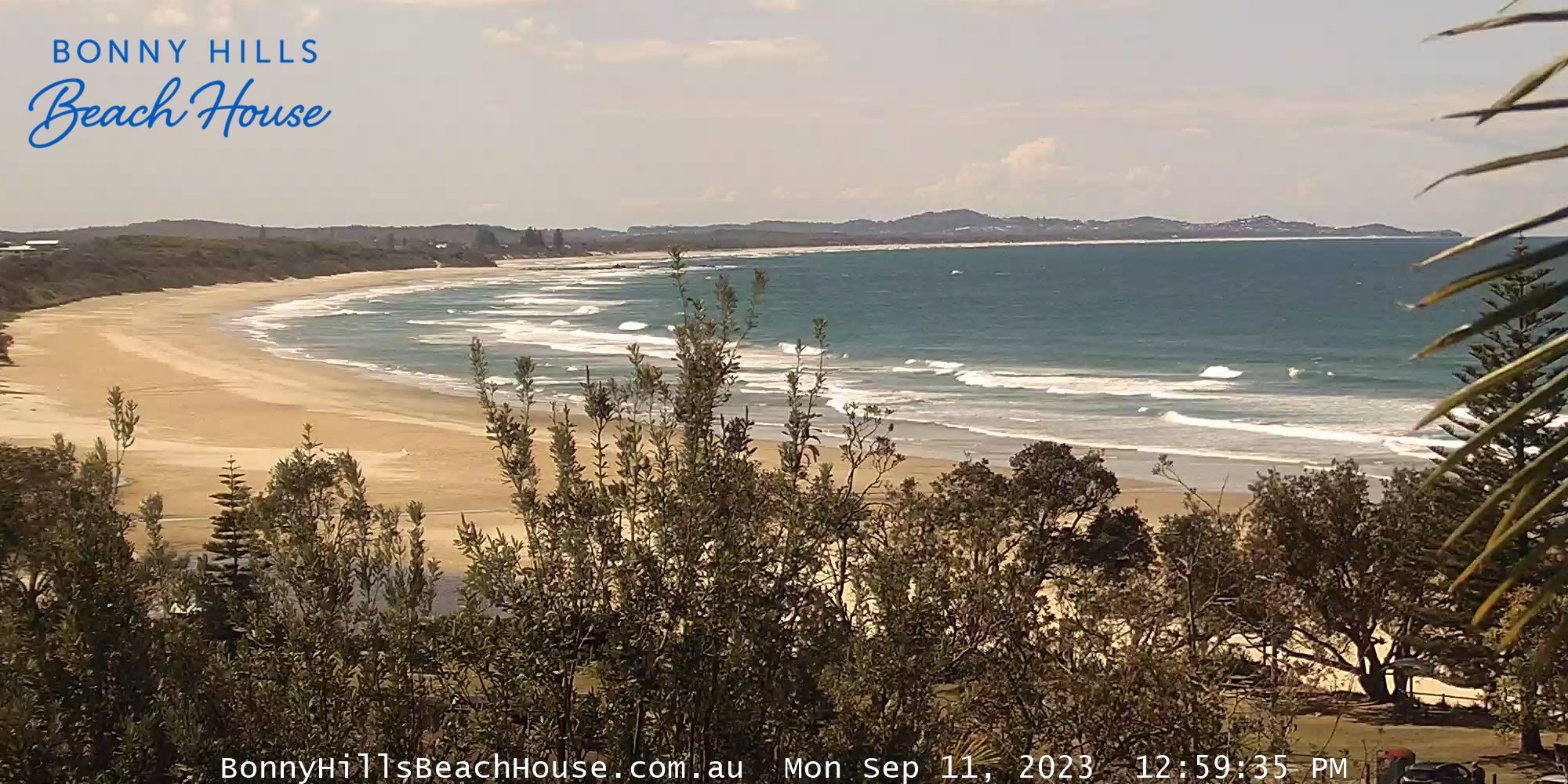
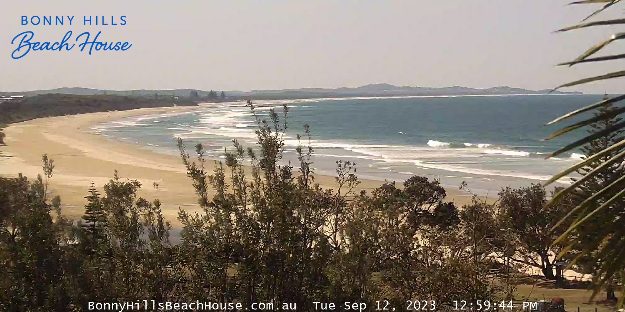
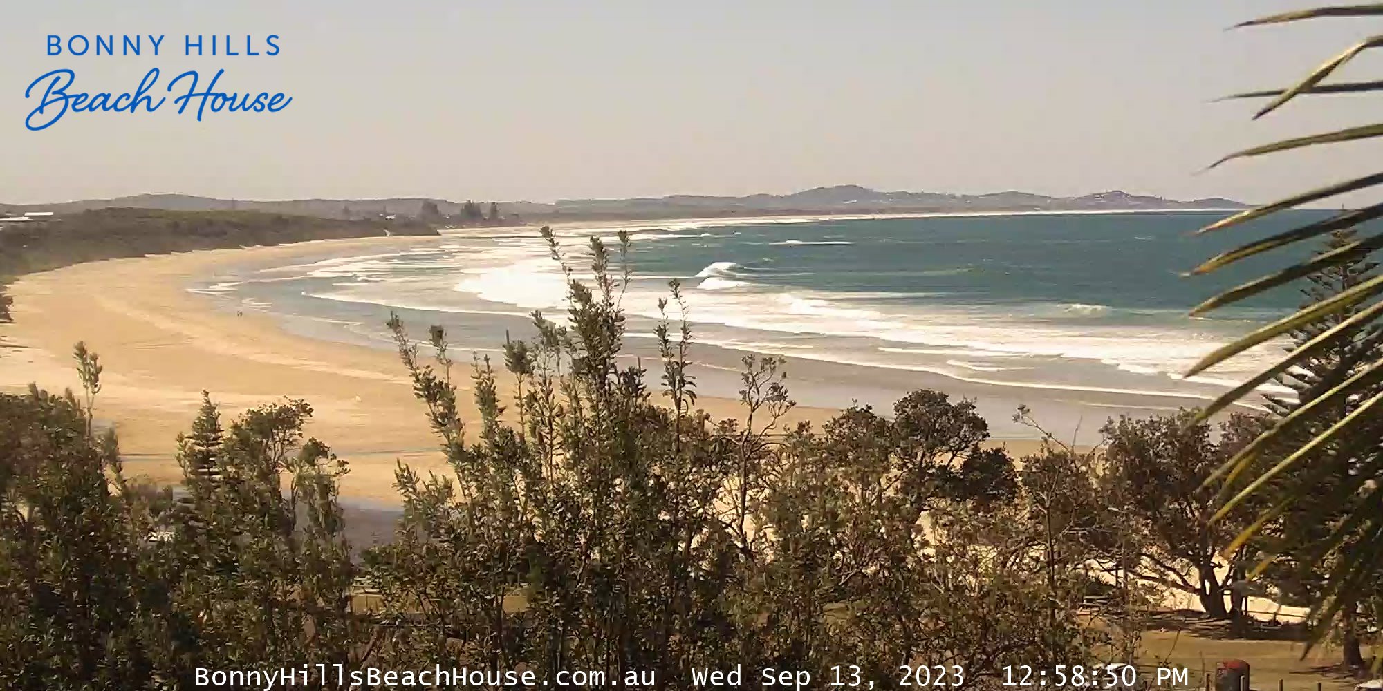
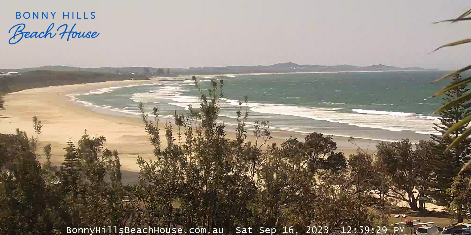
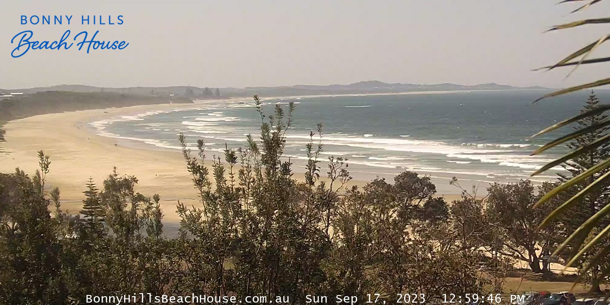
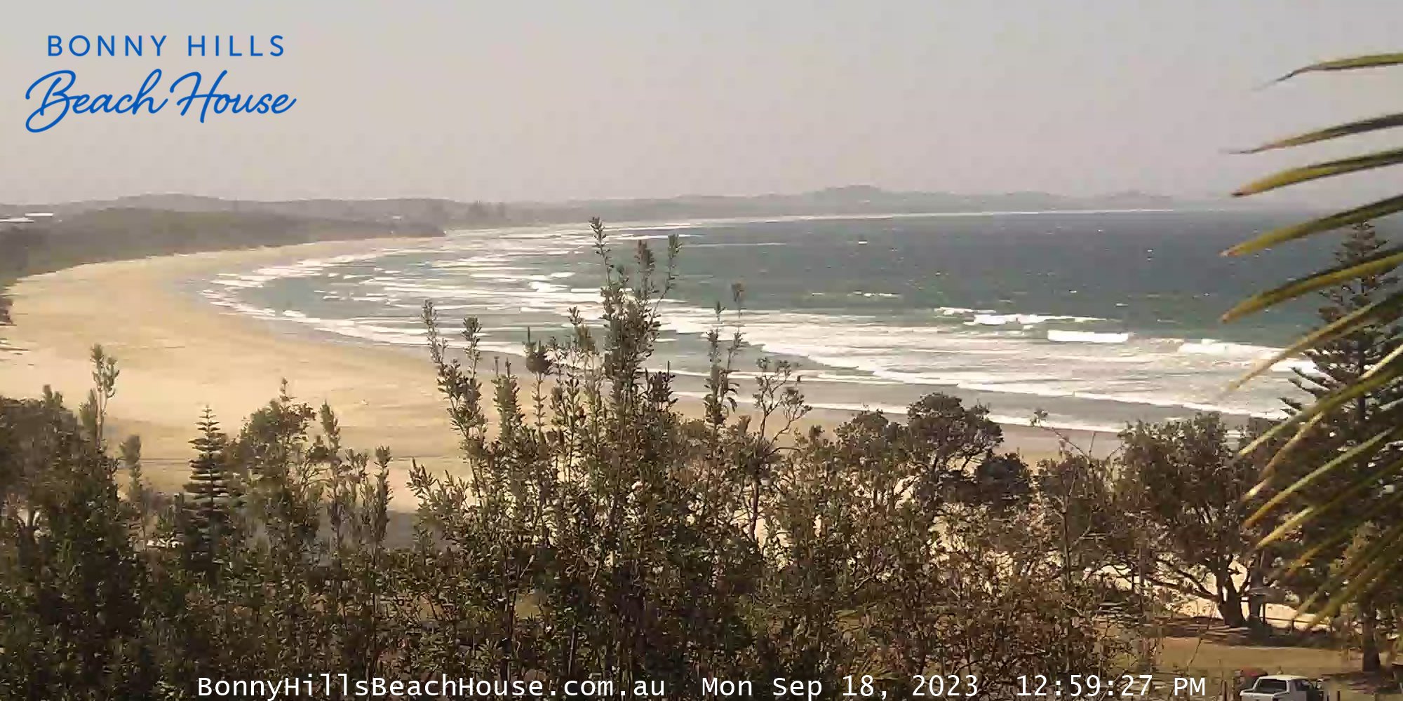
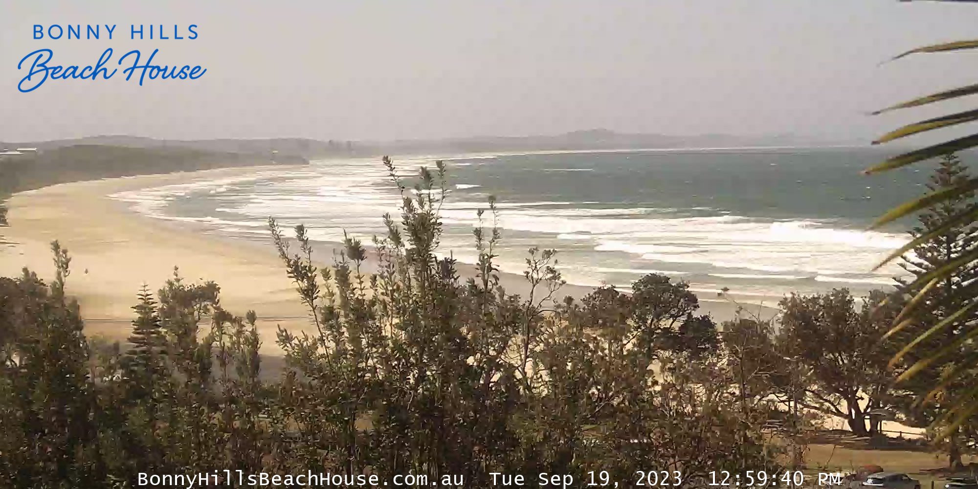
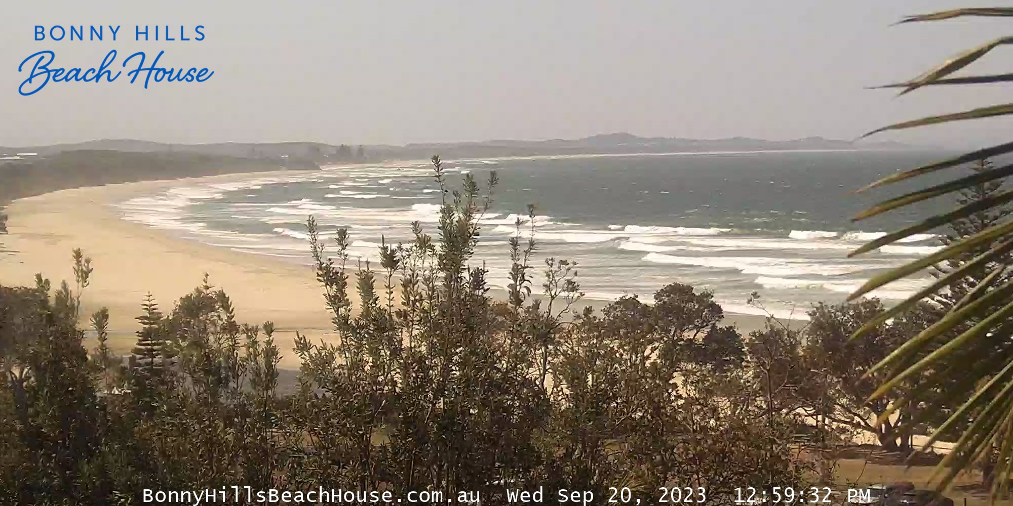
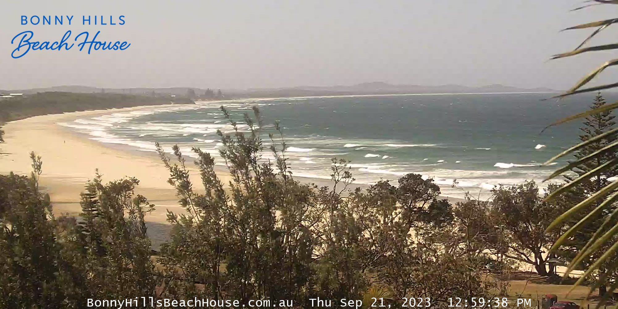
Bonny Hills, Australia - 71.7 miles from Upper Nambucca: Rainbow Beach - The Bonny Hills Beach House is holiday letting accommodation located on Rainbow Beach, 15km South of Port Macquarie. Bonny Hills (and nearby Port Macquarie) are renowned for outdoor activities including Surfing, Boating, Fishing and Beach going.
Operator: Bonny Hills Beach House
Operator: Bonny Hills Beach House


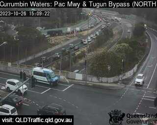
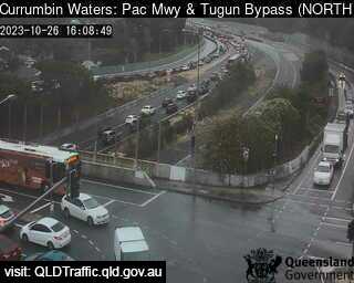
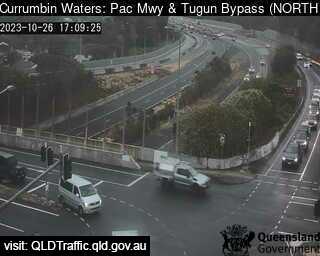
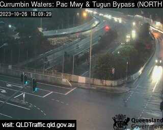
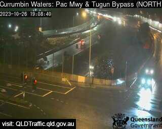
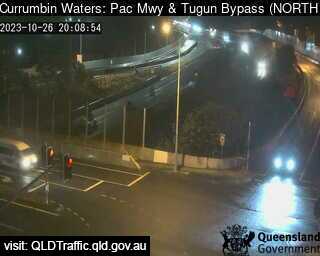
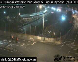
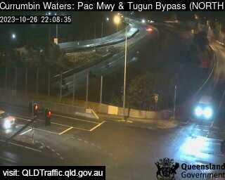
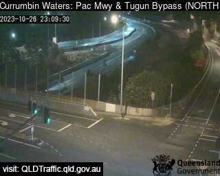
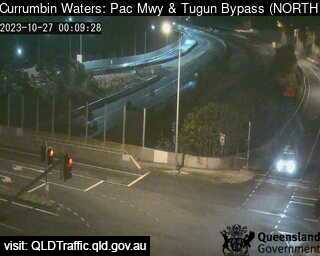
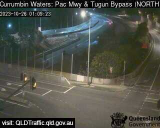
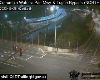
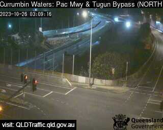
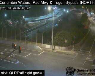
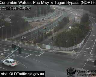
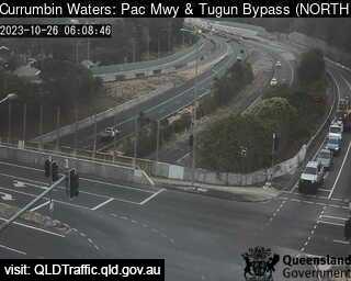
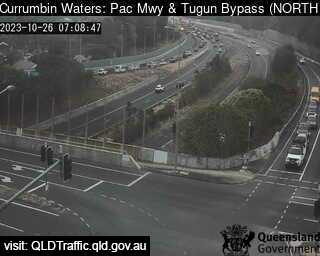
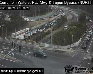
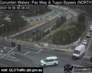
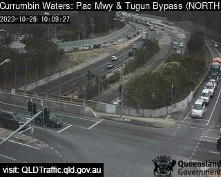
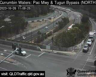
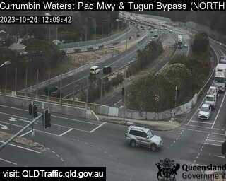
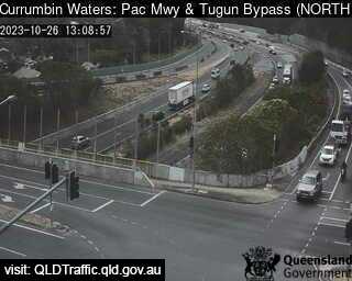
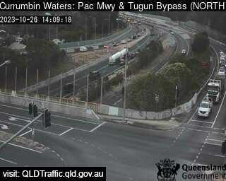
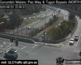
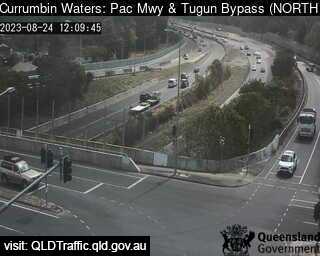
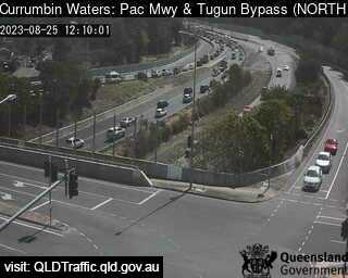
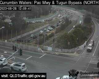
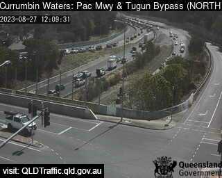
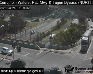
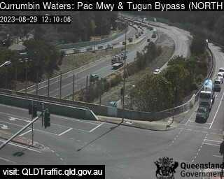
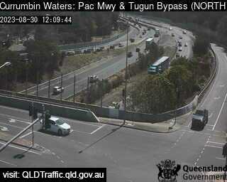
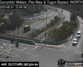
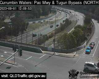
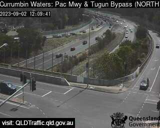
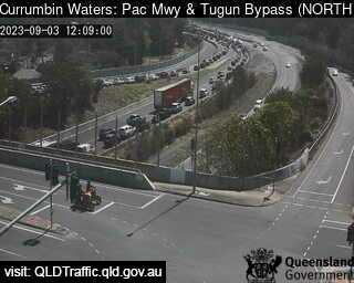
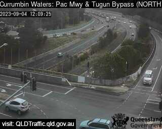
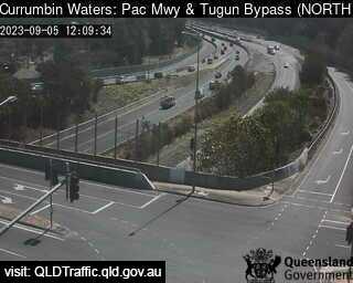
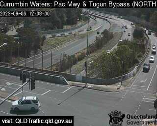
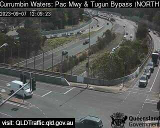
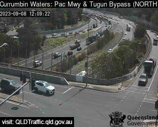
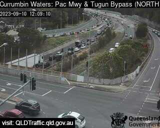
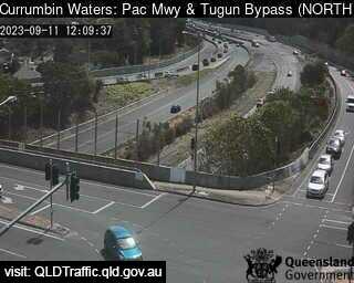
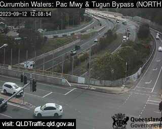
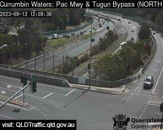
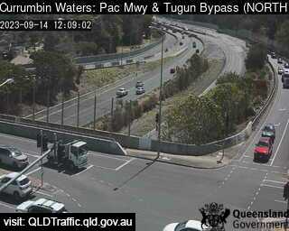
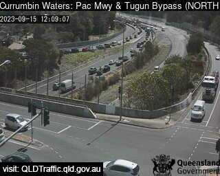
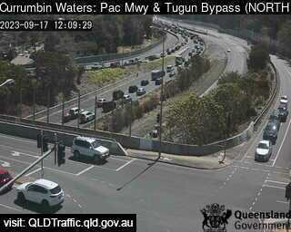
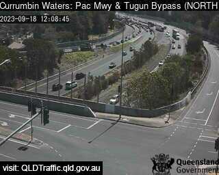
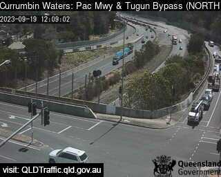
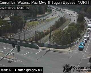
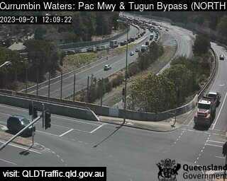
Currumbin Waters, Australia - 175.2 miles from Upper Nambucca: Pacific Motorway M1 - Tugun Bypass (South) - A view of the current traffic conditions.
Operator: Queensland Government - Department of Transport and Main Roads
Operator: Queensland Government - Department of Transport and Main Roads


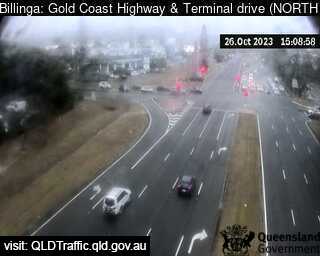
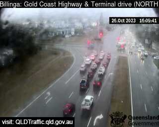
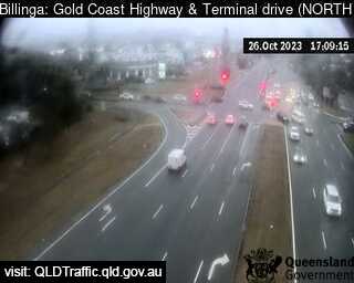
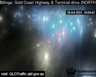
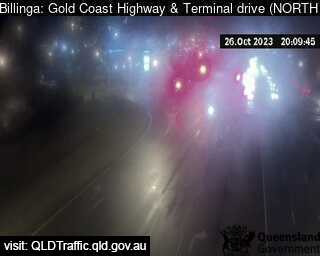
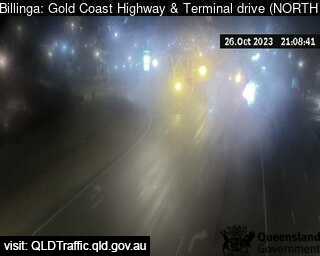
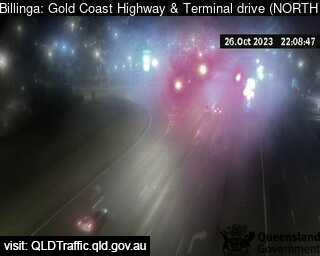
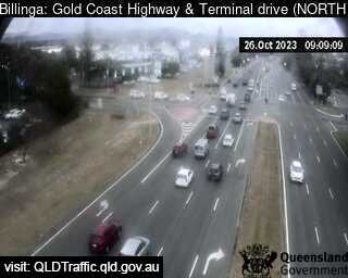
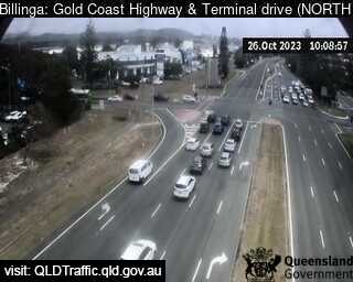
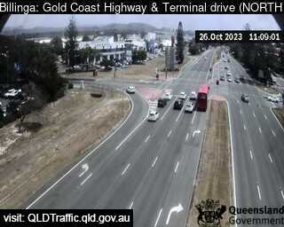
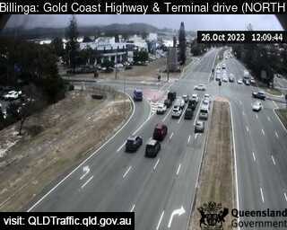
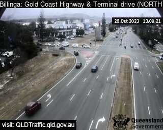
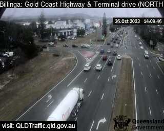
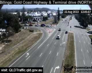
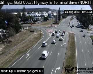
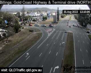
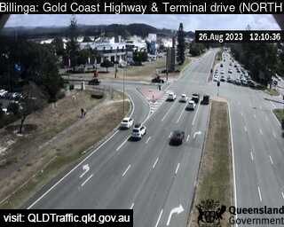
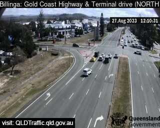
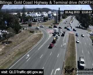
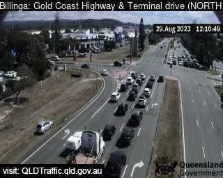
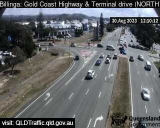
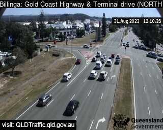
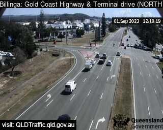
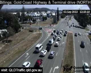
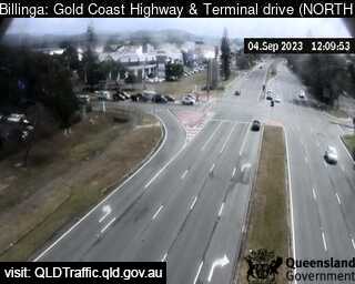
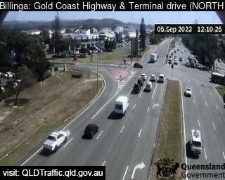
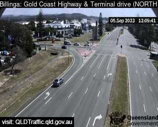
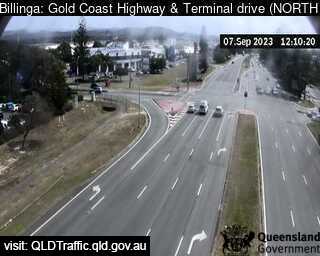
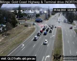
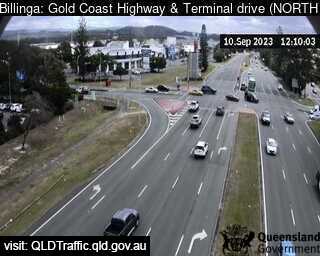
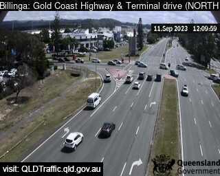
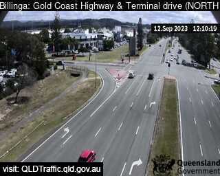
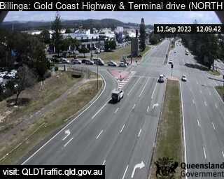
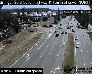
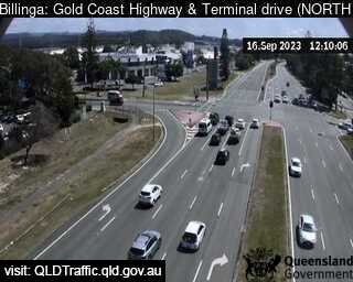
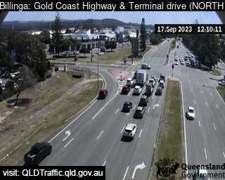
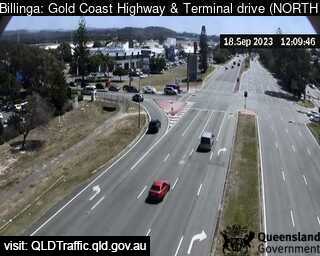
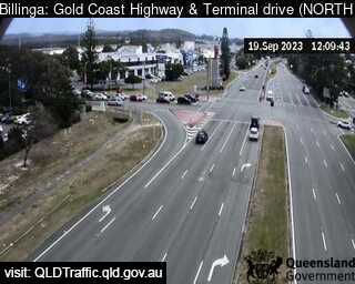
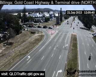
Bilinga, Australia - 175.5 miles from Upper Nambucca: Gold Coast Highway and Terminal Drive (North) - A view of the current traffic conditions.
Operator: Queensland Government - Department of Transport and Main Roads
Operator: Queensland Government - Department of Transport and Main Roads


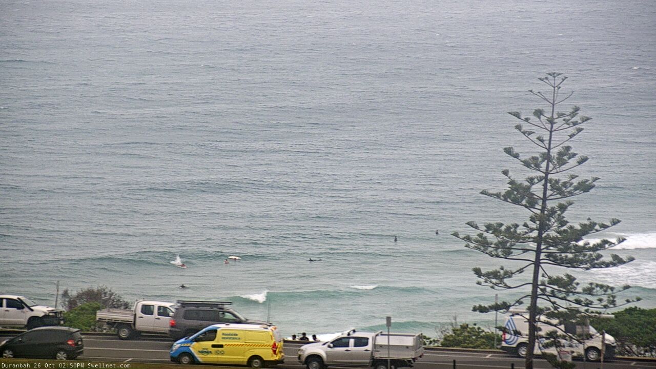
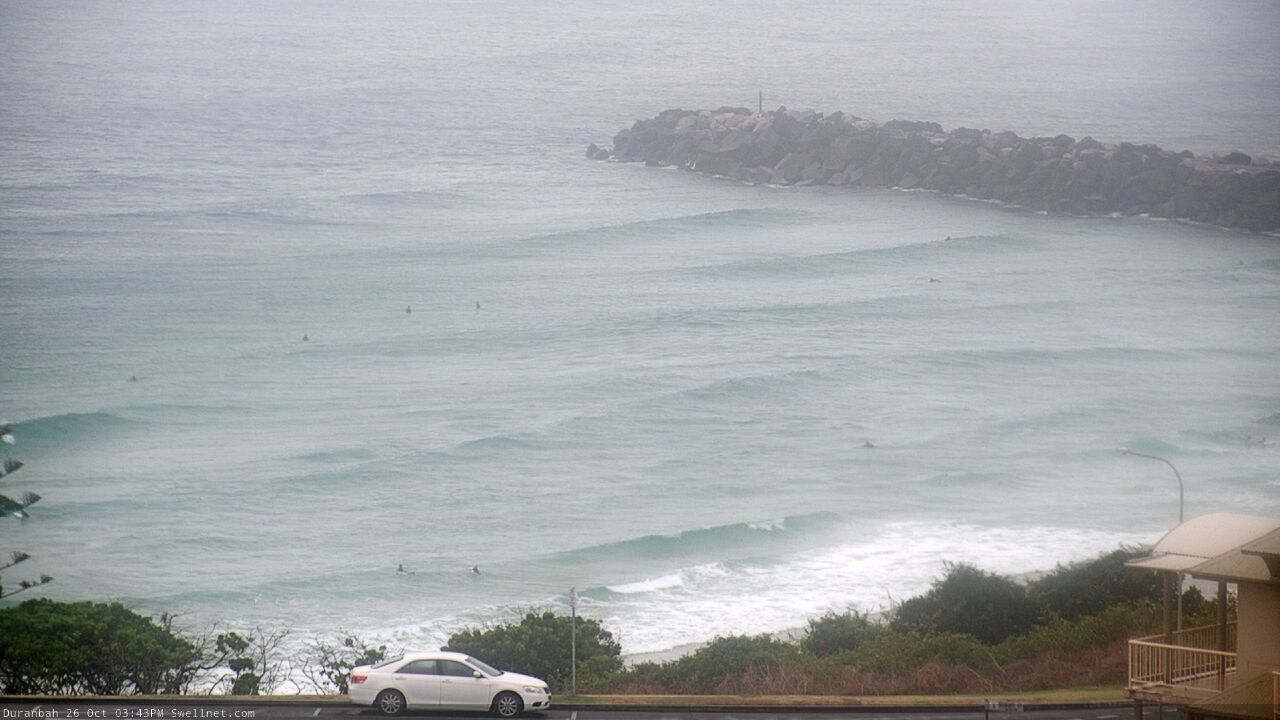
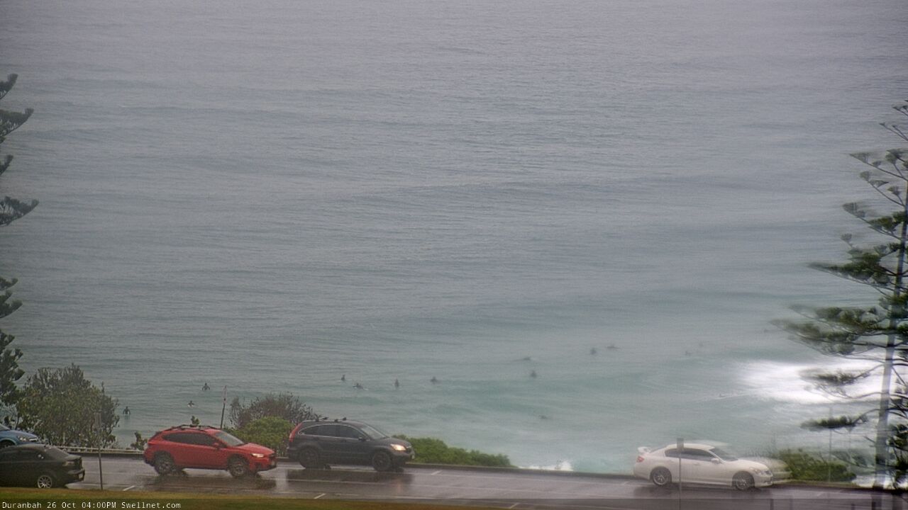
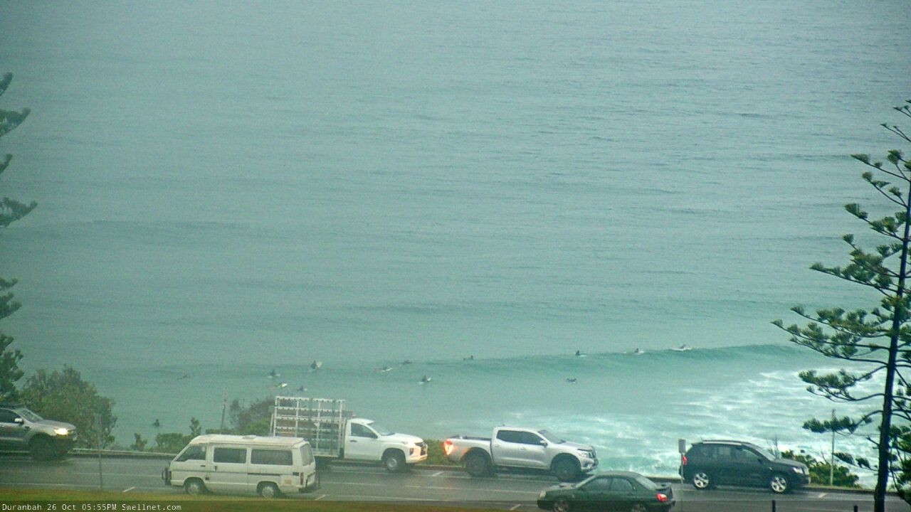
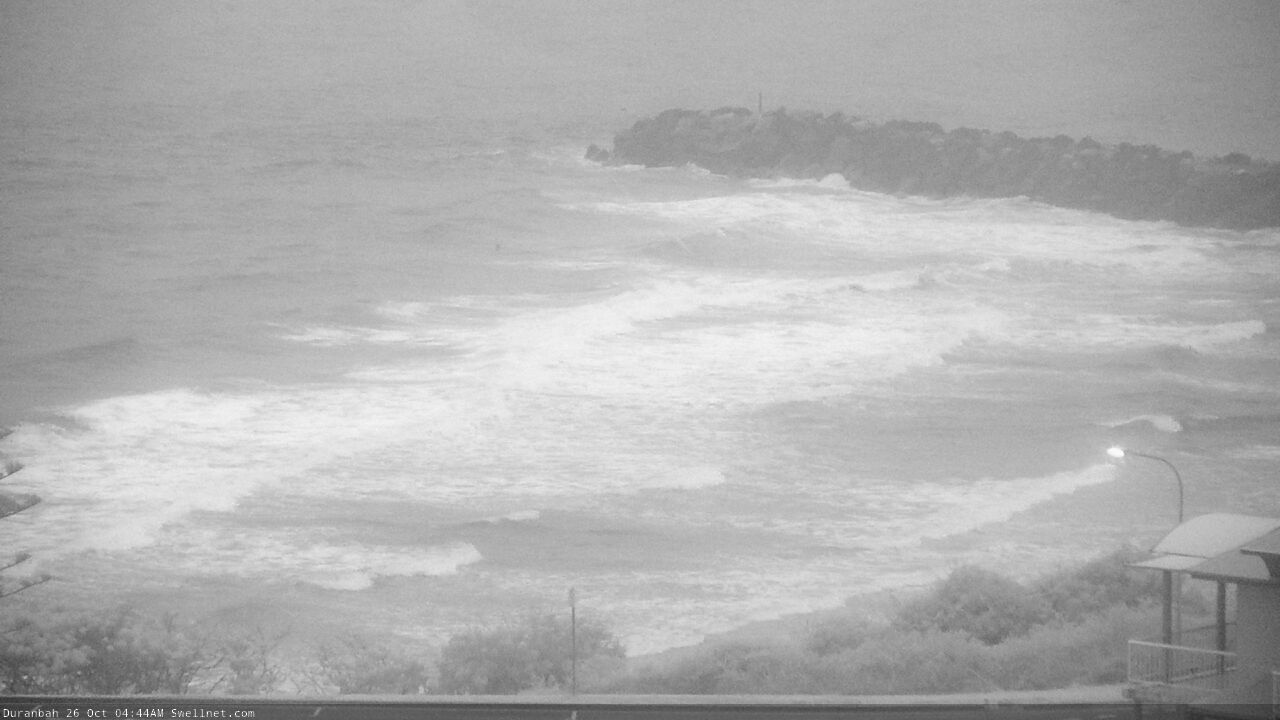
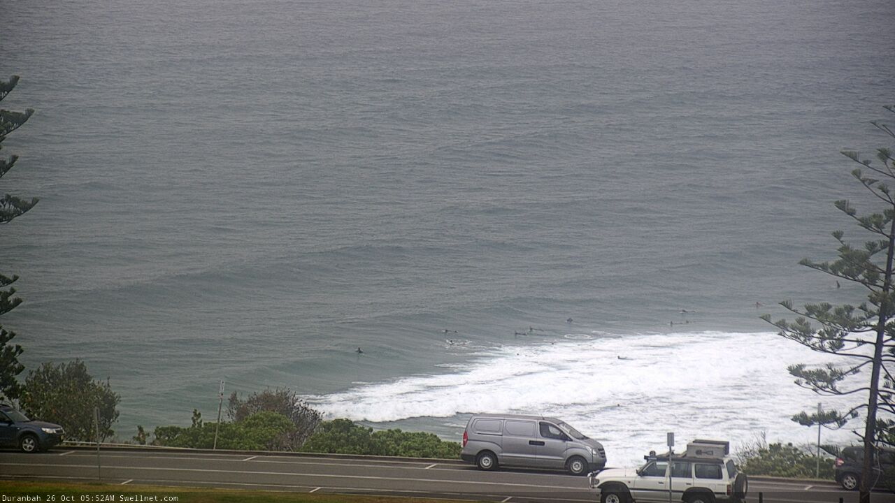
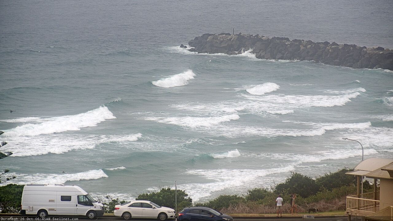
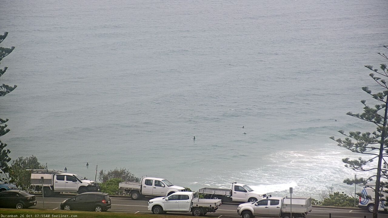
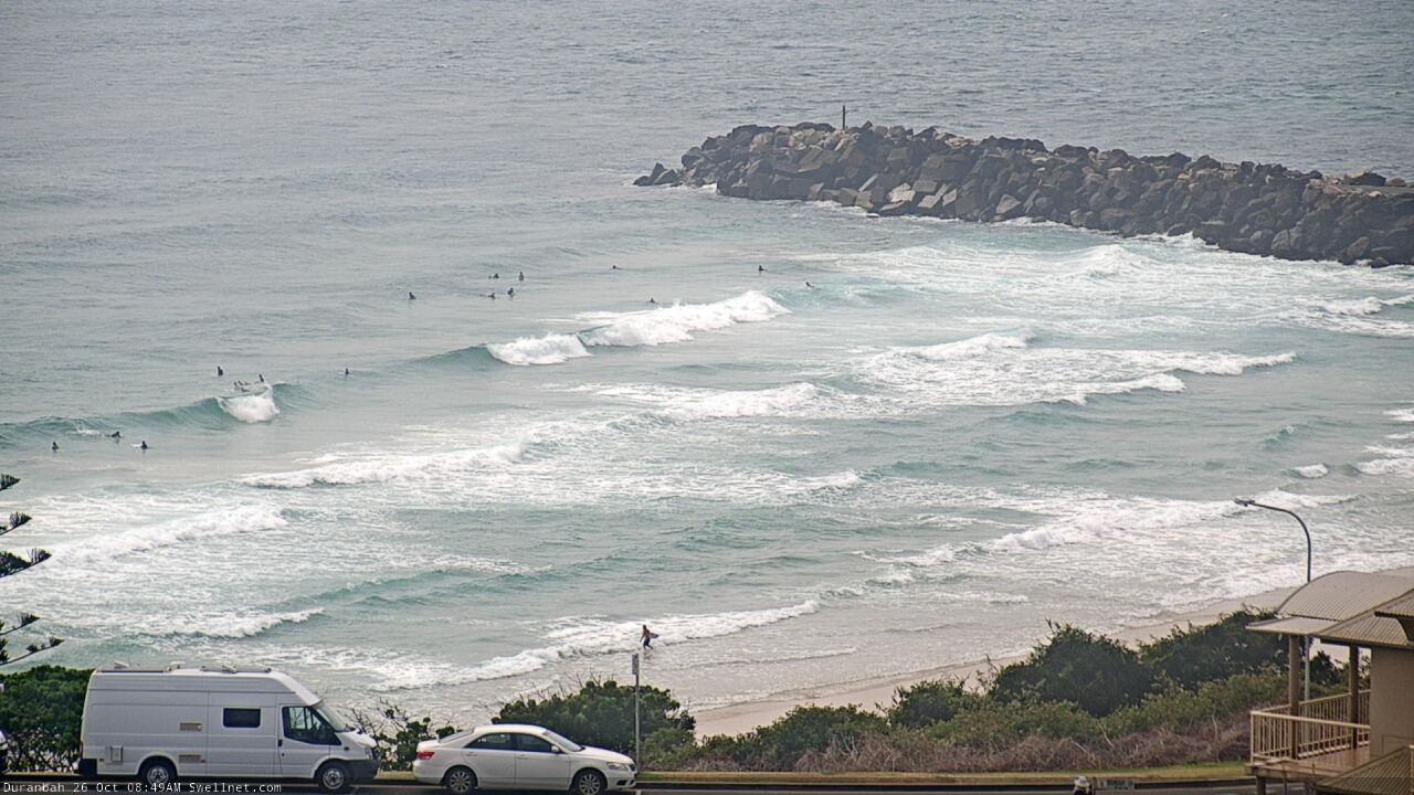
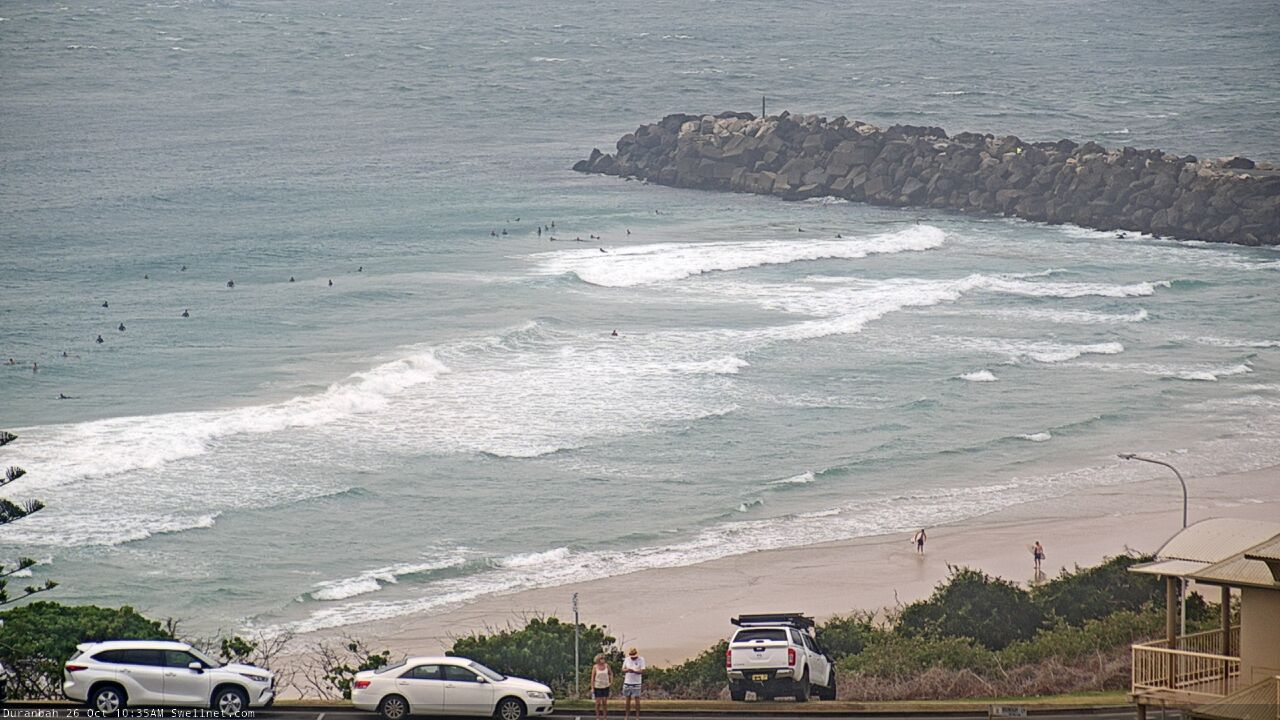
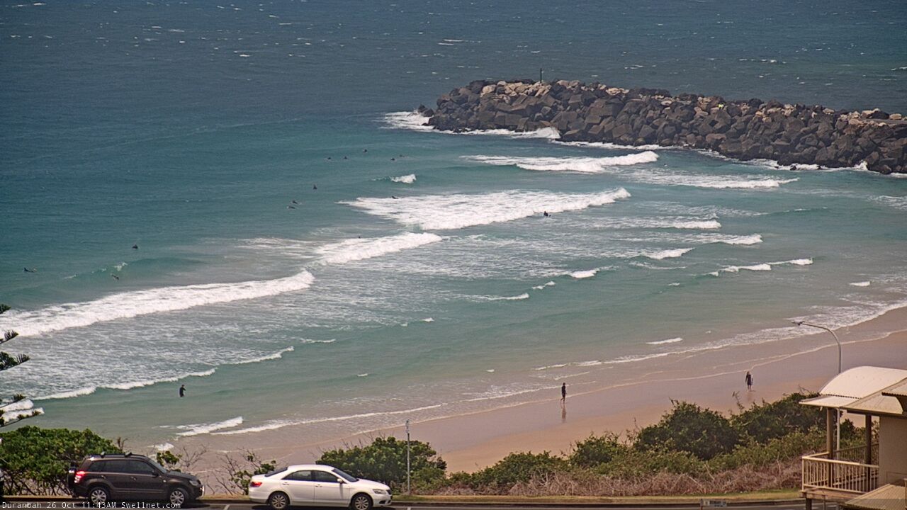
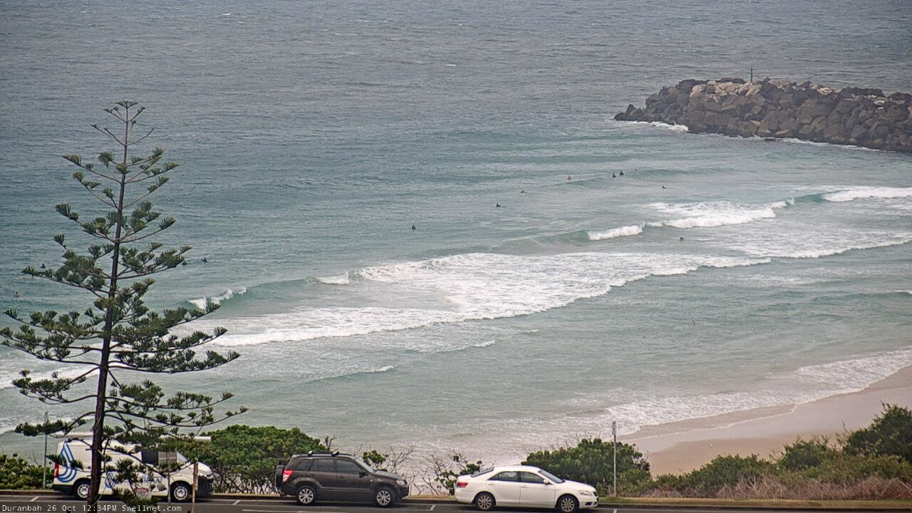
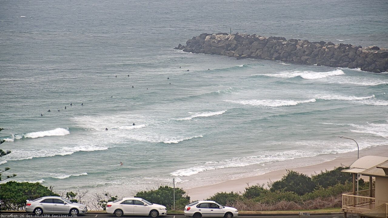
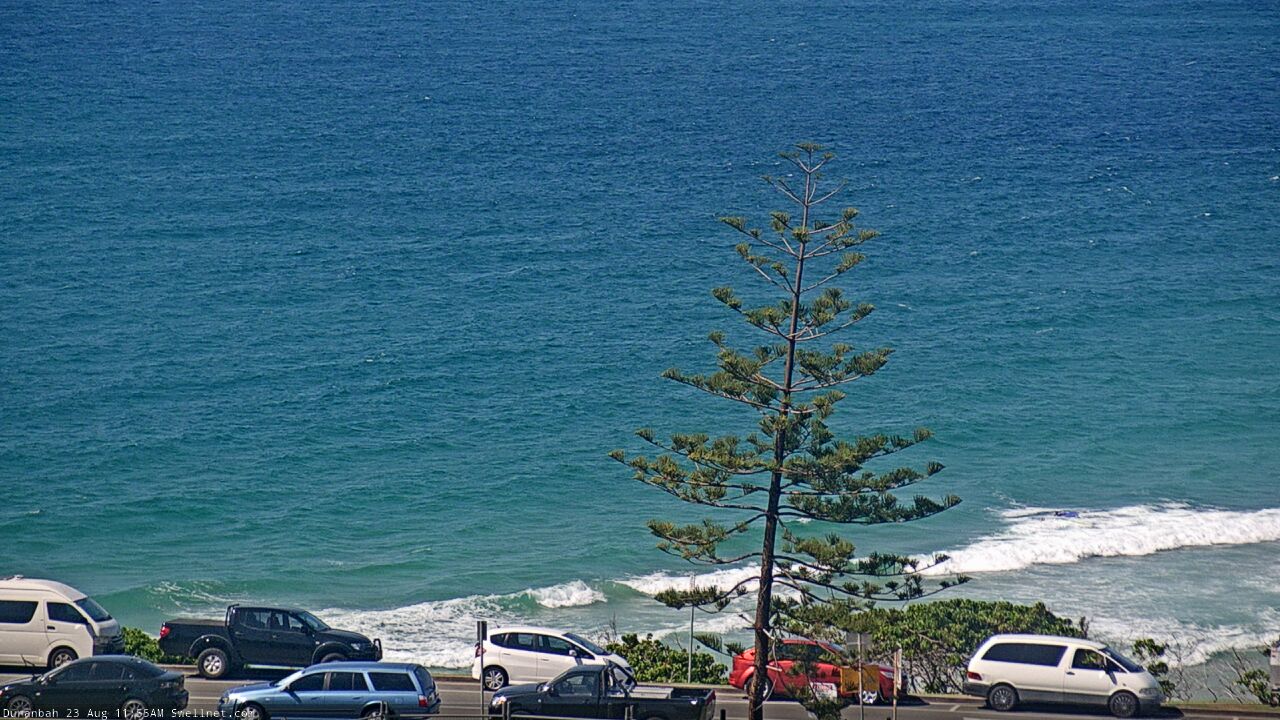
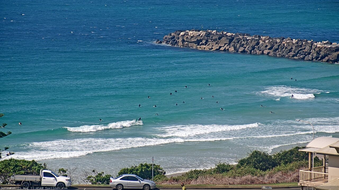
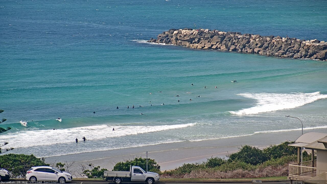
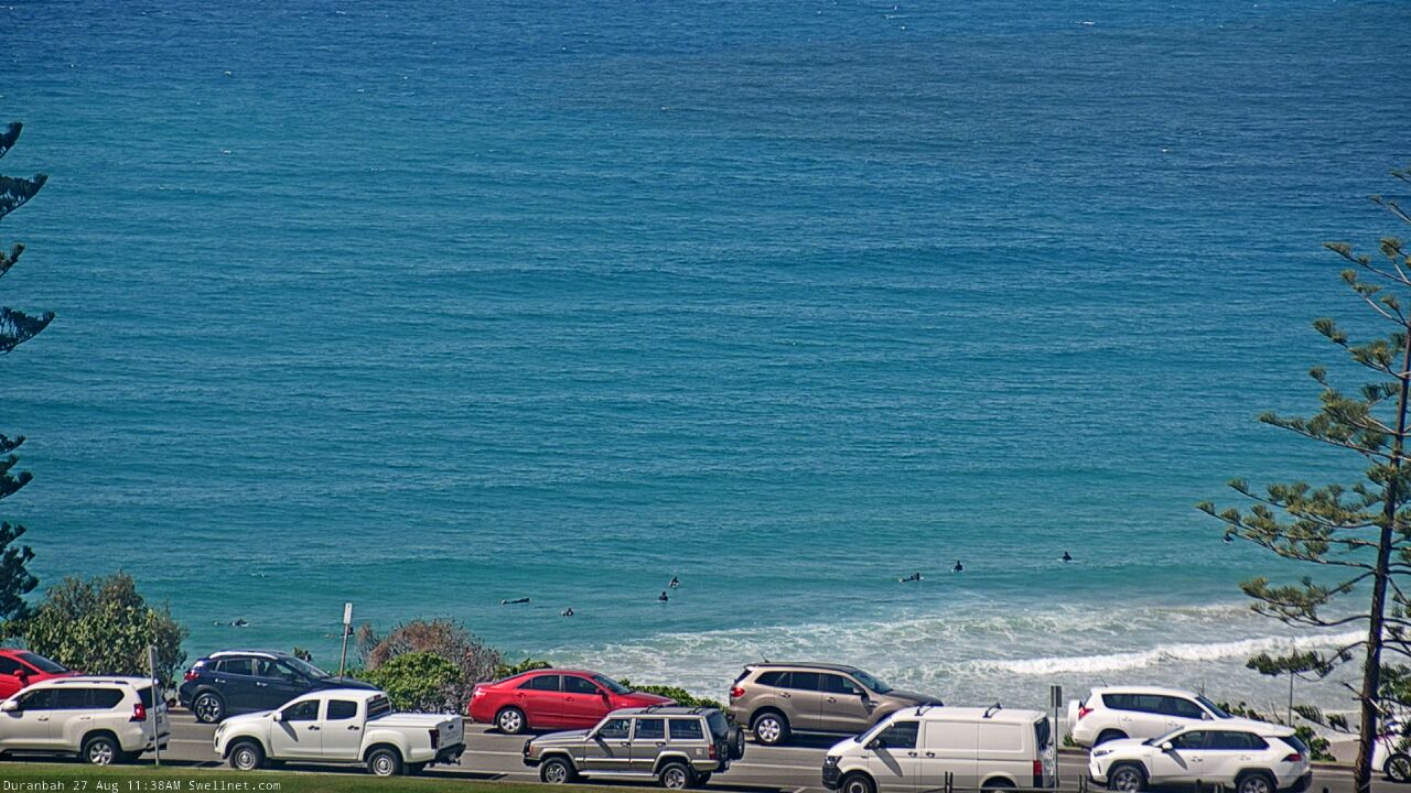
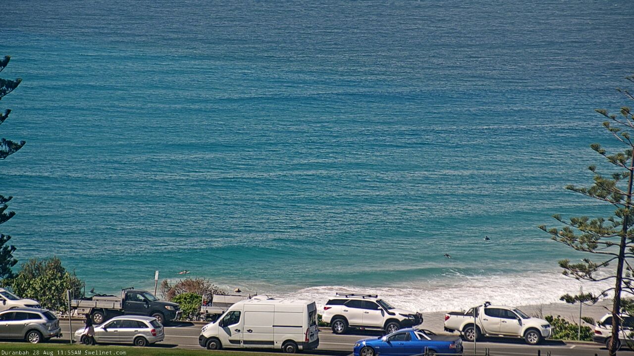
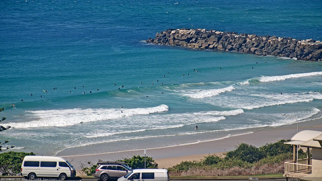
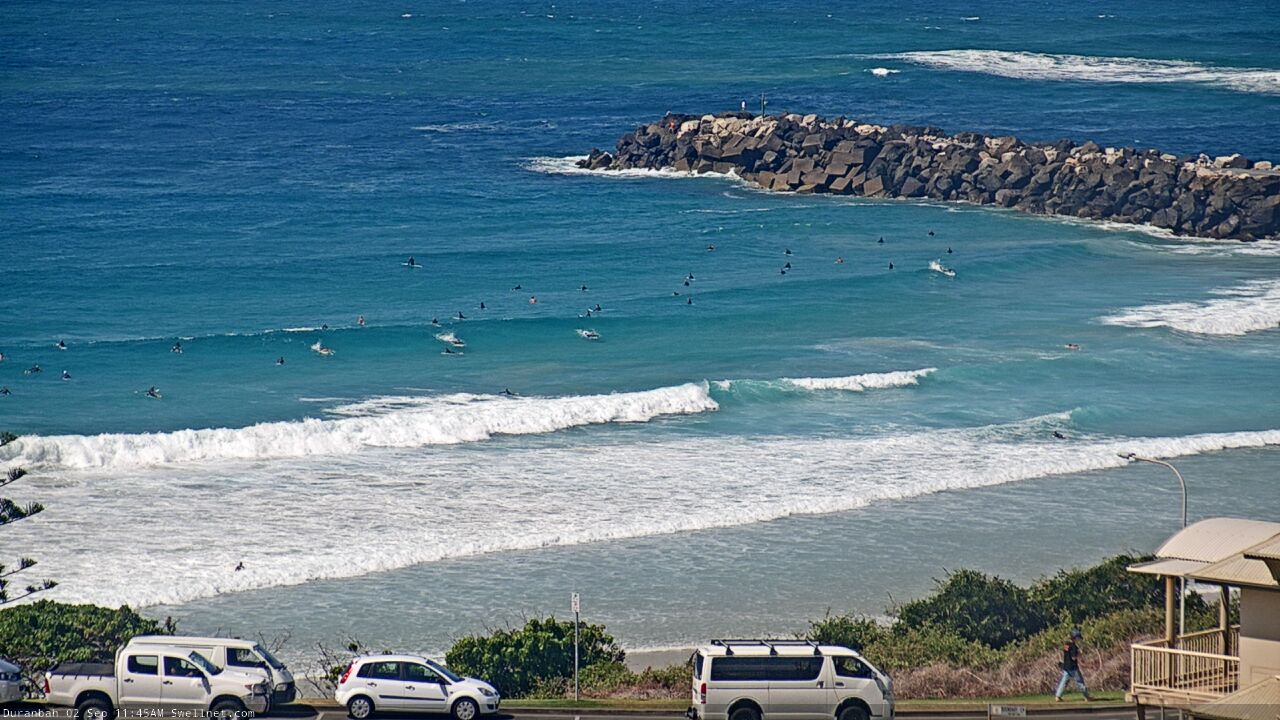
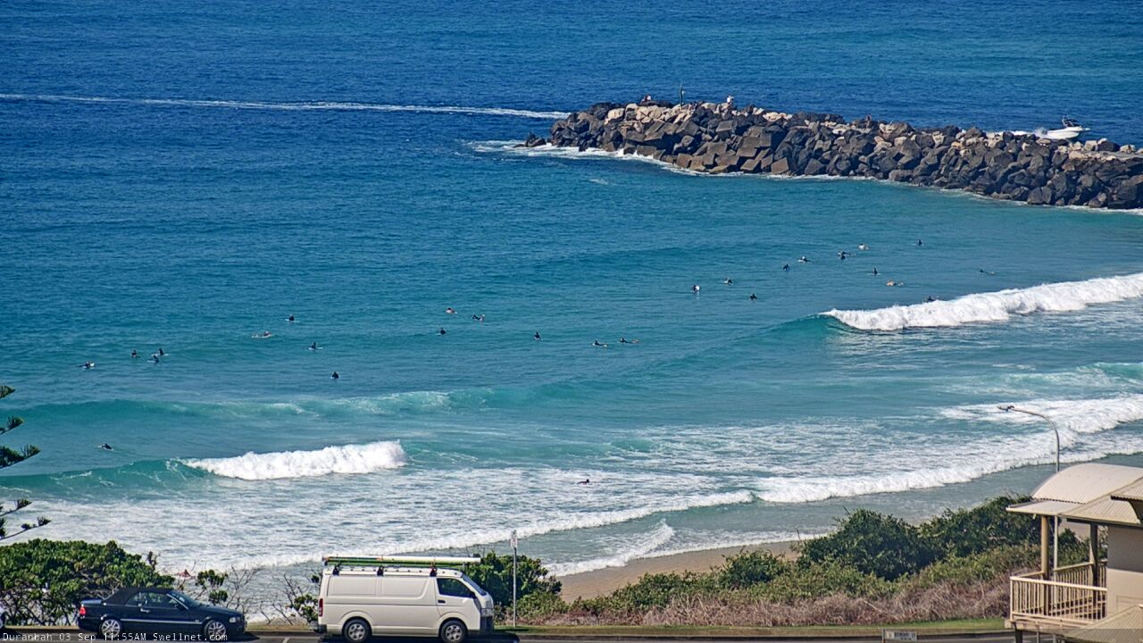
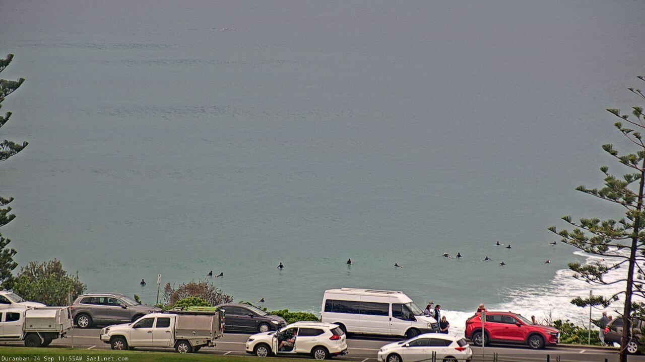
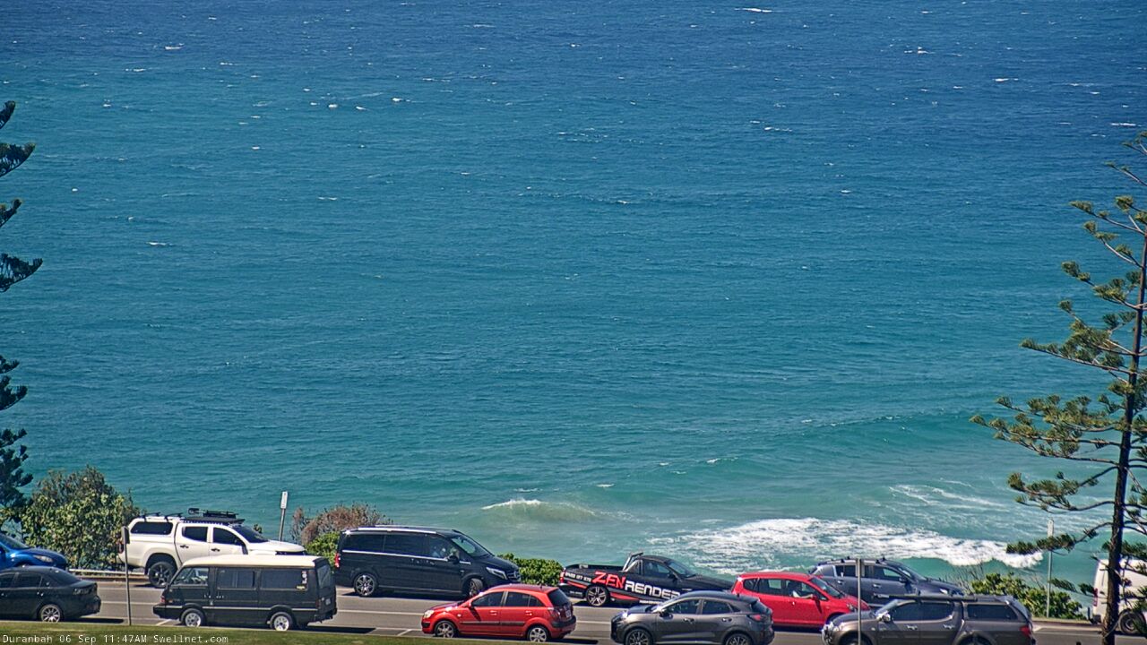
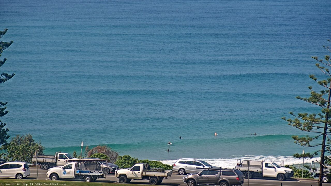
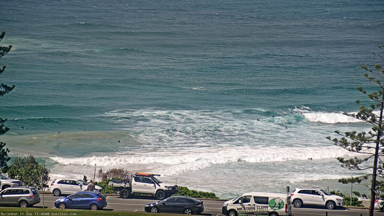
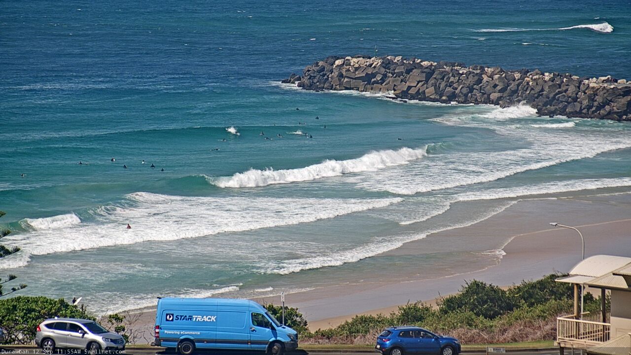
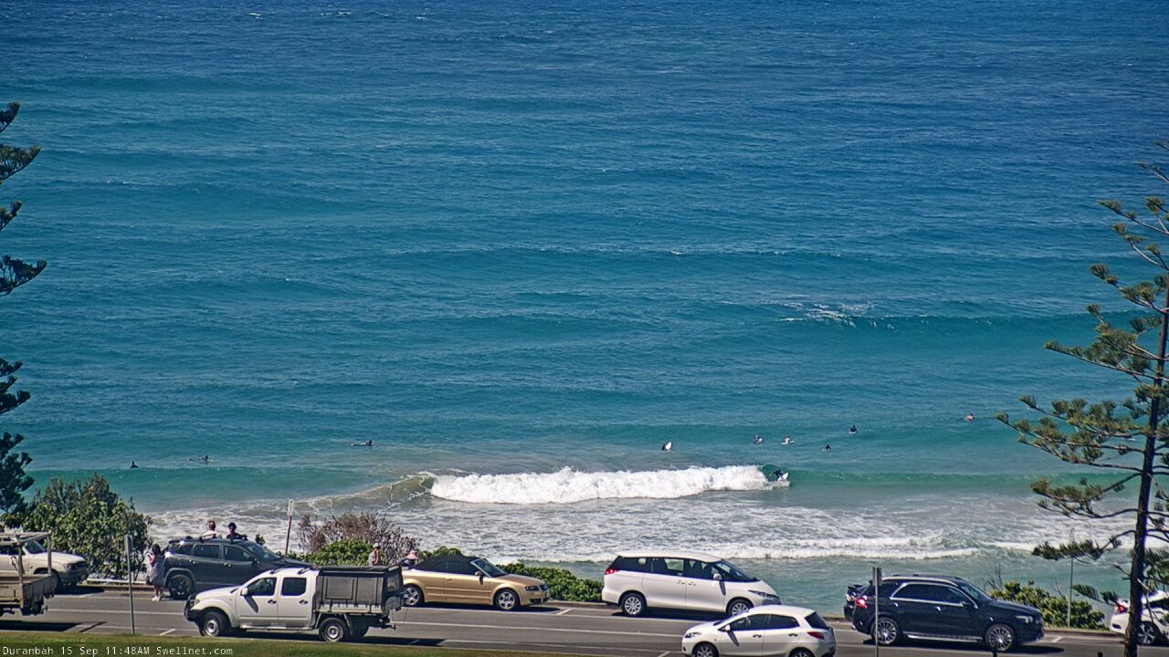
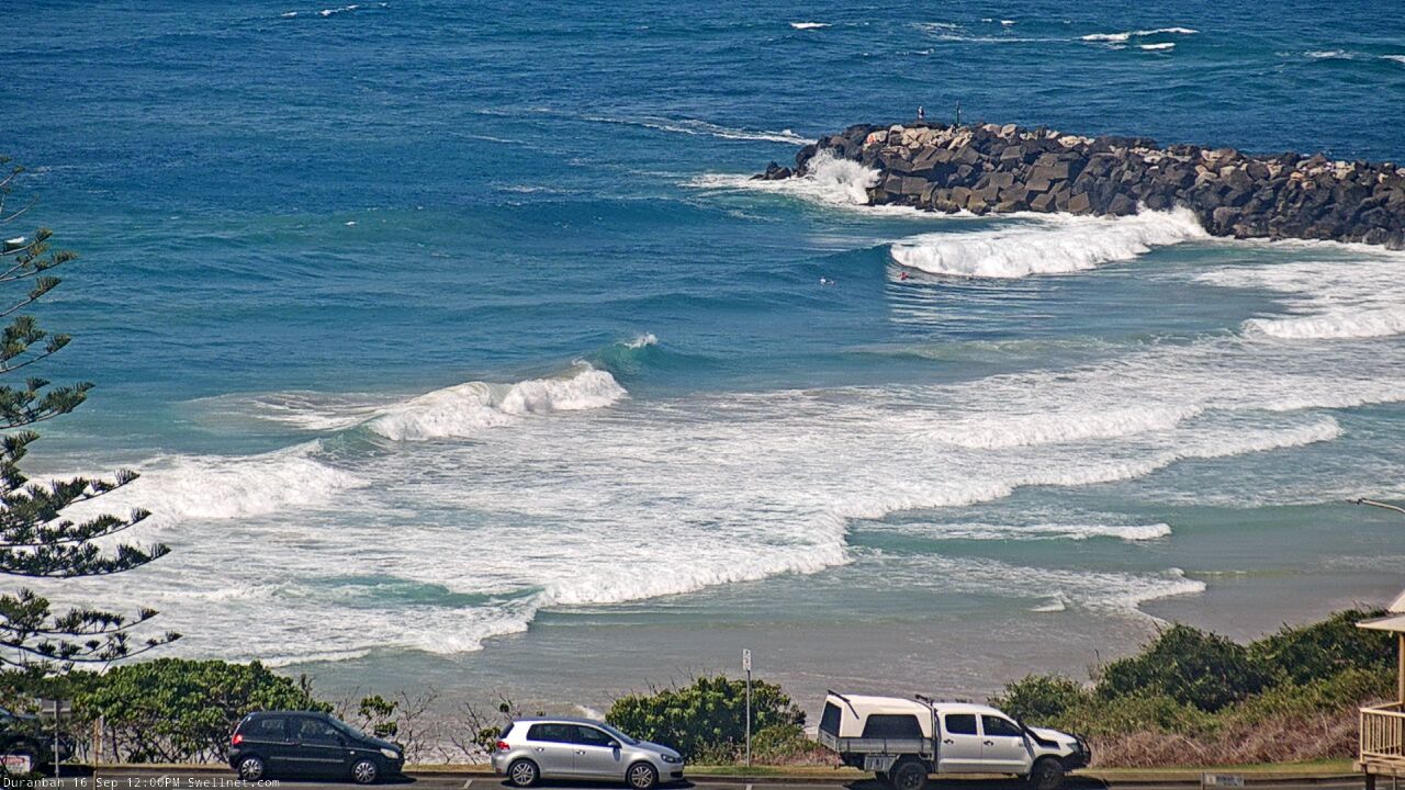
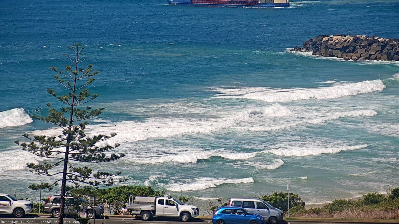
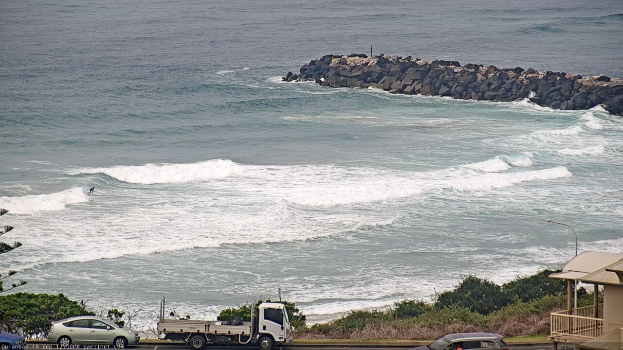
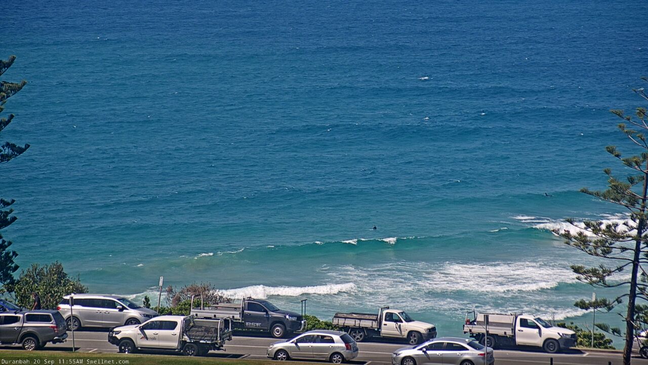
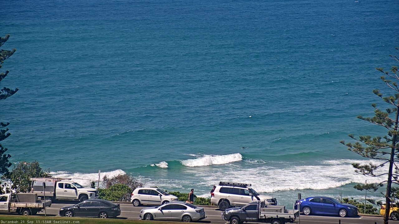
Duranbah Beach, Australia - 175.7 miles from Upper Nambucca: Surfcam Duranbah
Operator: Swellnet
Operator: Swellnet


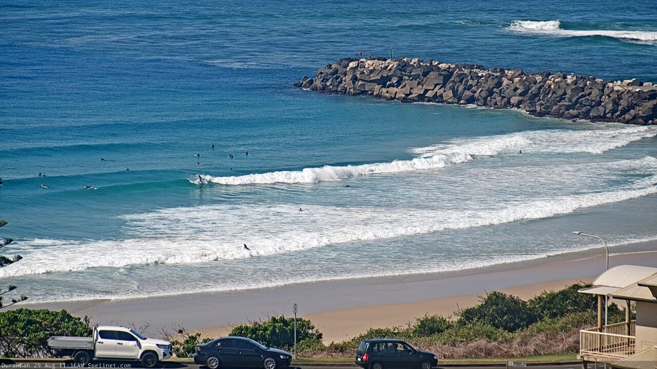
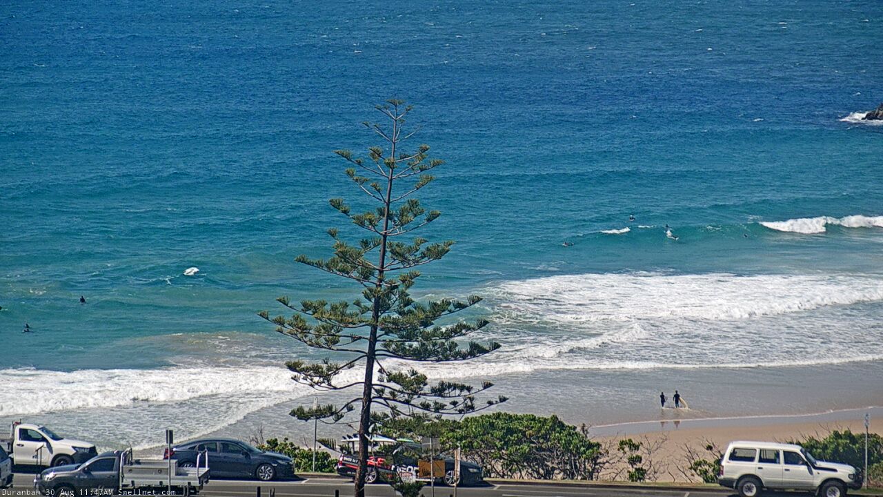


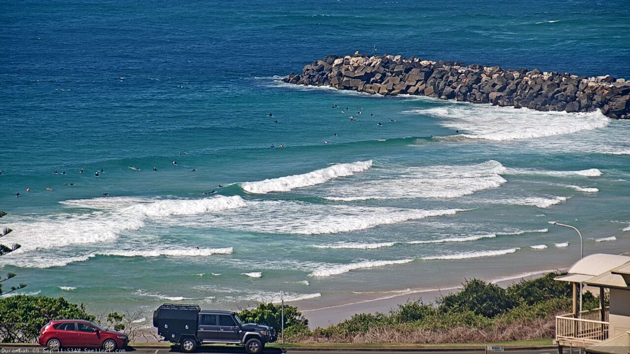
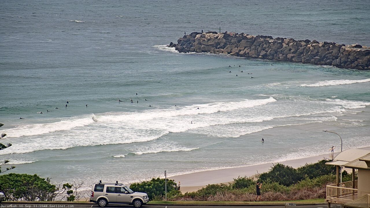
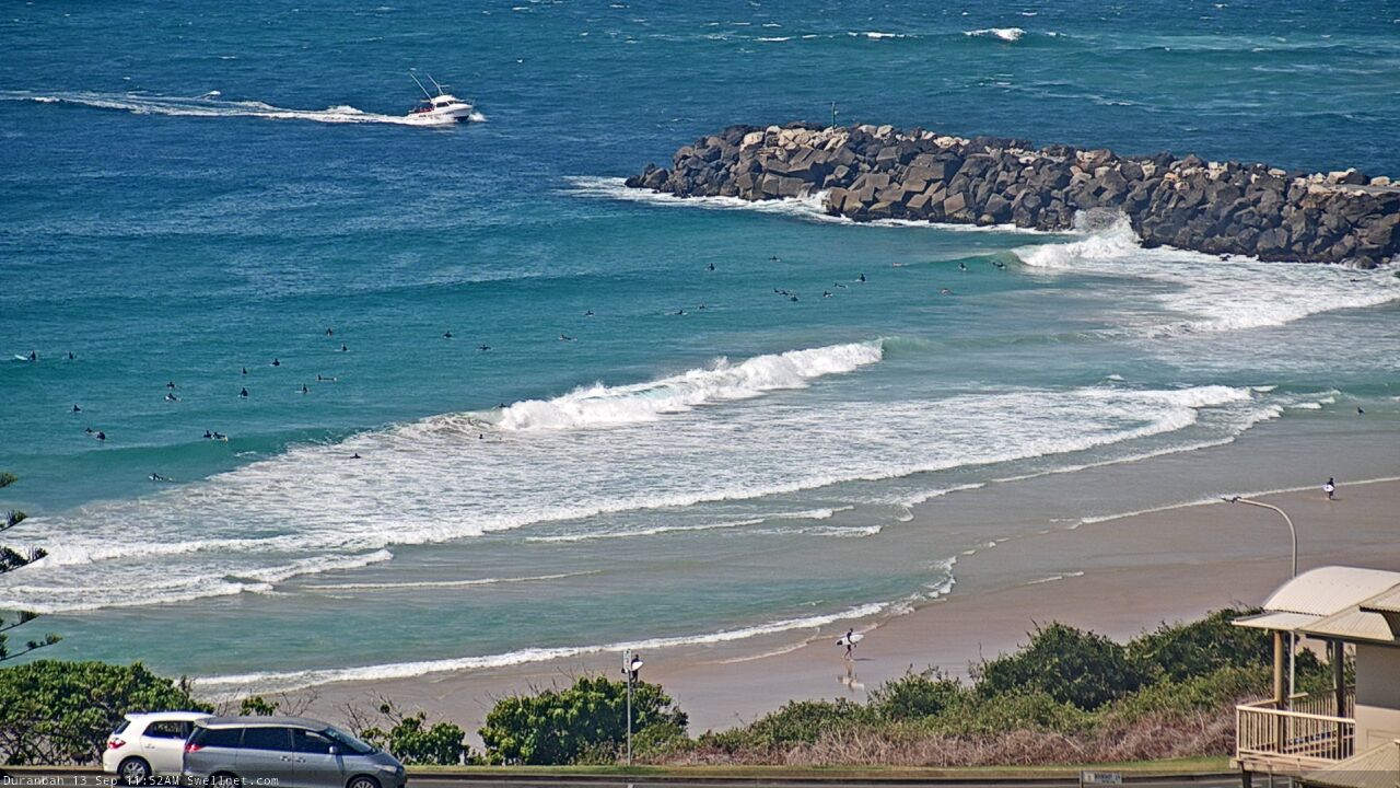
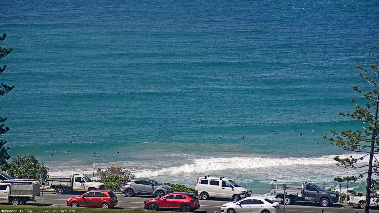
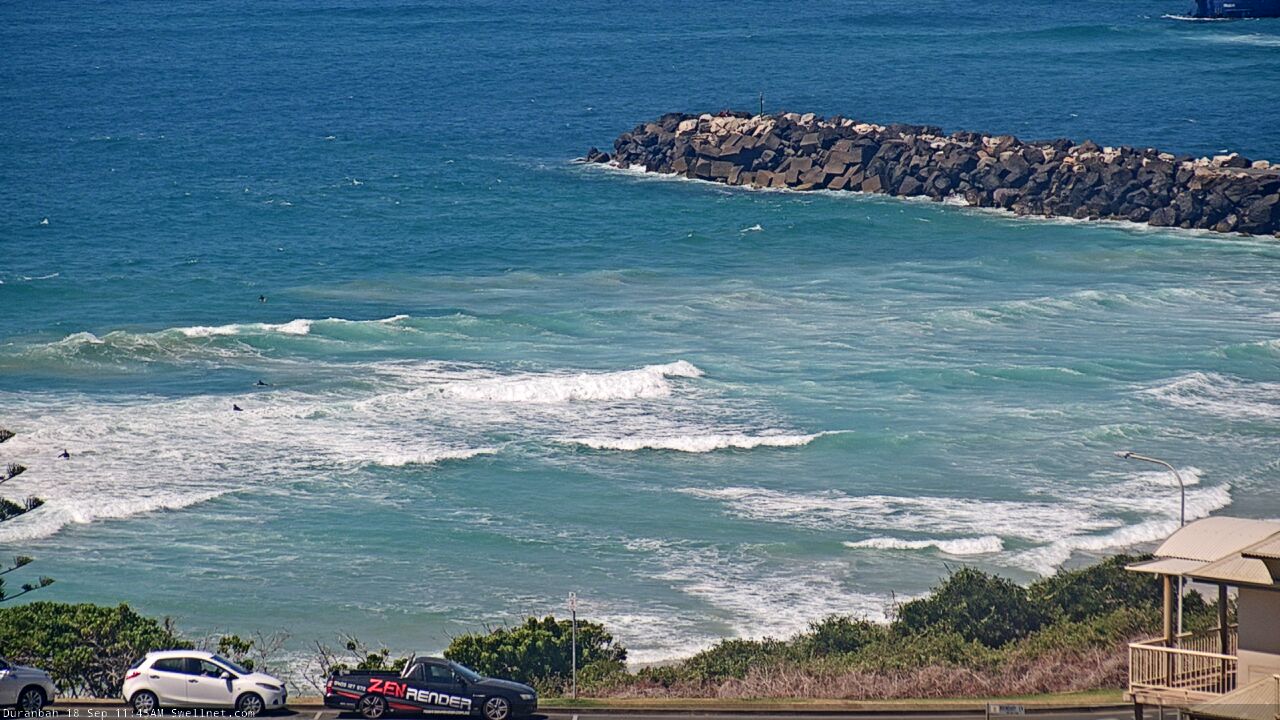

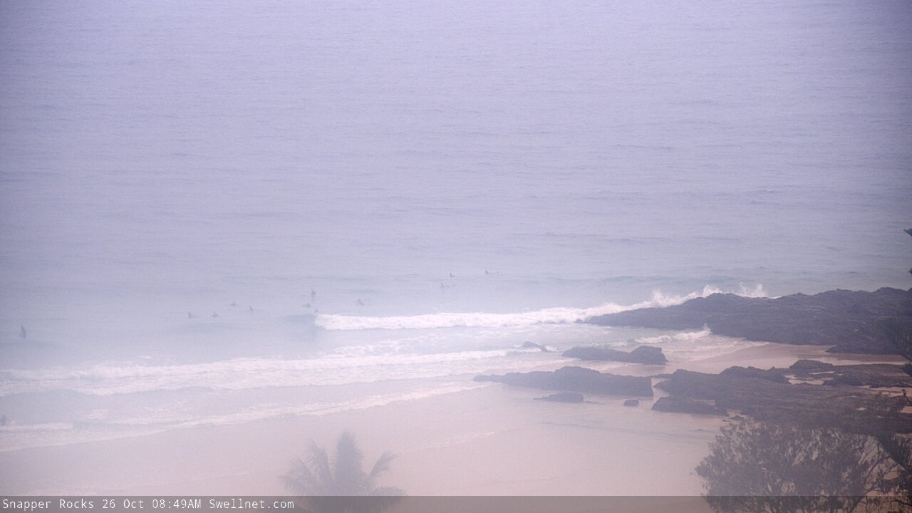
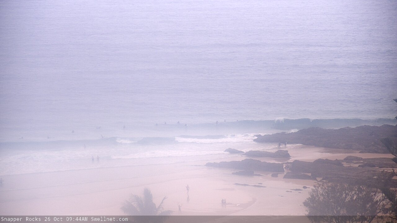
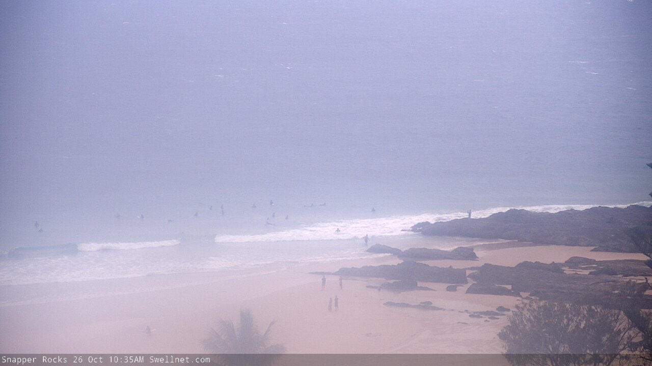
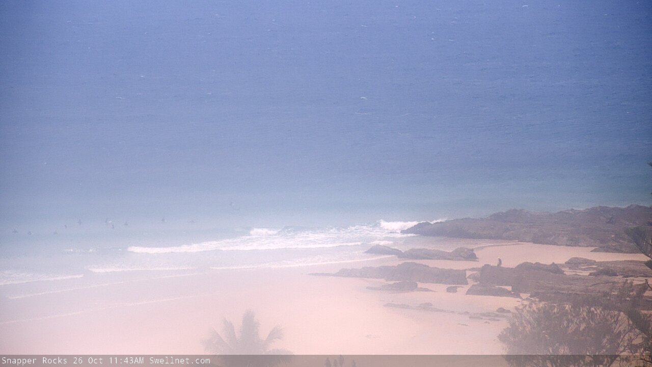
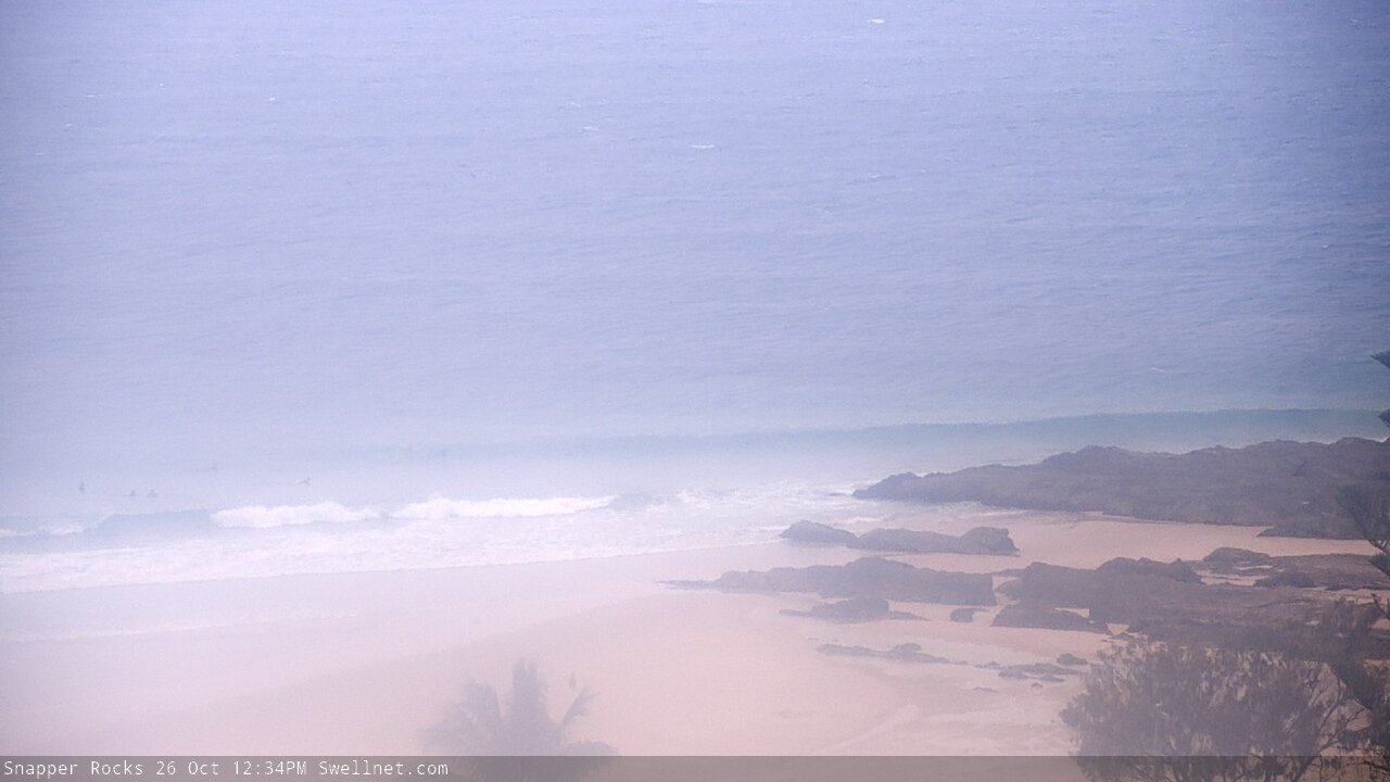
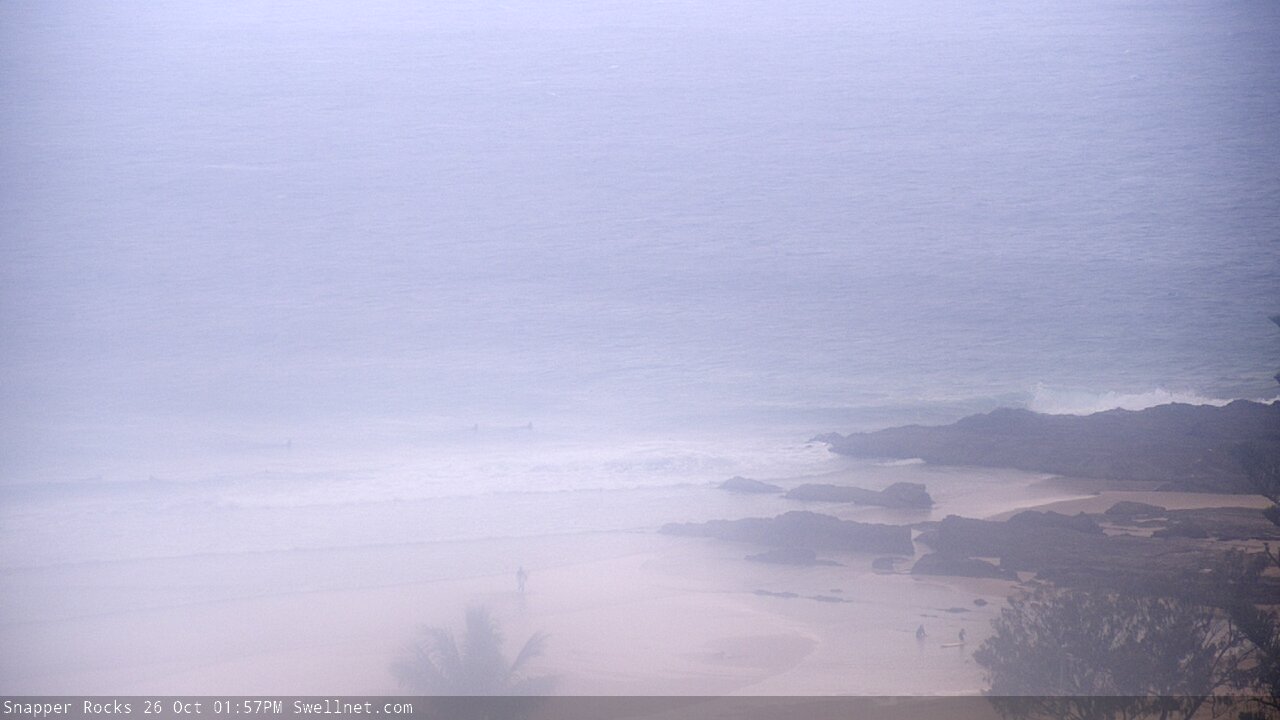
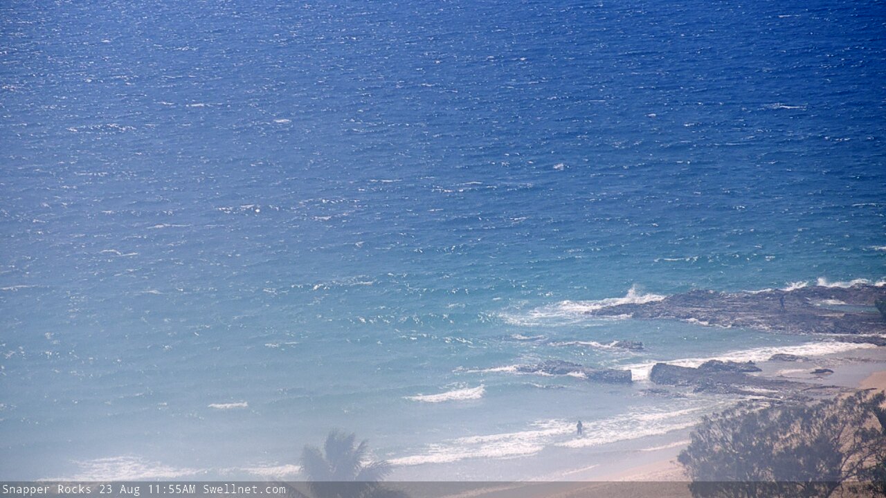
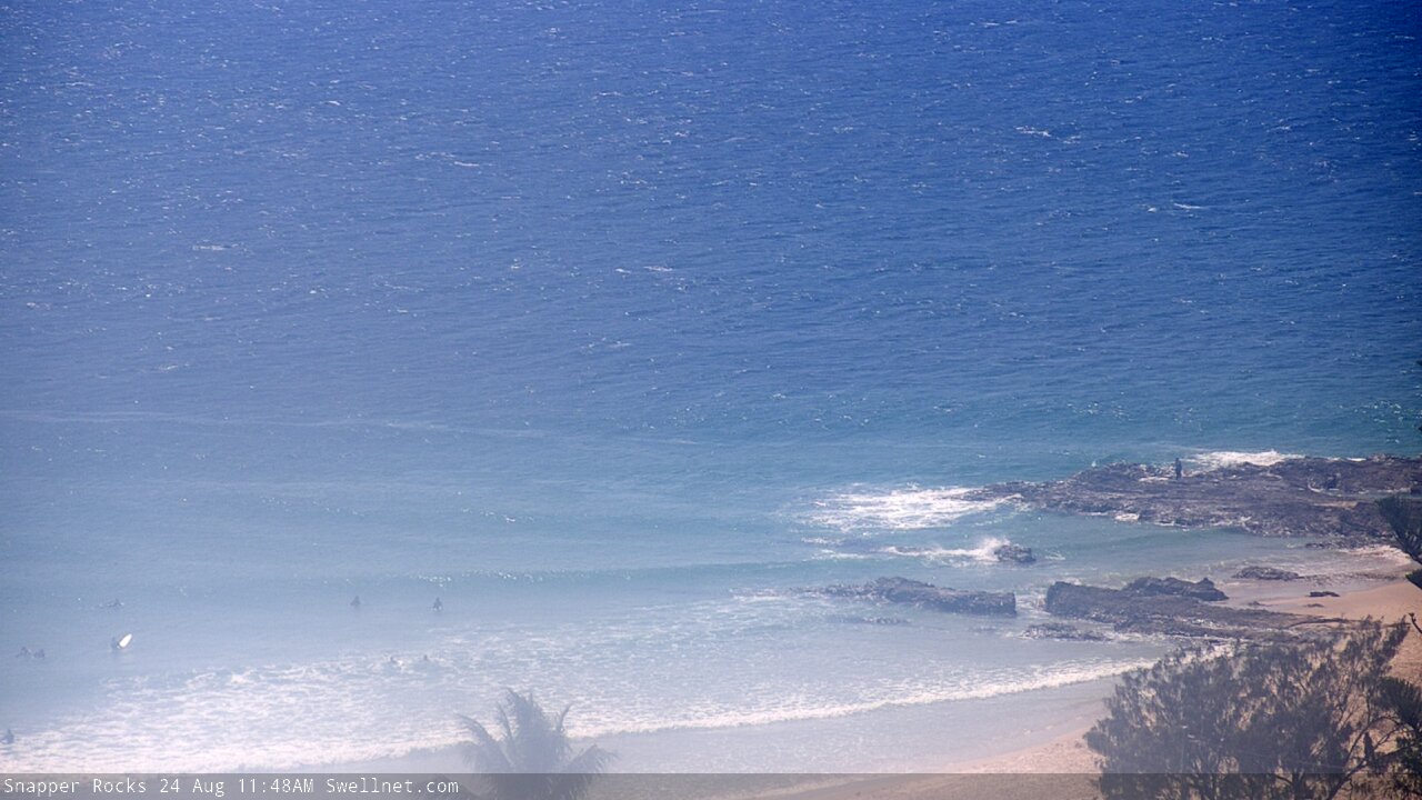
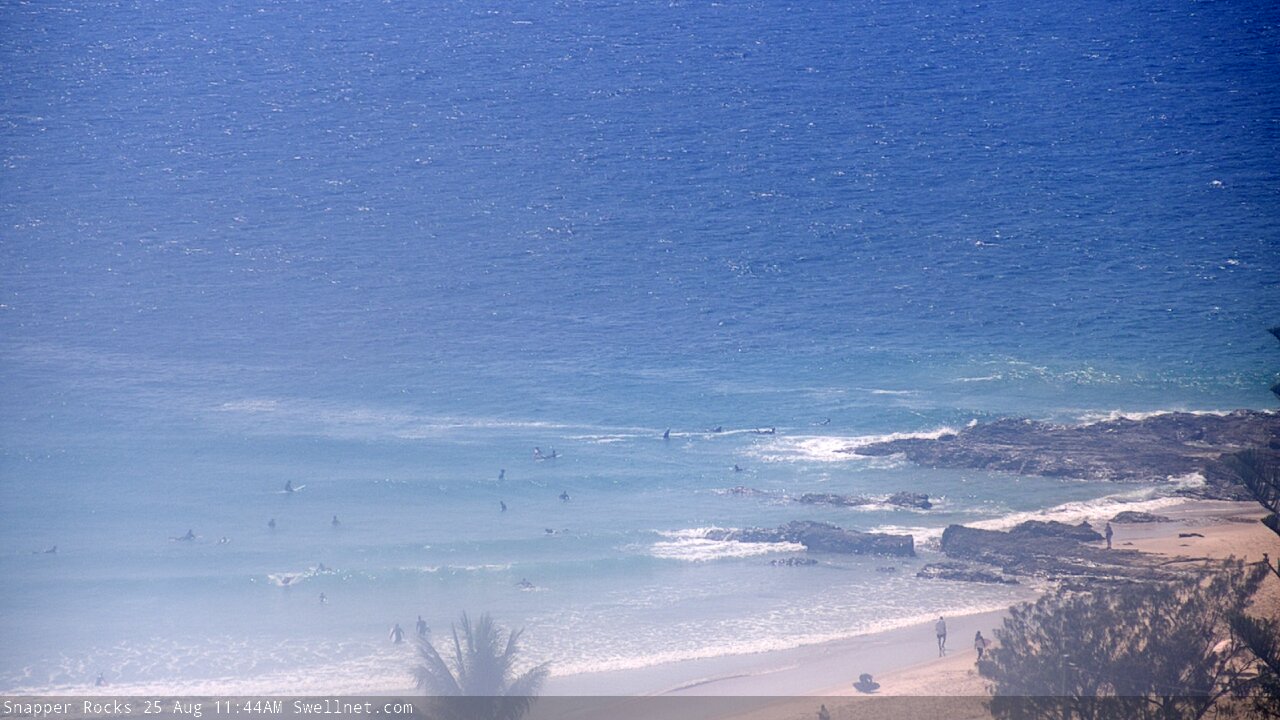
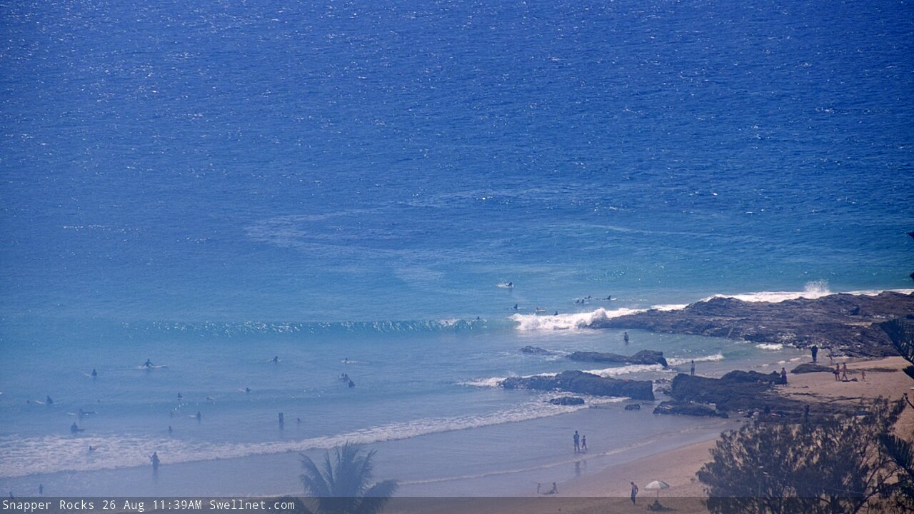
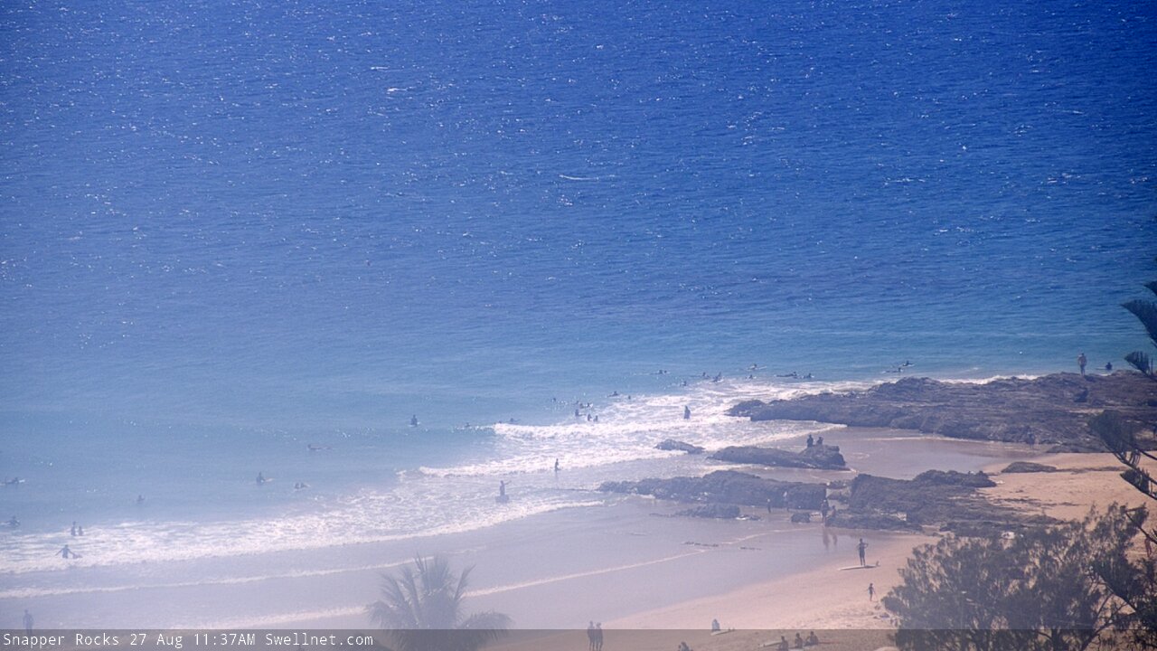
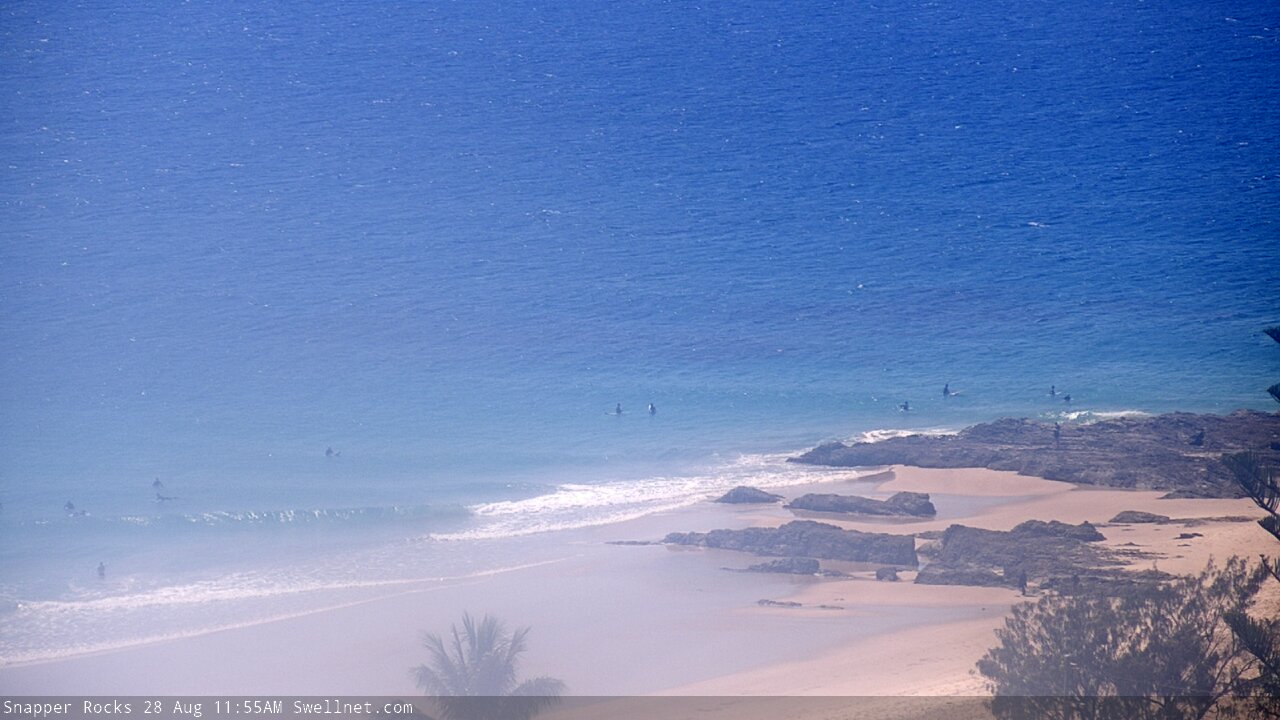
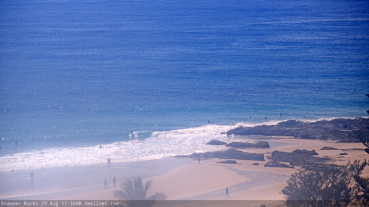
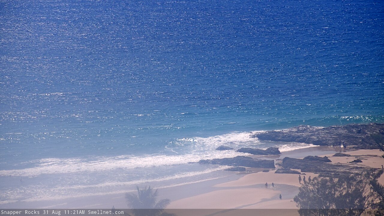
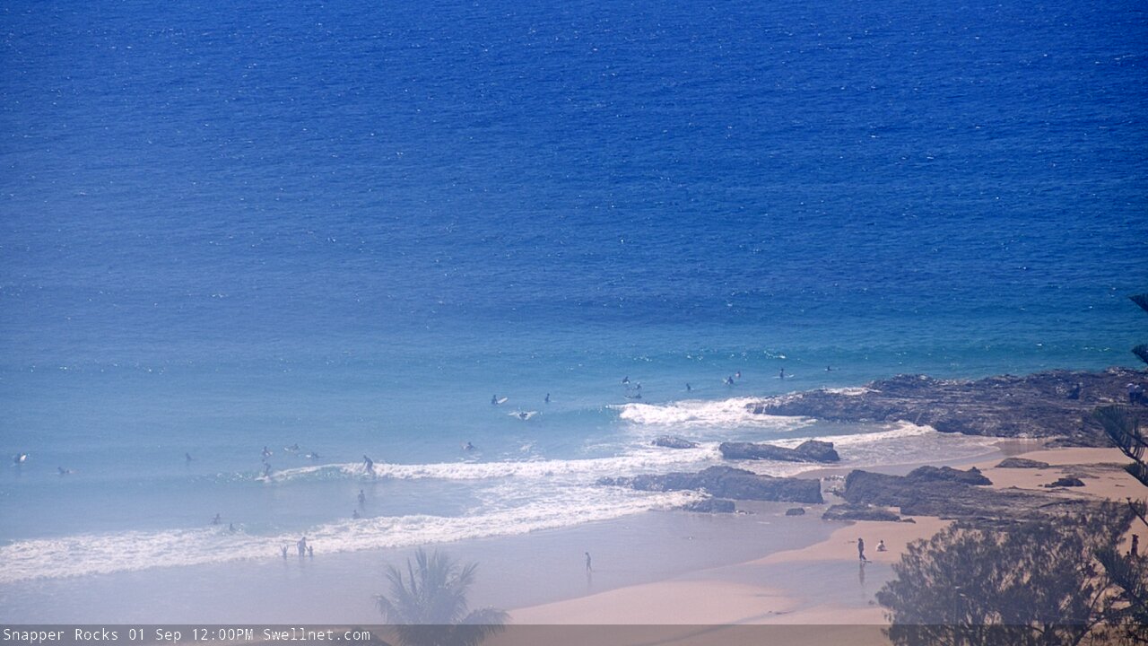
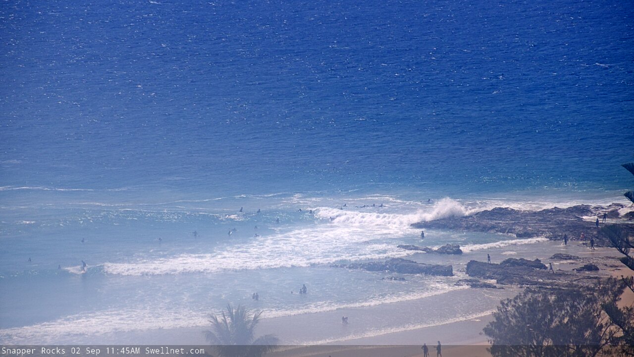
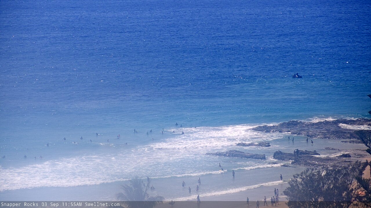
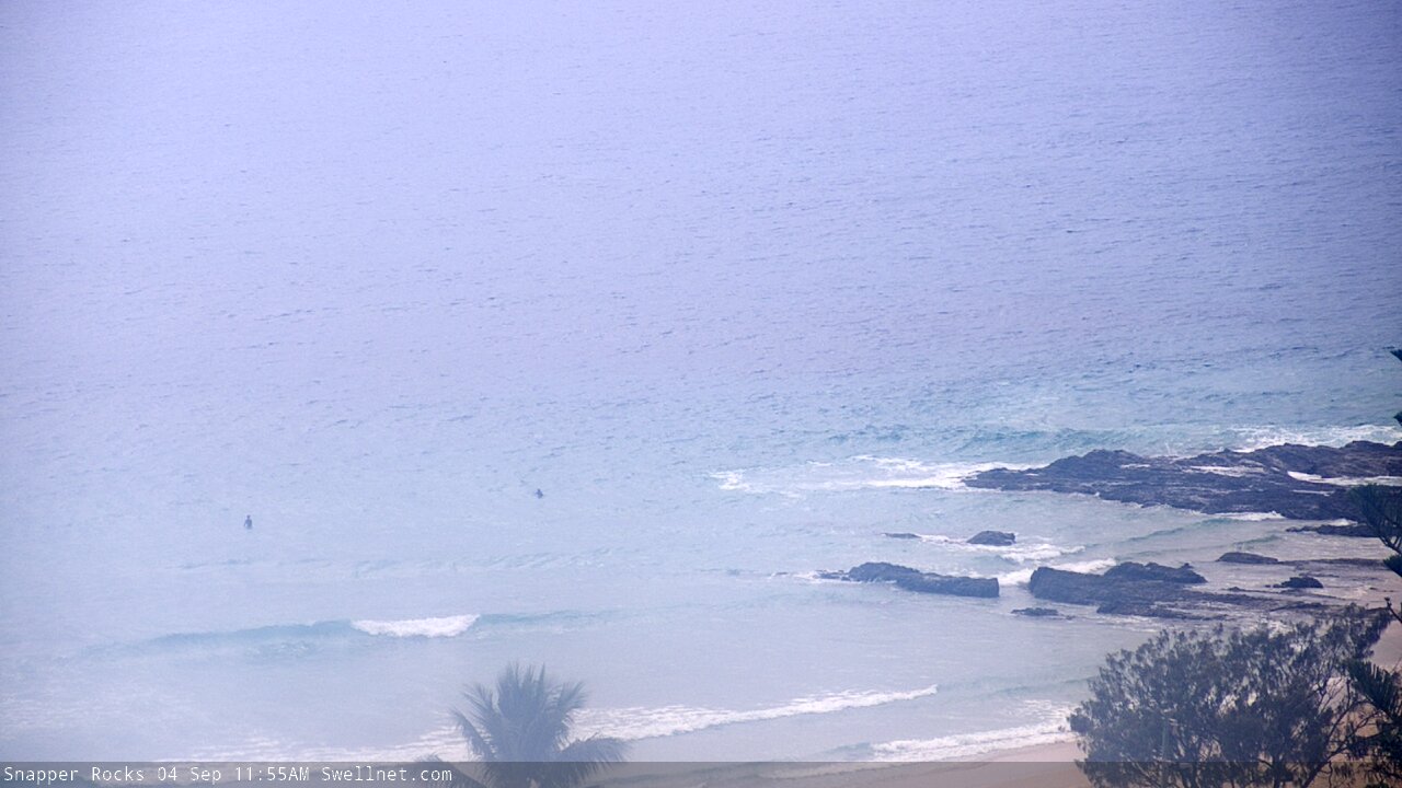
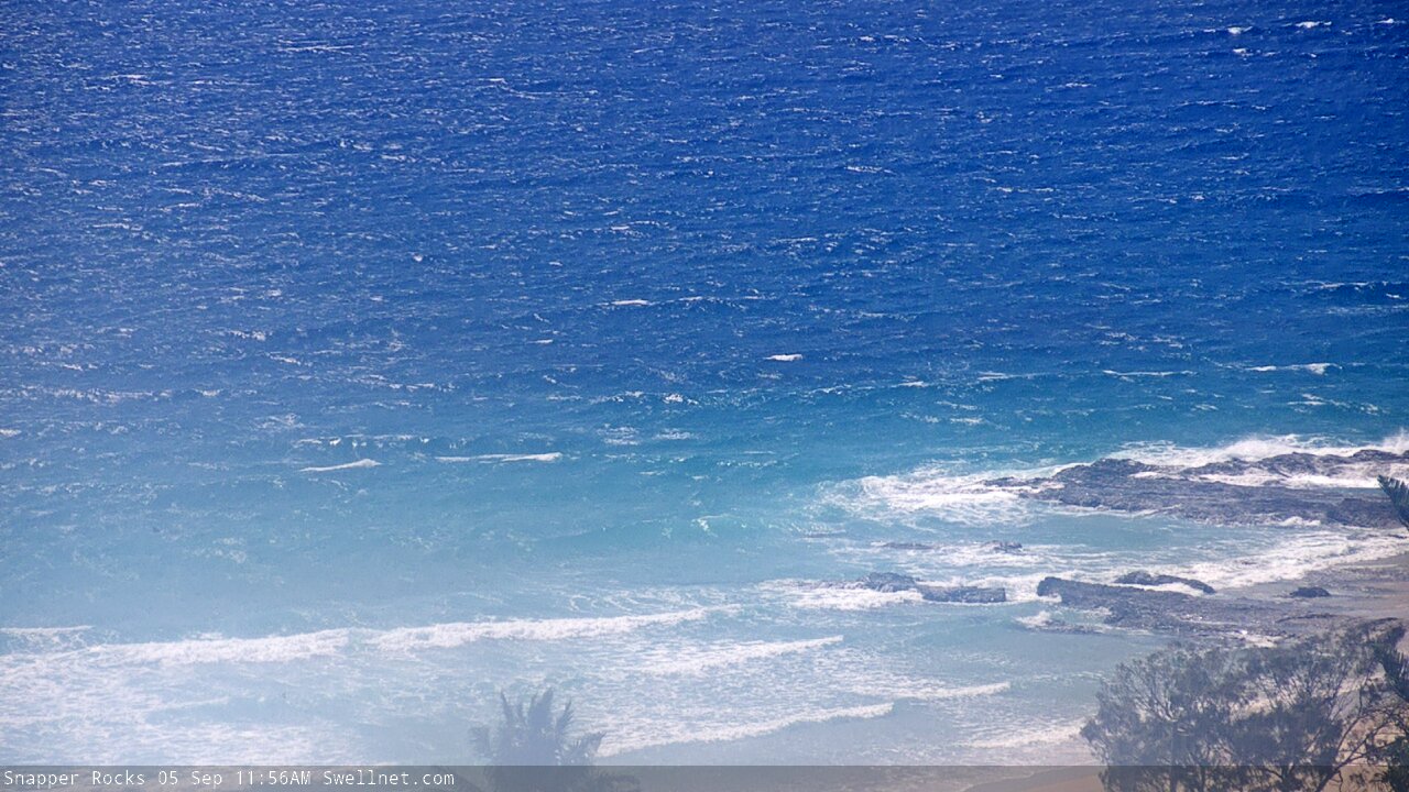
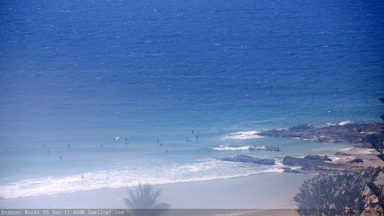
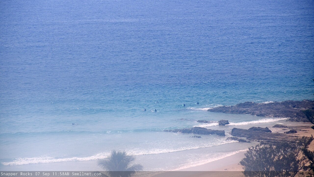
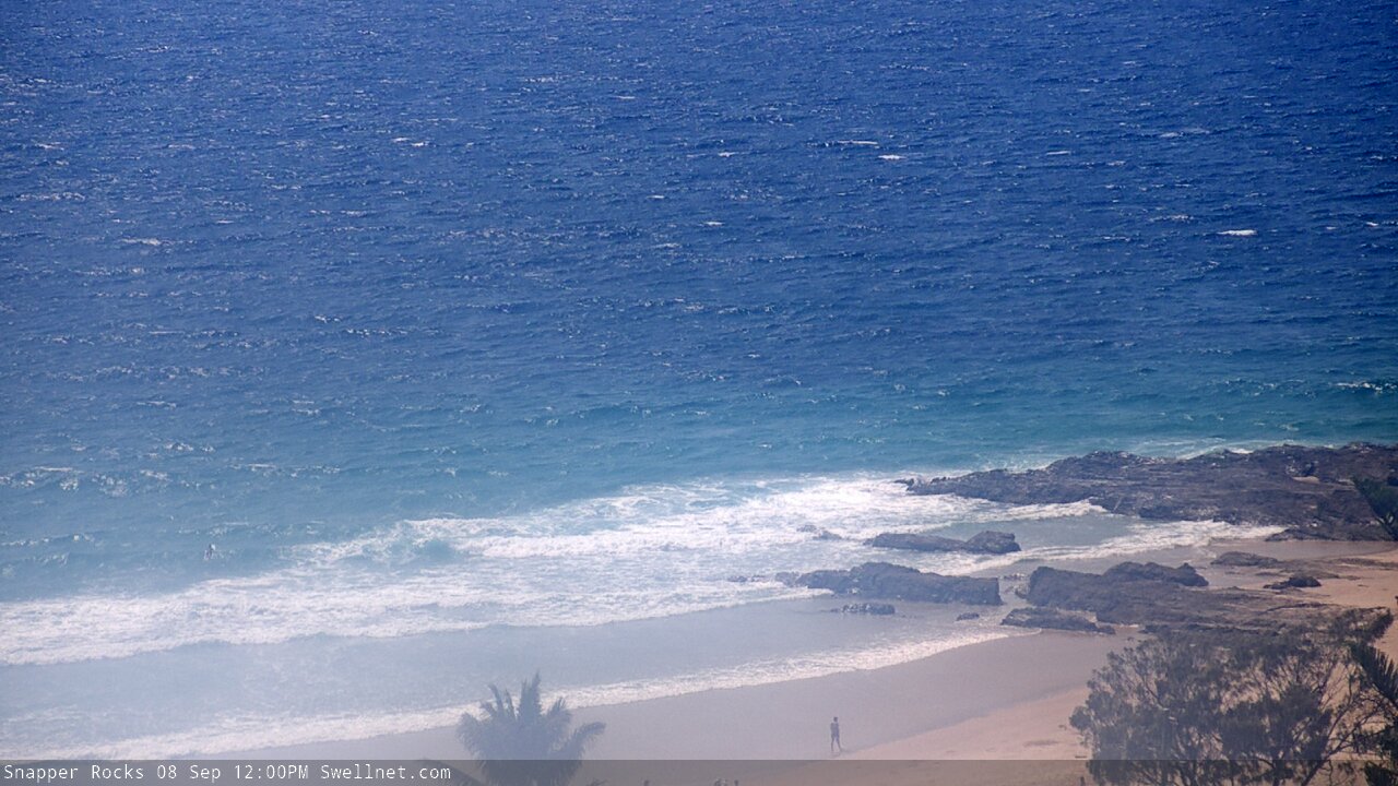
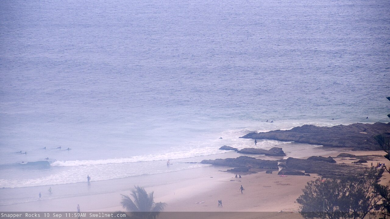
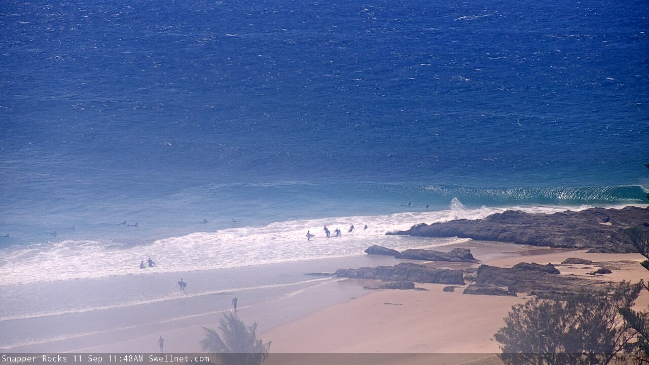
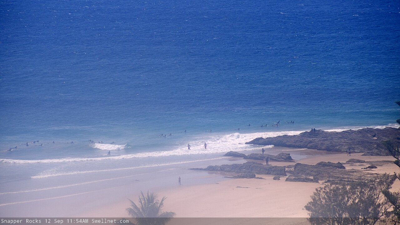
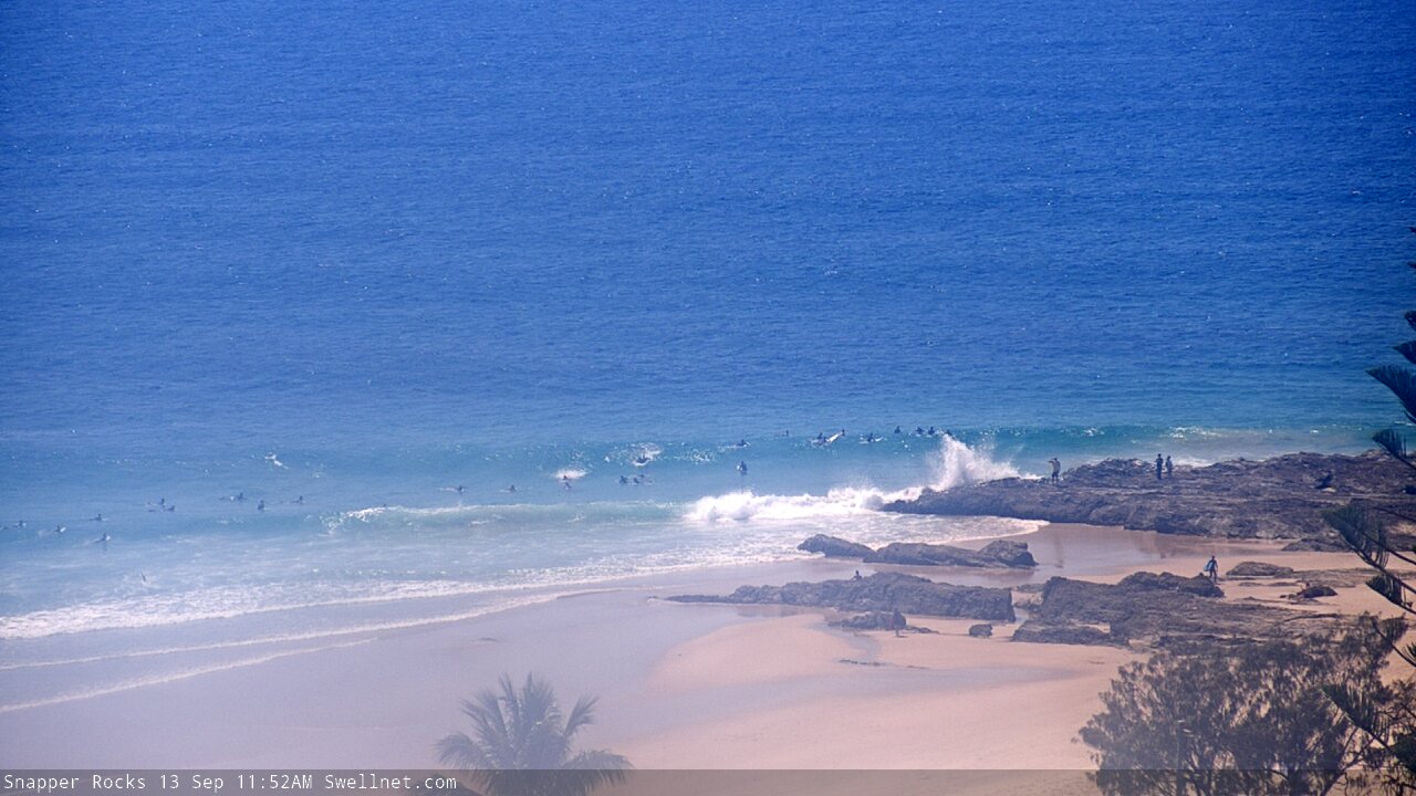
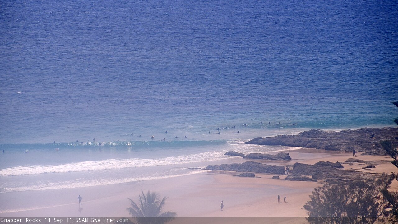
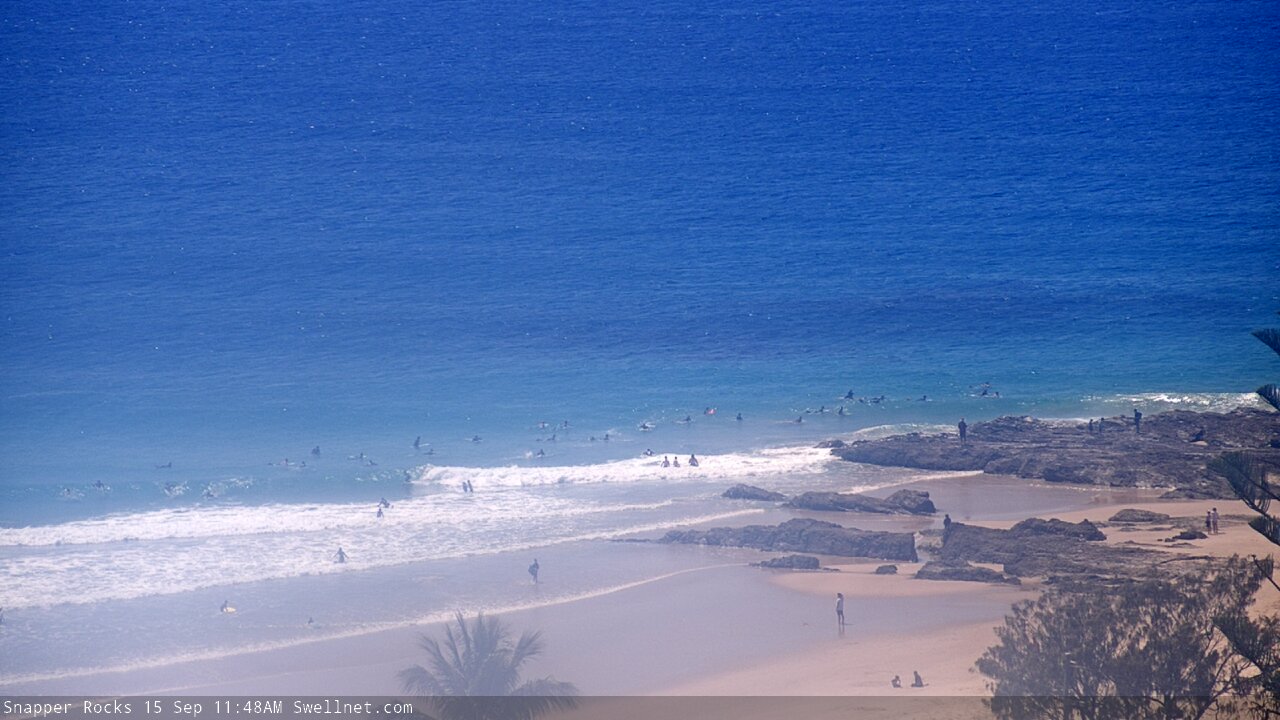
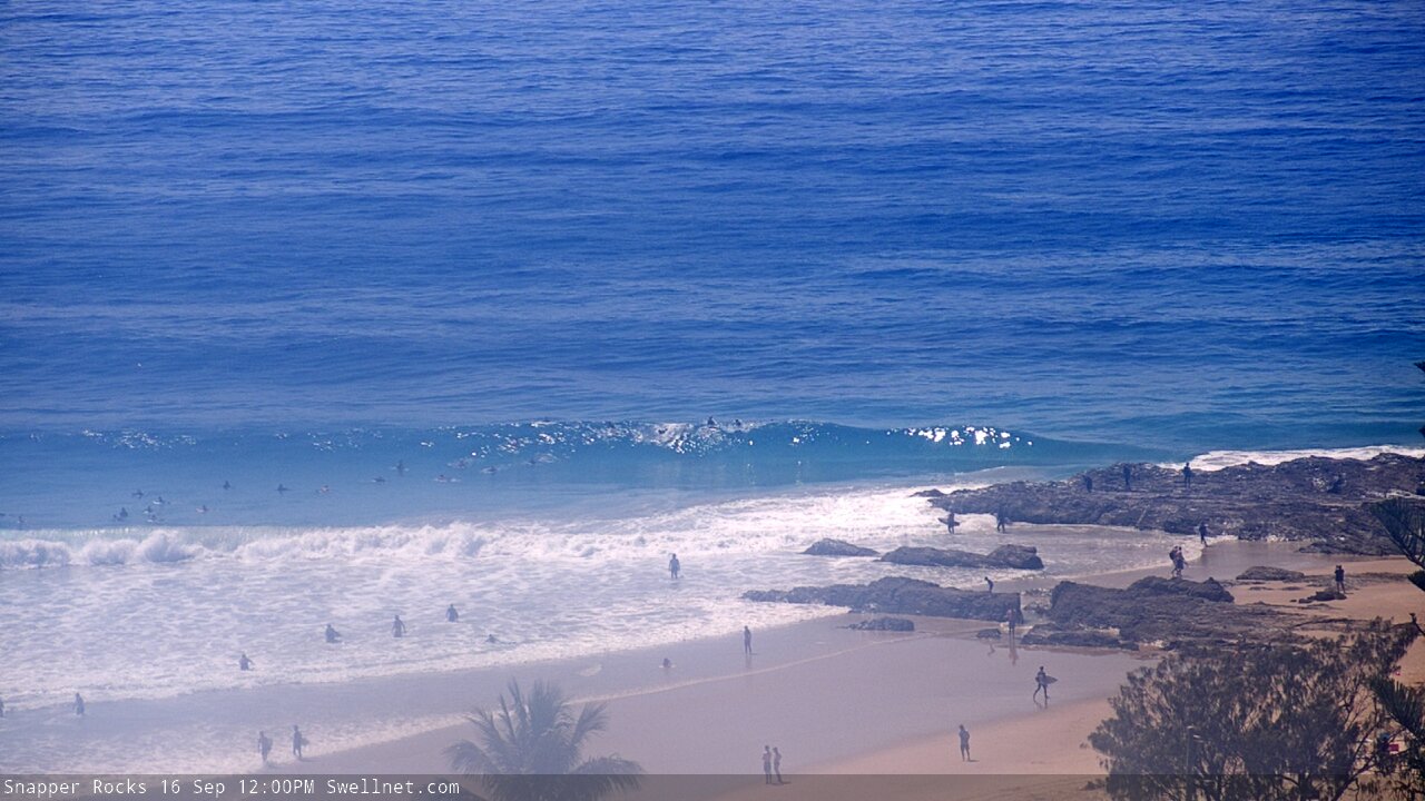
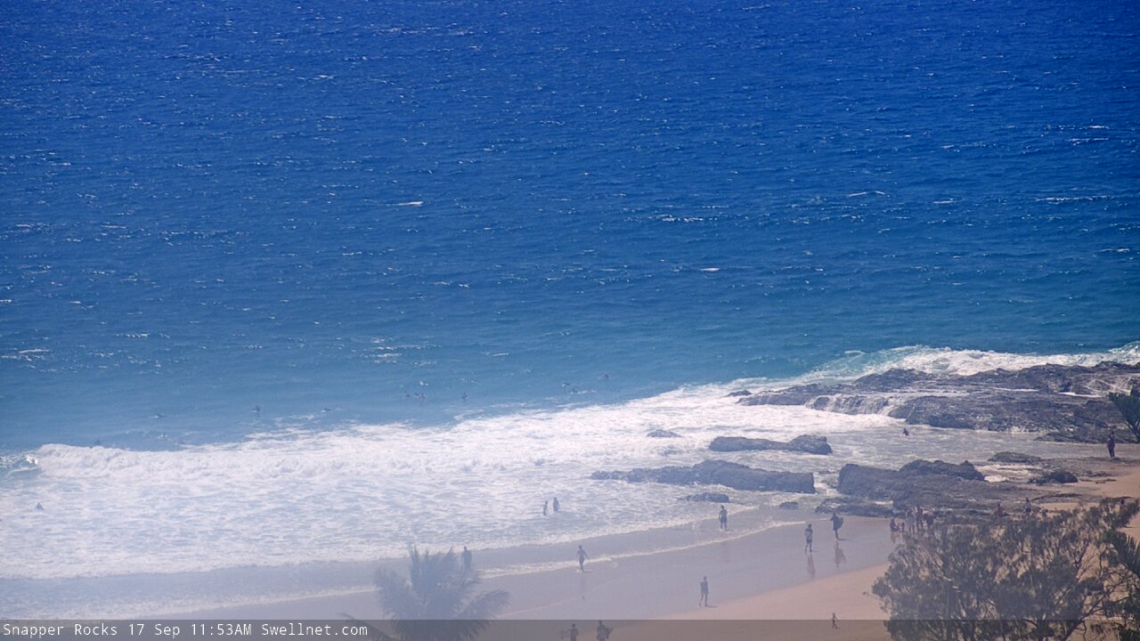
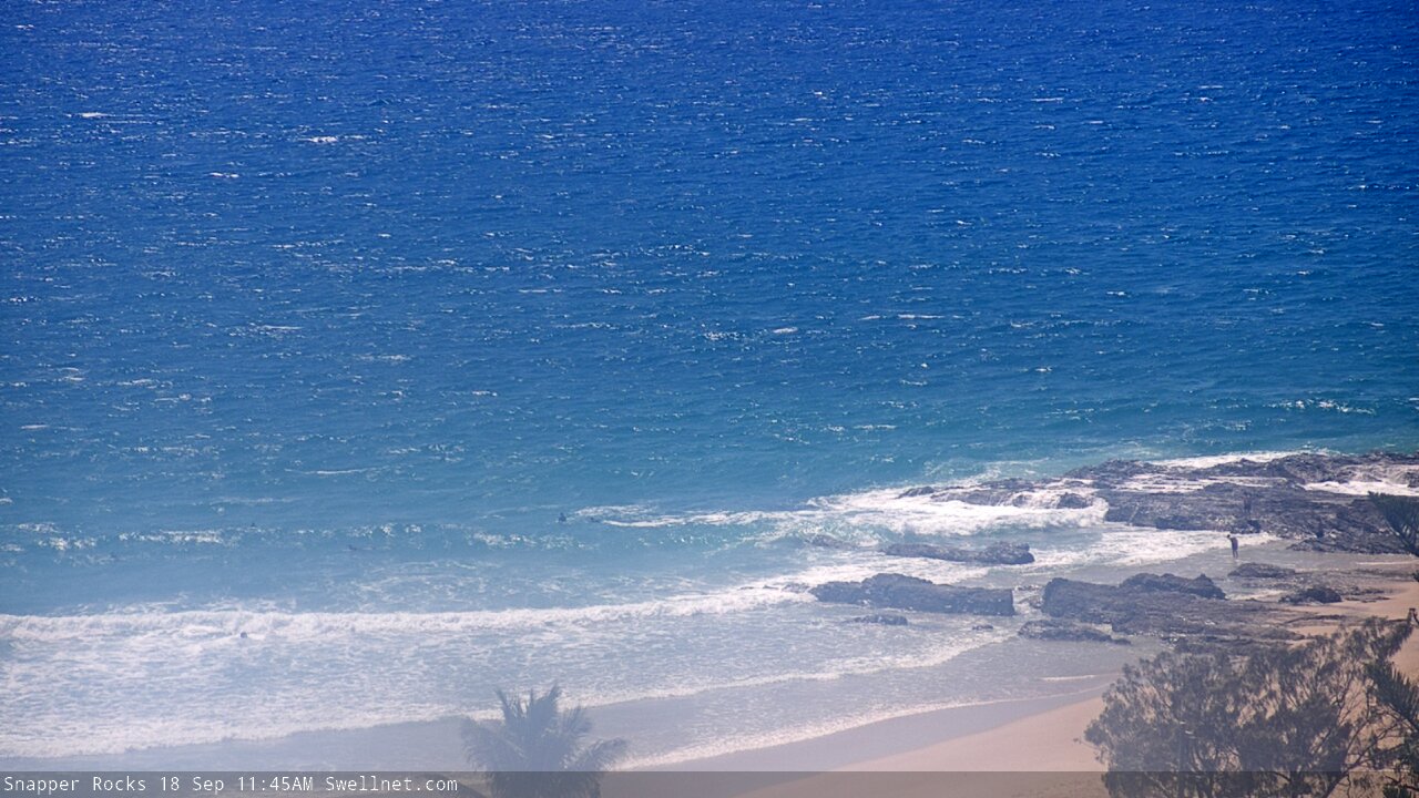
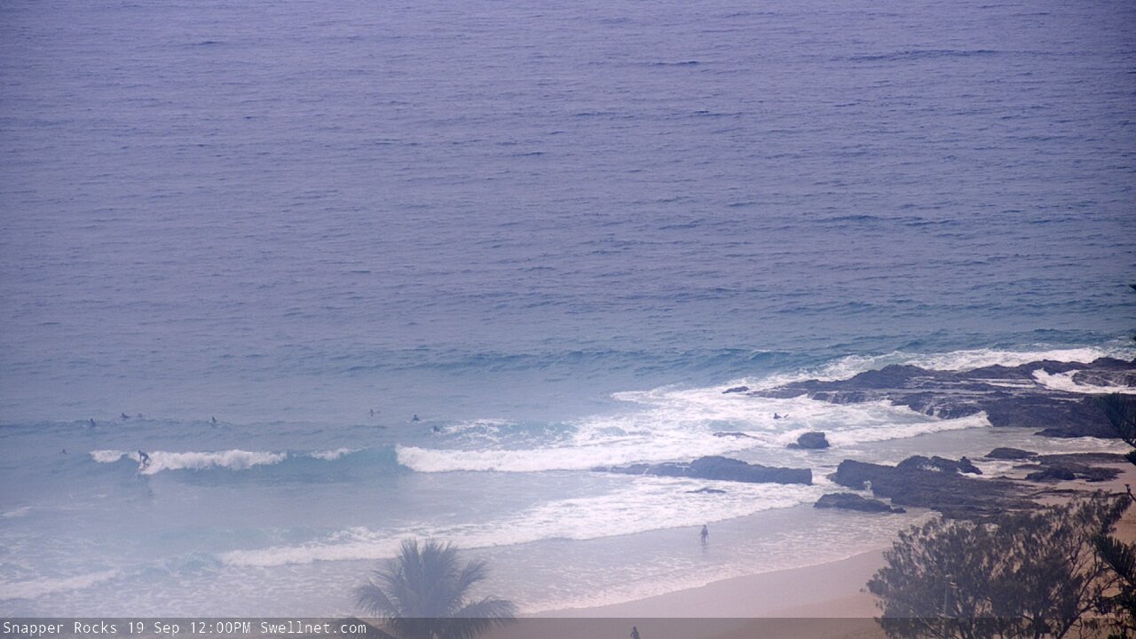
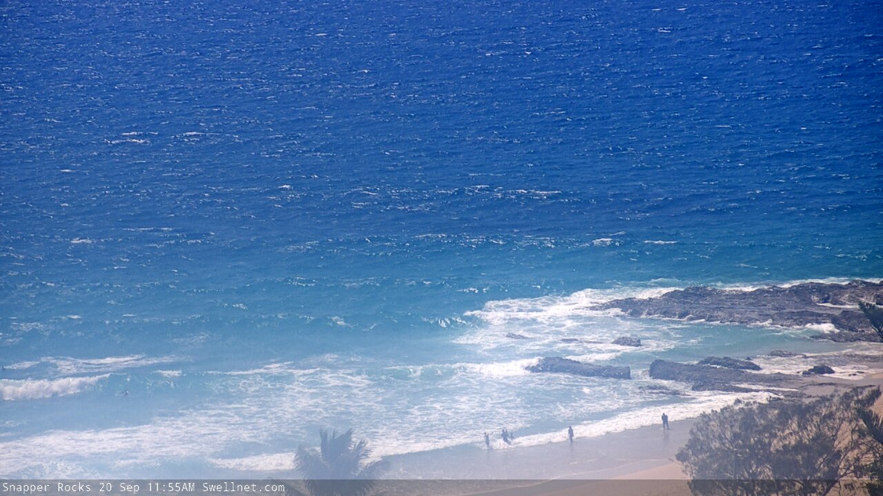
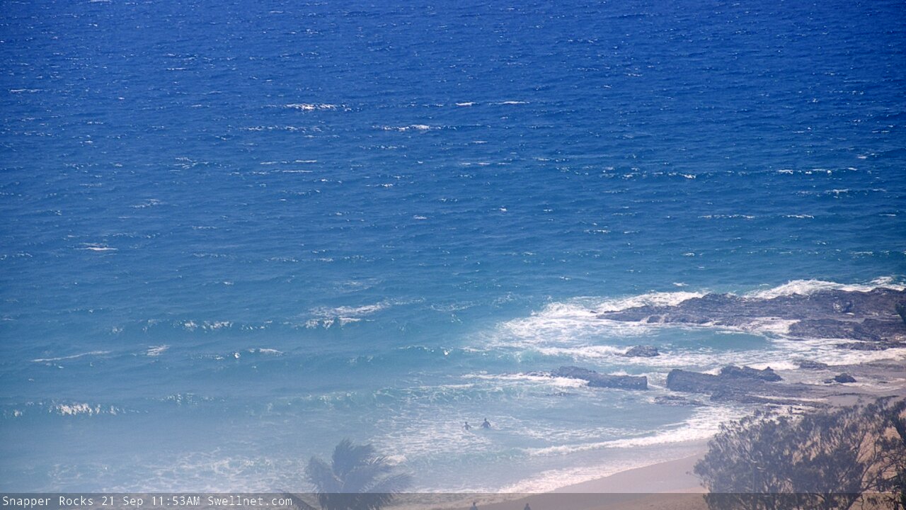
Duranbah Beach, Australia - 175.7 miles from Upper Nambucca: Surfcam Snapper Rocks
Operator: Swellnet
Operator: Swellnet


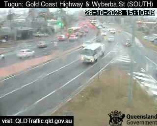
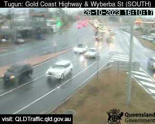
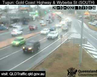
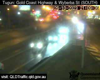
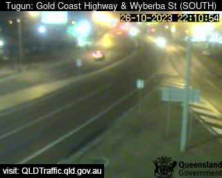
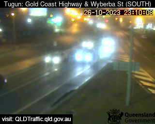
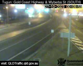
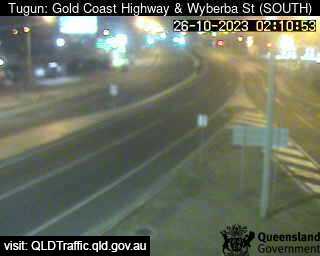
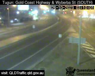
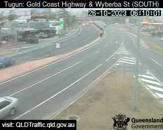
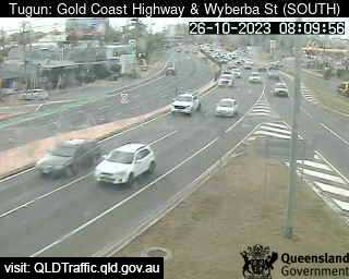
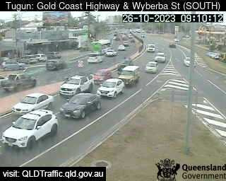
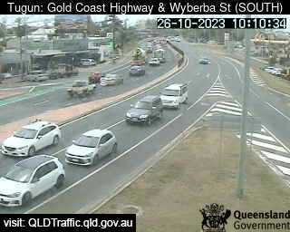
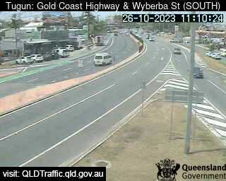
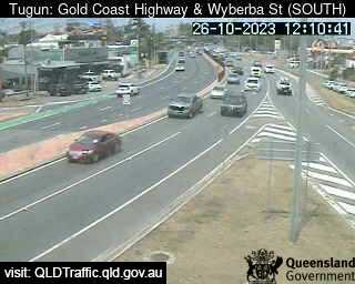
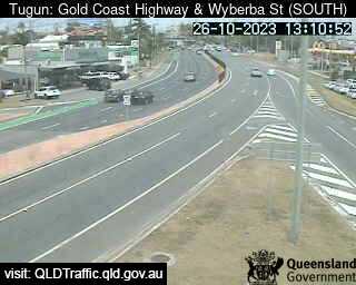
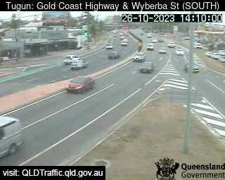
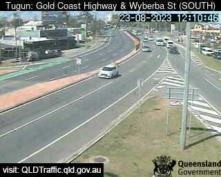
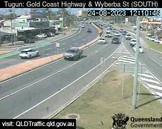
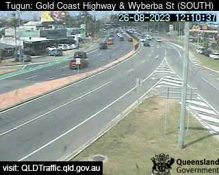
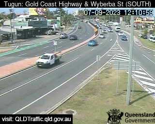
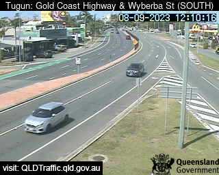
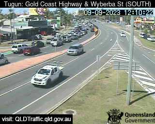
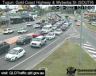
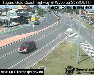
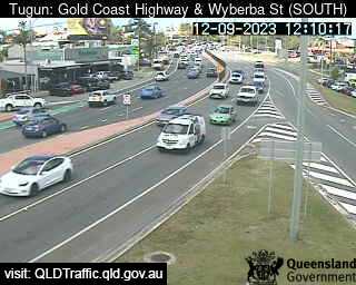
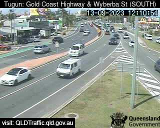
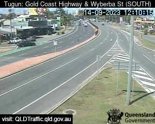
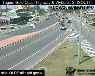
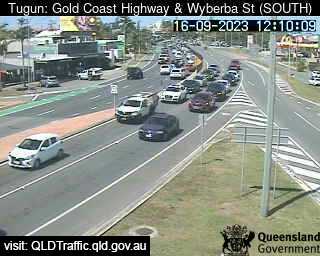
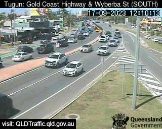
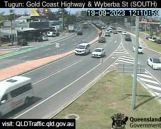
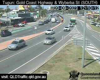
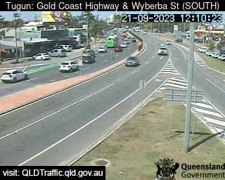
Tugun, Australia - 176.4 miles from Upper Nambucca: Gold Coast Highway and Wyberba Street (South) - A view of the current traffic conditions.
Operator: Queensland Government - Department of Transport and Main Roads
Operator: Queensland Government - Department of Transport and Main Roads


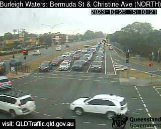
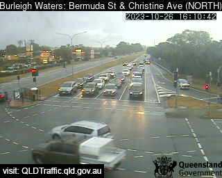
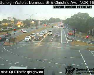
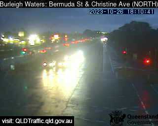
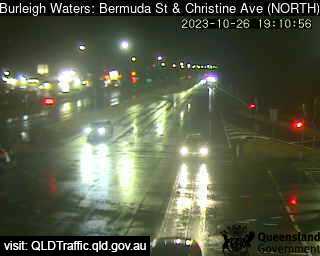
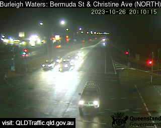
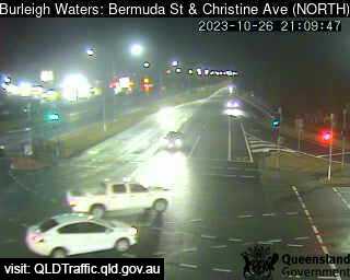
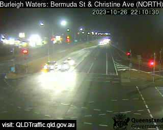
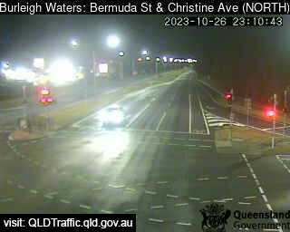
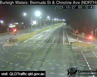
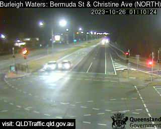
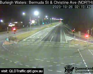
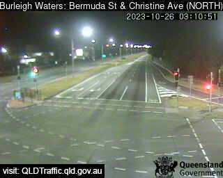
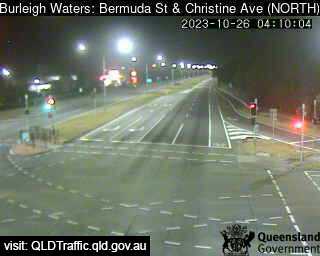
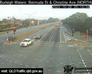
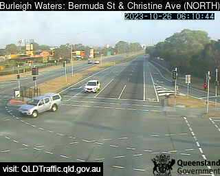
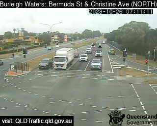
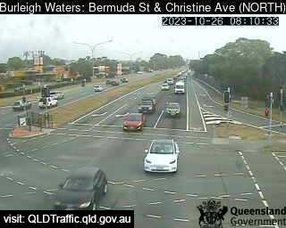
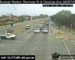
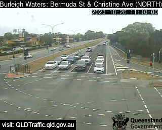
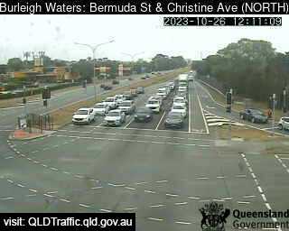
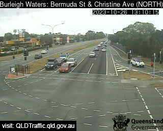
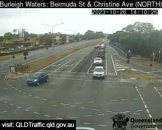
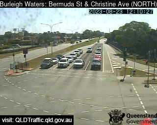
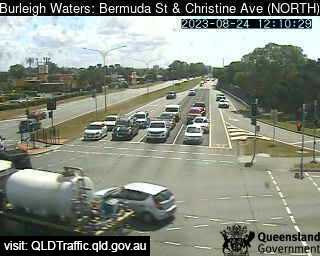
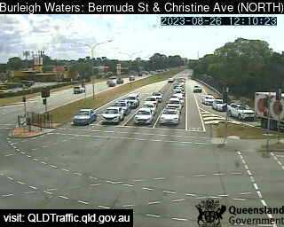
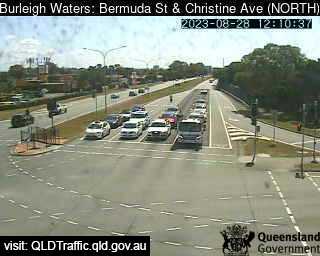
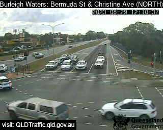
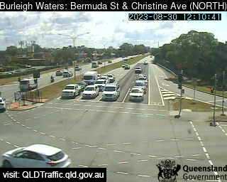
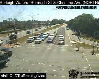
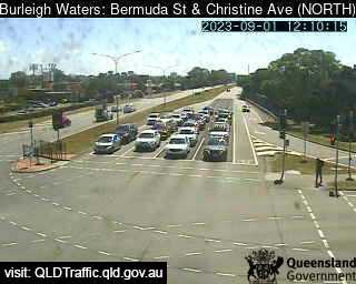
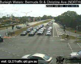
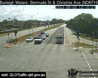
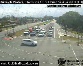
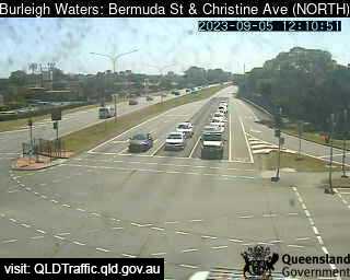
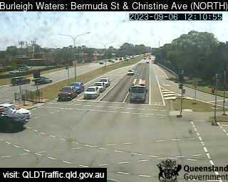
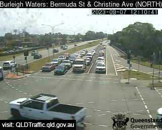
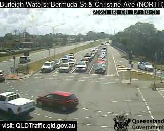
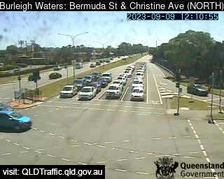
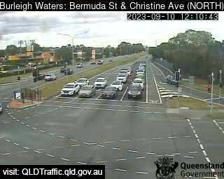
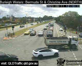
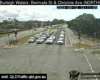
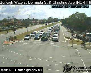
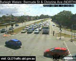
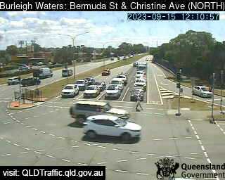
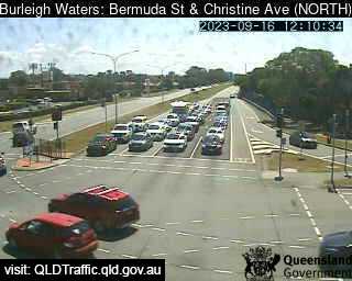
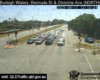
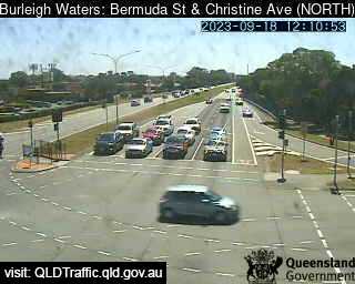
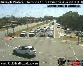
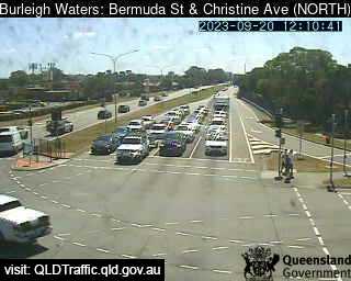
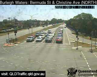
Burleigh Waters, Australia - 178.2 miles from Upper Nambucca: Bermuda / Christine Avenue (North) - A view of the current traffic conditions.
Operator: Queensland Government - Department of Transport and Main Roads
Operator: Queensland Government - Department of Transport and Main Roads


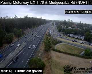
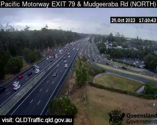
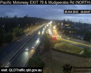
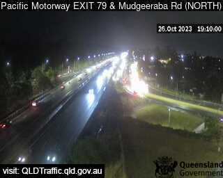
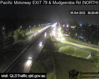
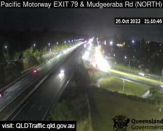
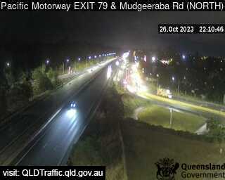
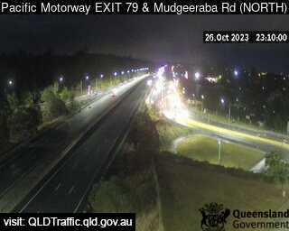
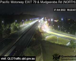
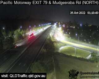
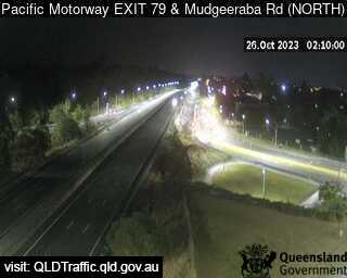
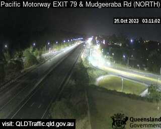
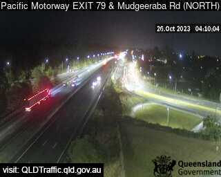
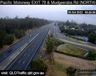
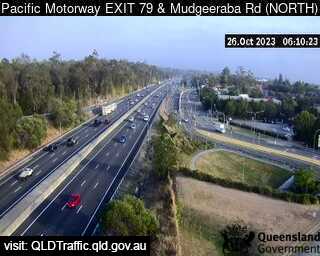
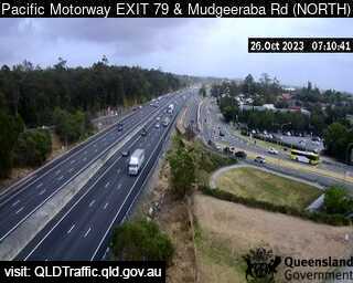
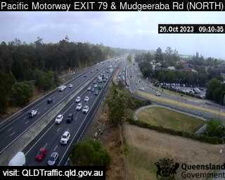
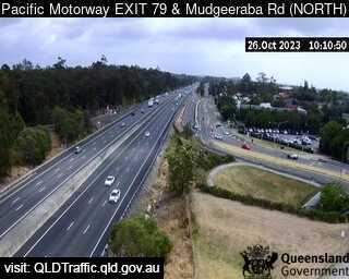
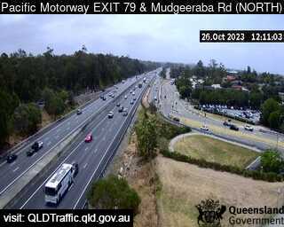
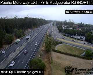
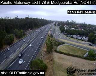
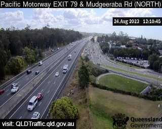
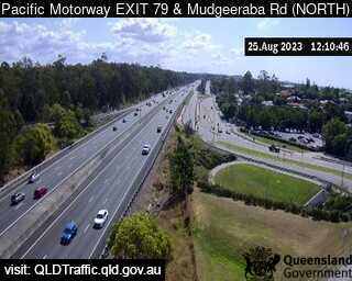
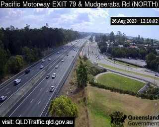
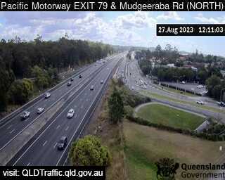
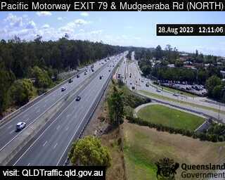
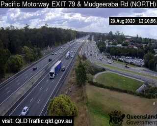
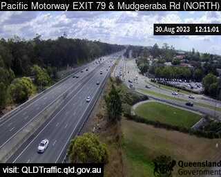
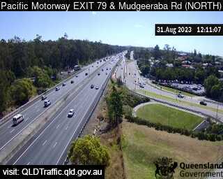
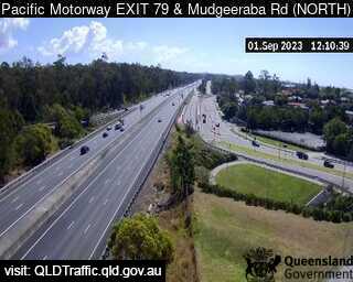
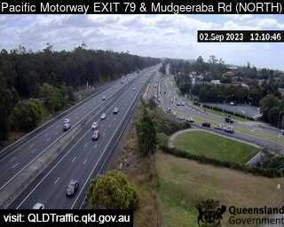
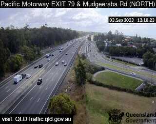
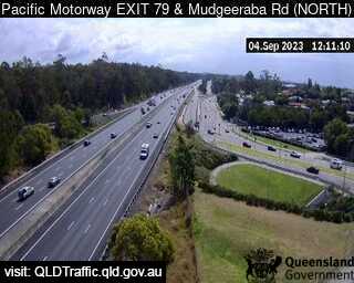
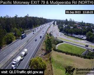
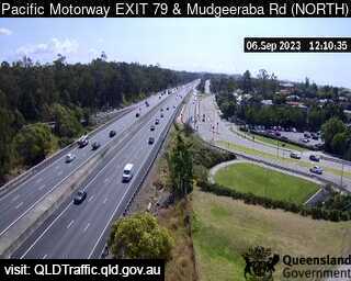
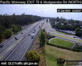
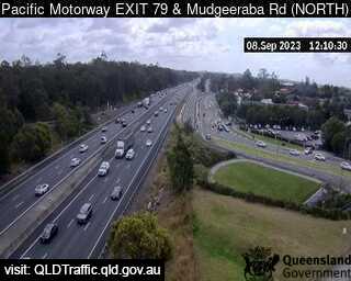
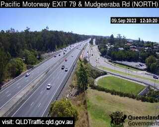
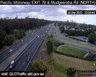
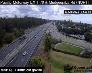
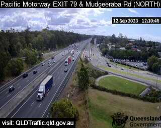
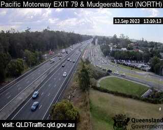
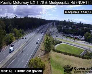
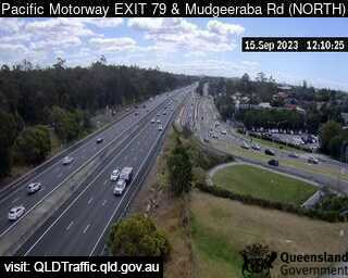
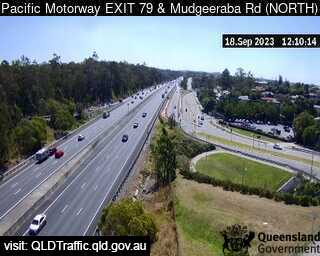
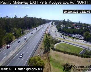
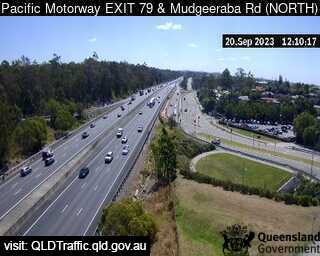
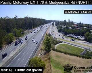
Mudgeeraba, Australia - 178.5 miles from Upper Nambucca: Pacific Motorway and Mudgeeraba Road (North) Exit 79 - A view of the current traffic conditions.
Operator: Queensland Government - Department of Transport and Main Roads
Operator: Queensland Government - Department of Transport and Main Roads


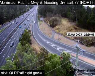
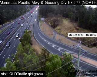
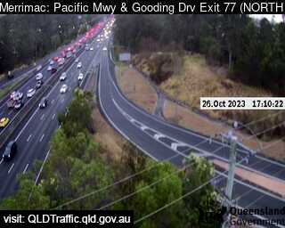
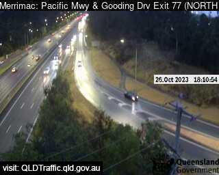
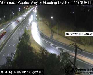
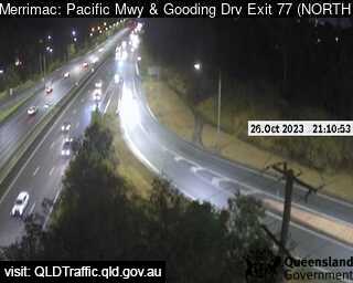
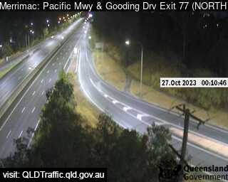
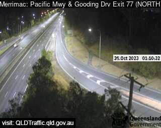
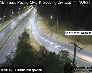
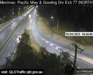
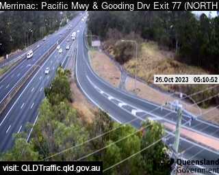
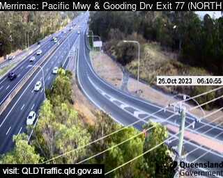
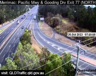
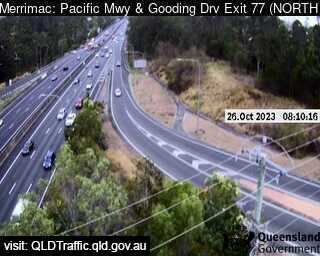
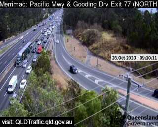
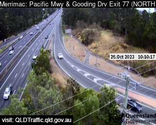
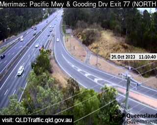
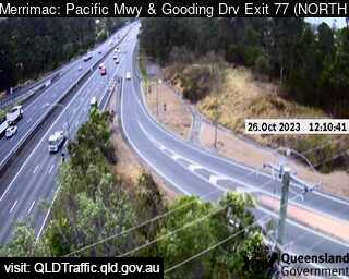
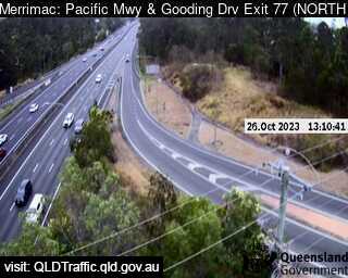
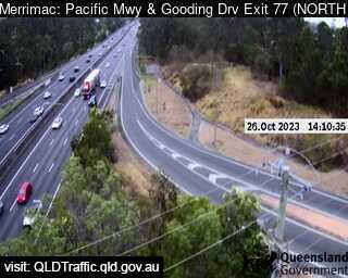
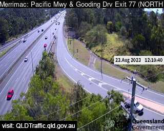
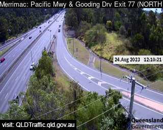
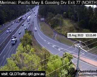
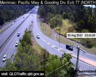
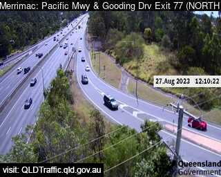
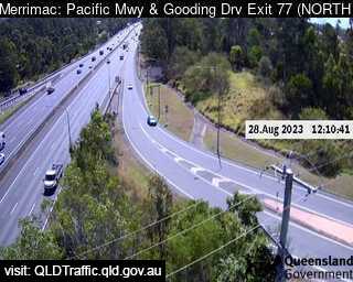
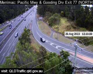
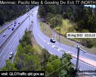
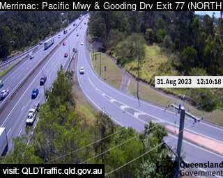
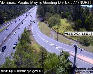
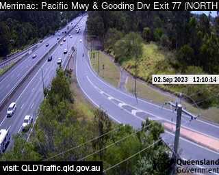
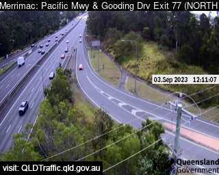
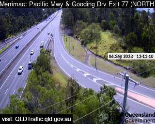
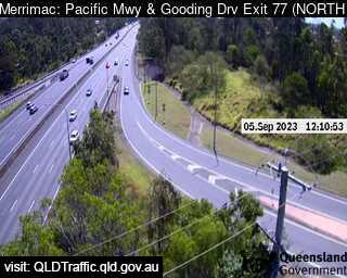
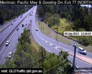
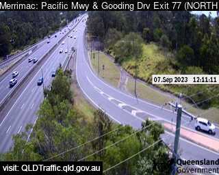
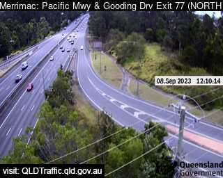
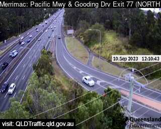
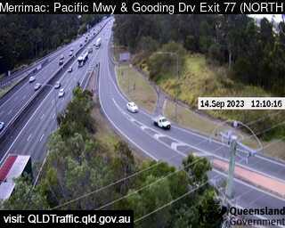
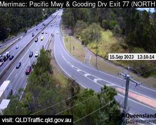
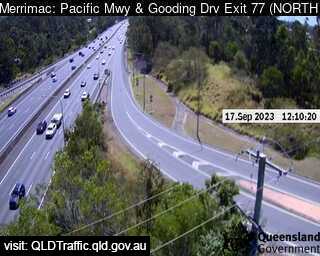
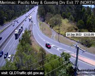
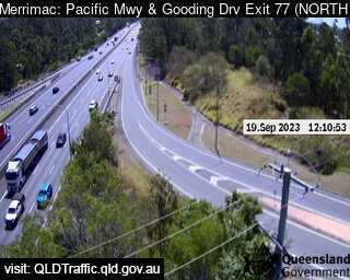
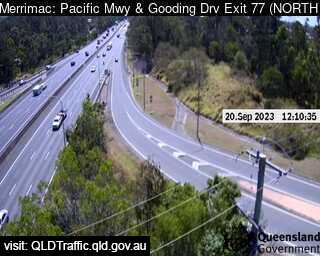
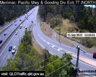
Merrimac, Australia - 181.4 miles from Upper Nambucca: Pacific Motorway and Springbrook (North) Exit 77 - A view of the current traffic conditions.
Operator: Queensland Government - Department of Transport and Main Roads
Operator: Queensland Government - Department of Transport and Main Roads


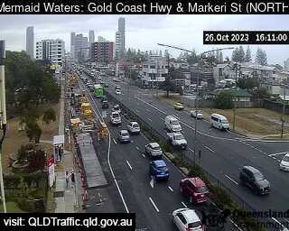
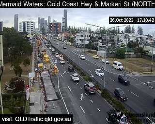
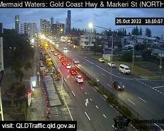
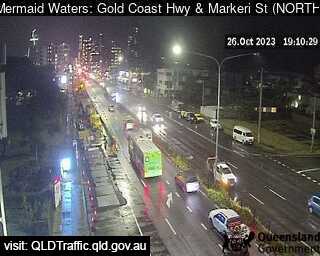
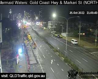
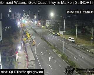
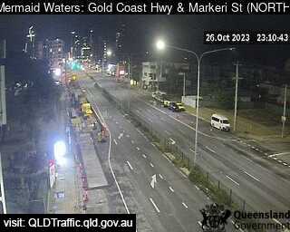
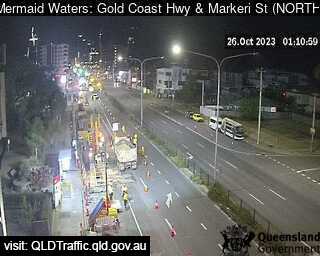
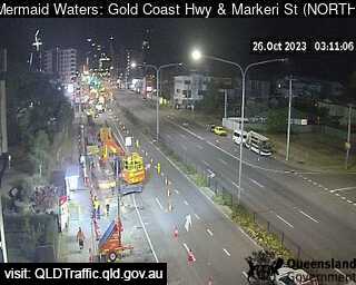
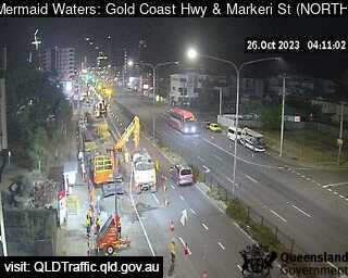
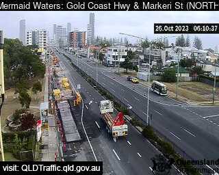
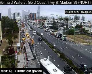
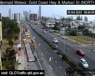
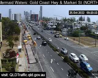
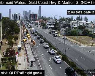
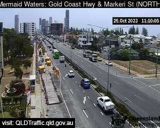
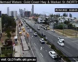
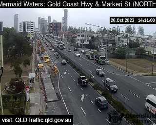
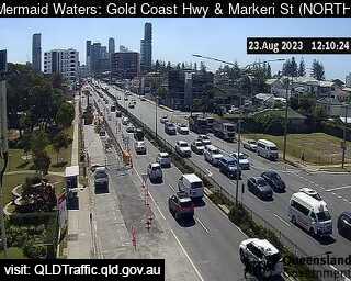
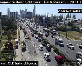
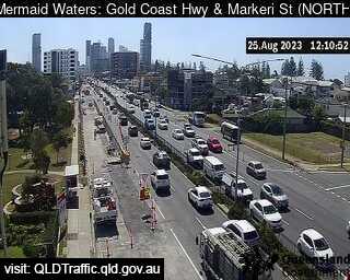
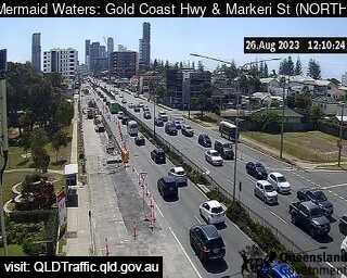
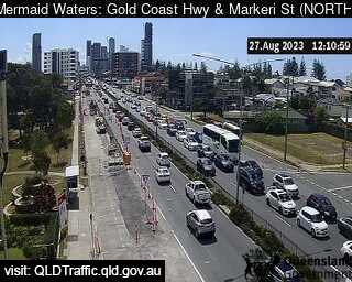
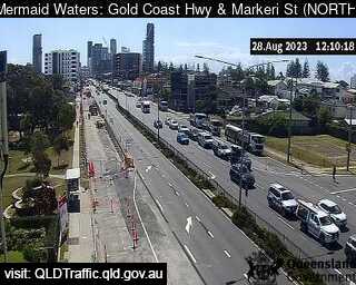
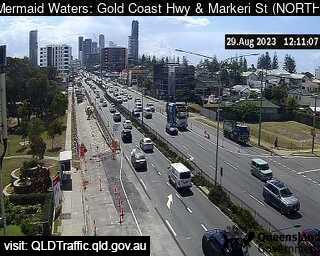
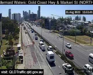
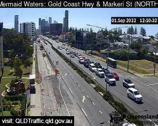
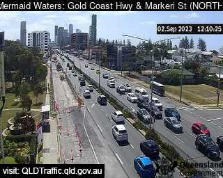
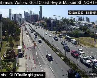
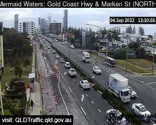
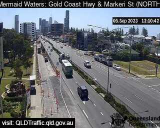
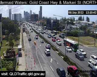
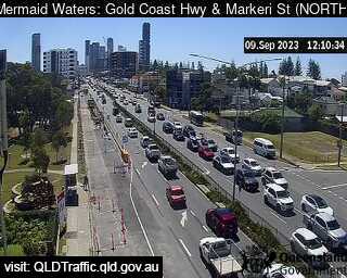
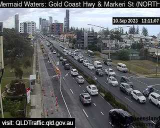
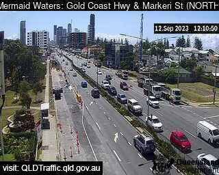
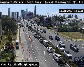
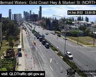
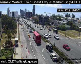
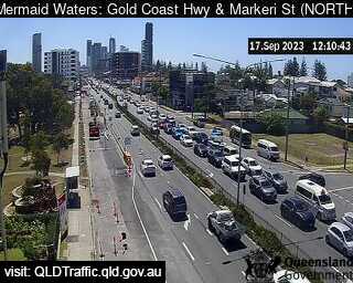
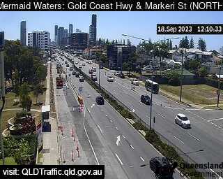
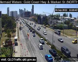
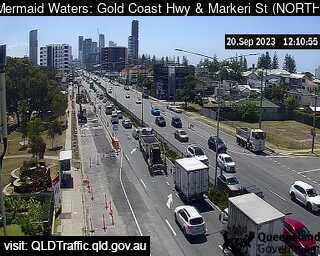
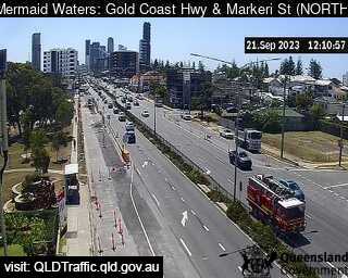
Mermaid Waters, Australia - 181.7 miles from Upper Nambucca: Gold Coast Highway and Markeri Street (North) - A view of the current traffic conditions.
Operator: Queensland Government - Department of Transport and Main Roads
Operator: Queensland Government - Department of Transport and Main Roads


Some other places in this country: Upper Mongogarie - Upper Mudgeeraba - Upper Myall - Upper Nerang - Upper Pilton - Upper Plenty - Upper Rollands Plains - Upper Springrove - Upper Stone - Upper Sturt