Webcams in the region of Upper Mudgeeraba, Australia
The List of Webcams near Upper Mudgeeraba, Australia:

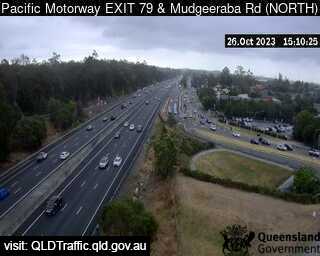
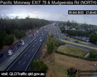
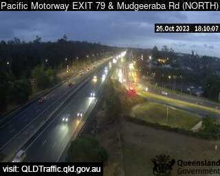
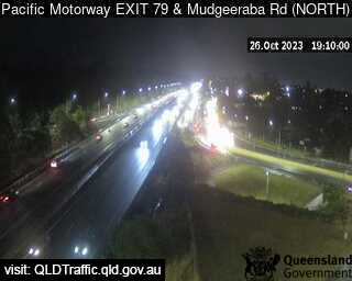
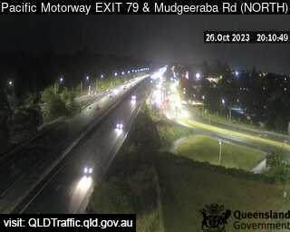
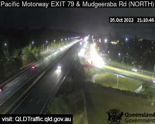
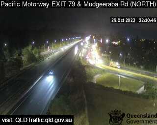
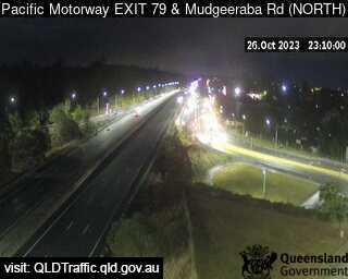
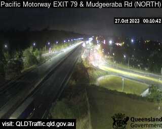
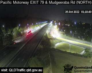
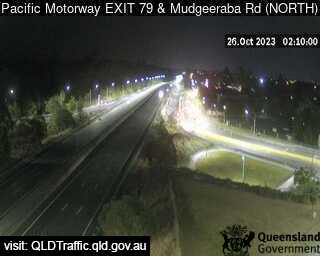
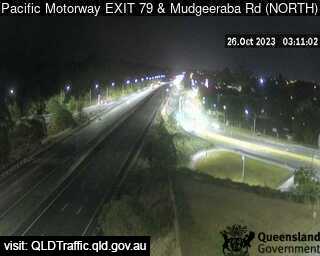
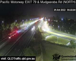
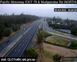
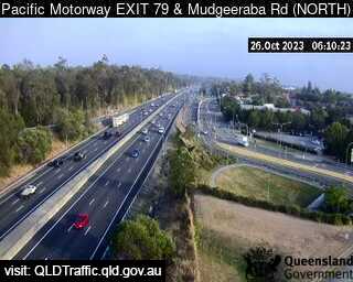
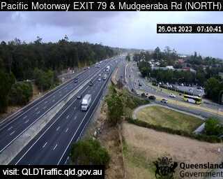
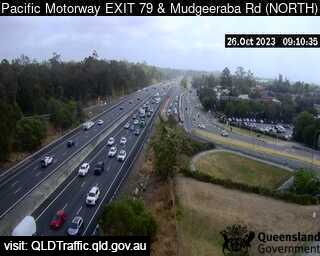
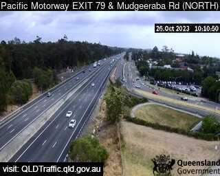
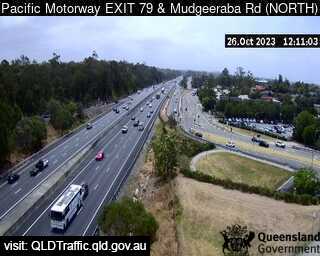
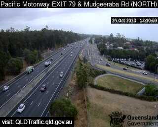
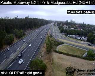
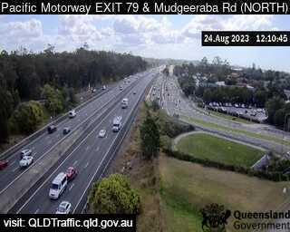
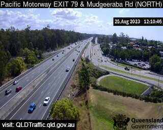
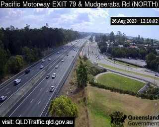
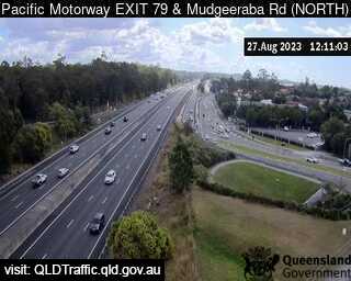
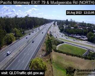
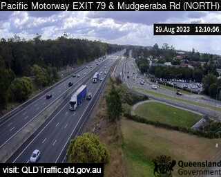
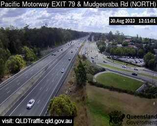
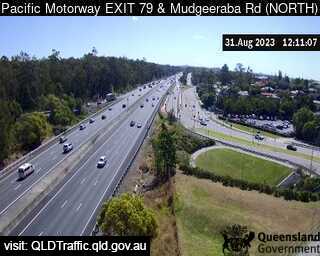
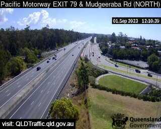
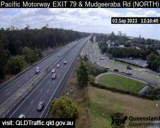
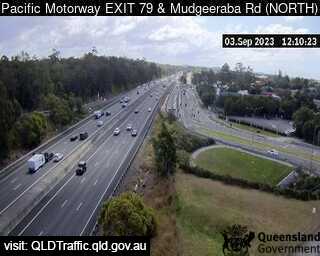
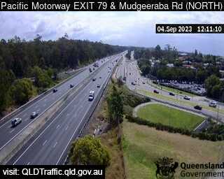
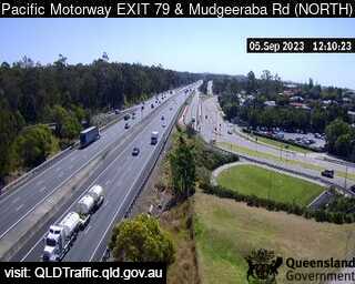
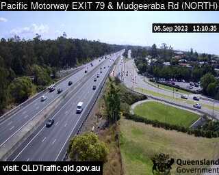
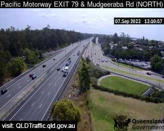
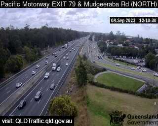
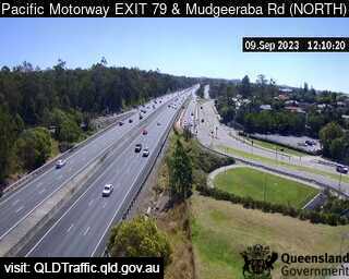
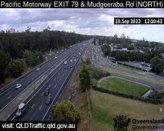
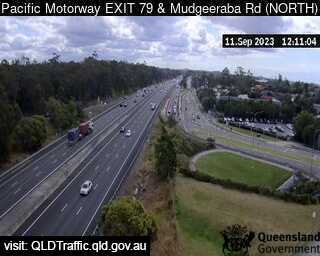
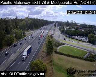
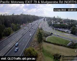
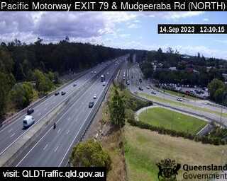
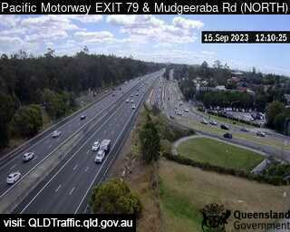
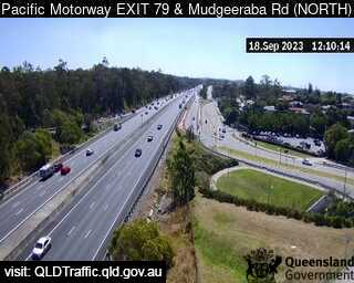
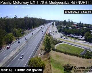
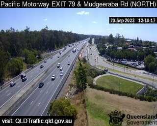
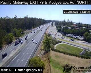
Mudgeeraba, Australia - 3.3 miles from Upper Mudgeeraba: Pacific Motorway and Mudgeeraba Road (North) Exit 79 - A view of the current traffic conditions.
Operator: Queensland Government - Department of Transport and Main Roads
Operator: Queensland Government - Department of Transport and Main Roads


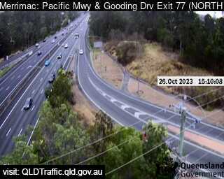
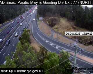
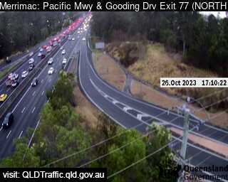
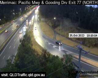
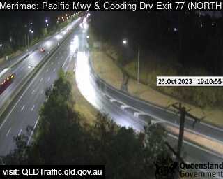
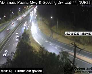
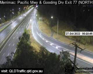
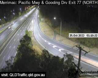
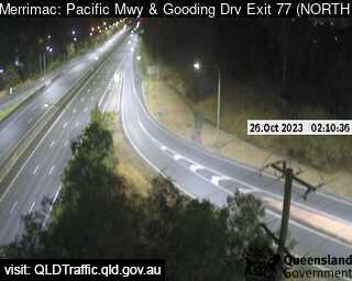
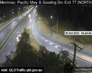
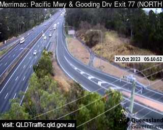
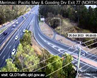
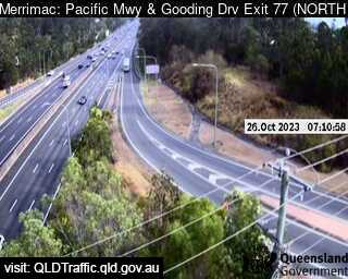
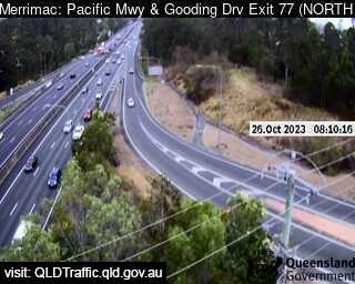
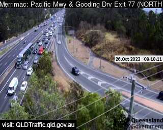
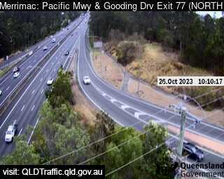
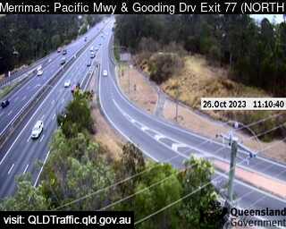
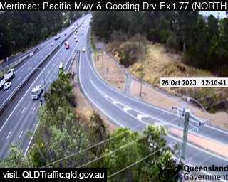
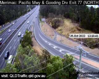
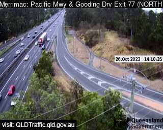
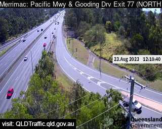
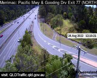
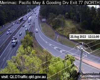
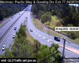
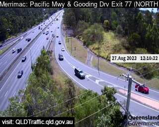
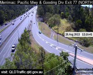
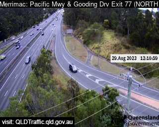
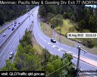
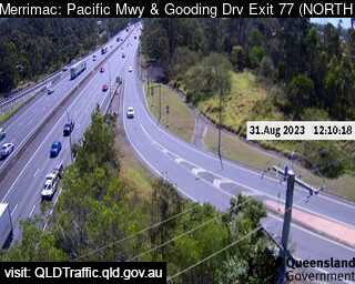
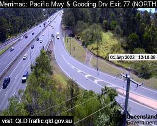
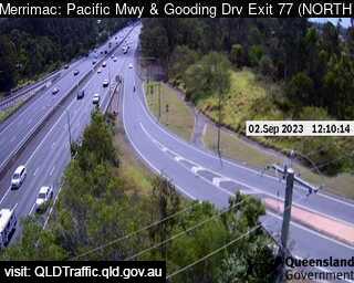
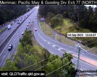
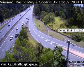
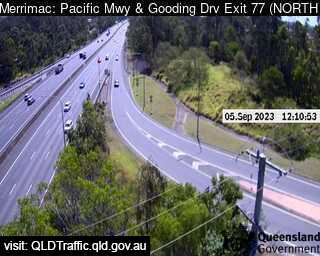
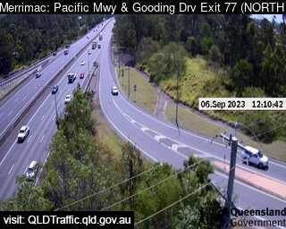
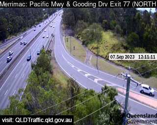
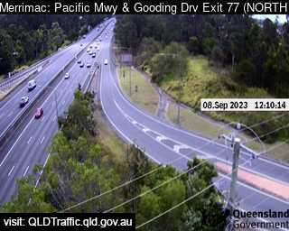
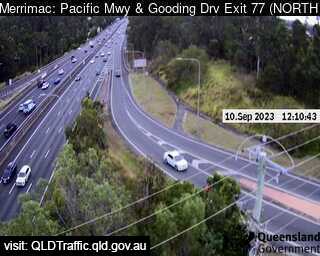
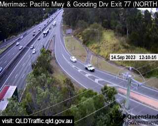
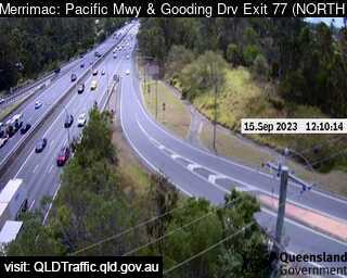
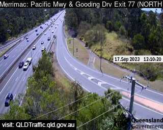
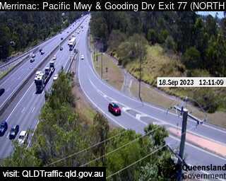
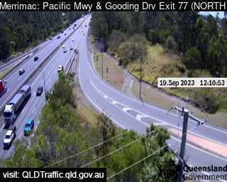
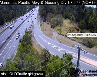
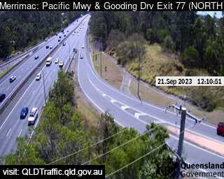
Merrimac, Australia - 5.4 miles from Upper Mudgeeraba: Pacific Motorway and Springbrook (North) Exit 77 - A view of the current traffic conditions.
Operator: Queensland Government - Department of Transport and Main Roads
Operator: Queensland Government - Department of Transport and Main Roads


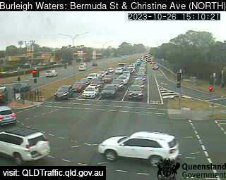
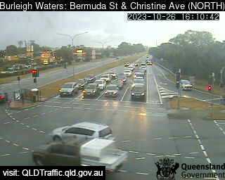
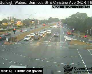
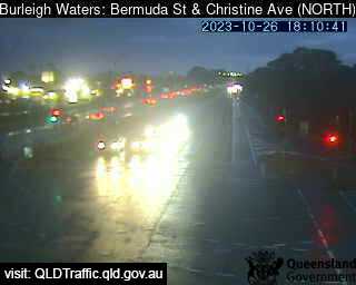
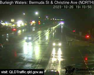
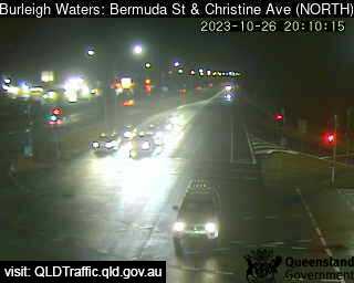
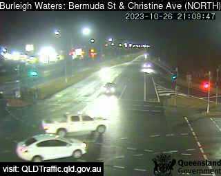
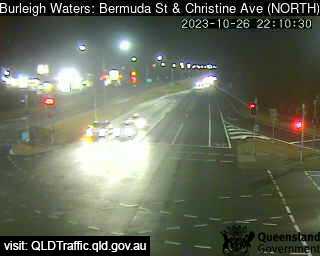
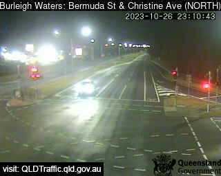
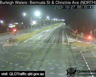
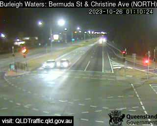
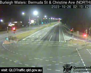
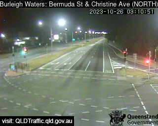
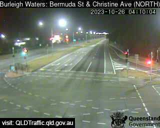
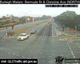
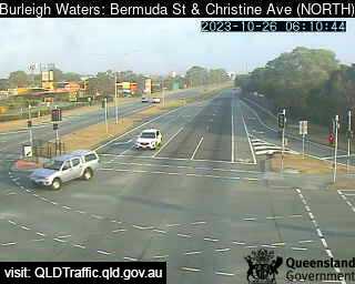
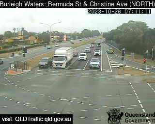
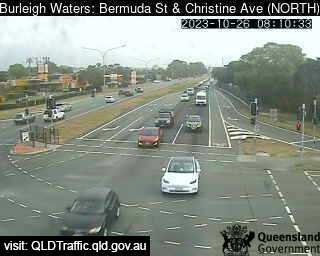
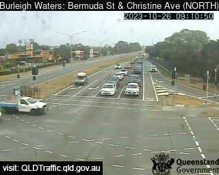
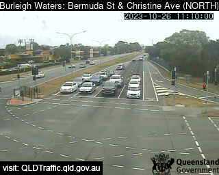
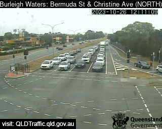
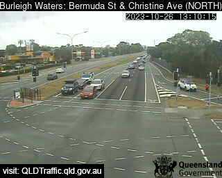
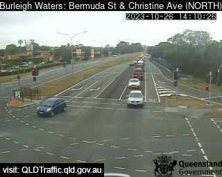
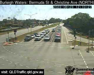
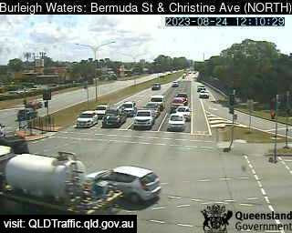
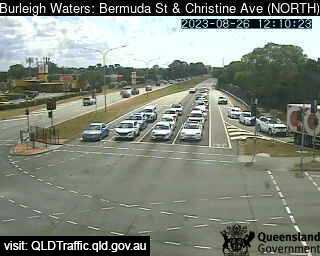
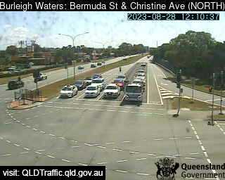
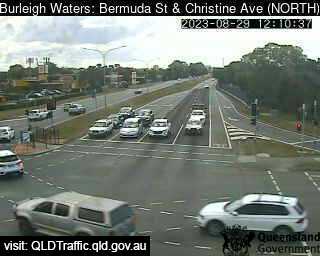
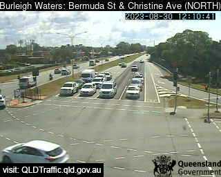
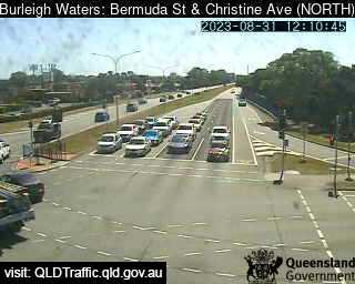
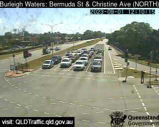
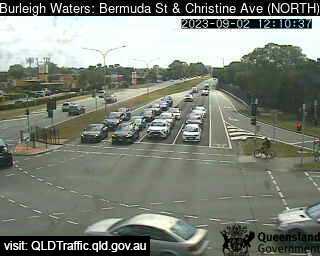
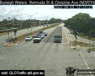
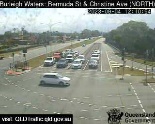
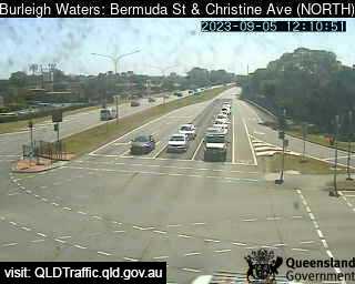
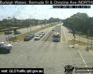
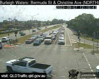
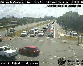
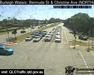
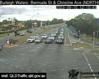
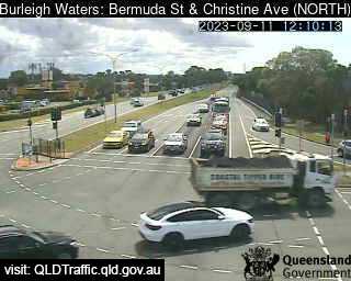
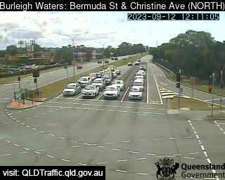
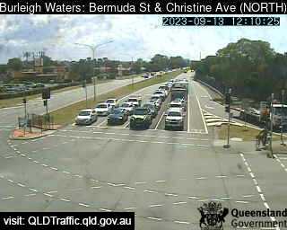
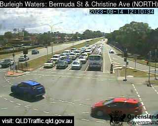
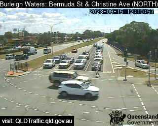
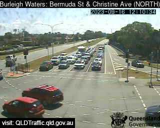
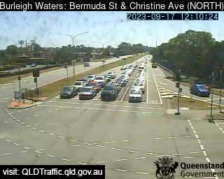
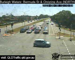
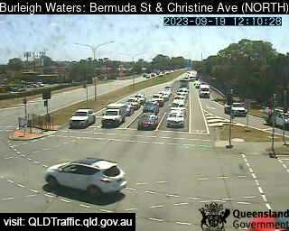
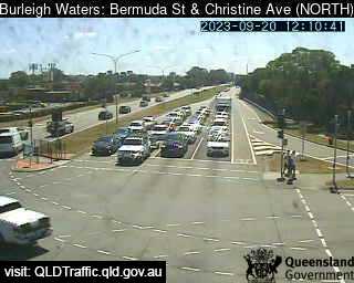
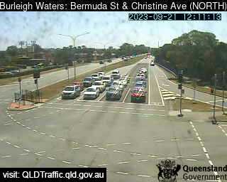
Burleigh Waters, Australia - 6.5 miles from Upper Mudgeeraba: Bermuda / Christine Avenue (North) - A view of the current traffic conditions.
Operator: Queensland Government - Department of Transport and Main Roads
Operator: Queensland Government - Department of Transport and Main Roads


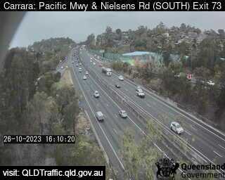
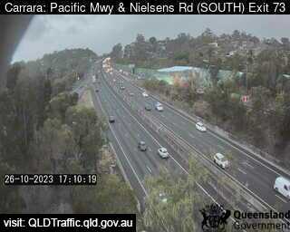
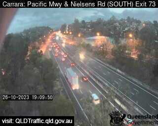
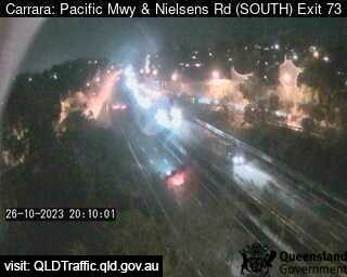
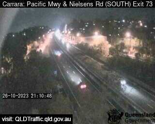
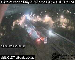
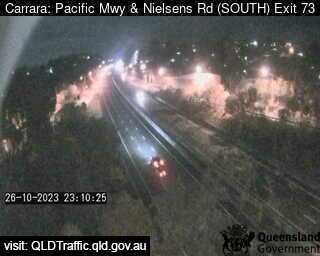
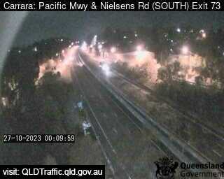
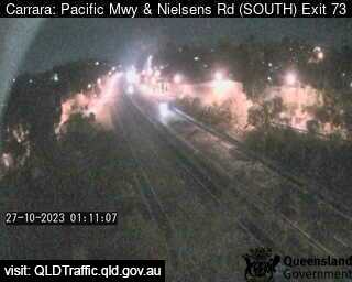
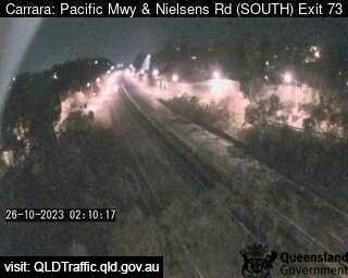
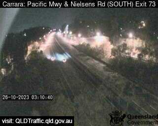
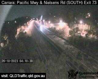
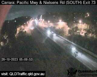
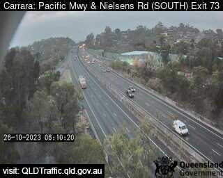
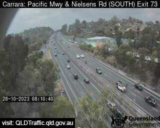
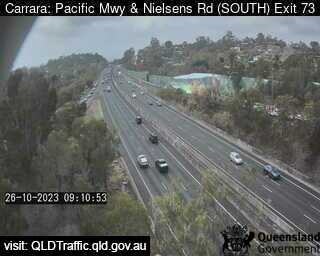
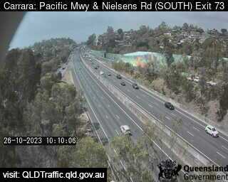
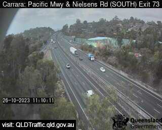
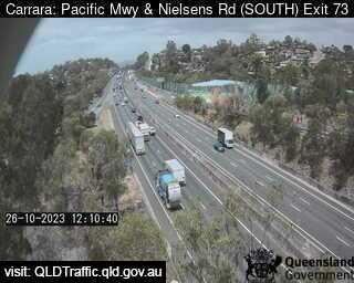
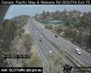
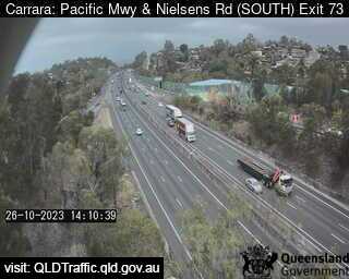
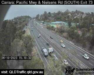
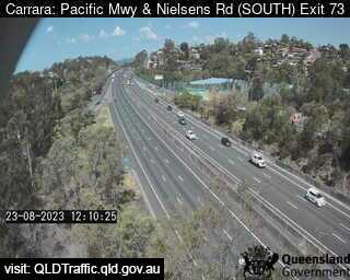
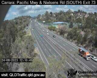
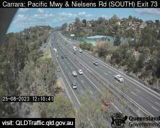
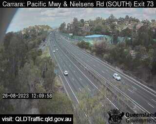
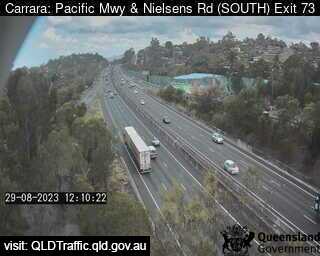
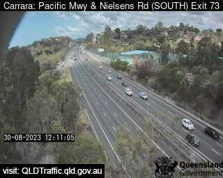
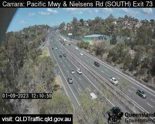
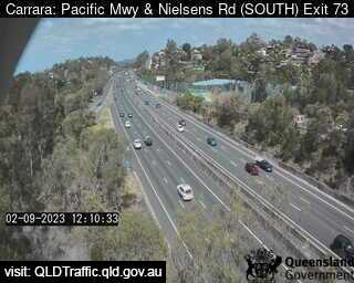
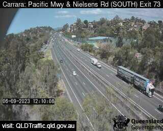
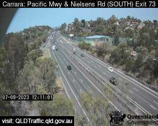
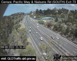
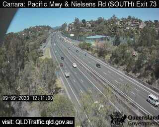
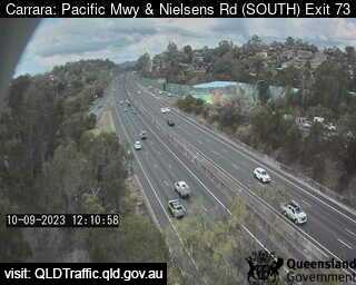
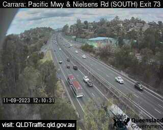
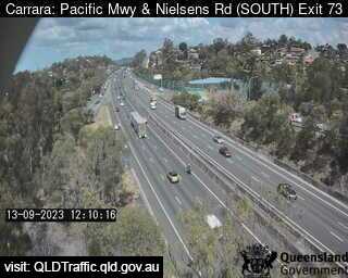
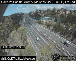
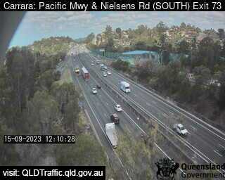
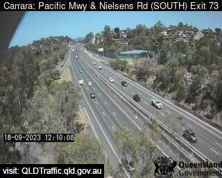
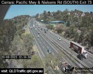
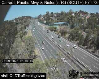
Carrara, Australia - 6.9 miles from Upper Mudgeeraba: Pacific Motorway and Nielsens Road (South) Exit 73 - A view of the current traffic conditions.
Operator: Queensland Government - Department of Transport and Main Roads
Operator: Queensland Government - Department of Transport and Main Roads


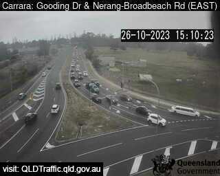
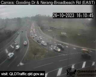
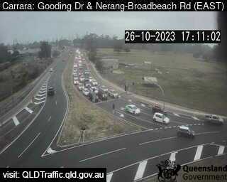
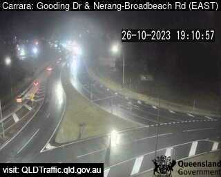
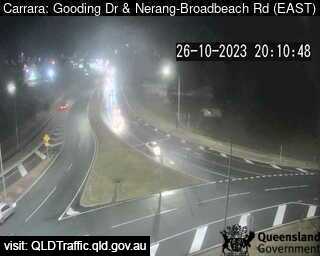
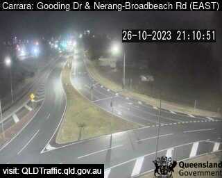
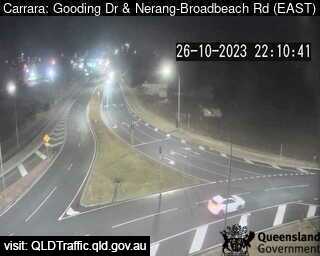
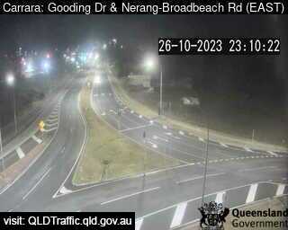
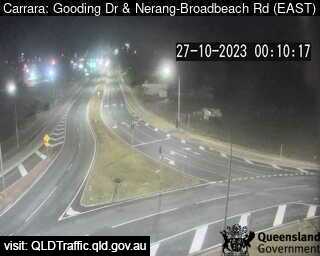
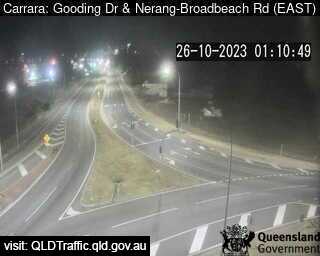
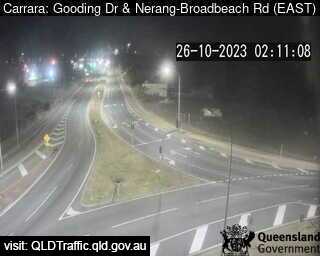
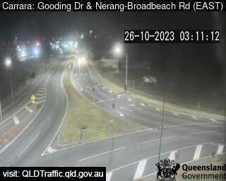
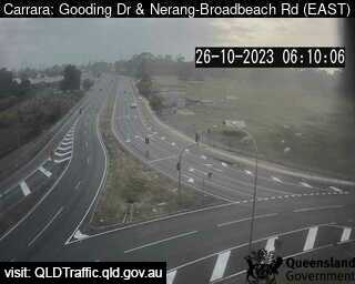
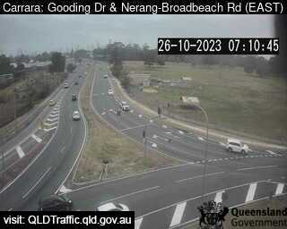
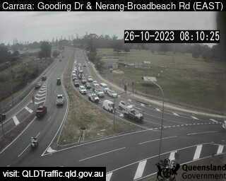
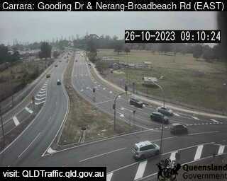
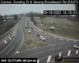
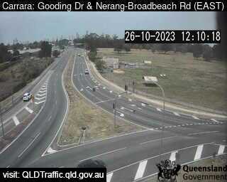
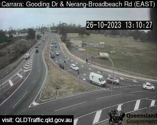
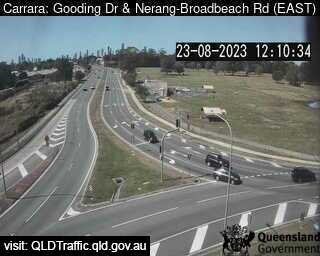
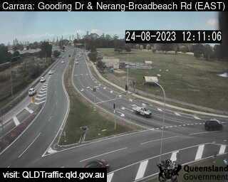
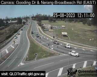
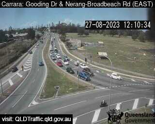
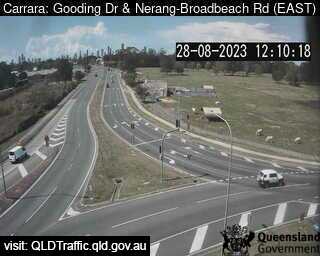
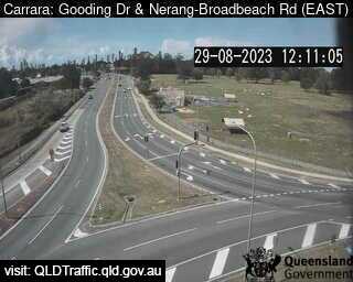
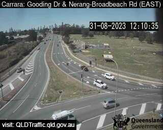
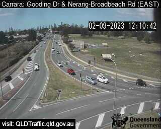
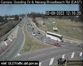
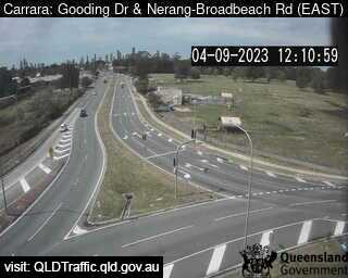
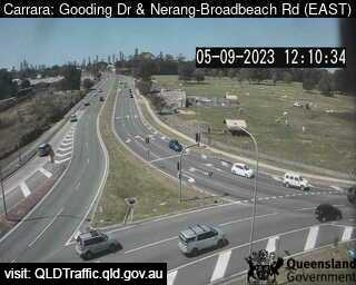
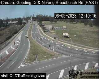
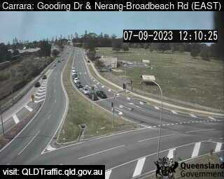
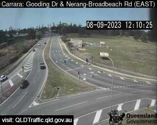
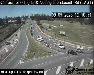
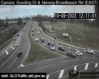
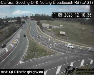
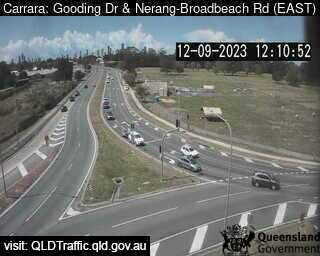
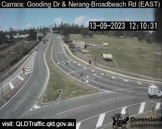
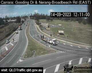
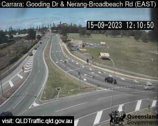
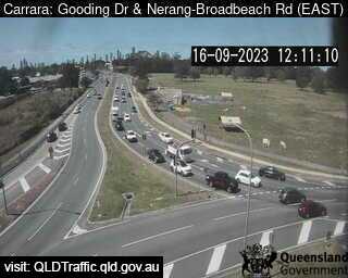
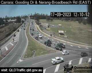
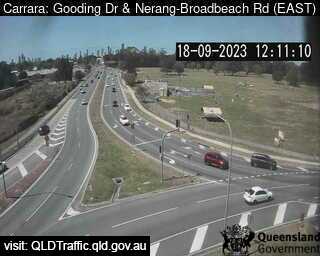
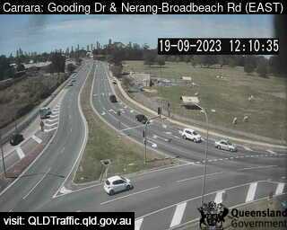
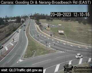
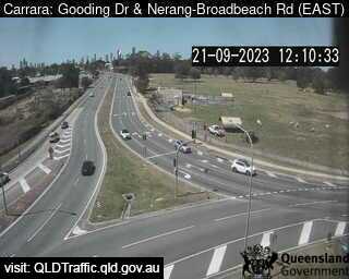
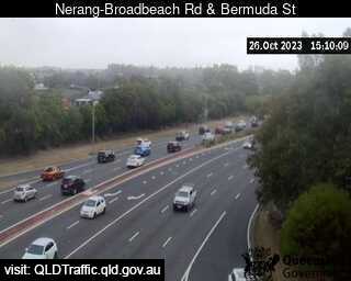
Carrara, Australia - 6.9 miles from Upper Mudgeeraba: Gooding Drive and Nerang Broadbeach Road - A view of the current traffic conditions.
Operator: Queensland Government - Department of Transport and Main Roads
Operator: Queensland Government - Department of Transport and Main Roads


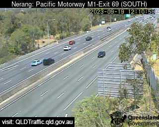
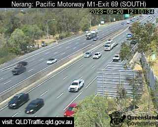
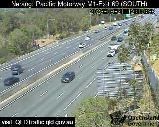
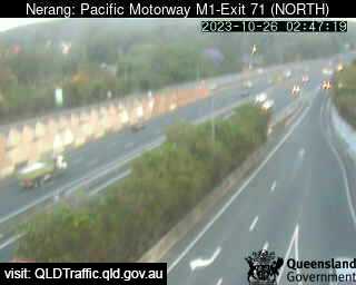
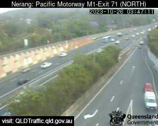
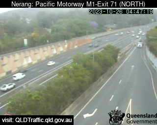
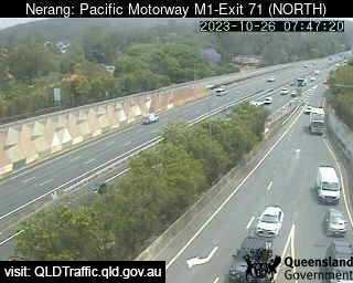
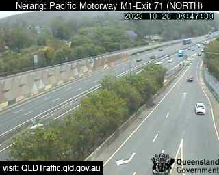
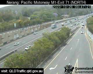
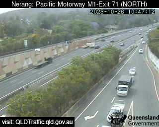
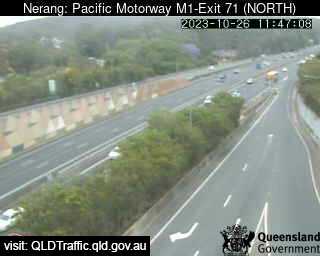
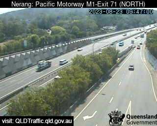
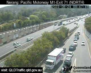
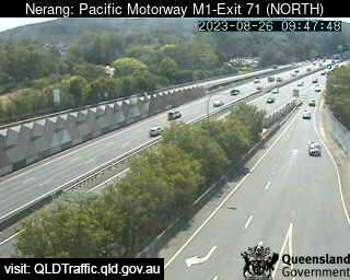
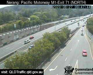
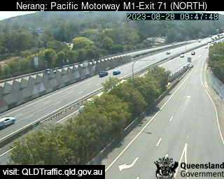
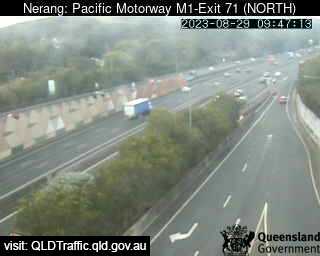
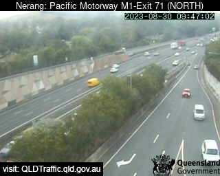
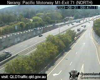
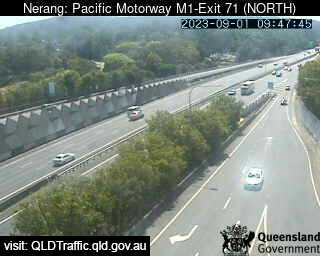
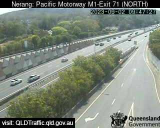
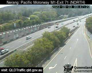
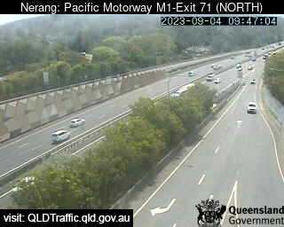
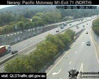
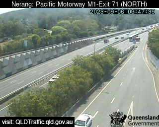
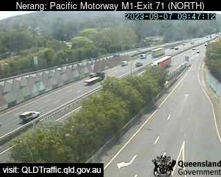
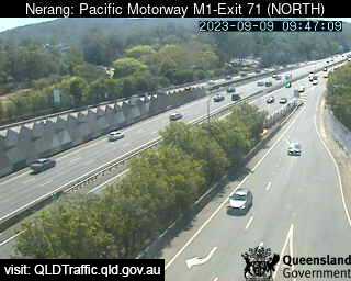
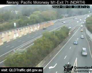
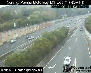
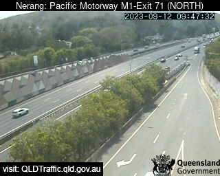
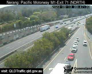
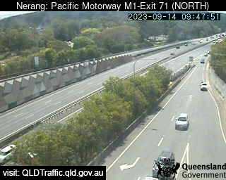
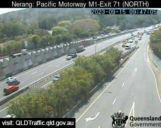
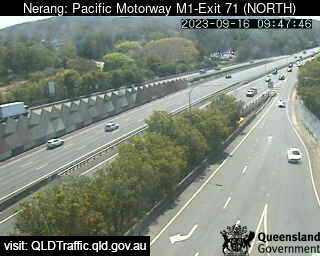
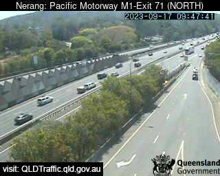
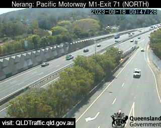
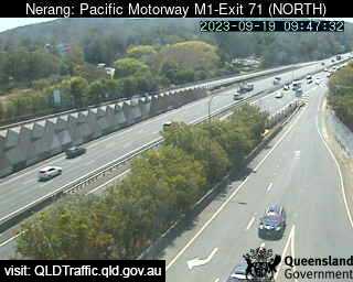
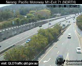
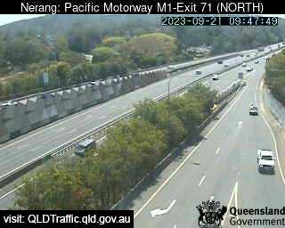
Nerang, Australia - 7.1 miles from Upper Mudgeeraba: Pacific Motorway M1 - A view of the current traffic conditions.
Operator: Queensland Government - Department of Transport and Main Roads
Operator: Queensland Government - Department of Transport and Main Roads
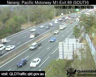
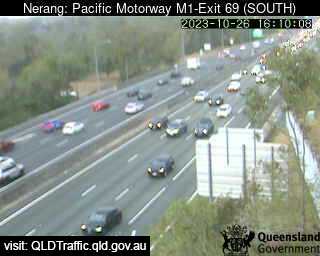
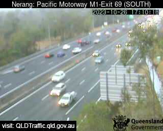
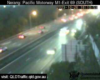
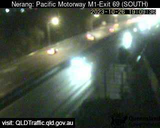
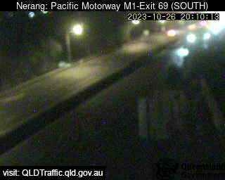
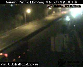
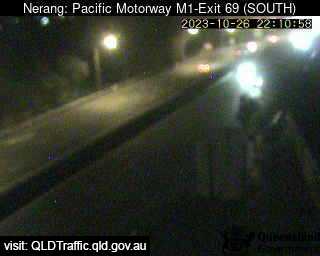
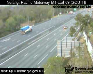
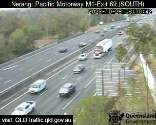
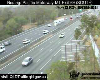
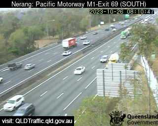
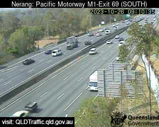
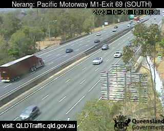
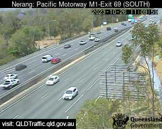
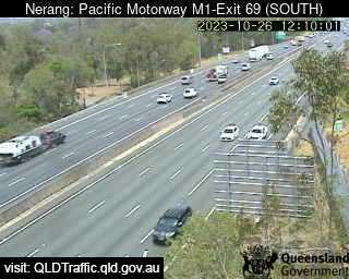
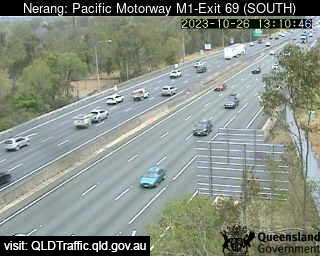
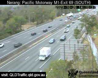
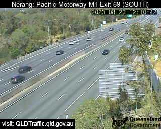
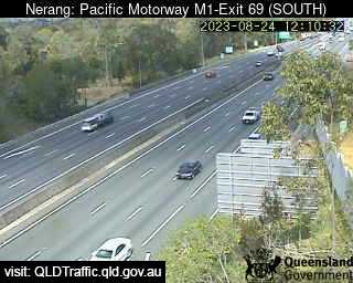

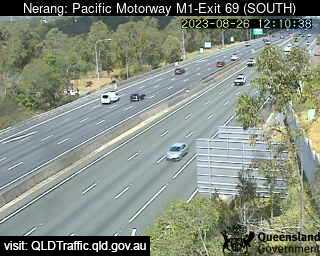
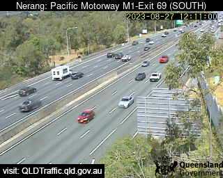
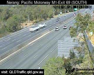
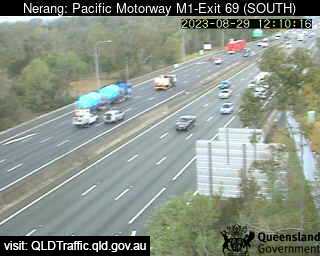
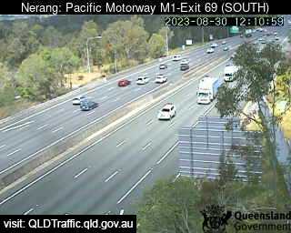
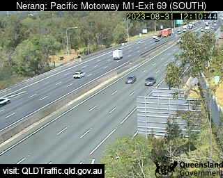
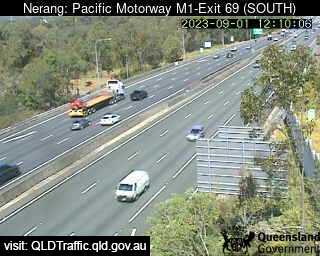
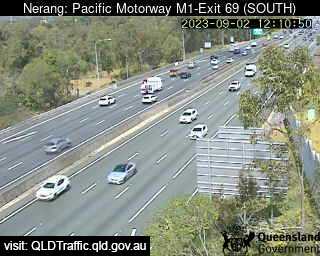
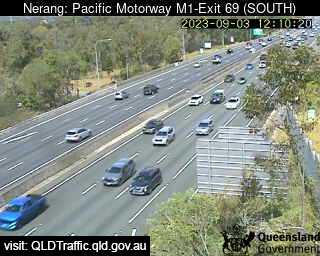
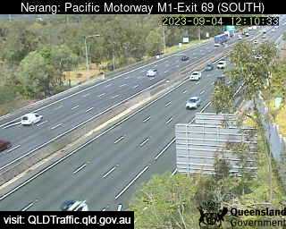
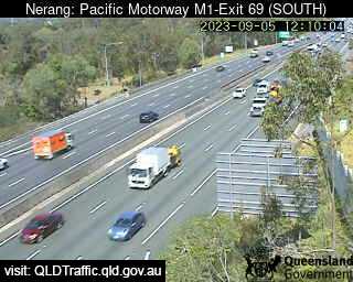

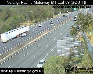

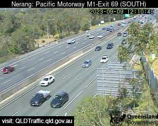
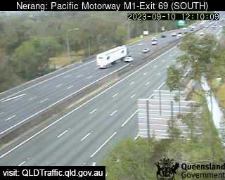
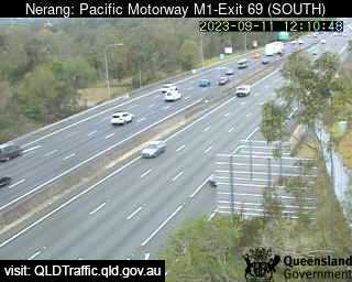
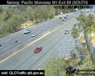
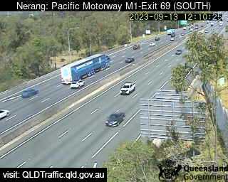
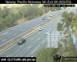
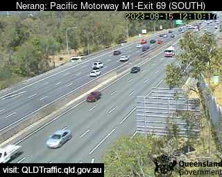
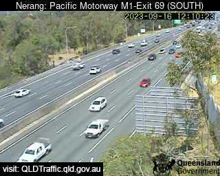
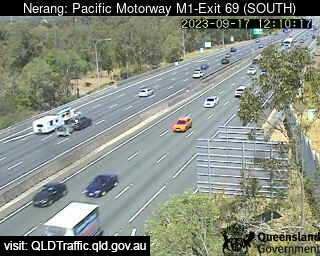
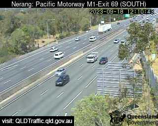

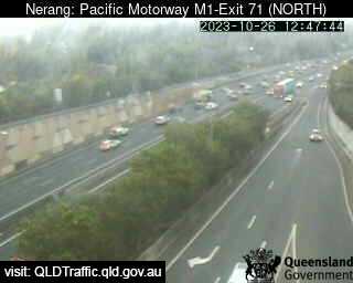
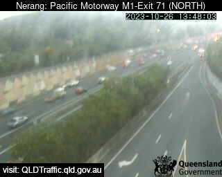
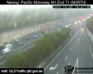
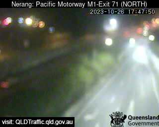
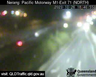
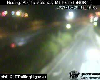
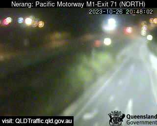
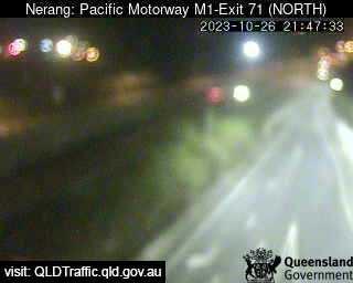
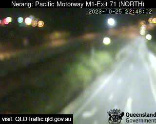
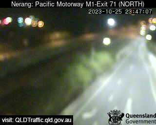
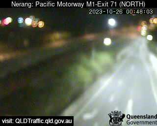
Nerang, Australia - 7.1 miles from Upper Mudgeeraba: Pacific Motorway M1 - Exit 71 (South) - A view of the current traffic conditions.
Operator: Queensland Government - Department of Transport and Main Roads
Operator: Queensland Government - Department of Transport and Main Roads


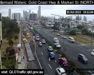
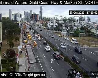
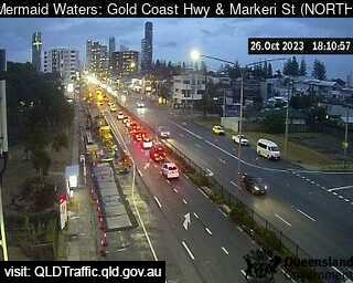
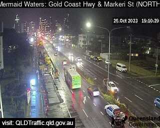
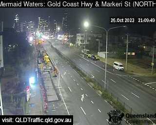
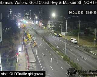
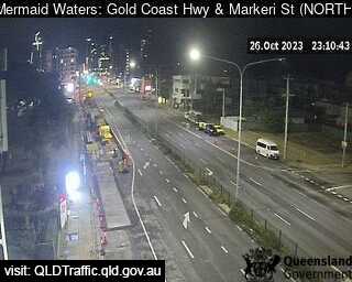
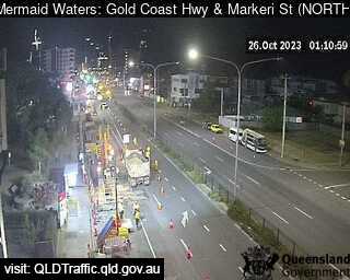
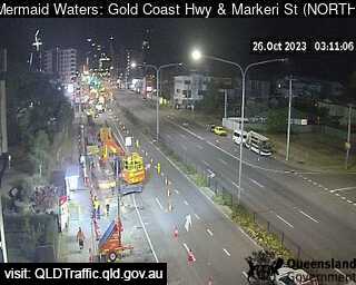
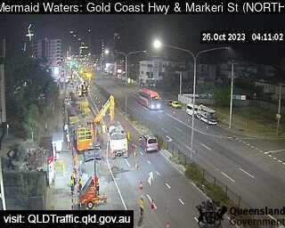
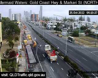
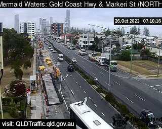
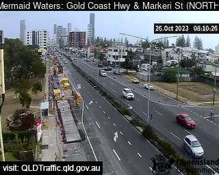
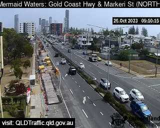
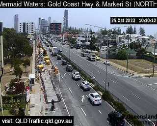
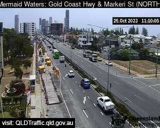
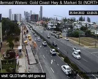
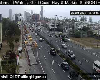
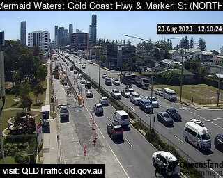
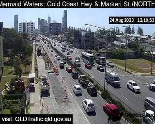
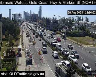
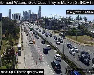
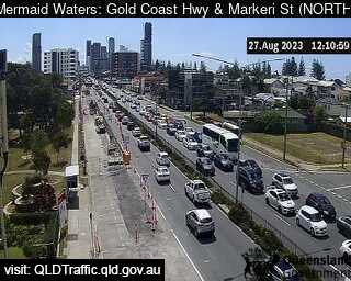
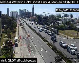
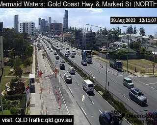
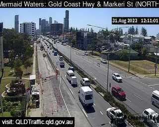
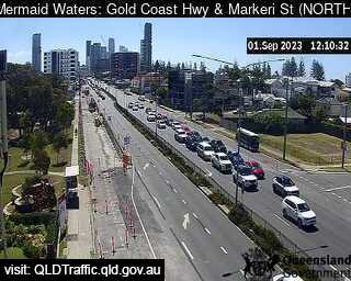
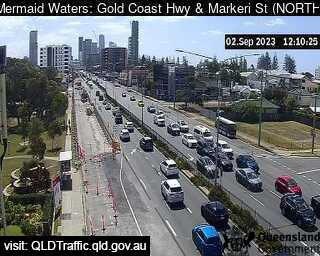
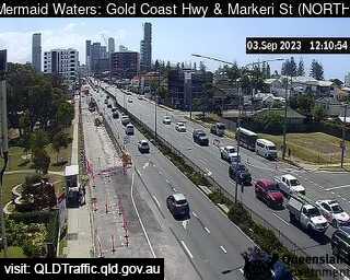
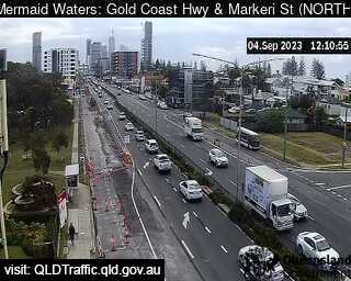
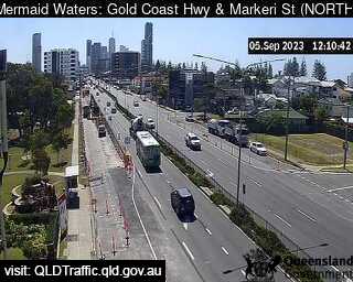
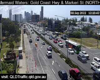
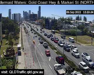
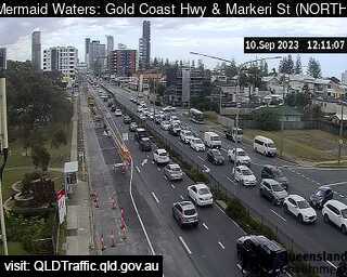
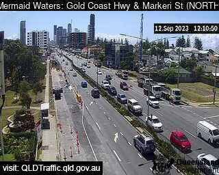
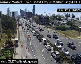
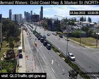
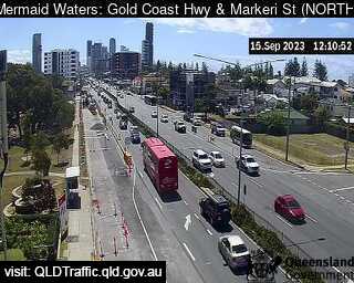
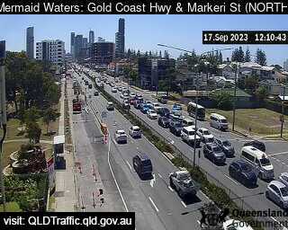
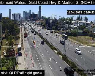
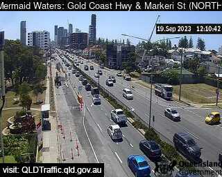
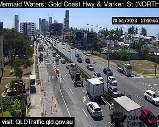
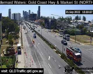
Mermaid Waters, Australia - 7.9 miles from Upper Mudgeeraba: Gold Coast Highway and Markeri Street (North) - A view of the current traffic conditions.
Operator: Queensland Government - Department of Transport and Main Roads
Operator: Queensland Government - Department of Transport and Main Roads


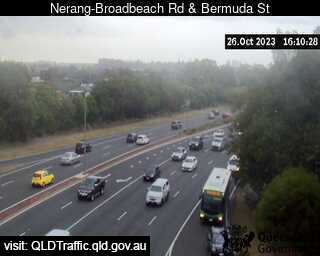
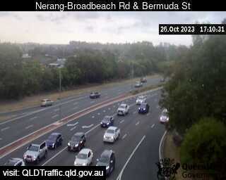
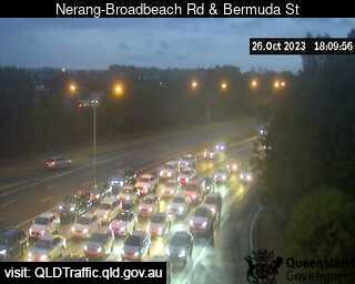
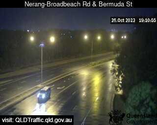
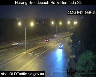
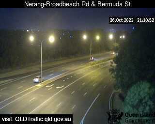
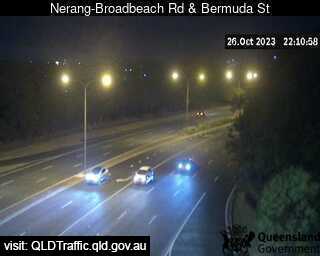
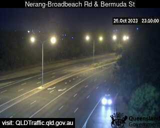
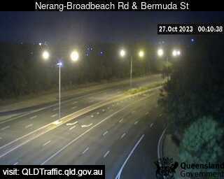
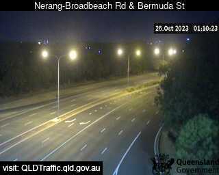
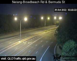
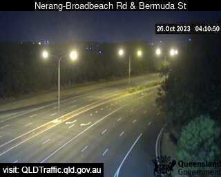
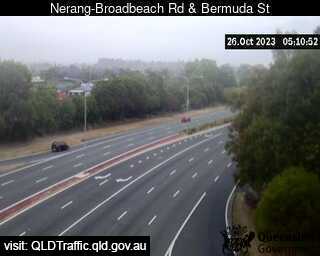
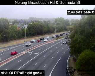
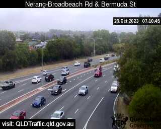
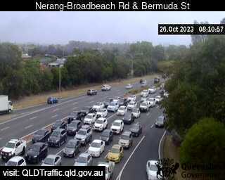
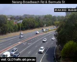
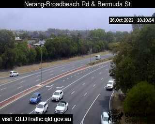
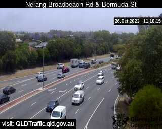
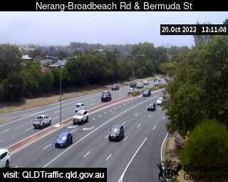
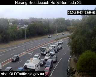
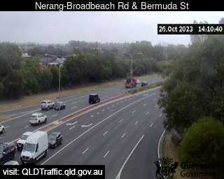
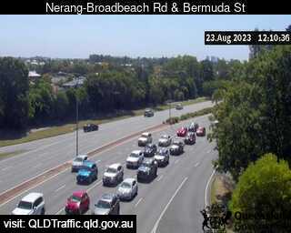
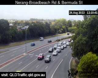
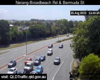
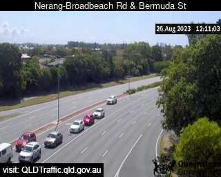
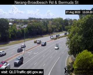
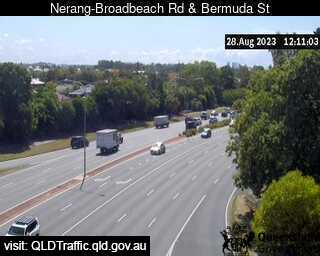
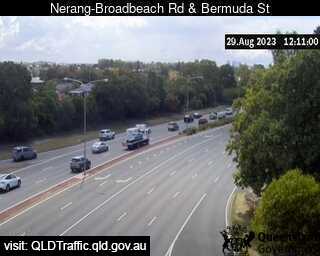
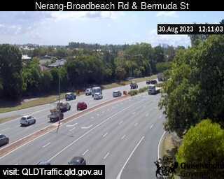
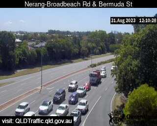
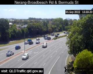
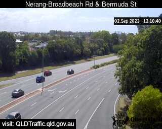
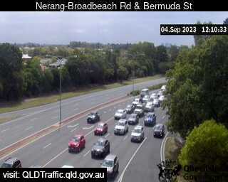
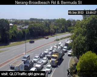
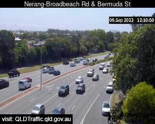
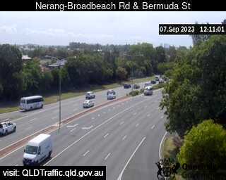
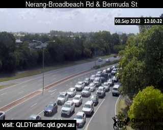
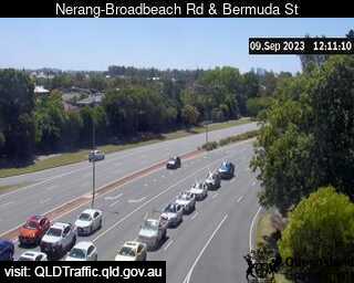
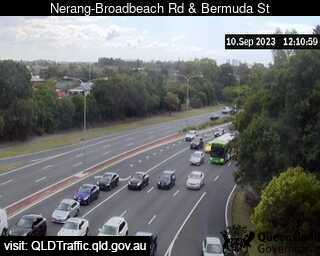
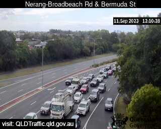
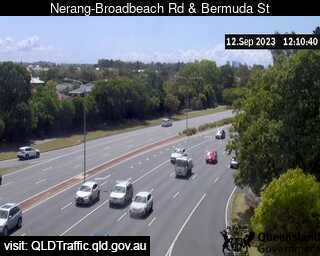
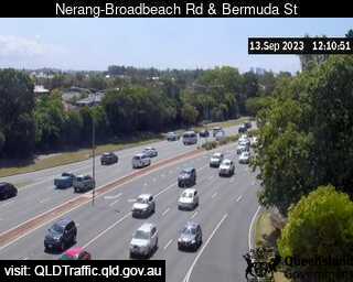
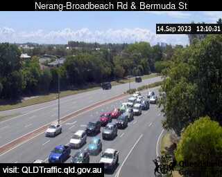
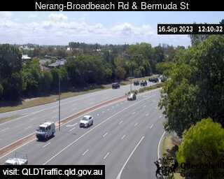
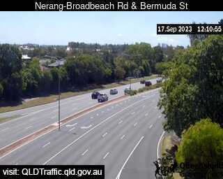
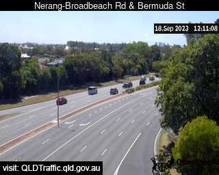
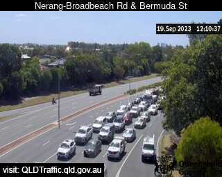
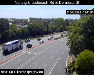
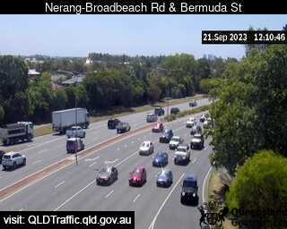
Mermaid Waters, Australia - 7.9 miles from Upper Mudgeeraba: Bermuda Street and Nerang Broadbeach Road (North) - A view of the current traffic conditions.
Operator: Queensland Government - Department of Transport and Main Roads
Operator: Queensland Government - Department of Transport and Main Roads


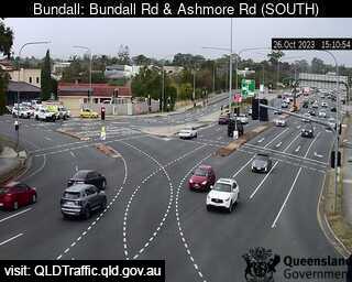
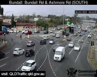
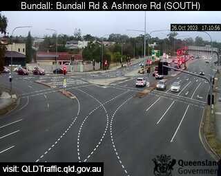
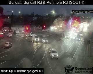
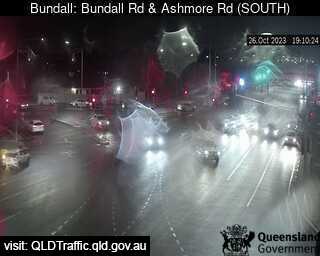
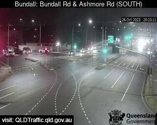
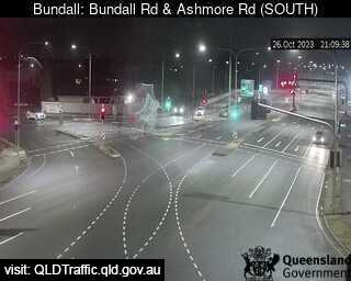
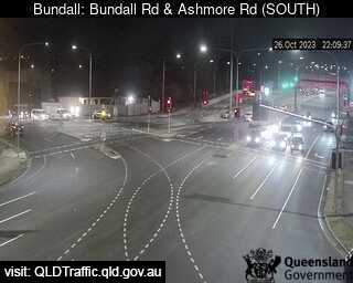
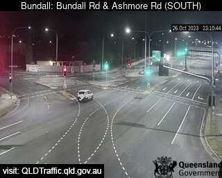
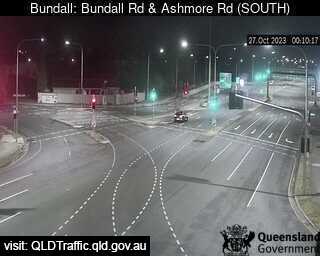
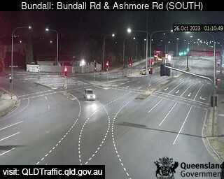
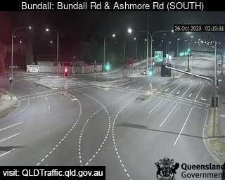
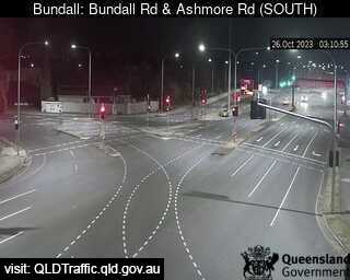
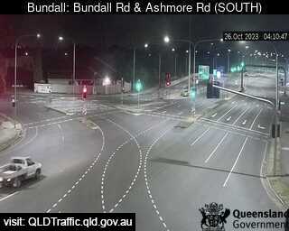
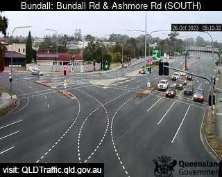
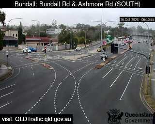
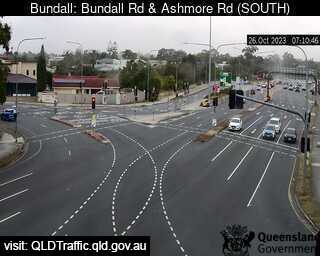
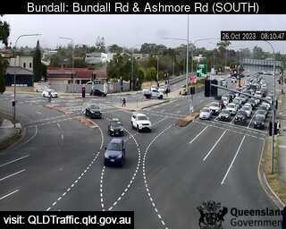
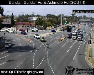
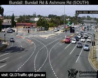
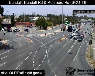
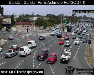
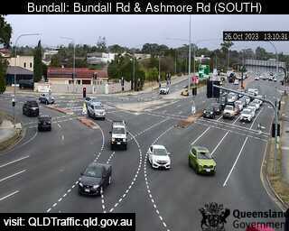
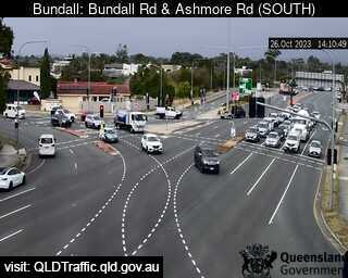
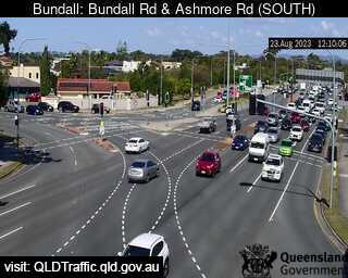
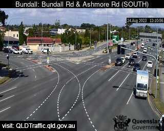
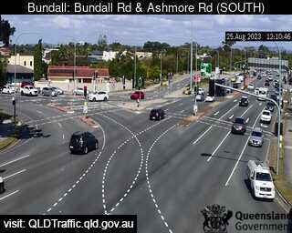
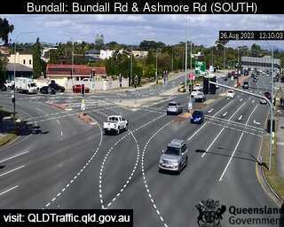
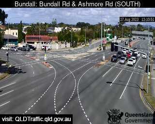
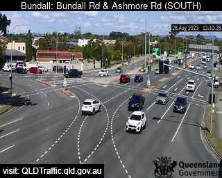
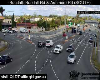
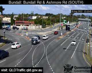
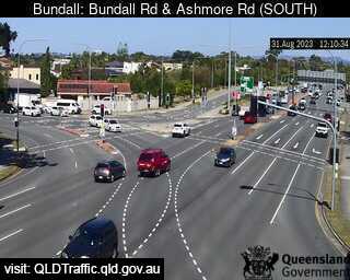
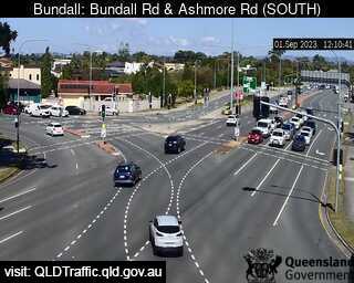
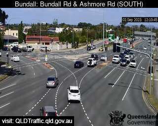
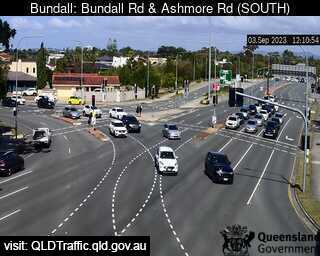
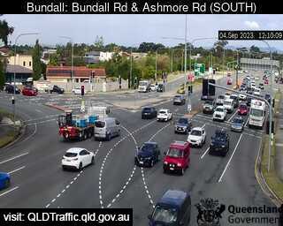
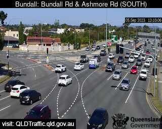
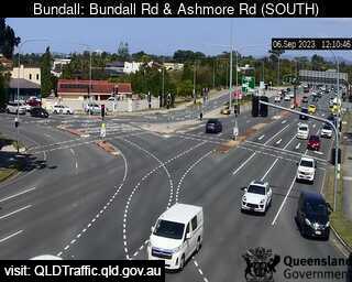
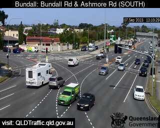
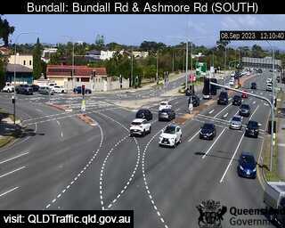
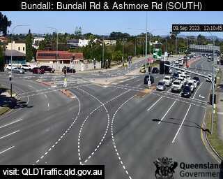
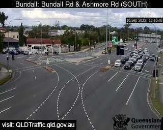
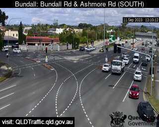
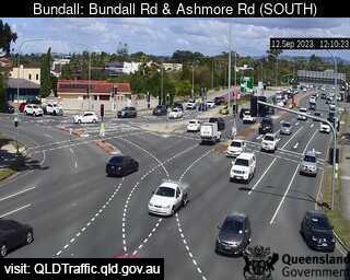
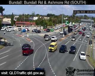
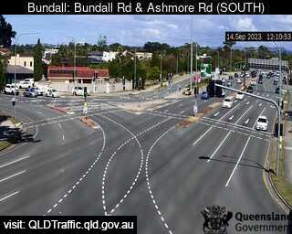
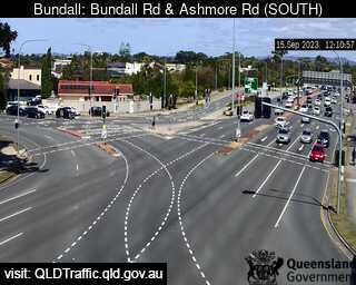
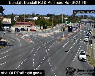
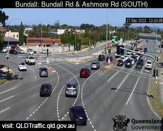
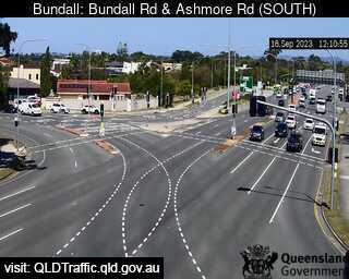
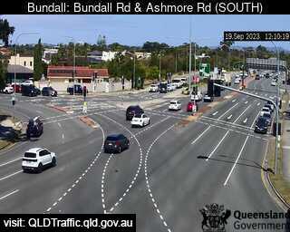
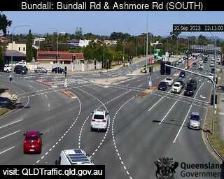
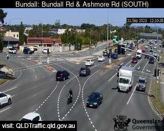
Bundall, Australia - 8.2 miles from Upper Mudgeeraba: Bundall and Ashmore Road (South) - A view of the current traffic conditions.
Operator: Queensland Government - Department of Transport and Main Roads
Operator: Queensland Government - Department of Transport and Main Roads
Some other places in this country: Upper Mangrove Creek - Upper Mongogarie - Upper Myall - Upper Nambucca - Upper Nerang - Upper Pilton - Upper Plenty - Upper Rollands Plains - Upper Springrove - Upper Stone