Webcams in the region of Upper Brookfield, Australia
The List of Webcams near Upper Brookfield, Australia:

Kenmore, Australia - 5.3 miles from Upper Brookfield: Moggill Road - A view of the current traffic conditions.
Operator: Queensland Government - Department of Transport and Main Roads
Operator: Queensland Government - Department of Transport and Main Roads
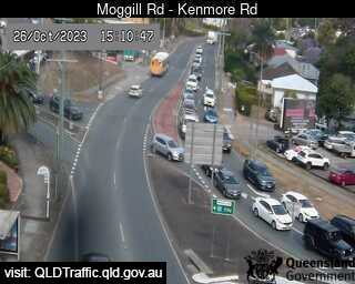
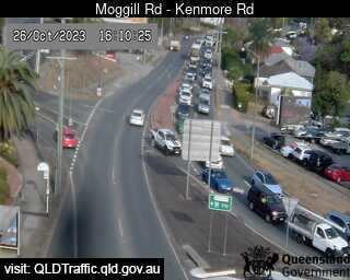
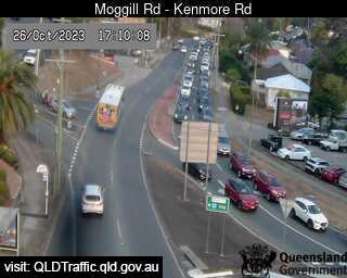
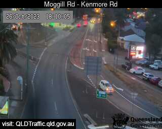
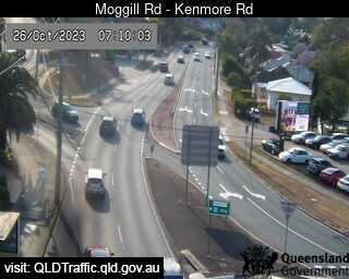
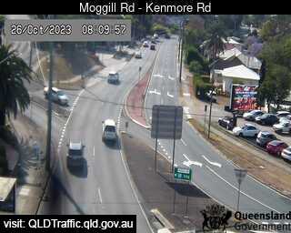
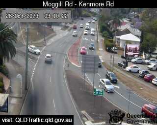
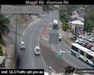
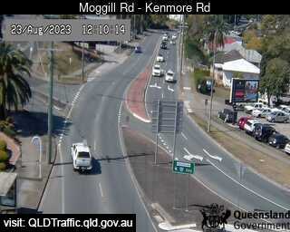
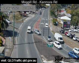
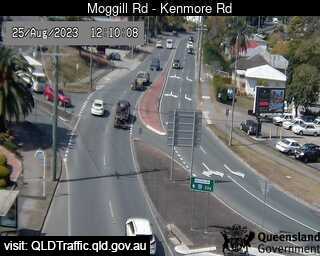
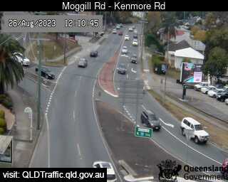
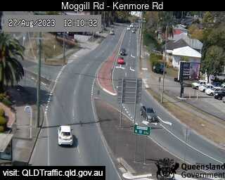
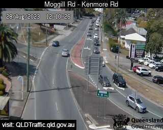
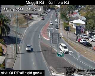
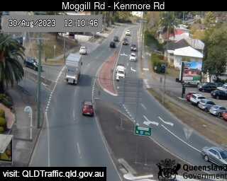
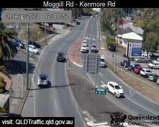
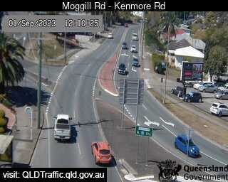
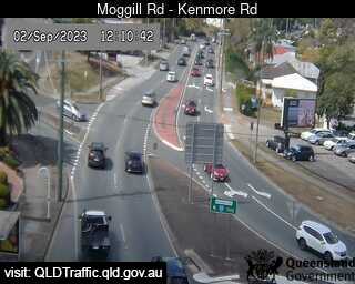
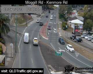
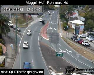
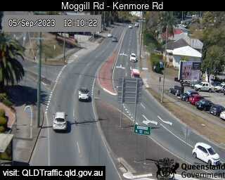
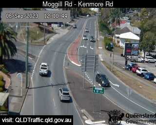
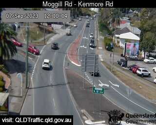
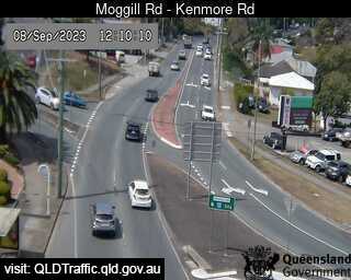
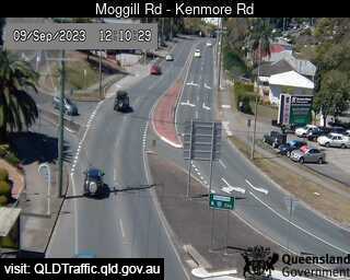
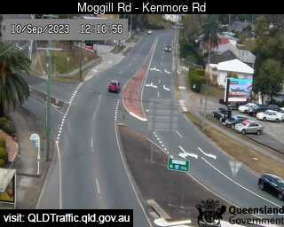
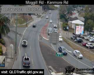

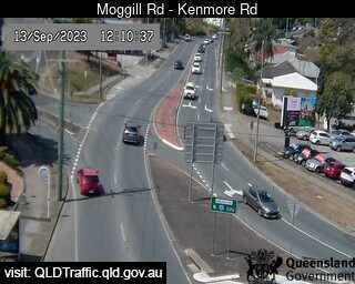
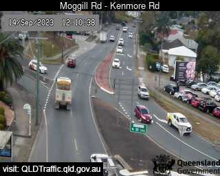
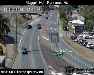
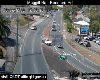
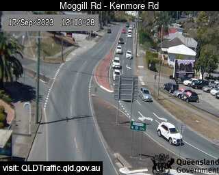
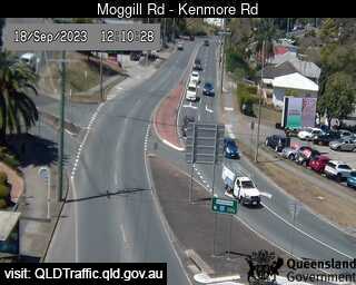
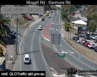
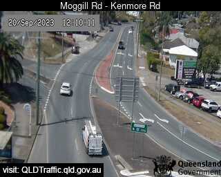
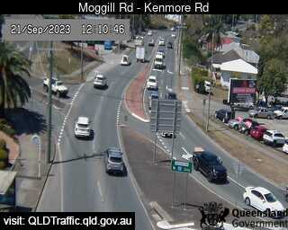

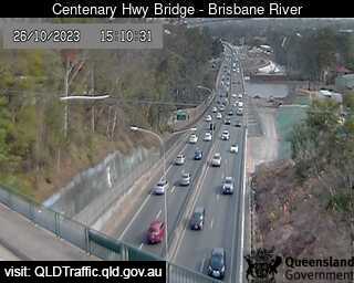
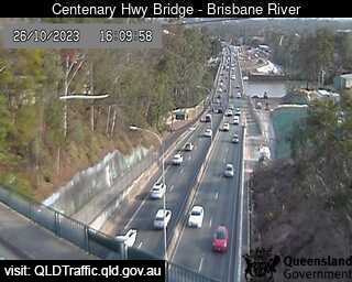
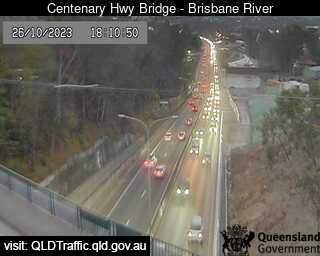
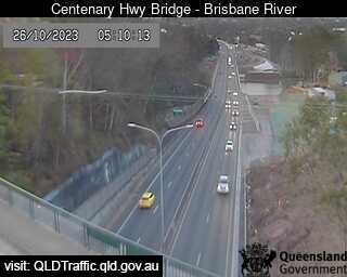
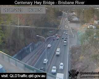
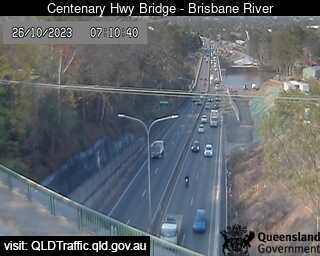
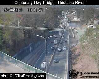
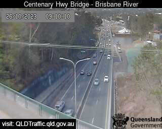
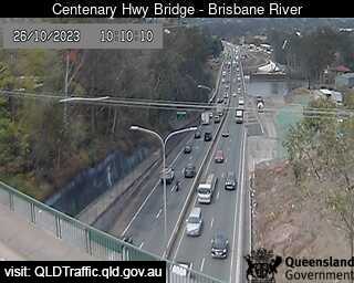
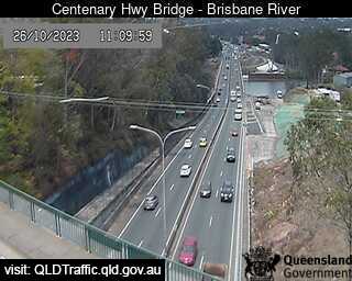
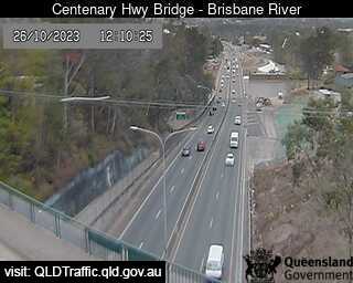
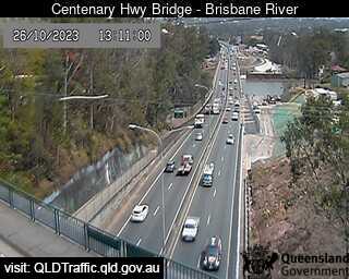
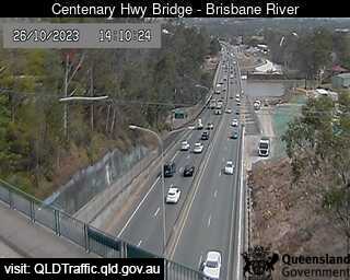
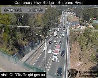
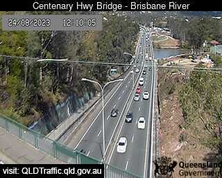
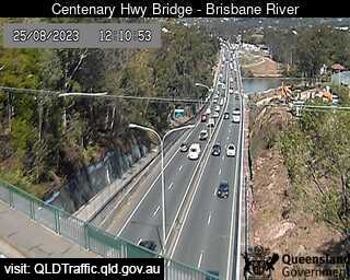
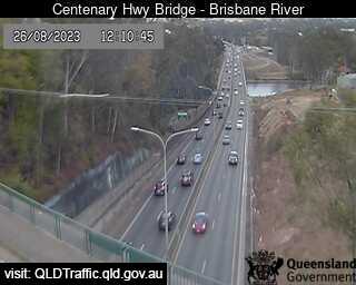
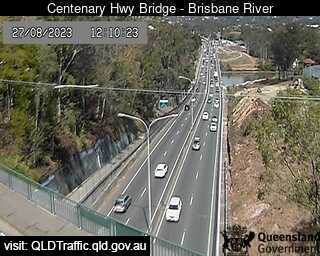
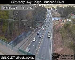
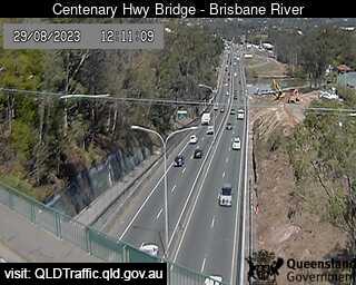
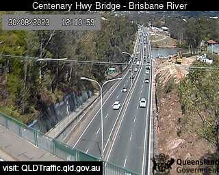
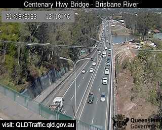
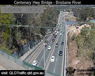
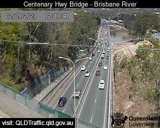
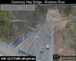
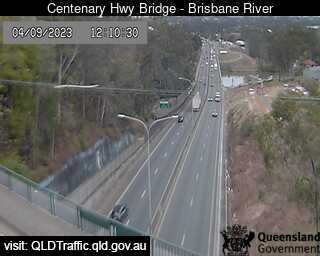
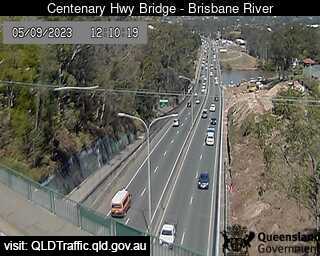
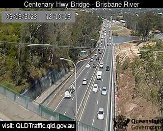
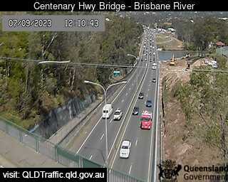
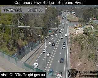
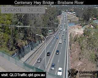
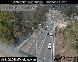
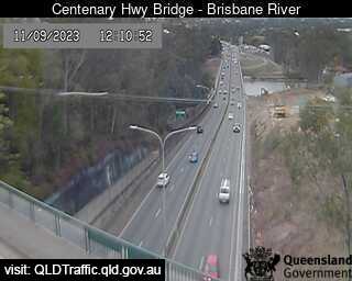
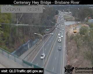
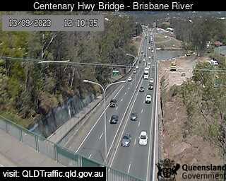
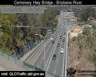
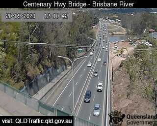
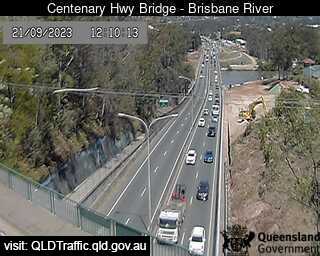
Fig Tree Pocket, Australia - 6.8 miles from Upper Brookfield: Centenary Highway Bridge - Brisbane River (South) - A view of the current traffic conditions.
Operator: Queensland Government - Department of Transport and Main Roads
Operator: Queensland Government - Department of Transport and Main Roads


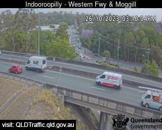
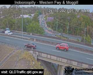
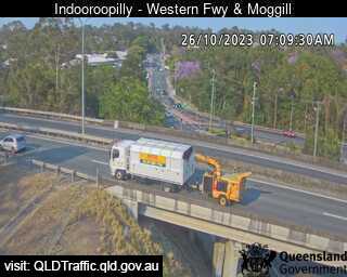
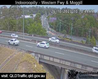
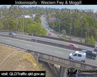
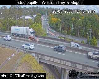
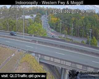
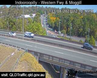
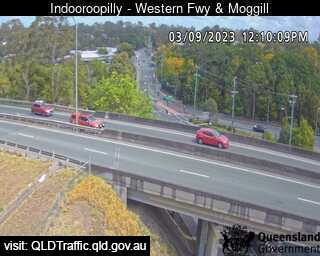
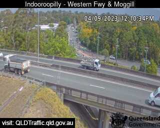
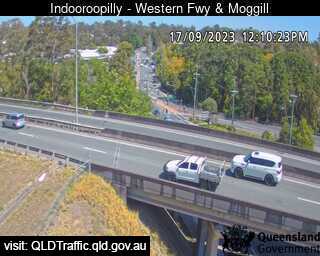
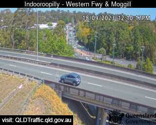
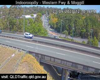
Indooroopilly, Australia - 7.1 miles from Upper Brookfield: Western Freeway and Moggill Road (West) - A view of the current traffic conditions.
Operator: Queensland Government - Department of Transport and Main Roads
Operator: Queensland Government - Department of Transport and Main Roads


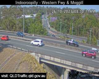
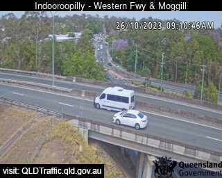
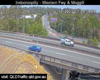
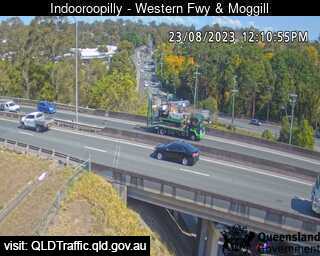
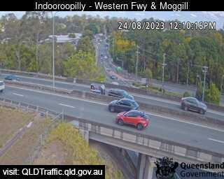
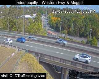
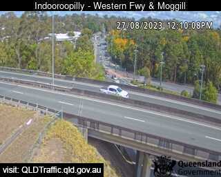
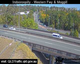
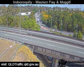
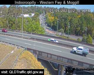
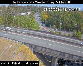


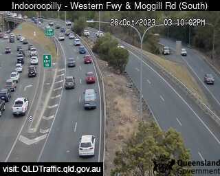
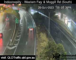
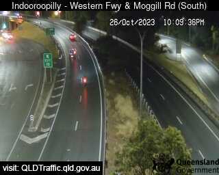
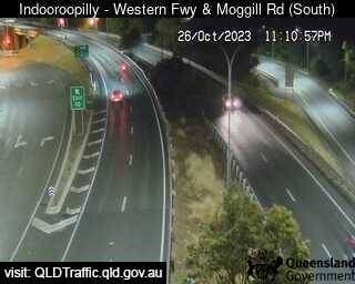
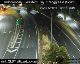
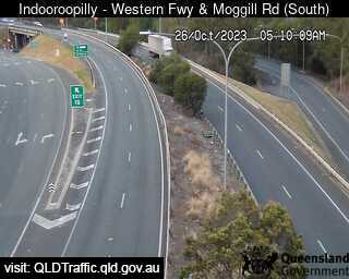
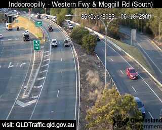
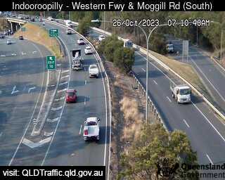
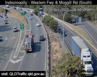
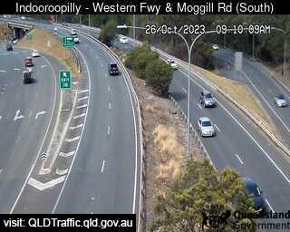
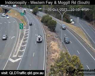
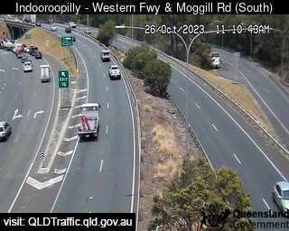
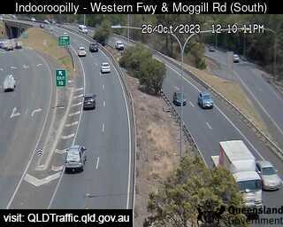
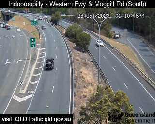
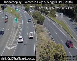
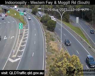
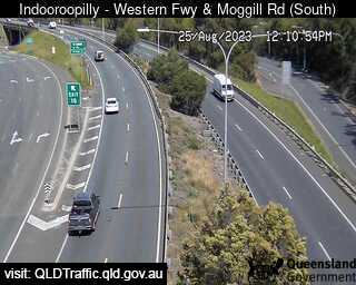
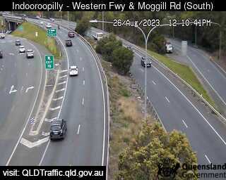
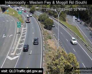
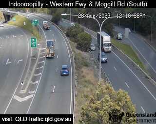
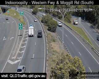
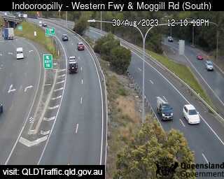
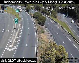
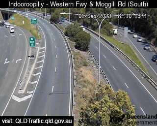
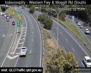
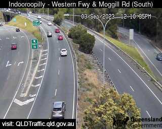
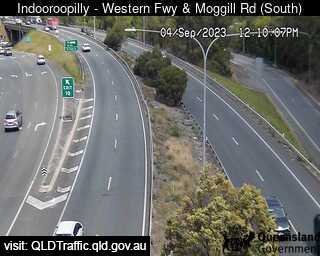
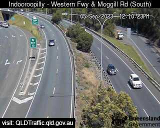
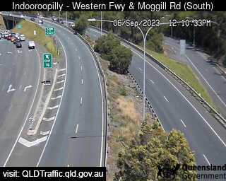
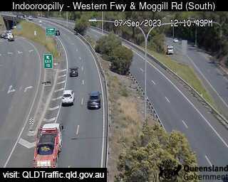
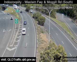
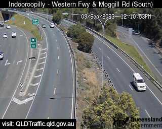
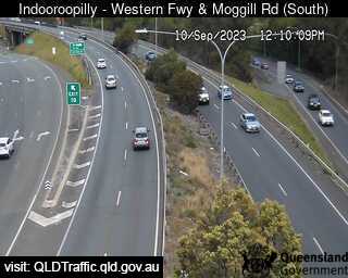
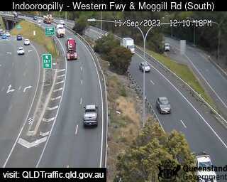
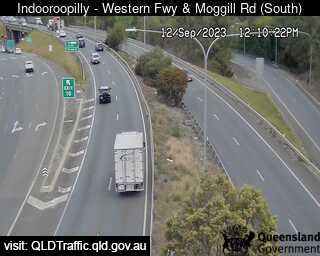
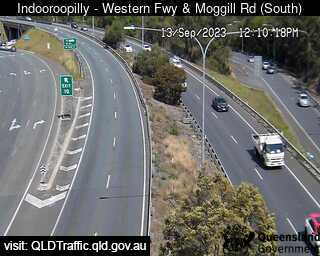
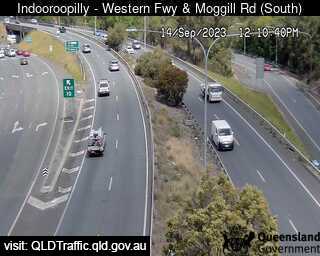
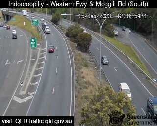
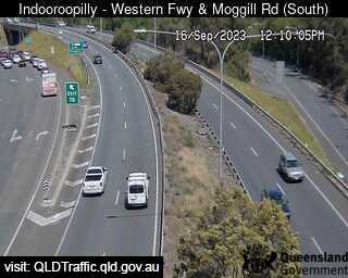
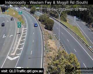
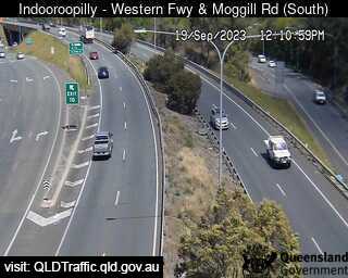
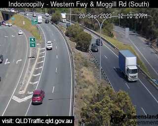
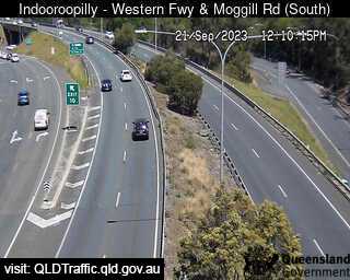
Indooroopilly, Australia - 7.1 miles from Upper Brookfield: Western Freeway and Moggill Road (South) - A view of the current traffic conditions.
Operator: Queensland Government - Department of Transport and Main Roads
Operator: Queensland Government - Department of Transport and Main Roads


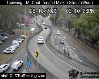
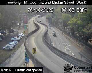
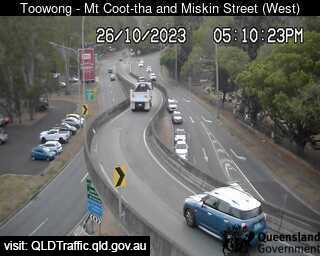
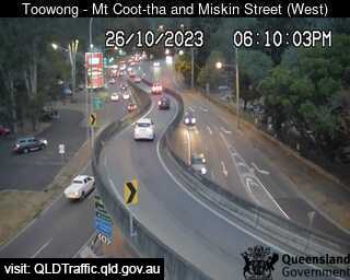
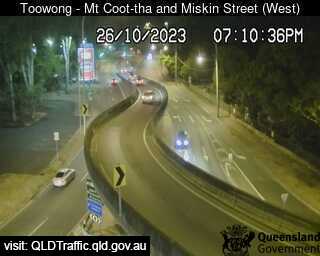
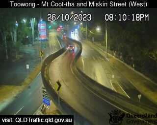
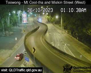
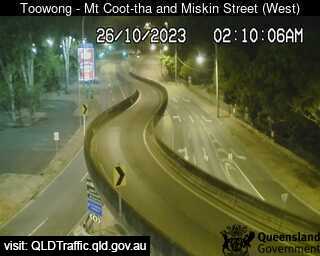
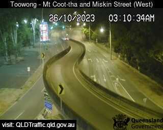
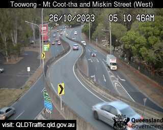
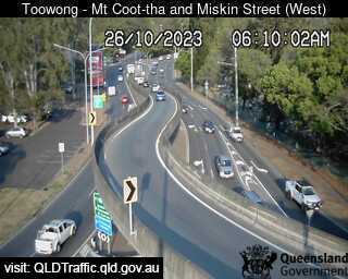
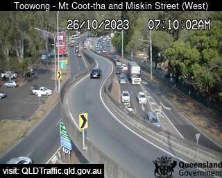
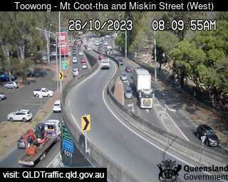
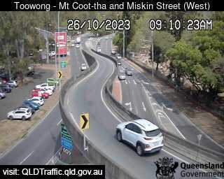
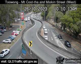
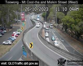
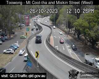
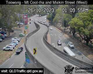
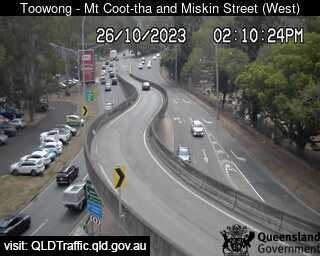
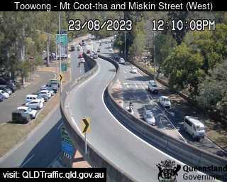
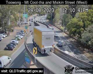
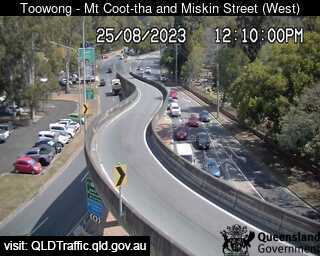
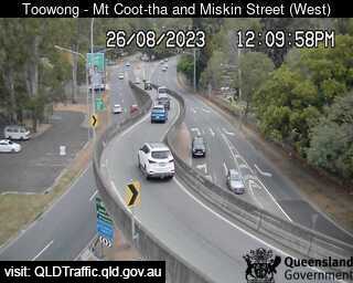
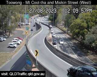
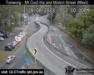
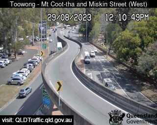
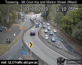
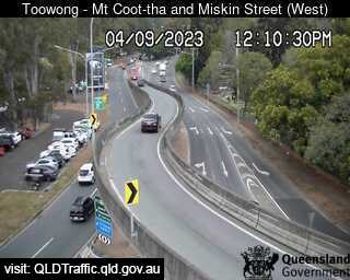
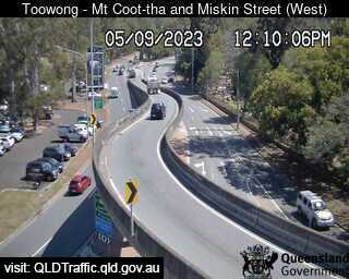
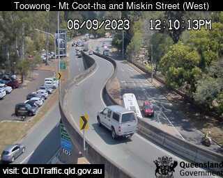
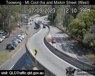
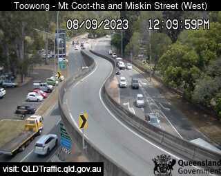
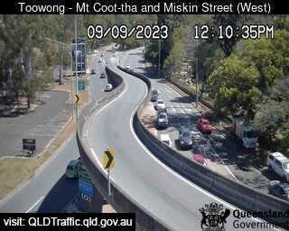
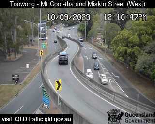
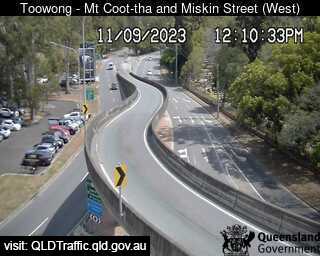
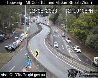
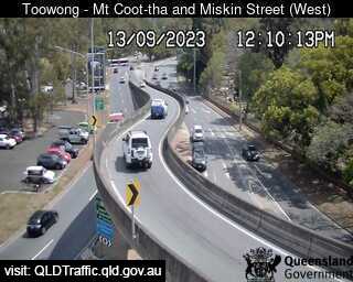
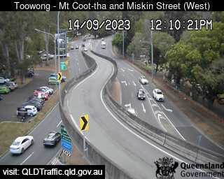
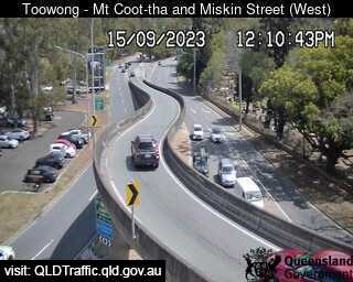
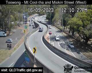
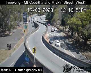
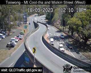
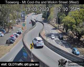
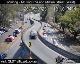
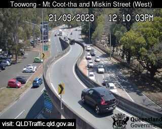
Toowong, Australia - 7.6 miles from Upper Brookfield: Mount Cootha and Miskin Street (West) - A view of the current traffic conditions.
Operator: Queensland Government - Department of Transport and Main Roads
Operator: Queensland Government - Department of Transport and Main Roads


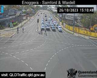
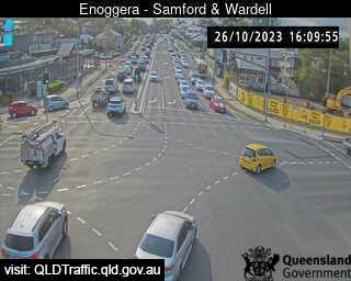
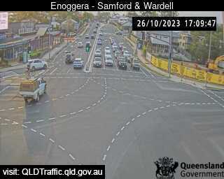
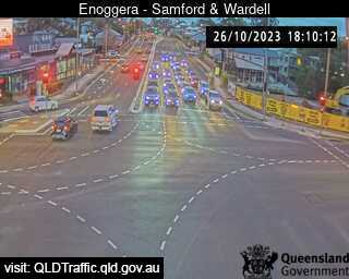
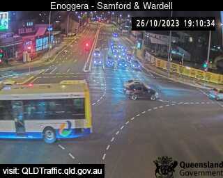
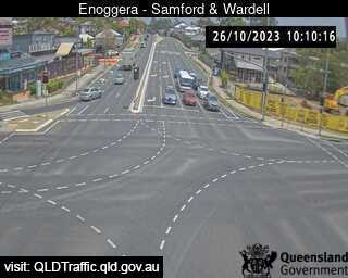
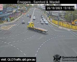
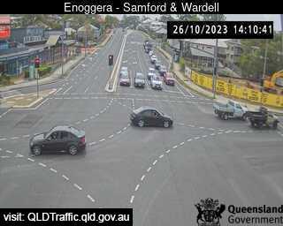
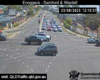
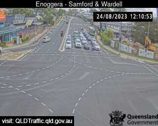
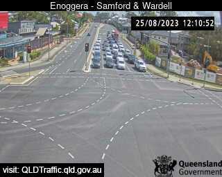
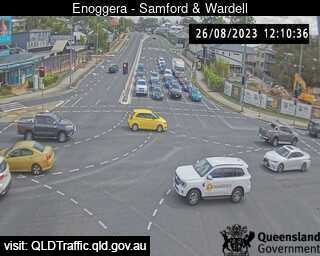
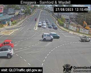
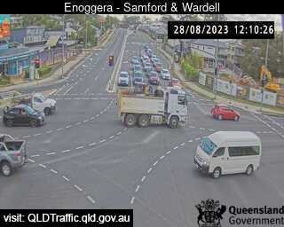
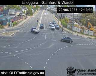
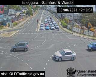
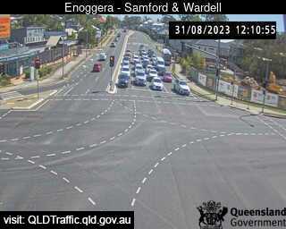
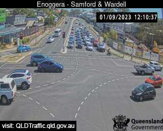
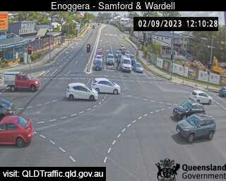
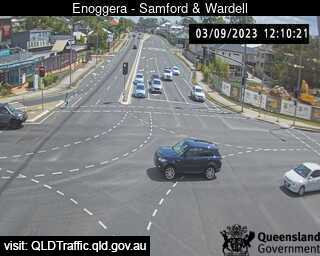
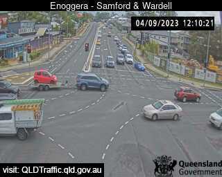
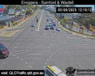
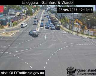
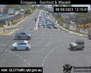
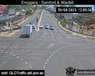
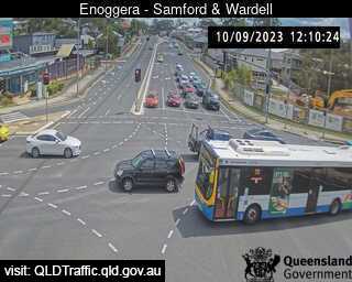
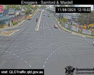
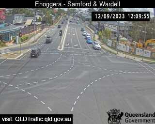
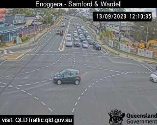
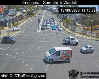
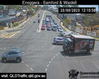
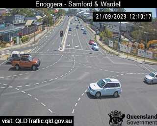
Enoggera, Australia - 8.2 miles from Upper Brookfield: Samford Road and Wardell Street (West) - A view of the current traffic conditions.
Operator: Queensland Government - Department of Transport and Main Roads
Operator: Queensland Government - Department of Transport and Main Roads


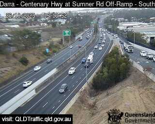
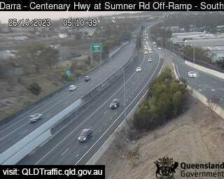
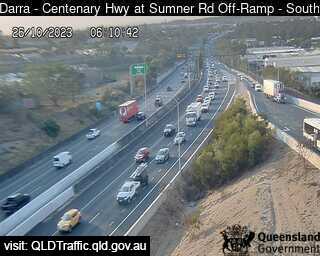
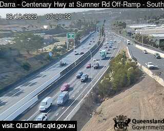
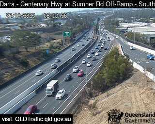
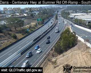
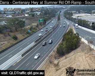
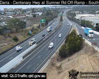
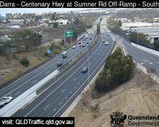
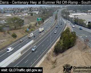
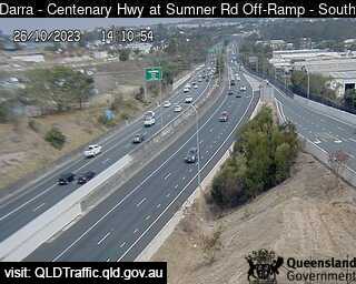
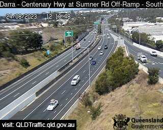
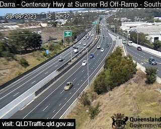
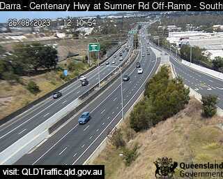
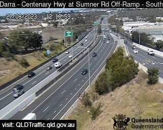
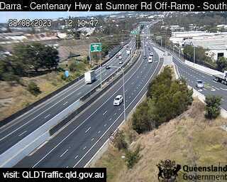
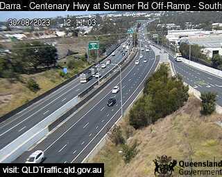
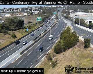
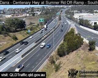
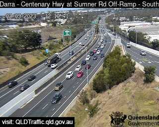
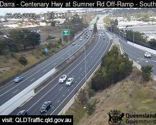
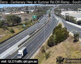
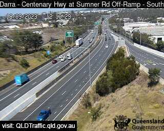
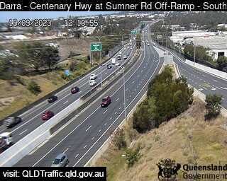
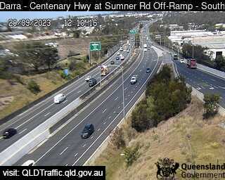
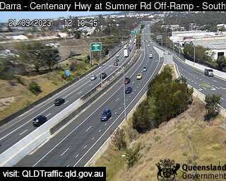
Darra, Australia - 8.7 miles from Upper Brookfield: Centenary Motorway - Ipswich Motorway (North) - A view of the current traffic conditions.
Operator: Queensland Government - Department of Transport and Main Roads
Operator: Queensland Government - Department of Transport and Main Roads


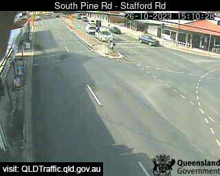
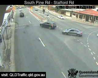
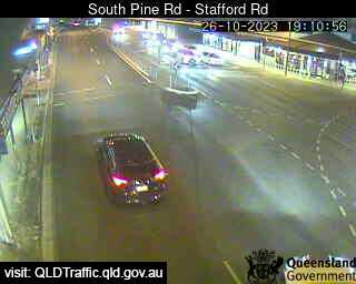
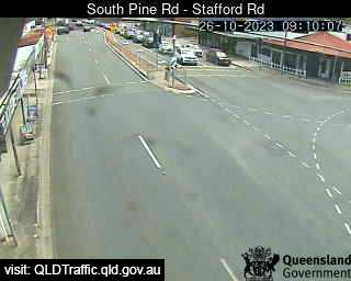
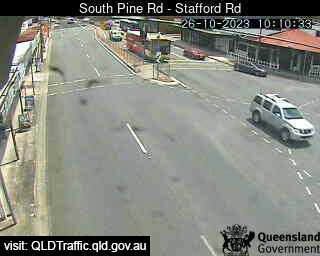
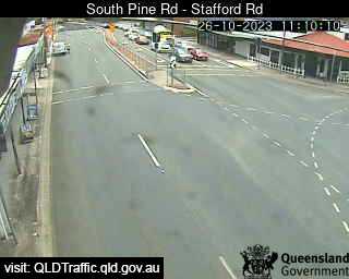
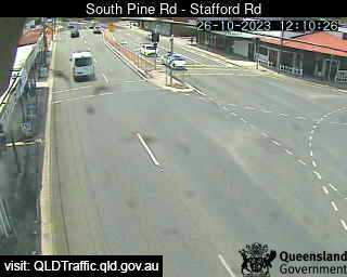
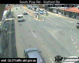
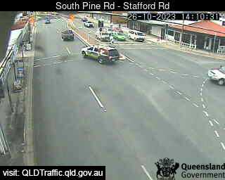
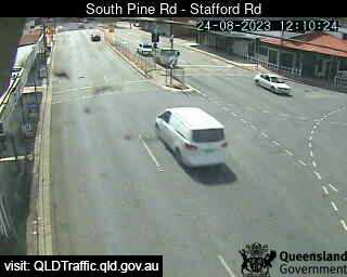
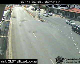
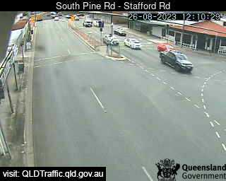
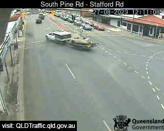
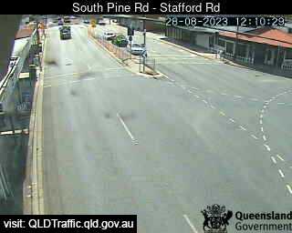
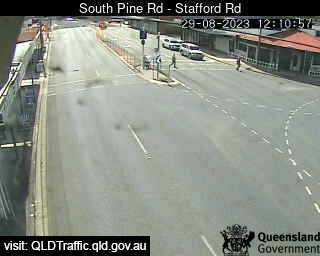
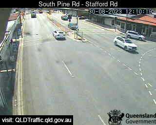
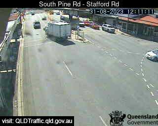
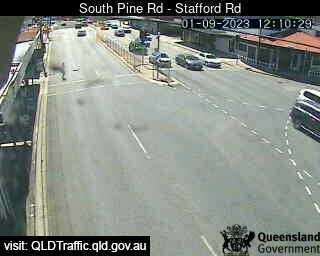
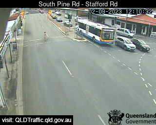
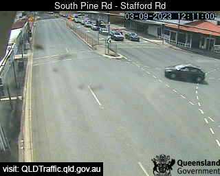
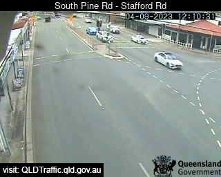
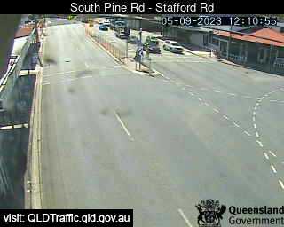
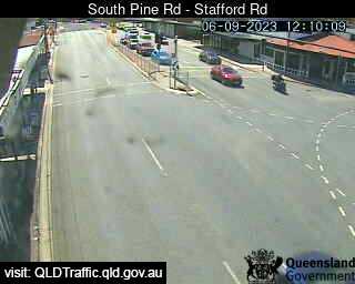
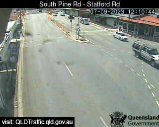
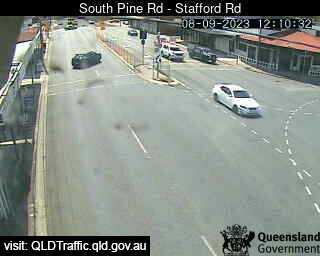
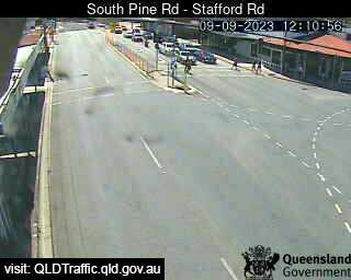
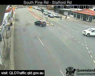
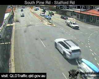
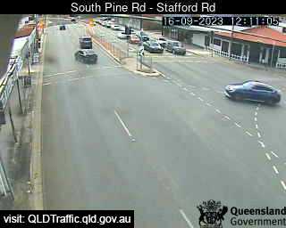
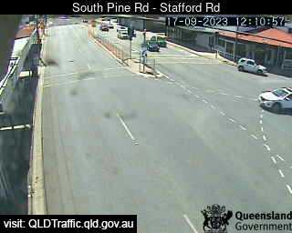
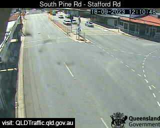
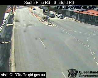
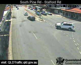
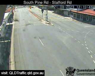
Everton Park, Australia - 8.7 miles from Upper Brookfield: South Pine Road - Stafford Road (North) - A view of the current traffic conditions.
Operator: Queensland Government - Department of Transport and Main Roads
Operator: Queensland Government - Department of Transport and Main Roads


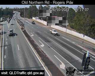
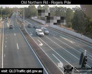
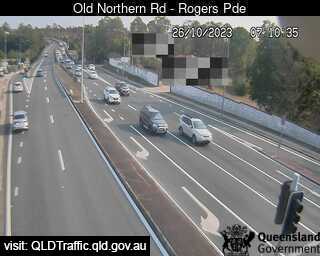
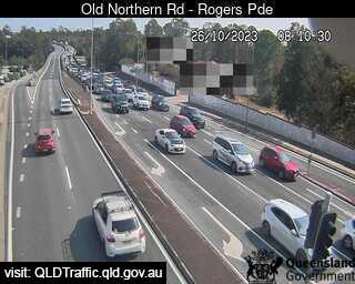
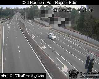
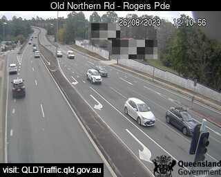
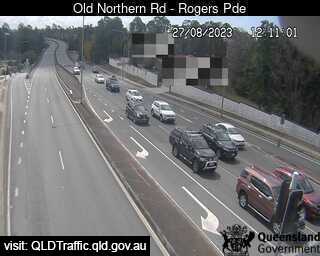
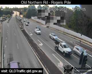
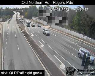
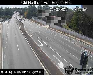
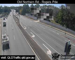
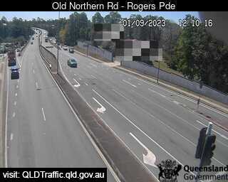
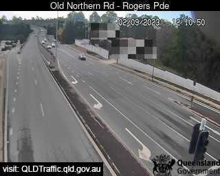
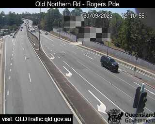
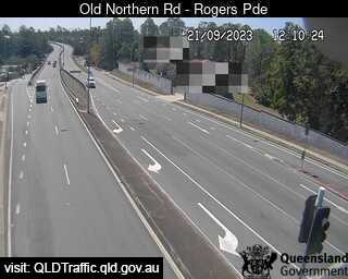
Everton Park, Australia - 8.7 miles from Upper Brookfield: Old Northern Road - A view of the current traffic conditions.
Operator: Queensland Government - Department of Transport and Main Roads
Operator: Queensland Government - Department of Transport and Main Roads


Dinmore, Australia - 9 miles from Upper Brookfield: Ipswich Motorway and Warrego Highway (East) - A view of the current traffic conditions.
Operator: Queensland Government - Department of Transport and Main Roads
Operator: Queensland Government - Department of Transport and Main Roads


Some other places in this country: Upper Bowman - Upper Burragorang - Upper Burringbar - Upper Caboolture - Upper Castra - Upper Colo - Upper Coomera - Upper Diamond Creek - Upper Dromedary - Upper Duroby