Webcams in the region of Peacebourne, Australia
The List of Webcams near Peacebourne, Australia:

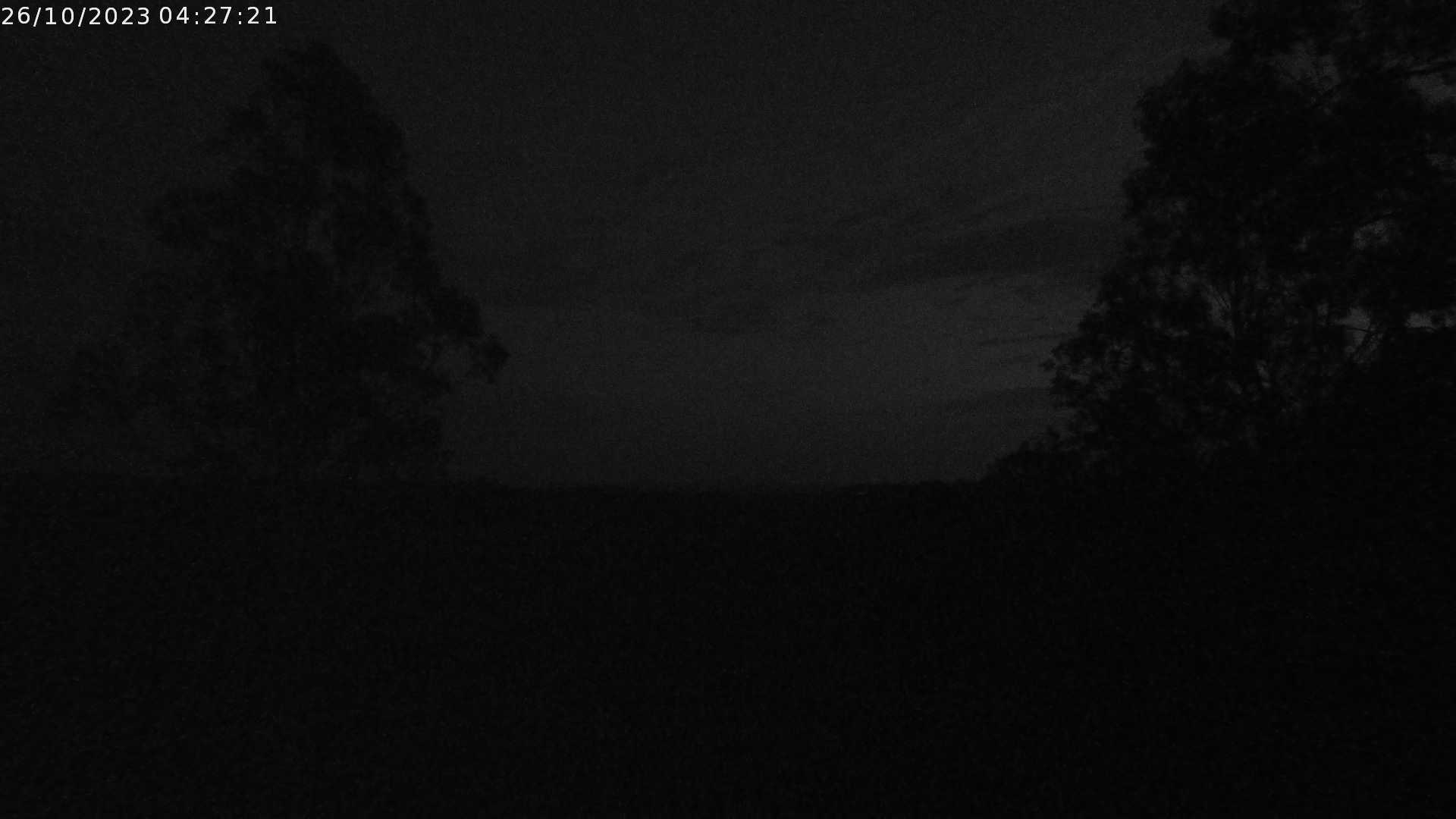
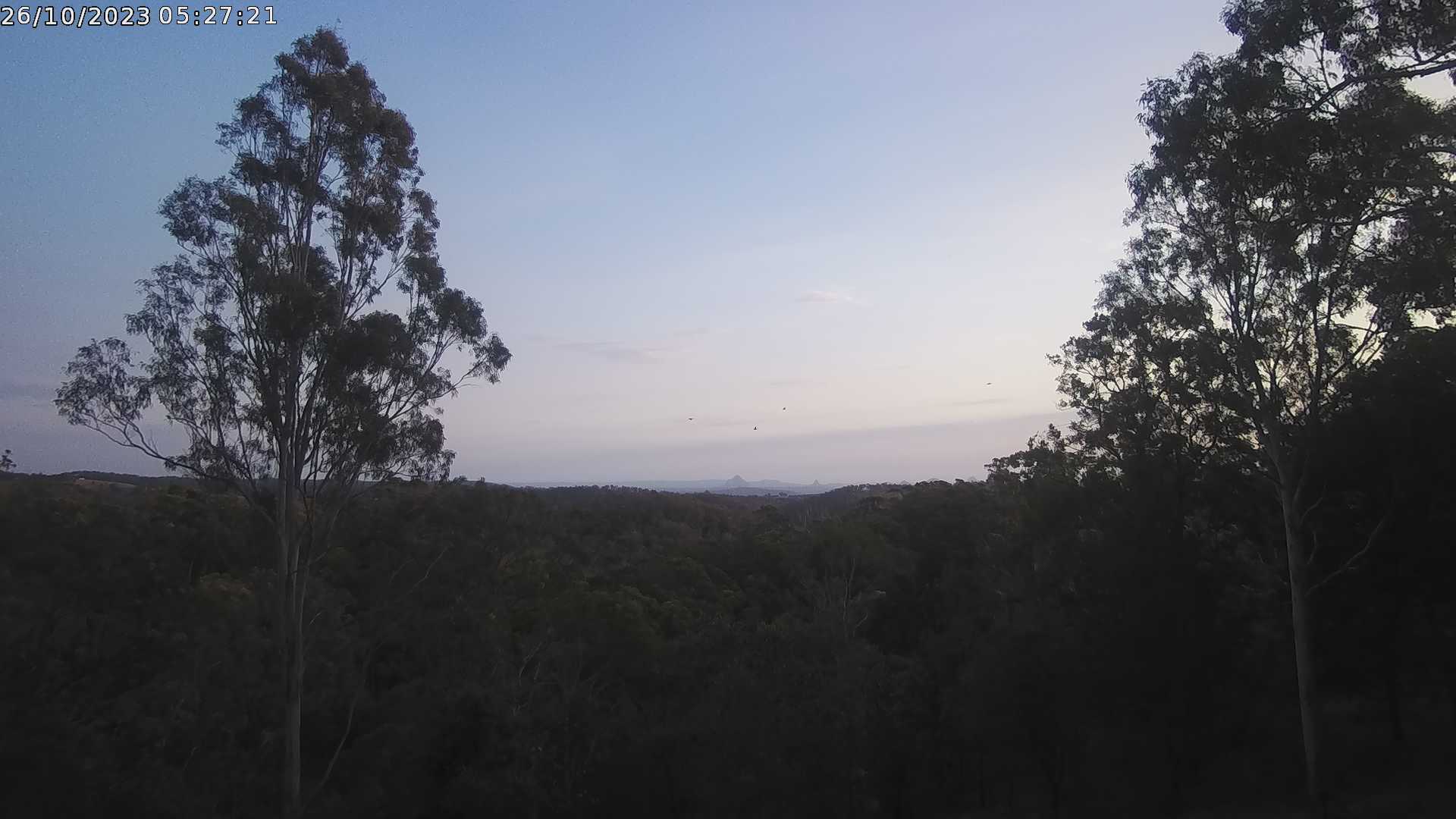
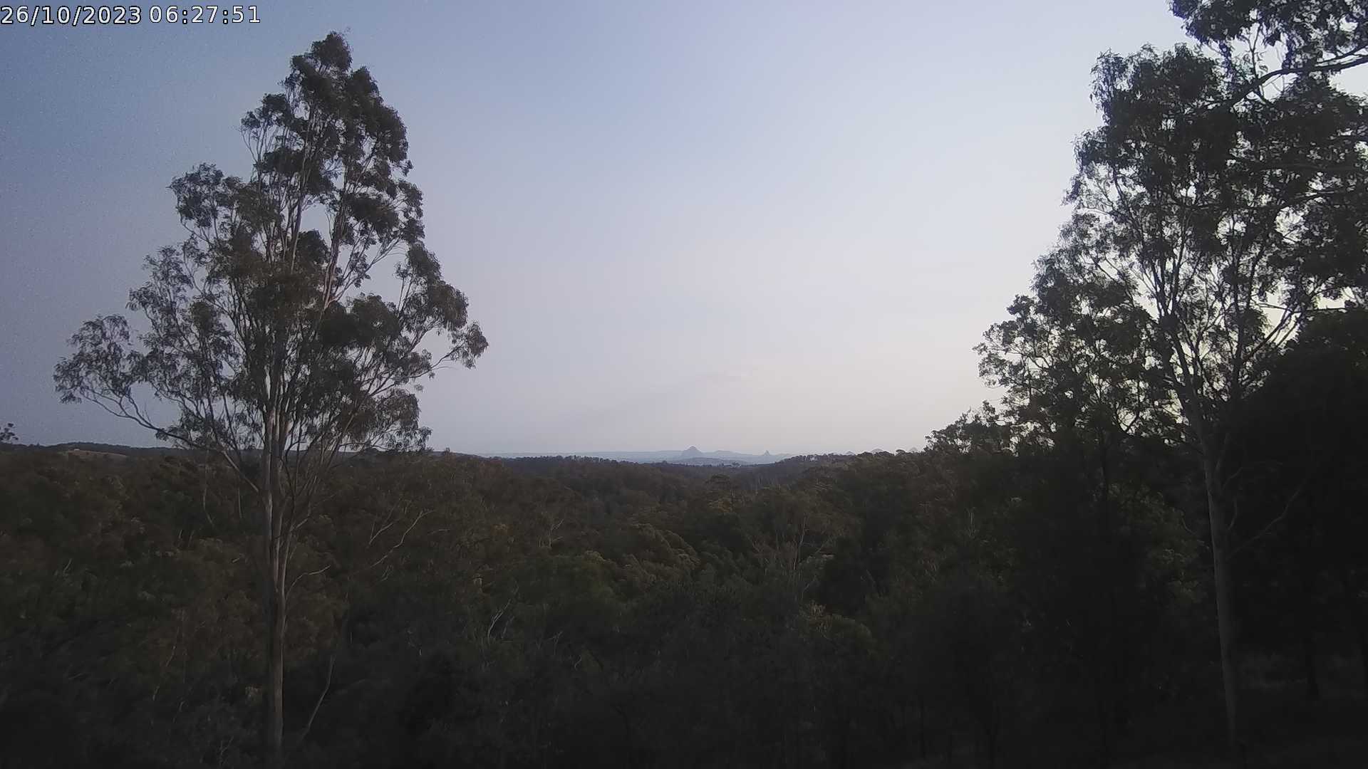
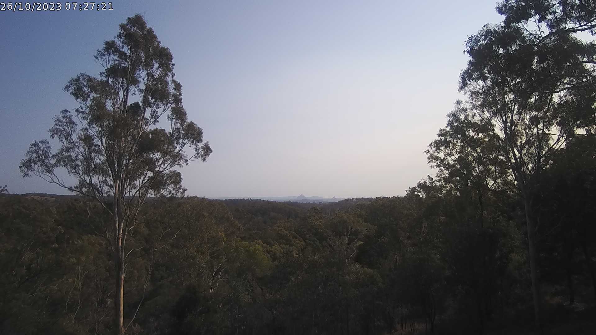
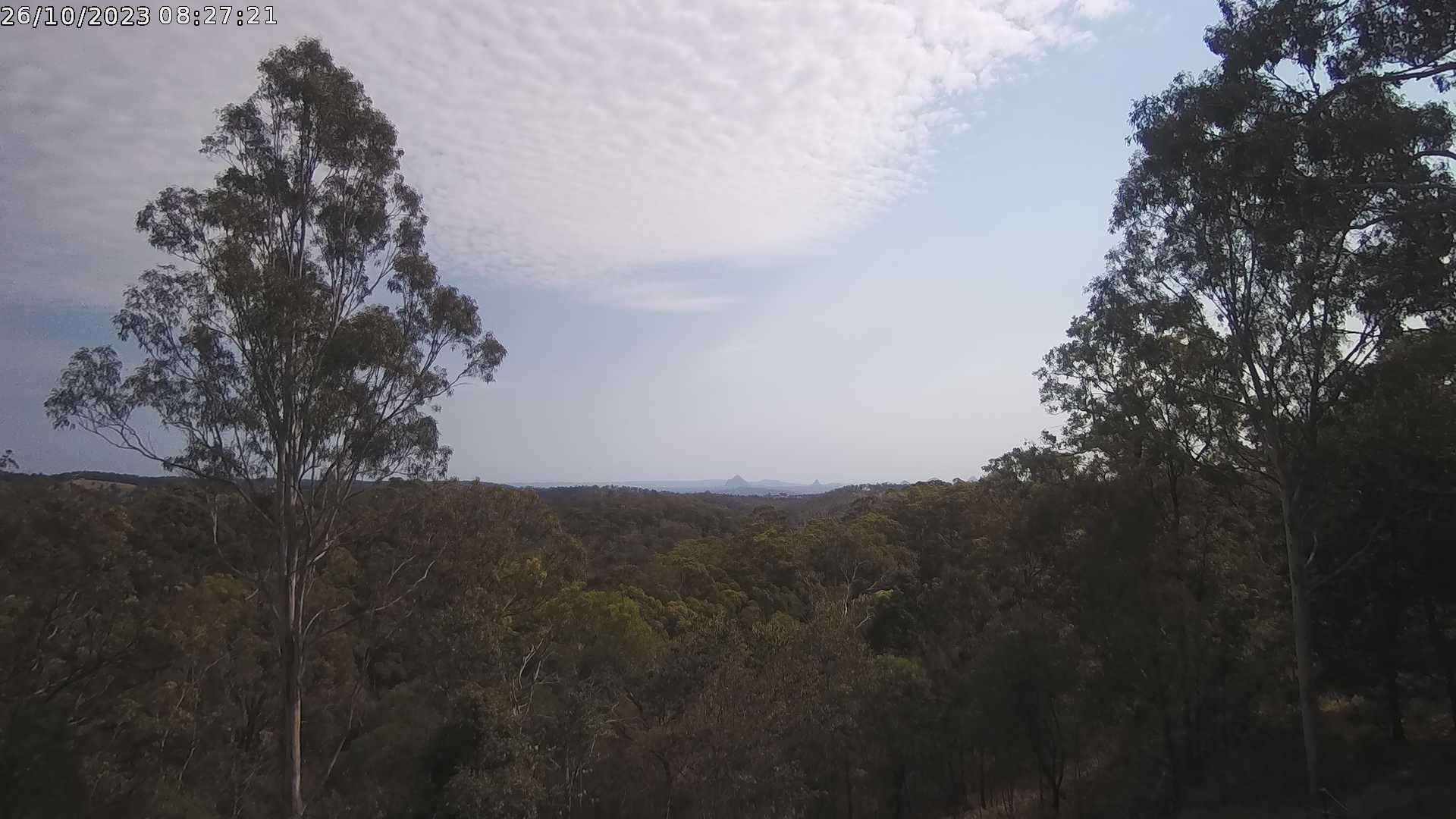
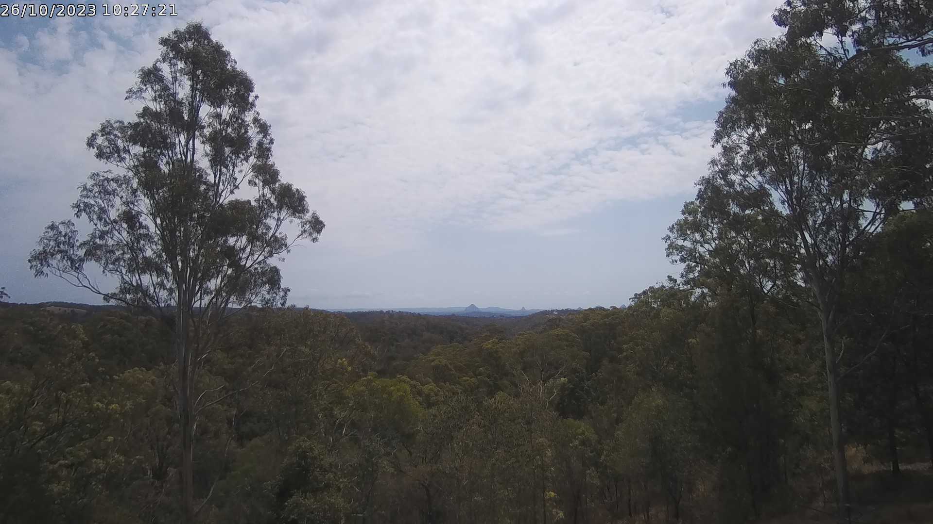
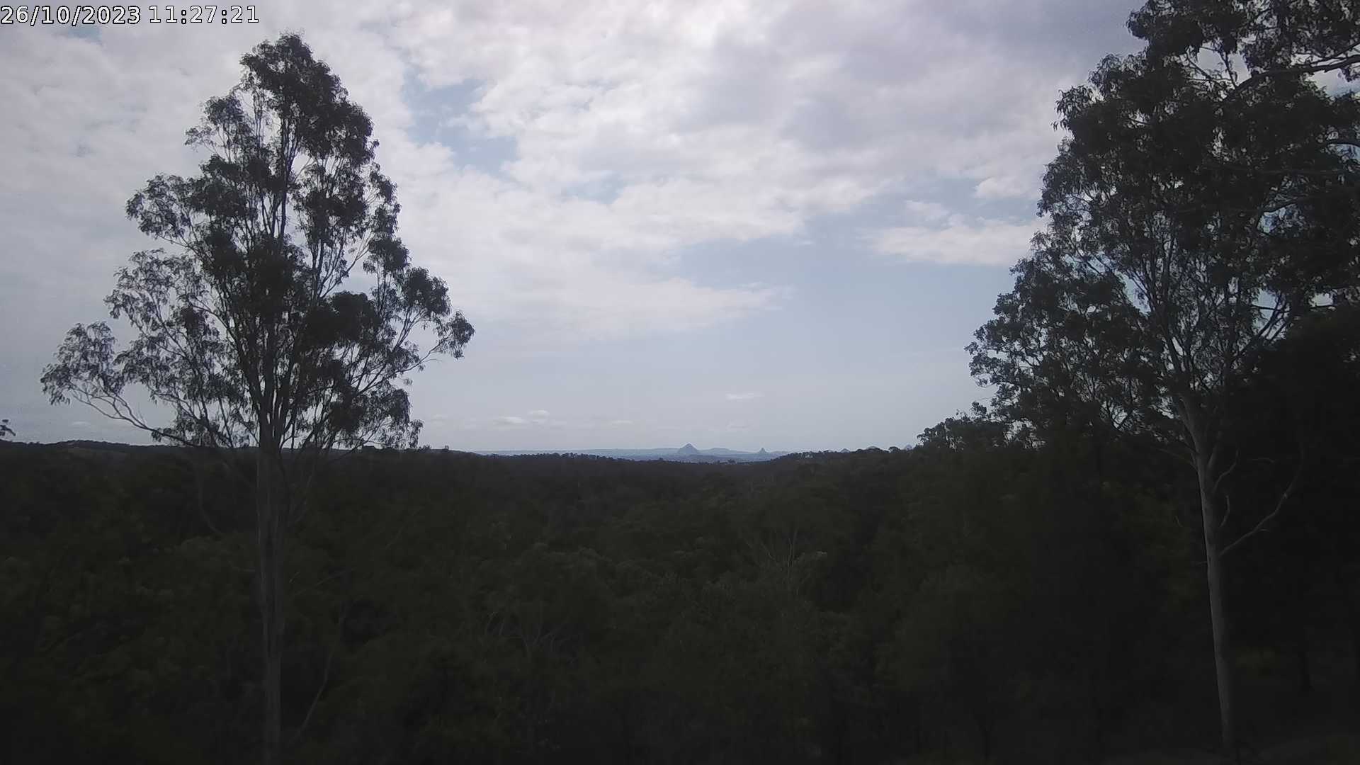
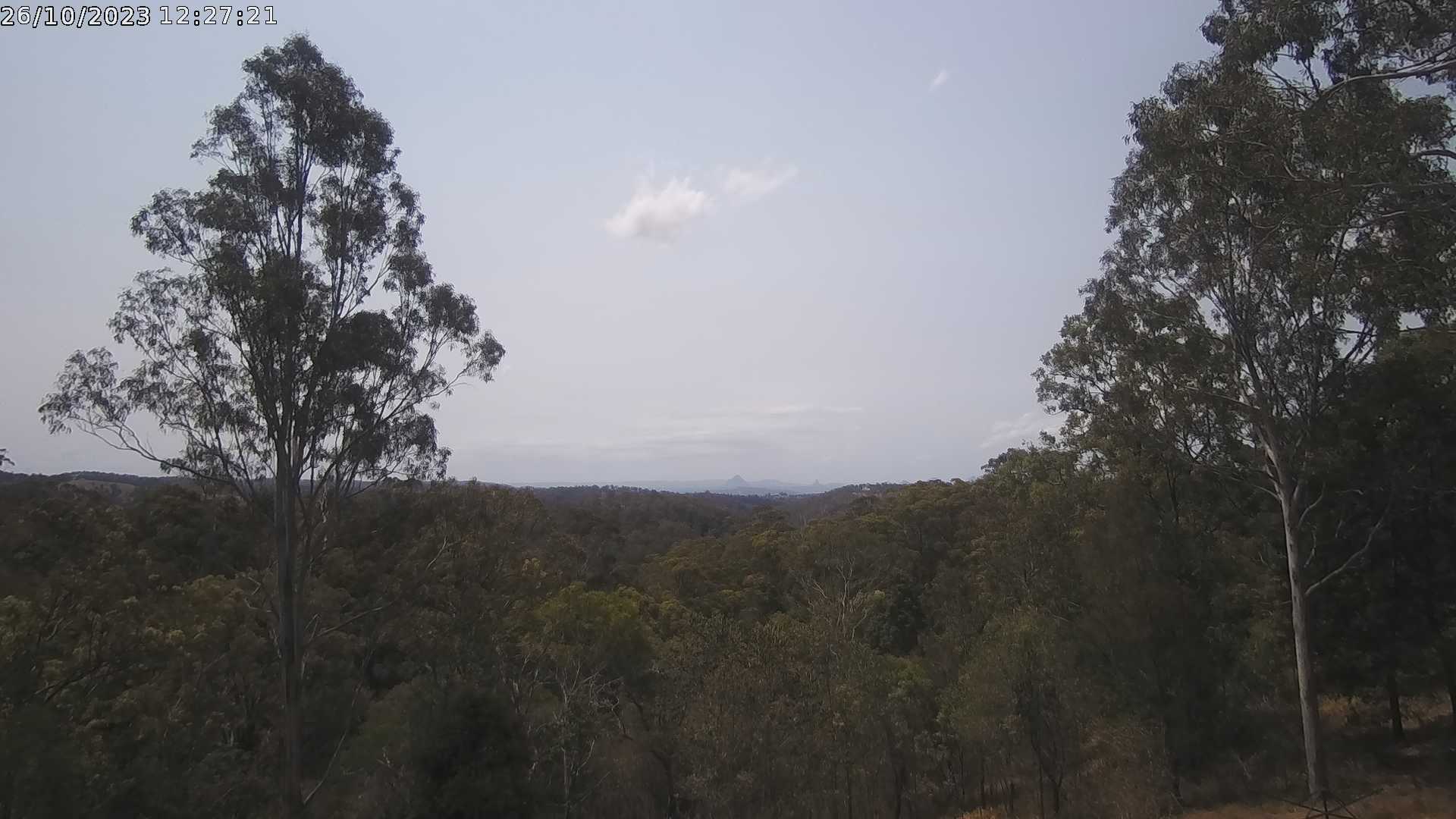
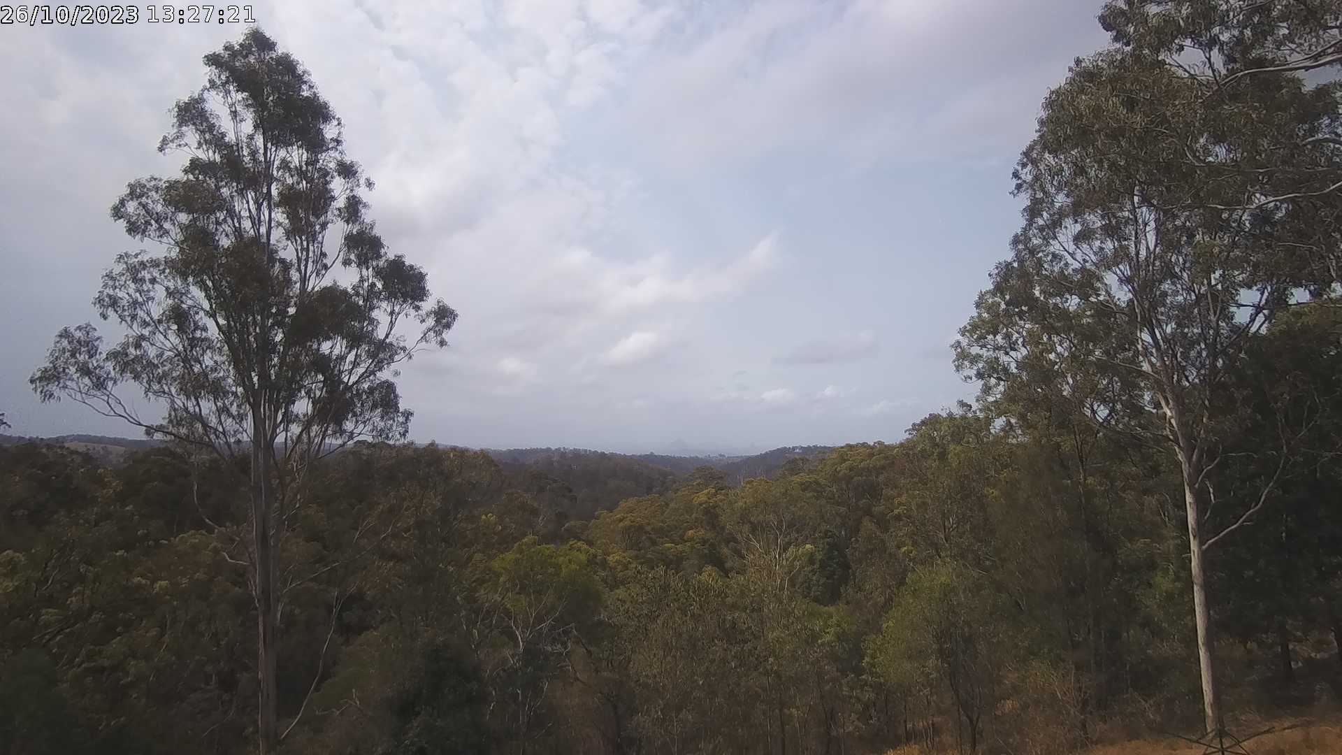
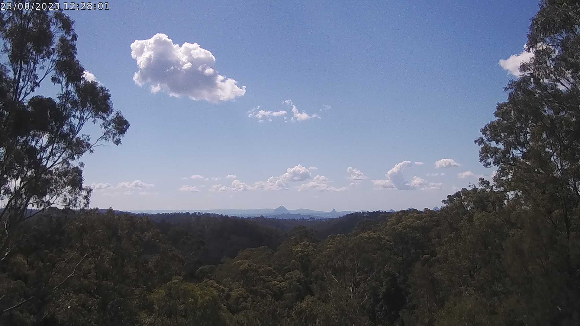
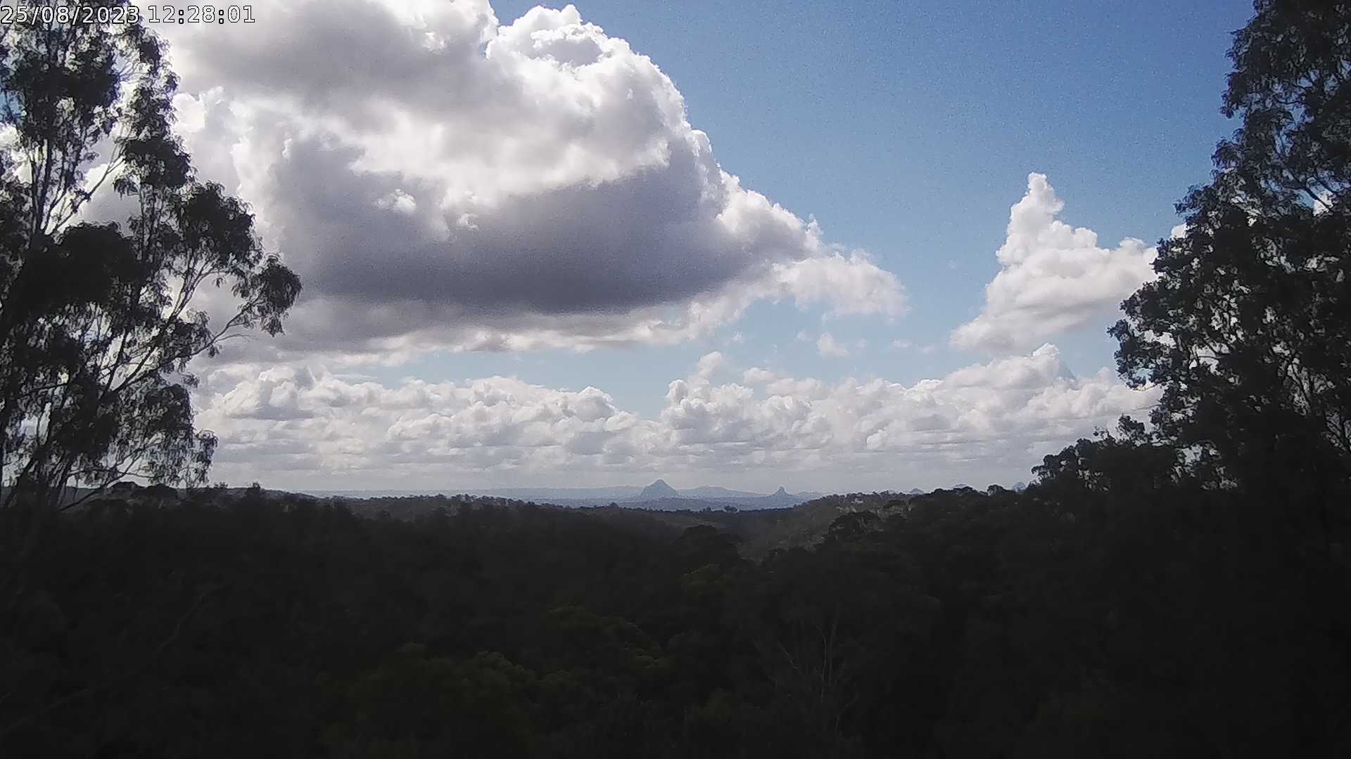
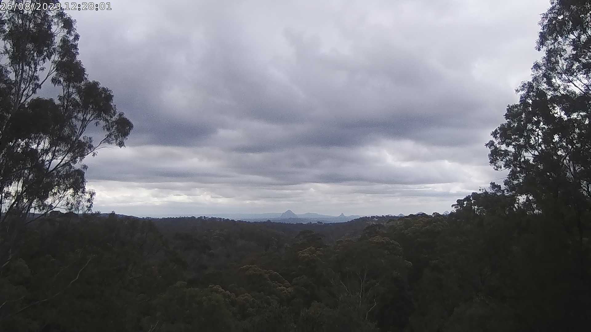
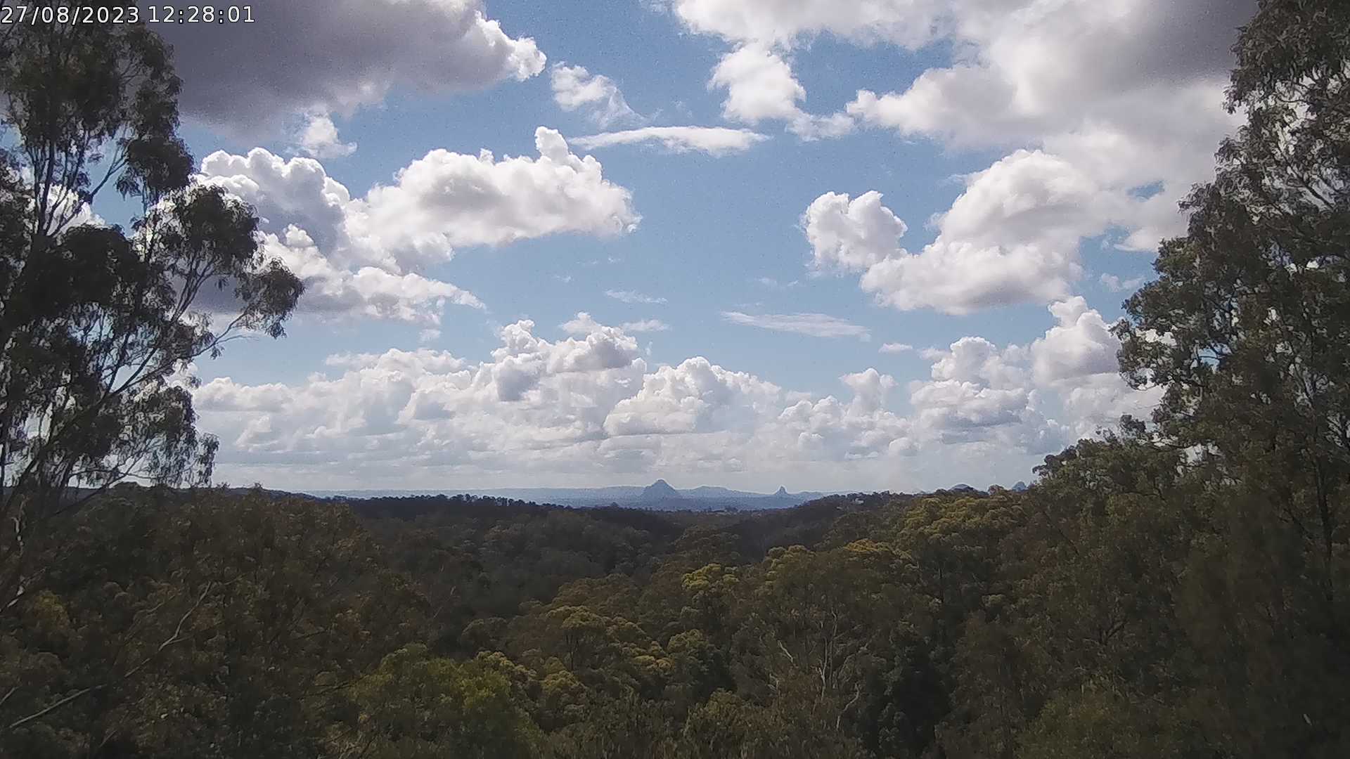
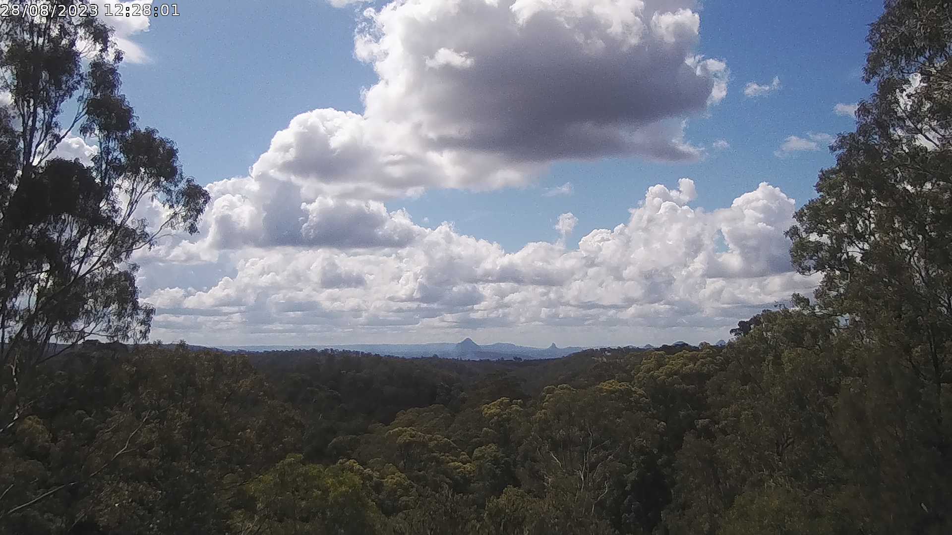
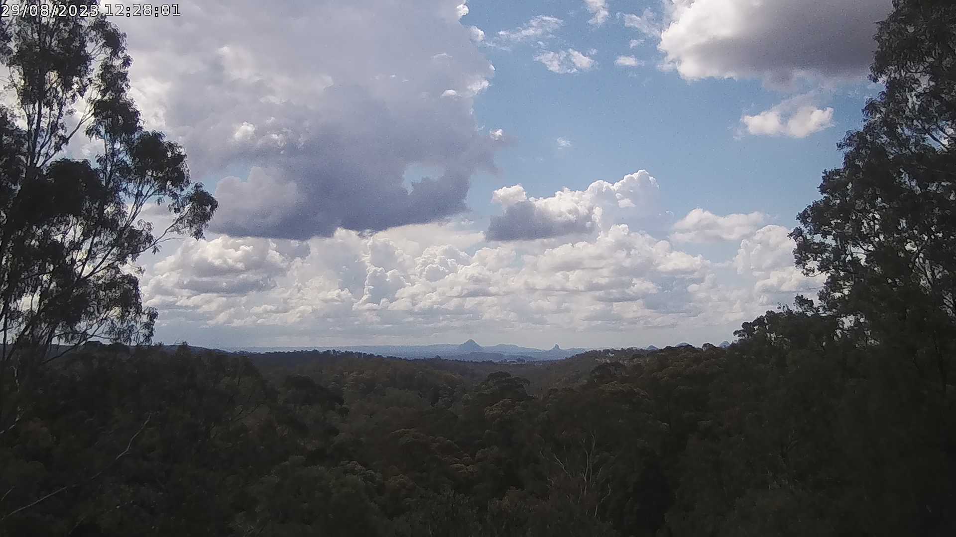
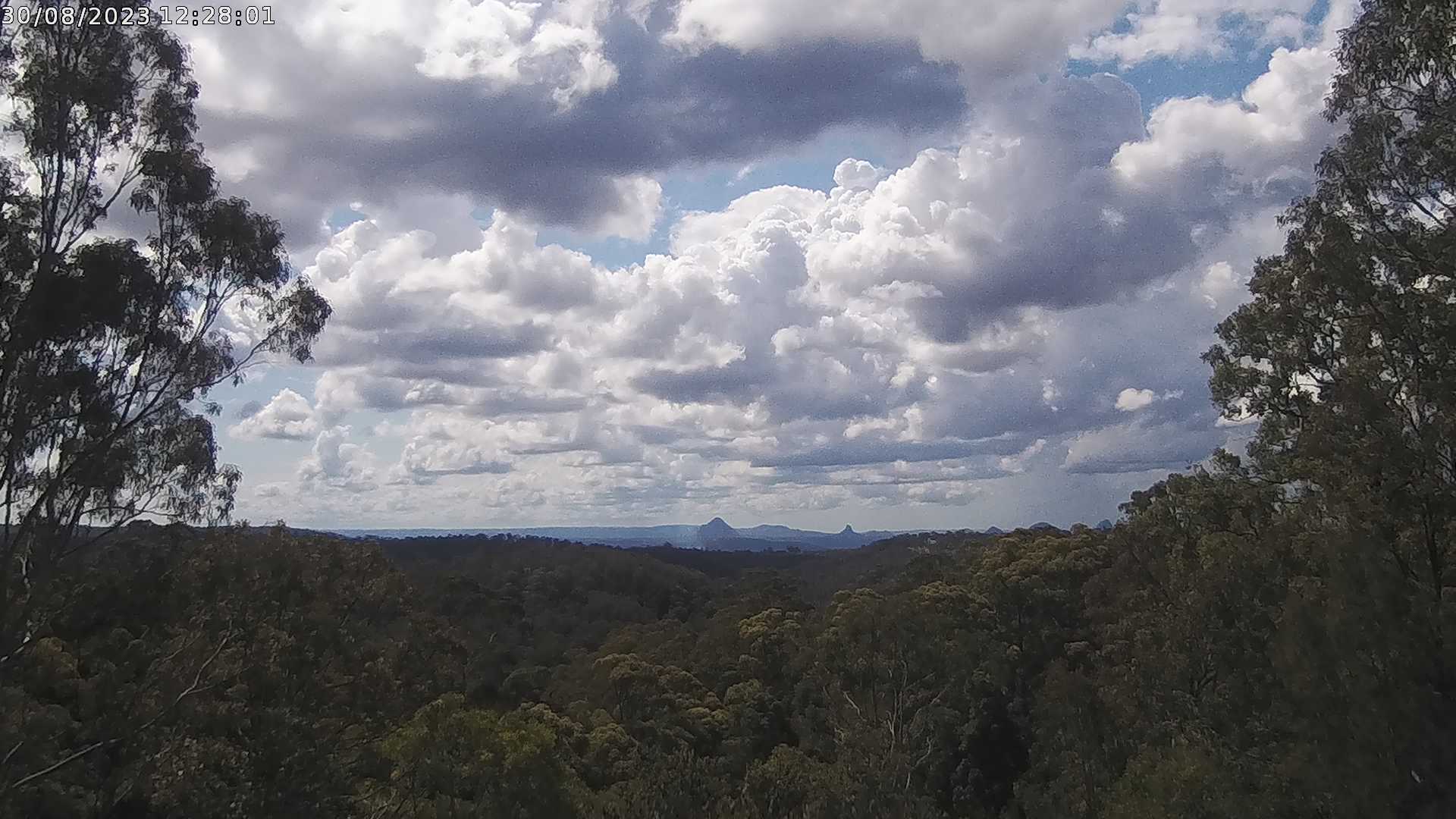
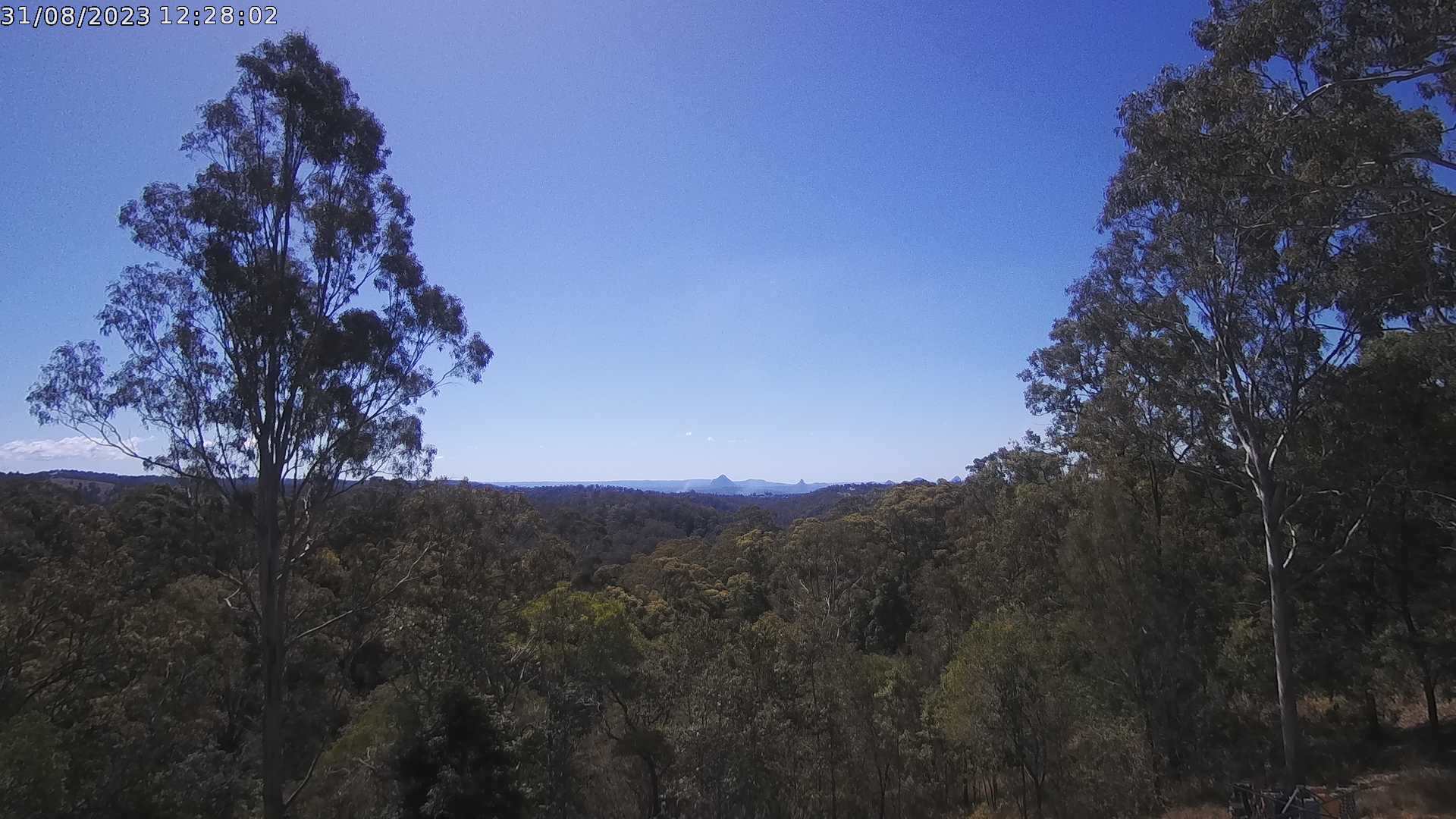
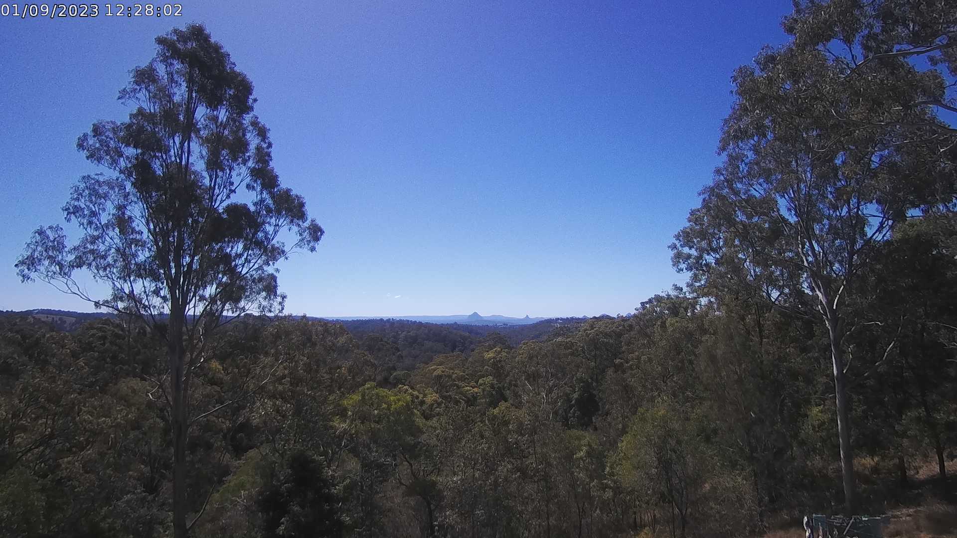
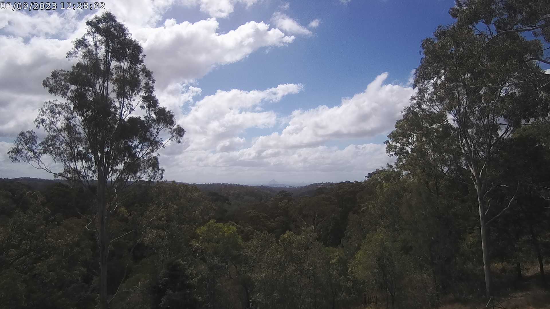
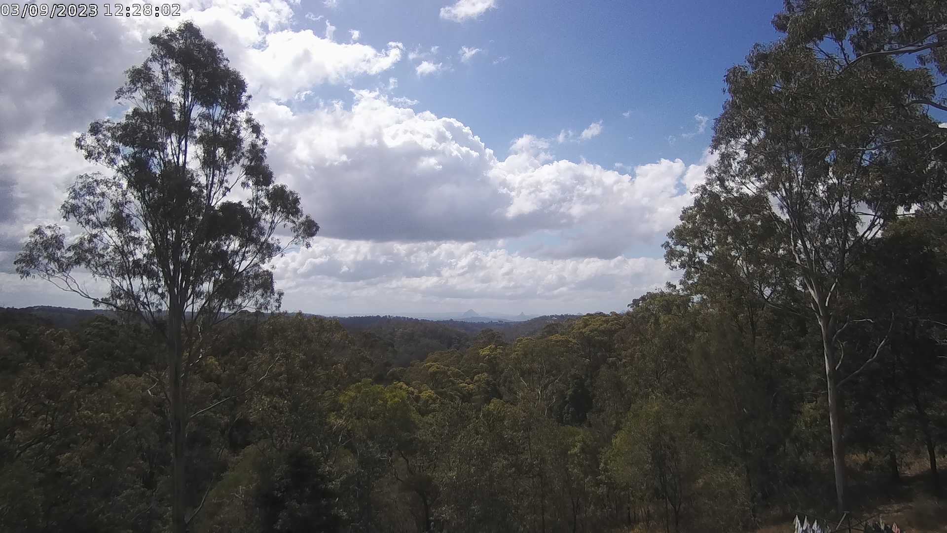
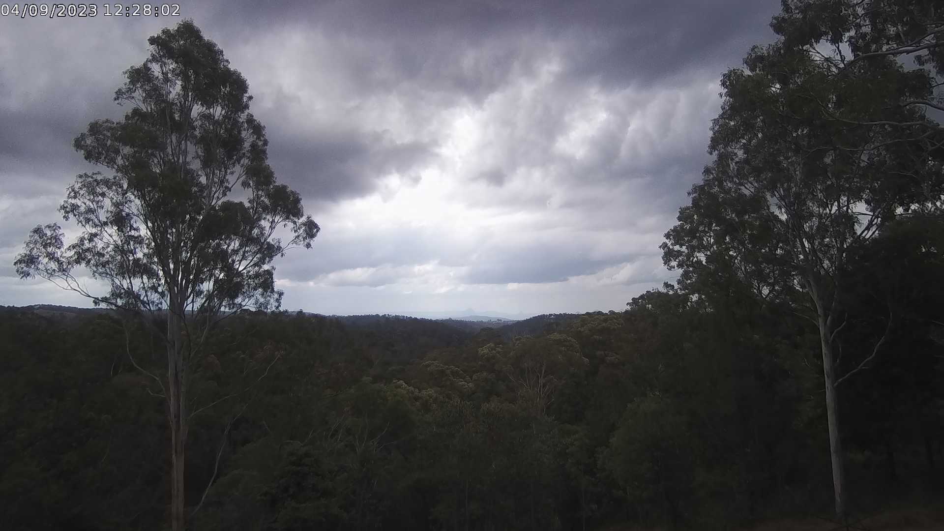
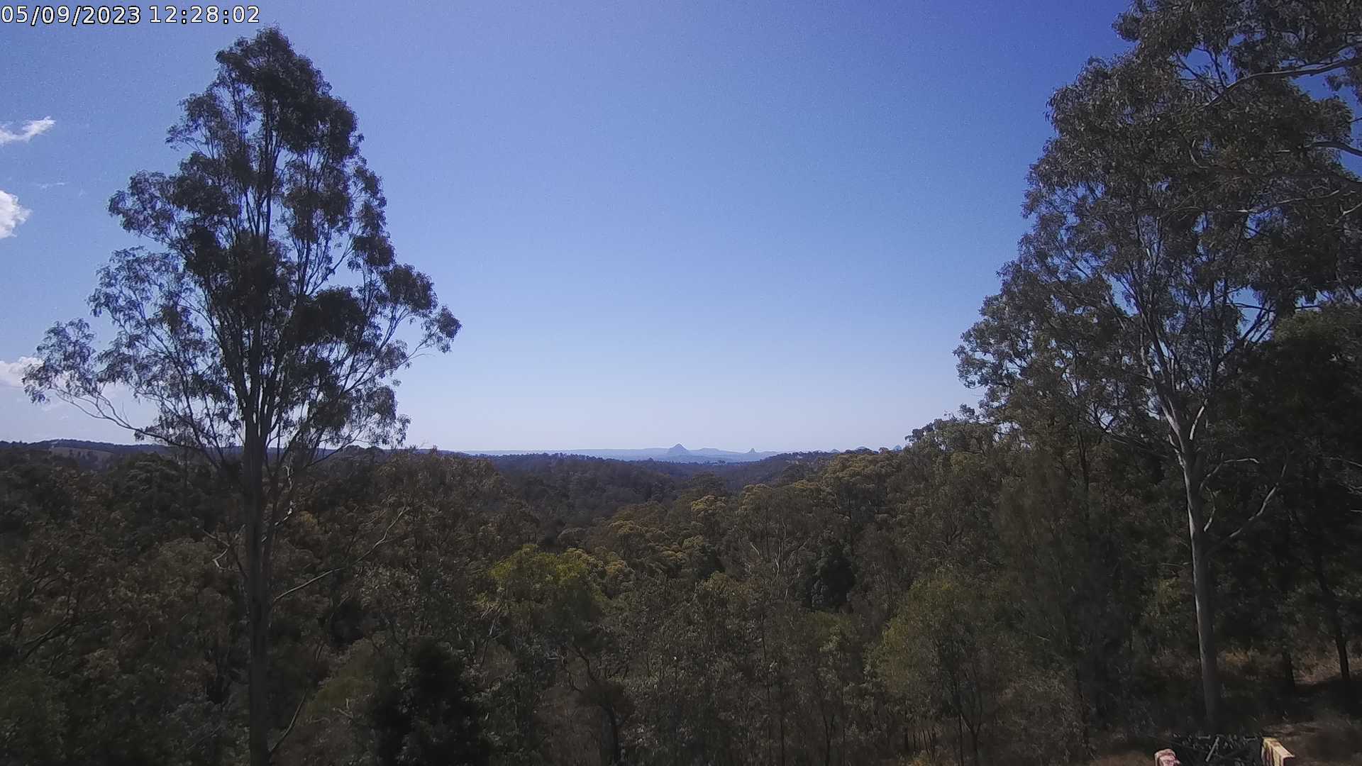
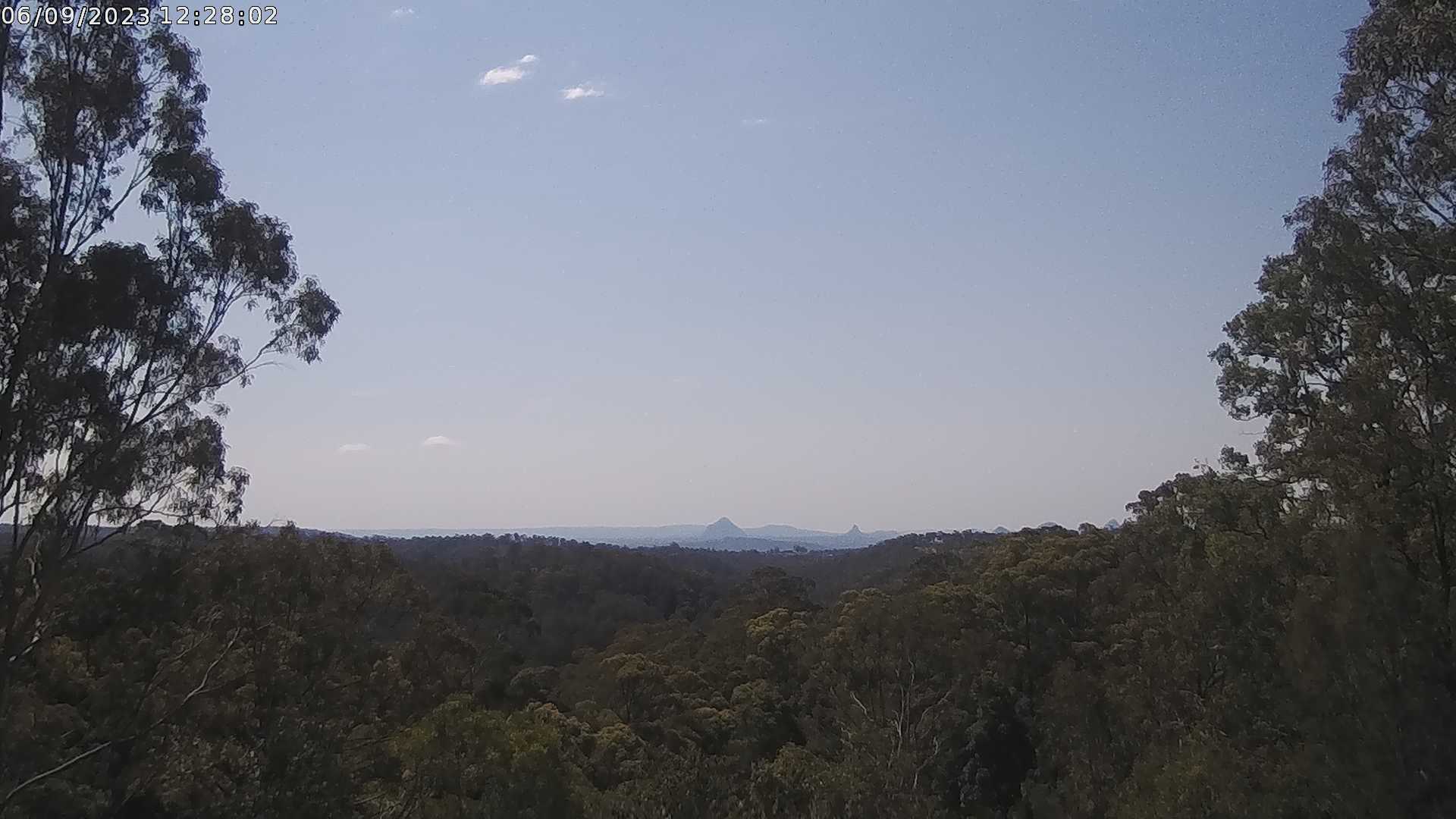
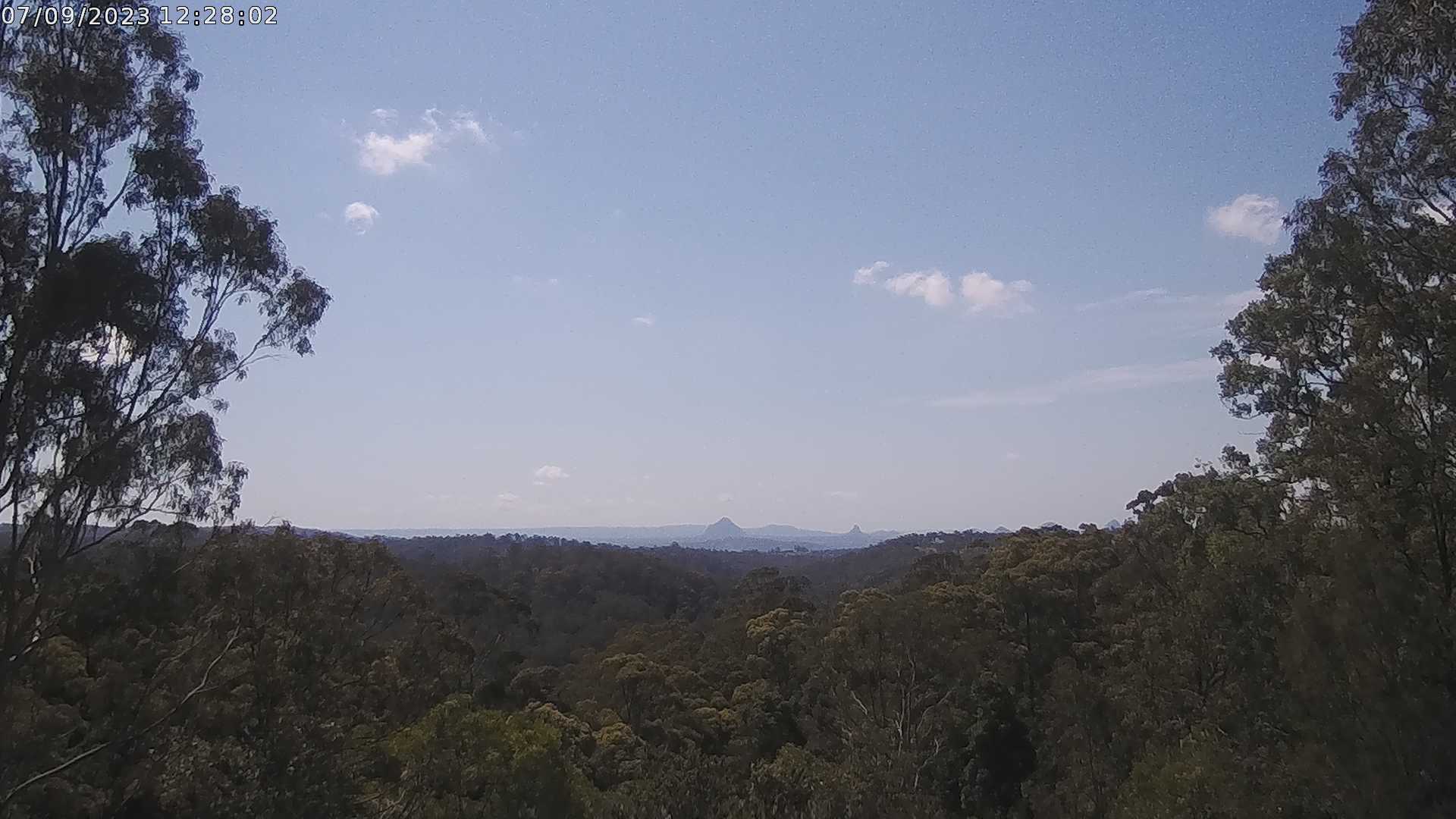
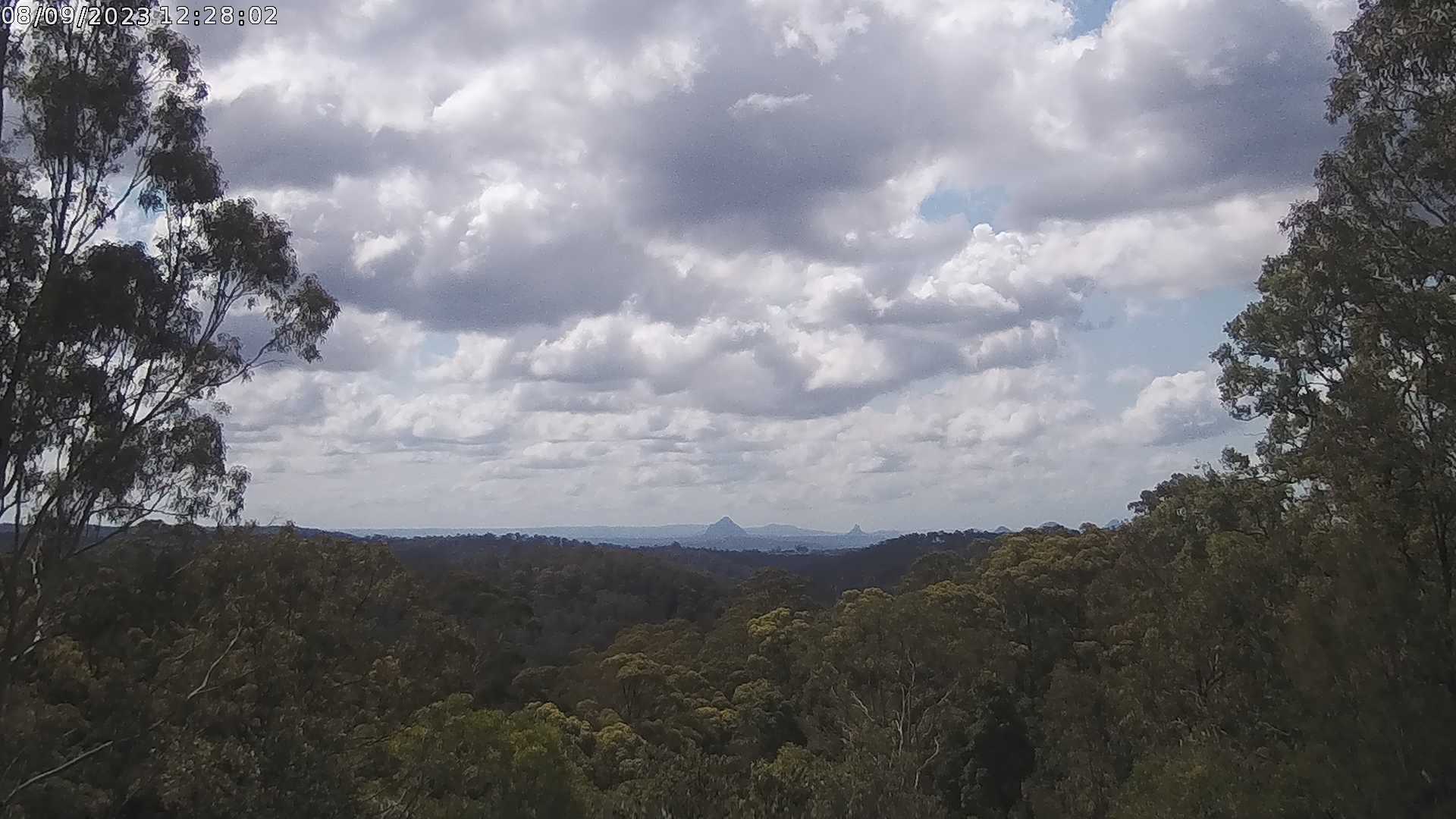
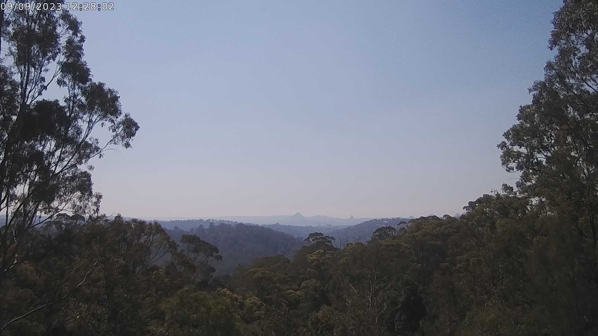
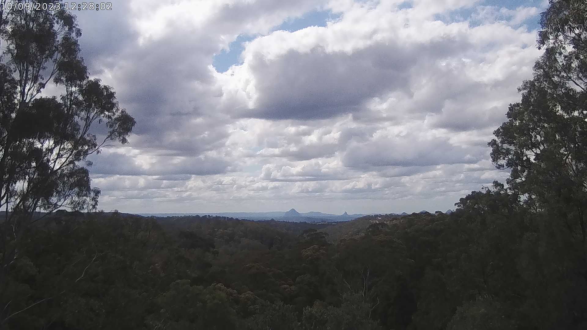
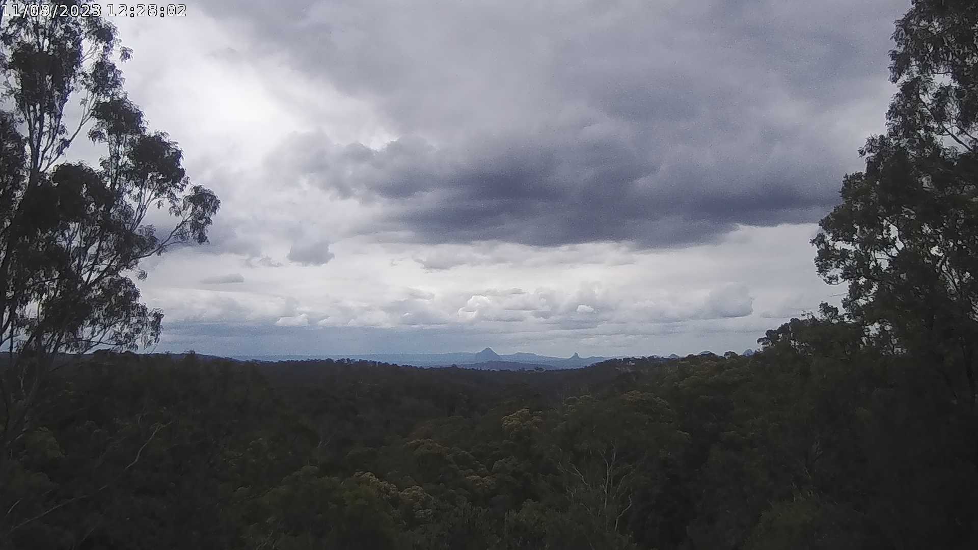
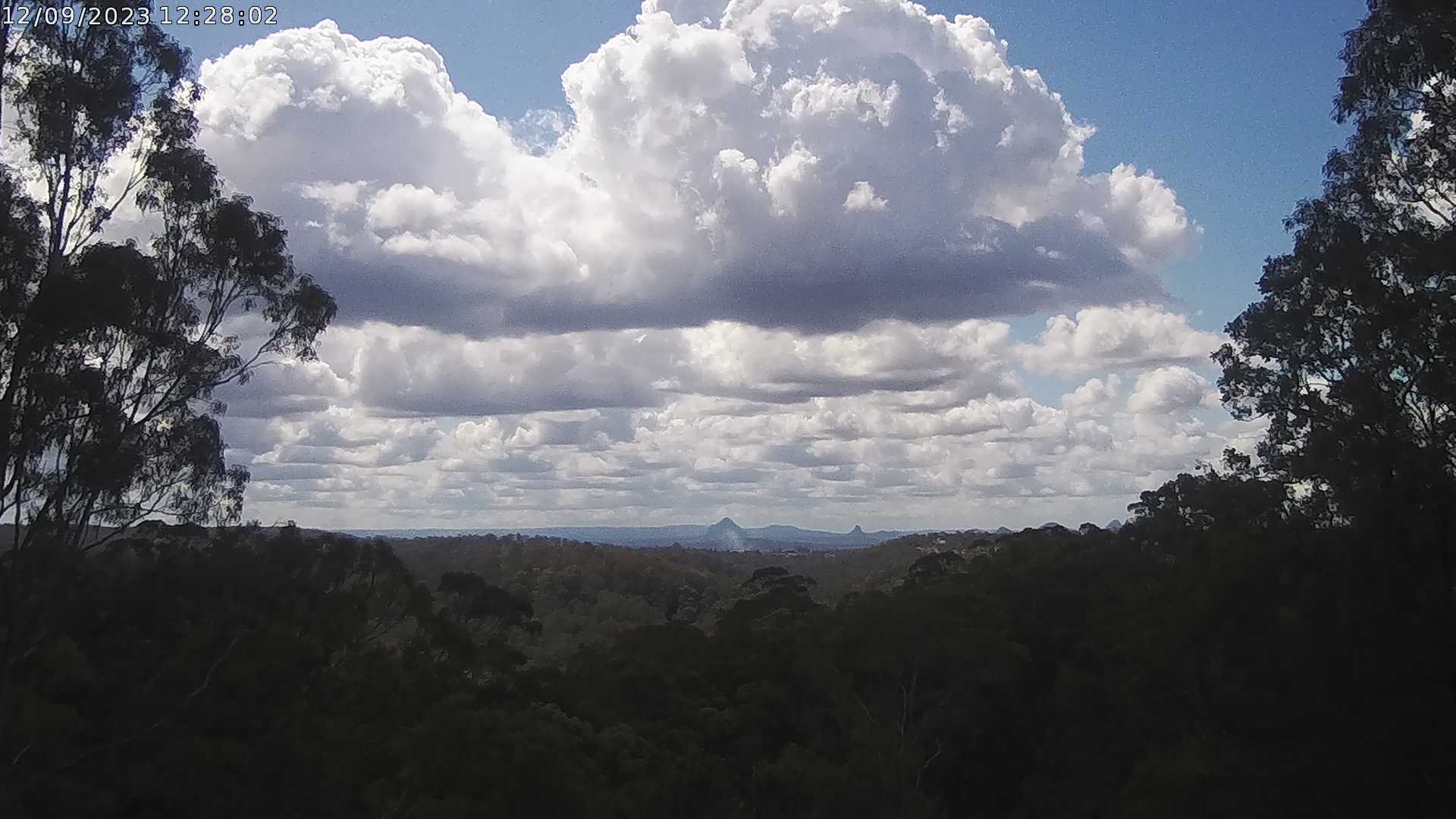
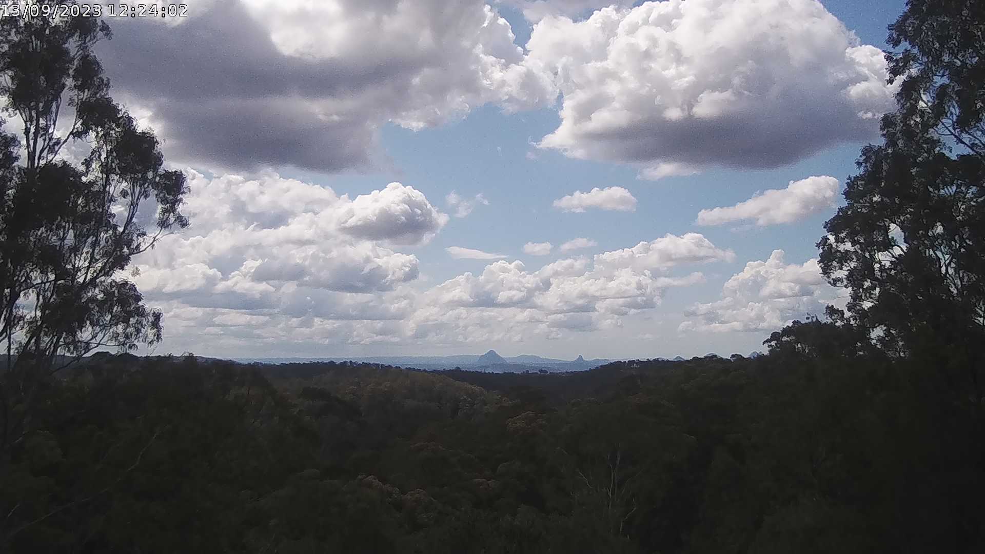
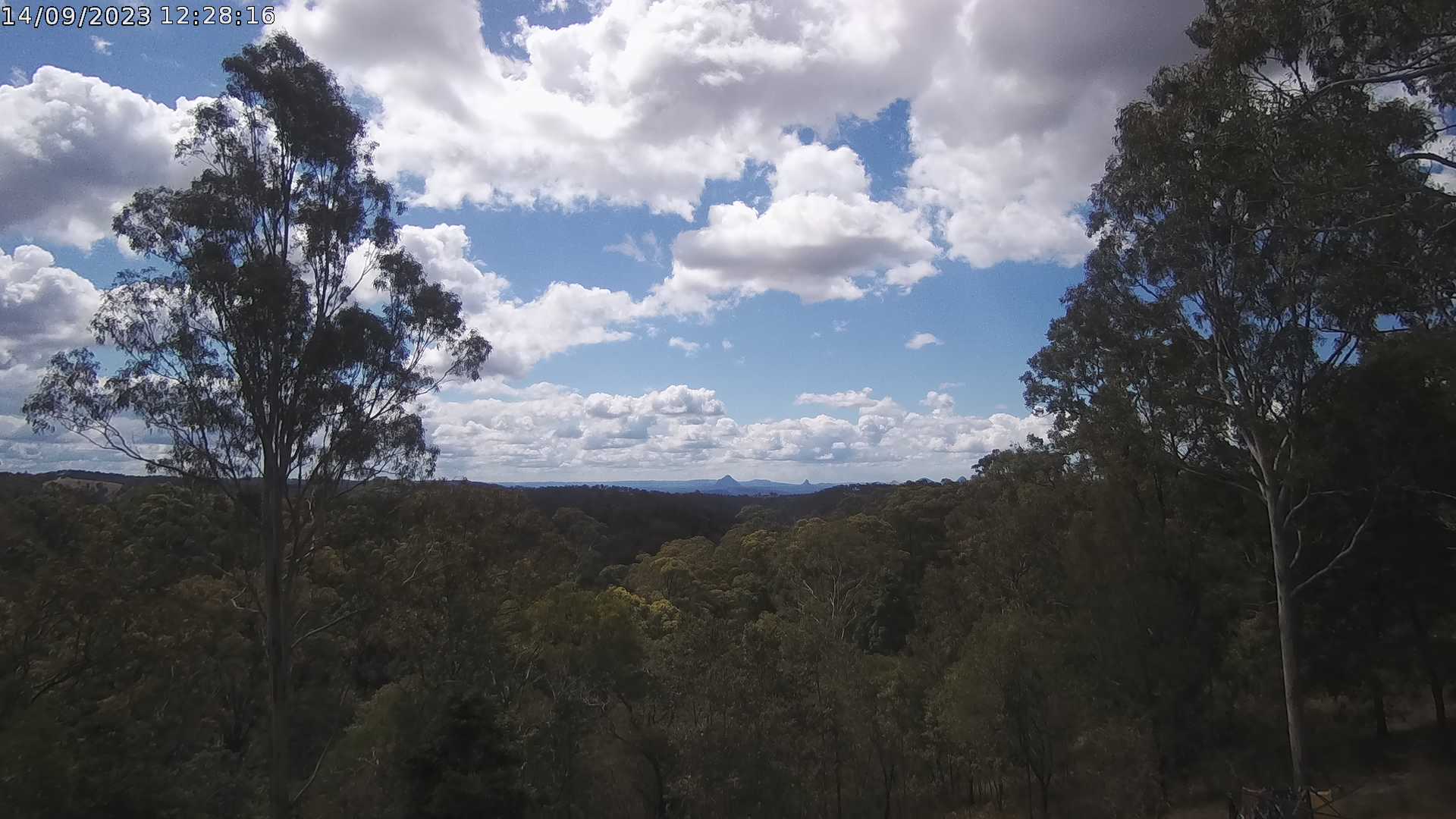
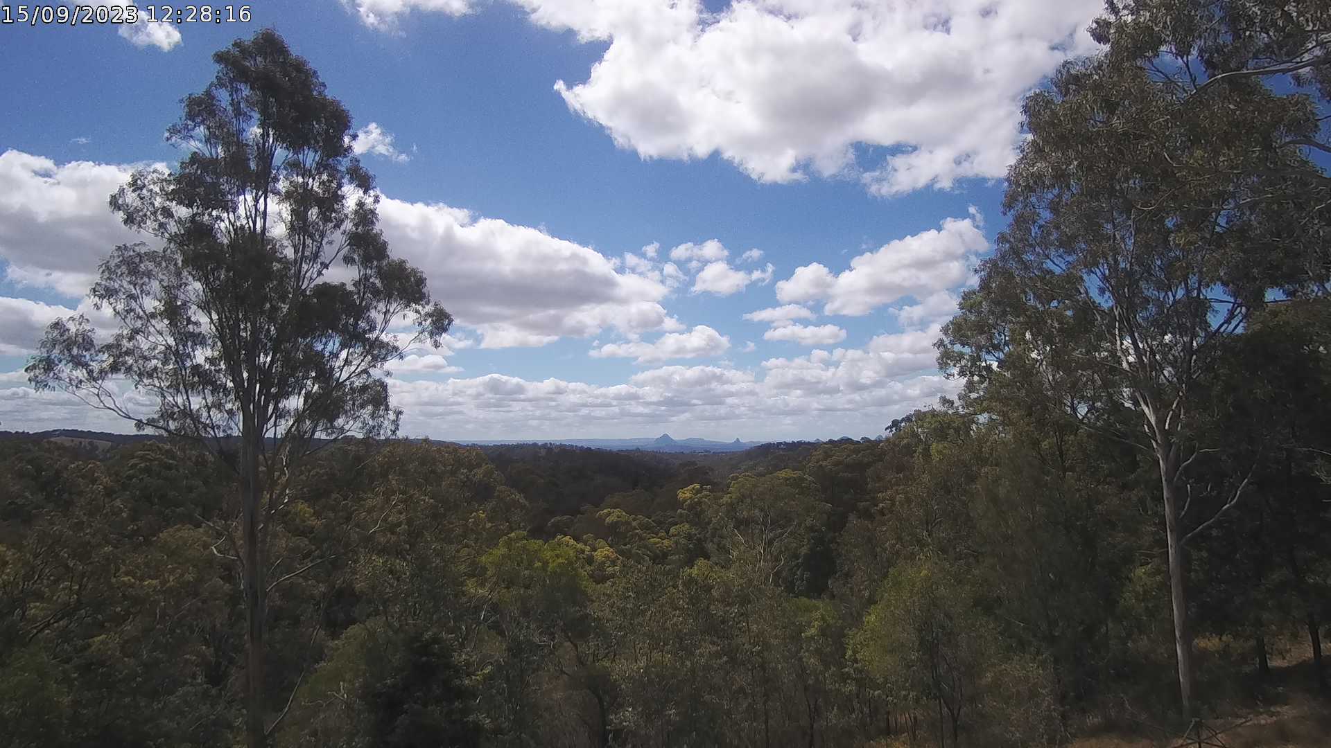
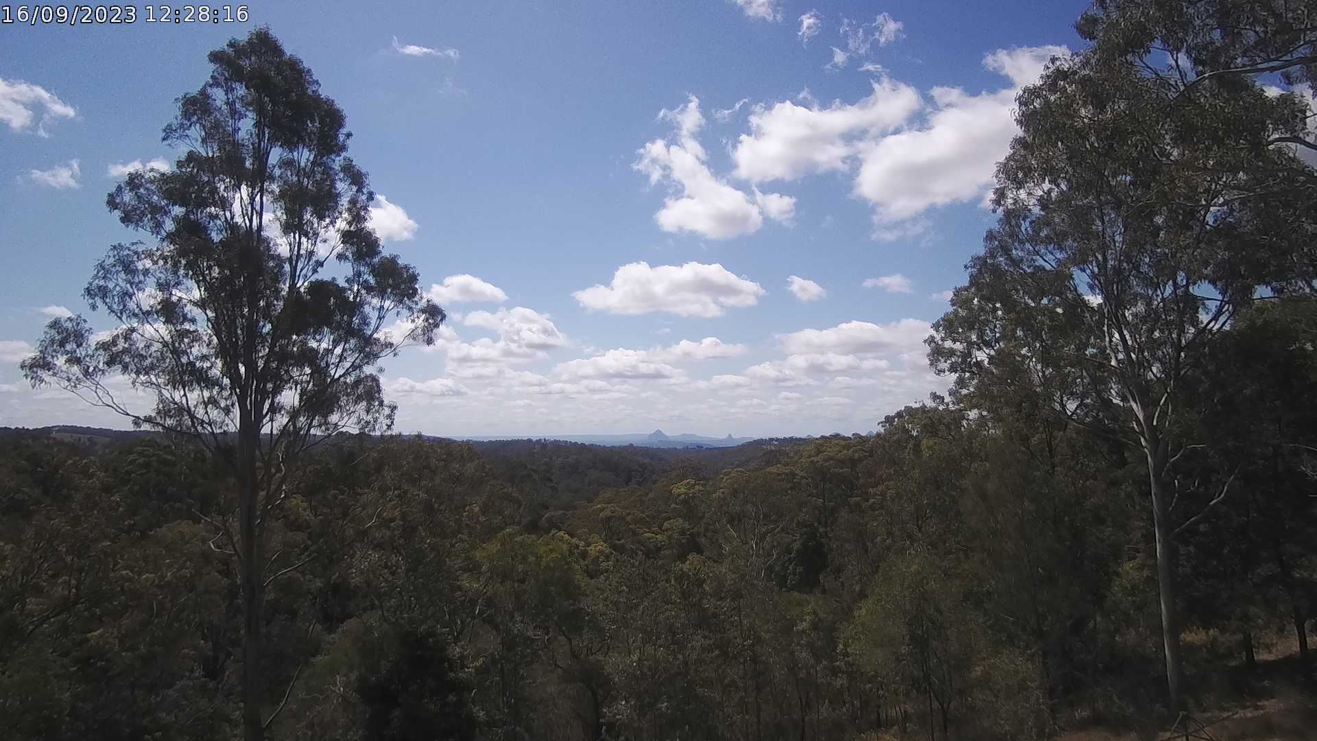
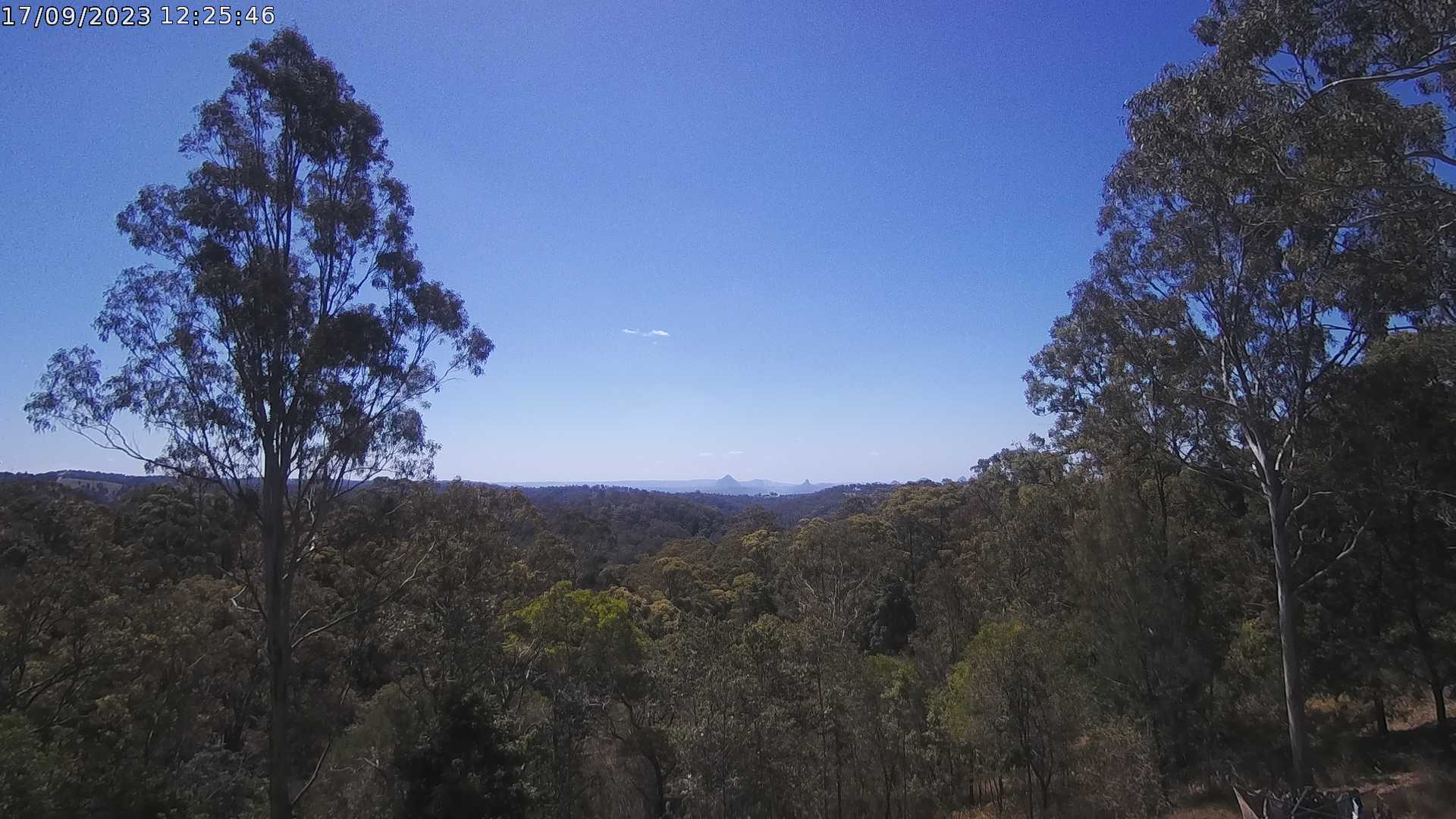
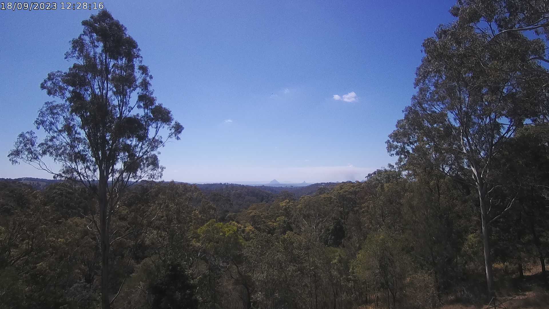
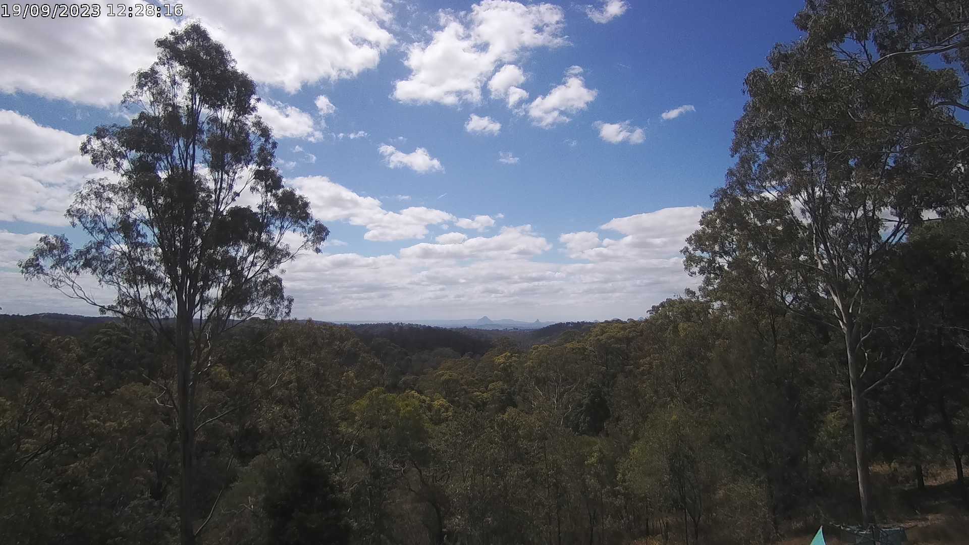
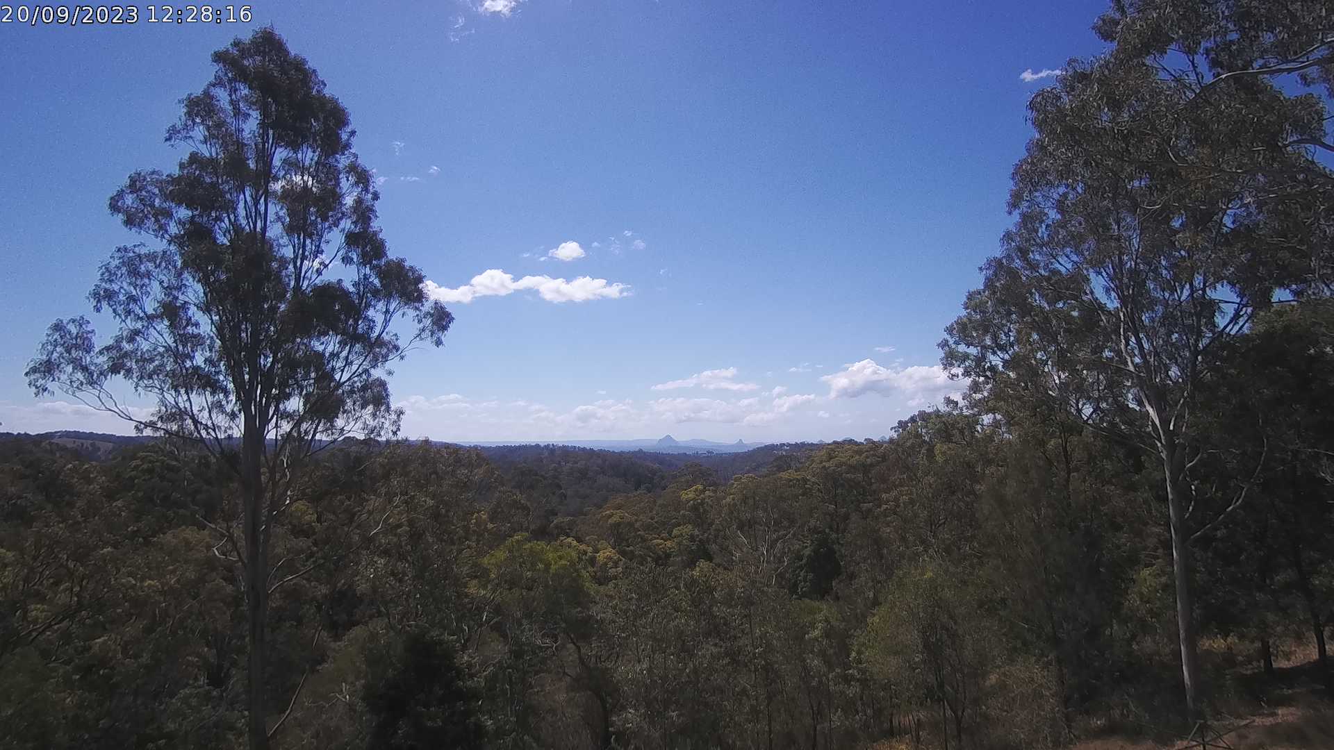
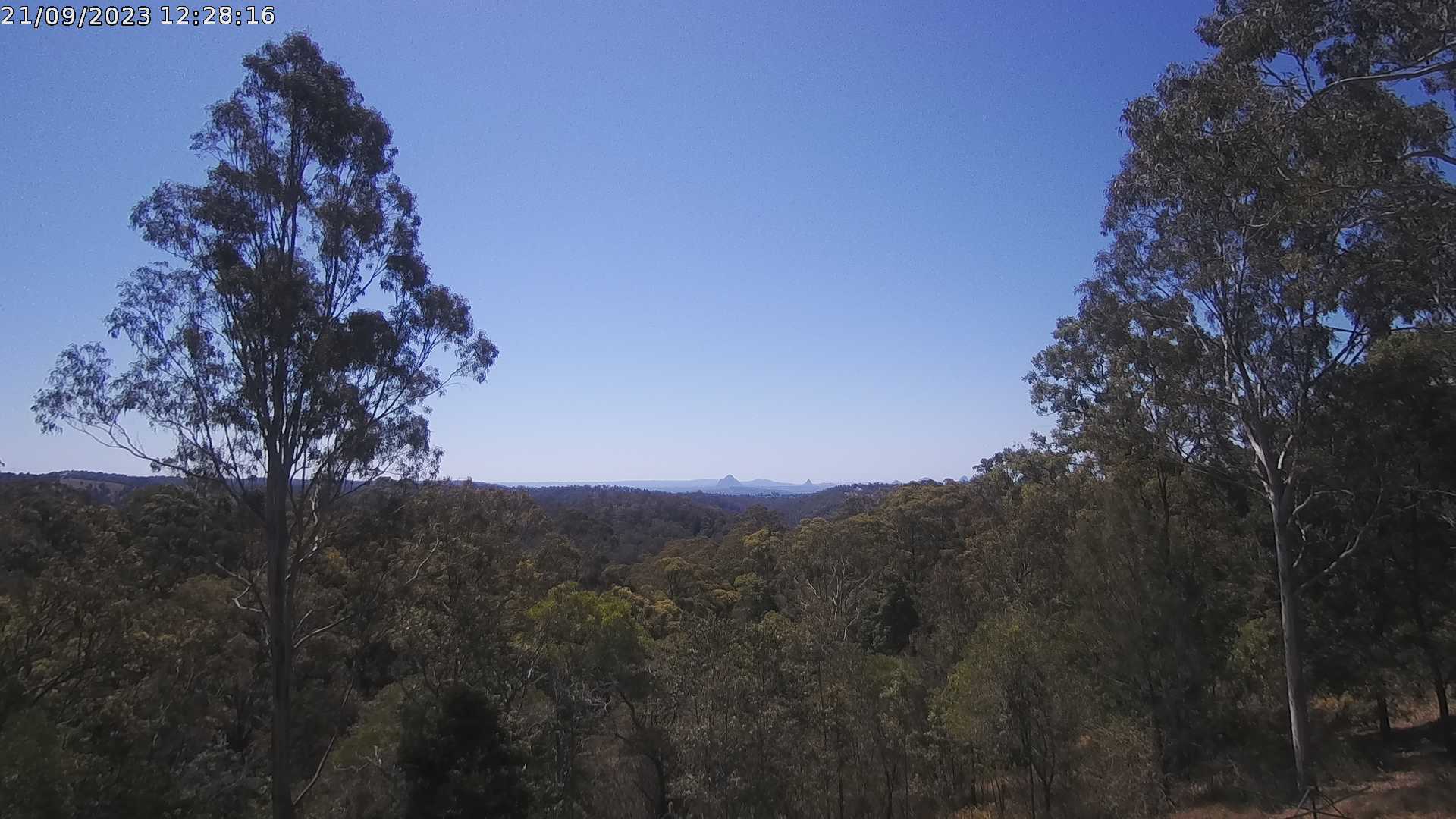
Ocean View, Australia - 15.9 miles from Peacebourne: Glass House Mountains Weather Webcam - A view of the Glass House Mountains from Ocean View, QLD and looking north.
Operator: OceanViewWeather
Operator: OceanViewWeather


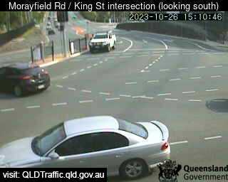
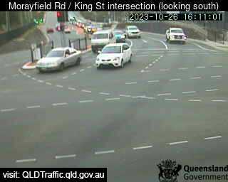
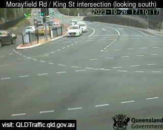
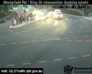
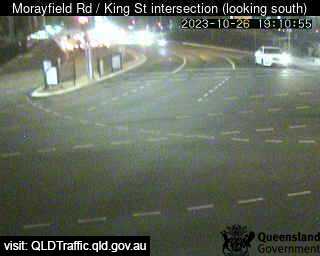
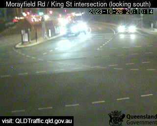
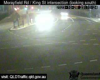
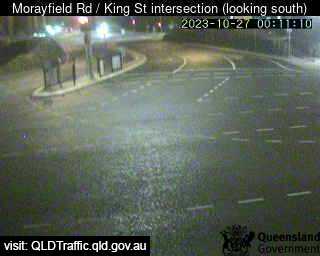
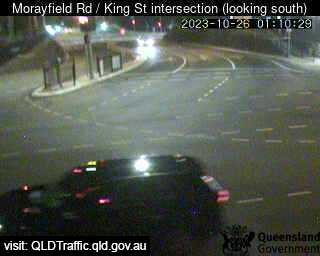
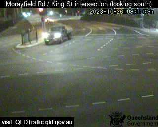
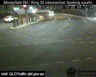
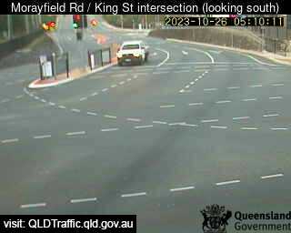
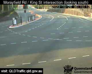
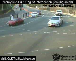
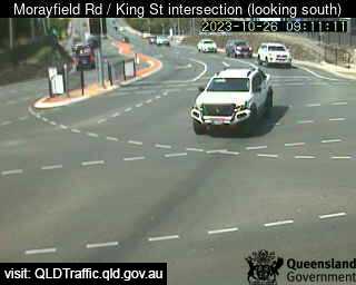
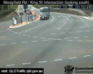
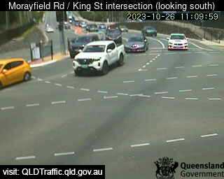
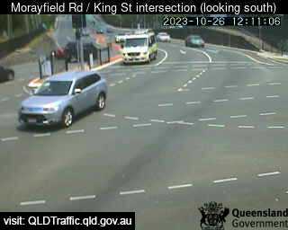
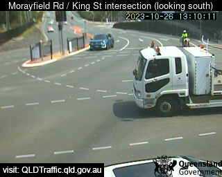
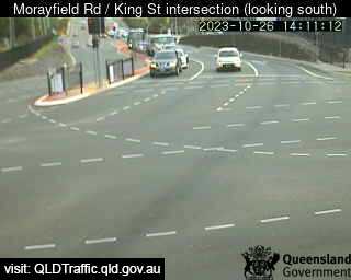
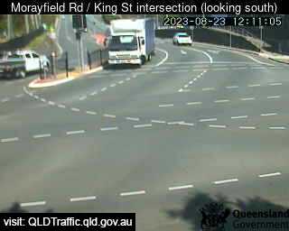
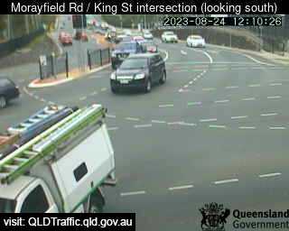
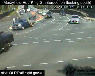
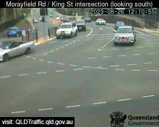
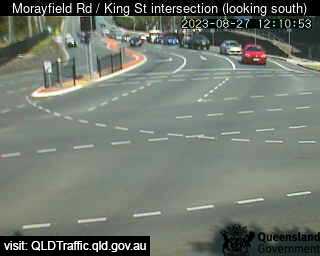
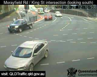
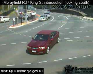
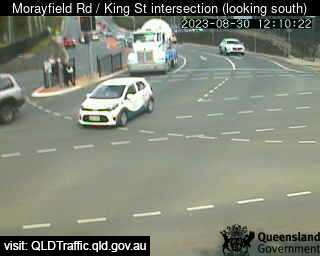
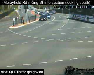
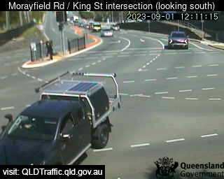
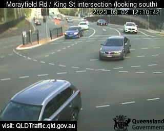
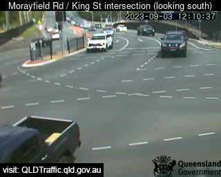
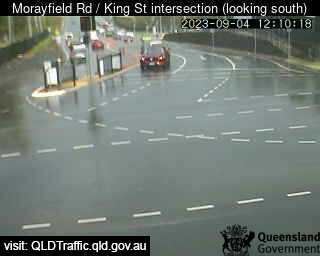
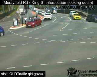
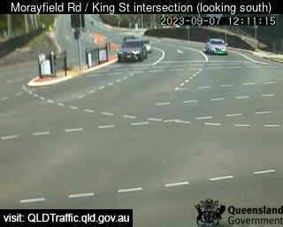
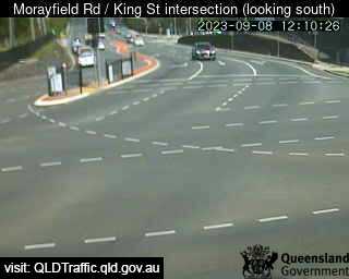
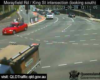
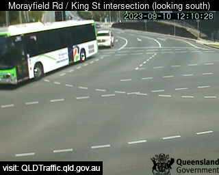
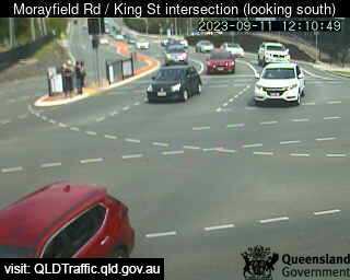
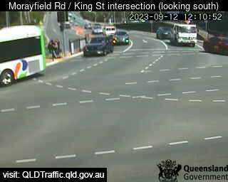
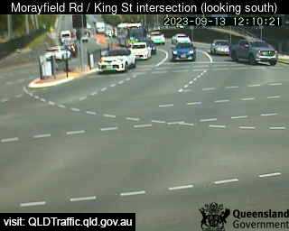
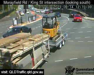
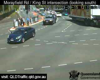
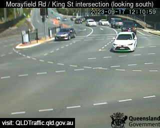
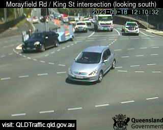
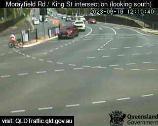
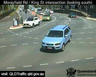
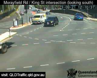
Caboolture, Australia - 16.3 miles from Peacebourne: Morayfield Road / King Street intersection (East) - A view of the current traffic conditions.
Operator: Queensland Government - Department of Transport and Main Roads
Operator: Queensland Government - Department of Transport and Main Roads


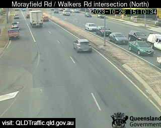
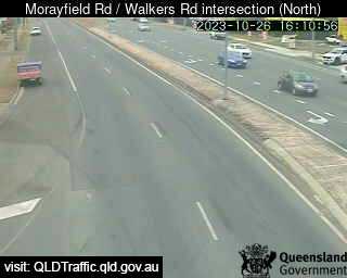
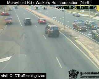
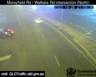
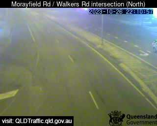
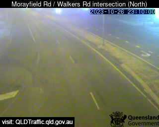
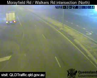
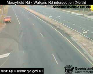
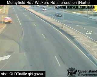
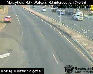
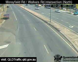
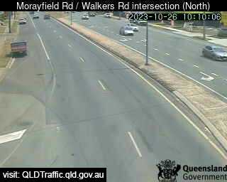
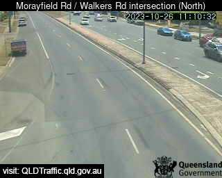
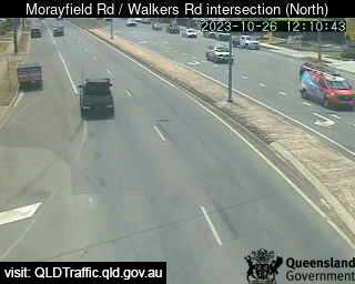
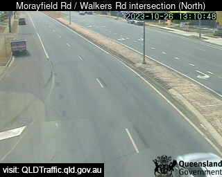
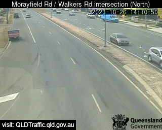
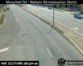
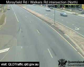
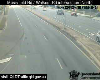
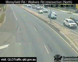
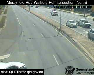
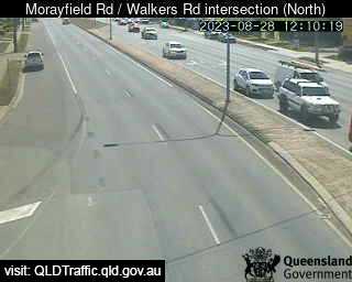
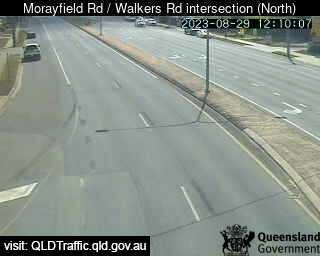
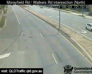
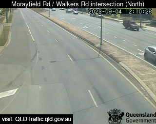
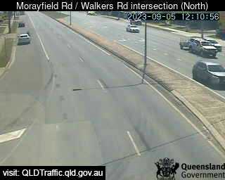
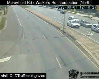
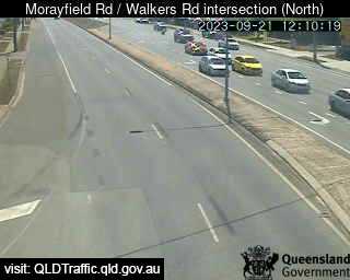
Morayfield, Australia - 17.7 miles from Peacebourne: Morayfield Road / Walkers Road intersection (South) - A view of the current traffic conditions.
Operator: Queensland Government - Department of Transport and Main Roads
Operator: Queensland Government - Department of Transport and Main Roads


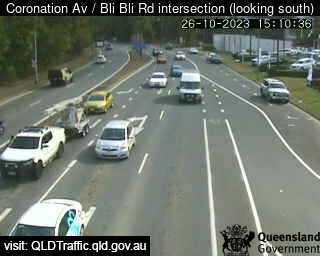
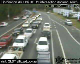
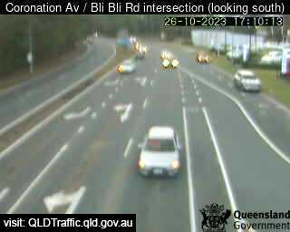
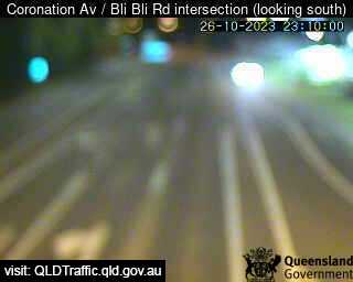
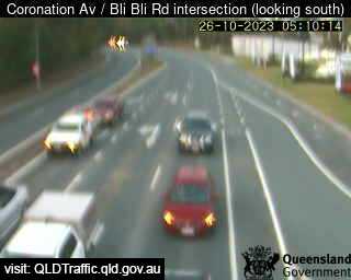
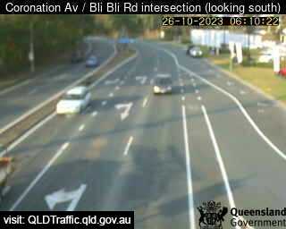
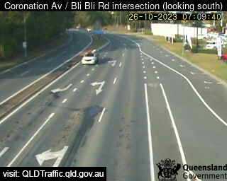
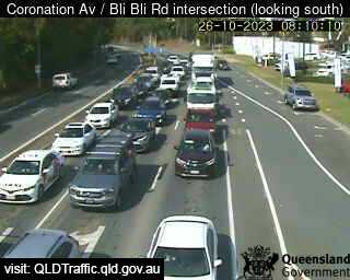
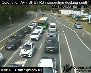
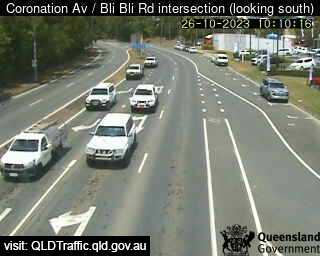
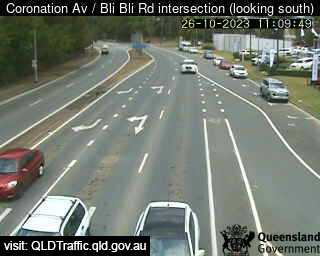
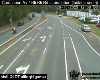
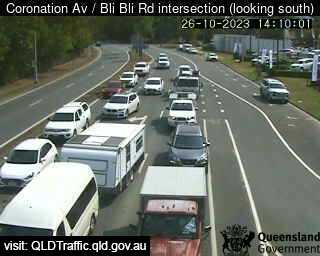
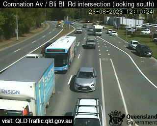
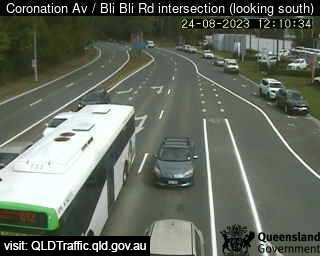
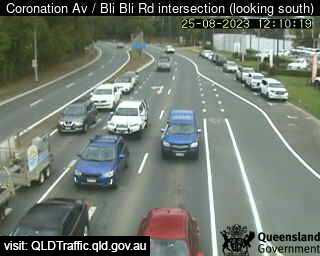
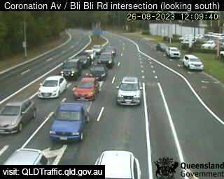
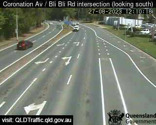
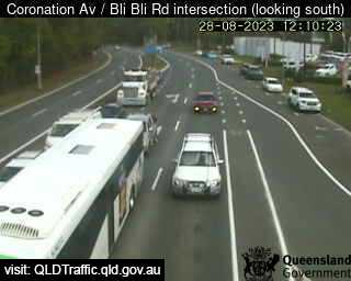
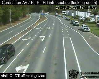
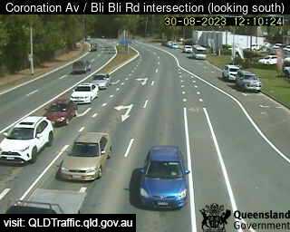
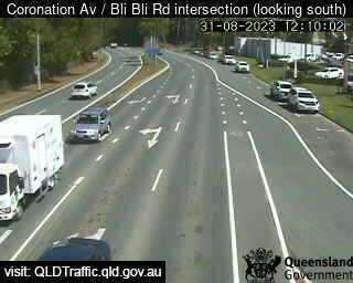
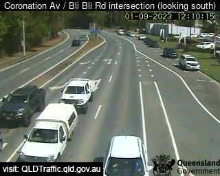
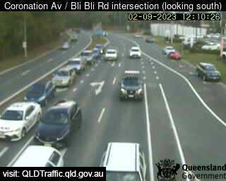
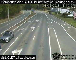
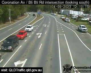
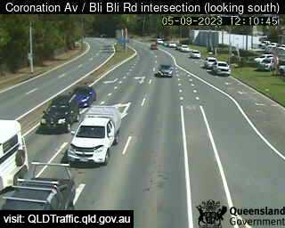
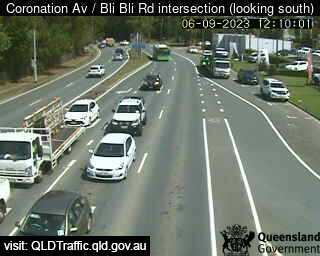
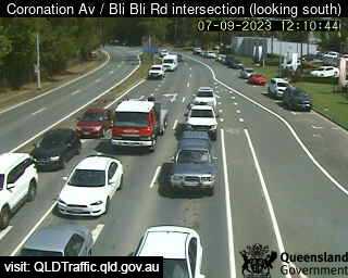
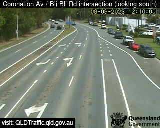
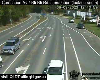
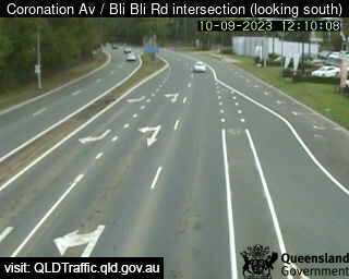
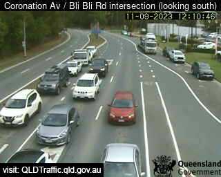
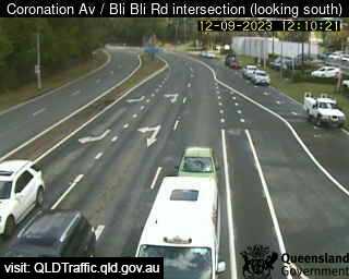
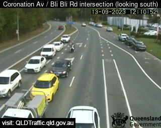
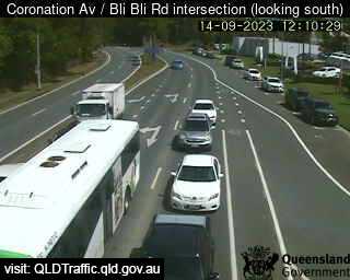
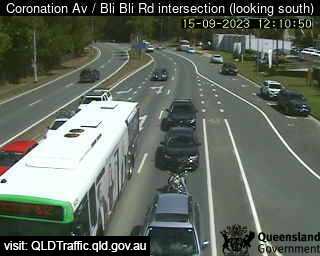
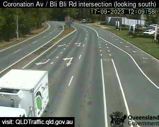
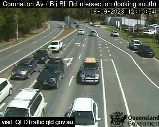
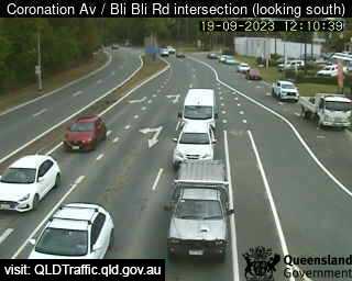
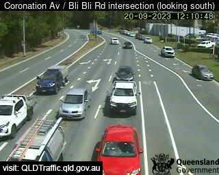
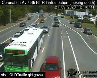
Nambour, Australia - 21.8 miles from Peacebourne: Coronation Avenue / Bli Bli Road intersection (South) - A view of the current traffic conditions.
Operator: Queensland Government - Department of Transport and Main Roads
Operator: Queensland Government - Department of Transport and Main Roads


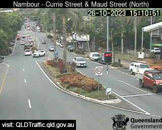
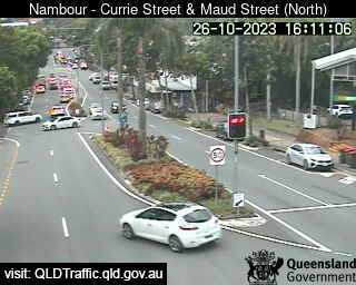
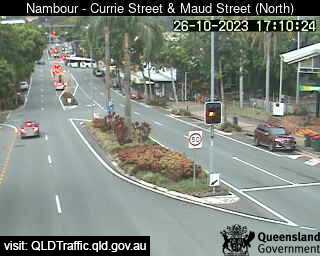
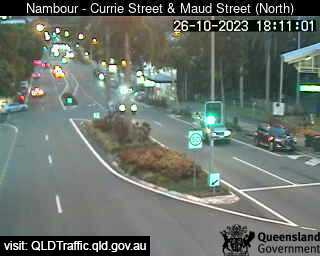
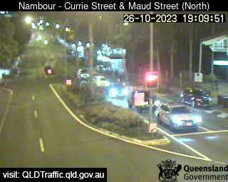
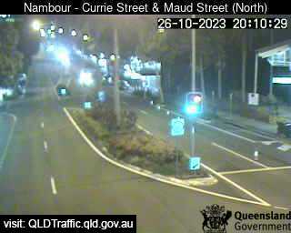
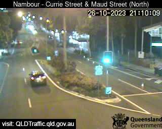
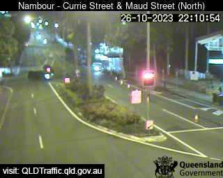
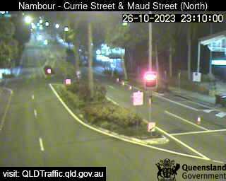
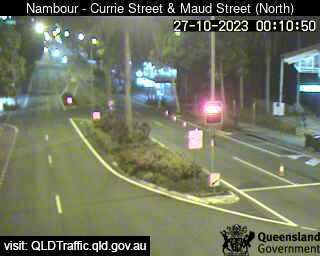
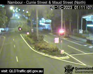
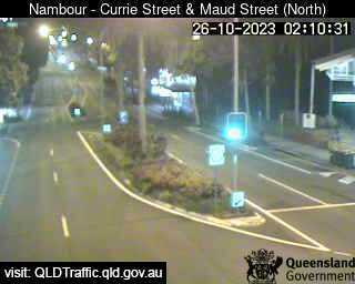
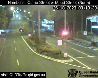
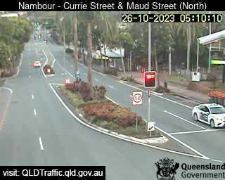
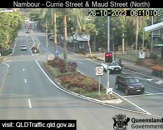
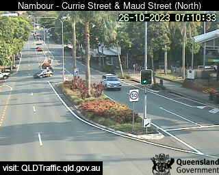
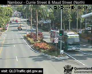
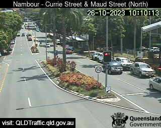
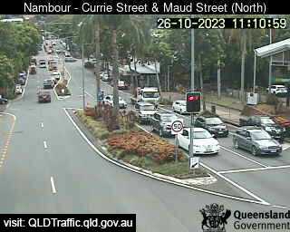
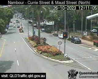
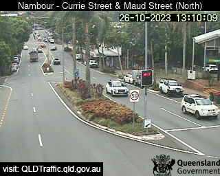
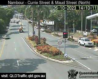
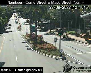
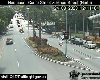
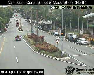
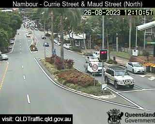
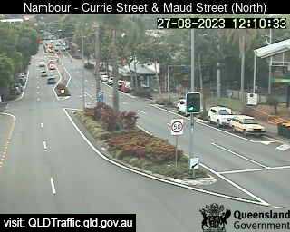
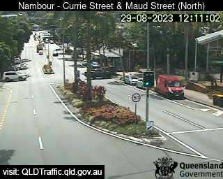
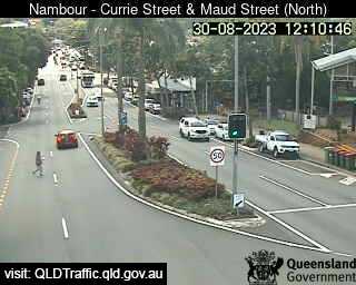
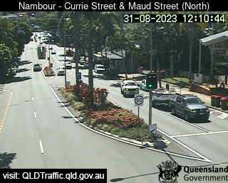
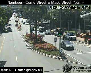
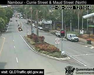
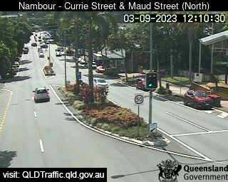
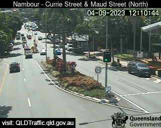
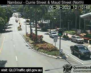
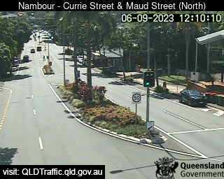
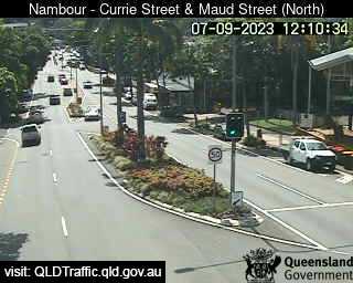
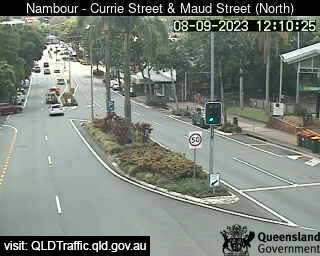
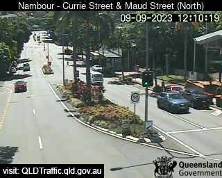
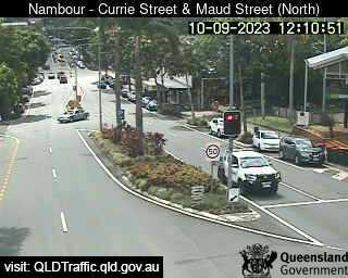
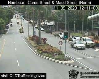
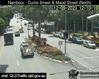
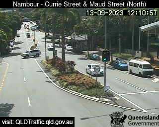
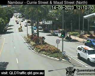
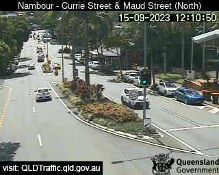
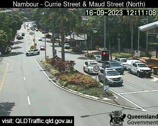
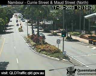
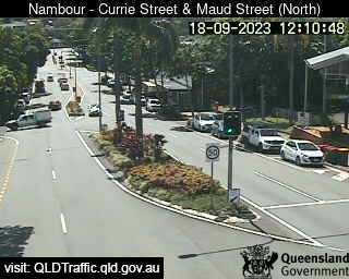
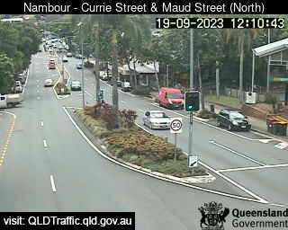
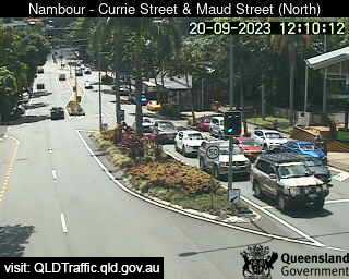
Nambour, Australia - 21.8 miles from Peacebourne: Currie Street and Maud Street (looking north) - A view of the current traffic conditions.
Operator: Queensland Government - Department of Transport and Main Roads
Operator: Queensland Government - Department of Transport and Main Roads


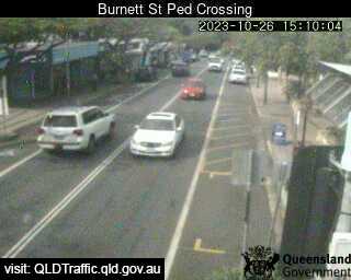
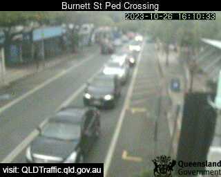
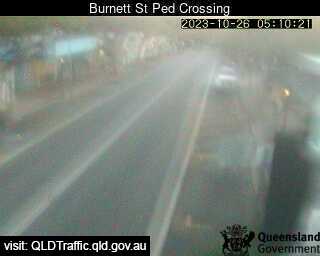
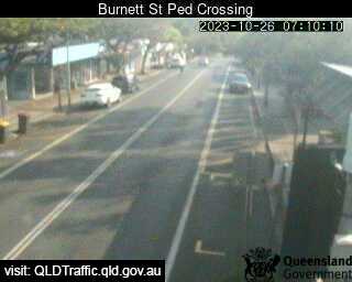
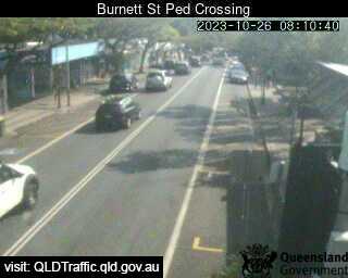
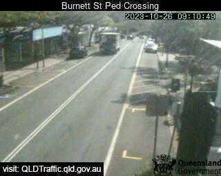
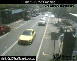
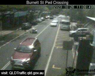
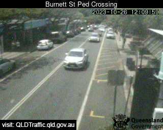
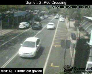
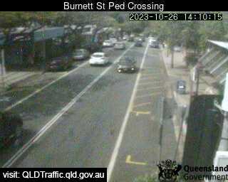
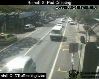
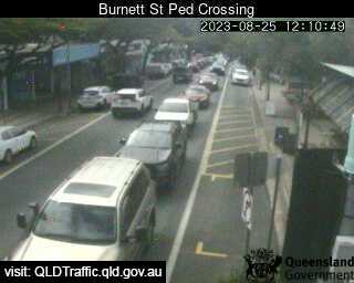
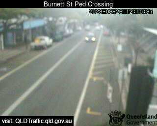
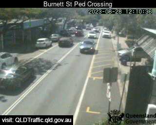
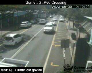
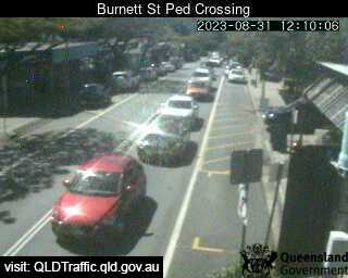
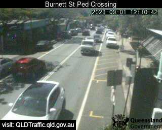
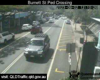
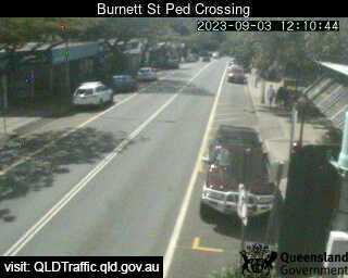
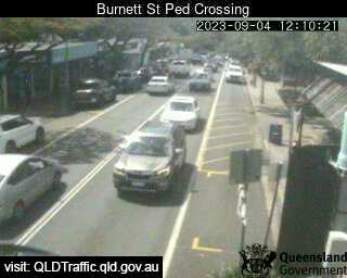
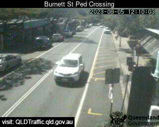
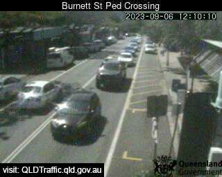
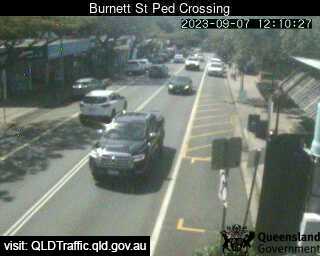
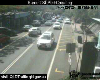
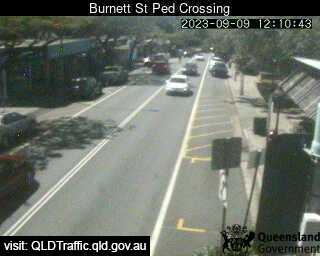
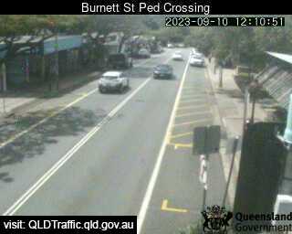
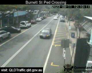
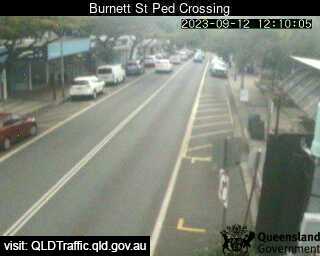
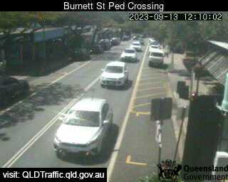
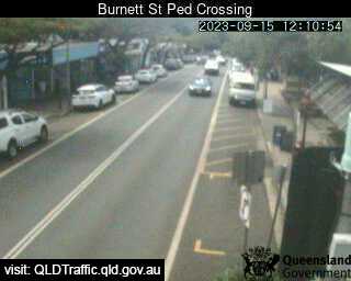
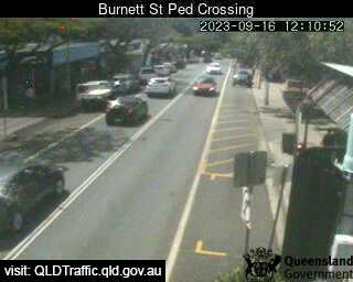
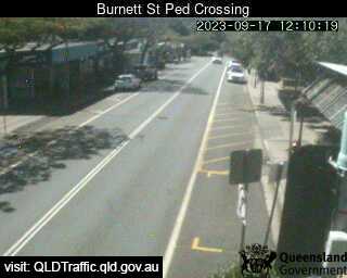
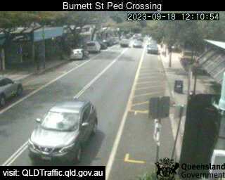
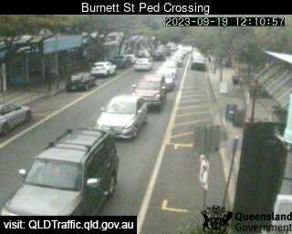
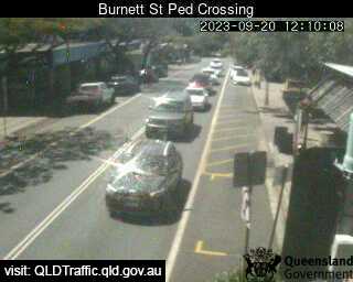
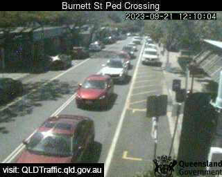
Buderim, Australia - 22.3 miles from Peacebourne: Burnett Street Pedestrian Crossing (West) - A view of the current traffic conditions.
Operator: Queensland Government - Department of Transport and Main Roads
Operator: Queensland Government - Department of Transport and Main Roads


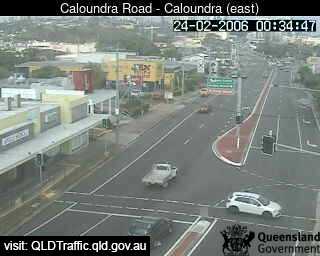
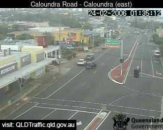
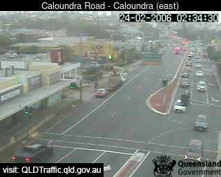
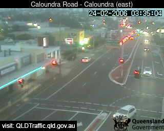
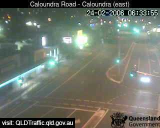
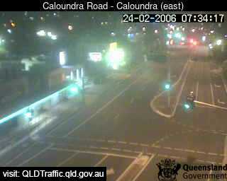
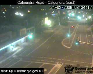
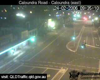
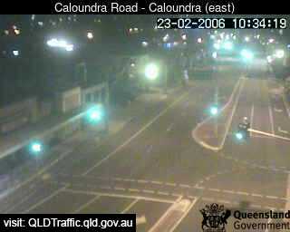
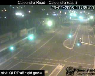
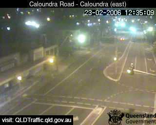
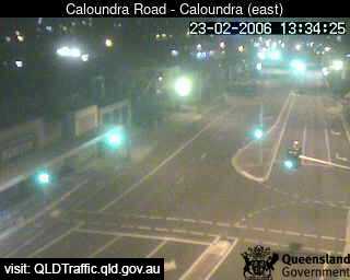
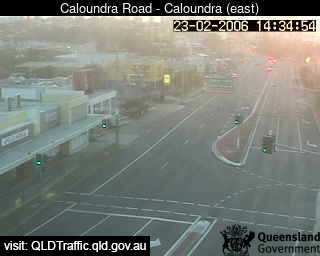
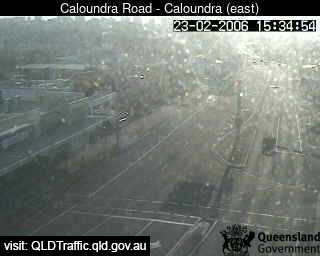
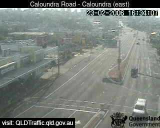
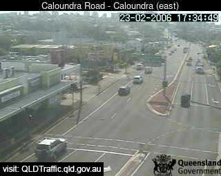
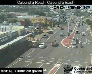
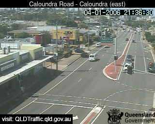
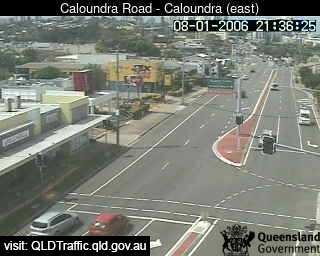
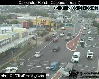
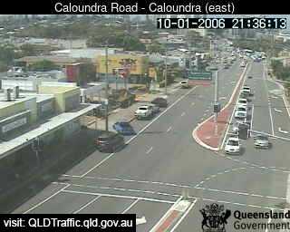
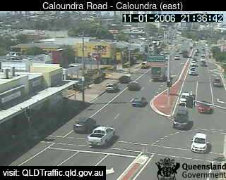
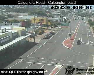
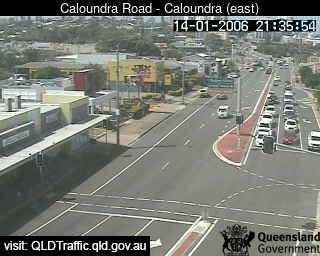
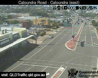
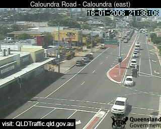
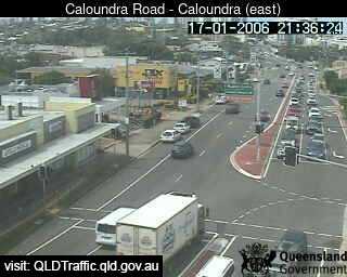
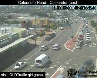
Caloundra, Australia - 22.5 miles from Peacebourne: Forth Avenue intersection (looking East) - A view of the current traffic conditions.
Operator: Queensland Government - Department of Transport and Main Roads
Operator: Queensland Government - Department of Transport and Main Roads


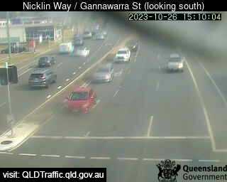
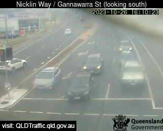
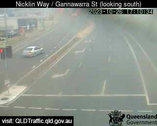
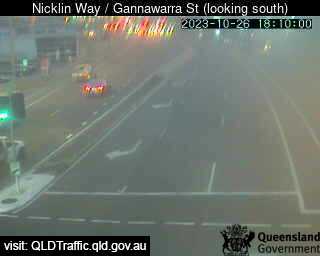
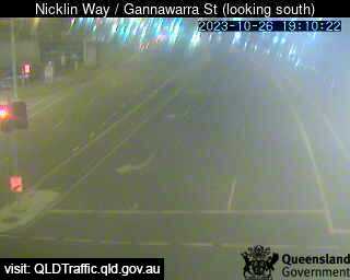
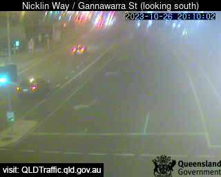
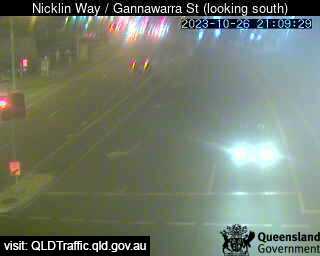
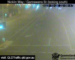
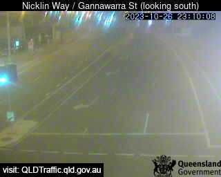
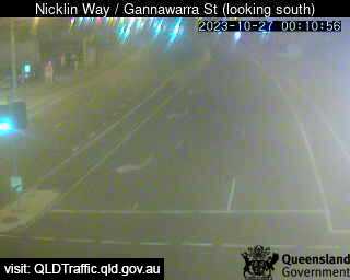
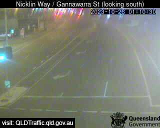
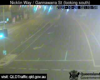
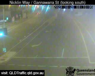
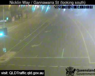
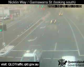
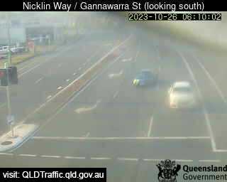
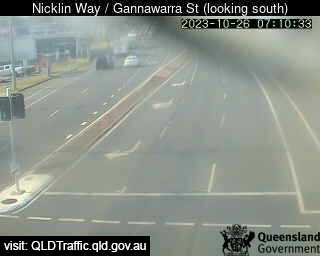
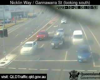
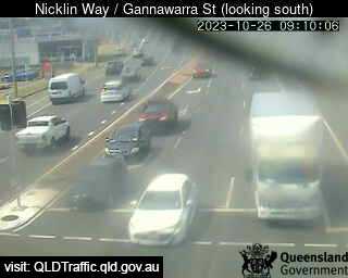
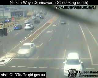
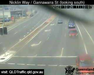
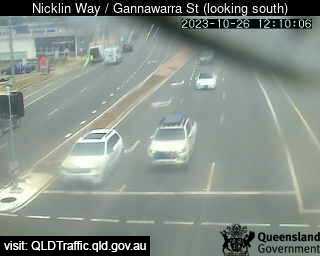
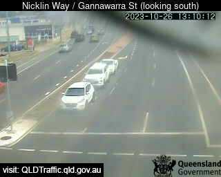
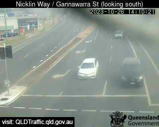
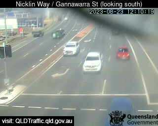
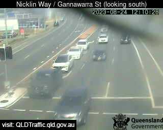
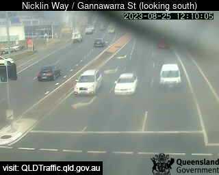
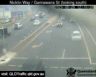
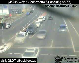
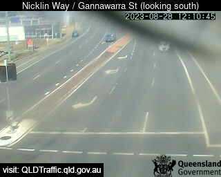
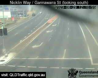
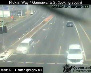
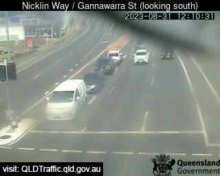
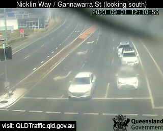
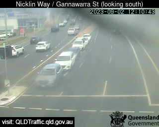
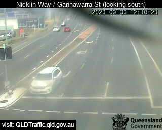
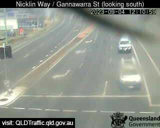
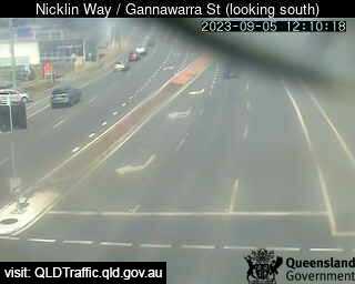
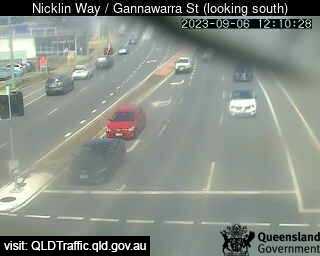
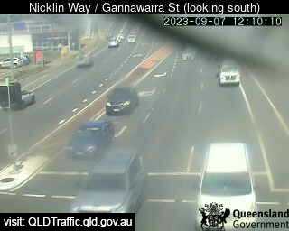
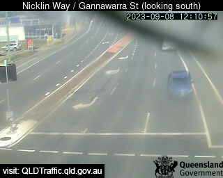
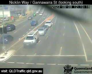
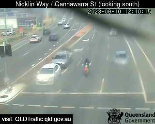
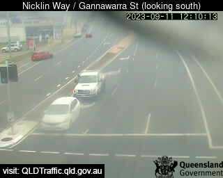
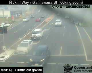
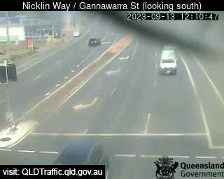
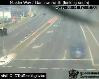
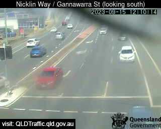
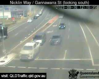
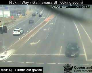
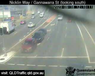
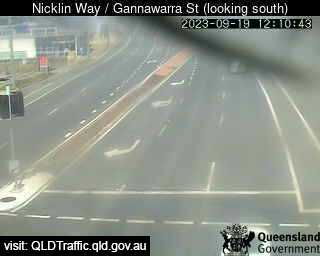
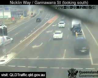
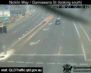
Currimundi, Australia - 22.8 miles from Peacebourne: Nicklin Way / Gannawarra Street (looking south) ( South) - A view of the current traffic conditions.
Operator: Queensland Government - Department of Transport and Main Roads
Operator: Queensland Government - Department of Transport and Main Roads

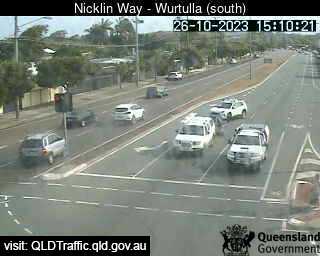
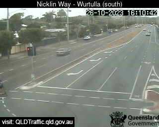
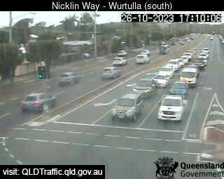
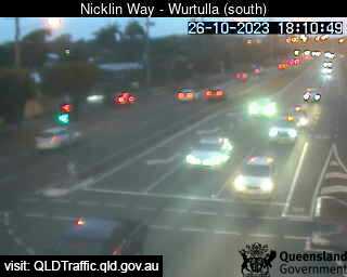
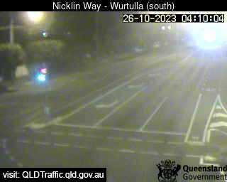
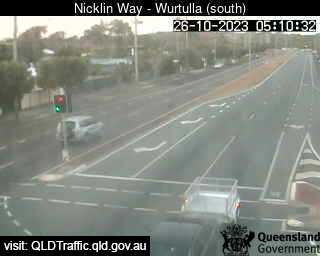
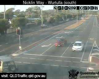
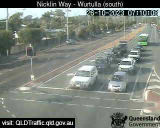
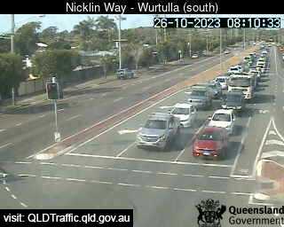
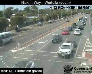
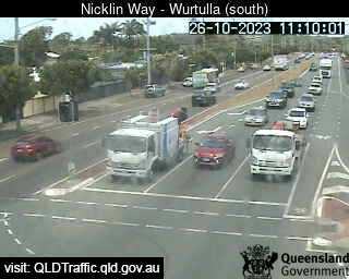
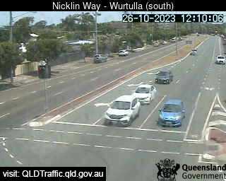
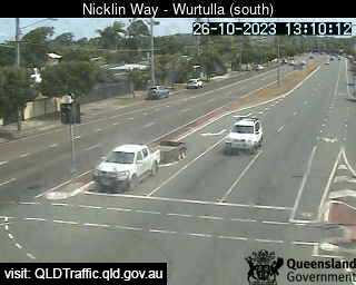
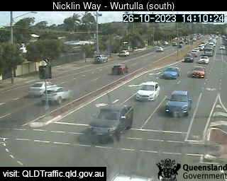
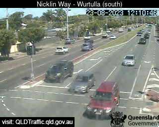
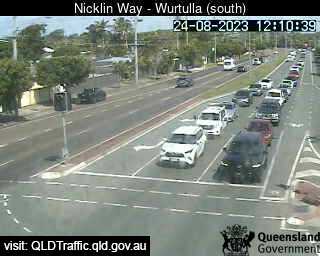
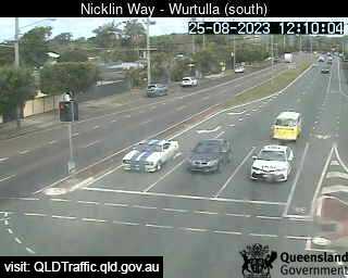
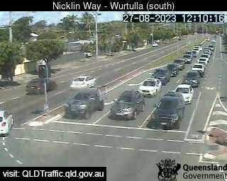
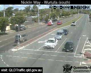
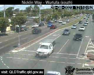
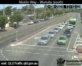
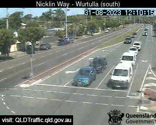
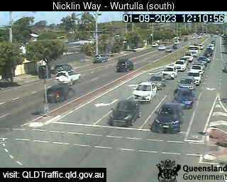
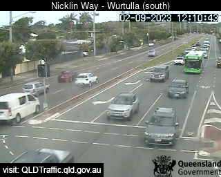
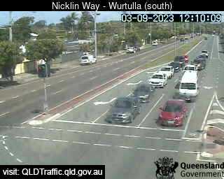
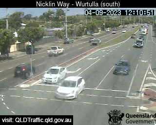
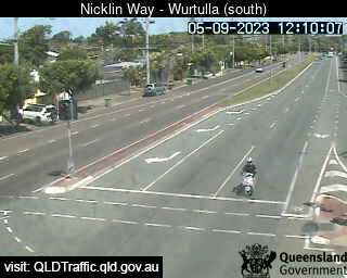
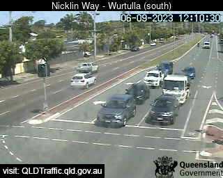
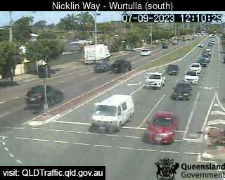
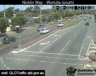
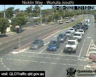
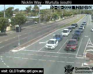
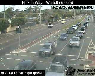
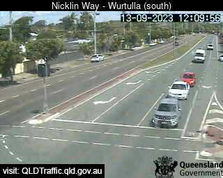
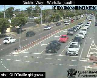
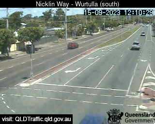
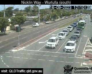
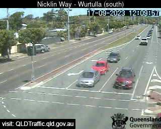
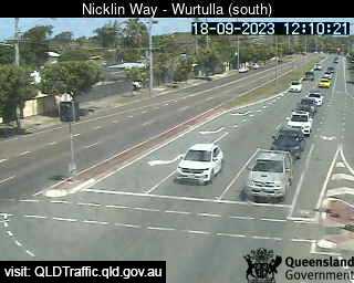
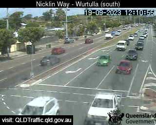
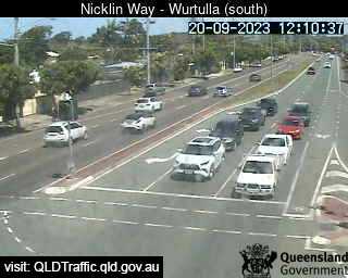
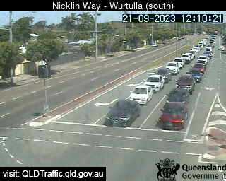
Wurtulla, Australia - 23.2 miles from Peacebourne: Nicklin Way, Pringa Street intersection (looking South) - A view of the current traffic conditions.
Operator: Queensland Government - Department of Transport and Main Roads
Operator: Queensland Government - Department of Transport and Main Roads


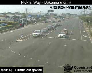
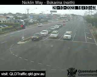
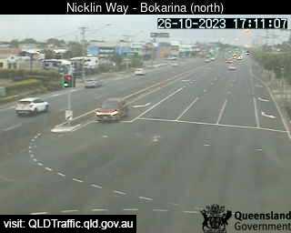
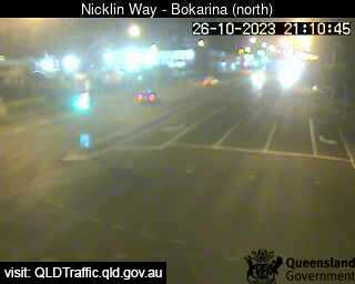
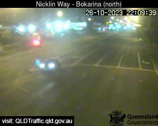
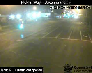
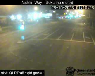
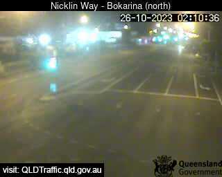
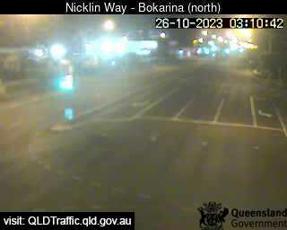
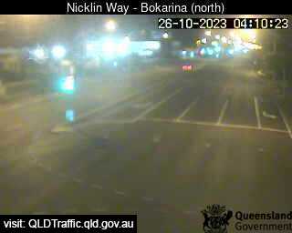
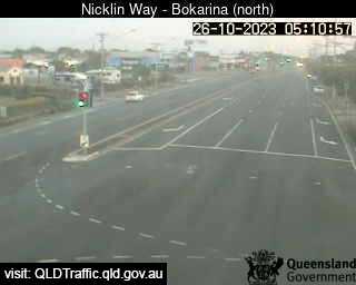
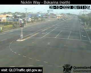
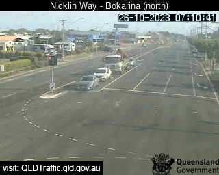
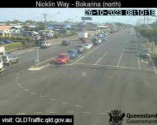
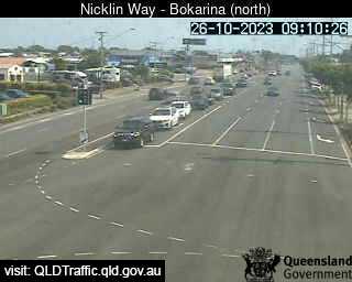
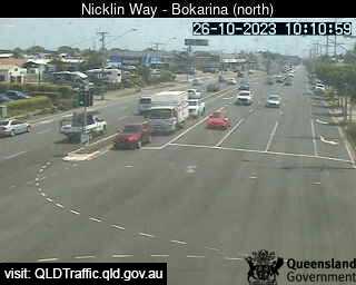
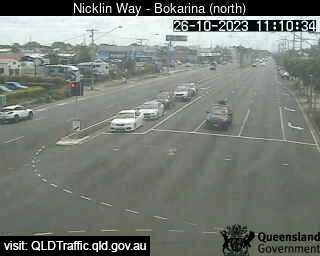
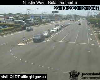
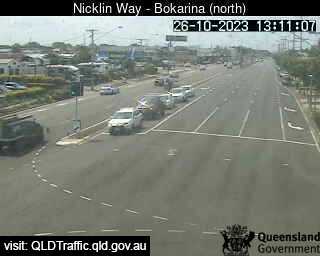
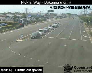
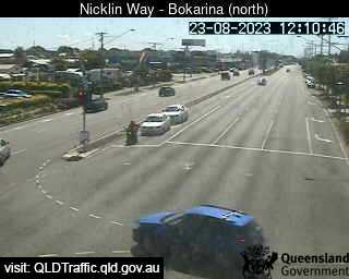
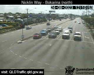
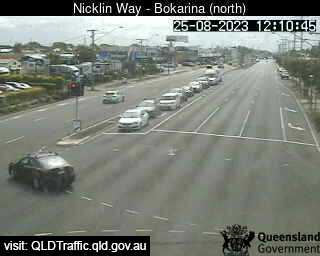
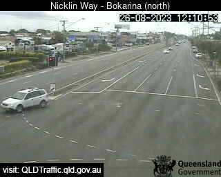
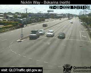
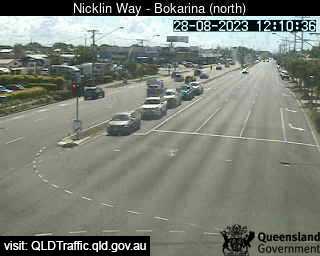
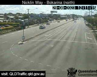
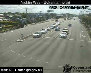
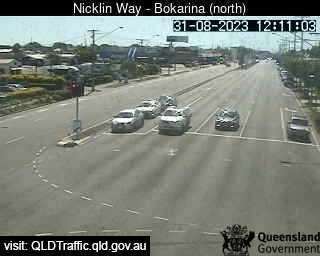
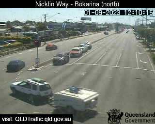
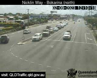
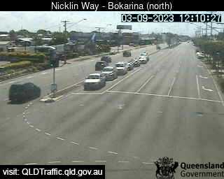
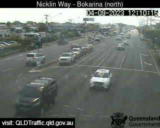
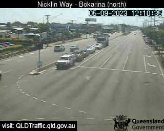
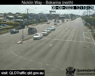
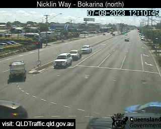
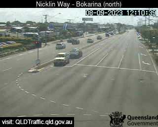
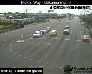
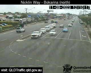
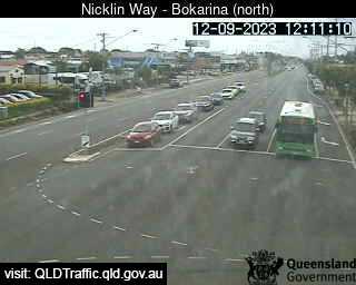
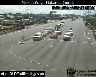
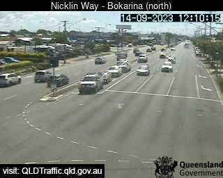
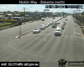
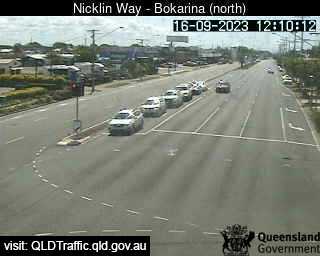
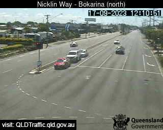
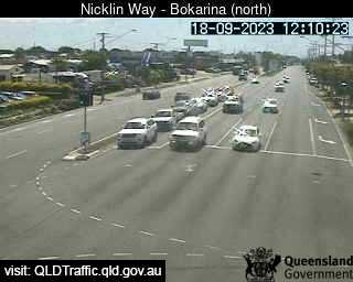
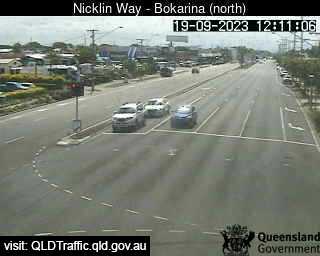
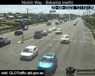
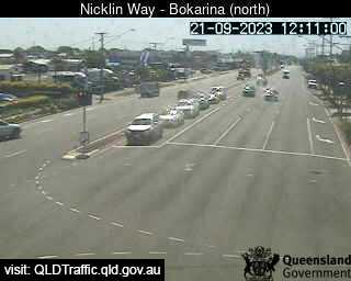
Bokarina, Australia - 24.3 miles from Peacebourne: Nicklin Way, Main Drive intersection (looking North) - A view of the current traffic conditions.
Operator: Queensland Government - Department of Transport and Main Roads
Operator: Queensland Government - Department of Transport and Main Roads


Some other places in this country: Pawtella - Paxton - Peachester - Peacock Siding - Peak Crossing - Peak Hill - Peakhurst - Peakview - Pearce - Pearcedale