Webcams in the region of Orange Grove, Australia
The List of Webcams near Orange Grove, Australia:

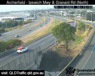
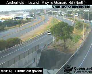
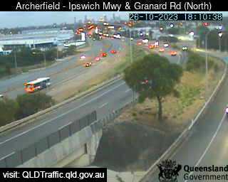
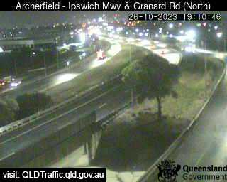
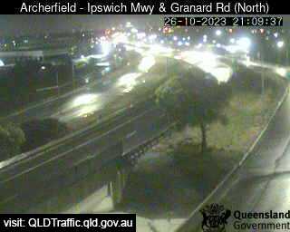
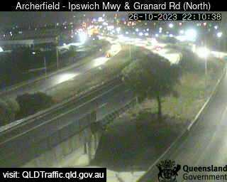
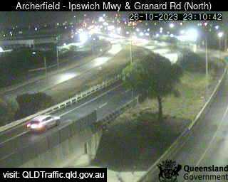
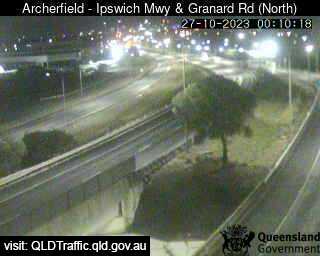
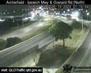
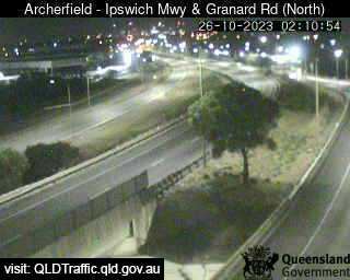
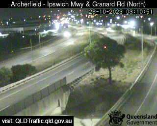
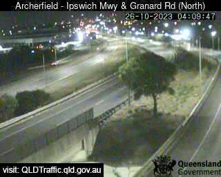
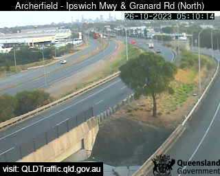
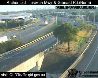
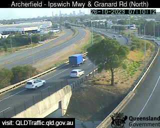
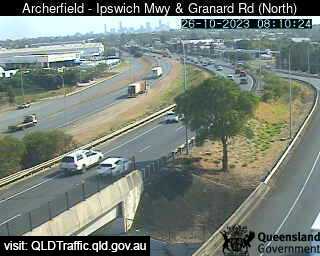
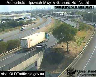
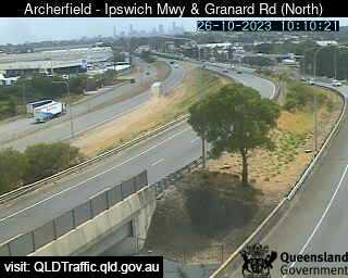
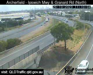
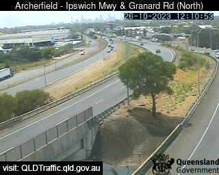
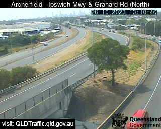
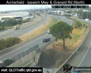
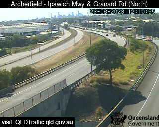
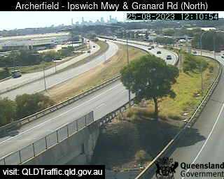
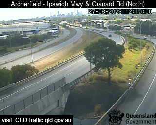
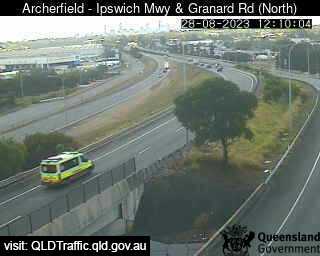
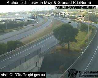
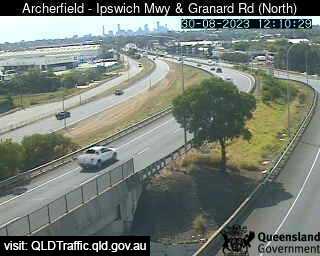
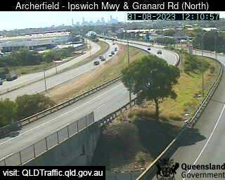
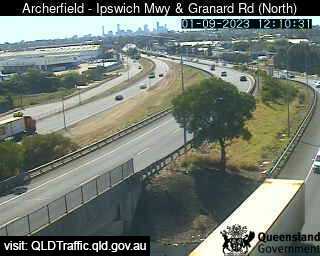
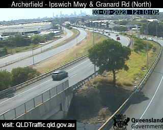
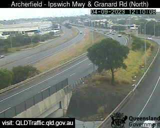
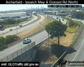
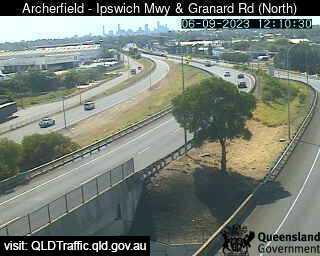
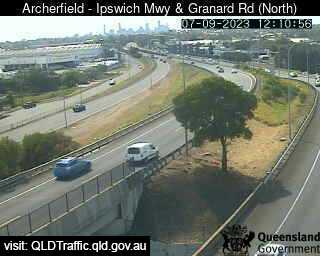
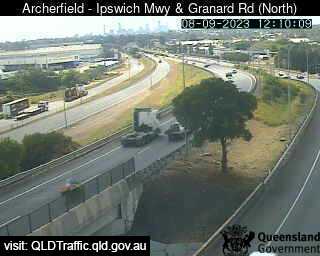
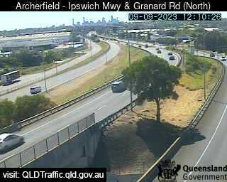
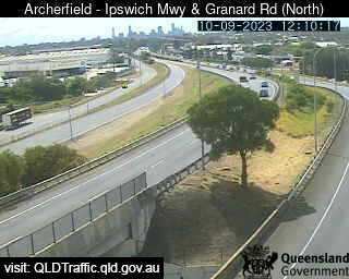
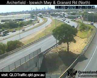
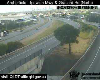
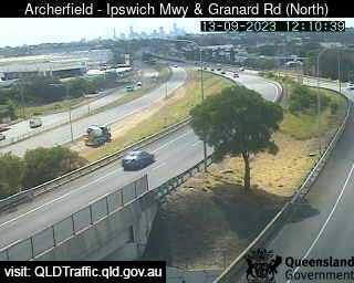
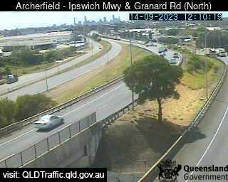
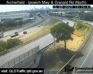
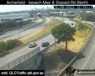
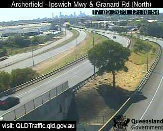
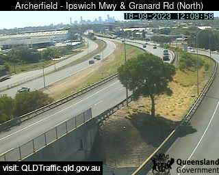
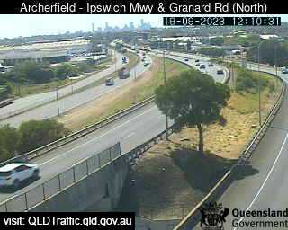
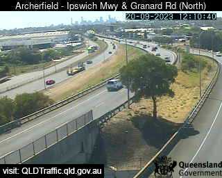
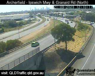
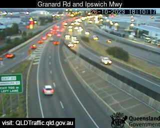
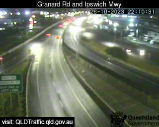
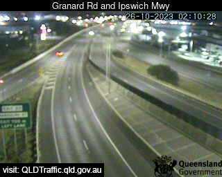
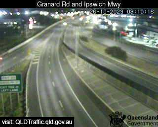
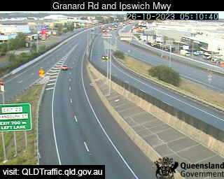
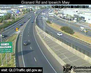
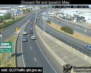
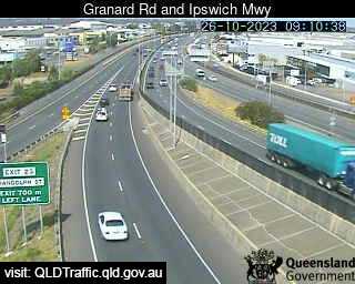
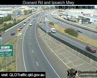
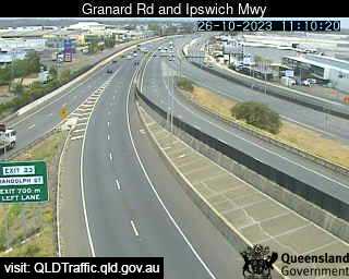
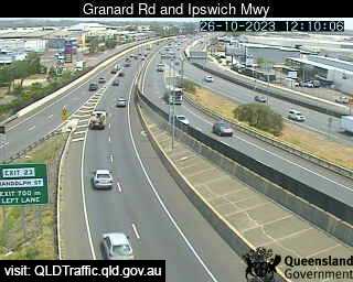
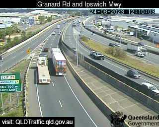
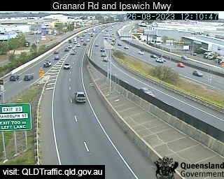
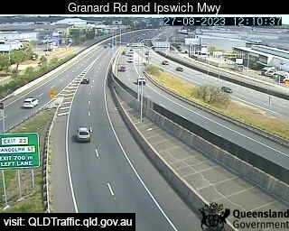
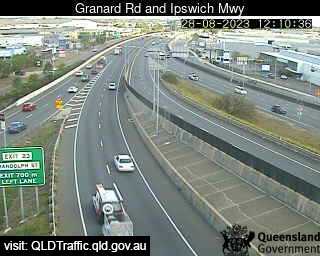
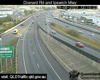
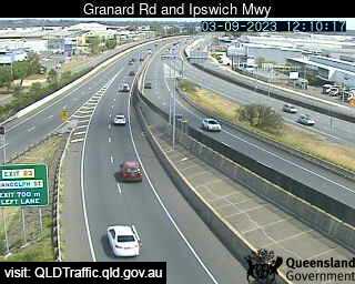
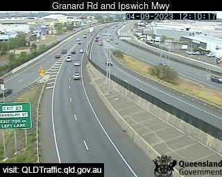
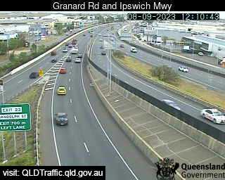
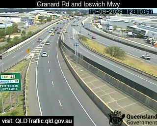
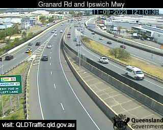
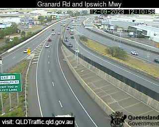
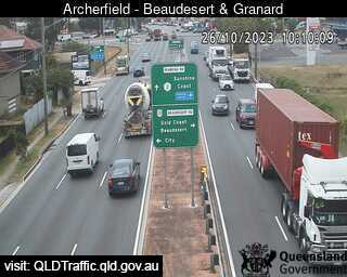
Archerfield, Australia - 1.1 miles from Orange Grove: Granard Road and Ipswich Motorway (North) - A view of the current traffic conditions.
Operator: Queensland Government - Department of Transport and Main Roads
Operator: Queensland Government - Department of Transport and Main Roads


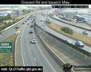
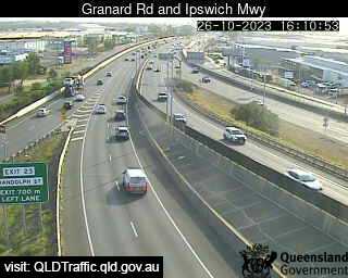
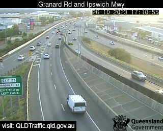
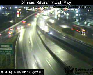
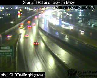
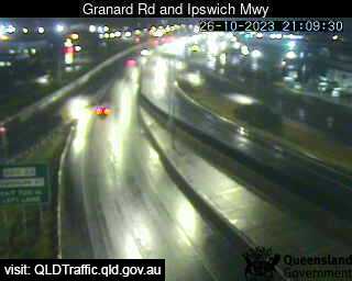
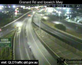
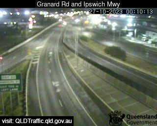
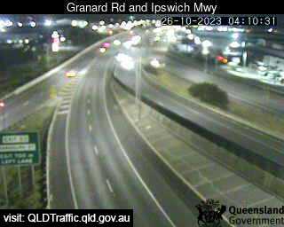
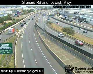
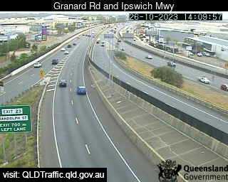
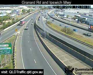
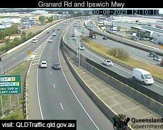
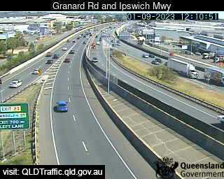
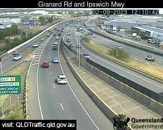
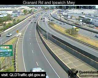
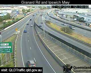
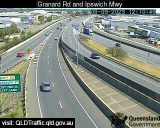
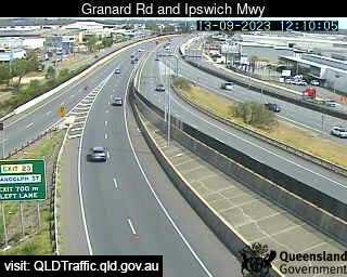
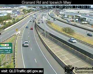
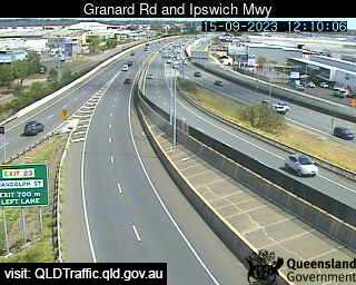
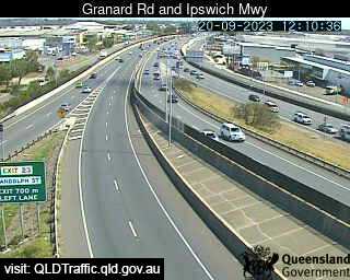
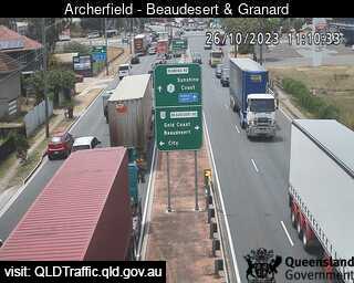
Archerfield, Australia - 1.1 miles from Orange Grove: Granard Rd & Ipswich Mwy (South) - A view of the current traffic conditions.
Operator: Queensland Government - Department of Transport and Main Roads
Operator: Queensland Government - Department of Transport and Main Roads


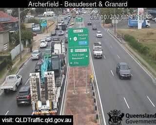
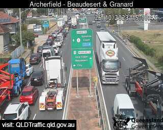
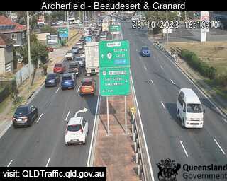
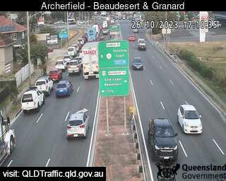
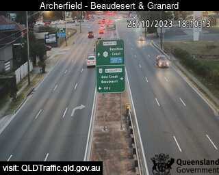
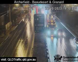
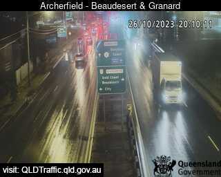
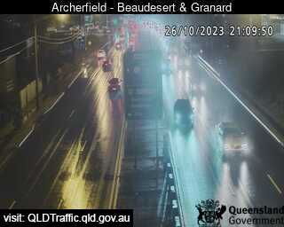
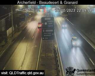
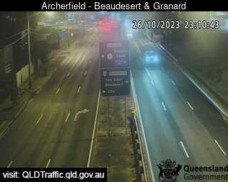
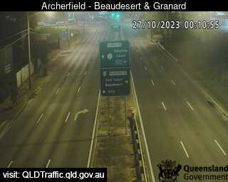
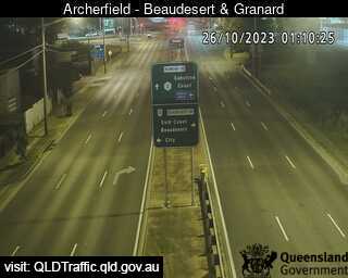
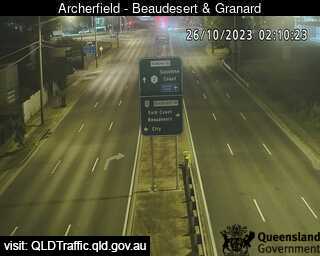
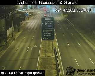
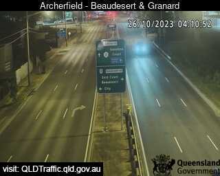
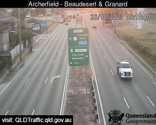
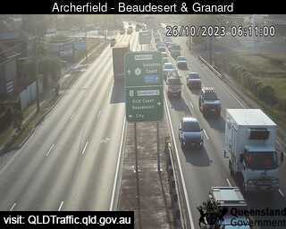
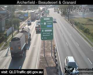
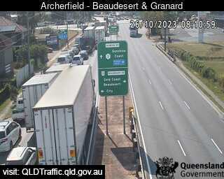
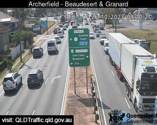
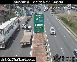
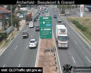
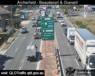
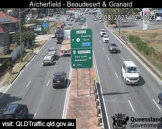
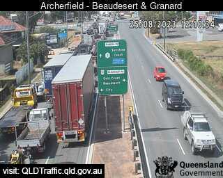
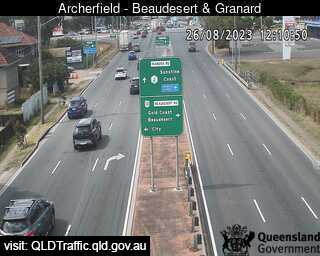
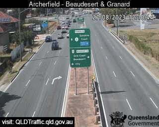
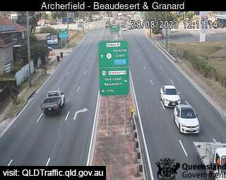
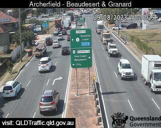
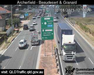
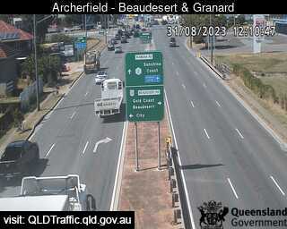
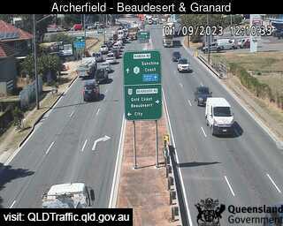
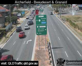
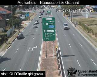
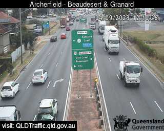
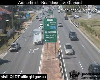
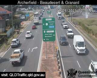
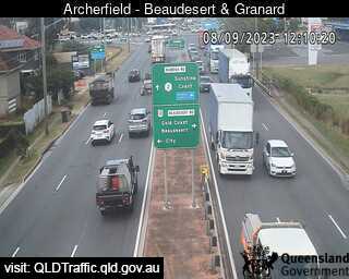
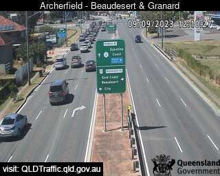
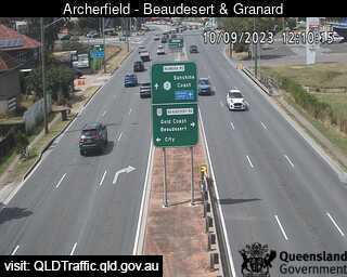
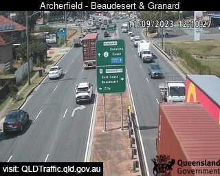
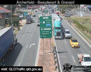
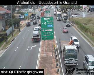
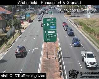
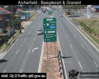
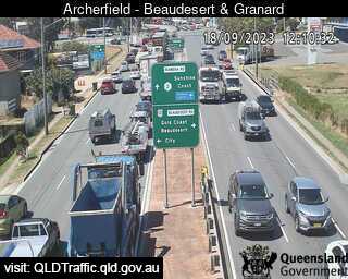
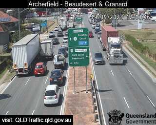
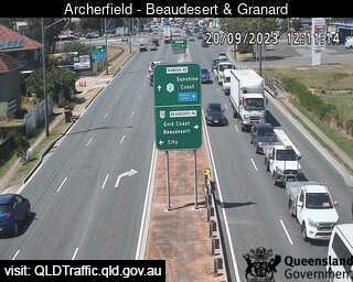
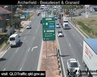
Archerfield, Australia - 1.1 miles from Orange Grove: Beaudesert Road and Granard Road (East) - A view of the current traffic conditions.
Operator: Queensland Government - Department of Transport and Main Roads
Operator: Queensland Government - Department of Transport and Main Roads


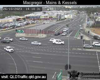
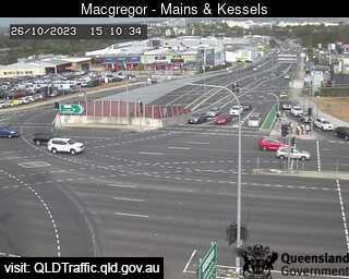
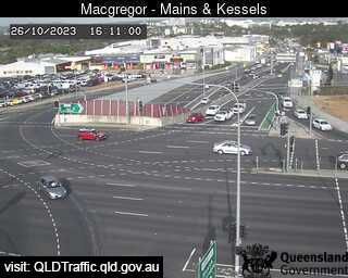
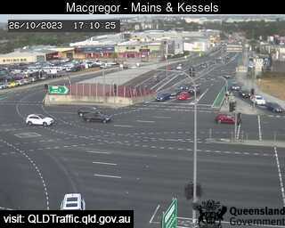
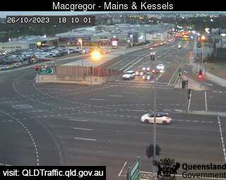
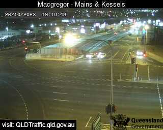
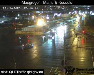
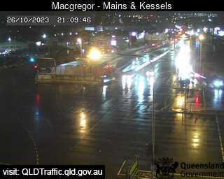
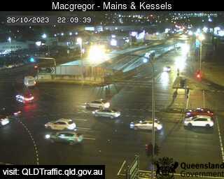
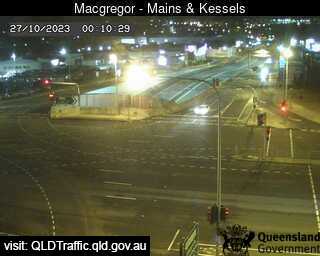
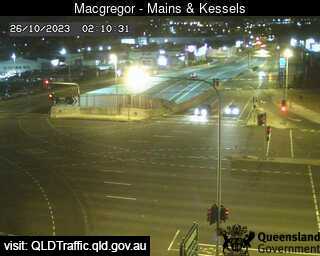
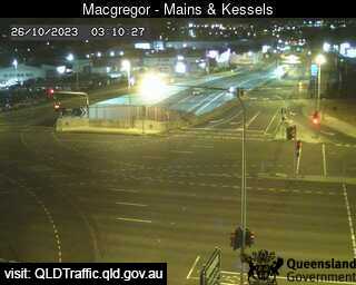
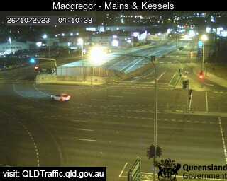
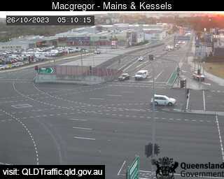
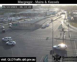
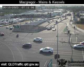
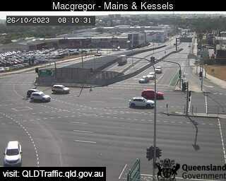
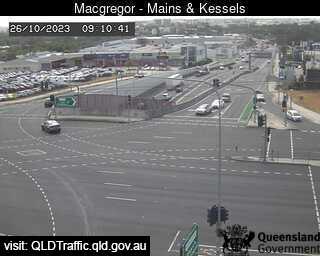
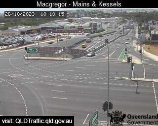
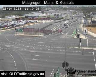
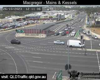
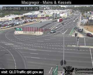
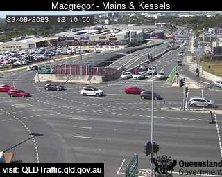
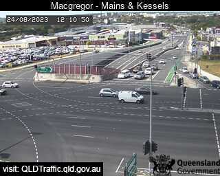
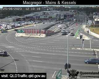
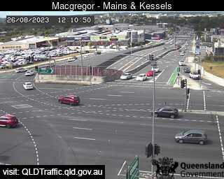
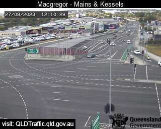
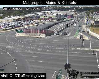
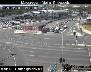
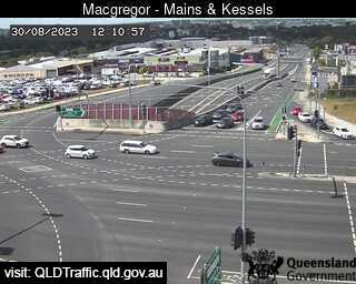
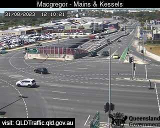
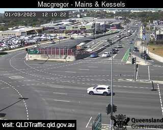
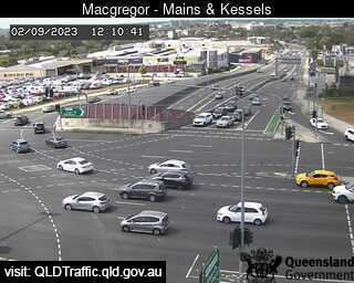
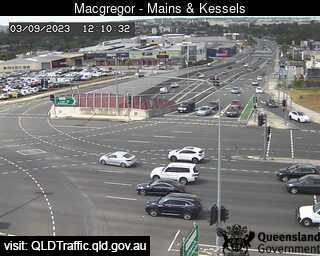
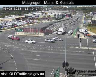
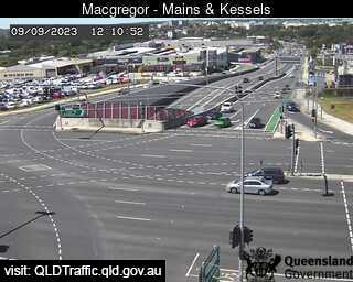
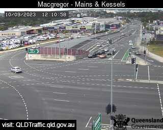
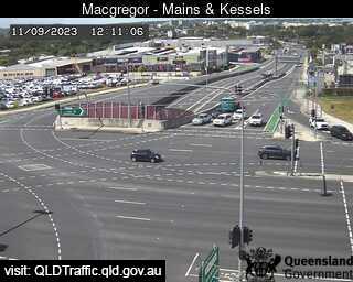
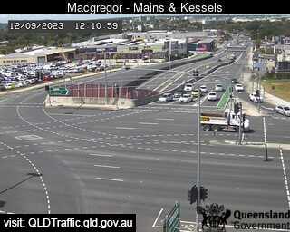
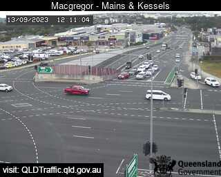
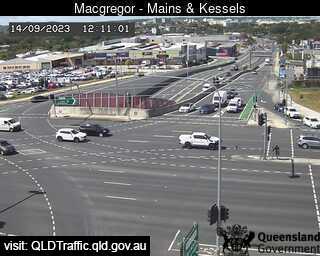
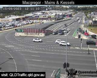
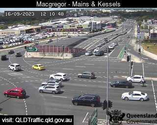
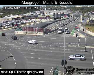
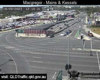
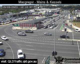
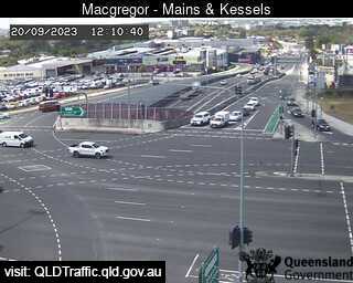
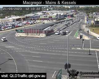
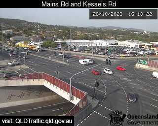
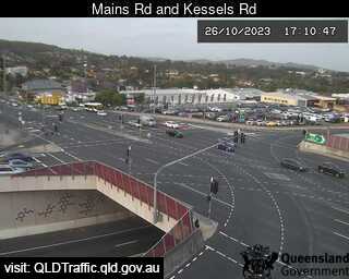
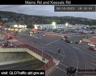
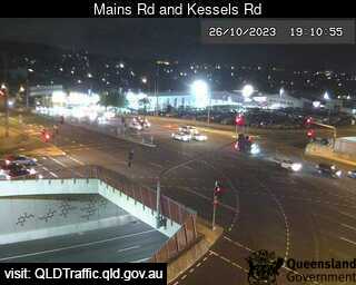
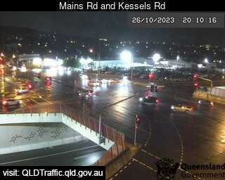
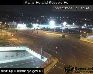
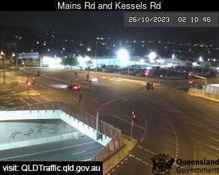
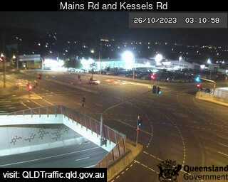
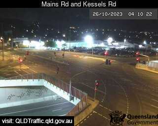
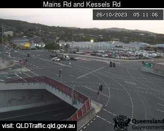
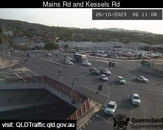
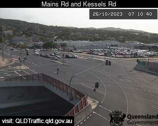
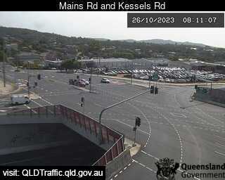
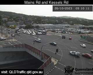
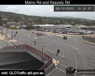
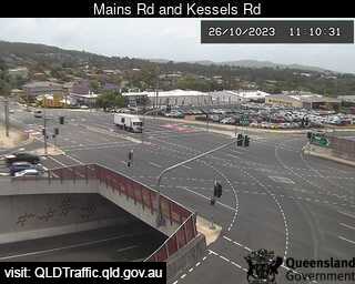
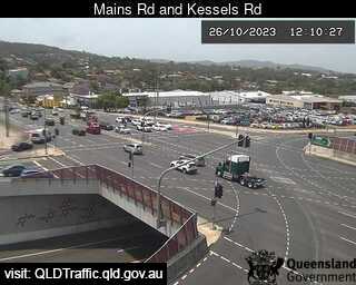
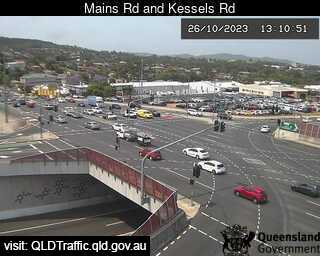
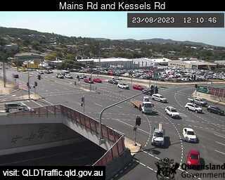
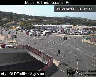
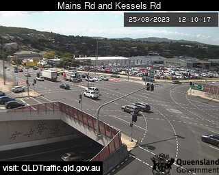
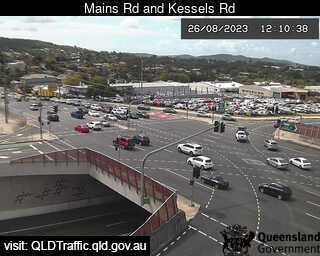
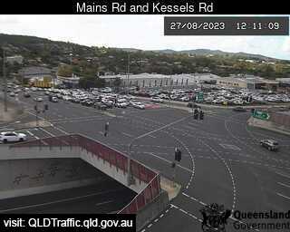
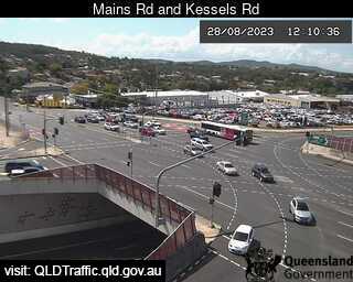
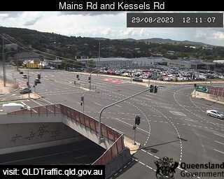
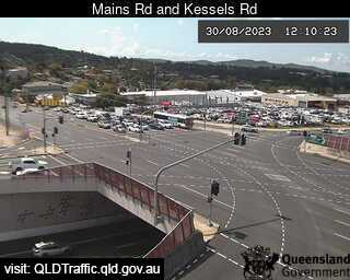
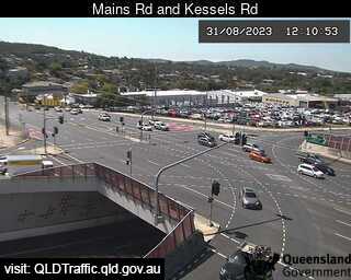
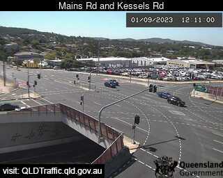
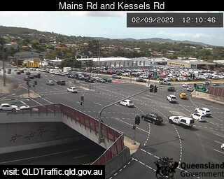
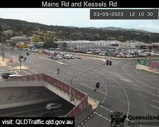
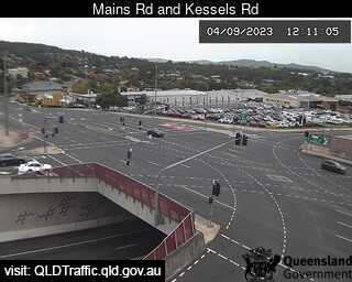
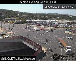
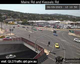
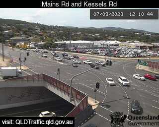
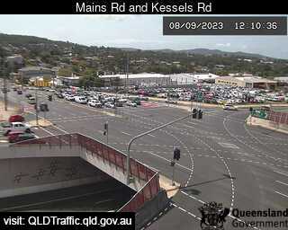
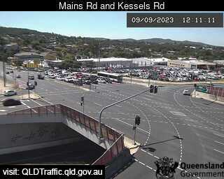
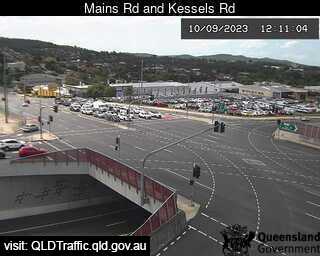
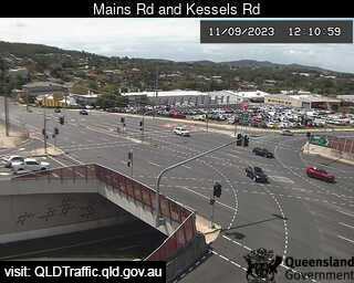
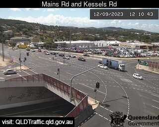
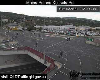
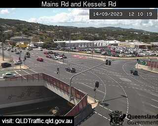
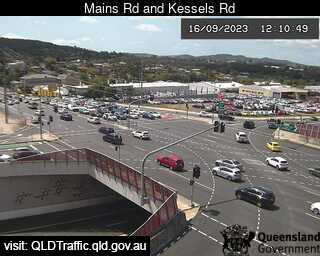
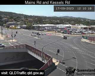
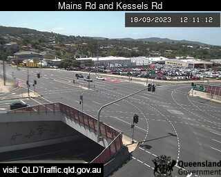
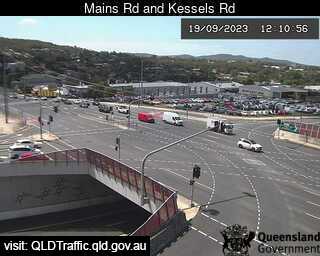
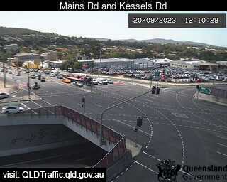
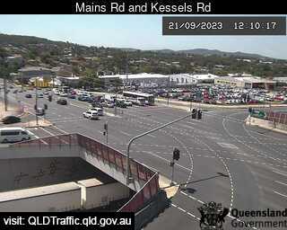
Macgregor, Australia - 2.1 miles from Orange Grove: Mains Road and Kessels Road (North) - A view of the current traffic conditions.
Operator: Queensland Government - Department of Transport and Main Roads
Operator: Queensland Government - Department of Transport and Main Roads
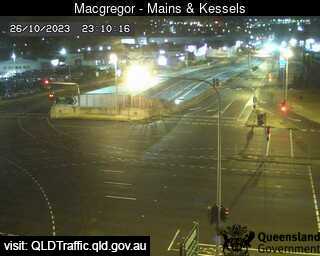
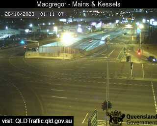
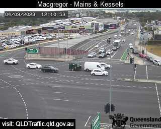
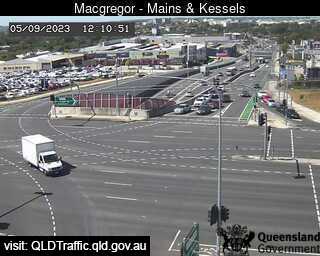
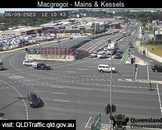
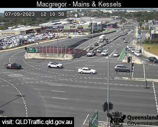

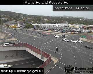
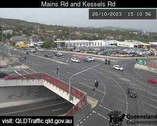
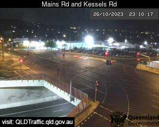
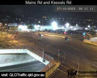
Macgregor, Australia - 2.1 miles from Orange Grove: Mains Road and Kessels Road (East) - A view of the current traffic conditions.
Operator: Queensland Government - Department of Transport and Main Roads
Operator: Queensland Government - Department of Transport and Main Roads


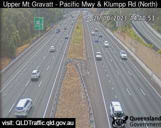
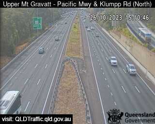
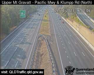
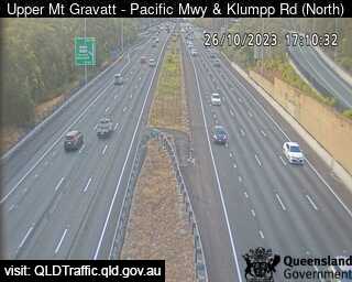
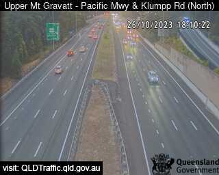
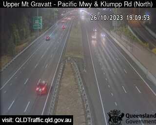
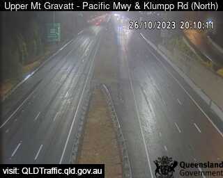
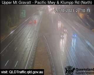
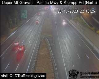
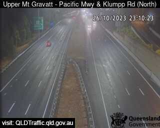
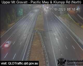
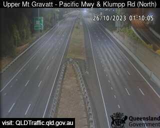
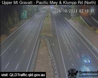
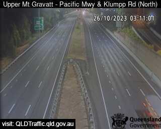
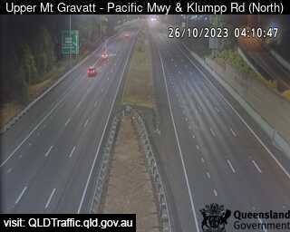
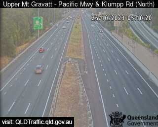
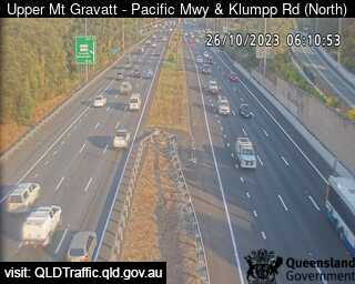
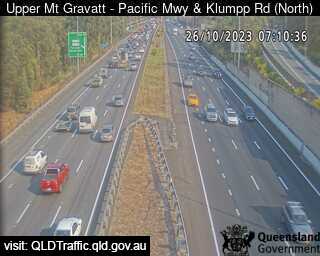
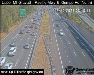
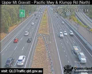
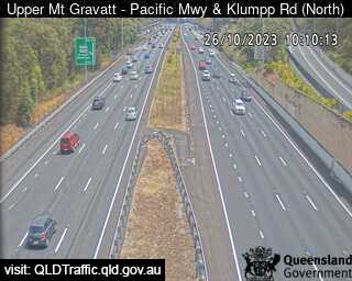
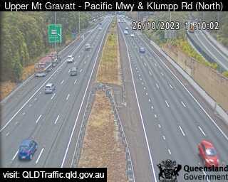
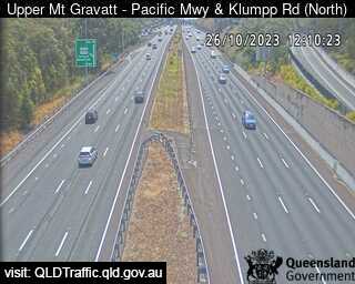
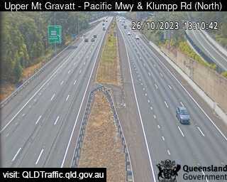
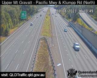
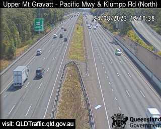
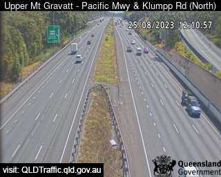
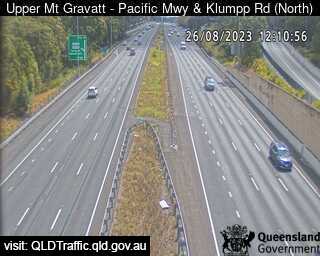
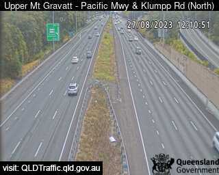
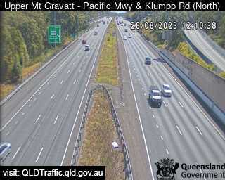
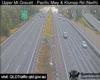
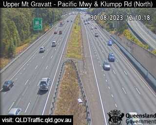
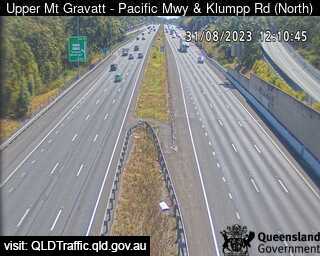
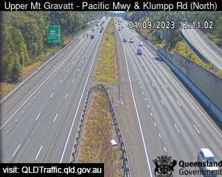
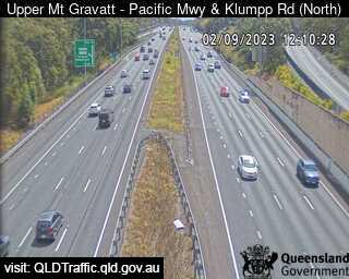
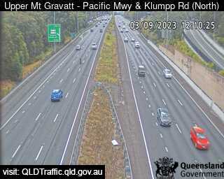
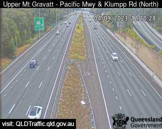
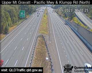
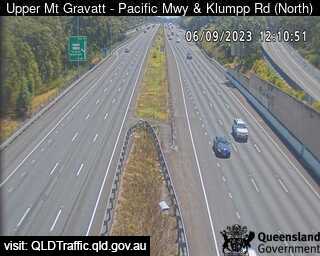
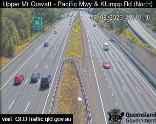
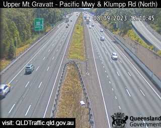
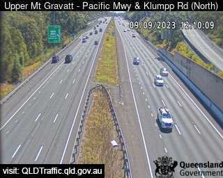
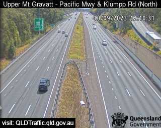
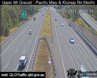
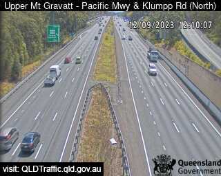
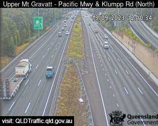
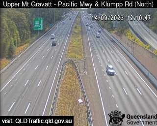
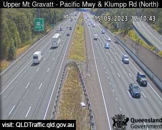
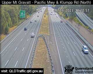
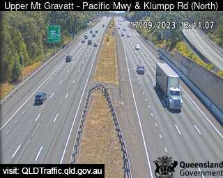
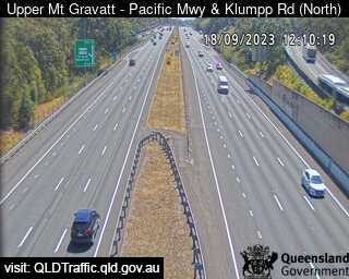
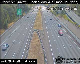
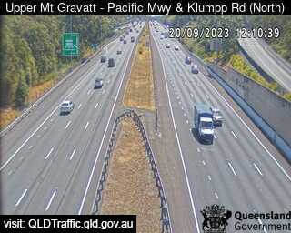
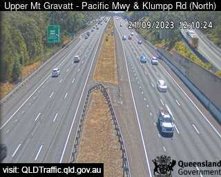
Upper Mount Gravatt, Australia - 3.1 miles from Orange Grove: Pacific Motorway and Klumpp Road (North) - A view of the current traffic conditions.
Operator: Queensland Government - Department of Transport and Main Roads
Operator: Queensland Government - Department of Transport and Main Roads

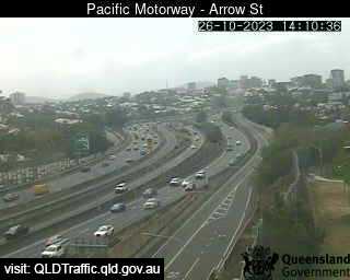
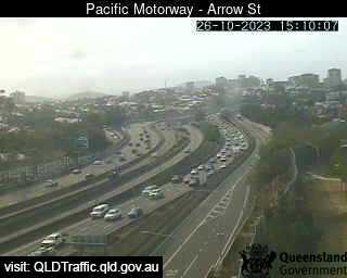
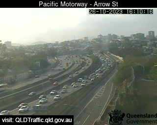
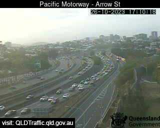
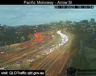
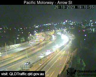
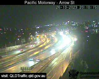
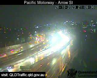
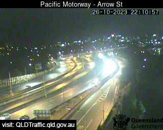
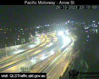
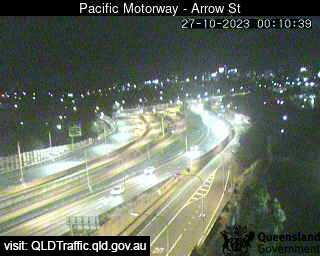
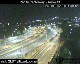
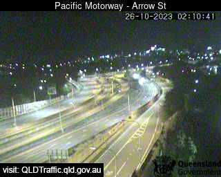
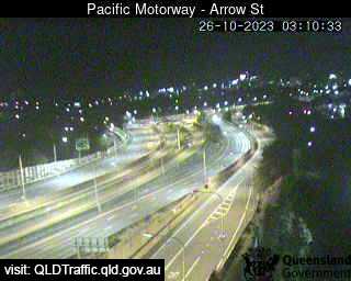
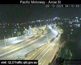
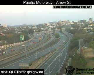
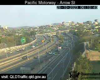
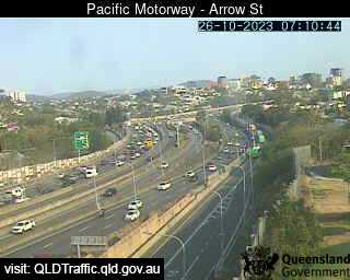
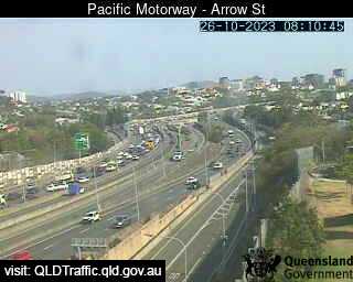
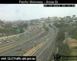
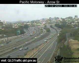
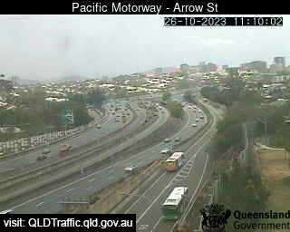
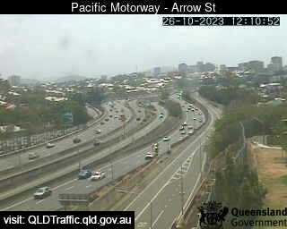
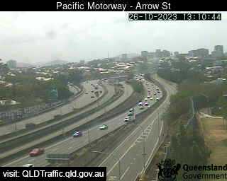
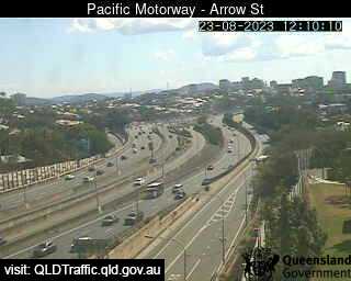
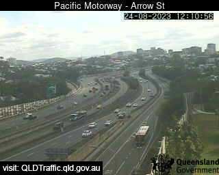
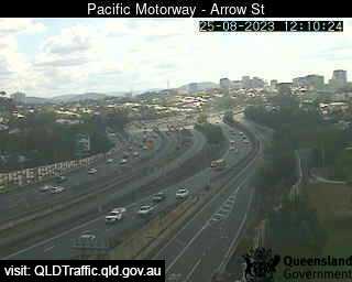
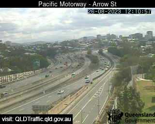
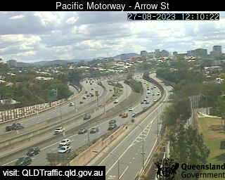
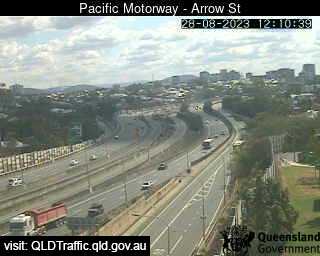
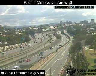
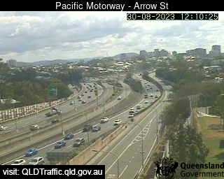
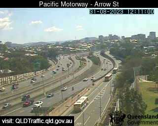
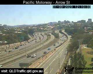
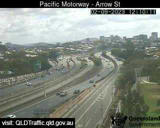
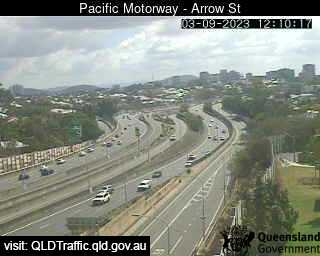
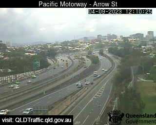
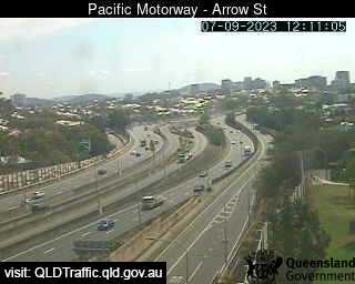
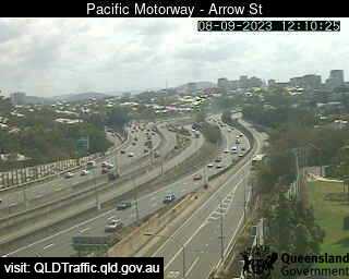
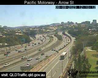
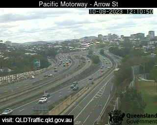
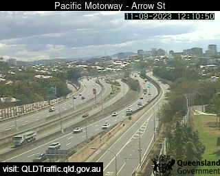
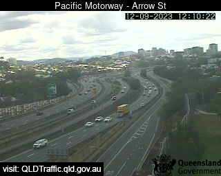
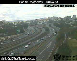
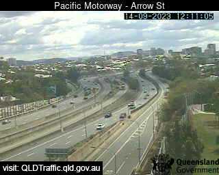
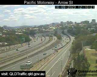
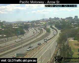
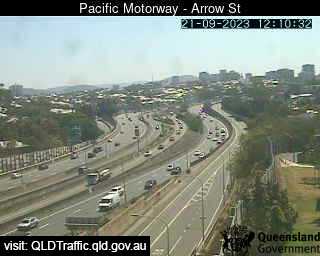
Woolloongabba, Australia - 4.6 miles from Orange Grove: Pacific Motorway - Arrow Street (North-West) - A view of the current traffic conditions.
Operator: Queensland Government - Department of Transport and Main Roads
Operator: Queensland Government - Department of Transport and Main Roads


Darra, Australia - 5 miles from Orange Grove: Centenary Motorway - Ipswich Motorway (North) - A view of the current traffic conditions.
Operator: Queensland Government - Department of Transport and Main Roads
Operator: Queensland Government - Department of Transport and Main Roads
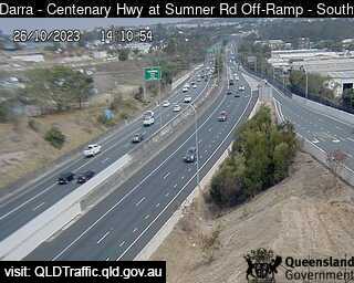
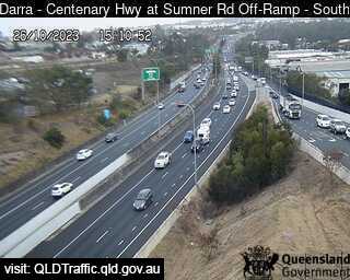
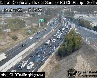
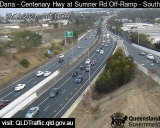
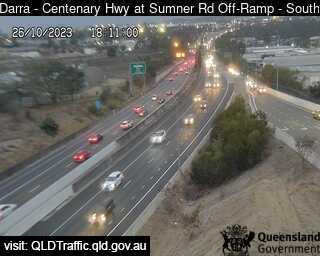

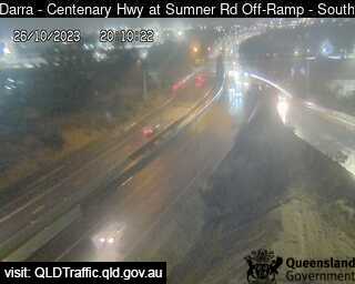
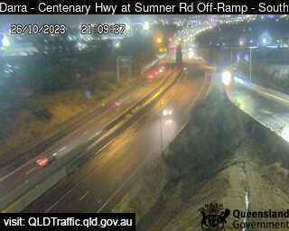
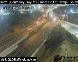
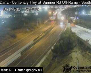
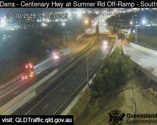
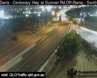
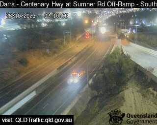
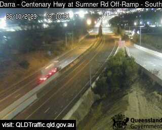
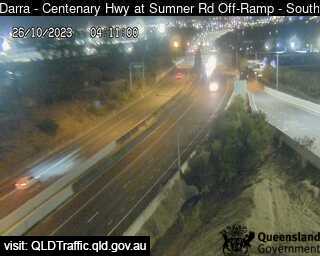
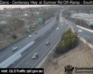
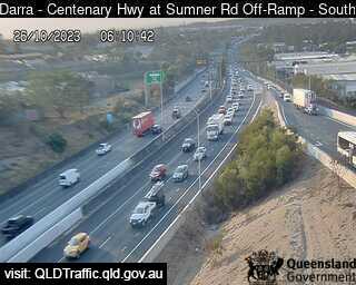
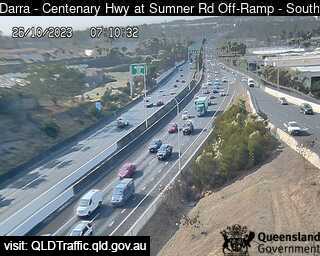
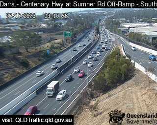
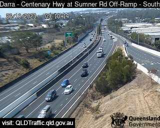
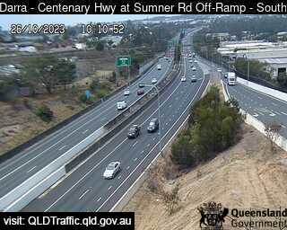
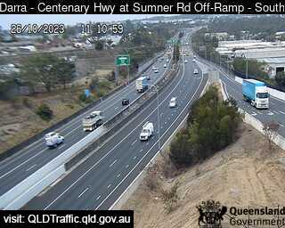
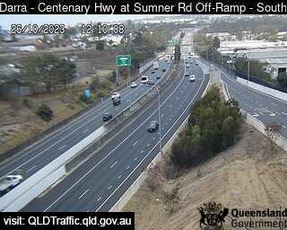
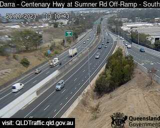

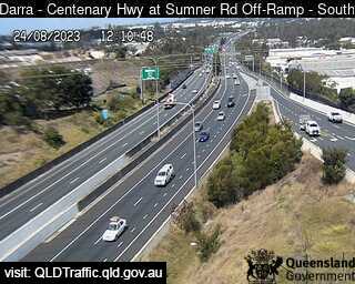
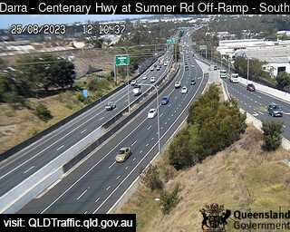
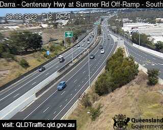
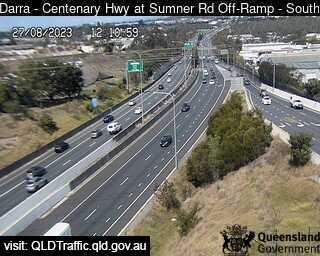
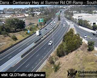

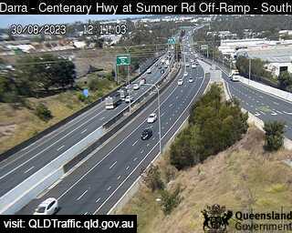
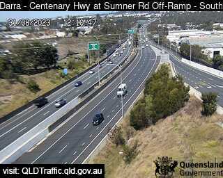
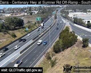
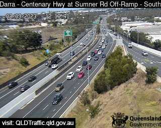
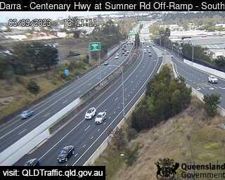
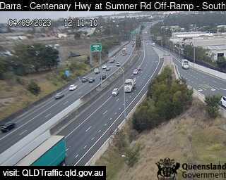
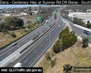
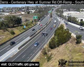
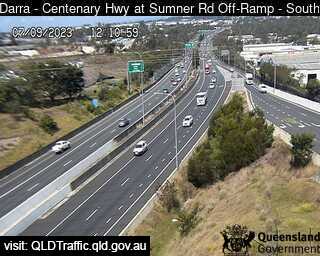
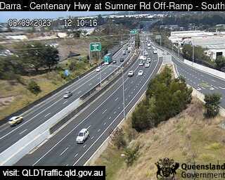
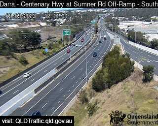
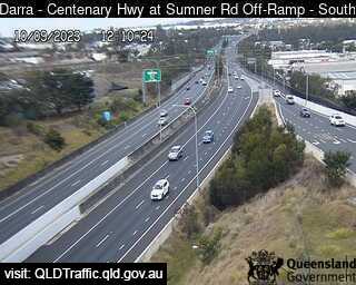
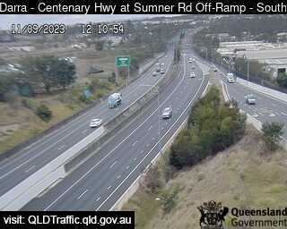
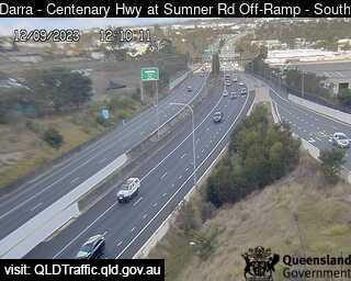
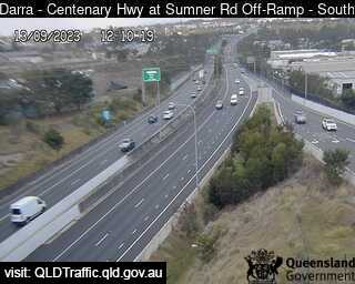
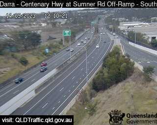
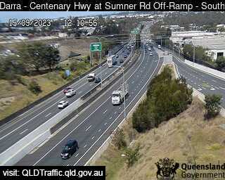

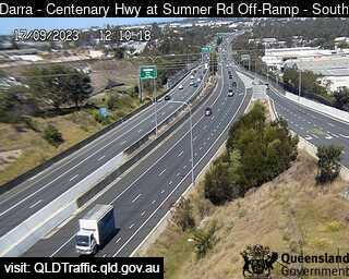
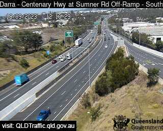
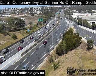
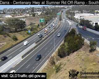
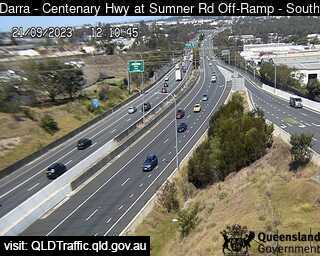

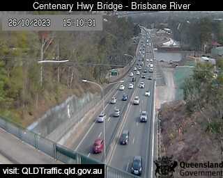
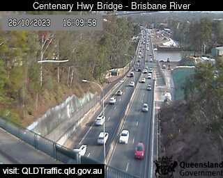
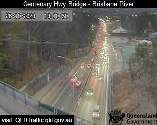
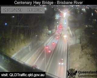
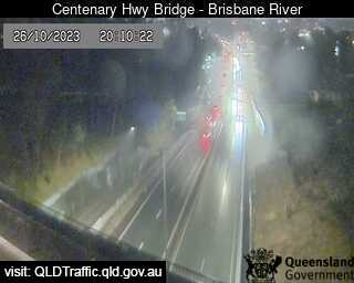
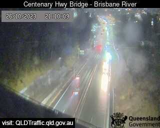
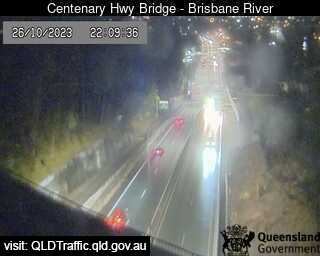
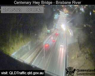
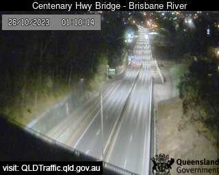
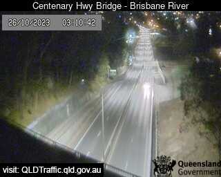
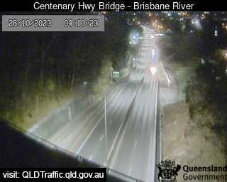
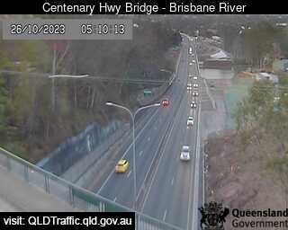
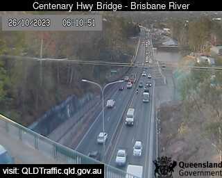
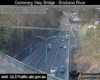
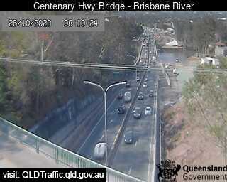
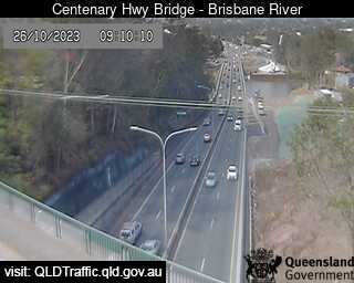
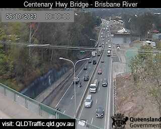
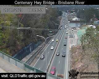
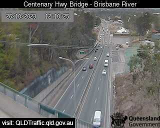
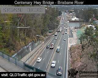
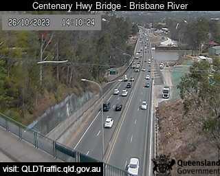
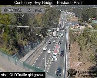
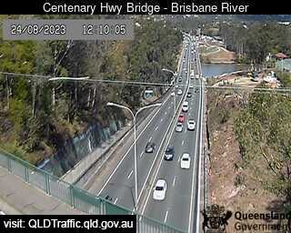
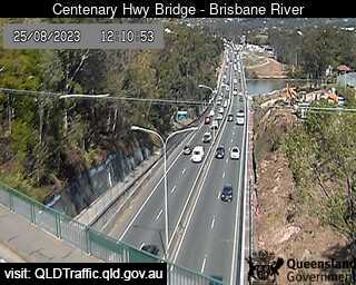
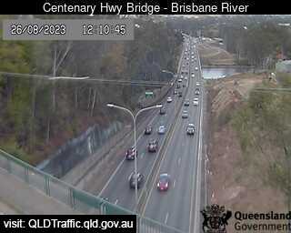
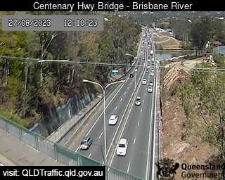
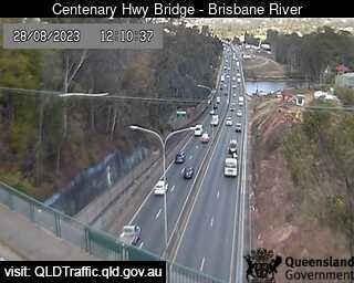
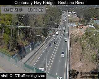
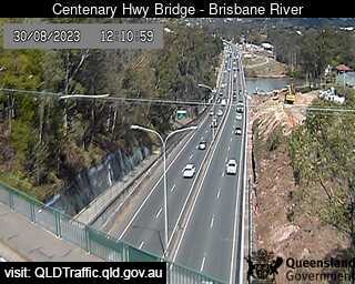
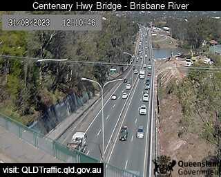
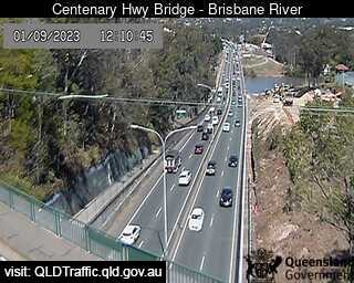
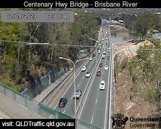
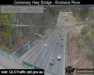
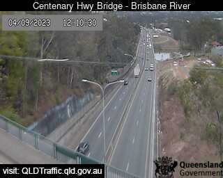
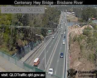
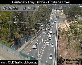
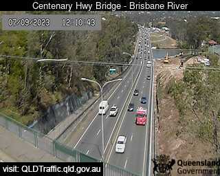
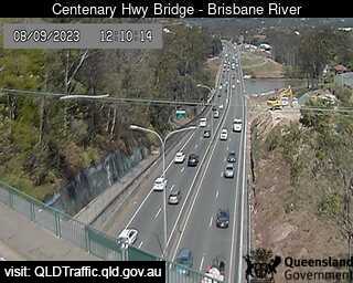
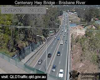
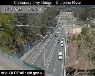
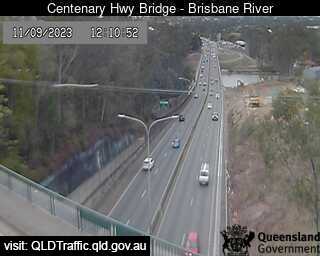
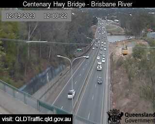
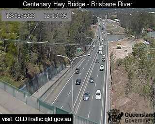
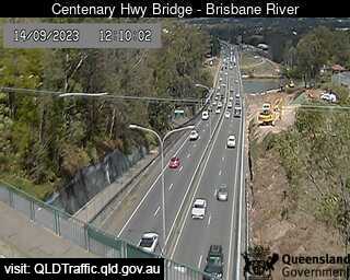
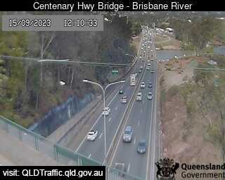
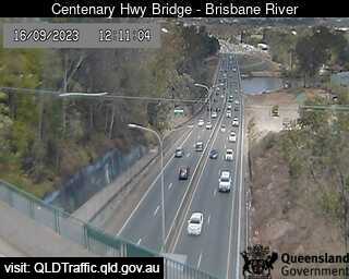
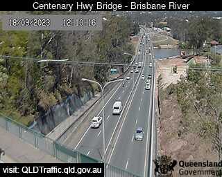
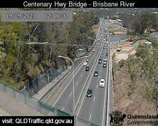
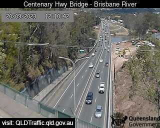
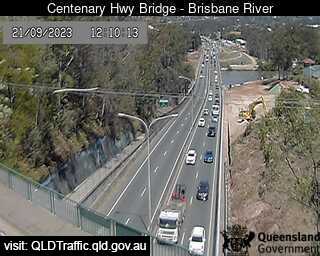
Fig Tree Pocket, Australia - 5.5 miles from Orange Grove: Centenary Highway Bridge - Brisbane River (South) - A view of the current traffic conditions.
Operator: Queensland Government - Department of Transport and Main Roads
Operator: Queensland Government - Department of Transport and Main Roads


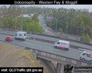
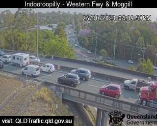
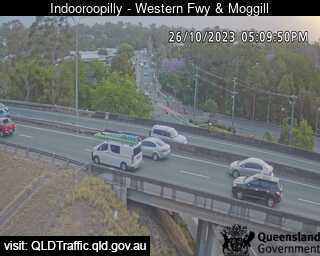
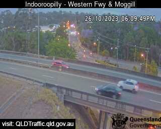
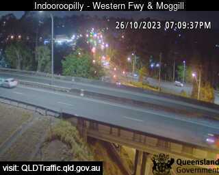
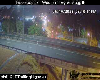
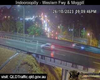
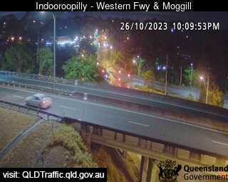
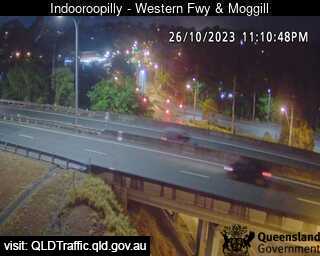
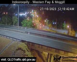
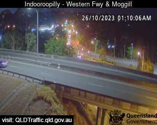
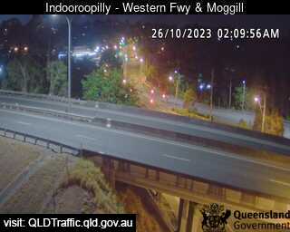
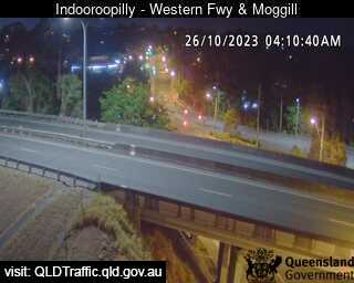
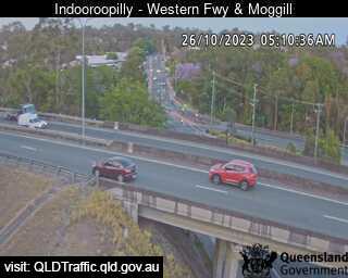
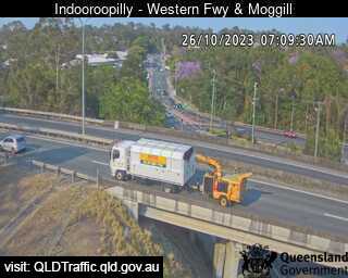
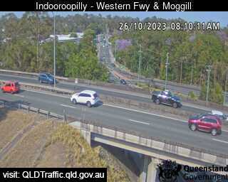
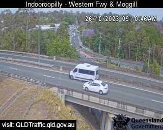
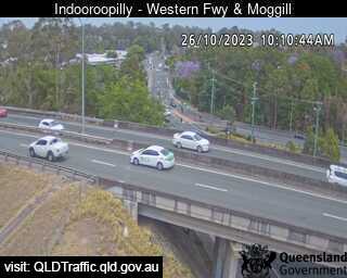
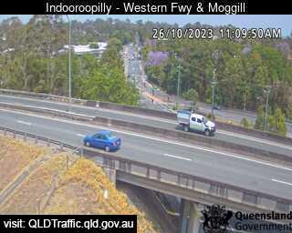
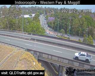
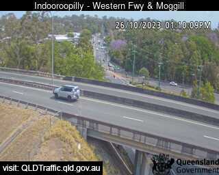
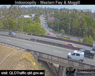
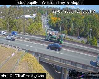
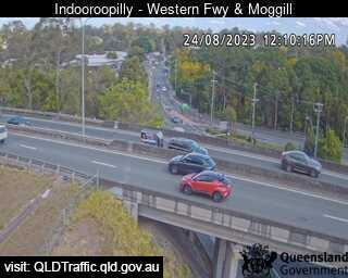
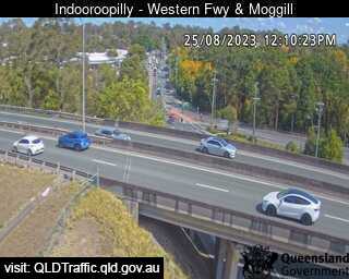
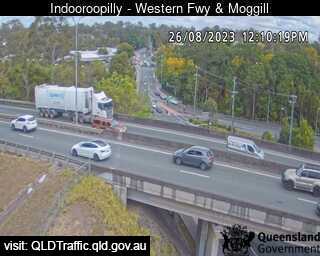
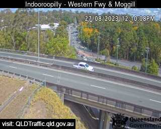
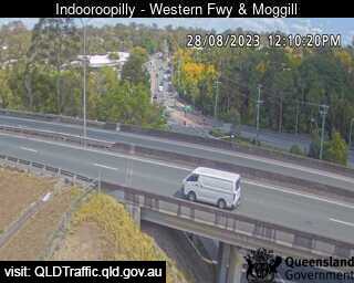
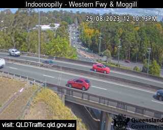
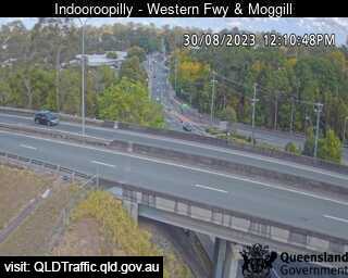
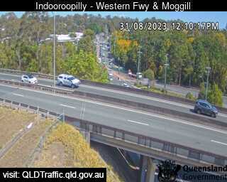
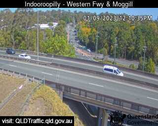
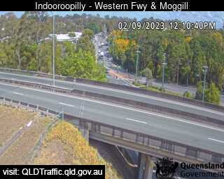
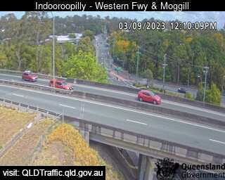
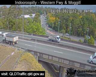
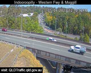
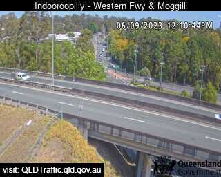
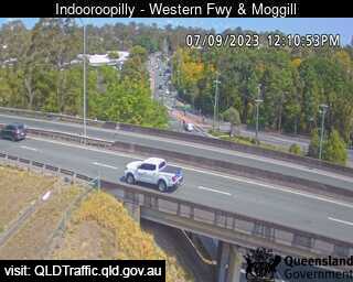
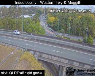
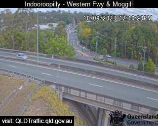
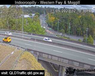
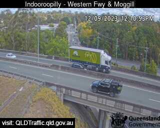
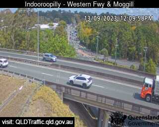
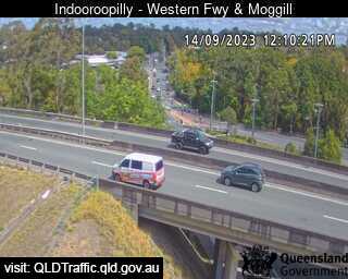
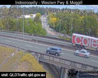
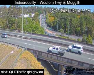
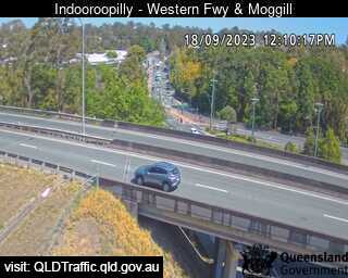
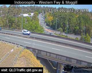
Indooroopilly, Australia - 5.7 miles from Orange Grove: Western Freeway and Moggill Road (West) - A view of the current traffic conditions.
Operator: Queensland Government - Department of Transport and Main Roads
Operator: Queensland Government - Department of Transport and Main Roads


Some other places in this country: Opossum Bay - Orange - Orford - Orielton - Orkabie - Ormeau - Ormiston - Orroroo - Orton Park - Osterley