Webcams in the region of Narangba, Australia
The List of Webcams near Narangba, Australia:

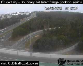
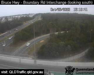
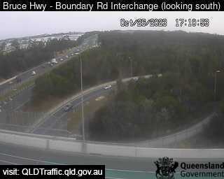
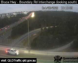
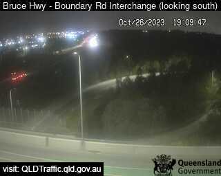
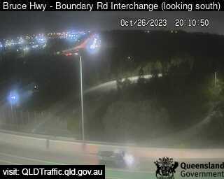
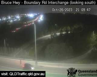
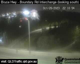
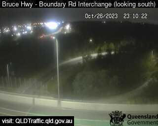
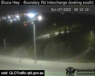
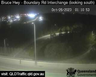
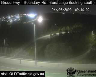
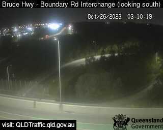
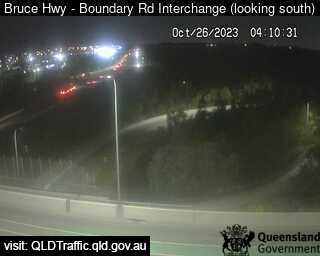
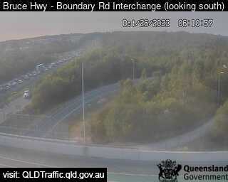
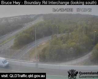
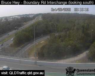
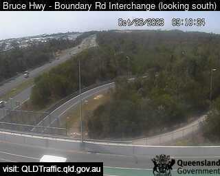
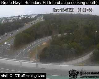
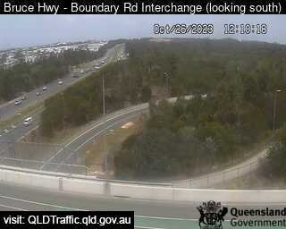
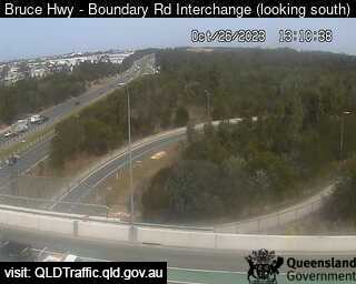
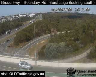
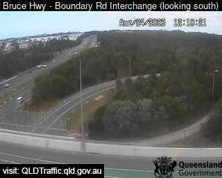
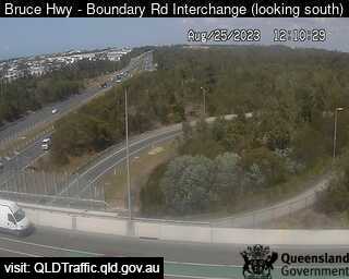
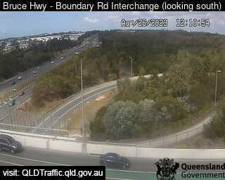
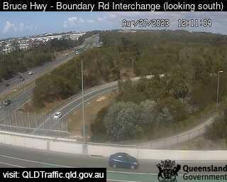
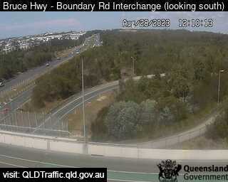
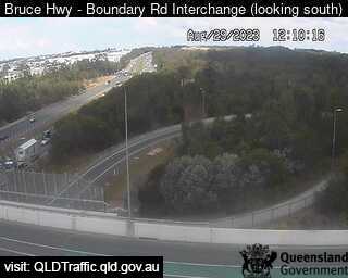
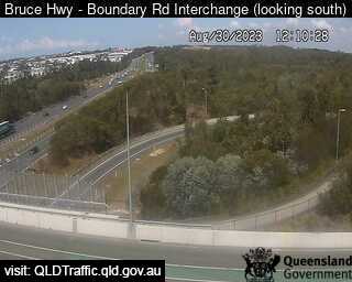
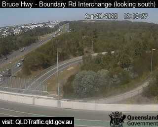
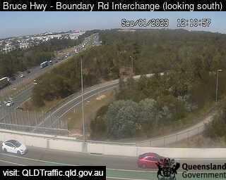
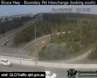
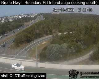
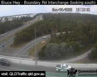
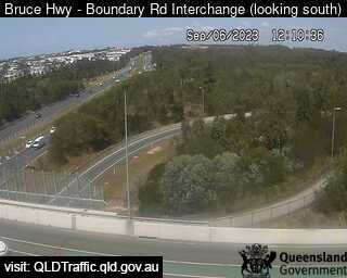
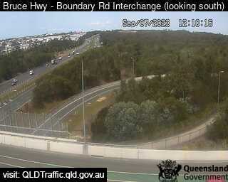
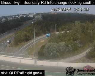
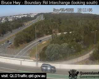
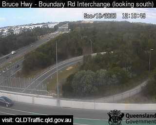
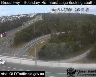
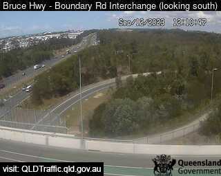
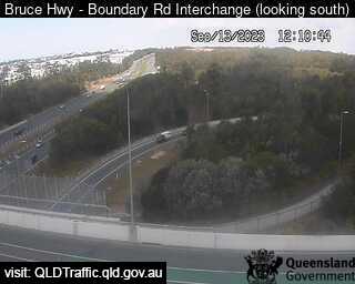
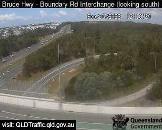
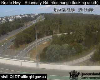
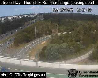
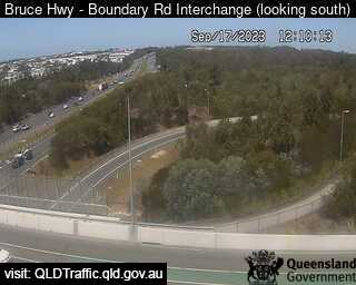
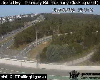
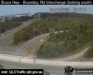
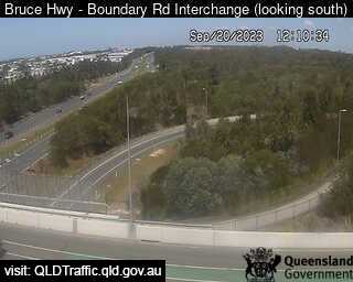
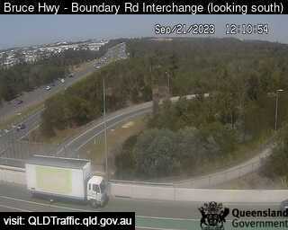
North Lakes, Australia - 3.7 miles from Narangba: Bruce Highway - Narangba - Boundary Road (looking south) - A view of the current traffic conditions.
Operator: Queensland Government - Department of Transport and Main Roads
Operator: Queensland Government - Department of Transport and Main Roads


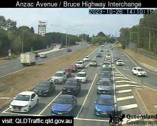
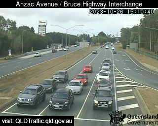
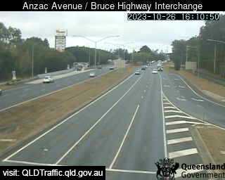
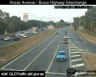
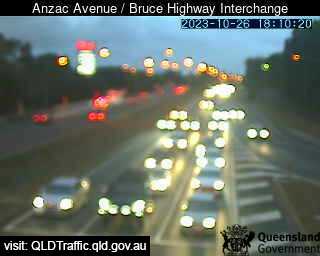
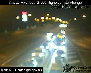
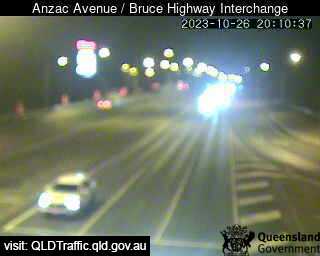
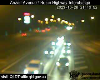
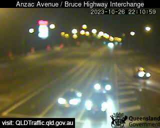
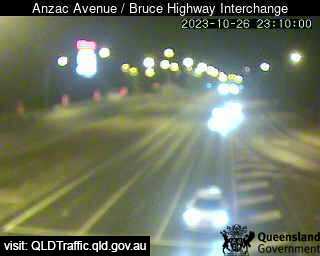
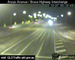
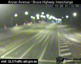
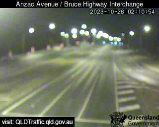
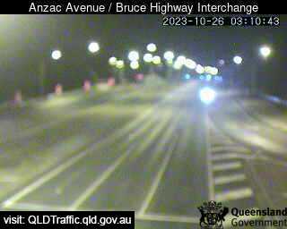
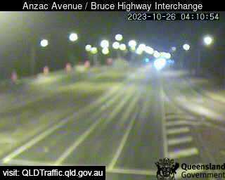
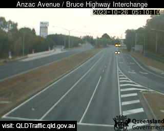
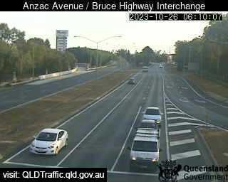
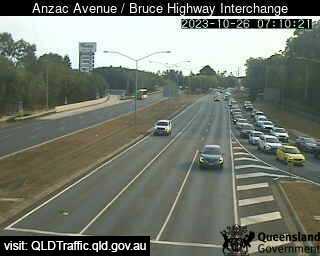
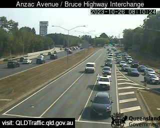
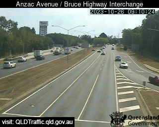
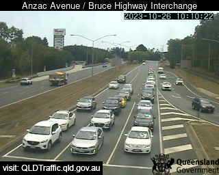
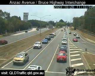
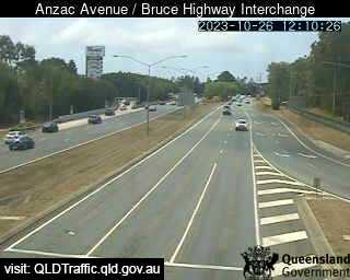
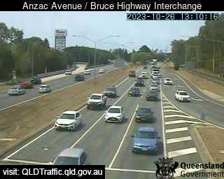
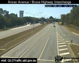
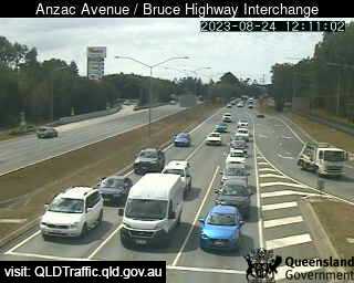
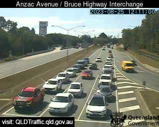
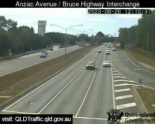
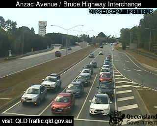
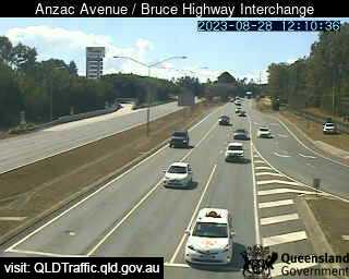
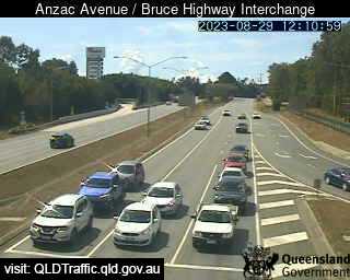
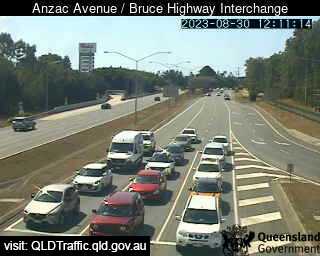
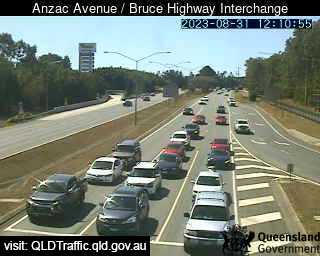
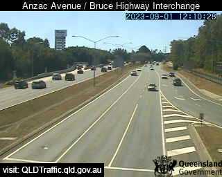
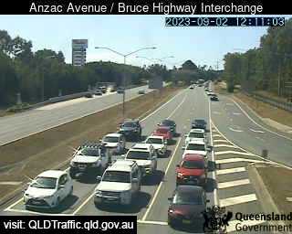
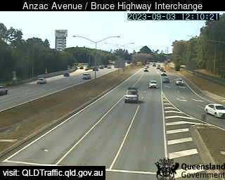
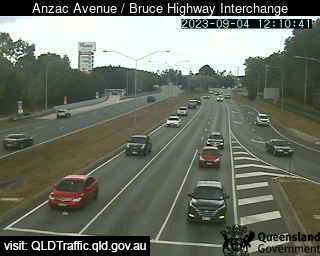
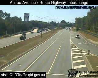
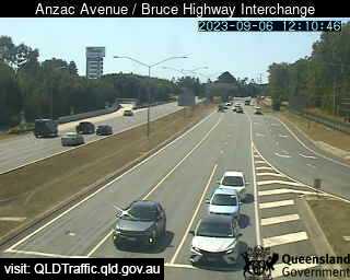
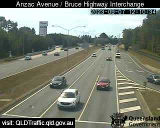
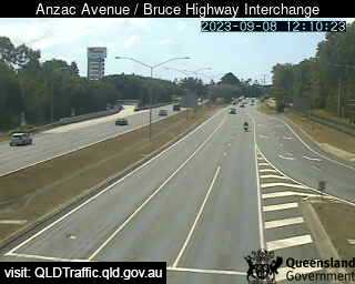
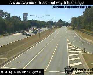
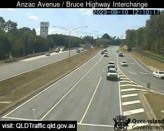
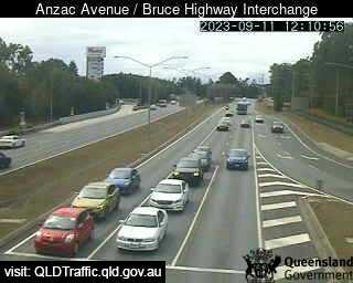
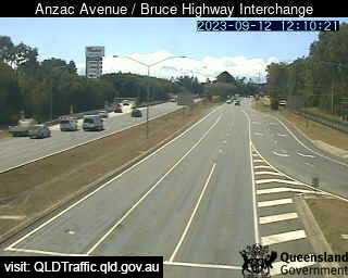
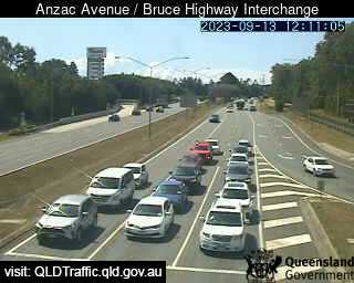
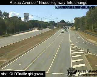
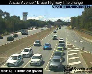
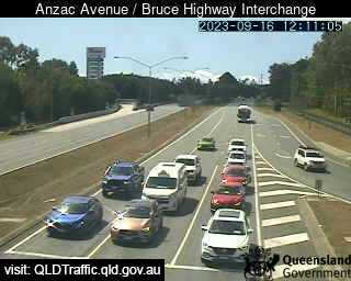
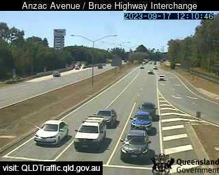
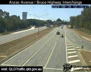
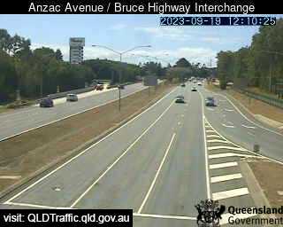
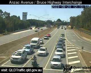
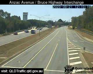
North Lakes, Australia - 3.7 miles from Narangba: Anzac Avenue / Bruce Highway Interchange ( East) - A view of the current traffic conditions.
Operator: Queensland Government - Department of Transport and Main Roads
Operator: Queensland Government - Department of Transport and Main Roads

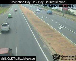
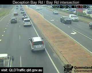
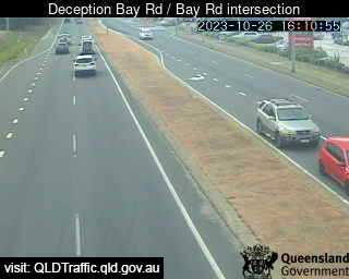
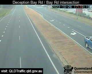
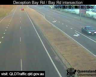
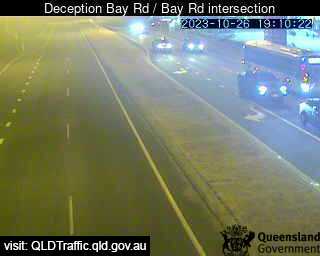
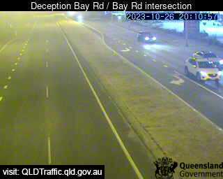
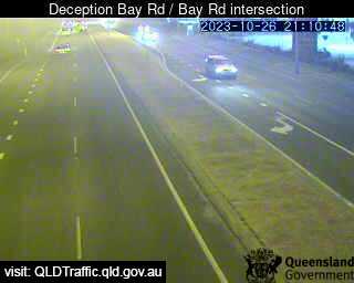
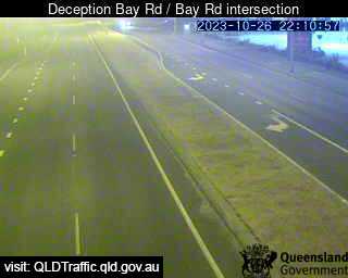
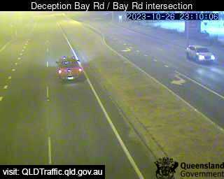
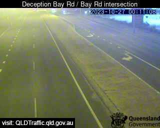
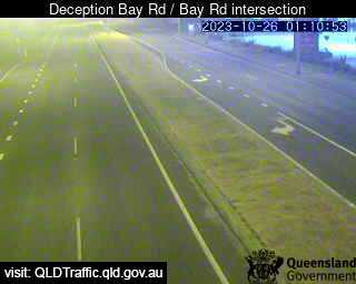
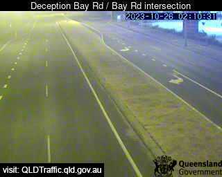
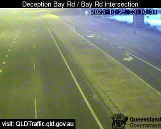
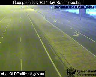
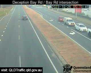
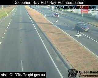
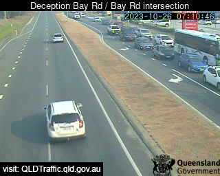
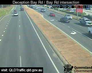
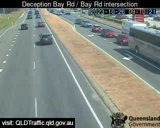
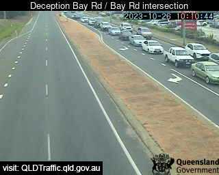
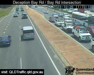
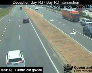
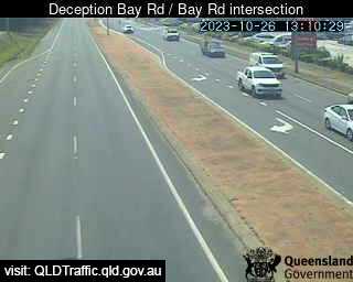
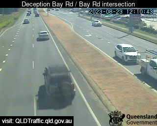
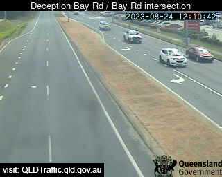
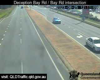
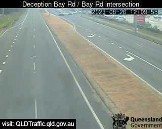
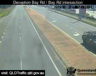
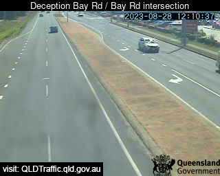
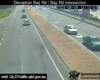
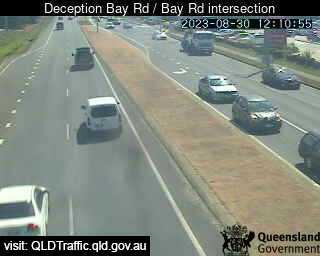
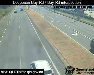
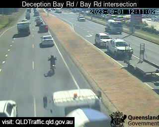
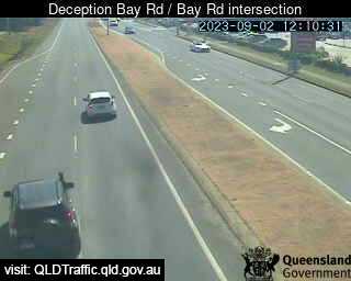
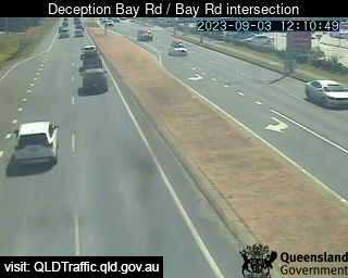
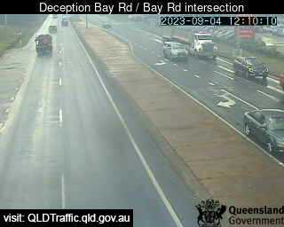
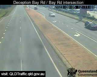
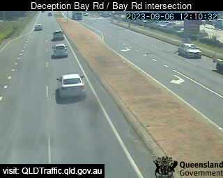
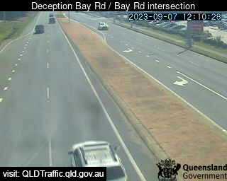
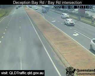
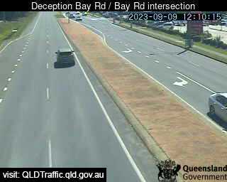
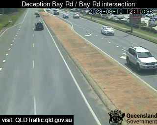
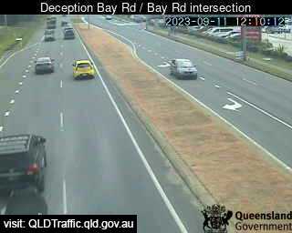
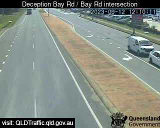
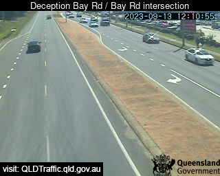
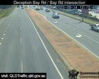
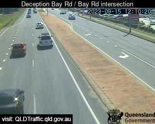
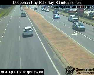
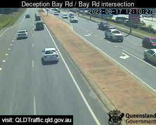
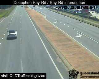
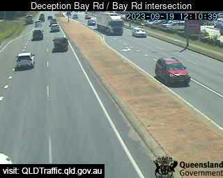
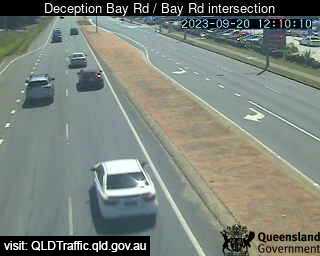
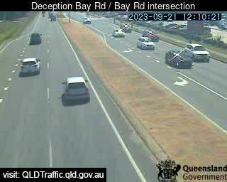
Deception Bay, Australia - 3.8 miles from Narangba: Deception Bay Road / Bay Road intersection (North-West) - A view of the current traffic conditions.
Operator: Queensland Government - Department of Transport and Main Roads
Operator: Queensland Government - Department of Transport and Main Roads

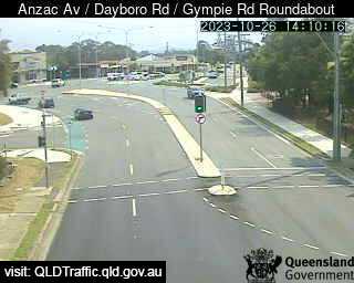
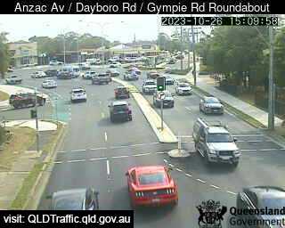
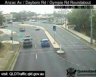
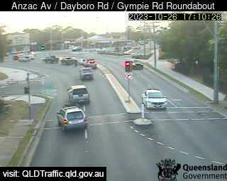
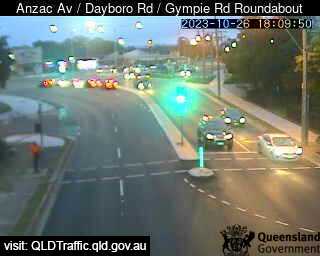
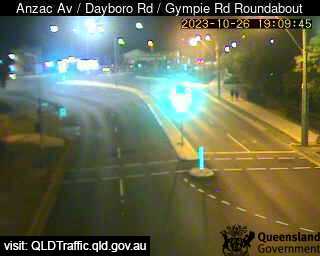
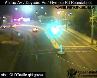
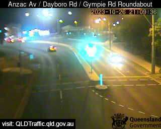
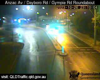
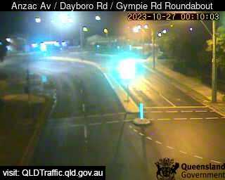
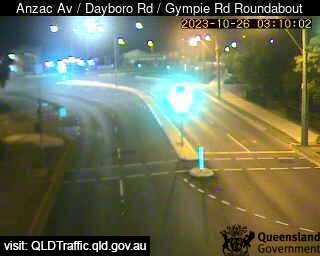
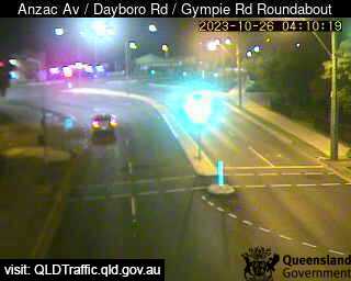
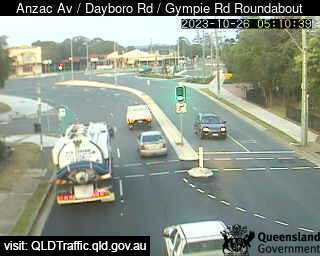
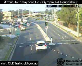
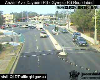
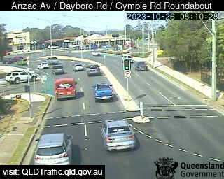
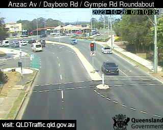
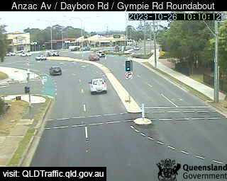
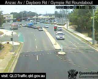
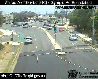
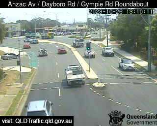
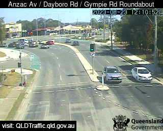
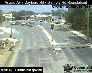
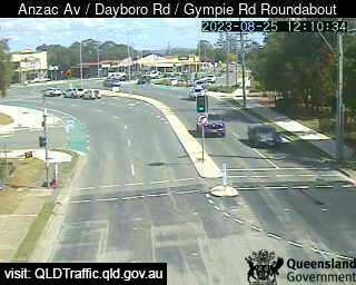
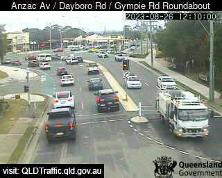
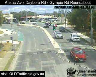
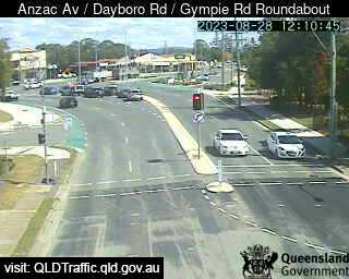
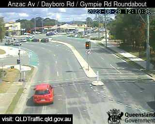
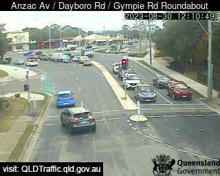
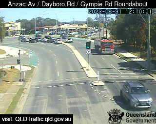
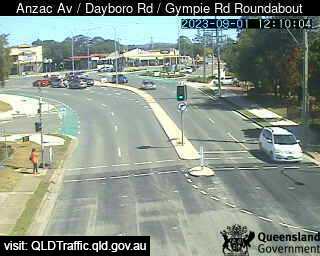
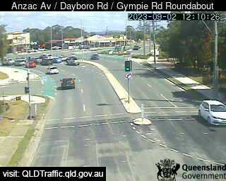
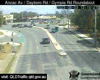
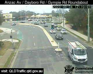
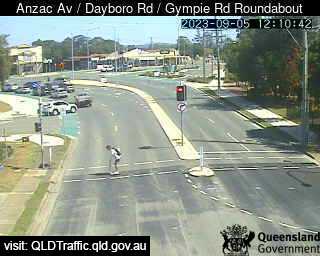
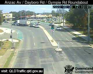
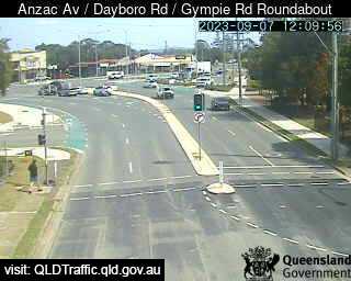
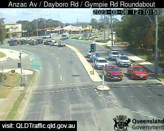
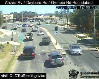
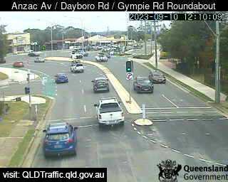
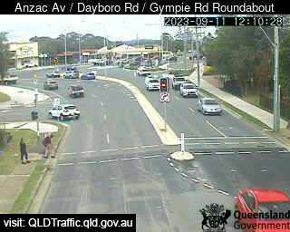
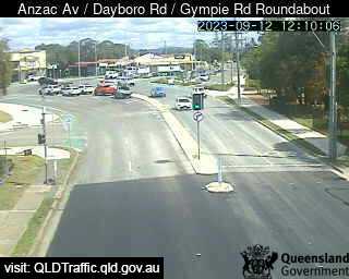
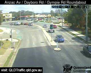
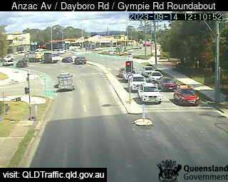
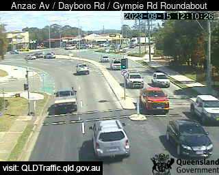
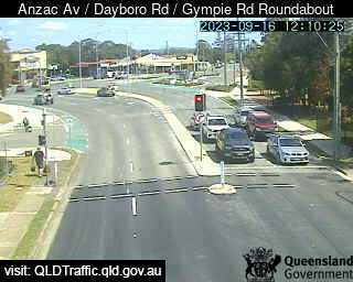
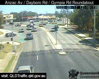
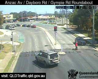
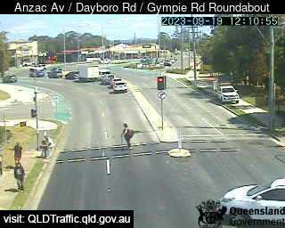
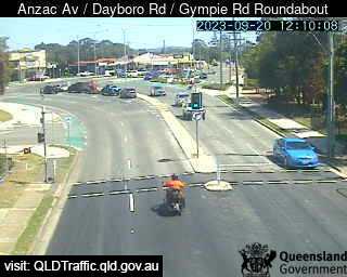
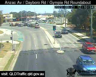
Petrie, Australia - 4.8 miles from Narangba: Anzac Avenue / Dayboro Road / Gympie Road Roundabout (South-West) - A view of the current traffic conditions.
Operator: Queensland Government - Department of Transport and Main Roads
Operator: Queensland Government - Department of Transport and Main Roads


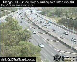
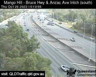
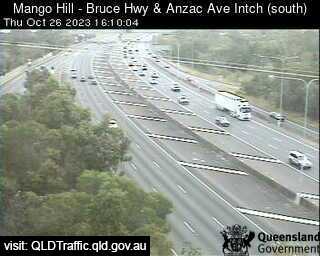
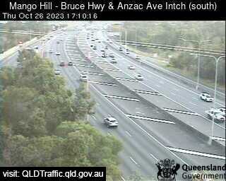
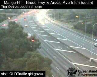
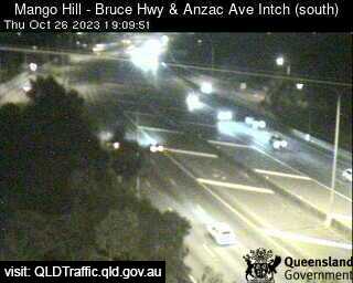
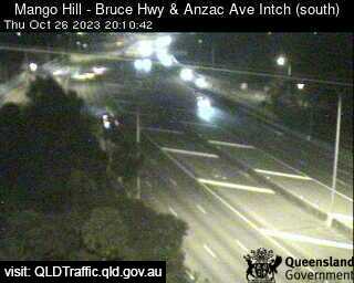
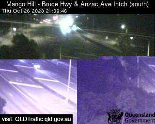
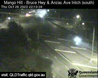
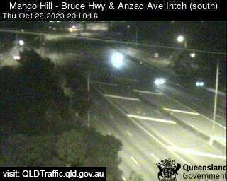
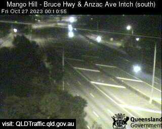
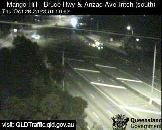
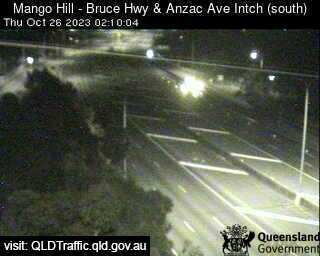
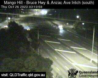
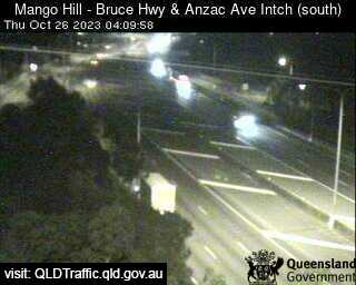
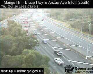
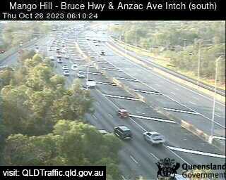
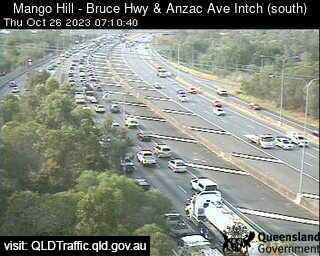
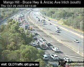
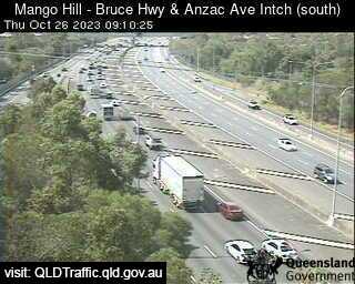
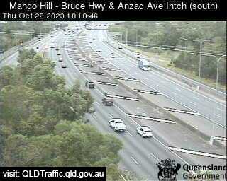
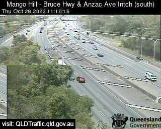
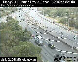
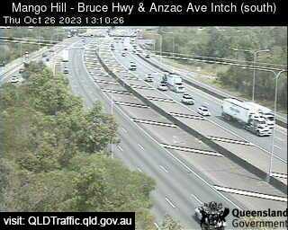
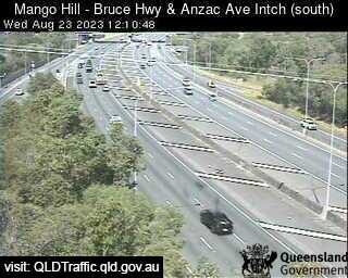
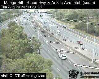
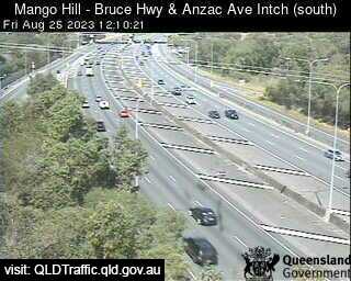
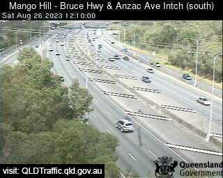
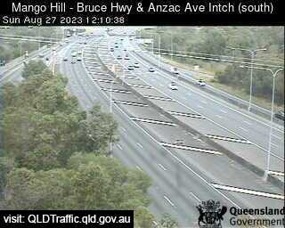
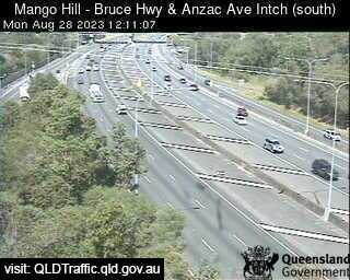
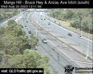
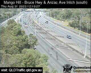
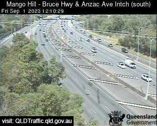
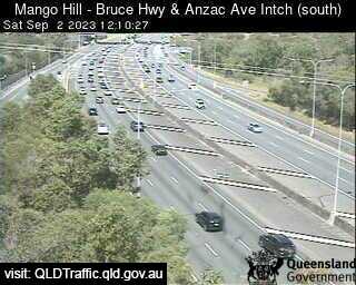
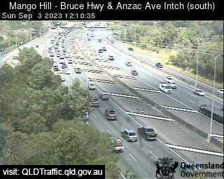
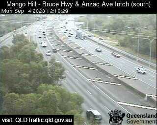
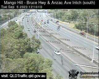
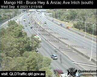
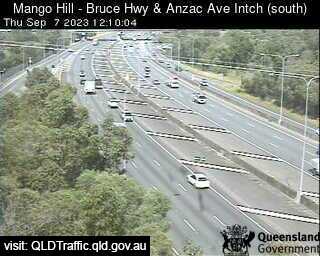
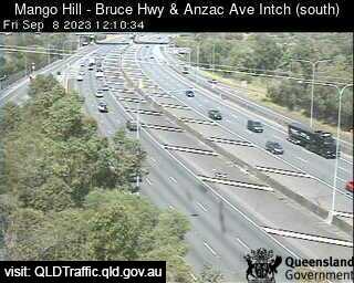
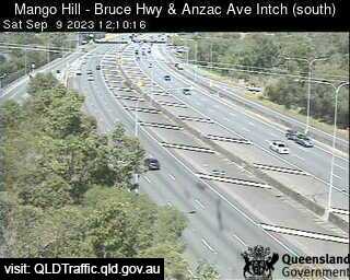
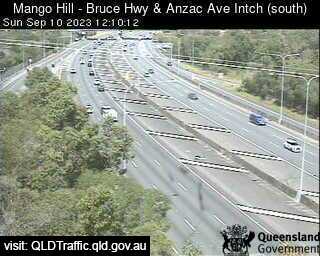
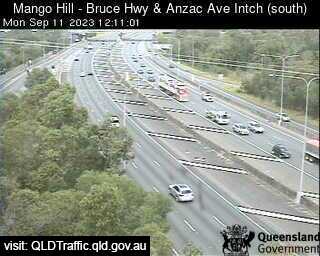
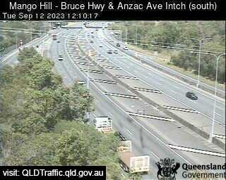
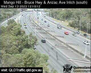
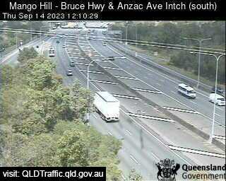
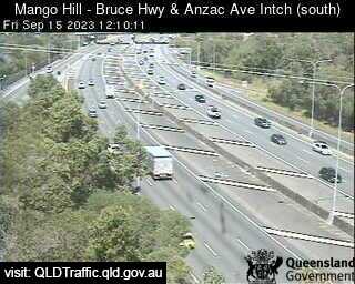
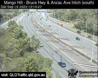
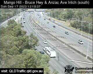
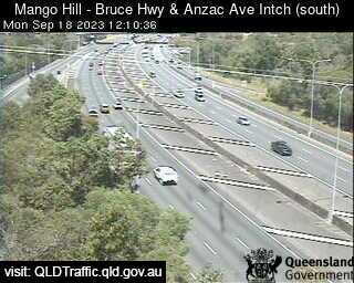
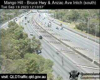
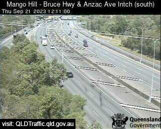
Mango Hill, Australia - 4.8 miles from Narangba: Bruce Highway and Anzac Avenue (looking South) - A view of the current traffic conditions.
Operator: Queensland Government - Department of Transport and Main Roads
Operator: Queensland Government - Department of Transport and Main Roads


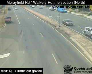
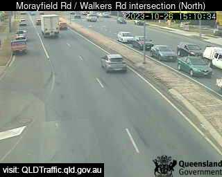
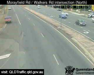
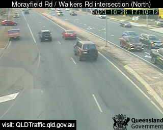
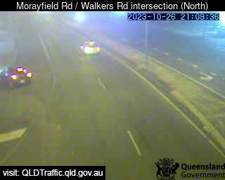
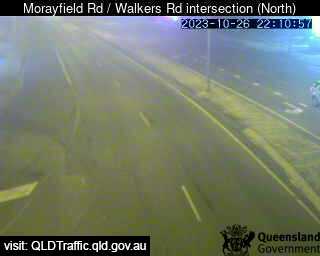
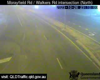
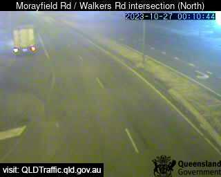
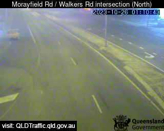
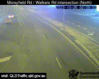
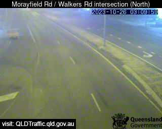
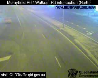
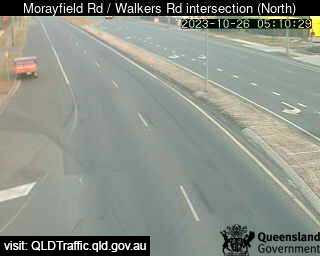
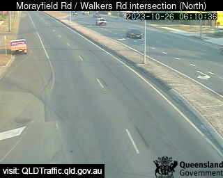
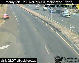
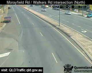
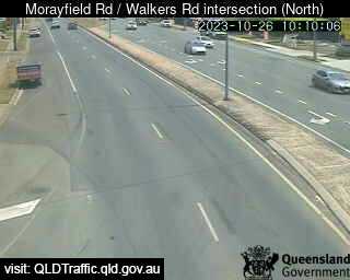
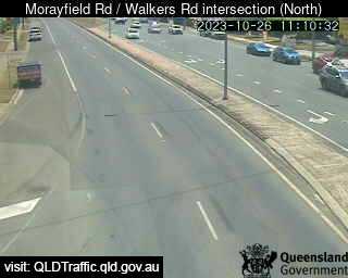
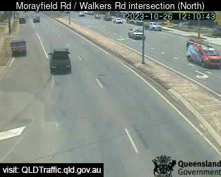
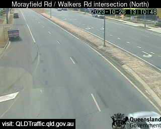
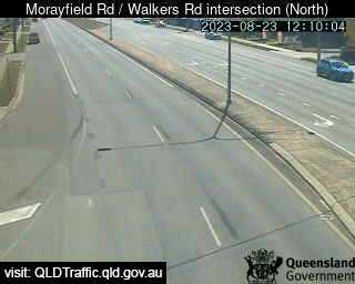
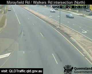
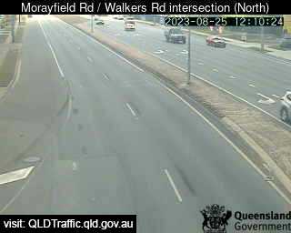
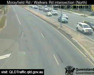
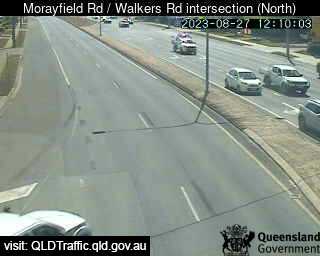
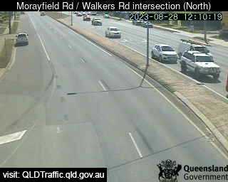
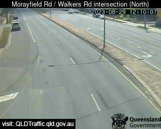
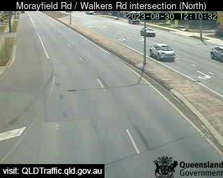
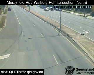
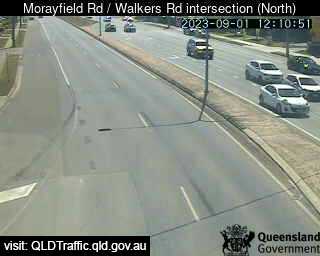
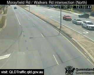
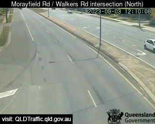
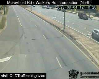
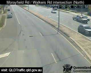
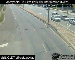
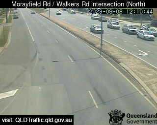
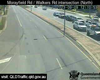
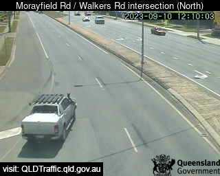
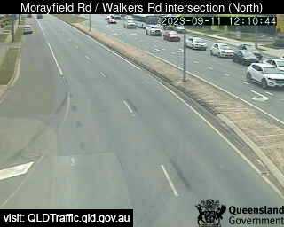
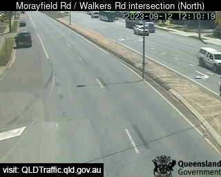
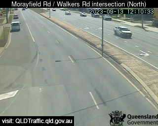
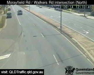
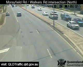
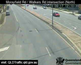
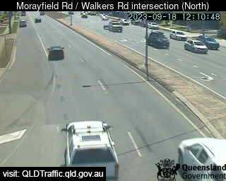
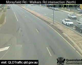
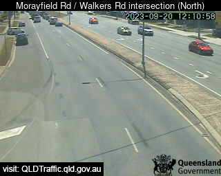
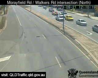
Morayfield, Australia - 6.4 miles from Narangba: Morayfield Road / Walkers Road intersection (South) - A view of the current traffic conditions.
Operator: Queensland Government - Department of Transport and Main Roads
Operator: Queensland Government - Department of Transport and Main Roads


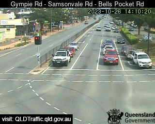
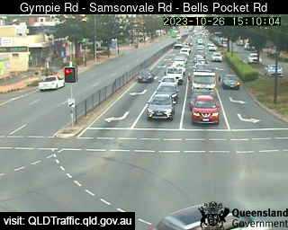
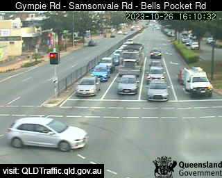
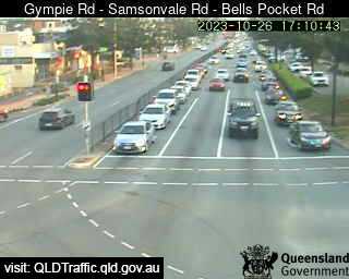
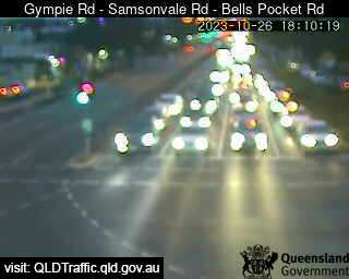
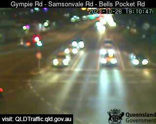
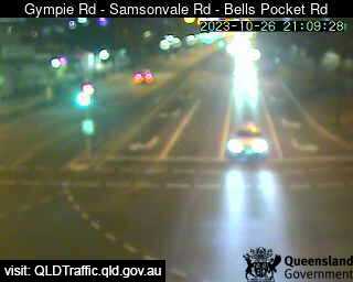
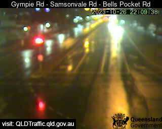
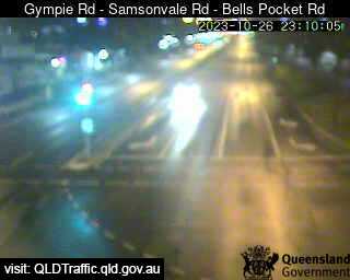
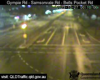
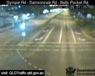
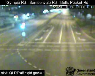
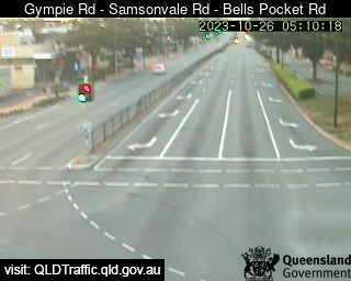
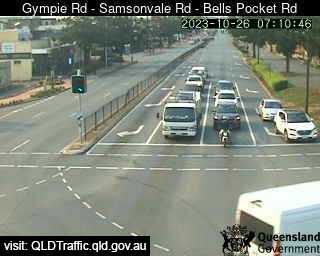
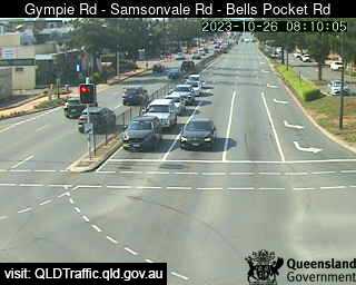
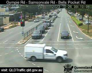
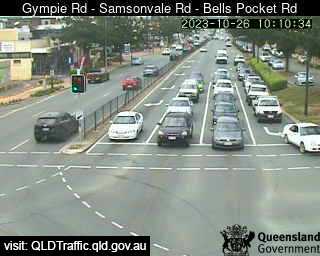
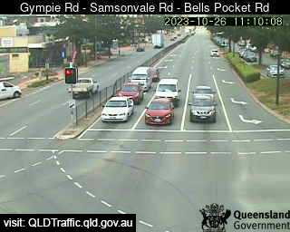
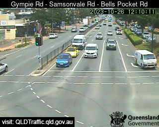
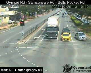
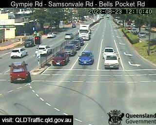
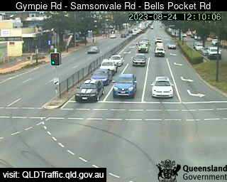
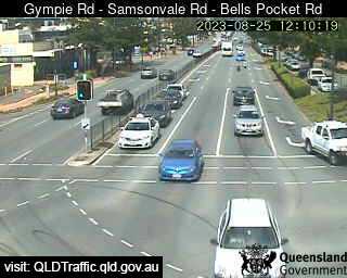
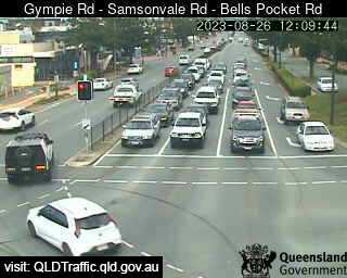
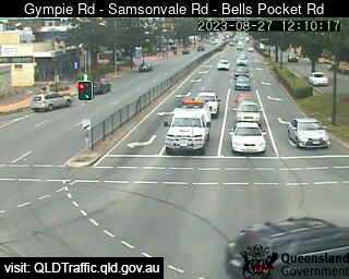
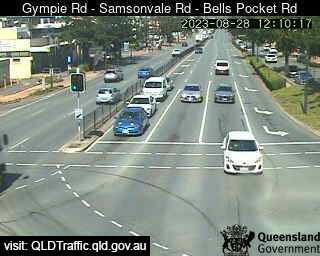
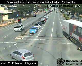
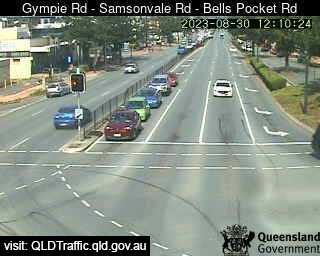
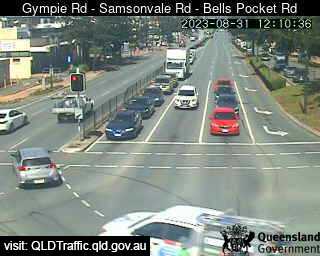
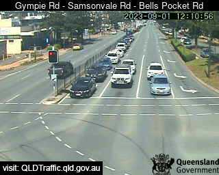
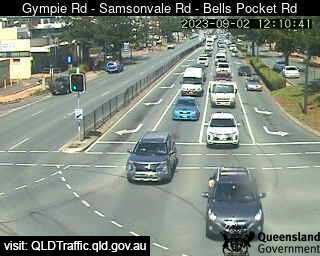
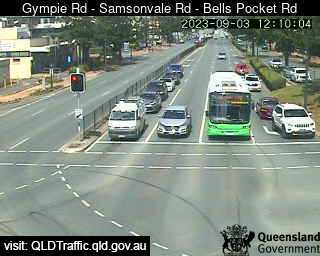
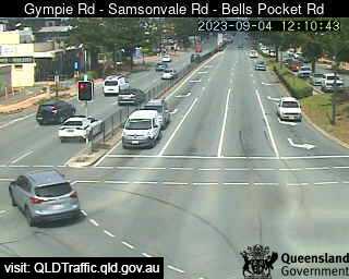
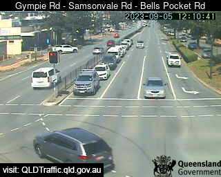
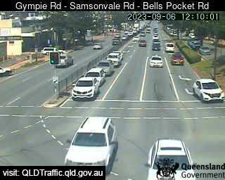
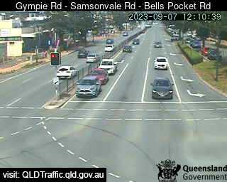
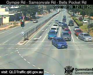
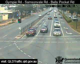
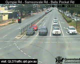
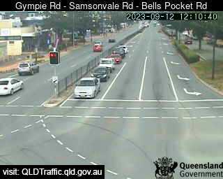
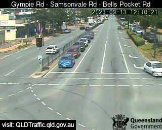
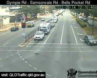
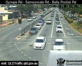
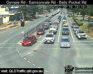
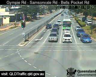
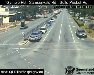
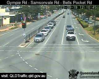
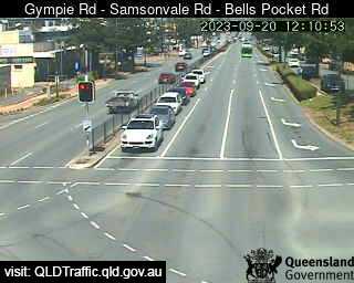
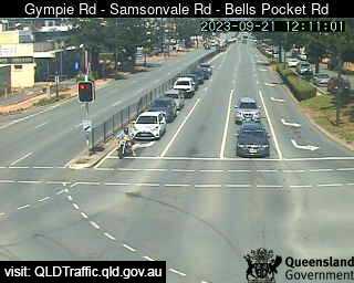
Strathpine, Australia - 7.3 miles from Narangba: Gympie Road - Samsonvale Road - Bells Pocket Road (South) - A view of the current traffic conditions.
Operator: Queensland Government - Department of Transport and Main Roads
Operator: Queensland Government - Department of Transport and Main Roads


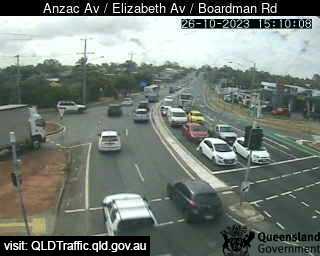
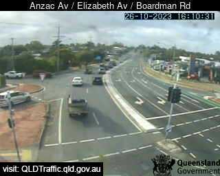
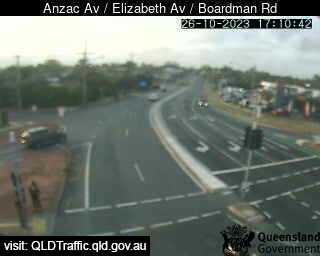
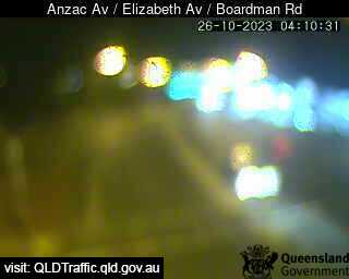
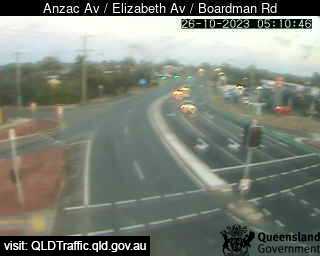
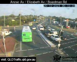
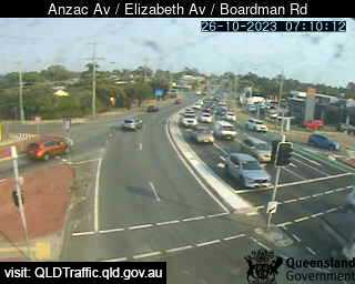
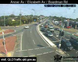
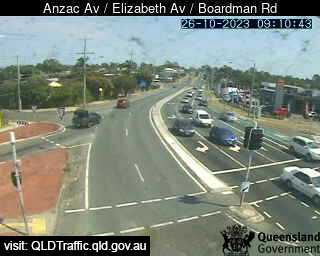
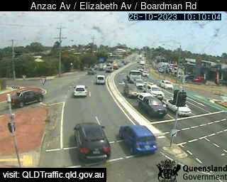
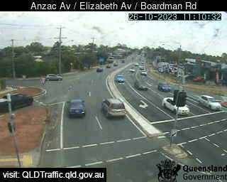
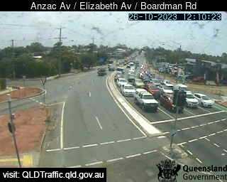
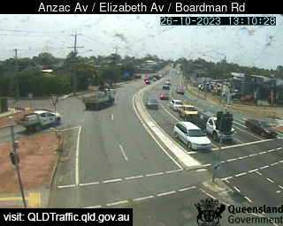
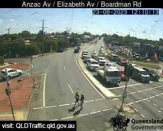
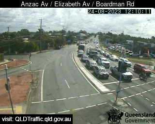
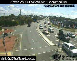
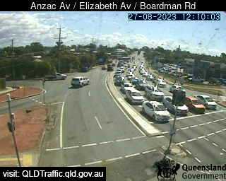
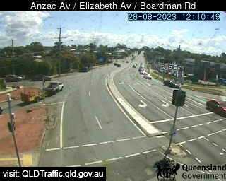
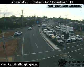
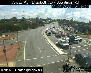
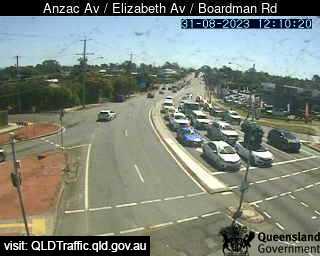
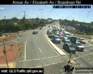
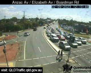
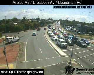
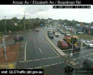
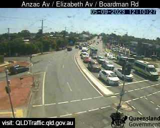
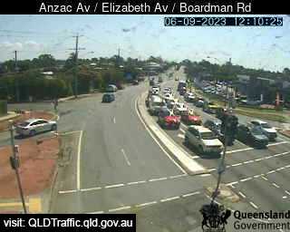
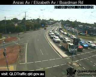
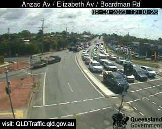
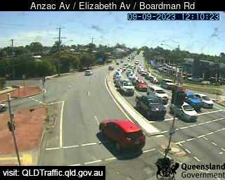
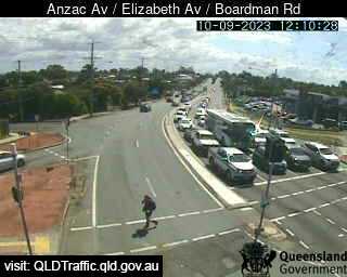
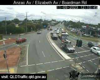
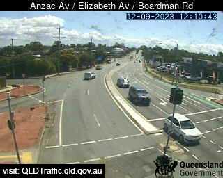
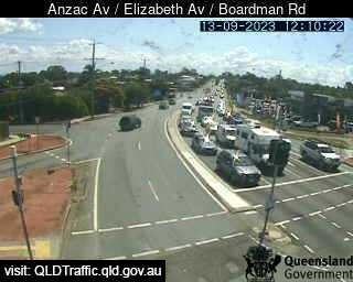
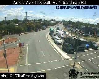
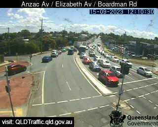
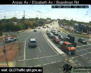
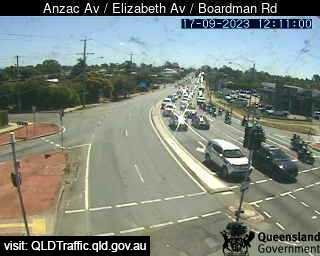
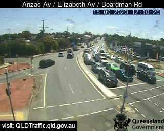
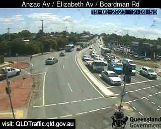
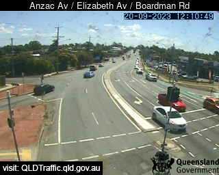
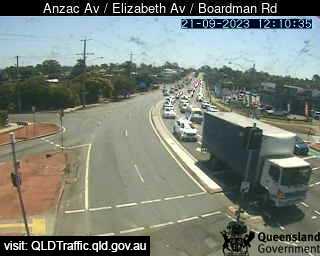
Kippa-Ring, Australia - 7.4 miles from Narangba: Anzac Avenue / Elizabeth Avenue / Boardman Road (South-East) - A view of the current traffic conditions.
Operator: Queensland Government - Department of Transport and Main Roads
Operator: Queensland Government - Department of Transport and Main Roads


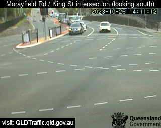
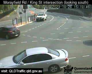
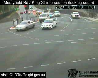
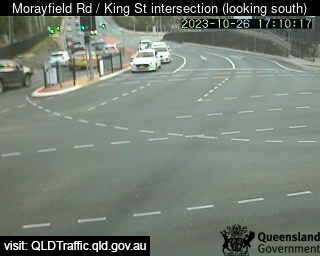
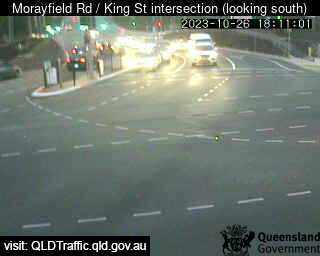
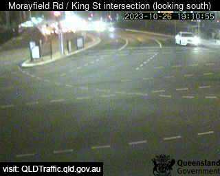
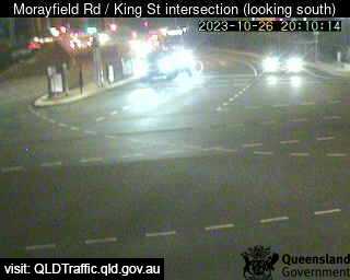
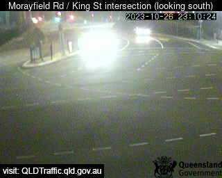
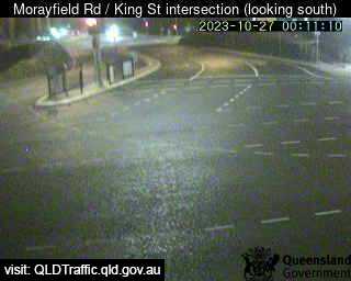
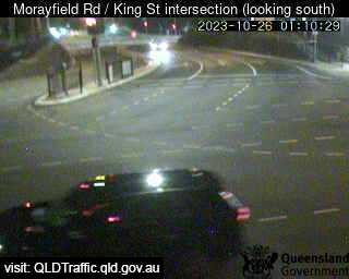
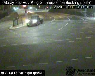
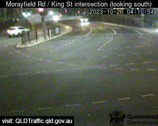
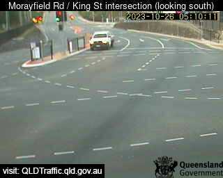
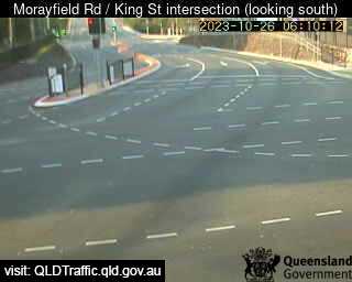
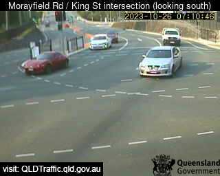
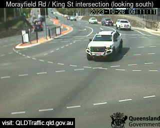
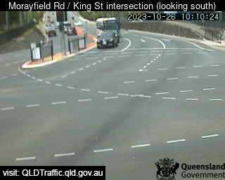
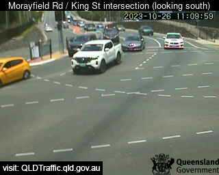
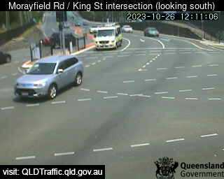
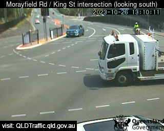
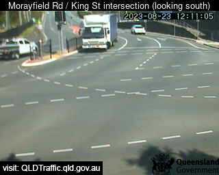
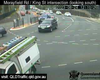
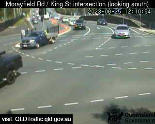
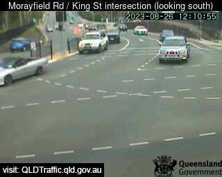
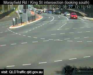
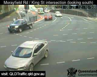
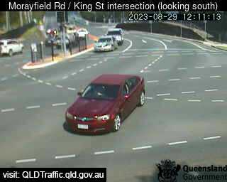
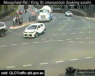
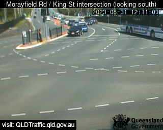
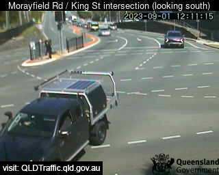
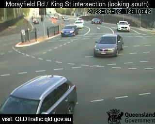
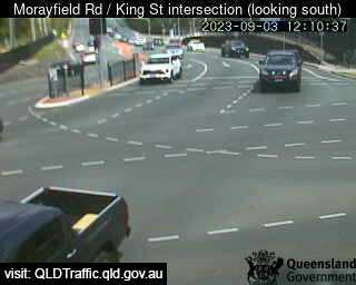
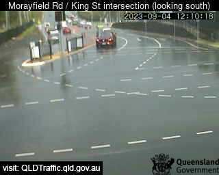
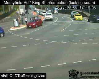
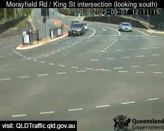
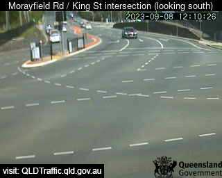
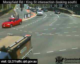
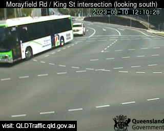
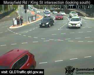
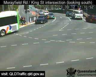
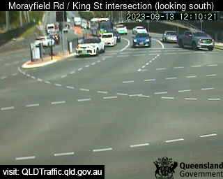
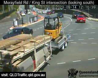
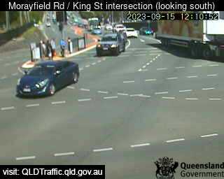
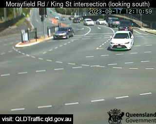
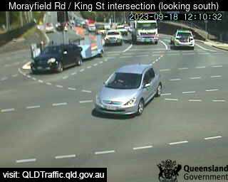
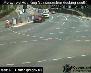
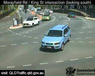
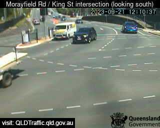
Caboolture, Australia - 8.1 miles from Narangba: Morayfield Road / King Street intersection (East) - A view of the current traffic conditions.
Operator: Queensland Government - Department of Transport and Main Roads
Operator: Queensland Government - Department of Transport and Main Roads


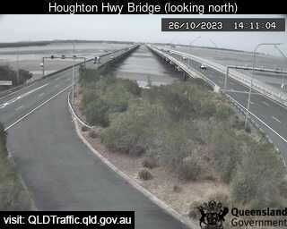
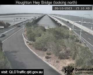
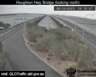
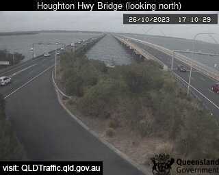
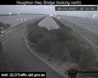
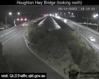
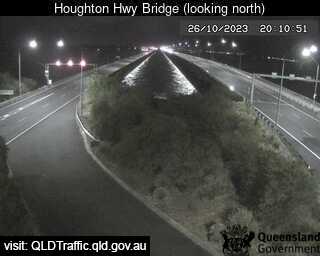
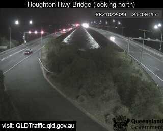
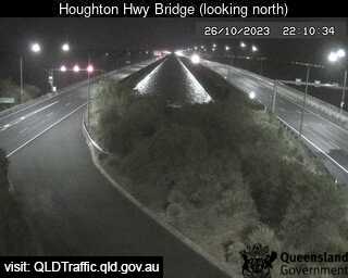
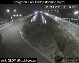
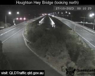
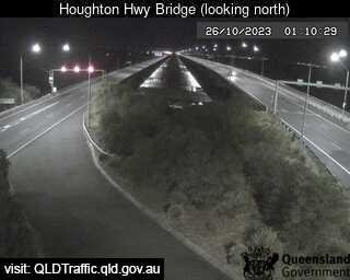
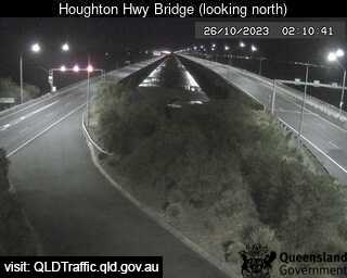
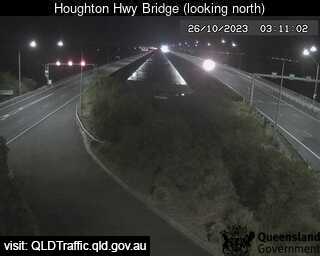
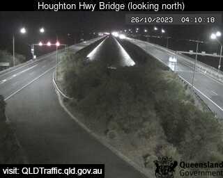
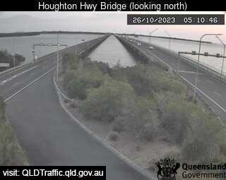
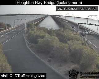
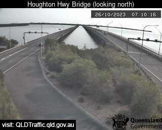
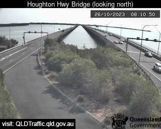
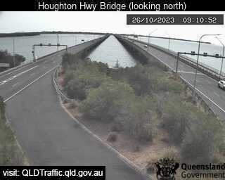
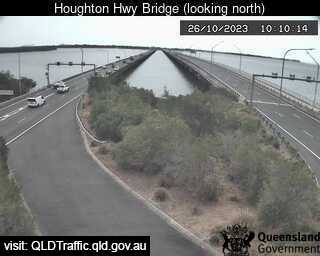
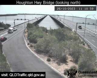
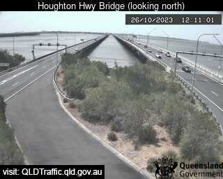
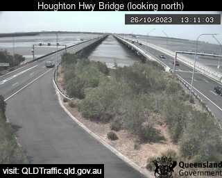
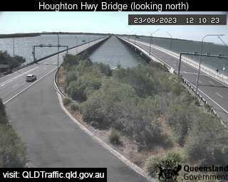
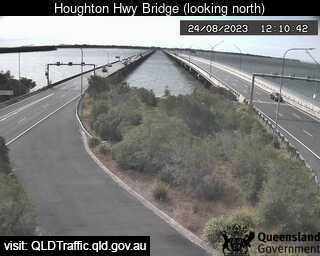
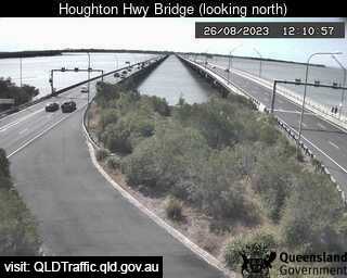
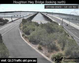
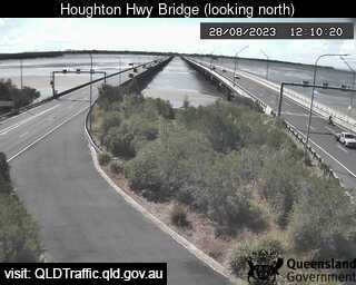
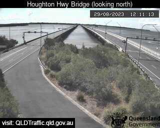
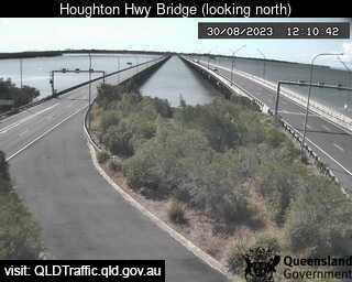
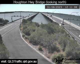
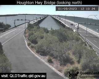
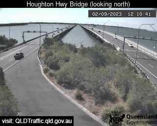
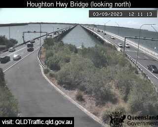
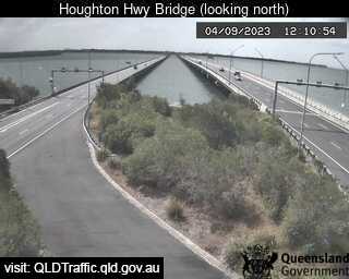
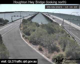
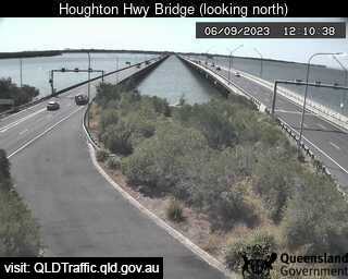
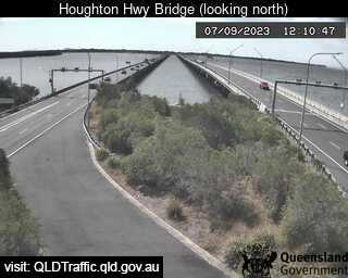
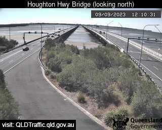
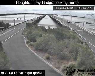
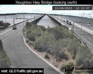
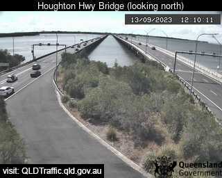
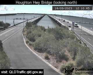
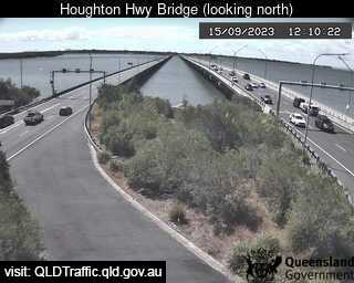
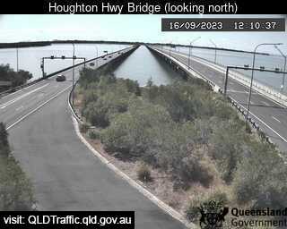
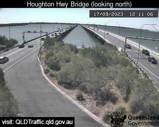
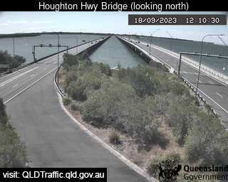
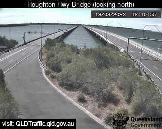
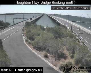
Brighton, Australia - 9.3 miles from Narangba: Houghton Highway Bridge - A view of the current traffic conditions.
Operator: Queensland Government - Department of Transport and Main Roads
Operator: Queensland Government - Department of Transport and Main Roads


Some other places in this country: Narara - Narellan - Nargong - Nargorg - Nar Nar Goon - Nar Nar Goon North - Narooma - Narpi - Narrabeen - Narracan