Webcams in the region of Lower Cressbrook, Australia
The List of Webcams near Lower Cressbrook, Australia:

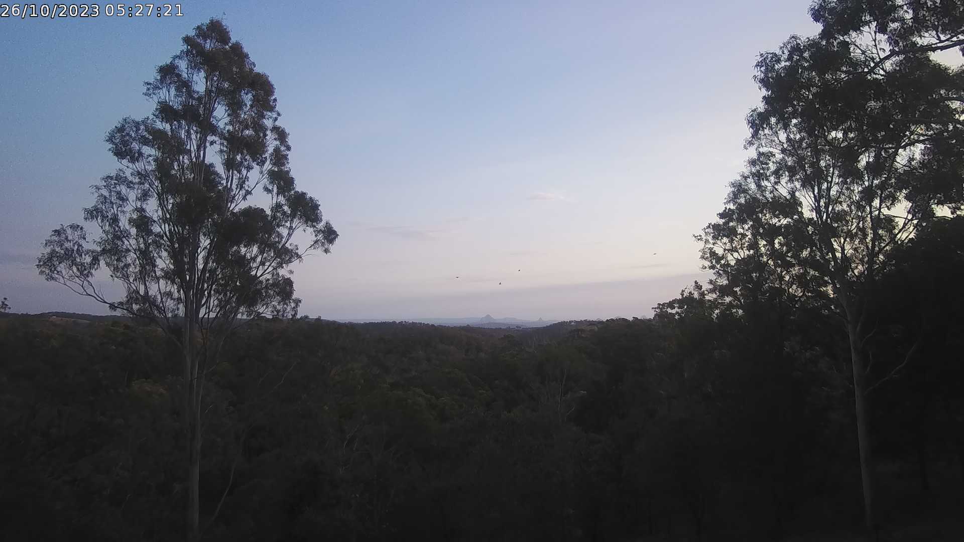
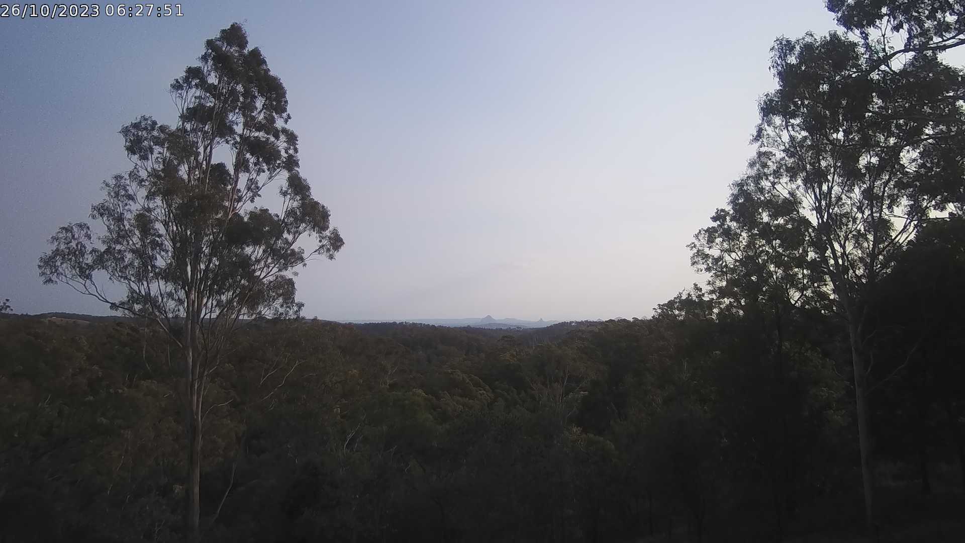
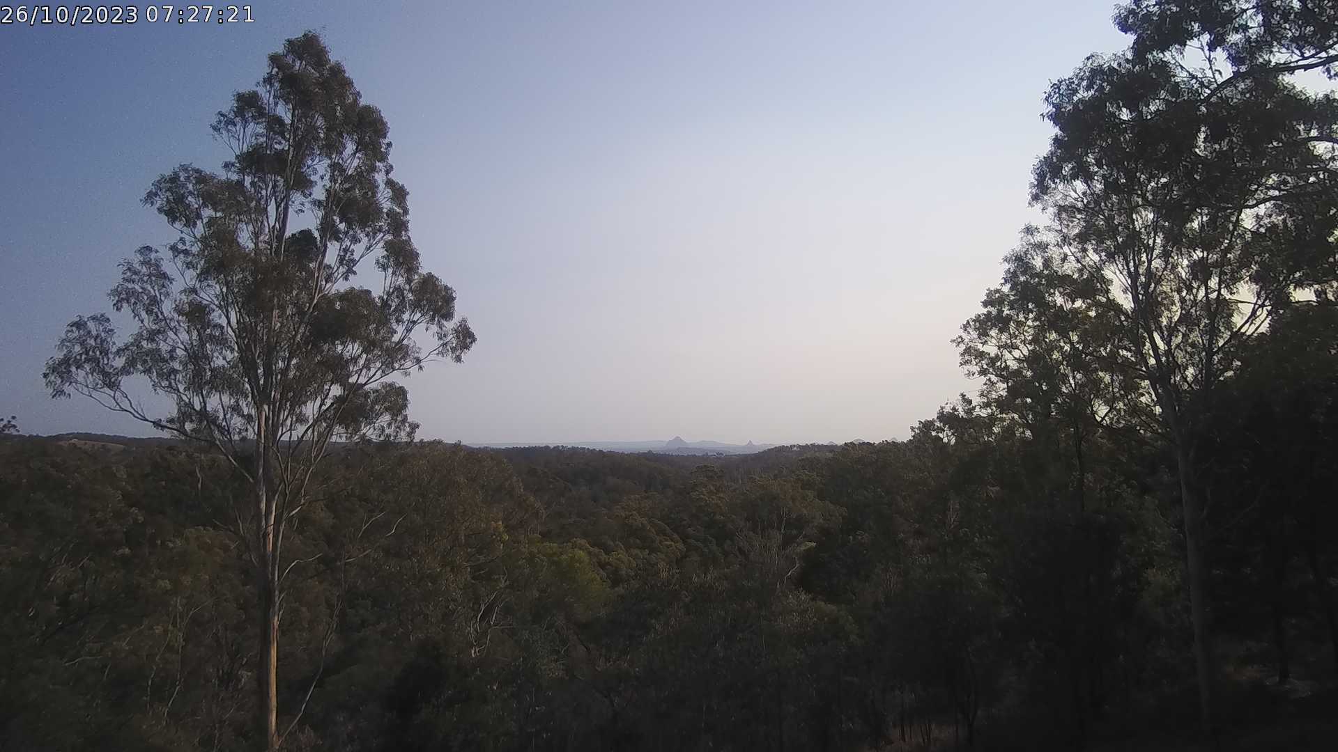
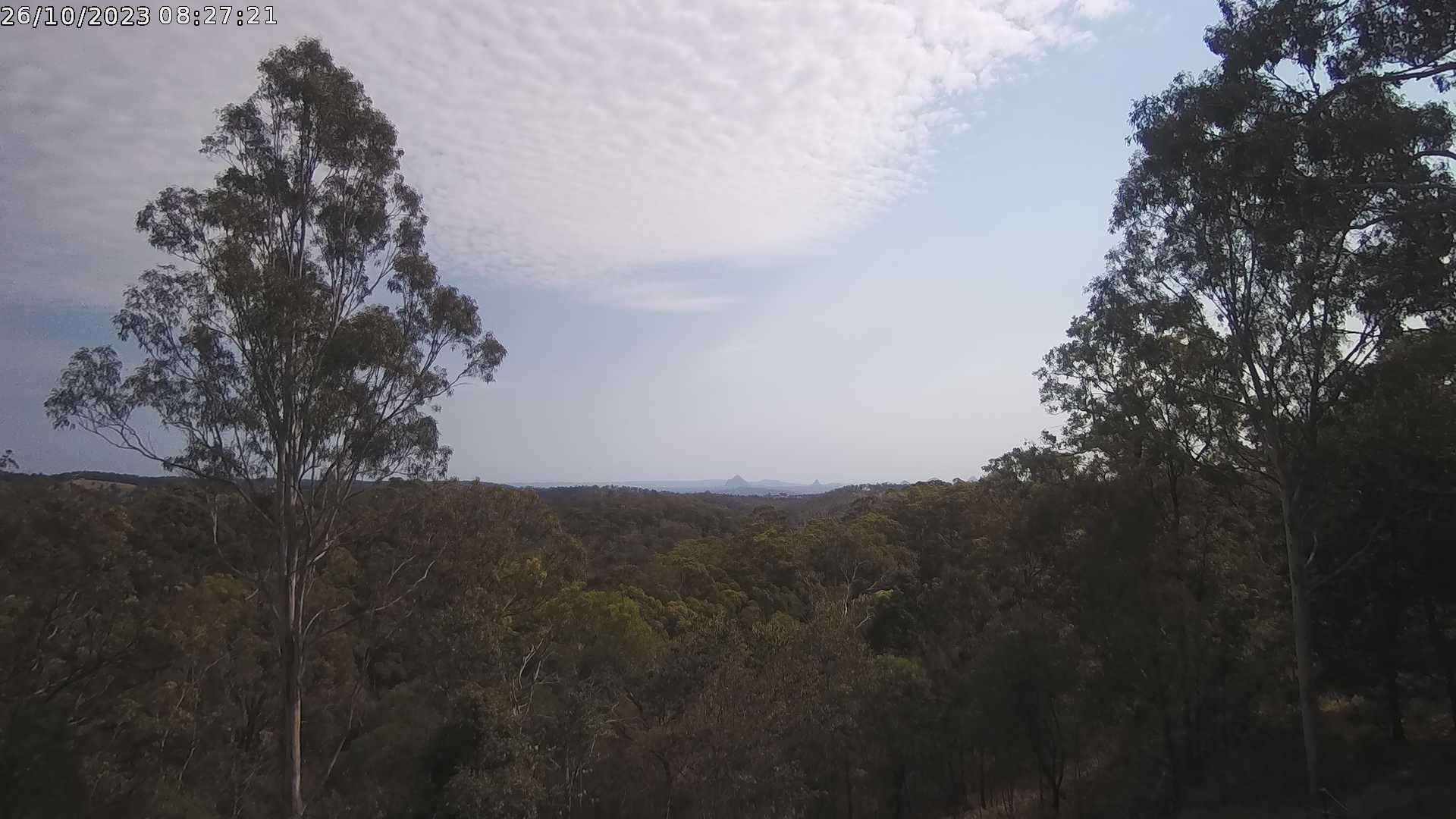
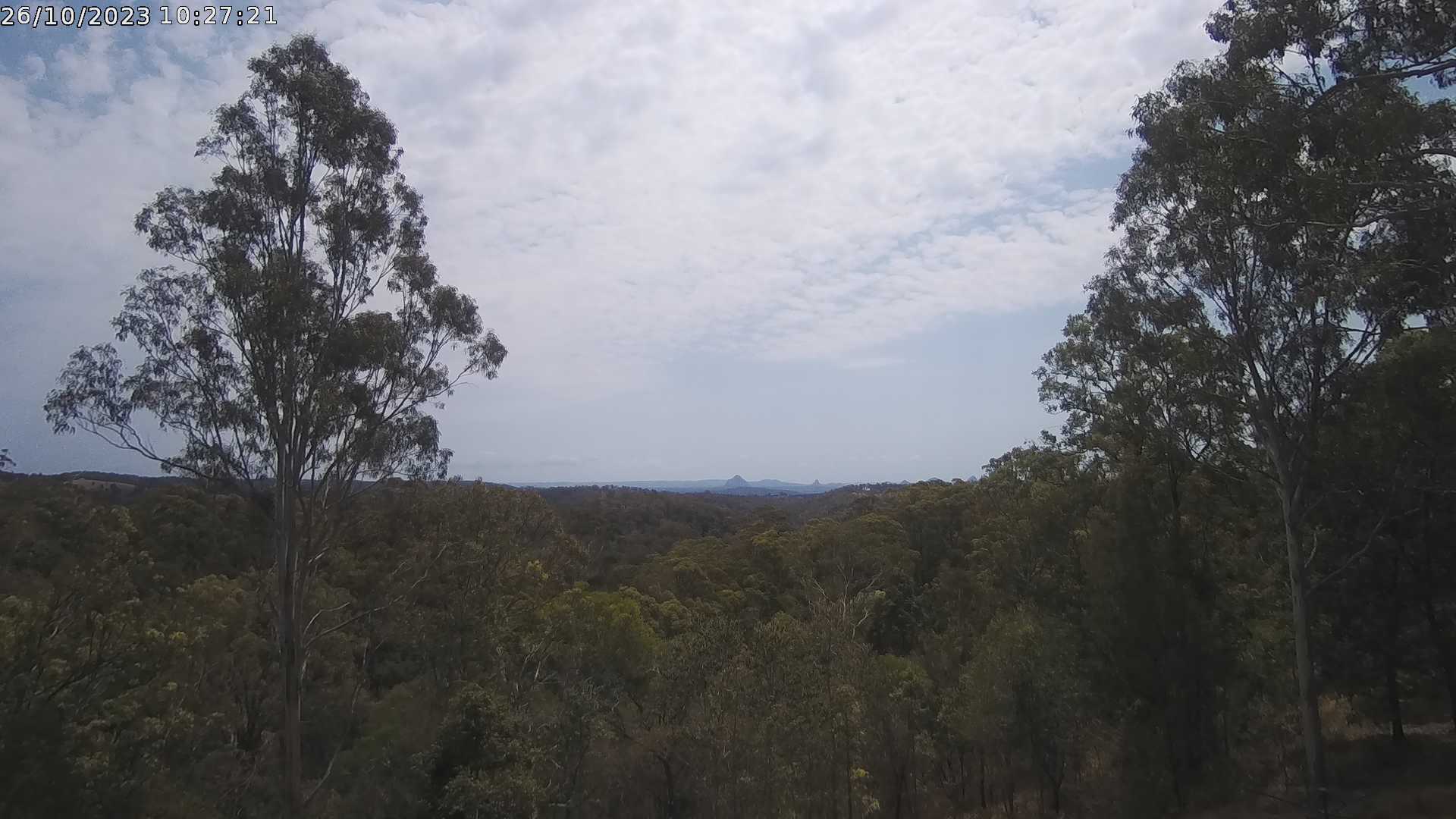
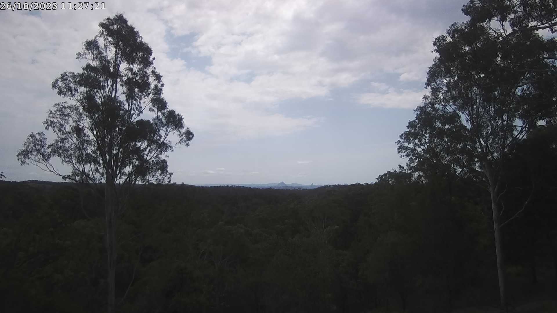
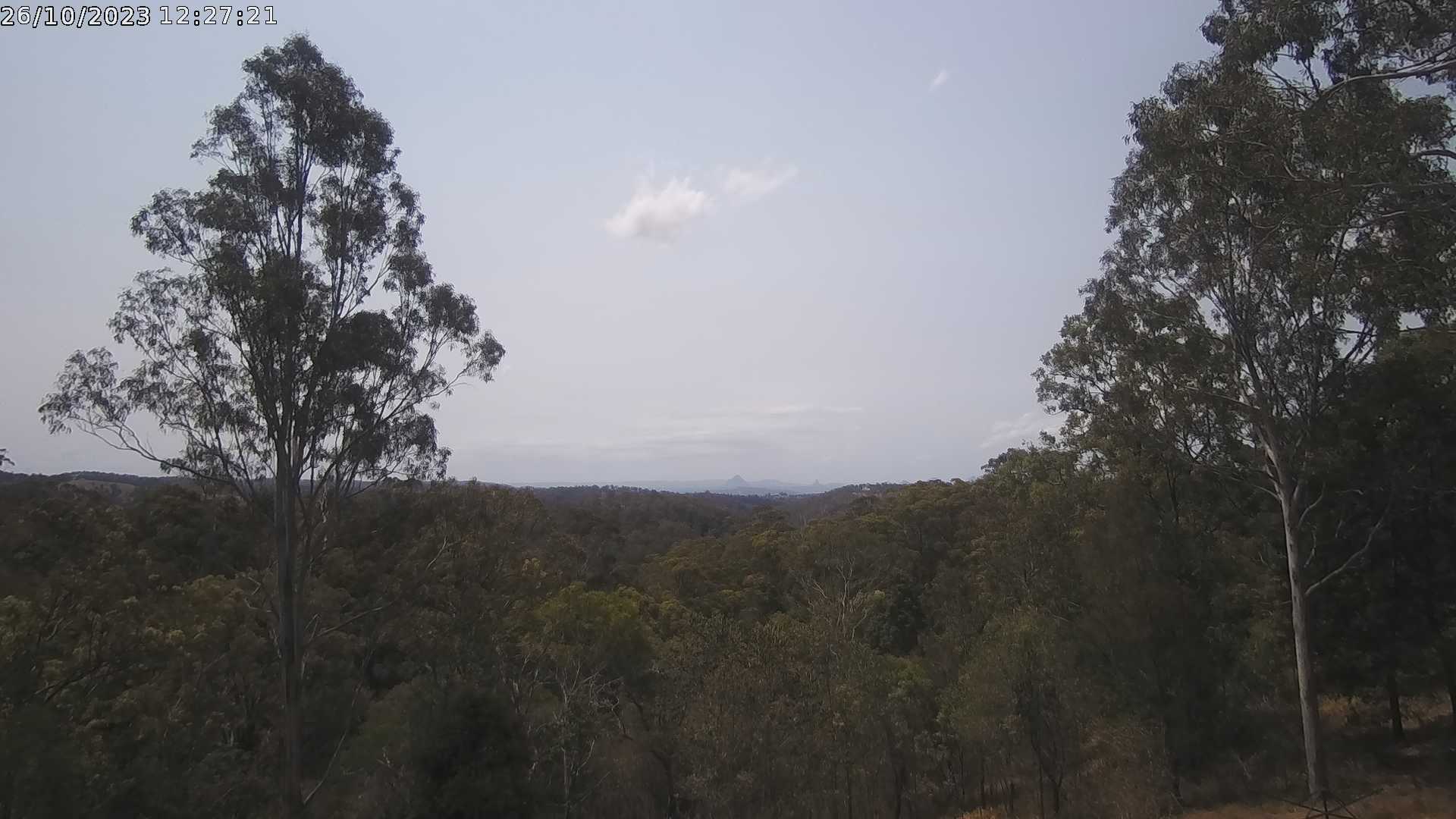
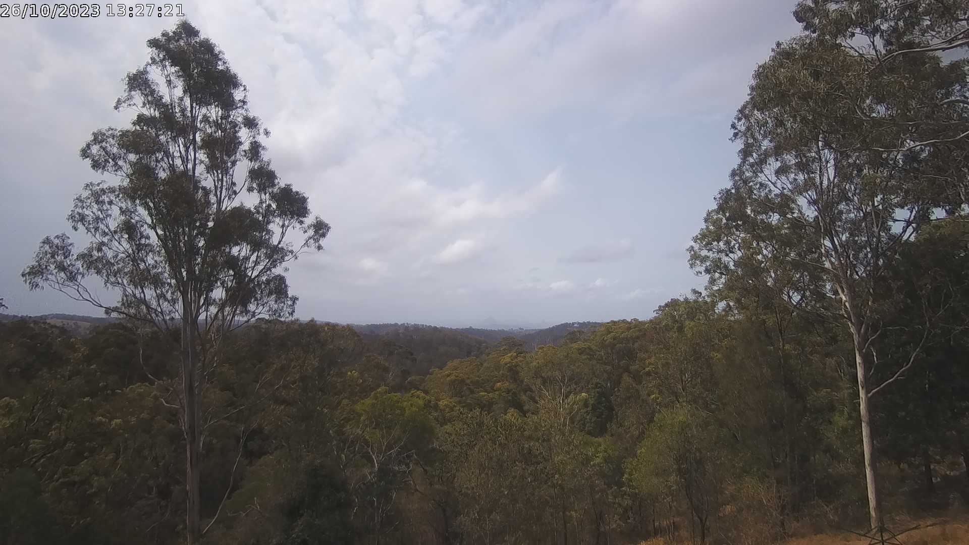
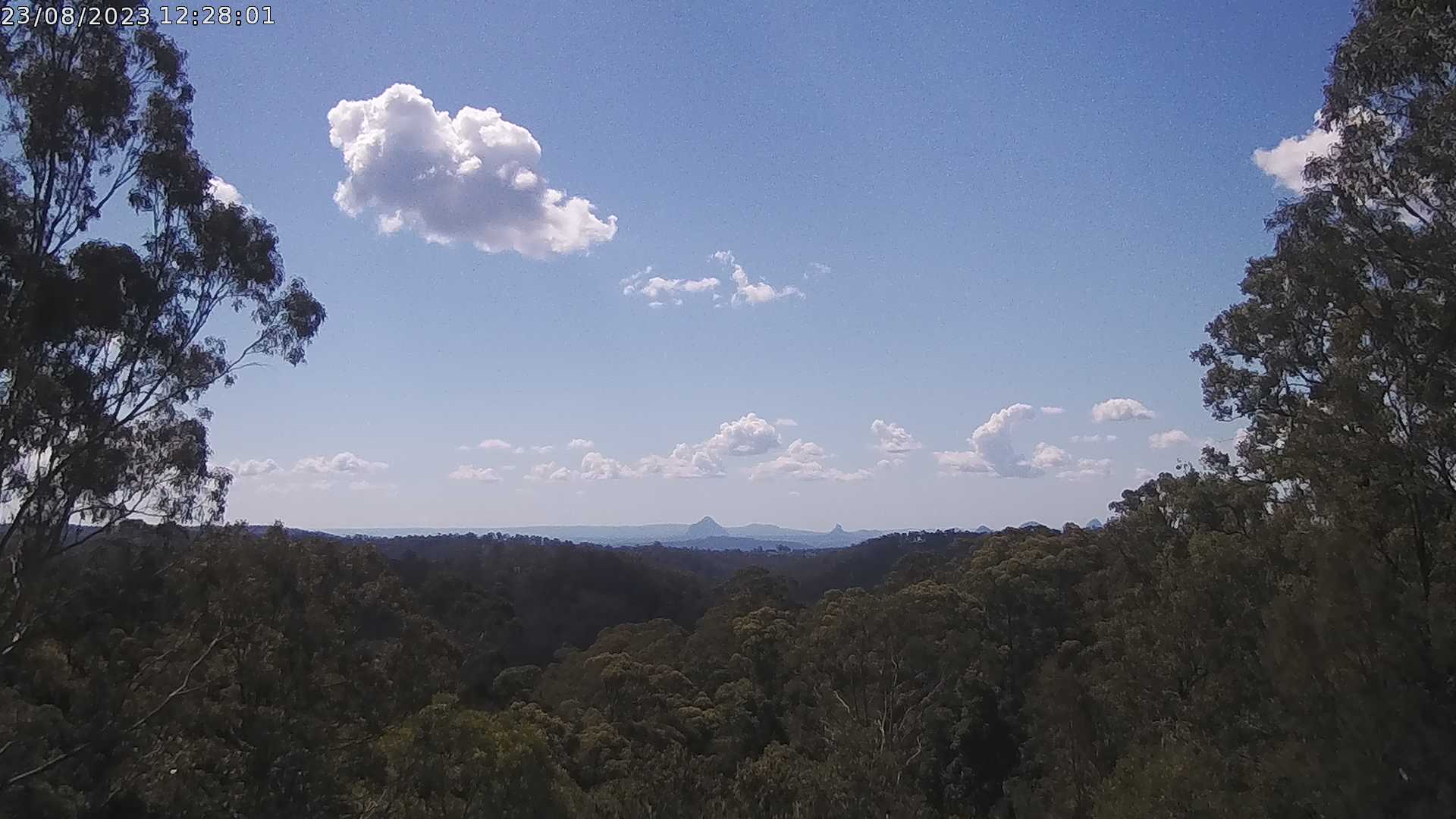
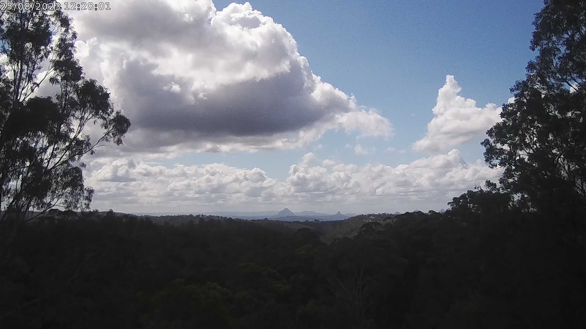
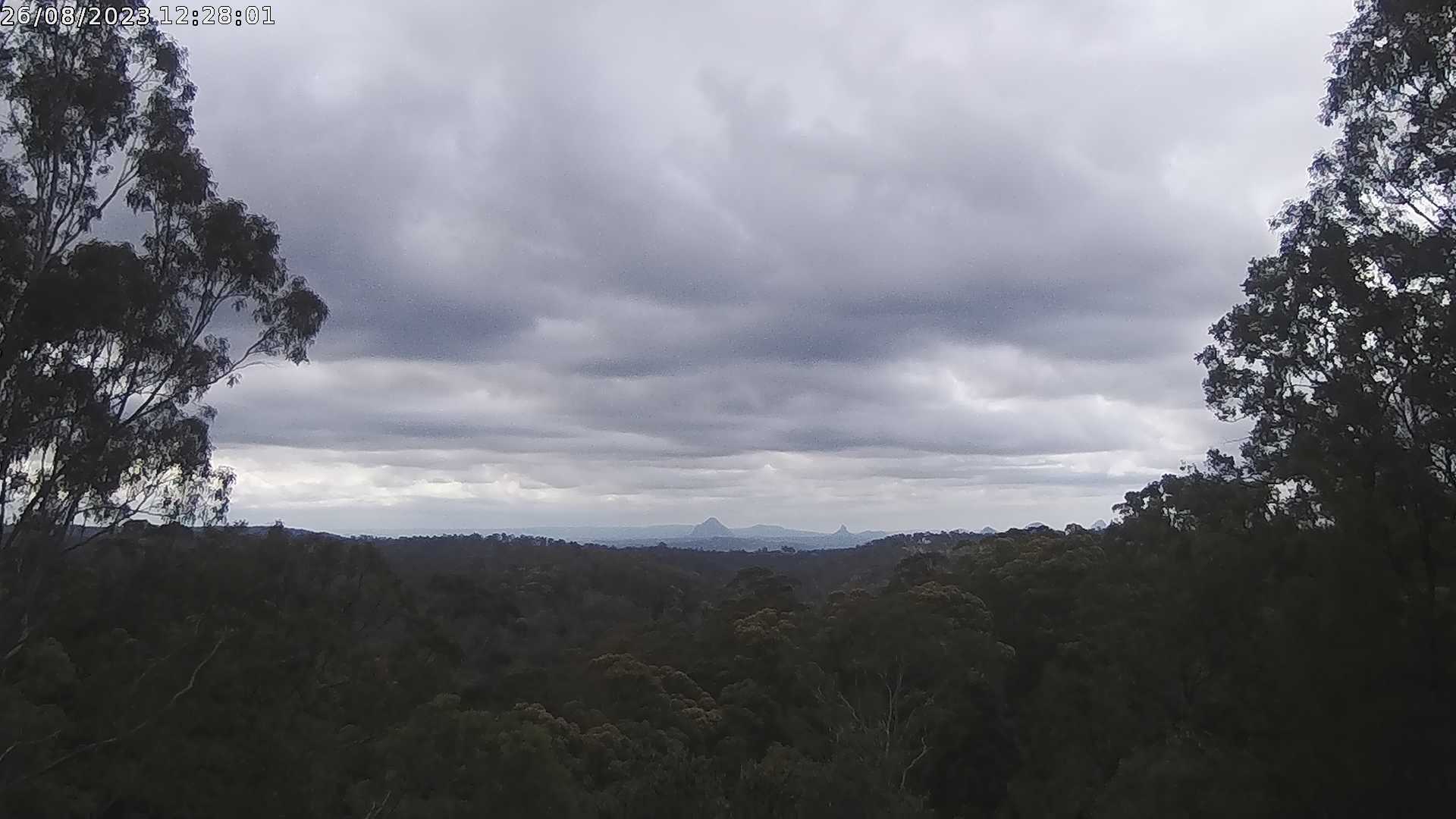
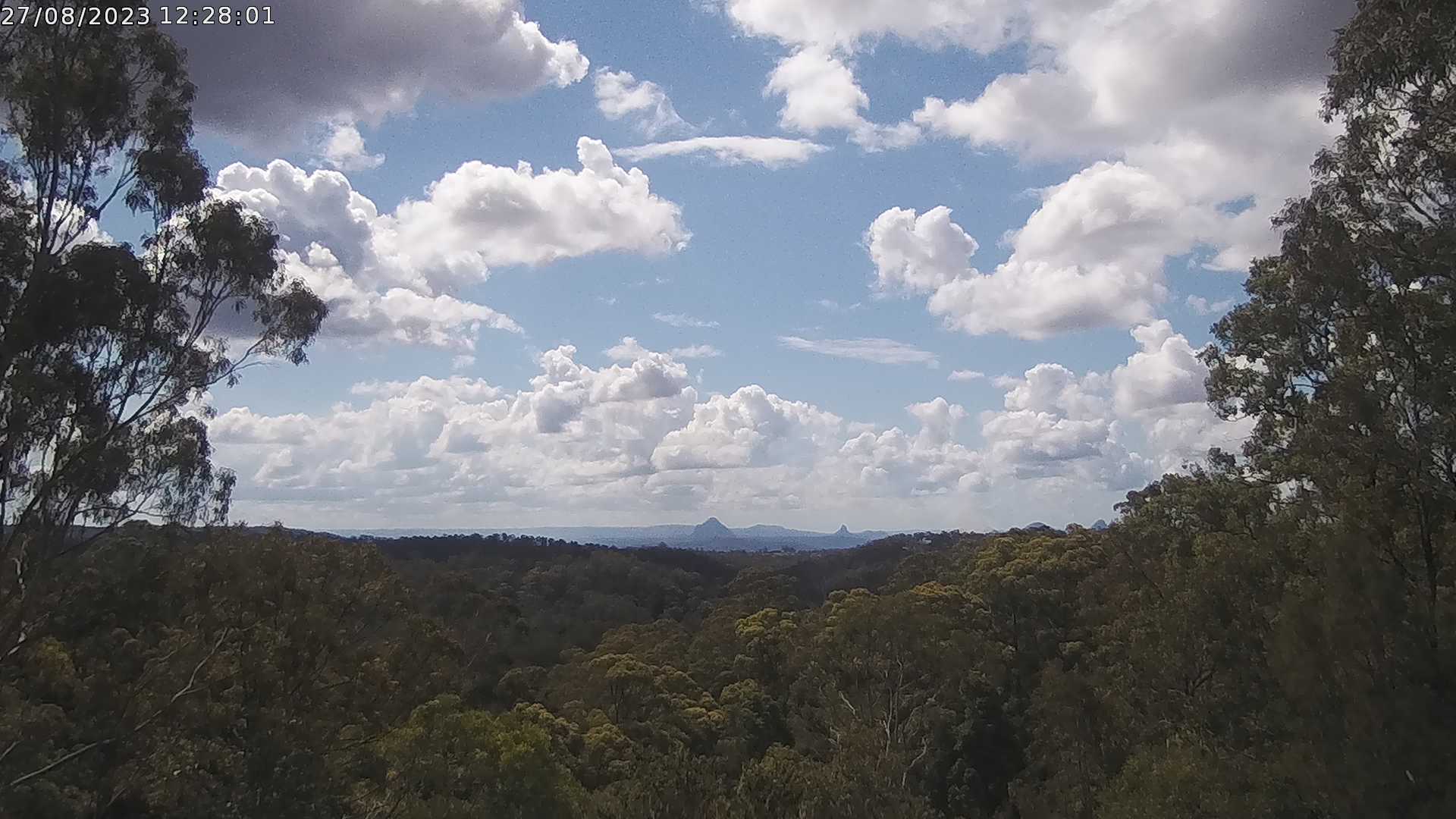
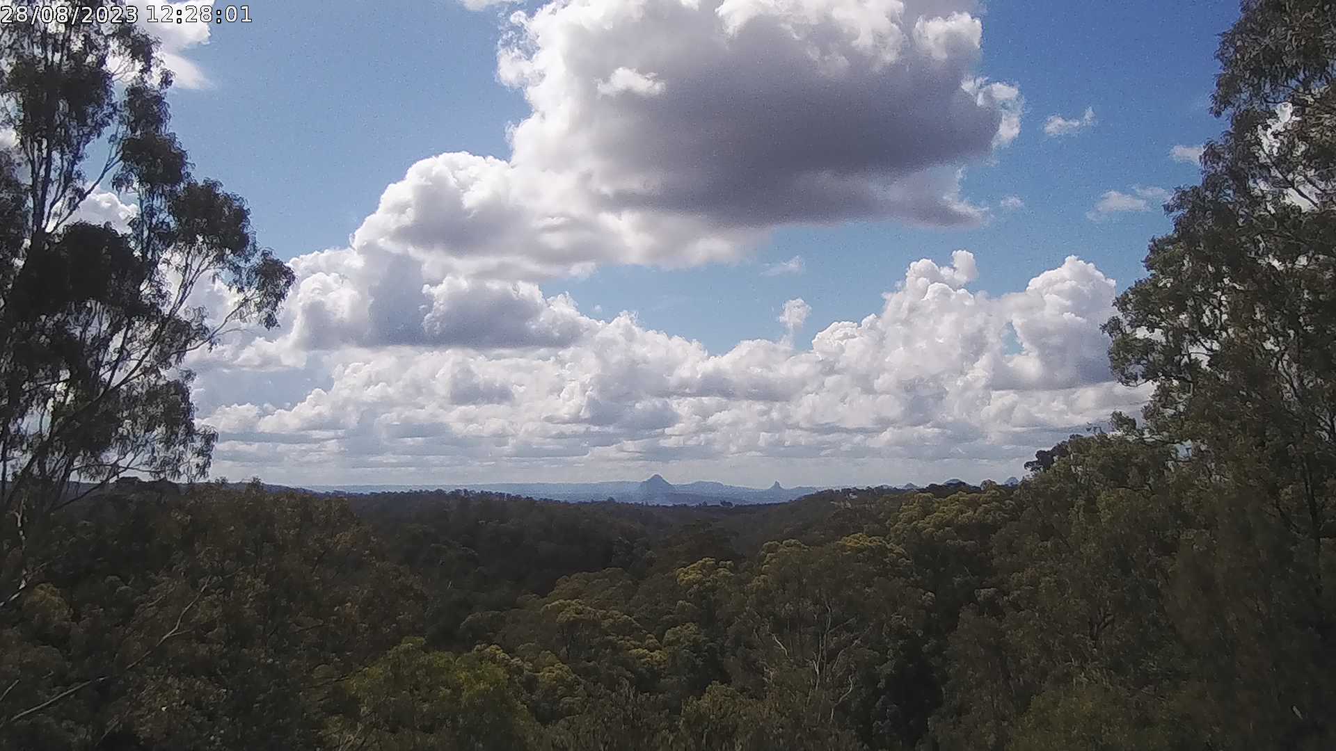
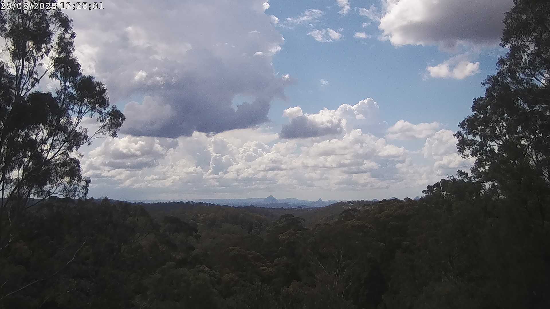
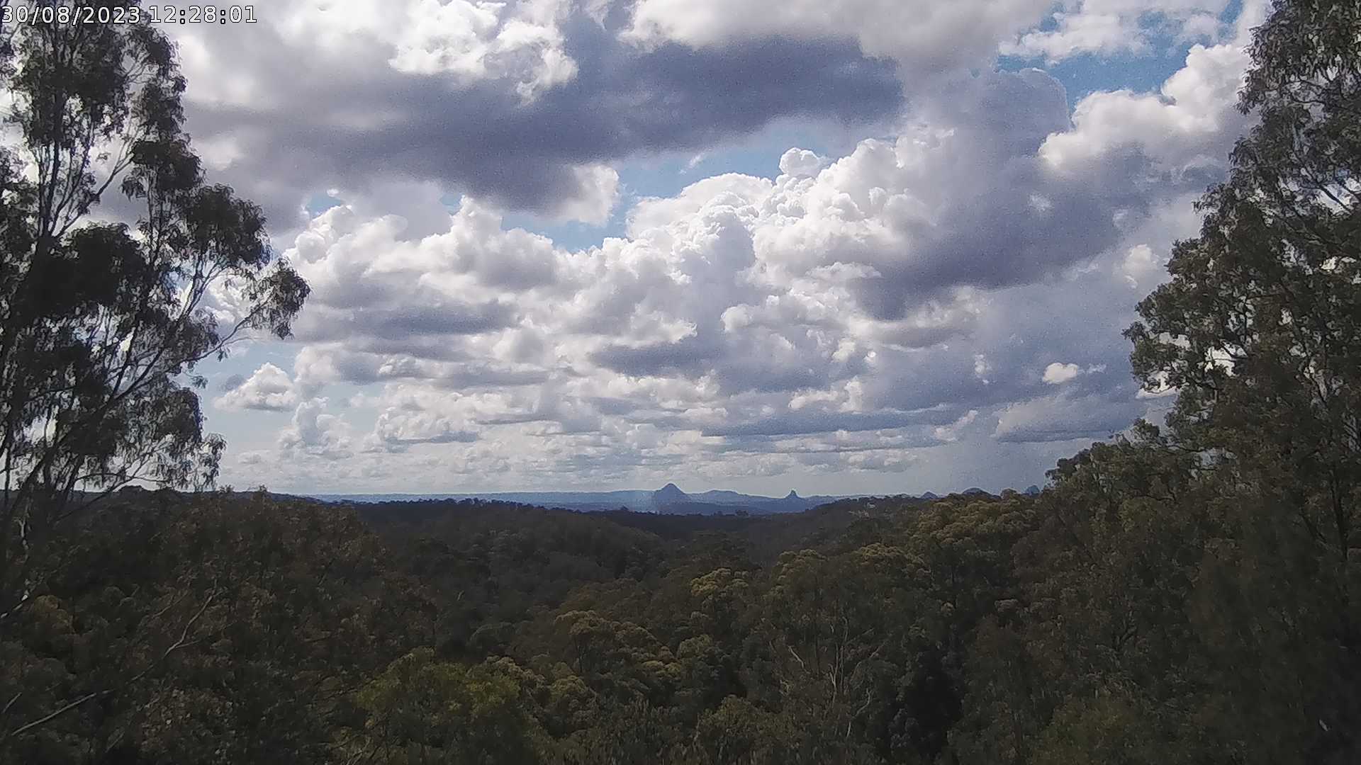
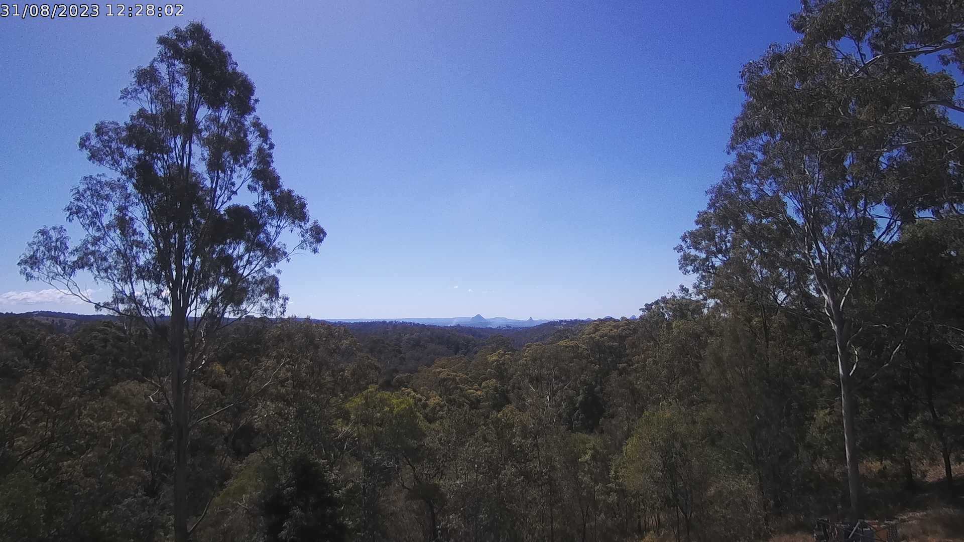
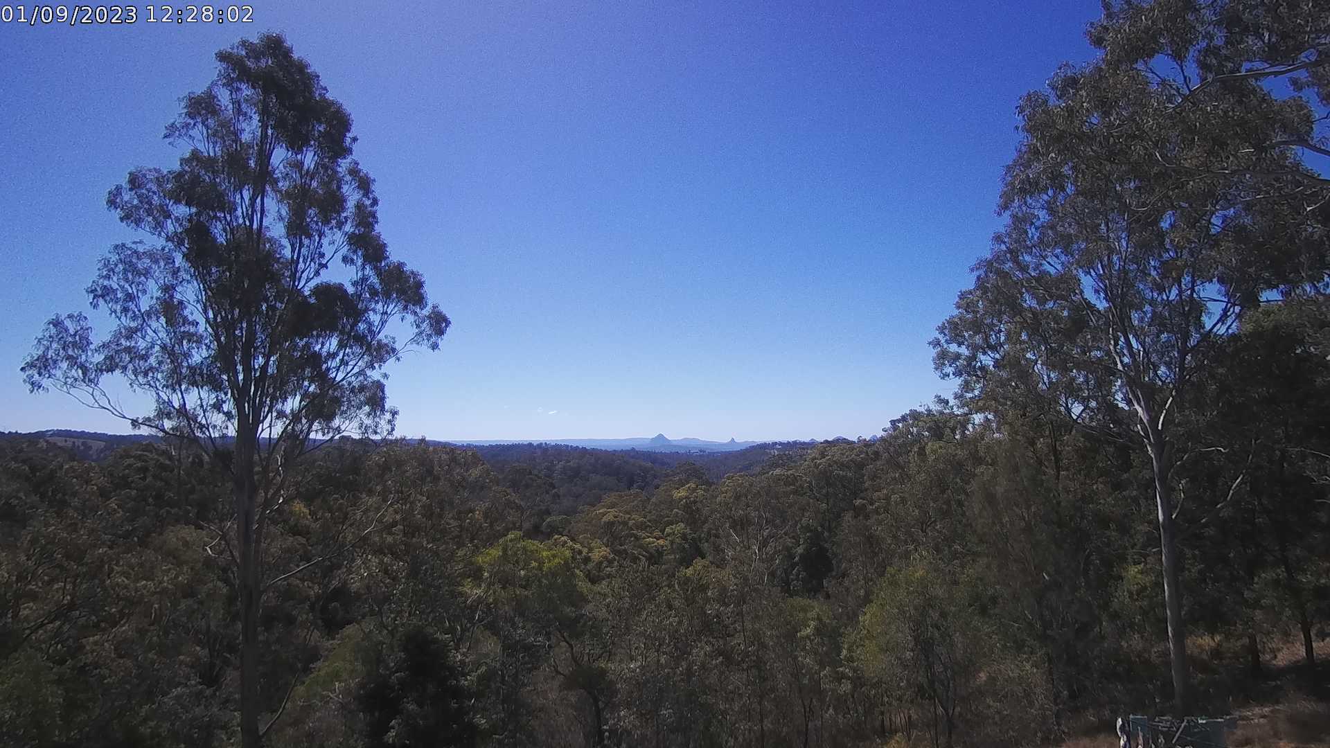
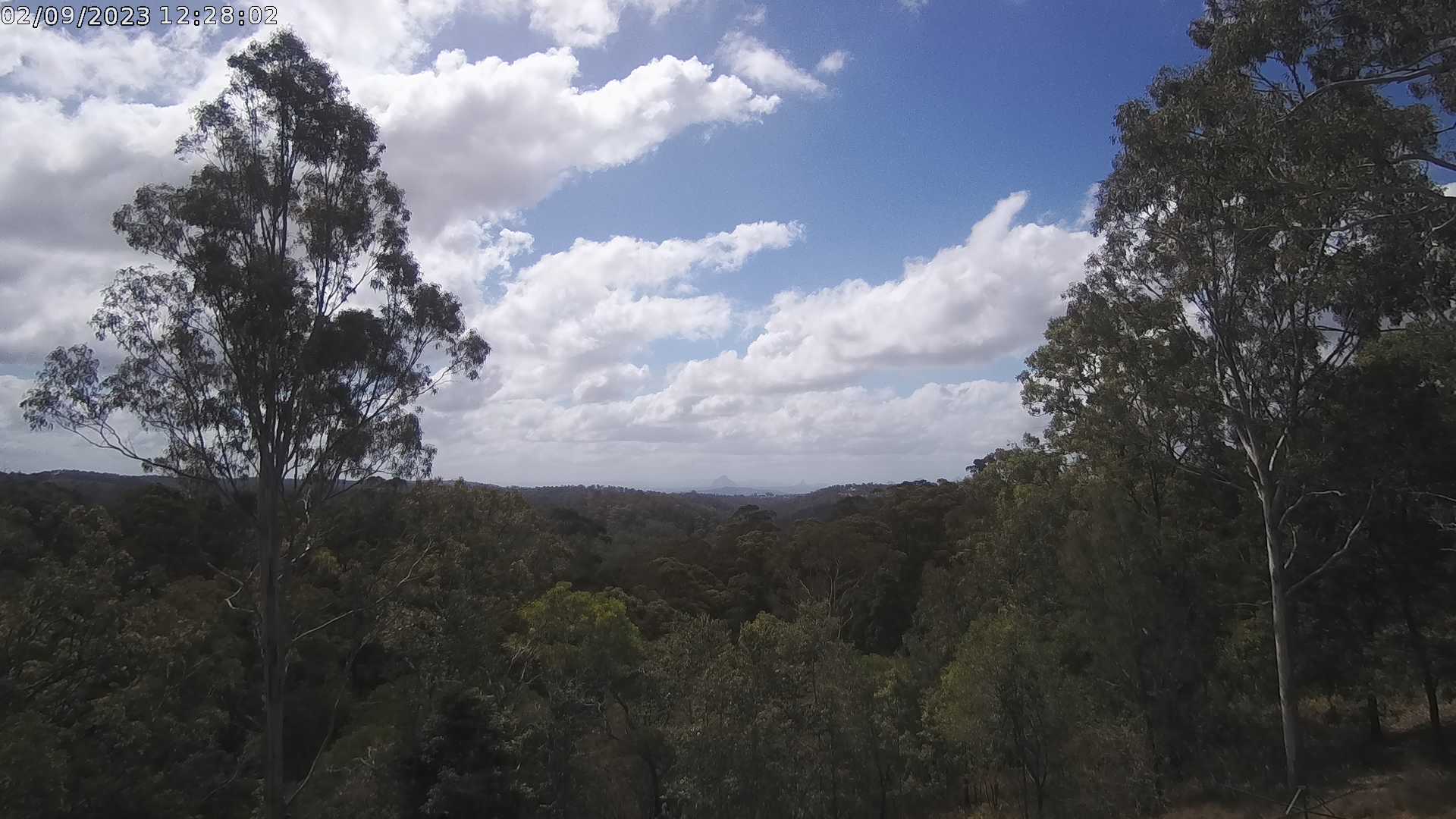
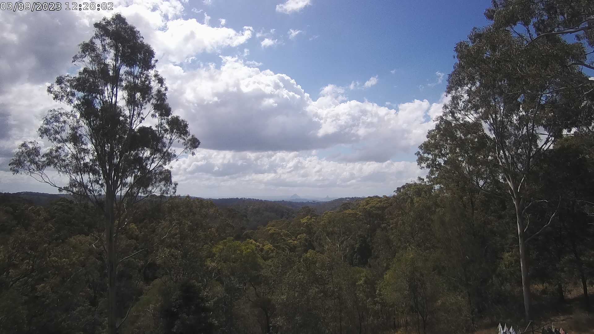
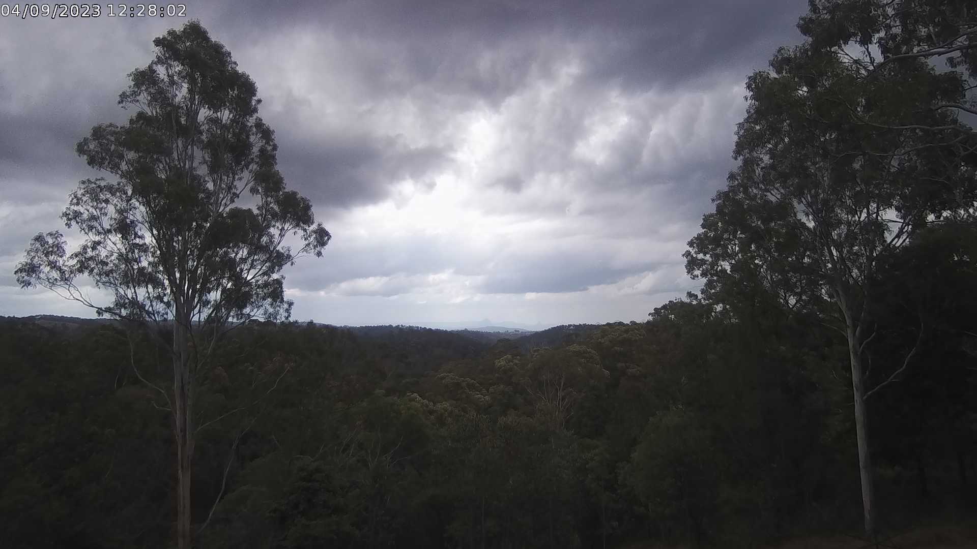
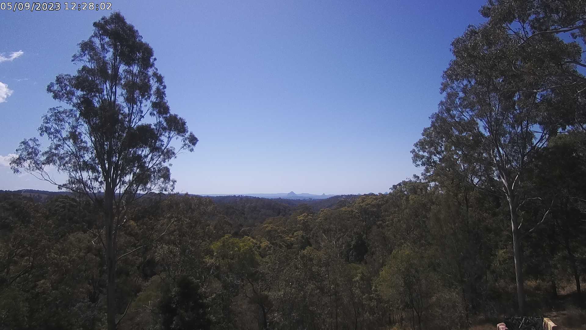
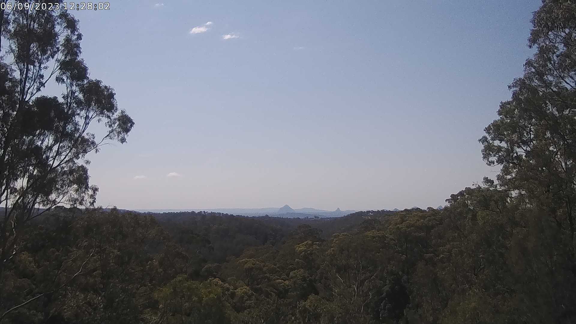
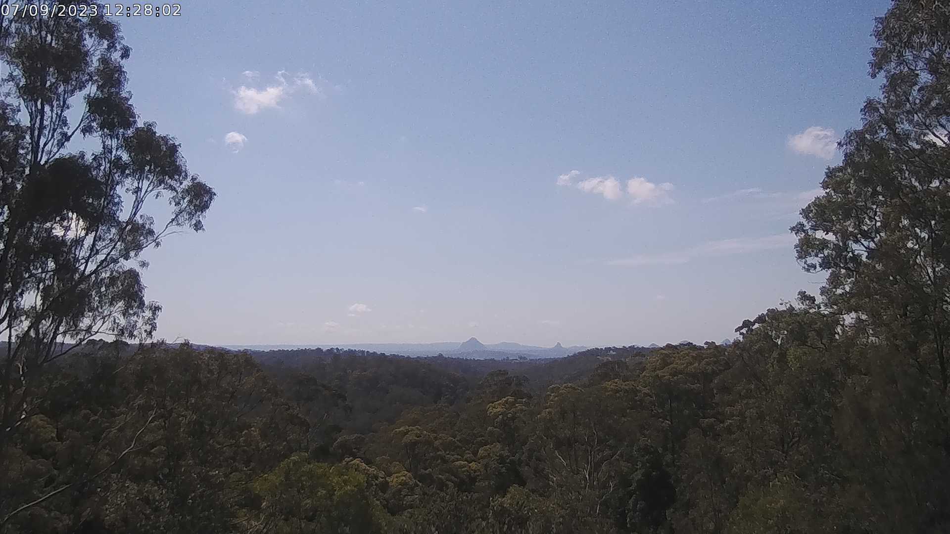
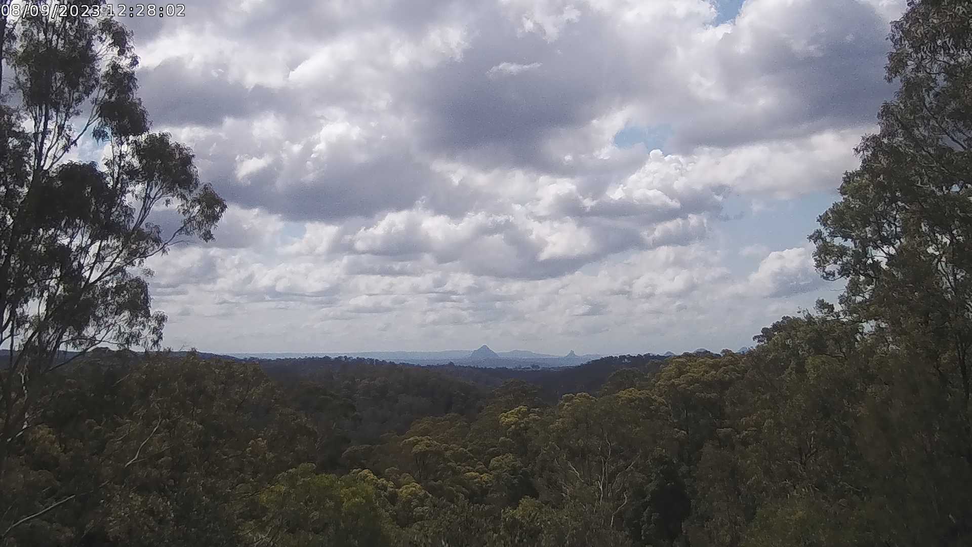
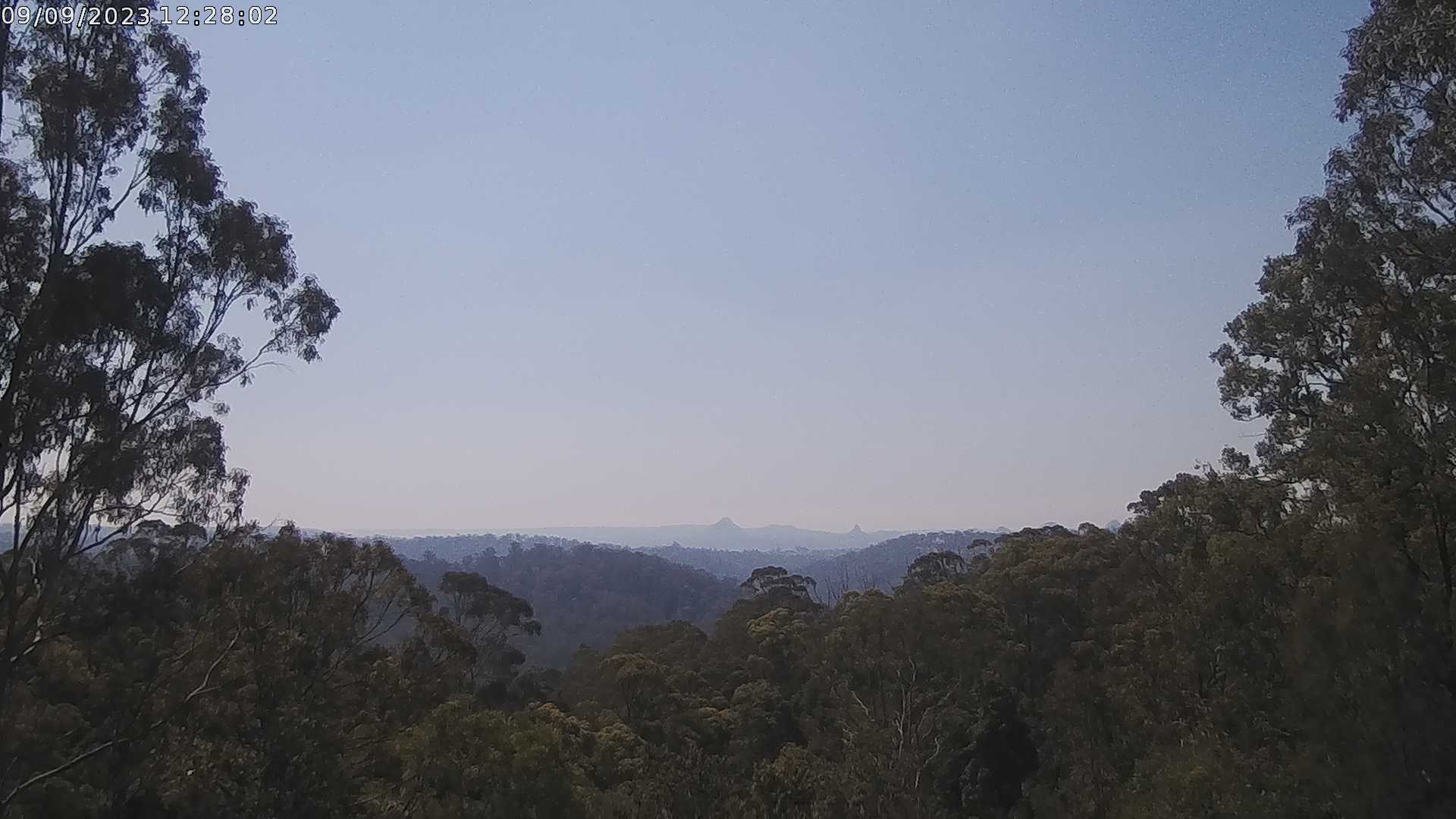
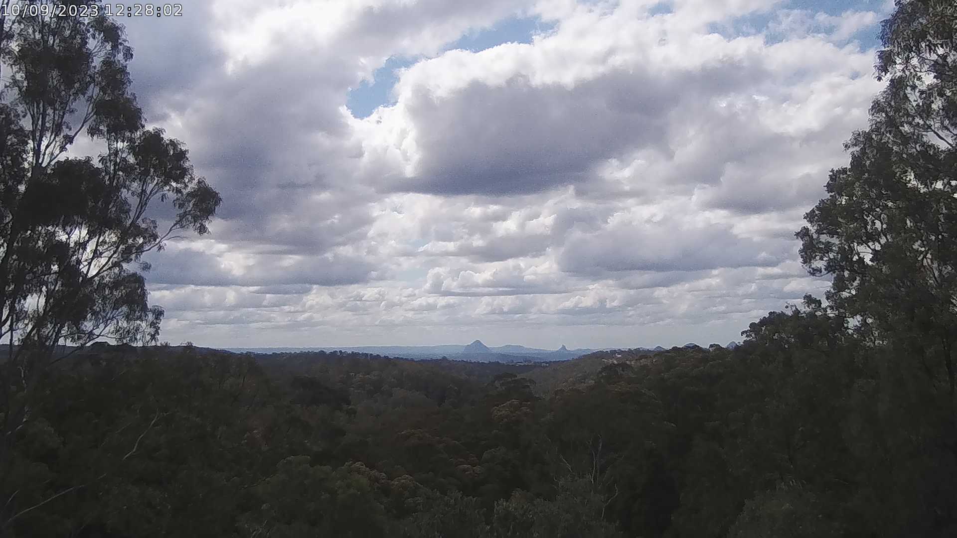
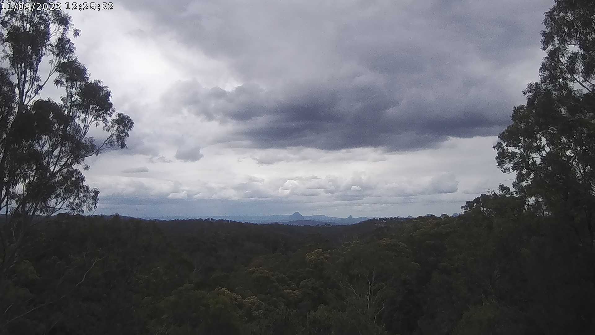
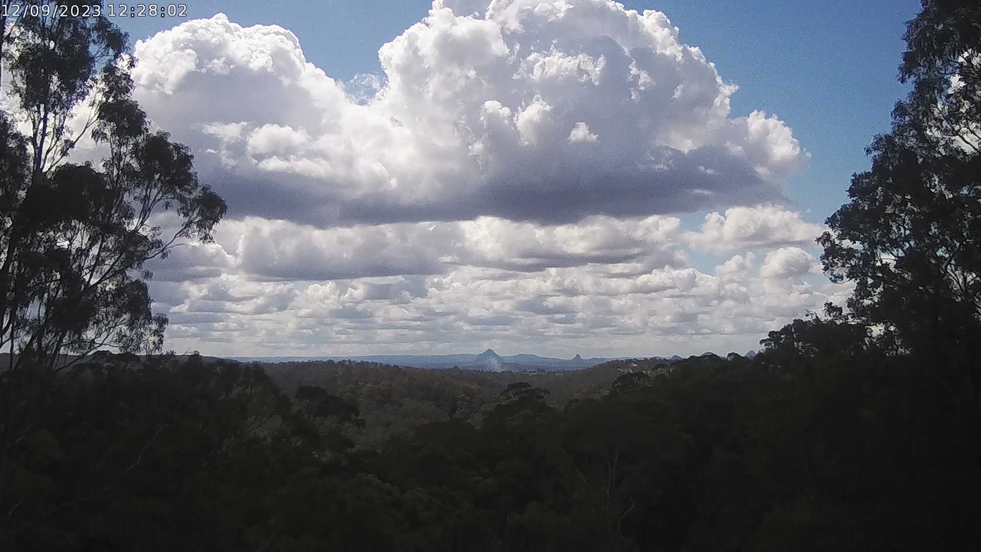
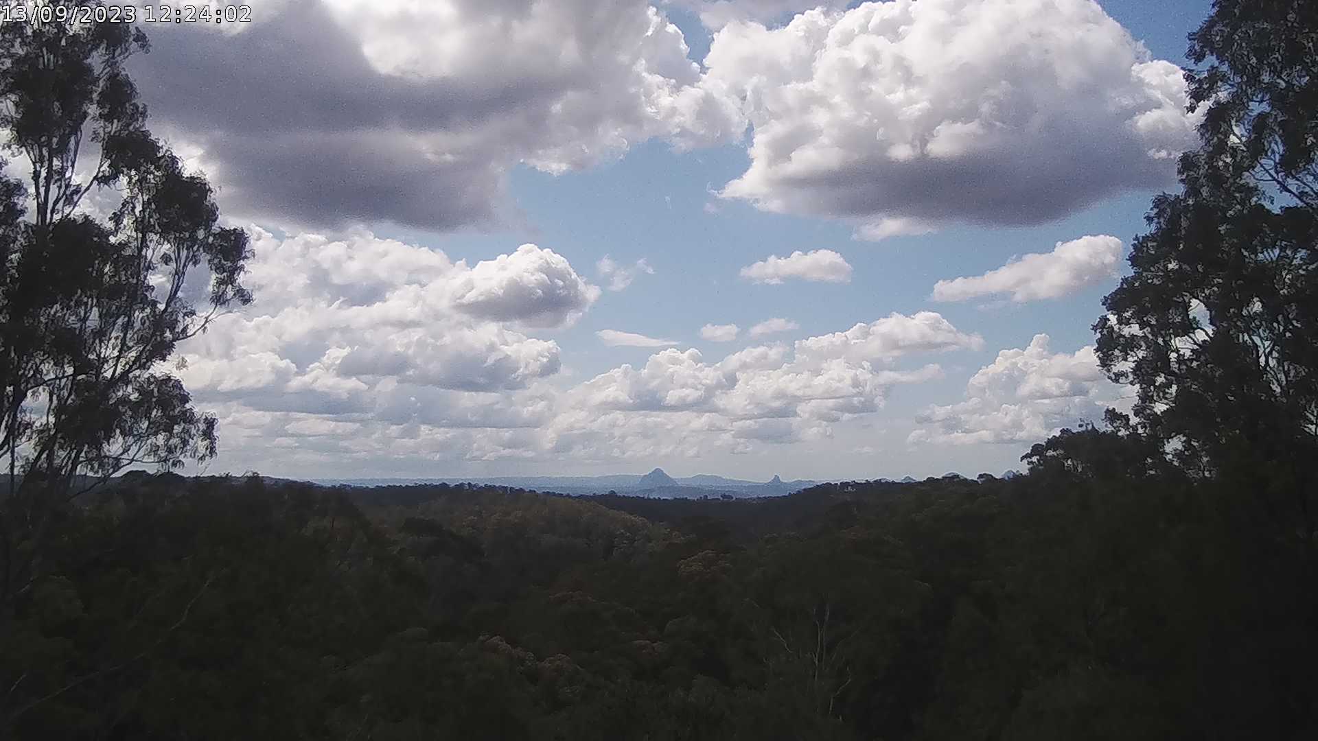
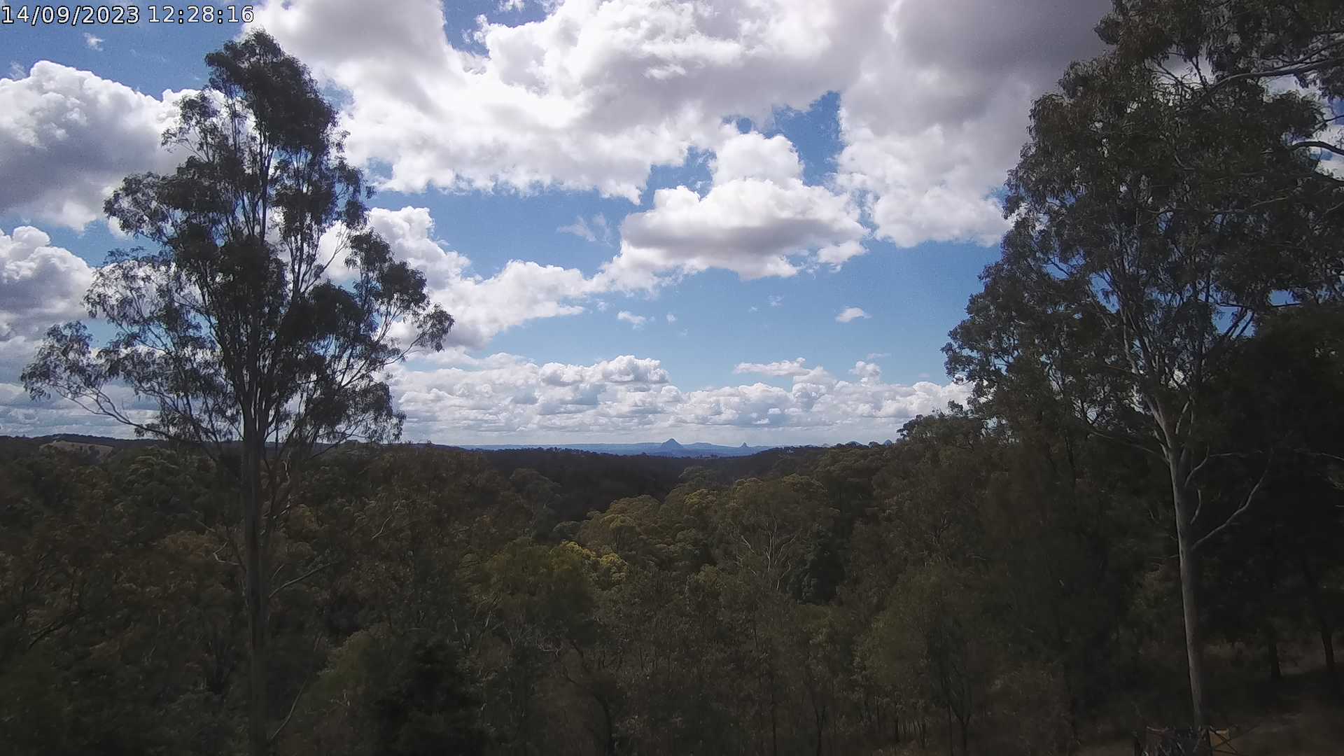
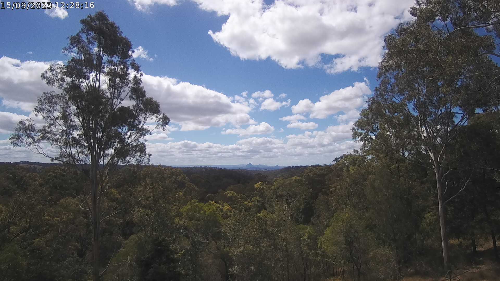
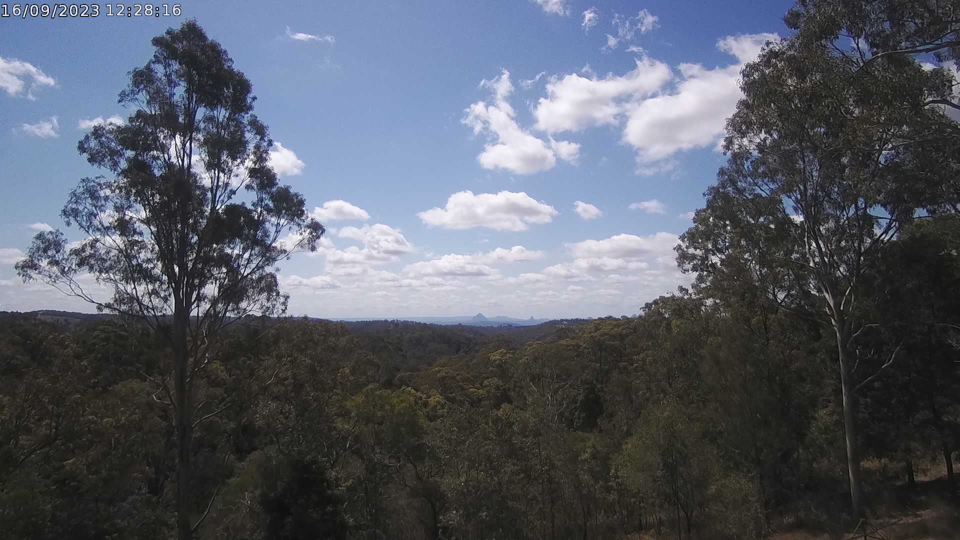
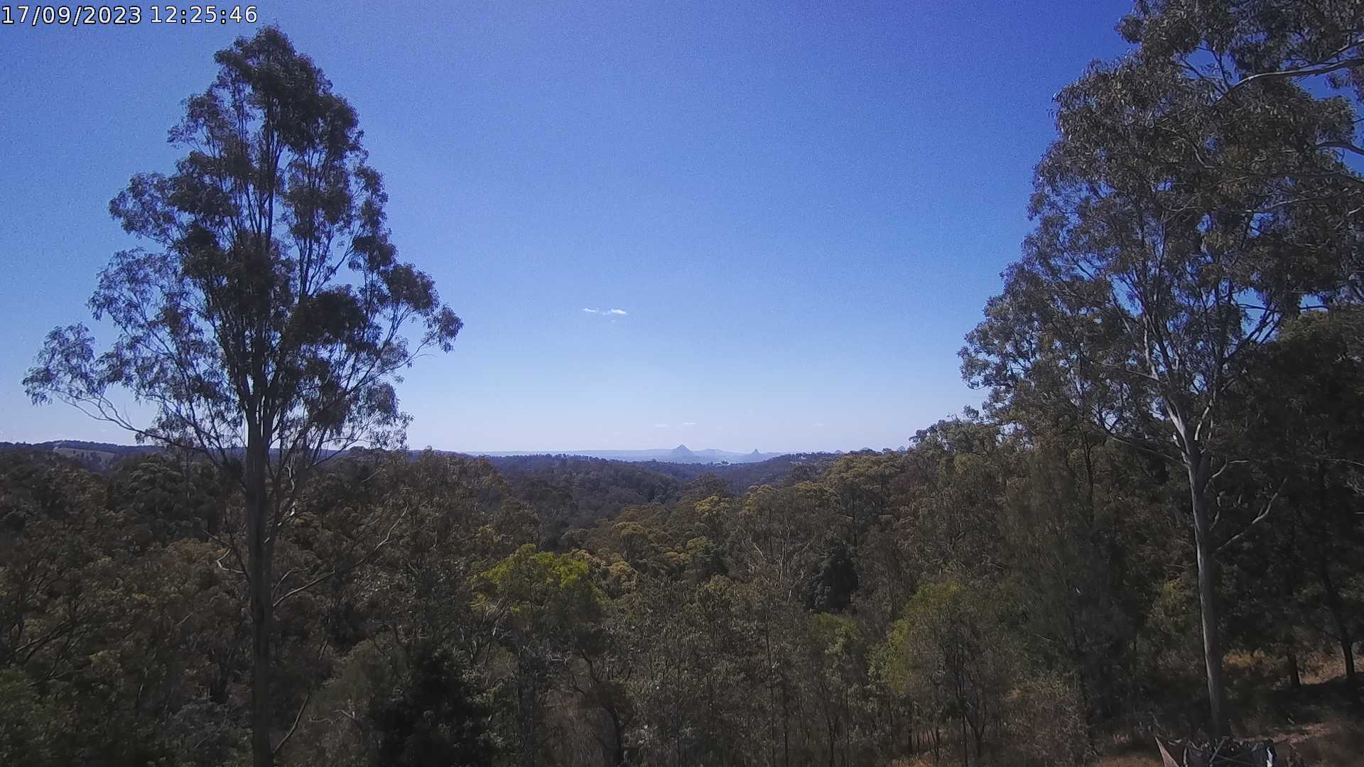
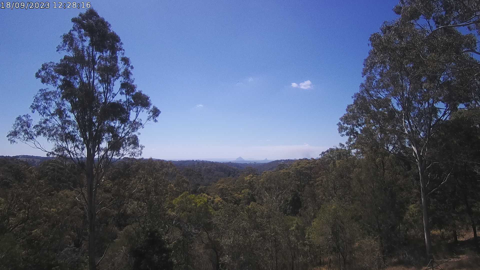
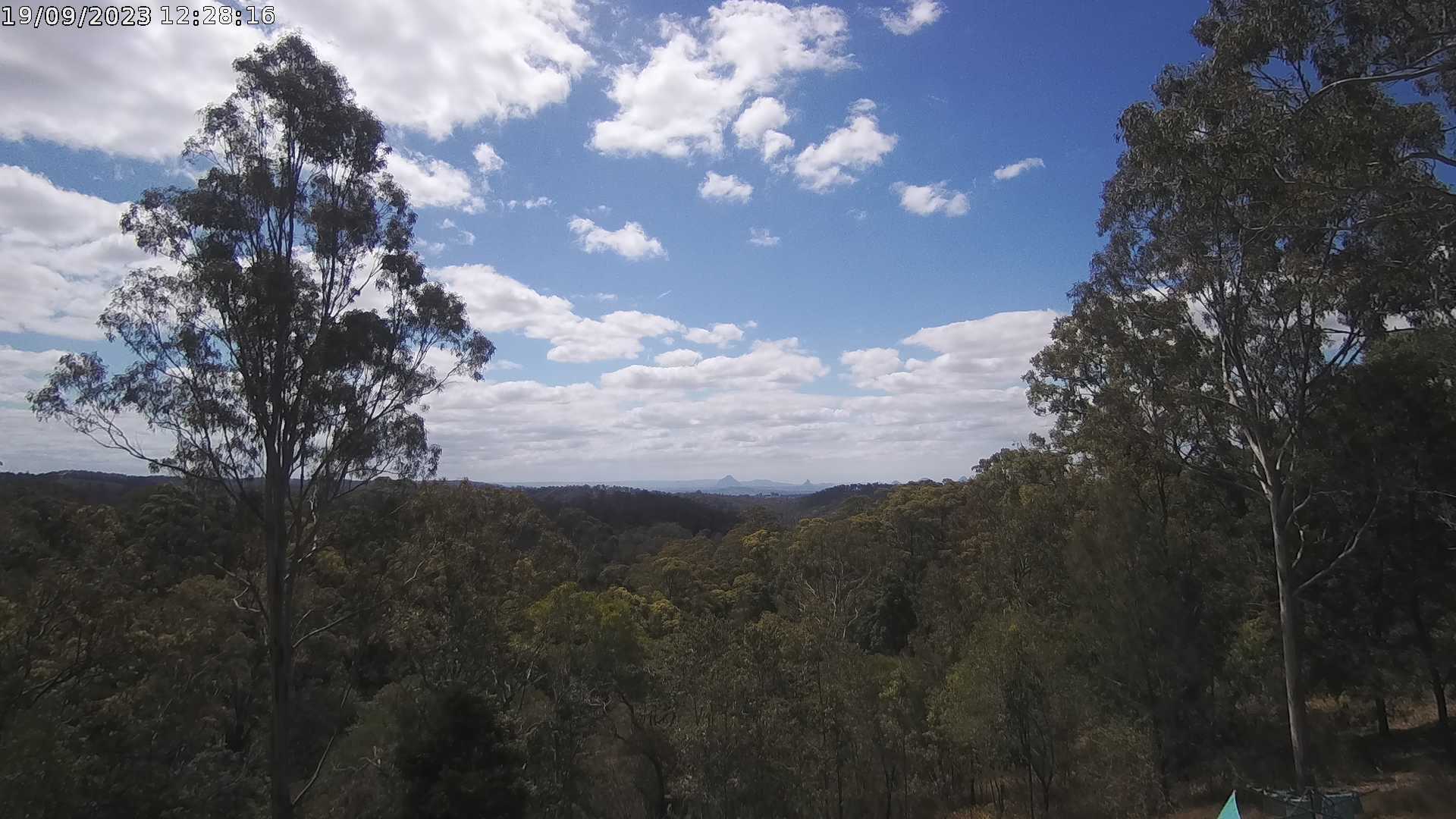
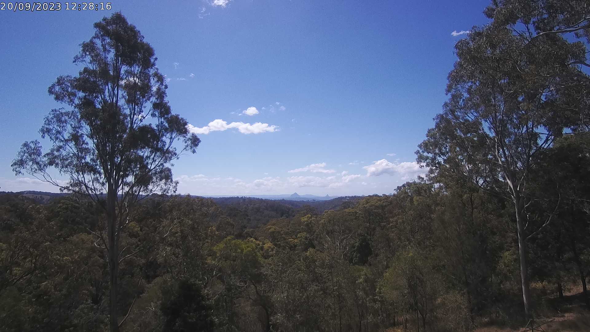
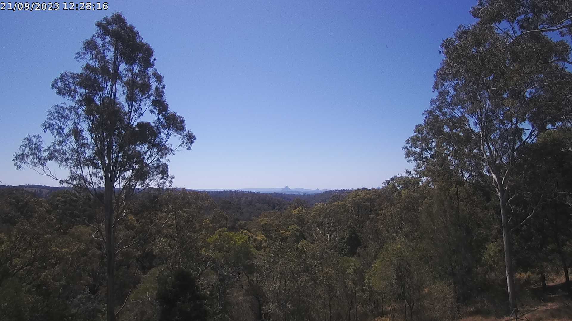
Ocean View, Australia - 20.7 miles from Lower Cressbrook: Glass House Mountains Weather Webcam - A view of the Glass House Mountains from Ocean View, QLD and looking north.
Operator: OceanViewWeather
Operator: OceanViewWeather


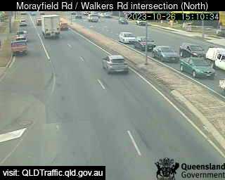
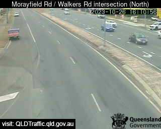
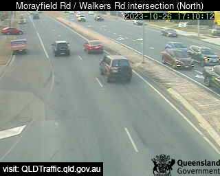
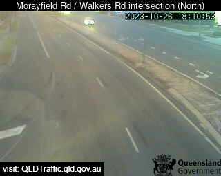
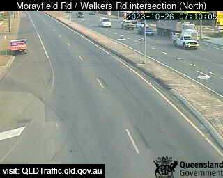
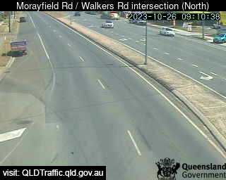
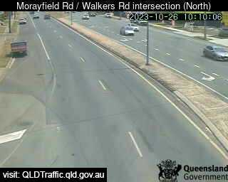
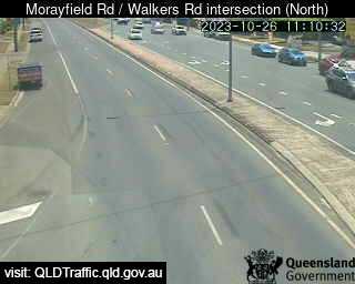
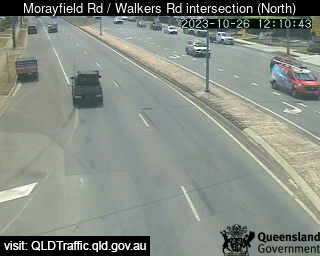
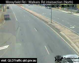
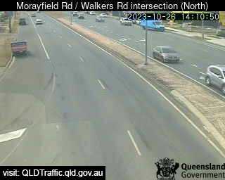
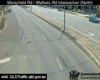
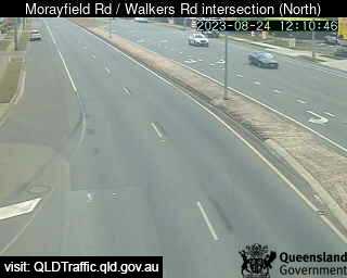
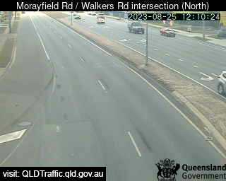
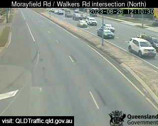
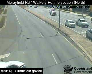
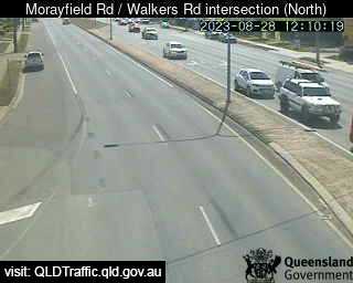
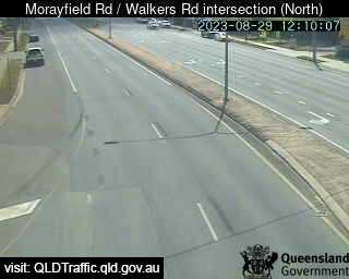
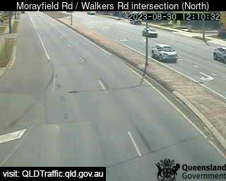
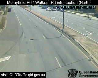
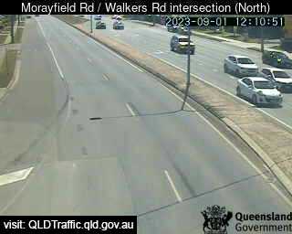
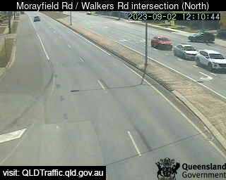
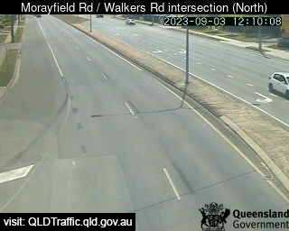
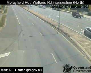
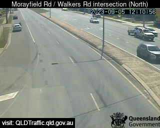
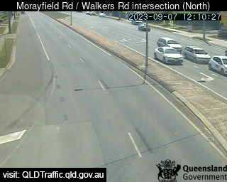
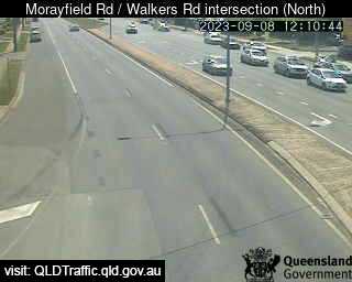
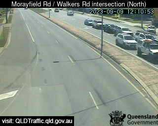
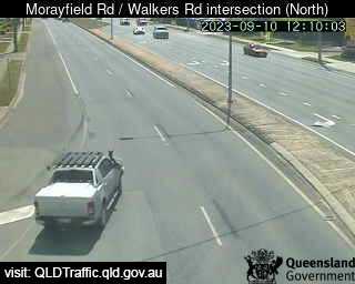
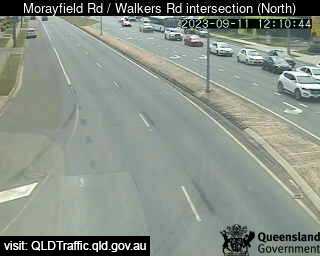
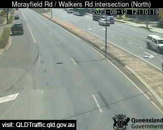
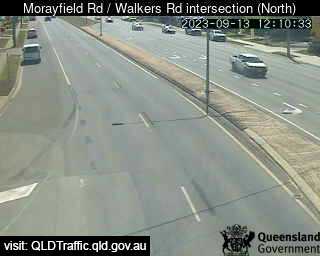
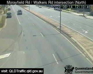
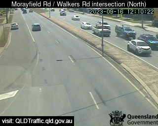
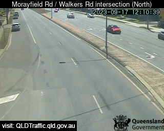
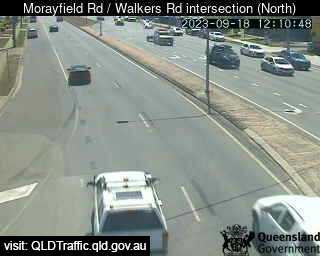
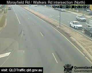
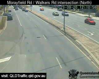
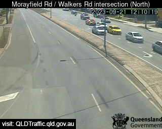
Morayfield, Australia - 28.7 miles from Lower Cressbrook: Morayfield Road / Walkers Road intersection (South) - A view of the current traffic conditions.
Operator: Queensland Government - Department of Transport and Main Roads
Operator: Queensland Government - Department of Transport and Main Roads


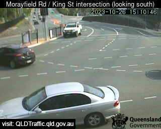
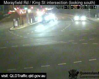
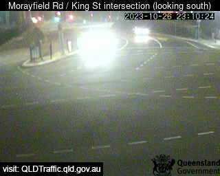
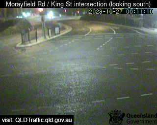
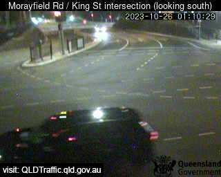
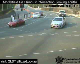
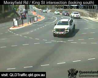
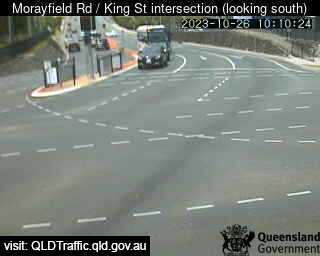
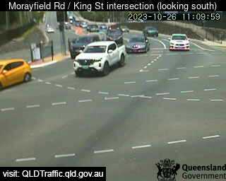
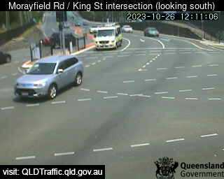
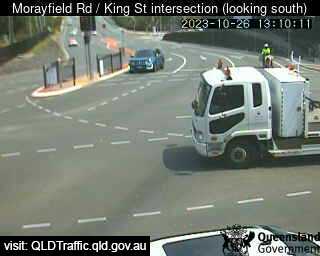
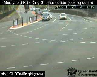
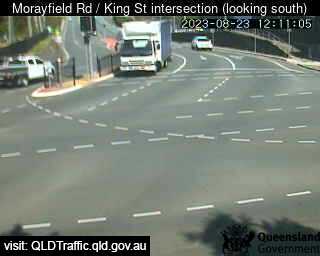
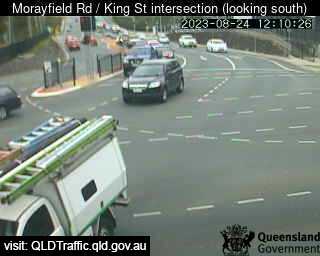
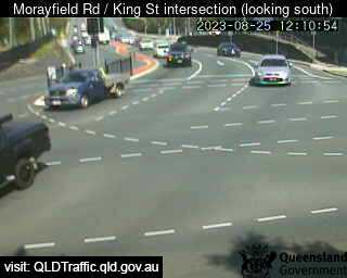
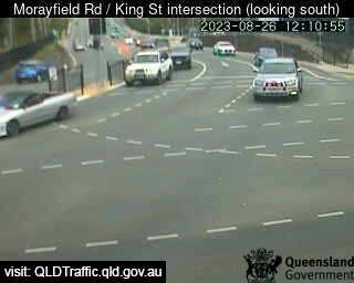
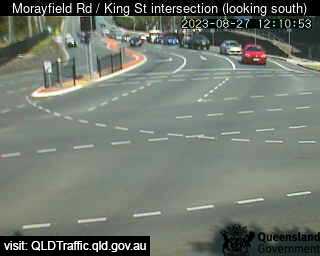
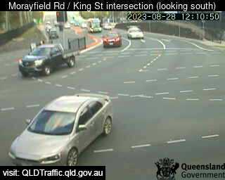
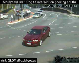
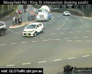
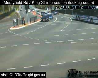
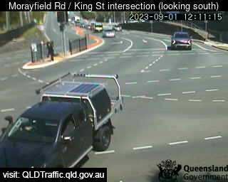
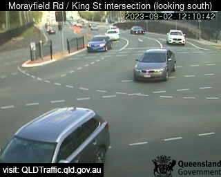
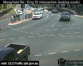
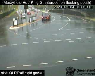
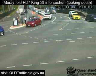
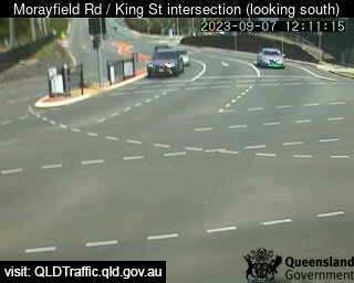
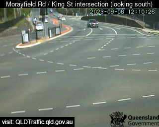
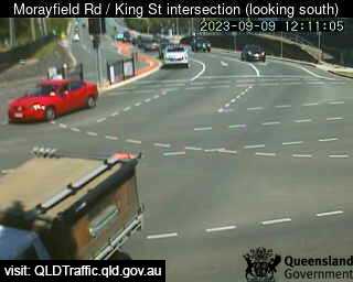
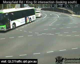
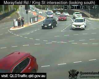
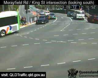
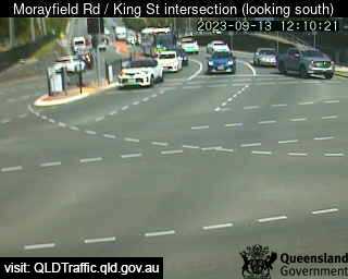
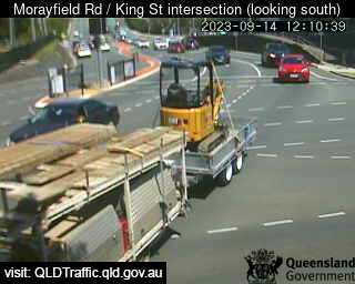
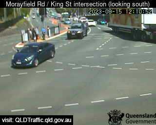
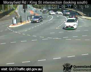
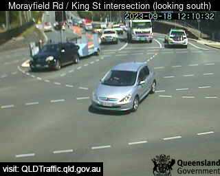
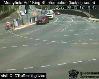
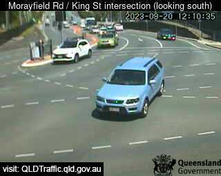
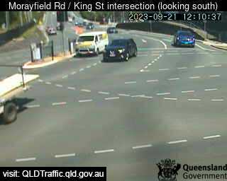
Caboolture, Australia - 28.7 miles from Lower Cressbrook: Morayfield Road / King Street intersection (East) - A view of the current traffic conditions.
Operator: Queensland Government - Department of Transport and Main Roads
Operator: Queensland Government - Department of Transport and Main Roads


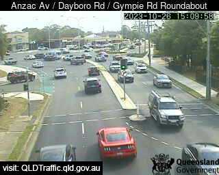
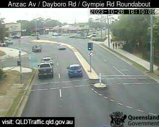
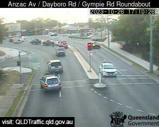
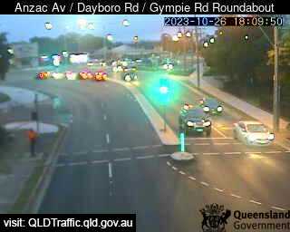
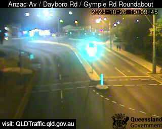
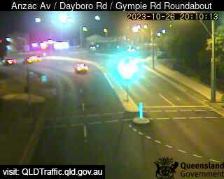
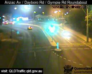
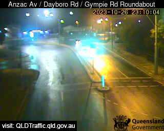
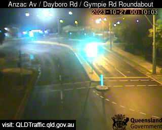
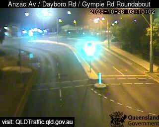
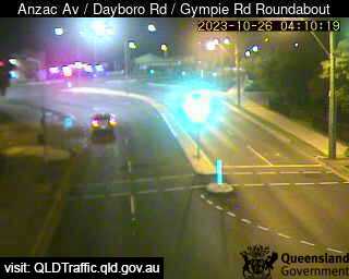
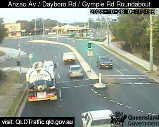
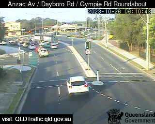
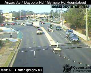
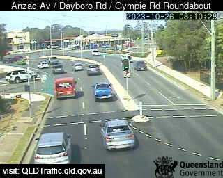
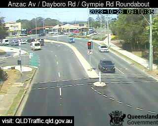
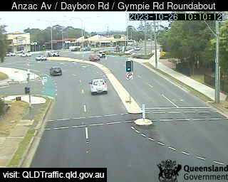
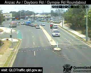
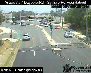
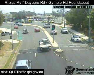
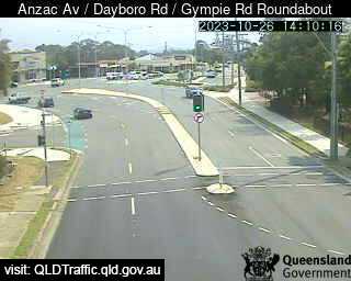
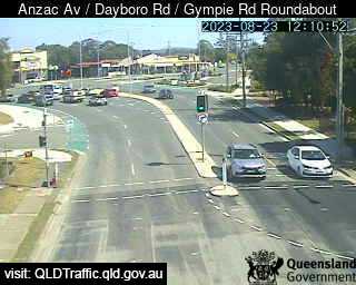
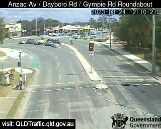
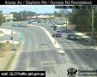
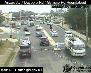
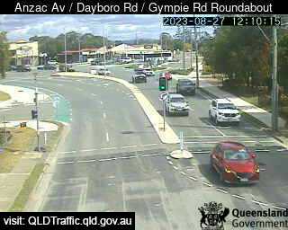
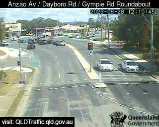
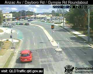
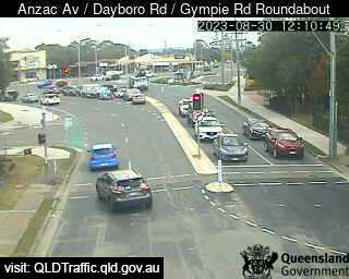
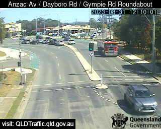
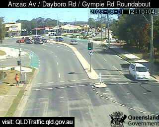
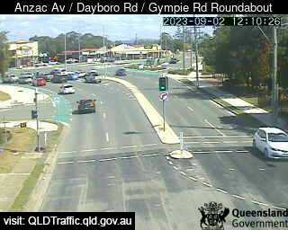
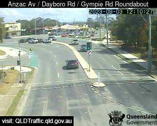
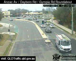
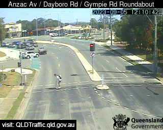
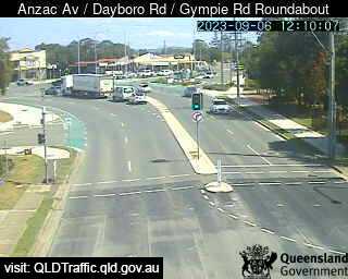
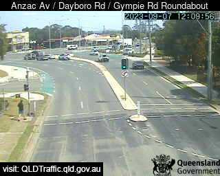
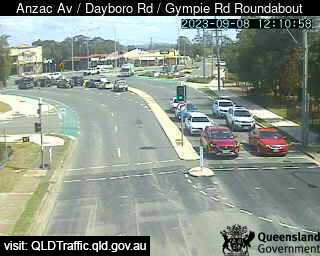
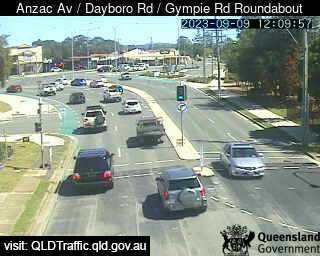
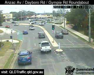
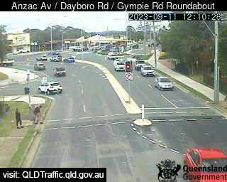
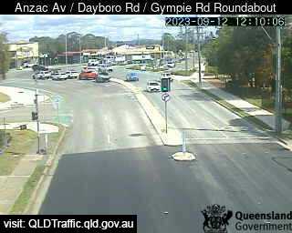
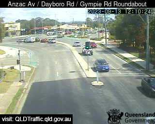
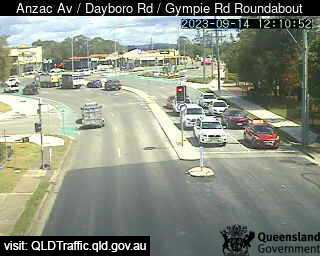
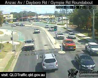
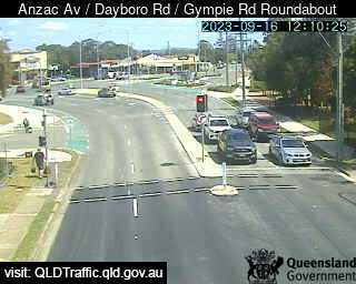
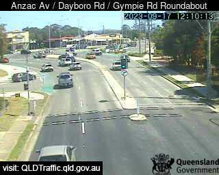
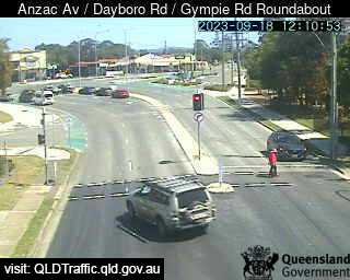
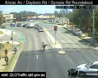
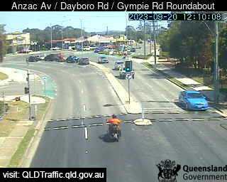
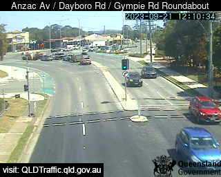
Petrie, Australia - 32.9 miles from Lower Cressbrook: Anzac Avenue / Dayboro Road / Gympie Road Roundabout (South-West) - A view of the current traffic conditions.
Operator: Queensland Government - Department of Transport and Main Roads
Operator: Queensland Government - Department of Transport and Main Roads


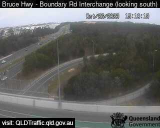
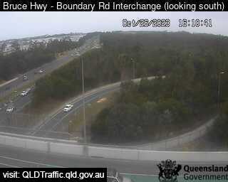
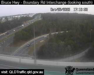
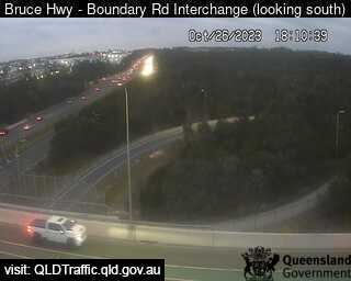
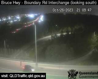
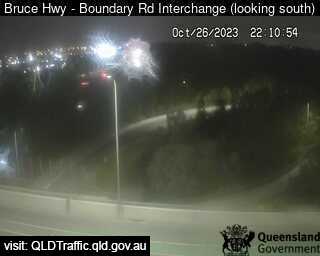
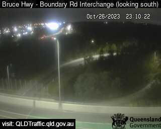
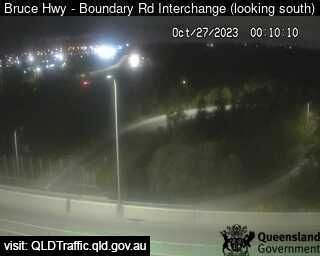
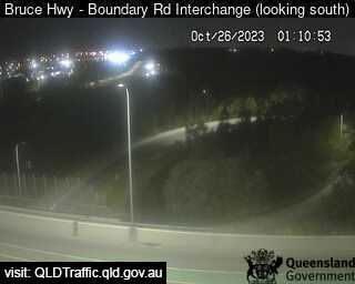
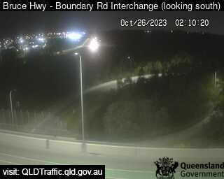
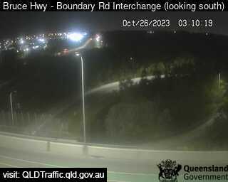
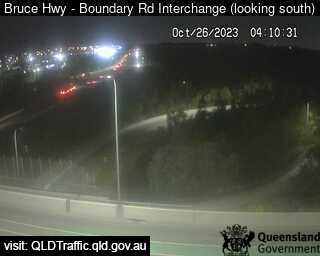
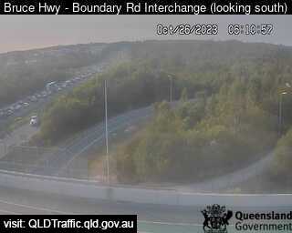
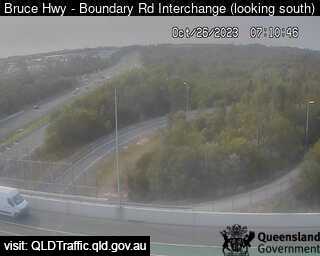
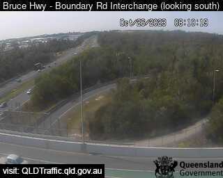
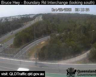
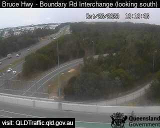
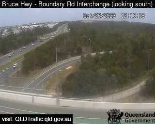
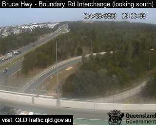
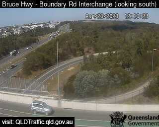
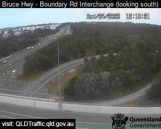
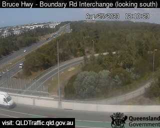
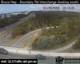
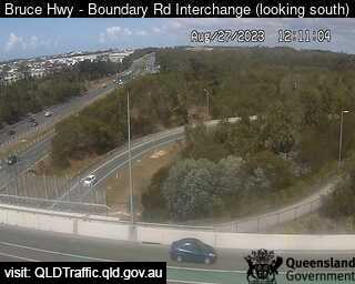
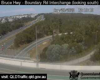
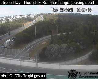
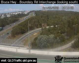
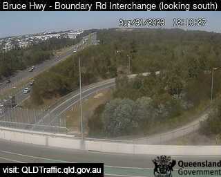
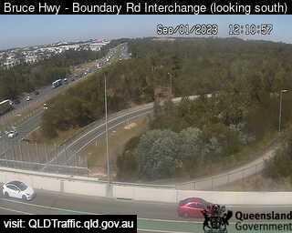
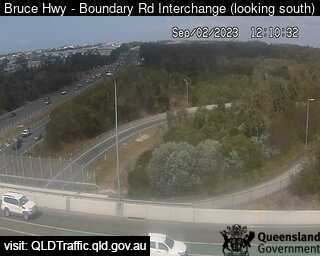
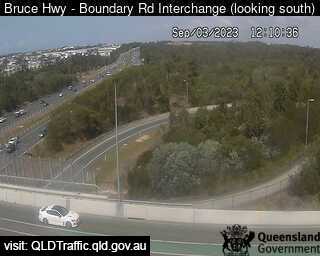
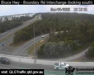
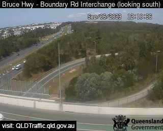
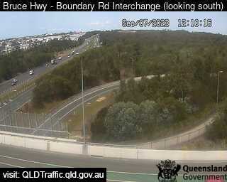
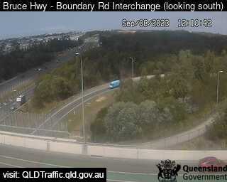
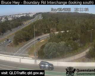
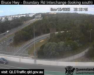
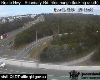
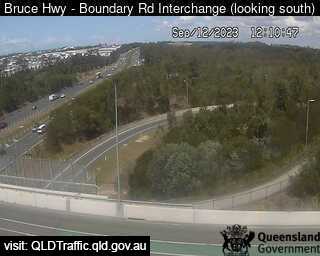
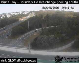
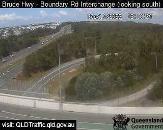
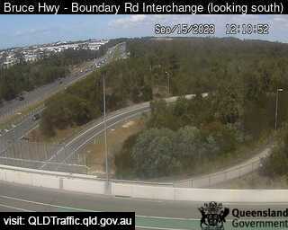
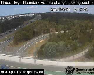
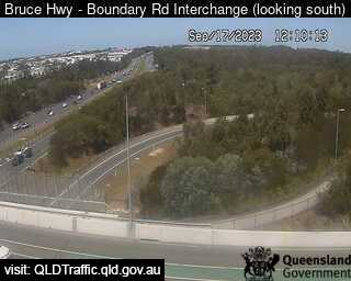
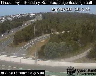
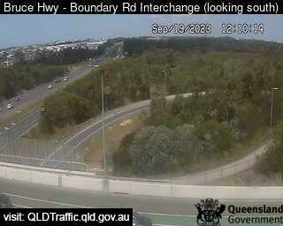
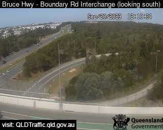
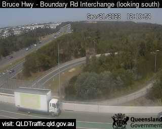
North Lakes, Australia - 34.3 miles from Lower Cressbrook: Bruce Highway - Narangba - Boundary Road (looking south) - A view of the current traffic conditions.
Operator: Queensland Government - Department of Transport and Main Roads
Operator: Queensland Government - Department of Transport and Main Roads


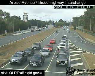
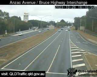
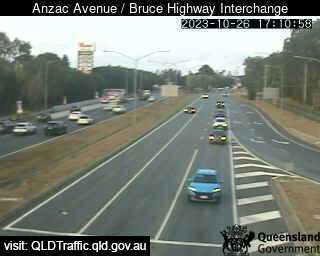
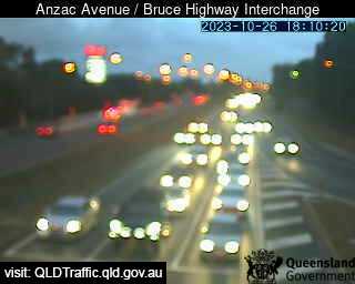
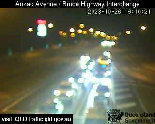
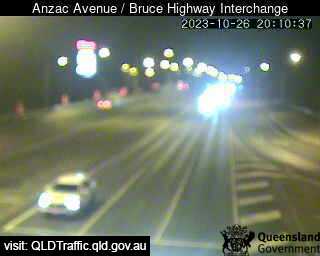
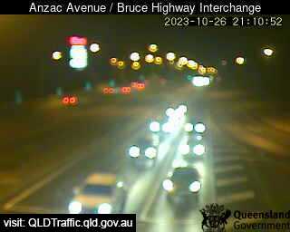
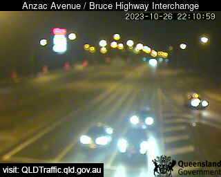
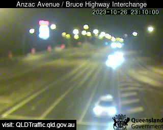
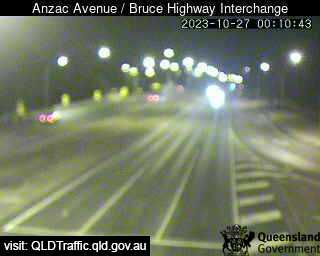
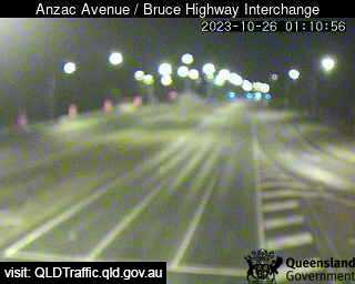
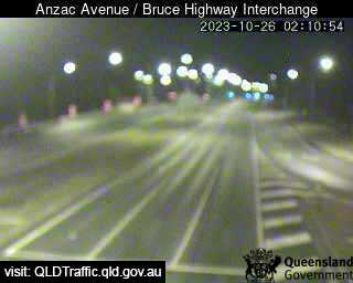
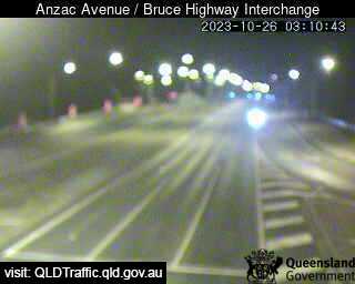
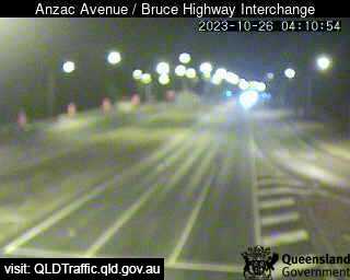
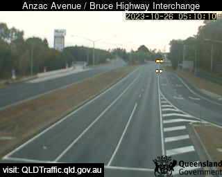
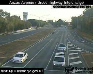
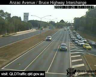
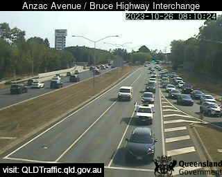
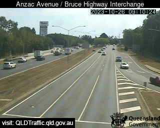
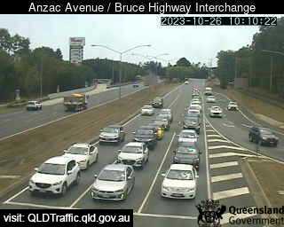
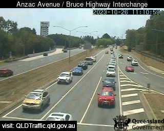
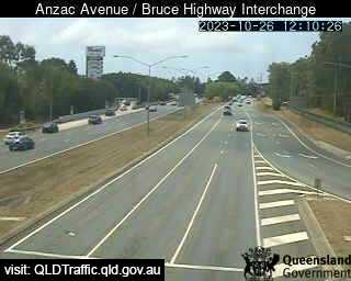
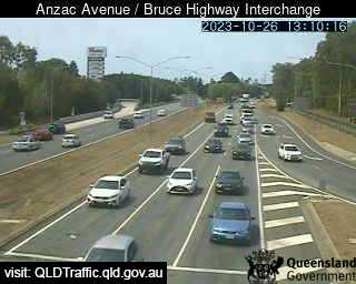
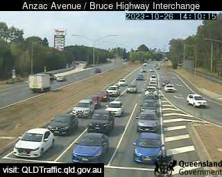
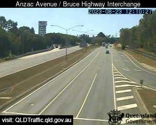
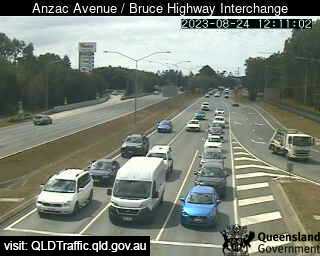
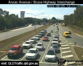
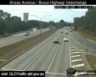
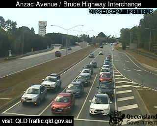
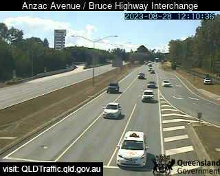
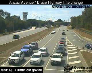
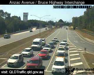
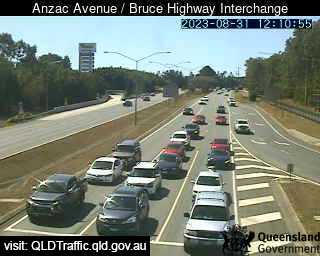
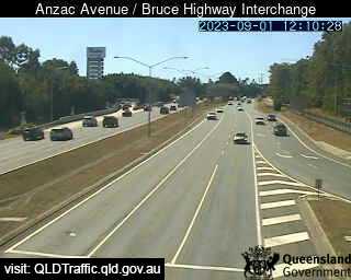
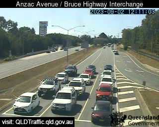
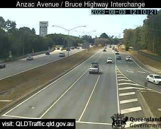
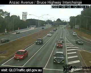
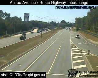
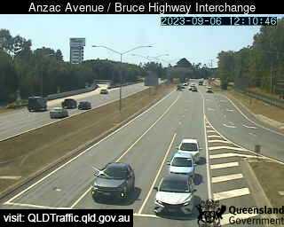
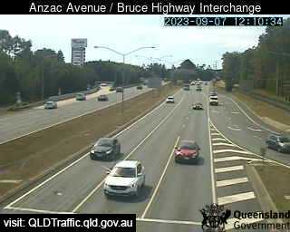
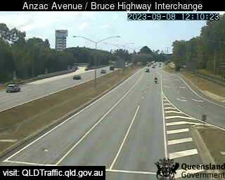
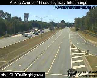
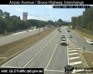
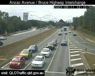
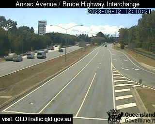
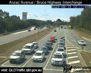
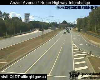
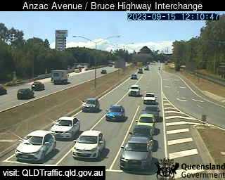
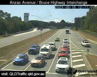
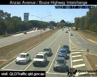
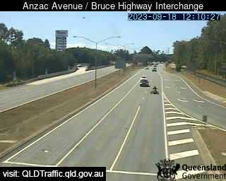
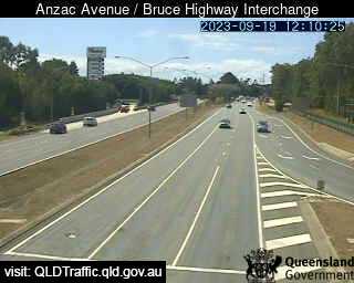
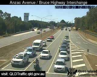
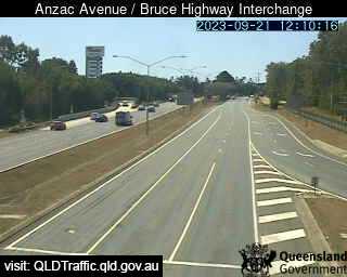
North Lakes, Australia - 34.3 miles from Lower Cressbrook: Anzac Avenue / Bruce Highway Interchange ( East) - A view of the current traffic conditions.
Operator: Queensland Government - Department of Transport and Main Roads
Operator: Queensland Government - Department of Transport and Main Roads

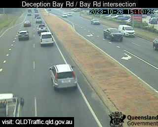
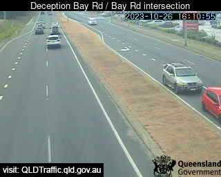
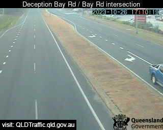
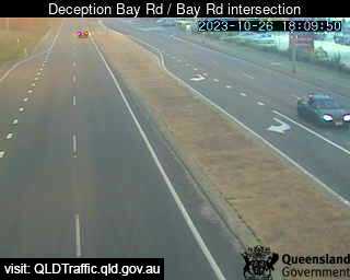
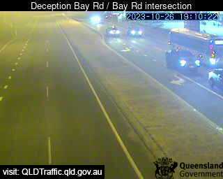
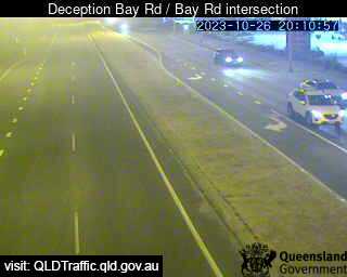
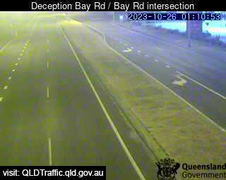
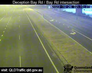
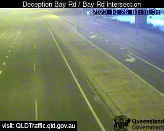
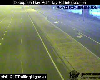
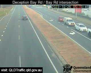
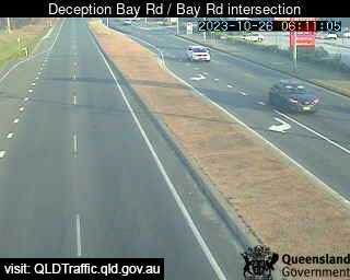
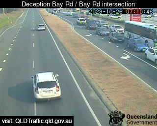
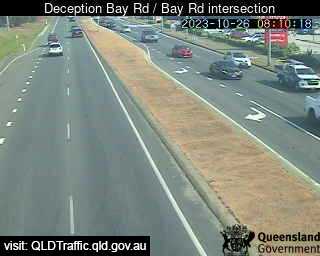
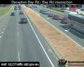
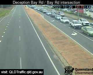
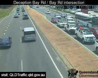
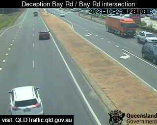
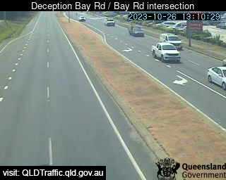
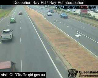
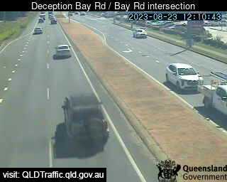
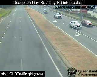
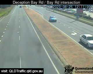
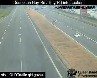
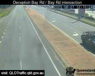
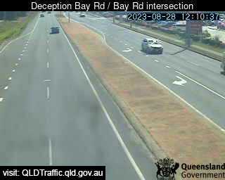
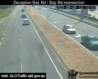
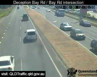
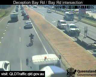
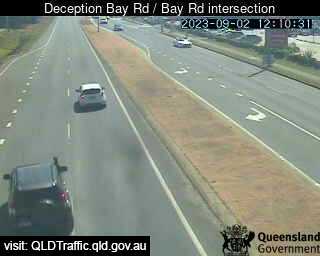
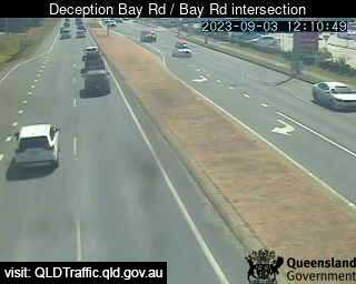
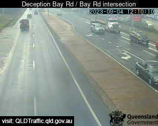
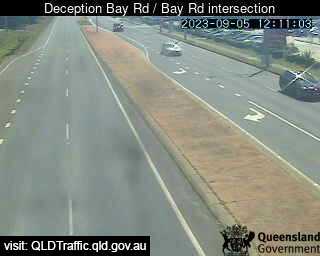
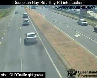
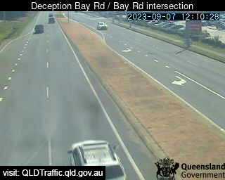
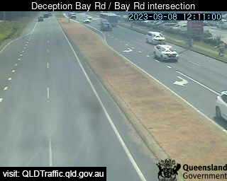
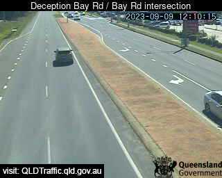
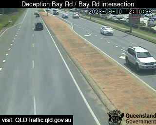
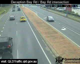
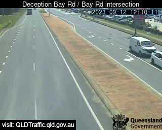
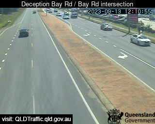
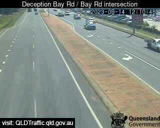
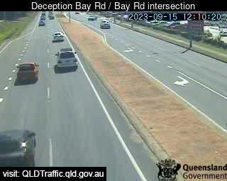
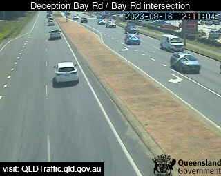
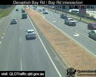
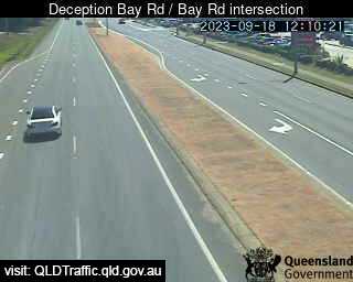
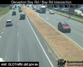
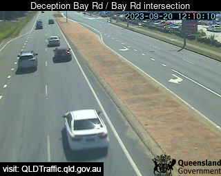
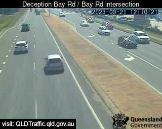
Deception Bay, Australia - 34.4 miles from Lower Cressbrook: Deception Bay Road / Bay Road intersection (North-West) - A view of the current traffic conditions.
Operator: Queensland Government - Department of Transport and Main Roads
Operator: Queensland Government - Department of Transport and Main Roads

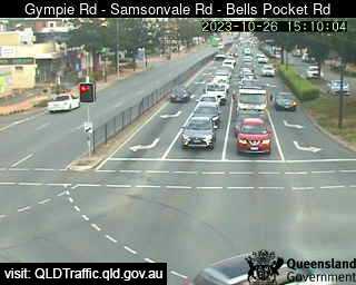
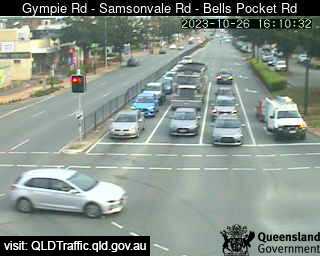
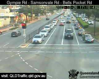
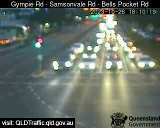
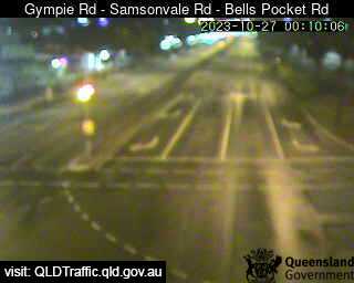
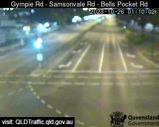
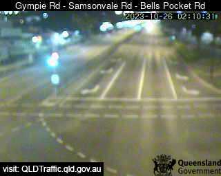
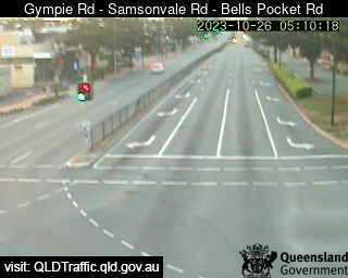
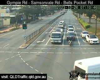
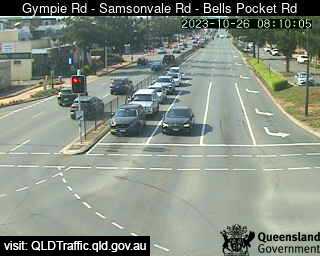
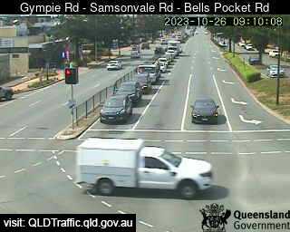
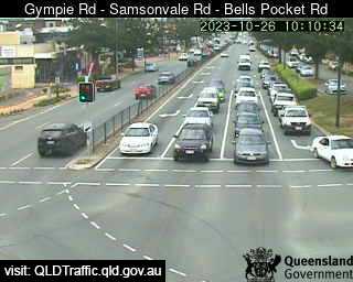
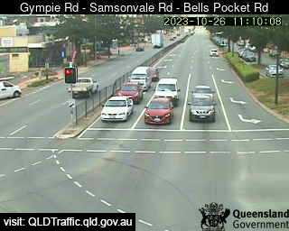
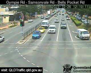
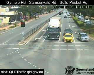
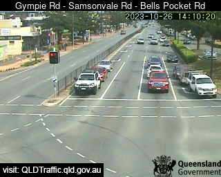
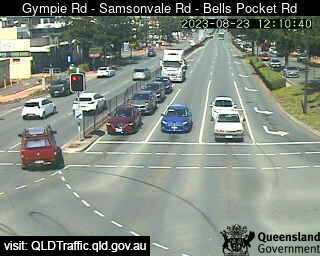
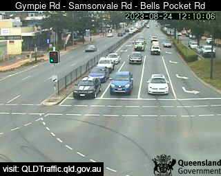
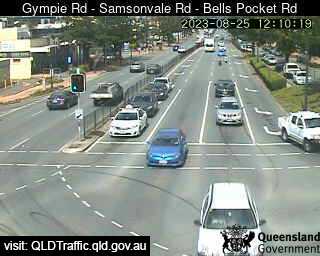
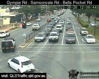
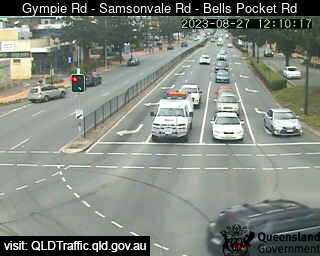
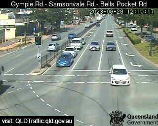
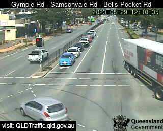
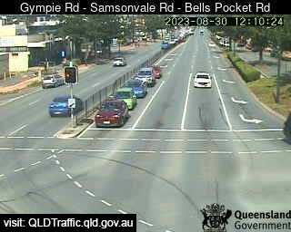
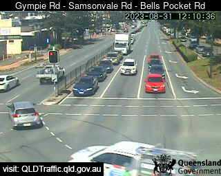
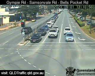
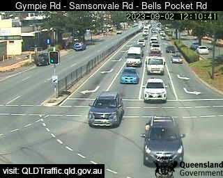
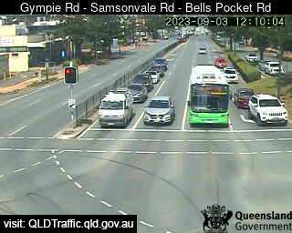
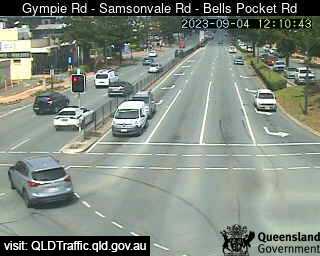
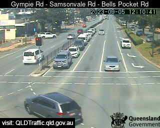
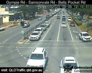
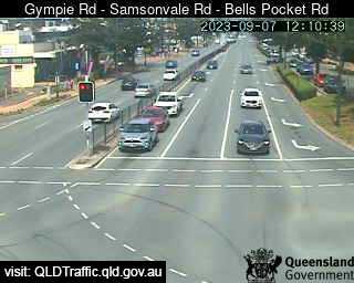
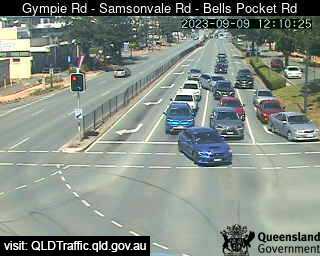
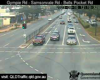
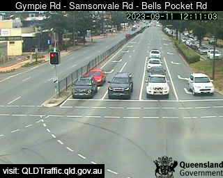
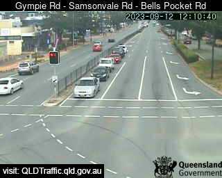
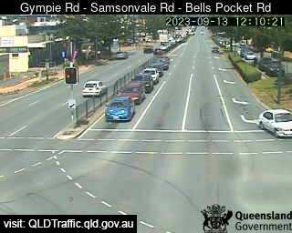
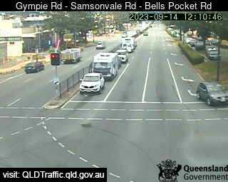
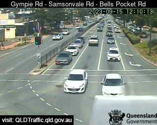
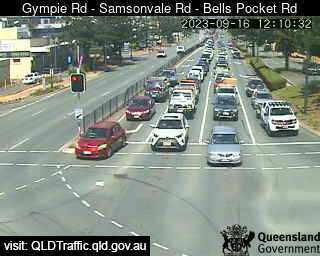
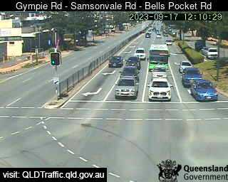
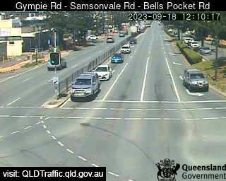
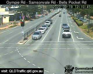
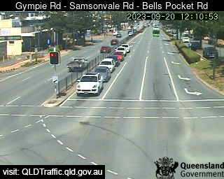
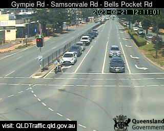
Strathpine, Australia - 34.7 miles from Lower Cressbrook: Gympie Road - Samsonvale Road - Bells Pocket Road (South) - A view of the current traffic conditions.
Operator: Queensland Government - Department of Transport and Main Roads
Operator: Queensland Government - Department of Transport and Main Roads


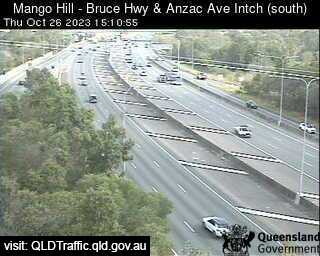
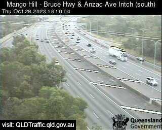
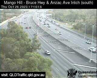
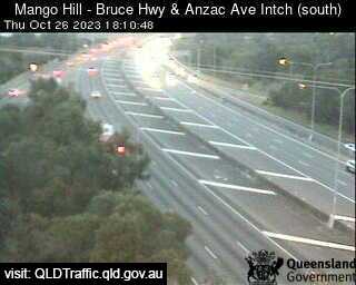
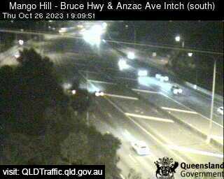
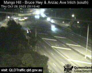
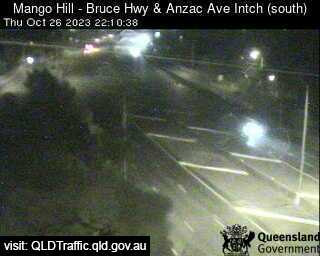
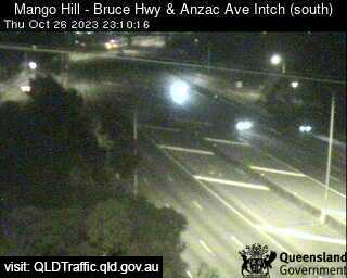
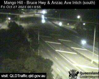
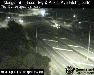
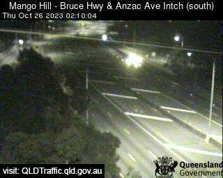
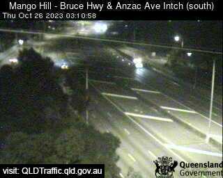
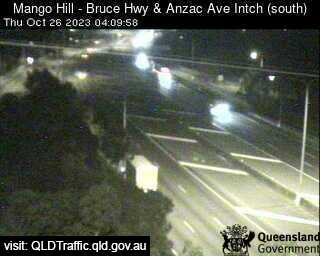
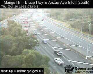
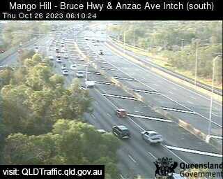
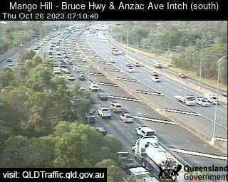
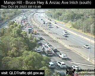
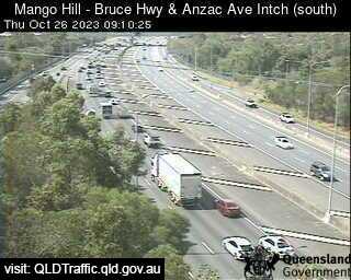
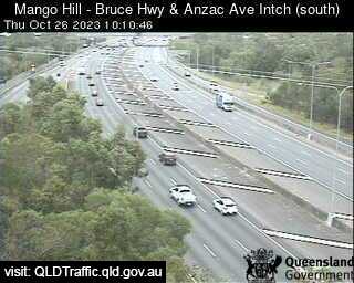
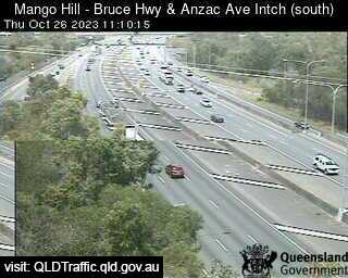
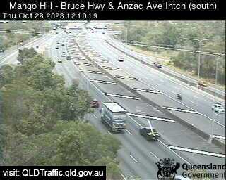
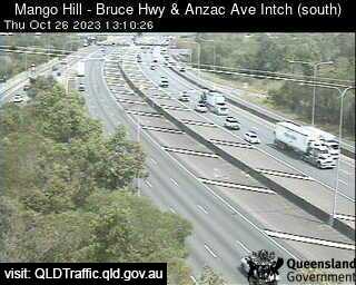
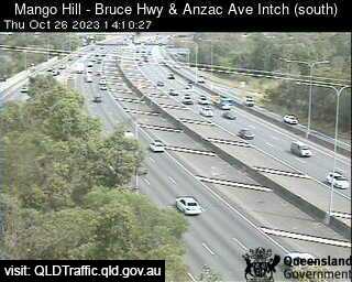
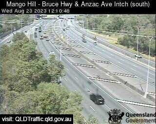
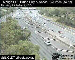
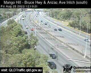
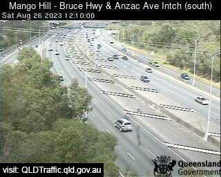
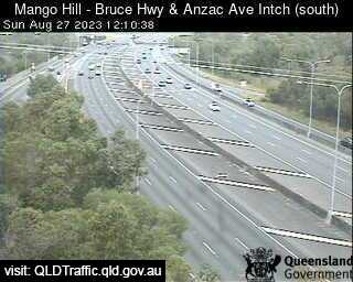
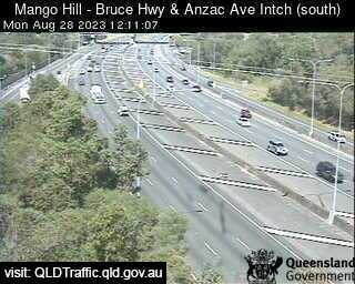
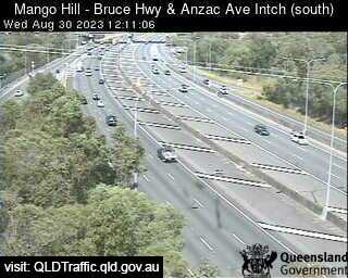
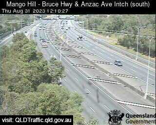
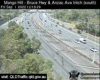
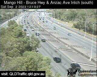
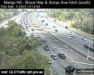
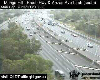
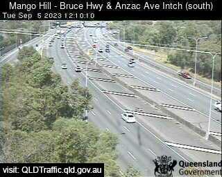
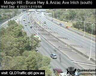
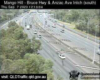
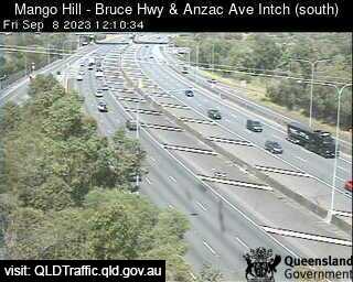
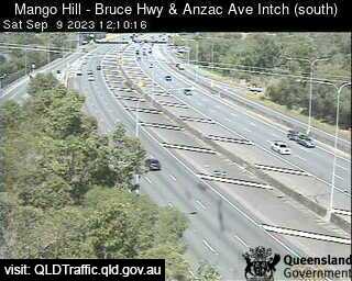
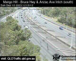
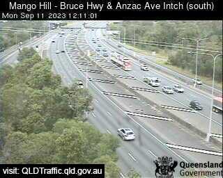
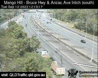
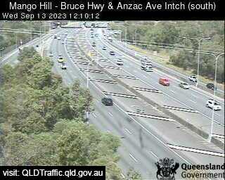
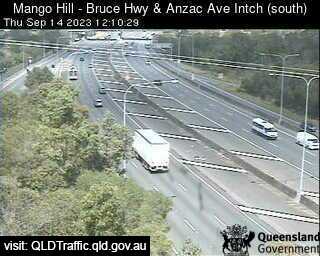
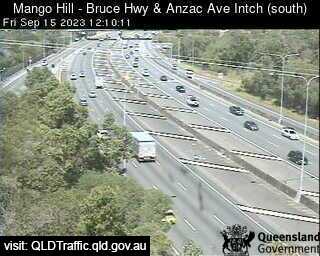
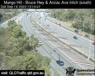
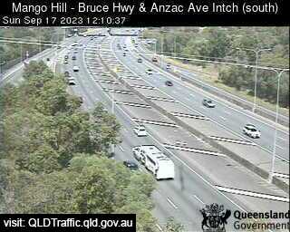
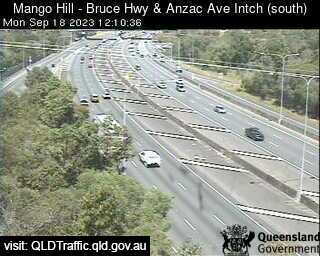
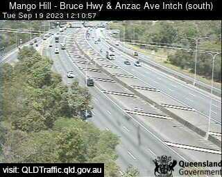
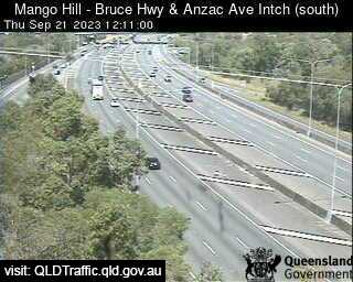
Mango Hill, Australia - 35.2 miles from Lower Cressbrook: Bruce Highway and Anzac Avenue (looking South) - A view of the current traffic conditions.
Operator: Queensland Government - Department of Transport and Main Roads
Operator: Queensland Government - Department of Transport and Main Roads


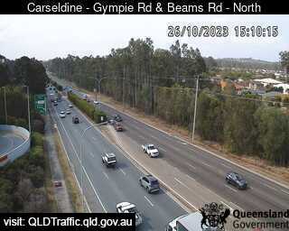
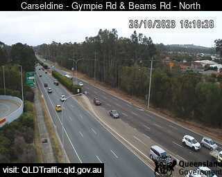
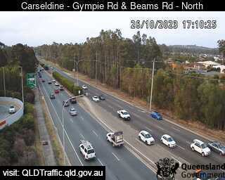
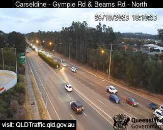
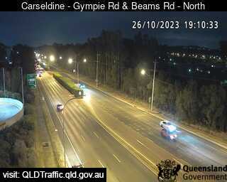
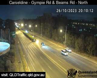
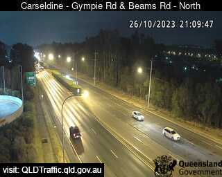
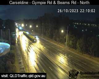
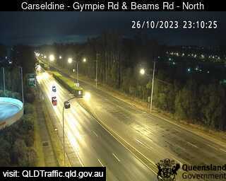
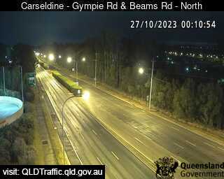
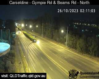
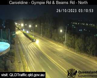
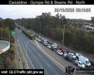
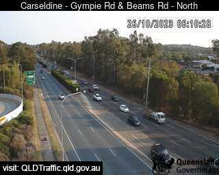
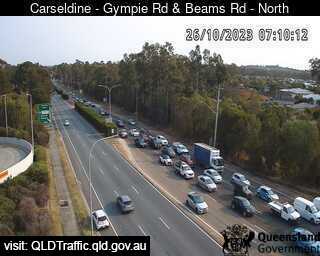
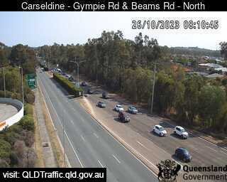
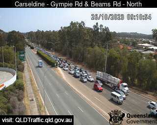
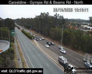
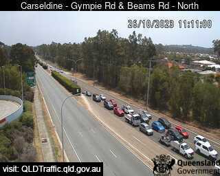
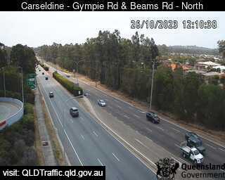
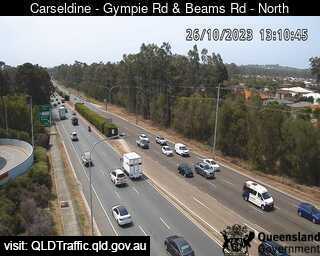
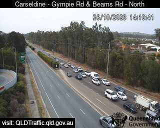
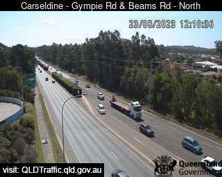
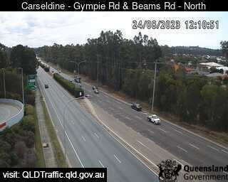
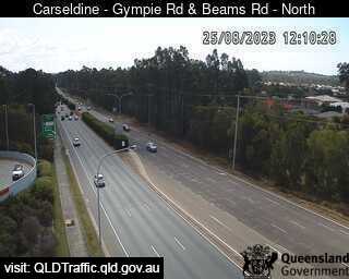
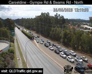
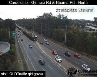
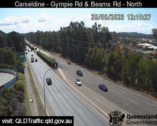
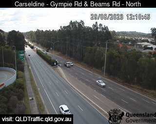
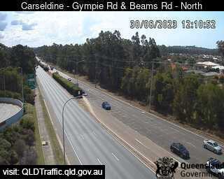
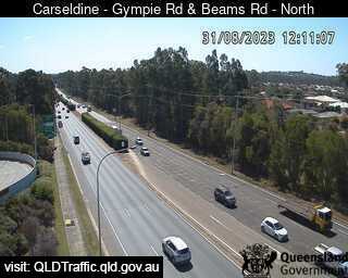
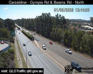
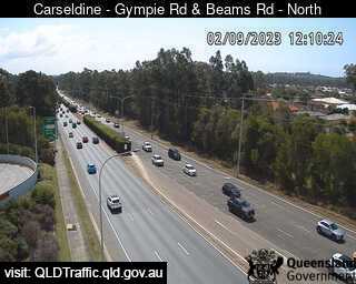
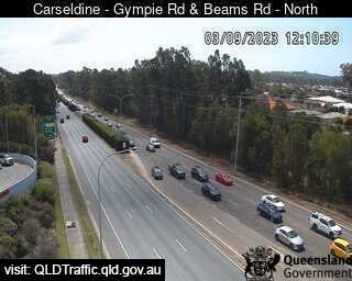
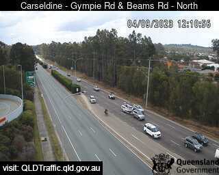
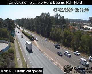
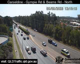
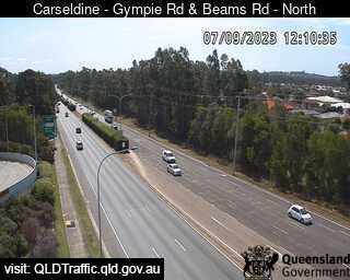
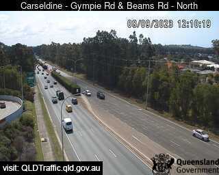
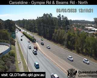
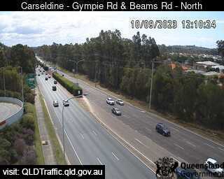
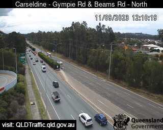
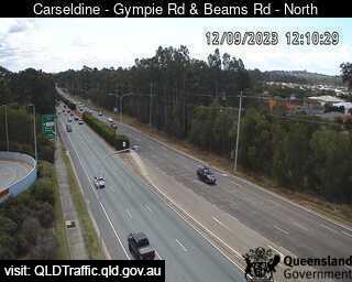
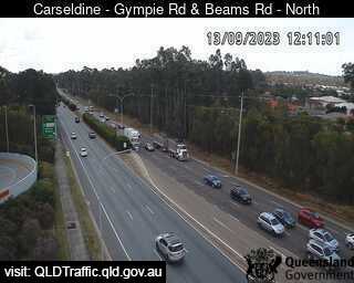
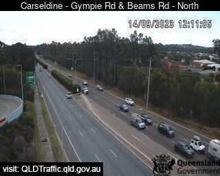
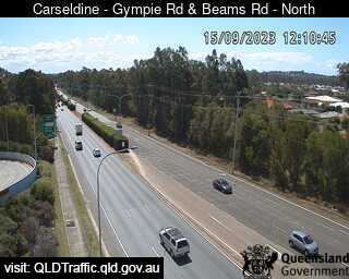
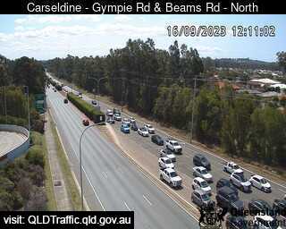
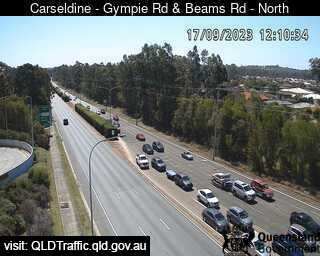
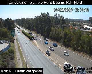
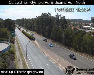
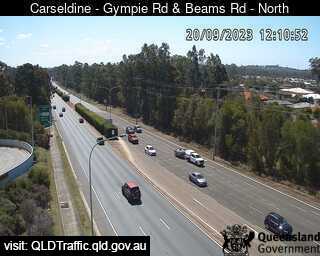
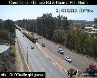
Carseldine, Australia - 37.2 miles from Lower Cressbrook: Gympie Road and Beams Road (North) - A view of the current traffic conditions.
Operator: Queensland Government - Department of Transport and Main Roads
Operator: Queensland Government - Department of Transport and Main Roads


Some other places in this country: Lower Chittering - Lower Chittertering - Lower Creek - Lower Cudgera - Lower Gregory - Lower Hawkesbury - Lower Light - Lower Longley - Lower Mangrove - Lower Numba