Webcams in the region of Lower Acacia Creek, Australia
The List of Webcams near Lower Acacia Creek, Australia:

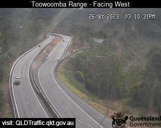
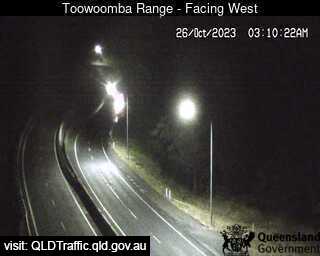
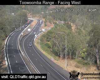
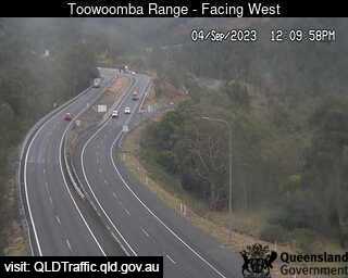
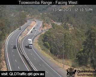
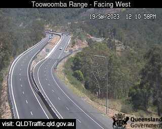
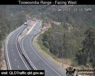
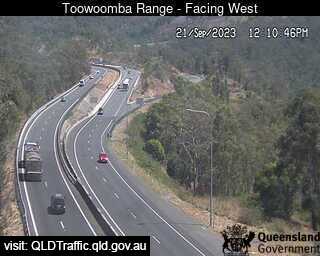
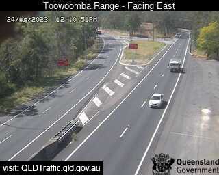
Toowoomba, Australia - 62.7 miles from Lower Acacia Creek: Toowoomba Range - Saddle (West) - A view of the current traffic conditions.
Operator: Queensland Government - Department of Transport and Main Roads
Operator: Queensland Government - Department of Transport and Main Roads
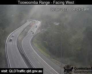
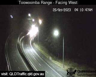
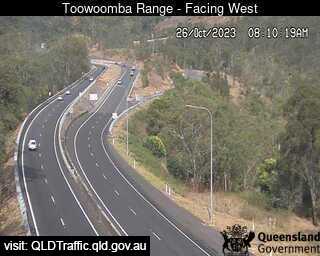
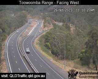
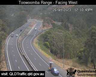
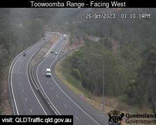
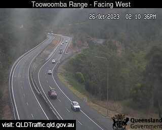
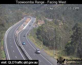
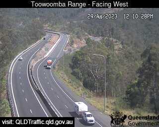
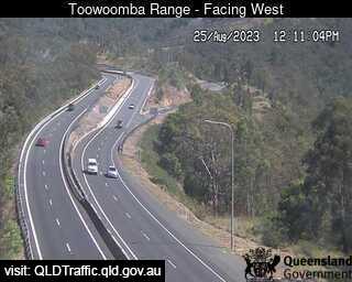
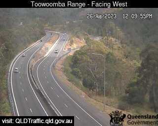
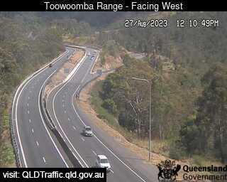
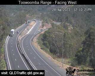
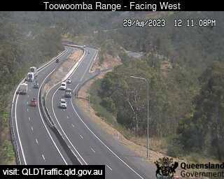
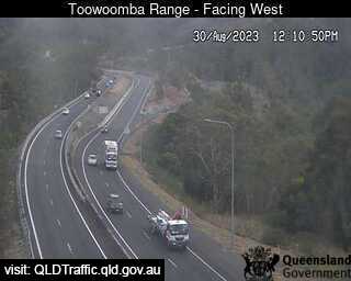
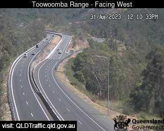
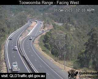
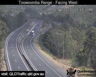
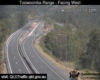
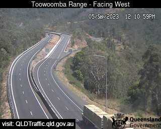
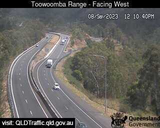
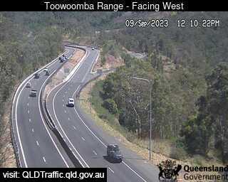

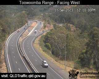
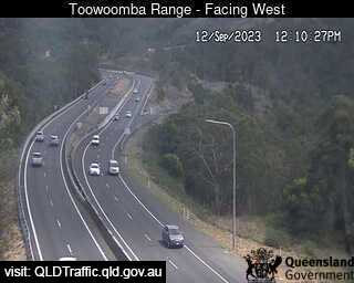
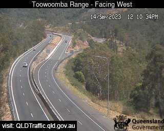


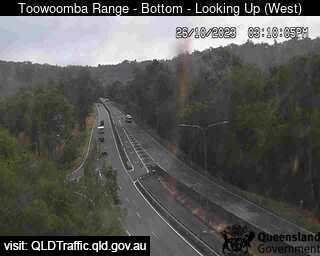
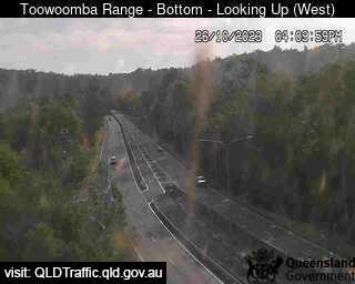
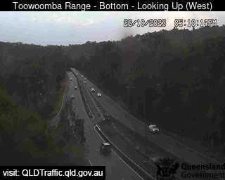
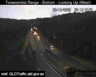
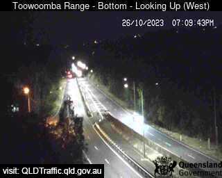
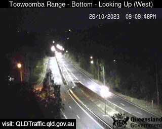
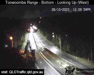
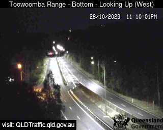
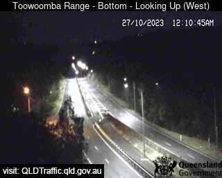
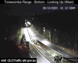
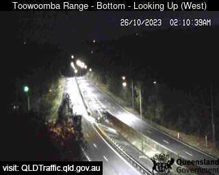
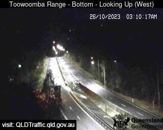
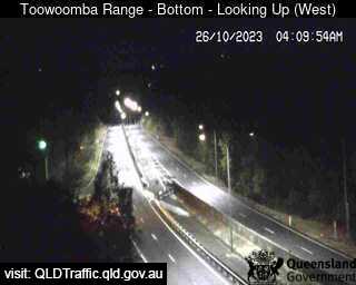
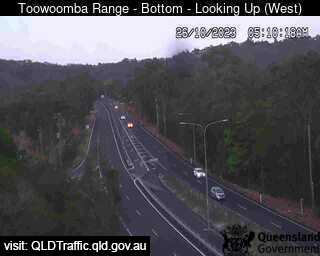
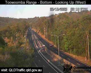
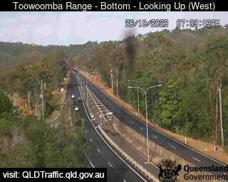
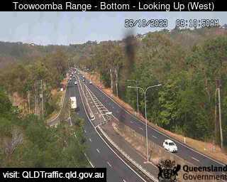
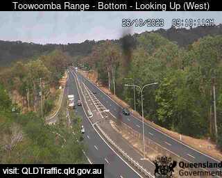
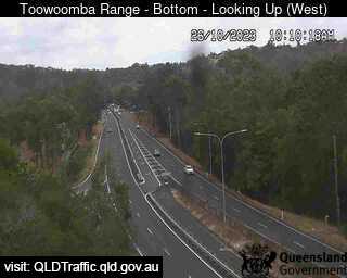
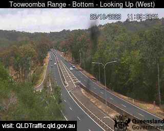
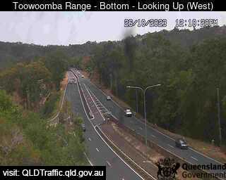
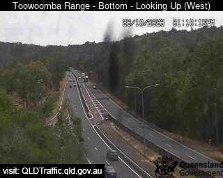
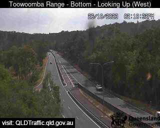
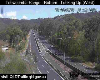
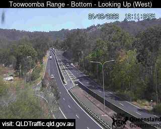
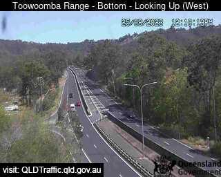
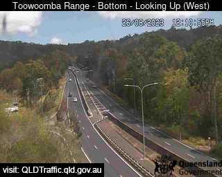
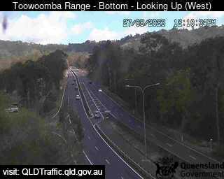
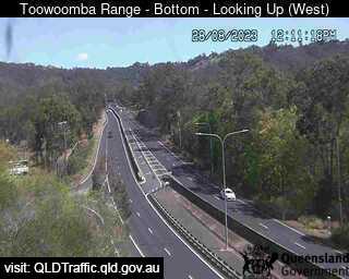
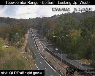
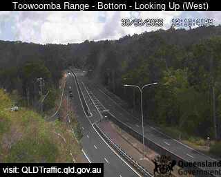
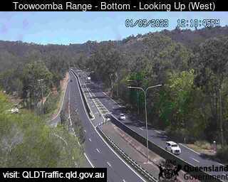
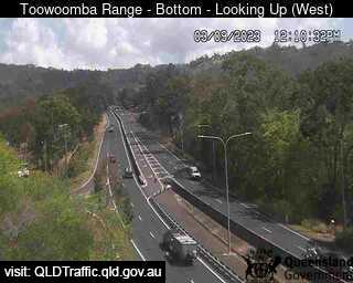
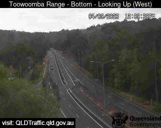
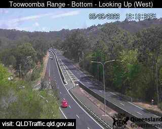
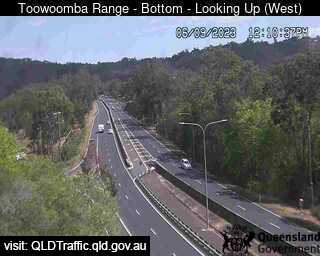
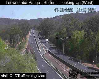
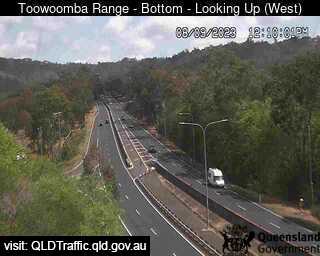
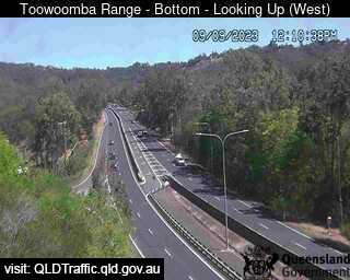
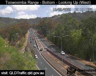
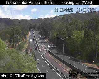
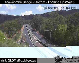
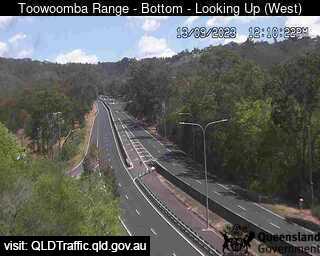
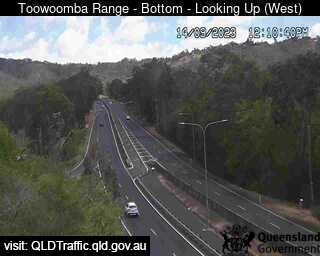
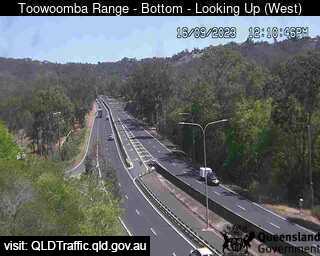
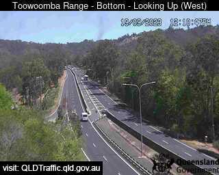
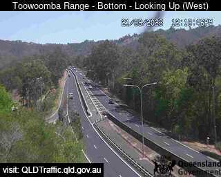
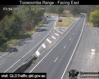
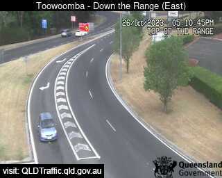
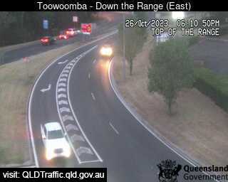
Toowoomba, Australia - 62.7 miles from Lower Acacia Creek: Toowoomba Range - Bottom (Looking up - west) - A view of the current traffic conditions.
Operator: Queensland Government - Department of Transport and Main Roads
Operator: Queensland Government - Department of Transport and Main Roads


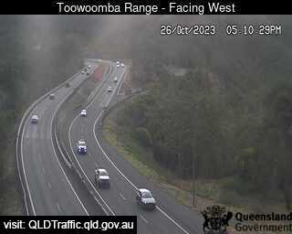
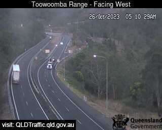
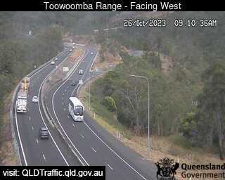
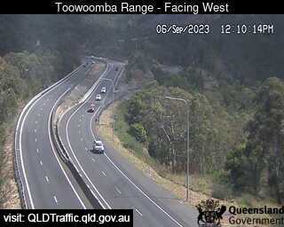
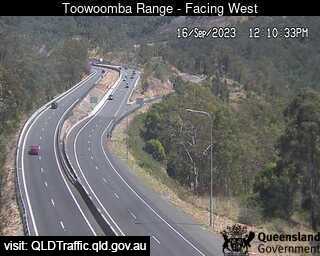
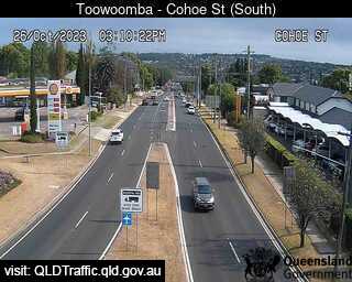
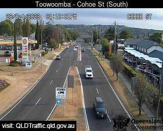
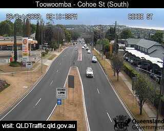
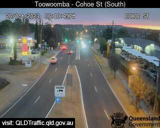
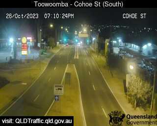
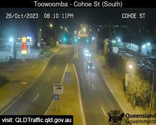
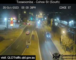
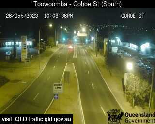
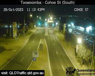
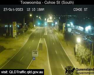
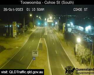
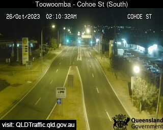
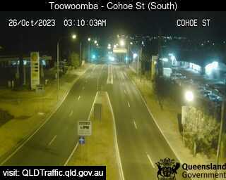
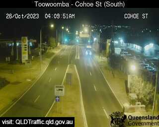
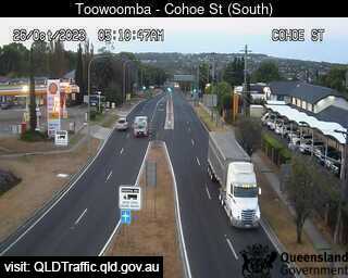
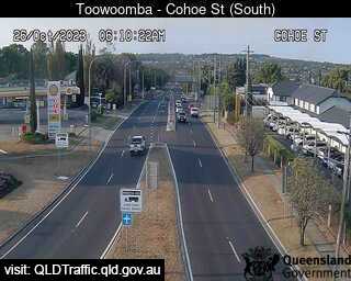
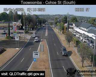
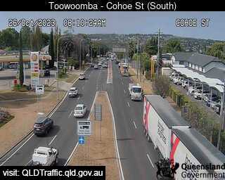
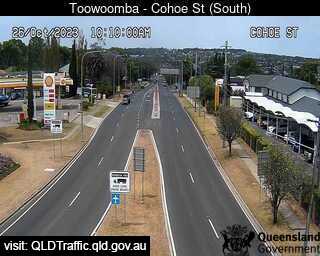
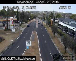
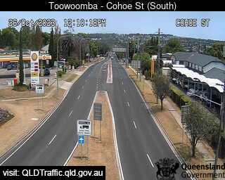
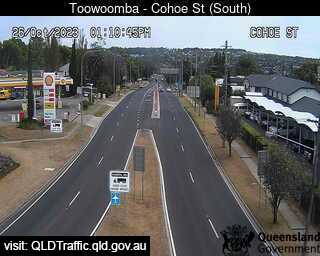
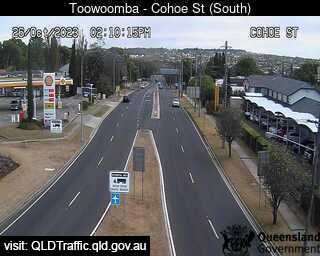
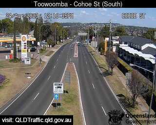
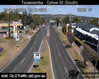
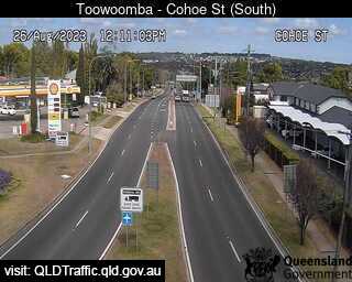
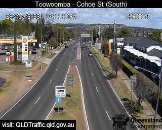
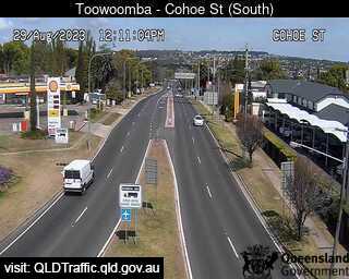
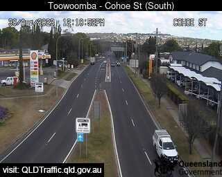
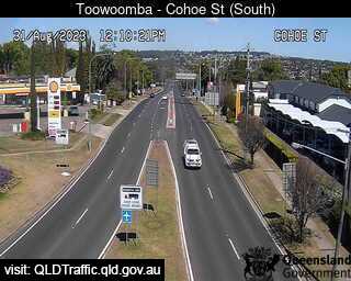
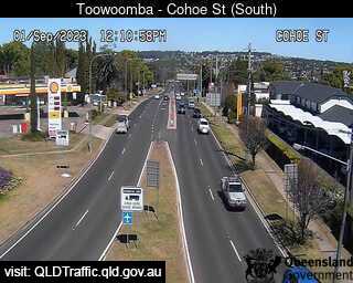
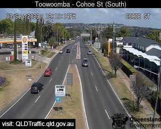
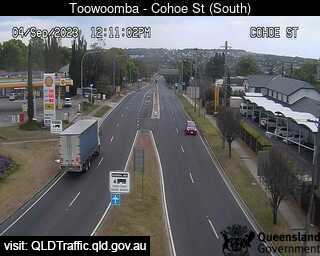
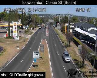
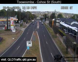
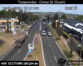
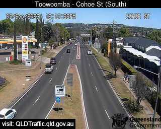
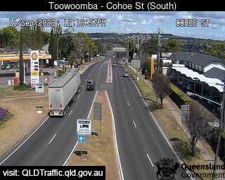
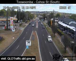
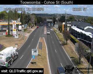
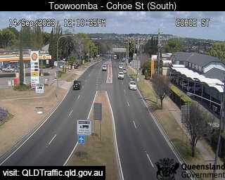
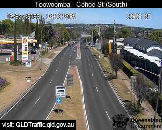
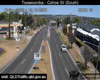
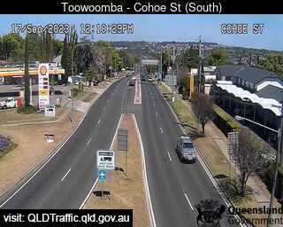
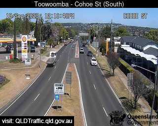
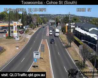
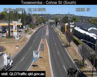
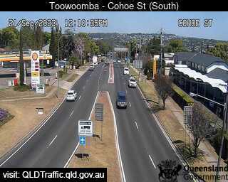
Toowoomba, Australia - 62.7 miles from Lower Acacia Creek: Toowoomba Range - Top (South to Cohoe Street) - A view of the current traffic conditions.
Operator: Queensland Government - Department of Transport and Main Roads
Operator: Queensland Government - Department of Transport and Main Roads


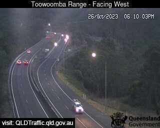
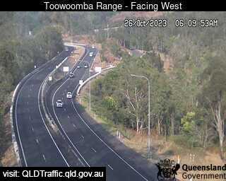
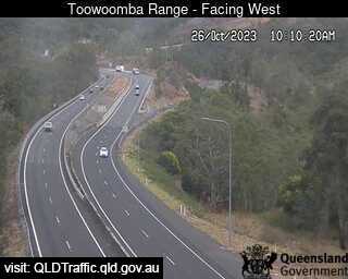
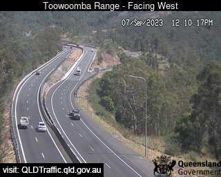
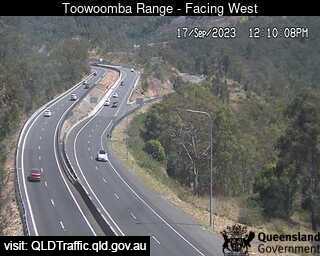
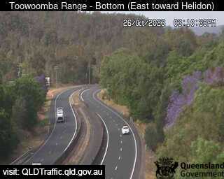
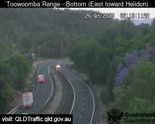
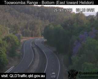
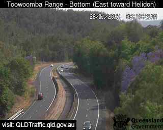
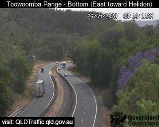
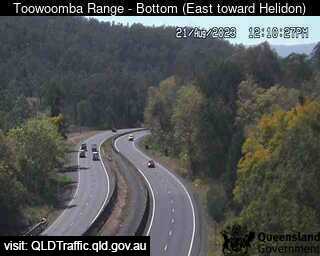
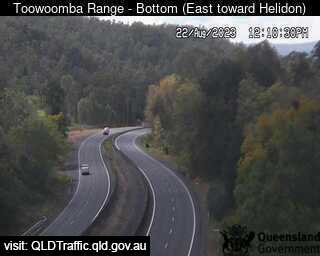
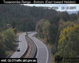
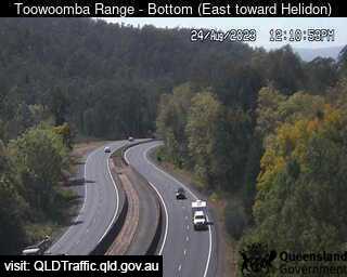
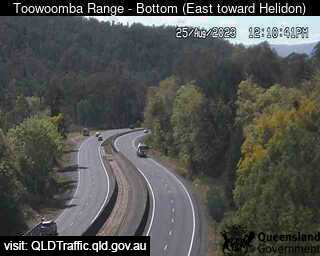
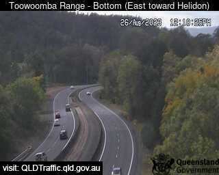
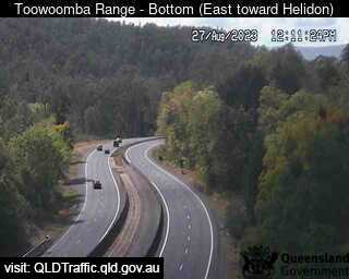
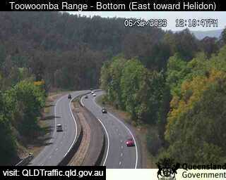
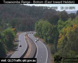
Toowoomba, Australia - 62.7 miles from Lower Acacia Creek: Toowoomba Range - Bottom (East toward Helidon) - A view of the current traffic conditions.
Operator: Queensland Government - Department of Transport and Main Roads
Operator: Queensland Government - Department of Transport and Main Roads


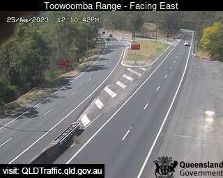
Toowoomba, Australia - 62.7 miles from Lower Acacia Creek: Toowoomba Range - Saddle (East) - A view of the current traffic conditions.
Operator: Queensland Government - Department of Transport and Main Roads
Operator: Queensland Government - Department of Transport and Main Roads

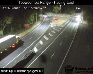
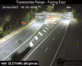
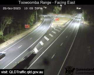
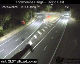
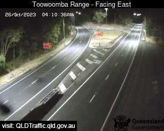
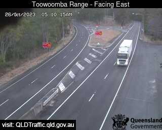
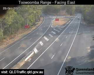

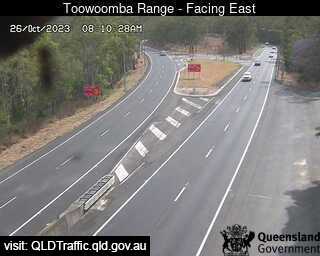

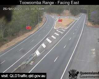
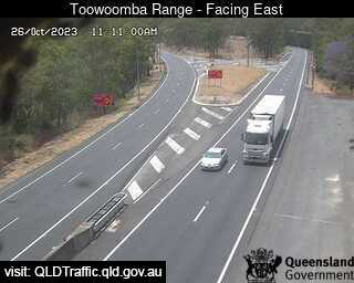
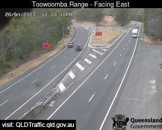
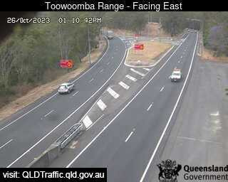
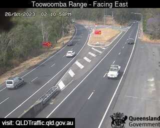
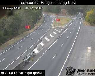
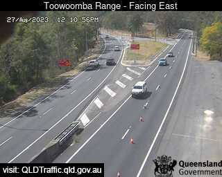
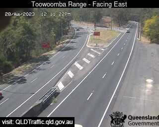
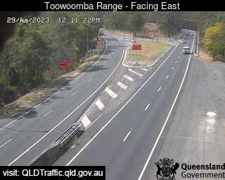

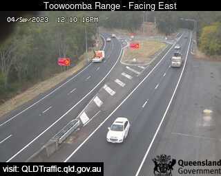
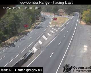
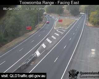
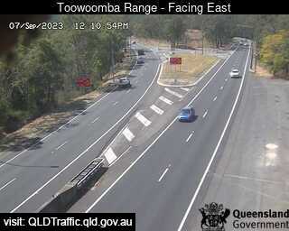
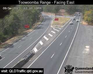
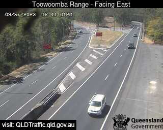
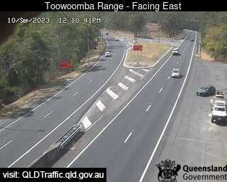
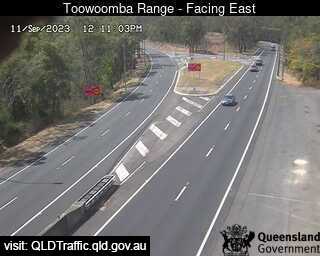
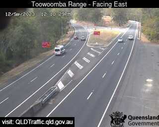
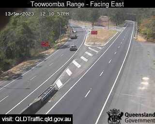
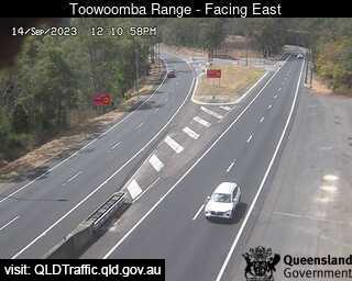
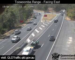
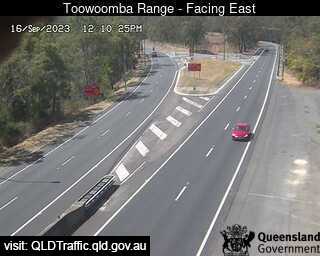
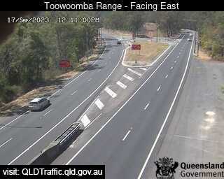
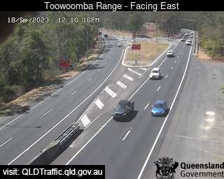
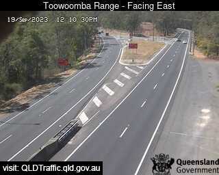
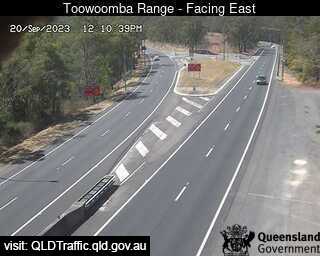
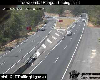

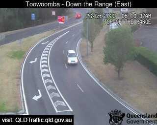
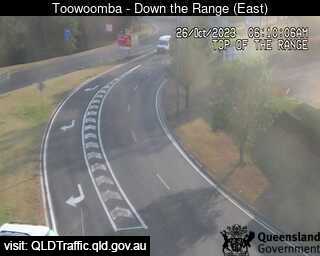
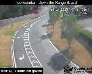
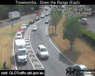
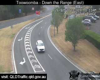
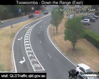
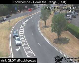
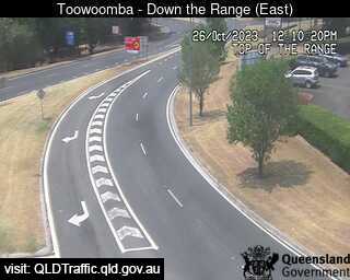
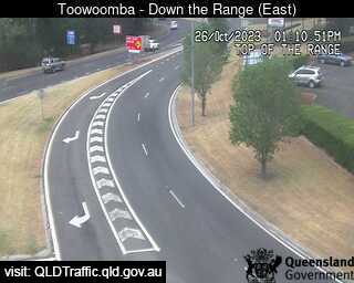
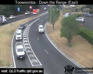
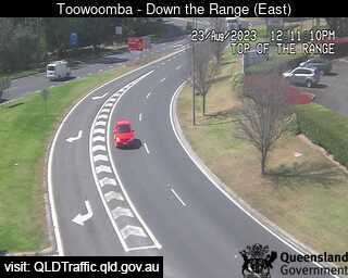
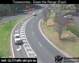
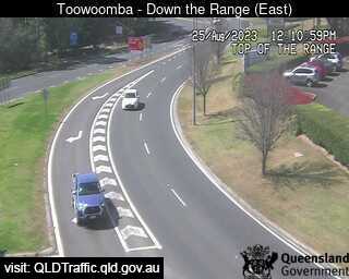
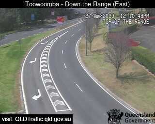
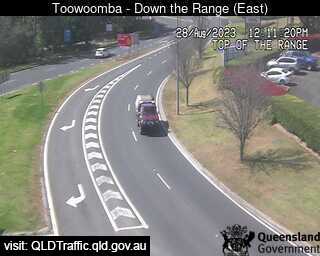
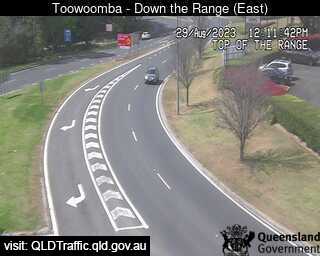
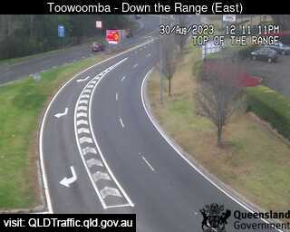
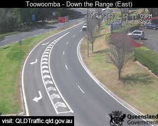
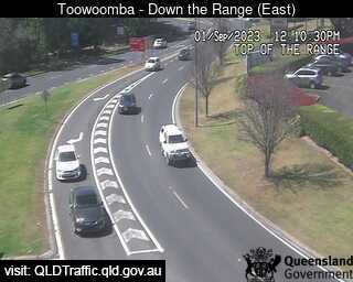
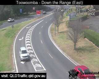
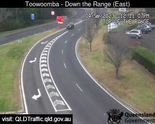
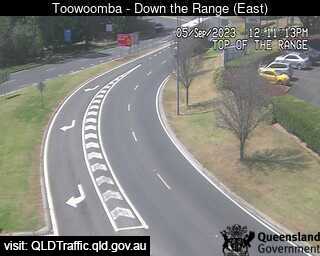
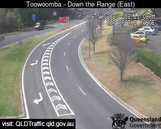
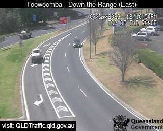
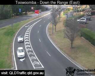
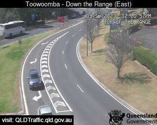
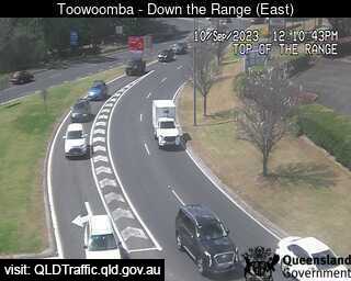
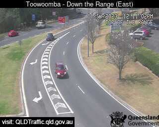
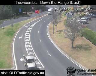
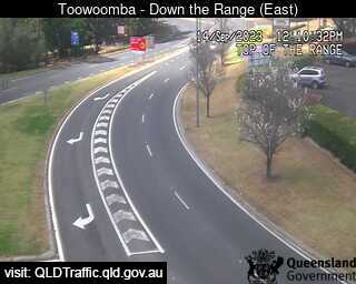
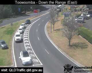
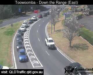
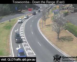
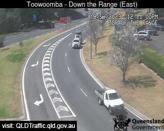
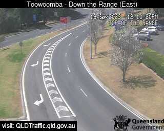
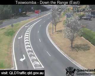
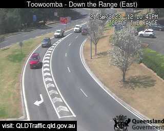
Toowoomba, Australia - 62.7 miles from Lower Acacia Creek: Toowoomba Range - Top (East) - A view of the current traffic conditions.
Operator: Queensland Government - Department of Transport and Main Roads
Operator: Queensland Government - Department of Transport and Main Roads


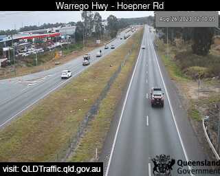
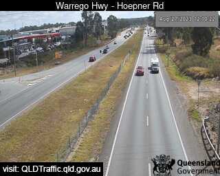
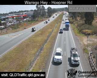
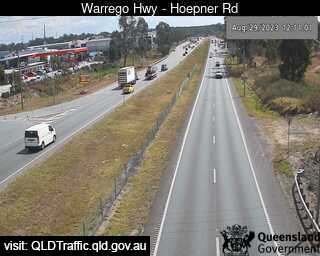
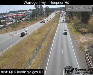
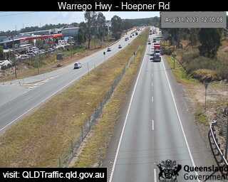
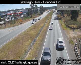
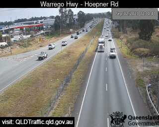
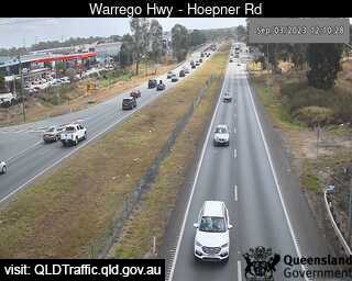
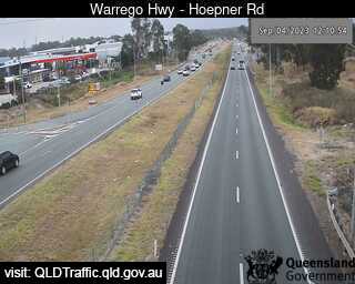
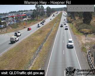
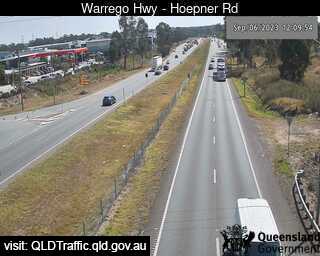
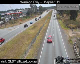
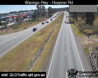
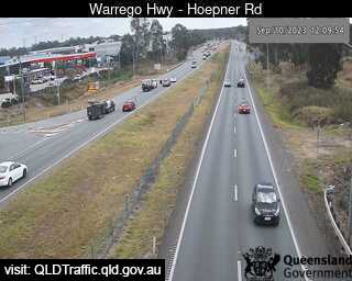
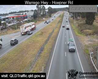
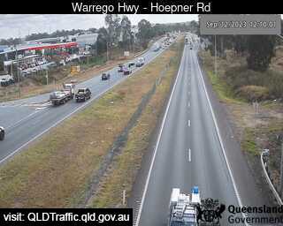
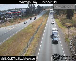
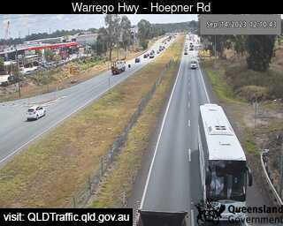
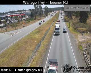
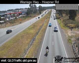
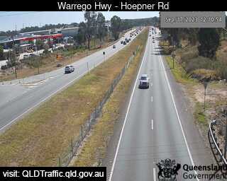
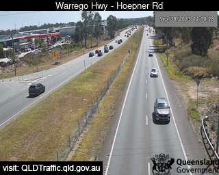
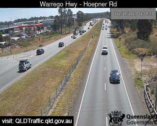
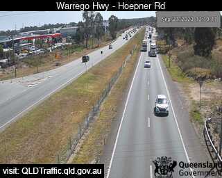
Bundamba, Australia - 66.5 miles from Lower Acacia Creek: Warrego Hwy near Hoepner Rd - A view of the current traffic conditions.
Operator: Queensland Government - Department of Transport and Main Roads
Operator: Queensland Government - Department of Transport and Main Roads


Dinmore, Australia - 68 miles from Lower Acacia Creek: Ipswich Motorway and Warrego Highway (East) - A view of the current traffic conditions.
Operator: Queensland Government - Department of Transport and Main Roads
Operator: Queensland Government - Department of Transport and Main Roads


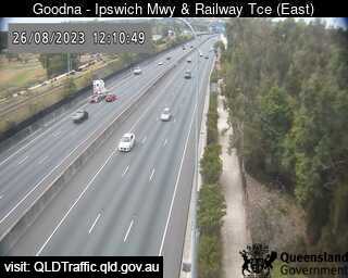
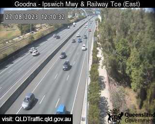
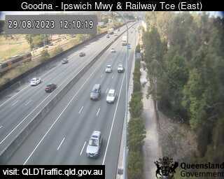
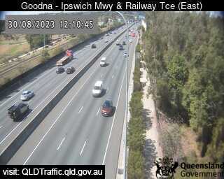
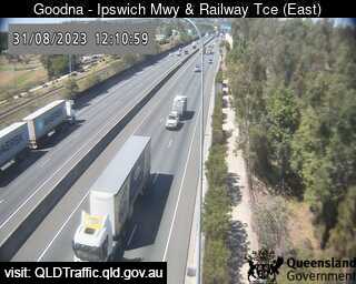
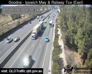
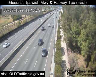
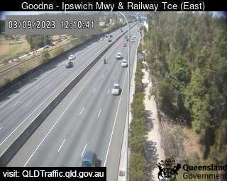
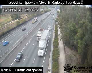
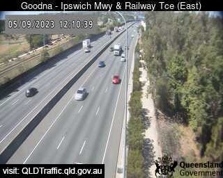
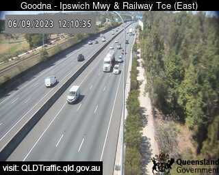
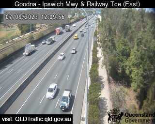
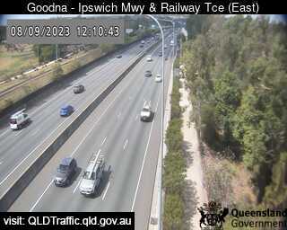
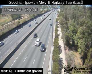
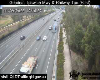
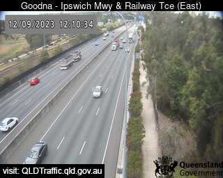
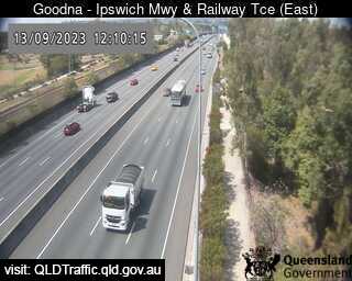
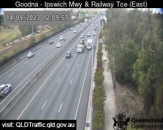
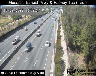
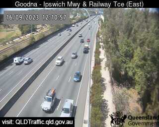
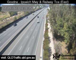
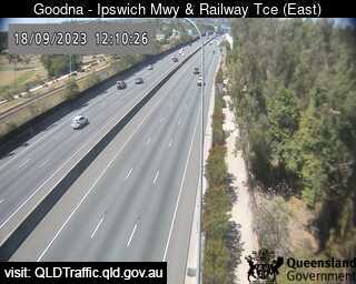
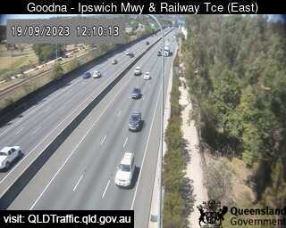
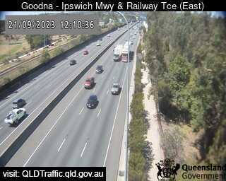
Goodna, Australia - 69.2 miles from Lower Acacia Creek: Ipswich Motorway and Railway Terrace (East) - A view of the current traffic conditions.
Operator: Queensland Government - Department of Transport and Main Roads
Operator: Queensland Government - Department of Transport and Main Roads


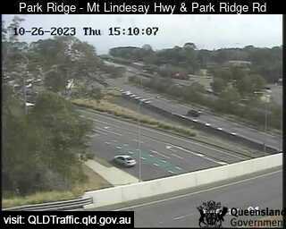
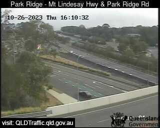
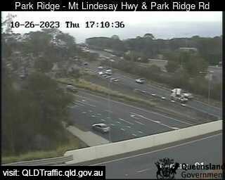
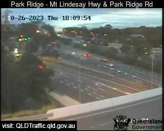
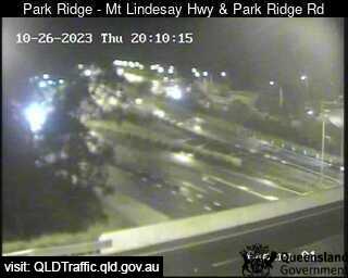
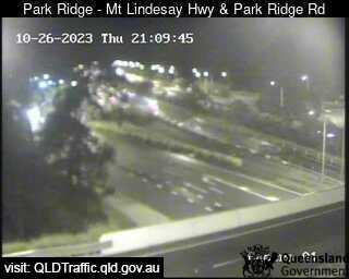
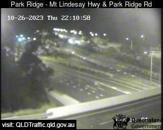
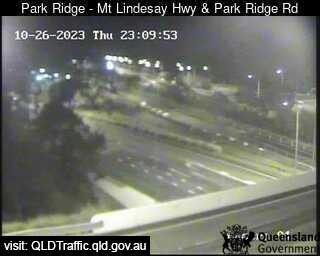
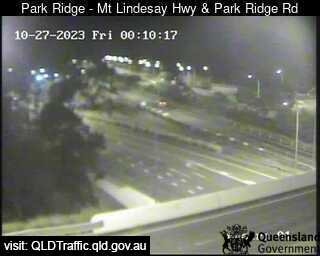
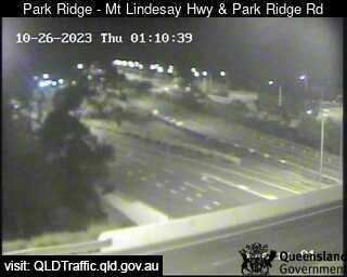
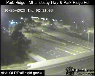
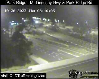
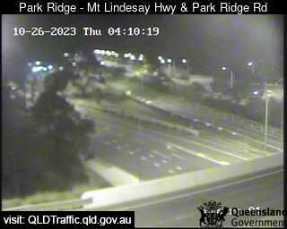
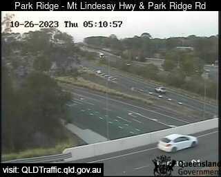
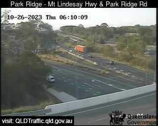
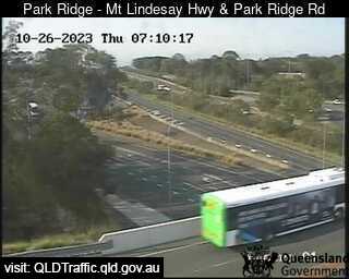
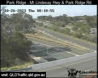
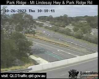
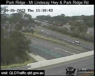
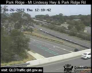
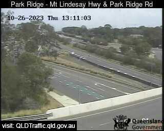
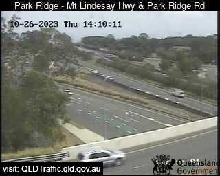
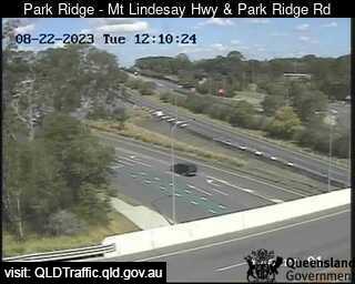
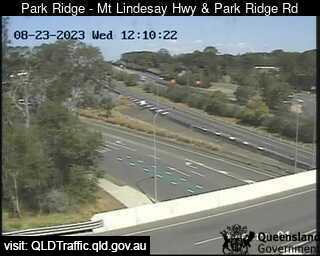
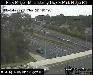
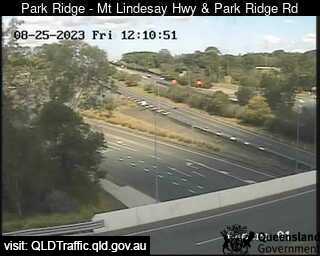
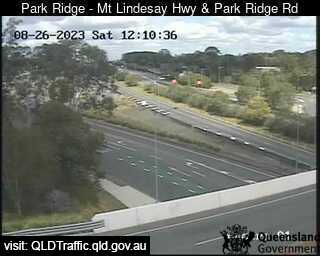
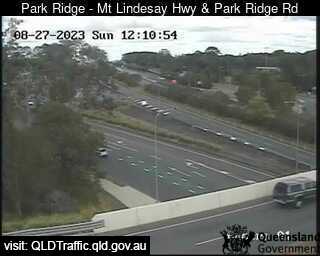
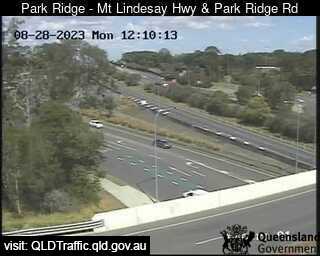
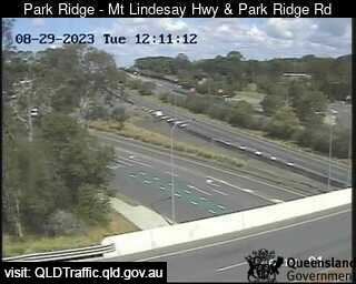
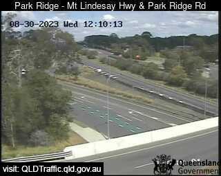
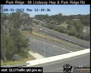
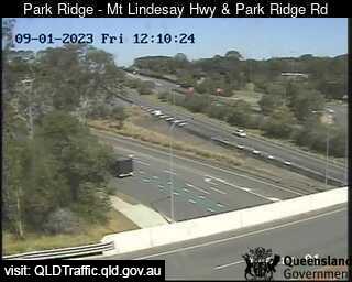
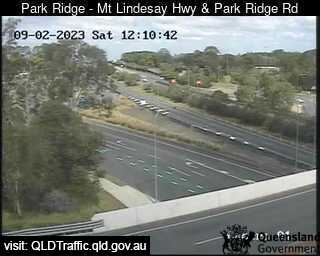
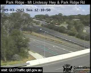
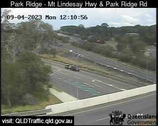
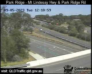
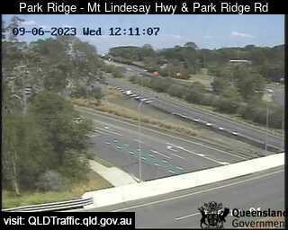
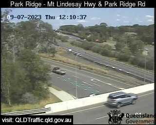
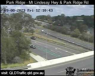
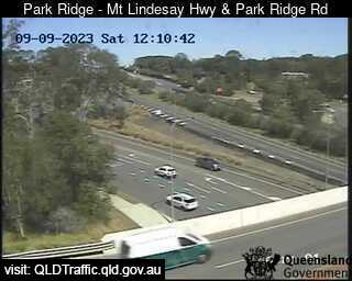
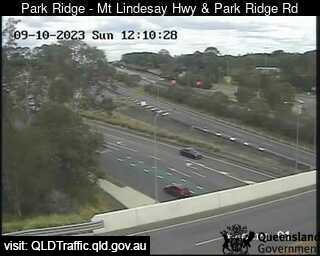
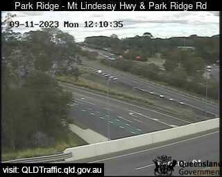
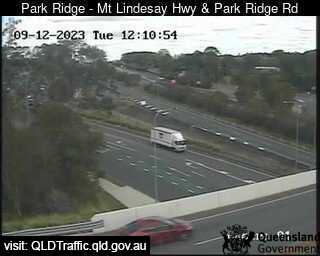
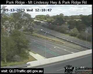
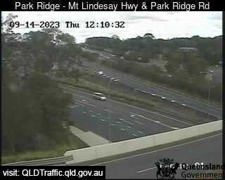
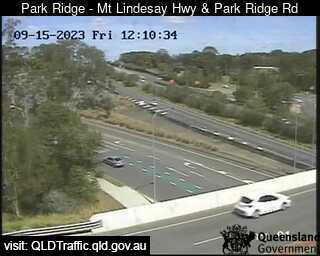
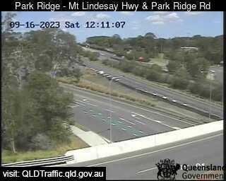
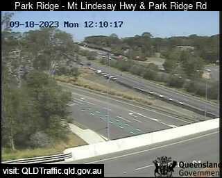
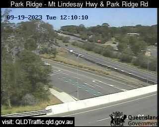
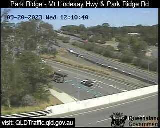
Park Ridge, Australia - 69.9 miles from Lower Acacia Creek: Mount Lindesay Highway and Park Ridge Road Interchange (South) - A view of the current traffic conditions.
Operator: Queensland Government - Department of Transport and Main Roads
Operator: Queensland Government - Department of Transport and Main Roads


Some other places in this country: Lowdina - Lower Barrington - Lower Belmore - Lower Boro - Lower Chittering - Lower Chittertering - Lower Creek - Lower Cressbrook - Lower Cudgera - Lower Gregory