Webcams in the region of Downsfield, Australia
The List of Webcams near Downsfield, Australia:

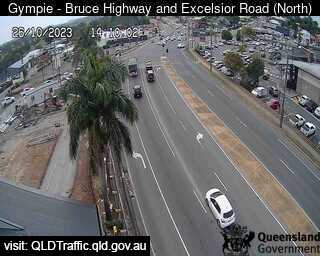
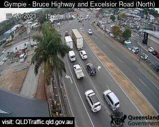
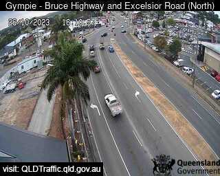
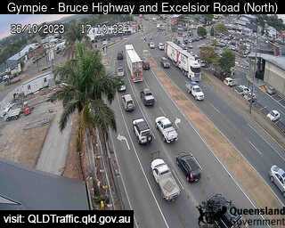
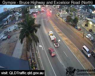
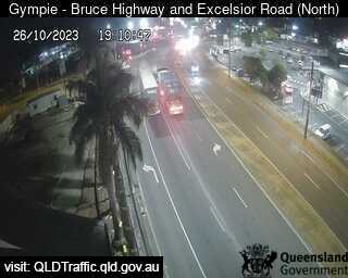
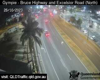
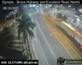
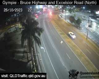
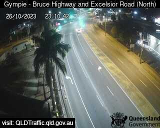
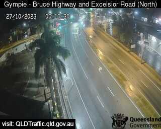
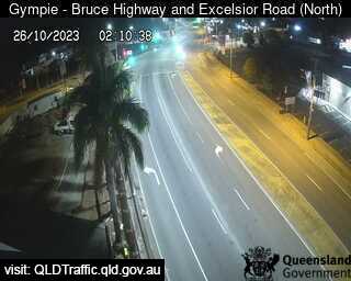
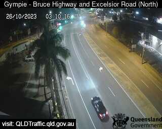
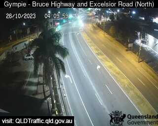
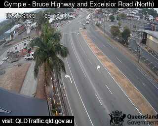
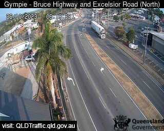
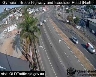
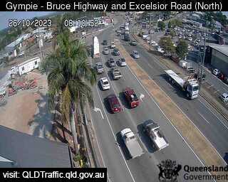
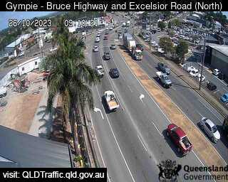
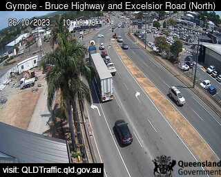
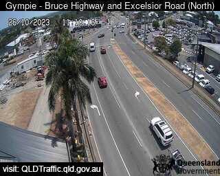
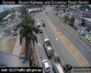
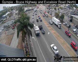
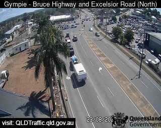
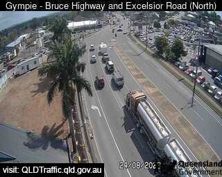
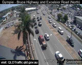
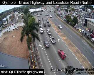
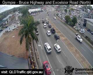
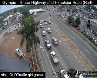
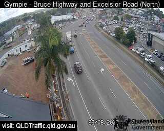
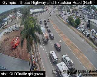
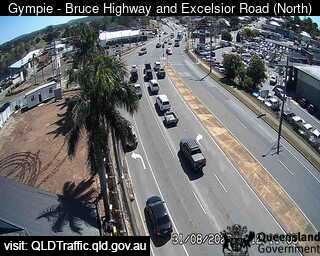
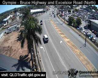
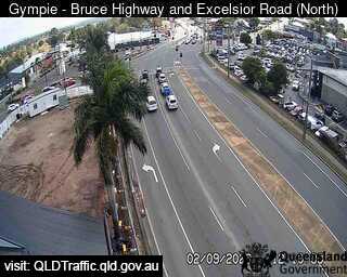
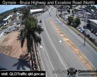
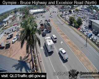
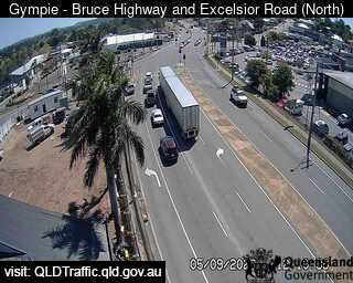
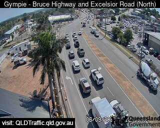
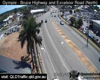
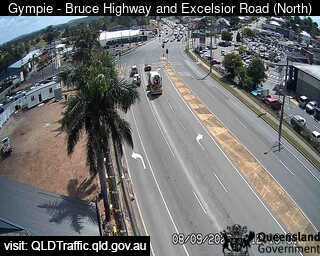
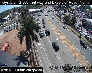
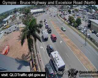
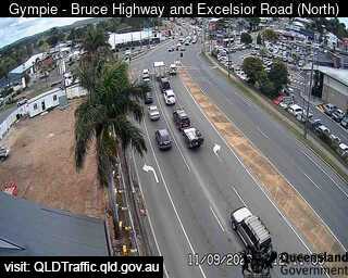
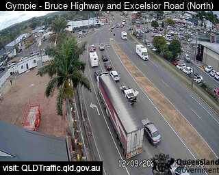
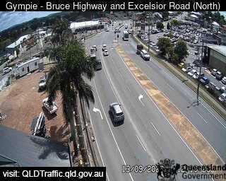
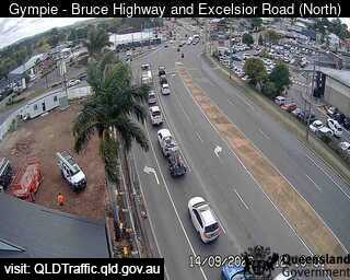
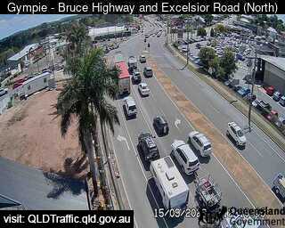
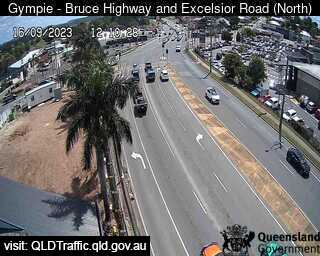
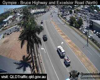
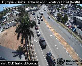
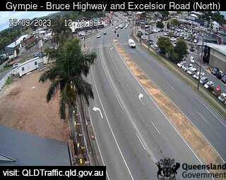
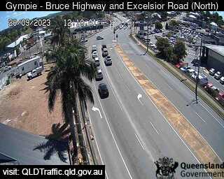
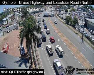
Gympie, Australia - 9.5 miles from Downsfield: Bruce Highway, Excelsior Road Intersection (looking North) - A view of the current traffic conditions.
Operator: Queensland Government - Department of Transport and Main Roads
Operator: Queensland Government - Department of Transport and Main Roads


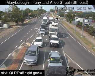
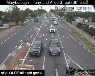
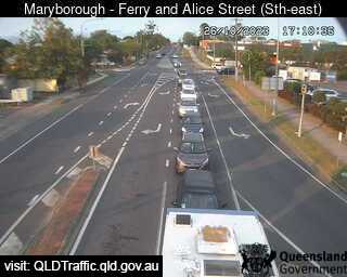
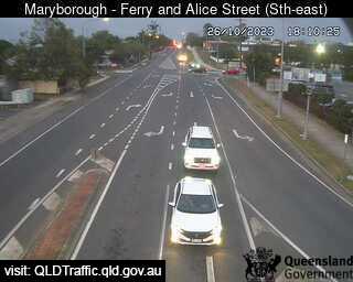
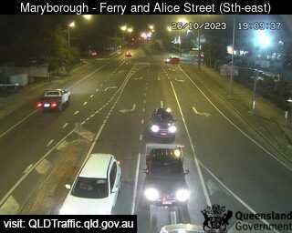
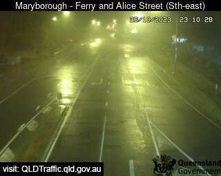
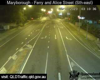
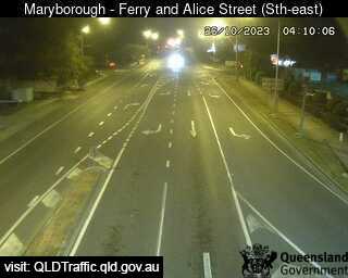
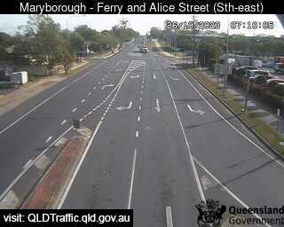
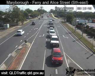
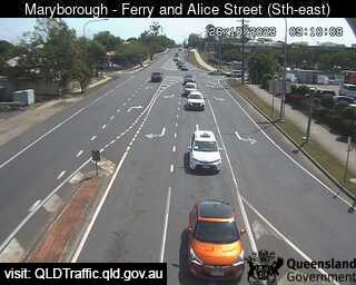
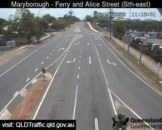
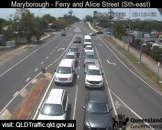
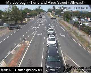
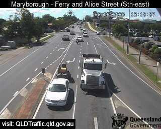
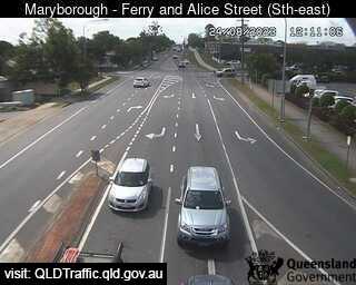
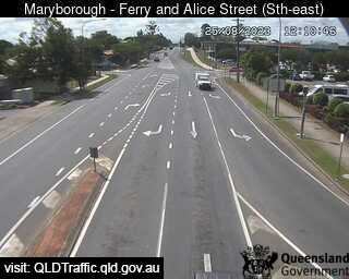
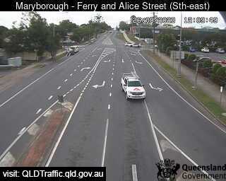
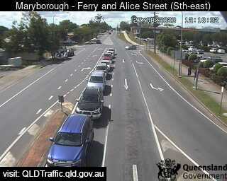
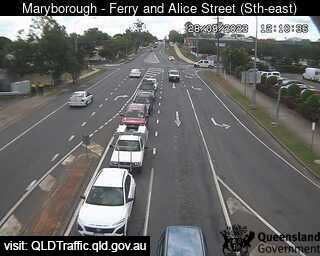
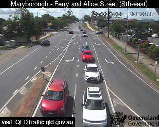
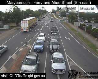
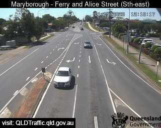
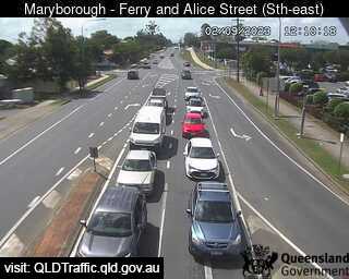
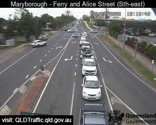
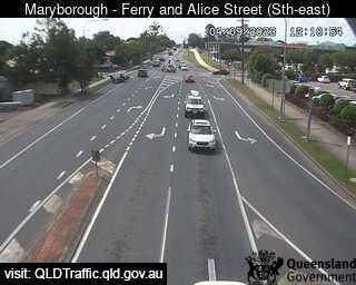
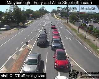
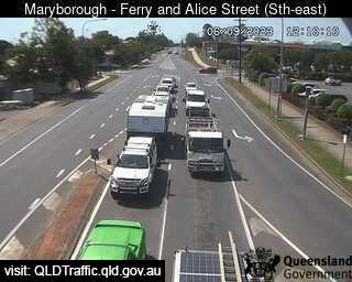
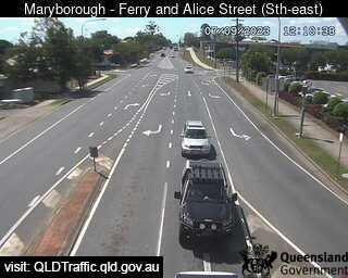
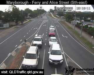
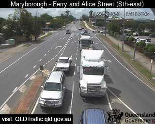
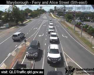
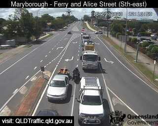
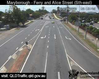
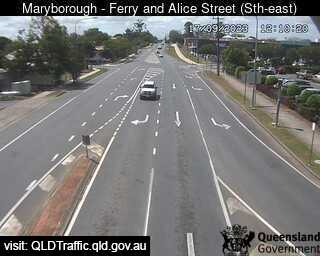
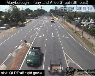
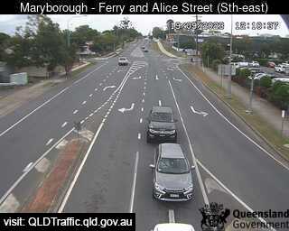
Maryborough, Australia - 36.7 miles from Downsfield: Ferry Street and Alice Street (looking East) - A view of the current traffic conditions.
Operator: Queensland Government - Department of Transport and Main Roads
Operator: Queensland Government - Department of Transport and Main Roads
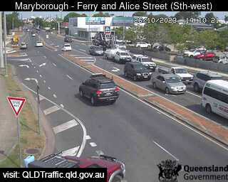
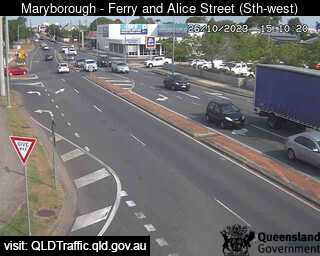
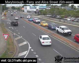
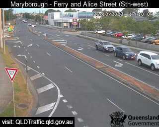
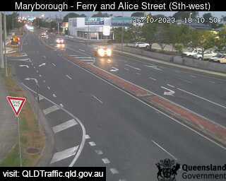
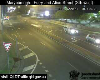
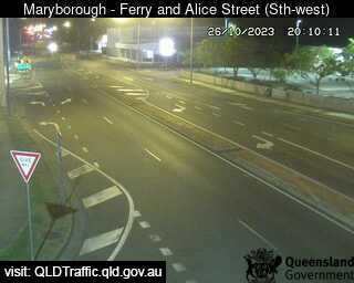
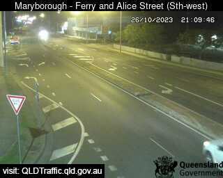

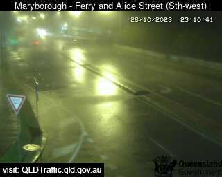
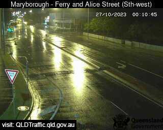
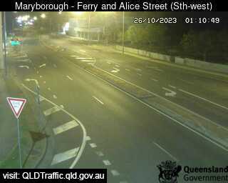
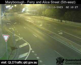
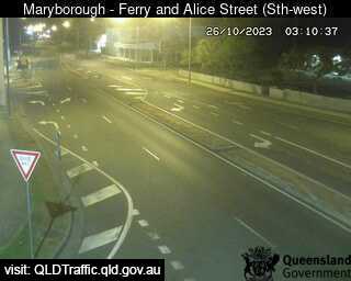
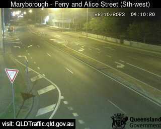
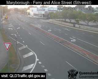
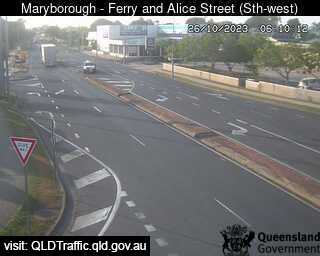
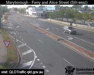
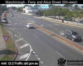
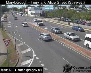
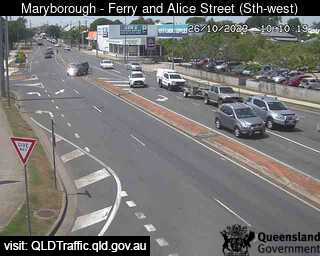
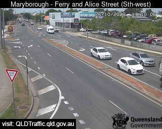
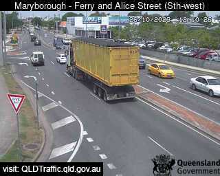
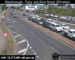
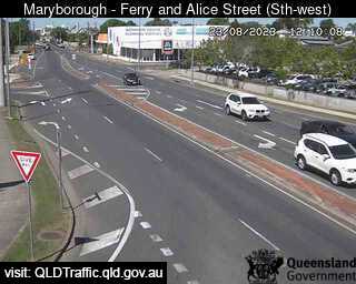
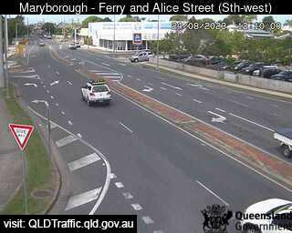
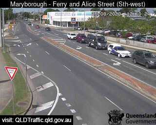
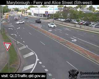
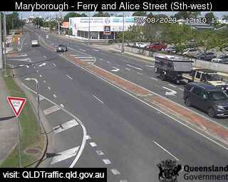
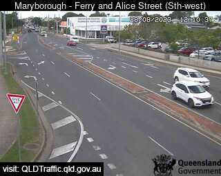
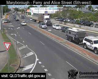
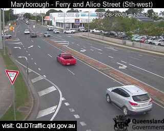
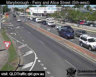
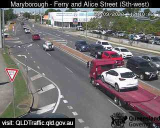
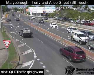
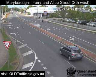
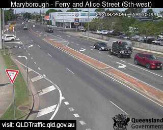
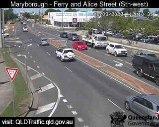
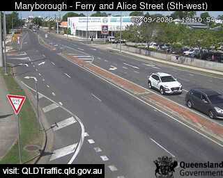
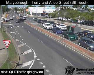
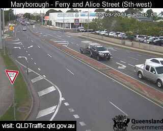
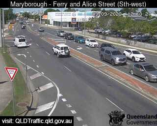
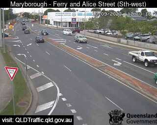
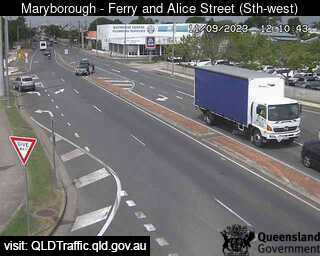
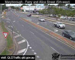
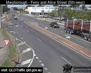
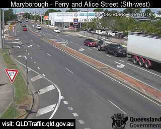

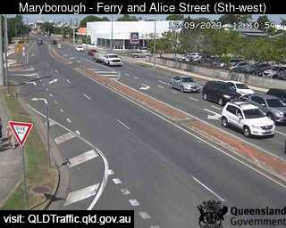
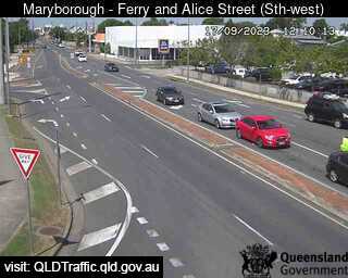
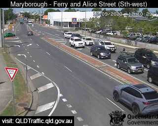
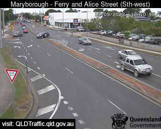
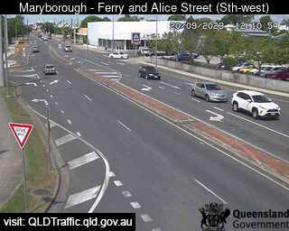
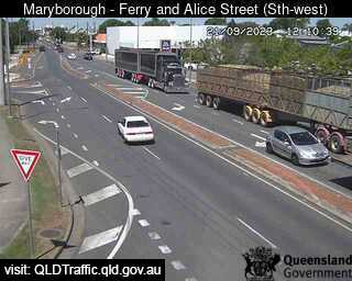

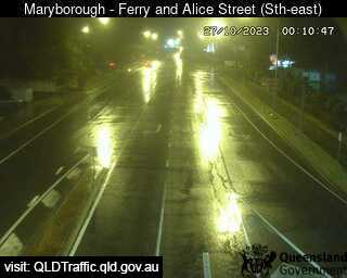
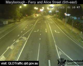
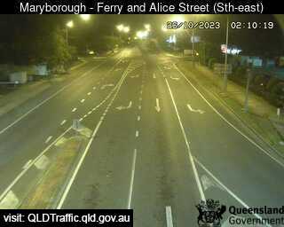
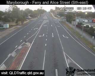
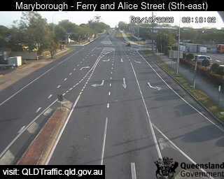
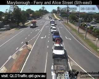
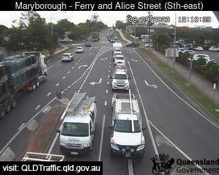
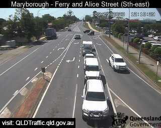
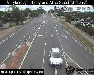
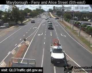
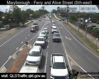
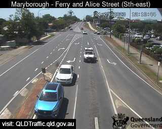
Maryborough, Australia - 36.7 miles from Downsfield: Ferry Street and Alice Street (looking South West) - A view of the current traffic conditions.
Operator: Queensland Government - Department of Transport and Main Roads
Operator: Queensland Government - Department of Transport and Main Roads


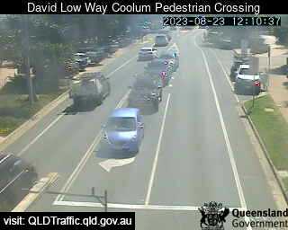
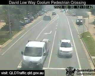
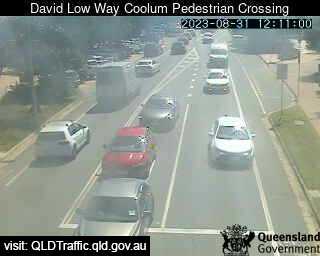
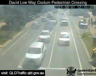
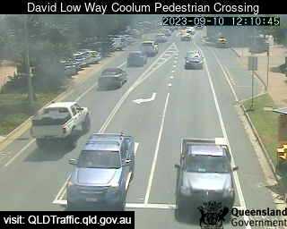
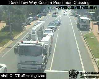
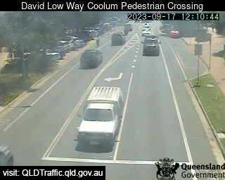
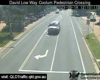
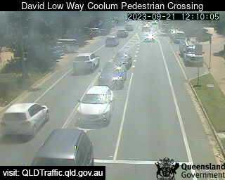
Coolum Beach, Australia - 38.8 miles from Downsfield: David Low Way Coolum Pedestrian Crossing (South) - A view of the current traffic conditions.
Operator: Queensland Government - Department of Transport and Main Roads
Operator: Queensland Government - Department of Transport and Main Roads


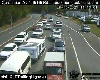
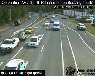
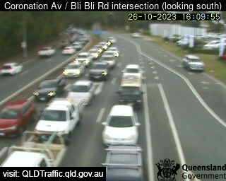
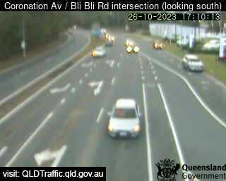
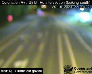
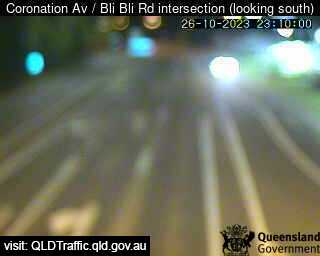
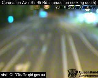
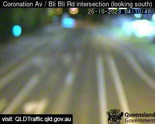
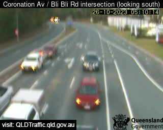
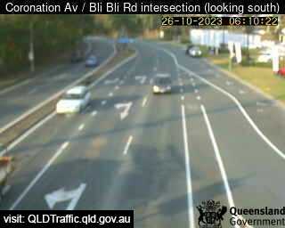
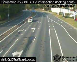
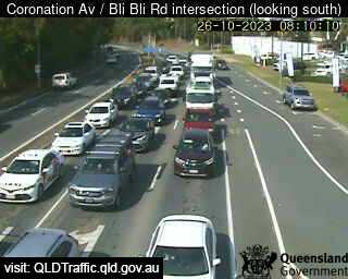
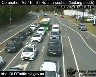
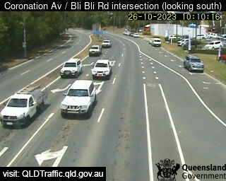
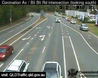
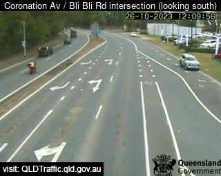
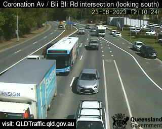
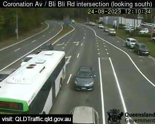
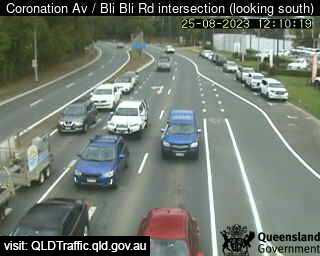
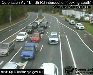
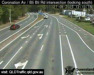
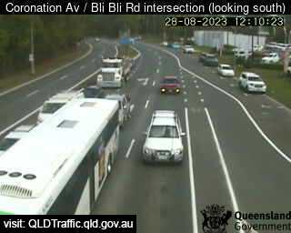
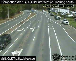
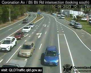
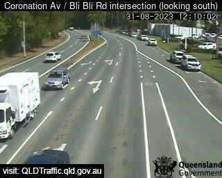
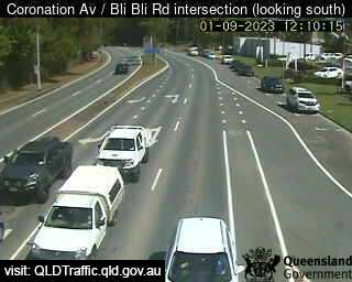
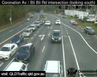
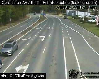
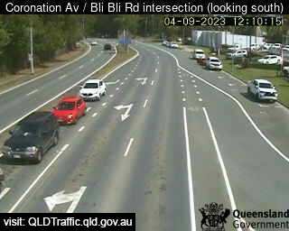
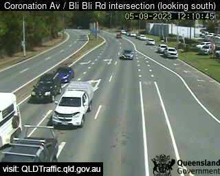
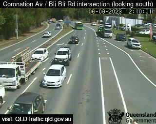
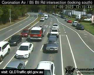
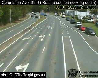
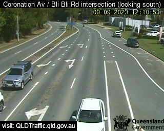
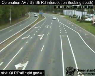
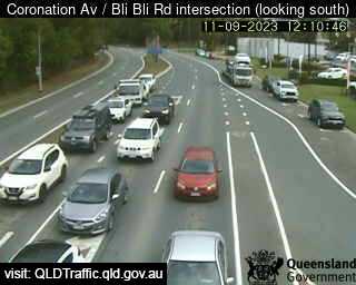
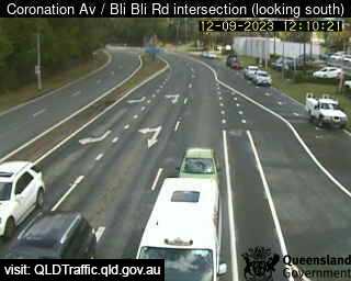
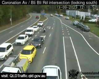
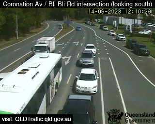
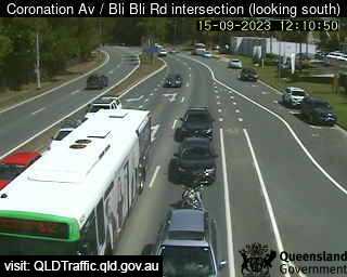
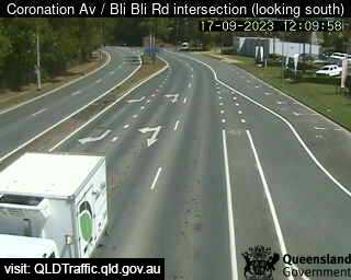
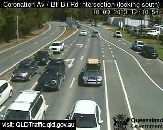
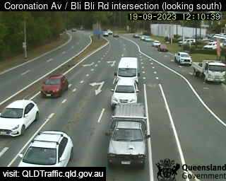
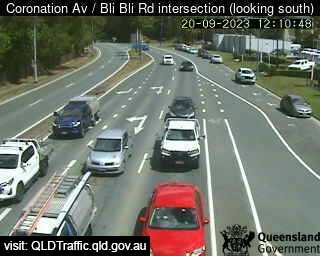
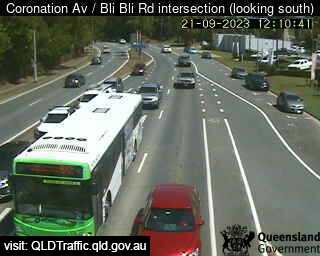
Nambour, Australia - 41.1 miles from Downsfield: Coronation Avenue / Bli Bli Road intersection (South) - A view of the current traffic conditions.
Operator: Queensland Government - Department of Transport and Main Roads
Operator: Queensland Government - Department of Transport and Main Roads


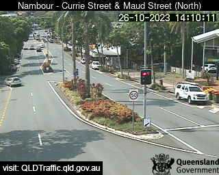
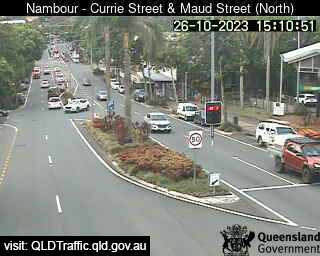
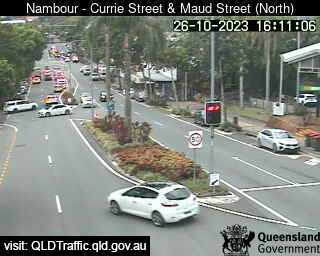
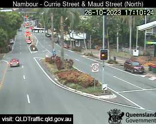
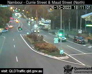
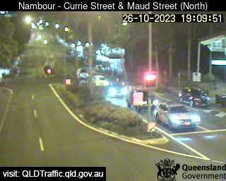
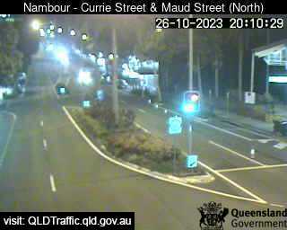
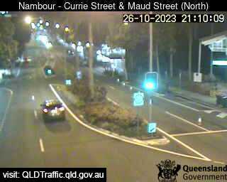
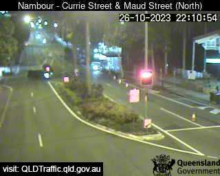
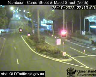
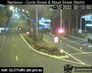
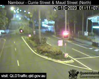
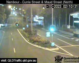
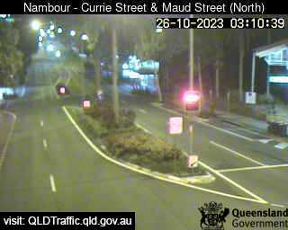
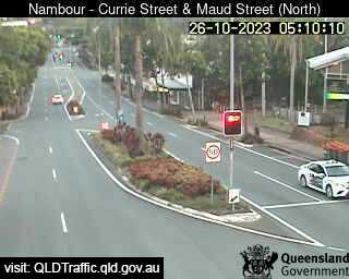
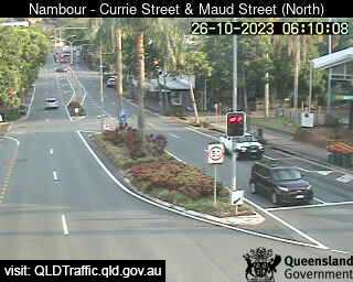
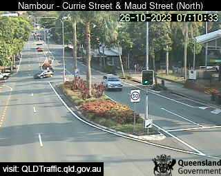
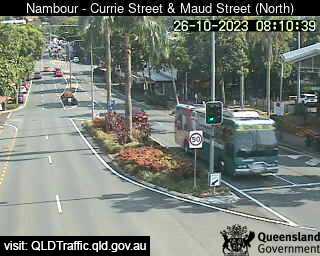
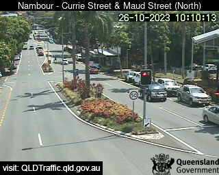
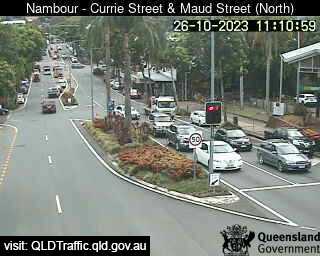
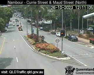
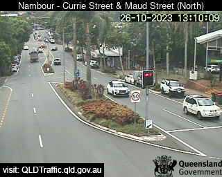
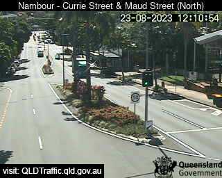
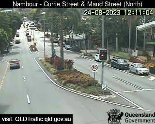
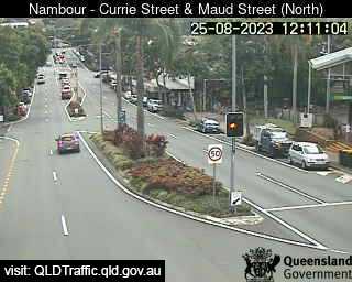
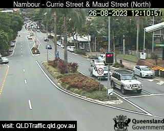
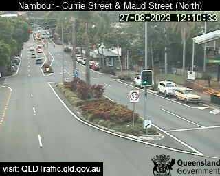
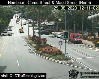
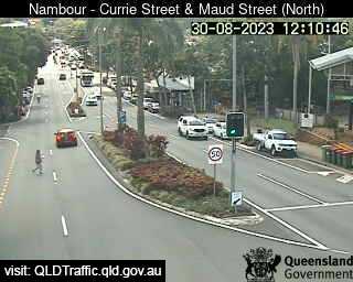
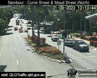
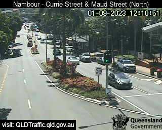
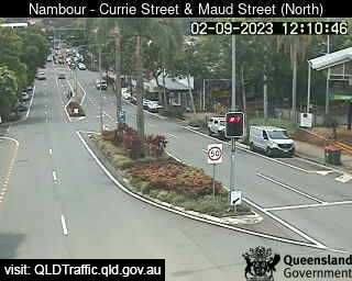
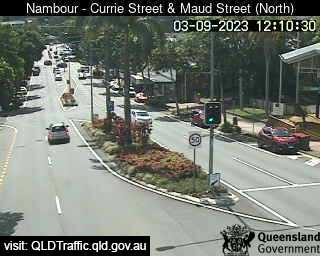
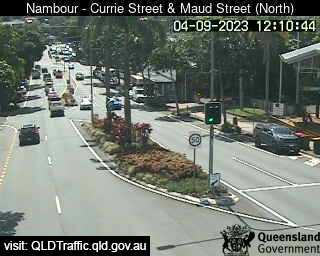
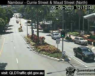
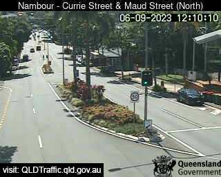
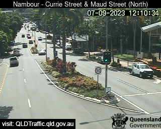
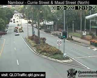
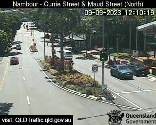
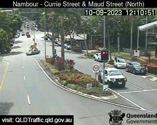
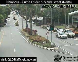
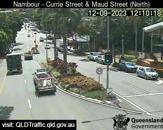
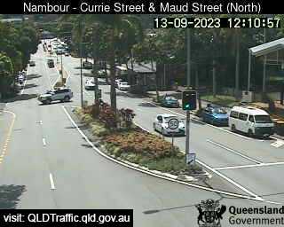
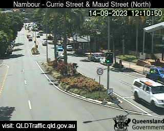
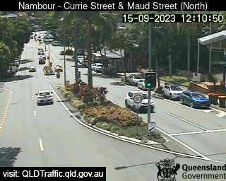
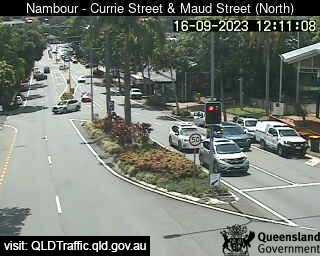
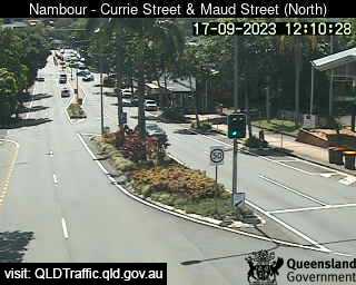
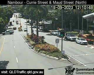
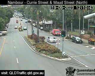
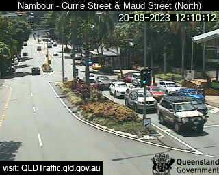
Nambour, Australia - 41.1 miles from Downsfield: Currie Street and Maud Street (looking north) - A view of the current traffic conditions.
Operator: Queensland Government - Department of Transport and Main Roads
Operator: Queensland Government - Department of Transport and Main Roads


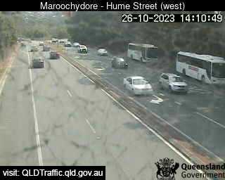
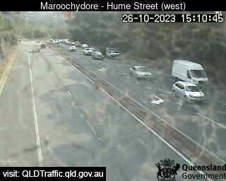
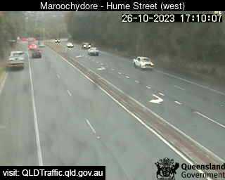
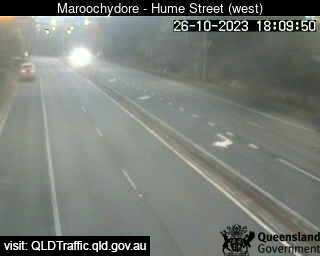
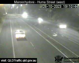
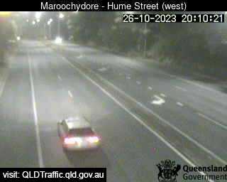
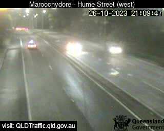
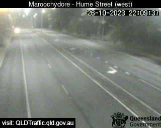
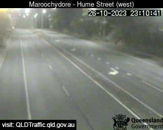
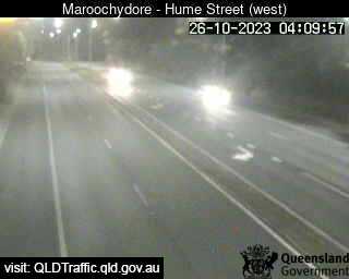
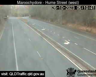
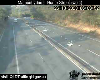
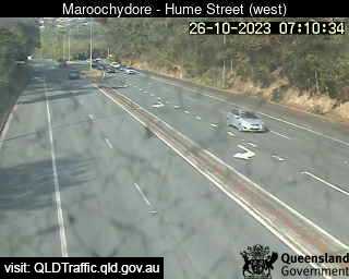
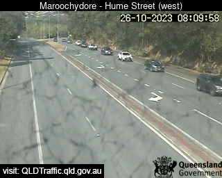
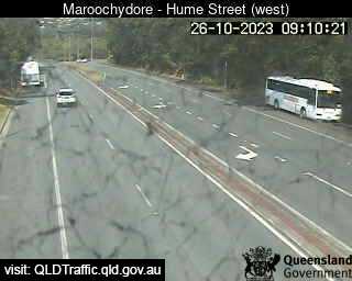
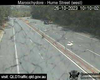
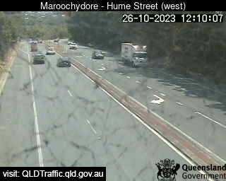
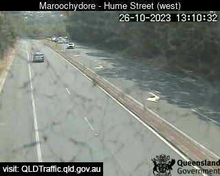
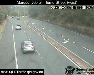
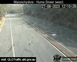
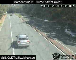
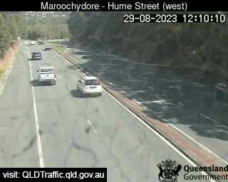
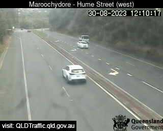
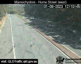
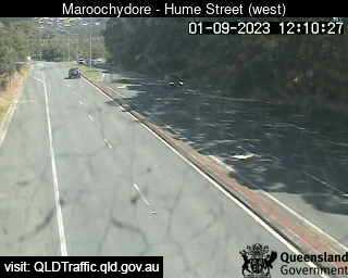
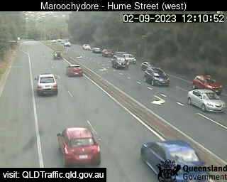
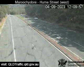
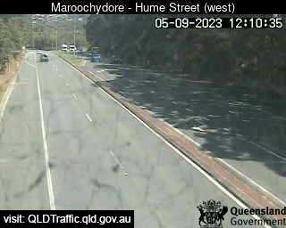
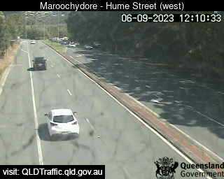
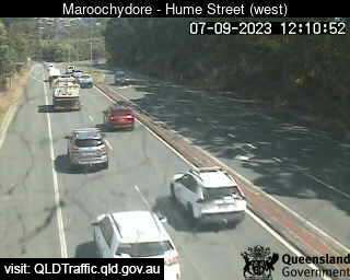
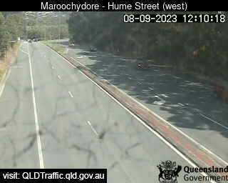
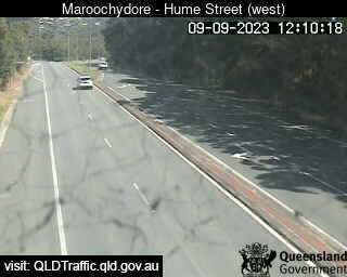
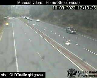
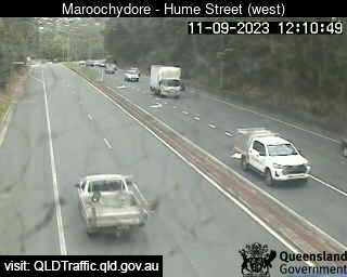
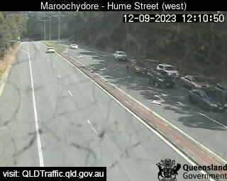
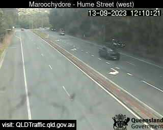
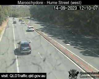
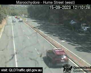
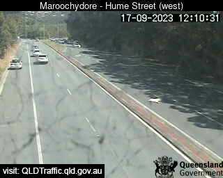
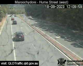
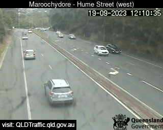
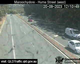
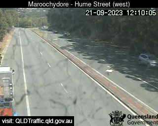
Maroochydore, Australia - 46.1 miles from Downsfield: Maroochydore Road, Hume Street intersection (looking West) - A view of the current traffic conditions.
Operator: Queensland Government - Department of Transport and Main Roads
Operator: Queensland Government - Department of Transport and Main Roads


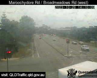
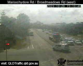
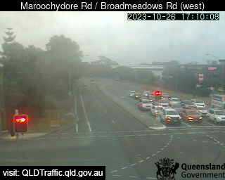
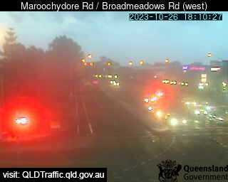
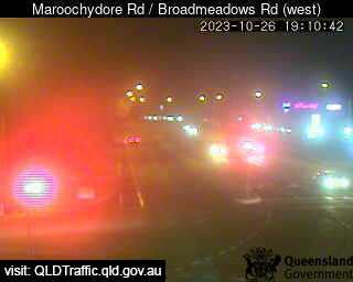
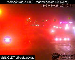
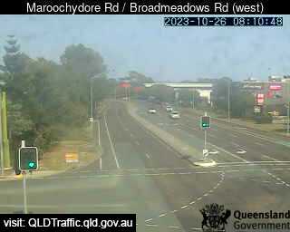
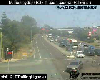
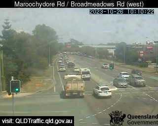
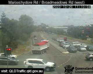
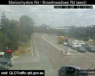
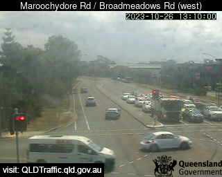
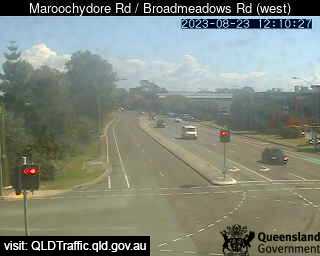
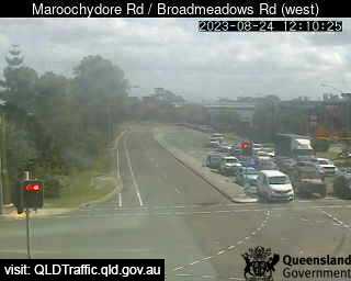
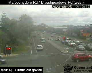
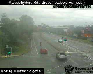
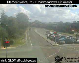
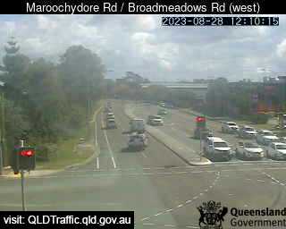
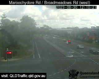
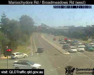
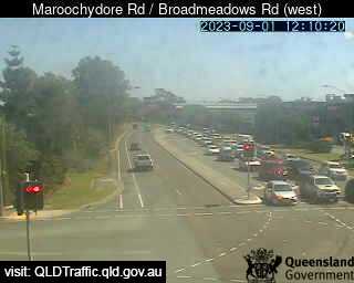
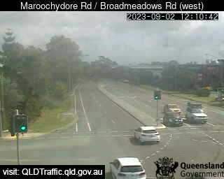
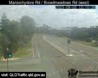
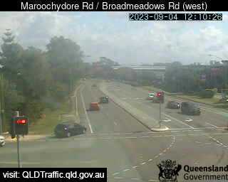
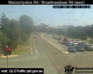
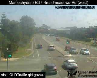
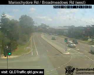
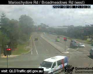
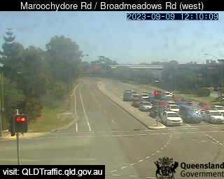
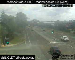
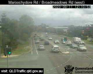
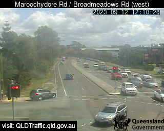
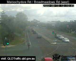
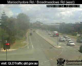
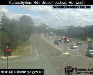
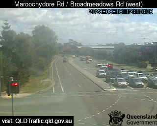
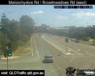
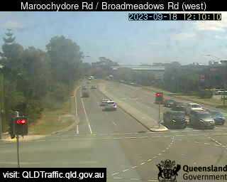
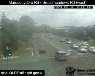
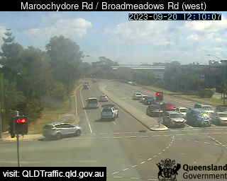
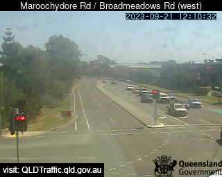
Maroochydore, Australia - 46.1 miles from Downsfield: Maroochydore Road / Broadmeadows Road (West) - A view of the current traffic conditions.
Operator: Queensland Government - Department of Transport and Main Roads
Operator: Queensland Government - Department of Transport and Main Roads


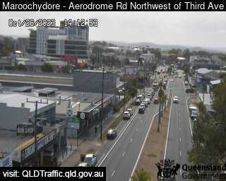
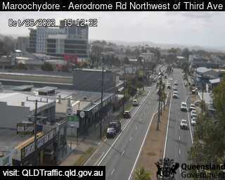
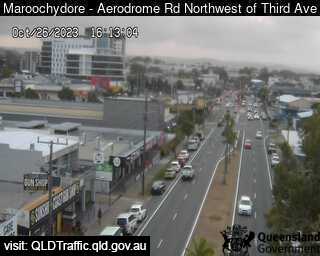
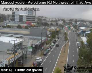
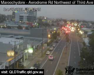
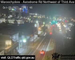
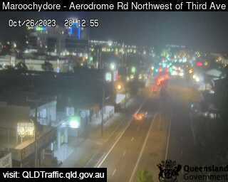
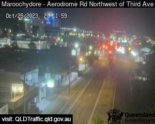
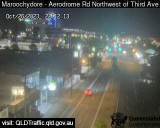
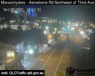
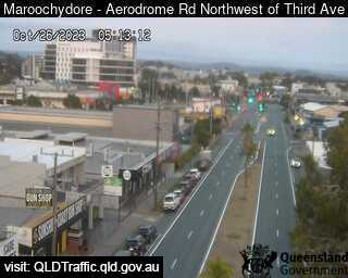
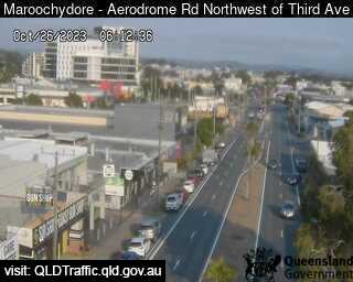
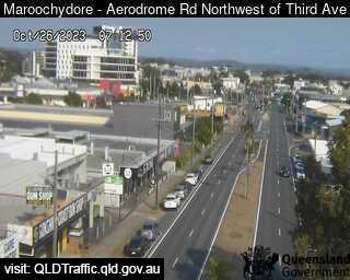
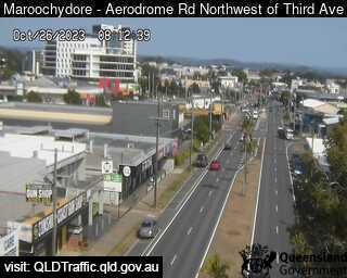
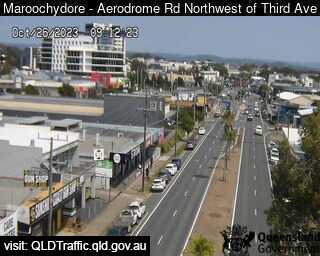
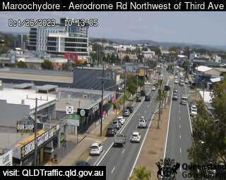
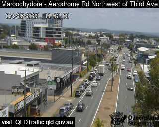
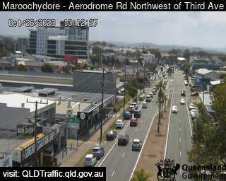
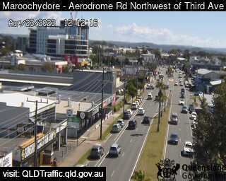
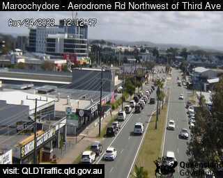
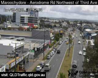
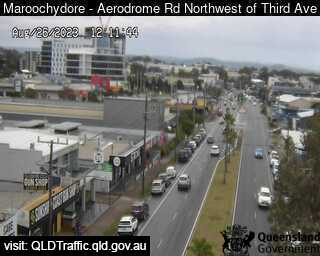
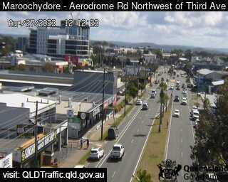
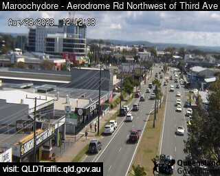
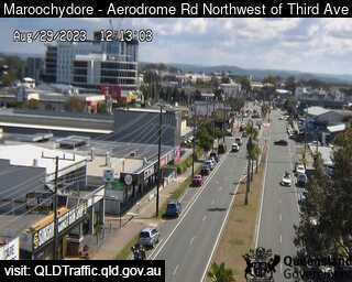
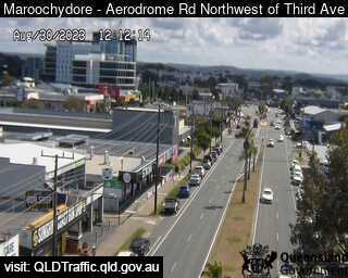
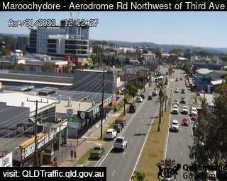
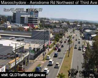
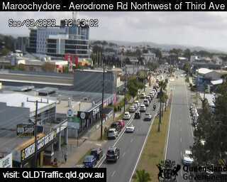
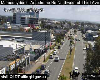
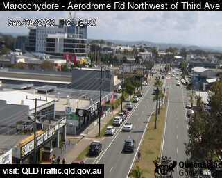
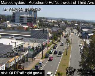
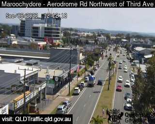
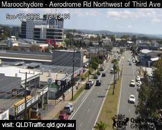
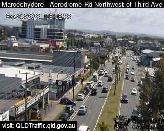
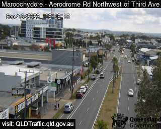
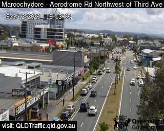
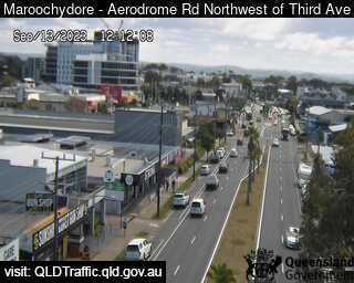
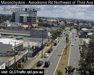
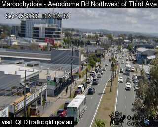
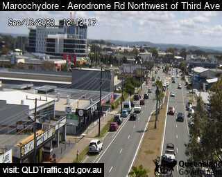
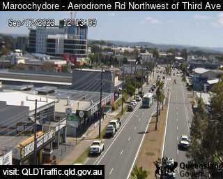
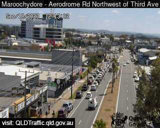
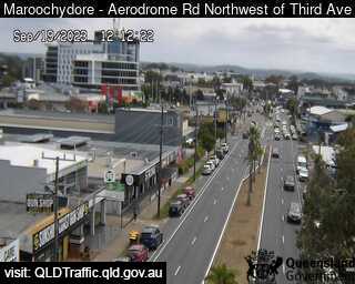
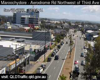
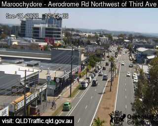
Maroochydore, Australia - 46.1 miles from Downsfield: Aerodrome Road, adjacant to Caltex Service Station (looking north) - A view of the current traffic conditions.
Operator: Queensland Government - Department of Transport and Main Roads
Operator: Queensland Government - Department of Transport and Main Roads


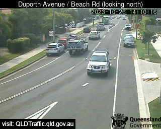
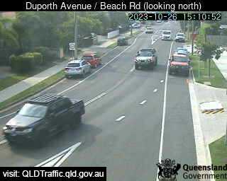
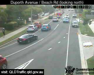
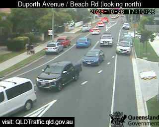
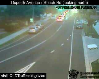
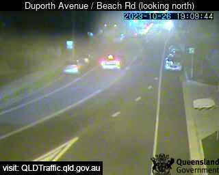
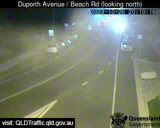
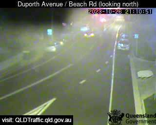
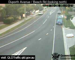
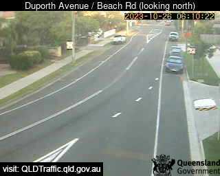
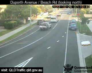
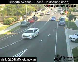
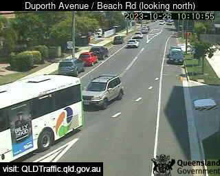
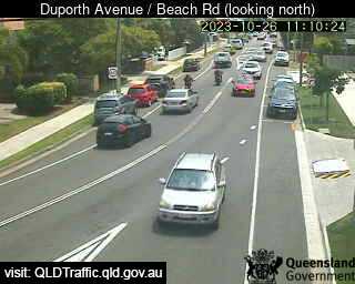
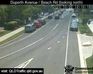
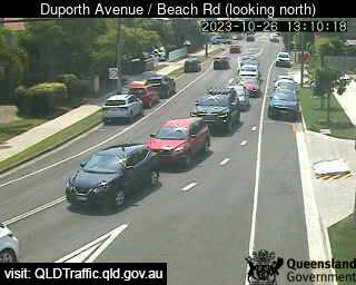
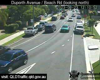
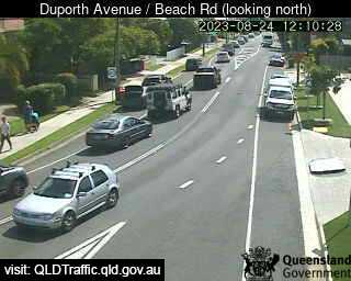
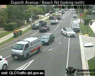
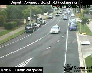
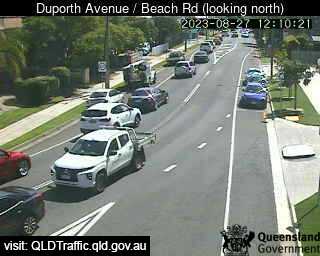
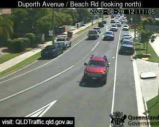
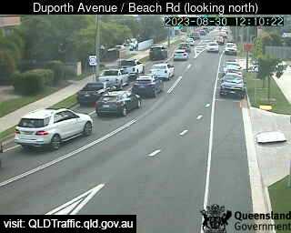
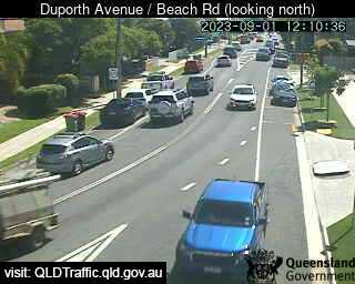
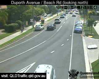
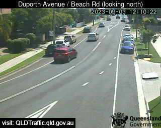
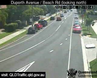
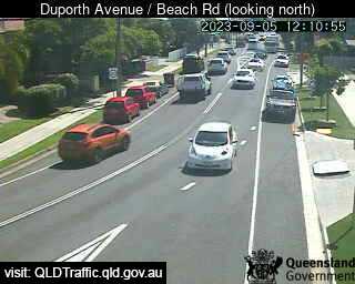
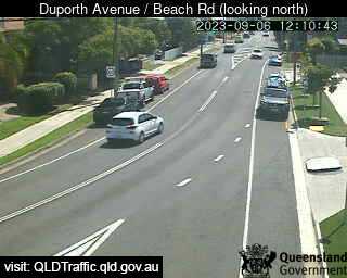
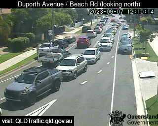
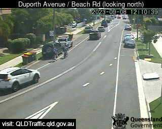
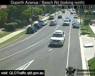
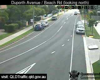
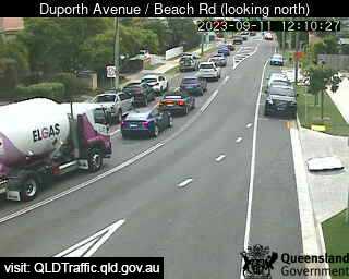
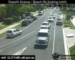
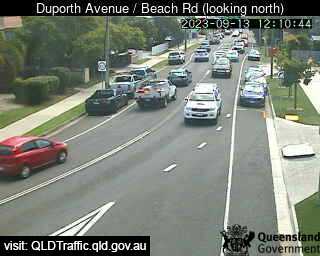
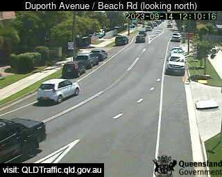
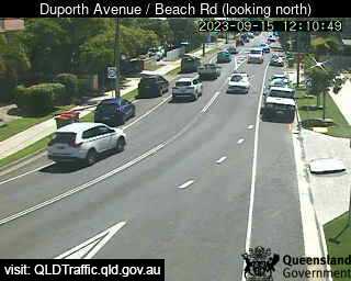
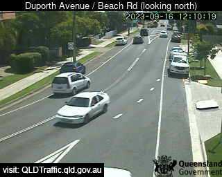
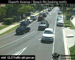
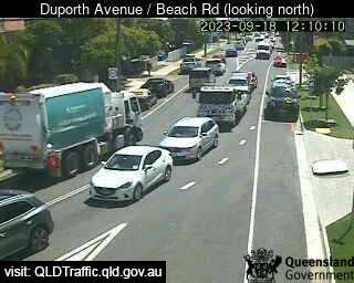
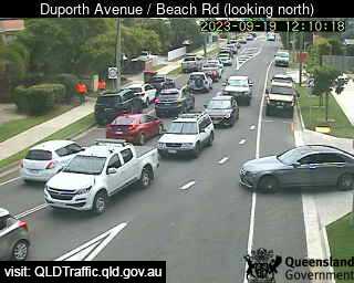
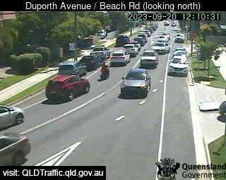
Maroochydore, Australia - 46.1 miles from Downsfield: Duporth Avenue / Beach Road (North) - A view of the current traffic conditions.
Operator: Queensland Government - Department of Transport and Main Roads
Operator: Queensland Government - Department of Transport and Main Roads


Some other places in this country: Dover Heights - Dowlingville - Dows Creek - Drake - Drapers - Drayton - Drill Creek - Dripstone - Dromana - Dromedary