Webcams in the region of Browns Plains, Australia
The List of Webcams near Browns Plains, Australia:

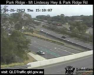
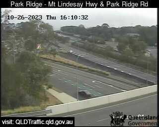
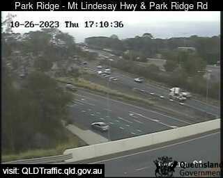
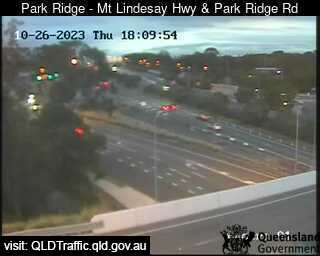
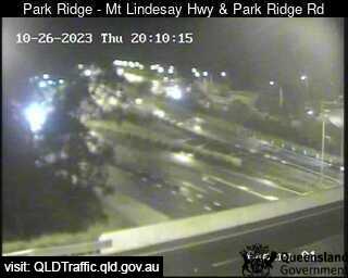
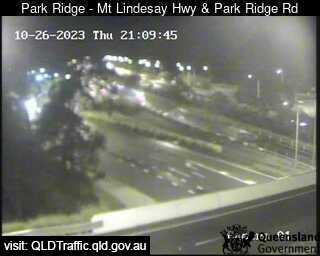
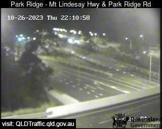
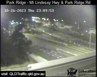
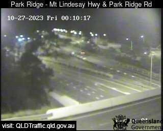
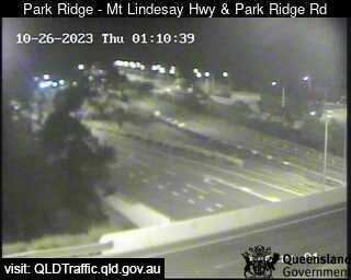
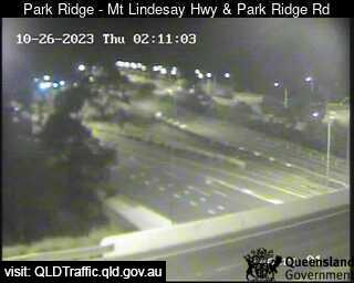
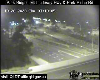
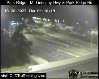
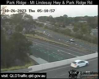
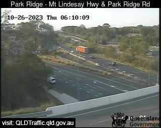
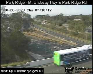
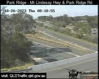
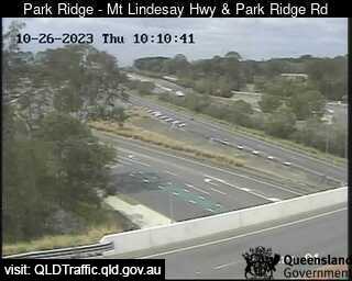
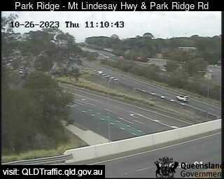
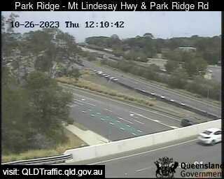
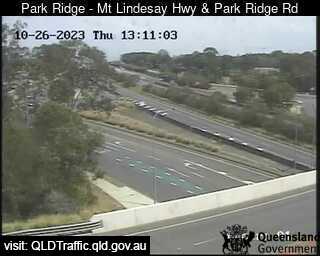
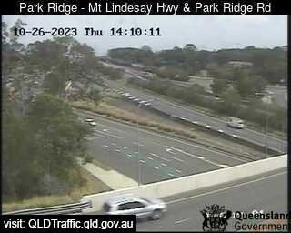
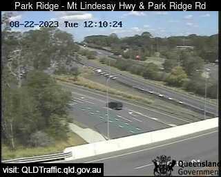
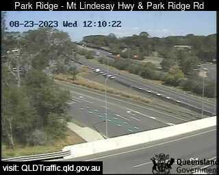
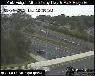
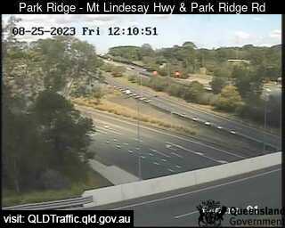
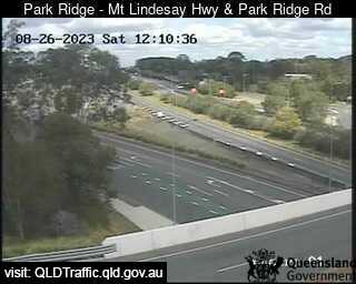
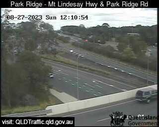
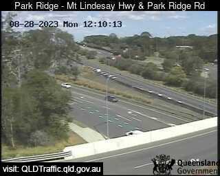
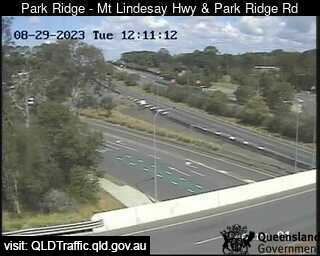
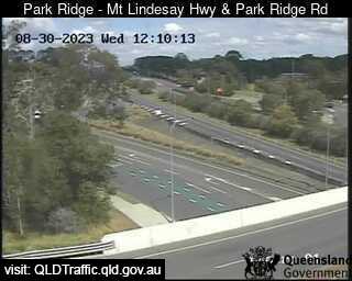
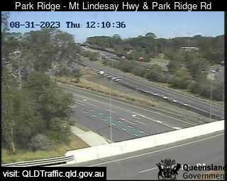
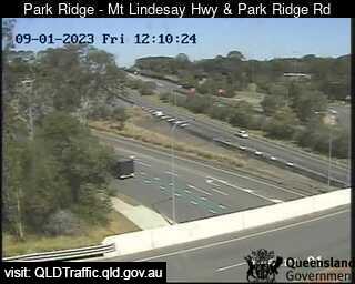
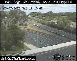
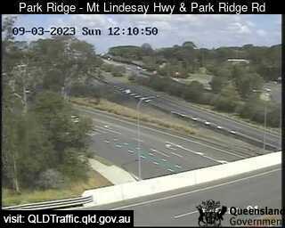
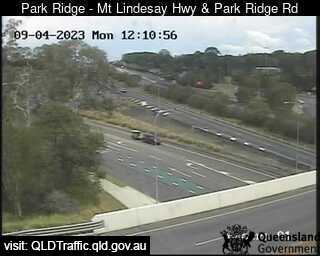
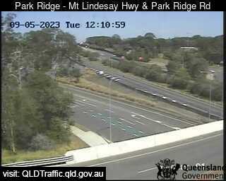
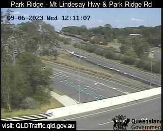
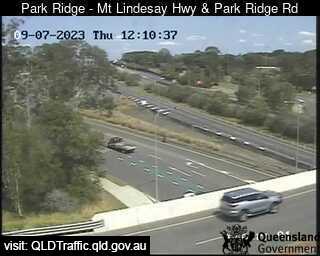
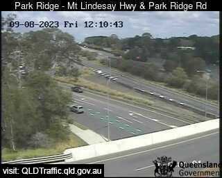
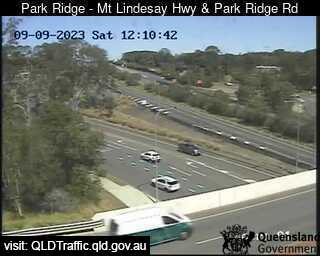
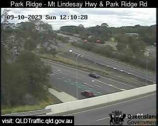
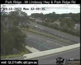
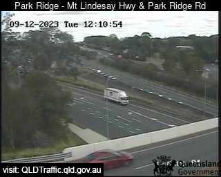
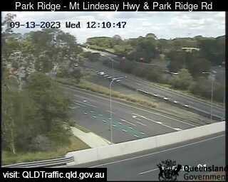
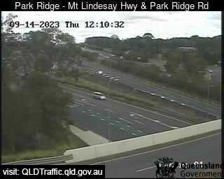
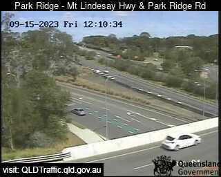
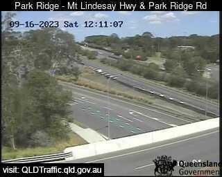
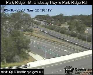
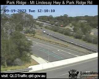
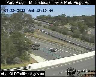
Park Ridge, Australia - 3.4 miles from Browns Plains: Mount Lindesay Highway and Park Ridge Road Interchange (South) - A view of the current traffic conditions.
Operator: Queensland Government - Department of Transport and Main Roads
Operator: Queensland Government - Department of Transport and Main Roads


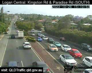
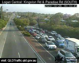
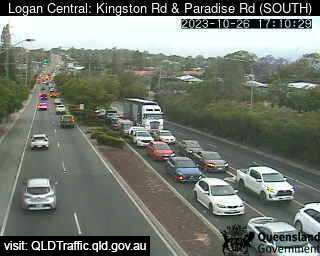
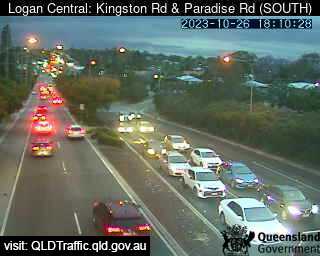
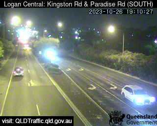
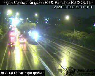
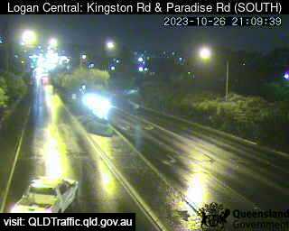
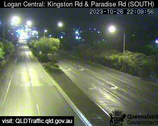
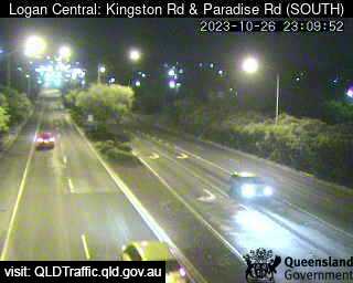
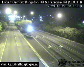
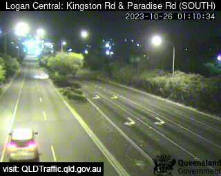
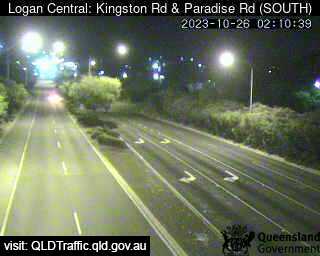
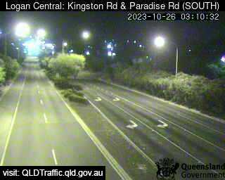
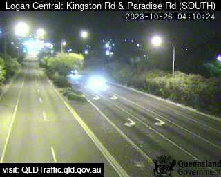
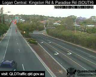
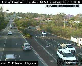
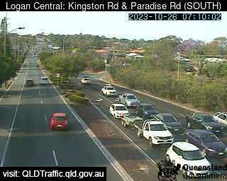
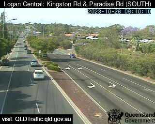
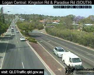
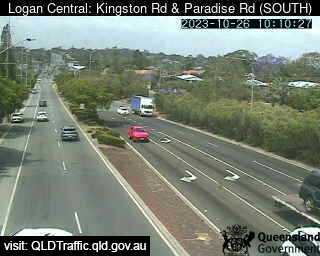
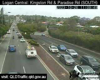
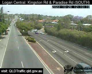
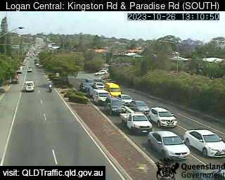
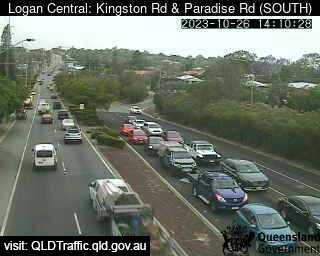
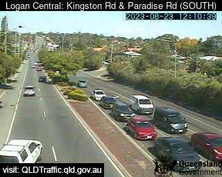
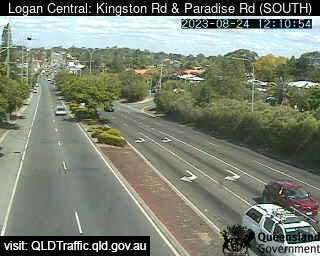
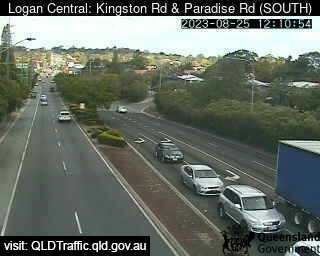
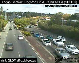
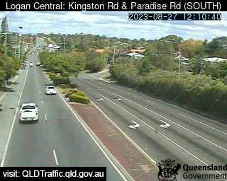
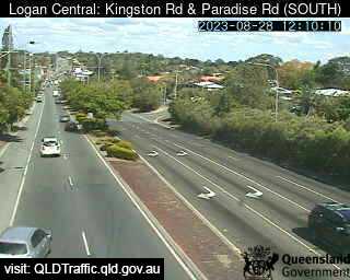
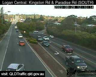
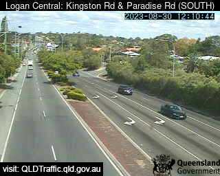
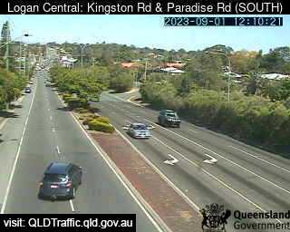
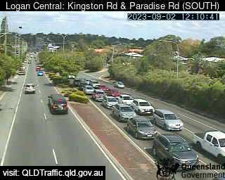
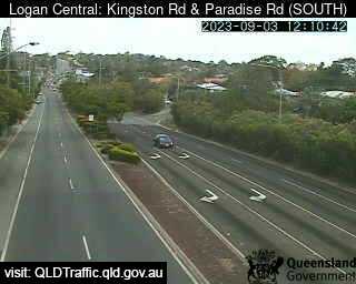
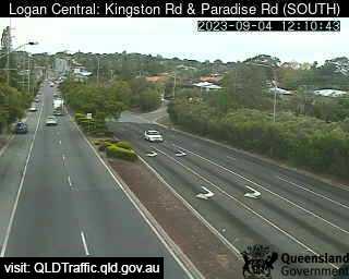
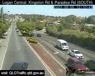
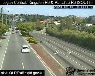
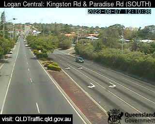
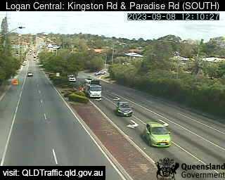
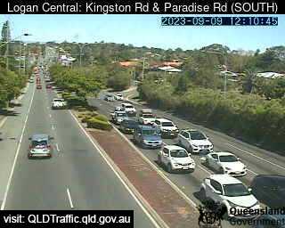
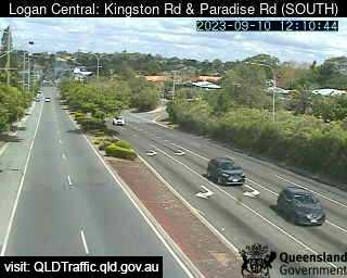
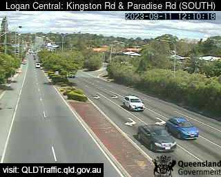
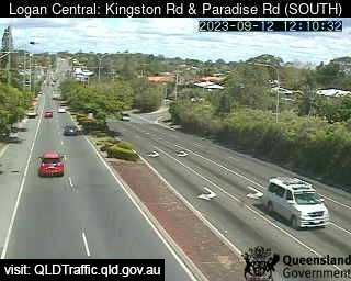
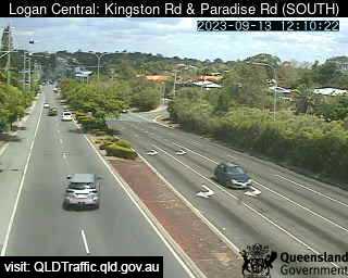
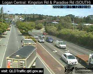
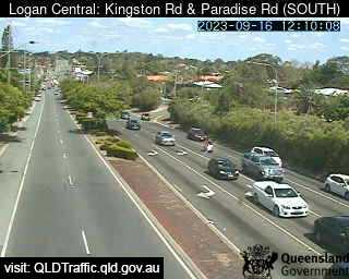
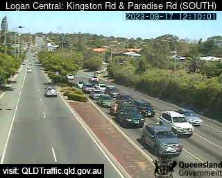
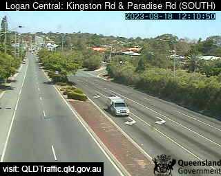
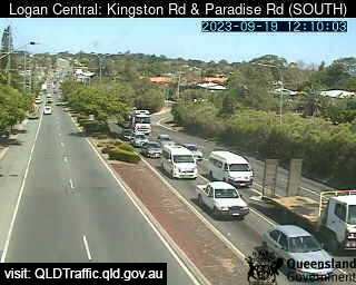
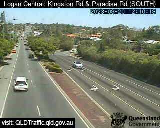
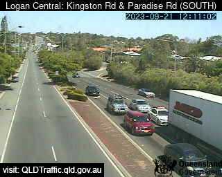
Logan Central, Australia - 4.6 miles from Browns Plains: Kingston Road and Paradise Road (South) - A view of the current traffic conditions.
Operator: Queensland Government - Department of Transport and Main Roads
Operator: Queensland Government - Department of Transport and Main Roads


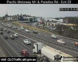
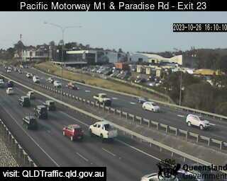
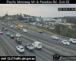
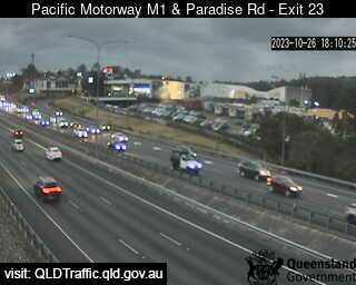
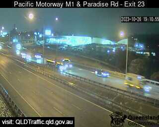
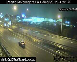
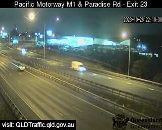
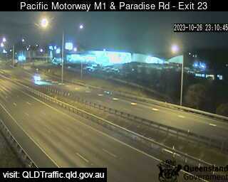
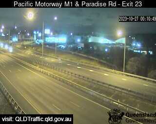
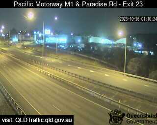
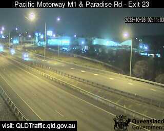
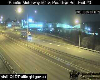
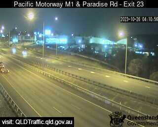
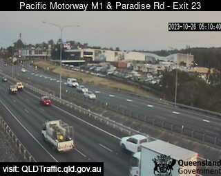
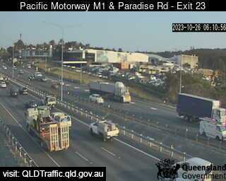
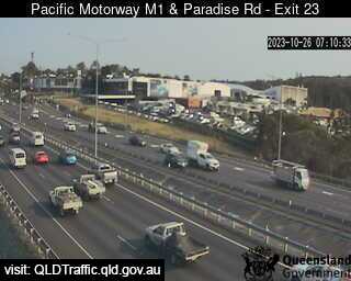
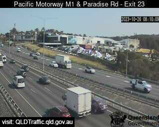
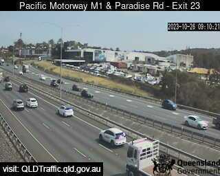
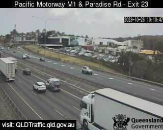
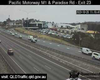
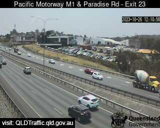
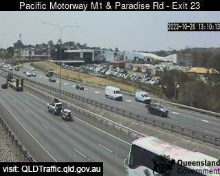
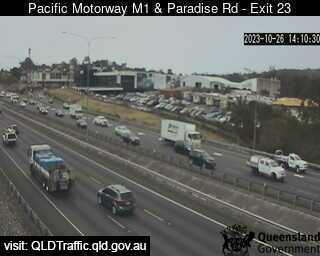
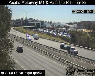
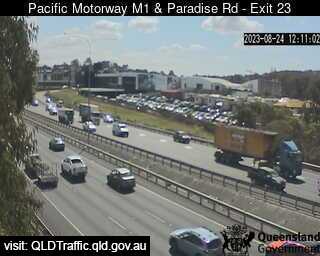
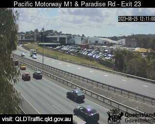
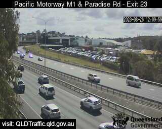
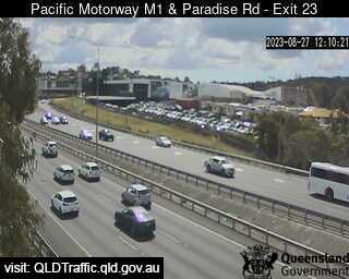
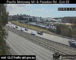
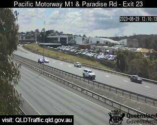
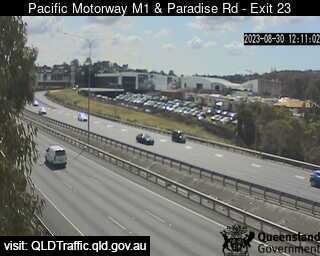
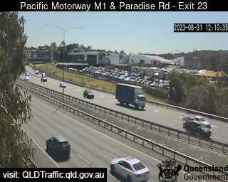
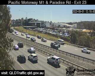
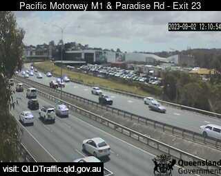
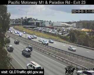
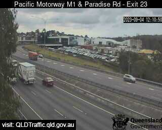
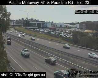
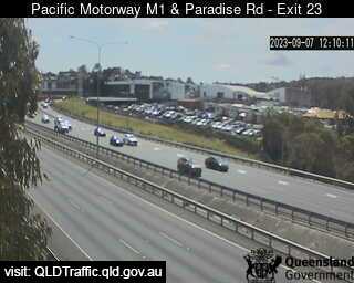
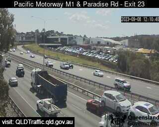
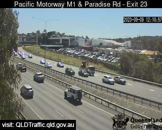
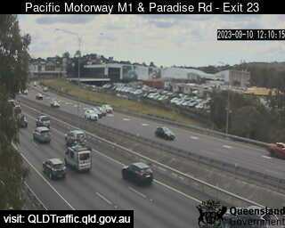
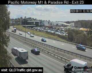
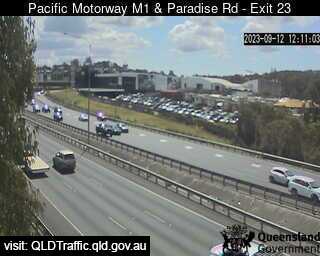
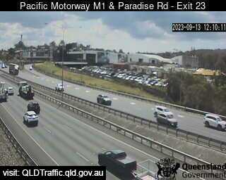
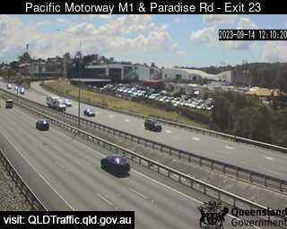
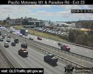
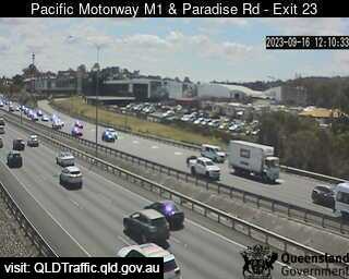
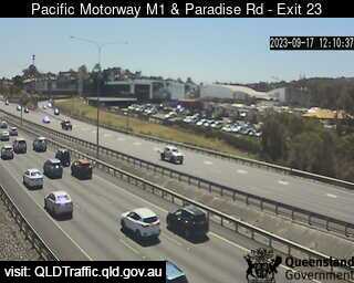
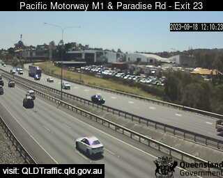
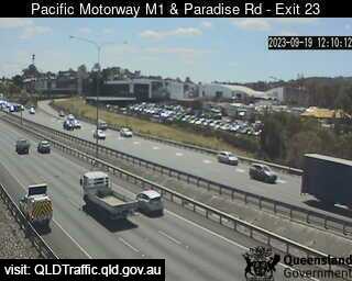
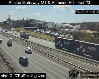
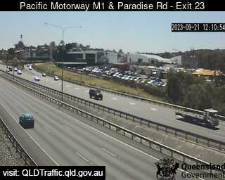
Slacks Creek, Australia - 5.4 miles from Browns Plains: Pacific Motorway M1 - Exit 23 (North) - A view of the current traffic conditions.
Operator: Queensland Government - Department of Transport and Main Roads
Operator: Queensland Government - Department of Transport and Main Roads


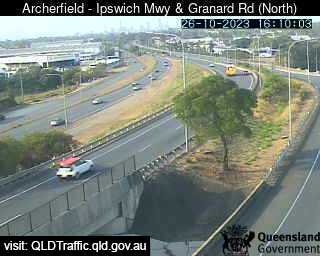
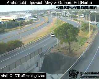
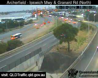
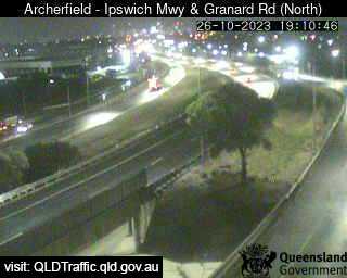
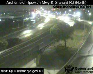
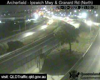
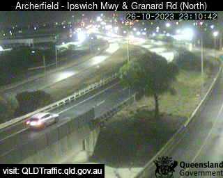
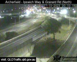
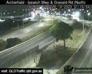
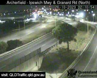
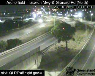
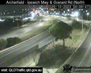
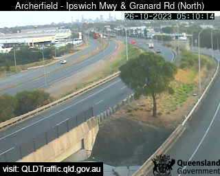
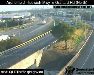
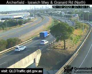
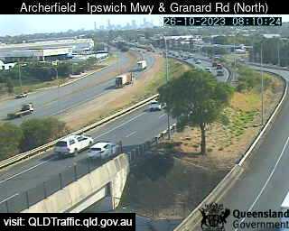
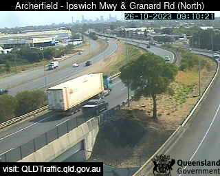
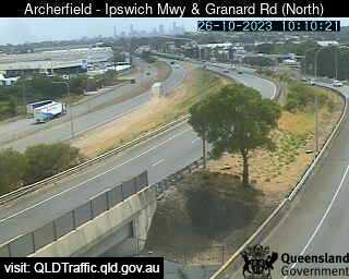
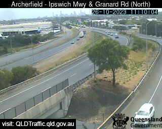
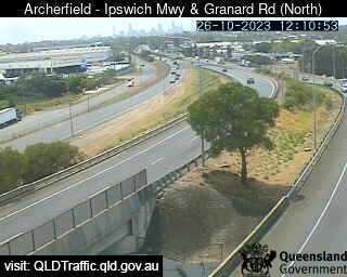
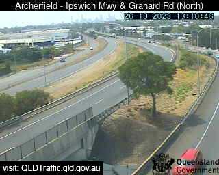
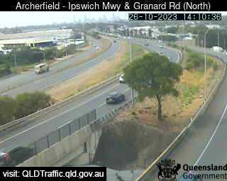
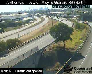
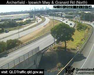
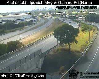
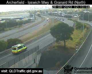
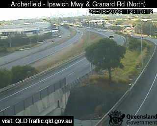
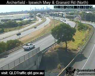
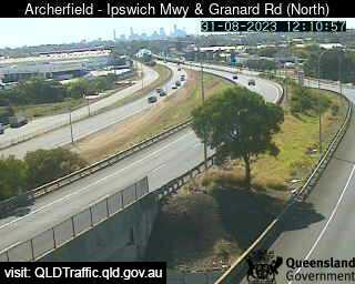
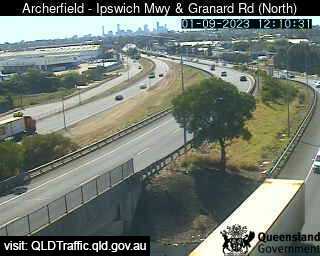
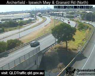
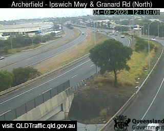
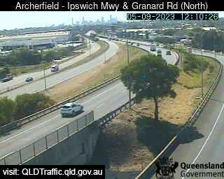
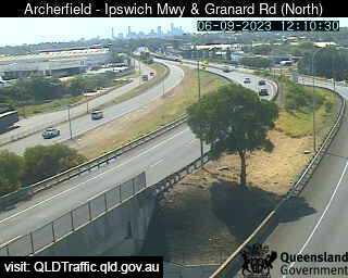
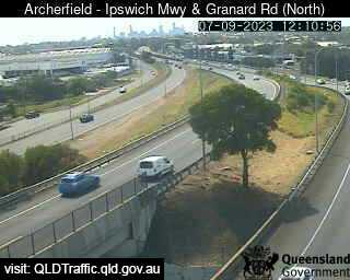
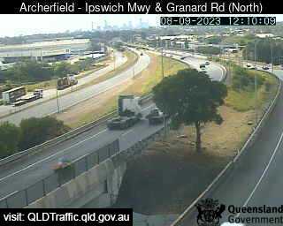
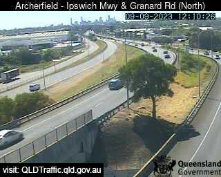
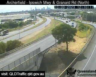
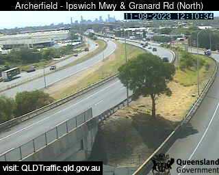
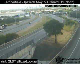
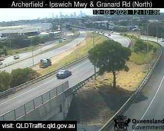
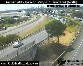
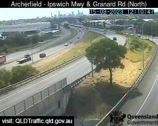
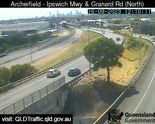
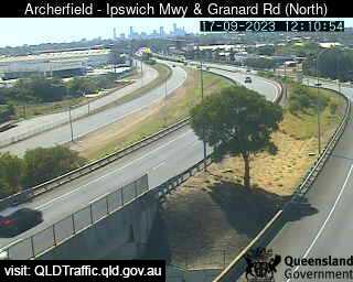
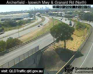
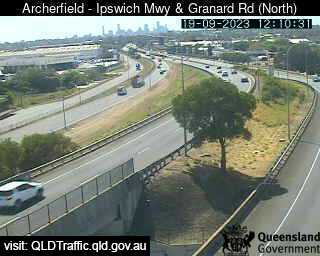
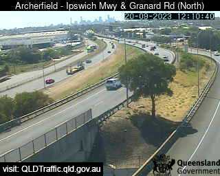
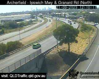
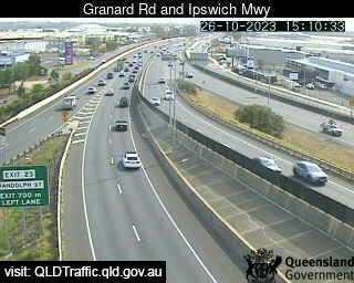
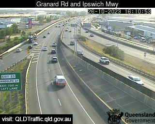
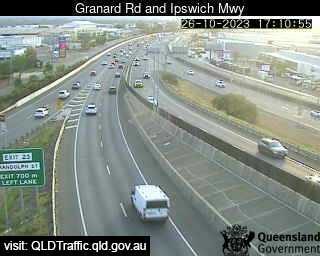
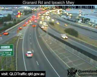
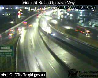
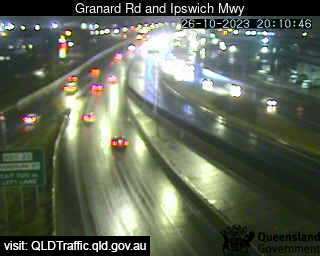
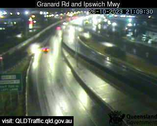
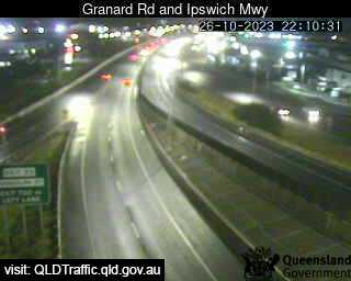
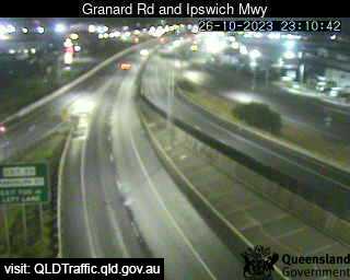
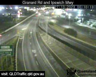
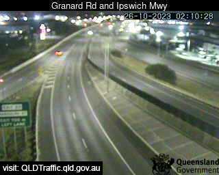
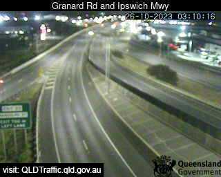
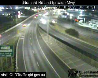
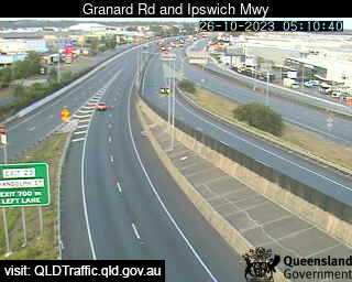
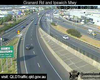
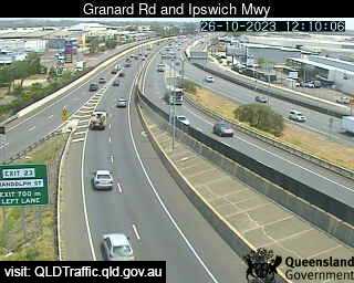
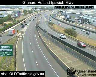
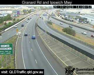
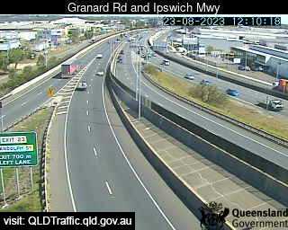
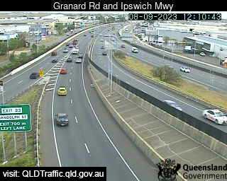
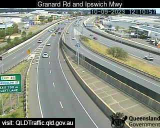
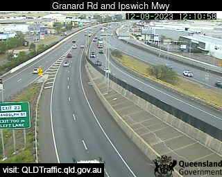
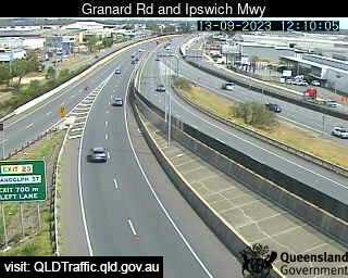
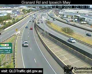
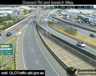
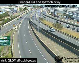
Archerfield, Australia - 5.9 miles from Browns Plains: Granard Road and Ipswich Motorway (North) - A view of the current traffic conditions.
Operator: Queensland Government - Department of Transport and Main Roads
Operator: Queensland Government - Department of Transport and Main Roads


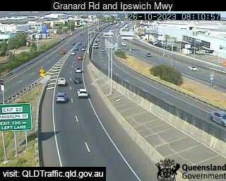
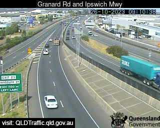
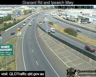
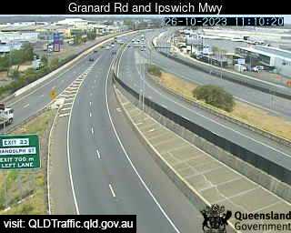
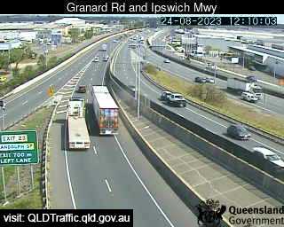
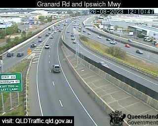
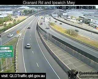
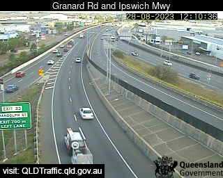
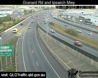
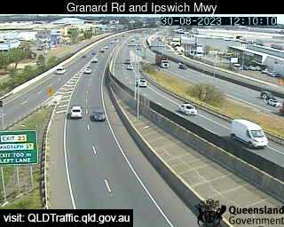
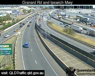
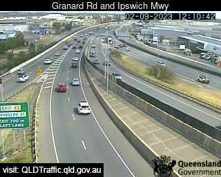
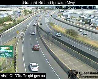
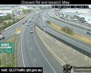
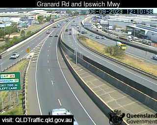
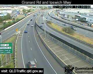
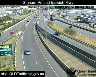
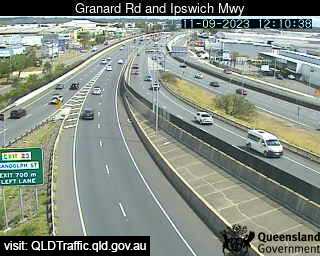
Archerfield, Australia - 5.9 miles from Browns Plains: Granard Rd & Ipswich Mwy (South) - A view of the current traffic conditions.
Operator: Queensland Government - Department of Transport and Main Roads
Operator: Queensland Government - Department of Transport and Main Roads


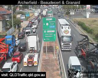
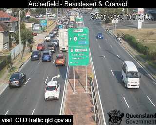
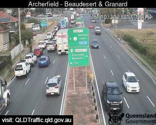
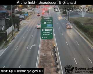
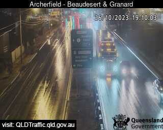
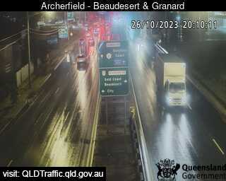
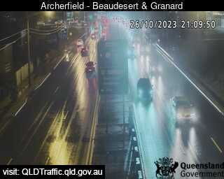
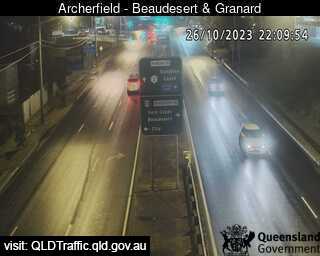
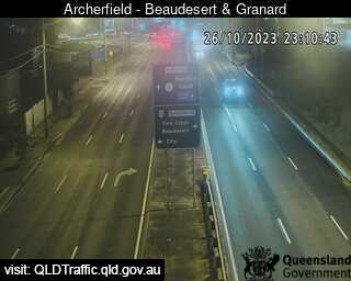
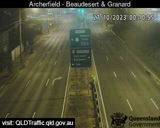
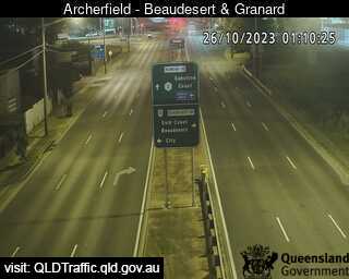
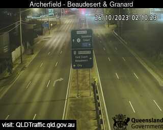
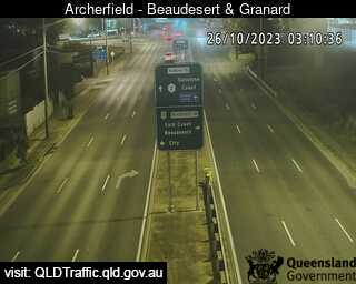
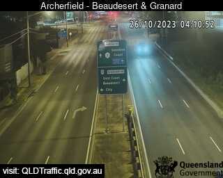
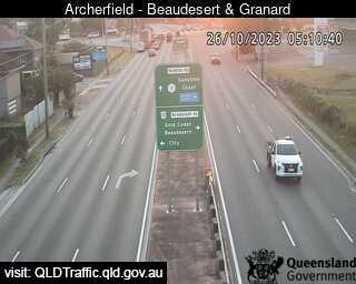
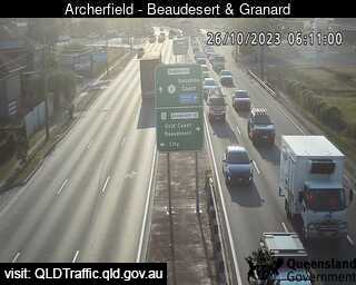
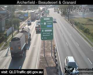
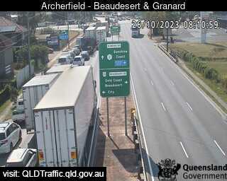
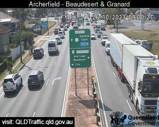
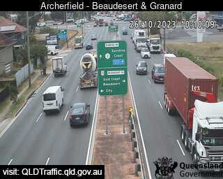
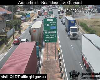
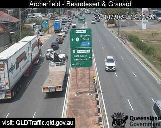
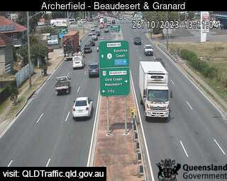
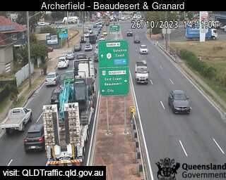
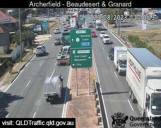
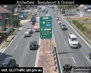
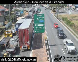
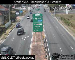
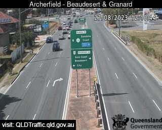
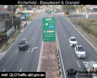
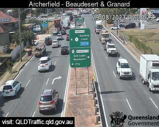
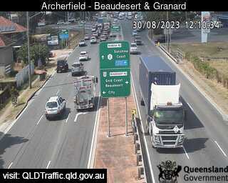
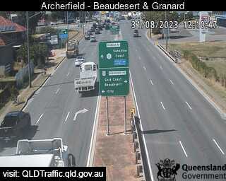
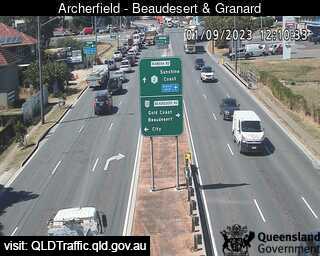
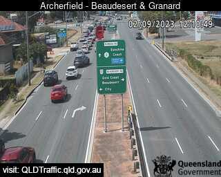
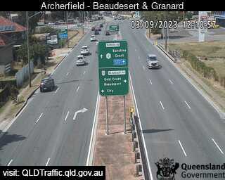
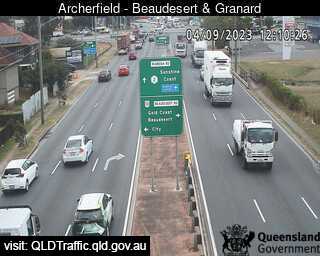
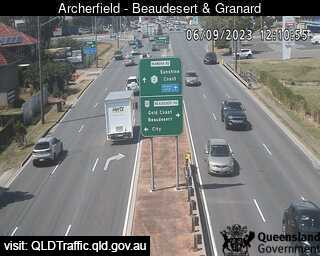
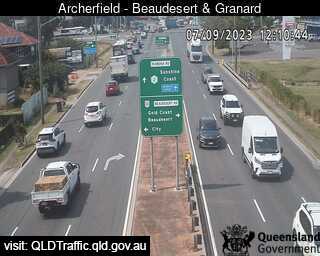
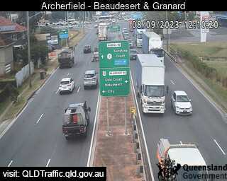
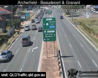
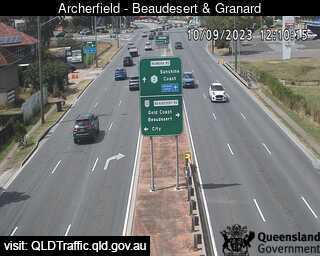
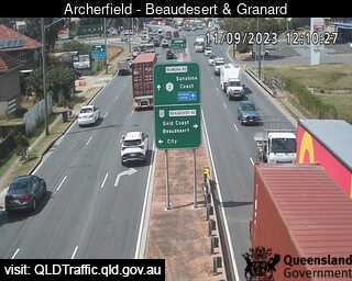
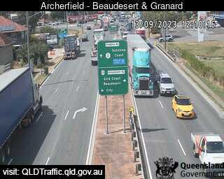
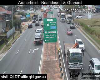
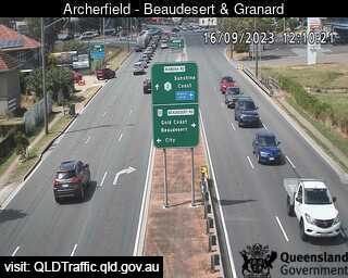
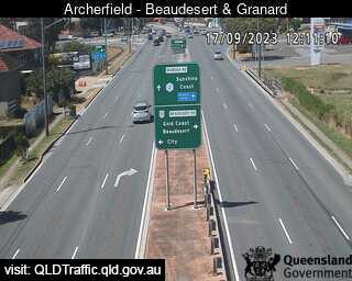
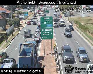
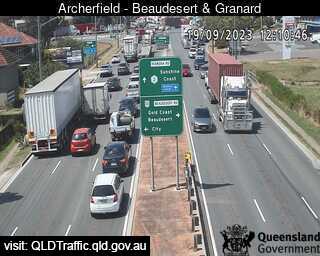
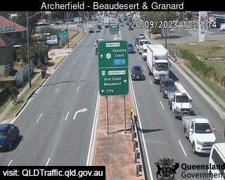
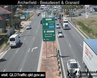
Archerfield, Australia - 5.9 miles from Browns Plains: Beaudesert Road and Granard Road (East) - A view of the current traffic conditions.
Operator: Queensland Government - Department of Transport and Main Roads
Operator: Queensland Government - Department of Transport and Main Roads


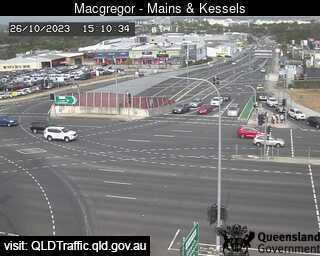
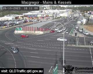
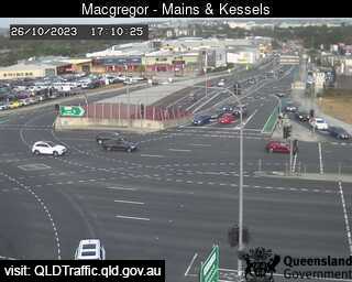
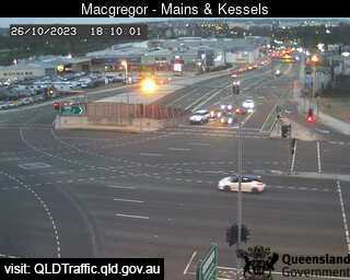
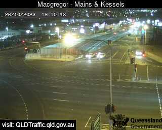
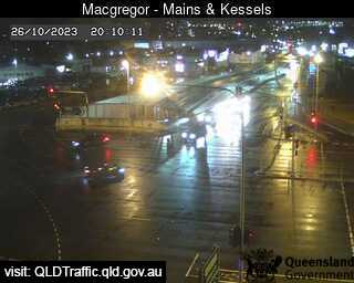
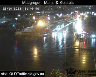
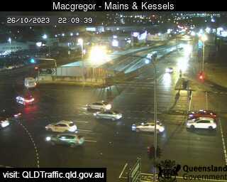
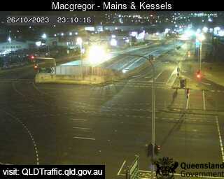
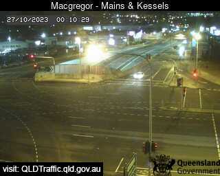
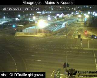
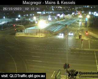
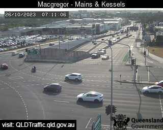
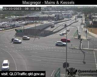
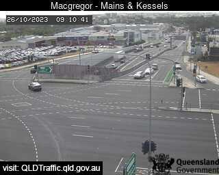
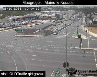
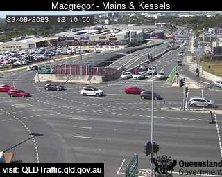
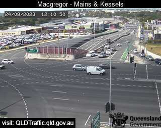
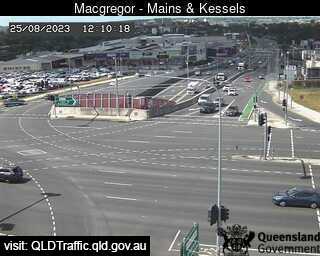
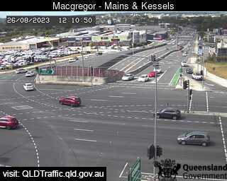
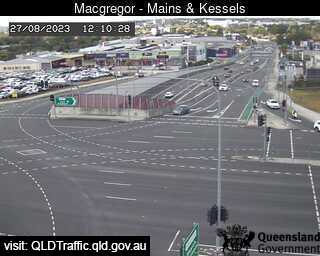
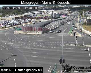
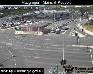
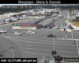
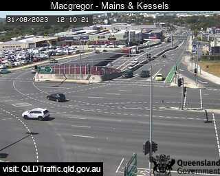
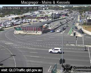
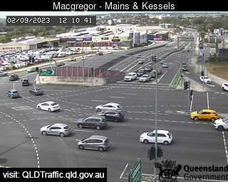
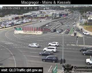
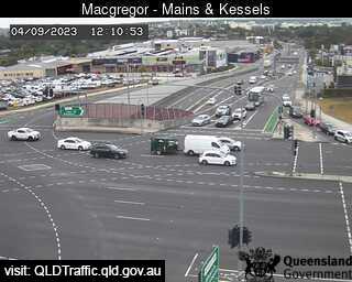
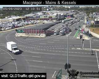
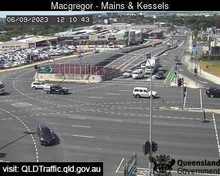
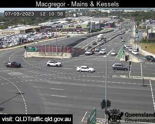
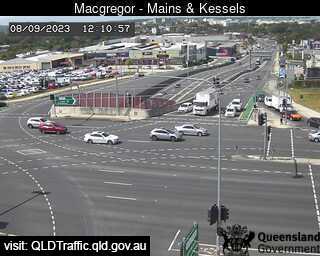
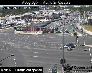
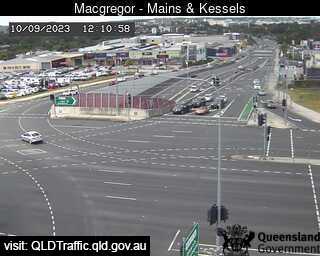
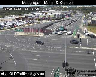
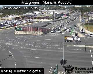
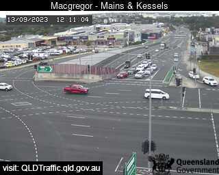
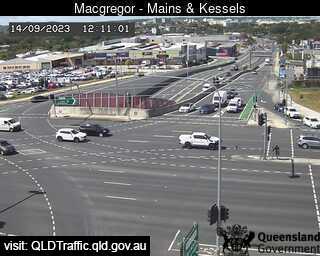
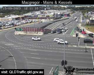
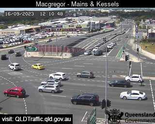
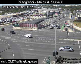
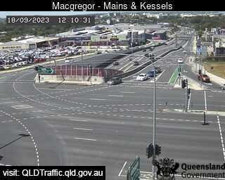
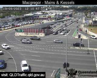
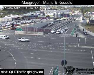
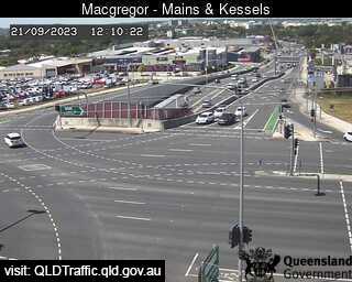
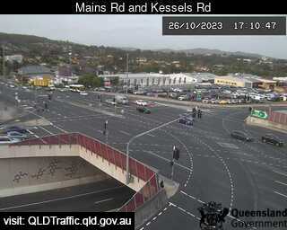
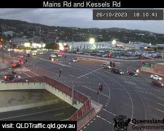
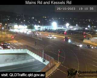
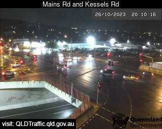
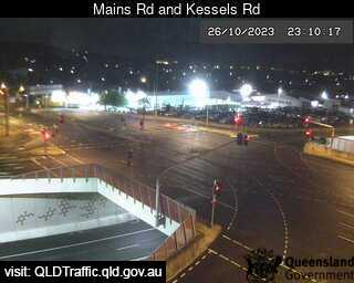
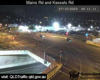
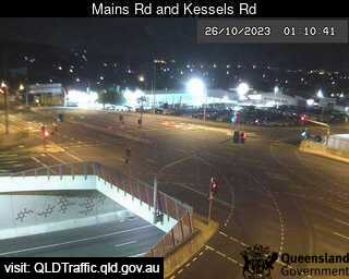
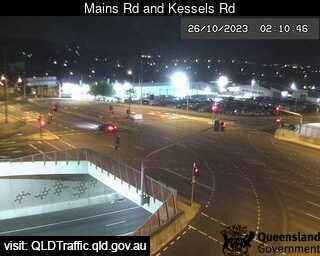
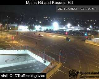
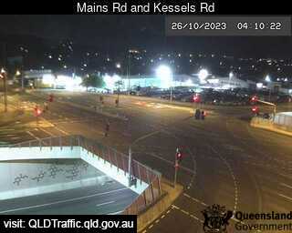
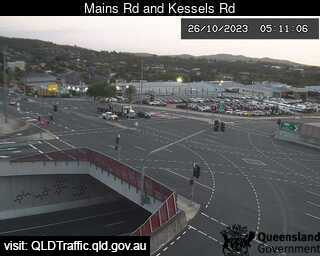
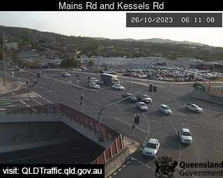
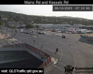
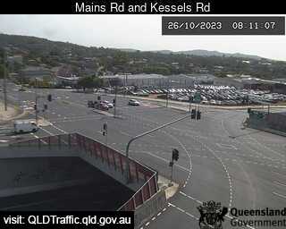
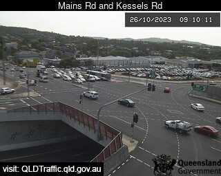
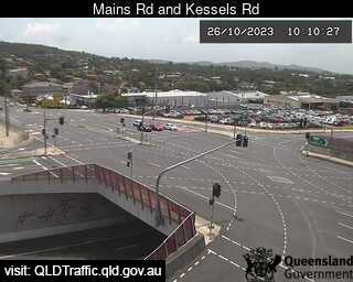
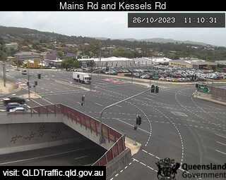
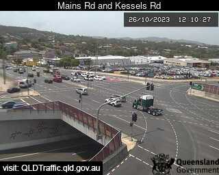
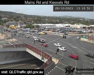
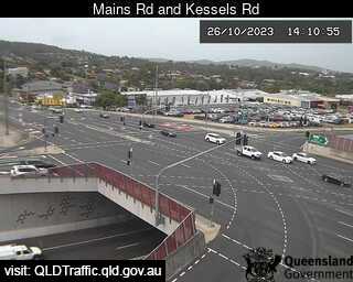
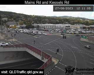
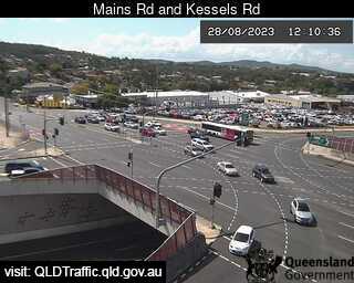
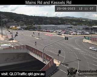
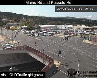
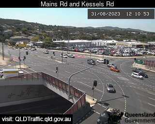
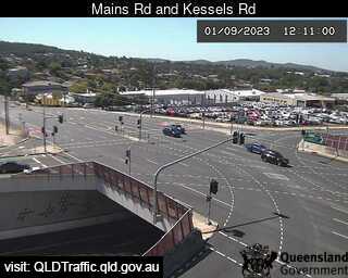
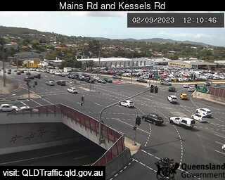
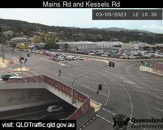
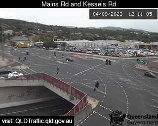
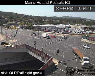
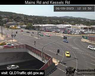
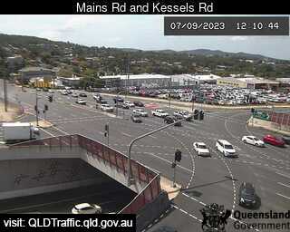
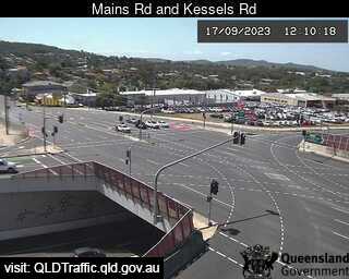
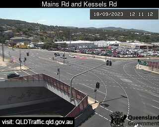
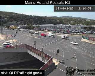
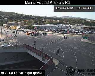
Macgregor, Australia - 6.4 miles from Browns Plains: Mains Road and Kessels Road (North) - A view of the current traffic conditions.
Operator: Queensland Government - Department of Transport and Main Roads
Operator: Queensland Government - Department of Transport and Main Roads
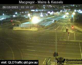
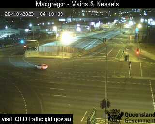
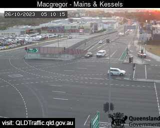
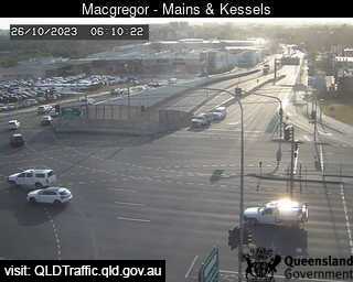
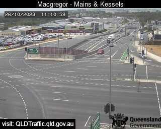
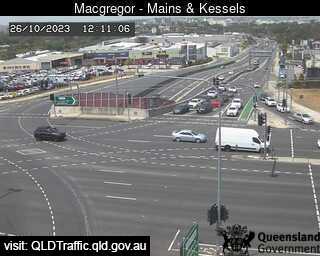
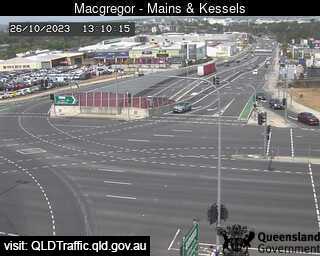
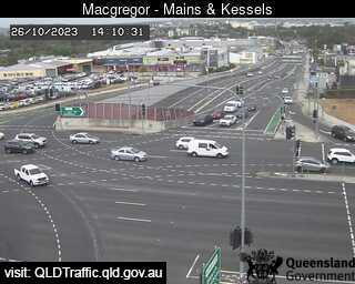

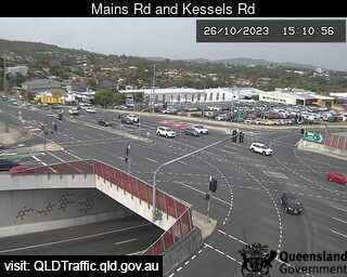
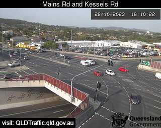
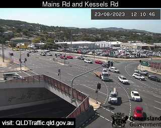
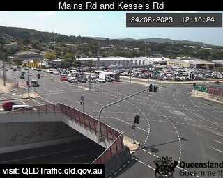
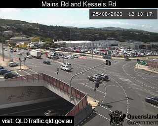
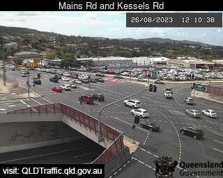
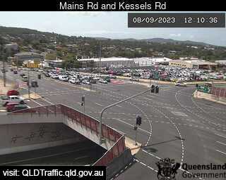
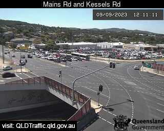
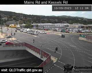
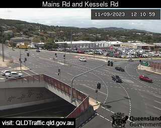
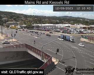
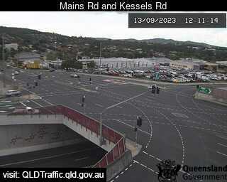
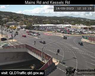
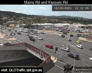
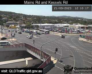
Macgregor, Australia - 6.4 miles from Browns Plains: Mains Road and Kessels Road (East) - A view of the current traffic conditions.
Operator: Queensland Government - Department of Transport and Main Roads
Operator: Queensland Government - Department of Transport and Main Roads


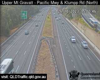
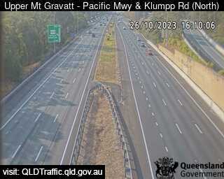
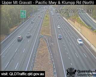
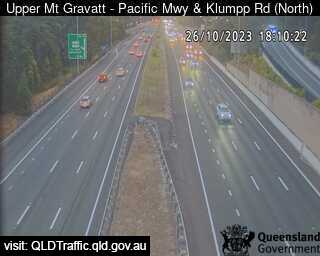
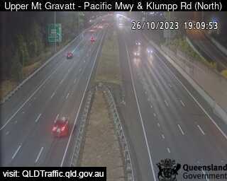
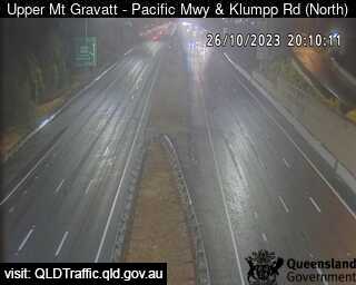
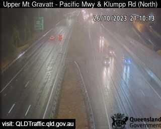
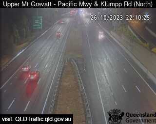
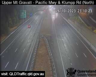
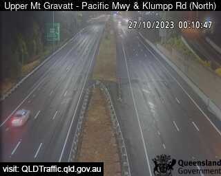
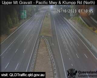
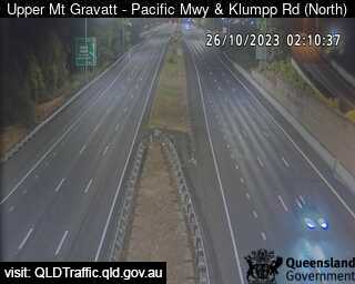
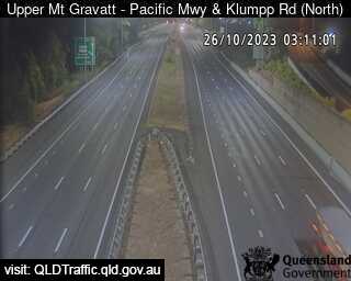
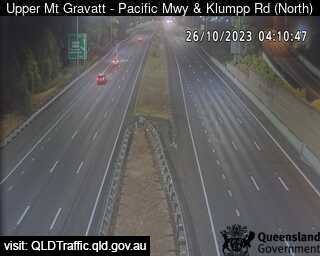
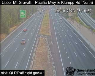
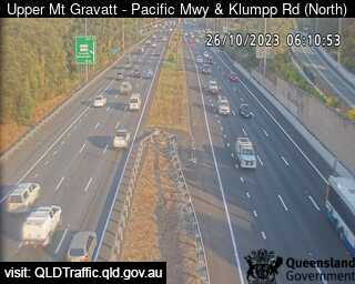
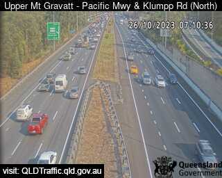
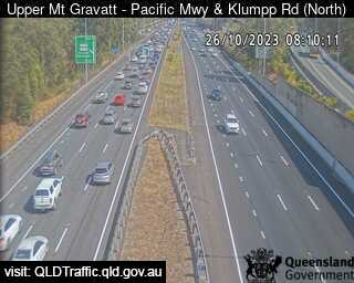
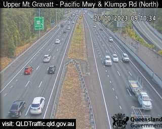
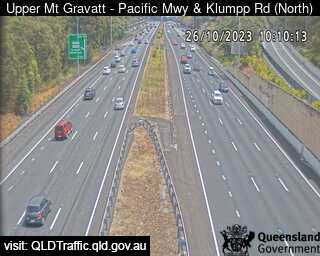
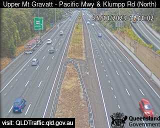
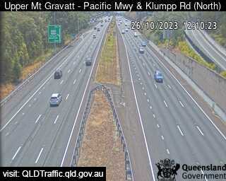
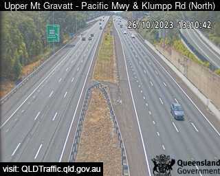
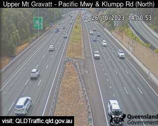
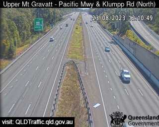
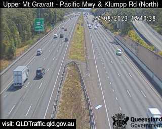
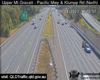
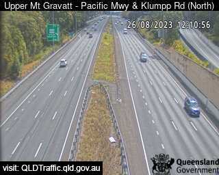
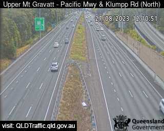
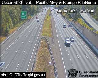
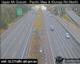
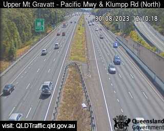
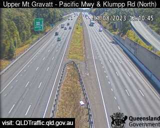
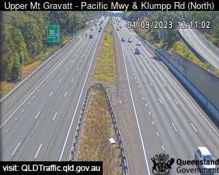
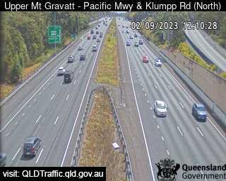
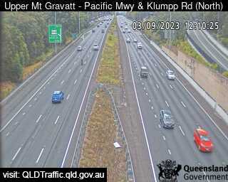
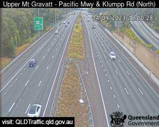
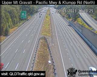
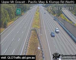
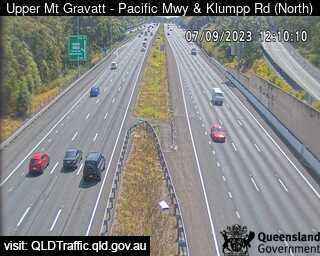
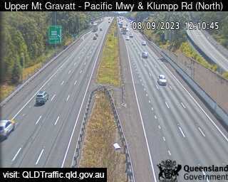
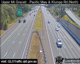
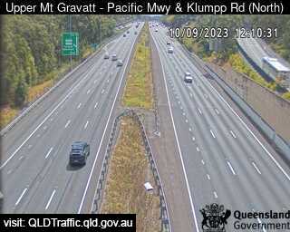
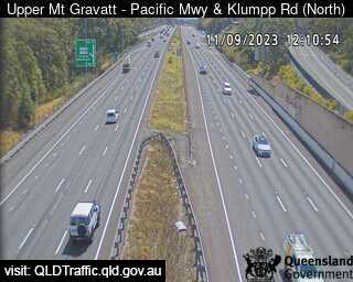
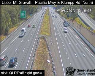
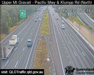
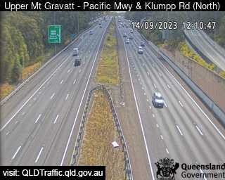
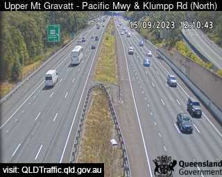
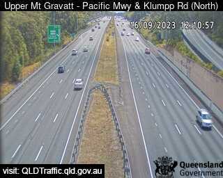
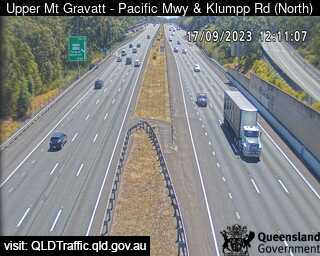
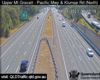
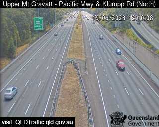
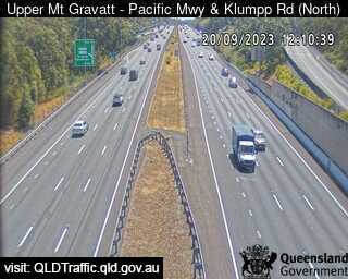
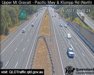
Upper Mount Gravatt, Australia - 6.8 miles from Browns Plains: Pacific Motorway and Klumpp Road (North) - A view of the current traffic conditions.
Operator: Queensland Government - Department of Transport and Main Roads
Operator: Queensland Government - Department of Transport and Main Roads

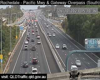
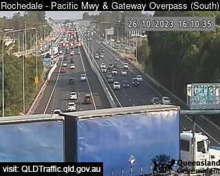
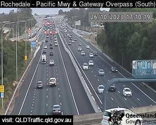
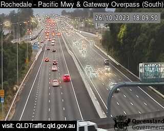
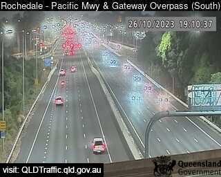
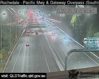
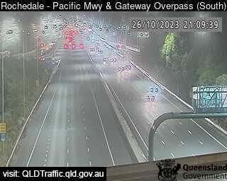
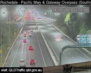
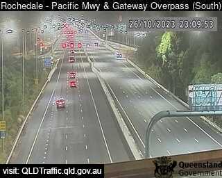
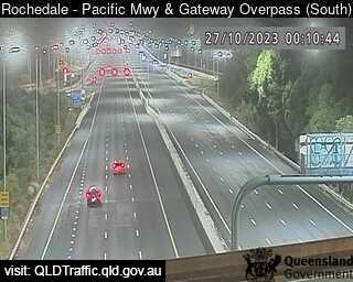
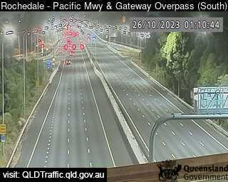
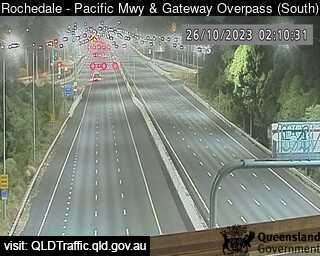
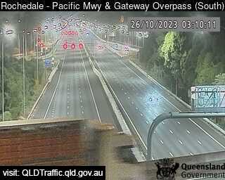
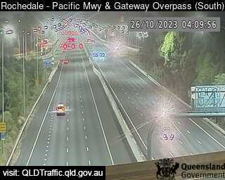
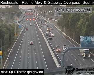
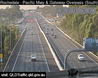
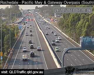
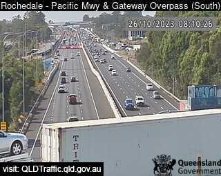
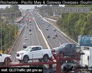
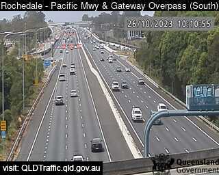
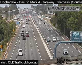
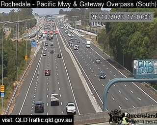
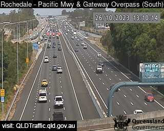
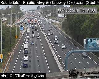
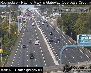
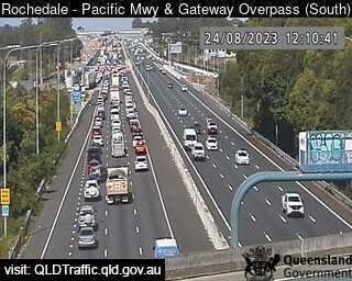
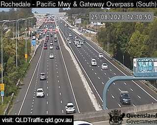
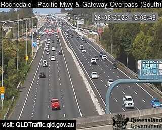
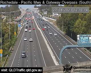
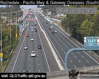
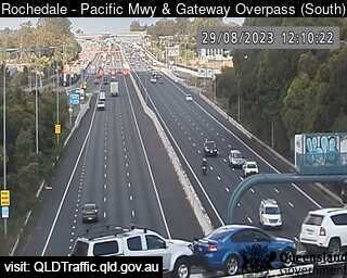
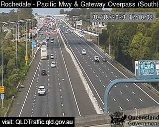
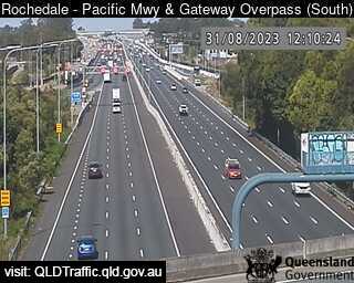
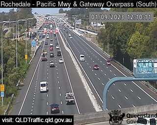
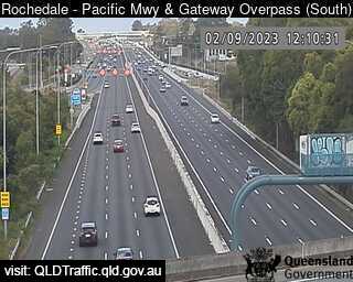
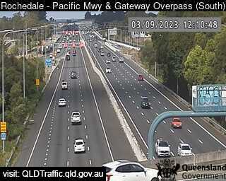
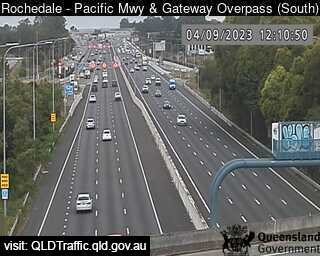
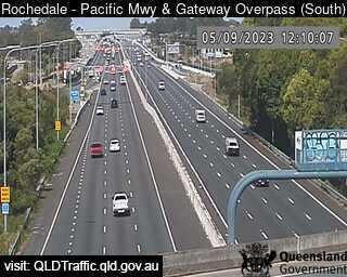
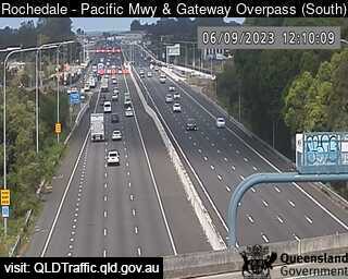
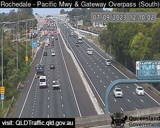
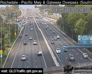
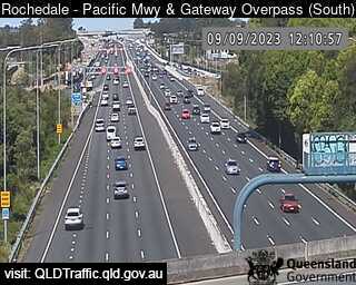
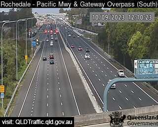
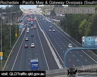
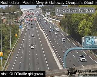
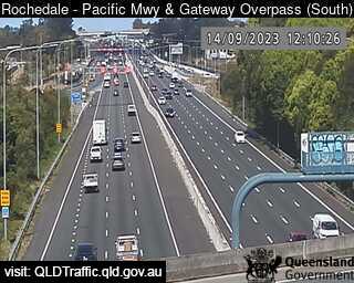
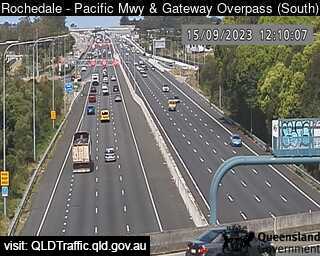
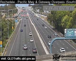
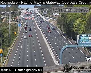
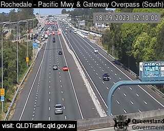
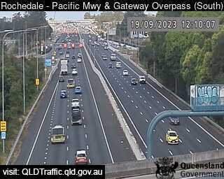
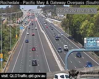
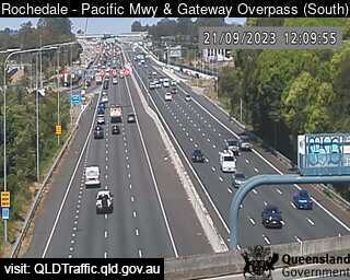
Rochedale, Australia - 7.4 miles from Browns Plains: Pacific Motorway and Gateway Overpass (South) - A view of the current traffic conditions.
Operator: Queensland Government - Department of Transport and Main Roads
Operator: Queensland Government - Department of Transport and Main Roads

Some other places in this country: Broulee - Brownlow - Brownlow Hill - Brownsville - Broxburn - Bruce - Brue Plains - Bruie Plains - Brundah - Brundee