Webcams in the region of Benarkin, Australia
The List of Webcams near Benarkin, Australia:

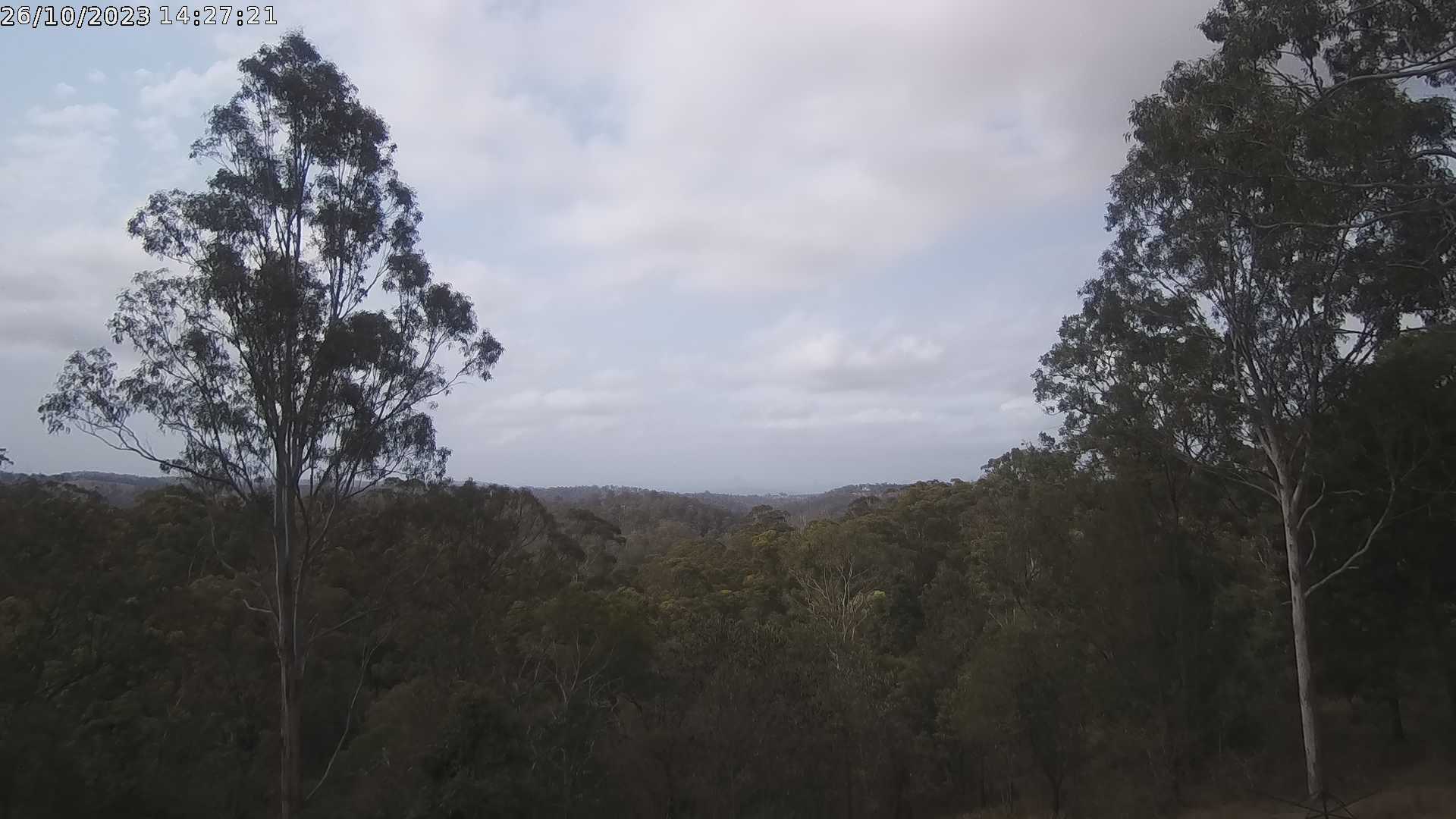
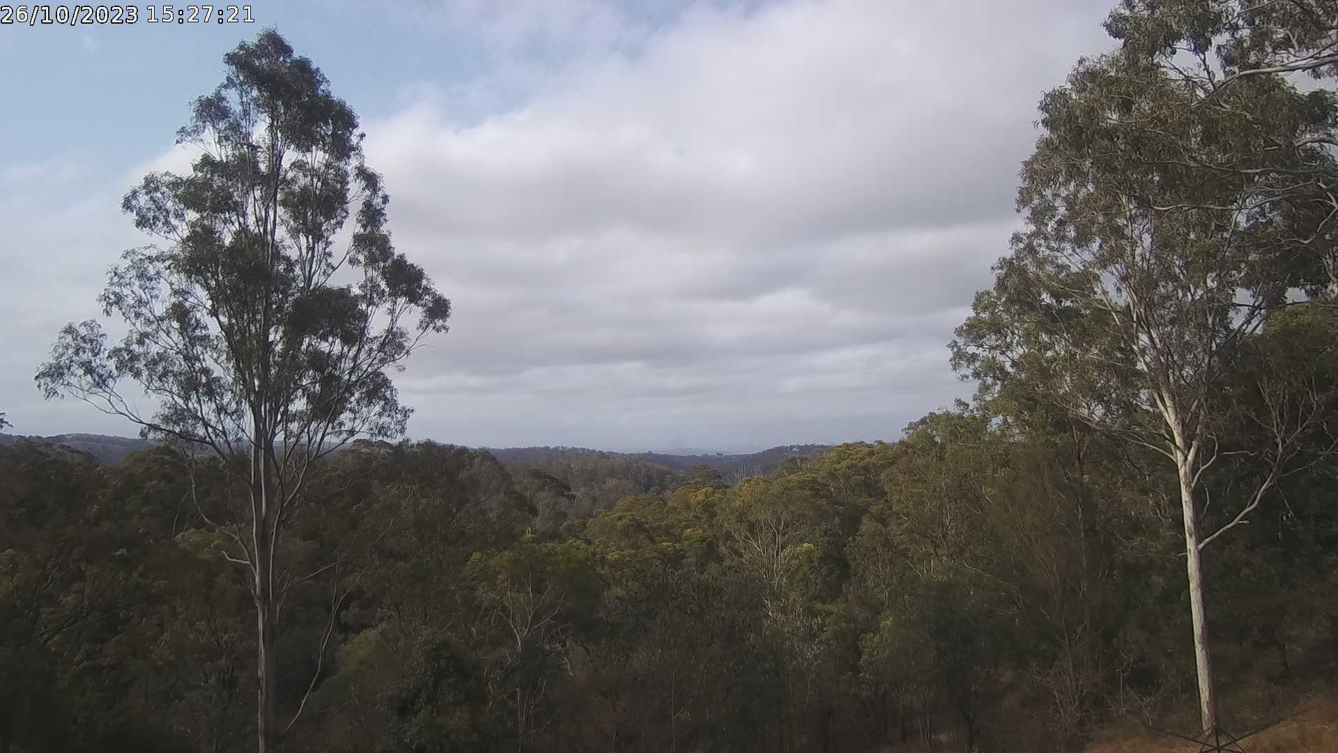
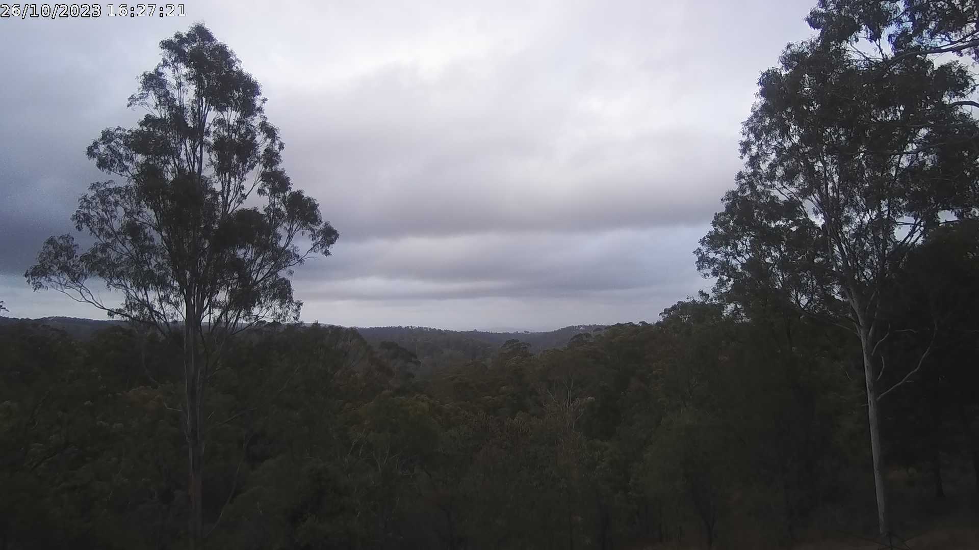
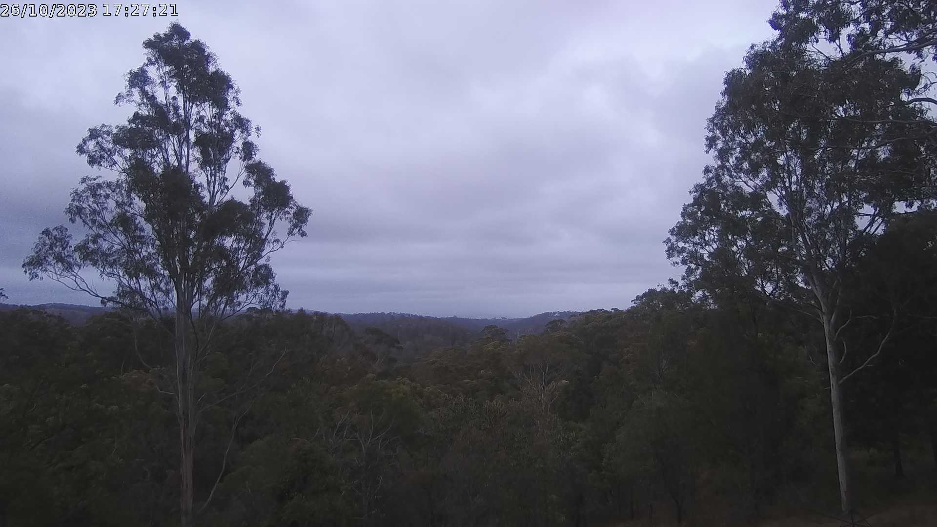
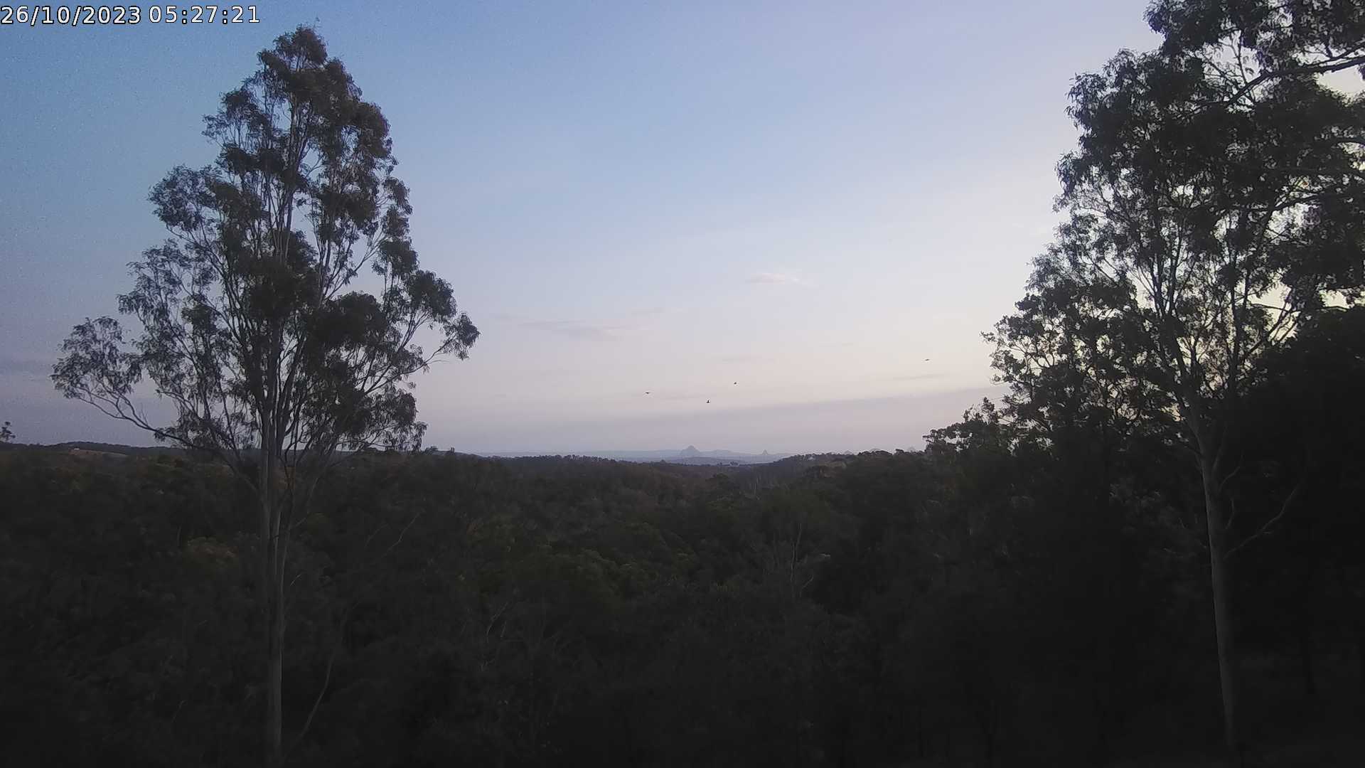
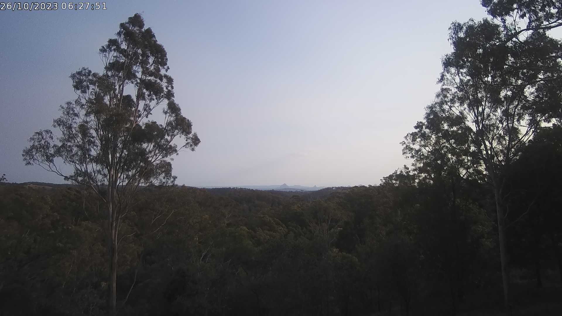
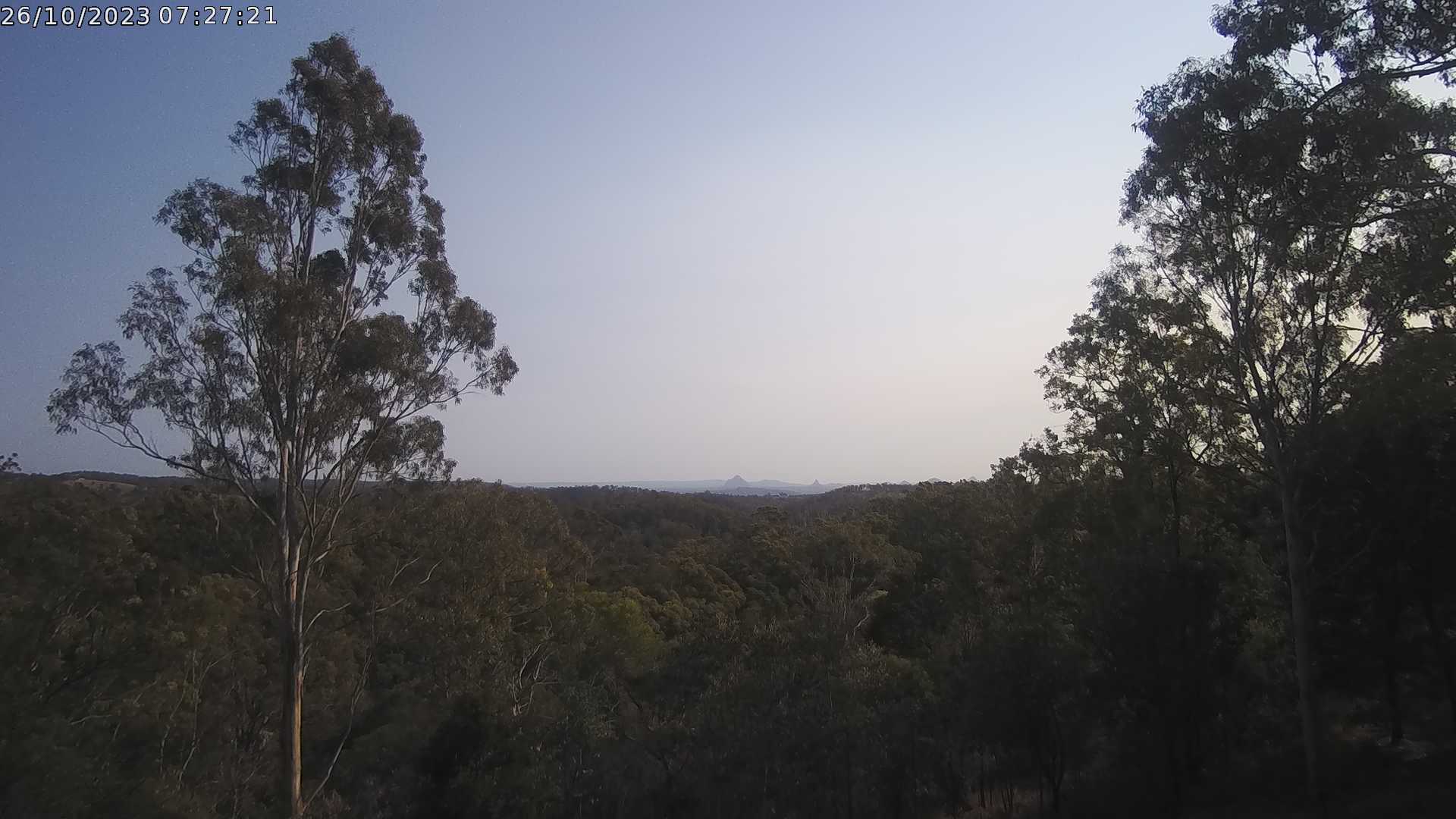
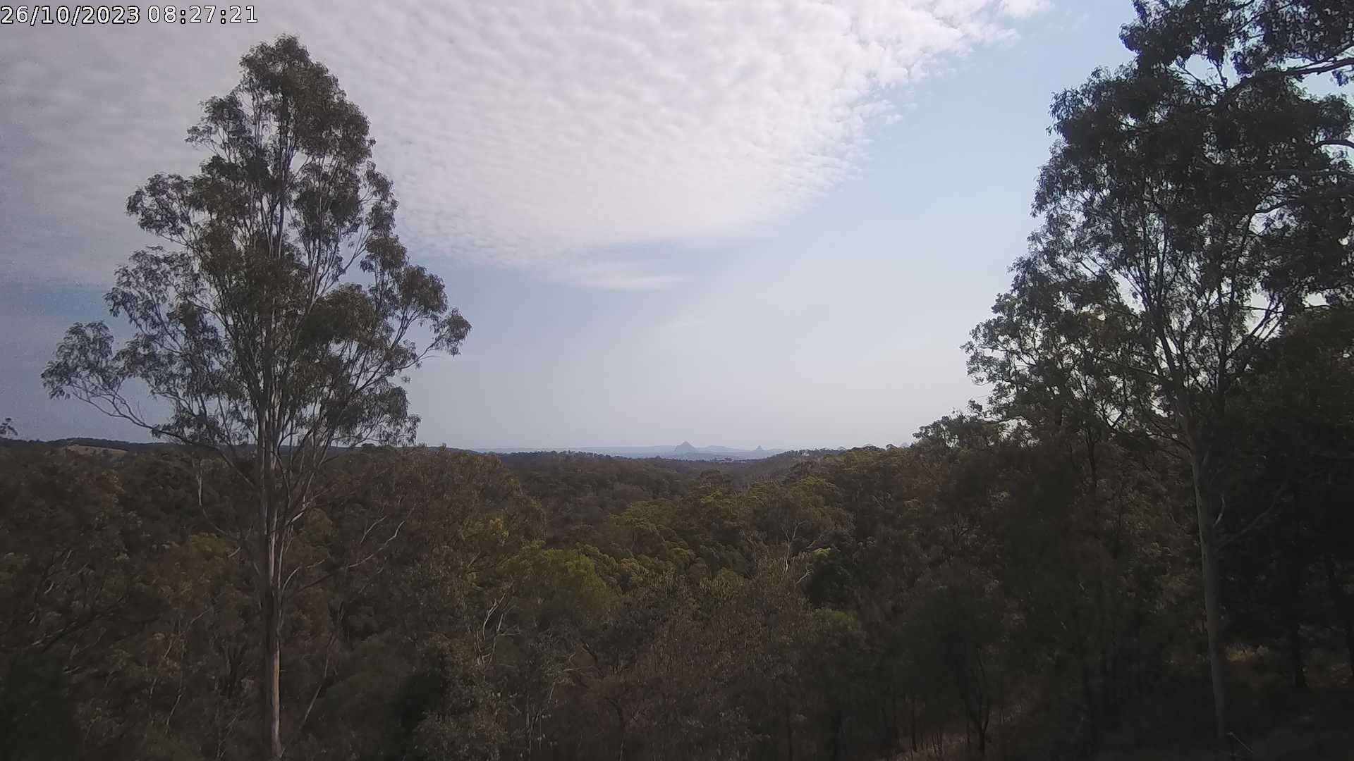
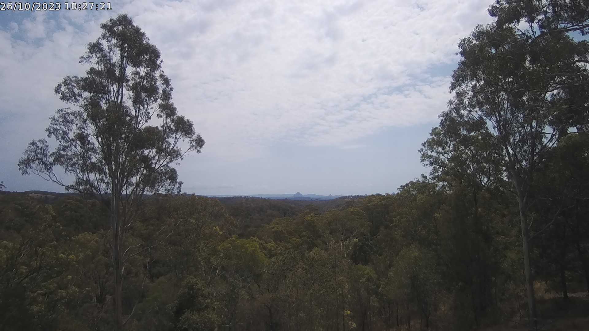
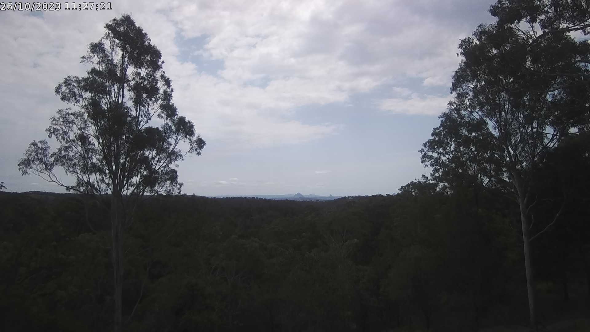
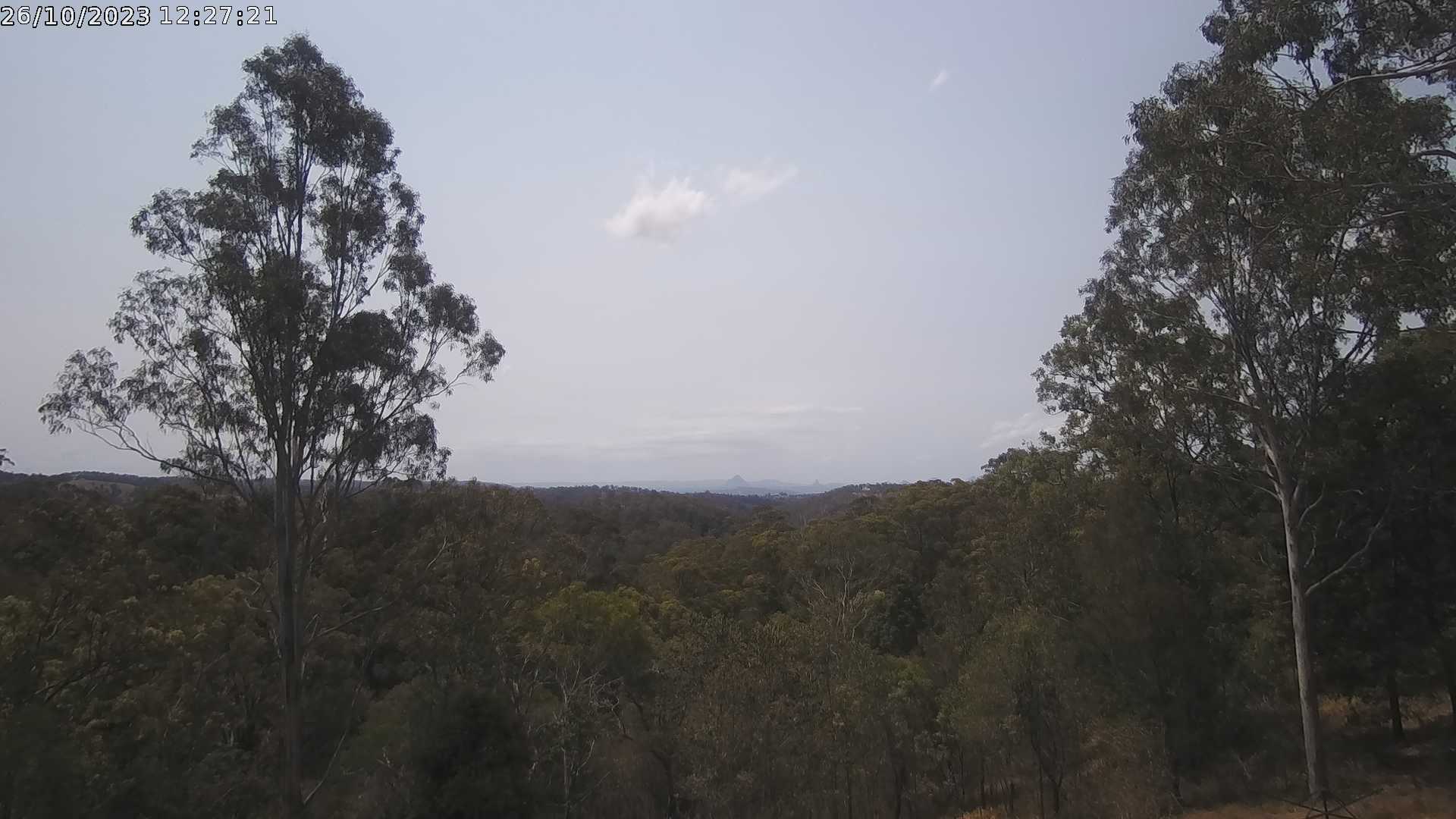
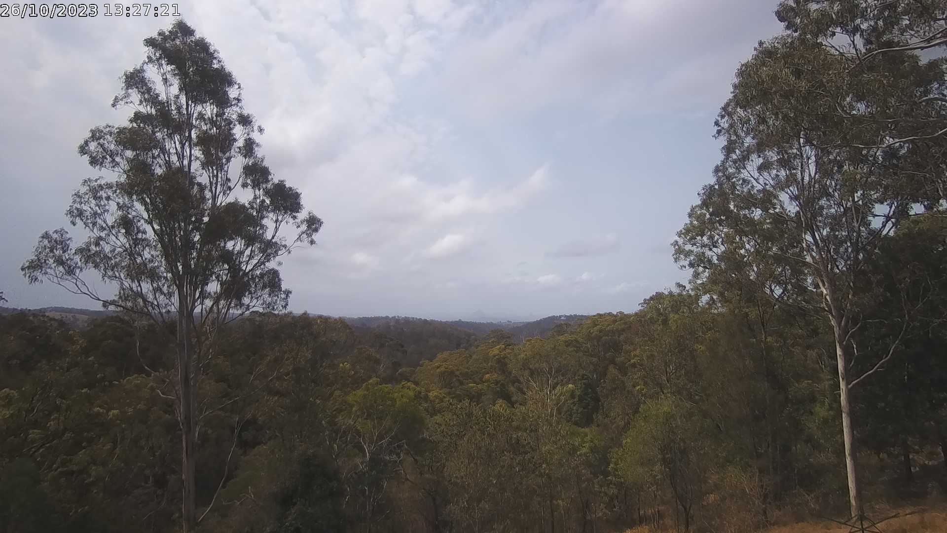
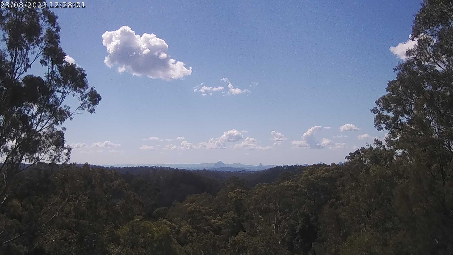
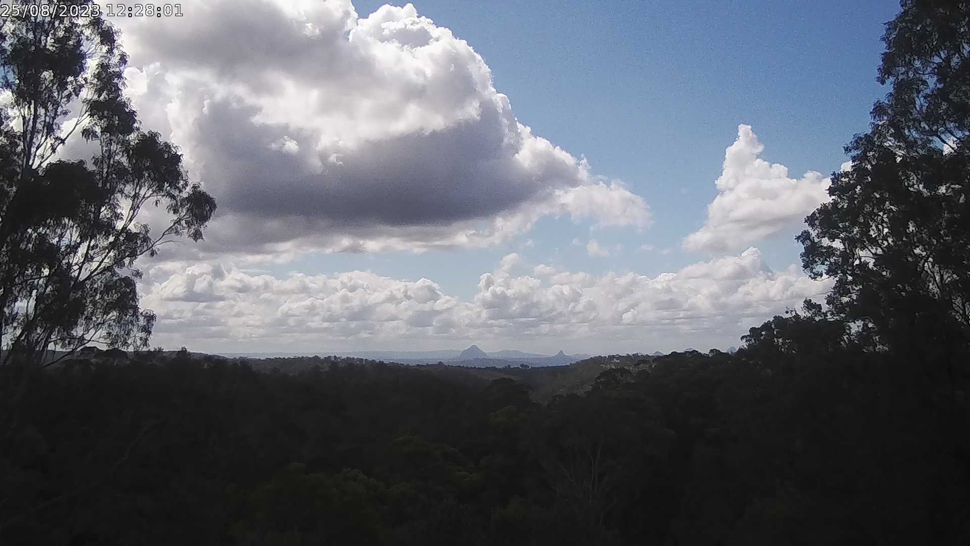
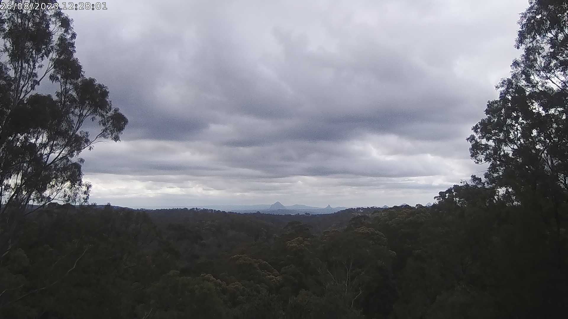
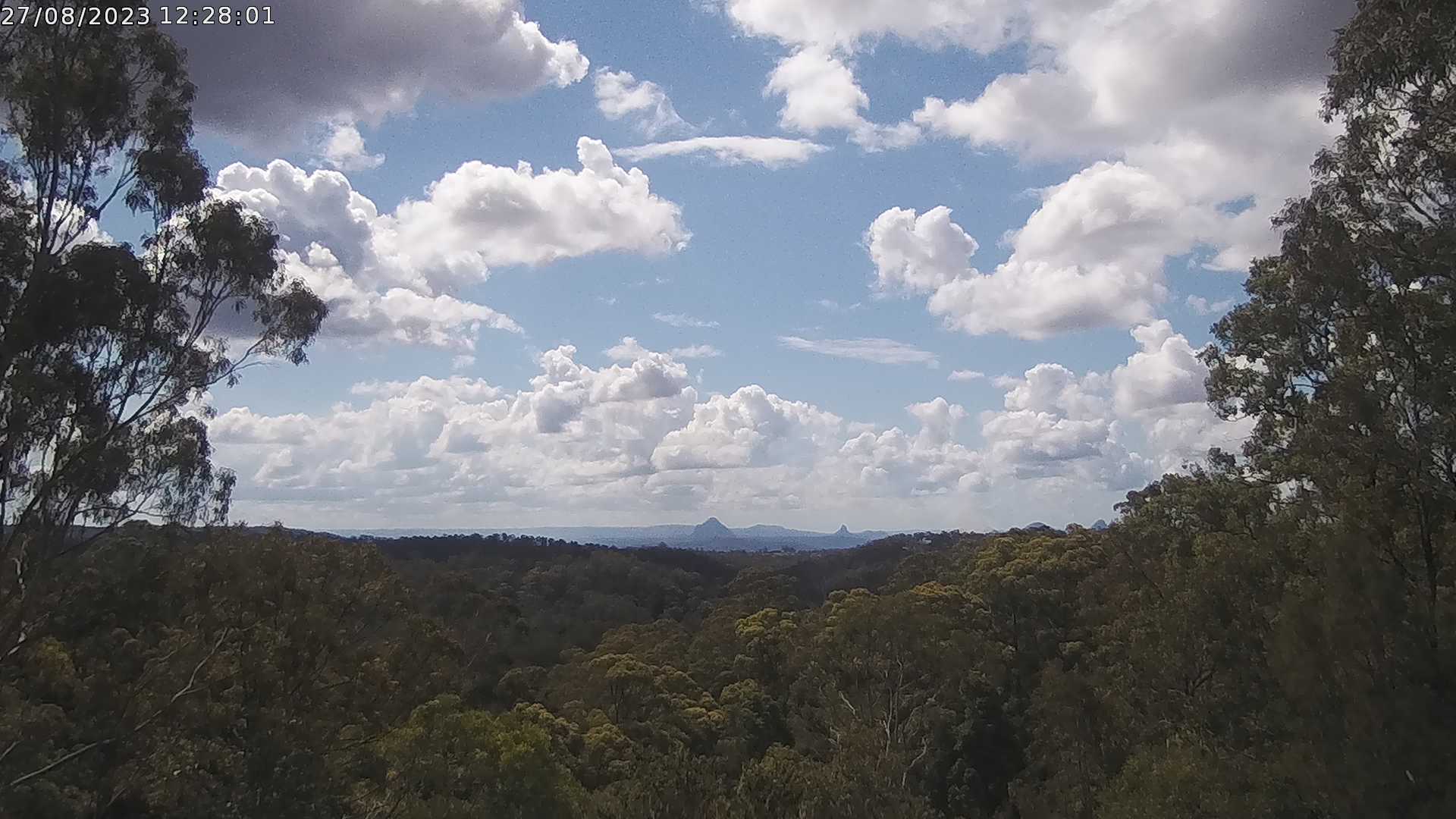
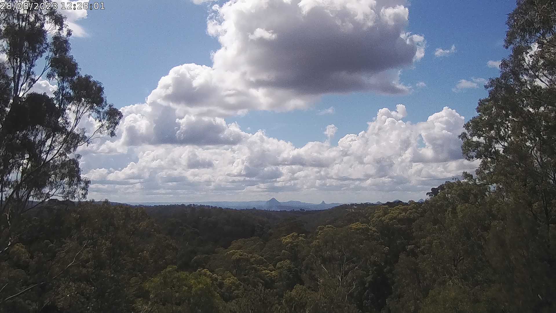
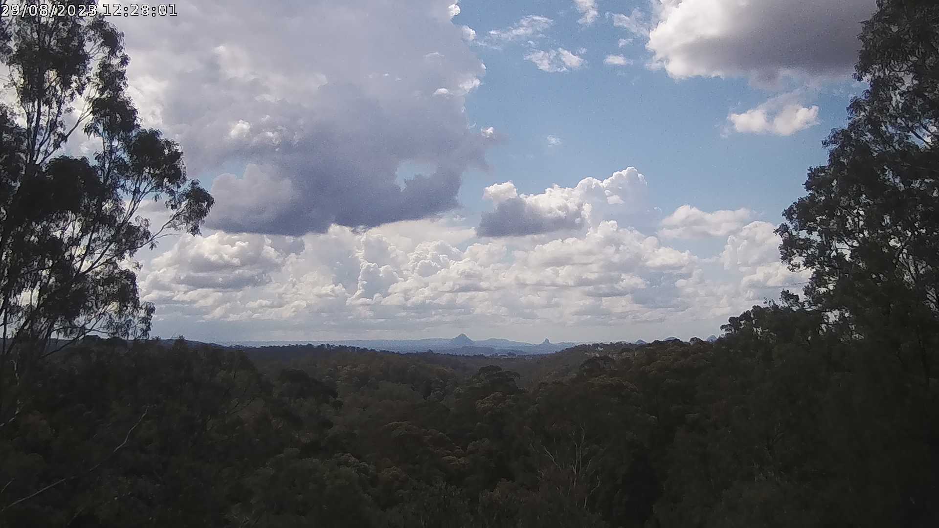
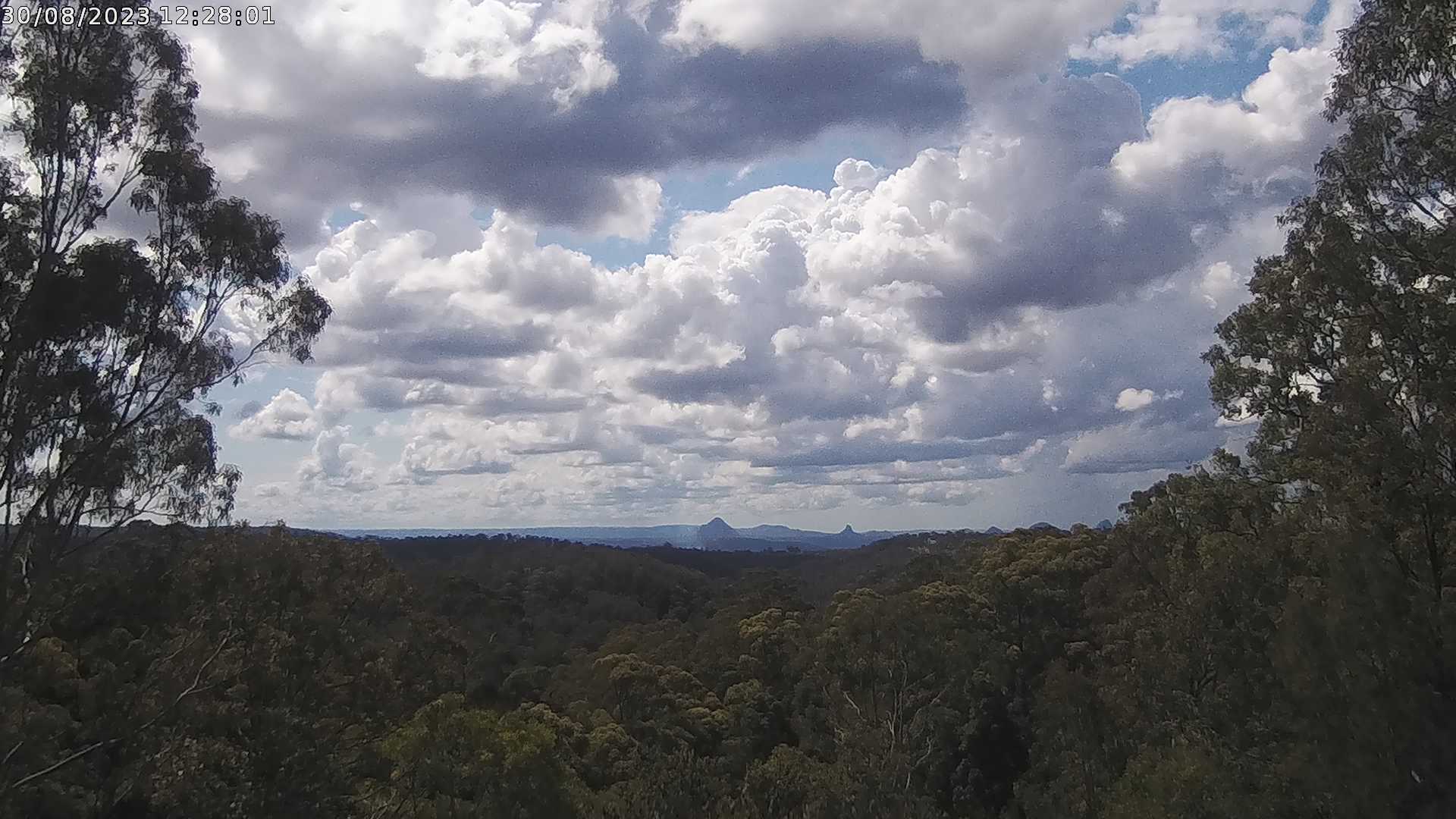
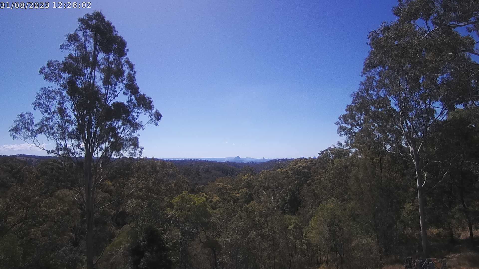
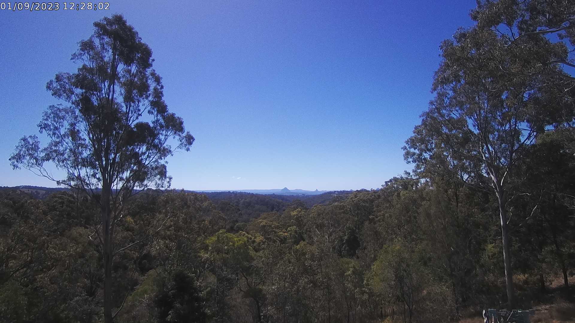
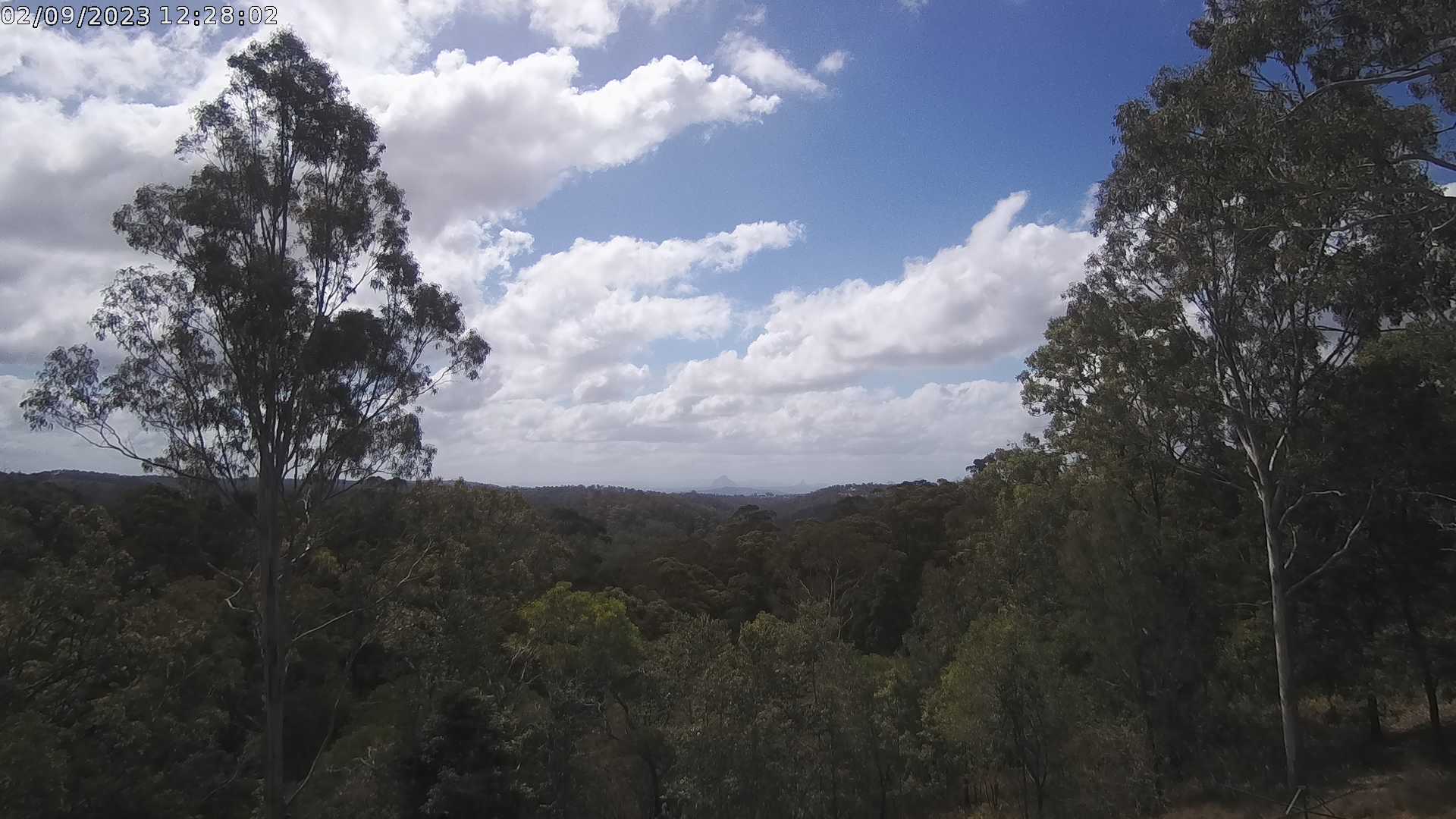
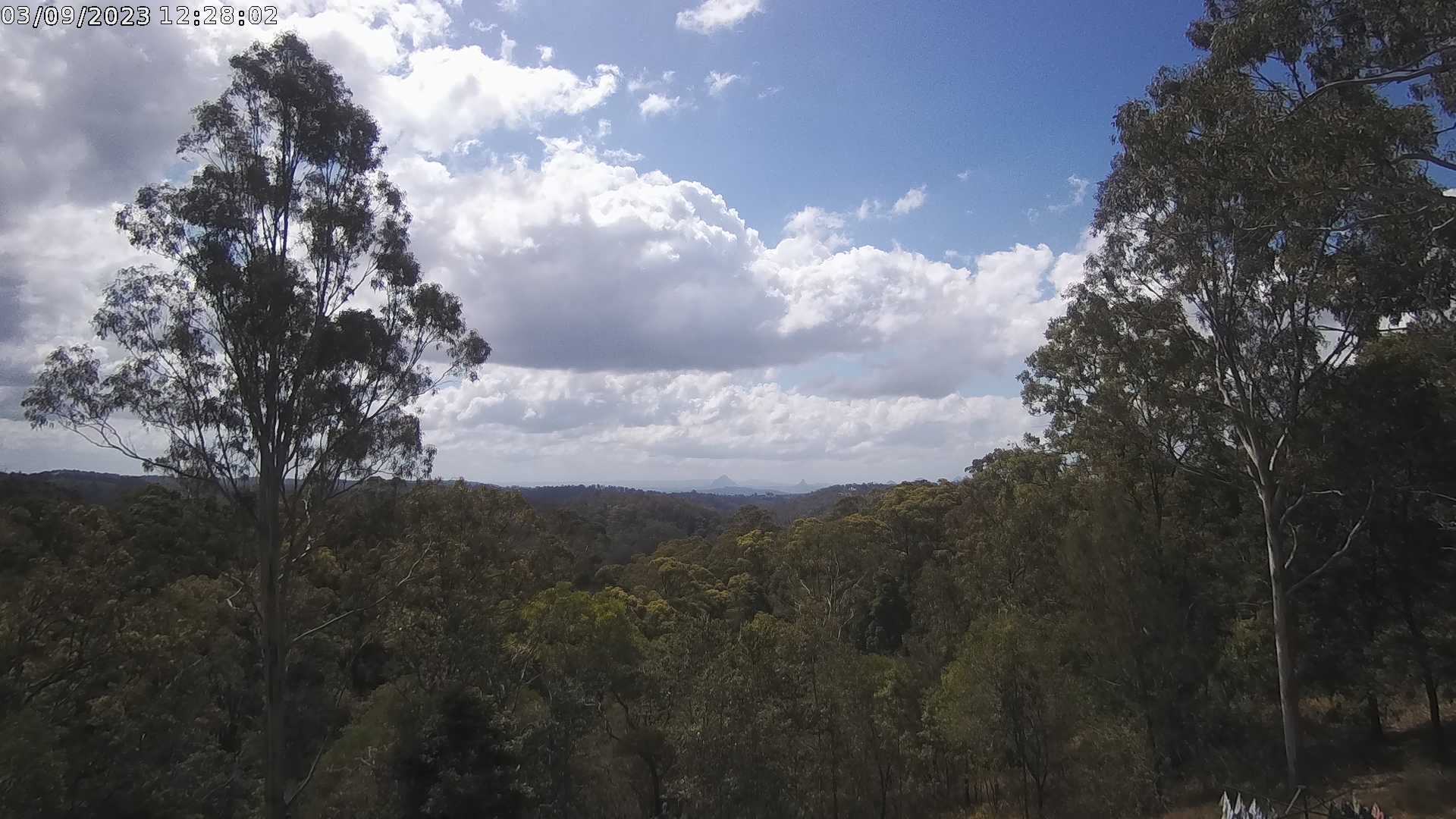
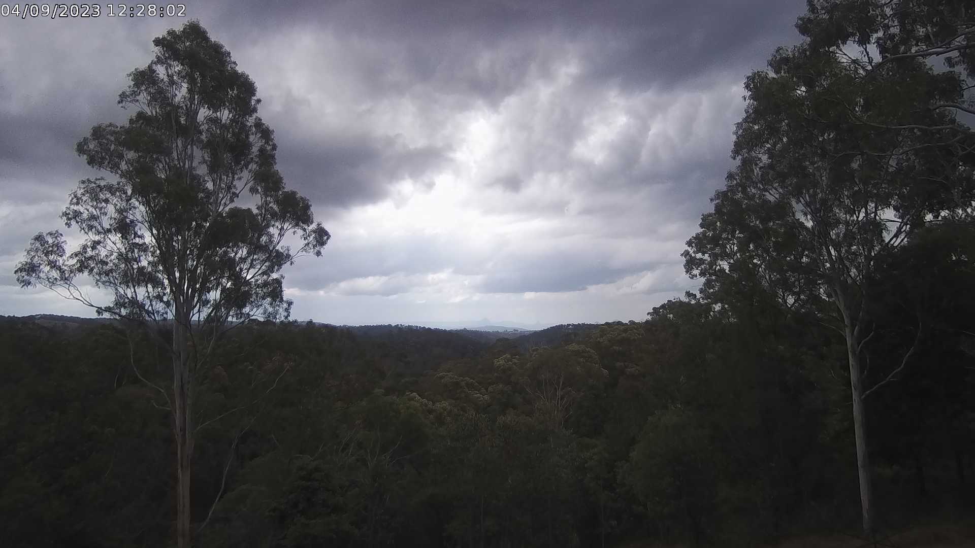
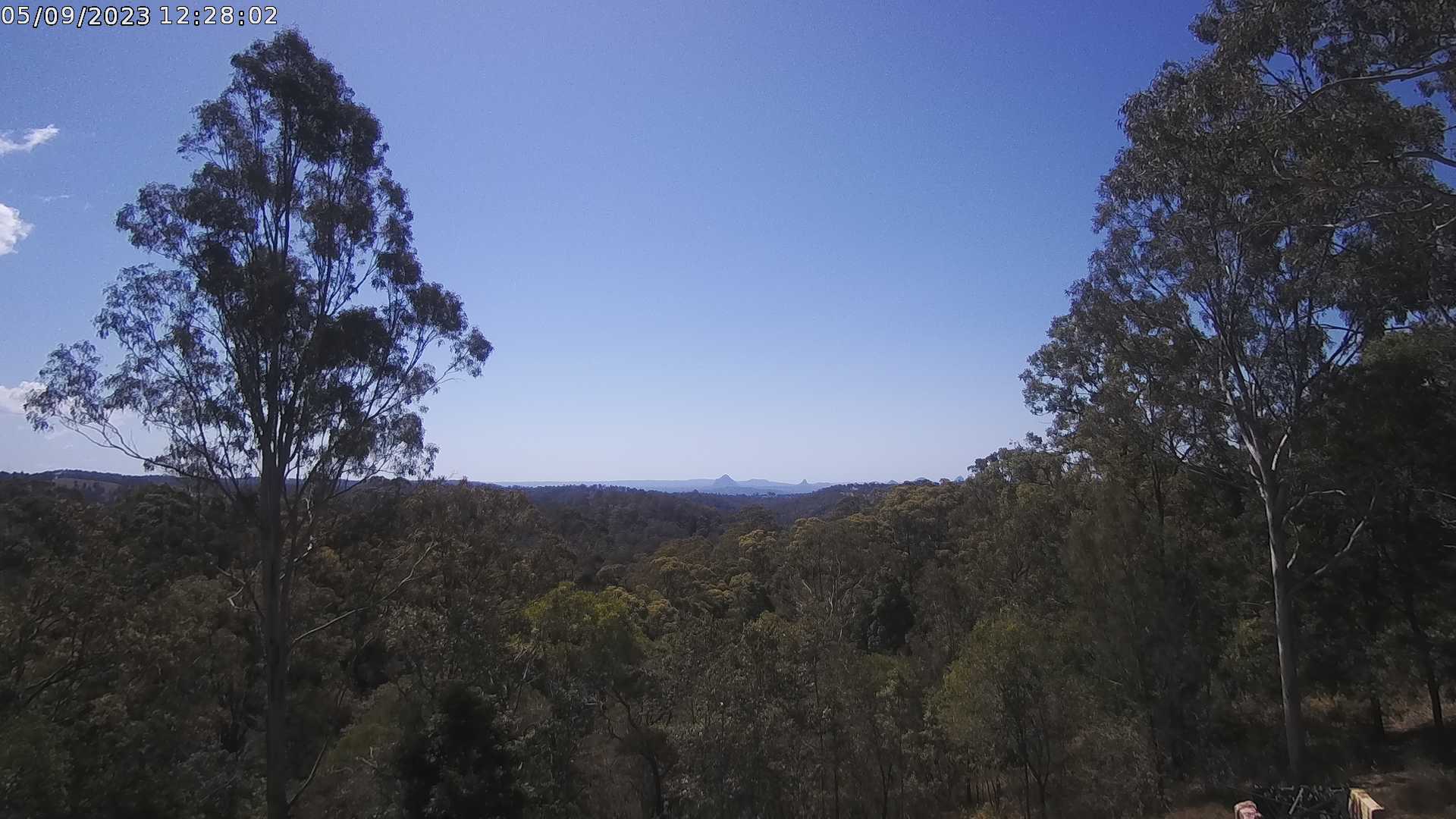
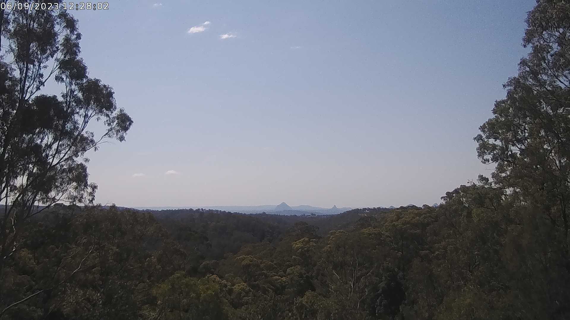
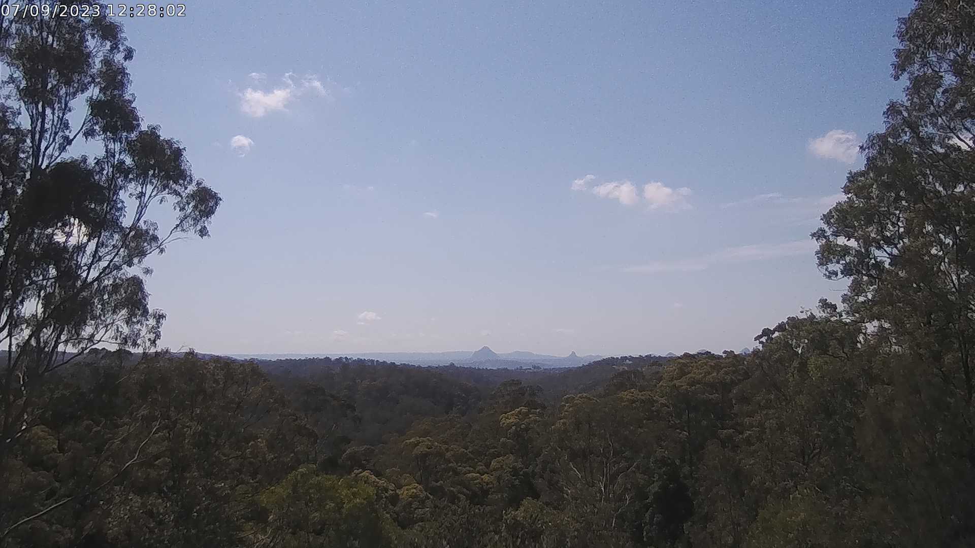
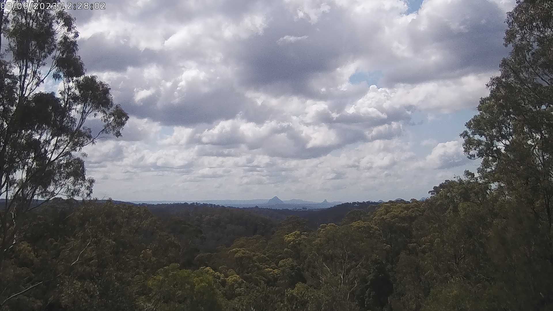
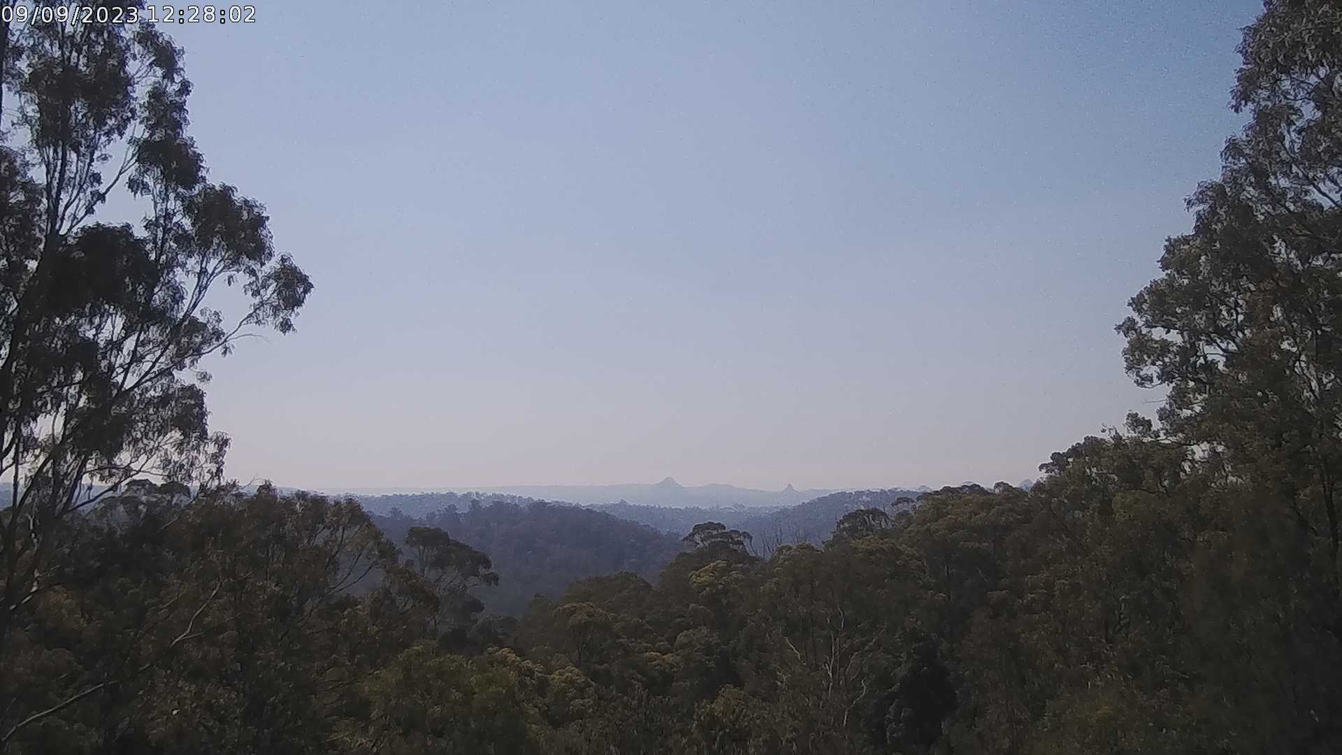
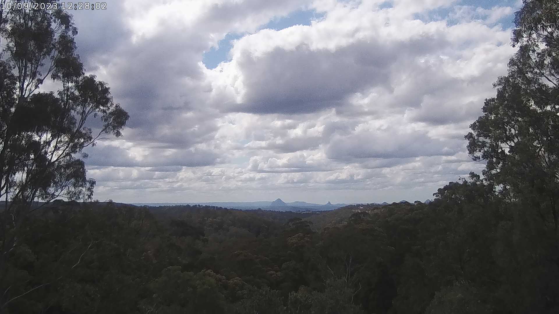
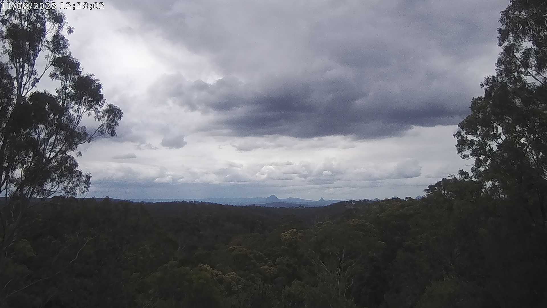
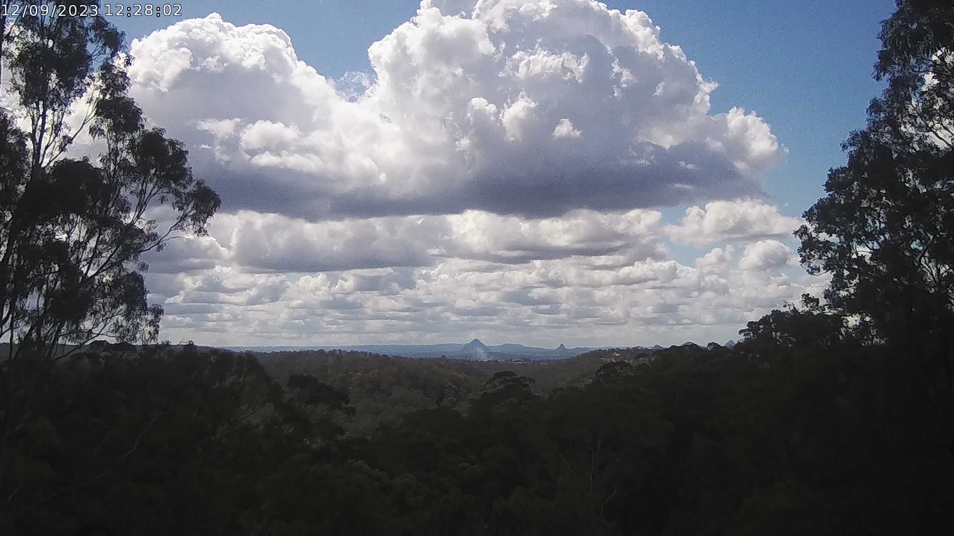
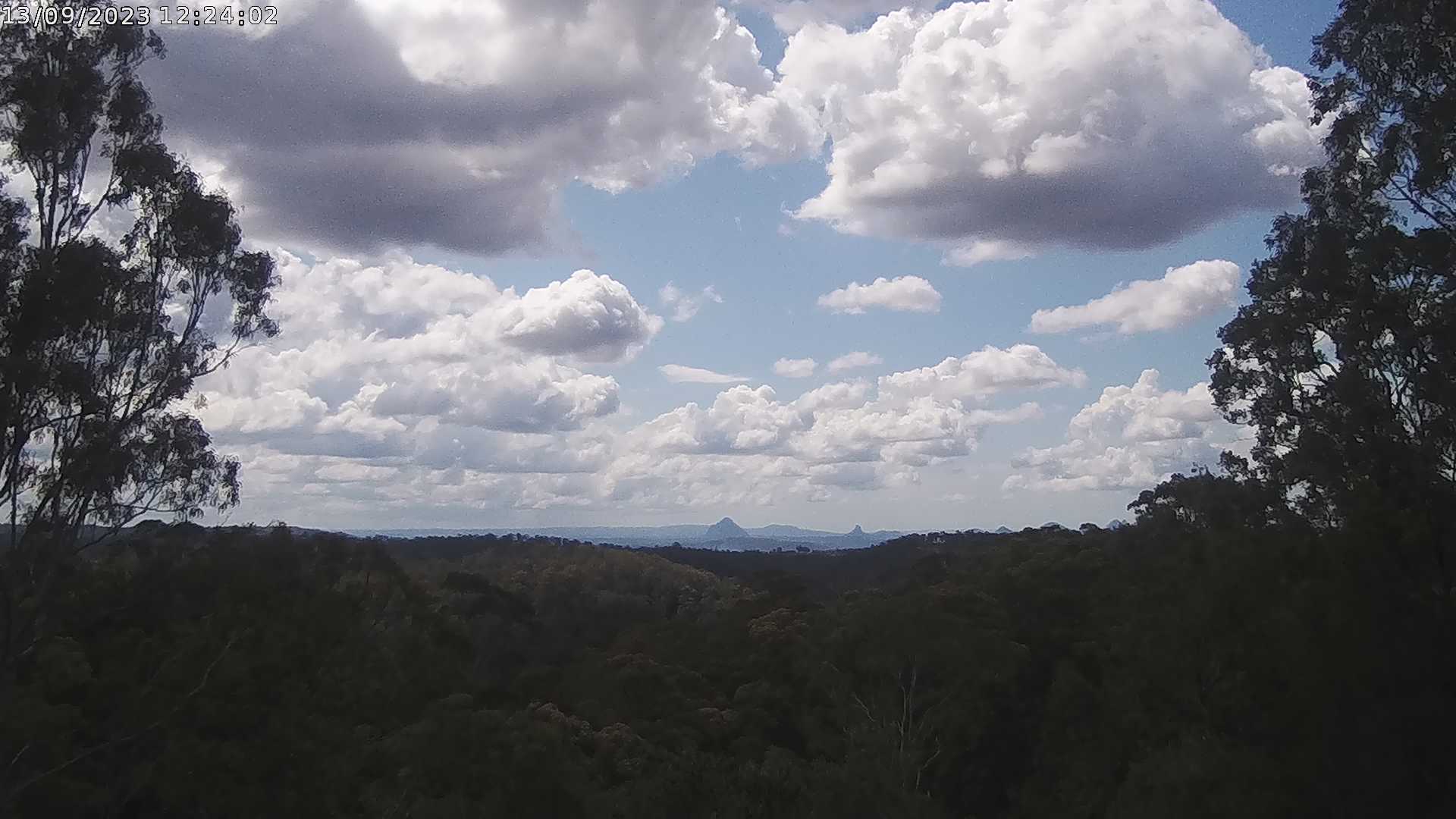
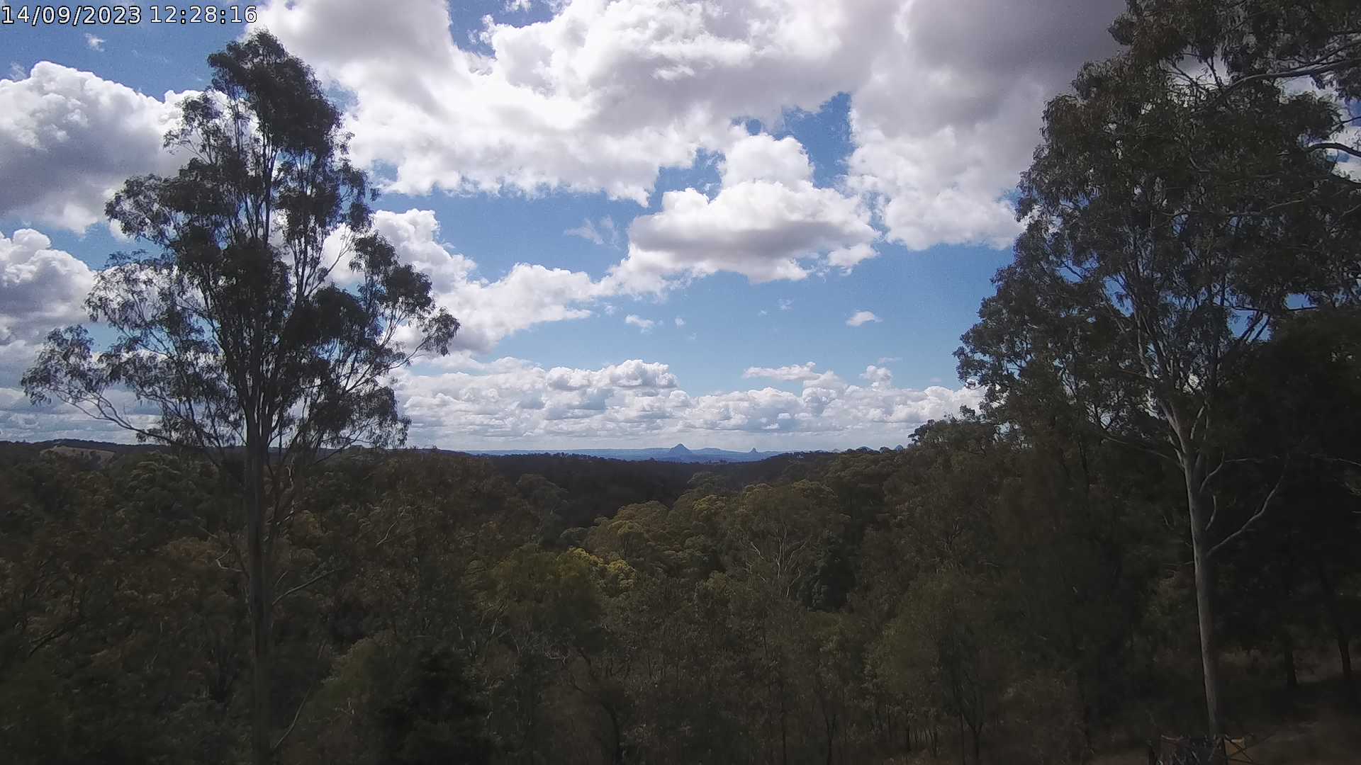
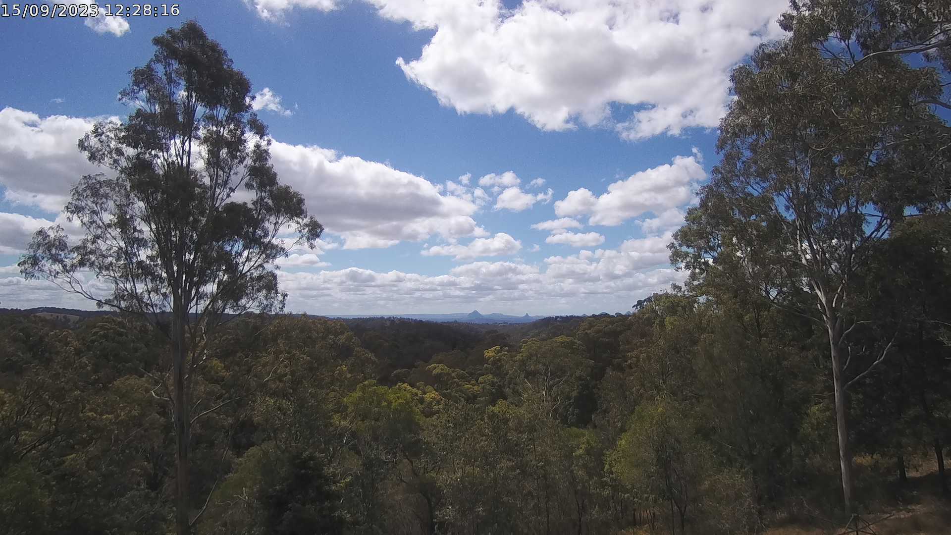
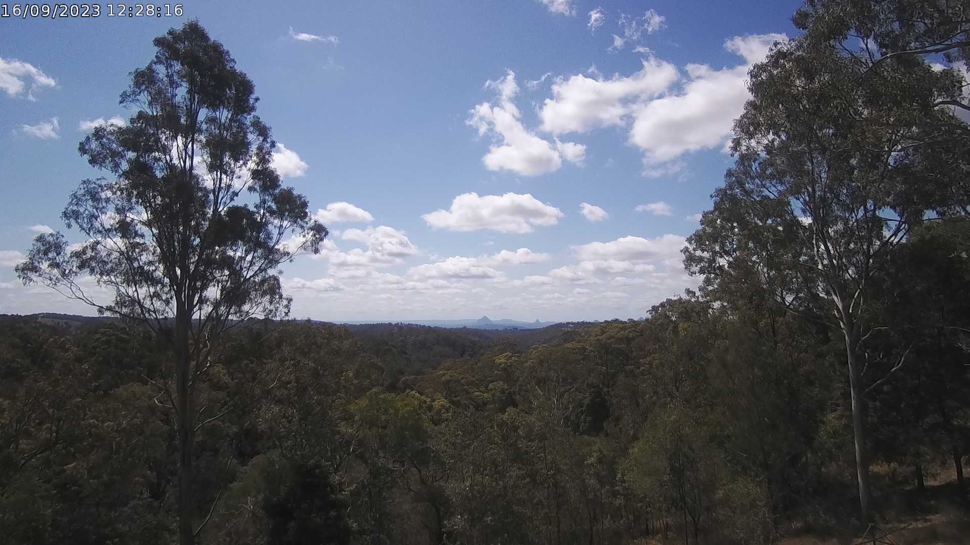
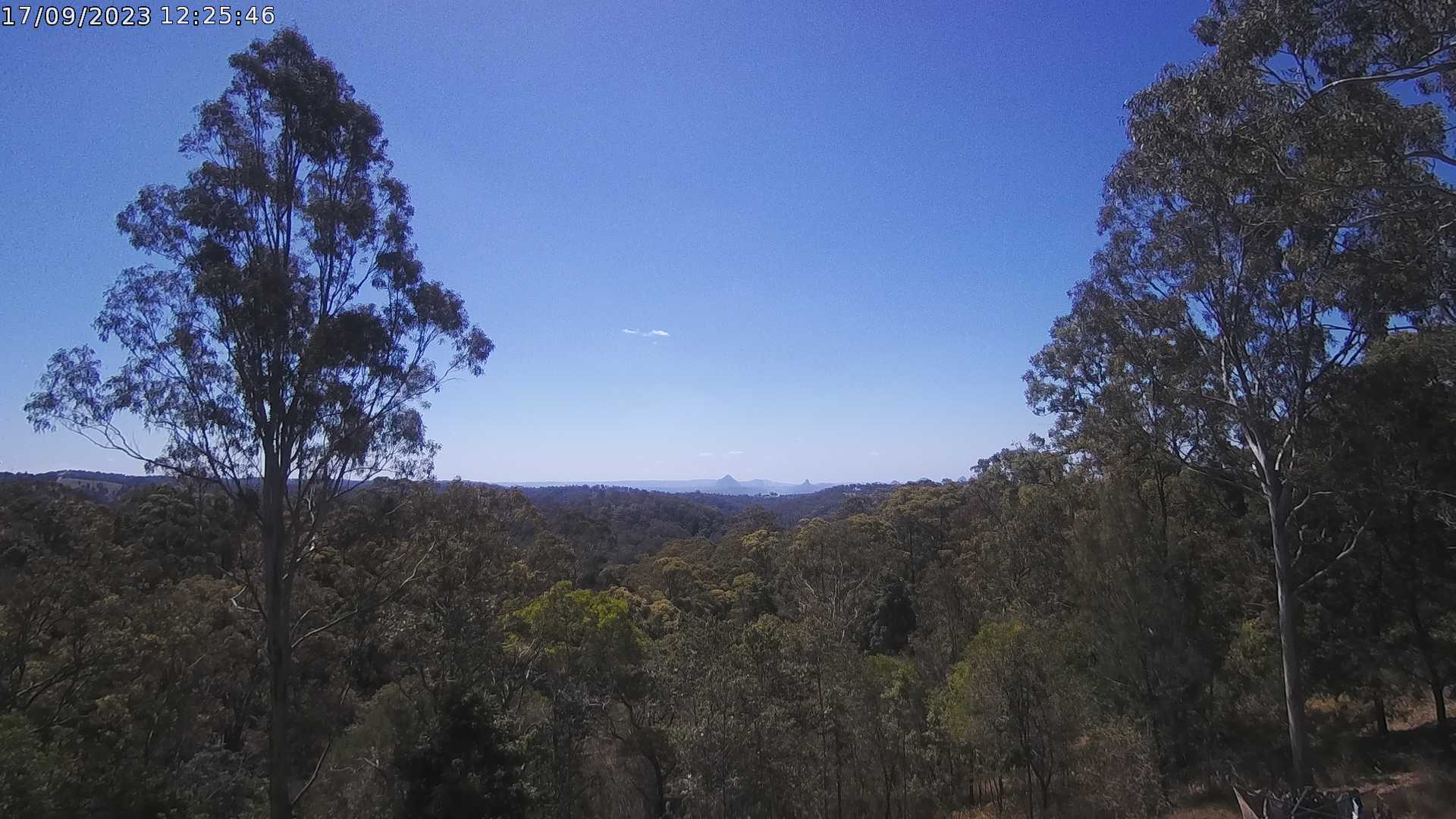
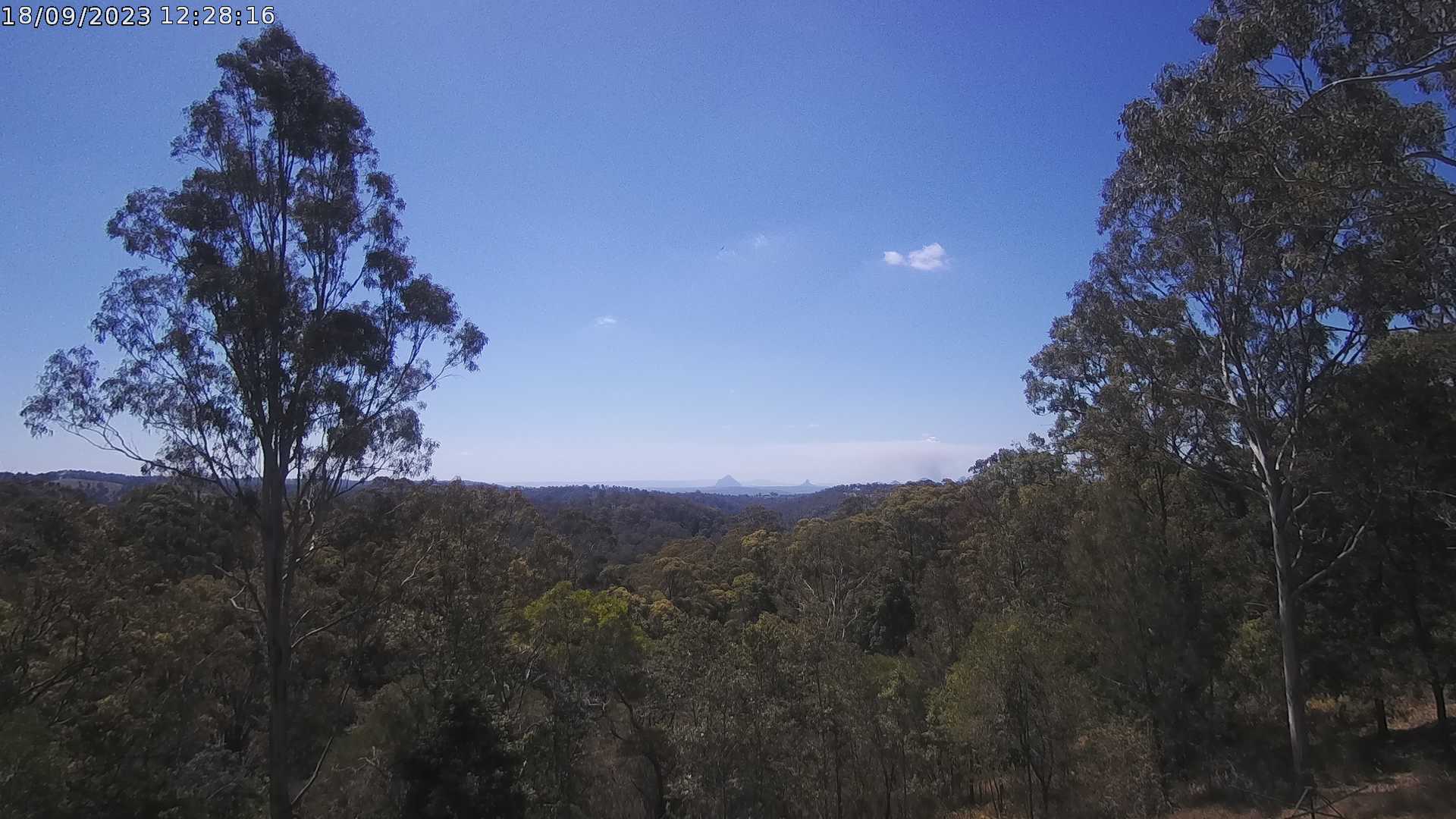
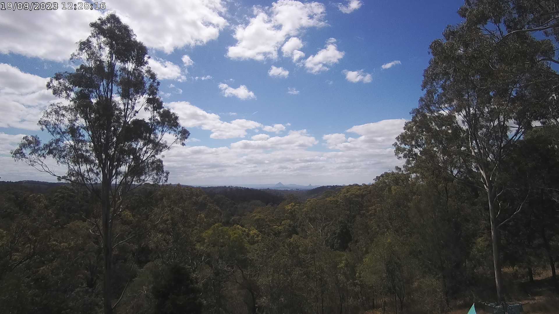
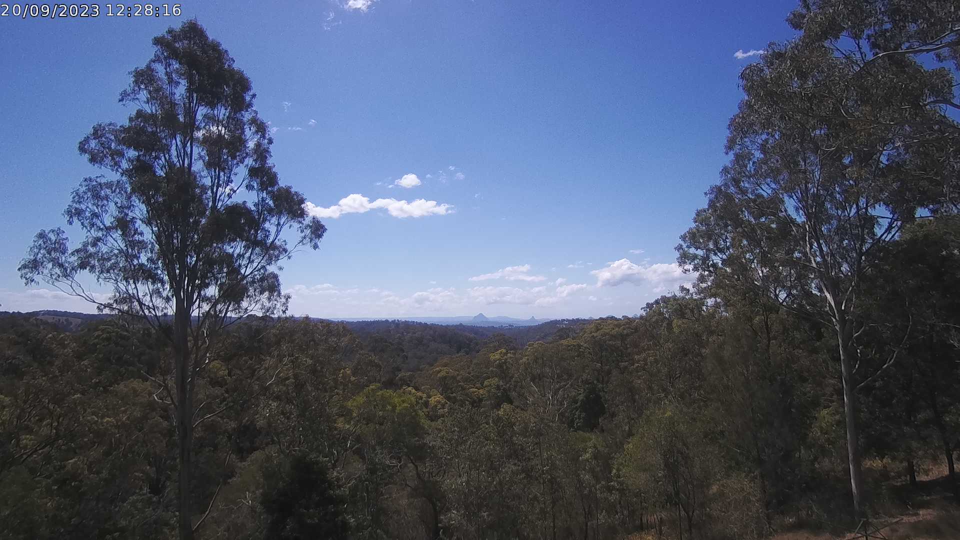
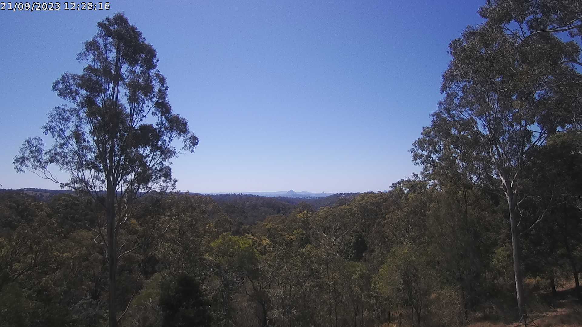
Ocean View, Australia - 45.3 miles from Benarkin: Glass House Mountains Weather Webcam - A view of the Glass House Mountains from Ocean View, QLD and looking north.
Operator: OceanViewWeather
Operator: OceanViewWeather


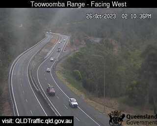
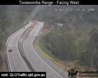
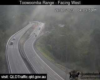
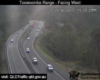
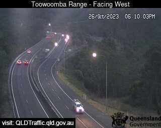
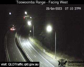
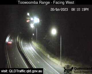
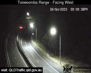
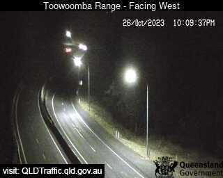
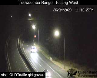
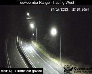
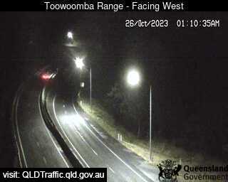
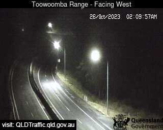
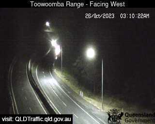
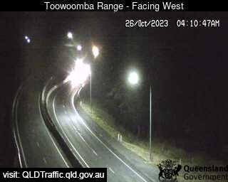
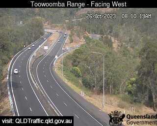
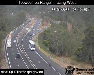
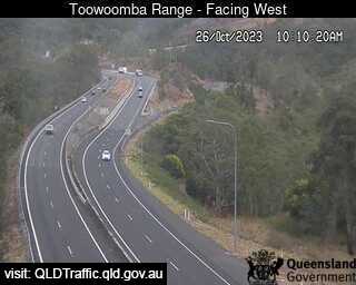
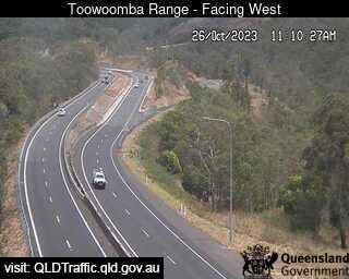
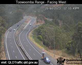
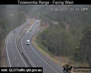
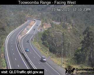
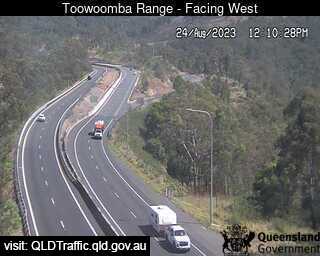
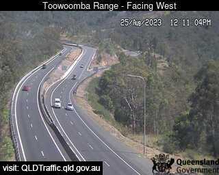
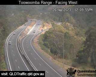
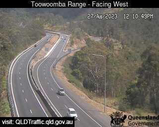
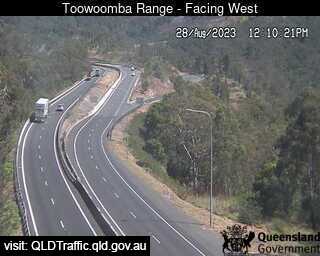
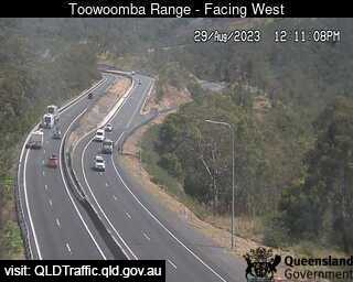
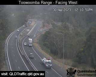
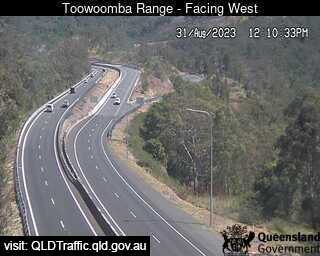
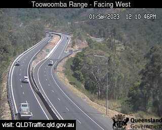
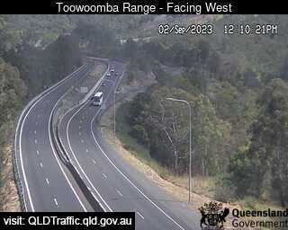
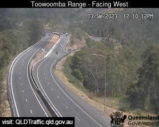
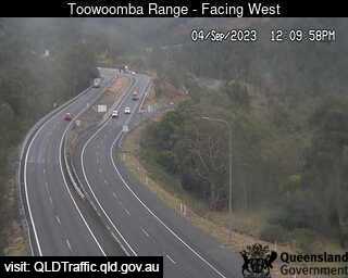
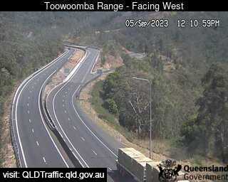
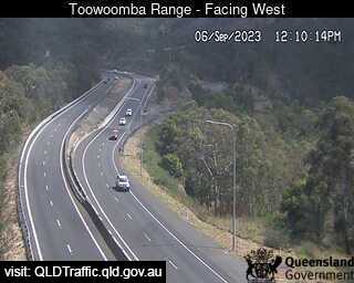
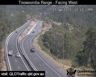
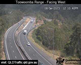
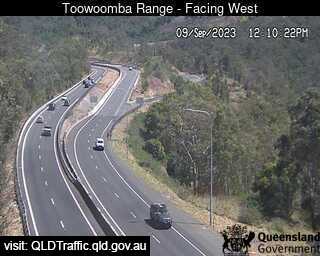
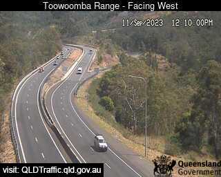
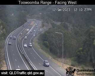
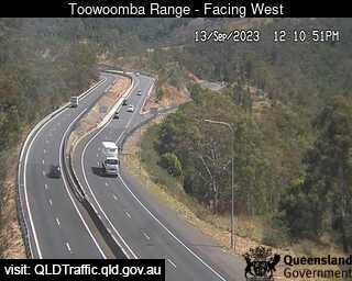
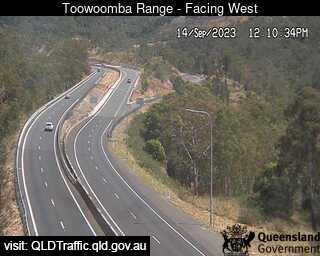
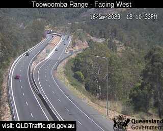
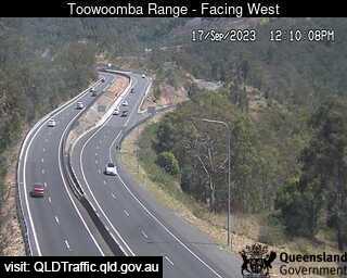
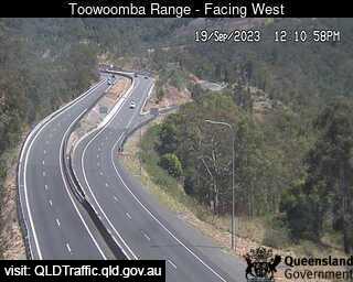
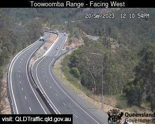
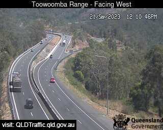
Toowoomba, Australia - 48.4 miles from Benarkin: Toowoomba Range - Saddle (West) - A view of the current traffic conditions.
Operator: Queensland Government - Department of Transport and Main Roads
Operator: Queensland Government - Department of Transport and Main Roads
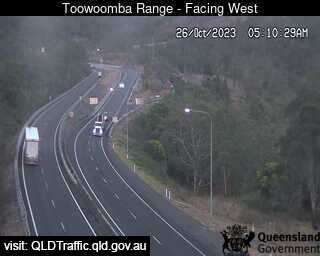


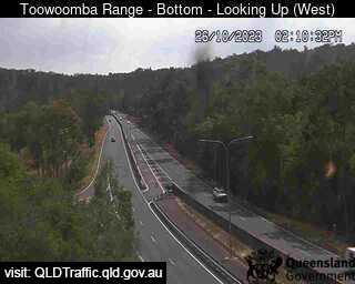
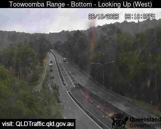
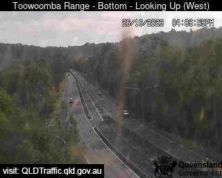
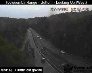
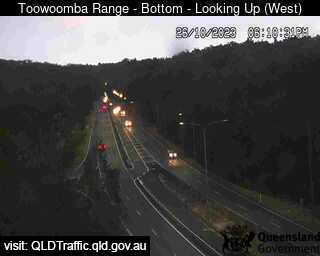
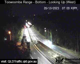
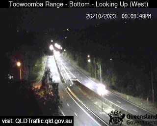
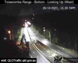
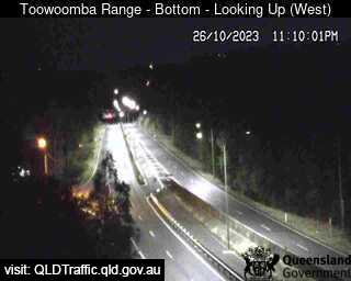
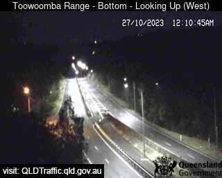
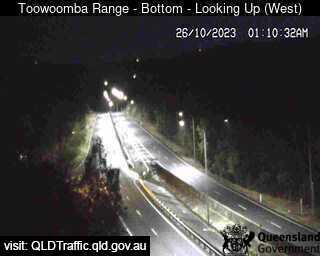
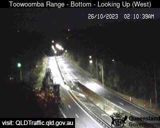
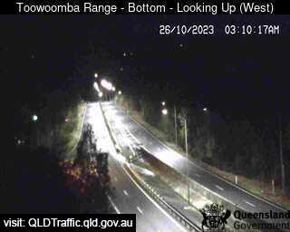
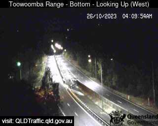
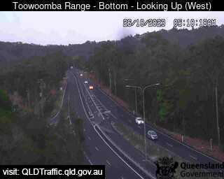
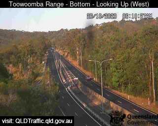
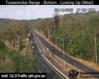
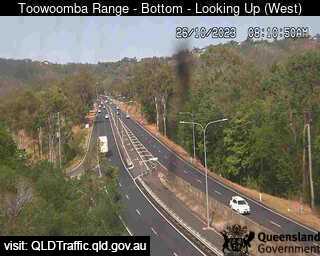
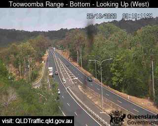
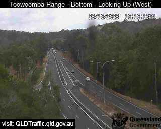
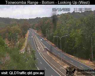
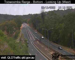
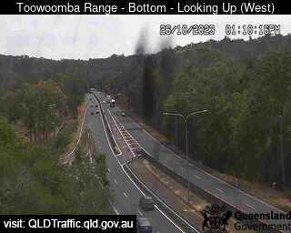
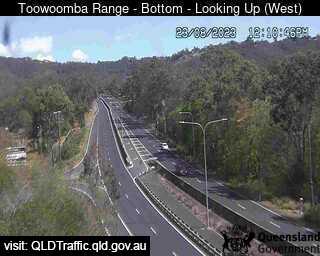
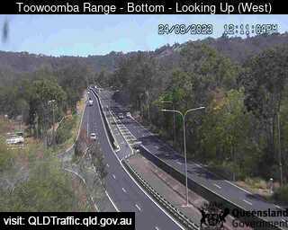
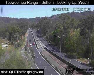
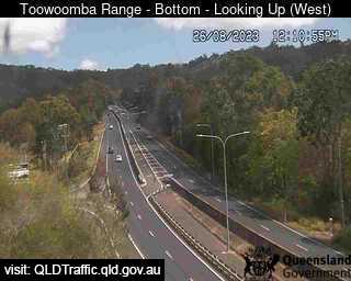
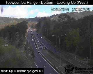
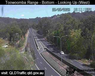
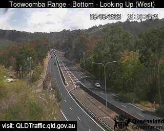
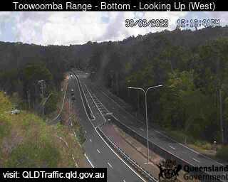
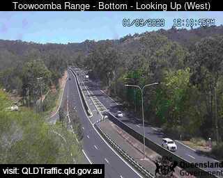
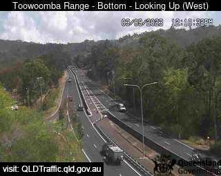
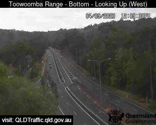
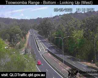
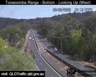
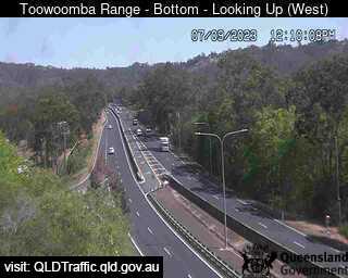
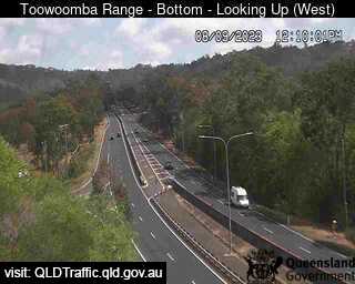
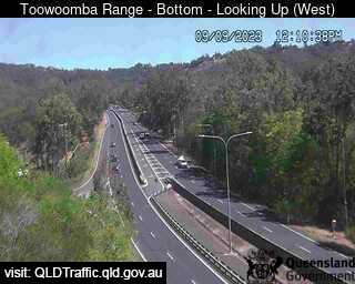
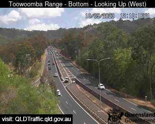
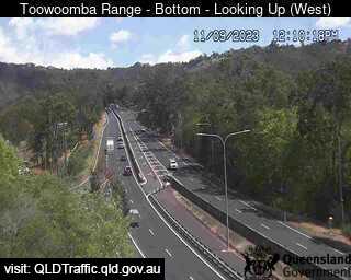
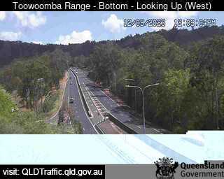
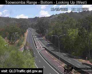
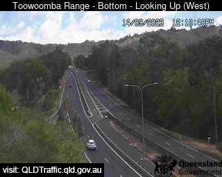
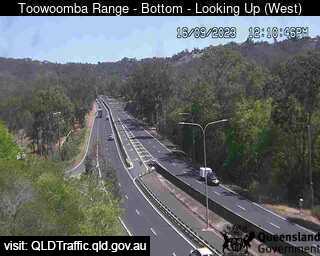
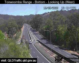
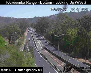
Toowoomba, Australia - 48.4 miles from Benarkin: Toowoomba Range - Bottom (Looking up - west) - A view of the current traffic conditions.
Operator: Queensland Government - Department of Transport and Main Roads
Operator: Queensland Government - Department of Transport and Main Roads


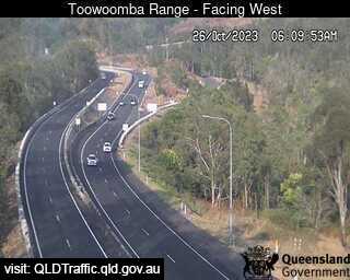
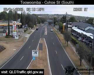
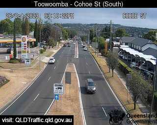
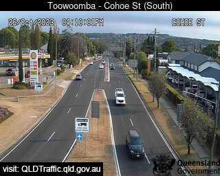
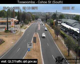
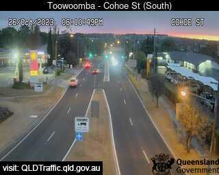
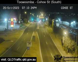
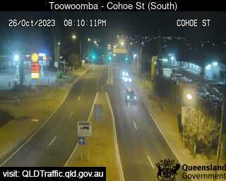
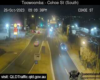
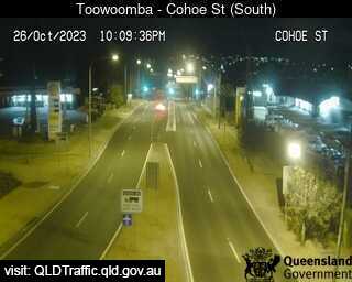
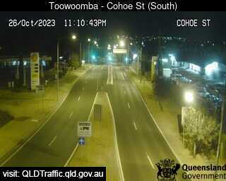
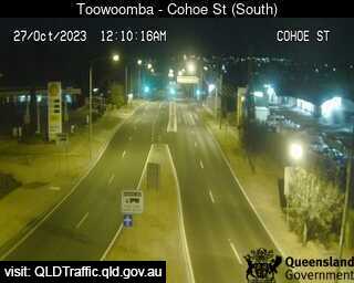
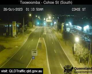
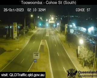
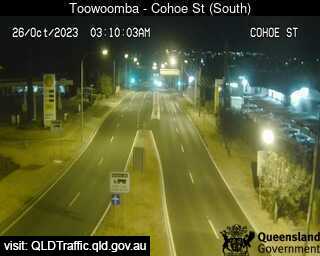
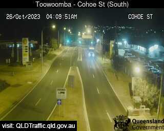
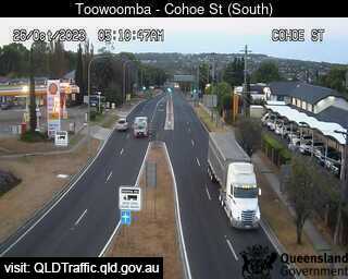
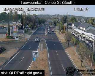
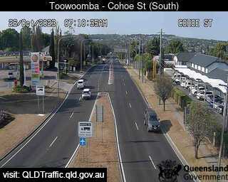
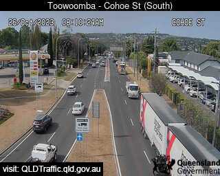
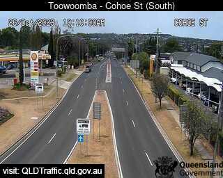
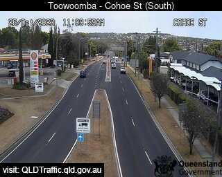
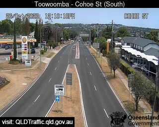
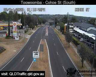
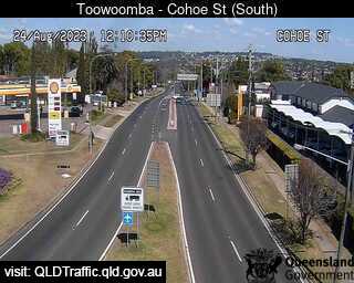
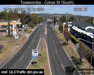
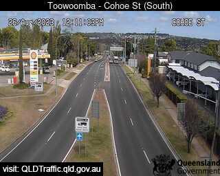
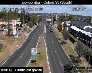
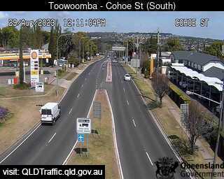
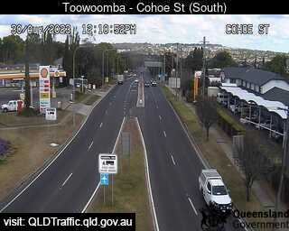
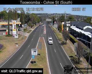
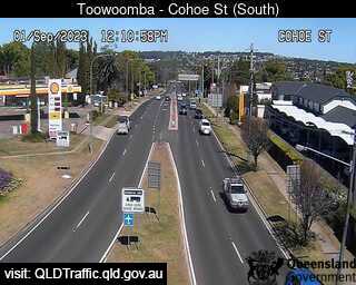
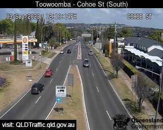
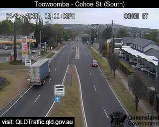
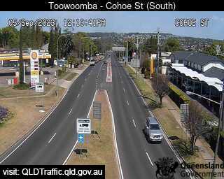
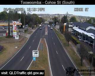
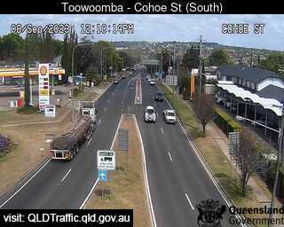
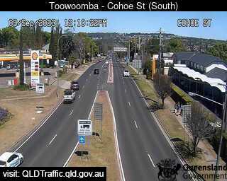
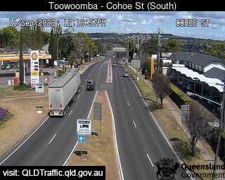
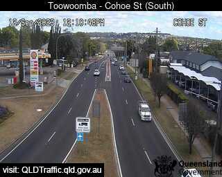
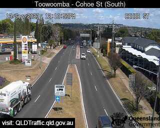
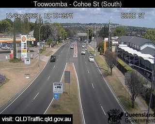
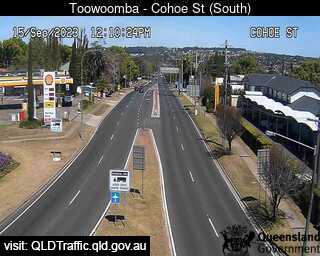
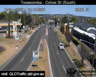
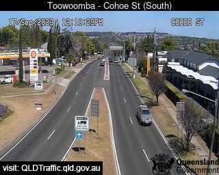
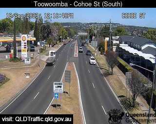
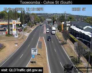
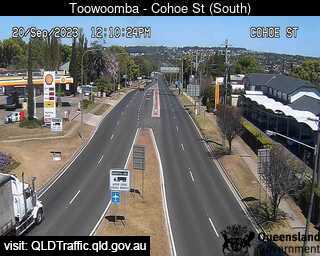
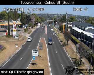
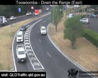
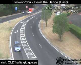
Toowoomba, Australia - 48.4 miles from Benarkin: Toowoomba Range - Top (South to Cohoe Street) - A view of the current traffic conditions.
Operator: Queensland Government - Department of Transport and Main Roads
Operator: Queensland Government - Department of Transport and Main Roads


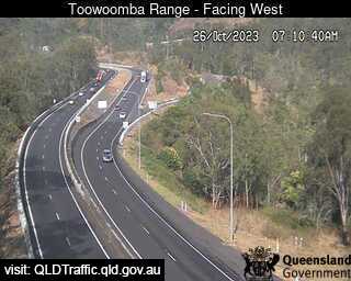
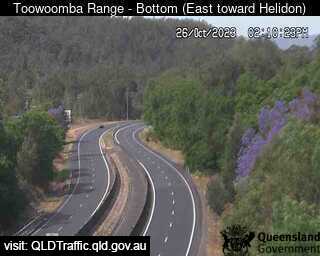
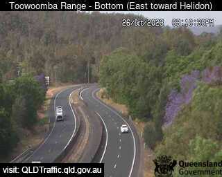
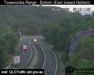
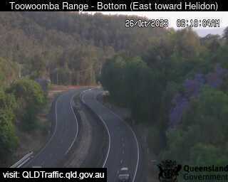
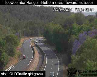
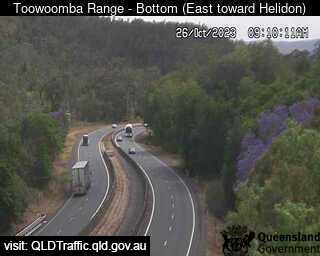
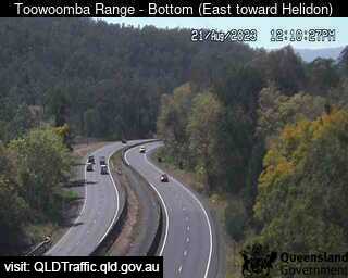
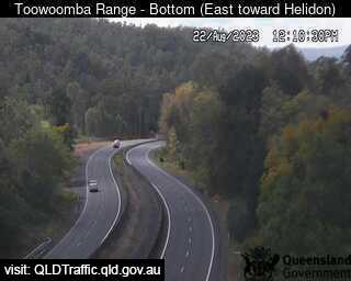
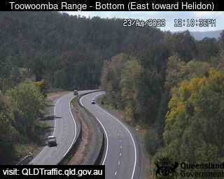
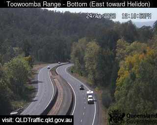
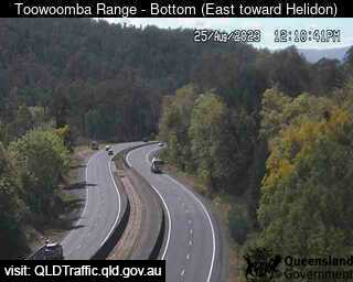
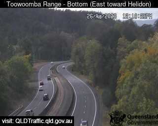
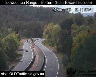
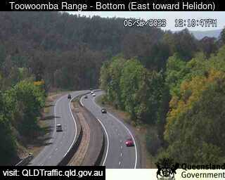
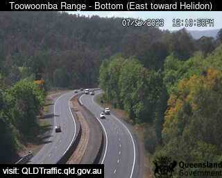
Toowoomba, Australia - 48.4 miles from Benarkin: Toowoomba Range - Bottom (East toward Helidon) - A view of the current traffic conditions.
Operator: Queensland Government - Department of Transport and Main Roads
Operator: Queensland Government - Department of Transport and Main Roads


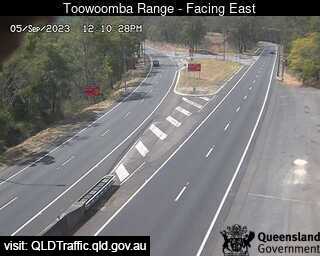
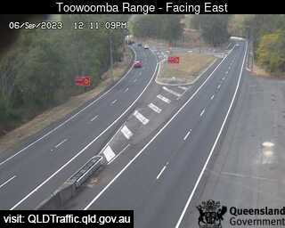
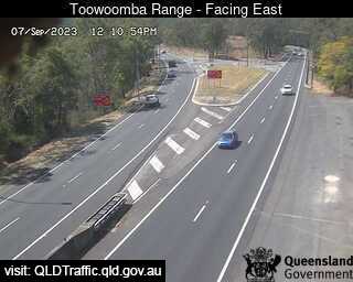
Toowoomba, Australia - 48.4 miles from Benarkin: Toowoomba Range - Saddle (East) - A view of the current traffic conditions.
Operator: Queensland Government - Department of Transport and Main Roads
Operator: Queensland Government - Department of Transport and Main Roads
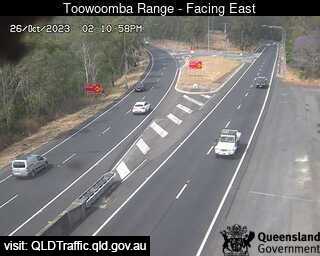
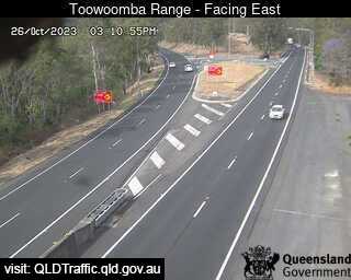
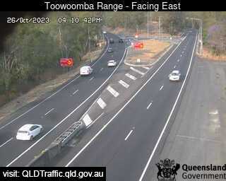

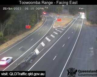
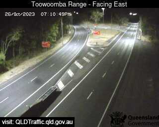
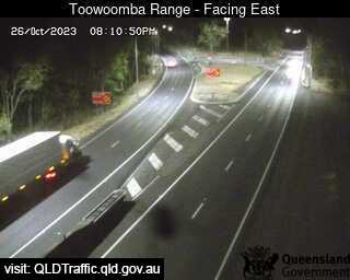
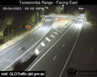
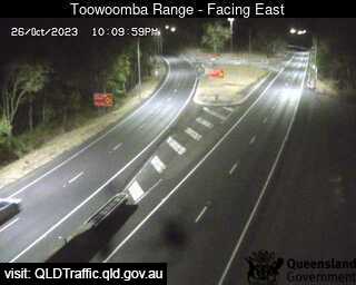
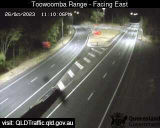
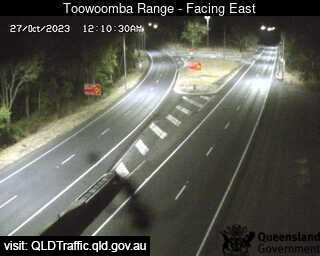
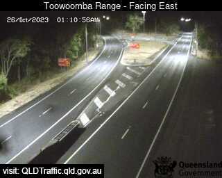
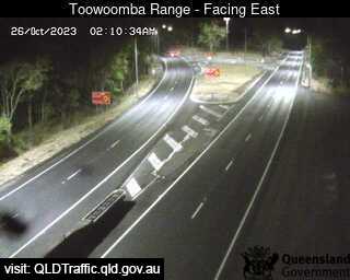
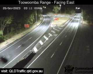
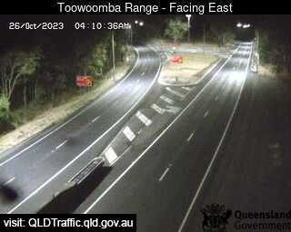
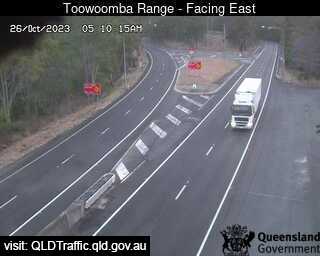
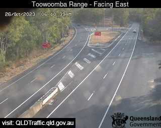

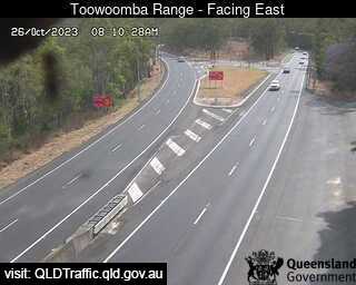

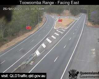
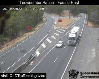
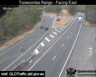
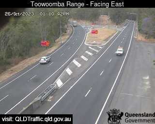
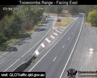
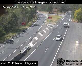
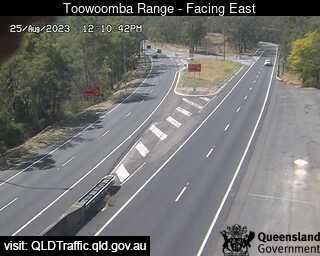
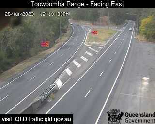
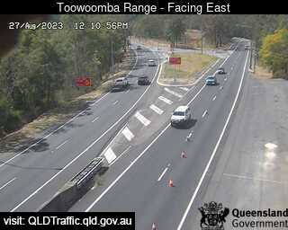
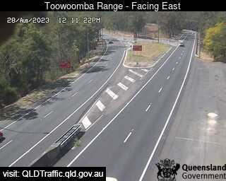
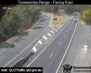
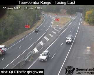

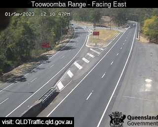
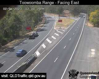
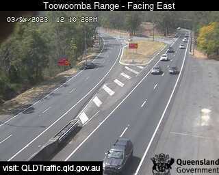
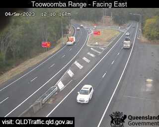
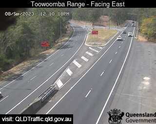
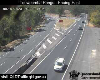
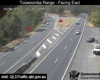
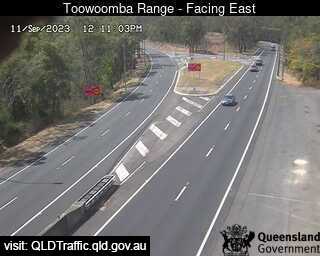
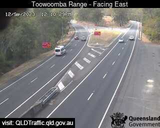
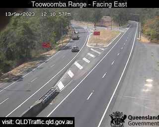
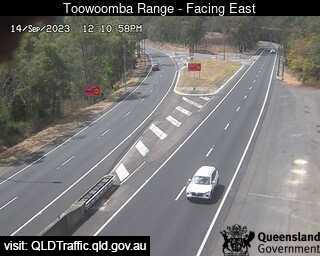
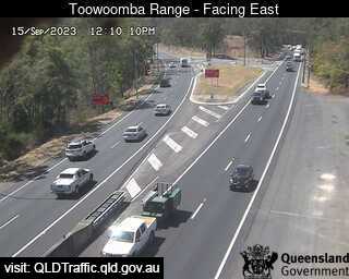
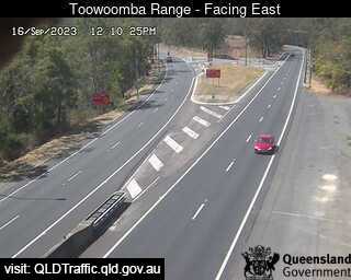
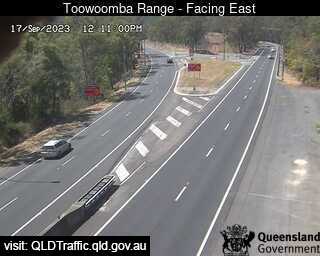
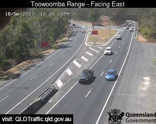
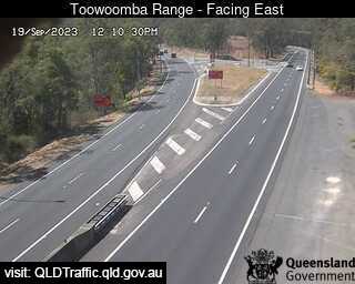
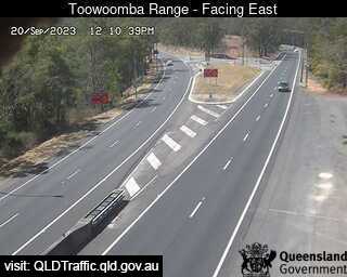
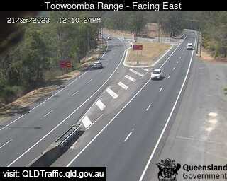

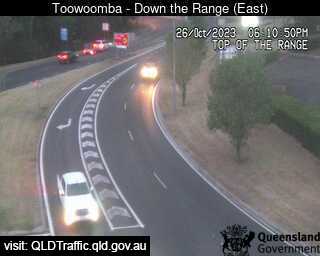
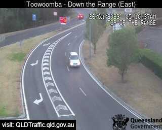
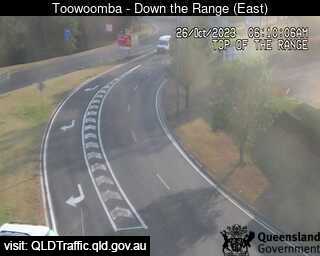
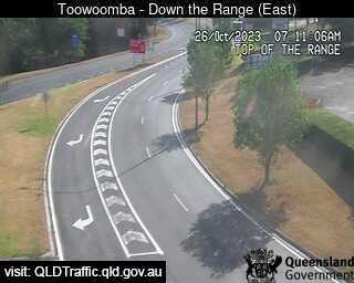
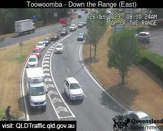
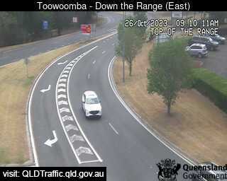
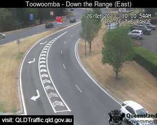
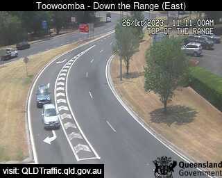
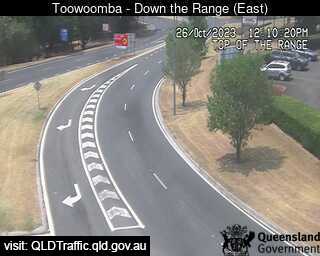
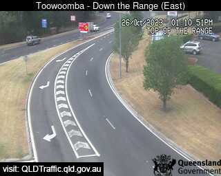
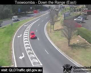
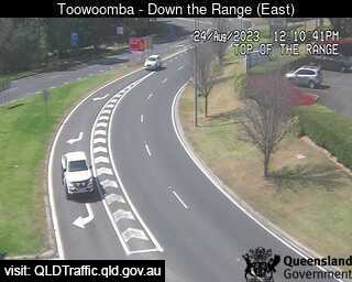
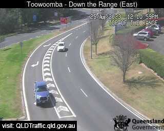
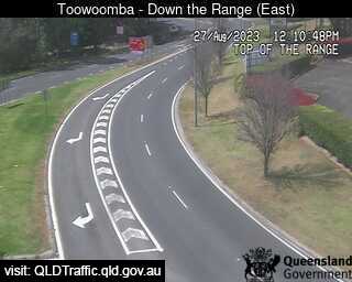
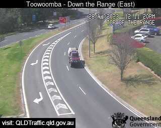
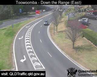
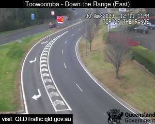
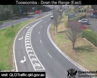
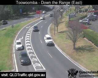
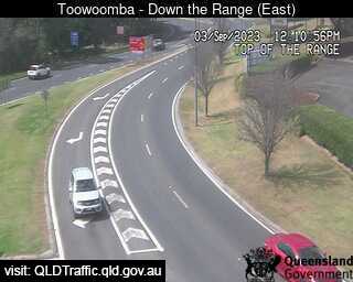
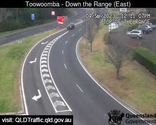
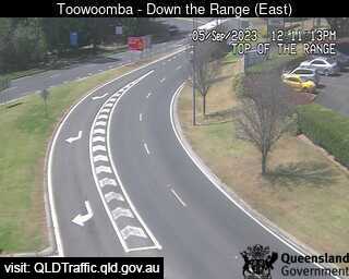
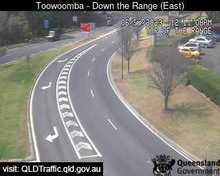
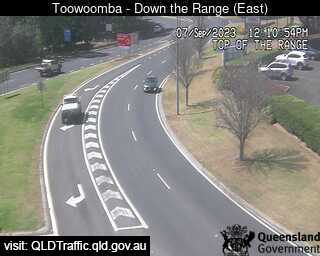
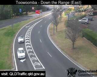
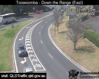
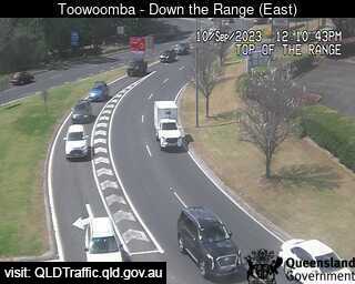
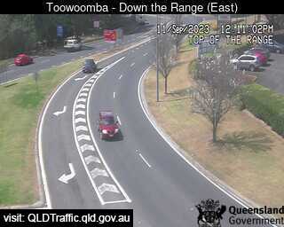
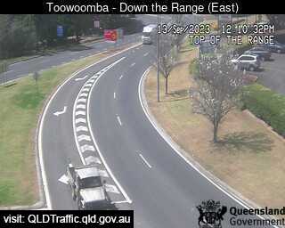
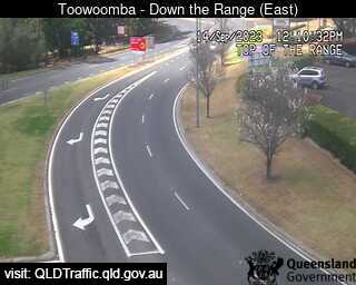
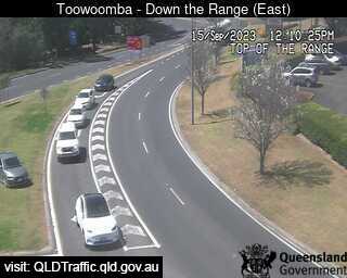
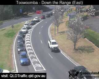
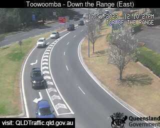
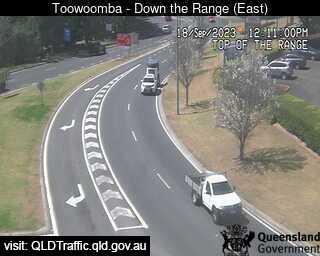
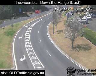
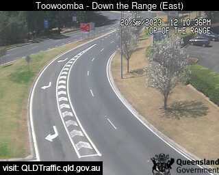
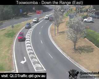
Toowoomba, Australia - 48.4 miles from Benarkin: Toowoomba Range - Top (East) - A view of the current traffic conditions.
Operator: Queensland Government - Department of Transport and Main Roads
Operator: Queensland Government - Department of Transport and Main Roads


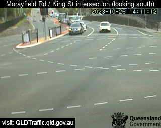
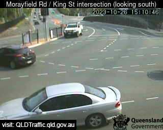
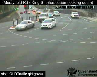
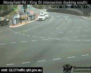
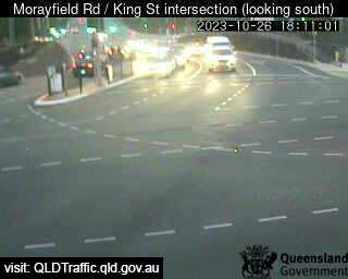
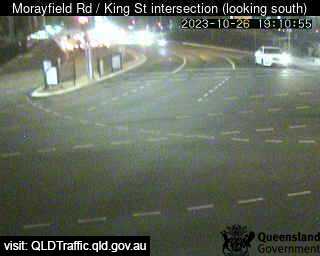
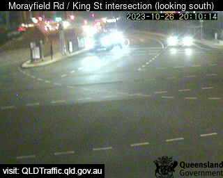
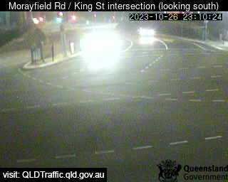
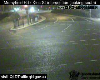
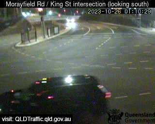
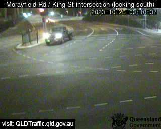
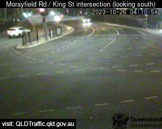
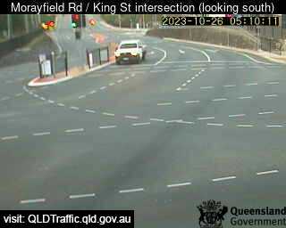
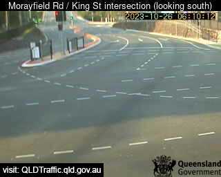
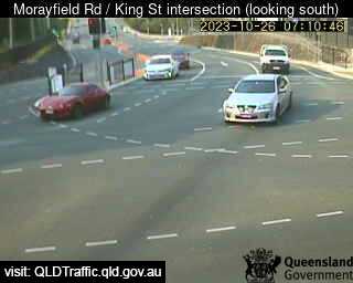
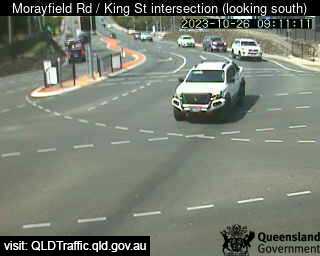
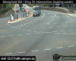
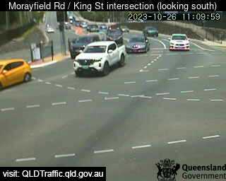
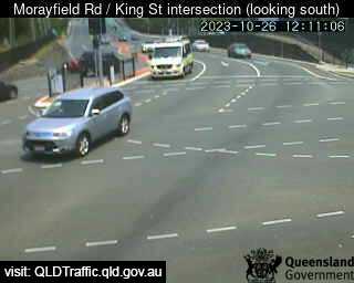
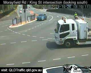
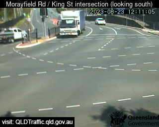
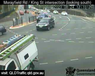
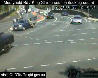
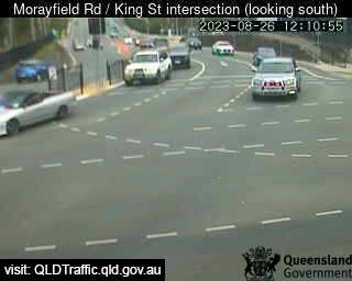
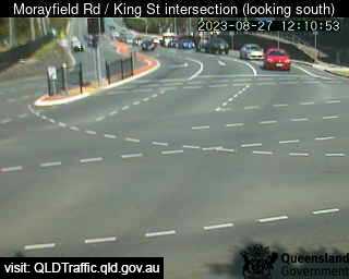
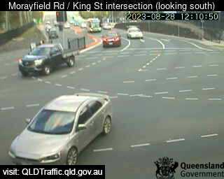
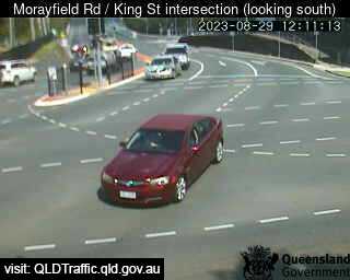
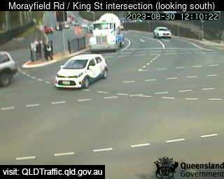
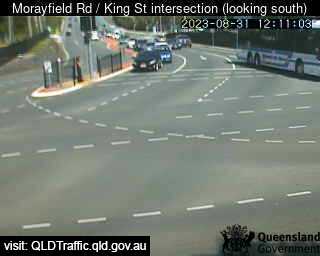
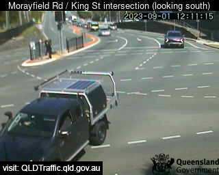
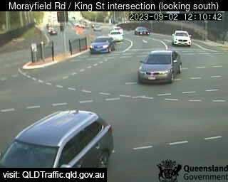
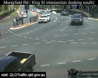
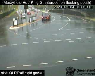
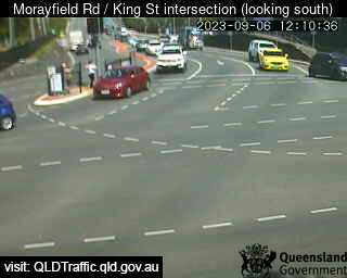
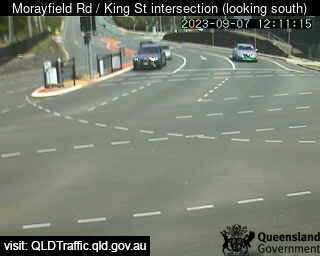
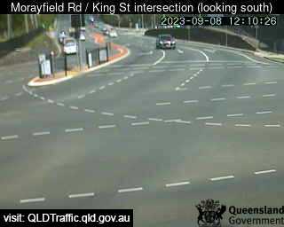
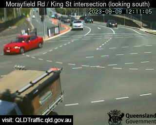
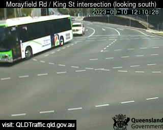
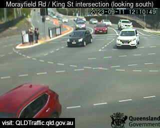
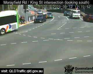
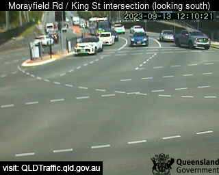
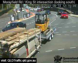
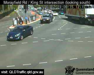
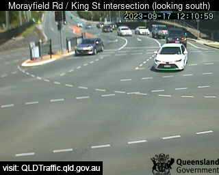
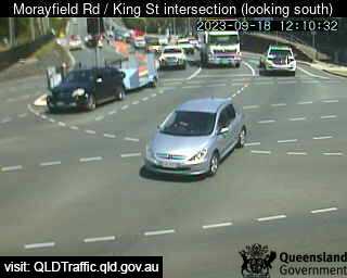
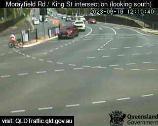
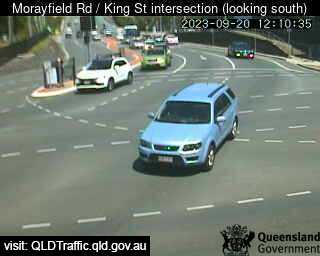
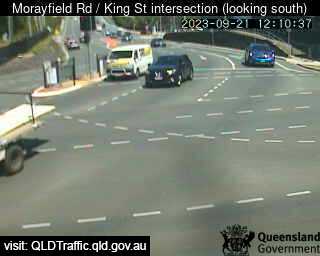
Caboolture, Australia - 52.2 miles from Benarkin: Morayfield Road / King Street intersection (East) - A view of the current traffic conditions.
Operator: Queensland Government - Department of Transport and Main Roads
Operator: Queensland Government - Department of Transport and Main Roads


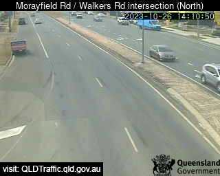
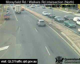
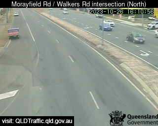
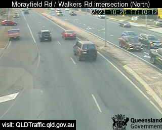
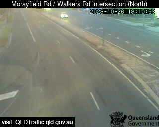
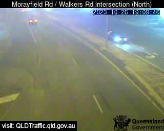
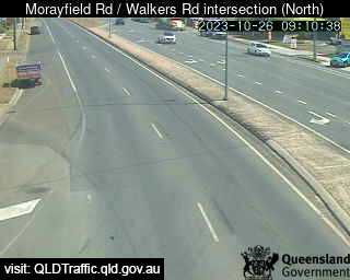
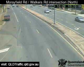
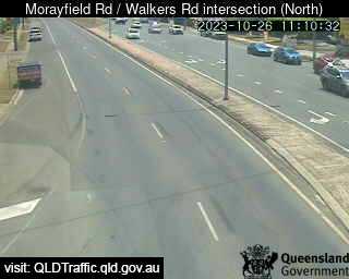
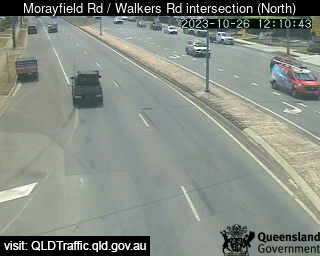
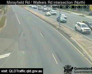
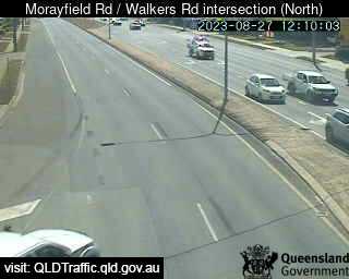
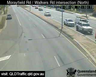
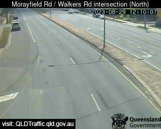
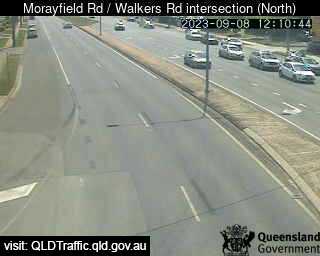
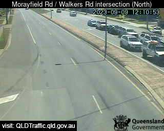
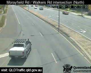
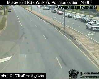
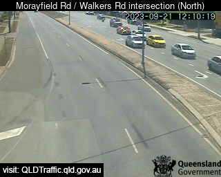
Morayfield, Australia - 52.6 miles from Benarkin: Morayfield Road / Walkers Road intersection (South) - A view of the current traffic conditions.
Operator: Queensland Government - Department of Transport and Main Roads
Operator: Queensland Government - Department of Transport and Main Roads


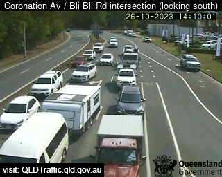
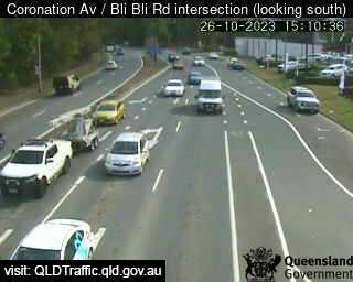
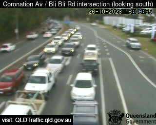
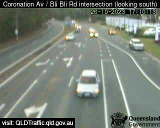
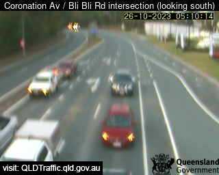
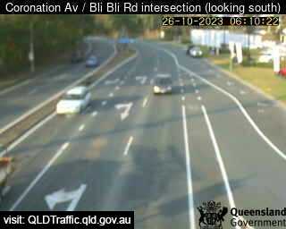
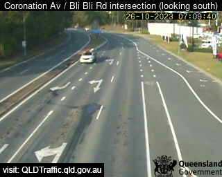
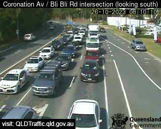
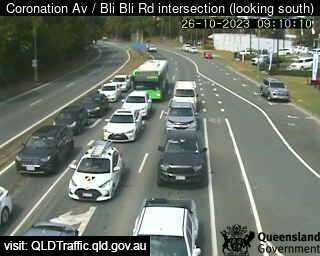
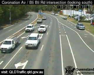
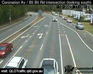
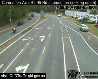
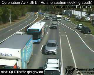
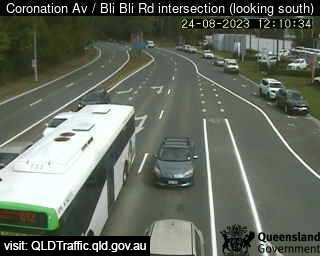
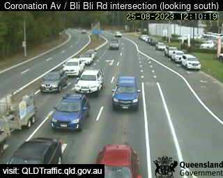
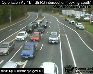
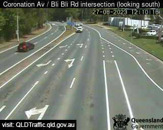
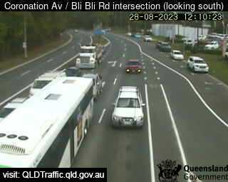
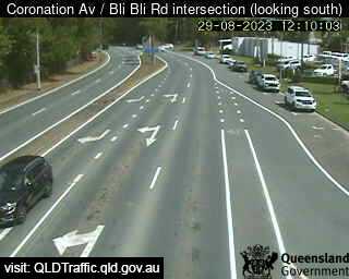
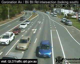
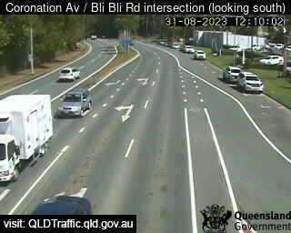
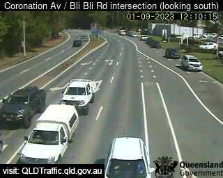
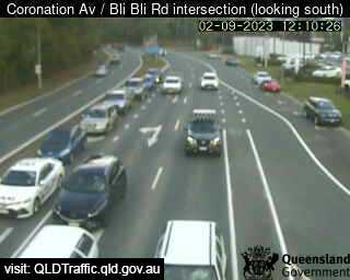
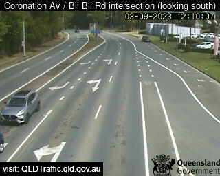
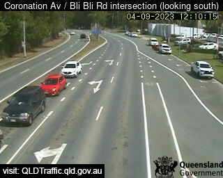
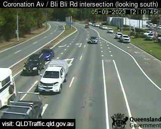
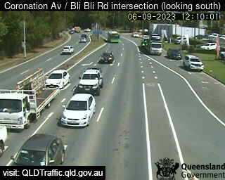
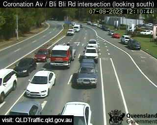
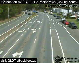
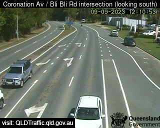
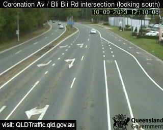
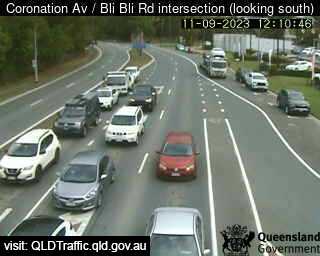
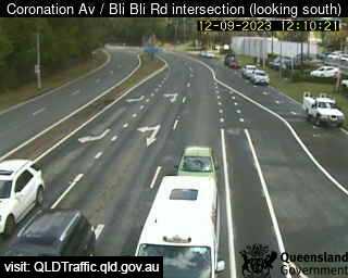
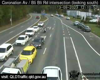
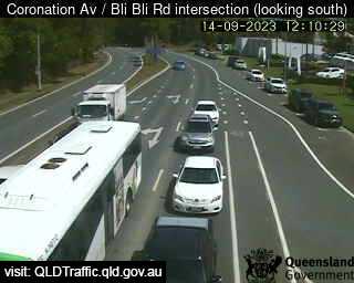
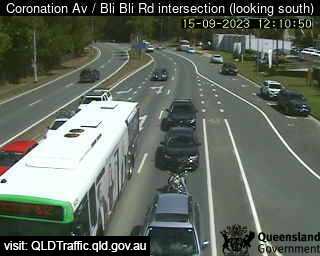
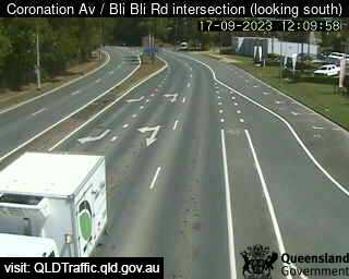
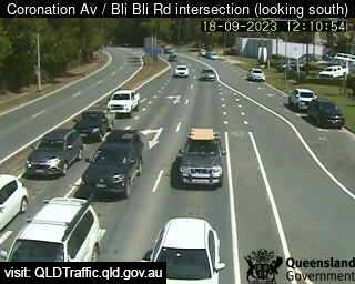
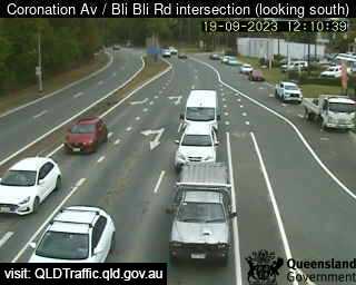
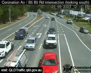
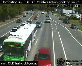
Nambour, Australia - 54 miles from Benarkin: Coronation Avenue / Bli Bli Road intersection (South) - A view of the current traffic conditions.
Operator: Queensland Government - Department of Transport and Main Roads
Operator: Queensland Government - Department of Transport and Main Roads


Some other places in this country: Ben Bullen - Bendenine - Bendethera - Bendigo - Bendleby - Bendoura - Benholme - Benloch - Bennison - Benobble