Webcams in the region of Stanfield (historical), Alabama, USA
The List of Webcams near Stanfield (historical), Alabama, USA:

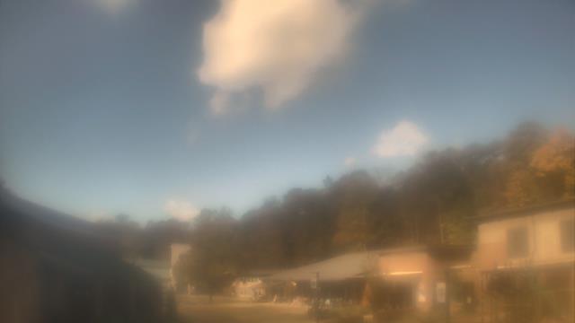
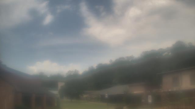
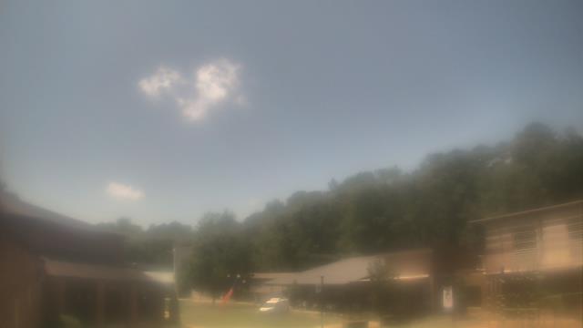
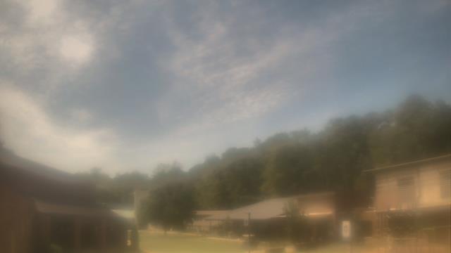
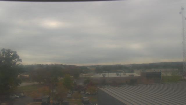
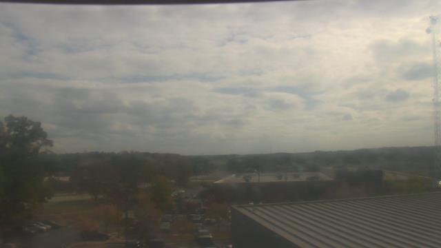
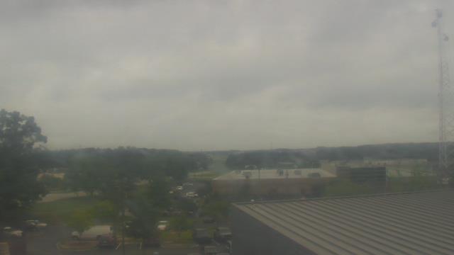
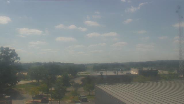
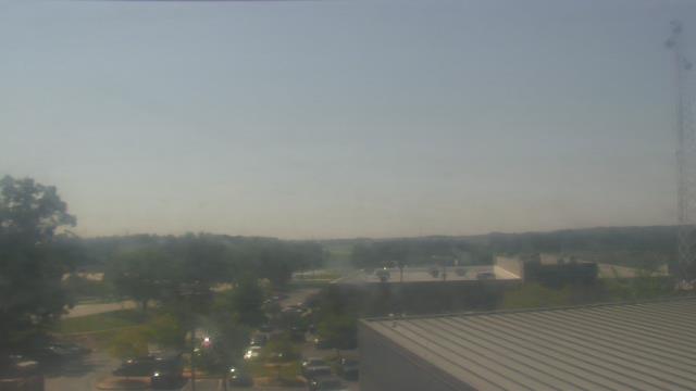
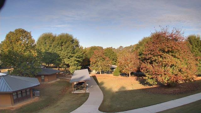
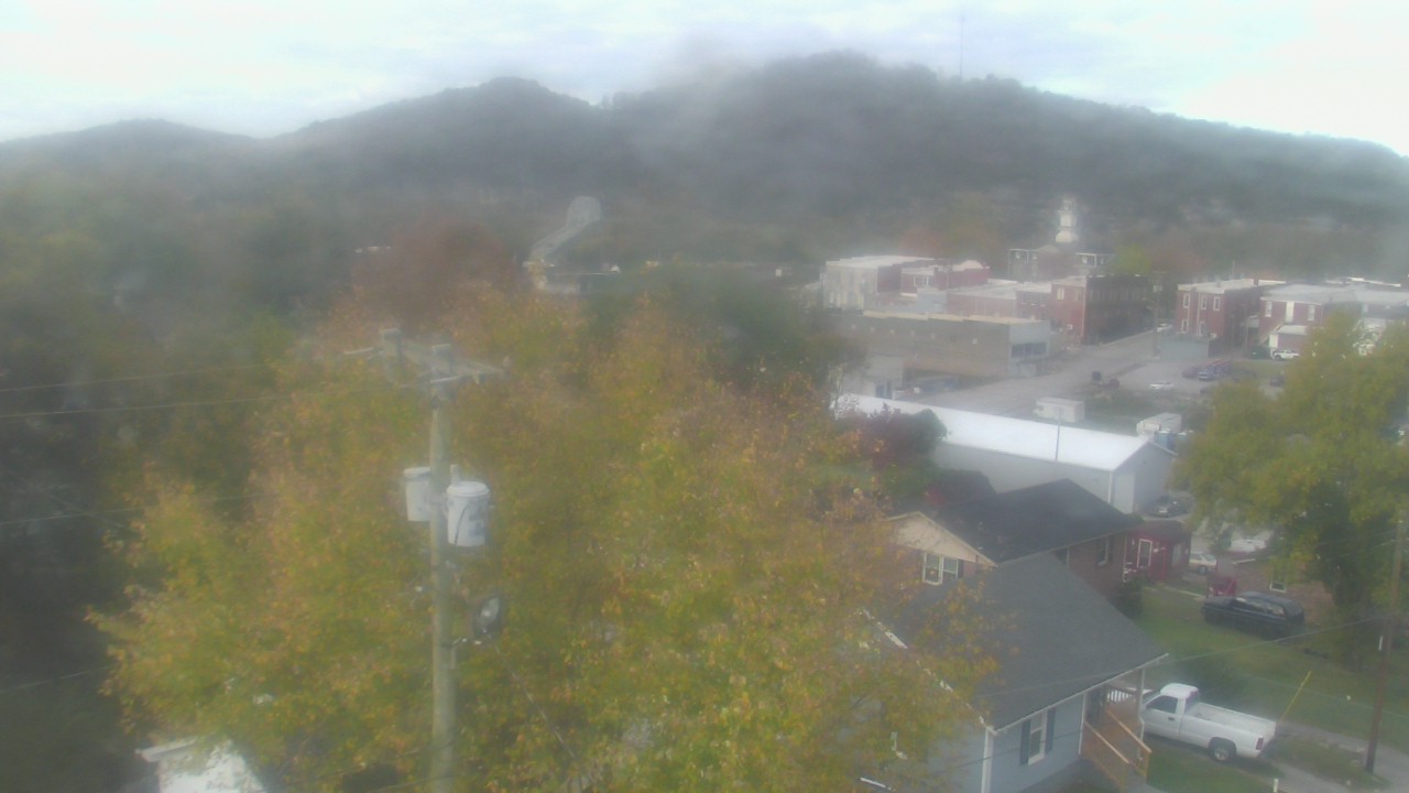
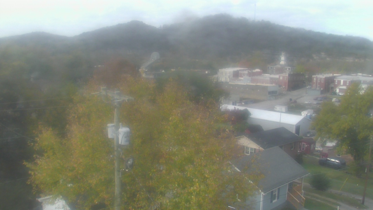
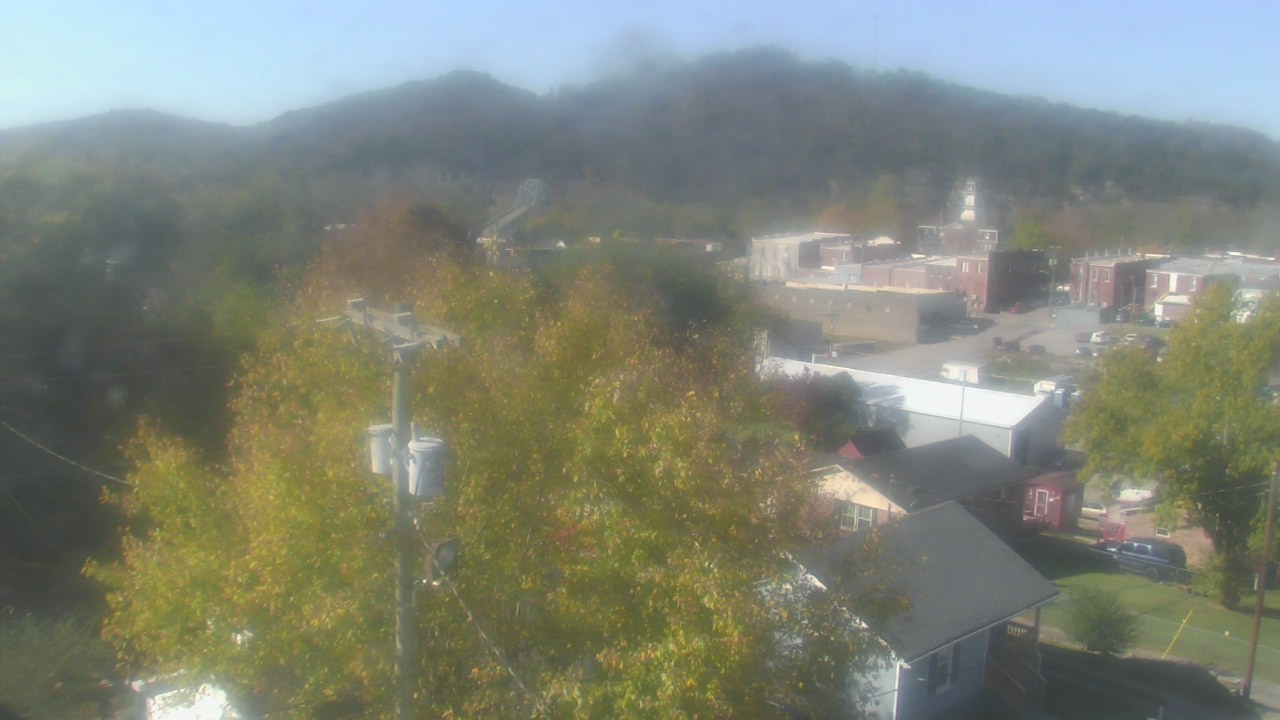
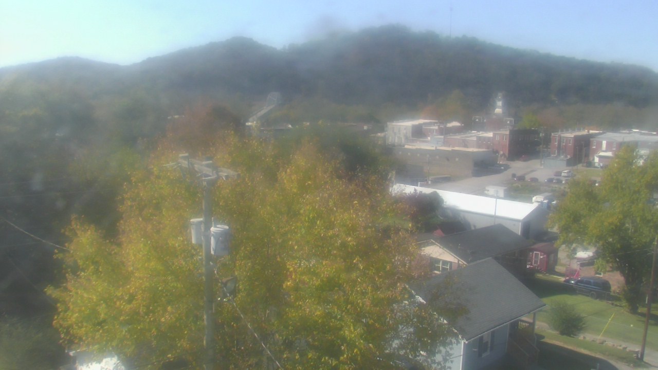
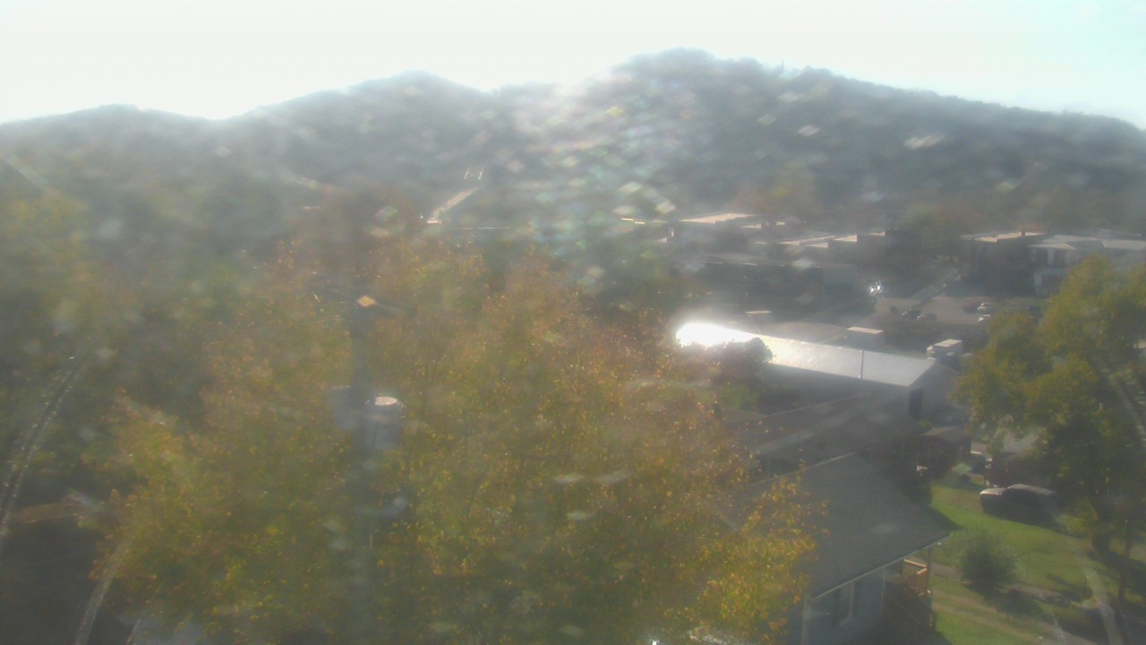
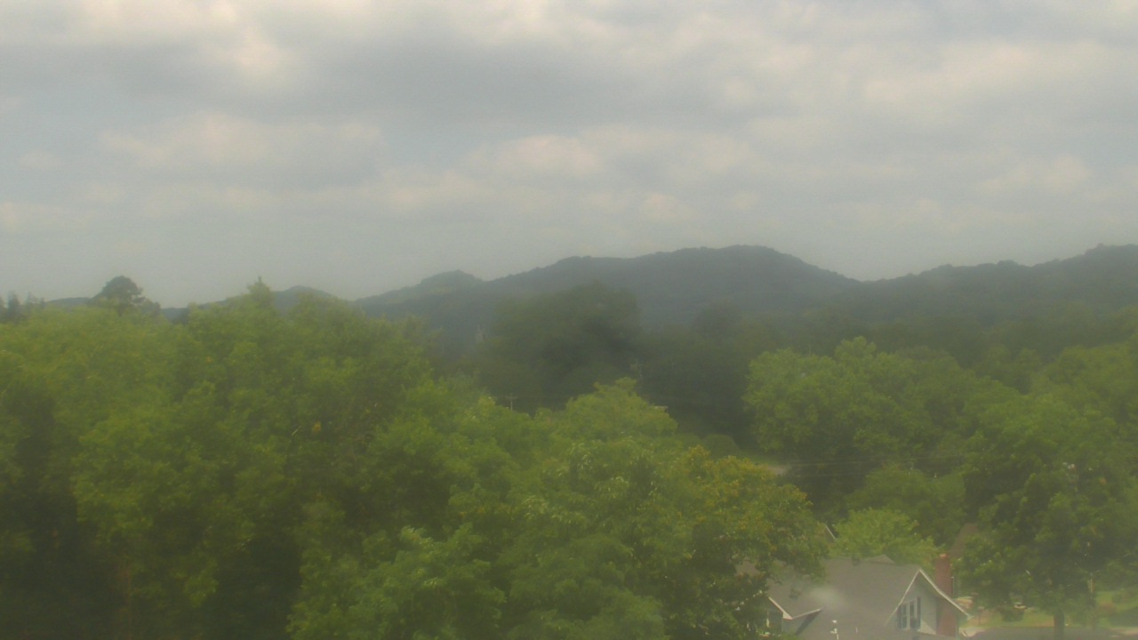
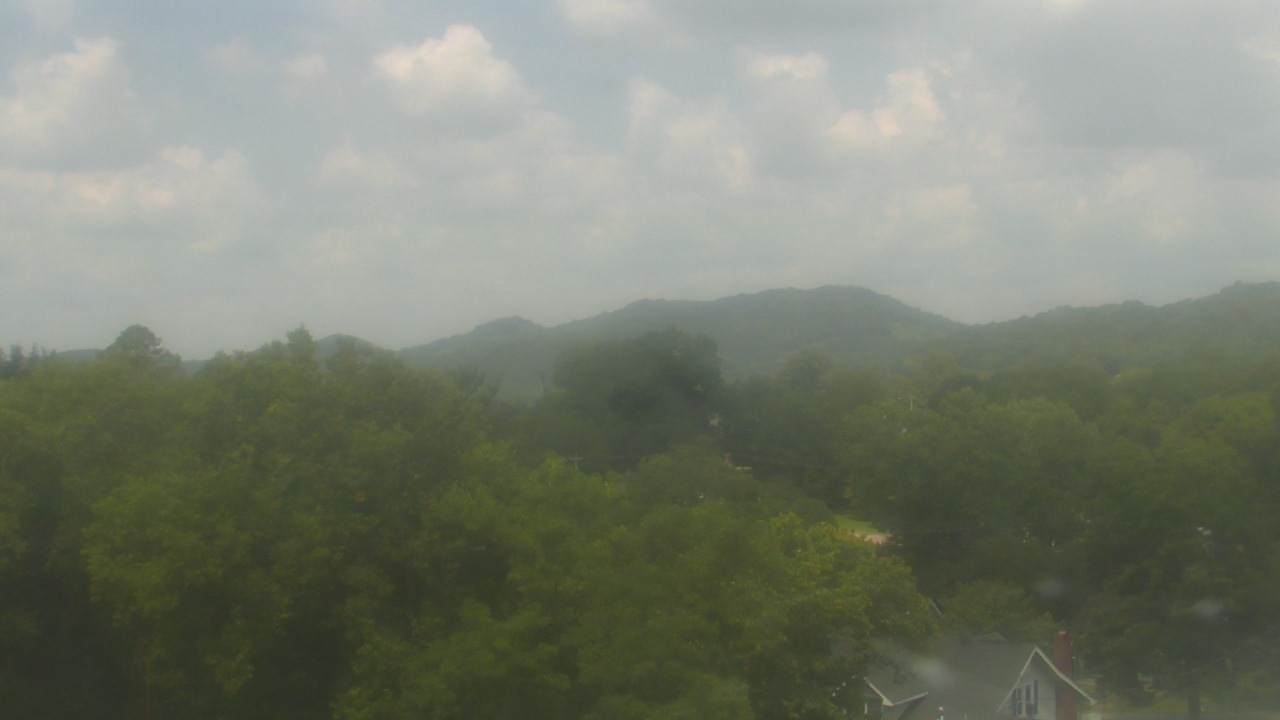
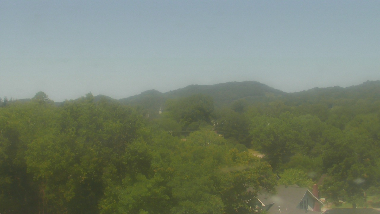
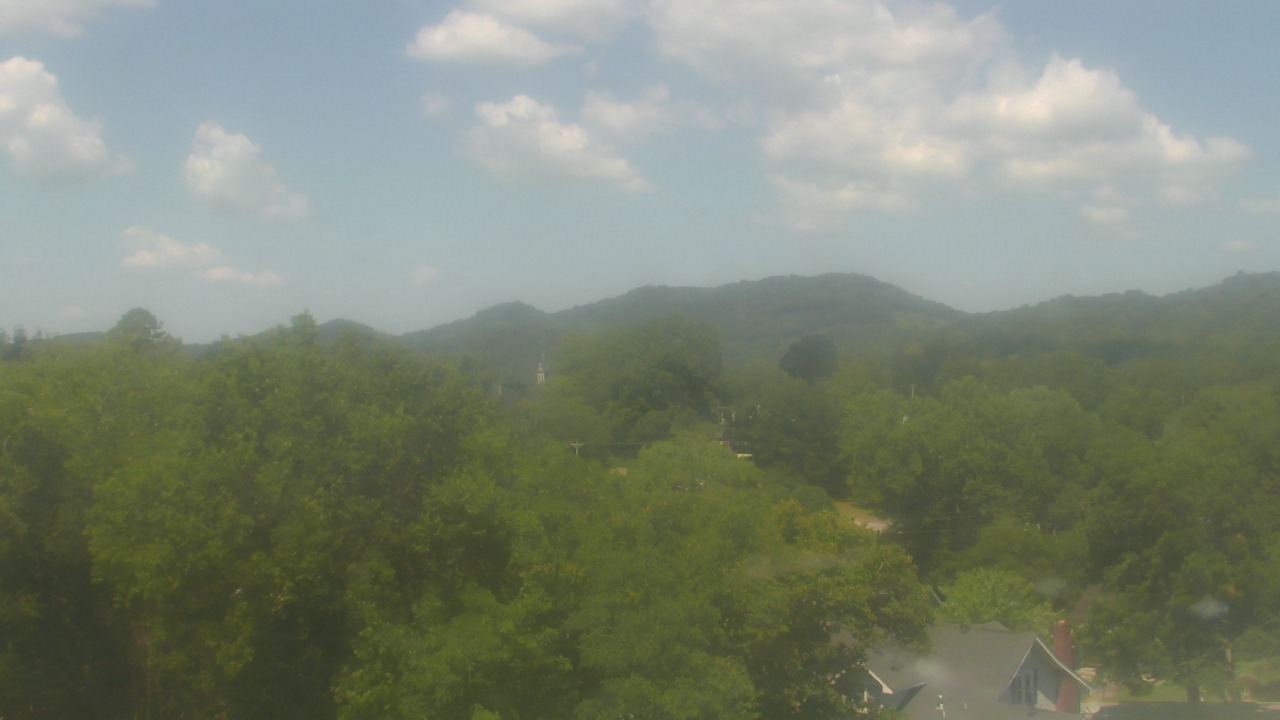
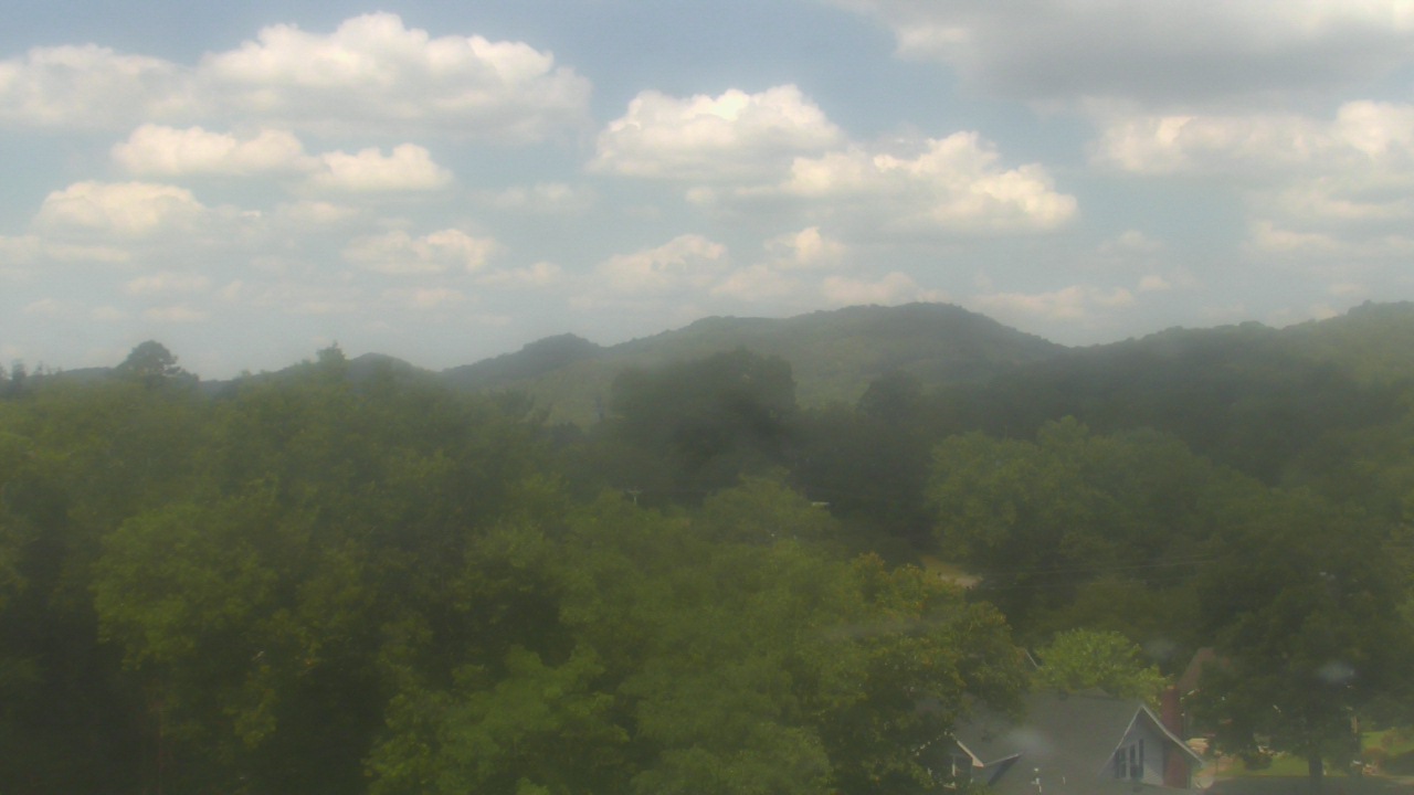
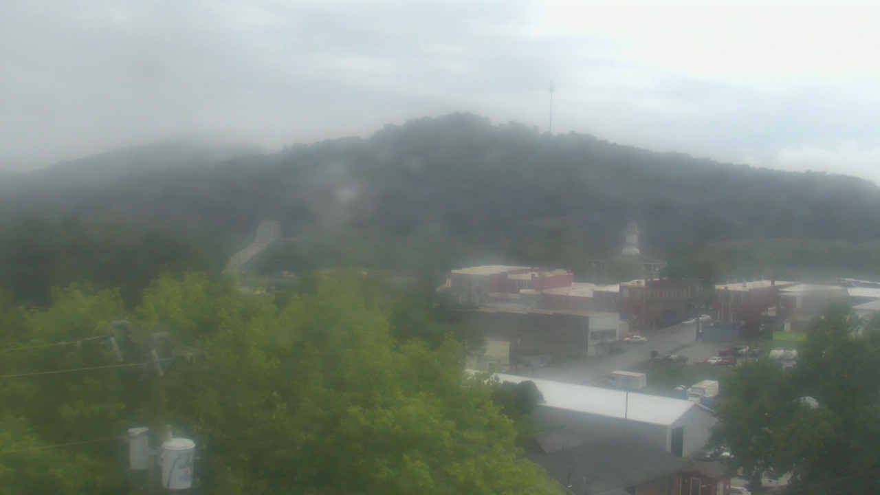
Guntersville, Alabama, USA - 24.9 miles from Stanfield (historical): Wyndham Garden Lake Guntersville - A webcam in Guntersville, Alabama - camera location: Wyndham Garden Lake Guntersville.
Operator: WeatherBug
Operator: WeatherBug


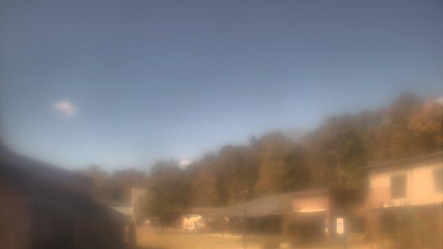
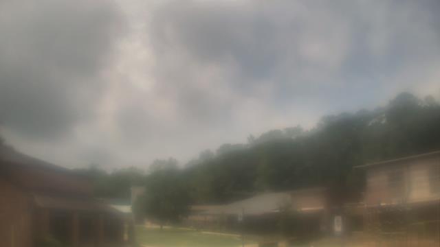
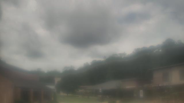
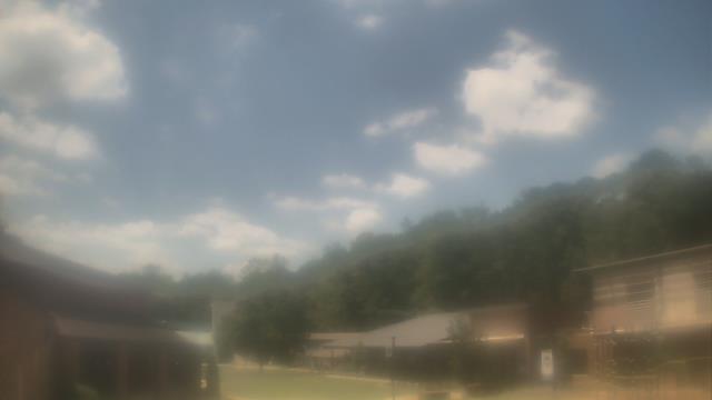
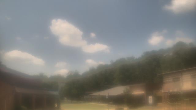
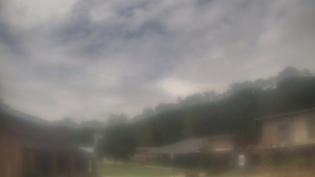
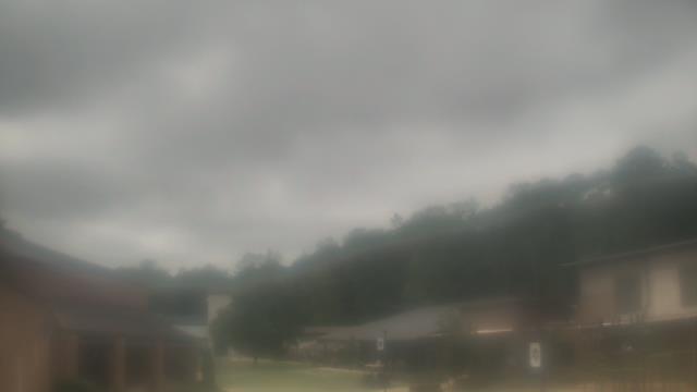
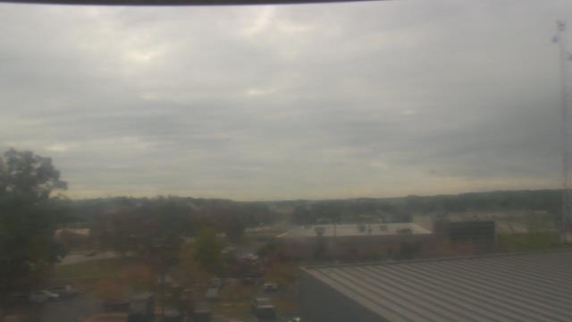
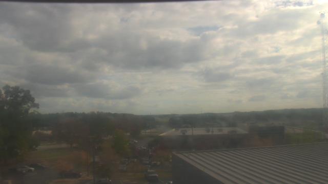
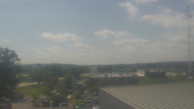
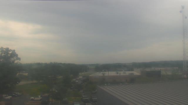
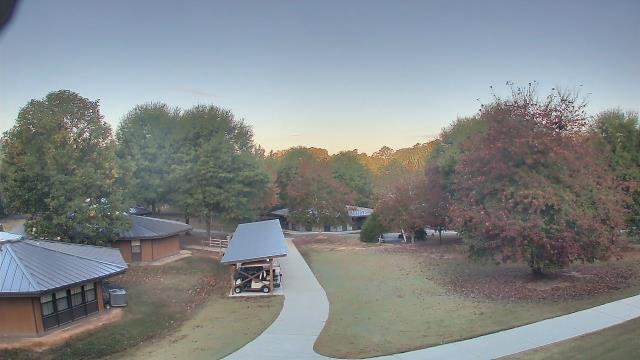
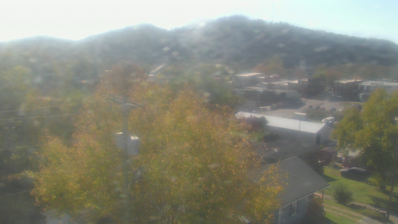
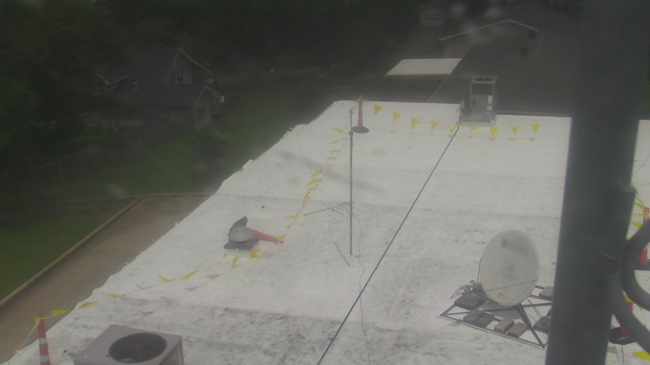
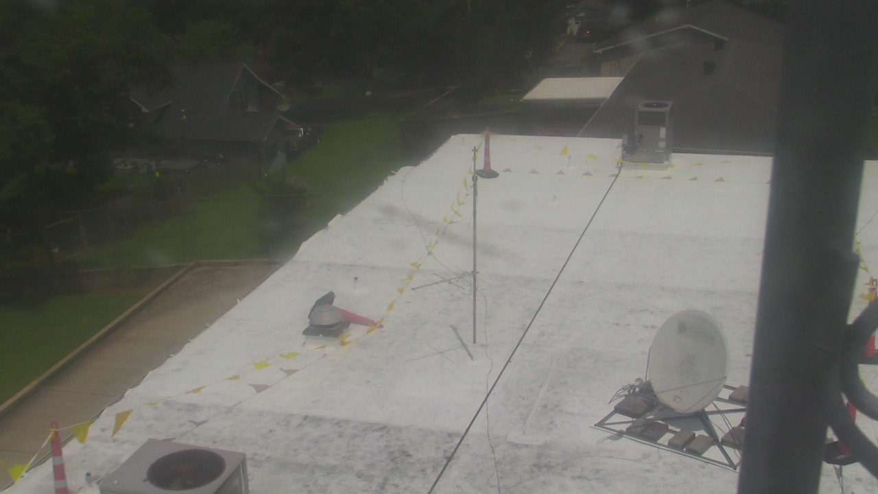
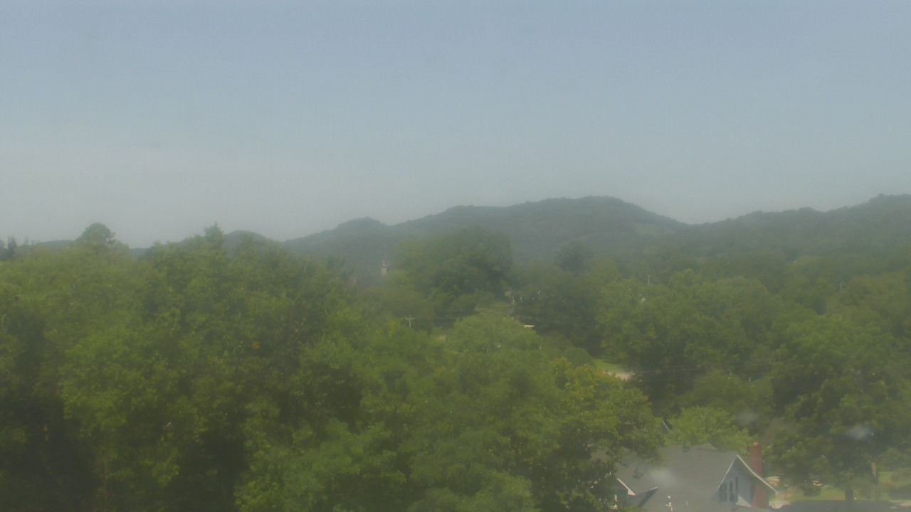
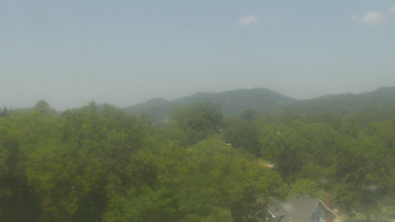
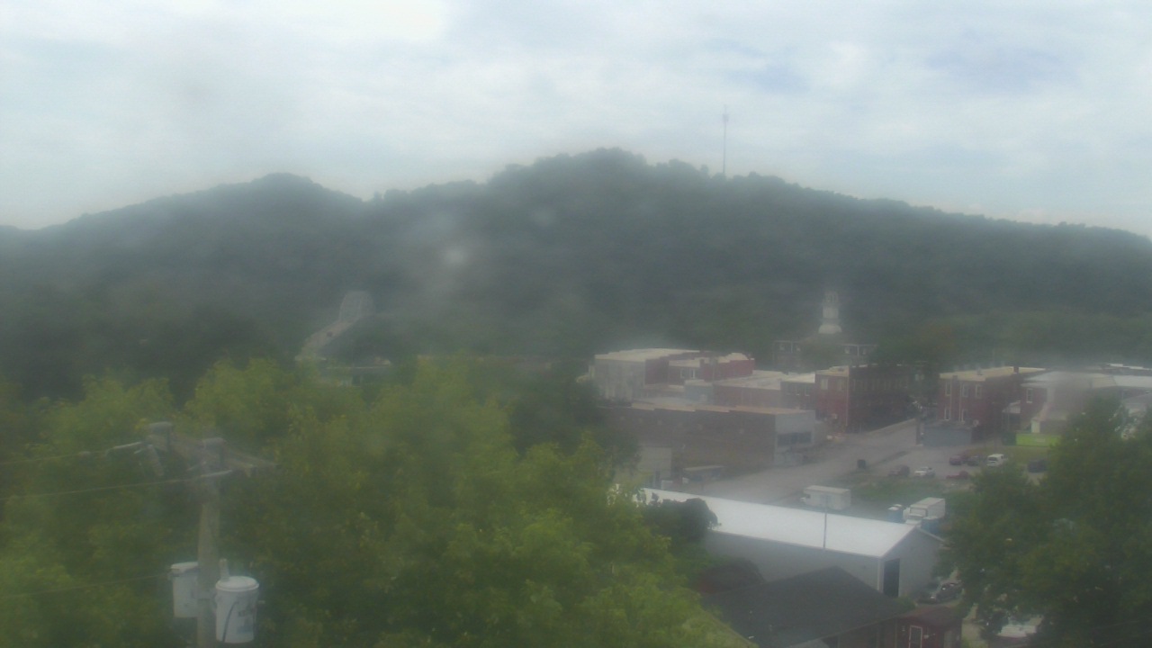
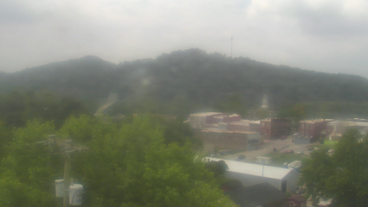
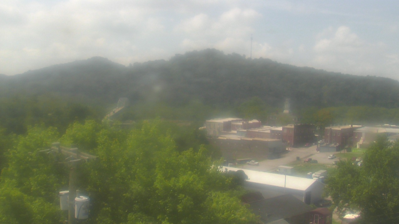
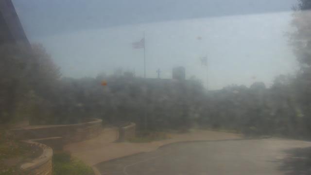
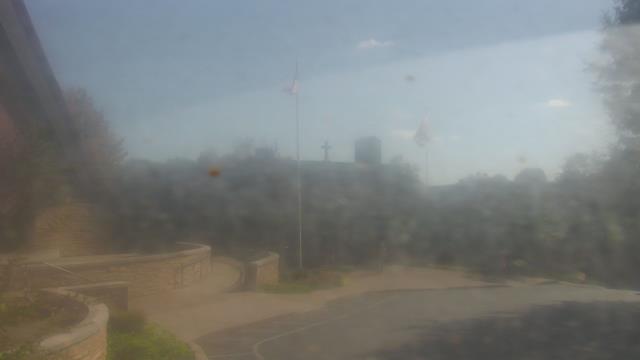
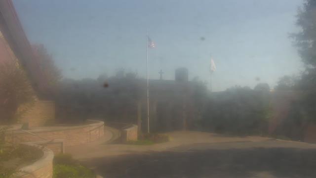
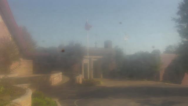
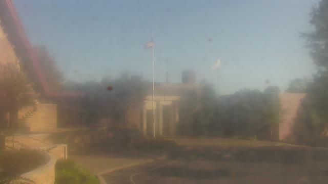
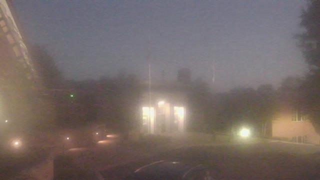
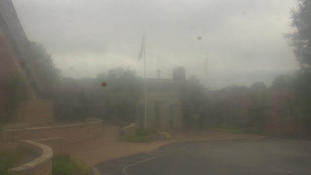
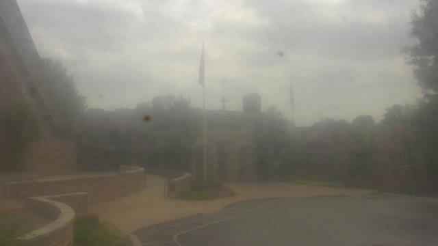
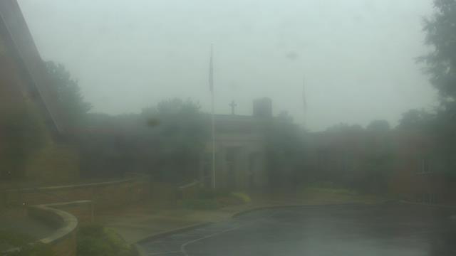
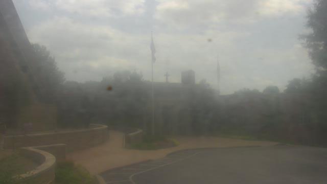
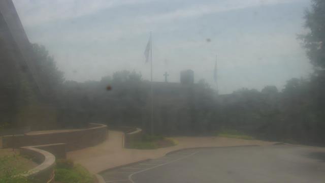
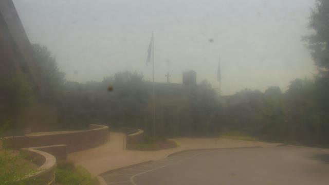
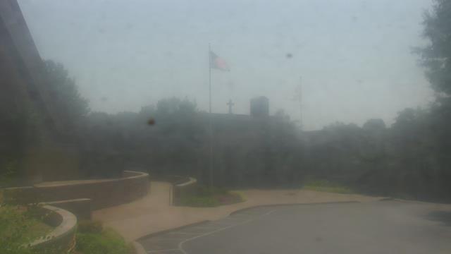
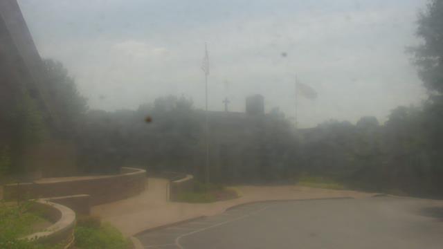
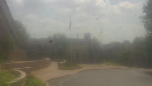
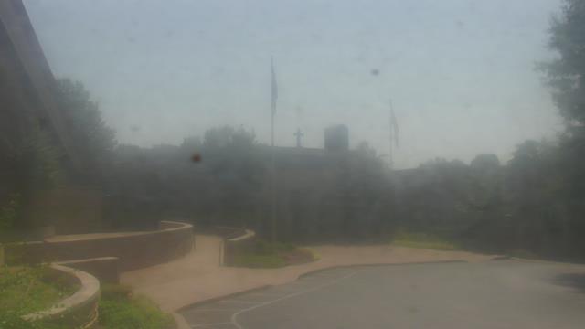
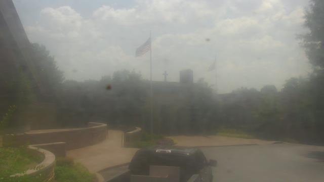
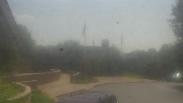
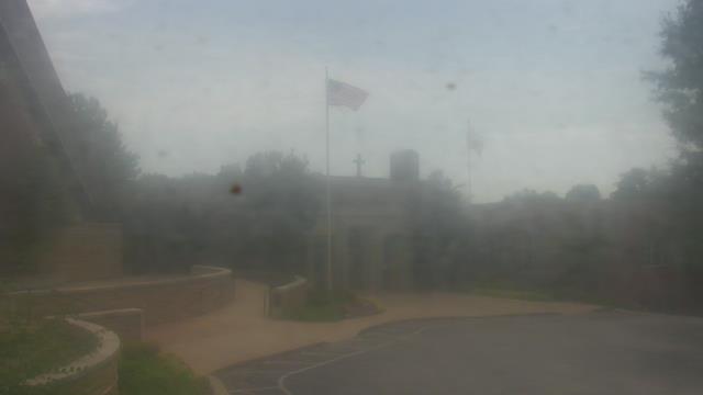
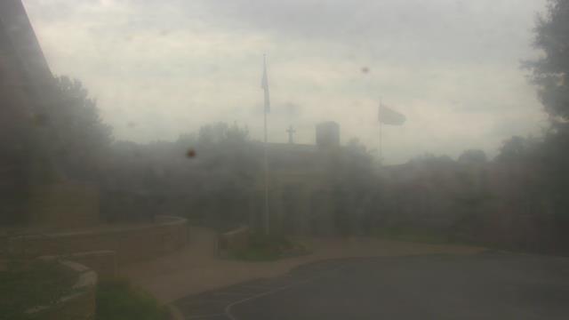
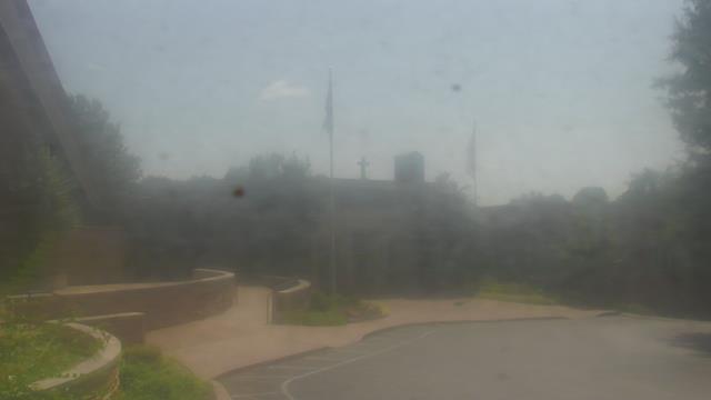
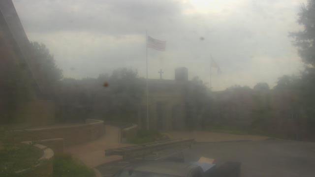
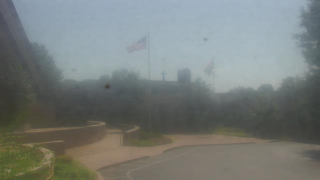
Birmingham, Alabama, USA - 50.6 miles from Stanfield (historical): Highlands School - A webcam in Birmingham, Alabama - camera location: Highlands School.
Operator: WeatherBug
Operator: WeatherBug


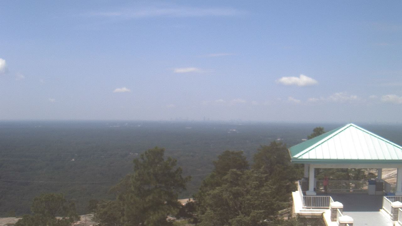
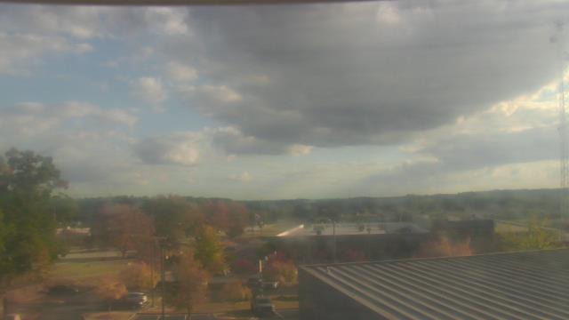
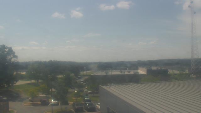
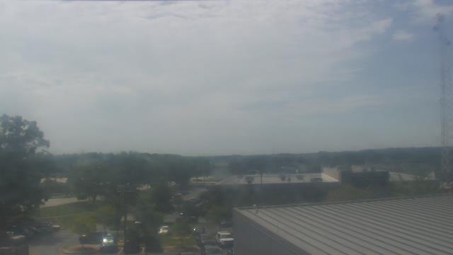
Atlanta, Georgia, USA - 103.7 miles from Stanfield (historical): Skyline Atlanta - A nice view of the skyline of Atlanta, Georgia.
Operator: EarthCam
Operator: EarthCam


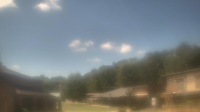
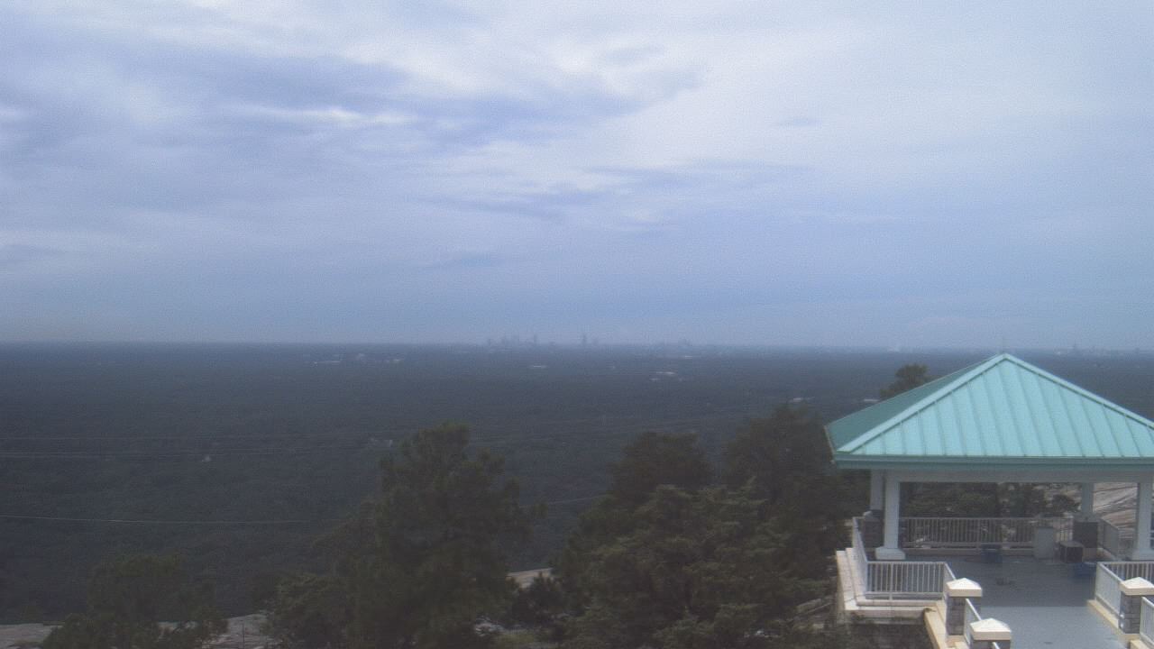
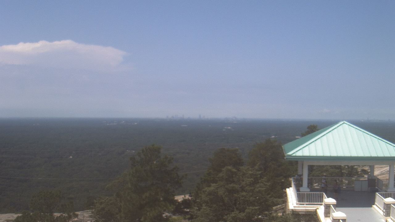
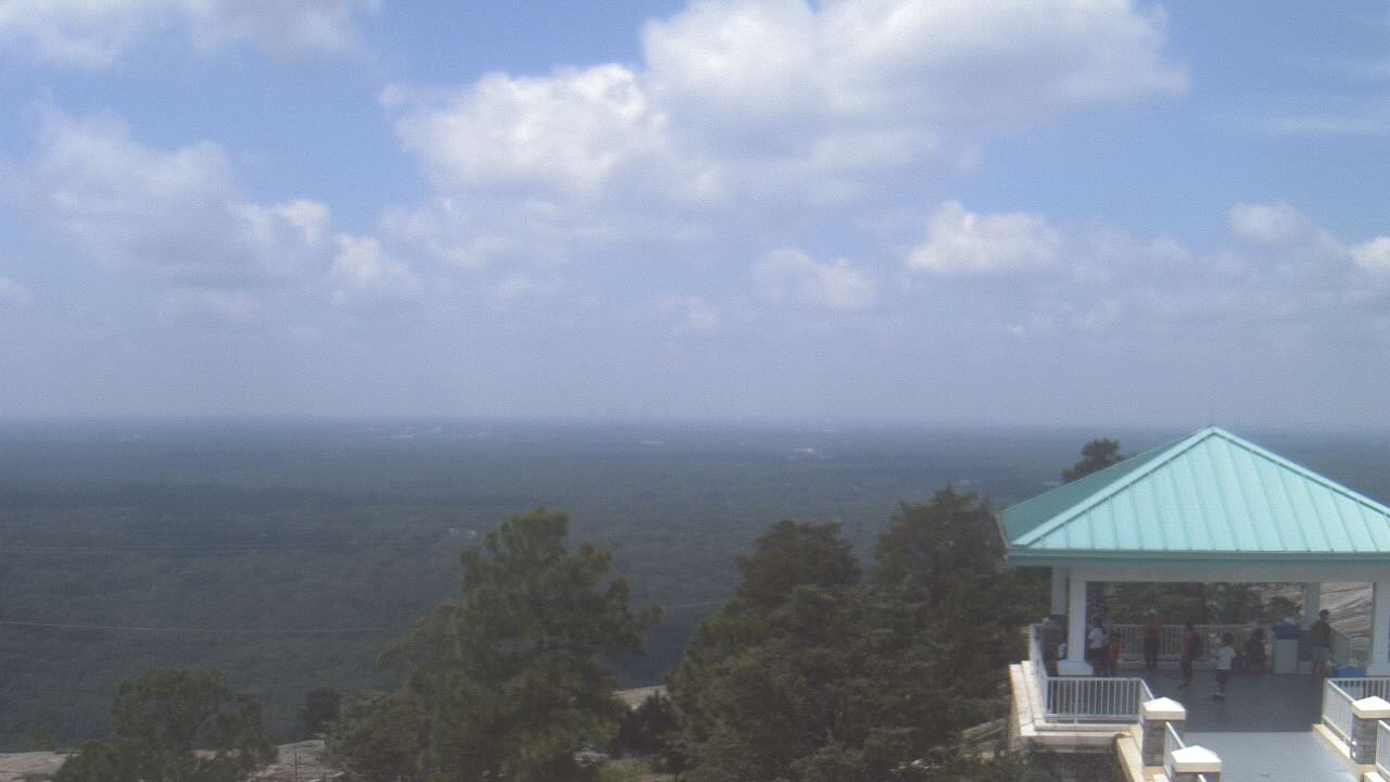
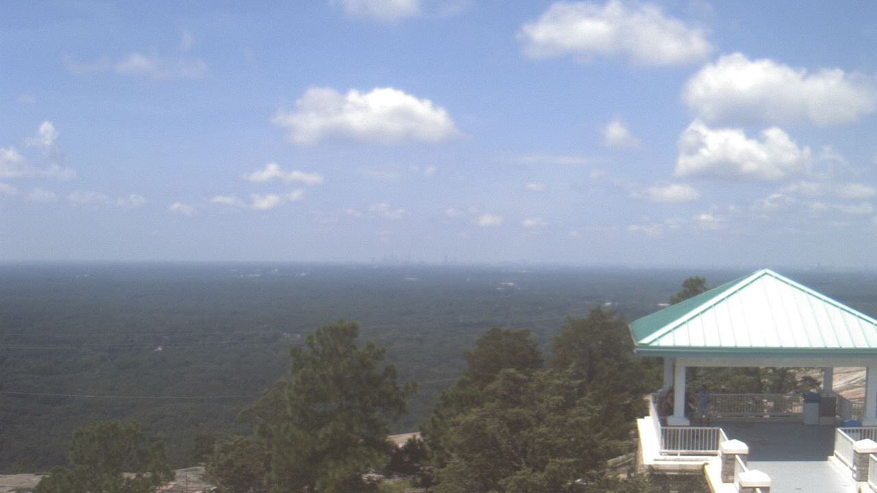
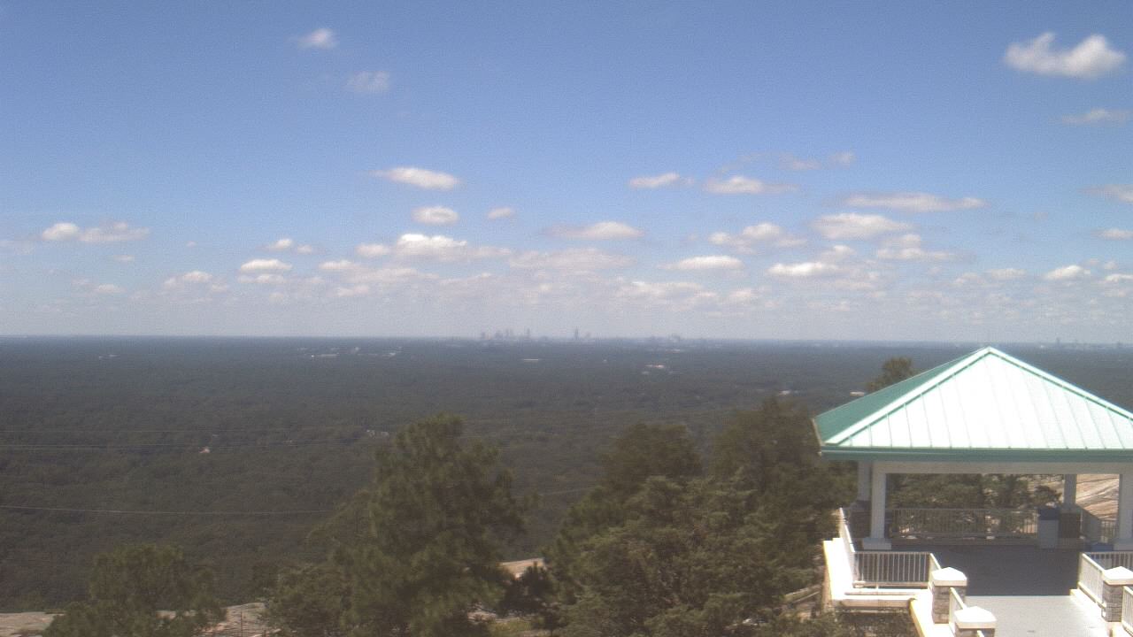
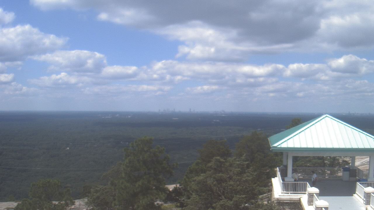
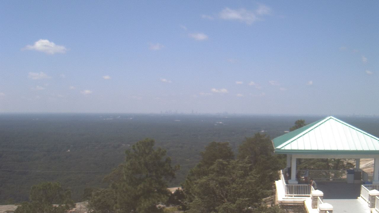
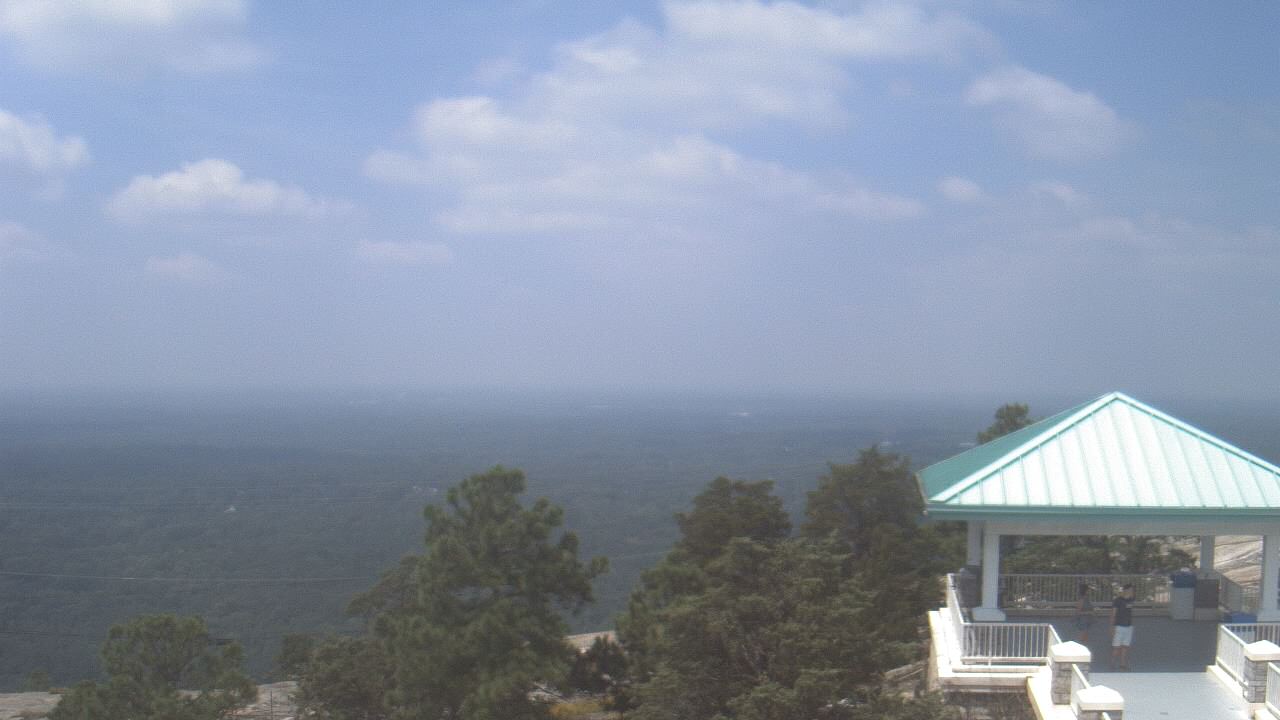
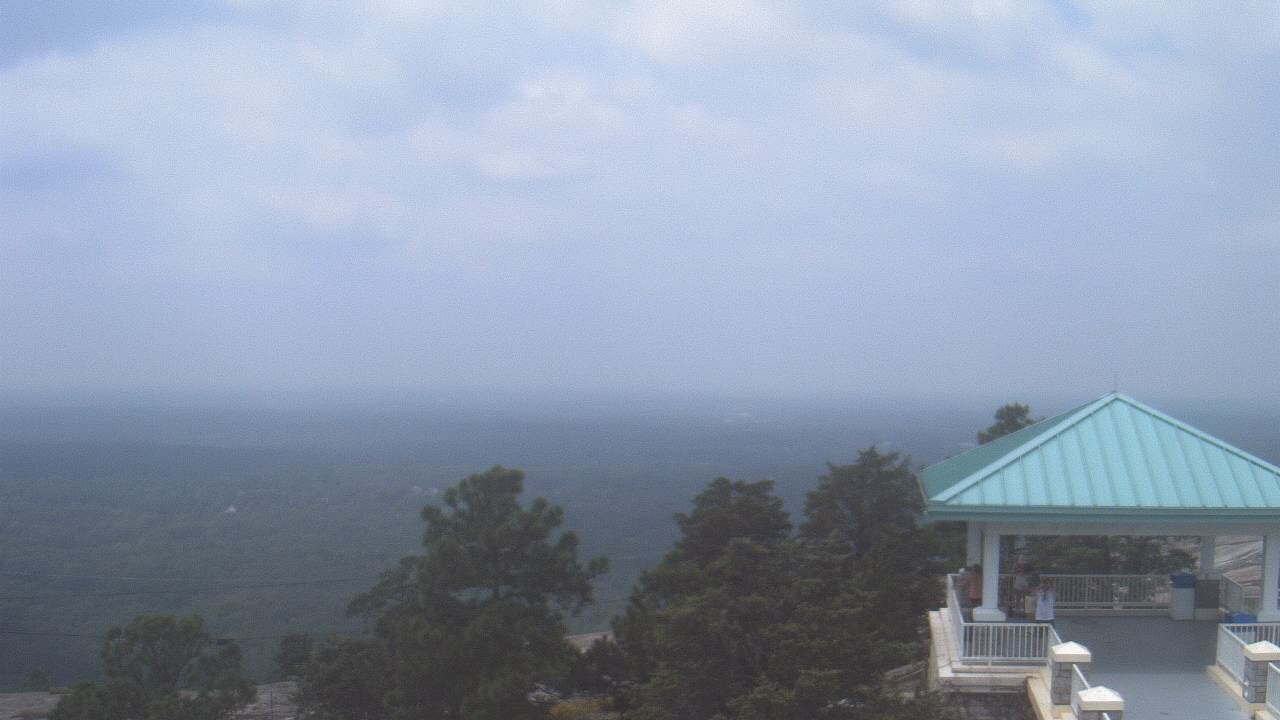
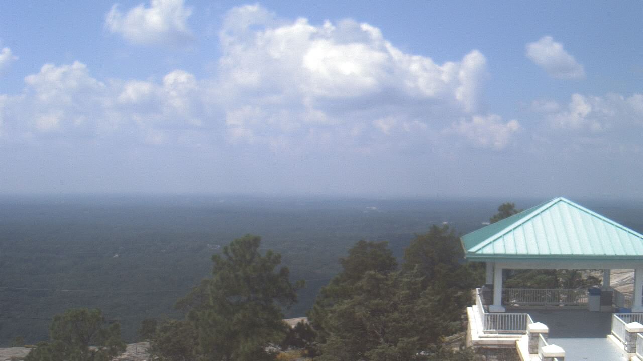
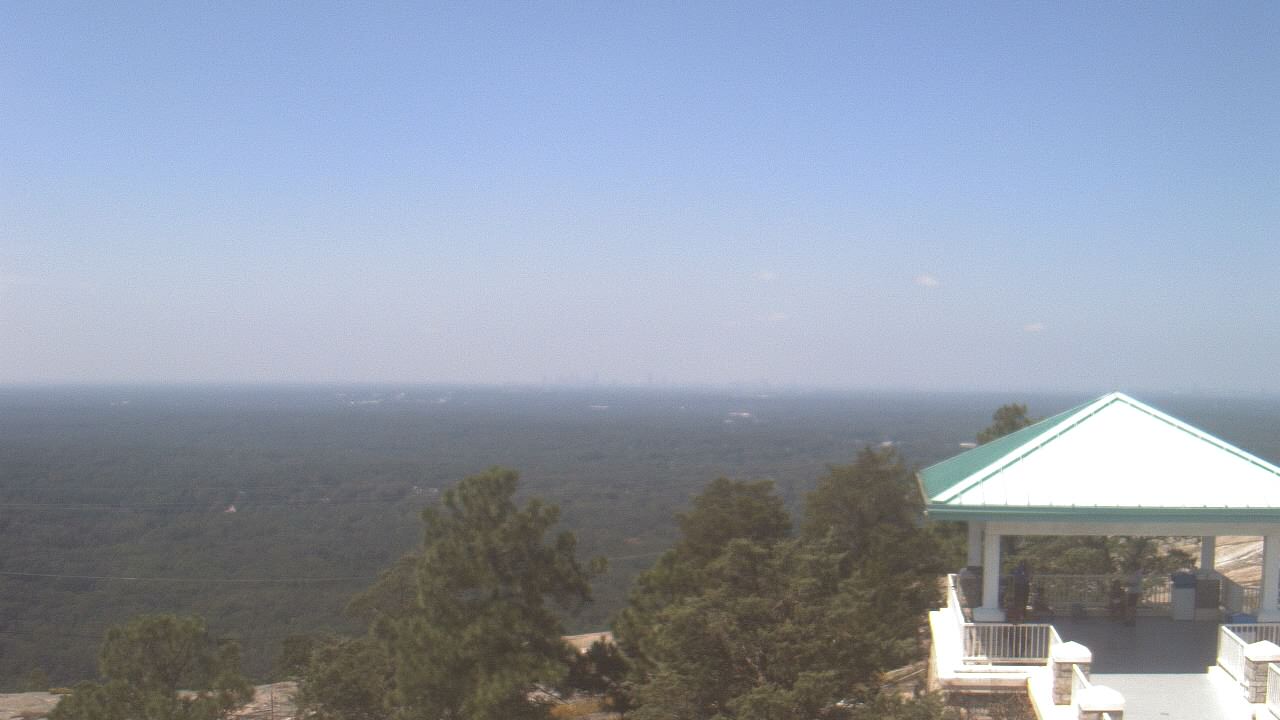
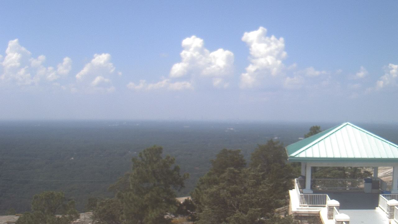
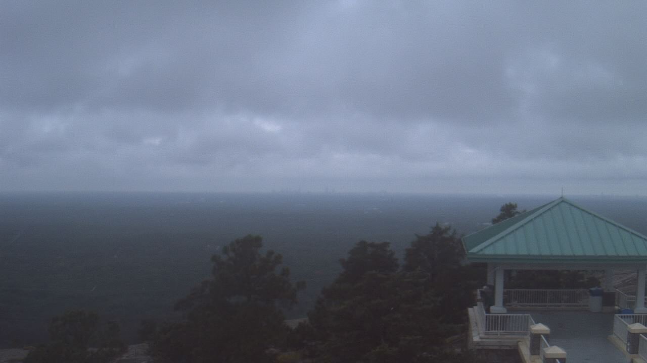
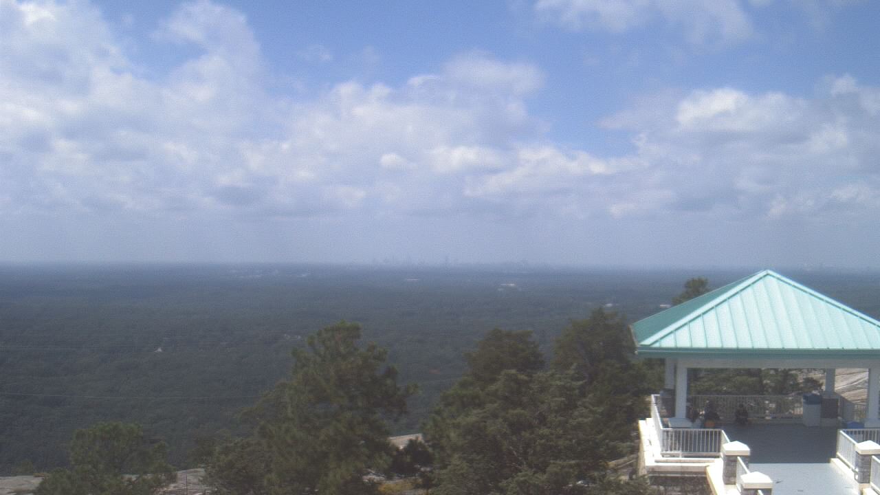
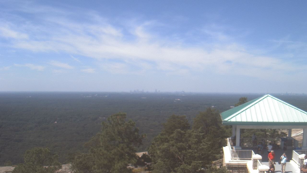
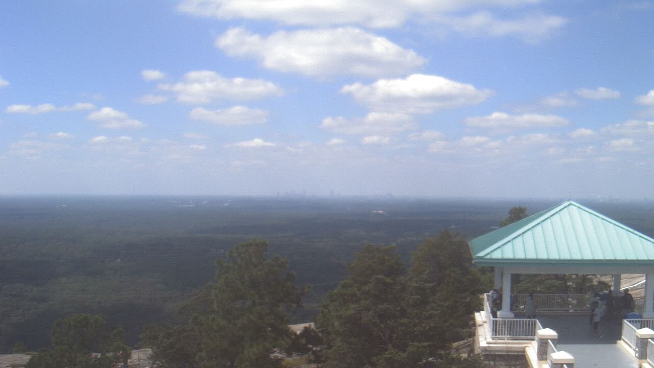
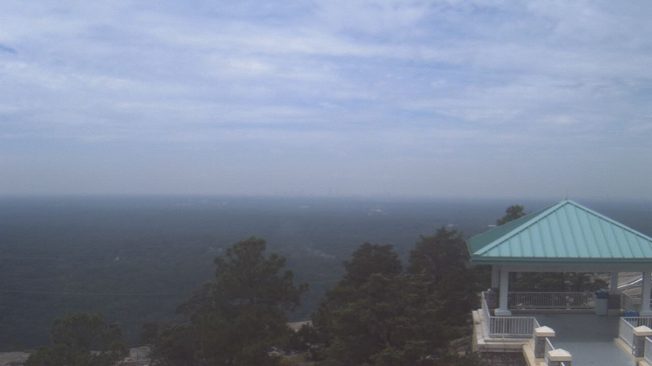
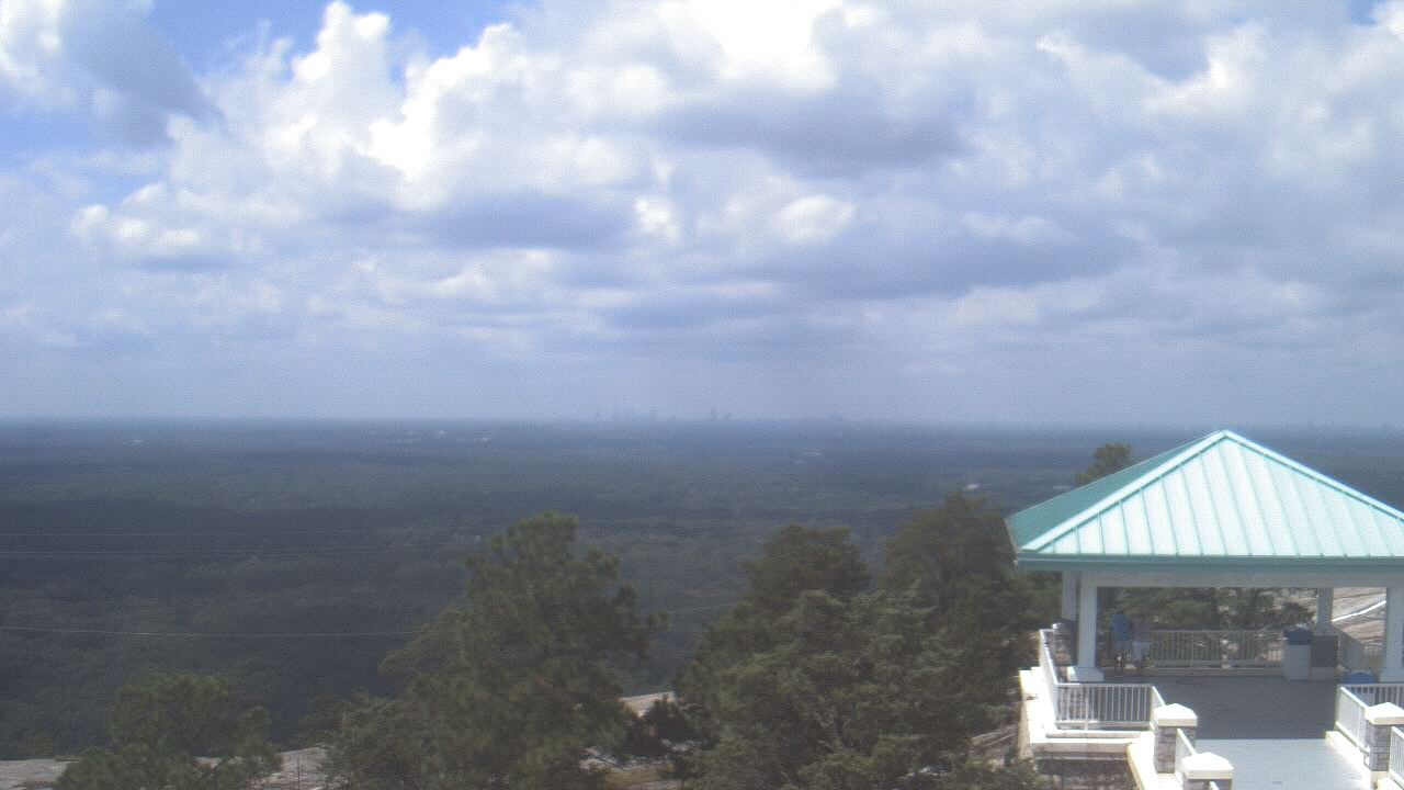
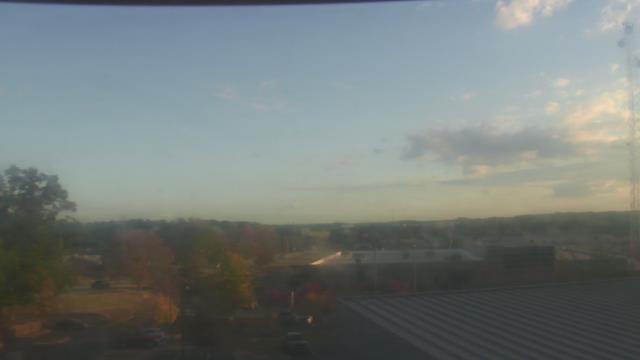
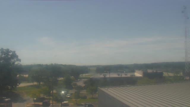
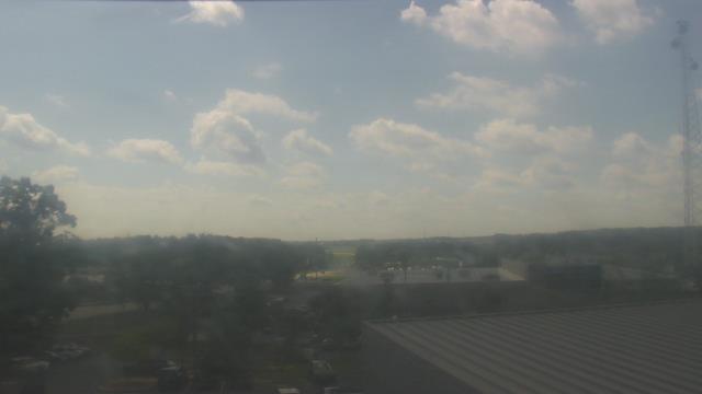
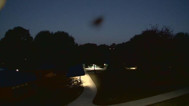
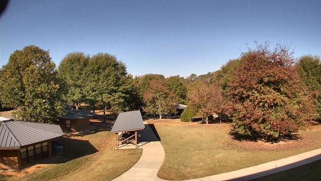
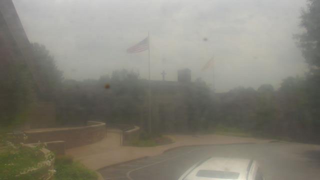
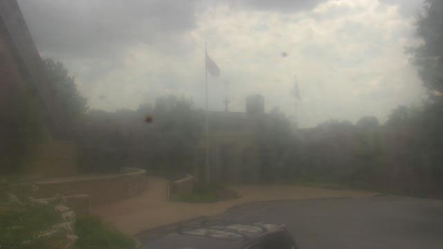
Stone Mountain, Georgia, USA - 115.5 miles from Stanfield (historical): Top of Stone Mountain - A webcam in Stone Mountain, Georgia - camera location: Top of Stone Mountain.
Operator: WeatherBug
Operator: WeatherBug


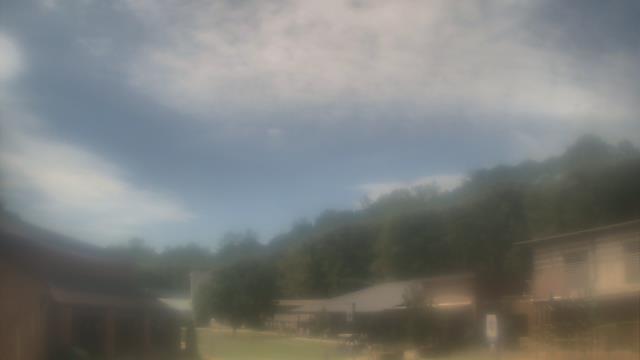
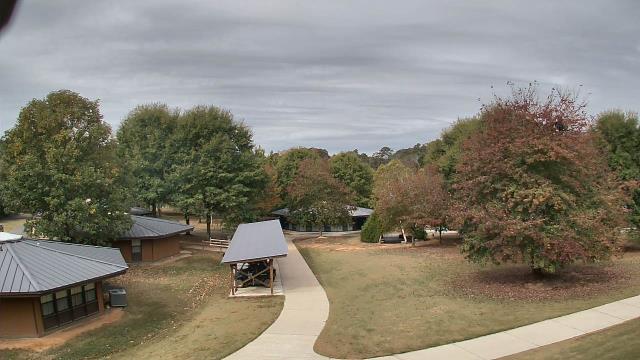
Lawrenceville, Georgia, USA - 118.5 miles from Stanfield (historical): Gwinnett County EMA - A webcam in Lawrenceville, Georgia - camera location: Gwinnett County EMA.
Operator: WeatherBug
Operator: WeatherBug


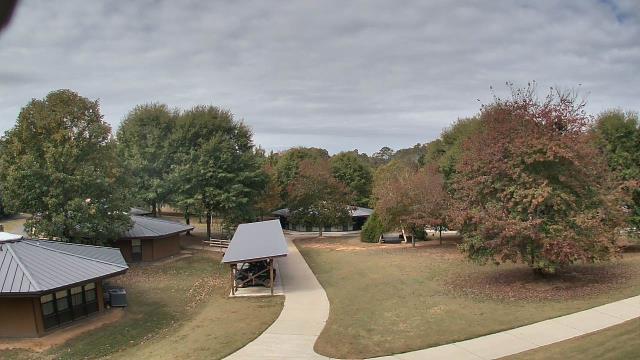
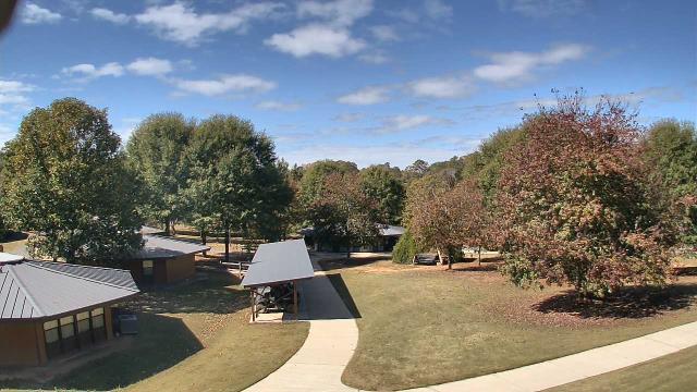
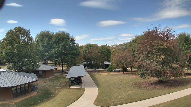
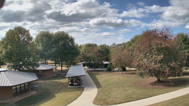
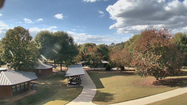
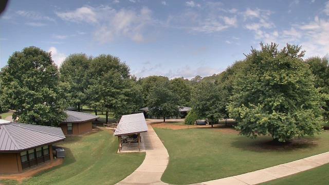
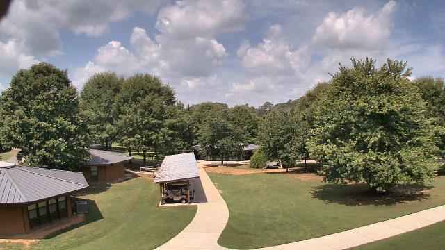
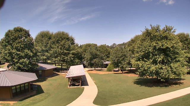
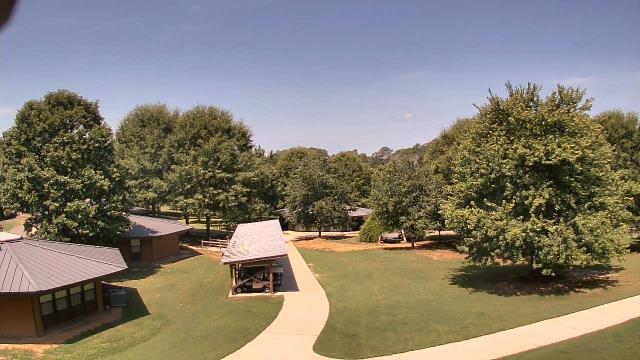
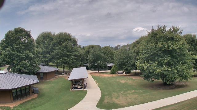
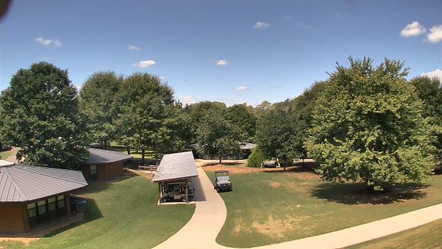
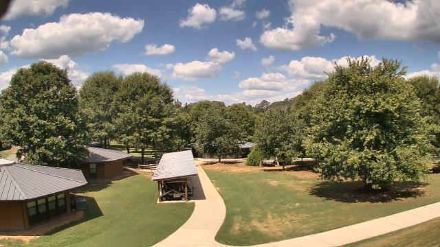
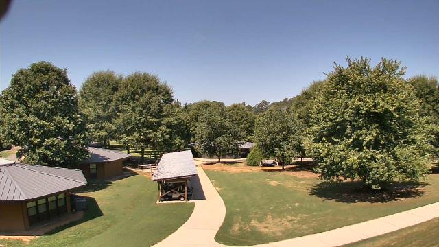
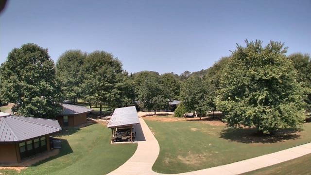
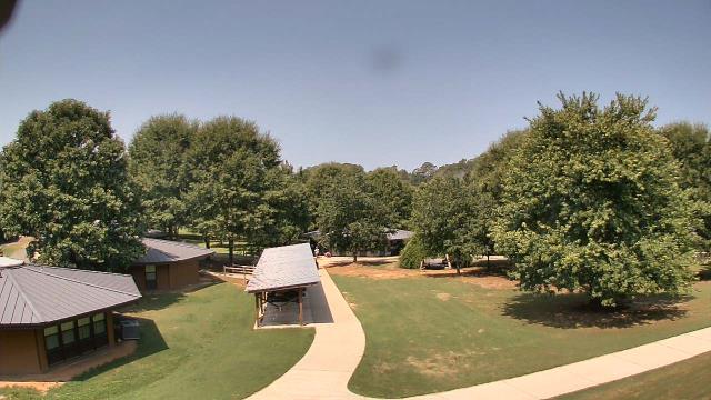
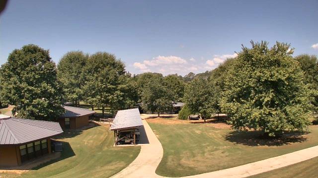
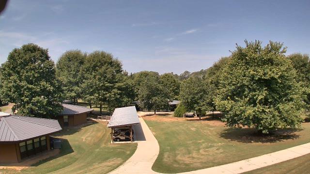
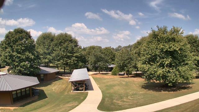
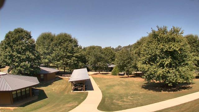
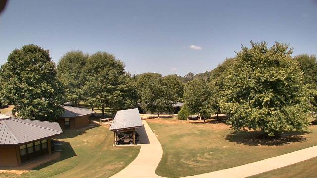
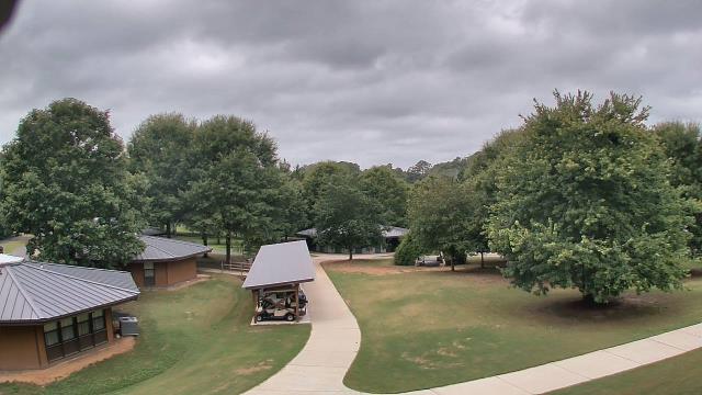
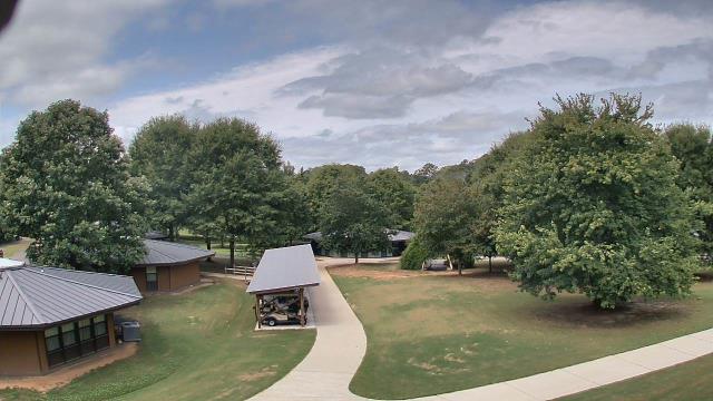
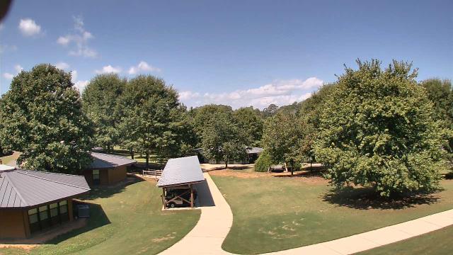
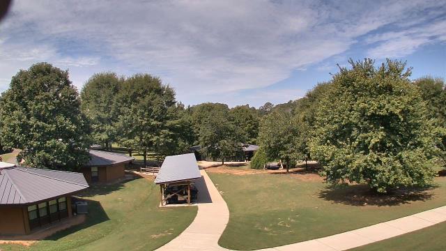
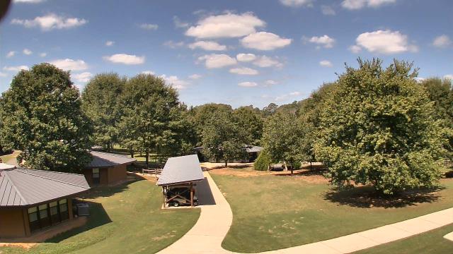
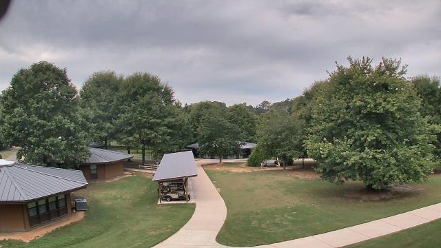
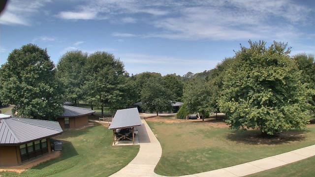
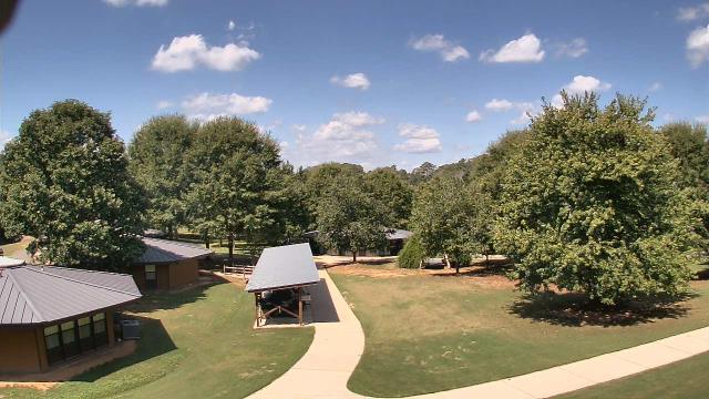
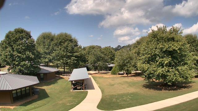
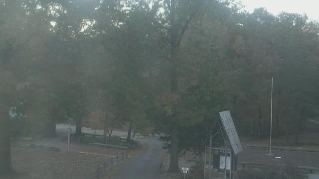
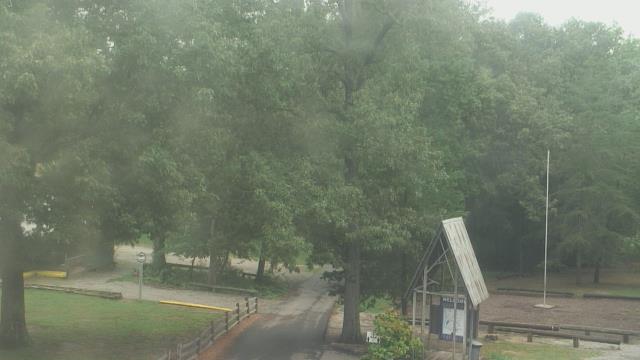
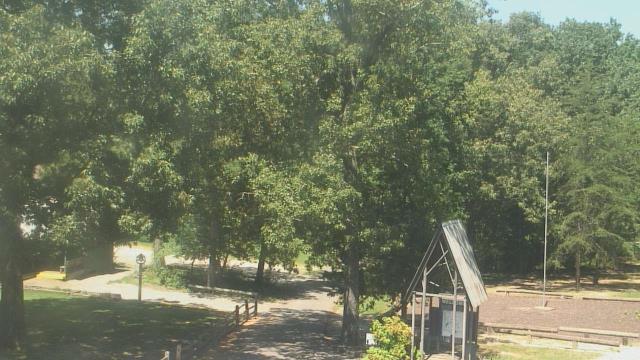
Winder, Georgia, USA - 140.2 miles from Stanfield (historical): Camp Twin Lakes - Will-a-Way - A webcam in Winder, Georgia - camera location: Camp Twin Lakes - Will-a-Way.
Operator: WeatherBug
Operator: WeatherBug

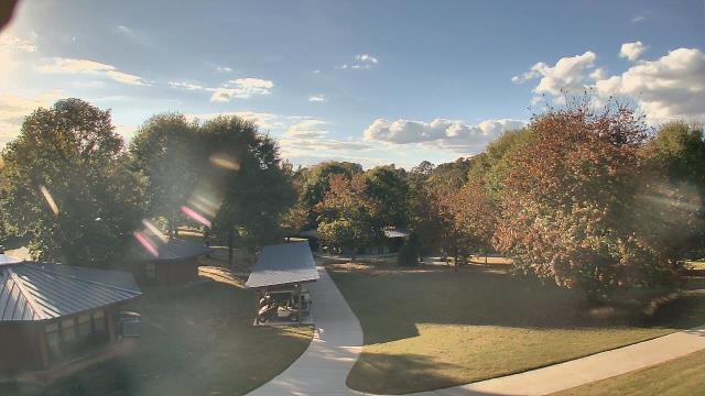


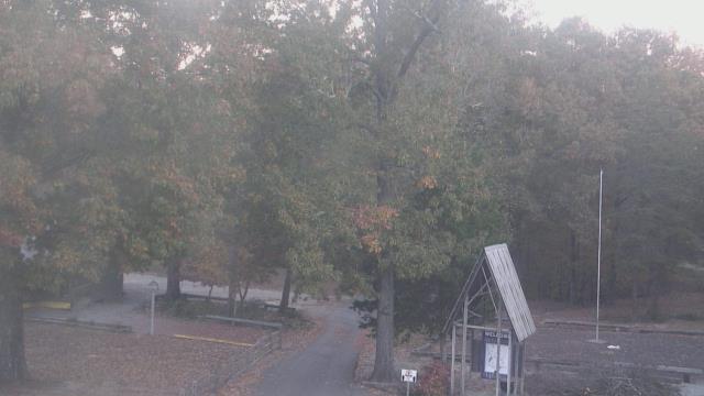
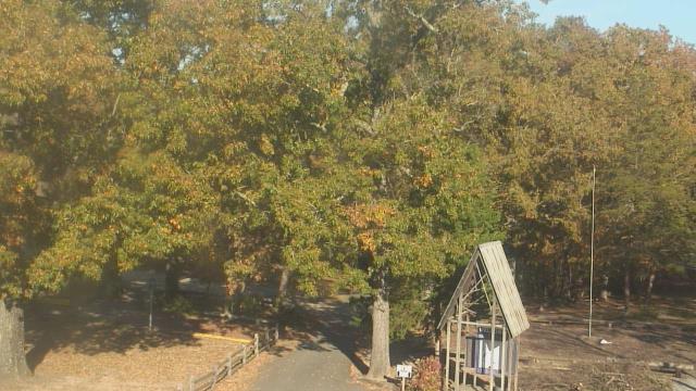
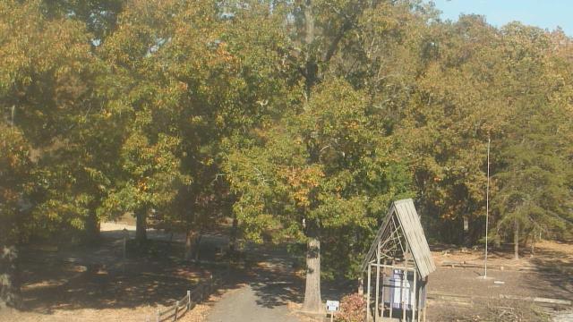
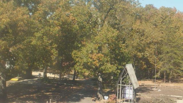
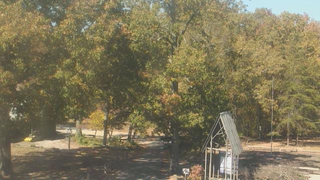
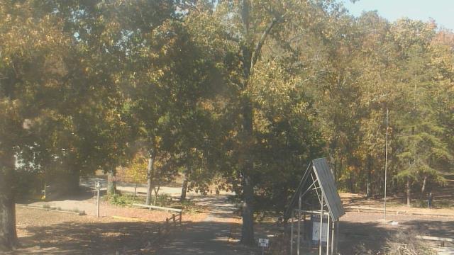
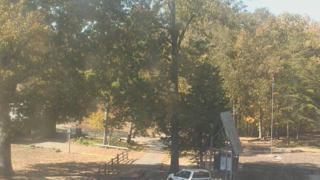
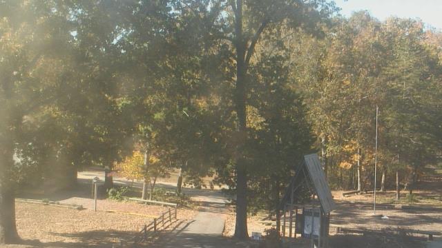
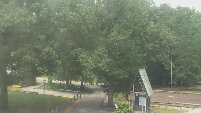
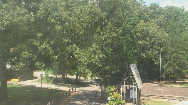
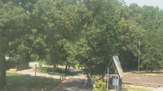
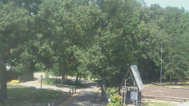
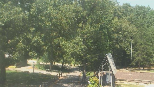
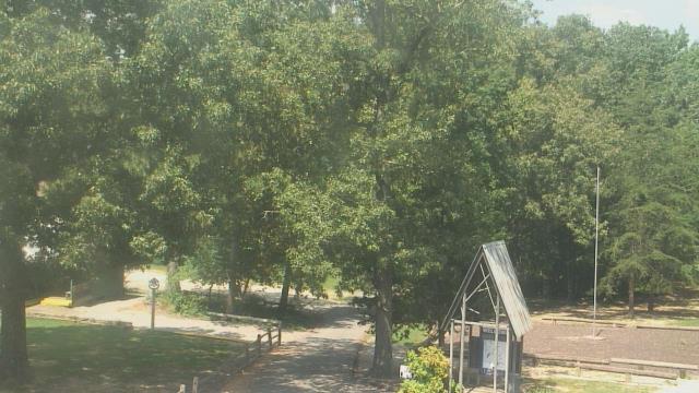
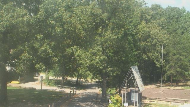
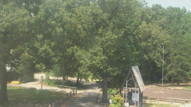
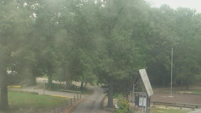
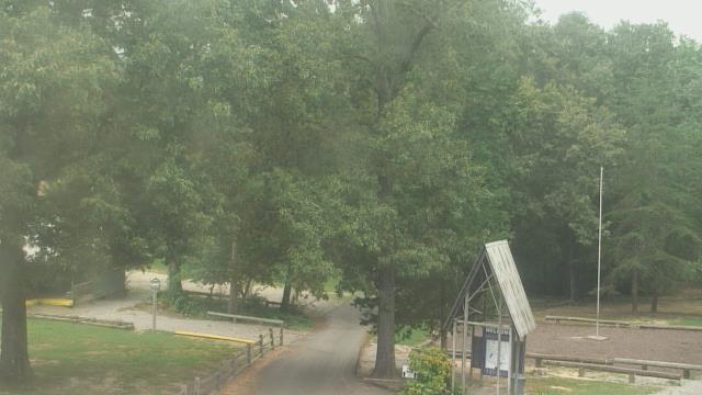
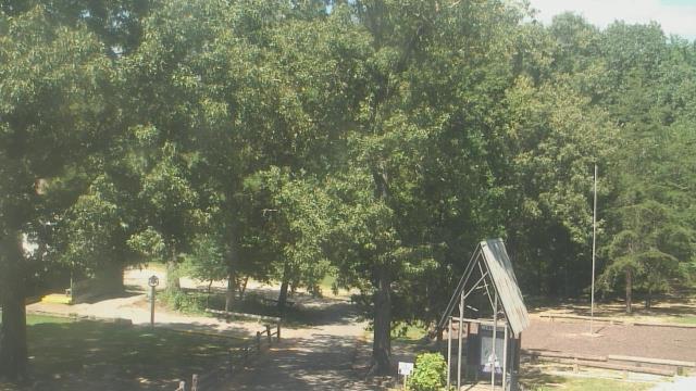
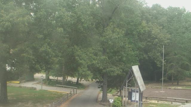
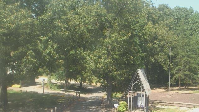
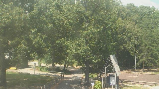
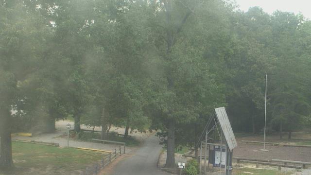
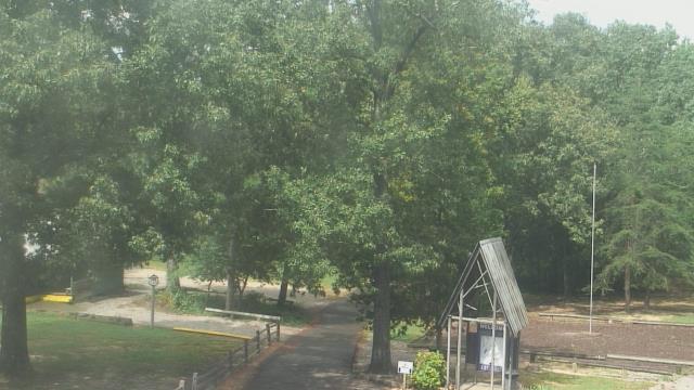
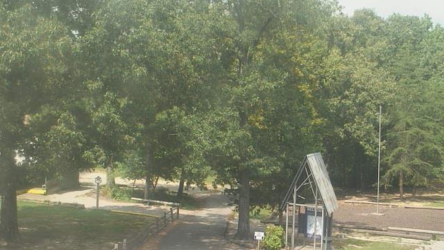
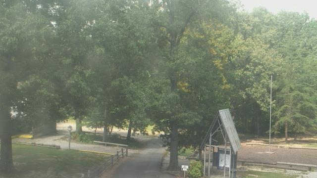
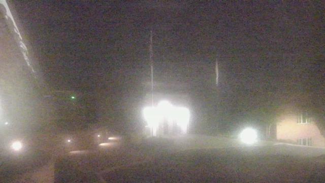
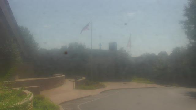
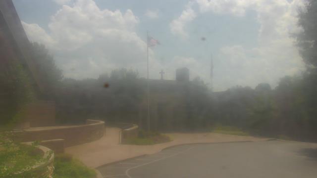
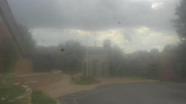
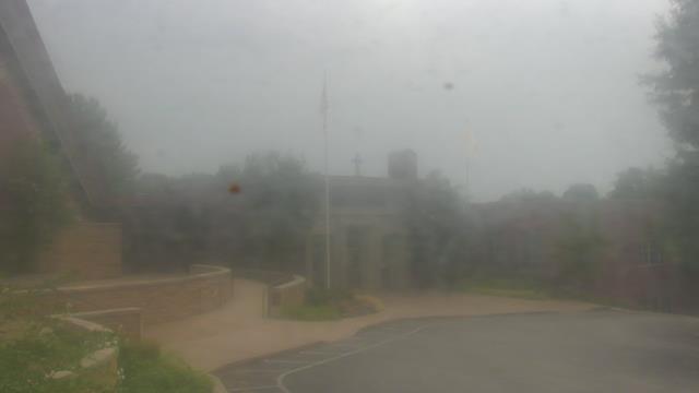
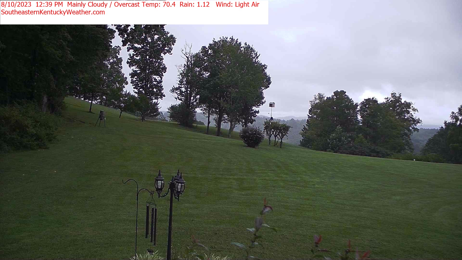
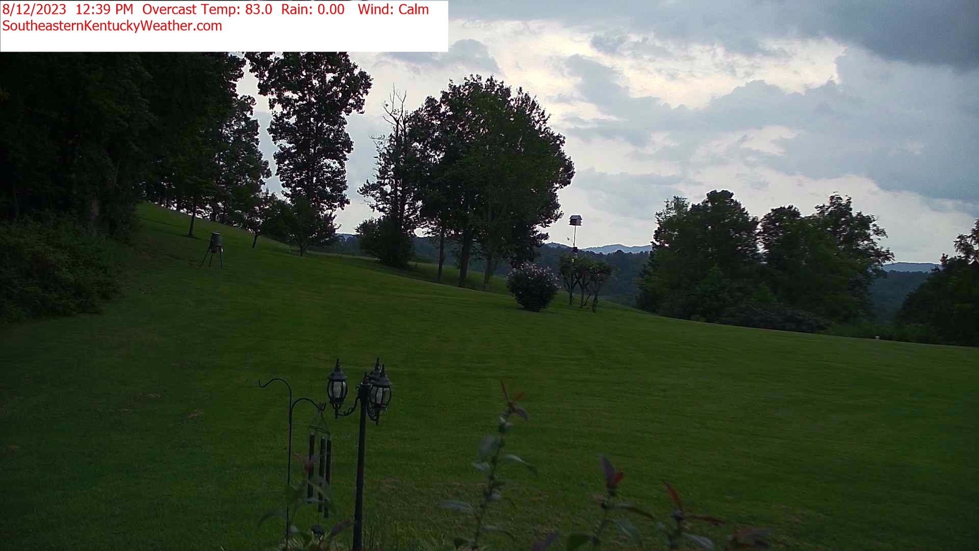
Fairview, Tennessee, USA - 146.4 miles from Stanfield (historical): Camp Marymount - A webcam in Fairview, Tennessee - camera location: Camp Marymount.
Operator: WeatherBug
Operator: WeatherBug


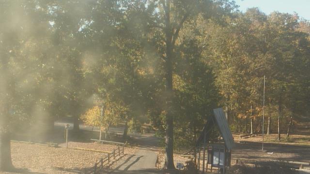


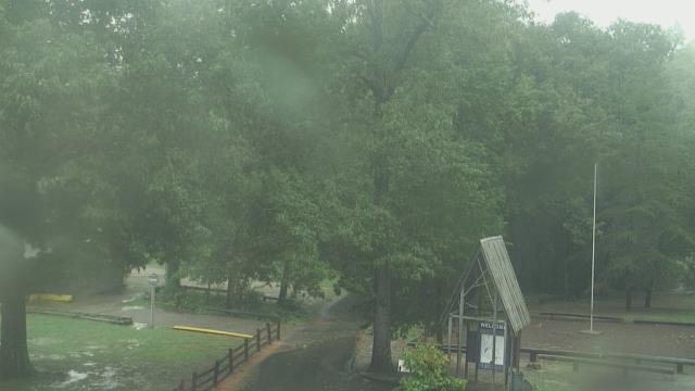

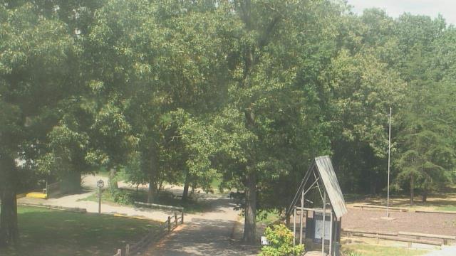


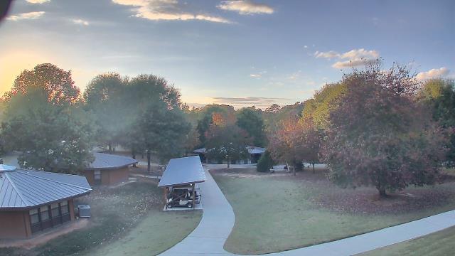
Carthage, Tennessee, USA - 155.2 miles from Stanfield (historical): Smith County Chamber of Commerce - A webcam in Carthage, Tennessee - camera location: Smith County Chamber of Commerce.
Operator: WeatherBug
Operator: WeatherBug


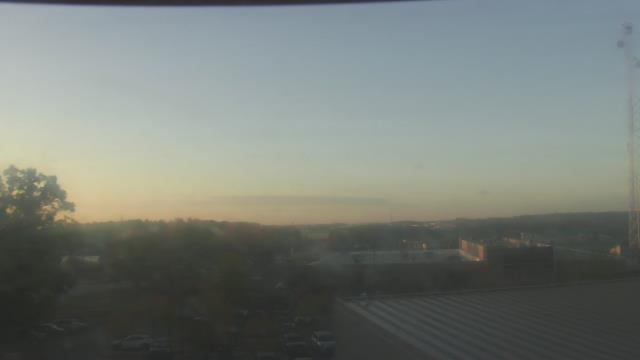
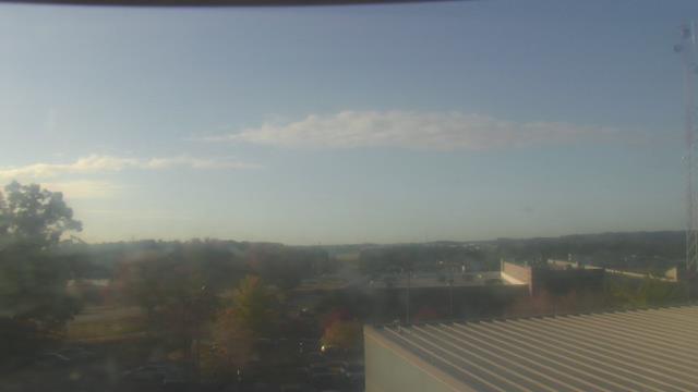
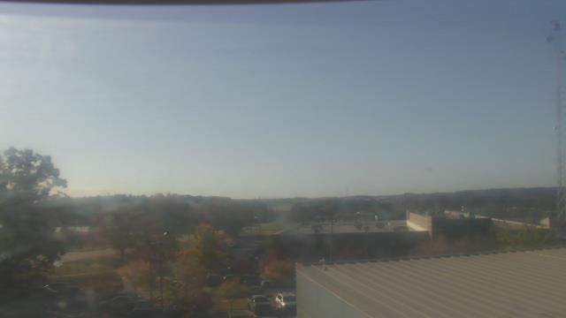
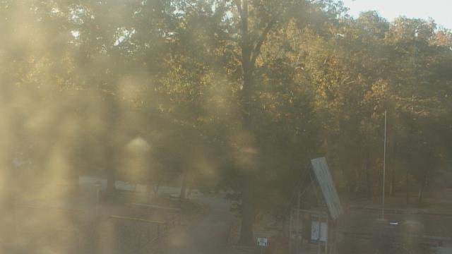
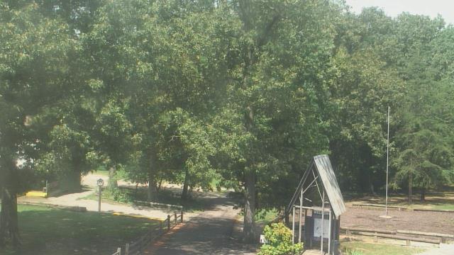
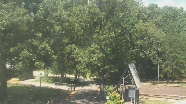
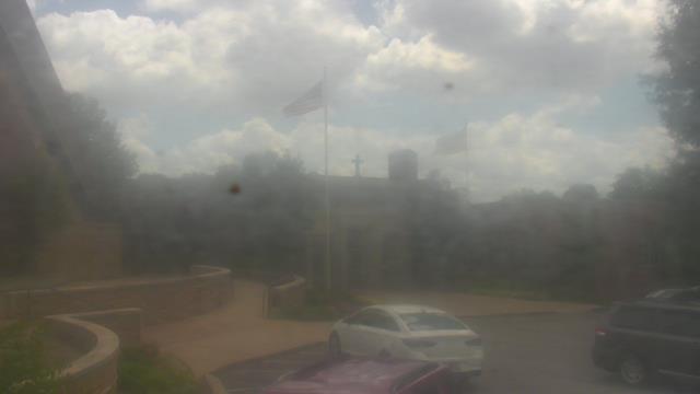
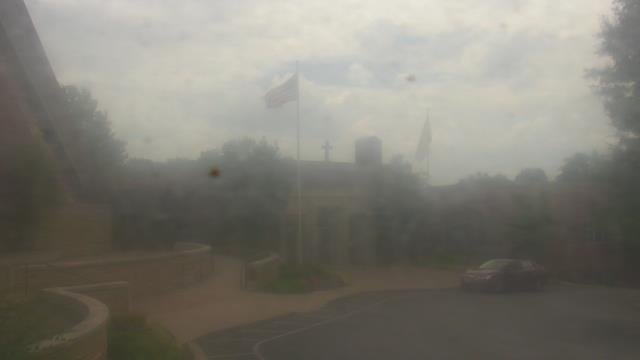
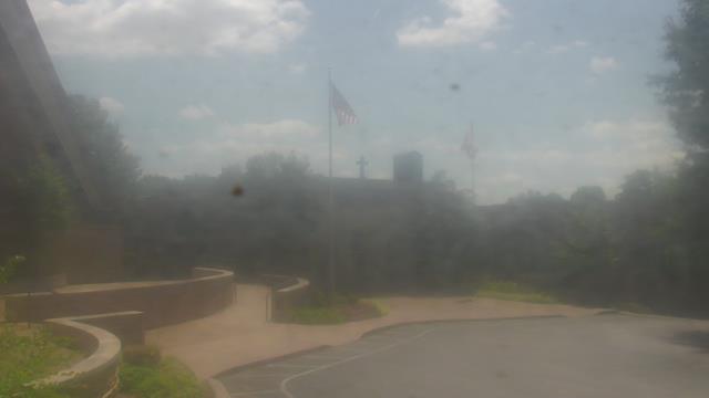
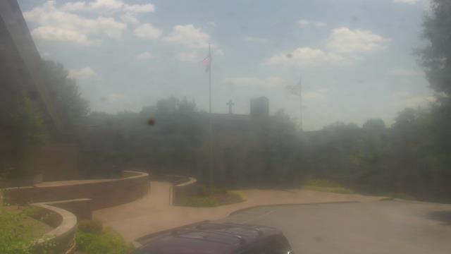
Madison, Tennessee, USA - 158 miles from Stanfield (historical): St Joseph School - A webcam in Madison, Tennessee - camera location: St Joseph School.
Operator: WeatherBug
Operator: WeatherBug


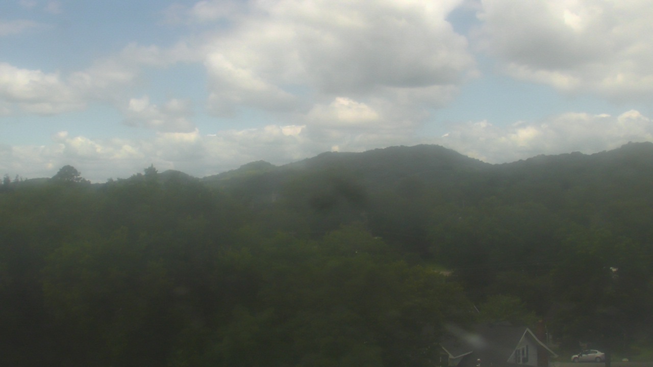
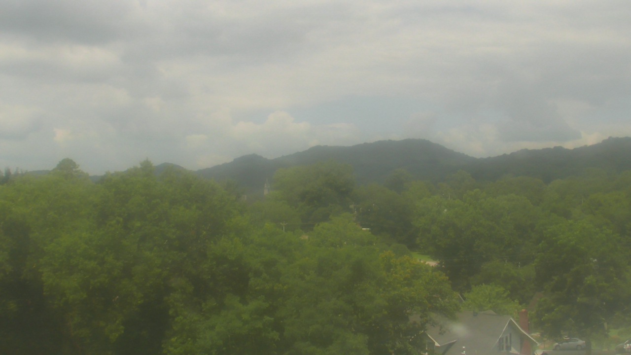
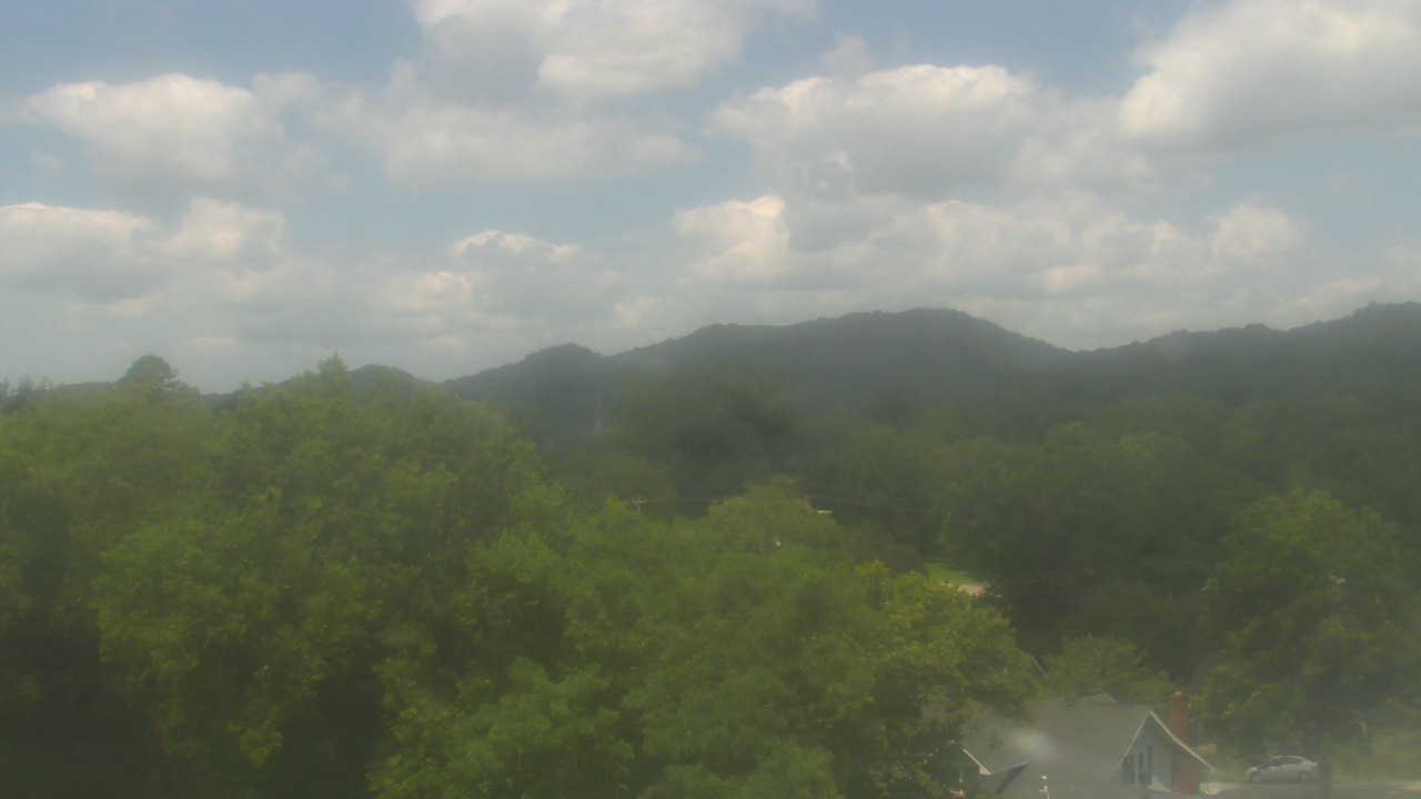
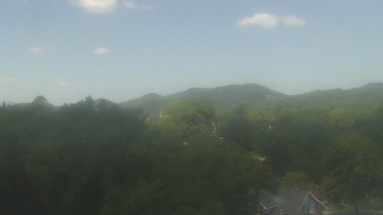
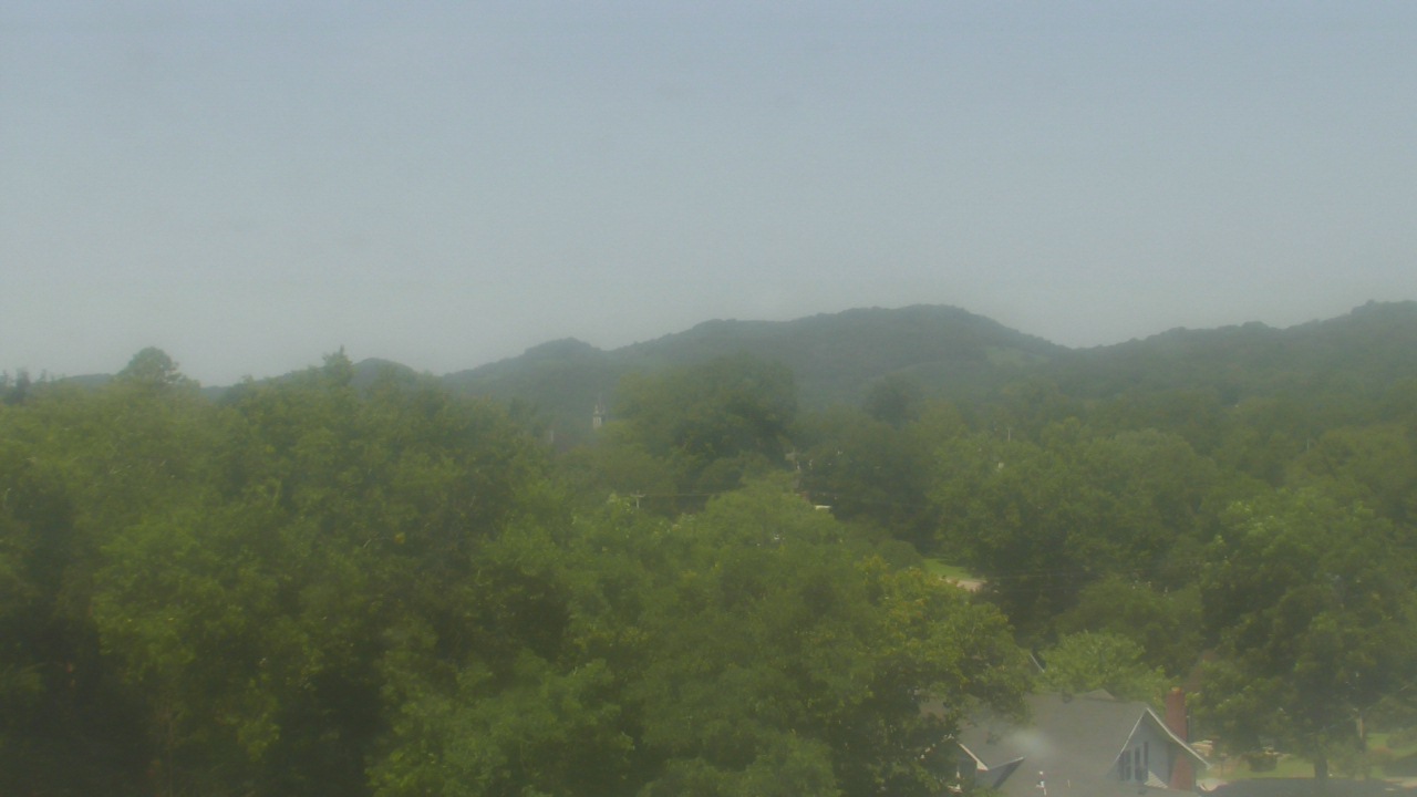
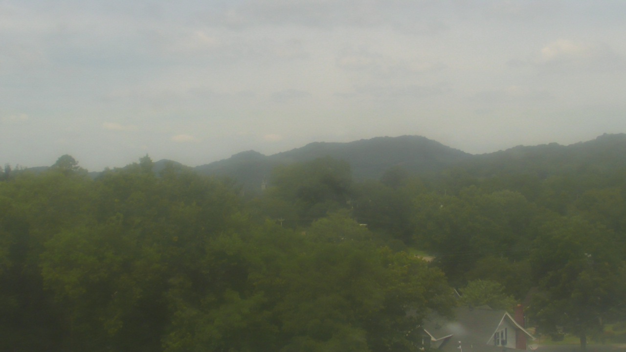
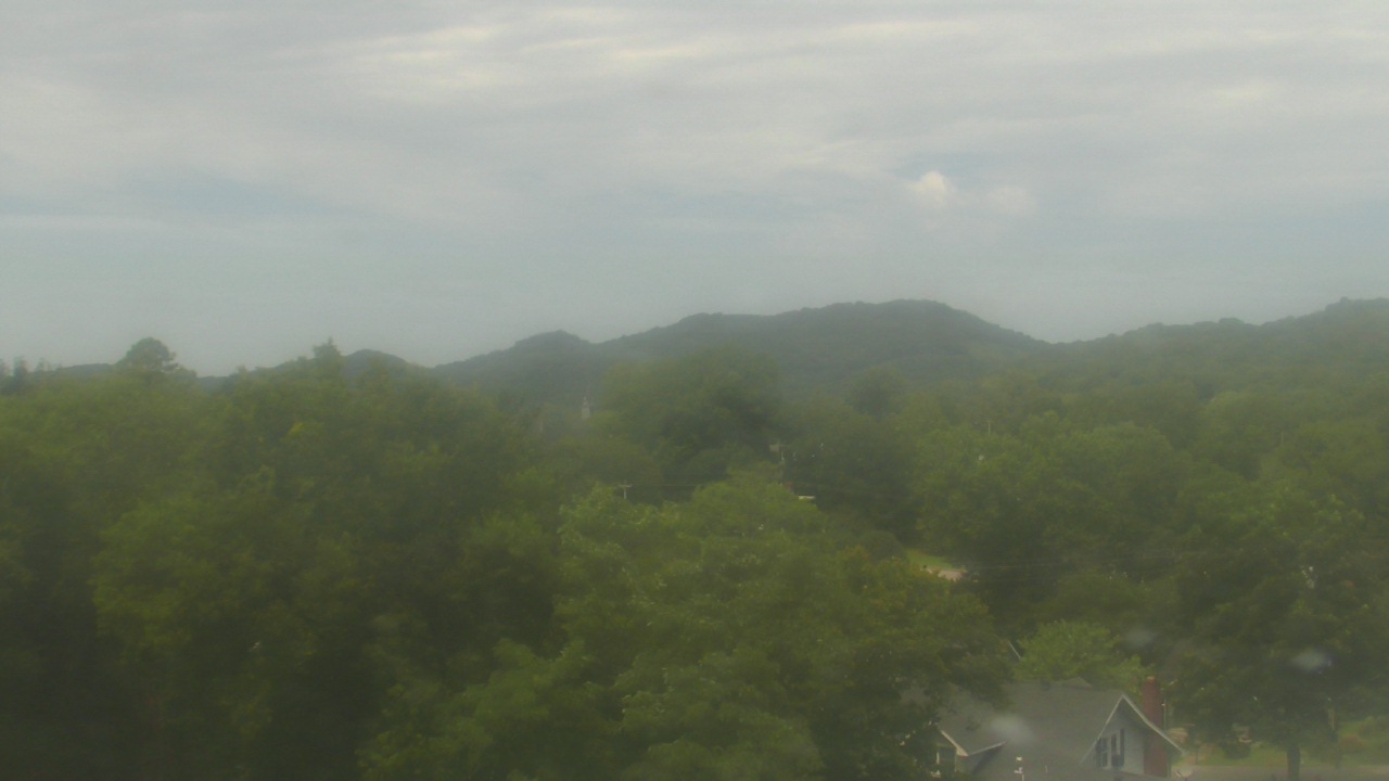
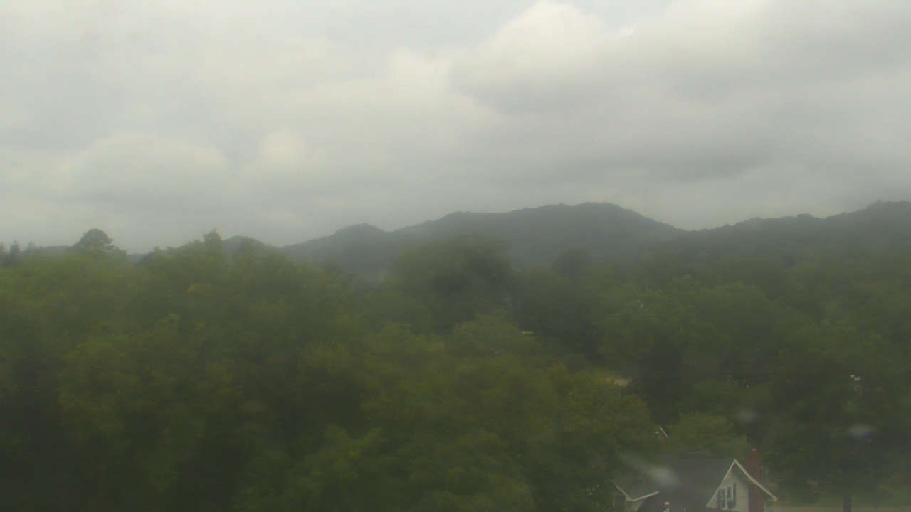
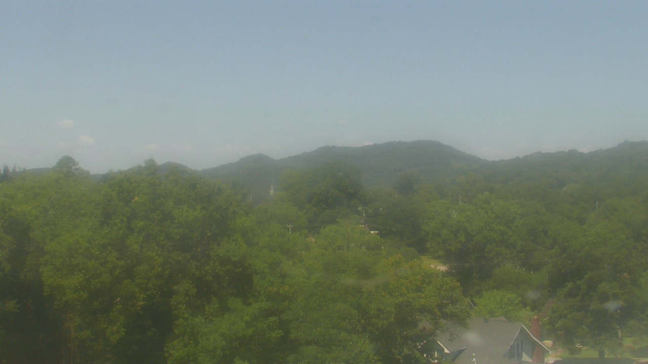
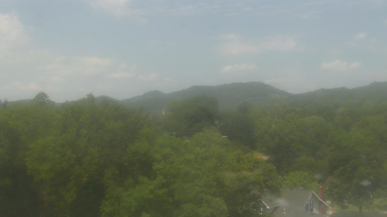
Whittier, North Carolina, USA - 187.3 miles from Stanfield (historical): Conleys Creek - A live view from Whittier, Smokey Mountains, North Carolina.
Operator: crews.cc
Operator: crews.cc


Some other places in this country: Yancy - Abernathy (historical) - Beasley (historical) - Bera (historical) - Bethel - Betta-Life - Blue Springs (historical) - Bruner (historical) - Brutonville - Cane Creek