Webcams in the region of Moodys Chapel, Alabama, USA
The List of Webcams near Moodys Chapel, Alabama, USA:

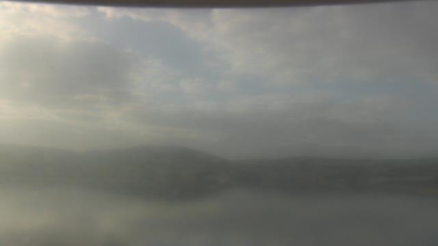
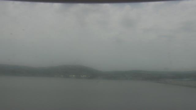
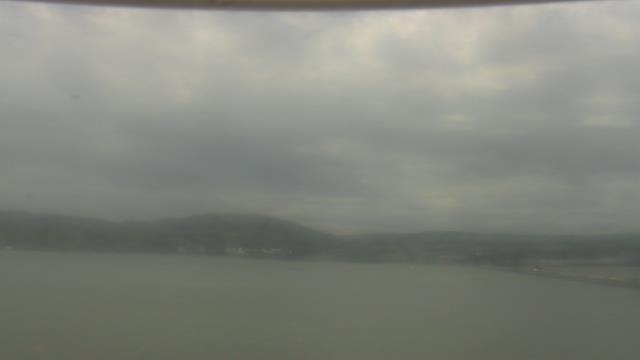
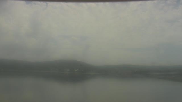
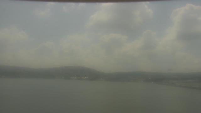
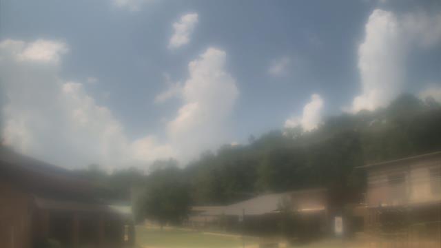
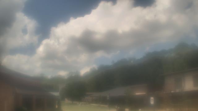
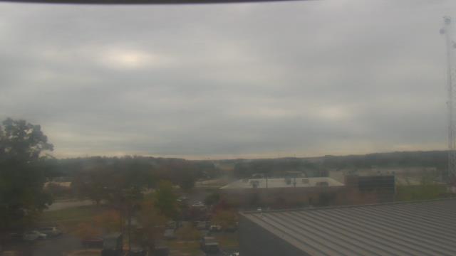
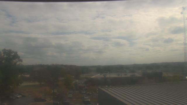
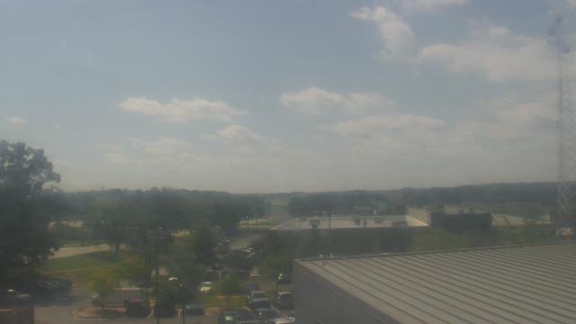
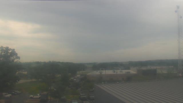
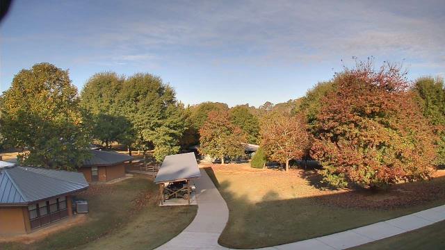
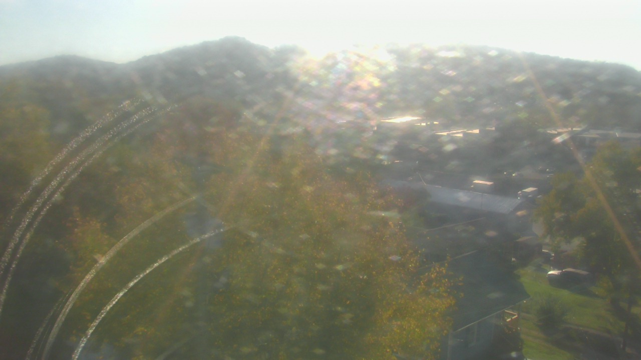
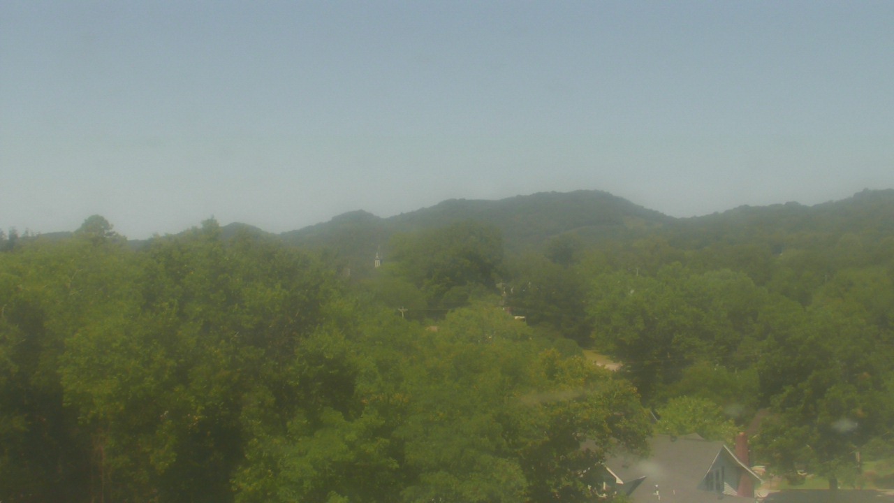
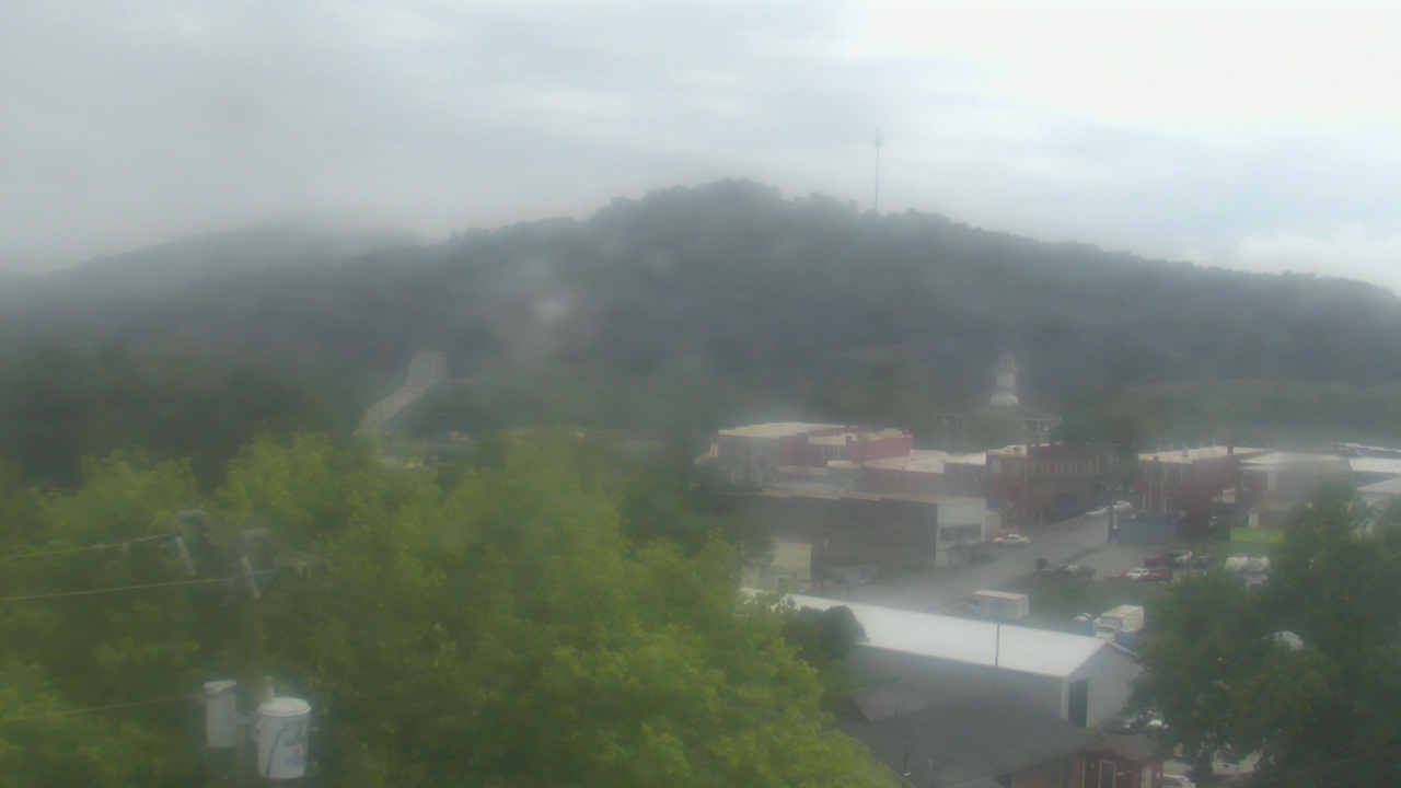
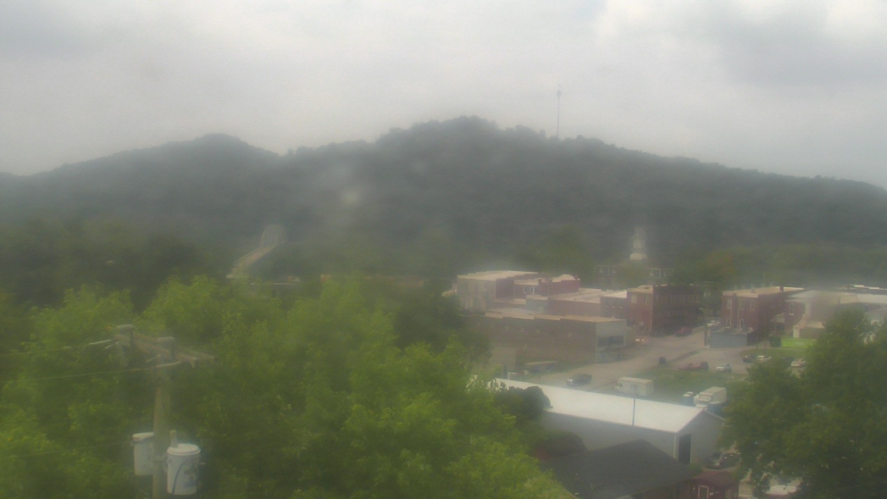
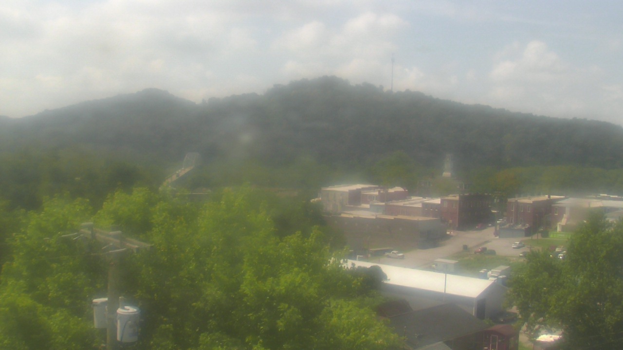
Guntersville, Alabama, USA - 25.1 miles from Moodys Chapel: Wyndham Garden Lake Guntersville - A webcam in Guntersville, Alabama - camera location: Wyndham Garden Lake Guntersville.
Operator: WeatherBug
Operator: WeatherBug


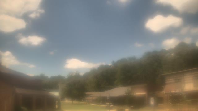
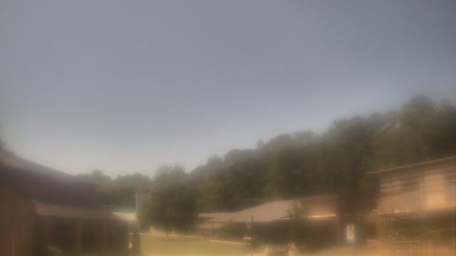
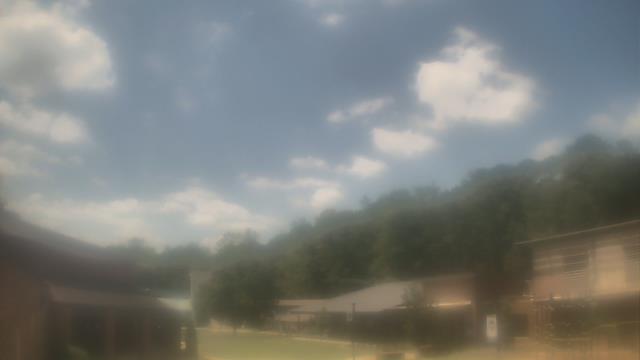
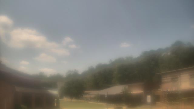
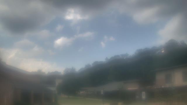
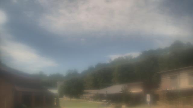
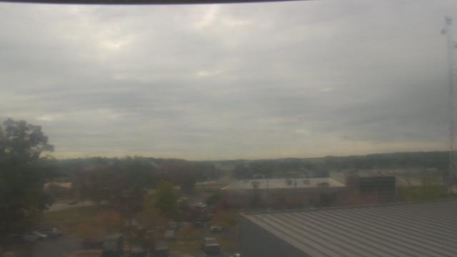
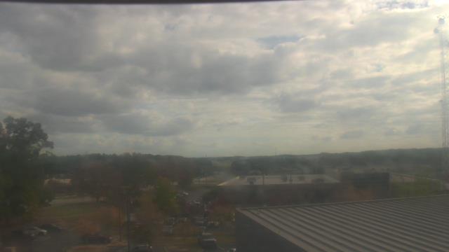
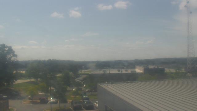
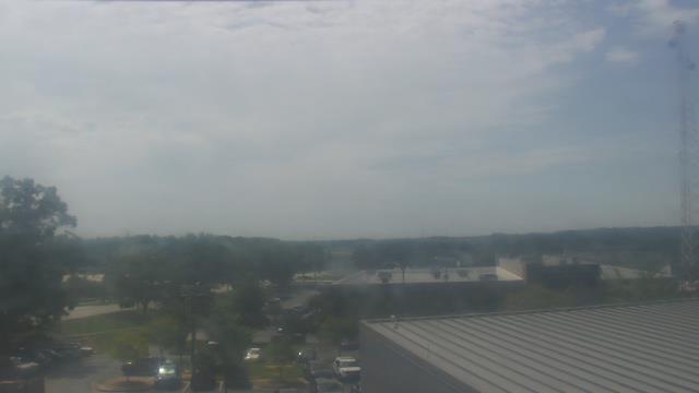
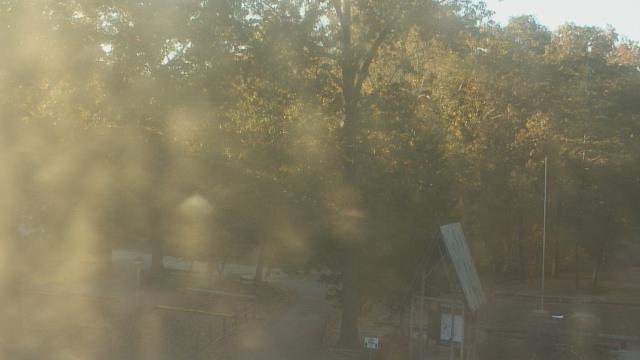
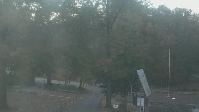
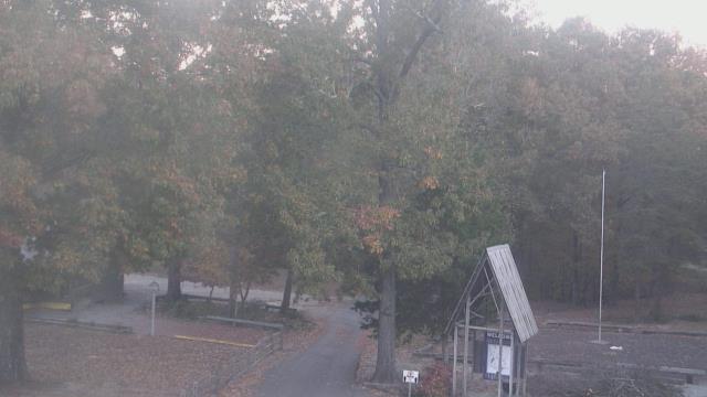
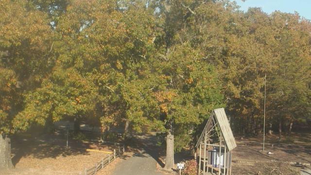
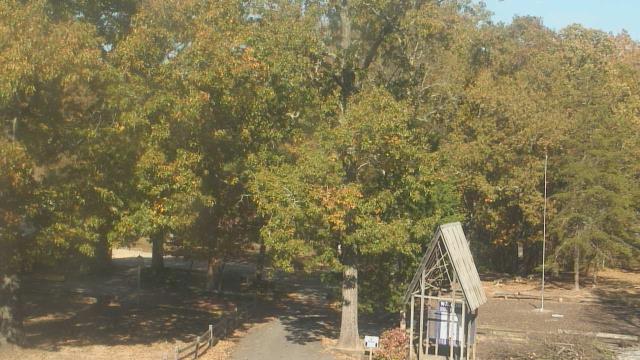
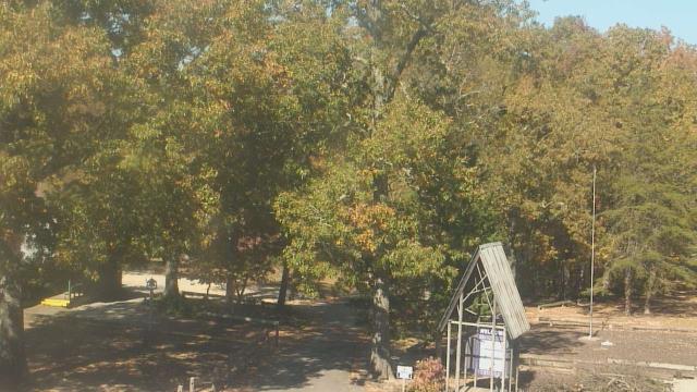
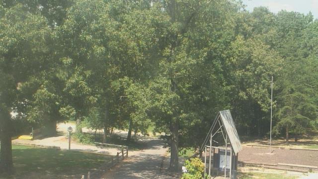
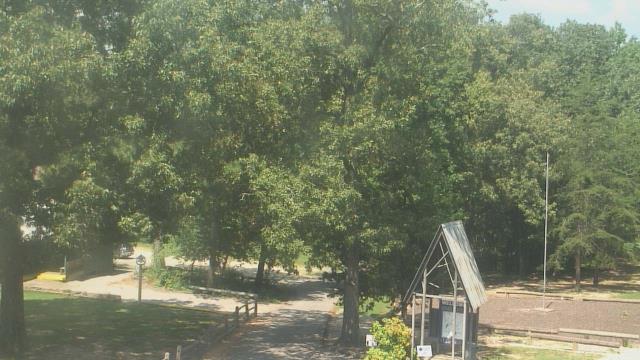
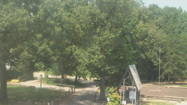
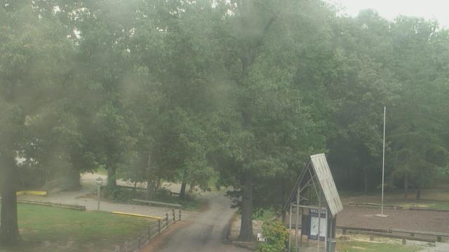
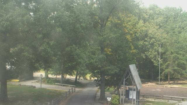
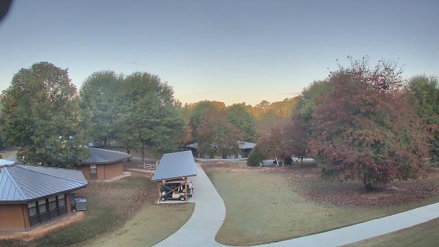
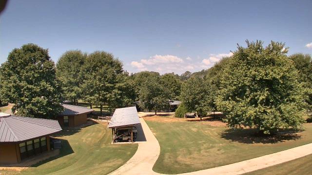
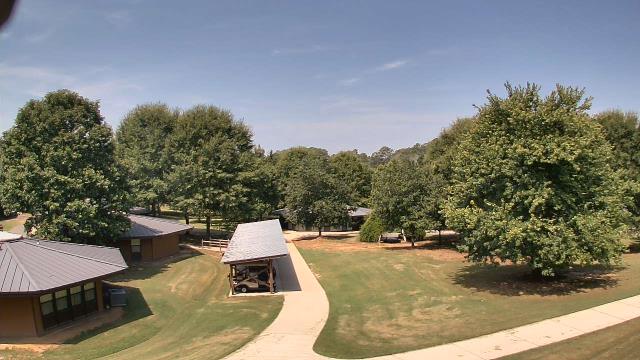
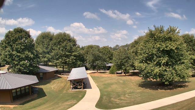
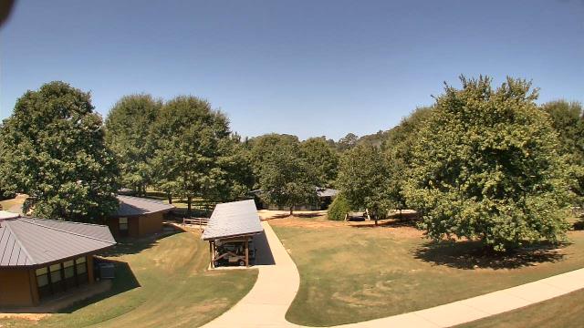
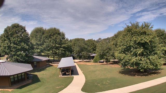
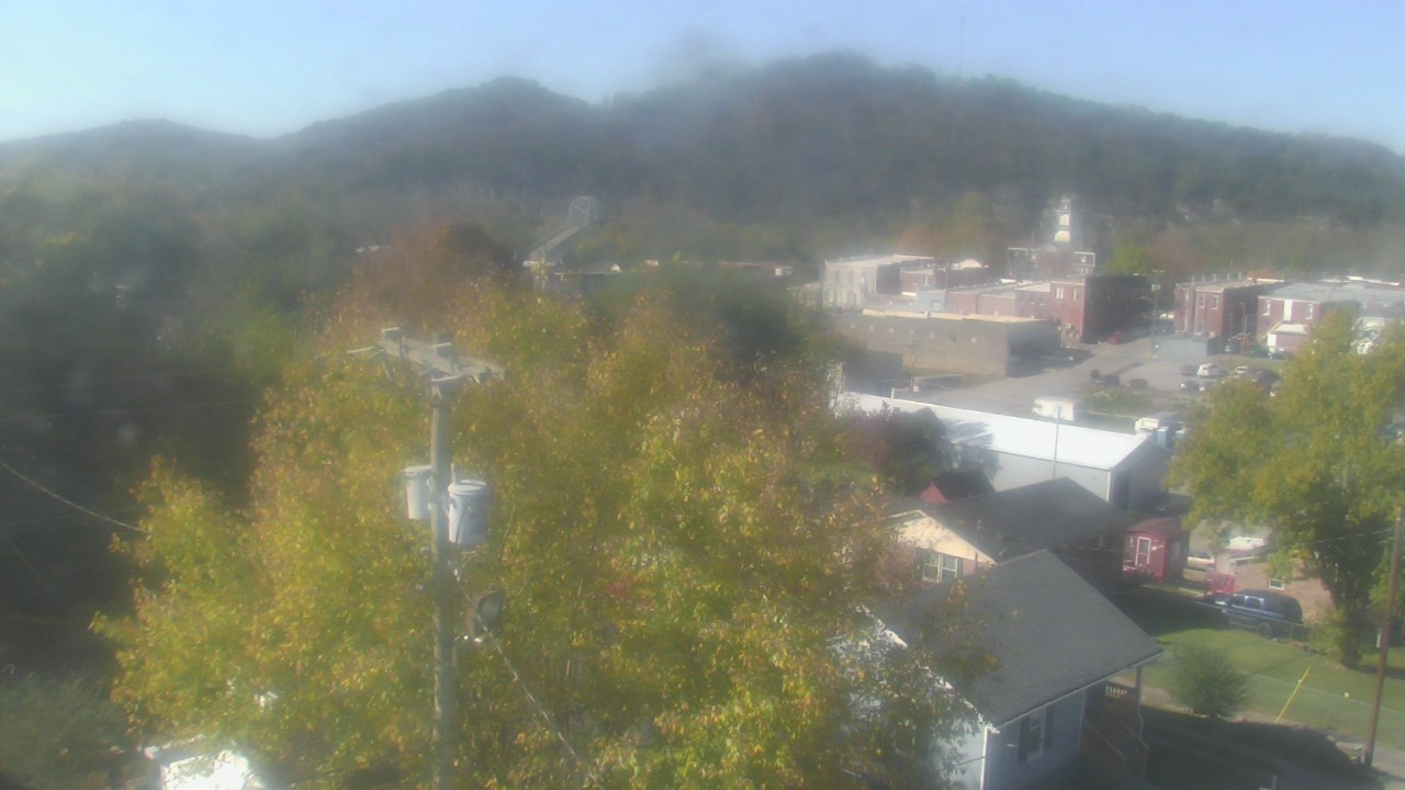
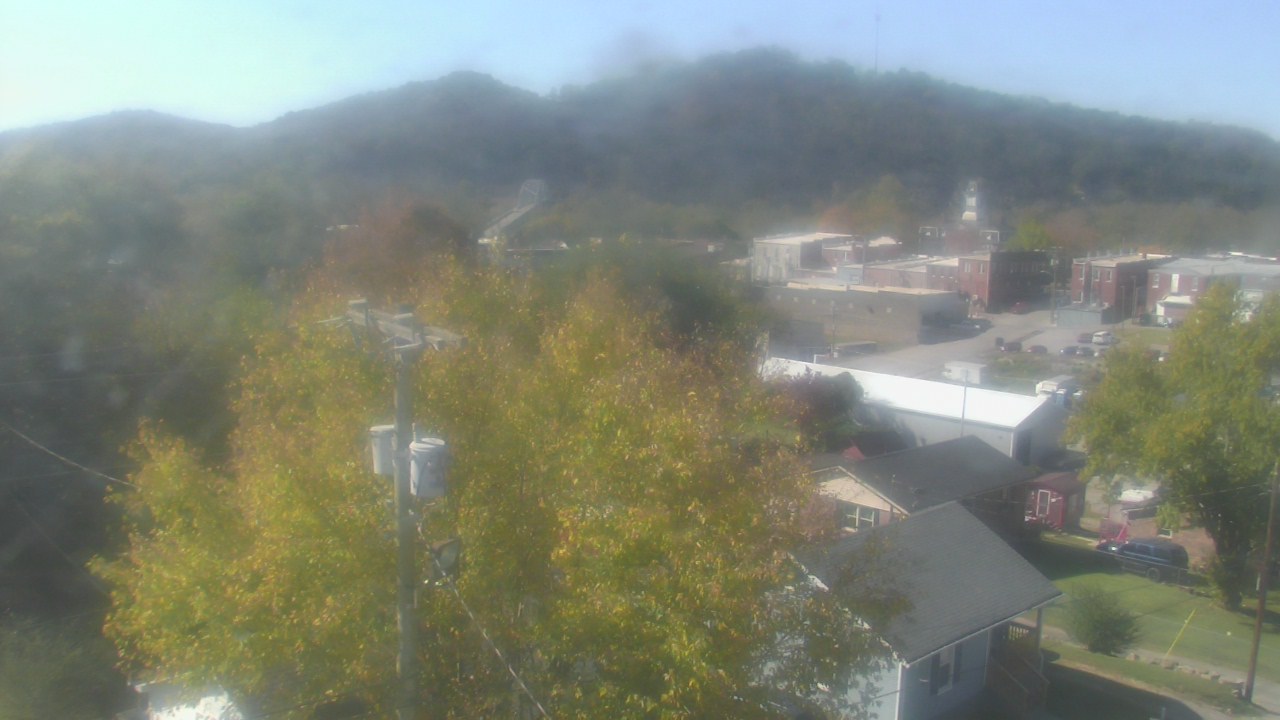
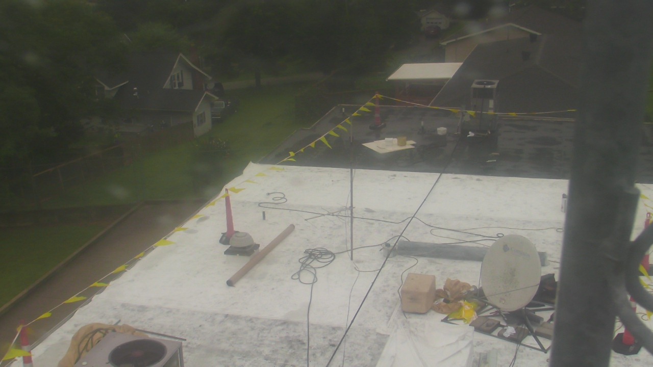
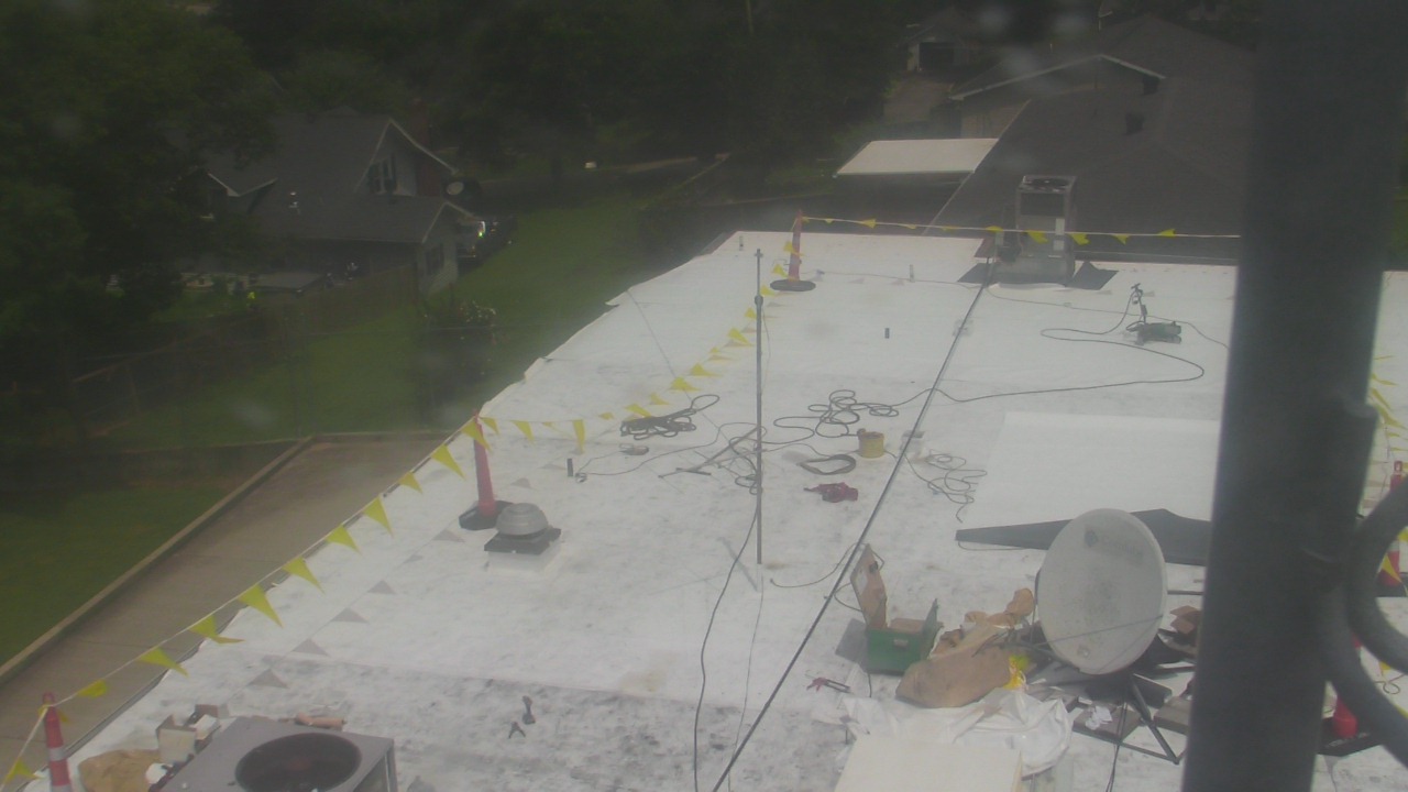
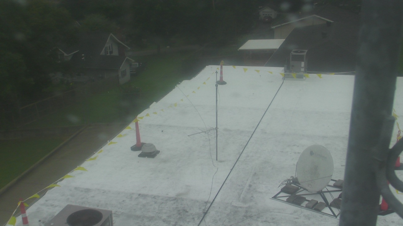
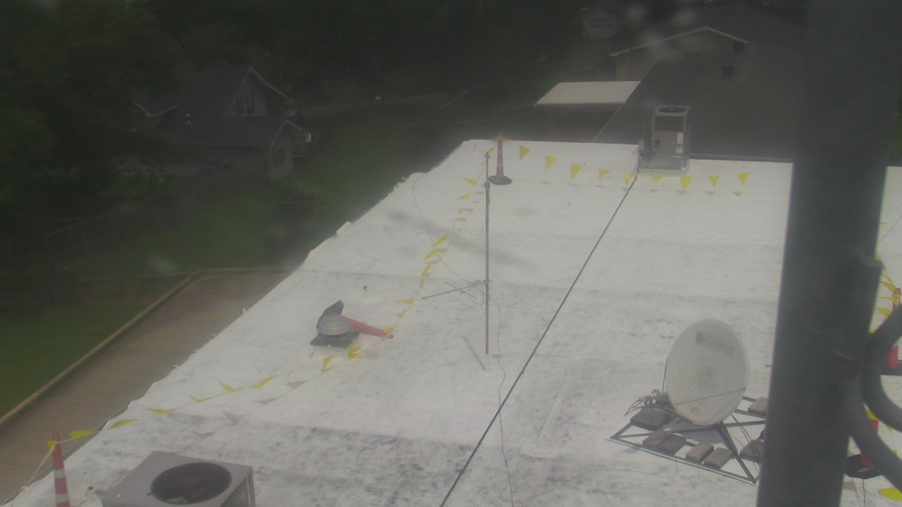
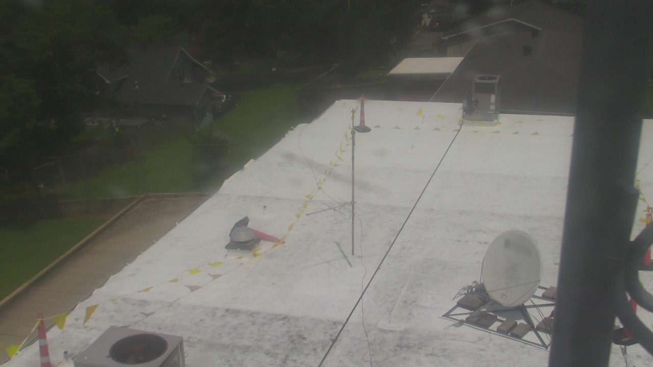
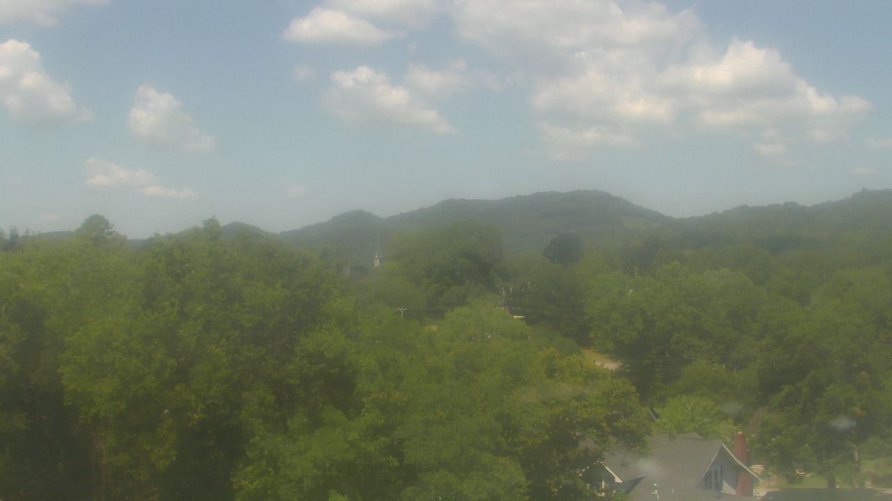
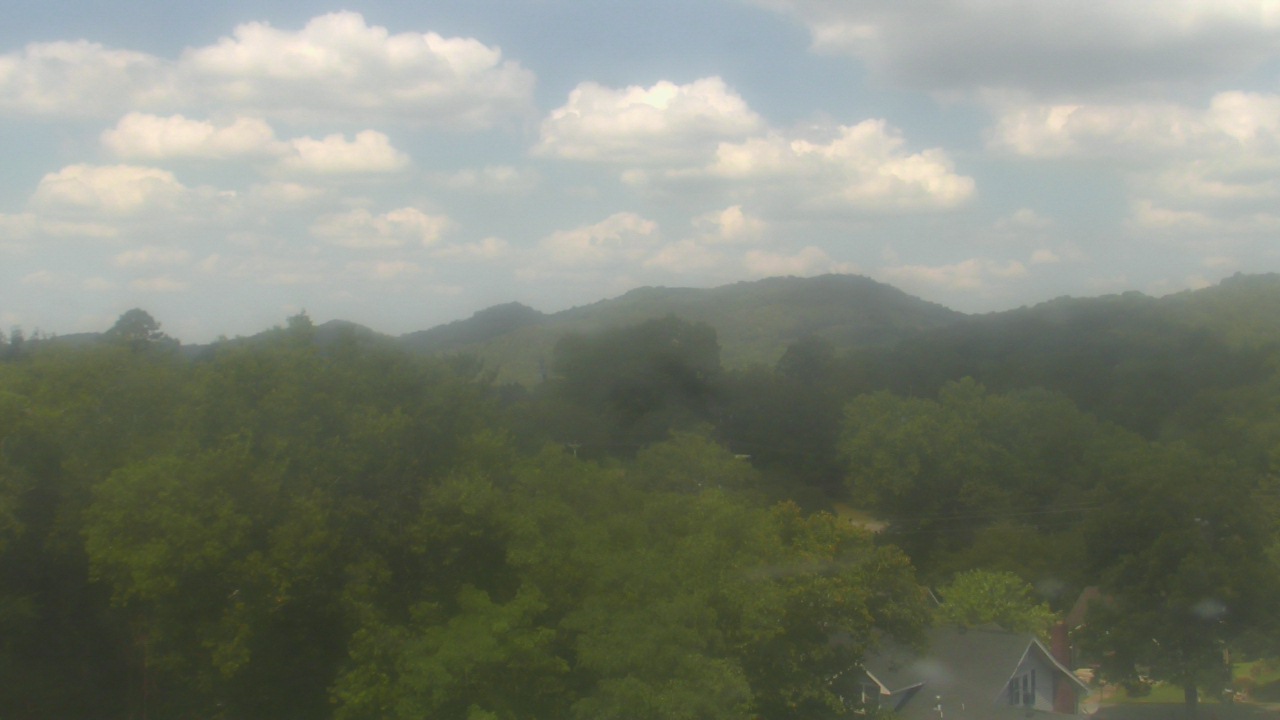
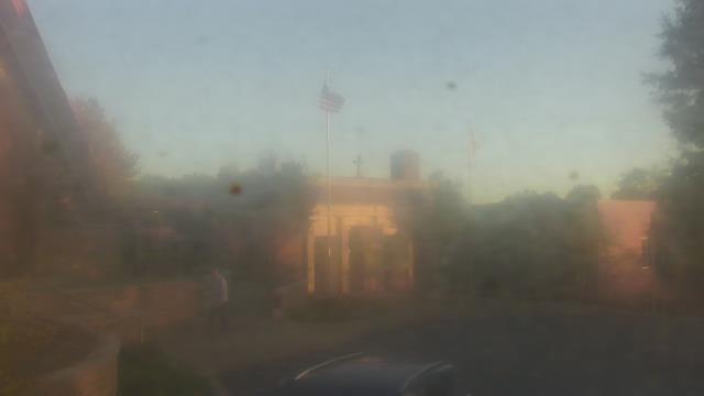
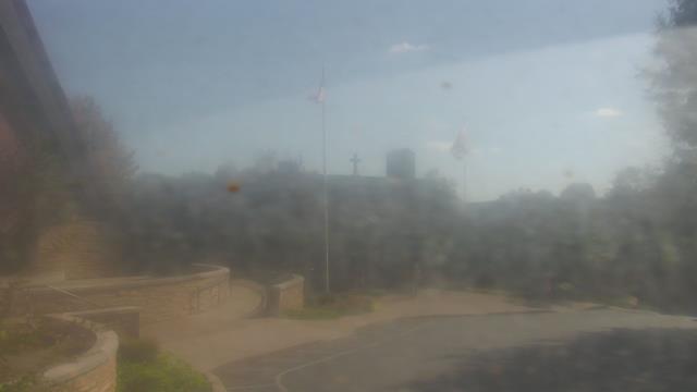
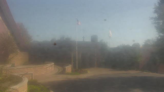
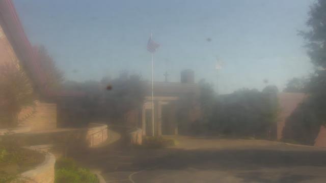
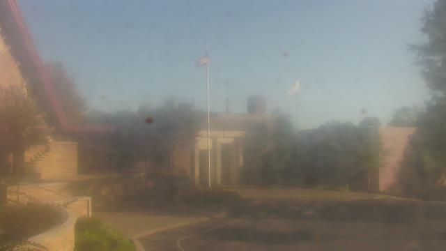
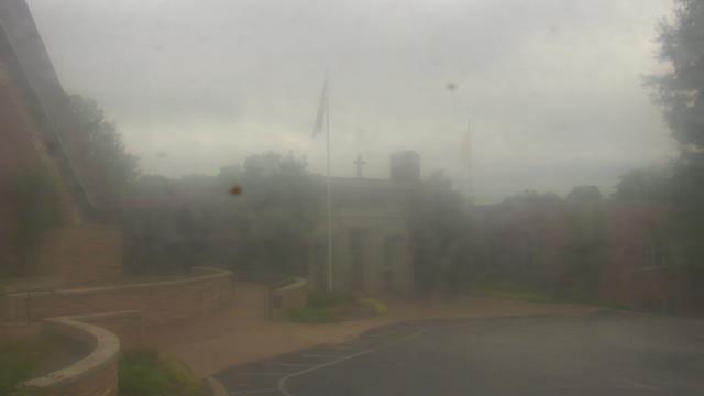
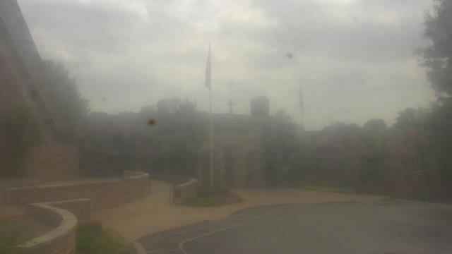
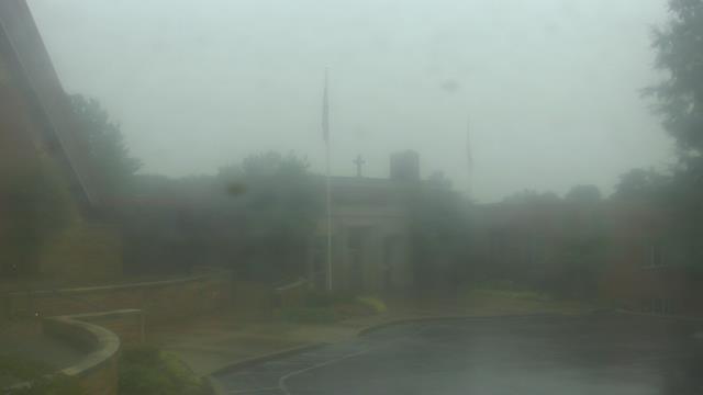
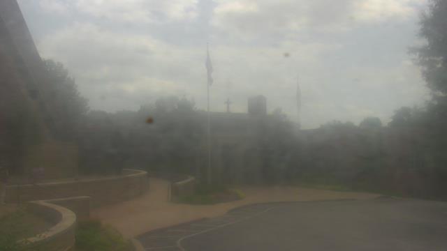
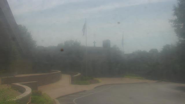
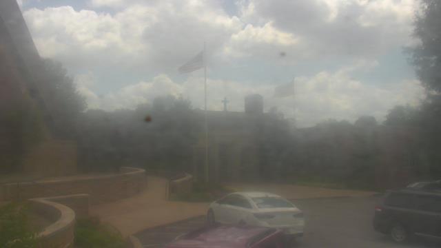
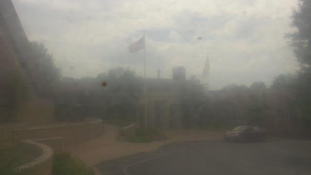
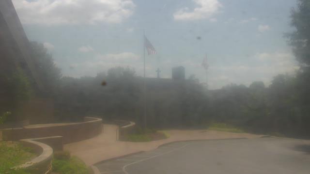
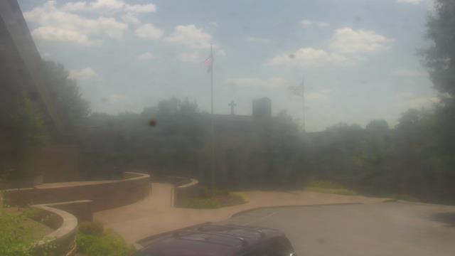
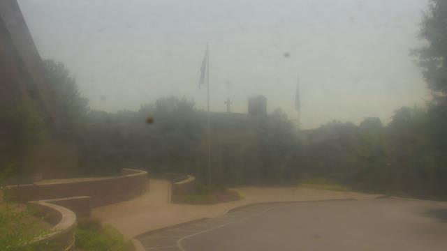
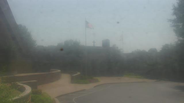
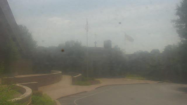
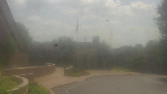
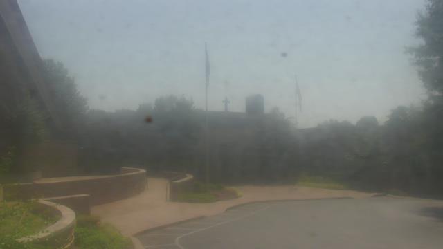
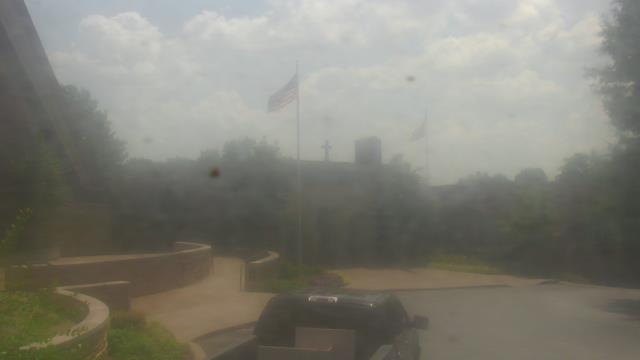
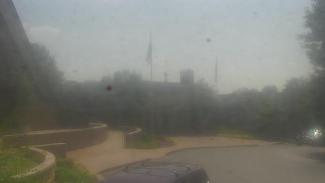
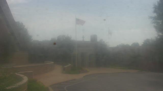
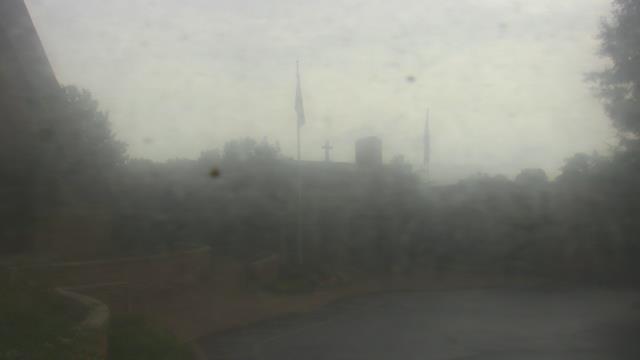
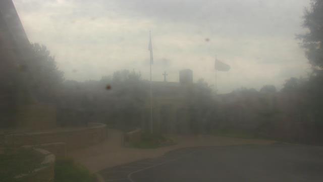
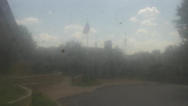
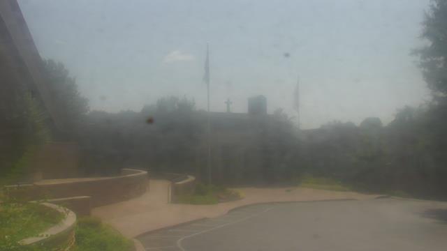
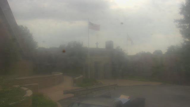
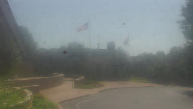
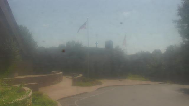
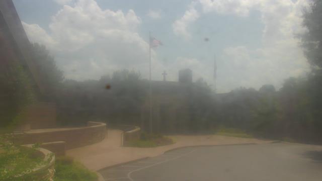
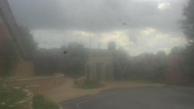
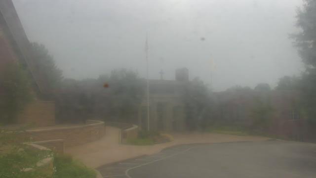
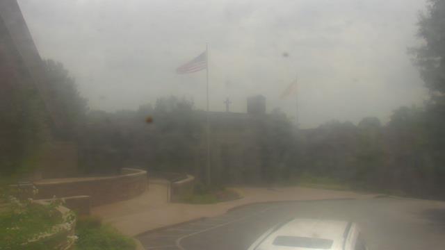
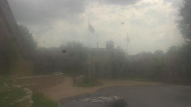
Birmingham, Alabama, USA - 43.6 miles from Moodys Chapel: Highlands School - A webcam in Birmingham, Alabama - camera location: Highlands School.
Operator: WeatherBug
Operator: WeatherBug


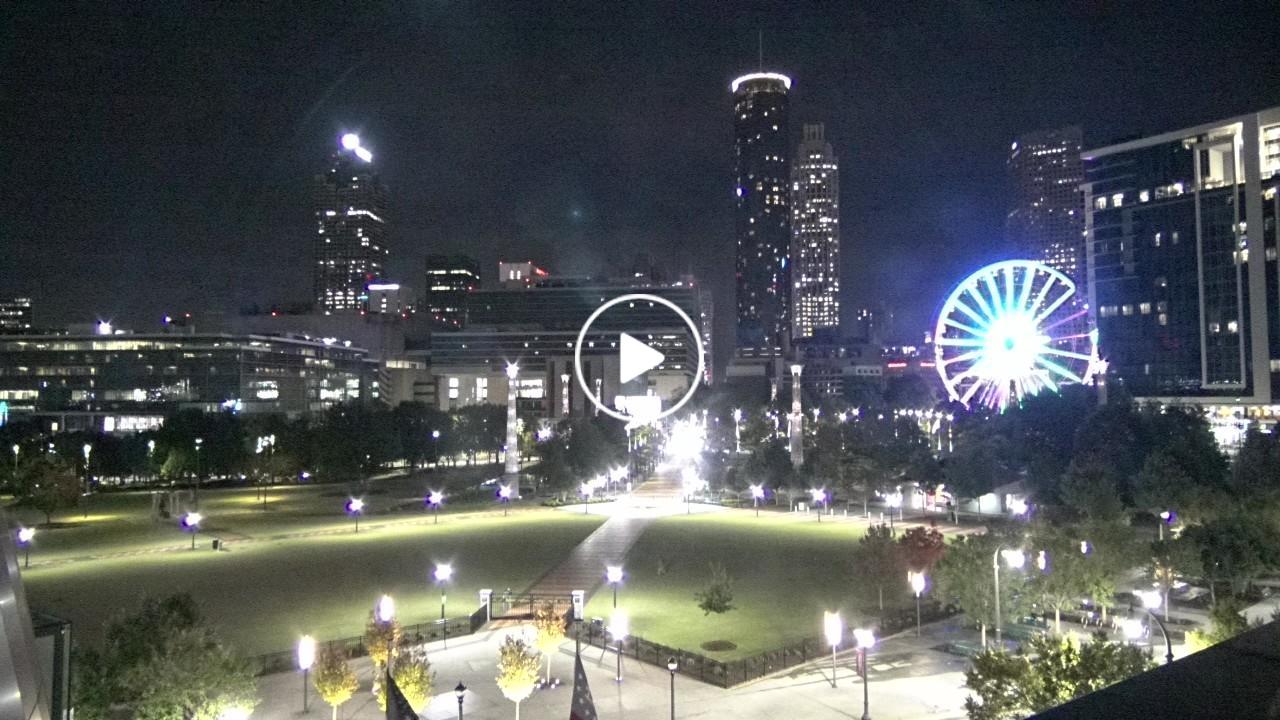
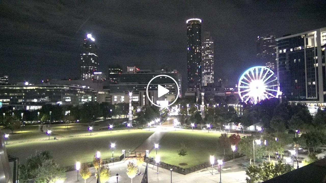
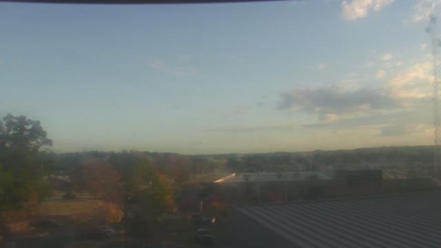
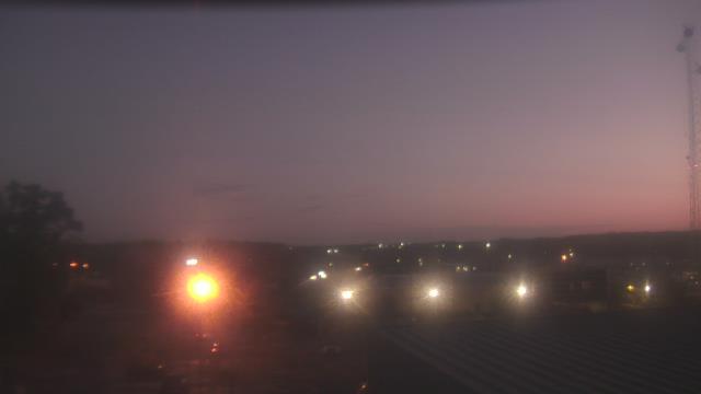
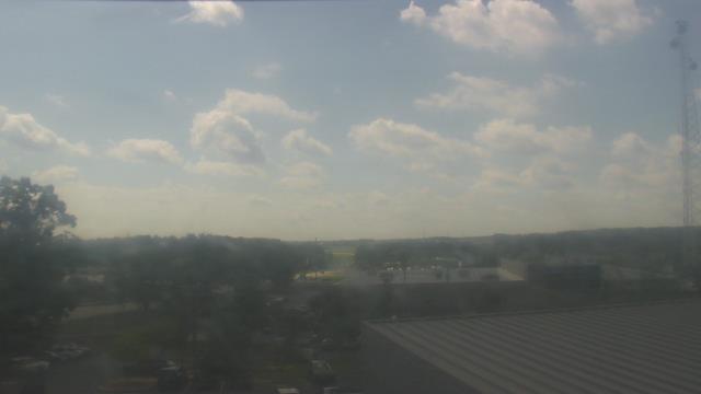
Atlanta, Georgia, USA - 112.3 miles from Moodys Chapel: Skyline Atlanta - A nice view of the skyline of Atlanta, Georgia.
Operator: EarthCam
Operator: EarthCam


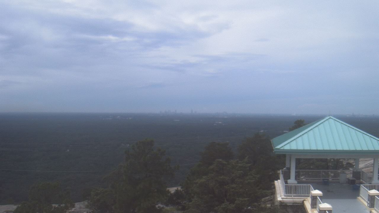
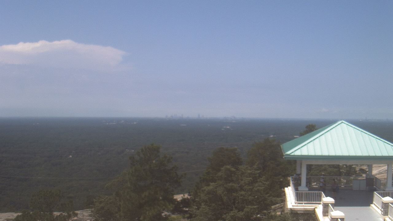
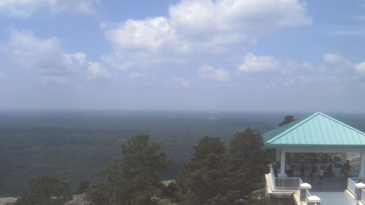
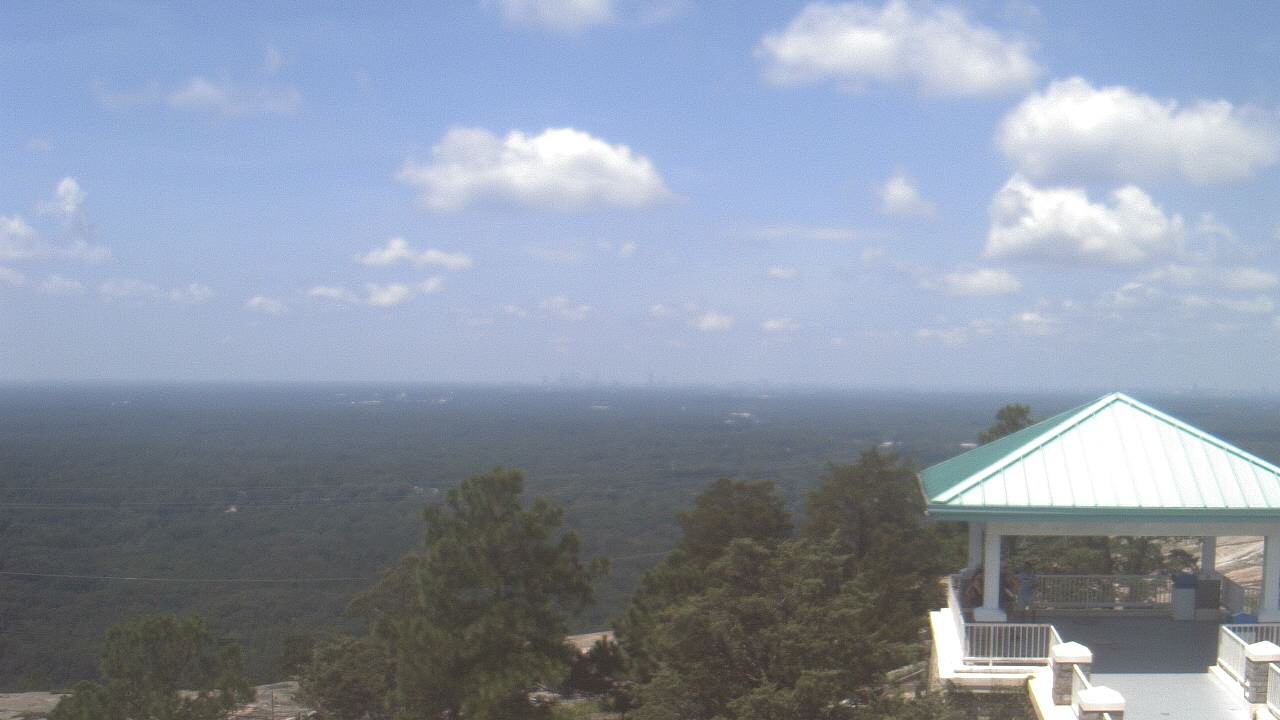
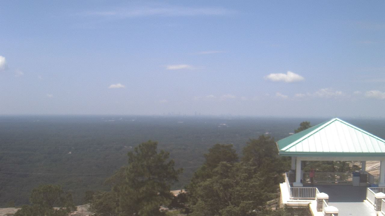
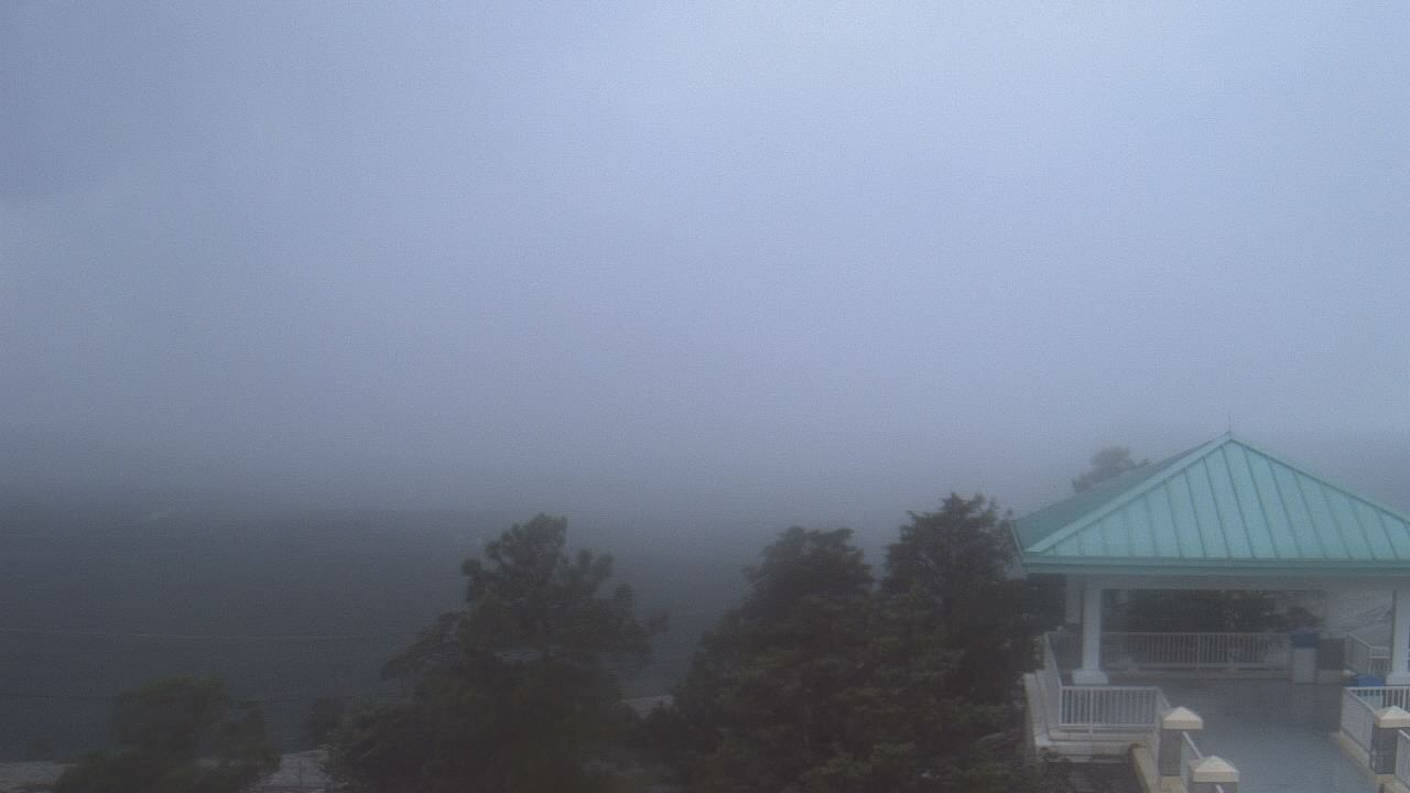
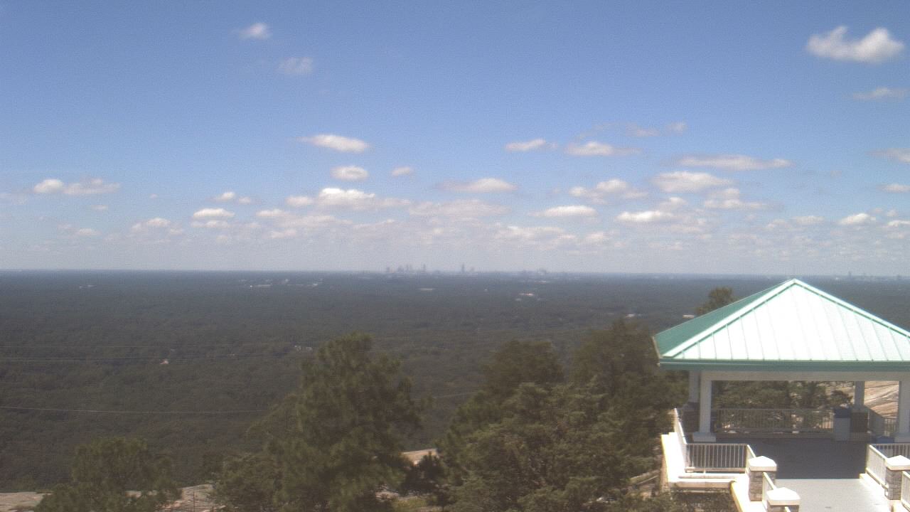
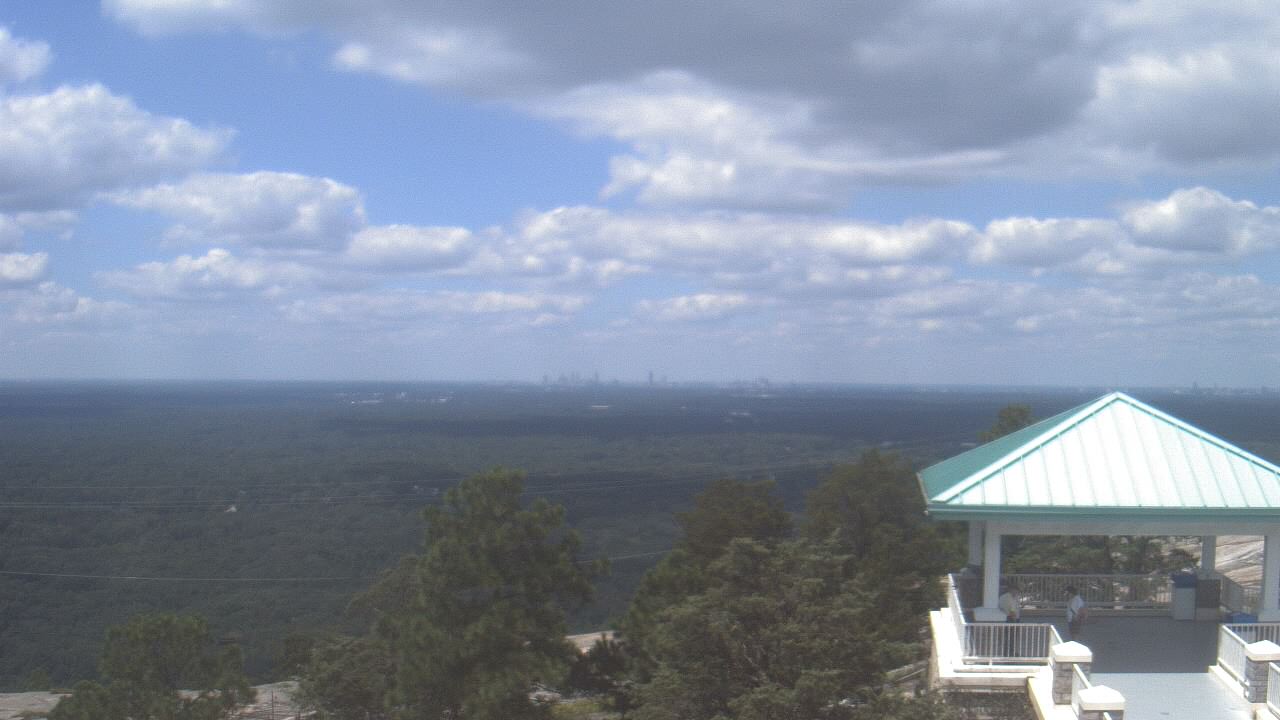
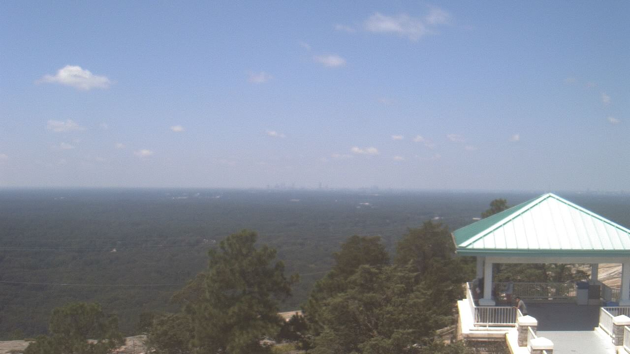
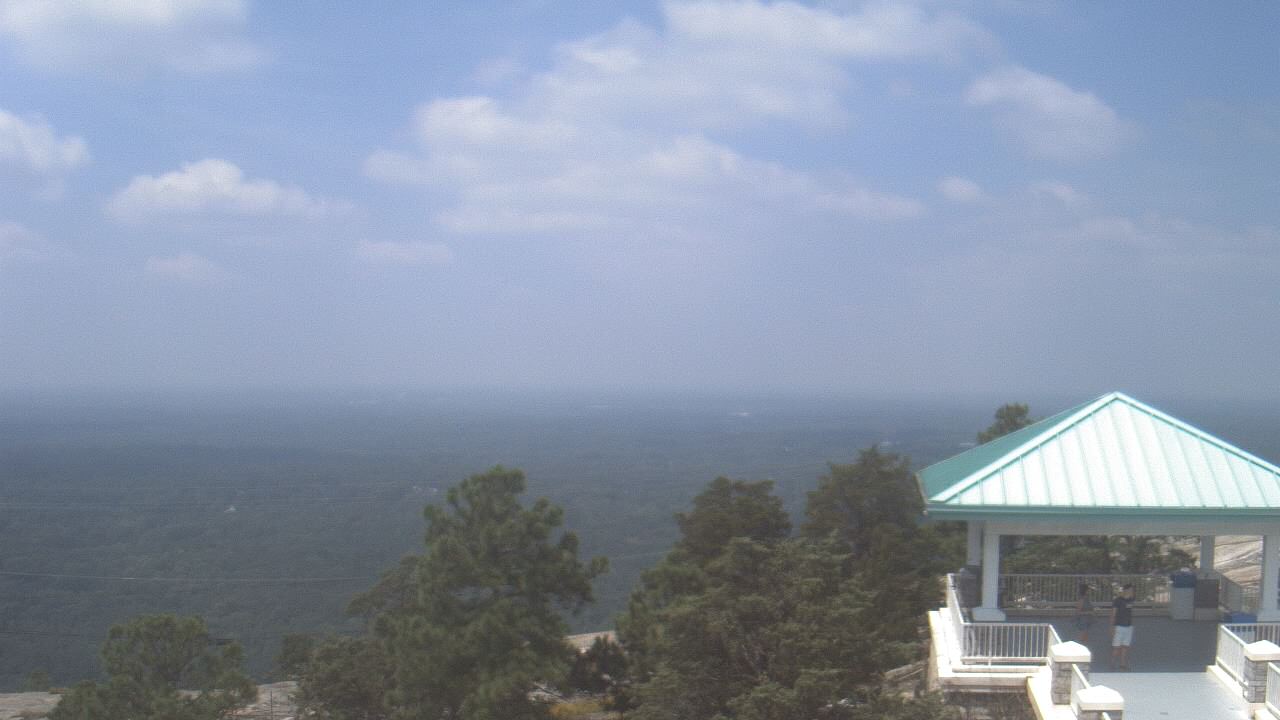
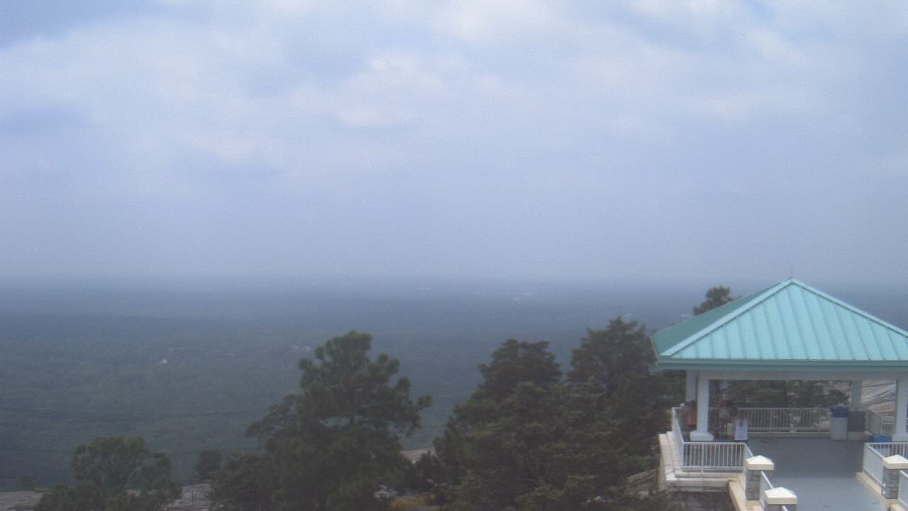
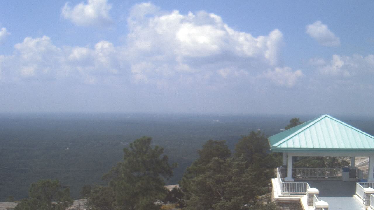
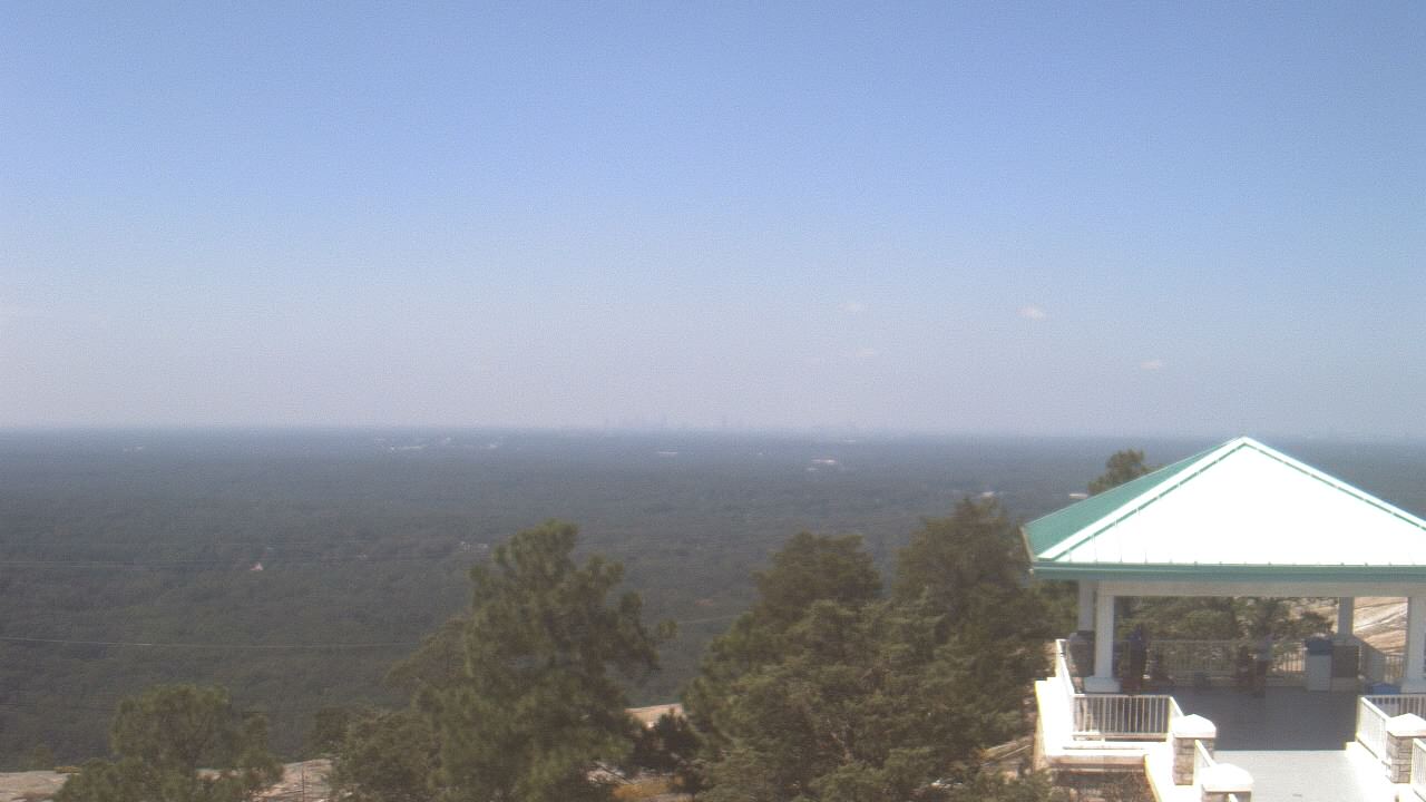
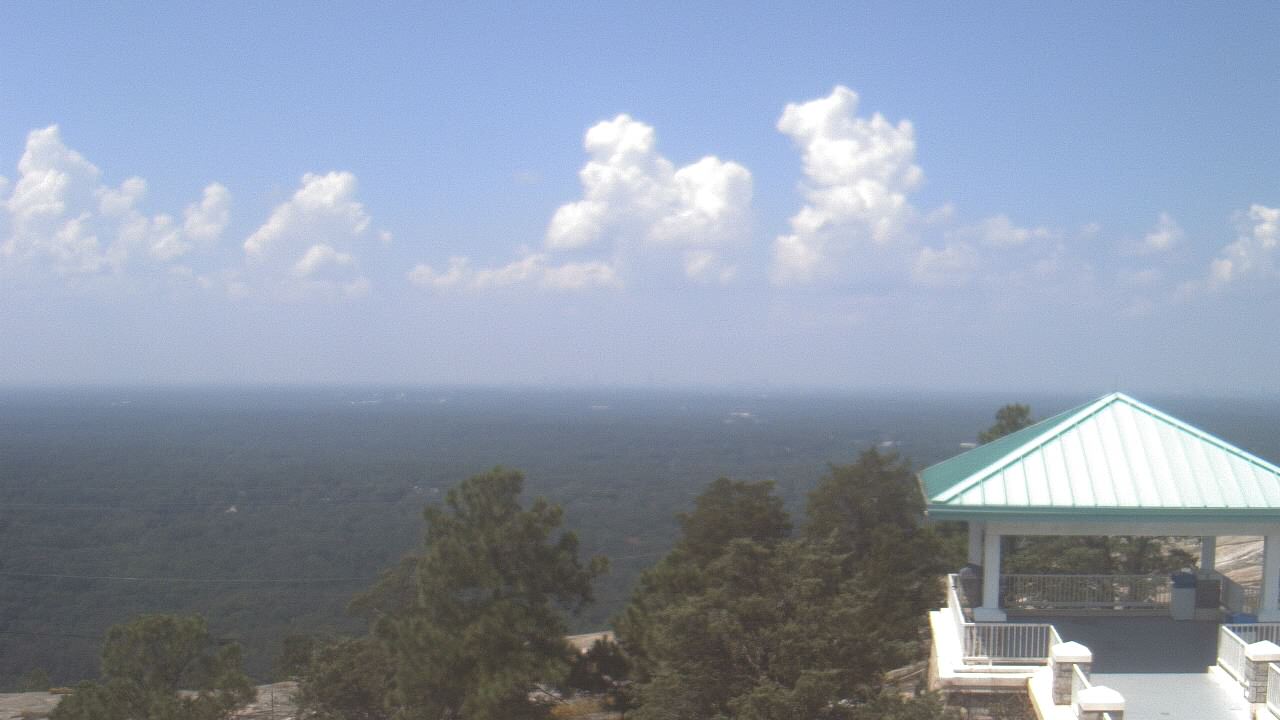
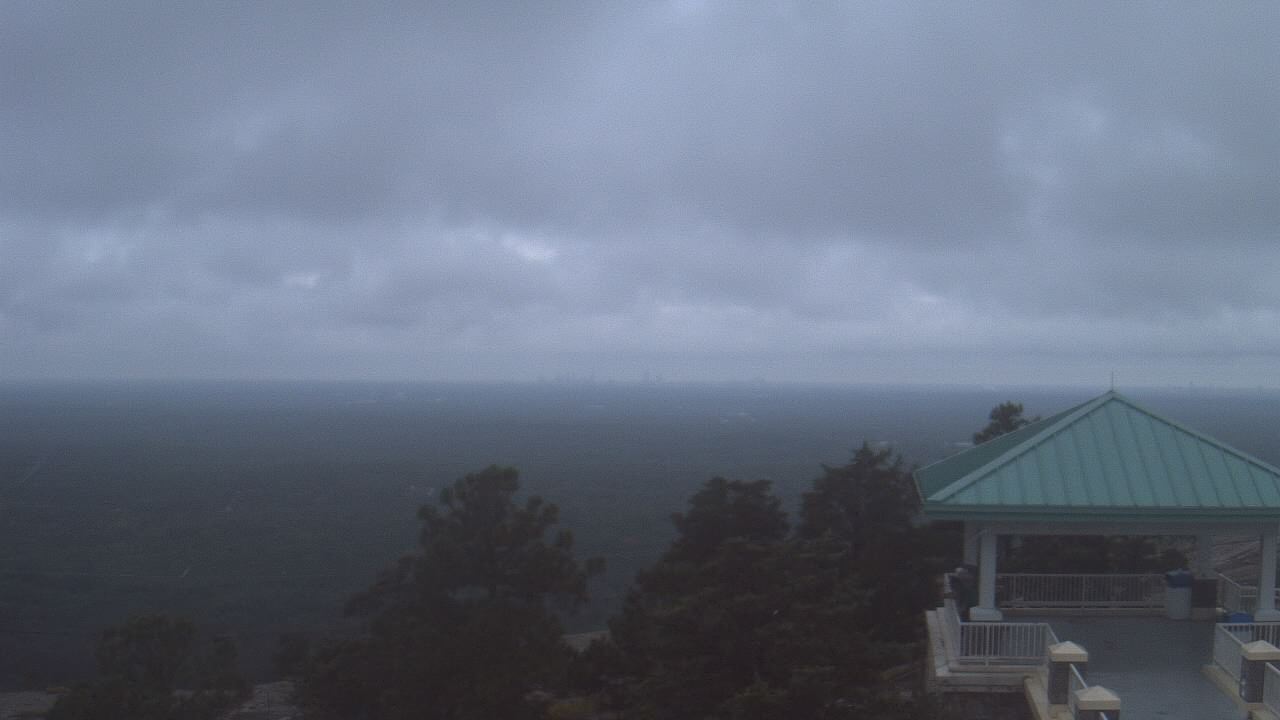
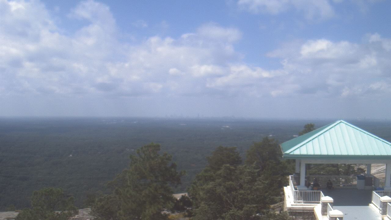
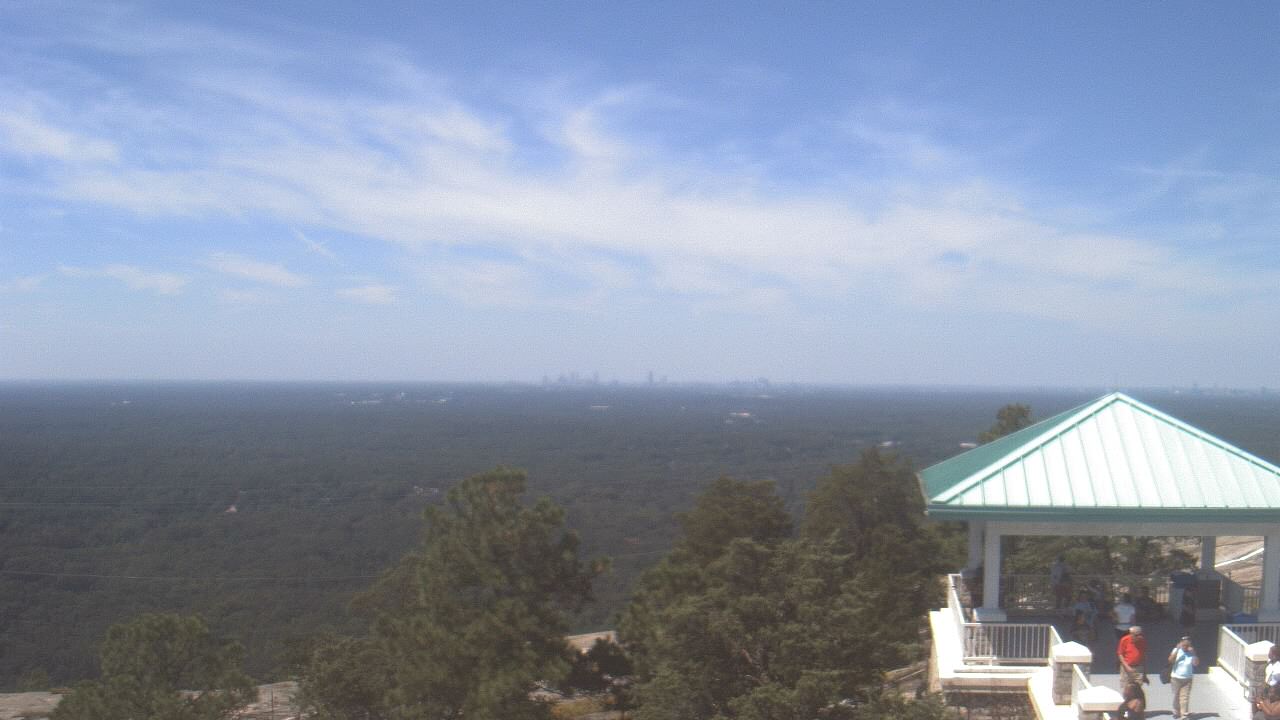
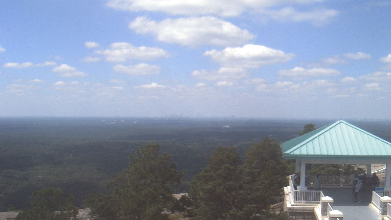
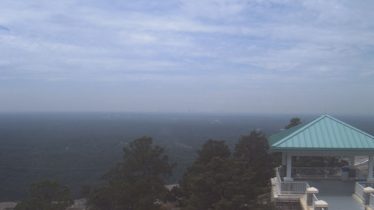
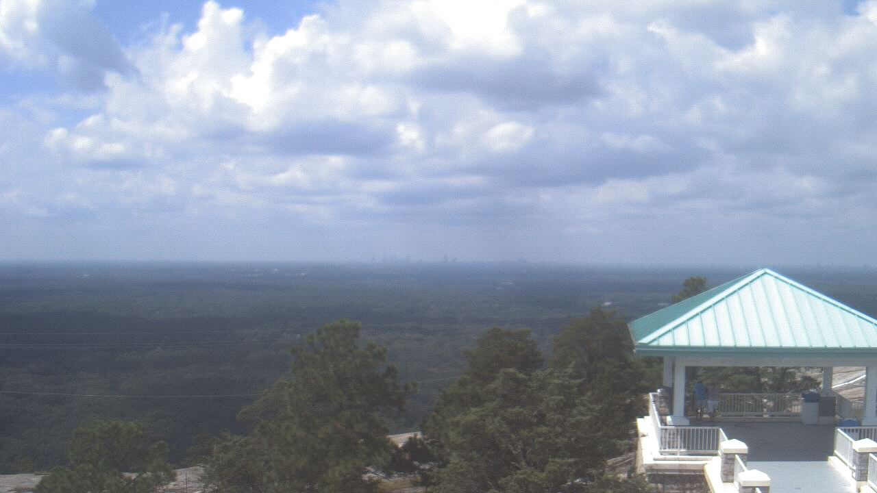
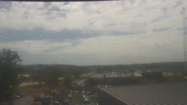
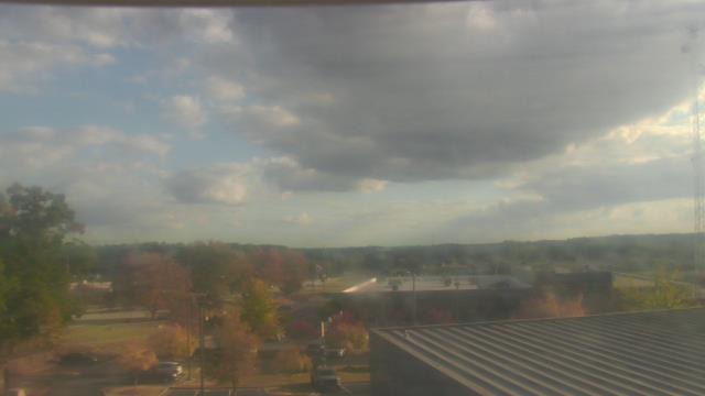
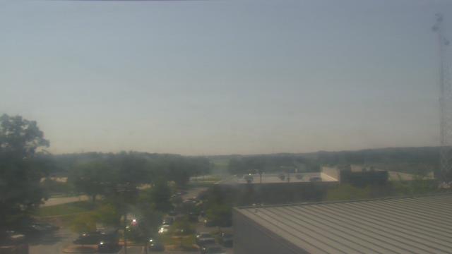
Stone Mountain, Georgia, USA - 124.2 miles from Moodys Chapel: Top of Stone Mountain - A webcam in Stone Mountain, Georgia - camera location: Top of Stone Mountain.
Operator: WeatherBug
Operator: WeatherBug


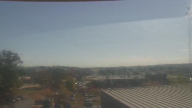
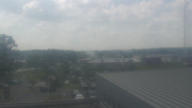
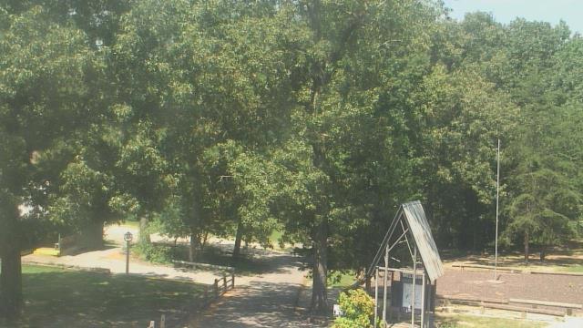
Lawrenceville, Georgia, USA - 127.3 miles from Moodys Chapel: Gwinnett County EMA - A webcam in Lawrenceville, Georgia - camera location: Gwinnett County EMA.
Operator: WeatherBug
Operator: WeatherBug


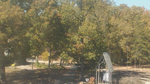
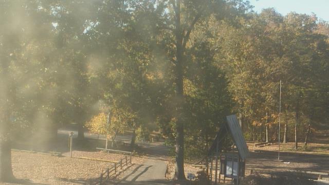
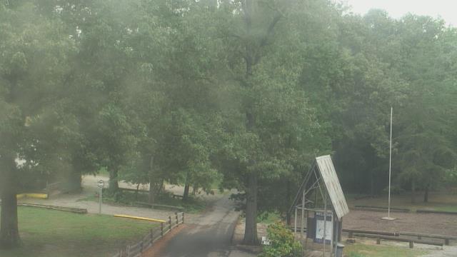
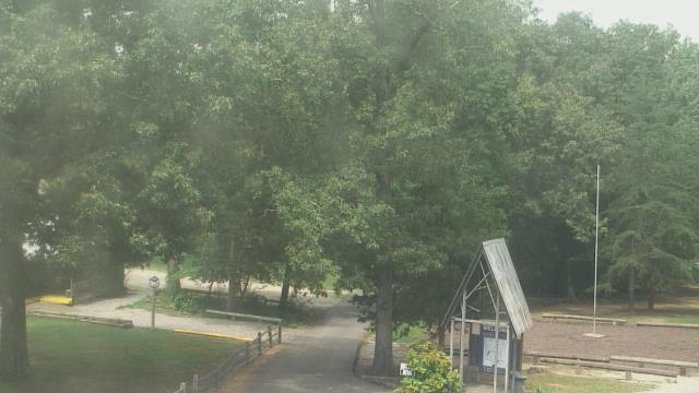
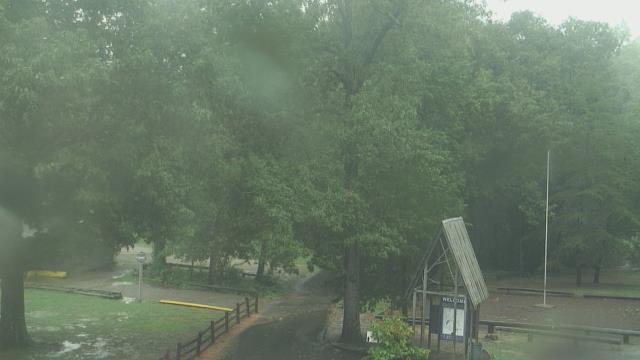
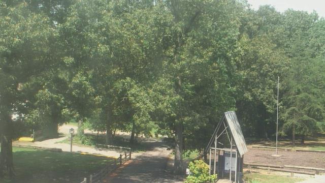
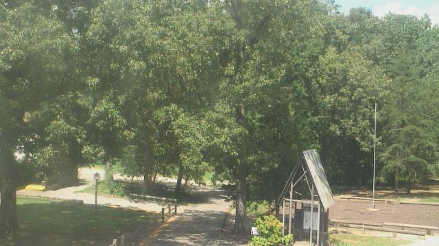
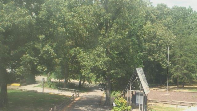
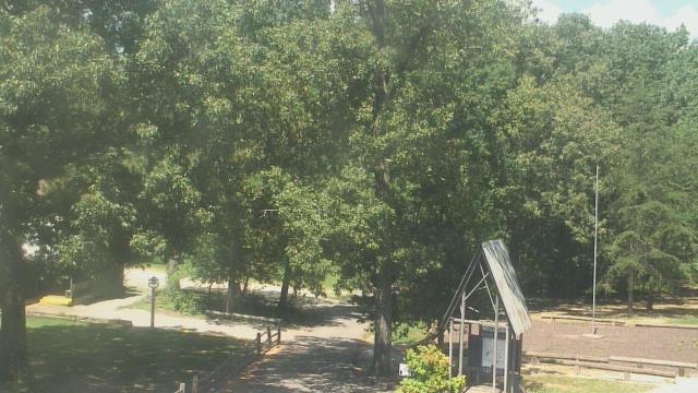
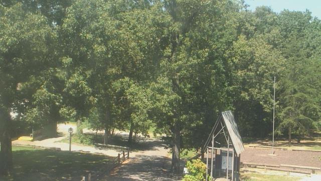
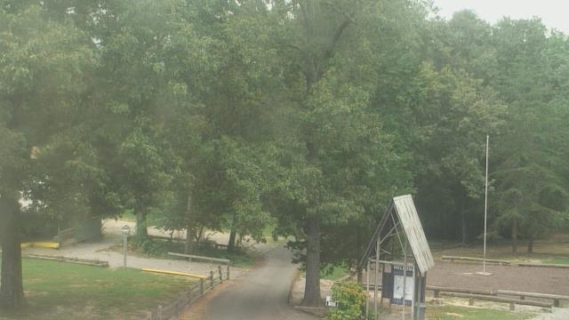
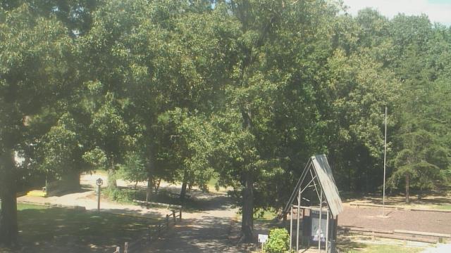
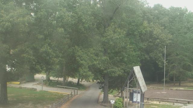
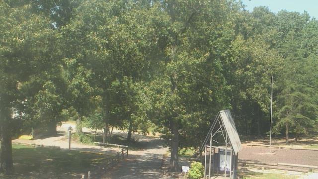
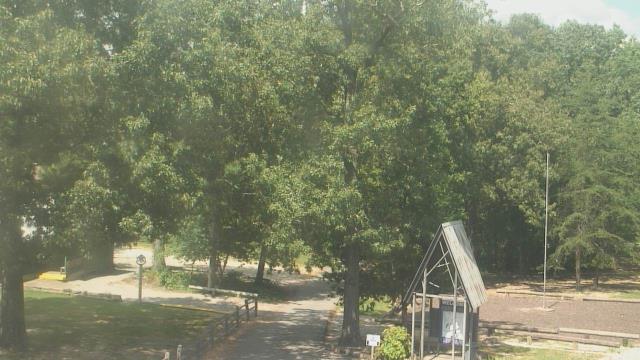
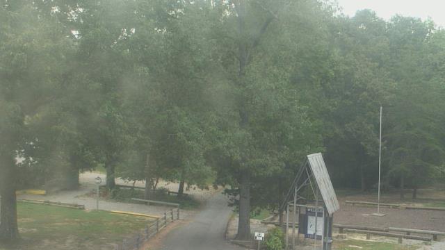
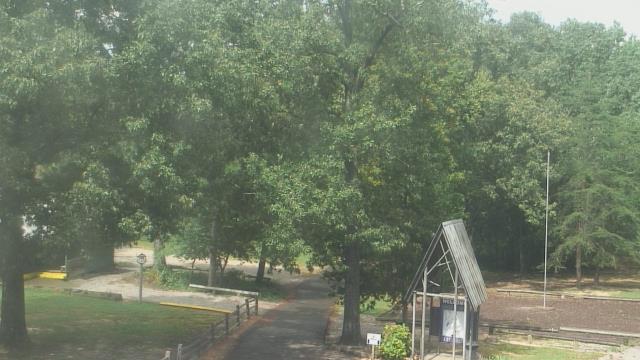
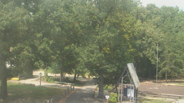
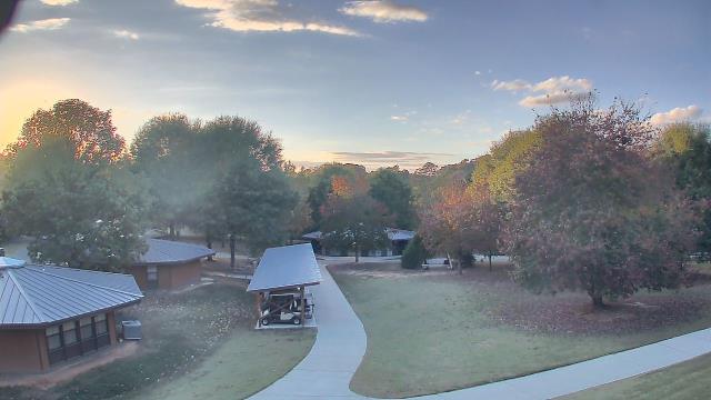
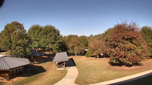
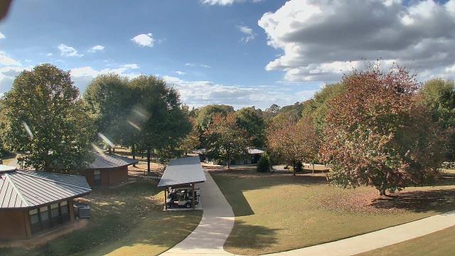
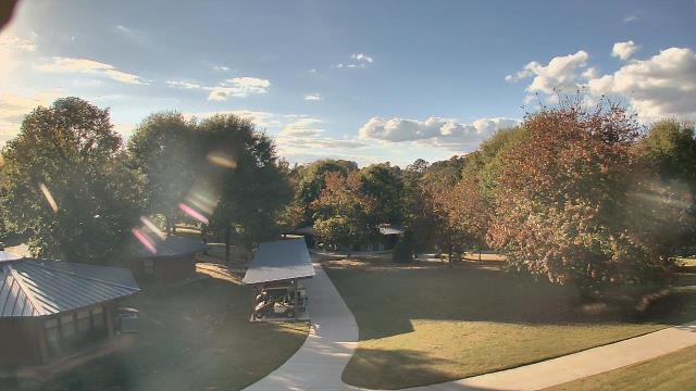
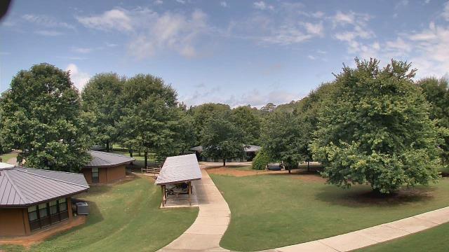
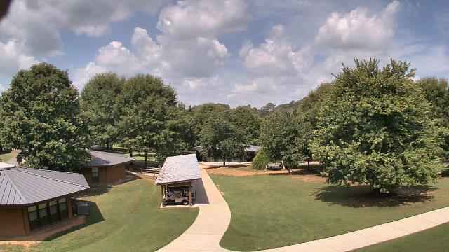
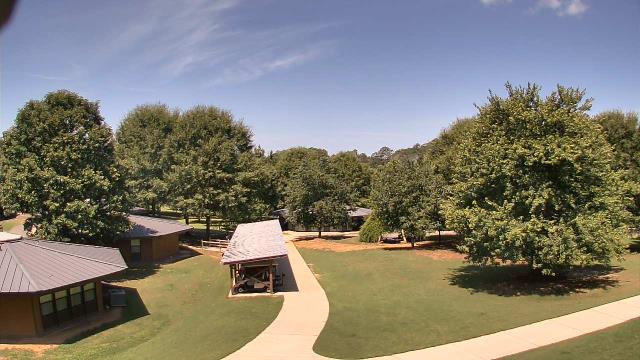
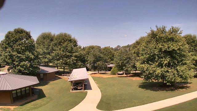
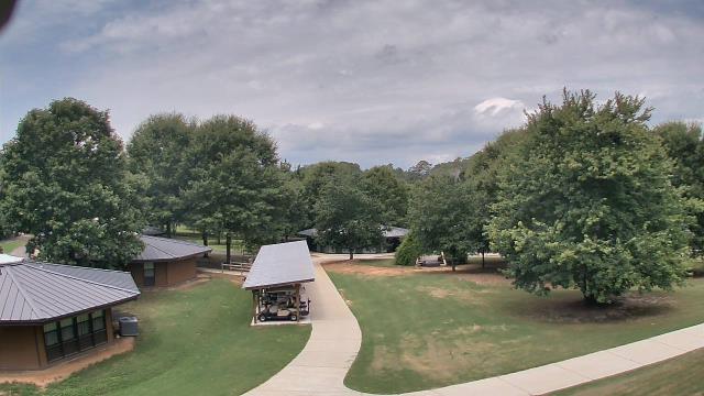
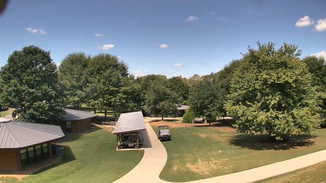
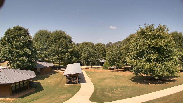
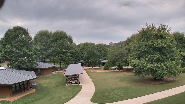
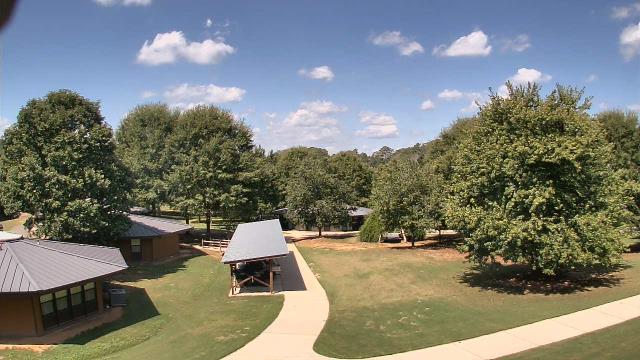
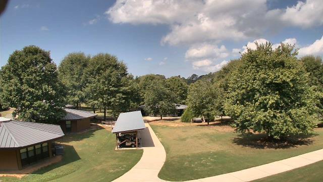
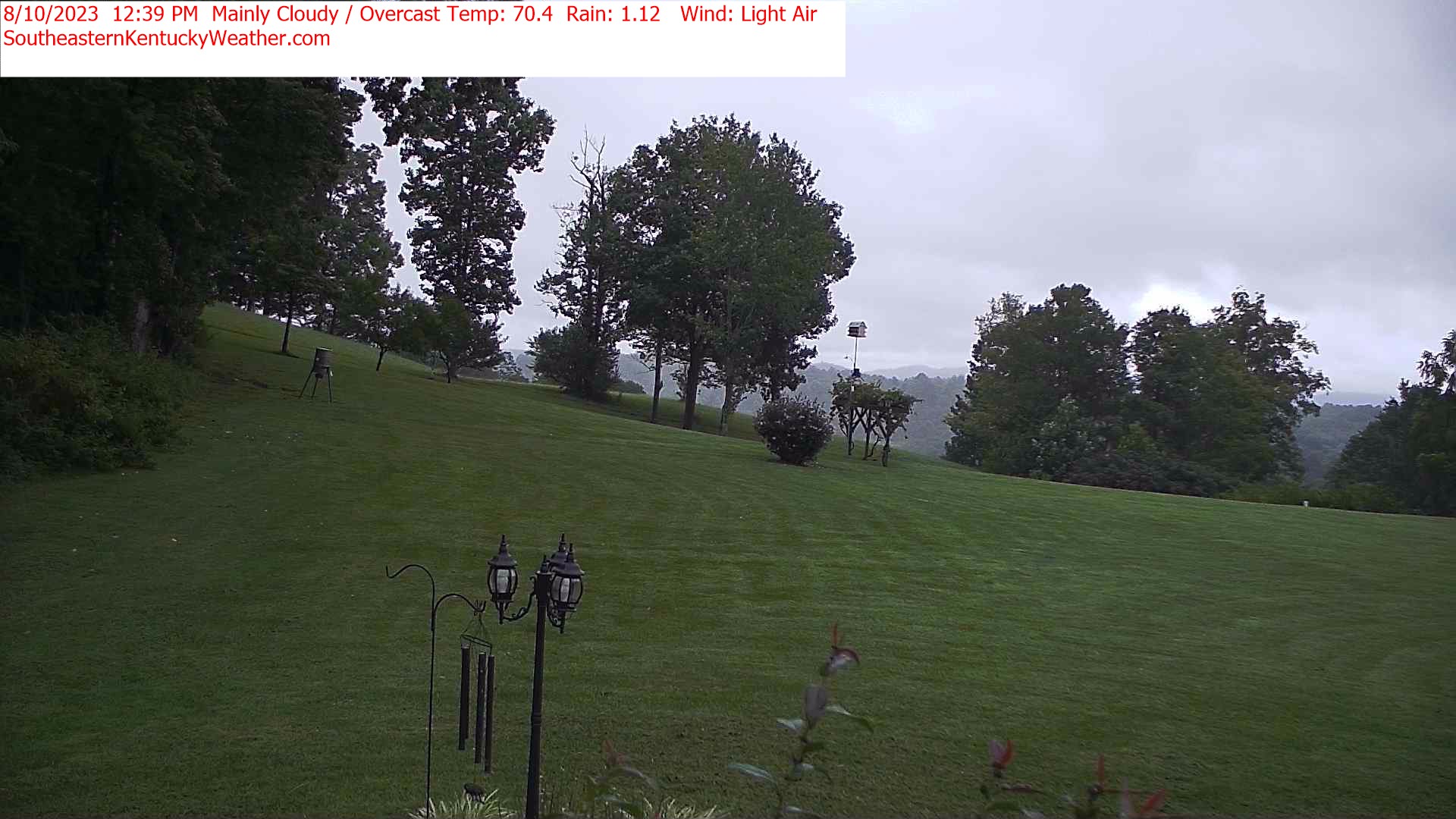
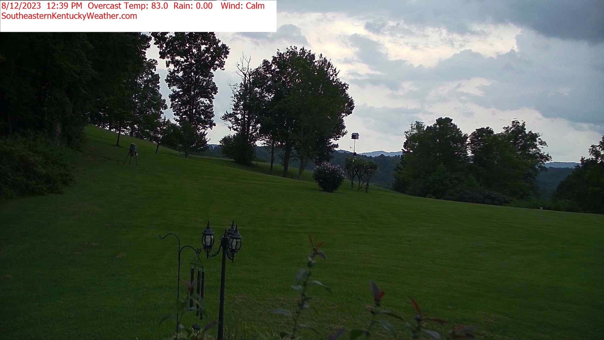
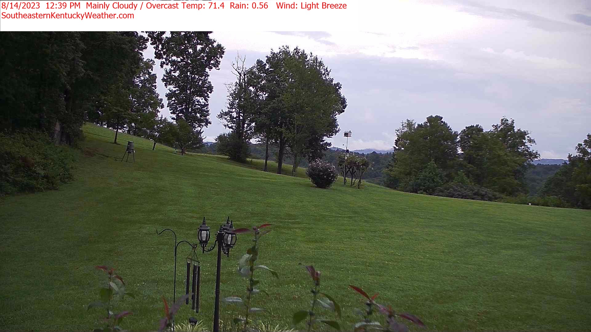
Fairview, Tennessee, USA - 144.5 miles from Moodys Chapel: Camp Marymount - A webcam in Fairview, Tennessee - camera location: Camp Marymount.
Operator: WeatherBug
Operator: WeatherBug


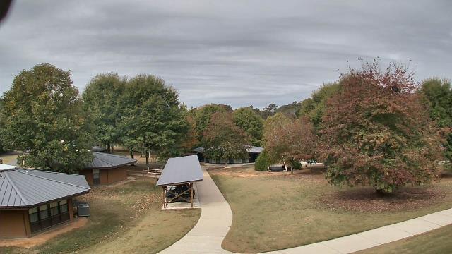
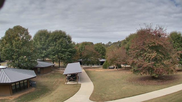
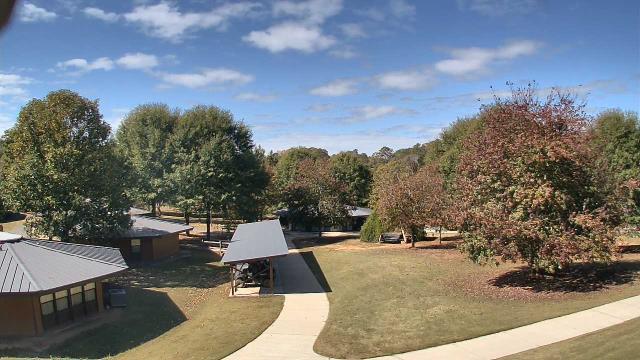
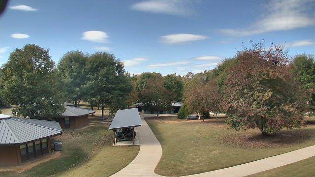
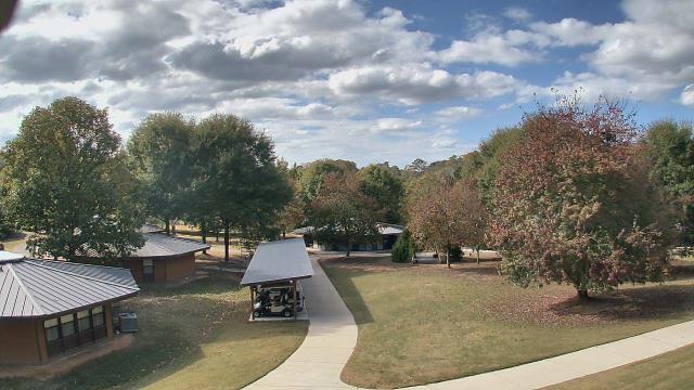
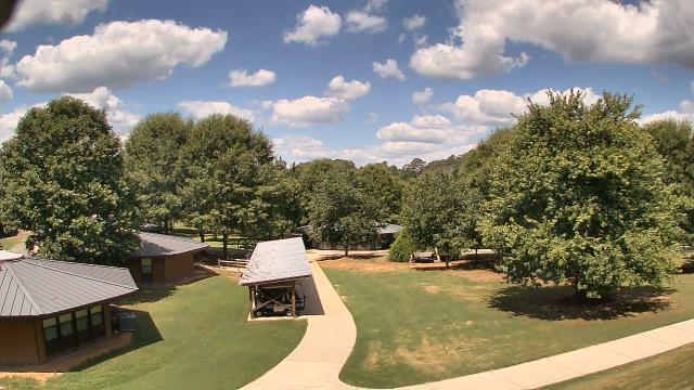
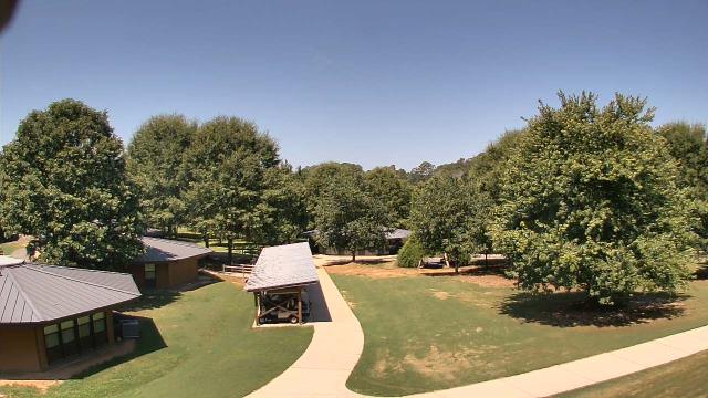
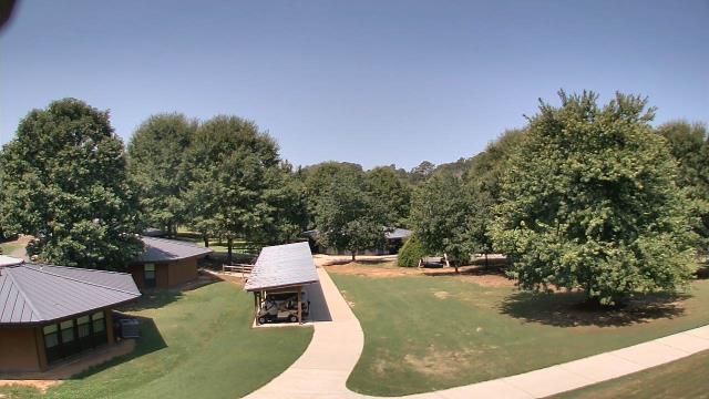
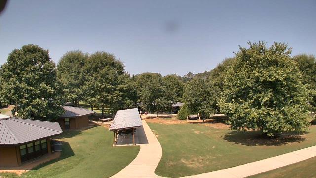
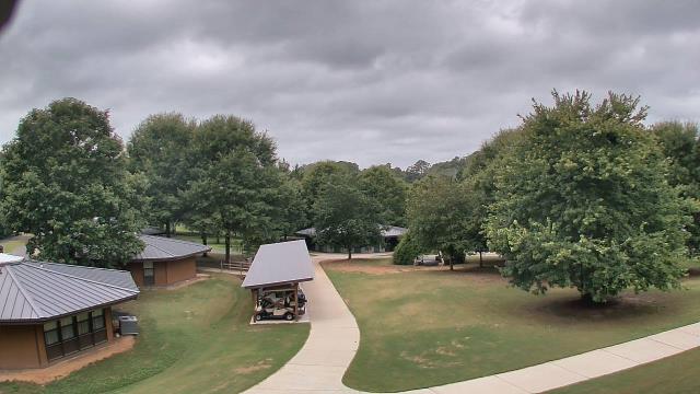
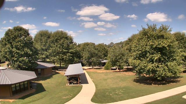
Winder, Georgia, USA - 149.1 miles from Moodys Chapel: Camp Twin Lakes - Will-a-Way - A webcam in Winder, Georgia - camera location: Camp Twin Lakes - Will-a-Way.
Operator: WeatherBug
Operator: WeatherBug


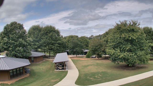


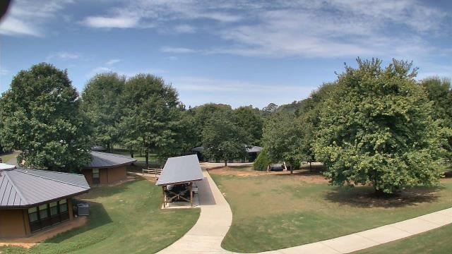

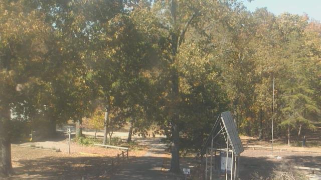
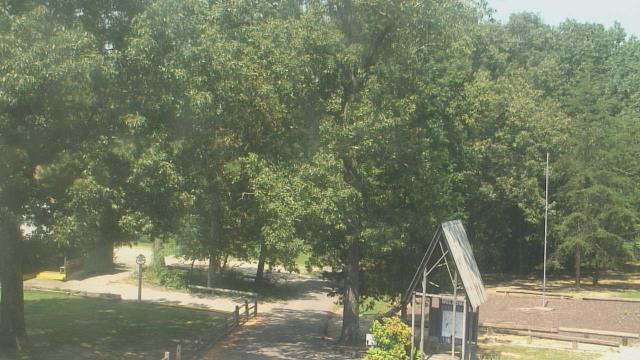
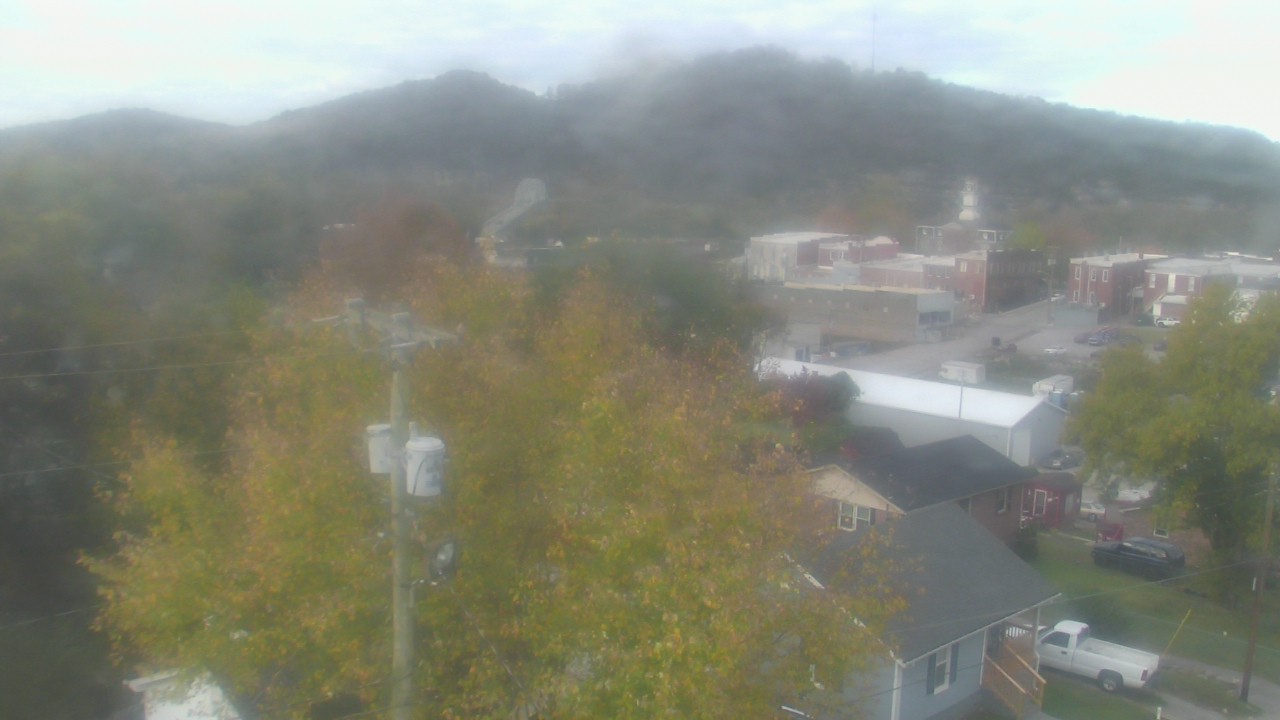
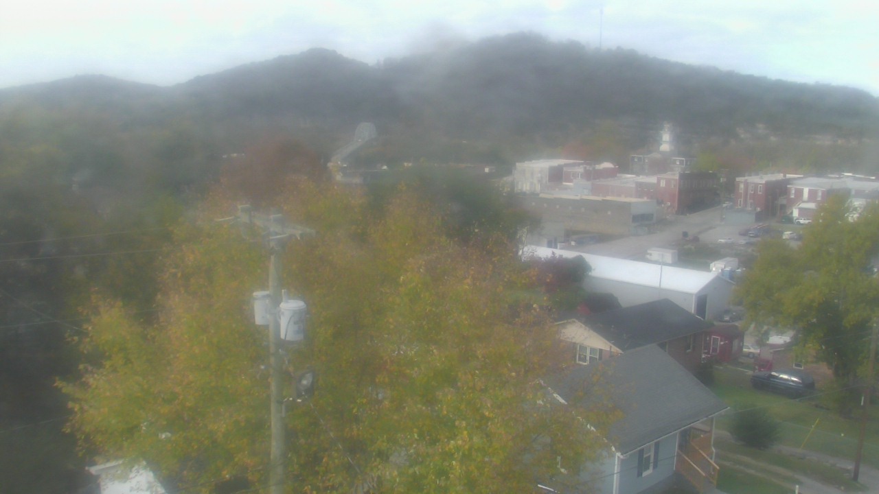
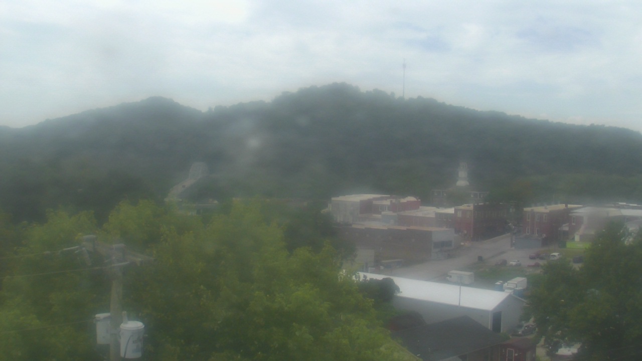
Carthage, Tennessee, USA - 157.3 miles from Moodys Chapel: Smith County Chamber of Commerce - A webcam in Carthage, Tennessee - camera location: Smith County Chamber of Commerce.
Operator: WeatherBug
Operator: WeatherBug


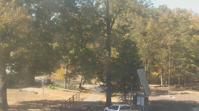
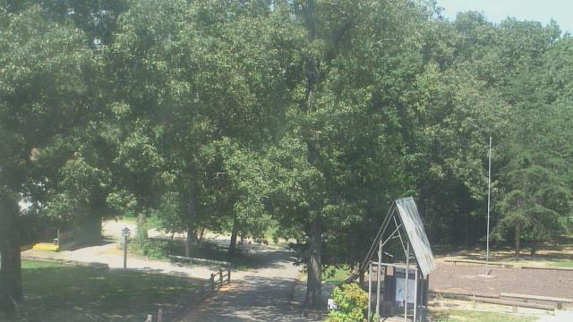
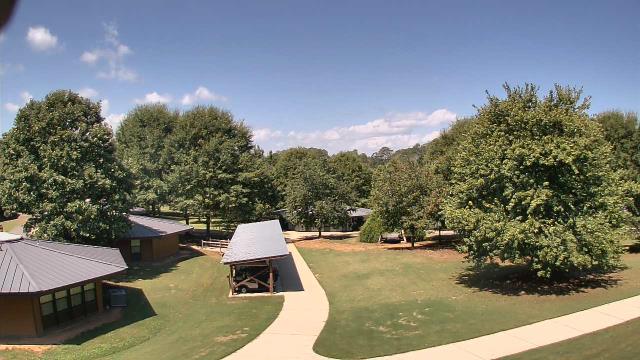
Madison, Tennessee, USA - 157.7 miles from Moodys Chapel: St Joseph School - A webcam in Madison, Tennessee - camera location: St Joseph School.
Operator: WeatherBug
Operator: WeatherBug


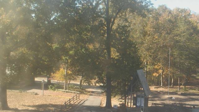
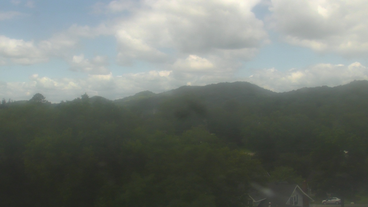
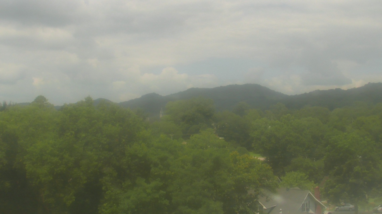
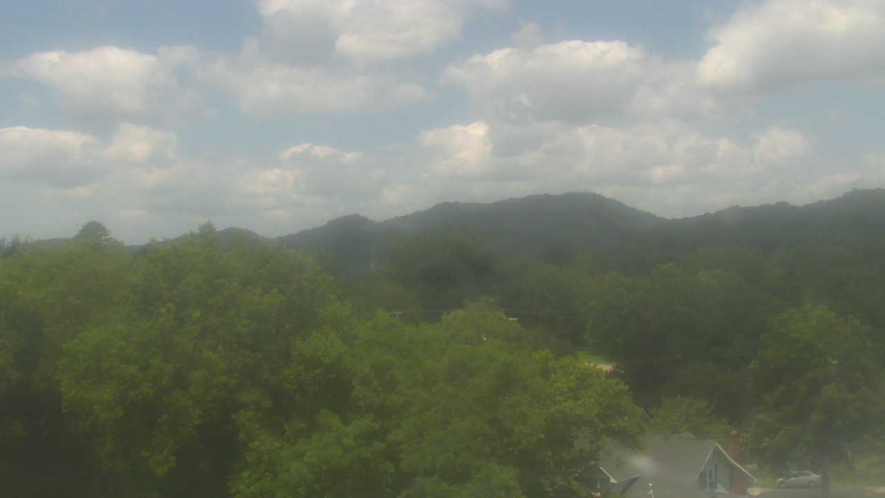
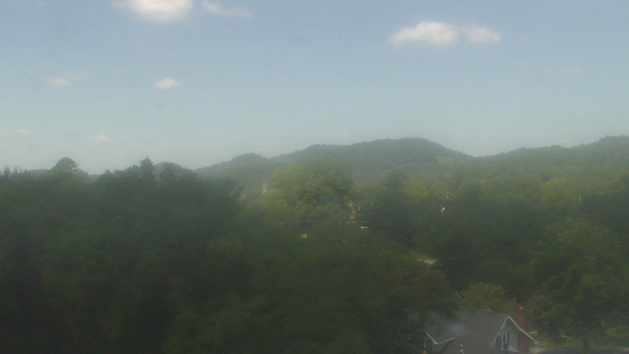
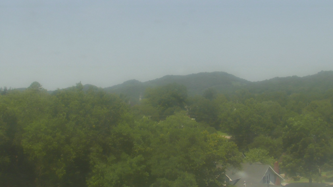
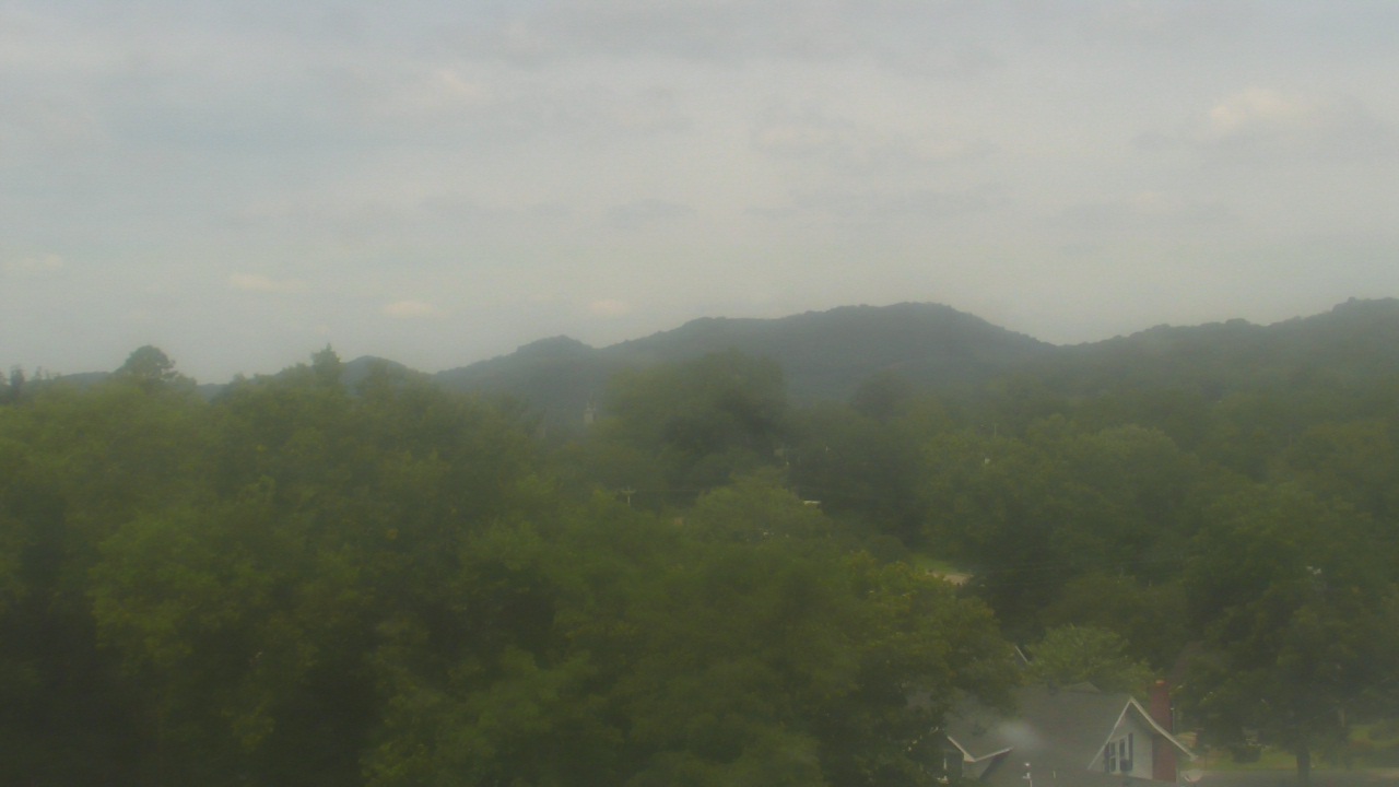
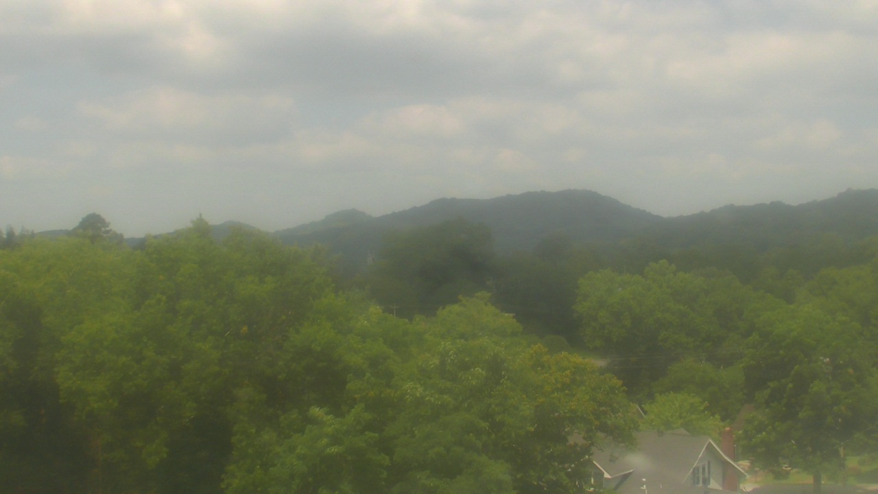
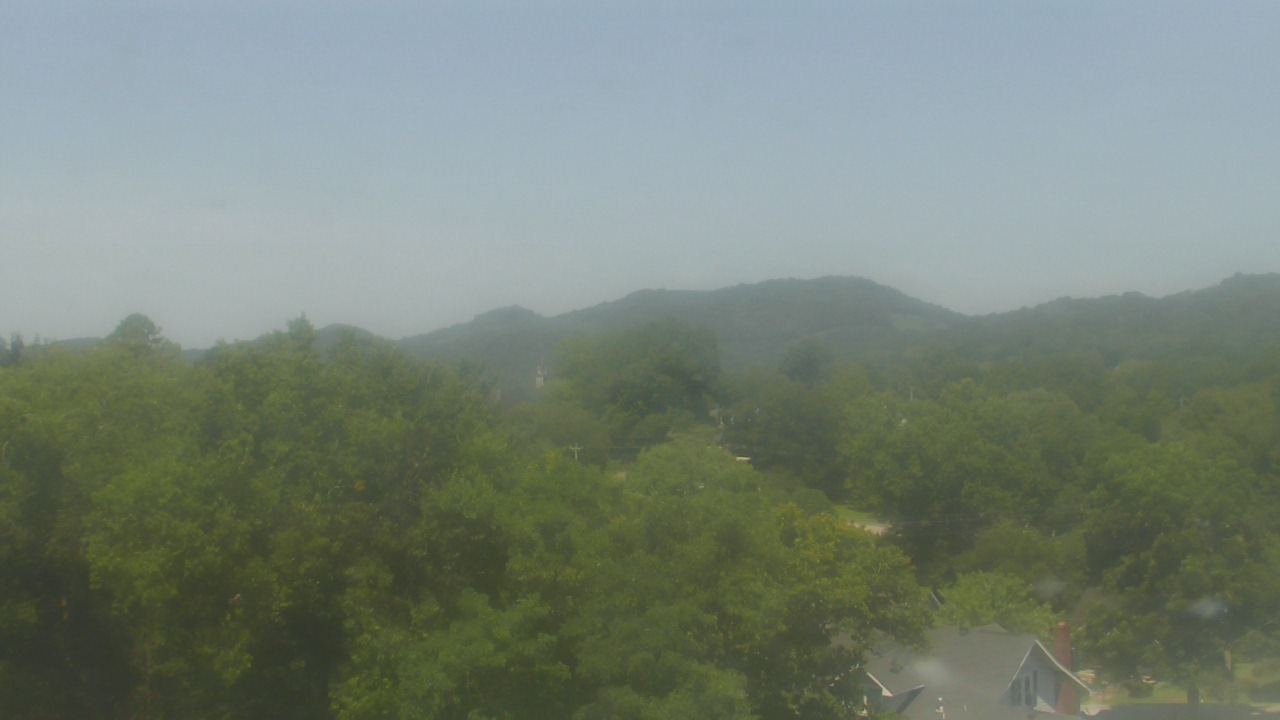
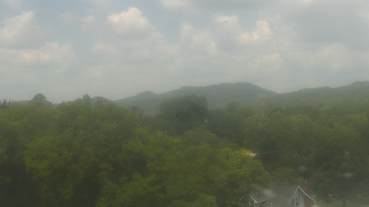
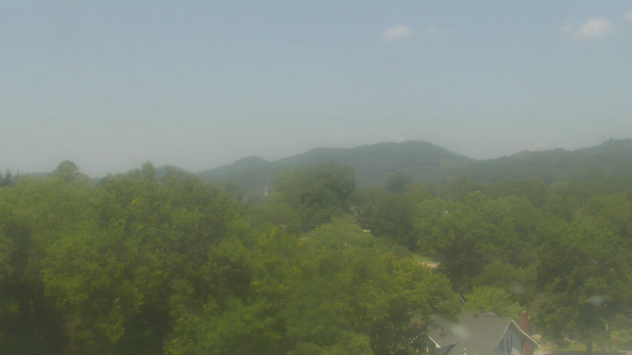
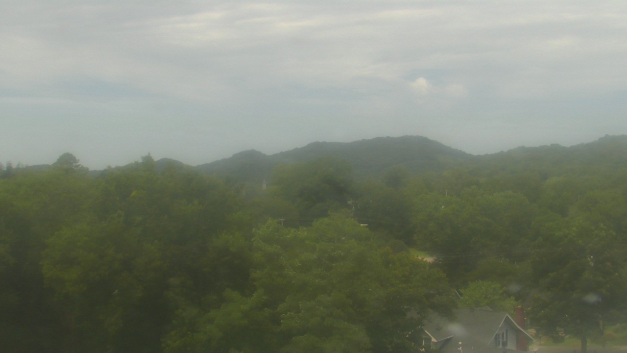
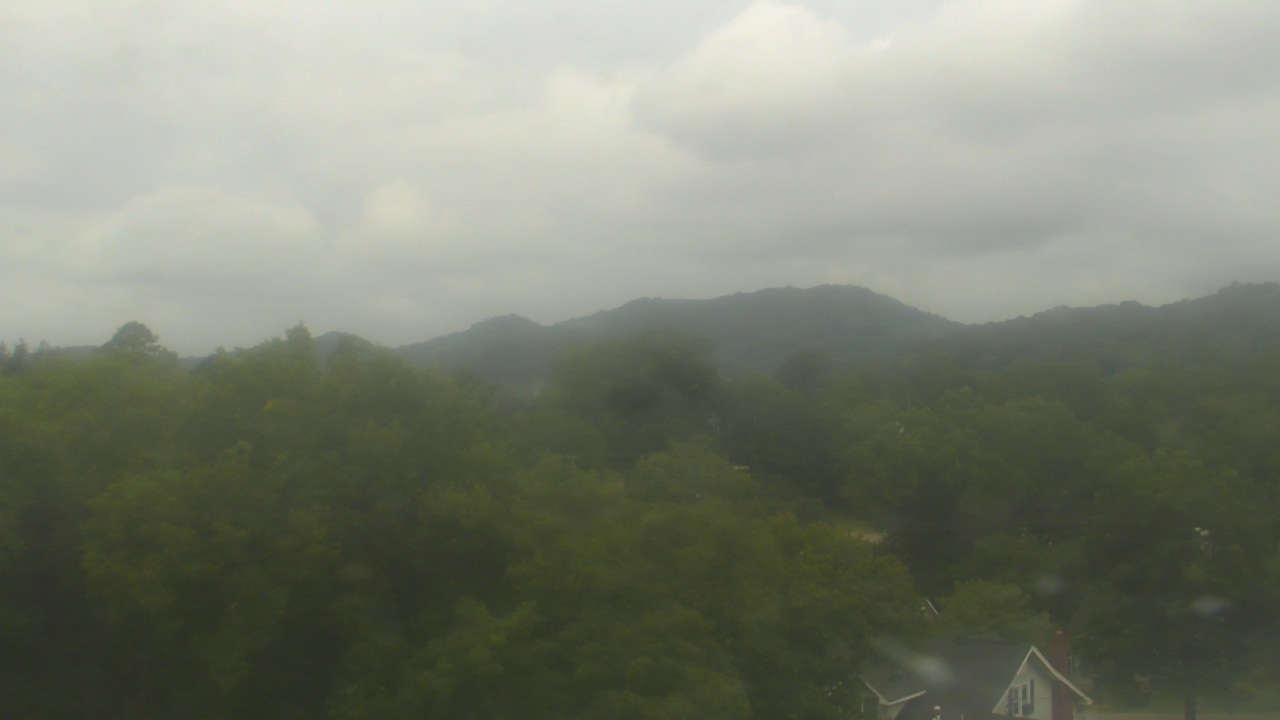
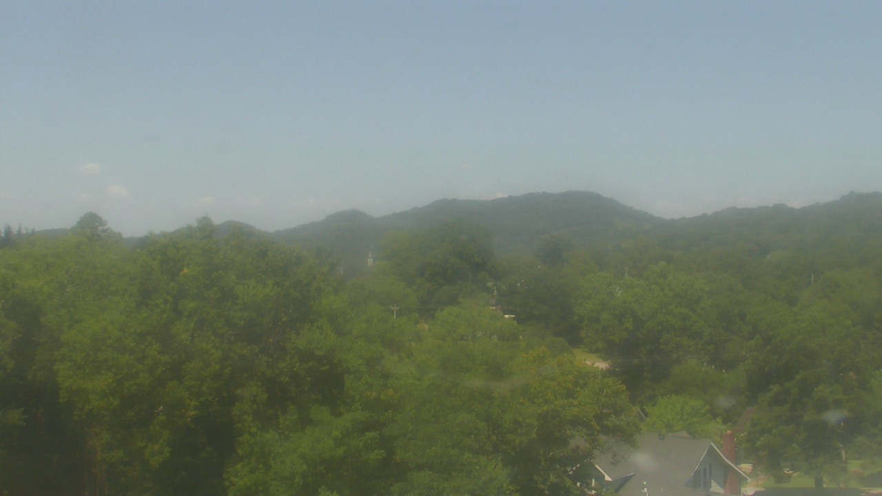
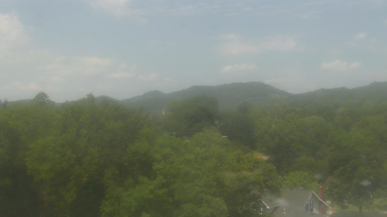
Whittier, North Carolina, USA - 195.5 miles from Moodys Chapel: Conleys Creek - A live view from Whittier, Smokey Mountains, North Carolina.
Operator: crews.cc
Operator: crews.cc


Some other places in this country: Lewin (historical) - Liberty Hill - Mays - Midway - Morton (historical) - Noble Hill - Noojinsville - Phillips (historical) - Pilgrims Rest - Pine Grove