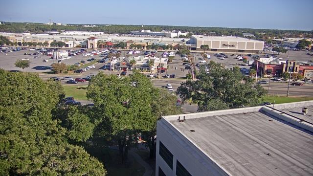
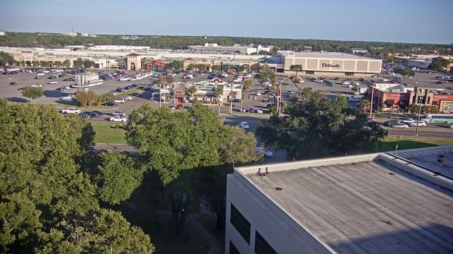
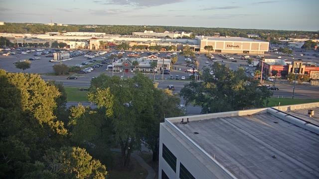
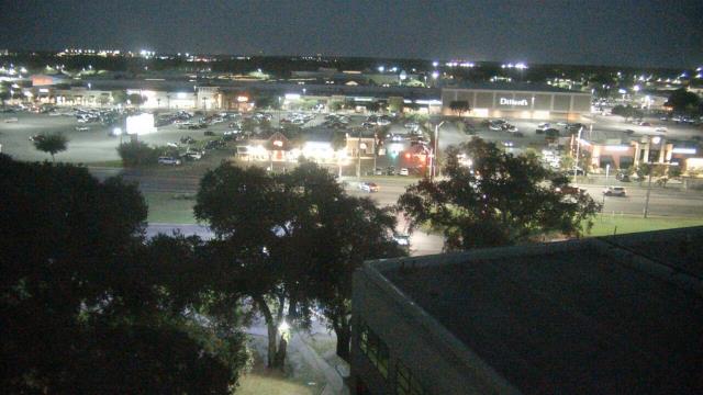
Webcams in the region of Confederate Hill Estates, Alabama, USA
The List of Webcams near Confederate Hill Estates, Alabama, USA:

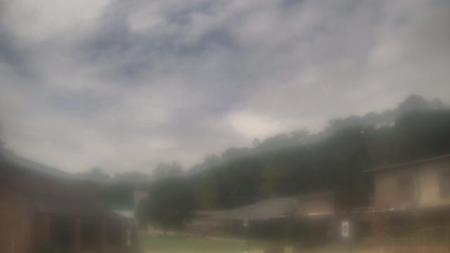
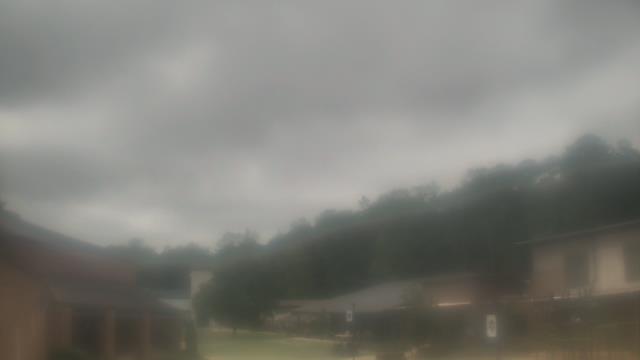
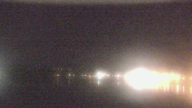
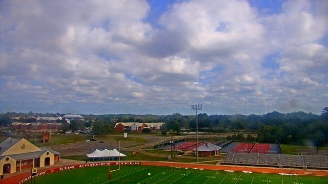
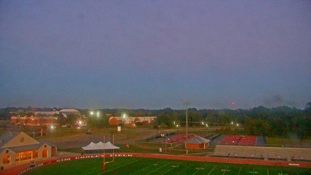
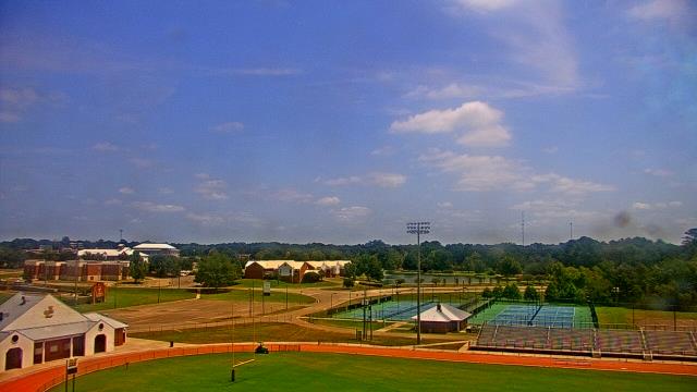
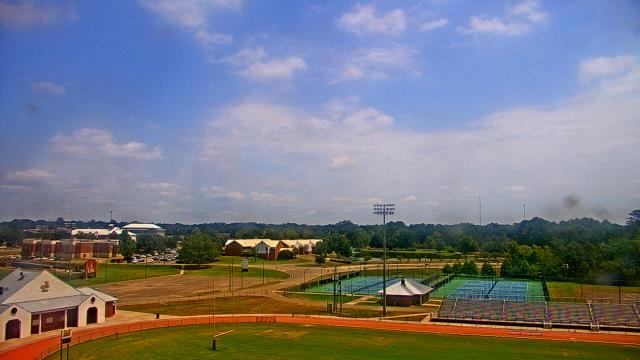
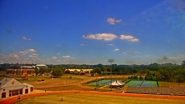
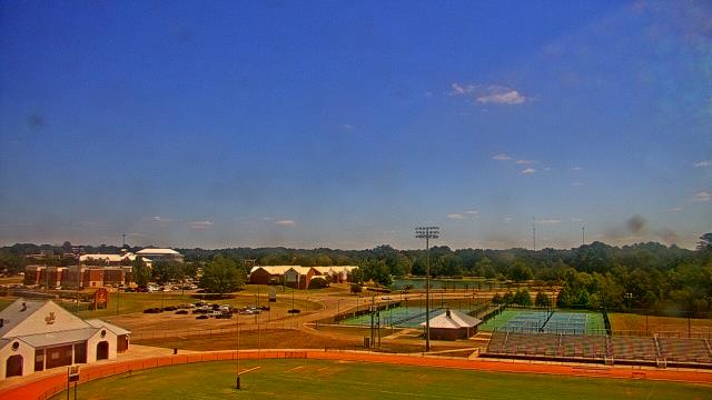
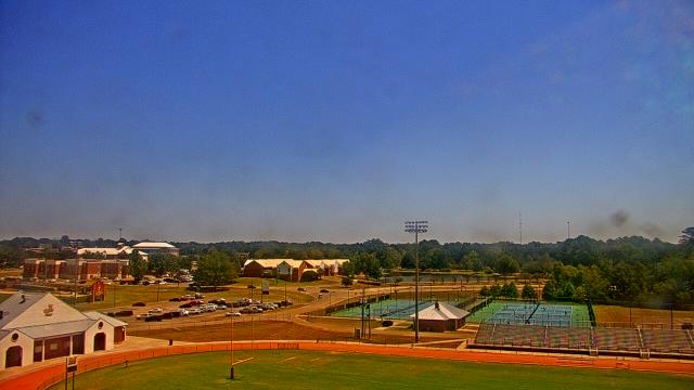
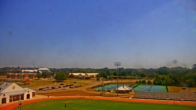
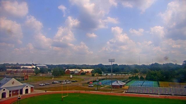
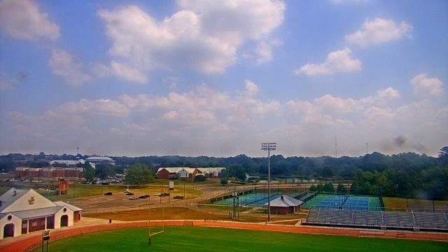
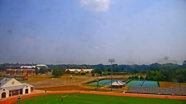
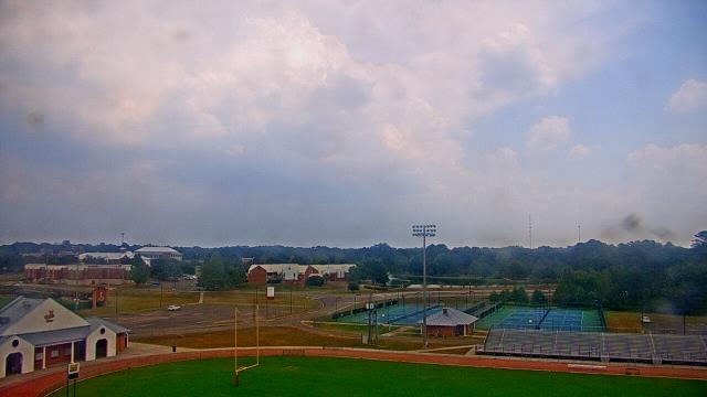
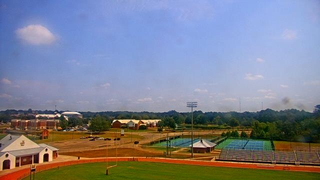
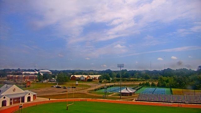
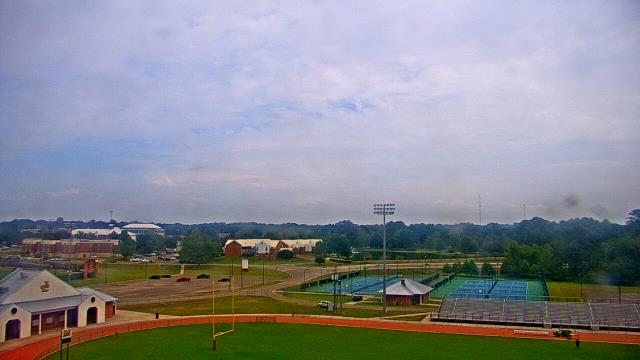
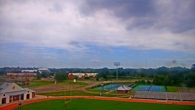
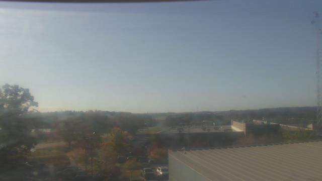
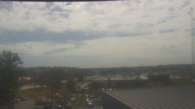
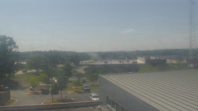
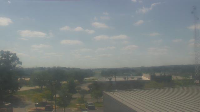
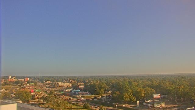
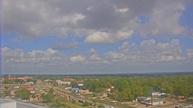
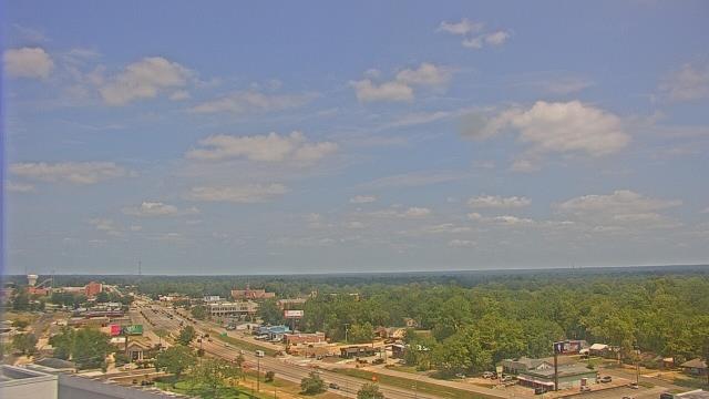
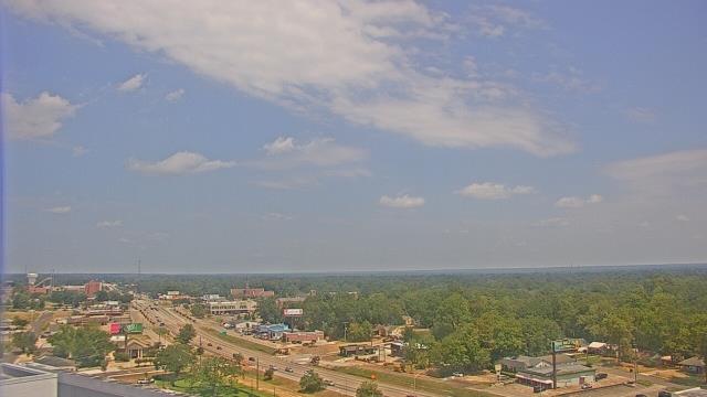
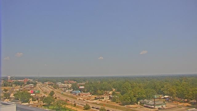
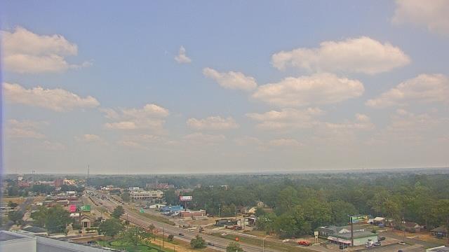
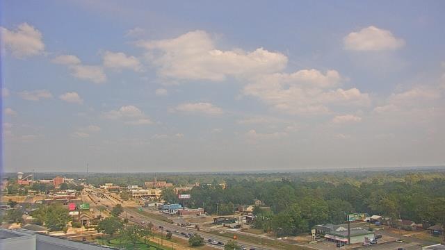
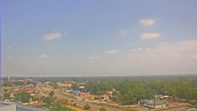
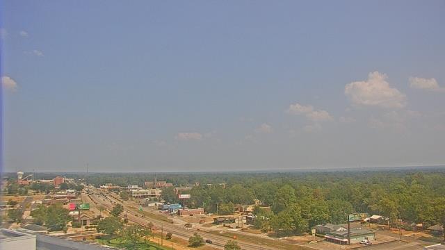
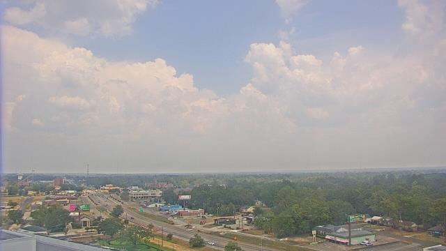
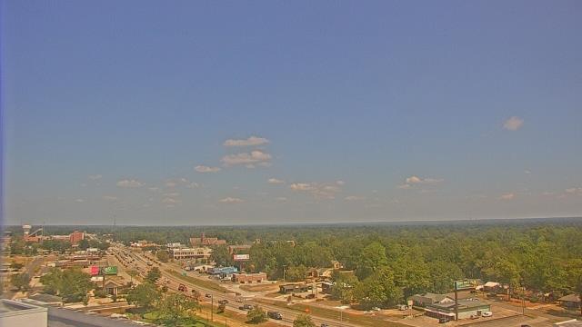
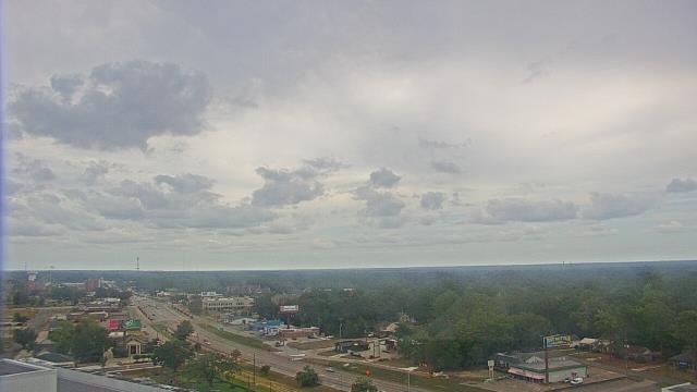
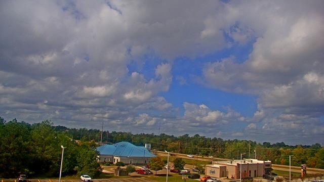
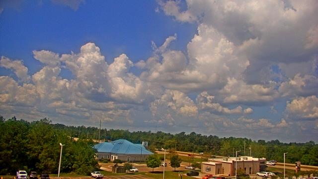
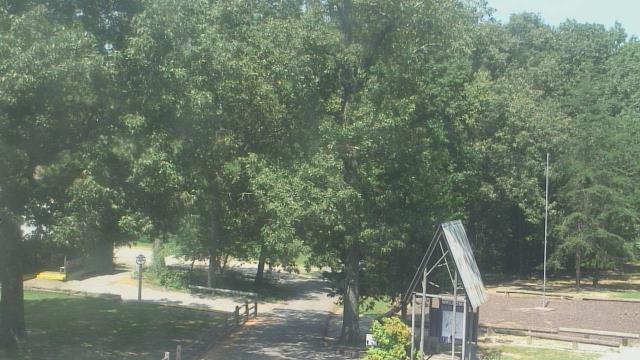
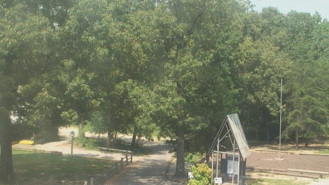
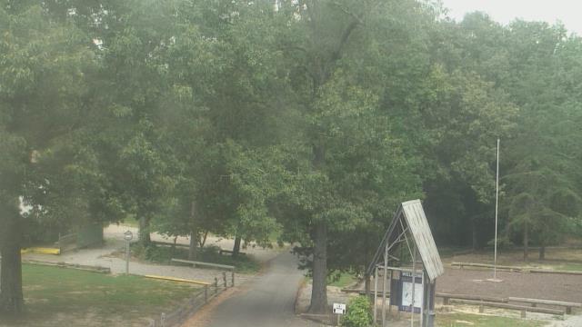
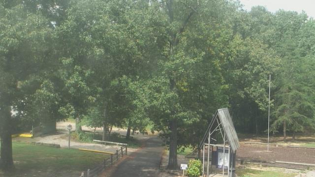
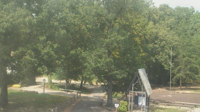
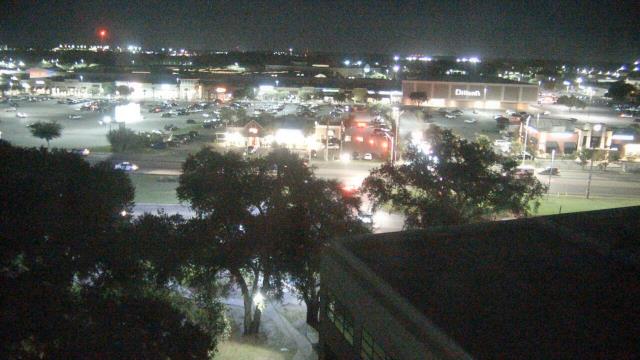
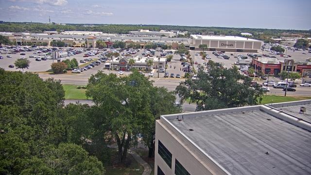
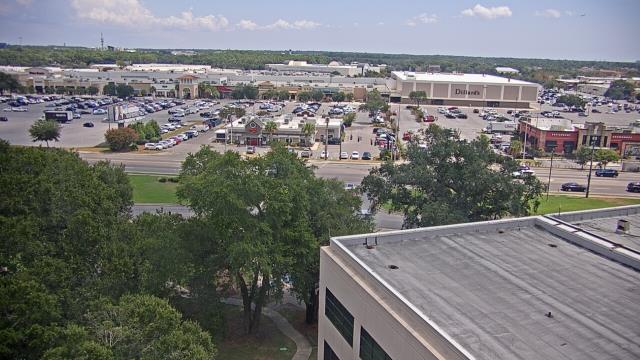
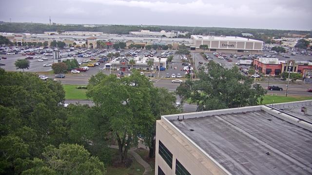
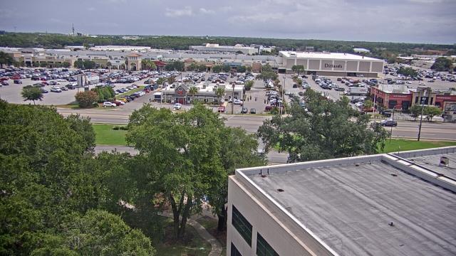
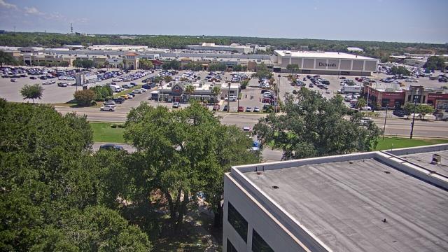
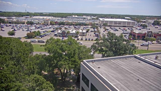
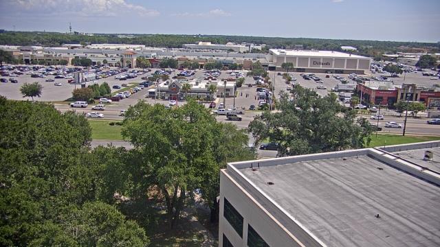
Birmingham, Alabama, USA - 23.6 miles from Confederate Hill Estates: Highlands School - A webcam in Birmingham, Alabama - camera location: Highlands School.
Operator: WeatherBug
Operator: WeatherBug


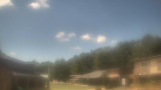


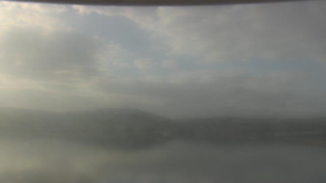
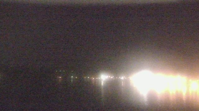
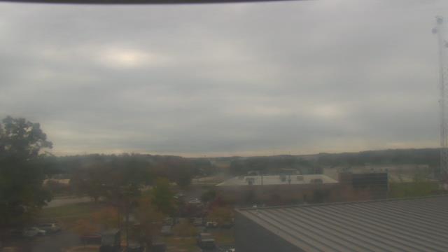
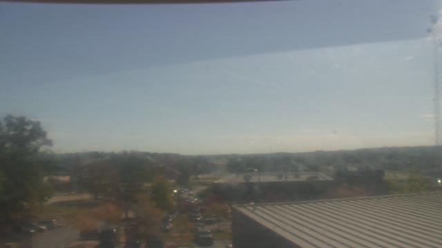
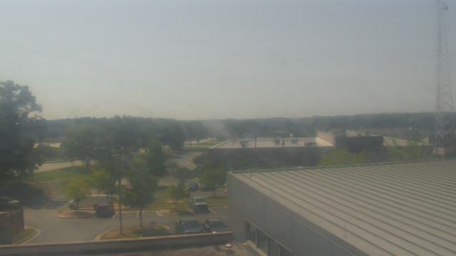
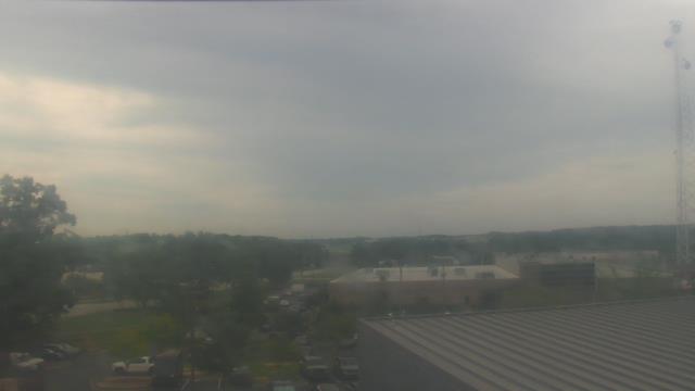
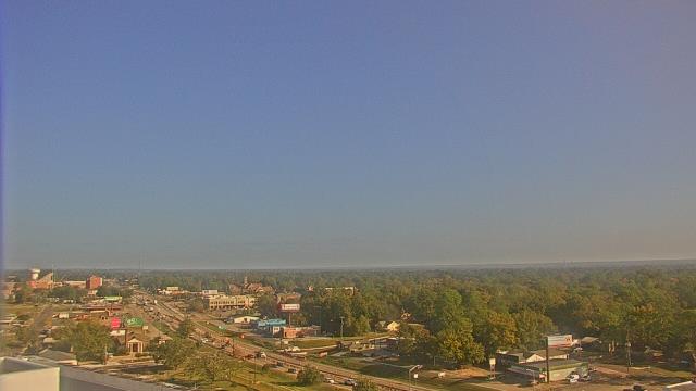
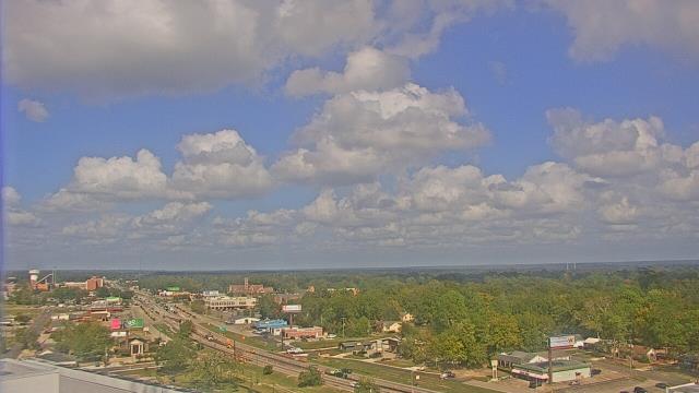
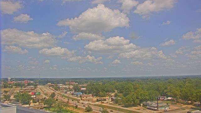
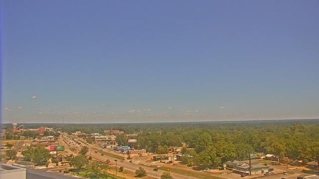
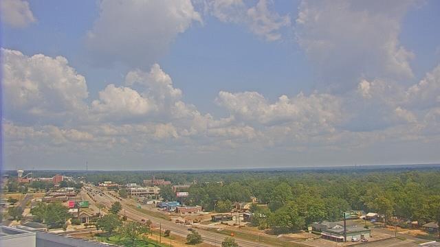
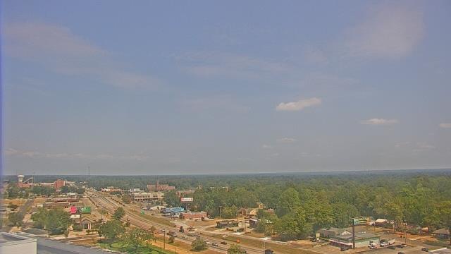
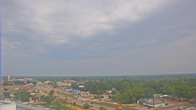
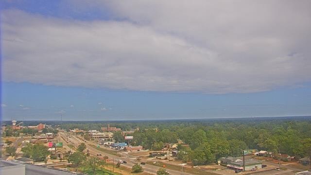
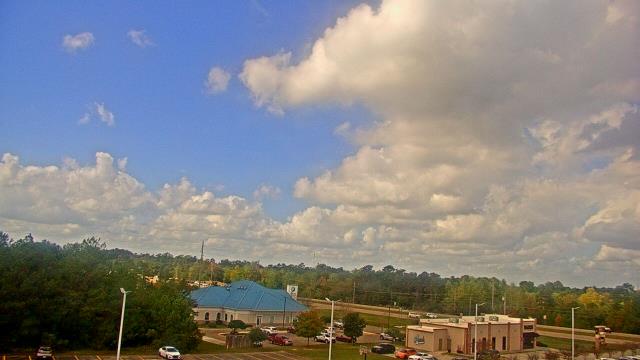
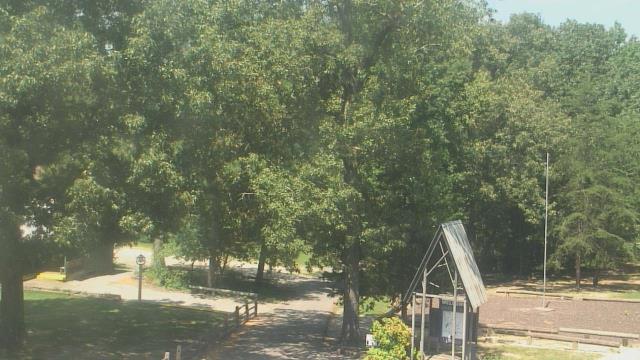
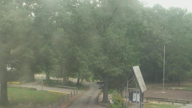
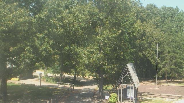
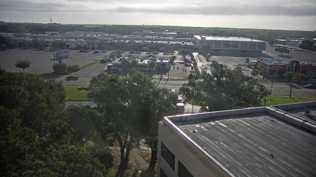
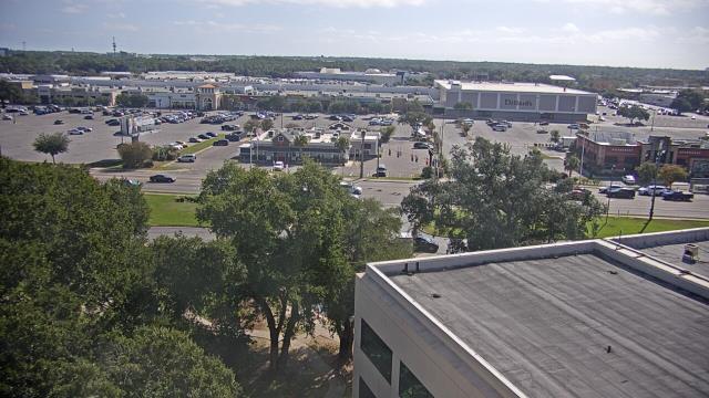
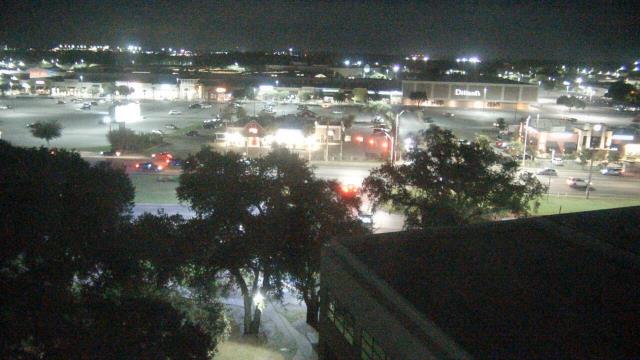
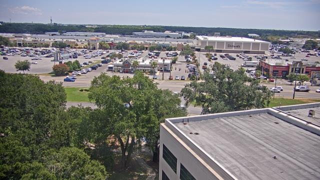
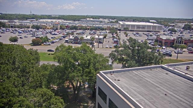
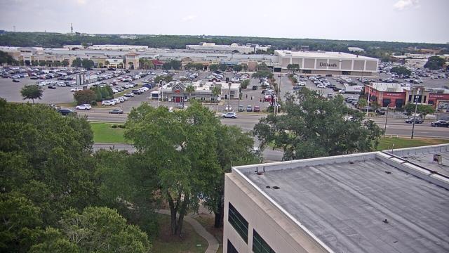
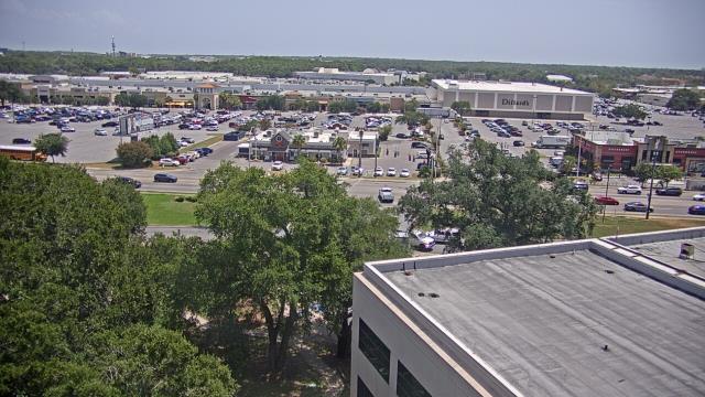
Guntersville, Alabama, USA - 88.5 miles from Confederate Hill Estates: Wyndham Garden Lake Guntersville - A webcam in Guntersville, Alabama - camera location: Wyndham Garden Lake Guntersville.
Operator: WeatherBug
Operator: WeatherBug


Atlanta, Georgia, USA - 158.9 miles from Confederate Hill Estates: Skyline Atlanta - A nice view of the skyline of Atlanta, Georgia.
Operator: EarthCam
Operator: EarthCam


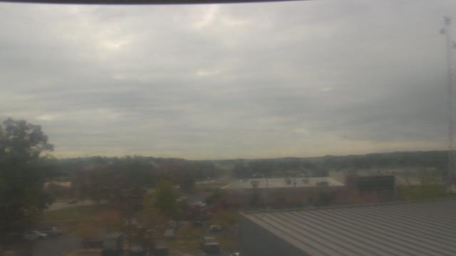
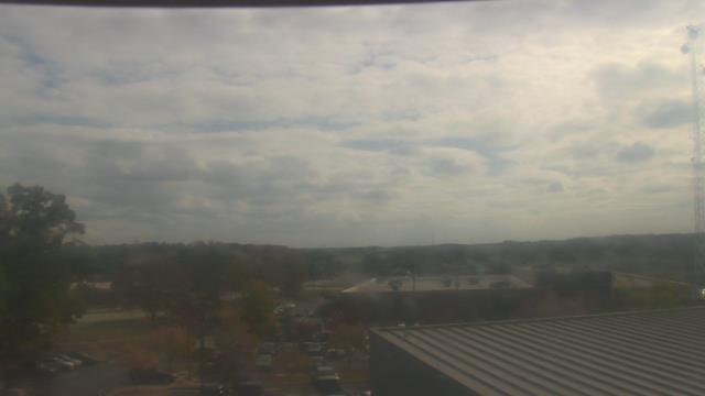
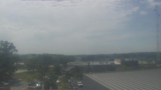
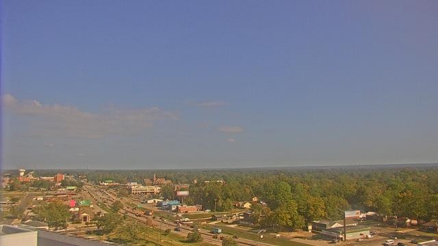
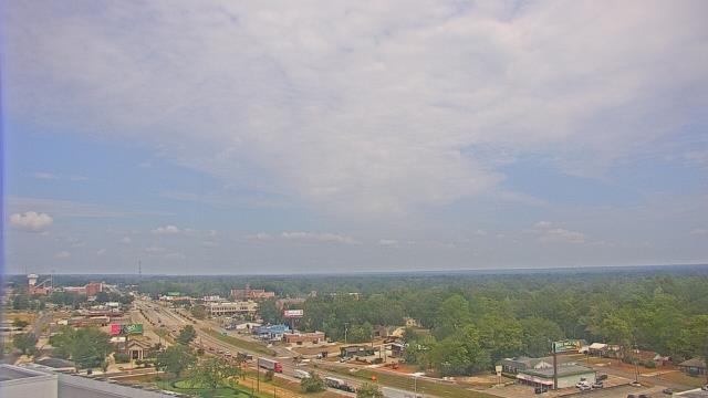
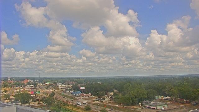
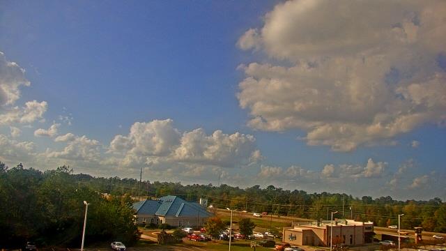
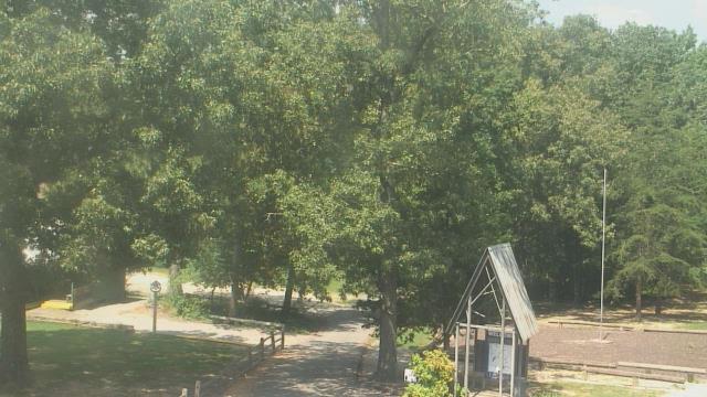
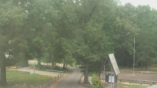
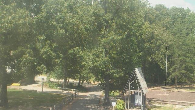
Ellisville, Mississippi, USA - 168.1 miles from Confederate Hill Estates: Jones County Junior College - A webcam in Ellisville, Mississippi - camera location: Jones County Junior College.
Operator: WeatherBug
Operator: WeatherBug


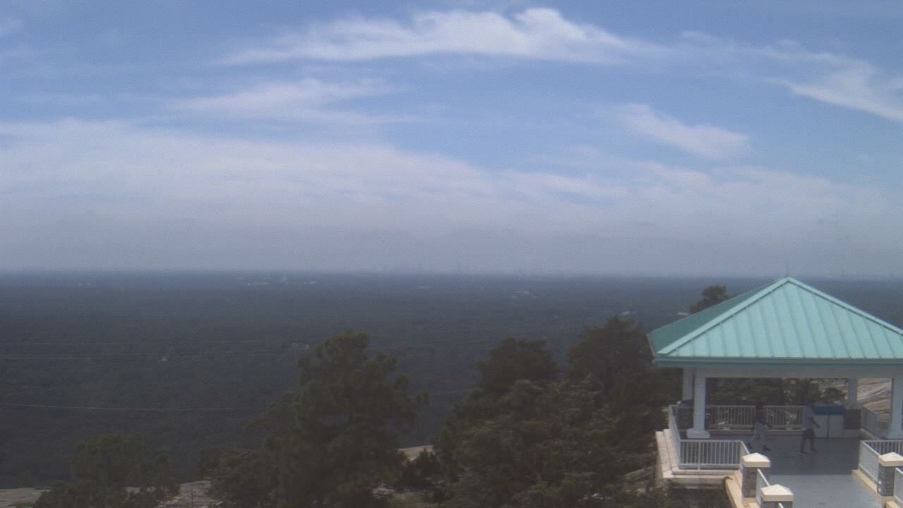
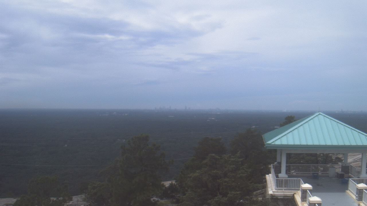
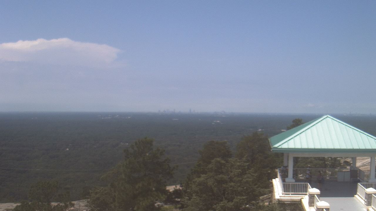
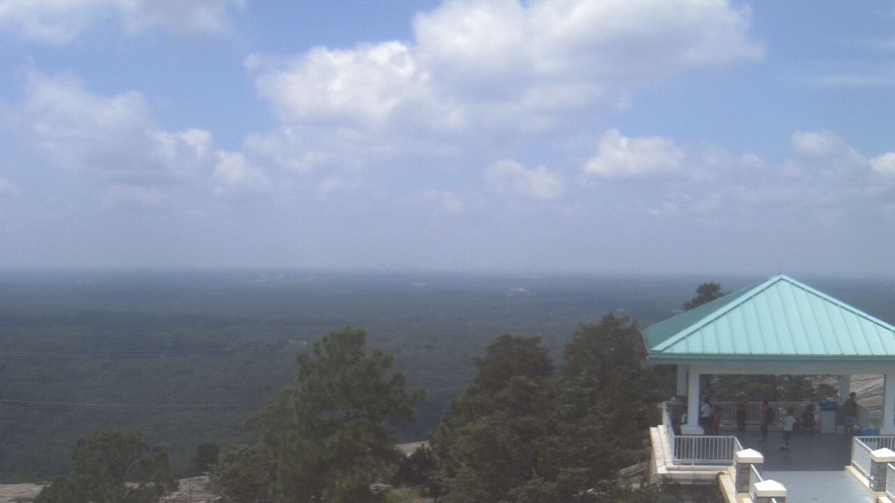
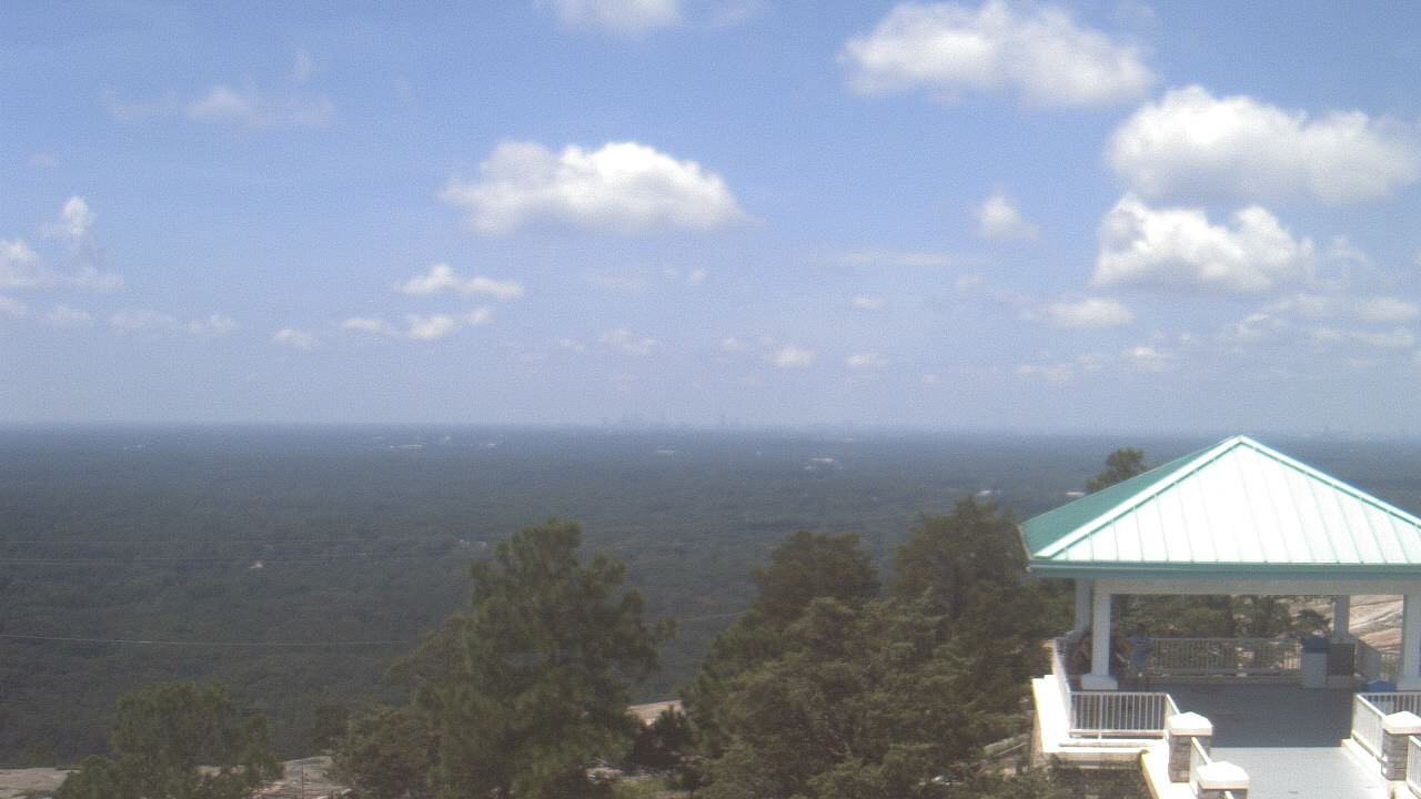
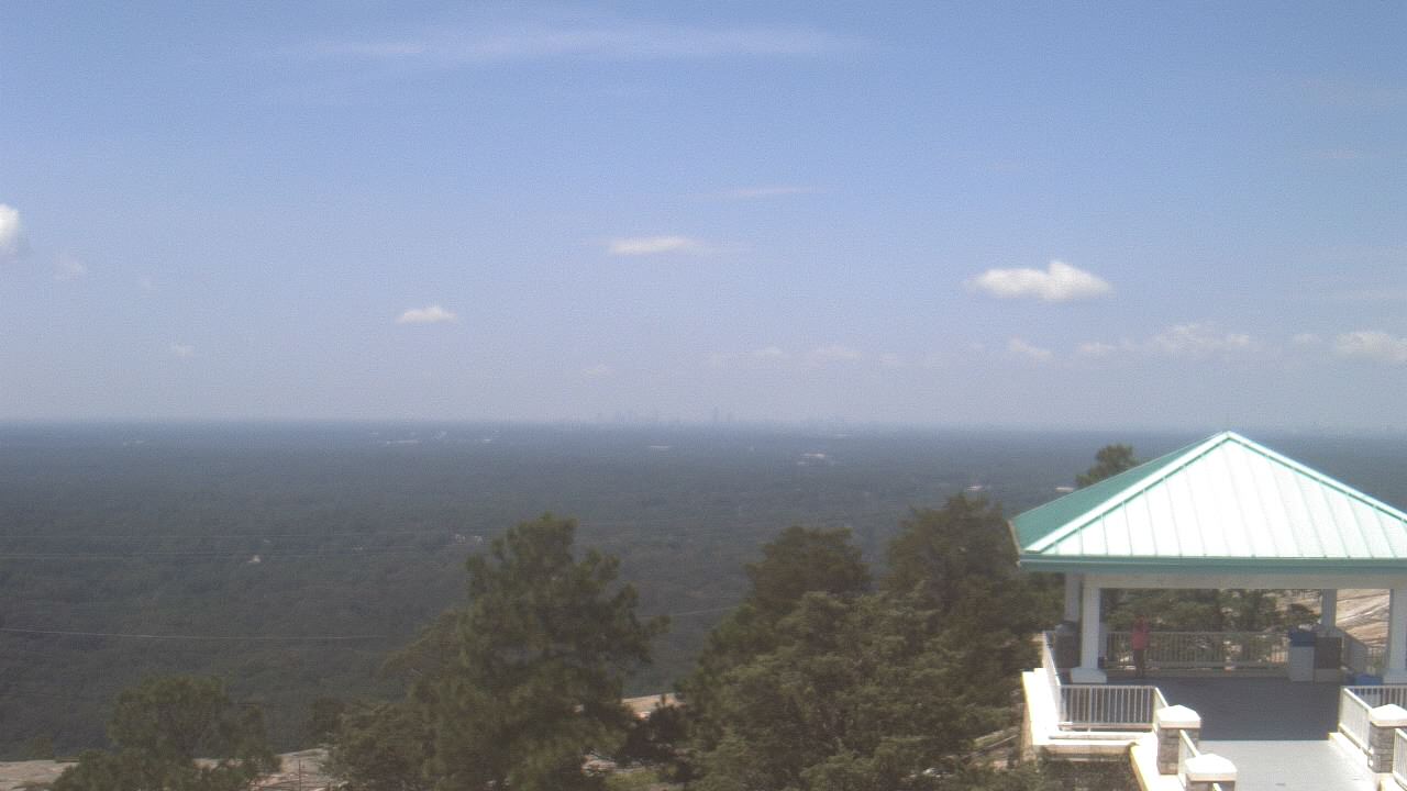
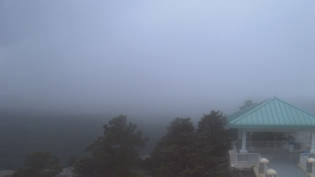
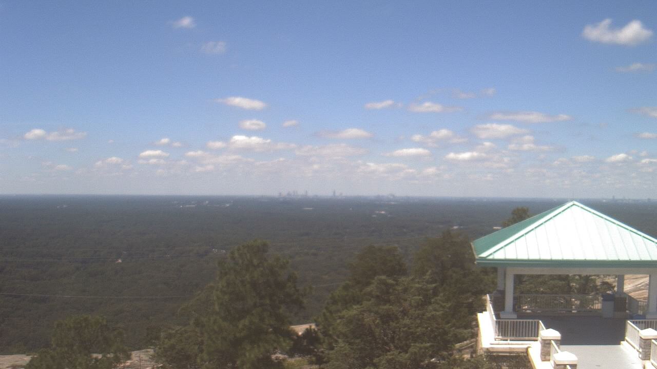
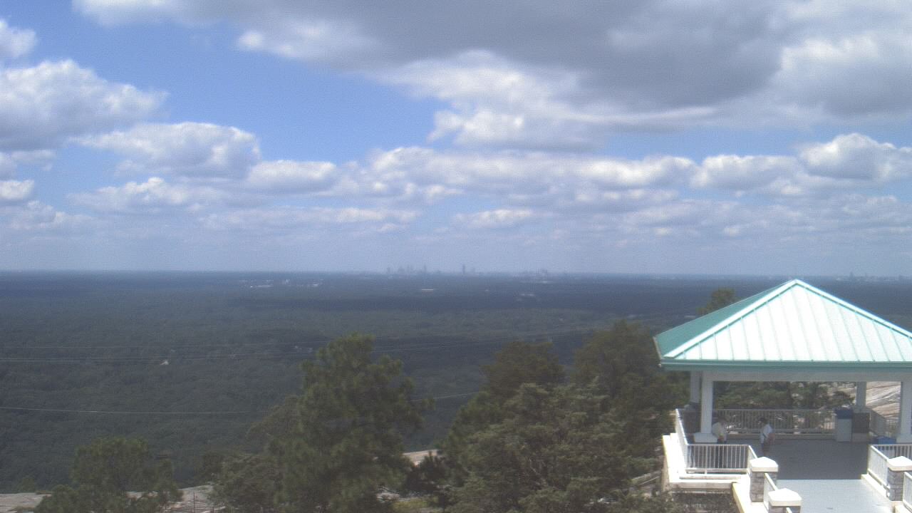
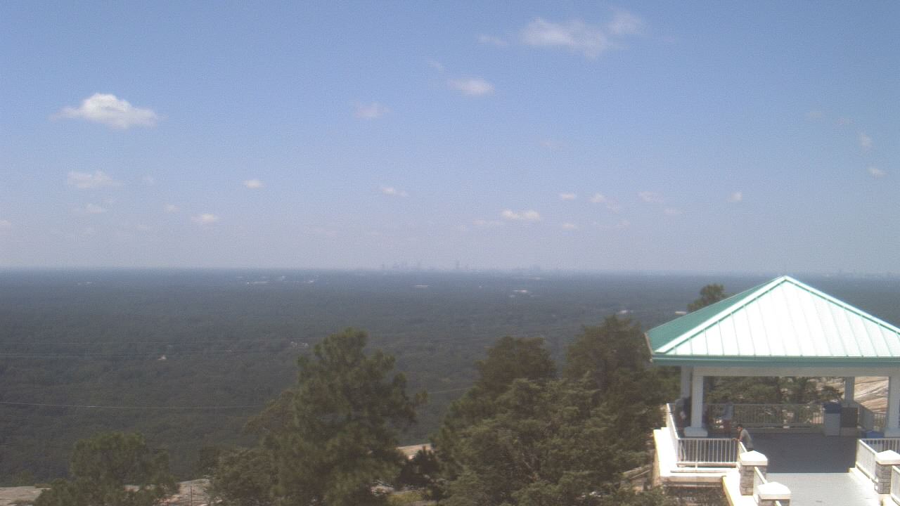
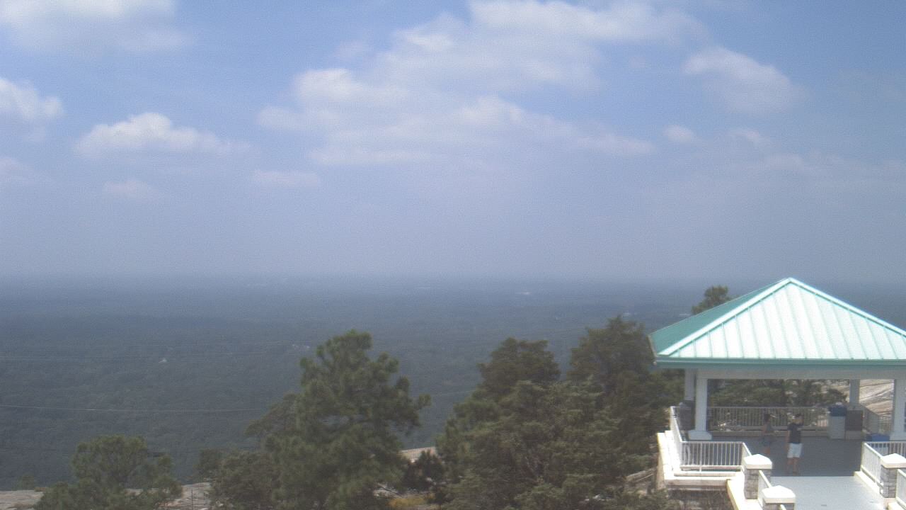
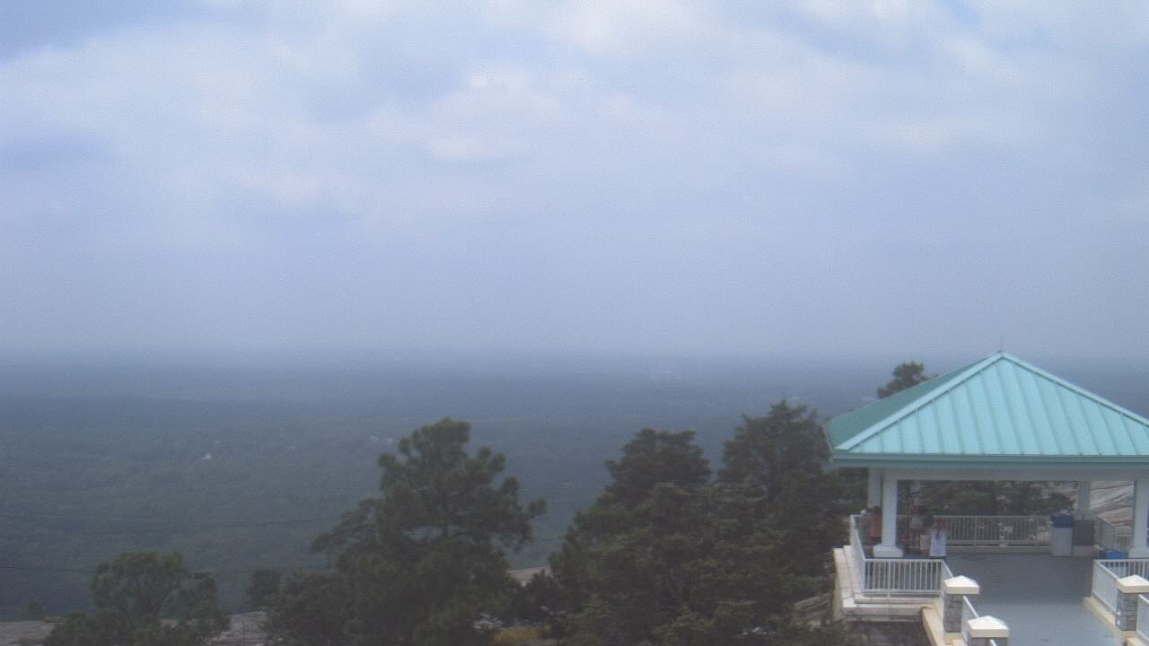
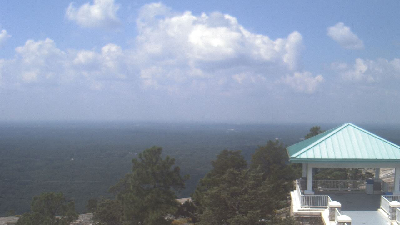
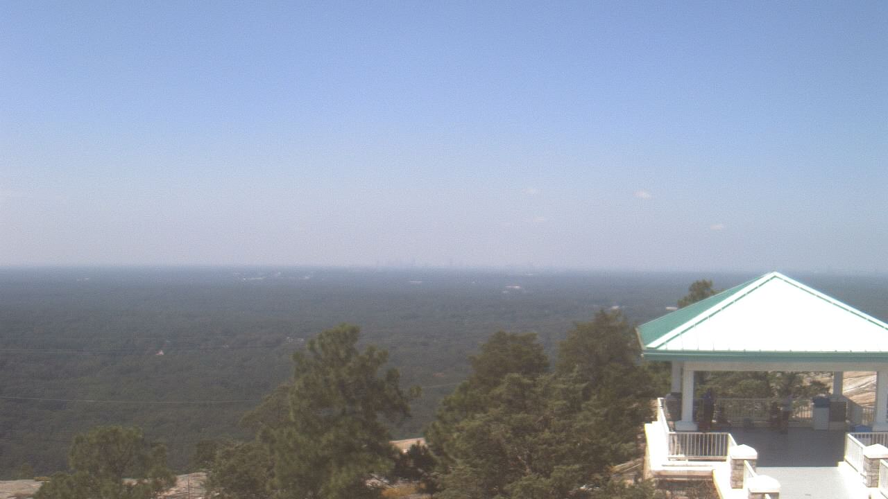
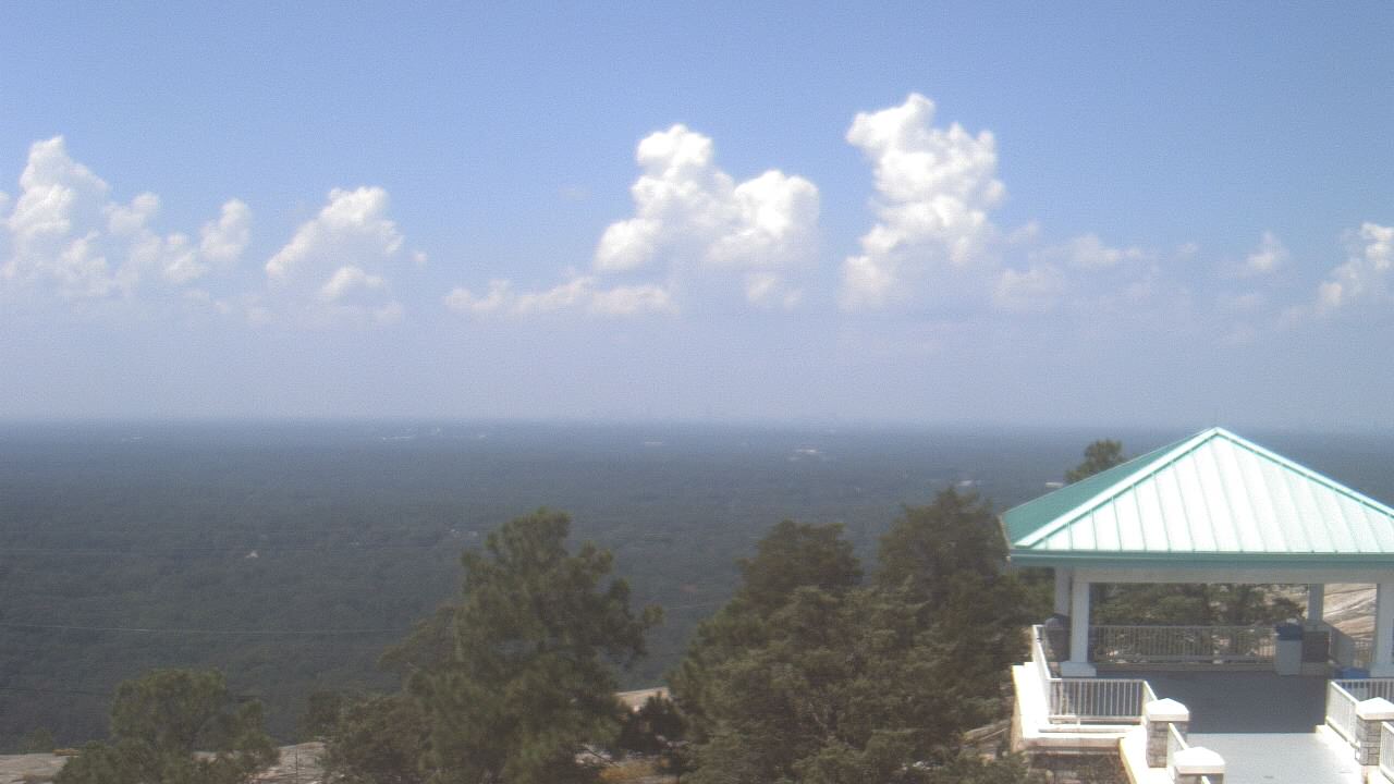
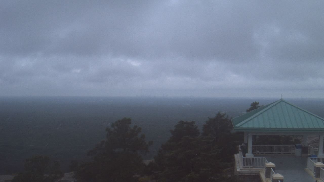
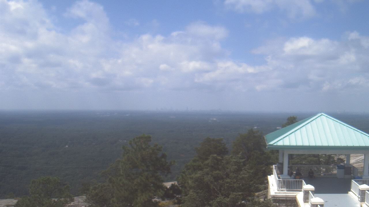
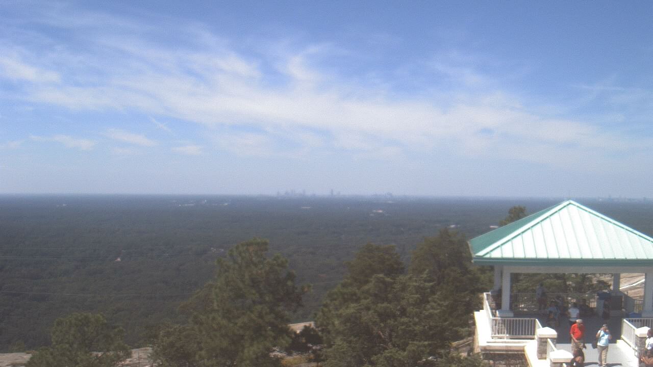
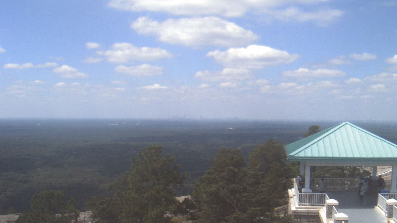
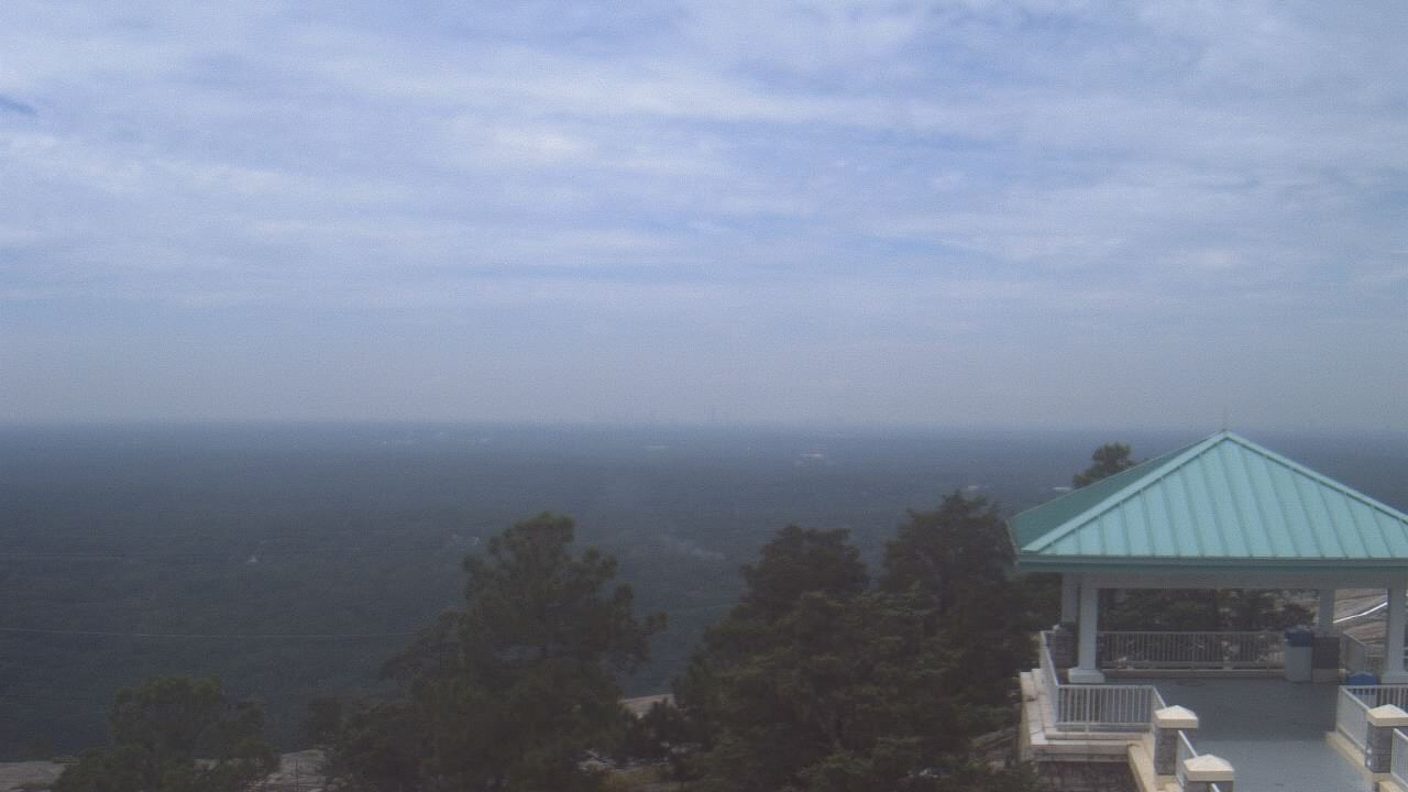
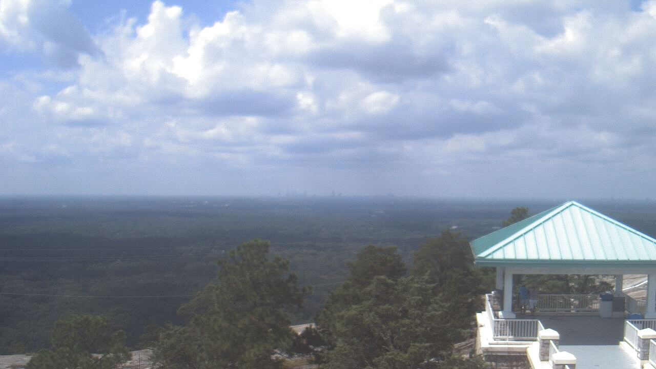
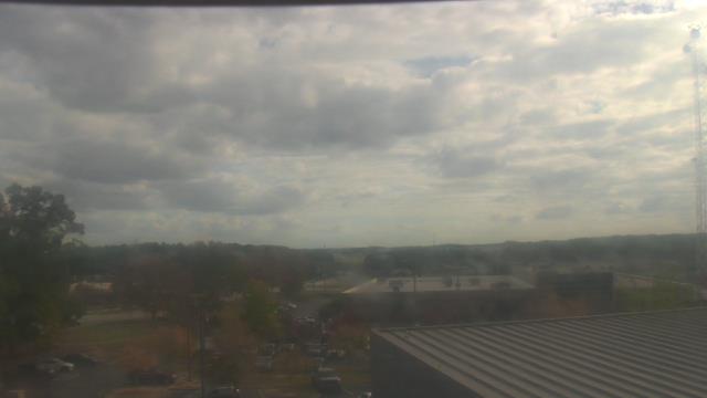
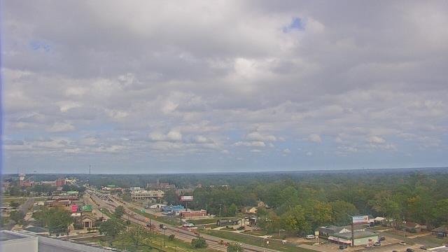
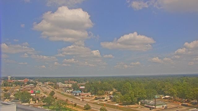
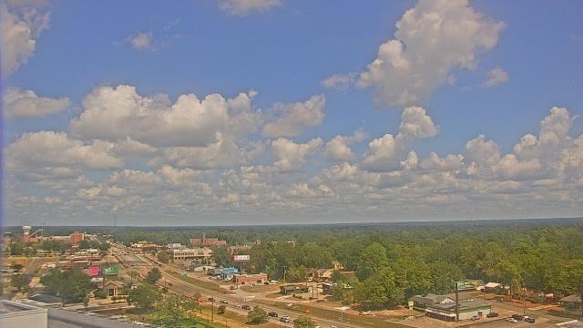
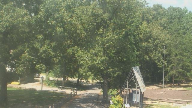
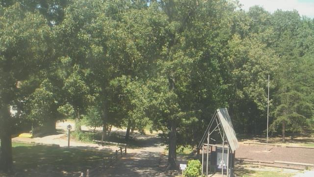
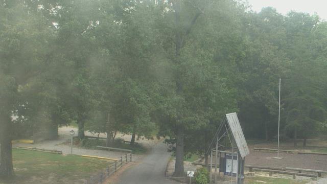
Stone Mountain, Georgia, USA - 171.8 miles from Confederate Hill Estates: Top of Stone Mountain - A webcam in Stone Mountain, Georgia - camera location: Top of Stone Mountain.
Operator: WeatherBug
Operator: WeatherBug


Lawrenceville, Georgia, USA - 177.5 miles from Confederate Hill Estates: Gwinnett County EMA - A webcam in Lawrenceville, Georgia - camera location: Gwinnett County EMA.
Operator: WeatherBug
Operator: WeatherBug


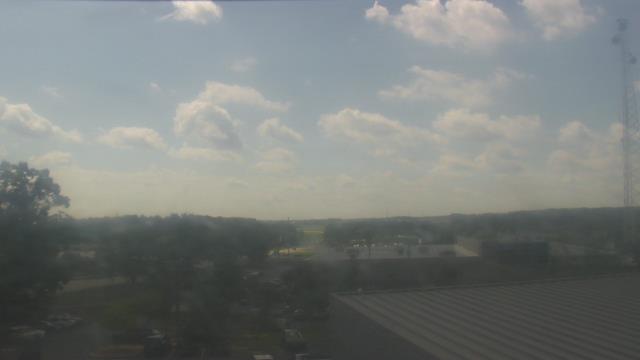

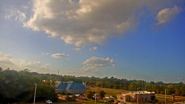
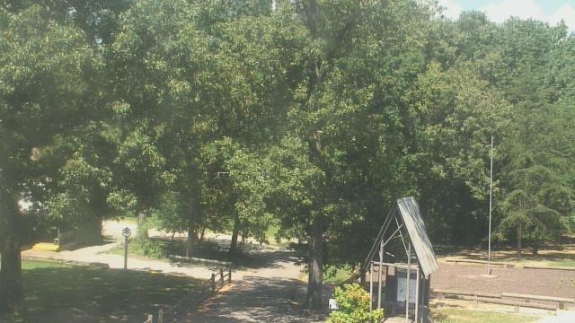
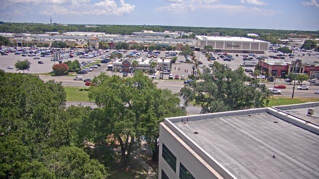
Hattiesburg, Mississippi, USA - 185.5 miles from Confederate Hill Estates: Forrest General Hospital - A webcam in Hattiesburg, Mississippi - camera location: Forrest General Hospital.
Operator: WeatherBug
Operator: WeatherBug


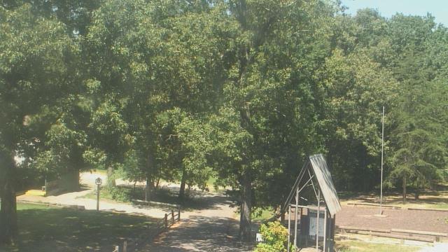
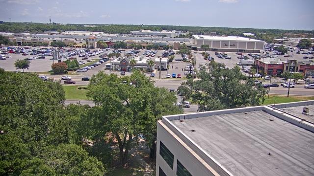
Hattiesburg, Mississippi, USA - 185.5 miles from Confederate Hill Estates: Petro Nissan - A webcam in Hattiesburg, Mississippi - camera location: Petro Nissan.
Operator: WeatherBug
Operator: WeatherBug


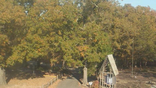
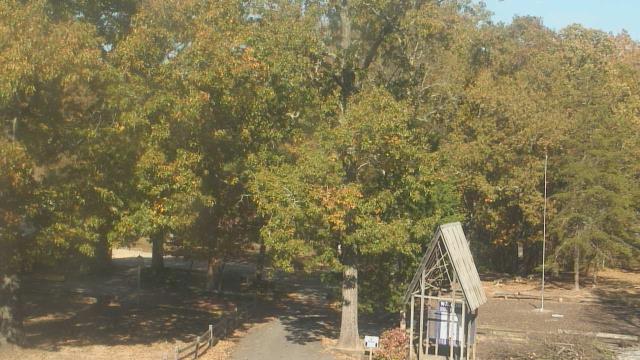
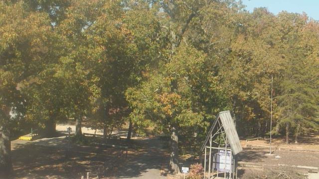
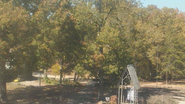
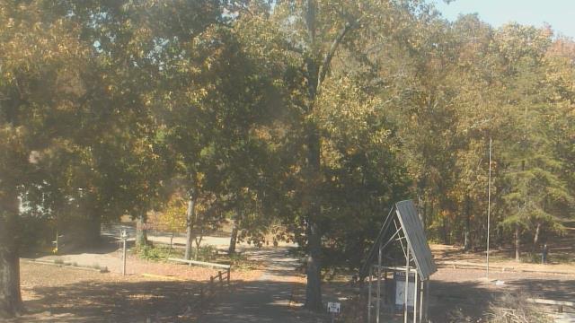
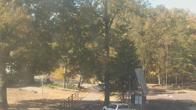
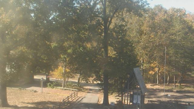
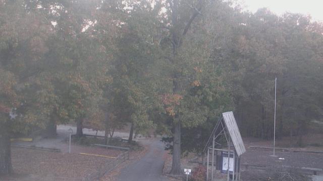
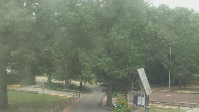
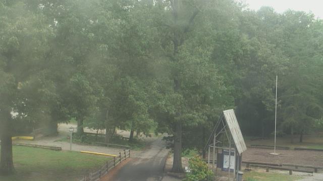
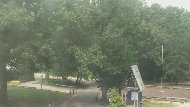
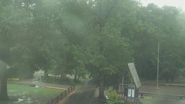
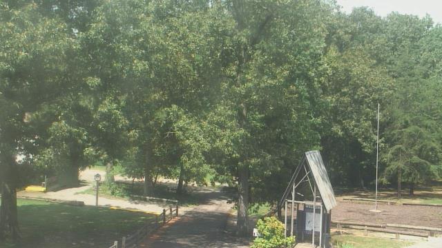
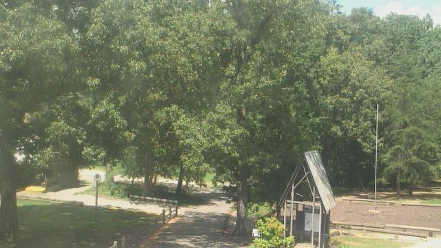
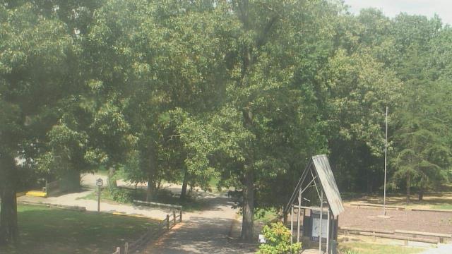
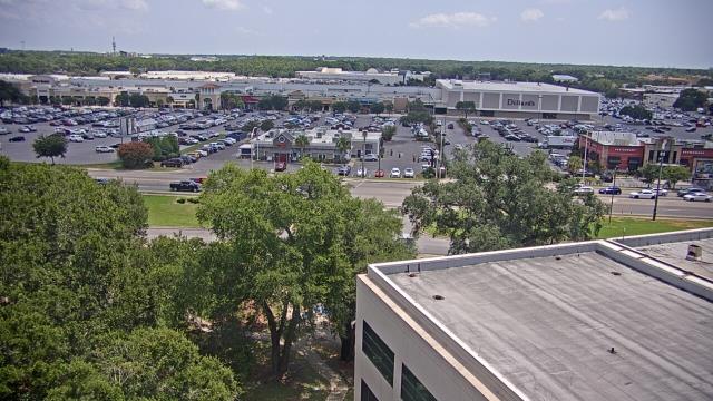
Fairview, Tennessee, USA - 188.4 miles from Confederate Hill Estates: Camp Marymount - A webcam in Fairview, Tennessee - camera location: Camp Marymount.
Operator: WeatherBug
Operator: WeatherBug


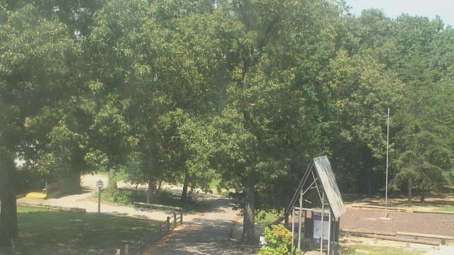


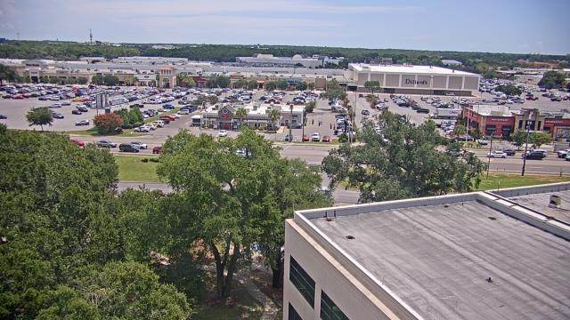
Pensacola, Florida, USA - 196 miles from Confederate Hill Estates: Sacred Heart Hospital - A webcam in Pensacola, Florida - camera location: Sacred Heart Hospital.
Operator: WeatherBug
Operator: WeatherBug


Some other places in this country: Breezeway Bay - Preston Sights Subdivision - Preston Subdivision - Agricola - Alice - Bachelors Chapel - Benson (historical) - Bethlehem - Black Creek - Black Creek Falls (historical)